


Rheintal: Wine, Rhine and Romans
Distance
165 Mi.
(266 KM)Days
3-4
% Unpaved
50%
% Singletrack
1%
% Rideable (time)
99%
Total Ascent
17,482'
(5,329 M)High Point
2,335'
(712 M)Difficulty (1-10)
5?
- 7Climbing Scale Strenuous106 FT/MI (20 M/KM)
- -Technical Difficulty
- -Physical Demand
- -Resupply & Logistics
Contributed By
Lothar Linse
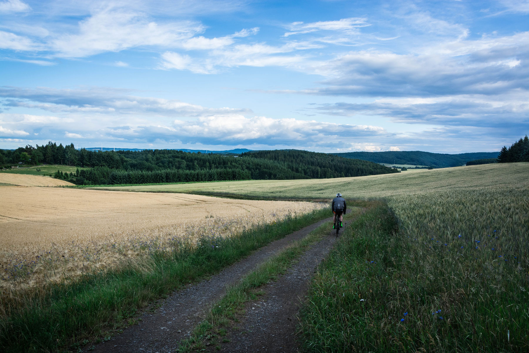
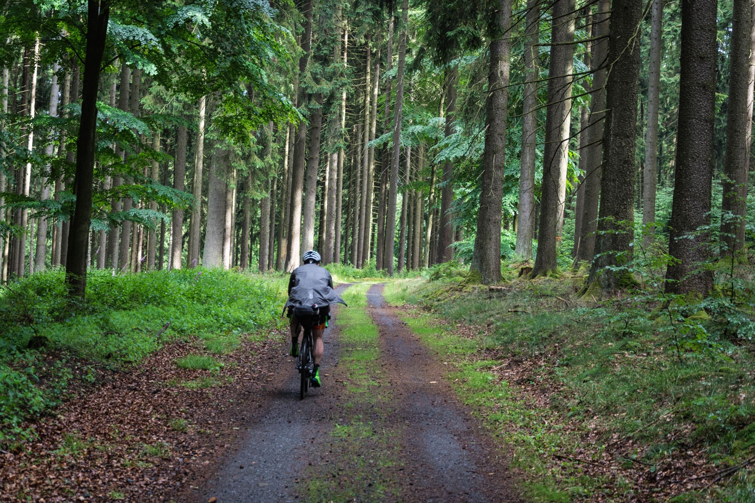
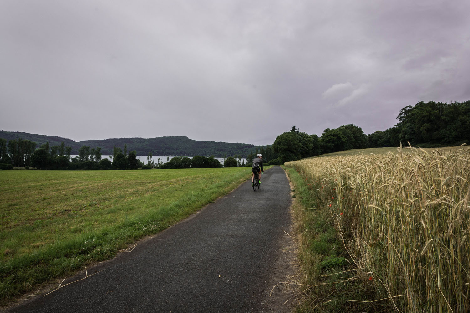
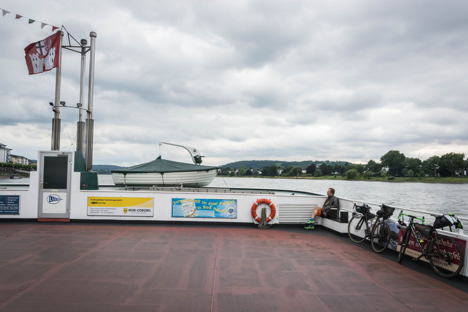
Coming from Cologne, this route was designed to make a nearby three-day weekend escape to an inspiring slice of nature. The region does not have huge mountains but it does feature plenty of forests and many, many hills. So it is a steady up and down that you will definitely see on your GPS and feel in your legs at the end of each day. The route crosses the Rhine River twice on the second and third day. The last of which requires a ferry, so beware of the time table (link see below).
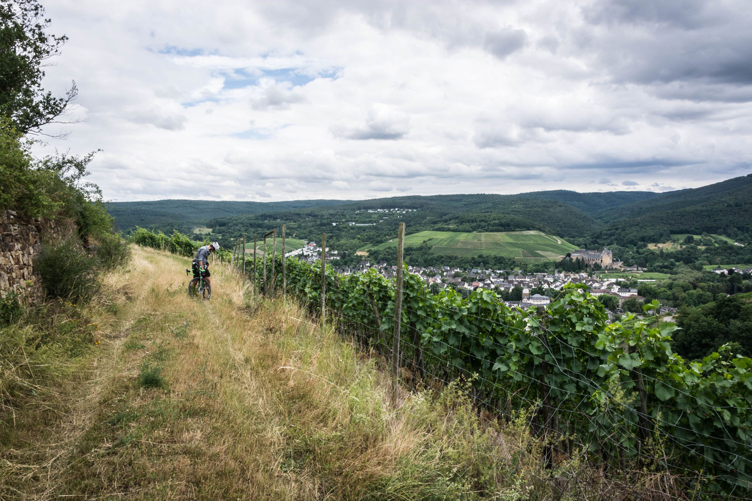
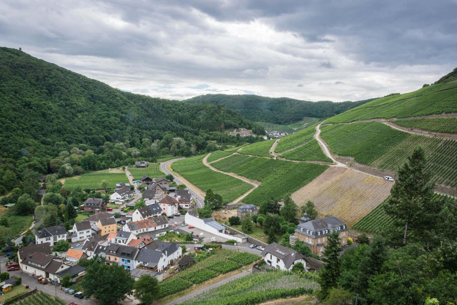
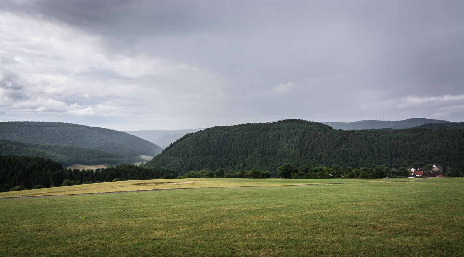
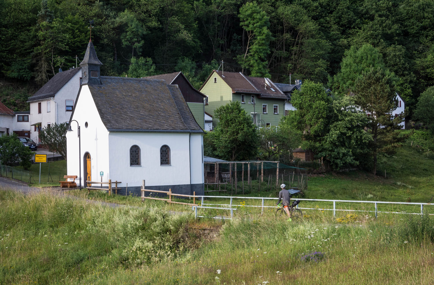
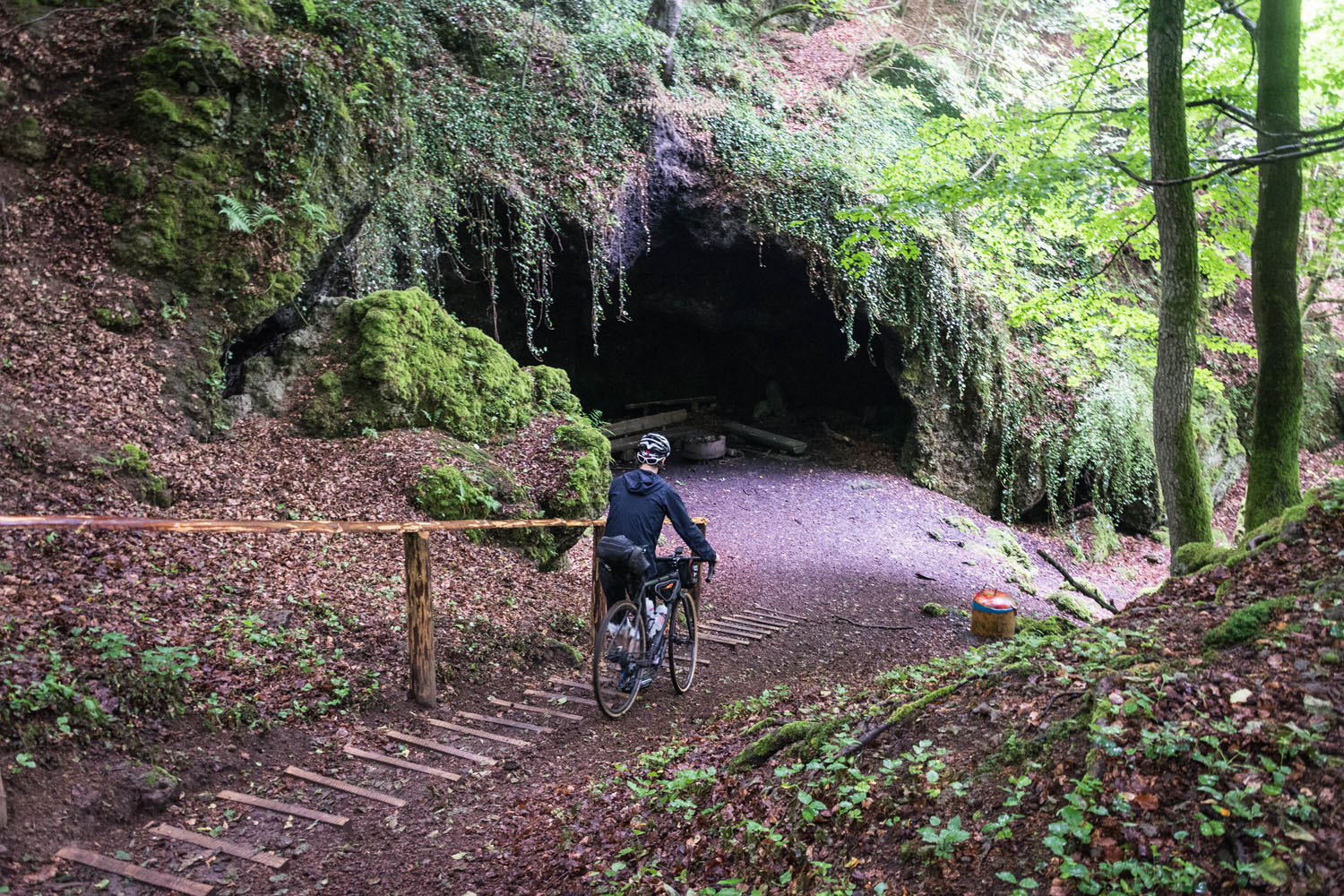
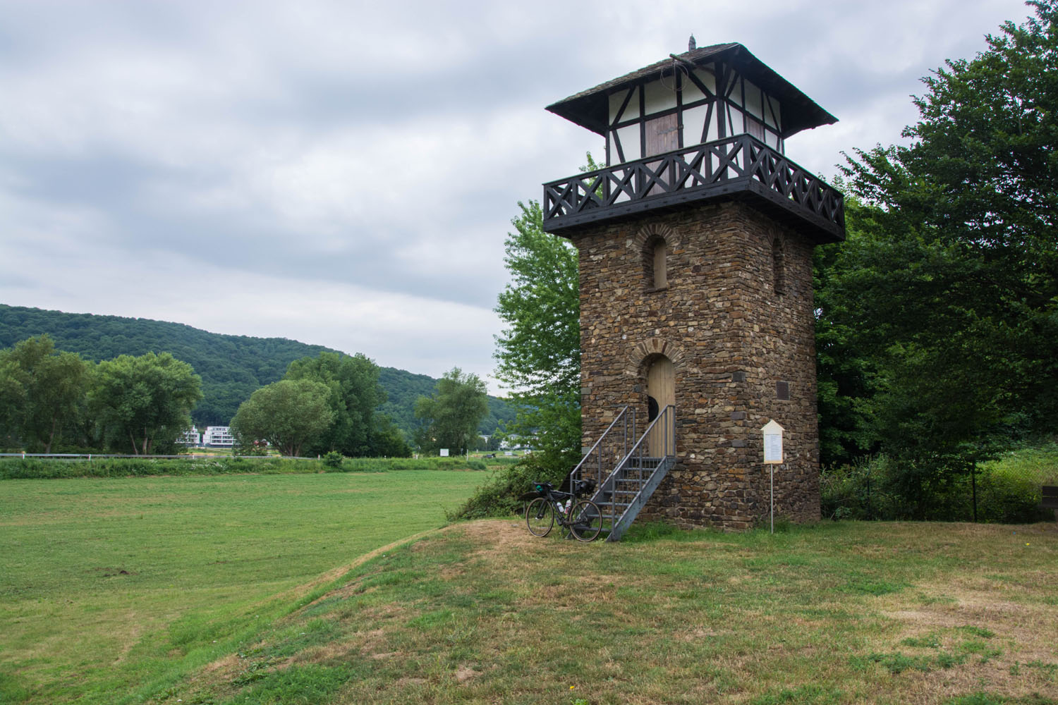
Using unpaved, wide forest roads, bike paths and country roads, the route crosses three main geological and geographic places of note. The Ahrtal is named after the Ahr, a river which feeds the Rhine. This region is well known for its vineyards and wineries, especially white wine. The Eifel is part of a low mountain range that spans the countries of Belgium, Luxemburg and Germany. Its highest point is the Hohe Acht (747 meters in altitude) and large parts belong to National Parks. The Siebengebirge is of volcanic origin and is in the east of the River Rhine near the city Bonn. It has a National Park as well.
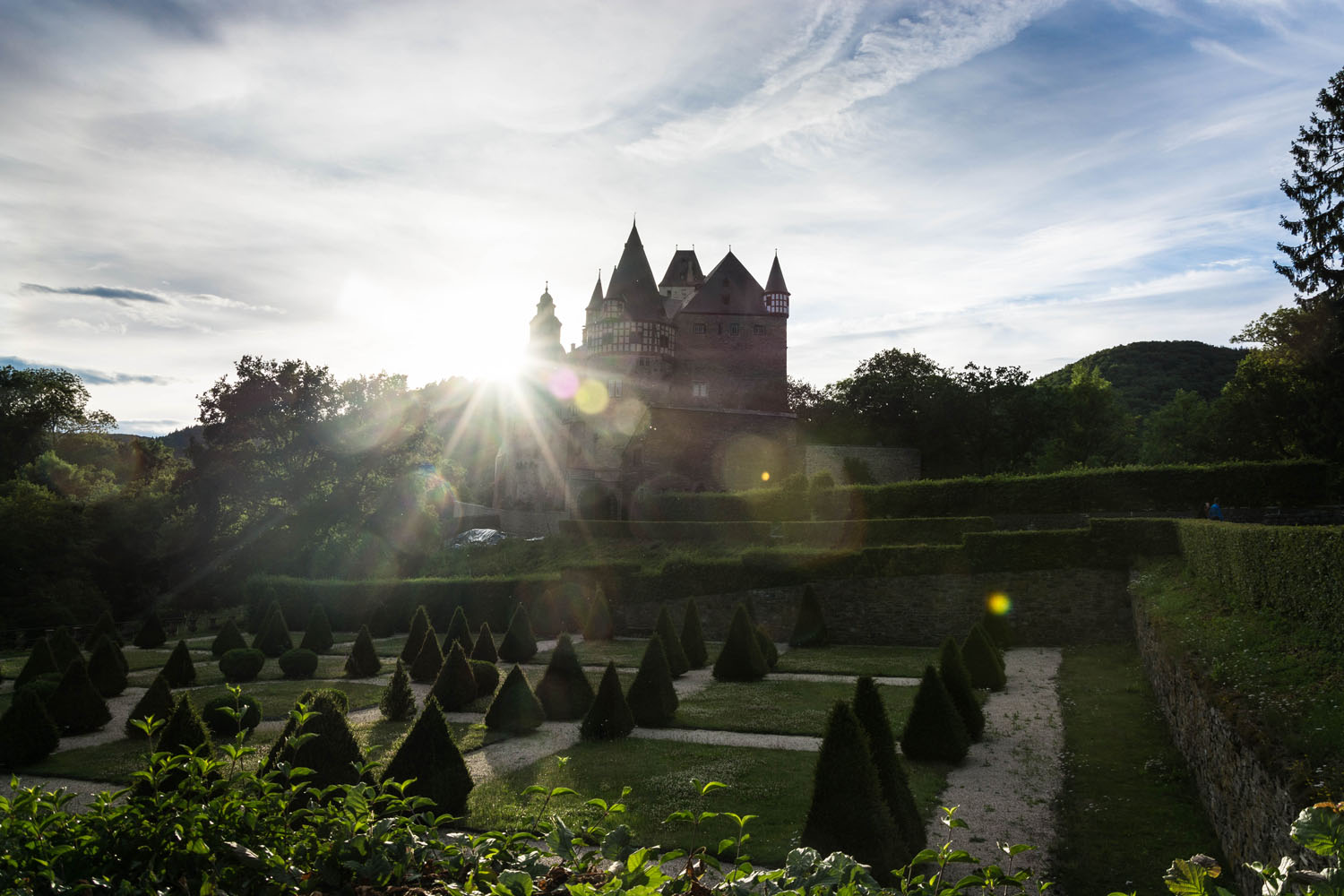
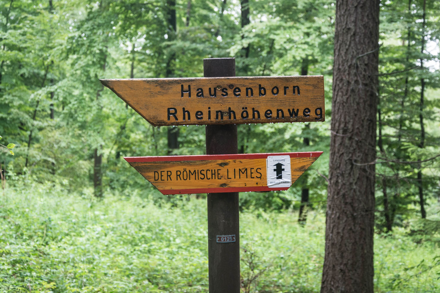
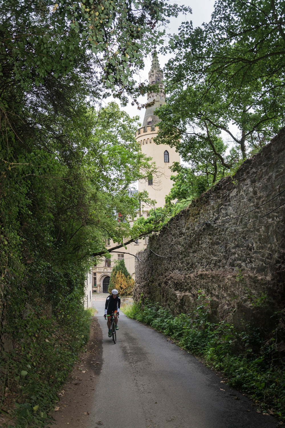
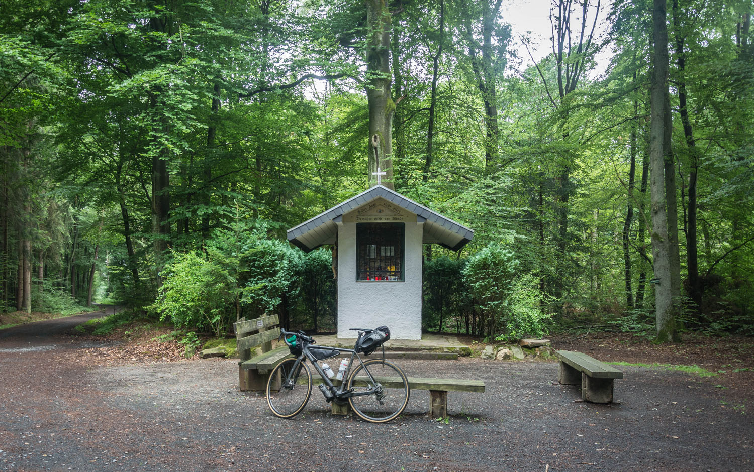
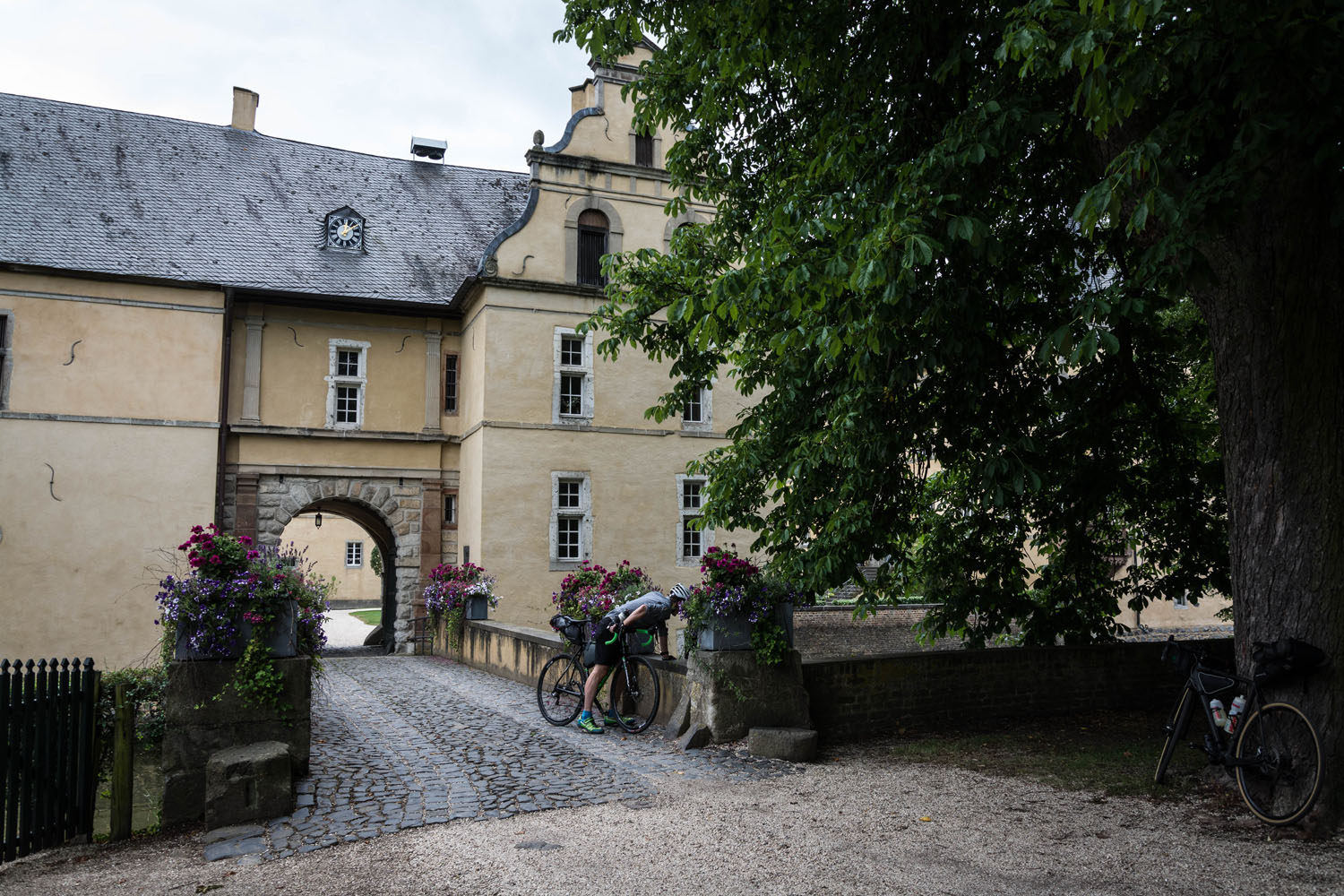
The route was designed to take in many cultural highlights. As such, the tour starts from the historic train station of Kottenforst and along the way passes ruins, ancient castles, and monasteries. In addition, parts of the track is on the Jakobs Trail and follows the former line of the Roman Limes. See the Trail Notes for a detailed itinerary.
Difficulty: This route is rated 4 of 10. it is generally not difficult; logistics is fairly straightforward as civilization is always nearby. You just need a bit of physical fitness as there is plenty of climbing.


Submit Route Alert
As the leading creator and publisher of bikepacking routes, BIKEPACKING.com endeavors to maintain, improve, and advocate for our growing network of bikepacking routes all over the world. As such, our editorial team, route creators, and Route Stewards serve as mediators for route improvements and opportunities for connectivity, conservation, and community growth around these routes. To facilitate these efforts, we rely on our Bikepacking Collective and the greater bikepacking community to call attention to critical issues and opportunities that are discovered while riding these routes. If you have a vital issue or opportunity regarding this route that pertains to one of the subjects below, please let us know:
Highlights
Must Know
Camping
Food/H2O
Trail Notes
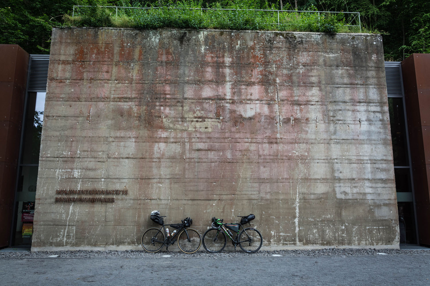
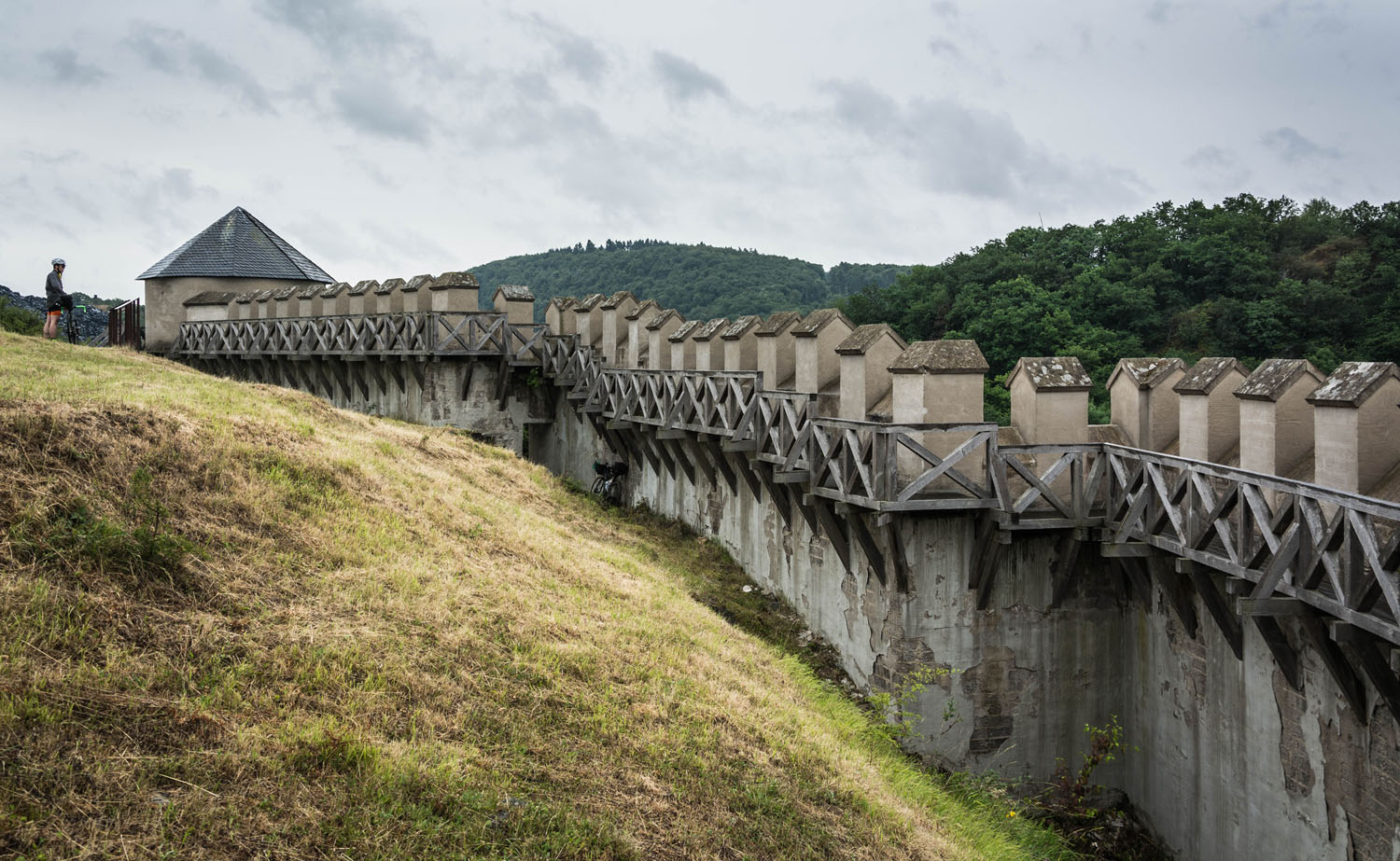
- Crossing the wine region Ahrtal and passing the old government bunker (now a museum)
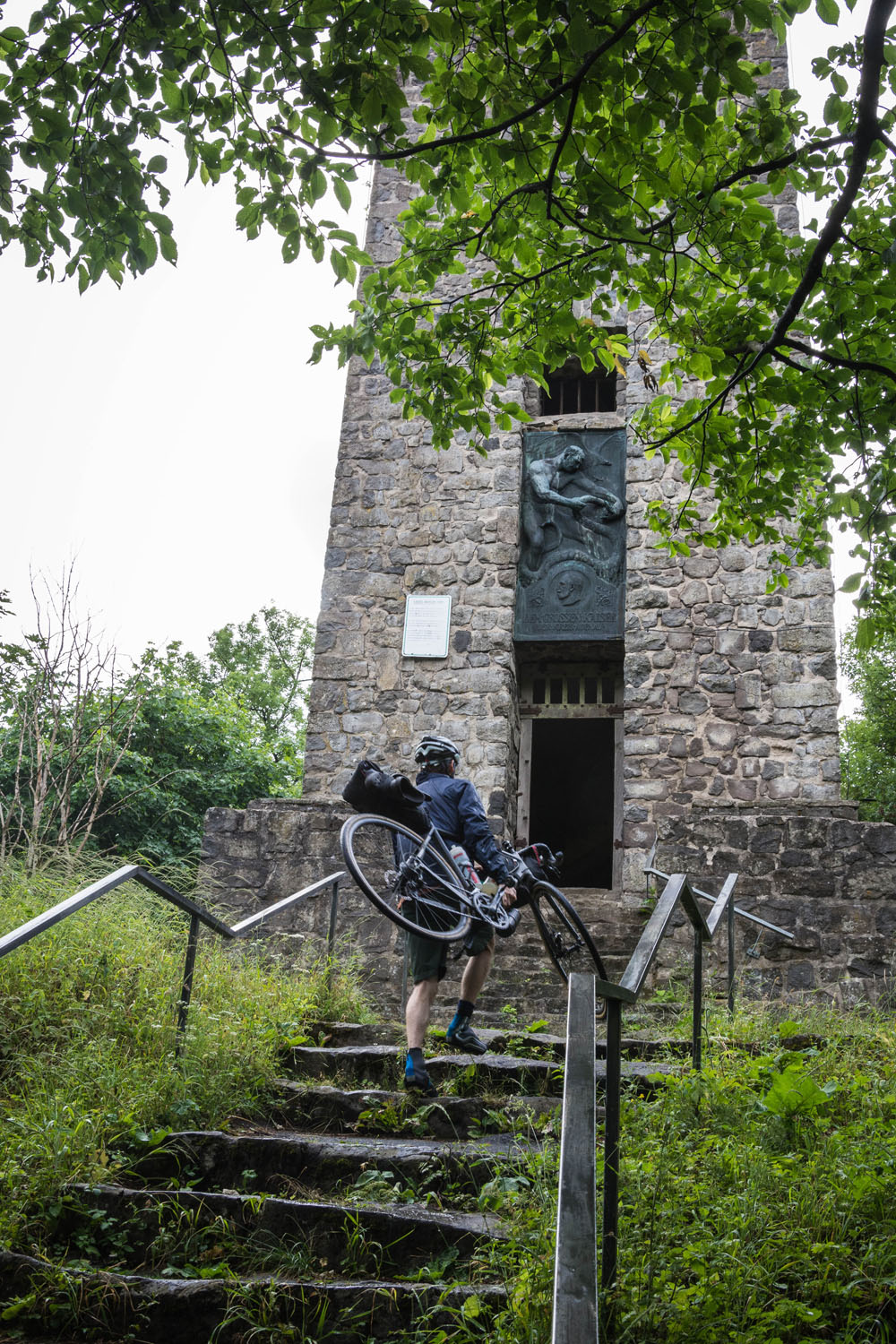
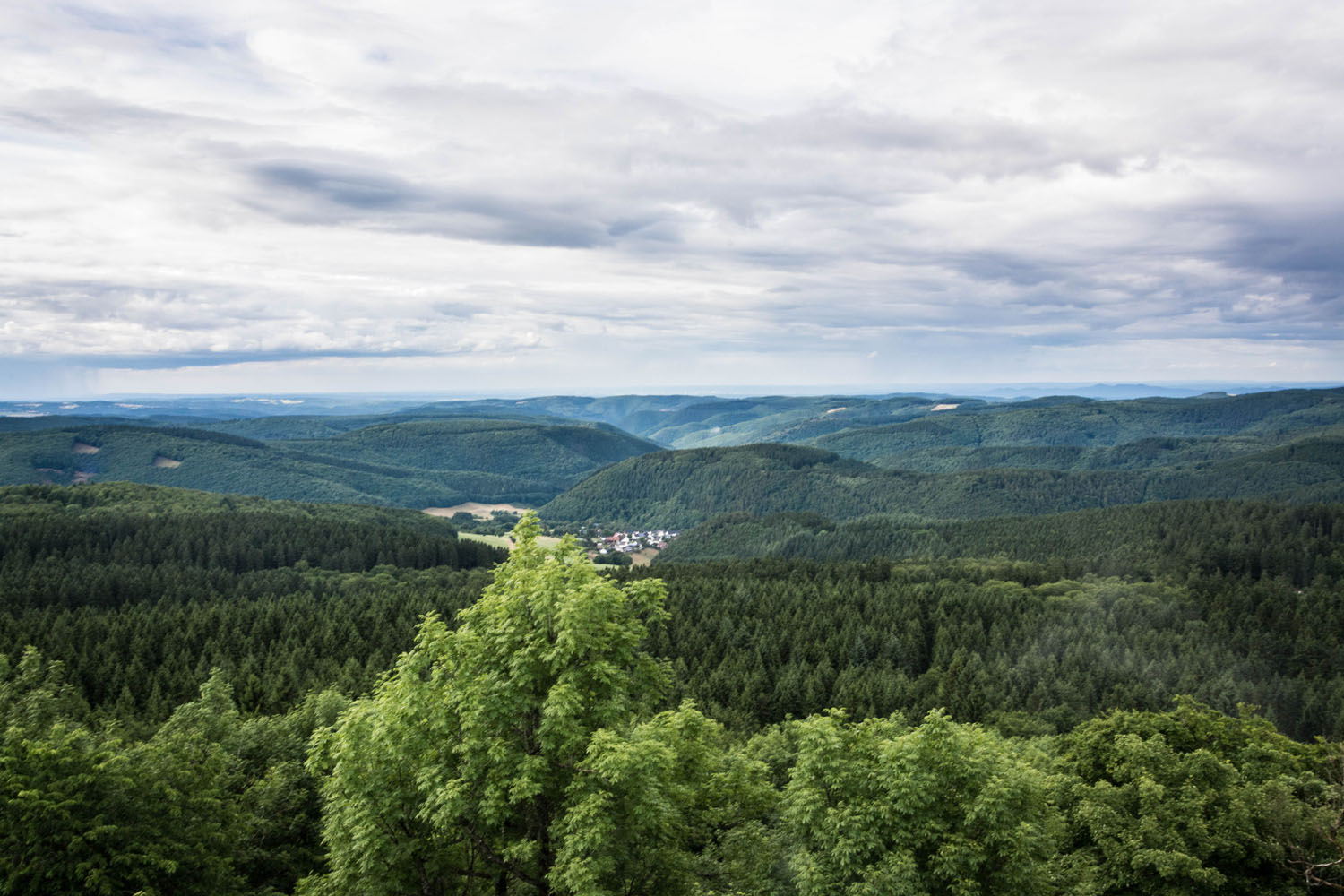
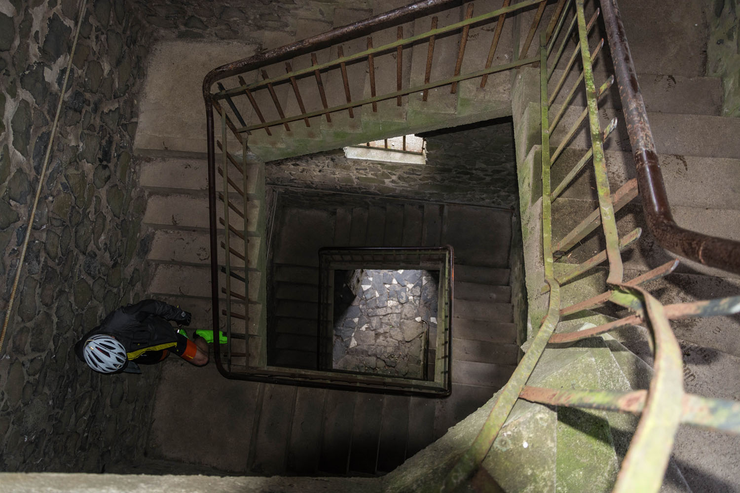
- Spectacular view from the Kaiser Wilhelm Tower on Hohe Acht
- Monastery Maria Laach and lake Laach
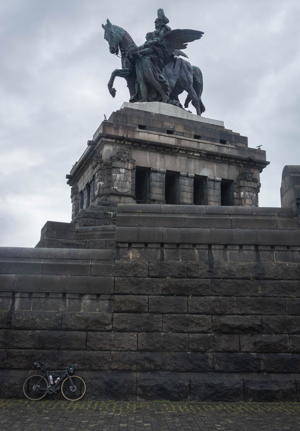
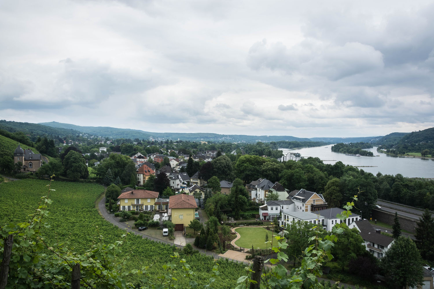
- Crossing the Rhine at the “Deutsches Eck” in Koblenz
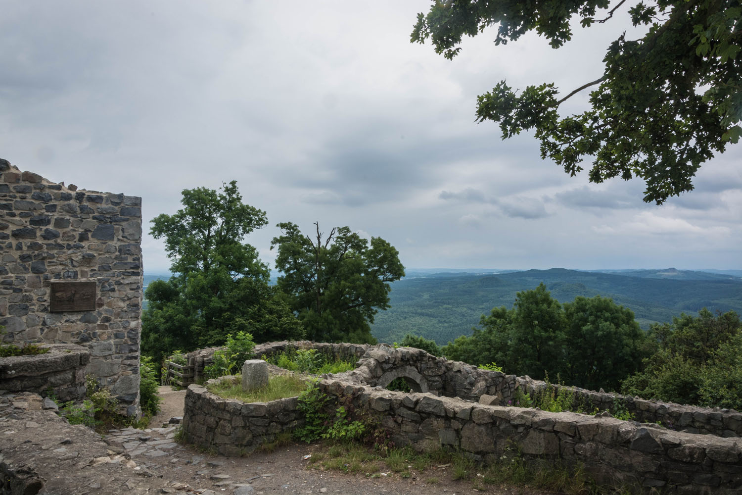
- Ruins of the castle “Wolkenburg” in the Siebengebirge and its 360° panoramic view
- The best time for to ride this route is between May and October.
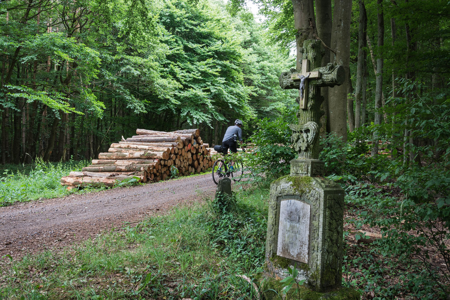
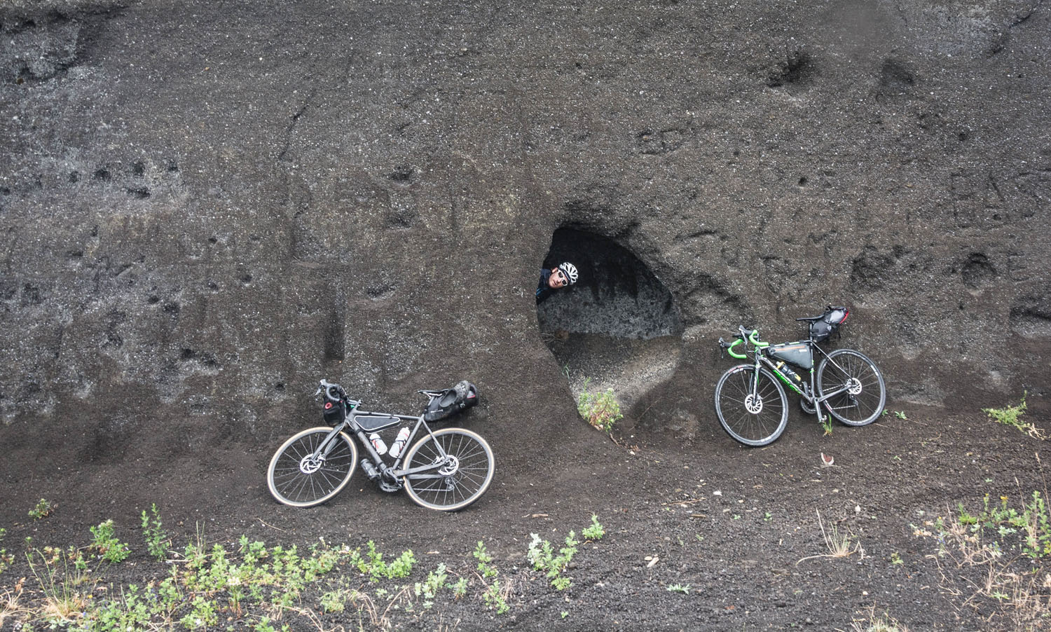
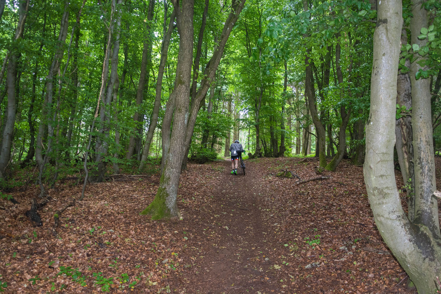
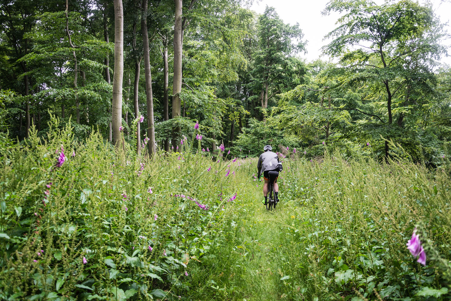
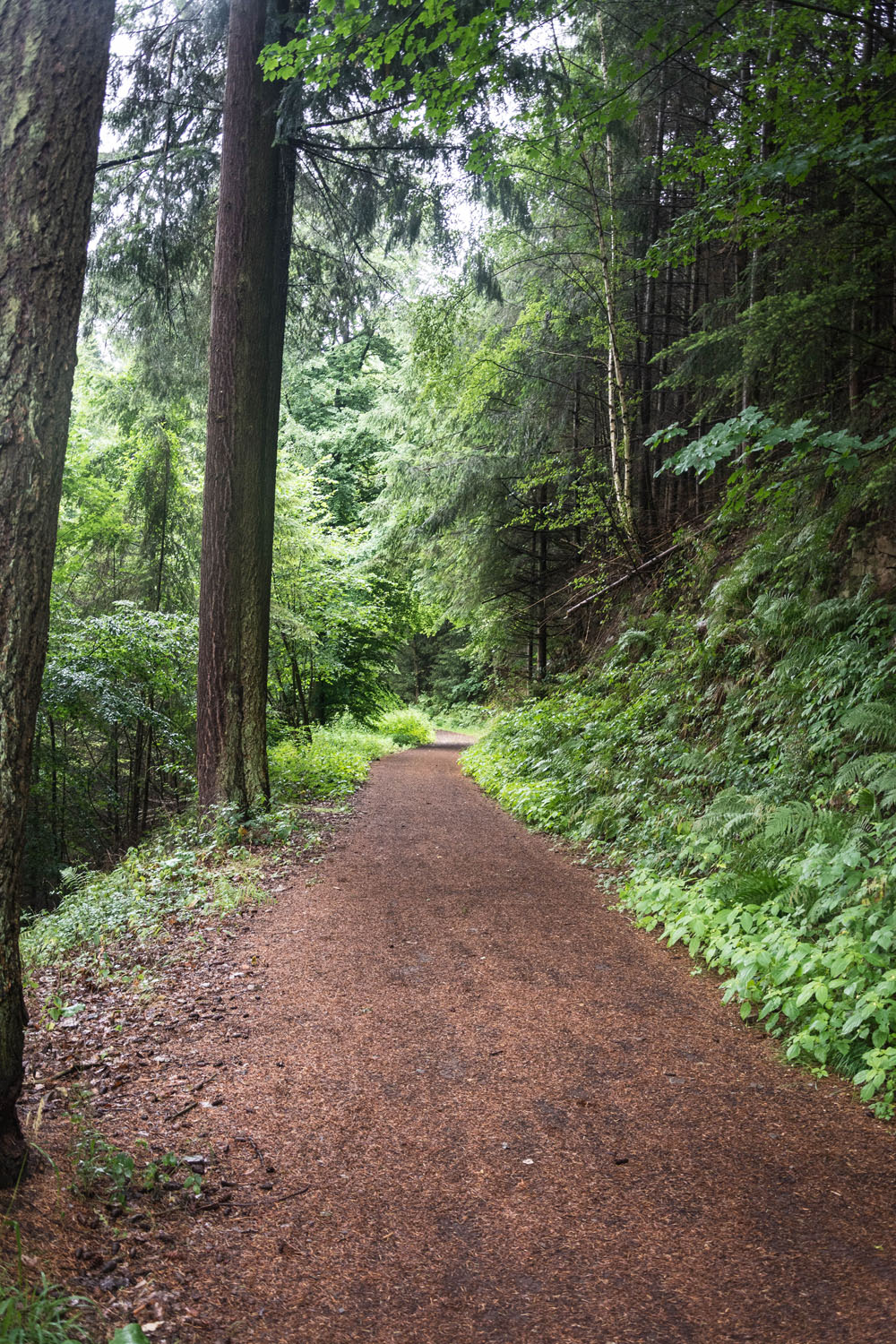
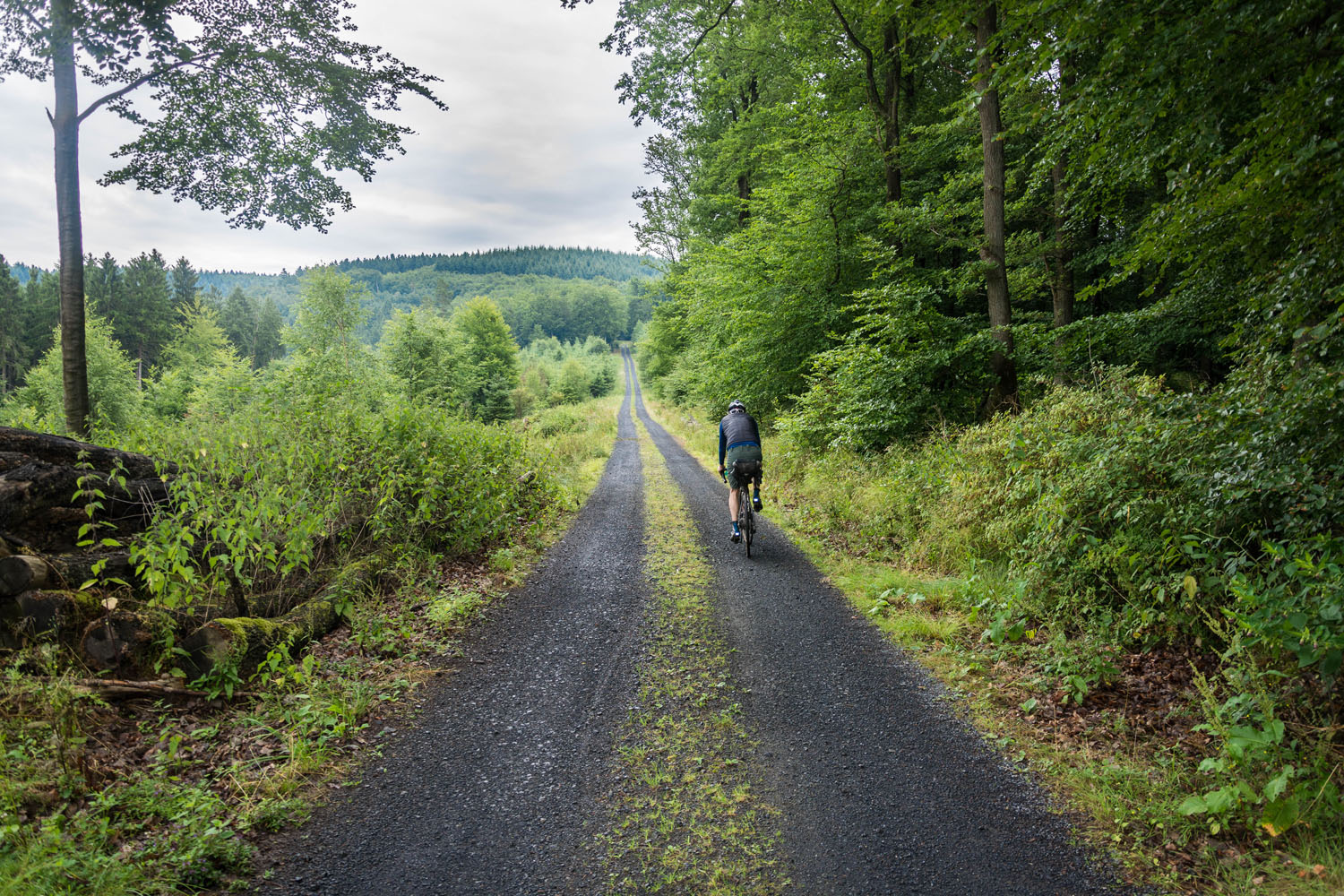
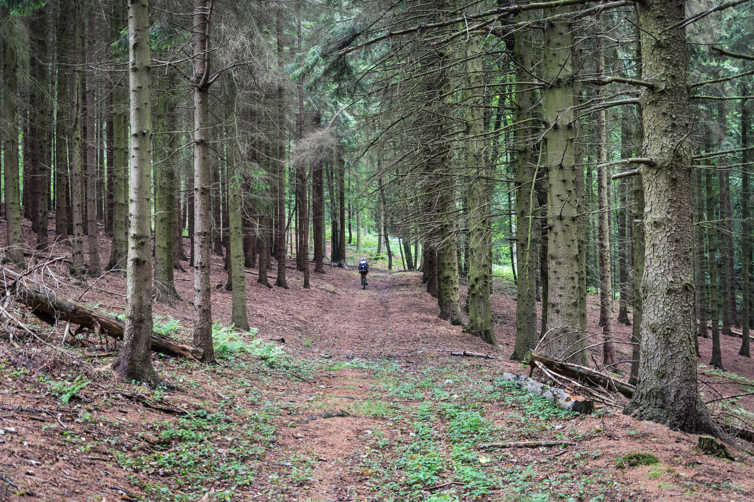
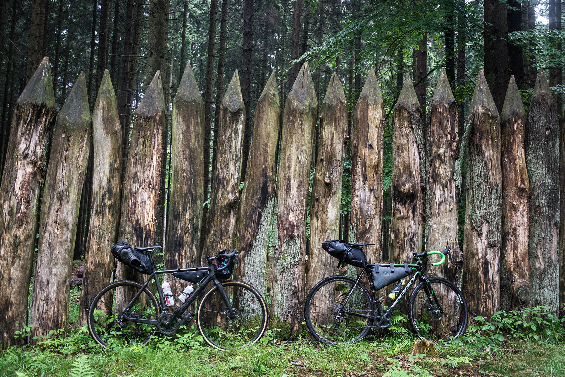
- The route consists mostly of unpaved, wide forest roads. There are only a few singletrack trails and the route can be managed with a gravel bike for the most part. From my point of view a MTB is not necessary. I recommend 35mm or bigger tires with cyclocross profile.
- On your way back you cross the Rhine with a ferry in Königswinter, beware of the time table.
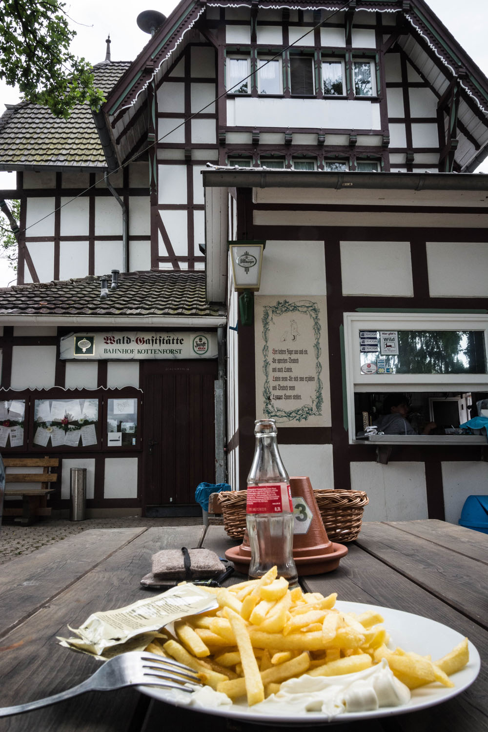
- Starting and endpoint is the train station Kottenforst, built 1880, which is still in use. So public transport is easily possible.
- We began this trial run on a rainy Friday in the end of June. Along the way we met almost zero other people, which was probably because of the weather. On a sunny week end, the region around Hohe Acht and the Siebengebirge is very popular for hikers and bikers. So please behave respectfully.
- Wild camping is not permitted in Germany, but you find several camping places and many shelters on the way.
- Camping St Jost
- Camping Rhein Mosel in Koblenz
- Camping Bad Hönningen Wellness Rheinpark
- In Mayen, Koblenz and Rheinbrohl/Bad Hönningen you find accommodation in all categories.
- You’ll pass plenty villages and petrol stations. Food and water are easy to find.
- The last day is the most remote. After you leave Rheinbrohl you will not find a supermarket until you reach the town of Königswinter (next to Bonn), but enough family housings to ask for water if you need it.
- In the Siebengebirge, just below the peak of Löwenburg with a 360° panoramic view you can refuel your tank in the restaurant and beergarden “Löwenburger Hof” and enjoy the ride the way down to the River Rhine.
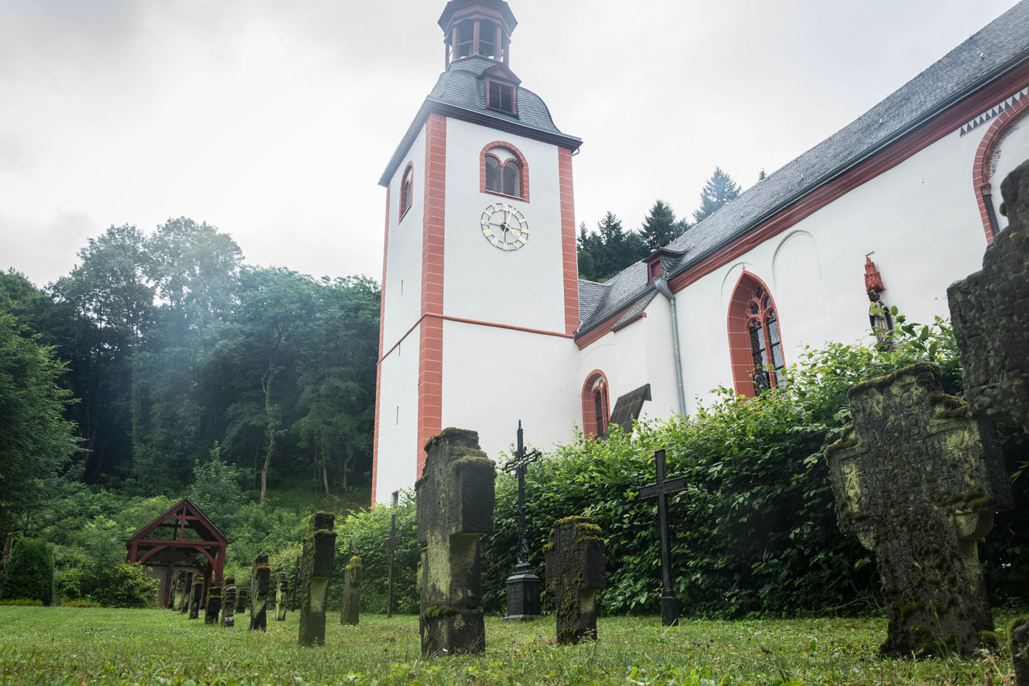
In the Ahrtal there is a former german government bunker, which was planned for emergency during the cold era. It is a museum now. In the nearby hills lies the picturesque monastery Kalvarienberg, built in 1630.
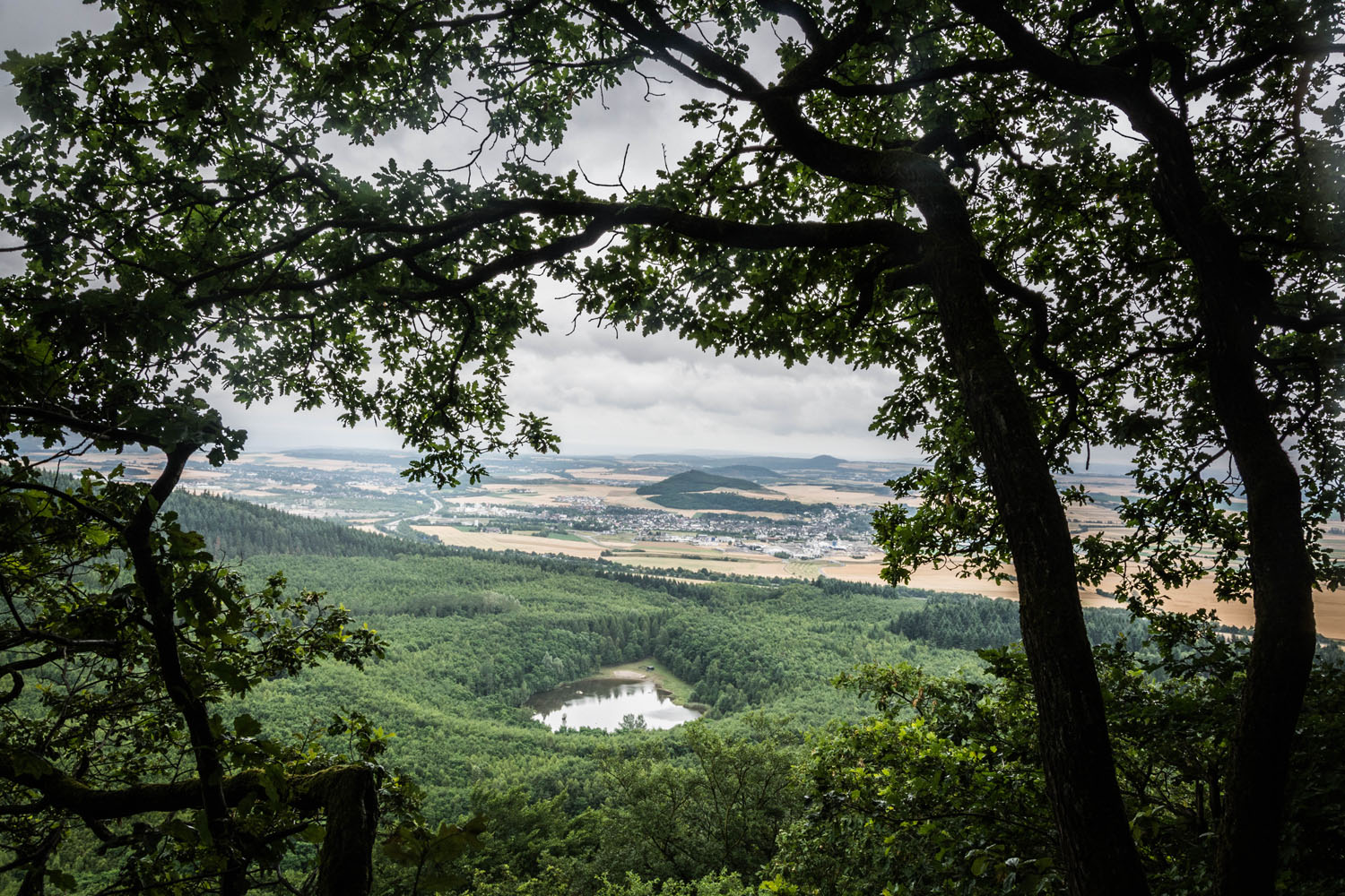
The route also passes the Kaiser Wilhelm Tower on “Hohe Acht”. With 747 meters of altitude, it’s the highest peak of the trip and offers a spectacular view. After the peak there’s a wonderful descent to the city of Mayen. On sunny week ends the tower can get a bit crowded due to other bikers and hikers.
On day two you’ll pass the famous monastery Maria Laach, built in 1100, lying next to the lake Lake Laach. After a single trail up the hill there’s another viewpoint in the direction of Koblenz, the next destination.
If you are interested in a bit of city nightlife you can easily make it a four day tour and spend an extra night in Koblenz’s historic centre. We spent the first night in Mayen and the second in Rheinbrohl. Doing so will make the second day the longest.
The last day is the one with the most unpaved roads, after you left Rheinbrohl. You ride through forests most of the time. After crossing the Rhine and the city of Bonn you come to your last uphill. After that you’ll enjoy five kilometers through the forest “Kottenforst” again until you arrive back at the train station.


Terms of Use: As with each bikepacking route guide published on BIKEPACKING.com, should you choose to cycle this route, do so at your own risk. Prior to setting out check current local weather, conditions, and land/road closures. While riding, obey all public and private land use restrictions and rules, carry proper safety and navigational equipment, and of course, follow the #leavenotrace guidelines. The information found herein is simply a planning resource to be used as a point of inspiration in conjunction with your own due-diligence. In spite of the fact that this route, associated GPS track (GPX and maps), and all route guidelines were prepared under diligent research by the specified contributor and/or contributors, the accuracy of such and judgement of the author is not guaranteed. BIKEPACKING.com LLC, its partners, associates, and contributors are in no way liable for personal injury, damage to personal property, or any other such situation that might happen to individual riders cycling or following this route.
Please keep the conversation civil, constructive, and inclusive, or your comment will be removed.