


Rhoenrad Circle
Distance
122 Mi.
(196 KM)Days
3
% Unpaved
70%
% Singletrack
10%
% Rideable (time)
99%
Total Ascent
12,382'
(3,774 M)High Point
3,092'
(942 M)Difficulty (1-10)
5?
- 7Climbing Scale Strenuous101 FT/MI (19 M/KM)
- 5Technical Difficulty Moderate
- 5Physical Demand Moderate
- 5Resupply & Logistics Moderate
Contributed By
Lothar Linse
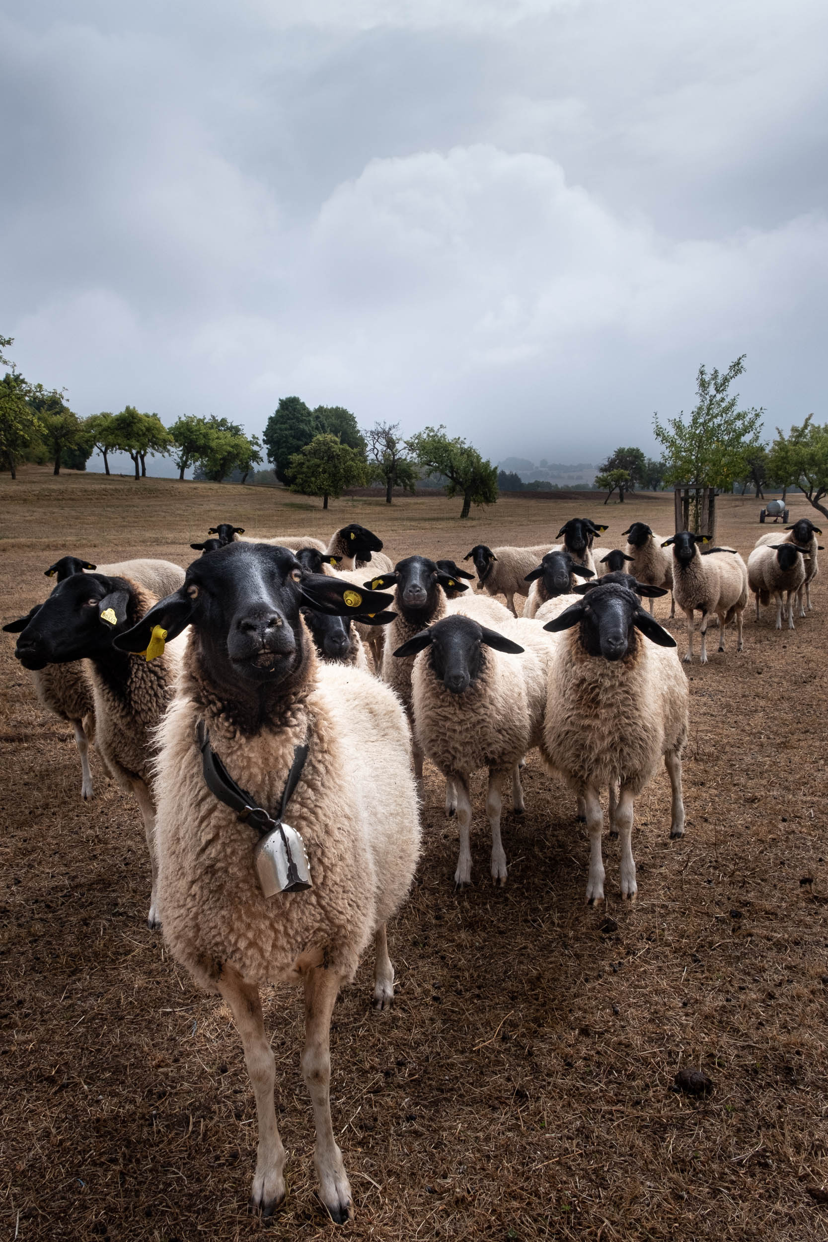
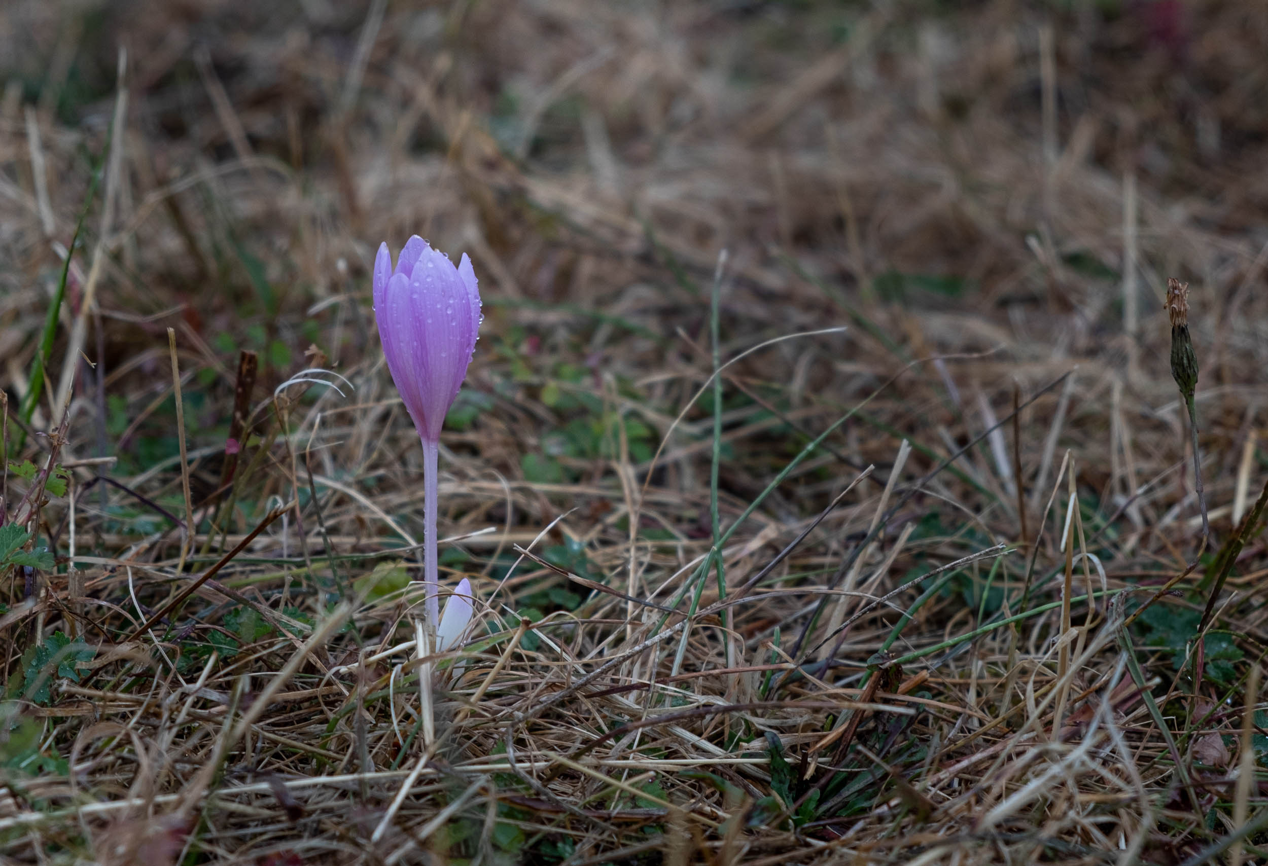
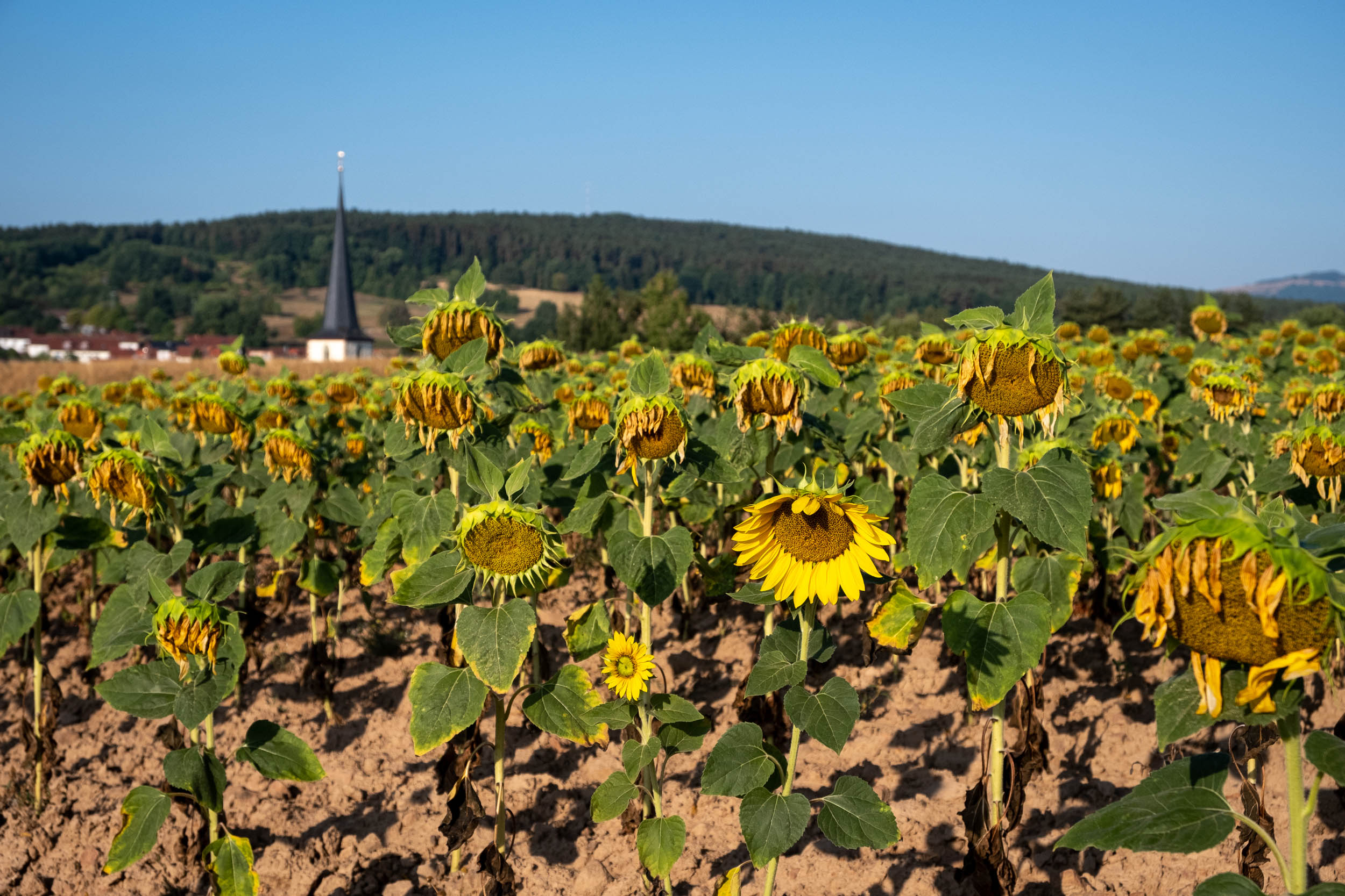
The Rhoen (or Rhön) region is a low mountain range of 1,500 square kilometers in the southwest of Germany. Its geography is made up of sprawling forests and countless hills, and the area is also known for its “Rhoen Sheep,” a particular breed that you’ll regularly see on rolling farmland throughout the route. The name “Rhoen” is probably of Keltic origin. The route is named after the gymnastic wheel, or gym wheel, which is rhoenrad in German. The origin of this curious apparatus can be traced to a German blacksmith in the 1920s, who invented it after moving to the Rhoen region after World War I. Rad means wheel in German.
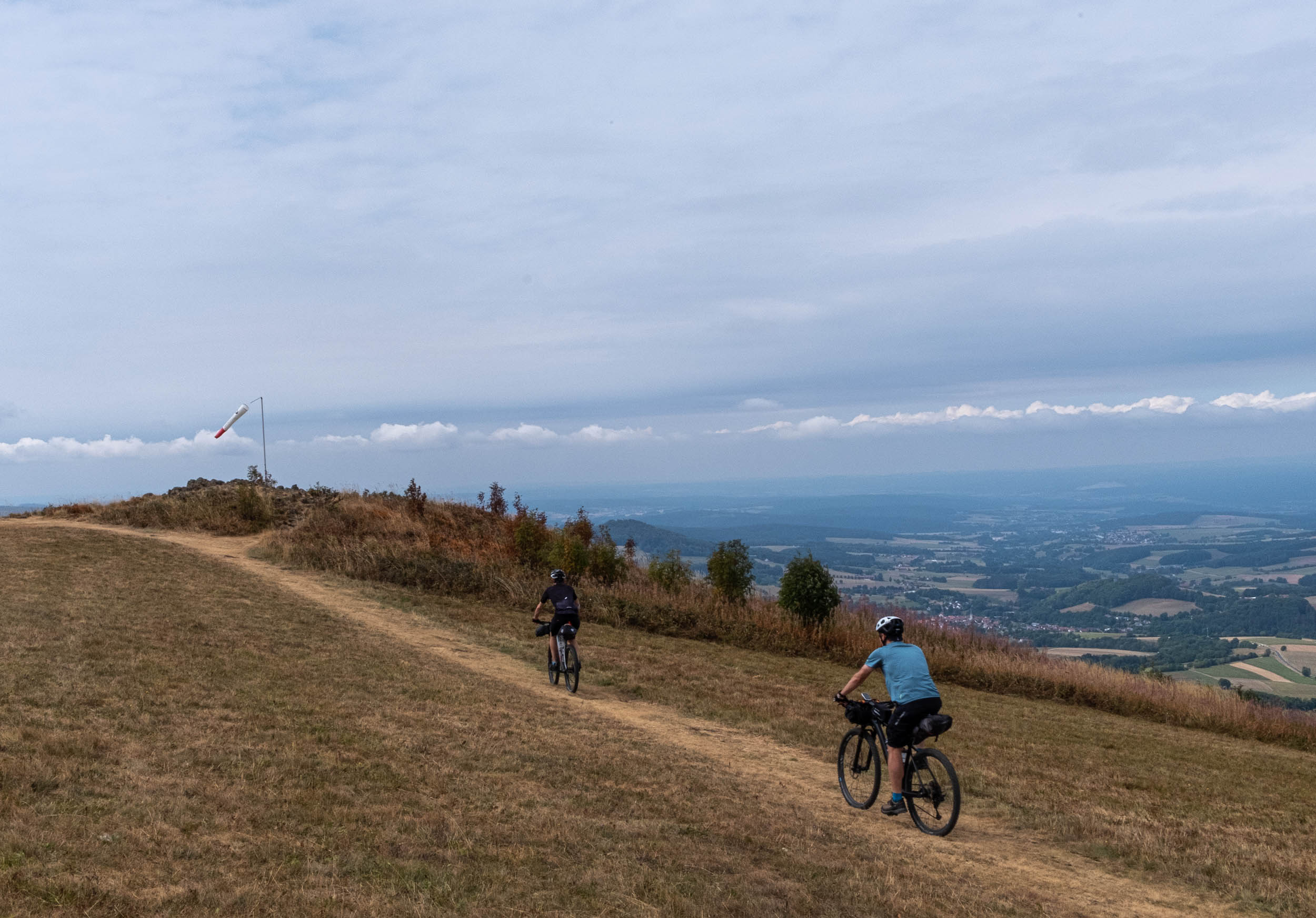
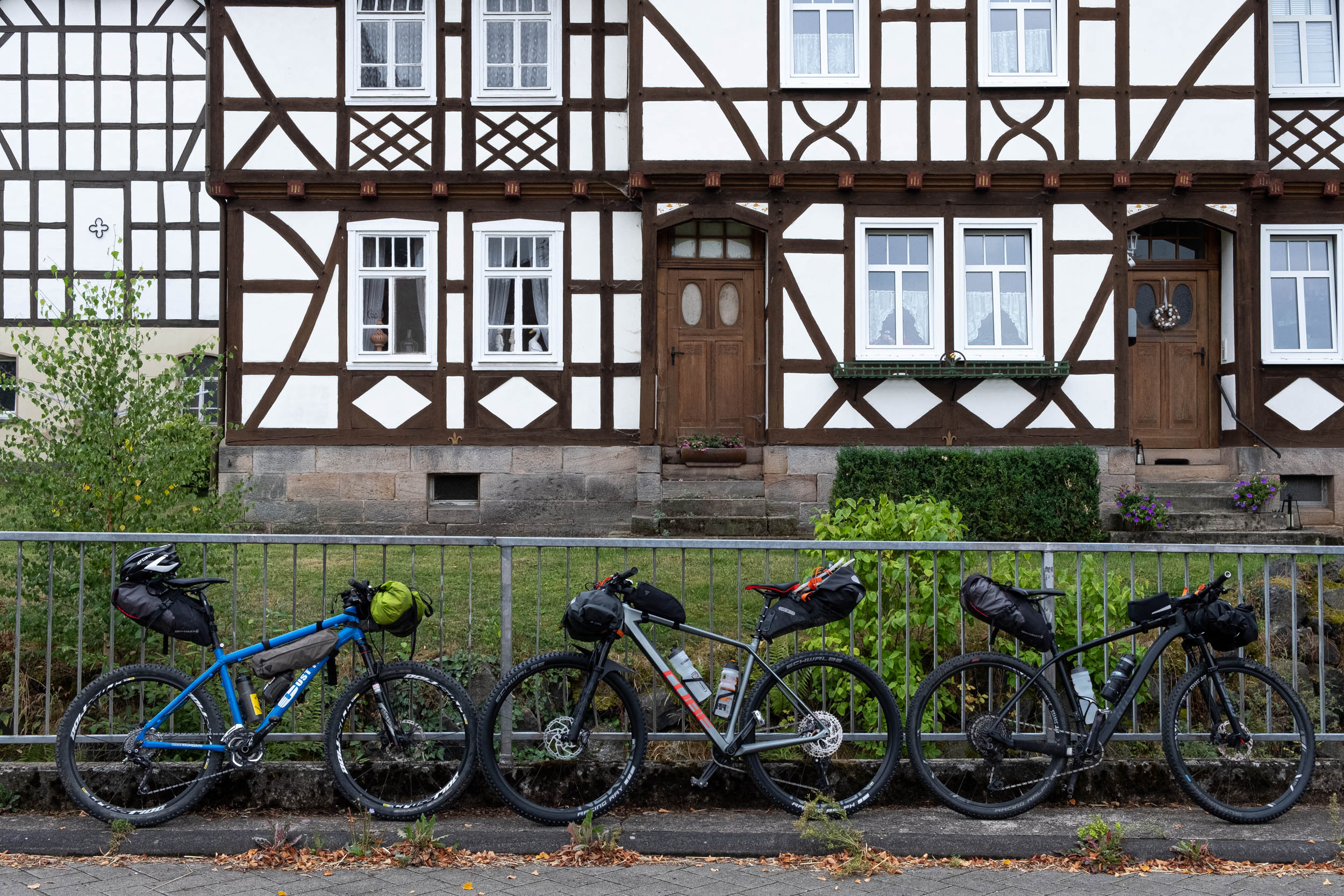
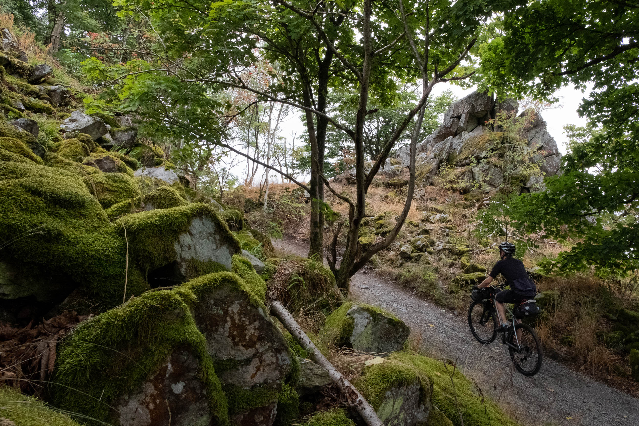
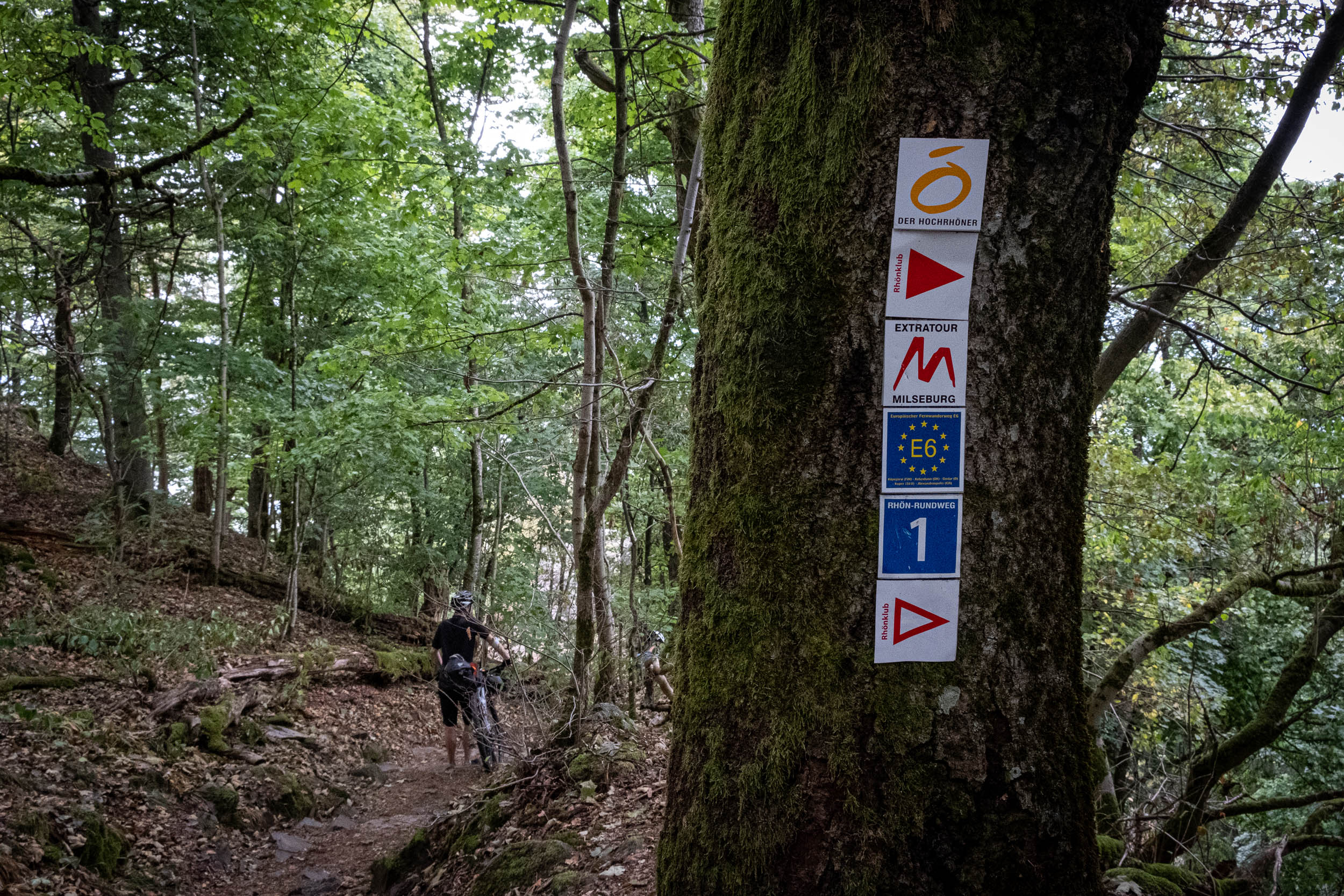
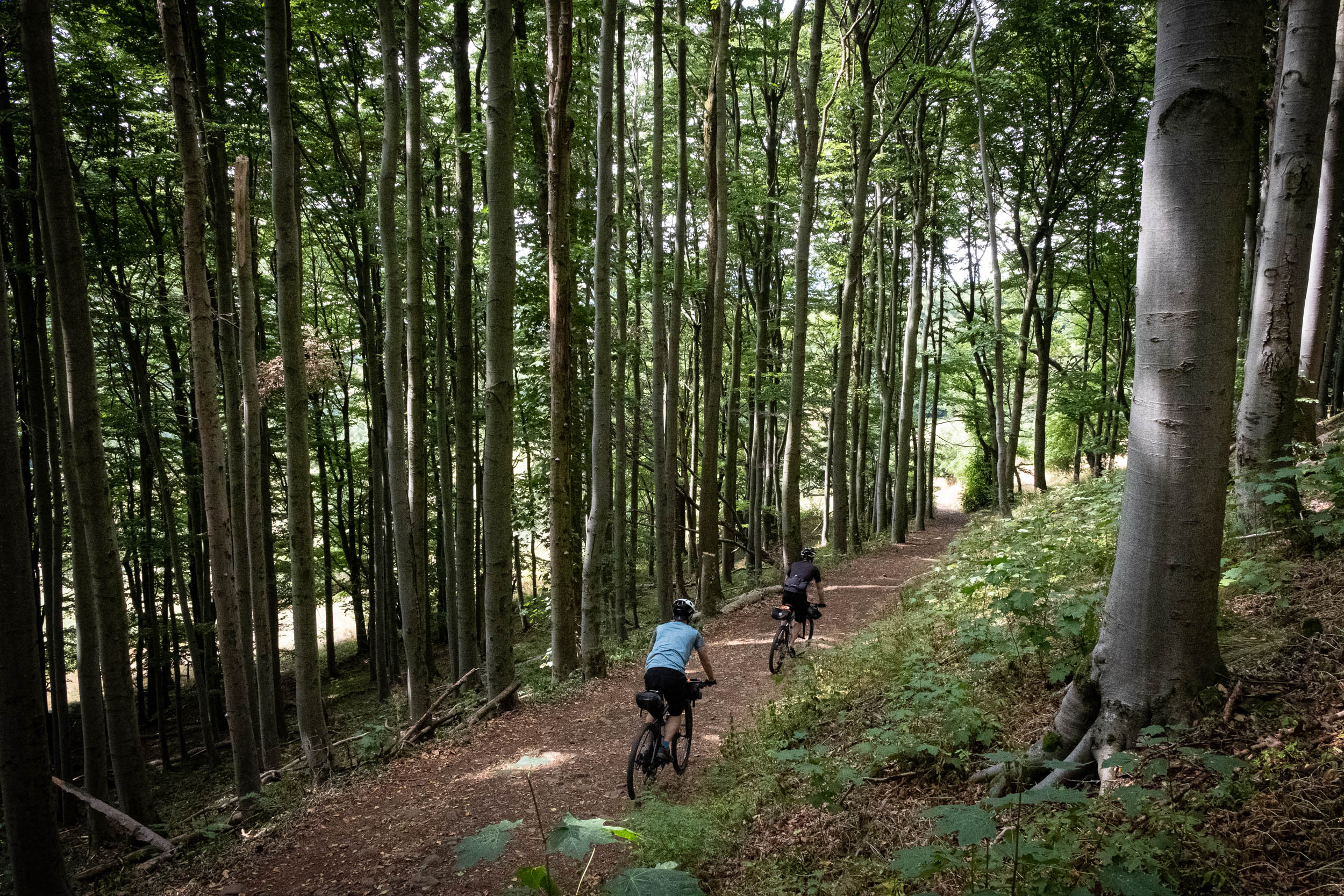
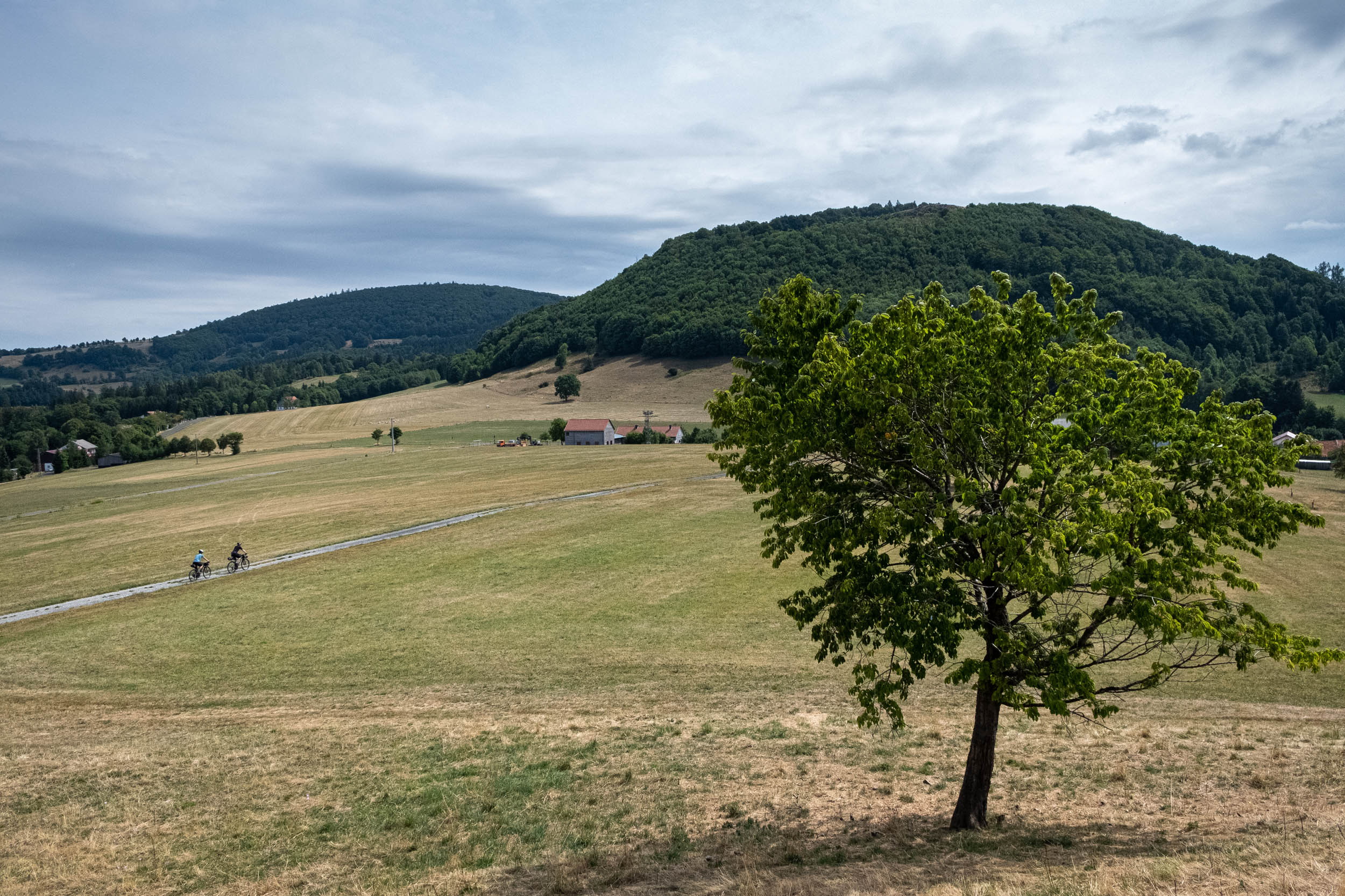
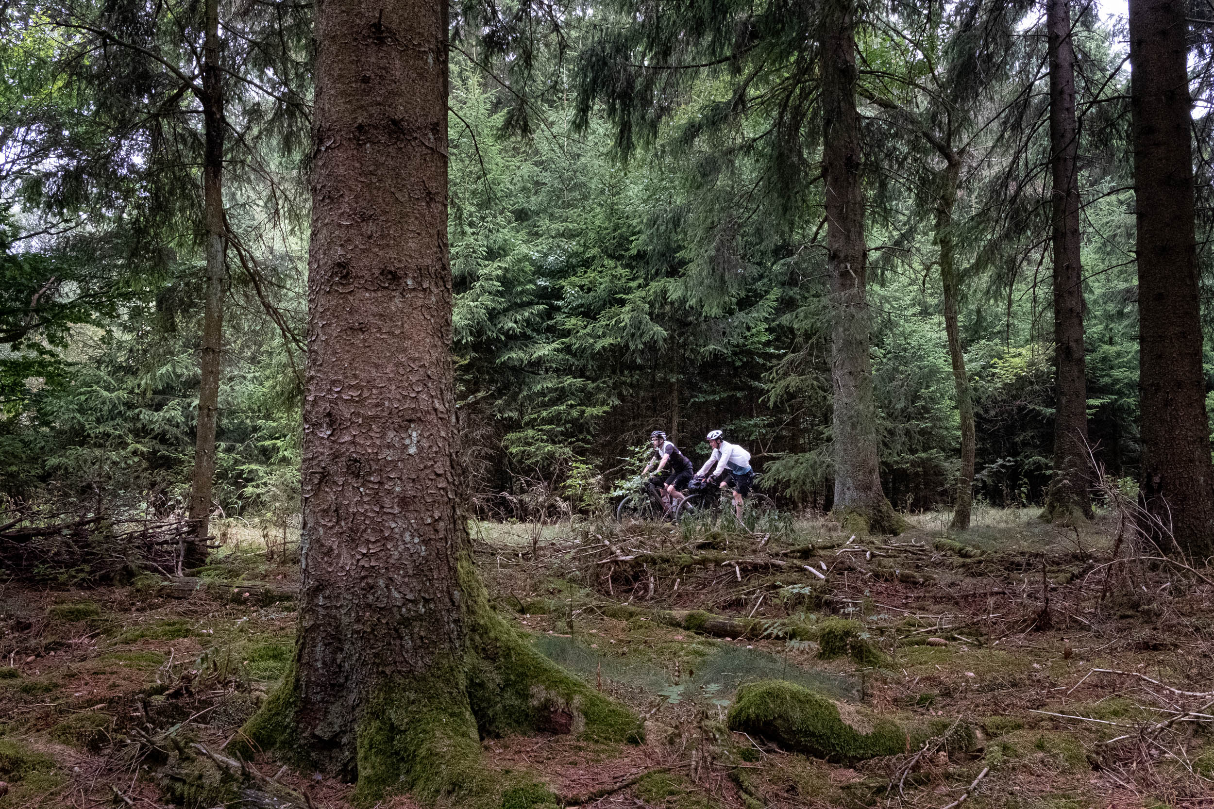
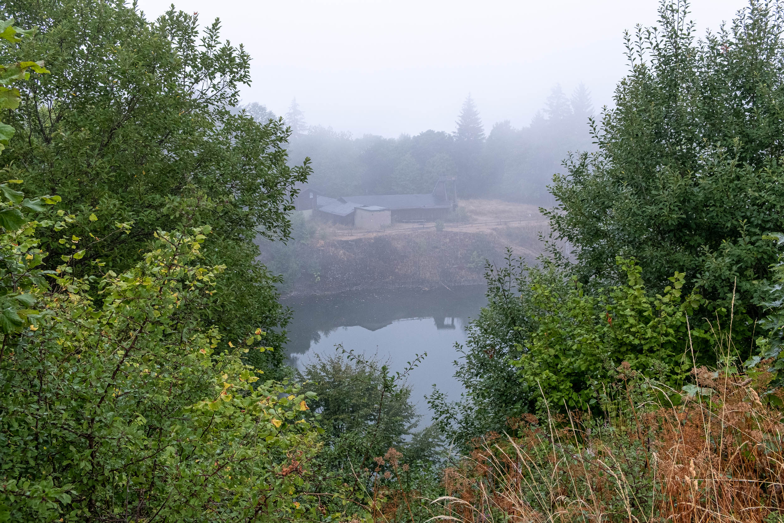
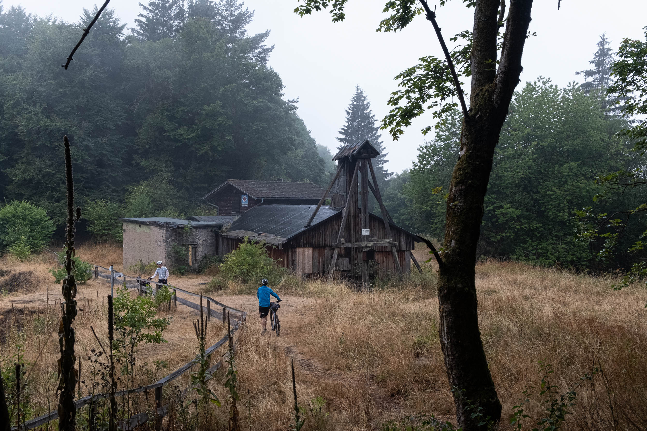
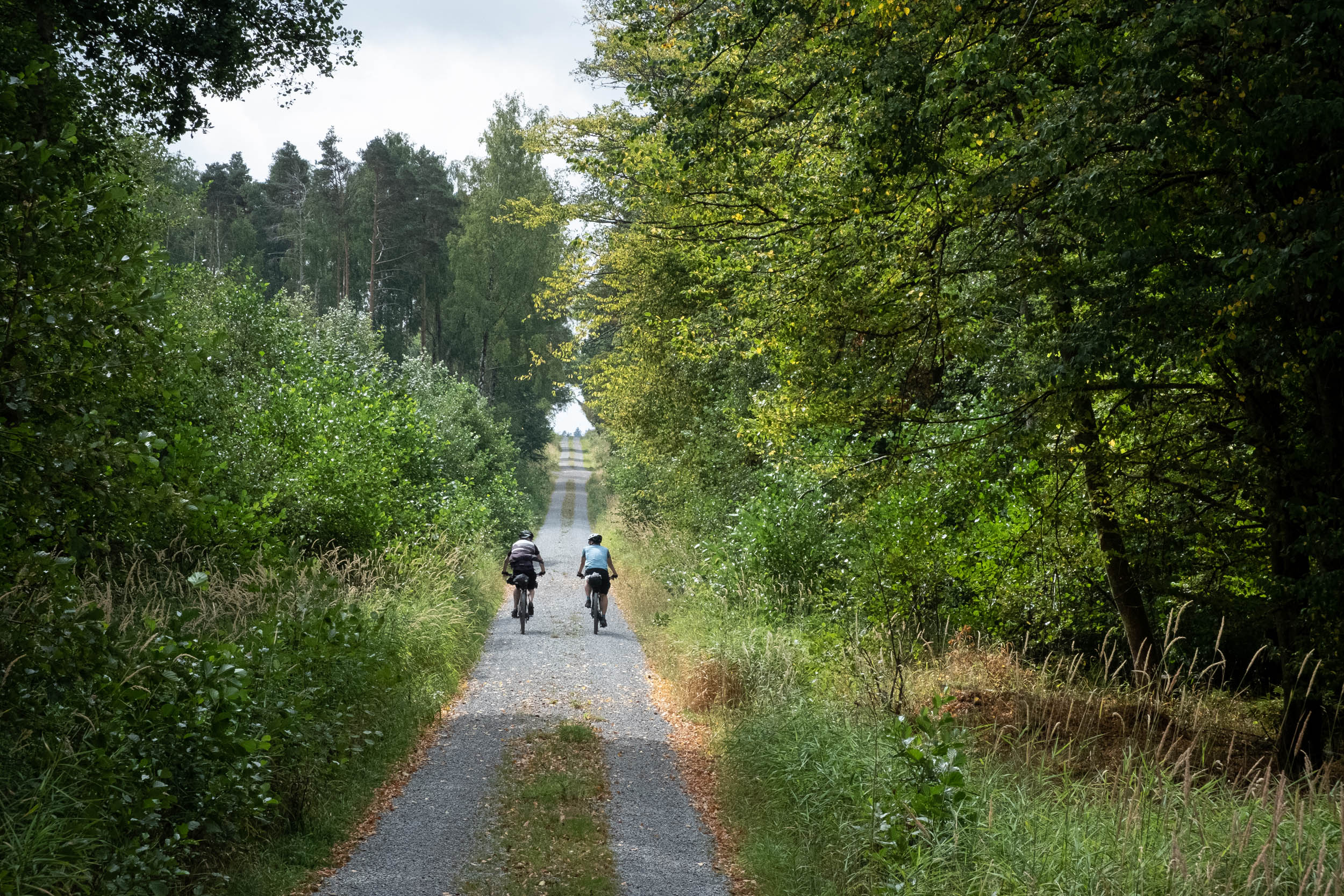
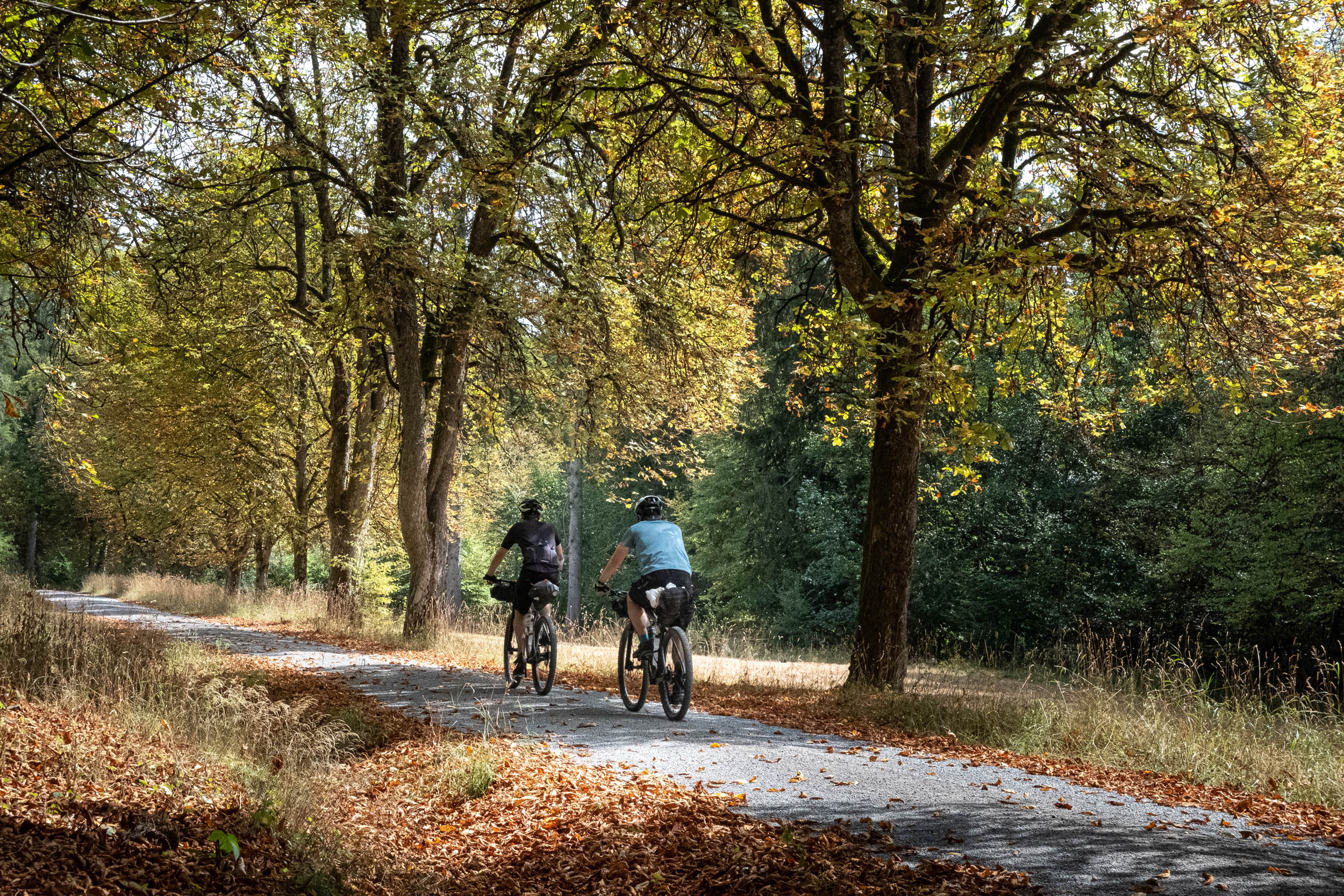
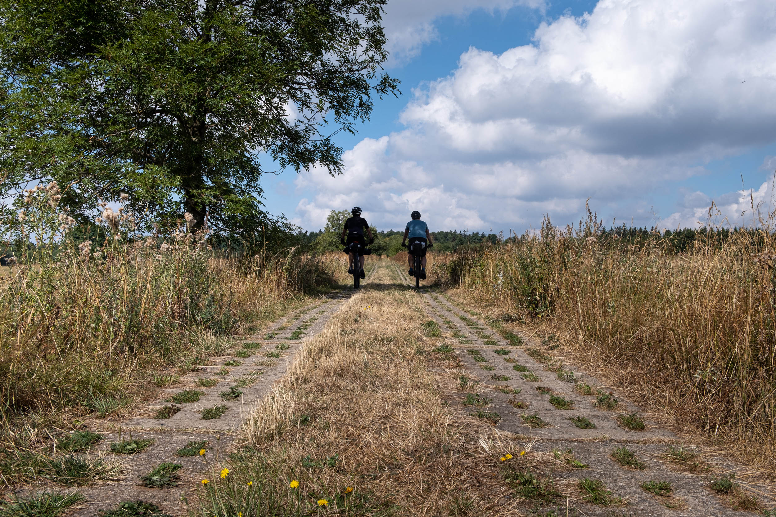
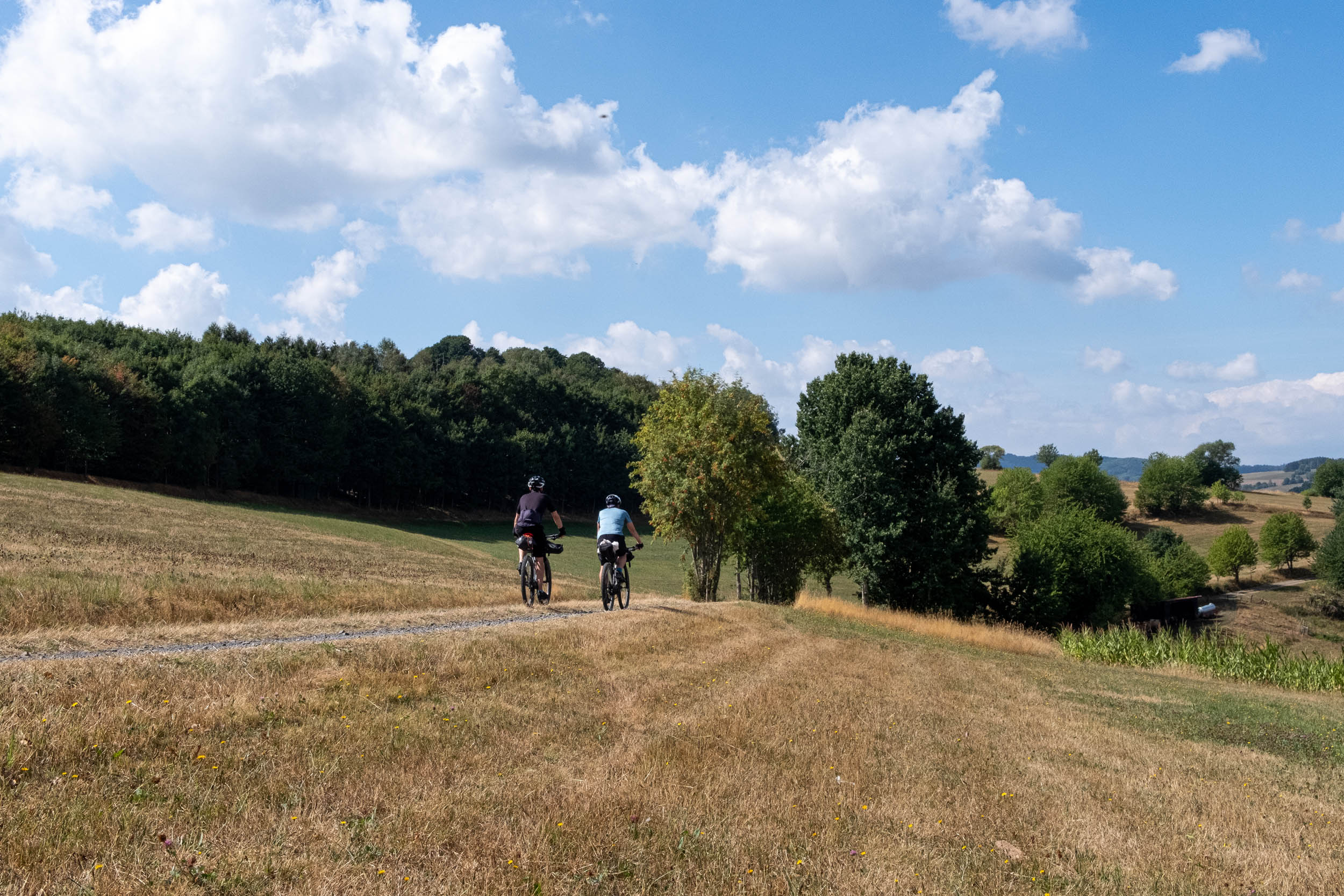
The Rhoenrad Circle is a loop that begins and ends in the small village of Langenbieber. The route comprises mostly gravel and forest roads with a few singletrack trails mixed in. Cycling here means a steady regimen of ups and downs that require some physical fitness. But you’ll be rewarded with spectacular scenic views over forested hills and the low mountain range. Furthermore, the historical points of interest keep the trip exciting and varied.
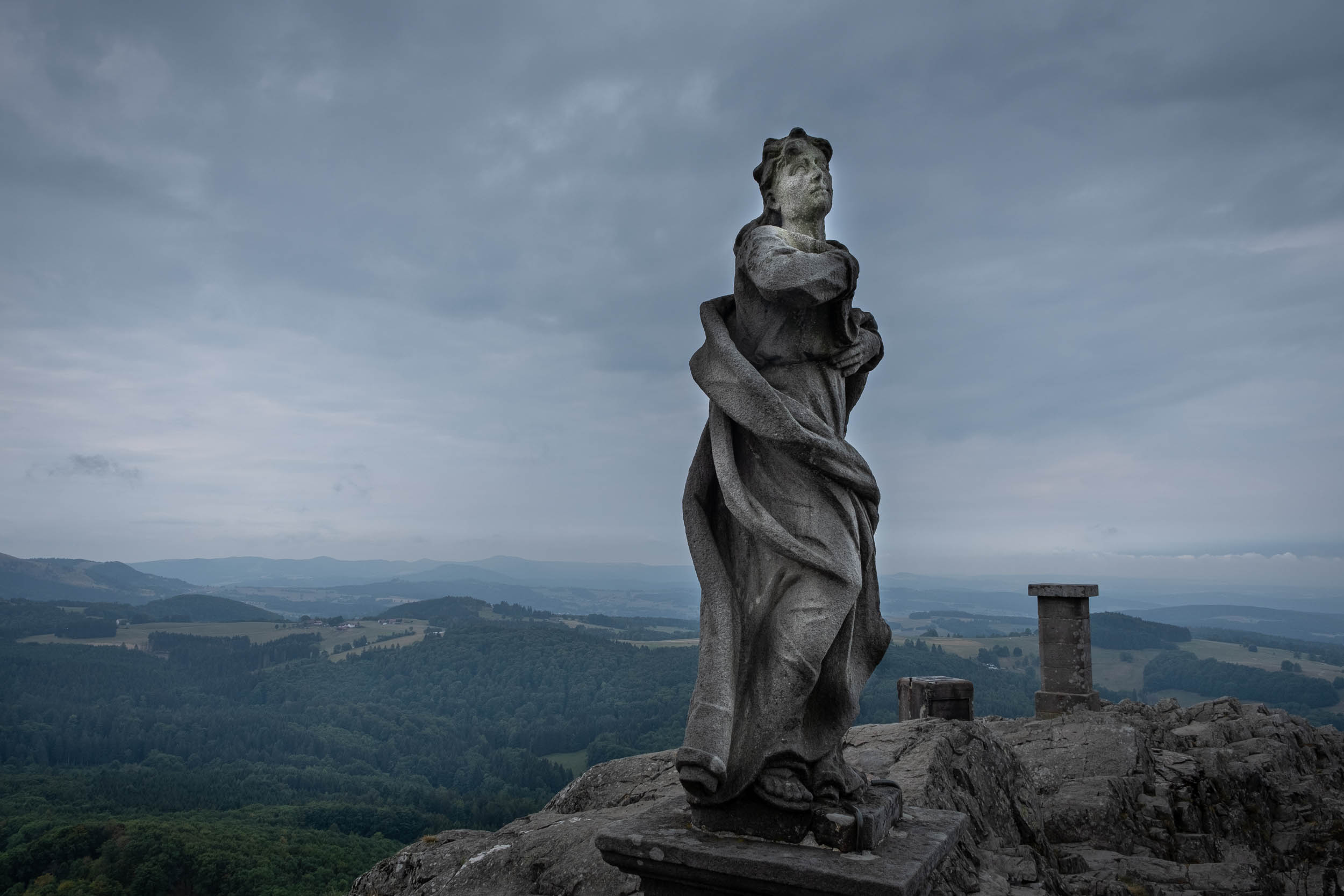
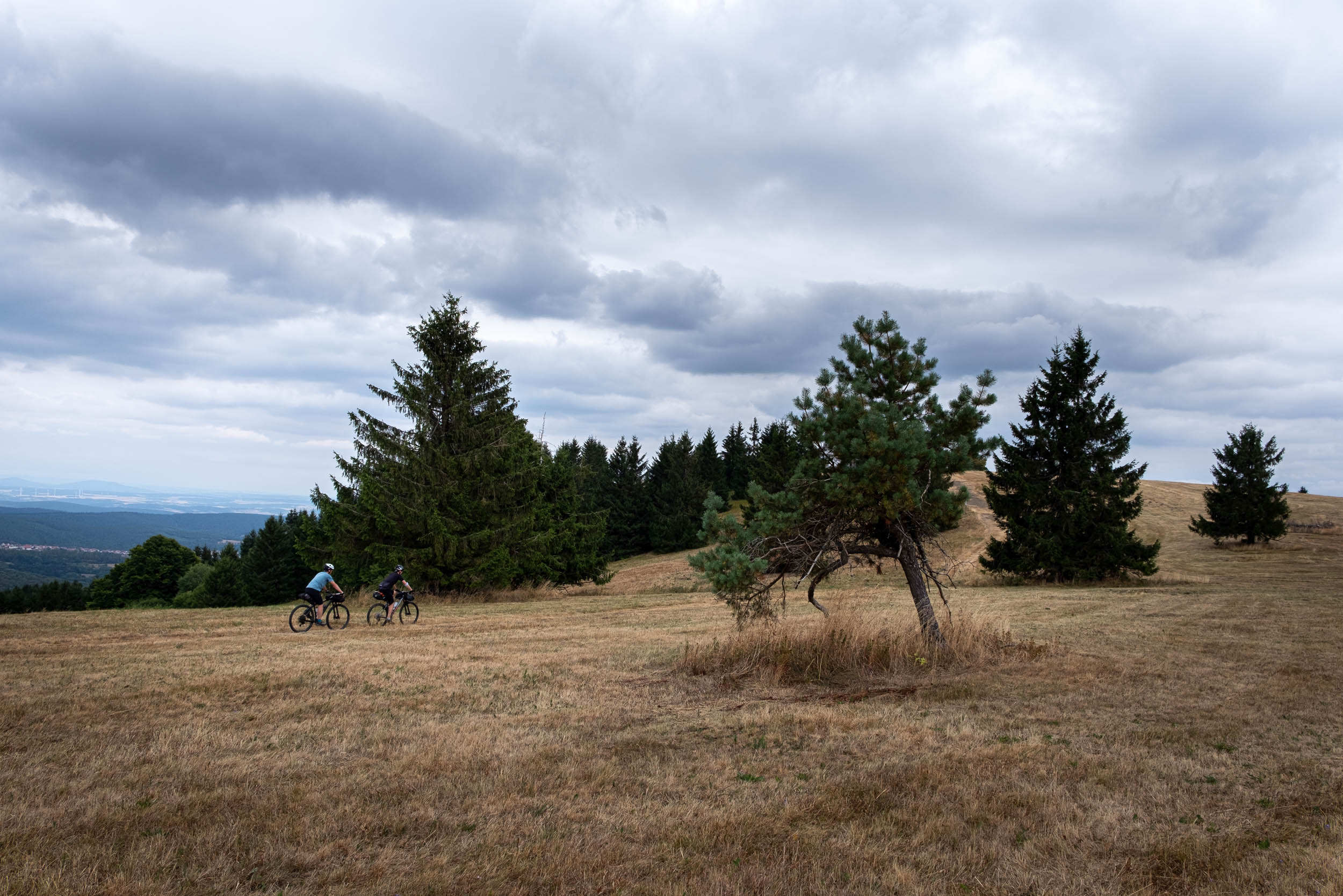
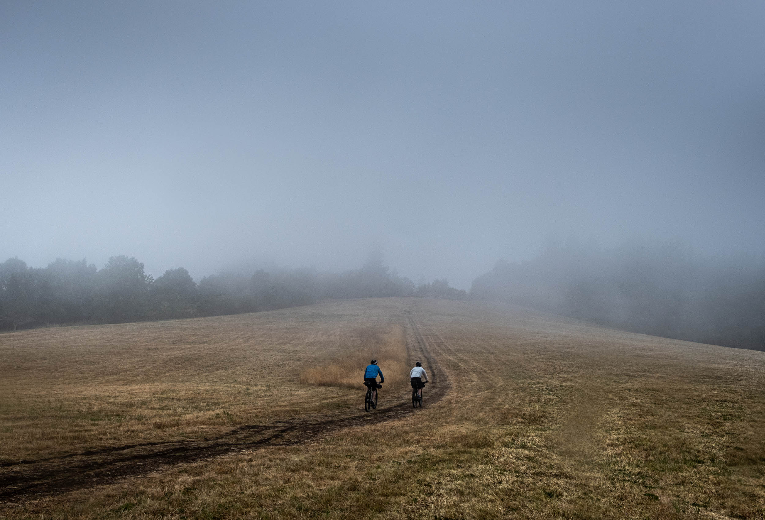
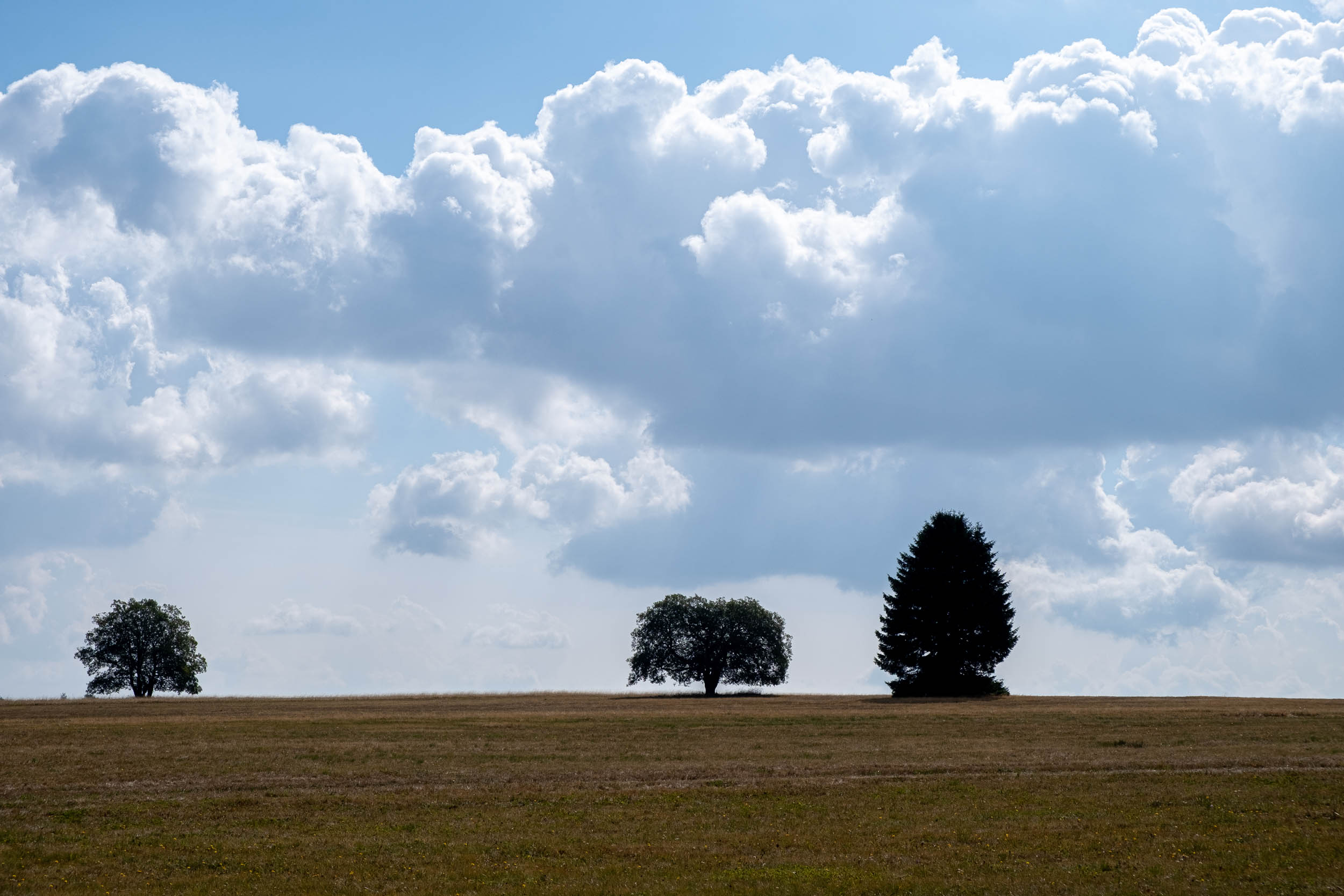
Some scenic spots can be crowded during the weekends, but you’ll generally be alone most of the time during the forested sections. On the latter part of the route, the scenery changes. It’s very picturesque on the high plateau with little tree cover. Most of the hiking huts are situated on the hillside. If you spend the night there, you can enjoy the sunset with a cold drink.
Route Difficulty
The difficulty is rated at 5 out of 10 overall. It’s worth noting that I always travel without a tent and cooking gear, and it might be a little more difficult with a heavier load. There are no significant logistical problems, especially on the first day, as civilization is almost always nearby. During the second and third days, food supply can be a problem, especially in the off-season, when hotels, hiking huts, and restaurants are closed. So the logistical difficulty is rated as a 5 (see further information below under “Food/H2O”).
As mentioned, you need physical fitness and some technical skills, as the route is a steady up and down. The rideability depends on the amount of gear you carry with you and your comfort on semi-technical terrain. I recommend a MTB or a gravel bike with a low gear ratio. We chose hardtail MTBs for comfort. The technically difficult downhills are rather short, so if you opt to push the bike, you won’t lose much time.
Highlights
Must Know
Camping
Food/H2O
- Milseburg is a hill at 835 meters where the medieval Gangolf chapel is situated. It offers a scenic view over the Rhoen National Park.
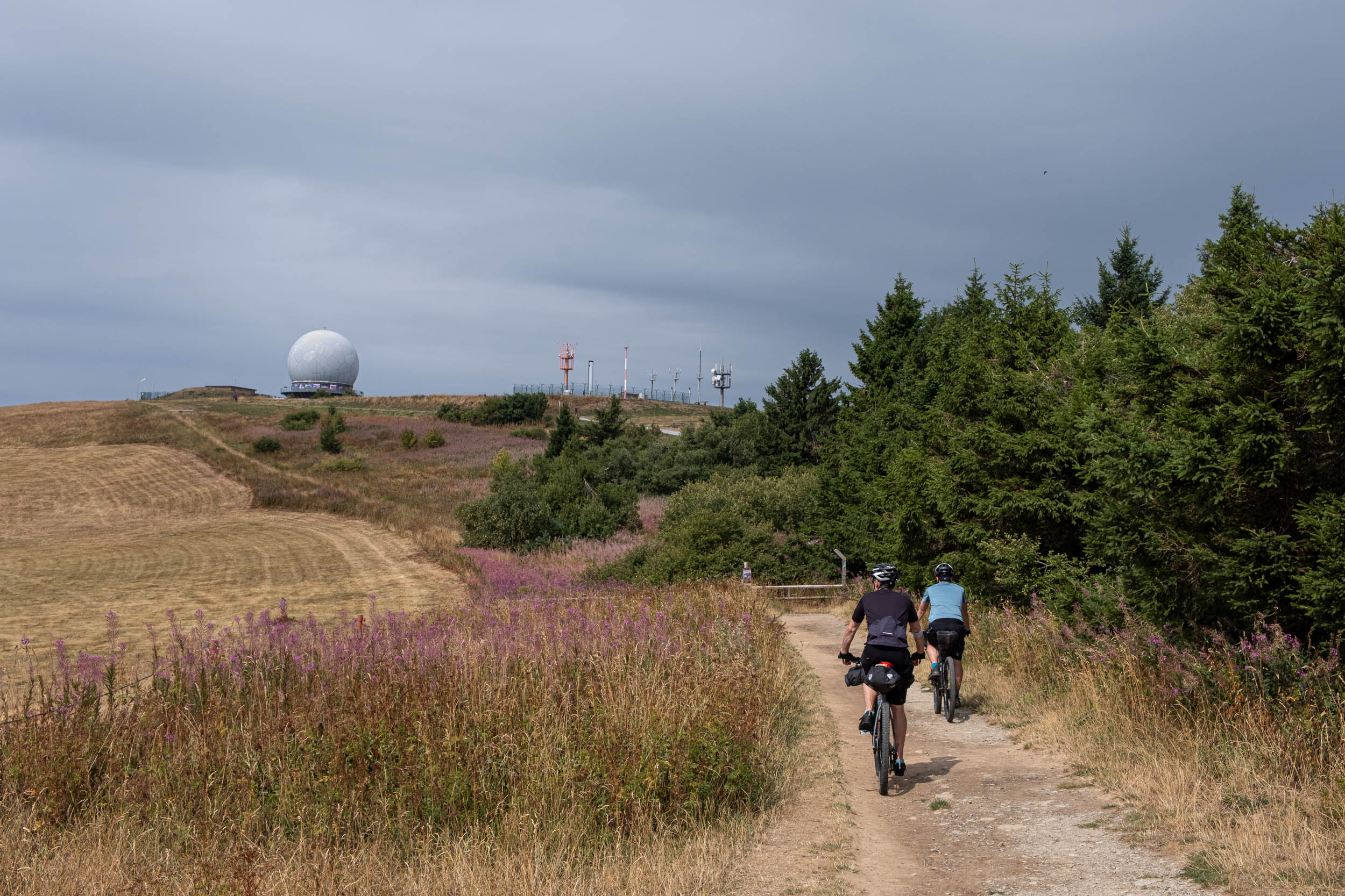
- Wasserkuppe is the highest point of the Rhoen region at 950 meters in elevation, and it has a great view over the low mountain range. A sailplane airport and a great radome are situated there.
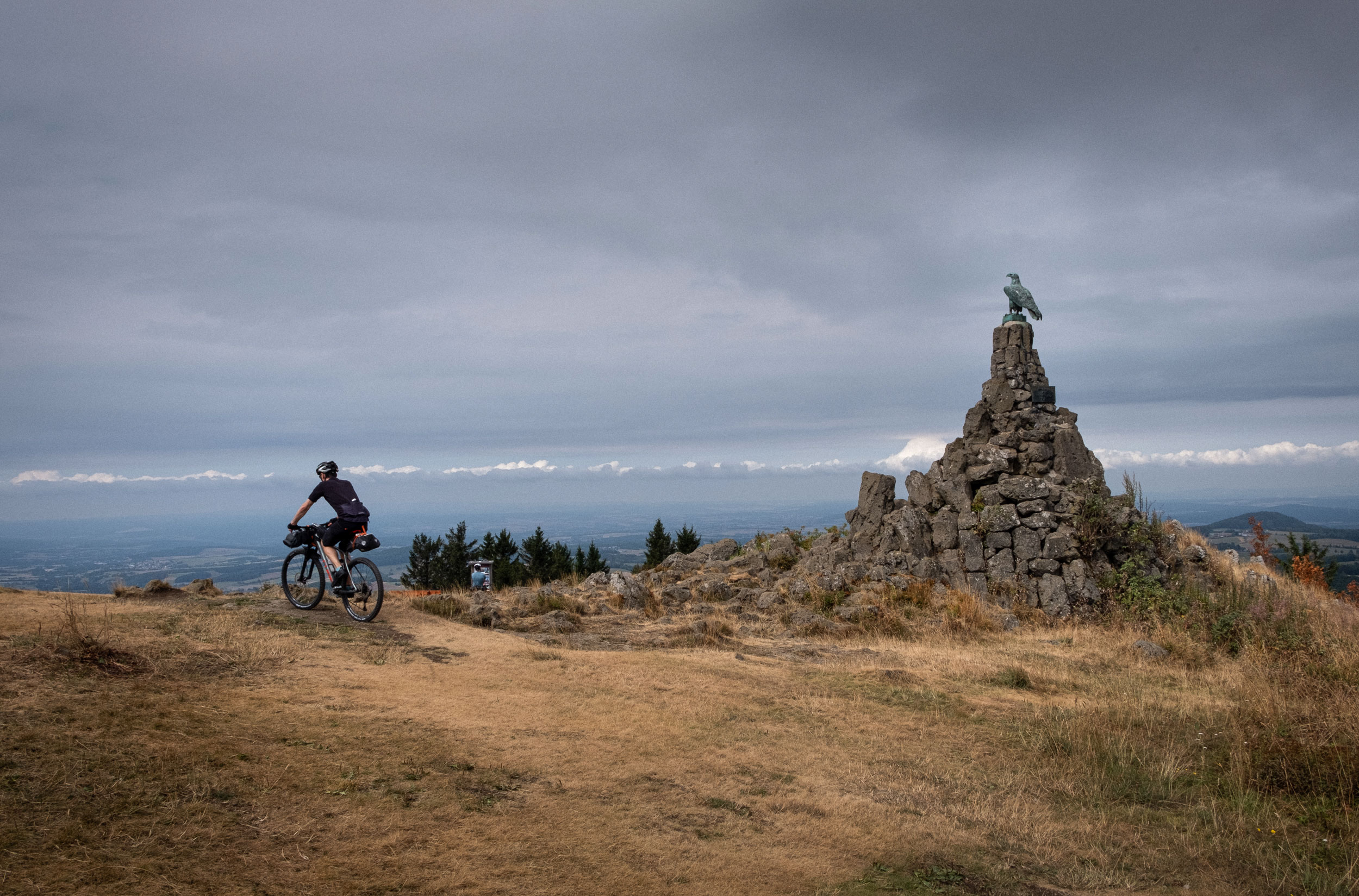
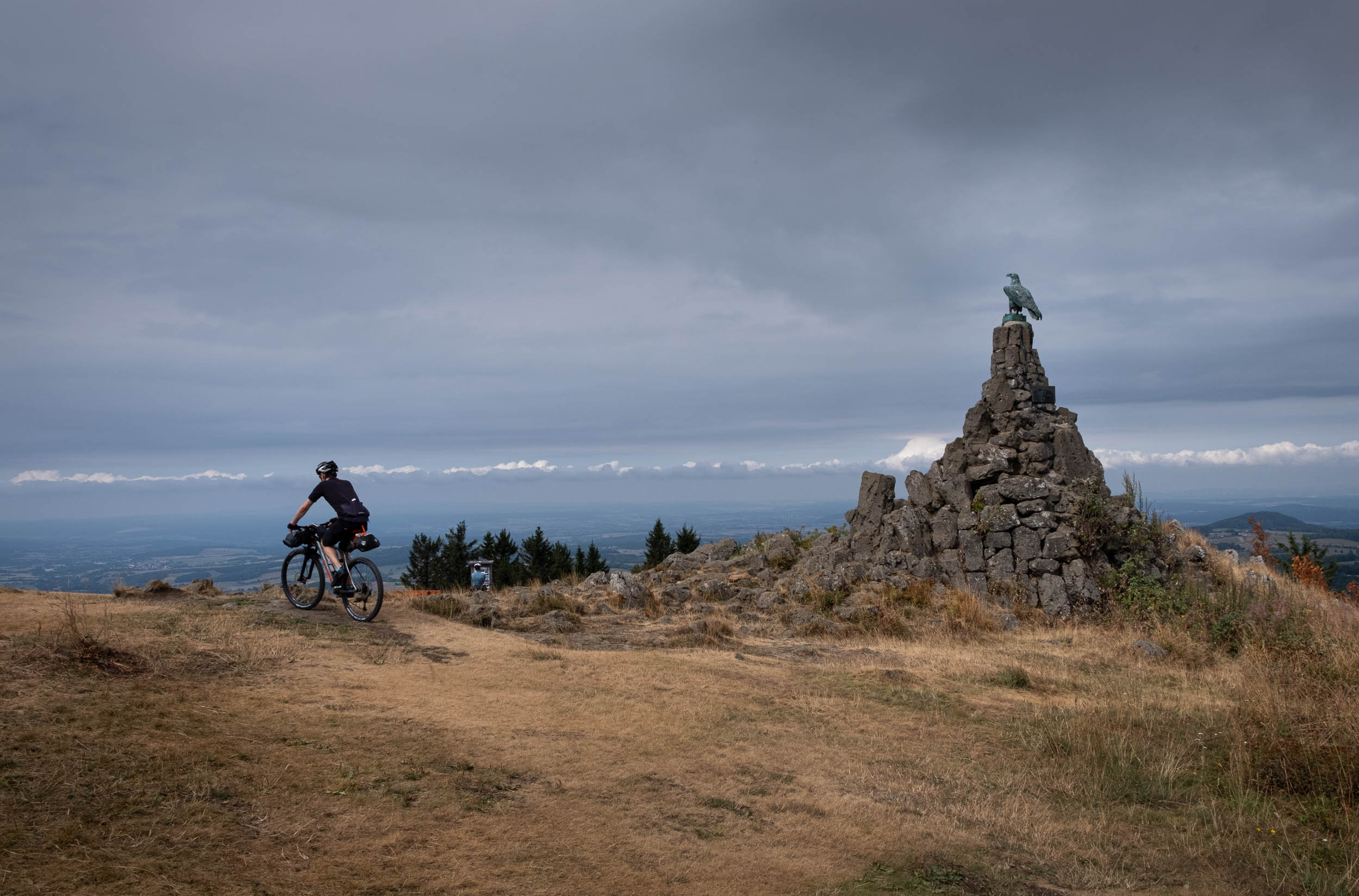
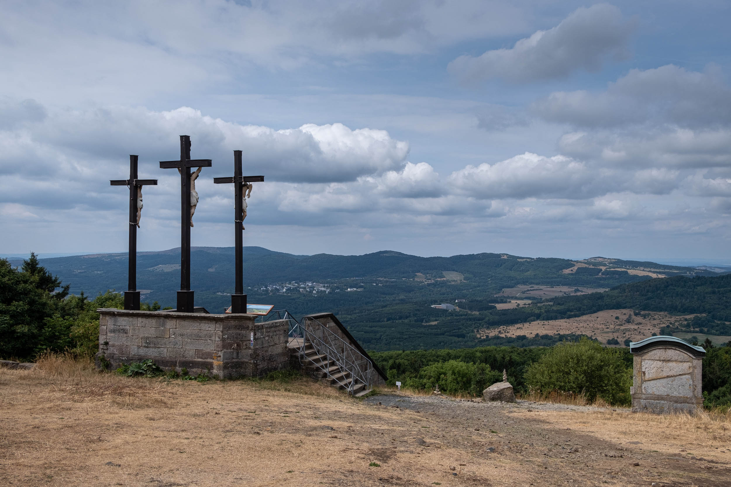
- Kreuzberg is the second highest scenic point at 928 meters in elevation. There are three famous summit crosses as it is one of the most popular tourist attractions in the region. Beneath the hill is the monastery Klosterberg.
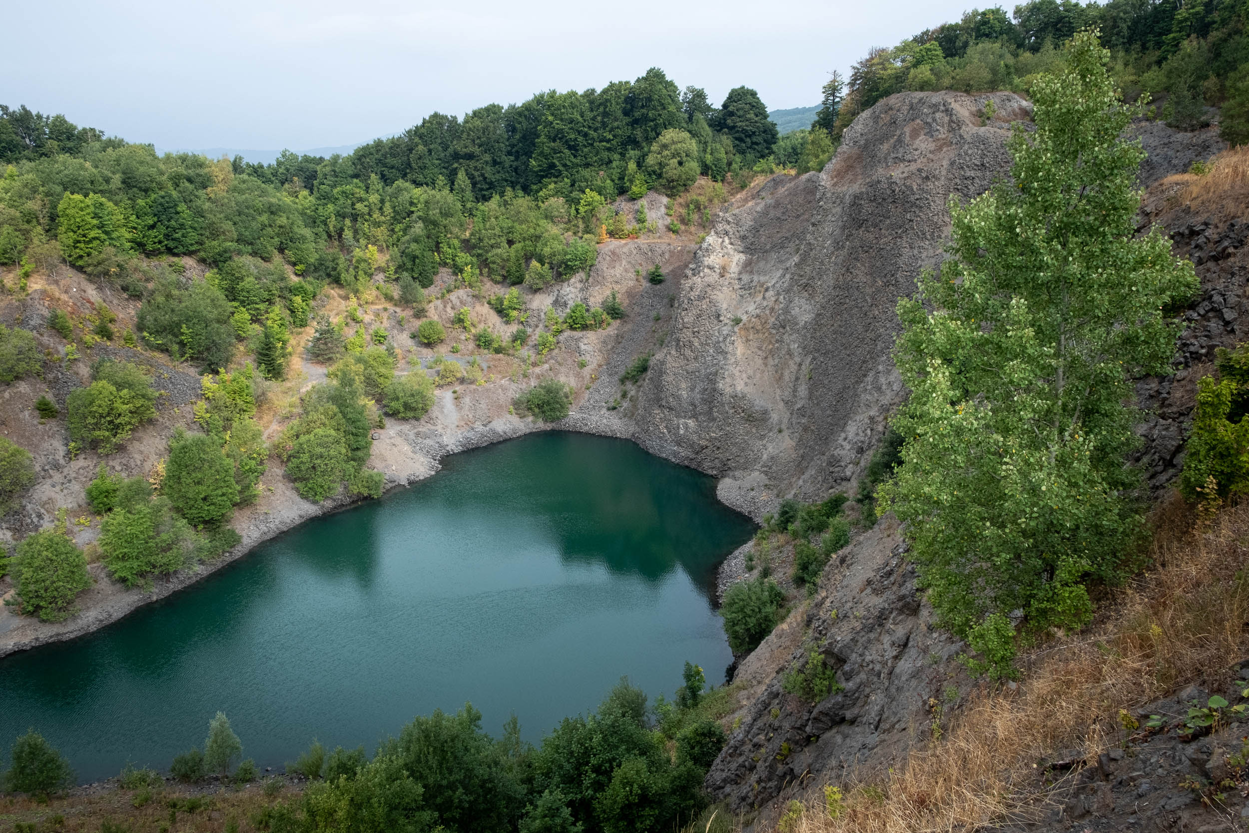
- Stangenroth and Lake Basaltsee Tintenfass are two lakes formed through the mining of basalt that began in the 1920s. Now the lakes are two beautiful national reserve habitats.
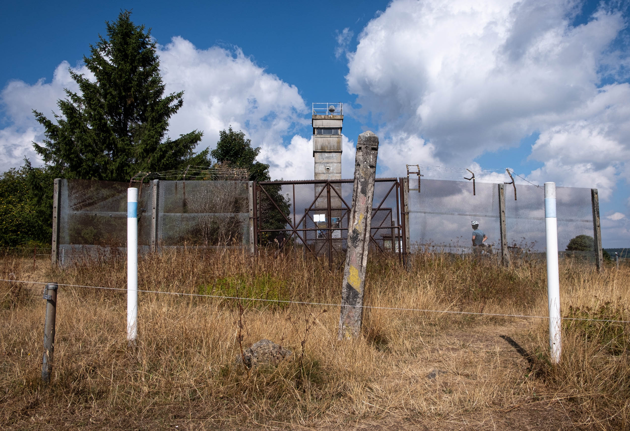
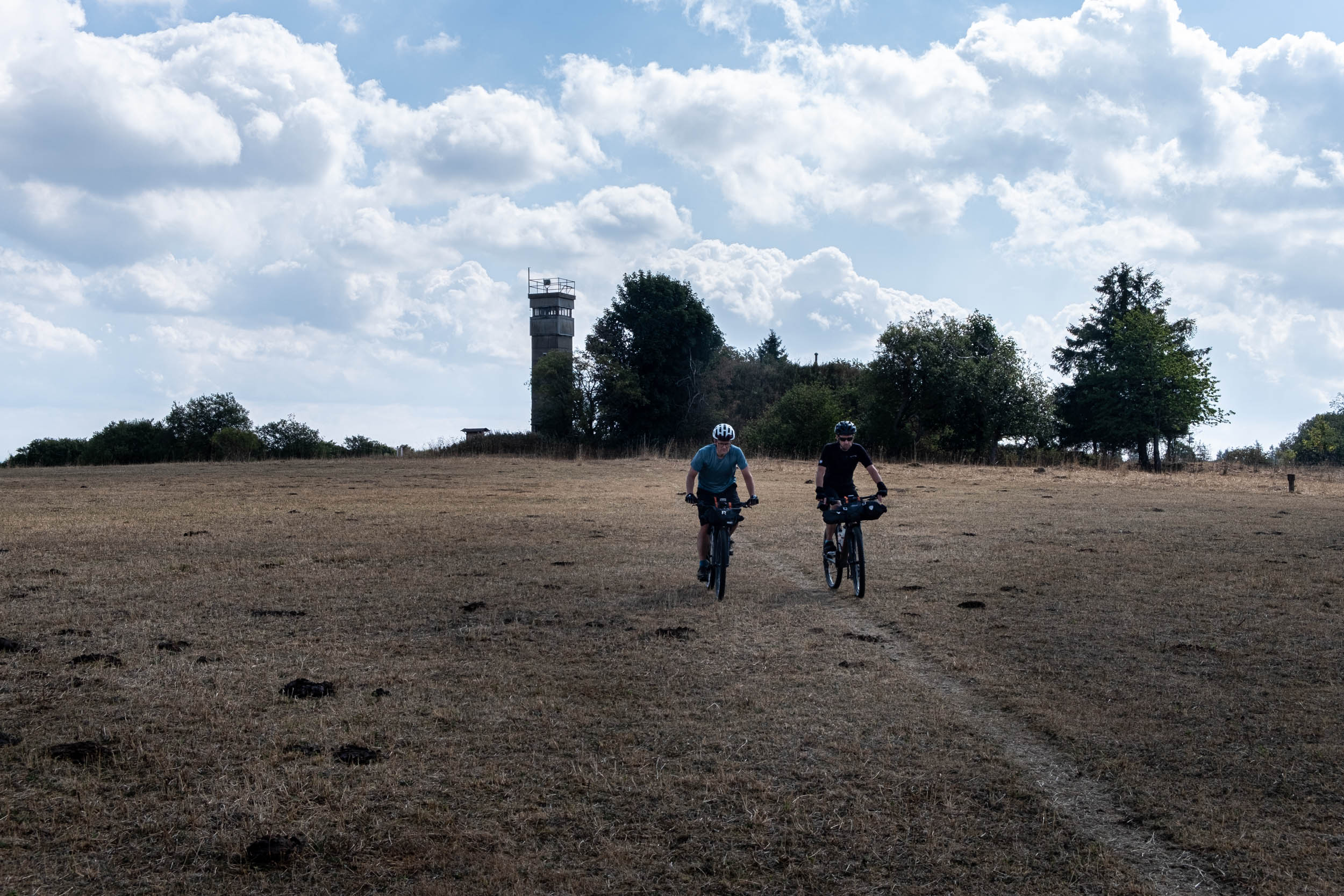
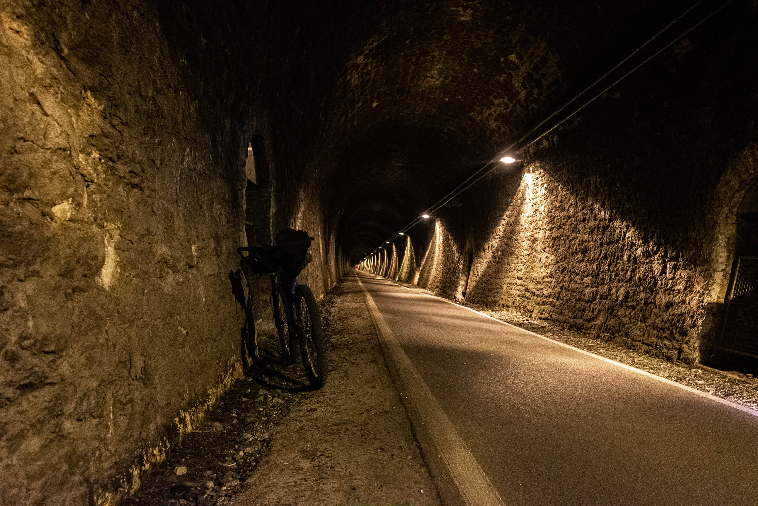
- Watchtower Grabenberg is a relic of the Cold War and part the former east-west German border.
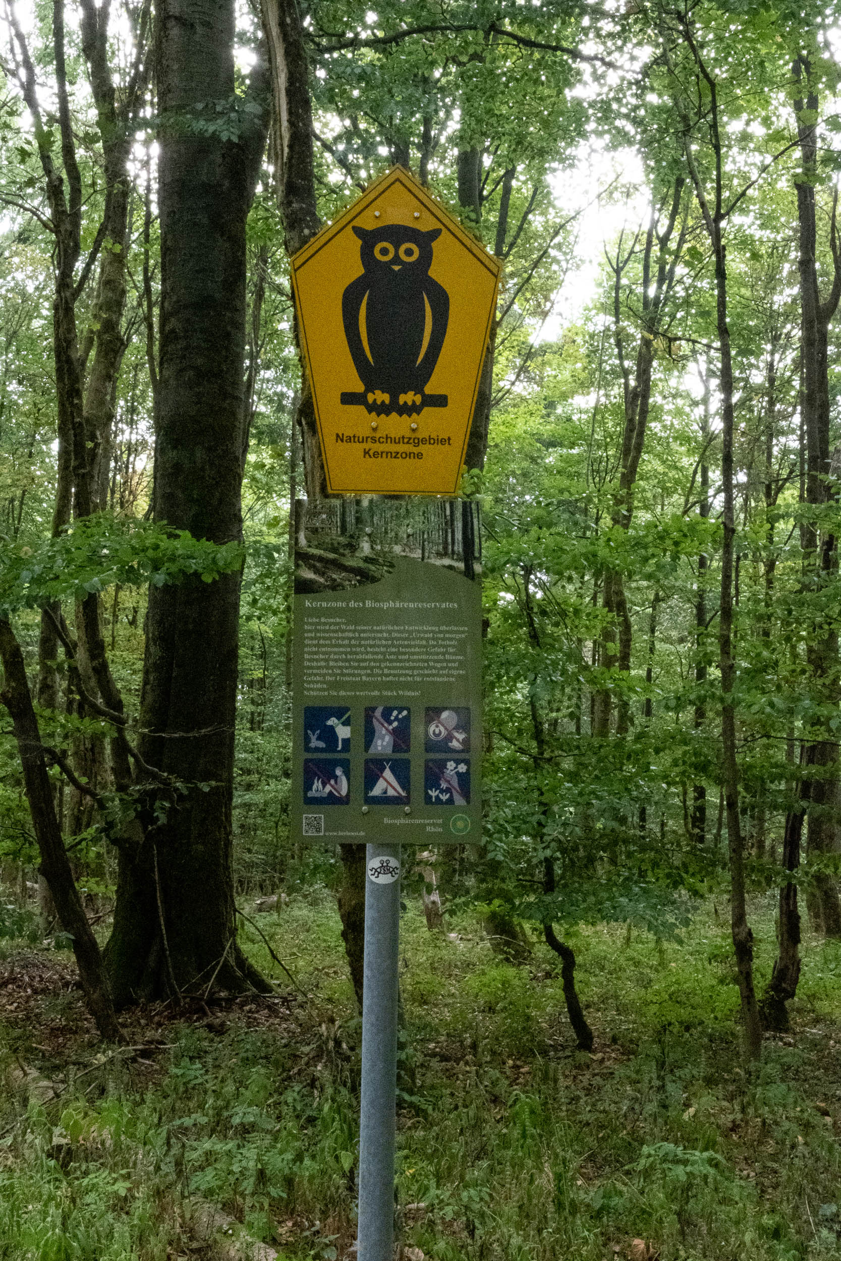
- Black Moor is one the last great moors in Western Europe with a size of 66 hectares. It is a well-protected natural reserve habitat. You can find detailed information at its tourist information center. For visiting the moor, check out further details here.
- The best time to ride this route is between April and October.
- The route consists mostly of unpaved forest roads. Some ascents and descents to scenic points are quite steep. I recommend a hardtail MTB with a low gear ratio, especially when carrying bags and gear. A gravel bike with a low gear ratio would work as well.
- The beginning and endpoint is the small village Langenbieber, with a distance of about 15 kilometers to the next big city, Fulda. Fulda is easy to reach by train.
- We did this trip anticlockwise on a weekend at the end of September. We met only a few people during the trip. But beware of hikers, especially on a sunny weekend in the high season.
- We planned the trip on Komoot, which showed 4,090 meters of total ascent. This is also what our mobile devices measured on our initial scouting ride.
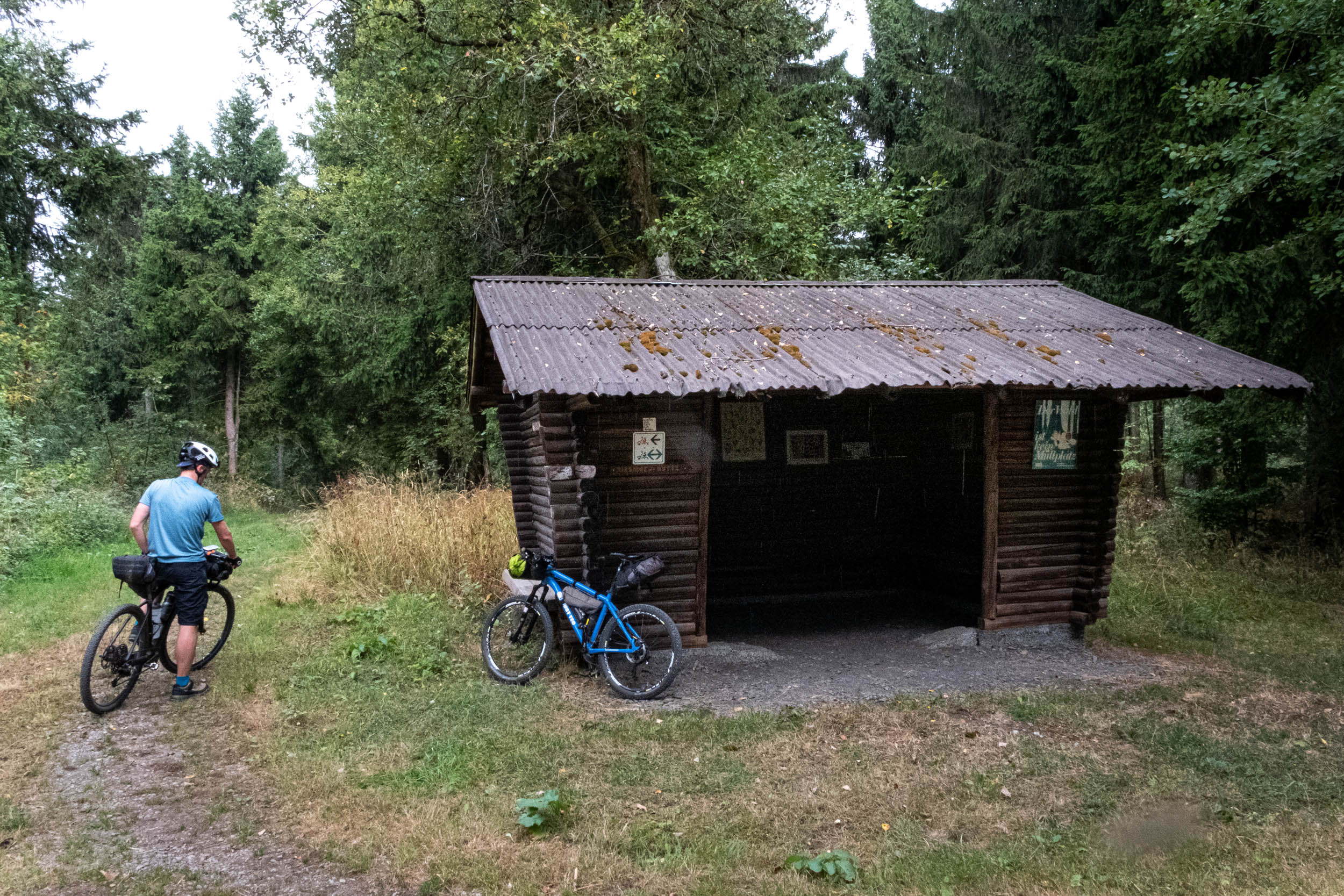
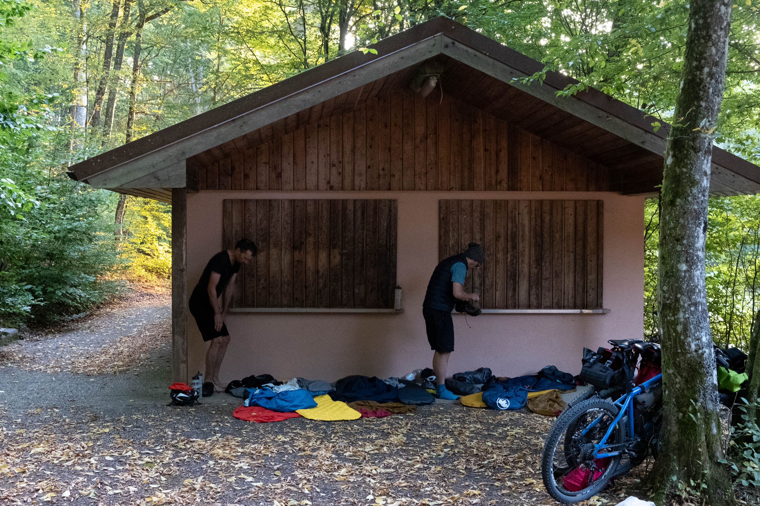
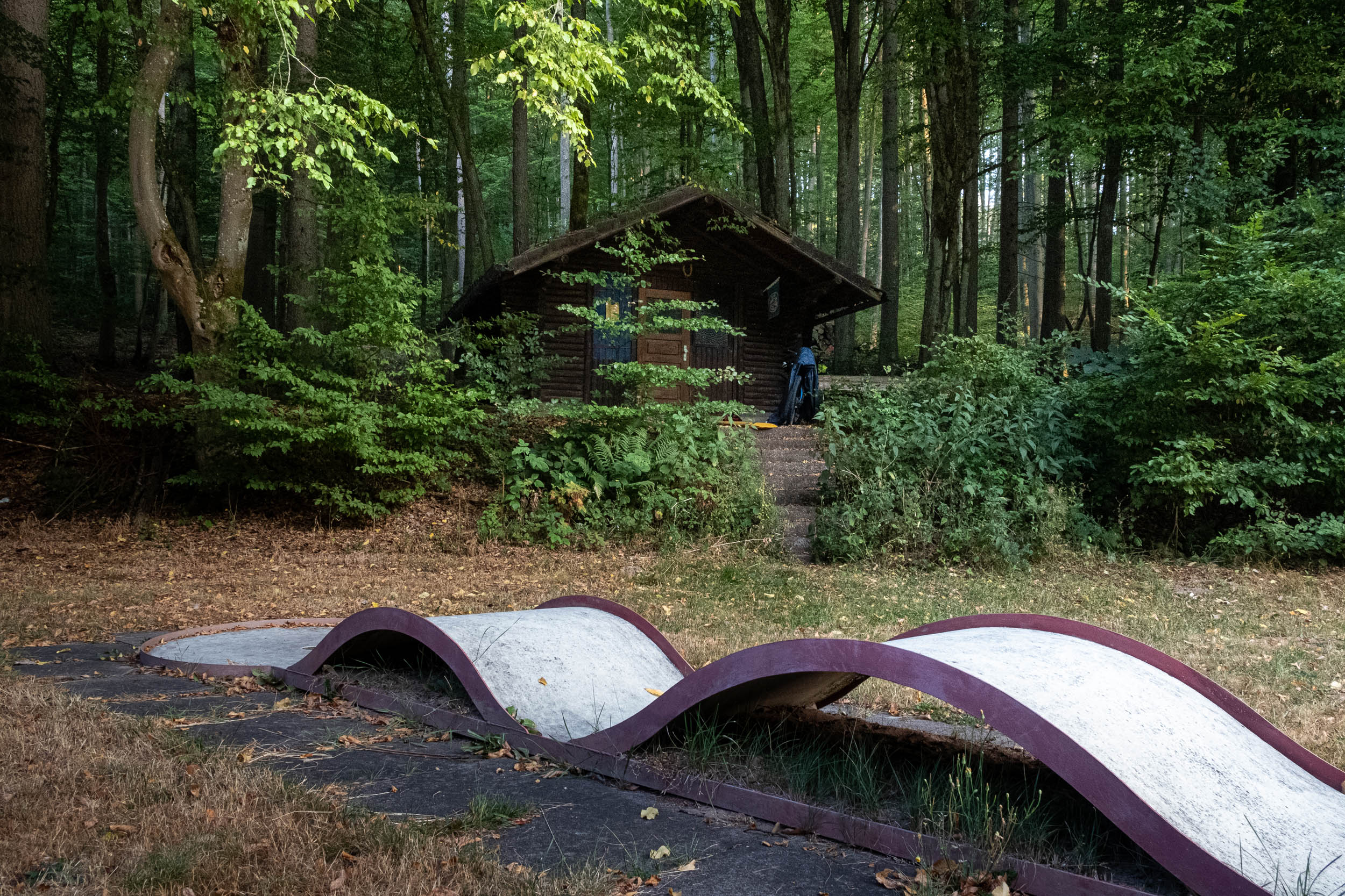
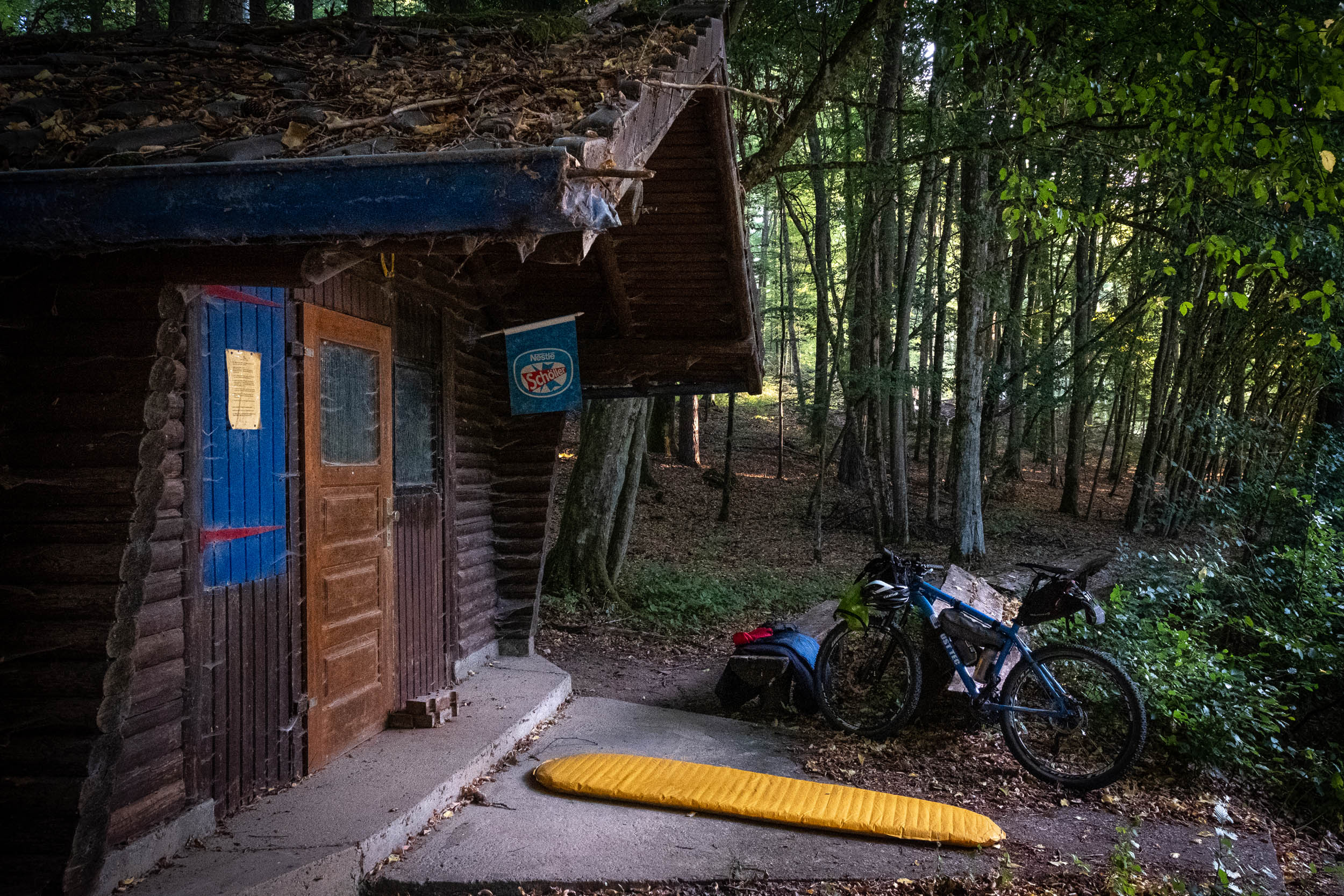
- Shortly before the village Burgwallbach, you pass an old miniature golf area. Its old hut offers shelter but beware of the spider webs. There is a second hut, which is locked, but the roof provides a small shelter if it’s raining.
- If you want to visit the “Black Moor” national park, you have to leave the bikes at the visitor center. You also must pay an entrance fee.
- Wild camping is officially forbidden in Germany, especially in the national parks.
- If you need to take a rest overnight, the best practice is to set up late and leave early.
- However, you’ll find sufficient hiking hotels during the on-season and a few shelters on your way.
- We spent the first night in the Kissinger Hut and the second close to the village Burgwallbach.
- You will find accommodation options in several villages, but it’s best plan your nights in advance. Quite a few hotels were forced to close during the COVID-19 pandemic. Others are often temporarily closed during the off-season.
- There are a few small rivers and creeks around. Filtering is recommended because of nearby cattle grazing.
- You pass plenty villages and farmhouses, so water is almost everywhere if you ask.
- Supermarkets are only in the big villages.
- Don’t miss the petrol station in the village of Stangenroth and the bakery in the village of Oberelsbach, as you will not find a supermarket in the smaller villages.
- The last possibility is the café at the Black Moor info point, but beware of the opening times (see link above under “highlights”).


Terms of Use: As with each bikepacking route guide published on BIKEPACKING.com, should you choose to cycle this route, do so at your own risk. Prior to setting out check current local weather, conditions, and land/road closures. While riding, obey all public and private land use restrictions and rules, carry proper safety and navigational equipment, and of course, follow the #leavenotrace guidelines. The information found herein is simply a planning resource to be used as a point of inspiration in conjunction with your own due-diligence. In spite of the fact that this route, associated GPS track (GPX and maps), and all route guidelines were prepared under diligent research by the specified contributor and/or contributors, the accuracy of such and judgement of the author is not guaranteed. BIKEPACKING.com LLC, its partners, associates, and contributors are in no way liable for personal injury, damage to personal property, or any other such situation that might happen to individual riders cycling or following this route.
Please keep the conversation civil, constructive, and inclusive, or your comment will be removed.