


Rothrock Rambler Overnighter
Distance
112 Mi.
(180 KM)Days
2
% Unpaved
77%
% Singletrack
0%
% Rideable (time)
99%
Total Ascent
9,998'
(3,047 M)High Point
2,454'
(748 M)Difficulty (1-10)
4?
- 6Climbing Scale Moderate89 FT/MI (17 M/KM)
- 2Technical Difficulty Easy
- 7Physical Demand Difficult
- 3Resupply & Logistics Fair
Contributed By

Henry Gue
Guest Contributor
Henry was born in California, raised in Alabama, and now lives in Maryland, working as an engineer for the Navy, overseeing the design of new submarines. He raced carbon bikes in college but now exclusively rides steel bikes on long weekend rides and commutes to work. Find more of Henry’s pictures on Instagram @phenrygue or at www.phenrygue.com.
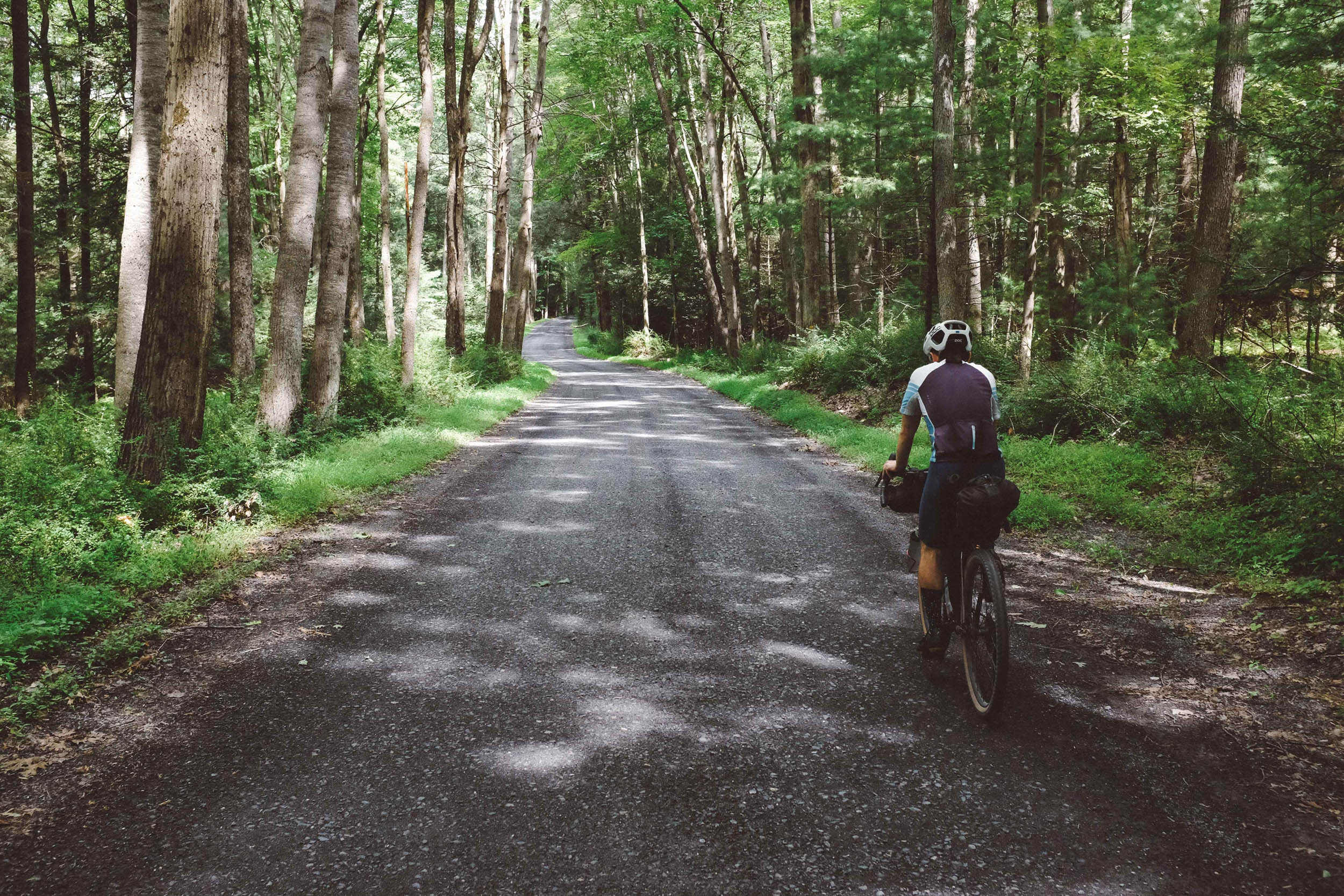
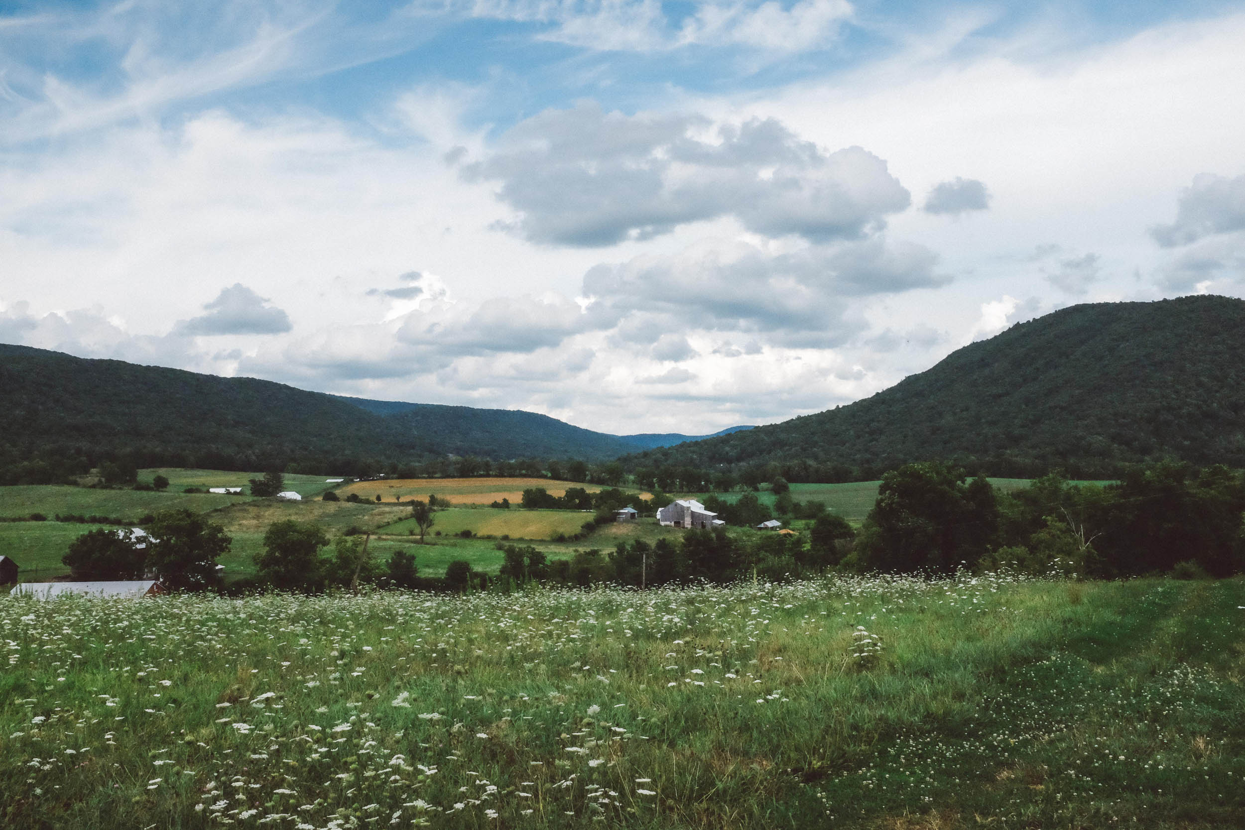
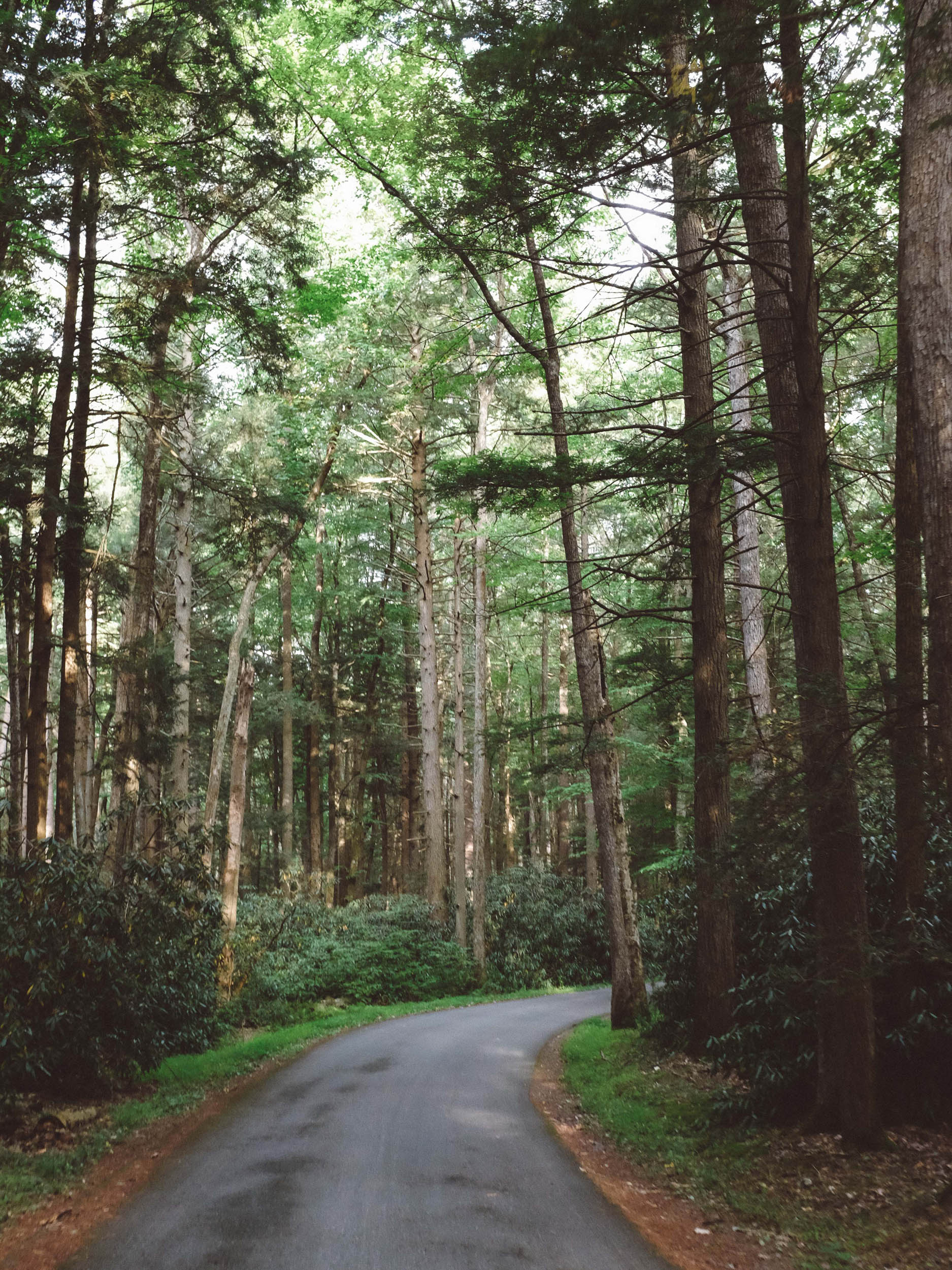
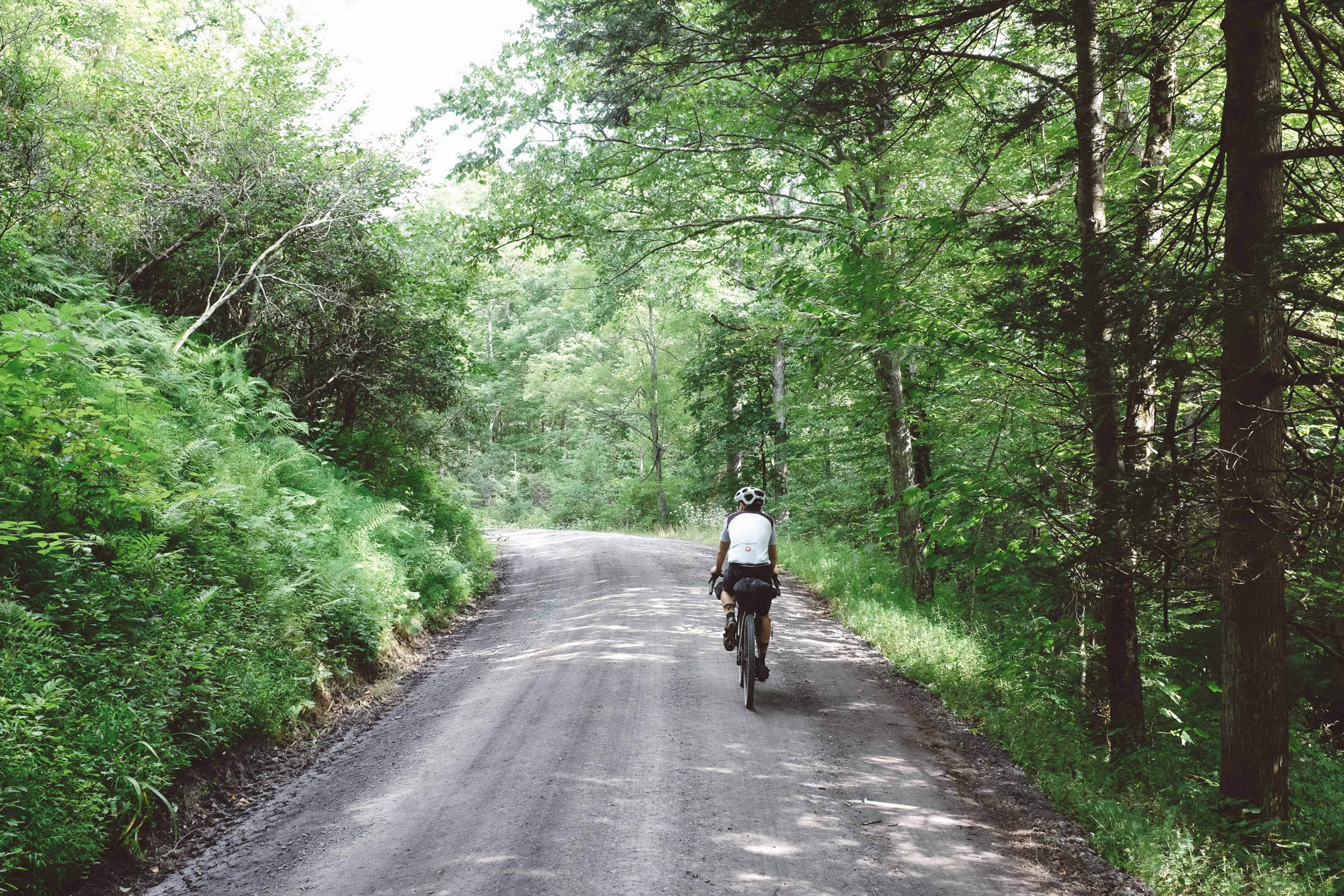
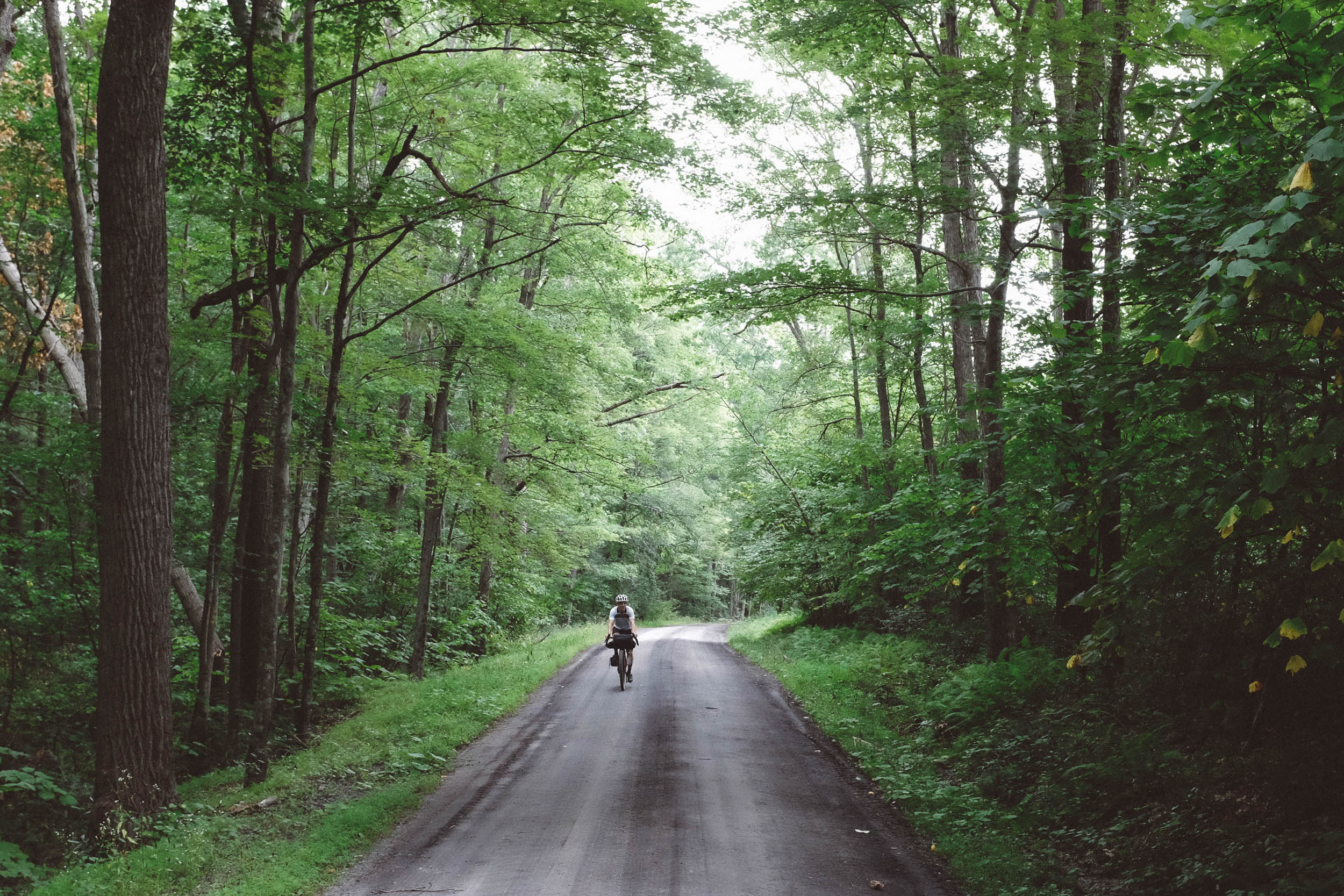
This route takes advantage of the Civil Conservation Corps (CCC)’s work in Central Pennsylvania’s Rothrock and Bald Eagle State Forests. Regrettably, the 1800s booming steel industry in Pennsylvania resulted in many of the forests in this area being clearcut to fuel the blast furnaces. At the turn of the century, the state of Pennsylvania bought the Sproul and Rothrock State Forests, and in the 1930s, the CCC built the roads that are well-maintained to this day. The roads are inviting for gravel cyclists, so it’s no surprise that this route overlaps with portions of Segment 4 and 5 of the Eastern Divide Trail.
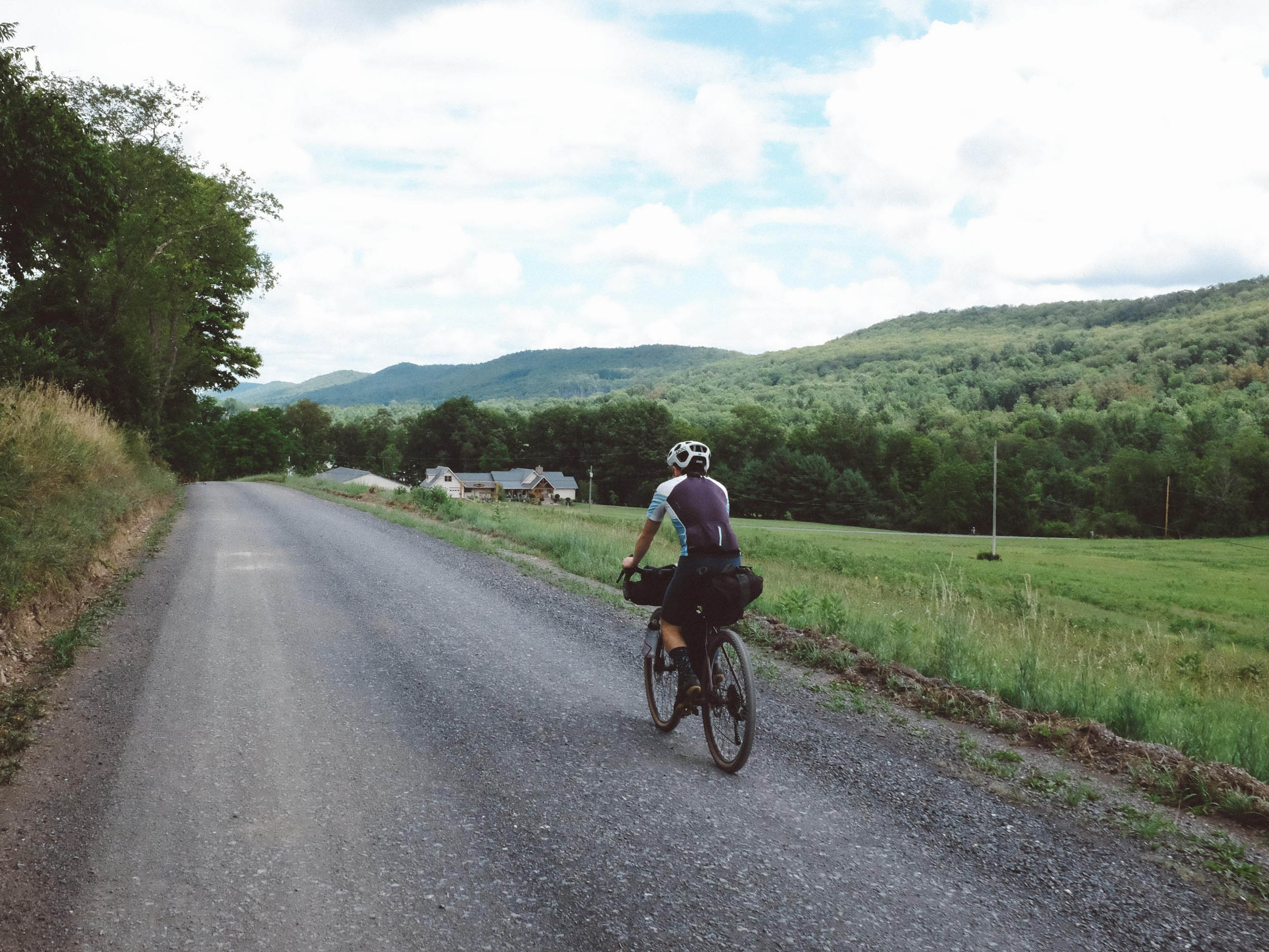
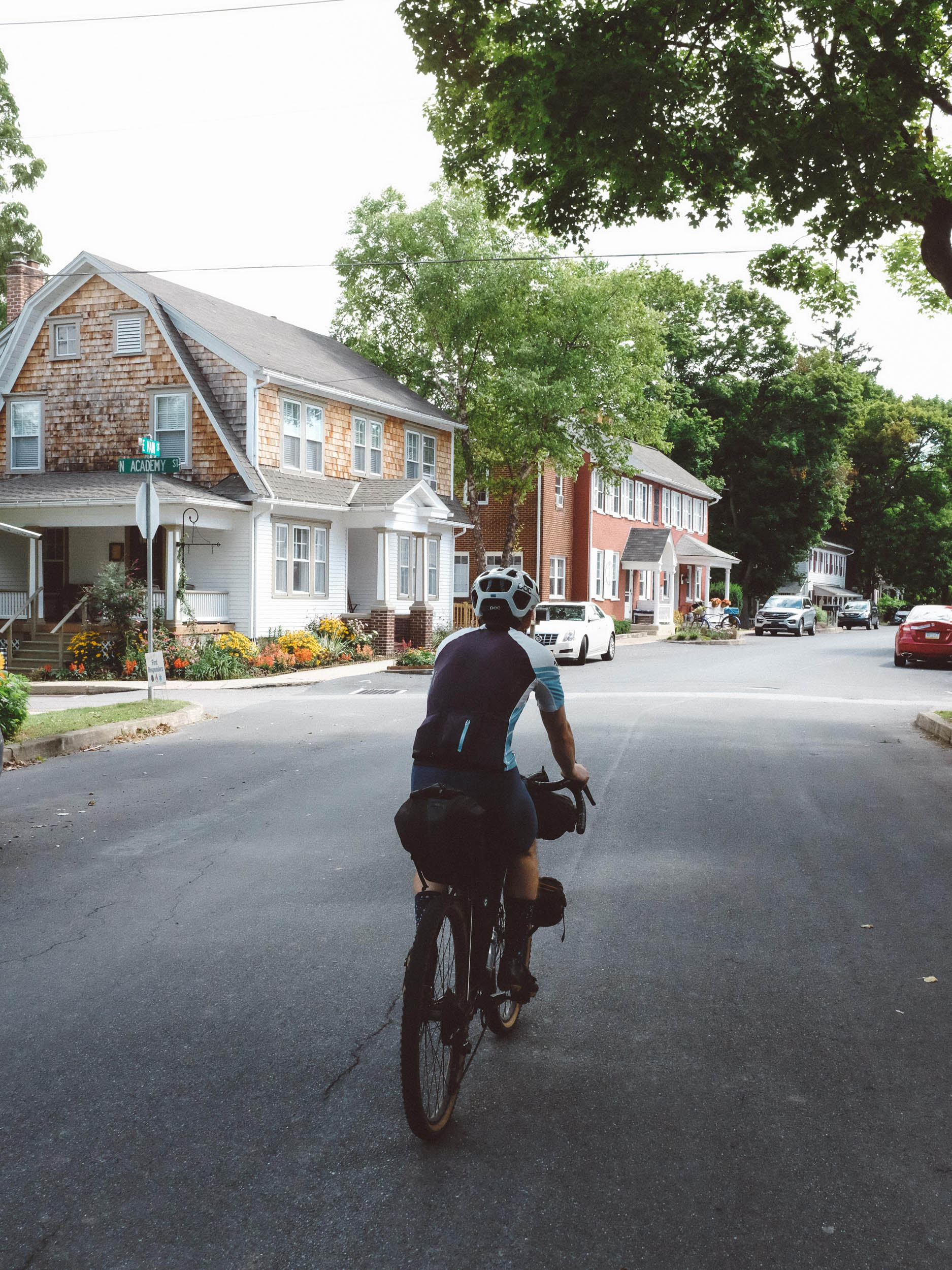
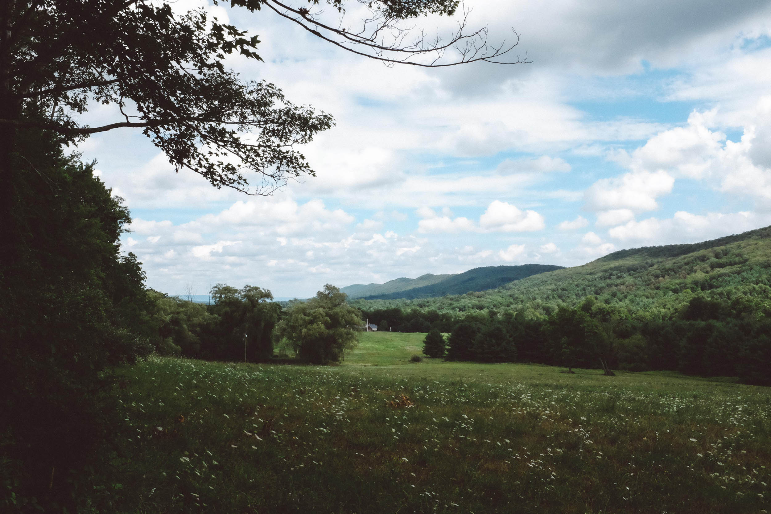
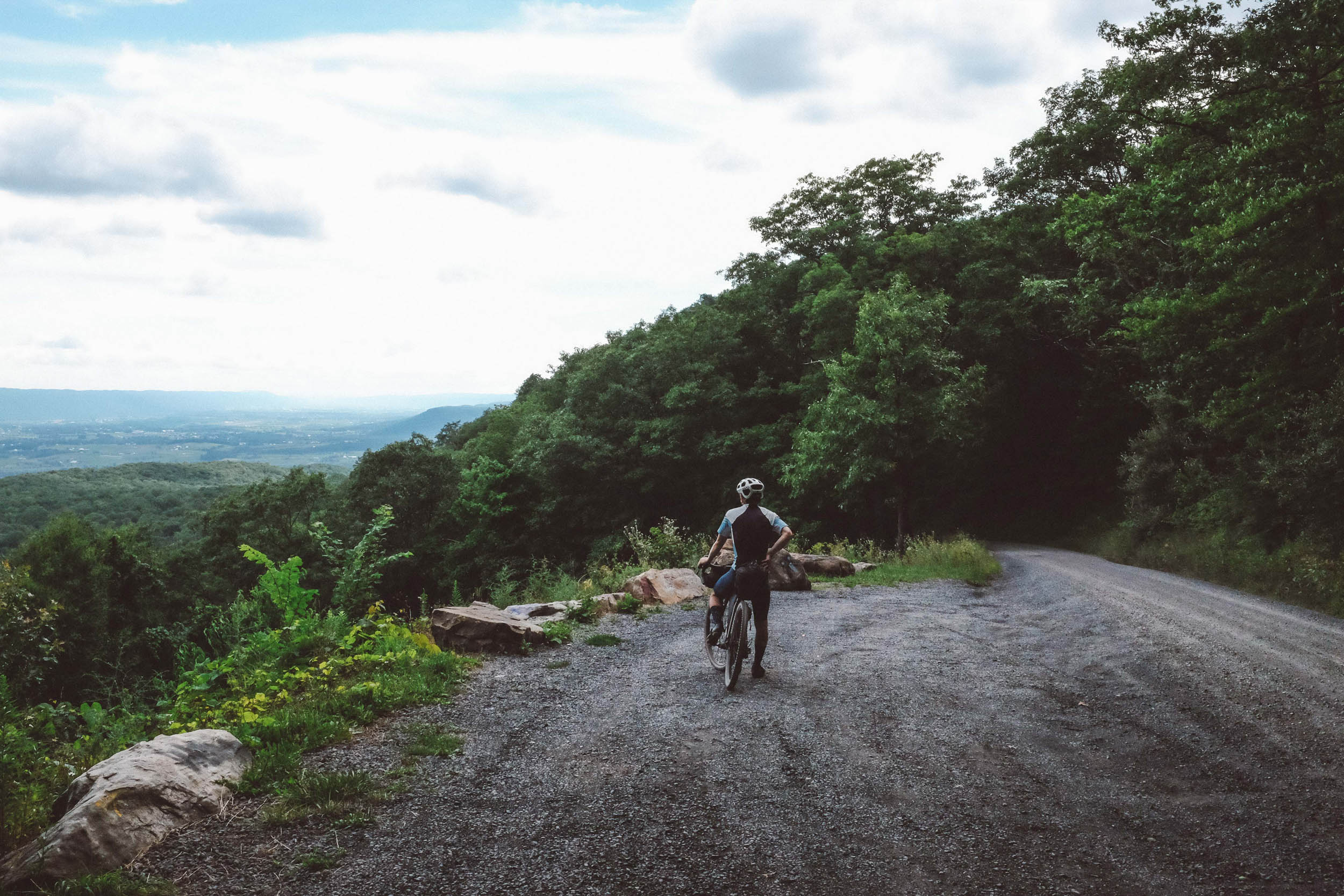
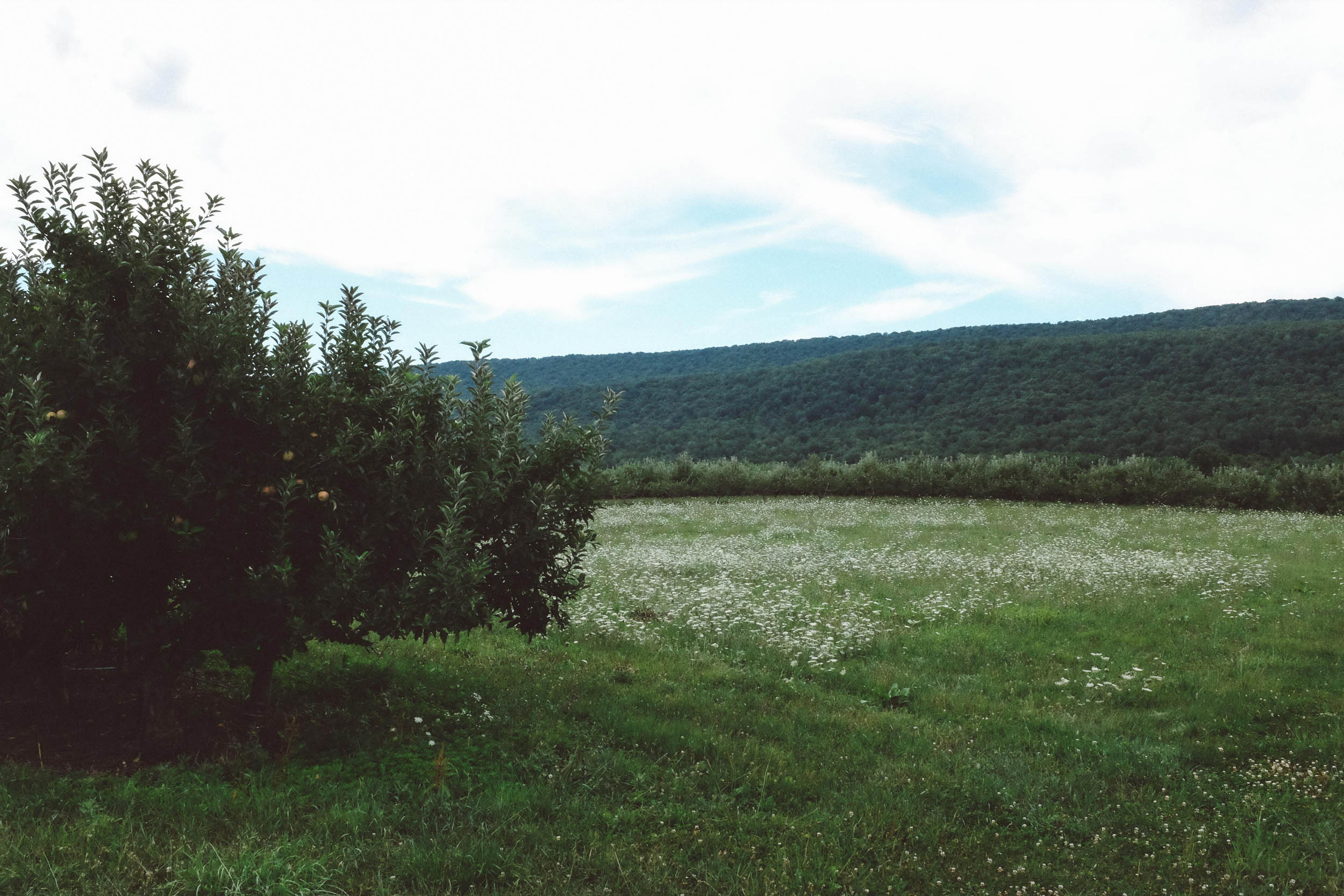
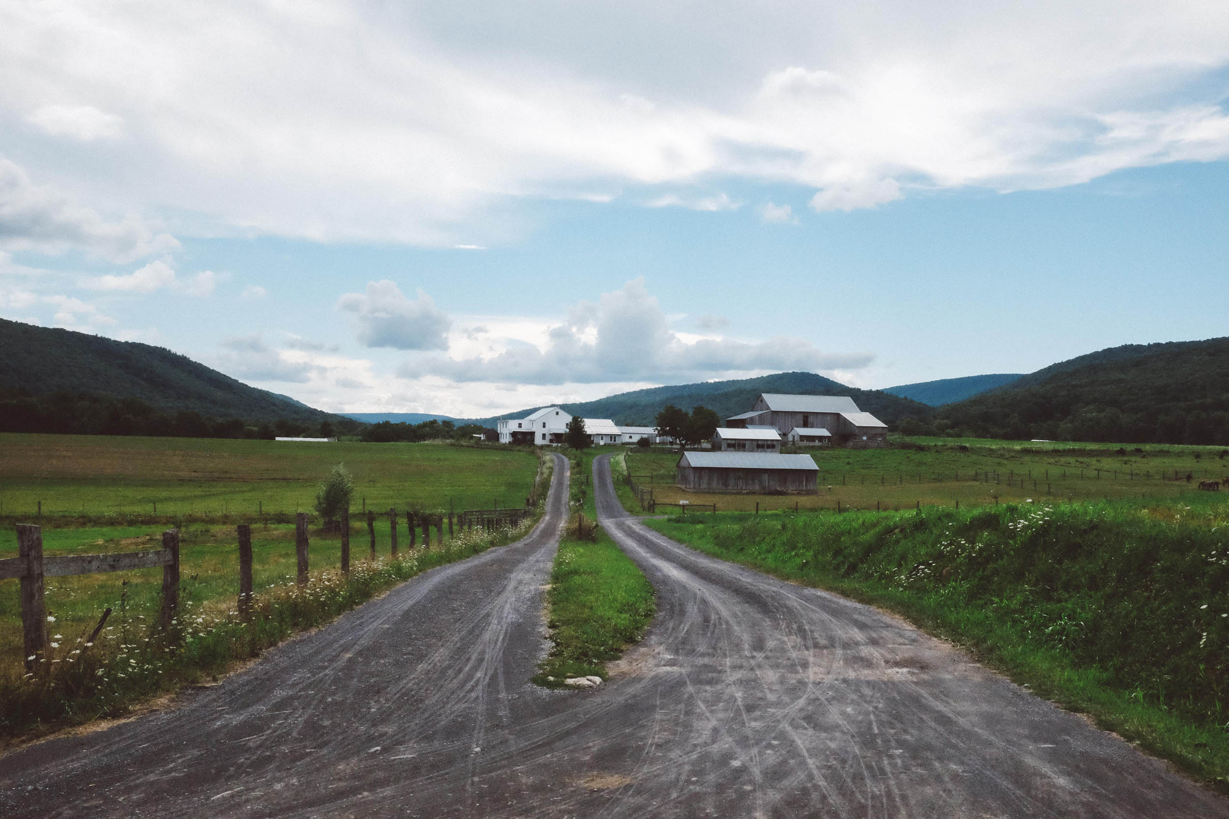
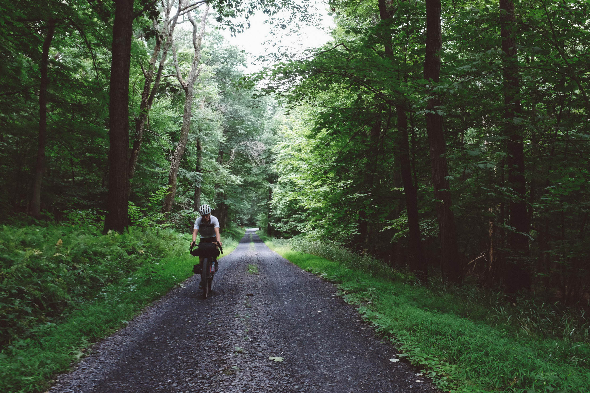
The ride begins six miles outside of State College, PA, where overnight parking is available at a quiet trailhead. A few miles on paved roads on the outskirts of State College and a tour through the one-stoplight town of Boalsburg are the last sight of proper civilization (and pavement!) until the town of Milroy. The first half of the route incudes several challenging climbs, but not without reward. Coming off of the Big Flat at 2,402 feet, riders are treated to a fast but manageable descent on some spectacular Central Pennsylvania triple-track. These state forest roads contain three tracks due to the occasional use of ATVs (with narrower wheel spacing than vehicles) during the hunting season. Look up the dates and wear visible clothing!

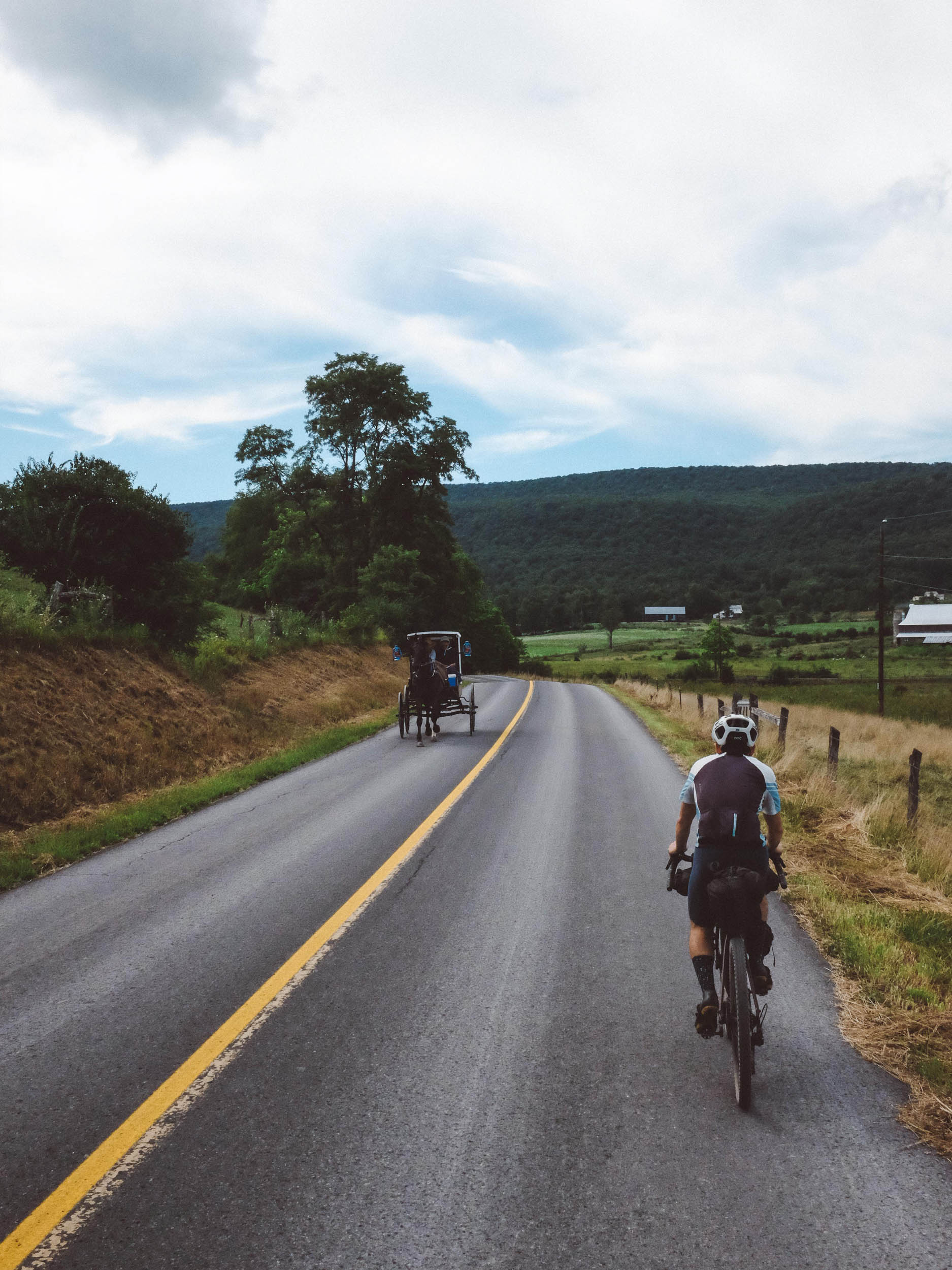
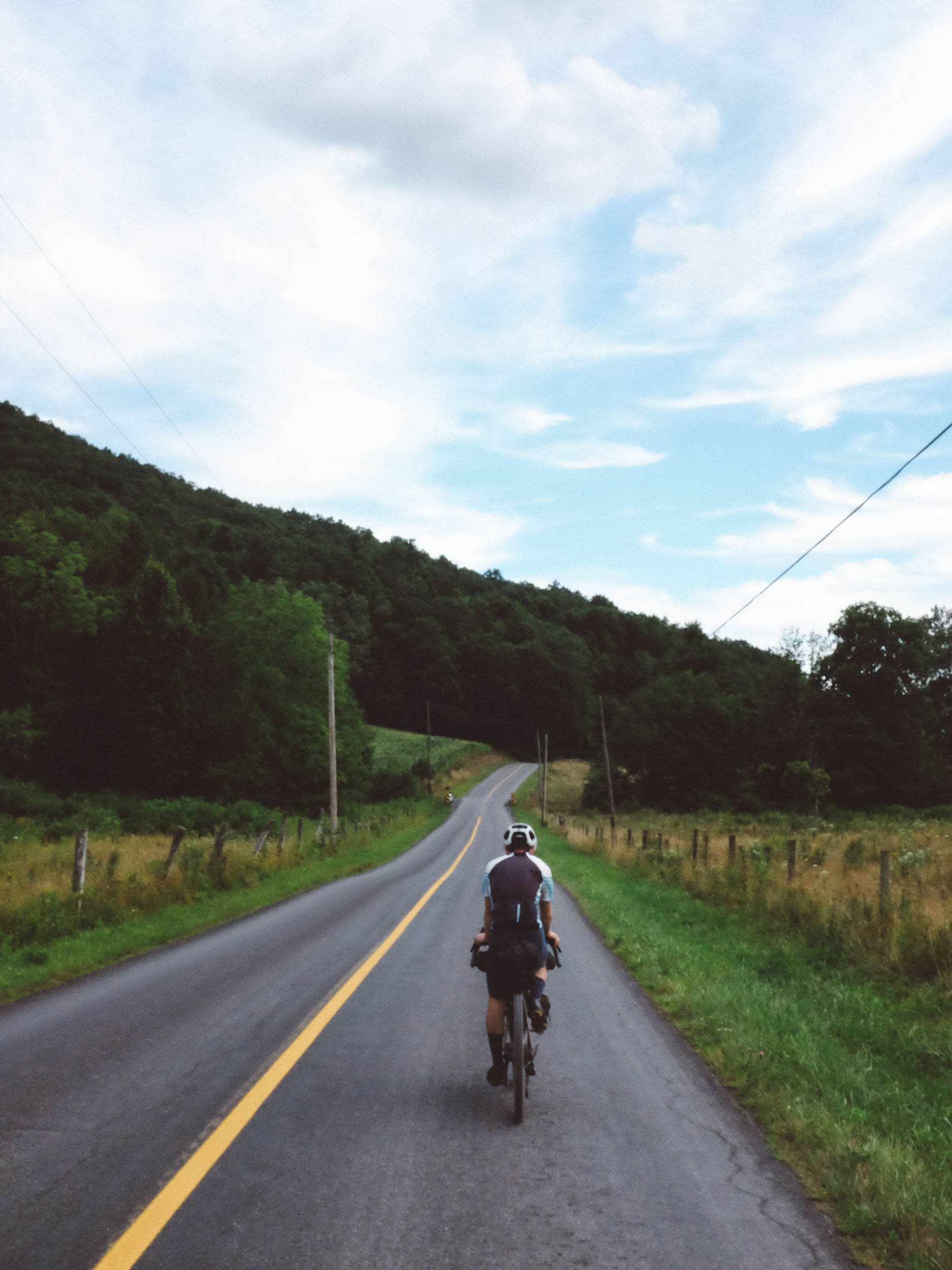
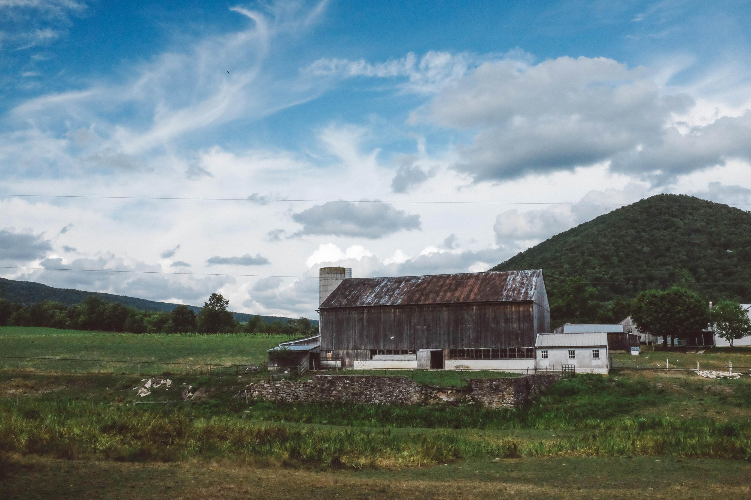
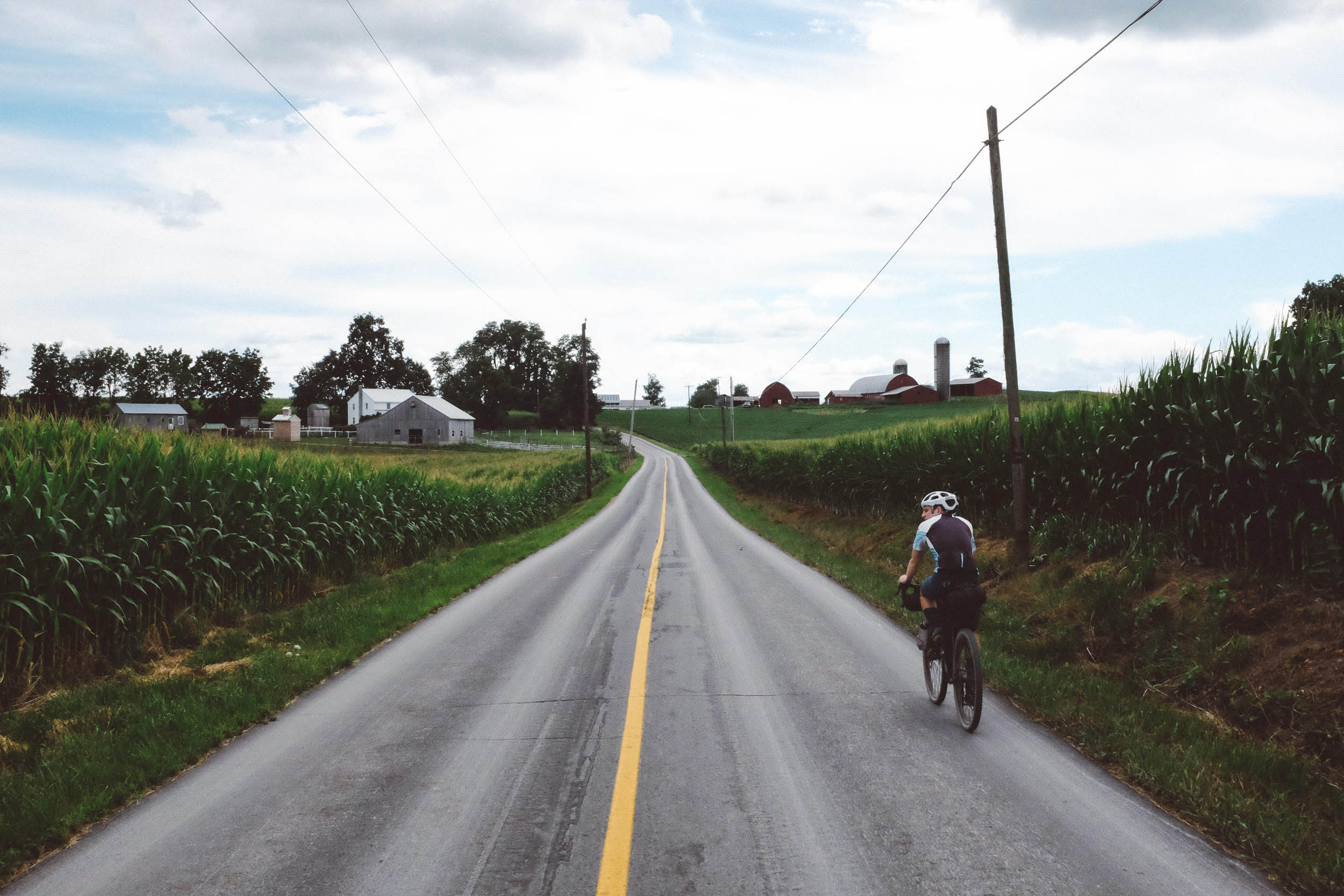
About 45 miles in, gravel roads give way to paved country roads through the valley dotted with beautiful Amish farms. On these quiet roads, you will encounter horse carriages (and the associated droppings!), carefully maintained crops lining the sides, and several farm stands with fresh produce, if the season is right.
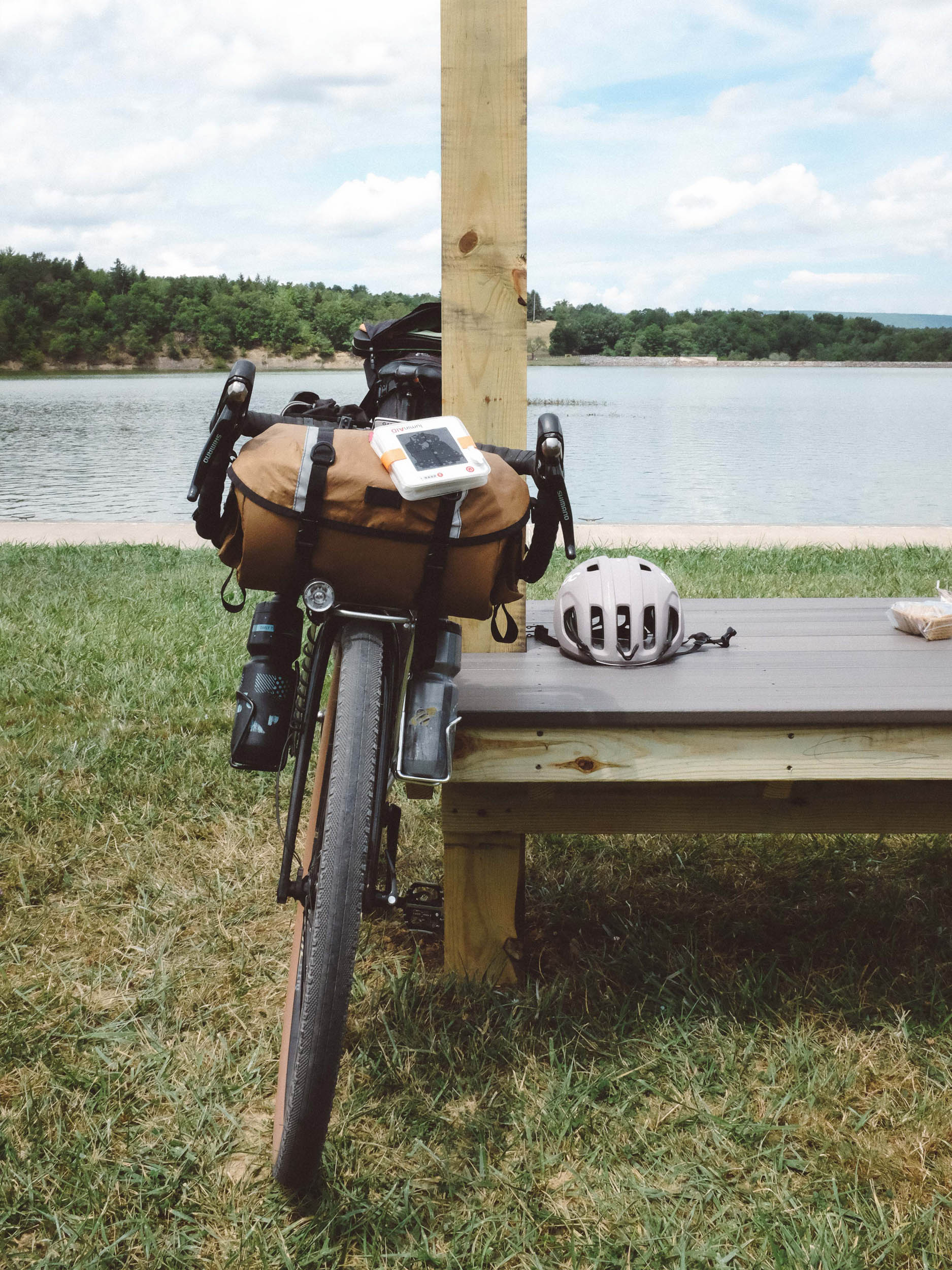
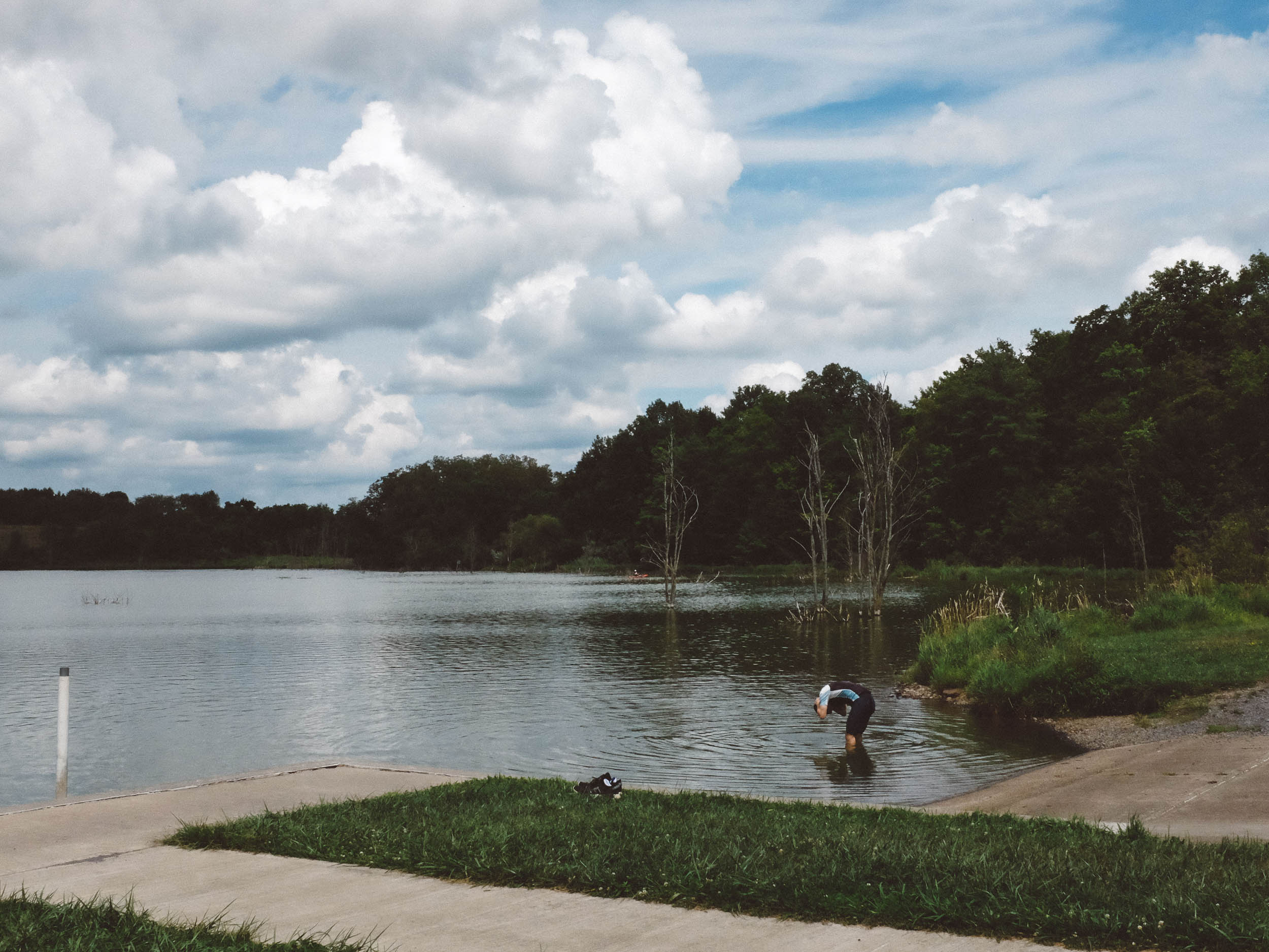
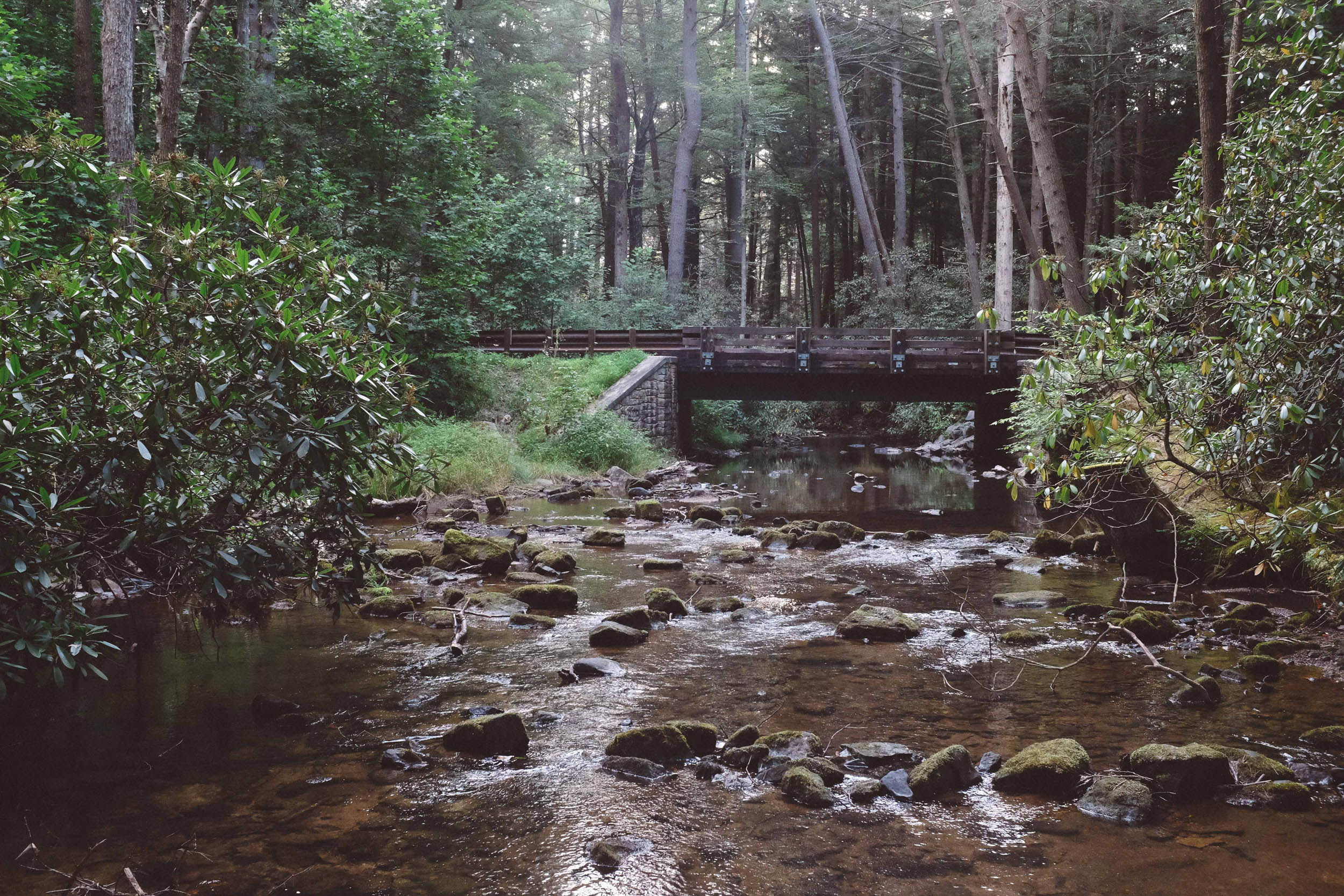
Stops at Colyer Lake and Whipple Dam State Park and numerous small streams along the way offer plenty of opportunities to take a break, cool off, and restock water. The area within the state forests is quite remote, but stops at 814 Cider Works, Seven Mountain Wine Cellars, Doan’s Bones Barbecue, and the town of Milroy are good opportunities to interact with the local community and get a taste for the Central Pennsylvania culture.
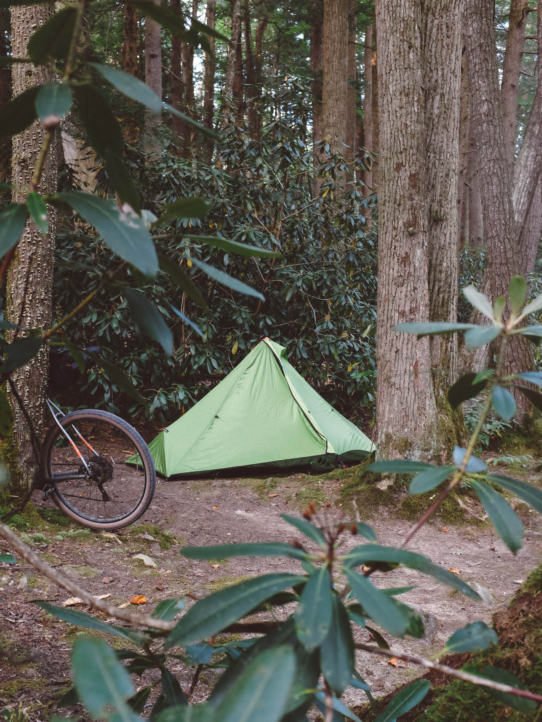
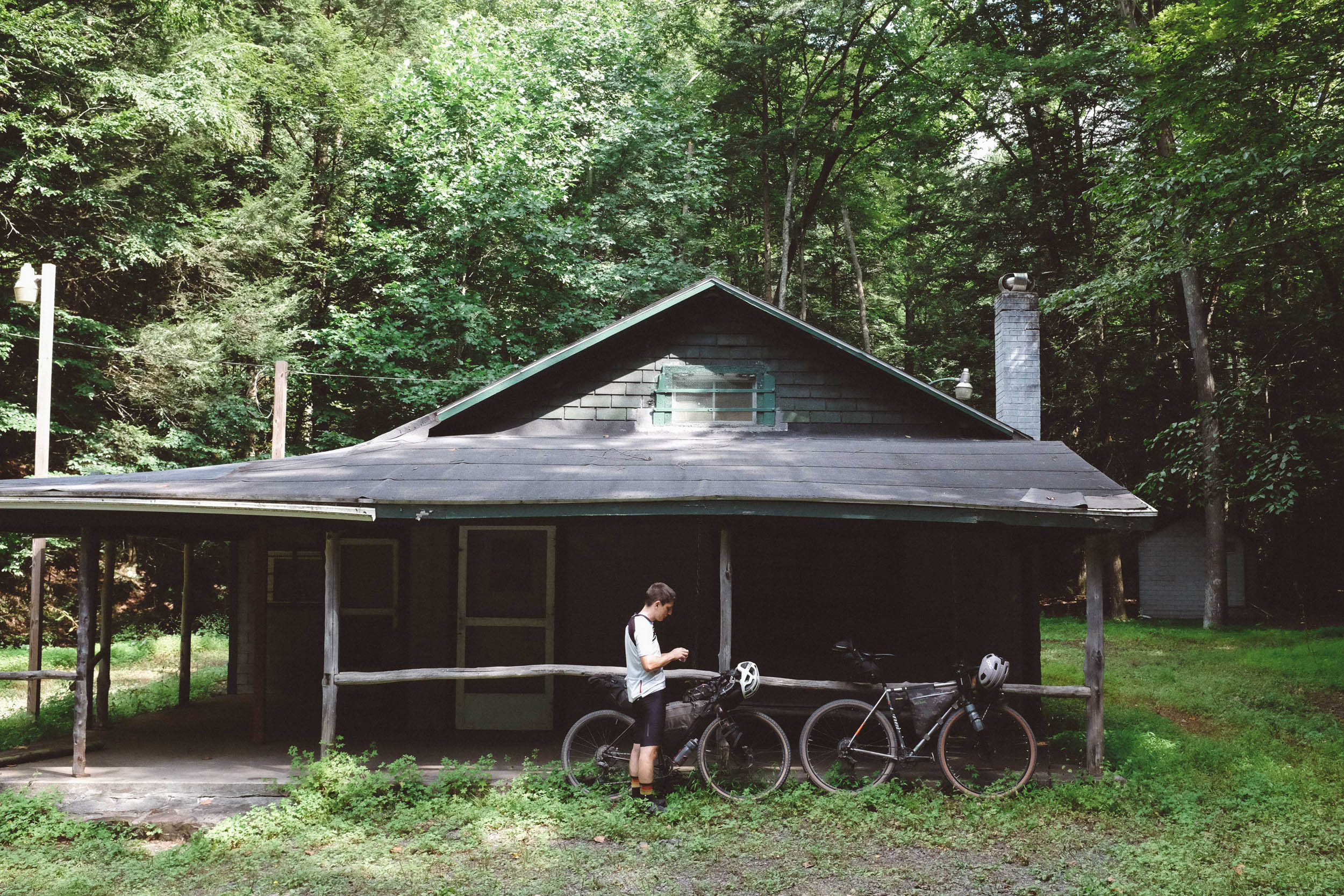
Camping in Rothrock State Forest can be done easily by reserving a campsite on or near the route ahead of time or by following the park’s rules for dispersed camping. Perhaps the most appealing part of this route is that it is easily executed in a weekend from much of the East Coast. For those in Pittsburgh, Philadelphia, the DC/Maryland/Virginia area, and even New York City, the drive to State College is less than four hours. With an early Saturday morning, driving to, riding, and returning from this route is feasible in a weekend.
Route Difficulty
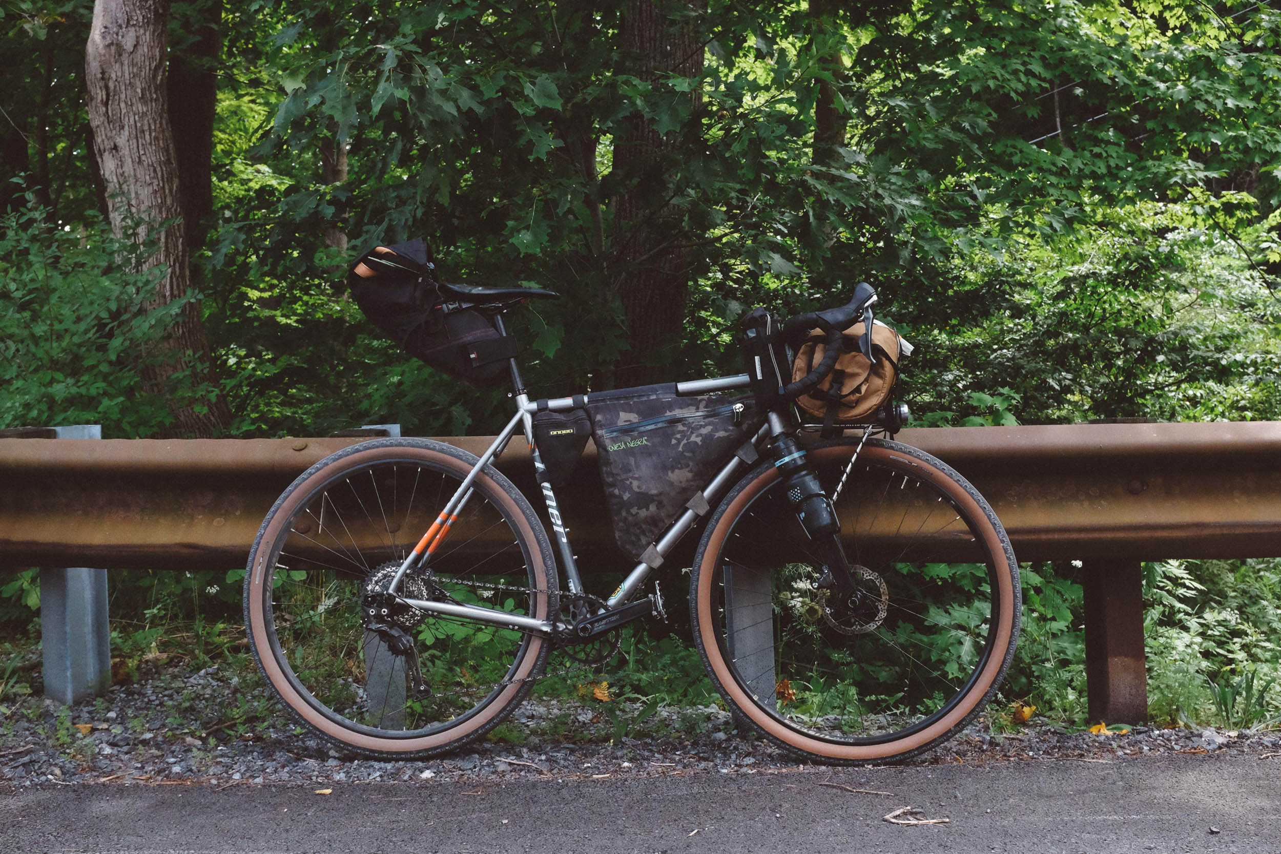
This route is rated 4 of 10 for difficulty, primarily because it includes an extensive amount of climbing (~11,000 feet). This part of the state is not flat; you’re either climbing or descending. Technical difficulty (2 of 10) should not be a significant concern, with the triple-track descent being the only portion of the route that isn’t a well-maintained gravel or paved road. Because of this, smaller tires, even down to 35mm, should be manageable. The route is physically demanding (7 of 10), because of the distance (55 miles/day) and the steepness of several of the climbs. These factors can be mitigated by a good gearing choice (put your mullet drivetrain to the test!), budgeting time for breaks, or even adding a second night. Logistically, the route is not complicated (3 of 10), though carefully planning your water resupply points will ensure you don’t get stuck in a remote part of the park with an empty bottle; this is particularly recommended if you intend to ride during the summer, when temperatures can easily exceed 90°F. If the distance proves to be too much, the second day can be easily shortened by taking McAlvey’s Fort Road over the ridge, landing you back at the parking lot and cutting off about 20 miles.
Route Development: This route was originally created by Marco Fantin of BikepackingPA.com. Marco has mapped out several other great gravel rides in the Northeast US, and his site is worth a click if you’re a bikepacking enthusiast in the area.


Submit Route Alert
As the leading creator and publisher of bikepacking routes, BIKEPACKING.com endeavors to maintain, improve, and advocate for our growing network of bikepacking routes all over the world. As such, our editorial team, route creators, and Route Stewards serve as mediators for route improvements and opportunities for connectivity, conservation, and community growth around these routes. To facilitate these efforts, we rely on our Bikepacking Collective and the greater bikepacking community to call attention to critical issues and opportunities that are discovered while riding these routes. If you have a vital issue or opportunity regarding this route that pertains to one of the subjects below, please let us know:
Highlights
Must Know
Camping
Food/H2O
Trail Notes
- An exhilarating descent on Central Pennsylvania’s finest triple-track.
- Sipping cold, fresh water from the natural spring along Laurel Run Road.
- A seemingly endless number of quaint cabins and hunting clubs lining the forest roads.
- An optional detour to the Little Flat Fire Tower and nearby cabin (picturesque, though not climbable anymore).
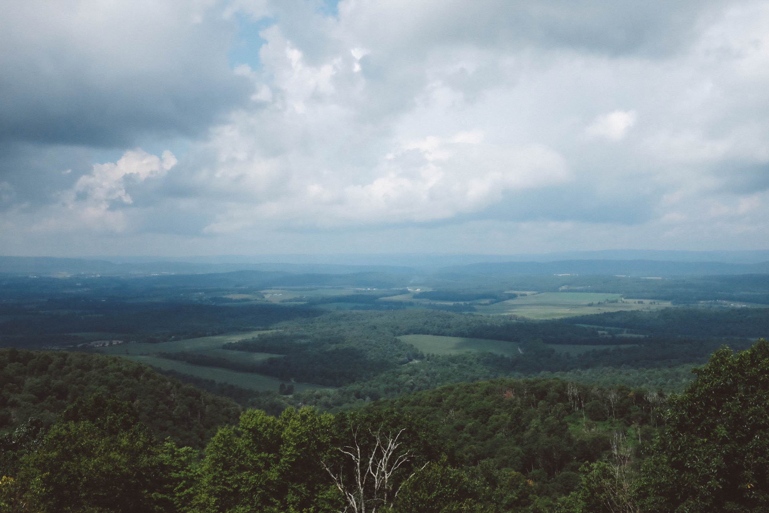
- Stopping to take in a sweeping view of Big Valley at the vista point on Millheim Pike.
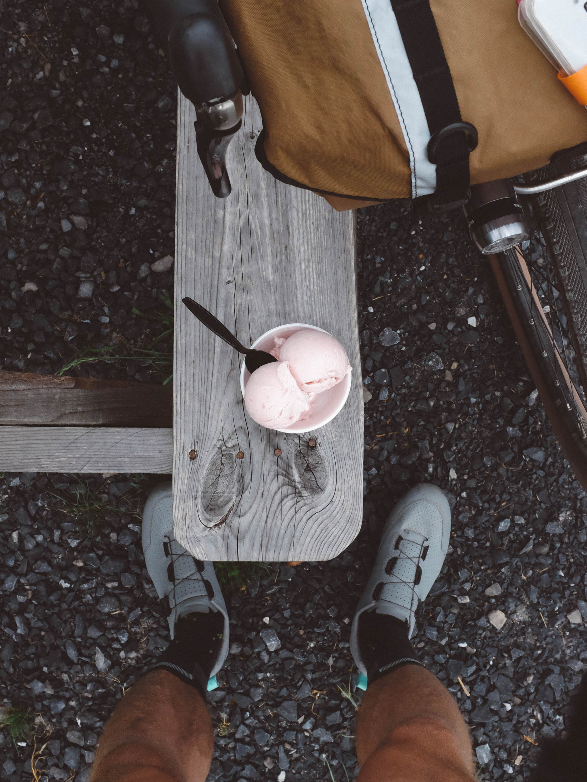
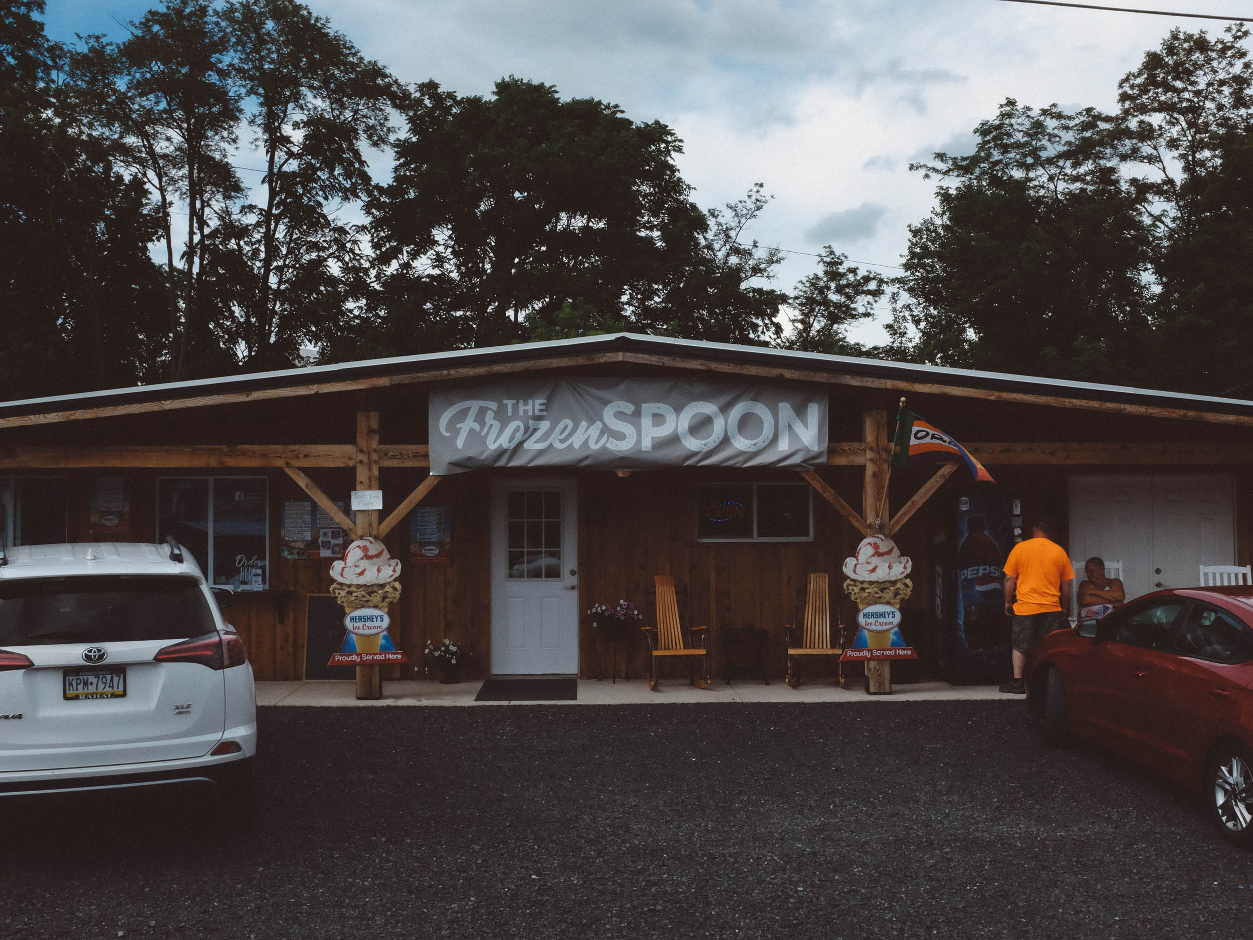
- Taking a breather at the Frozen Spoon in Milroy, enjoying ice cream and milkshakes and watching the local horse ‘n’ buggies pass by.
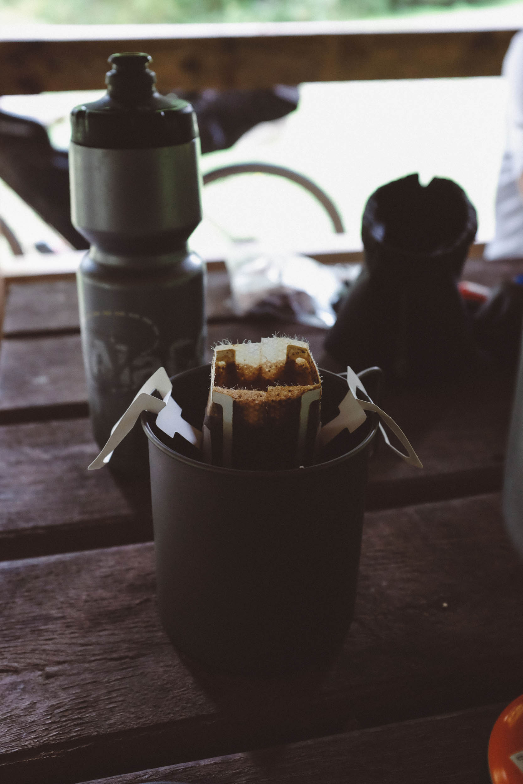
- Stopping to make breakfast and coffee at Alan Seeger Picnic Area (with restrooms!).
- Going for a dip at the beach at Whipple Dam State Park.
- Loading up on calories with a brisket sandwich from Doan’s Bones BBQ.
- When to go: This route is best ridden in the late spring and especially the fall months when the leaves are changing. Though rideable during the summer, watch the temperatures and be sure to bring enough water to stay hydrated on hotter days.
- Logistics: Free overnight parking is available along the route at the intersection of McAlvey’s Fort Road and Kepler Road. This trailhead parking lot is marked, tucked away from the main road, and easily accessible.
- If needed, the route can be shortened by 20 miles. To do this, on the second day, continue along McAlvey’s Fort Road instead of turning onto Harry’s Valley Road; this will lead you directly back to the parking lot.
- Dangers and Annoyances: The Department of Conservation and Natural Resources (DCNR) allows hunting within Rothrock and Bald Eagle State Forests during the appropriate season. Between September and February, some roads along this route will be specifically opened for hunters. Hunting season dates (deer season, in particular) can be found on the Pennsylvania Game Commission’s website. Bringing along an article of clothing in hunter orange and sticking to the roads during these months is prudent.
- Camping in Rothrock State Forest can be done by reserving a campsite for a small fee ($10) or by following the park’s rules for primitive/dispersed camping.
- Dispersed camping guidelines and reservation details for camping can be found on the website of the Pennsylvania Department of Conservation and Natural Resources.
- If reserving a site, the “Crowfield Road Motor Campsite #5” location is closest to the route; there are no facilities at this site, so plan on stocking up on water before arriving.
- Hotel and AirBnB cabin options are available in the town of Milroy, close to the midpoint of the loop.
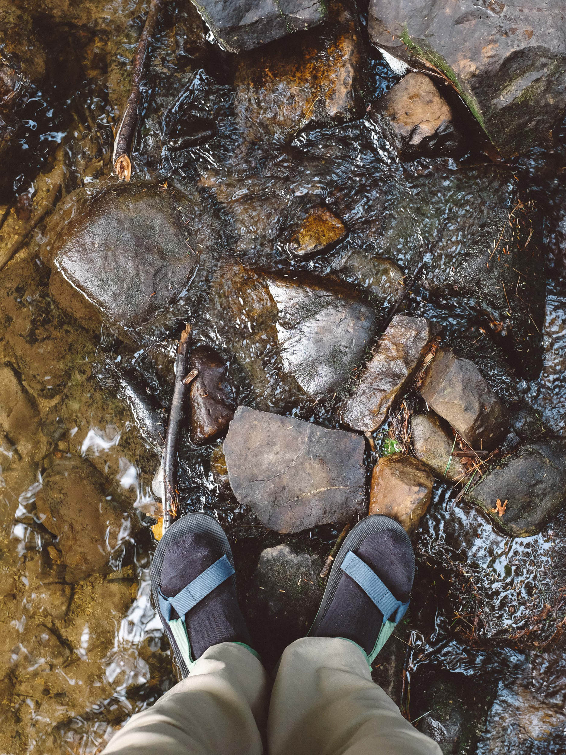
- The route abounds with cool mountain springs and creeks, making for a number of filterable water options. A couple of lakes along the route also provide opportunities to refill water bottles.
- Whipple Dam State Park has a water fountain by the parking lot with fresh water.
- Food resupply is limited to the town of Milroy and a stop at Doan’s Bones BBQ, if desired.
- Also along the route are 814 Cider Works and Seven Mountain Wine Cellars.
- Sample schedule for city-dwellers looking to knock this out in a weekend (clockwise loop): 0700 Saturday, hit the road; 1030 Saturday, grab a sandwich in State College to carry for lunch; 1100-1700 Saturday, six full hours of riding to make it to Milroy for a meal or to stock up on snacks/water; 1800 Saturday, head to back into the forest to camp for the night; 0900 Sunday, start riding; 0930 Sunday, stop to make coffee and use the facilities (read: coffee poop) at Alan Seeger Picnic Area; 1000-1200 Sunday, two hours to make it to Doan’s Bones BBQ for lunch; 1230-1530 Sunday, three hours to ride back to the car; 1530-1900 Sunday, drive home.
- Along the forest roads, you’ll find numerous cabins tucked away in the trees. The Pennsylvania DCNR once had a program to lease small (~¼ acre) lots within Rothrock to the public, allowing anyone to lease the land and build a dwelling if they wanted.
- Rideability: This route is perfect for beginners who are still fine-tuning their technical skills on a bike. With a well-maintained set of brakes, the descents are a breeze, and the only thing that will get you in trouble is the desire to go faster than you should. As long as it hasn’t rained recently, you’ll find all the gravel roads on this route smooth and fast, with only an occasional stretch of washboard to navigate.


Terms of Use: As with each bikepacking route guide published on BIKEPACKING.com, should you choose to cycle this route, do so at your own risk. Prior to setting out check current local weather, conditions, and land/road closures. While riding, obey all public and private land use restrictions and rules, carry proper safety and navigational equipment, and of course, follow the #leavenotrace guidelines. The information found herein is simply a planning resource to be used as a point of inspiration in conjunction with your own due-diligence. In spite of the fact that this route, associated GPS track (GPX and maps), and all route guidelines were prepared under diligent research by the specified contributor and/or contributors, the accuracy of such and judgement of the author is not guaranteed. BIKEPACKING.com LLC, its partners, associates, and contributors are in no way liable for personal injury, damage to personal property, or any other such situation that might happen to individual riders cycling or following this route.
Please keep the conversation civil, constructive, and inclusive, or your comment will be removed.