


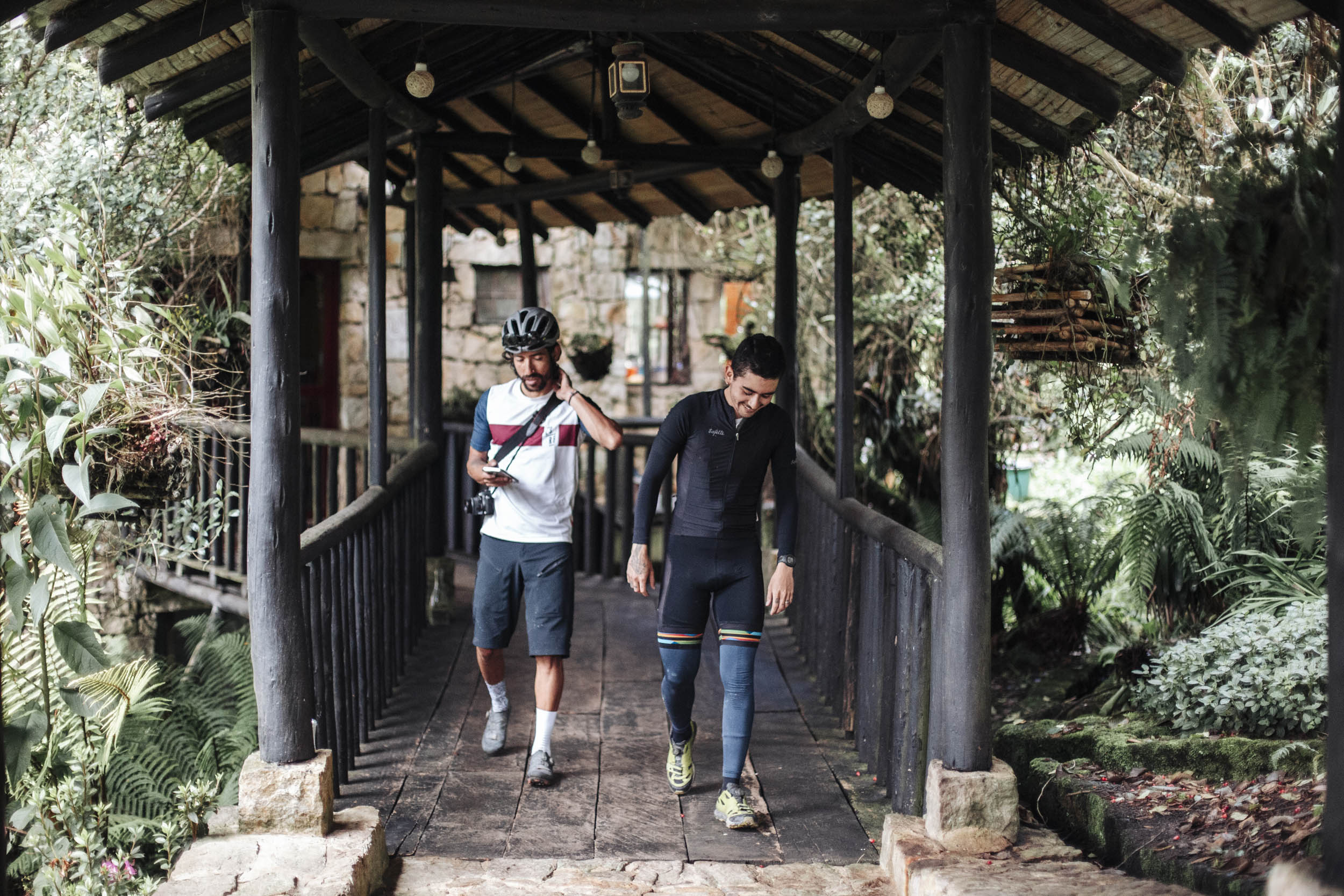
Ruta El Dorado
Distance
112 Mi.
(180 KM)Days
4
% Unpaved
68%
% Singletrack
0%
% Rideable (time)
99%
Total Ascent
8,940'
(2,725 M)High Point
10,339'
(3,151 M)Difficulty (1-10)
6?
- 5Climbing Scale Moderate80 FT/MI (15 M/KM)
- -Technical Difficulty
- -Physical Demand
- -Resupply & Logistics
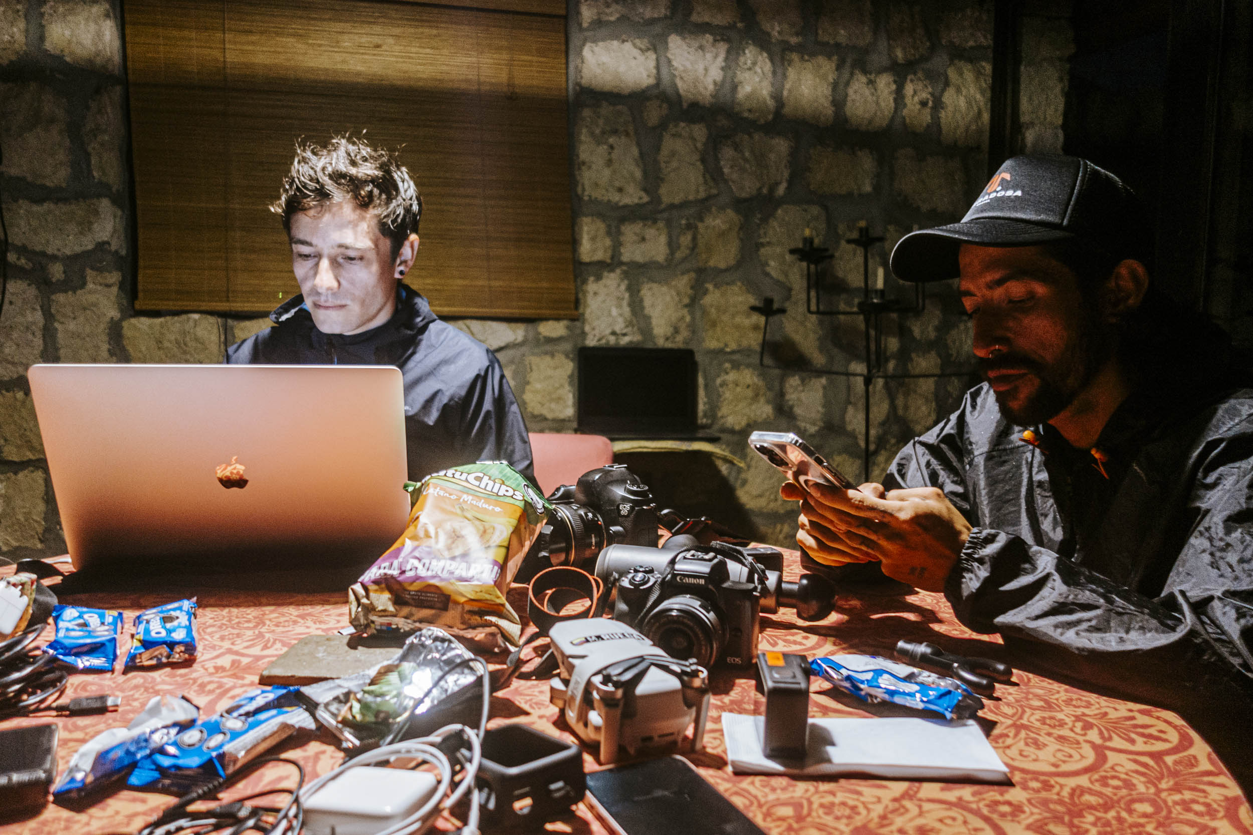
Contributed By

Logan Watts
Founding Editor
Contributed by Atenea Camacho and the Bikepacking for Conservation team
Reminiscent of the famous legend, Ruta El Dorado is an homage to its Indigenous origins. Glacial lagoons found along this trail were once regarded as sacred by the Muisca Indigenous peoples who originally inhabited this region; seven of these lagoons make up what was once called “The Water Route,” a sacred pilgrimage route. Guatavita and Siecha Lagoons, which can be visited along Ruta El Dorado, held particular significance. Guatavita is fabled to have been the location for a ceremony used to designate new rulers of the southern Muisca Confederation. The newly appointed “Zipa,” as the rulers were known, would be adorned in gold dust and wade out into the middle of the lake on a ceremonial raft to wash himself clean of the gold dust while jewelry and other precious items were offered to the lake by surrounding worshipers. Dubbed “El Dorado,” or “The Golden One,” by Spanish conquistadors, this ceremony became the basis for the famous legend of El Dorado.
In addition to providing an opportunity to learn about the history and cultures of the Muisca and other Indigenous peoples, Ruta El Dorado also aims to connect riders with locally driven conservation efforts in the region. The TASQUA network is a group of civil society nature reserves that can be found throughout the region. Driven by local communities in the region, these reserves aim to secure and protect critical ecosystems such as páramos and cloud forests, contribute toward the restoration of degraded habitats, and provide support for the people working at the frontlines of conservation. While riding this route, we recommend incorporating a rest day at one of these reserves, such as Bosque de Niebla, The Cloud Forest Reserve, El Choachal de Siecha Reserve, or Ecopalacio Chingaza Reserve, to visit these unique ecosystems and learn more about the work done by civil society organizations who are part of the TASQUA network. By incorporating a rest day, and leaving your bike behind for a day, you can also organize a visit to the Laguna Siecha, one of the sacred lagoons that once made up the Muisca Water Route.
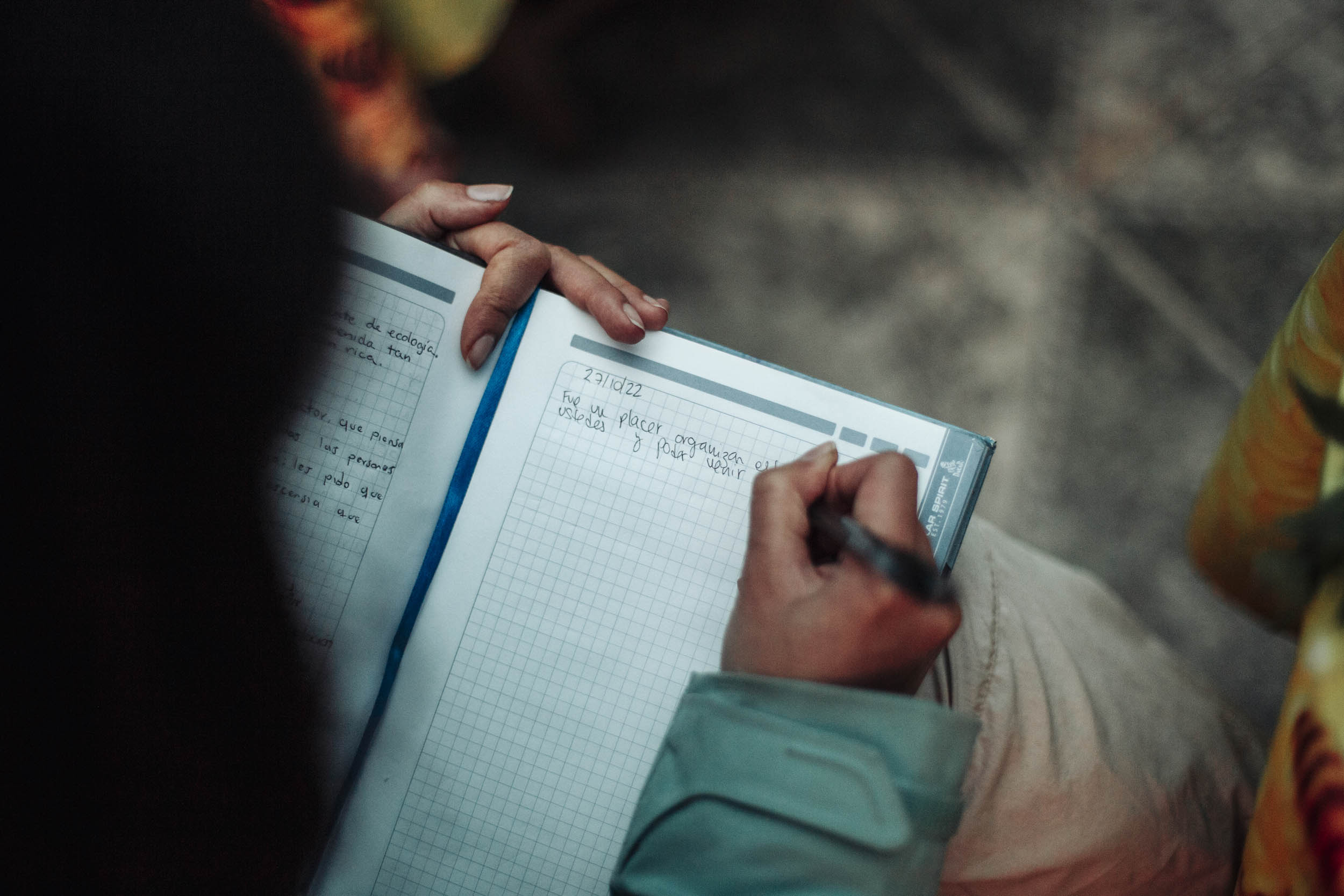
“You’d be amazed how much taking a forest bath, just by walking into the forest for a couple of minutes, smelling the moss, and touching the soil with your feet, can do to change someone. I see it in their faces every time they come here.” —Ana Mercedes, from Reserva Bosque de Niebla.
At the most basic level, the idea behind this route is to connect cyclists to nature, suggest ways you can support community-led conservation efforts, and learn about Indigenous and rural cultures. The winding trails of this route are reminiscent of the thousands of brooks, or quebradas, that originate in the surrounding páramos and make their way down into the valleys, feeding into the rivers, lagoons, and aquifers that people have depended upon for thousands of years. The Muisca understood this connection between water and people. Through its Water and Cities Program, Conservation International-Colombia hopes to recapture and elevate that understanding.
ROUTE DIFFICULTY
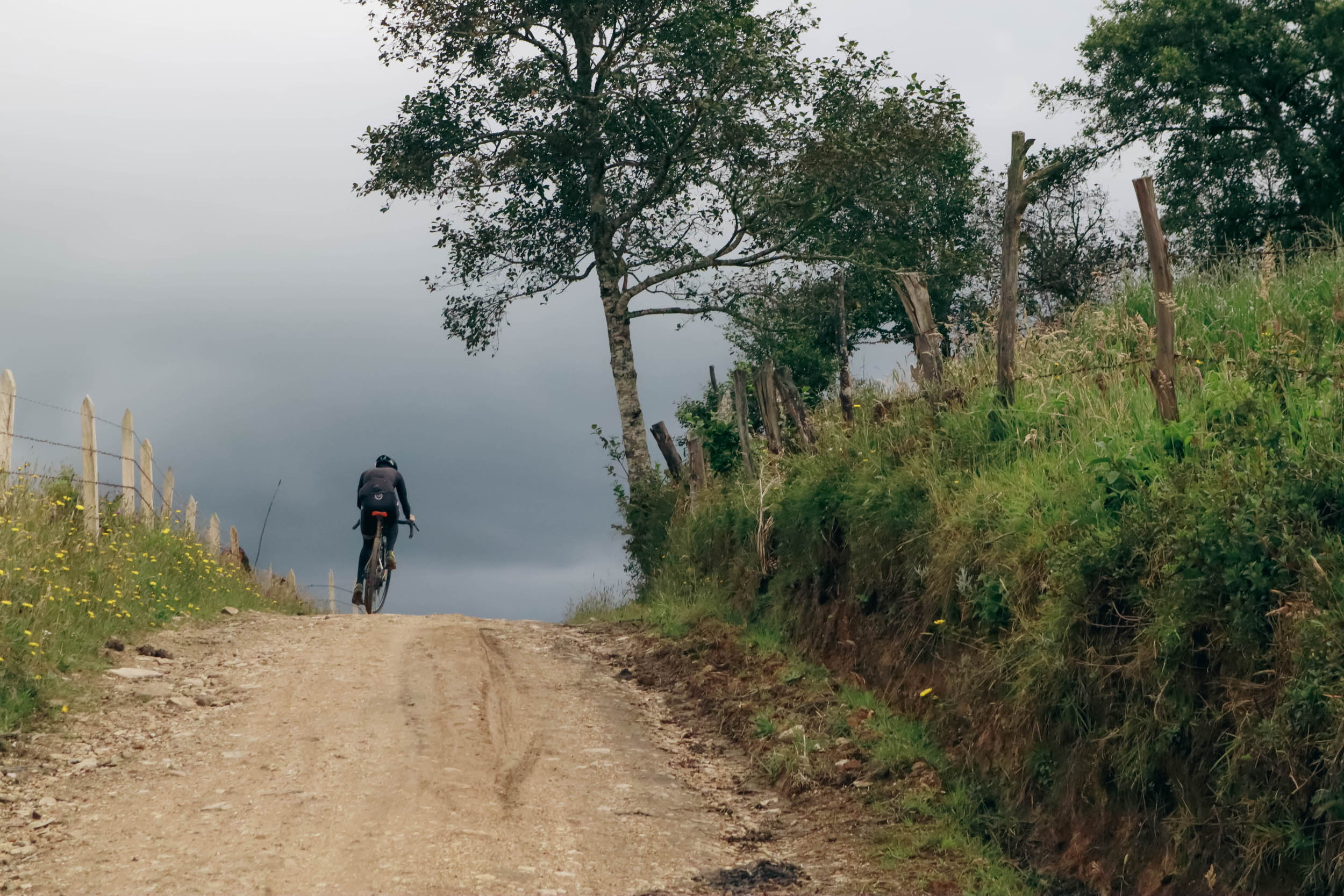
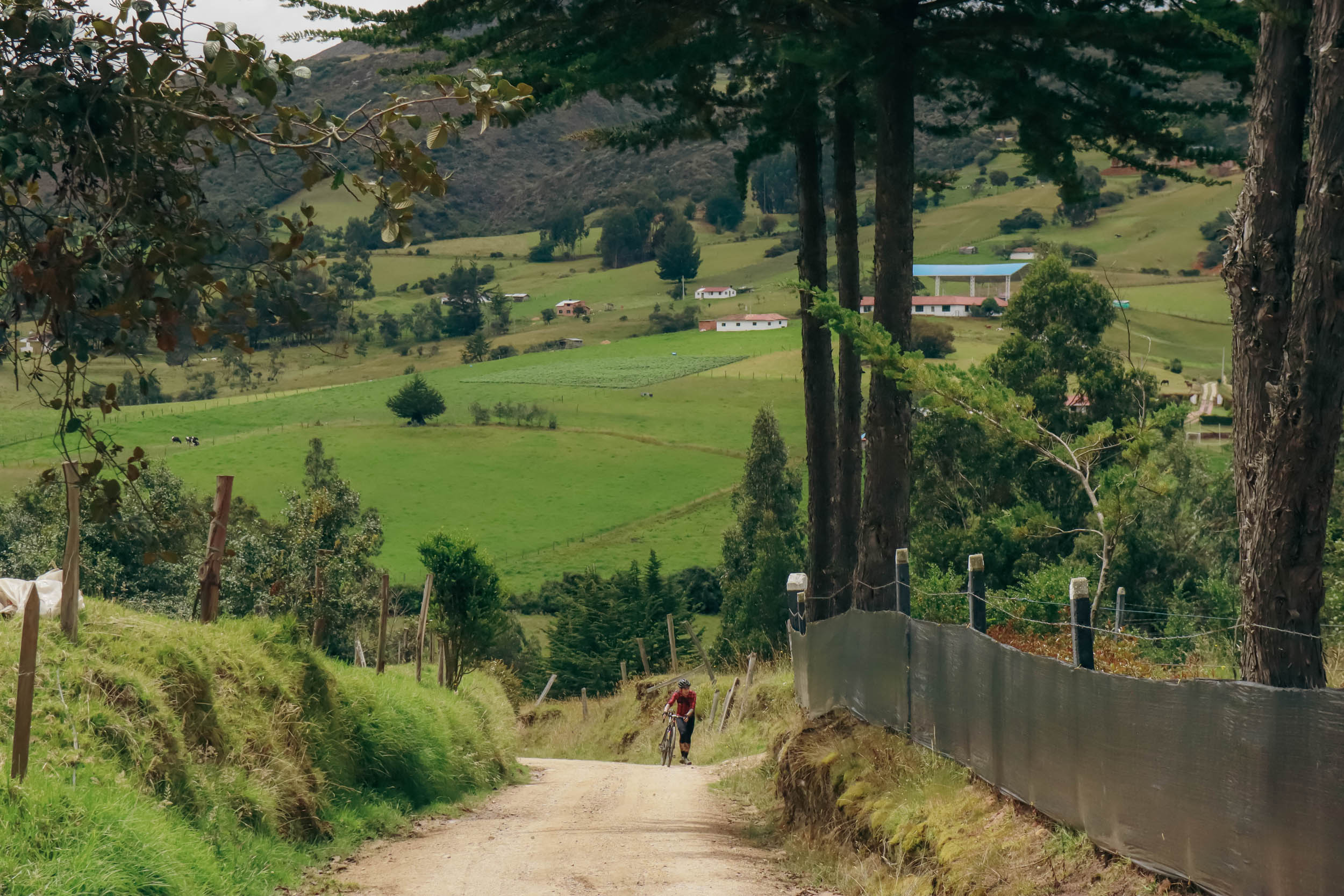
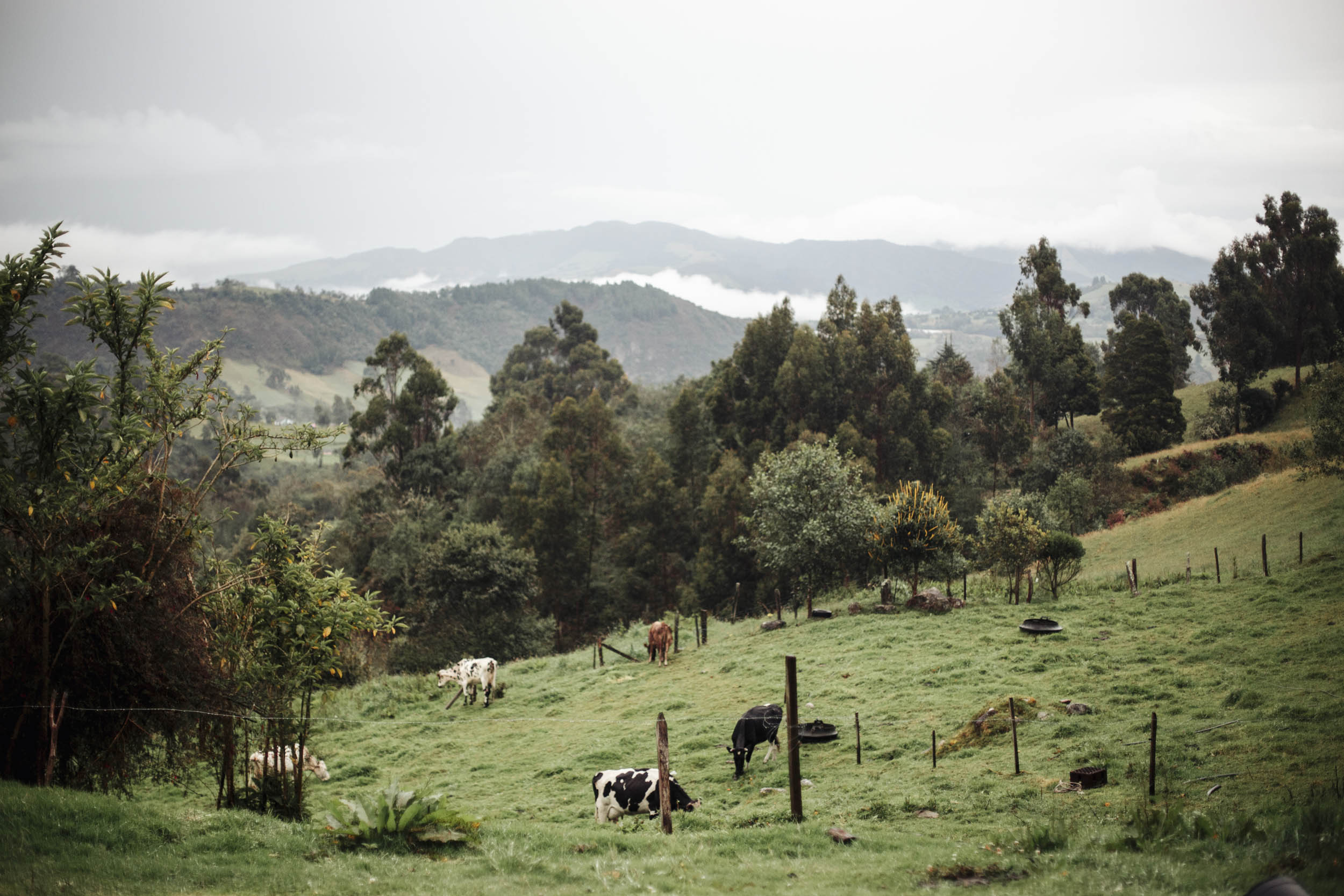
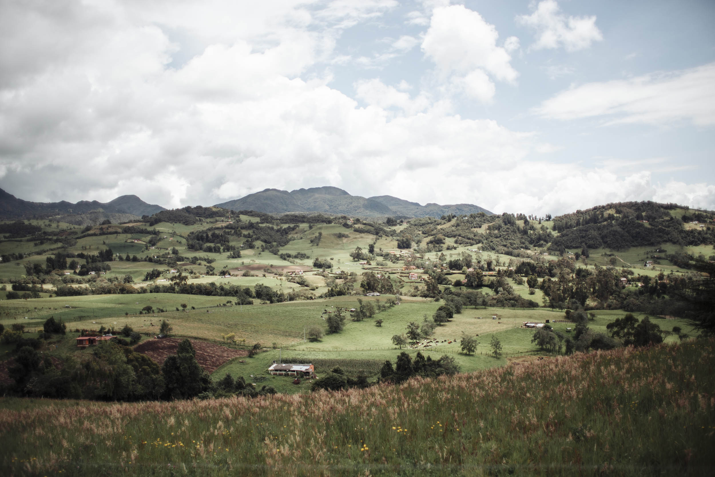
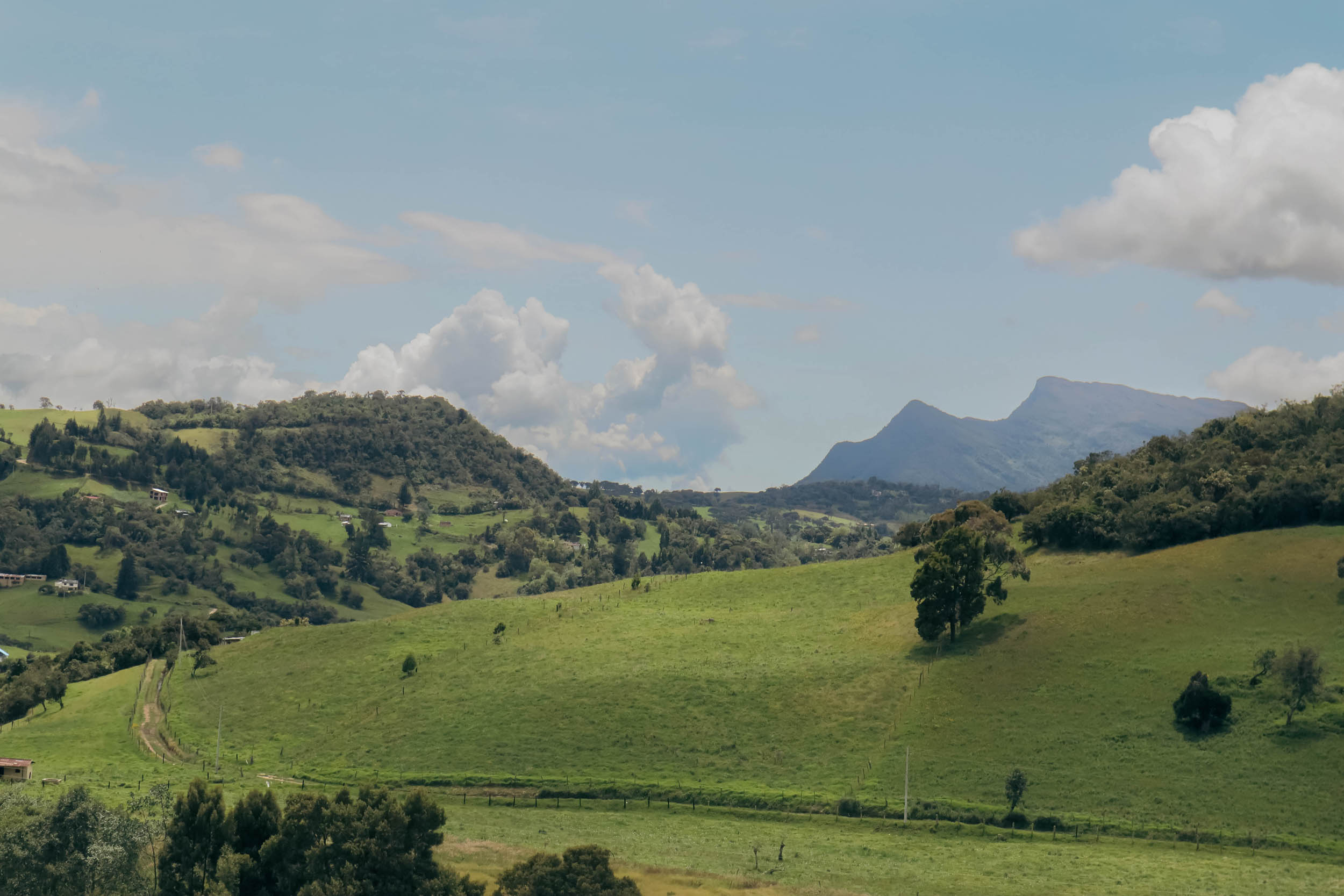
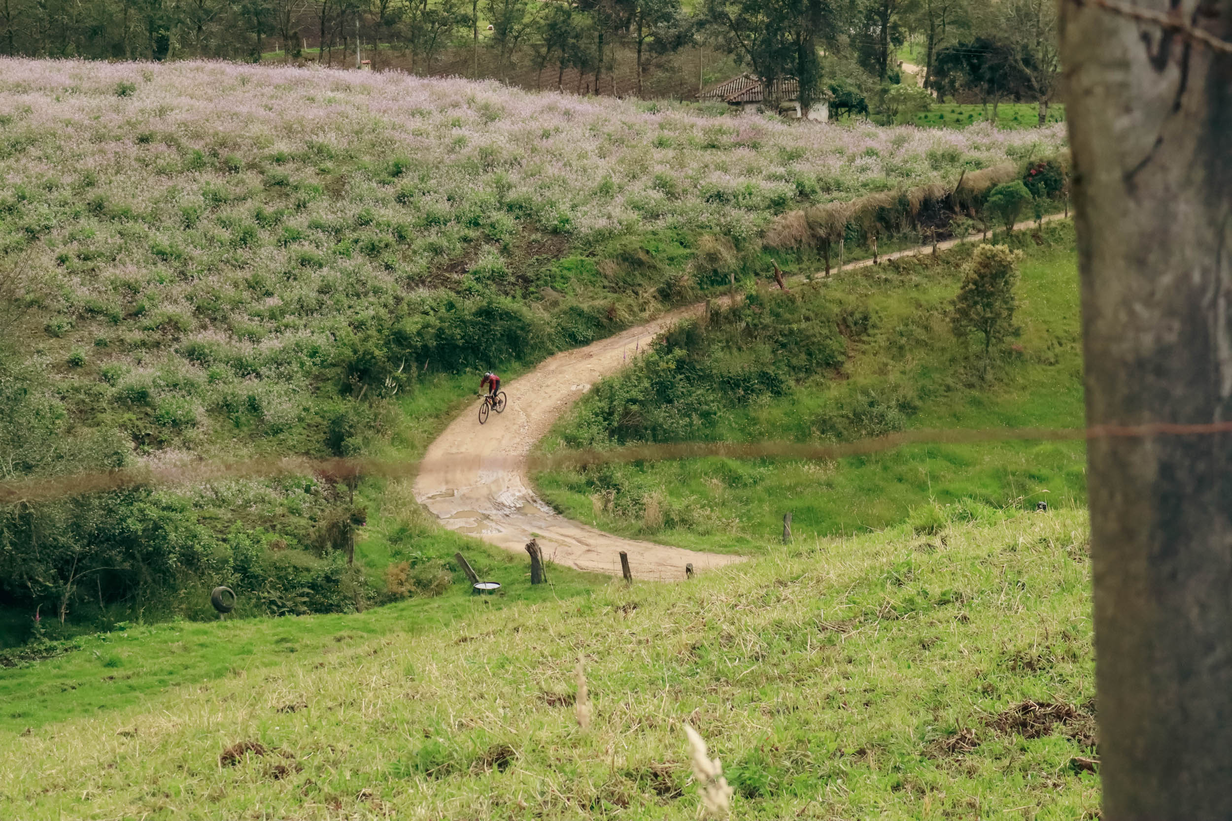
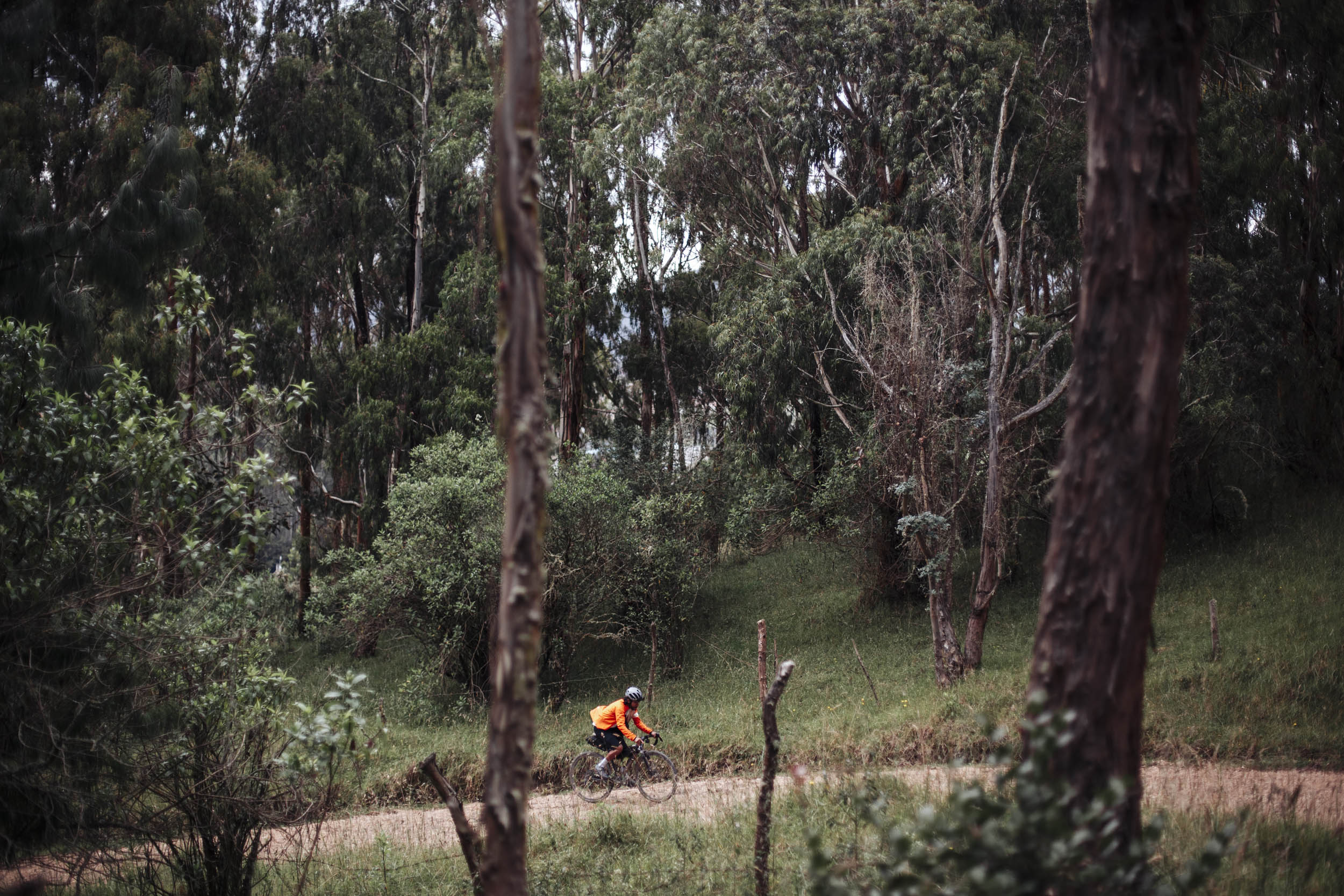
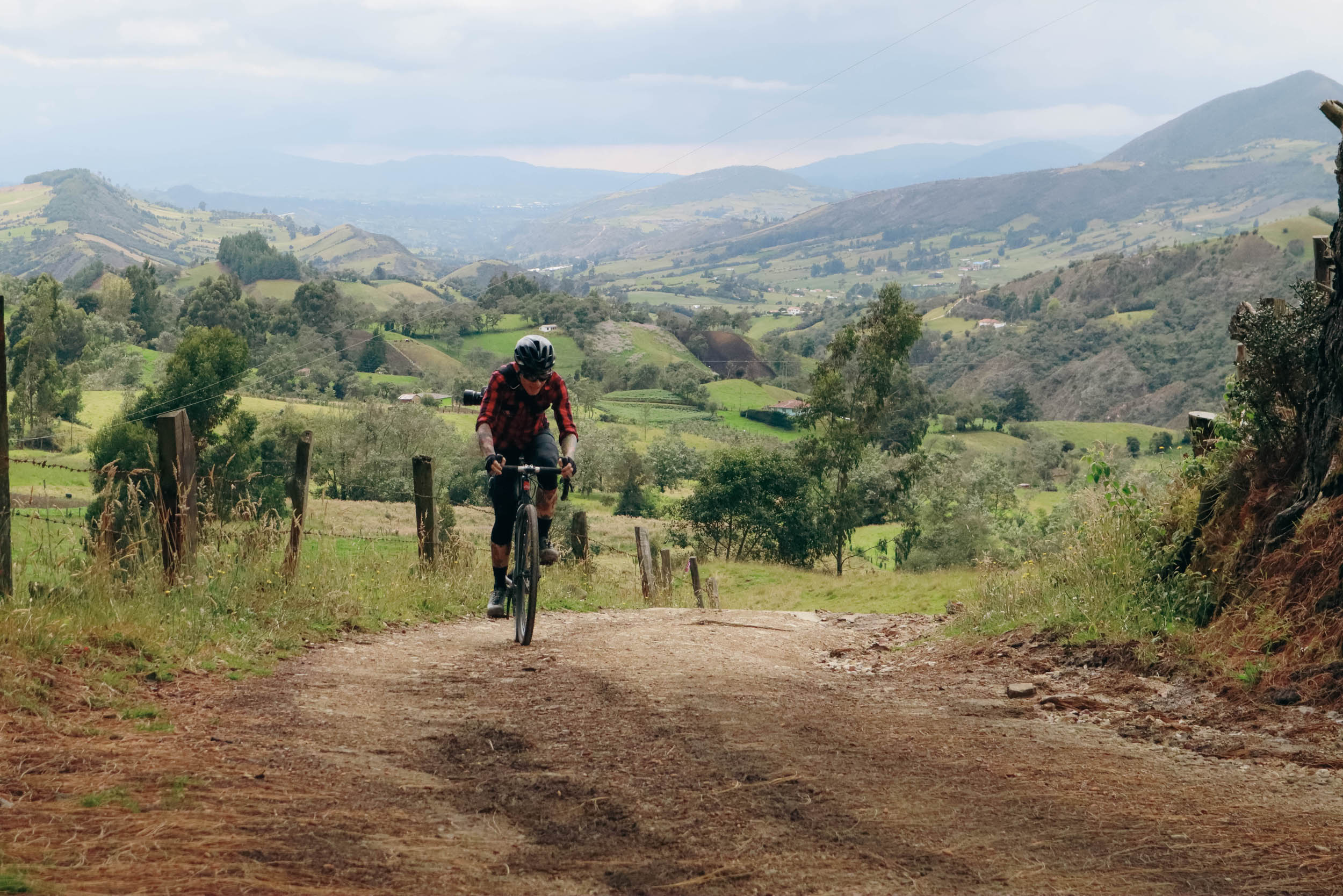
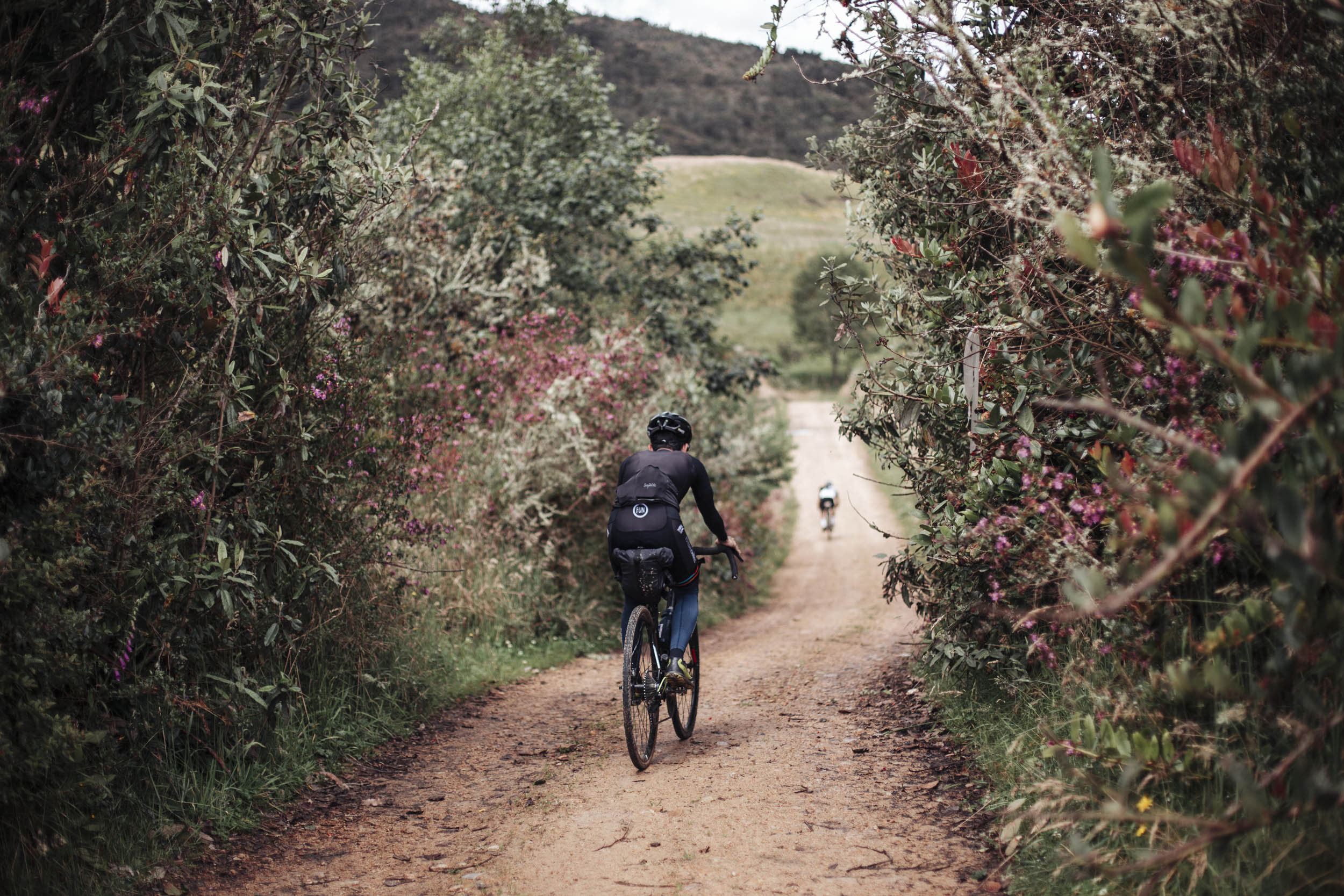
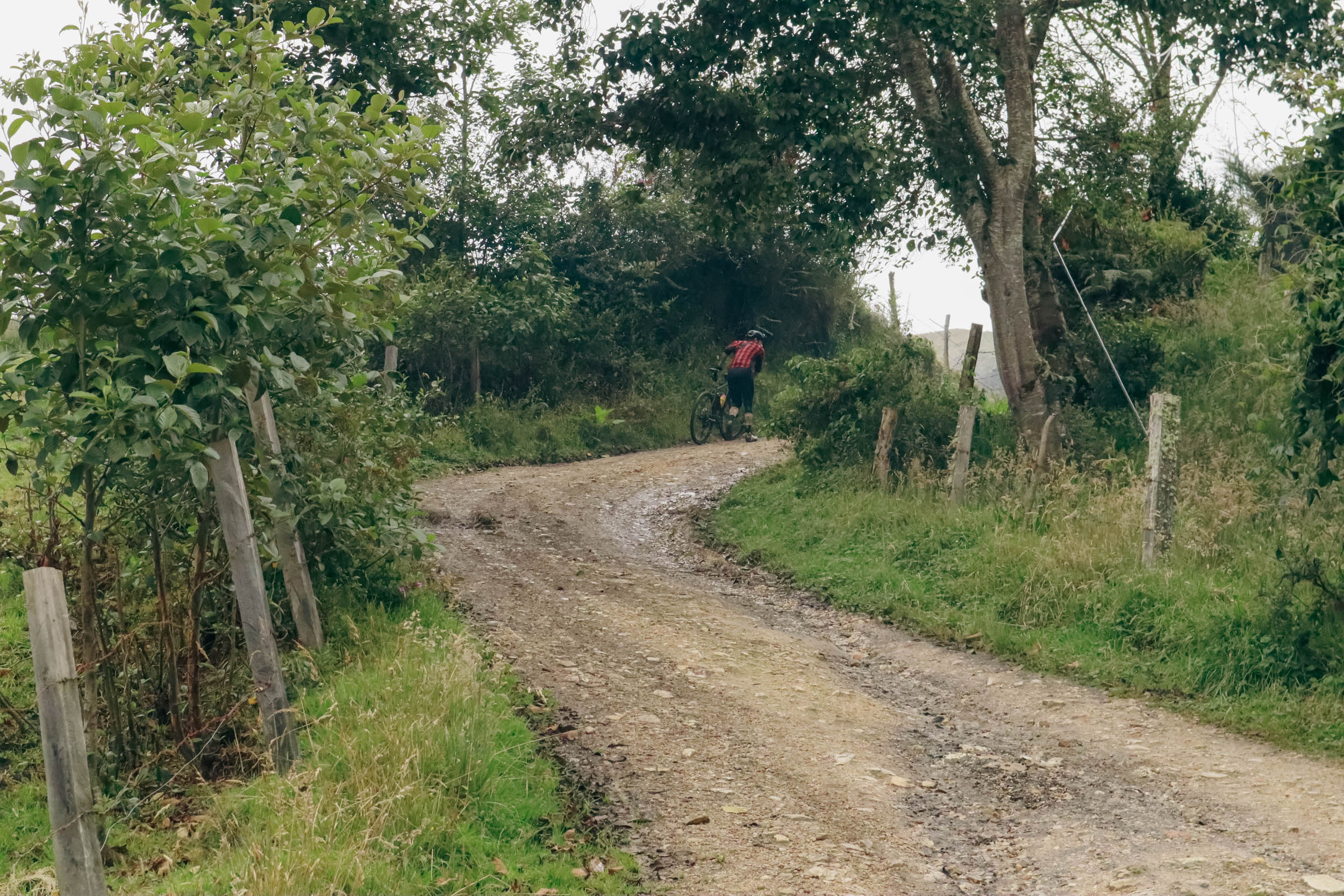
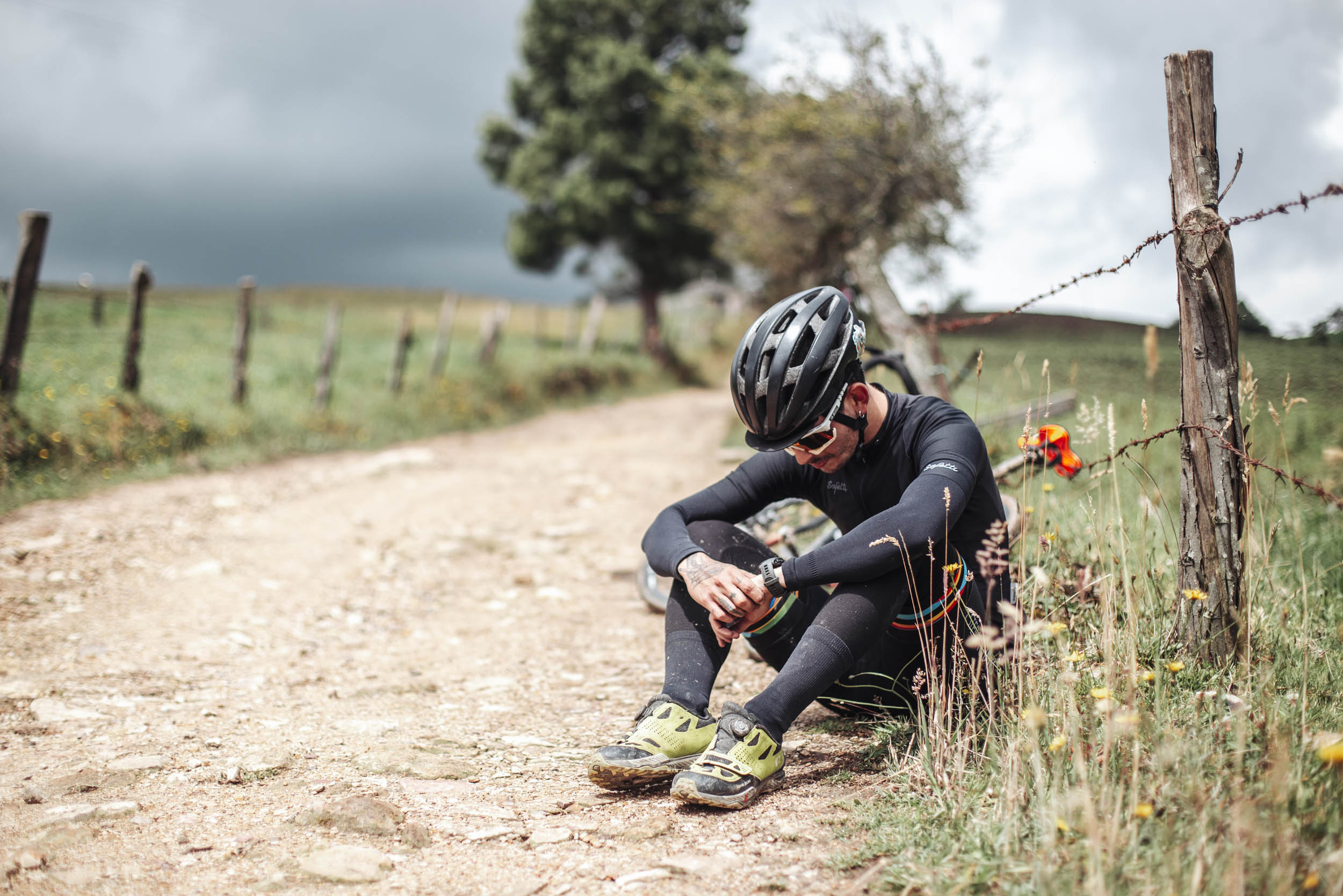
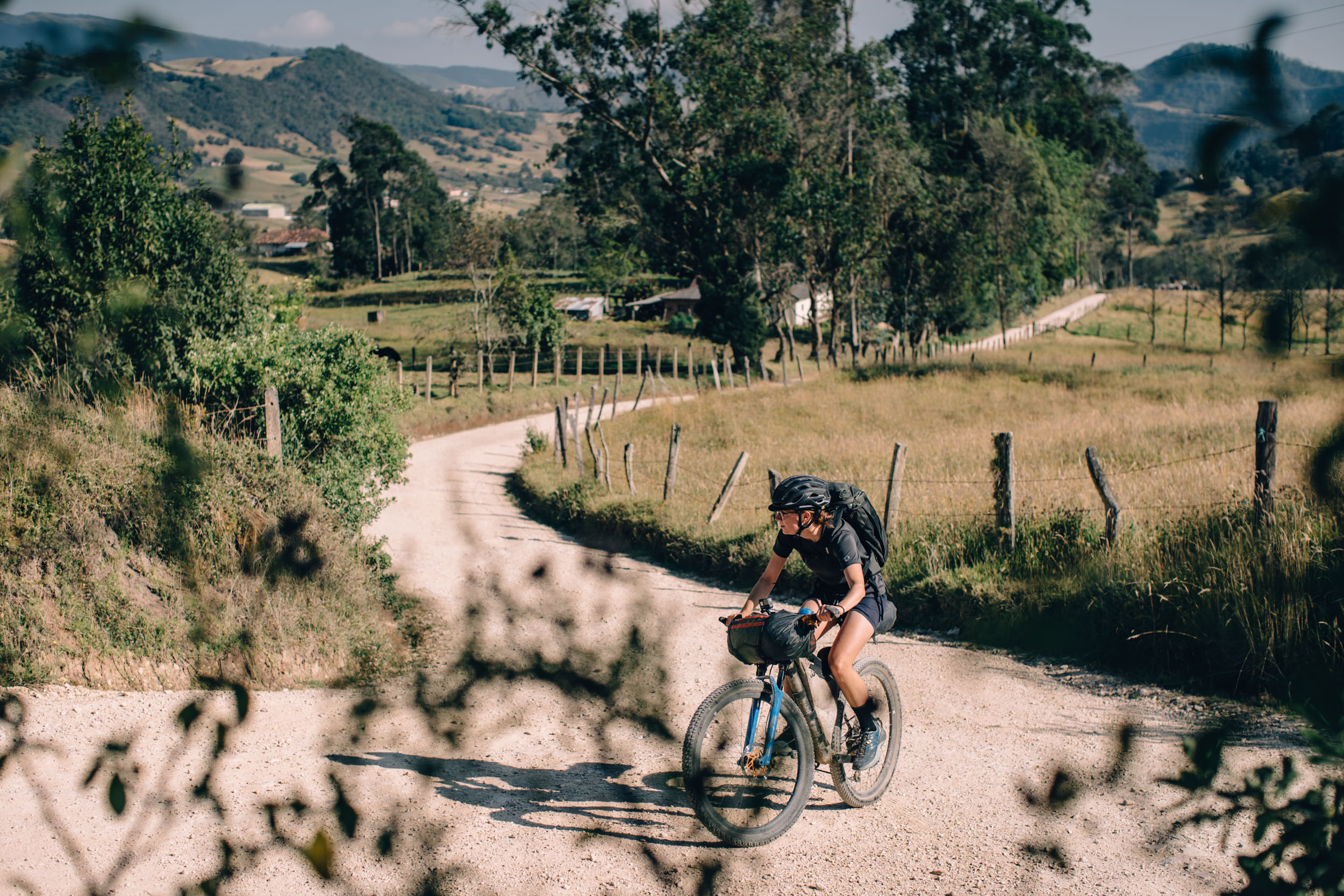
Overall, we rated Ruta El Dorado a moderately difficult 6 out of 10. While there is a lack of singletrack, the off-pavement surfaces vary from smooth gravel to extremely chunky doubletrack. Most of the roads are in relatively good condition, but there are of course some exceptions along the way, including chunky gravel and rutted tracks. The most challenging aspect of the riding is the steep grade of some climbs along the route, several of which reach double digits. Additionally, much of the route over 8,000 feet (2,400 meters) above sea level, with a significant percentage of the route even higher, so altitude sickness may be a concern. Inclement weather can also exacerbate the difficulty, with frequent and unpredictable rain that can lead to poor visibility and slow conditions. Despite these challenges, what makes this route difficult is also what makes it stand out as a remarkable riding experience with astonishing landscape, flowy sections, and a great variety of terrain. Also note that the four-day itinerary keeps it relatively easy.
Route Development: Ruta El Dorado was developed through a collaboration between Conservation International’s Bikepacking for Conservation Program and BIKEPACKING.com. Building from existing work that was established as part of the Ruta Chingaza route scouting in 2020, this project has since evolved into a network of interconnected routes that make up the Andean Bear Corridor Routes, which directly contribute to Conservation International-Colombia’s work around sustainable landscapes and responsible tourism in the region. Ruta El Dorado was designed by Atenea Camacho (Tingua Hidden Journeys), Logan Watts, Natalia Acero, Eliot Wuhrmann, and Adam Smith, with additional input from local cyclists and photographers, Christian Pérez, Mateo Rueda, Omar Rubiano, Julián Manrique.


The content provided by Conservation International in this guide will not be legally binding and is for informational purposes only. Outdoor cycling requires optimal health, frequent training, and personal discipline, and carries the possibility of minor, serious physical injury or even death. Conservation International does not exercise any control; (ii) receives no remuneration; or (iii) has any contractual relationship with the hosting providers, guides or any other provider provided in this guide. In this sense, Conservation International is not jointly or severally obliged to assume any type of responsibility derived from this guide or with respect to the activities that are developed in relation to it. The users of this guide assume full responsibility for their decisions regarding their willingness to make the routes suggested here.
Submit Route Alert
As the leading creator and publisher of bikepacking routes, BIKEPACKING.com endeavors to maintain, improve, and advocate for our growing network of bikepacking routes all over the world. As such, our editorial team, route creators, and Route Stewards serve as mediators for route improvements and opportunities for connectivity, conservation, and community growth around these routes. To facilitate these efforts, we rely on our Bikepacking Collective and the greater bikepacking community to call attention to critical issues and opportunities that are discovered while riding these routes. If you have a vital issue or opportunity regarding this route that pertains to one of the subjects below, please let us know:
Highlights
Whereabouts
Must Know
Camping
Food/H2O
Trail Notes
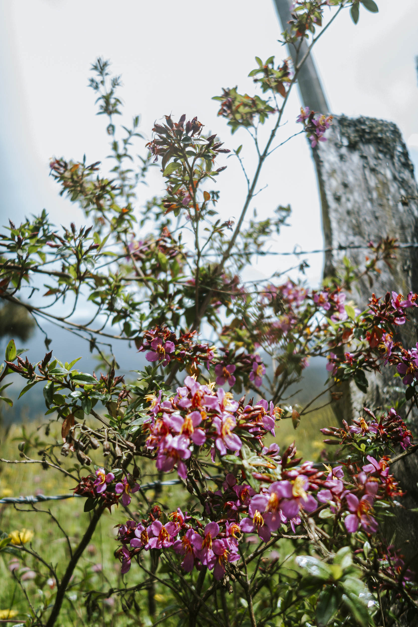
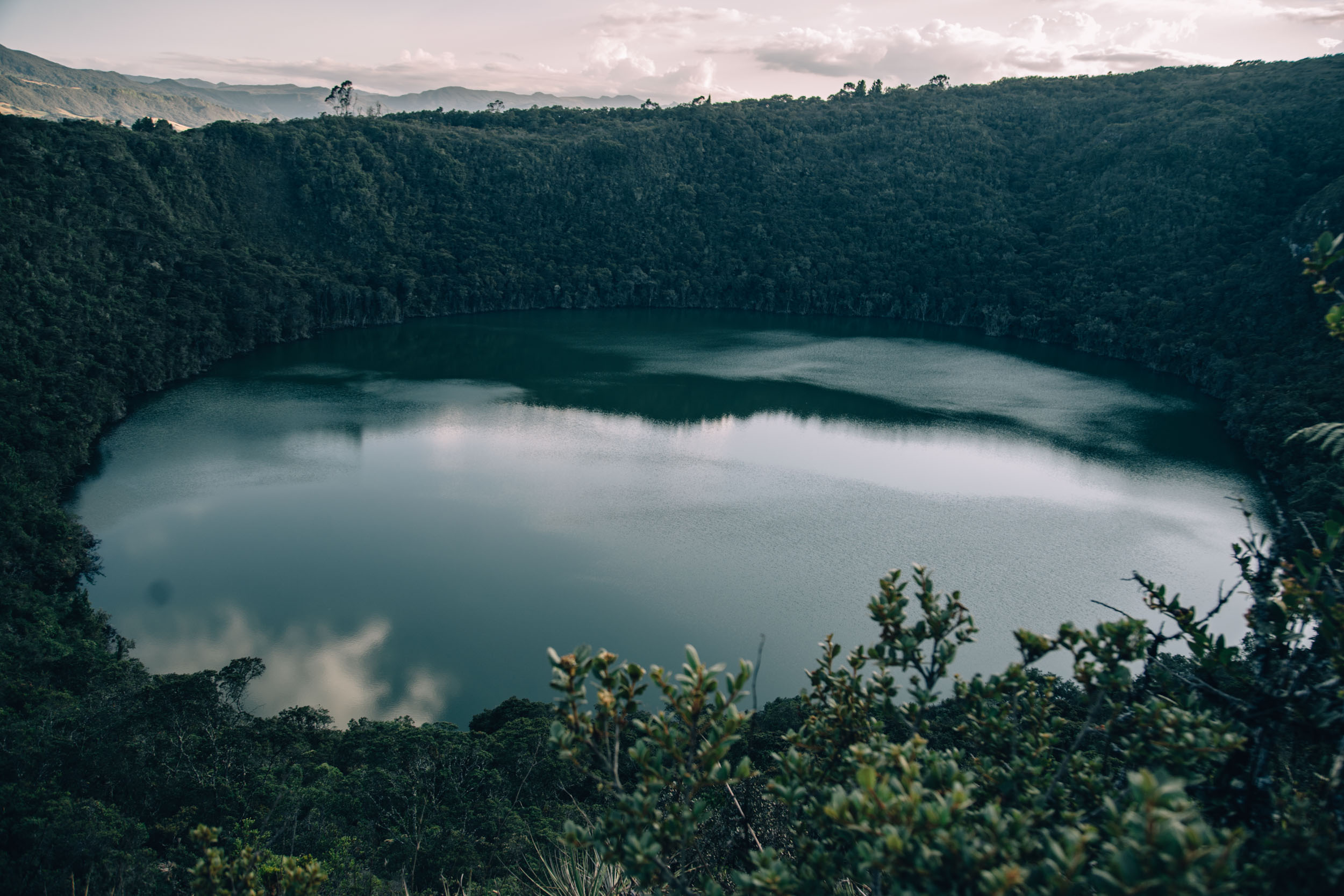
- Laguna Guatavita – Laguna Guatavita is located just a couple of miles off-route and is well worth the effort to visit. The beautiful crater lagoon was one of seven sacred lagoons for the Indigenous Muisca (or Chibcha) people, who flourished in the region that extends from present-day Boyaca to Sumapaz from between 600 and 1600 CE. The lagoon played an important role in the spiritual lives of the ancient Muisca, who made offerings to their gods by throwing gold and other valuables into the lagoon. These rituals formed the basis of the European legend of El Dorado.
- Laguna Siecha – Found within Chingaza National Park, Laguna Siecha requires you to temporarily leave your bike behind and explore the astounding páramos found within this park. A worthwhile detour!
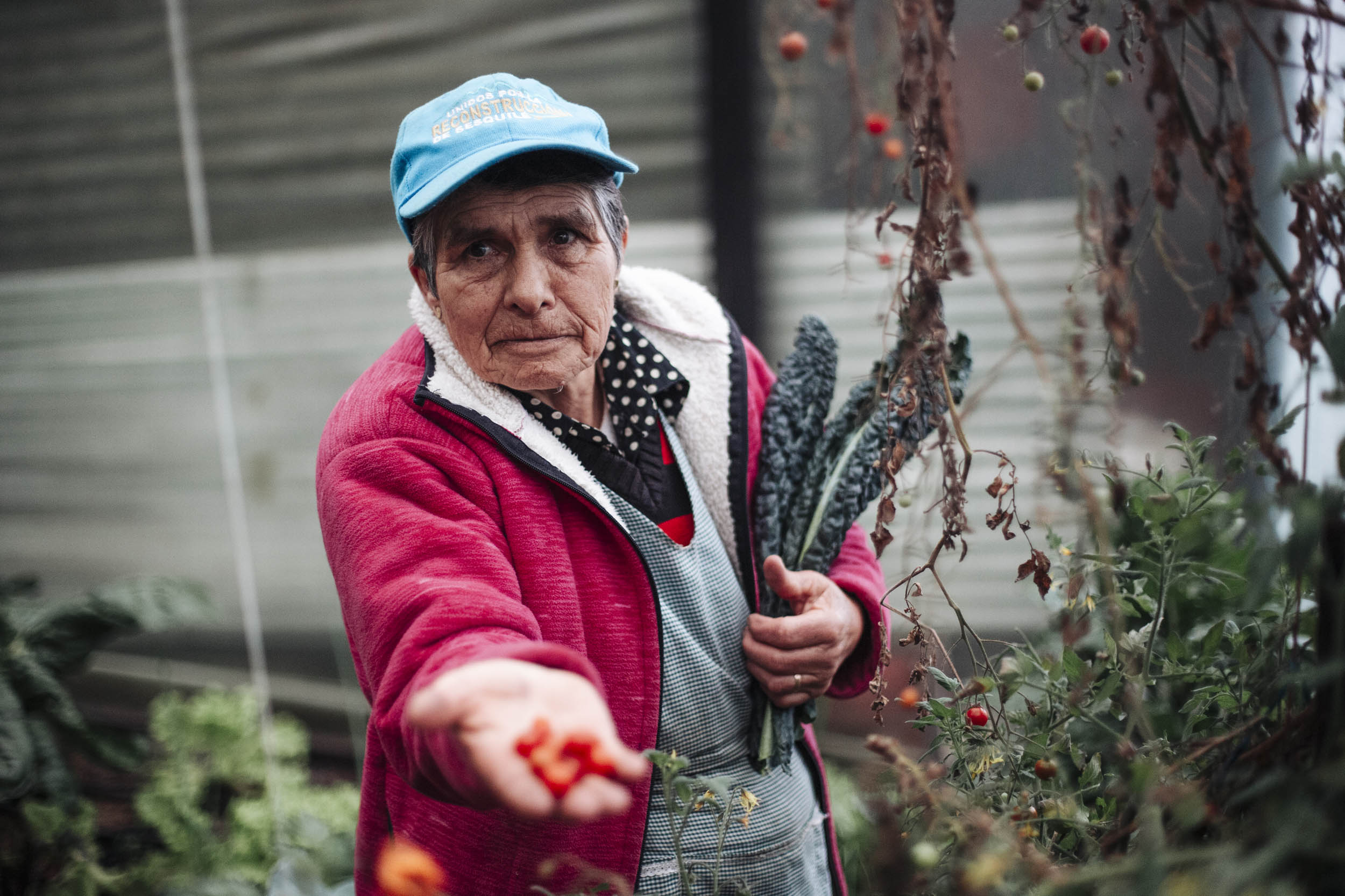
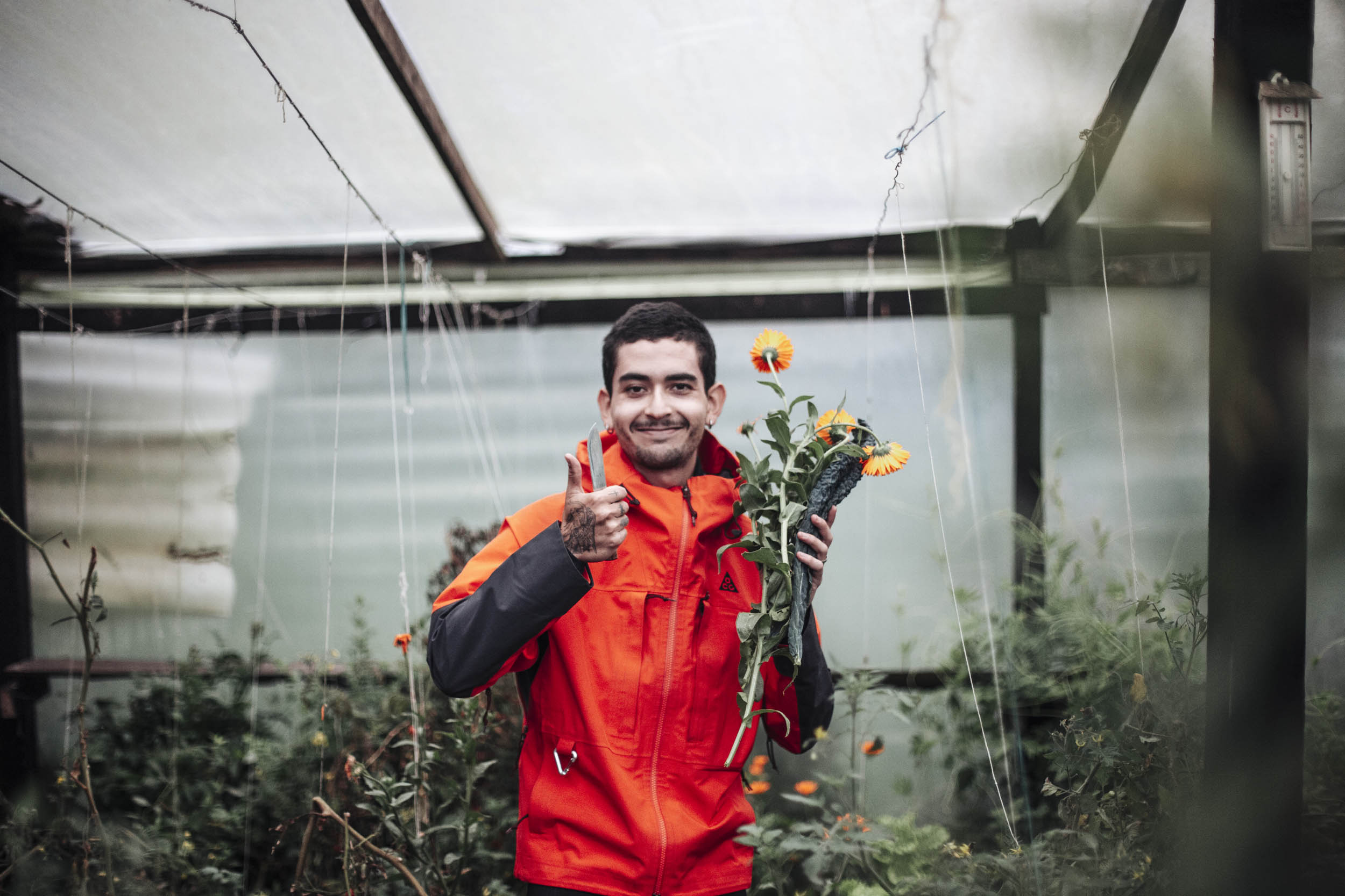
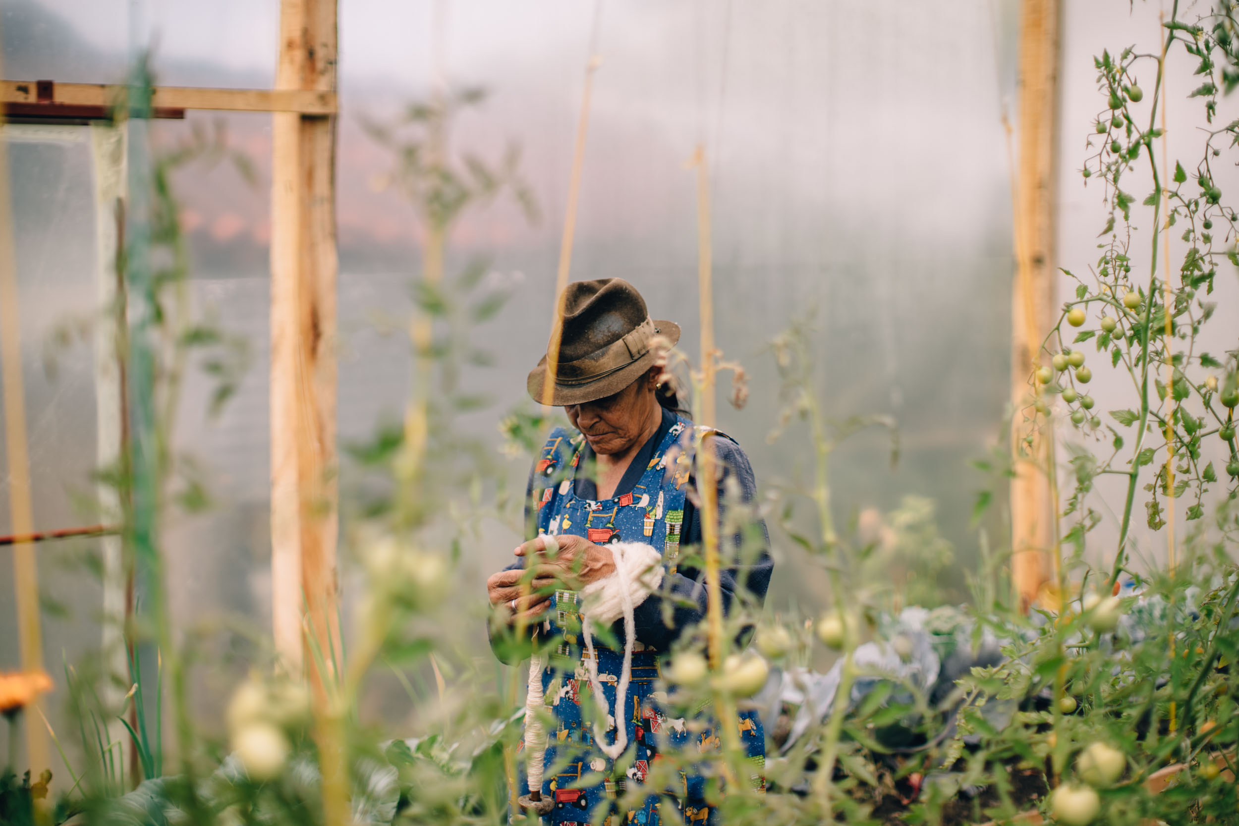
- Agroecological farm Abuelos de la Montaña – Finca Abuelos de la Montana is an agroecological farm that is supported by Conservation International Colombia working under a model of Conservation Agreements, this is one of hundreds of landowners across the region that CI Colombia works with to support sustainable and ecologically sound cultivation and land-use practices. CI Colombia has supported the Rodriguez family to build greenhouses, rainwater collection tanks, composting facilities, and supported the use of organic agricultural inputs. This not only prevents their agricultural activities from damaging the sensitive ecosystems found in the vicinity but has also helped them to improve their yields and extend their cultivation season. The Rodriguez family have integrated agri-tourism into their farm, which means that the riders of Ruta El Dorado can arrange to visit the farm and learn more about these activities or even stay overnight in one of their cabins for a rest day and enjoy a delicious home-cooked meal to refuel, supporting the great work they are doing.
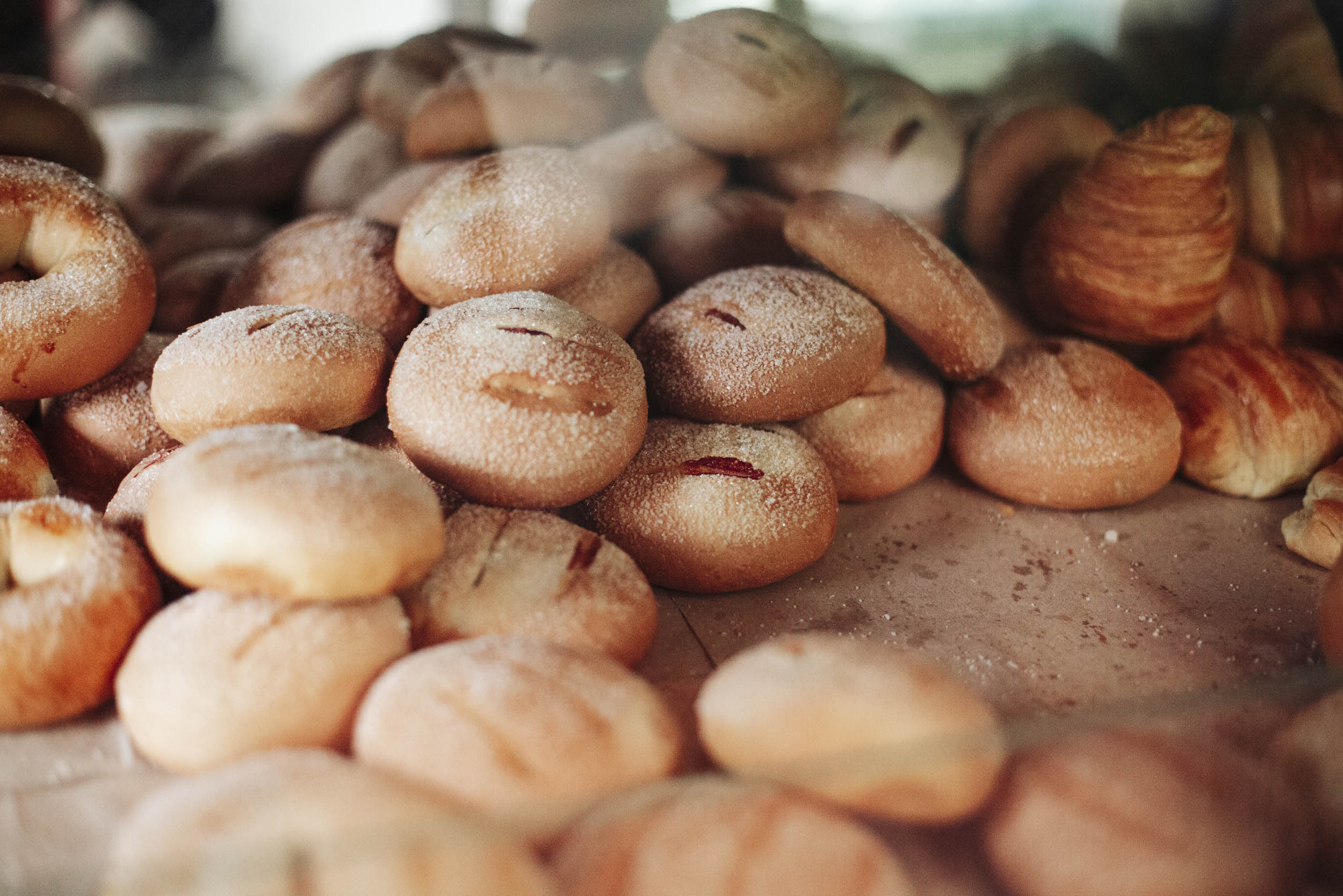
- Panaderias along the route – Like a mirage, all of us cyclists dream of fresh baked goods on long and arduous bike rides, especially when it comes to long-distance and multi-day cycling. You won’t have to dream for very long on this particular route, as panaderias are quite common. Some of our favorites include Beth Lehem in Patios and La Especial in Guasca.
- Unique ecosystems – The diversity of landscapes and the opportunity for you to experience it firsthand as the environment changes before your eyes throughout your ride.
- The urban-rural connection – At the core of the ABCR lies an opportunity to shed light on the critical link between urban and rural areas and the interconnectedness of both. As you transition from Chapinero in Bogotá and ride directly into the Andes, pay attention to this connection.
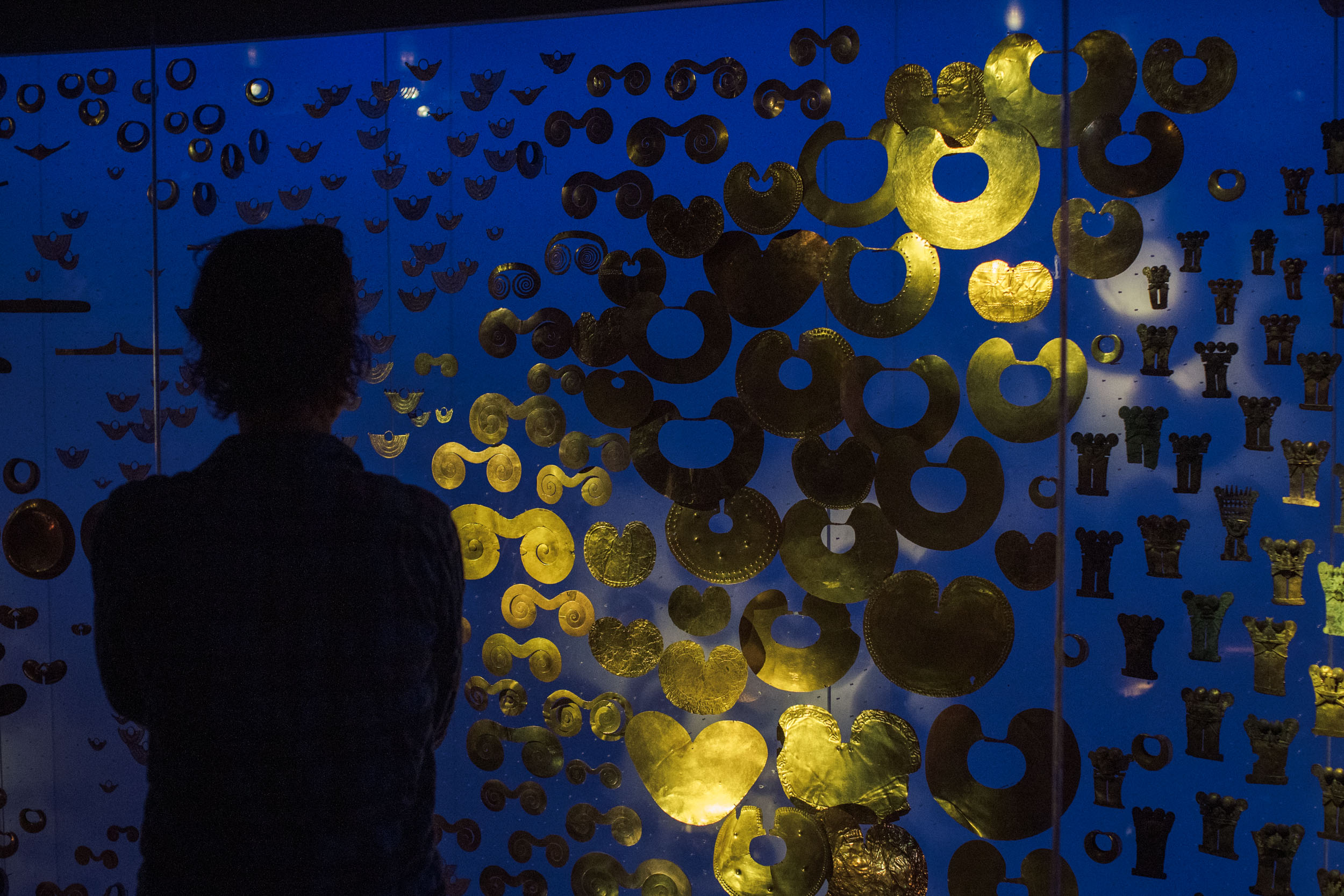
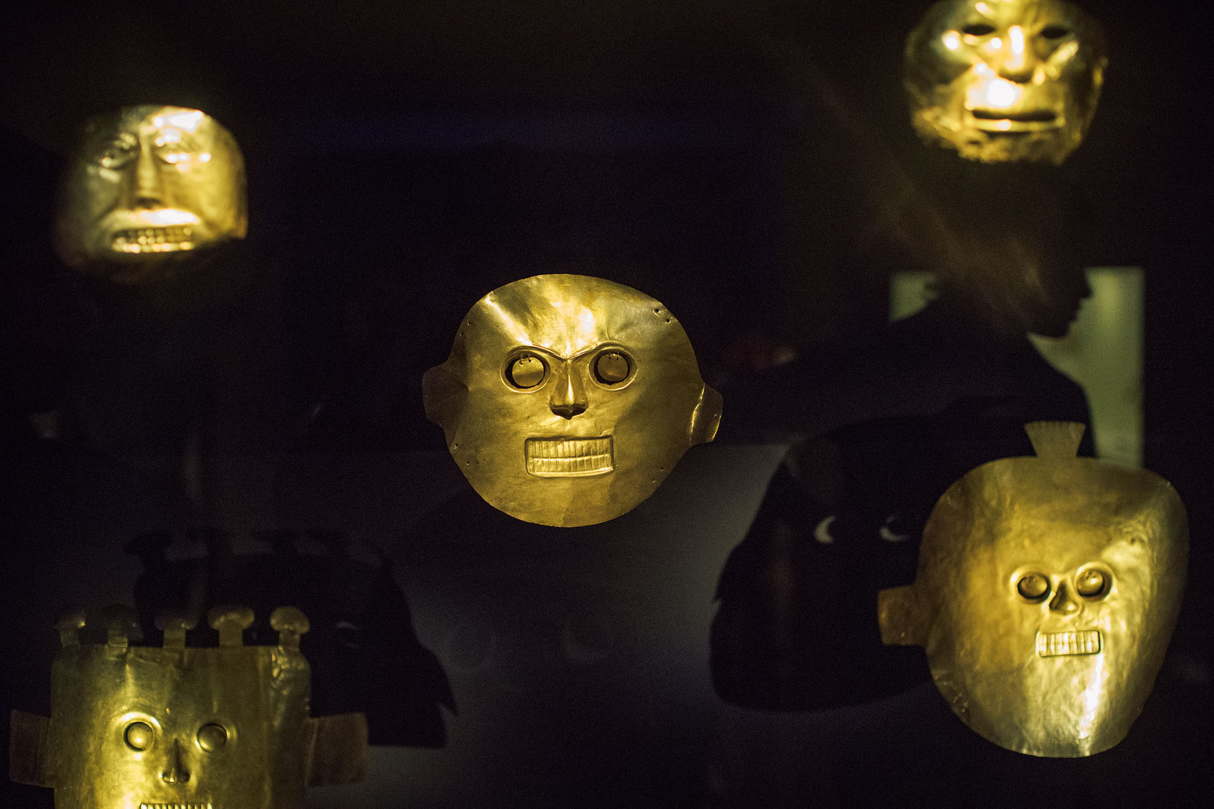
- The Museo de Oro in Bogotá is home to an amazing collection of pre-Columbian gold artifacts and offers an incredible historic perspective on the region’s Indigenous heritage, as well as a glimpse into the sacred lakes of the páramos. We highly recommend taking this in before you set out on the ride.
- If you’ve got the time, the Catedral de Sal in Zipaquirá is a very popular tourist attraction. This functioning Roman Catholic church was built 660 feet (200 meters) underground within the tunnels of an old salt mine. Admission is $18 USD per adult foreigner.
pin Mile 64.5
LAGUNA GUATAVITA
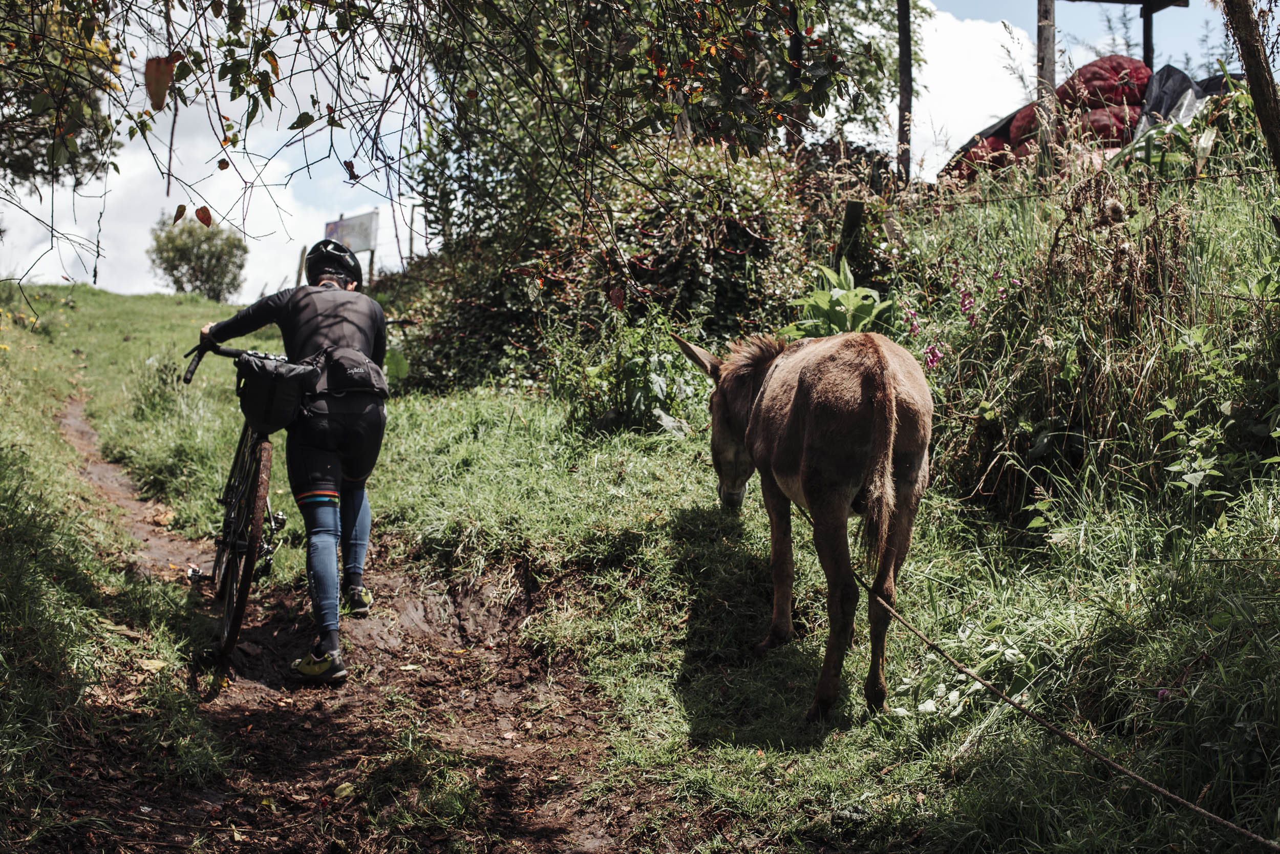
While the Muisca population has drastically decreased over centuries of colonial oppression, the route also features opportunities to engage with local and rural communities with whom Conservation International is working. From Bosque de Niebla, return to your bike and leave early to explore the rural roads of the area. Expect loose gravel and steep inclines which can be challenging without the right tires. Many will be wondering if the route can be done on a gravel bike – the answer is “why not?” though don’t expect a comfortable ride. The route will eventually wind its way past Laguna Guatavita, the most sacred lake of the Muisca water trail and where the Zipa initiation ceremony is said to have taken place.
pin Mile 68.7
FINCA ABUELOS DE LA MONTANA
Just past Laguna Guatavita, you will eventually reach the Finca Abuelos de la Montaña, an ideal spot for another rest day and much-needed refueling. Here the Rodríguez family, local farmers and long-time Conservation International-Colombia beneficiaries, will be happy to host you and teach you about the sustainable agricultural production practices that they have implemented on their farm. Over the past several years, Conservation International-Colombia has worked with the Rodriguez family to establish water stewardship and organic agricultural practices, which have allowed them to extend their growing season and reduce the need for agricultural inputs while also ensuring that water quality is not compromised by farming activities.
“We live right next to the páramo, so we have to take care of it. People think agricultural production is incompatible with this territory we inhabit, but we have shown them it can be done, in a small scale and implementing all the practices that might take more time, but that we do happily because we care.” –Juanita Rodriguez, from Finca Abuelos de la Montaña
To date, Conservation International-Colombia has signed hundreds of conservation agreements with local farmers and landowners who live within the water catchments of Bogotá. While these agreements vary in nature, the idea is often the same: to improve agricultural and land use practices in a way that minimizes their impact on water security and improves resilience to the impacts of climate change — all while supporting improved livelihoods and income-generating activities for local communities. Conservation International-Colombia’s work with the Rodriguez family is a good example of this.
“Part of what we do by sharing with outsiders the work from our finca is showing our own children they should be proud of the soil between their fingers. That being a farmer is nothing to be ashamed of, so they grow a passion for everything that we do here and hopefully want to continue with our legacy.” –Juanita Rodriguez, from Finca Abuelos de la Montaña
pin Mile 89
LAGUNA SIECHA
“We say these lagoons were sacred for the Muisca people, but the concept of sacred is a Western idea. They referred to them as ‘tough’ places, places with very intense energy where they could connect with their gods, pay retributions and make important decisions like choosing their governors.” —Juan from Andareguiando
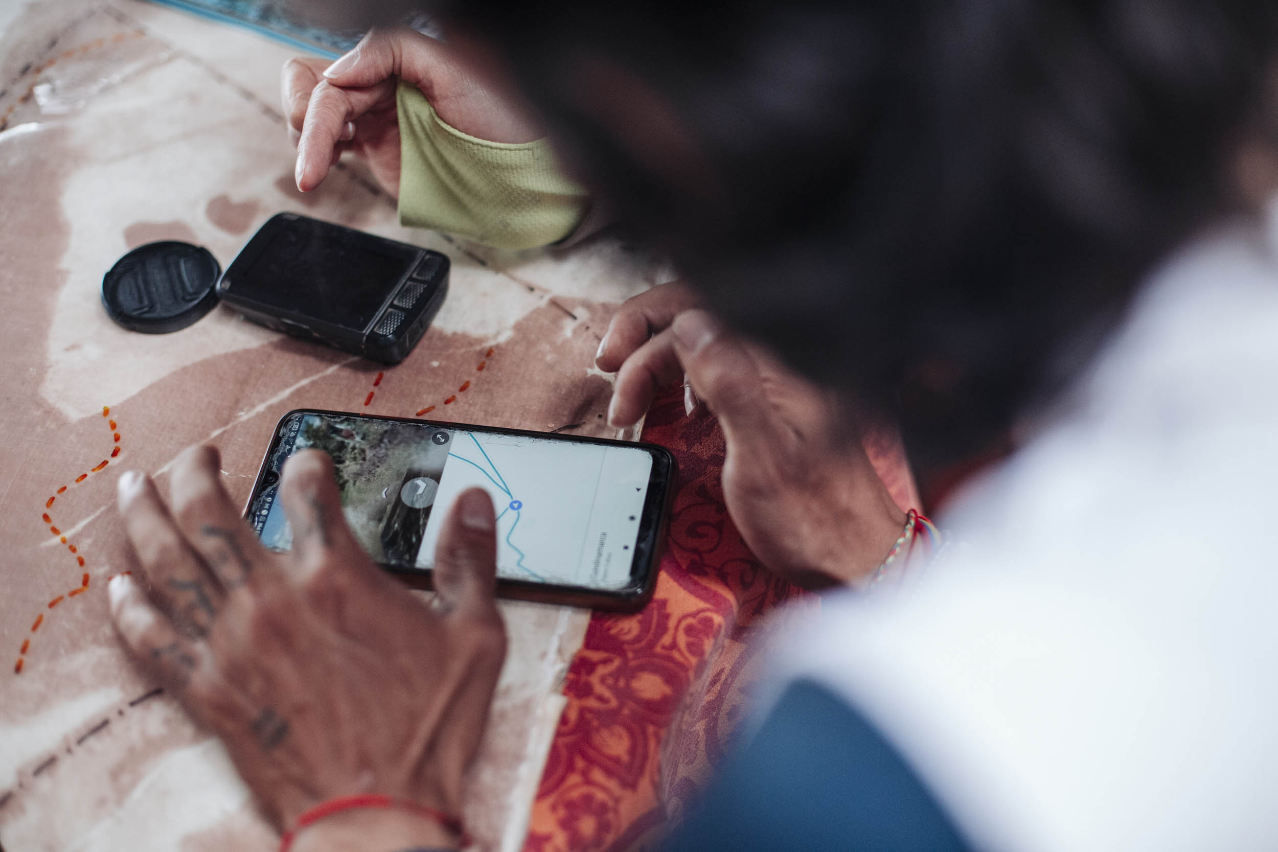
Within the iconic páramos of Chingaza National Park, Laguna Siecha is vital to the health of the surrounding landscape. For example, specialized plants such as frailejones, moss cushions, and grasses, capture water vapor from the clouds in their spongy tissue and release this water through their roots and into the soil, creating vast high-altitude wetlands which feed the rivers, lakes, and reservoirs of the region. Ceremonies and rituals like those of the Muisca show the inherent respect, appreciation, and sophisticated understanding of the natural systems upon which humans depend — something modern science is only just catching up to. In light of this deep history and culture, we encourage riders to visit the spectacular Lagunas de Siecha. To visit Laguna de Siecha, you must coordinate your trip with one of the operators listed under the “Accommodation and Activities” tab and purchase a park entry fee from Chingaza National Park (listed under “Must Know”).
WEATHER AND WHEN TO GO
- Colombia is equatorial, so temperatures are mild and fairly consistent throughout the year. In Bogotá, maximum temperatures range from 18 to 20°C (64 to 68°F) and minimum temperatures from 6 to 9°C (43 to 48°F). Temperatures drop at higher elevations, where nightime temps can get quite cold.
- This route crosses multiple climatic zones, so the rainy and dry seasons vary slightly depending on exact location. The dry seasons generally extend from January through March and from July through August. The rainy seasons hit between April and May and September through November.
THE IDEAL BIKE
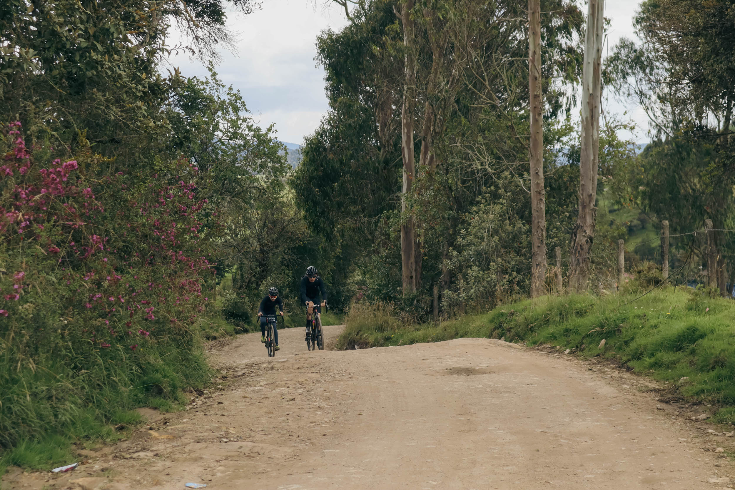
- We recommend a bike with thick tires and a large gear range. Probably the ideal bike for this route would be a hardtail with 2.4” tires, which will help with the bumpy dirt roads you will come across. However, several of the riders who scouted this route used gravel bikes. The double-digit inclines also mean that you will regularly make use of your low gears! So, a good granny gear option is the only must-have.
- Looking for a bike shop or equipment in Bogotá? There are plenty of bike shops; we recommend 14 OchoMiles. They have several locations across the city, a couple of which stock camping and bikepacking equipment. Learn more over at 14ochomiles.com
TRAVEL BASICS
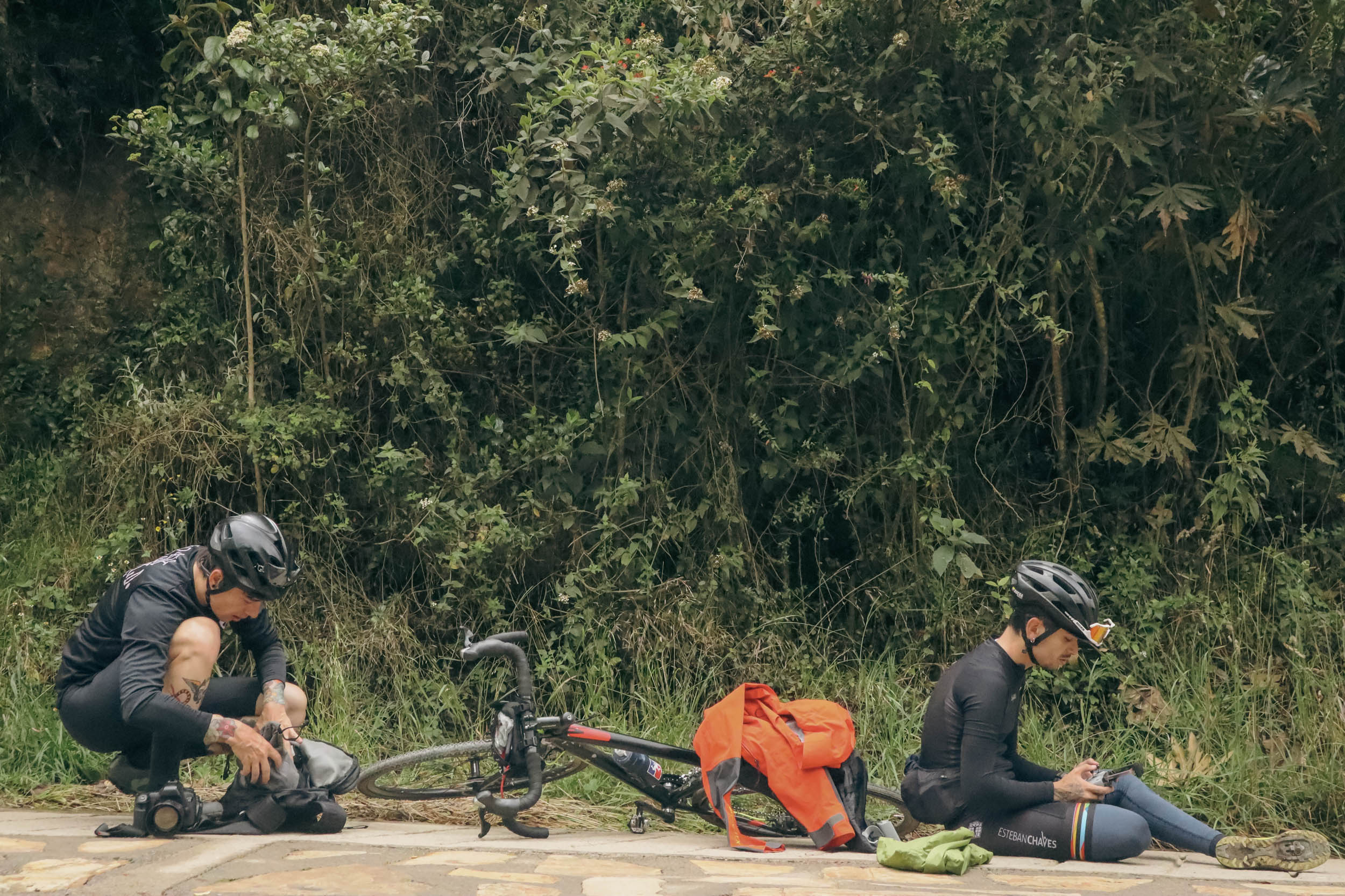
- Ruta El Dorado is short but challenging. An experienced cyclist could ride the out and back in a day, but a beginner may struggle to finish in three, requiring numerous breaks along the way. Regardless of your skill level, we suggest taking your time to complete this route so you can spend time with the people and nature you’ll encounter along the way.
- A passport is required for foreign visitors to Colombia. Citizens of the US, EU, and many (99) other countries are not required to have visas for visits of 90 or fewer days. Go to cancilleria.gov.co to see the visa requirements based on your nationality.
- Spanish is the official language of Colombia. If you do not know any Spanish, learn some of the basics before cycling this route.
- Carry some cash. Credit cards are not widely accepted, especially in smaller communities. ATMs are available in larger towns, but withdrawals are limited, exchange rates are not favorable, and high fees are often imposed. Reliable currency exchange is available in the arrivals hall at the airport. Regular banks do not offer currency exchange.
- There is conflicting advice regarding transportation to and from the airport in Bogotá. We were discouraged from accepting a ride with one of the multitude of unofficial taxi drivers that will approach you at the arrival gate. Ultimately, we accepted a ride without any problems. Uber is also available. The Cabify and Easy Taxi apps work pretty well, but if you are traveling with a large bicycle box, it may be difficult to specify your need for a large vehicle. Another option is to book transportation ahead of your arrival through a limo/transportation service. Atenea Camacho at Tingua Hidden Journeys (+57 313 2810937) is highly reliable. The website address is hiddenjourneys.co.
- To access Chingaza National Park to visit Laguna Siecha, you must coordinate with a local guide and pay the park entry fee. A list of local guides can be found under the “Accommodation and Activities” tab. The park’s entry fee is $53,500 COP or about $14 for adult foreigners for pre-existing tourism activities and can be purchased on the Chingaza National Park website.
DANGERS AND ANNOYANCES
- Ruta Dorado may be a challenge for ill-prepared or poorly conditioned cyclists. The route is short but mighty and can be a challenge for those not acclimated to high altitudes.
- Stay abreast of current news and travel advisories. There can be a risk of violent crime, theft, robbery, and bikejacking along this route, particularly in those areas leading out of Bogotá. We recommend riding in groups and not riding at night. Political protests are common events in Bogotá. Police/protester confrontations frequently turn violent.
- Stay safe. Do not travel after dark, especially in the barrios immediately surrounding Bogotá. Keep valuables secure, travel in groups, and use extra caution at ATMs.
- All riders should be ready and equipped for inclement weather. Even during the dry season, rain showers are not uncommon, and the mountains are frequently blanketed in mist. Temperatures are significantly lower at high elevations, so riders must be prepared for near-freezing temperatures.
Emergency numbers
Sesquilé
- Firefighters: 323 291 9665 Address cr. 8#6-2
- Police: 608 5608082
- San Antonio Hospital: 608 8568140
Guasca
- Police inspection: 3008929951/inspecciondepolicia@guasca-cundinamarca.gov.co
- Guasca Firefighters: 3102069055 / bomberosguasca@hotmail.com
Guatavita
- Fire Station: 310 2069055 / Address Carrera 1 # 1-02
- Police Inspectorate: 3203794584 / Directorate Cra. 7a #2-48 / decun.eguatavita@policia.gov.co
- Health Center: Hospital San Antonio 322 8478257
- Ruta El Dorado offers a mix of camping and lodging options
- If following the route clockwise by the itinerary outlined in the Trail Notes tab, night one will require a stay at a posada or hotel in Zipaquira
Natural Reserves and Eco-tourism facilities with lodging
El Chochal de Siecha Nature Reserve
Civil society reserve that offers lodging and food.
Contact name: Luis Bernardo Alzate
Hotel Area: Guasca
Phone: 3153344375
Email: luisbalzateg@hotmail.com
Ecopalacio Chingaza Reserve
Civil society reserve that offers lodging and food.
Contact name: Clara Almeciga
Hotel Area: GuascaPhone: 3103815504
Email: reservaecopalaciochingaza@gmail.com
Bosque de niebla Civil Society Reserve
Civil society reserve that offers lodging and food.
Contact name: Ana Mercedes Goez / Victoria Lucena Góez
Hotel Area: Guasca
Phone: 3015733799
Email: reservas@posadadelParamo.com
Agroecological farm Abuelos de la Montana
Agritourism farm that offers lodging, food, and guided tours of their farm to cyclists. The Rodriguez family built a second floor in their family home with four independent rooms with double beds and a bathroom to host travelers and visitors. You can also camp out at the property if you prefer.
Contact name: Juana Isabel Rodriguez
Location: Sesquilé, vereda El Uval
Phone: 3124308837
Email: juanita75.rdz@hotmail.com
Note: It also offers rural accommodation
- The water from the tap in Bogotá is considered some of the cleanest in the world, which is fitting considering where it comes from.
- Generally speaking, there is no shortage of filterable water along the route.
- Food resupply points are plentiful through most of the route, with an abundance of small stores, panderias, and restaurants throughout Ruta Dorado.
- The main resupply points are La Calera, Zipaquira, Sesquilé, and Guasca.
- Most rural small shops don’t have many options when it comes to preparable foods, but they have plenty of snacks.
IN BOGOTÁ
Bogotá is full of incredible restaurants. We recommend indulging a little before you start the route or replenishing afterward. Here are a few of our favorites:
- Mini Mal – A fantastic small restaurant specializing in Indigenous recipes and local ingredients.
- Sauvage – A relative newcomer on the Bogotá food scene, this intimate restaurant has amazing food in an atmosphere that’s hard to beat. Their cocktail menu is genius.
- Wok – An excellent local chain that makes Asian-inspired dishes using local ingredients and sustainably caught seafood. The company promotes socially and environmentally responsible practices through their work with Indigenous communities and micro-businesses.
FOOD HIGHLIGHTS
- Arepás. Their styles differ depending on location. Our favorites were the arepás de choclo (sweet corn). Arepás can be found all over the region and make a great bikepacking food for lunch, dinner, or breakfast.
- Ajiaco soup (a specialty of Bogotá)
- Tamales (the variety in Choachi were particularly hearty)
- Empanadas
- Changua (soup) for breakfast
- Amazing fruits, including granadilla
- Hot chocolate and cheese
- Aguapanela
- Bocadillos or guava paste snacks (these make for great pedaling fuel)
- Pan de yucca
Day 1: Bogotá – Zipaquirá
38 miles / 1700’ (61km / 518m)
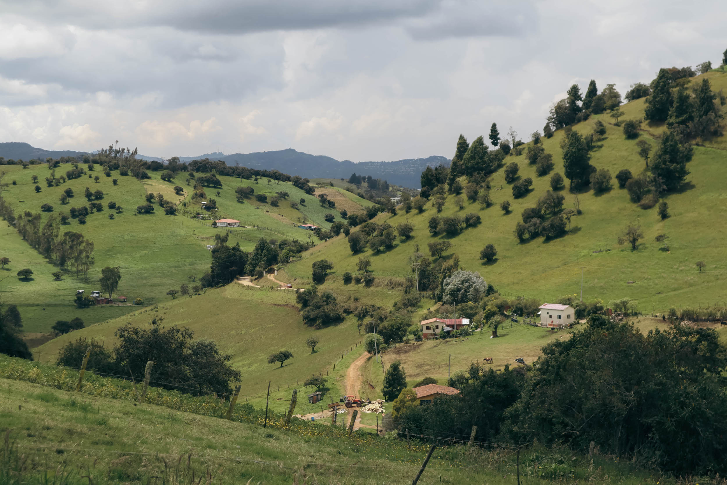
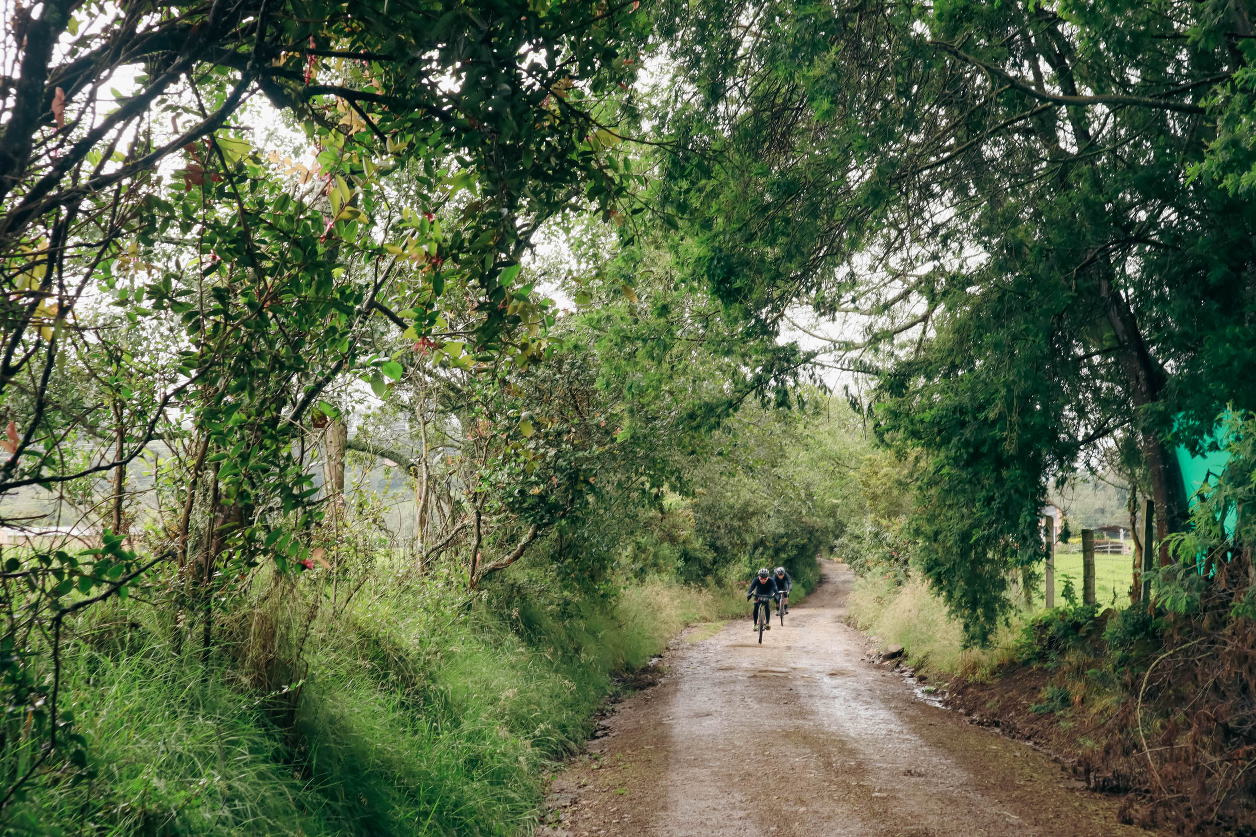
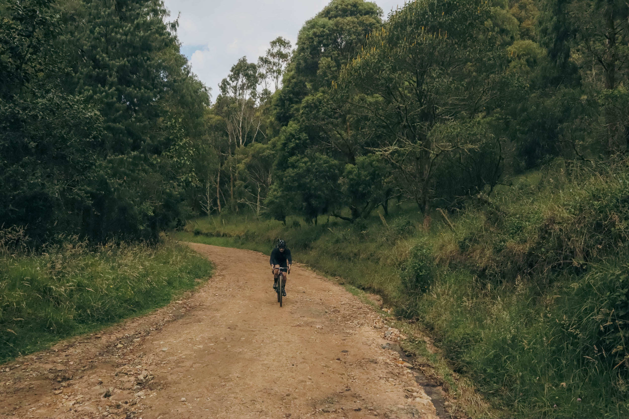
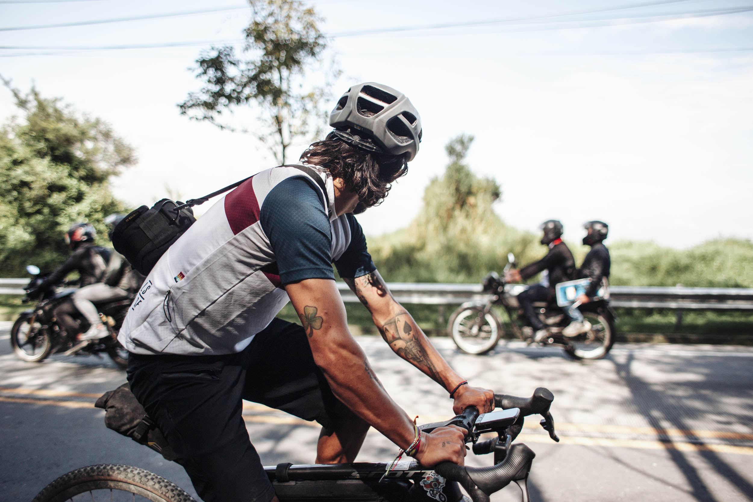
The route begins in Chapinero Bogotá and turns straight up into the Andean Mountains, initially following one of the most popular cycling routes in Bogotá, Alto de Patios, which thousands of riders climb and descend every day. Keep in mind that traffic on this road can get quite busy at times so take every precaution to ride safely. Since this road doesn’t have a shoulder, it is advised to depart on Sundays during cyclovia and not to ride it at night. From there, you’ll take secondary roads and gravel before dropping into La Calera, where there’s a phenomenal arepa stop waiting for you (marked on the map). From La Calera, you’ll follow some fantastic and scenic countryside gravel roads before a fast 15-kilometer paved section into Zipaquirá.
There are plenty of hotels in Zipaquirá. We stayed at the Hotel Cacique Real. If you’ve got the time, the Catedral de Sal in Zipaquirá is a very popular tourist attraction. This functioning Roman Catholic church was built 660 feet (200 meters) underground within the tunnels of an old salt mine. Admission is $18 USD per adult foreigner.
Day 2: Zipaquirá – Abuelos de la montaña farm
31 miles / 2260’ (50km / 689m)
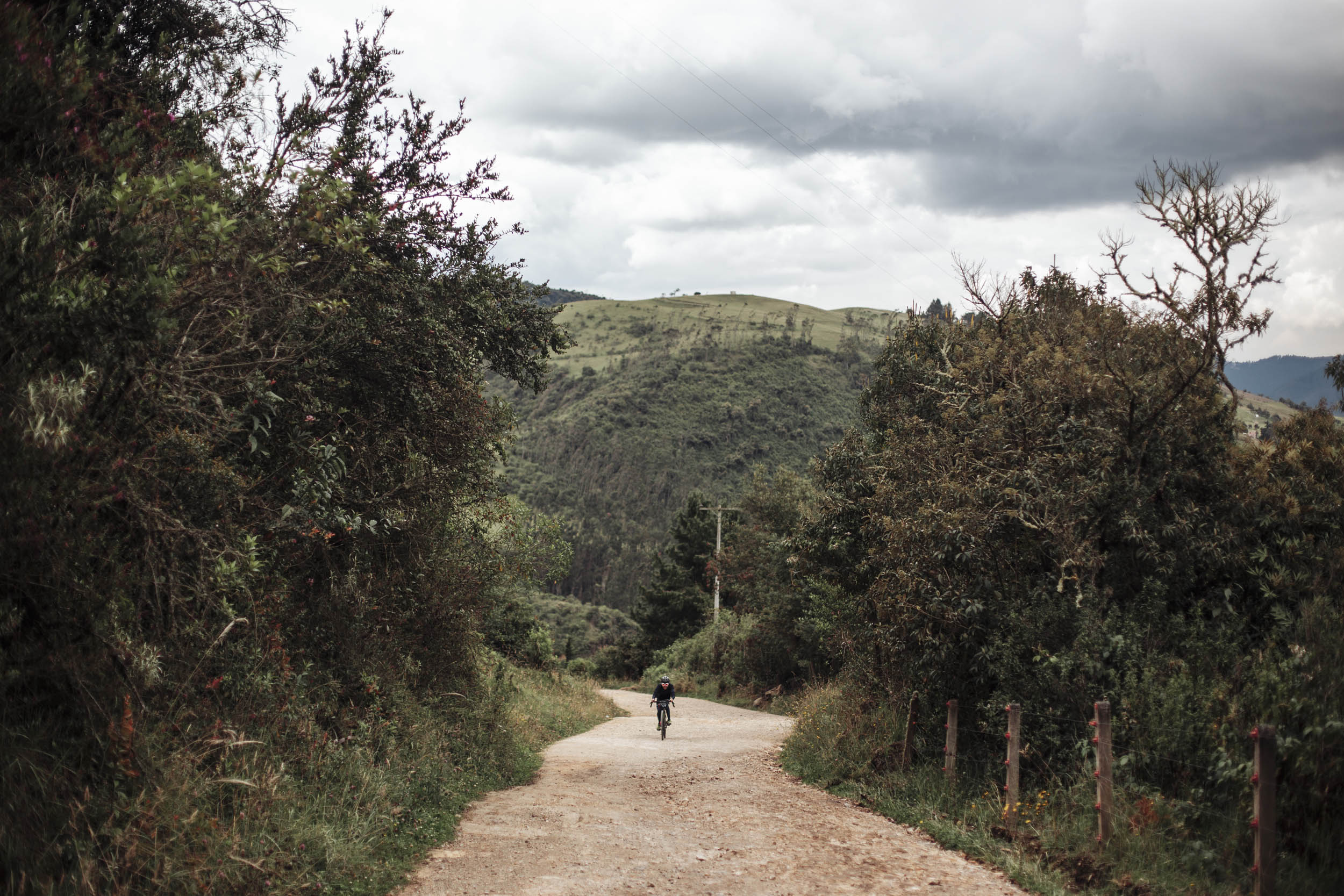
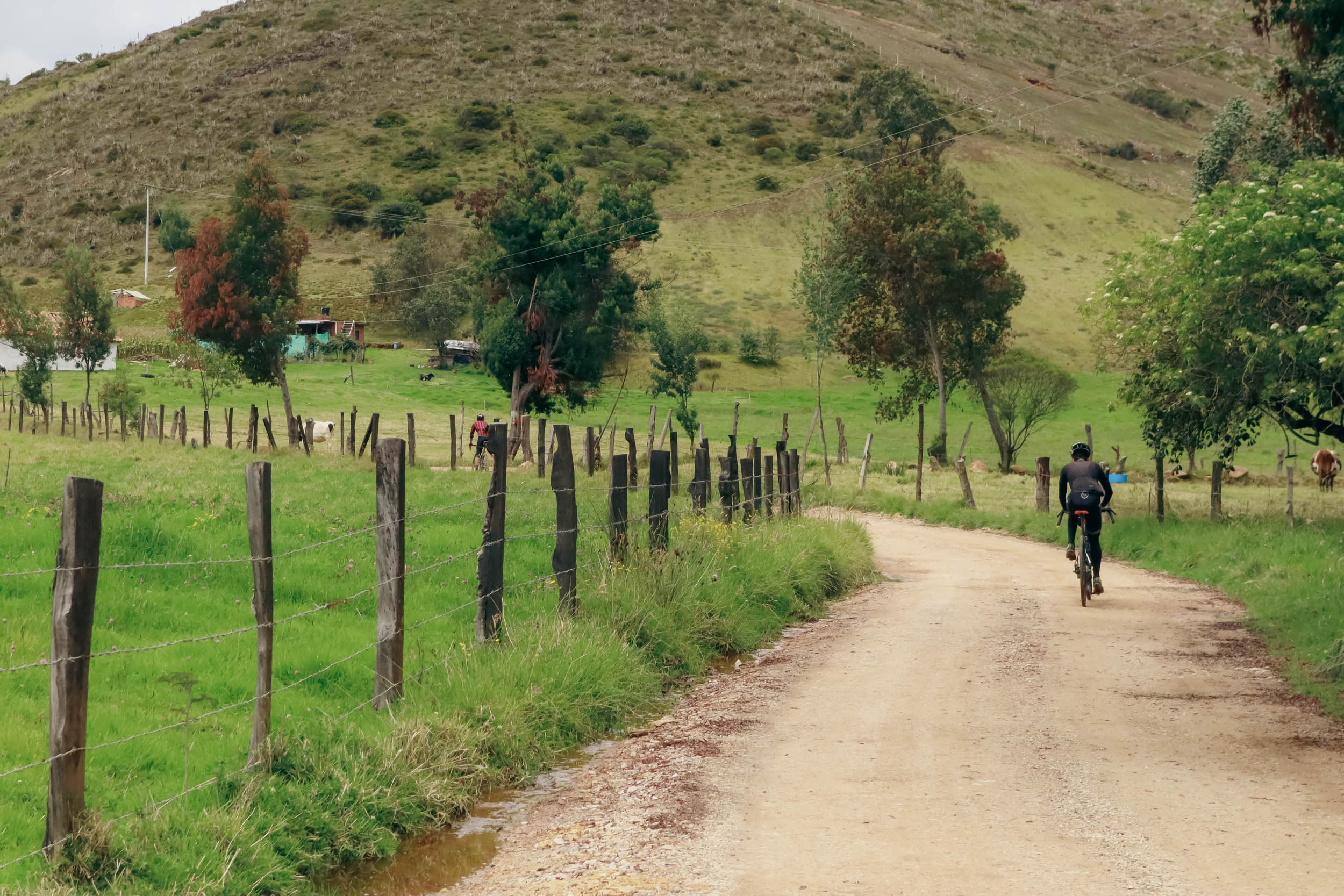
On day two, the ride starts out on the bike lane leaving the city and eventually hits a long stretch of relatively fast, rolling gravel roads. You’ll traverse the countryside across flower farms and sprawling ranch lands before you get to Sesquilé. Be sure to have a bite in town. We recommend Delicias de Boyacá (good coffee and amazing arepas), which is marked on the map.
Leaving town, you’ll have a paved climb before the route changes to gravel roads that lead to Laguna Guatavita. On this more hurried itinerary, you likely won’t have time to stop for a tour of the lagoon, which is quite nice. See Whereabouts for more details. If you are interested, add a day, camp nearby, and have a tour. There’s also a restaurant nearby and vendors at the lake entrance.
The route will eventually makes its way past Laguna Guatavita. If you have a couple of spare hours, we recommend a guided tour of the lake to learn more about Muisca culture and the origins of the legend of El Dorado. This can be arranged in advance. Just past Laguna Guatavita, you will eventually reach the Abuelos de la montaña farm, an ideal spot for another rest day and much-needed refueling.
Day 3: Abuelos de la montaña farm – Bosque de niebla Civil Society Reserve
21 miles / 2100’ (34km / 640m)
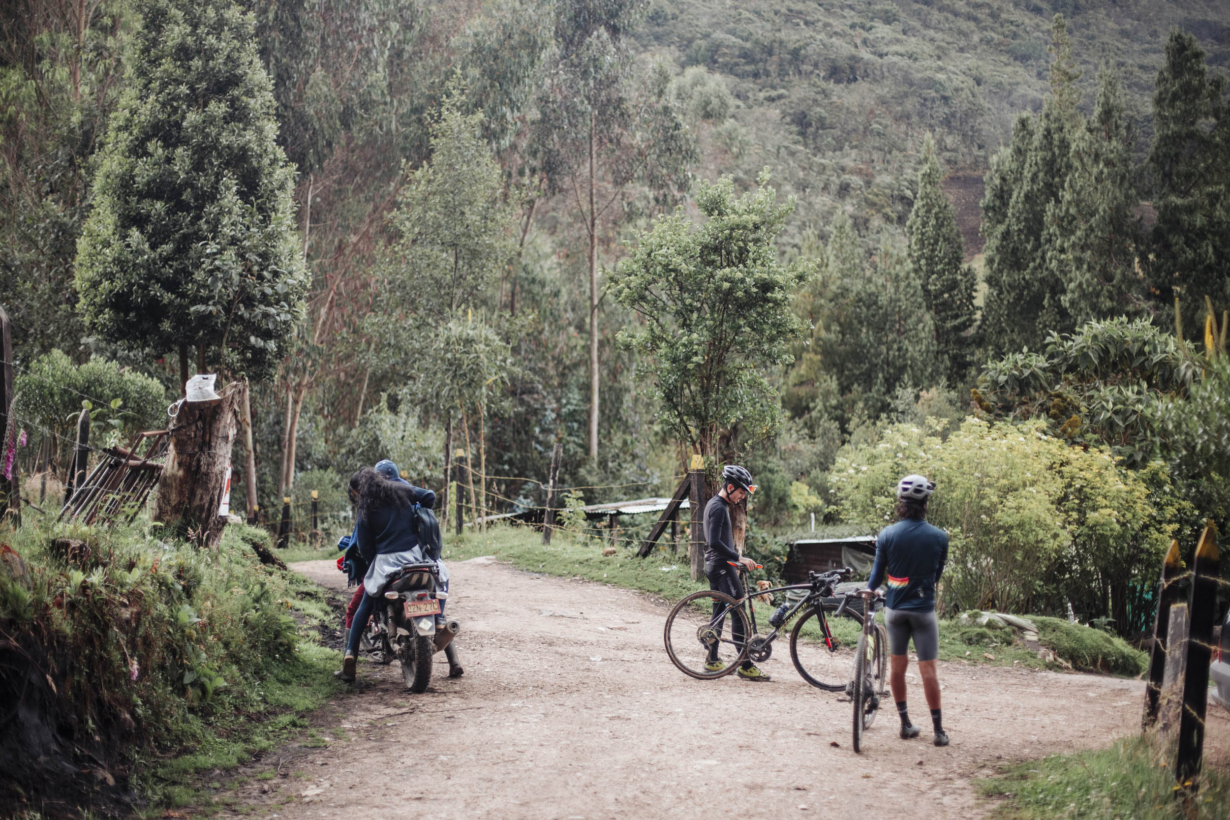
Following this path, you will eventually turn off the main road onto a secondary gravel road, taking you to some of the TASQUA civil society reserves, many of which provide facilities and accommodations for a rest day. Check out the contact information outlined in “Accommodation and Activities” to contact these groups ahead of time and organize your trip.
The TASQUA network has served as a model of private land management and helps to raise awareness about the vital link people have with nature. The conservation activities led by the civil society organizations, such as the restoration of degraded areas formerly used for livestock and potato farming, have been critical for supporting biodiversity and securing fresh water. Within the boundaries of the Bosque de Niebla reserve, you can find 400 species of native flora, 70 species of bird, and 35 orchid species. Camera traps indicate the presence of the illusive Oncilla (Leopardus tigrinus) and other mammals, such as the two-toed sloth (Choloepus hofmanni).
If choosing to stay at one of the civil society reserves, you will be able to organize several different activities with them. This will also allow you to take advantage of hiking activities near the reserve. We suggest leaving your bike behind for a day and hiking to the first of the sacred lakes, Laguna Siecha, which is found within Chingaza National Park. You can arrange a guided hike with the local guides of Andareguiando or Suasie, which is the best way to visit and learn about the history and ecology of this lake.
Day 4: Bosque de niebla Civil Society Reserve – Bogota
23 miles / 3000’ (37km / 915m)
On day four, you will make your way down sections of steep and fast descents through secondary roads and dirt tracks until you reach La Calera. Past La Calera, you will start a long and sustained climb back to where you started at Altos de los Patios. During that stretch and beyond, be especially careful as traffic can be heavy at times, and the shoulder is quite narrow. From the top of the ascent, you will make your way down the mountain into the heart of Bogotá alongside other cyclists on this very popular biking road.
Guides and activities
Tingua Hidden Journeys
A tourism agency that offers tours and support services in Colombia for self-guided, independent travelers specializing in cycling and bikepacking.
Contact name: Atenea Camacho
Location: Bogota
Phone: +57 313 211 8028
Email: info@hiddenjourneys.co
Website: hiddenjourneys.co
Andareguiando
Tour guide operation that offers tours of Chingaza National Park
Contact name: Gabriel López
Location: Guasca
Phone: 304 5448865
Email: andareguiando2019@gmail.com
Agroecological farm Abuelos de la Montaña
Agritourism farm that offers lodging, food, and guided tours of their farm to cyclists.
Contact name: Juana Isabel Rodriguez
Location: Sesquilé, vereda El Uval
Phone: 3124308837
Email: juanita75.rdz@hotmail.com
Note: It also offers rural accommodation
Guide and bike guide Alejandro Rocha Galvis
Location: Guasca, Salitre Alto
Phone: 3124397431
Email: alejo713@hotmail.com
ABSA Chingaza
Contact name: Oscar Gabriel Raigozo Hortúa
Location: Choachí, Vereda la Caja
Phone: 3142826188
Email: oscarraigozo@gmail.com
Trails for the dissemination of heritage and memory
Contact name: Elías Botero Garcia
Location: Guasca
Phone: 3148306418
Email: eliasboteropnn@gmail.com
Asociacion Ecoturistica y de Educación Ambiental SUSIE
Contact name: Paul Carrion Rodriguez
Location: Guasca
Phone: 3124784443
Email: asuasie@gmail.com


Terms of Use: As with each bikepacking route guide published on BIKEPACKING.com, should you choose to cycle this route, do so at your own risk. Prior to setting out check current local weather, conditions, and land/road closures. While riding, obey all public and private land use restrictions and rules, carry proper safety and navigational equipment, and of course, follow the #leavenotrace guidelines. The information found herein is simply a planning resource to be used as a point of inspiration in conjunction with your own due-diligence. In spite of the fact that this route, associated GPS track (GPX and maps), and all route guidelines were prepared under diligent research by the specified contributor and/or contributors, the accuracy of such and judgement of the author is not guaranteed. BIKEPACKING.com LLC, its partners, associates, and contributors are in no way liable for personal injury, damage to personal property, or any other such situation that might happen to individual riders cycling or following this route.
Please keep the conversation civil, constructive, and inclusive, or your comment will be removed.