


Sardine Lookout Tower Overnighter
Distance
70 Mi.
(113 KM)Days
2
% Unpaved
80%
% Singletrack
23%
% Rideable (time)
100%
Total Ascent
5,778'
(1,761 M)High Point
8,136'
(2,480 M)Difficulty (1-10)
3?
- 5Climbing Scale Moderate83 FT/MI (16 M/KM)
- -Technical Difficulty
- -Physical Demand
- -Resupply & Logistics
Contributed By

Emily Bei Cheng
Alpinemily
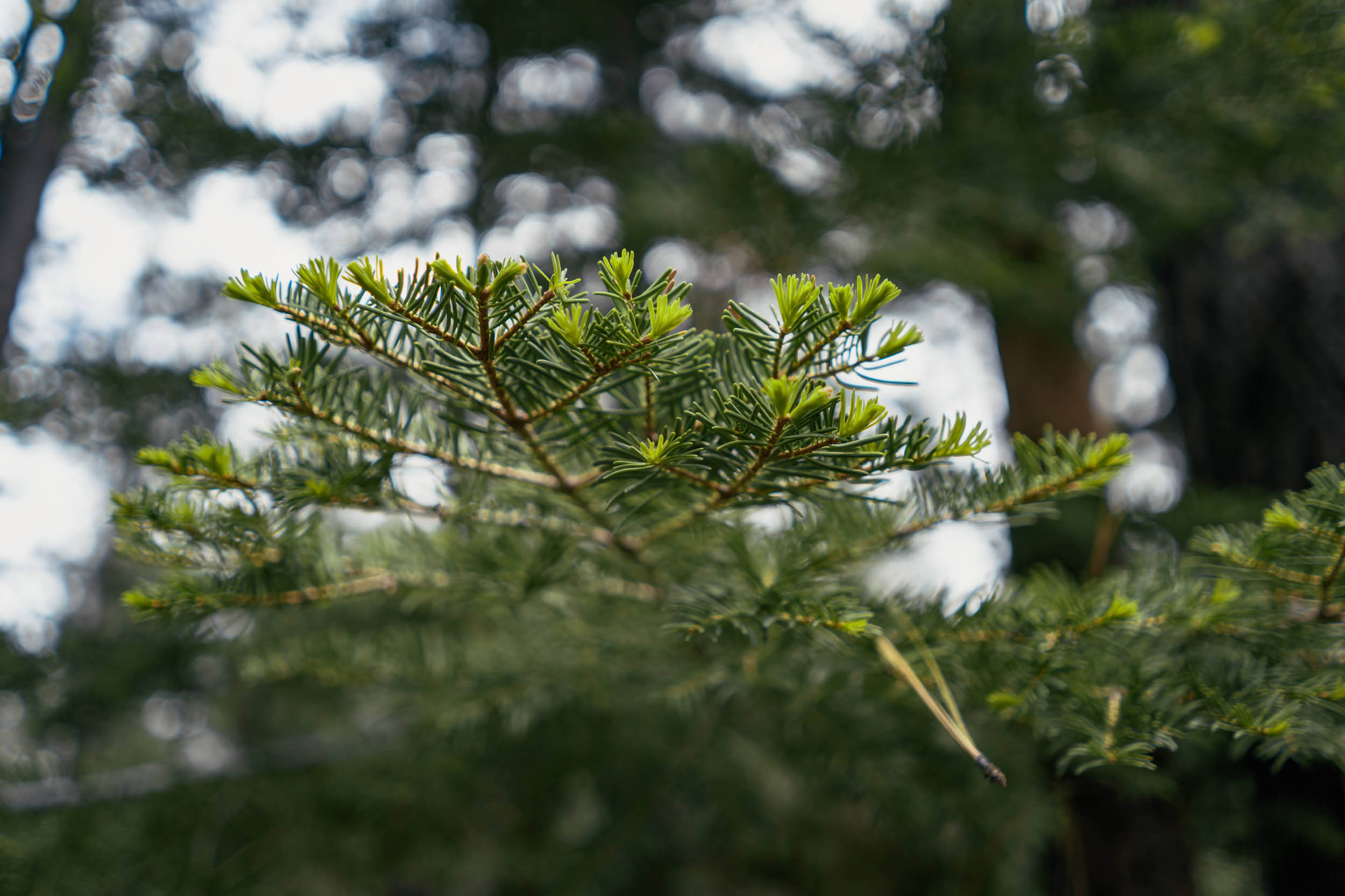
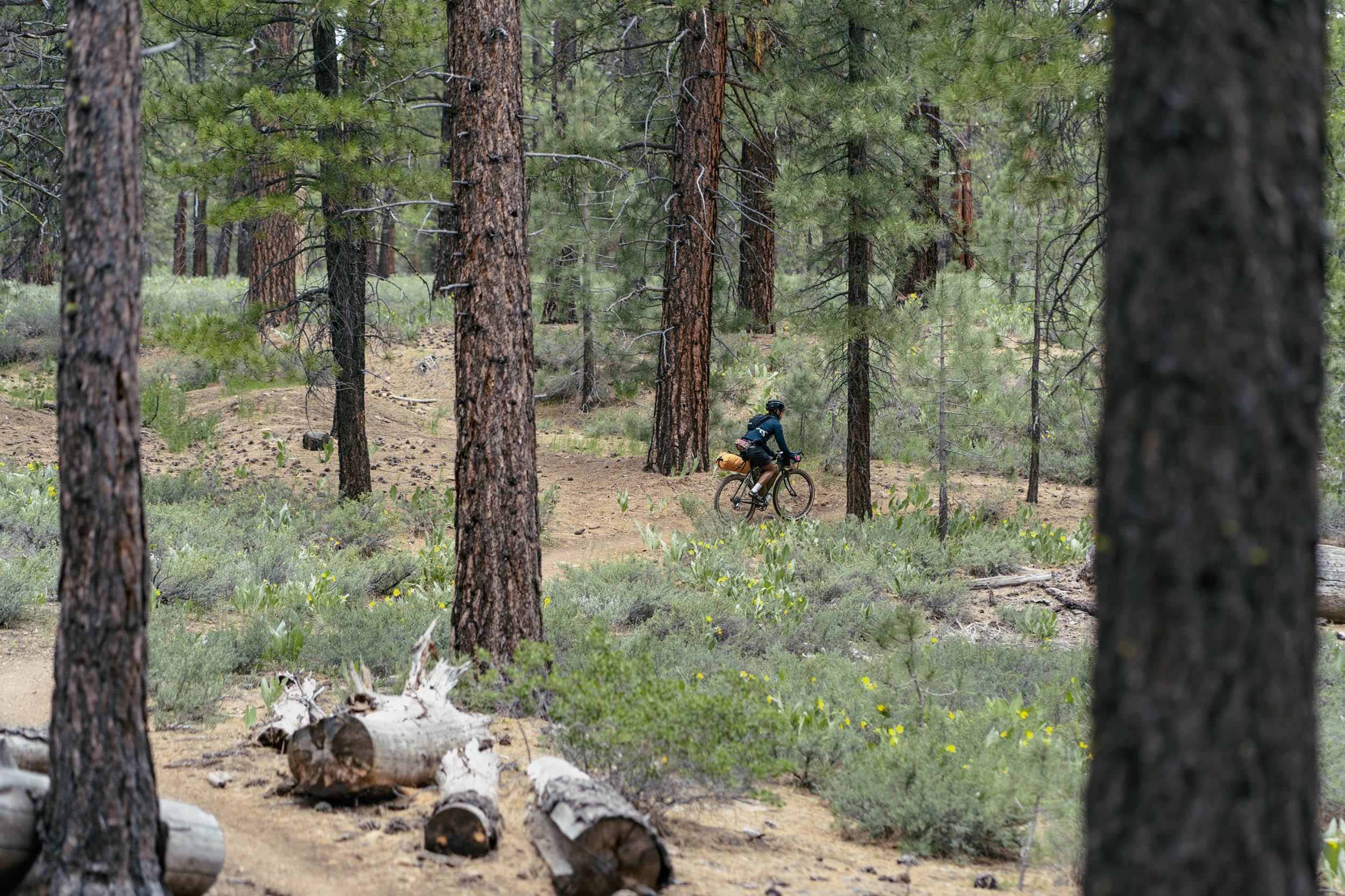
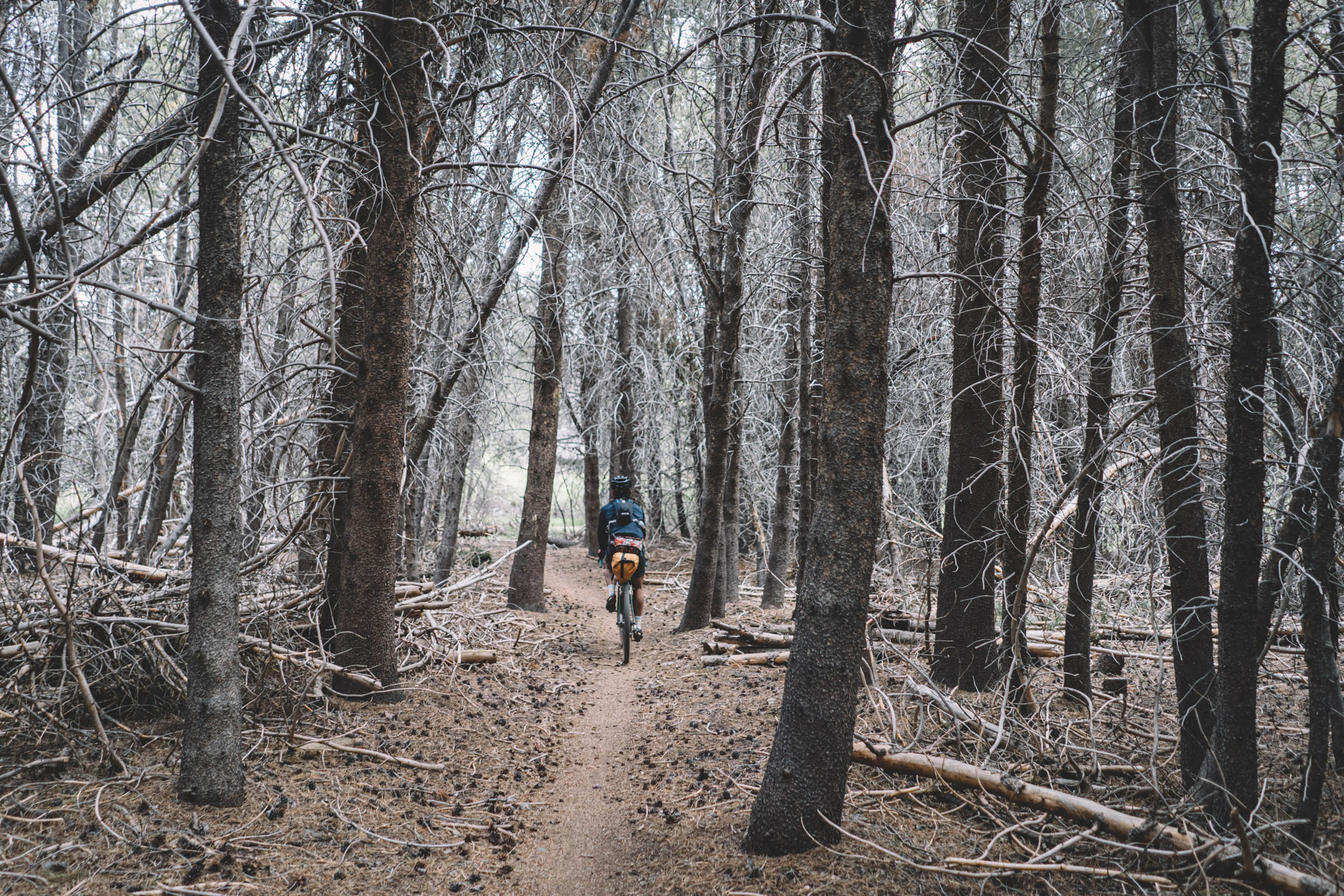
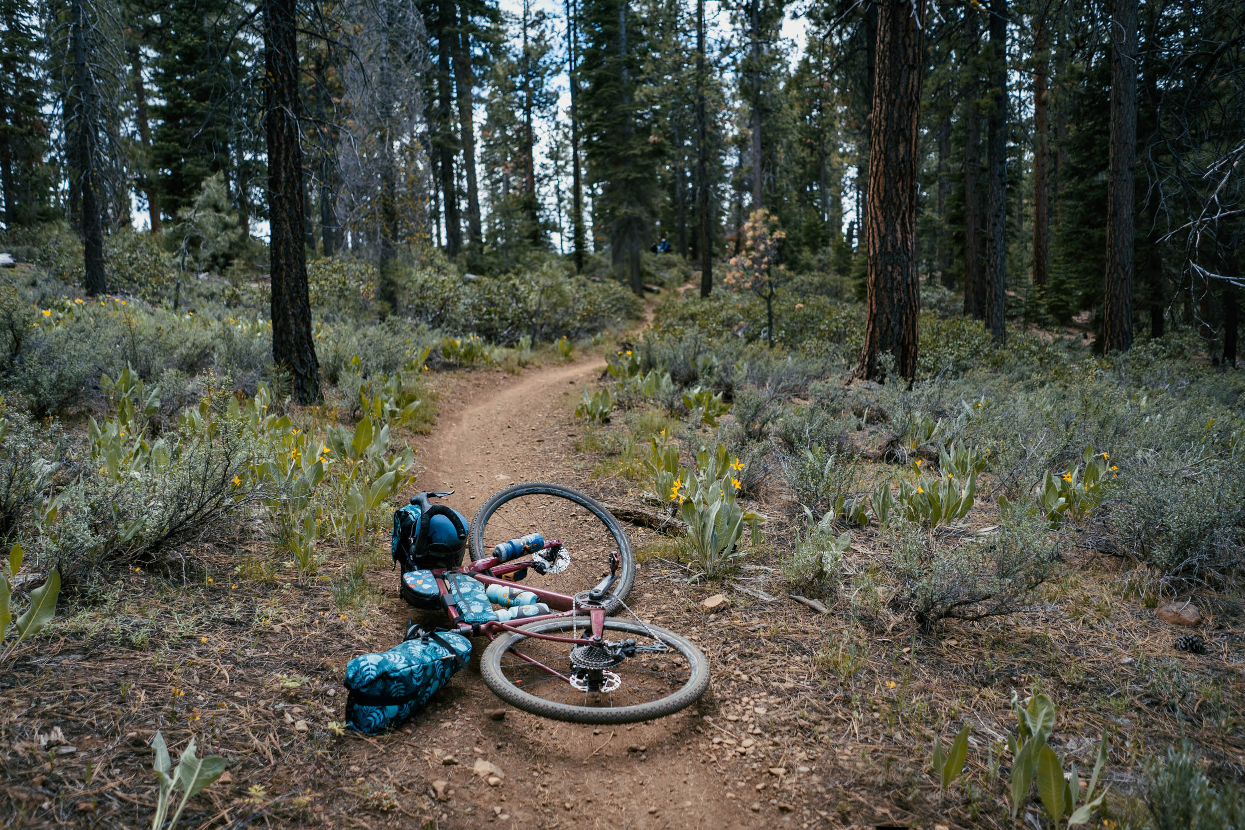
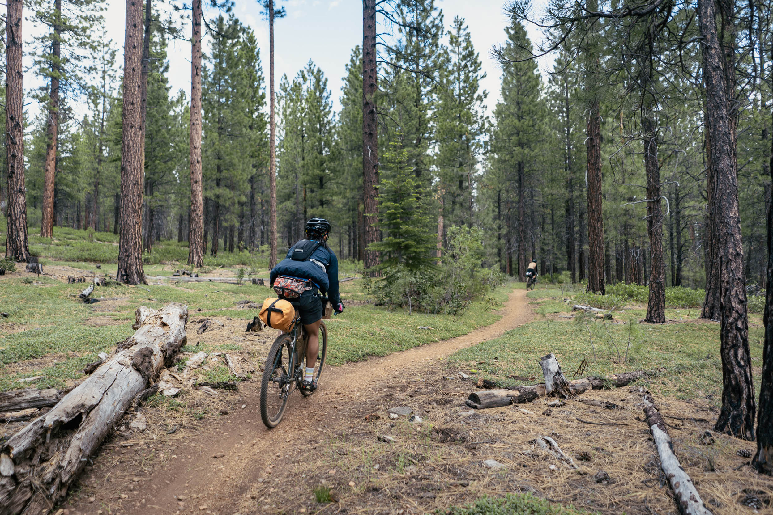
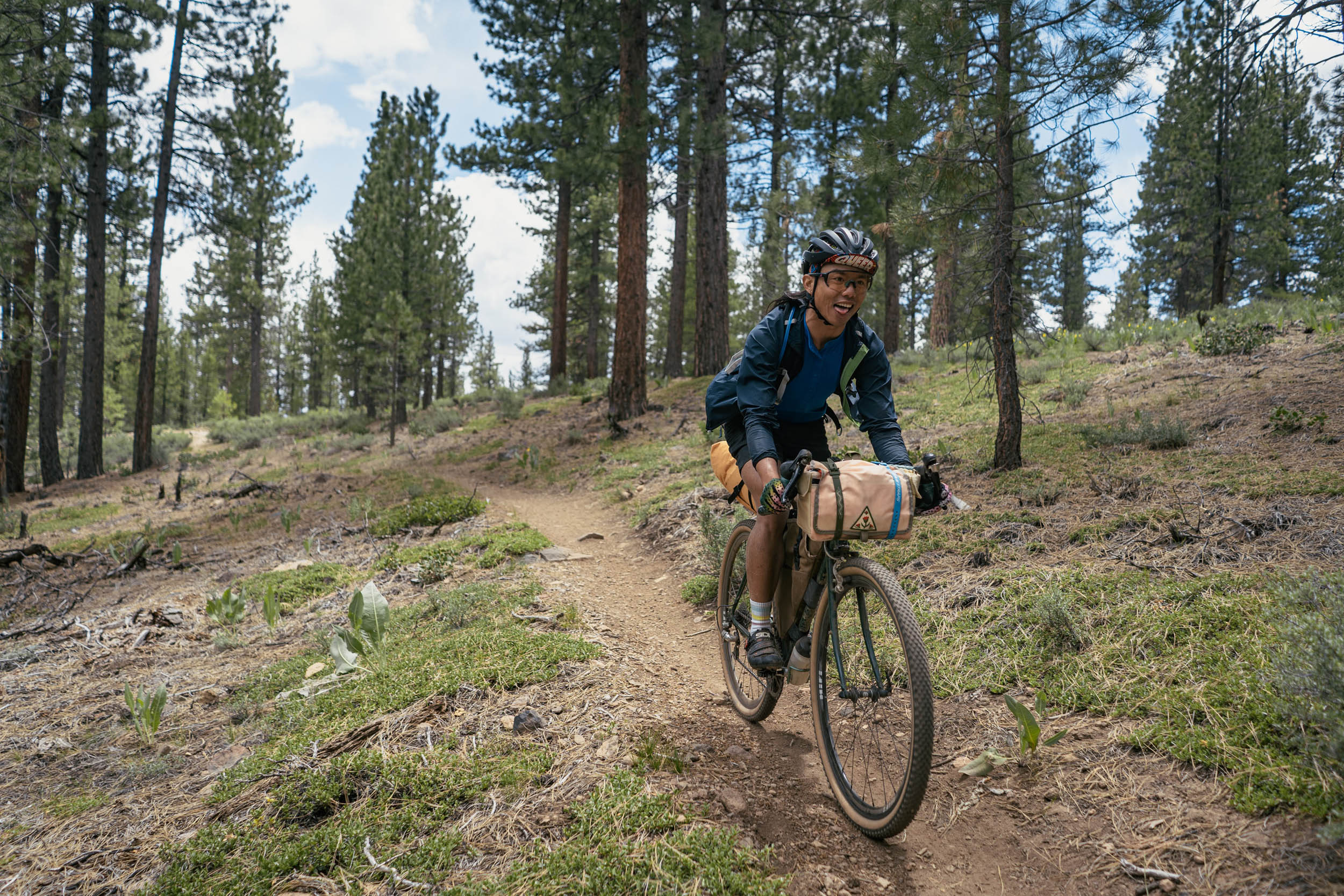
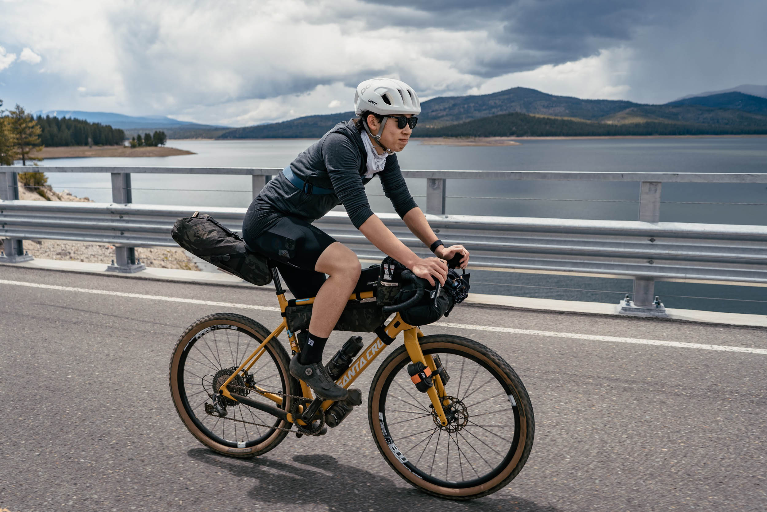
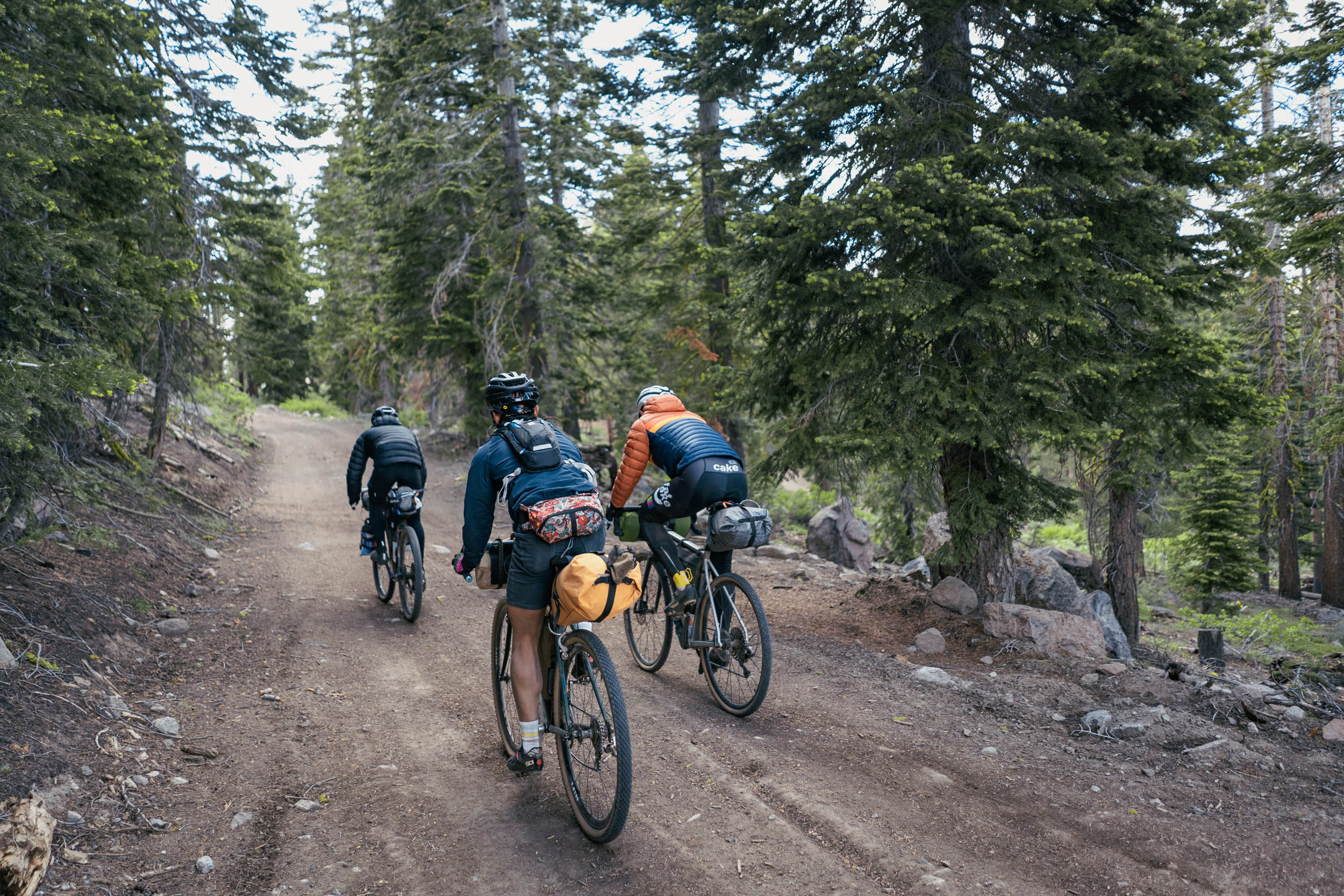
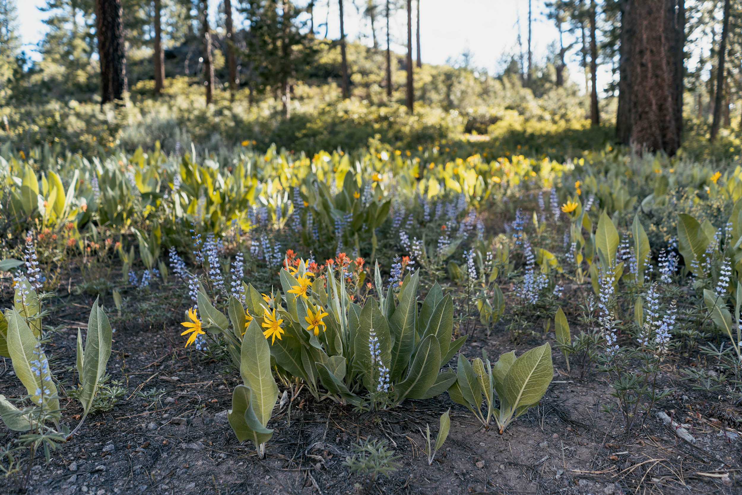
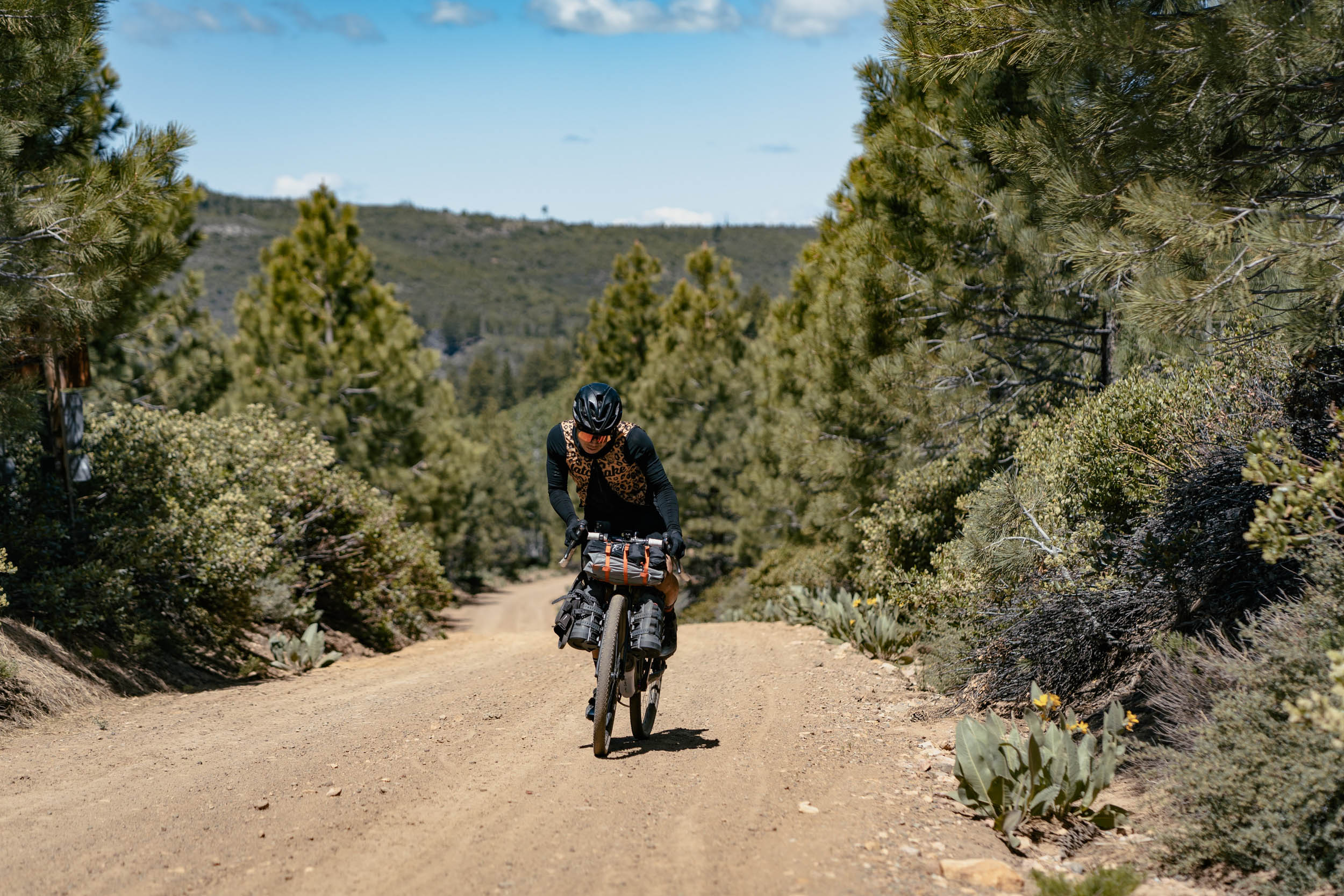
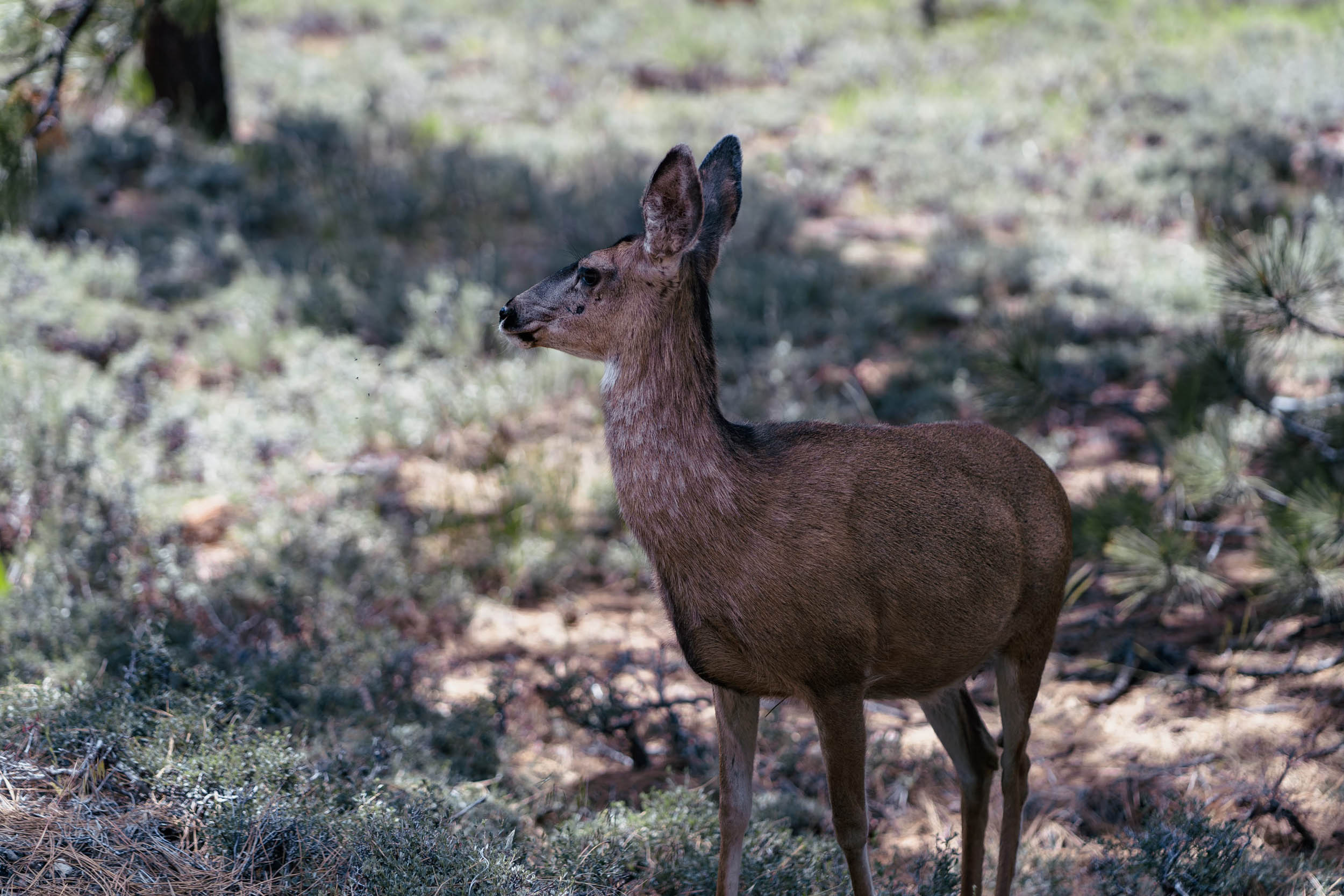
This bikepacking overnighter is located within Tahoe National Forest, California, the homeland of the Washoe Tribe. The route begins with 12 miles of singletrack through forests of pine and fir trees and meadows carpeted with sagebrush and wildflowers. The singletrack ends at Stampede Reservoir, which offers serenity, a fishing opportunity, and a water refill stop before the tough climb up Sardine Peak.
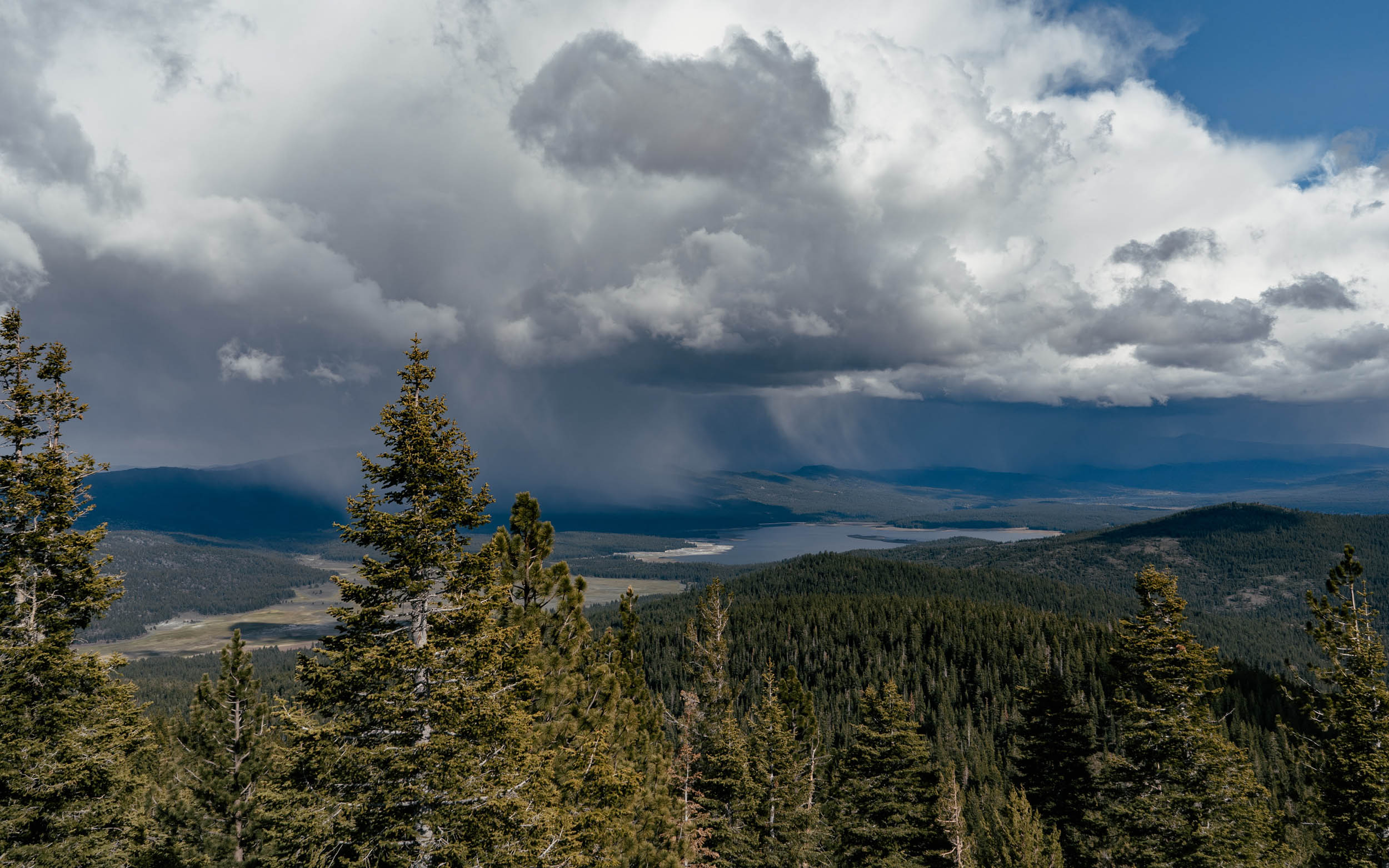
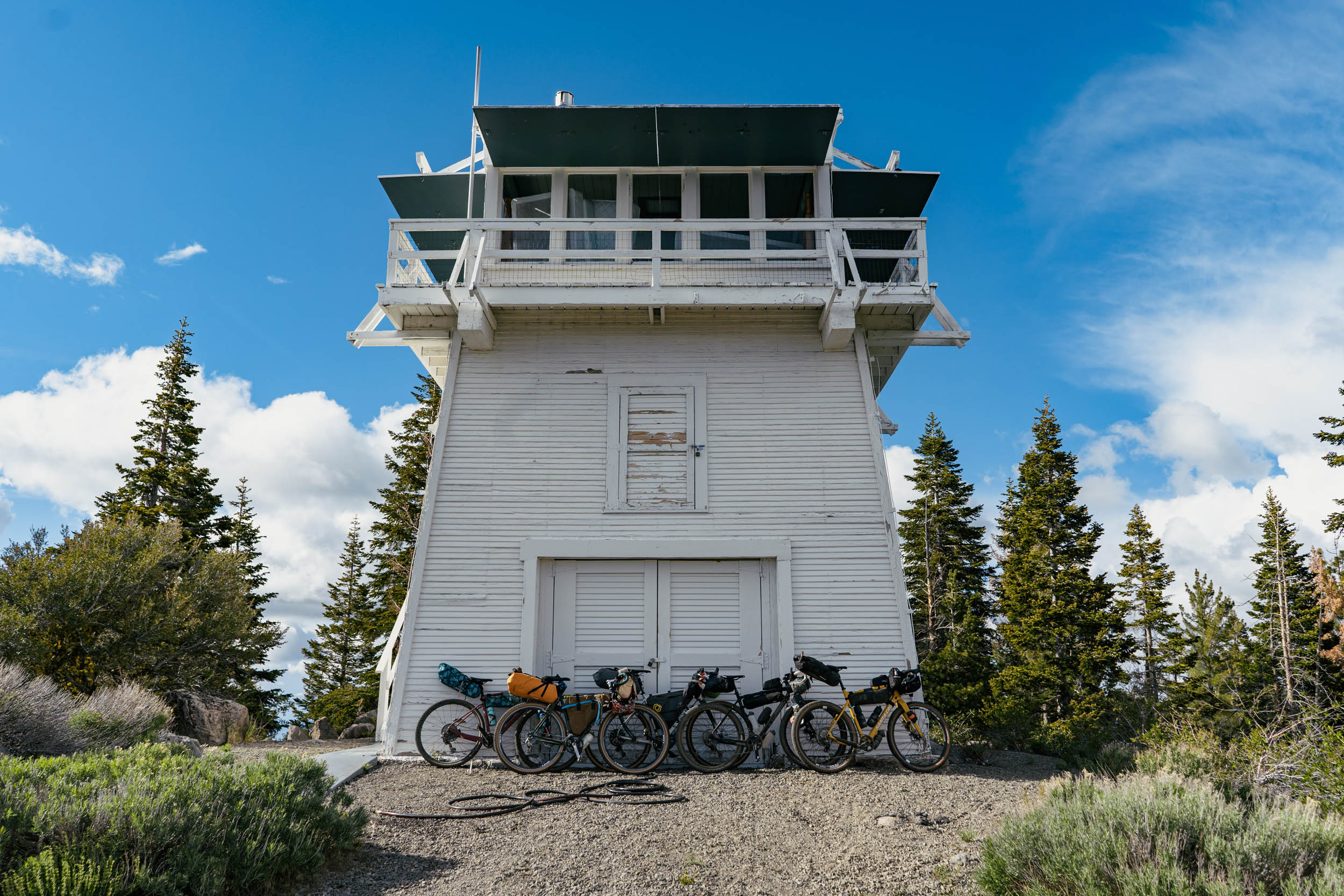
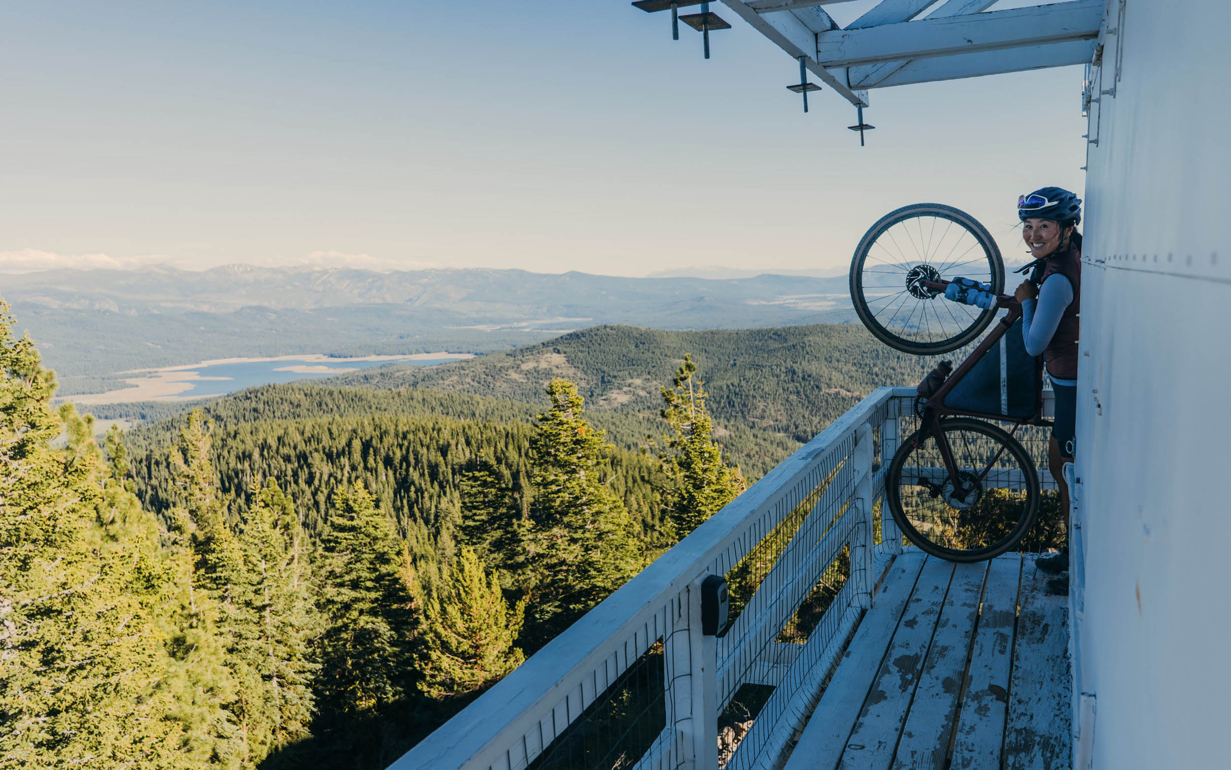
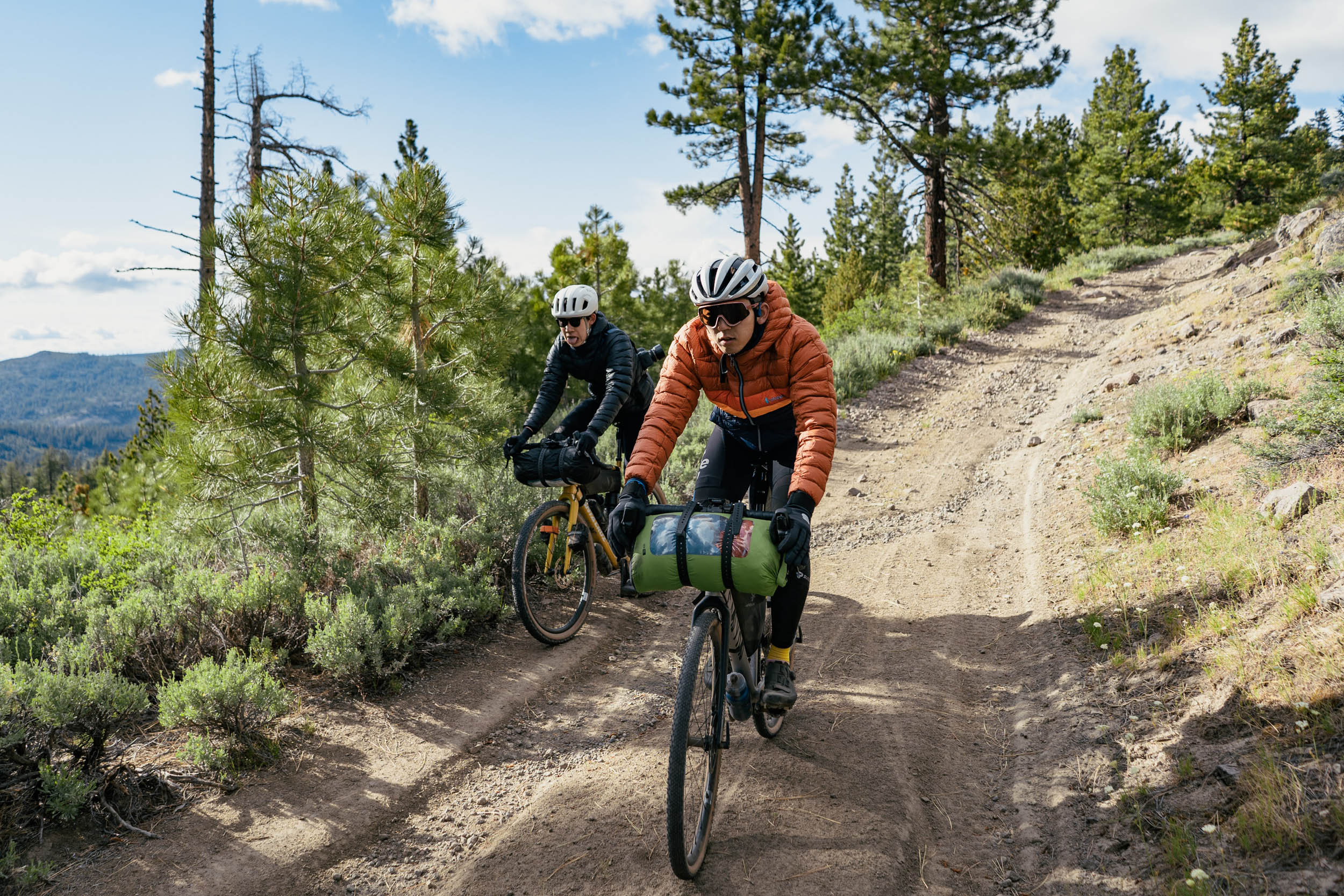
Sardine Peak tops out at an elevation of 8,125 feet, with rewarding views of Sardine Valley and the many lakes and reservoirs of Tahoe National Forest. Riders who plan ahead and make a reservation get to call this home sweet home for the night; the fire lookout tower at the summit, Sardine Peak Lookout Tower, can be booked for an overnight stay for free. The lookout tower is furnished with two beds and a propane stove and has spectacular 360-degree views. The following morning will undoubtedly be a special sunrise to wake up to. If the lookout tower is unavailable, a quick descent takes riders down to an alternative campsite at Bear Valley Campground.

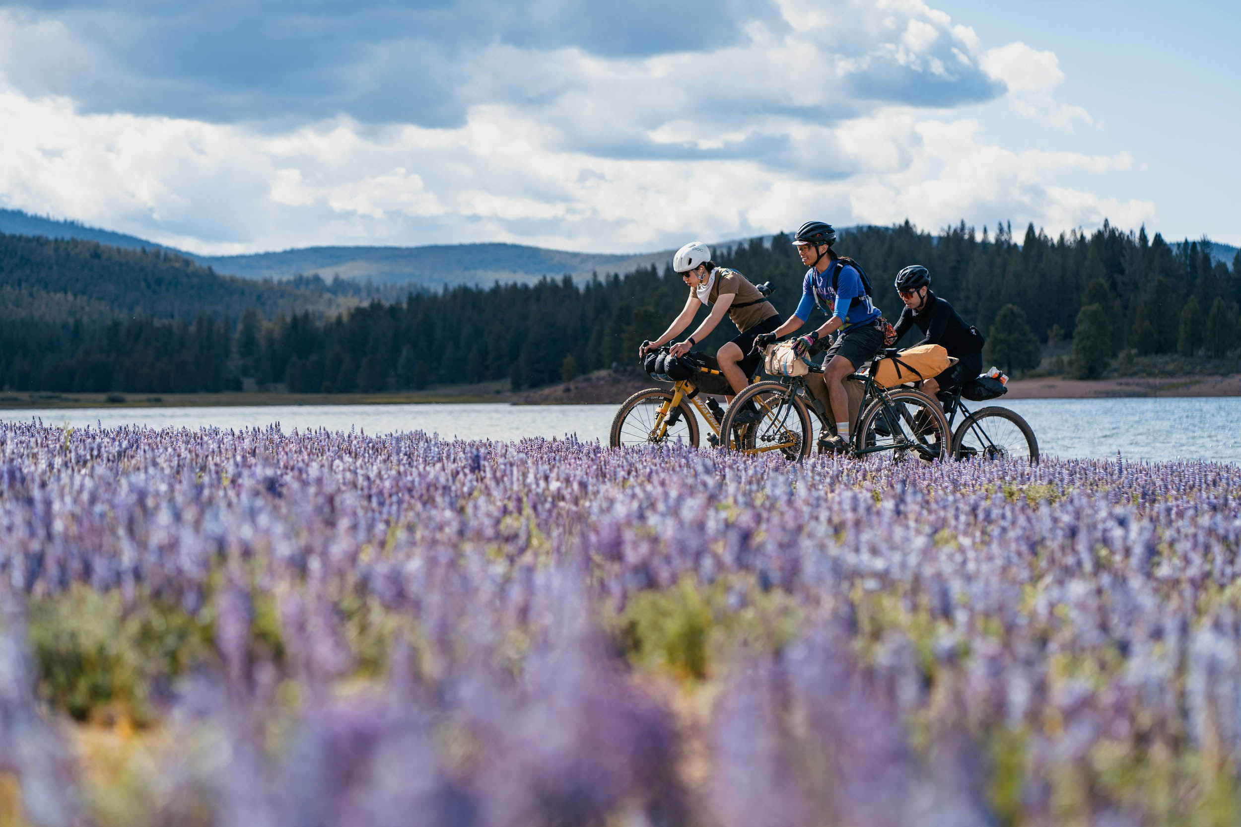
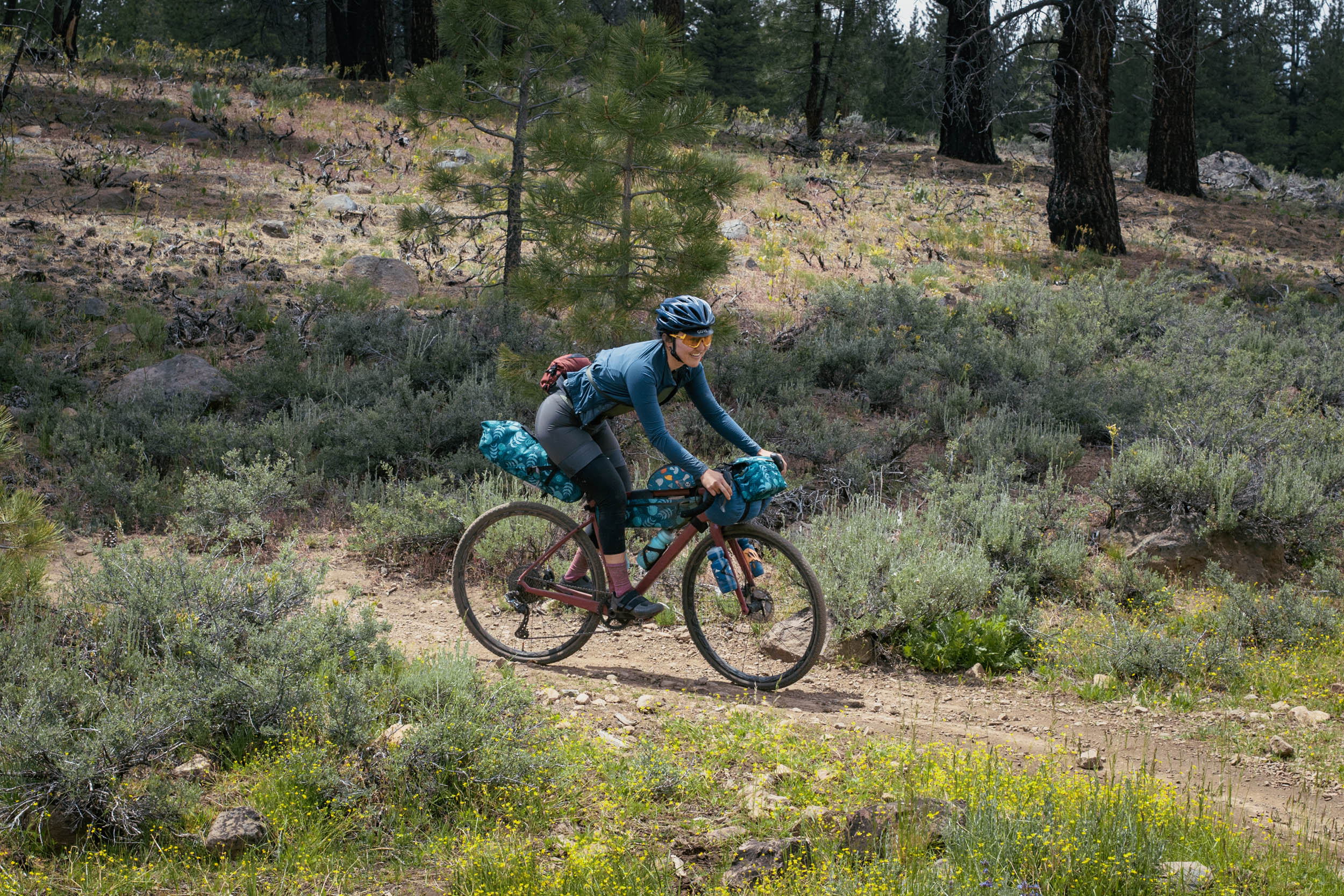
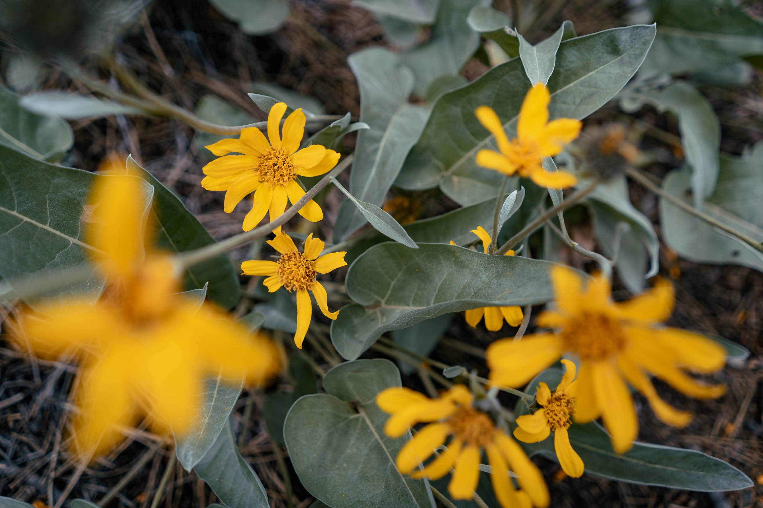
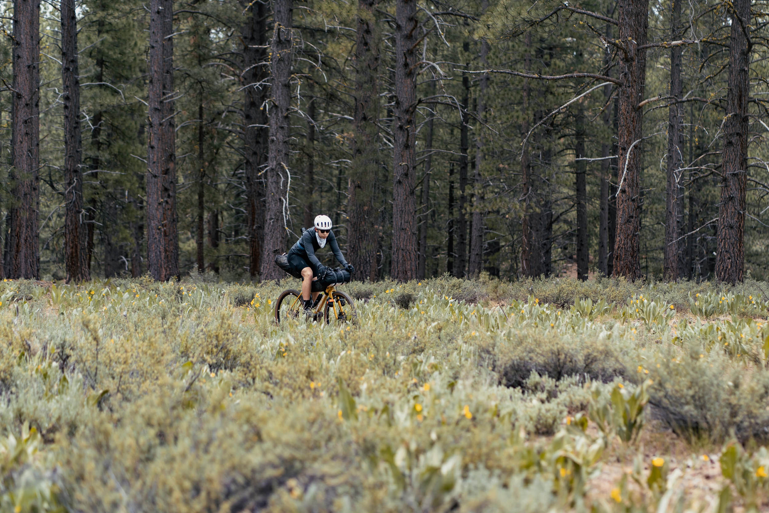
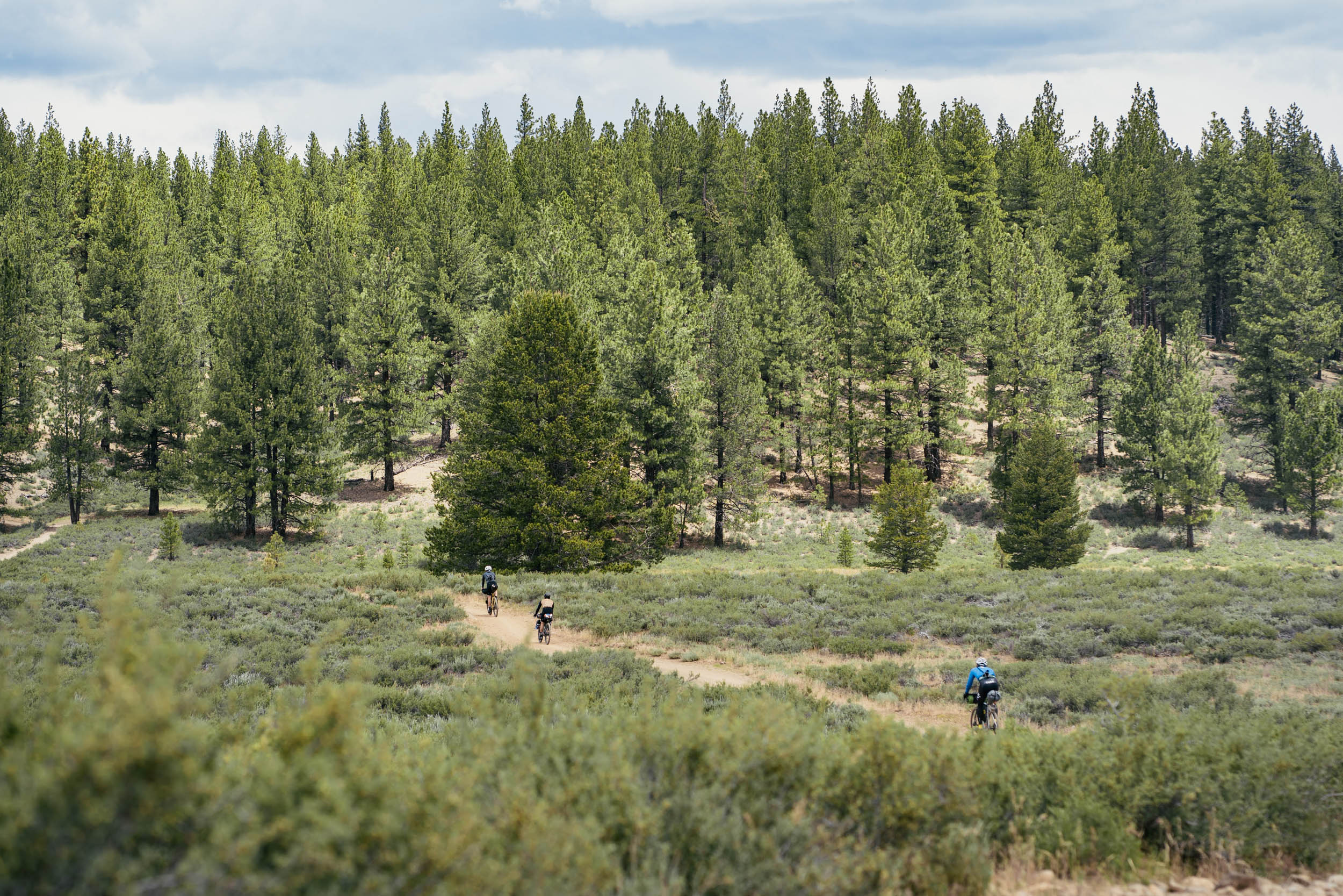
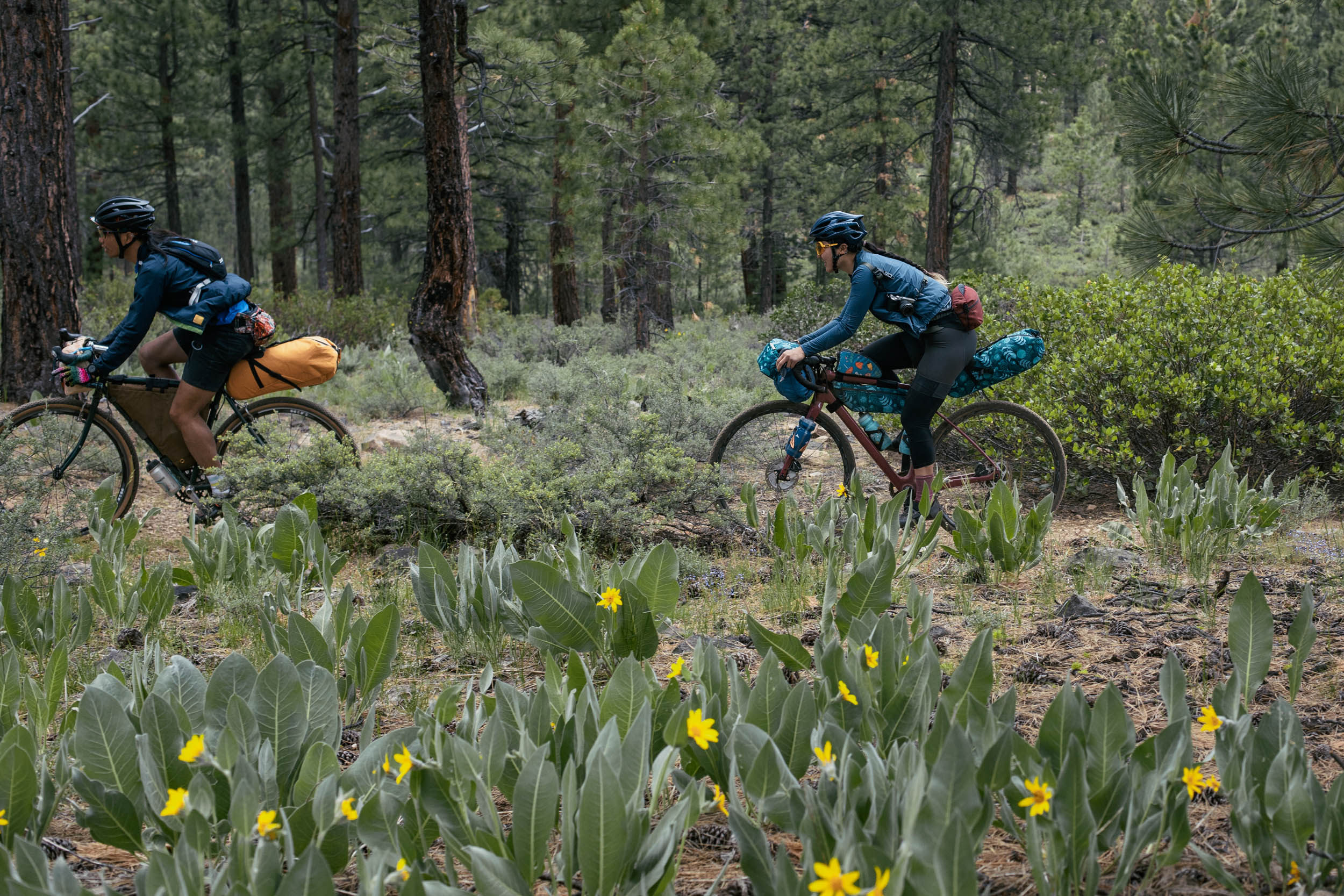
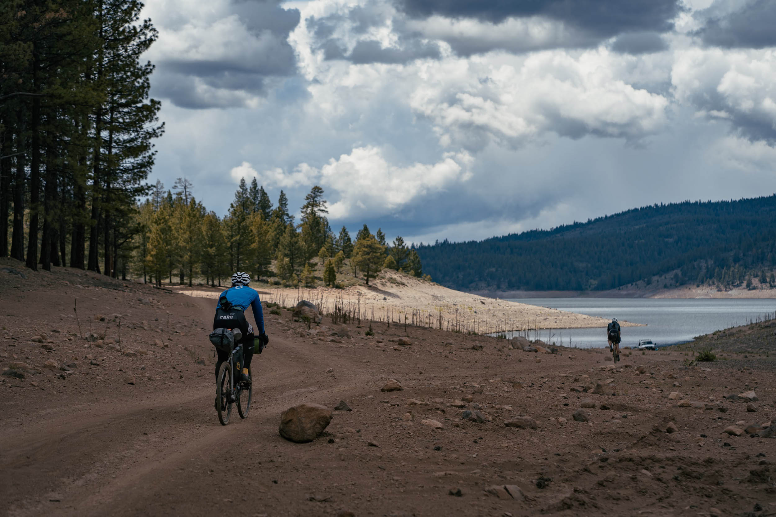
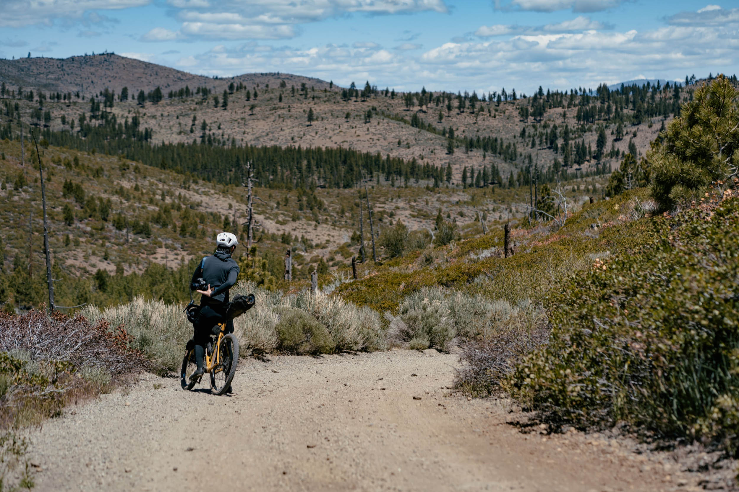
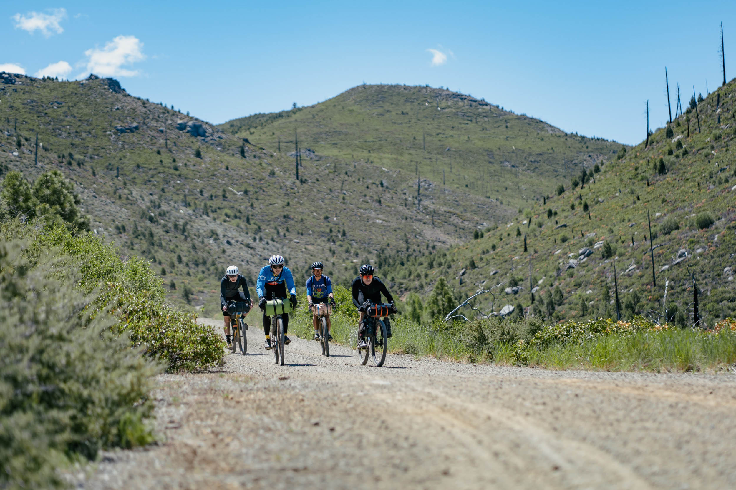
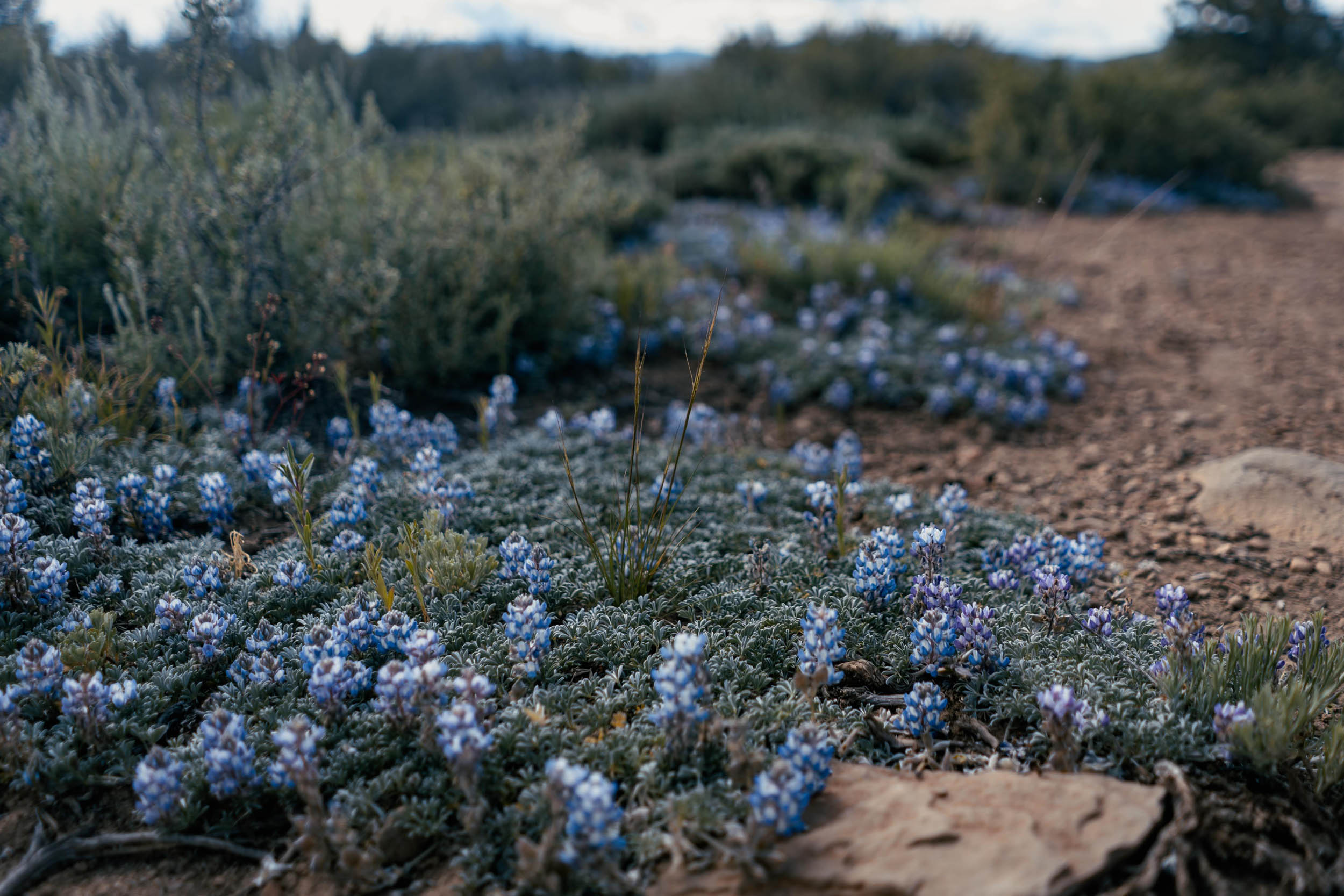
Day two is longer in distance, but it balances out nicely with day one. Compared to the first day’s singletrack and climb up to Sardine Peak, day two is zippy fire-roads with less elevation gain. A highlight of the second day is the Bear Valley Road, a smooth and fast dirt descent that opens up to a beautiful landscape of dotted with trees and colorful brush. Lucky riders will stumble upon the occasional lupine superbloom that covers the shores of the reservoir with a surreal carpet of purple in June and July. The rest of the route is gentle and fast gravel with a sweet final section of singletrack back to the start.
Route Difficulty
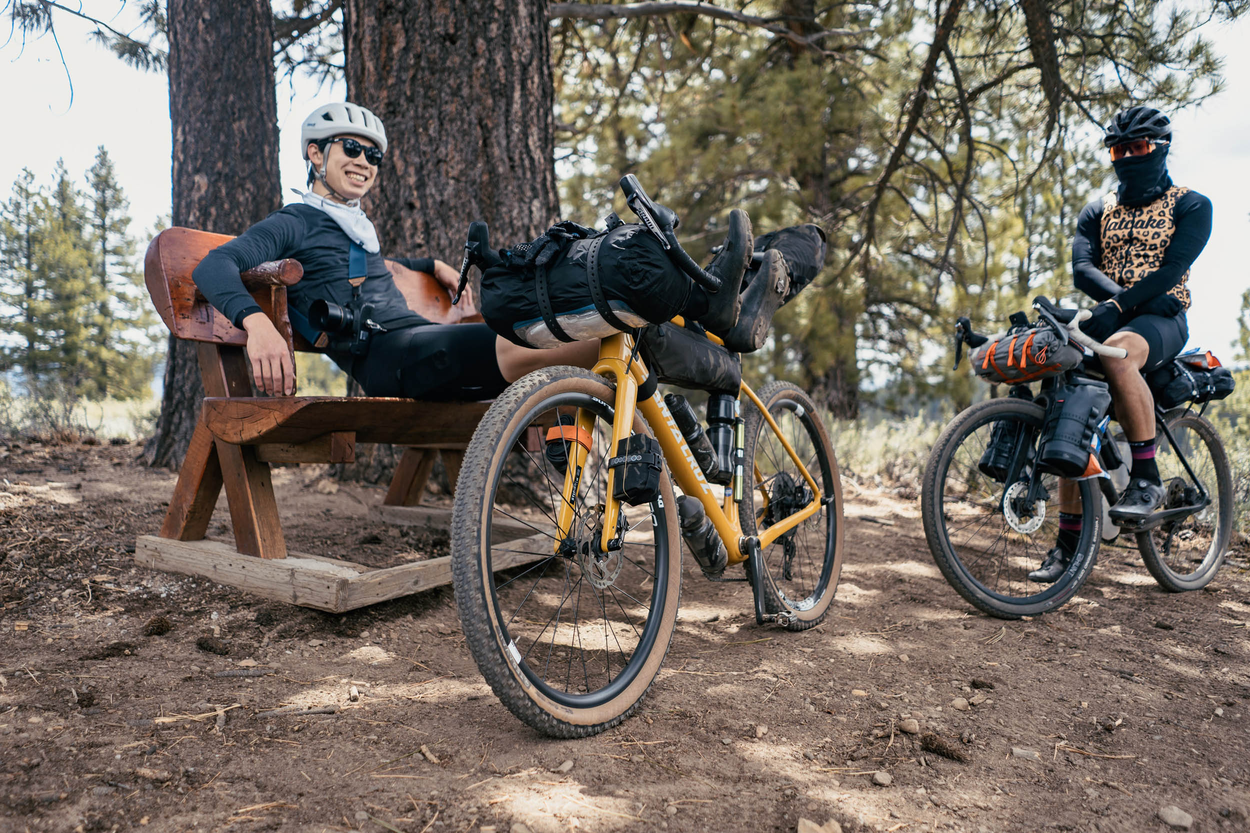
This overnighter is rated a 3 out of 10 overall. The singletrack is non-technical and beginner-friendly. A few sections of doubletrack approaching and descending Sardine Peak are a bit rocky. The most physically demanding part of the route is the climb up to Sardine Peak, but this can optionally be bypassed if you’re not camping at the lookout tower. There are several water stops along the way, and an easy detour to the small town of Loyalton is a convenient resupply if needed.
Route Development: Shoutout to Caroline Dezendorf, Easton Overland teammate and Truckee local, for providing helpful feedback on the route. Also shoutout to Gene Torno and Photo Pace for first introducing me to the incredible riding in the Truckee area.


Submit Route Alert
As the leading creator and publisher of bikepacking routes, BIKEPACKING.com endeavors to maintain, improve, and advocate for our growing network of bikepacking routes all over the world. As such, our editorial team, route creators, and Route Stewards serve as mediators for route improvements and opportunities for connectivity, conservation, and community growth around these routes. To facilitate these efforts, we rely on our Bikepacking Collective and the greater bikepacking community to call attention to critical issues and opportunities that are discovered while riding these routes. If you have a vital issue or opportunity regarding this route that pertains to one of the subjects below, please let us know:
Highlights
Must Know
Camping
Food/H2O
Trail Notes
- Staying overnight at Sardine Peak Lookout Tower with a bird’s eye view of Tahoe National Forest. This former fire lookout tower is available to book for free when the road is clear of snow, typically the end of June through October.
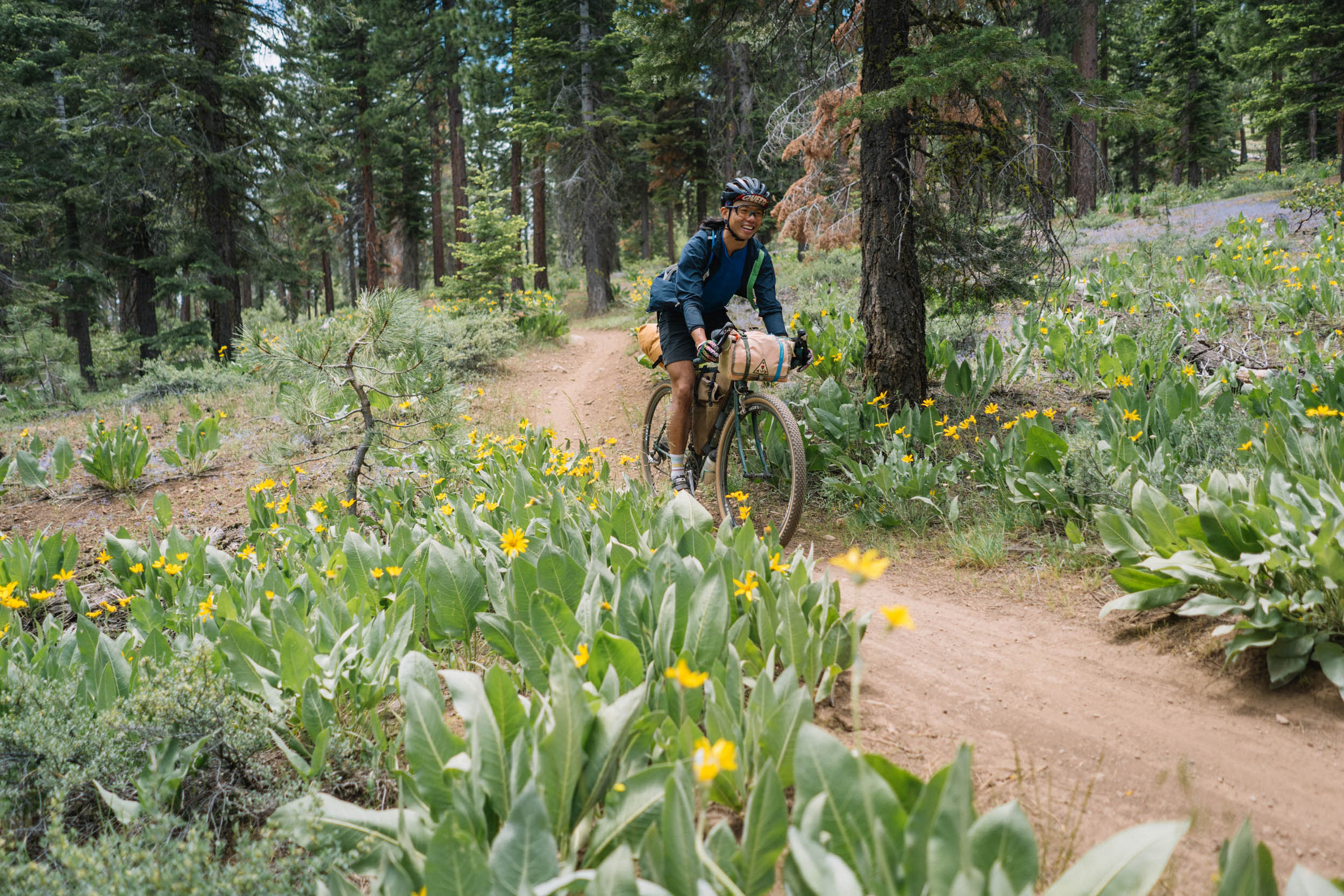
- Fun, swooping singletrack for the first section of the route, following the Commemorative Overland Emigrant Trail.
- Wildflower blooms. Tackle this route in the months of June and July for your best chance of seeing lupine superblooms.
- If you’re looking to extend the route, continuing 7.5 miles west along Lemon Canyon Road after reaching Bear Valley Campground will take you to Sierra Hot Springs, a rustic resort and retreat center where you can enjoy a soak.
- Bear Valley Road is a fast and beautiful descent to look forward to on day two.
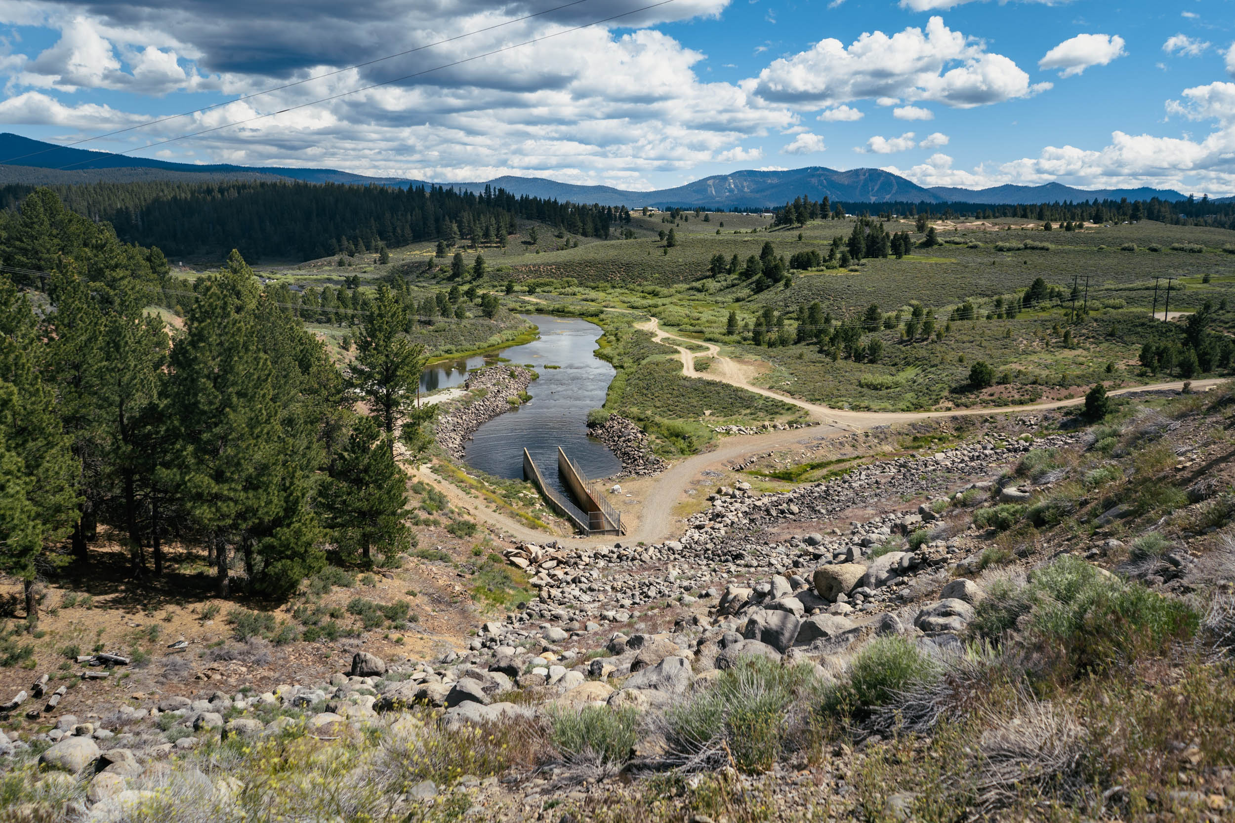
- Scenic overlooks out toward the tranquil waters of Prosser Creek Reservoir.
- The best months to ride this route are from June through October, when the route is typically clear of snow and the lookout tower is likely available for reservations.
- It will get cold, so bring a puffy jacket for the evenings. Sardine Peak Lookout Tower is at 8,000 feet and Bear Valley Campground is at 6,700 feet.
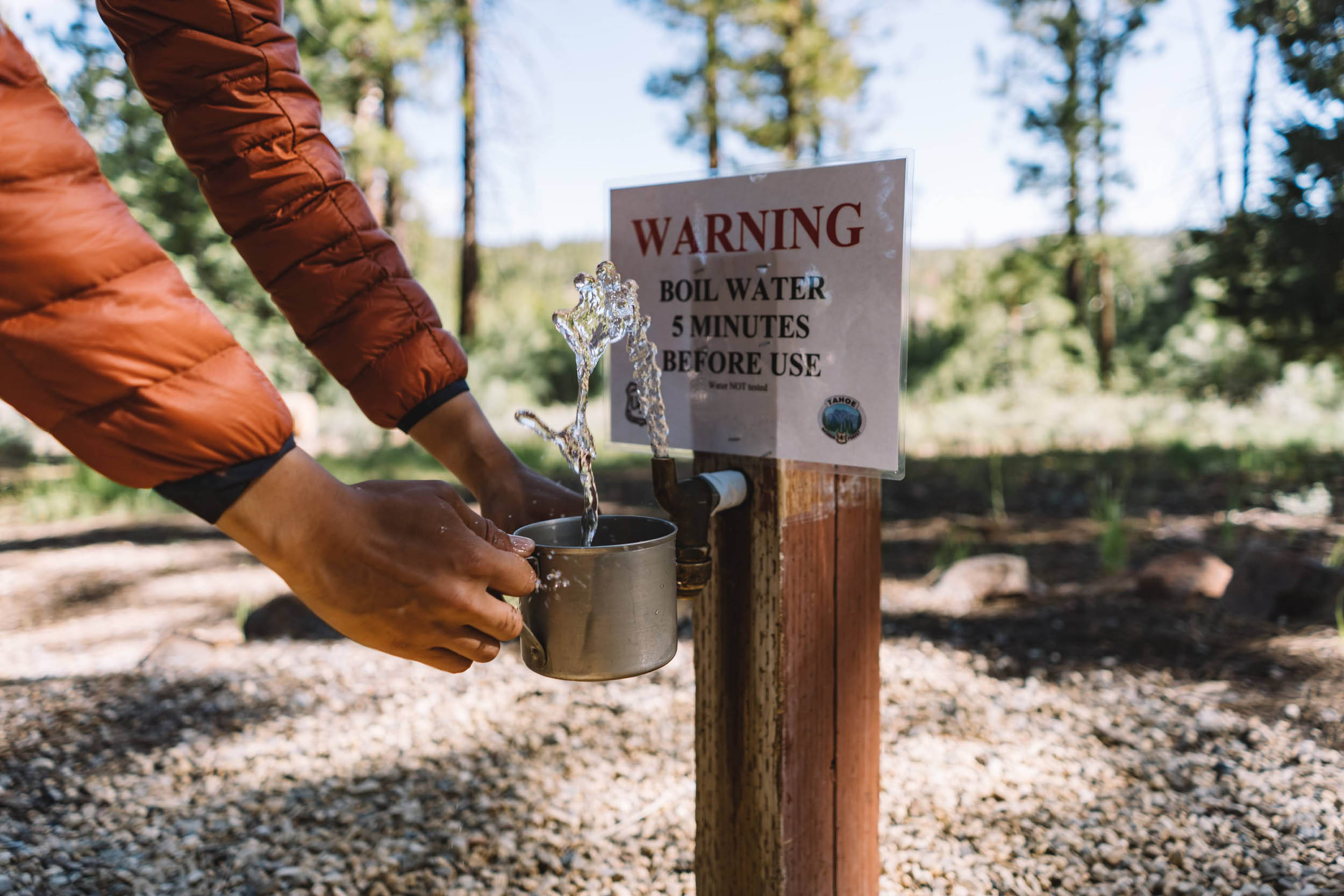
- Bring a water filter or a stove (see camping & lodging section for more details)
- If you’ll be staying at the lookout tower, make sure to bring extra capacity for carrying water for dinner and for the morning.
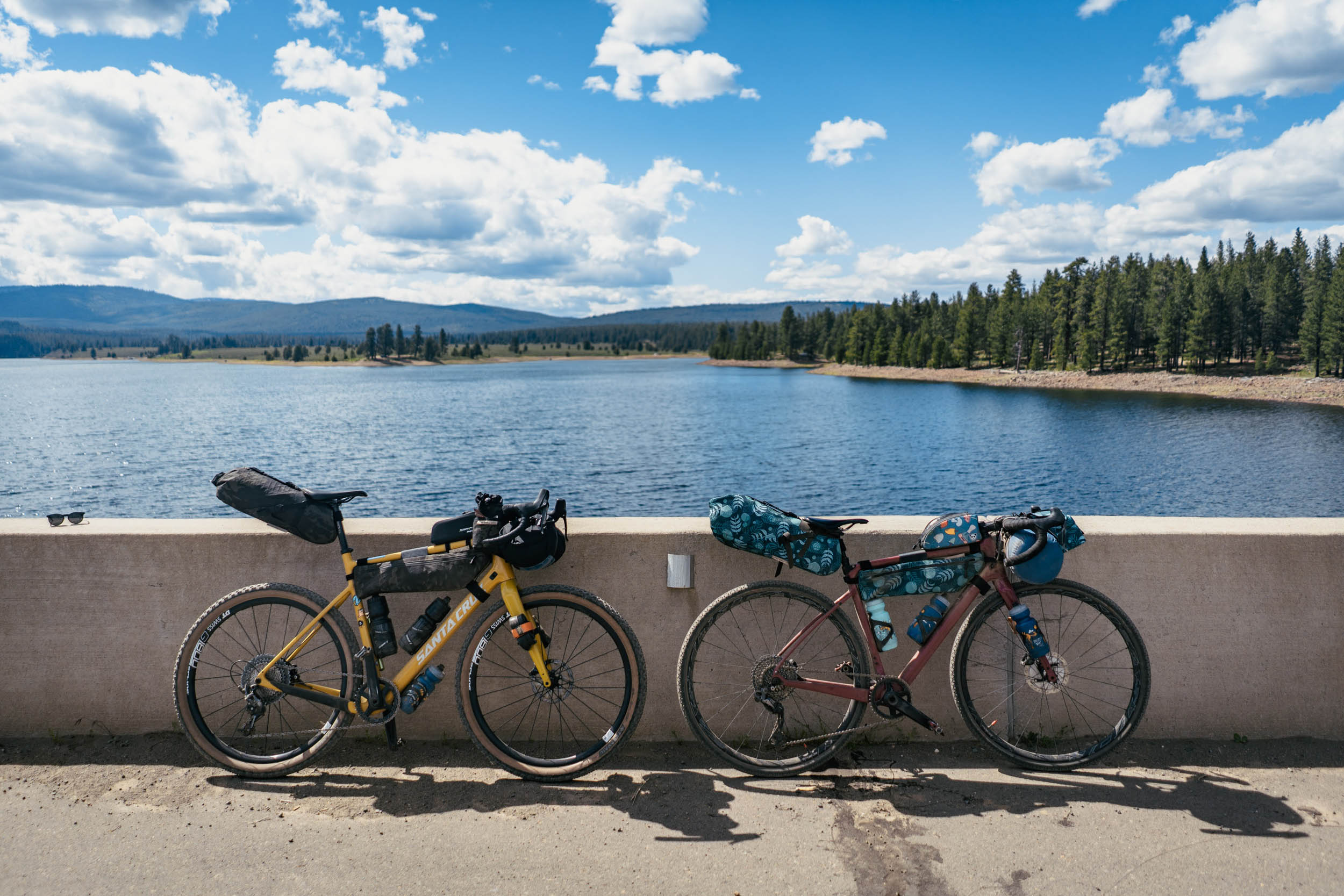
- A gravel bike is sufficient for this route, though you will need to take care on the decent from Sardine Peak.
- You can park your car overnight at Donner Camp Picnic Site, where the route begins.
- Find more information on Sardine Peak Lookout Tower accommodations at Recreation.gov. The lookout has two beds and a propane tank hooked up to a stove and lights. It does not have electricity or water.
- You cannot make a reservation directly on the website. You must call the Sierraville Ranger District at (530) 994-3401 to book. The reservation can be made up to 30 days out and for up to two nights. The phone is not always manned, so if they don’t pick up the first time, be persistent and try the next day. It’ll be worth it!
- If the lookout tower is unavailable for the dates of your trip, the best alternative campground is Bear Valley Campground. It is a free, uncrowded, first-come, first-served campground with 10 campsites and fire pits.
- There are vault toilets and a water spigot at Bear Valley Campground, but the water is not potable, so don’t forget to bring a water filter (or boil the water with a camp stove).
- If you want to camp the night before the trip, Lakeside Campground and Prosser Family Campground are both good options close to the start point of the route. The nightly fee for both campgrounds is $20.
- There are water fountains along the route and they are marked on the map. The most obvious ones are at the campgrounds.
- If you plan to stay at Sardine Peak Lookout Tower, you should bring extra capacity for carrying water, since a spigot isn’t available at the summit.
- If you camp at Bear Valley Campground you should bring a water filter since the water is untreated.
- An easy 3.5-mile (one-way) detour to the small town of Loyalton is a convenient food resupply stop, if needed.
Day 1
- The route starts at Donner Camp Picnic Site and Interpretive Trail, commemorating the infamous Donner Party’s fateful journey west as they passed through this very area in the winter of 1846-47.
- The first 12 miles are enjoyable singletrack that weaves through forests and meadows, following the Commemorative Overland Emigrant Trail.
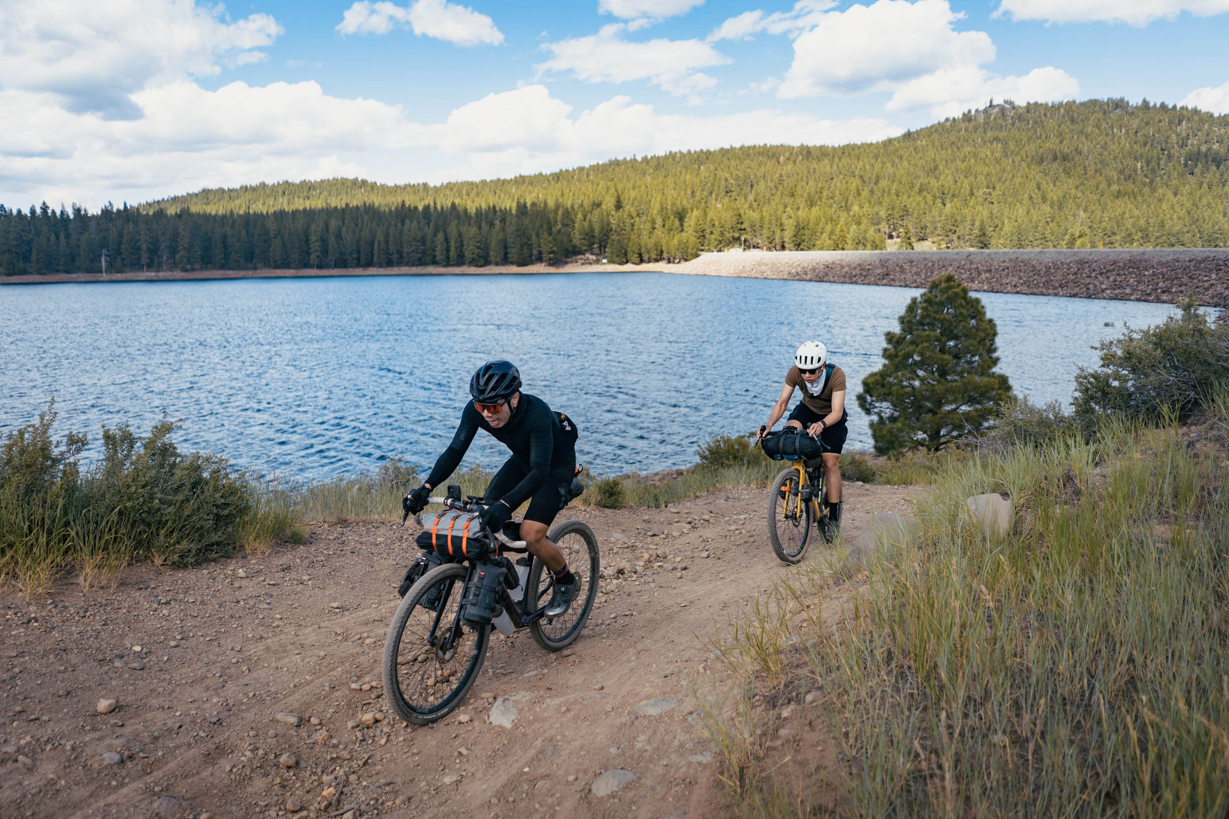
- The singletrack ends at Stampede Reservoir, the first water refill opportunity.
- Joining back with the road, the next five miles are on tarmac that takes you through some beautiful views of the reservoir.
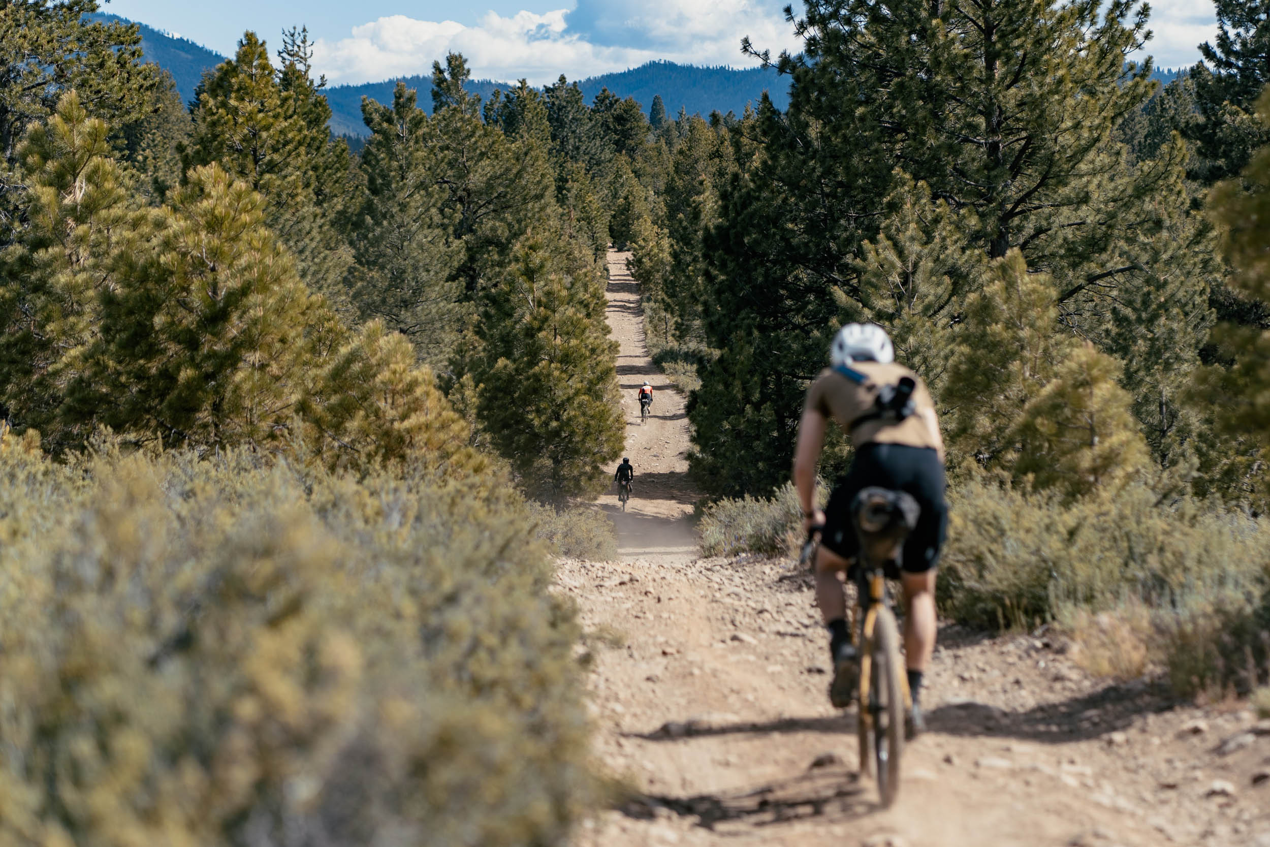
- From here on out, the majority of the route is dirt doubletrack. The route gets slightly bumpier as you approach Sardine Peak, but it’s all manageable on a gravel bike.
- The Sardine Peak climb averages 7% grade for four miles
- The final steep 1/4 mile from the gate to the summit of Sardine Peak is a real kicker. Most will have to hike-a-bike this short stretch, but you’ll soon be rewarded with views that make the huffing and puffing worthwhile.
- Sardine Peak is a lookout tower originally constructed in 1935 by the Civilian Conservation Corps to spot forest fires. It is no longer an active fire lookout tower and has since been converted to accommodate overnight stays.
- Route alternative: If you’re not staying at the lookout tower and want to bypass the big climb of the route, you can detour at the mile 24.5 fork (marked on the map) and instead turn left to stay on Lemon Canyon Road. Skipping Sardine Peak will cut out 1,300 feet of climbing from the entire route.
Day 2
- The day starts with a downhill from Sardine Peak. Watch out for rocks and bumpy sections on the descent.
- Halfway down the descent, where the dirt road intersects with Bear Valley Road, is where the alternative campground option, Bear Valley Campground, is located.
- Optional side quest: If you’re looking to extend this bikepacking trip, one great option is taking Lemon Canyon Road at this campground junction and riding the dirt road west to the town of Sierraville. A 7.5-mile one-way will take you to Sierra Hot Springs, a rustic hot springs resort and retreat center where you can recover with a nice long soak.
- Otherwise, from the campsite, turn right and bomb down Bear Valley Road, a beautiful and fast descent.
- From here, follow the doubletrack up a very gradual incline until you meet up with the road again and retrace your steps from day one along Stampede Reservoir.
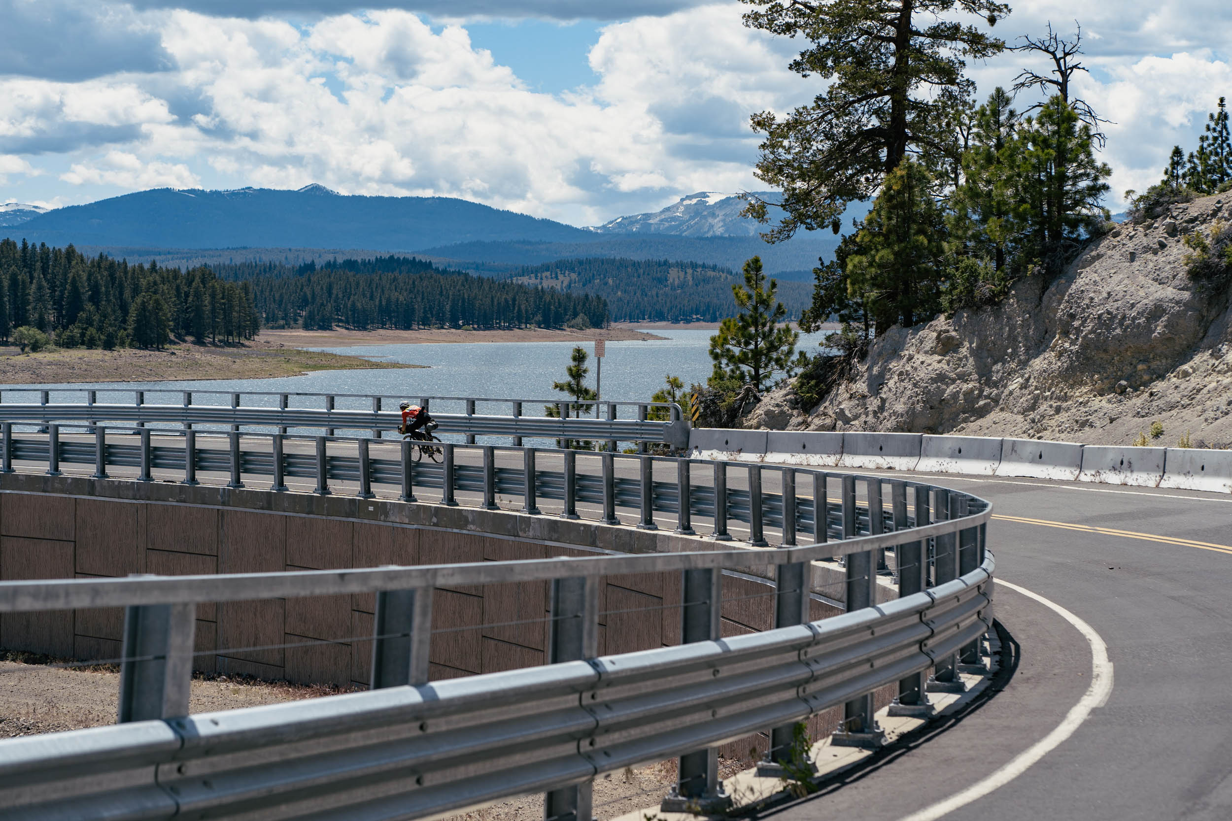
- The road transitions into a fast section and relatively flat segment of doubletrack along Dog Valley Road that ends at a bridge over Prosser Creek Reservoir.
- At the southern end of the bridge, there’s an easy-to-miss right turn that takes you onto the final stretch of singletrack. Hike your bike 10 feet up over the small dirt hump on the right shoulder of the road and you’ll discover a descent into a section of singletrack that hugs the reservoir.
- There are often lovely lupine blooms along the reservoir that look like a surreal purple beach from afar. Enjoy the flowers and tread lightly. Aside: it’s not obvious from the pictures in the photo gallery, but there are small trails in between the flowers that we rode along and we were careful not to crush any flowers!
- Route alternative: If you want to maximize singletrack, turn right at the junction around mile 59 instead of heading straight down Dog Valley Road, and this will take you back onto Commemorative Overland Emigrant Trail, where you can continue to retrace your steps from day one back to the start.


Terms of Use: As with each bikepacking route guide published on BIKEPACKING.com, should you choose to cycle this route, do so at your own risk. Prior to setting out check current local weather, conditions, and land/road closures. While riding, obey all public and private land use restrictions and rules, carry proper safety and navigational equipment, and of course, follow the #leavenotrace guidelines. The information found herein is simply a planning resource to be used as a point of inspiration in conjunction with your own due-diligence. In spite of the fact that this route, associated GPS track (GPX and maps), and all route guidelines were prepared under diligent research by the specified contributor and/or contributors, the accuracy of such and judgement of the author is not guaranteed. BIKEPACKING.com LLC, its partners, associates, and contributors are in no way liable for personal injury, damage to personal property, or any other such situation that might happen to individual riders cycling or following this route.
Please keep the conversation civil, constructive, and inclusive, or your comment will be removed.