


A (San Rafael) Swell Night Out, Utah
Distance
74 Mi.
(119 KM)Days
2-3
% Unpaved
100%
% Singletrack
17%
% Rideable (time)
99%
Total Ascent
8,337'
(2,541 M)High Point
6,963'
(2,122 M)Difficulty (1-10)
6.5?
- 7Climbing Scale Strenuous113 FT/MI (21 M/KM)
- -Technical Difficulty
- -Physical Demand
- -Resupply & Logistics
Contributed By

Patrick Hendry and Seth Kruckenberg
Guest Contributor
Patrick and Seth hail from different parts of the U.S. but share a love of bikepacking and the Mountain West. Patrick currently lives in Utah and, when not at his day job, is an avid photographer posting online at unsplash.com/@
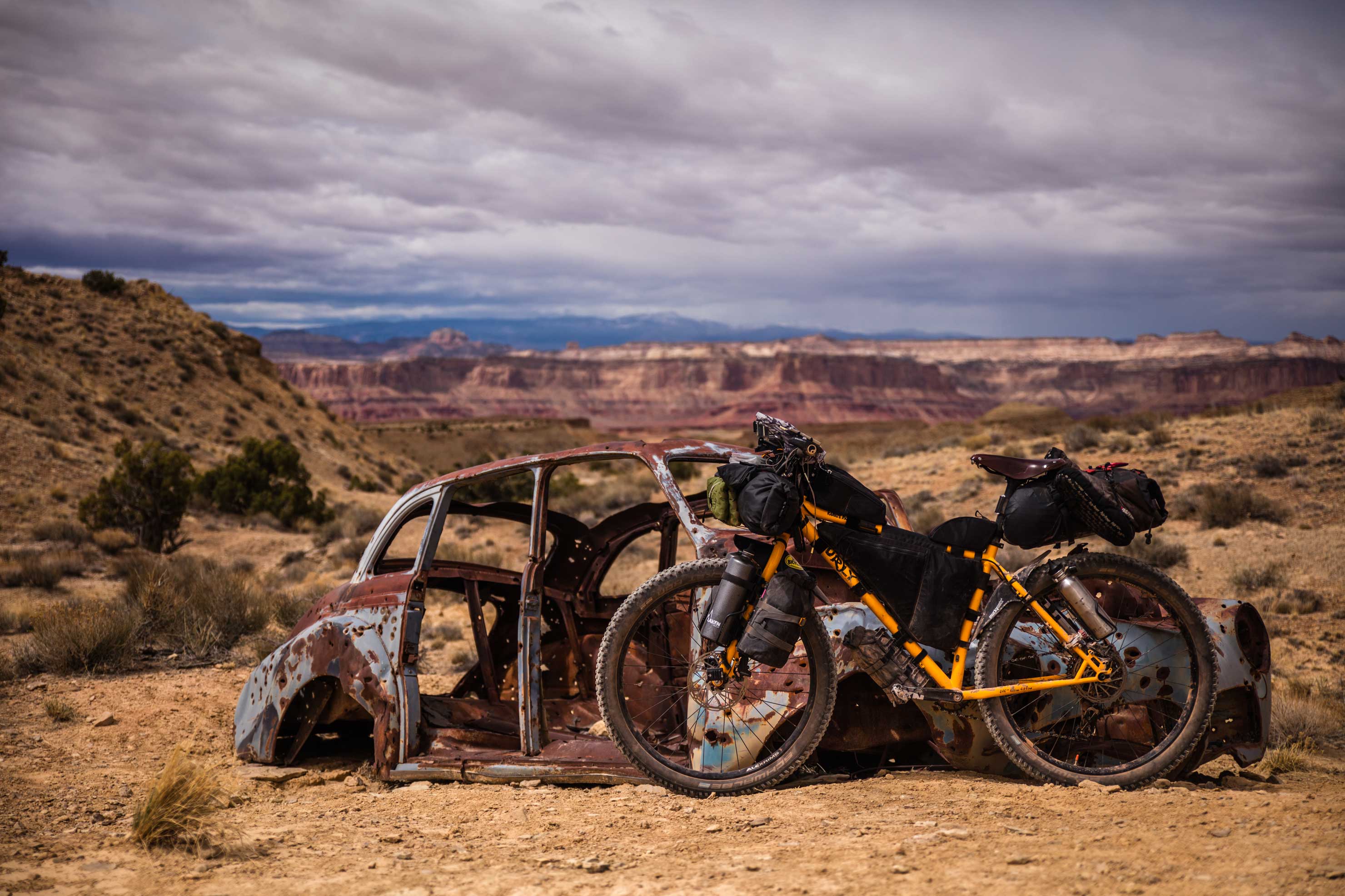
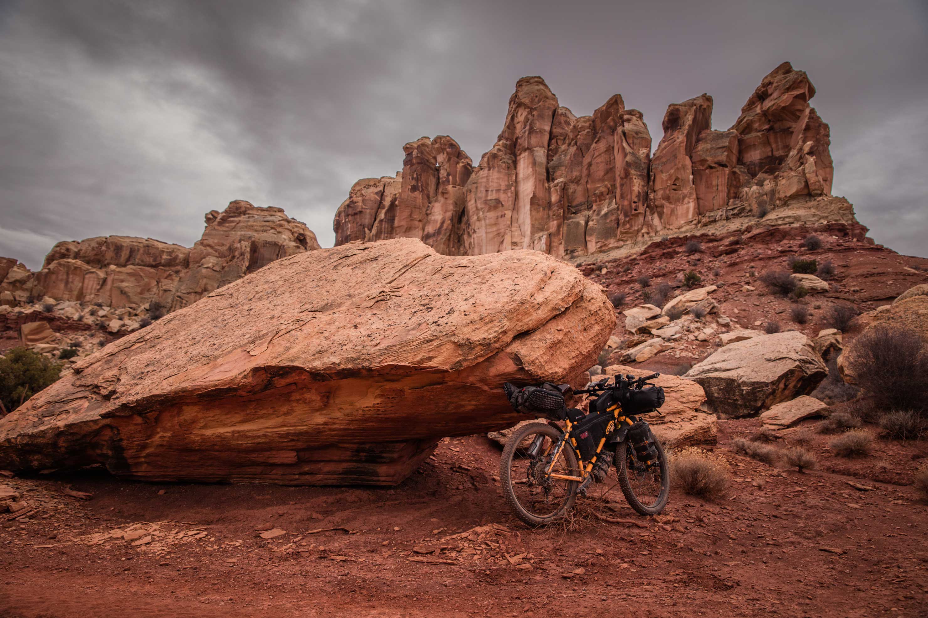
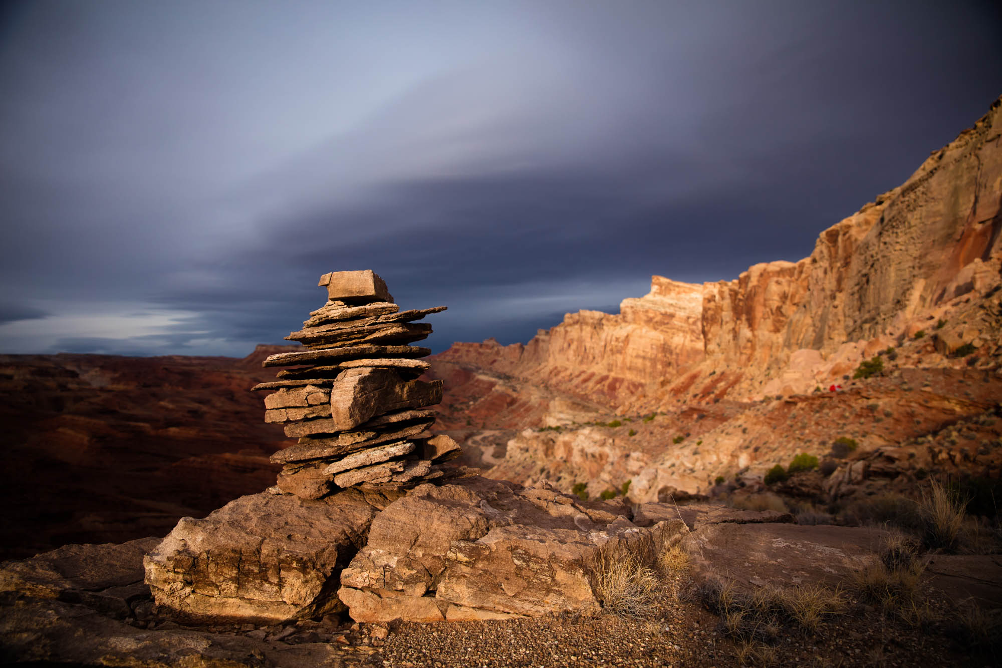
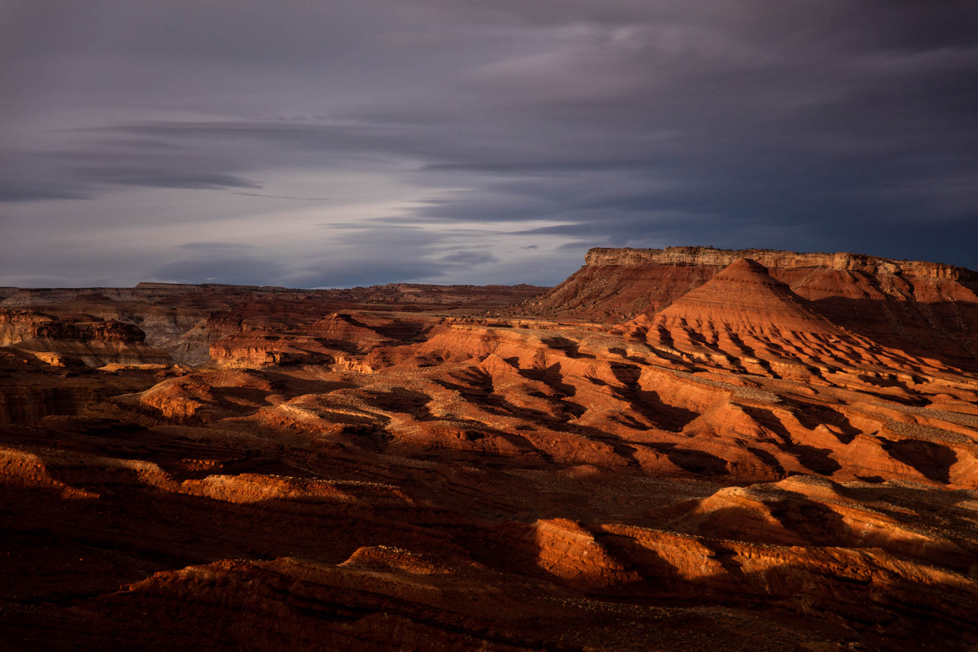
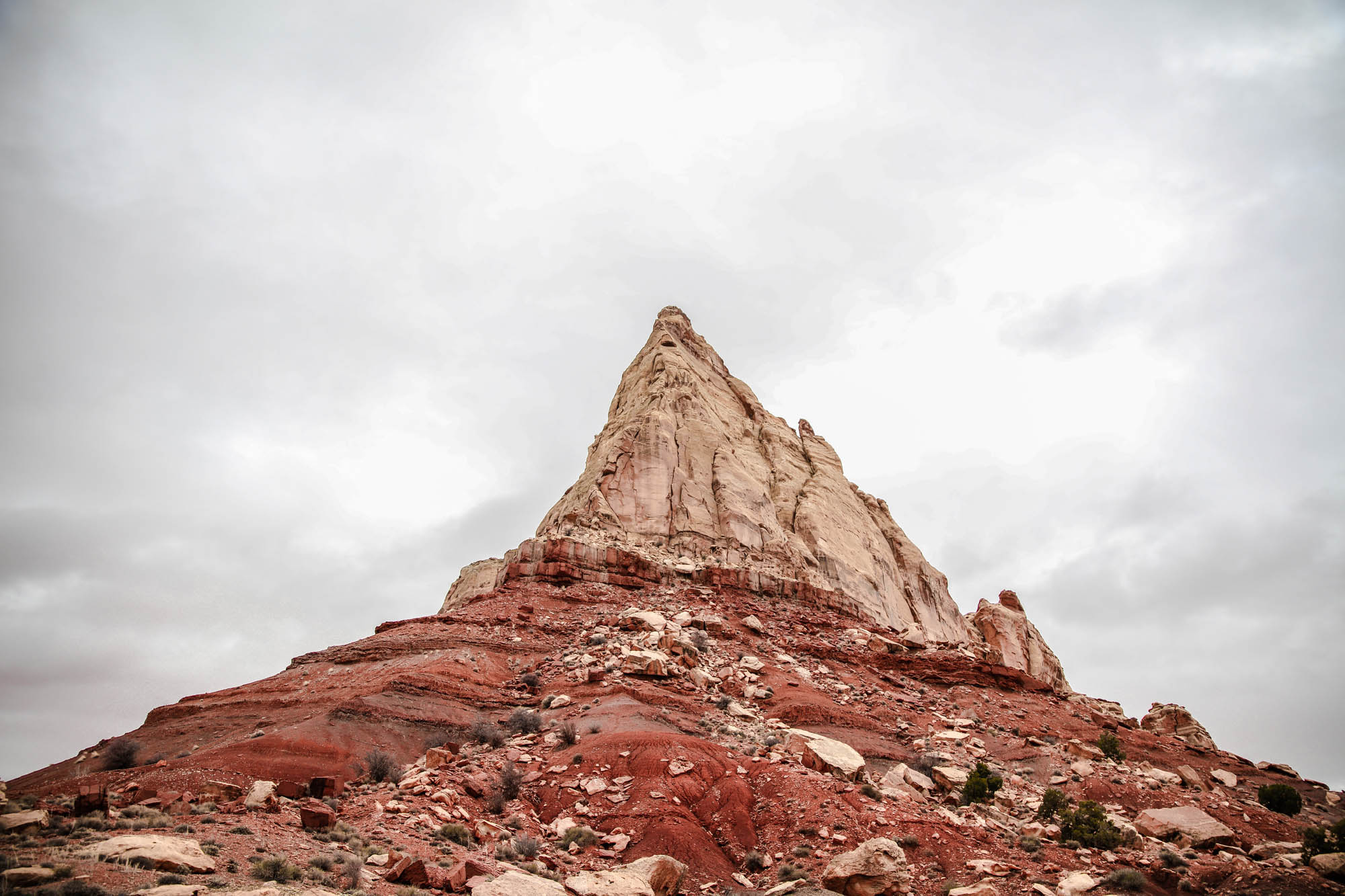
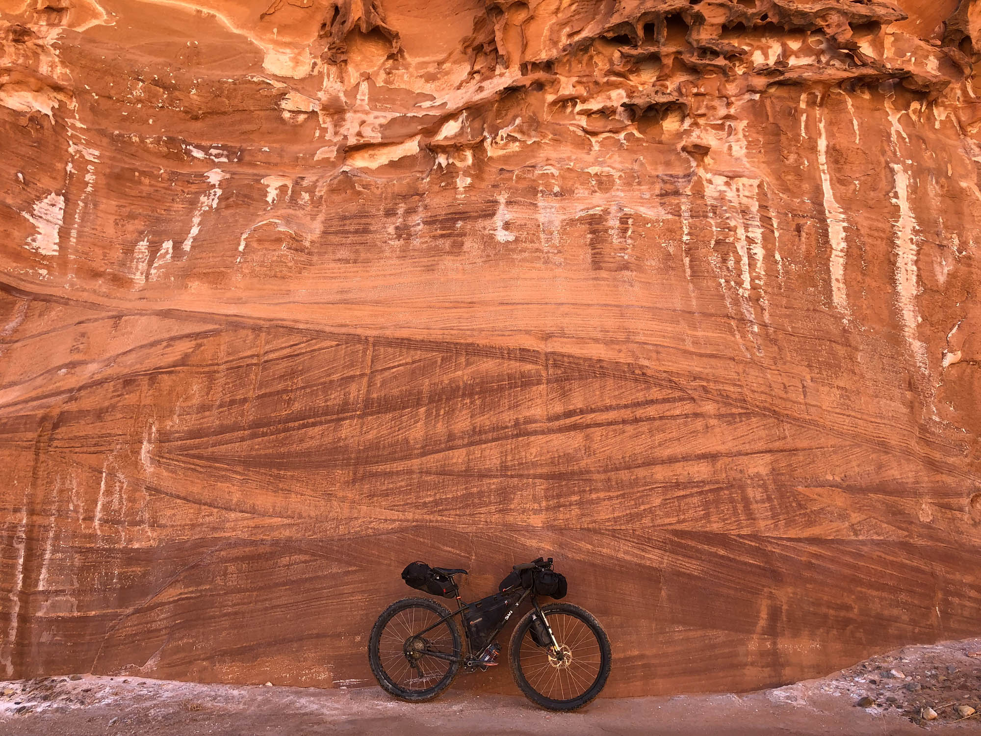
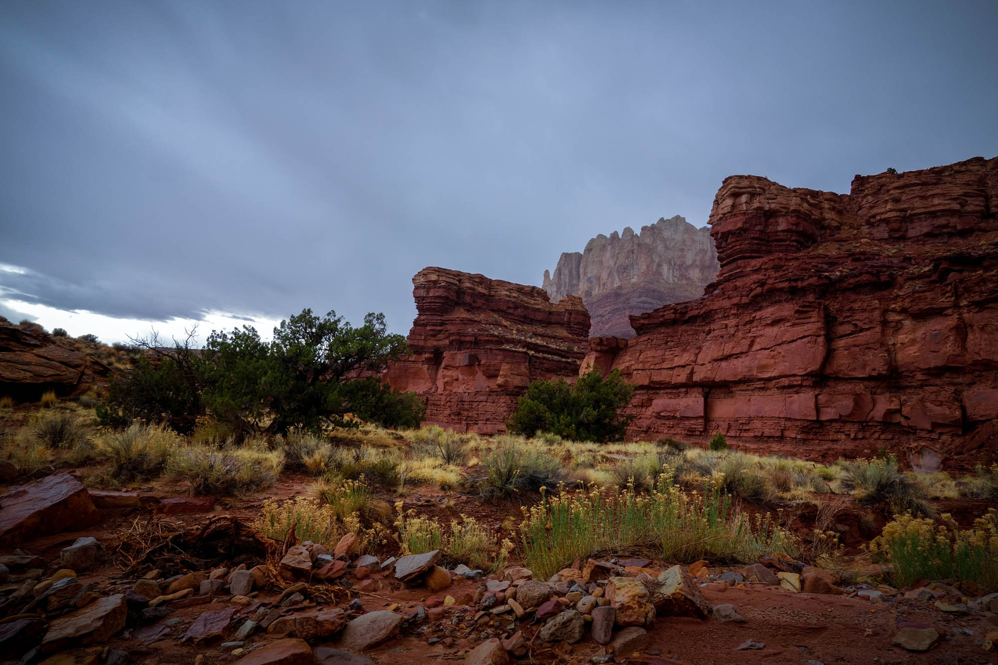
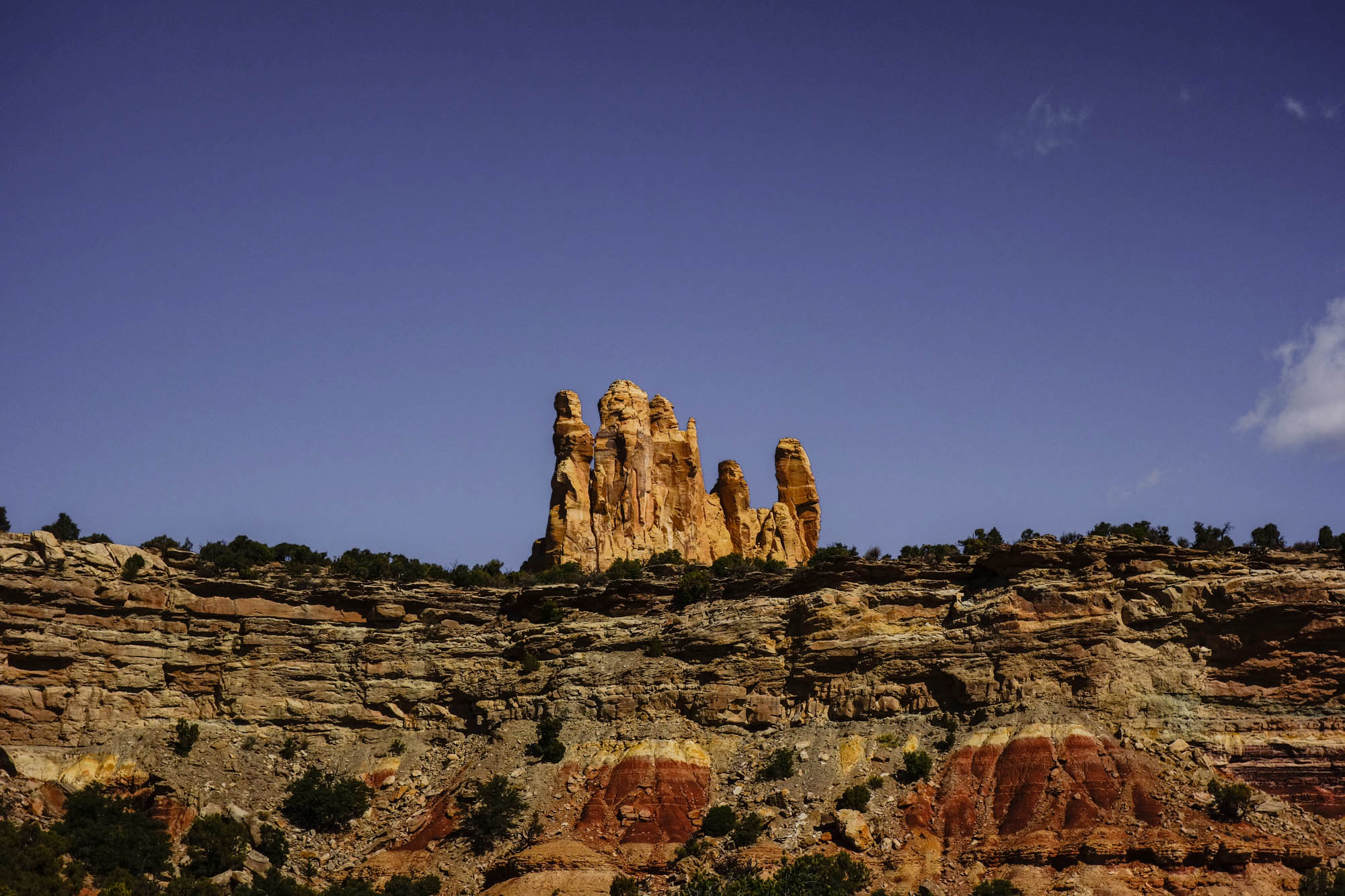
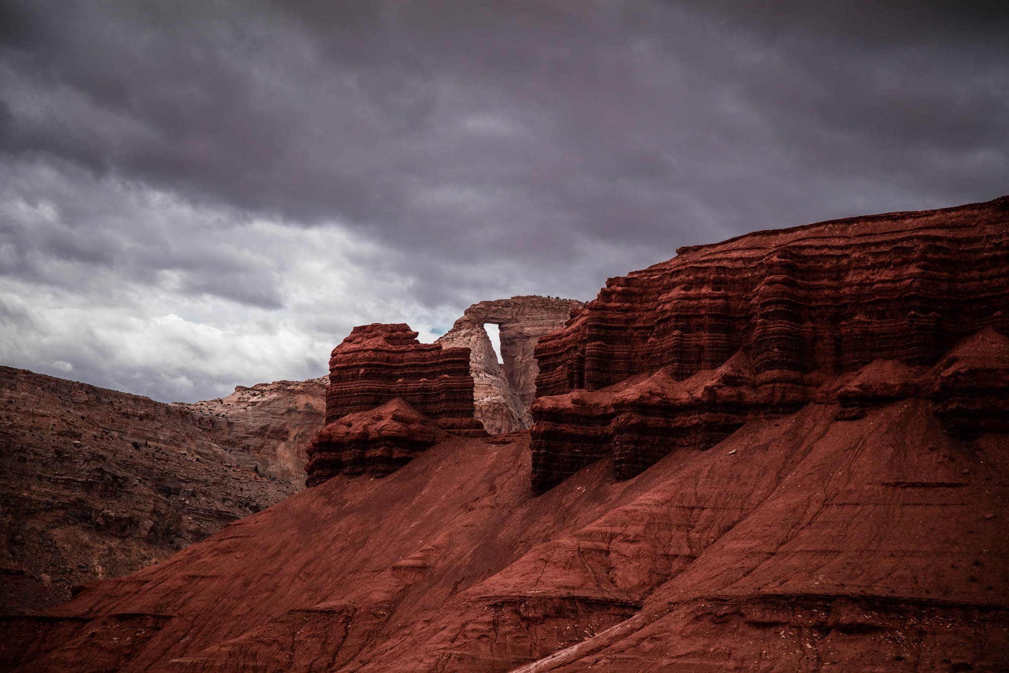
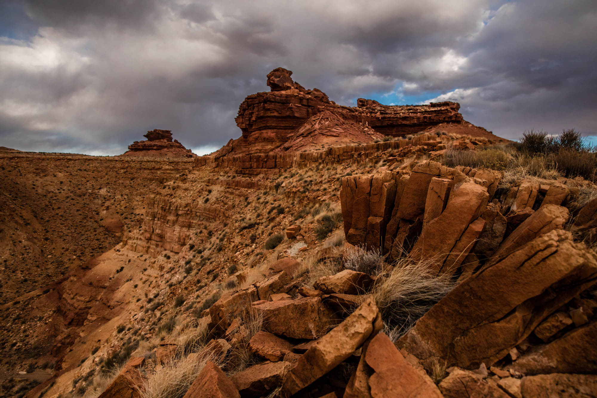
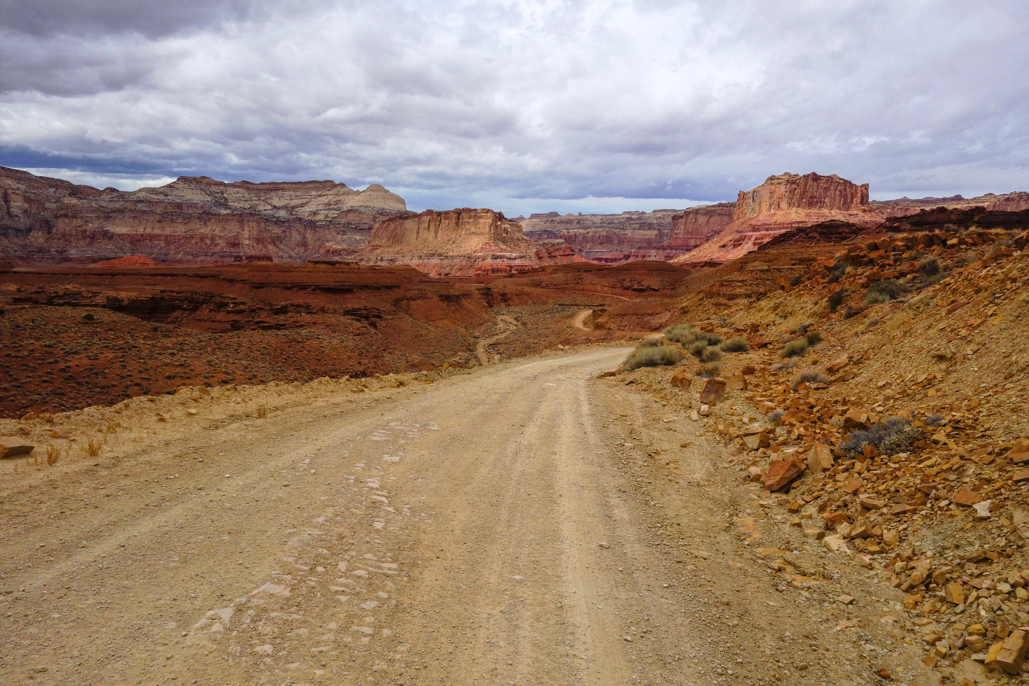
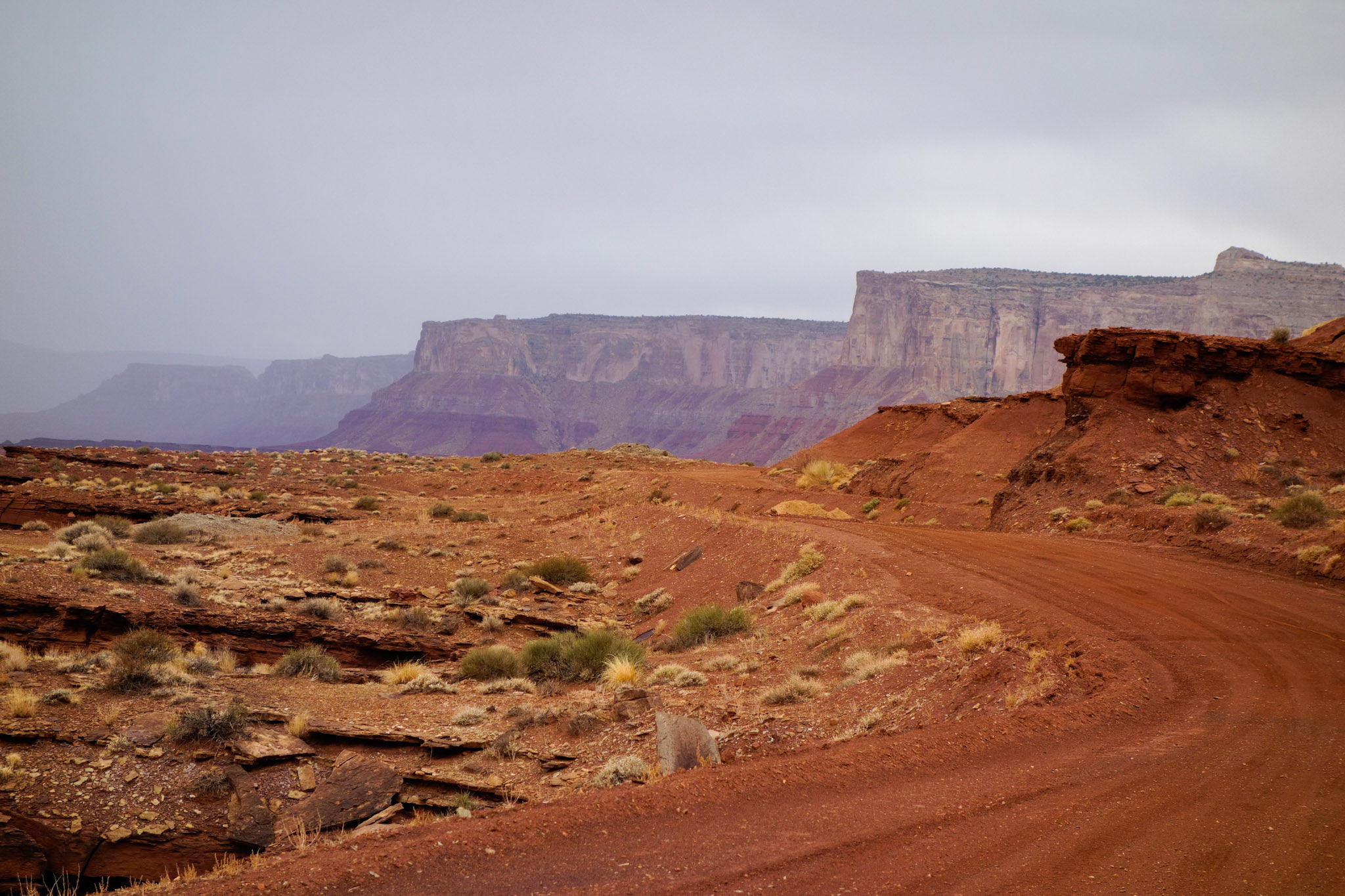
The San Rafael Swell is a massive (approximately 40 x 75 mile) geologic dome in central Utah, formed by deformation and uplift of the Colorado Plateau that began during the Laramide orogeny some 60 million years ago. What’s left is a warped landscape of idyllic bluffs, mesas, spires, and narrow canyons shaped by the bending and erosion of sedimentary layers awash in color. It is a region rich in cultural history, spanning from early Native American inhabitation to more recent exploitation of its natural resources fueled by wartime efforts to mine uranium throughout the region, which peaked in the 1950s. For the bikepacker, it is an accessible but remote high desert with immense bikepacking potential and scenery that rivals (or exceeds) many of the areas of Utah more frequented by riders and tourists alike.
“A (San Rafael) Swell Night Out” was designed with a few complementary goals in mind: (1) To continue to draw awareness to, and appreciation for, the expansive reaches of public land in the West that are host to this cultural history, and to the geologic marvels in the region that formed through monumental tectonic forces and the slow passage of time; and (2) To provide an accessible riding experience that is sure to have something for everyone, whether you are an experienced bikepacker or just starting out.
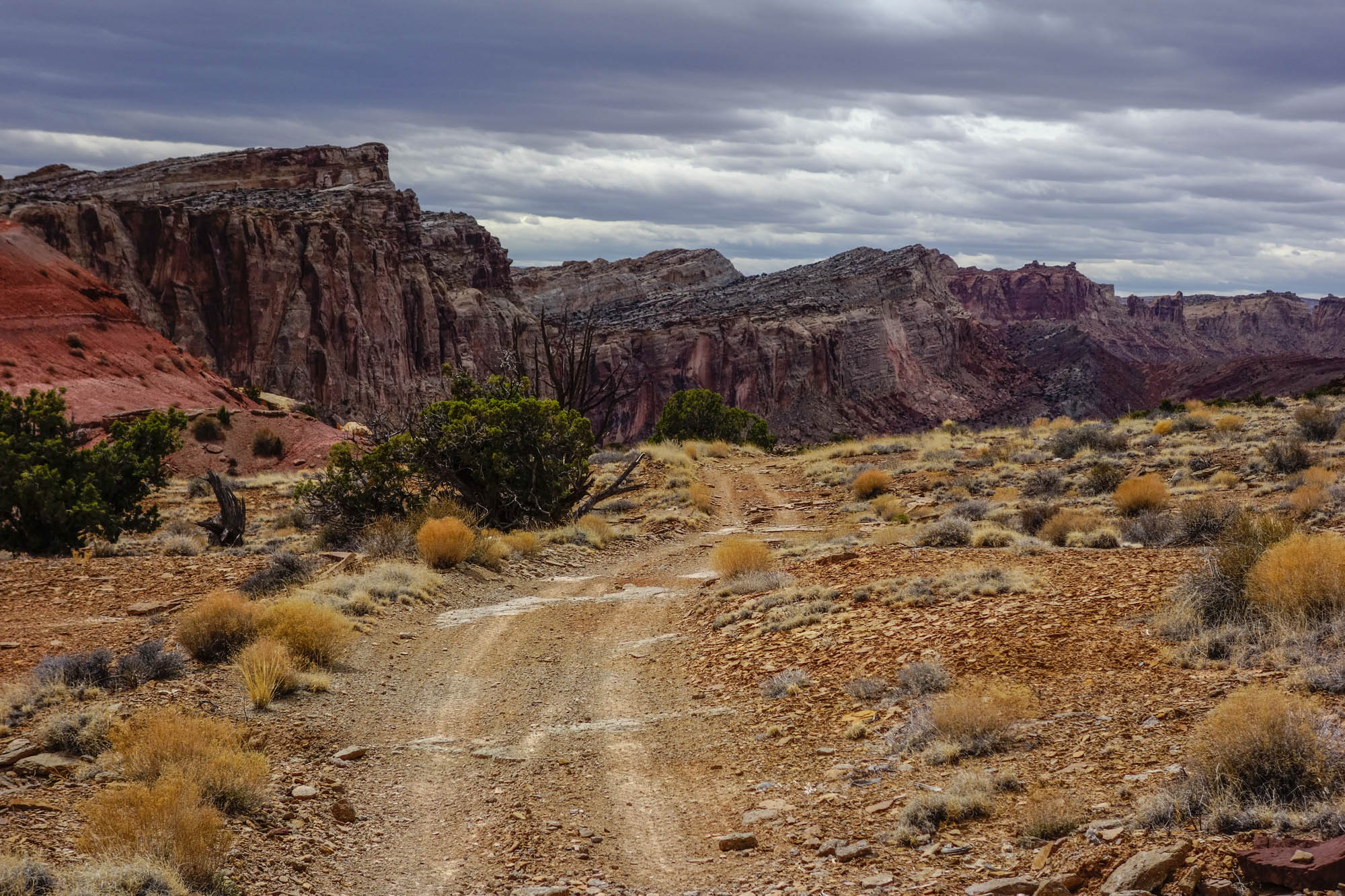
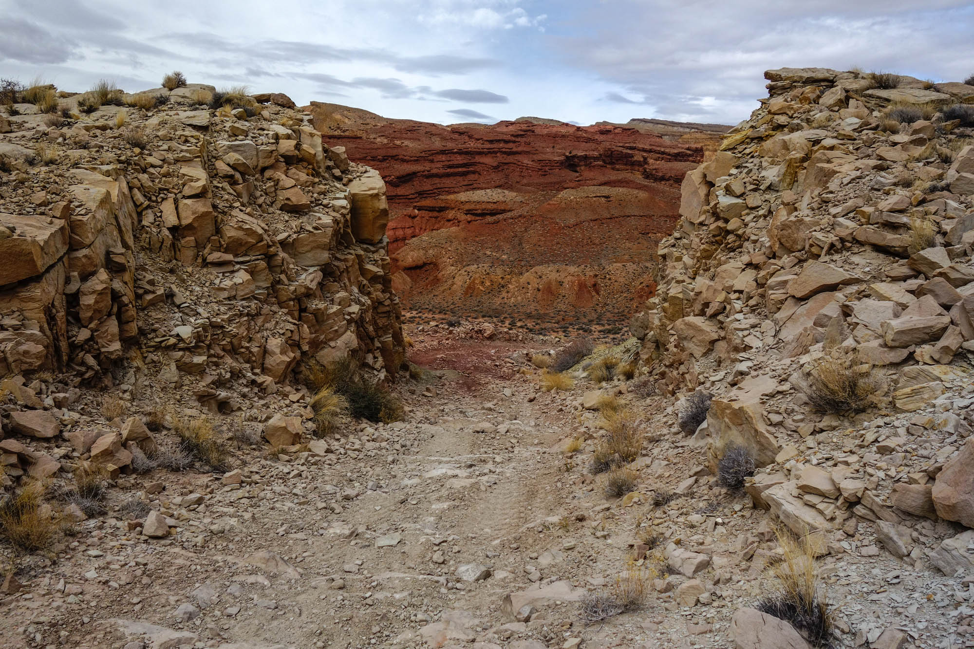
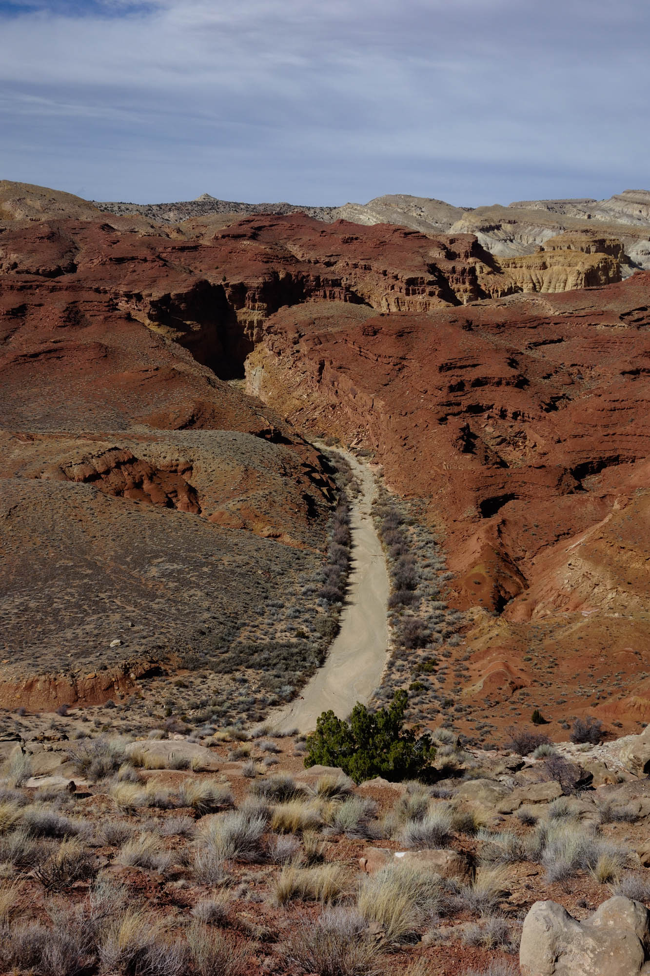
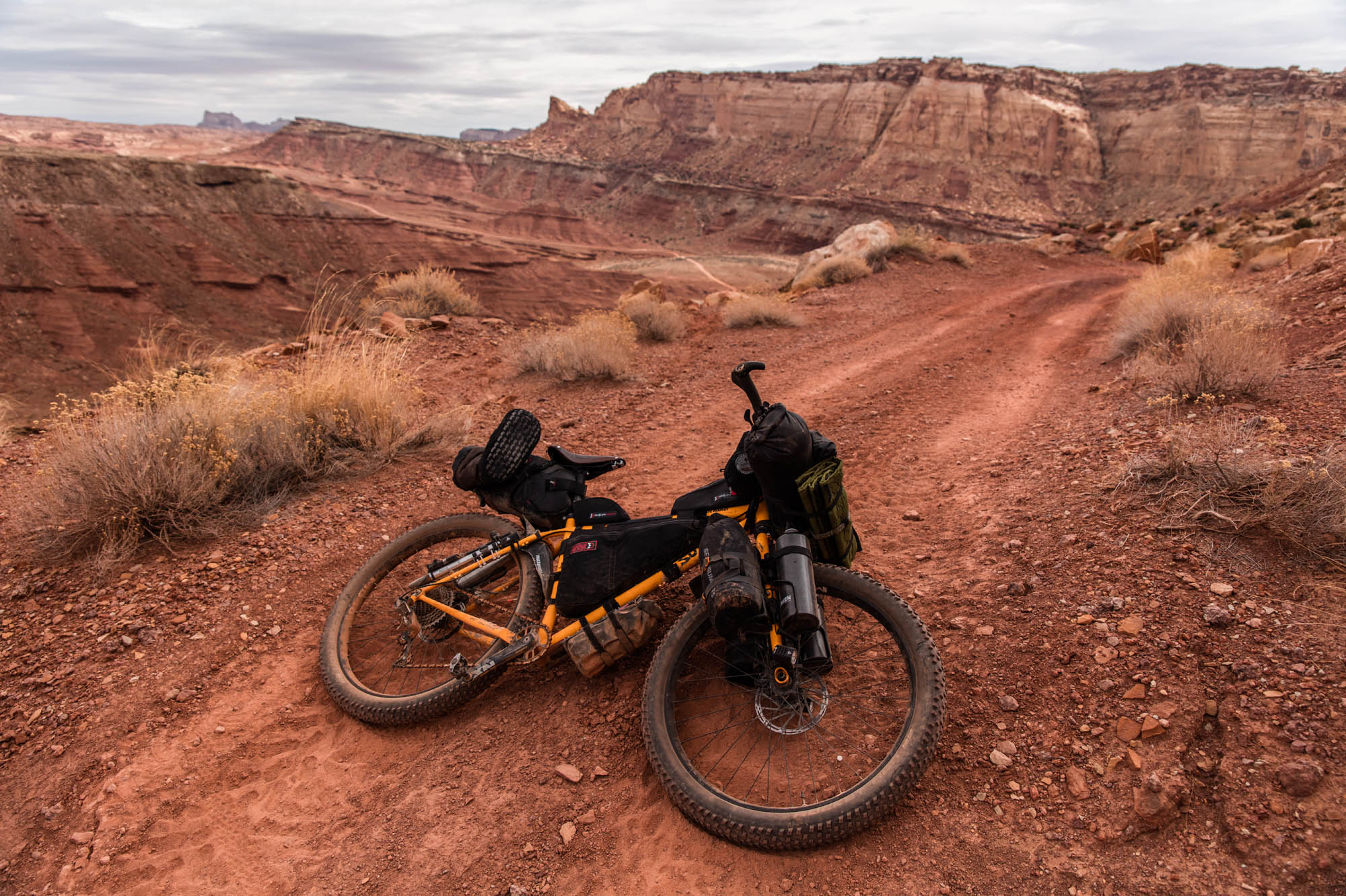
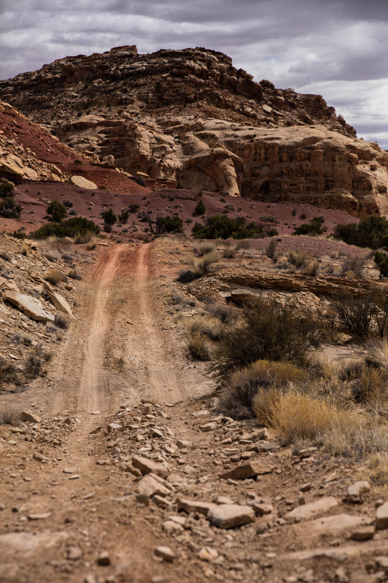
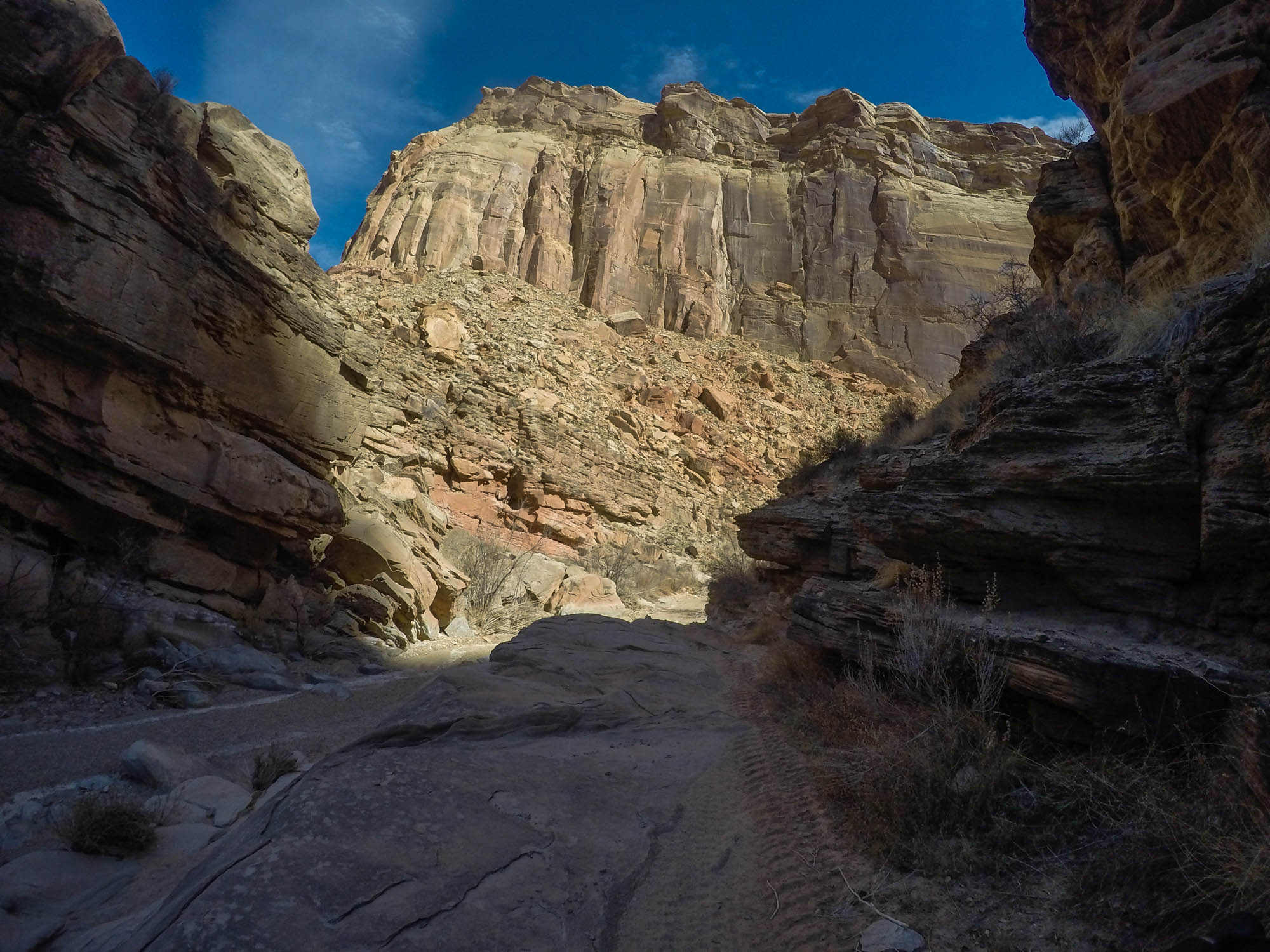
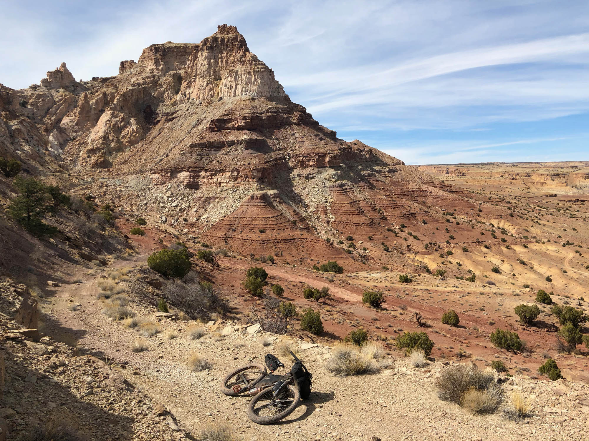
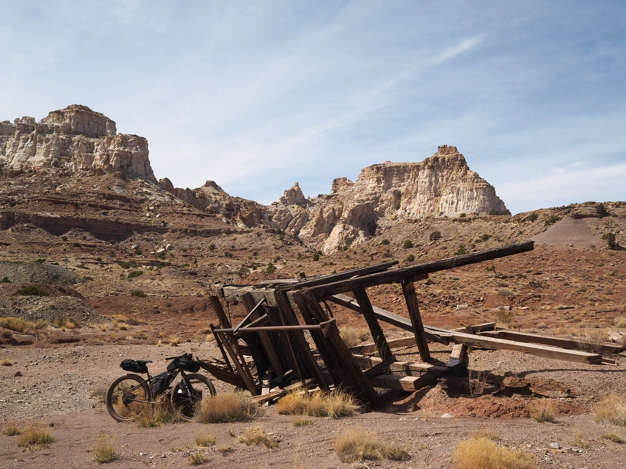
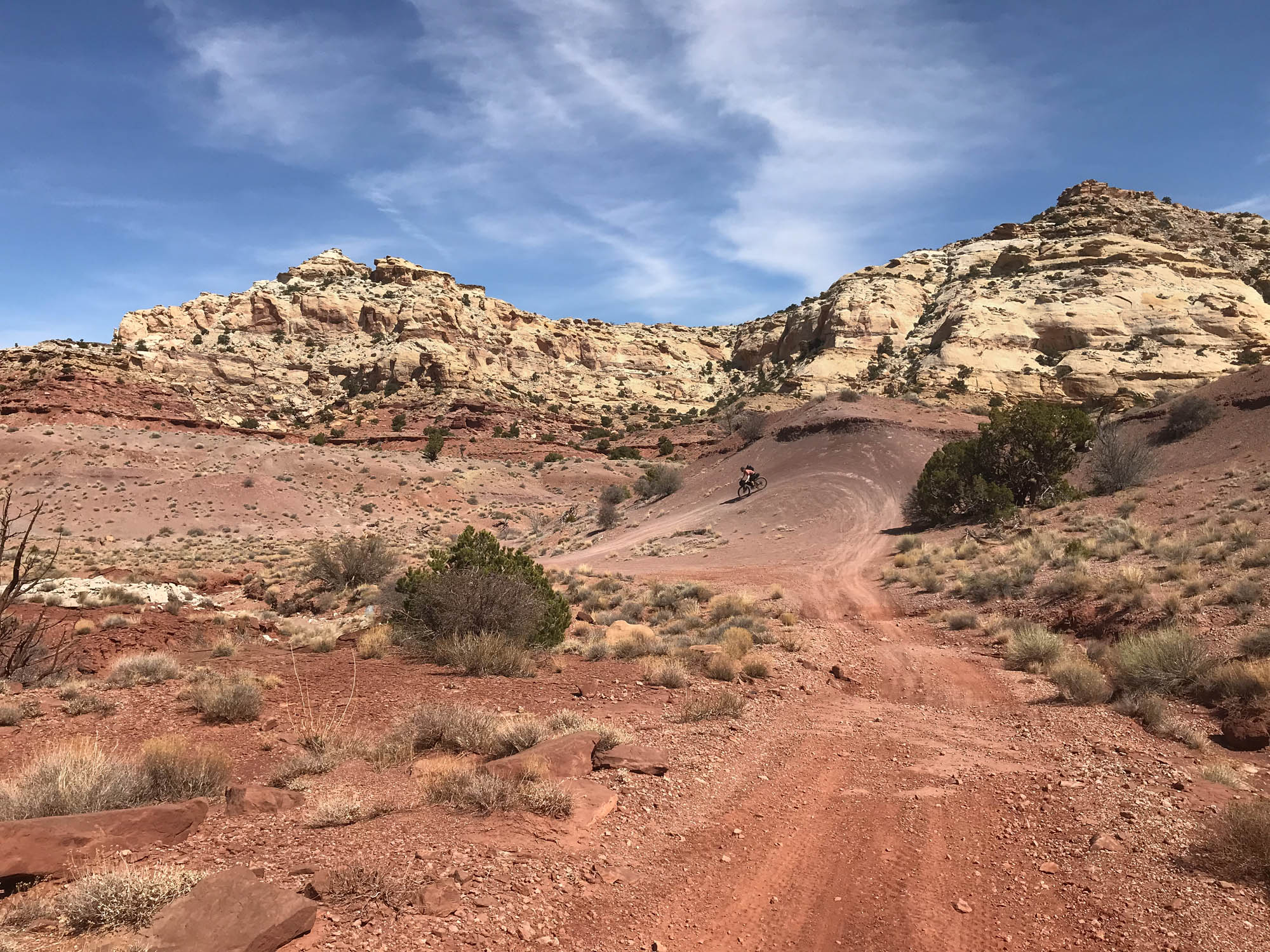
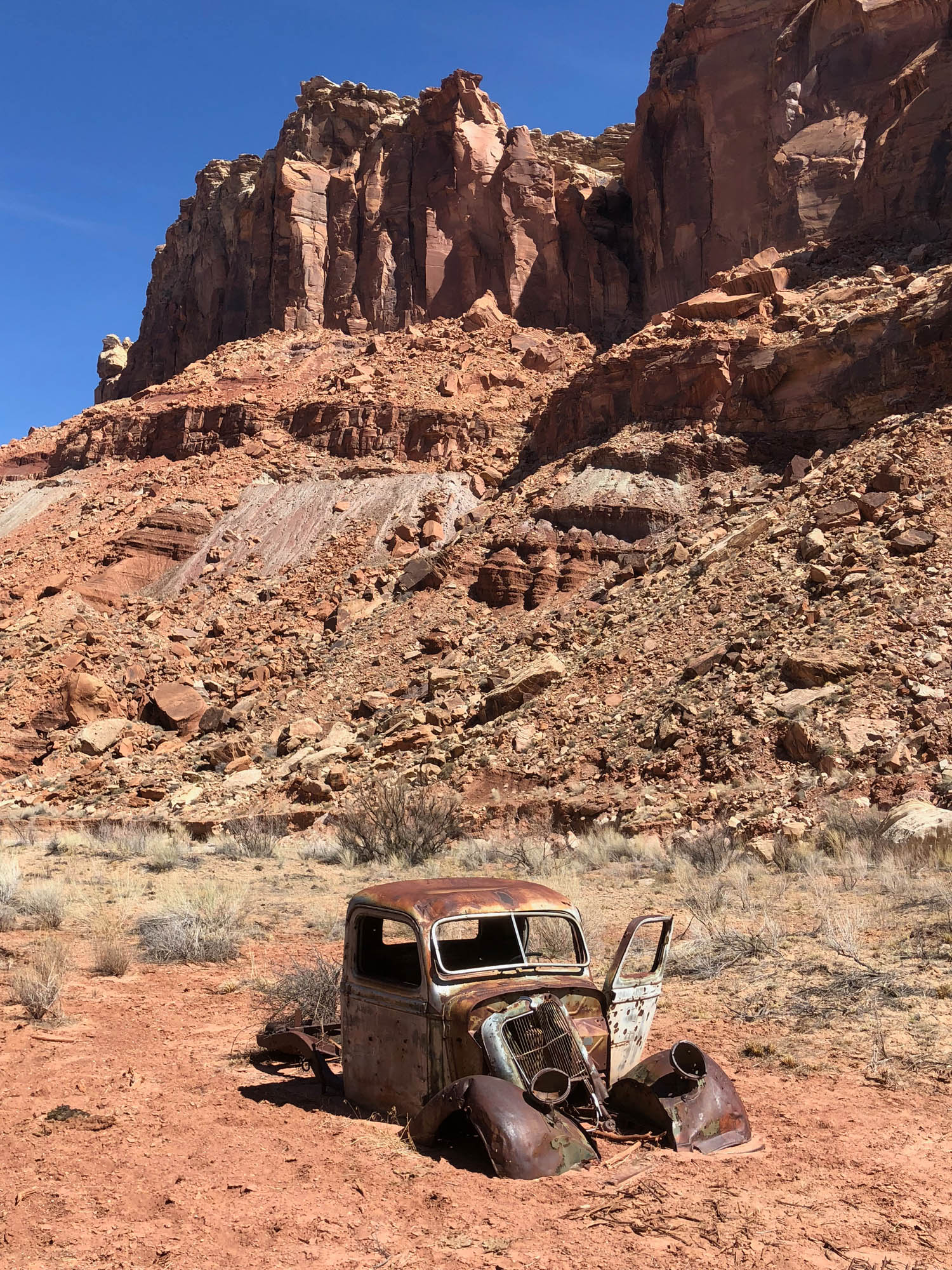
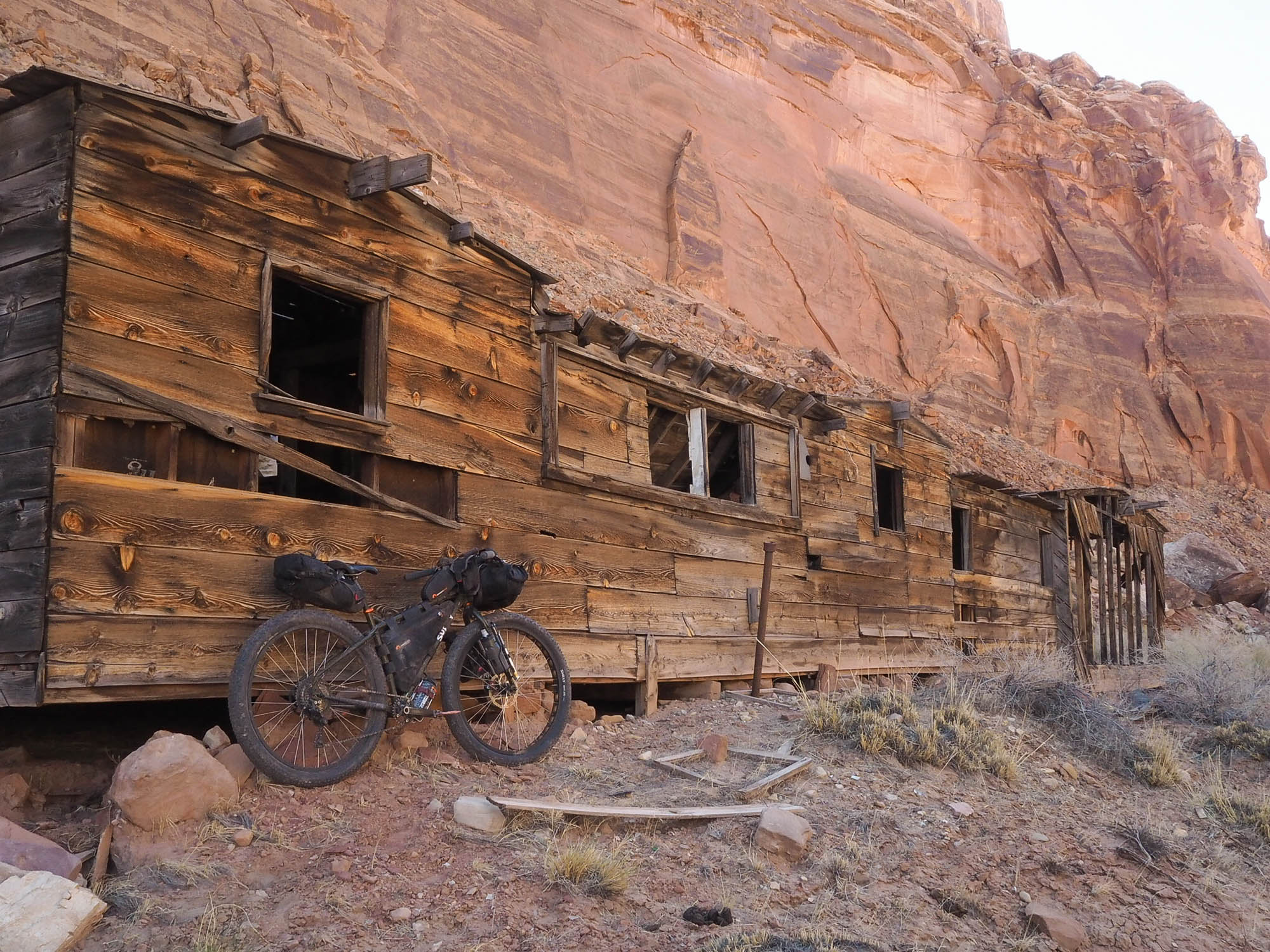
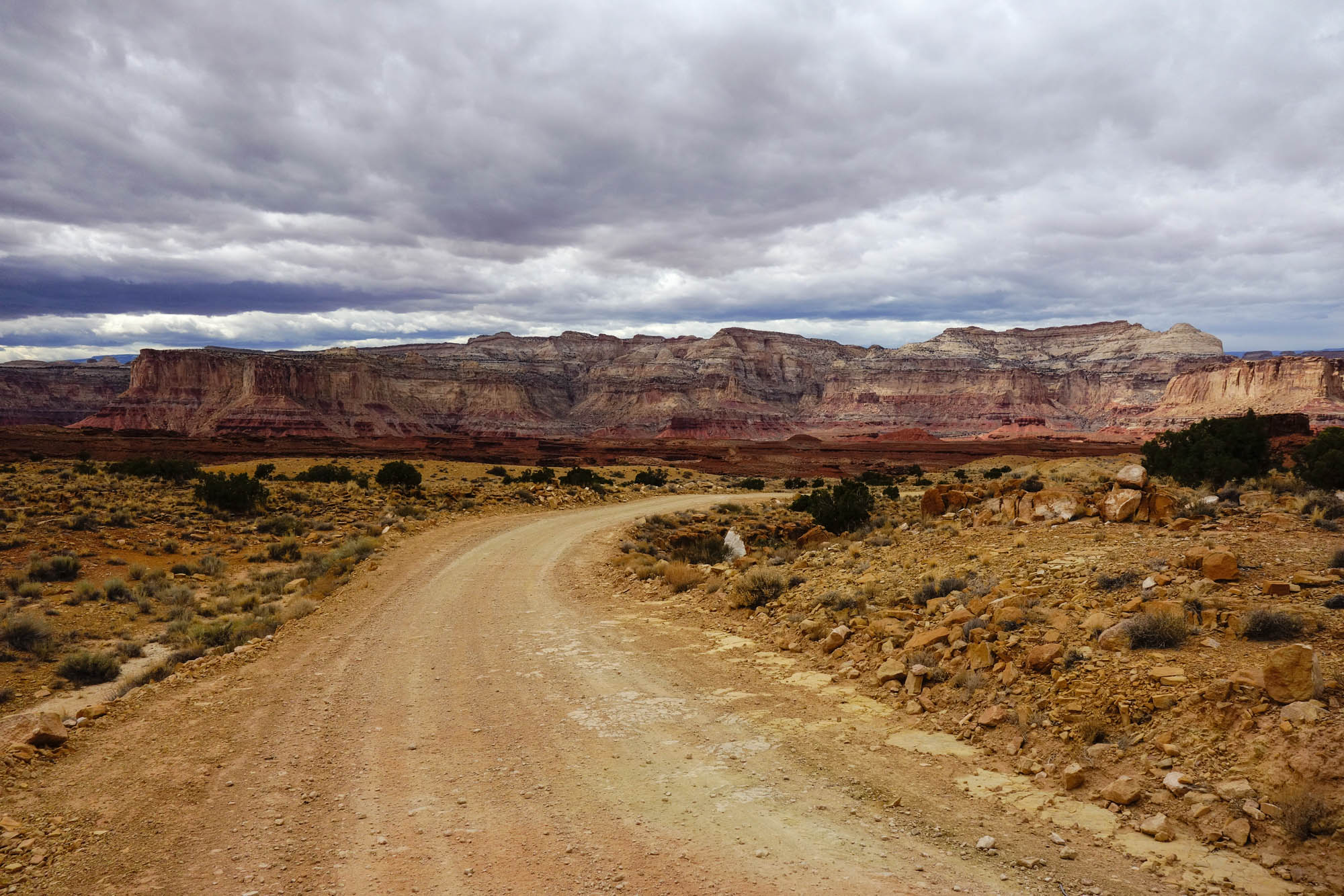
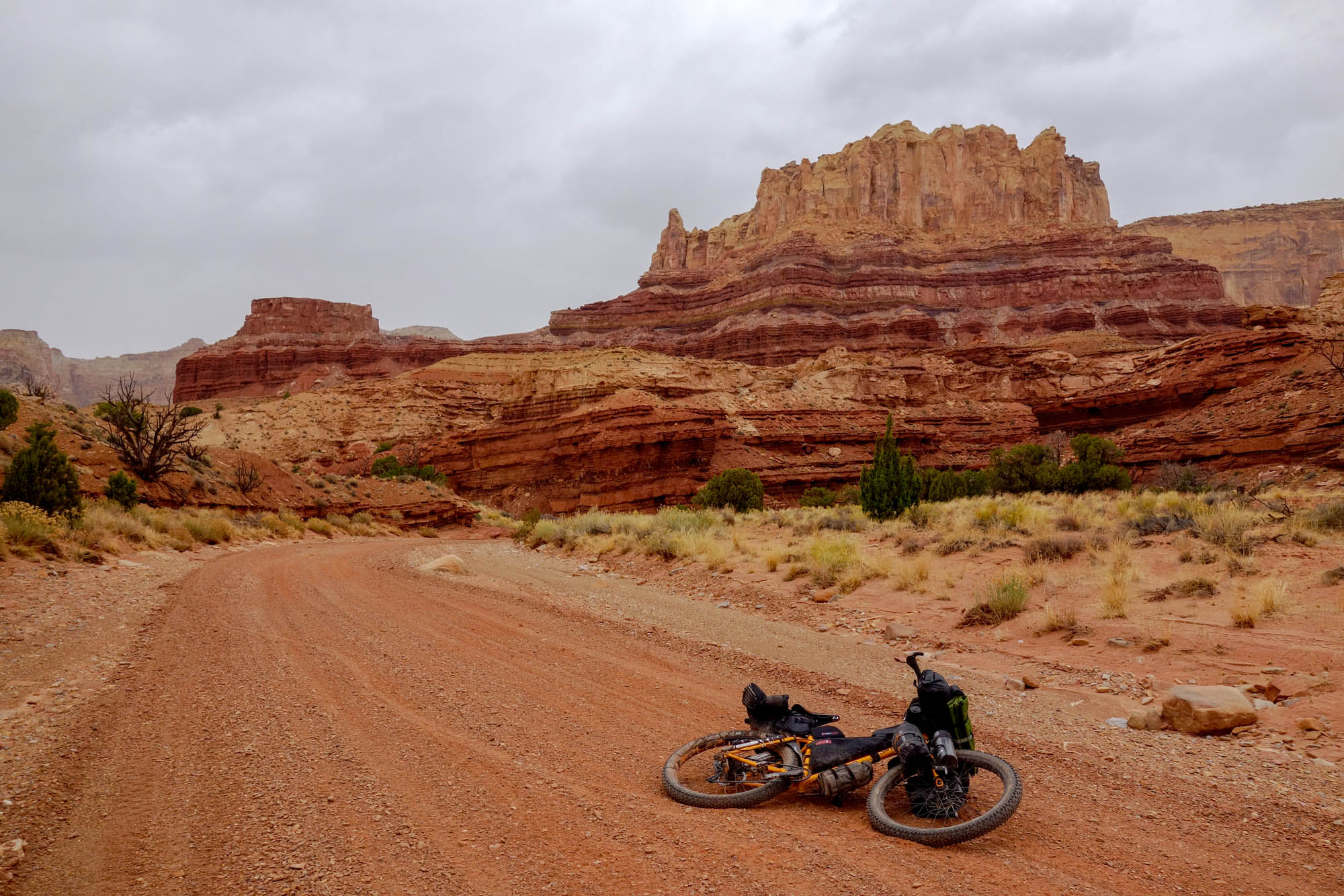
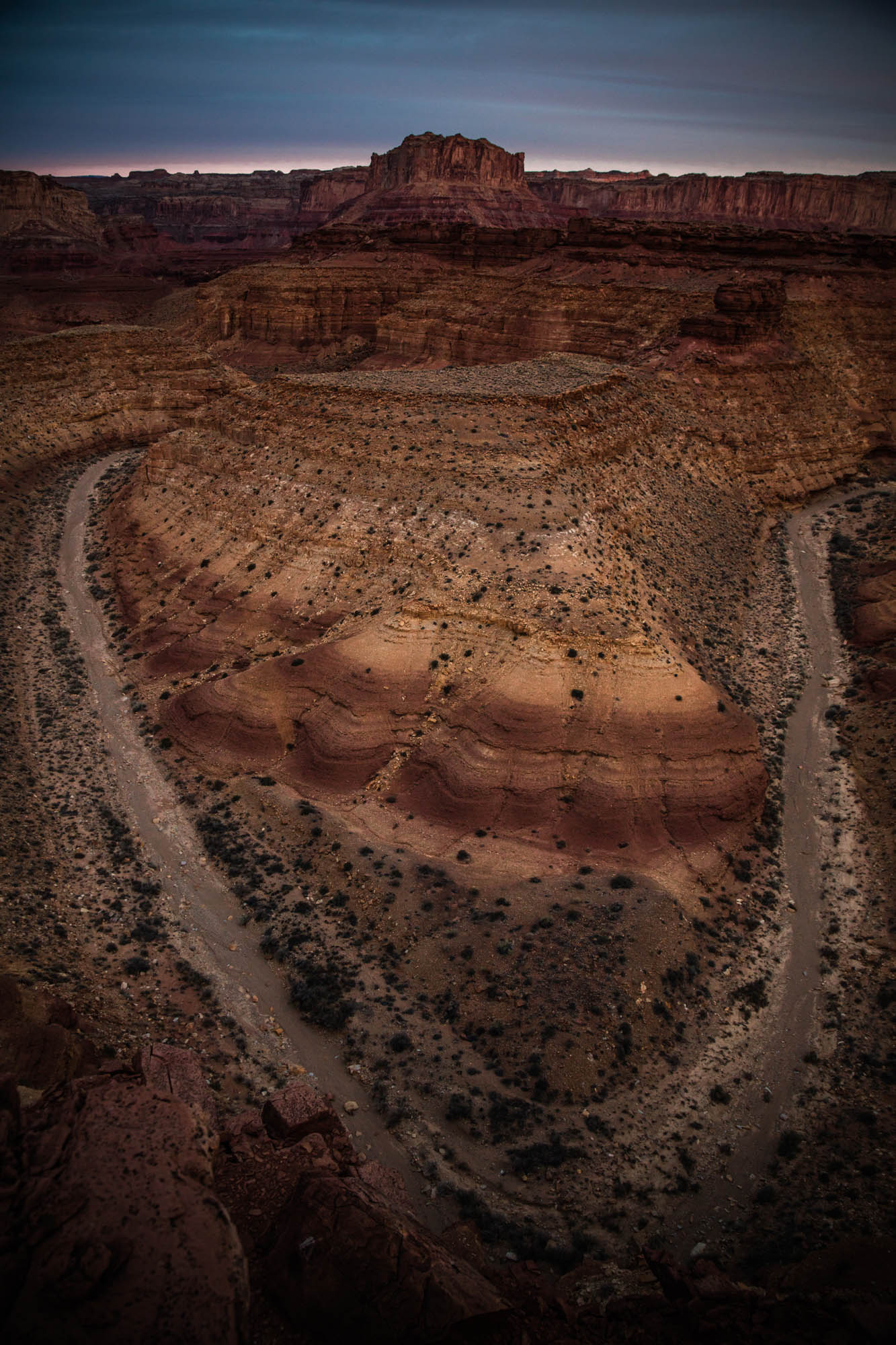
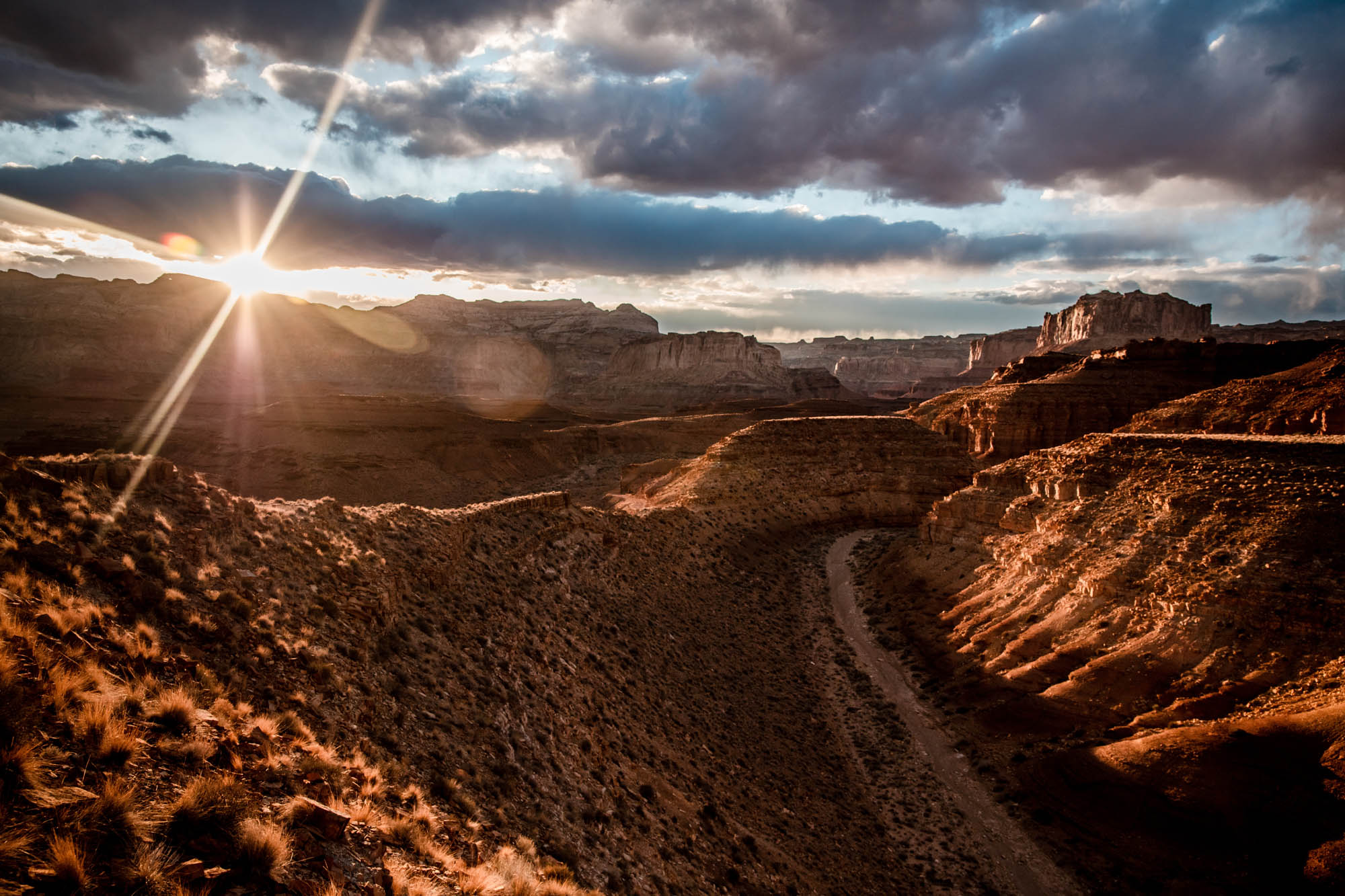
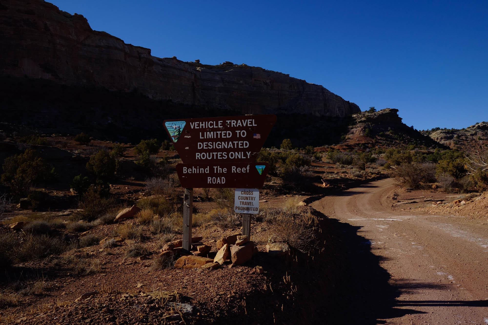
The route begins just west of Temple Mountain (north of Goblin Valley State Park) and traverses the backside of the San Rafael monocline (i.e. “The Reef”) along the immensely beautiful Behind the Reef Road. Heading westbound, your journey into The Swell will take you toward the Muddy Creek drainage along gravel roads and rugged 4×4 double tracks that wend their way through warped sedimentary layers rich in color, and beneath idyllic bluffs, spires, and tortuous rock formations carved during the uplift, bending, and erosion of the San Rafael monocline. In the west, the route bifurcates from the Behind the Reef Road to explore the Bunkhouse at Hidden Splendor and the dramatic canyon carved by Muddy Creek through The Reef. Trending northward, you’ll head clockwise into the interior of The Swell along well established gravel roads that are equally beautiful in terms of scenery, but with more predictable riding conditions. Most notably, the northern portion of the route provides a stunning view of the Hondu Arch, a keyhole formation at the upper reaches of Muddy Creek. Ultimately culminating in the east with a climb up Temple Mountain to explore the remnants of uranium mining efforts in the area, this overnight loop serves up an ever changing landscape that is sure to inspire seasoned bikepackers and those still testing the waters of remote exploration.
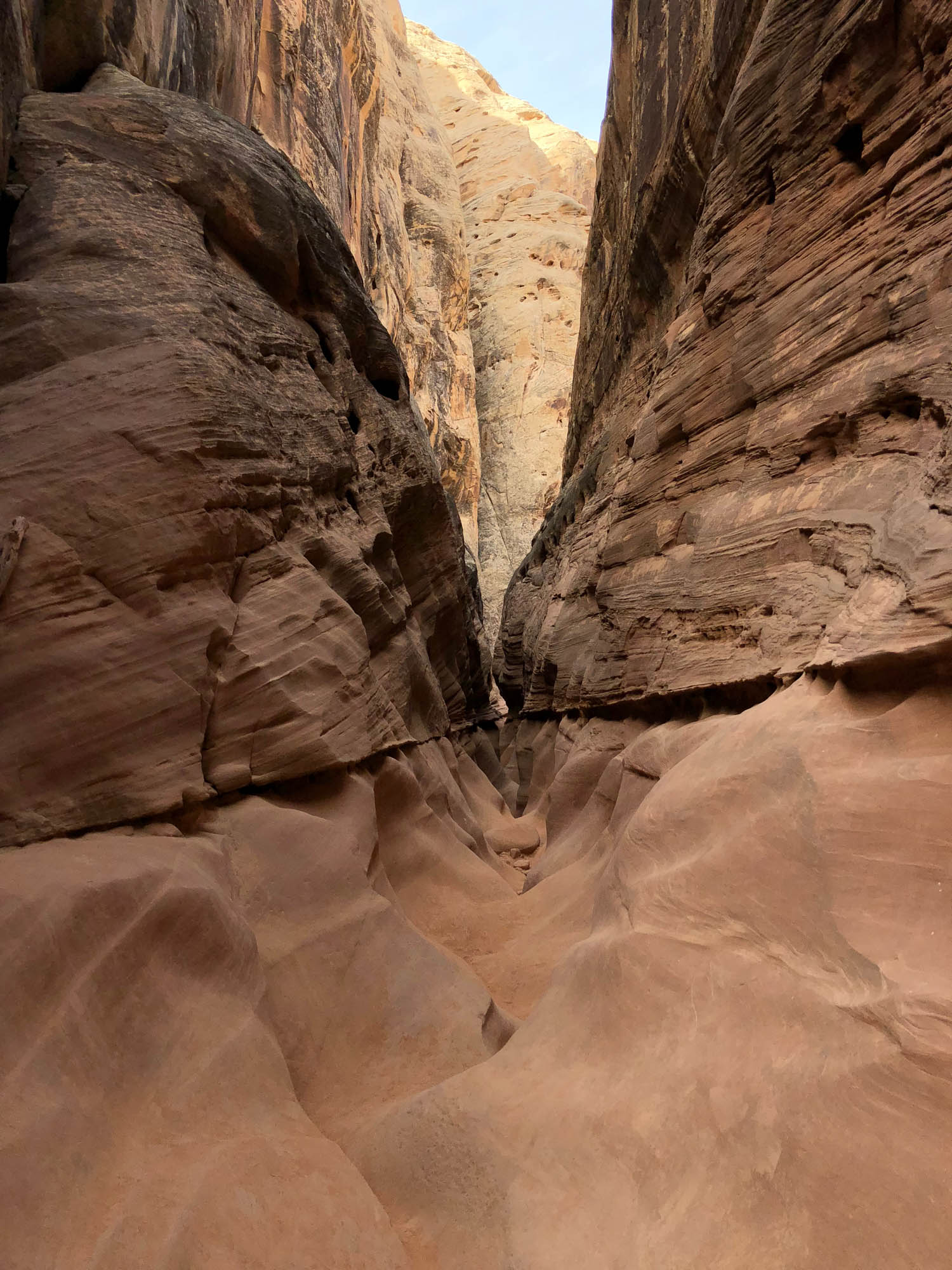
One thing is for certain, the San Rafael will not disappoint. Should you have time, don’t forget to also check out the many other opportunities for exploration nearby, including numerous slot canyon hikes that can be accessed directly on route. Given the proximity to these features, nearby Goblin Valley State Park and Cathedral Valley, and an abundance of free camping, we suspect (and hope) that this route will also entice those looking to squeeze in a memorable and visually stunning bikepacking experience during family vacations, or amidst other forays to the nearby riding hubs of Fruita, Colorado, and Moab, Utah.


Submit Route Alert
As the leading creator and publisher of bikepacking routes, BIKEPACKING.com endeavors to maintain, improve, and advocate for our growing network of bikepacking routes all over the world. As such, our editorial team, route creators, and Route Stewards serve as mediators for route improvements and opportunities for connectivity, conservation, and community growth around these routes. To facilitate these efforts, we rely on our Bikepacking Collective and the greater bikepacking community to call attention to critical issues and opportunities that are discovered while riding these routes. If you have a vital issue or opportunity regarding this route that pertains to one of the subjects below, please let us know:
Highlights
Must Know
Camping
Food/H2O
Trail Notes
Resources
- The beauty of the Behind the Reef Road, which traverses the heaved landscape beneath the towering bluffs of the San Rafael Reef.
- Riding amidst an otherworldly landscape of endlessly changing color forged by uplift, tilting, and erosion of diverse sedimentary layers within the San Rafael Swell.
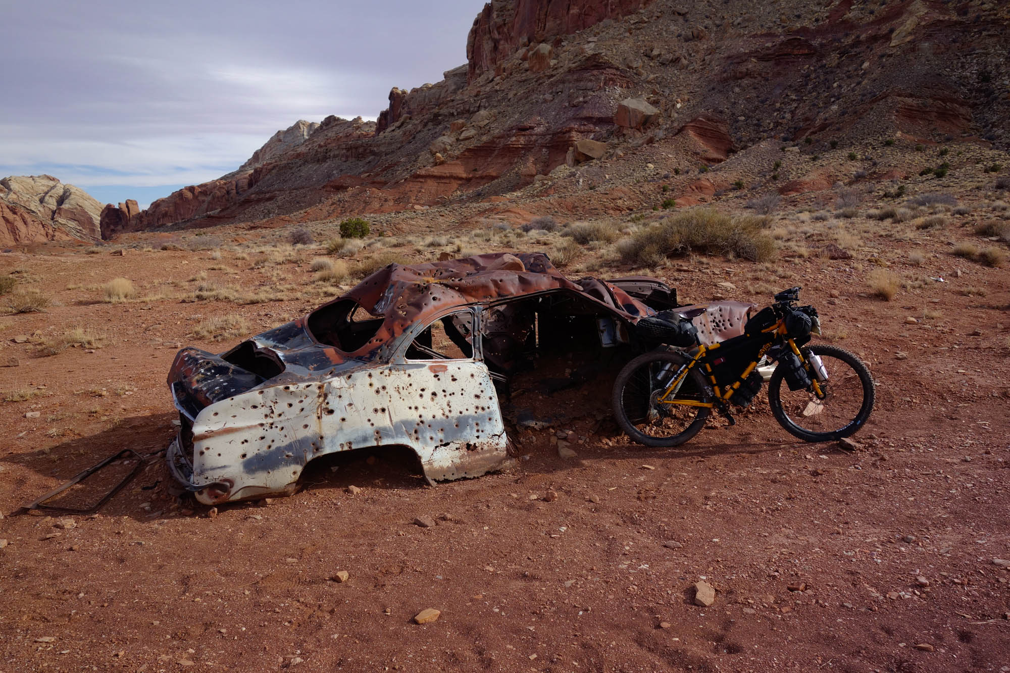
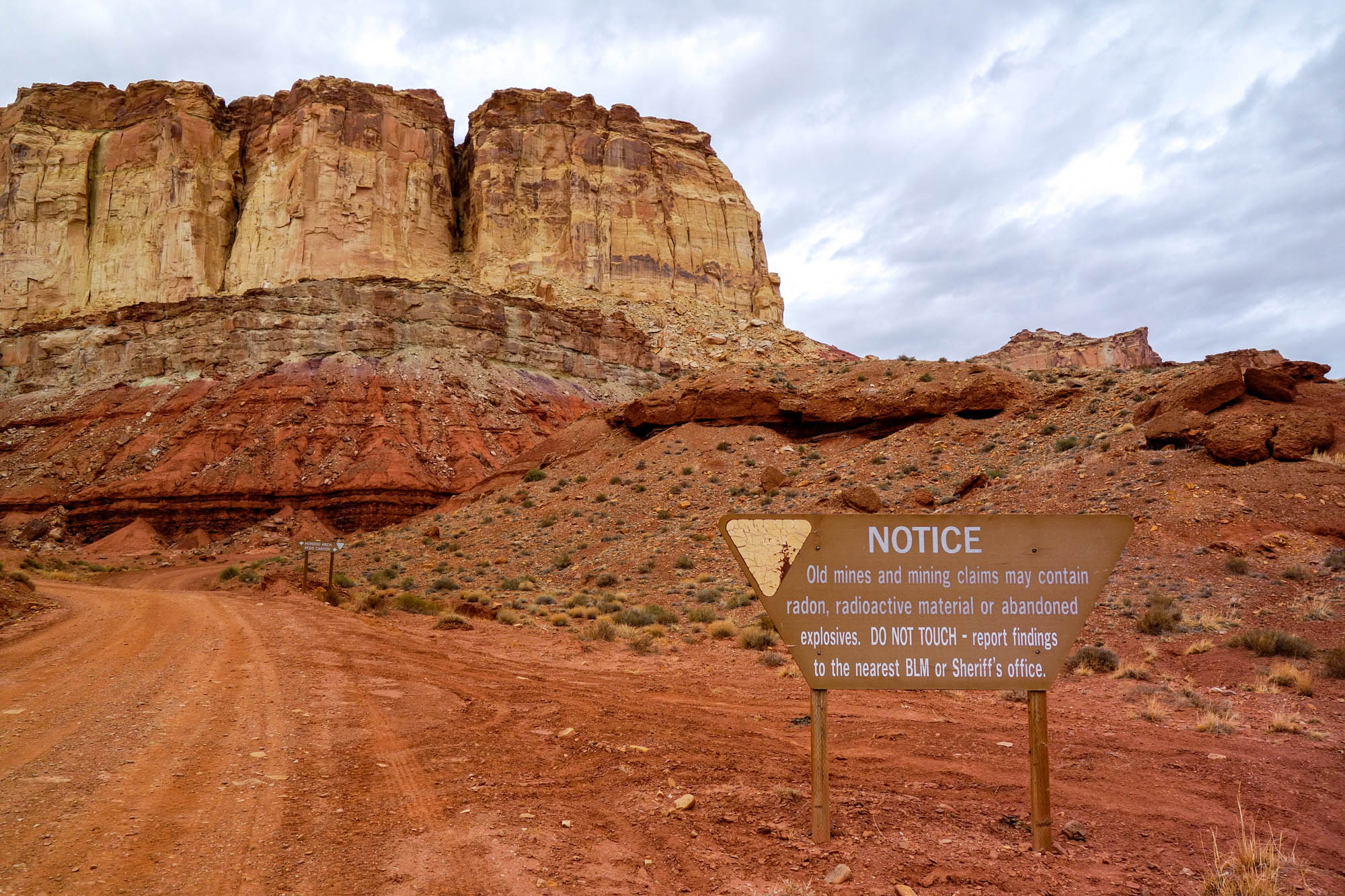
- Exploring mine ruins and abandoned structures now frozen in time, sand, and mud on Temple Mountain and at “The Bunkhouse at Hidden Splendor” overlooking Muddy Creek gorge.
- The picturesque Hondo Arch (also spelled “Hondoo”) in the northern Muddy Creek drainage.
- Opportunities for hiking a number of extensive slot canyons that cut the San Rafael Reef (e.g., Little Wild Horse and Bell Canyons) and that are accessible directly on route.
- Sightseeing in nearby Goblin Valley State Park, and riding the network of newly constructed mountain bike trails within the park.
- It is generally advised that riders begin the route near one of the free campsites off of Temple Mountain Road, as these locations also offer numerous good options for leaving a vehicle overnight. While it is possible to ride in either direction, it is recommended that the route be ridden clockwise. It is generally better to encounter the rugged Behind the Reef Road early in the ride since should riders find that they are unable to continue, either due to changing conditions or planning-related issues, this recommendation provides riders with an option to return to Temple Mountain via the more well-traveled sections of the route just west of the start.
- This route is best ridden in the early spring and fall. The route follows double track and gravel roads with sections of bentonitic clay that would make passage or travel by bike extremely difficult if not impossible following (or during) heavy rains, particularly in the late spring to early summer. Similarly, the summer months should be avoided due to the potential for extreme heat.
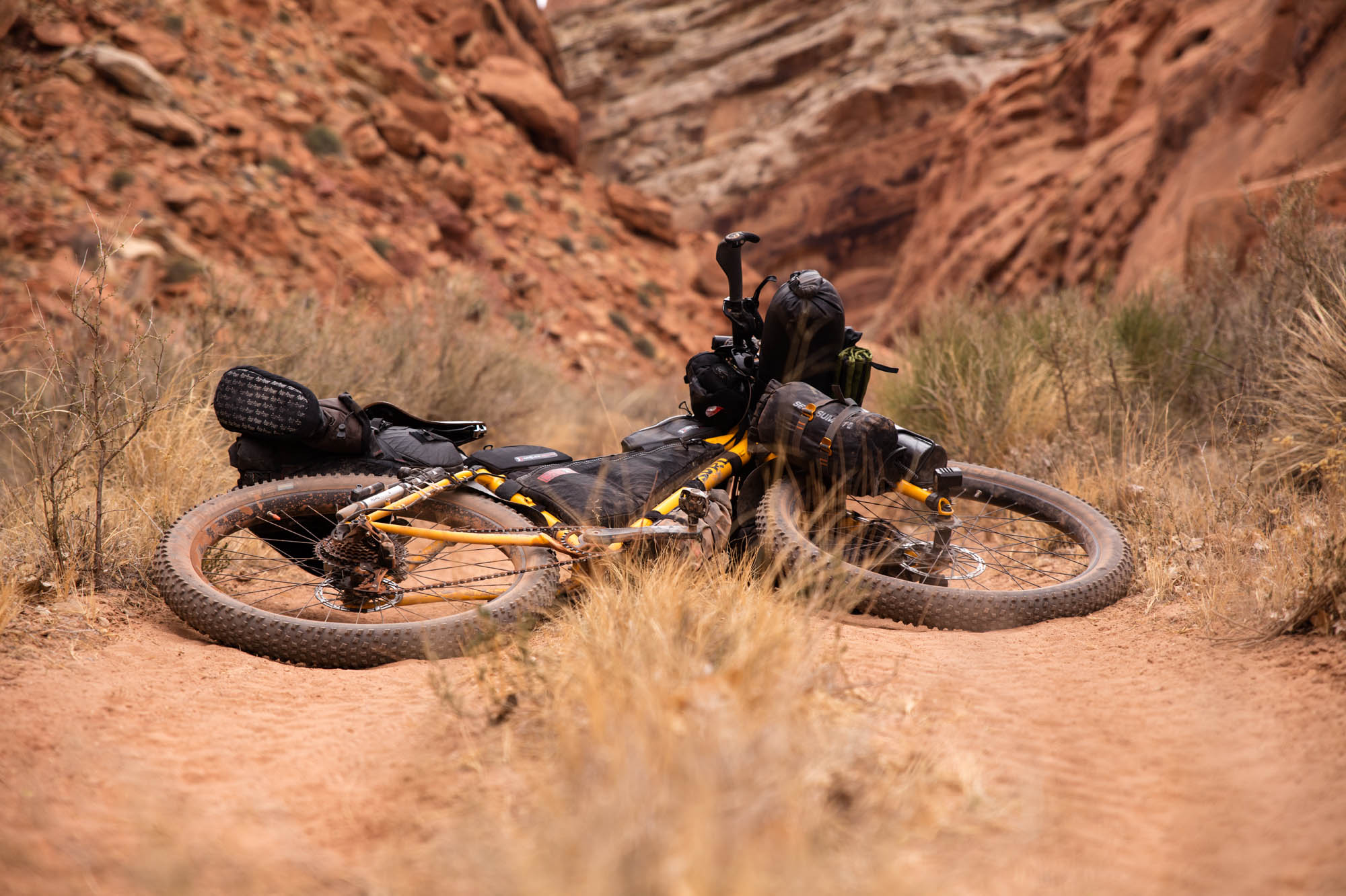
- Due to significant sections of the trail containing loose rock, sand and/or occasional mud, the route should not be attempted on anything less than a mountain bike. The authors completed development of the route on plus bikes with 3 inch tires. Fatbikes would be equally suitable for the entirety of this route.
- Due to the establishment of new Wilderness areas in the region, mountain biking is prohibited in the Muddy Creek gorge. However, this area remains accessible on foot from The Bunkhouse at Hidden Splendor should you want to explore the truly stunning deep canyon carved by Muddy Creek through the San Rafael monocline. If you do plan to explore the Muddy Creek Gorge on foot, it is generally recommended to camp just north of the gorge on the back side of “The Reef” near where the route turns south from the Behind the Reef Road toward Muddy Creek. Be sure not to camp on the airstrip near the Muddy Creek water access point and The Bunkhouse at Hidden Splendor, as this airstrip is still active and used by backcountry pilots frequently.
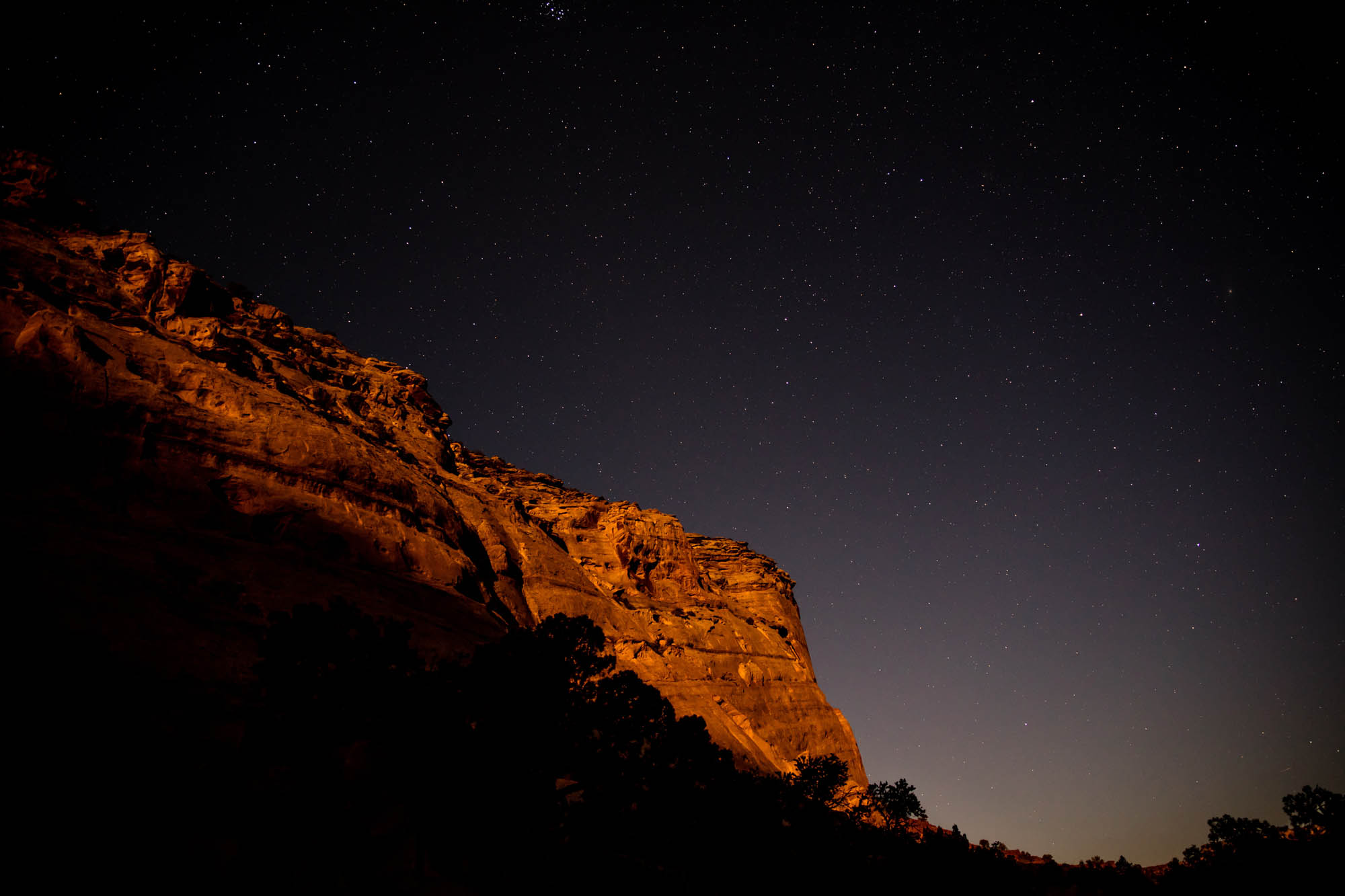
- Cell phone service is almost entirely non-existent along the route. Satellite communicators (e.g., Garmin inReach) or SPOT devices are strongly recommended.
- Moreover, given the extremely remote nature of riding in this region, and the potential for flash flooding, it is highly recommended that riders have a realistic assessment of their abilities and that they pay close attention to changing weather conditions.
- Rock art and historic sites are fragile, non-renewable cultural resources that, once damaged, can never be replaced. Avoid touching or disturbing any petroglyphs and artifacts encountered on your travels.
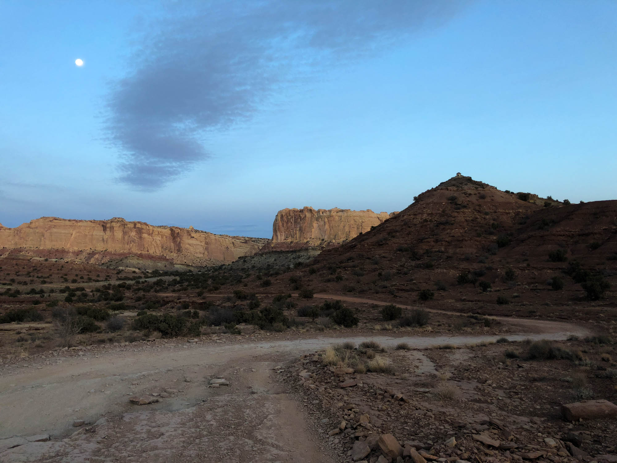
- There is no shortage of excellent camping options along either route. With the exception of land belonging to Goblin Valley State Park, the majority of the route is on BLM land with abundant opportunities for free remote backcountry camping.
- As always, use minimal impact camping practices and avoid disturbance to, or camping on, regions of cryptobiotic soil. #leavenotrace
- A number of primitive campgrounds with pit toilets are present along Temple Mountain road that make ideal starting locations for the route. Note, however, that none of the free camping locations in the San Rafael Swell have water. The only exceptions to this are paid campgrounds or yurts within Goblin Valley State Park proper wherein there is also access to flush toilets and showers (see resources section for additional details).
- You should plan on carrying all of the water you will need. Muddy Creek is the only natural source of water along either route. However, due to its high mineral content, it is not recommended as a reliable water source unless you are in a pinch or really enjoy filtering extremely silty water and backflushing your filter repeatedly.
- Green River is the nearest “large” town for food and supplies, though Hanksville (approximately 25 miles to the South on Hwy 24) also has a number of small restaurants, gas stations, and a market that will have limited food choices. Riders coming from Fruita, CO, or Moab, UT, will have abundant options for food, gear supply, and bike repairs in those localities.
- In March of 2019 a sweeping public lands conservation bill was signed into law that changes the land use designation along portions of Muddy Creek in the San Rafael Swell. These changes are detailed in The Emery County Public Land Management Act, which was signed into law as part of the Dingell Natural Resources Act. The passage of this law enacts one of the largest package of public lands bills in recent history and is generally regarded as a boon for outdoor enthusiasts as it enshrines protection of some 2.5 million acres of public lands.
- As stated in the “Must Know” section, mountain biking is prohibited in the Muddy Creek gorge, which is now encapsulated within the newly designated Muddy Creek Wilderness Area. However, should you want to explore the truly stunning deep canyon carved by Muddy Creek through the San Rafael monocline after arriving at The Bunkhouse at Hidden Splendor, this region remains accessible on foot. Note that within Muddy Creek there is an old gate along the footpath at 38.555397º N, 110.951478º W that should remain closed.
- Given the potential for flash flooding, pay close attention to changing weather conditions, including those far upstream that can rapidly affect water levels, particularly within Muddy Creek or within adjacent slot canyons (e.g., Little Wild Horse and Bell Canyons). Similarly, due to the risk of flash flooding and the establishment of new wilderness areas, do not camp along Muddy Creek.
Additional Resources
- Goblin Valley State Park (Information for camping, mountain biking, hiking, and current conditions): stateparks.utah.gov/parks/goblin-valley/
- Bureau of Land Management Price Field Office (regional information): blm.gov/office/price-field-office


Terms of Use: As with each bikepacking route guide published on BIKEPACKING.com, should you choose to cycle this route, do so at your own risk. Prior to setting out check current local weather, conditions, and land/road closures. While riding, obey all public and private land use restrictions and rules, carry proper safety and navigational equipment, and of course, follow the #leavenotrace guidelines. The information found herein is simply a planning resource to be used as a point of inspiration in conjunction with your own due-diligence. In spite of the fact that this route, associated GPS track (GPX and maps), and all route guidelines were prepared under diligent research by the specified contributor and/or contributors, the accuracy of such and judgement of the author is not guaranteed. BIKEPACKING.com LLC, its partners, associates, and contributors are in no way liable for personal injury, damage to personal property, or any other such situation that might happen to individual riders cycling or following this route.
Please keep the conversation civil, constructive, and inclusive, or your comment will be removed.