


Teanaway River Link Up
Distance
42 Mi.
(68 KM)Days
2
% Unpaved
65%
% Singletrack
7%
% Rideable (time)
95%
Total Ascent
4,510'
(1,375 M)High Point
3,660'
(1,116 M)Difficulty (1-10)
6?
- 7Climbing Scale Strenuous107 FT/MI (20 M/KM)
- 5Technical Difficulty Moderate
- 6Physical Demand Moderate
- 2Resupply & Logistics Easy
Contributed By

Brandon Wheeler
Guest Contributor
Brandon grew up in Western Washington and took up bikepacking in 2019. Working in the outdoor industry piqued his interest in bikepacking and long-distance cycling. After short weekend trips, Brandon dove into the deep end and toured the Great Divide in the summer of 2021. This trip was formative in his enthusiasm for adventure cycling and his interest in route building. Now, Brandon strives to increase the availability and access to bikepacking routes in the Pacific Northwest.
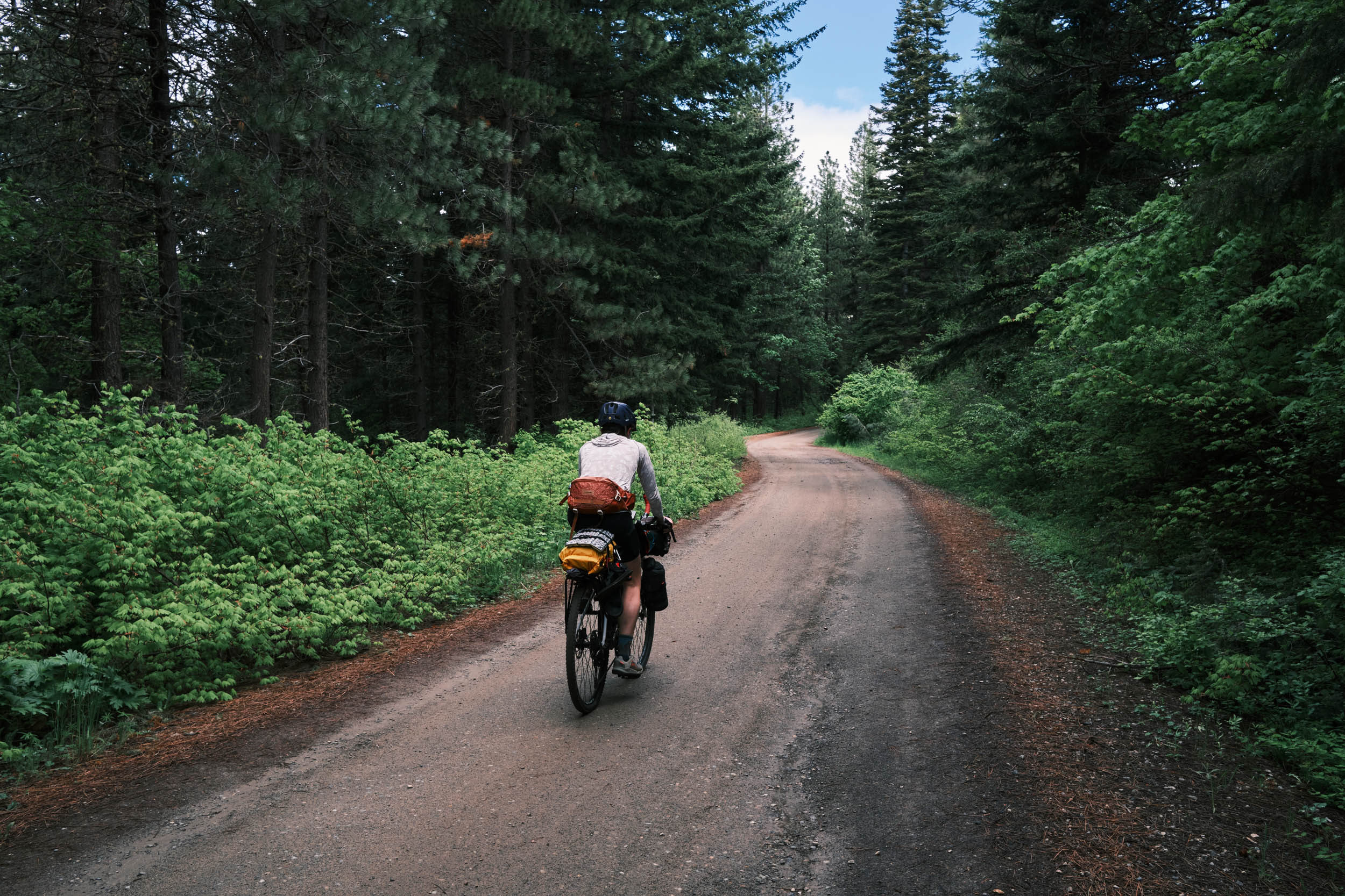
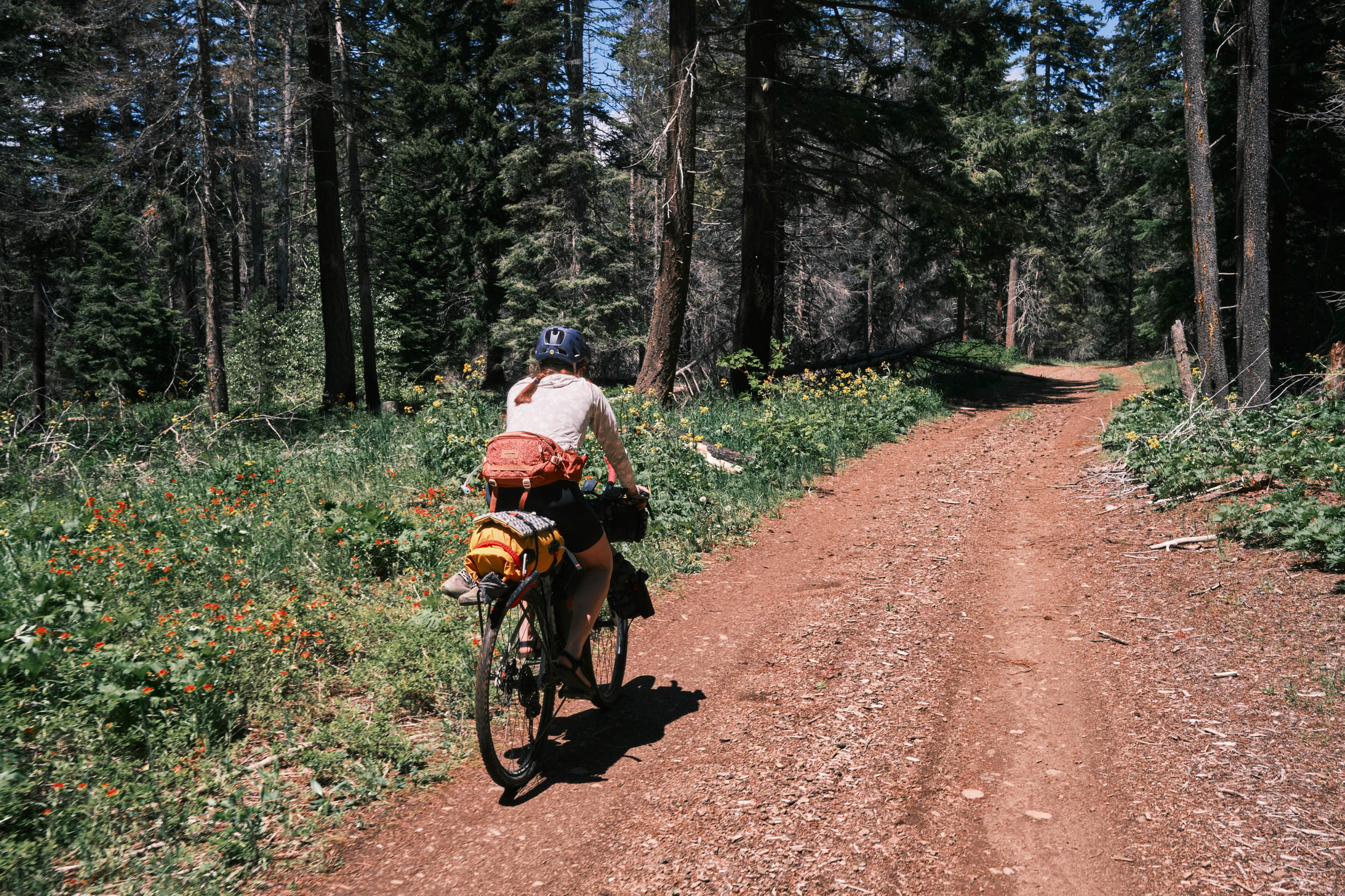
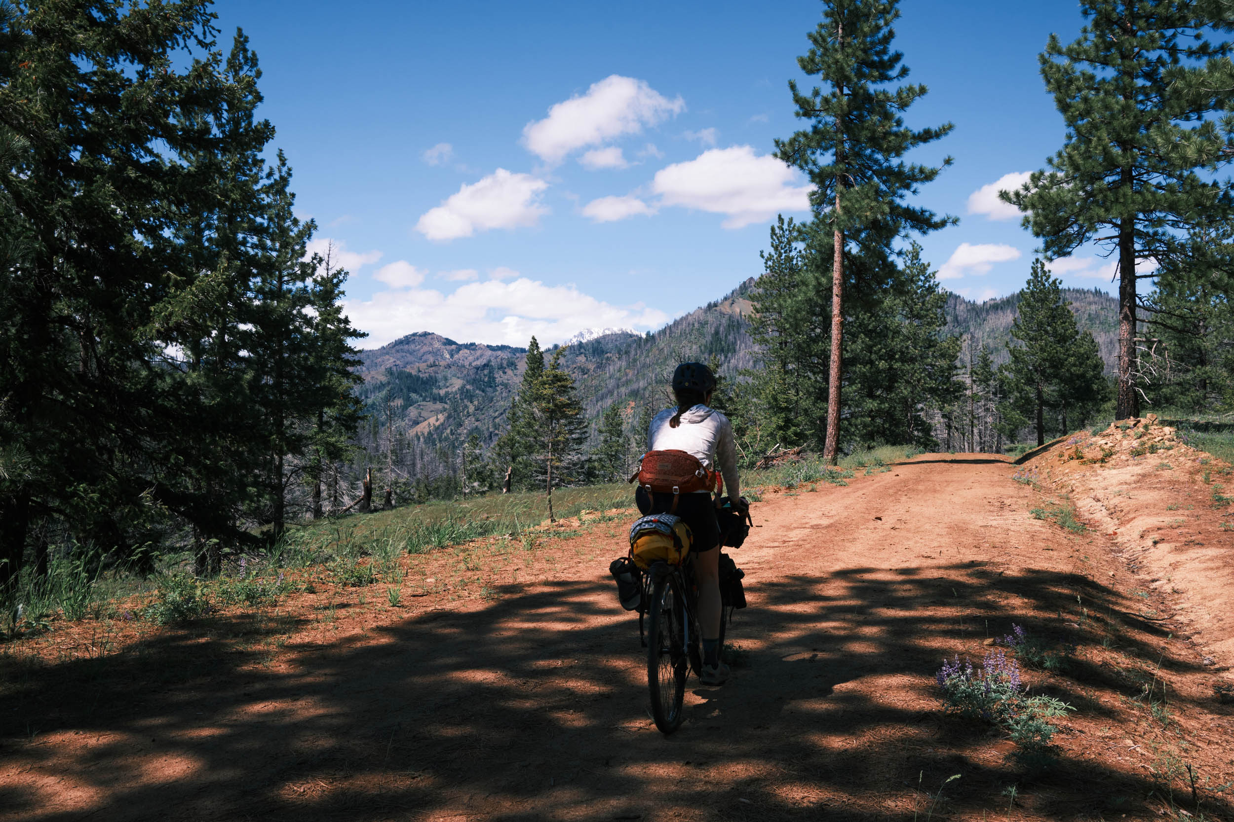
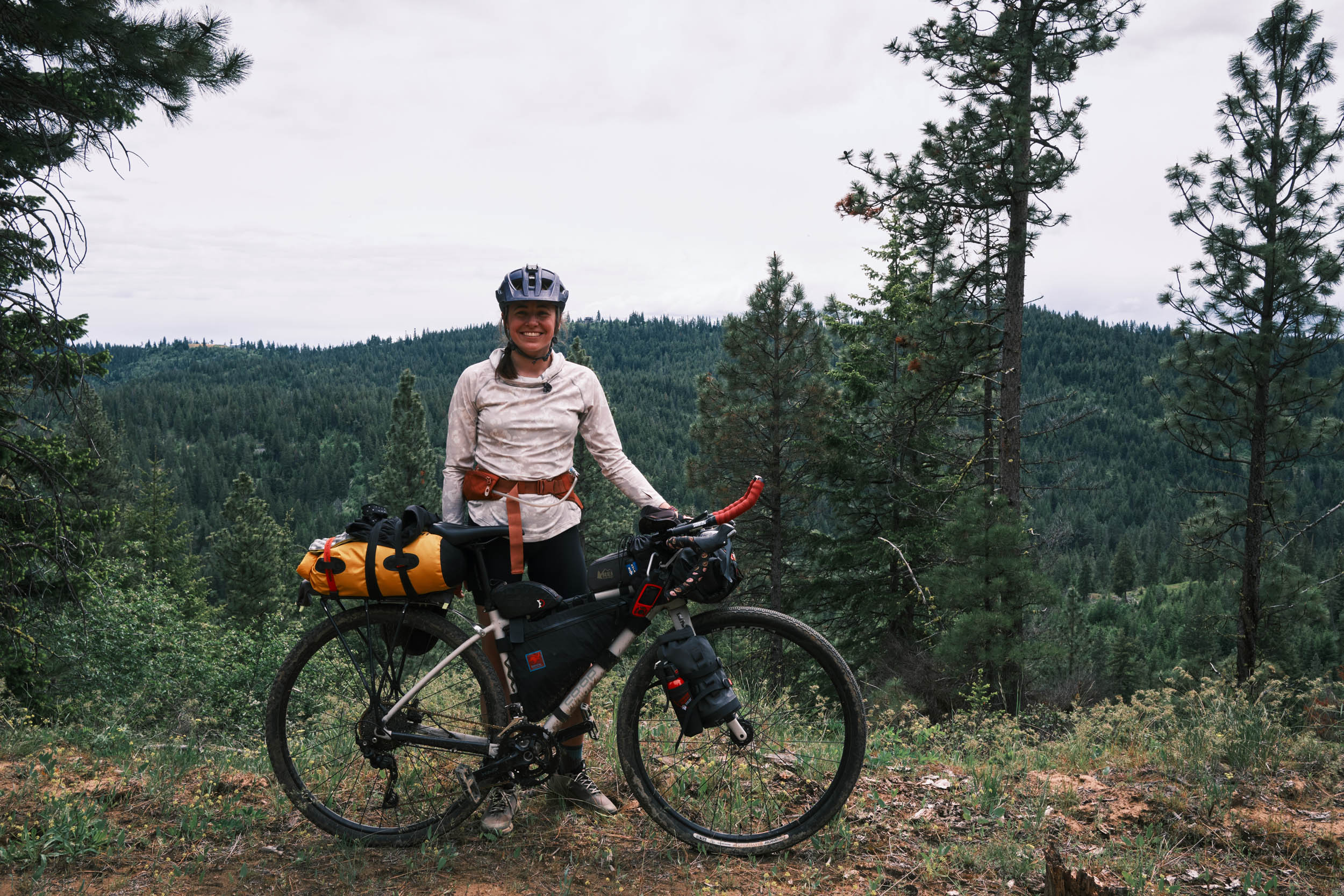
The Teanaway River Link Up Loop starts and ends in historic Roslyn, Washington. This 40-mile route primarily follows gravel and packed dirt roads up the wildflower-lined foothills of the Central Cascades and encounters multiple forks of the wild freestone Rivers of the Teanaway Community forest. Once on the decline due to overgrazing and wildfires, this vital ecosystem is seeing the return of fish and wildlife species such as Bull Trout, Chinook Salmon, Deer, Elk, and Spotted Owl.
The challenging and sometimes steep climbs of this route reward you with miles of sweeping views of the Cascade Mountain range and glacier-carved valleys. Descend into the cool and refreshing waters of the Teanaway River, once one of the top producers for Spring Chinook, Coho, and Steelhead Salmon. Now, there are efforts to return these rivers to their original water levels in hopes of allowing these species to return to their mountain spawning grounds. On the first day, you’ll cross all three forks of the Teanaway, with each one providing a good place to take a break and cool down in the refreshing waters. The forks also provide ample fishing opportunities for those who like to bring a rod with them. Finish your first day by spending your night at any one of the scenic riverside campgrounds along the route.
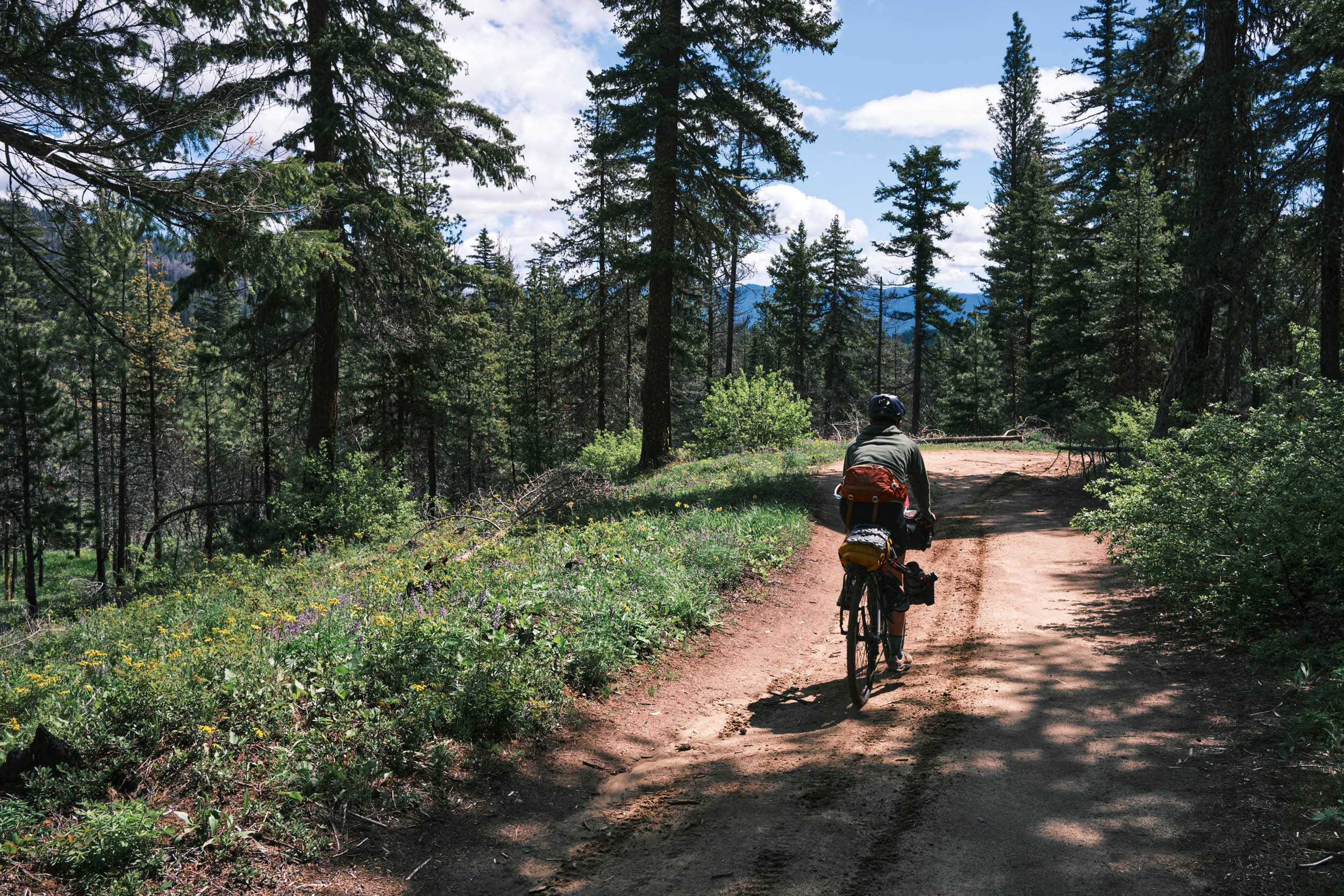
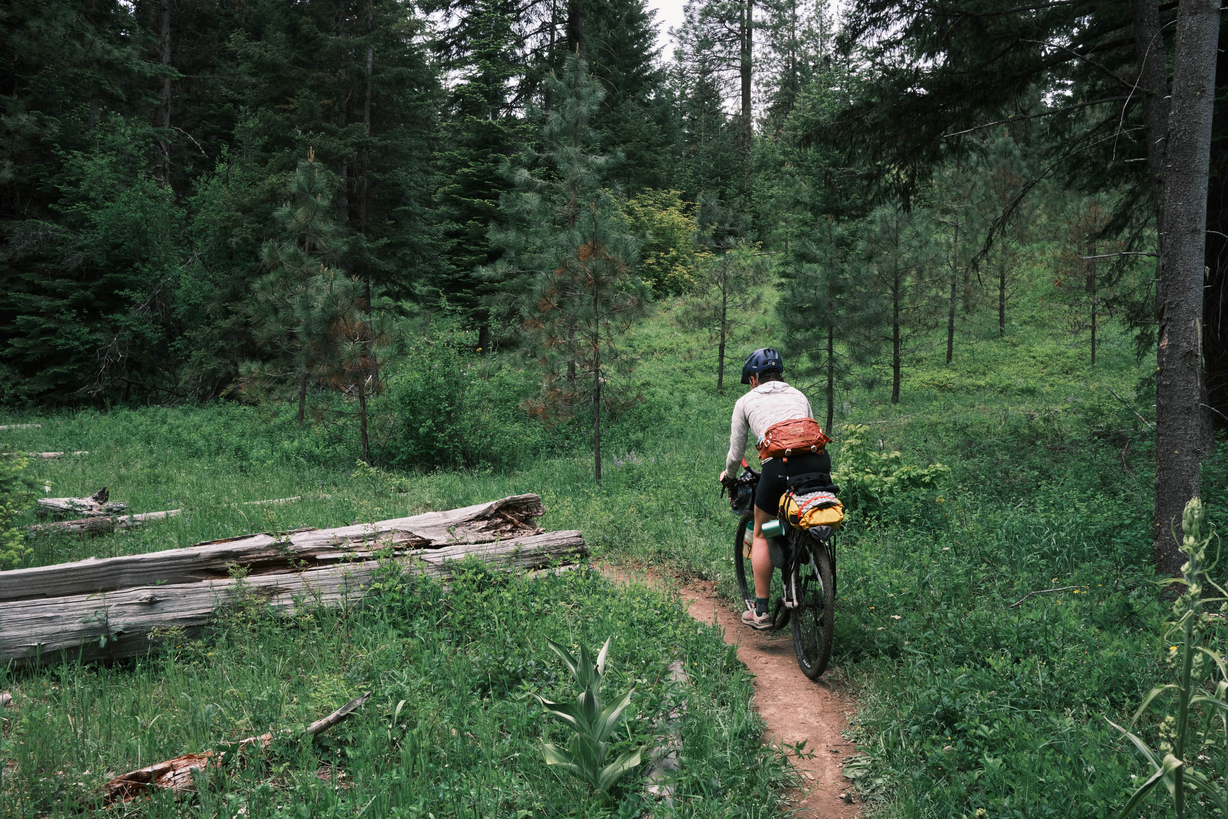
Begin your second day with a brief stretch of smooth singletrack as you climb your way up what is the backside of the Ride Roslyn Trail System, a well-known Washington mountain biking area. As you cross the saddle into the Ride Roslyn Trail System, take in views of yesterday’s riding, Roslyn, and the spectacular Central Cascades (keep your eye out for Mt. Stewart or even Mt. Rainier). Begin your descent down an access road that leads you right into town, or if a sportier descent is in the cards for the day, pick one of the many MTB trails that the Ride Roslyn Trail System has to offer. The route ends in Roslyn, a historic mining town nestled in a valley, teeming with character, outdoor enthusiasts, great food, and beer. In Roslyn, there is a bike shop, a fly fishing shop, and a plethora of restaurants readily serving beer and burgers to hungry hikers and bikers.
Route Difficulty
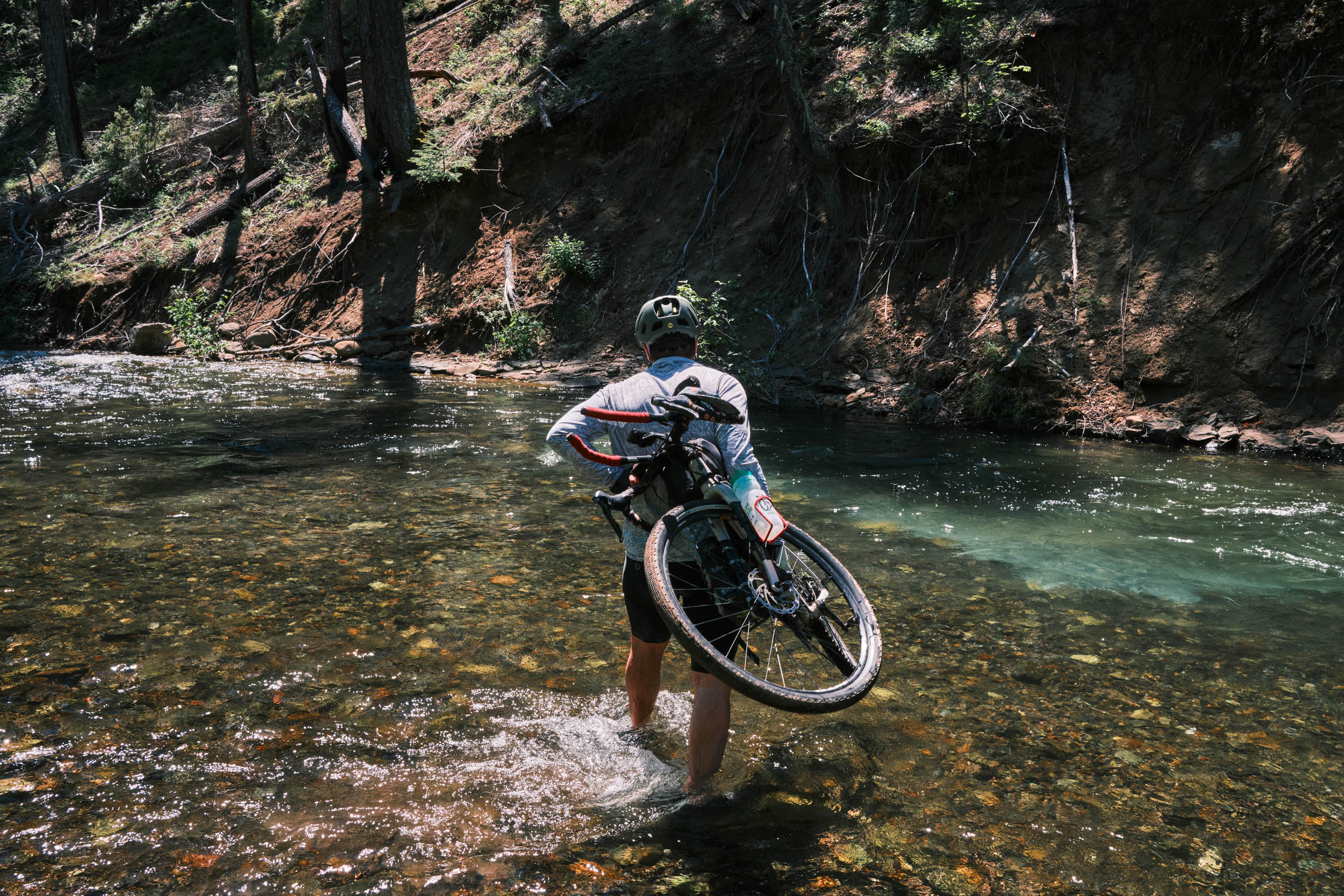
In terms of difficulty, the Teanaway River Link Up is rated at 6/10. There are three factors that can make this route challenging. First, the climbs include some relatively steep sections that may require a hike-a-bike. Second, the Teanaway Butte descent follows a previously abandoned Forest Service road, which is now overgrown singletrack with multiple small stream crossings that can be challenging to navigate with a fully loaded bike. And third, the river crossing at mile 12.3 requires you to walk your bike down to the river bank and to carry your bike across. In spring and early summer, the river can flow at higher levels, making the crossing more difficult.
Technical difficulty: 5/10 – The most technical part on this route is the second descent. This singletrack descent follows an overgrown and rough roadbed that has multiple small stream crossings. Other than that, the route follows smooth gravel/dirt roads and pavement.
Physical demand: 6/10 – The climbs and water crossings on this route can be difficult with a loaded bike, especially during spring snowmelt, when river flows are high compared to mid or late summer.
Resupply and Logistics: 2/10 – The starting point of Roslyn provides a grocery store, restaurants, and a bike shop to help you obtain anything you might need for this trip. Water is easily and consistently found along this route, with less water available late in the summer. Bringing a water filter is necessary and will ensure water ease of drinking water as the campgrounds along the route do not provide running water.
Route Development: Additional thanks for the development of this route goes to Jade Butler. Jade and I spend much of our free time biking and fishing in the Teanaway area, and her work helping me scout, plan, and ride this route was invaluable. I would also like to give thanks to the creators of the GRIT Teanaway Epic gravel race. The more secluded sections of this route used to be overgrown with many difficult-to-navigate blowdowns, and their hard work into clearing these sections for their race made the route far more enjoyable. You can find information about their race here.


Submit Route Alert
As the leading creator and publisher of bikepacking routes, BIKEPACKING.com endeavors to maintain, improve, and advocate for our growing network of bikepacking routes all over the world. As such, our editorial team, route creators, and Route Stewards serve as mediators for route improvements and opportunities for connectivity, conservation, and community growth around these routes. To facilitate these efforts, we rely on our Bikepacking Collective and the greater bikepacking community to call attention to critical issues and opportunities that are discovered while riding these routes. If you have a vital issue or opportunity regarding this route that pertains to one of the subjects below, please let us know:
Highlights
Must Know
Camping
Food/H2O
Trail Notes
Resources
- Teanaway River forks
- Fishing opportunities
- Roslyn Restaurants
- Wildflowers of the early summer
- Views from the previous burn area on Teanaway Butte
- Cheap and available camping
- Wildlife viewing opportunities for animals like Deer, Elk, and possibly black bears.
- Teanaway Butte Trail located at mile 19.5 – For an extra three miles and 900 feet of elevation gain, take this out-and-back trail to the top of Teanaway Butte for views of the jagged peaks of the Mt. Stuart range
- When to go: June – September with the summer months being warmer and dryer.
- 1.5 hours from Seattle, the trailhead is easy to get to for any vehicle.
- Early spring water crossings can be challenging due to water levels.
- Public parking as available between the end/beginning point of the loop near the Ride Roslyn Trail System
- This route can easily be extended with the XWA route!
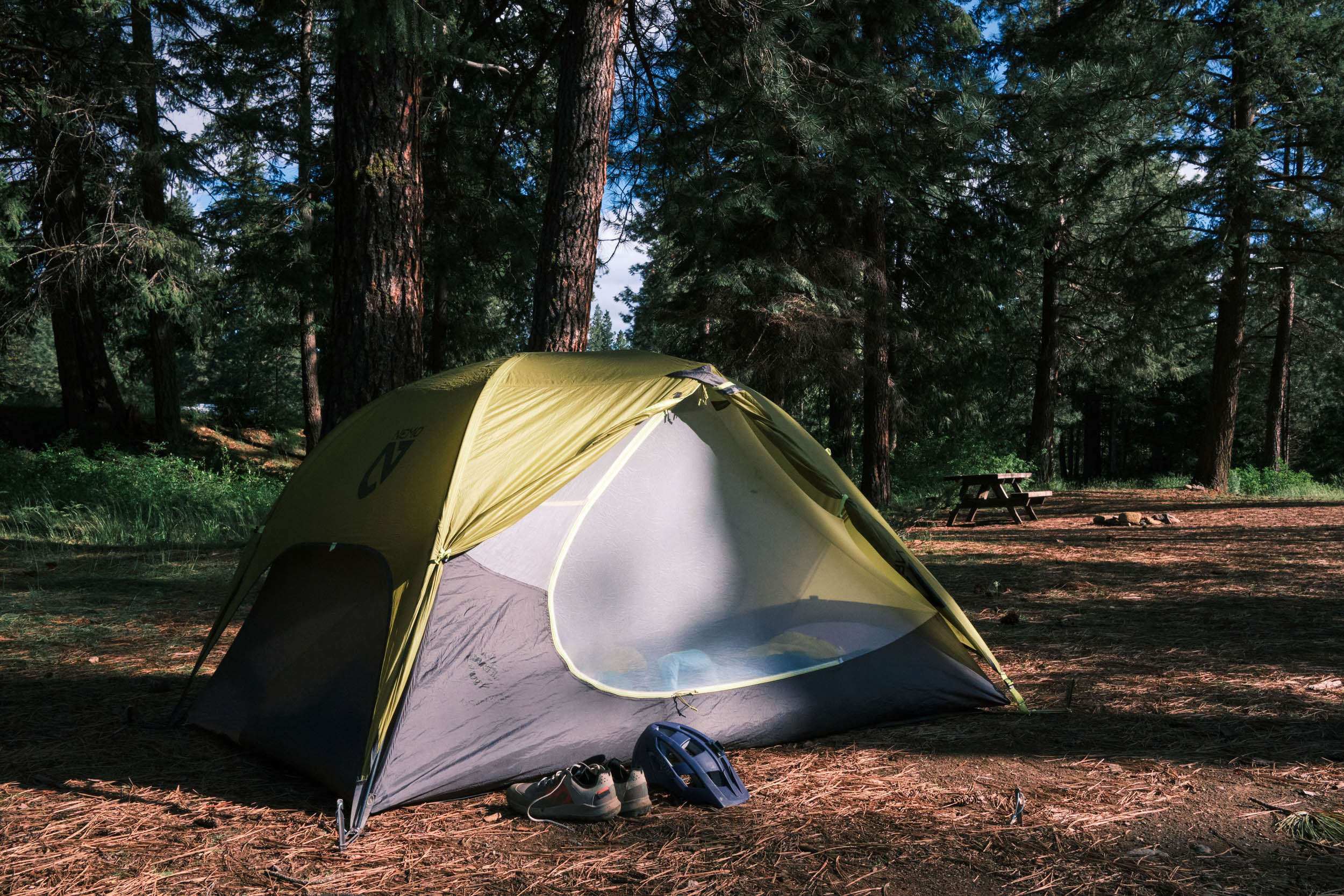
- 15 Miles – Indian Camp Campground: This DNR campground is only 15 miles into the route, but if you are short on time, this can be a perfect place to set up for the night. Has readily available river access for water. The campground includes tent pads, fire pits, and vault toilets. This campground is free and first-come, first-served.
- 25 Miles – Twenty One Pines Campground: This DNR campground is located on the West Fork of the Teanaway River and provides a great spot to set up camp for the night. Located roughly halfway through the route, it provides standard fire pits, benches, and tent pads. Water can be filtered from this river. This campground is free and first-come, first-served.
- 32 Miles – Teanaway Campground: This DNR campground is located on the Middle Fork of the Teanaway River and provides access to fire pits, benches, and tent pads. Water can be filtered from the river. This campground is free and first-come, first-served.
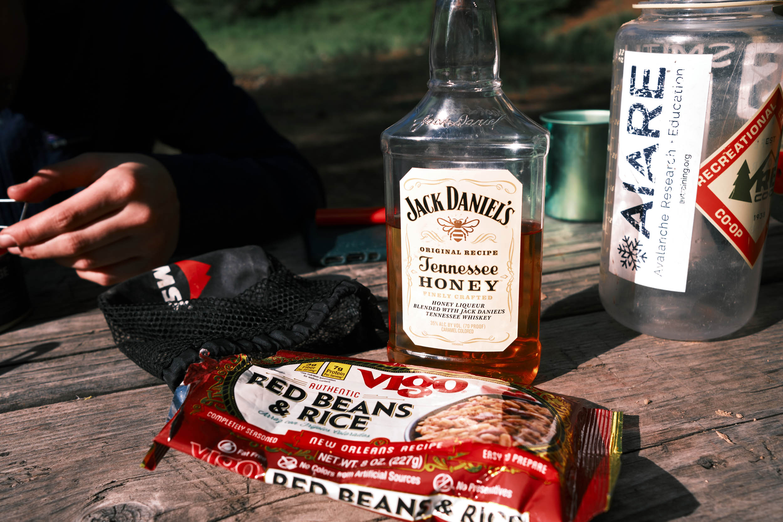
- Roslyn has multiple great places to get food and beer.
- All river crossings and campgrounds have filterable water
- Water access at the top of the burn area on Teanaway Butte is limited until about halfway through the descent out of Teanaway Butte
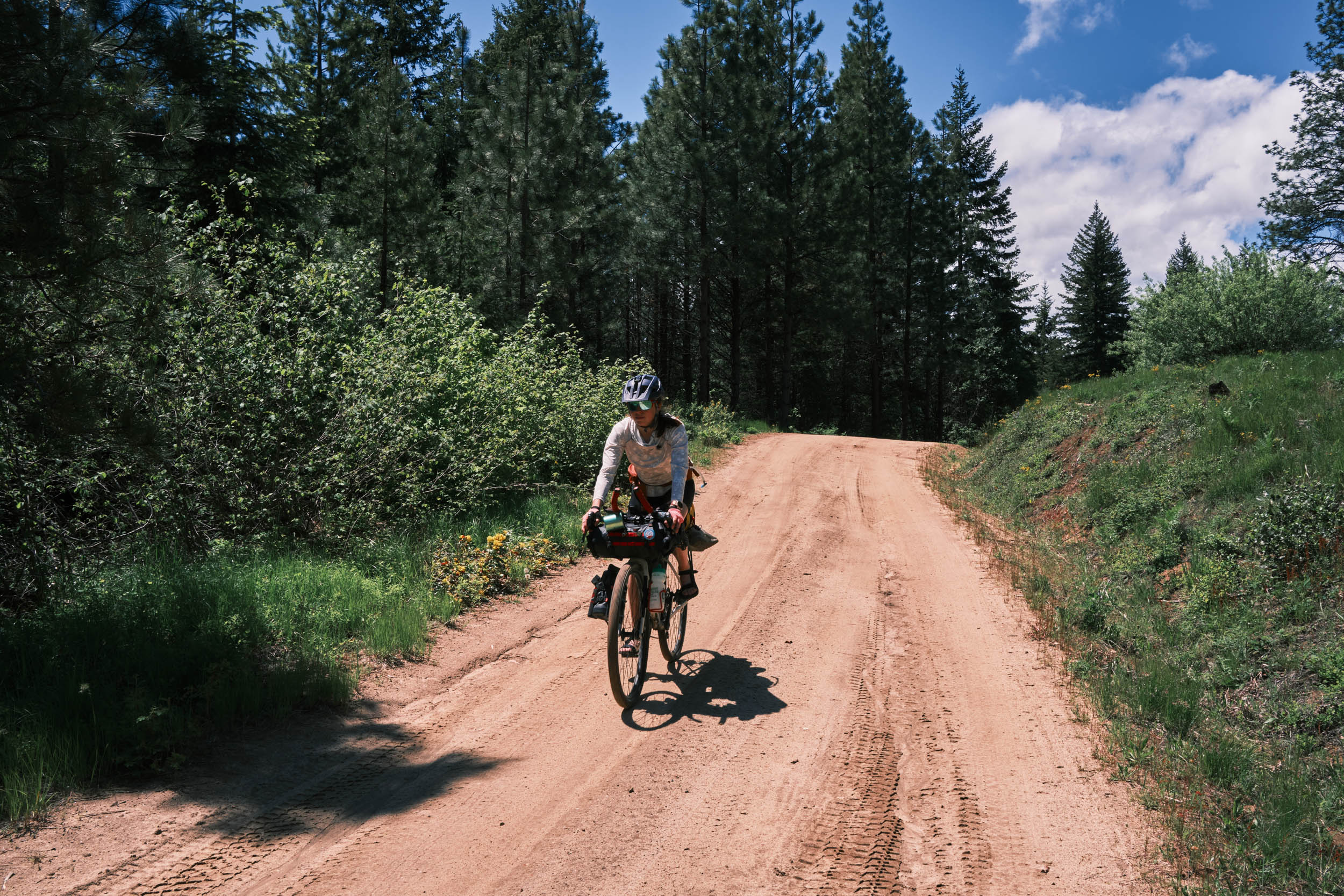
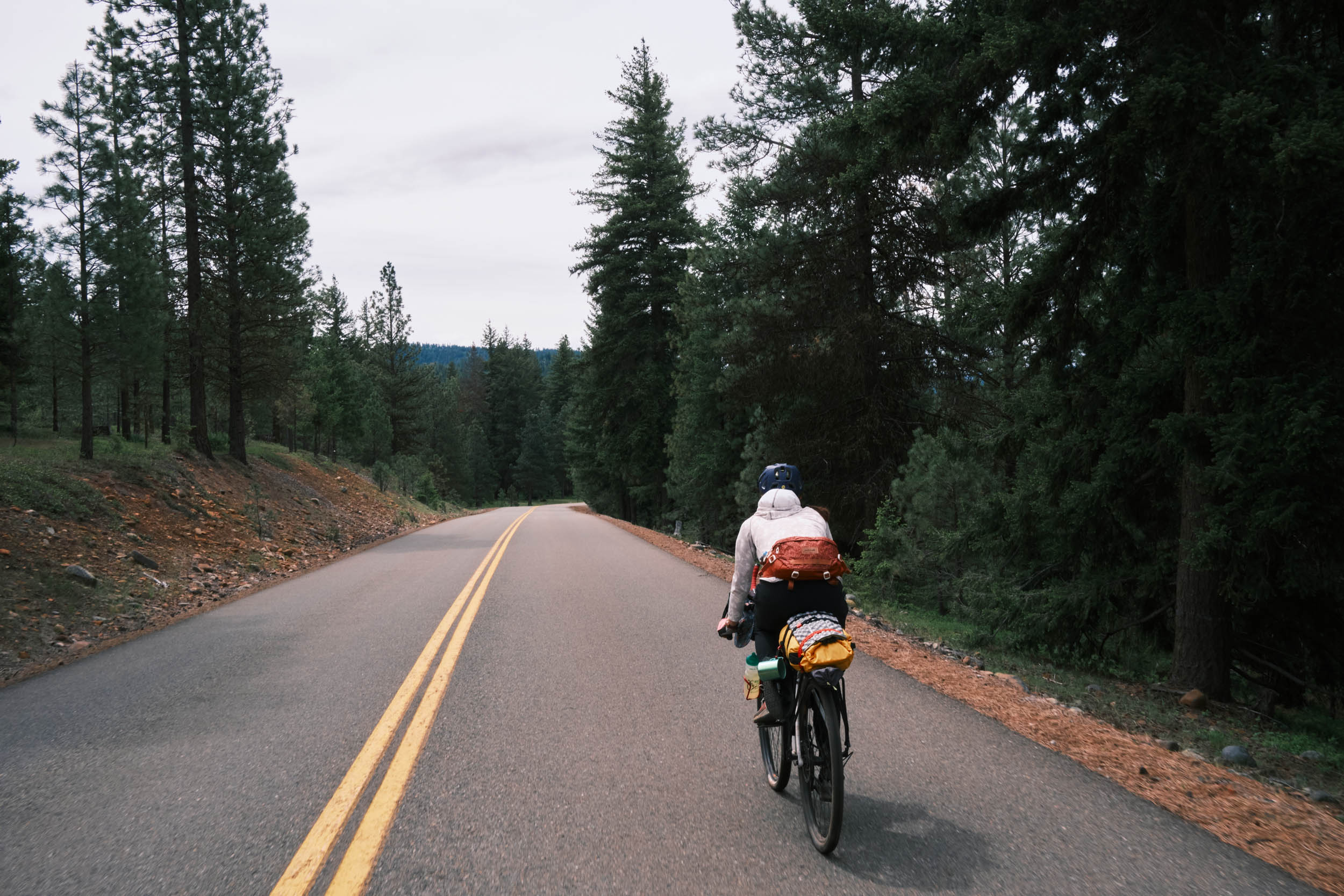
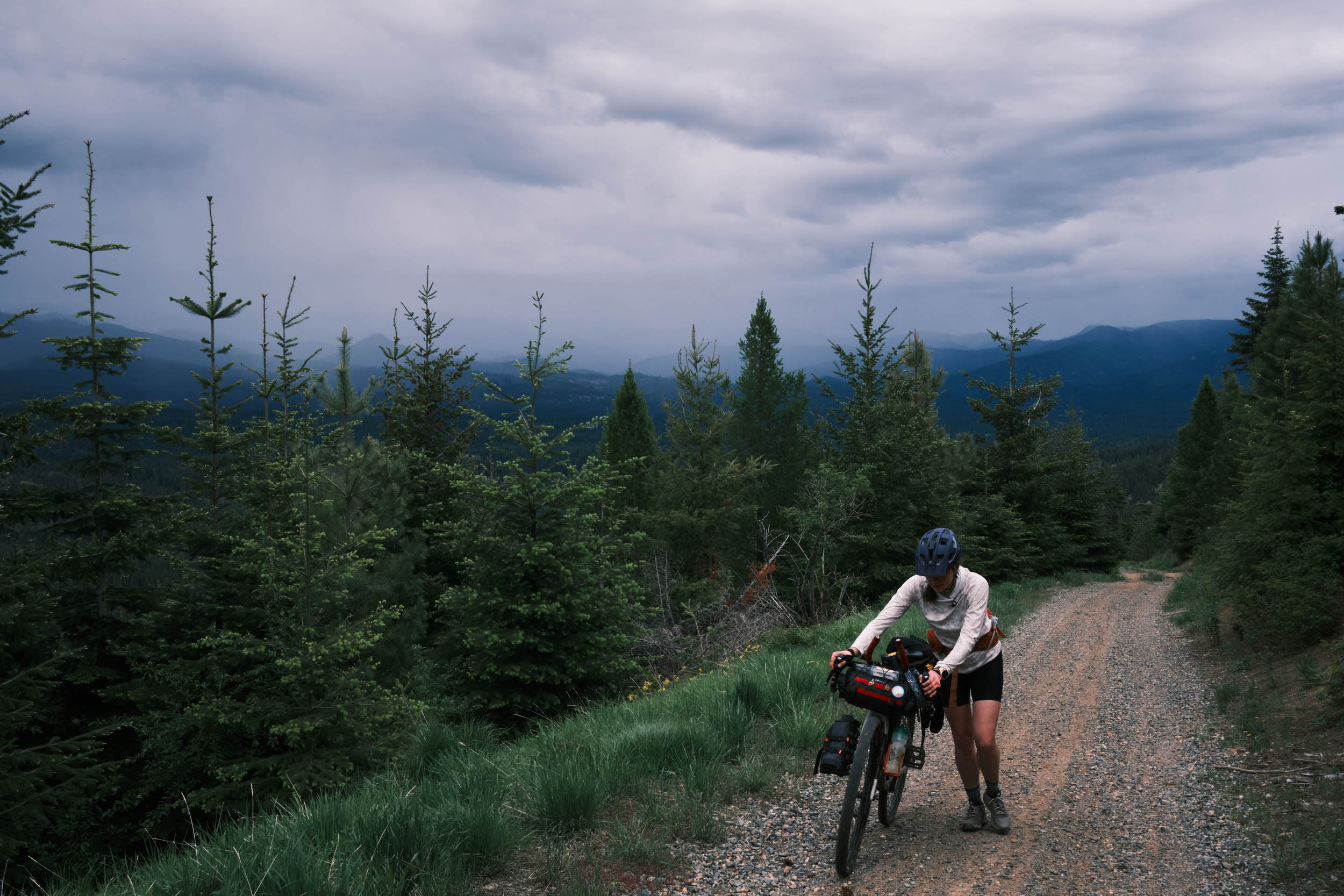
Day 1
Leaving Roslyn behind, get your first taste of gravel on the relatively flat Coal Mines Trail. After a mile, you join the flat and smooth pavement of State Highway 903. This road doesn’t get too much traffic, but the cars you do see usually leave you with plenty of room. After five miles, leave the pavement behind and begin your first climb of the day up FS 4305. The climb can be steep in some places, but your effort is rewarded with great views and wildflower-dotted meadows. Descend to your first crossing of the Teanaway River, crossing the West Fork. Upon reaching the bottom of the descent, you’ll quickly realize that the road becomes impassable as you near the river. Navigate to the faint trail to the left of the road and follow it down to the river, where a steep, sandy, and rocky descent is needed to get to the bank. We found it easiest to unload and walk our bikes down.
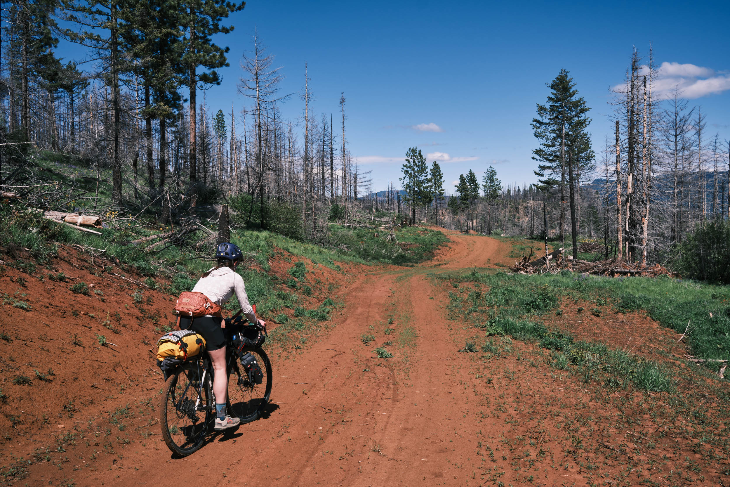
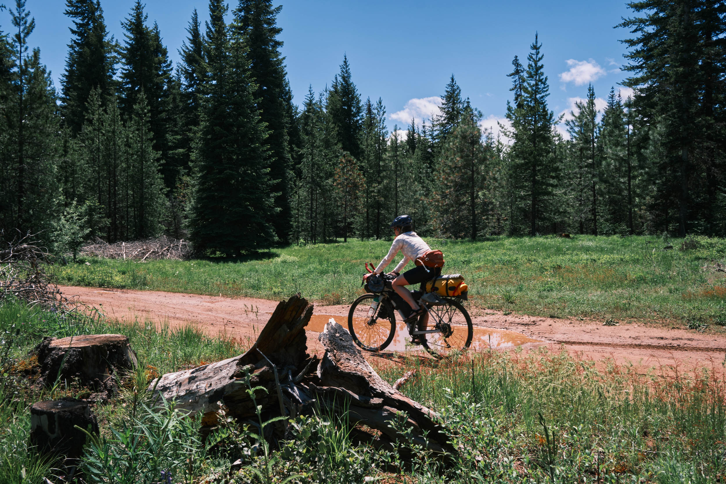
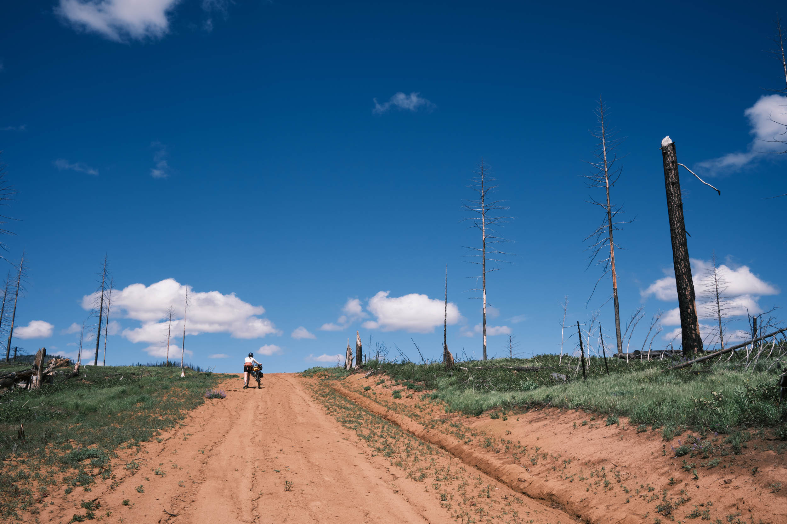
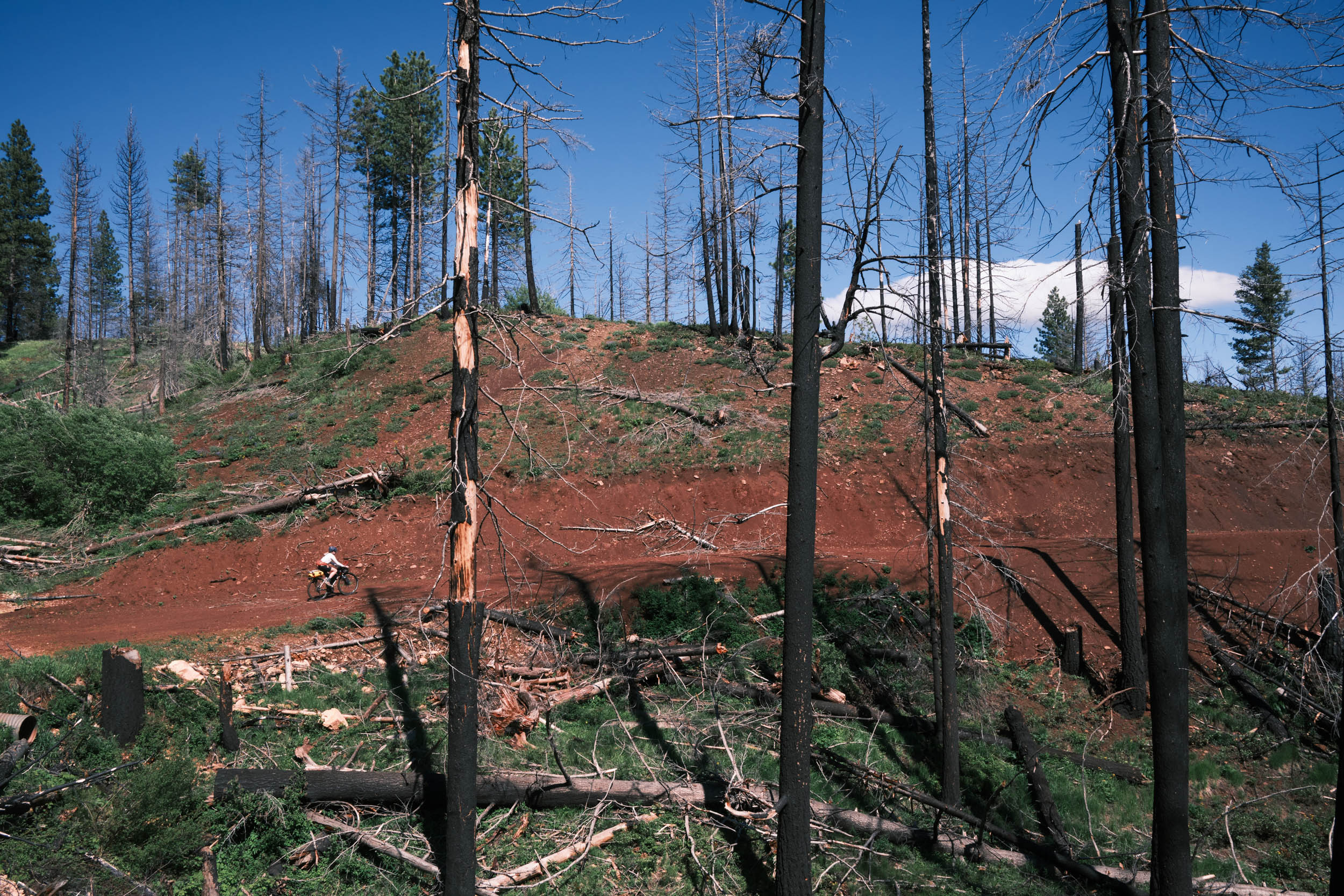
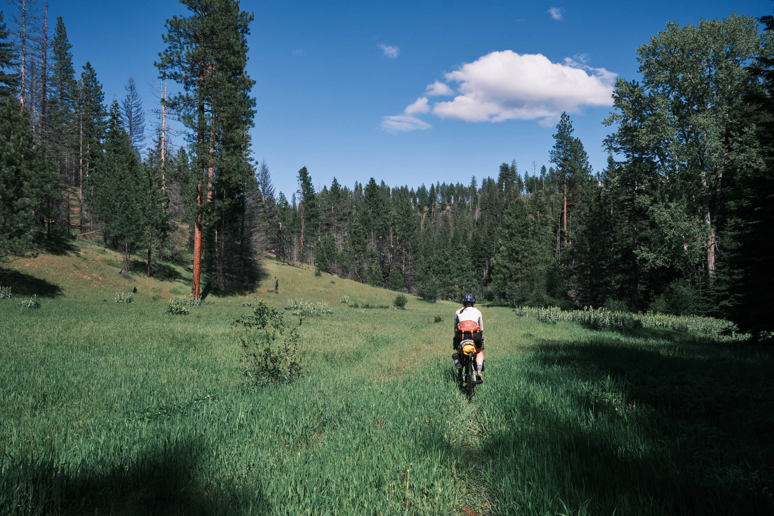
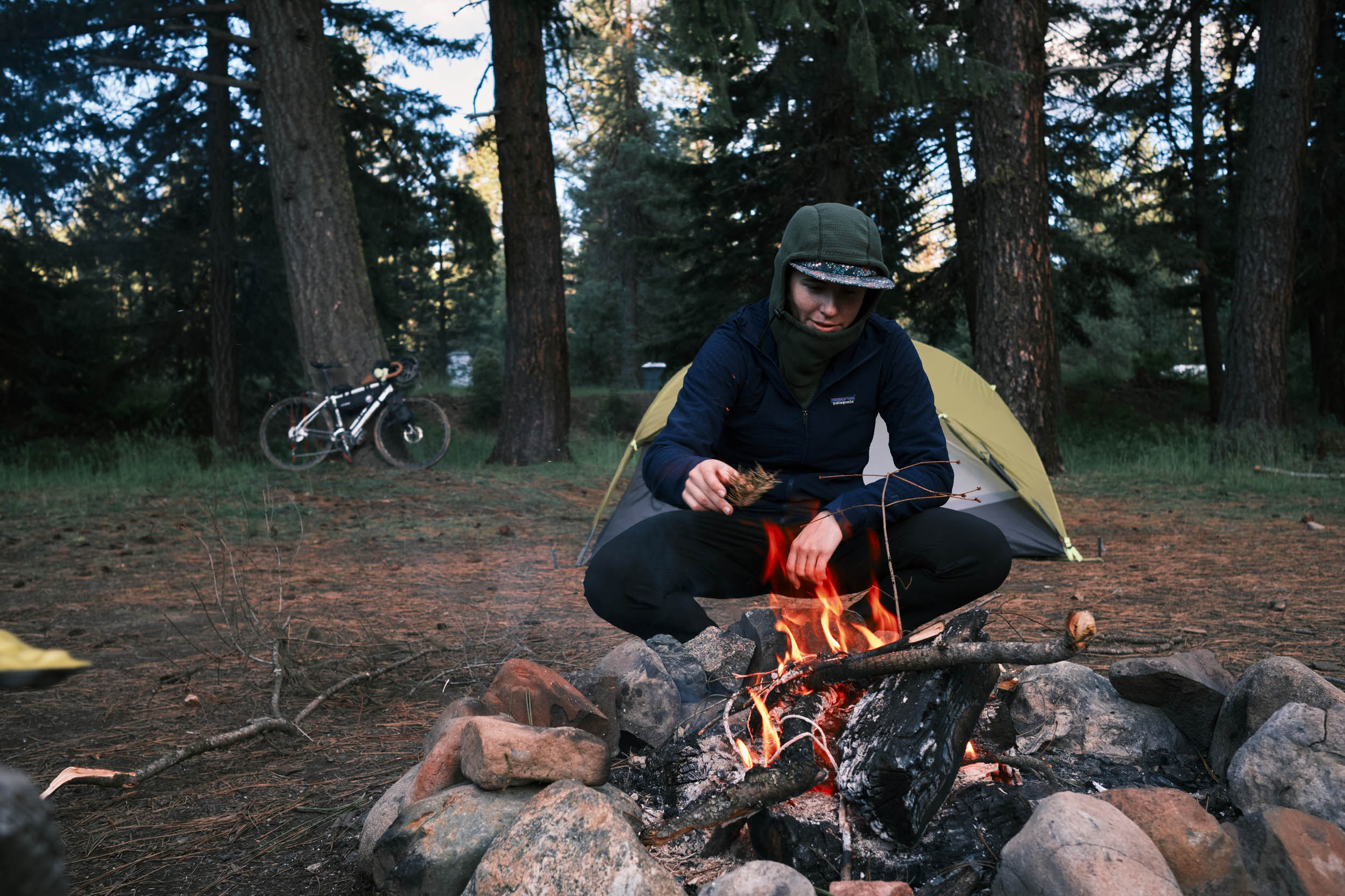
Once across, continue on a dirt road through beautiful pine forests and stunning meadows until you reach the Middle Fork of the Teanaway. This is a good spot to take a break for lunch and cool down in the river. Stock up on water here, as the next climb up Teanaway Butte is steep and exposed to the sun. Once scorched by wildfires, this climb provides you with great views of the surrounding mountains and valleys, and showcases the growth of a young and vibrant new forest. At the top, opt to take a 2.9-mile detour on an out-and-back trail to the top of Teanaway Butte for spectacular views of the Mt. Stewart Range. The following descent is the most technical on the route and can be overgrown in places and rough. This abandoned roadbed is mostly singletrack and features several small stream crossings and even a grassy plain to bike through. But you’re rewarded at the bottom with the crossing of the North Fork of the Teanaway and the Twentynine Pines Campground. This is a great spot to set up camp for the night, and relax next to the river.
Day 2
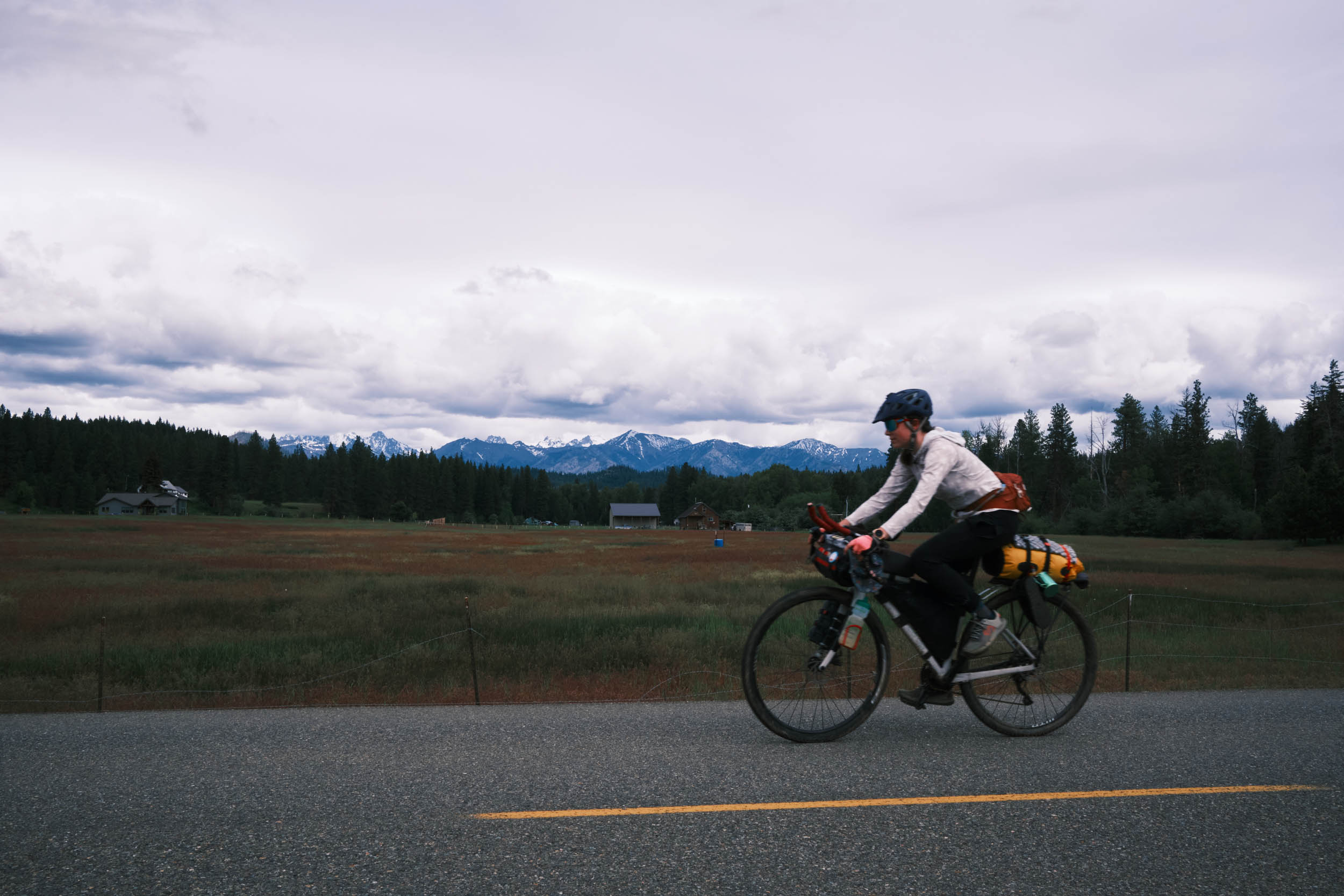
Day two starts with seven miles of smooth and fast pavement. Take in the scenery as you cruise to your final bridged river crossing and climb of the trip. The dirt and gravel road winds itself along the side of a mountain, giving you multiple beautiful viewing spots of the surrounding mountains and valleys. The climb finishes at the top of the Ride Roslyn Mountain Biking trail system. Here, you can either descend down the smooth gravel road of the route or test your bike’s abilities and choose one of the mountain Bike trails to descend. The route finishes in Roslyn, a great place to refuel yourself with burgers and beer!


Terms of Use: As with each bikepacking route guide published on BIKEPACKING.com, should you choose to cycle this route, do so at your own risk. Prior to setting out check current local weather, conditions, and land/road closures. While riding, obey all public and private land use restrictions and rules, carry proper safety and navigational equipment, and of course, follow the #leavenotrace guidelines. The information found herein is simply a planning resource to be used as a point of inspiration in conjunction with your own due-diligence. In spite of the fact that this route, associated GPS track (GPX and maps), and all route guidelines were prepared under diligent research by the specified contributor and/or contributors, the accuracy of such and judgement of the author is not guaranteed. BIKEPACKING.com LLC, its partners, associates, and contributors are in no way liable for personal injury, damage to personal property, or any other such situation that might happen to individual riders cycling or following this route.
Please keep the conversation civil, constructive, and inclusive, or your comment will be removed.