


The Gallatin Trail, Montana
Distance
112 Mi.
(180 KM)Days
3
% Unpaved
99%
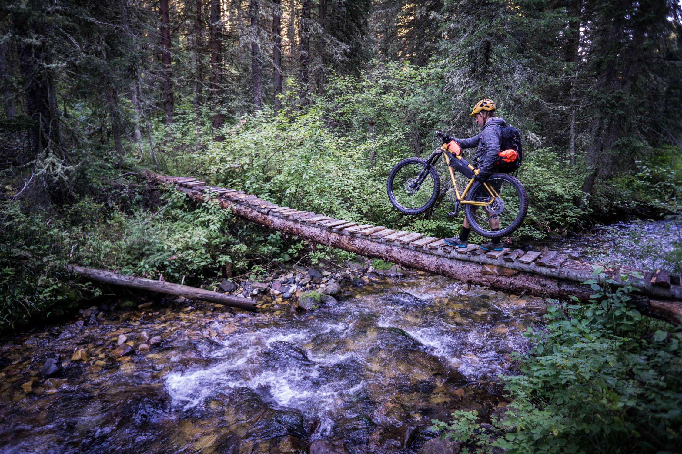
% Singletrack
75%
% Rideable (time)
94%
Total Ascent
17,731'
(5,404 M)High Point
9,815'
(2,992 M)Difficulty (1-10)
7?
- 10Climbing Scale Very Strenuous158 FT/MI (30 M/KM)
- -Technical Difficulty
- -Physical Demand
- -Resupply & Logistics
Contributed By

Ryan Krueger
Guest Contributor
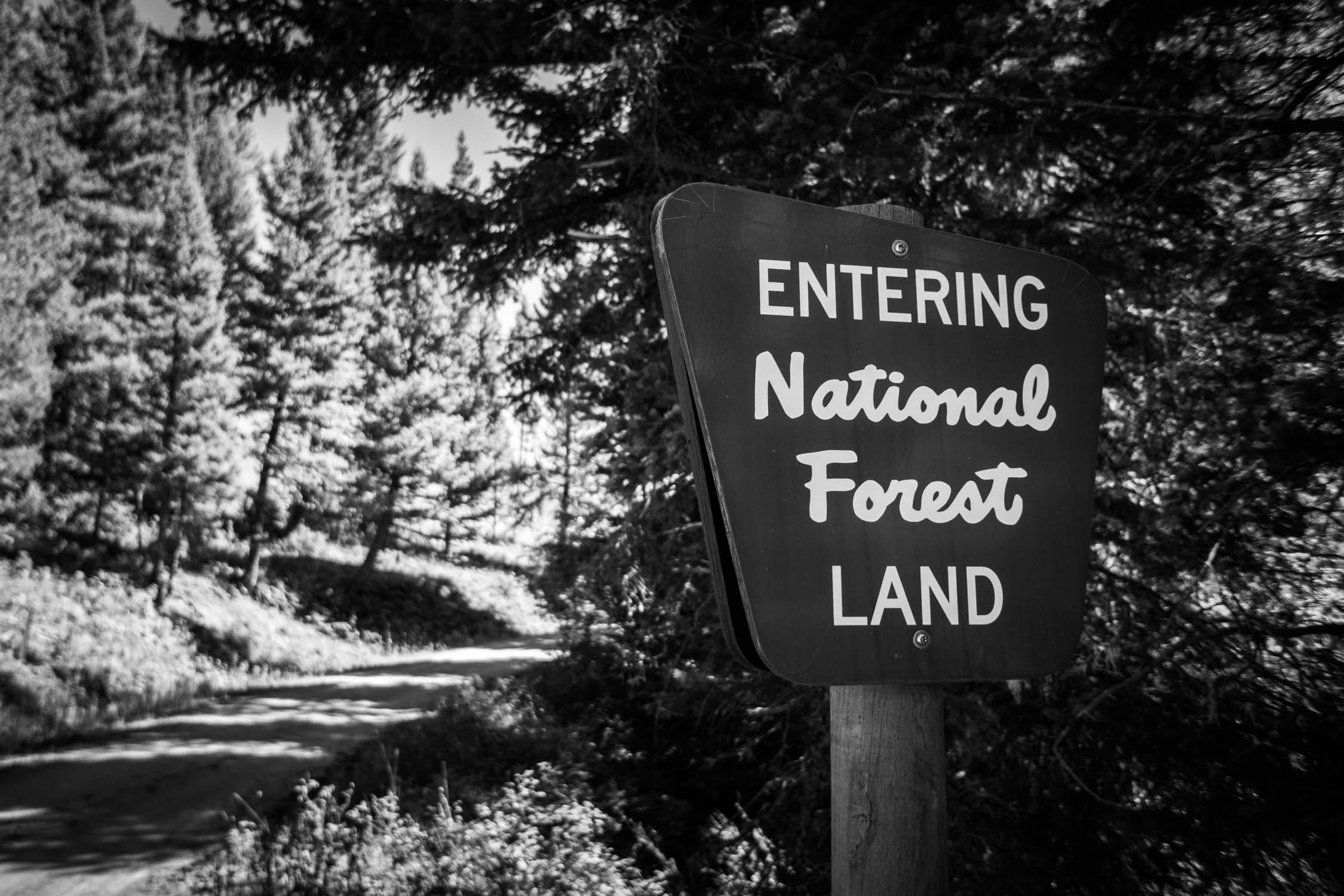
Ryan grew up in Wisconsin’s northwoods where he learned to ride singletrack, but eventually headed for the hills of Montana where he currently lives in Bozeman. When he’s not lost on a bike in the Gallatin National Forest, he can be found drifting down a river in the wilderness or wallowing in snow searching for an untracked line. See more of his work at ryankrueger.com and on Instagram @ryankrueger.
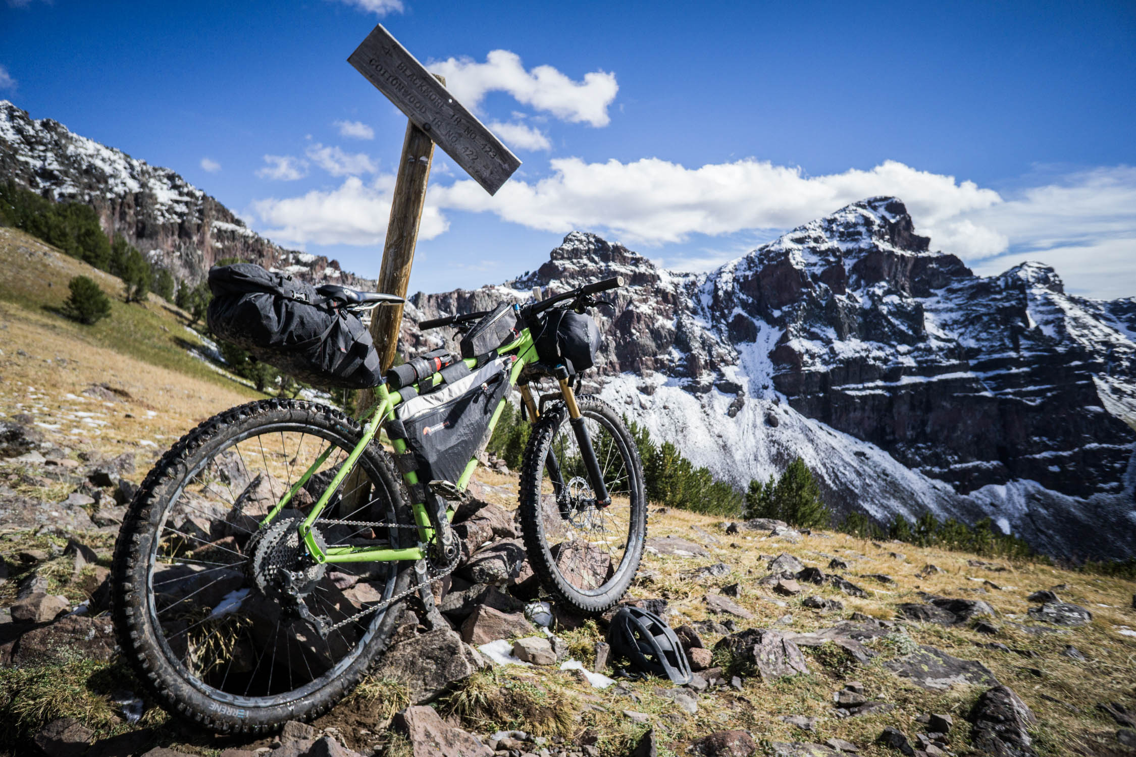
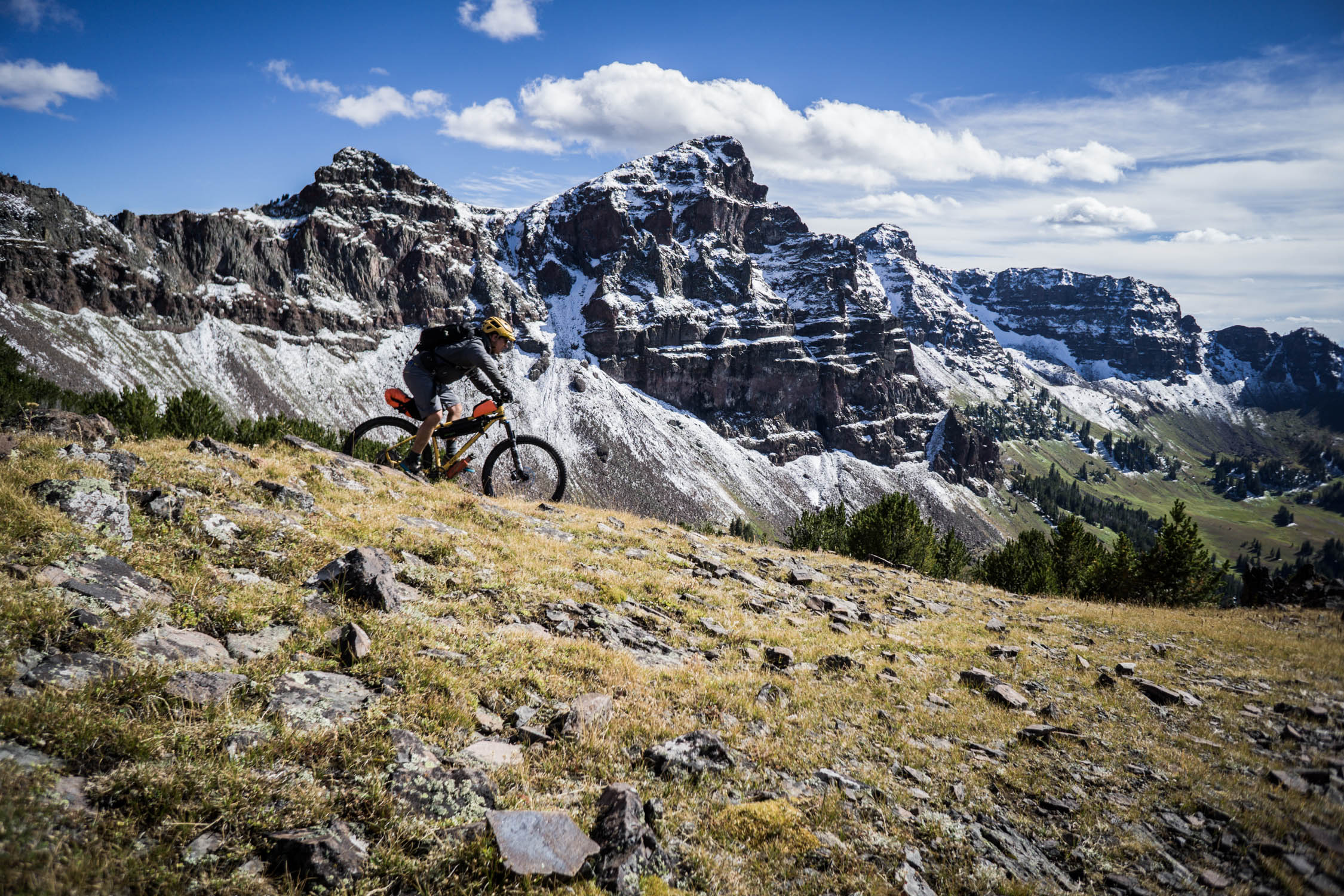
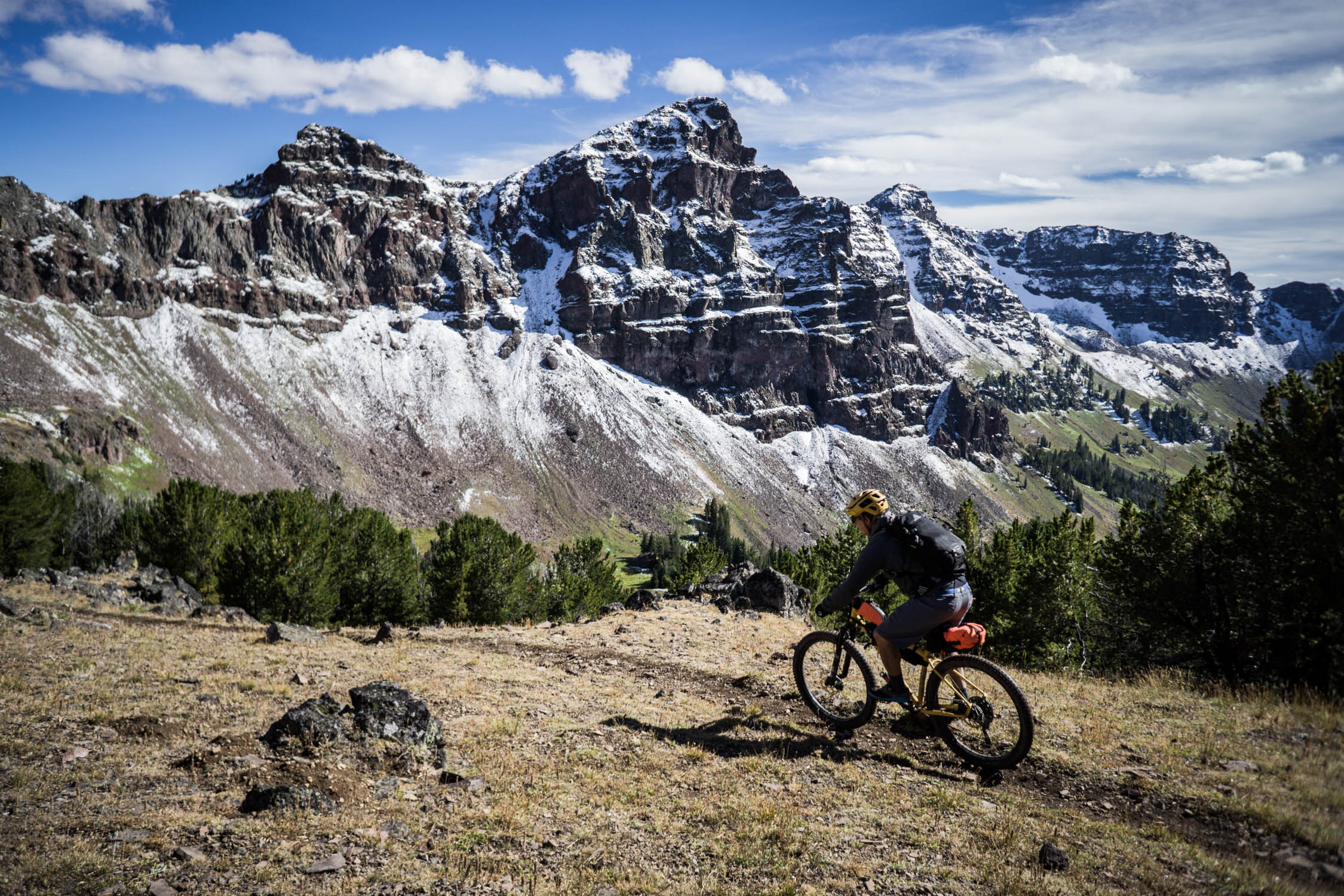
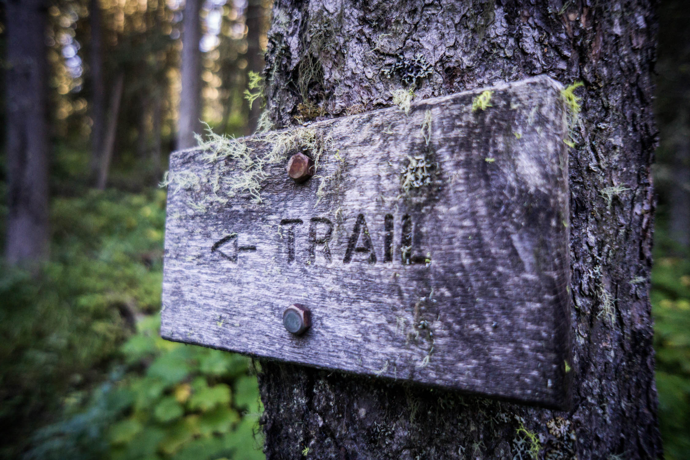
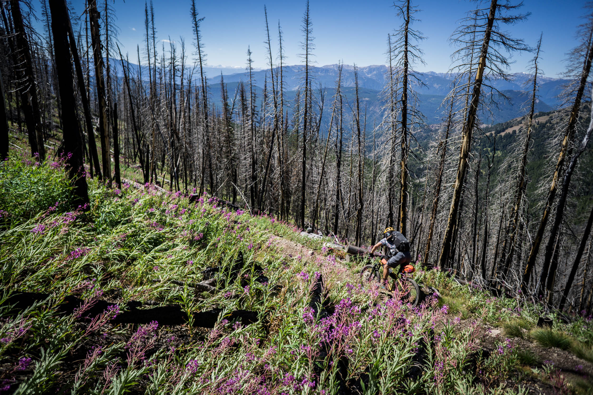
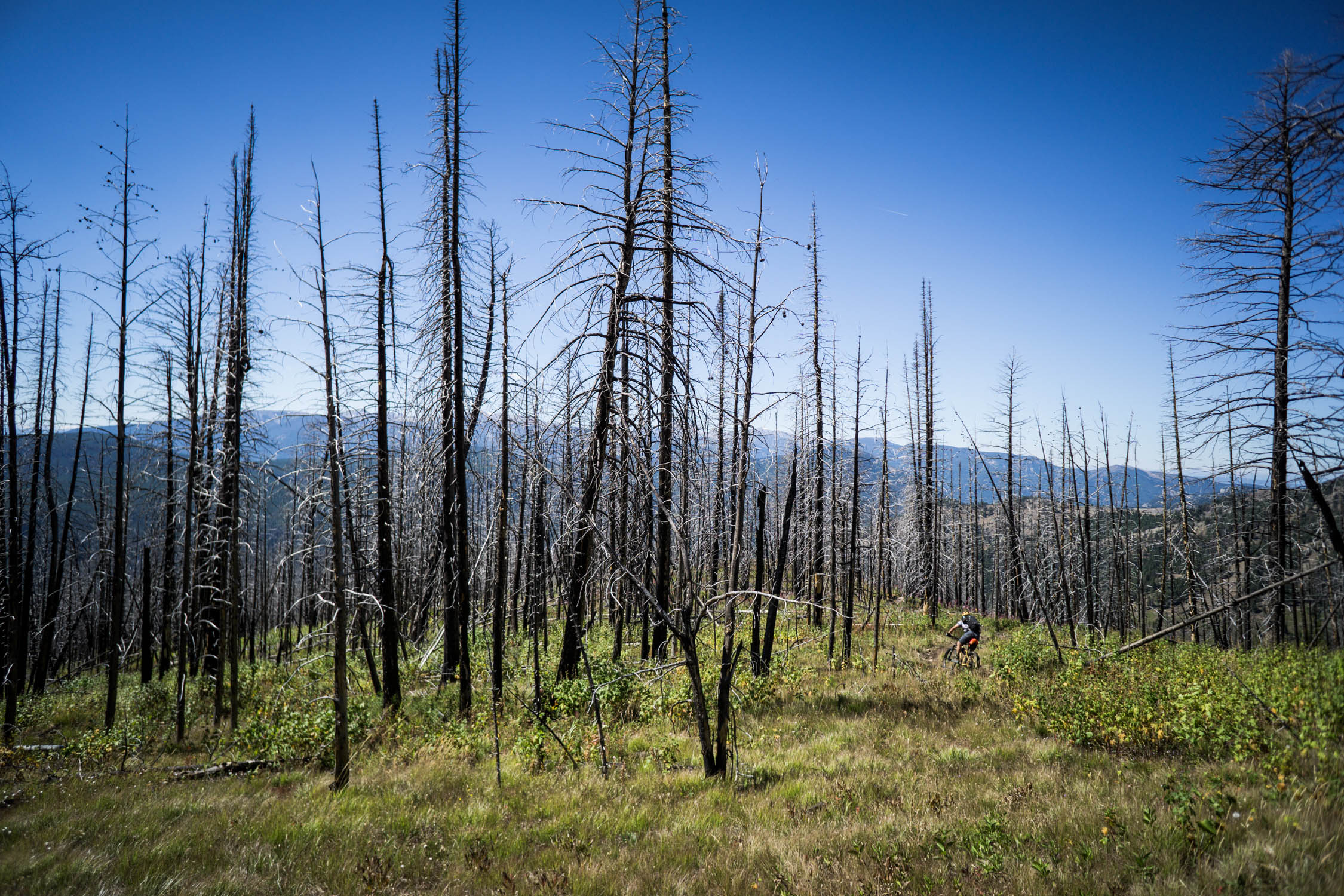
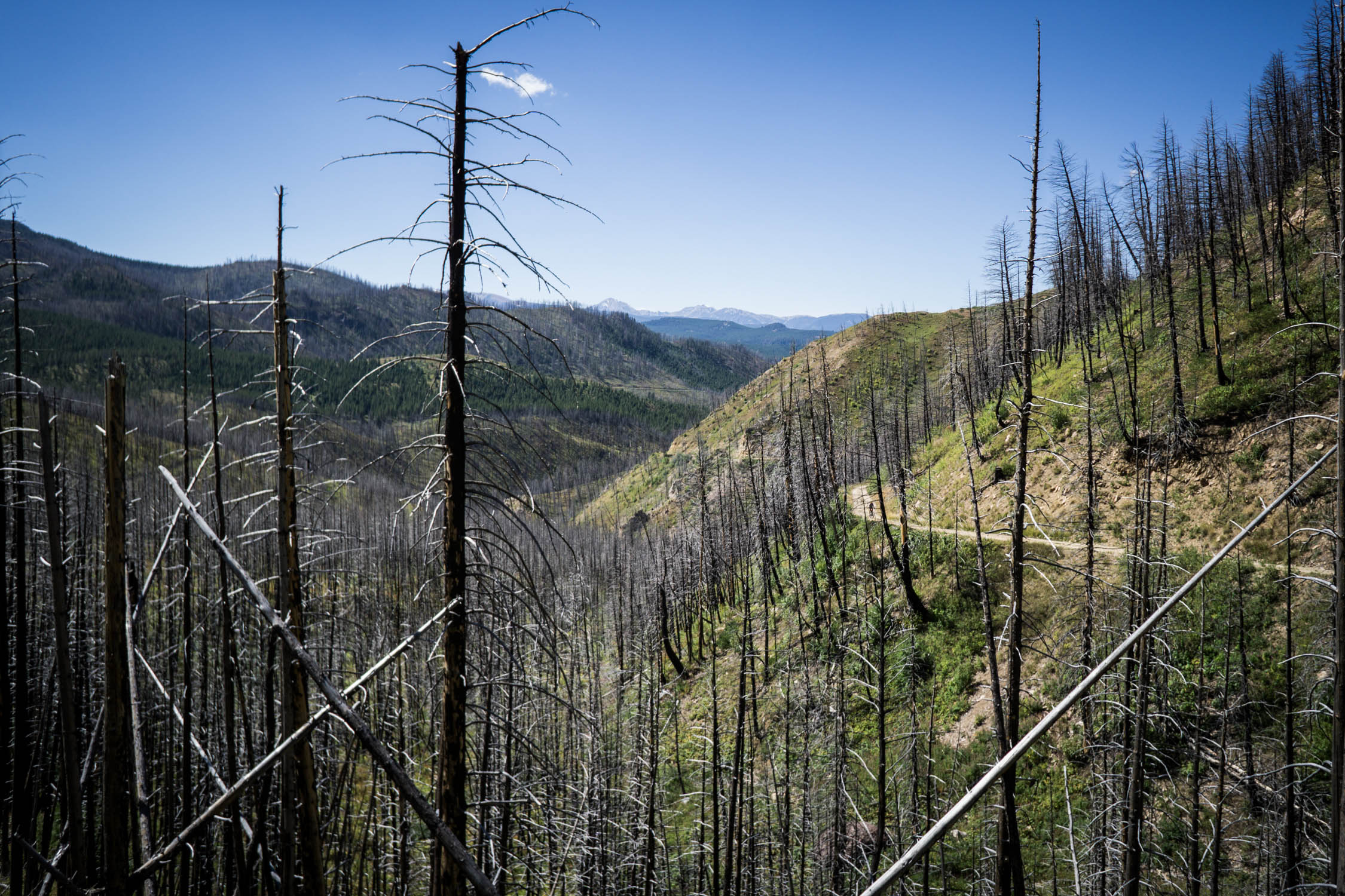
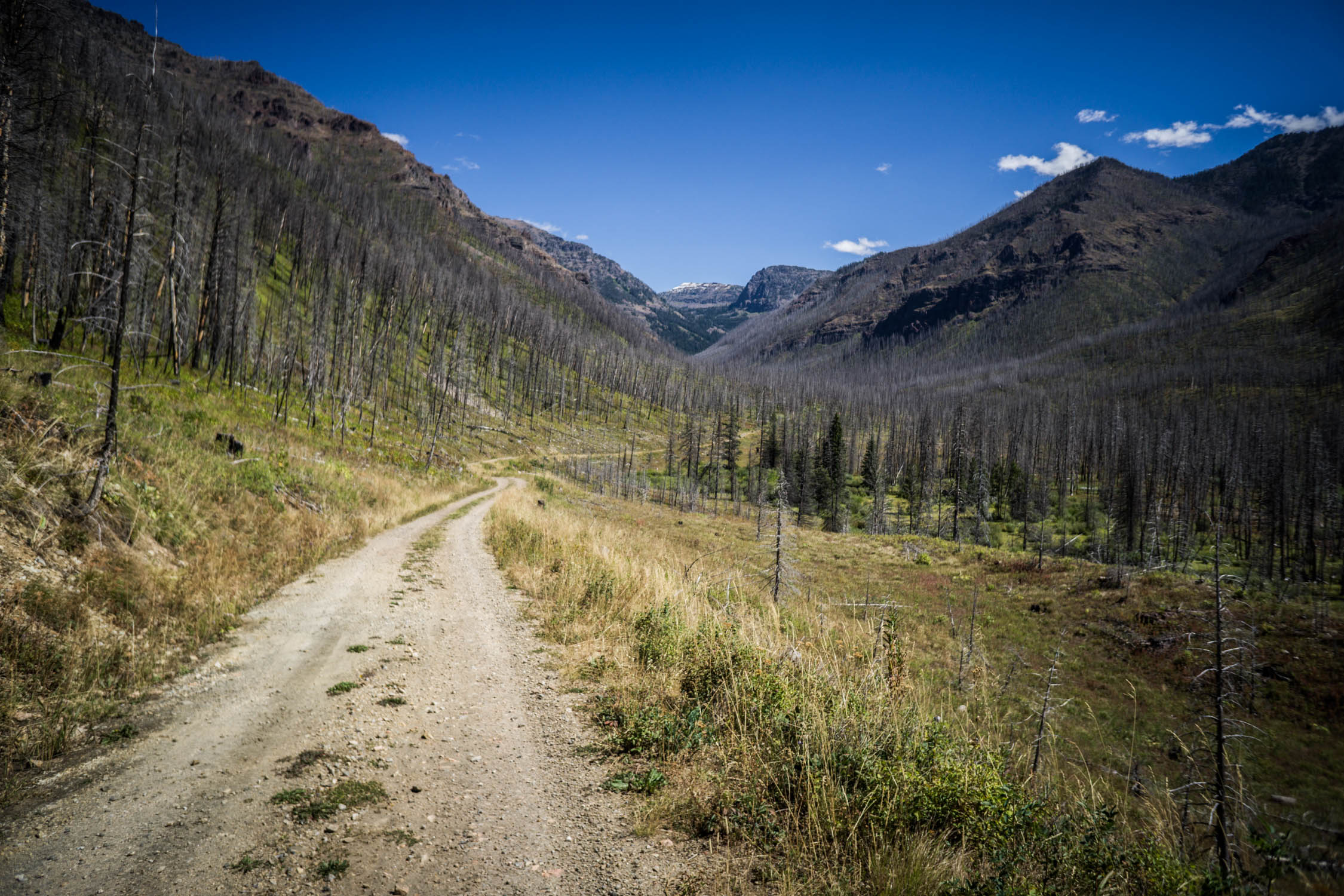
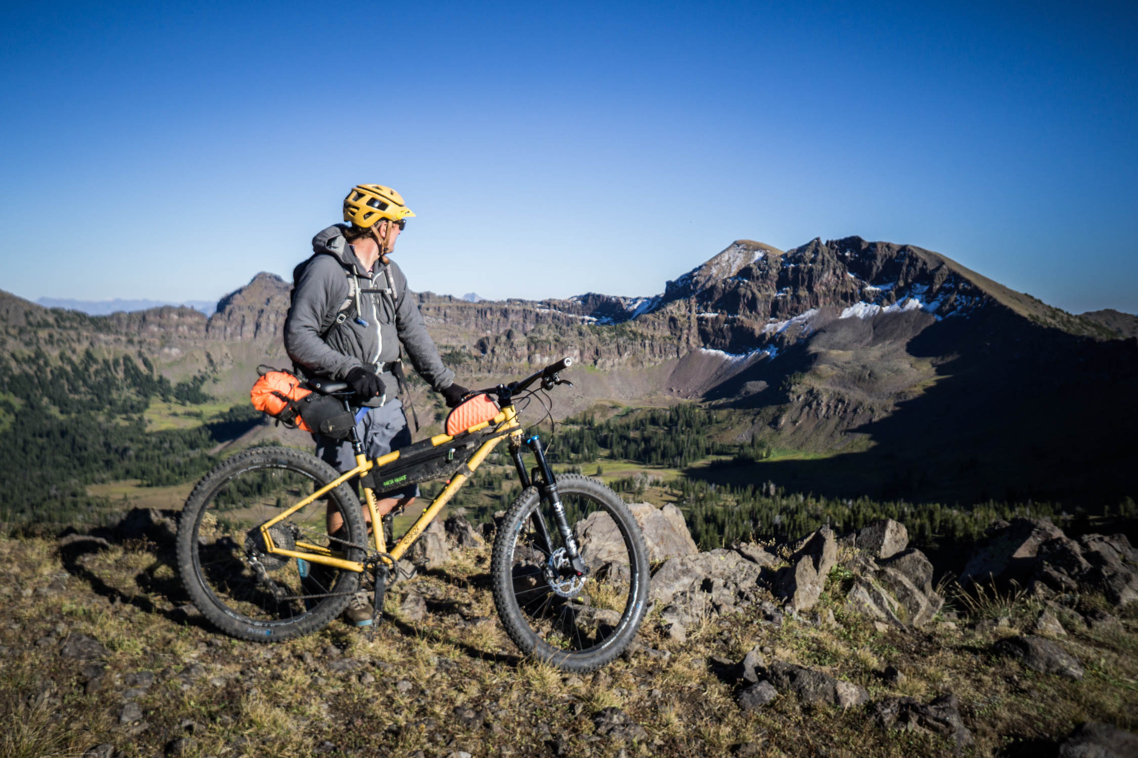
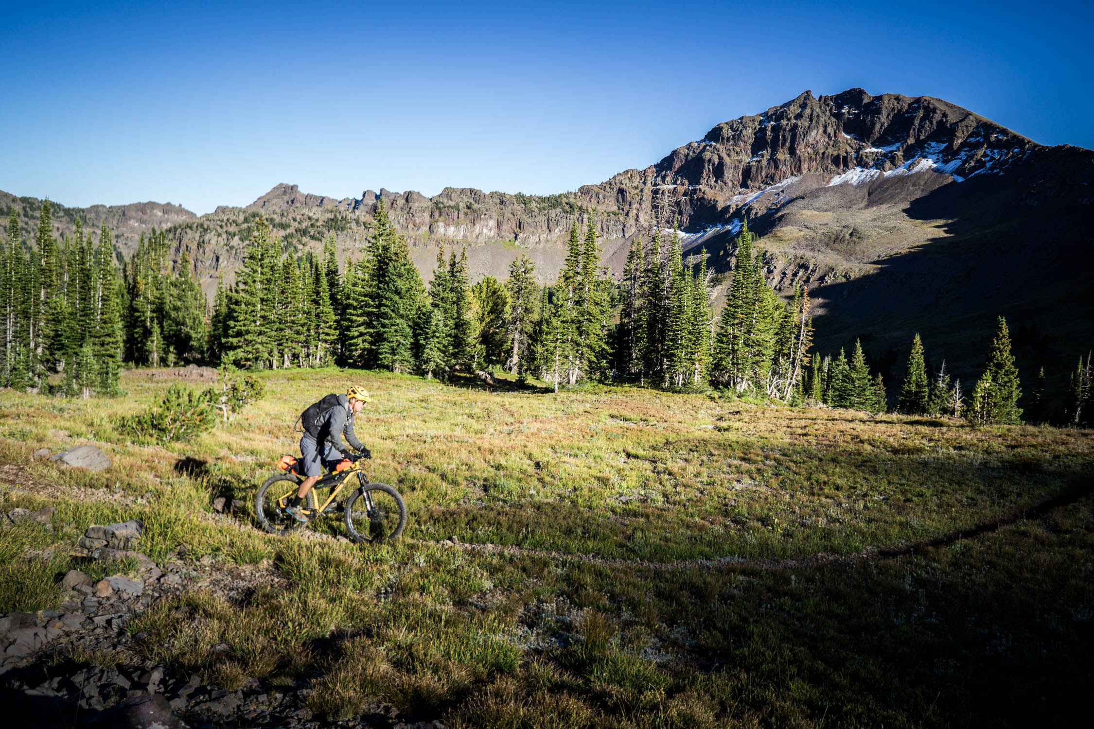
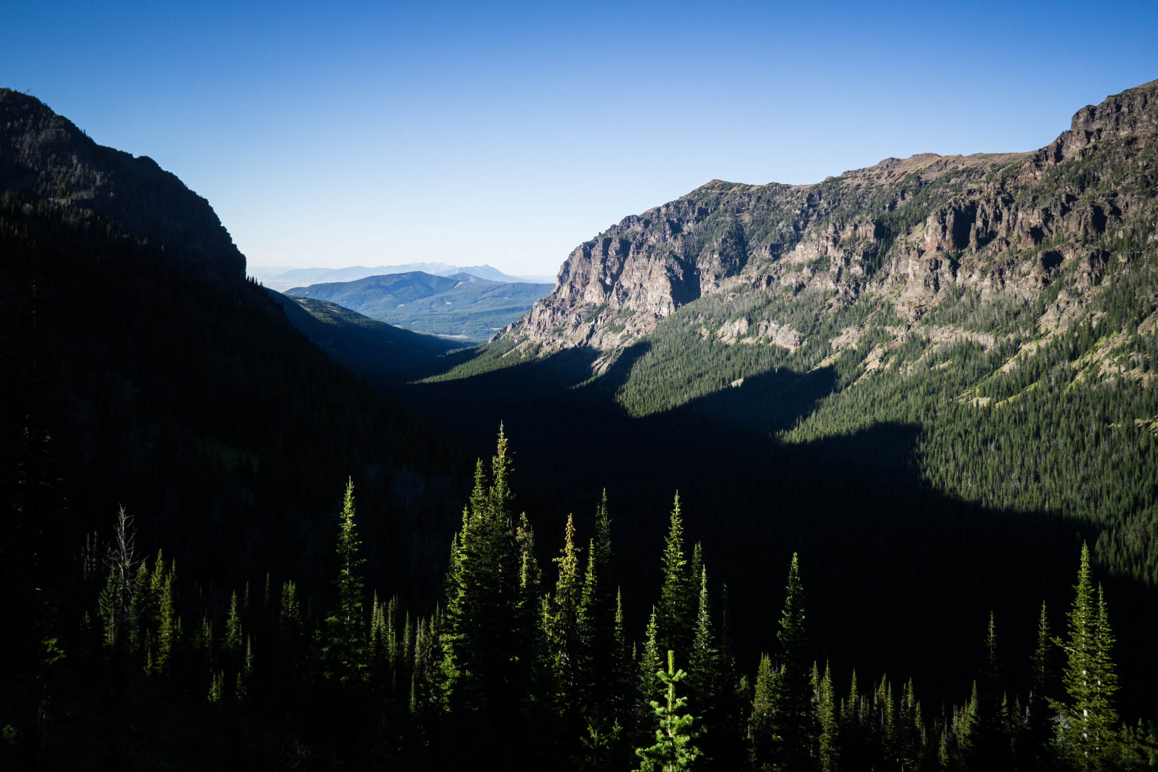
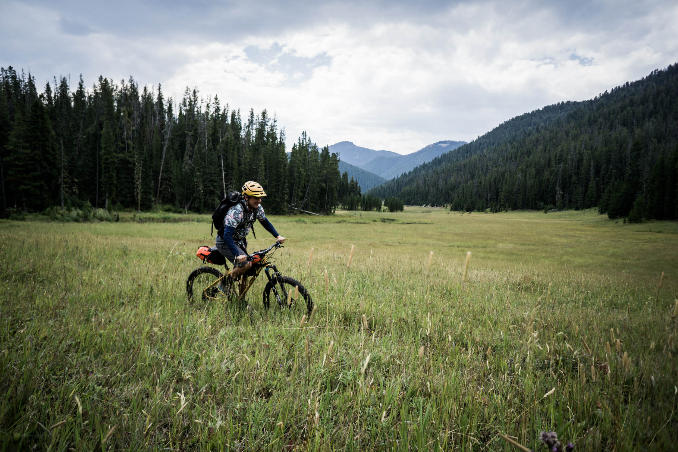
Pedal into the heart of the Greater Yellowstone Ecosystem. The 112 mile Gallatin Trail takes riders into wild country with vast scenery, flowing singletrack, and challenging climbs. This interconnected corridor with all of its rivers, forests, mountains, and wildlife is part of a critical swath of land surrounding Yellowstone National Park. This wild land is also home to an extensive system of backcountry trails that are accessible to mountain bikes through a unique collaboration between local land managers and mountain bike advocacy organizations.
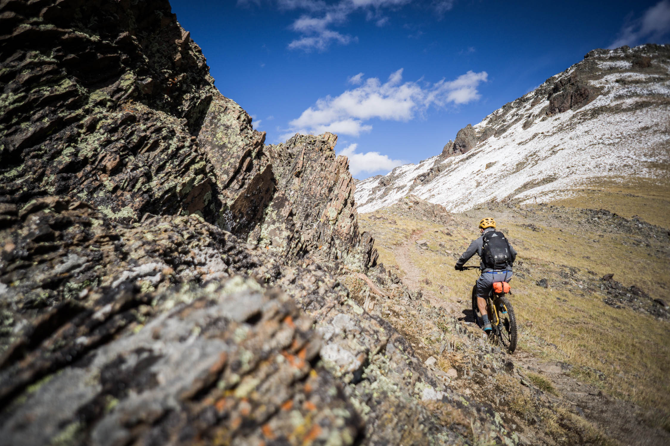
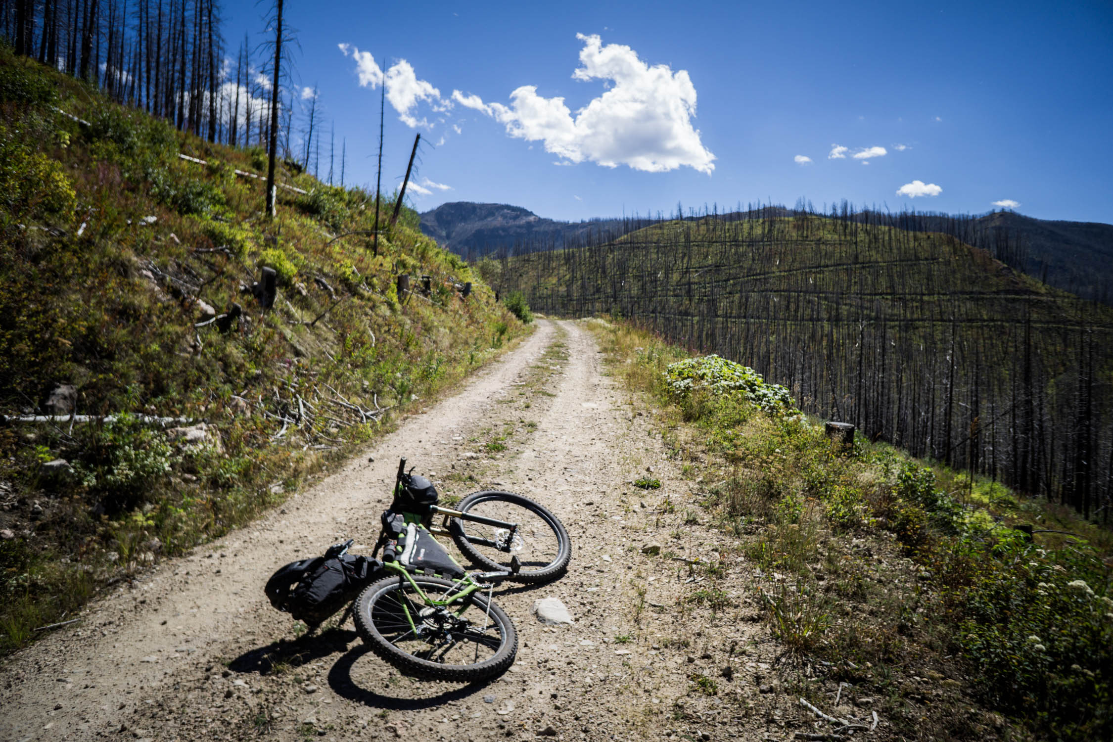
The route starts and ends in the town of Bozeman, with plenty of amenities in the area to plan the entire ride. Once you leave town, there are no resupply points for food, but water is available throughout the route. The trail follows singletrack and forest roads, which can at times be technically difficult, and physically demanding as the route follows long climbs up and over various ridgelines and mountain saddles each day. Be sure to read the Must Know and Trail Notes tabs below as there are dangers and restrictions…
Route Development: Route developed in part by Ryan Krueger and David Tucker with support from Southwest Montana Mountain Bike Association. Make sure to read the ride journal entry from this trip over at EskerCycles.com.


Submit Route Alert
As the leading creator and publisher of bikepacking routes, BIKEPACKING.com endeavors to maintain, improve, and advocate for our growing network of bikepacking routes all over the world. As such, our editorial team, route creators, and Route Stewards serve as mediators for route improvements and opportunities for connectivity, conservation, and community growth around these routes. To facilitate these efforts, we rely on our Bikepacking Collective and the greater bikepacking community to call attention to critical issues and opportunities that are discovered while riding these routes. If you have a vital issue or opportunity regarding this route that pertains to one of the subjects below, please let us know:
Highlights
Must Know
Camping
Food/H2O
Trail Notes
Resources
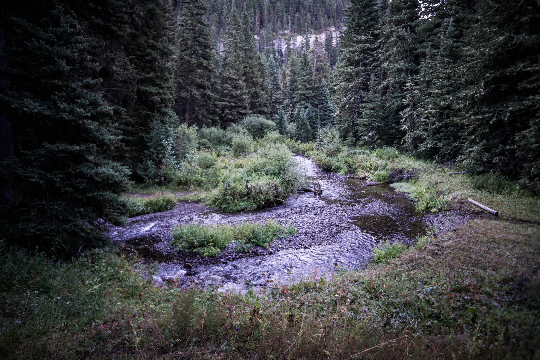
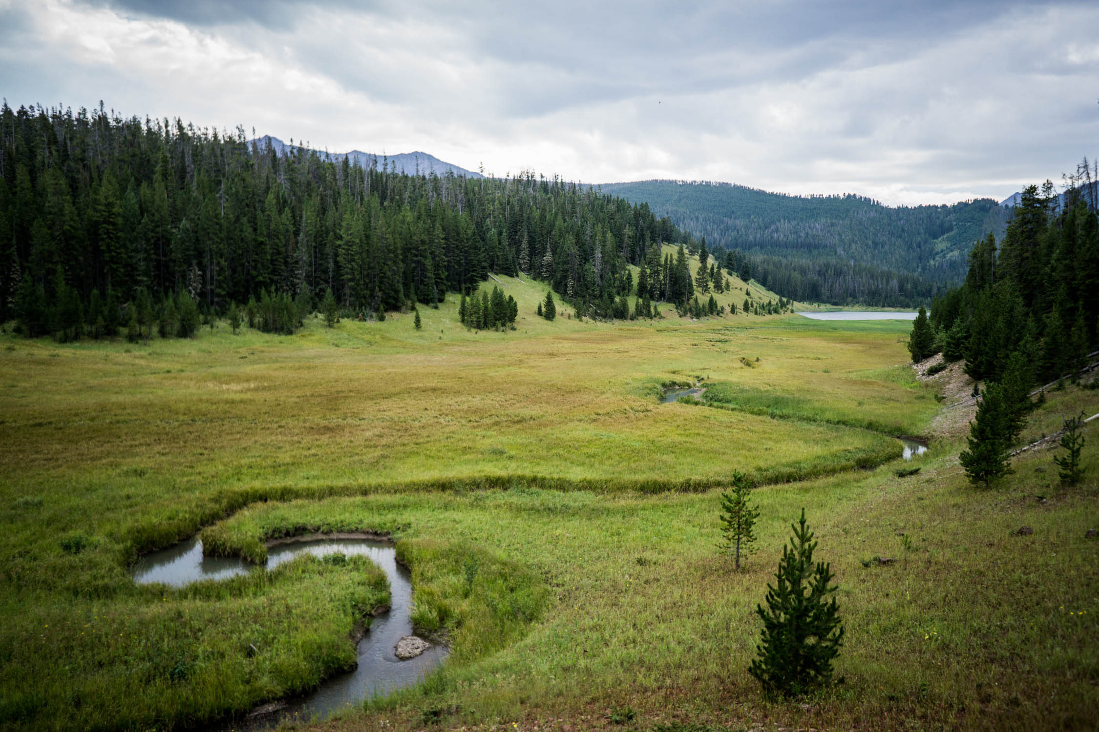
- Lush forests near Moser Creek
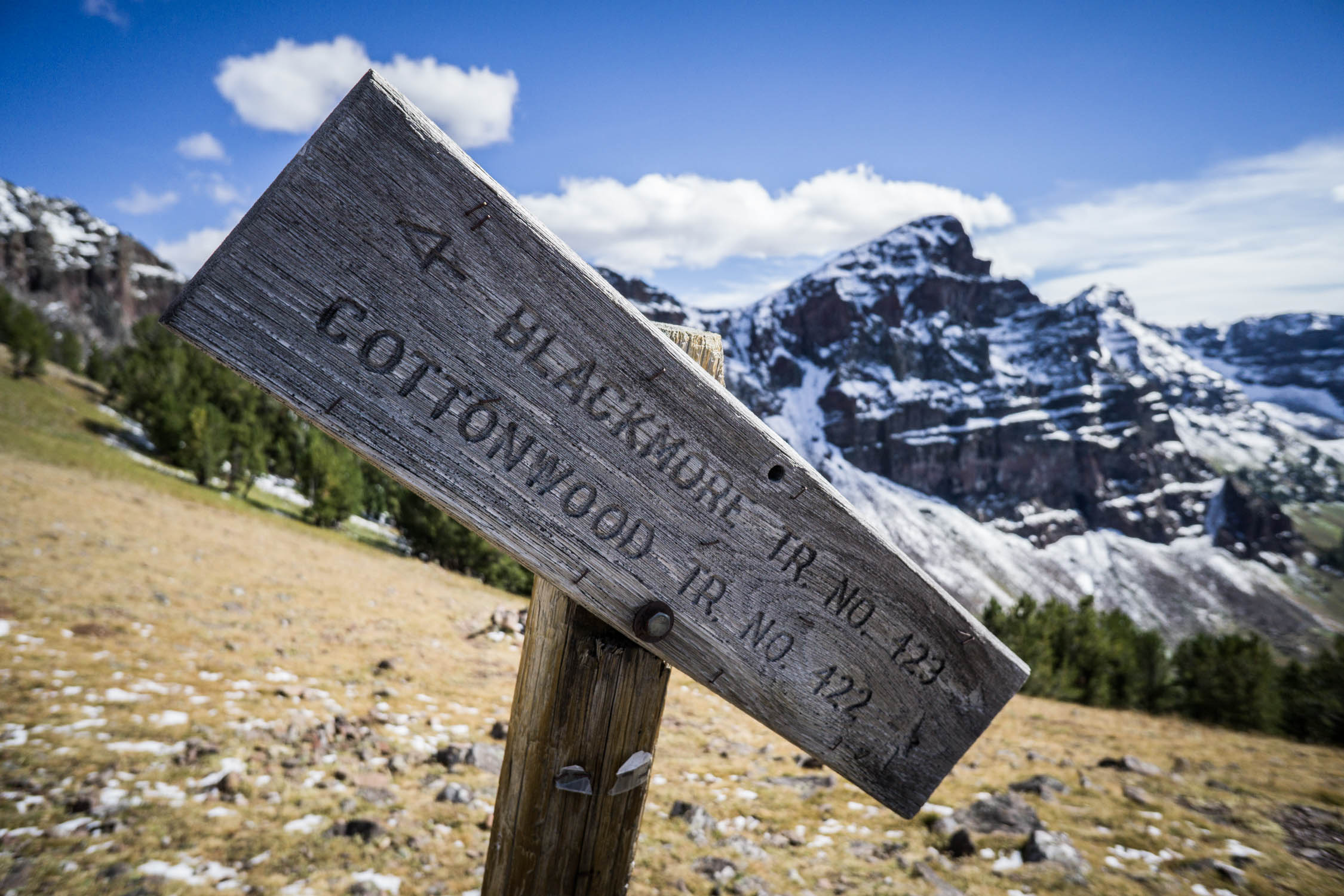
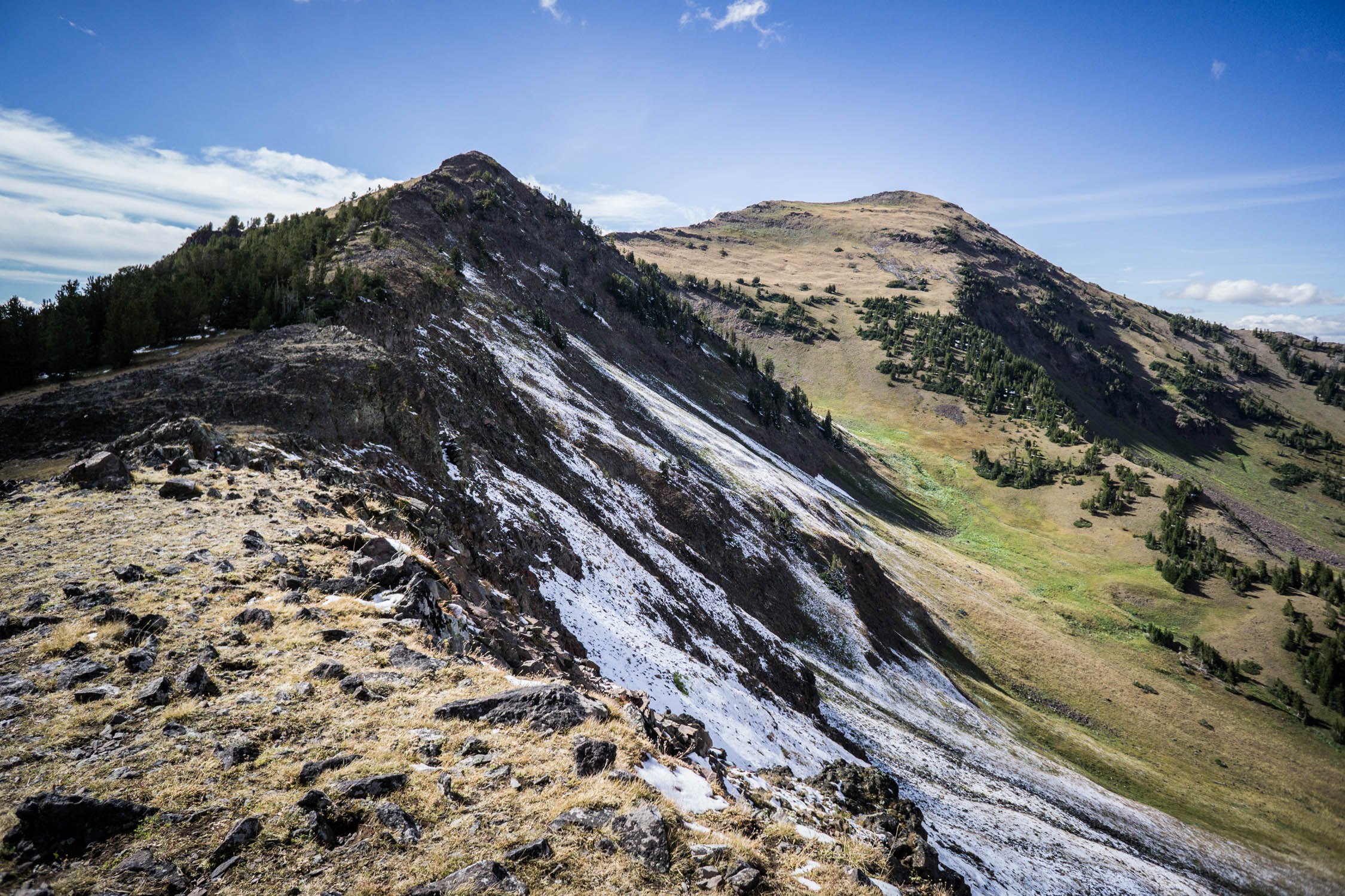
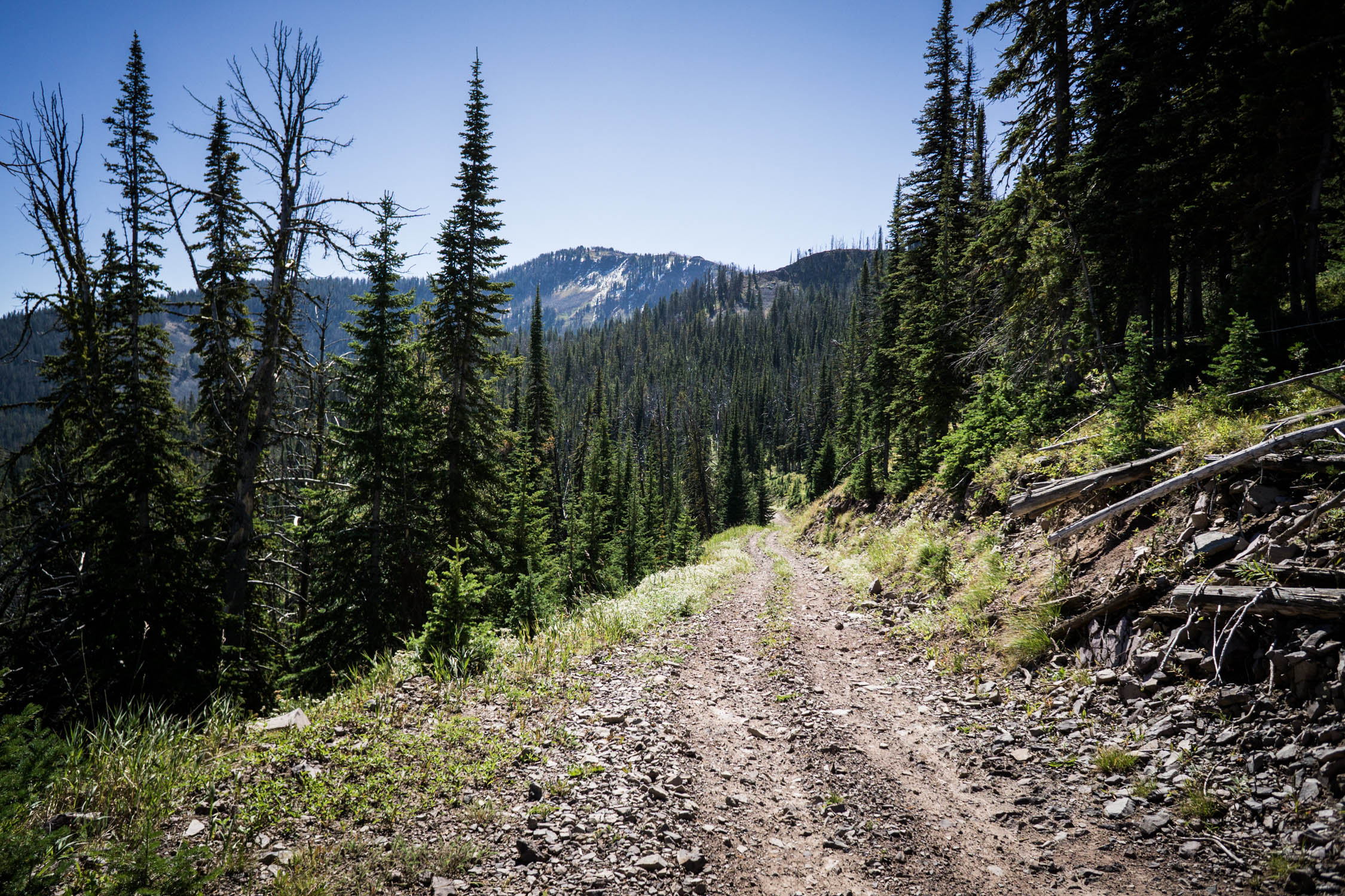
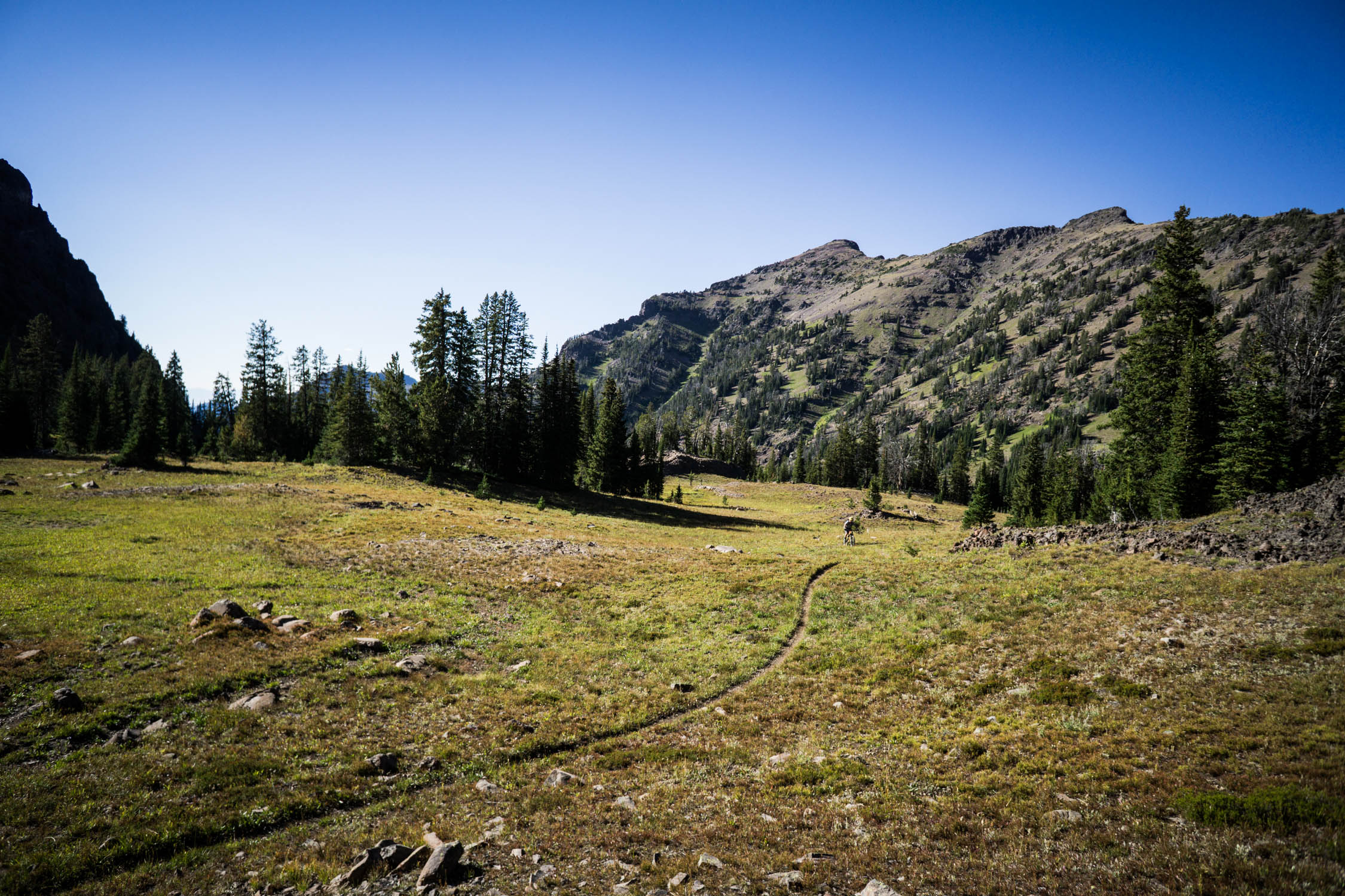
- Epic scenery atop Blackmore saddle
- Singletrack down from Blackmore to Fox Creek, to Wheeler intersection
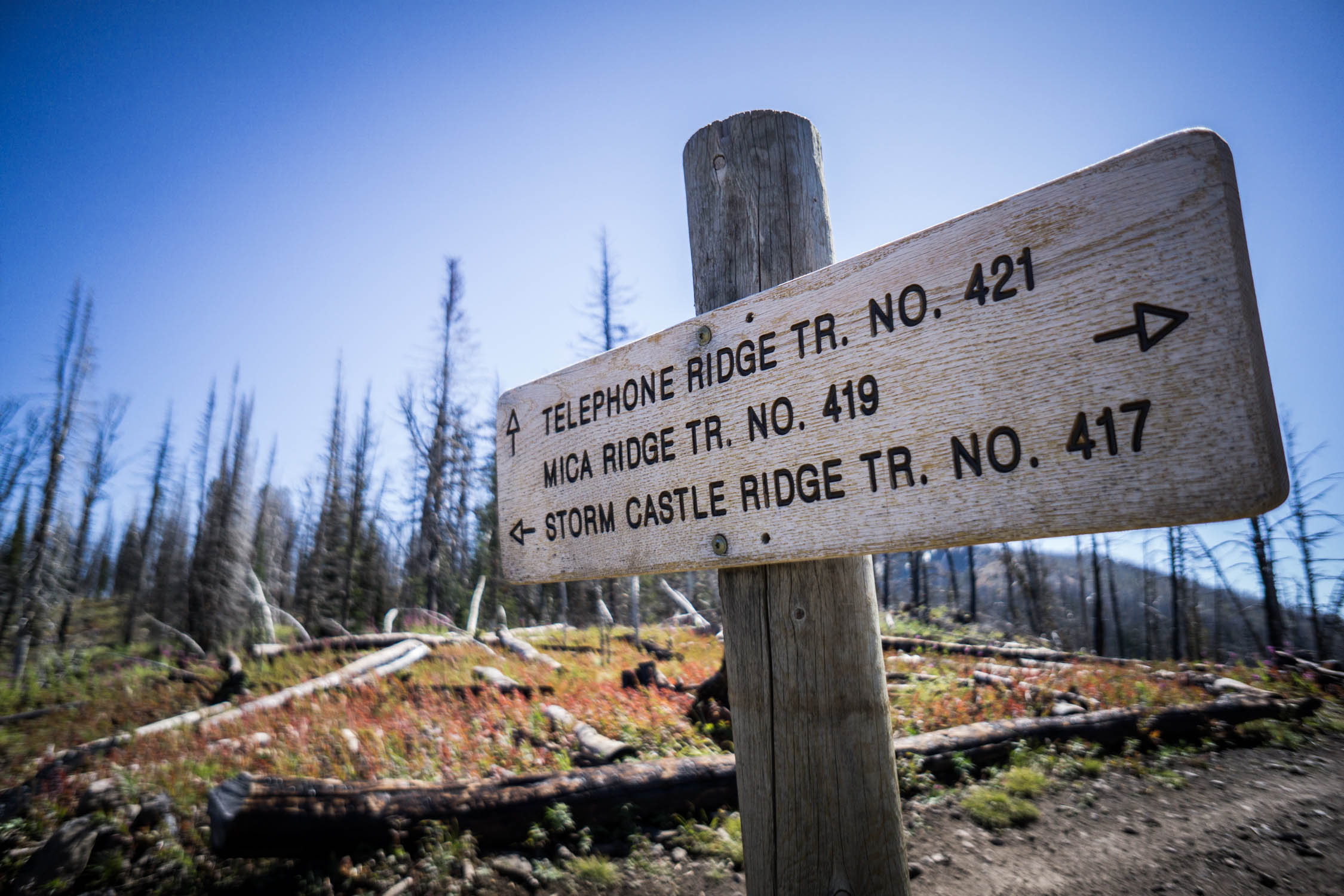
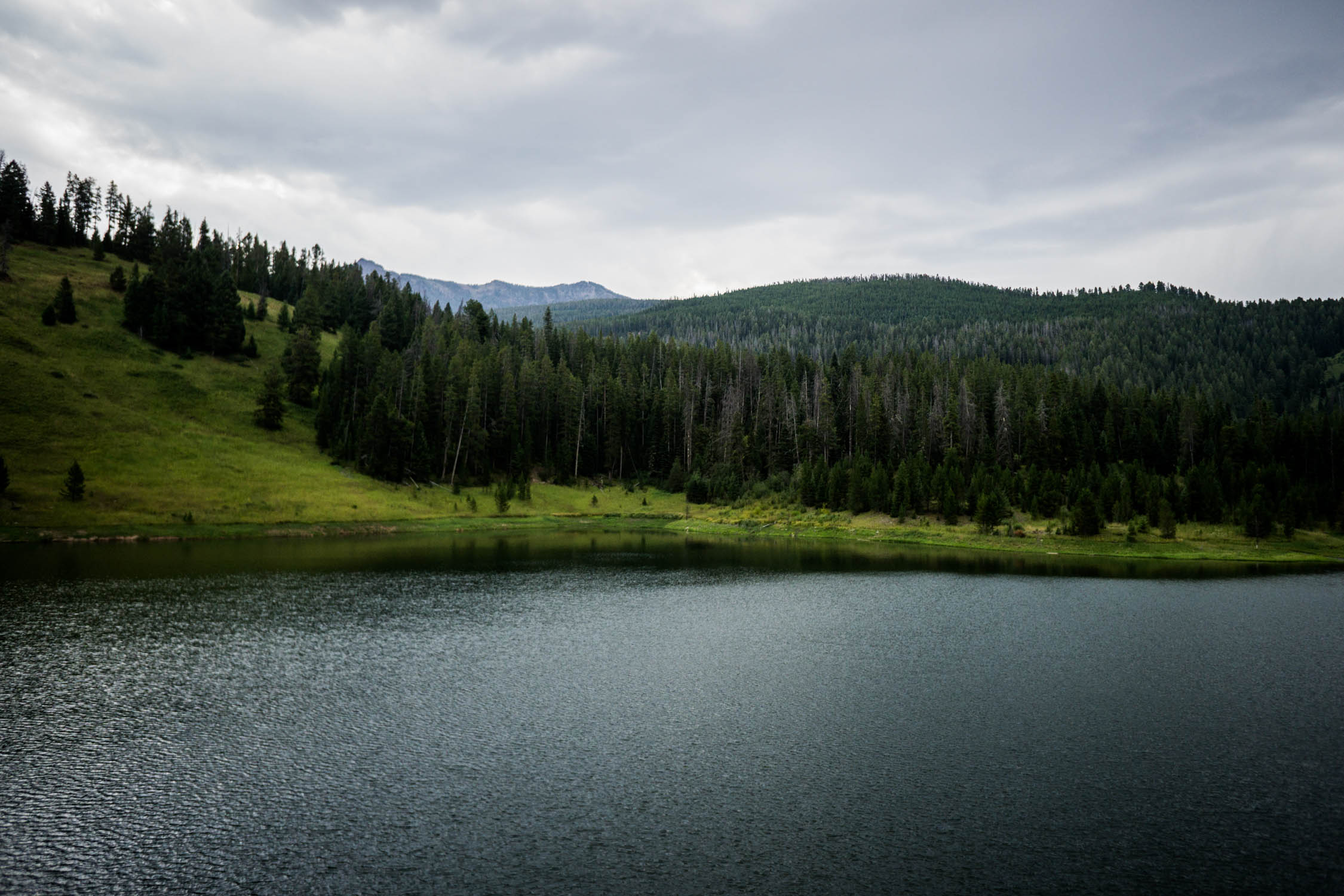
- Hyalite Ridge above Storm Castle and Hyalite Lake
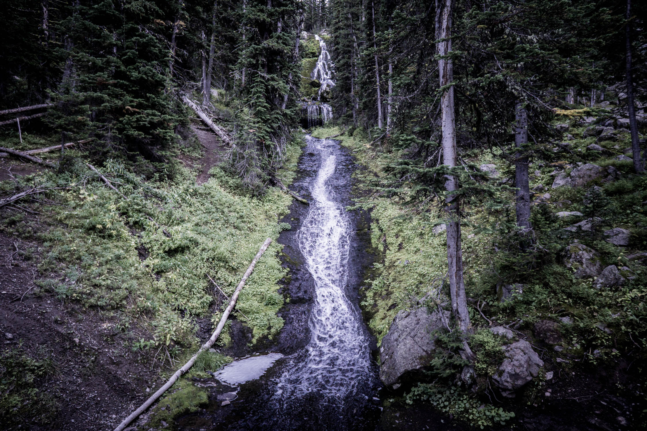
- Hyalite Creek singletrack descent
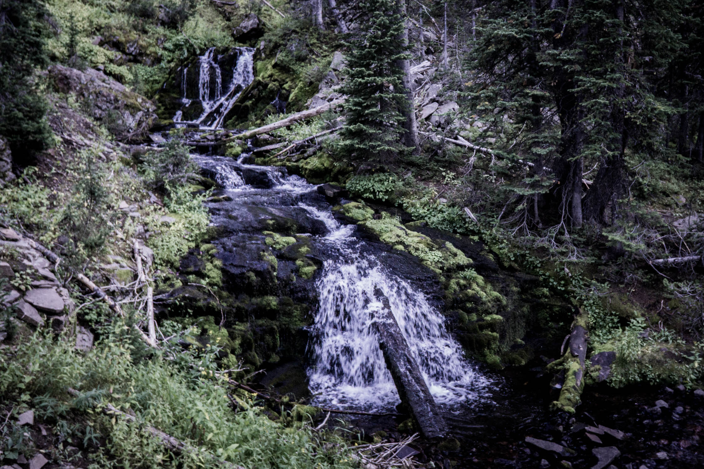
- Waterfalls along Hyalite Creek
- Shootout Park rollercoaster descent
- Mystic Lake singletrack
- Final descent from Mystic Lake down Bozeman Creek
- Abundant wildlife along the route
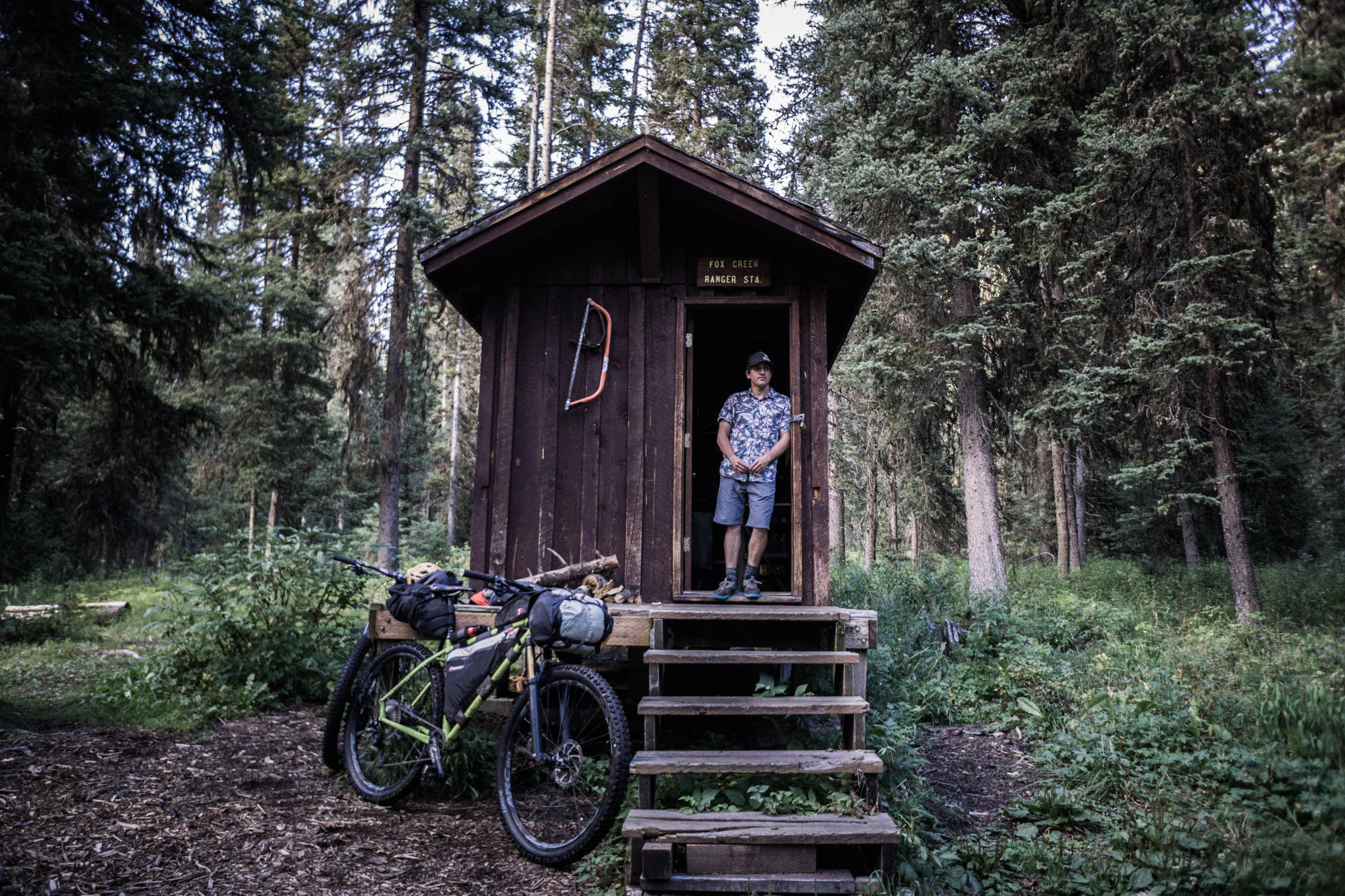
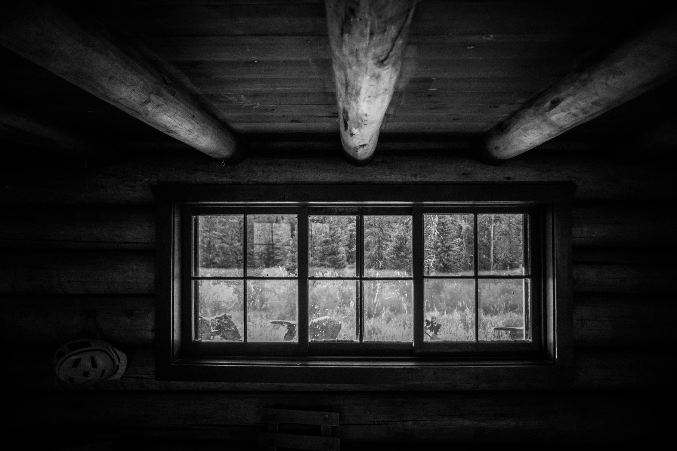
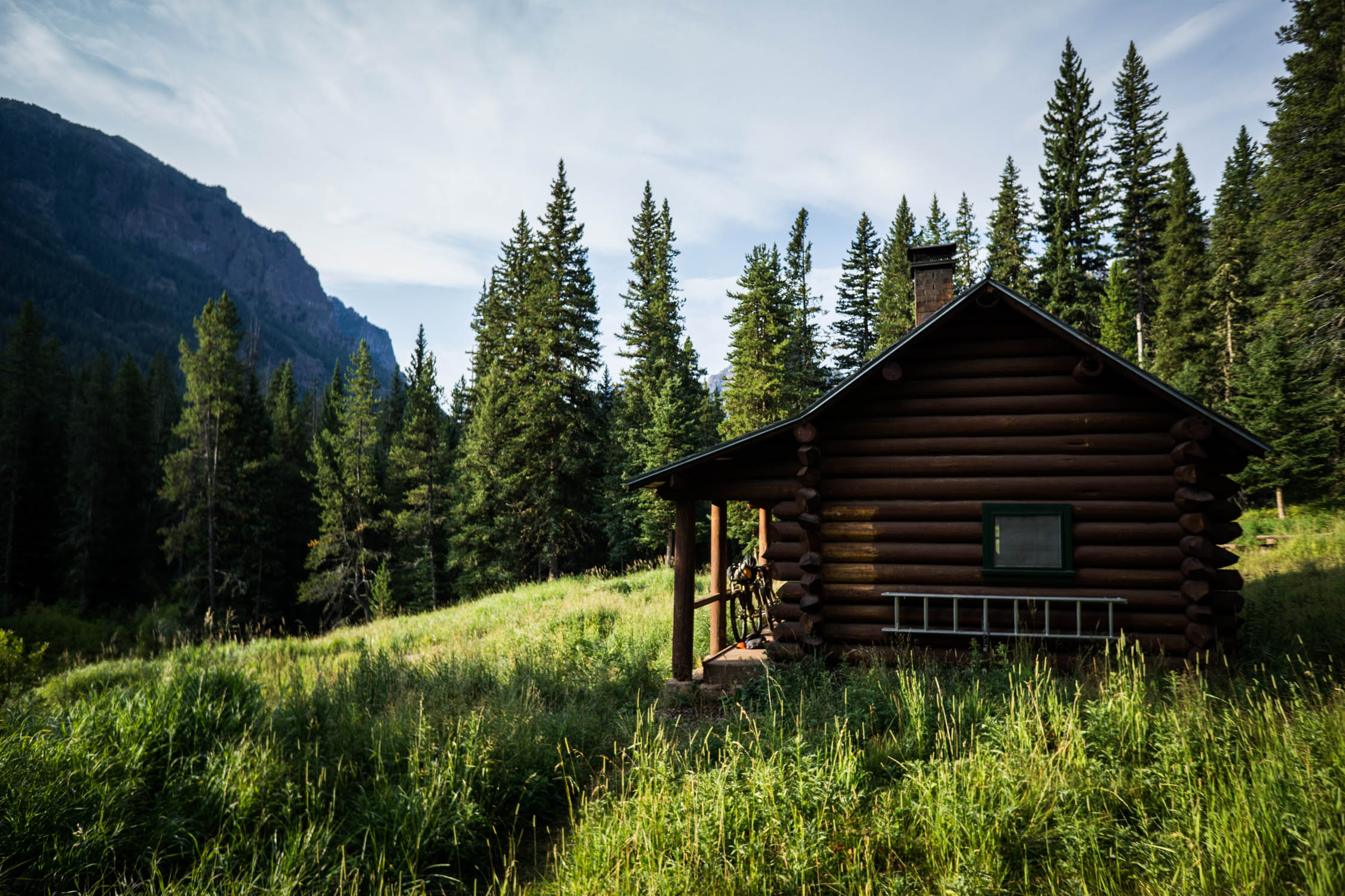
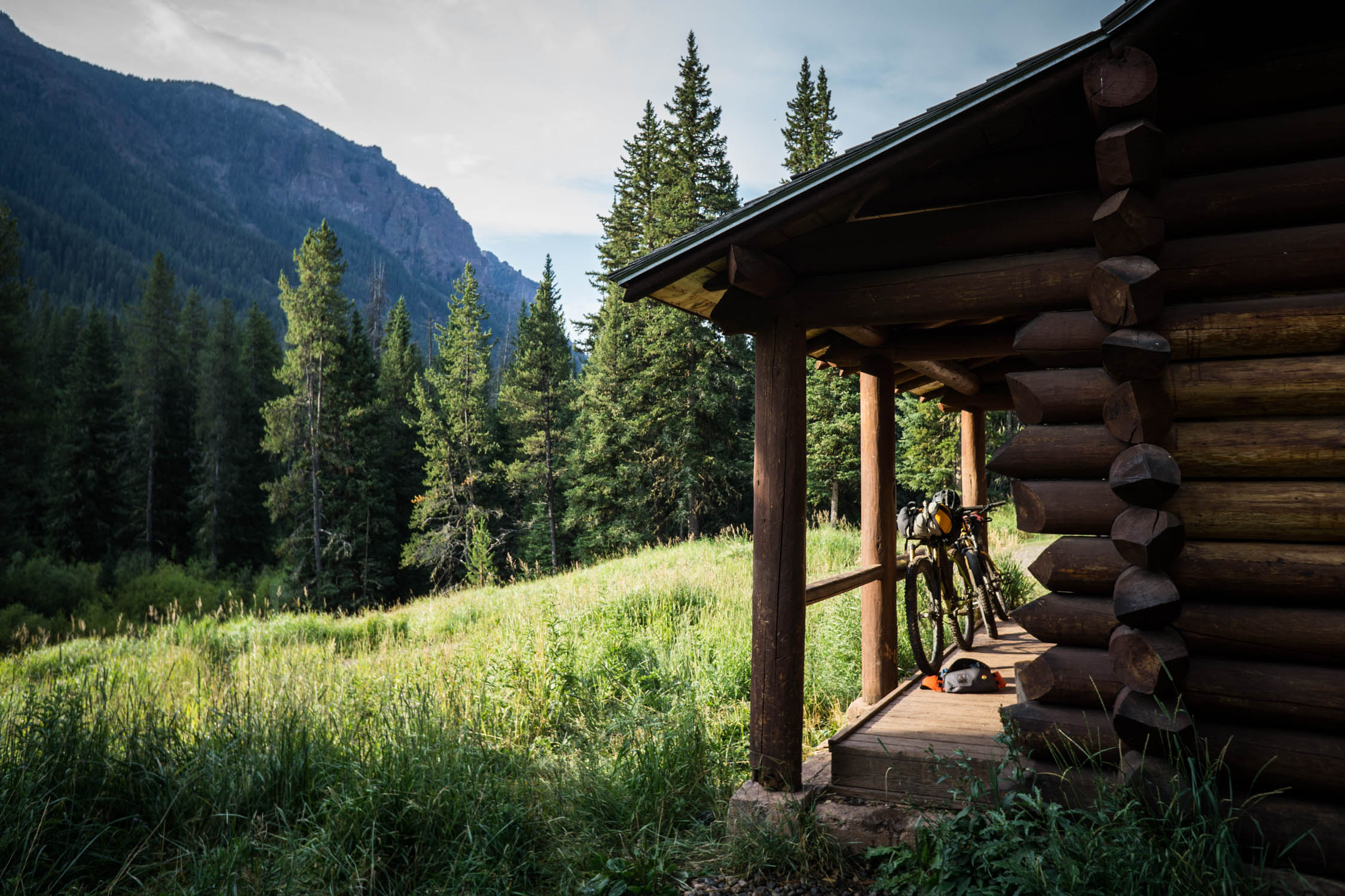
- Forest service cabins available to reserve along the route
- Epic views everywhere
- Remote singletrack
- Pre-ride breakfast at the Western Café
- Post ride beers and food at Montana Ale Works
- The Gallatin Trail is rideable from late June to September, but pe prepared for mountain weather in the shoulder seasons
- Wet or muddy trails are not to be ridden
- Hyalite Creek trail is a timeshare trail and cannot be ridden on Friday-Saturday
- Wild animals exist throughout the route. Accessible bear spray is required.
- This route starts and ends anywhere in Bozeman but could also use the Bozeman Creek trailhead as a start/end point.
- The trails along this route border or access the Hyalite Buffalo Horn WSA and are part of the Greater Yellowstone Ecosystem. Riding here is a privilege. Use caution around hikers and horses. Be respectful of the local land, wildlife, and be kind and courteous around other use groups.
- Bikes are not allowed further up Hyalite Creek toward the alpine lake.
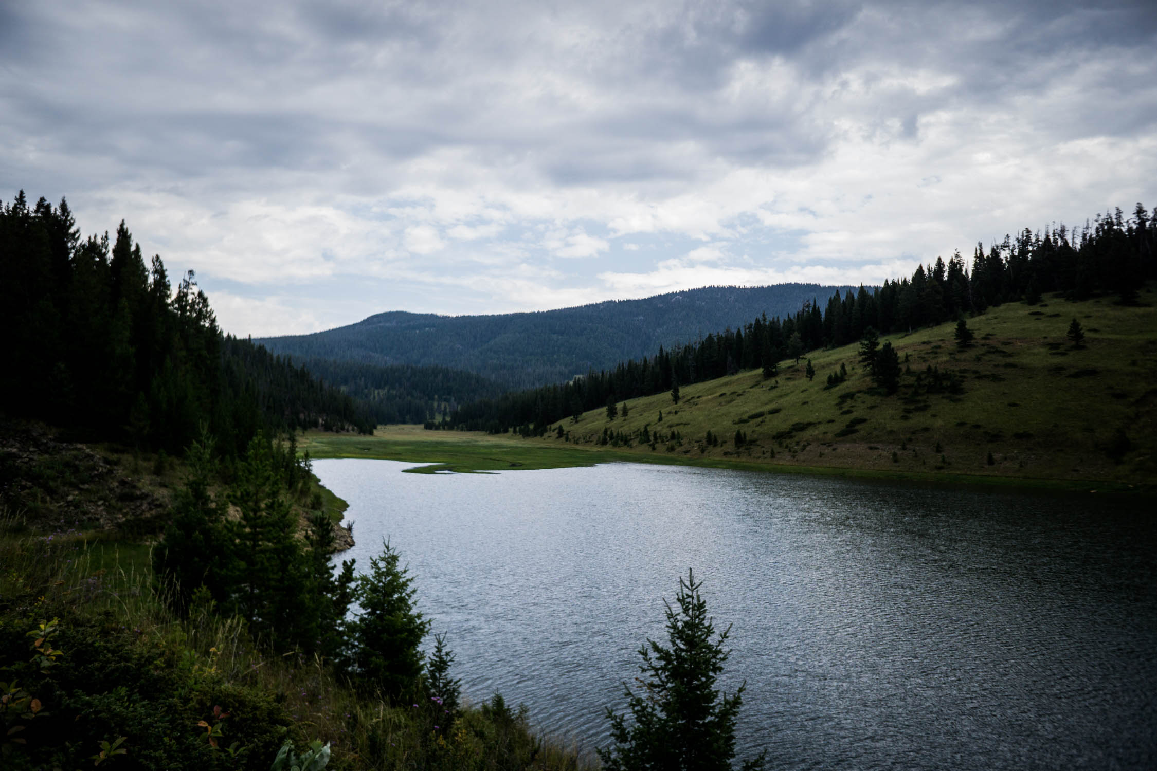
- Permits required in designated camping spots around Hyalite Reservoir. Camping is free and plentiful elsewhere along the route.
- Many of the lakes and creeks along the route are part of the Bozeman watershed. Be respectful. Leave no trace.
- Fox Creek, Window Rock, and Mystic Lake Cabins require reservation at fs.usda.gov
- There are many creeks, springs, and lakes along the route and filterable water is available regularly.
- There are no resupply points along the route. All food must be packed from the beginning of the route.
- Post ride drinks and food at Montana Ale Works
- Stay alert to keep on the right trail at miles 15-20
- The climb to the Mount Blackmore saddle is a ~3-4 mile hike-a-bike for most people.
- Stay alert and do not miss the Wheeler intersection on your left at ~mile 41.
- The descent from miles 51-56 is steep and loose. Use caution.
- The climb to the Hyalite Divide ridge is a ~4-5 mile hike-a-bike for most people.
- Enjoy the amazing singletrack, but keep an eye out for hiker traffic on Hyalite Creek Trail at miles 68-75
- Stop and enjoy the numerous waterfalls on Hyalite Creek Trail.
- The trail starts to vanish at mile 87. Continue on up the meadow and regain the trail at the other side of the saddle.
- Stay to the right on the double track descent at miles 98-103
- Bozeman’s Main Street to the Mountains Trail offers the best opportunity to stay off pavement getting to and from town to the mountains.
Additional Resources
- Ride journal available at EskerCycles.com: The Gallatin Trail Journal
- The best printed map for this entire route can be found at beartoothpublishing.com


Terms of Use: As with each bikepacking route guide published on BIKEPACKING.com, should you choose to cycle this route, do so at your own risk. Prior to setting out check current local weather, conditions, and land/road closures. While riding, obey all public and private land use restrictions and rules, carry proper safety and navigational equipment, and of course, follow the #leavenotrace guidelines. The information found herein is simply a planning resource to be used as a point of inspiration in conjunction with your own due-diligence. In spite of the fact that this route, associated GPS track (GPX and maps), and all route guidelines were prepared under diligent research by the specified contributor and/or contributors, the accuracy of such and judgement of the author is not guaranteed. BIKEPACKING.com LLC, its partners, associates, and contributors are in no way liable for personal injury, damage to personal property, or any other such situation that might happen to individual riders cycling or following this route.
Please keep the conversation civil, constructive, and inclusive, or your comment will be removed.