


Verona and Lessinia Loop
Distance
90 Mi.
(145 KM)Days
2-3
% Unpaved
70%
% Singletrack
3%
% Rideable (time)
100%
Total Ascent
11,100'
(3,383 M)High Point
5,640'
(1,719 M)Difficulty (1-10)
6?
- 8Climbing Scale Strenuous123 FT/MI (23 M/KM)
- -Technical Difficulty
- -Physical Demand
- -Resupply & Logistics
Contributed By
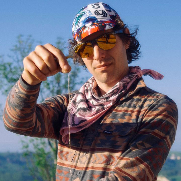
Niccolo Varanini
Guest Contributor
Niccolò Varanini is part of Negot.cc (@negot.cc), a Northern Italy-based gang of riders who are into gravel, quarries (yes, quarries) and photography. Together with his friends from Enough Cycling (@enough_cycling)—an Italian collective focused on long-distance riding, racing and whatever involves having fun on a bike—he created this route for BAM! 2021.
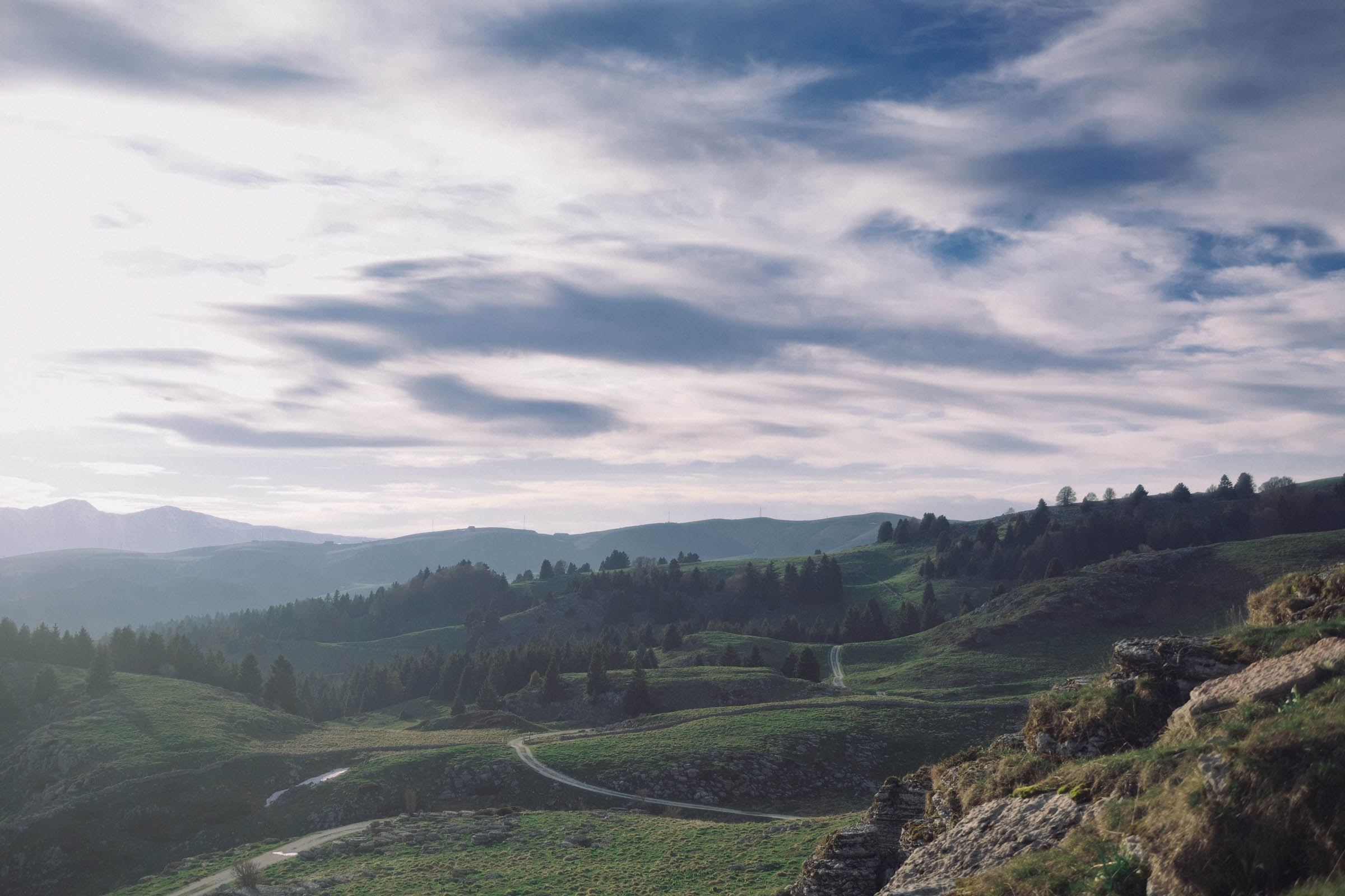
Lessinia is a protected park located in Le Prealpi, the lower part of the Alps, close to Pianura Padana, which extends north beyond the city of Verona. It goes from the walls of the Sheakesperian city to its highest peak at 1,800 meters above sea level and includes endless hills and beautiful pastures. Among the most pleasant treasures of this place is the variety of the landscapes in such a small expanse, the great food, and the relatively surprising lack of visitors. It’s quite unlike the mainstream Italian cycling destination that might come to mind.
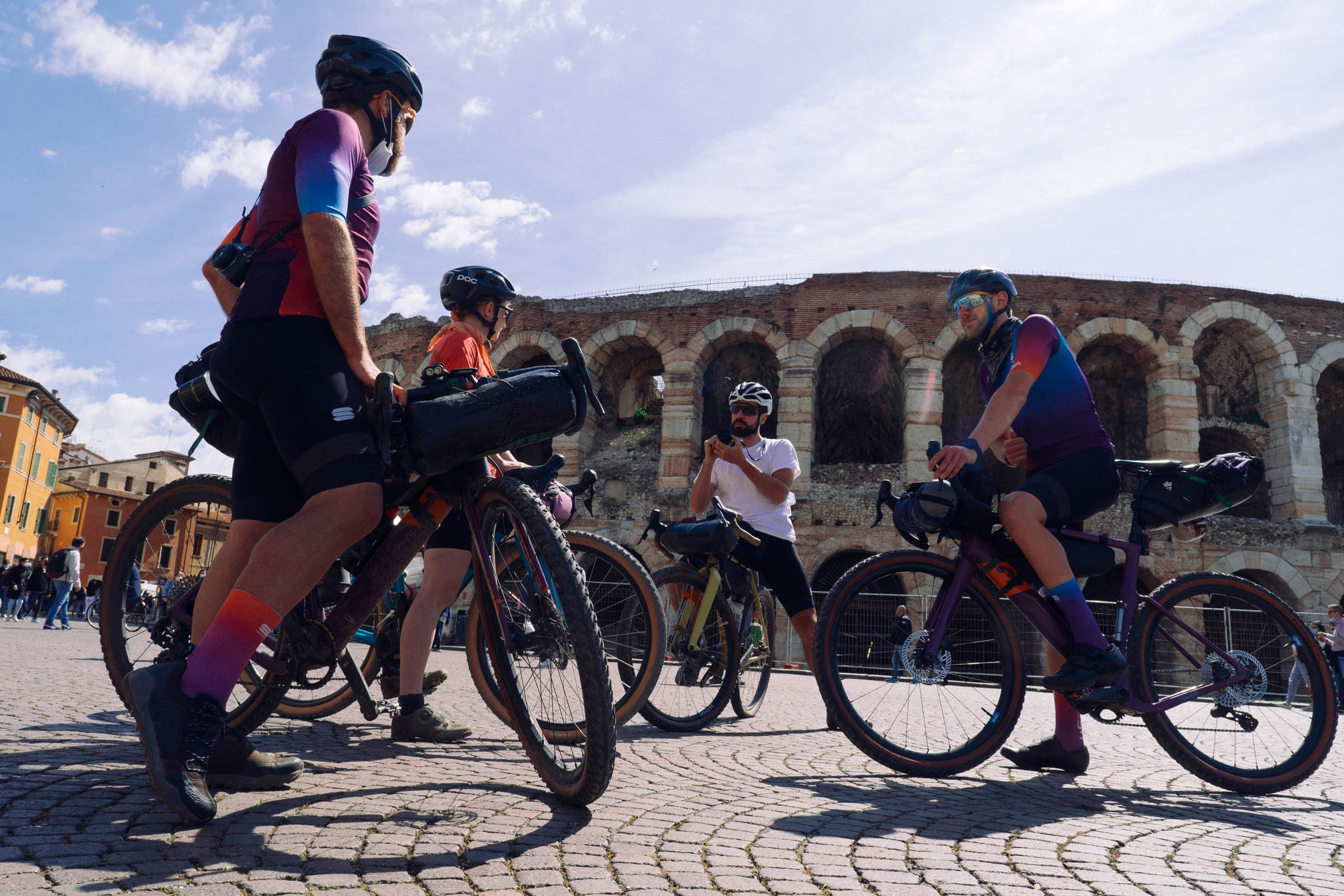
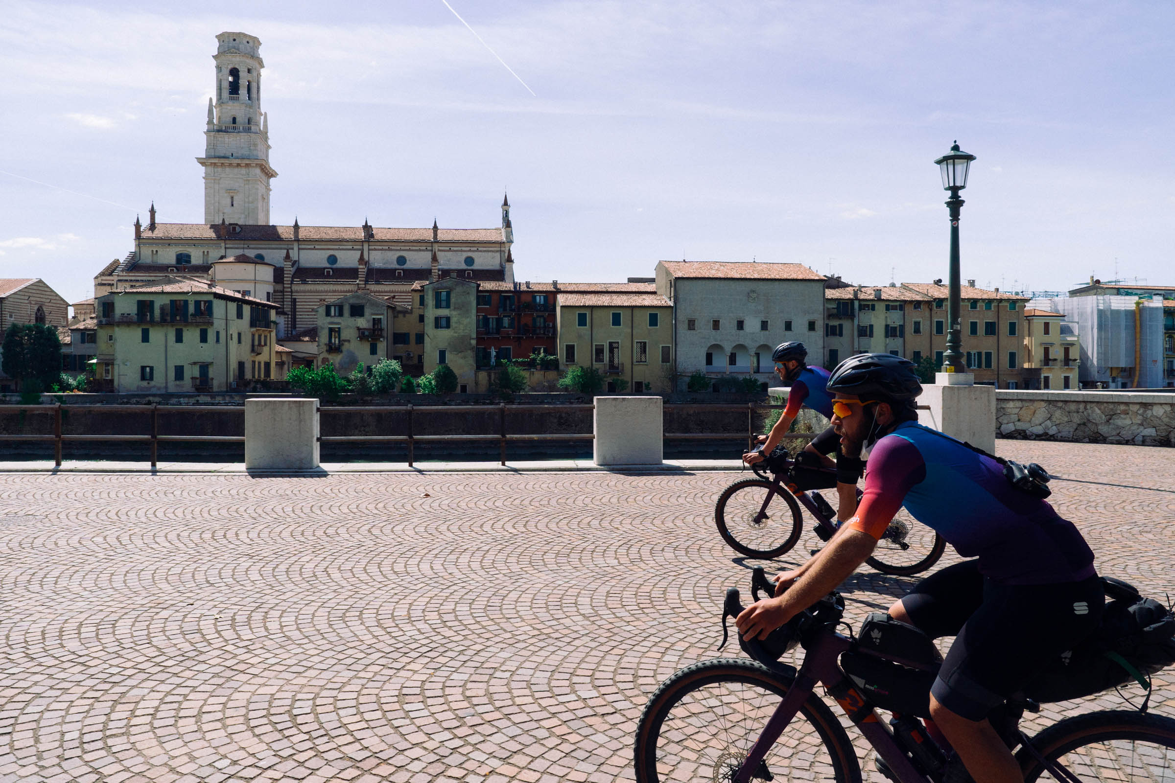
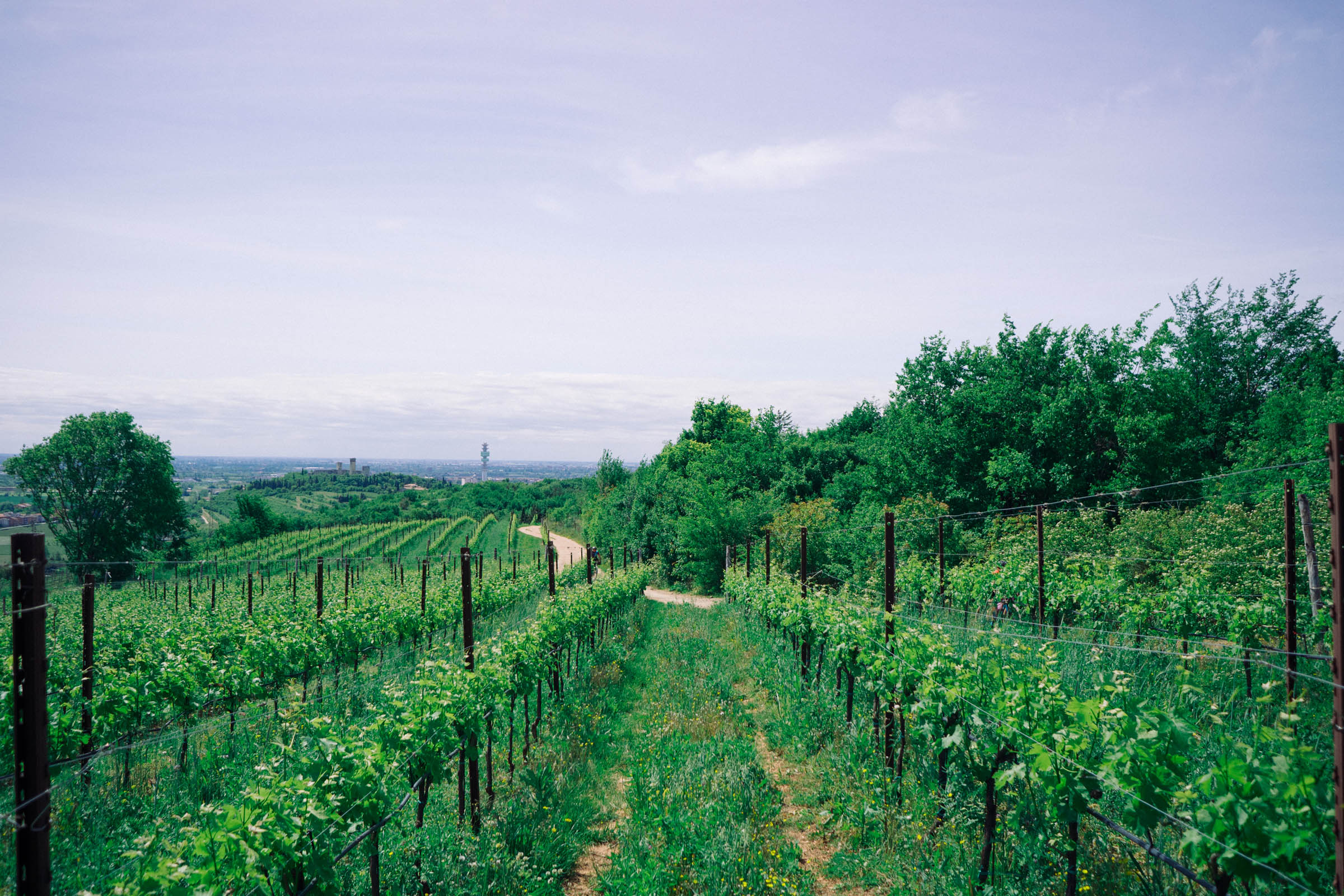
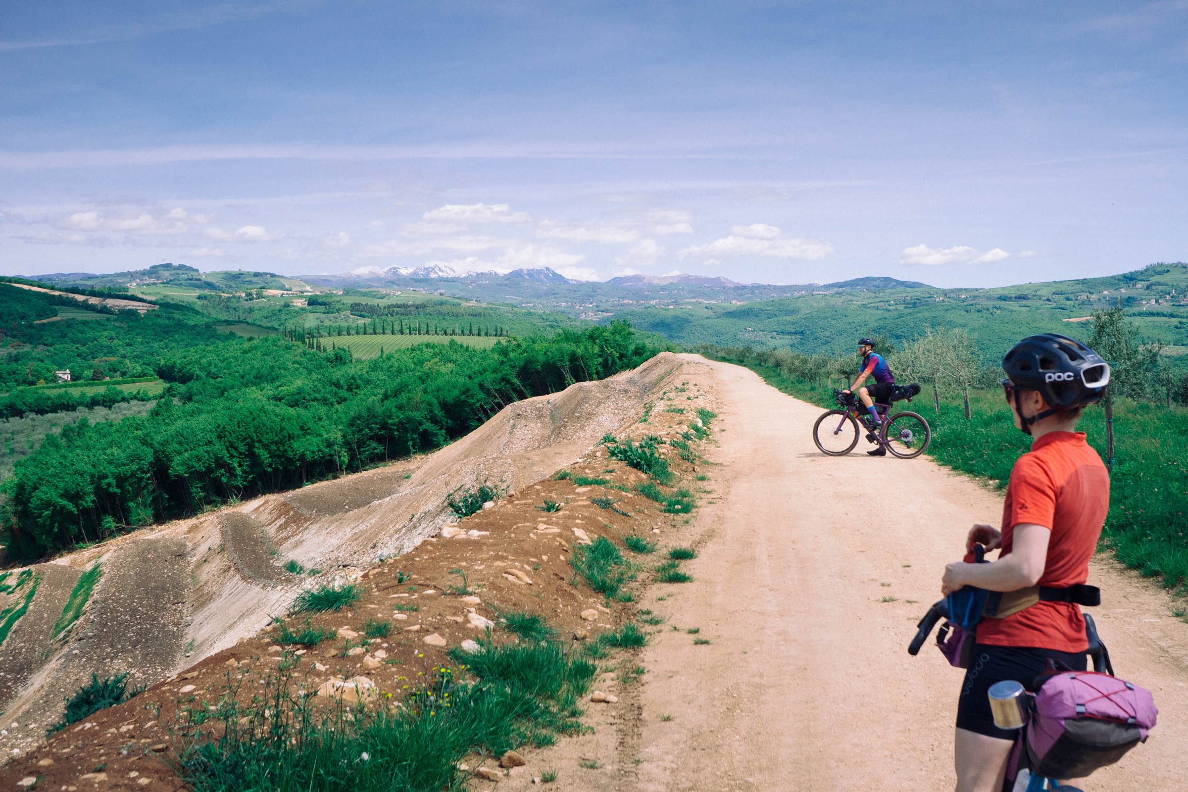
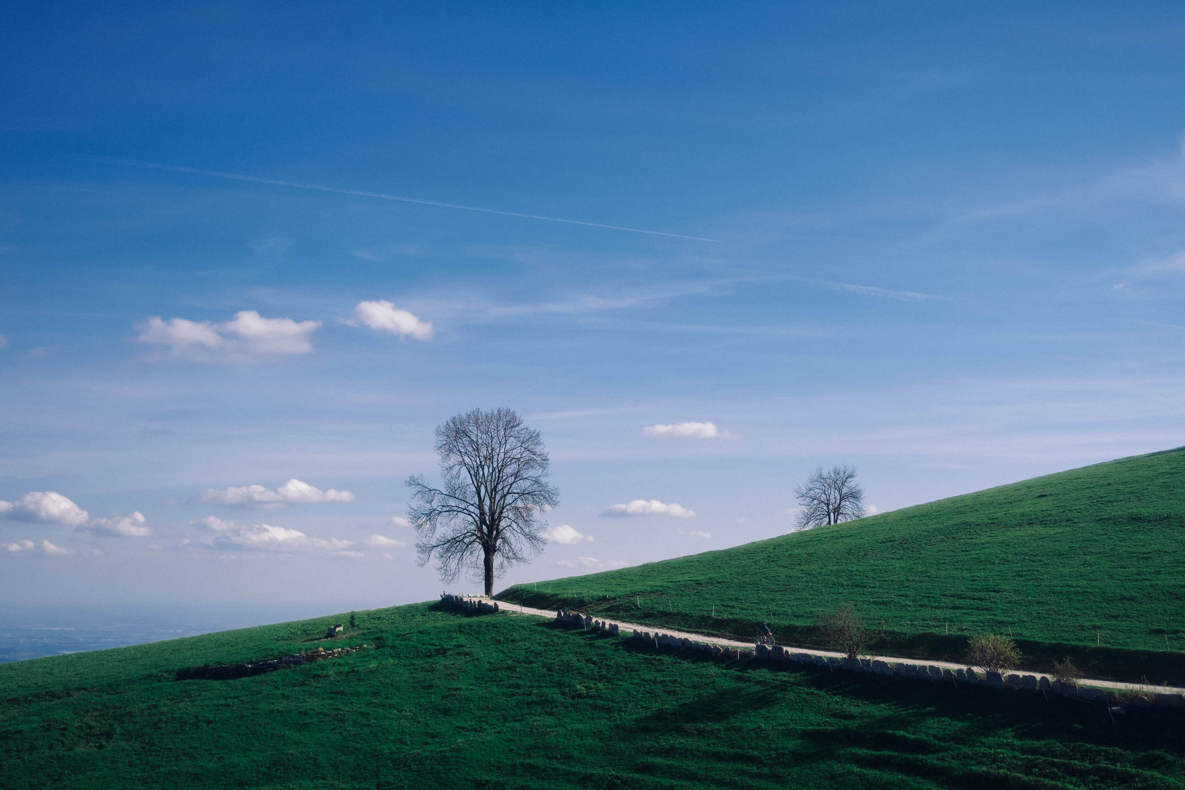
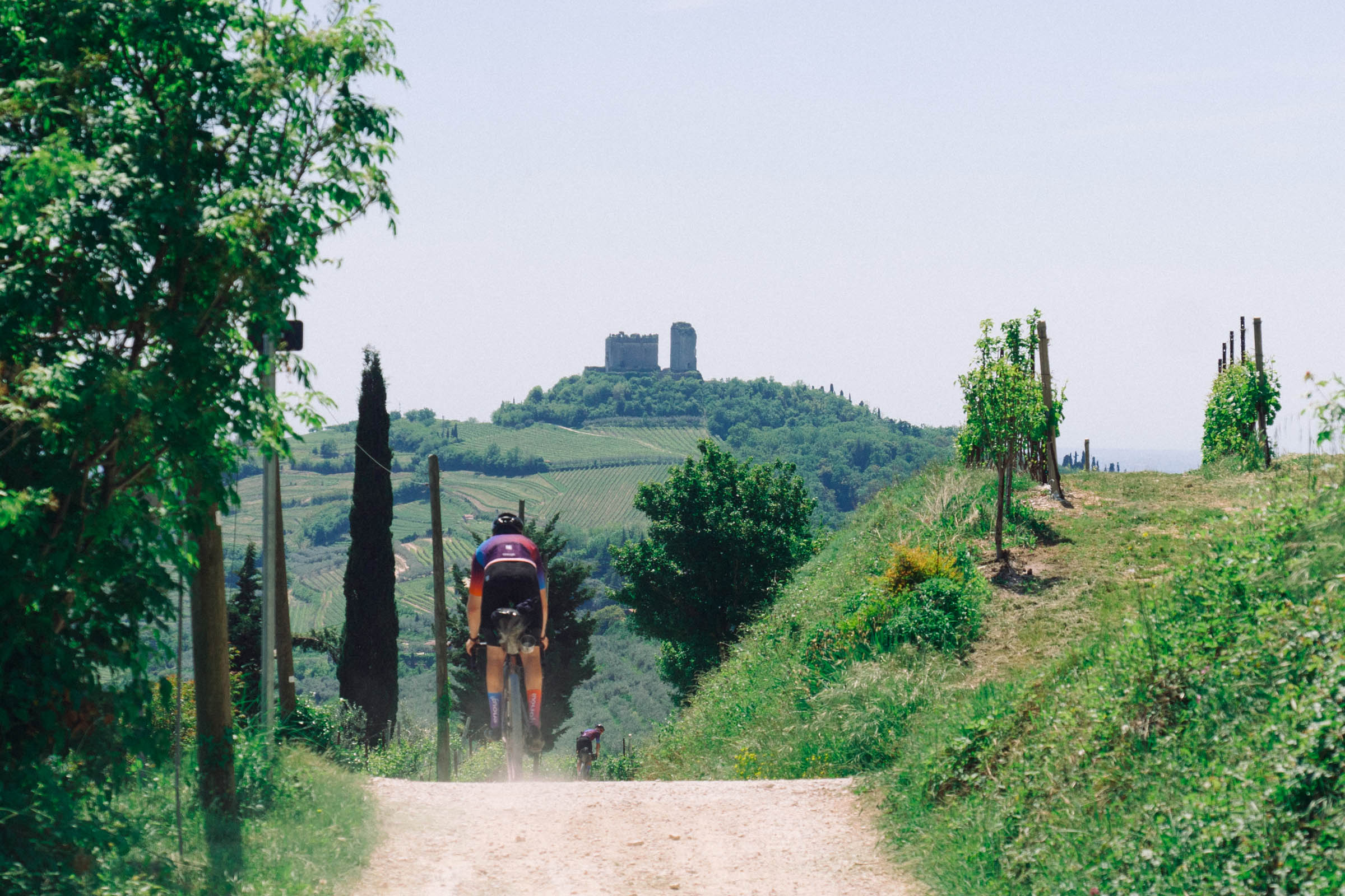
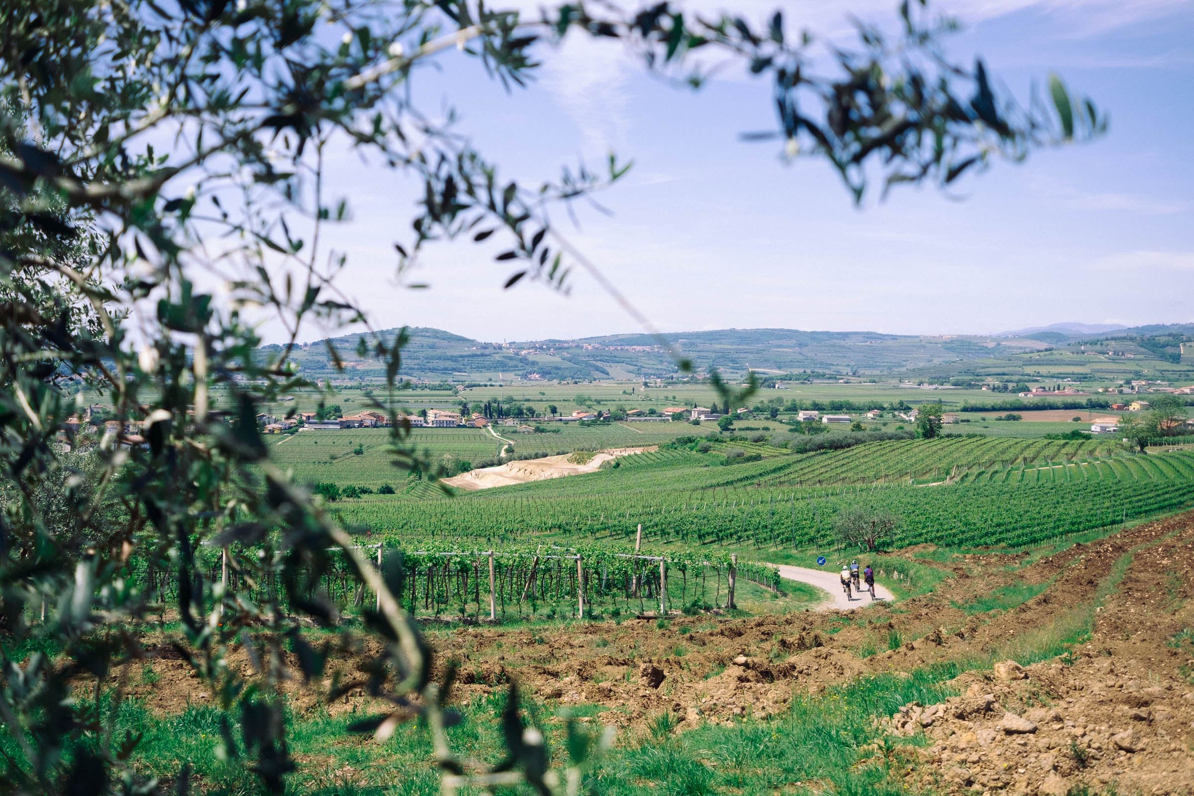
The Verona and Lessinia loop starts from Verona, giving you the chance to take a couple of days to visit the historic and beautiful city. Pressing start on your Garmin in front of the Arena, you will leave the city walls, crossing the Adige River and heading north. You will first ride in the flatlands among the vineyards of the Valpolicella (Amarone, Valpolicella, and Recioto are the main wines of the region) and you will eventually start climbing on a ridge.
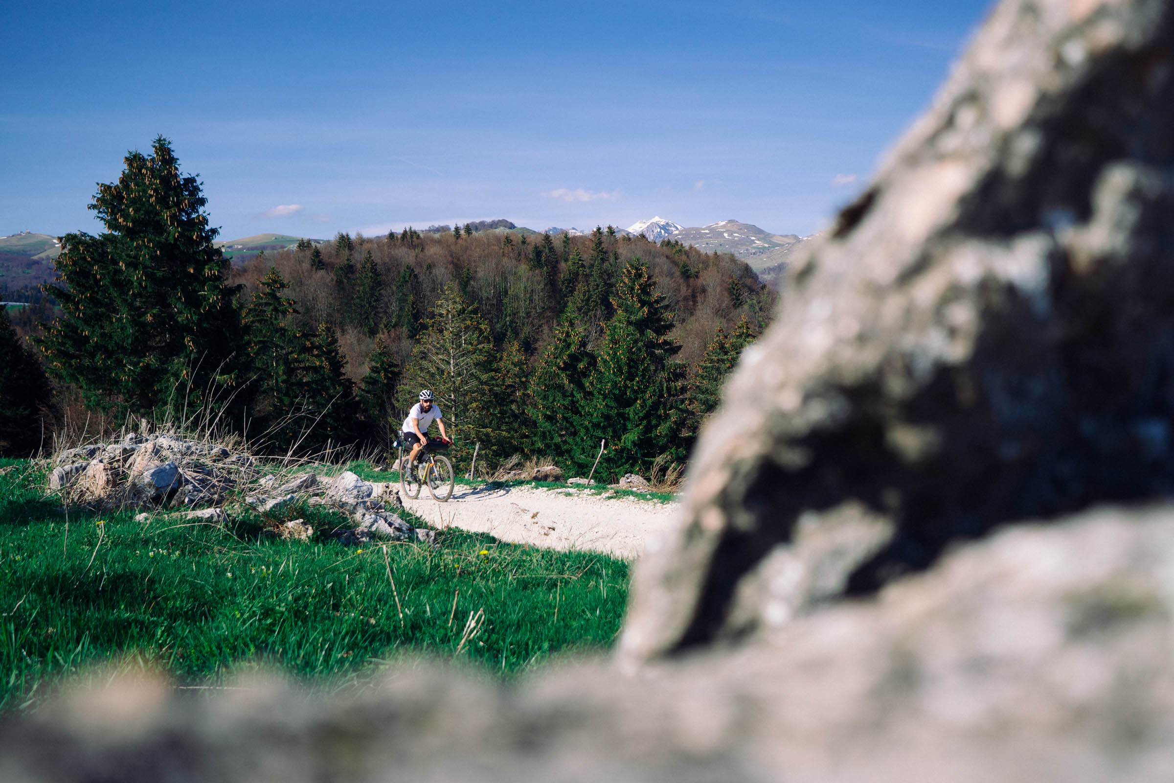
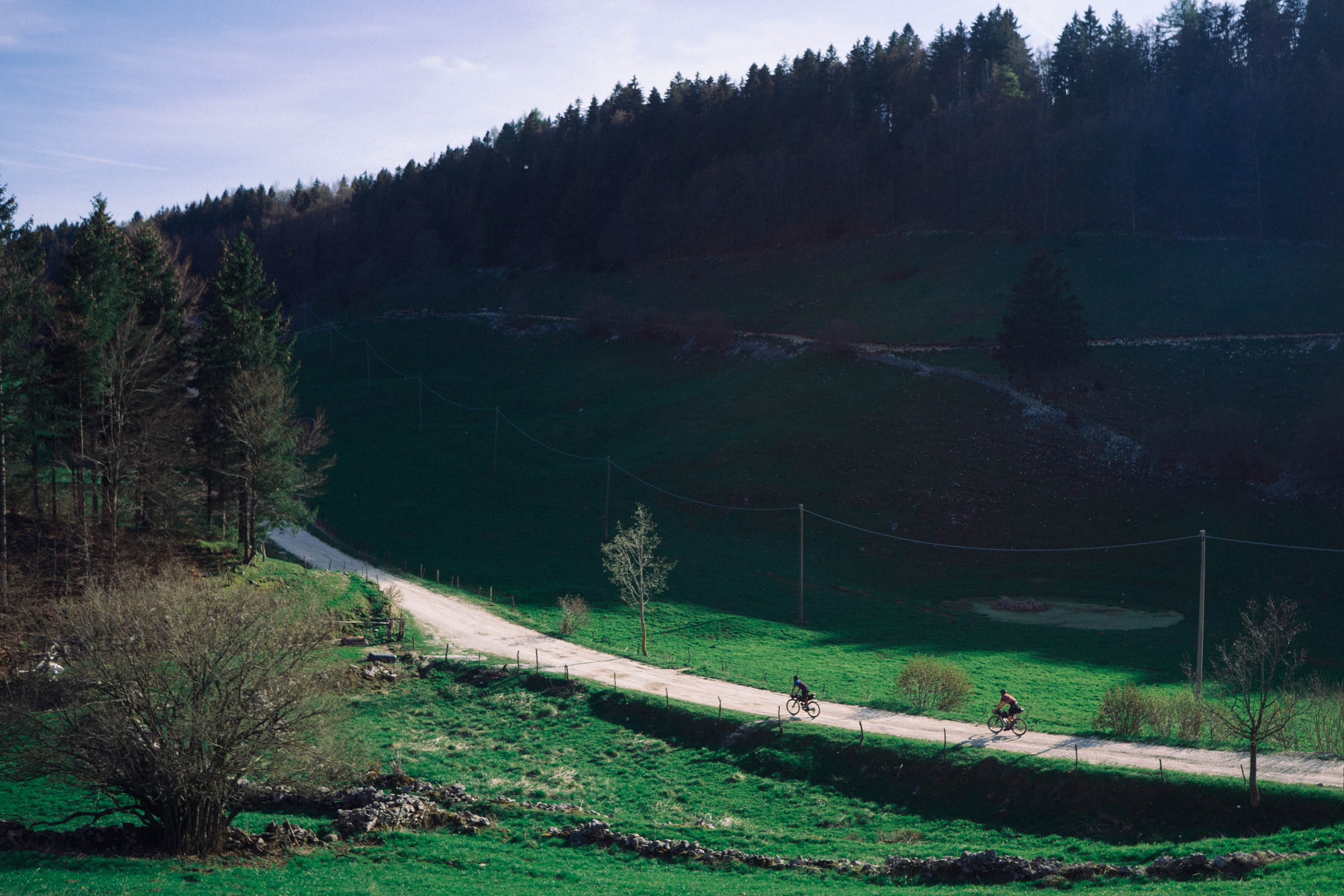
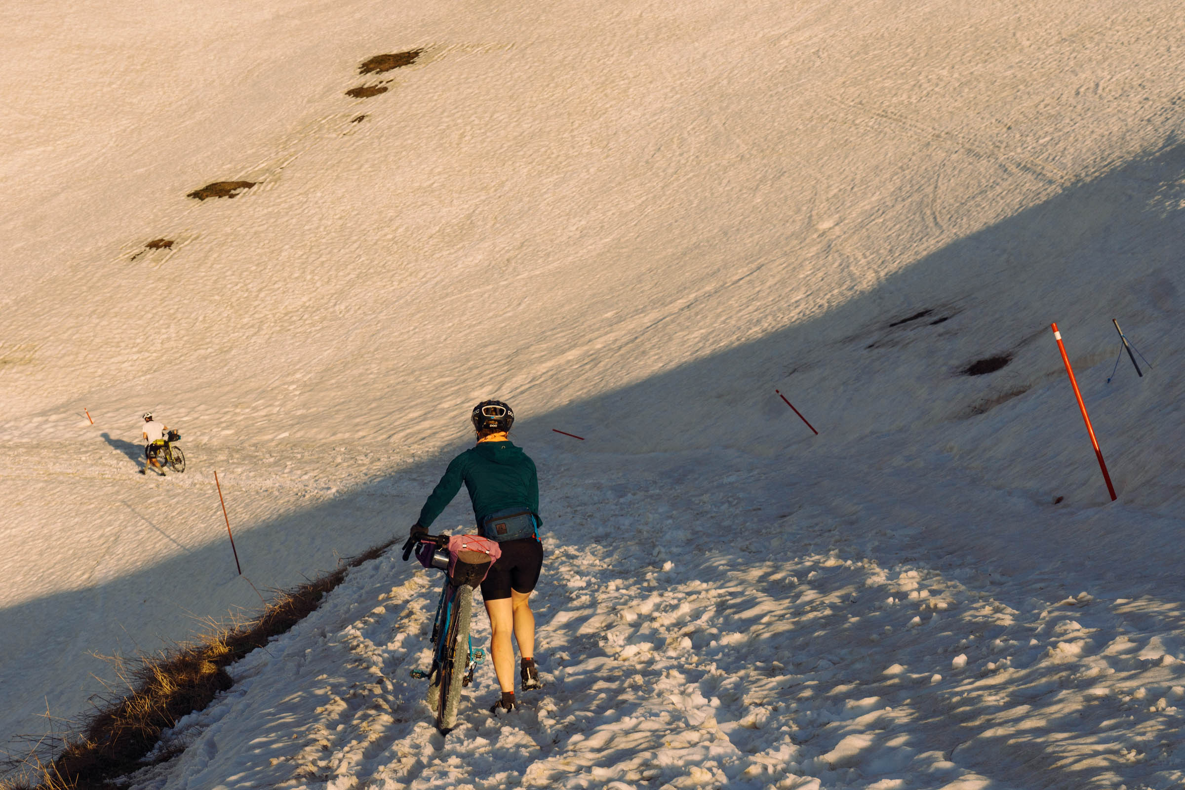
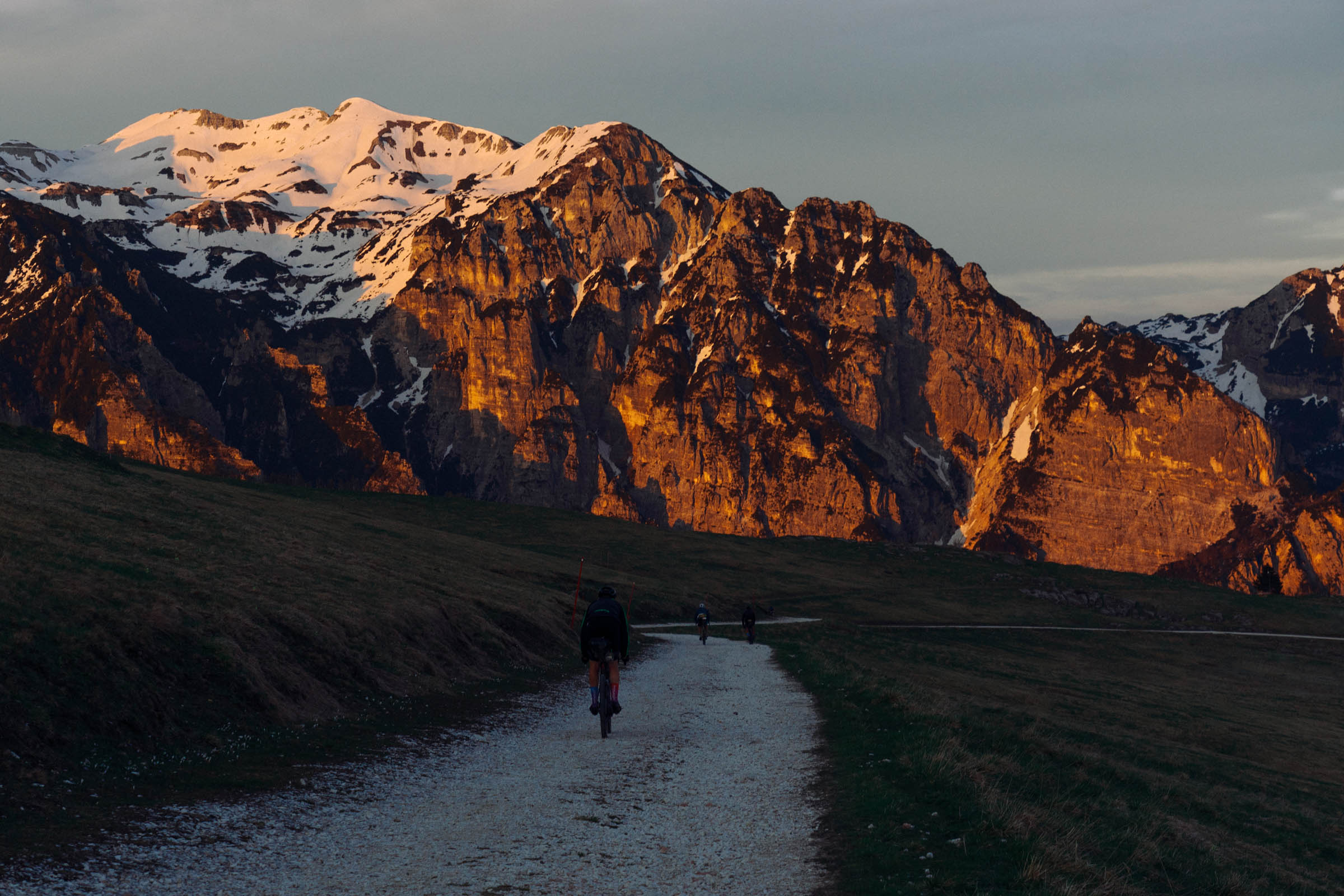
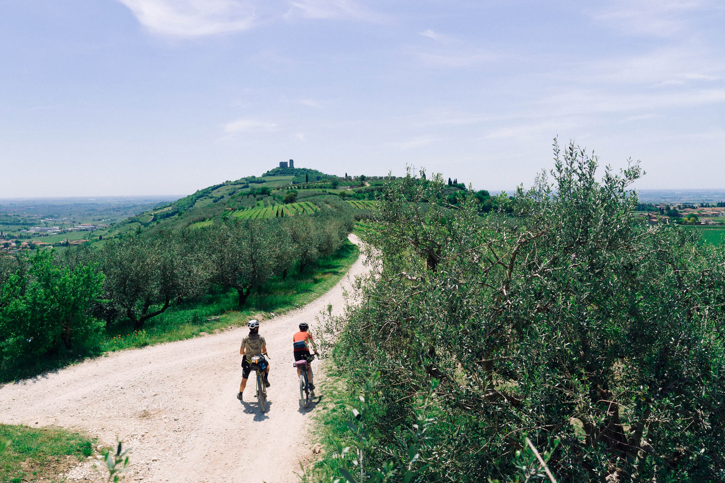
In the Southern part, you will ride among cherry trees, pastures, and many small villages, some of which are abandoned. You’ll ride on gravel doubletracks and some tarmac to smoothen the ride. You’ll find a couple of hard climbs with loose gravel and you might need to hike your bike a bit, but it’s only a matter of a couple of hundred meters. Monte Baldo is visible at all times, and if you get lucky and the sky is clear, you’ll also get the chance to spot Lago di Garda.
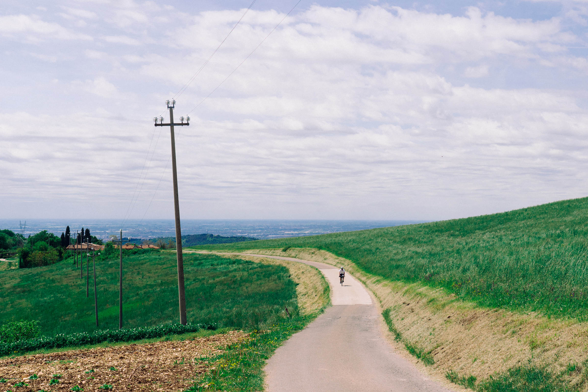
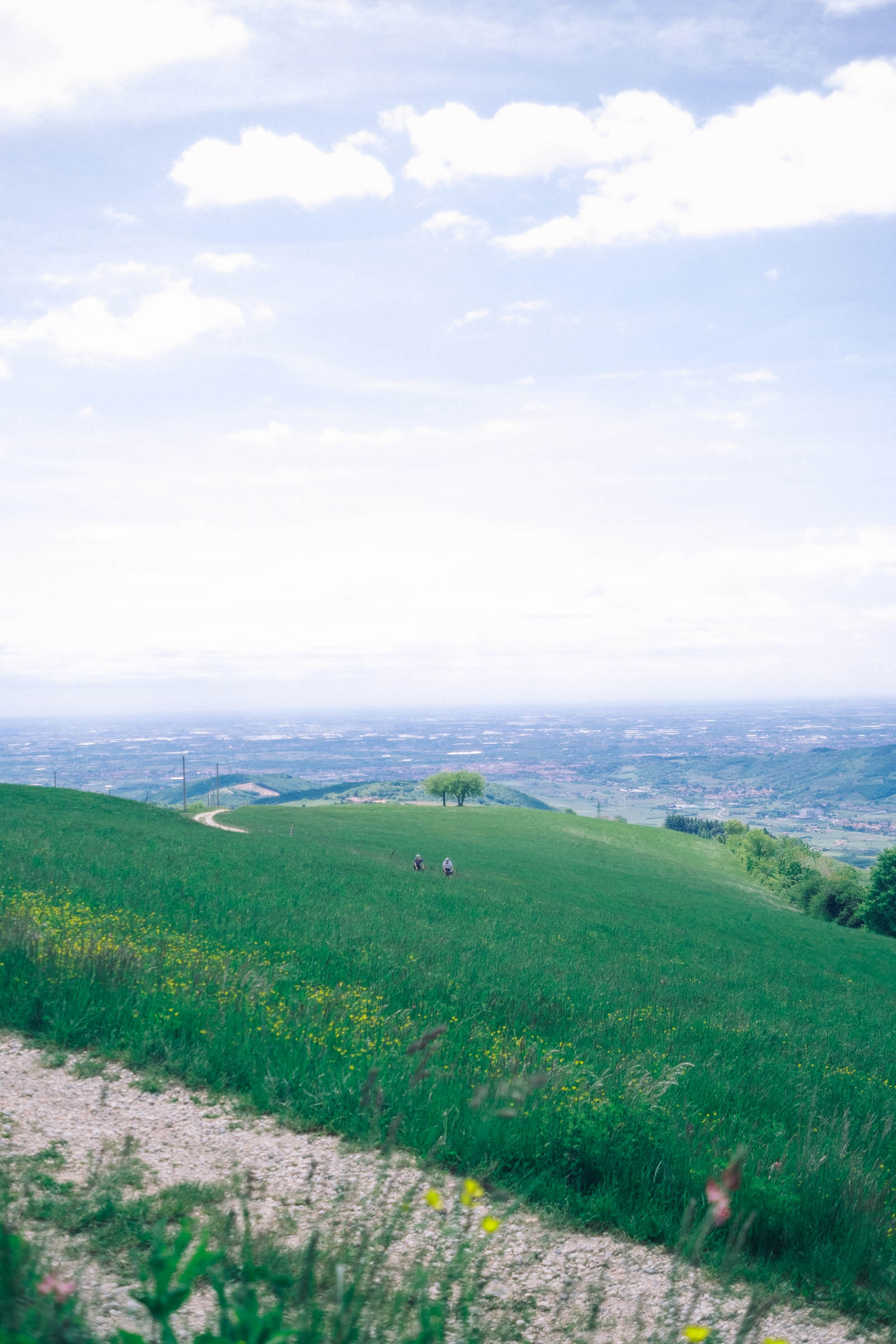
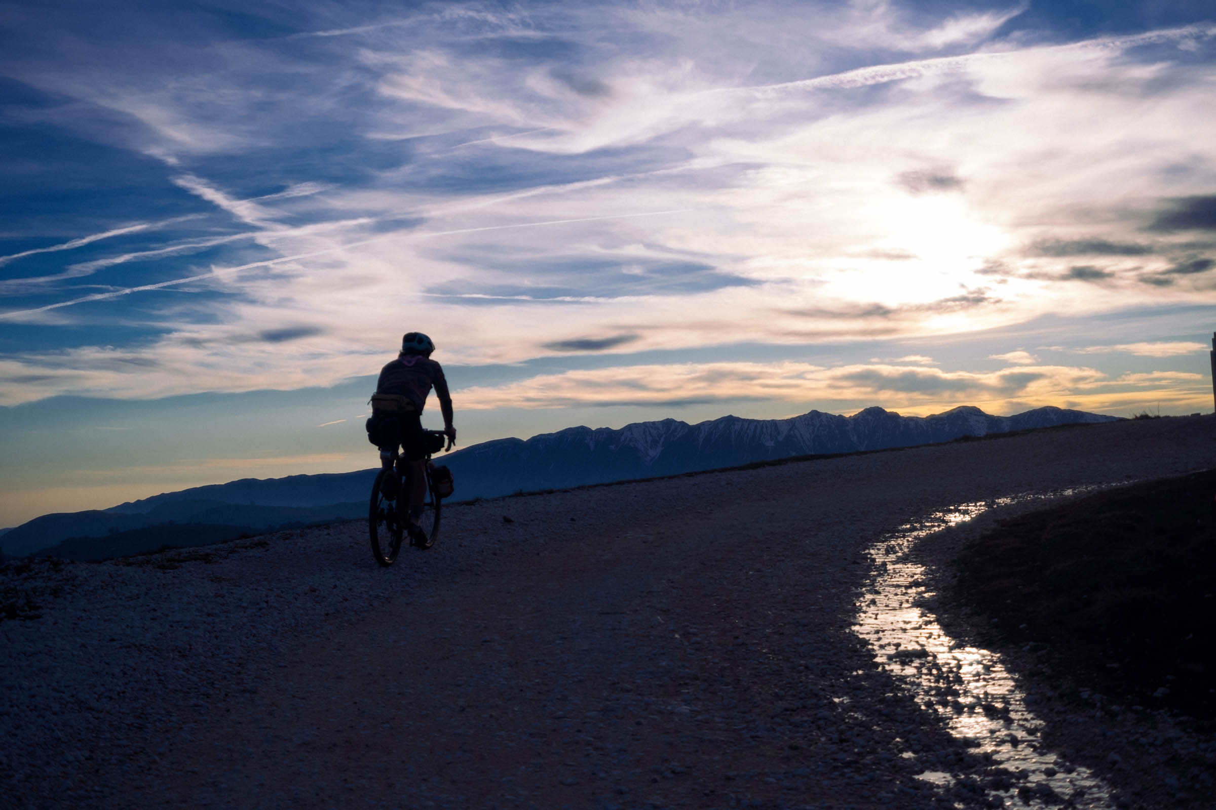
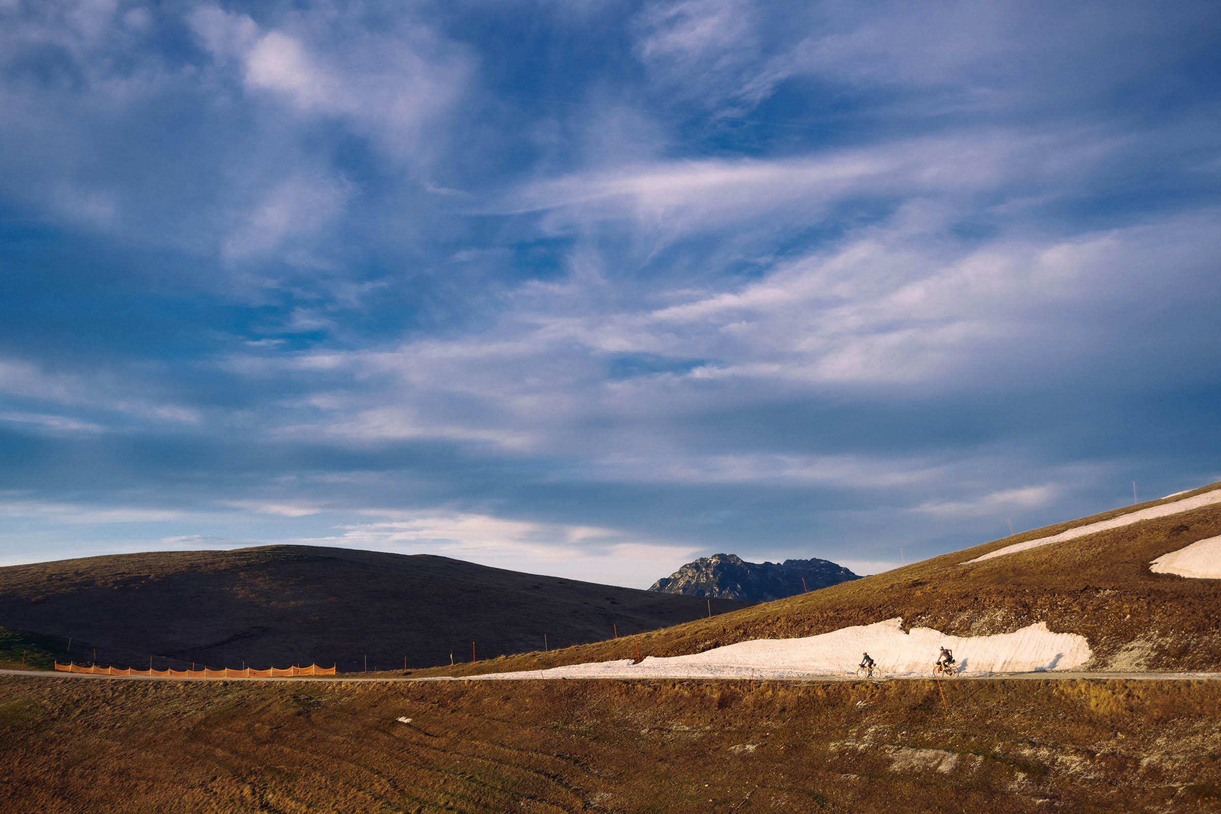
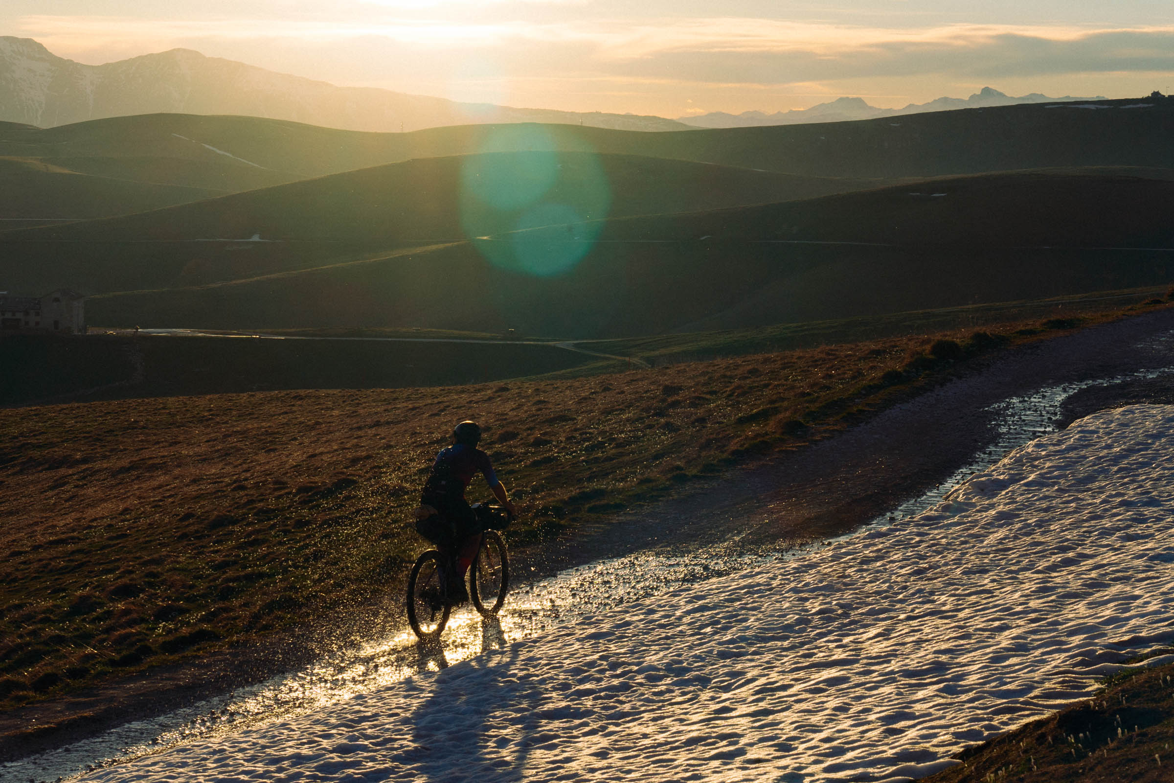
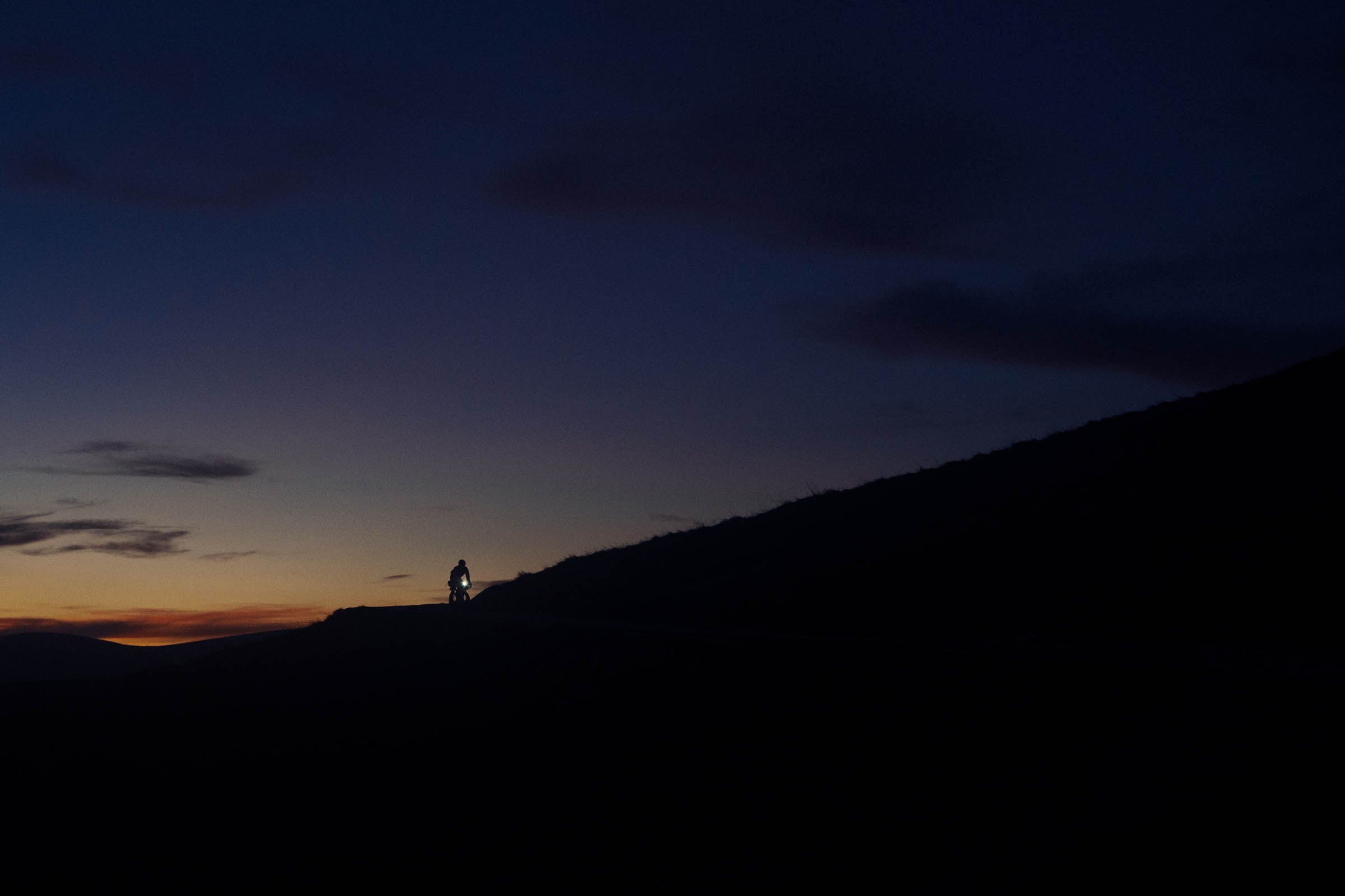
The highest part of the route follows the XC-ski slopes. The surface is perfect white gravel, easy and fast to ride on, that brings you in the northernmost part of the loop, just in front of the Carega Massif. It’s especially beautiful around sunset.
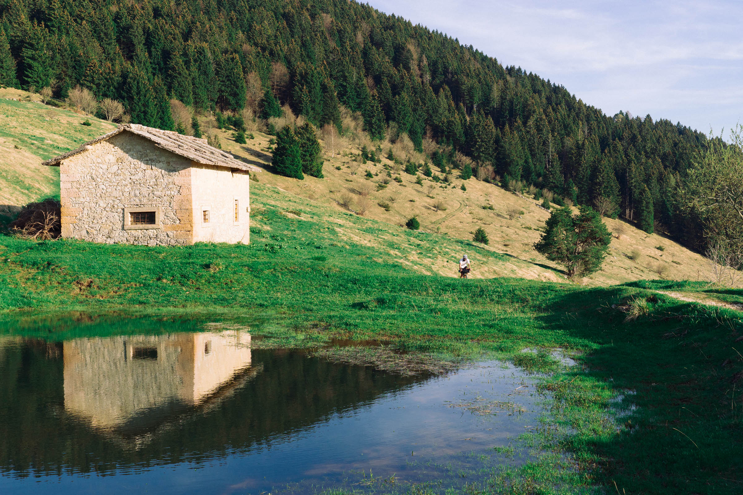
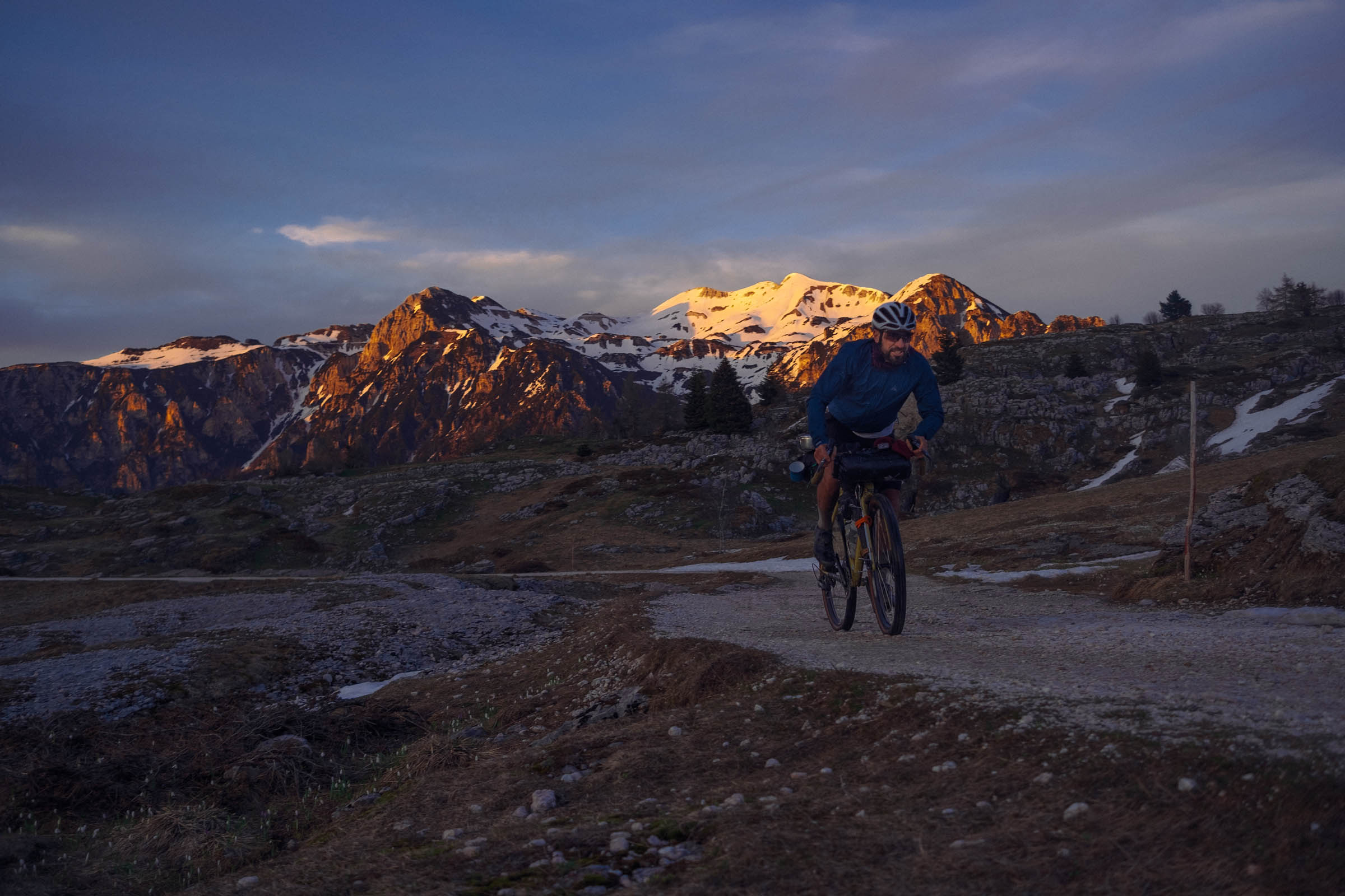
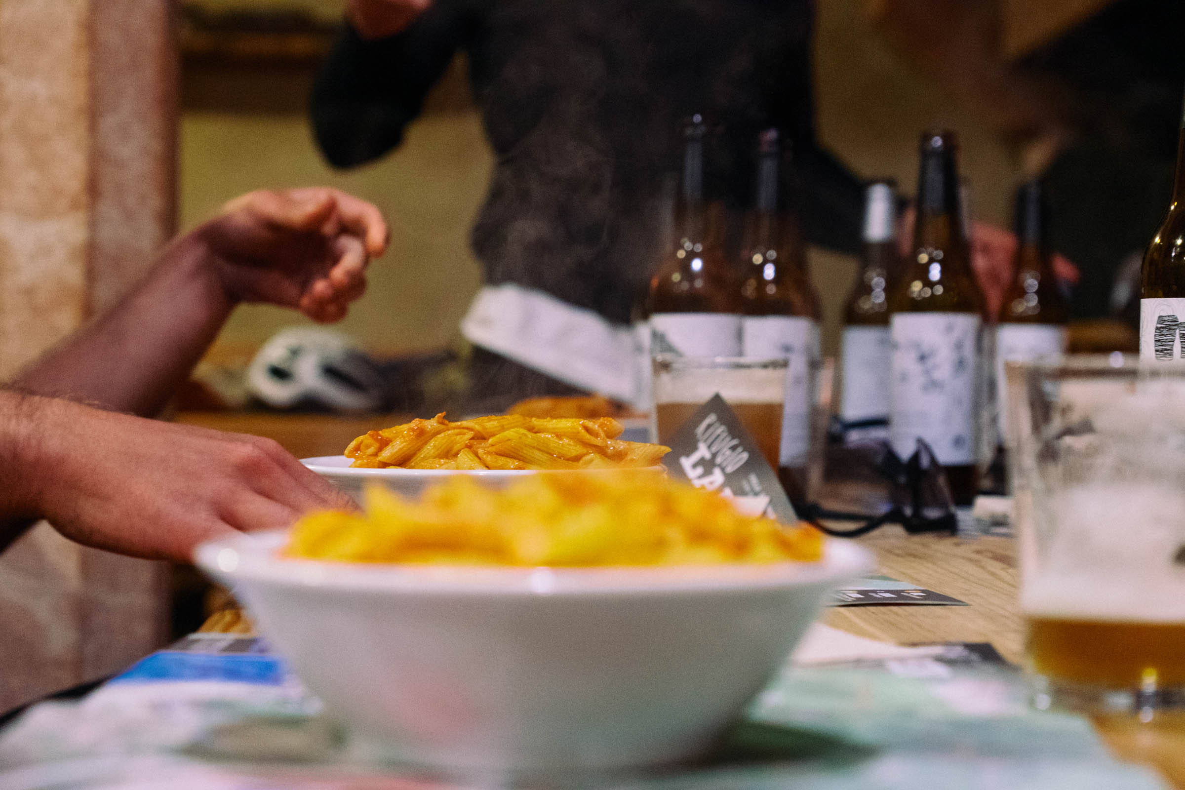
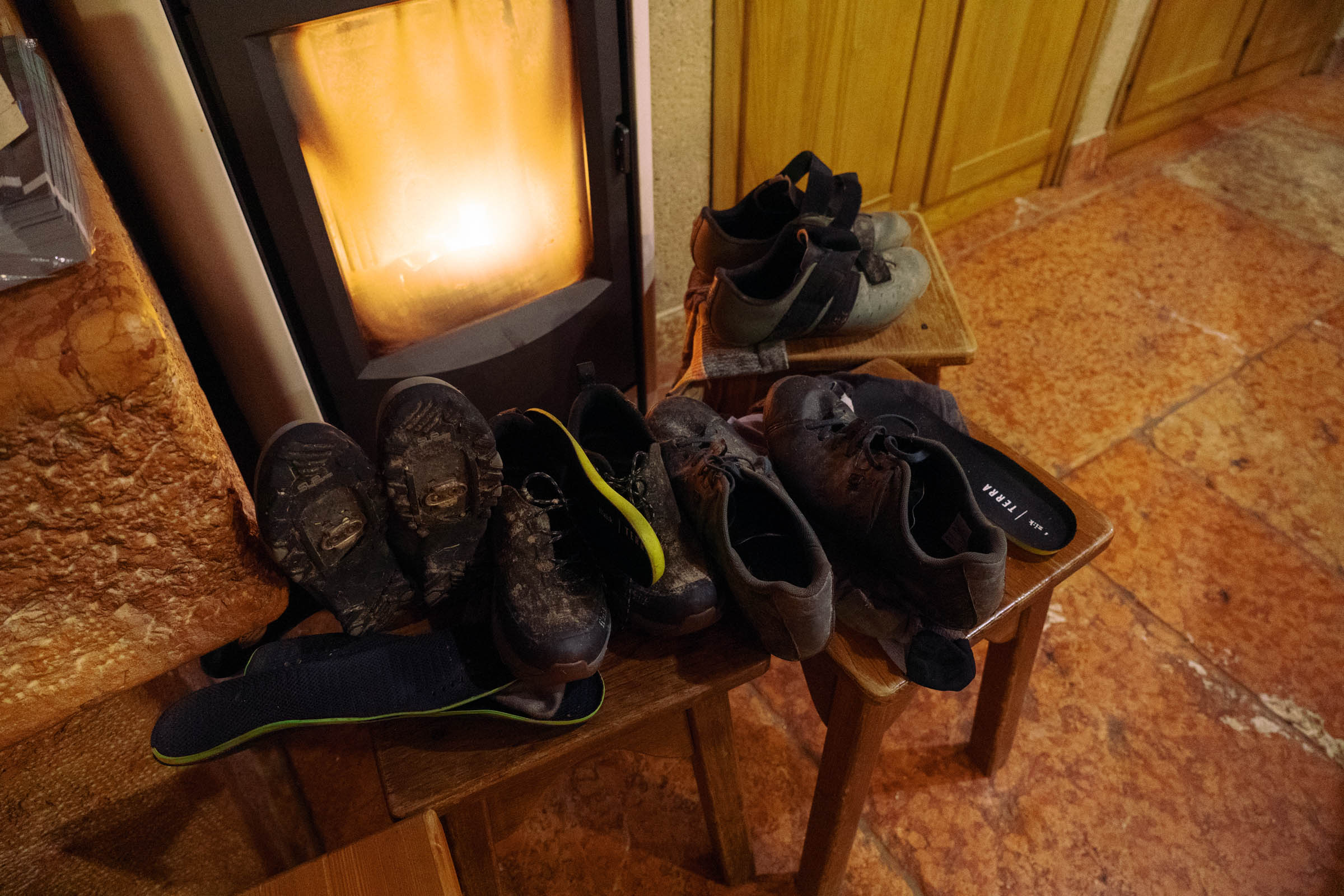
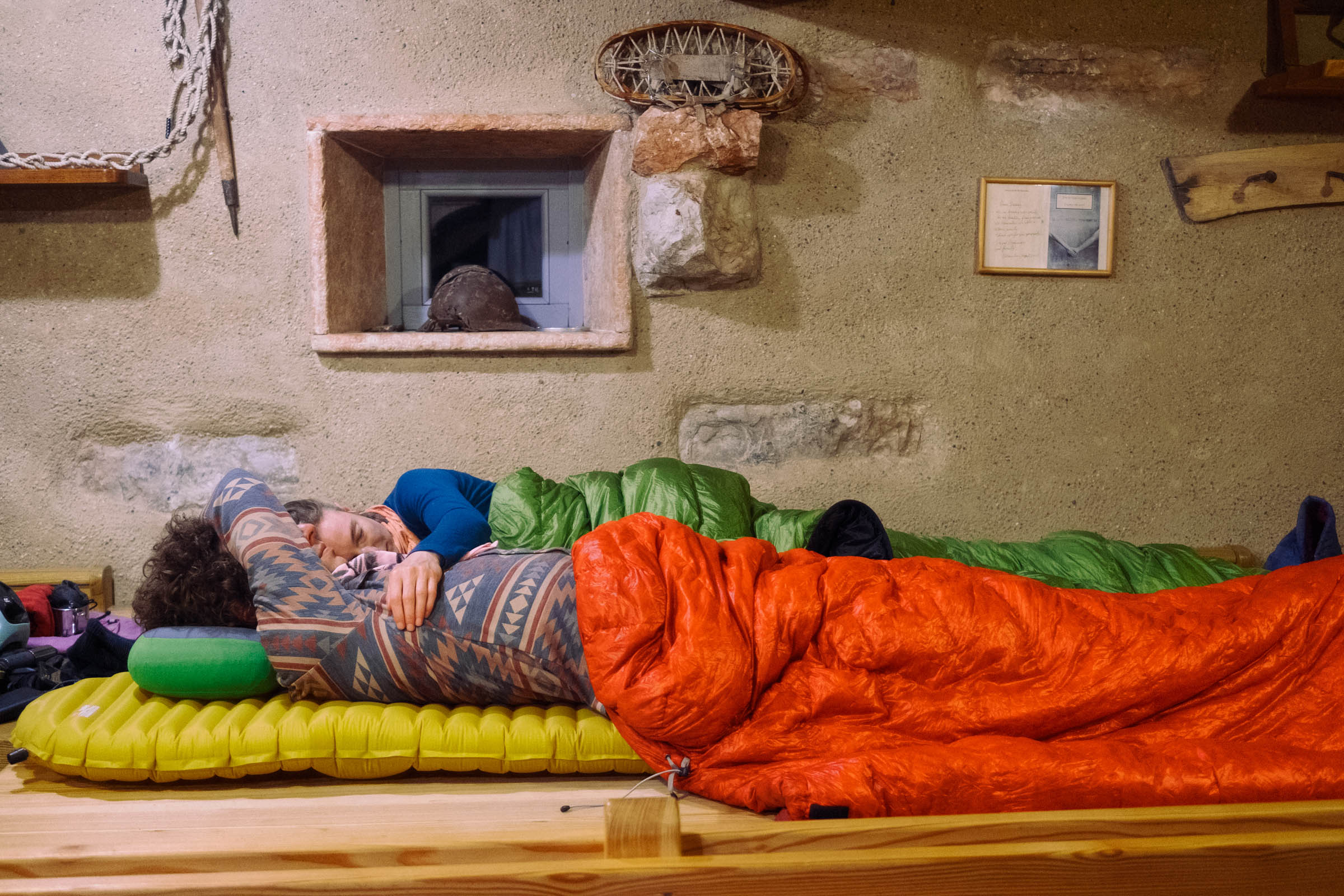
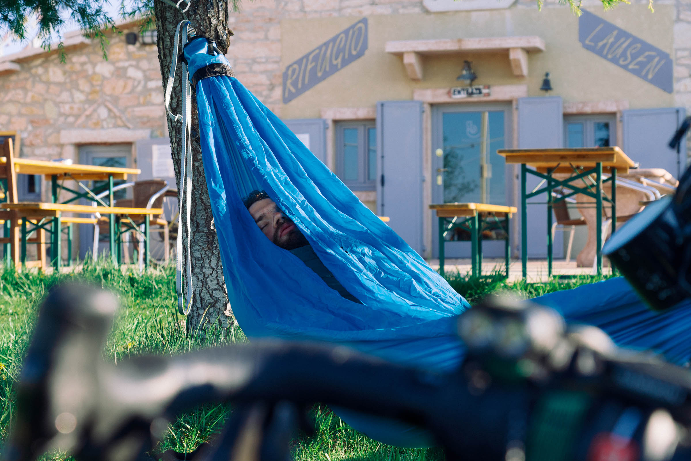
After a small and scenic downhill on pavement and smooth doubletrack, the Rifugio Lausen—a proper mountain shelter—is the perfect spot for a typical dinner (we suggest gnocchi di malga or polenta) and a few beers. You can even spend the night if you need to.
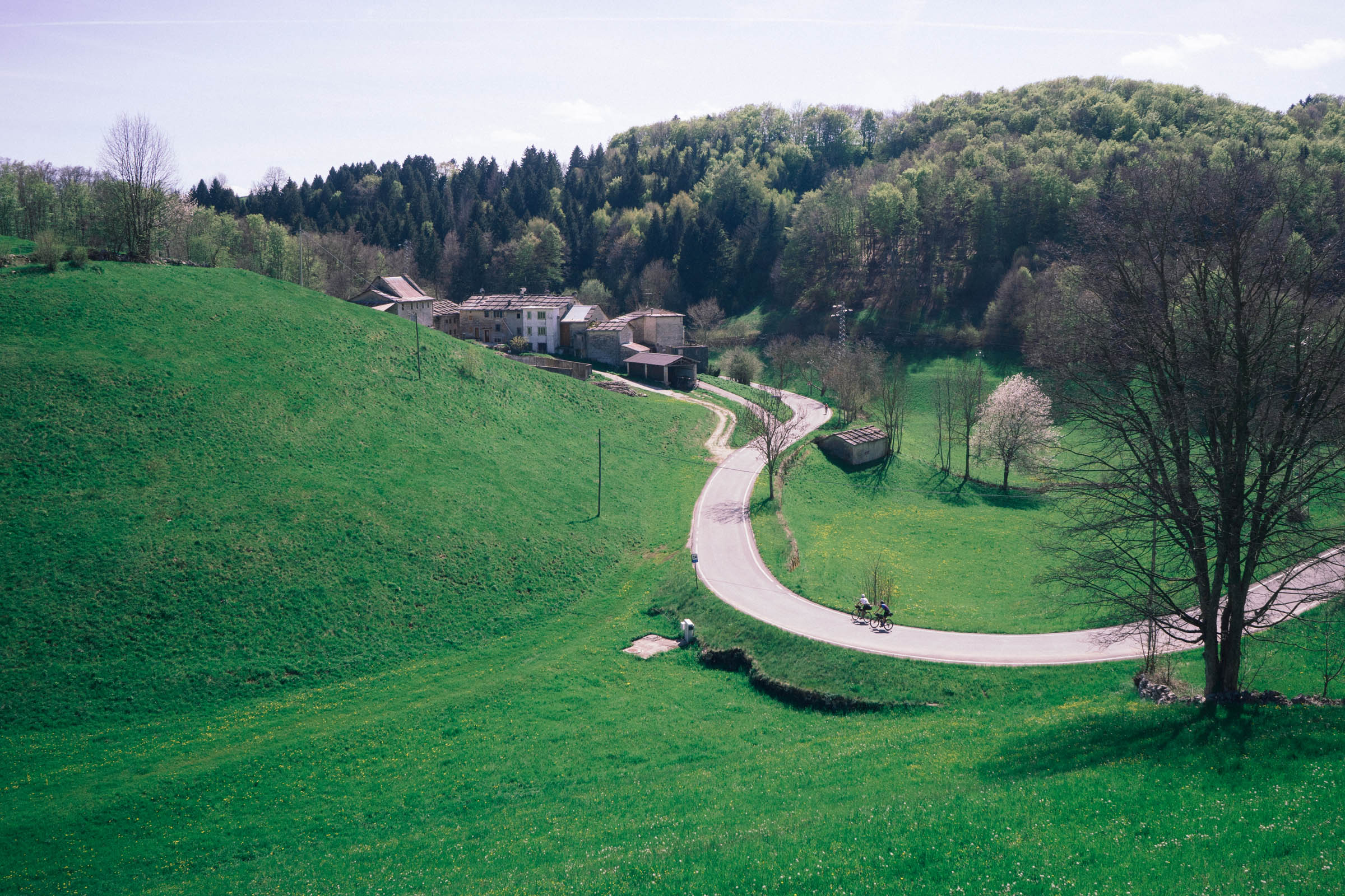
The second part of the loop features a short descent on tarmac followed by the last tough climb on the menu. When you get past that, you’ll find yourself reconnecting to the Vecia Via Della Lana, an old piste used by shepherds to bring wool to the flatlands. It’s a perfectly smooth gravel road following the ridge towards the flatlands. It’s very fun to ride, with Colli Berici and Euganei in view. You will eventually reach the flatlands once again and be back in Verona after crossing the Adige River for the last time.
Route difficulty
We assigned the route a 6 out of 10 difficulty rating. The course doesn’t include any tough technical terrain and there are only a couple of steep climbs. Of course, this depends on the load and weight of the bike, and the preparation of the rider. Elevation gain is the most significant factor to take into account regarding the difficulty of this loop. With about 3,000 meters in the first 70 kilometers en route to Rifugio Lausen, the first day is quite a ride. A gravel bike with 700C wheels and 40mm tires could be adequate. We suggest 650B with 45mm tires and at least a 1:1 gear ratio, nevertheless, especially if you travel with a full load. If that is beyond your climbing capabilities for a day, you could potentially stretch the route out over three days.
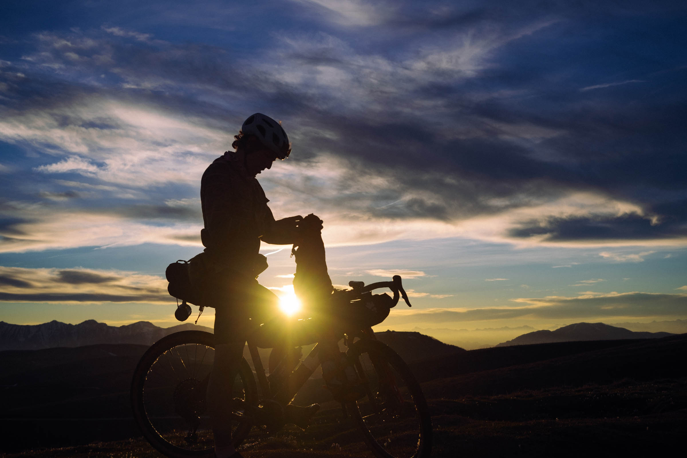
Route development: We developed this itinerary for the BAM! Campfire 2021. The route allows participants to get to Rifugio Lausen for the event by leaving Verona in the early morning and enjoying Lessinia throughout the day—instead of reaching the place using the most direct and frequented road. We suggest starting early in order to get to the event in the late afternoon when the party starts. You should consider an average speed of about 10km/h for the first day, 12-15 km/h for day two.


Submit Route Alert
As the leading creator and publisher of bikepacking routes, BIKEPACKING.com endeavors to maintain, improve, and advocate for our growing network of bikepacking routes all over the world. As such, our editorial team, route creators, and Route Stewards serve as mediators for route improvements and opportunities for connectivity, conservation, and community growth around these routes. To facilitate these efforts, we rely on our Bikepacking Collective and the greater bikepacking community to call attention to critical issues and opportunities that are discovered while riding these routes. If you have a vital issue or opportunity regarding this route that pertains to one of the subjects below, please let us know:
Highlights
Must Know
Camping
Food/H2O
Resources
- The typical grass fields full of cows all over the land.
- The views on the Garda Lake, Monte Baldo, and Gruppo del Carega.
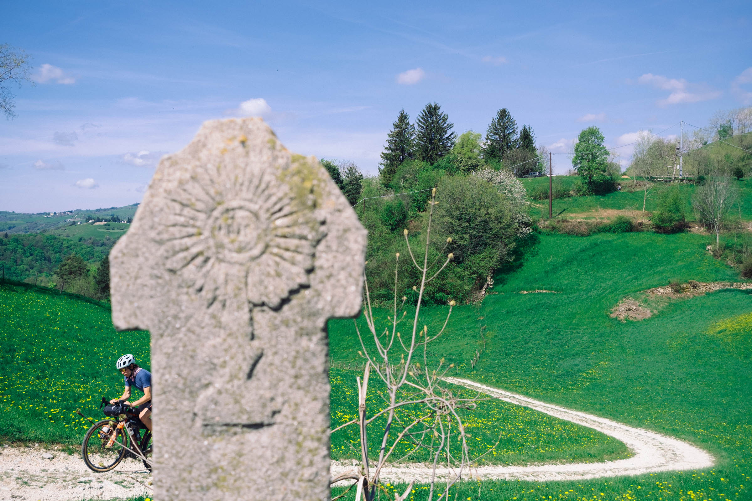
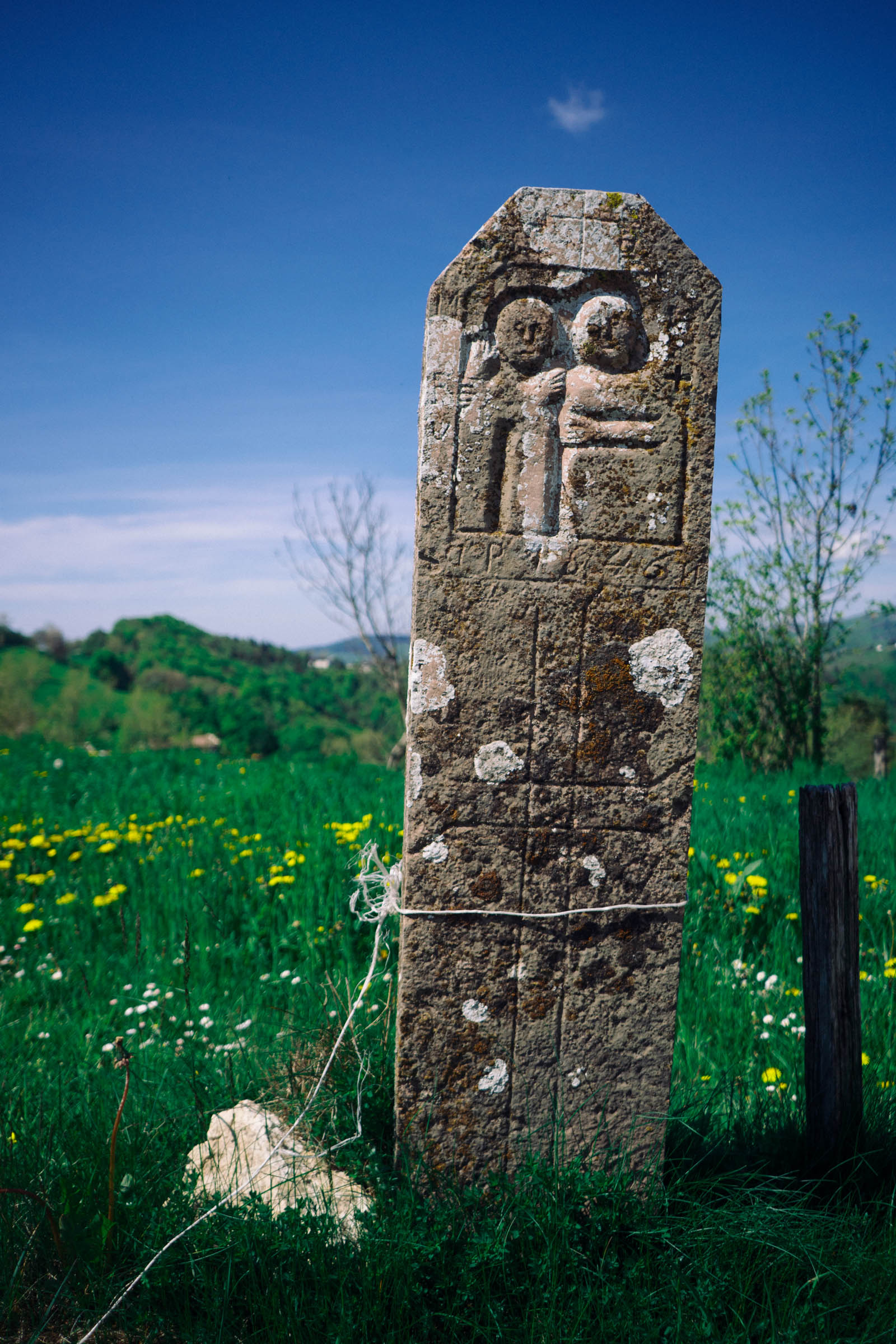
- Several signs of the presence of the “Cimbri,” the ancient barbarian population that lived in these lands during the Roman age.
- The typical architecture of houses with marble roofs. Even fences are made with marble slabs!
- The peculiar gravel of the XC-ski slopes. Think high mountain gravel with a perfectly smooth surface.
- The Gnocchi di Malga, little flour dumplings covered with melted butter, the true typical meal of Lessinia.
- Lessinia is an altiplano that reaches the height of 1,800 metres above sea level. The track should be rideable from late April to November, depending on the snow level. During the winter season is forbidden to ride the highest part of the route on the cross-country ski track.
- Despite the relatively low height, you will be riding in a real alpine environment, which looks and feels much higher than the altitude written on your garmin. Always be respectful, this land belongs to cows, shepherds, groundhogs and wolves. We are only their guests.
- Camping in Lessinia Park is officially forbidden.
- During the grazing period, many cows are free to roam in the pastures. It’s better not to use such grass fields to place your tent as they are “working areas” and shepherds could come and wake you up. Or a cow could do it directly if she’s curious enough!
- We suggest sleeping around Rifugio Lausen. If you want to place a tent elsewhere, you should be able to do it close to one of the lodges or in one of the small villages after asking permission.
- Please remember to leave no trace.
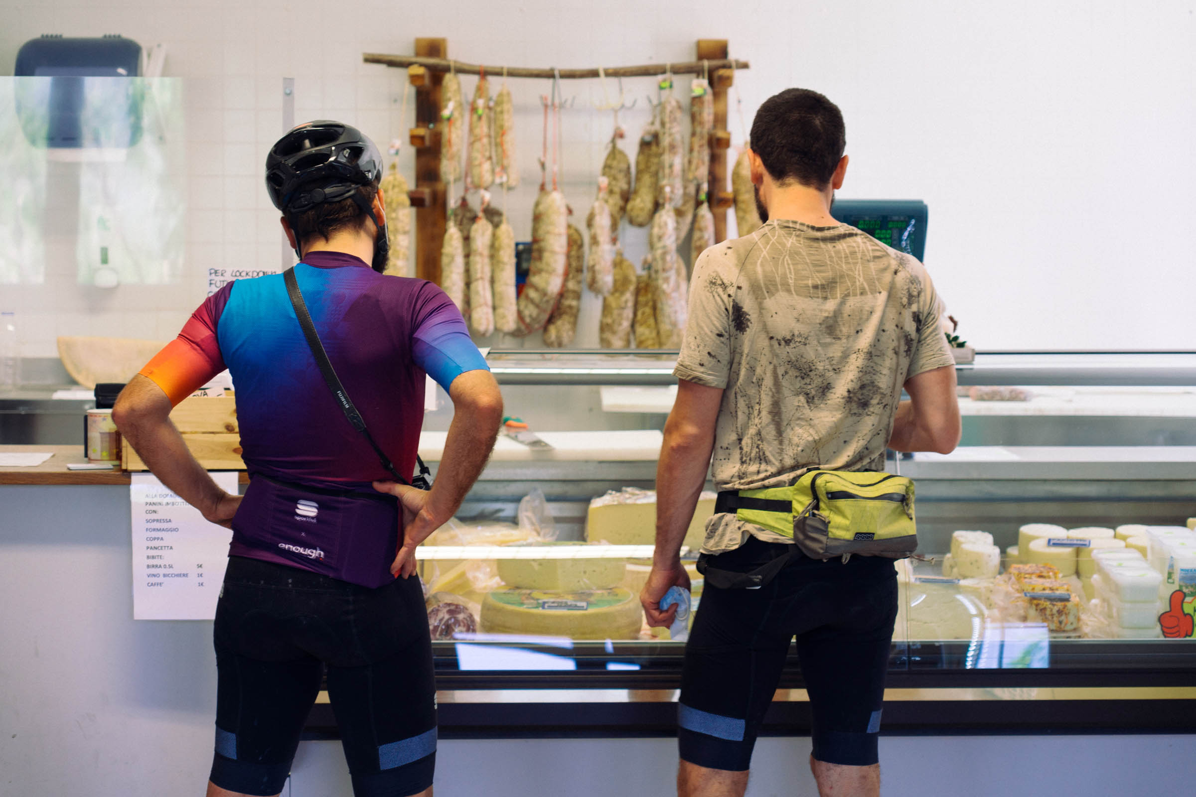
- Resupply should not be a problem.
- If you like cooking and living the wild side, you will find a market in the town of Cerro Veronese (km 28-29).
- Otherwise, if you like cushy bikepacking you will find several lodges with excellent kitchens. We suggest Rifugio Lausen (78.1), Agribirrificio Laorno (44), Rifugio Bocca di Selva (60).
- On the second half of the track, we suggest Punto Verde Dairy on km 98 of the track. It’s just after the end of the climb and just before the beginning of the stunning last descent.
- Be aware that many lodges are only open during the weekend. Give a call to the places where you want to sleep and eat, as always it is better to be safe than sorry.
Additional Resources


Terms of Use: As with each bikepacking route guide published on BIKEPACKING.com, should you choose to cycle this route, do so at your own risk. Prior to setting out check current local weather, conditions, and land/road closures. While riding, obey all public and private land use restrictions and rules, carry proper safety and navigational equipment, and of course, follow the #leavenotrace guidelines. The information found herein is simply a planning resource to be used as a point of inspiration in conjunction with your own due-diligence. In spite of the fact that this route, associated GPS track (GPX and maps), and all route guidelines were prepared under diligent research by the specified contributor and/or contributors, the accuracy of such and judgement of the author is not guaranteed. BIKEPACKING.com LLC, its partners, associates, and contributors are in no way liable for personal injury, damage to personal property, or any other such situation that might happen to individual riders cycling or following this route.
Please keep the conversation civil, constructive, and inclusive, or your comment will be removed.