


Wolf Hole Mountain Overnighter
Distance
52 Mi.
(84 KM)Days
2
% Unpaved
98%
% Singletrack
0%
% Rideable (time)
100%
Total Ascent
4,020'
(1,225 M)High Point
5,414'
(1,650 M)Difficulty (1-10)
5?
- 5Climbing Scale Moderate77 FT/MI (15 M/KM)
- -Technical Difficulty
- -Physical Demand
- -Resupply & Logistics
Contributed By

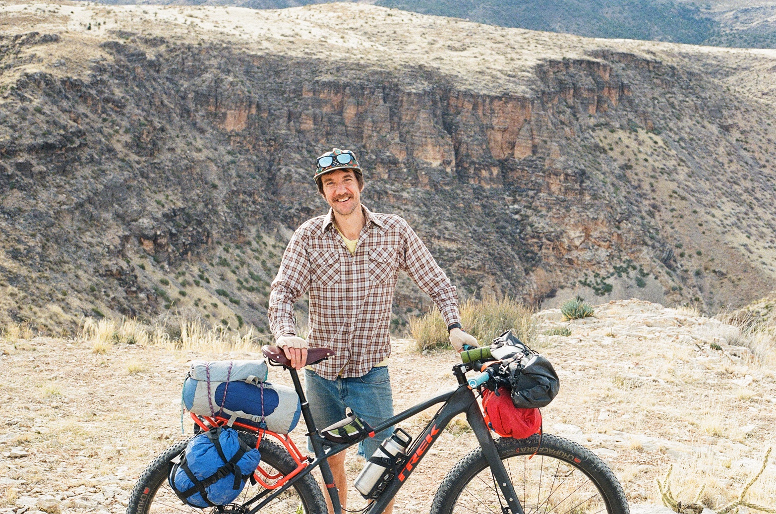
Zackary Gregory
Guest Contributor
Zackary grew up next to the Wasatch Mountains in Salt Lake City, Utah. He’s currently a grad student of English, working summers as a bike mechanic at Go-Ride bicycles. Find him pushing his bike up fire roads in Park City looking for the new “skidder” or on Instagram @alakazack2
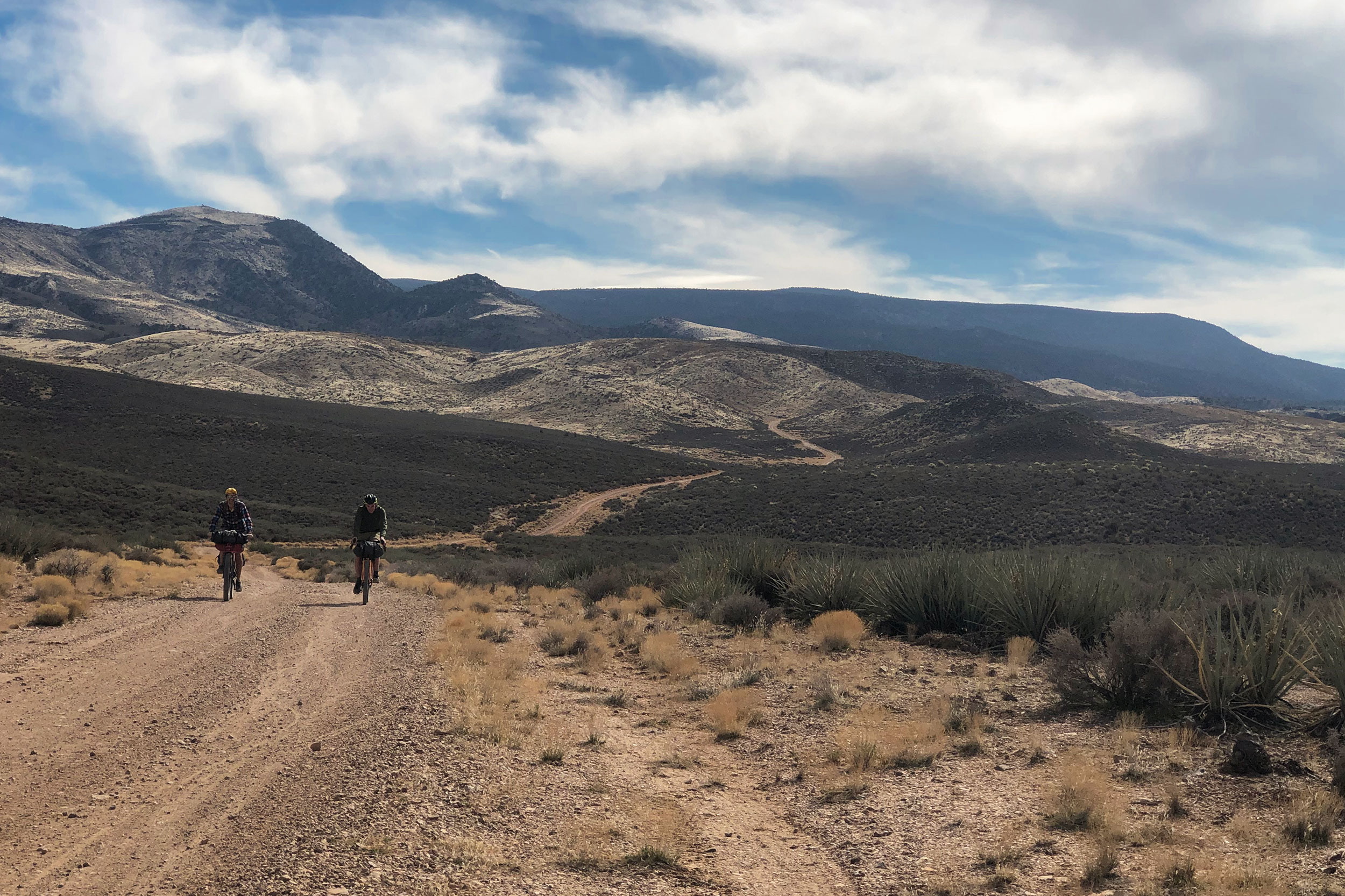
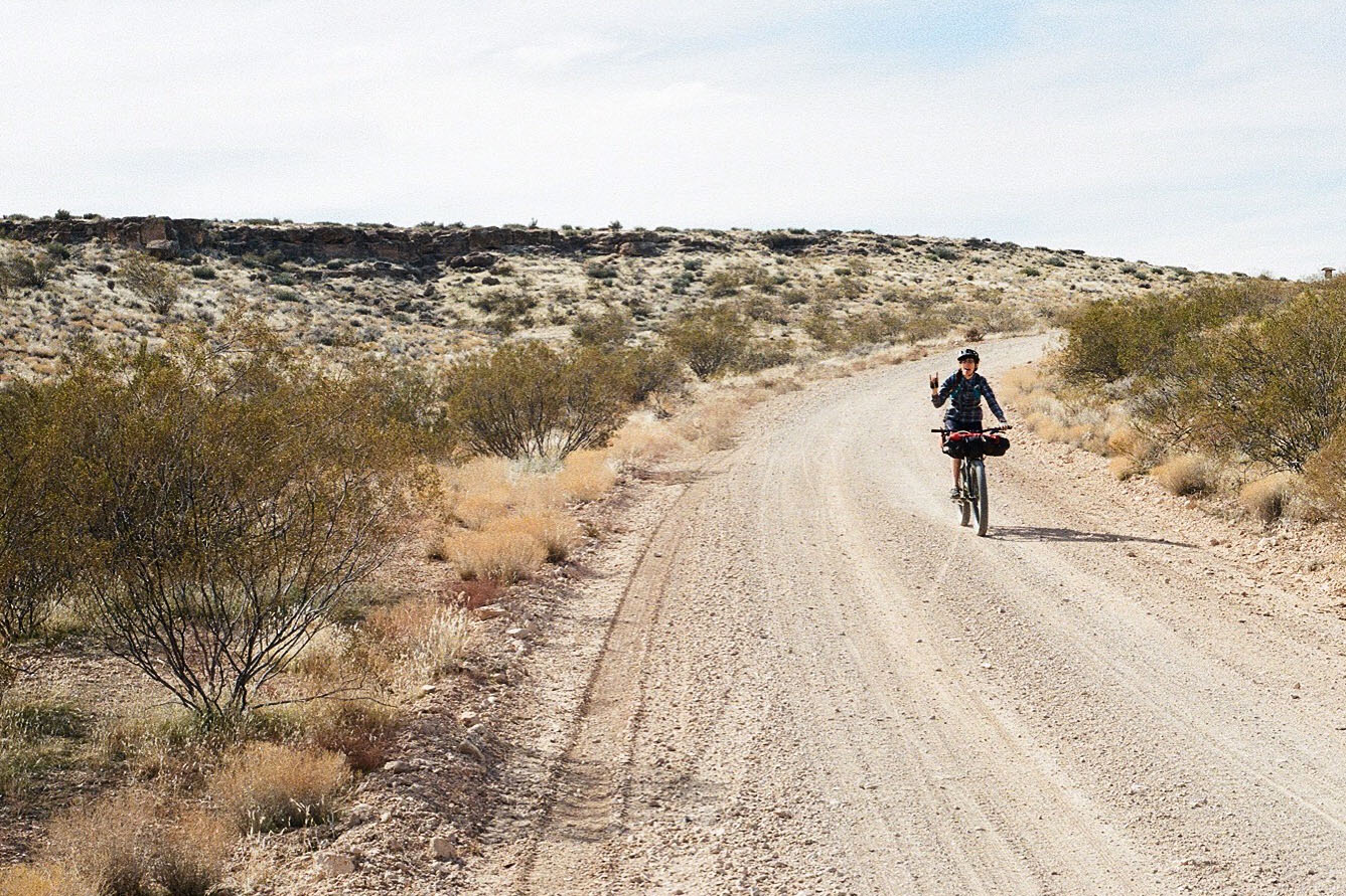
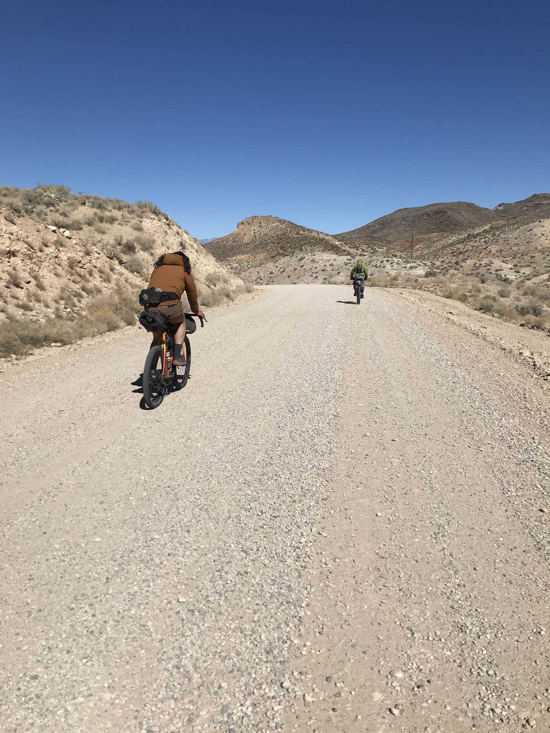
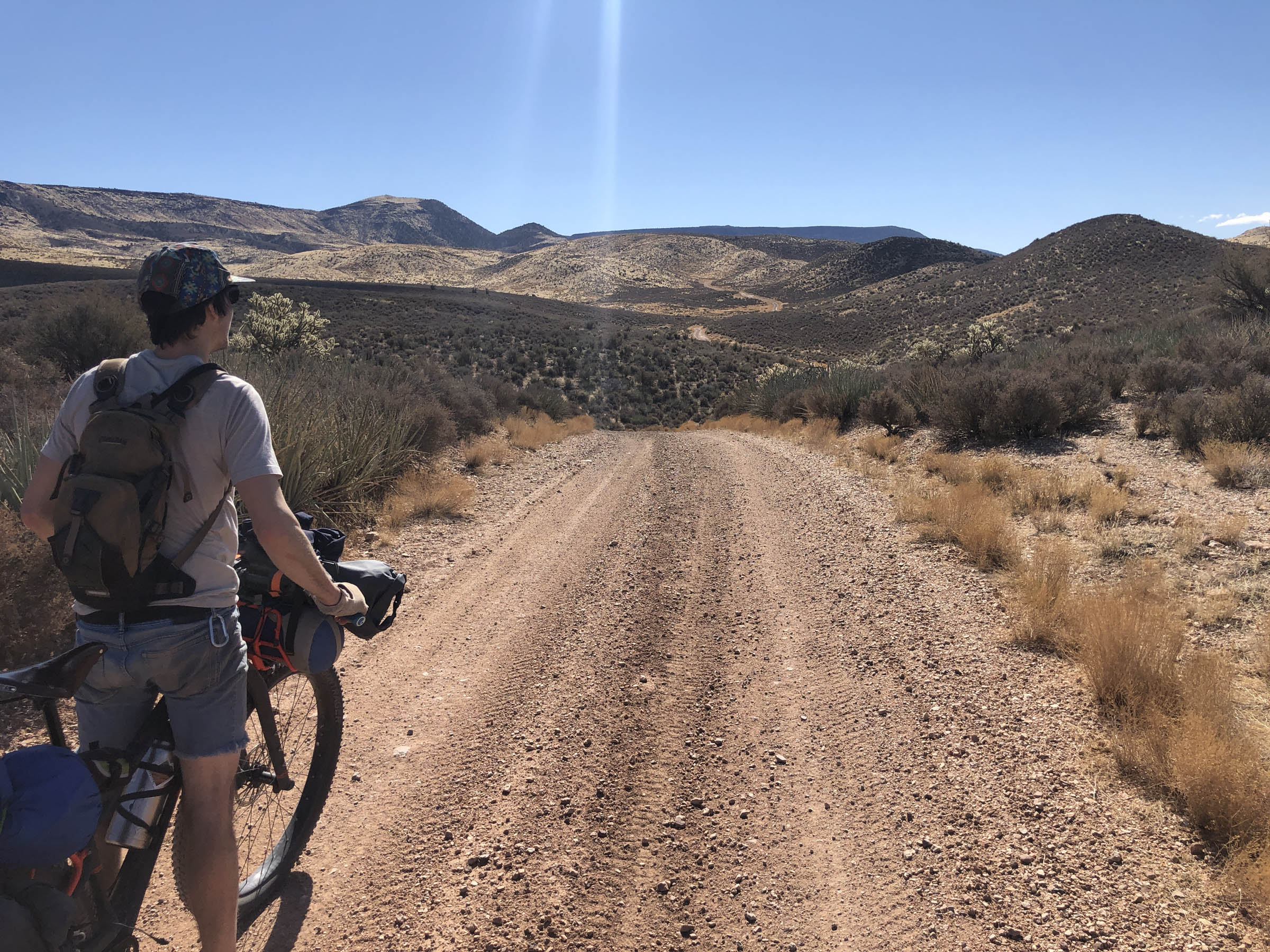
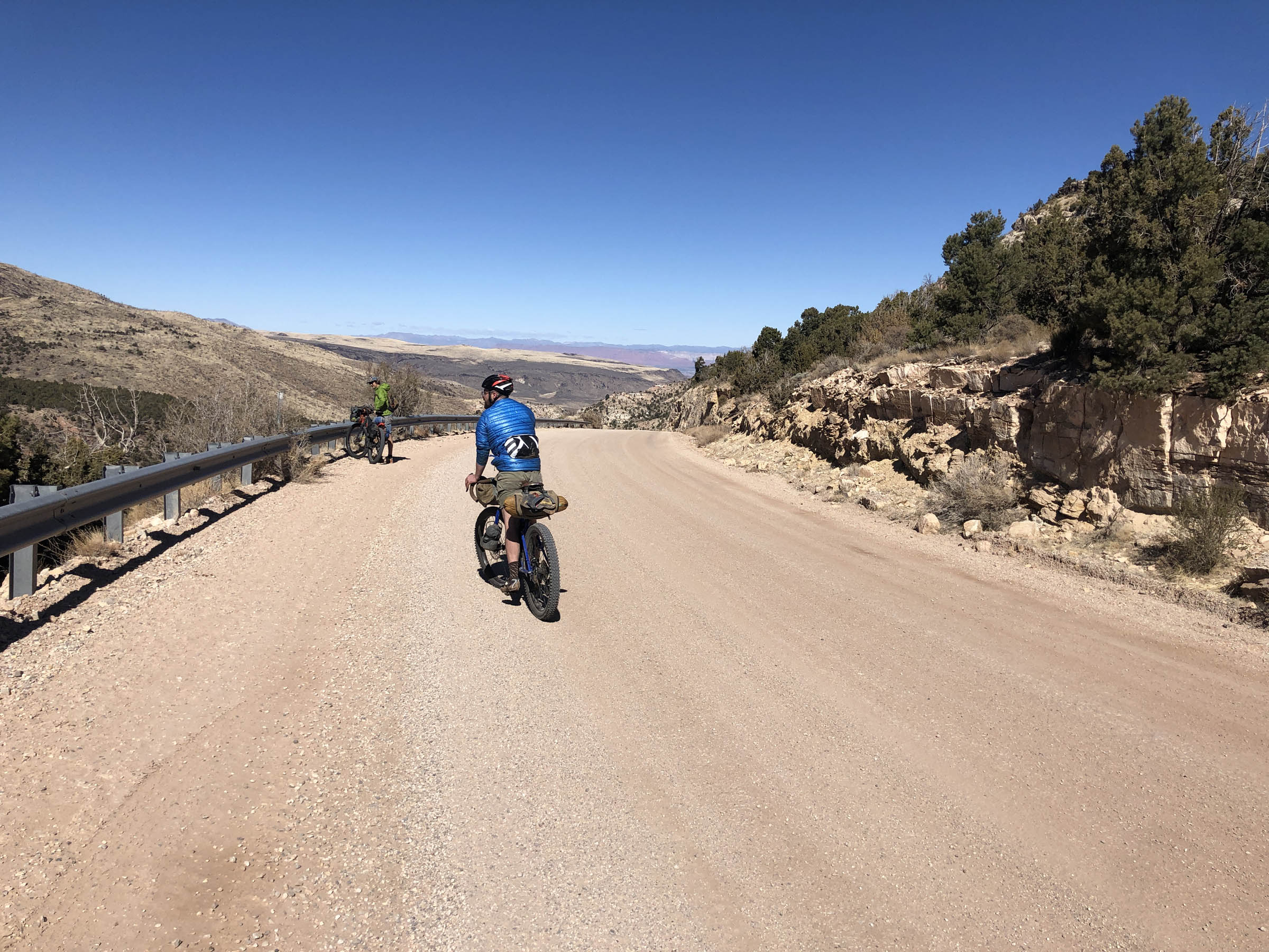
Traversing Pueblo and Southern Paiute Land, this route starts on the outskirts of Saint George, Utah, though you could easily start from the city center. It’s an accessible route for new riders, and almost all of the climbing will be done on the first day. You’ve got options: you can climb a chunkier doubletrack on the west side of the loop or climb a graded road on the east side. Riding the loop clockwise gets the climbing done fast on the graded road, and coming down the chunkier side can get rowdy and fun. Riding the route counterclockwise offers more time to soak in some of the desert beauty on the chunkier road up and a fast downhill on the graded gravel road.
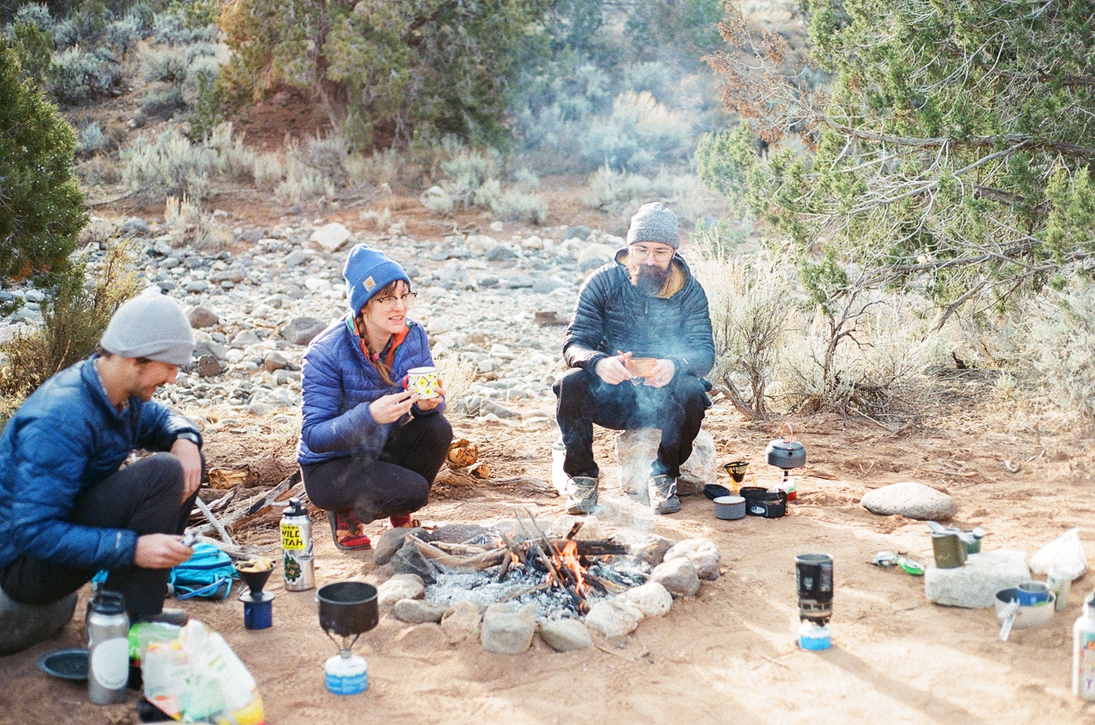
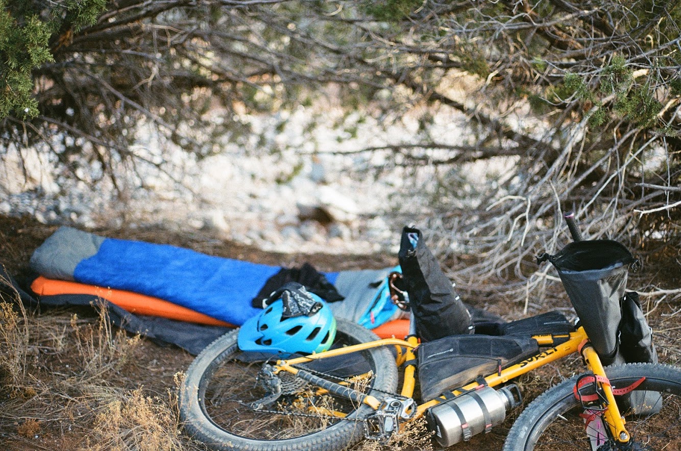
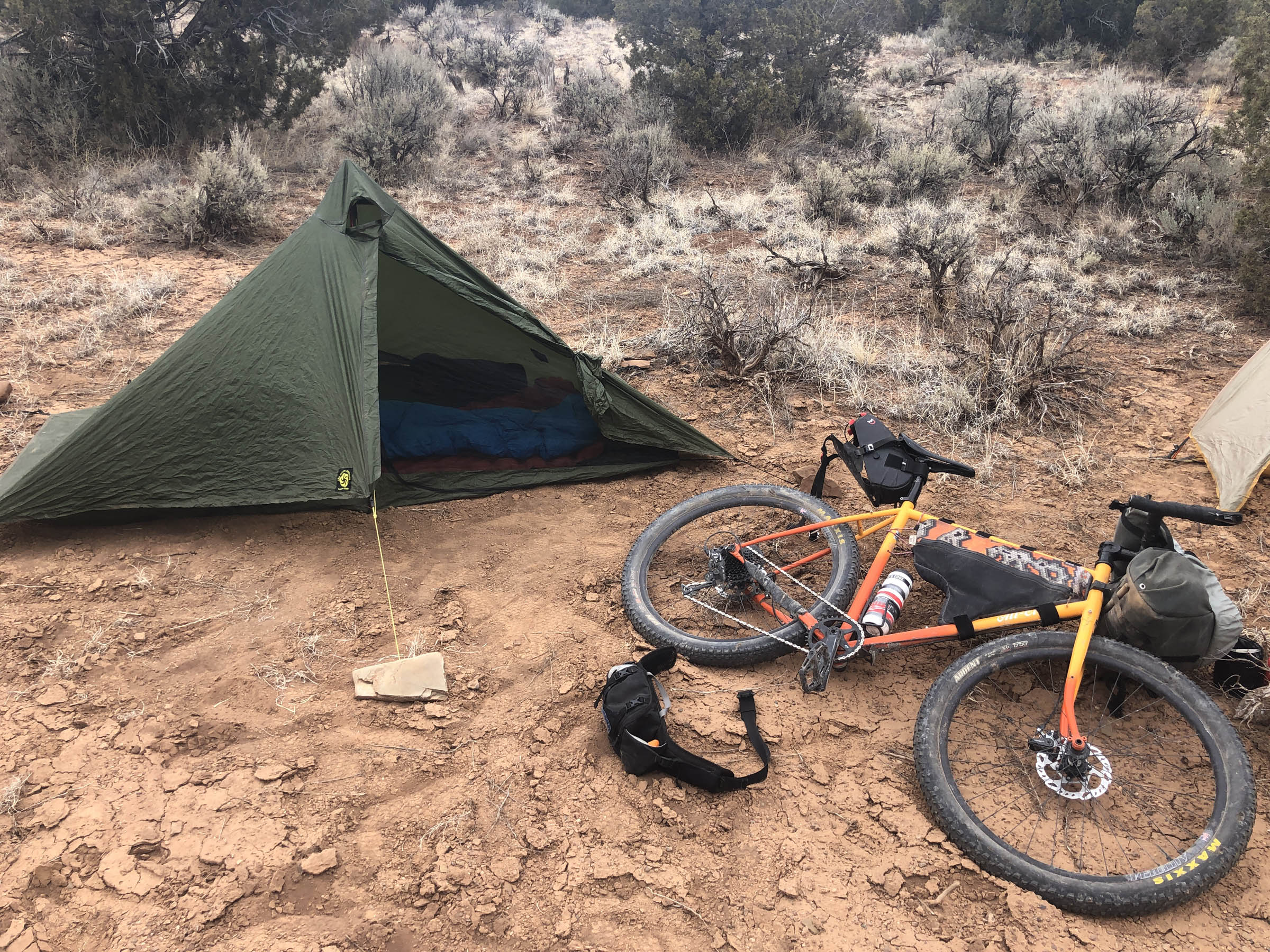
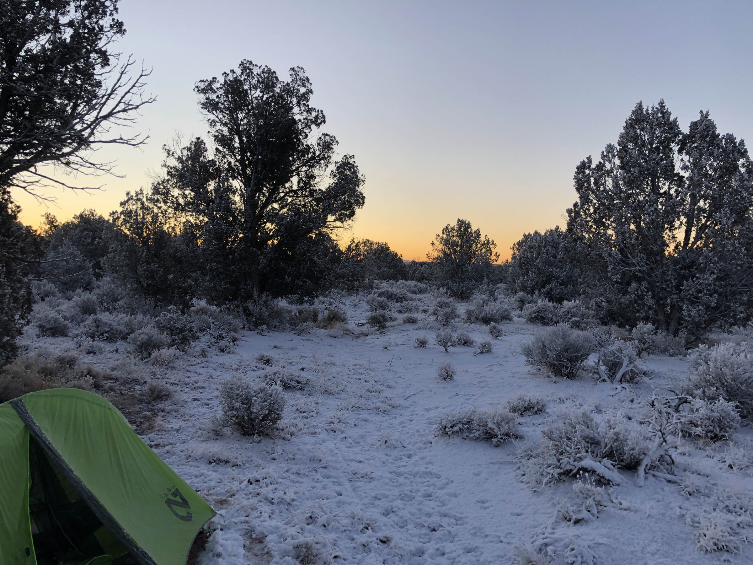
The top of the loop provides many spots for camping around Tombstone Spring. It’s BLM land, and “pull-offs” with well-established fire rings are easy to come by.
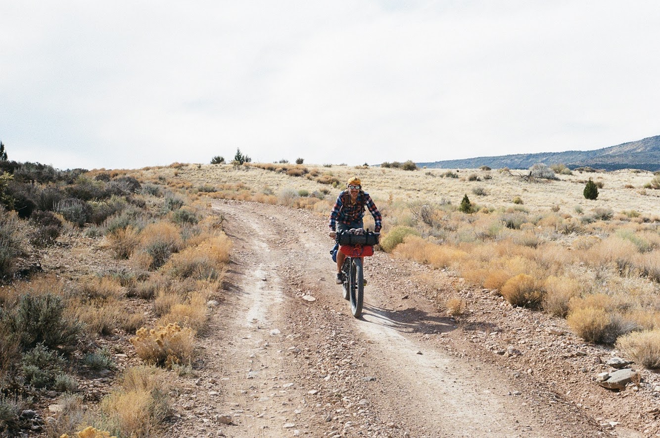
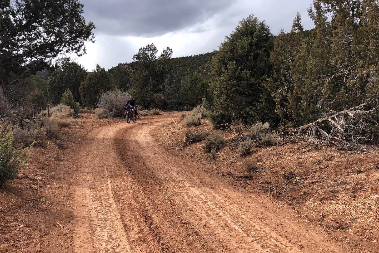
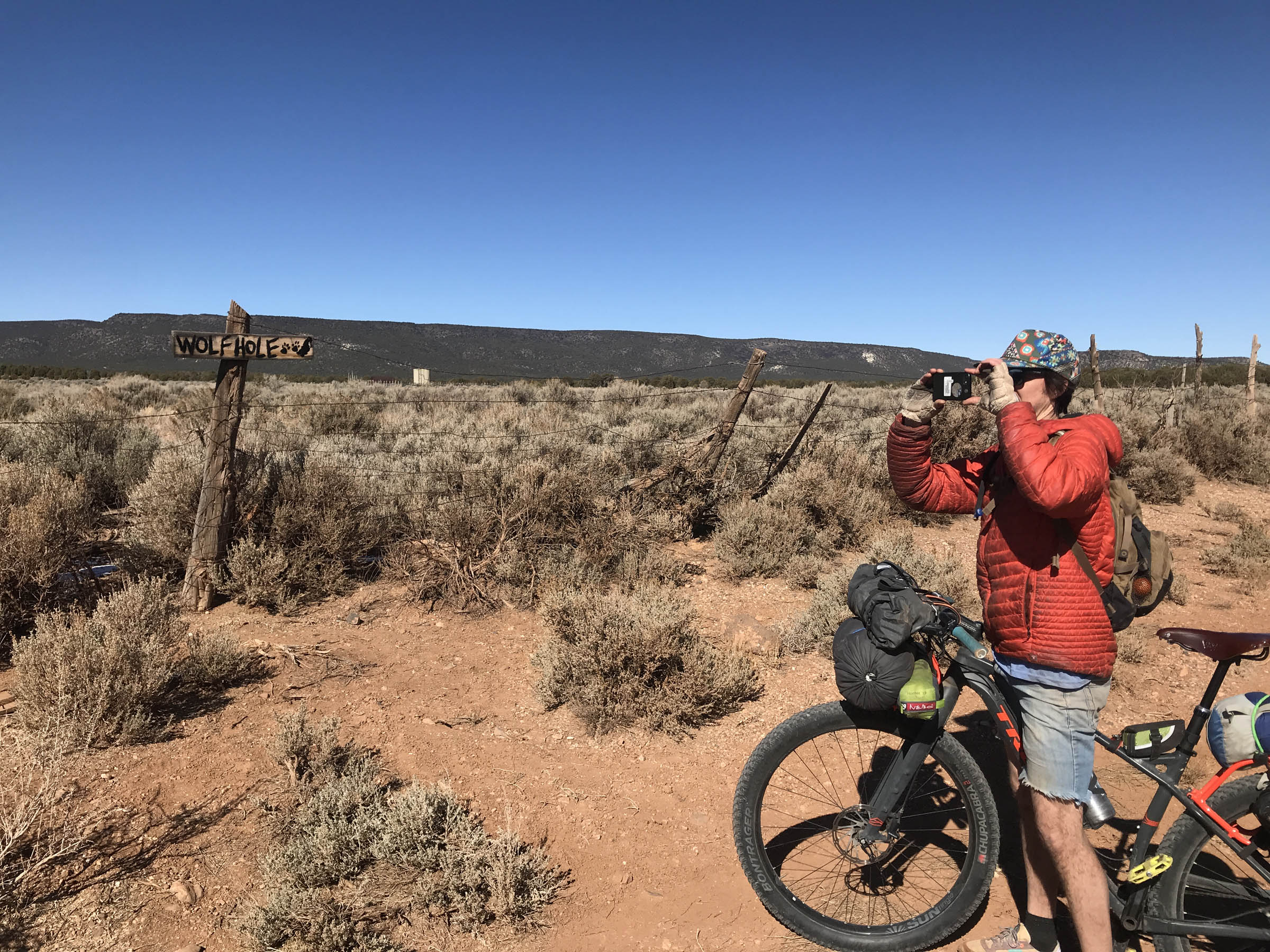
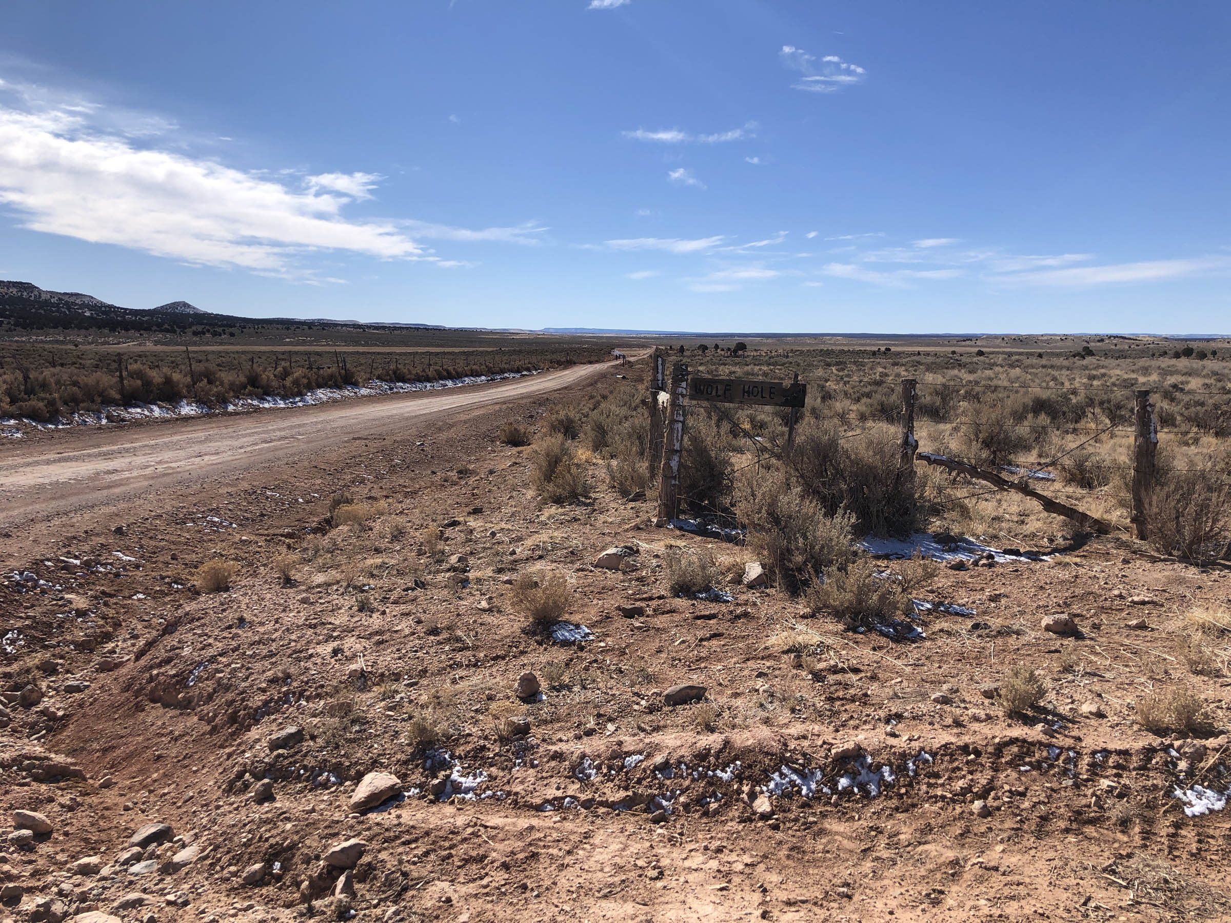
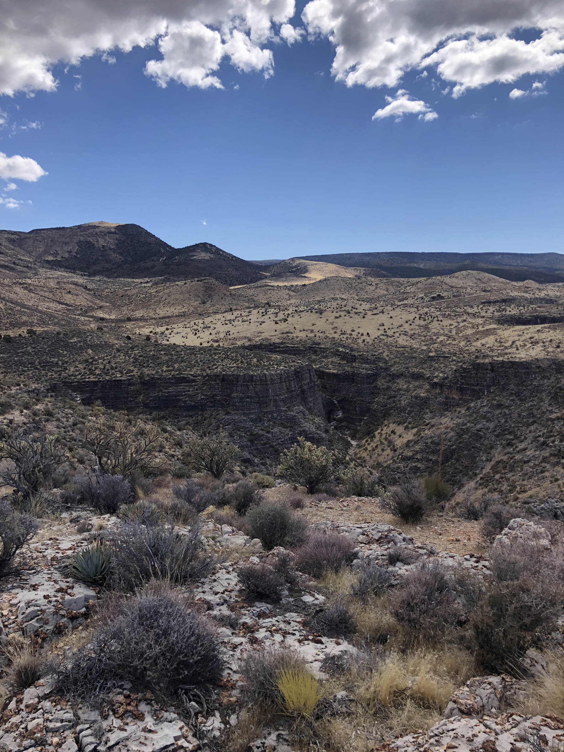
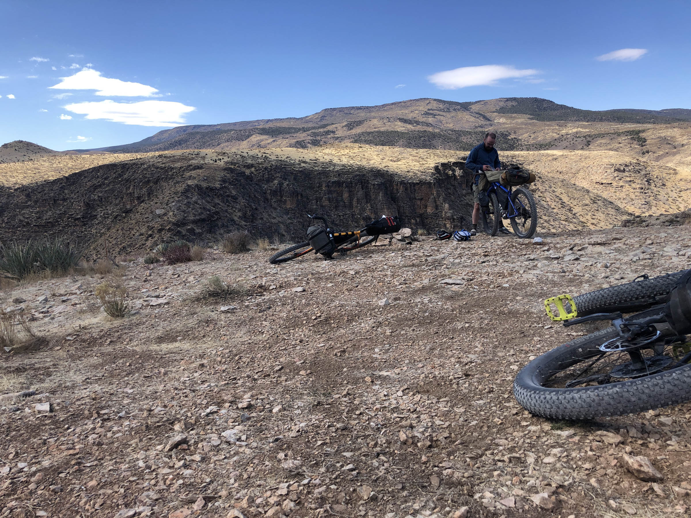
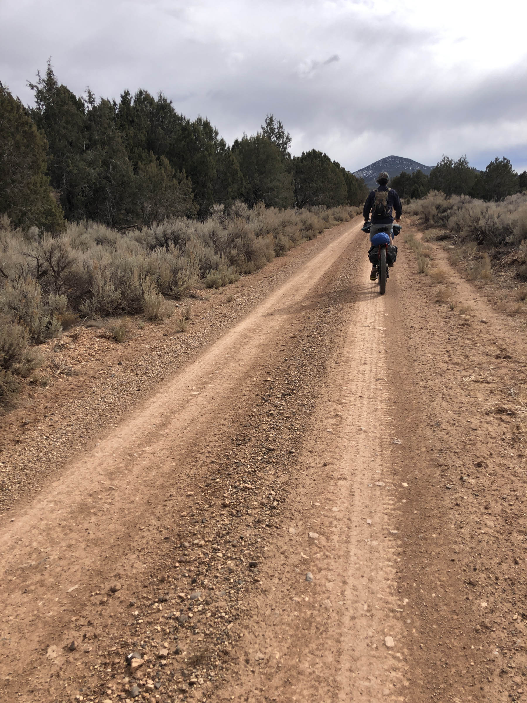
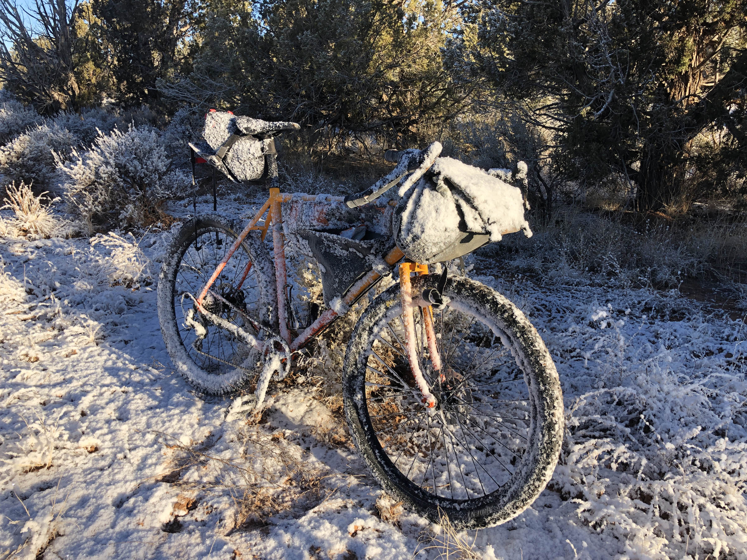
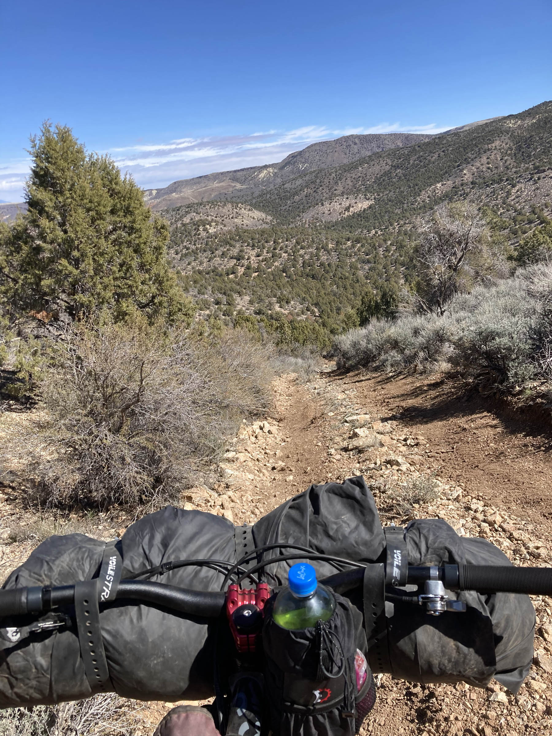
One of the best parts of this route is seeing the ecosystem change from the bottom of the loop to the top. As you climb, you leave the yucca behind and start to see pinyon pines at higher elevations. On the west side, the route parallels a deep dry canyon. The route also passes the town of Wolf Hole, once home to writer Edward Abbey.
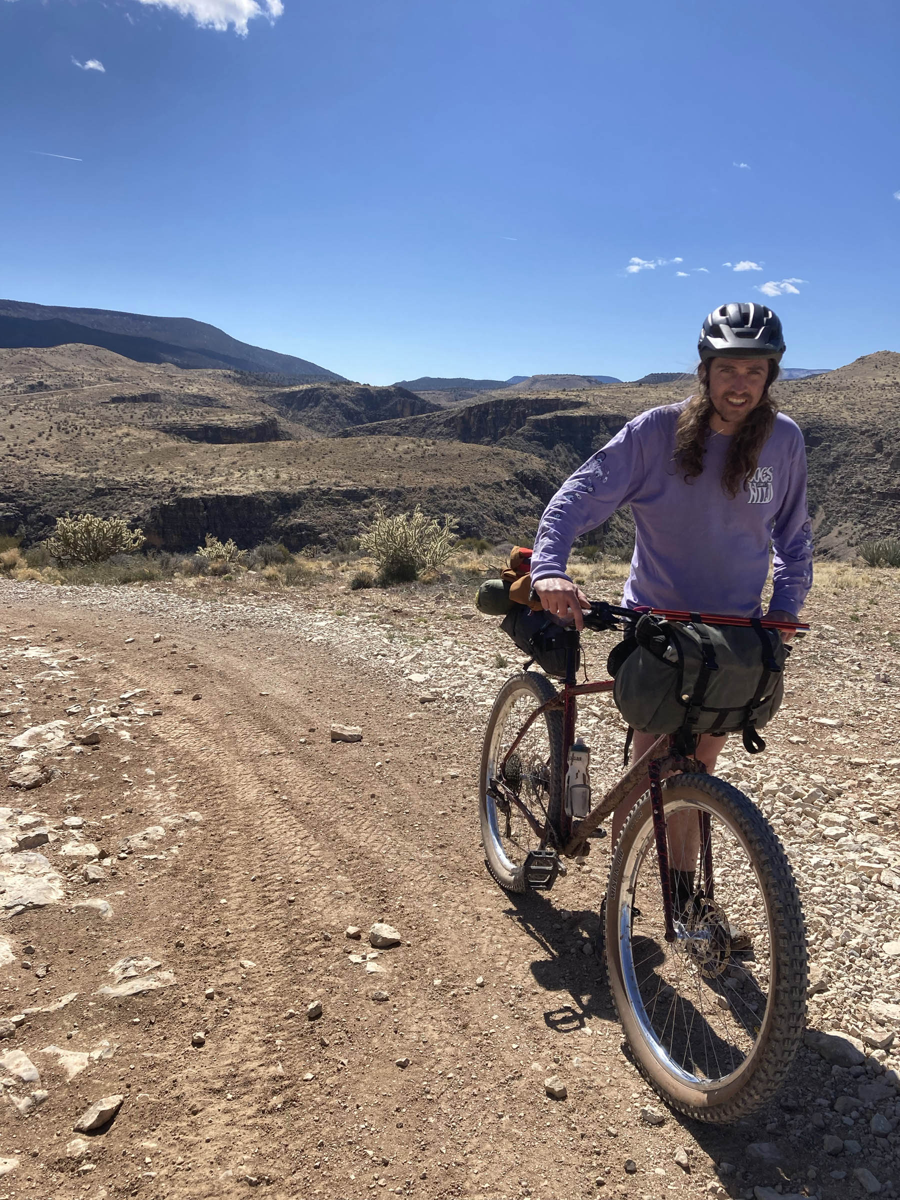
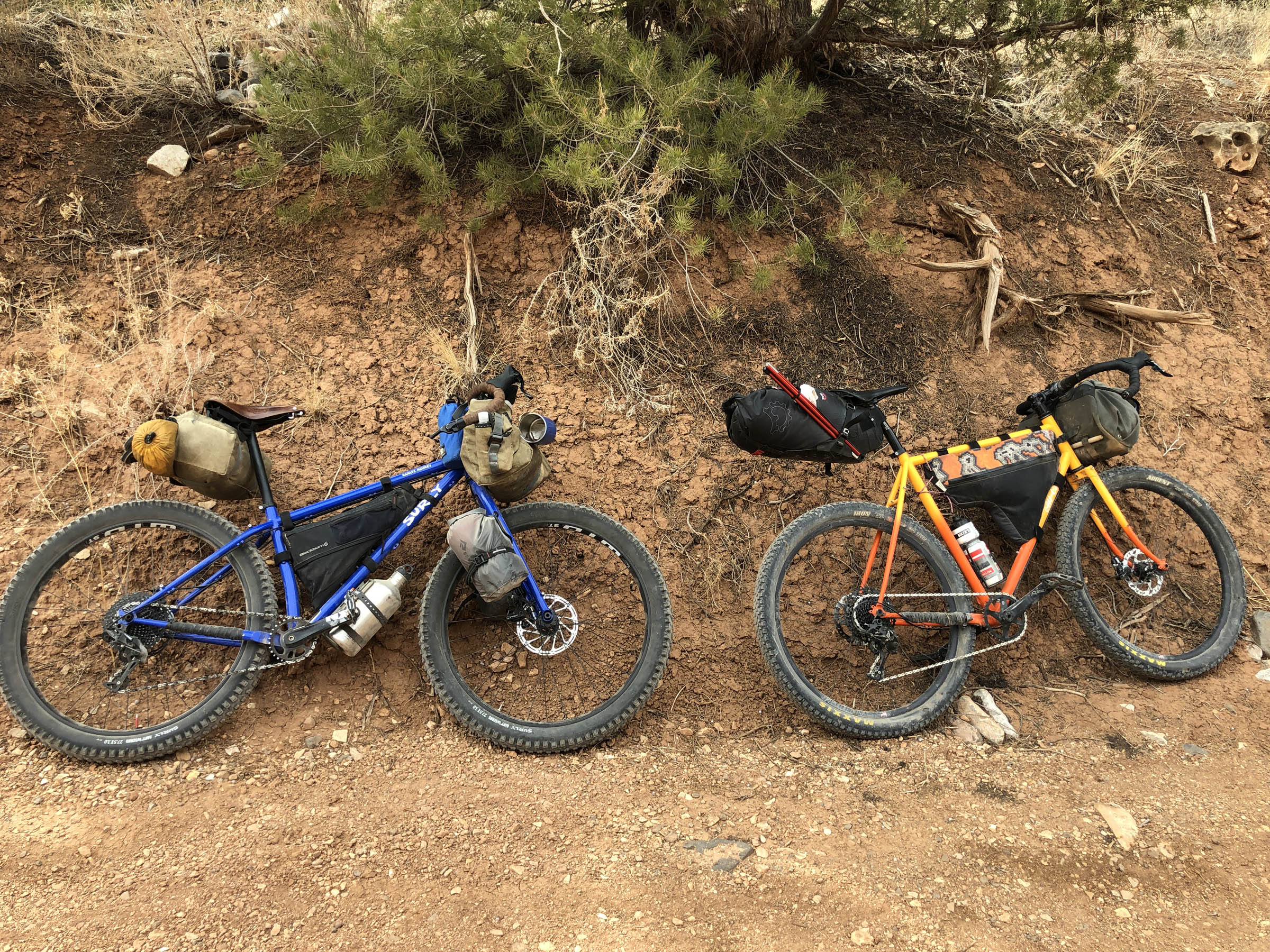
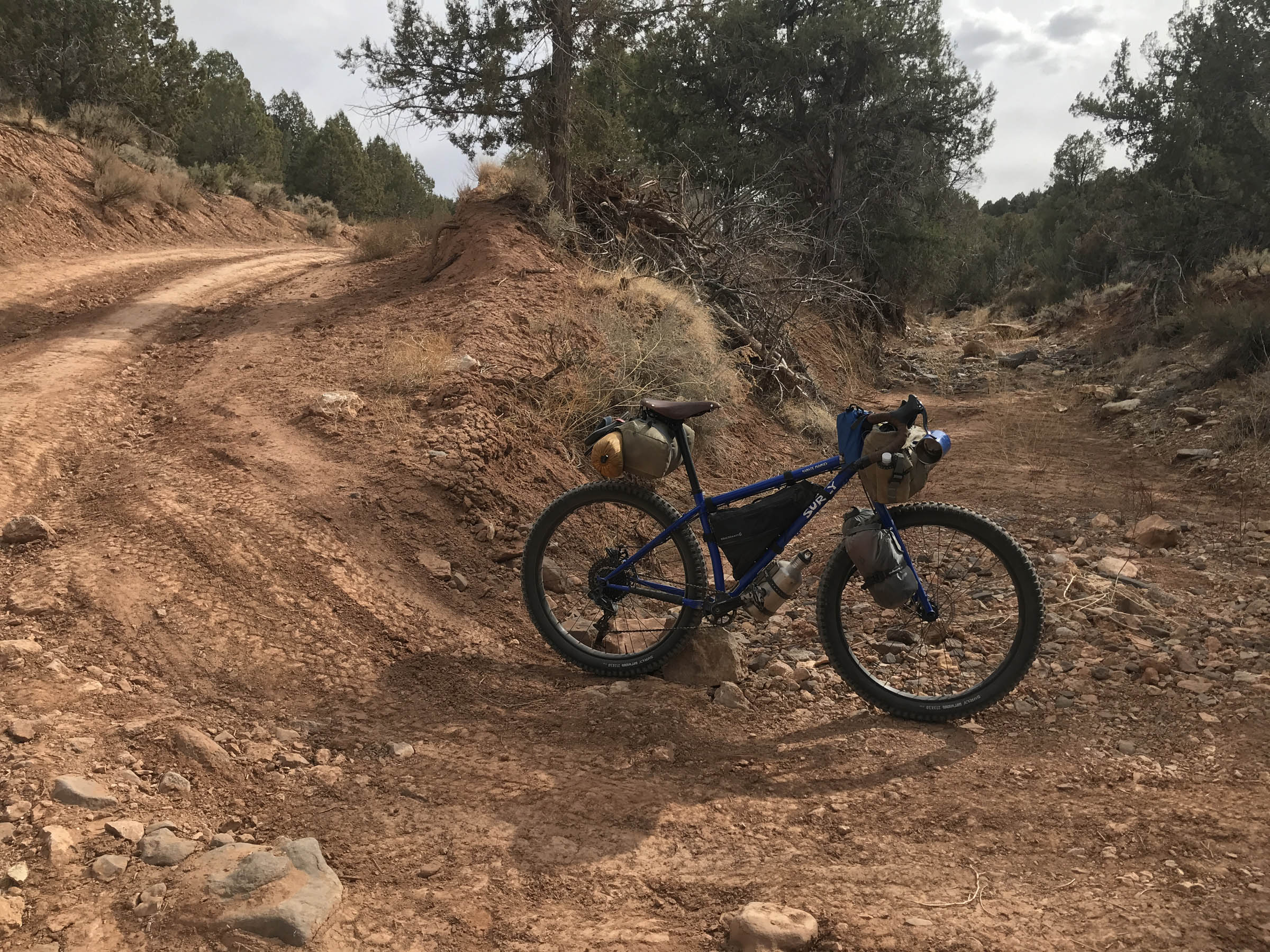
The Ride with GPS map offers a smooth route option that could be done on 45mm tires. I prefer a rigid MTB with at least 2.3-inch tires on this route, however. There are a handful of BLM roads that offer fun and technical descent options if you’re traveling clockwise. It’s an easy way to add a little spice to the route.
Route Difficulty
I would rate this route a 5 out of 10 in terms of overall difficulty. There are two main obstacles: the lack of water and the climbing. You’ll need to carry all of your water for cooking and drinking. Setting up a water cache beforehand is an alternative option, as the east side of the loop could be driven in a car with good clearance. The climb can be daunting for less experienced riders. Don’t be discouraged if you’re new, just take your time and settle into the climb. The second day will be a fun descent!


Submit Route Alert
As the leading creator and publisher of bikepacking routes, BIKEPACKING.com endeavors to maintain, improve, and advocate for our growing network of bikepacking routes all over the world. As such, our editorial team, route creators, and Route Stewards serve as mediators for route improvements and opportunities for connectivity, conservation, and community growth around these routes. To facilitate these efforts, we rely on our Bikepacking Collective and the greater bikepacking community to call attention to critical issues and opportunities that are discovered while riding these routes. If you have a vital issue or opportunity regarding this route that pertains to one of the subjects below, please let us know:
Highlights
Must Know
Camping
Food/H2O
Trail Notes
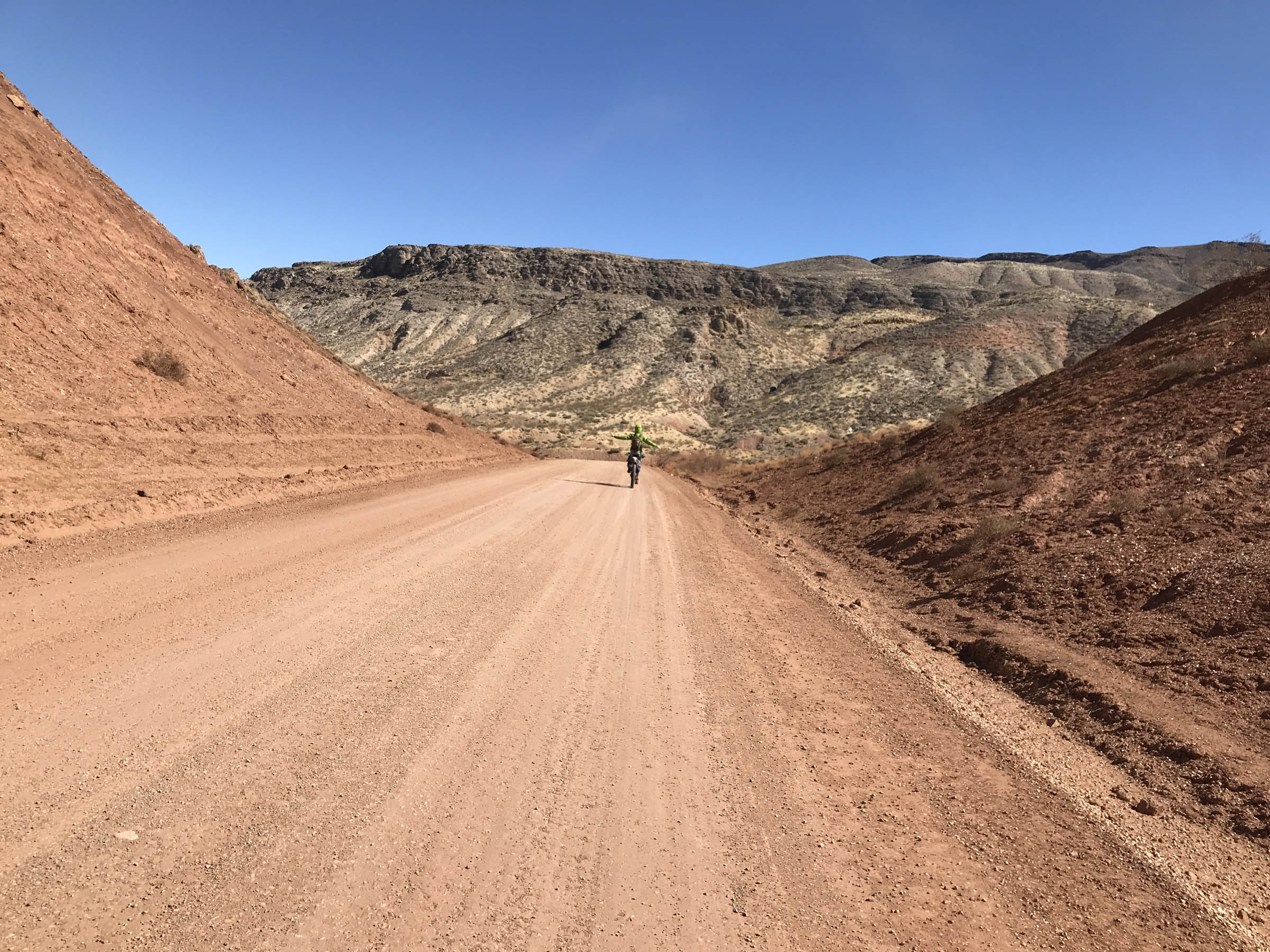
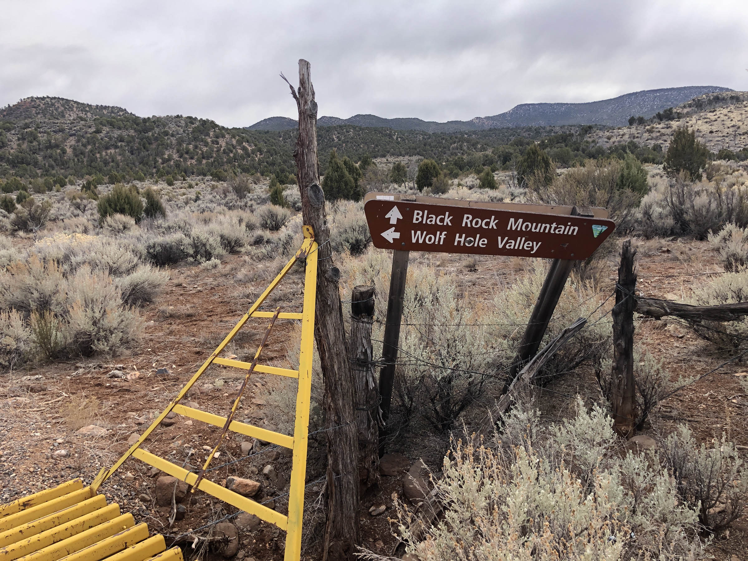
- Amazing views of deep dry canyons: Tombstone Canyon, Hogdets Canyon, and Black Rock Gulch
- The view of the night sky
- The site of Wolf Hole town, once home to Edward Abbey
- Choose your own adventure aspect: wild descents down the wash roads on the west side of Wolf Hole mountain or rip along gravel
- The vegetation on this ride is spectacular and changes as you climb out of the low desert to the higher plateau
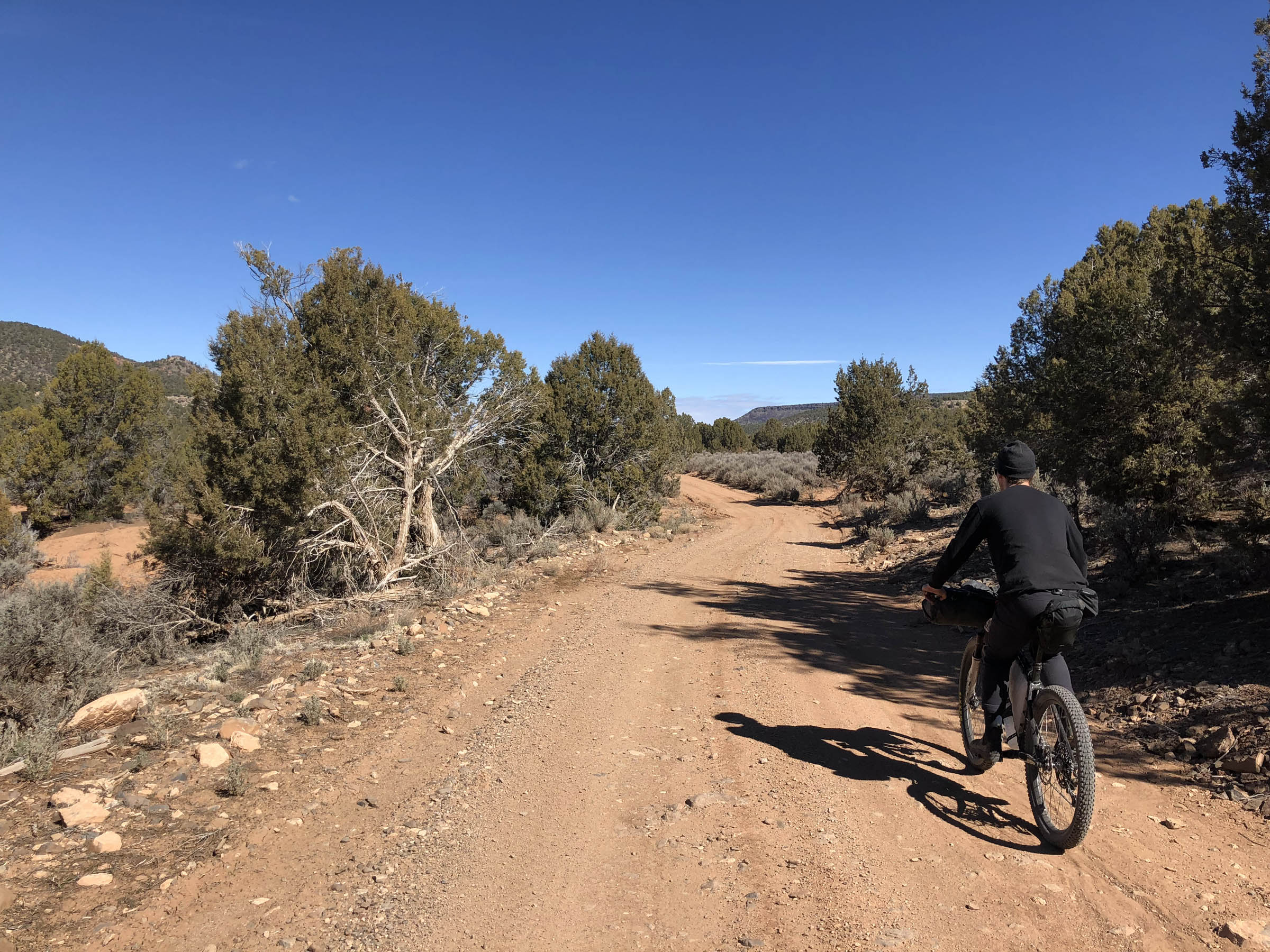
- Easy camping in pinyon pine forests
- Views of the Black Rock Mountain, covered with snow in the colder months
- This route is best to ride in the shoulder seasons. March and October are ideal but it can be done in the winter as well.
- It can snow in the higher elevations, even if you start in 80°F temperatures.
- Beware of motorized off-road vehicles; weekends can get busy, especially on the east side of Wolf Hole Mountain.
- You can park directly off the highway or in the many pull-offs on BLM Road 1009.
- Camping is easy to find on the south end of Wolf Hole Mountain. There are many dispersed campsites.
- Most sites have well-built fire rings. If you choose to have a fire, use an existing fire ring and leave no trace.
- There are no resupply points on this route for water or food. Carry everything you need for the night.
The entire route is ridable, and doing the loop clockwise gives you options for rougher riding or smoother alternatives. The route will start on BLM 1009, and there are two options to cross the valley to get to BLM 1069 around mile 3. You can take a sharp left and head north on a smooth gravel road or head directly east on a doubletrack for a more challenging option. The route also offers multiple ways down on the west side of Wolf Hole Mountain. If you want to ride a more technically challenging course, turn right at mile 29.5 on BLM 1004. Otherwise, stay on the route and turn north after the Little Wolf Pass.


Terms of Use: As with each bikepacking route guide published on BIKEPACKING.com, should you choose to cycle this route, do so at your own risk. Prior to setting out check current local weather, conditions, and land/road closures. While riding, obey all public and private land use restrictions and rules, carry proper safety and navigational equipment, and of course, follow the #leavenotrace guidelines. The information found herein is simply a planning resource to be used as a point of inspiration in conjunction with your own due-diligence. In spite of the fact that this route, associated GPS track (GPX and maps), and all route guidelines were prepared under diligent research by the specified contributor and/or contributors, the accuracy of such and judgement of the author is not guaranteed. BIKEPACKING.com LLC, its partners, associates, and contributors are in no way liable for personal injury, damage to personal property, or any other such situation that might happen to individual riders cycling or following this route.
Please keep the conversation civil, constructive, and inclusive, or your comment will be removed.