


Yancey Ridge S24O
Distance
44 Mi.
(71 KM)Days
1
% Unpaved
87%
% Singletrack
20%
% Rideable (time)
95%
Total Ascent
4,646'
(1,416 M)High Point
4,532'
(1,381 M)Difficulty (1-10)
5?
- 7Climbing Scale Strenuous106 FT/MI (20 M/KM)
- 4Technical Difficulty Fair
- 7Physical Demand Difficult
- 3Resupply & Logistics Fair
Contributed By

Logan Watts
Founding Editor
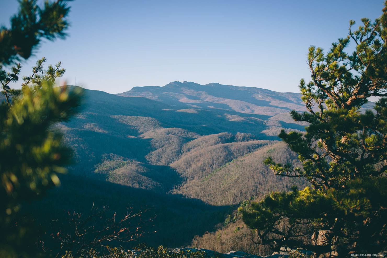
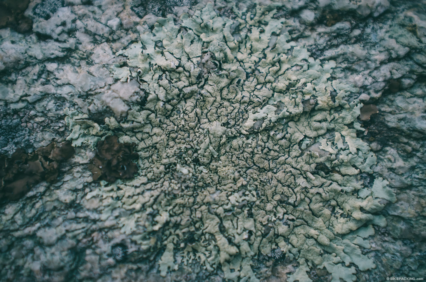
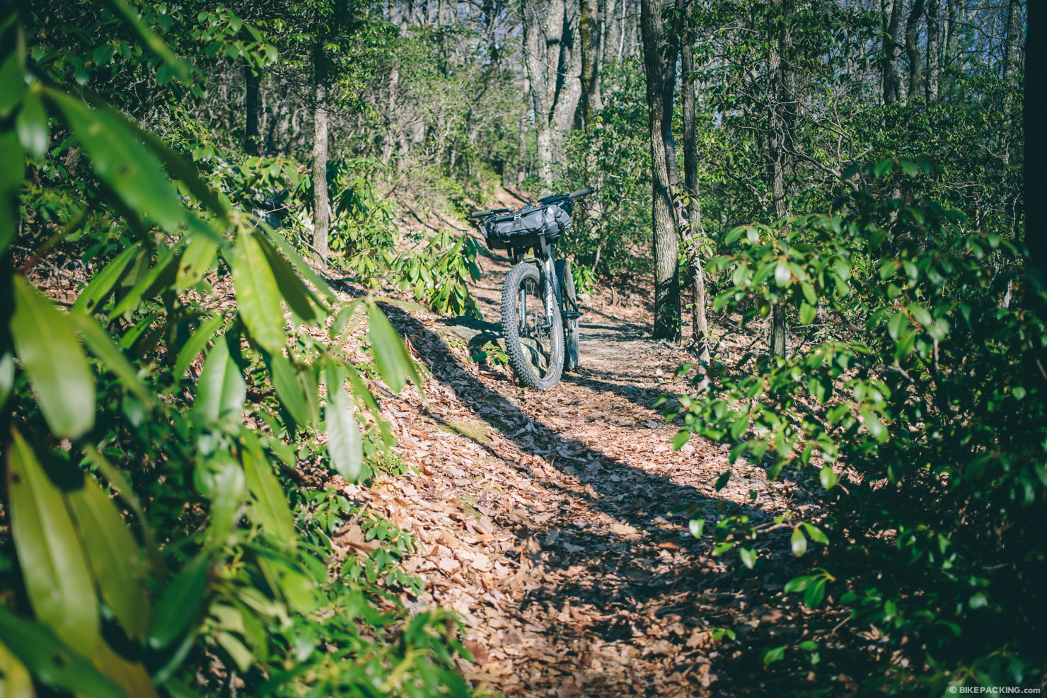
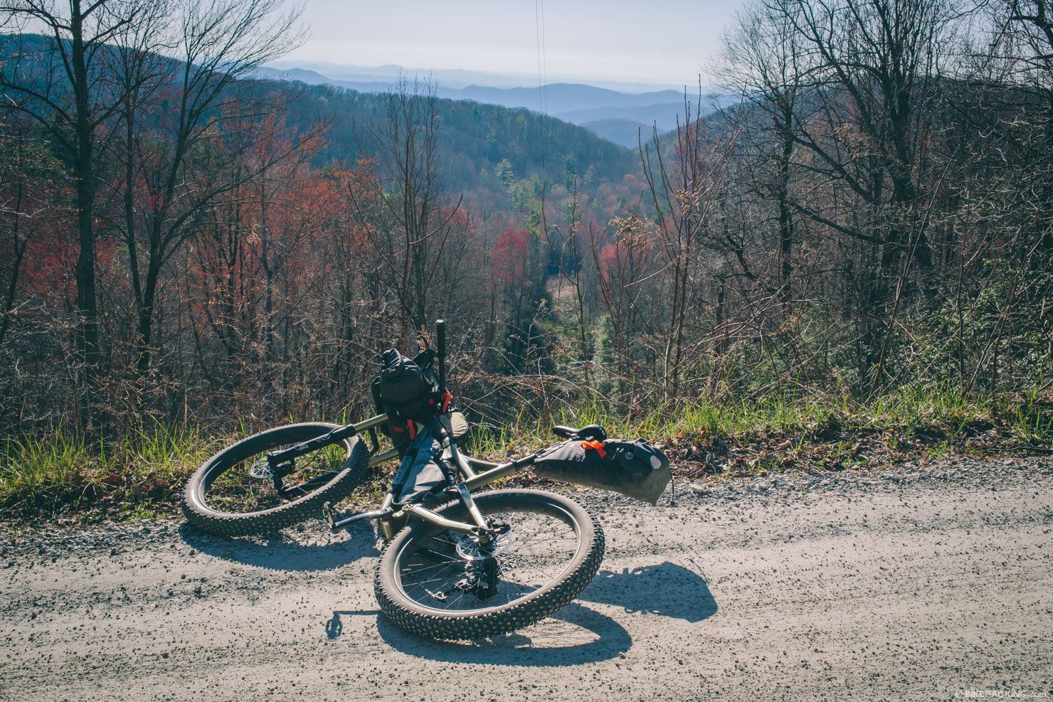
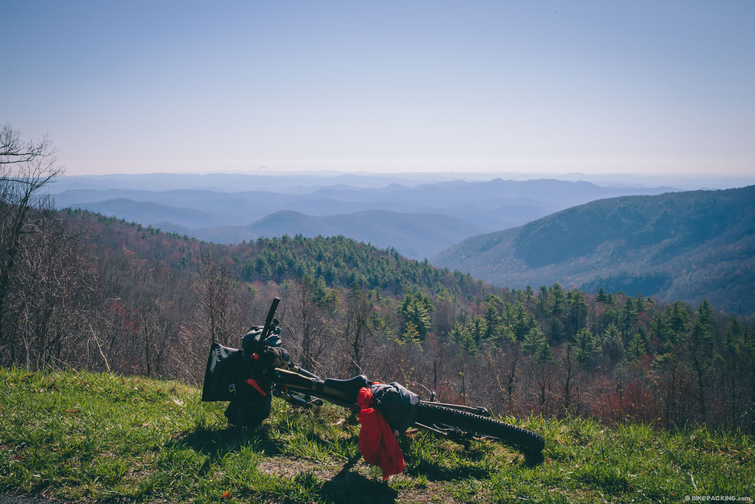
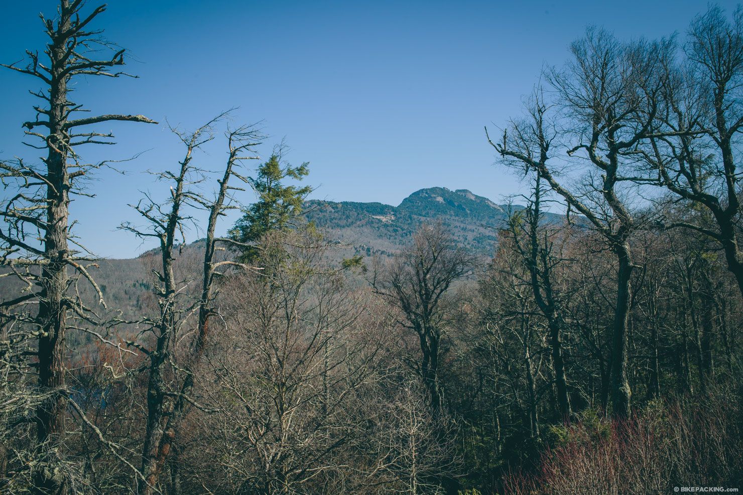
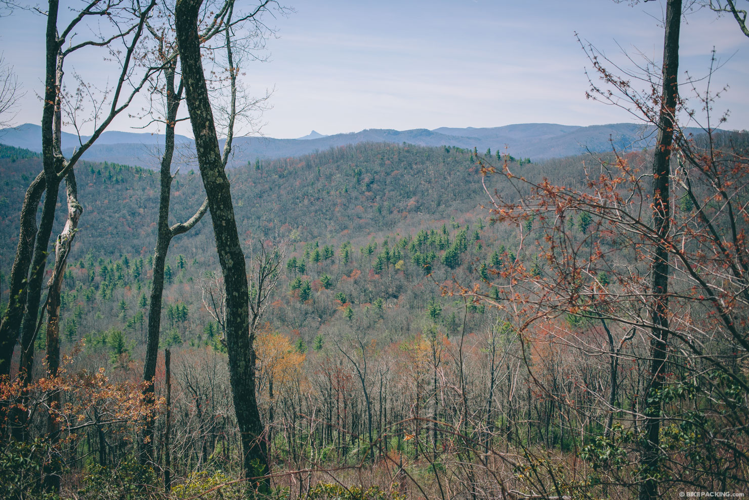
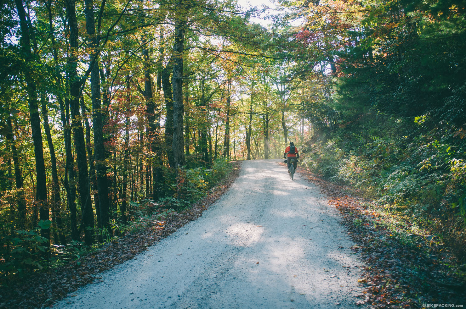
Western North Carolina’s Pisgah National Forest can be a dense and foreboding place. This is certainly the case amidst the quagmire of rhododendron-choked trails in the Grandfather District. Nevertheless it is an undeniably beautiful place that deserves attention from a bikepacking perspective. The southern slopes of Grandfather Mountain are difficult to traverse, not just because of the rugged terrain, but also due to the land use restrictions levied on a 12,846 acre tract at the heart of the district—The Lost Cove and Harper Creek Wilderness Study Areas. Foreshadowing its future Wilderness designation, all of the trails in this area allow only hiking and/or horseback riding. However there is a nice single lane forest service road that traverses this area and enables a perfect sub-24 hour loop.
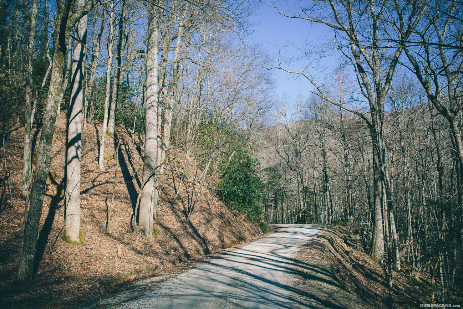
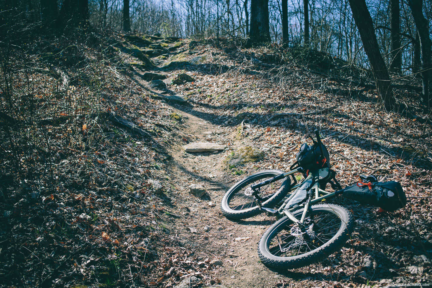
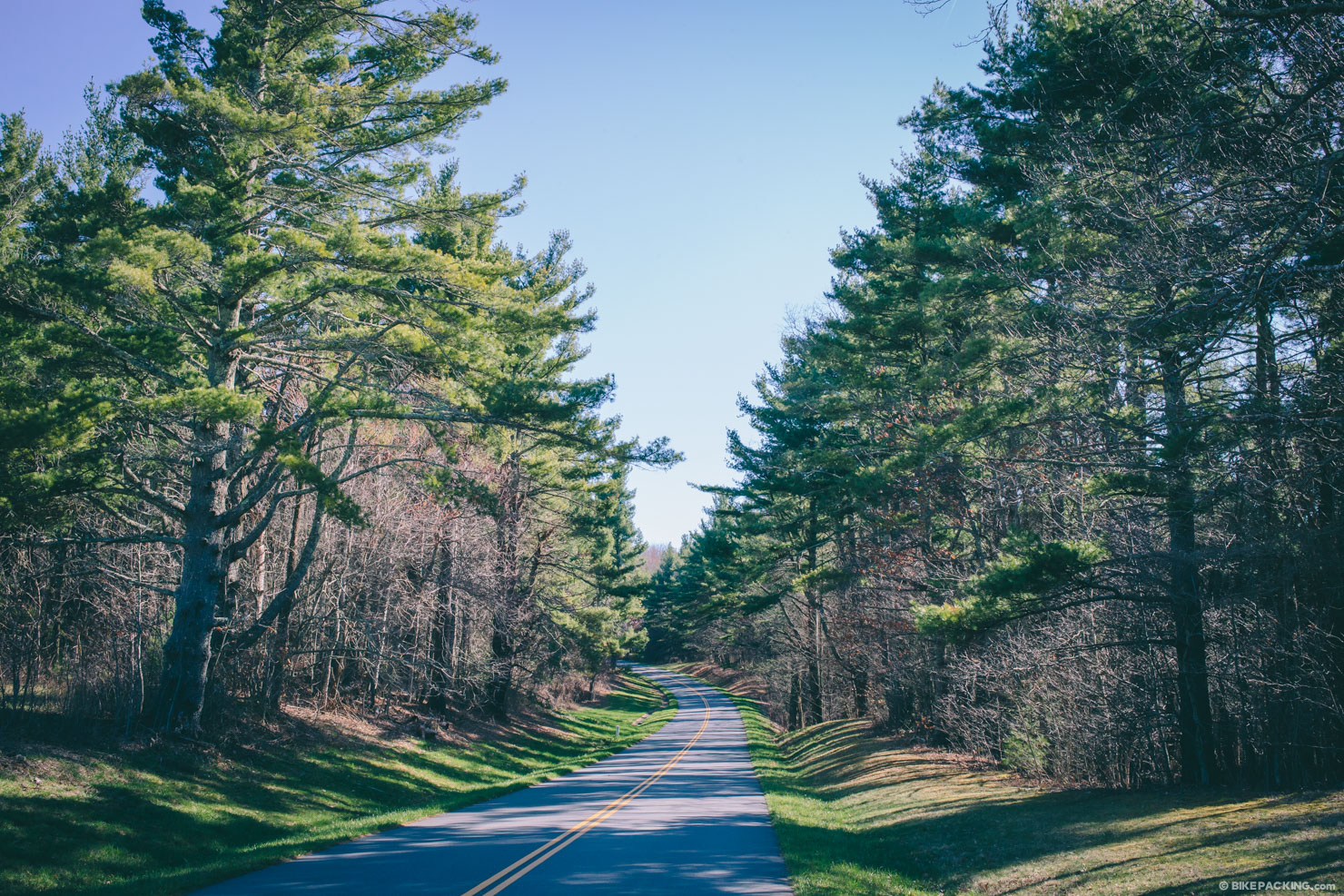
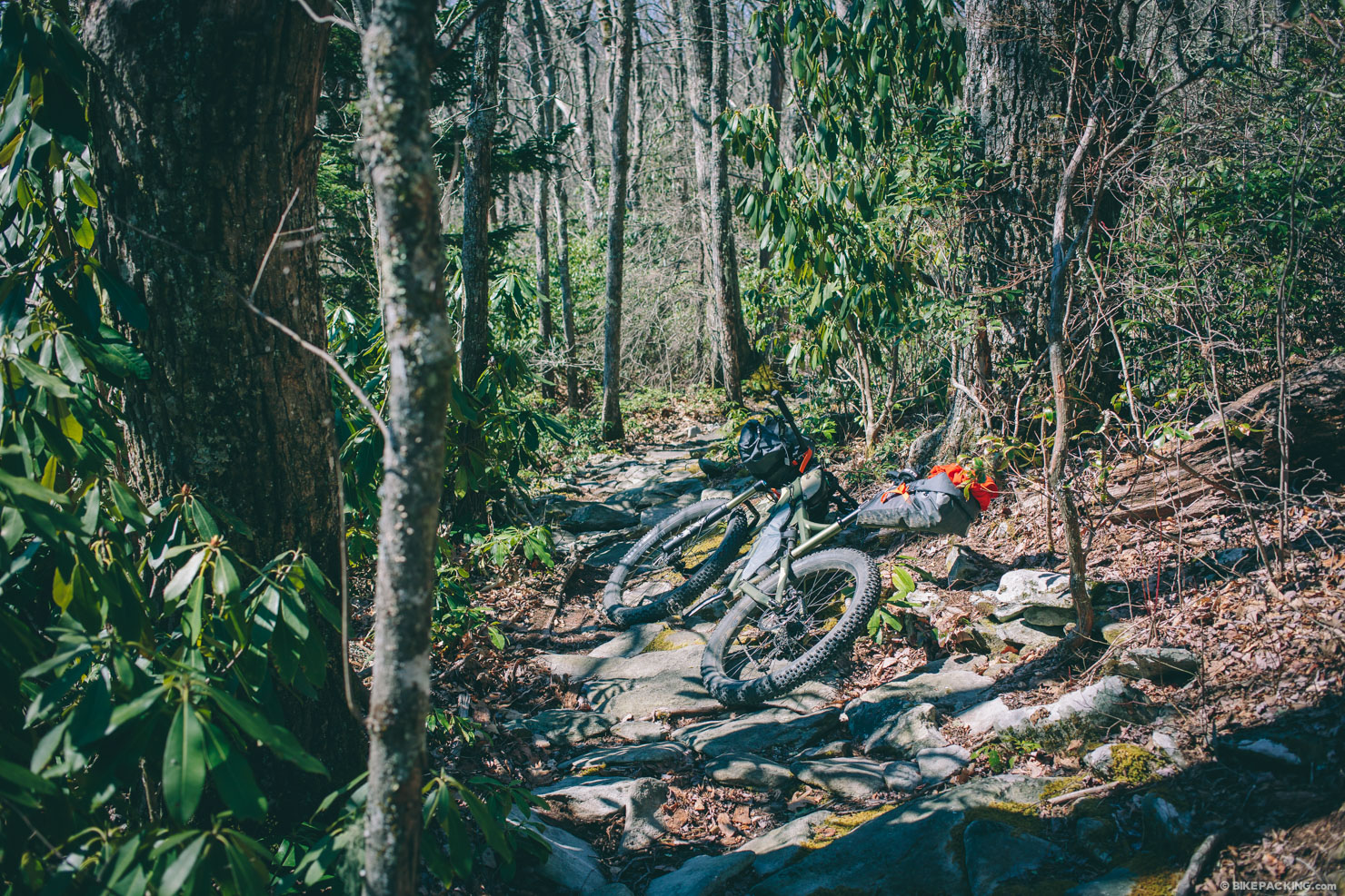
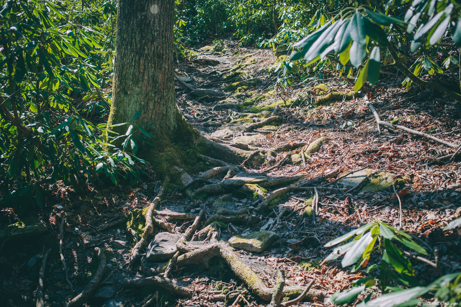
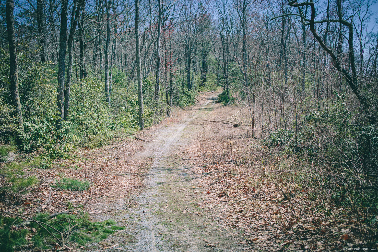
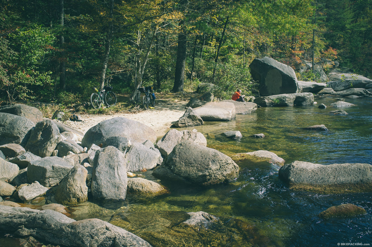
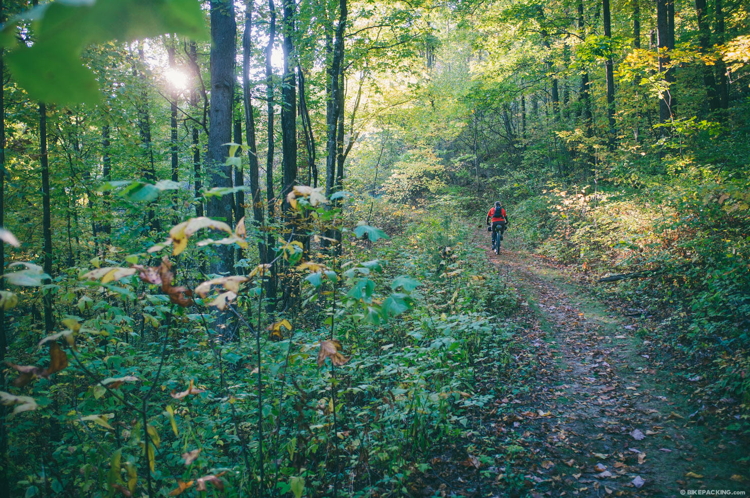
In a nutshell this loop starts by following the Wilson Creek National Wild and Scenic River, then climbs Pineola Road through Lost Cove to access the Yancey Ridge Trail via additional FSRs and the Blue Ridge Parkway. Although this route is short, don’t underestimate the difficulty of the singletrack section from Beacon Heights down. It’s a beautiful section of trail, but at times can be very technical.
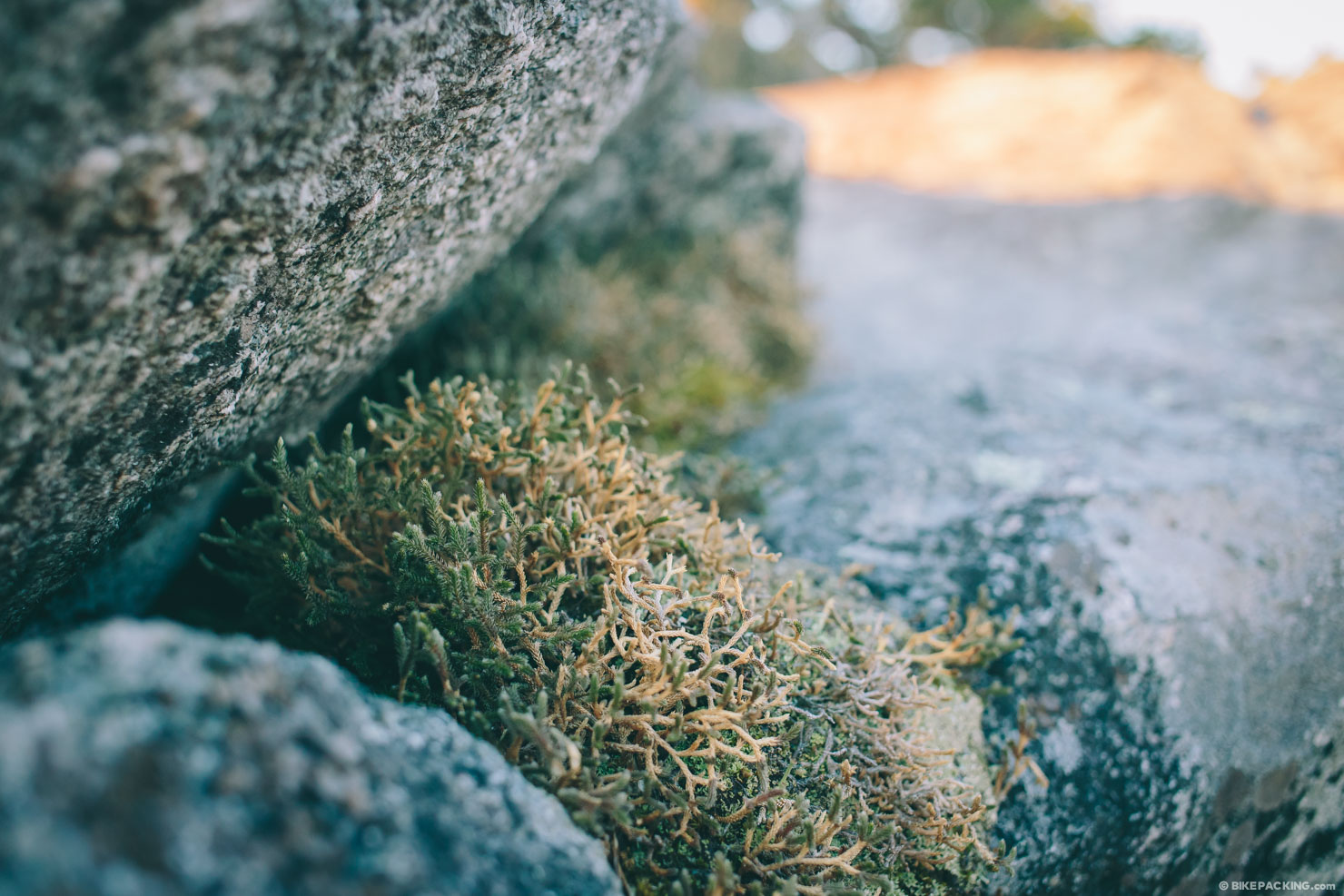
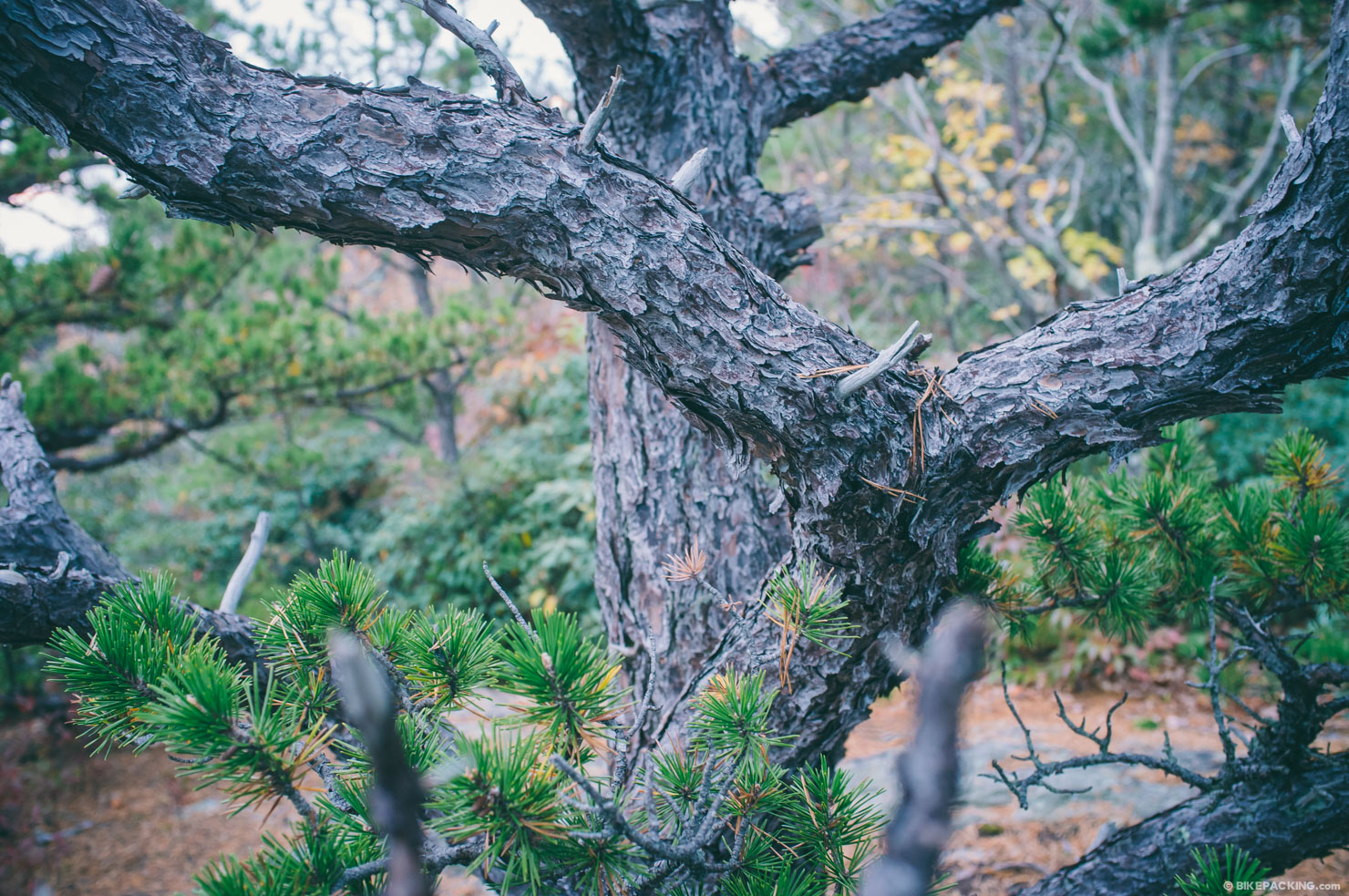
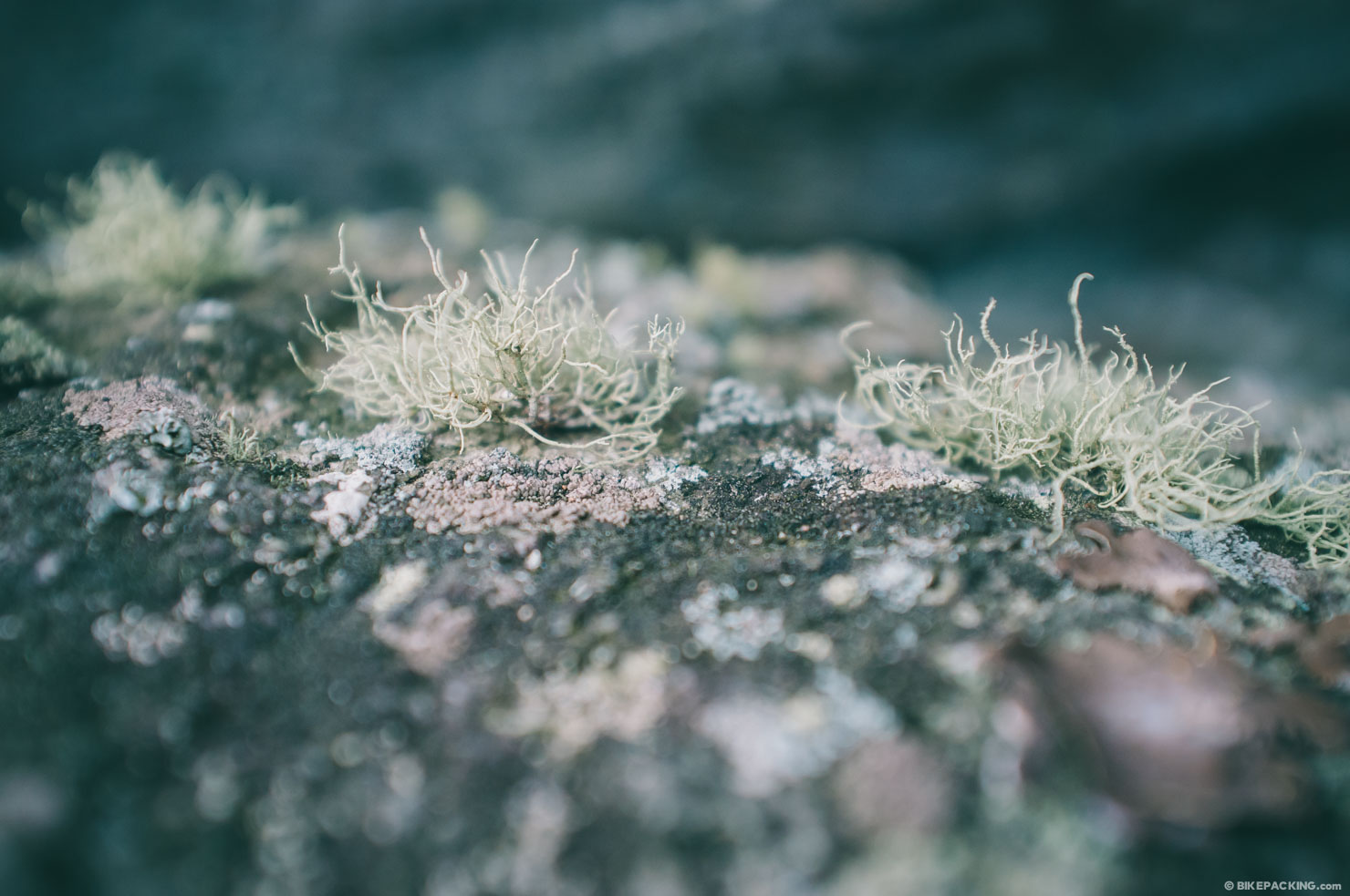
Note that while most of the photos were taken on a recent trip, several are from a similar trip in the late fall of 2013.


Submit Route Alert
As the leading creator and publisher of bikepacking routes, BIKEPACKING.com endeavors to maintain, improve, and advocate for our growing network of bikepacking routes all over the world. As such, our editorial team, route creators, and Route Stewards serve as mediators for route improvements and opportunities for connectivity, conservation, and community growth around these routes. To facilitate these efforts, we rely on our Bikepacking Collective and the greater bikepacking community to call attention to critical issues and opportunities that are discovered while riding these routes. If you have a vital issue or opportunity regarding this route that pertains to one of the subjects below, please let us know:
Highlights
Must Know
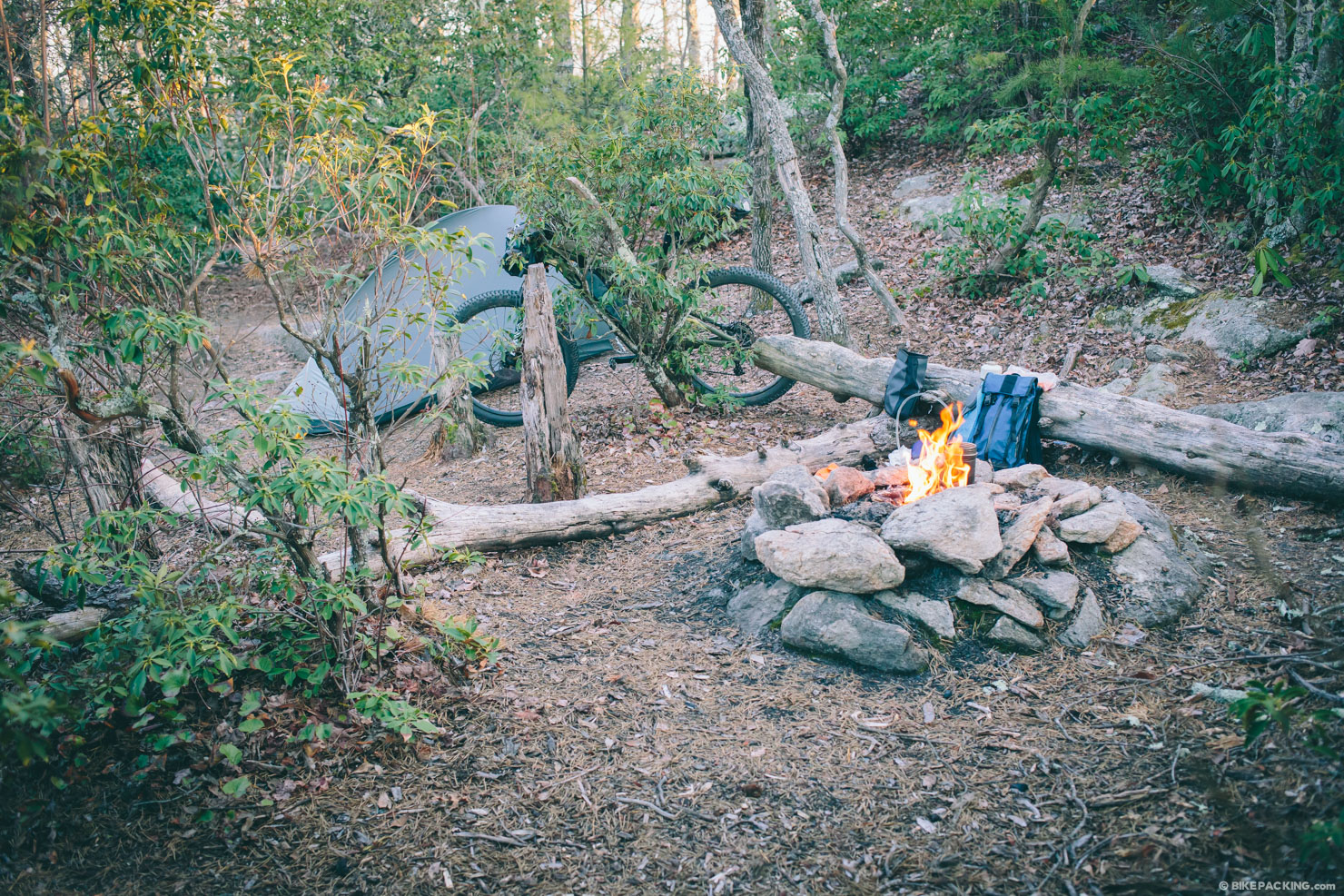
Camping
Food/H2O
- The peaceful 5 mile warmup following the Wild and Scenic Wilson Creek.
- Pineola Road makes for a beautiful one-lane gravel climb through the Lost Cove Wilderness.
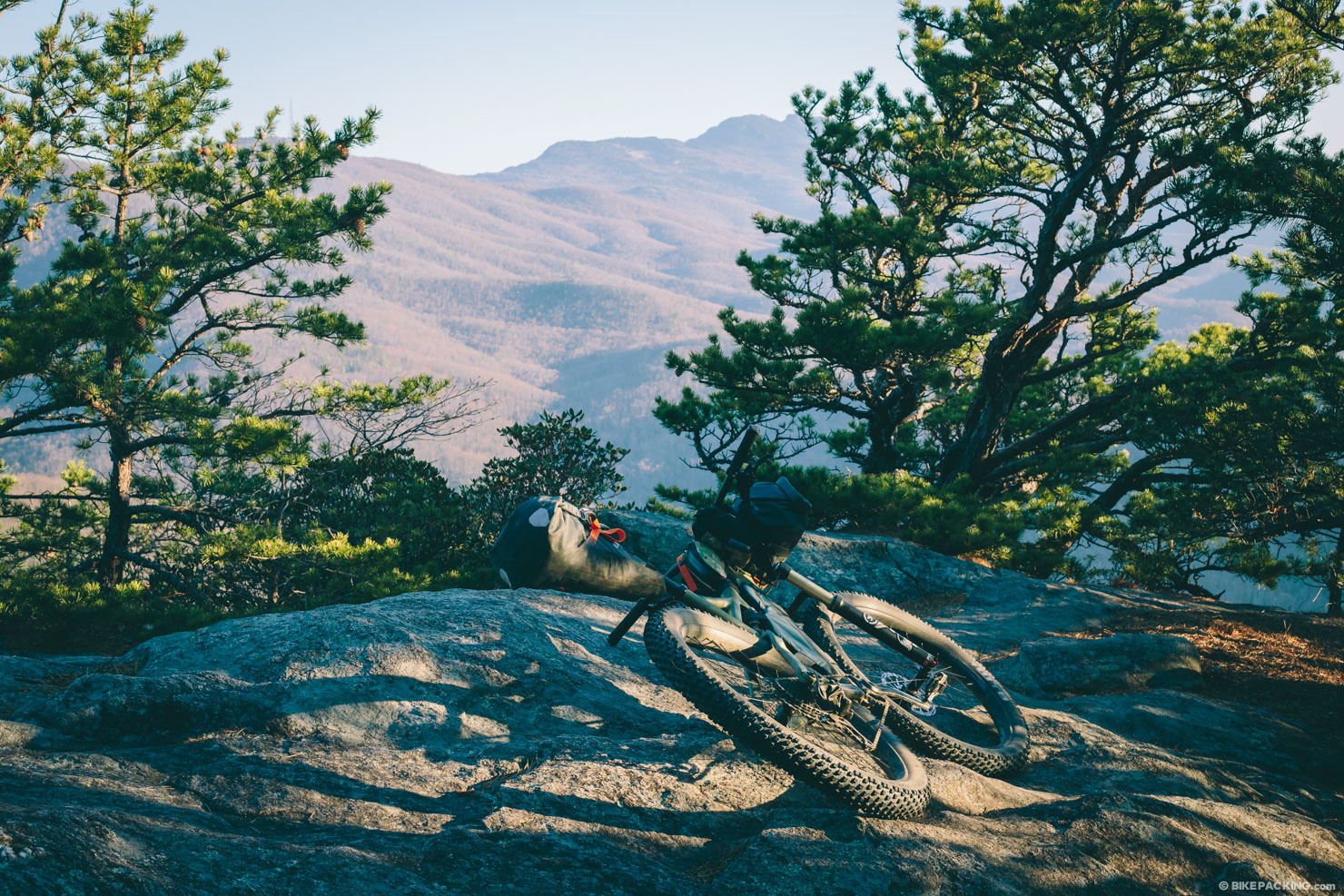
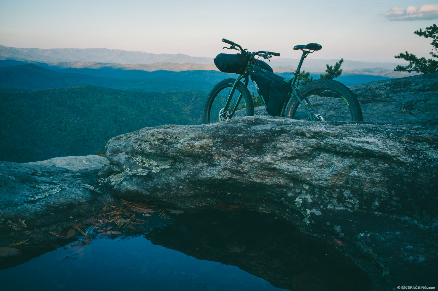
- A stellar campsite on the Little Lost Cove Cliffs. (*see Must Know)
- The not-to-be-taken-lightly downhill from Beacon Heights in to the Yancey Ridge trail.
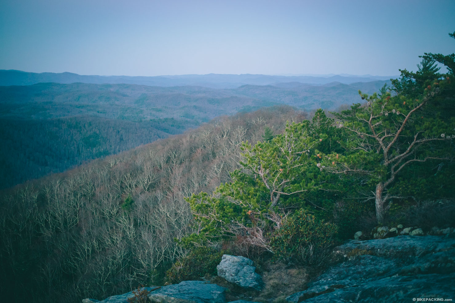
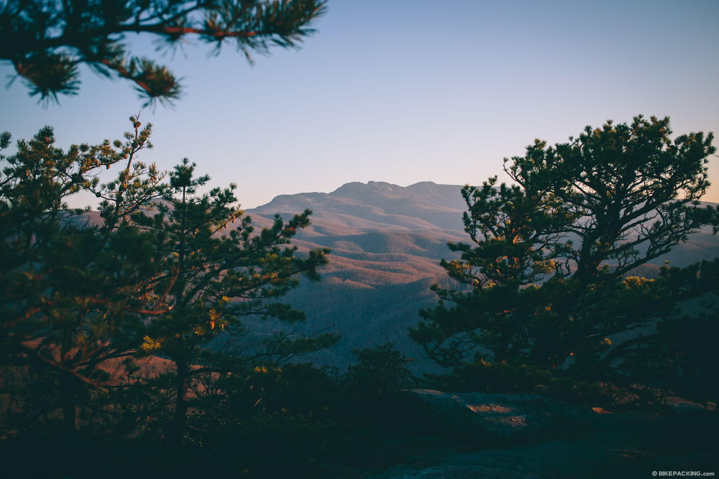
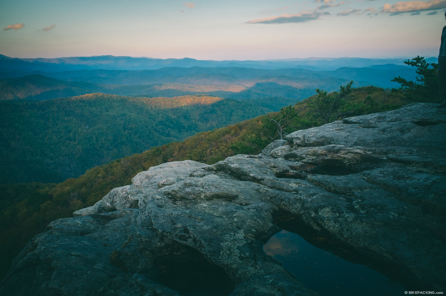
- Epic views of the backside of Grandfather Mountain.
- Parking is free and safe at the Wilson Creek Visitor Center.
- The downhill coming off Beacon Heights is rugged, to say the least. If you are not an accomplished downhill rider, be prepared for some hike-a-bike.
- It’s worth noting that it’s arguable whether the trail coming down off of Beacon Heights (mile 22.7-24.8) allows mountain bikes; it’s not marked, but if this is a concern, follow these directions from mile 22 to parallel the Beacon Heights Trail and connect with Yancey Ridge: turn right on Carroll Gragg Rd; at three-way intersection, follow middle path on Yancey Ridge Trail.
- This route could potentially be ridden all year, but between April and November is ideal; snow and/or ice could be an issue in the winter.
- *Little Lost Cove Cliffs is only accessible via a short non-bike trail, so if you plan on indulging in the campsite, be prepared to carry your bike. It’s about a half mile from the road to access the campsite.
- There are plenty of backcountry camping opportunities after you drop in at Beacon Heights.
- There are three completely different campsites highlighted on the map; one roadside site, one rock ledge in the backcountry, and the 3 available sites at Little Lost Cove Cliffs.
- The showstopper is the one on Little Lost Cove Cliffs. However, if you plan on visiting on a weekend or holiday, be prepared to change plans if it is occupied.
- There are plenty of springs and water on route. Bring a filter.
- There is only one resupply on the route, at the beginning/end in Edgemont.
- There are black bears in the area; bring a bear line to hang your food.


Terms of Use: As with each bikepacking route guide published on BIKEPACKING.com, should you choose to cycle this route, do so at your own risk. Prior to setting out check current local weather, conditions, and land/road closures. While riding, obey all public and private land use restrictions and rules, carry proper safety and navigational equipment, and of course, follow the #leavenotrace guidelines. The information found herein is simply a planning resource to be used as a point of inspiration in conjunction with your own due-diligence. In spite of the fact that this route, associated GPS track (GPX and maps), and all route guidelines were prepared under diligent research by the specified contributor and/or contributors, the accuracy of such and judgement of the author is not guaranteed. BIKEPACKING.com LLC, its partners, associates, and contributors are in no way liable for personal injury, damage to personal property, or any other such situation that might happen to individual riders cycling or following this route.
Please keep the conversation civil, constructive, and inclusive, or your comment will be removed.