Daniel Jessee
Routes Director
CLICK TO DRILL DOWN BY COUNTRY/PROVINCE
*CURRENTLY FOR ROUTES ONLY (MORE SOON)
We have nearly 500 original and curated bikepacking routes in our global network spanning 70+ countries.
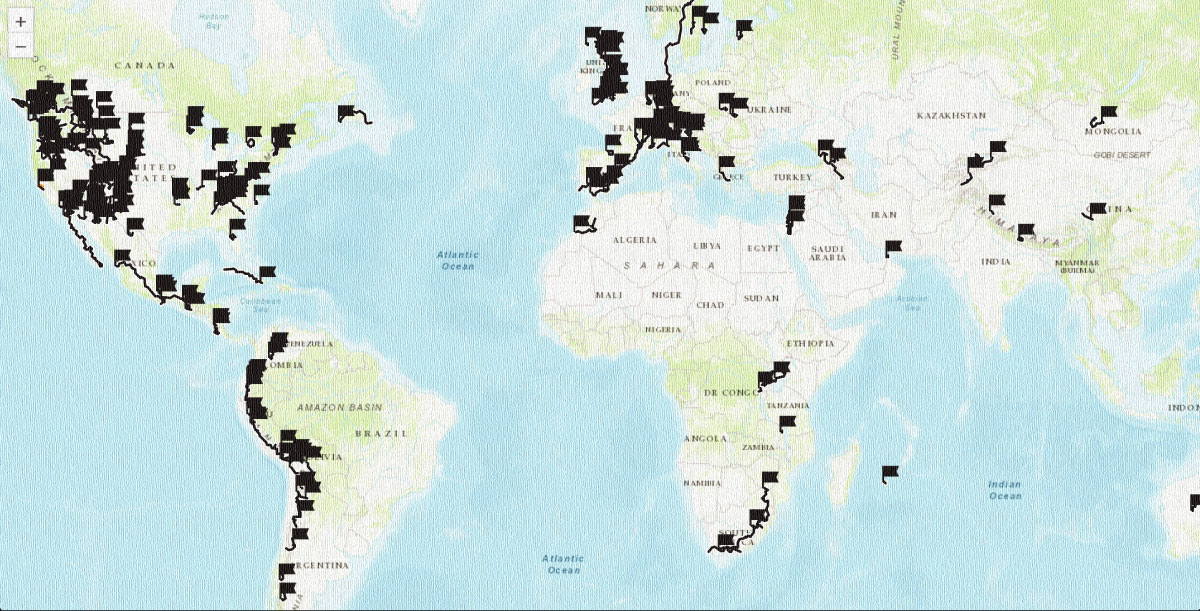
Start at our sortable worldwide routes map to dig into our detailed guides with GPS maps and inspiring photography.
 Mountain Bike (MTB)
 Gravel Bike
 All-Terrain Bike (ATB)
 Fat Bike
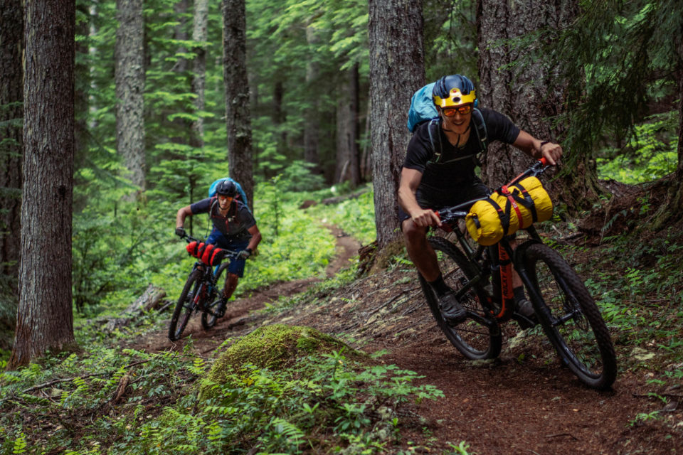
The Local Overnighters Project is a unified effort to document and map one-night bikepacking routes all over the world—by locals, in their own backyards.
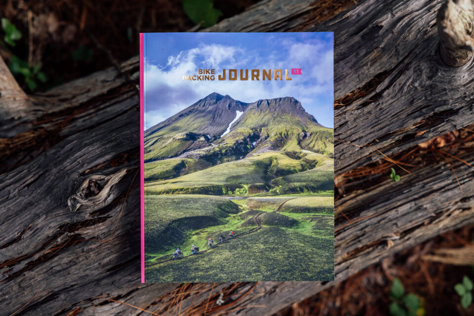
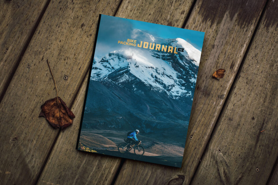
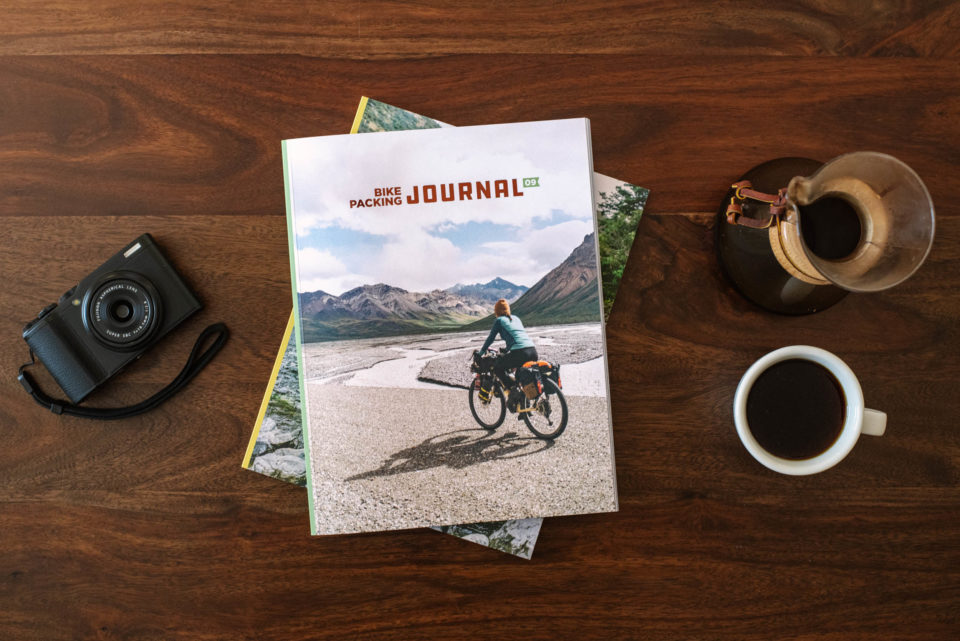
The Bikepacking Journal is our biannual printed publication. Each issue features a collection of inspiring writing and beautiful photography. Find details on the three most recent issues below, join the Bikepacking Collective to get it in the mail (anywhere in the world), or click here to find a collection of selected stories in digital format.

Comments on the USDA’s plan to rescind protections for almost 45 million acres of public land are due by September 21, 2026! Read on for a quick recap and instructions on how to make your voice heard…

If you ride off-road, you’ve probably seen our bikepacking routes map, which means you’ve also encountered its limitations. We’ve been listening to your feedback, and today, we’re thrilled to unveil our completely revamped interactive map of nearly 550 purposefully-built and curated routes worldwide. Learn what’s new and explore all the latest features here…
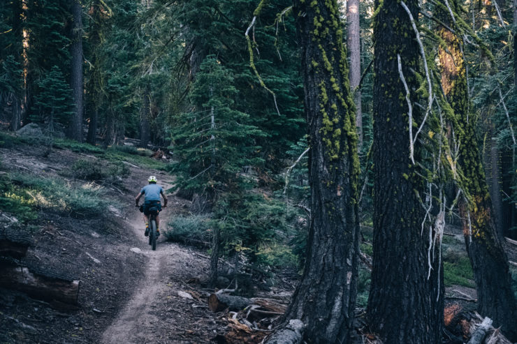
The USDA has opened a comment period for its Draft Environmental Impact Statement regarding the rescission of the Roadless Rule, which restricts new road building on 45 million acres of public land across the United States. Find details to learn how to share your voice here…
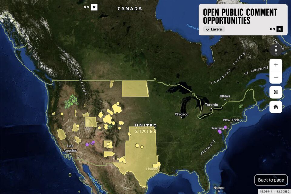
The team at onX Maps just released a new web tool to help visualize where proposals related to public lands have open comment periods. The accompanying page also goes into great detail about how to understand the cadence of agency actions and how to make your comments effective. Read below for more…
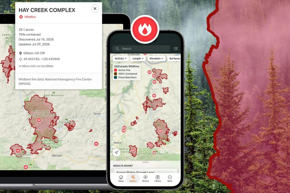
Ride with GPS just released a couple of great new features. The first should help people plan their rides around fire conditions and check whether bikepacking routes are impacted. In addition, they also quietly rolled out waiver functionality for clubs, which could be useful for many bikepacking events. Read below to learn more…
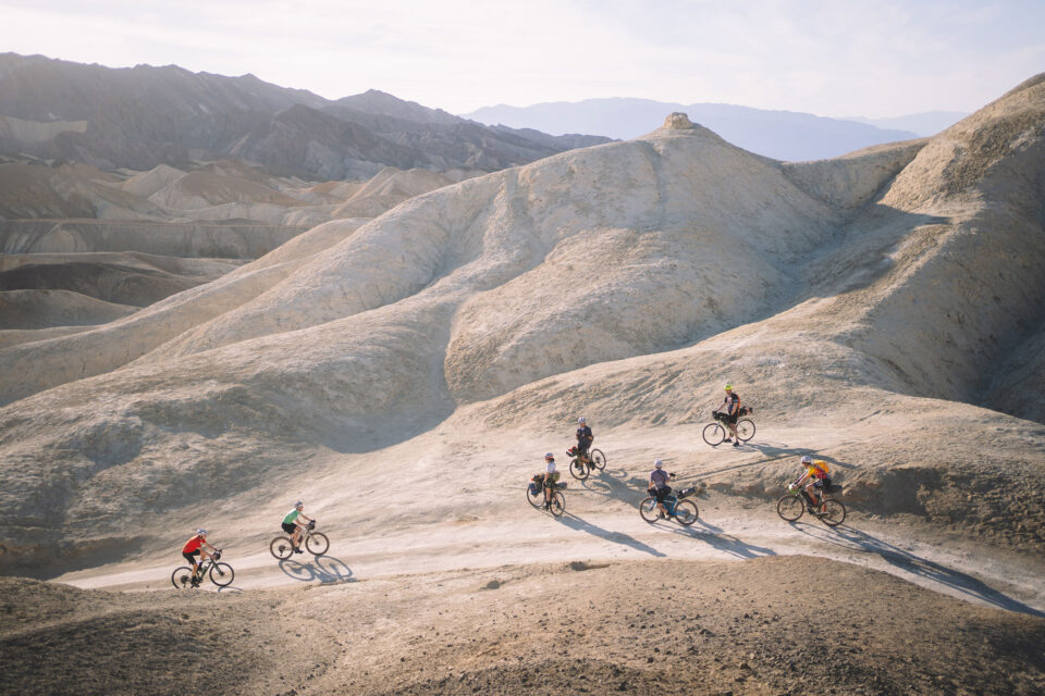
We’re constantly monitoring route conditions and incorporating feedback from our Route Stewards and the greater community, and we’ve made several major updates to our global network in the last few months. Read below to see what’s changed…
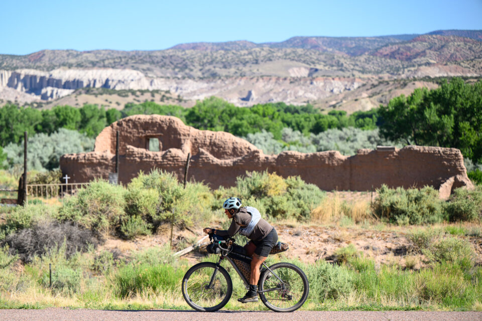
The Trump administration wants to reduce the size of the area surrounding Chaco Culture National Historic Park that has previously been withdrawn from available mining leases. An environmental assessment was released on July 15, 2026, triggering a 14-day comment period. Learn more and find a link to comment here…
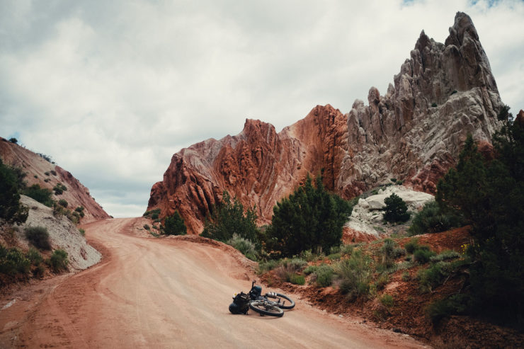
Protections have been rescinded for 90 percent of the land protected within the boundaries of Bears Ears and Grand Staircase-Escalante National Monuments. Read below to learn more about the action and what you can do to voice your opinion…
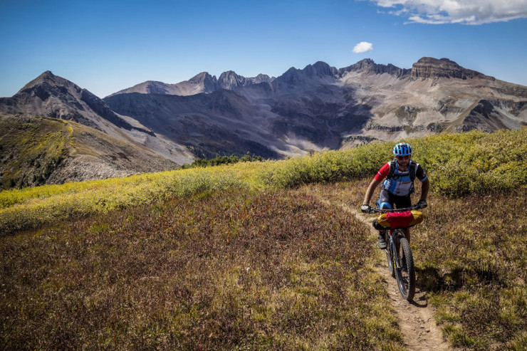
The Departments of the Interior and Agriculture are seeking public input to identify existing and potential future areas, routes, and trails that could be designated, stewarded, or developed as long-distance off-pavement biking trails. Read below for how you can submit your favorite routes and trails before next month’s deadline…

Much continues to happen regarding public land management and access in the United States. In this update, we summarize four significant issues that have made headlines in the last few months…
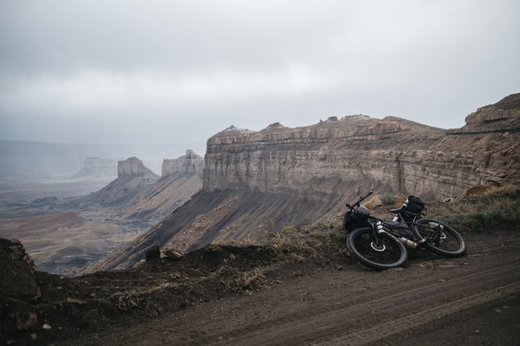
A resolution sponsored by members of Congress would throw out the management plan for Grand Staircase-Escalante National Monument in Utah, threatening natural resources and recreation in the area, including one of our bikepacking routes. Learn more and find a link to take action here…
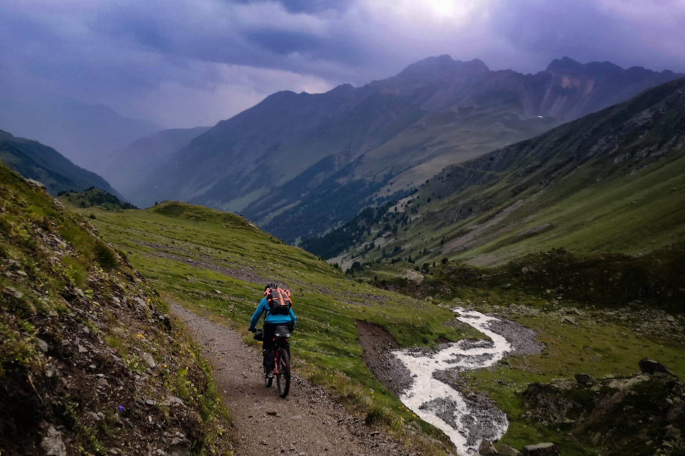
Over the last couple of months, we’ve updated several routes based on alerts submitted by folks across our global community and improvements from the original route architects. Read on to learn about fresh changes to 10 popular routes…