


Space to the Place: Riding and Running the Sky Islands


Seeking a better understanding of his backyard, Henley Phillips recently took on the unique challenge of running up the five highest summits around Tucson, linking the trailheads by bike. Find his story of a 64-hour adventure that connected him to his new home here, paired with photos by Erik Binggeser…
PUBLISHED Jun 13, 2022
Words by Henley Phillips, photos by Erik Binggeser and Henley Phillips
What comes to mind when you hear the word “island?”
I think of blues and greens. Water all around. Specks of land far away and removed from everything else. I’ve traveled to some islands in the past, always by ferry, and find that in one moment the island is faint on the horizon, and in the next, I’ve fallen asleep and have woken to a fully formed landmass. How I got there and the space in between remains vague and void of detail.
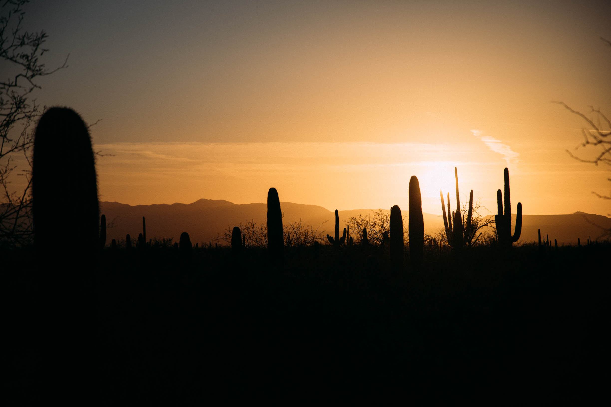
The sky islands of southern Arizona are different. The blues of water are inverted to the always blue, cloudless sky of the Sonoran Desert. The greens are muted and dusty sage-gray, or at the right time of year, they can be brilliant yellow-green with the new leaves of cottonwoods and sycamores in dry washes. And water? If you’re lucky, you’re here in early spring and can find some up high in the cool pines and oaks at 6,000 feet. Otherwise, the only water around is what you hopefully have in your bottles.
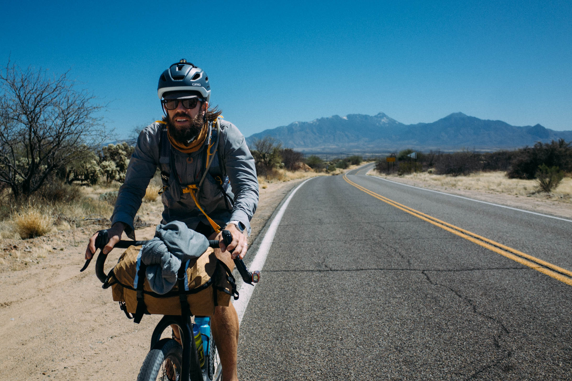
I’ve lived in Tucson for two years now, which means my introduction and first impressions of home and place were through the lockdown lens. I worked and studied online like everyone else. I ordered takeout. I got to know my neighbors, and I experienced the sky islands in bits and pieces on weekends. But, earlier this year, I realized I needed to create an experience that made Tucson feel more like home and less like an in-between. In early January, I came across a running route on Fastest Known Time linking the five highest peaks in each of the sky islands that surround the city, connecting the trailheads by car. I was drawn to the idea, but using a car would create an island-hopping effect. I wanted contact with everything in between, so I decided to use my own effort to draw a circle around my home and fill in the spaces from one peak to the next, connecting the trailheads by bicycle and running each of the five summits.
0 hours
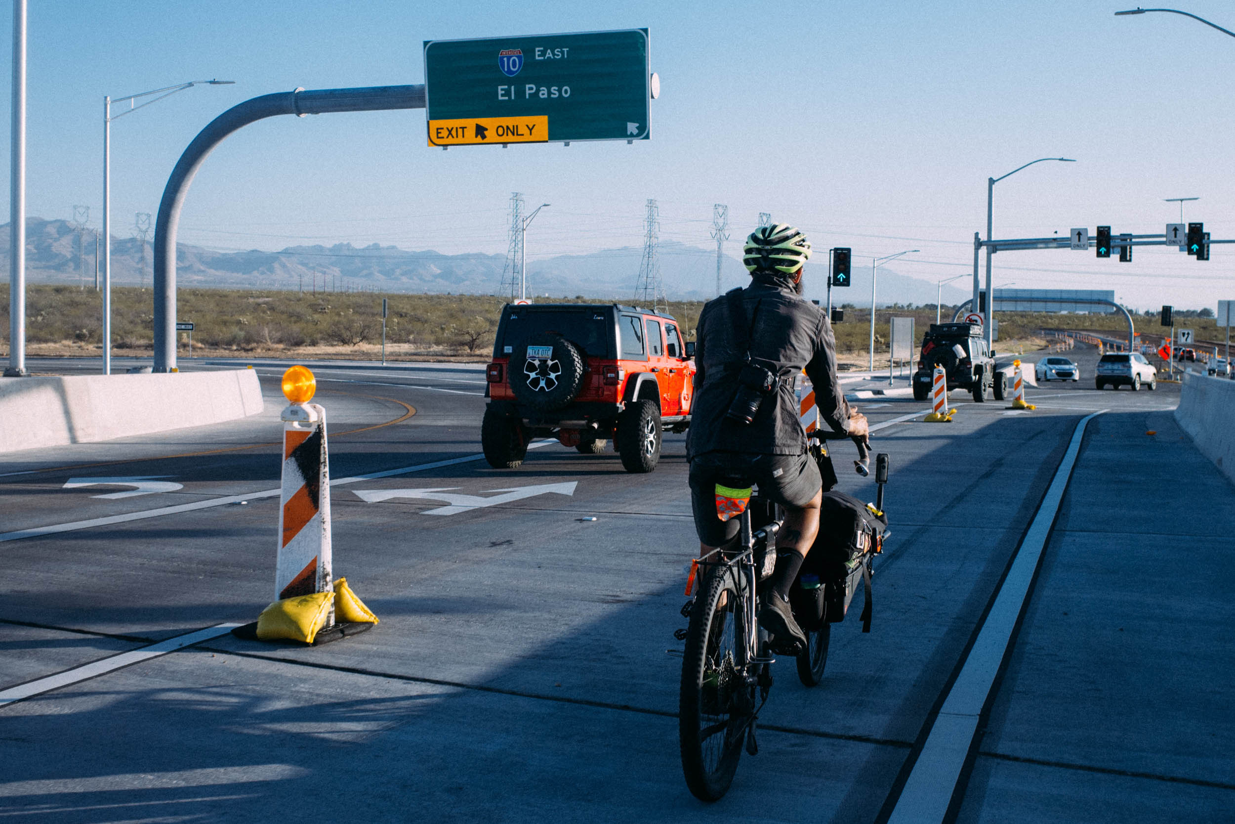
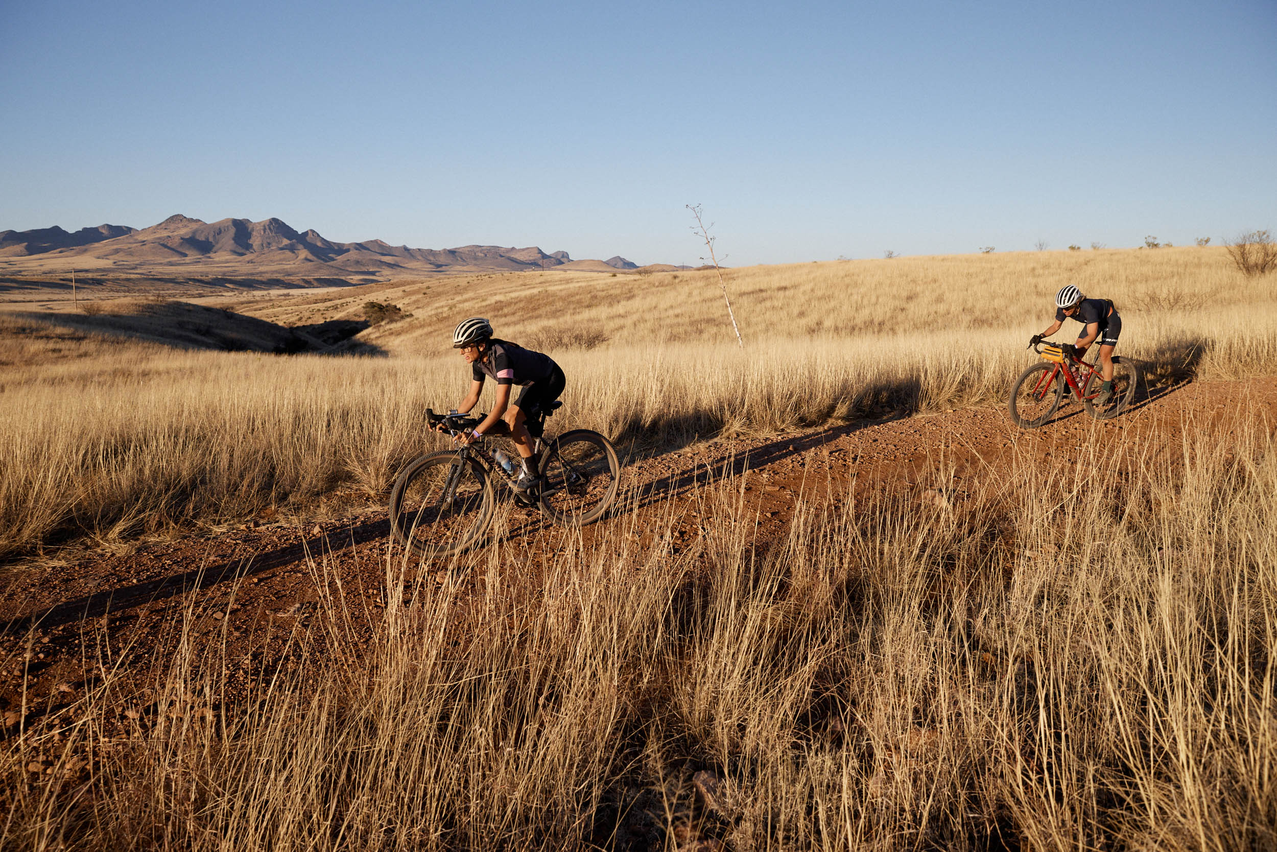
I noticed two things as I began pedaling from my house to Presta Coffee, where the route began. The first was that the ordinary already felt different. I bike to Presta most weekends, but stuff I always see—the bike art at the house on Beverly Street, the ever-changing pile of trash next to the bike path, the homeless fellow who lives under the 210—carried a nuance that I don’t usually perceive. There was no great new meaning to these things. Rather, they were simply different to my eyes that morning, and the effect of travel was already taking hold.
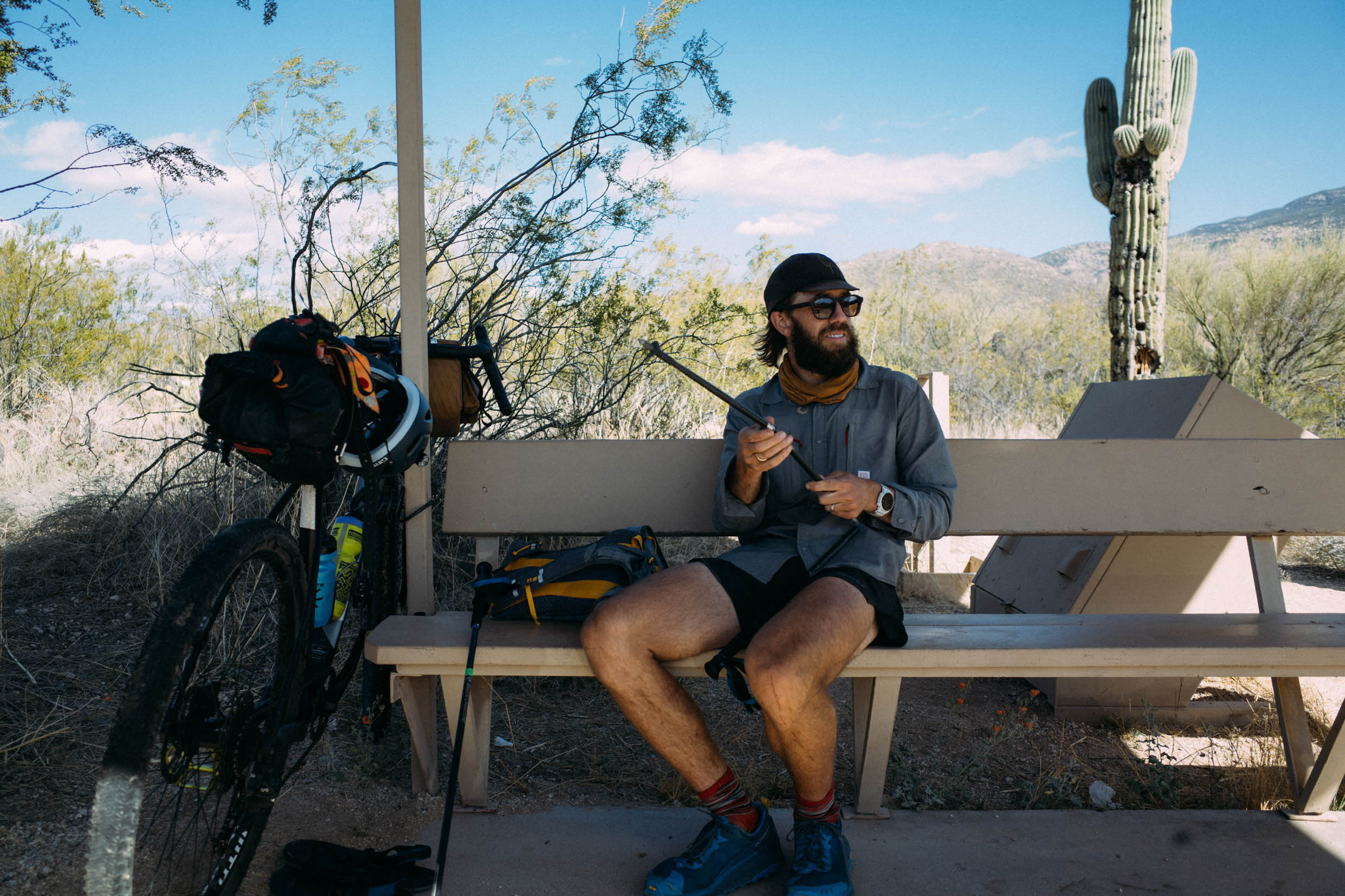
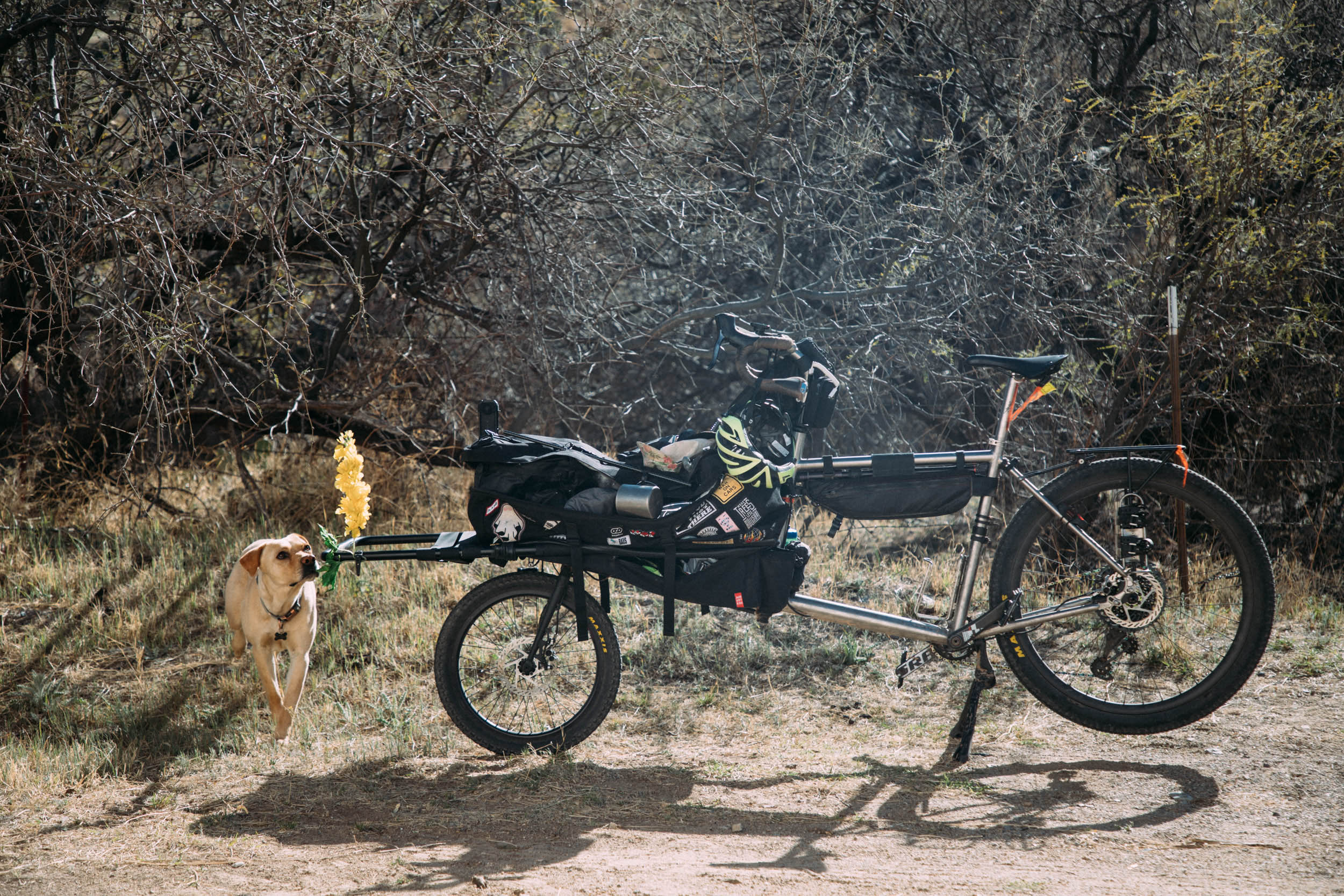
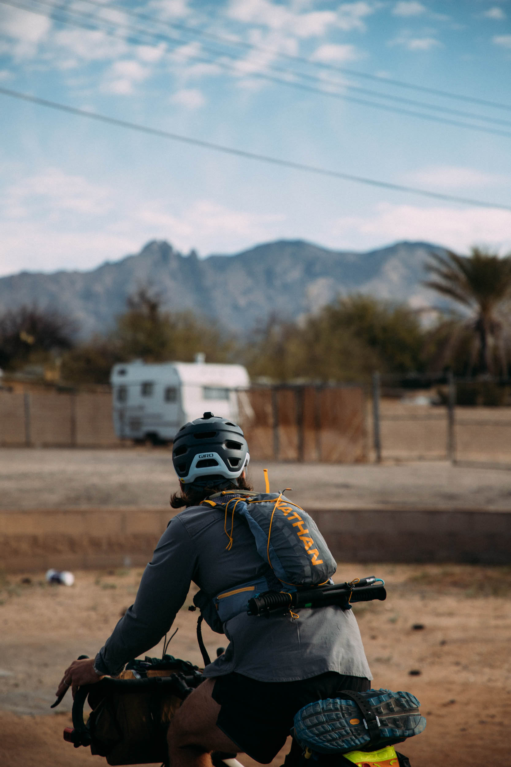
The second thing I noticed was that I was overdressed. Erik and I messaged each other the night before in a light panic when the weather forecast called for snow on Mount Lemmon. I awoke cold at the thought and had piled on more layers than necessary for a start at 2,500 feet. Erik’s a friend from Austin and someone I’ve gotten to know more since crossing paths again in Tucson. He’s up for every bike ride, and he rides/pedals a titanium Omnium cargo bike that can best be described as a pirate ship crossed with a junk-covered Star Wars speeder. He takes pictures for a living and came along to document, rounding out a 100% human-powered loop.
4 hours
Mount Lemmon is the only peak I hadn’t been up before starting this project. From the Sutherland Trail at Catalina State Park, it’s just under a marathon round trip with 7,500 feet of elevation gain. On the bicycle side of things, Erik would be pedaling up Lemmon for a quick photo of me coming up from the other side. If you ride bikes, someone will inevitably ask if you’ve done Mount Lemmon. Light is right when hill climbing, but Erik’s Omnium comes in at about 95 pounds fully loaded with camping and camera gear. He must’ve caught some strange looks from folks on more svelte rigs for their Sunday rides.
About four hours in, the “trail” I was on had devolved into brush and catclaw, and as I sat eating my second Taco Bell burrito, I got this message from Erik: “I think I am 9 miles from the top, going about 6 miles an hour, blood sugar is absolutely fucked, and I’m almost out of water.” Erik has type 1 diabetes, so big rides require an extra layer of care.
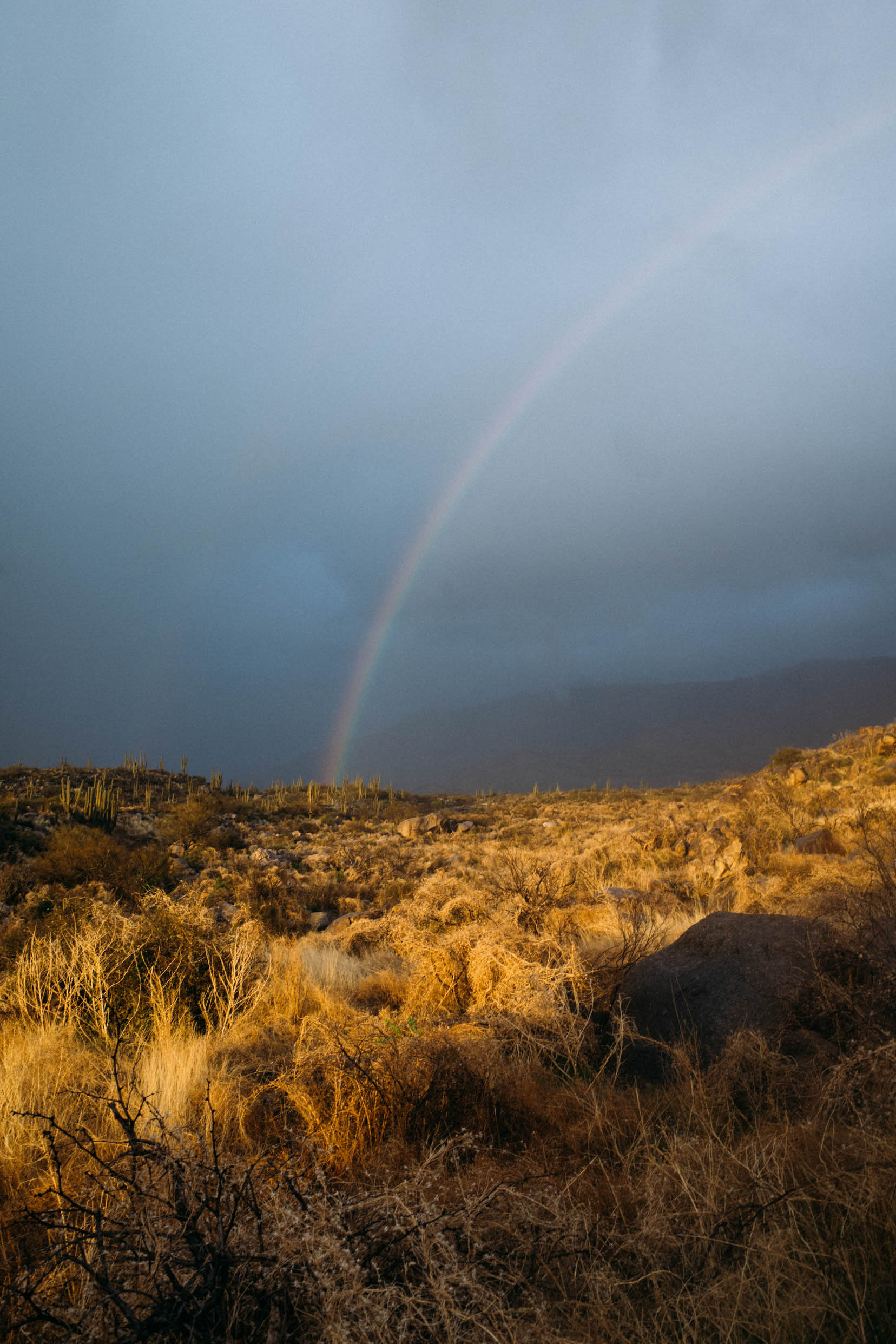
An hour later, I was at the top of Lemmon. First peak down. The rain had held off, replaced instead with snow. I asked some of the drivers at the top if they’d seen a bearded man on a long bicycle on their way up. Nothing. Shit. Maybe a century up Lemmon on a cargo bike was a little ambitious? I pulled on some layers and waited. About 20 minutes later, it started to full-on snow on my burrito. Erik messaged to say he was still 5 miles and 1,500 feet of climbing away. I was cold-shivering and everything was turning white amid a snowstorm that wasn’t looking brief. Erik eventually made it to the top, recouped his blood sugar at the visitors center, and then descended one of the best downhills in the West with nary a pedal stroke. I returned to my bike in just under 9 hours round trip. Light drizzle. Steel-blue clouds. Rainbows over saguaros. Moody desert.
14 hours
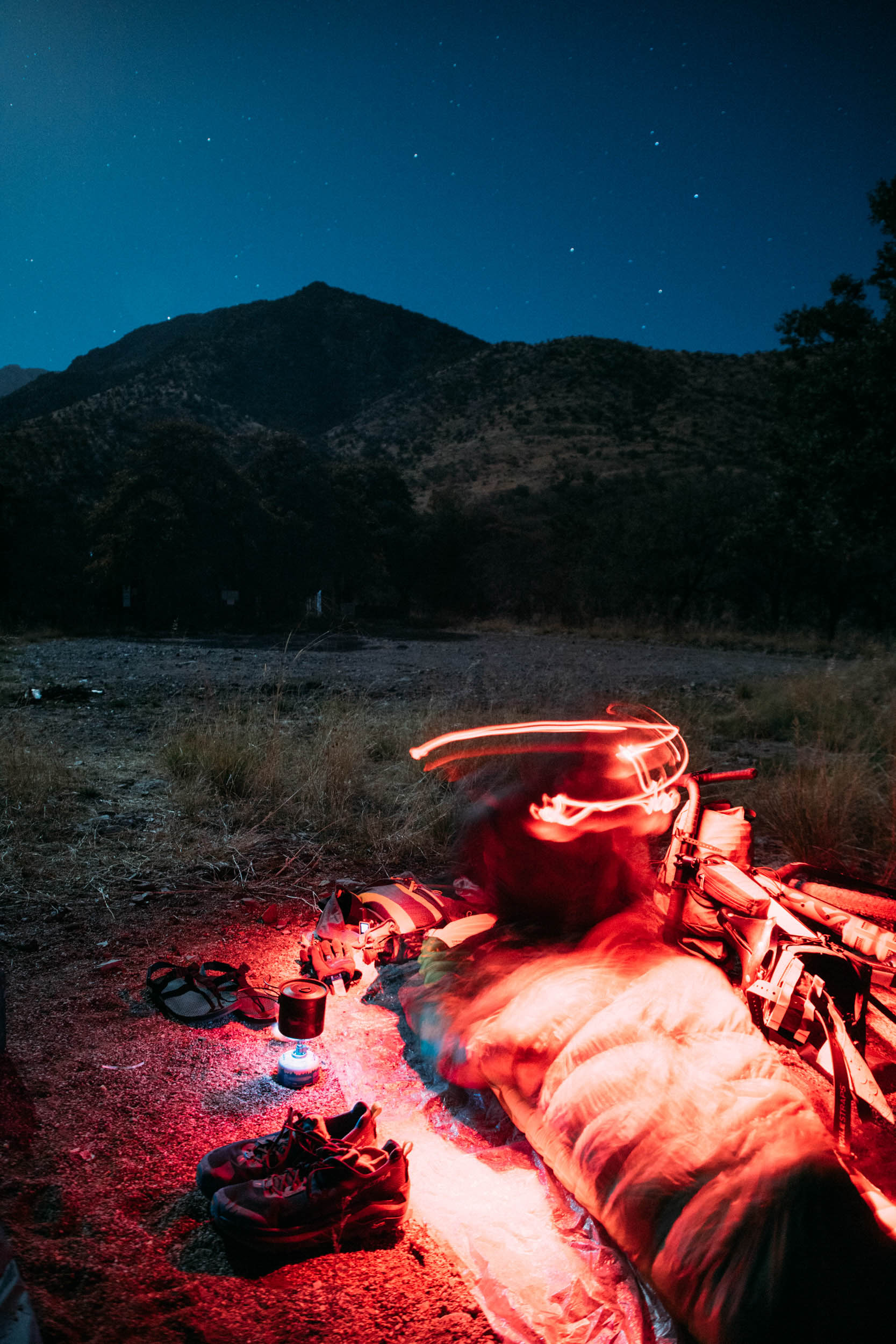
It doesn’t rain much in the Sonoran Desert, but the first night was a wet one. I was lucky to find some coverage at Douglas Springs Trailhead and slept for about six hours. I woke early and immediately thought of the coyote that ran along with me in my bike light the night before. The desert was warming up in the previous days, and blooms were starting to appear. I’d recently learned that Arizona has one of the highest percentages of public land—a little over 50% of the state—and this route would showcase two national parks, a large protected regional park, sections of the sprawling Coronado National Forest, two Wilderness areas, and a combination of state trust and BLM land. In the middle of all this sits the Tucson metro area with a population of just under one million.
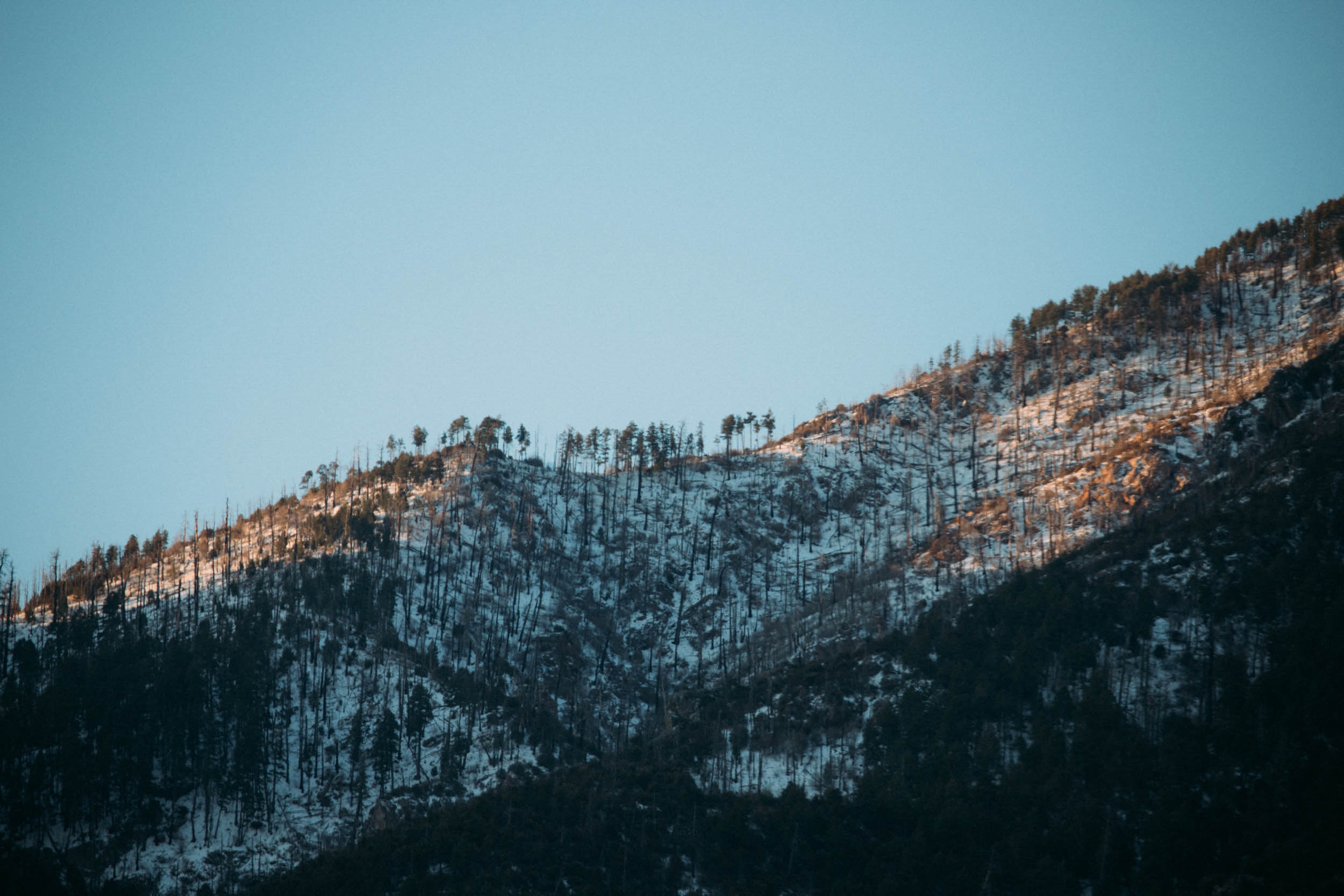
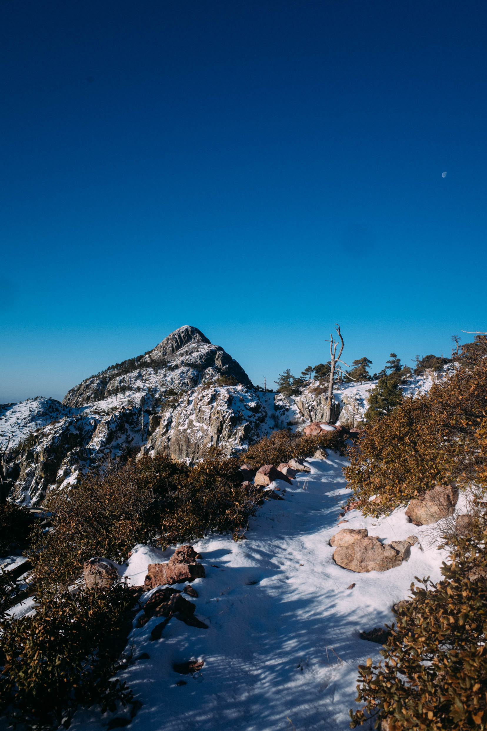
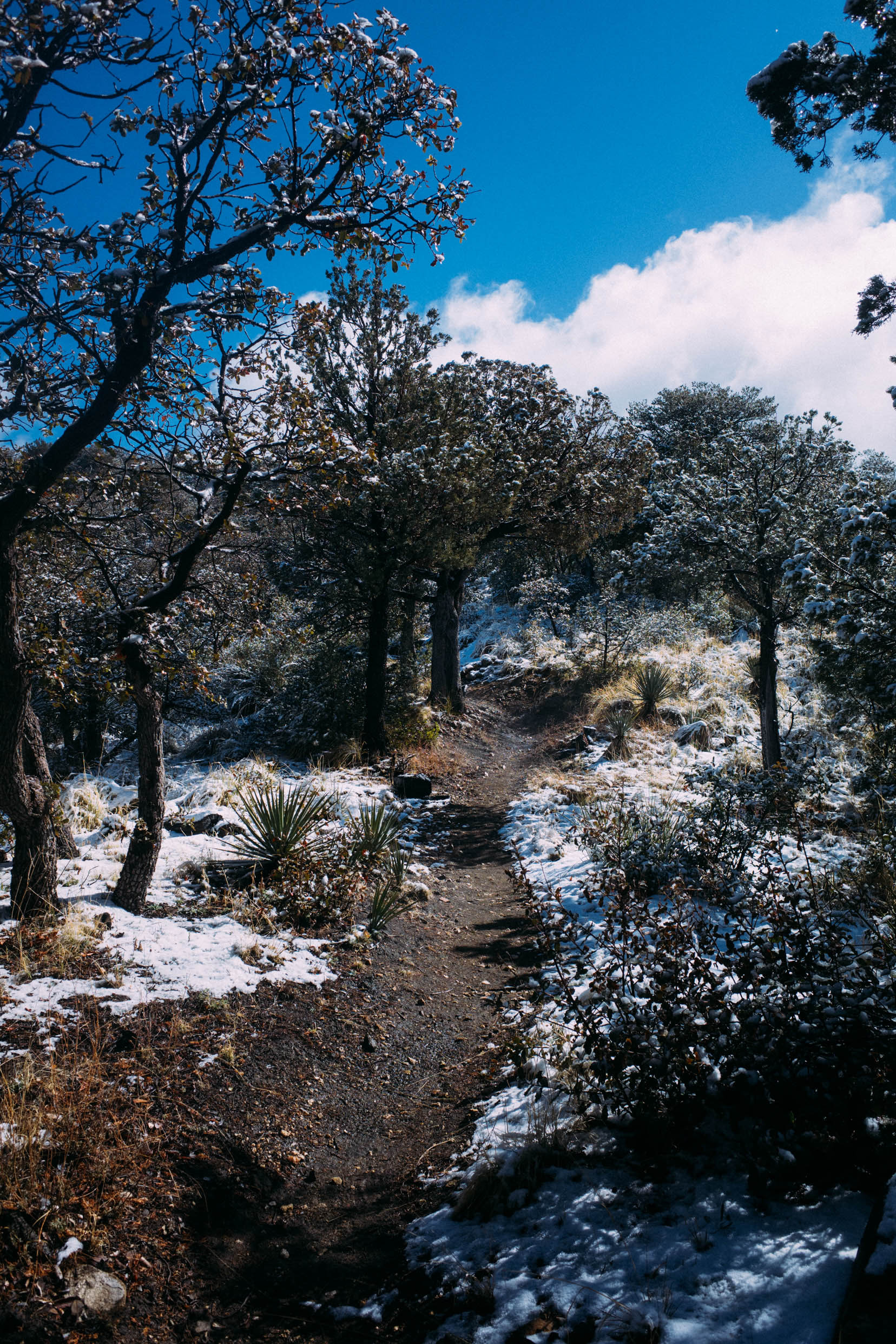
The beginnings of yesterday’s snowstorm had also swept across Micah Mountain. I had always wanted to see these sky island summits after a fresh snow, and from Cowhead Saddle to the summit, the ponderosa pines, oak trees, and agaves were all topped in white. Erik met me back at the trailhead, we resupplied on gas station fare and headed out on the long stretch south to Mount Wrightson and the Santa Rita Mountains.
36 hours
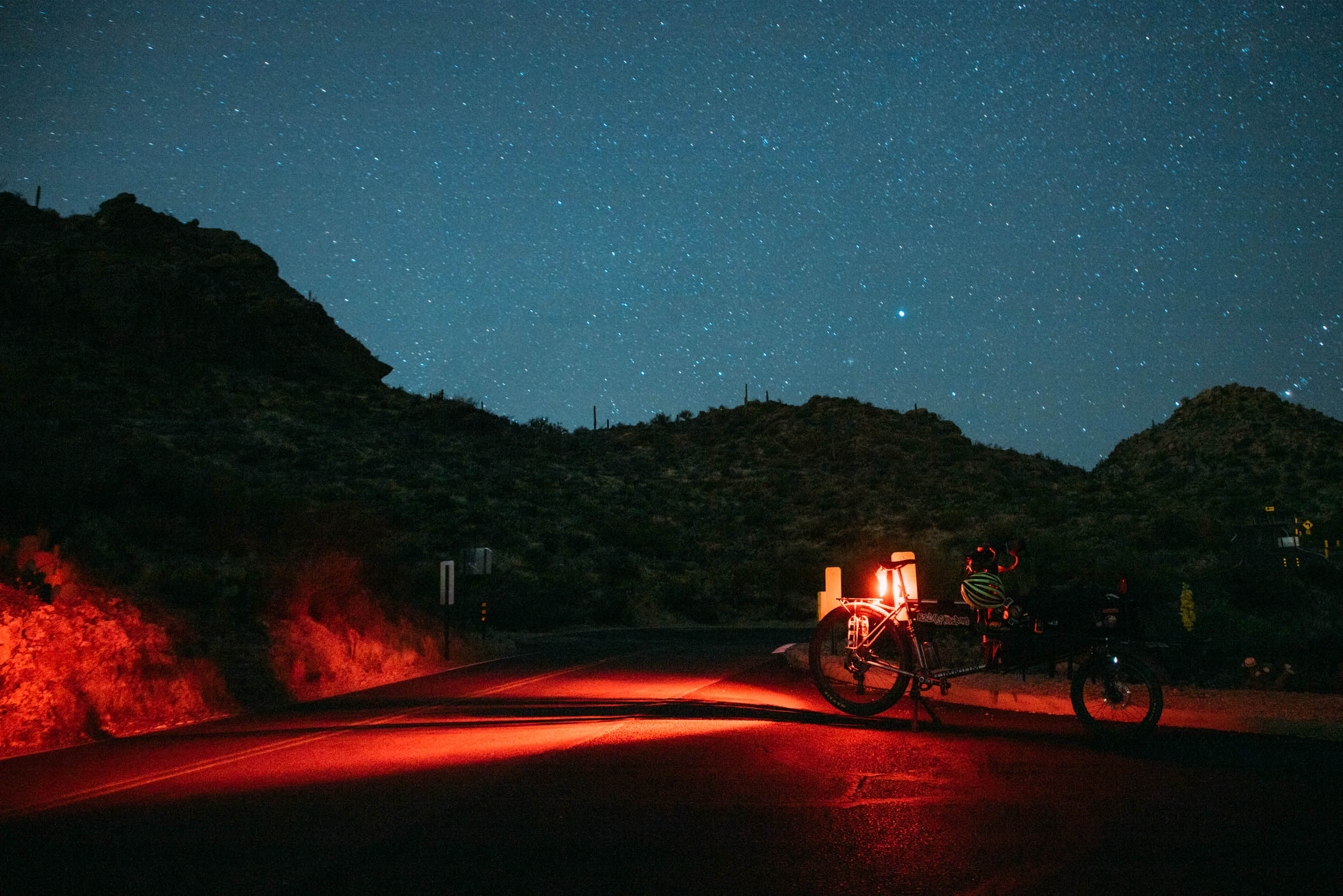
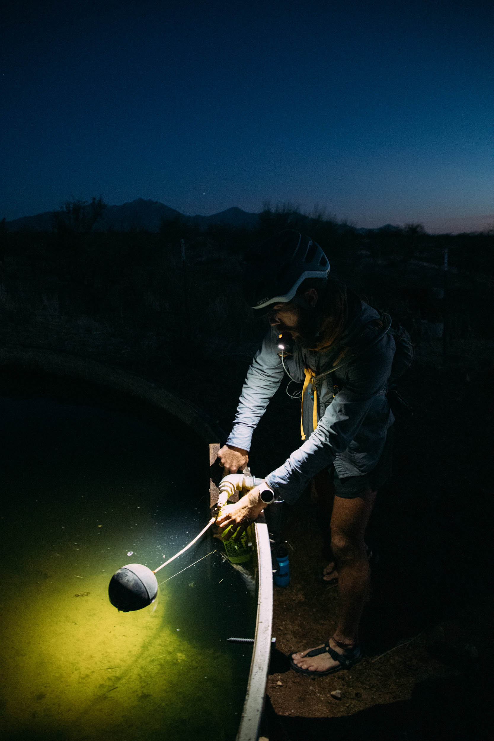
On Wilmot Road there’s a hospital, a Trader Joe’s, a Dick’s Sporting Goods, a fire station, and three places to get burritos. If you take it far enough south, there’s also nothing. The road turns to dirt, then sand, and finally into one of those working ranch service roads that runs the fenceline. Cows use it too, so there’s shit everywhere in various piles of freshness. Erik’s Omnium is decidedly not an off-road bike, which the road required, but he piloted it masterfully, careening around southward for a few hours into the night as we headed for Florida Canyon Trailhead. The gradual climb in the pure black of 10 p.m. felt eternal, dimensionless, and eventually cold. Water from a cattle tank, layers, a wrong turn. Camp. Finally. I ate a bag of pre-cooked rice with cold chicken strips and downed some Nuun.

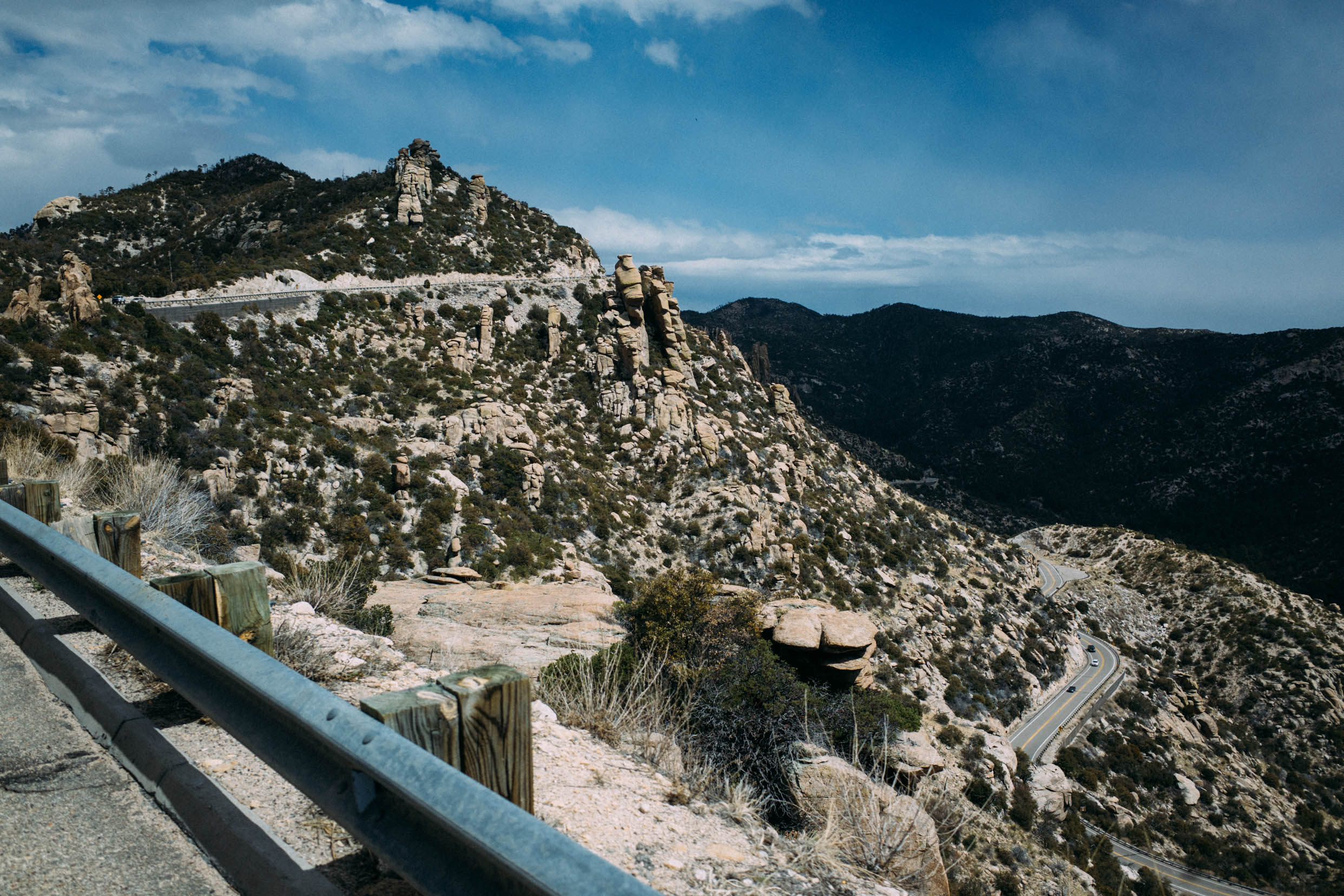
Morning of the second day, 5 a.m. I shivered and sipped coffee while Erik got some shots of the moon sitting low on McCleary Peak. I made the steep climb up to the first saddle just as the sun was peering over a sea of sky islands. Snow crystals bounced light like jewels, and I took a moment to eat another cold chicken strip from my puffy pocket. The Santa Ritas are one of my favorite sky island ranges, and they’ve been facing the strong arm of mining efforts for a few decades now. Apart from the environmental impacts on water quality and the unique flora/fauna found at these elevations, the visual impact of mining is to me the most jarring. On our way south the day before, we had an unpleasant view of an open pit mine on the northern section of the range (please read more here and here, especially if you live in the area or come down here for your winter bike trips.).
Mount Wrightson summit is shaped like a wizard’s hat, pointy and protruding, and is the best of the five summits. It’s bare of trees at the top, it feels alpine, and there’s a 360-degree view stretching south into Mexico and north well beyond Tucson. From there, I had my first all-at-once view of the five peaks and the invisible circle I was tracing around my home. Two days ago, I was drinking coffee in relative comfort at Presta, and now I was starting to shiver on an ice-encrusted summit. I’d been up and down in elevation from 2,500 to 9,100 feet and seen the flora change from cacti to scrubland to pines. I’d had water from a tap, a gas station, and a spring. I’d been cold, wet, hot, and now quite tired. It was all happening, and as the crow flew, I was only 35 miles from my bed.
52 hours
Erik and I pedaled up to the McDonald’s in Green Valley right around lunchtime, and it was packed full of snowbirds and golf carts. I ordered 20 chicken nuggets and cold tea, and Erik made PB and apple tortillas on the patio. Two peaks and about 50 miles of pedaling remaining.
56 hours
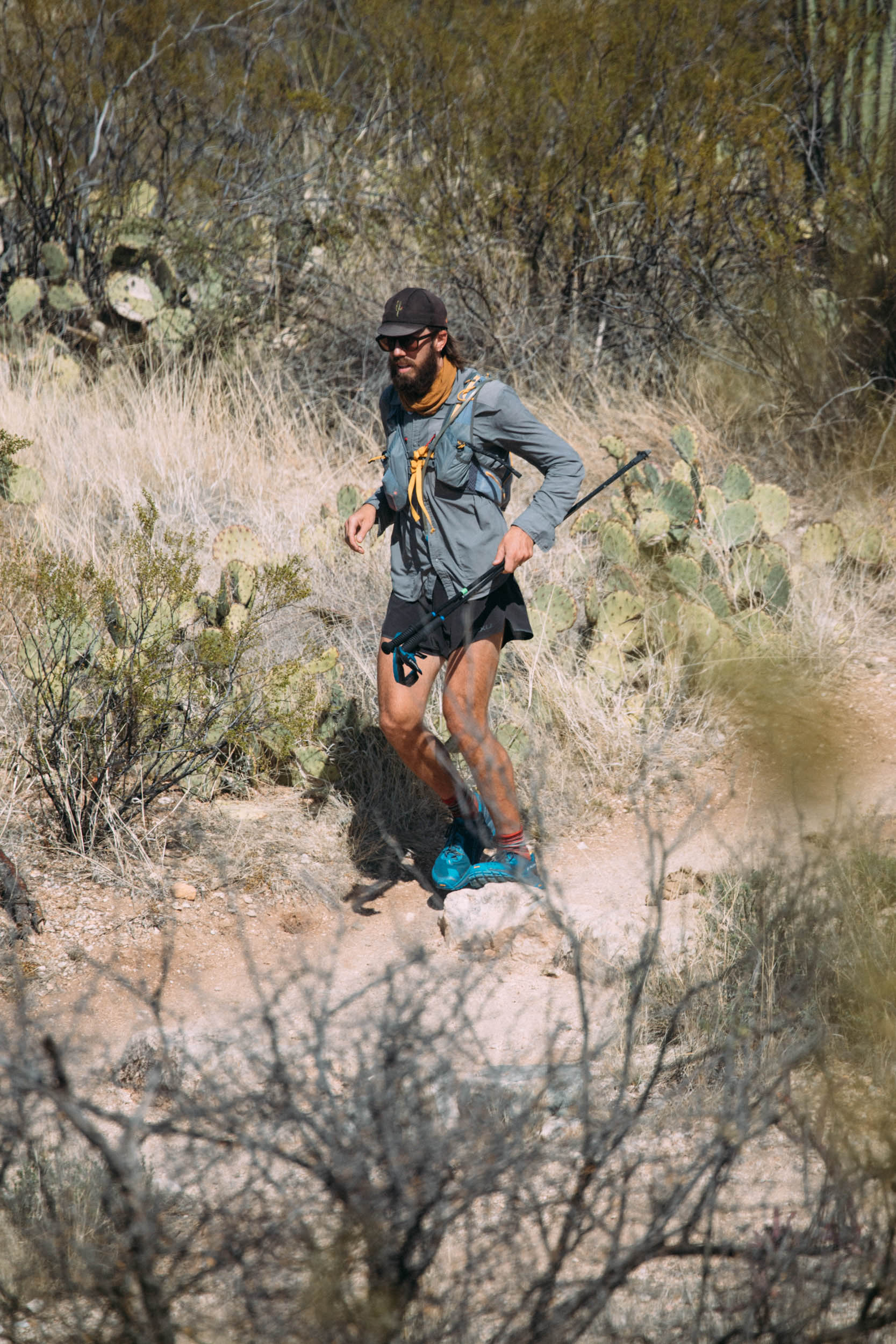
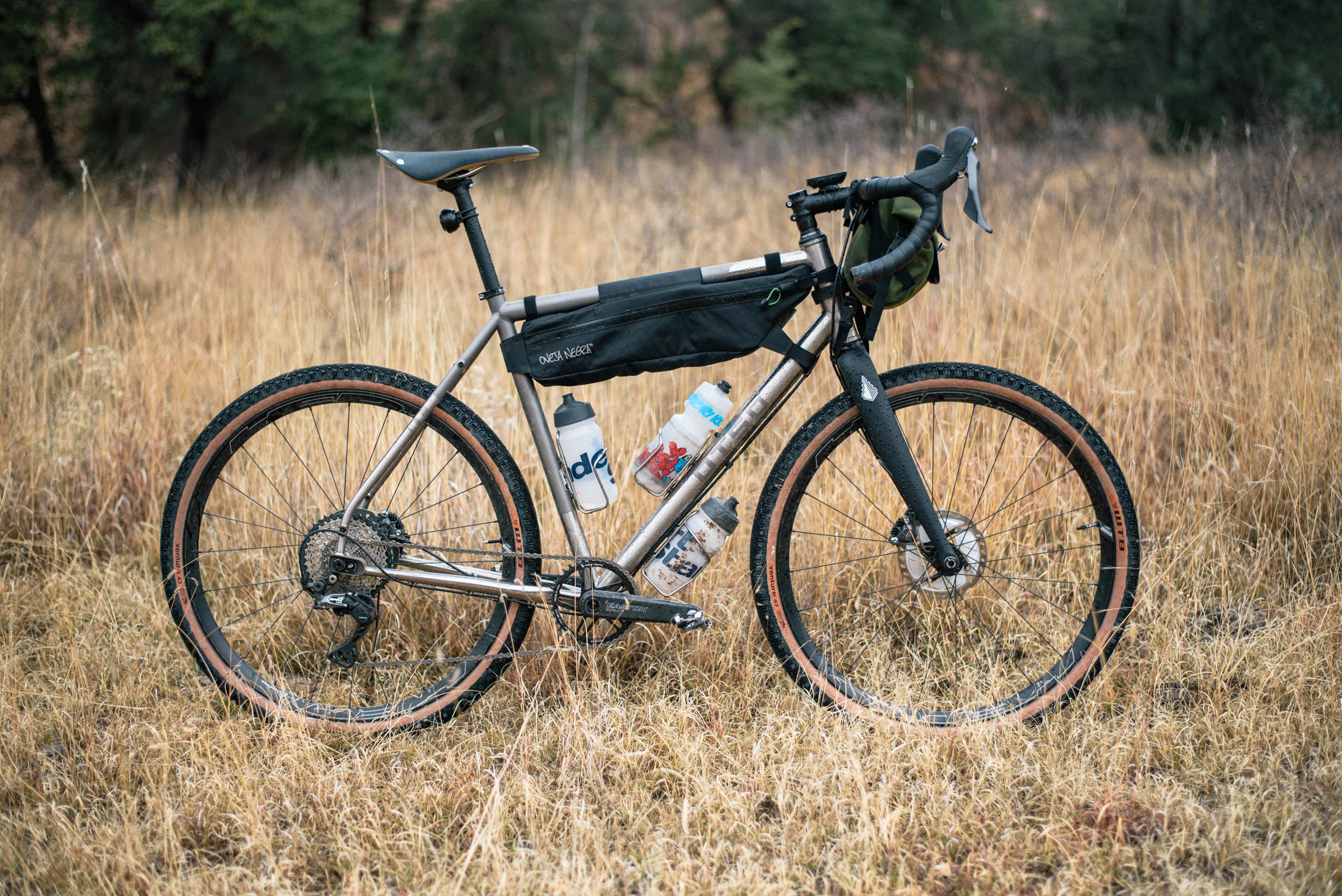
Keystone Peak is the high point in the Sierrita Mountains, just west of Green Valley. It doesn’t really catch the eye. It’s a soft set of mountains, and the impressive Baboquivari Mountains usually draw you in first. The summit is covered in communication towers, and there’s a decent road to get you there. I’d been up the peak on my Cutthroat a couple of months before, but this time I locked the bike to a post behind the water tower and left on foot.
Up and down in a couple of hours. Erik had made a dog friend while waiting for me, and we both fed her the dregs of our food bags before heading to the Tucson Mountains and the final peak.
62 hours
The soundscape to the ride through Saguaro National Park West was Erik’s glucose monitor yelling at him every five minutes. It went something like this:
Monitor: “Beep beep beep beep.”
Erik: “I know! I’m f#$%^ng working on it!”
Monitor: “Beep beep beep beep.”
Erik: “What the f$%^ body?!”
Again, type 1 diabetes and cargo-bikepacking are a tricky pair. Clif Bars, emergency glucose tablets, and Little Debbie pastries thankfully put an end to the shouting. It was otherwise peacefully dark, and we slipped through miles of saguaros silhouetted by fading cobalt light. In my head, I was starting to wrap up the experience, and I felt grateful to be riding in the quiet desert at night with a friend.

Wasson Peak was the fifth summit, and one I’d done a few times in daylight. The experience of retracing familiar ground in the confines of a headlamp beam felt frustrating. I was ready to finish, and every turn felt like it should have been the last. Suddenly, my headlamp illuminated a pile of flesh and a pair of eyes. In the desert you always think “snake!” but it turned out to be dozens of nighthawks out hunting under the glow of the rising moon and city lights.
I sat at the top of Wasson for a few minutes and admired the frenetic amber light of the city below. It spread and spread until the tranquil black of public land and mountains took over and edged the city in stark contrast.
64 hours, 30 minutes
The point of this route and trip is to show that a good idea can be made better with bicycles. The idea to summit the five peaks around Tucson in a single effort wasn’t my own, but removing the car-centric approach to it is a twist I’m happy to have added. For those of us who are fortunate enough to live in places with accessible trailheads, why not consider an alternative way to get there? You’re likely going for exercise, so maybe consider adding a little more?


I’m not being summarily poetic when I say that I feel differently about where I live now. In just over 64 hours, I added a layer of feeling, emotion, scope, and meaning to the space and place I call home. Some things have to be earned, and maybe the feeling of being settled and at home is one of them. All it took was a bike ride with a good friend, some time on my feet, and figuring out what lies in between it all.
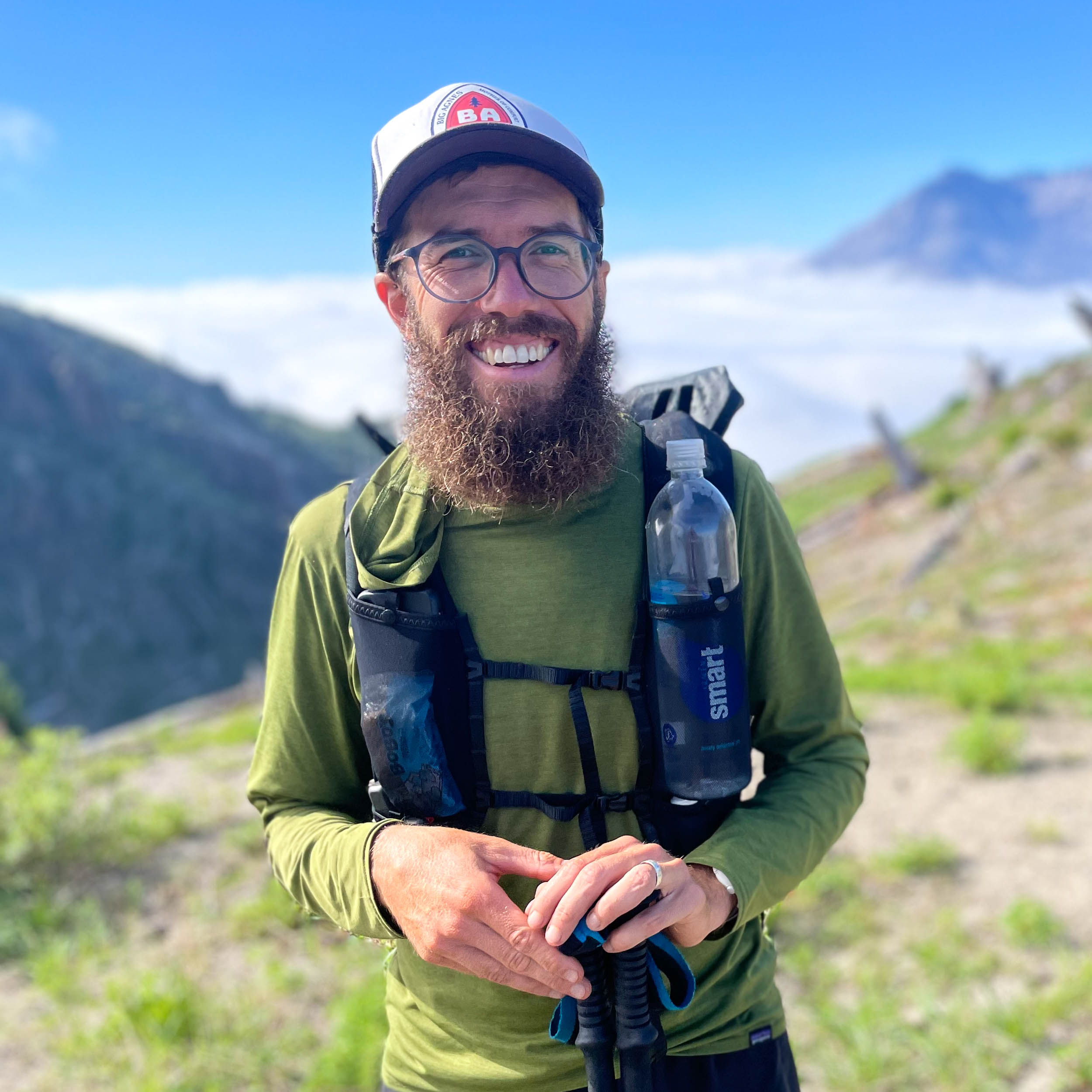
About Henley Phillips
Henley Phillips lives in Tucson, Arizona, and uses bikes to commute, tour, get groceries, and generally have a good time. He’s thru-hiked the Pacific Crest Trail and holds a couple of fastest known times. In 2019, he pedaled across Australia from Darwin to Adelaide as the support “vehicle” for his wife, who ran 2,112 miles across the Outback. There’s a film about it here.
Related Content
Make sure to dig into these related articles for more info...
Please keep the conversation civil, constructive, and inclusive, or your comment will be removed.