


The Story of The Monumental Loop: History, Land, and Community


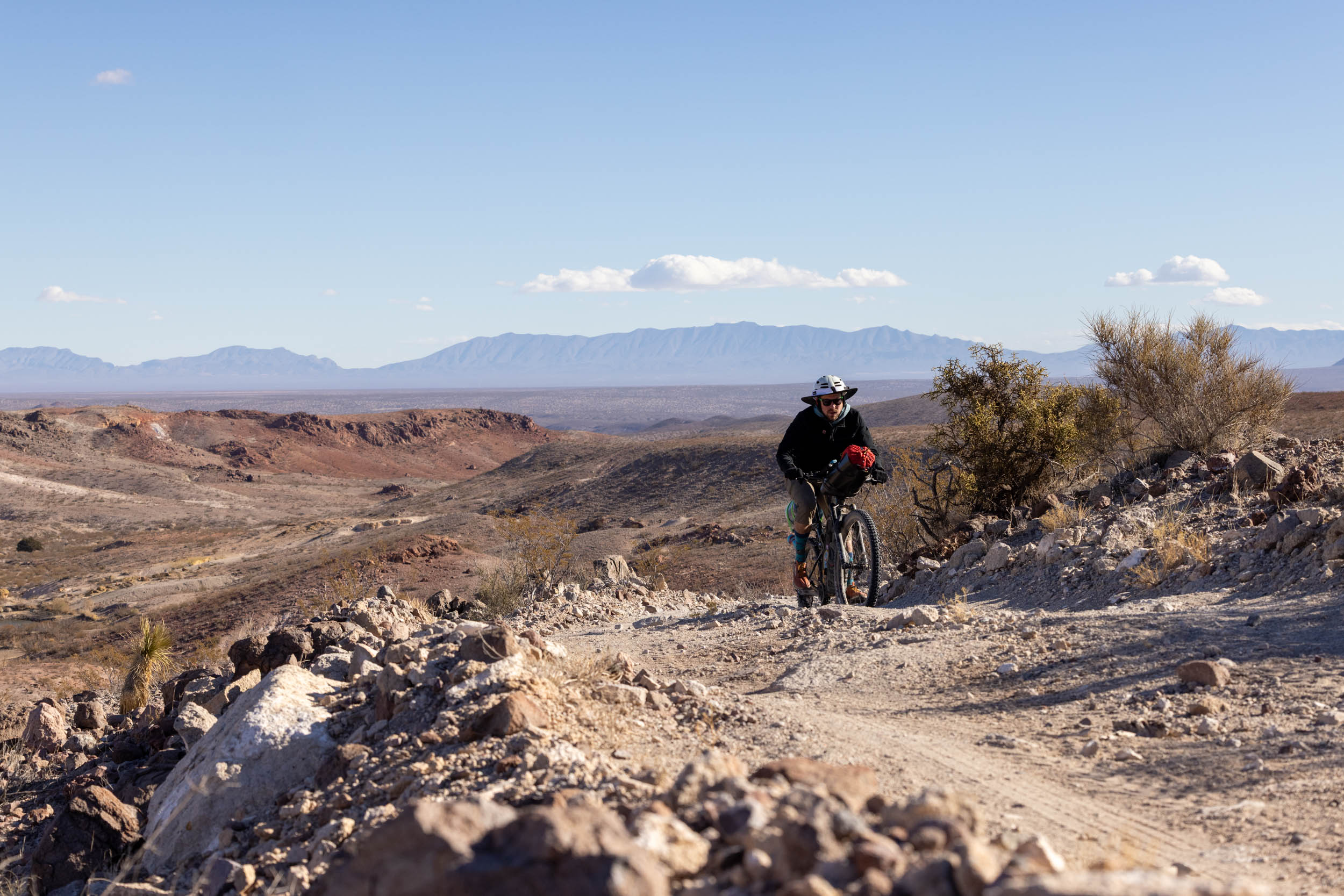
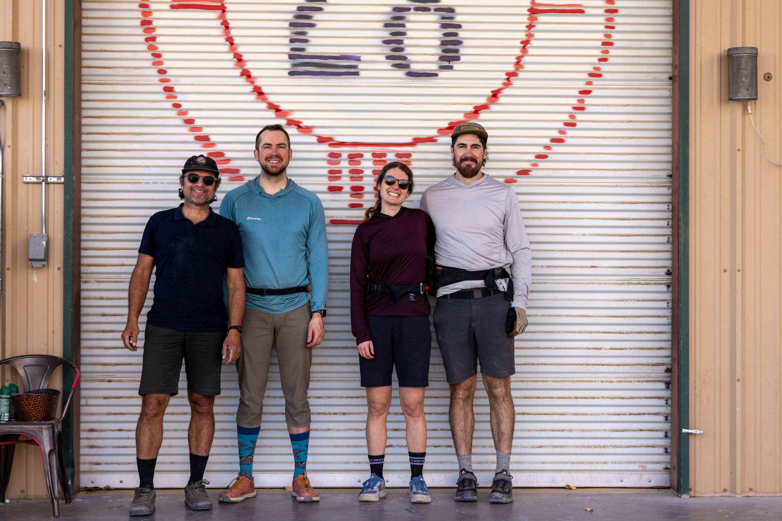
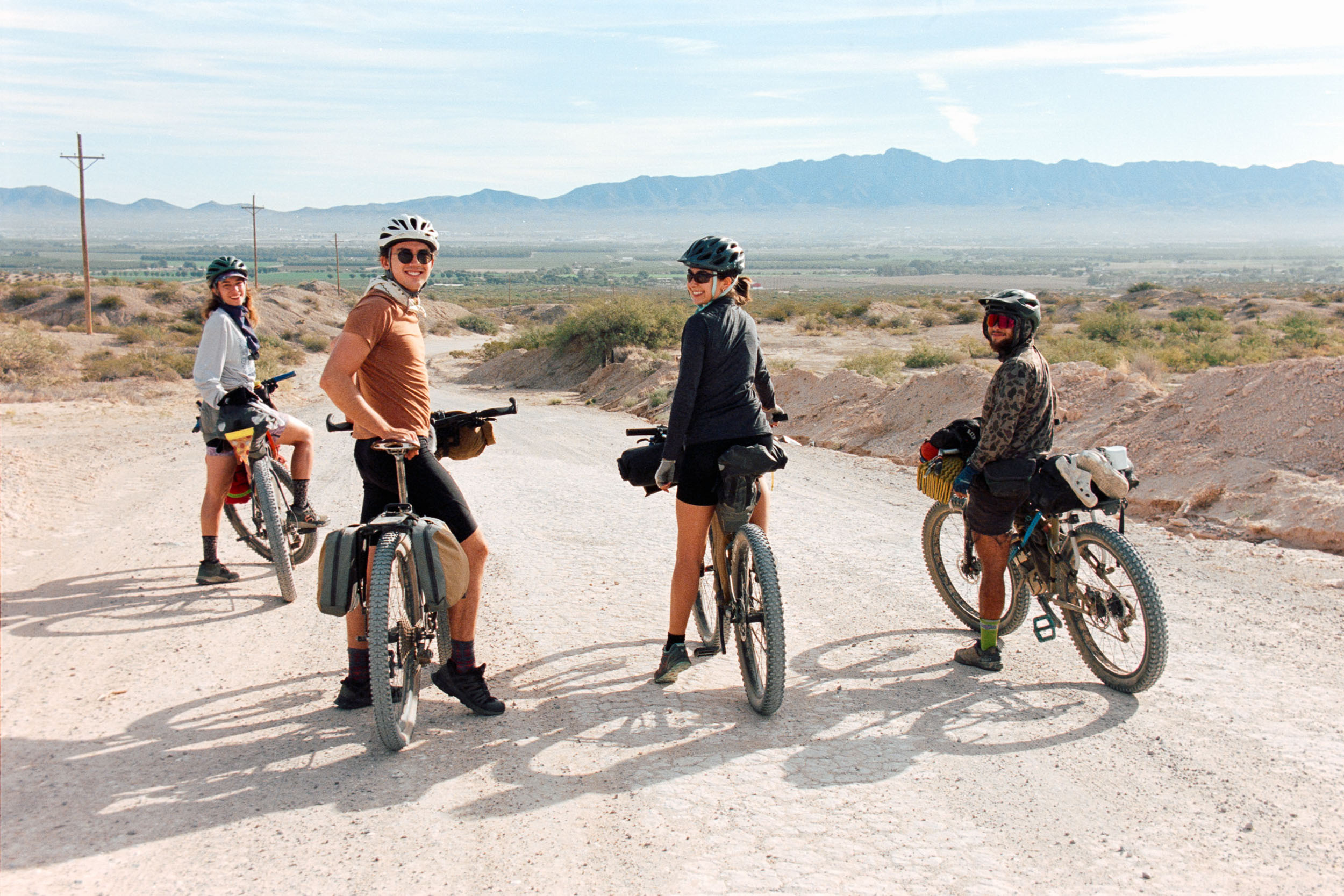
This winter, Miles, Emily, Joe, and Willie traveled south to Las Cruces, New Mexico, in search of sunshine, warmer temperatures, and the Monumental Loop. They found great riding and a local cycling community that has rallied around the route, creating the backbone for one of their most memorable bikepacking experiences yet. To help share the magic that is the Monumental Loop, Miles takes us on a deep dive into the history of the route, the land, and the community that makes the route what it is…
PUBLISHED Mar 20, 2025
Only a handful of bikepacking routes in the world can say they truly have the backing of their broader community. While this is starting to change, most routes aren’t mainstream when compared to other facets of cycling, such as mountain bike parks, urban pathways, and even long-distance hiking trails. I’ve been thinking about exactly what makes a bikepacking route catch on, for lack of better words, and I believe it has more to do with the community it exists in and the design of the route than I initially thought. It doesn’t take a world-class cycling destination to create the backbone for a world-renowned bikepacking route. I can’t think of a better example of this than New Mexico’s Monumental Loop.
Despite being shared and documented widely on BIKEPACKING.com, my realization of the Monumental Loop’s popularity was only recently solidified. I was at Vancouver International Airport doing what I do best, watching people, when a young couple approached the oversized luggage area with two large bike boxes in tow. There’s always a sense of comradery seeing a fellow cyclist at the airport, and the fact that it was the end of winter on British Columbia’s coast made me think they were traveling south for warmer weather. I asked where they were heading, and they excitedly responded, “The Monumental Loop!”

The loop is the brainchild of Matt Mason, a lifelong cyclist who moved to Las Cruces in 2009 after his wife, Annie, got a job there. Before that, they lived in Arizona and had never heard of Las Cruces. Within a few months of moving, Matt got involved in discussions about a proposed wilderness designation. He devised a plan to hike the areas in the proposal to better understand the land, and a rough sketch of the loop was born. Since the basin connectors between mountain ranges and other geologic features were “boring” on foot, he started exploring the area on a bike, which included several overnight trips in 2010. The idea for a thru-hiking loop was shelved.
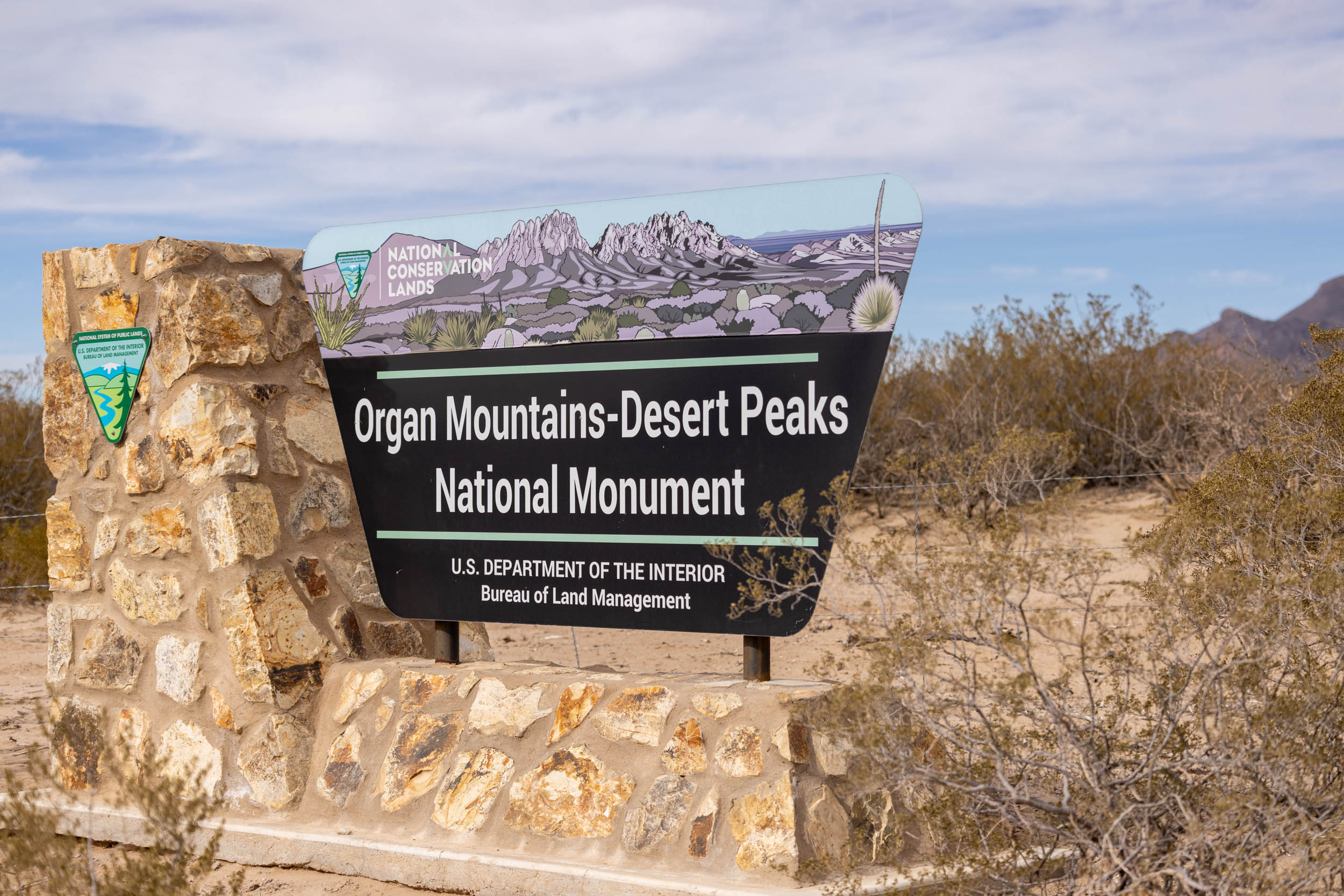

Fast forward a few years, and Matt and his friends got into the habit of discovering attractions and interesting points of interest on Google Earth and then trying to reach them by bike. This was also around the same time the Surly Krampus was first released, marking the beginning of plus-sized tires and the ability to ride on a wide range of surface types. Reaching remote features bike was no longer a question. Matt and other locals embraced big tires and found themselves visiting various slot canyons, random groves of trees, archaeological sites, and arroyos surrounding Las Cruces. In 2014, the area previously considered for a wilderness designation became Organ Mountains-Desert National Monument (OM-DP).
Variations on a Theme
In the following years, the number of locals getting into bikepacking increased as Matt continued to scout and discover the hidden beauty of OM-DP and the Prehistoric Trackways National Monument. Then, in 2016, Matt published the original version of the Monumental Loop here on BIKEPACKING.com, forever known as “Monumental Loop 1.0.” The 360-mile bikepacking route formed a figure-eight with Las Cruces in the middle, greeting riders at the beginning, end, and halfway through their ride. The only problem was that this first version was notoriously difficult, and most riders weren’t completing both loops. Matt explains, “I viewed the Loop as a full tour of OM-DP and prioritized natural beauty over rider enjoyment. For a few, mostly Alaskans, it hit the spot, but the majority found Loop 1.0 to be extremely challenging.”
Despite developing a reputation for being far from a walk in the park, people kept coming. Everything changed in 2020 when Brad and Hannah Bingham quit the north loop after 40 miles of riding and posted an Instagram story expressing their displeasure with the route. Matt decided the Monumental Loop 1.0 had officially ruined its last vacation and immediately logged into RWGPS, removing around 100 miles of deep, sandy tracks and rocky sections from the route. Monumental Loop 2.0 was born.
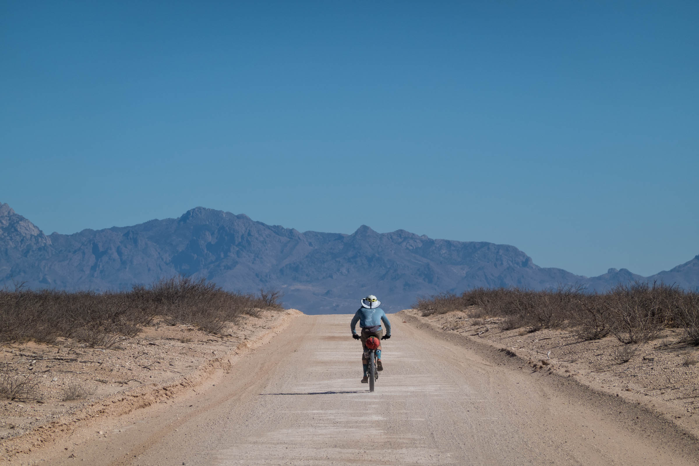
Matt sees the loop as something special because it tells the whole story of Doña Ana County. The Organ Mountains-Desert Peaks National Monument’s 496,000 acres surround Las Cruces, but unlike other monuments that are one continuous area, the OM-DP is split into four distinct sections: the Organ Mountains, Sierra de Las Uvas, Potrillo Mountains, and Doña Ana Mountains. The route visits each section, providing ample opportunities to view important prehistoric, historic, geologic, and biologic points of interest.
A Place To Call Home
Las Cruces and Doña Ana County, where most of the Monumental Loop falls, have a long and fascinating history with many layers. The pre-colonial settlement, including occupation associated with Paleo-Indian and Archaic people, dates back at least 10,000 years. In 2021, archaeologists in White Sands National Park, 50 miles northeast of Las Cruces, discovered fossilized footprints that proved that humans had been living in the area for roughly 23,000 years—the oldest-known existence of humans in North America.
Clovis Culture, named after the important archaeological site found in 1929 near Clovis, New Mexico, shows that people thrived from 13,500 B.C. to 11,000 B.C. These ancestral groups would eventually evolve and grow into the contemporary Indigenous communities of New Mexico. Some of the earliest-known settlements, or pueblos, date back over 1,500 years. There, the Mogollón people inhabited what is now known as the Gila Wilderness, northwest of Las Cruces.


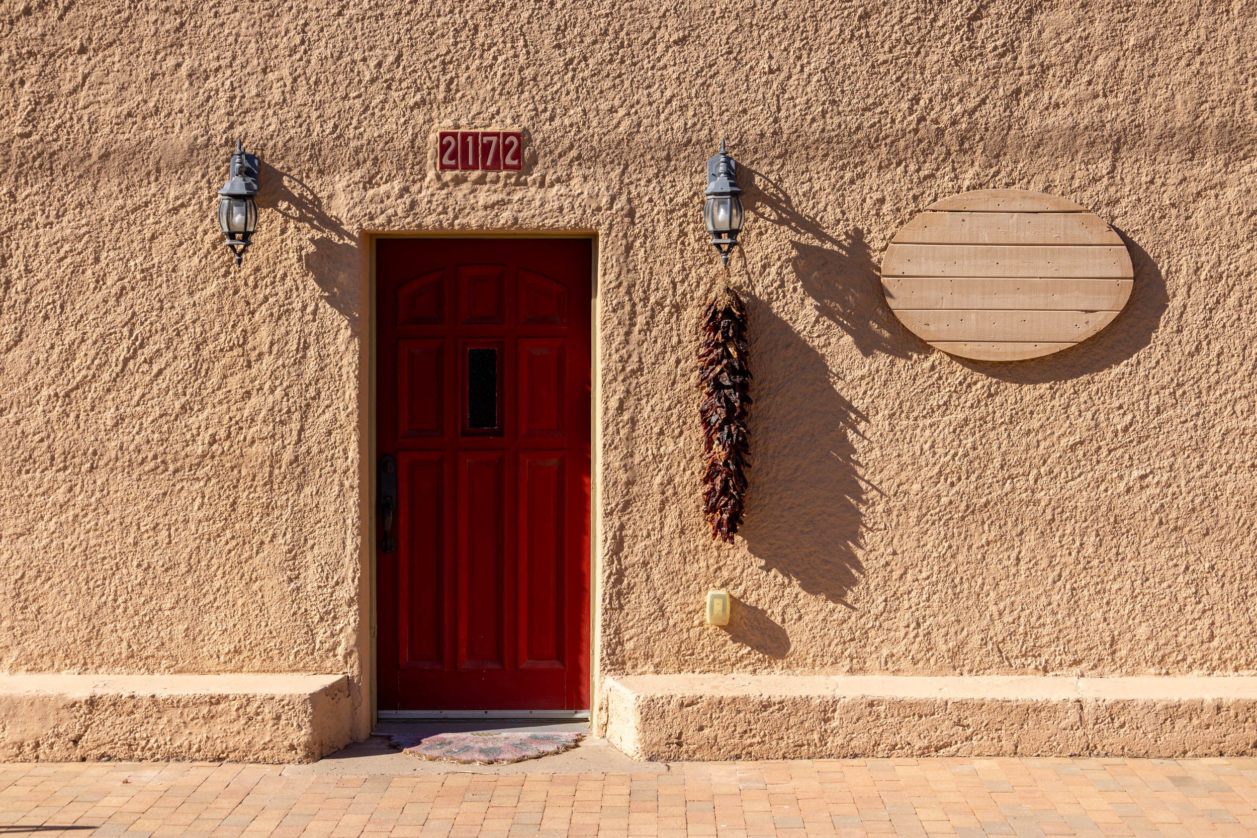
From the middle of the 16th century to the 19th century, Spanish colonists built the Camino Real, which translates to “Royal Road,” as a trade route from Mexico City north to Sante Fe in New Mexico. The road followed the Rio Grande River, where Spanish settlers built their first settlements. The Village of Mesilla, west of Las Cruces, was originally the main settlement for Spanish colonists and later Mexican settlers after Mexico gained control of New Mexico.
Las Cruces wasn’t established until after the Mexican-American War. In short, Americans wanted to continue expanding westward when “Manifest Destiny” was all the rage. Mexico wouldn’t sell, so they started a war. In 1848, the Treaty of Guadalupe Hidalgo officially ended the Mexican-American War. It resulted in Mexico giving up vast territory to the United States, including present-day states like California, Nevada, Utah, and parts of Arizona, New Mexico, Colorado, and Wyoming. A year later, Las Cruces was established because the people of Mesilla didn’t want American settlers changing their lives.


Fast forward a decade or so, and Mesilla was in a post-Civil War boom, with new businesses opening all over. One of the most told stories is how the hustle of the new Mesilla attracted outlaws, including none other than Billy the Kid, a famous American gunfighter who had a hideout in the Robledo Mountains northwest of Las Cruces and a stone’s throw from where the Monumental Loop travels north along the Rio Grande. Current Indigenous peoples in the area are the Mescalero Apache and the Ysleta Del Sur Pueblo.
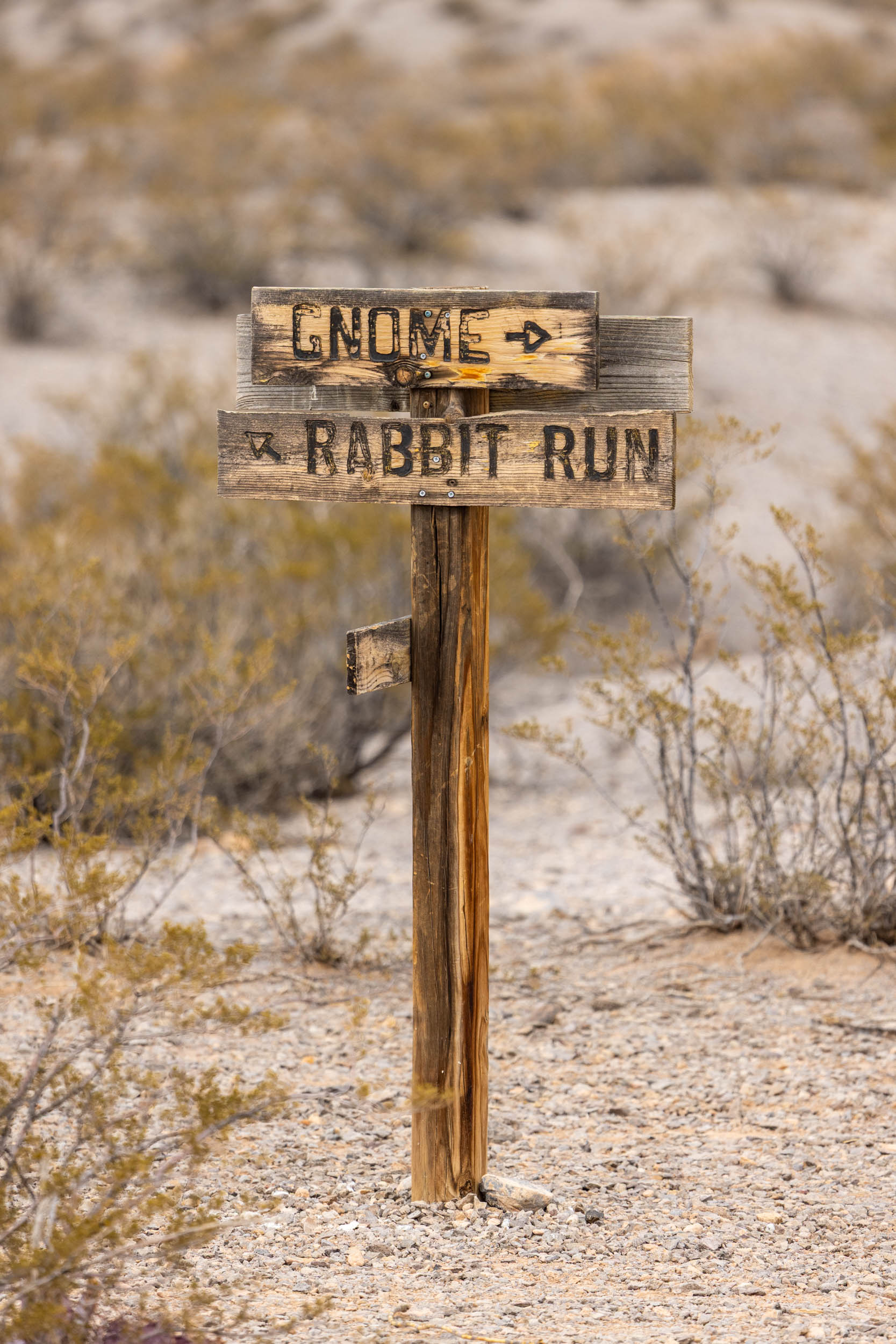
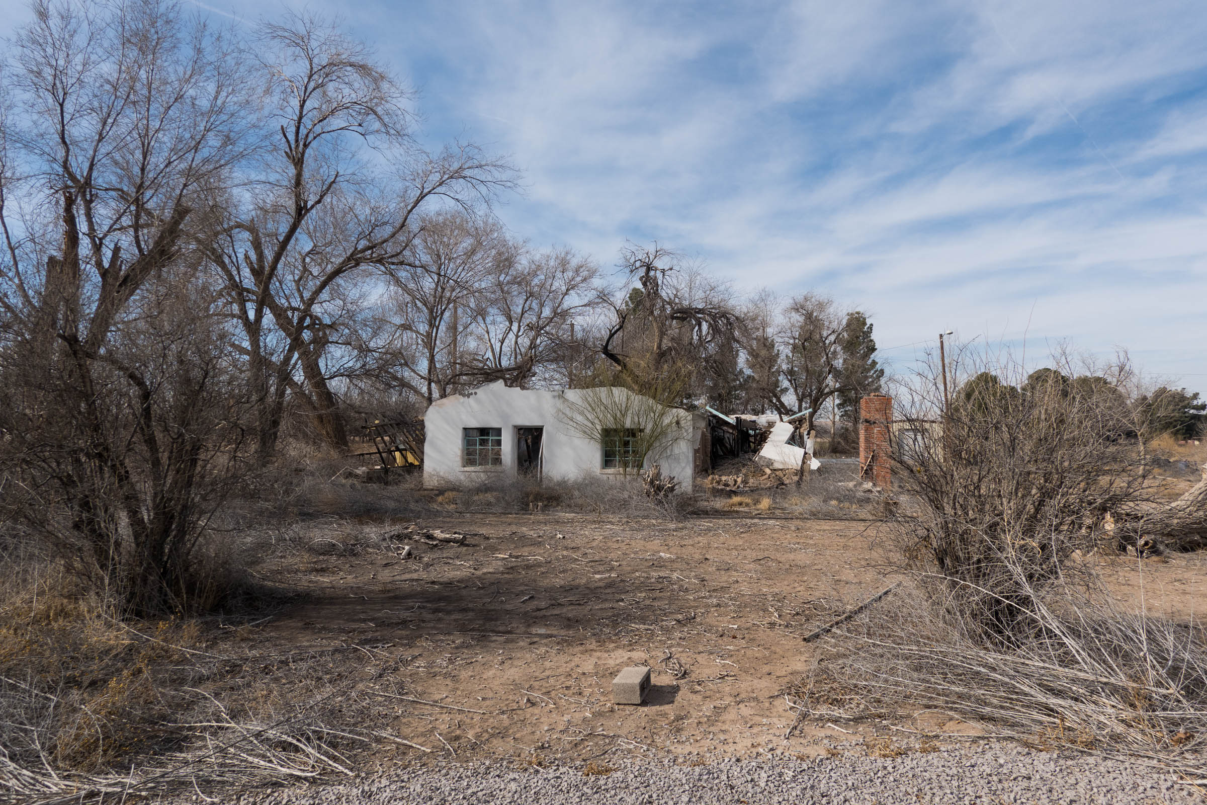
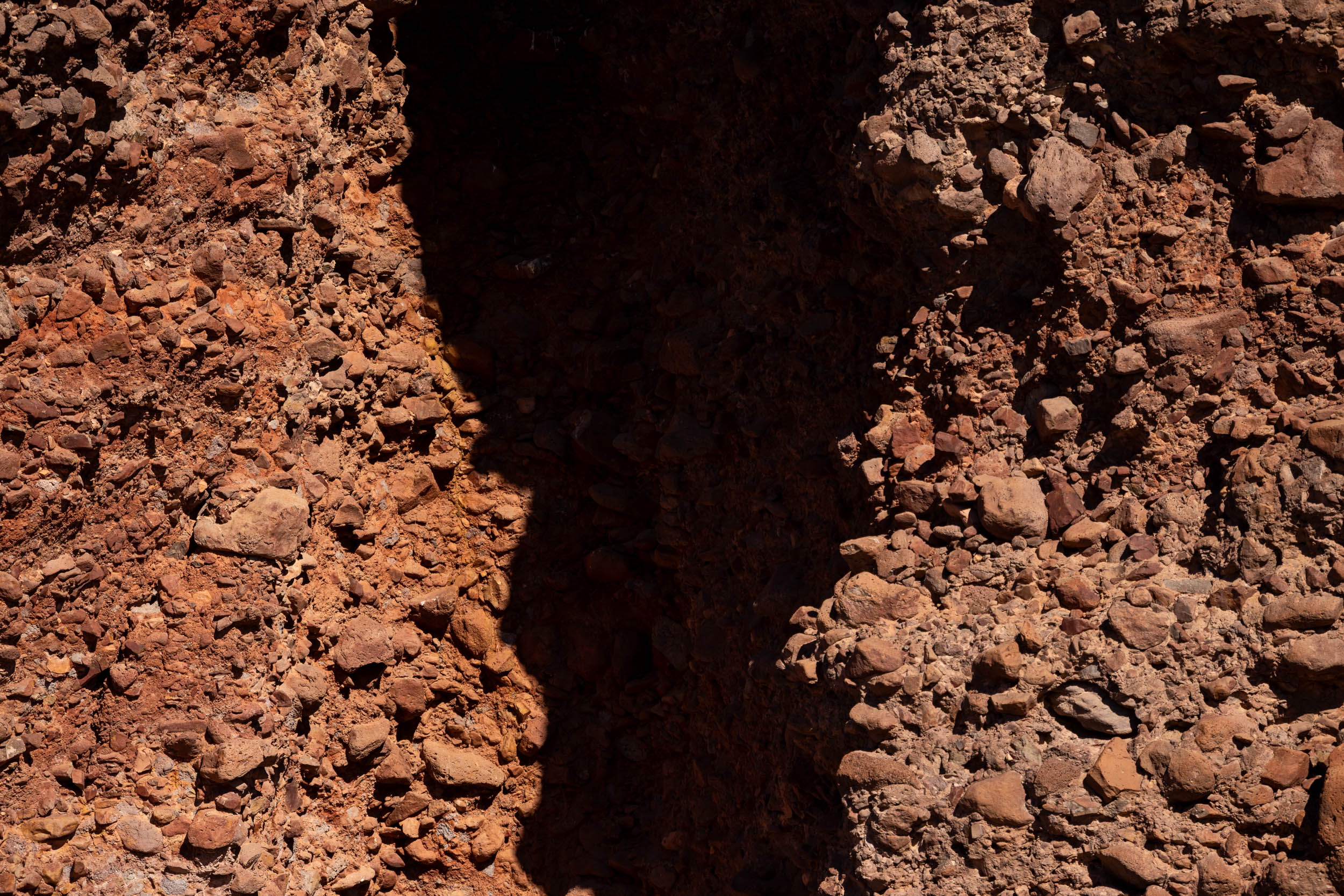
The Monumental Loop is packed full of historical landmarks and monuments that provide a sneak peek into the fascinating history of the region. Remnants of old ranches and settlements are easy to spot and are sometimes the only place to find shade on a hot day. For those with the time to explore by foot, there are petroglyphs at Lucero Wash, Tonuco Mountains, Broad Canyon, and Providence Cone, as well as Apollo testing mission sites, volcanoes, lava fields, and more. History buffs will have no trouble immersing themselves in the beauty of the loop and its stories.
A Changing Landscape
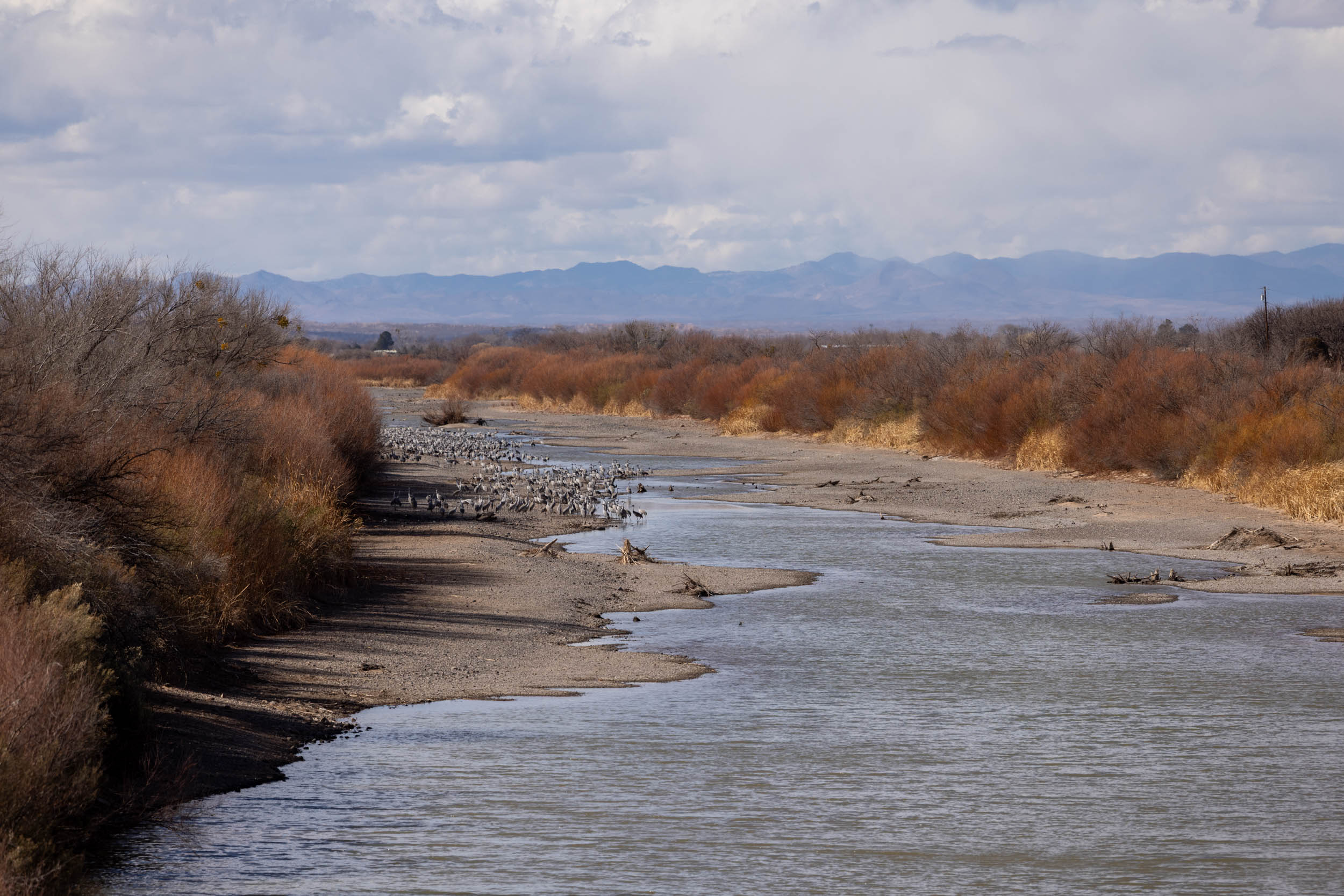
The landscape the Monumental Loop travels through isn’t what it used to be. In the 1930s, there was significantly more water in the Rio Grande, and it was far less prone to drying up, which led to the development of massive pecan orchards. These water-intensive crops (and others) rely on the Rio Grande for irrigation, and water is running low. One of the biggest surprises was riding alongside these sprawling pecan orchards, which was more reminiscent of a post-apocalypse wasteland than any orchard I’ve ever seen. It’s hard to imagine, but the desert Southwest produces roughly one-third of all pecans grown in the United States.


Doña Ana County was, at one point, a grassland. Ranching and agriculture have started to turn this region into a shrubland. While there have been many documented shrubland-grassland transitions throughout history, the introduction of the original Homestead Act in 1862, which enabled the acquisition of large tracts of land for ranching, encouraged a cattle boom that would change the landscape forever. Climate change has also played a role in these transformations, although it’s not the only culprit.


Water is a hot topic in Las Cruces and Doña Ana County. Not just its availability but also its quality and the effects of agricultural runoff. Most of the city’s drinking water comes from a series of deep wells that access groundwater, and while this supply is adequate for now, there’s no question that alternate sources will eventually be required. It was even more interesting to learn that there’s an ongoing feud between Texas and New Mexico because of how the water from the Rio Grande is divvied up. In 2012, Texas sued New Mexico, claiming New Mexico was illegally allowing farmers to pump out groundwater in the Rio Grande basin, diverting water that should be allocated to Texas. As of today, the Supreme Court, the federal government, and the two states have yet to come to an agreement.
Rallying the People
What sets the Monumental Loop apart from other bikepacking routes is how different people and groups have come together to support it. Although Matt is and will forever be the creator of the route, Visit Las Cruces, Friends of the Organ Mountains-Desert Peaks, and countless individual supporters in the community have directly and indirectly helped make it what it is today.


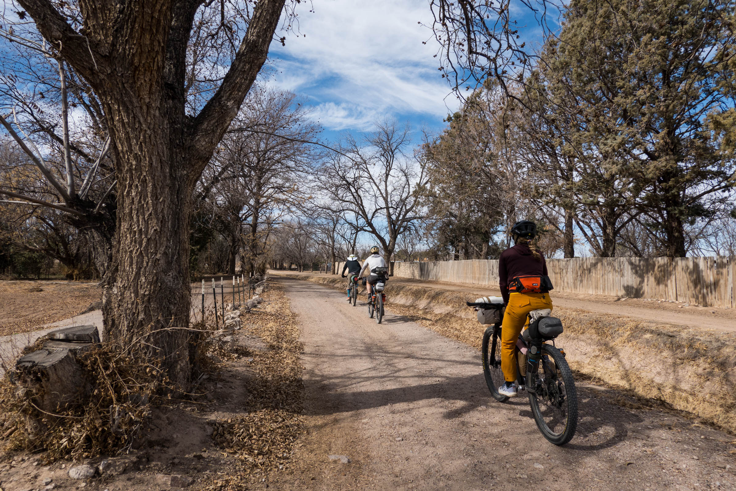
When I first reached out to Matt with our plans to ride the loop, it quickly became apparent that the community rallies around the route. Before long, I had accommodations figured out, a ride to and from the El Paso airport secured, and within a few hours of settling in at our new friends John and Faith’s place, we were invited on a birthday ride. From what I understand, Las Cruces was not a cycling destination before the creation of the Monumental Loop, and while it would be easy to miss, there’s a lot of excitement surrounding it these days. One of our days riding along the Rio Grande, pecan orchards to our right, a woman yelled out at us, “The Loop!” I immediately noticed the Monumental Loop logo on their shirt and responded with an enthusiastic whoop.
In 2014, when the Organ Mountains-Desert Peaks National Monument was established, it took several organizations to make it happen: the Conservation Lands Foundation, the New Mexico Wilderness Alliance, the Wilderness Society, and the New Mexico Wildlife Federation. According to Kyla Navarro of the Friends of the Organ Mountains-Desert Peaks, the monument has become a source of identity for the community. Now, it’s not just retirees, tourists, and diehard outdoor enthusiasts who enjoy the land, but everyday people and families. Similar to how the local cycling scene has embraced the Monumental Loop, the community is reconnecting with the outdoors, and the idea of conserving these natural areas is on everyone’s mind.

The new Mimbres Peaks National Monument in Luna County, west of Las Cruces, was proposed a few years ago. According to supporters of the monument, it was inspired by the Organ Mountains-Desert Peaks National Monument’s impact on local tourism and hospitality. It turns out that preserving the land for future generations has a whole suite of positive outcomes beyond access to outdoor recreation, which happens to be great for bikepacking. Matt recently created an even longer version of the route we rode called the Monumental Loop 3.0. It travels further west into Luna County so riders can experience the proposed Mimbres Peaks National Monument.


What’s next for the Monumental Loop? With help from the state, city, and federal lawmakers, local advocacy groups, and local citizens, Matt is speaking out to protect and legitimize the Monumental Loop. The next big project on Matt’s plate, with help from those groups, is getting the Monumental Loop approved as one of the approved routes of the Biking On Long Distance Trails (BOLT) Act. The BOLT Act, which Biden signed on January 4th, 2025, promises to create no fewer than 10 long-distance bicycle routes throughout the United States and identify 10 more potential routes throughout the country incorporating existing trails and roads. Here’s what Matt had to say about what BOLT-ing the loop would mean:
“BOLTing is essentially recognition and enhancement of the Loop’s economic potential. It would provide a pathway toward signage, a guidebook, promotional tools, and long-term protection for the route. Instead of pleading with the BLM to allow it, they’d be an invested partner in the success and management of the route. Ultimately, it would be an even better rider experience with a lower impact on the landscape.”
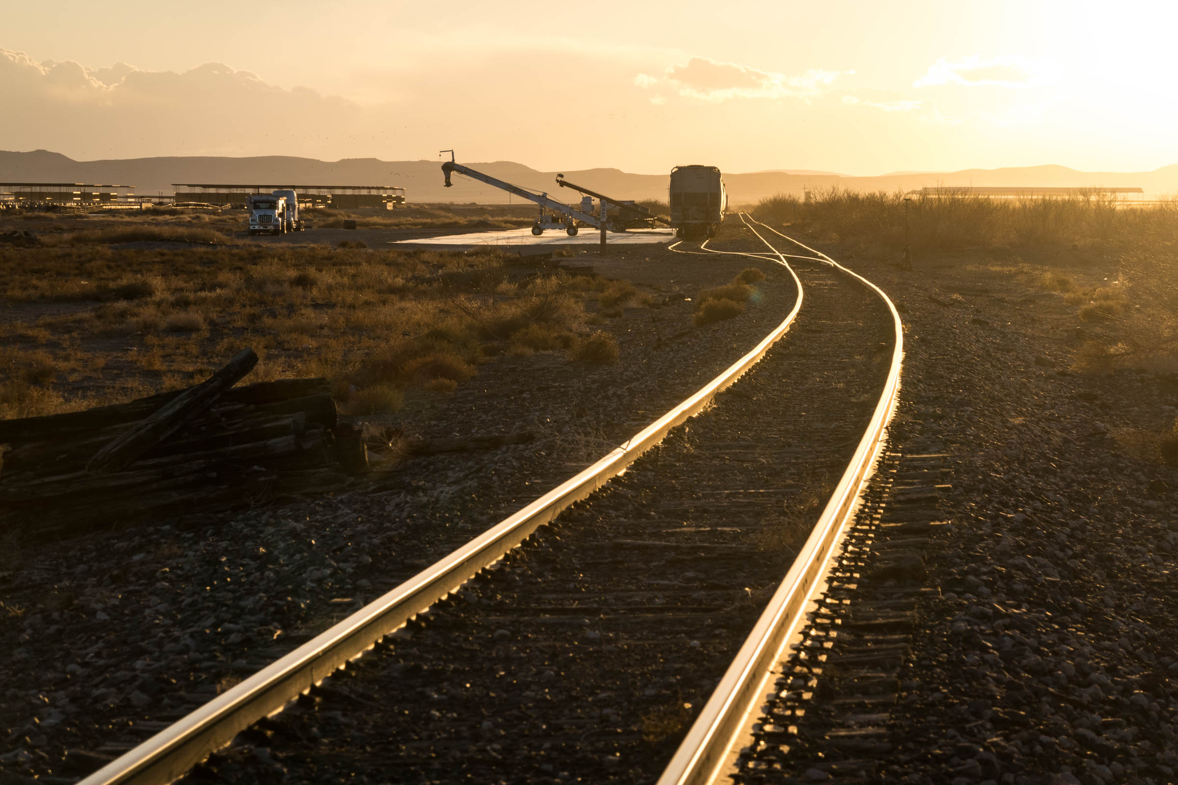
A Photo Intermission from Joe Cruz
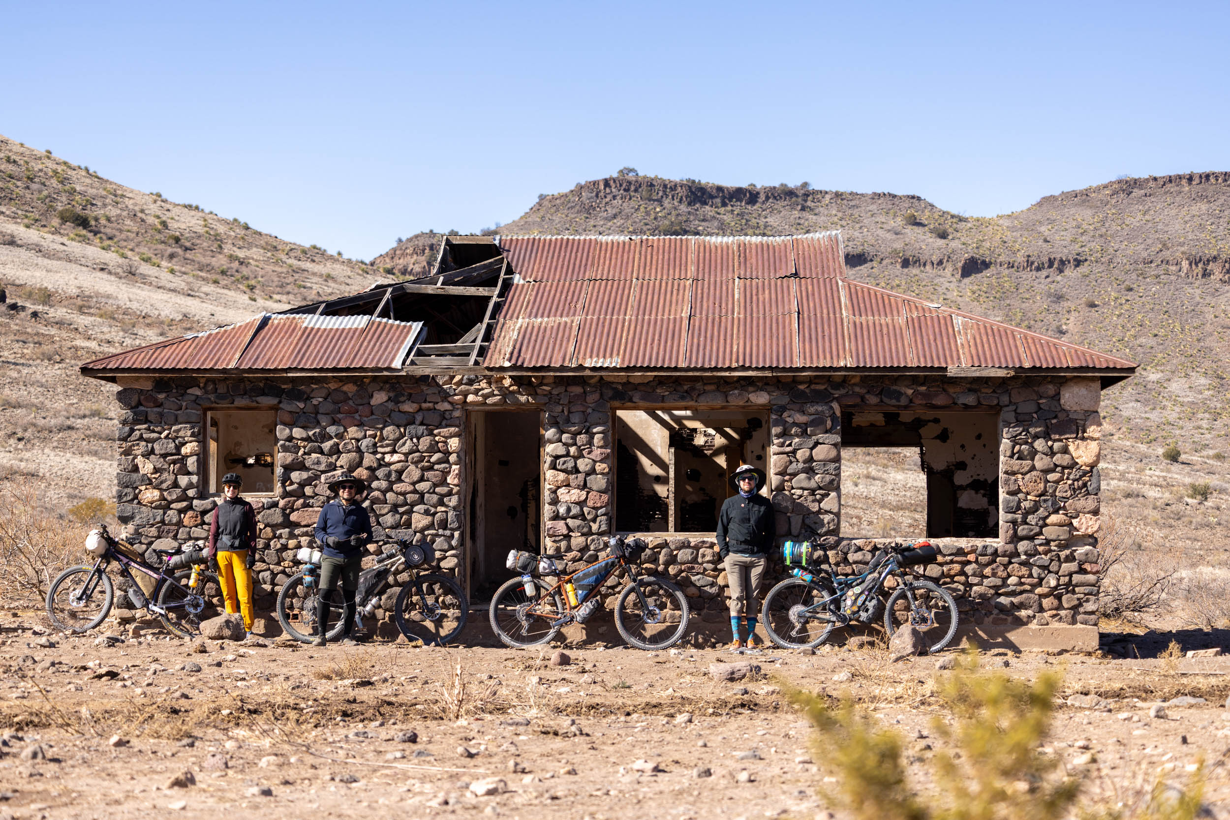
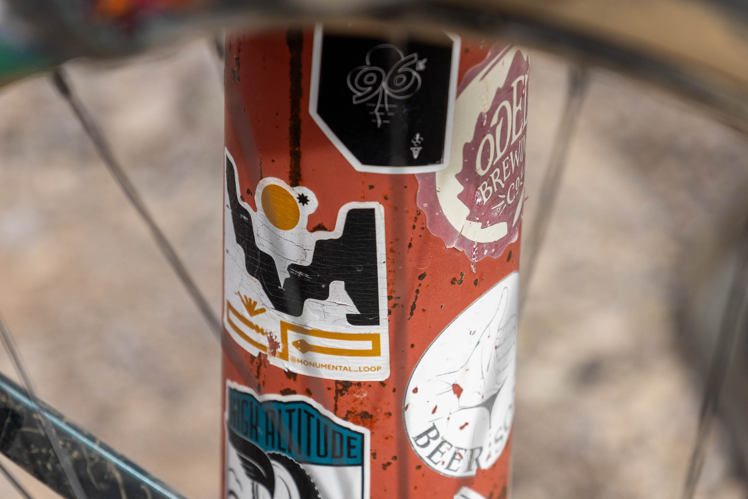
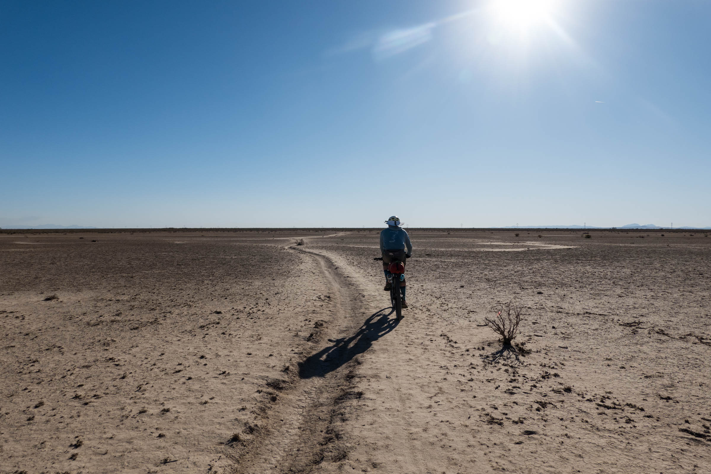
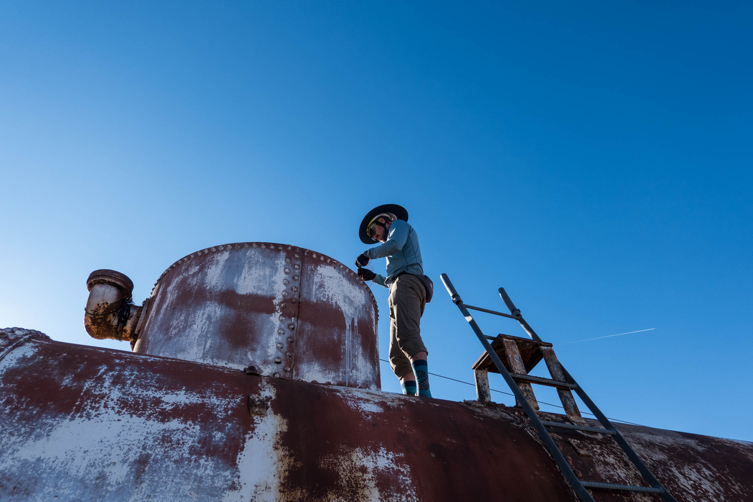
Take a moment to scroll through some fantastic images Joe Cruz captured during our trip. It’s always interesting to see how people document bikepacking trips, and I asked Joe to pick a handful of his favorites so I could include them here.


A Story Worth Sharing
I’ve always struggled with writing trip reports. Most of the time, I come home after a bikepacking trip and think to myself, “Wow, that was fun, but I’m not sure there’s really anything to share.” However, after experiencing the generosity and friendliness of the Las Cruces cycling community, and the folks working behind the scenes to allow more people to enjoy the area by bike, I knew I had an angle worth sharing.
Matt has created something special with the Monumental Loop, and it’s inspiring to see the city of Las Cruces getting behind it. I can’t help but think of some of the bikepacking routes I’ve published here in Canada and just how awesome it would be to see them legitimized, or at least acknowledged, by local tourism groups. My one takeaway from riding the Monumental Loop and spending some time with Matt is that earning the support of these groups requires more than just a good route. It means showing up to meetings, communicating with stakeholders, and getting more people involved. You have to have boots on the ground to make these things happen, and I’m inspired to do more of that moving forward.
I’ve ridden my fair share of bikepacking routes, and I rarely leave thinking about the community and its history as much as the riding. I ran this by my friend Joe Cruz, who also shares a new fondness for Las Cruces and the Monumental Loop, and he described having the sense that Las Cruces is an enduring community, gripping its history and culture tightly. There’s a level of intention one feels when riding the Monumental Loop, which made me want to learn more.


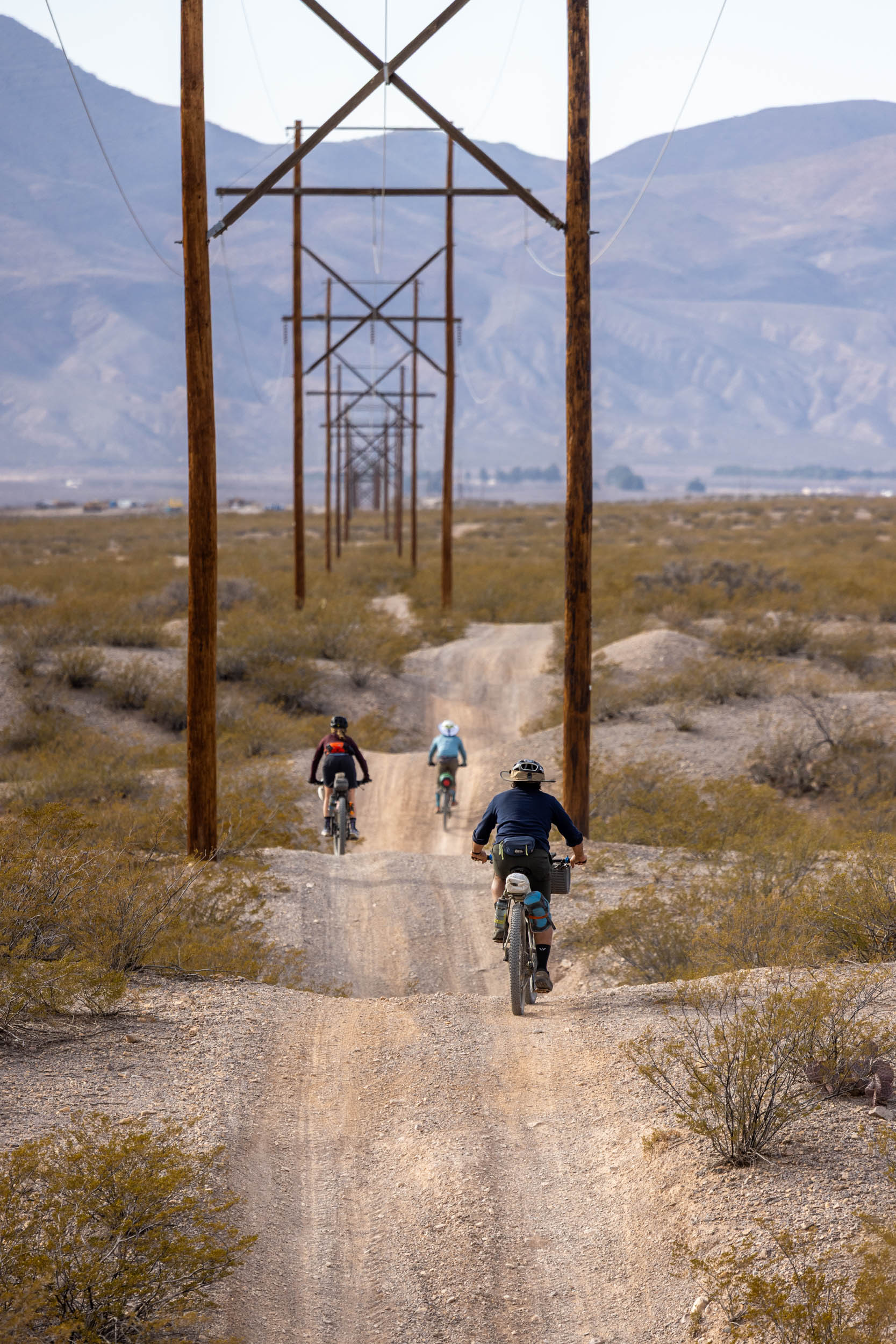
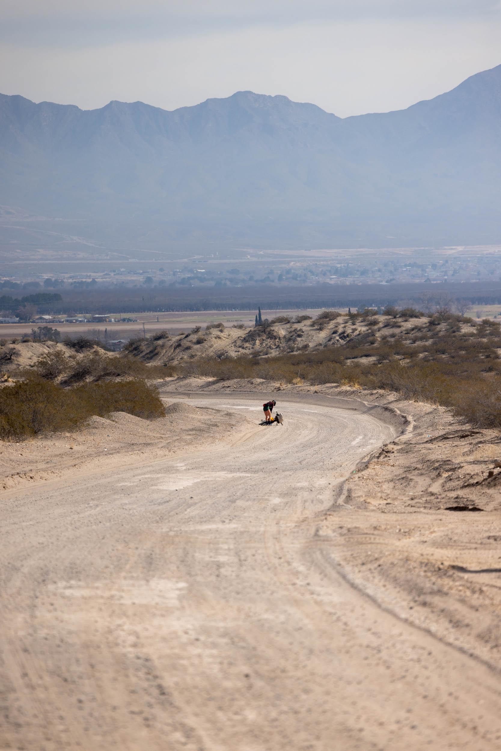
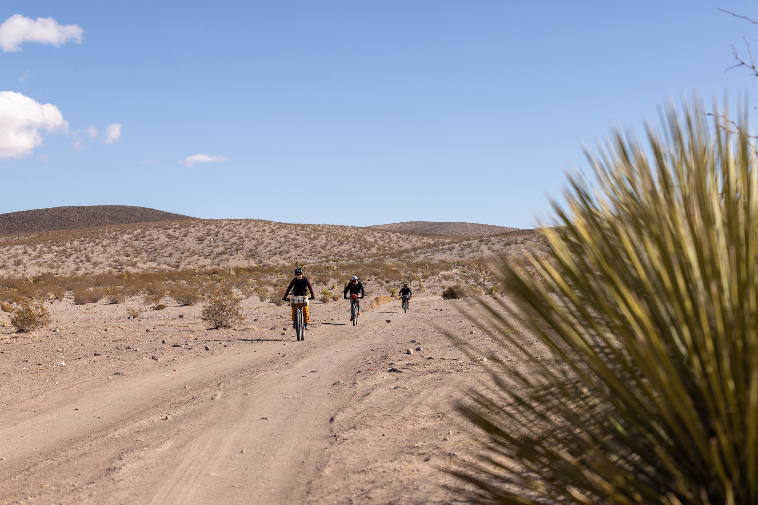
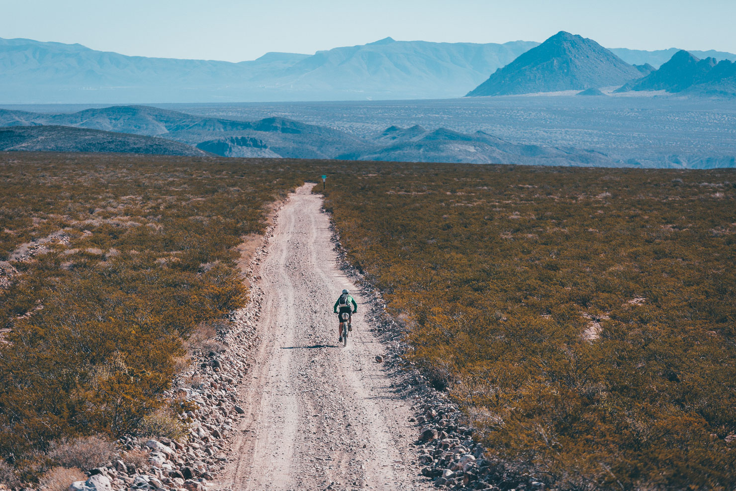
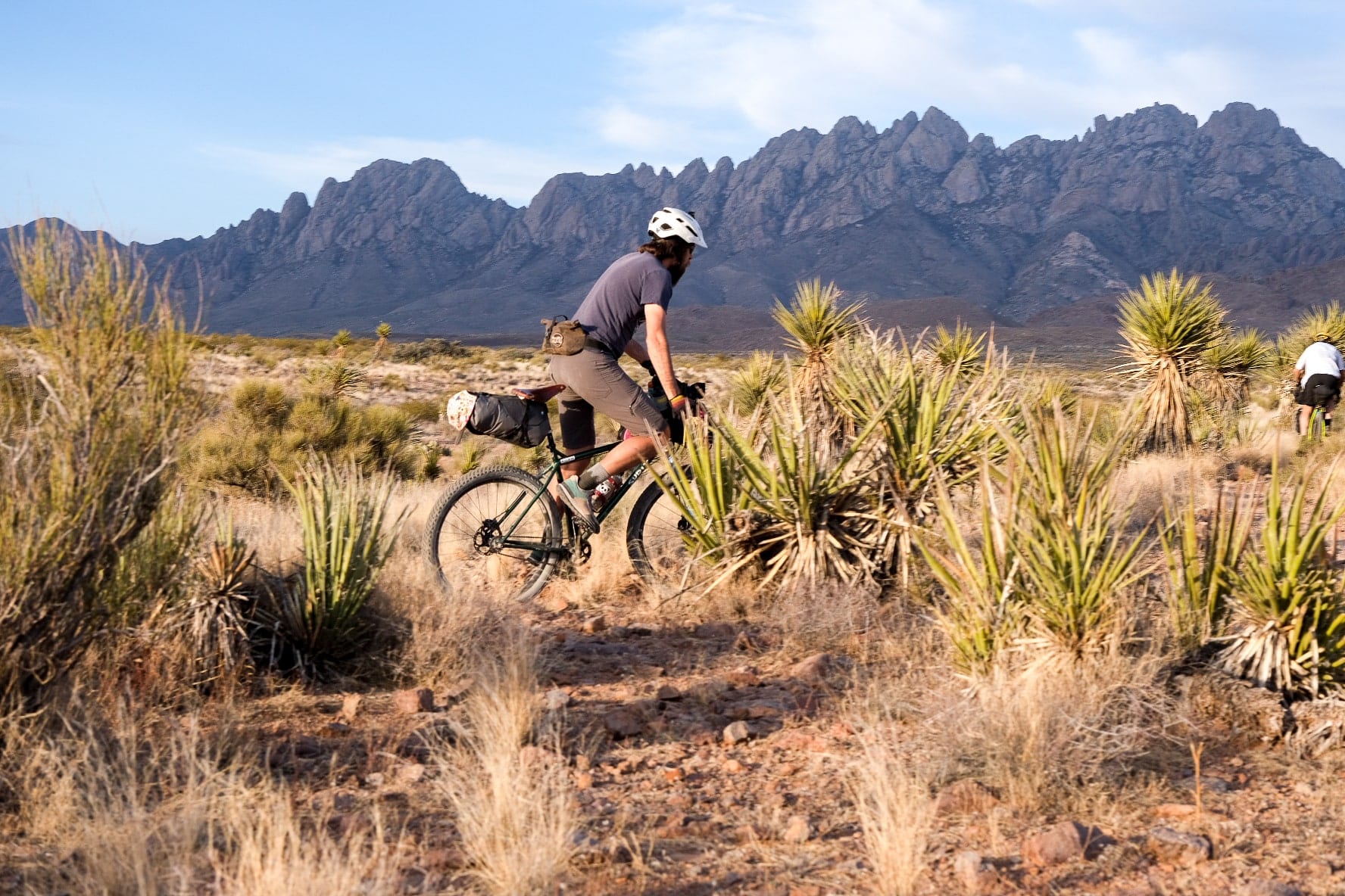
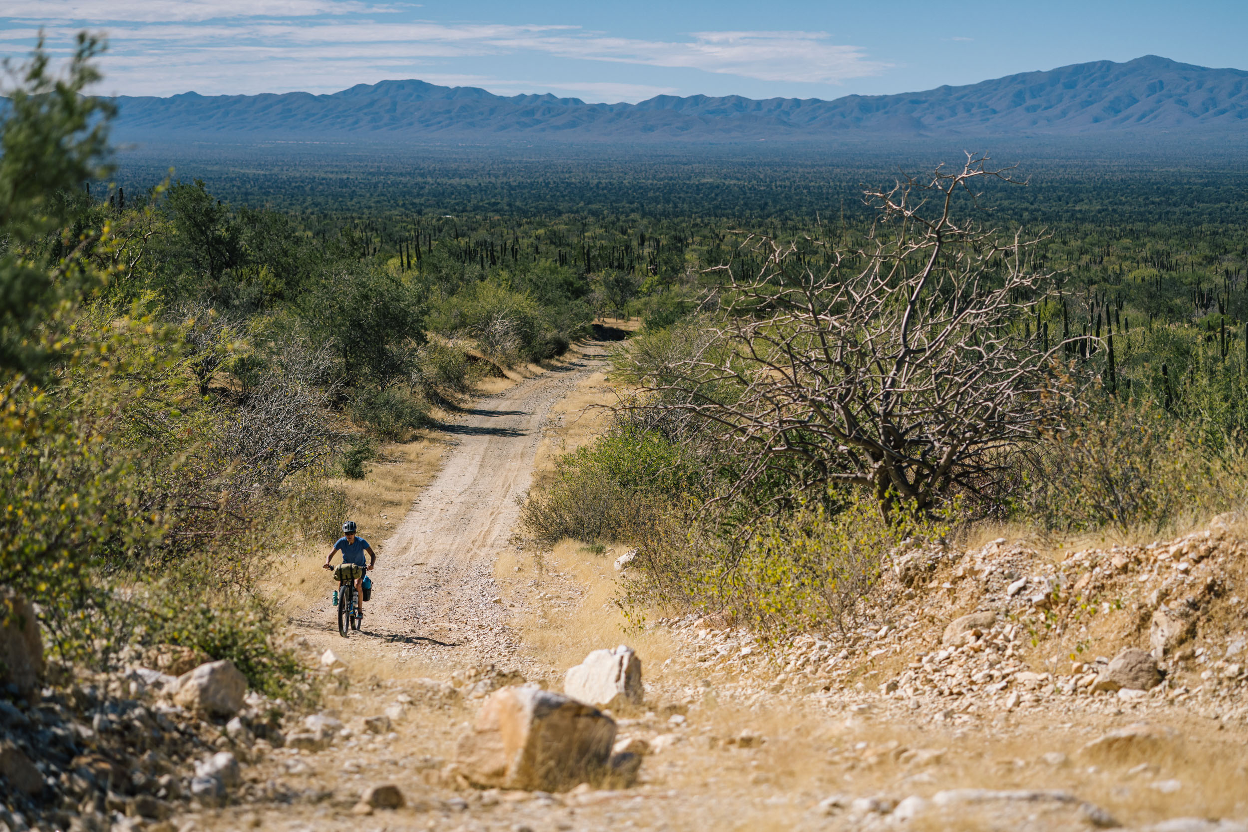
If the opportunity to ride the Monumental Loop comes your way, jump on it. It’s a fantastic bikepacking route with an impressive variety of terrain types and landscapes that none of our group expected. One minute, you’re riding alongside the Rio Grande, gazing up at the Organ Mountains, and the next, you’re navigating sandy tracks tucked between steep canyon walls.
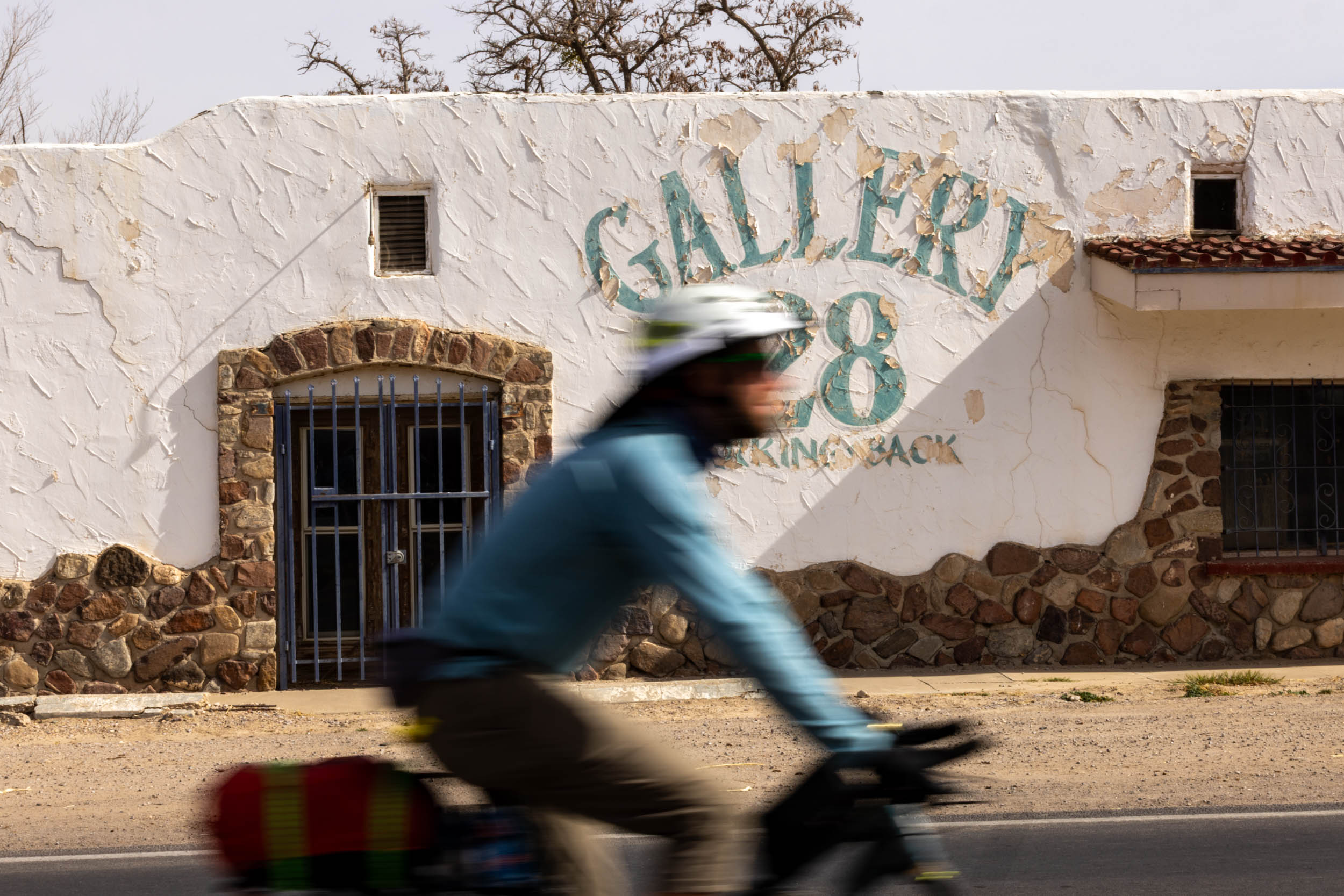
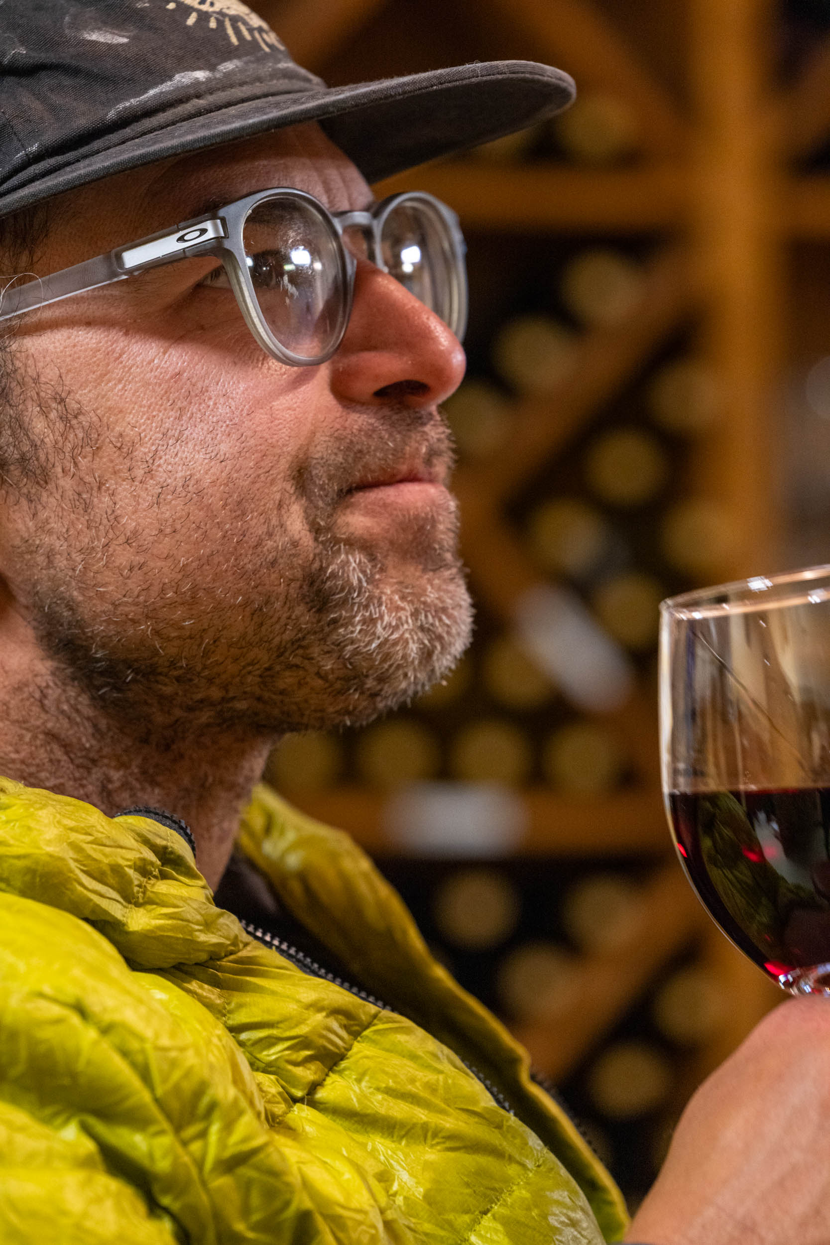
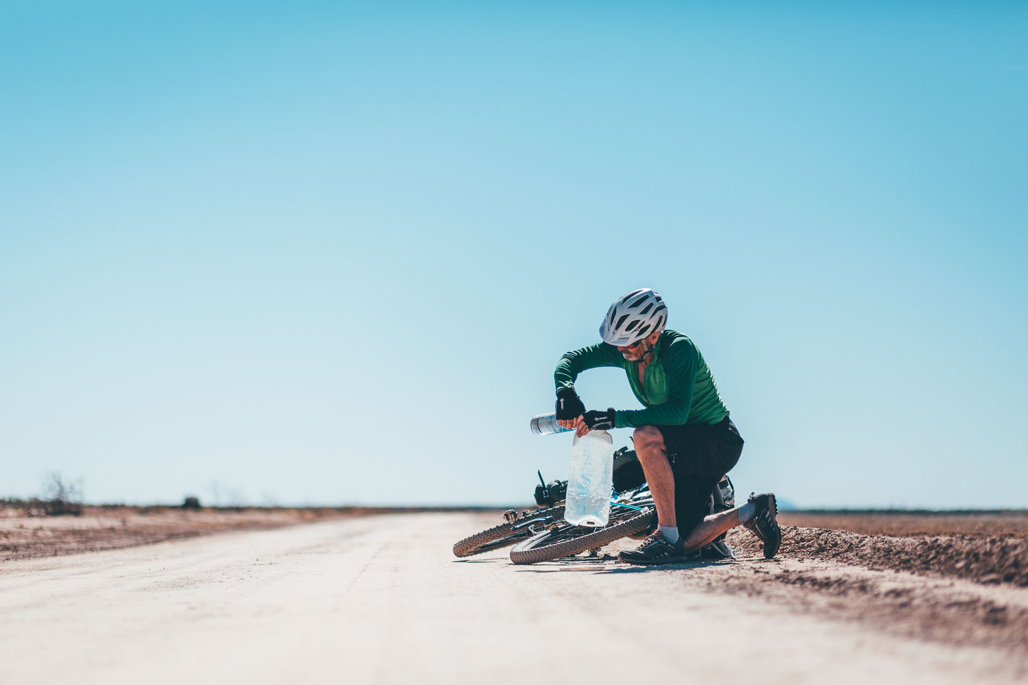
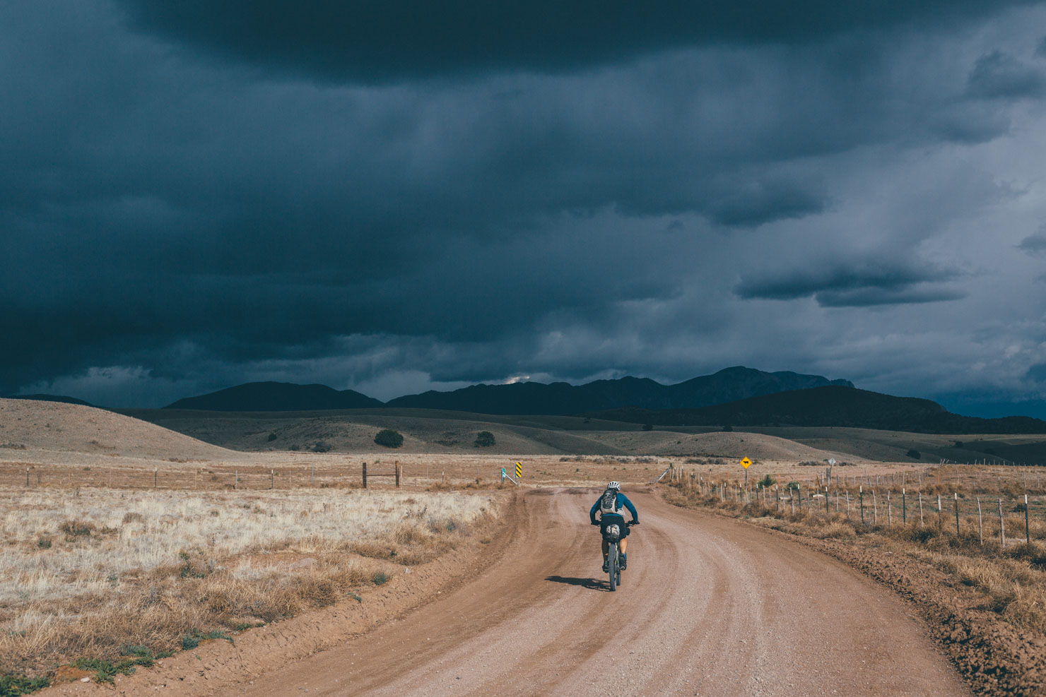
We experienced cold nights and short days, but we chose not to ride at night, so our daily distance wasn’t substantial. We gave ourselves just under six days for the 245-mile 2.0 loop, which felt reasonable, but we wished we had more time for side quests to check out some optional points of interest and petroglyphs just off the route. Our lack of daylight had us pedalling for most of the day. Do yourself a favor and spend a night in Las Cruces around the halfway point; there’s so much good food around. A few of our favorites included Bosa Donuts & Burritos, Nopalito Restaurant, and Chala’s Wood Fired Grill in Mesilla. A highlight for our group was grabbing dinner at Highway 28 Brewery and then camping at Sombra Antigua Vineyard and Winery. I couldn’t imagine experiencing the southern loop any other way.


A big thank-you goes out to Matt Mason, John and Faith, McKenzie Stock for letting us join her birthday ride, and everyone else we met during our visit. Our experience wouldn’t have been the same without your generosity and friendliness.
The Organ Mountains are a geological highlight of Southern New Mexico. Visible throughout the route, they form the backbone of the newly created Organ Mountains Desert Peaks National Monument. Weaving together a network of rarely ridden singletrack, backcountry dirt roads, and sandy washes into an expansive Figure 8, the Monumental Loop maximises time spent exploring the monument and the surrounding Chihuahuan Desert… yet still providing ample opportunities for those all important burrito resupplies! View the full route guide.
Further Reading
Make sure to dig into these related articles for more info...
Please keep the conversation civil, constructive, and inclusive, or your comment will be removed.