


New Mexico Off-Road Runner
Distance
498 Mi.
(801 KM)Days
9
% Unpaved
65%
% Singletrack
1%
% Rideable (time)
99%
Total Ascent
22,970'
(7,001 M)High Point
9,035'
(2,754 M)Difficulty (1-10)
6?
- 3Climbing Scale Fair46 FT/MI (9 M/KM)
- -Technical Difficulty
- -Physical Demand
- -Resupply & Logistics
Contributed By

Cass Gilbert
Contributing Editor
Originally created in 2017 and published in April of that year, the NMORR was refreshed in April and October 2021. Note that the latest version of the route has two MTB-friendly alternatives, which are shown as POIs in the GPX file and on the map below. Those of a mountain biking persuasion should also consider plugging into the Monumental Loop, between Radium Springs and Las Cruces, to ride the Doña Ana Trails. In light of the pandemic, be aware of any New Mexico COVID-19 restrictions.
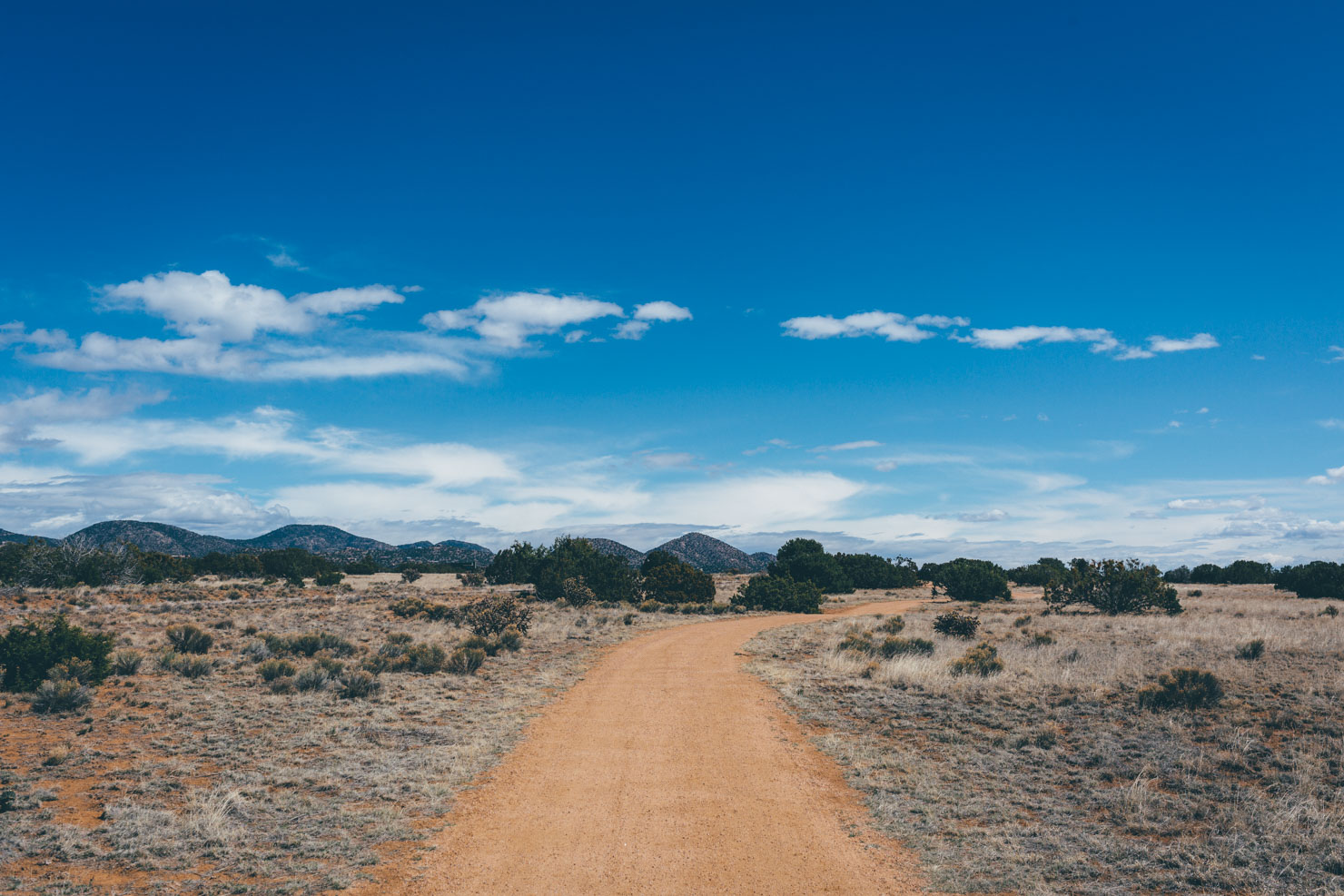
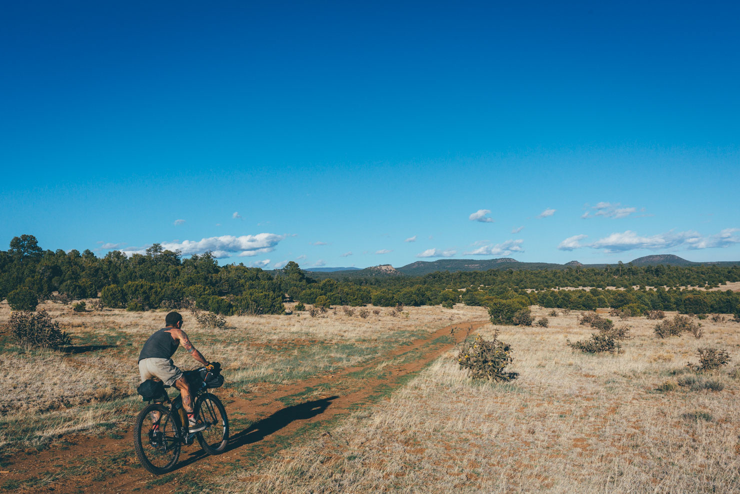
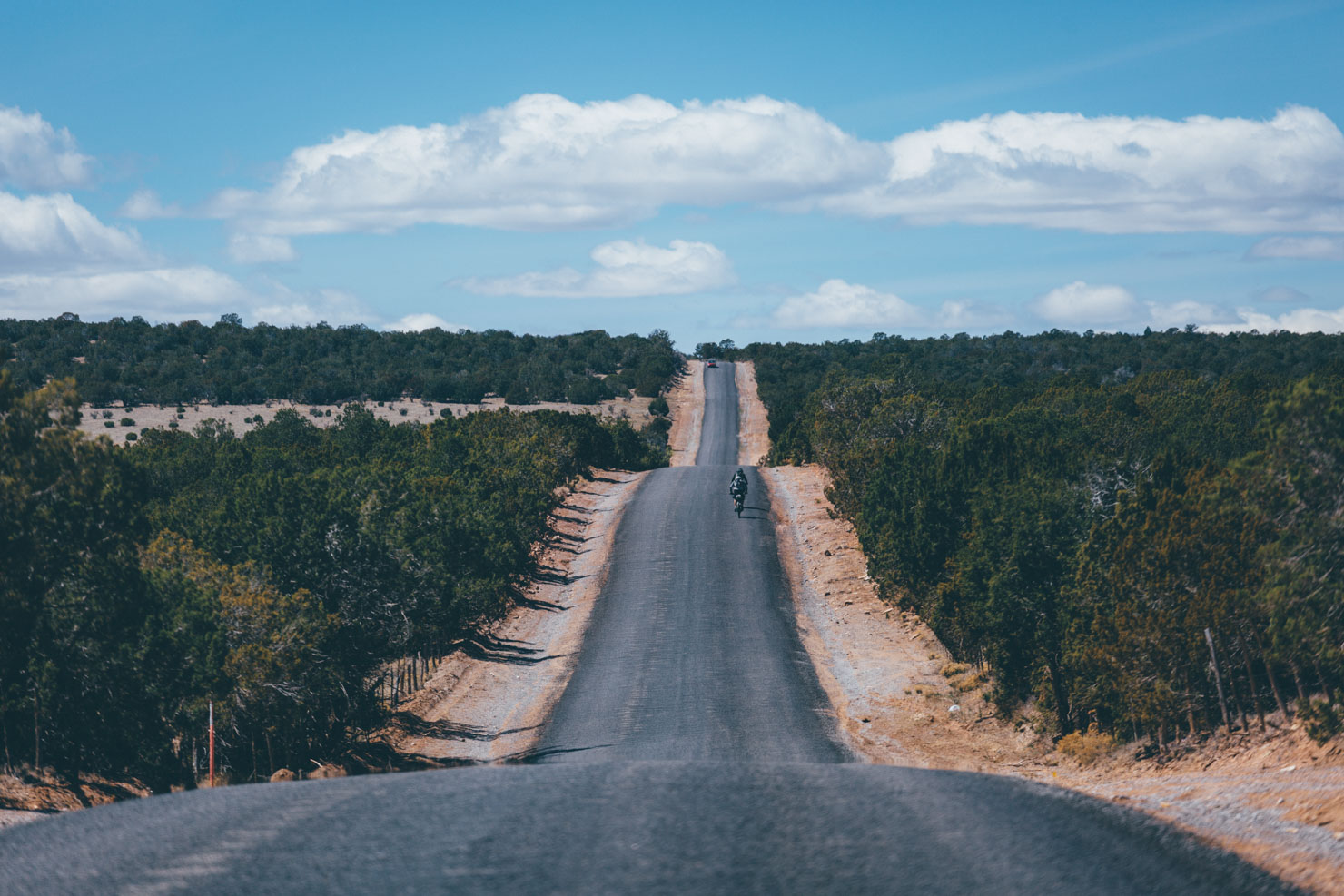
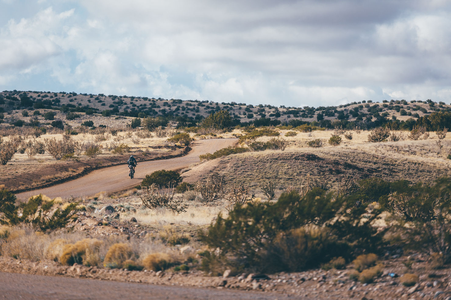
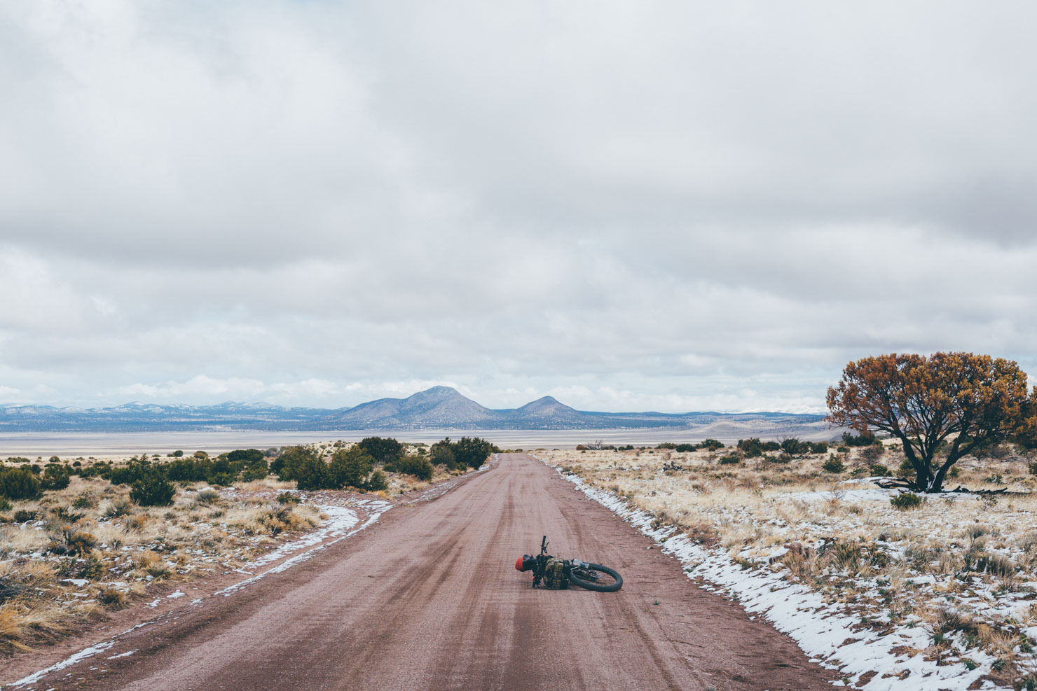
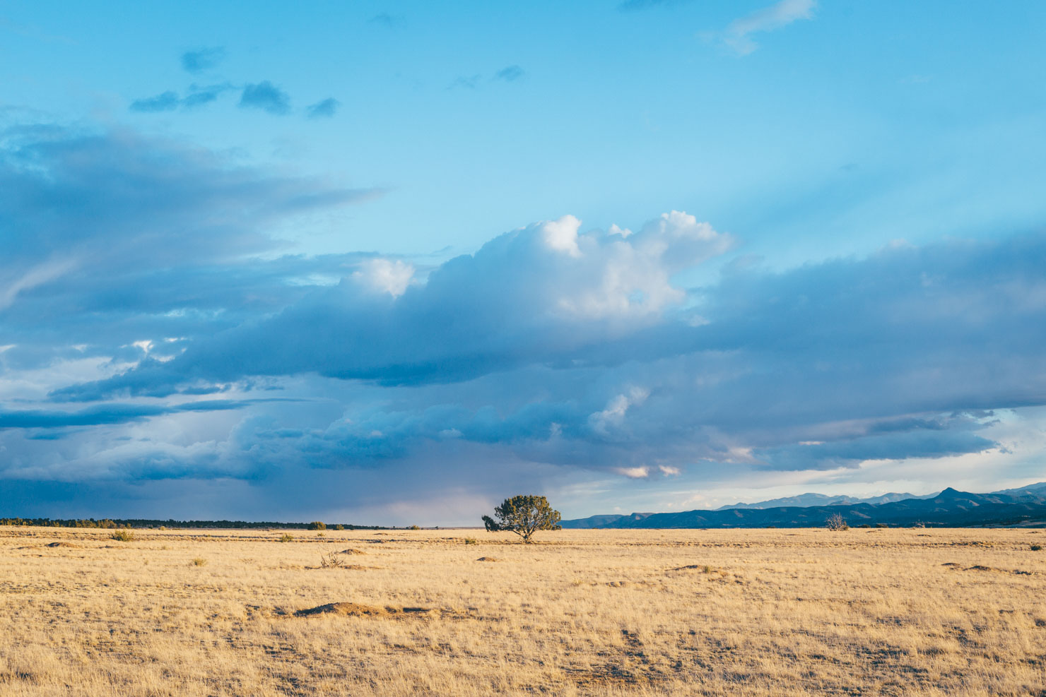
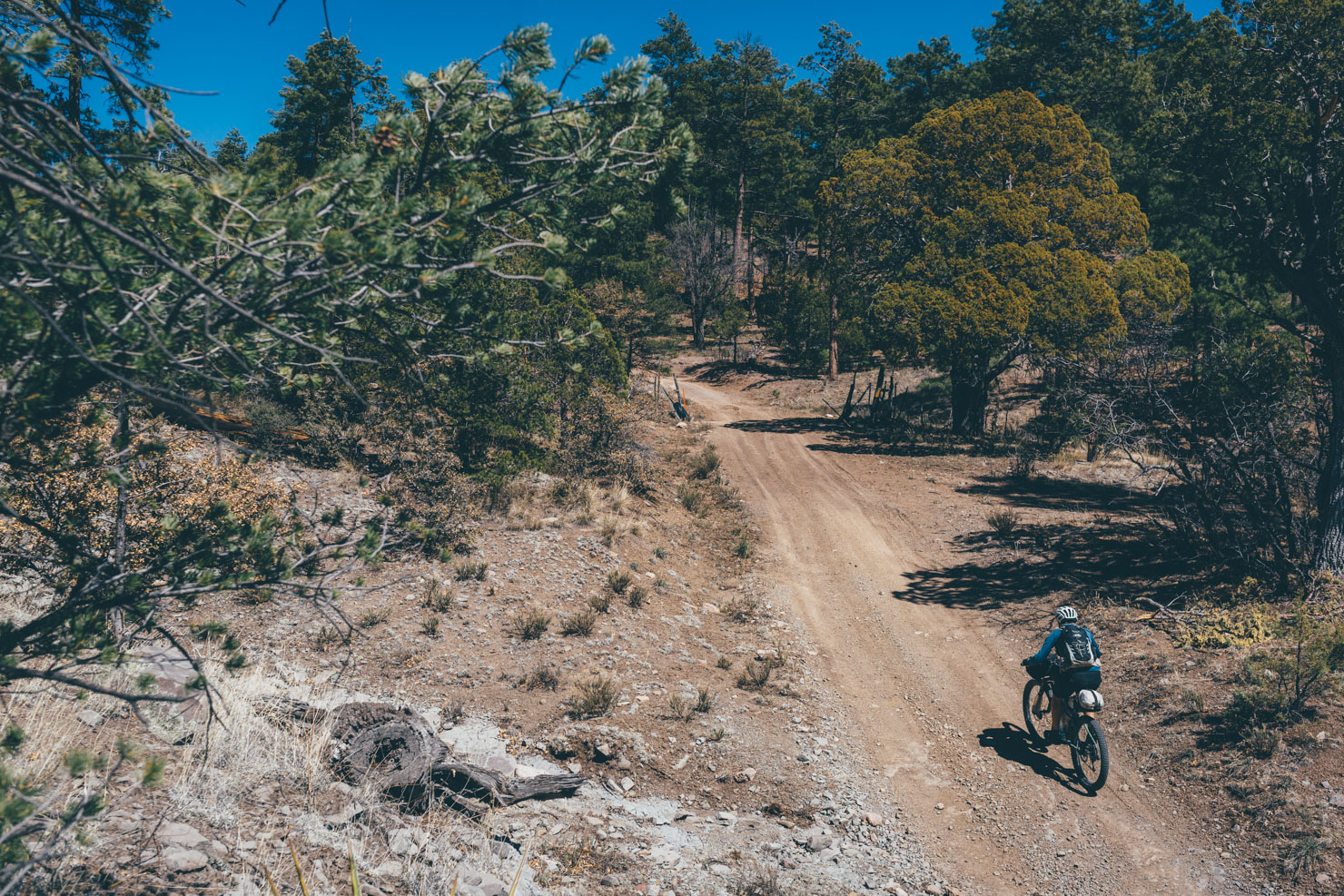
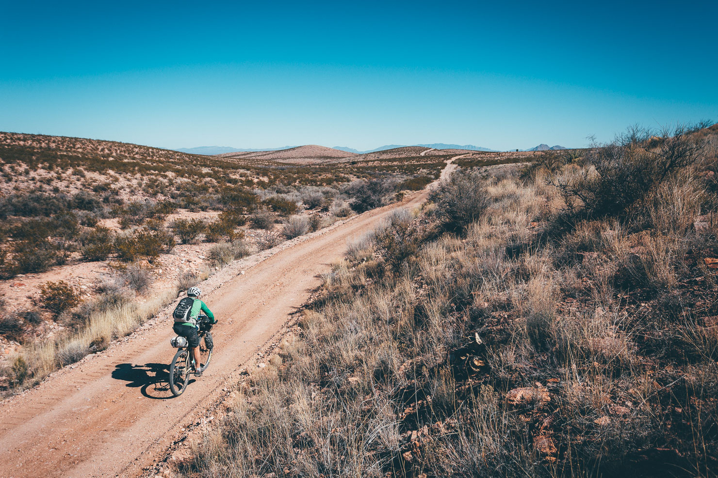
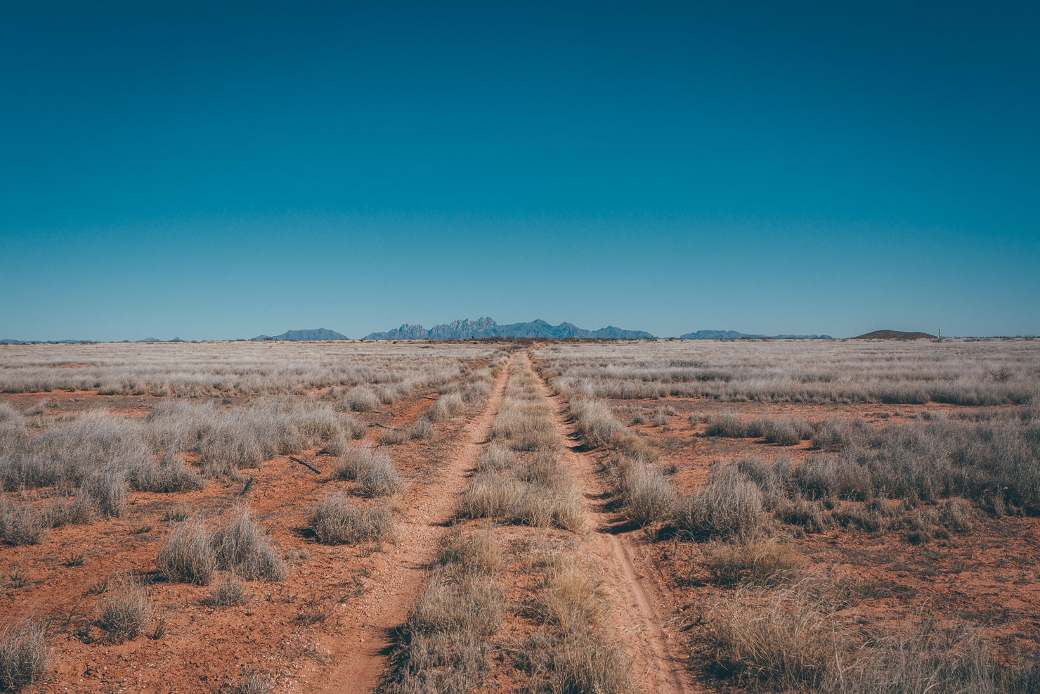
The New Mexico Off-Road Runner leaves the adobe-studded state capital of Santa Fe via the city’s car-free Rail Trail. Initially heading east, the 500-mile journey begins along a lattice of primitive dirt roads that wend their way through peaceful piñon and juniper-speckled Rowe Mesa, a taste of classic high-desert, rugged riding.
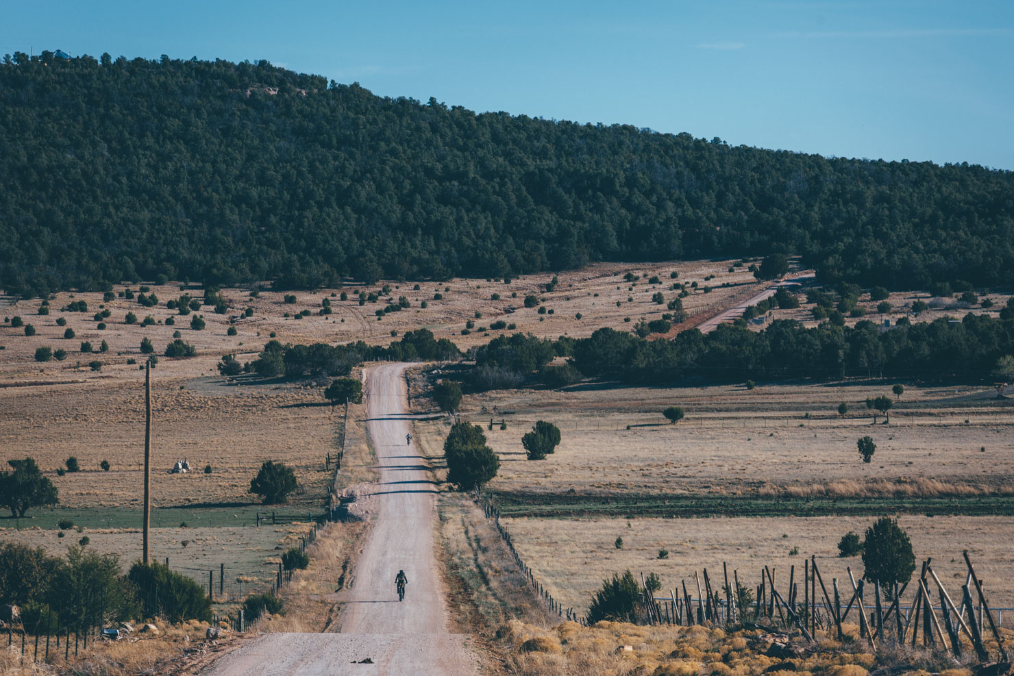
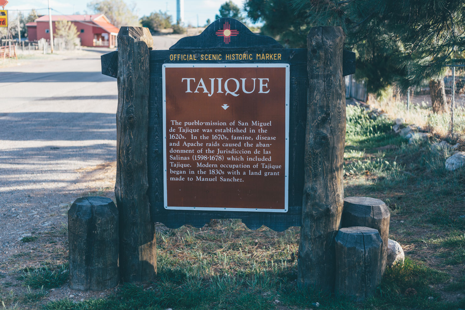
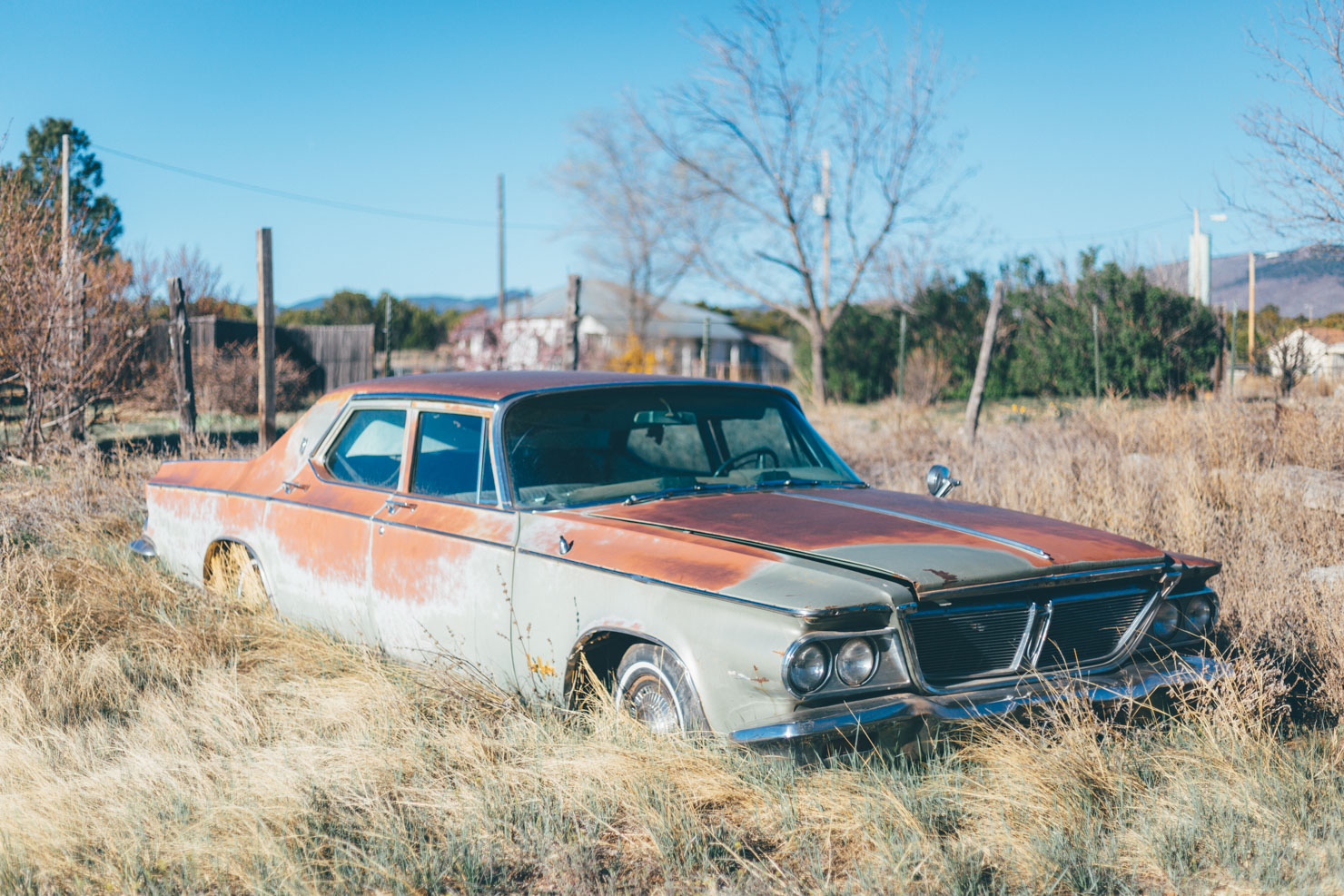
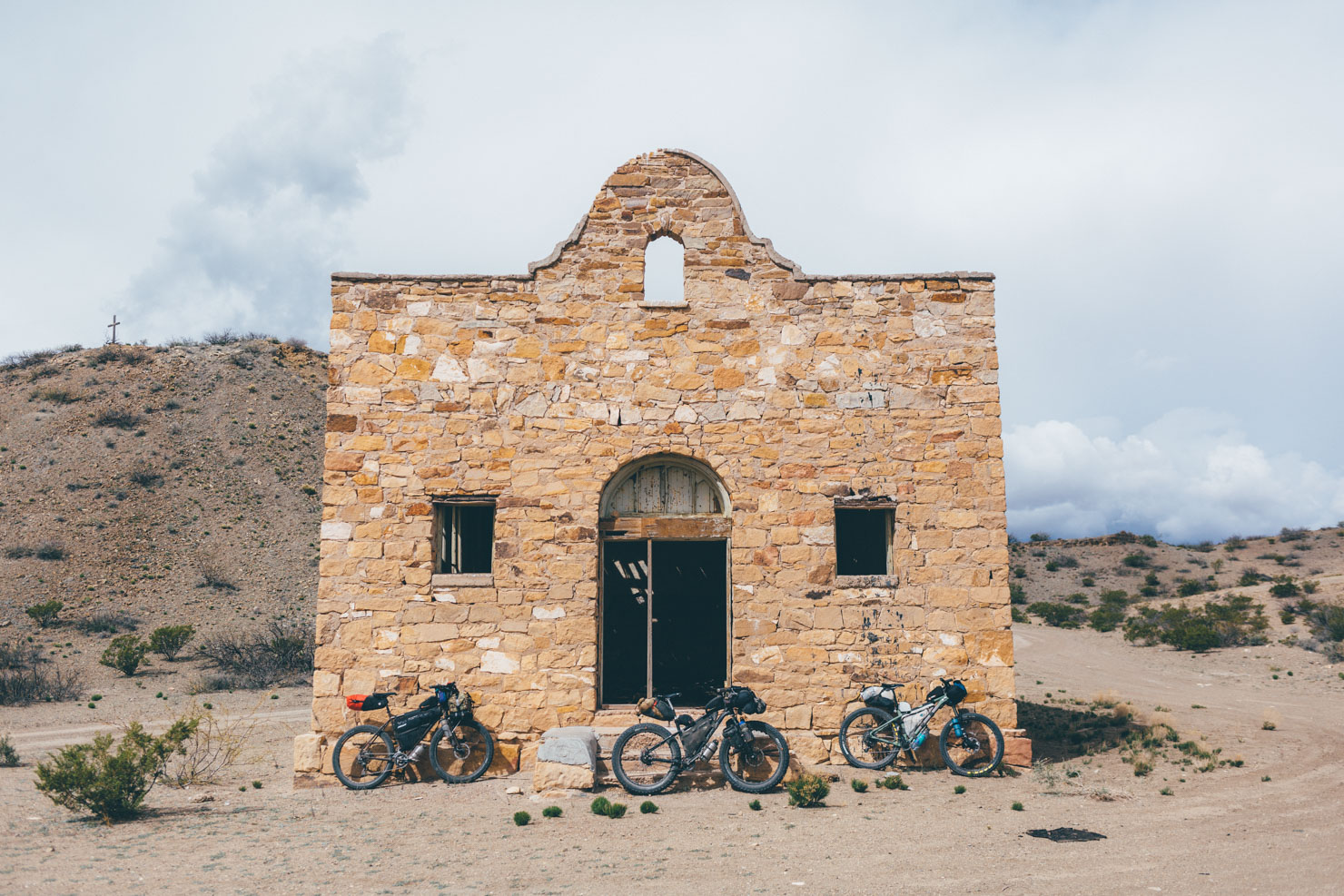
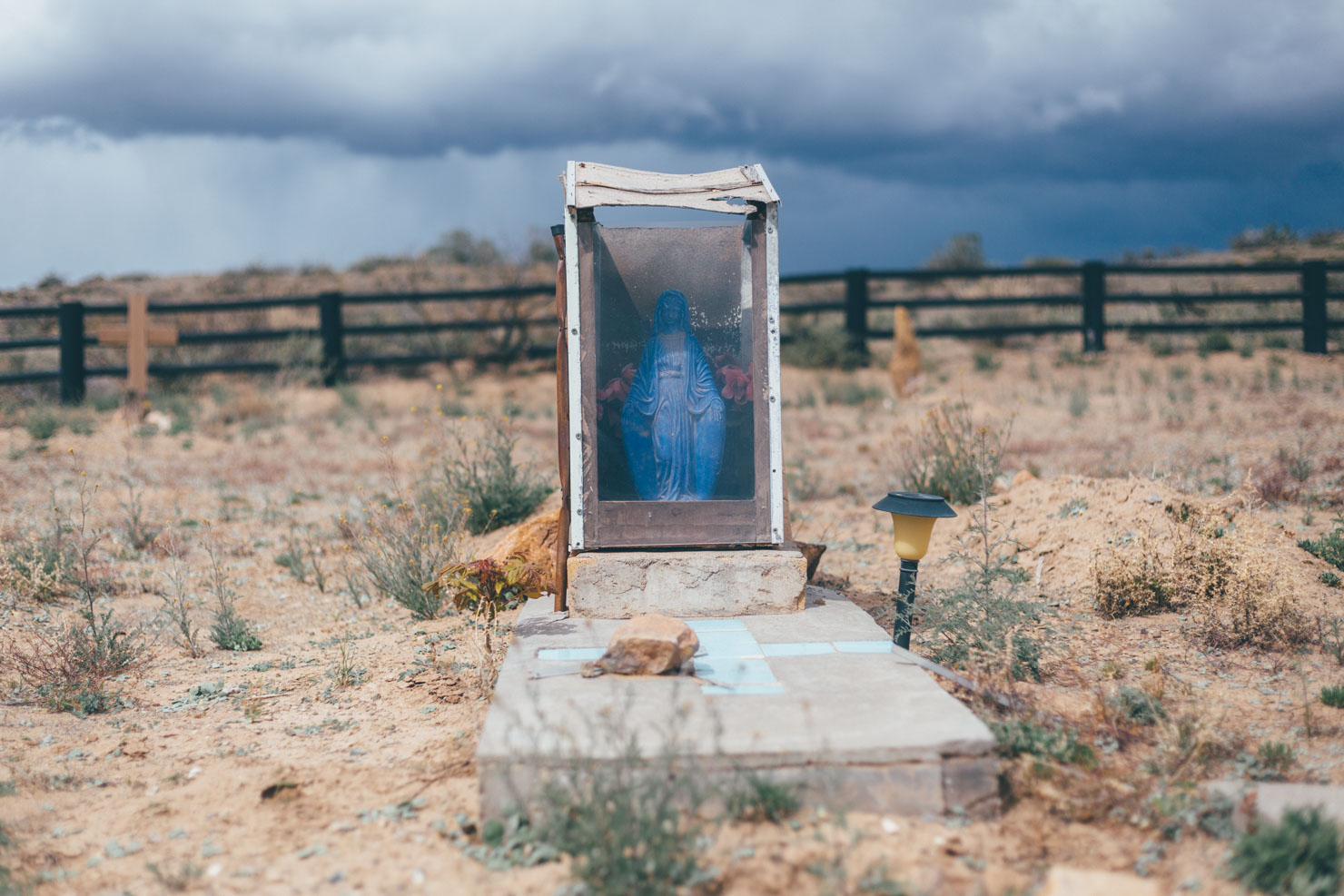
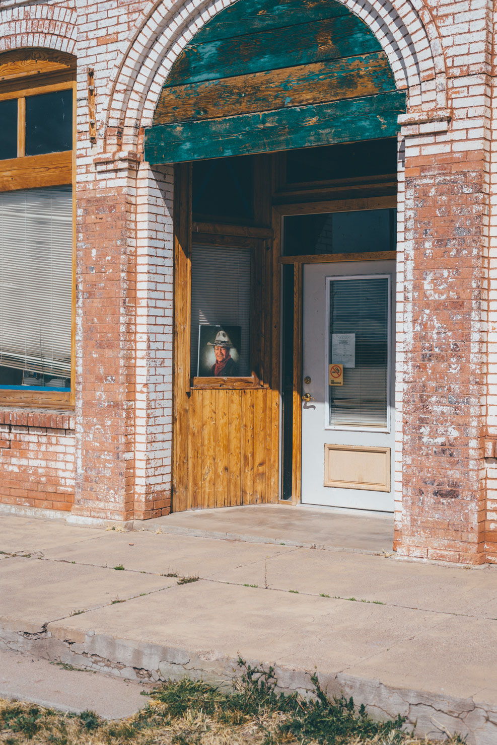
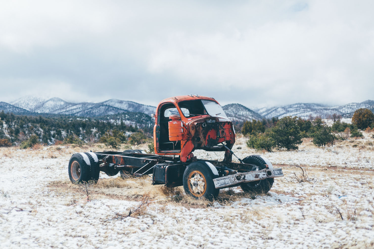
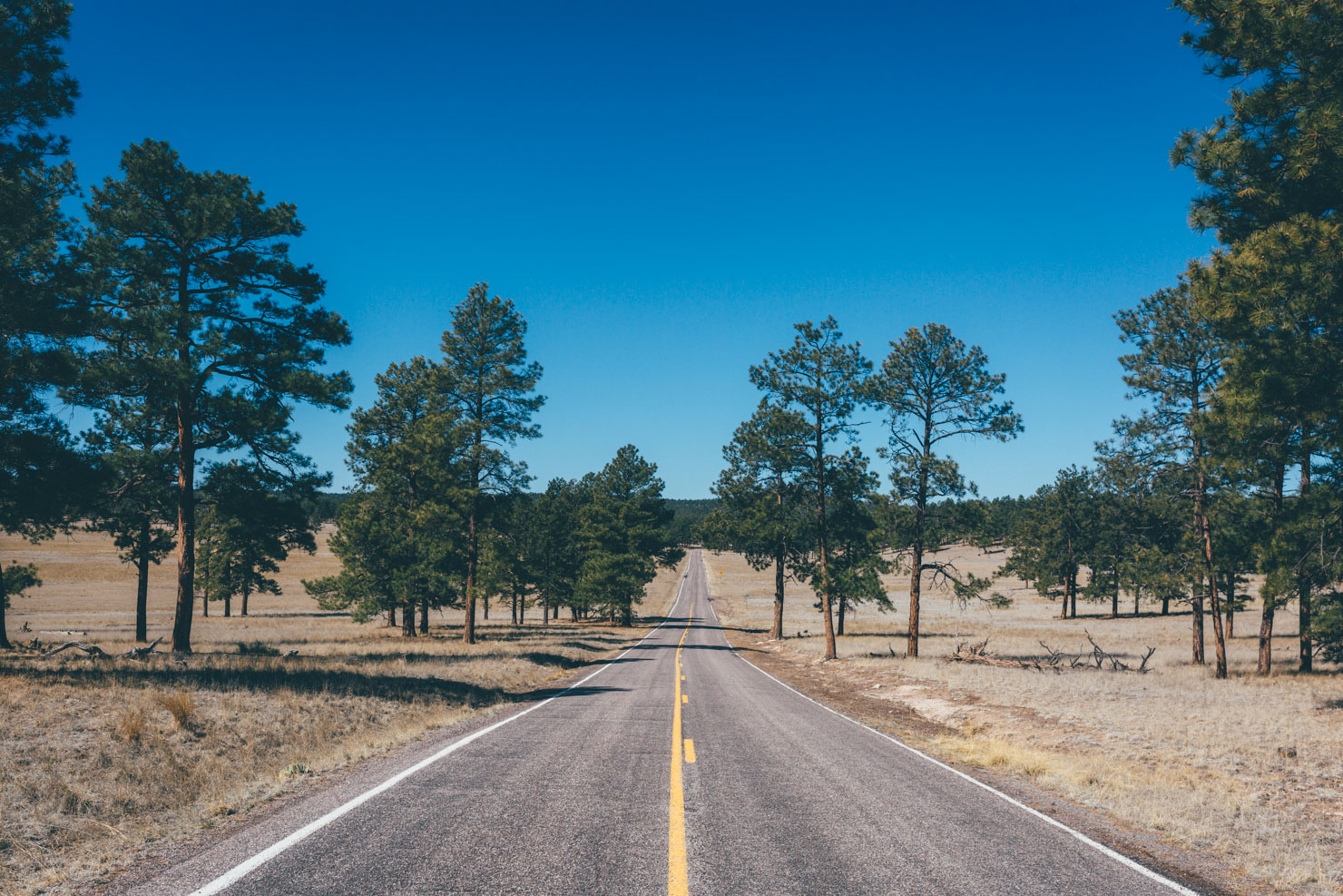
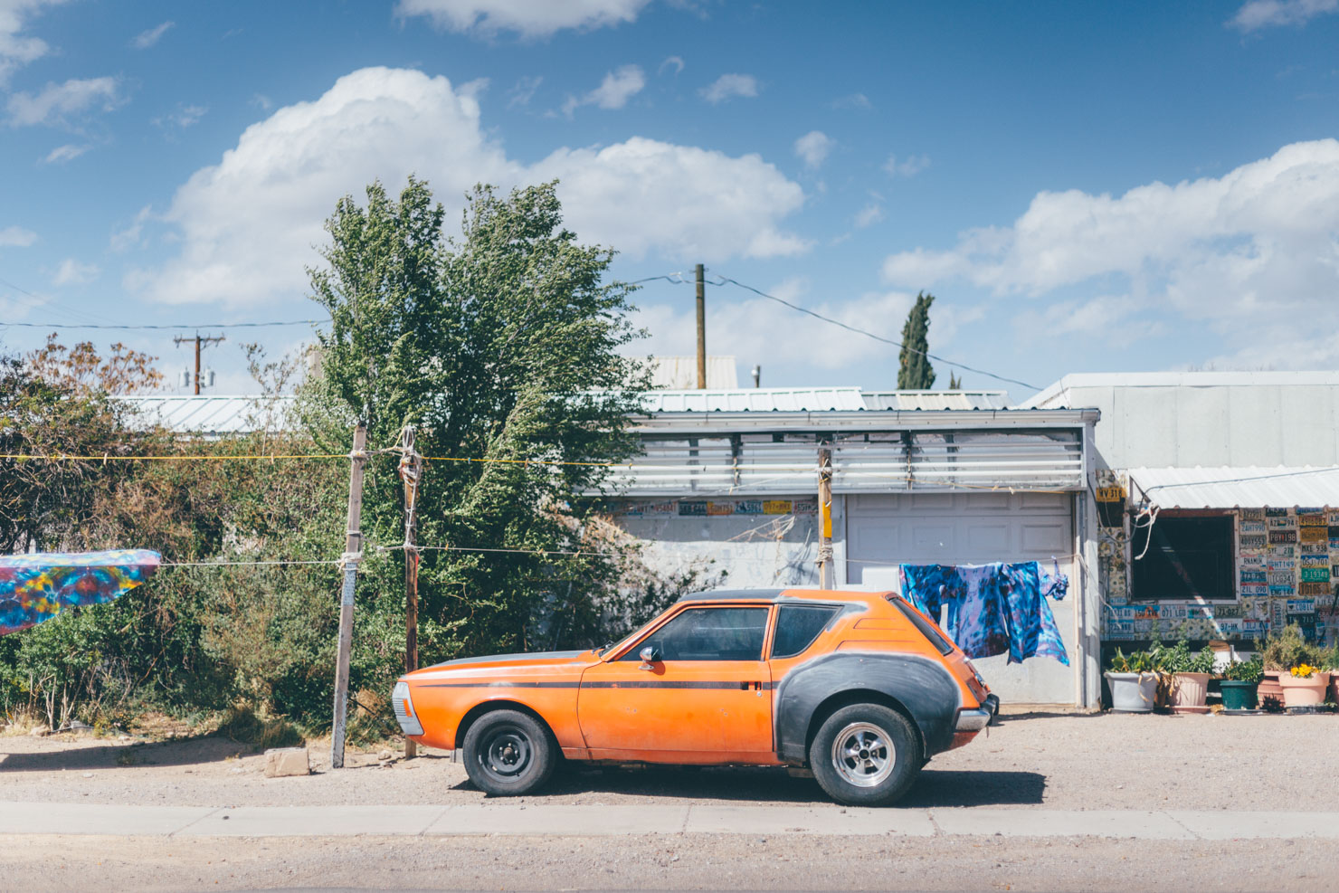
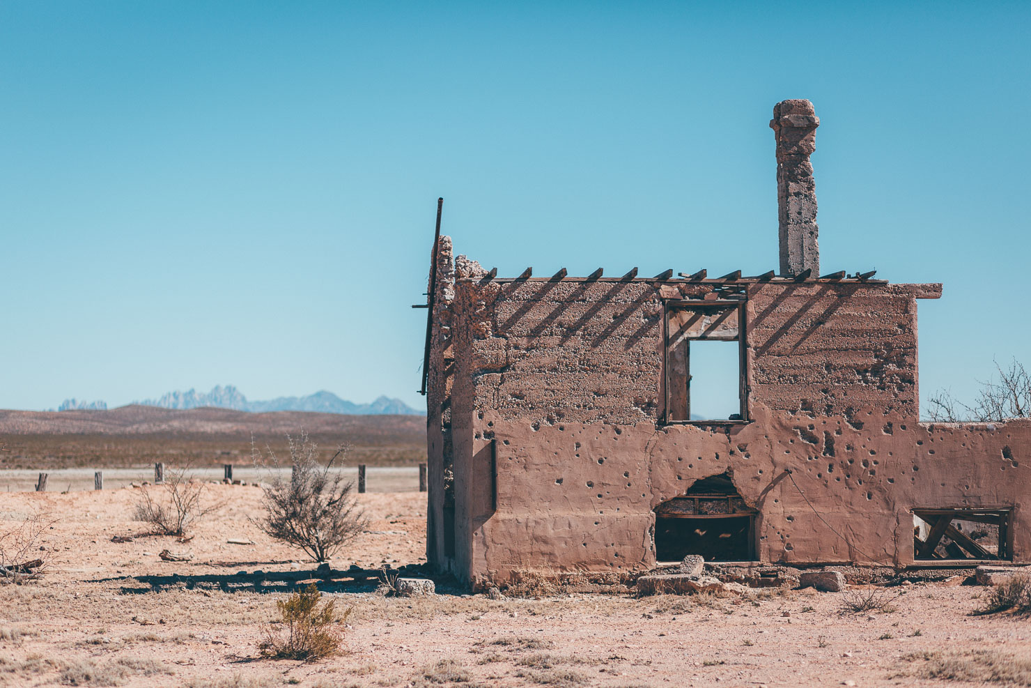
Hopscotching from the Santa Fe to the Cibola National Forest, the Off-Road Runner then scouts a path through ranchland to Moriarty, a chance for a bountiful resupply before the long desert stint ahead. From here, terrain flits between quiet paved roads and forest tracks through the foothills of the quiet, secluded Manzano Mountains, passing a collection of small, traditional, and quintessentially dishevelled New Mexican settlements. Sun-faded pickups, Hispanic churches, roadside shrines, and abandoned adobe buildings are part of the state’s backcountry charm.
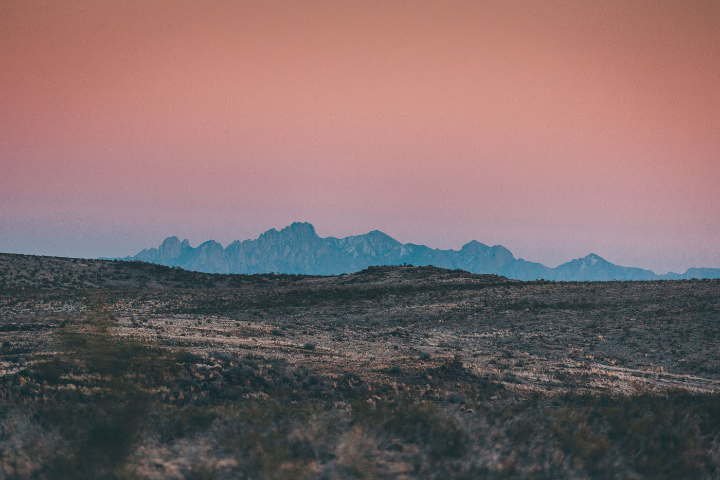
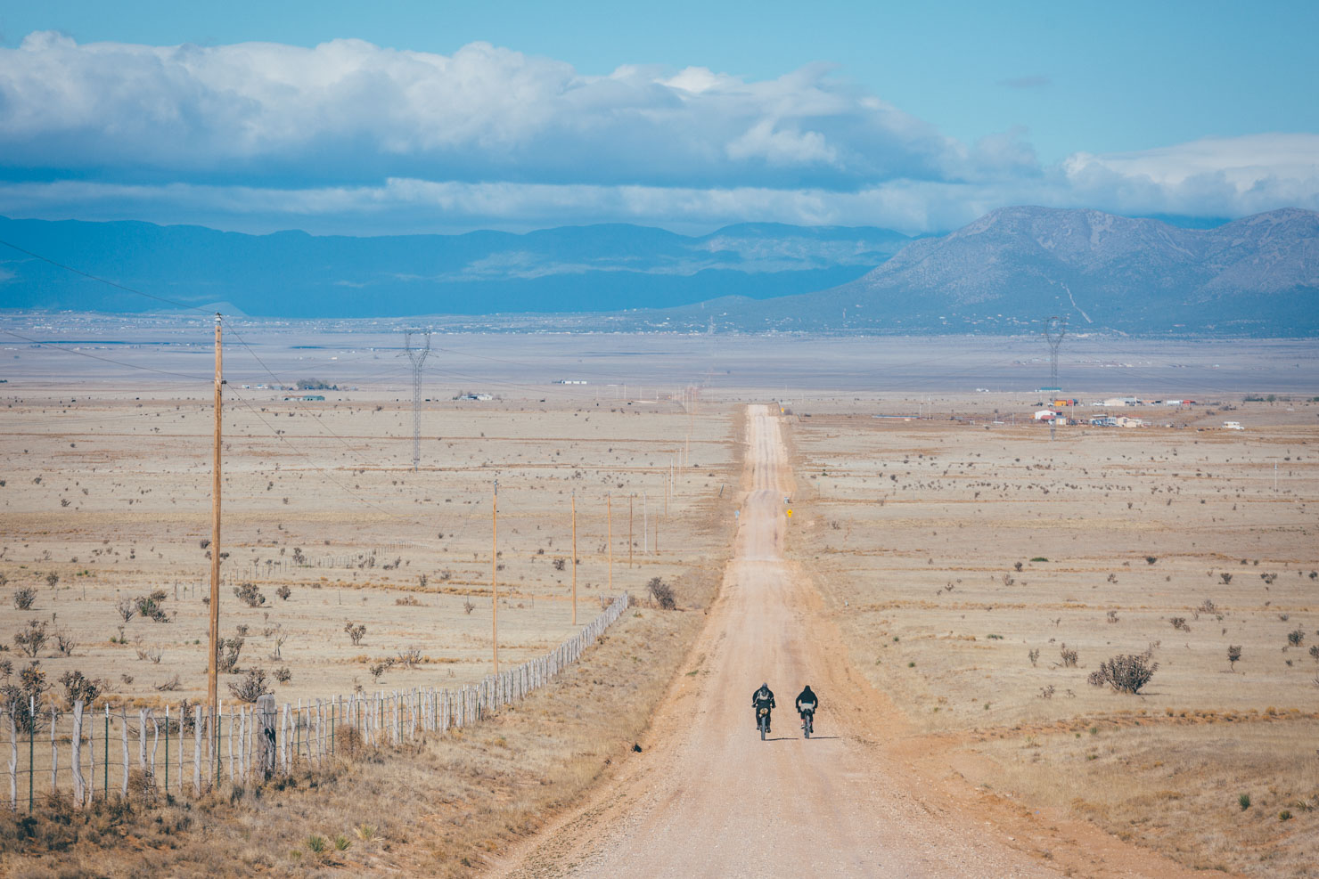
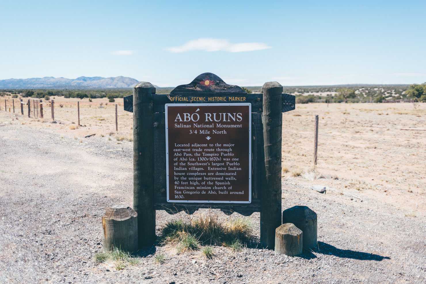
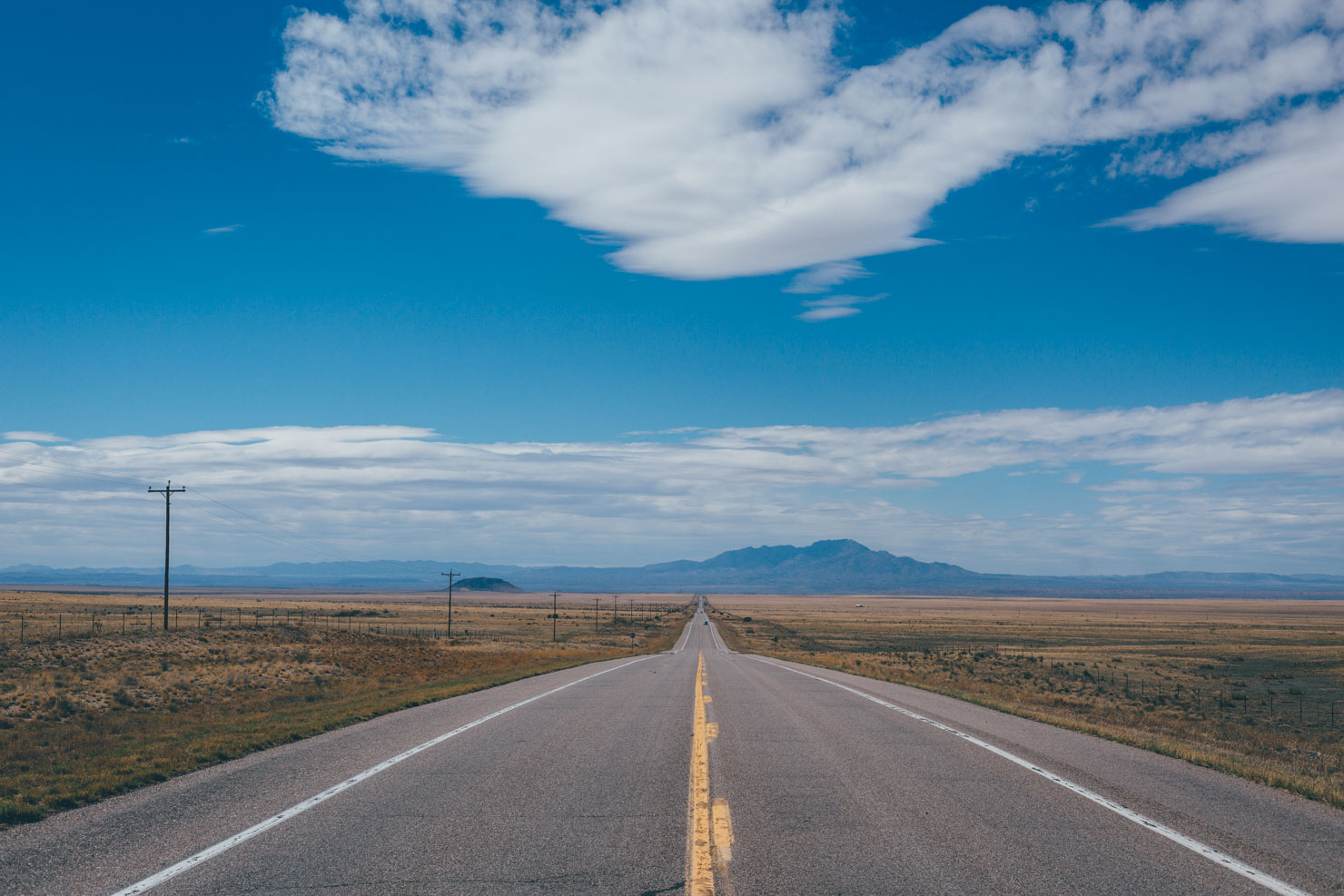
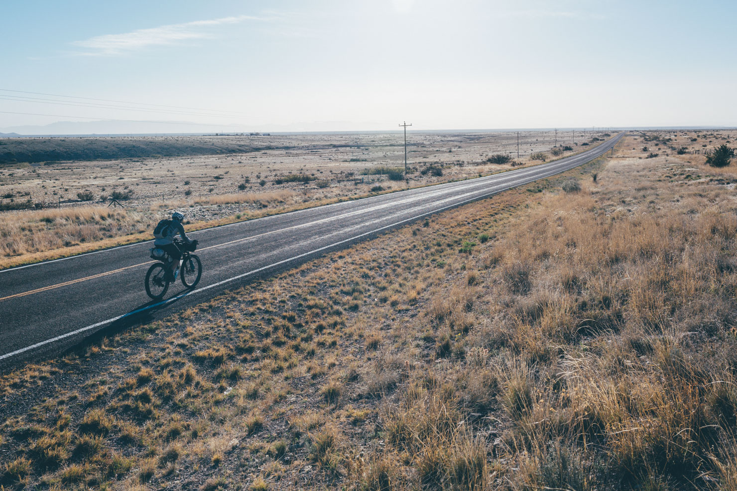
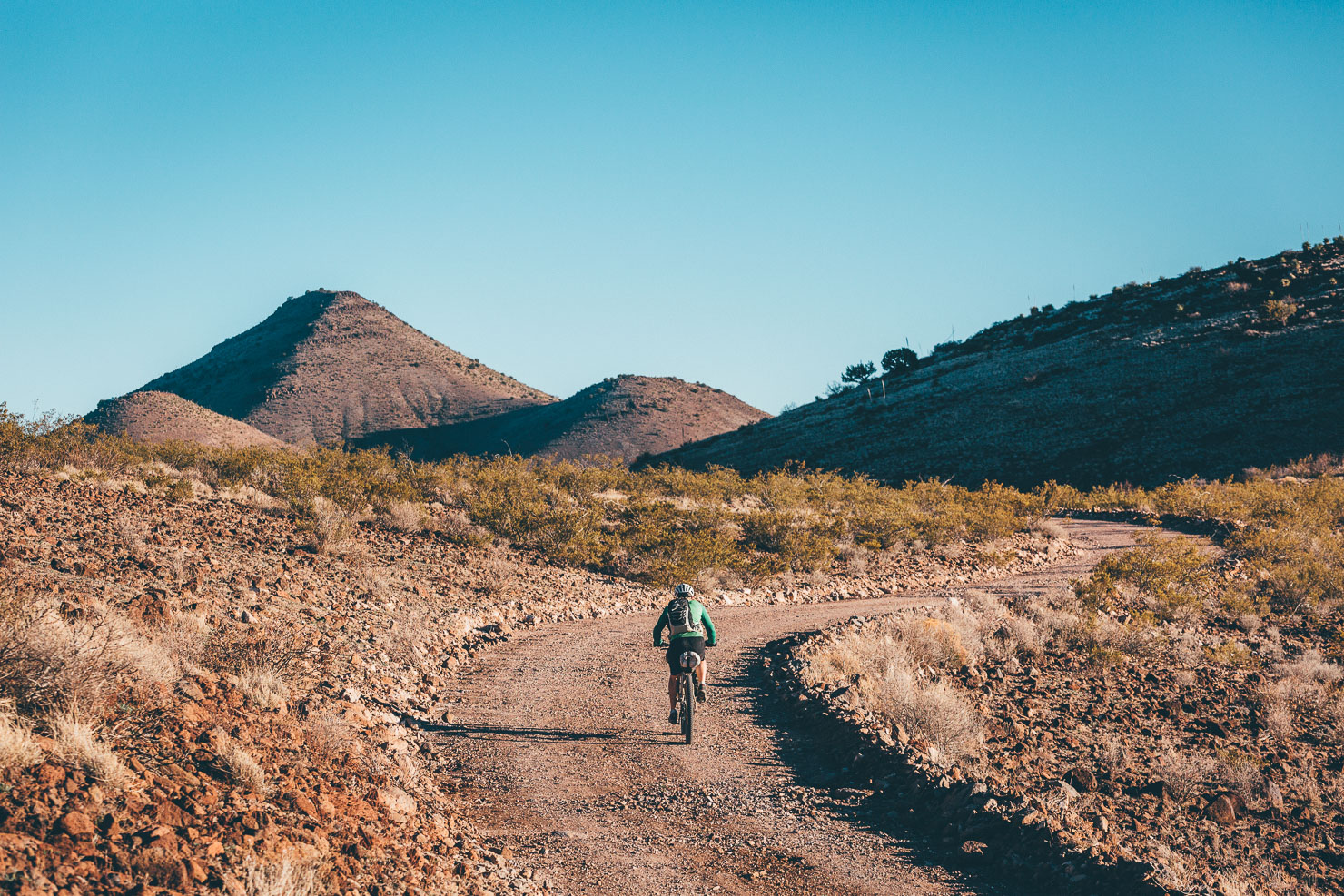
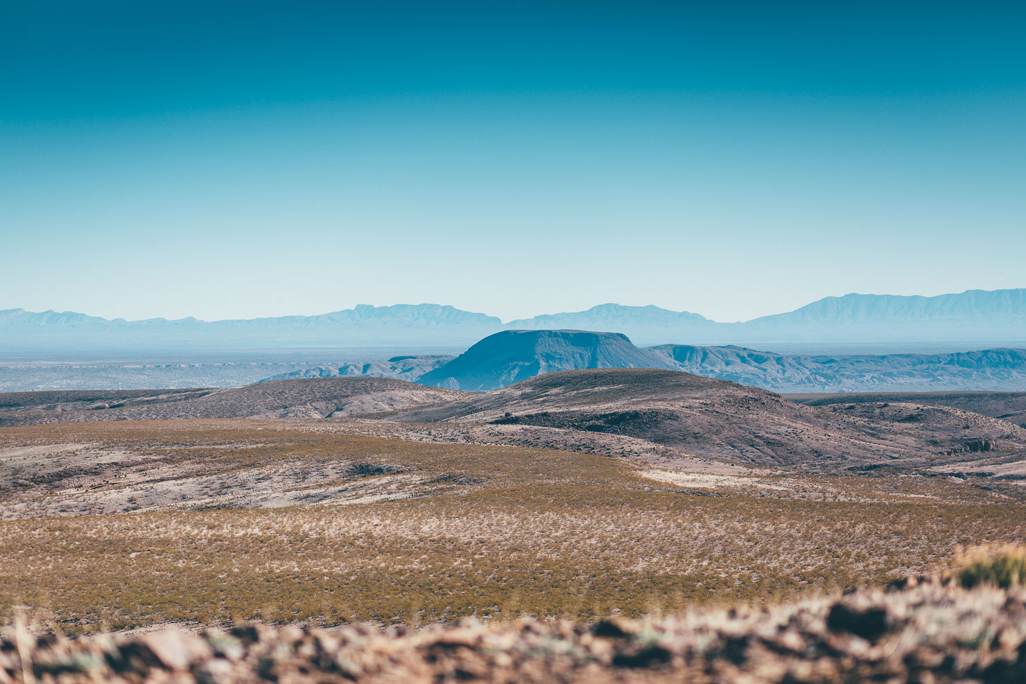
Hurdling Abo Pass, a long and meditative paved stint across Central New Mexico’s open desert points riders towards the west side of the Rio Grande, setting them up for a circumnavigational dirt road tour of Pico Ladrón, which at 9,209 feet (2800m) stands tall above the surrounding cholla-covered desert.
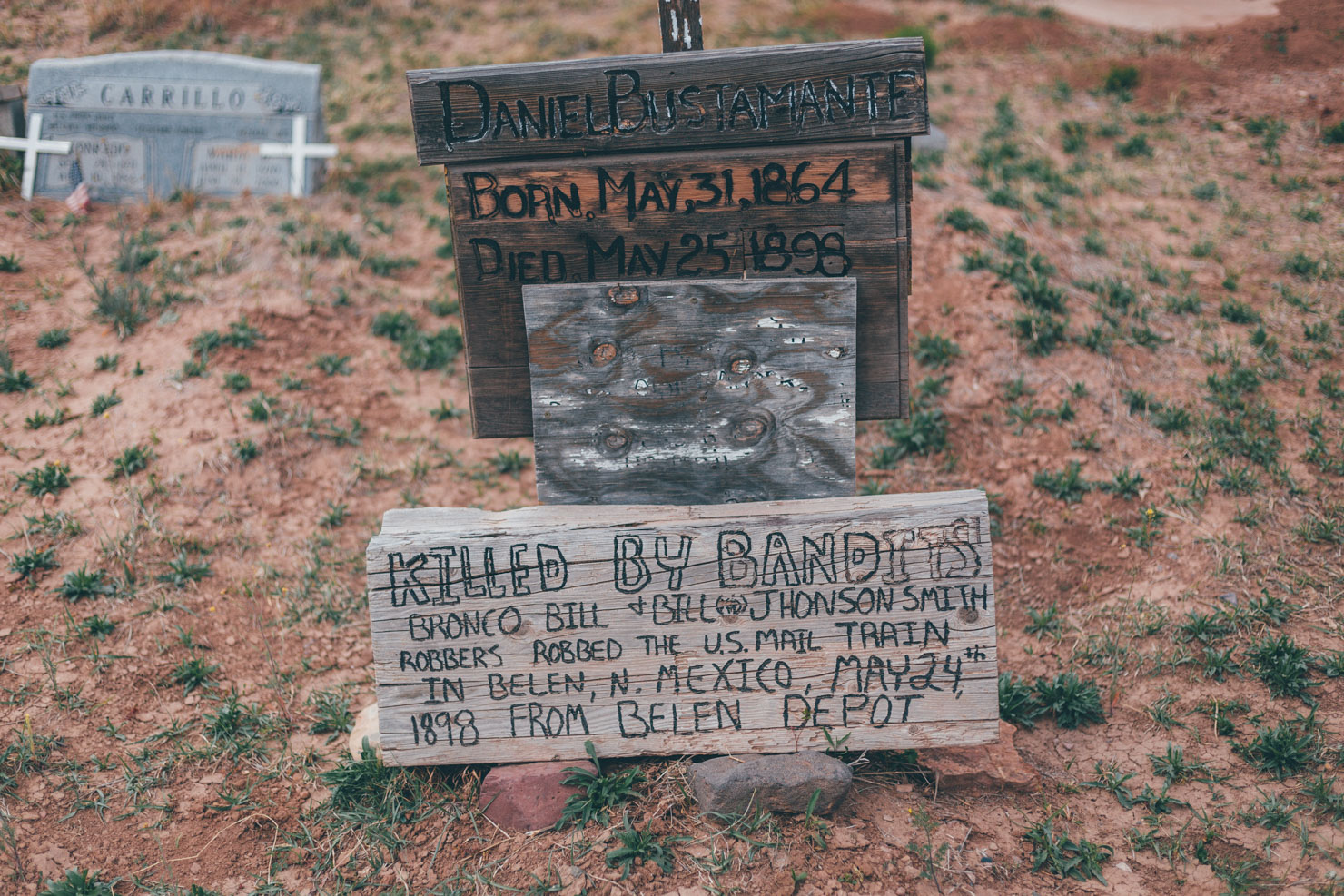
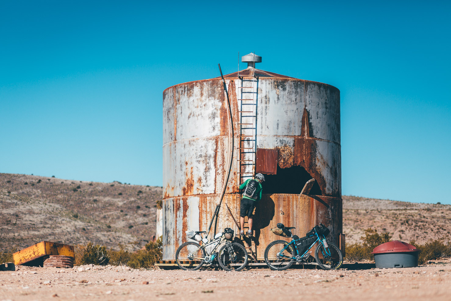
Those interested in local history should note that this small range of rugged peaks, the Sierra Ladrones, was once home to both Anglo and Hispanic cattle rustlers and Apache raiding parties. Hence the translation of its name: the Mountain of Thieves. By way of further historical intrigue, the Off-Road Runner passes by the once mineral rich mining settlement of Riley. Look out for one especially interesting gravestone, marking an individual’s untimely demise during a nearby mailcoach robbery in the late 19th century.
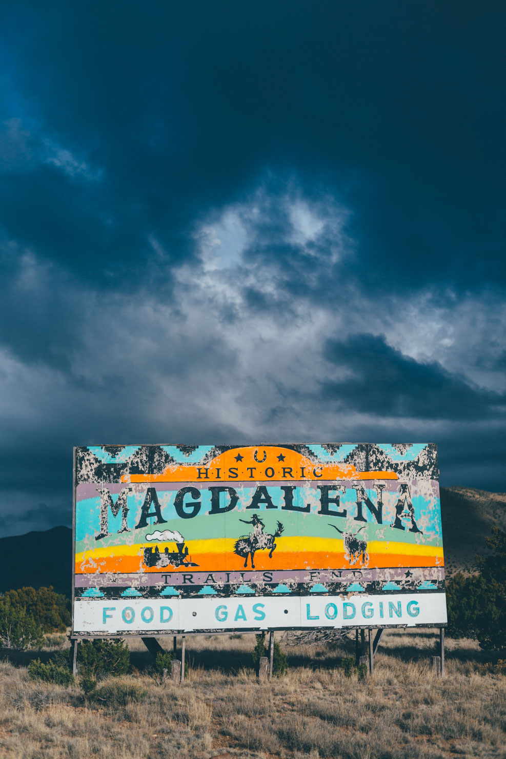
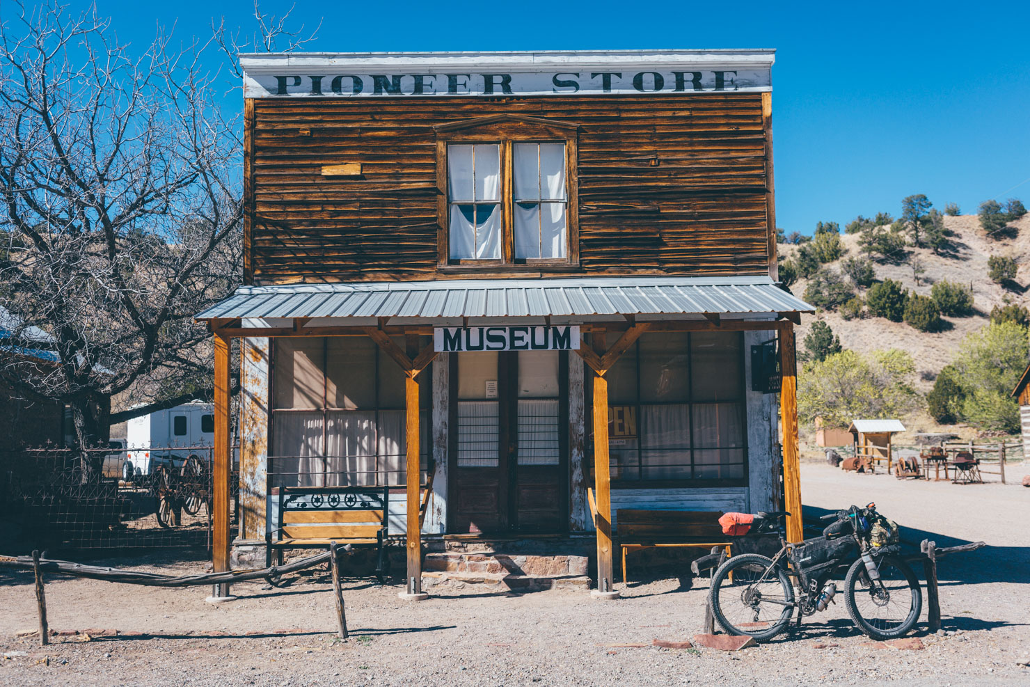
Beyond the historic, once thriving railhead town of Magdalena – visit the well-kept library, housed in a restored railway depot – anyone with a curiosity for deep space should detour to the Very Large Array, a radio astronomy observatory. There, a number of 25-metre-high radio dishes rotate in perfect symmetry, standing dramatically against typically brooding skies, tirelessly probing the furthest reaches of our universe.
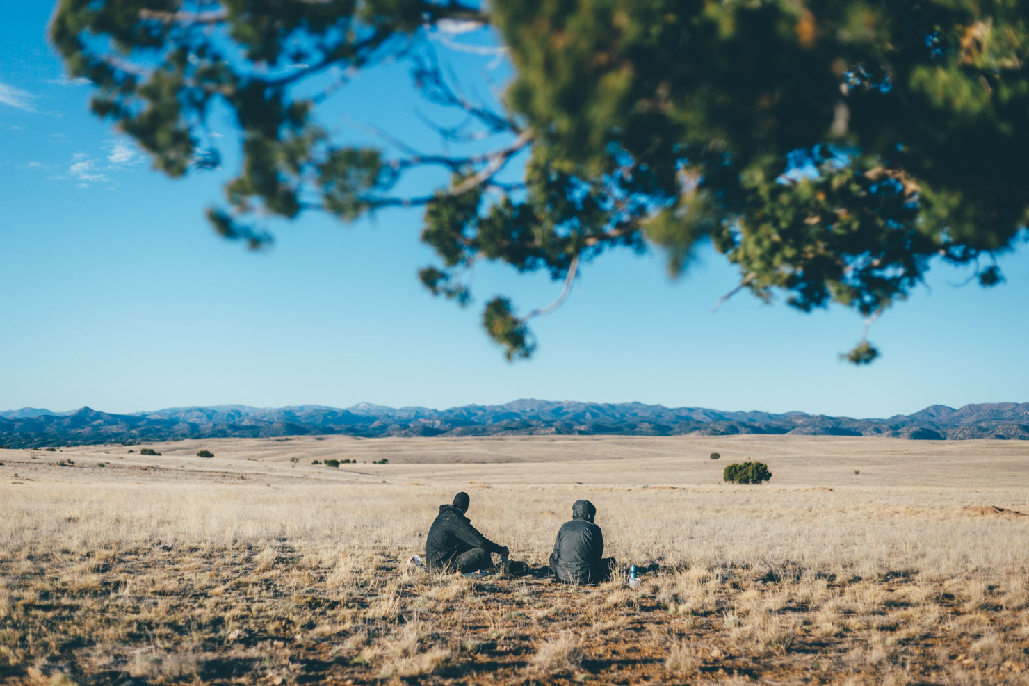
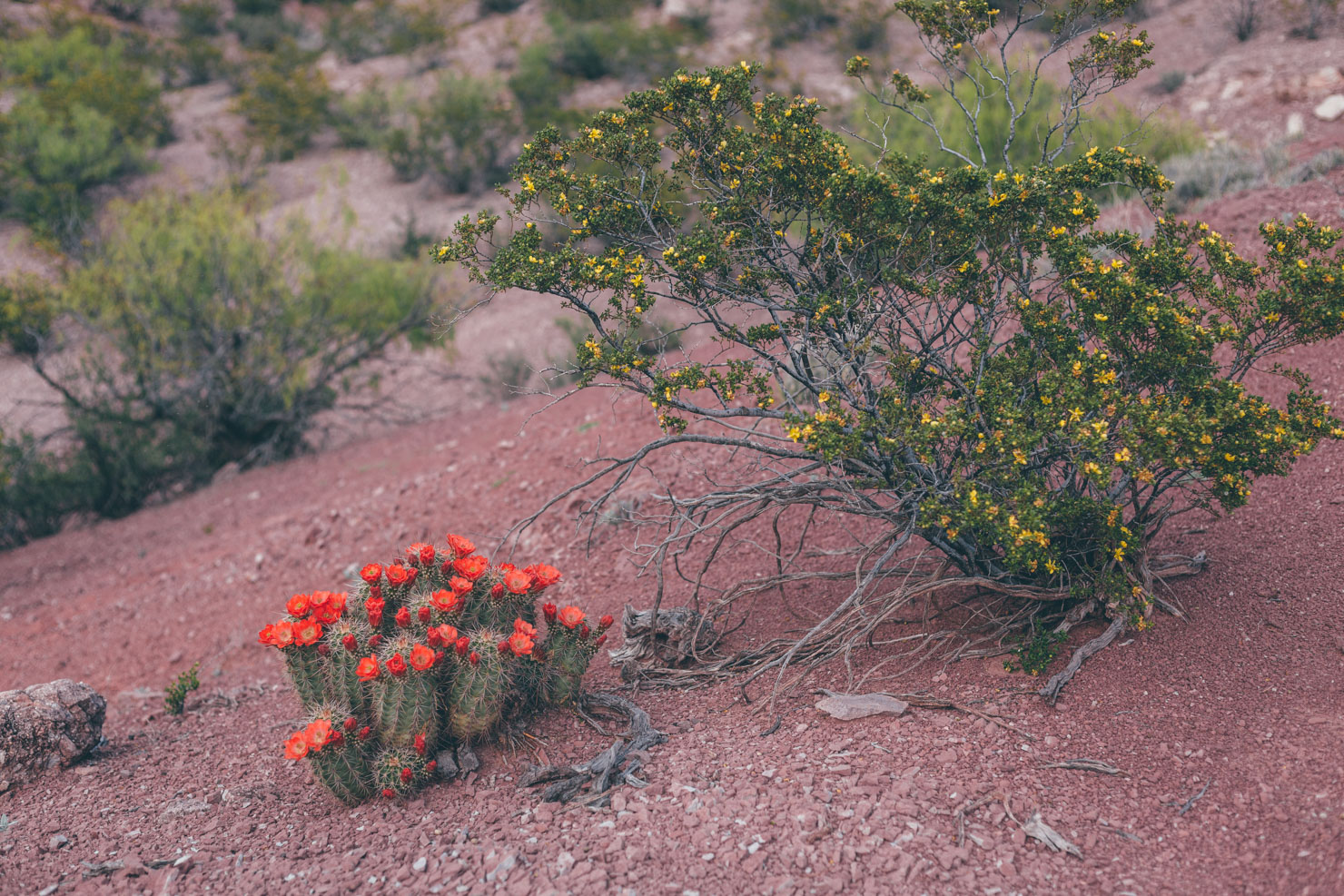
Changes in vegetation are clues to a return to higher elevations, as cholla cacti give way to piñon and junipers once more. From the windswept, beautifully bleak plains of San Agustin, the Off-Road Runner leaves the desert floor to climb high amongst the mighty ponderosas that line Bear Trap Canyon, reaching the highest point of the route at 9,000 feet. If conditions are clear, a detour to Withington Lookout is highly recommended for fine views across the San Mateo Mountains, the VLA, and surrounding desert (note that this can be an out and back, or riders can drop into rough and rocky Hudson Canyon and rejoin the route south of Dusty). After passing by natural springs and plentiful prime camping real estate, a forest road continues on towards the small settlement of Dusty.
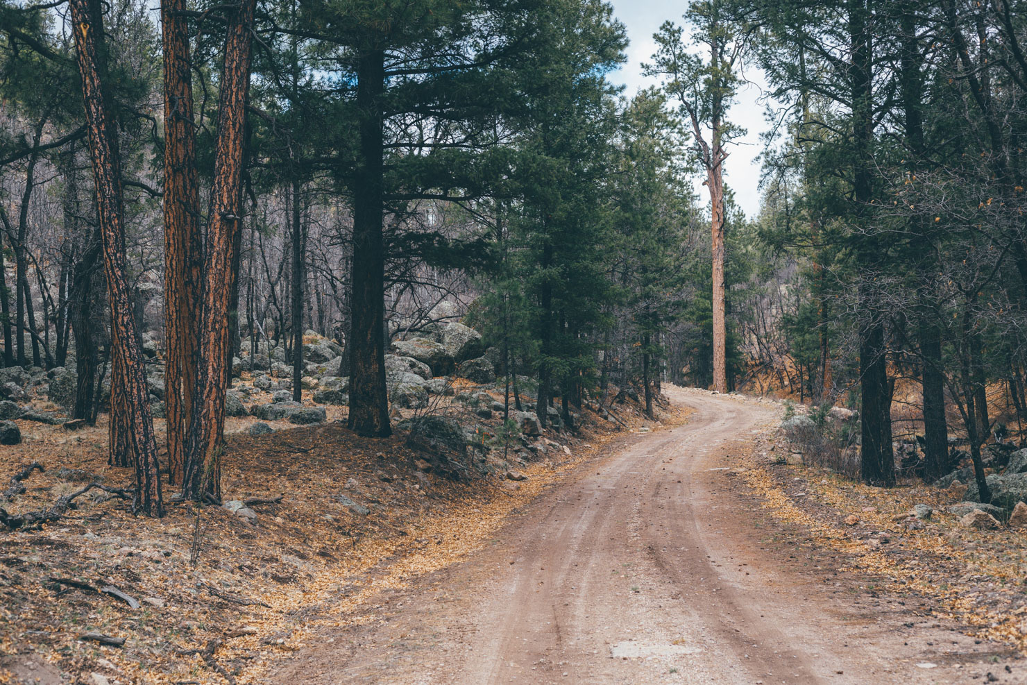
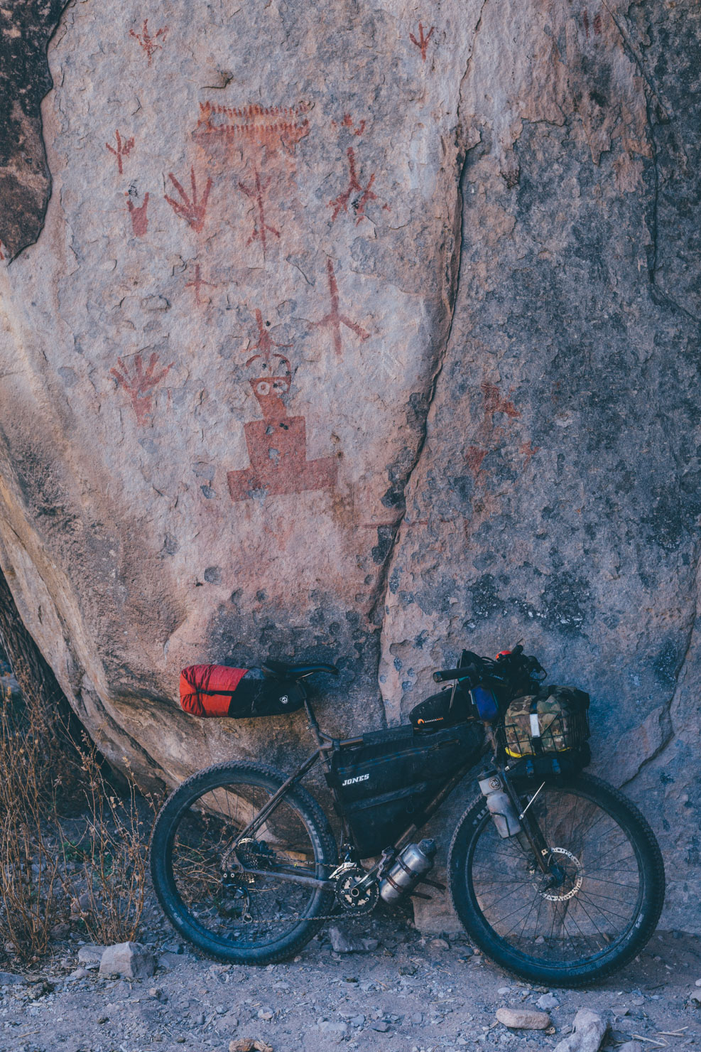
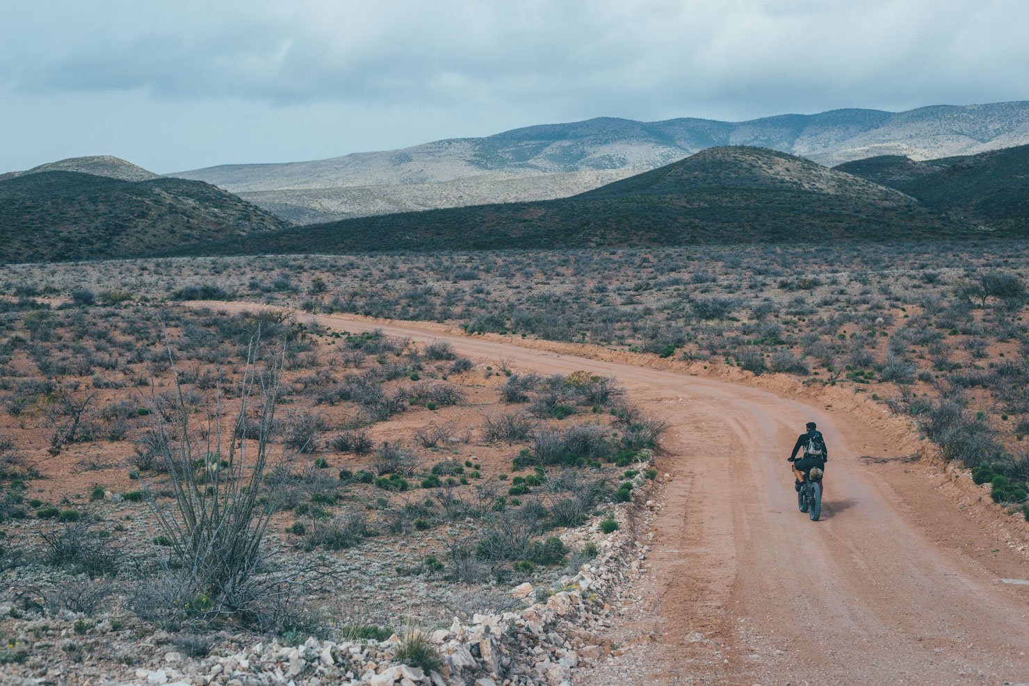
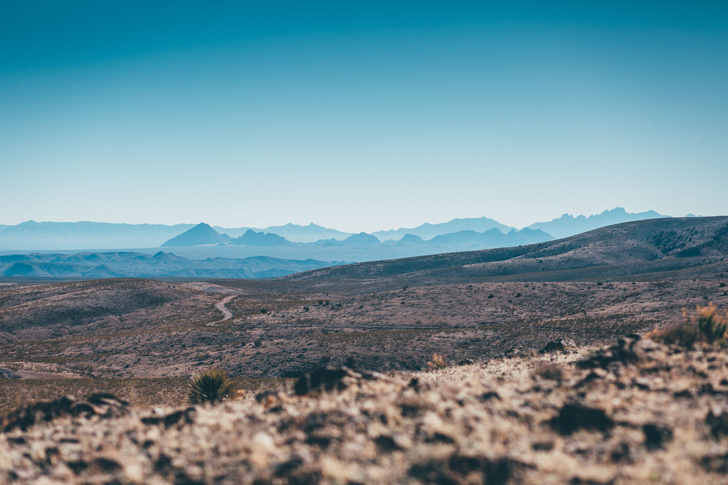
Dipping briefly into the Gila National Forest’s Black Range, the ponderosa motif continues en route to Chloride Canyon, home to series of spectacular, eroded rock formations, perfectly preserved petroglyphs, and toe-drenching stream crossings. As can be seen on the map, striking out to this most westerly point on the route makes for something of a detour. It’s one that adds the better part of a day to the ride and a stint on challenging, rocky terrain, as well as a singletrack alternate on the Continental Divide Trail – but it’s wholeheartedly recommended. Either way, pop into Chloride to see well-preserved remnants of this former 19th-century mining settlement.
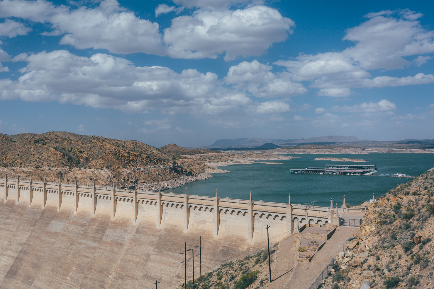
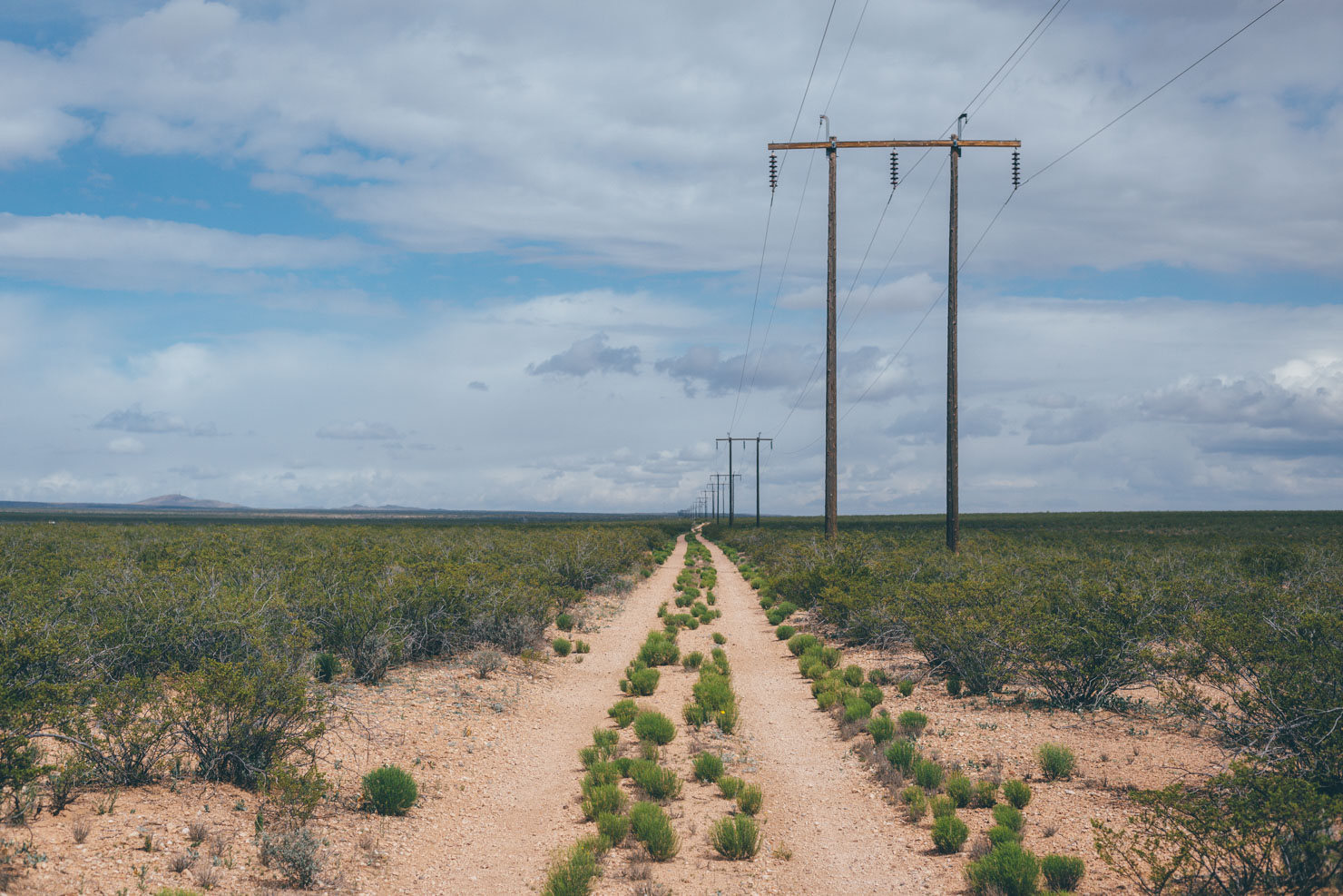
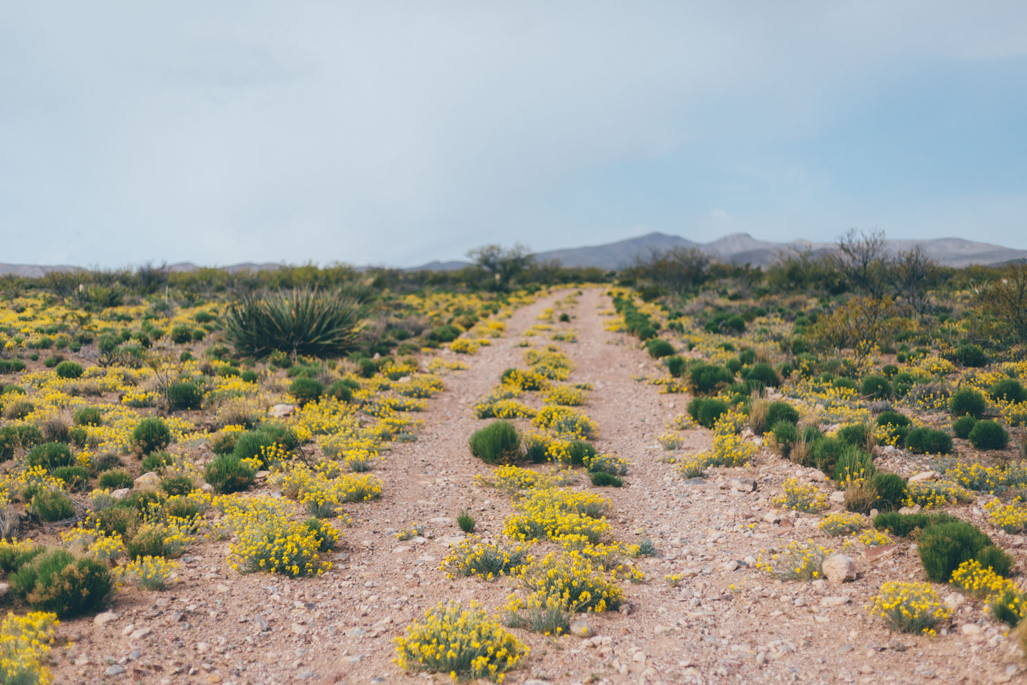
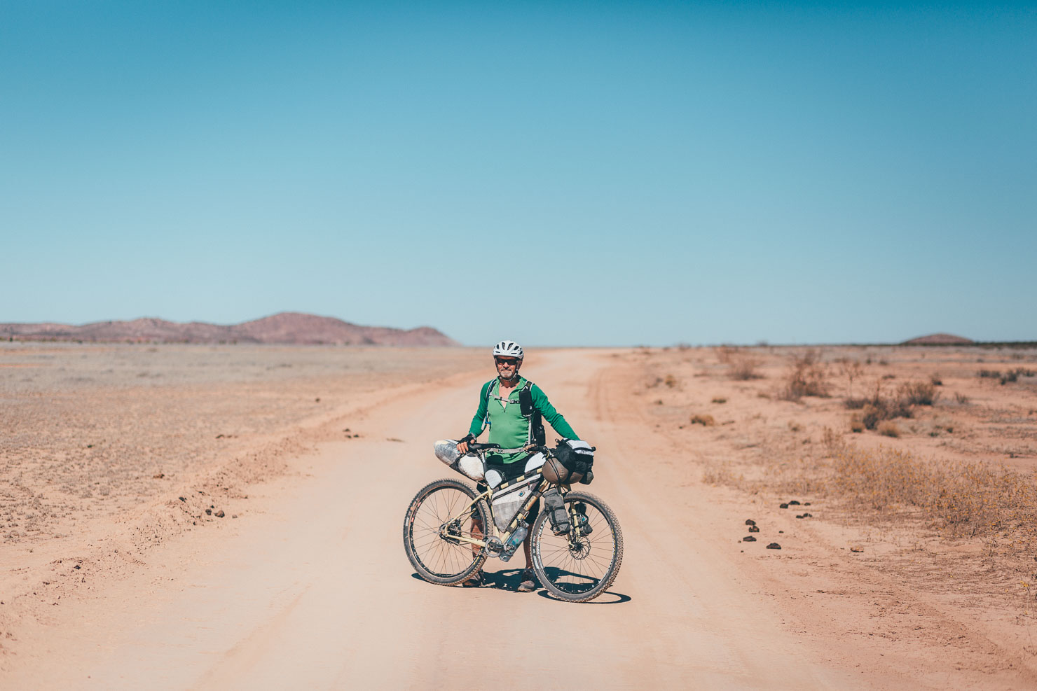
The improbably titled Truth or Consequences – renamed in a nationwide competition after a 1950s quiz show – forms a welcome resupply point. It’s also a chance to soak in hot springs, as frequented by Geronimo, the Apache leader who fought Mexican and American expansion into tribal lands – and there’s even a museum dedicated to him nearby. Then, the Off-Road Runner crosses the waters of the Rio Grande again. In doing so, it passes by Elephant Butte Dam, opened in 1916 and named after its elephant-shaped island. Turning south, it’s time to follow a series of powerline roads that parallel the railway, leading to the eastern fringes of the mellow Caballo Mountains. Expect open desert terrain, gravel, chunky two-track, prickly ocotillo, and if you time your ride right, carpets of wildflowers come spring.
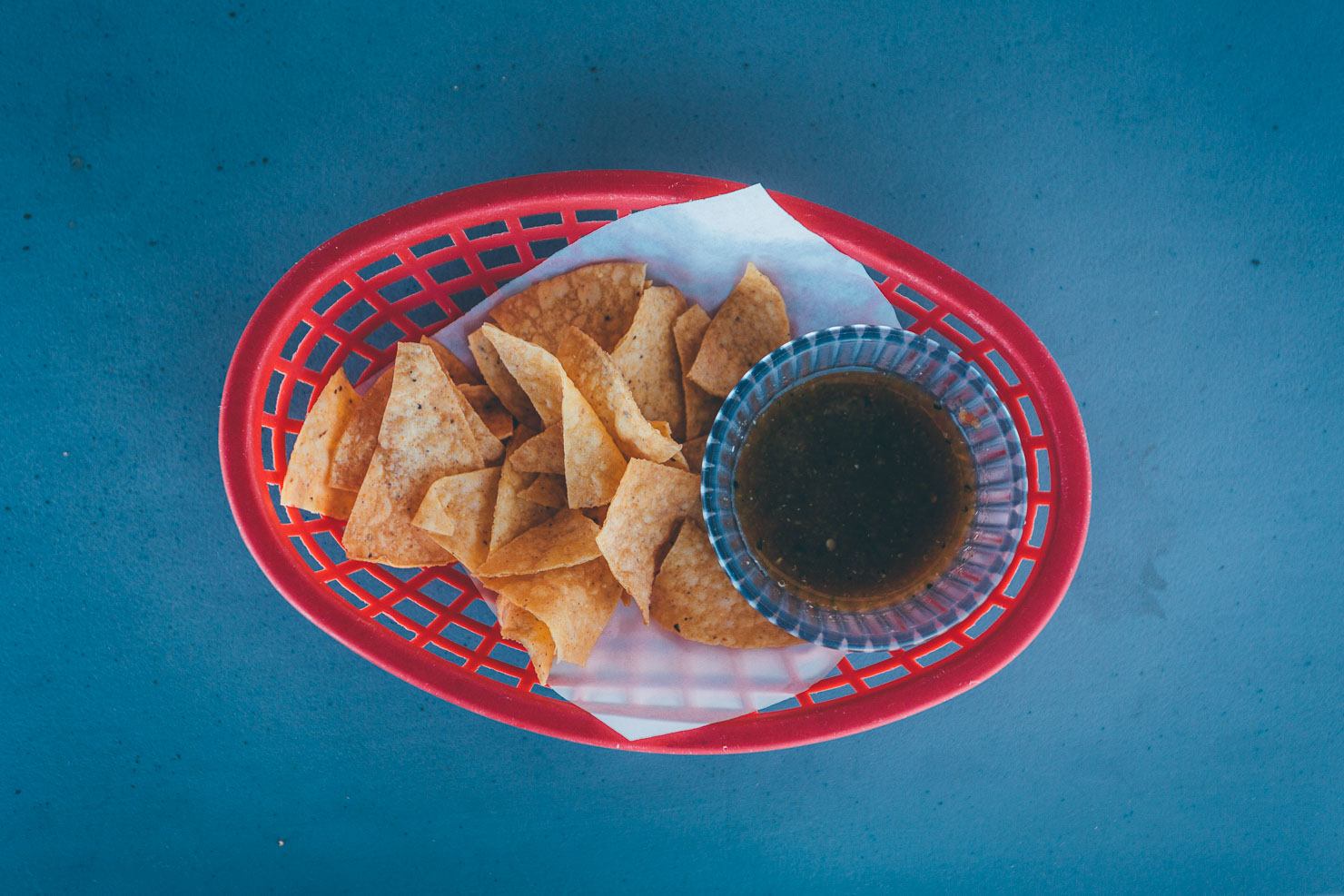
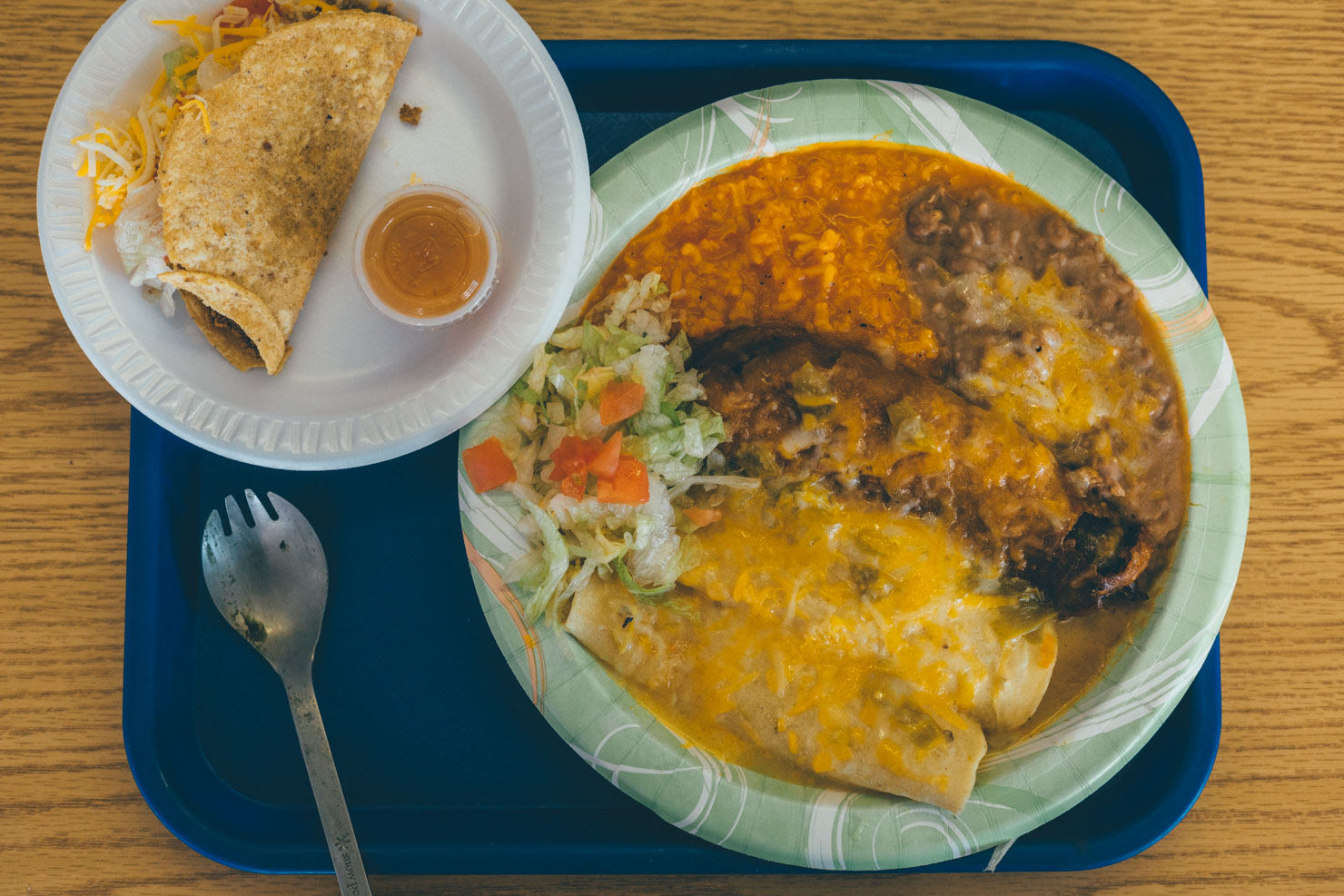
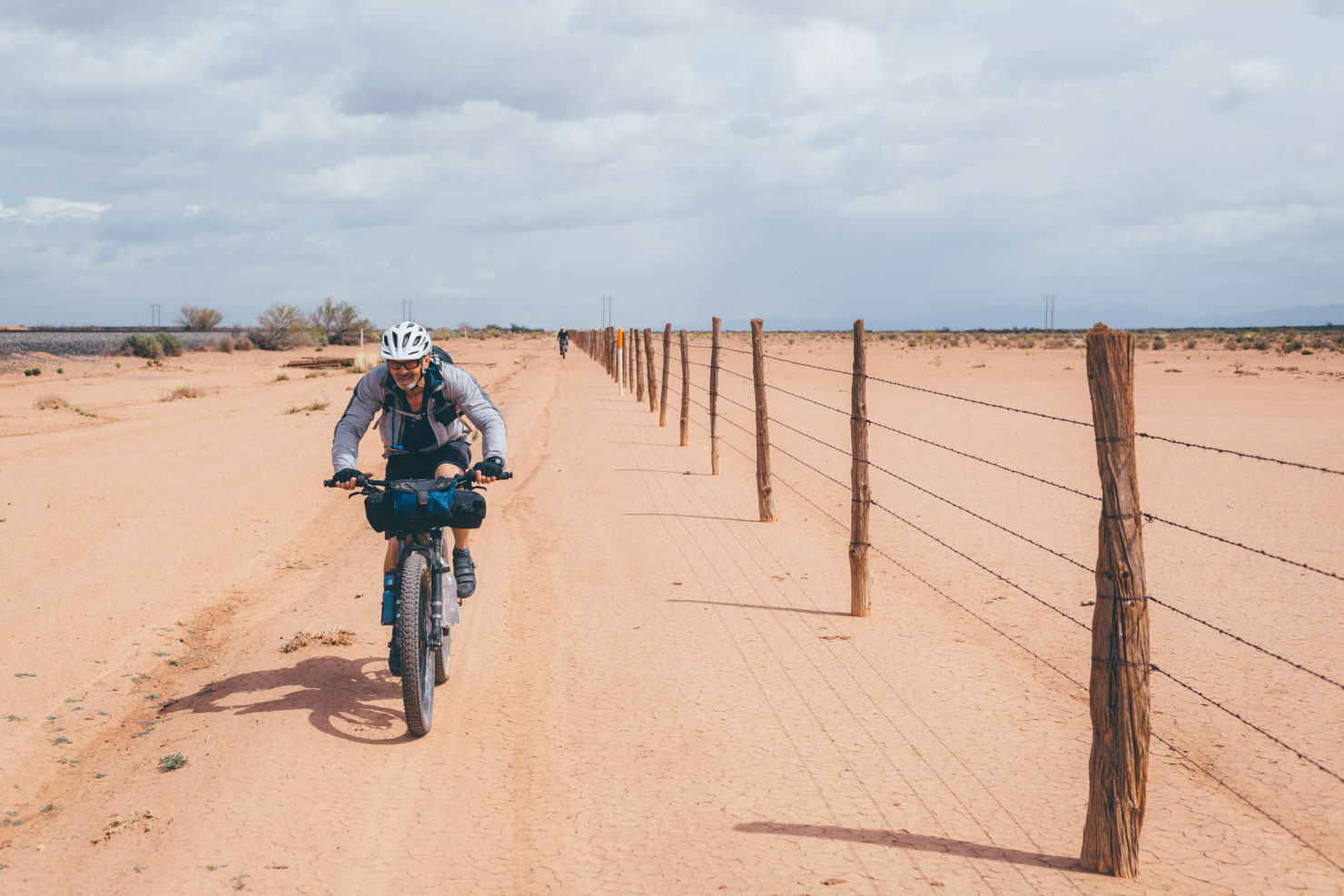
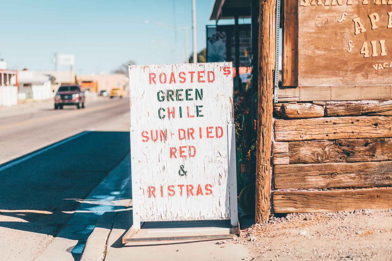
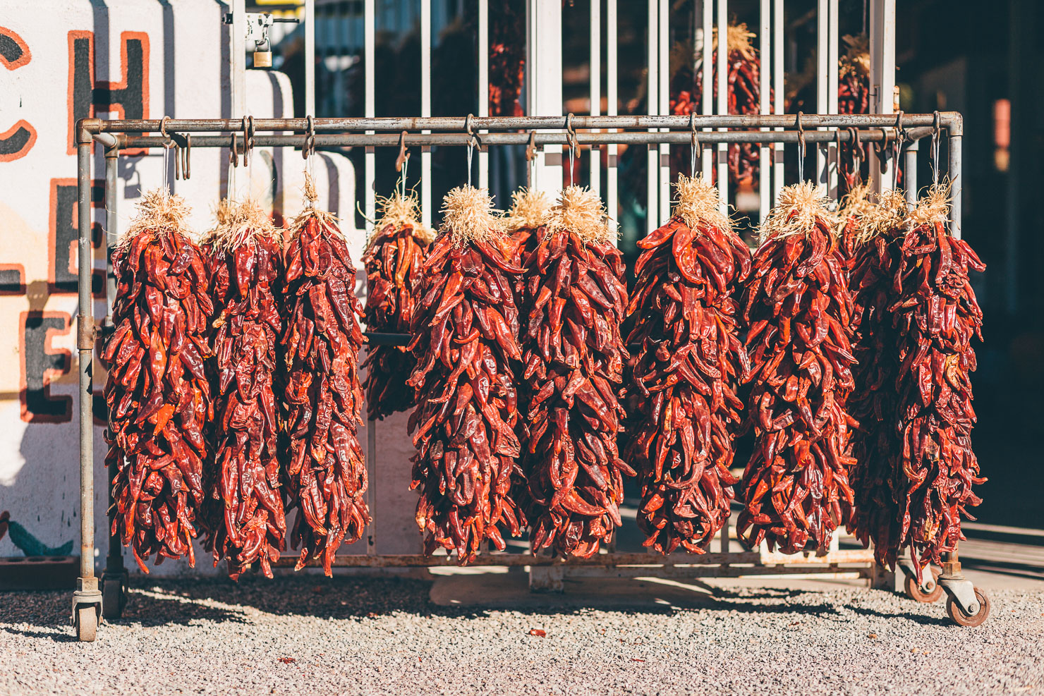
If you’ve yet to sample New Mexico’s classic condiment, then where better to do so than Hatch, the official Green Chile Capital of the World? Trust us, Sparky’s roadside dinner is unlikely to disappoint carnivorous bikepackers. Fill your belly in preparation for the last part of the ride. Hatch also marks the meeting point of the Off-Road Runner and the Monumental Loop, a 305-mile route that connects all four sectors of the newly designated Organ Mountains-Desert Peaks National Monument. Tracing a modified version of its northeastern segment, a series of levy roads, gravel roads, and desert two-track guides riders to their final destination, Las Cruces.
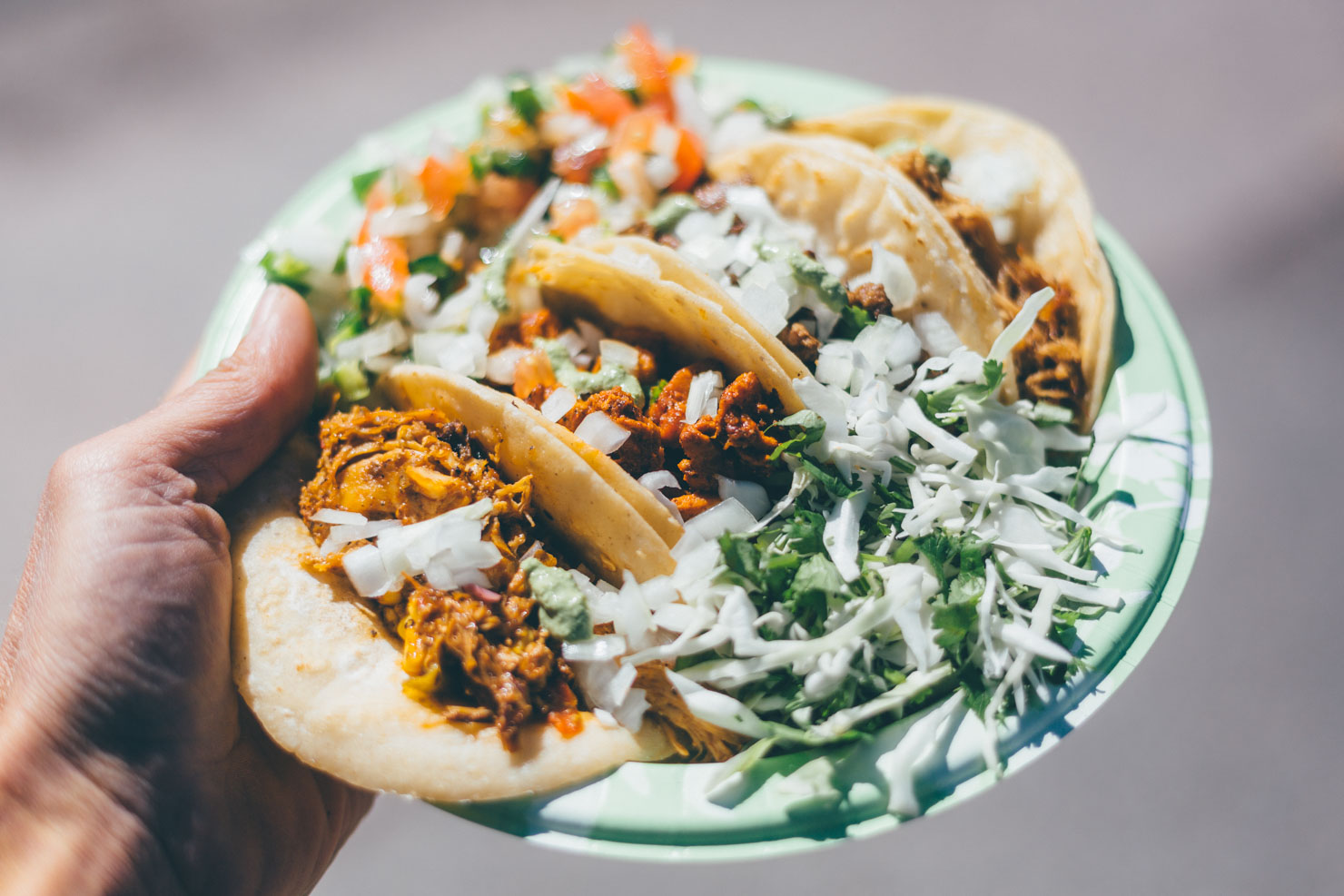
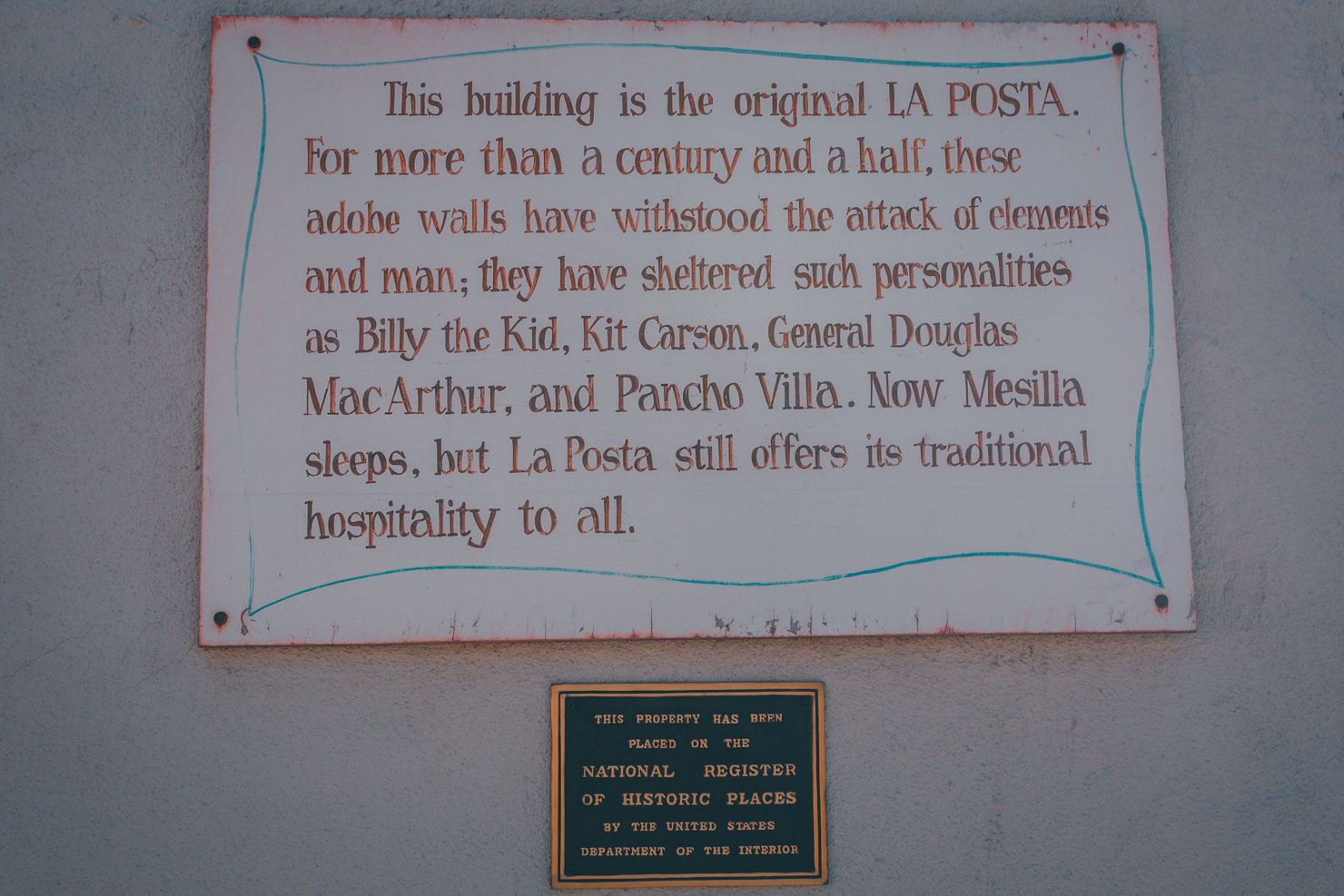
In keeping with Off-Road Runner’s historical theme, the journey comes to an end in Mesilla, Las Cruces’ photogenic old quarter. Grab some tacos/burritos/ice cream/all of the above and kick back in the plaza that once boasted such figures as Pancho Villa, Billy the Kid, and Kit Carson amongst its eclectic visitors. Those who enjoy Old West curios can finish the ride off with a visit to legendary lawman Pat Garrett’s gravestone in the nearby Masonic Cemetary. Others can hop on the bus that runs north from whence they came.
Route Development
Putting together the New Mexico Off-Road Runner has been a collaborative project. Enormous thanks to Georges Mally at Santa Fe Mountain Adventures, whose local knowledge and love of Northern New Mexico is unparalleled, to Gary Blakley for his ongoing company and initial route planning on the Conquistadores ride (without which this whole route may not have happened), to Brian Mulder for his enthusiastic beta testing, and Matt Mason for providing the last piece of the jigsaw south of Hatch, where the route is a variation on the Monumental Loop. As with all long-distance routes, change is inevitable. Let us know if you spot anything awry and we will include them in our yearly updates.
Difficulty
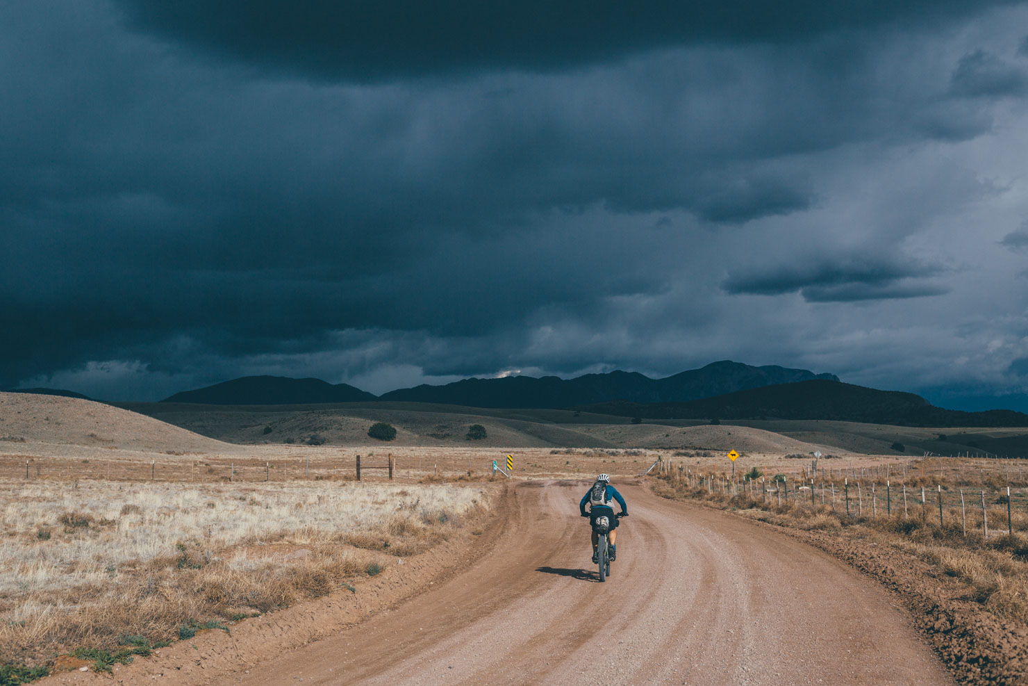
The route has been awarded a 6. For the most part, it’s a fairly straightforward ride in terms of terrain. The riding itself is relatively fast going and non-technical. Dirt roads are generally in good shape, save for occasional sandy and corrugated stretches. However, springtime winds can add significantly to its challenges, as can high temperatures in the south of the state, depending on the month you’re riding the route.
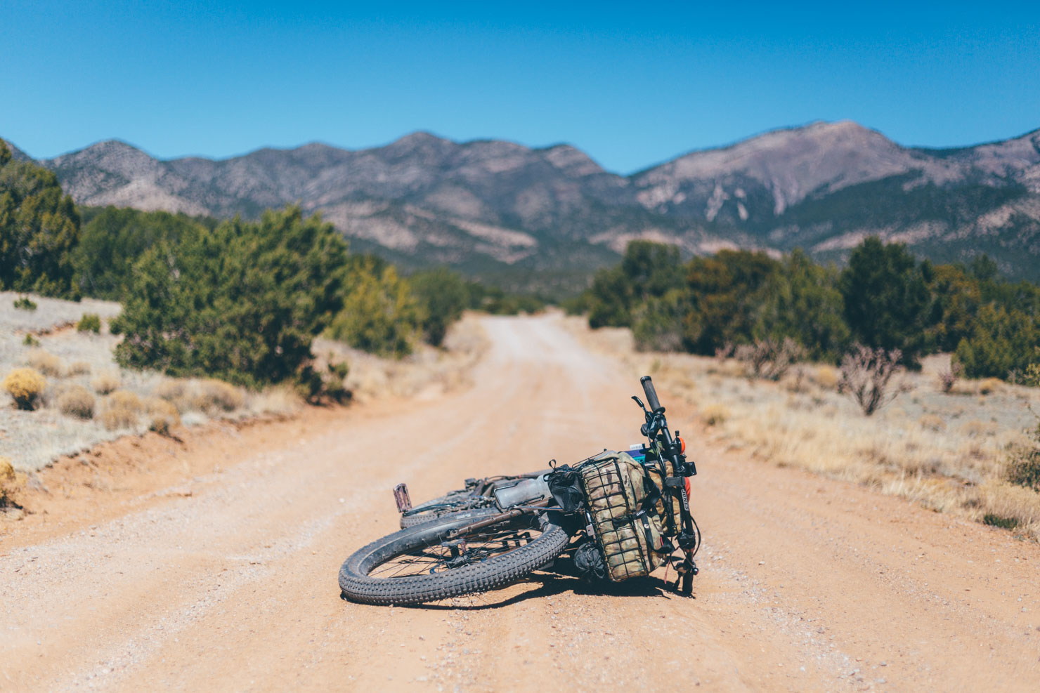
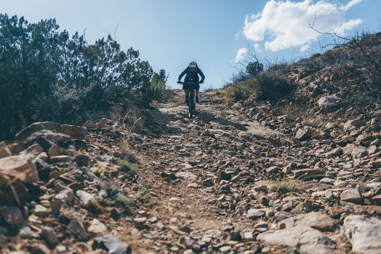
This said, expect a mixed bag of road conditions and weather at any time of the riding season, and be especially vigilant for rainfall. Even a hint of moisture can turn turns dirt roads into quagmires! Additionally, sections through Chloride Canyon require a certain degree of mountain biking confidence, as do stints into Las Cruces. Don’t be adverse to pushing! A fully rigid mountain bike is ideal although in places, front suspension and/or wide volume tires will certainly help, and add comfort.
With early mornings and a smattering of breaks for photos/food/historical intrigue/hot springs, 55+ miles is a reasonable distance to expect to cover per day, for riders in good shape. Adjust accordingly if you’re arriving from afar with winter legs and remember, the daylight hours are relatively short.


Submit Route Alert
As the leading creator and publisher of bikepacking routes, BIKEPACKING.com endeavors to maintain, improve, and advocate for our growing network of bikepacking routes all over the world. As such, our editorial team, route creators, and Route Stewards serve as mediators for route improvements and opportunities for connectivity, conservation, and community growth around these routes. To facilitate these efforts, we rely on our Bikepacking Collective and the greater bikepacking community to call attention to critical issues and opportunities that are discovered while riding these routes. If you have a vital issue or opportunity regarding this route that pertains to one of the subjects below, please let us know:
Highlights
Must Know
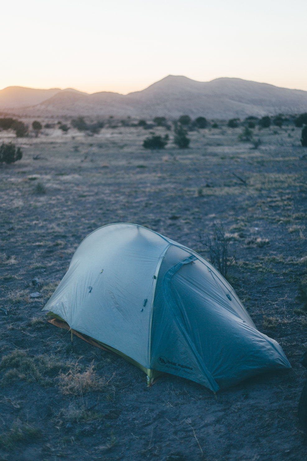
Camping
Food/H2O
Trail Notes
Resources
- Experiencing New Mexico’s magical light and its starry nights.
- Discovering the subtle textures of the state via its Native American, Colonial, Southwest frontier, and modern-day history. The route is peppered with historical markers.
- The variety of terrain; from the high desert, to ponderosa forests, to the open expanse of the Chihuahuan Desert.
- Exploring Santa Fe, renowned for its adobe architecture, its fine cuisine, the density of its art galleries, and its excellent local trails, easily reached by bicycle. Don’t miss a visit to the incredible Meow Wolf, an interactive and immersive art installation/multi-dimensional house that’s unlike anything you’ve ever seen!
- Visiting the once-thriving railhead town of Magdalena, complete with 19th-century historic buildings and restored railyard depot, details of which can be found here.
- Soaking in the springs at characterful Truth or Consequences, just as the Apache leader Geronimo once did.
- Dallying in one of the breweries along the route; Santa Fe, Moriarty, Truth or Consequences, and Las Cruces.
- Extending your adventure by plugging into the Monumental Loop, and enjoying bonus singletrack through the Doña Ana trail system.
- Points of Interests: Be sure your gpx file has all the POIs for the route; if it doesn’t, these can be easily viewed via the Ride with GPS app. You can download the route without the maps, which serves as a useful backup. See this link for more details.
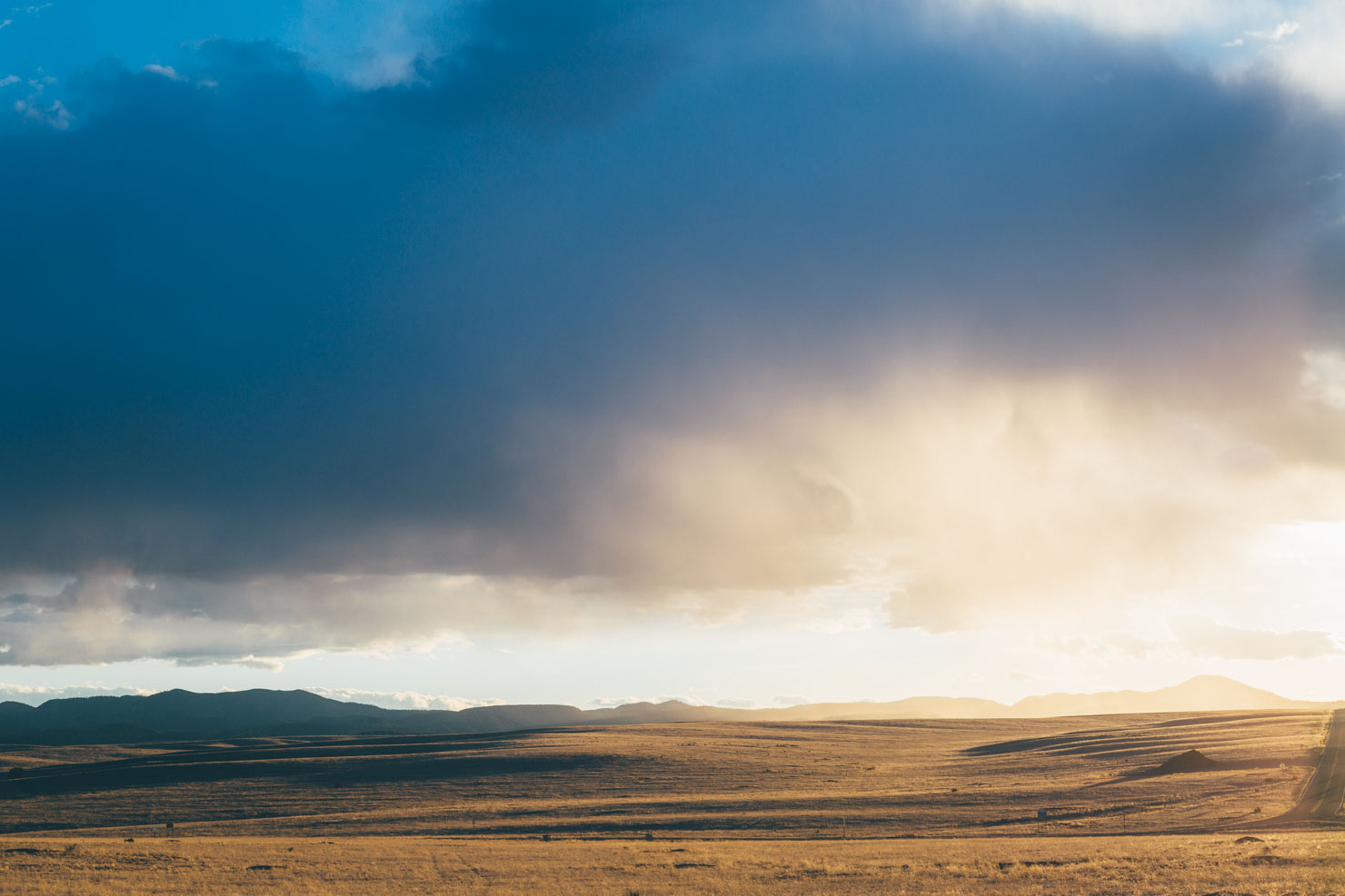
- When: Depending on the particular year – namely, when winter storms roll in and their severity – this route can be ridden from late fall after the monsoon rains (early/mid October) to spring (mid/late April). However, as you approach the winter solstice, the days will be especially short, so it’s worth getting on the road early. Typically, mid-winter isn’t recommended unless it’s a mild, clear one. Even on the shoulder seasons, be prepared for sub-freezing temperatures during cold snaps in the high desert and check for snowfall between Santa Fe and Bear Trap Canyon especially. Ask around in Magdalena if in doubt and see Trail Notes for possible reroutes if required. The Chloride Canyon loop is another zone to be wary of after recent snowfall – ride directly from Dusty to Winston if need to be. Note that many dirt roads will be impassable immediately after rain or during snowmelt, due to the nature of the soil and the ensuing mud – Rowe Mesa can be particularly bad. Assuming the sun is shining, conditions normally improve quickly, usually within a day or two. Late fall (fantastic colours from the aspens and cottonwoods) and early spring (flowering cacti) promise the best riding window for the route, though the latter is likely to include springtime blustery winds, which can add considerably to its challenges. By the end of April, the Chichuhuan Desert becomes sizzling hot, so the route is best avoided. If you want to cross New Mexico in the summer, check out the fabulous Great Divide Moutain Bike Route.
- Winter hours: Note that even if the winter in New Mexico is less extreme than the one you’re used to, it’s easy to forget that daylight hours are almost as short. In November, December, and January, sunrise is around 6 a.m. and sunset around 5 p.m. Bring a book for those long nights in the tent!
- Wind Alert: Generally speaking, prevailing winds come out of the southwest, making a northerly direction preferable These winds can be considerably more intense during the spring, where gusts of 50mph are not uncommon. This said, I’ve ridden the route twice south and had favourable winds for the majority of the time. In short, expect a mixed bag, either way. Don’t get too put off though… New Mexican headwinds are character-building!
- Rain Alert: After precipitation, many desert roads become completely unrideable. Completely! For the most part, these raods dry out quickly in the baking sun. But be warned: New Mexico mud destroys derailleurs!
- Direction: The route can be ridden north to south or south to north. The former includes a net loss of altitude. Theoretically, the latter promises more favourable prevailing winds (see above) but the climb through Chloride Canyon will be more challenging, depending on your choice of bike and gearing. Similarly, riding the Hudson Canyon alternate to Withington (see map for POIs) is considerably harder going north. For both of these climbs, expect to push in places.
- Safety: New Mexico doesn’t have the best reputation for considerate drivers, unfortunately. While the route avoids busy roads where possible, the paved stint alongside the Manzano Mountains can be prone to fast traffic. Because there’s no shoulder, daytime lights and a high viz top are highly recommended.
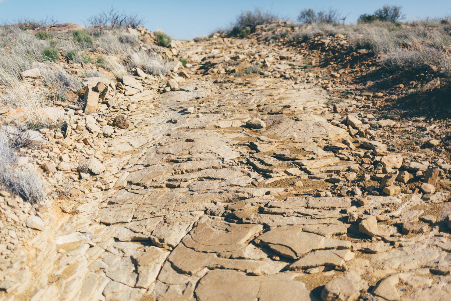
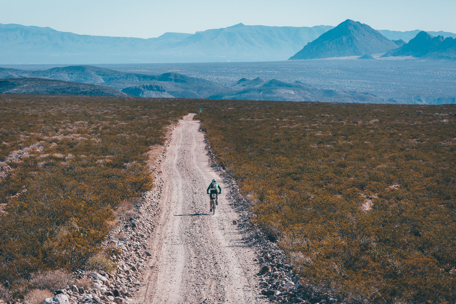
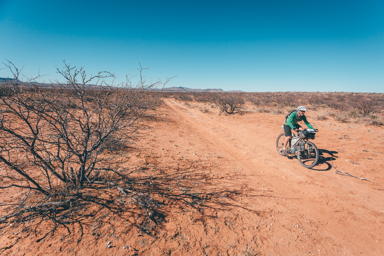
- Best bike: All things considered, a rigid 29er (2.3″ or more) is likely to be your best rig of choice, though a bike with 2.6″ or even wider tires also makes a great choice for backcountry New Mexico, given the variety of ever-changing conditions. A suspension fork is not a necessity but will no doubt be beneficial to some. Although much of this route is made up of good quality dirt, gravel, and paved roads, there is enough rough/rocky/sandy/corrugated terrain to make it challenging in several places for a gravel bike with 2in rubber or less, unless you delight in ‘underbiking’. If this is the case, fit the largest volume tires you can, be prepared for a number of lumpy sections through Rowe Mesa, some sand/corrugation around Pico Ladron, and rocks on the Chloride loop descent and along the approach to Las Cruces.
- Tires: Tubeless tires and repair kits are highly recommended, due to the profusion of goatheads that mine the area. Take particular care when pulling over to the side of a road or trail, as this is where they tend to lurk. Car parks are especially troublesome. If you don’t have a tubeless setup, consider running some sealant inside your inner tubes.
- Climate Crisis: New Mexico’s terrain and climate are already very variable. As global warming puts increasing pressure on the Desert South West, be prepared for growing extremes in weather. This can lead to flooding, as well as dry springs and more sand.
- Critters: Scorpions, snakes, and other critters aren’t a major issue along this route, including the more southerly stretches where you might expect them most. But they do exist. A fully enclosed tent isn’t required but may be good for peace of mind.
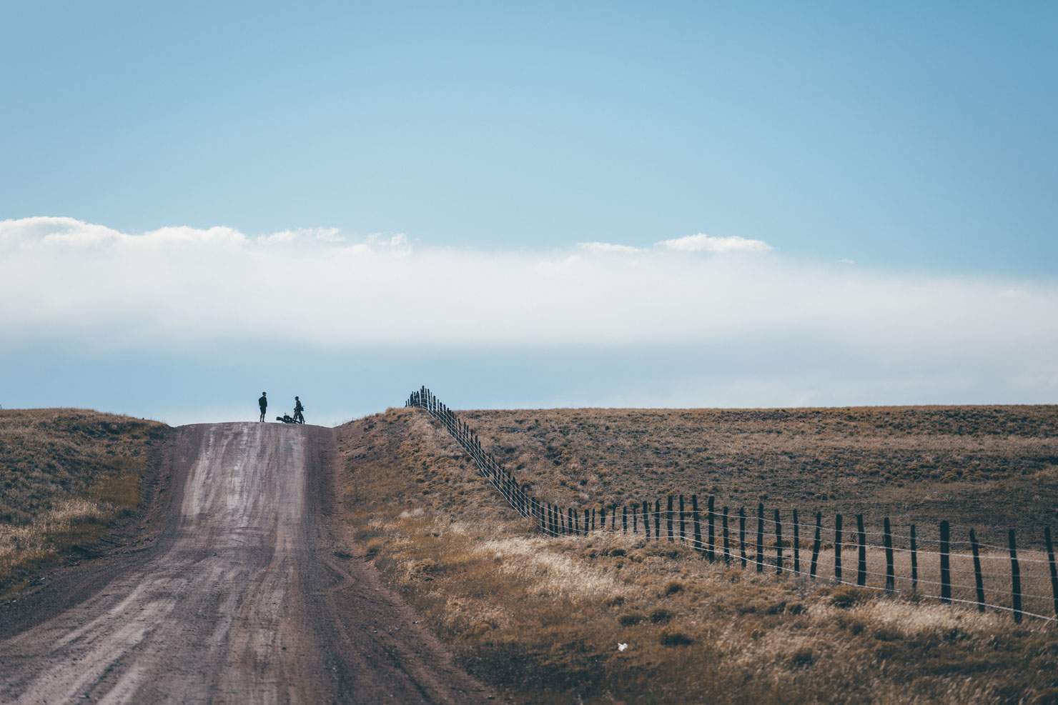
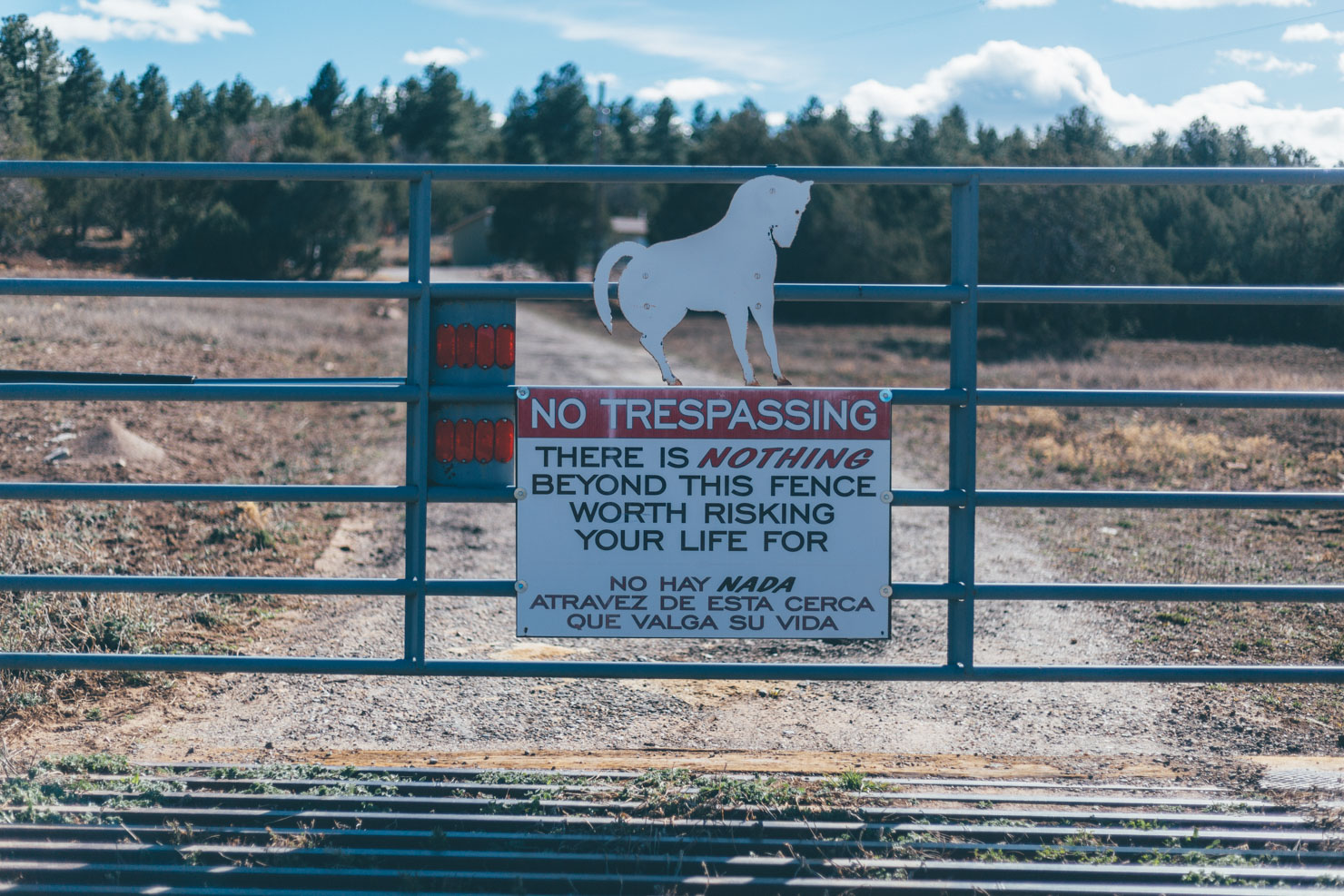
- Private land: The route uses sections of public roads and trails that cross private land and working ranches. Please be sure to close gates whenever you open them and always stay on track.
- Historical information: it’s well worth pausing to read all the excellent info panels along the way to help gain insight into the Land of Enchantment’s history. This will add a whole different layer to the trip.
- Truth or Consequences: Ready to soothe sore muscles? There are several places to soak in Truth or Consequences. The going rate is around $8 for half an hour. Most motels (e.g. Charles Motel and Pelican) have their own springs which you can use to your heart’s content if you stay the night. Highly recommended!
- Breweries: Thirsty? These can be found in Santa Fe, Moriarty, Truth or Consequences, and Las Cruces. See the map for details.
- Santa Fe: If you can, put aside a few hours to visit Meow Wolf, an immersive art installation and multi-dimensional house that’s unlike anything you’ve ever seen! Tickets are valid all day, so you can leave for lunch.
- Bike shops: There are several good bike shops in Santa Fe, including the bikepacking-friendly Broken Spoke (stockists of Oveja Negra, Revelate, and Tribulus), as well Mellow Velo, both of whom offer rental bikes. Be sure to check out the more recently opened Sincere Cycles (411 W Water St), which also has a great selection of bikepacking gear. Additionally, Santa Fe has an REI. In Las Cruces, Outdoor Adventures is well versed in the ways of bikepackers too and the best place to head to for a tune-up or bikepacking gear.
- Local trail networks: If possible, allow a day or two extra to ride some of Santa Fe’s excellent trail network, much of which is rideable from the plaza – Chamisa, Sidewinder, Galisteo Basin Preserve, La Tierra, and Dale Ball are local favourites that are often clear by spring. Las Cruces has a number of excellent trails too, also, close to the city. Some are included in the Monumental Loop alternates, or on MTB Project.
- Getting back: The El Paso Limousine Express has a morning service that runs from El Paso/Las Cruces to Albuquerque ($30) and takes unboxed bikes subject to space. I’ve never had an issue with 2 bikes. It continues to Santa Fe and Denver for $65. To save cash, get off at ABQ and ride to the Railrunner station, connecting with one of the afternoon trains ($9). If doing so, the Mexican restaurant El Modelo, a local institution, makes a great spot for lunch en route (see map). If riding in a group, it’s probably cost and time-effective to hire a vehicle in Las Cruces and drop it off in Santa Fe (approx $170 for a truck that will fit 4 bikes comfortably). Enterprise will even bring it to wherever you are in the city.
- Public Transportation: Santa Fe can be easily reached by public transport from Albuquerque via the Rail Runner, the bike-friendly commuter train. Amtrak runs between LA and Chicago. Unfortunately, it’s currently no longer possible to stop off at Lamy and ride the rail trail into town, so you’ll have to transfer to the Railrunner from ABQ. Bikes cost $20 for the roll on/roll off service, or $10 boxed/bagged. As for Las Cruces, the Park and Ride Gold Route service operated by NM DoT runs a commuter bus every weekday between downtown El Paso and Las Cruces. It’s $3 and you can stow bikes underneath – it will drop you off at the University. Make sure you have the exact change and check the small print for holiday schedules. The El Paso-La Limousine Express also runs a bus from El Paso to LA and ABQ that stops in Las Cruces. You can take your bike on this bus as well. It is $13 one way from El Paso to Las Cruces and runs every day. There’s no charge for a bike, but space is sometimes limited. Public transit is available from the airport to downtown El Paso on the Sun Metro service. These buses provide bike racks. Plus bikes fit – just – with tires deflated. Have a couple of straps handy, in case you need them. There are also shuttle services from the El Paso airport to downtown and all the way to Las Cruces. More info on the El Paso airport website. El Paso can also be accessed on the Amtrak.
- The route connects several swatches of national forest, making camping relatively straightforward on an itinerary of 50-60 mile days. A few suggested areas are marked on the map. In a pinch, stealth camping can be carried out on areas of unfenced land. As always, be respectful of the land and #leavenotrace.
- Most of the larger resupply points also offer motel options though note that Hatch is bereft of official options.
- Ready to soothe sore muscles? There are several places to soak in Truth or Consequences. The going rate is around $8 for half an hour. Most motels (e.g. Charles Motel and Pelican) have their own springs which you can use to your heart’s content if you stay the night. The Pelican Spa is recommended.
- Water is relatively easily available – see POIs on the map for suggestions. Carry 5-6 litres at all times, in case springs or cattle tanks are running dry between settlements. Bring a means to purify suspect water, too.
- Expect well-stocked grocery stores in all towns (see POIs on map)) except for Magdalena, which only has a dollar store and a gas station to its name (aside from a couple of excellent eateries). Cooked food is available at all resupply points but hours can vary greatly, so it’s always worth ringing ahead. Santa Fe has a Natural Grocers, Trader Joe’s, and Whole Foods close to the start of the route.
- Recommended bike-friendly places to eat in Santa Fe include the Tune Up Cafe and Counter Culture, both of which are just off the route. Sweetwater Harvest Kitchen is great for those of a gluten-free, vegetarian, or vegan persuasion. El Chile Toreado, en route, has excellent street tacos, whilst Ikonik is a good hangout for coffee addicts. The 2nd Street Brewery (with premises in the Railyard and along the bike path) is the spot to go to sample Santa Fe’s craft beer selection.
- Recommended places to eat in Las Cruces include Habaneros Fresh Mex and Milagro Coffee and Expresso. Bosque Brewing Co. is another popular local haunt. Other suggestions are marked on the map. For more on Las Cruces, check out the Monumenal Loop.
Recent snowfall?
If there’s been recent snowfall, consider detouring around Bear Trap Canyon, the highest point of the ride, as per the Apaches and Conquistadores route. See Must Know tab too, with regard to weather.
More singletrack?
Hop onto the CDT along the Chloride Canyon loop. If you’d like ride more desert singletrack, consider taking the eastern side of the Monumental Loop between Radium Springs and Las Cruces, which takes in a local favourte, Doña Ana Trails.
More riding?
The Off-Road Runner can be extended all the way to downtown El Paso, via the Sierra Vista Trail (as used by the Monumental Loop) and the rocky, technical trail network that courses through the Franklin Mountains – see this untested extension.
Short on time?
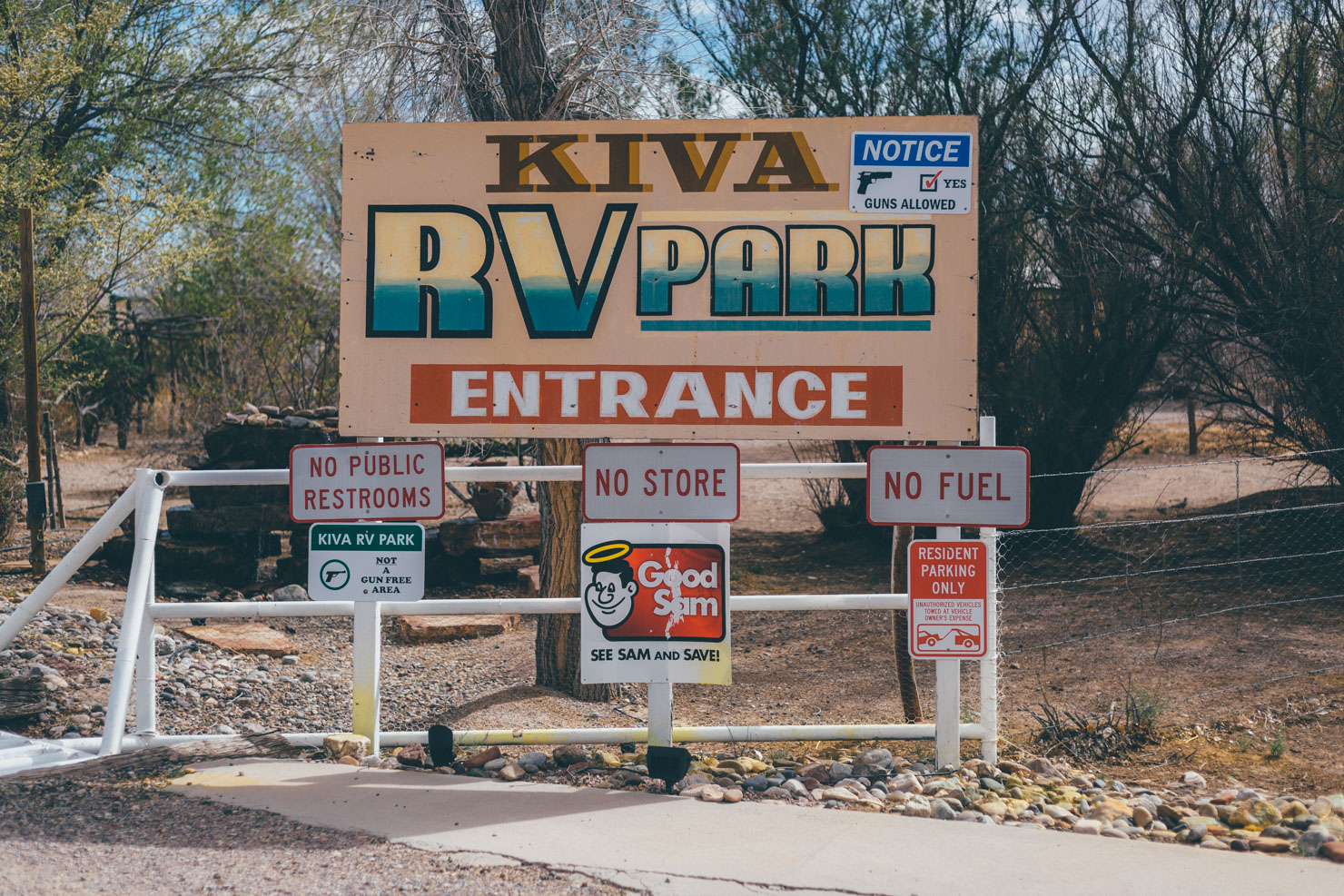
Catch an early morning train from Albuquerque to Belen, then ride county and levy dirt roads to Bernardo (approx 18 miles) to connect with the route at the Kiva RV Park (for route ideas, see Apaches and Conquistadores). This avoids a couple of longer pavement stints, but it does mean missing out on beautiful Rowe Mesa too.
There is also an RTD bus from Santa Fe to Moriarty; this service accepts two bikes and operates with limited hours during the week.
Technically, the El Paso Limo Express stops in Truth or Consequences, which can carry you and your bike back to ABQ or Santa Fe. See Must Know tab for more on the El Paso Limo Express; you’ll probably need to ring them, as it’s not an official stop.
Additional Resources
- Read Brian’s most excellent report on the New Mexico Off-Road Runner here.
- Saddle Up Posse features more images from the route, including the detour up to Withington Lookout.
- Jeff Bartlett rode the route in late November 2017 and wrote up another great account, which includes detailed, day-by-day impressions of the ride and his packlist. Read it here.
- Paul Nemy multi-post account can be found here, from a ride in 2019 with his two daughters.
- And check out Great Eskape’s Primer, a day by day account from 2018 – ridden south to north.


Terms of Use: As with each bikepacking route guide published on BIKEPACKING.com, should you choose to cycle this route, do so at your own risk. Prior to setting out check current local weather, conditions, and land/road closures. While riding, obey all public and private land use restrictions and rules, carry proper safety and navigational equipment, and of course, follow the #leavenotrace guidelines. The information found herein is simply a planning resource to be used as a point of inspiration in conjunction with your own due-diligence. In spite of the fact that this route, associated GPS track (GPX and maps), and all route guidelines were prepared under diligent research by the specified contributor and/or contributors, the accuracy of such and judgement of the author is not guaranteed. BIKEPACKING.com LLC, its partners, associates, and contributors are in no way liable for personal injury, damage to personal property, or any other such situation that might happen to individual riders cycling or following this route.
Please keep the conversation civil, constructive, and inclusive, or your comment will be removed.