


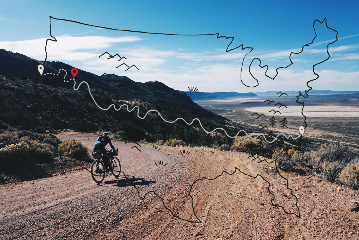
Trans America Trail Update: Across the High Desert


In the second to last installment from the (off-road) Trans America Trail, Tom and Sarah Swallow make their way across the desert expanses of Utah and Nevada…
PUBLISHED Oct 22, 2015
There is no modesty of riches in places that have water in their creeks, river beds, and natural springs. Life abounds near water. Trees and plants grow, animals visit, and people can live.

When water does not exist on the land, the simple things, that many of us take for granted, start to disappear. We were exposed to this in Oklahoma, our first dry state and the first place we noticed a serious lack of population. The people who live in rural Northern Oklahoma are found in areas where there is water beneath the ground. Where the water table allows, and the use of wells and windmill driven pumps allow for an oasis-like green area to erupt from the otherwise arid plains. Although, ground water is less plentiful than 40 years ago, made evident by the hundreds of no longer functioning windmills that once drew water.
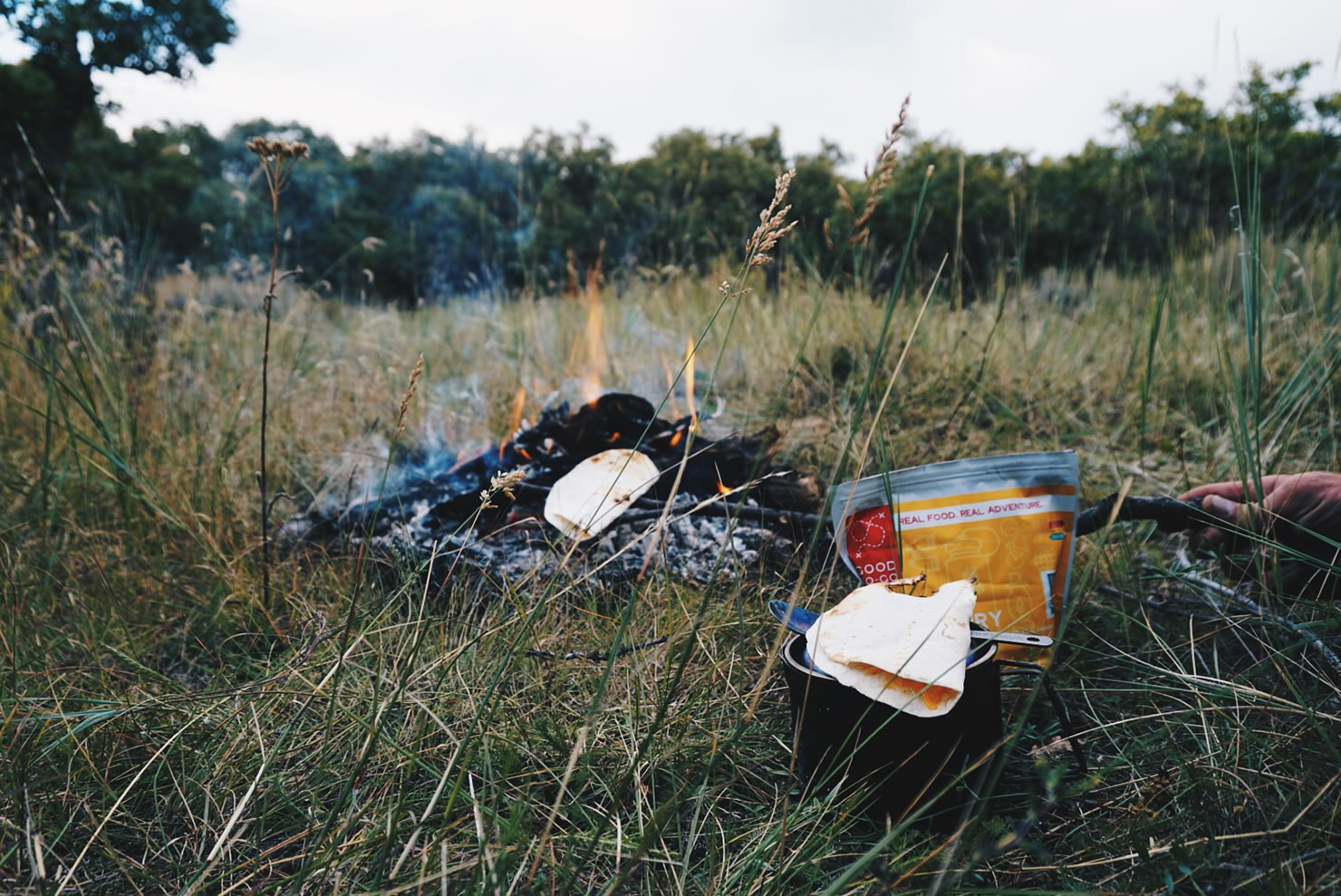
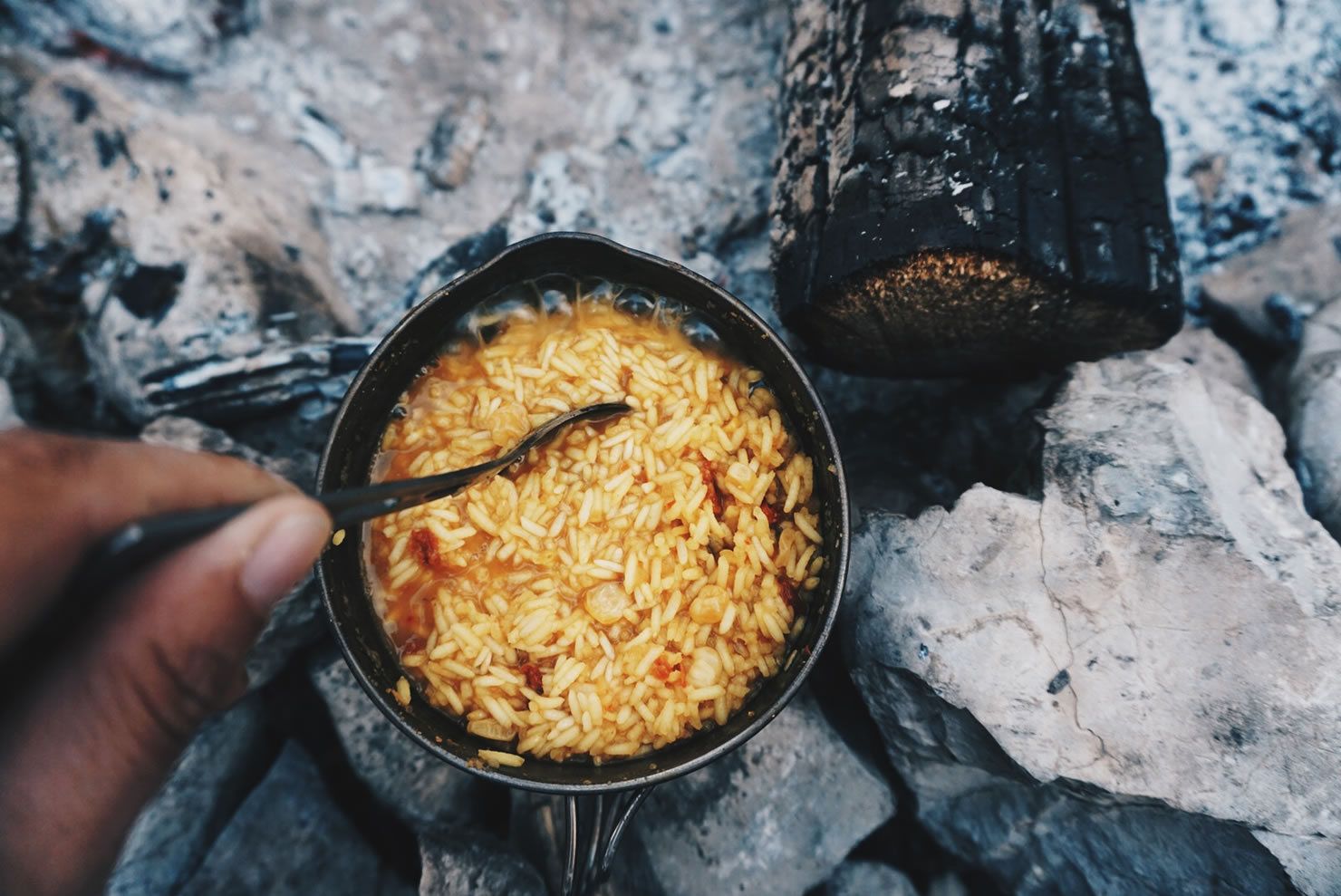
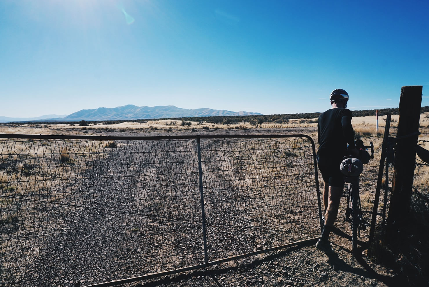
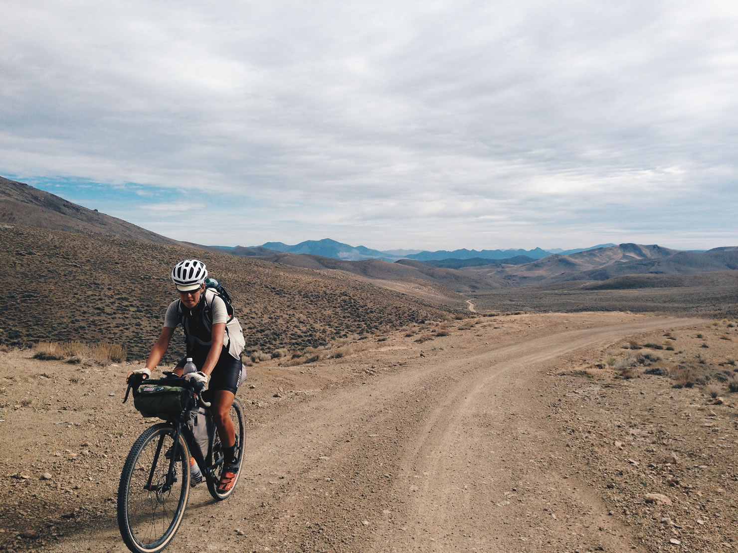
As bicyclists who are riding a dual sport motorcycle route, water is our gasoline. People on motorbikes route themselves towards fuel stations, where we often find food, supplies, and water. Without water, we can’t go. The biggest challenge of riding through Utah and Nevada would not be steep technical mountain passes, or deep sand, it would be finding water, and simply surviving.
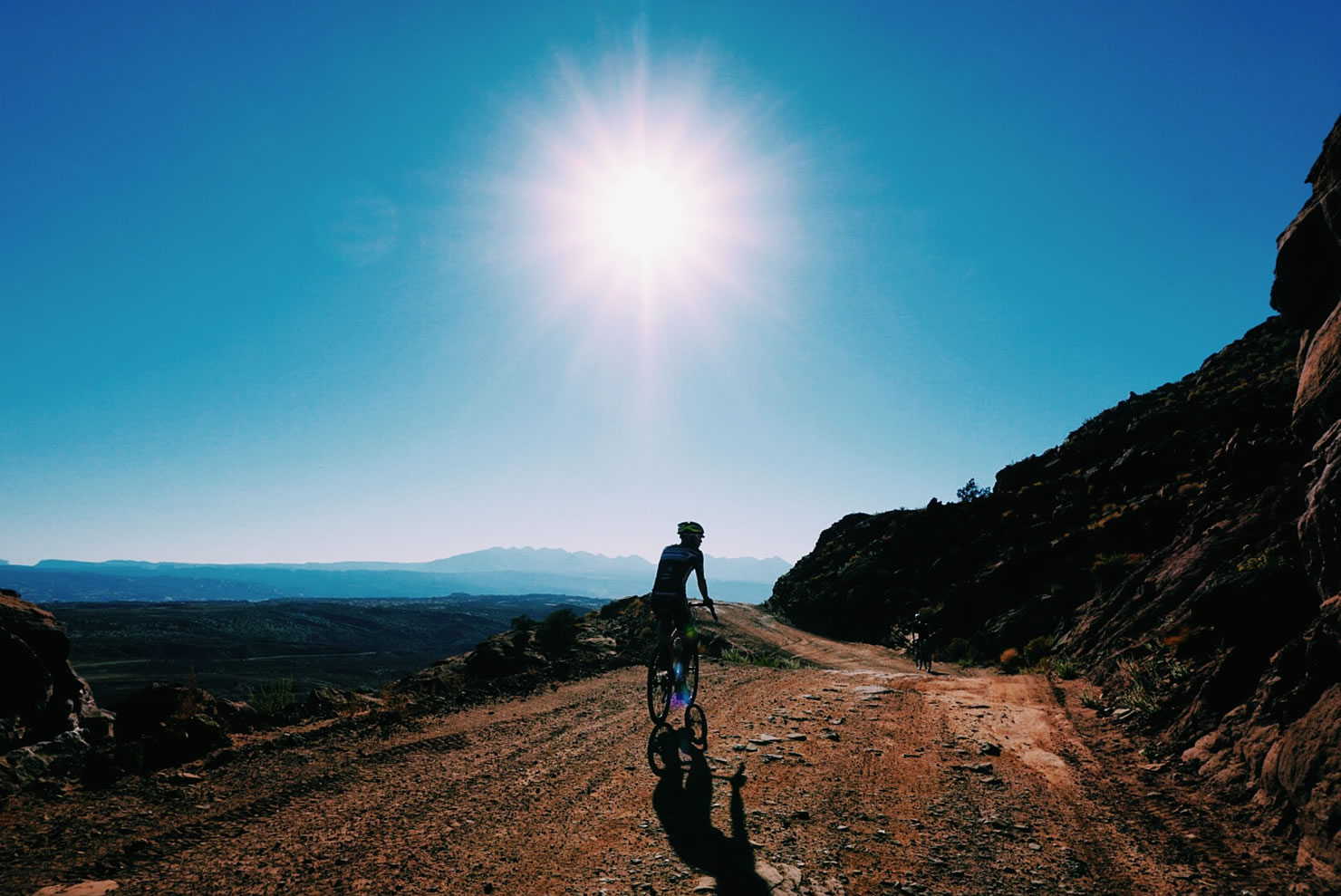
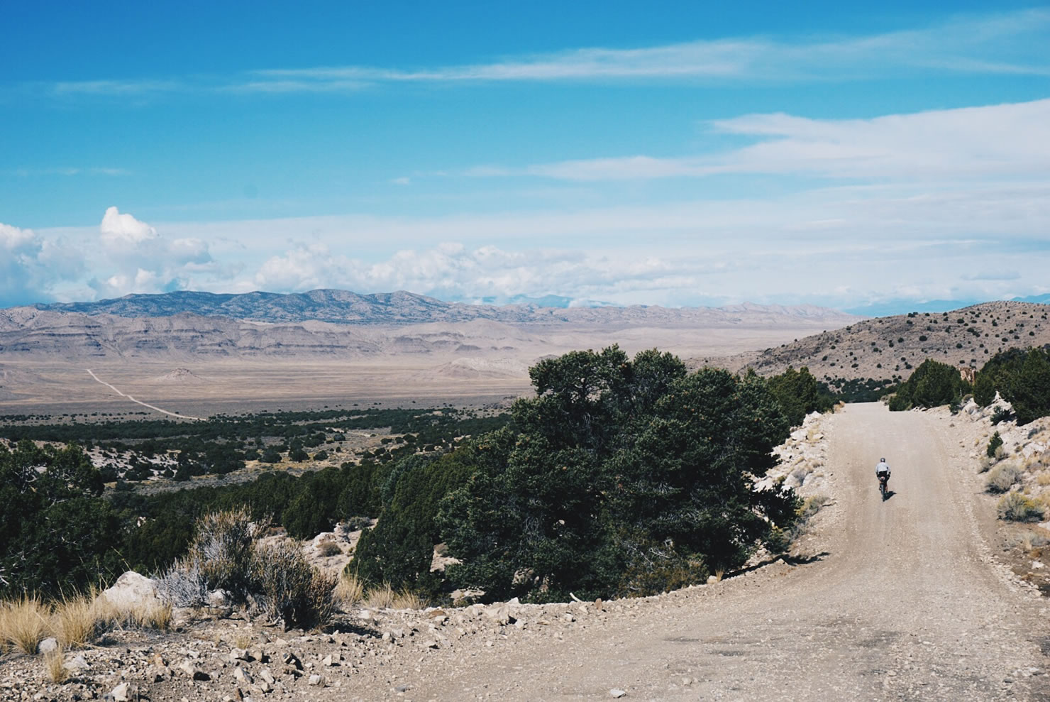
The first notable place we entered the desert was Moab, Utah, where we descended from the lush, green, and golden landscape of Geyser Pass, located at 10,500 ft. in the La Sal Mountains. As we descended, gradually there were fewer trees, the sun felt stronger, and we entered the dry, prehistoric, rocky terrain of Moab. Like most of the upcoming land we would be riding through, Moab is a high desert climate, meaning the actual land is at or above 4,000 feet in elevation, and of a very low humidity. This means hot temperatures during the day and cold temperatures at night. In the Great Basin, we learned that temperatures in a mild winter will plummet to -30 degrees fahrenheit. Luckily, our timing to ride through the high desert of Utah, Nevada (The Great Basin), and a small portion of Oregon, was ideal. Temperatures during the day were between 80-90 degrees and the low 40’s at night. If we had ridden through any earlier or later, the temperatures would have been more extreme.

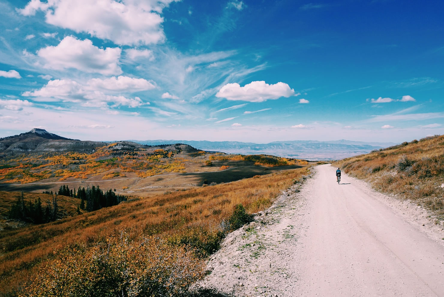

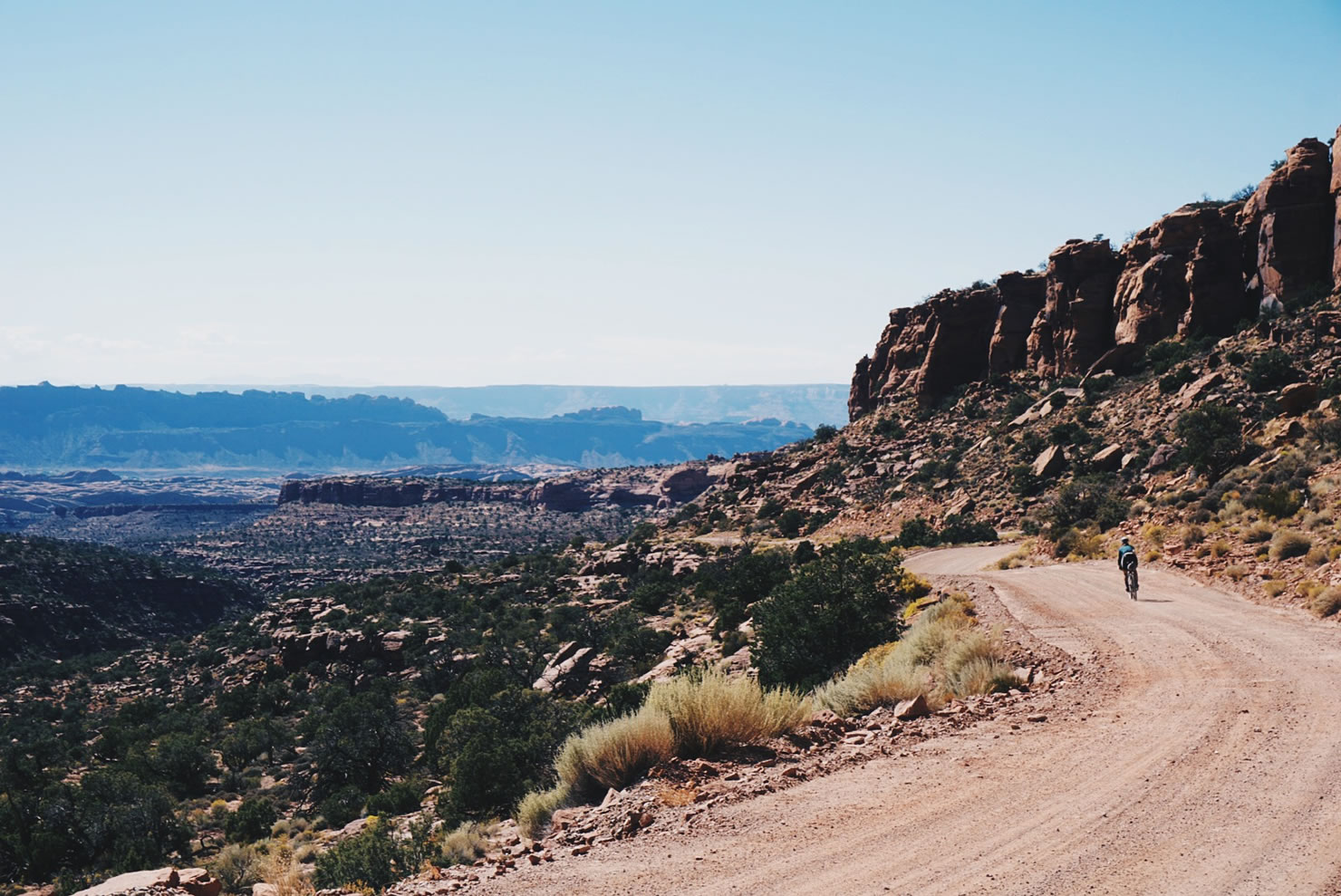
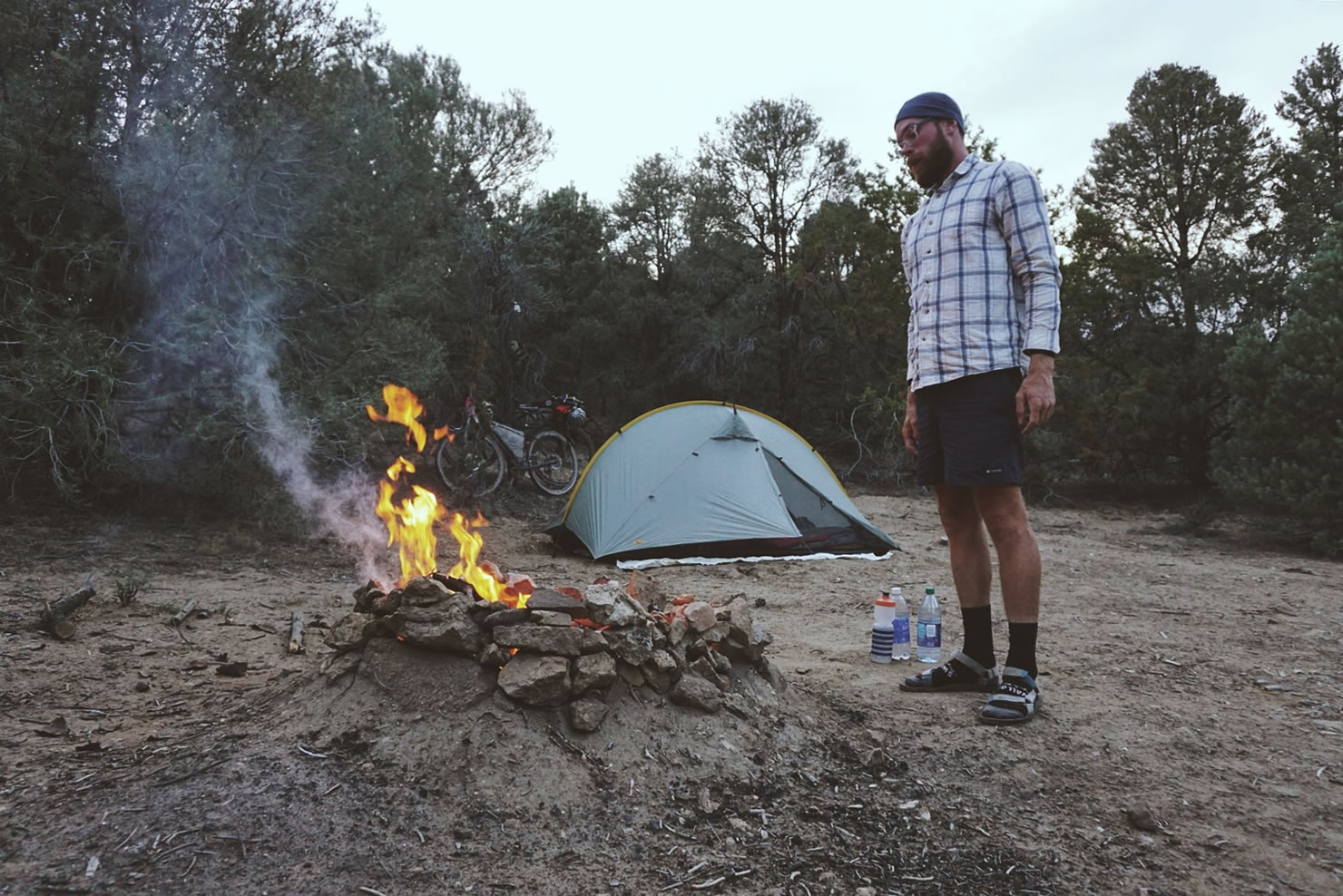
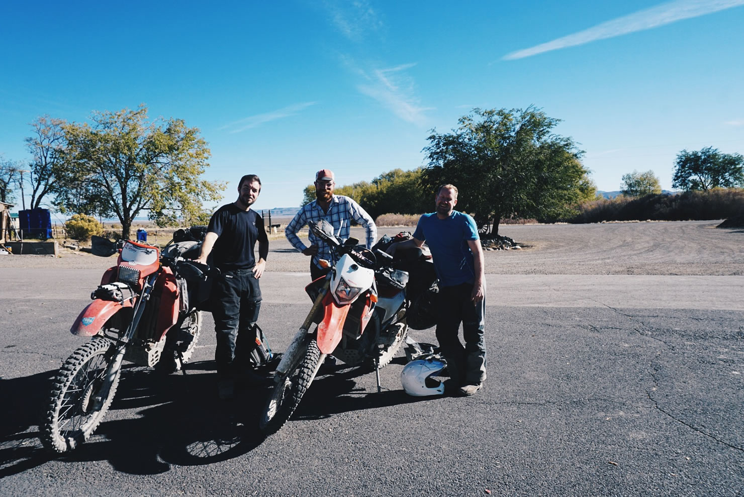
Moab was a bittersweet experience for us. We were excited to be there, but knew that the fun and easy town-filled days of riding that we experienced in Colorado were over for us. Too tired to venture out on the variety of easily accessible adventures, we opted for our first and only massage of the trip, a worthwhile investment. We hit the road the following day accompanied by Eric, who left his home by bicycle five years ago and has been touring ever since. Eric was a great tour guide for the first portion of our route that day, pointing out many features that we would have passed by, like Gemini Bridges.
After we seperated from Eric, we made our way north to Green River, located just east of the San Raphael Swell. Horror stories of extended miles of deep sand along the Trans America Trail route had us looking for a northern alternative through the Swell. From what we had read and learned from other motorcyclists, the alternative would be well worth our time. For the first time along our journey, we deviated drastically from the motorcycle route, in search of something less prone to imminent failure and defeat. Our alternative that day was by no means easy, a 70 mile route consisting of a 40 mile double track sandy trail, where the sections of deep sand had the heavier of the two of us constantly getting bogged in the sand. It was defeating, and one of our most difficult days of the trip. I don’t think we saw another soul that day until we rolled into the small Mormon town of Ferron. There we took a night’s rest before riding up into the Wasatch Mountain Range in the Manti-La Sal National Forest.


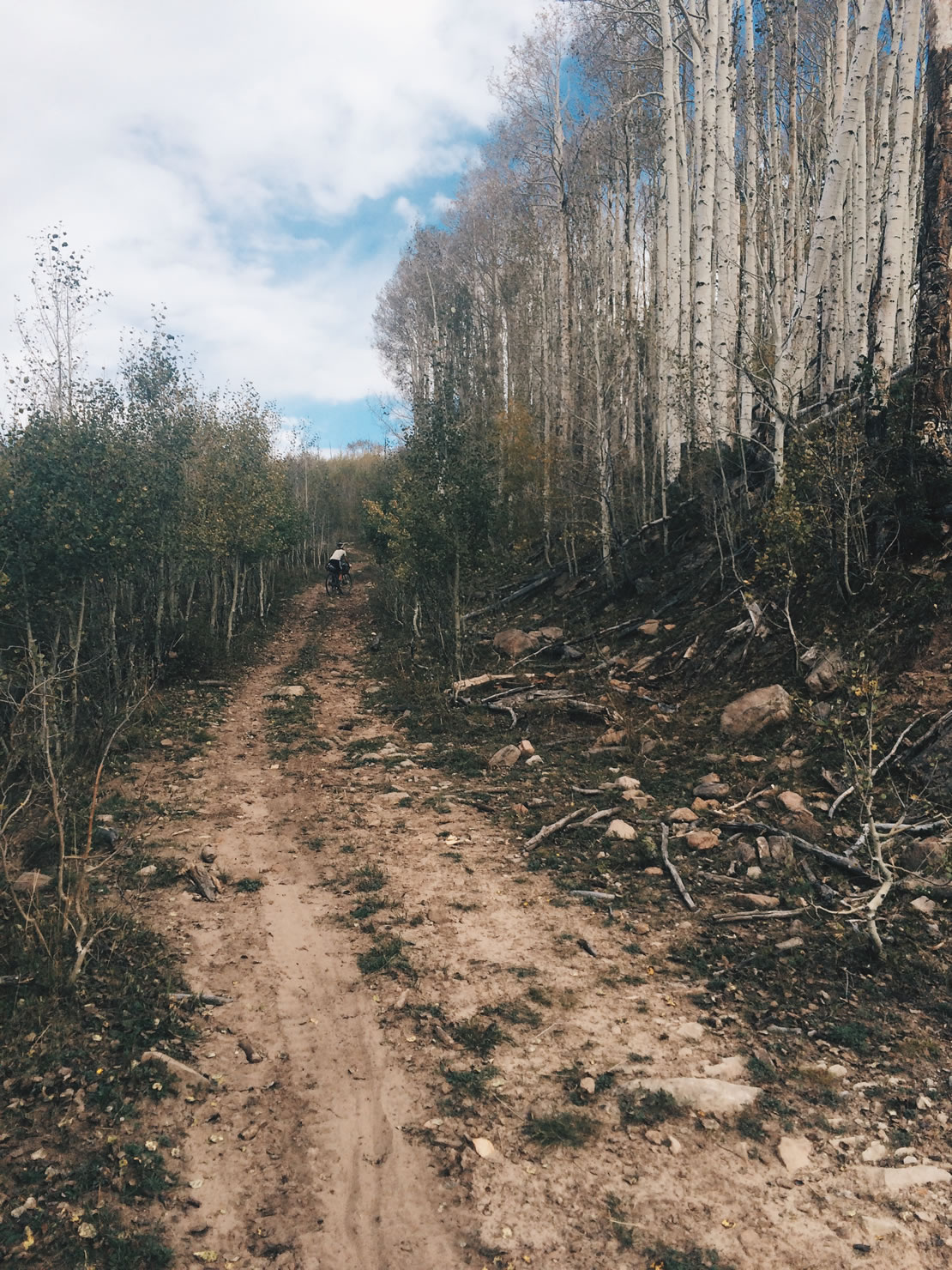
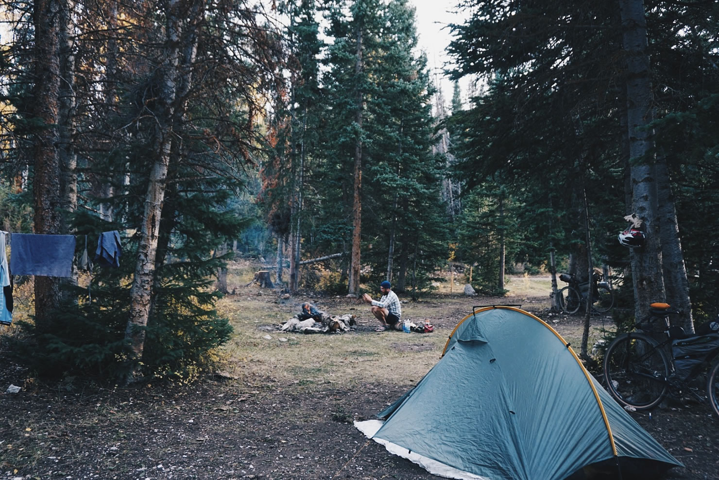
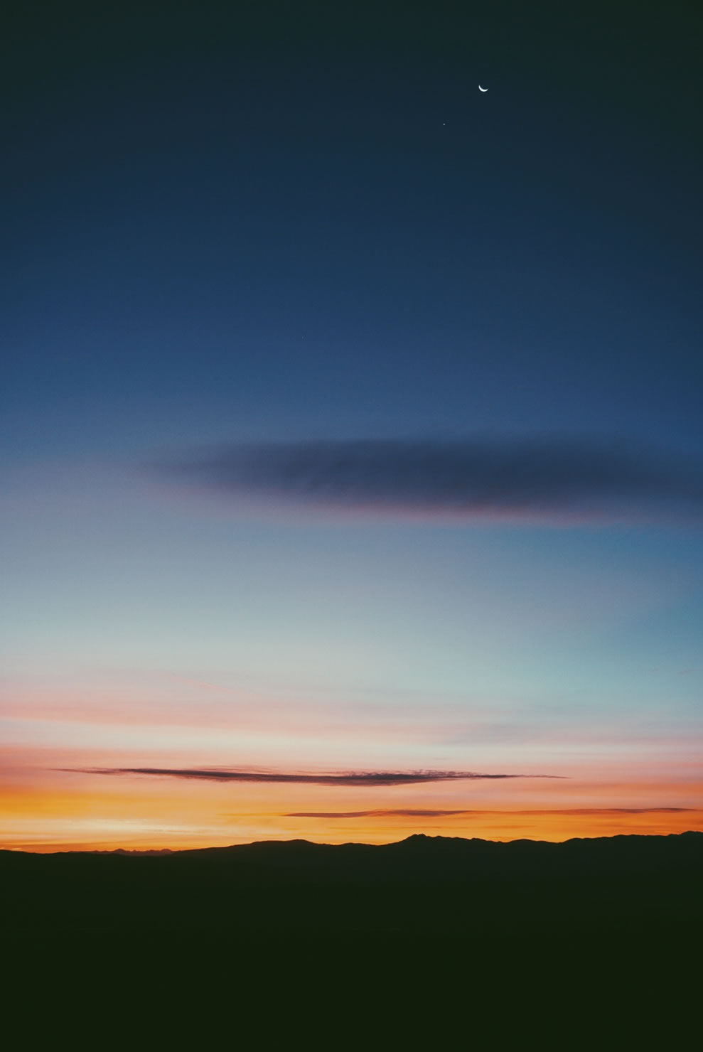
As with most of our journey, short of some GPS data, and the occasional blog post or rumor from the locals, or other TAT riders, we had little idea of what the terrain would be like ahead of us. We always prepared ourselves for the worst, and kept on pedaling. Following the San Raphael Swell, we guessed we would be in for a break, riding through the Wasatch Plateau which, at over 10,000 ft in elevation, looked like a beautiful, lush environment. We had to climb up there though, requiring a 20 mile climb with some sections reaching over 22% grade. We pedaled, walked, and cursed, taking the entire day to reach the plateau. After all the difficulty, it was well worth the climb (while talking to some other TAT moto riders, we learned that many had difficulty making this climb, some even turned back, and by-passed the entire area). That night we set an early camp next to a rushing creek, ate and drank to our hearts’ content, and star gazed into the late hours of the night. Eventually clouds on the horizon moved away, revealing a bright orange full moon, the super moon lunar eclipse.

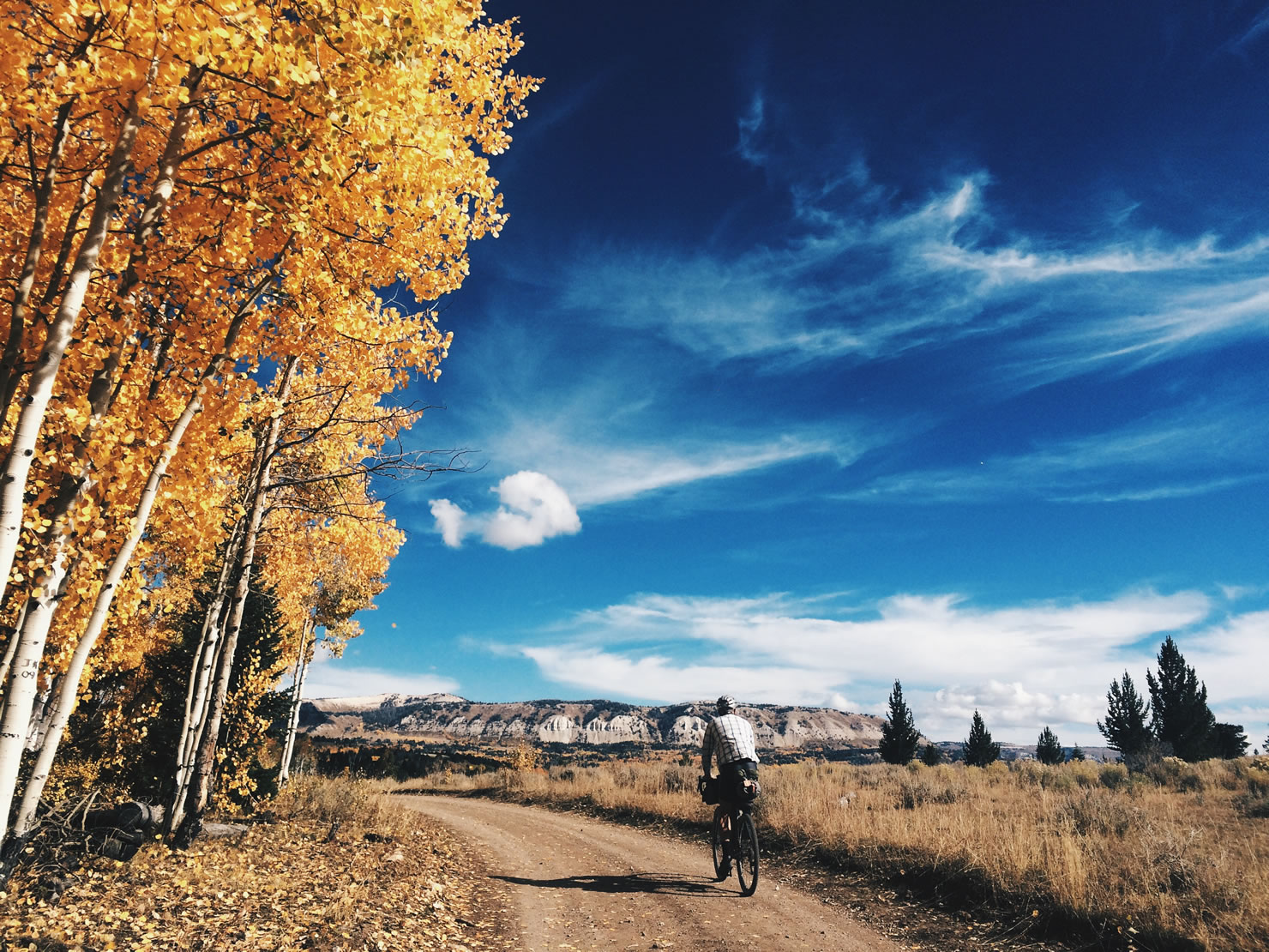
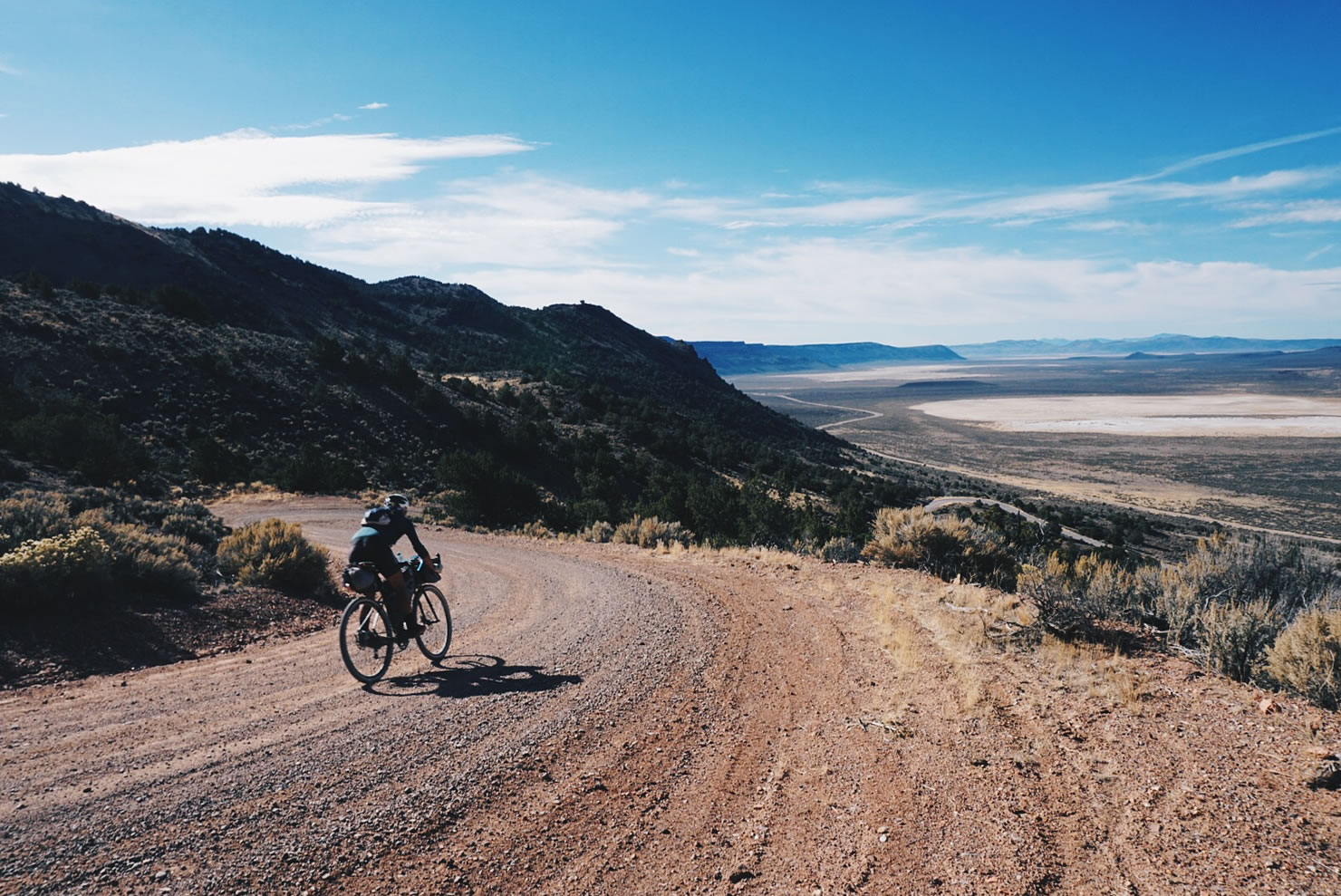
We woke up the next morning nicely rejuvenated after the difficult rides of the two days prior. We had camped at the base of a super steep and technical hill where our route directed us. I walked over to the base of the climb and read the trail marker, “ATV Trail, Most Difficult.” There comes a point where voluntarily exposing yourself to extreme difficulty gets old, and ultimately threatens the sustainability of the entire experience. I sensed that this was happening. We were here to ride dirt roads across the country, not uber technical terrain designed for high-powered and suspended 4-wheeled vehicles. I examined my map and GPS, and quickly noticed that the trail would eventually reconnect with the small gravel road we had already been following. By staying on Muddy Road, followed by Skyline Drive, we got to experience two of the most scenic and enjoyable roads of the entire trip, a valuable alternative offering 360 degree views of the Wasatch Plateau. From the Wasatch Plateau, we descended into Salina, and rode in to Richfield to refuel, get hair cuts, and a beard trimmed.
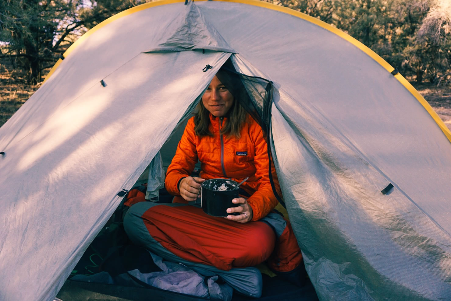
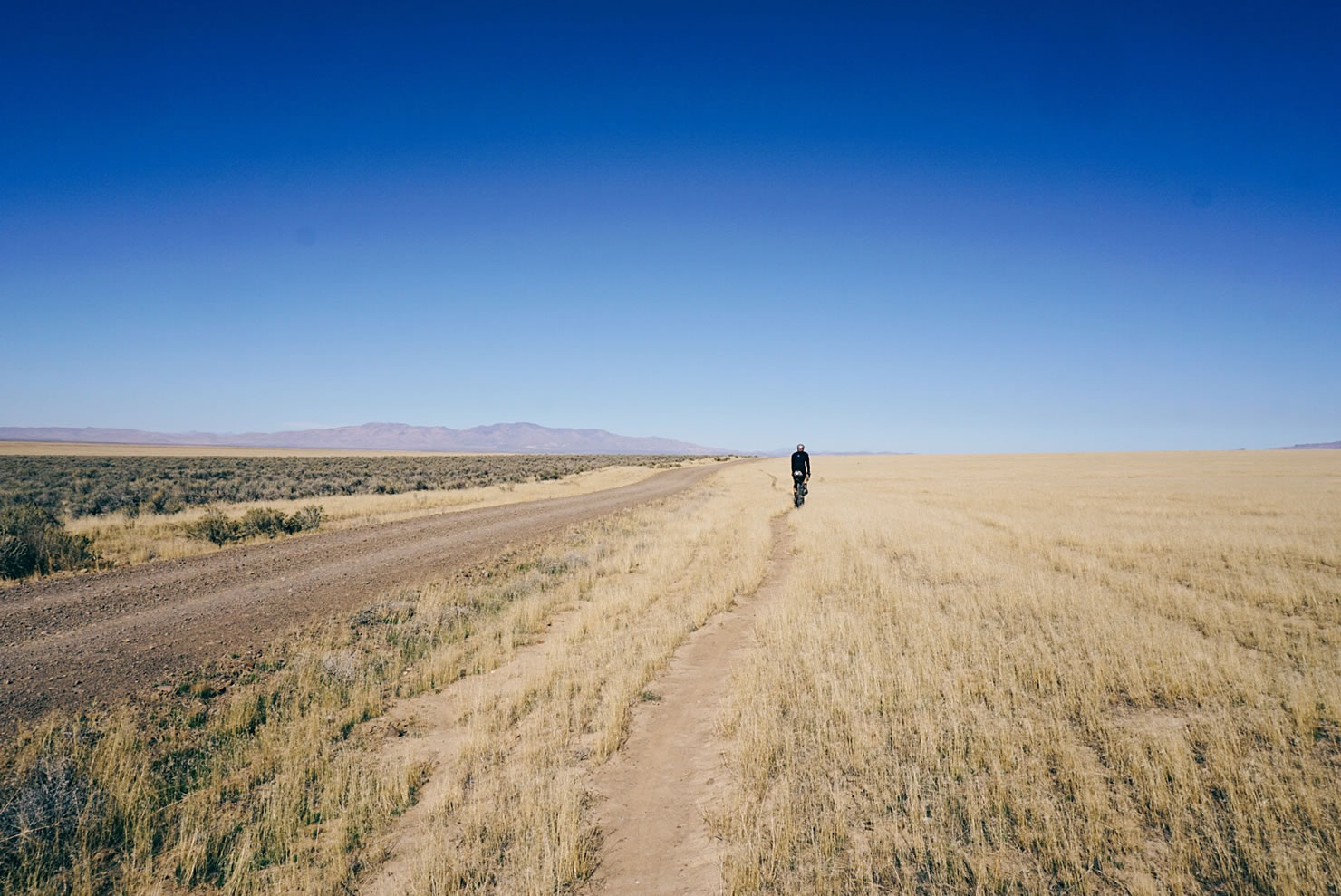
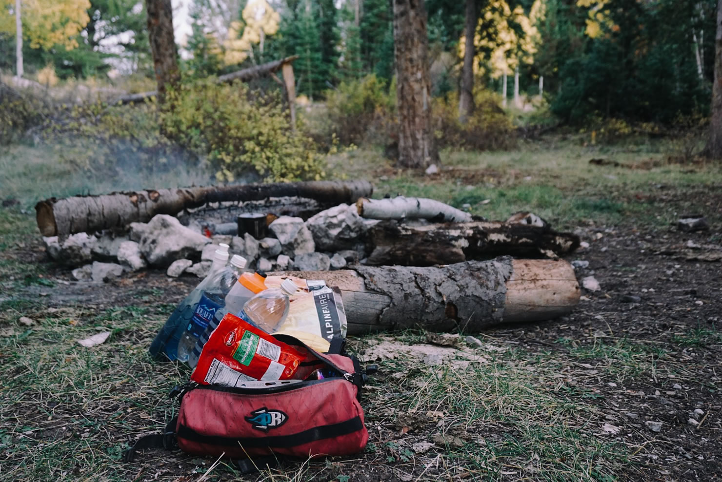
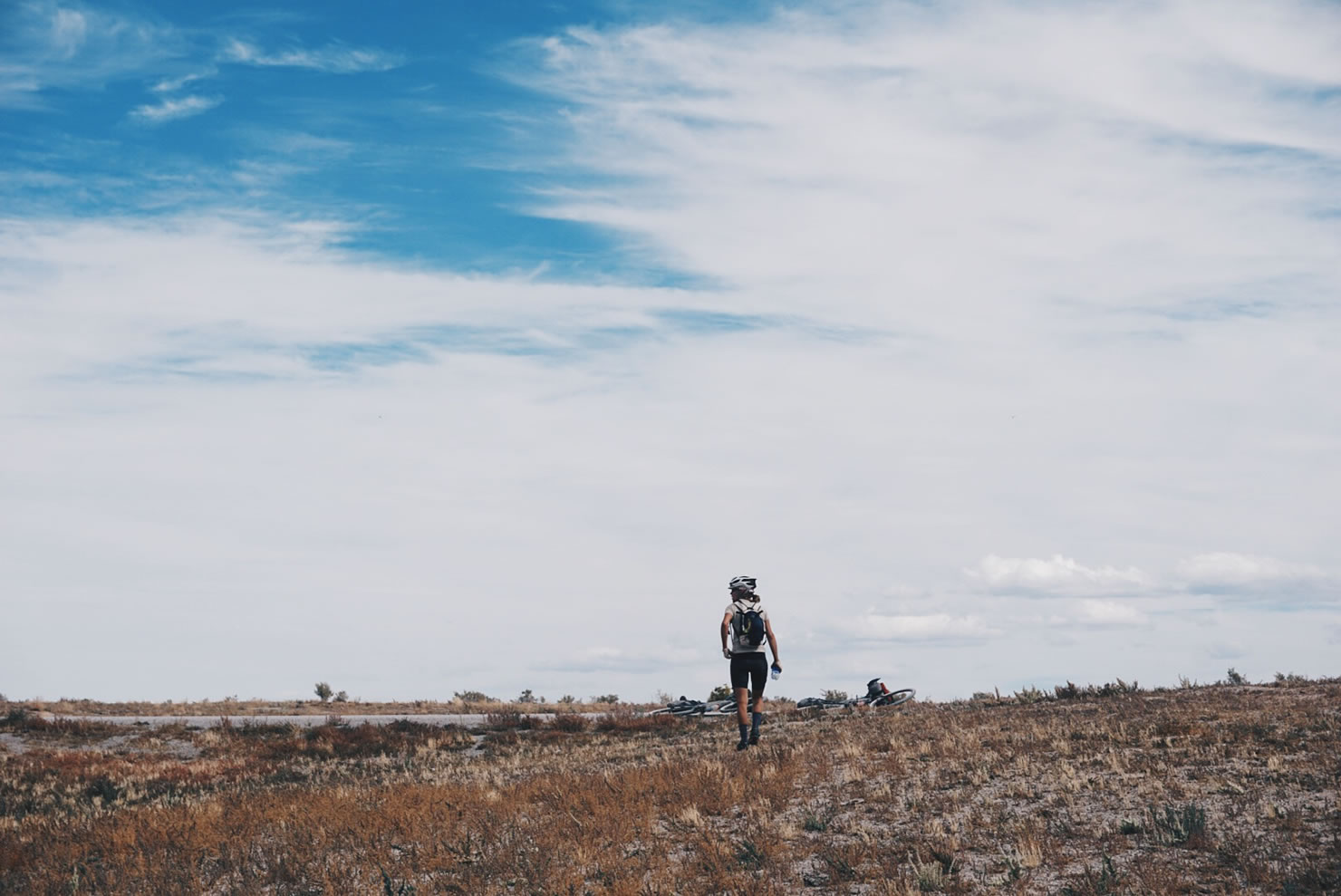
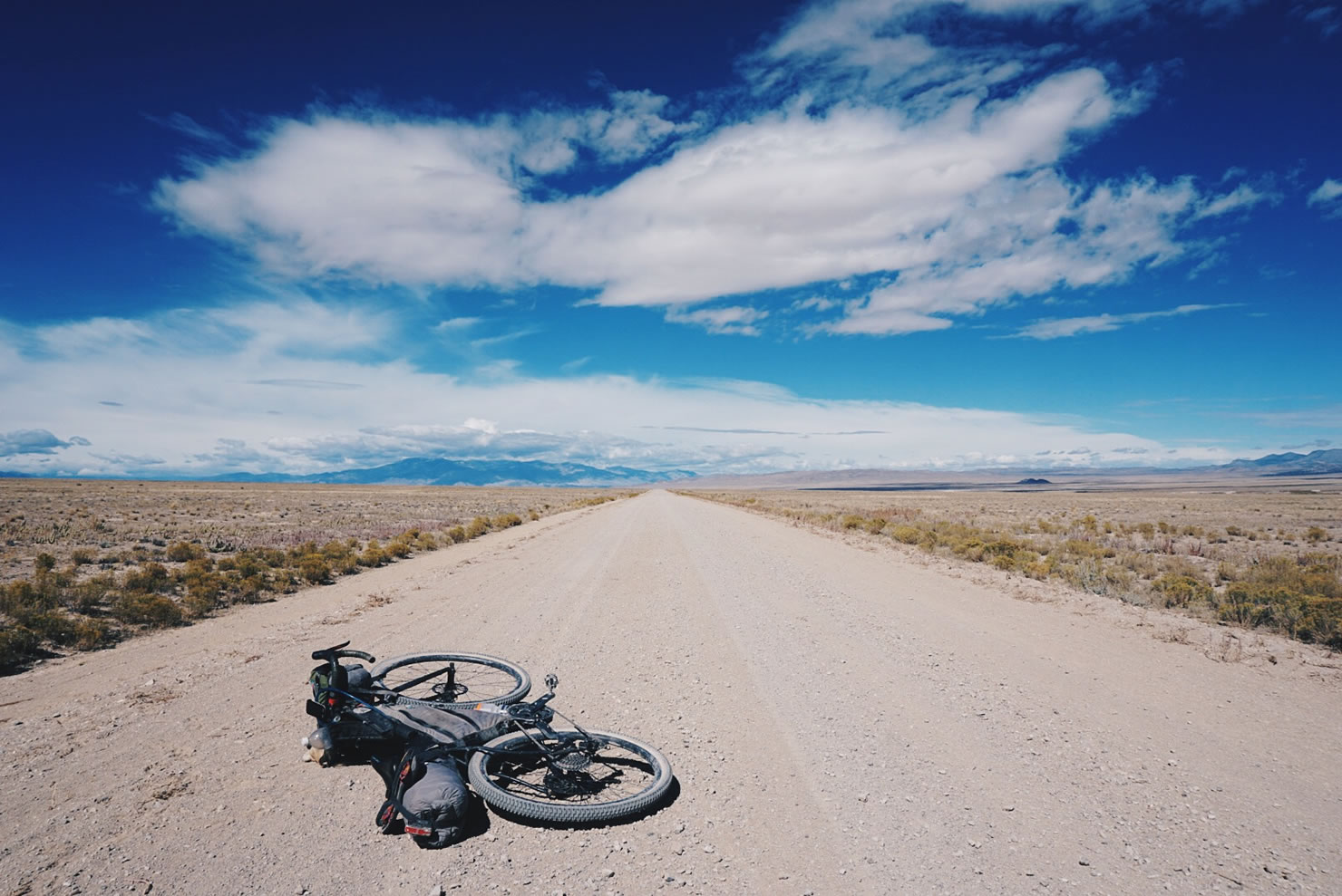
The route then crossed a beautiful section through Fishlake National Forest, into the very small town of Kanosch, our final town in Utah before a long waterless 140 mile stretch of desert, across the Utah/Nevada border. We rode this section in two days carrying six liters of water per bike, which was enough to drink for two days, cook a basic dinner, and have breakfast in the morning. Once again, we had not seen a soul the entire day, and with no place to tuck ourselves away, we set camp directly on the side of the road.
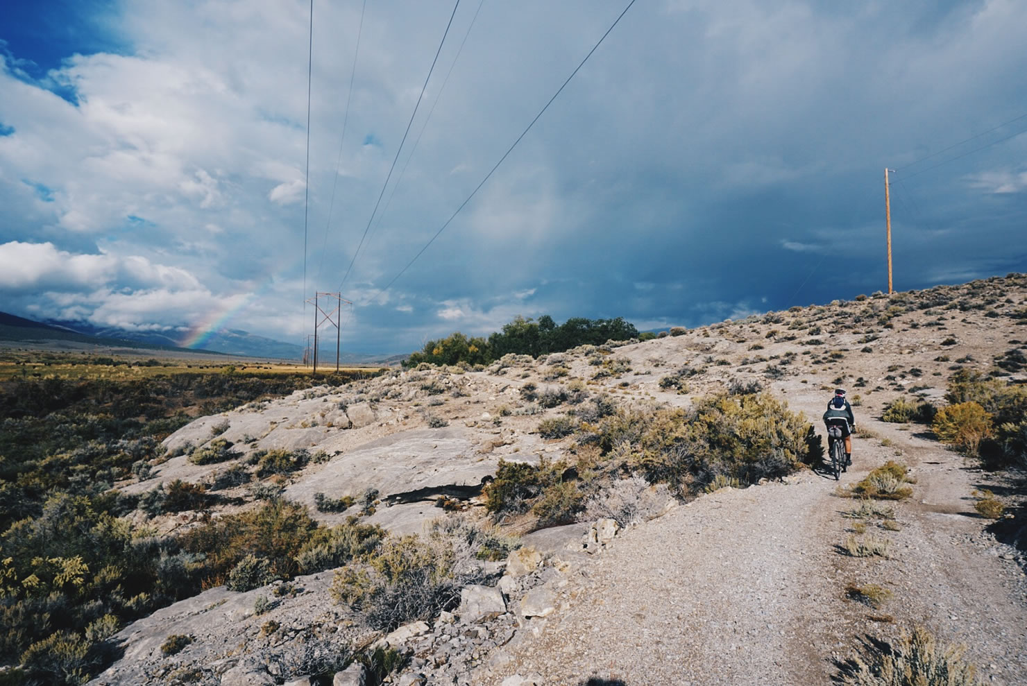

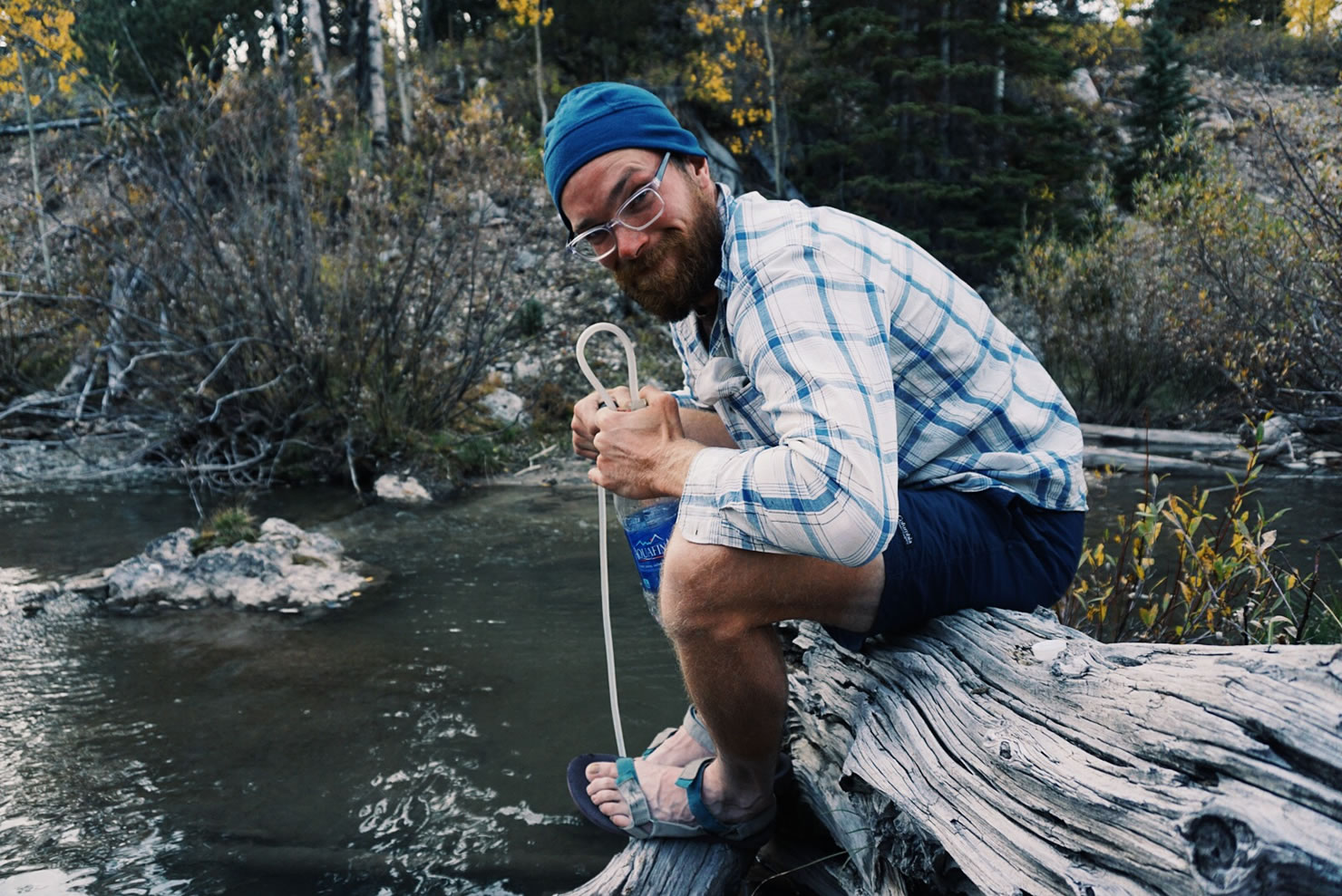
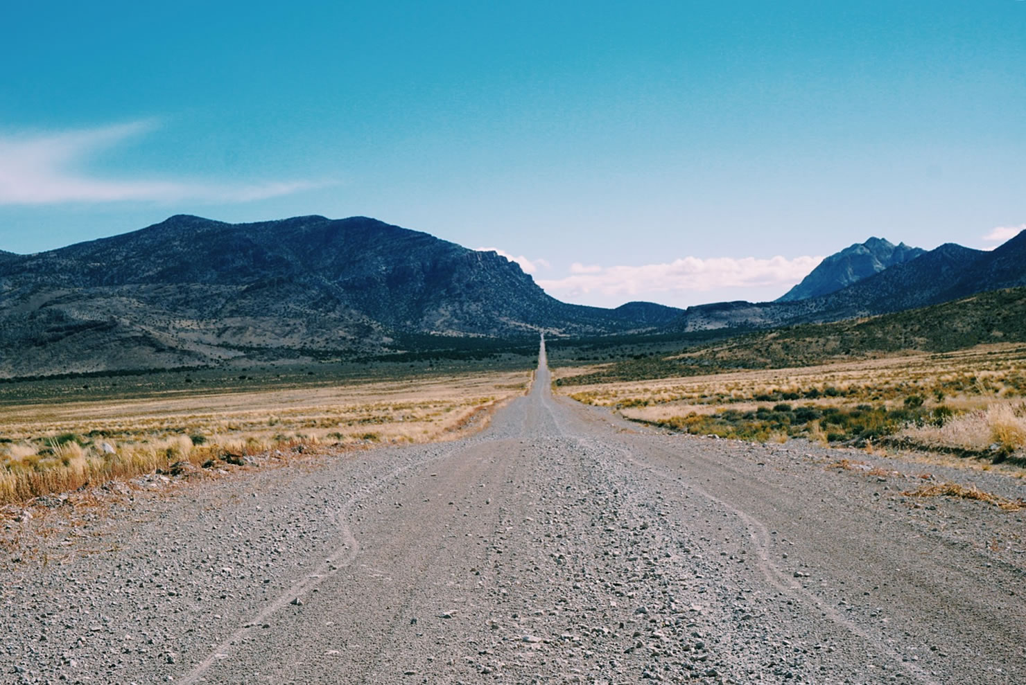
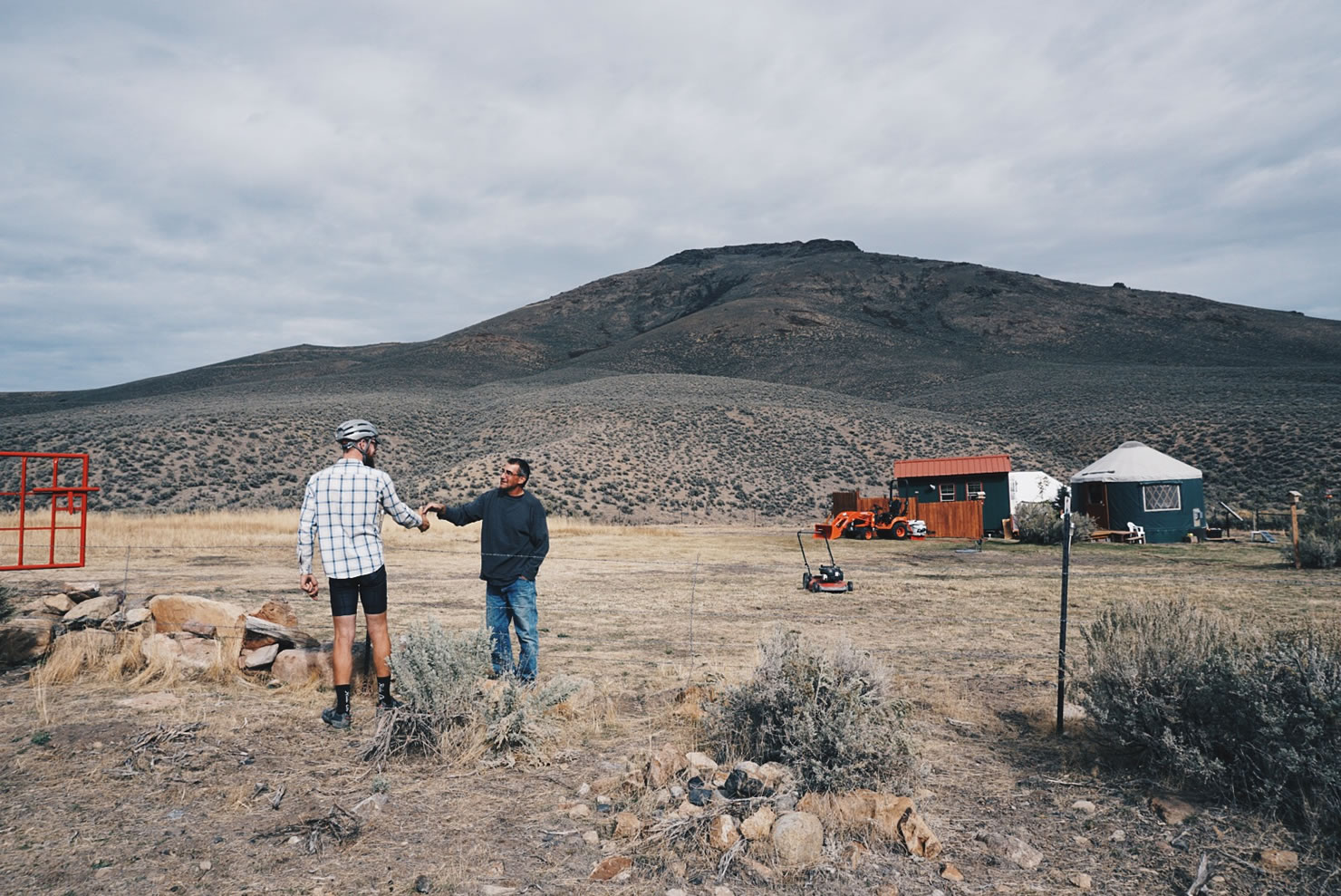
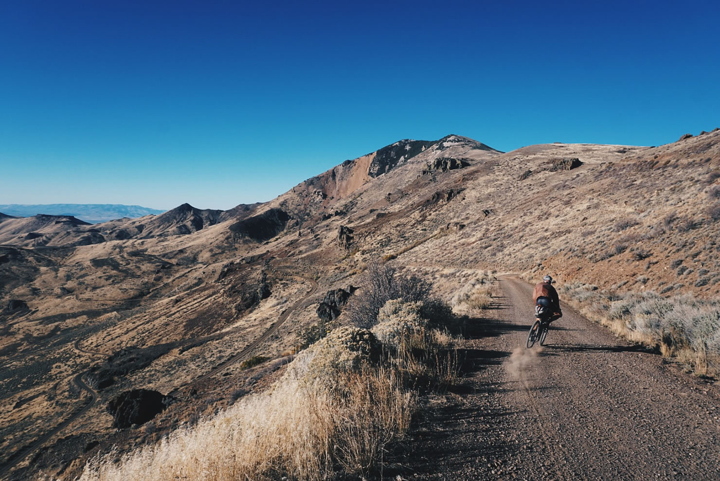
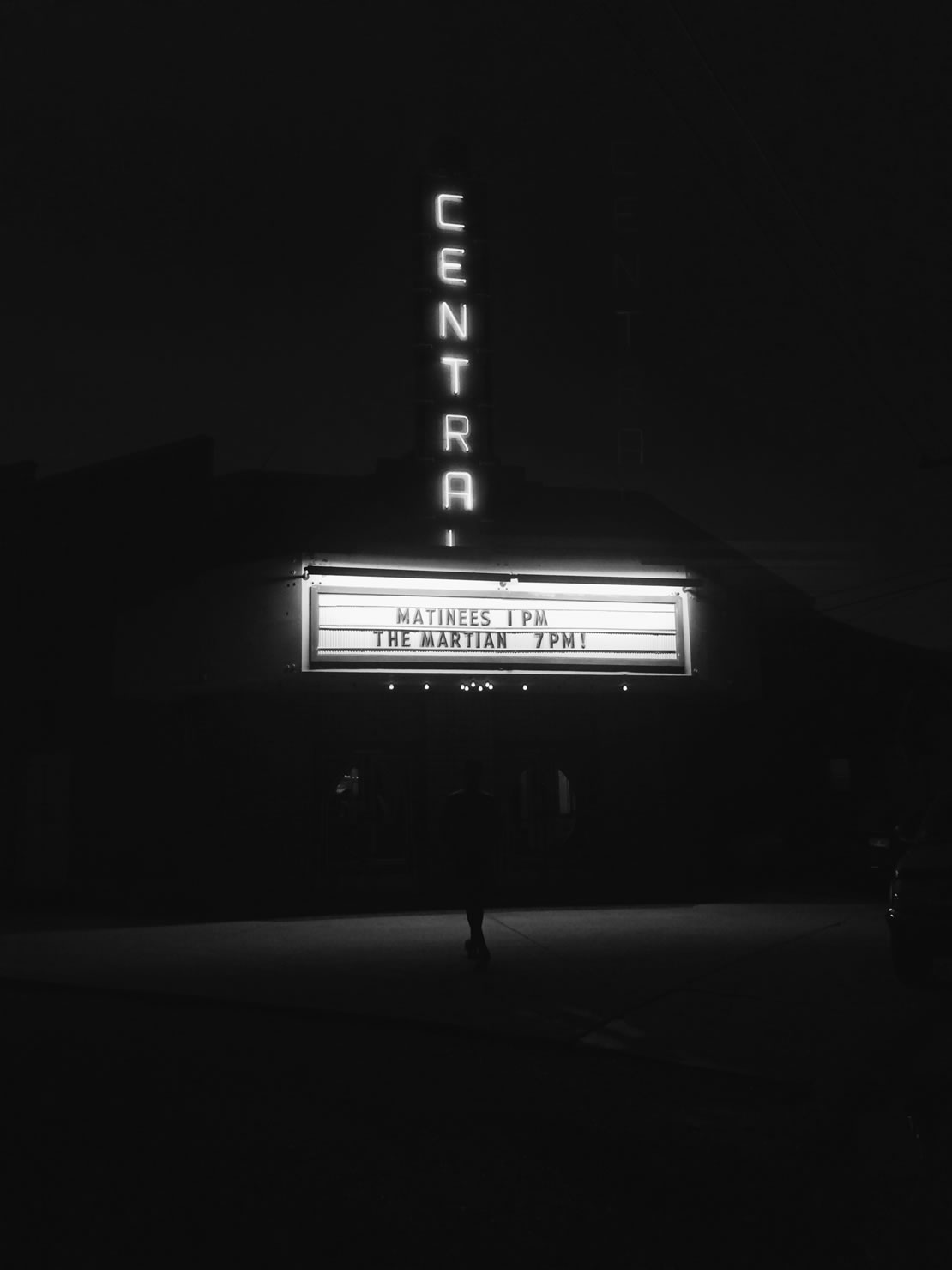
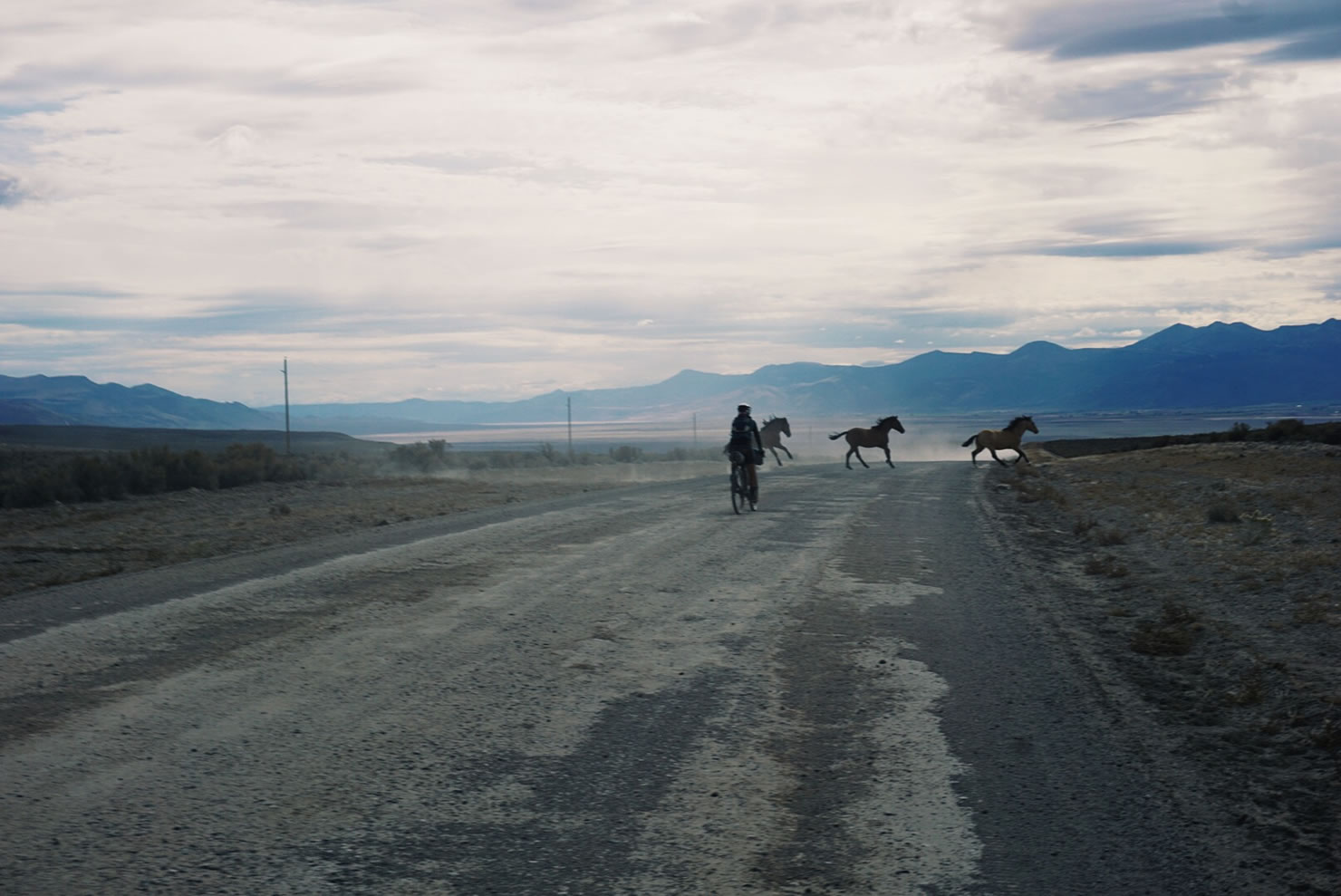
Once over the Nevada border, we entered the Great Basin National Park through the small town of Baker. After that last long section of desert, we contemplated the serious implications of taking any longer to traverse waterless terrain. For instance, had the terrain been more technically difficult, or had we other problems stack up, we may have faced issues much worse than dehydration. So, once again, we deviated from the route, opting to climb up into the mountains, rather than riding through basins. The perks of this alternative were shade and cooler temperatures during the day, opportunities for water, and more frequent towns. We even managed to get to a town early enough to catch The Martian playing in a theater built in 1939. From Eureka we were back on route, riding in and out of basins, north to Battle Mountain, then North to McDermitt, located on the Nevada/Oregon border. Each basin was different, some were more dry than others, but we started to find many natural springs, even hot springs which we enjoyed along the way. We purified our water from springs, reservoirs, and the occasional small creek.


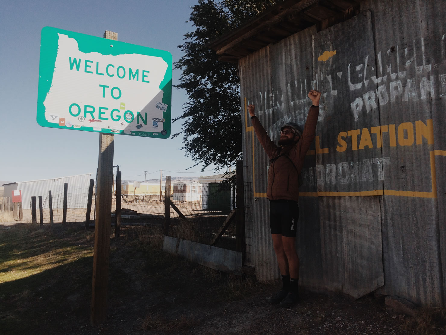
We’re in Oregon now where the temperatures are lower, even during the day, so it’s about time we finish this thing up. We’re taking our final day off before finishing the remaining 350 miles of this incredible journey. The adventure won’t be over at the end of this route.


If you are interested in joining us for the last days of our ride into Port Orford on Sunday, October 25, e-mail my sister Mary, lytlemr@gmail.com, who is based in Portland and has the details and a vehicle. We are headed to the Portland area for a week or so before we drive south to California, then east through Arizona, New Mexico and Colorado, on our way back to Ohio for Thanksgiving. If you are interested in meeting up, learning about the Trans America Trail by bicycle, or our particular journey, e-mail us at howdy@swallowbicycleworks.com and give us a reason to ride and visit your town. Thanks again for your continous support throughout our journey! To follow the remainder of our journey with more frequent updates, follow us on instagram @swallowbicycleworks. For more photos of our journey, visit us on Flickr.
Trans America Trail Posts
- Part 1: The Departure
- Part 2: 1,500 Mile Update
- Part 3: High Elevation
- You Are Here: (Part 4: Across The High Desert)
- Part 5: The End of An Odyssey
Please keep the conversation civil, constructive, and inclusive, or your comment will be removed.