


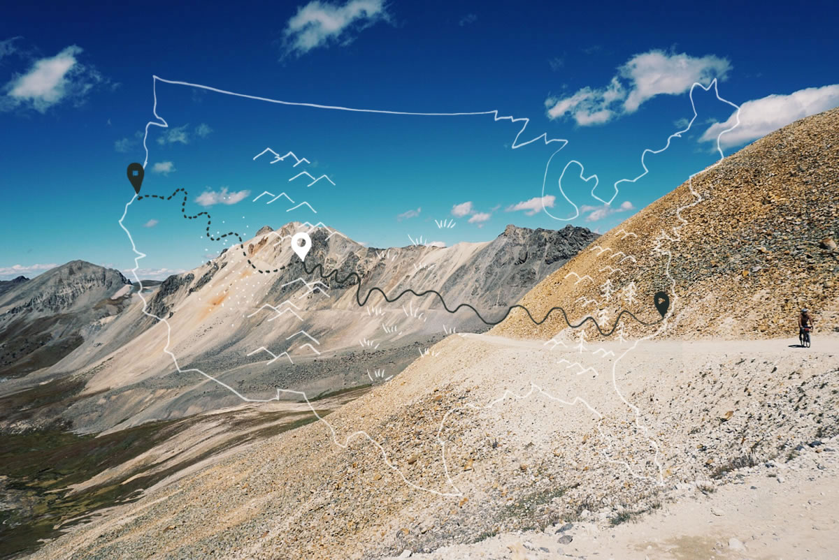
Trans-America Trail (TAT): High Elevation


A stunning write up and collection of images from Tom and Sarah Swallow, as they make their way from coast to coast on the epic Trans-America Trail (TAT). This update covers their journey from the plains of Arkansas to the high San Juan Mountains in Colorado…
PUBLISHED Sep 23, 2015

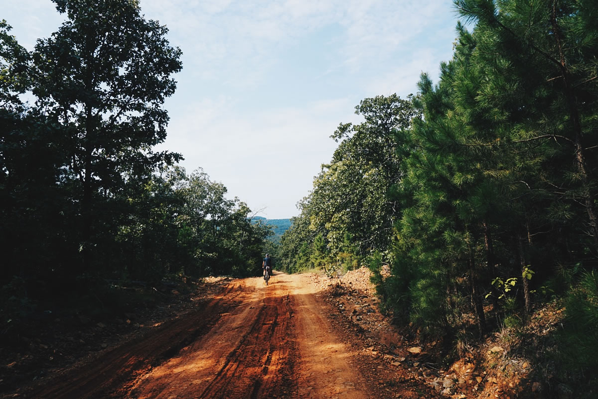
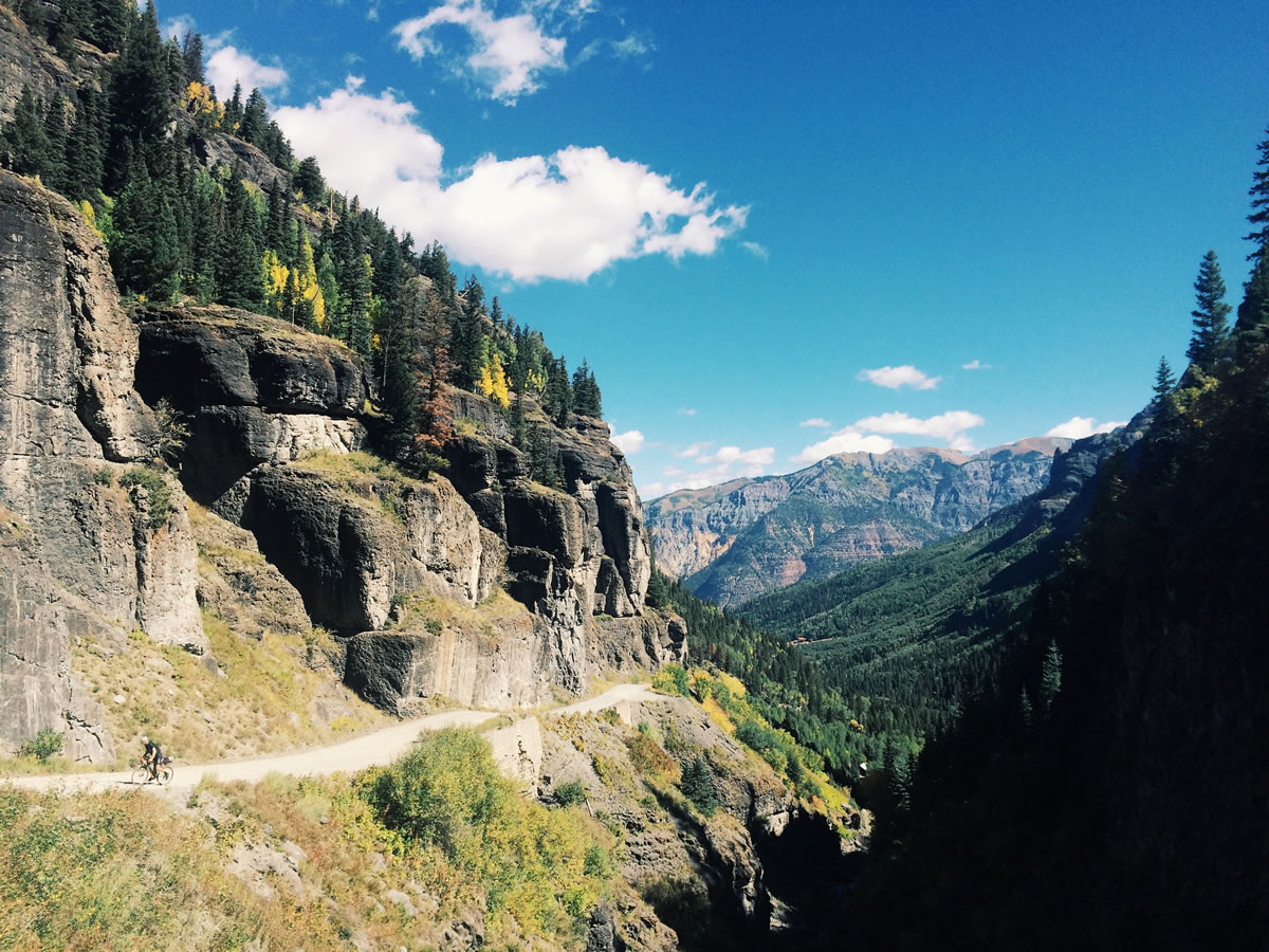
For the last couple of days we have been riding our final miles through the San Juan Mountain Range of the Rocky Mountains. Since we last updated, we rode through the many steep short mountains of the Ozarks. There, with minimal services available, we made our way through rugged terrain and dealt with the psychological effects of the ever present and biting horse flies with which we shared the road and campsites.

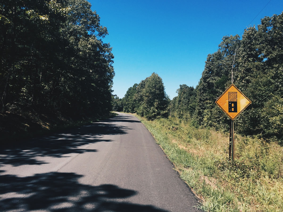
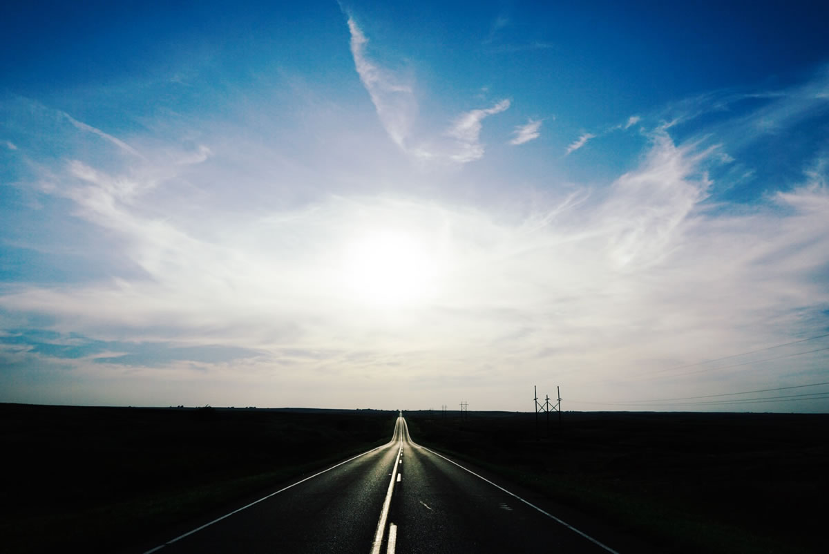
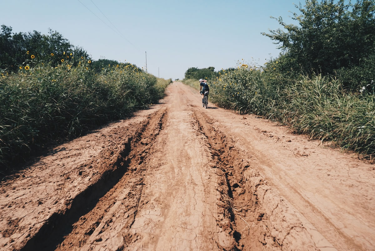
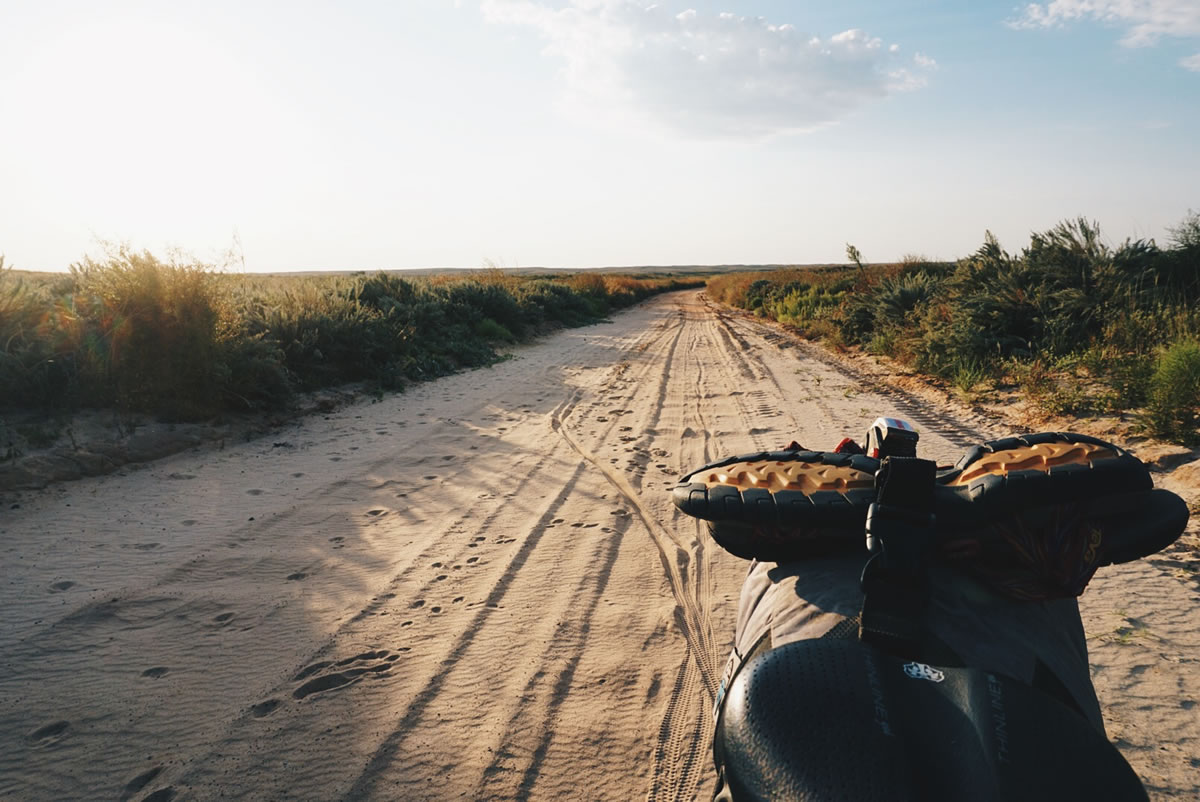
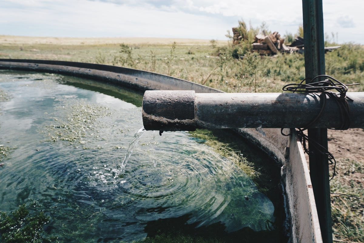
We then rode across Northern Oklahoma, including the Panhandle, in an relatively straight line at a gradual 1-3% grade. We learned how valuable access to water is, how tough it is to survive in such a desolate land, and how generous and kind the remaining residents are. We give Oklahoma our respect and are grateful for all of the friendly people who welcomed us into their homes for water. We learned how difficult it is to ride in deep sand, something on our minds as we head into the San Rafael Swell in Utah, just as Oklohoma mud was a concern when we were in Mississippi.

We learned how valuable access to water is, how tough it is to survive in such a desolate land, and how generous and kind the remaining residents are.
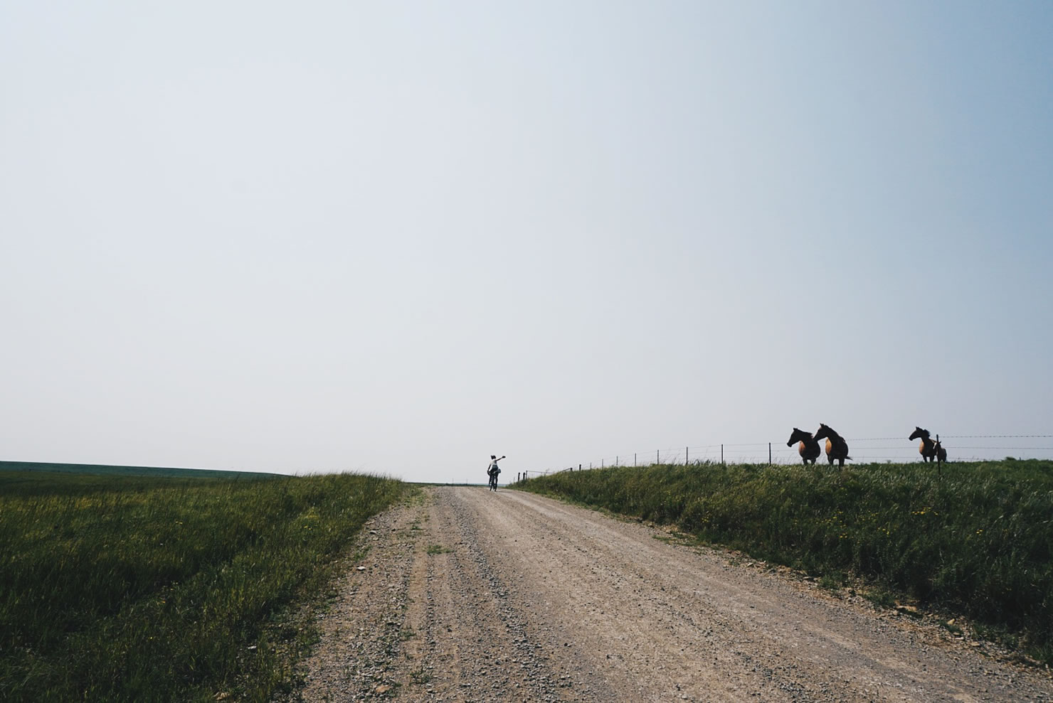
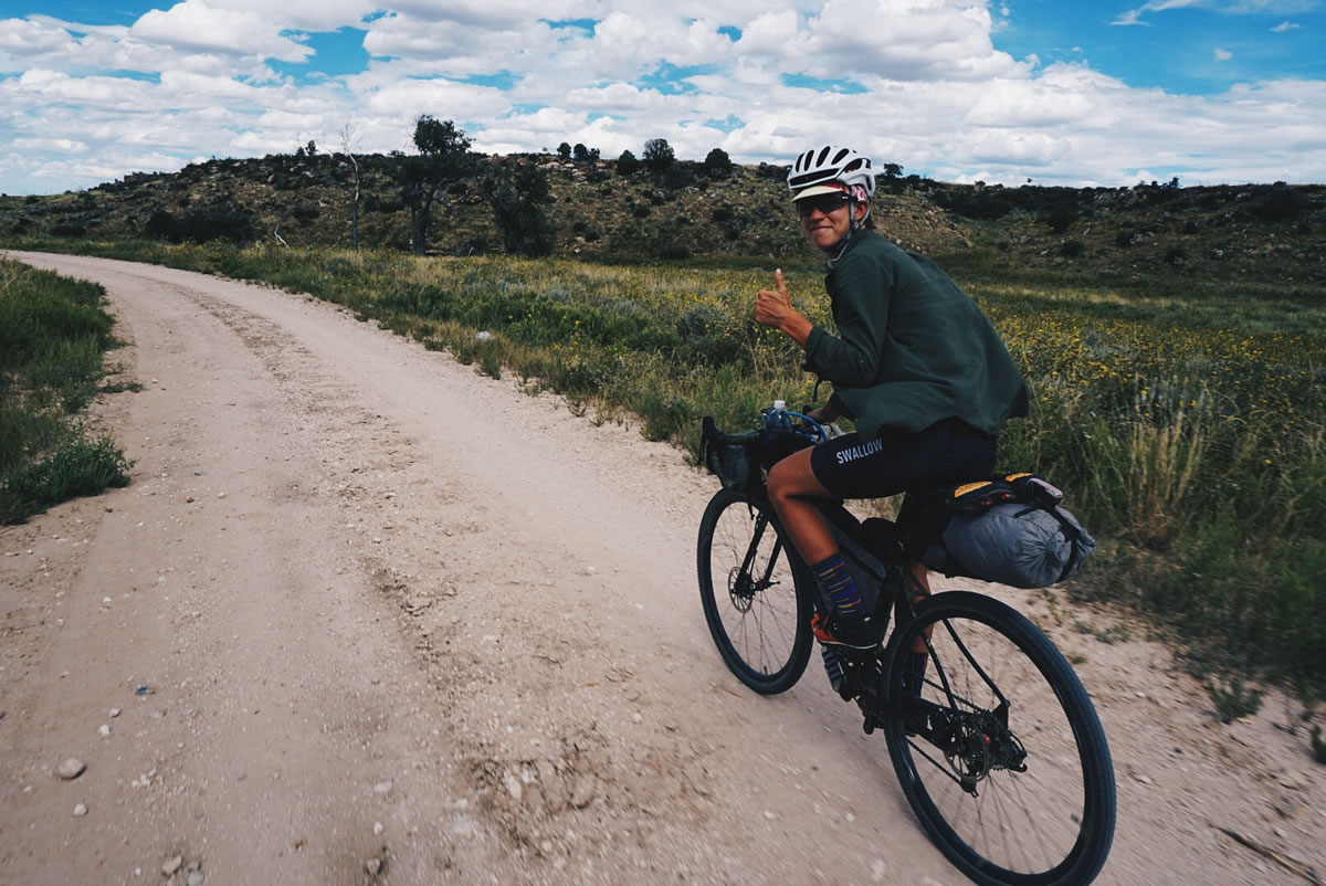
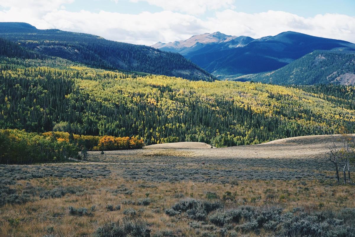
We “vacationed” in New Mexico for less than 100 miles, where the change of scenery, geography, and prevalence of operational windmill driven water pumps, made for an easy and entertaining riding. Into Colorado with a lot of momentum, where new types of food, abundant opportunities for espresso, awe inspiring scenery, ideal road conditions, interesting culture, mountains, water and trees sucked us in and slowed us down.


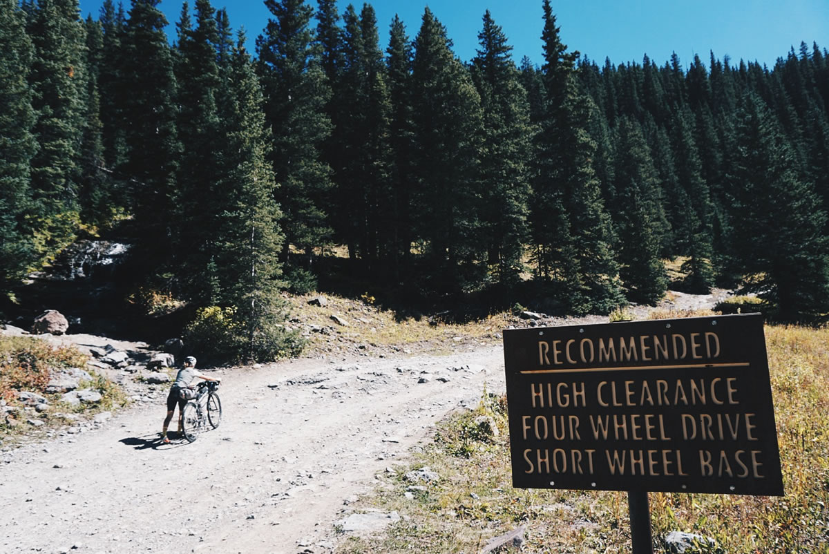
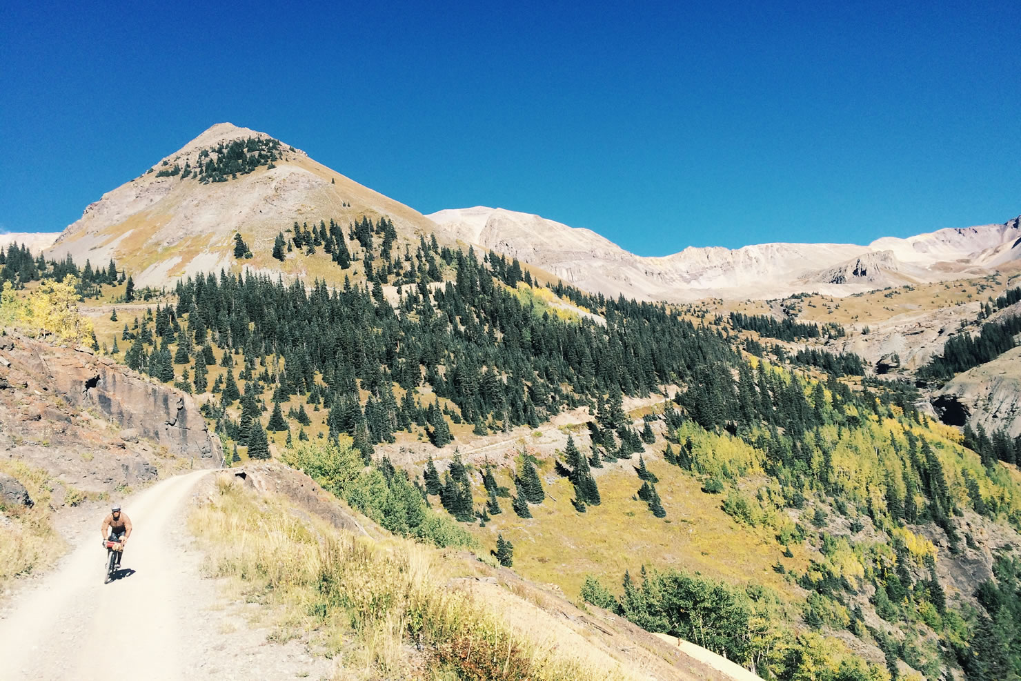
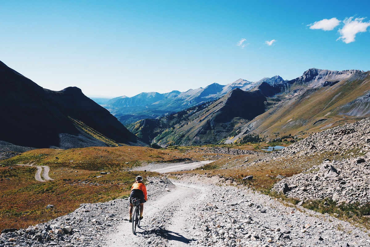
The mountain climbs and weather have so far been generous to us, with few exceptions. The first being our first major high elevation climb on the route to St. Charles Peak, located in the Wet Mountain range in the Southern Rocky Mountain system. In our observation, the climbs we have done that go over 10,500 ft. typically pose difficulties related to varying combinations of the road conditions, temperature, and physical effects on the body. The bulk of our riding in Colorado has been at an elevation of 7,000 to 10,000 feet, so when we climb from ~8,000 to over 10,500, that’s typically a big deal for us. The length and distance of a climb are also crucial.
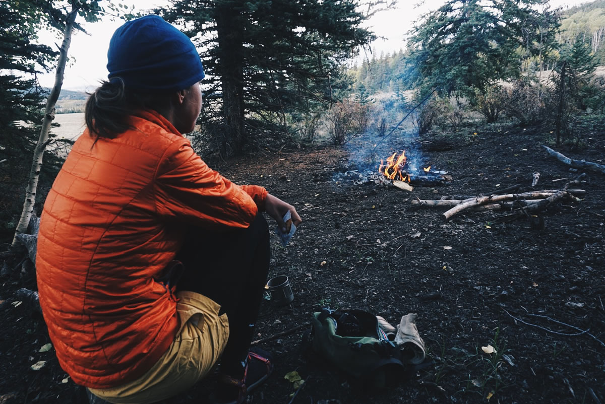

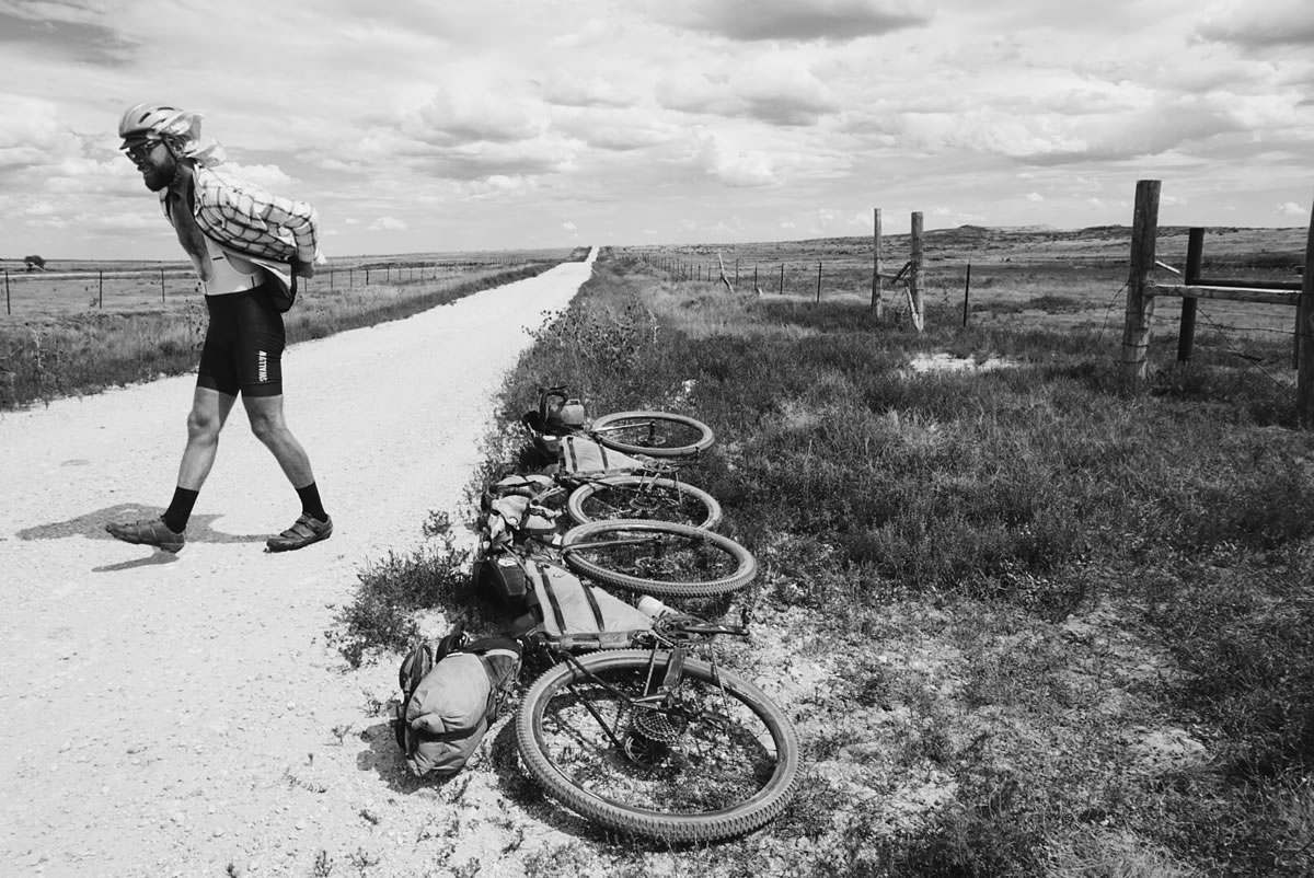
On paper, St. Charles Peak looked like a moderate climb of 4,100 ft gain in 25 miles, ultimately reaching a peak elevation of 11,200 feet. We started our ride that day with a hilly 35 mile warm up from La Veta. By the time we stuffed our bellies with good eats from the Wild Flower cafe in Gardner, it was 3 p.m. Our goal was to climb and set camp at lower elevations on the other side by dark. As the story always seems to go, the climb was much harder than expected, took much longer, and required us to improvise. We had been spoiled by the smooth fast roads through Colorado to this point so when our route turned onto a sandy ATV trail and our giddy initial enthusiasm for a change of terrain wore off, we started noticing the effect of the many short steep descents. We had assumed there would be a more constant grade while climbing. What we encountered was sharp descents, steep climbs, and very infrequent periods of low intensity cycling. We had expected to be moving much faster than we were, and after many hours of pedaling (sometimes walking, in my case) we reached the top of the mountain, just as the sun was setting. We had no idea what the descent would be like, other than it was 10 miles, but we have a preference for setting camp in the light, so we decided to set camp where we were, at the top. This was only our third day in Colorado, and our first day riding anywhere above 9,000 ft, so choosing to sleep at 11,200 ft was pushing our luck. We were both physically well and had carried enough water to the top with us to camp without access to a water source (we call this dry camping). We made camp, built a fire, and quickly put it out (to be continued…), ate dinner, put on all of our clothes and enjoyed a relatively good nights rest, lit up by billions of stars in a clear black sky. This climb set the bar of difficulty, and from then on we started taking a different approach to riding through Colorado, one that is defined by shorter distances, more rest, and a more micro-based analysis of the statistical information of each mountain climb.


So, we carried on, spending time in more towns than we had planned, spending more money than we would have liked, but overall enjoying the trip. When the trail challenges us most, we often find reward shortly thereafter.
We took a day off in Salida where we realized how much we missed other cyclists and spent most of our time getting to know and talking bikes with Chris and Harry, who traveled from the UK to ride the Colorado Trail.
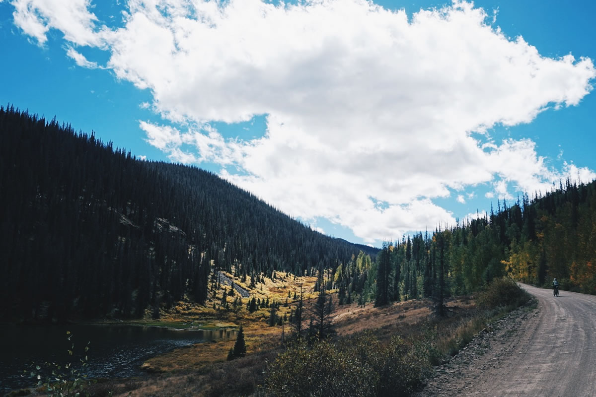
From Salida we rode our first major pass, Marshall Pass, and crossed over the Continental Divide. The weather, the colors, and the terrain seemed to simultaneously change upon our descent into Sargents. We were also entering Gunnison National Forest, notorious for being “big country,” as a local put it, refering to the vast, desolate land, cooler moist temperatures, and ever present winds. We spent three days, and two nights riding the 133 mile route from Salida to Lake City. Living up to its reputation, the weather we experienced was grey, wet, and windy, offering long slow days in the saddle, cold restless evenings, and later starting mornings. We pushed ahead, knowing that Lake City and all of its majestic beauty lie ahead. Sure enough, on our final day, the sun came out, warming us up, and illuminating the brilliant change in the fall foliage. We enjoyed a rugged and colorful ride up Slumgullion Pass (11,200 ft. elevation). From there we found a speedy twisting descent into Lake City where we would fill our bellies and rest up to tackle our most challenging high elevation climbs over Engineer Pass and Imogene Pass.
One thing is sure, the deeper into this route we get, the more difficult the terrain becomes, and everything we have done along the way prepares us mentally and physically for the next big challenge. Since the first day of researching this route, we learned that these high elevation mountain passes would be some of the most difficult terrain features we would experience on the entire route. The technical, steep riding we did through the Ozarks, the mental challenge of riding across Oklahoma, and the gradual introduction to Colorado’s Rocky Mountains have all played an integral role in training us for these mountain passes. We tackled the passes one day at a time, back-to-back. Our experience went a little like this…

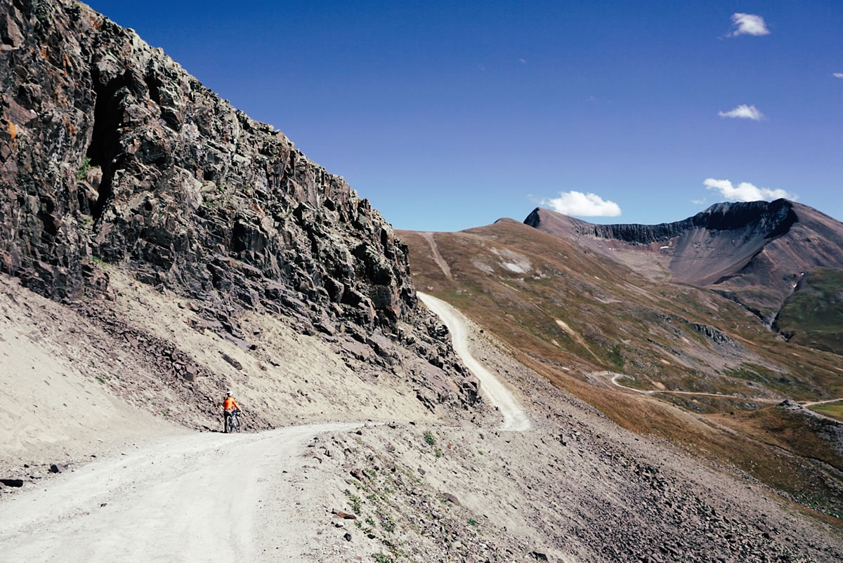
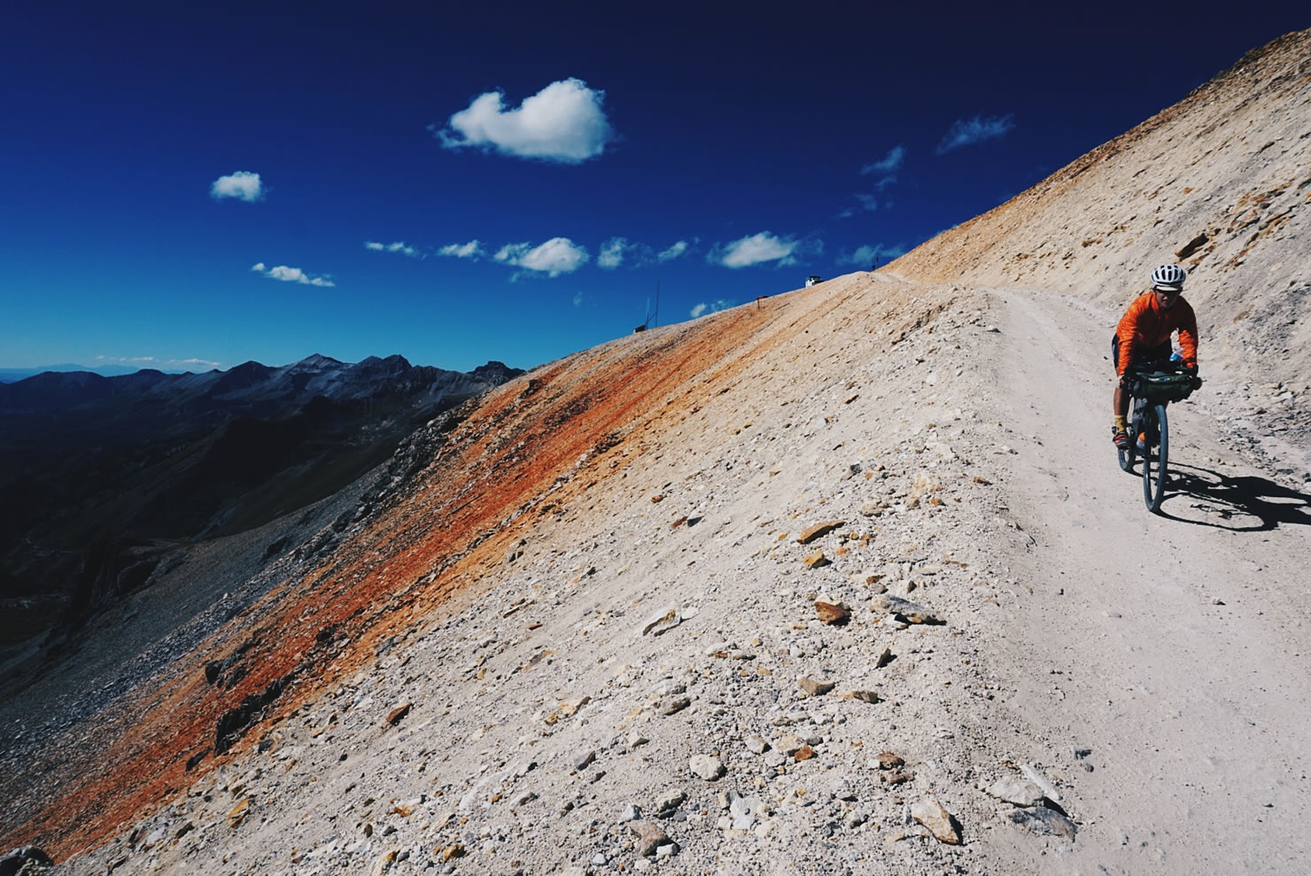
Engineer Pass
Total distance from Lake City to Ouray: 35 miles
Elevation gain in 18 miles: 4,300 feet
Peak elevation: 13,000 feet
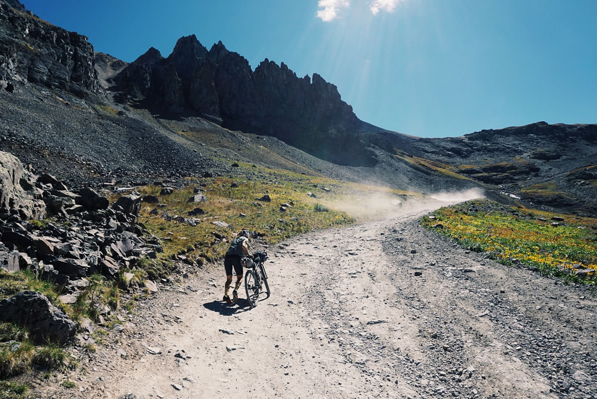
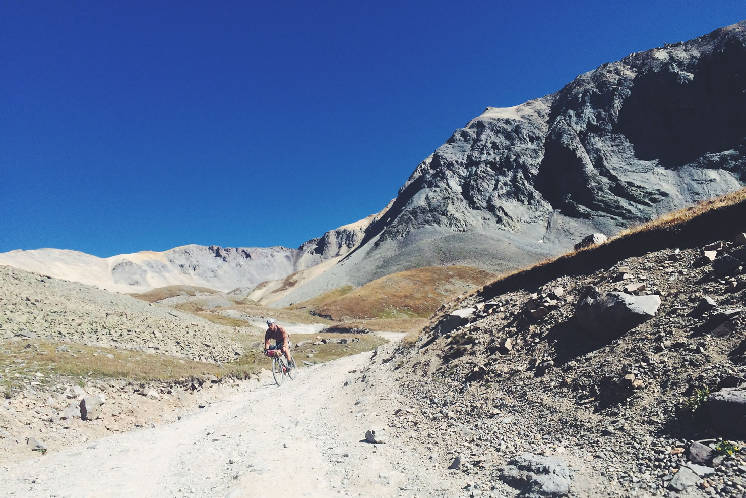
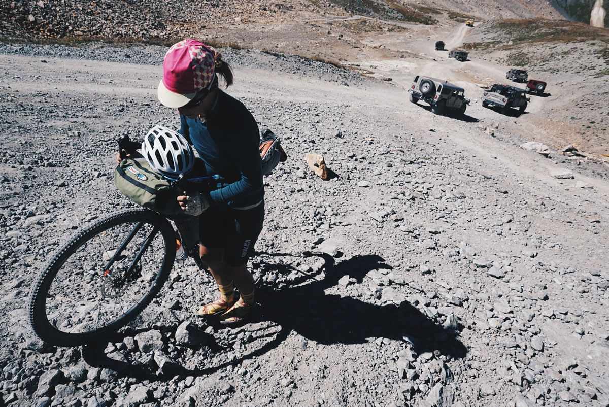
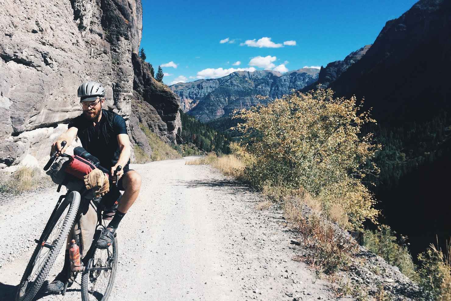
The road conditions of the 18-mile climb were smooth and easy, allowing us to soak up the views of crystal clear, trout filled streams, the remnants of old mining operations, and incredibly colorful mountainscapes. We took our time, stopping to snap a photo and to explore. As we rode closer to the top, the grade grew steeper, but was manageable. Now that I think back on all the times I have been at high elevation, I have not been so high as 13,000 ft., especially not on a bicycle. To have ridden our bicycles there, not only just from Lake City, but from the coast of North Carolina, inspired an emotion inside of me that is hard to describe. We are travelling over a continent experiencing drastic cultural and geological change at a slow enough pace to experience a level of immersion, but quickly enough to experience the shock of differences. The descent from Engineer Pass was drastically different. Technical, steep, rocky terrain swept us downhill. Many sections were so complex that we paused to evaluate potential lines of travel that we would take. Once again, I put my feet to work, by hiking down some sections I wasn’t willing to risk, while Tom conquered what appeared to be impossible. We had fun all the way and enjoyed the hell out of the terrain, putting all of our equipment to the test and coming out relatively unscathed (with the exception of a small, impact related {Tom} sidewall cut, and our first flat in 3,000 miles).
We are travelling over a continent experiencing drastic cultural and geological change at a slow enough pace to experience a level of immersion, but quickly enough to experience the shock of differences. – Sarah Swallow
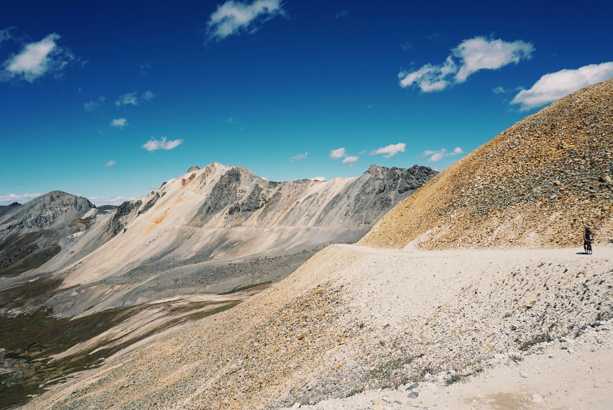
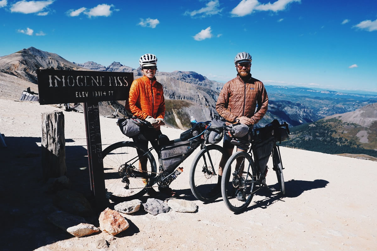
Imogene Pass
Total distance from Ouray to Telluride: 18 miles
Elevation gain in 9 miles: 5,000 feet
Peak elevation: 13,200 feet
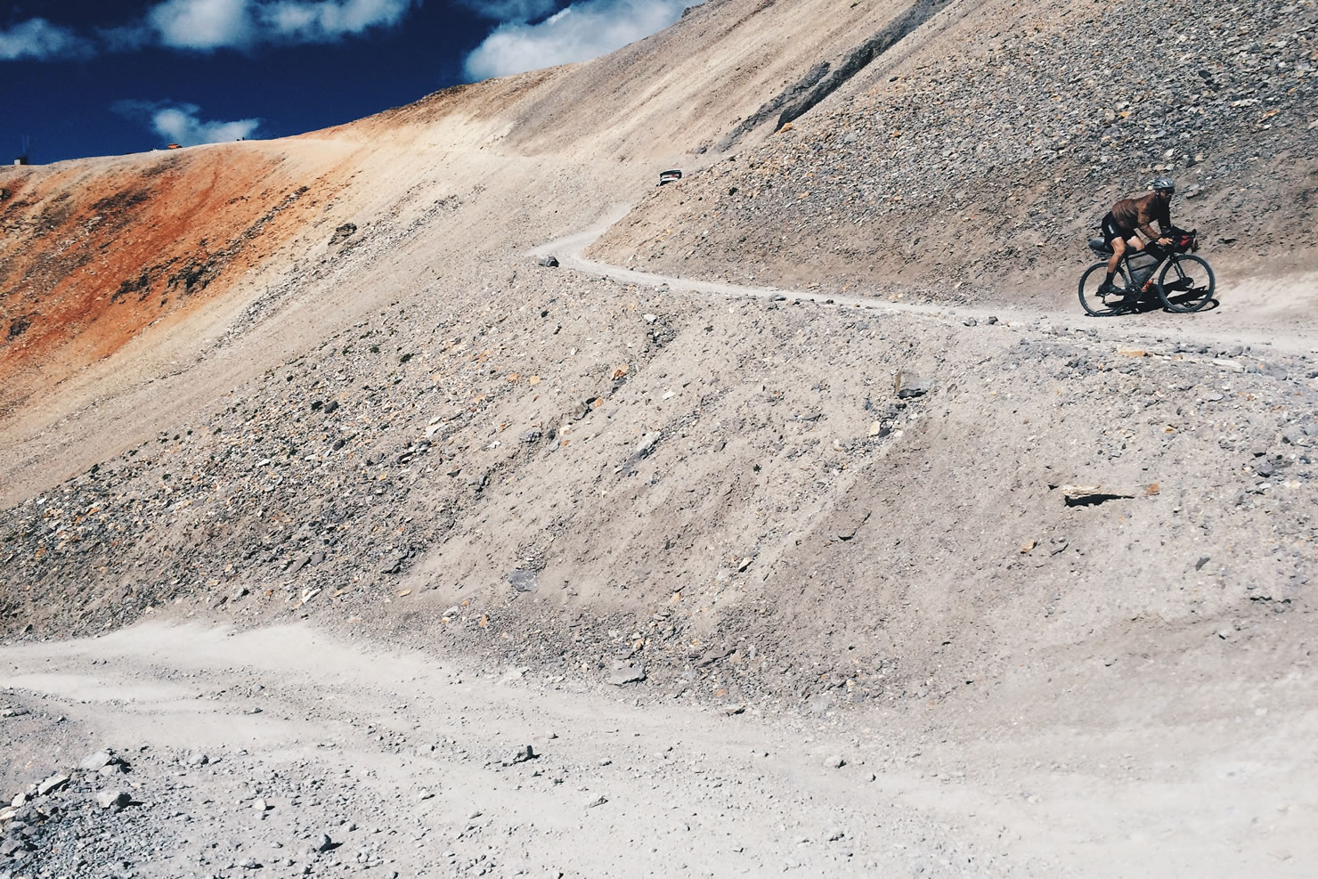
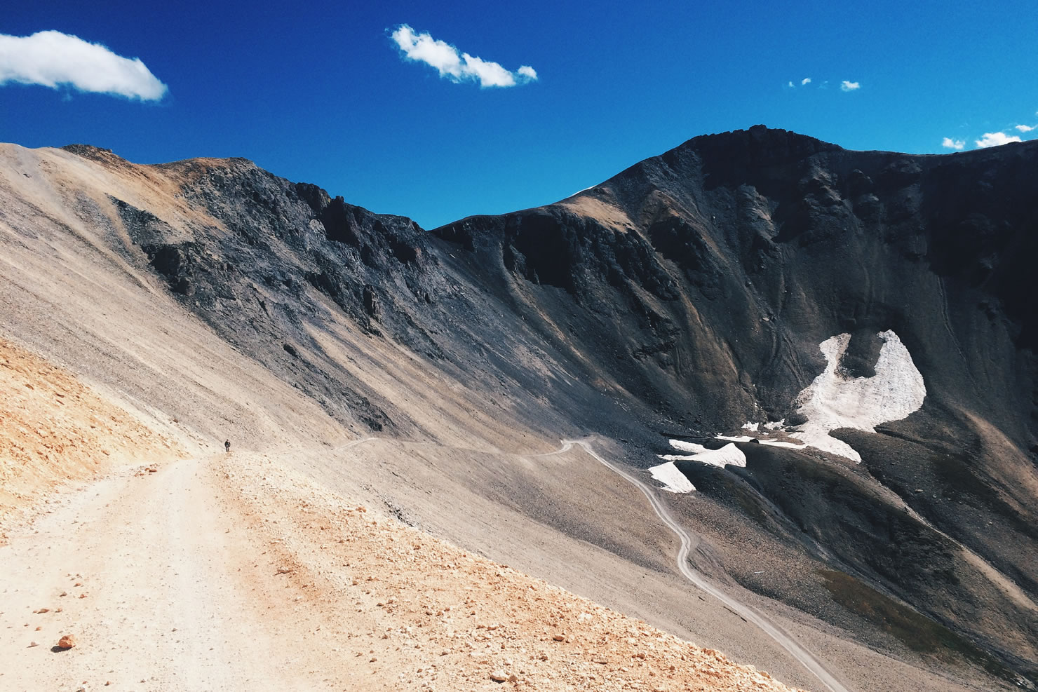
Imogene Pass was a different story. I remember when we were in Salida, I was showing Harry the statistics of our upcoming climbs. I got to Imogene’s stats and we looked at each other perplexed. Those numbers can’t be right, I thought, I must have done the math wrong. I also recall saying something along the lines of, “If we had to go up Engineer Pass, the way we went down, I don’t think we would have been able.” We knew what was ahead, we knew it had taken motorbikes two hours to go 20 miles, but we weren’t talking about it. What’s the use? Well… After we had gone 1.5 miles in almost one hour, reality set in and we knew that this climb and descent would likely take us more time than the day prior, at half the distance. Why? It was steep, rocky, and loose (a lot like the descent of Engineer Pass). The higher up we got, the more we walked. Some sections were so steep our feet could not retain traction so we used our bikes and brakes as leverage. We put our Teva sandals on and hiked in those for a while. On one occasion, while pushing up a steep slope, Tom lost his footing, and dropped his bike. This was tough, but there were plenty of people around us in 4WD off-road vehicles to laugh at us, cheer us on, and comiserate with the seeming insanity of what we were doing. We made it through and being over 13,000 ft. in elevation with your bicycle does not get old. The descent was much like Engineer, only steeper, which meant some walking, but considerably less than the way up. Despite it’s difficulty, we have grown fond of high mountain riding and the views don’t suck either!
That’s it for now! We took a day of in Telluride and stayed with hosts who have generously allowed us to stay in their home while they are away. It happens that Telluride’s Blues and Brews festival is occurring now, which we have been able to enjoy from their balcony. Thank you Max and Hillary!
We hit the road again tomorrow as we make our way to Moab, Utah! If you aren’t already, follow us on instagram for almost daily updates. We occasionally update our Flickr album with some extra photos as well. Thanks for following along!
More Trans America Trail Posts
- Part 1: The Departure
- Part 2: 1,500 Mile Update
- You Are Here: (Part 3: High Elevation)
- Part 4: Across The High Desert
- Part 5: The End of An Odyssey
Please keep the conversation civil, constructive, and inclusive, or your comment will be removed.