


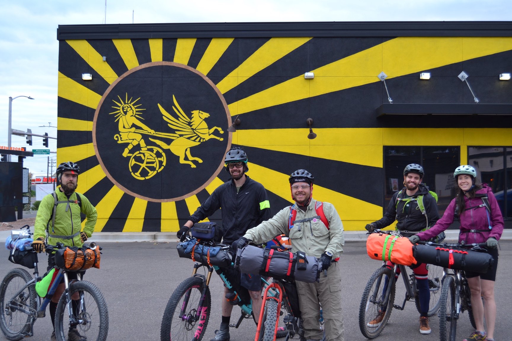
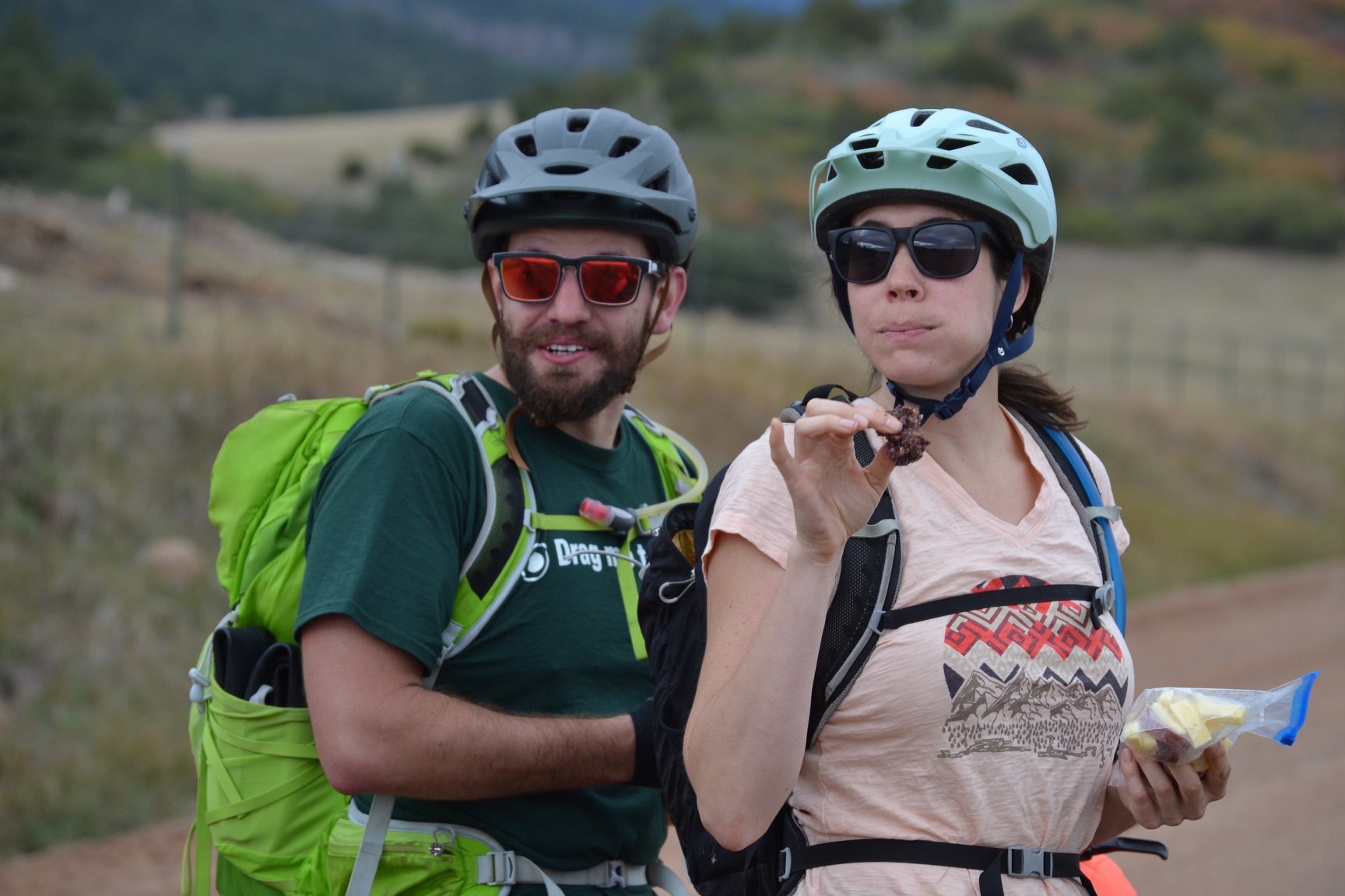
Adventure Origins Overnighter
Distance
96 Mi.
(154 KM)Days
2
% Unpaved
75%
% Singletrack
7%
% Rideable (time)
95%
Total Ascent
7,168'
(2,185 M)High Point
9,611'
(2,929 M)Difficulty (1-10)
7?
- 5Climbing Scale Moderate75 FT/MI (14 M/KM)
- -Technical Difficulty
- -Physical Demand
- -Resupply & Logistics
Contributed By
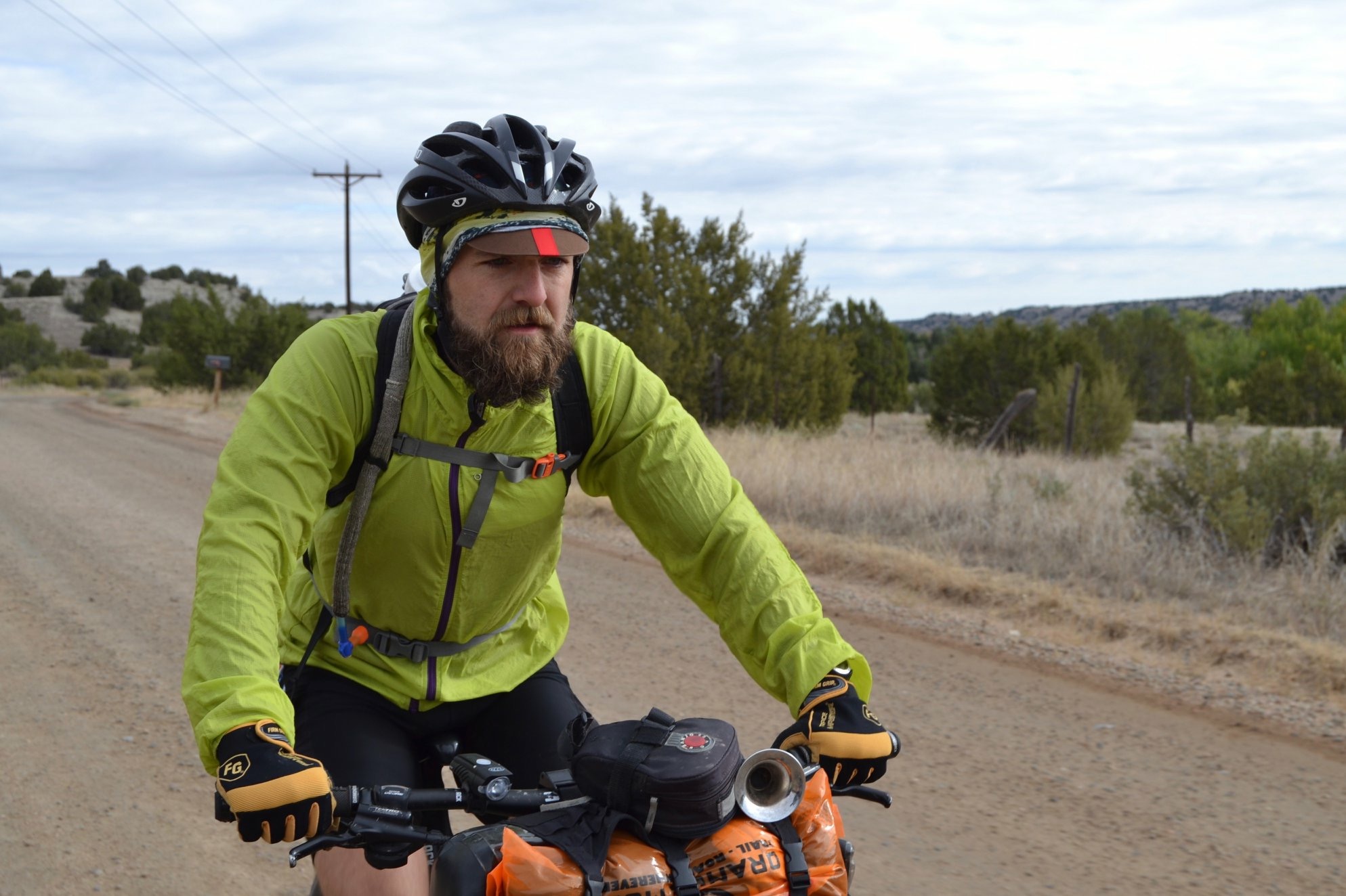
Adam Davidson
Guest Contributor
Adam has been riding mountain bikes for 20 years and spreading enthusiasm for the outdoors as a community organizer for a decade. He currently serves the local community as president of Southern Colorado Trail Builders, with Pueblo as home base.
Follow Adam’s follies of bikes, family, and chocolate chip cookies on instagram at @adammdavidson
For local conditions and event updates, follow Southern Colorado Trail Builders and Lake Pueblo Trails on Facebook.
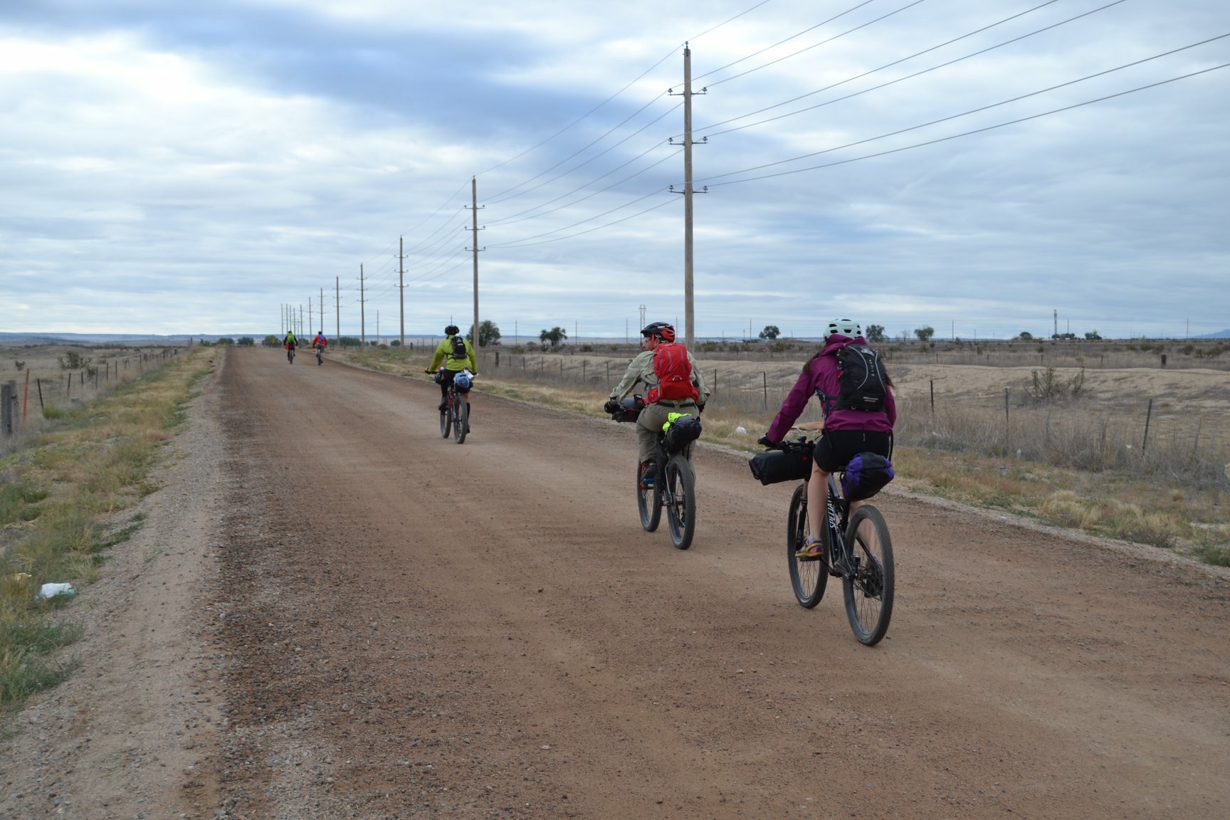
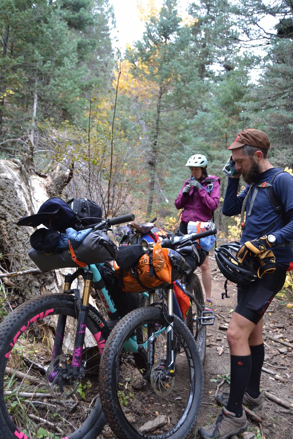
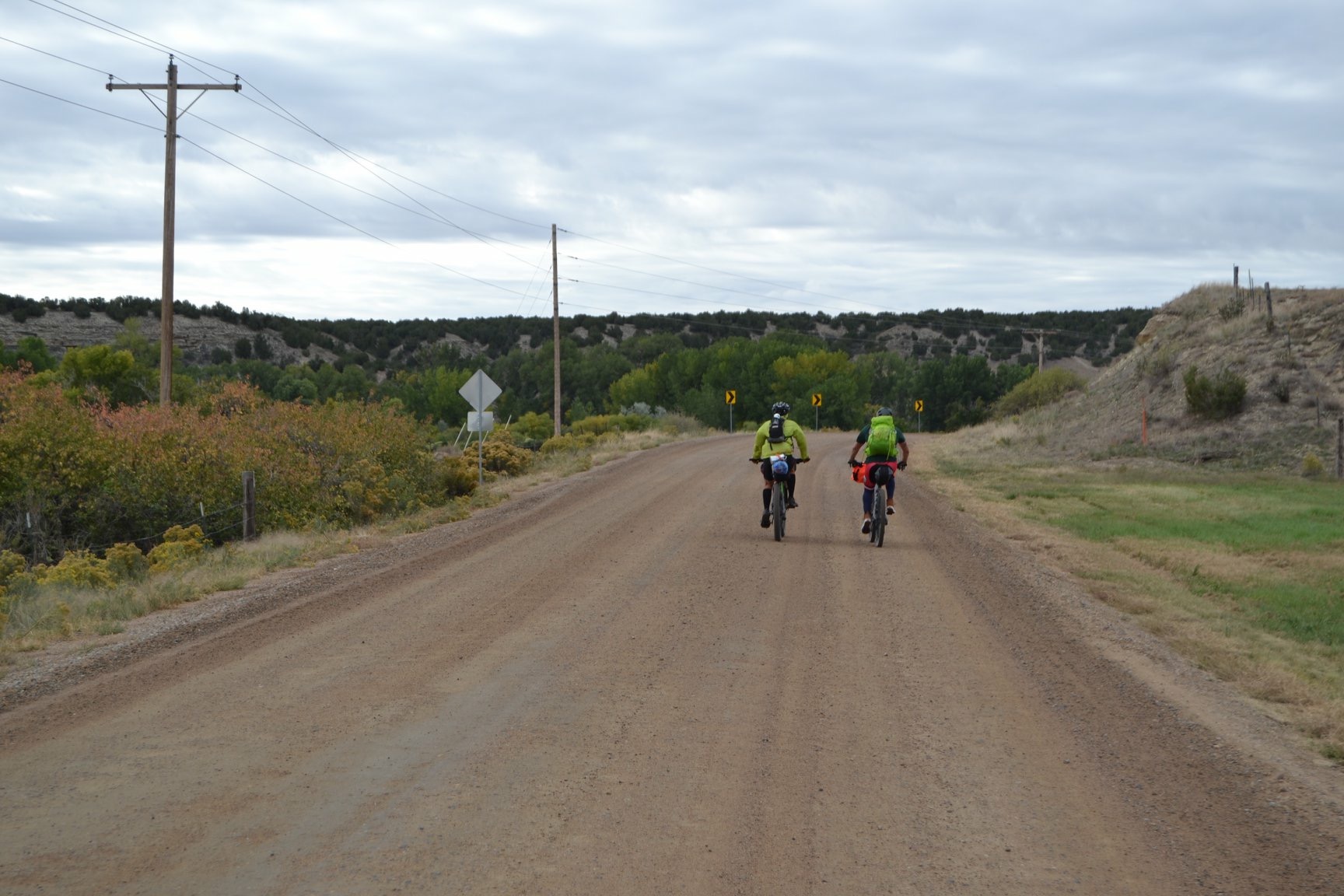
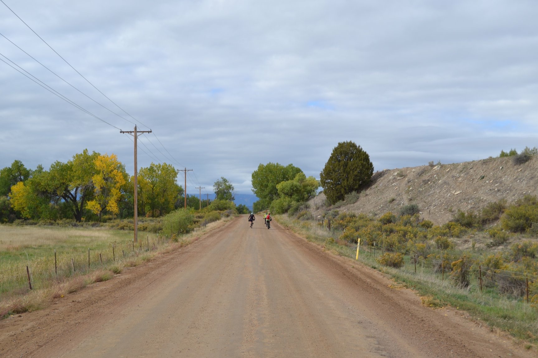
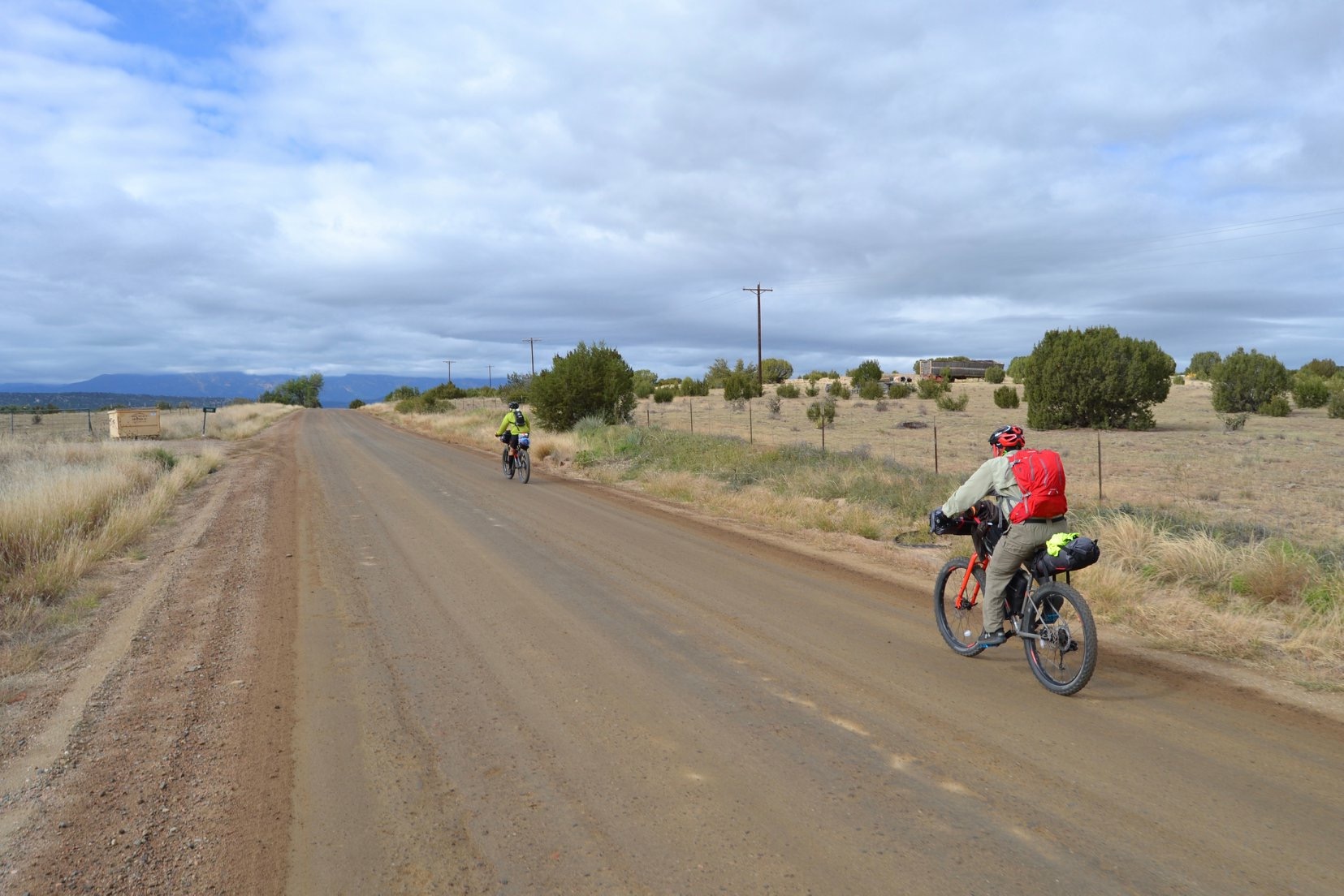
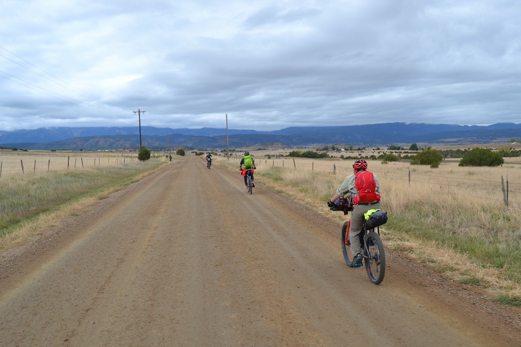
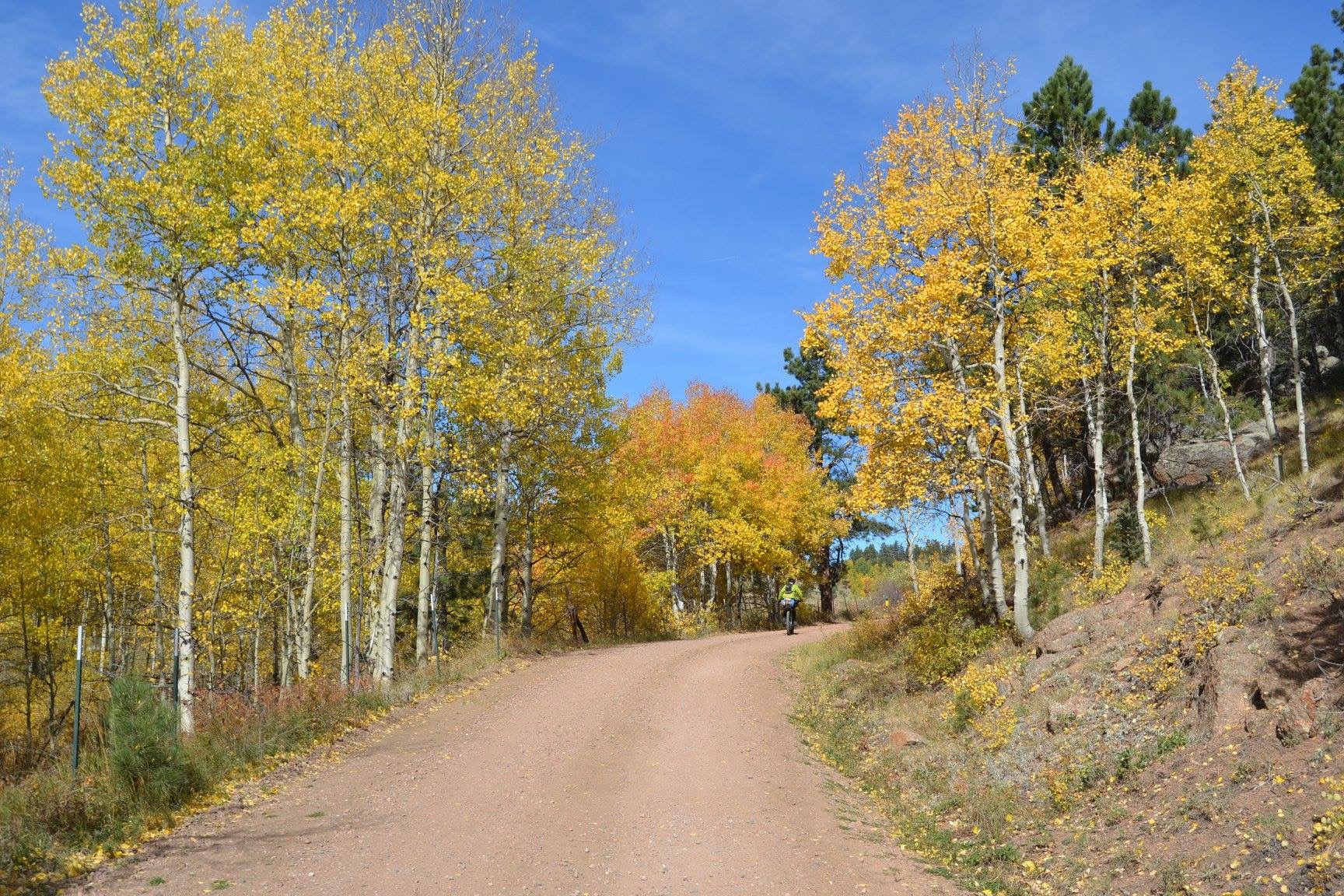
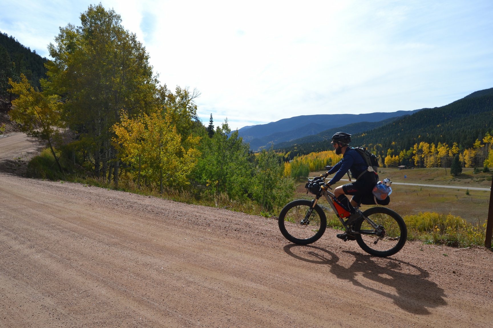
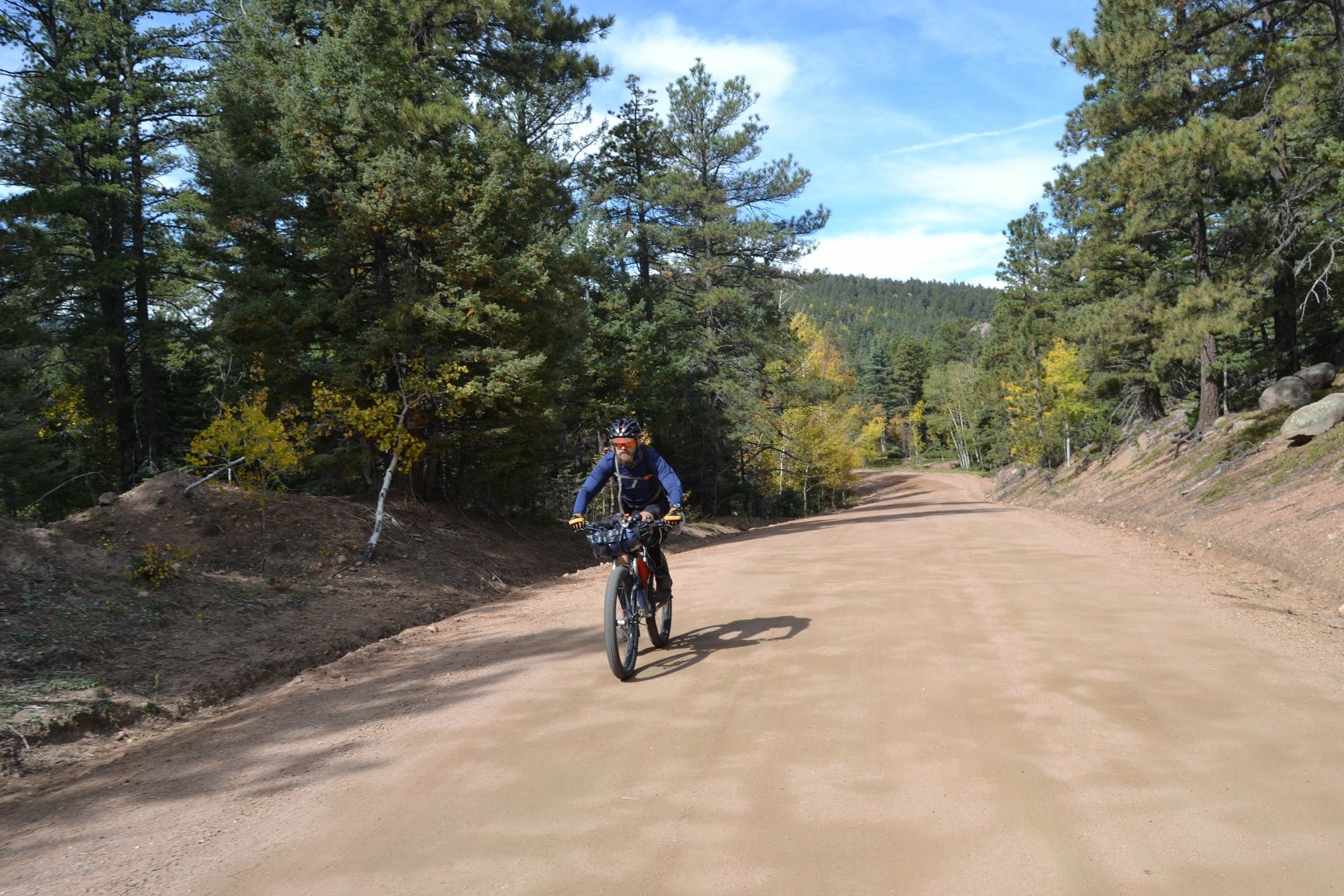
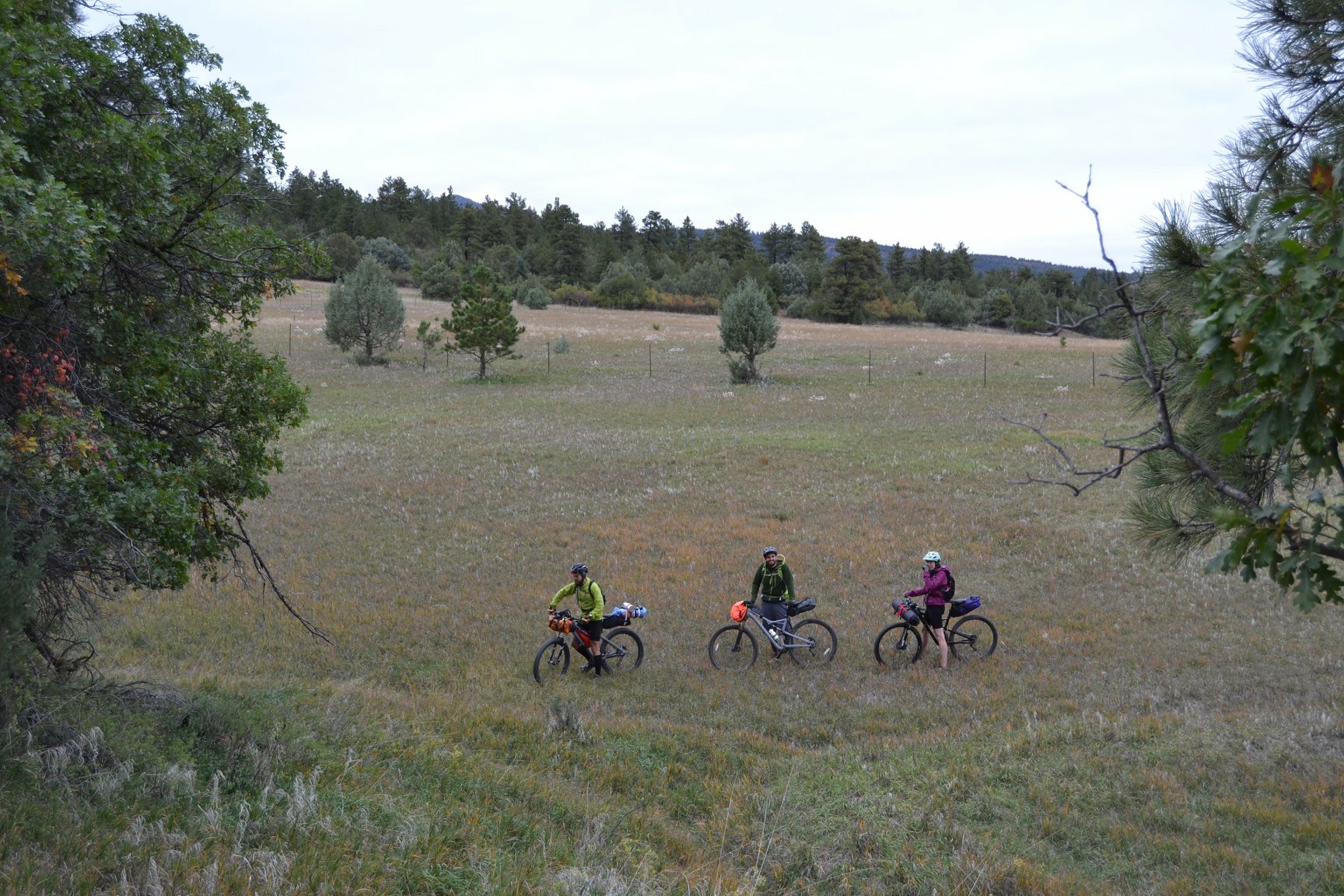
The journey toward the foothills is a gentle rolling climb alongside working ranches and relics of rural living. You’ll feel every bit of that working life in the climb up Highway 78 outside of Beulah – the last unpaved highway in Colorado (CO Highway 78/Pine Drive sees minimal traffic). If you want to split this trip into three days, about ⅓ of the way up the CO-78 climb, there is a dispersed camping loop across from the San Carlos Trailhead. Water is not available at this location, but there are great views off its north side.
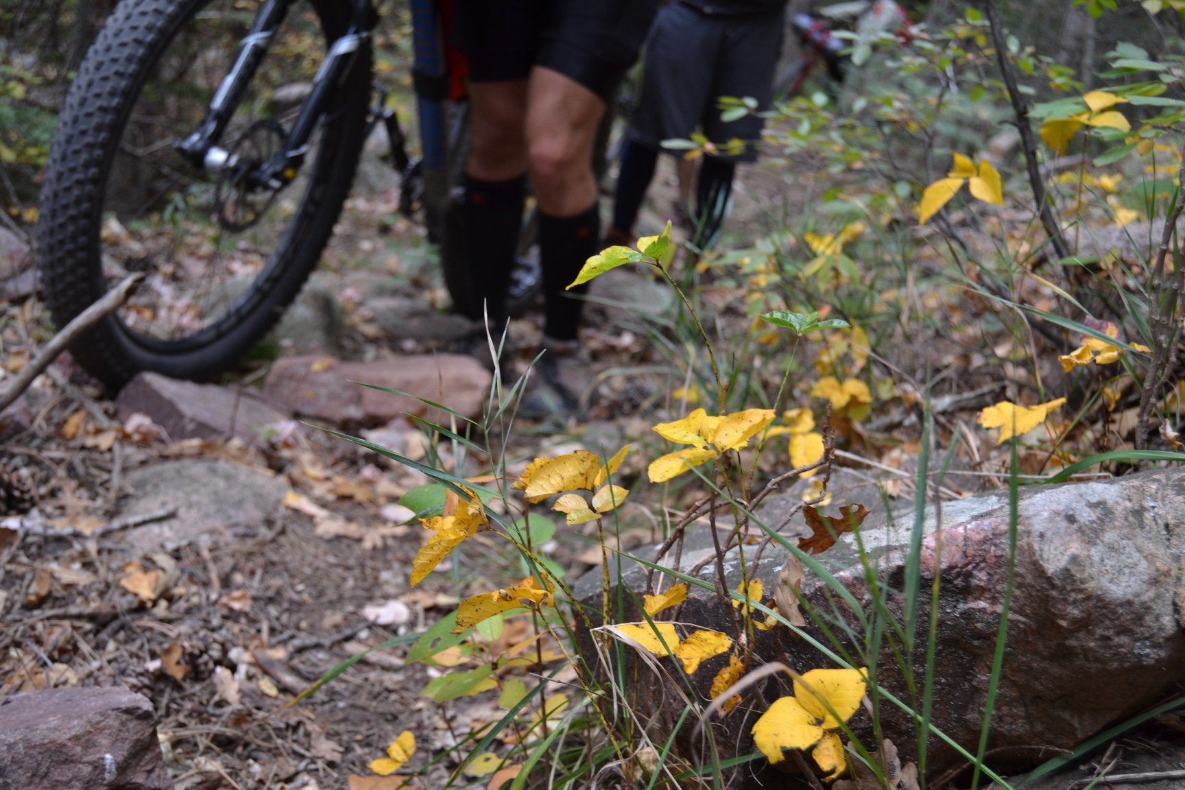
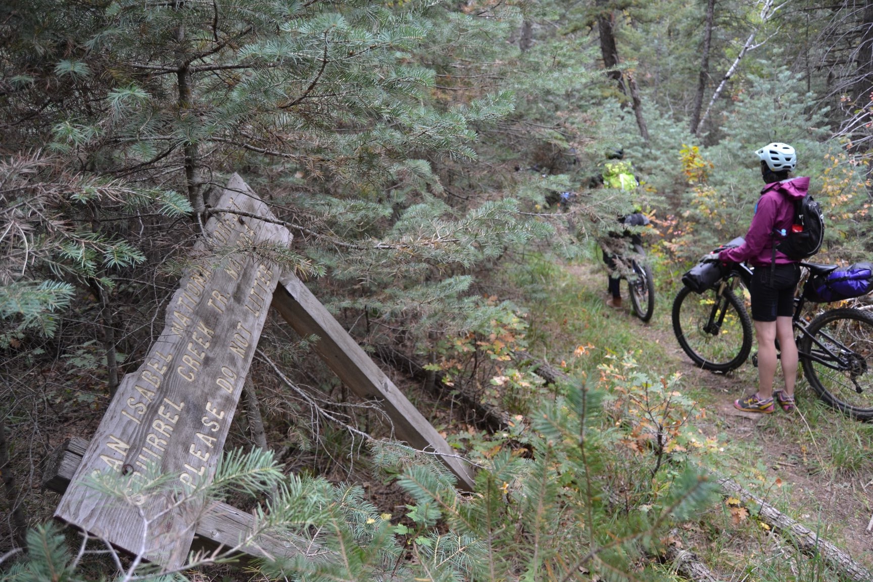
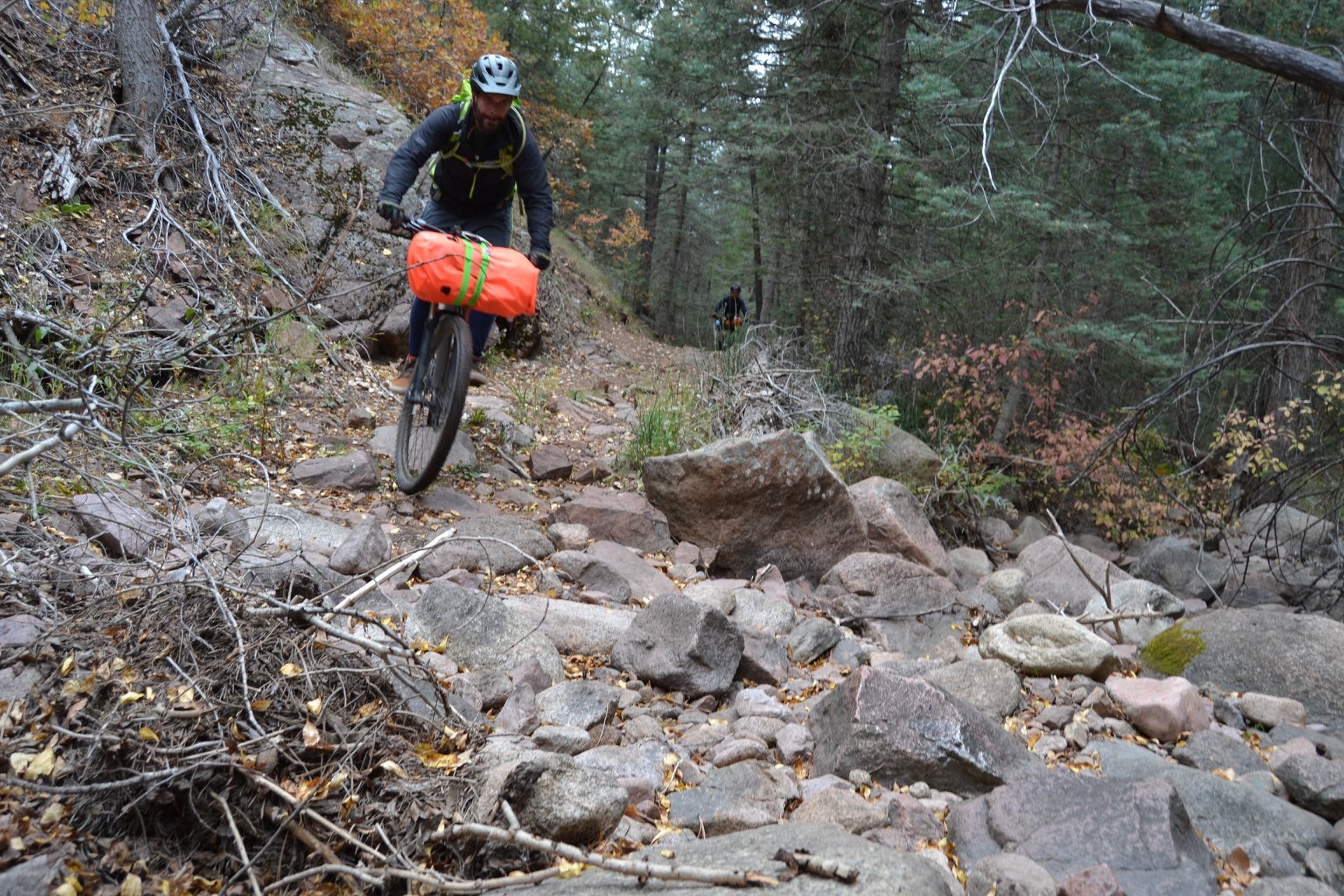
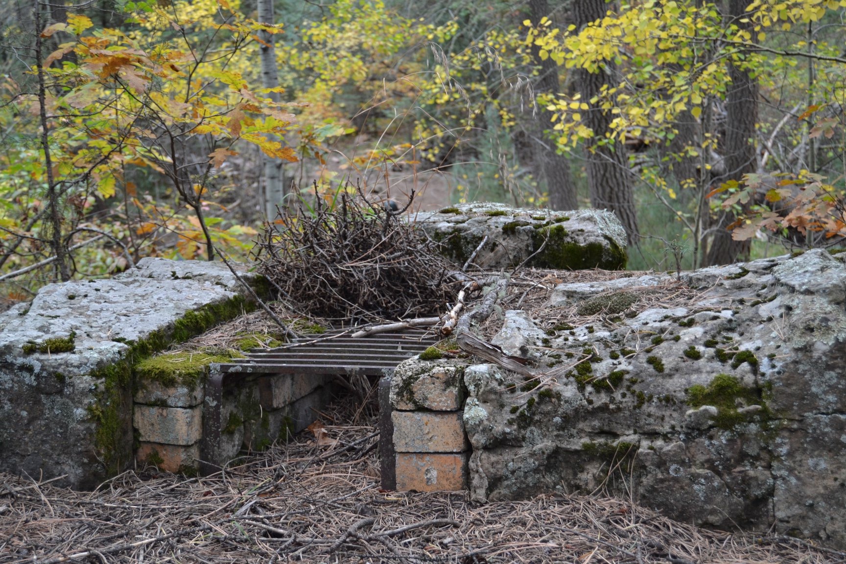
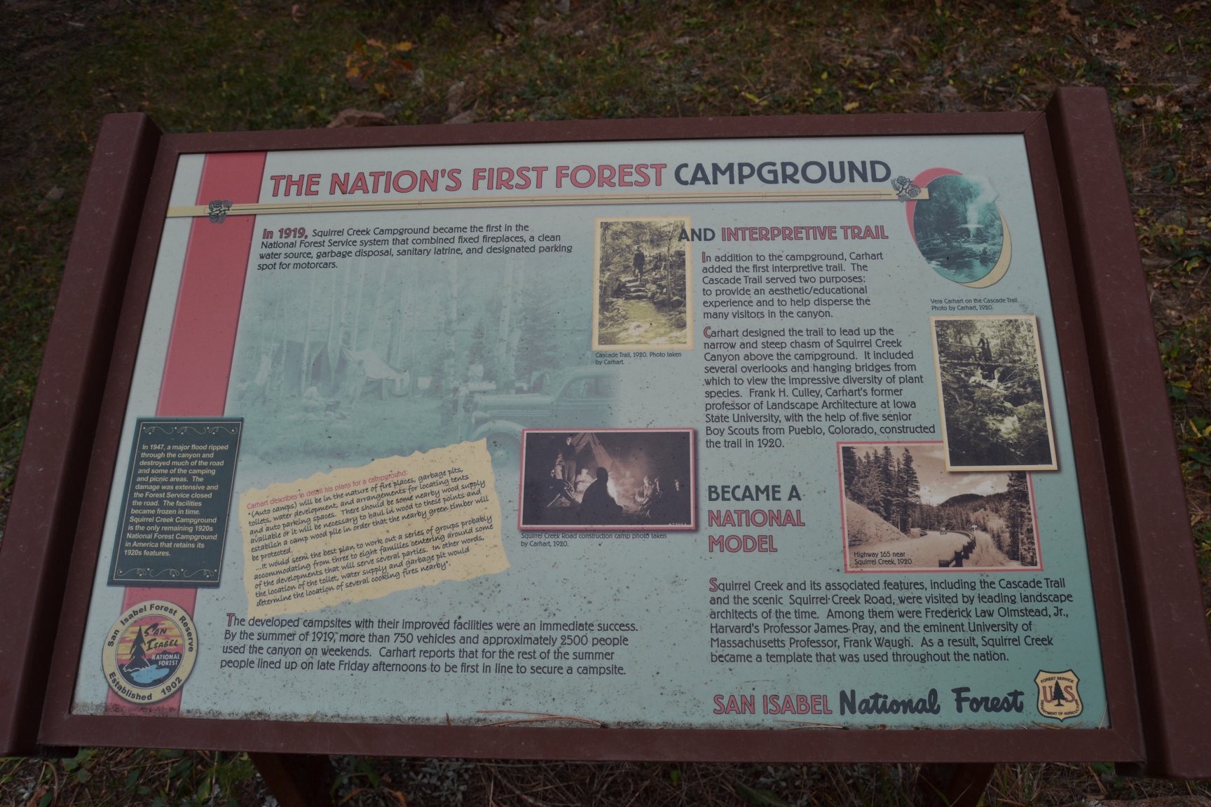
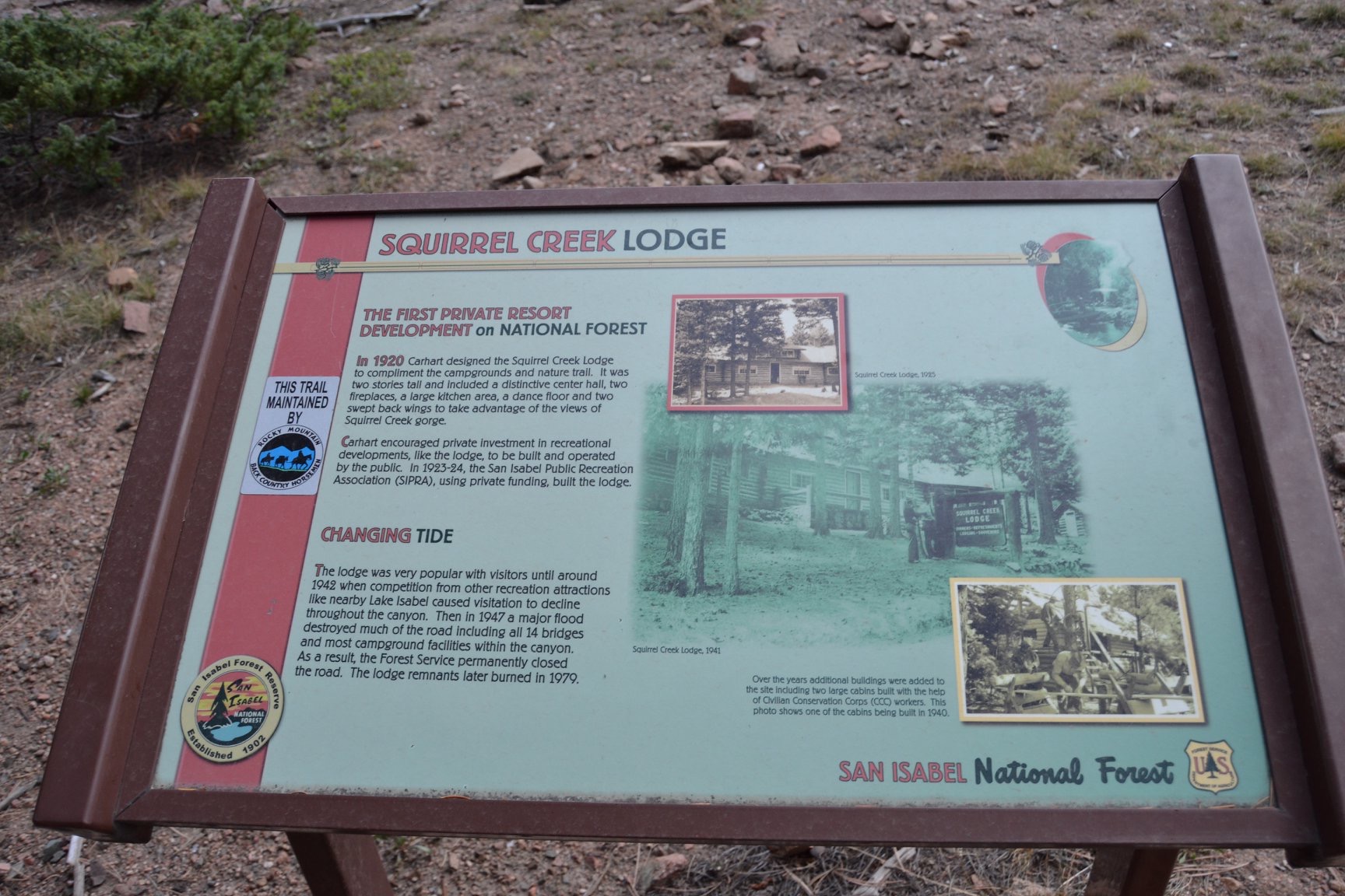
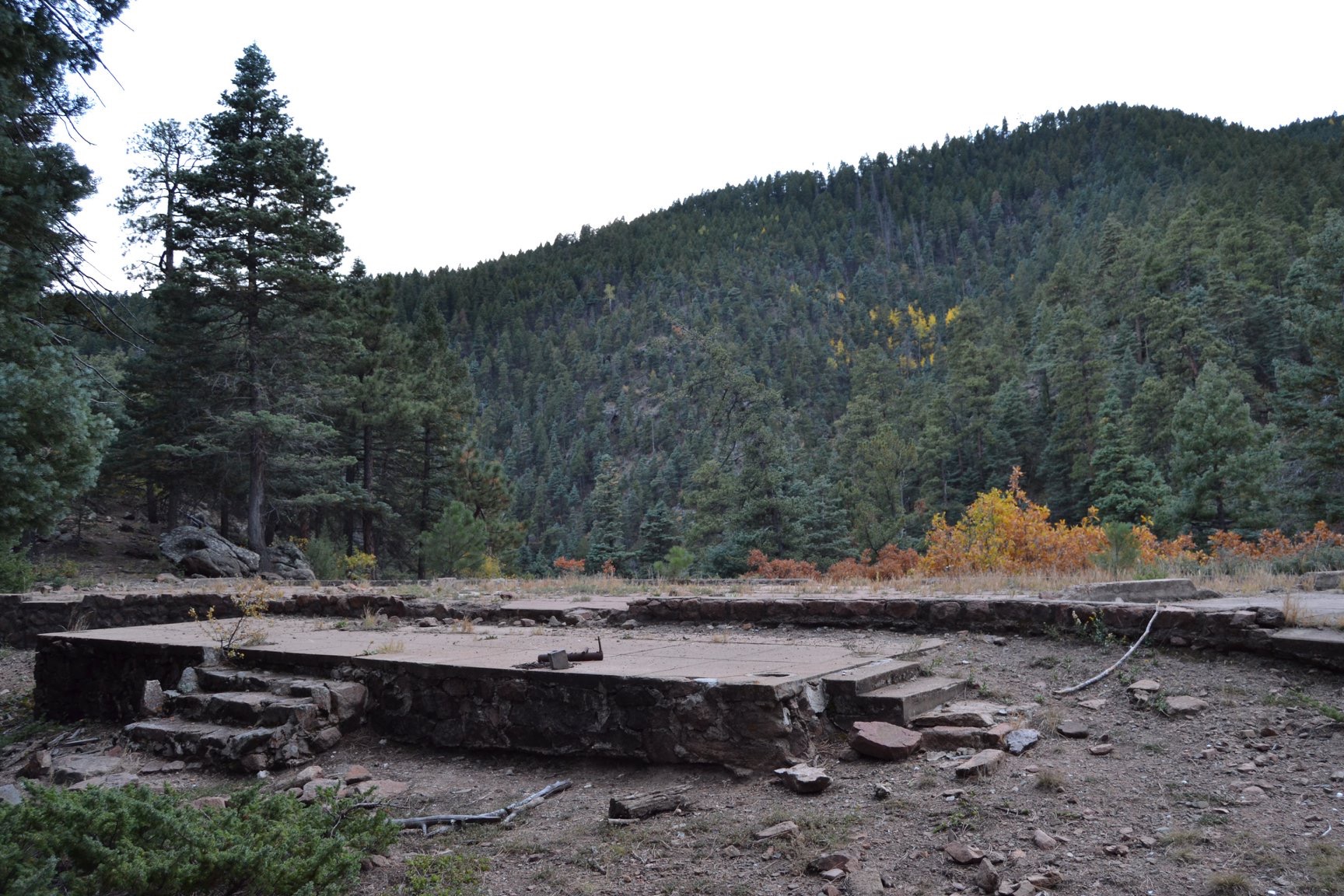
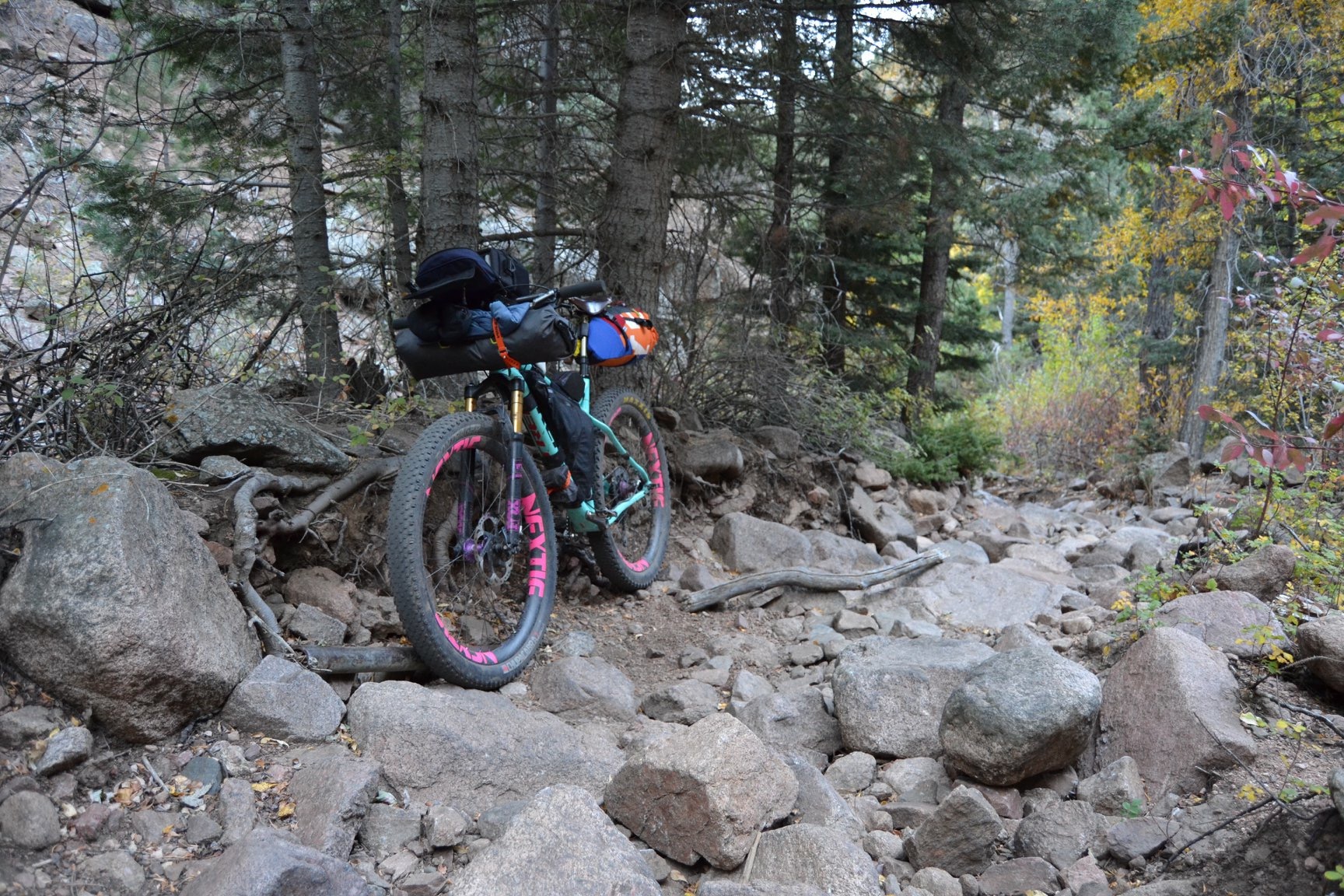
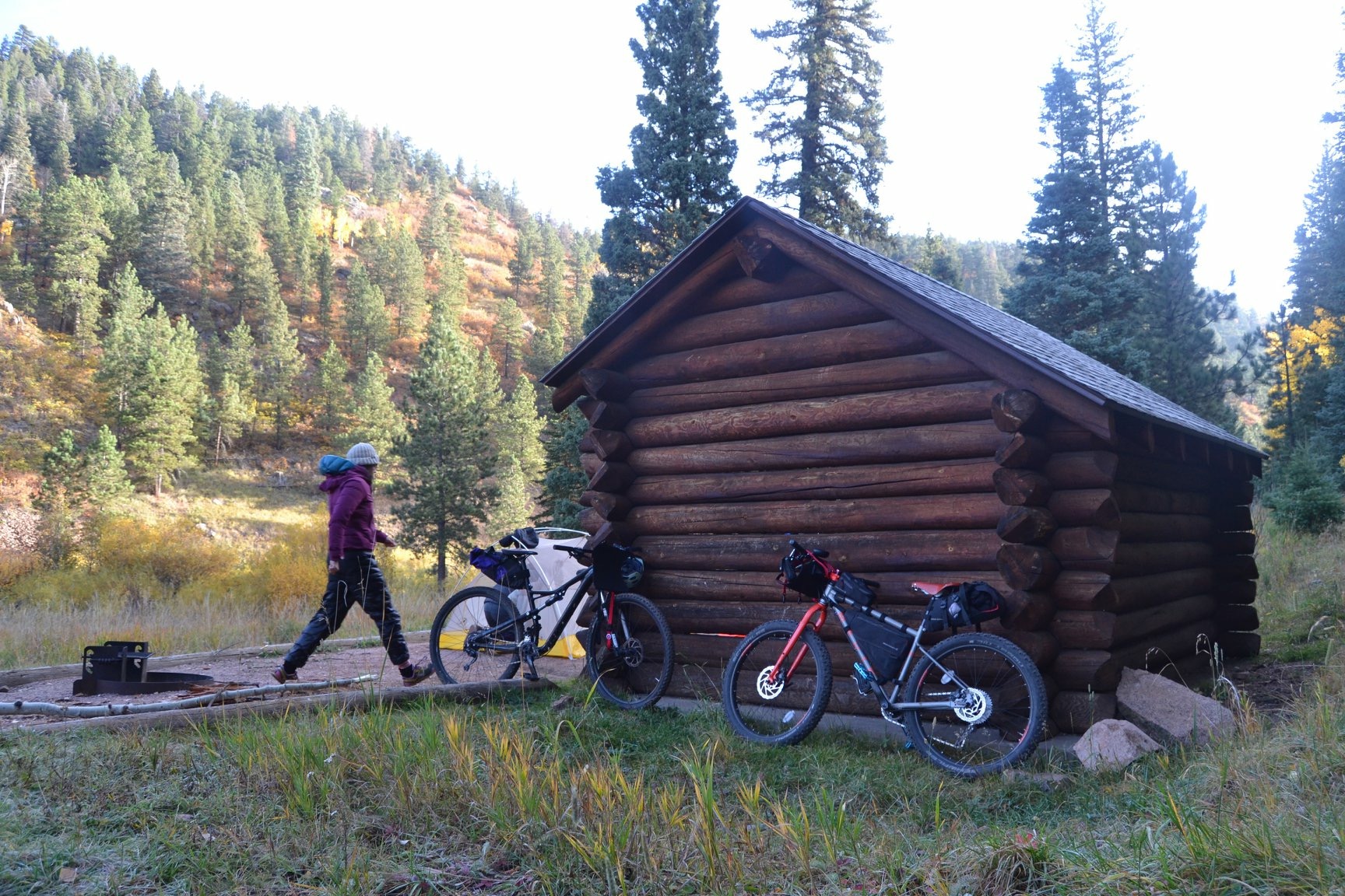
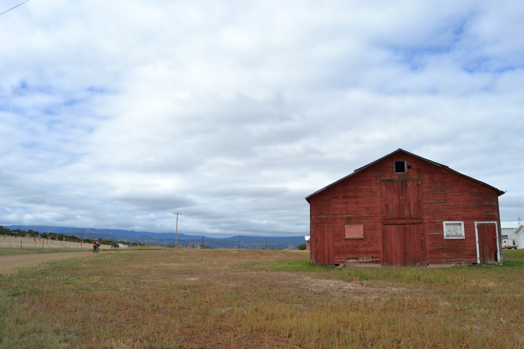
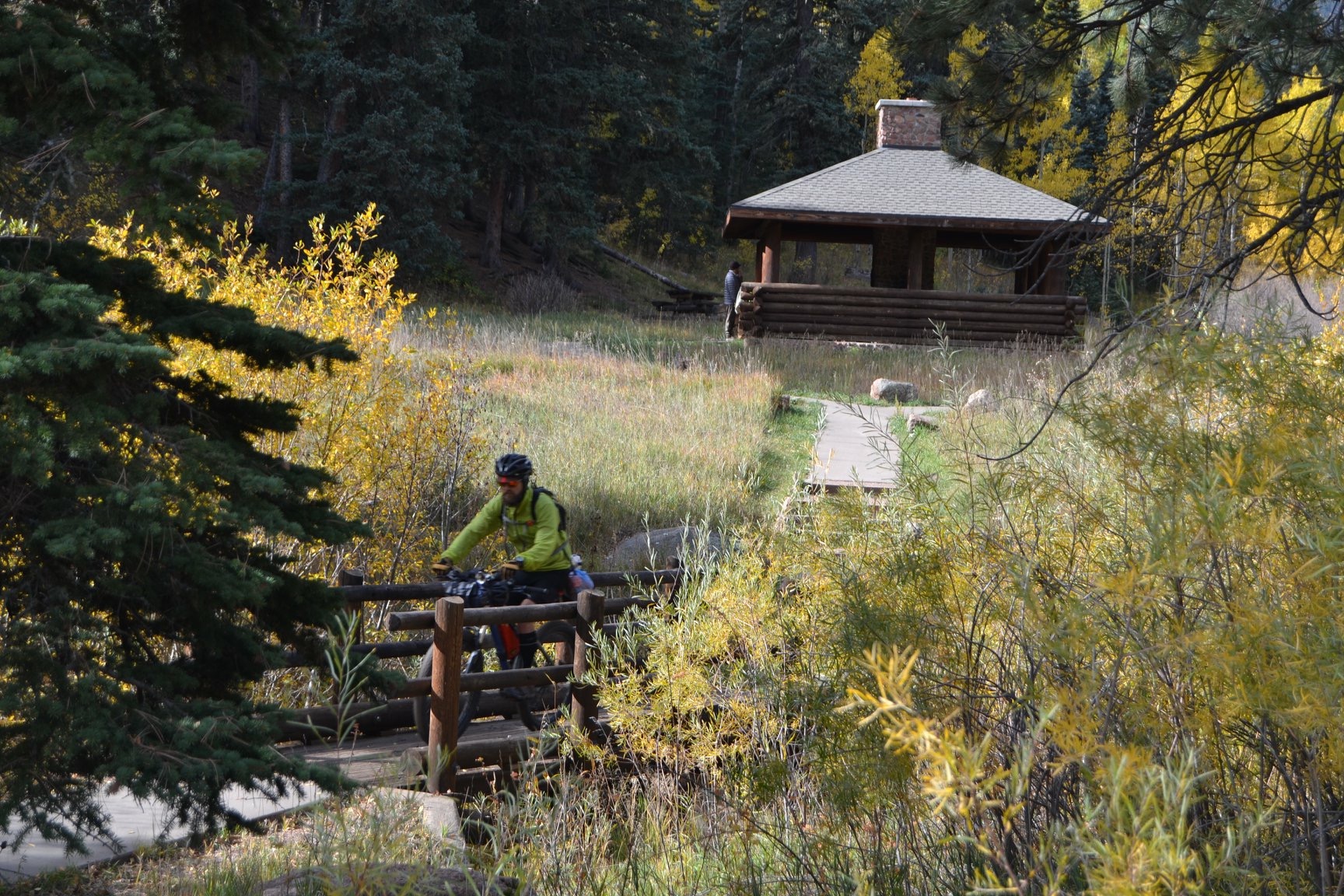
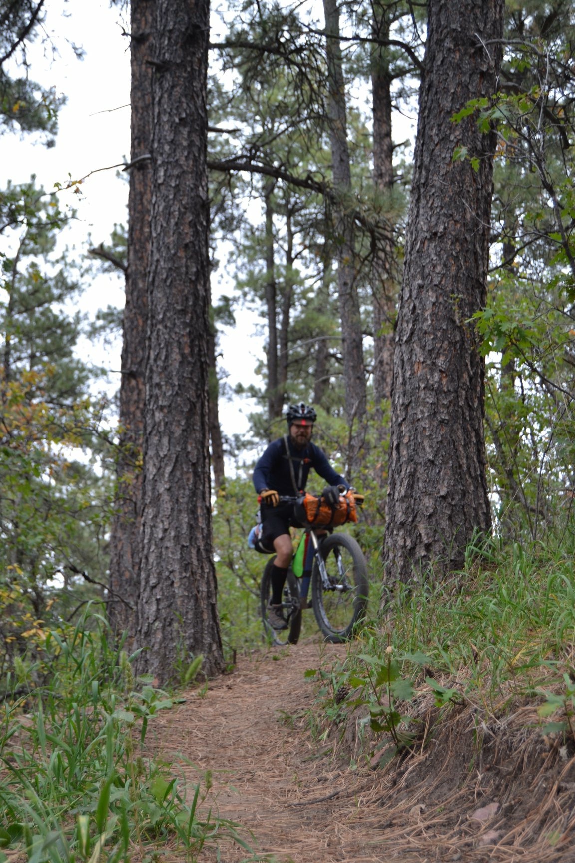
Davenport Campground is the recommended destination for the night, and its campsites are an unadultered throwback to the classic USFS camping experience. This area was once referred to as America’s Alpine Playground! Original stone and timber cook shelters from the turn of the century are restored and ready for post-ride gourmet and recovery. From Davenport, the route descends Squirrel Creek Canyon – the most technical and most historically significant section of the trip. Expect chunky sections that require hiking, remnants of lodges and firepits of yore, and canyon crags that inspire. Finish the trip into Beulah on the Carhart trail – exposed in parts and finishing with a swooping, flowy descent. The return to Pueblo is pleasantly downhill after some short climbs out of Beulah.
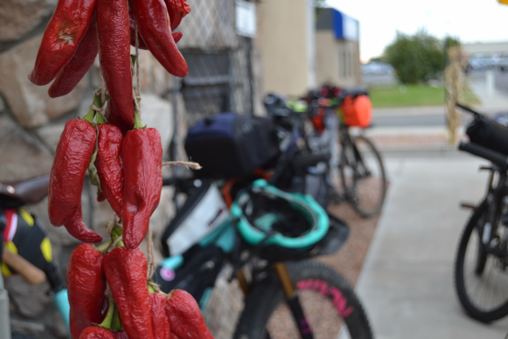
Bonus: Get revved up at Solar Roast on the way out of Pueblo and say hi to Jan at the Stompin’ Grounds cafe in Beulah on the way back.
Difficulty
This route is not exceptionally long, though the first day’s 4,000 foot climb takes place at the tail end of the day and the technical sections along Squirrel Creek Canyon are numerous and rough. Water and snacks are readily available in Beulah as well as seasonally at Lake Isabel a few miles south of the Davenport Campground. Parking in Pueblo should be done with urban common sense and care (without any possessions in plain sight) – we suggest along the east side of the Pueblo City Park tennis courts across from the houses.
Route Development: This route was inspired by the history of the area and a new trail constructed to improve accessibility to Squirrel Creek Canyon. Southern Colorado Trail Builders volunteers built the Carhart trail by hand over 2,500 hours in 2018 & 2019. This route was created by board members to share a love of the area and its rich recreational history.


Submit Route Alert
As the leading creator and publisher of bikepacking routes, BIKEPACKING.com endeavors to maintain, improve, and advocate for our growing network of bikepacking routes all over the world. As such, our editorial team, route creators, and Route Stewards serve as mediators for route improvements and opportunities for connectivity, conservation, and community growth around these routes. To facilitate these efforts, we rely on our Bikepacking Collective and the greater bikepacking community to call attention to critical issues and opportunities that are discovered while riding these routes. If you have a vital issue or opportunity regarding this route that pertains to one of the subjects below, please let us know:
Highlights
Must Know
Camping
Food/H2O
Trail Notes
Resources
- Davenport Campground – This historic campground is a stop unto itself. Its small picnic shelters and large cooking shelter are the perfect combo of rustic convenience and solitude.
- The CO-78 climb – this climb is brutal and rewarding. Take the time to breathe at its overlooks and soak in the understated beauty of the foothills.
- Low traffic – Southern Colorado hasn’t seen the development of the northern Front Range. Expect solitude and a more adventurous vibe than you may find in other parts of Colorado.
- Historic Interpretation – You’ll find interpretive signage at Davenport Campground and along Squirrel Creek Canyon. Stop and soak in some historic knowledge about your beloved public recreation areas!
- Carhart Trail descent – Expect big swooping S curves through ponderosa pines as you descend into Beulah on this recent addition to the area.
- Fall conditions – Autumn is vibrant along this route with aspen groves along CO-78 and ringing Davenport Campground.
- Long season – Pueblo’s season is nearly year-round, and Beulah is usually only snowed in from December – March.
- When to go: Feasible: March – November. Ideal: April-June and September – October. Pueblo summers are hot and dry. Beulah begins to hold snow come November and early December.
- Do not follow Squirrel Creek downstream past the connection of Squirrel Creek Trail and the Carhart Trail. This is private land.
- Camping at Davenport Campground is available for pre-registration on Recreation.gov as well as first-come, first-served
- Camping at the dispersed loop along CO-78 requires no permit.
- Water is available for filtration along the route
- Food is readily available in Pueblo and Beulah.
- Stompin’ Grounds in Beulah and Solar Roast in Pueblo are both recommended stops.
- The Lake Isabel Lodge is a pleasant seasonal evening stop for a brew or dinner
- Most of the route is rideable, but many sections along Squirrel Creek Canyon will require hiking by most riders.
- Day 1: Start at Pueblo City park, ride out through Beulah via 3R road and CO-78 to Davenport Campground. Camp at Davenport Campground.
- Alternate: split the route into three days by spending one night at the dispersed camping loop across from San Carlos Trailhead along CO-78
- Day 2: Descend Squirrel Creek trail from Davenport Campground. Ride Carhart Trail into Beulah and retrace route back to Pueblo.
Additional Resources
- Get additional info about routes and more in southern Colorado at southerncoloradotrailbuilders.org
- Davenport Campground reservations: recreation.gov
- Pueblo Mountain Park and the Horseshoe Lodge (location of Carhart Trail): hikeandlearn.org


Terms of Use: As with each bikepacking route guide published on BIKEPACKING.com, should you choose to cycle this route, do so at your own risk. Prior to setting out check current local weather, conditions, and land/road closures. While riding, obey all public and private land use restrictions and rules, carry proper safety and navigational equipment, and of course, follow the #leavenotrace guidelines. The information found herein is simply a planning resource to be used as a point of inspiration in conjunction with your own due-diligence. In spite of the fact that this route, associated GPS track (GPX and maps), and all route guidelines were prepared under diligent research by the specified contributor and/or contributors, the accuracy of such and judgement of the author is not guaranteed. BIKEPACKING.com LLC, its partners, associates, and contributors are in no way liable for personal injury, damage to personal property, or any other such situation that might happen to individual riders cycling or following this route.
Please keep the conversation civil, constructive, and inclusive, or your comment will be removed.