


The Anaxshat Passage – Oregon Timber Trail’s Hood Tier Loop
Distance
120 Mi.
(193 KM)Days
3-4
% Unpaved
53%
% Singletrack
13%
% Rideable (time)
95%
Total Ascent
9,840'
(2,999 M)High Point
4,635'
(1,413 M)Difficulty (1-10)
3?
- 5Climbing Scale Moderate82 FT/MI (16 M/KM)
- -Technical Difficulty
- -Physical Demand
- -Resupply & Logistics
Contributed By
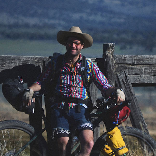
Gabriel Amadeus
Limberlost
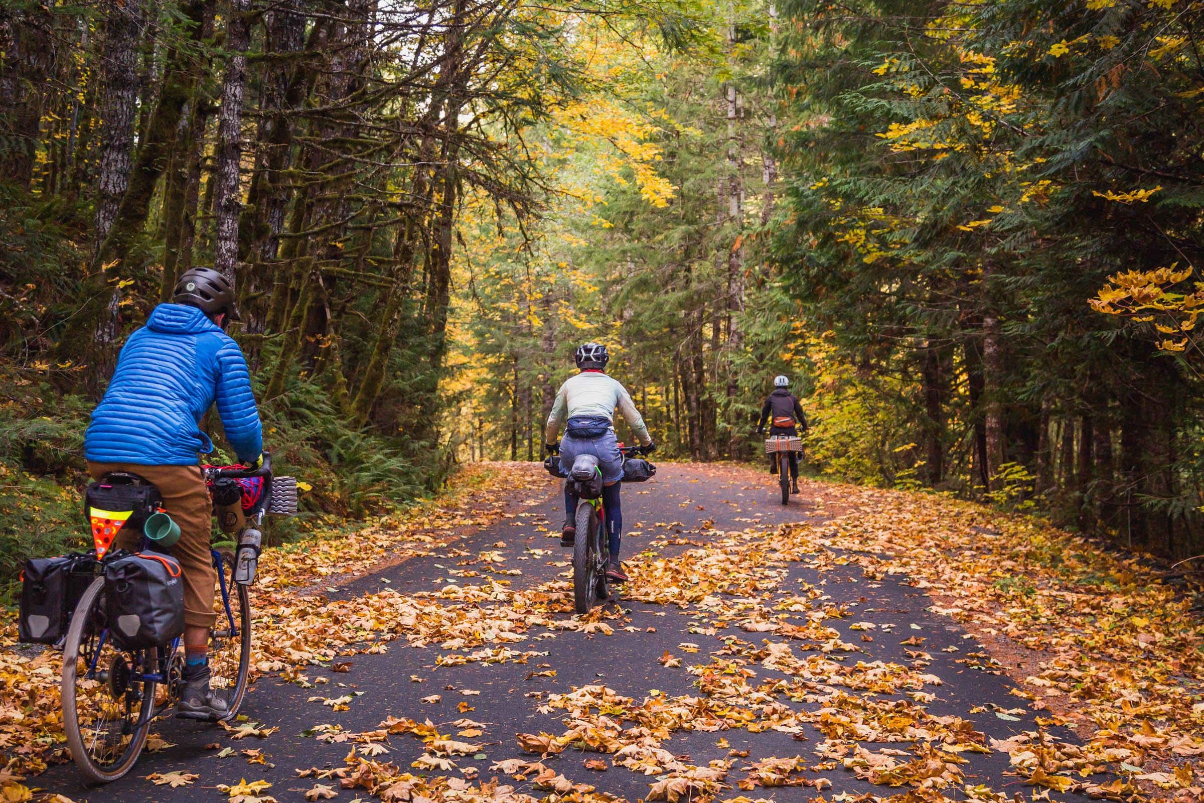
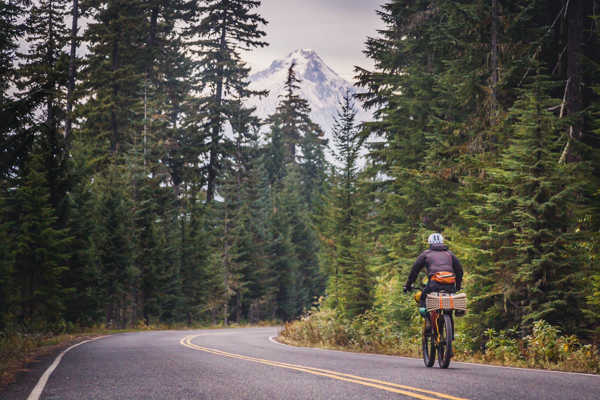
The Oregon Timber Trail’s Hood Tier traverses parts of the historic Skyline Trail—a precursor to the Pacific Crest Trail—from the base of Mount Jefferson toward Mount Hood. These verdant forests and countless spring-fed streams converge into one of the Willamette Valley’s mightiest watersheds: the Clackamas River. Estacada, less than an hour from downtown Portland, is the gateway to these endless forested mountain slopes and river rapids. Eventually, as you travel upstream from this old logging town, you’ll reach the Oregon Timber Trail and are left with a choice: north to the Columbia River Gorge or south all the way to California?
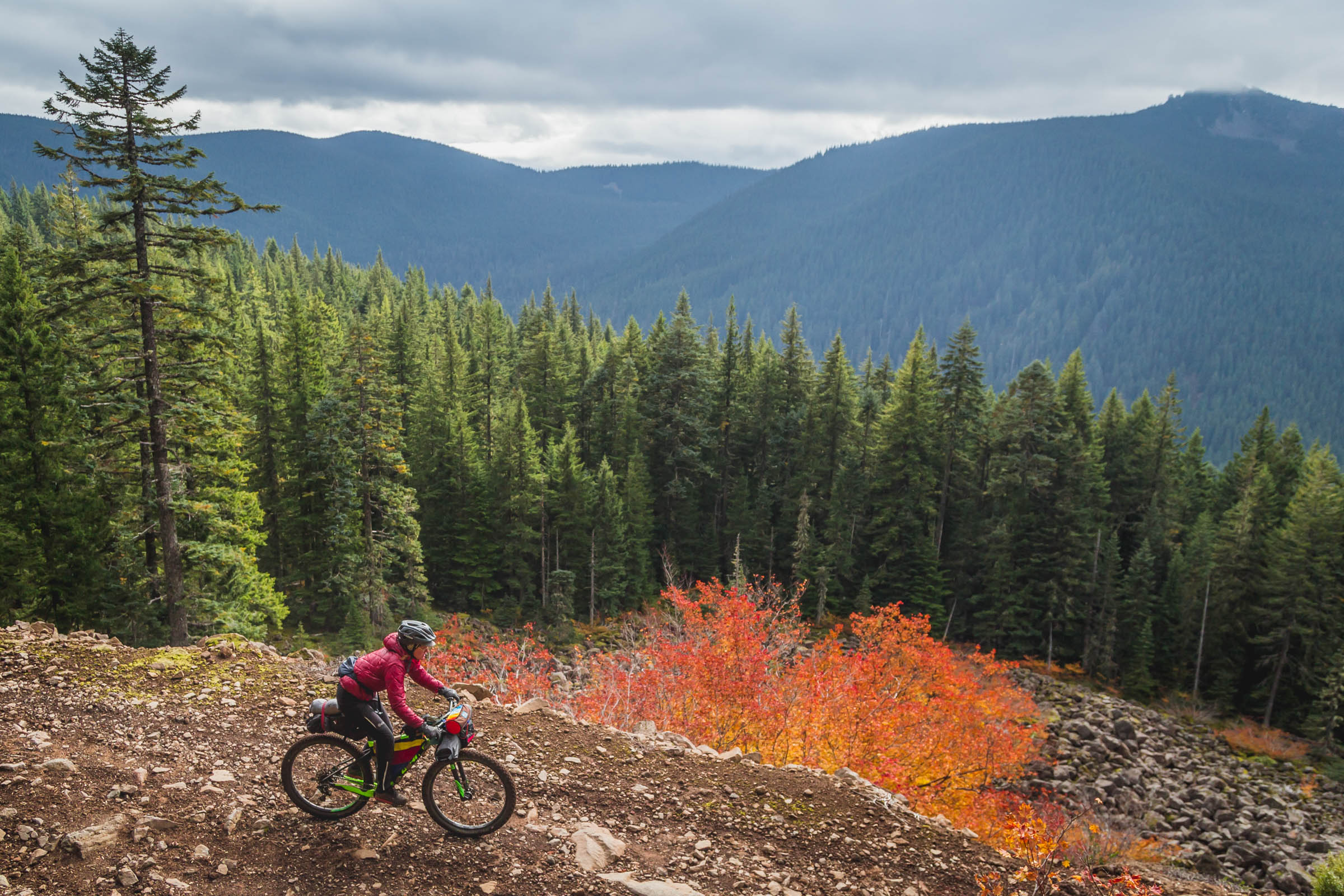
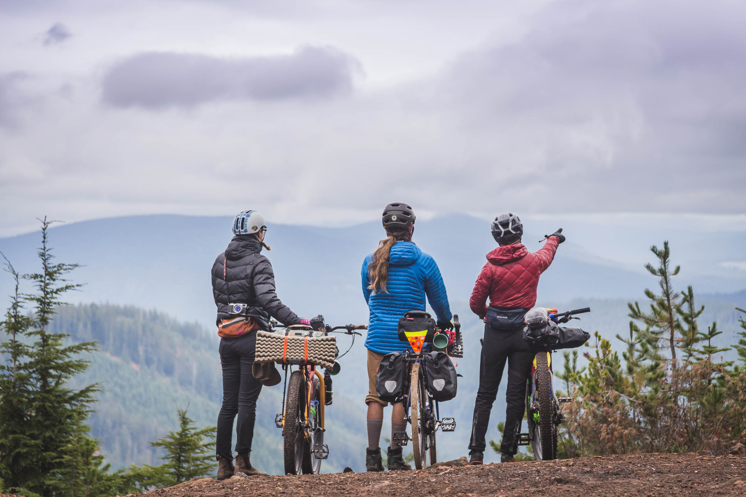
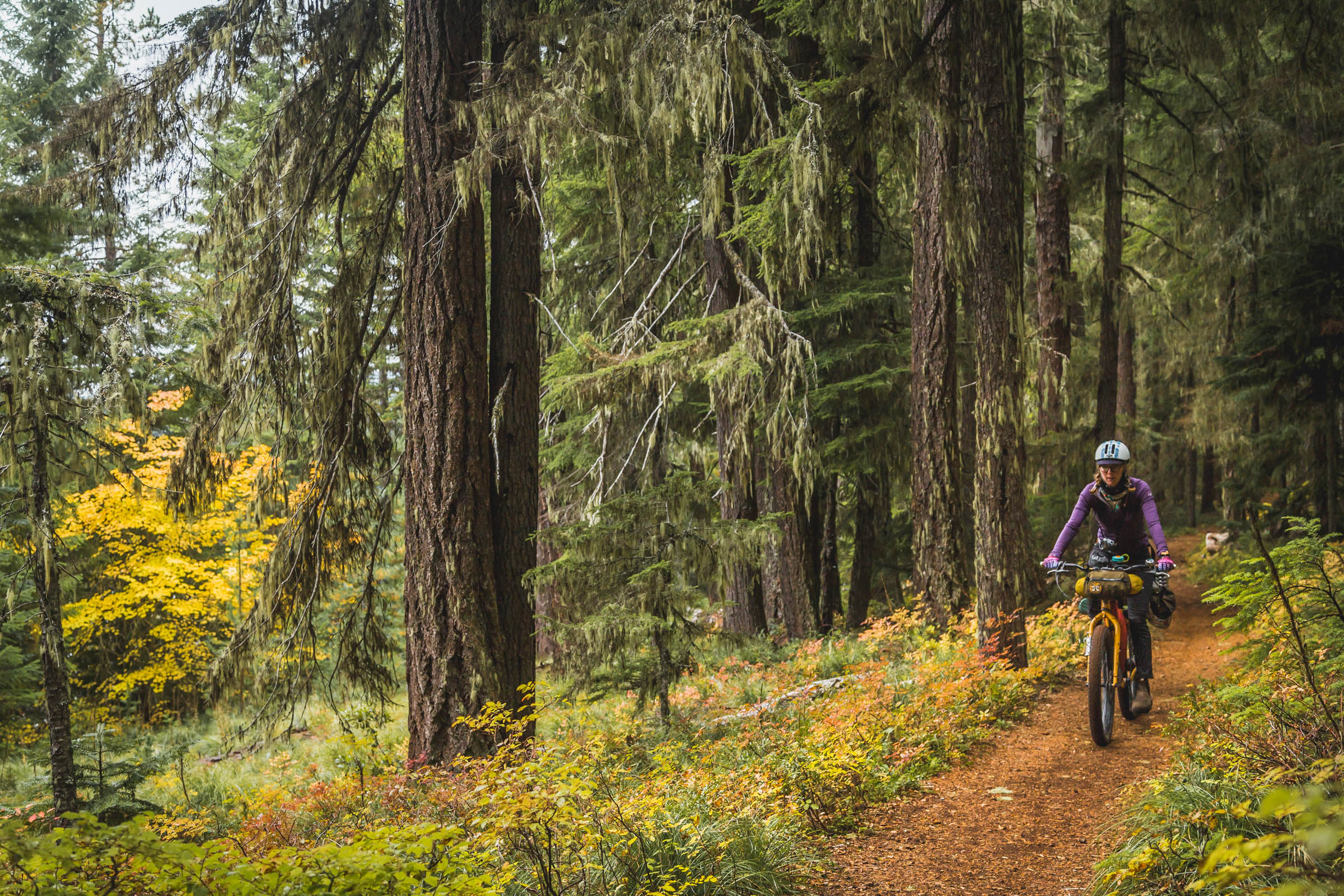
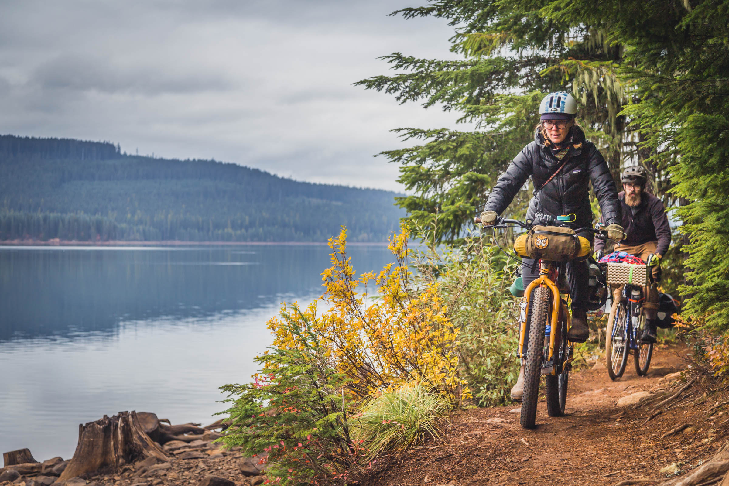
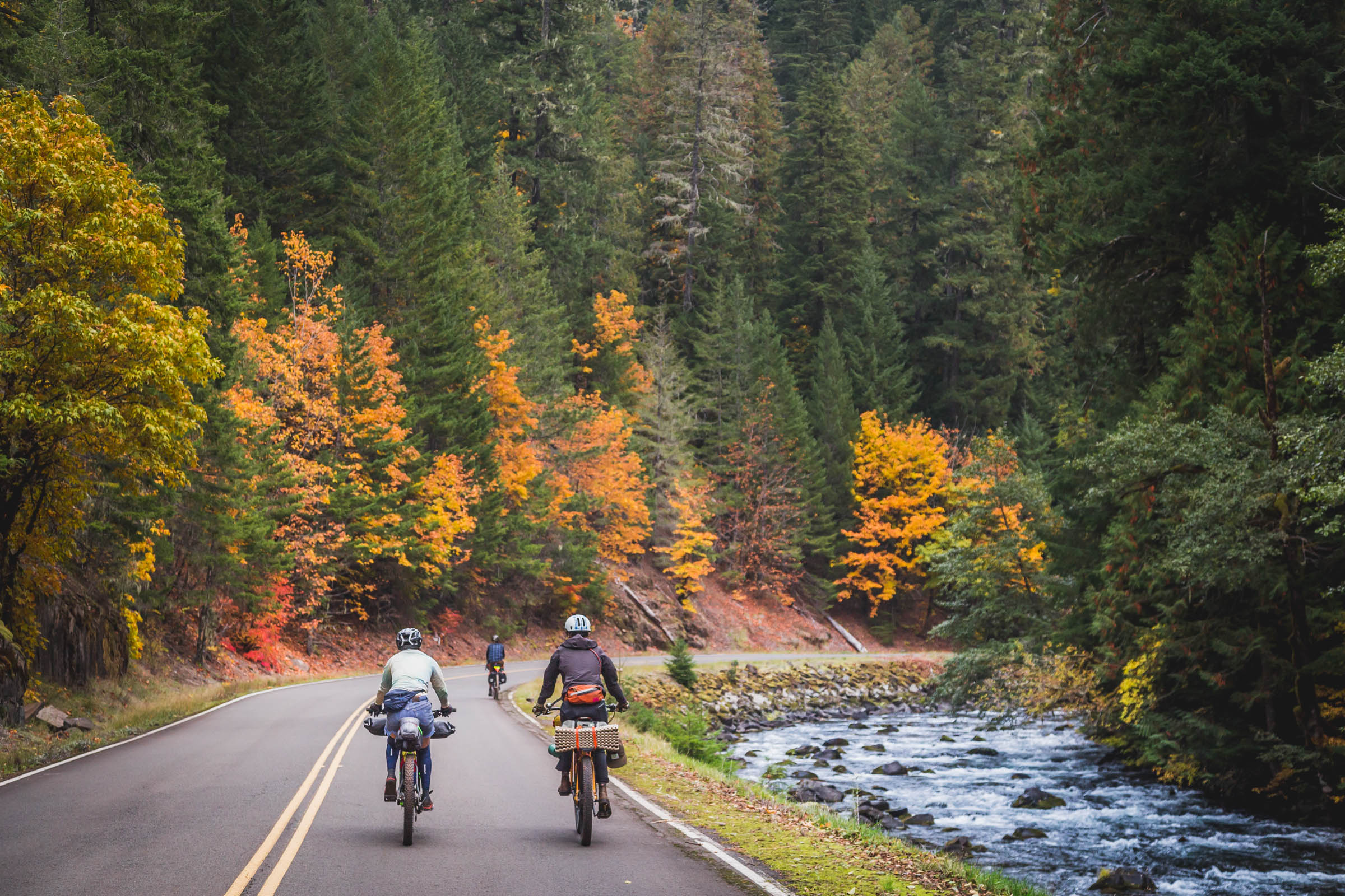
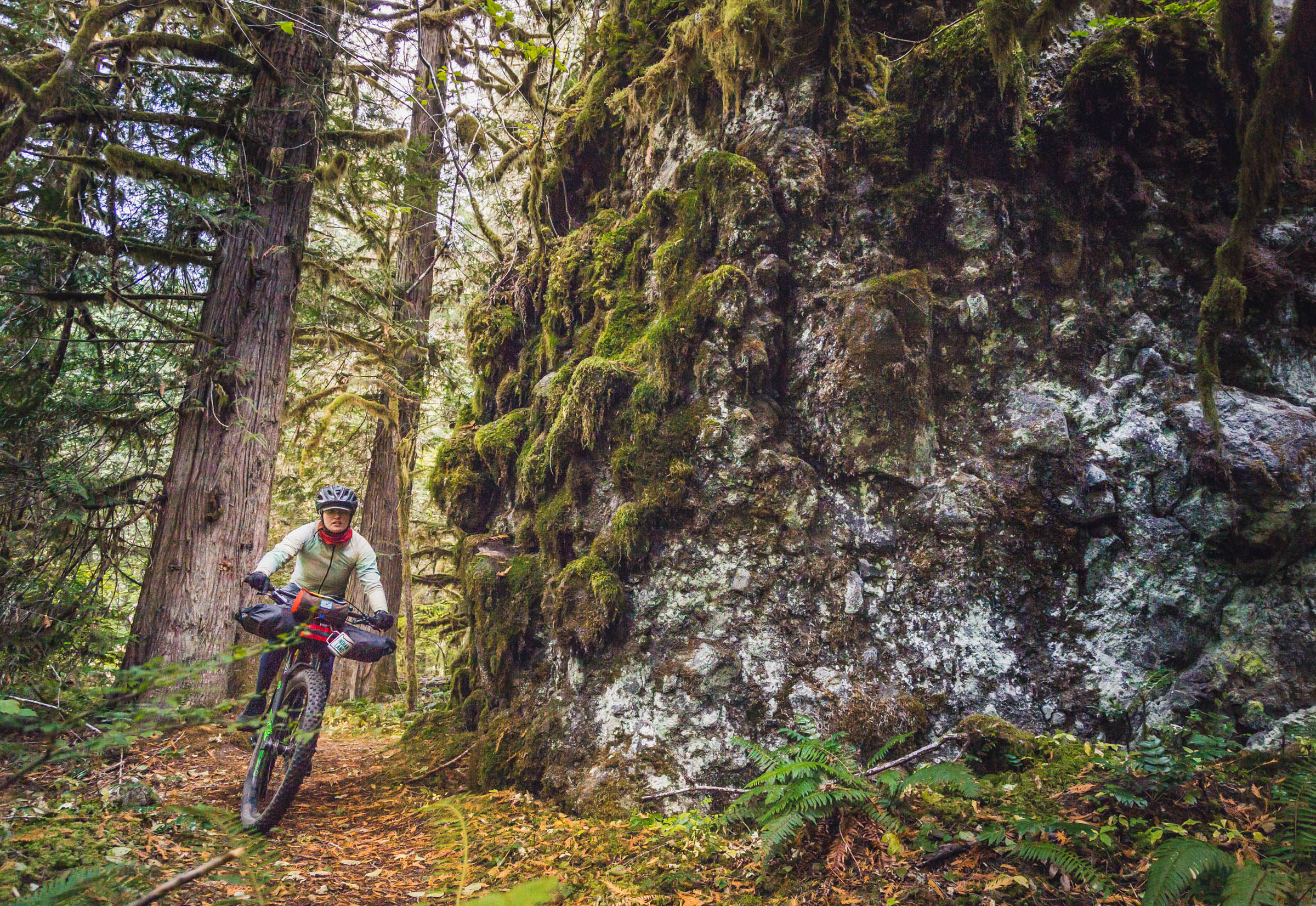
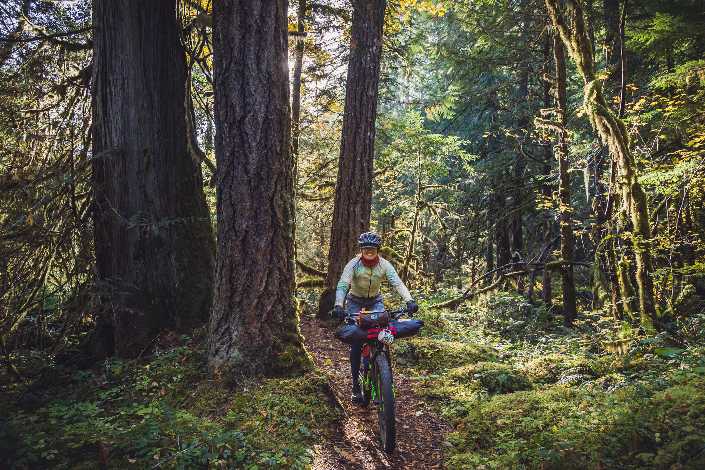
The Anaxshat Passage route explores this corridor and samples a bit of everything: meandering singletrack through giant firs along the Clackamas River’s banks, smooth pedaling on backroads, views of majestic Mount Hood, an alpine lakeshore trail, and a rough and tumble jeep road piercing the vast expanse of the Roaring River Wilderness.
SO, WHAT’S UP WITH THE NAME, ‘ANAXSHAT’?
As the Oregon Trail became a major emigrant route in the mid 1800s, the available pastures along Mount Hood’s Barlow Trail and Lolo Pass were over-grazed, making a long, hard journey even more difficult. Lieutenant Henry Abbot—a topographical engineer—was hired to find a suitable alternate route with potential for a future railroad. He enlisted the help of a young local indigenous man by the name of Sam Anaxshat. Native people in this region would use ridgelines to access meadows and hunting grounds in the high country, as well as for trade routes with other tribes in central and eastern Oregon.
Up and down the Willamette Valley these same people would frequently light controlled burns to make foot travel easier, encourage camas growth (a staple food source), and deer to linger in hunting grounds. Sam had travelled this route through the Clackamas River watershed once before and agreed to take Abbot’s whole outfit along the treacherous passage. This route is named in honor of Sam Anaxshat’s knowledge of the local terrain. Learn more about the trails and history of this area on the Trail Advocate website.
Route Difficulty
Overall: 3/10, Tech: 2/10, Physical: 5/10, Logistics: 4/10
The Oregon Timber Trail is an awe-inspiring adventure, but let’s be honest: it’s long and intimidating! The Anaxshat Passage route, on the other hand, is for those of us who only have a few days and maybe not as much experience (or penance for suffering) riding a heavily loaded bike on technical trails.
The trail sections are perfect for beginner-to-intermediate riders and aren’t mandatory: there are easy detours if you prefer to stick to roads. There are also campgrounds at reasonable intervals, and water sources abound so you can plan to ride it over three, four, or five days. That being said, it’s still a long 120 miles with a considerable bit of climbing: 10,000’ is no joke. Make sure your bike is comfortable and you’ve put some hours in the saddle before tackling this ride.


*Map details: blue=trail, pink=gravel, red=paved
Highlights
Must Know
Camping
Food/H2O
Trail Notes
Resources
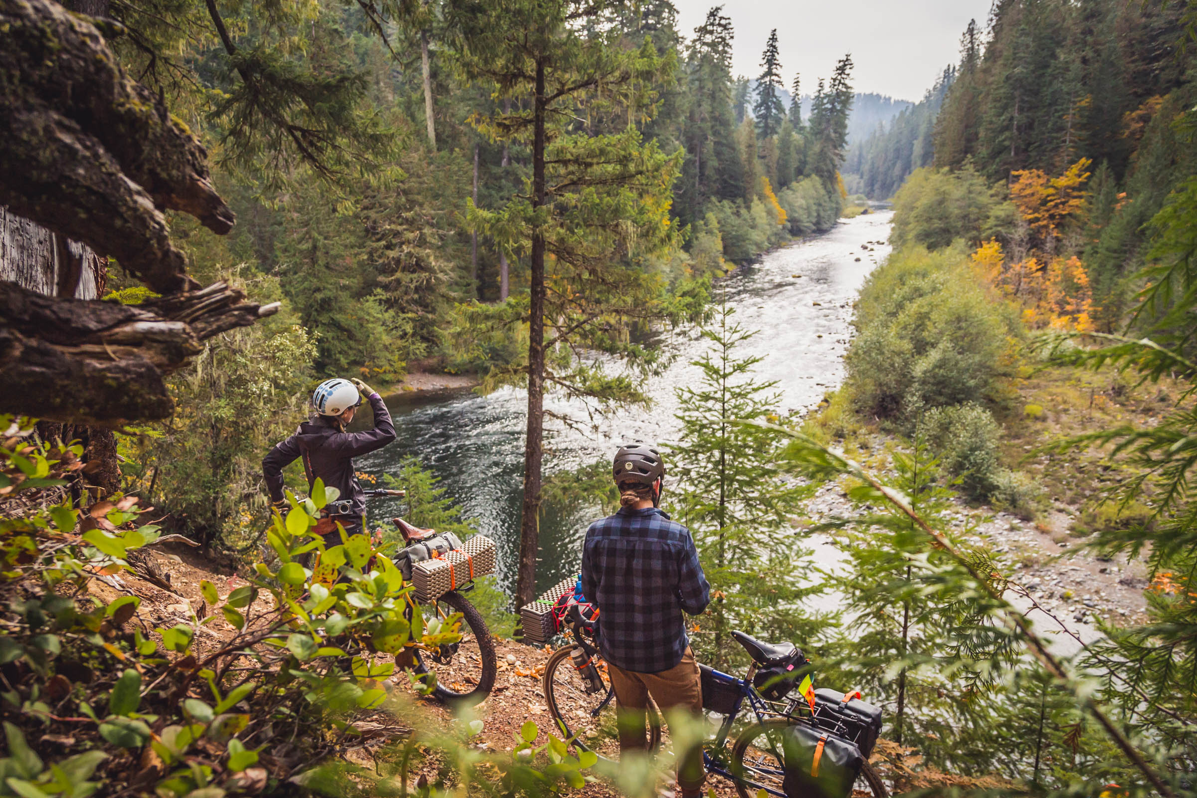
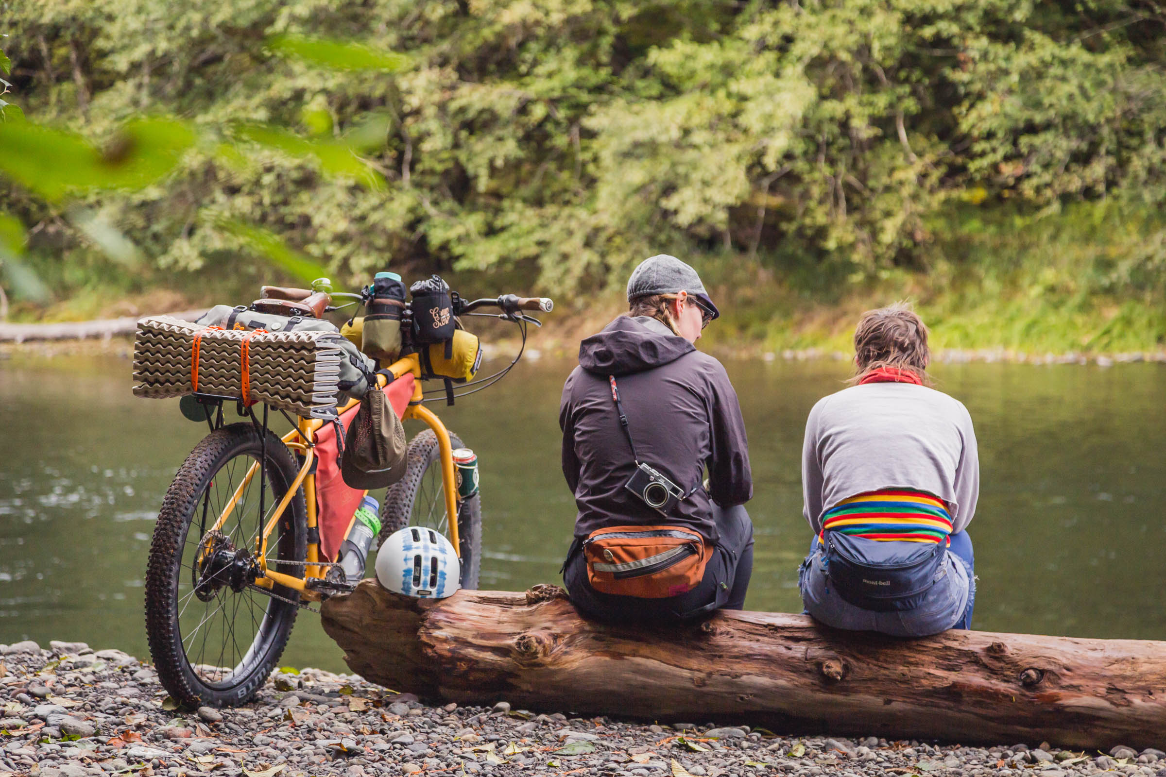
- The Clackamas River abounds with both fishing and swimming holes—and you can even detour to Bagby Hot Springs for a hot soak.
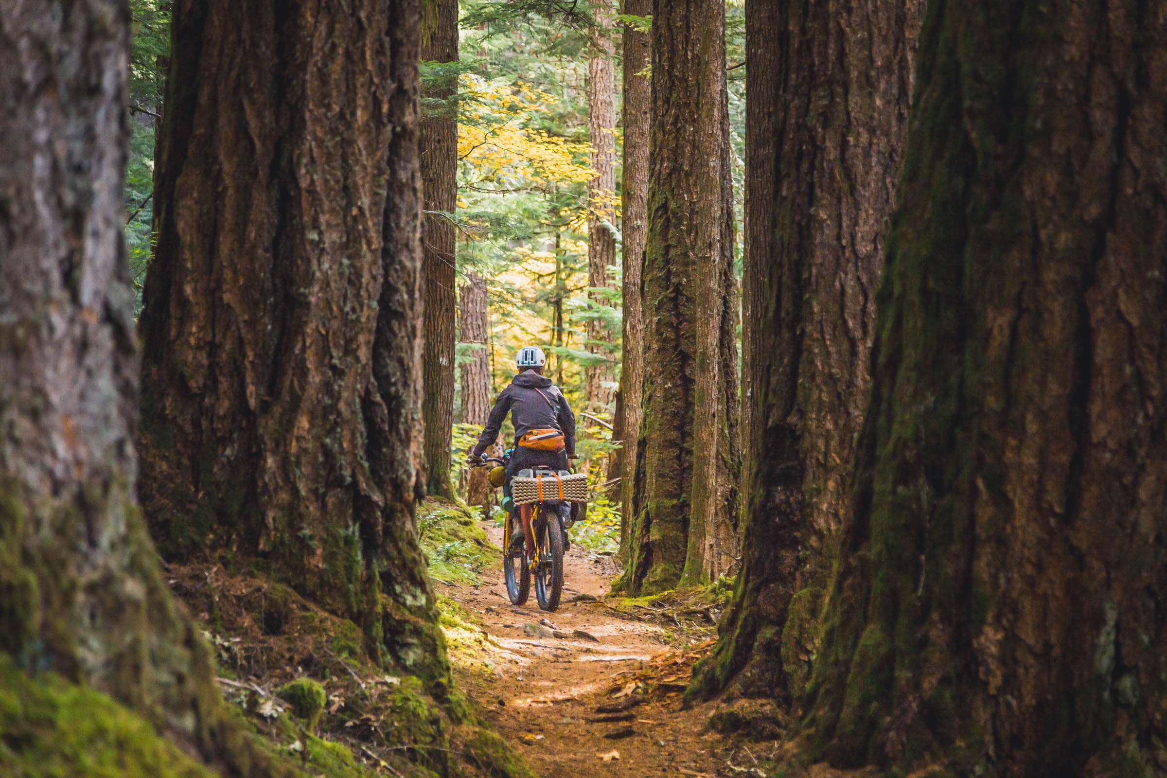
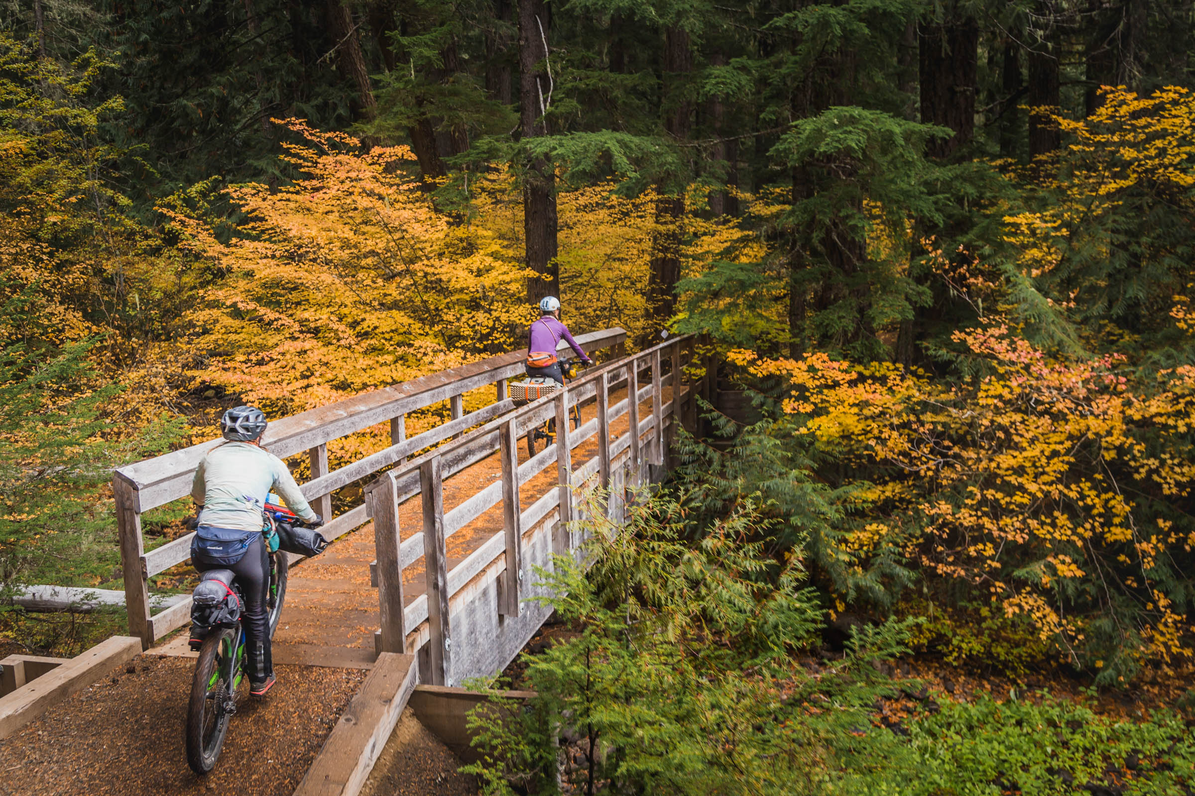
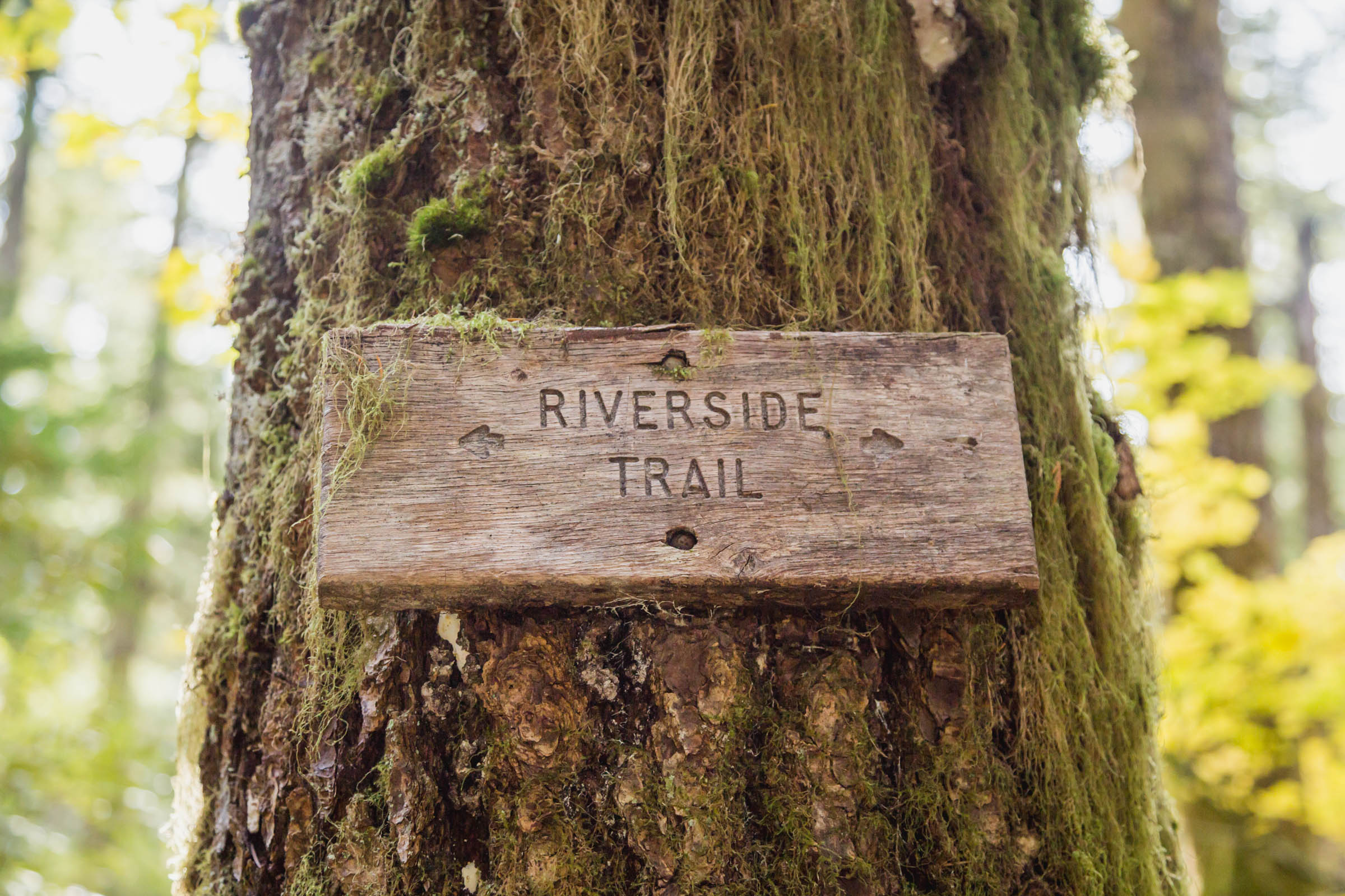
- The Riverside Trail #723, the first singletrack section, is a hidden gem. It winds through looming old growth firs on a mossy velveted path.
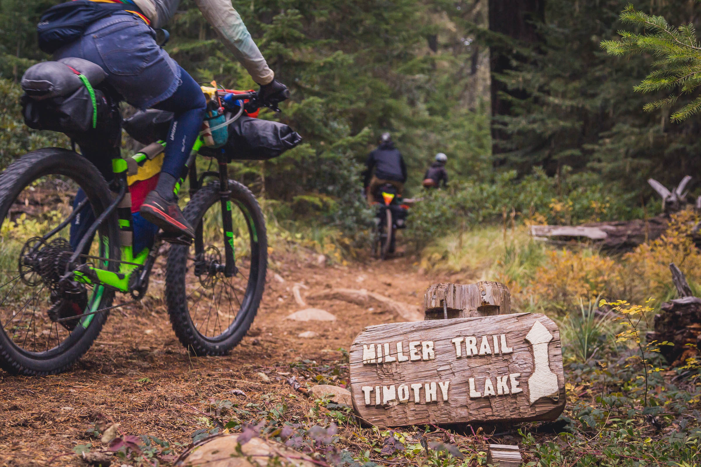
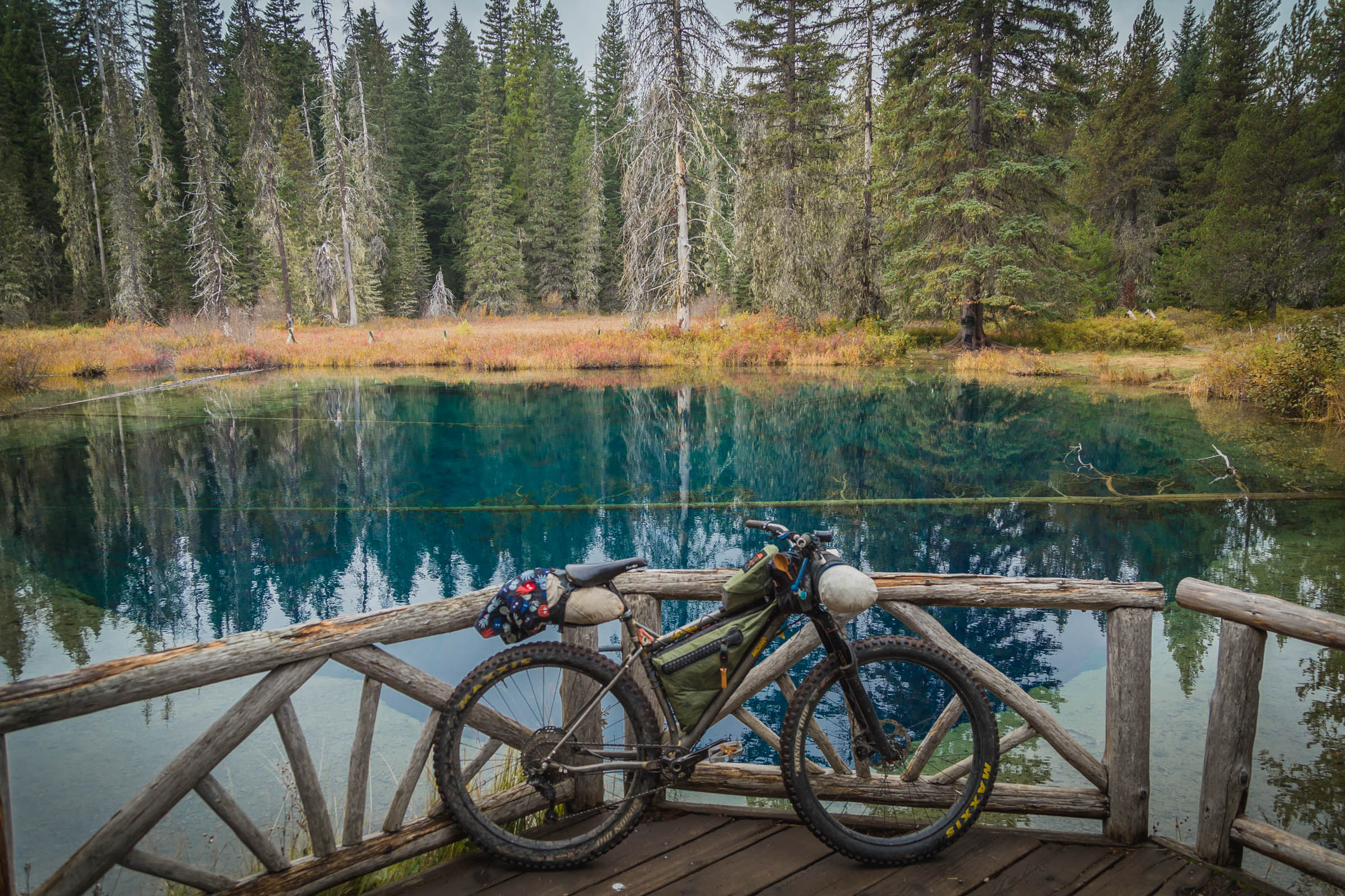
- Timothy Lake is popular for a reason: forested lakeshore campsites with picturesque views of Mt. Hood’s snowy slopes.
- High Rock is a welcome resting point with 360º views.
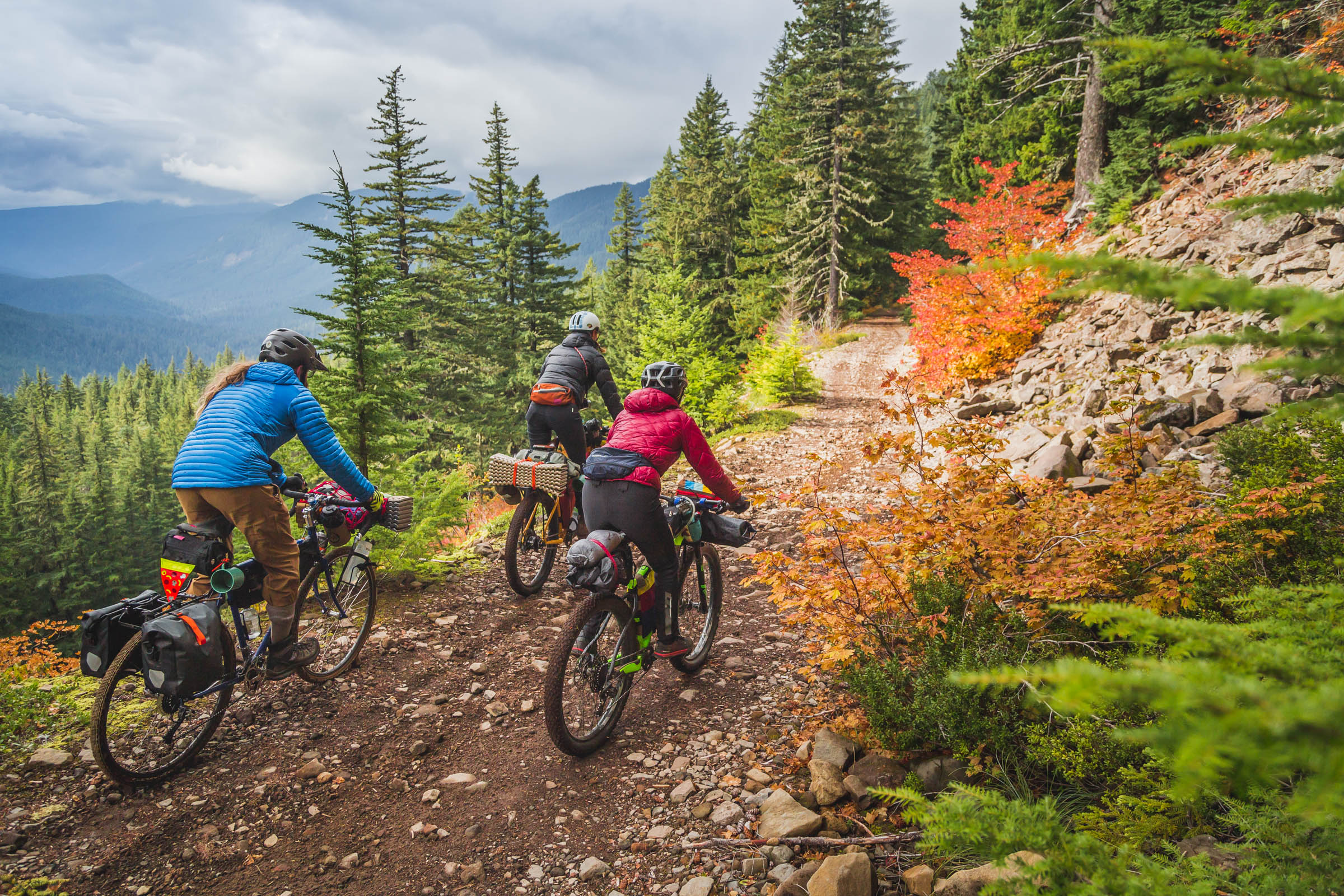
- Abbot Road threads through the Roaring River Wilderness along Sam Axanshat’s and Lieutenant Abbot’s historic ridgeline route. You’ll marvel at how they managed to traverse this terrain without a road and a train of pack horses.
- The Tumala Mountain Alternate is well worth it if your MTB skills are up for the challenge.
- Estacada is the start and end of this route (as well as the Cascading Rivers Scenic Bikeway if you prefer to stay on the pavement) and offers free overnight parking at the city hall right on Highway 224. It’s a quick 40-minute car trip from downtown Portland and about a 90-minute bus ride from the central city. There’s also convenient bike-in campsites at Milo Mciver State Park just outside of town if you want to add a couple days and ride from Portland.
- Ideal Bike: We recommend a hardtail or rigid mountain bike with a minimum of 2” wide tires. None of the riding requires a dedicated mountain bike, but Abbot Road is quite rocky and you’ll be grateful for the cushion that wider tires provide. This route is also quite remote so the most important thing is that your bike is in good working order and it’s comfortable for you. You don’t want your body or your steed to break down and leave you stranded.
- When to ride: This route is suitable for riding June-October. We rode it in the fall when the colors were stunning and the campgrounds were vacant. Earlier in the summer is more conducive to swimming, but also busier and buggier.
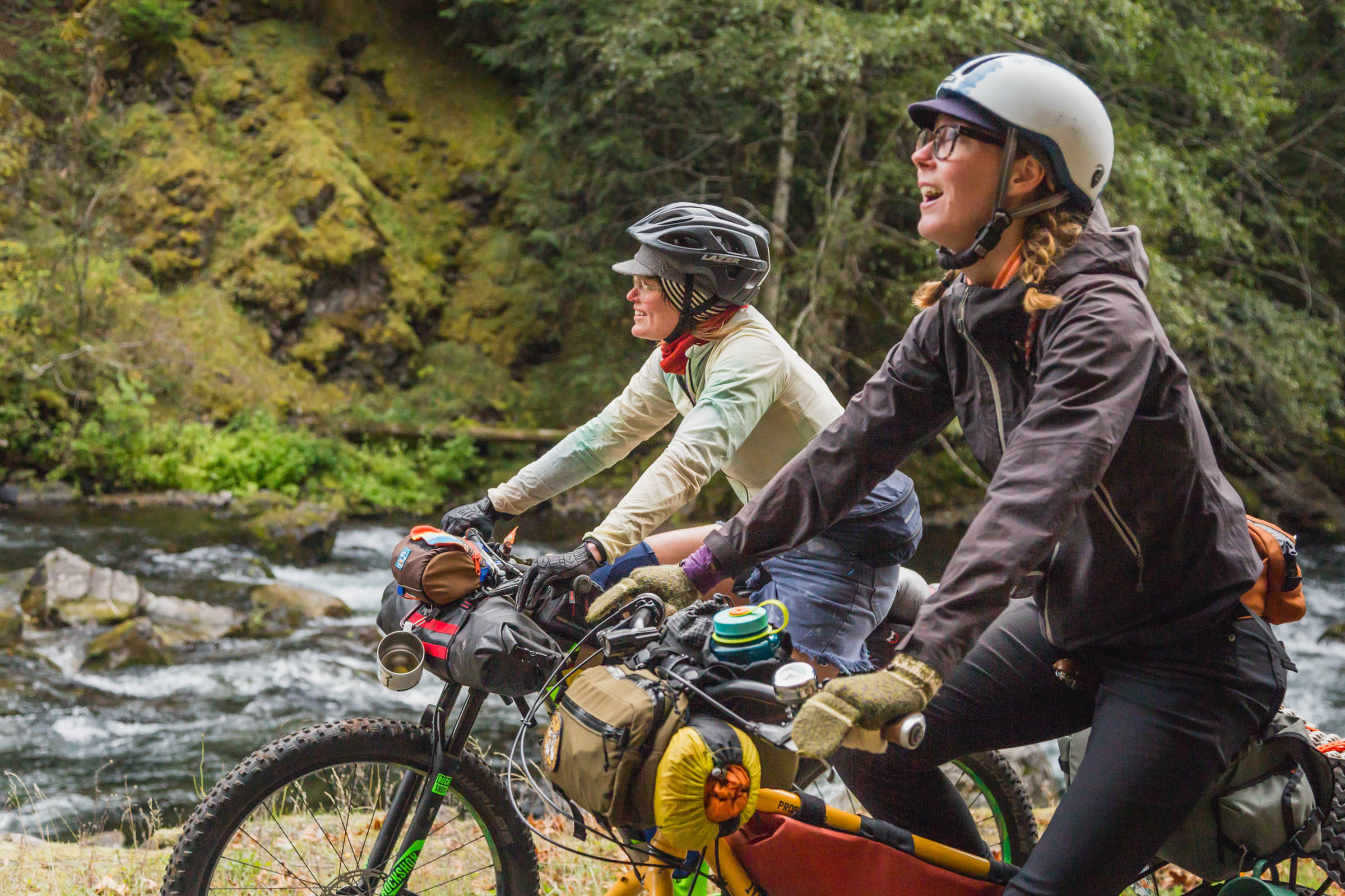
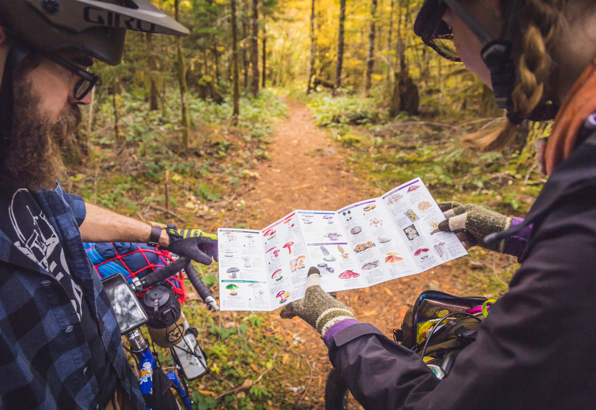
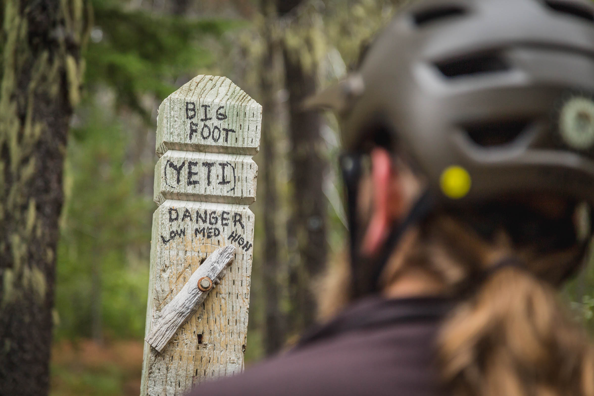
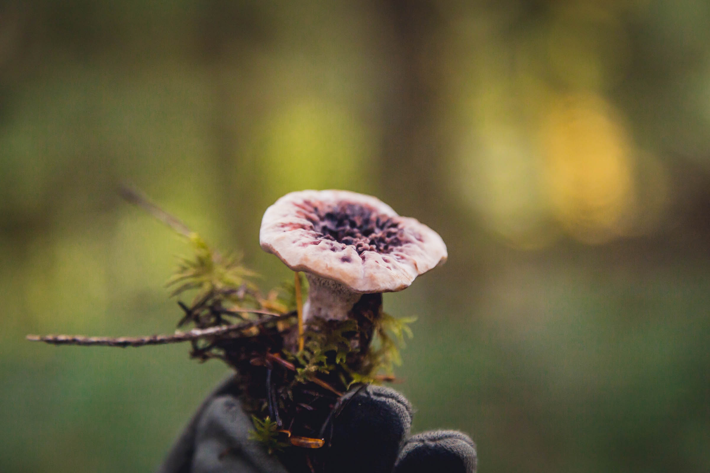
- DO: Smile and say hi—you’ll likely run into hikers, dirt bikers, fishermen, campers, equestrians, families, offroaders, and maybe even a sasquatch or two. Pack a fishing pole if you have the time. Keep an eye out for huckleberries in the summer months. Stop by Clackamas River Growlers for a pint after your journey.
- DON’T: Try to rush your trip. There’s lots to stop and marvel at. Bring a road bike—although there’s lots of pavement, Abbot Road is seriously chunky. Get a late start from camp, the Abbot Road ‘descent’ takes a deceptively long time.
- There are numerous campgrounds along the Clackamas River and Timothy Lake. Dispersed camping is also permitted in most places in the National Forest, though along this route camping is allowed only in established campgrounds from Estacada until beyond the Ripplebrook Ranger Station at mile 30.
- Finding potable water is easy in most campgrounds for the first ⅔ of this route, as well as limitless fresh streams to filter from. After leaving Timothy Lake, water becomes more scarce as you gain altitude. There is at least one reliable cold spring bubbling out of Abbot Road’s talus slope at mile 88.6. Pack a water treatment system and carry 3-4 liters, which should be plenty if you camp near water.
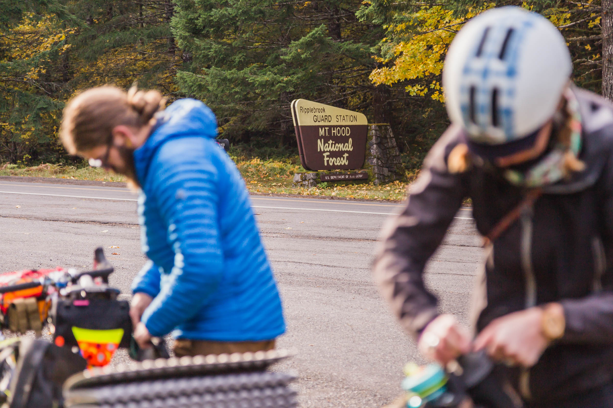
- Once you pass the Ripplebrook Ranger Station at mile 29 there’s no commercial services or food resupply options until you return to Estacada. Unless you count fresh trout and wild huckleberries.
If you plan on a four-day trip you’ll be looking at about 30 miles, a little singletrack, and a nice campground at the end of each day. Sure, you could squeeze it into three or even two days, but we think it’s worth a slower, exploratory pace.
Embark on your journey heading east out of town on Highway 224, soon you’ll leave the busy road and follow the carfree Faraday Road along a scenic series of reservoirs. Eventually you’ll rejoin 224 and follow it deep into the Clackamas River valley to Three Lynx, where you’ll get a taste of some climbing and a bit of gravel. Wrap up your day among the old growth along the Riverside Trail and camp at Sunset or Riverside Campground. Day one was about 35 road miles with 2,500’ of climbing—dip your tired dogs in the river and recoup for the big climb tomorrow.
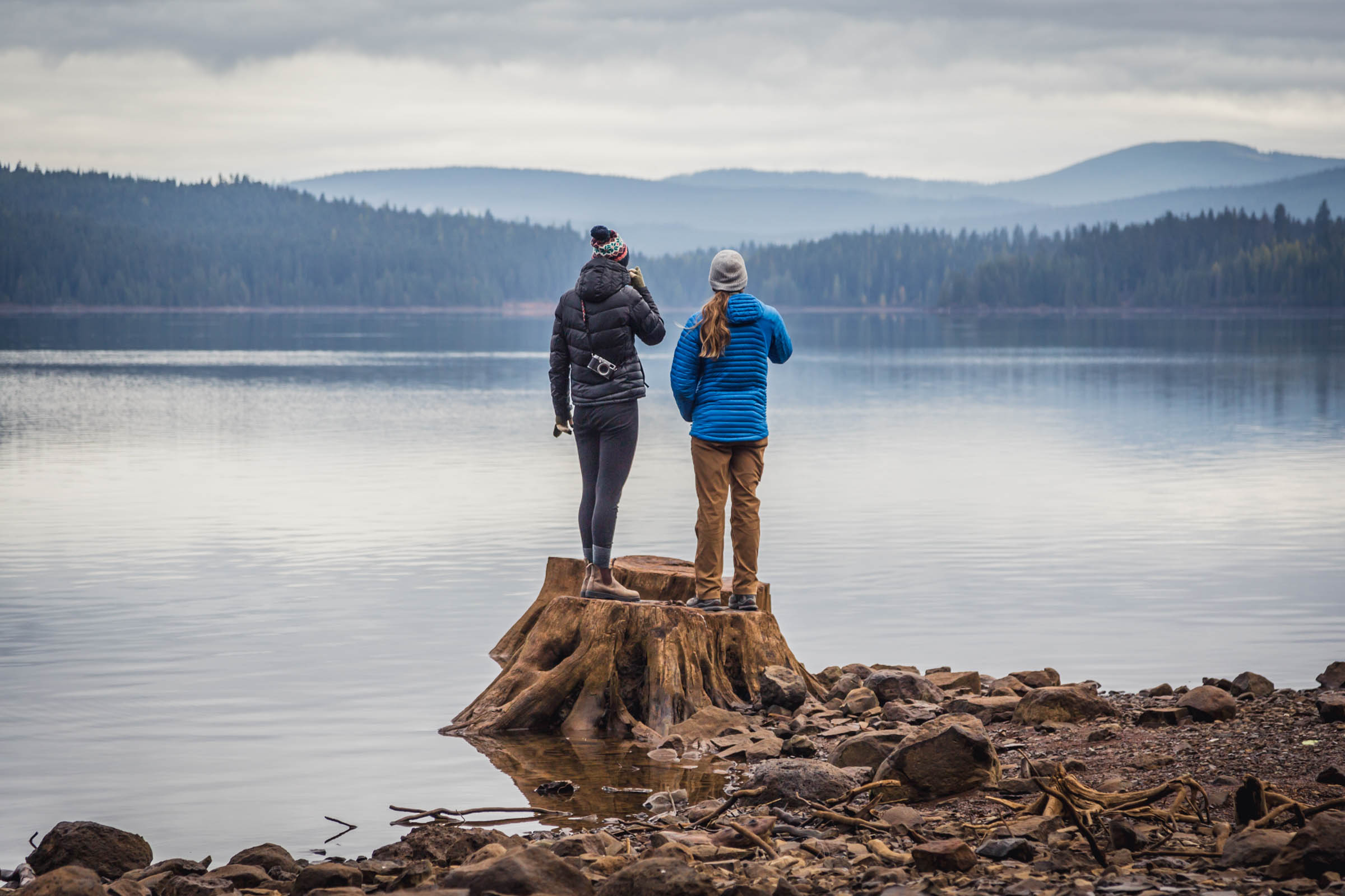
Day two finds you continuing upstream for about 10 miles and then beginning your gravel ascent in earnest for another 10 miles. Take your time and take in the views as you leave the valley floor: keep your eyes open for Mt. Jefferson peeking out to the south. Soon you’ll regain the pavement along what used to be the Skyline Trail, a precursor to today’s Pacific Crest Trail. Depending how much ooompf you have left, it’s another 10-15 rolling miles to your campsite. Summit Lake is just off the route and the quietest campground, Clackamas Lake is next with stunningly clear waters, and if you decide to push on for the trails and views at Timothy Lake we recommend camping at Meditation Point to avoid (most of) the crowds.
On the third day you continue your ascent skyward for about 15-20 miles to High Rock and the beginning of the infamous Abbot Road. After leaving Timothy Lake you’ll be following in the footsteps of Sam Anaxshat and Lieutenant Abbot’s expedition. If you want to make this day a short one, there’s a primitive campground and spring here, or keep pushing on into the Abbot Road corridor where other dispersed sites are.
Take in the scenery as you begin your final day of the trip. Abbot Road winds in and out of the forested ridgeline and talus slopes offer the expansive views you’ve earned after climbing out the river valley far below. This leg is rough in spots, but not particularly technical. The Tumalo Alternate branches off to the right after 10 miles and the main route begins to descend in earnest. After almost 20 miles of descending you’ll rejoin your first day’s route at Faraday Road where it’s a quick pedal back into Estacada for burgers and pints at the pub.
OPTIONS:
You can ride this route in either direction but it’s much better counter-clockwise in our opinion. The singletrack sections are relatively flat in either direction and the road climbs are much mellower if you follow the river upstream and return via the Abbot Road ridgeline.
If you’re a more confident mountain biker we highly recommend the Tumala Mountain Alternate (see the POI at mile 93.7). After about 9 miles along Abbot Road take a right on Old Baldy Trail #502 to Fanton Trail #505 for a bonus rugged singletrack leg. You’ll exit on NF4613 with a grin on your face. Head left/south and descend on the road before rejoining the main route. This 11 mile alternate is considerably more technical, but fun and beautiful.
Additional Resources


Terms of Use: As with each bikepacking route guide published on BIKEPACKING.com, should you choose to cycle this route, do so at your own risk. Prior to setting out check current local weather, conditions, and land/road closures. While riding, obey all public and private land use restrictions and rules, carry proper safety and navigational equipment, and of course, follow the #leavenotrace guidelines. The information found herein is simply a planning resource to be used as a point of inspiration in conjunction with your own due-diligence. In spite of the fact that this route, associated GPS track (GPX and maps), and all route guidelines were prepared under diligent research by the specified contributor and/or contributors, the accuracy of such and judgement of the author is not guaranteed. BIKEPACKING.com LLC, its partners, associates, and contributors are in no way liable for personal injury, damage to personal property, or any other such situation that might happen to individual riders cycling or following this route.
Please keep the conversation civil, constructive, and inclusive, or your comment will be removed.