


Anza-Hapaha Loop
Distance
90 Mi.
(145 KM)Days
2-3
% Unpaved
66%
% Singletrack
0%
% Rideable (time)
97%
Total Ascent
8,160'
(2,487 M)High Point
4,230'
(1,289 M)Difficulty (1-10)
6?
- 6Climbing Scale Moderate91 FT/MI (17 M/KM)
- -Technical Difficulty
- -Physical Demand
- -Resupply & Logistics
Contributed By

Logan Watts
Founding Editor
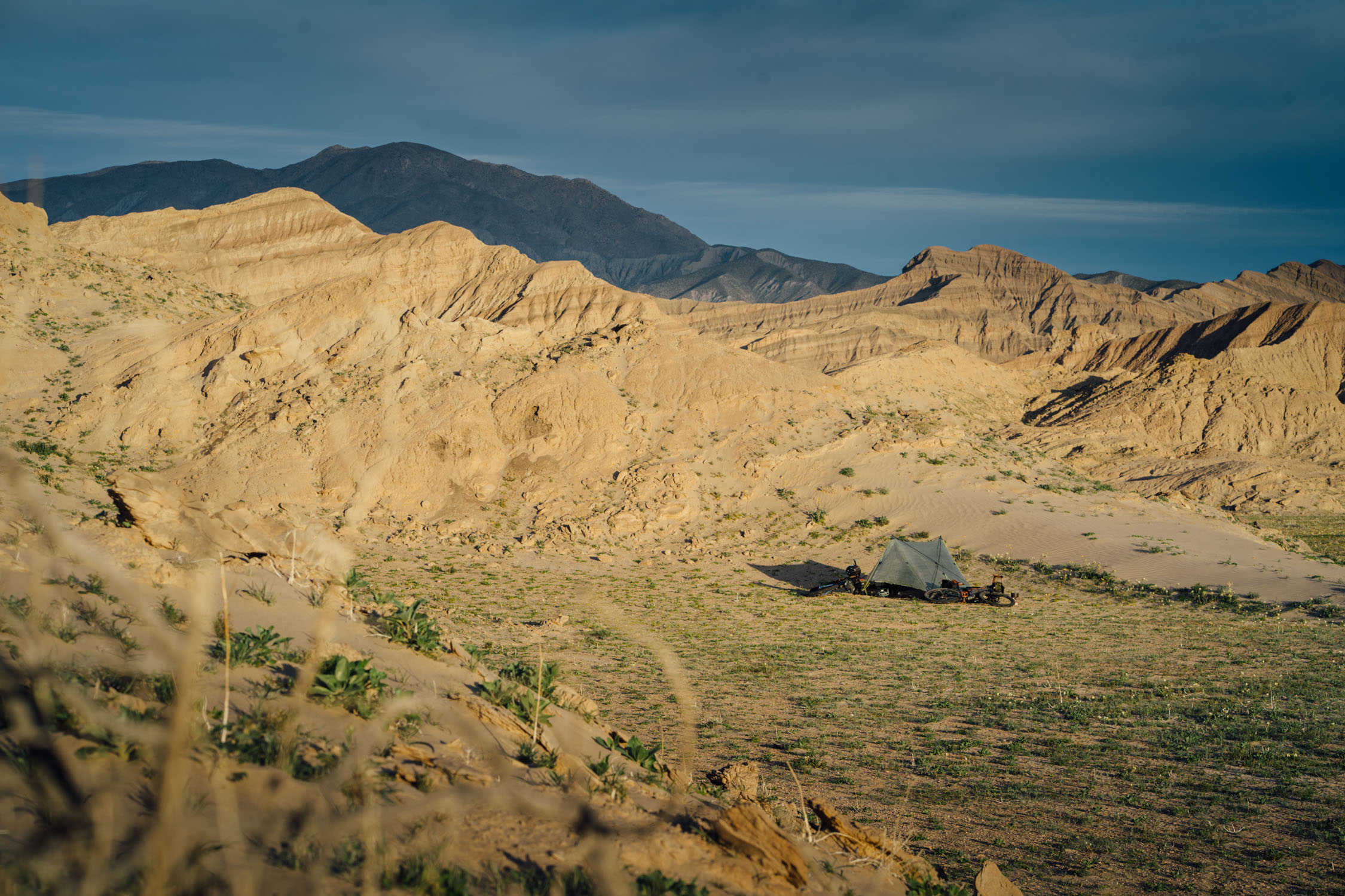
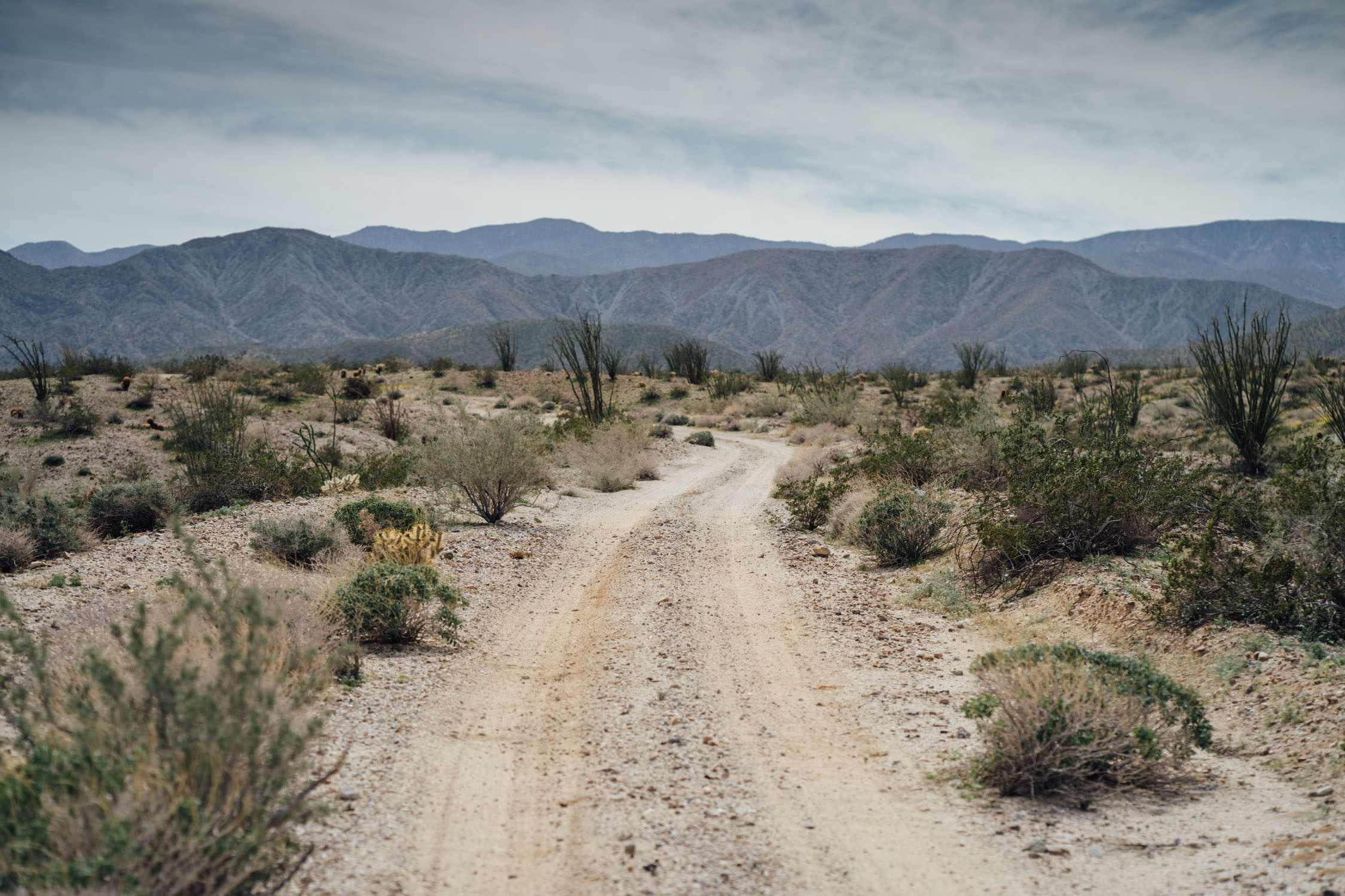
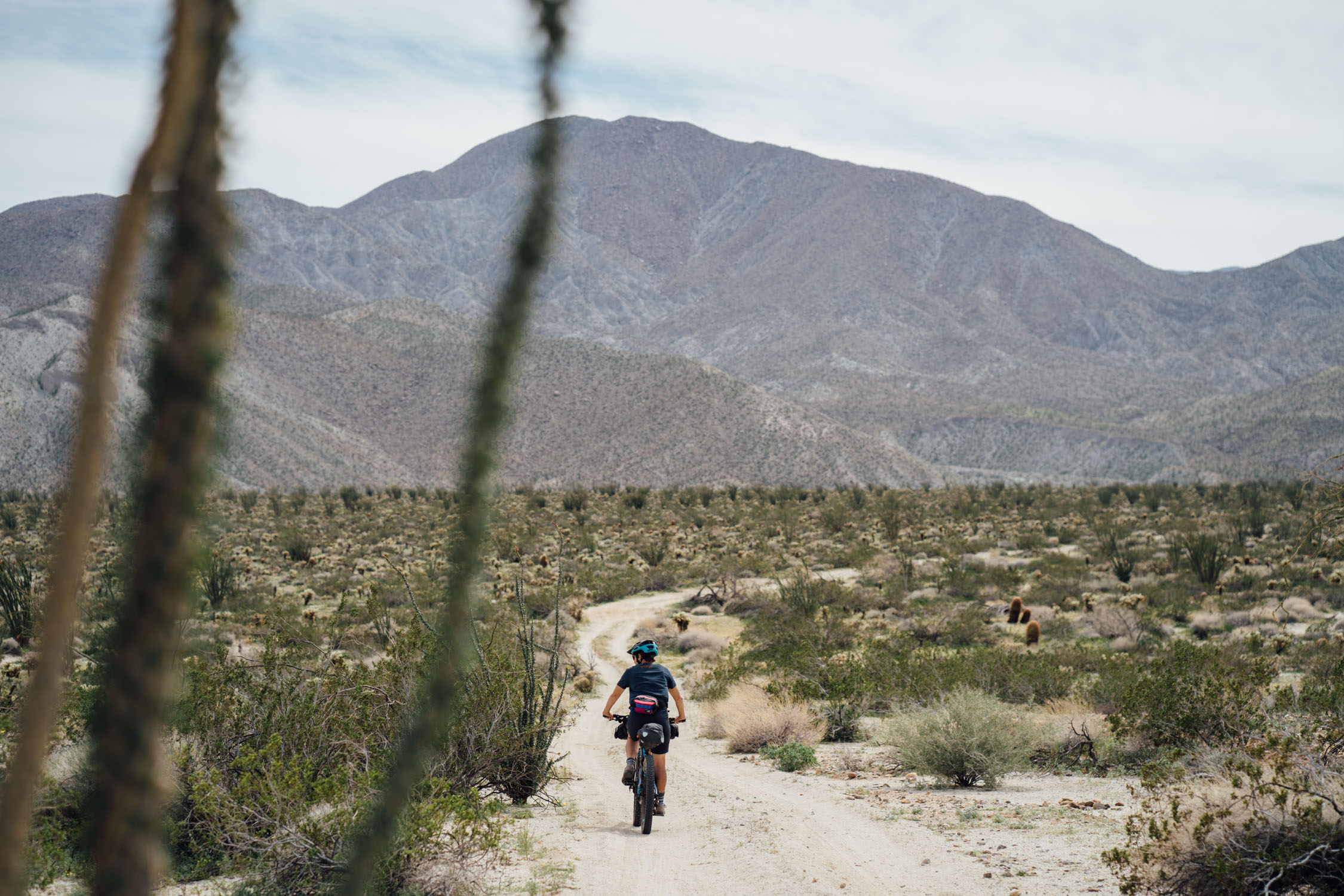
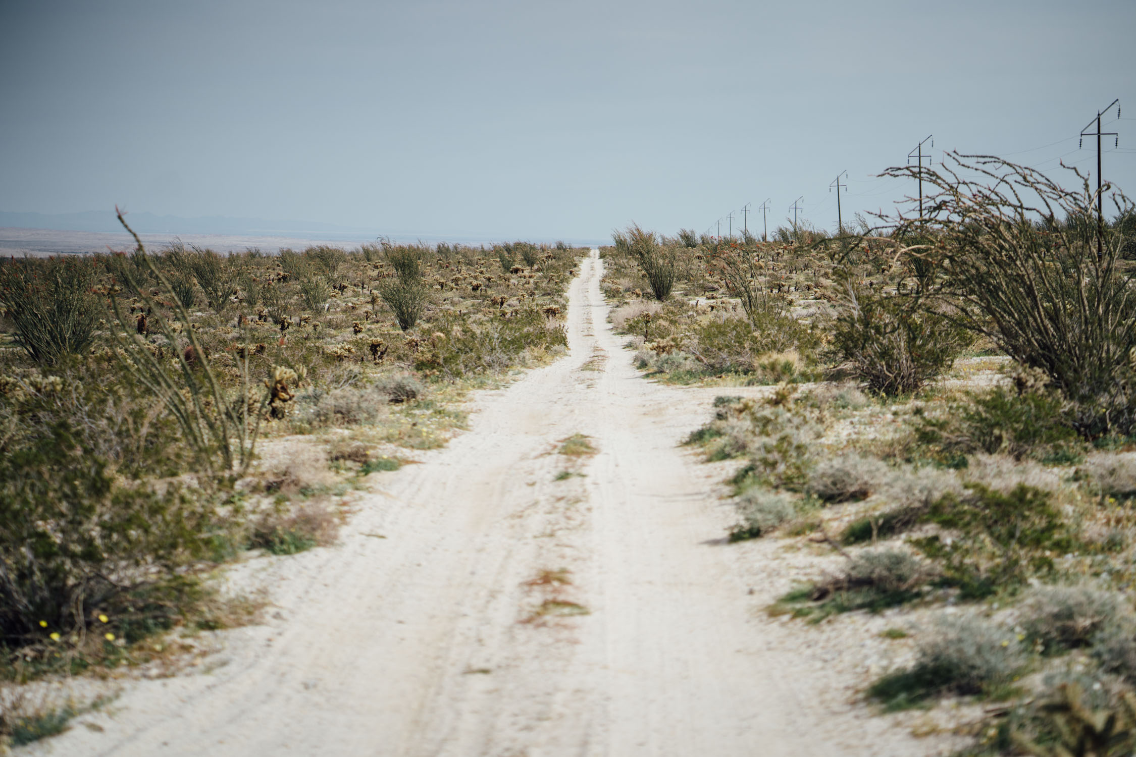
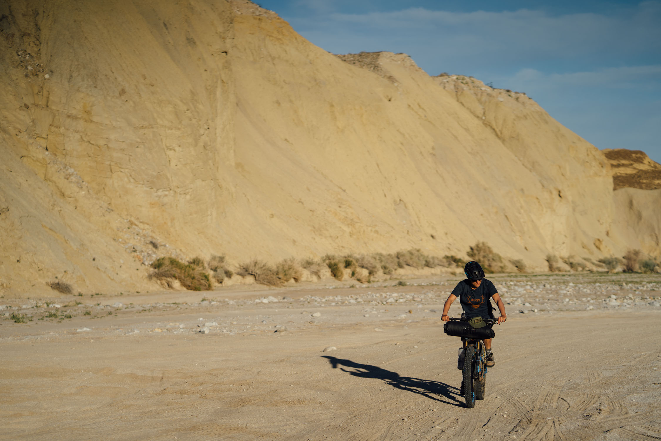
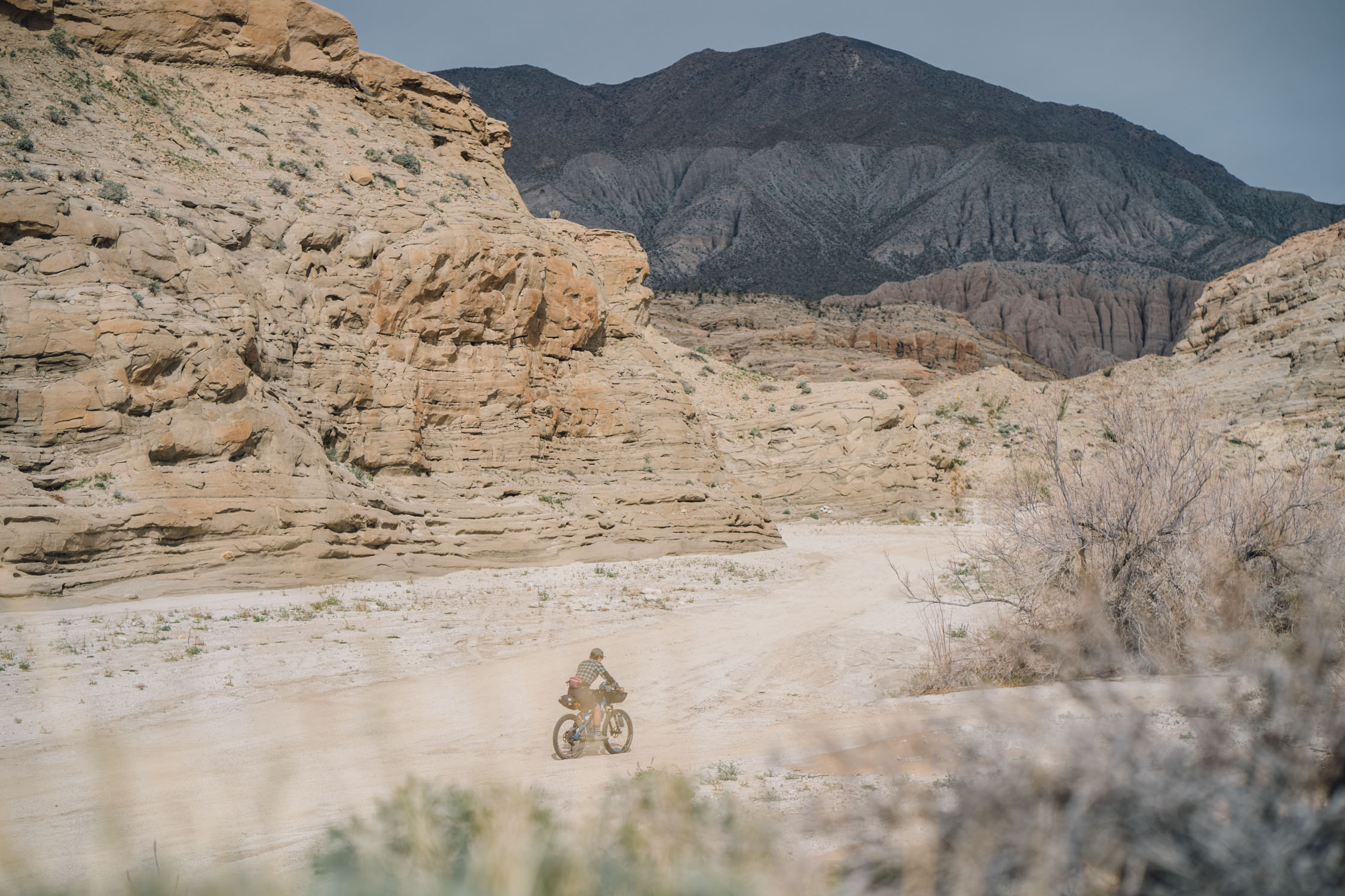
The Anza-Hapaha Loop starts and ends in the small town of Borrego Springs, California. This 90-mile route follows mostly dirt and sand roads and offers a quick tour through magical landscapes, wind-sculpted canyons, and the vibrant Colorado Desert, a subset of the Sonoran Desert ecoregion. The loop falls mostly within the Anza-Borrego Desert State Park (ABDSP), which takes its name from 18th century Spanish explorer Juan Bautista de Anza and borrego, the Spanish word for sheep. Boasting 600,000 acres—one-fifth of San Diego County—it’s the largest state park in California.
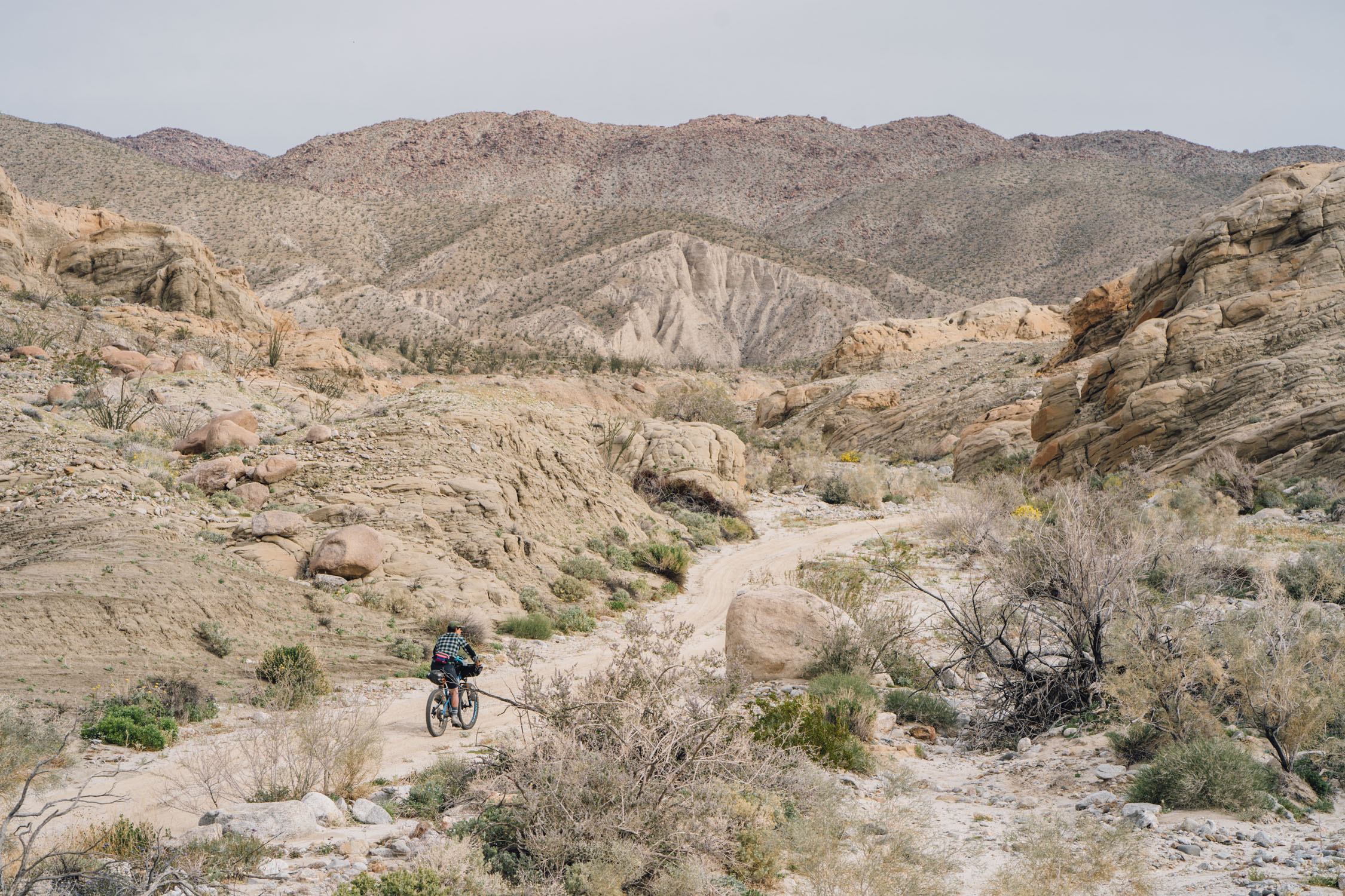
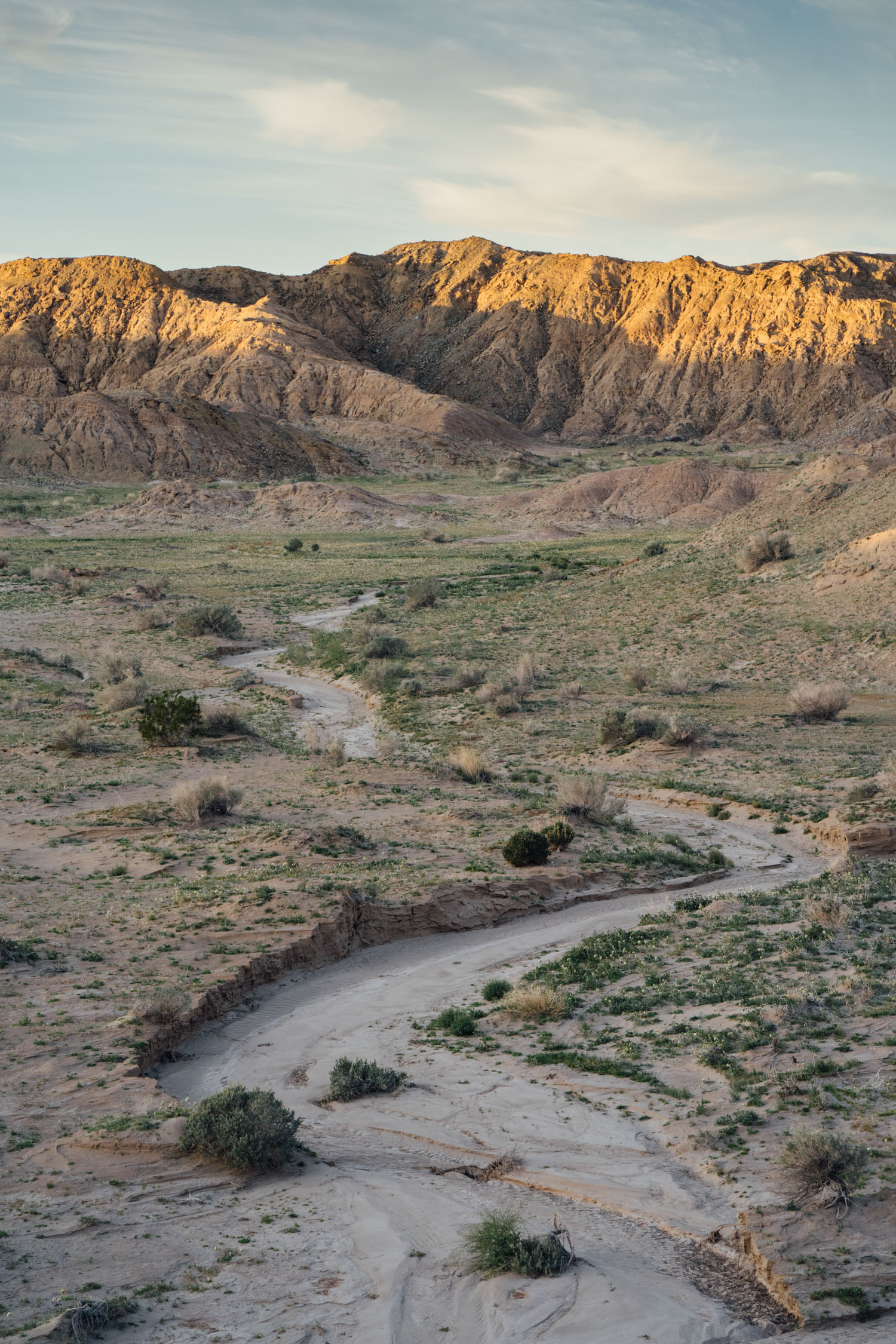
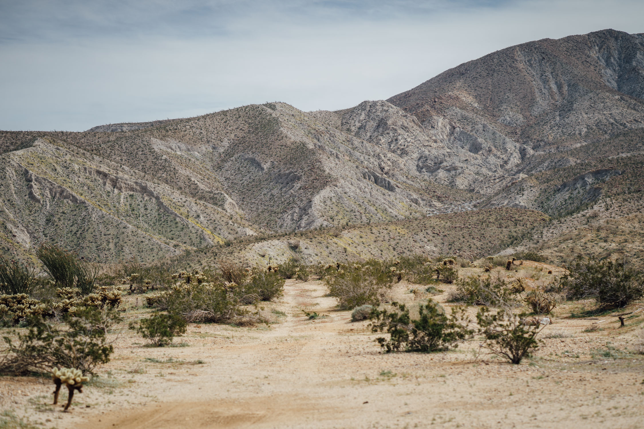
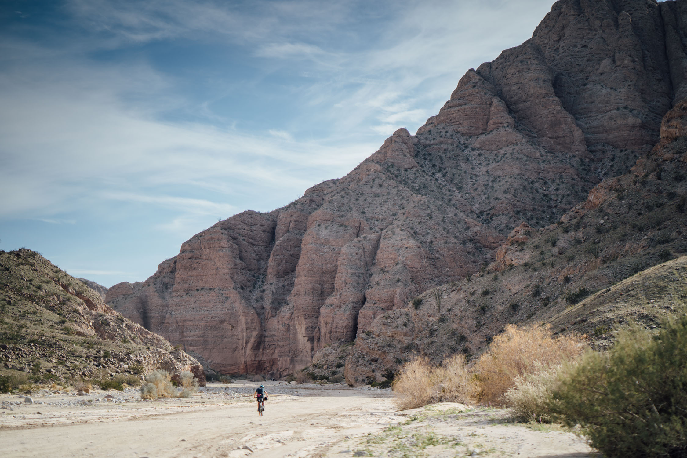
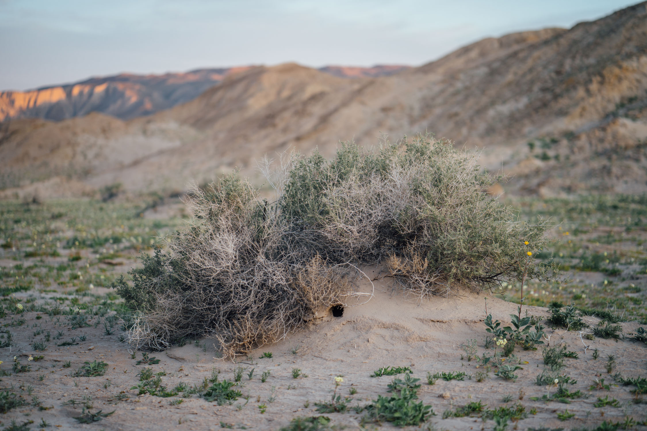
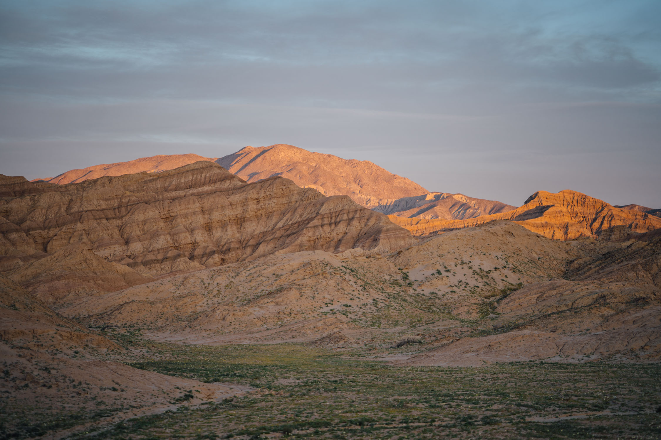
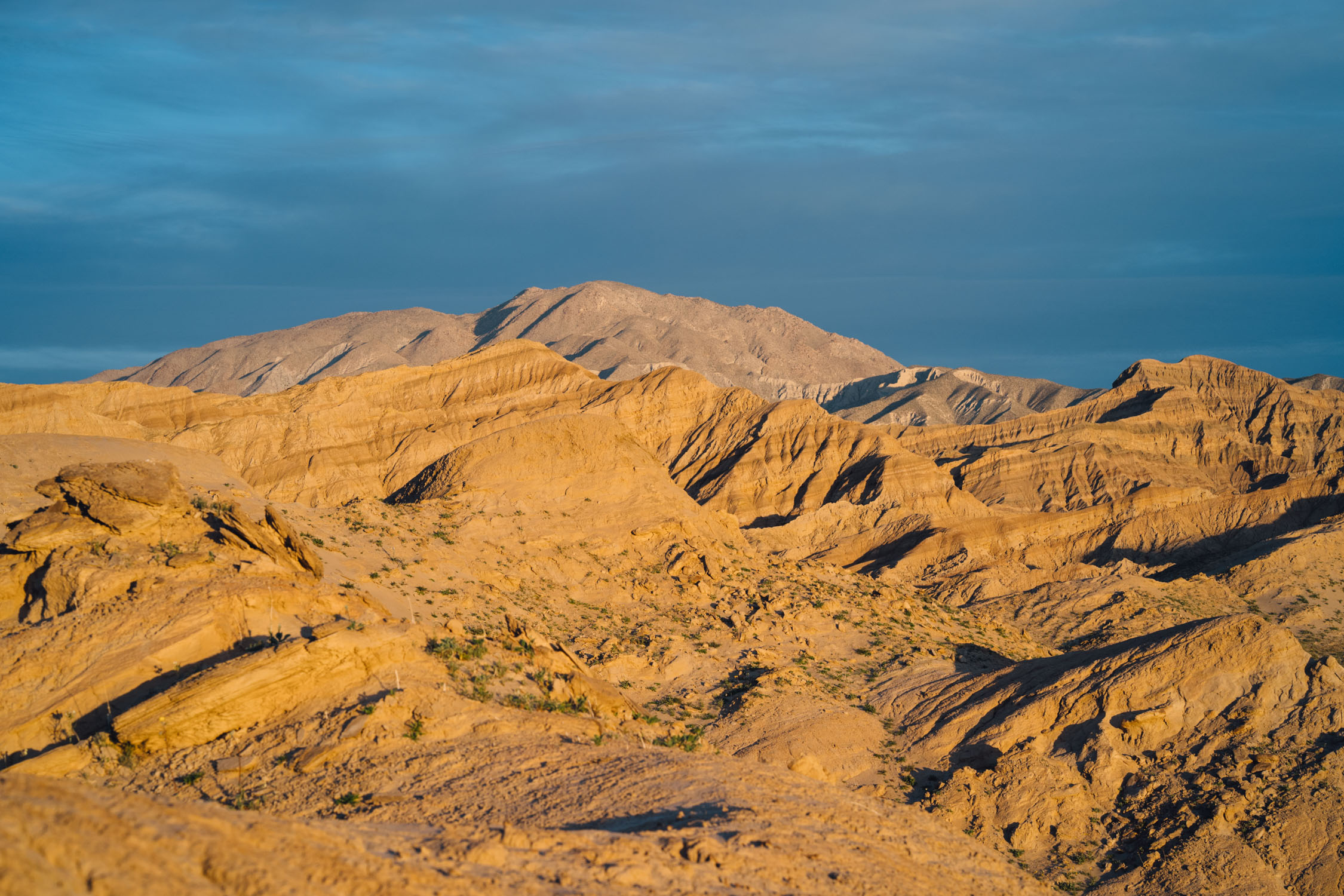
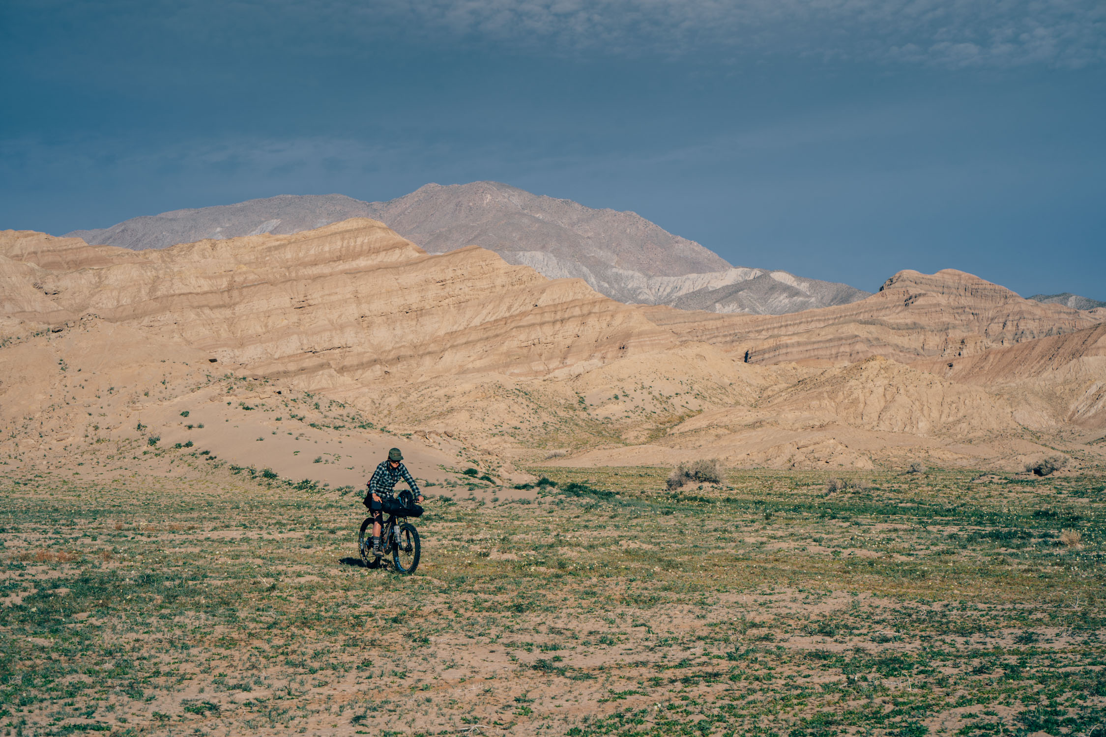
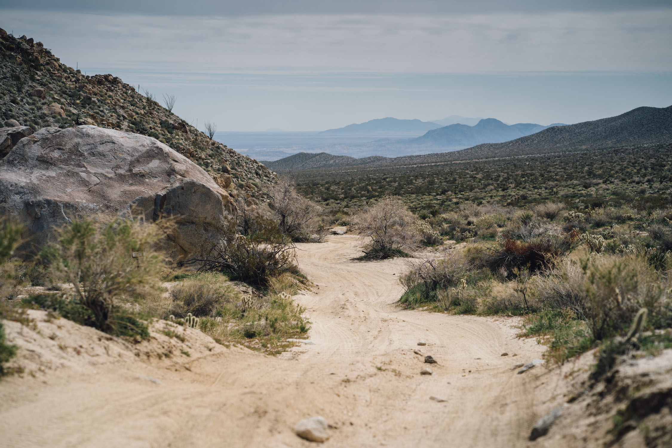
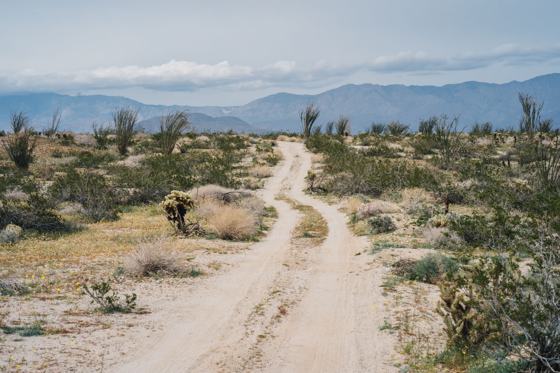
The route follows desert washes and weaves in and out of rock formations and colorful badlands, large arid landscapes, and craggy desert mountains. Even more interesting is the layered history that can be seen throughout. ABDSP lies in a unique geologic setting along the western margin of the Salton Trough, a now inland area of southeastern California that wasn’t always a desert. The expanses of ABDSP’s eroded badlands contain glimpses into its vanished tropical past, and a fossil record that includes preserved plants, a variety of invertebrate shells, animal tracks, and an array of bones and teeth. Most fossils found in ABDSP date from six million to under a half million years in age.
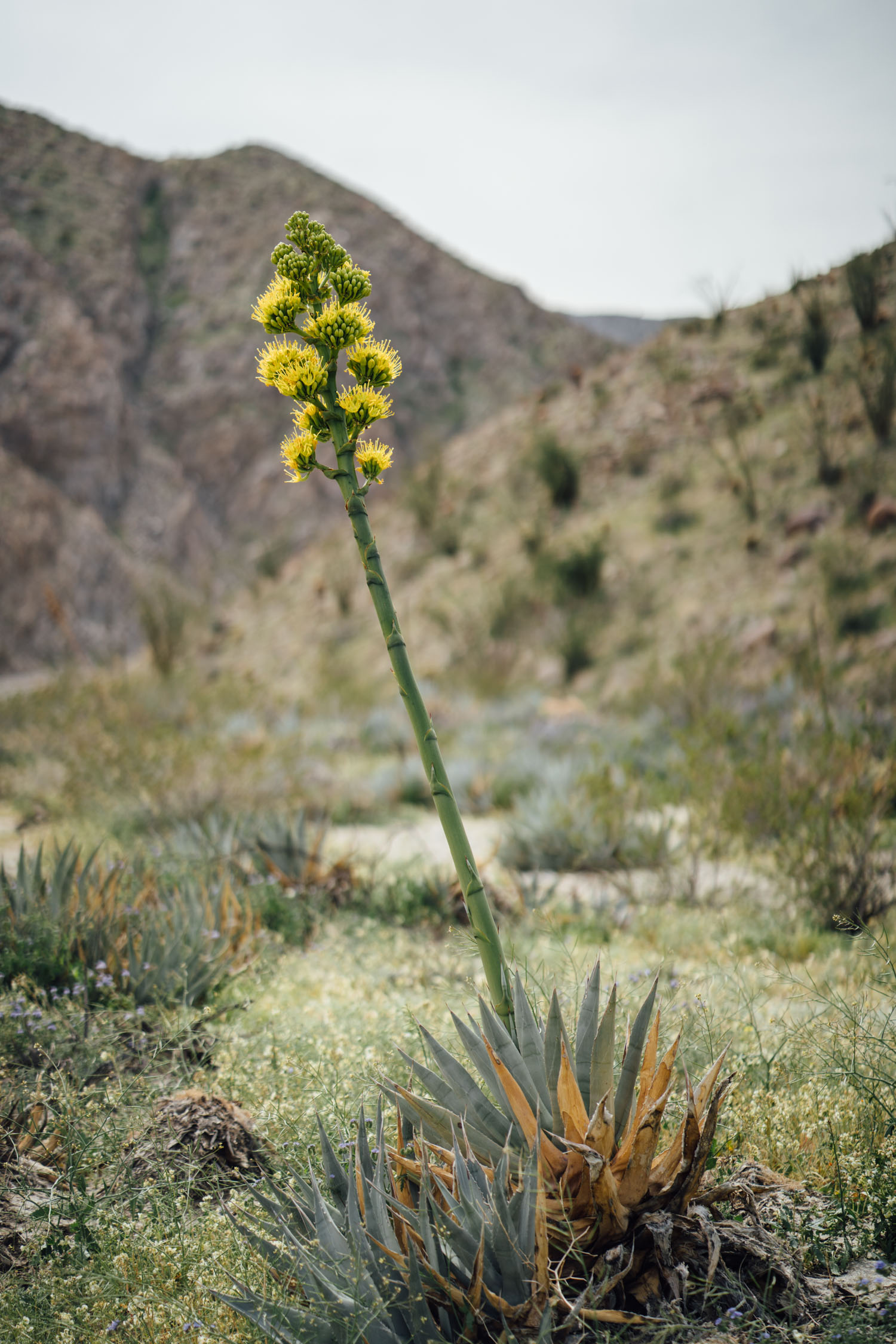
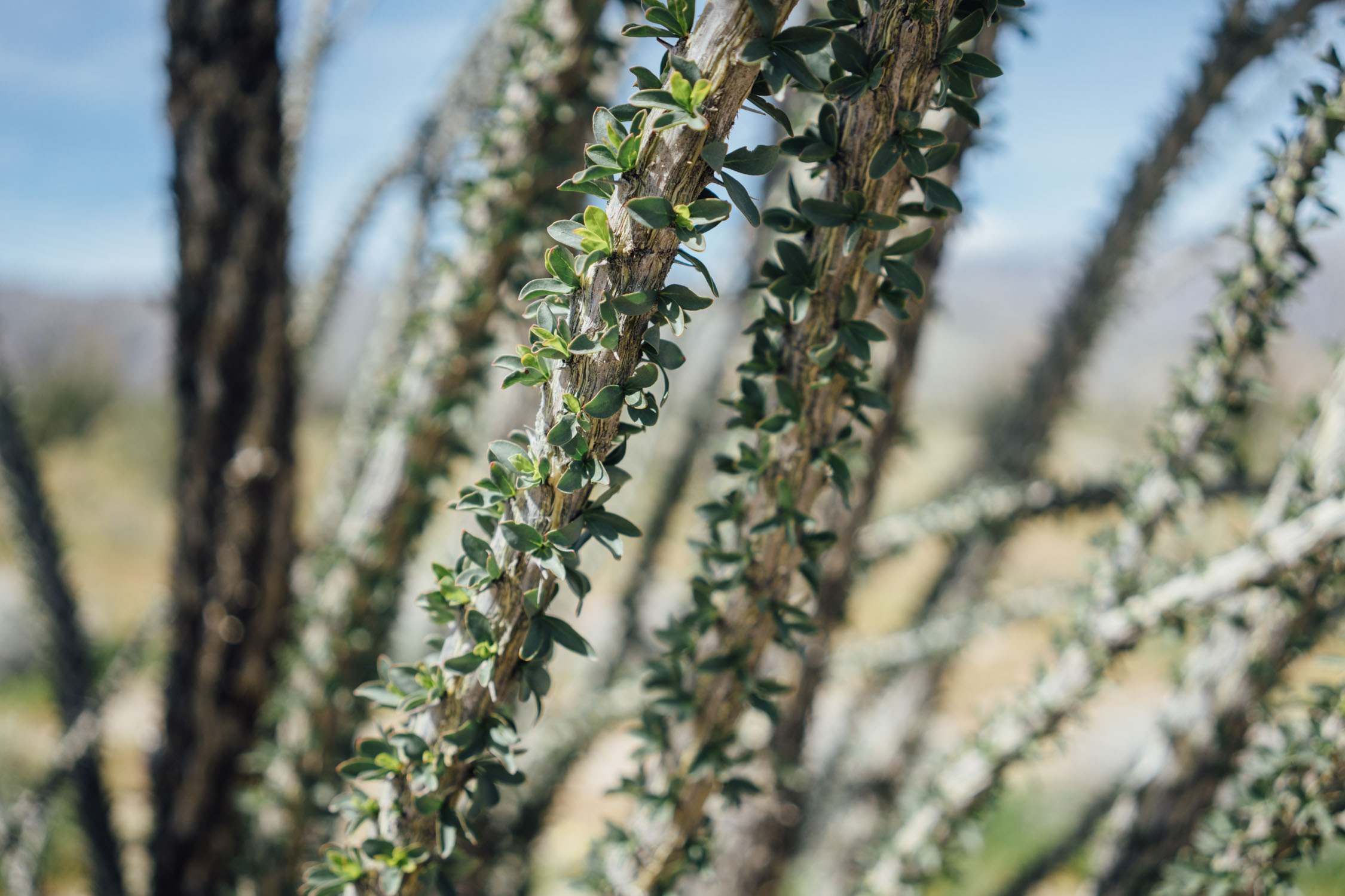
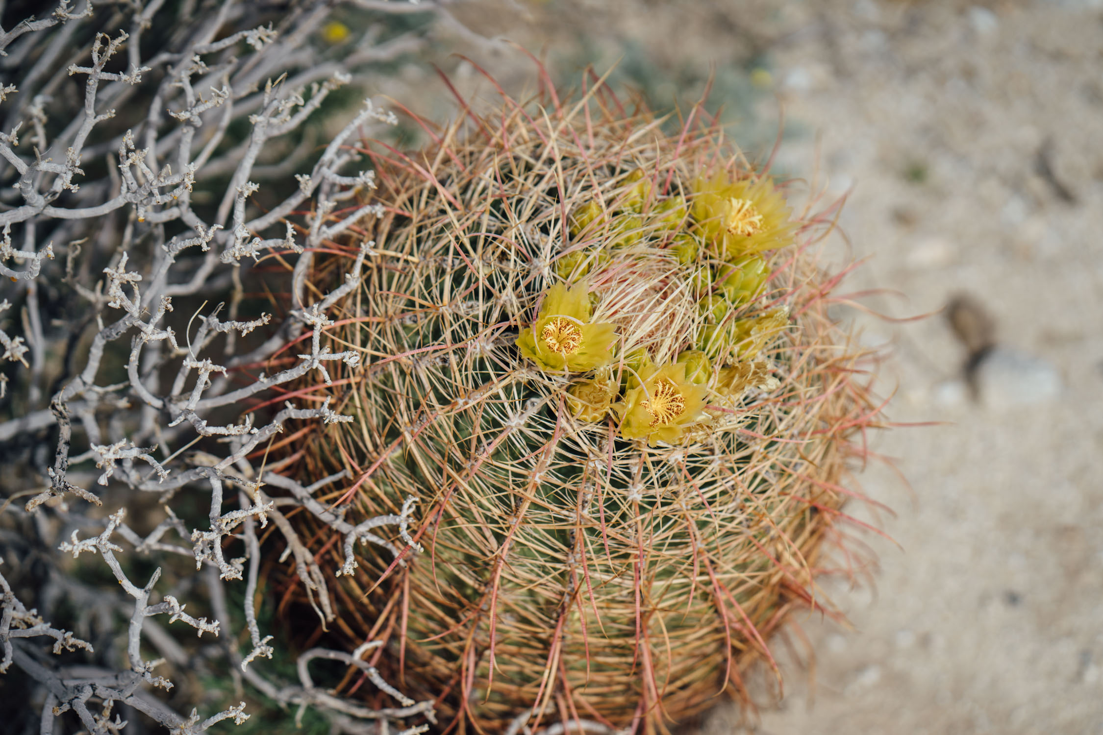
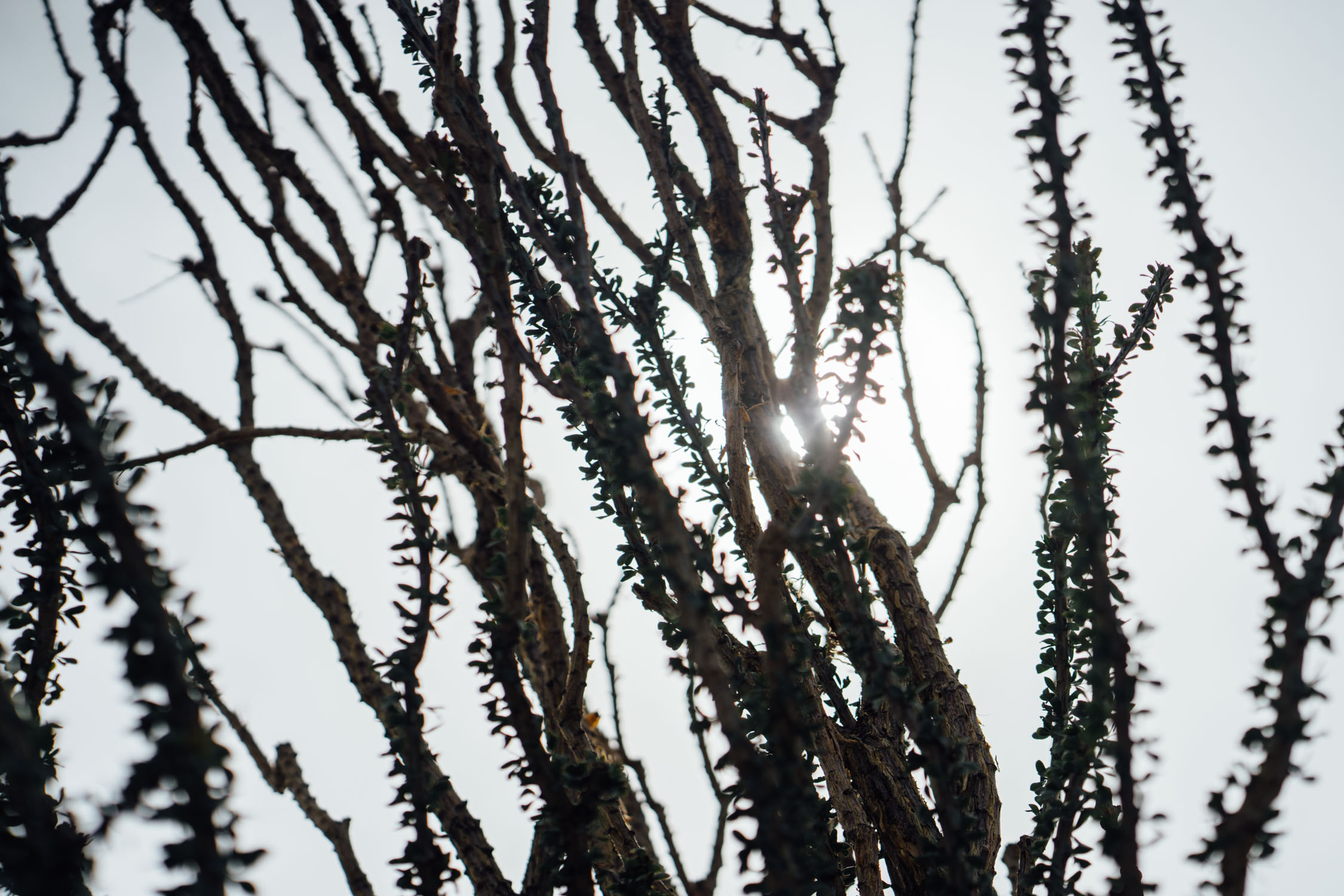
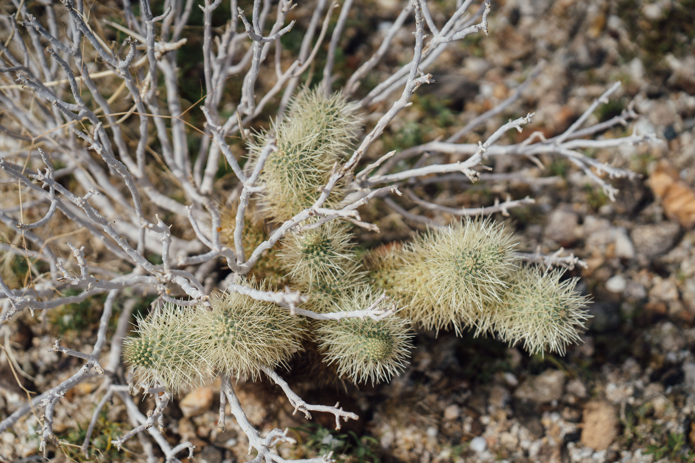
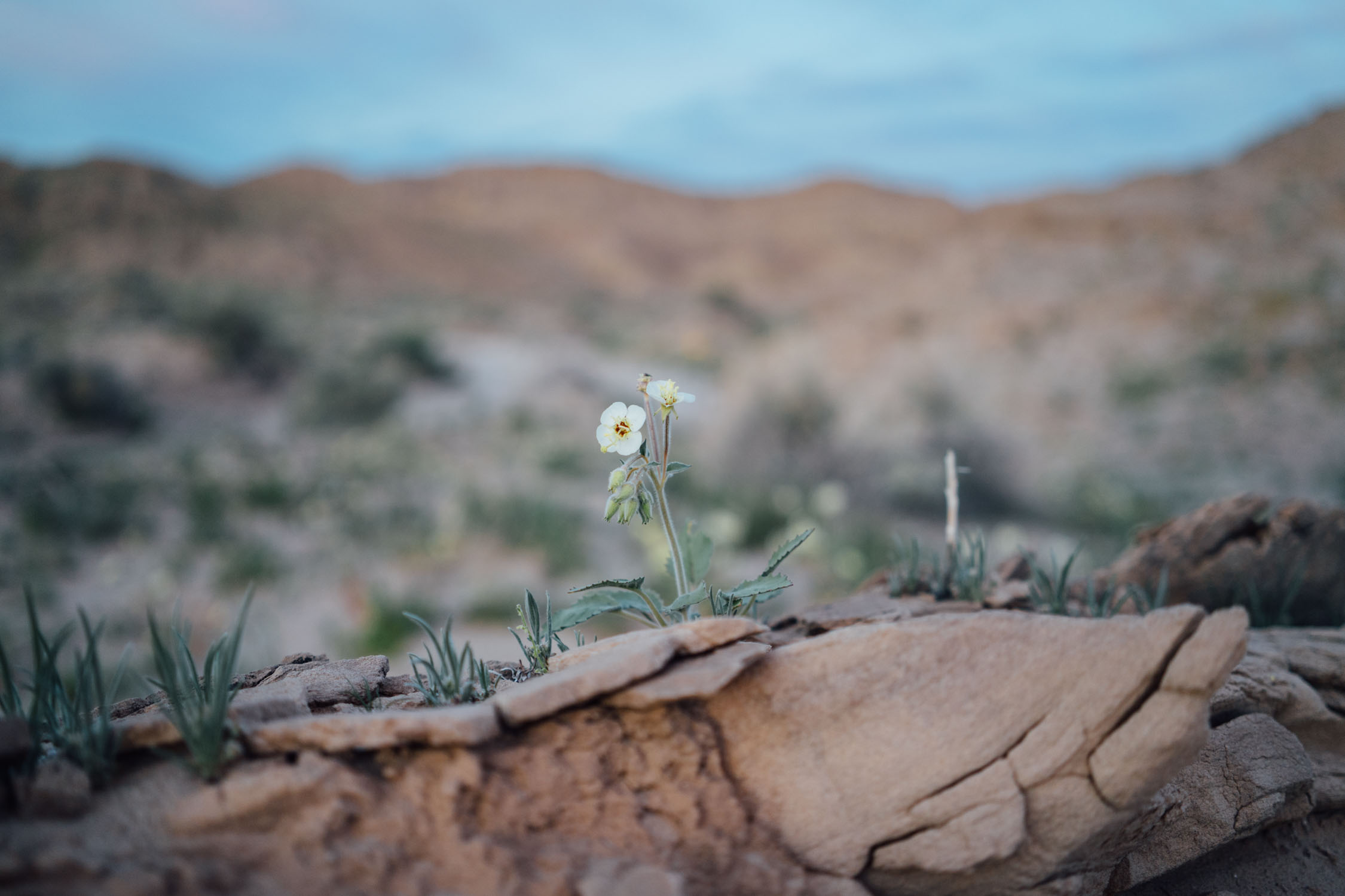
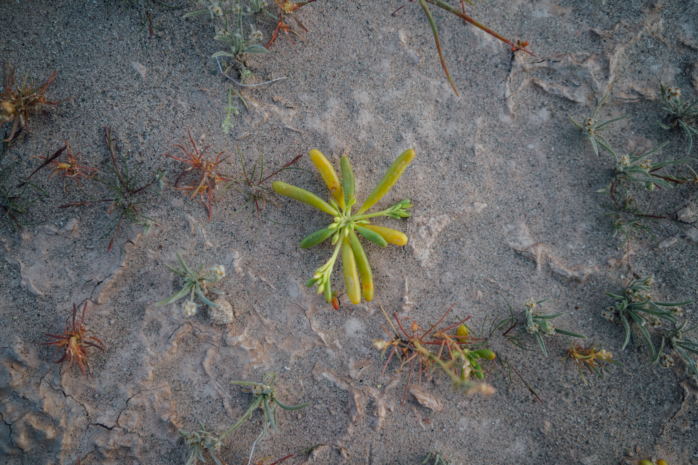
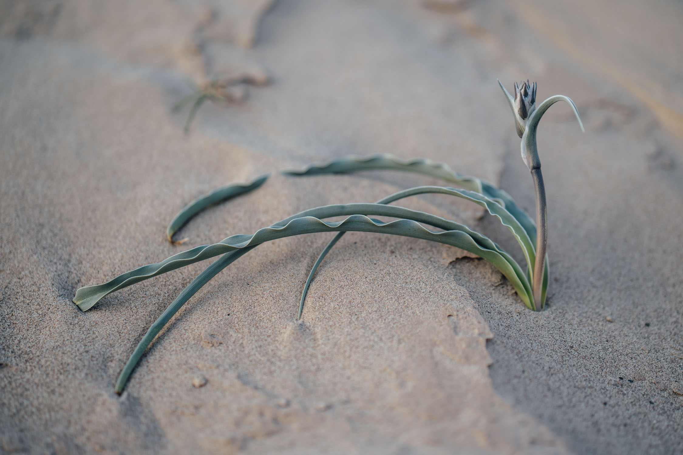
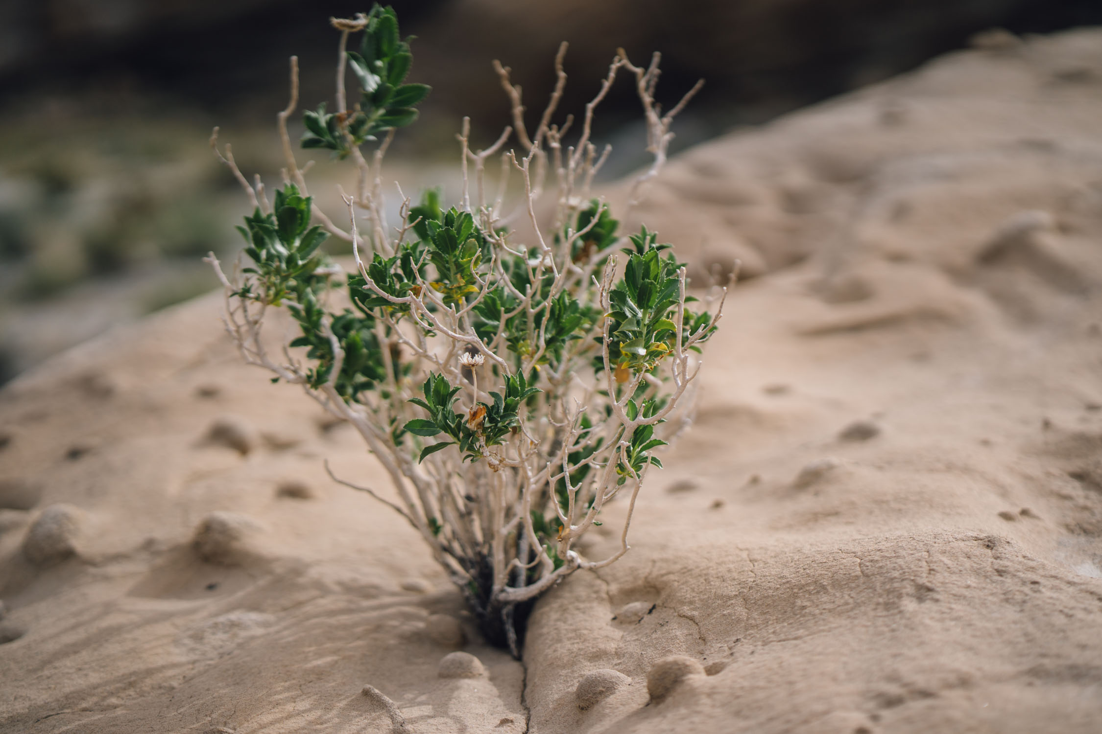
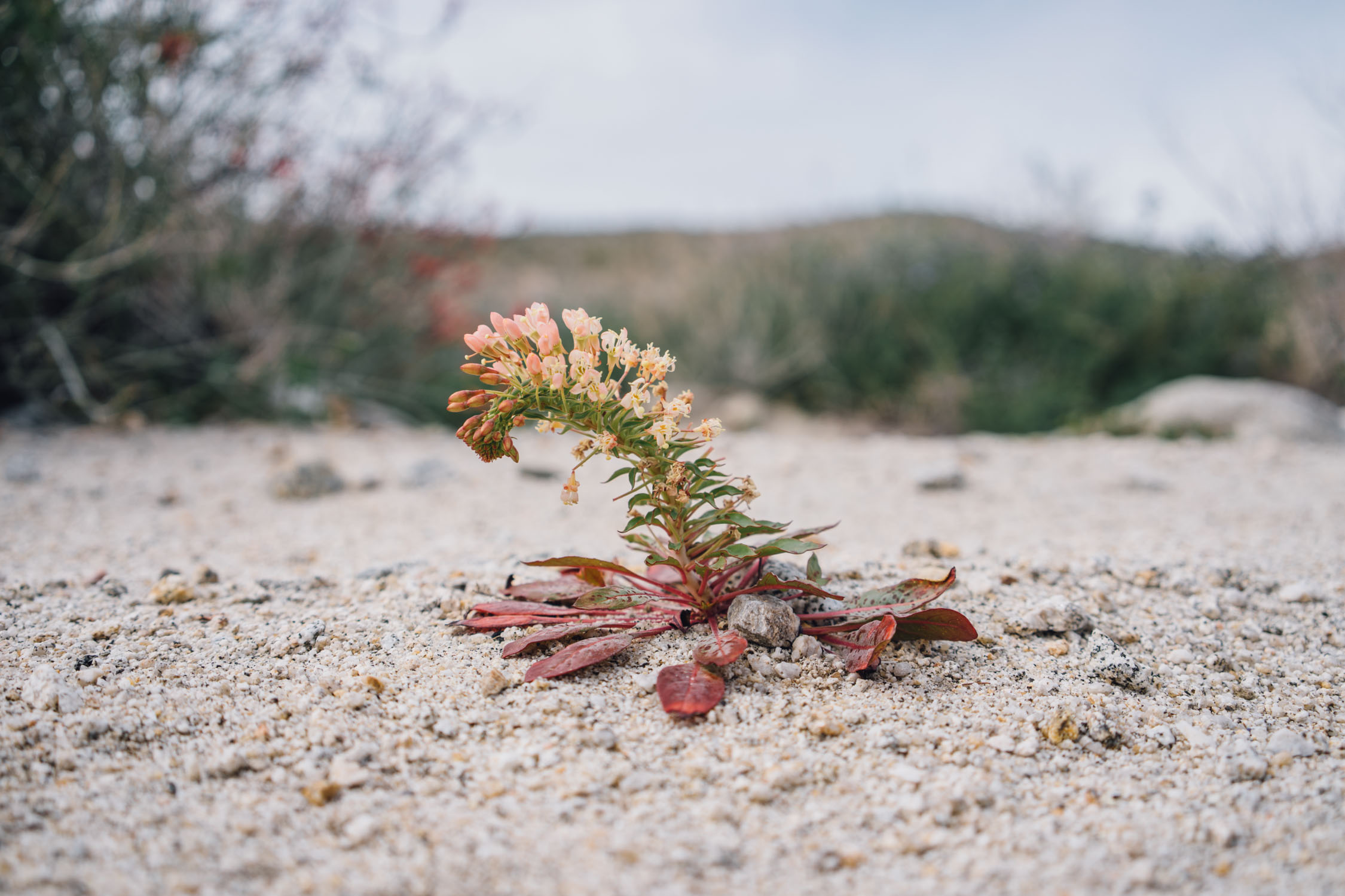
Anza-Borrego’s unique cactus-shrub ecosystem features a wealth of flora and fauna. Plants along these roads include the the palo verde tree, velvet mesquite, a variety of cacti, and massive, flowering ocotillo. Seasonal wildflower displays (March/April) can be seen along the route, for which it was purposefully designed. Throughout the park, visitors may catch a glimpse of bighorn sheep, kit foxes, mule deer, coyotes, greater roadrunners, golden eagles, black-tailed jackrabbits, ground squirrels, kangaroo rats, quail, prairie falcons, or even mountain lions. In the reptile family, there are countless lizards, desert iguanas, chuckwallas, and red diamond rattlesnakes.
Route Difficulty
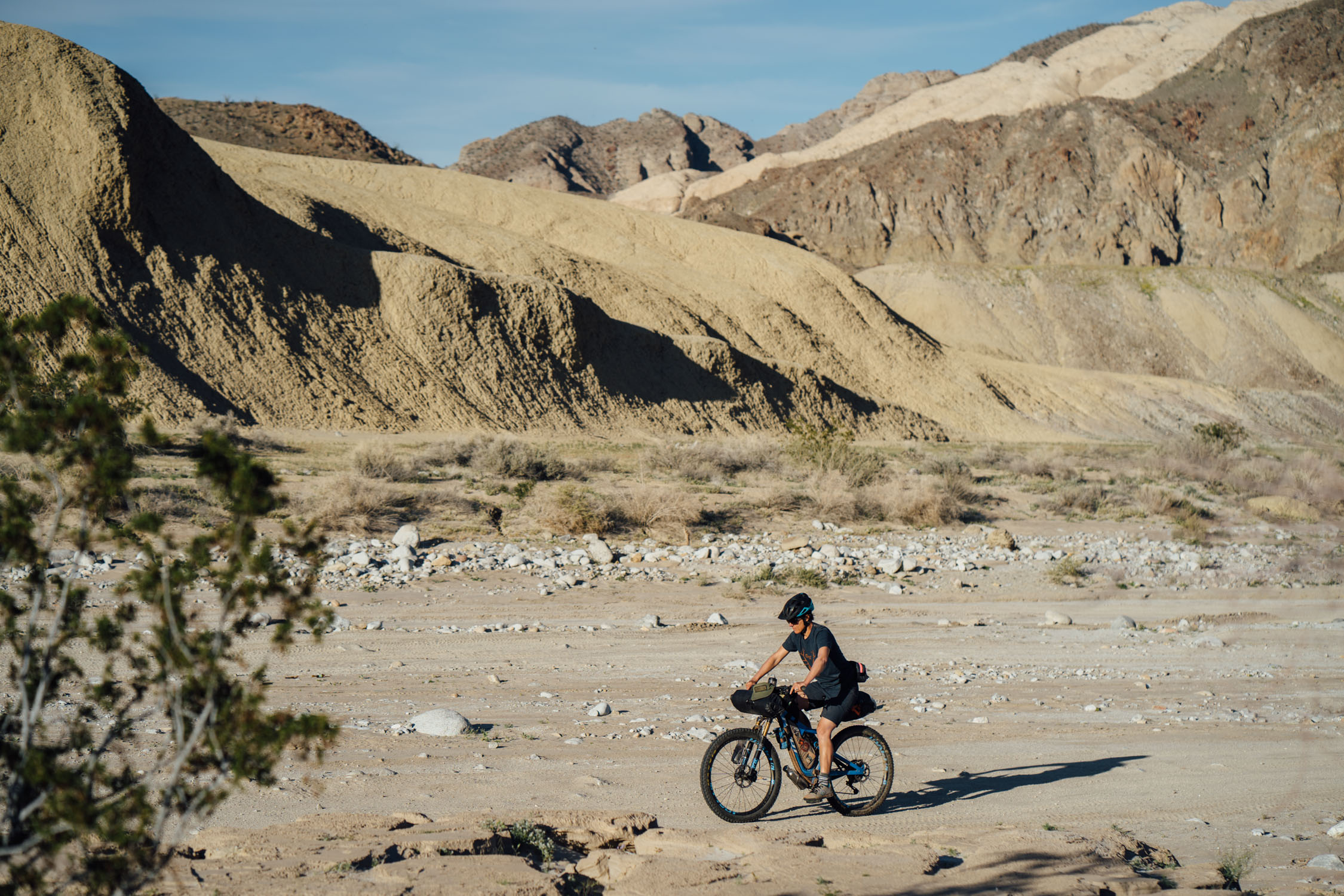
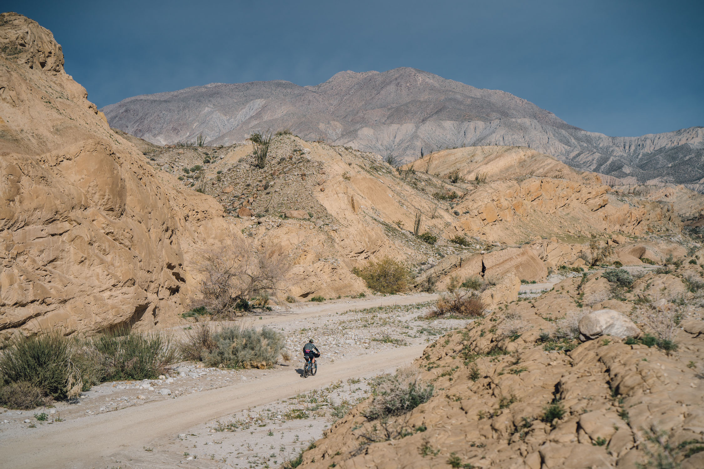
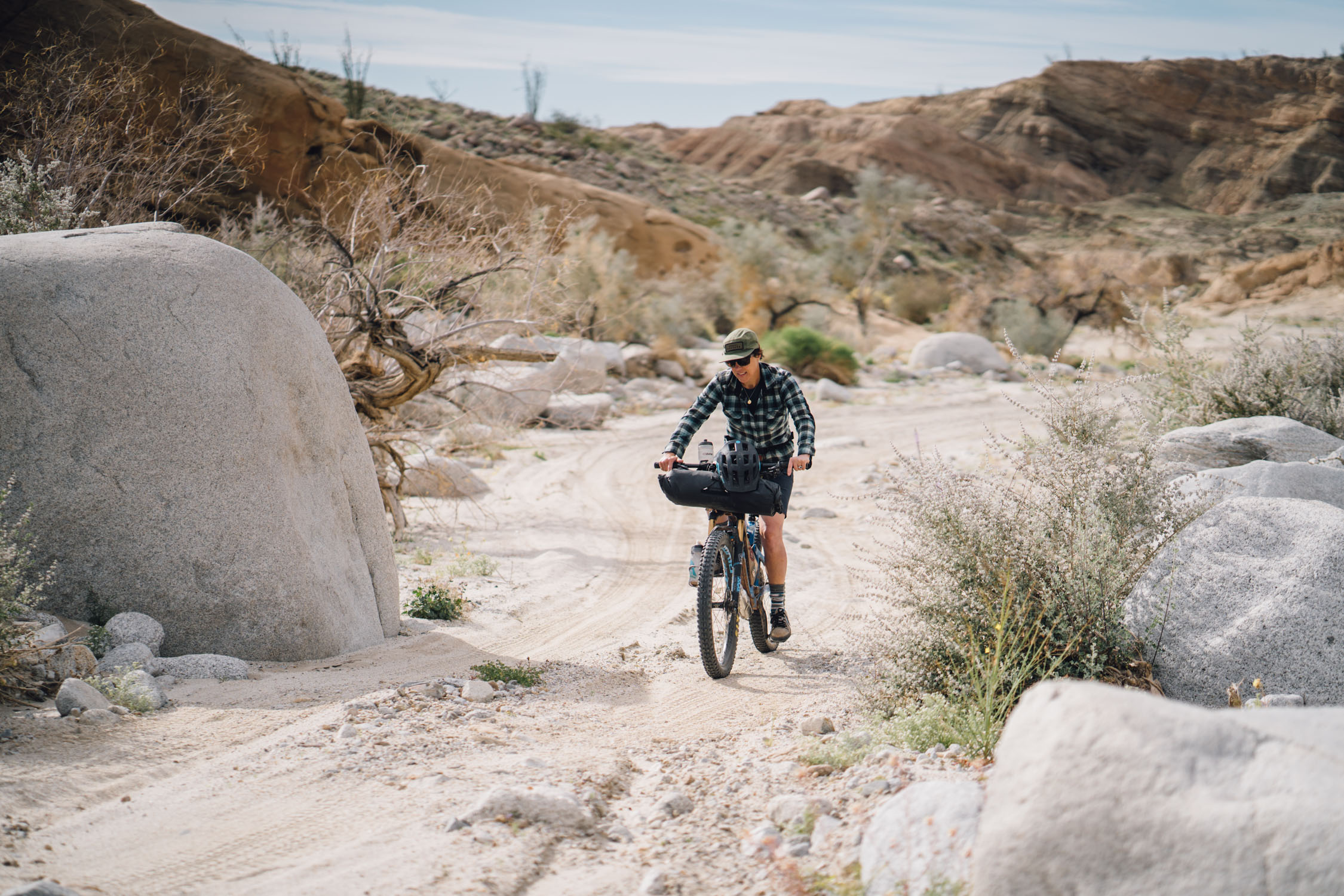
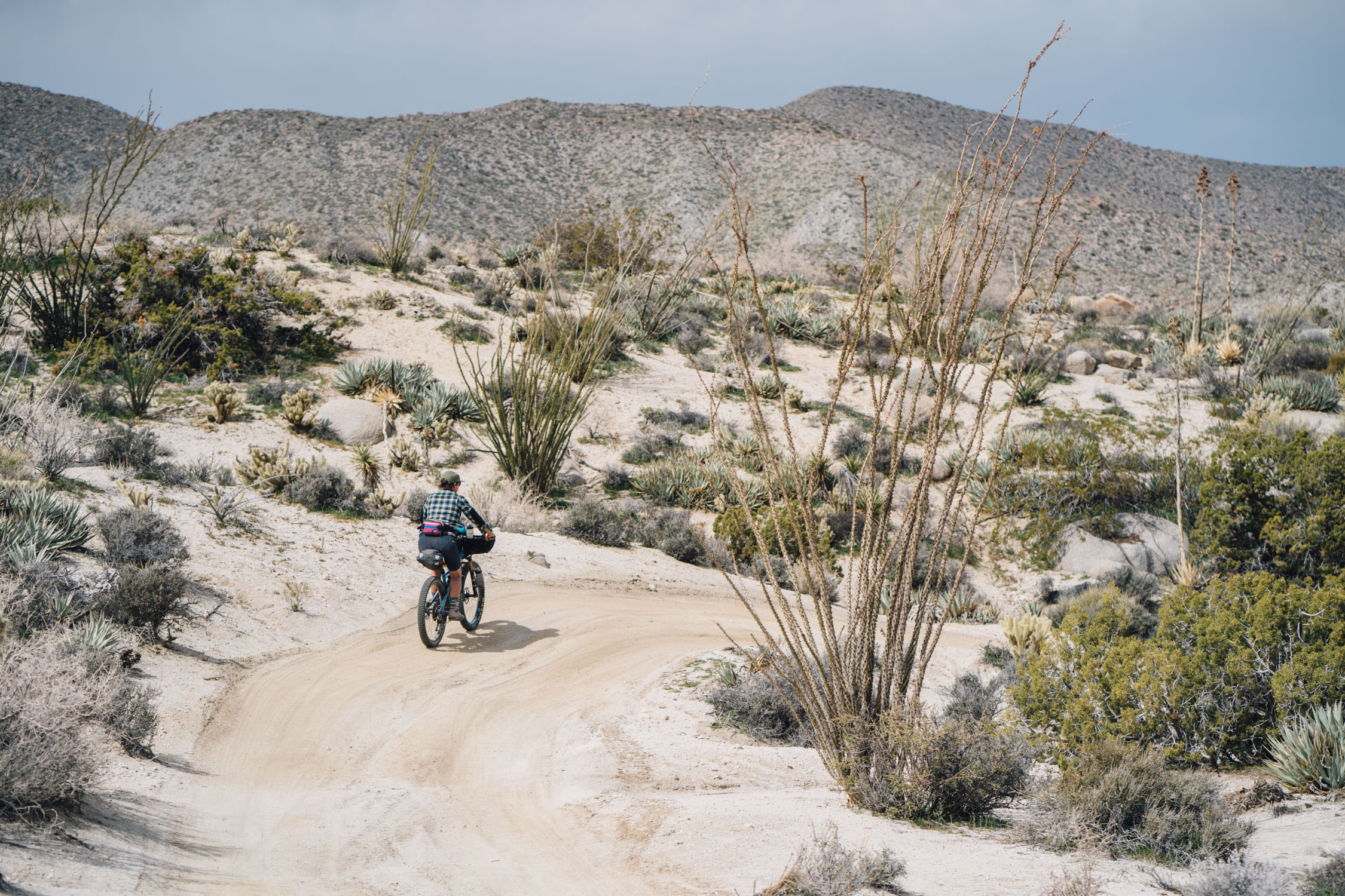
In terms of difficulty, the Anza-Hapaha Loop is rated 6 out of 10. However, that doesn’t mean it’s easy and I would consider it a 7 if you attempt it as an overnighter due the mileage and vertical gain with the sandy terrain. Otherwise, it’s not technically difficult, and with the proper planning and larger volume tires, it’s not too hard, either. There are two main factors to consider. First and foremost are the sandy roads. They contain some deep sections that may require walking at times. Larger volume plus tires are recommended. Second, there is no reliable water or resupply along the way (this may change; see postit under map). See the Must Know tab for other details.


Submit Route Alert
As the leading creator and publisher of bikepacking routes, BIKEPACKING.com endeavors to maintain, improve, and advocate for our growing network of bikepacking routes all over the world. As such, our editorial team, route creators, and Route Stewards serve as mediators for route improvements and opportunities for connectivity, conservation, and community growth around these routes. To facilitate these efforts, we rely on our Bikepacking Collective and the greater bikepacking community to call attention to critical issues and opportunities that are discovered while riding these routes. If you have a vital issue or opportunity regarding this route that pertains to one of the subjects below, please let us know:
Highlights
Must Know
Camping
Food/H2O
Resources
- Spectacular wildflower displays around the super bloom, usually in March
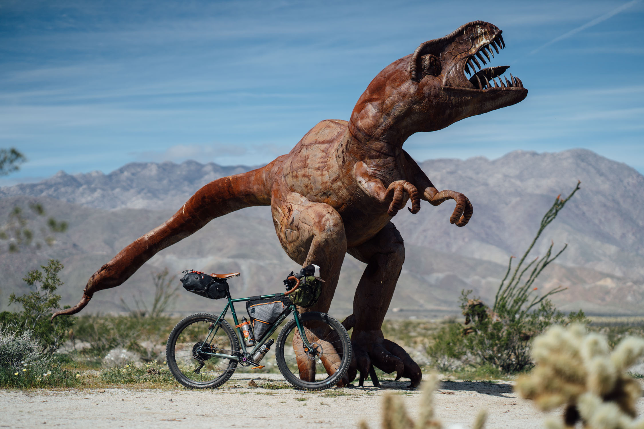
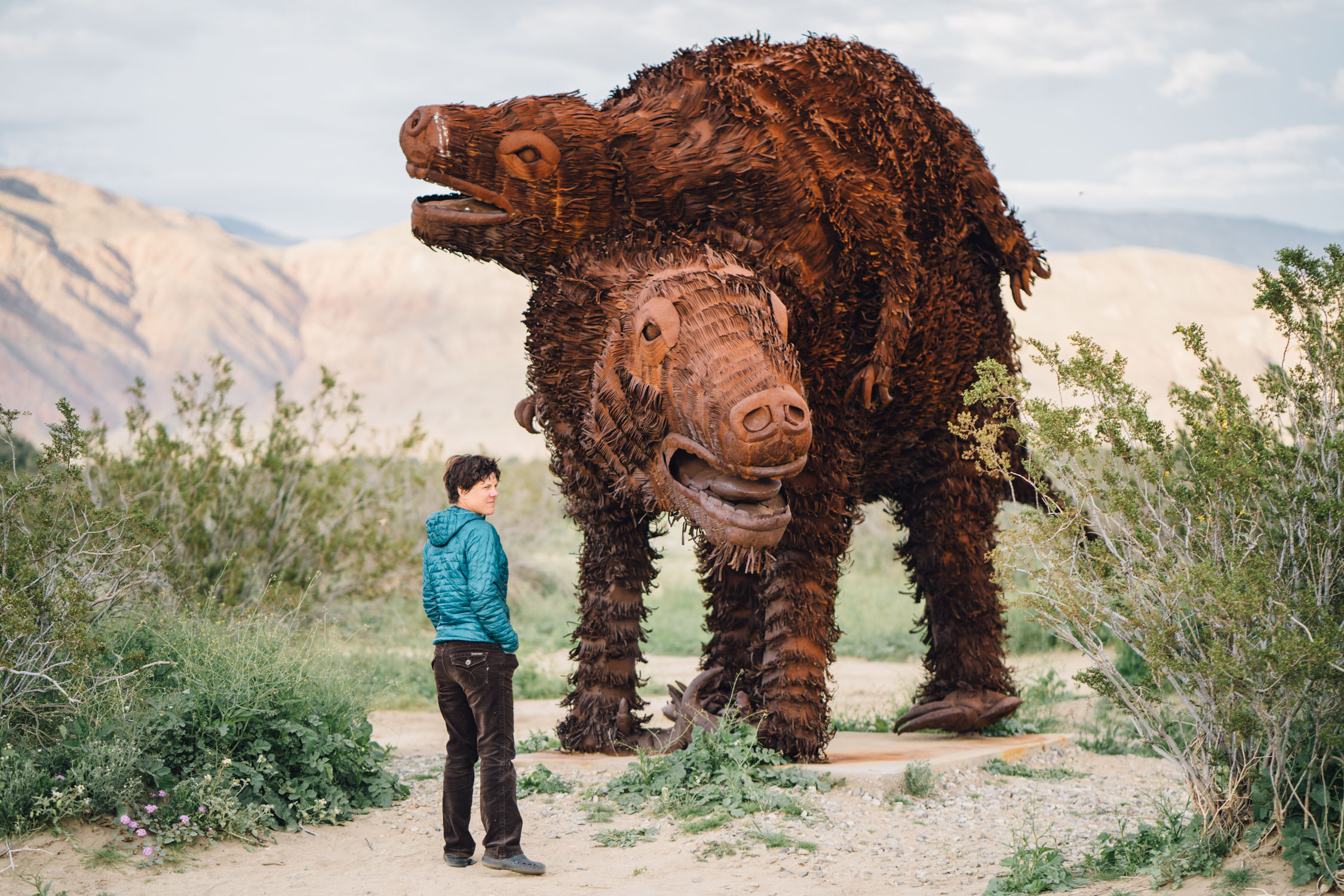
- Cycling among some of Ricardo Breceda’s 130 massive metal sculptures, scattered amongst the desert in Borrego Springs
- Avoiding the jeep tourists on the less-traveled Old Borrego Road and Hapaha Flats
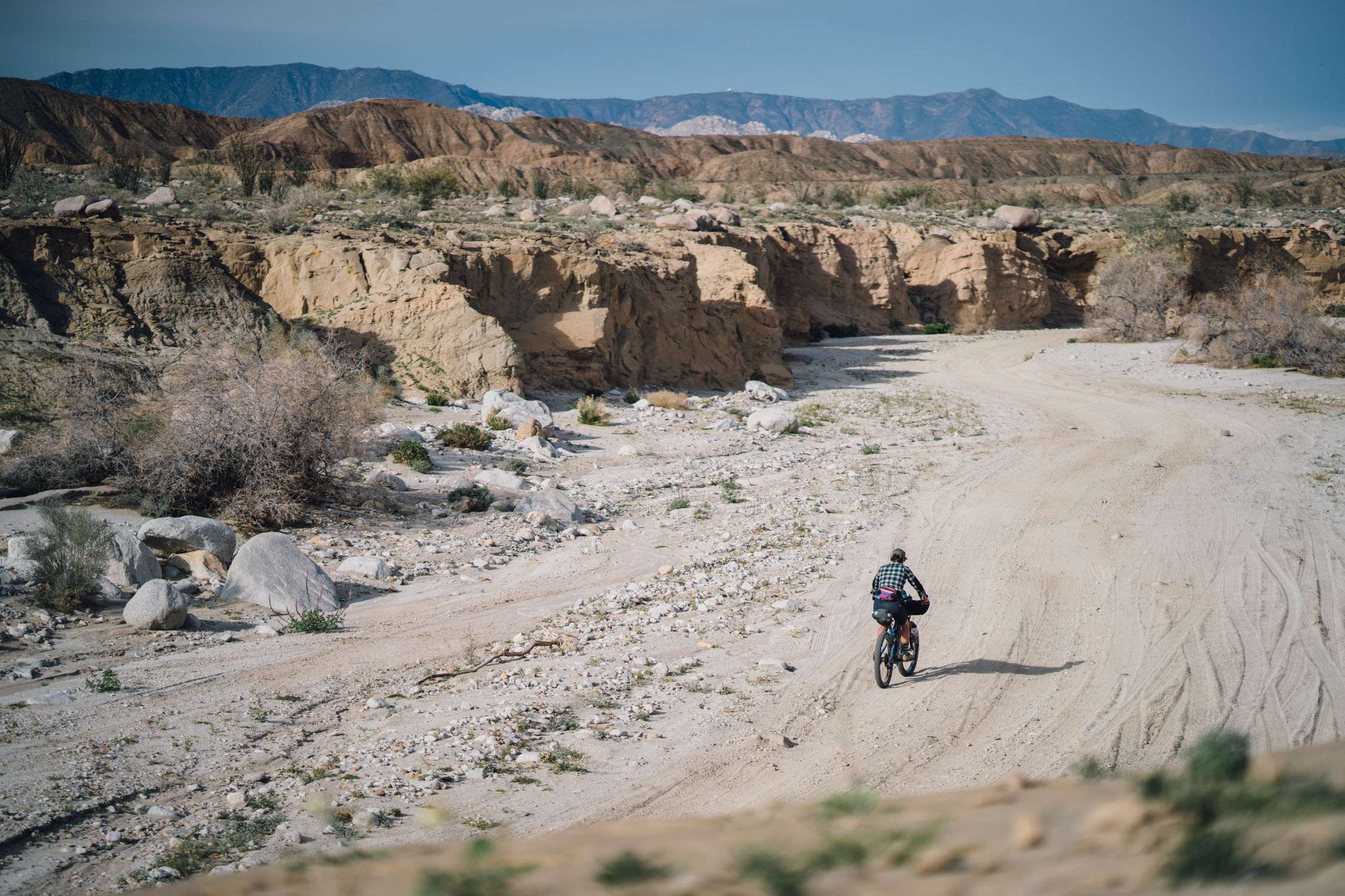
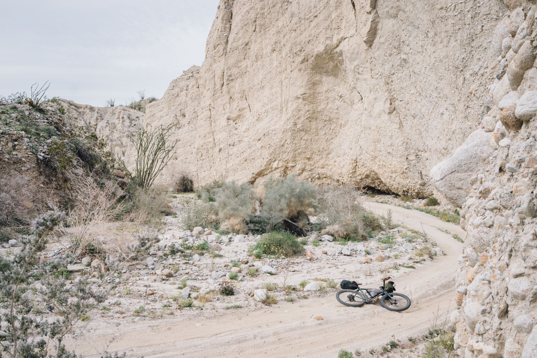
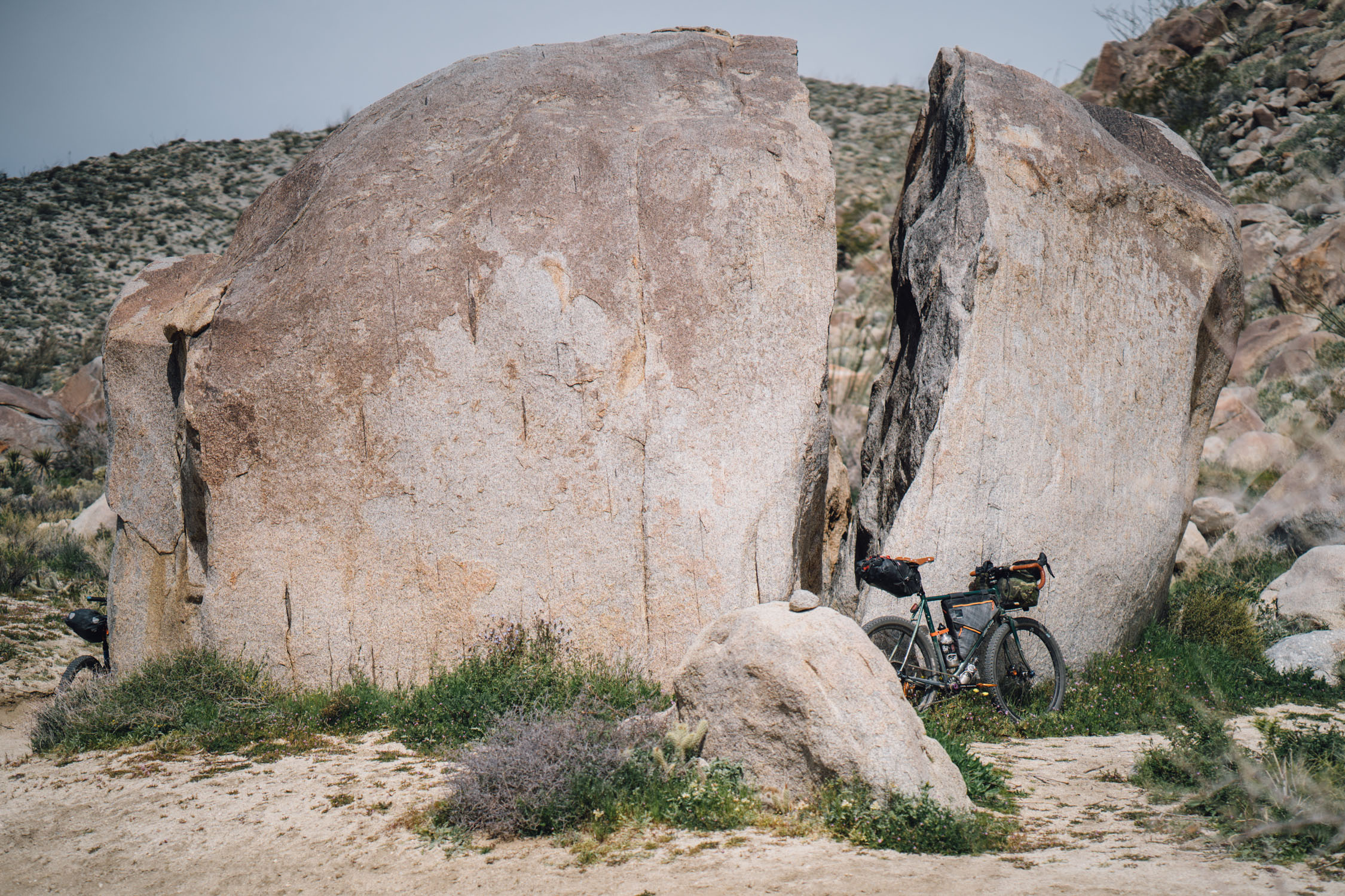
- Weaving in and out of high walls within Fish Creek Wash
- Camping amongst kangaroo rats above Fish Creek Wash
- The dazzling displays of light on the colorful badlands at sunset and sunrise
- Seeing layers of history in the sedimentary canyon walls
- Spotting wildlife along the way
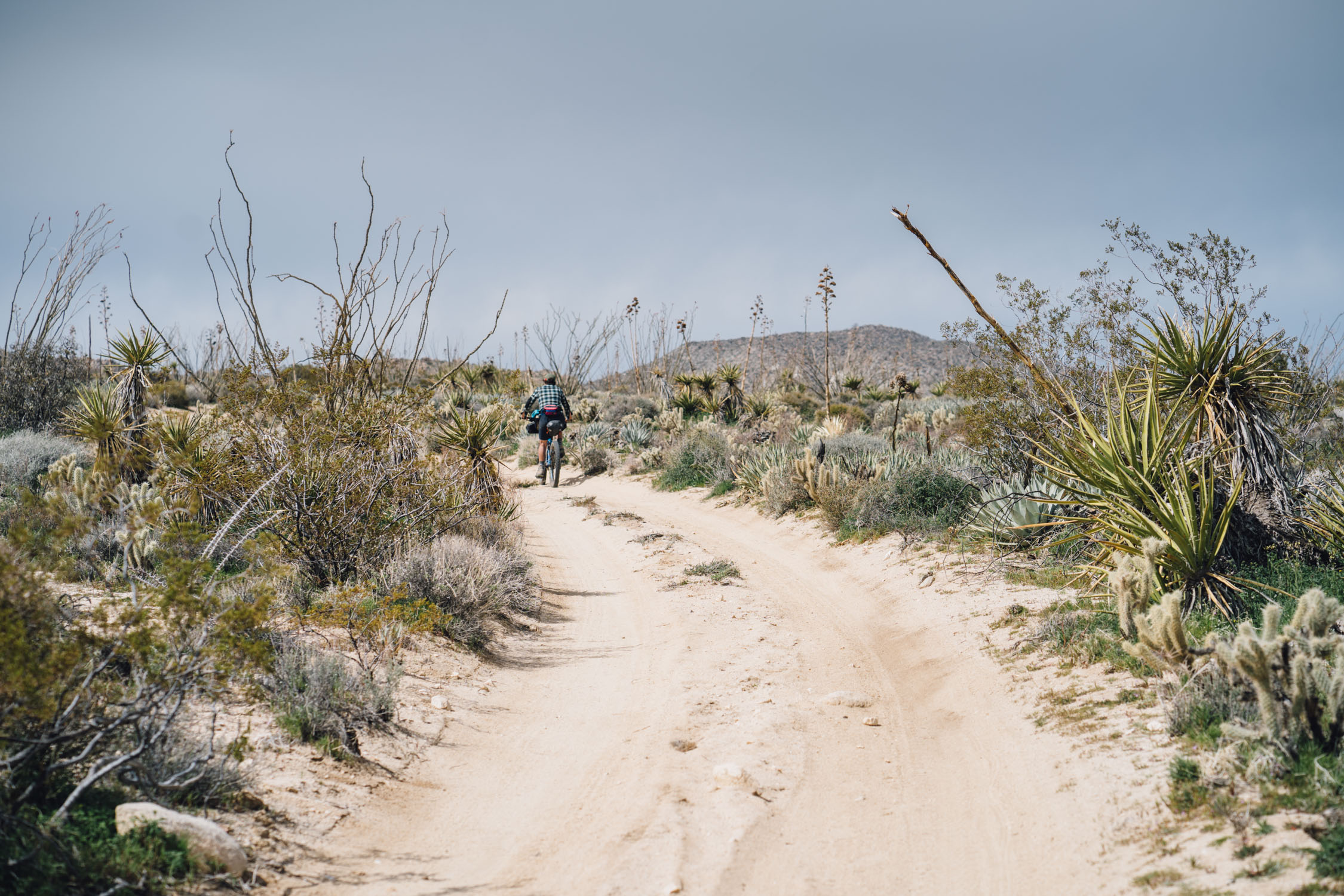
- Passing massive ocotillo, yucca, and agave
- Studying the tiny wonderland of succulents and plants on the desert floor
-
- October-April are the best months to visit Anza-Borrego, although the bookend months may be hot, depending.
- Be prepared for a freak cold snap in the winter months. December through February see highs in the 60s and lows in the 40s (°F).
- Many visitors come to Anza-Borrego for the wildflowers and cactus, which bloom from January or February through March or April. March is usually the best bet.
- Parking is available anywhere in town. We asked the Sheriff, who let us park at the station.
- Although I rode this route with 2.35” tires, I highly recommend plus or fat tires. It had rained recently, so much of the sand roads were well-packed. Depending on wind and weather, the roads might be softer and perhaps have sections of deep sand that are unrideable. Old Kane Springs road and the upper parts of Fish Creek Wash might be particularly sandy.
- This route is designed to be ridden clockwise. There are a two significant stretches on paved roads that can be frantic at times with trucks and “toy-haulers” during the high tourist season. With the clockwise direction, these are mostly fast down hill coasts, which makes then generally safer on a bicycle. Still, precautionary measures should be taken, including bright clothing and blinkie lights.
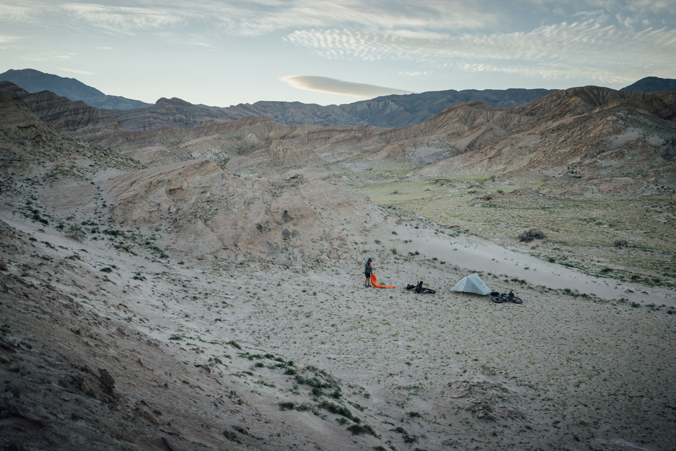
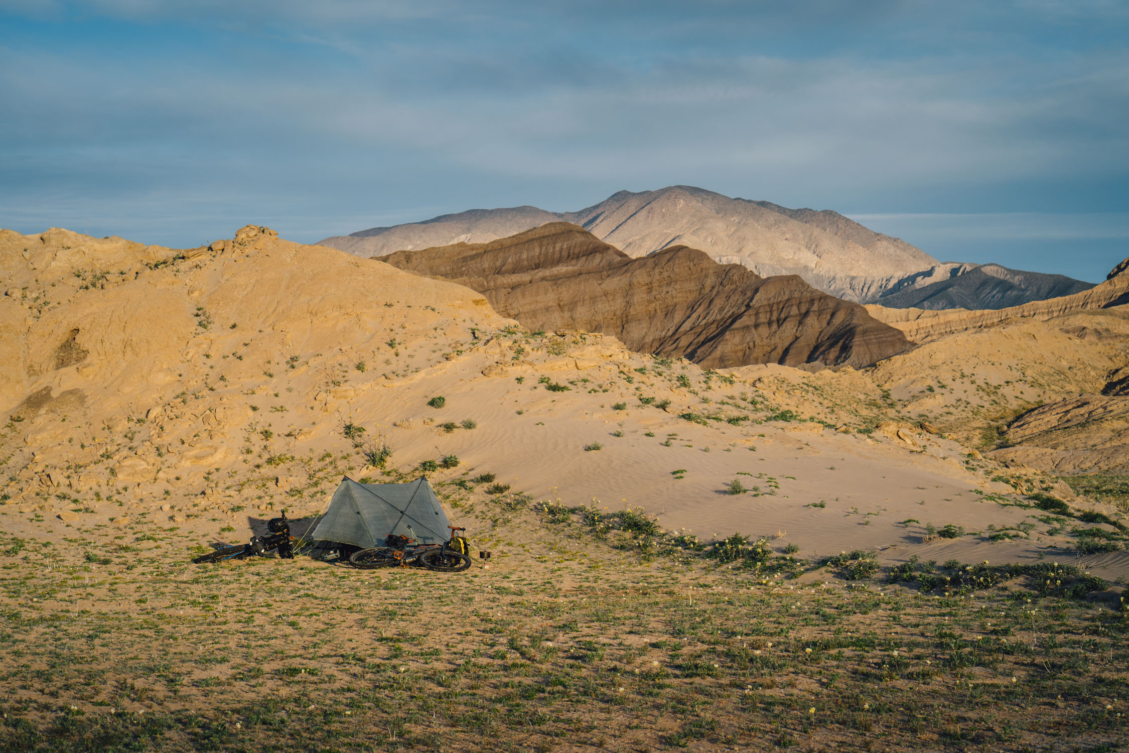
- Anza-Borrego Desert State Park is unique in that it offers free dispersed camping. This means you can camp anywhere within Anza-Borrego State Park as long as you are at least 100 yards away from any water source. As always, make minimal impact on the land, do not burn found wood (no fires), and absolutely Leave No Trace.
- The best place to backcountry camp along this route is in the higher areas of Fish Creek Wash near Harper Flats. The higher up you go, the more vegetation there is.
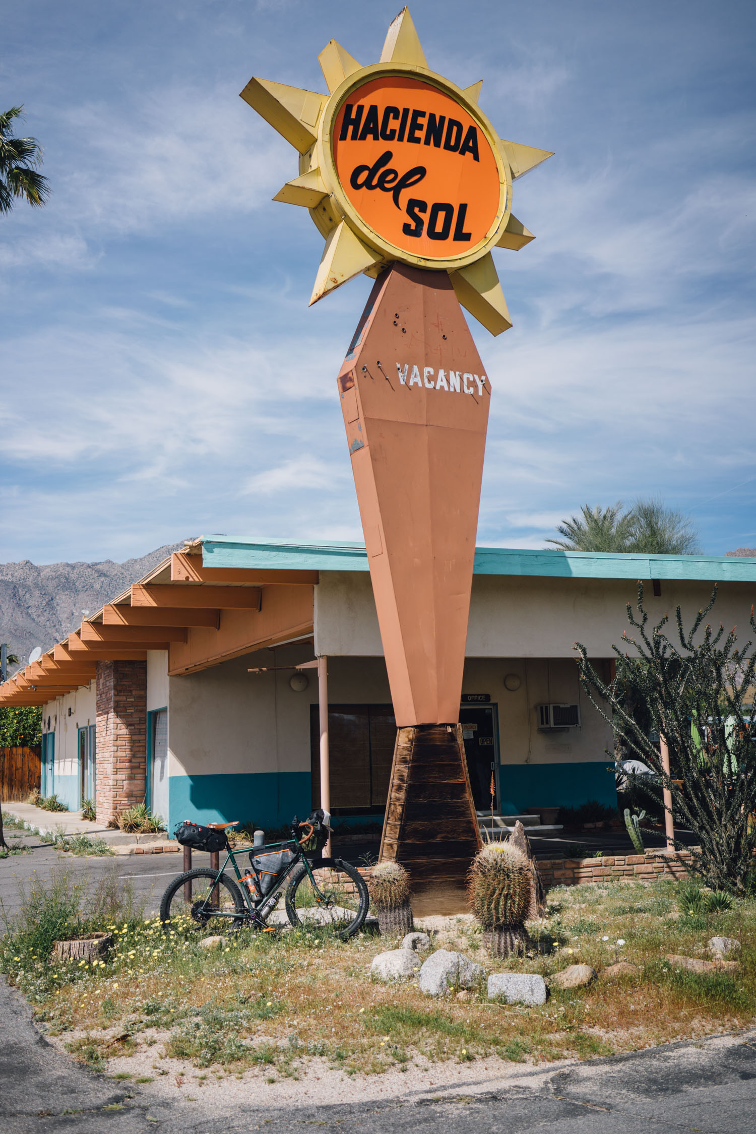
- There are a few basic hotels and lodging options in Borrego Springs. If you’re car camping prior to setting out, there is a dirt road with pullouts south of town (just west of the dinosaur and eagle sculptures).
- Carry all the water you need for this route; there are only a couple possible water sources along the way, including the Stagercoach RV General Store listed below. However, there’s a risk of it being closed, so be prepared. We carried 7-8 liters between the two of us (which wasn’t quite enough, but we got by). The route has since been lengthened, so proceed with caution.
- There is a minimal resupply option off route at Ocotillo Wells (see map). Don’t expect much, and check the RV store hours: (760) 767-3811
- There is a well-stocked general store at the Stagecoach RV Resort off of S2 (~mile 59). Hours posted from 9AM-5PM Tuesday-Saturday.
- In an emergency, we were informed that there is a water source at Barrel Spring on the PCT crossing. This is off route and on the GPX map.
- There are several other springs along Grapevine Canyon, but they’re unreliable and should be reserved for wildlife.
Additional Resources
- Looking for a longer route? Check out the Socal Desert Ramble and Stagecoach 400
- Anza-Borrego Desert State Park


Terms of Use: As with each bikepacking route guide published on BIKEPACKING.com, should you choose to cycle this route, do so at your own risk. Prior to setting out check current local weather, conditions, and land/road closures. While riding, obey all public and private land use restrictions and rules, carry proper safety and navigational equipment, and of course, follow the #leavenotrace guidelines. The information found herein is simply a planning resource to be used as a point of inspiration in conjunction with your own due-diligence. In spite of the fact that this route, associated GPS track (GPX and maps), and all route guidelines were prepared under diligent research by the specified contributor and/or contributors, the accuracy of such and judgement of the author is not guaranteed. BIKEPACKING.com LLC, its partners, associates, and contributors are in no way liable for personal injury, damage to personal property, or any other such situation that might happen to individual riders cycling or following this route.
Please keep the conversation civil, constructive, and inclusive, or your comment will be removed.