


Arkansas High Country Route (Northwest Loop)
Distance
242 Mi.
(389 KM)Days
3-4
% Unpaved
51%
% Singletrack
0%
% Rideable (time)
100%
Total Ascent
18,920'
(5,767 M)High Point
2,511'
(765 M)Difficulty (1-10)
4?
- 5Climbing Scale Moderate78 FT/MI (15 M/KM)
- -Technical Difficulty
- -Physical Demand
- -Resupply & Logistics
Contributed By

Logan Watts
Founding Editor
The Arkansas High Country Route was designed to be ridden as one massive loop (1,172 miles/1,886 km) or separately as three interlocking loops: the South Loop (500 miles/805 km), the Central Loop (434 miles/698 km), and the Northwest Loop (238 miles/383 km), which is outlined here. The South Loop begins and ends in Little Rock and explores the Ouachita Mountains. The Central Loop starts and finishes in Russellville, and the Northwest loop uses Bentonville as its homebase and climbs and descends between the Springfield Plateau in the north of the loop and the Boston Mountains of the Ozark Plateau in the south. Each loop is substantially different in length and terrain.
While each of the three loops is largely made up of gravel roads (approximately 50% off tarmac, on average), the South Loop features two singletrack options, using the 46 mile (74 km) Lake Ouachita Vista Trail (LOViT), and the southern portion of the Womble Trail (23 miles/47 km). Both are International Mountain Bike Association (IMBA) EPIC trails. NOTE: If you are looking for a singletrack-heavy route in the area, check out the Ouachita Triple Crown.
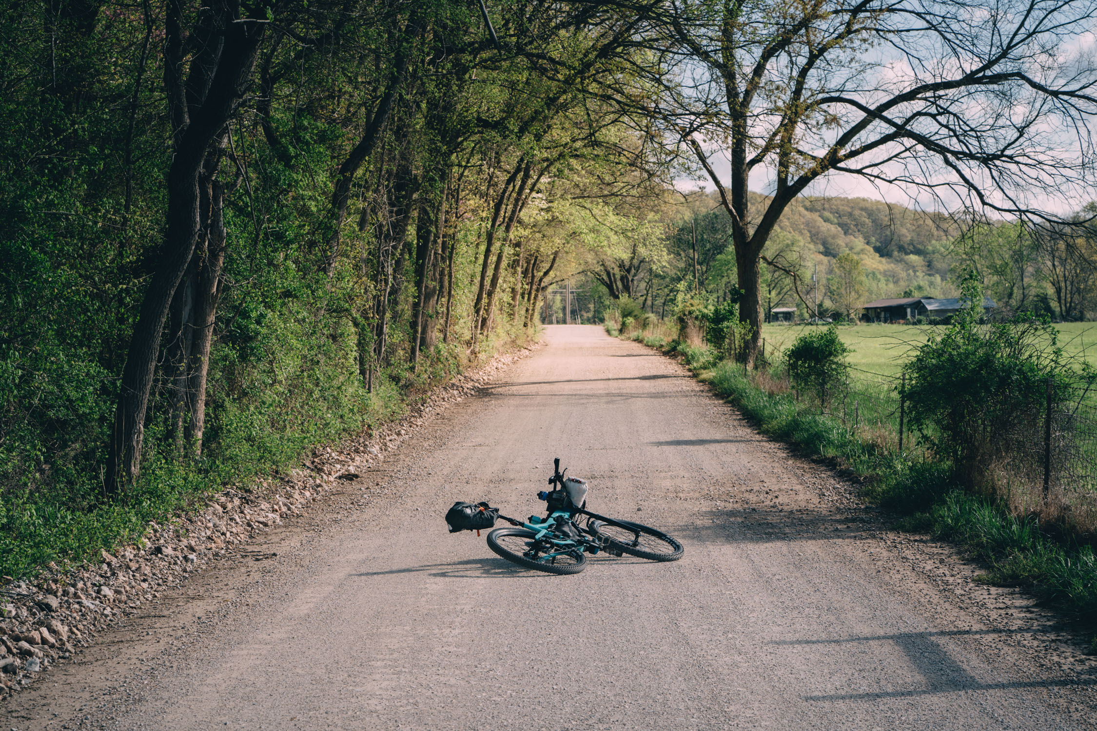
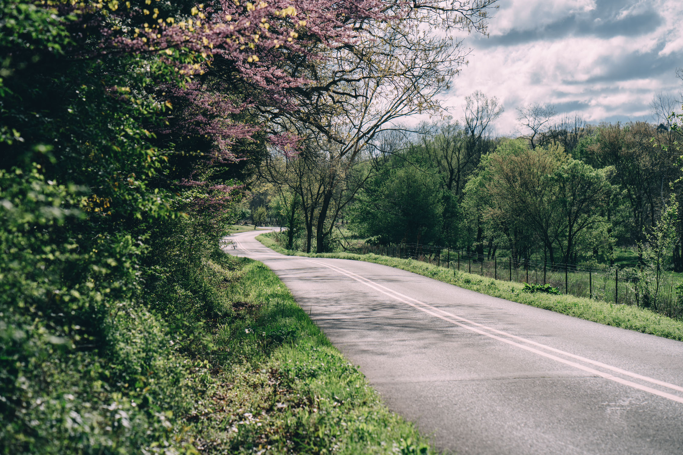
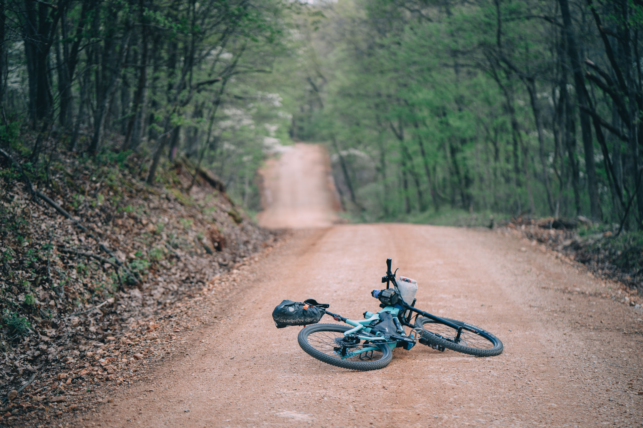
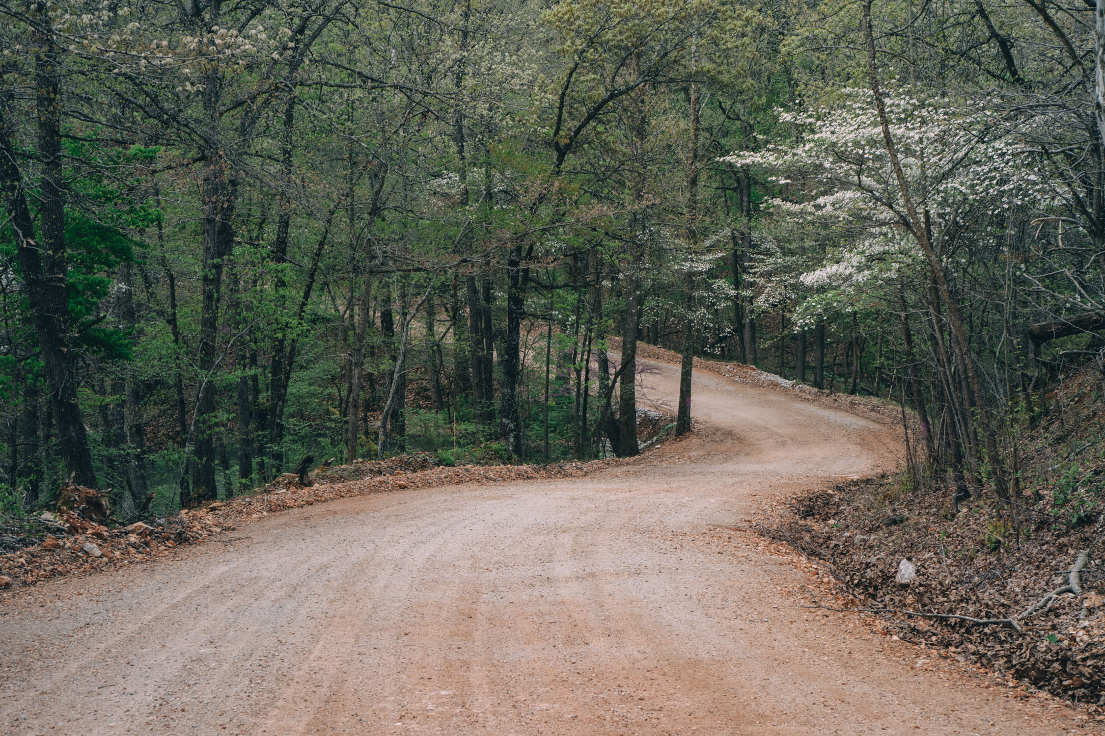
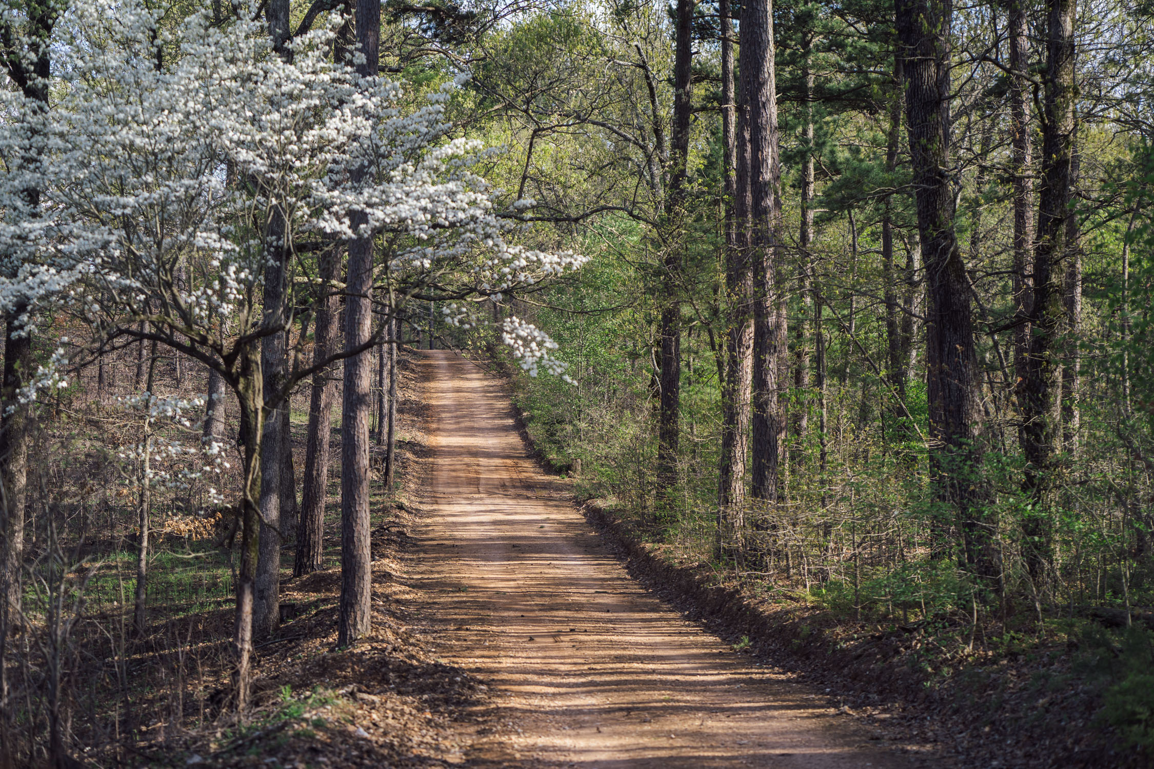
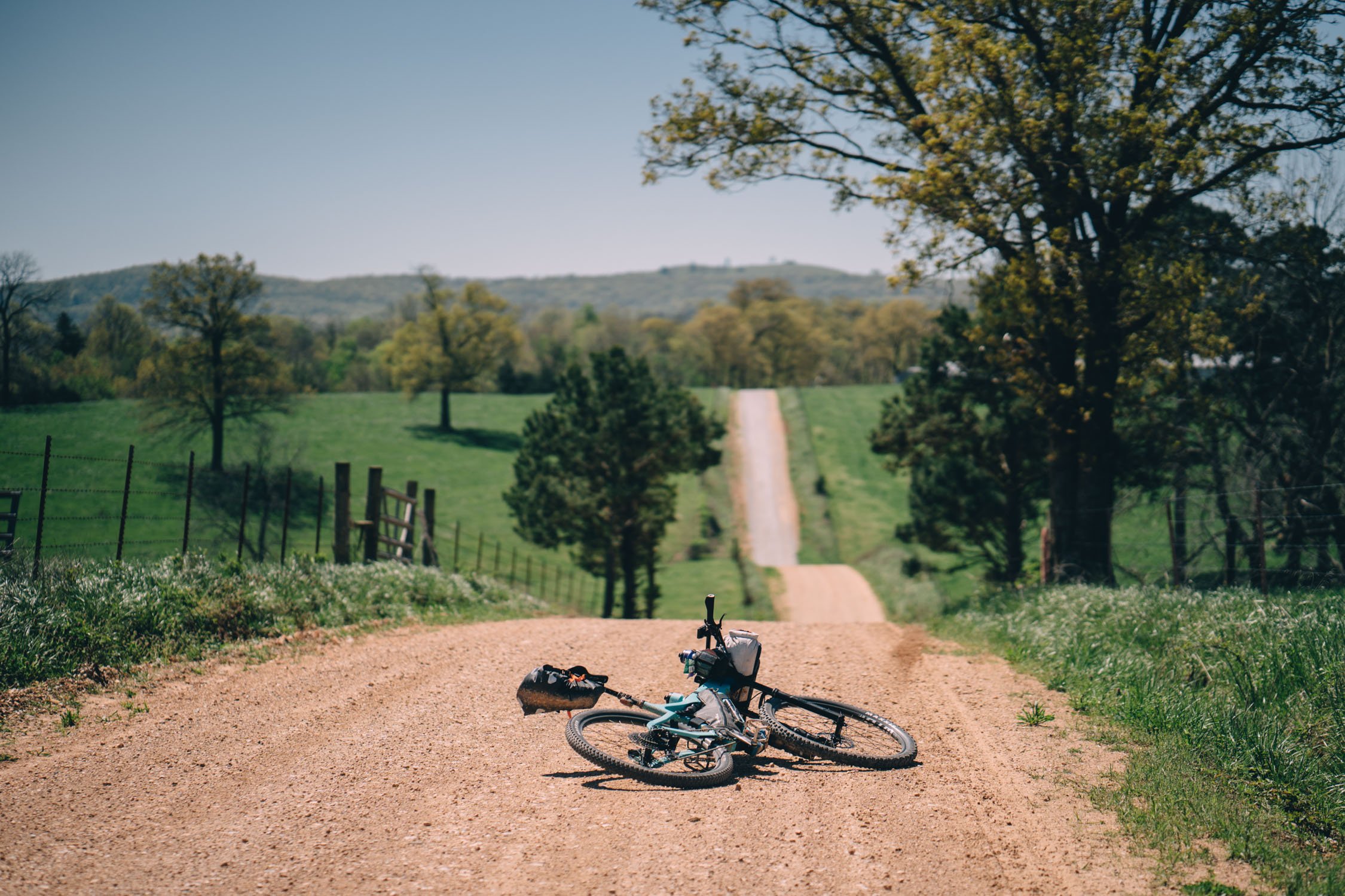
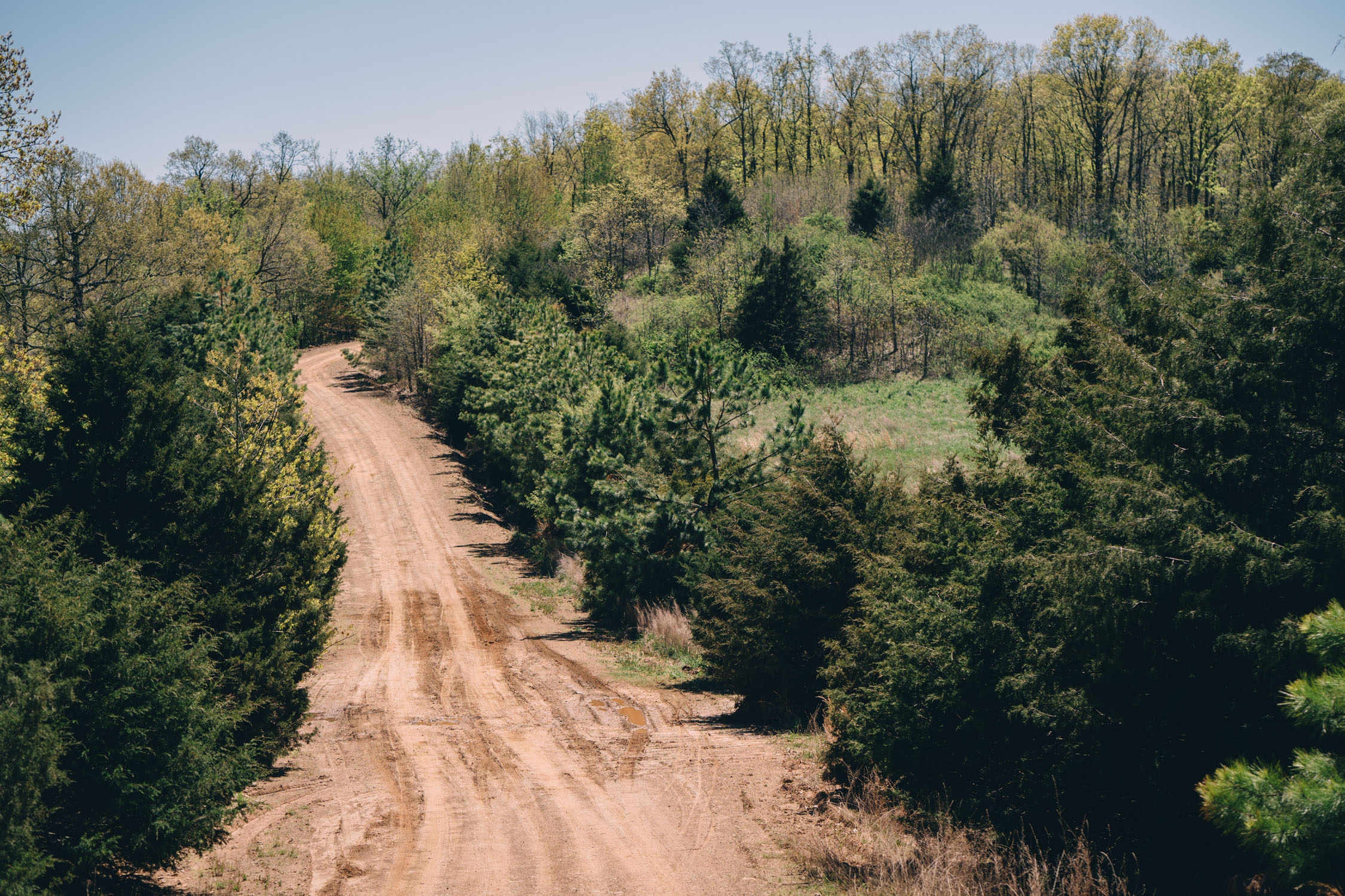
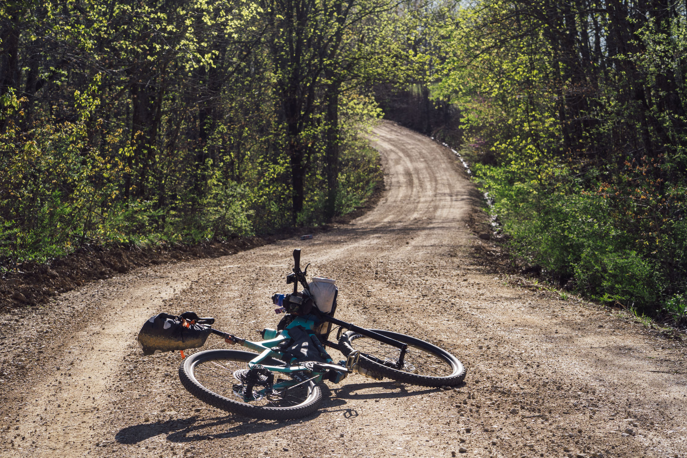
With its singletrack options, the AHCR South Loop was my first choice. However, time and weather considerations governed my decision to tackle the Northwest Loop for this trip over Easter weekend. The Northwest Loop has the character, spirit, and feel of a gravel event route. The loop climbs and descends gravel roads of various quality (~120 miles/193 km), follows paved back roads (~90 miles/145 km), and jumps on a purpose built bike path for the final 30 miles (48 km).
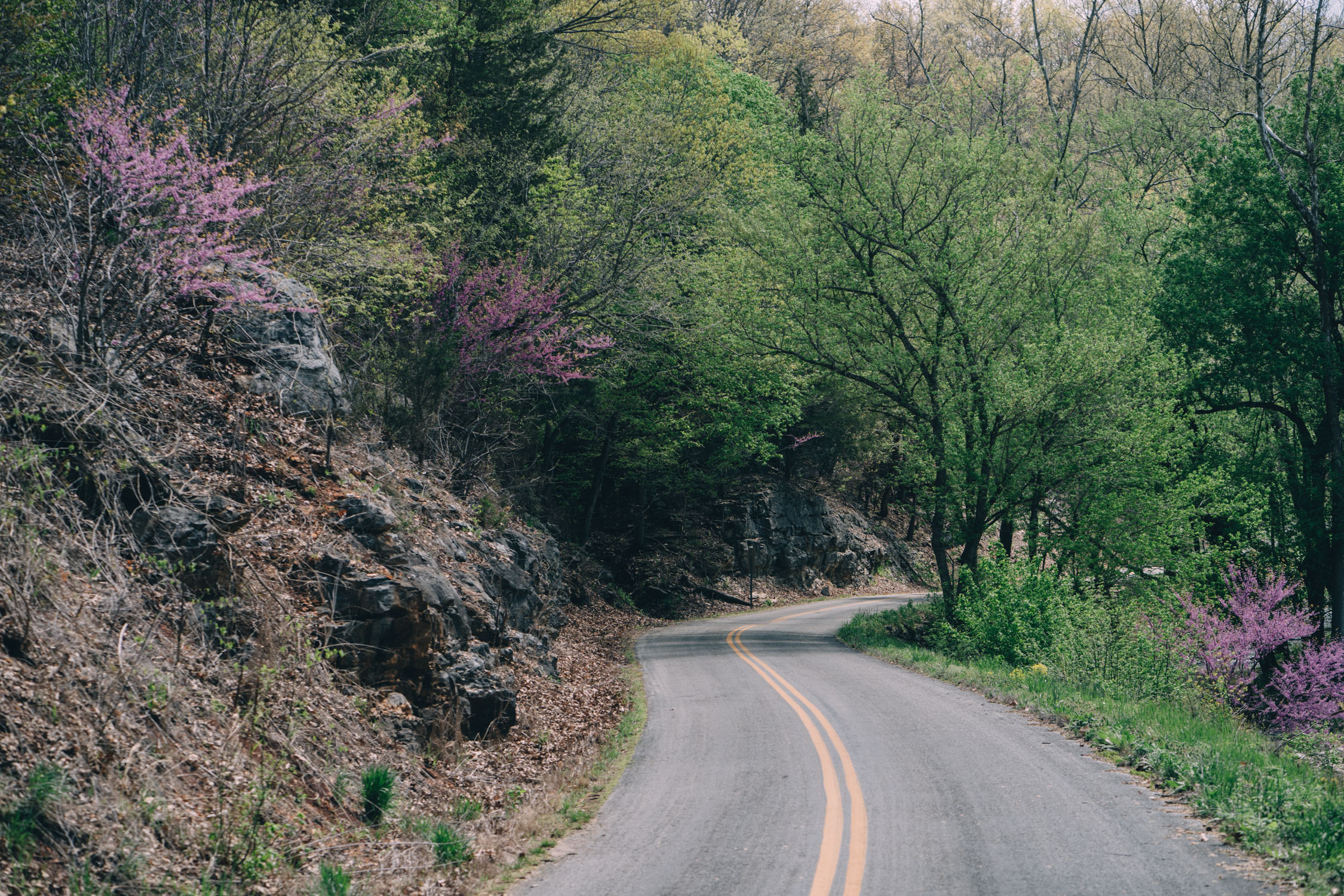
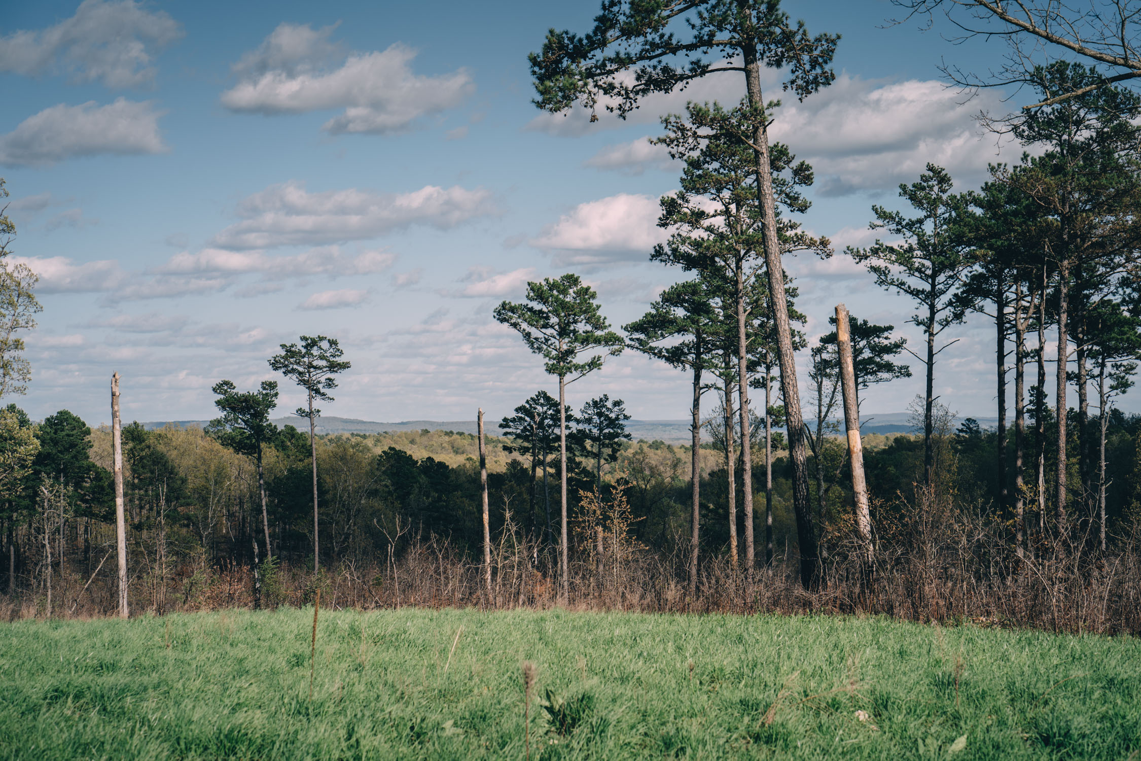
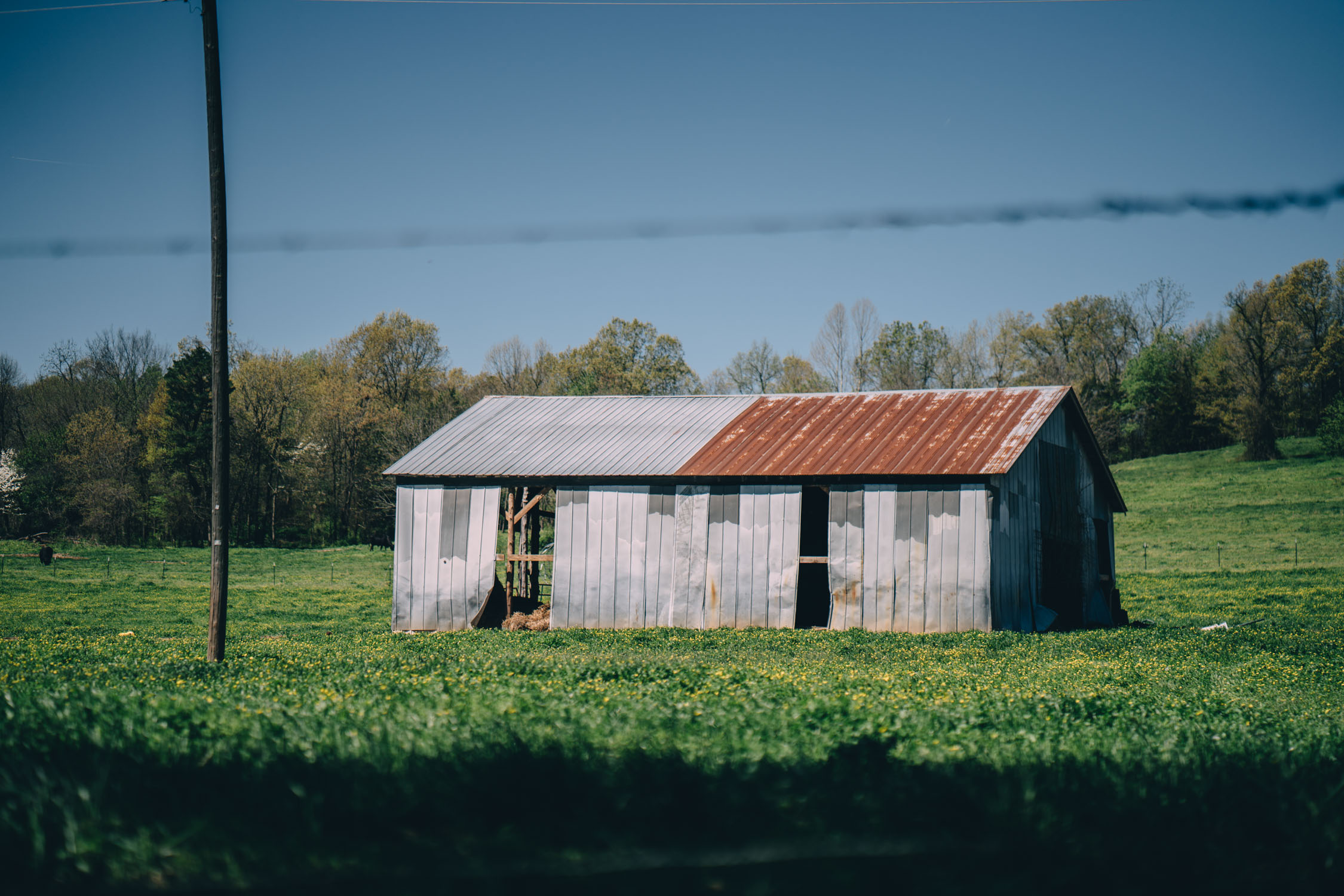
In a nutshell, the route leaves Bentonville and quickly joins a gravel road. It continues to follow smooth gravel and pavement through rolling farmland for much of the first half of the loop. After passing through the quaint art community of Eureka Springs, the route begins its march toward the Ozark Mountains using intermittent, lesser maintained (and at times chunky) dirt and rock roads. Once in the Ozarks, the gravel gets steep and loose in some sections before its apex at the scenic White Rock Mountain. From there, it descends and eventually hits the Razorback Greenway from Fayetteville back into Bentonville. Check out the Trail notes for a detailed itinerary.
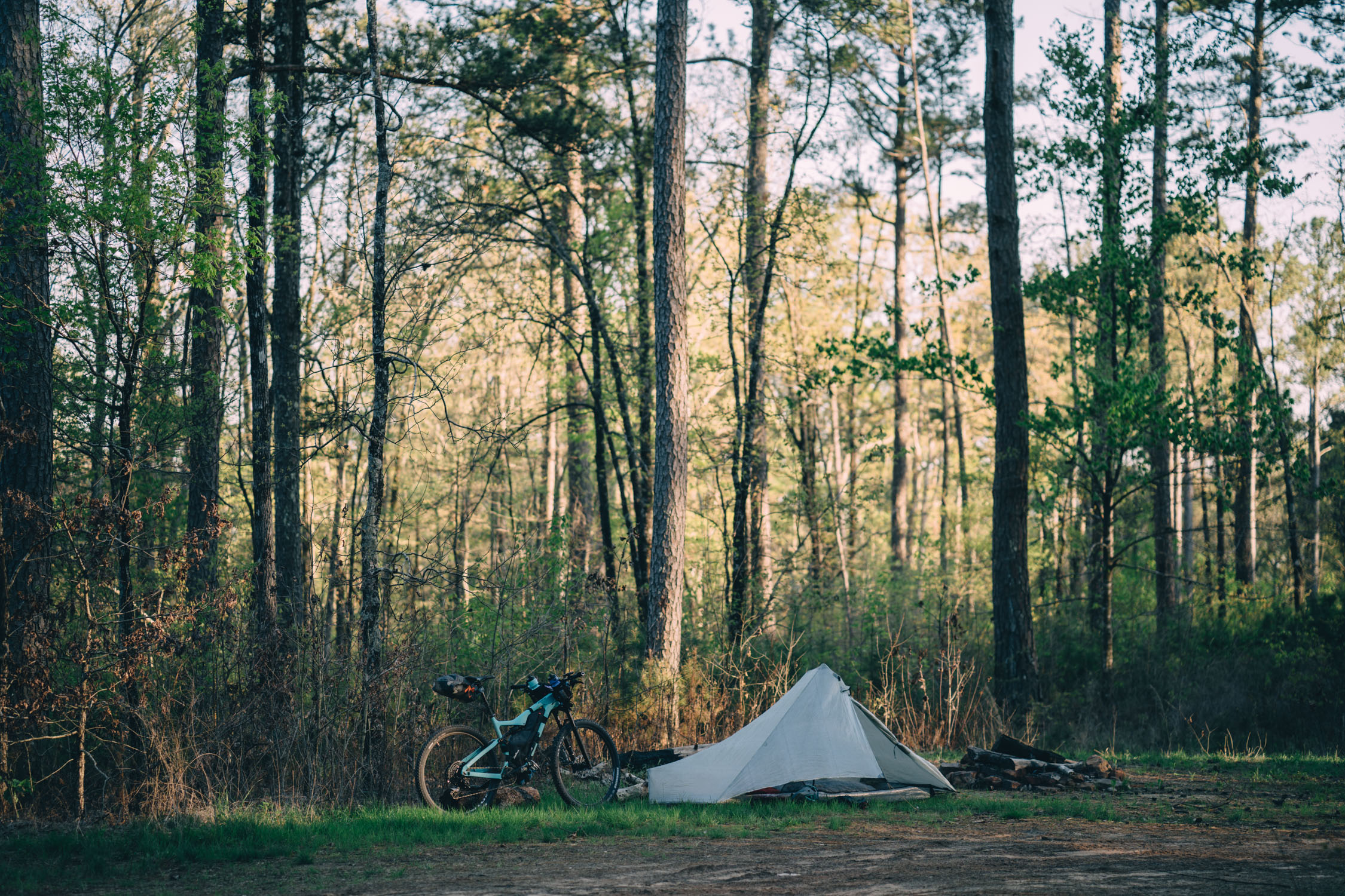
Difficulty: Generally speaking, this route is doable in a single long weekend if you have pretty good fitness and endurance. I chose to knock it out in three days, two nights, while still having time to stop well before dark on each night and sleep for 9+ hours! That said, the AHCR Northwest Loop isn’t without challenges. This comes mostly in the form of climbing. Boasting 18,920 feet (5,767 meters), the route averages about 80 feet/mile (24.4 meters/km) of elevation gain. Climbs and descents can reach gradients between 17 – 21%, so make sure to carefully consider your gearing choices. That said, there is nothing too technical, and it is 100% pedalable, although the National Forest roads can have fairly rough surfaces with loose and chunky gravel at times. One other consideration is the distance between camping options. In that respect, the first section of the route is the most challenging, with over 60 miles until the first public land access with camping. Make sure to delve into the Camping and Must Know tabs below for careful consideration.
Route Development
![]() The Arkansas High Country Route was created by the Adventure Cycling Association in collaboration with Arkansas’ own route designer and school teacher, Chuck Campbell. The Arkansas High Country Route was made possible through the support of the Arkansas Parks and Recreation Foundation, with additional support from Adventure Cycling members. Note that we hope to publish the other two loops in the future. However, in collaboration with ACA, we are only offering our own limited map waypoints. For a full GPX set, detailed waypoints, and printed maps, you can purchase full copies from ACA.
The Arkansas High Country Route was created by the Adventure Cycling Association in collaboration with Arkansas’ own route designer and school teacher, Chuck Campbell. The Arkansas High Country Route was made possible through the support of the Arkansas Parks and Recreation Foundation, with additional support from Adventure Cycling members. Note that we hope to publish the other two loops in the future. However, in collaboration with ACA, we are only offering our own limited map waypoints. For a full GPX set, detailed waypoints, and printed maps, you can purchase full copies from ACA.

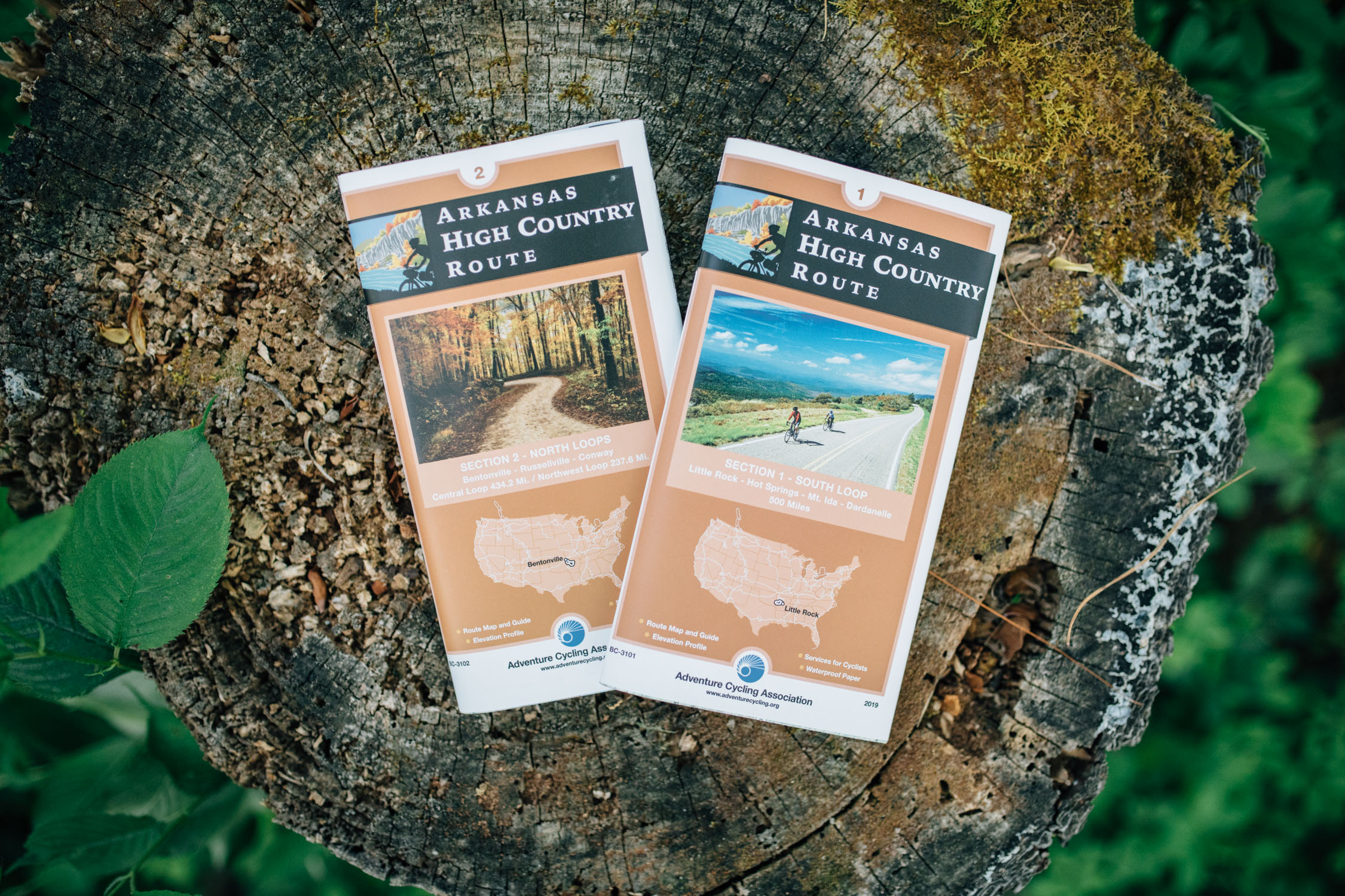
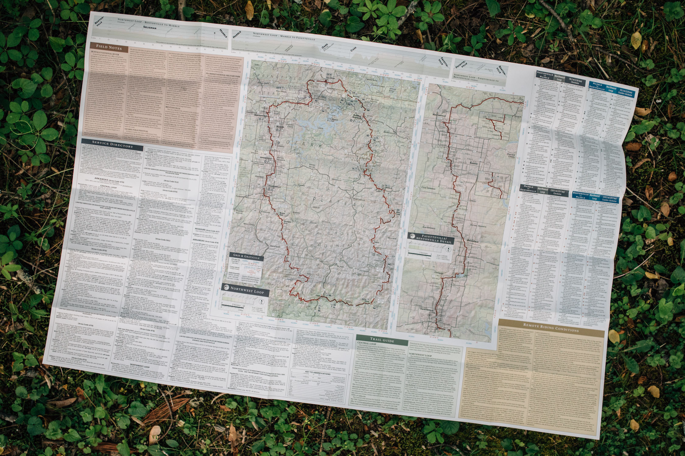


Note that the waypoints on this map only account for services and places I found relevant on my trip. You can purchase the full GPX and digital data package for the entire AHCR for $9.98 or $5.99 for just the North loops. Also, you can buy a full printed mapset for 29.50 or the North maps for $15.75.
Submit Route Alert
As the leading creator and publisher of bikepacking routes, BIKEPACKING.com endeavors to maintain, improve, and advocate for our growing network of bikepacking routes all over the world. As such, our editorial team, route creators, and Route Stewards serve as mediators for route improvements and opportunities for connectivity, conservation, and community growth around these routes. To facilitate these efforts, we rely on our Bikepacking Collective and the greater bikepacking community to call attention to critical issues and opportunities that are discovered while riding these routes. If you have a vital issue or opportunity regarding this route that pertains to one of the subjects below, please let us know:
Highlights
Must Know
Camping
Food/H2O
Trail Notes
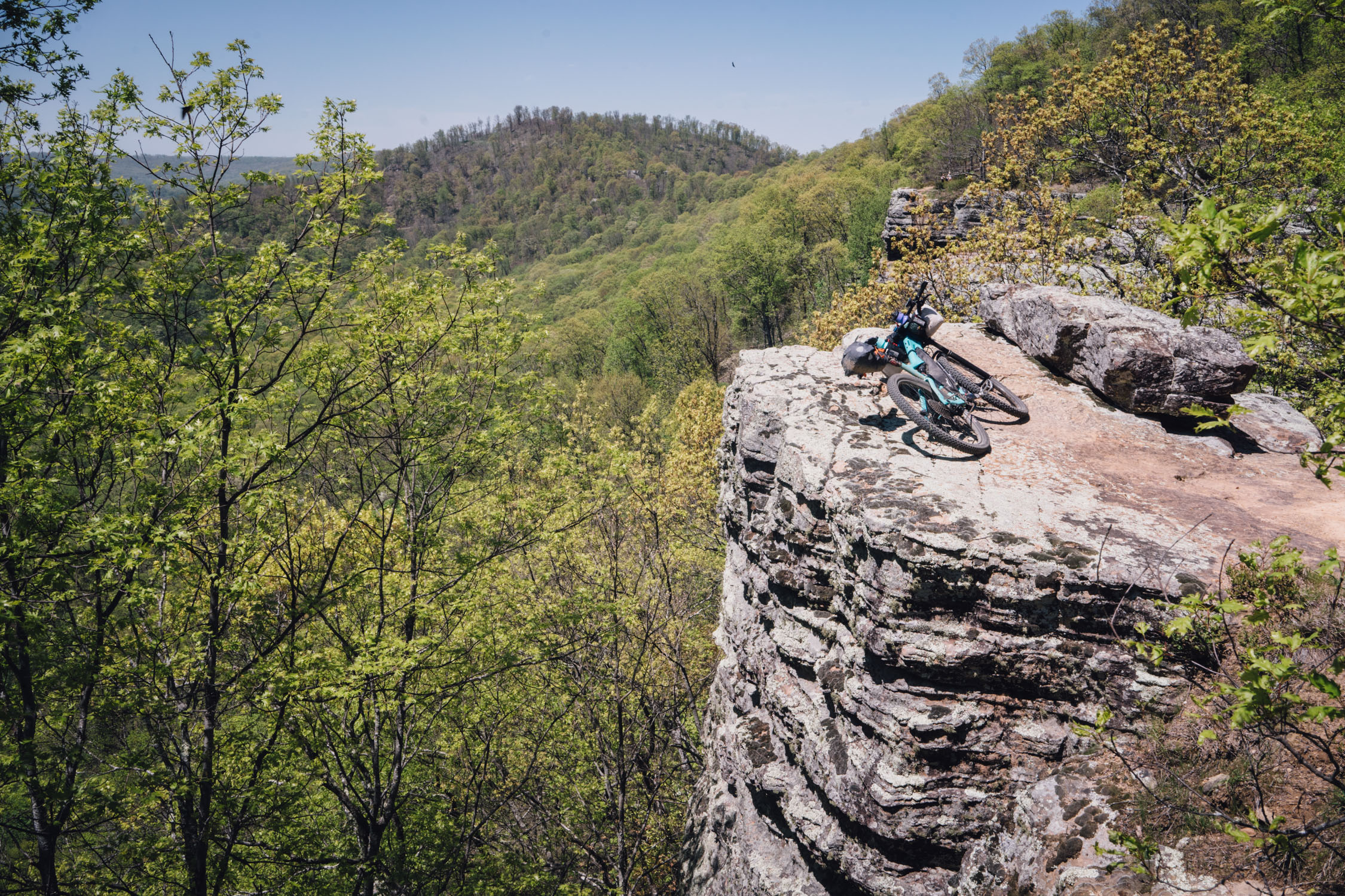
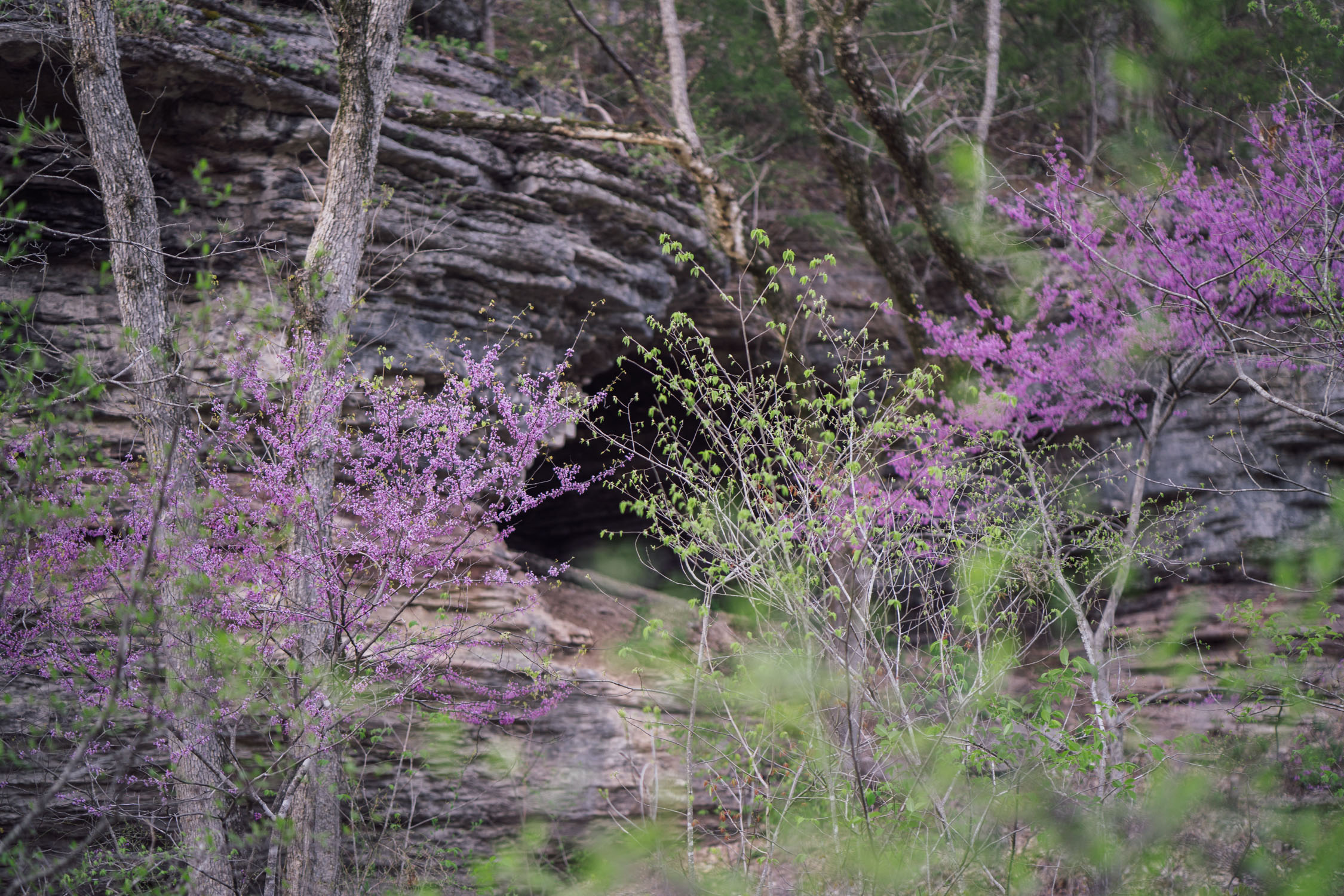
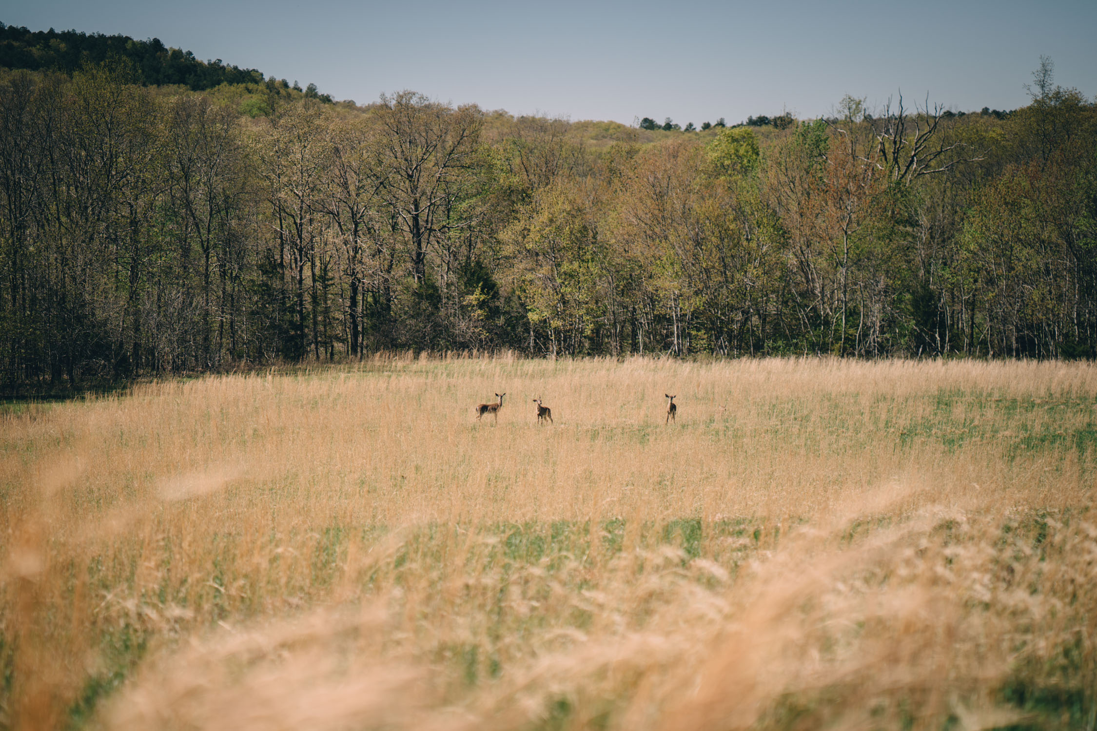
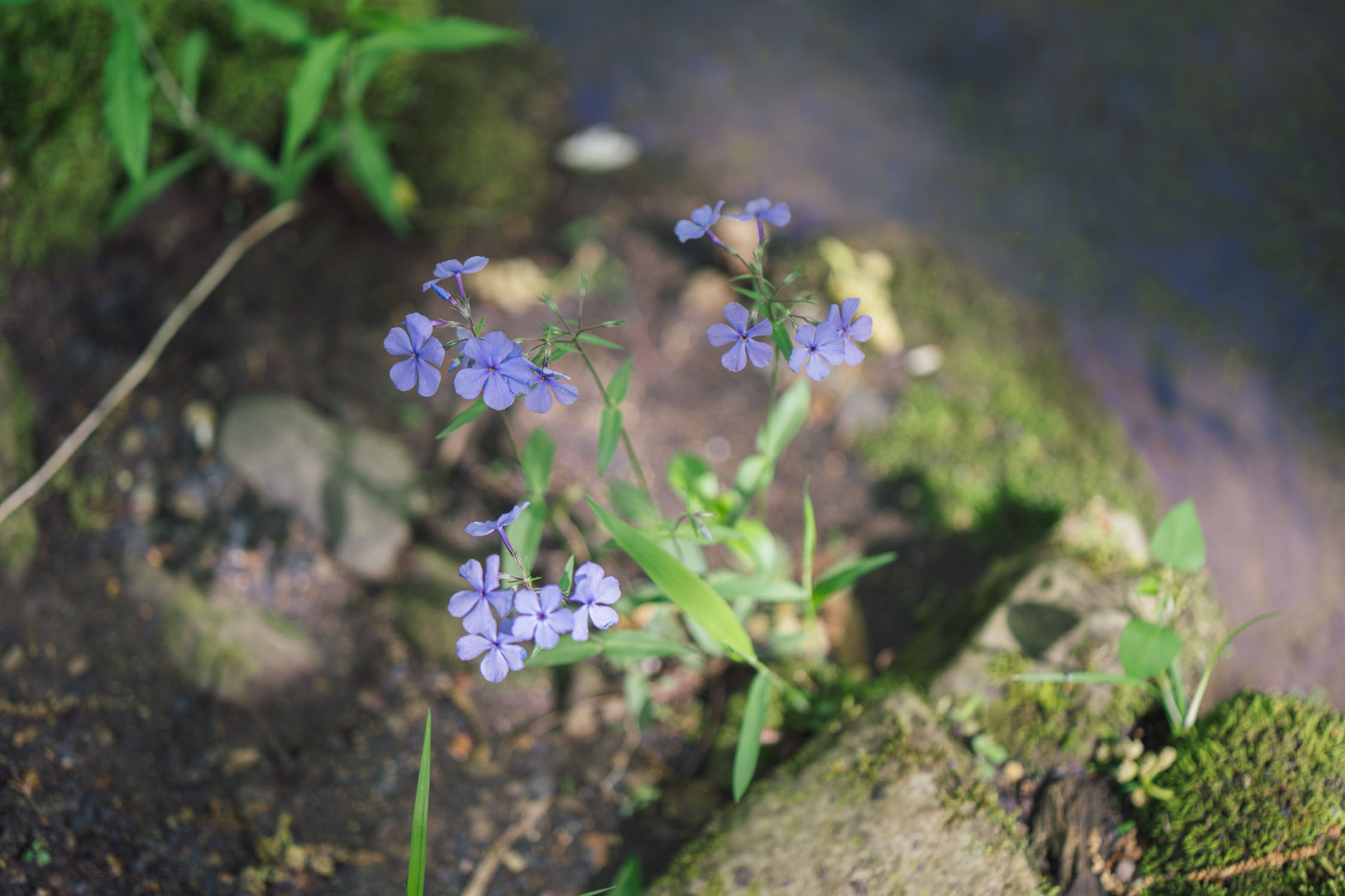
- Pleasant rolling hills and ancient rock strata displays among the Ozark mountains, exposed remnants of a Proterozoic mountain range hundreds of millions of years old
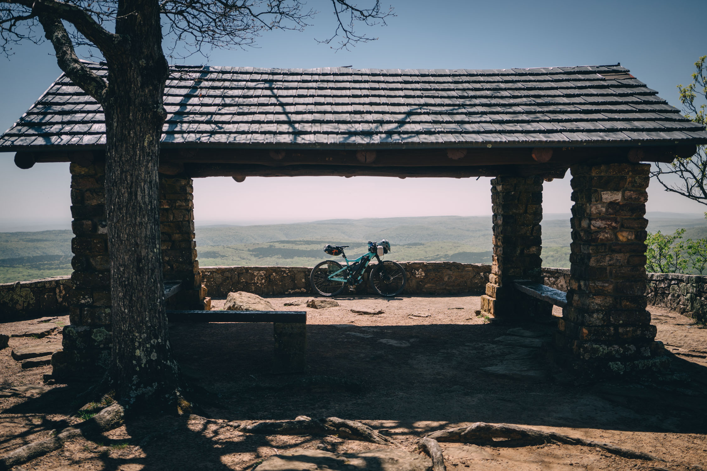
- White Rock Mountain Recreation Area, Overlook, and USFS campground
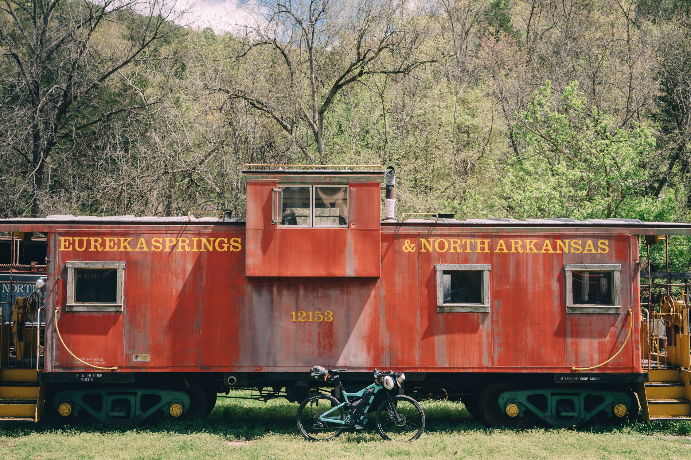
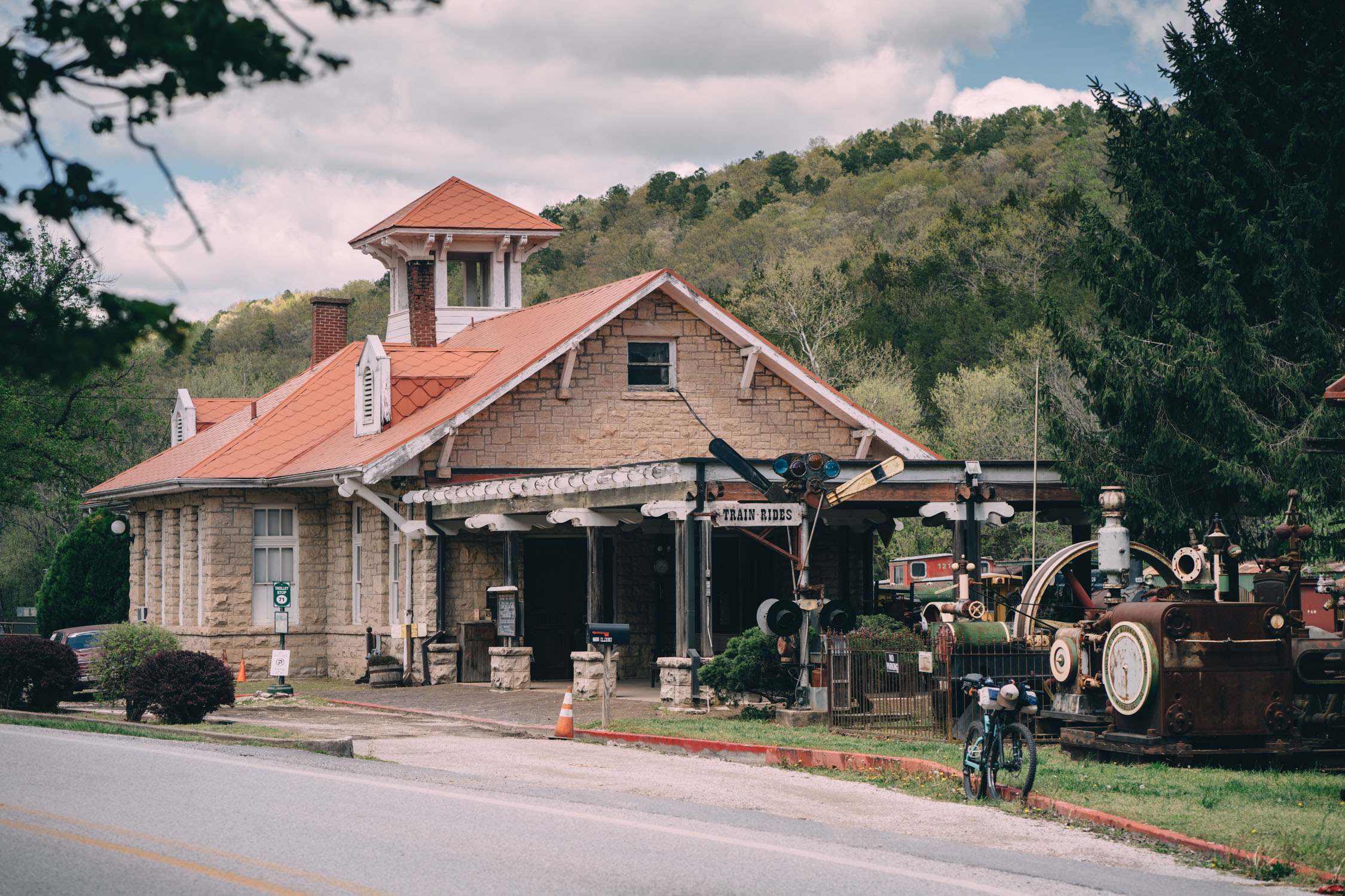
- Eureka Springs’ historical North Arkansas train station and bustling little art colony
- Waterfalls, bristling streams, and swimming holes abound!
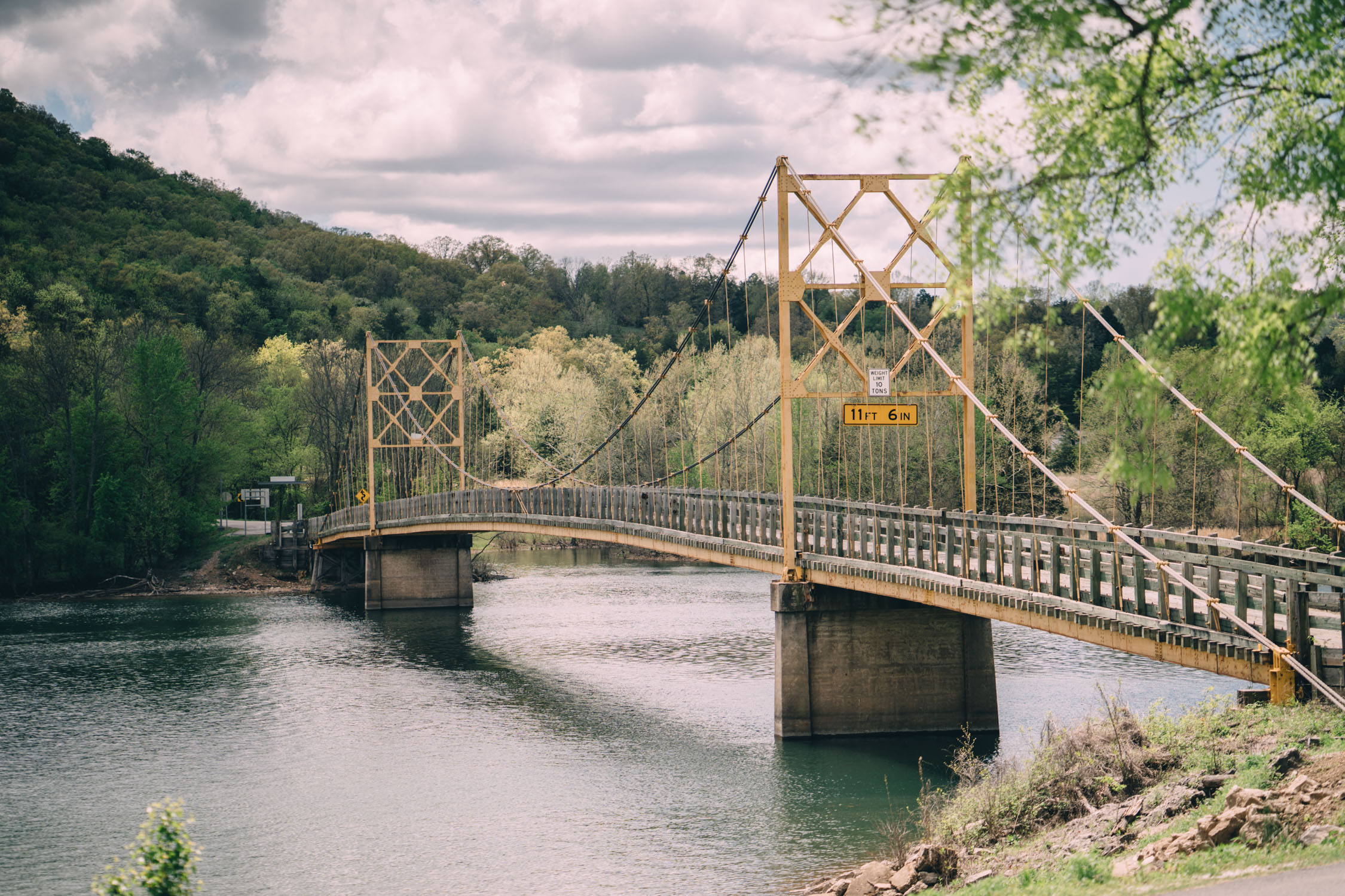
- The historic Beaver Bridge just before Eureka Springs
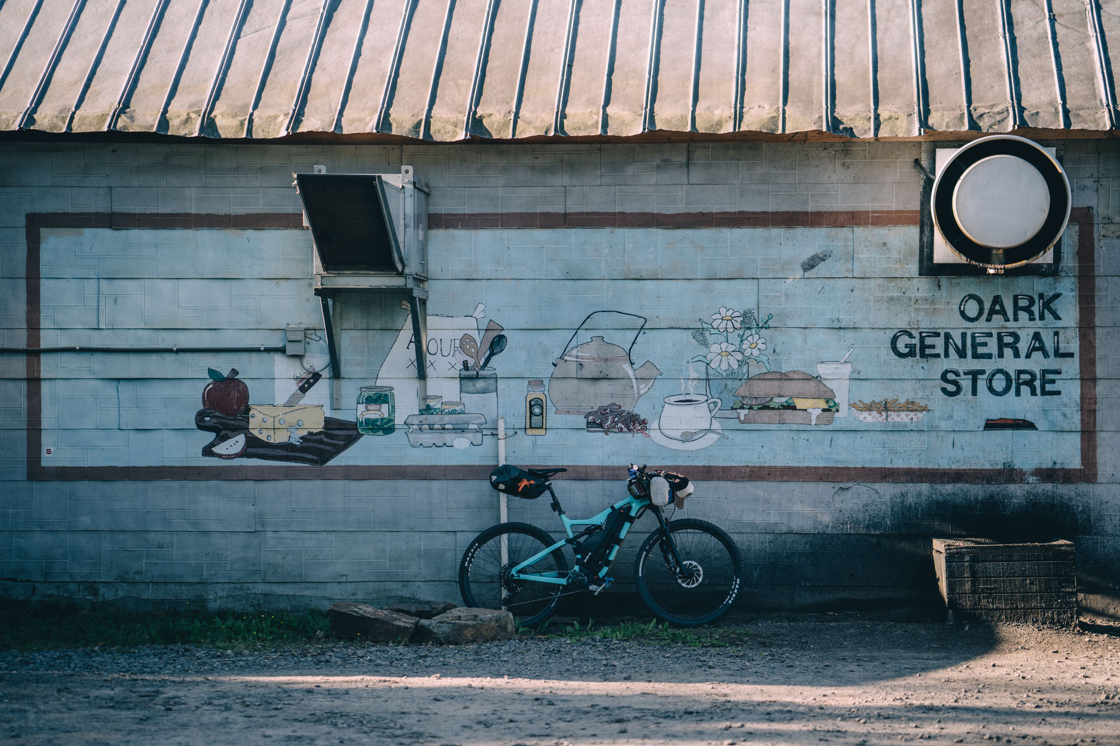
- Oark Store
- The relentless but beautiful climb up White Rock Road
- The Razorback Regional Greenway and bike path network around Fayetteville and Bentonville makes a shining example of a bike-friendly community
- Although it could technically be ridden year round, the AHCR route is best tackled in one of the shoulder seasons (spring or fall). Summers can be notoriously hot, and winters are generally unpredictable.
- The route is best ridden clockwise from Bentonville. Timing and mileage is critical as there is limited camping. Study the itinerary in Trail Notes and POIs on the map. In addition, you can buy the digital maps from ACA for even more options.
- Public parking is available throughout Bentonville. I left my car just near the route start in the public lot behind the Phat Tire bike shop, without issue. See map for details.
- 51% of the route is unpaved. Most of the remaining 49% is on roads accessible by motor vehicles, so wear bright colors and bring safety lights.
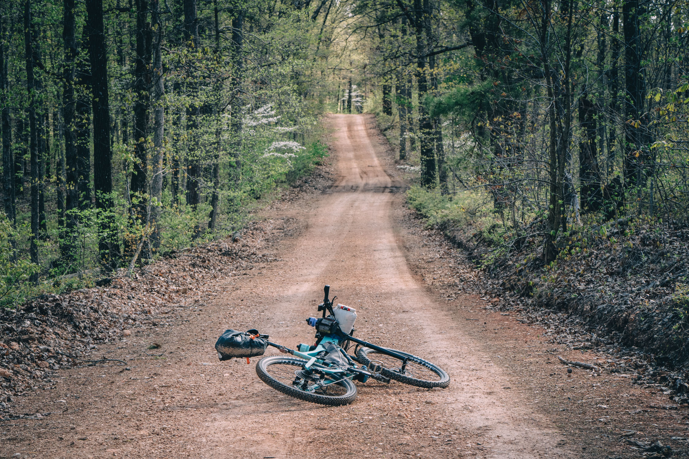
- This route is ideal for a gravel bike. The full-suspension Salsa Spearfish I brought along was definitely overkill (although it’s impressively fast for a full-squisher!).
- Most of the gravel roads are fairly mellow and easily ridden, but there are sections of National Forest and WMA roads that can have rough, rubbly surfaces with loose gravel. A minimum of 37mm tires with some tread is recommended by ACA. However, I would personally recommend a minimum 47mm road-plus tire, or bigger.
- Climbs/descents can reach gradients between 17 – 21%, so make sure to carefully consider your gearing choices.
- There are a lot of black bears in this part of Arkansas. Tie up your food and smelly items when camping. If you don’t know how, here’s a video from LNT.
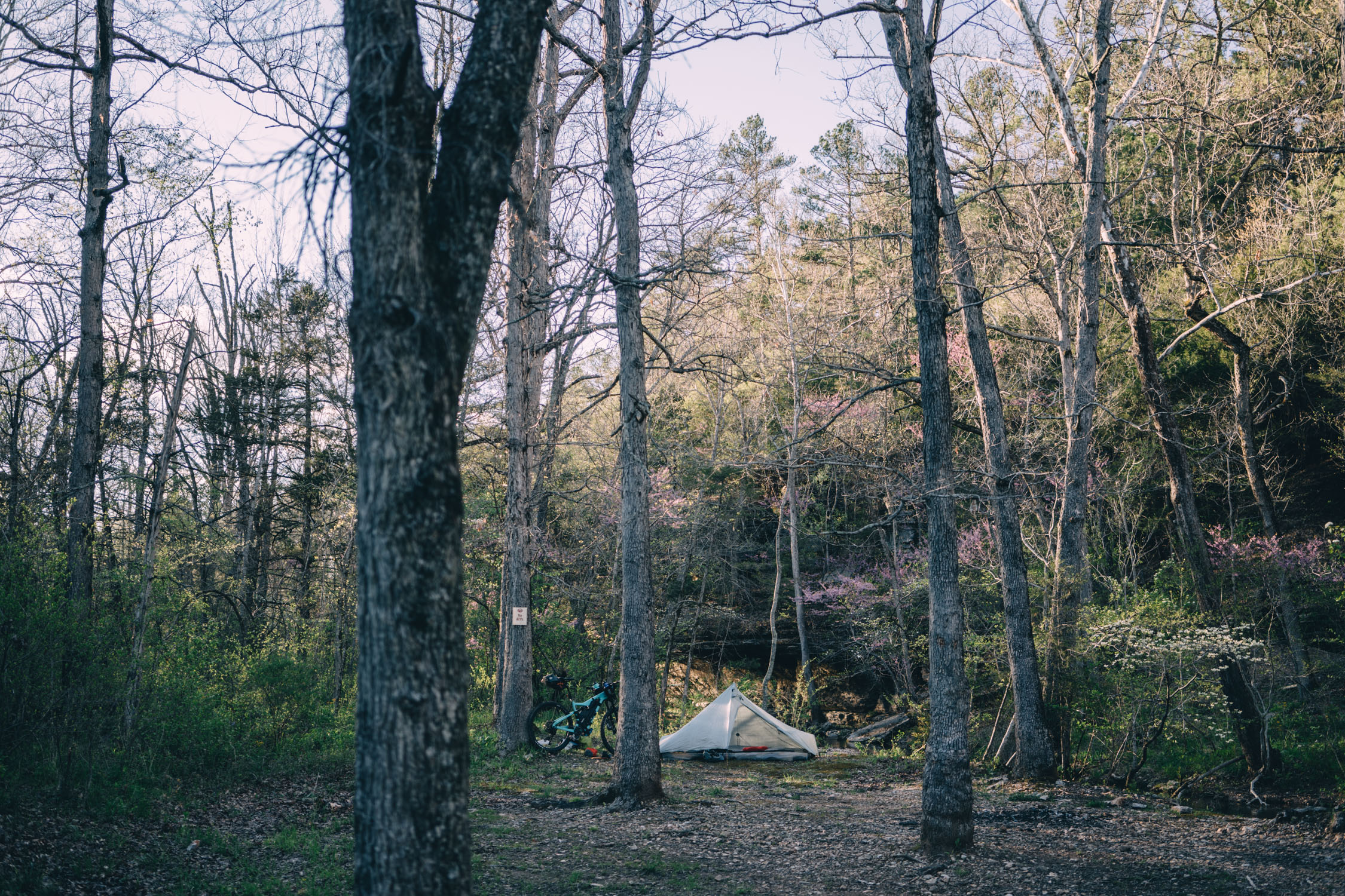
- One of the biggest tricks to this route is a lack of public land for camping. Essentially, there are only two swaths of public land on route with designated, free campsites: the Madison County WMA, about 58 miles from the start, and the Ozark National Forest, which has very limited camping.
- Pay campgrounds are scattered throughout the route; a couple are noted on the map.
- There are several places with cabin rentals, lodges, and inns, such as Eureka Springs. For a complete list, make sure to get the full waypoint file from ACA.
- As mentioned under the Must Know tab, this is black bear country. Tie up your food and smelly items when camping. If you don’t know how, here’s a video from LNT.
- Generally speaking, if you are willing to eat mostly convenience store fare, this route could be done without carrying much food.
- Harp’s Market in Seligman (only 28 miles in) is the most significant resupply and is basically a small grocery store.
- The longest stretch without resupply is the 55-mile stretch between Marble and Oark. That said, note that Oark store has limited hours and serves food only at breakfast and lunch.
- The restaurant at Byrd’s Adventure Center came recommended, although it was closed for the Easter holiday when I rode through.
- There is also a very small store at the White Mountain Recreation Area. It only has a limited selection of snacks and ice cream.
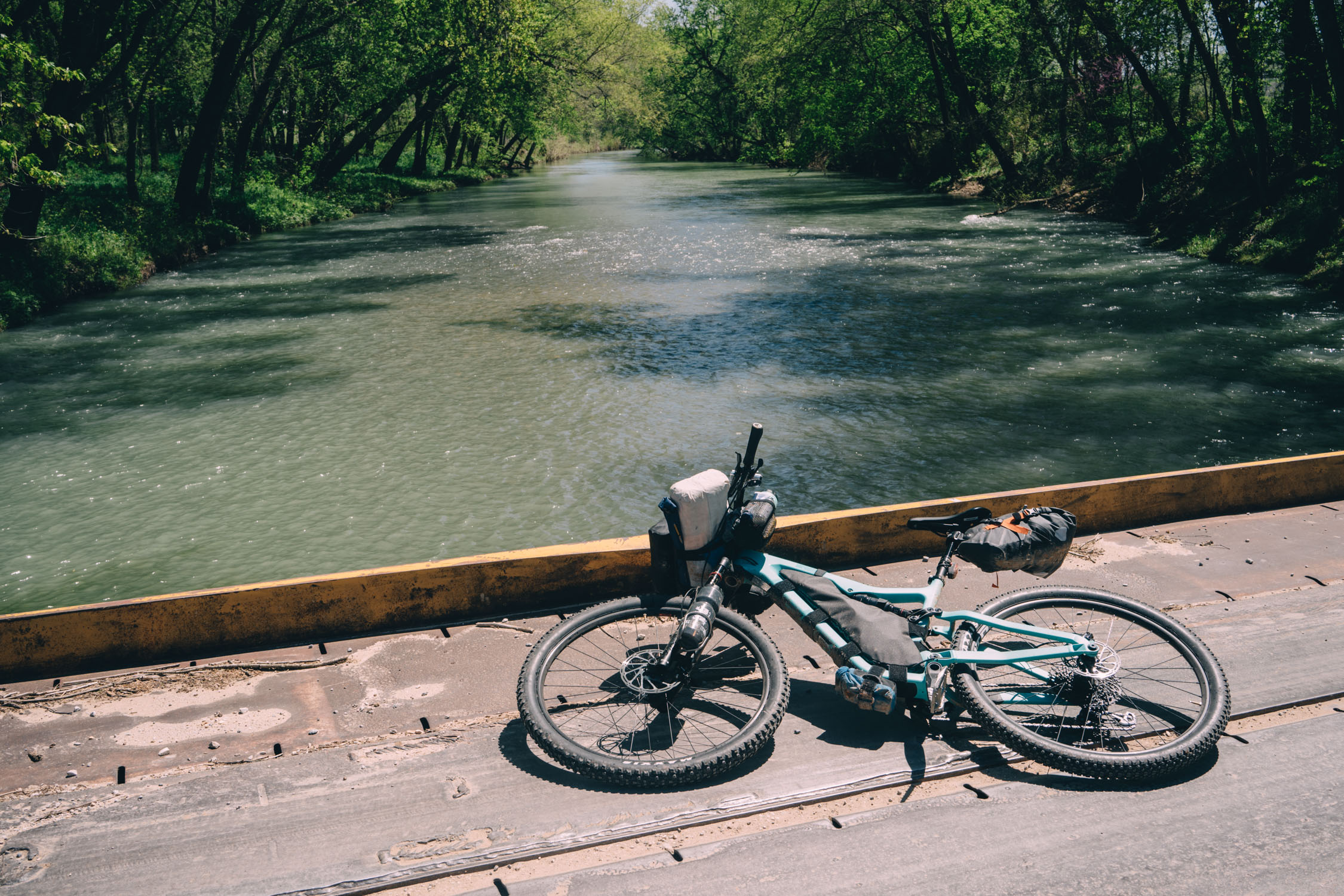
- Filterable water is abundant all along the route. And, there are plenty of spigots along the way as well. I brought a filter, but didn’t need to use it. I filled up at gas stations, a public area in Eureka Springs, a piped spring, and schools and churches.
Trail Notes
Here’s my day-by-day itinerary; numbers taken directly from my Lezyne Mega GPS:
Day 1: Bentonville to Madison WMA (~69 miles, 4,271’ ascending)
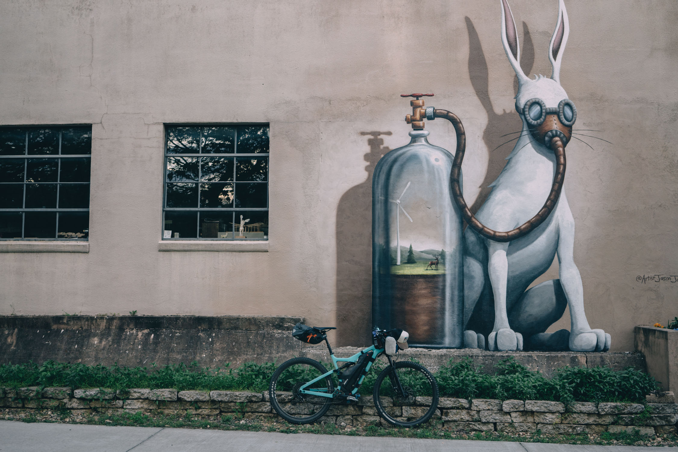
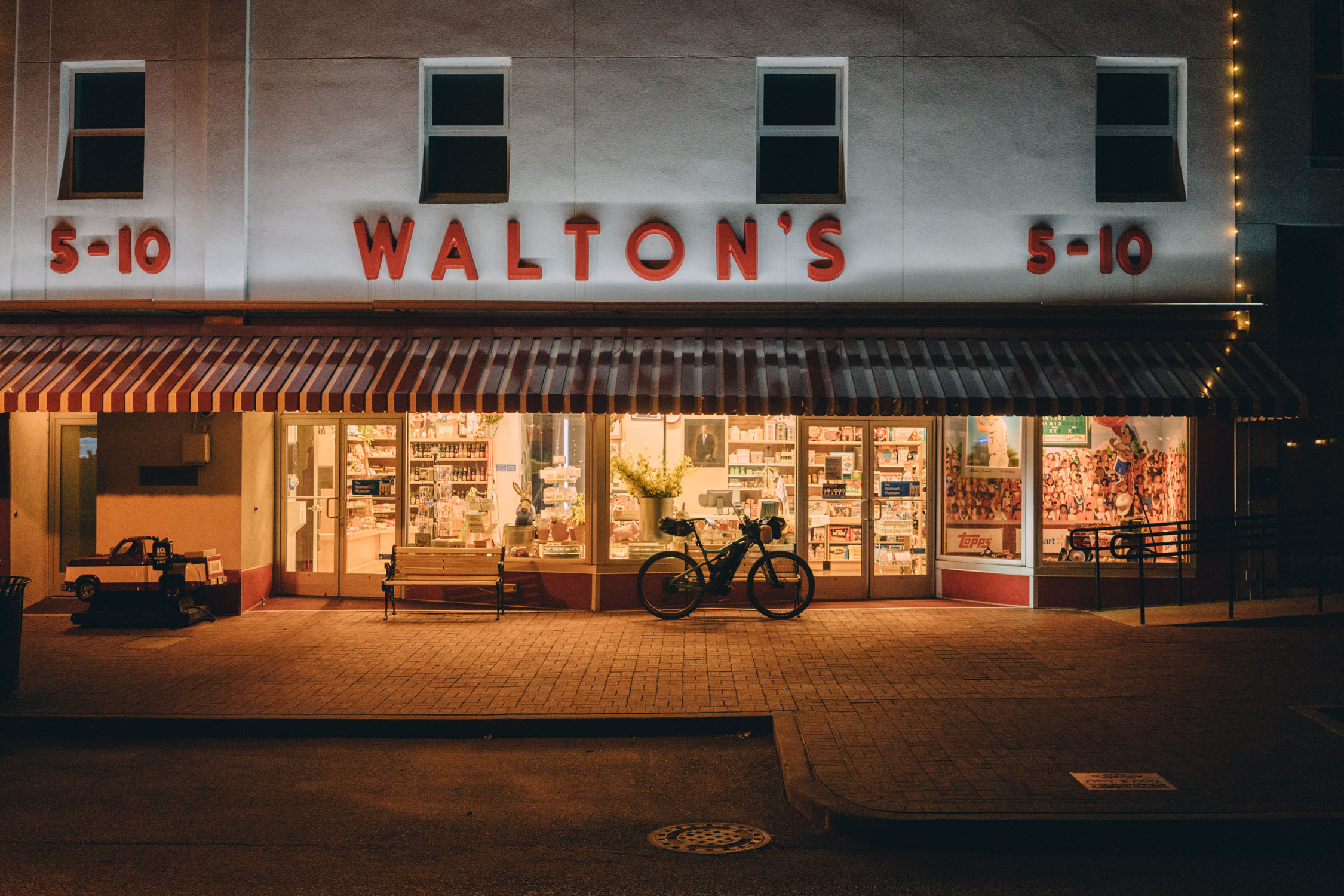
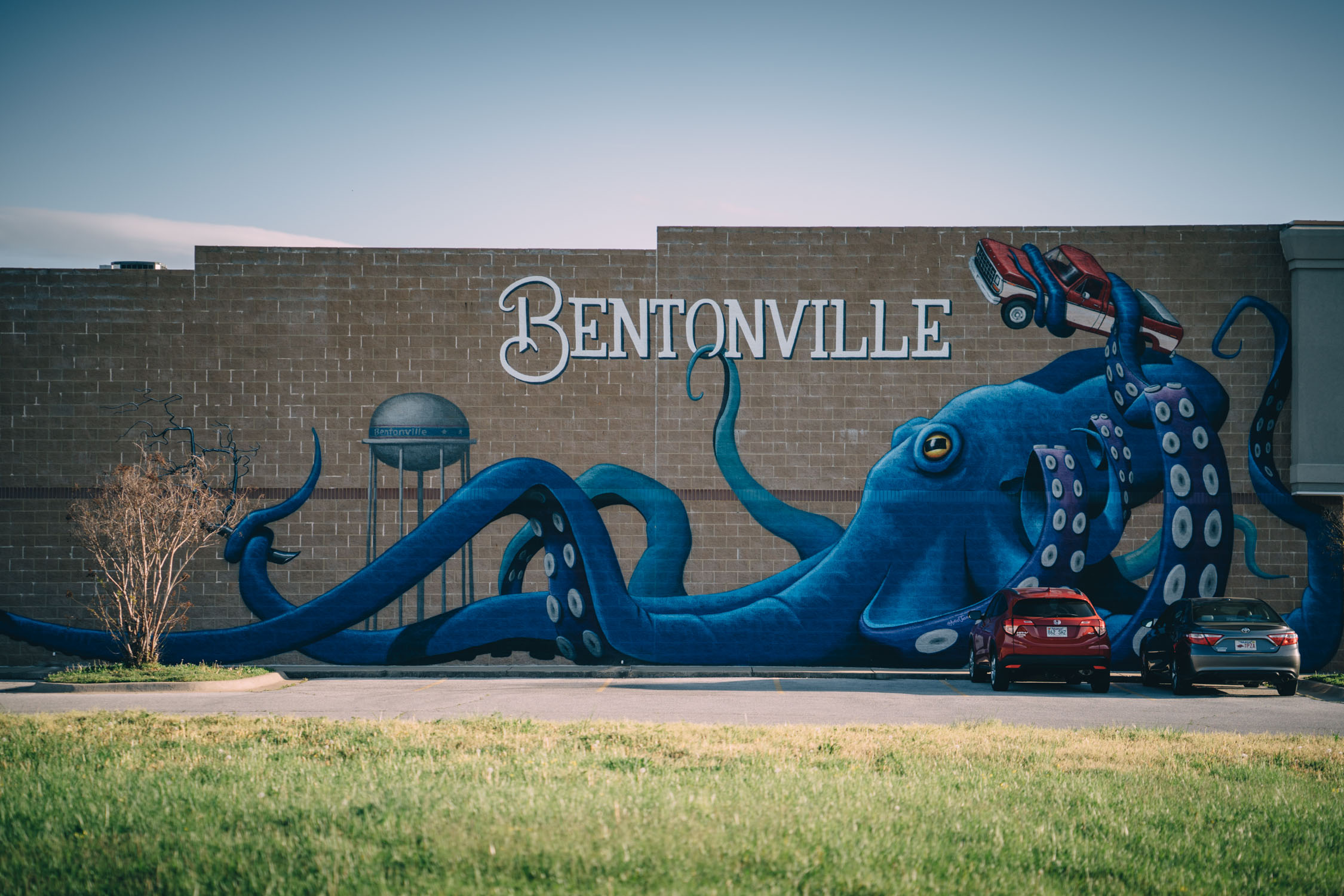
The route departs from the bustling, up-and-coming mountain bike mecca of Bentonville. I was a little bummed to find that this route didn’t utilize any of the regions Walton family funded, purpose-built singletrack. However, as mentioned, the character of the route is definitely gravel oriented.
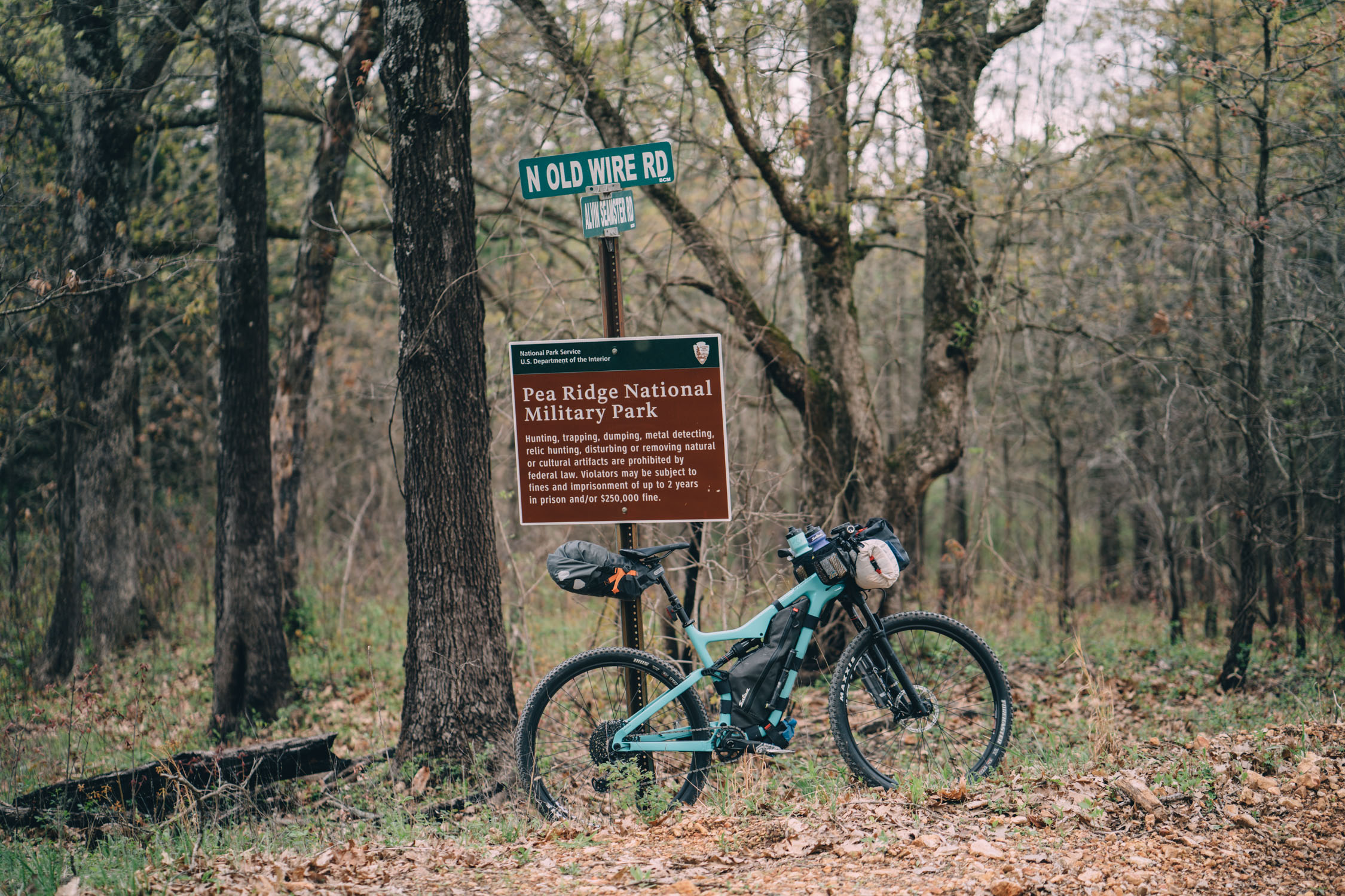
Leaving Bentonville, the loop quickly joins a gravel road and follows smooth gravel and paved back roads through rolling farmland until it briefly traverses the Pea Ridge Military Park. This is the first and only non-private land for the first 60 miles. Leaving the Military Park, the route continues on mixed surfaces with a resupply point near mile 28 at Seligman (the most significant resupply on route).
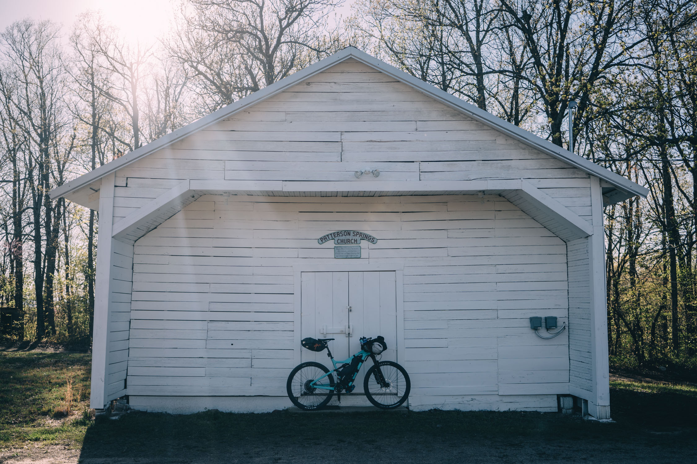
After rolling across the historic Beaver Bridge (note that there is a small store there, as well as an RV camping area), the route makes its way to the quaint art community of Eureka Springs. Make sure to stop and look around at the old North Arkansas Railway station. There were a couple of small cafes in Eureka Springs, as well as lodging. However, I couldn’t find a store.
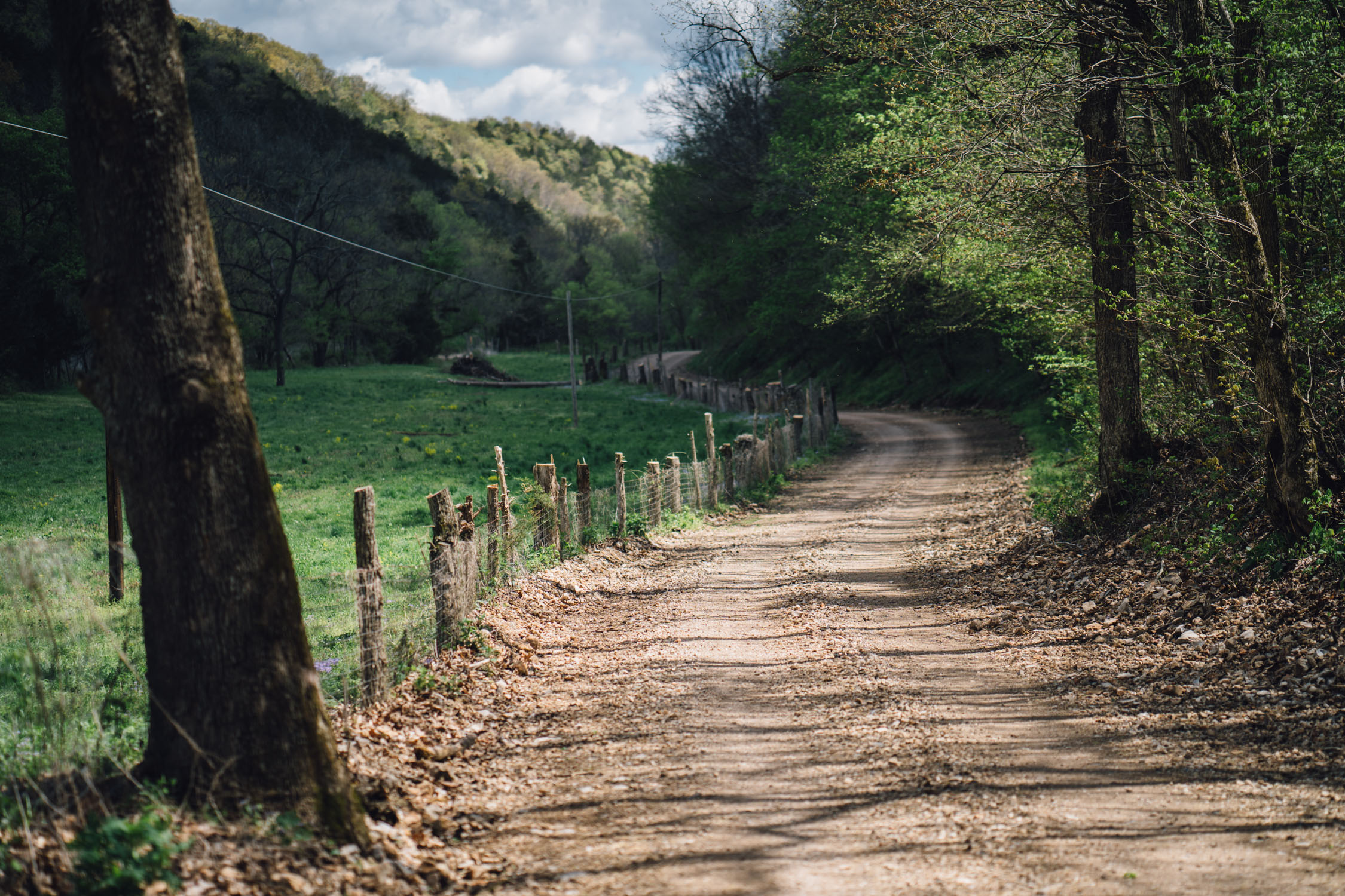
From Eureka Springs, there are more backroads and gravel before you make it to the Madison County Wildlife Management Area. Be advised that there are likely to be hunters in this area during hunting seasons. There are seven designated campsites throughout the WMA.
Day 2: Madison WMA to Oark (~62 miles, 5,623’ ascending)
Leaving the Madison WMA, the AHCR Northwest Loop dishes out a steady supply of gravel before turning to pavement at Marble. Make sure to resupply at the country store (see map) as it’s the last hearty resupply for a while.
Once past Kingston, the climb into the Ozarks begins and alternates from gravel to pavement. There are a couple steep bits before you hit Hwy 16 for a long, scenic paved ride before turning off onto County Road 3 toward Oark. There are several turn offs into the National forest; the road marked where I camped seemed like the most secluded. There are a couple options along the roadside.
Day 3: Oark to Bentonville (~116 miles, 8,412’ ascending)
Wake up and have breakfast at the Oark Store. It was closed for the holiday when I rolled through, but it looks interesting. Afterward, it’s a long, rolling ride on pavement through the Mulberry River Valley. Stop at Byrd’s for another meal if you’re still hungry. The store there has some snacks, I think. Again, it was closed when I came through.
After you pass the bump in the road called Cass (no resupply), you’ll turn onto the beautiful White Rock Mountain Road and begin the toughest part of the route. Several steep climbs and descents await as you make your way up to the White Rock Mountain recreation Area. as noted, the small shop there has a minimal assortment of snacks and ice cream. You can also camp on site, making it a perfect place to stop on day three to make it a four day ride. I chose to finish it on day three.
After several ups and downs, the route descends onto a relatively flat section. A mix of gravel and a lot of pavement takes you toward Fayetteville, where the paved Razorback Regional Greenway makes for easy travel. Follow the Razorback Greenway all the way back, stopping as you wish for as many snacks as you’d like along the way. There are also a couple breweries and plenty of lodging in Fayetteville if you wish to prolong your visit.


Terms of Use: As with each bikepacking route guide published on BIKEPACKING.com, should you choose to cycle this route, do so at your own risk. Prior to setting out check current local weather, conditions, and land/road closures. While riding, obey all public and private land use restrictions and rules, carry proper safety and navigational equipment, and of course, follow the #leavenotrace guidelines. The information found herein is simply a planning resource to be used as a point of inspiration in conjunction with your own due-diligence. In spite of the fact that this route, associated GPS track (GPX and maps), and all route guidelines were prepared under diligent research by the specified contributor and/or contributors, the accuracy of such and judgement of the author is not guaranteed. BIKEPACKING.com LLC, its partners, associates, and contributors are in no way liable for personal injury, damage to personal property, or any other such situation that might happen to individual riders cycling or following this route.
Please keep the conversation civil, constructive, and inclusive, or your comment will be removed.