


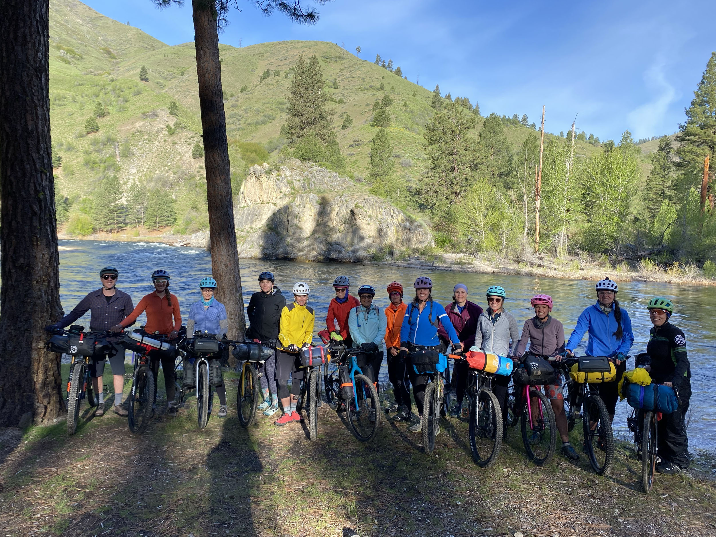
Around Arrowrock
Distance
86 Mi.
(138 KM)Days
2
% Unpaved
80%
% Singletrack
2%
% Rideable (time)
100%
Total Ascent
7,681'
(2,341 M)High Point
4,960'
(1,512 M)Difficulty (1-10)
3?
- 6Climbing Scale Moderate89 FT/MI (17 M/KM)
- 3Technical Difficulty Fair
- 3Physical Demand Fair
- 2Resupply & Logistics Easy
Contributed By

Cody Heiner
Guest Contributor
Cody grew up BMX and mountain biking in small-town eastern Utah, where there wasn’t much else to do. He got into bikepacking in 2015 after moving to Boise and finding some like-minded friends also looking for more adventure in their middle age. He now helps his wife, Laura, run Idaho Women’s Bikepacking, including planning routes and publishing beginner guides here. Find more of his photos on Instagram @heavy_braker.
“Their campfires threw red light on the lava cliffs and touched the moving river with the mystery of transitoriness, and framed the triangle of the tent against the dark in an assertion of human purpose.”
—Wallace Stegner on Boise Canyon settlers, Angle of Repose
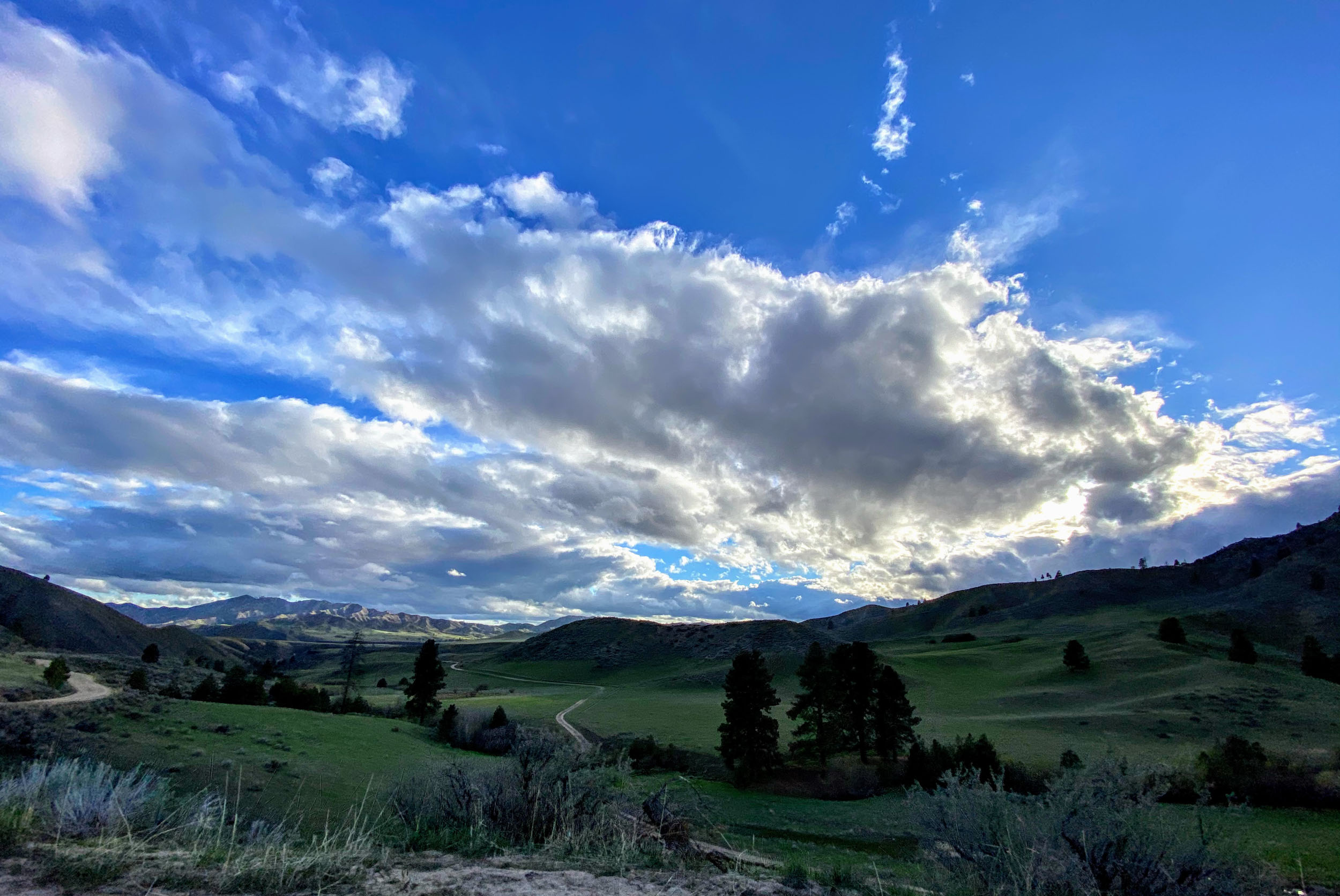
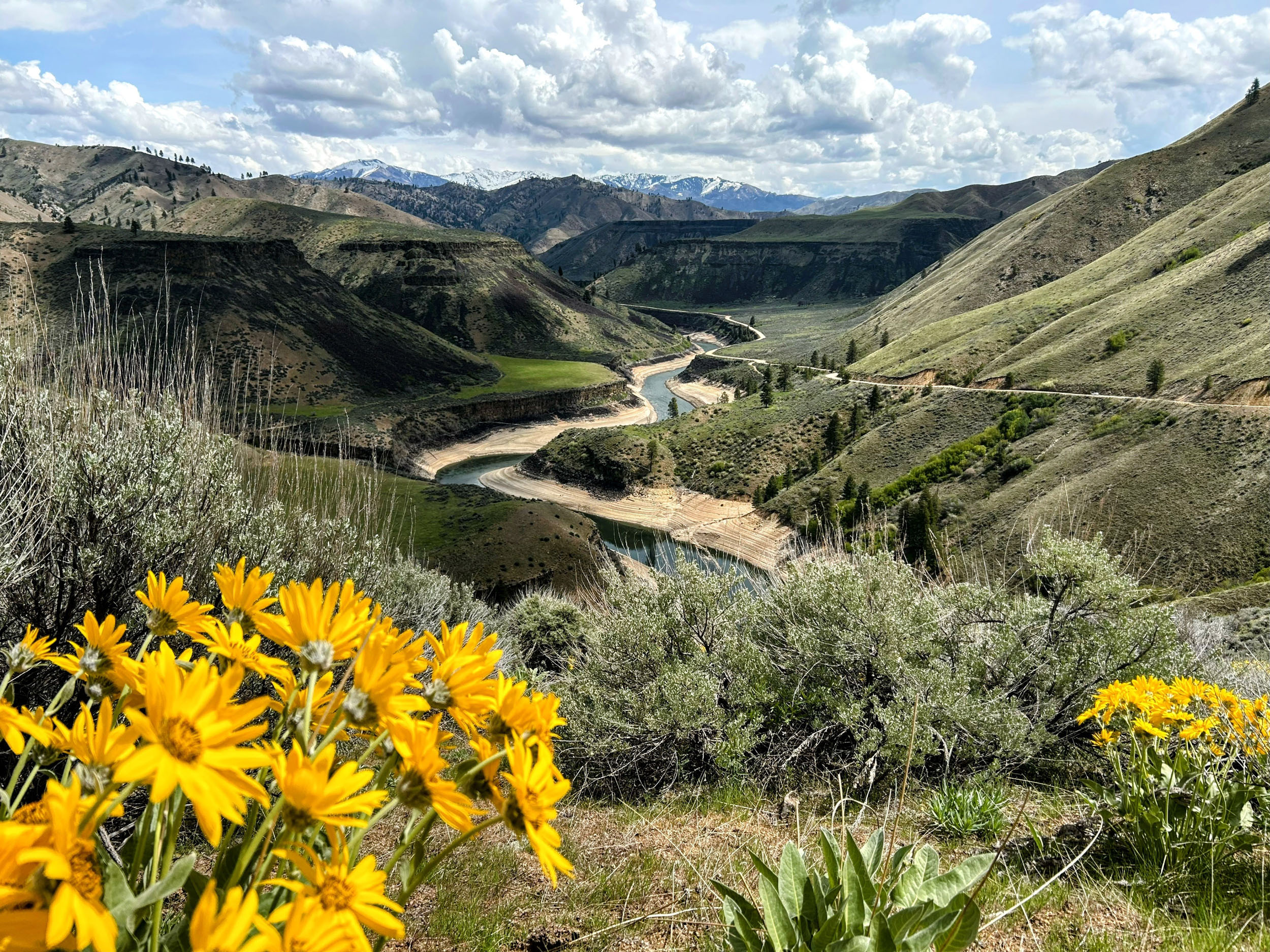
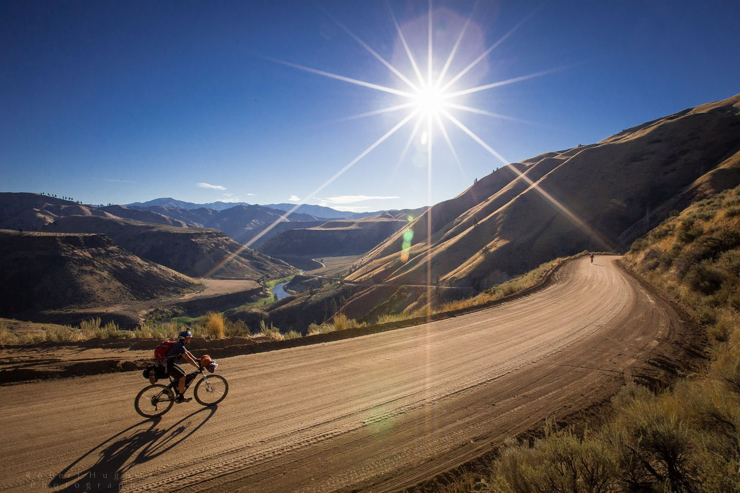
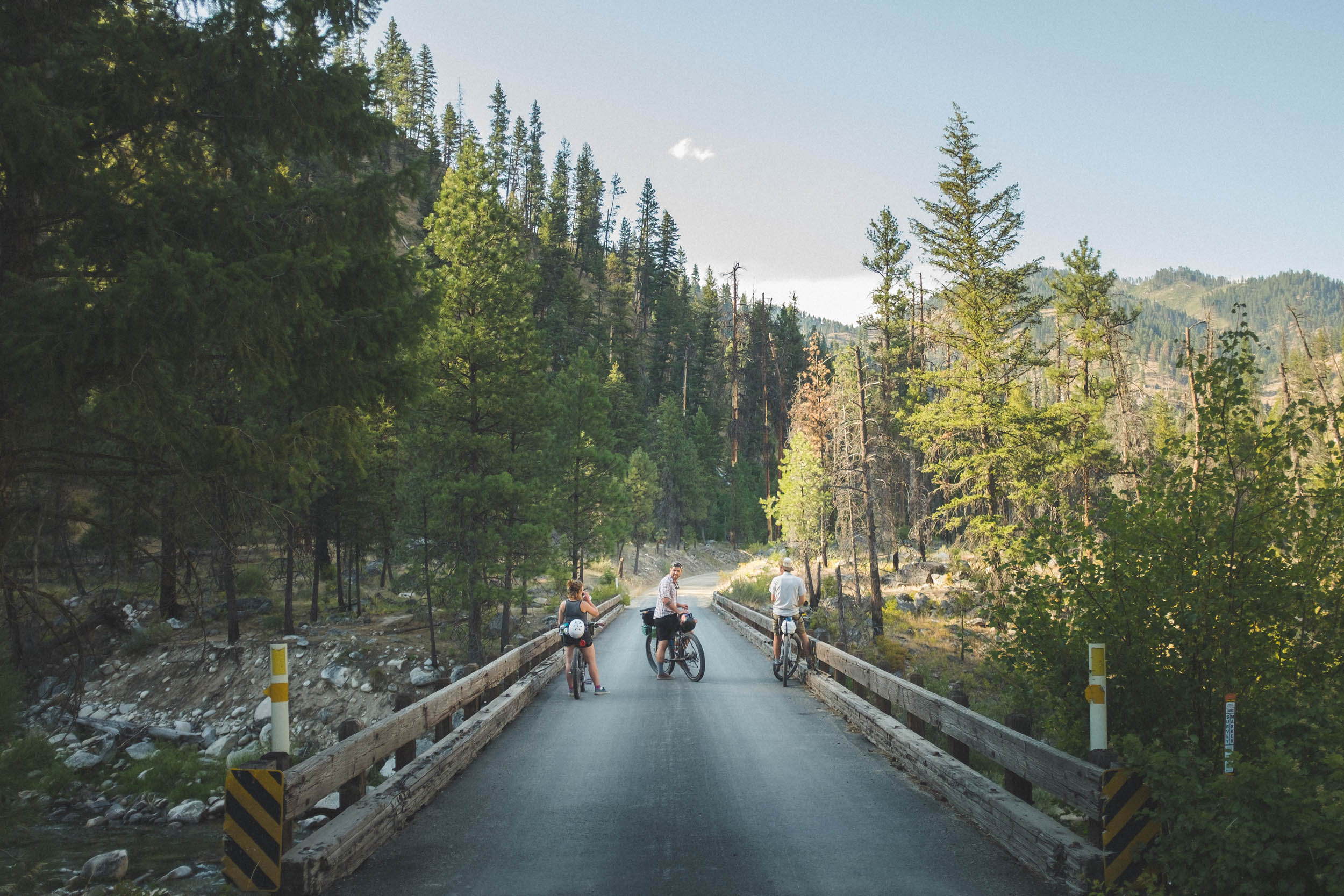
Southwestern Idaho is a bikepacker’s dream, a place where the pavement ends, and adventure begins in nearly every direction. From the heart of town, a few miles is all it takes to trade city streets for wild rivers, high desert plains, and layered mountain peaks.
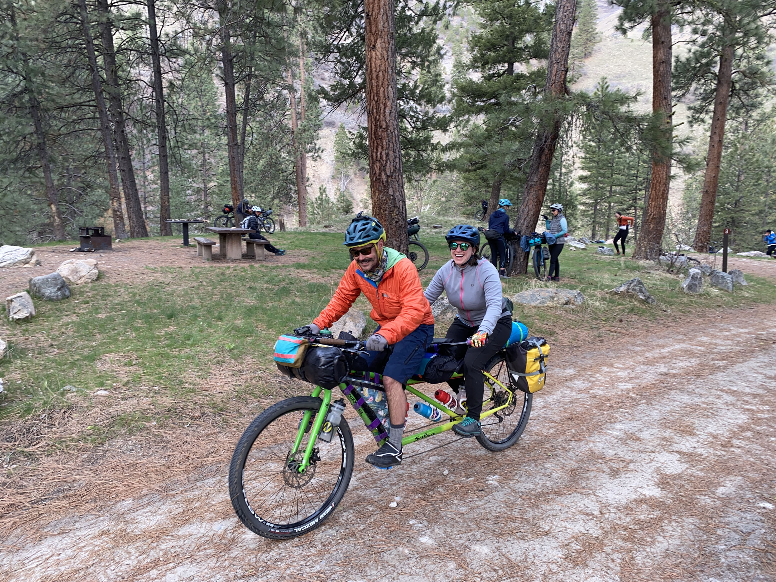
Around Arrowrock is the perfect entry point for beginner bikepackers, or for more seasoned riders seeking an early-season escape. Designed with simplicity in mind, the journey features smooth gravel, well-spaced climbs, and convenient resupply.

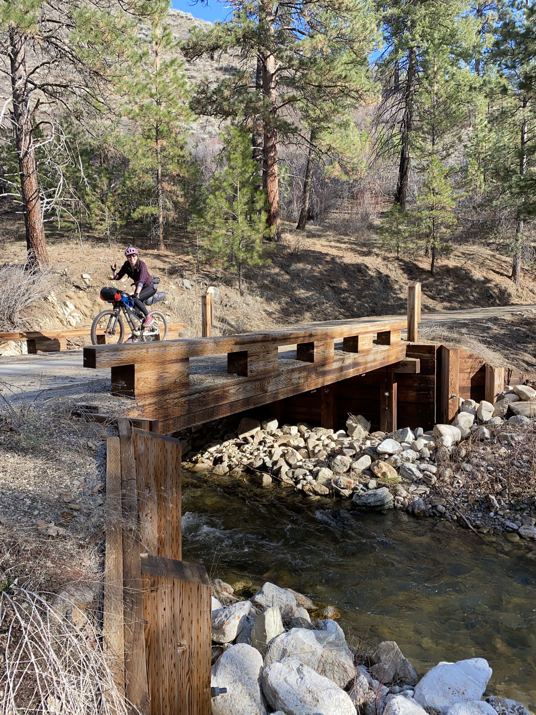

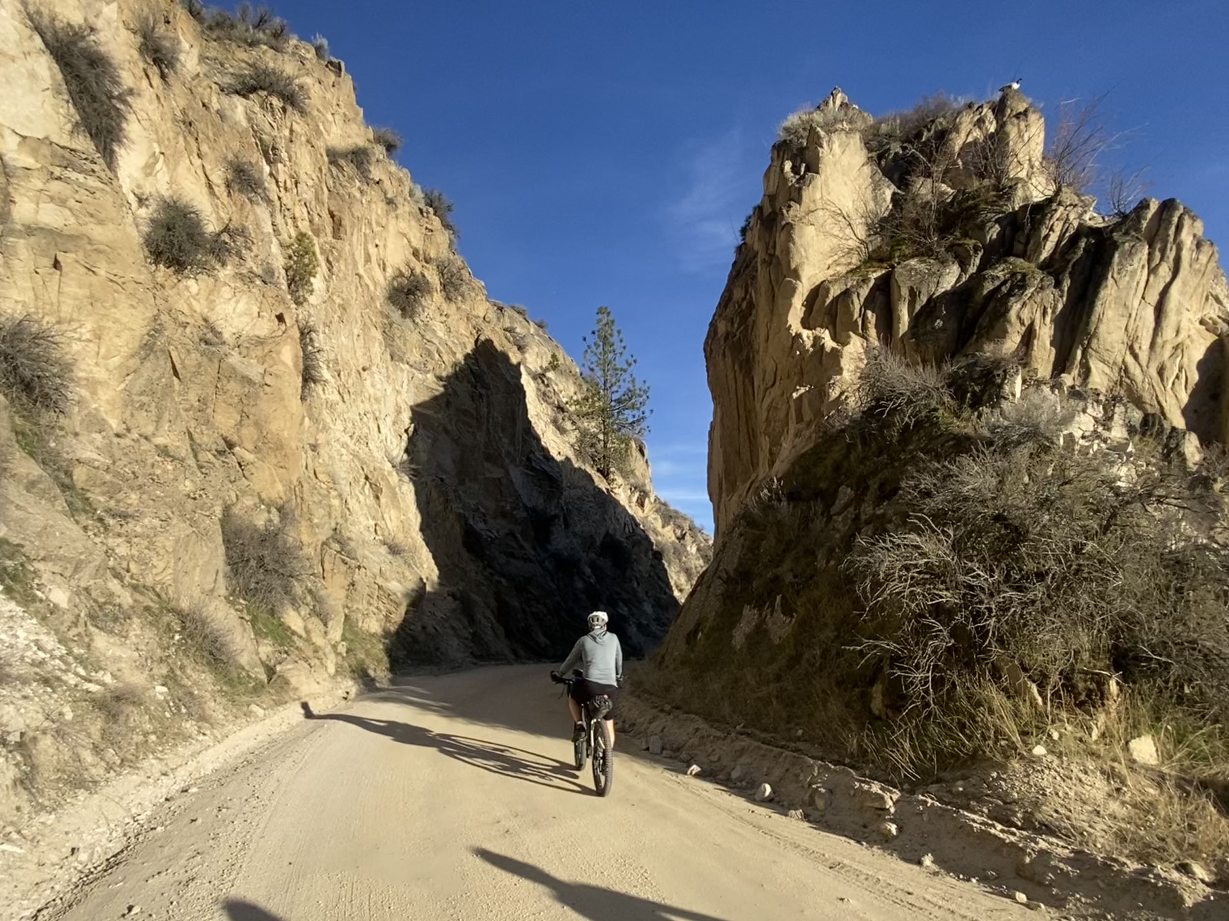
Although the terrain is mostly forgiving, a couple of brief but rewarding challenges await at the start and finish: a stout and loose climb through Lydle Gulch, and a rowdy descent down Highland Valley Trail that will take you to the finish grinning.
Logistically, this trip is as straightforward as they come. With simple parking and reliable access to water for filtering, your focus can remain on the landscape. Along the way, the charming small-town hospitality of Prairie and Hilltop Station provide essential resupply points for the hungry traveler.
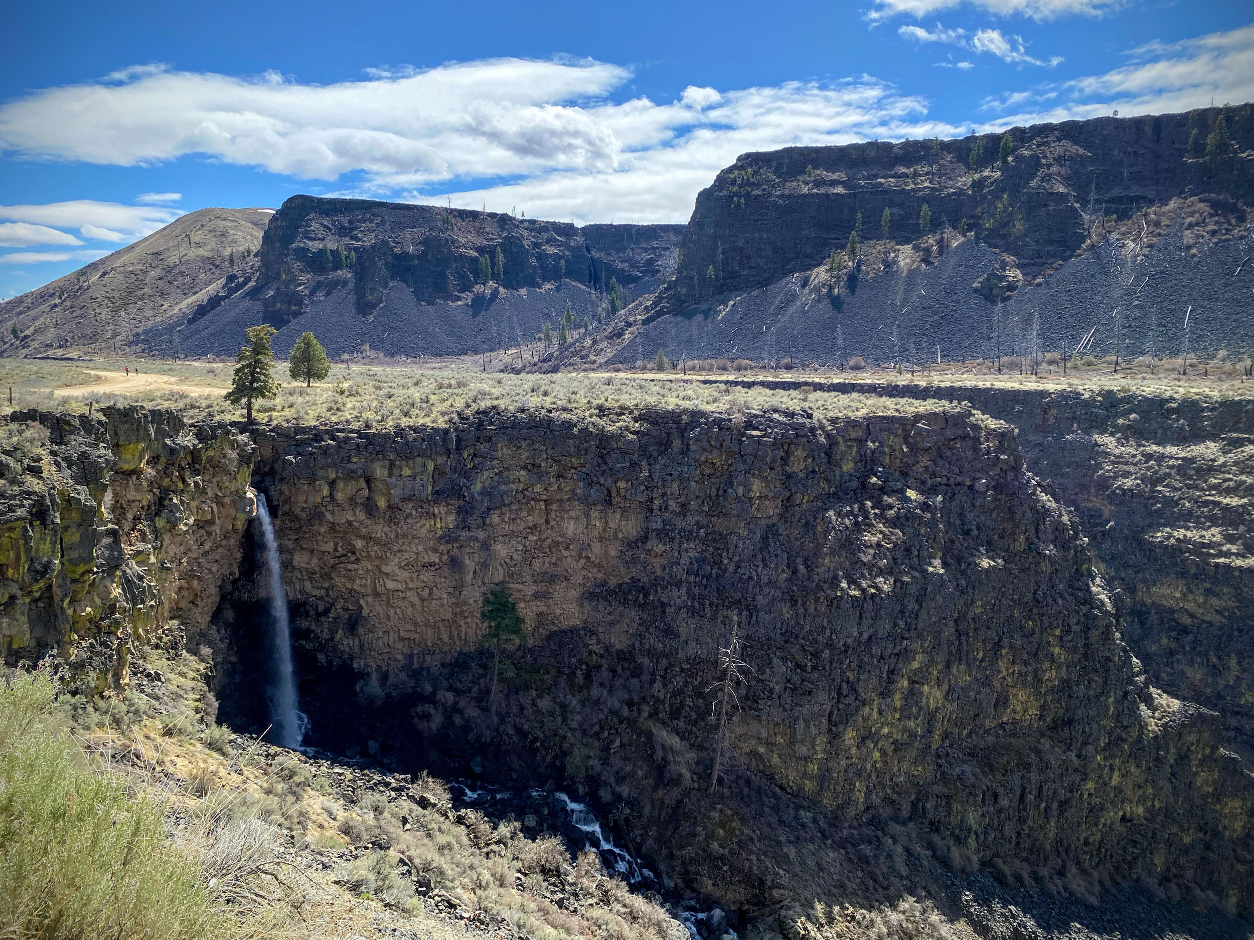
The ride also traverses a region steeped in history, from Indigenous ancestry to the pivotal eras of the early American frontier. Lydle Gulch is an important archaeological site where Shoshone and Bannock peoples hunted and fished for thousands of years. Bonneville Point sits on an ancient Native American trail, and it later served as the first viewpoint of the Treasure Valley for emigrants on the Oregon Trail.
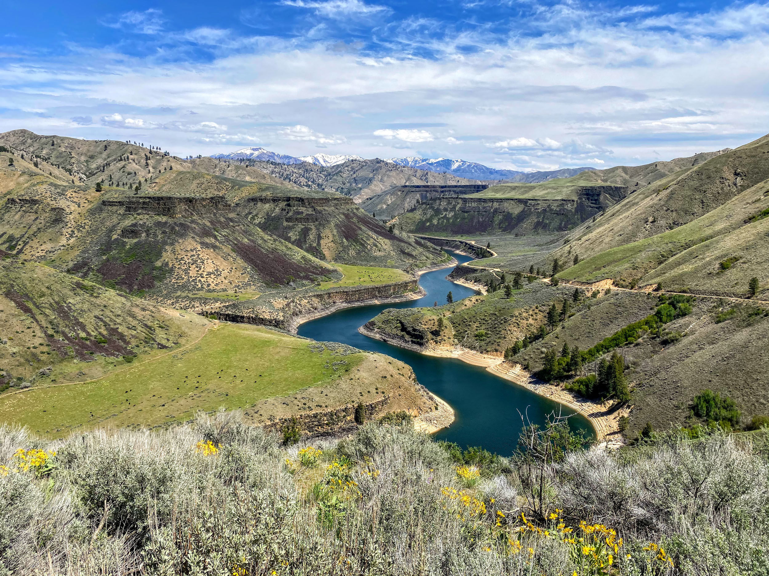
When it was completed in 1915, the ambitious Arrowrock Dam was the tallest in existence, earning the moniker of “Idaho’s Eighth Wonder of the World.” Later, it was combined with the Lucky Peak Dam, 11 miles downstream. These irrigation projects transformed this part of the Boise River into a series of reservoirs that allowed agriculture and growth throughout the Treasure Valley.
Boise River Canyon serves as a central setting for Wallace Stegner’s Pulitzer Prize-winning novel, Angle of Repose. As you ride through the arid, unforgiving terrain, you are following some of the idyllic yet difficult paths of these ancestral inhabitants and early pioneers, as Stegner described it, “a hard country that breeds hard people.”
“The vast wonderful sunsets, the solemn moonlight – and the noise the river makes on dark nights. The waste of water and of land and the immense dignity of it all! Very few things in art hold their own against it.”
—Mary Hallock Foote on life along the Boise River, 1887
Route Difficulty
This route is designed for beginners or for early-season riding. With an average of 88 feet of elevation gain per mile, the climbing is moderate and well spread out across two days. Technical challenges are minimal, with nearly the entire ride on smooth gravel. There are short but steep and loose sections at the beginning (Lydle Gulch, uphill) and at the end (Highland Valley Trail, downhill), totaling about 3 miles.
Logistically, the route is a simple loop with straightforward parking and navigation. Count on frequent access to water for filtering. Food and resupply options are available at Prairie and Hilltop Station.
Route Development: This is a well-known Boise area gravel loop, the first 35 miles of which follow the Smoke ‘n’ Fire 400 race course. I was introduced to it in 2016 by my late friend Jason Delgadillo, who was instrumental in getting me into bikepacking. In 2018, Jason passed away suddenly while mountain biking. Returning to and sharing rides we did together has become a helpful way for me to remember him and the lasting impact he had on my life.


Submit Route Alert
As the leading creator and publisher of bikepacking routes, BIKEPACKING.com endeavors to maintain, improve, and advocate for our growing network of bikepacking routes all over the world. As such, our editorial team, route creators, and Route Stewards serve as mediators for route improvements and opportunities for connectivity, conservation, and community growth around these routes. To facilitate these efforts, we rely on our Bikepacking Collective and the greater bikepacking community to call attention to critical issues and opportunities that are discovered while riding these routes. If you have a vital issue or opportunity regarding this route that pertains to one of the subjects below, please let us know:
Highlights
Must Know
Camping
Food/H2O
Trail Notes
Resources
- Considering racing the Smoke ‘n’ Fire 400? This route previews the first 35 miles of the race.
- Spend hours meandering along both the south and middle forks of the Boise River. See if you can spot the easy-to-miss point of their confluence.
- Stop in Prairie for lunch and resupply, and enjoy the friendly locals and neighborhood dogs.
- Arrowrock Dam was the tallest in the world when completed in 1915. Lucky Peak Dam was added 11 miles downstream in 1955. Enjoy several miles along the serene banks of their respective reservoirs.
- Stop for a soak or a stay at Twin Springs Resort (5 miles off route with private cabins), or at Loftus Hot Springs (12 miles off route with primitive camping). Both are included in the GPX file.
When to go
- With a maximum elevation of only 4,900 feet, the route can be ridden nearly year-round, and reliably from April through November.
- May and June are ideal times for peak wildflowers and lush green hillsides.
Logistics
- Free overnight parking in a gravel lot off Hwy 21 and the Boise River Greenbelt, directly across the road from a diversion dam. Look for the Ponderosa Pine Scenic Byway historical marker and a pedestrian crossing just before the highway becomes divided.
- The route can also be easily started from anywhere in the Boise area by simply heading east on the Greenbelt.
Bike and Gear
- This route is suitable for nearly any mountain, dirt touring, or gravel bike.
- Don’t forget swimwear for the river or hot springs.
Dangers and Annoyances
- There is one 4-mile highway stretch with wide shoulders. Turn on your lights and wear bright colors.
- Cell service is unavailable for most of the route.
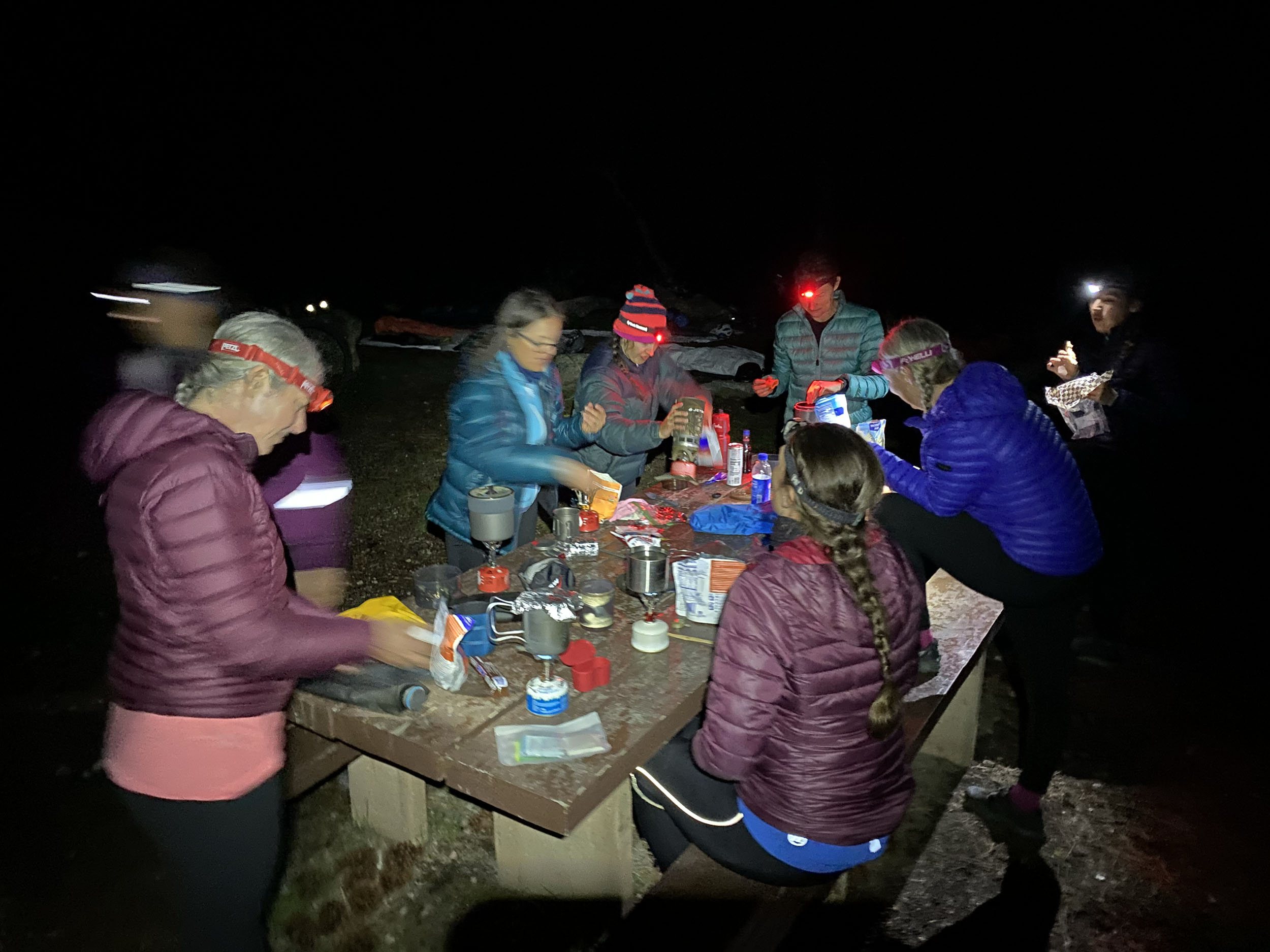
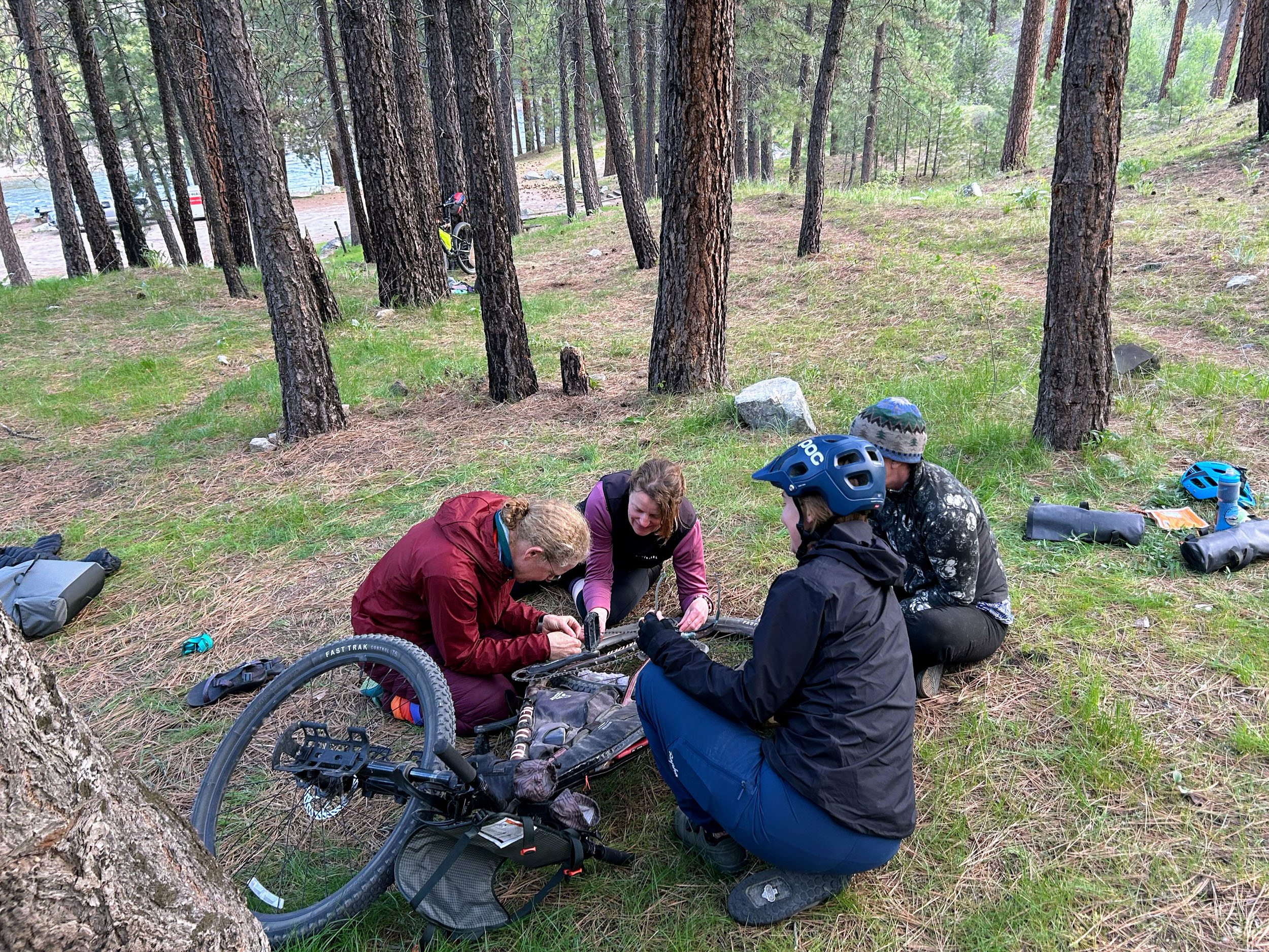
- Good camping options on public land or at formal campgrounds are plentiful between about mile 40 and 70.
- There are a few Forest Service campgrounds along the Middle Fork, as noted in the downloadable GPX file. These include pit toilets, picnic tables, fire rings, and well pumps that sometimes work. No reservations or fees.
- Willow Creek campground at mile 56 is recommended as a top choice. If the formal sites here are full, dispersed camping closer to the river is always available.
- Private lodging and hot springs are available at Twin Springs Resort, 5 miles off route but well worth it.
- Food and resupply options are available at the Y-Stop in Prairie (mile 36) and at Hilltop Station (mile 80).
- Small business hours of operation can be unpredictable; call ahead to verify, particularly if you will be relying on them for meals.
- Count on frequent access to water for filtering from rivers and creeks.
- Engleman Spring at mile 25 offers a unique refill spot; it is always running, and many drink from it unfiltered.
location Boise to Willow Creek Campground
Day 1 (56 mi +6,100 ft)
Begin the ride on the Greenbelt, traveling east to Lucky Peak Dam, through Lydle Gulch, and onto Blacks Creek Road to the beautiful South Fork of the Boise River. A stout climb will bring you to the tiny community of Prairie for food and resupply at the Y-Stop. Continue north through Long Gulch and Slide Gulch to the Middle Fork of the Boise River.
location Willow Creek Campground to Boise
Day 2 (30 mi +1,500 ft)
Follow the flow of the Middle Fork as it slowly turns into Arrowrock Reservoir, followed by Lucky Peak Reservoir. A short stretch on Hwy 21 will take you up and over Hilltop. Don’t miss the turn off the highway and back onto dirt 1 mile after the summit. Highland Valley Road will turn into Highland Valley Trail for a ripping descent back to the Greenbelt.
- A brief history of Arrowrock Dam.
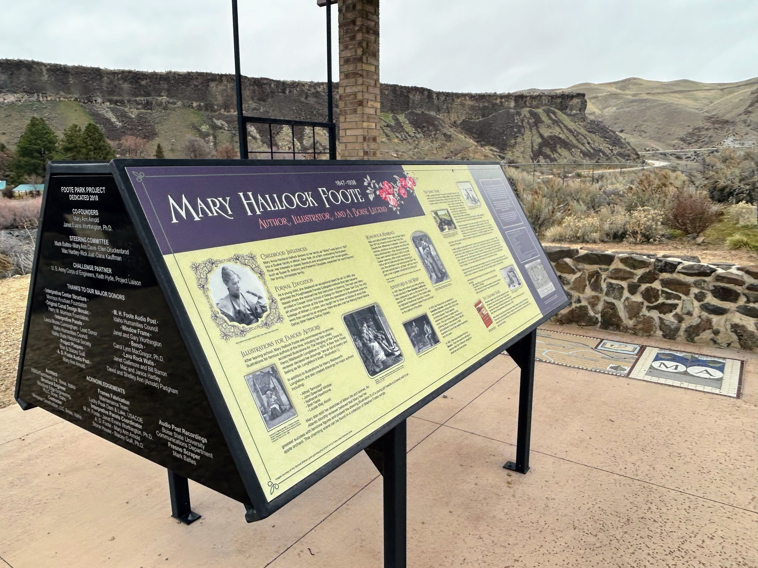
- Angle of Repose by Wallace Stegner takes place in part along the Boise River in the late 1800’s. The book fictionalizes the lives of early Western settlers, including notable author and artist Mary Hallock Foote.
- The Foote Park Interpretive Center, 0.5 miles off route at the base of Lucky Peak Dam, memorializes the home life of Mary Hallock Foote and her engineer husband, Arthur. Stop to see what is left of their 1885 Stone House.
- Bonneville Point sits on an ancient Native American trail, then later served as the first viewpoint of the Treasure Valley for emigrants on the Oregon Trail.


Terms of Use: As with each bikepacking route guide published on BIKEPACKING.com, should you choose to cycle this route, do so at your own risk. Prior to setting out check current local weather, conditions, and land/road closures. While riding, obey all public and private land use restrictions and rules, carry proper safety and navigational equipment, and of course, follow the #leavenotrace guidelines. The information found herein is simply a planning resource to be used as a point of inspiration in conjunction with your own due-diligence. In spite of the fact that this route, associated GPS track (GPX and maps), and all route guidelines were prepared under diligent research by the specified contributor and/or contributors, the accuracy of such and judgement of the author is not guaranteed. BIKEPACKING.com LLC, its partners, associates, and contributors are in no way liable for personal injury, damage to personal property, or any other such situation that might happen to individual riders cycling or following this route.
Further Riding and Reading
Here are some connected/nearby routes and related reports...

Please keep the conversation civil, constructive, and inclusive, or your comment will be removed.