


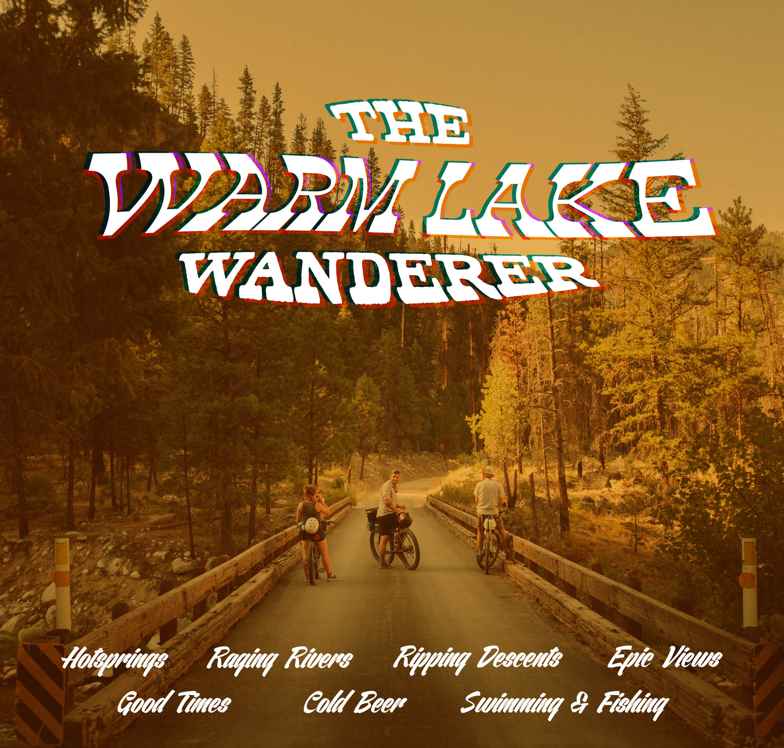
Warm Lake Wanderer
Distance
83 Mi.
(134 KM)Days
2-3
% Unpaved
65%
% Singletrack
0%
% Rideable (time)
100%
Total Ascent
6,214'
(1,894 M)High Point
7,282'
(2,220 M)Difficulty (1-10)
5?
- 5Climbing Scale Moderate75 FT/MI (14 M/KM)
- -Technical Difficulty
- -Physical Demand
- -Resupply & Logistics
Contributed By
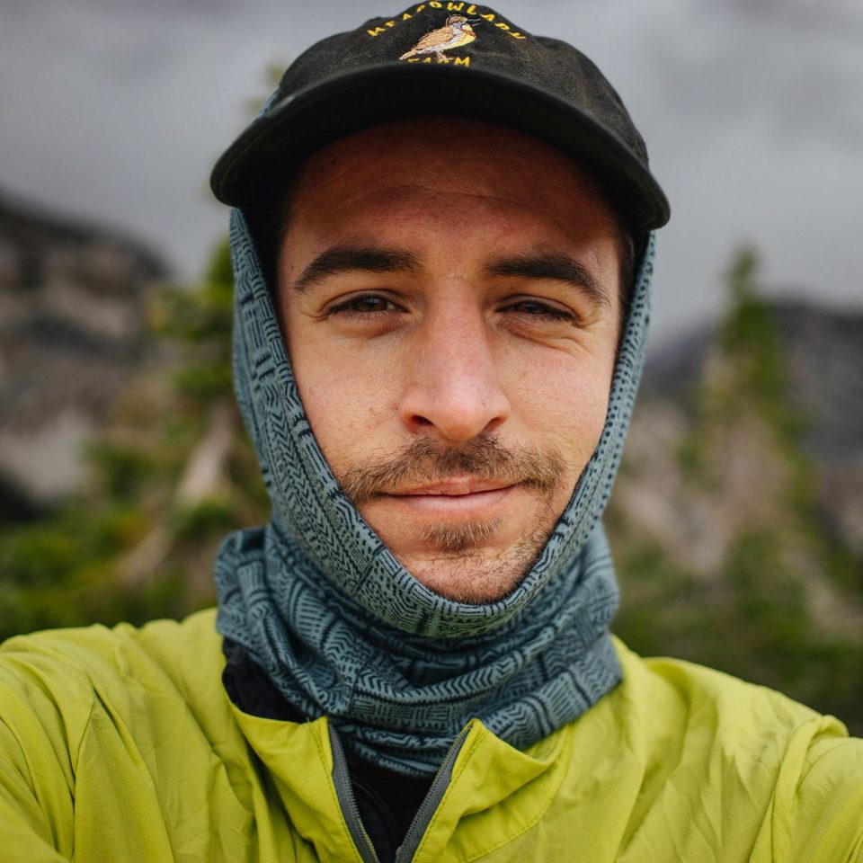
Matthew Wordell
Guest Contributor
Matt discovered mountain biking by accident while winter commuting to classes at Boise State University. Encouraged by a friend to hit the trails in 2015, an immediate passion for singletrack turned toward bikepacking after building a few makeshift bags and heading out for his first overnighter. Matt works and lives in Boise, ID, as a photographer and co-owner of Visionkit Studio. Follow along on instagram @mhwordell @visionkitstudio
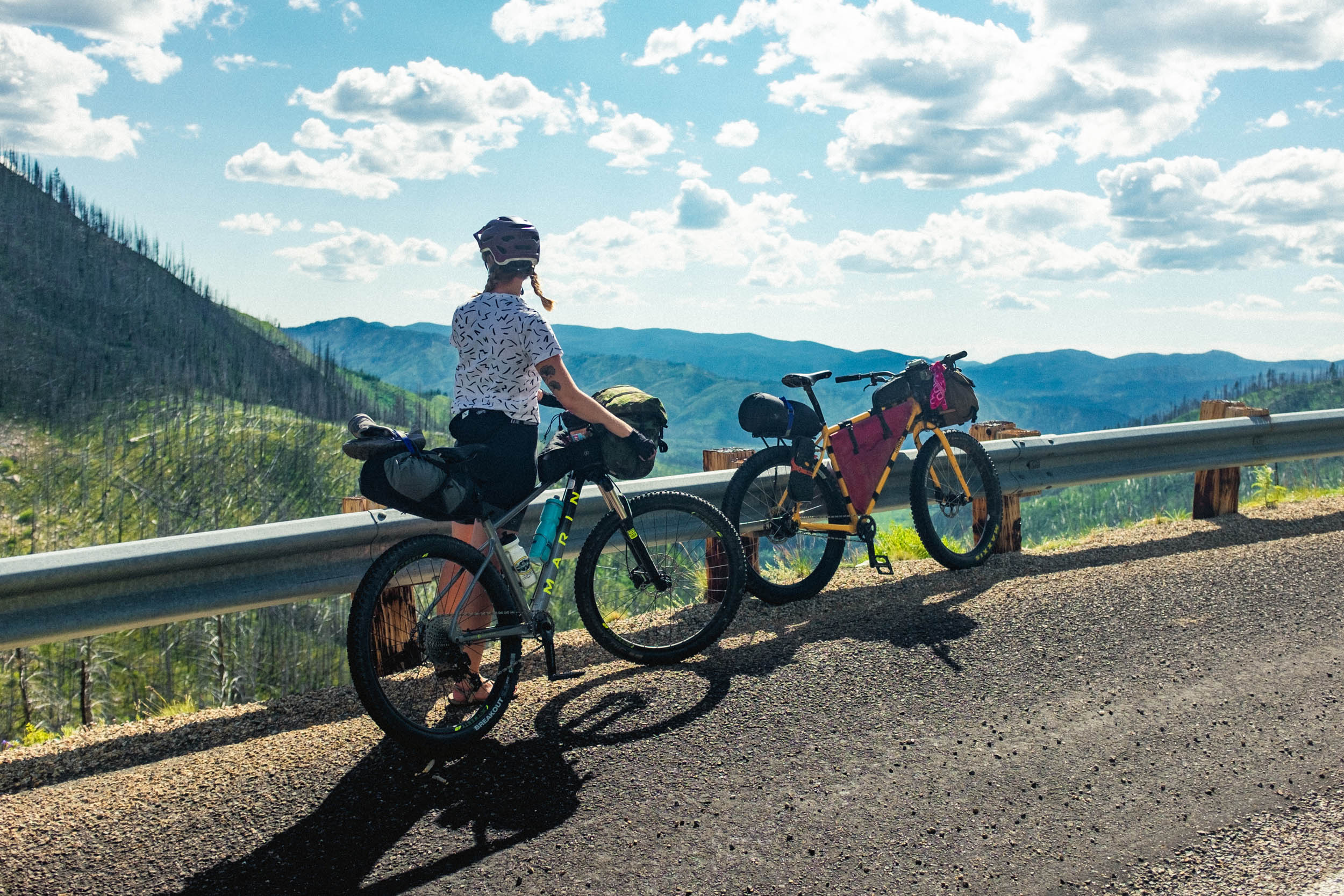
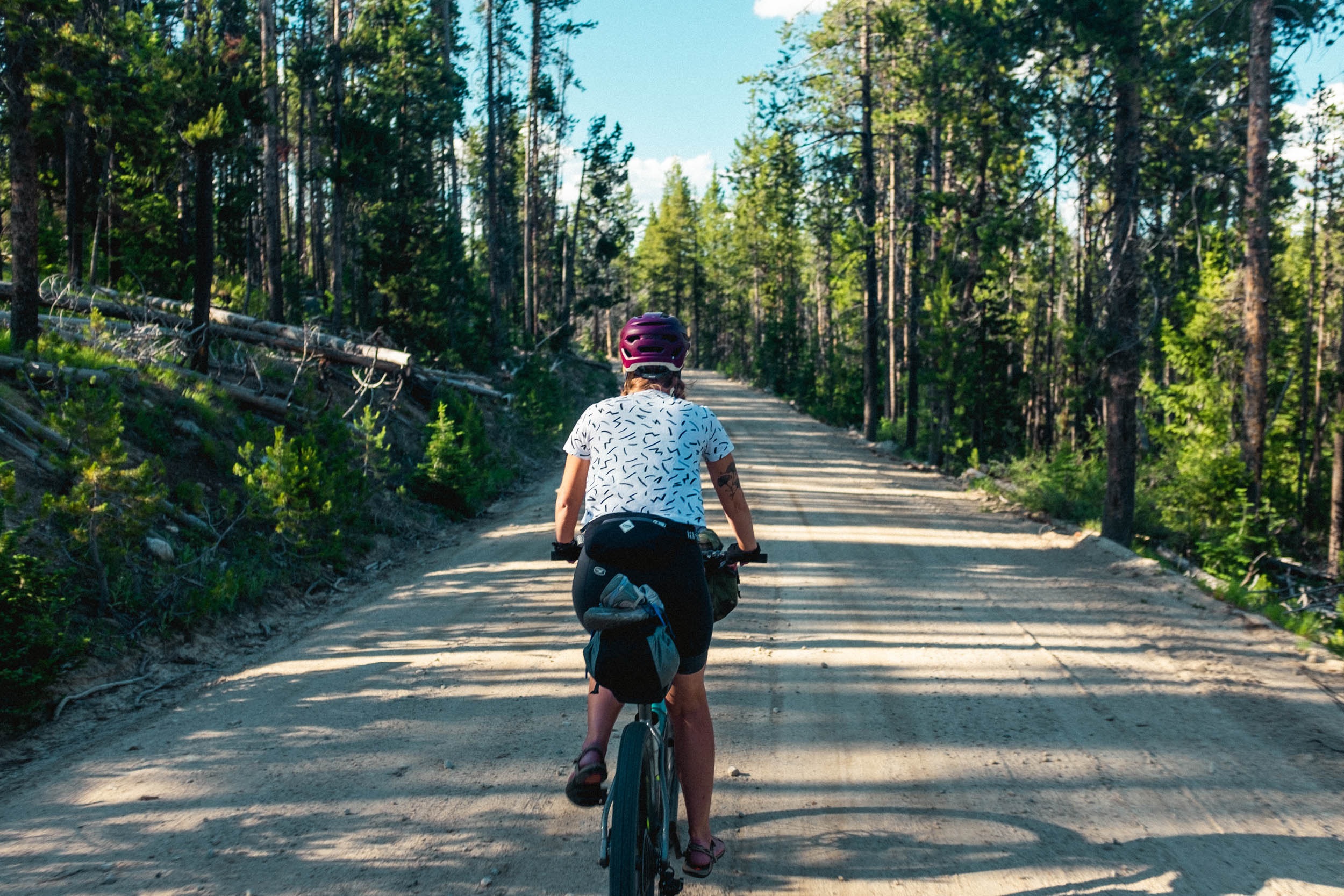
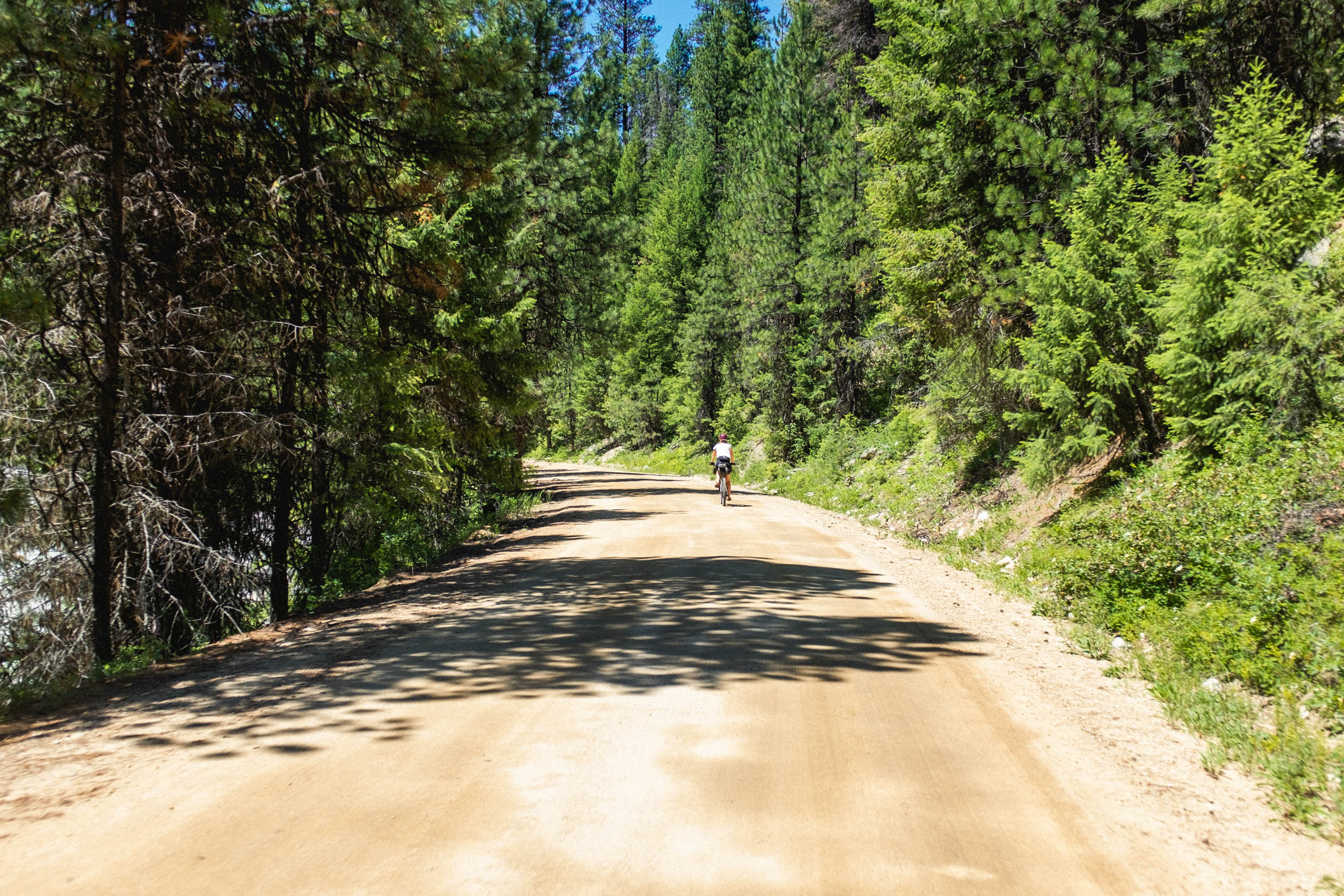
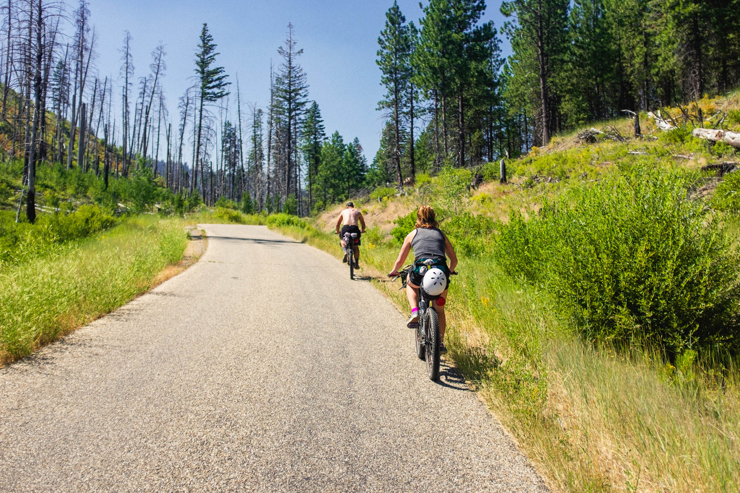
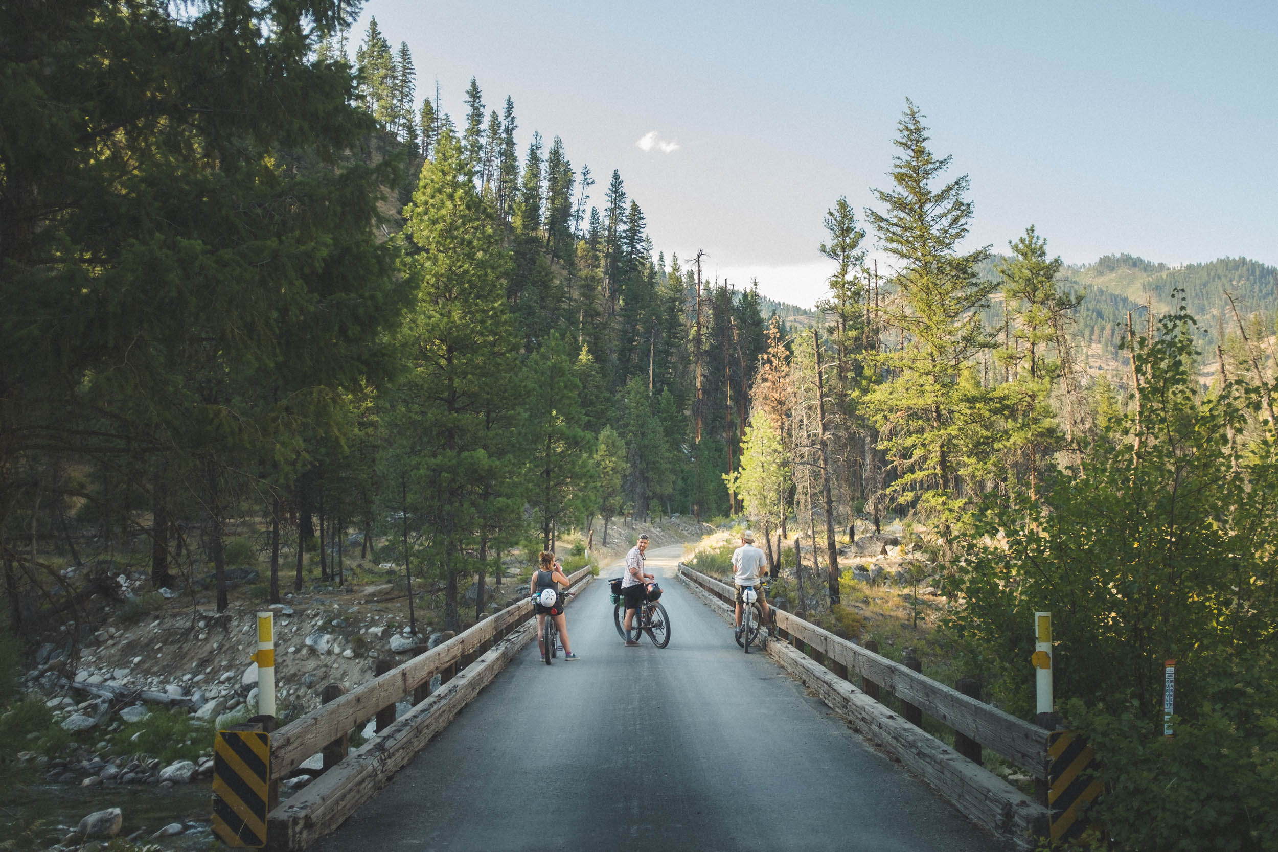
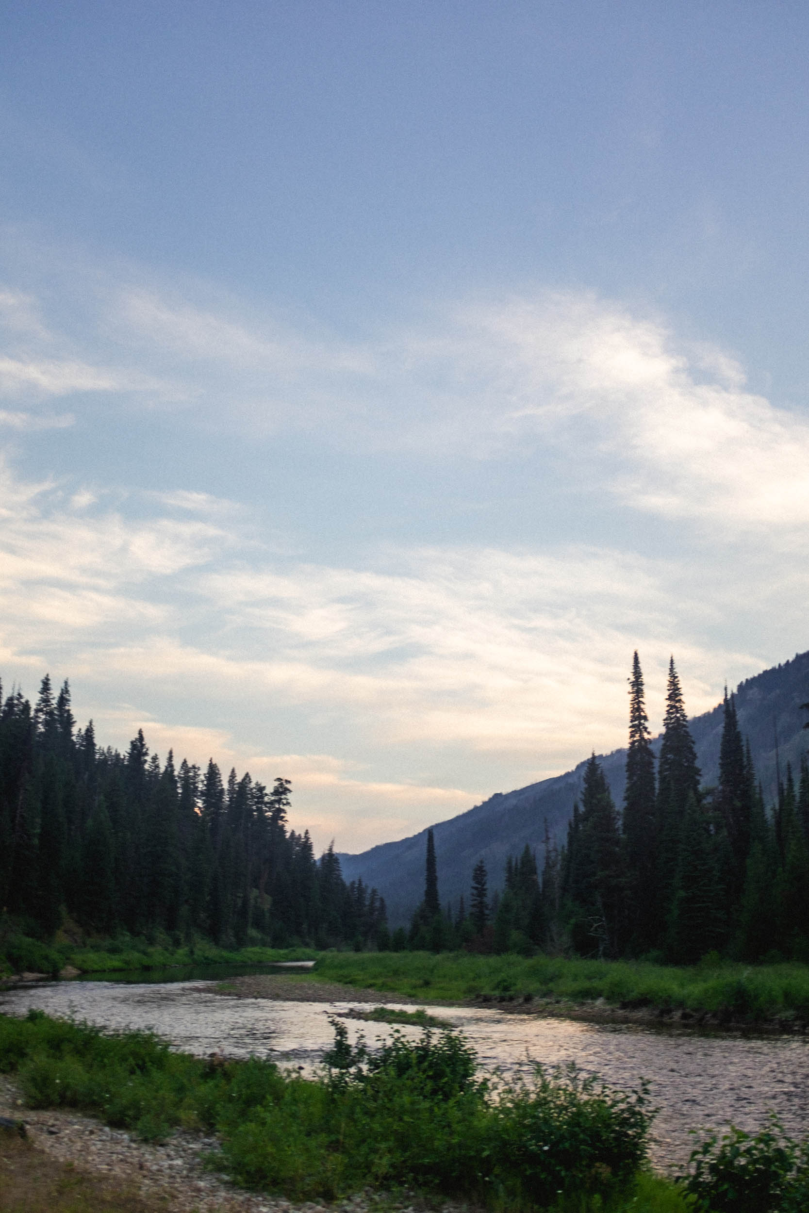
Ah, the Warm Lake Wanderer. Even the faintest whisper of such a name sparks the imagination. And lo! The imagination isn’t far off. The WLW is a dirt and paved road loop through the beautiful Boise and Payette National Forests, a short drive north from Boise, Idaho, a bustling, resplendent town perfect for resupplies, making friends, or resting up before your next big Idaho outing. In classic weekender fashion – it’s recommended to drive up early Friday, park, and begin riding midday with a Sunday evening return. It’s also a great training route and can be ridden in a single day… if you’re into that sort of thing.
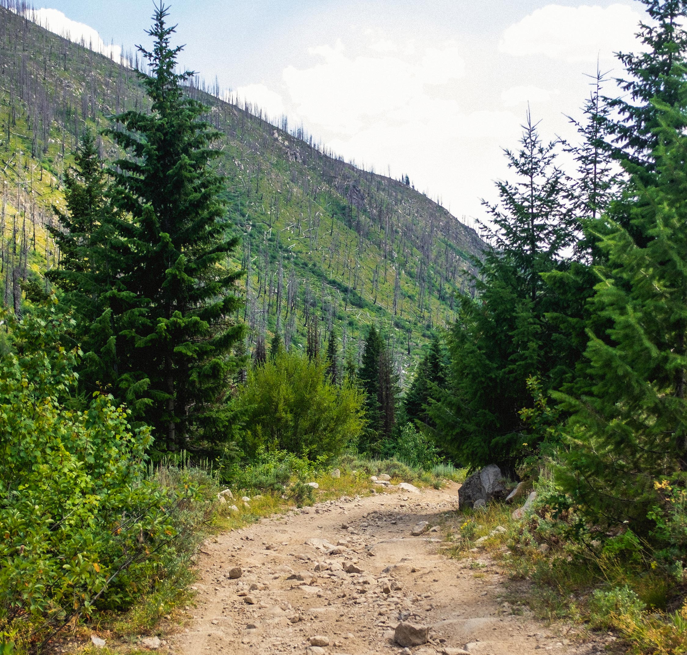
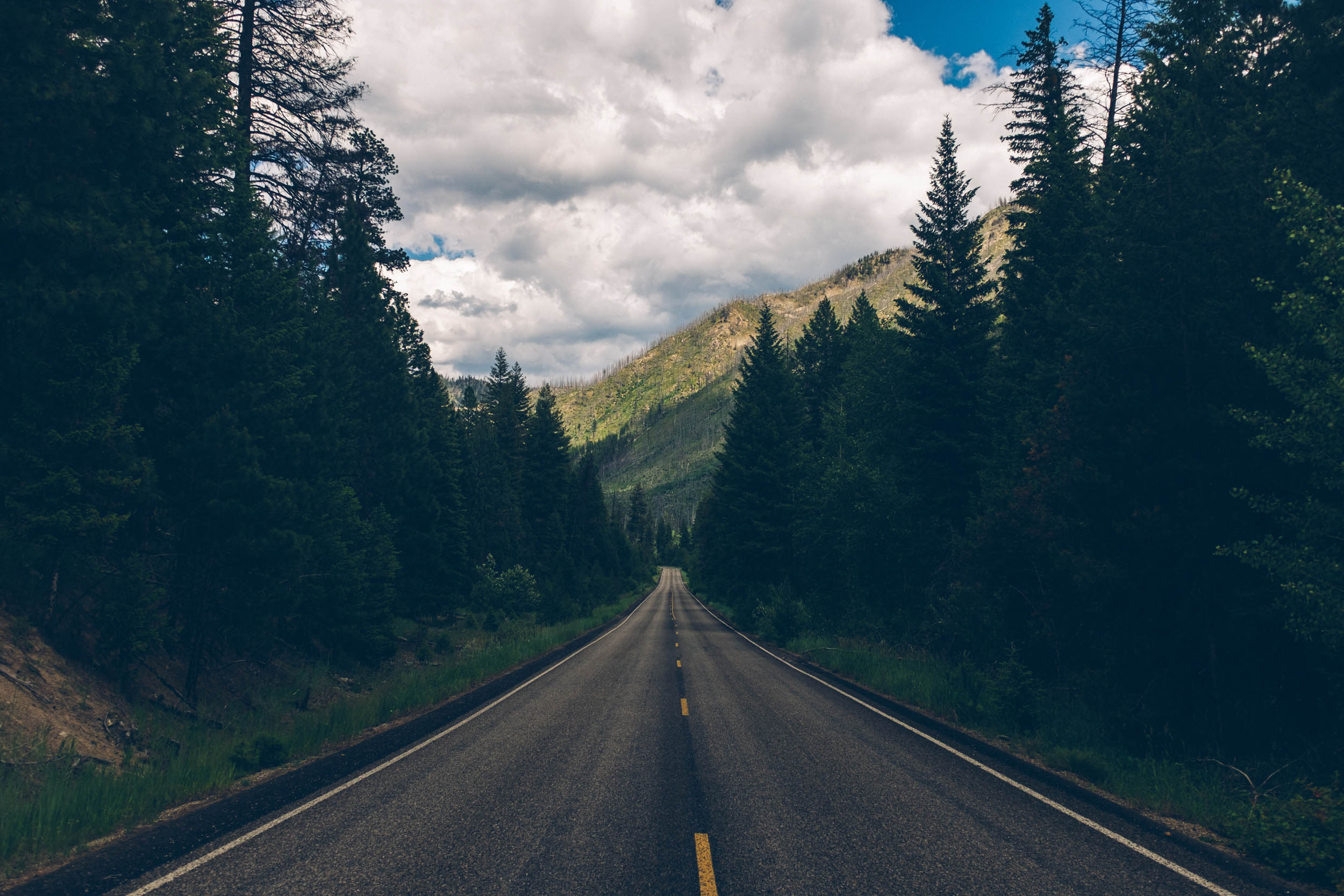
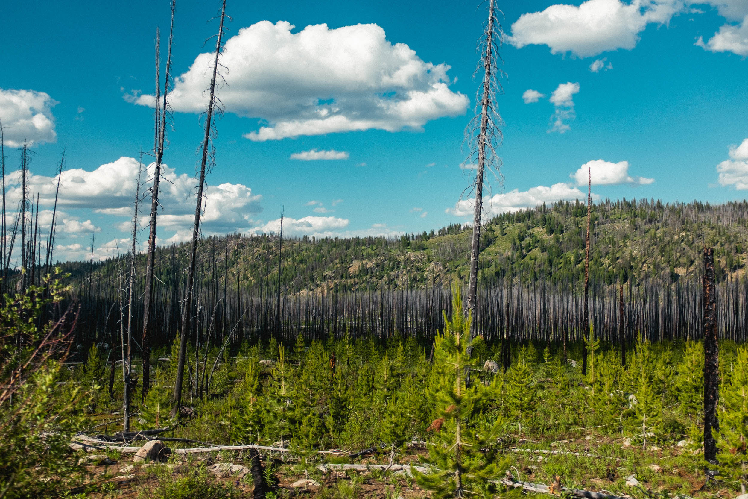
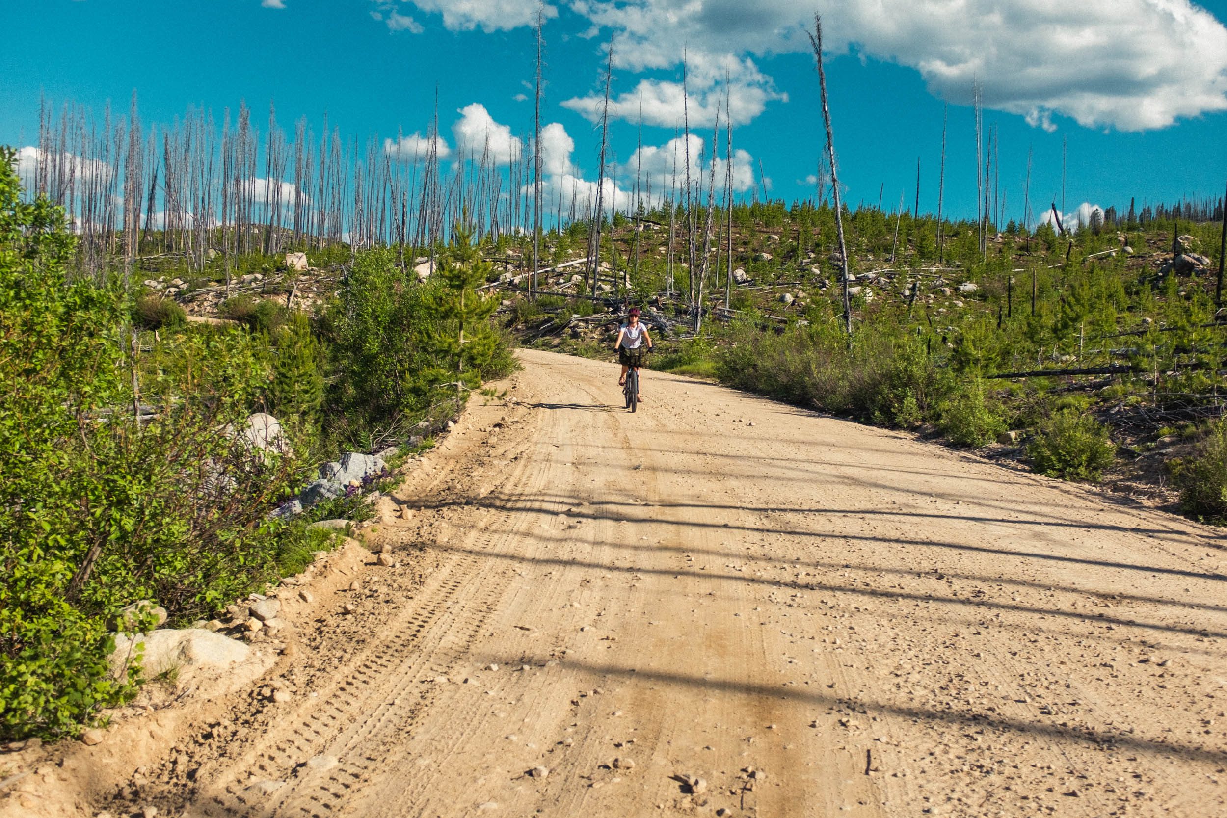
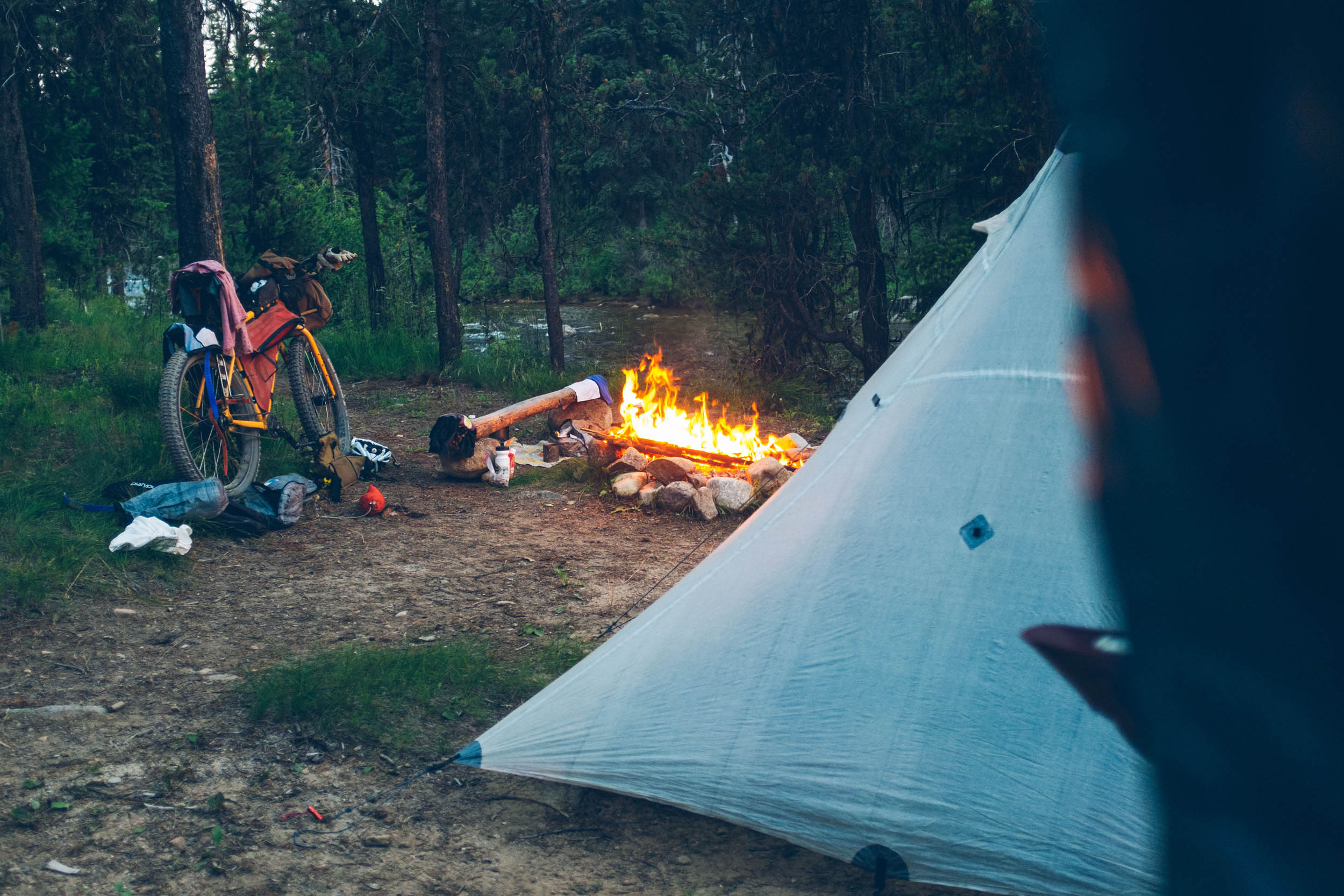
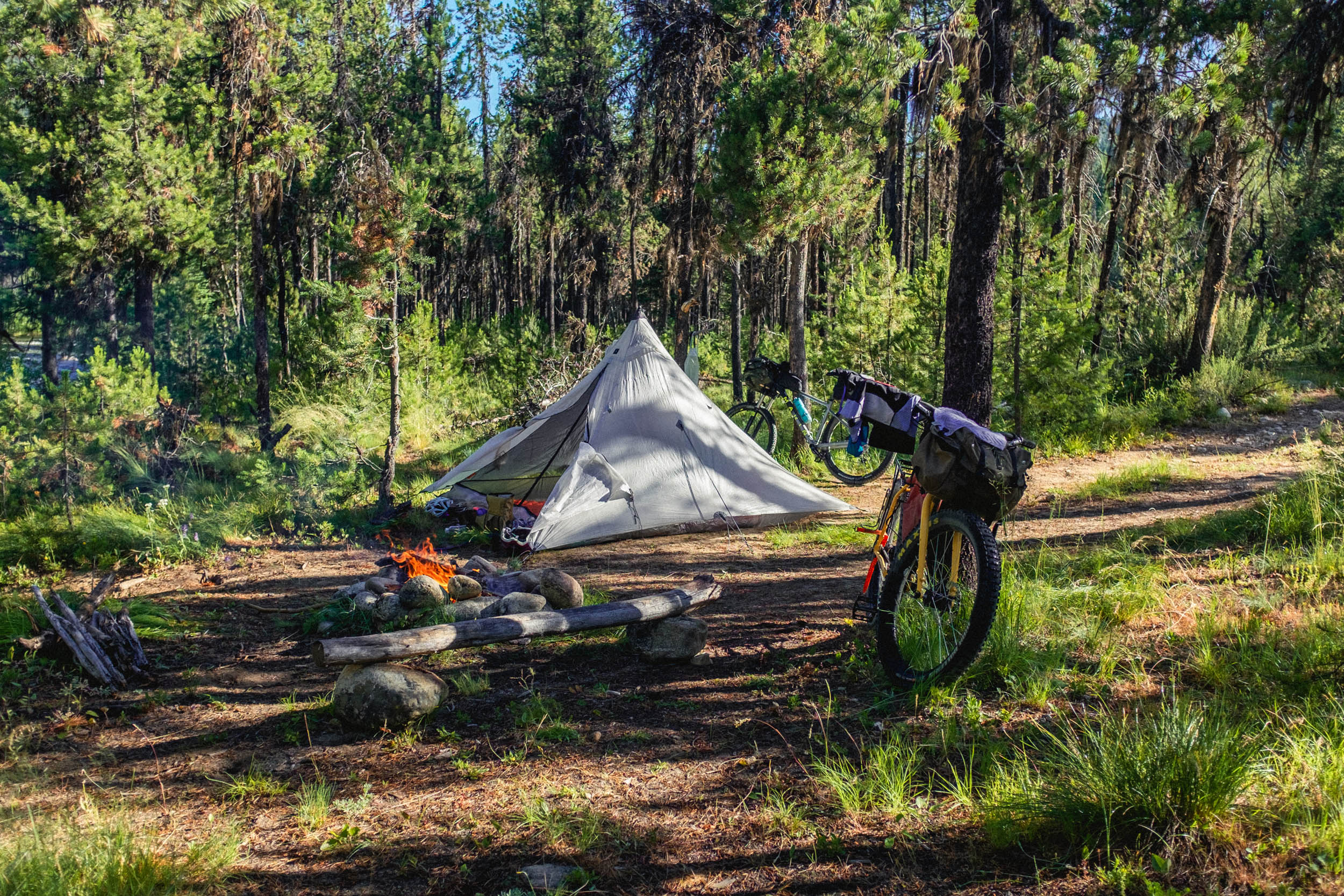
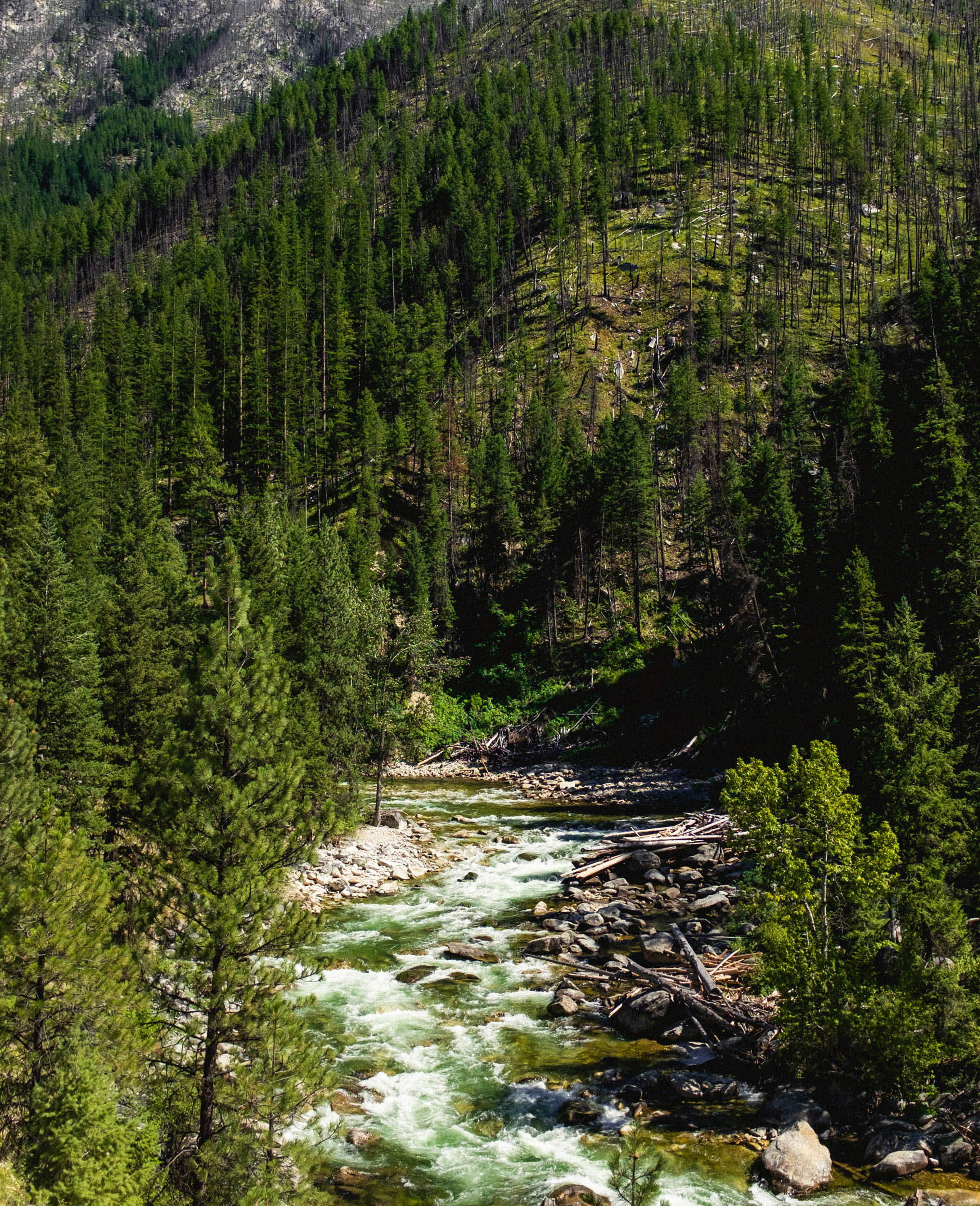
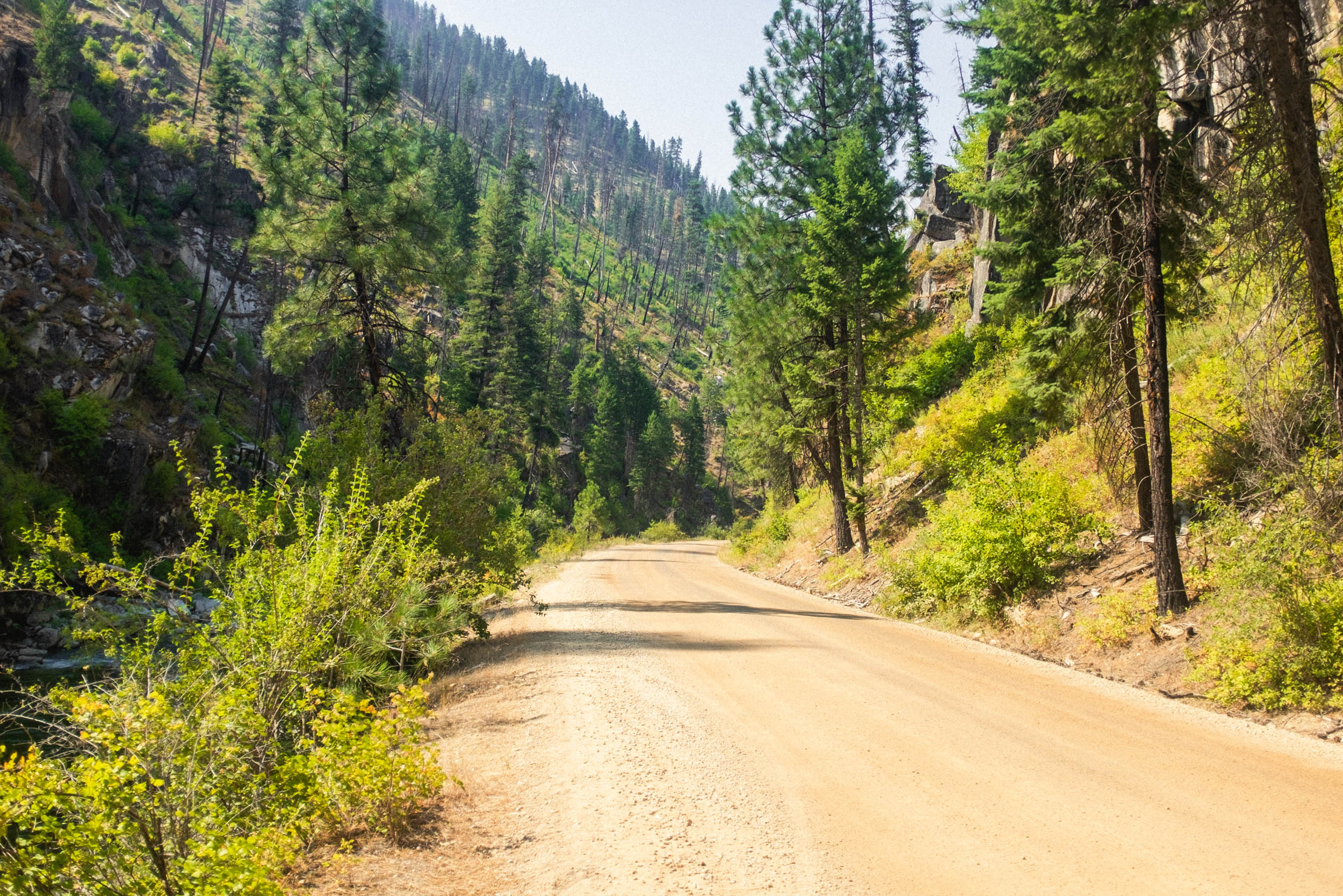
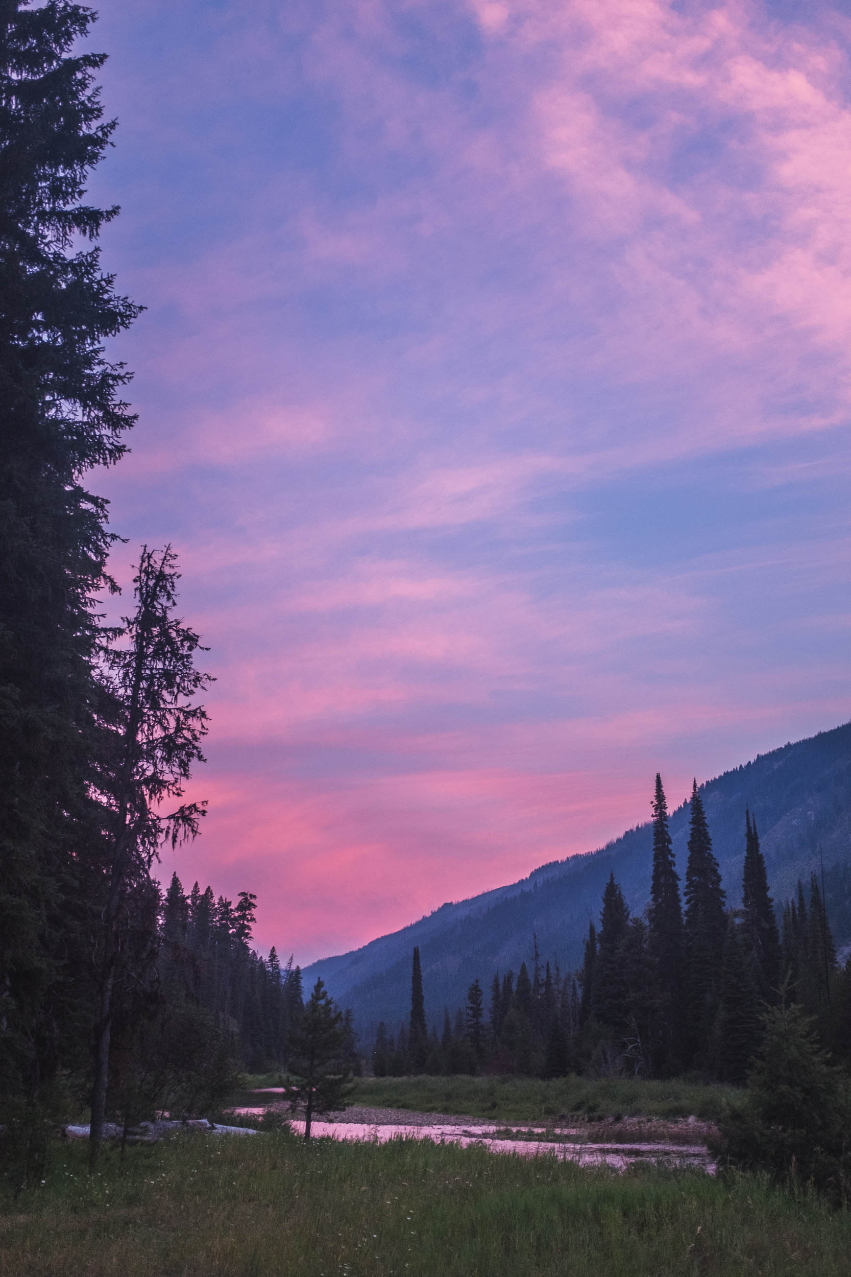
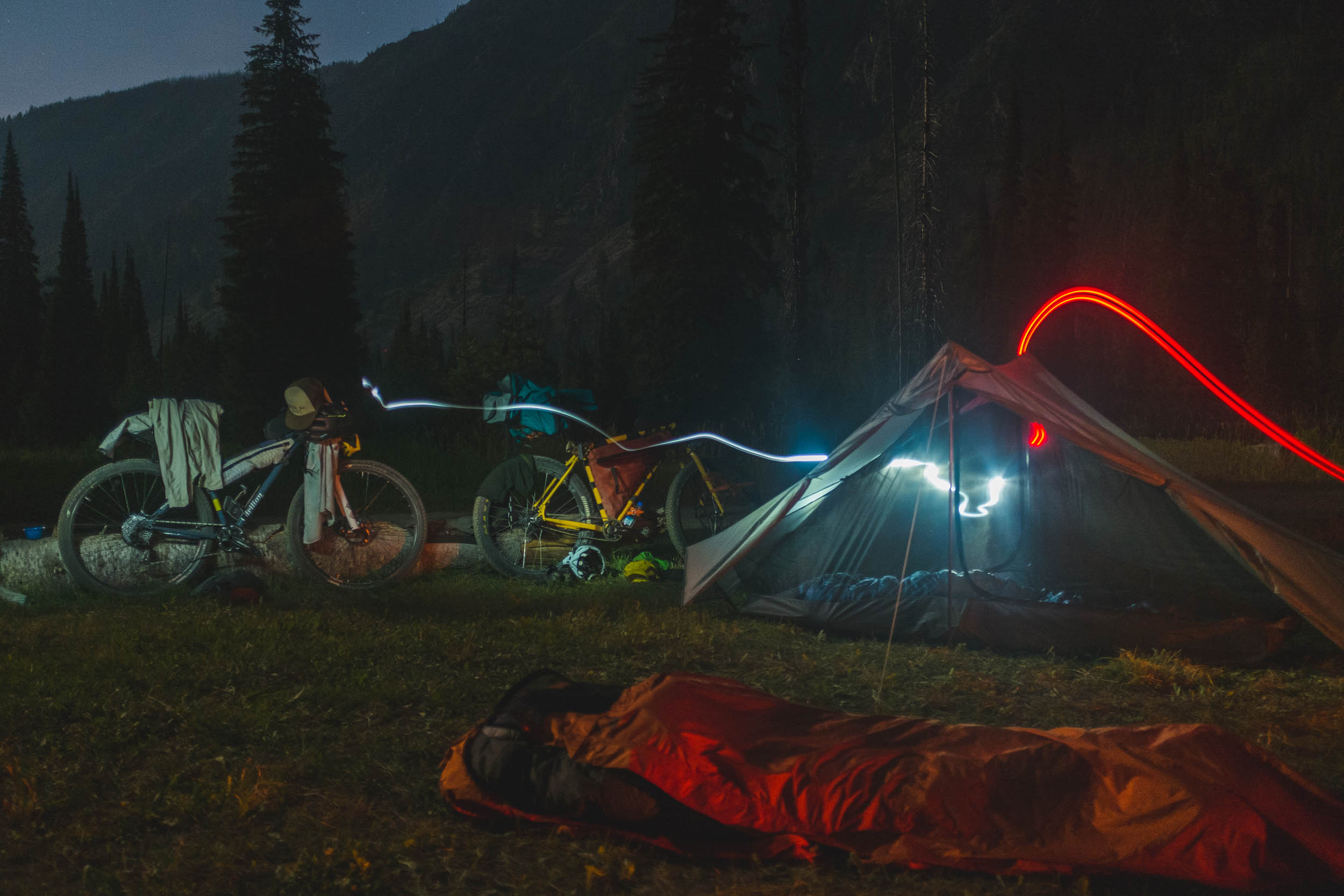
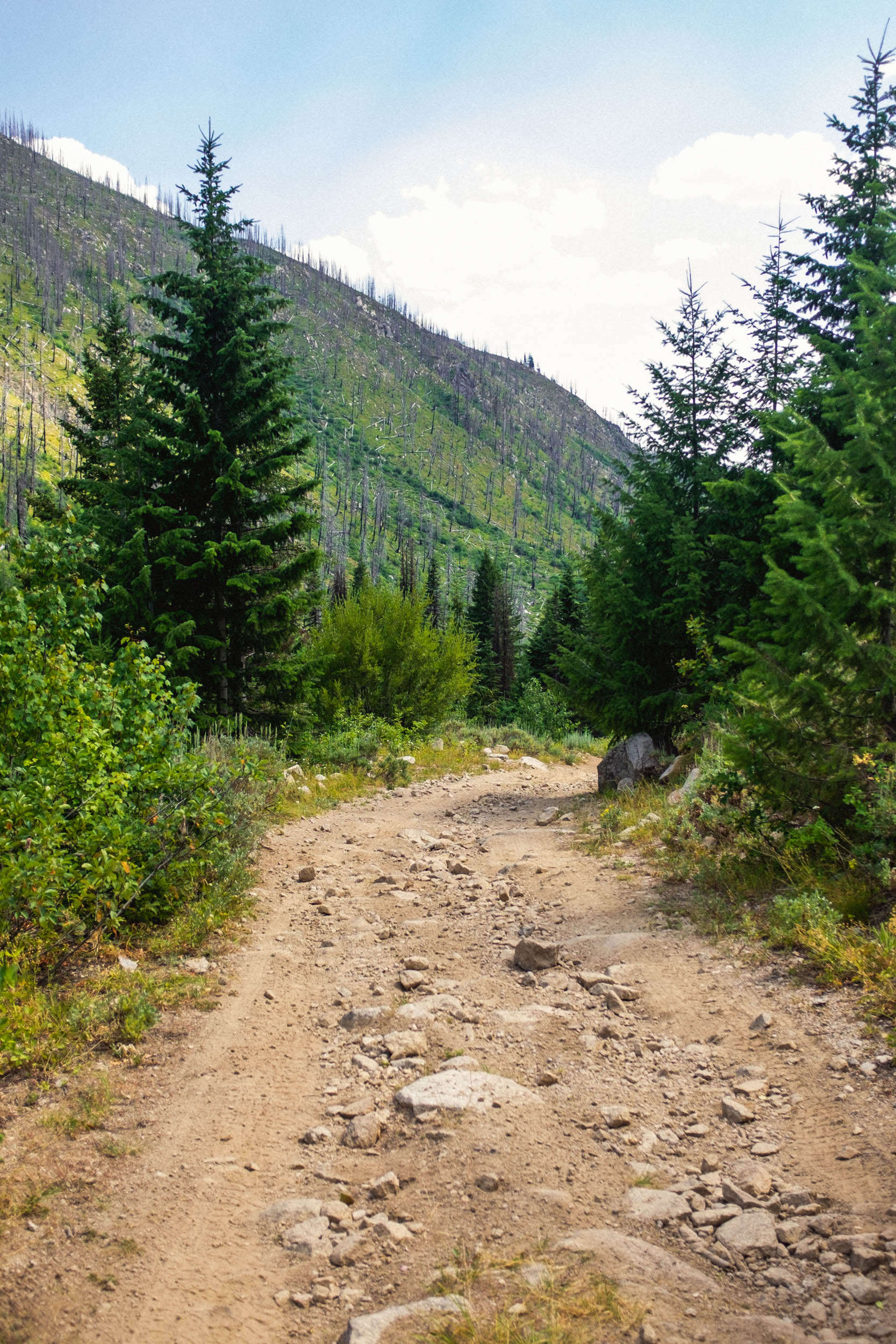
Take a scenic drive north along the Payette River and through the quaint town of Cascade, then turn east and start winding through the mountains toward Warm Lake. You’ll be able to easily find parking around the lake, but I’d recommend a lightly used parking lot near Warm Lake Lodge (a great stop for any last-minute supply needs) this will be a good place to start your journey. A sustained pavement climb gets things cooking right out of the gate before a brief but lively descent toward Landmark forest service station and the beginning of tree-lined dirt roads heading north toward the mountain town of Yellow Pine. Tracing alongside beautiful Johnson Creek, through striking burn areas and lush forests, this section has a delightful mix of climbing and steep descents that are sure to induce smiles and check the box for a solid first day on the bike. About eight miles before Yellow Pine, keep an eye out for dispersed camping opportunities and river access. Ice Hole is a nice established option with bathrooms and a view of the mountains.
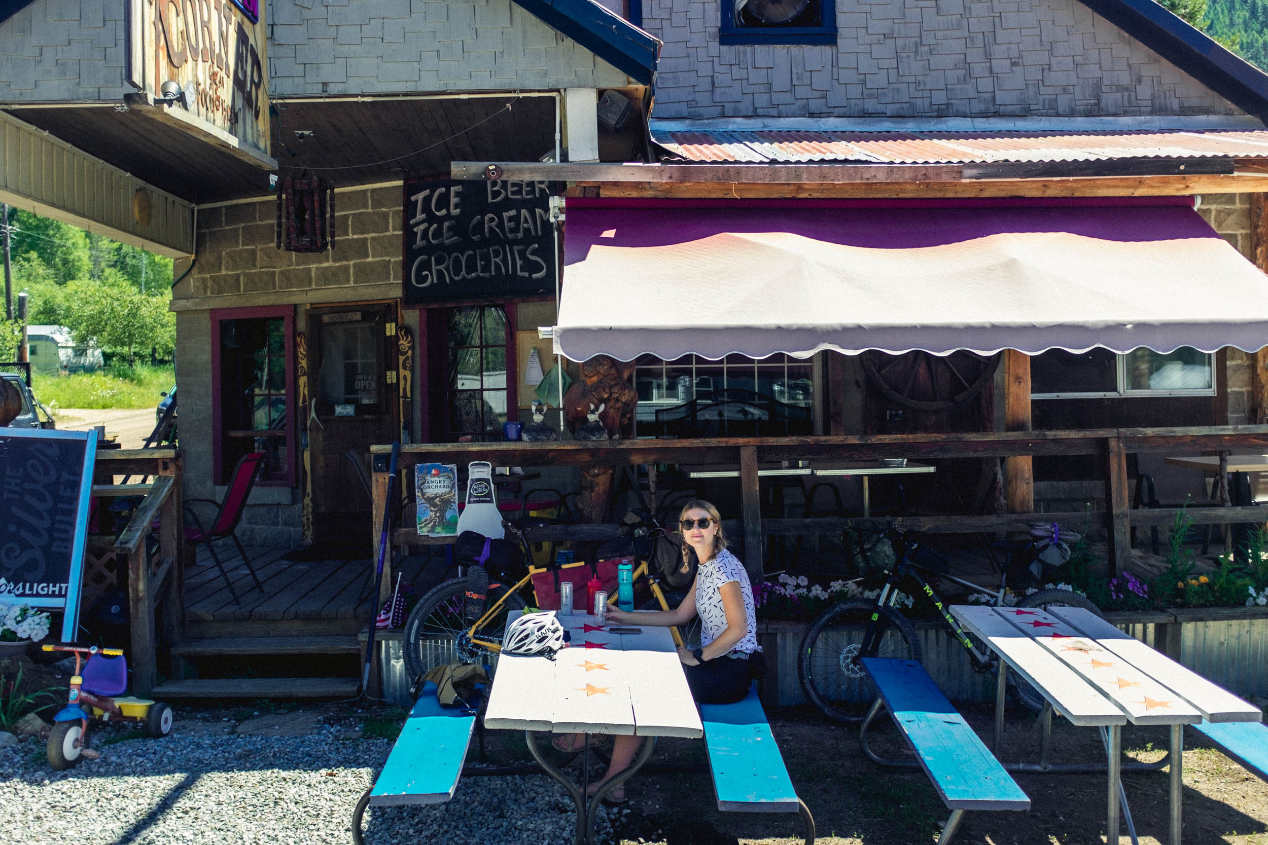
Day two begins with a brief jaunt into Yellow Pine where riders are encouraged to take advantage of the local hospitality and beer offered at “The Corner.” If you’re fortunate enough to roll into Yellow Pine during the famous harmonica festival, come prepared for a good time and plan to stay a while.
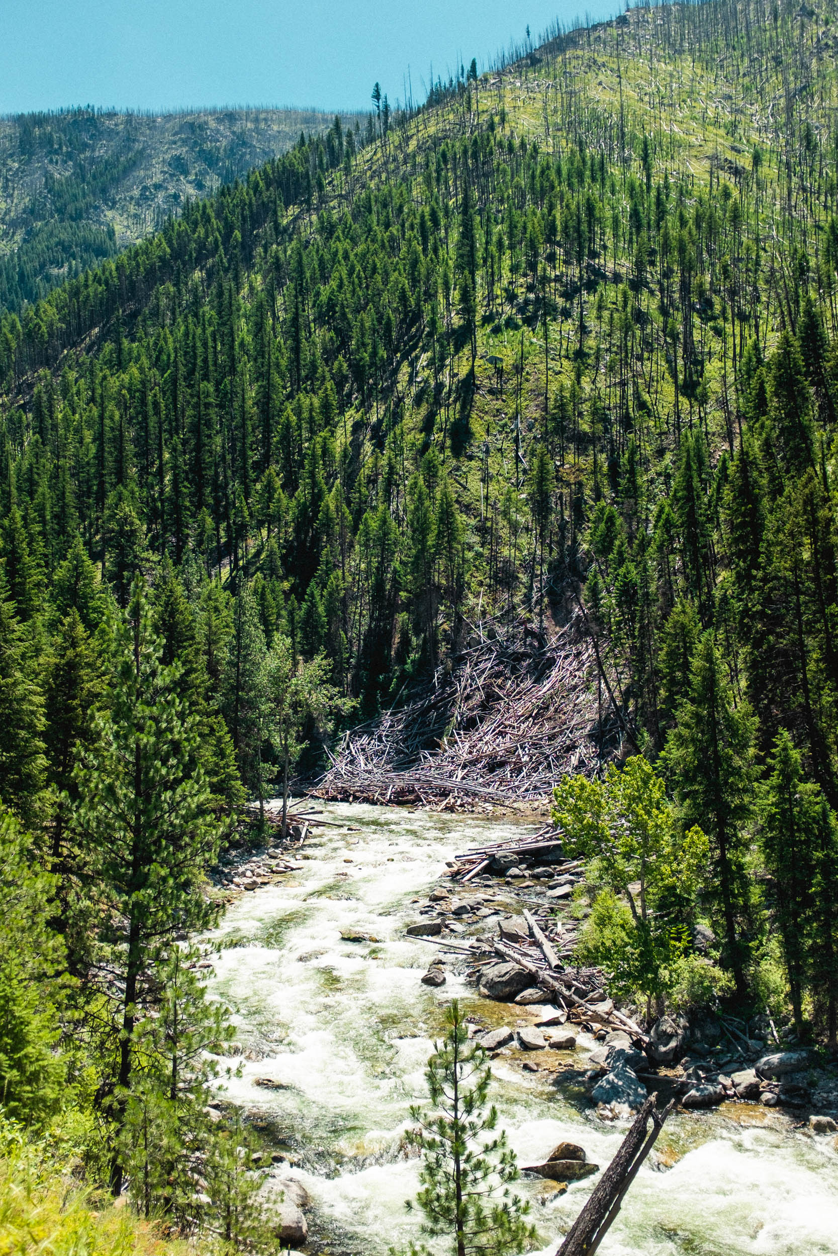
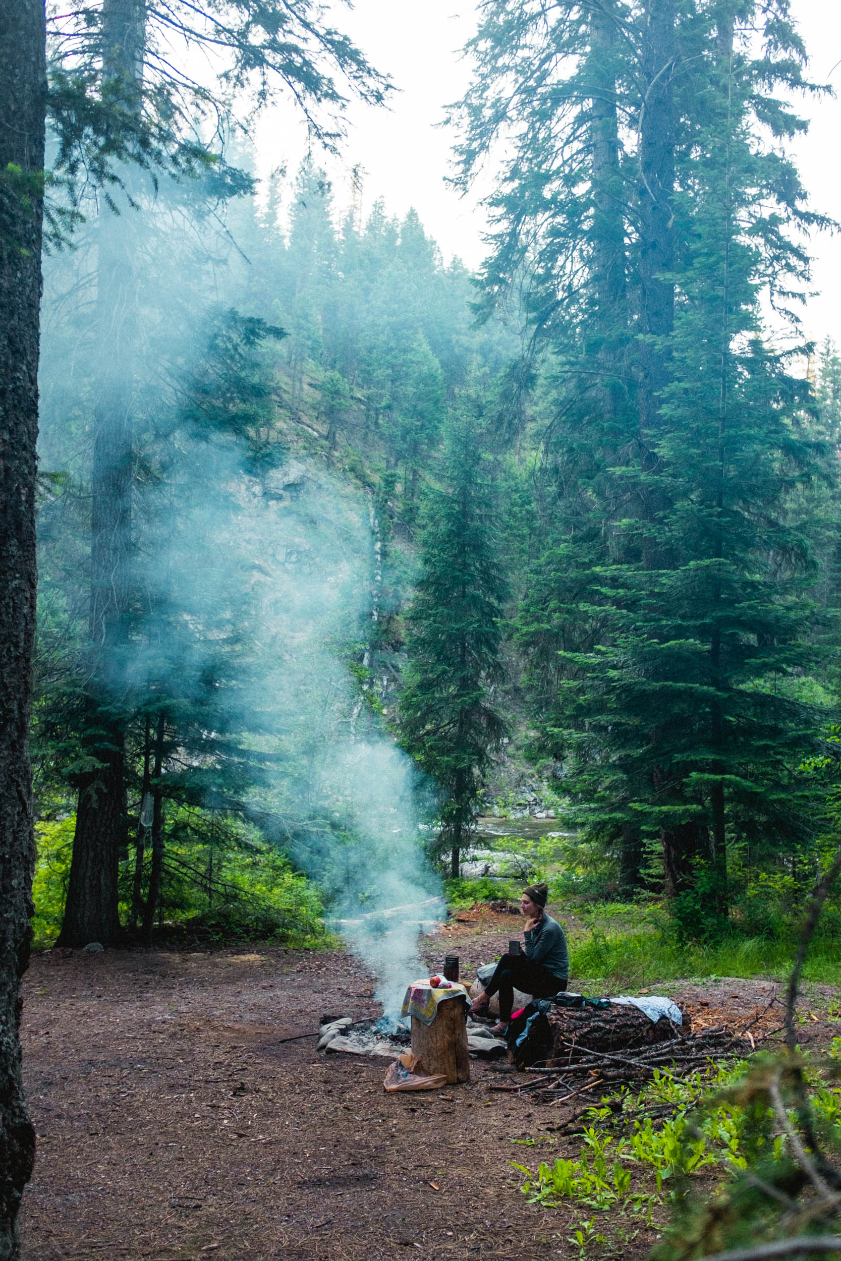
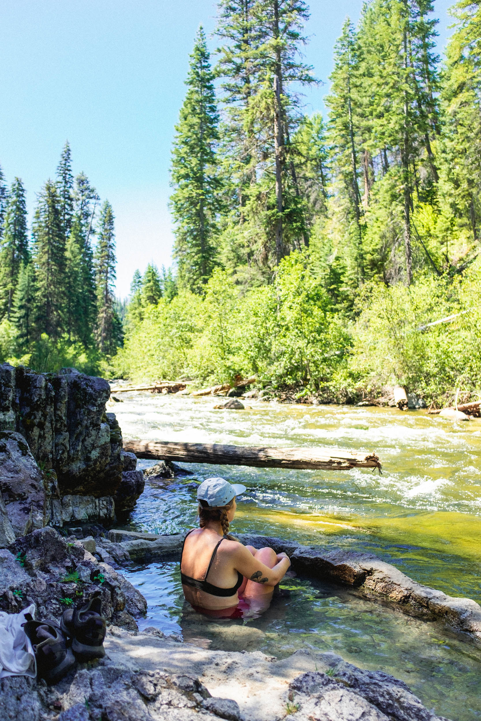
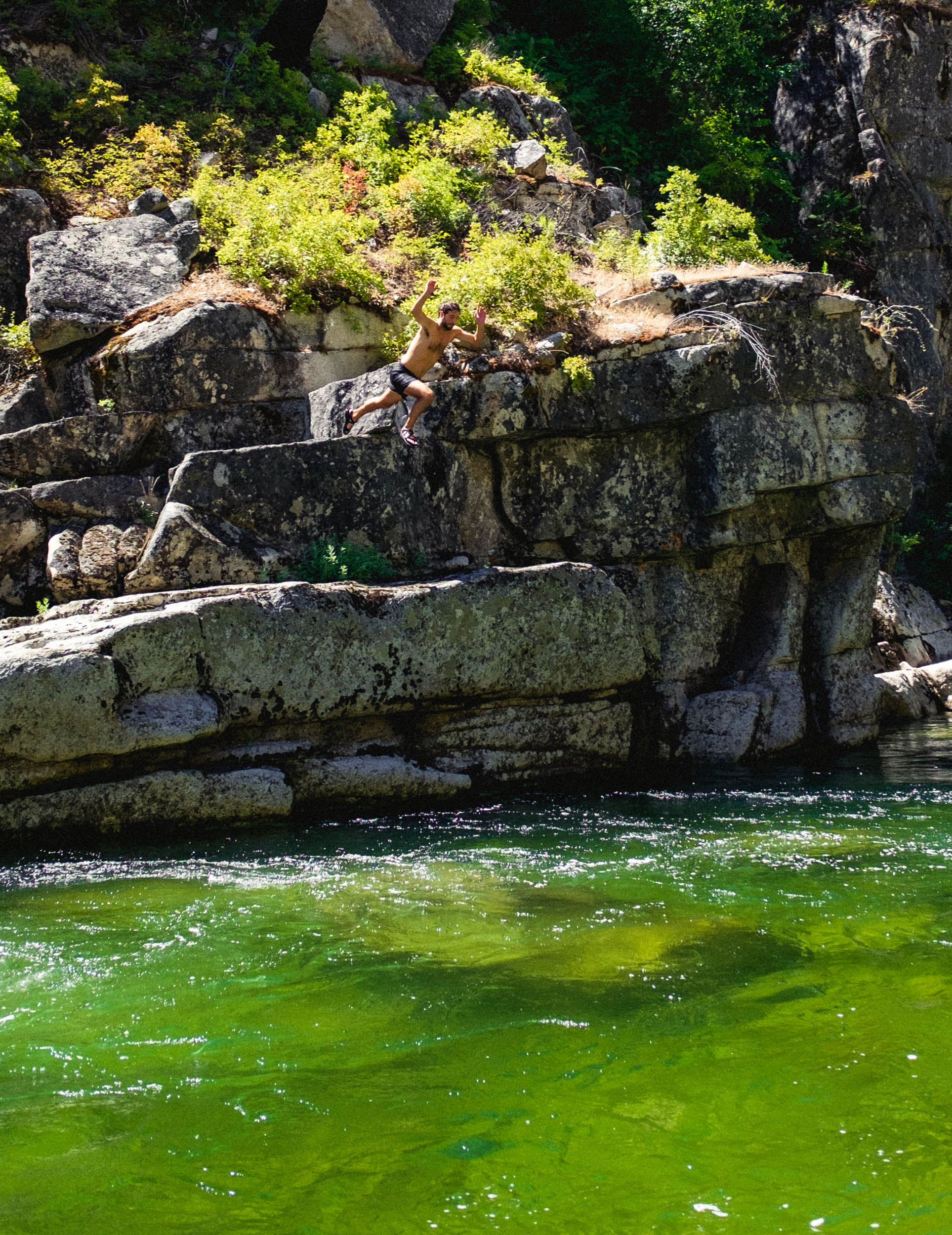
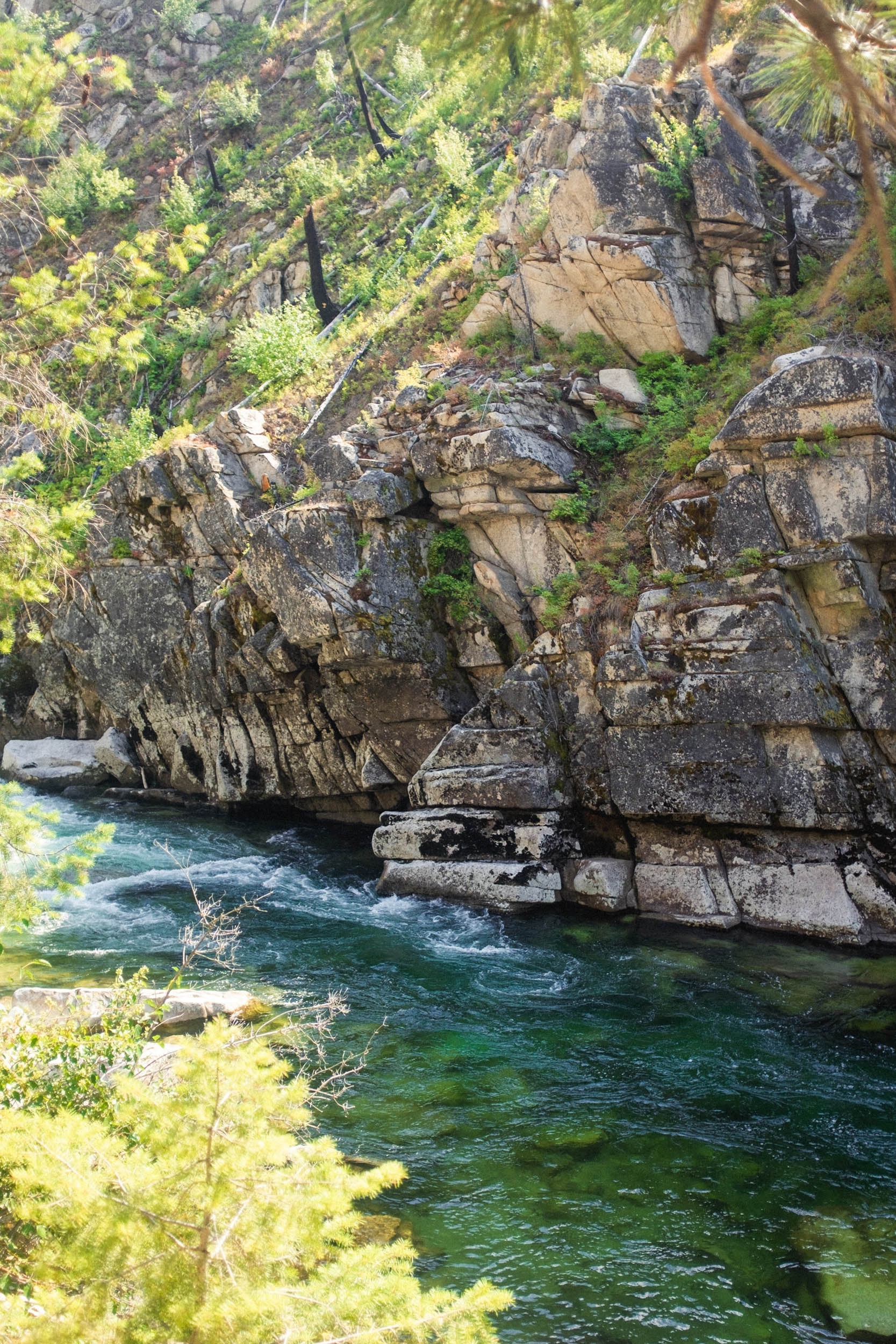
Departing from Yellowpine, the Salmon River beckons with emerald green waters and picturesque swimming and fishing holes. The idea here is that there’s really no rush to get anywhere. Take a break and bask in the glory of a hot Idaho summer sun. Dip your toes. Whistle a tune. Stay a while. Once the time of putting down miles has officially arrived, turn south onto ancient pavement and follow the mighty confluence of the Secesh and Salmon Rivers. Keep an eye out for mile marker 16 and a small staircase leading down to a collection of hot springs. Just a mile beyond this marker is a wonderful campsite tucked off the road alongside the river—the perfect spot to post up for the night and make returning trips to the springs.
Wrap up the ride with a few punchy climbs and some smooth undulating sections of road that will have you feeling refreshed from a weekend of wandering. Upon returning, head toward the Warm Lake recreation area for a farewell dip in the lake before the drive back to town.
ALTERNATE: There’s alternate route for those who liked their first time around so much they want to try it again (but with more challenges!). Rather than ride counter-clockwise, this version leaves clockwise from Warm Lake and cuts off of Johnson Creek to tackle the summit pass of Thunderbolt Mountain. Expect bushwacking, hike-a-bike, and very rough going on the descent back to the cutoff back to Warm Lake. Fun! Find that under the Trail Notes tab below.
Route Difficulty
Counter Clockwise: This route has been assigned an overall difficulty rating of 4 out of 10. The riding, navigation, access to water, and food availability in Yellow Pine make for an approachable ride. Two primary reasons for the rating of 4 are the several sustained climbs that can be challenging for beginner riders and made worse on especially hot summer days, as well as some sections where water isn’t available. Technical Difficulty: 1; Physical Demand: 4; Logistics: 3.
Clockwise over Thunderbolt Mountain Pass (see Trail Notes): This route has been assigned an overall difficulty rating of 6 out of 10. Same as above, however, the ride over Thunderbolt Mountain Pass is rugged, steep, and very challenging when riding downhill due to rock washouts and boulder fields, but it can be ridden. Be prepared for anything on this section of road as there is almost no way for help to get to you. Technical Difficulty: 6; Physical Demand: 7; Logistics: 4.
Route development: The Warm Lake Wanderer was created in partnership with friends and fellow cyclists Jason Harris and Zach Voss, who contributed to the route planning and logistics.


Submit Route Alert
As the leading creator and publisher of bikepacking routes, BIKEPACKING.com endeavors to maintain, improve, and advocate for our growing network of bikepacking routes all over the world. As such, our editorial team, route creators, and Route Stewards serve as mediators for route improvements and opportunities for connectivity, conservation, and community growth around these routes. To facilitate these efforts, we rely on our Bikepacking Collective and the greater bikepacking community to call attention to critical issues and opportunities that are discovered while riding these routes. If you have a vital issue or opportunity regarding this route that pertains to one of the subjects below, please let us know:
Highlights
Must Know
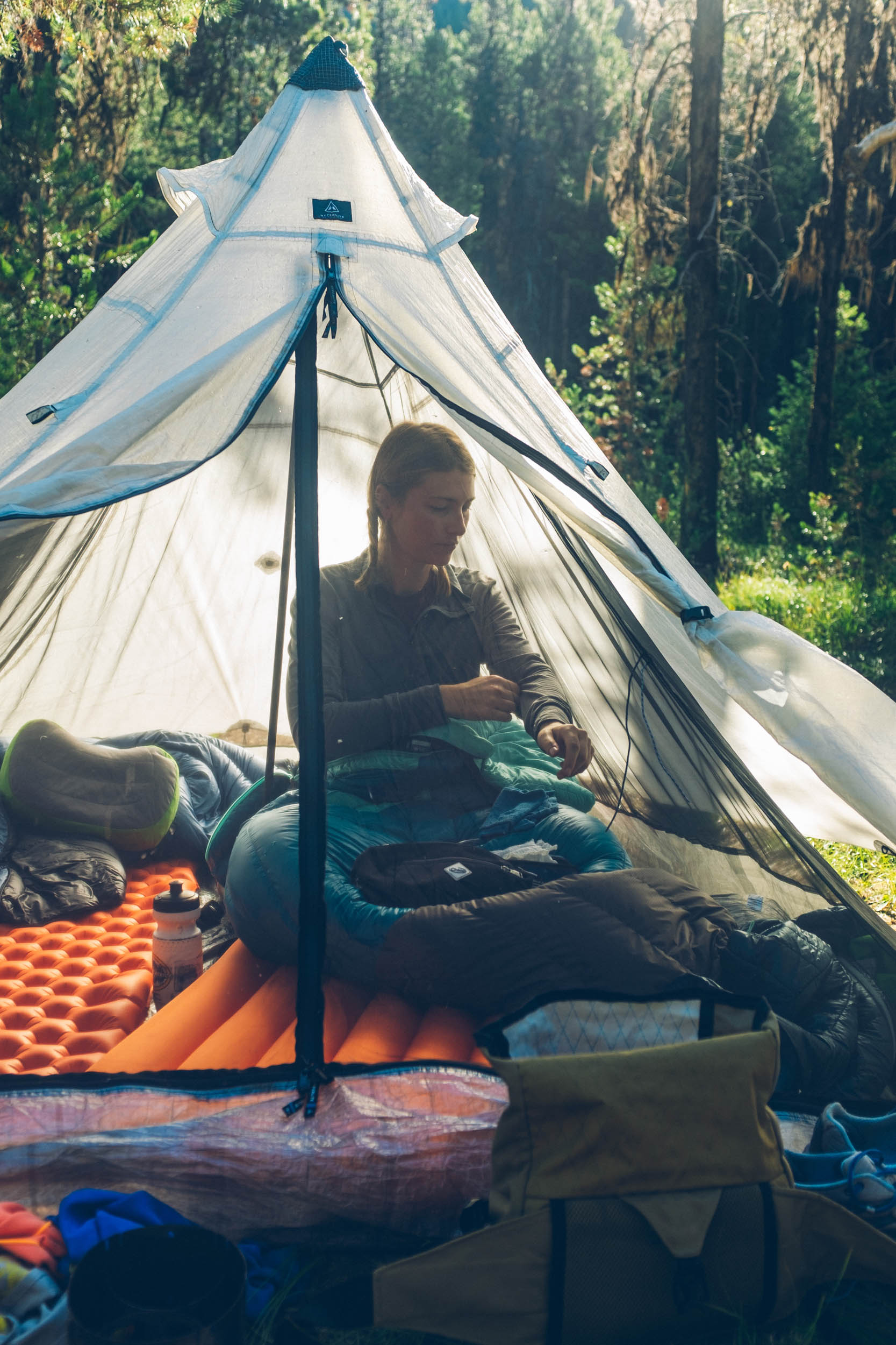
Camping
Food/H2O
Trail Notes
Resources
- A great route for riders of all skill and experience levels.
- Tons of water access for swimming, fishing, and staying exceptionally hydrated.
- Hot springs make for a perfect end to day two.
- Yellow Pine: In 1906, Albert Behne established the first post office and mail service. In 1924, he received the patent on the 47½ acres where the village presently exists. In 1930, at the age of 76, he platted the original Yellow Pine townsite.
- When to go: Late May to September are the best months to ride this route.
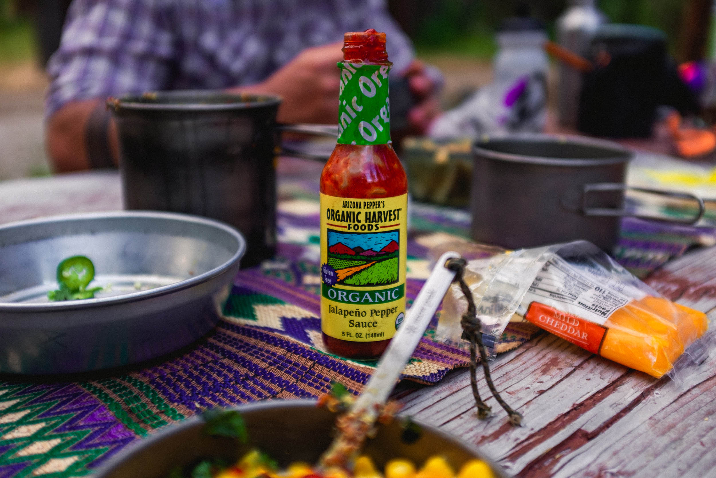
- Logistics: Access Warm Lake via Cascade from Boise, Idaho. Parking is available near the lodge and should be free for overnight or two-night use. Check with the lodge if unsure.
- Bring cash if you decide to stay in one of the many campsites along the route.
- Water is abundant except for two small sections: at the beginning and shortly after leaving camp on the third day.
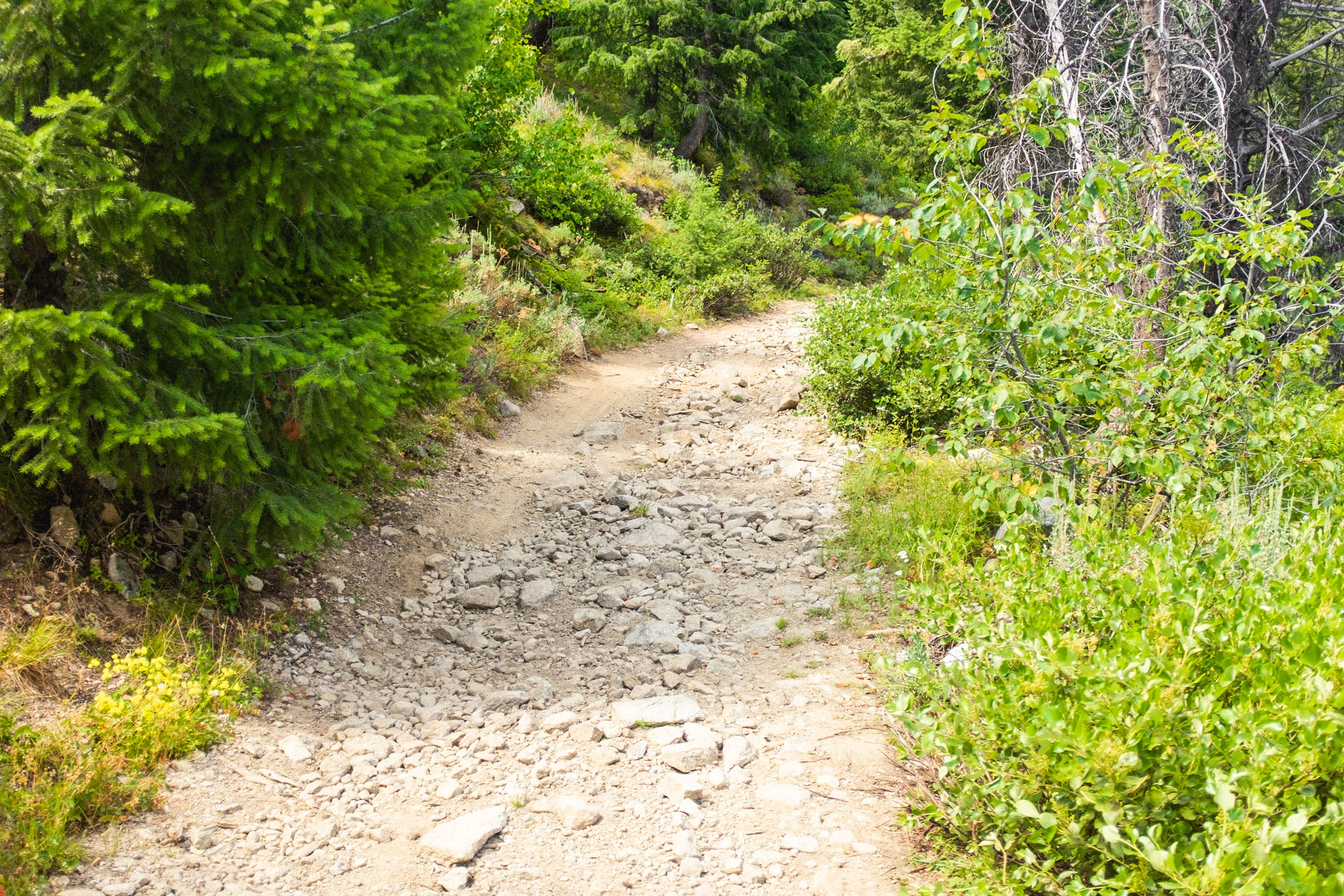
- The entire route is rideable as it takes place on unmaintained paved roads and forest service roads.
- There are a number of side roads that could be explored if you want to take your time on the route and branch out.
- If you decide to ride the clockwise route over Thunderbolt Mountain Pass, it’s highly recommended that you ride a mountain bike with high-volume tires. Around 2.8 – 3” tires would be solid. Expect hike-a-bike, challenging descents, and other unknown obstacles.
- There are a lot of established and dispersed camping opportunities throughout except along East Fork Road between Yellow Pine and NF 674.
- Established campgrounds on the route: Ice Hole, Twin Bridges, Trout Creek, Penny Springs, Poverty Flat, Four Mile, Lodgepole, Buckhorn, Krassel Creek, and Fitsum Creek.
- Established campsites typically cost between $8 and $15
- There are sections of private land along Johnson Creek, be mindful of these areas.
- Water is abundant along the entire length of the route with the exception of the first climb and the last section heading back to the car.
- Visit The Corner in Yellow Pine for beer, food, and small-town hospitality.
- Basic supplies can be found at the Warm Lake Lodge before or after the ride.
Thunderbolt Pass Alternate
Additional Resources
- A brief write up about Yellow Pine: ridemccall.com
- Take a deeper dive on Yellow Pine: yellowpinemuseum.org
- Hours of operation for The Corner: Google Maps and ypcorner.com
- Warm Lake Lodge: northshorelodgeidaho.com
- Intel on Thunderbolt Mountain: idahoaclimbingguide.com


Terms of Use: As with each bikepacking route guide published on BIKEPACKING.com, should you choose to cycle this route, do so at your own risk. Prior to setting out check current local weather, conditions, and land/road closures. While riding, obey all public and private land use restrictions and rules, carry proper safety and navigational equipment, and of course, follow the #leavenotrace guidelines. The information found herein is simply a planning resource to be used as a point of inspiration in conjunction with your own due-diligence. In spite of the fact that this route, associated GPS track (GPX and maps), and all route guidelines were prepared under diligent research by the specified contributor and/or contributors, the accuracy of such and judgement of the author is not guaranteed. BIKEPACKING.com LLC, its partners, associates, and contributors are in no way liable for personal injury, damage to personal property, or any other such situation that might happen to individual riders cycling or following this route.
Please keep the conversation civil, constructive, and inclusive, or your comment will be removed.