


Bear Bones Bash, Mid Wales
Distance
145 Mi.
(233 KM)Days
3-4
% Unpaved
60%
% Singletrack
10%
% Rideable (time)
96%
Total Ascent
15,500'
(4,724 M)High Point
1,790'
(546 M)Difficulty (1-10)
7.5?
- 7Climbing Scale Strenuous107 FT/MI (20 M/KM)
- -Technical Difficulty
- -Physical Demand
- -Resupply & Logistics
Contributed By

Cass Gilbert
Contributing Editor
Within British bikepacking circles, the Bear Bones 200 series claims a certain notoriety. Each year, organiser Stuart Wight knits together a challenging 200km route that pits a collection of riders against the vagaries of the Cambrian Mountains and the Welsh weather. Riders hurry around as fast as they can, earning a fabled black badge if they can do so in less than 24 hours, along with the promise of bacon butties and a mug of tea.
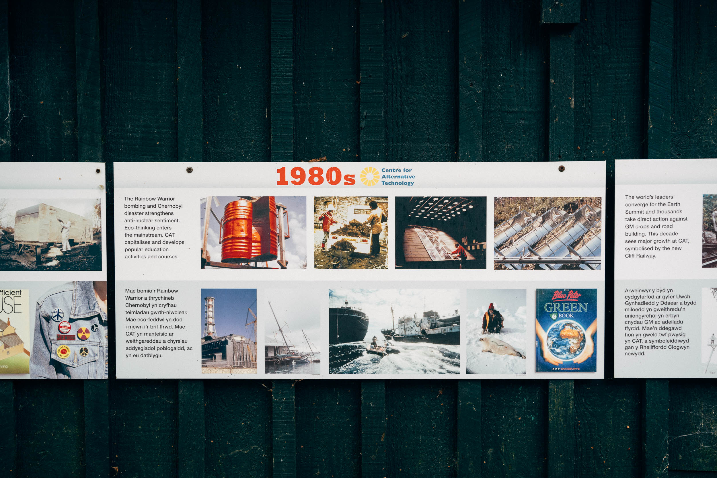
This route – which we’ve renamed the Bear Bones Bash – is based on one of the 2017 edition of this event, because according to Stu, “a lot of people seemed to actually enjoy that one”. However, it’s chopped up into more digestible portions and there’s a detour worked into Machynlleth too, to resupply and learn about sustainable living at the excellent Centre of Alternative Technology.
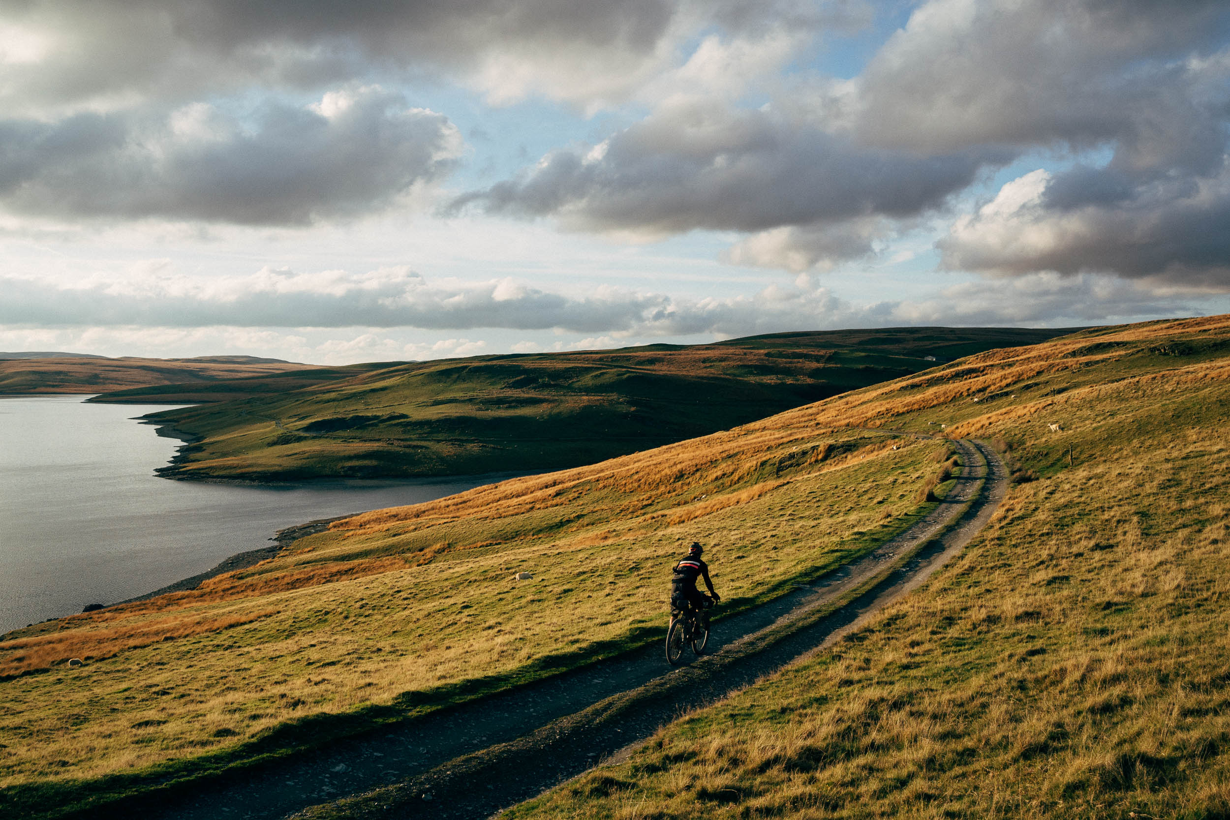
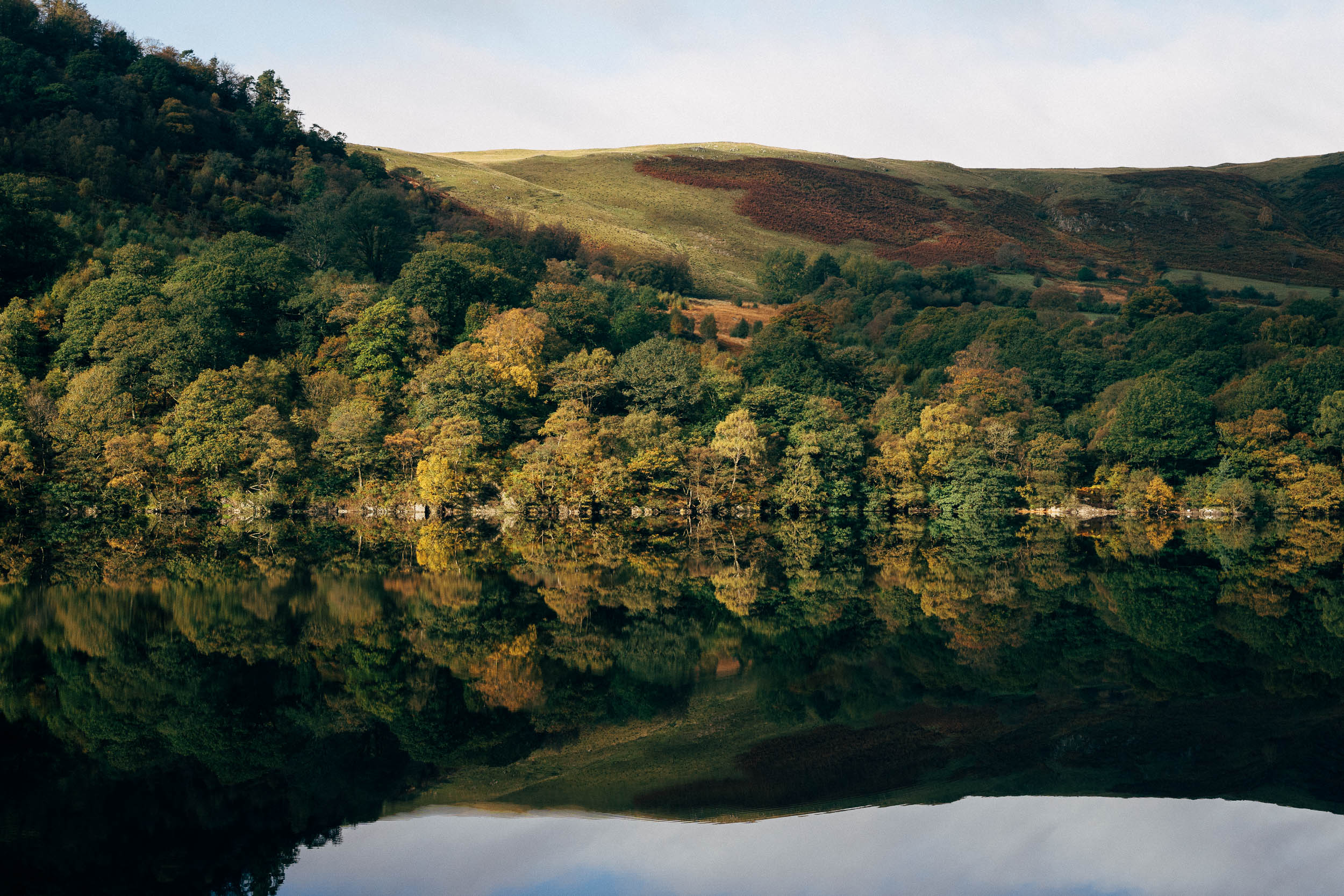
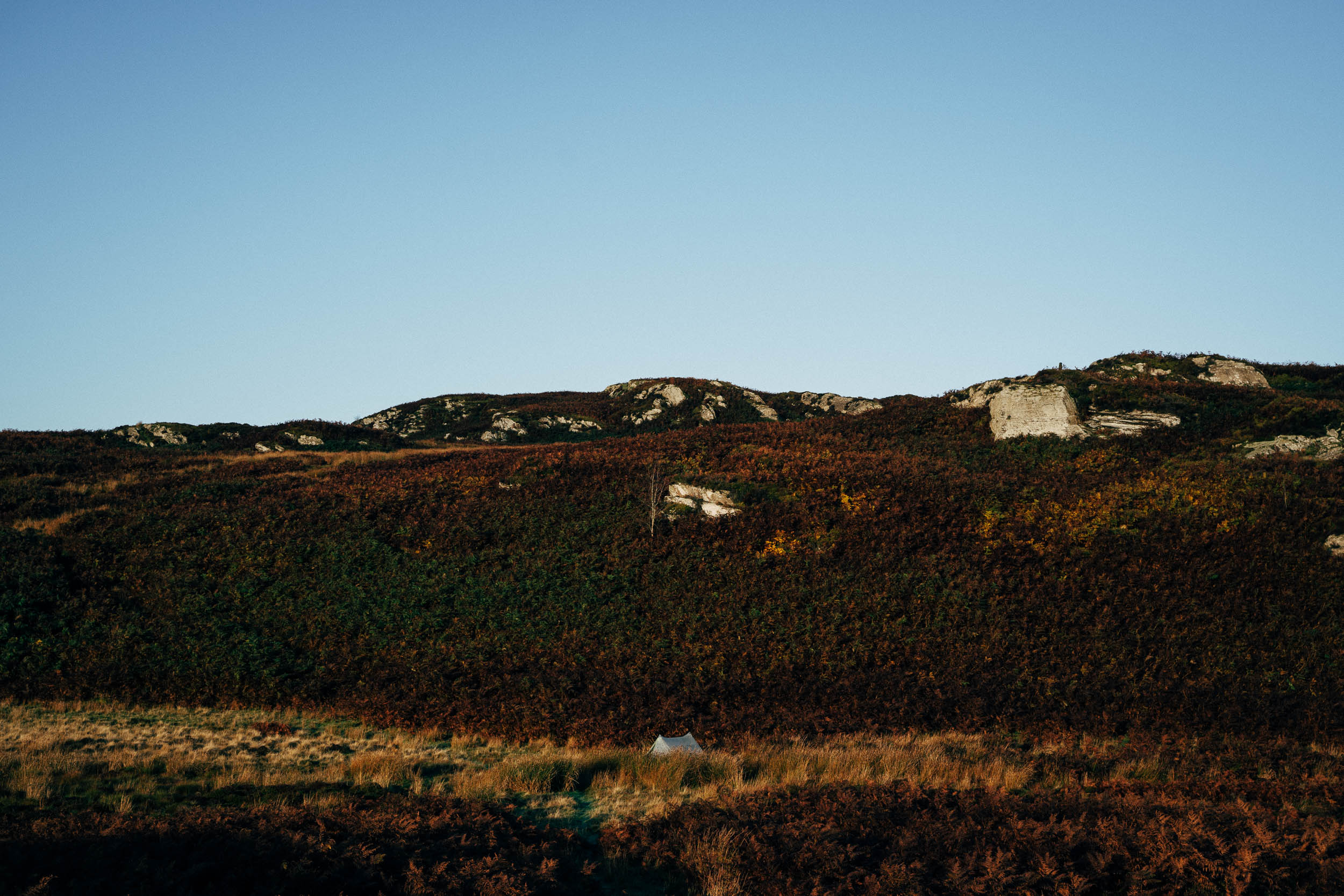
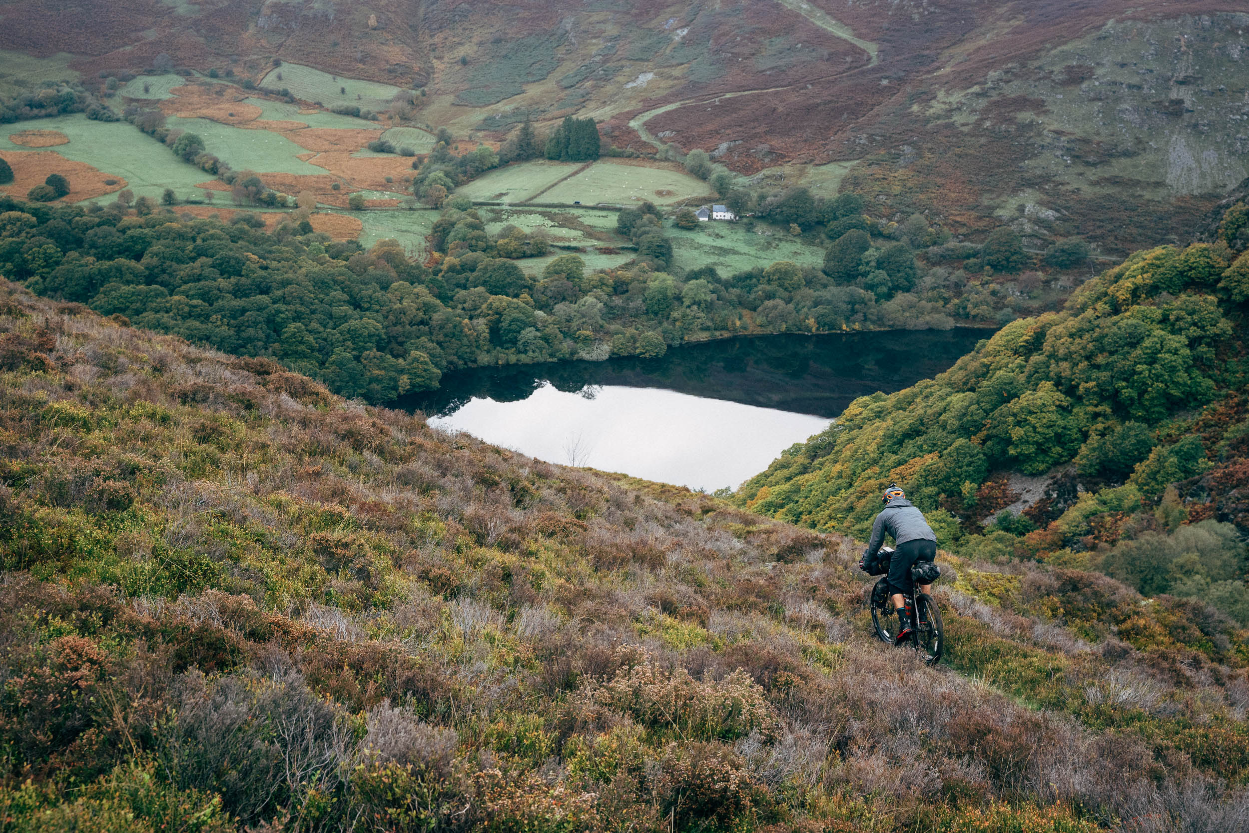
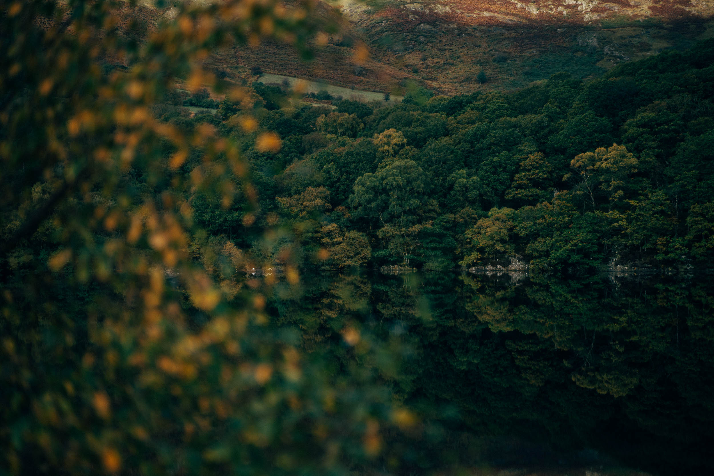
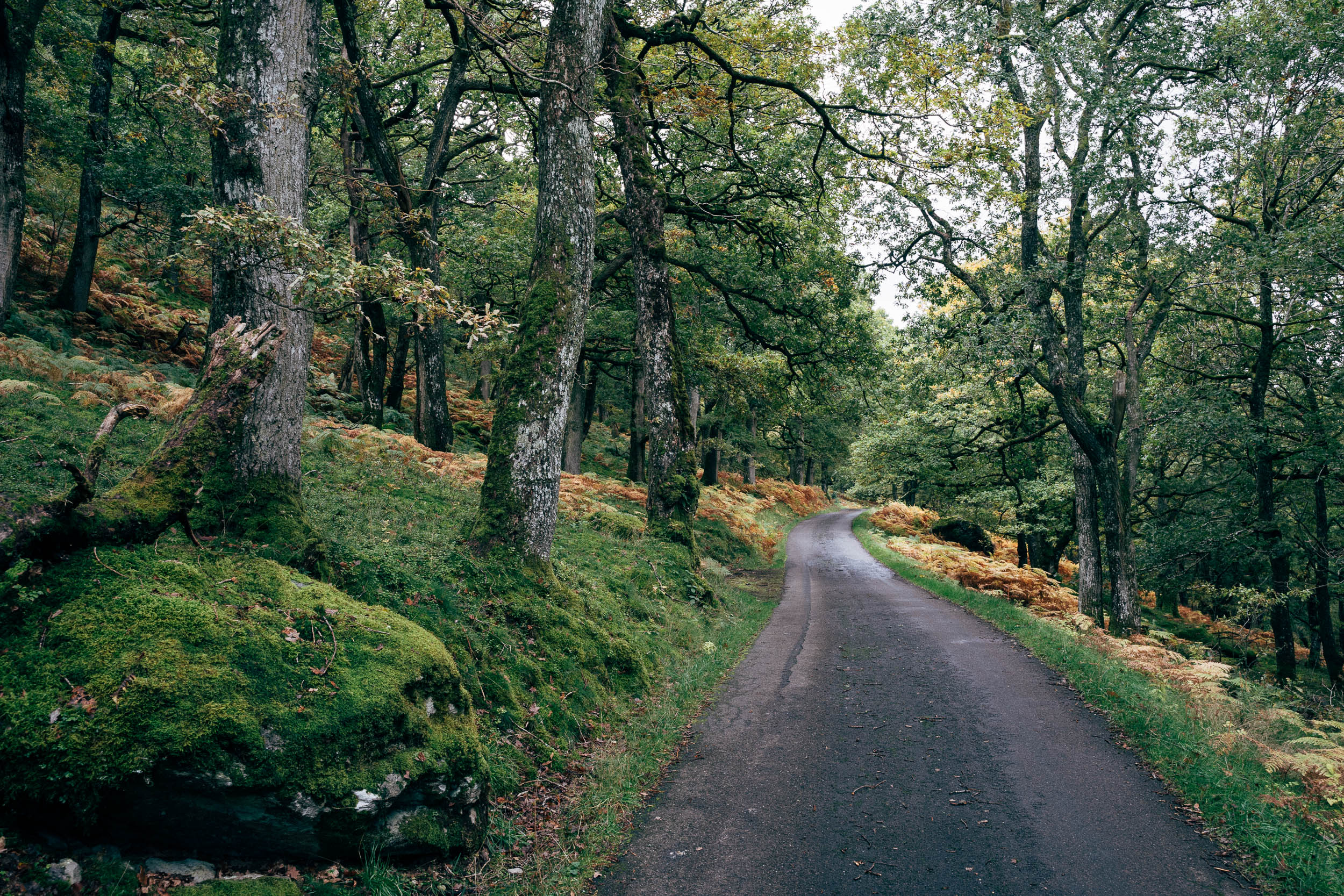
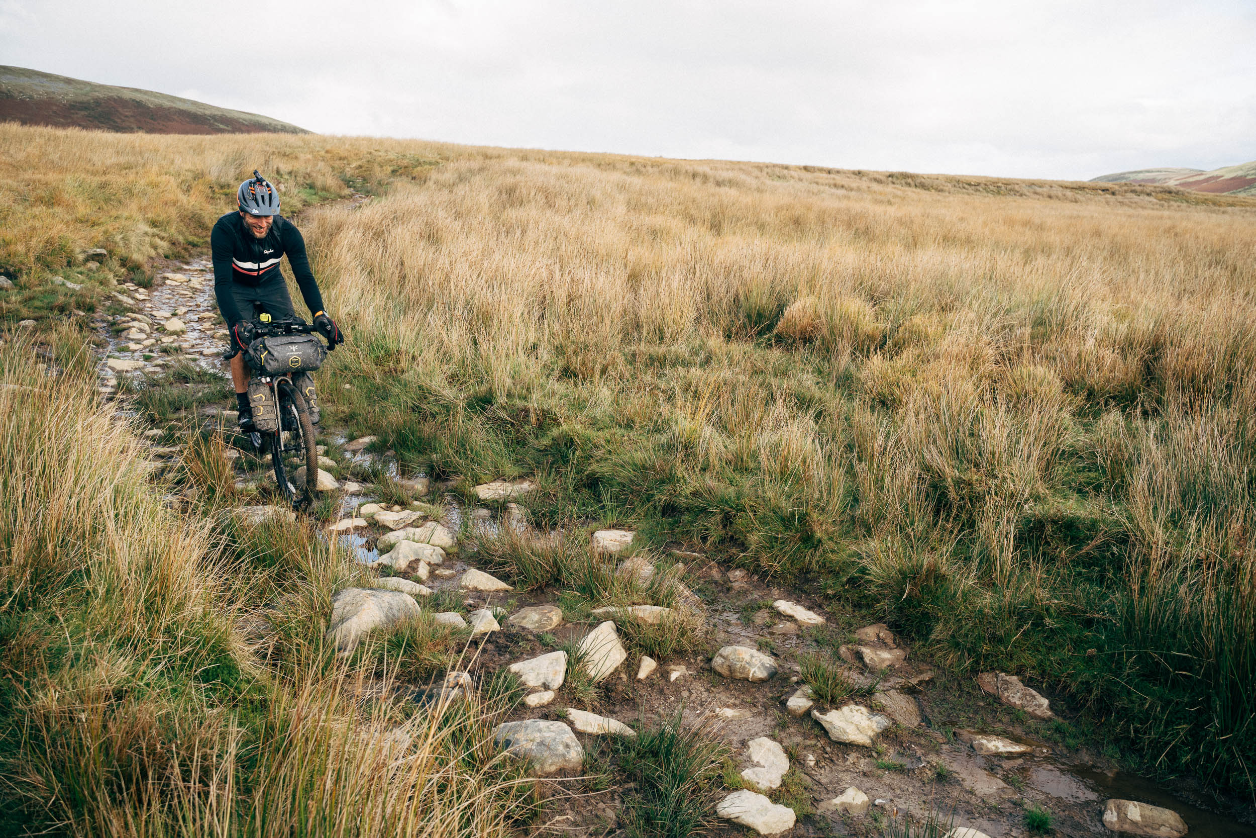
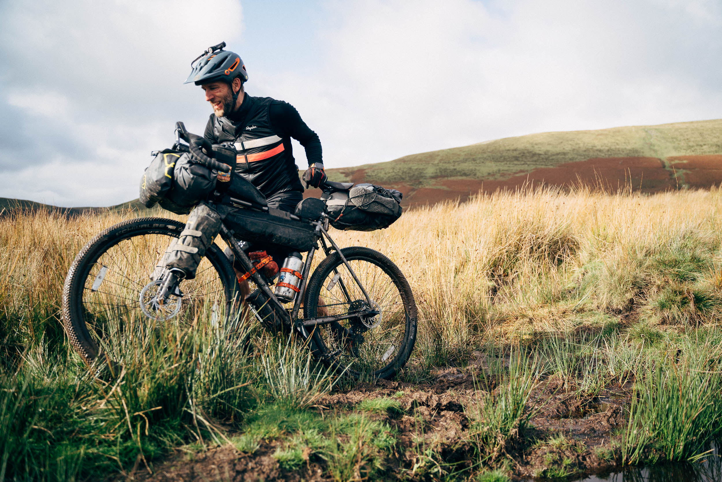
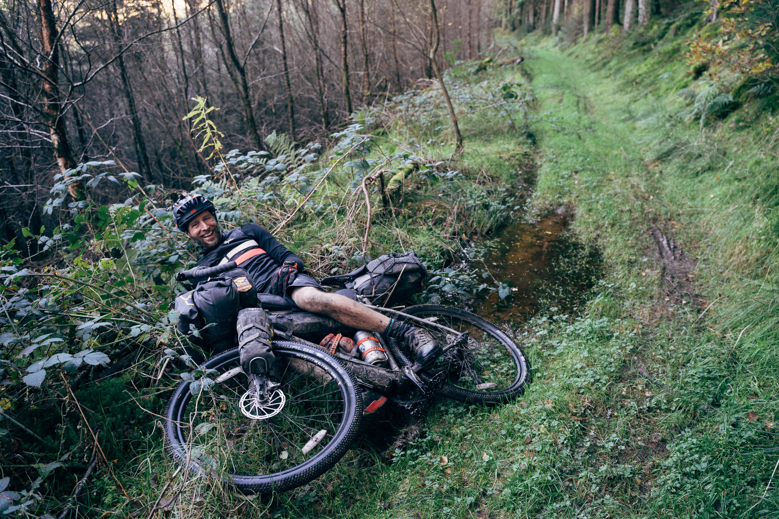
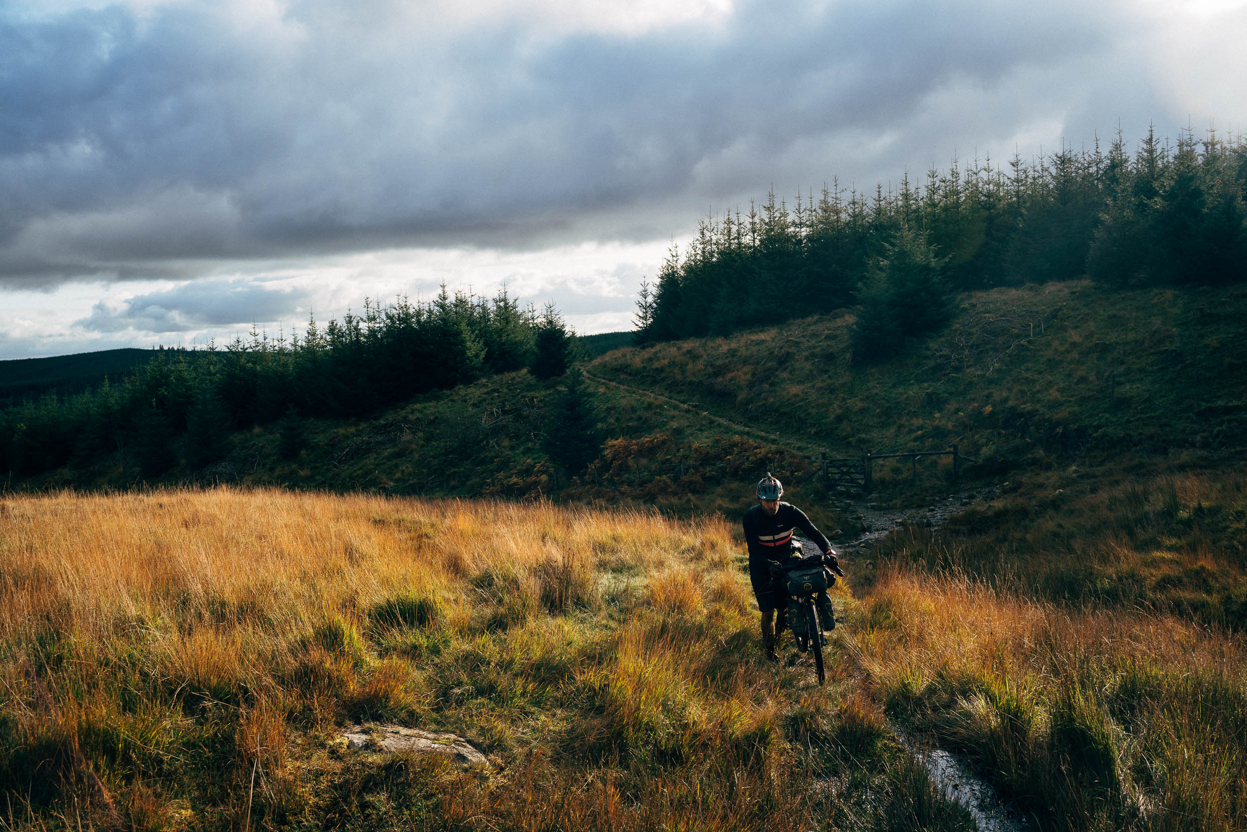
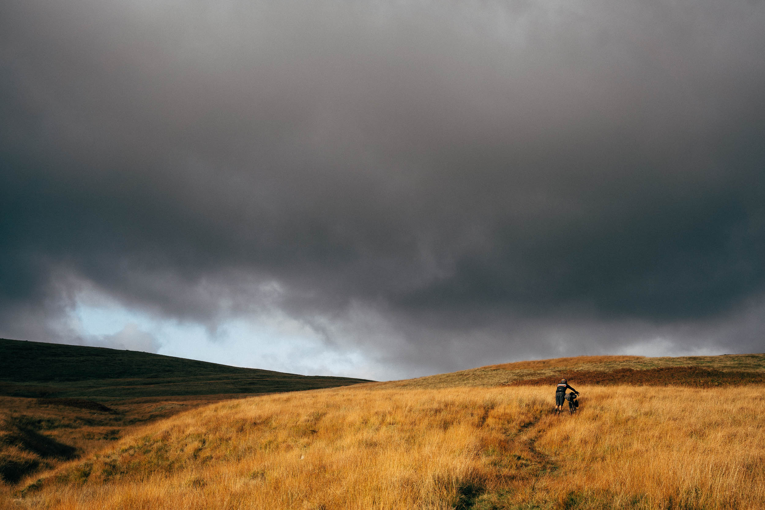
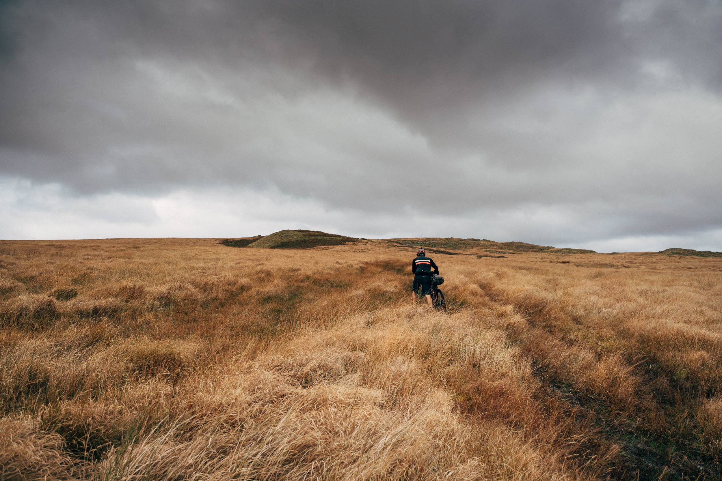
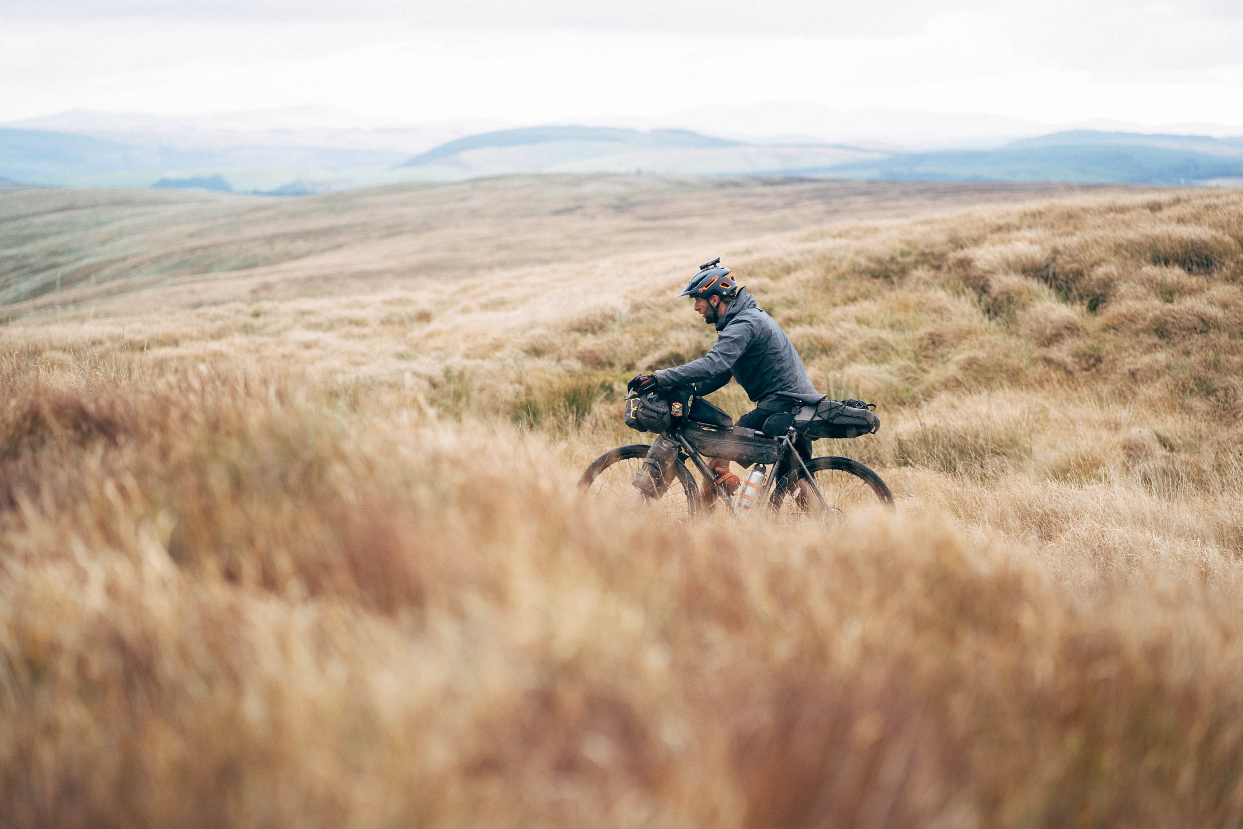
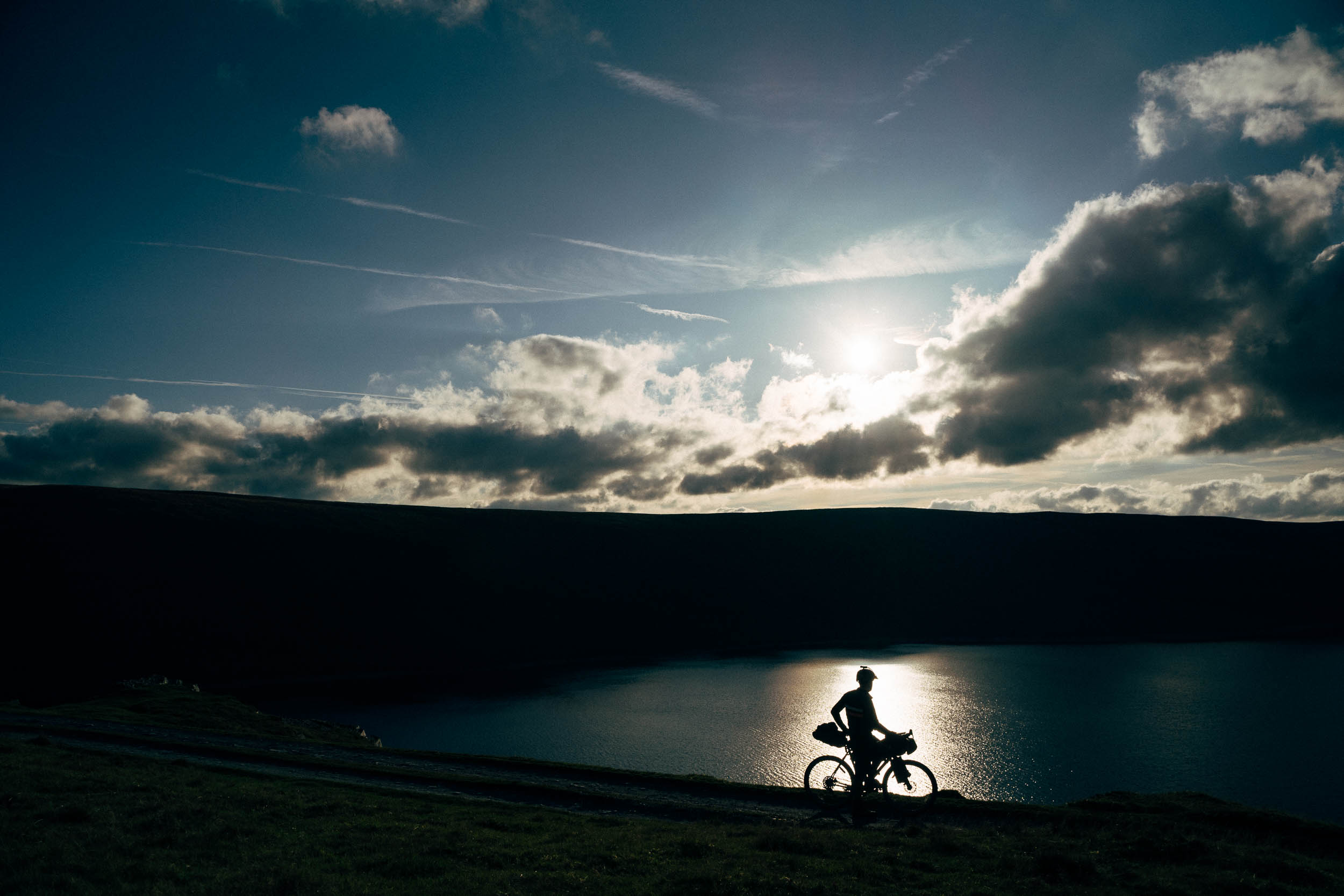
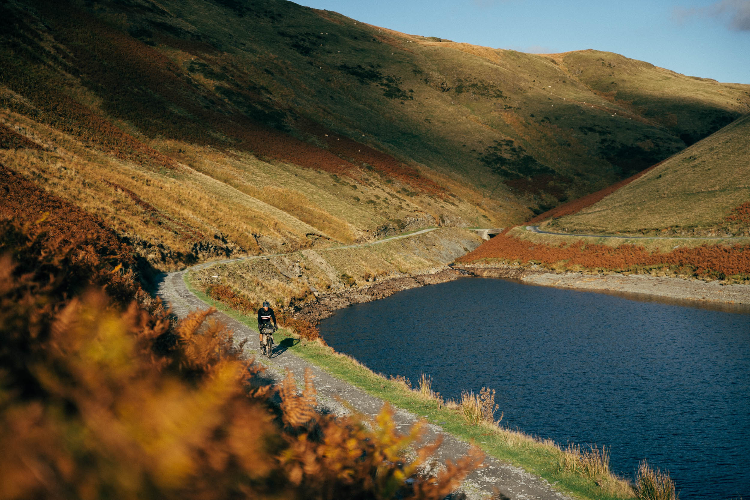
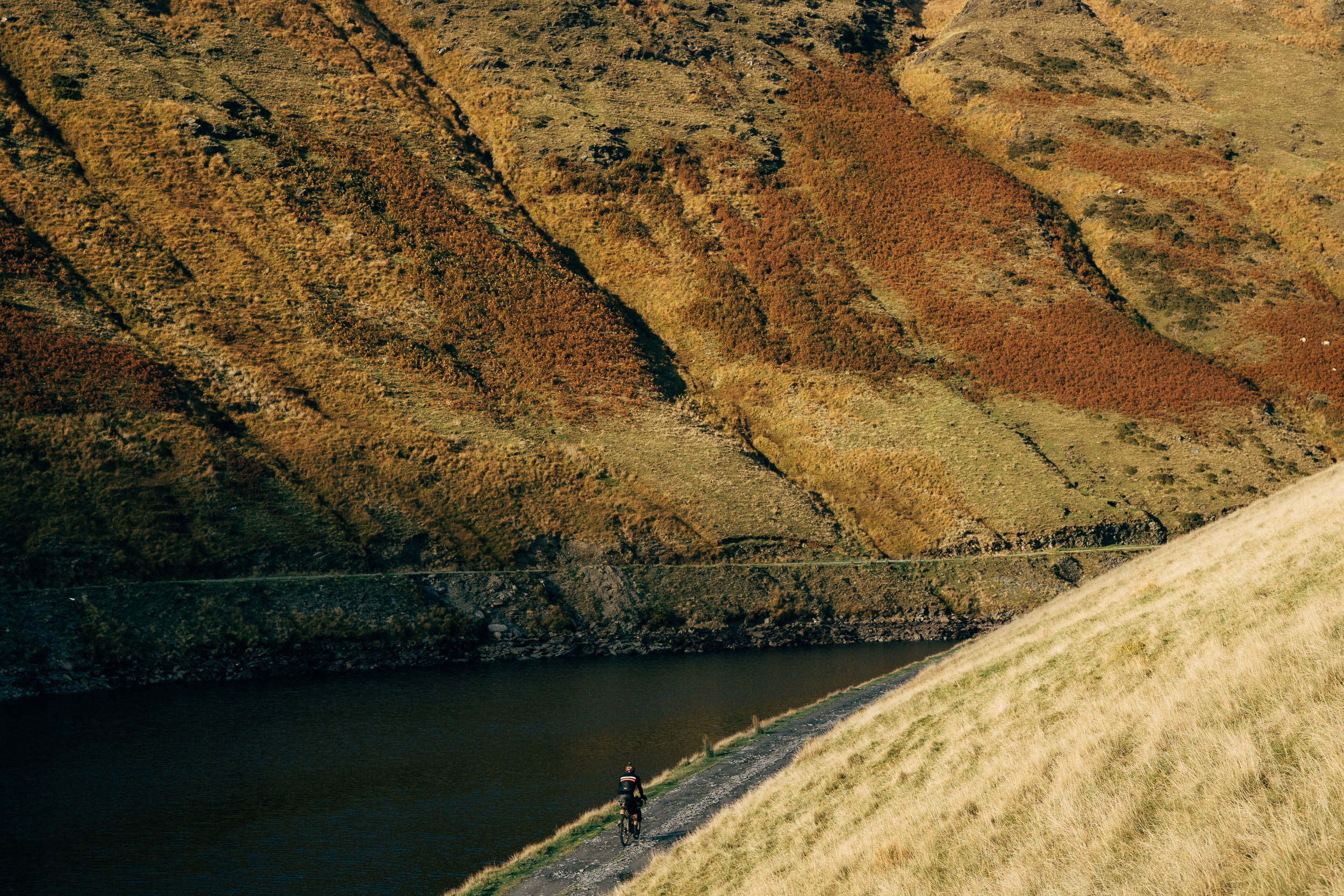
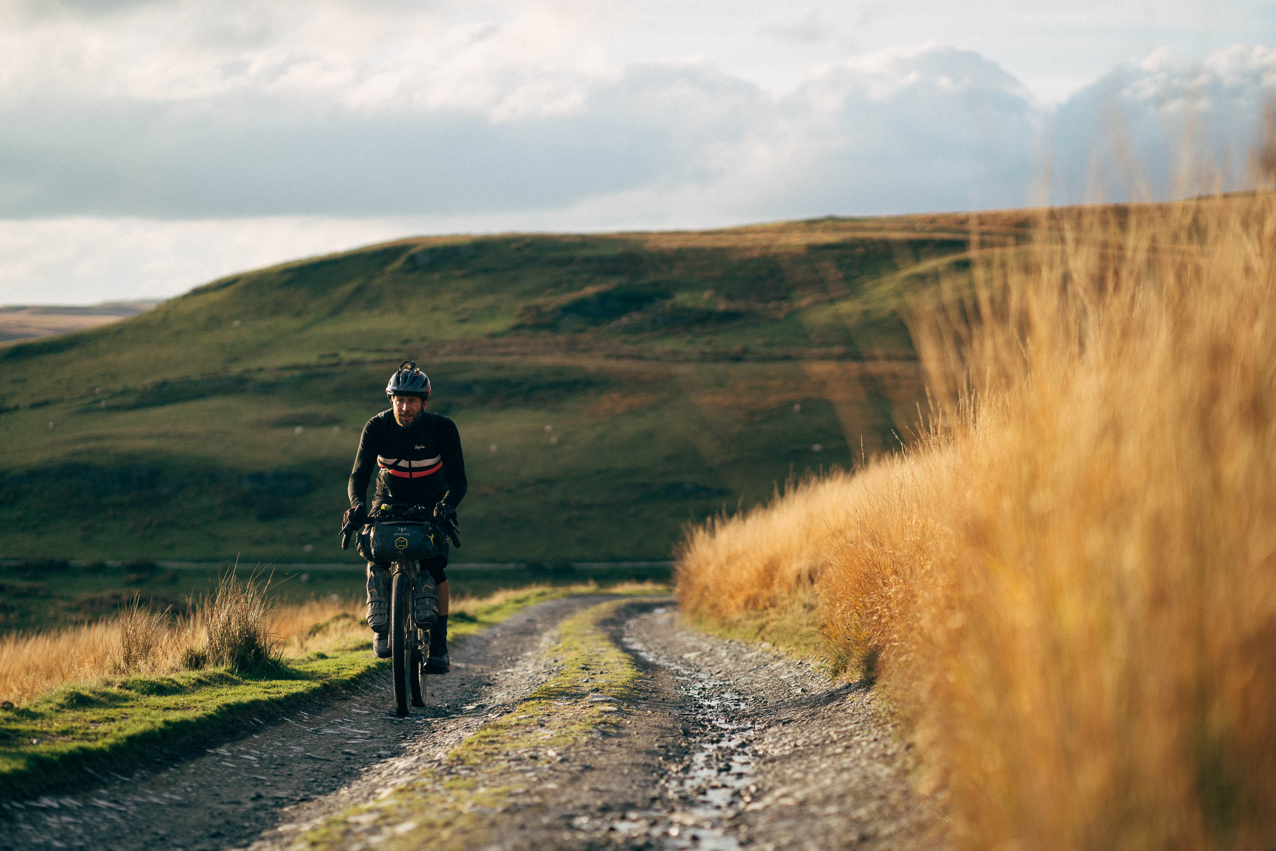
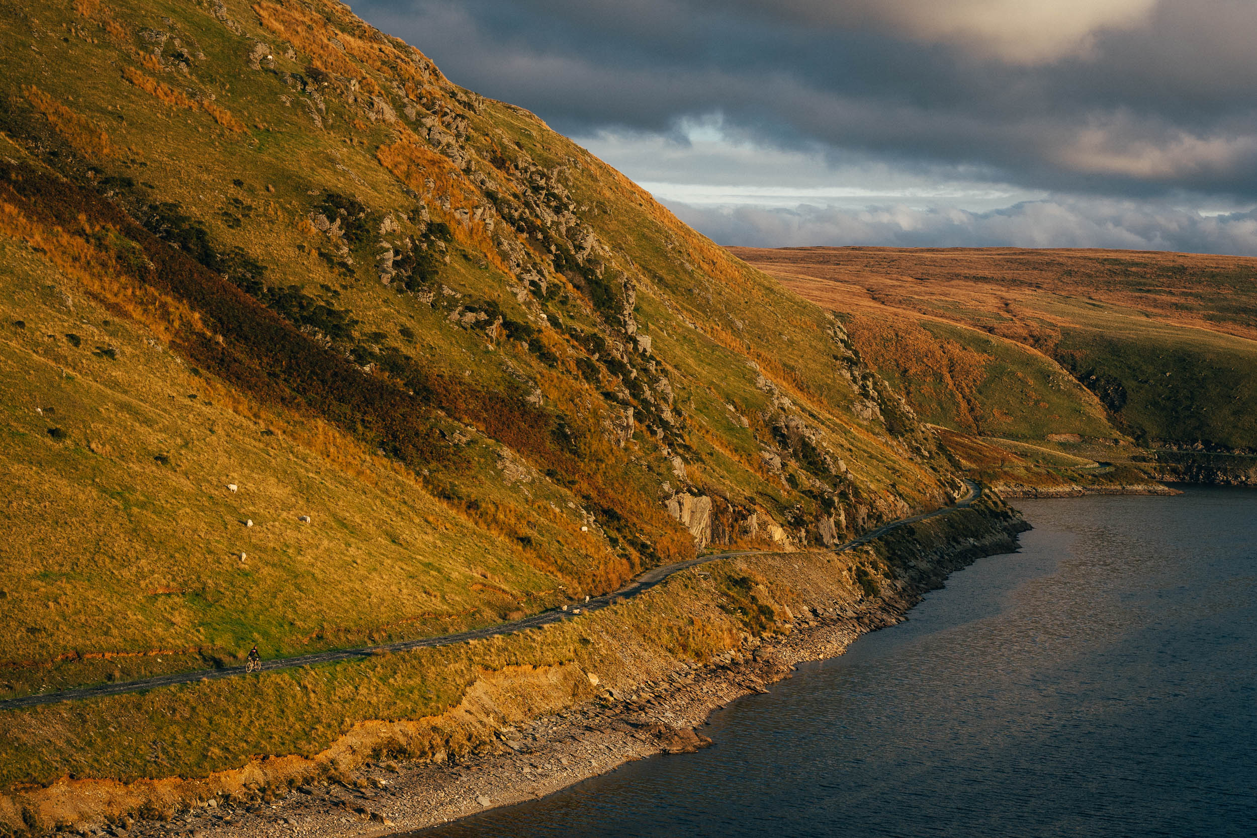
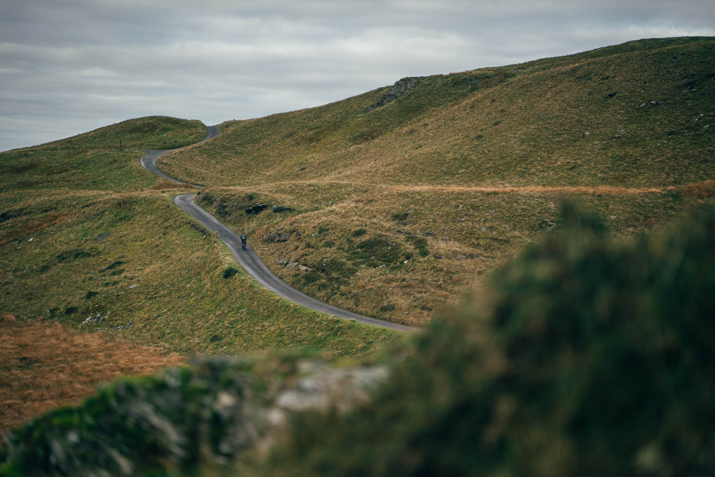
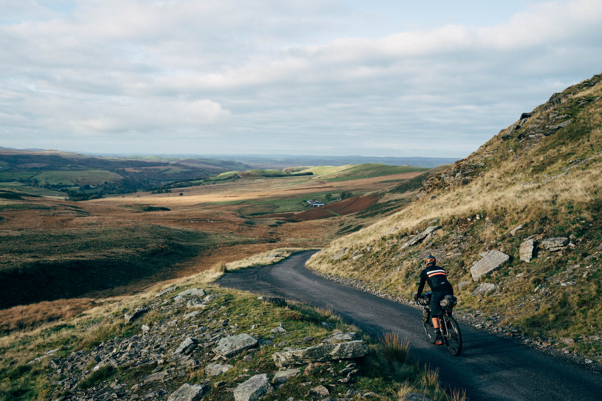
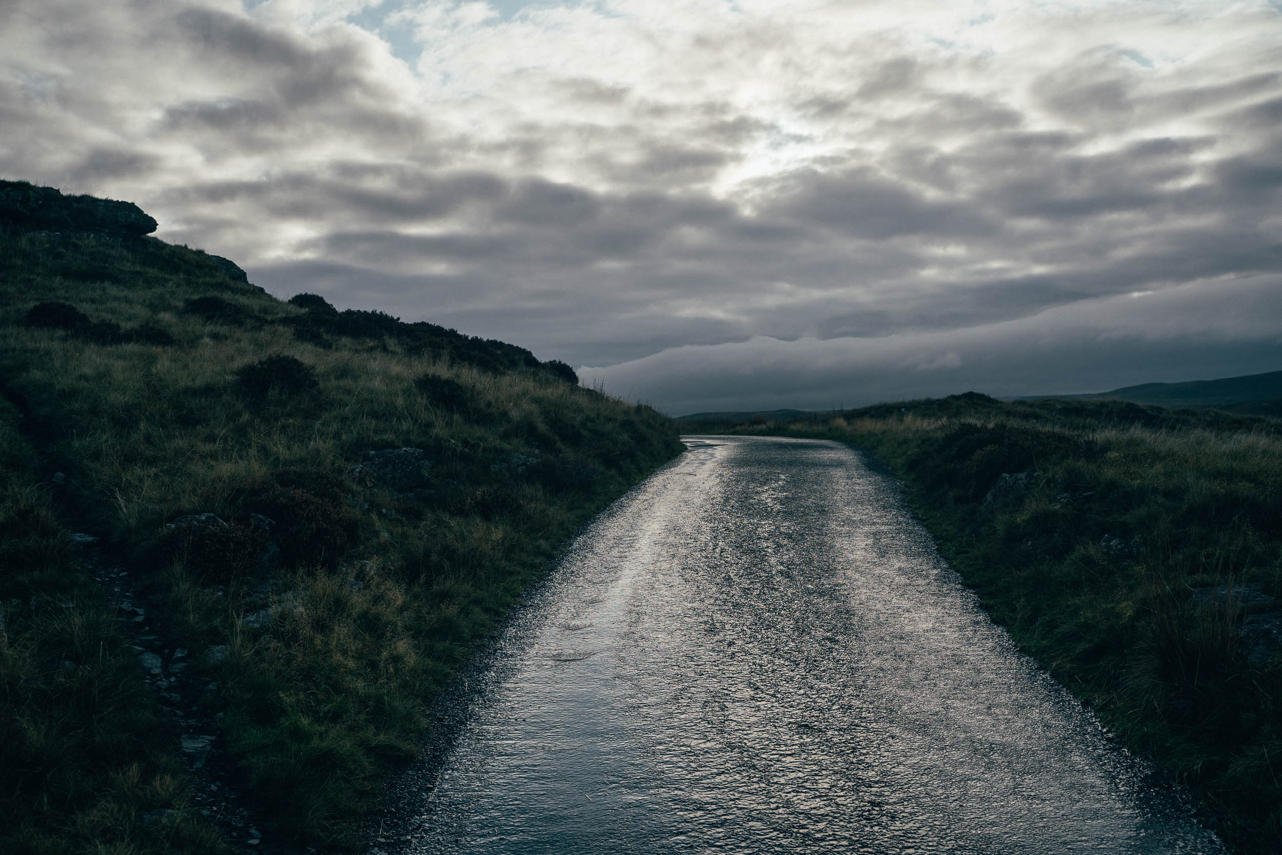
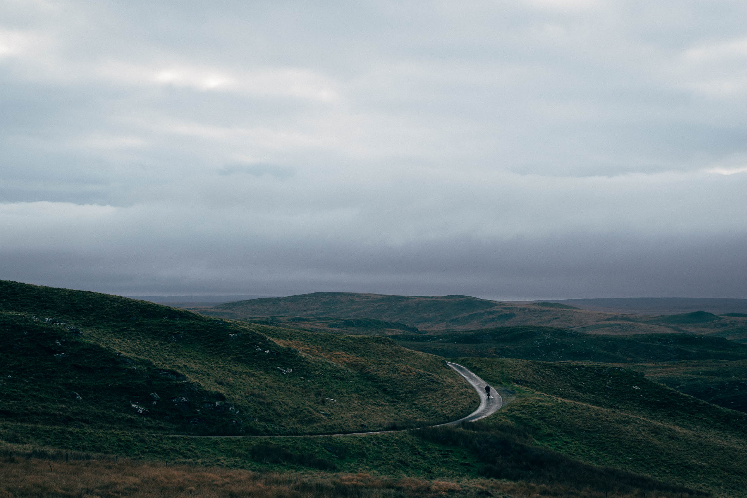
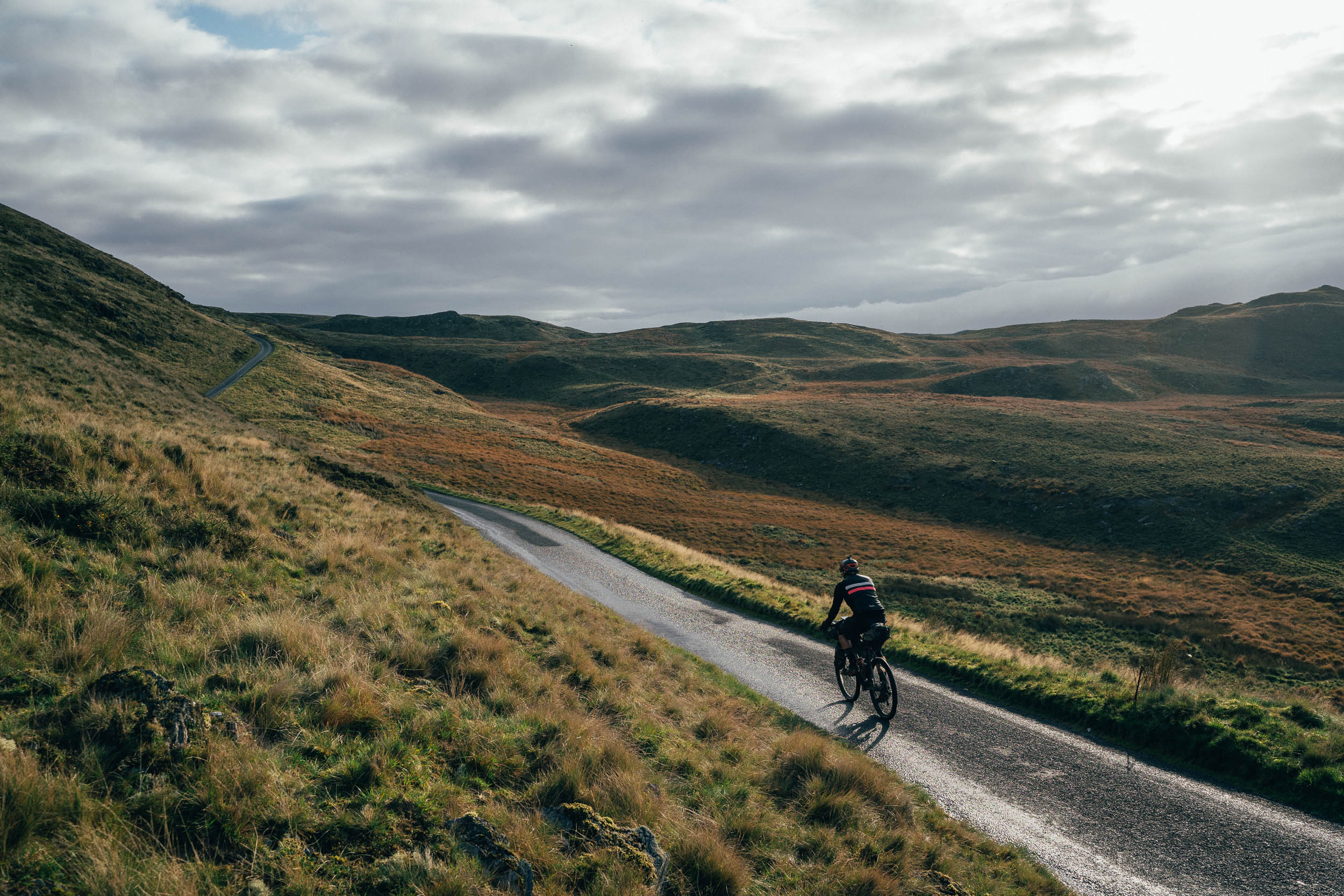
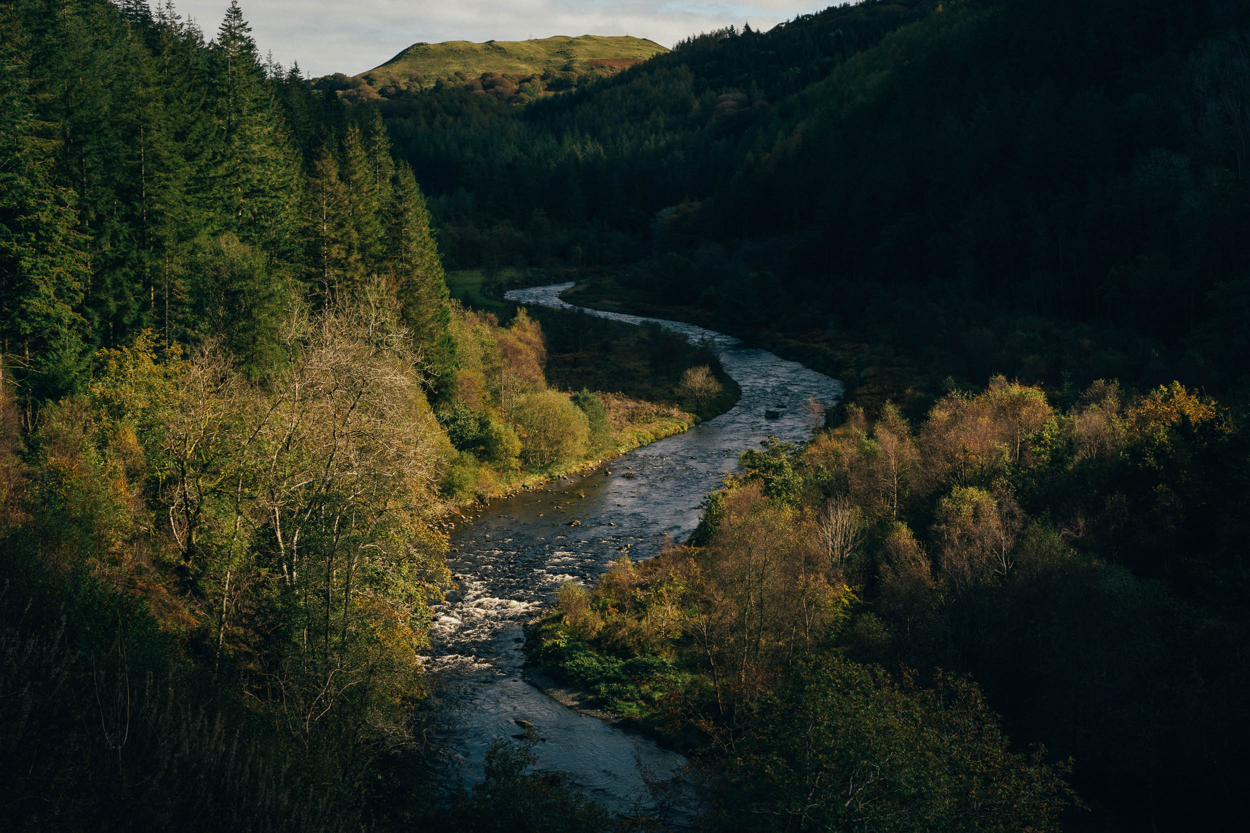
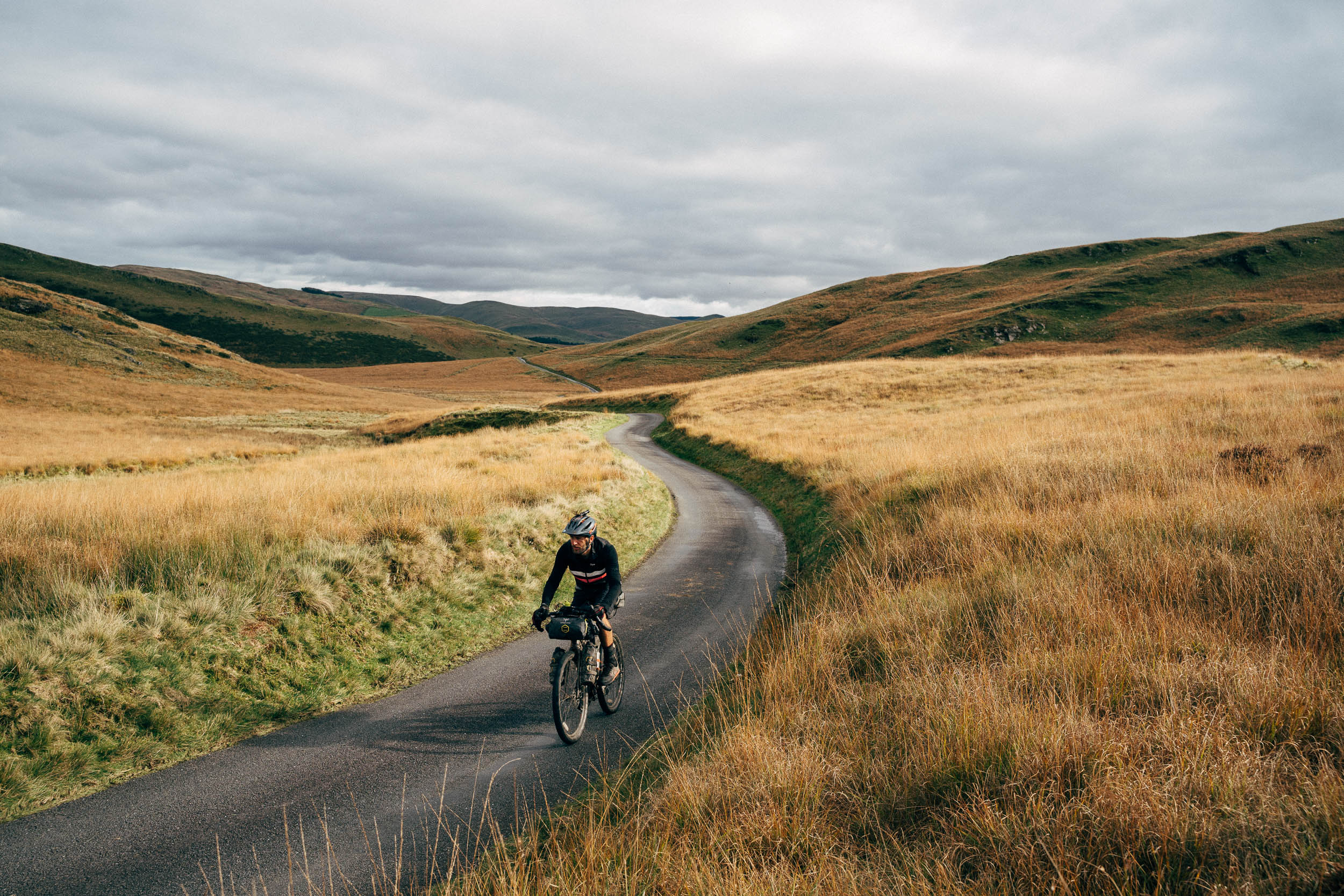
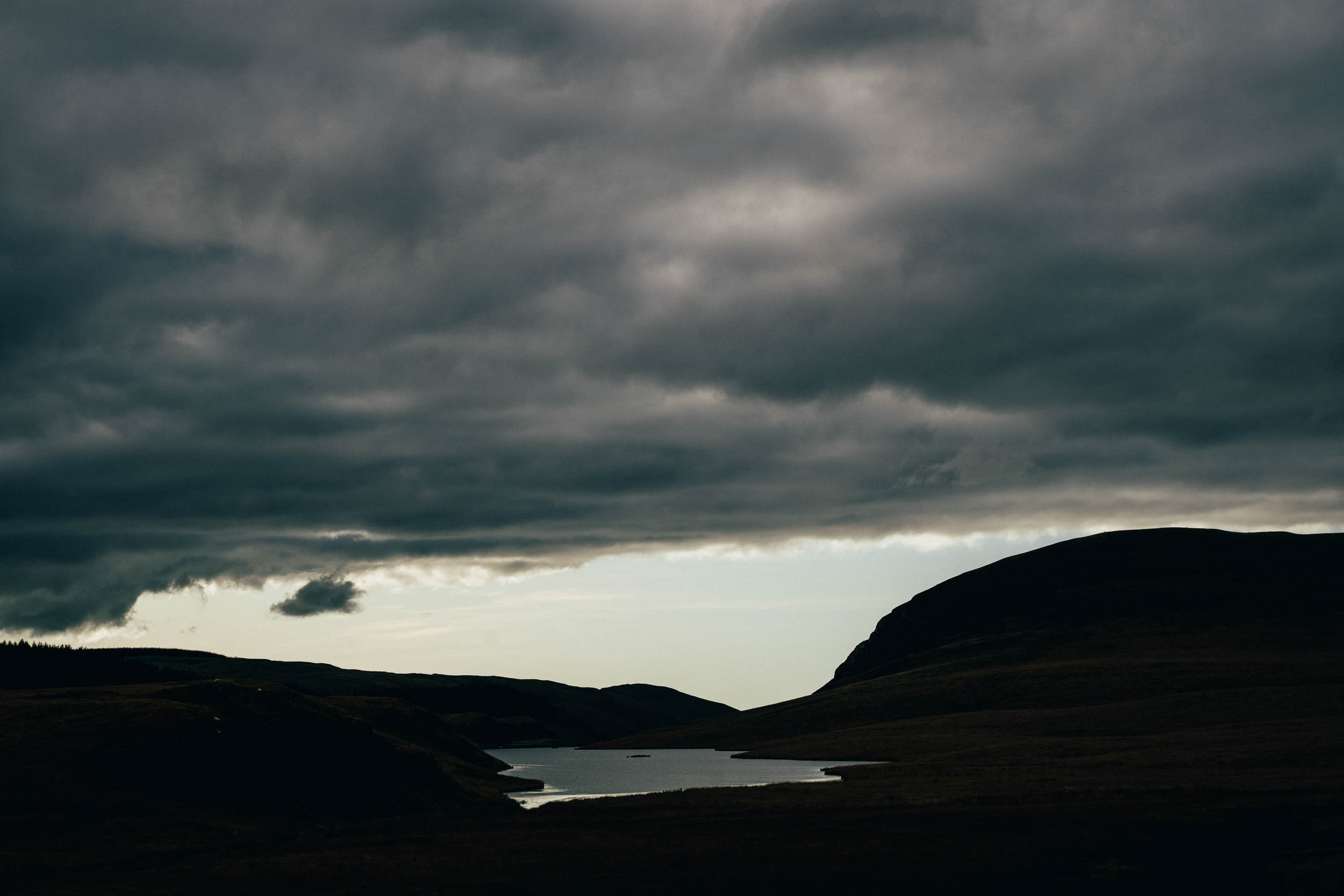
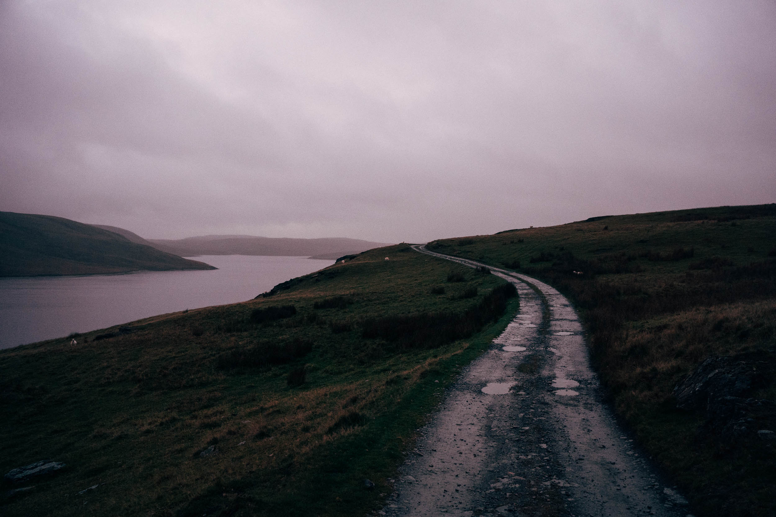
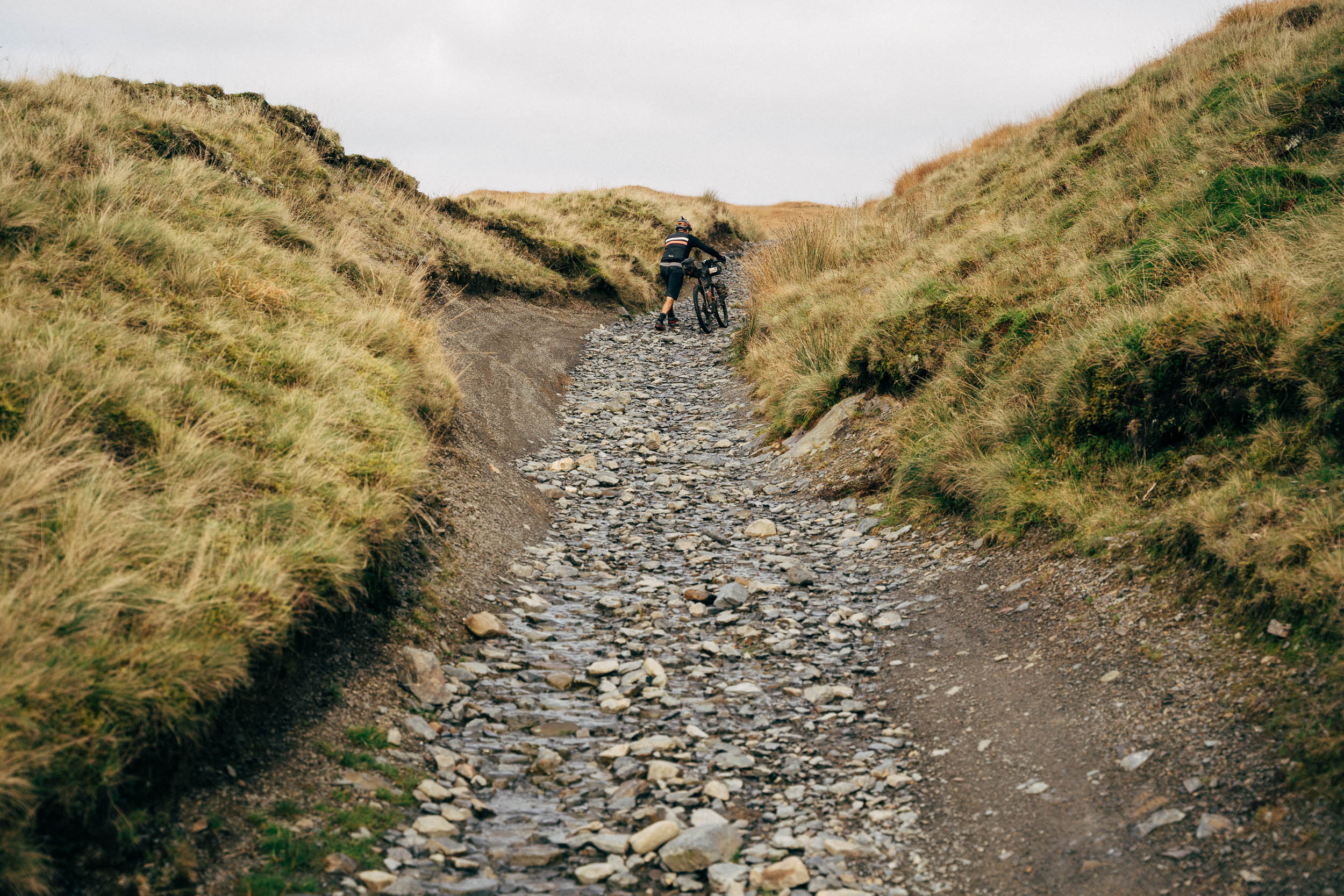
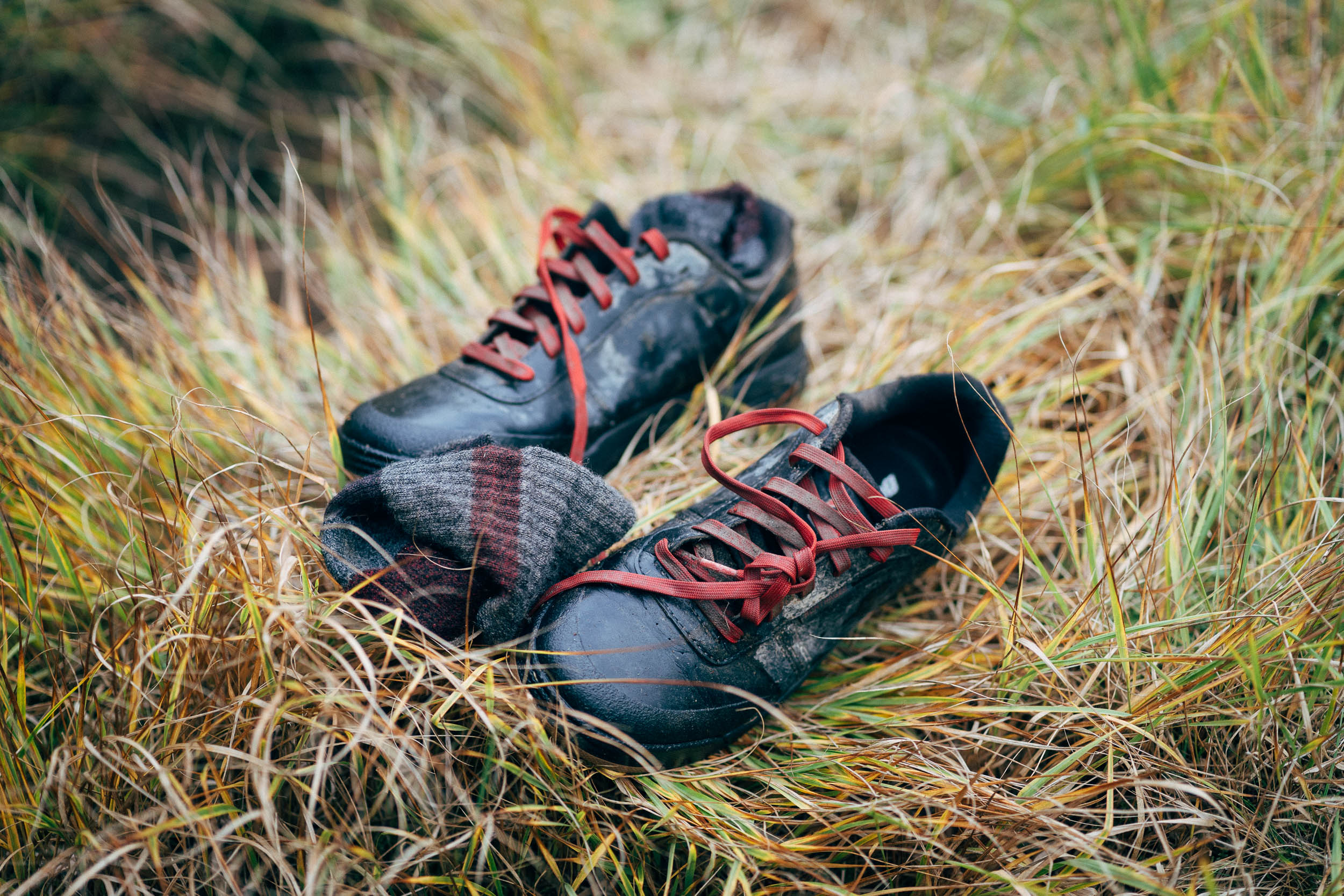
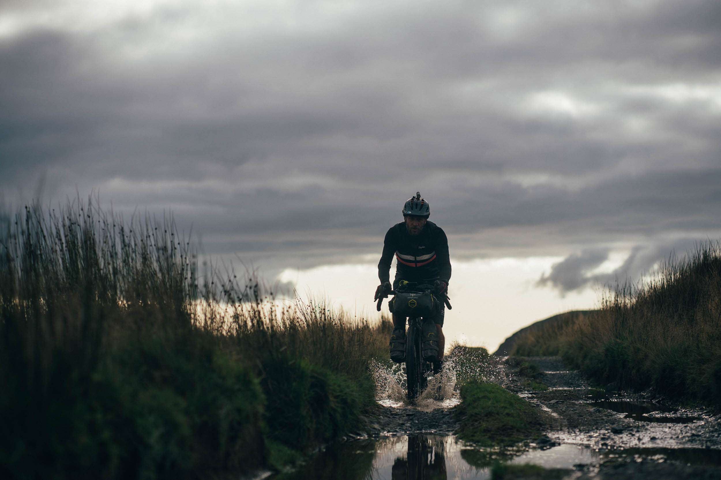
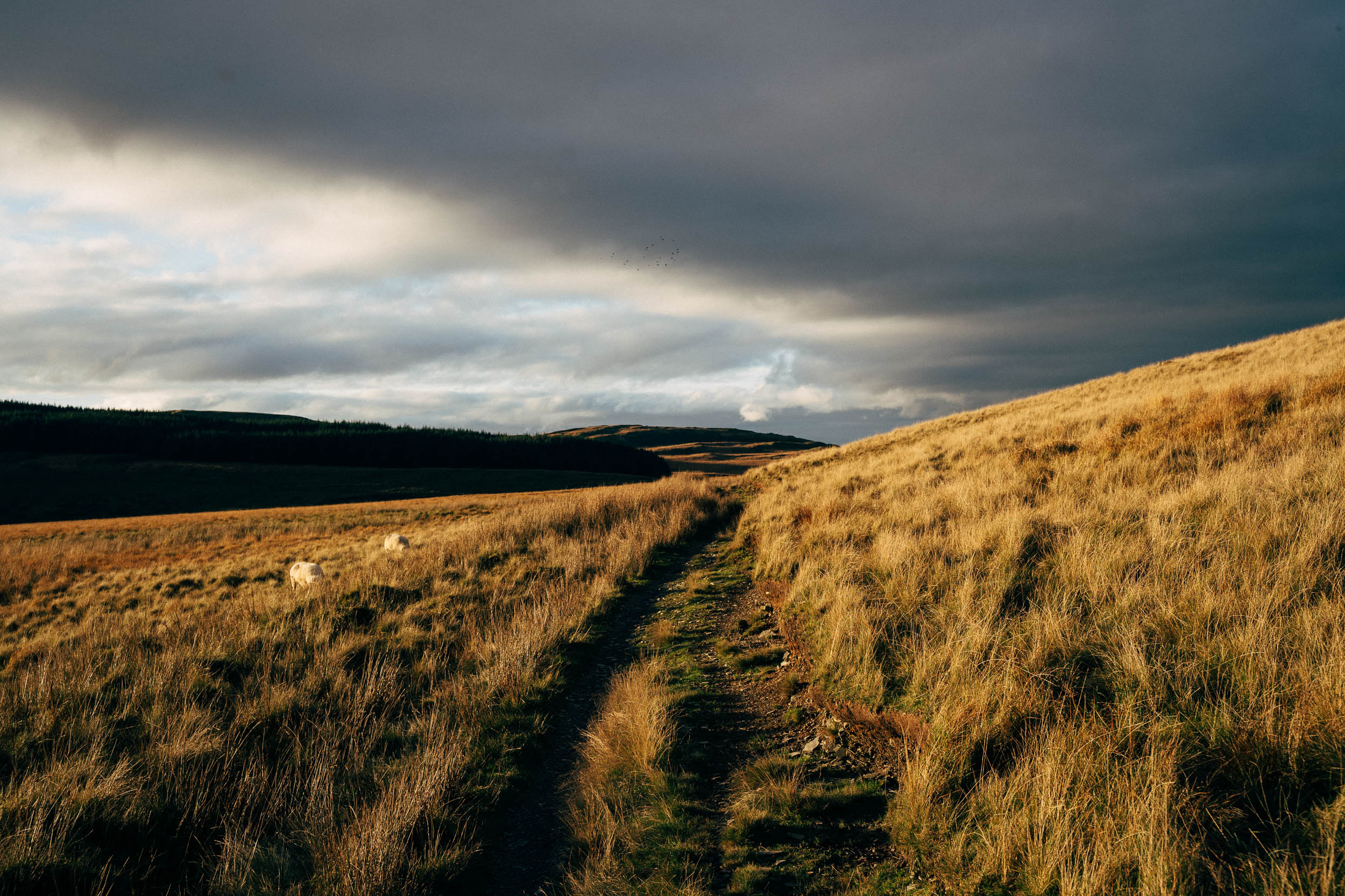
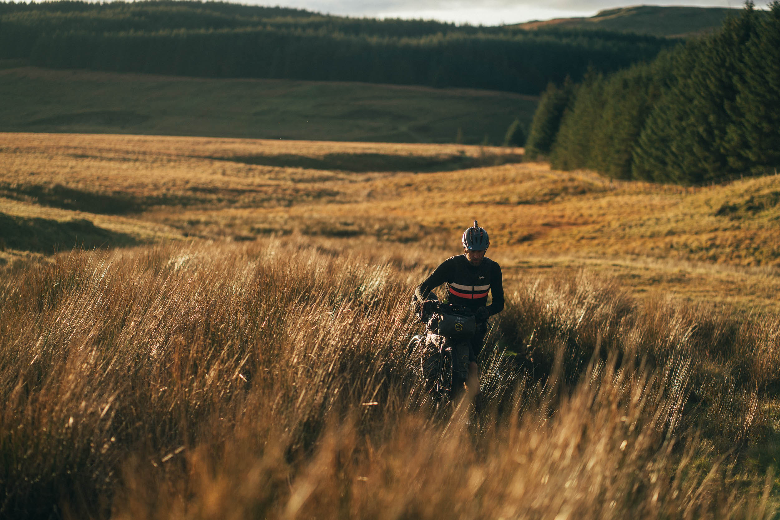
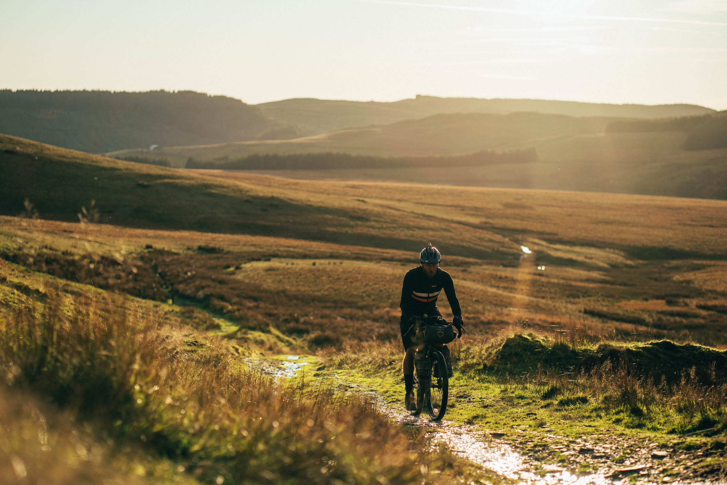
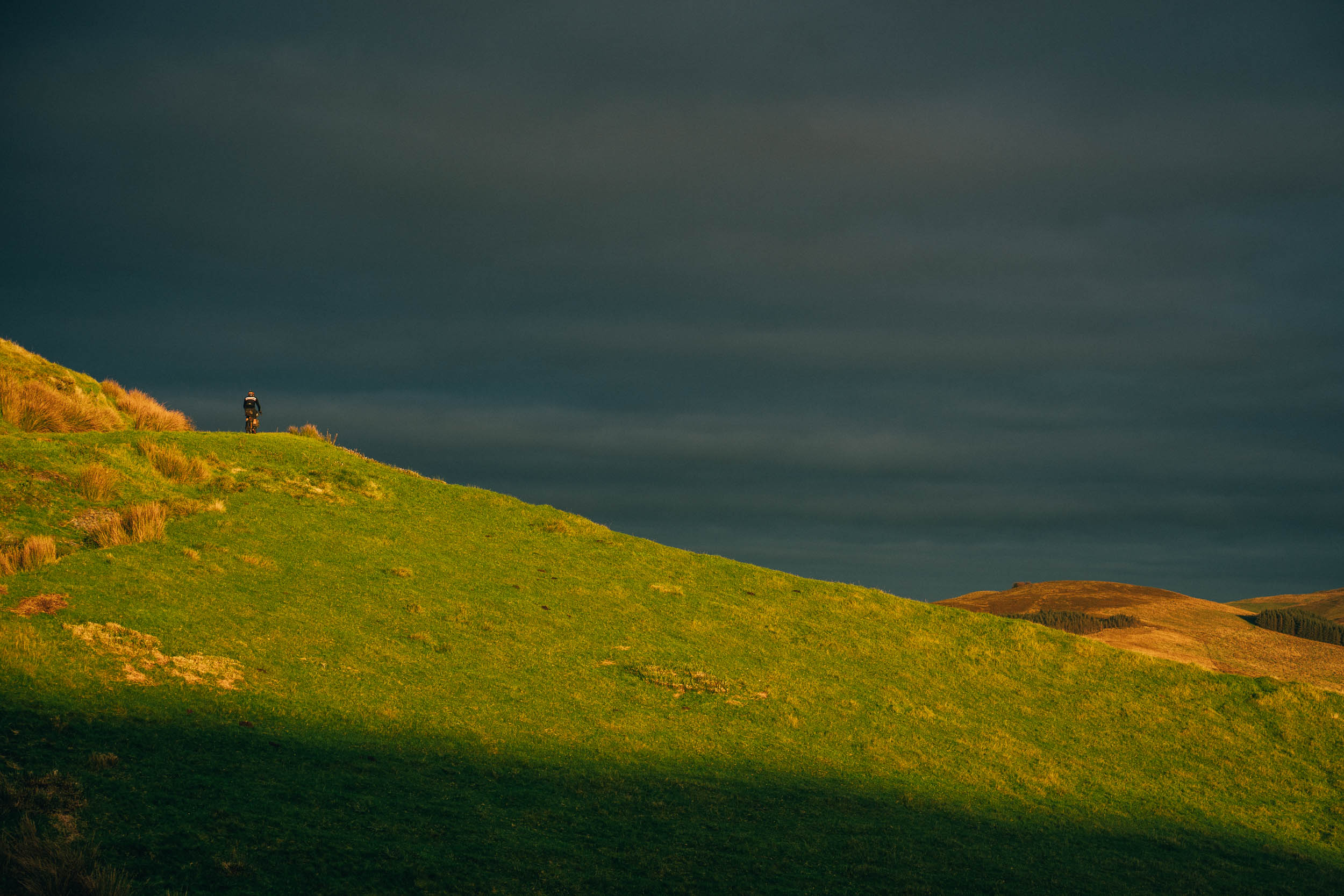
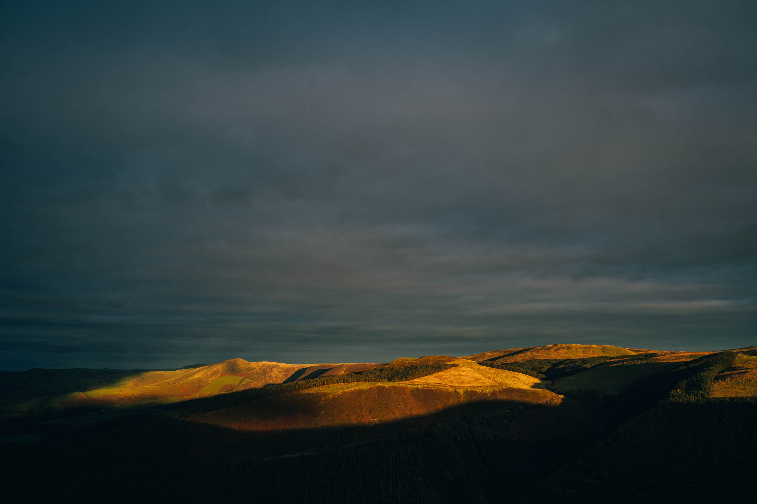
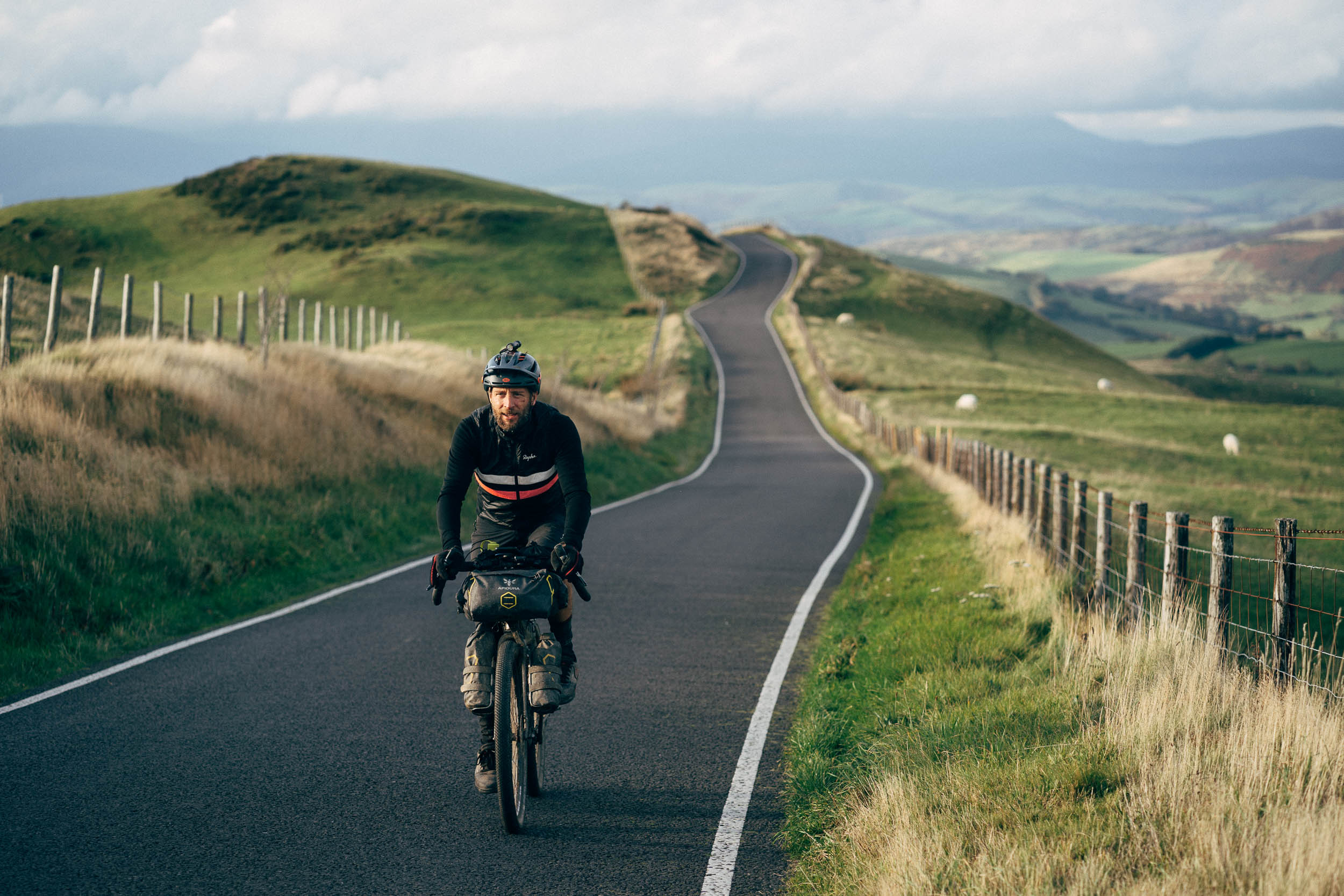
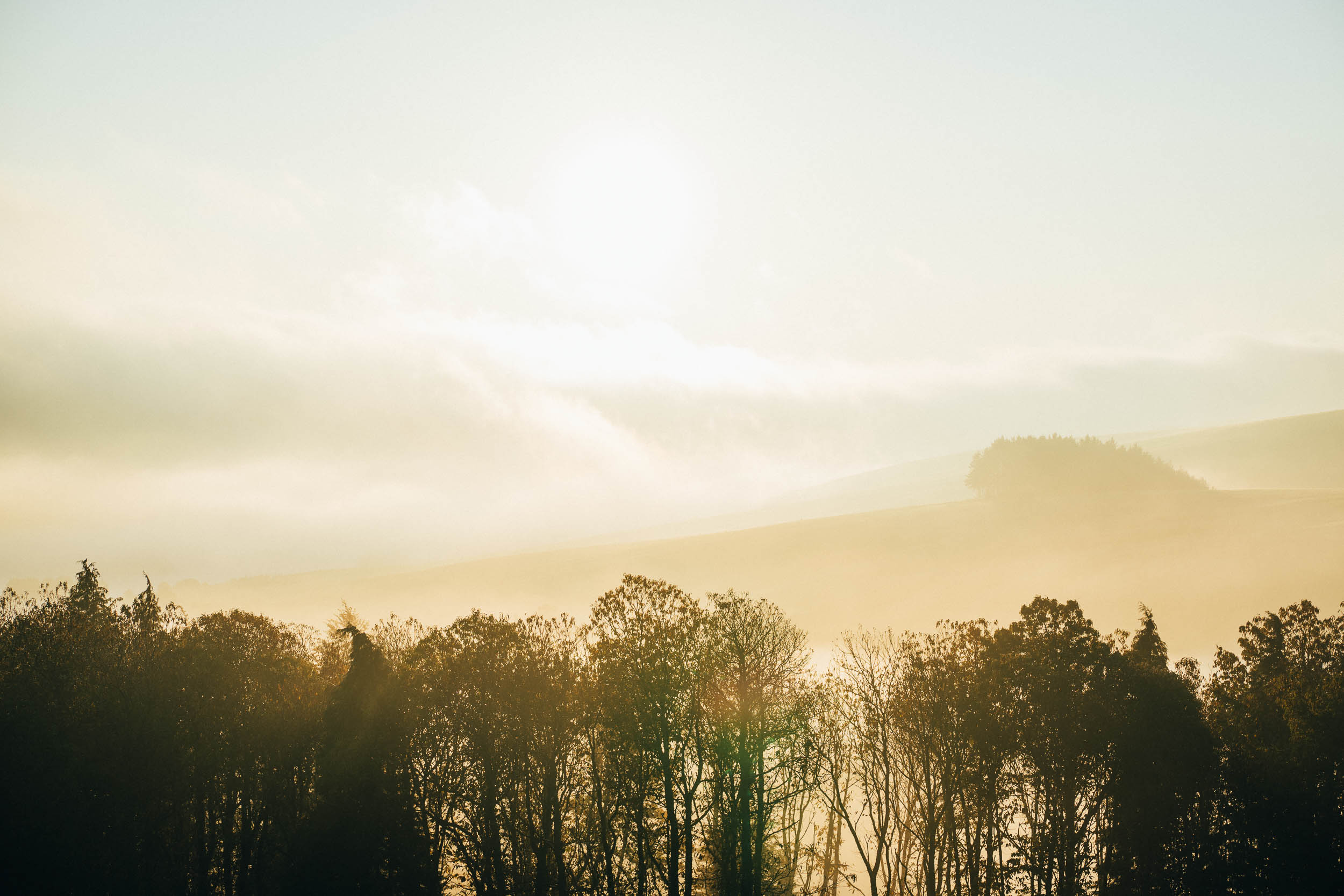
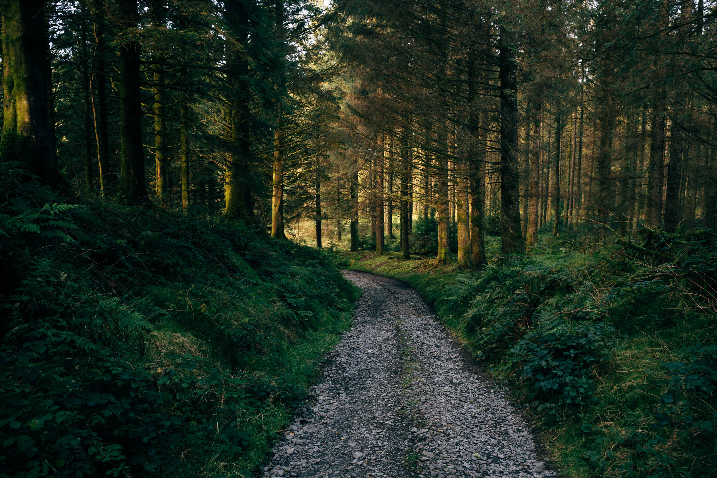
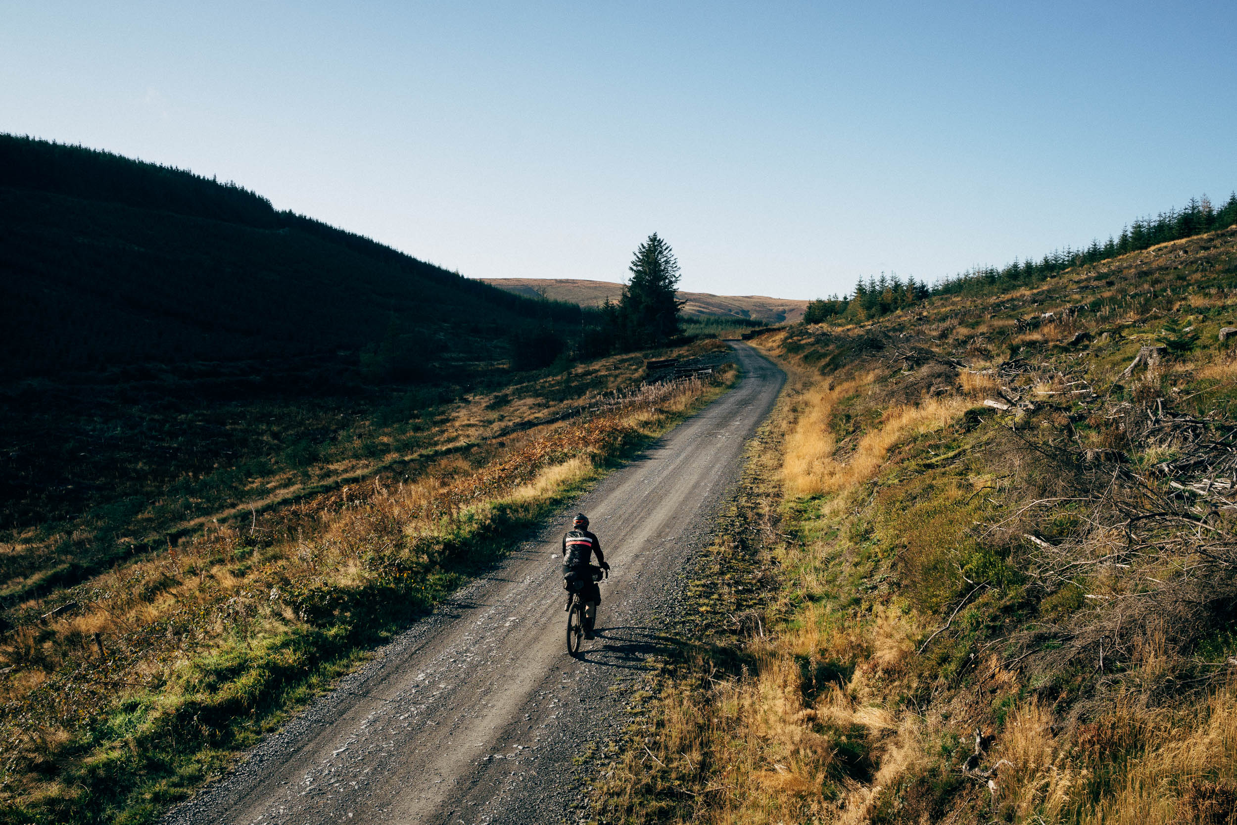
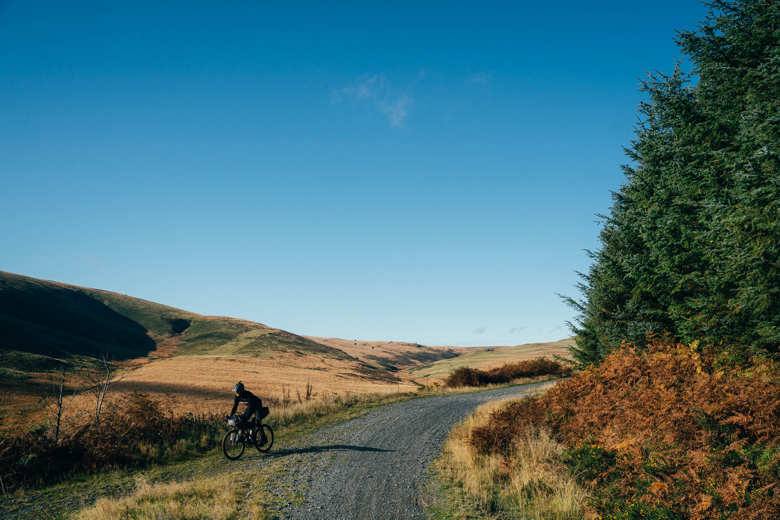
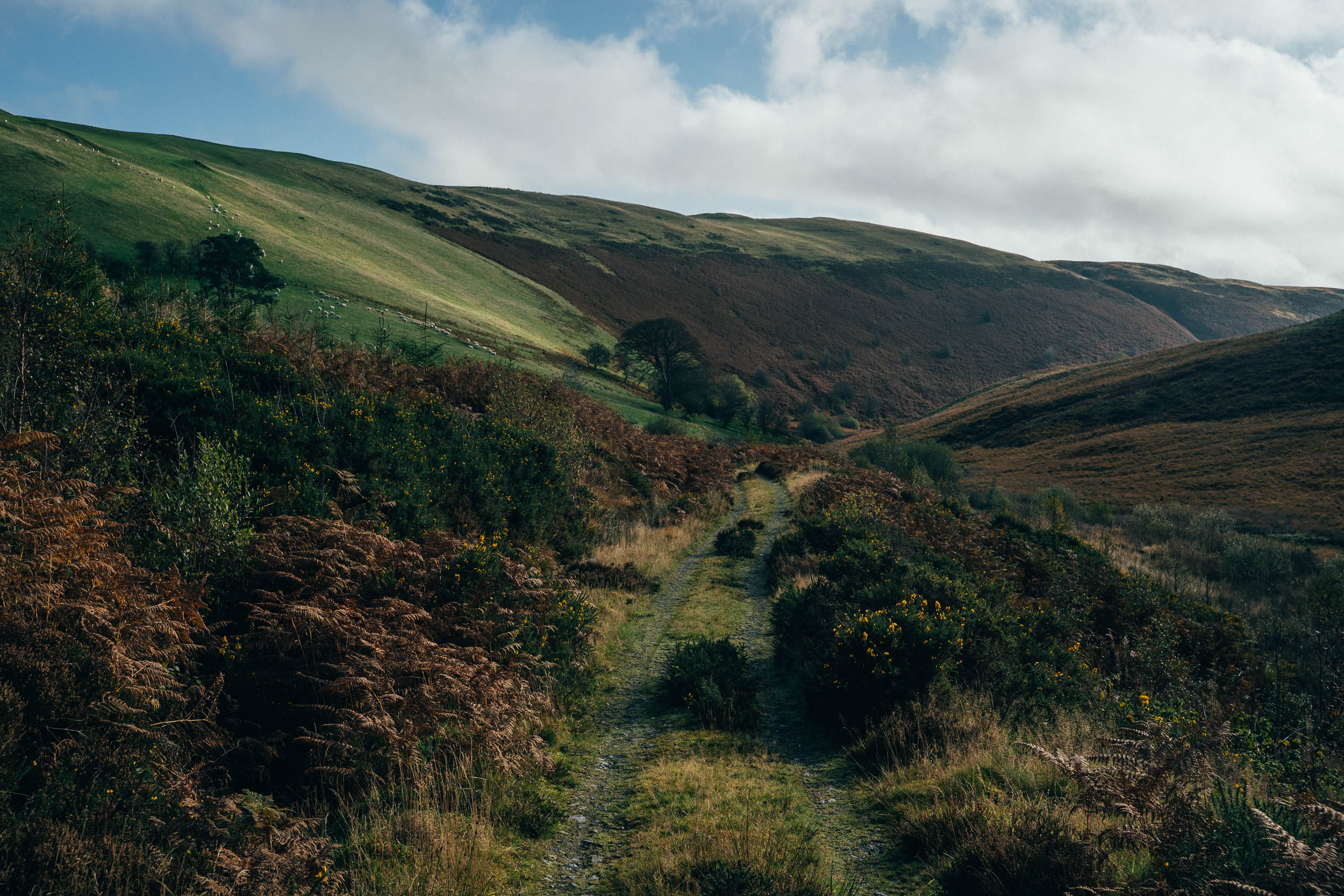
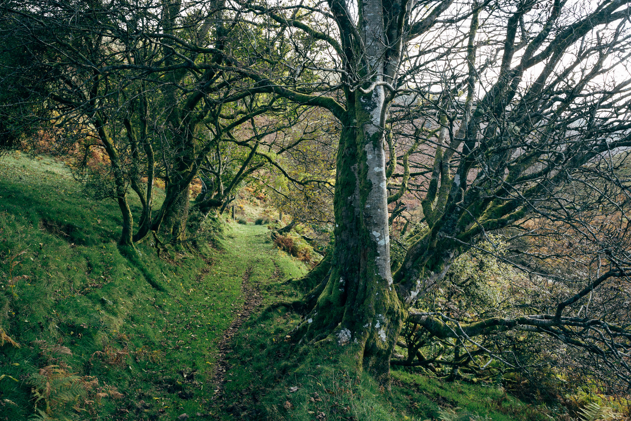
To the backdrop of the beautiful Elan and Dyfi Valleys and their steep-sided cwms and watery llyns, the Bear Bones Bash takes in some classic Mid Wales mountain biking. Expect conditions to range from forest tracks, drovers’ roads, and barely trafficked back lanes, to tufty singletrack, wholesome hike-a-bikes, tussock trampling, and extended bog trots (even in the summer, bring a spare set of socks!).
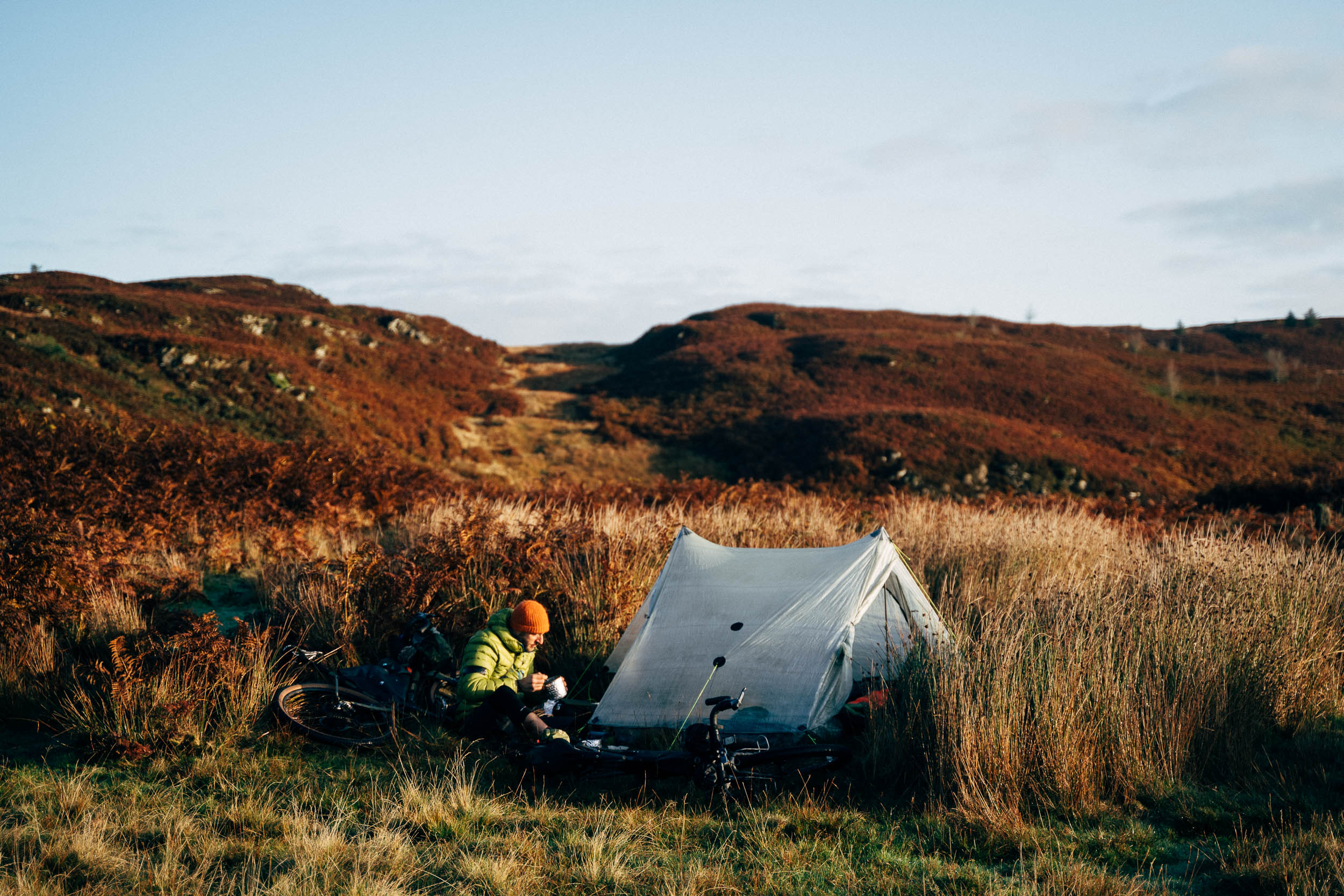
Depending on the time of year and how you want to split up the ride (3-4 days works well), you can unroll your bivy bag and camp out, or spend a night in a candle-lit bothy, or stay in the odd bunkhouse if the weather caves in. Being a loop, the Bear Bones Bash can be started in a number of locations, according to your choice of transportation and your provenance. Rhayader takes a couple of hours to reach by car from Bristol/Bath and there’s a train station in Machynlleth, for those coming from Birmingham. See Trail Notes for a possible itinerary.
Route Development
This route is based on the 2017 edition of the Bear Bones 200, as devised by Stuart Wright, with a few minor tweaks to allow for resupplies. Speedsters should sign up to attend the actual event, held in the second week of October. Visit the main site to access a forum and details of other social rides, including one held in mid-winter and the popular Welsh Ride Thing gathering.
Room for improvement? Let us know if there are any local businesses – particularly food or bike-related – that would be good to include.
Difficulty: Tackled at a non-race pace, this ride isn’t especially hard. However, the terrain is rarely flat and the route requires confidence in riding off road, along with seasoned legs and appropriate gearing on your bike. What’s more, trails can be pedal-grabbing, tufty, and slow going affairs, and there are a number of short but testing hike-a-bikes peppered throughout. Expect occasional steep, slabby slate shutes, which can be walked if need be. Should the weather take a turn for the worse, this ride will become a lot tougher and muddier.


Submit Route Alert
As the leading creator and publisher of bikepacking routes, BIKEPACKING.com endeavors to maintain, improve, and advocate for our growing network of bikepacking routes all over the world. As such, our editorial team, route creators, and Route Stewards serve as mediators for route improvements and opportunities for connectivity, conservation, and community growth around these routes. To facilitate these efforts, we rely on our Bikepacking Collective and the greater bikepacking community to call attention to critical issues and opportunities that are discovered while riding these routes. If you have a vital issue or opportunity regarding this route that pertains to one of the subjects below, please let us know:
Highlights
Must Know
Camping
Food/H2O
Trail Notes
- Beautiful and remote scenery; the Desert of Wales!
- A real sense of variety in riding conditions… and trails that you’ll have largely to yourself
- Learning the art of the Welsh bog trot; can you find a way through the tussocky puzzle without sodden feet?
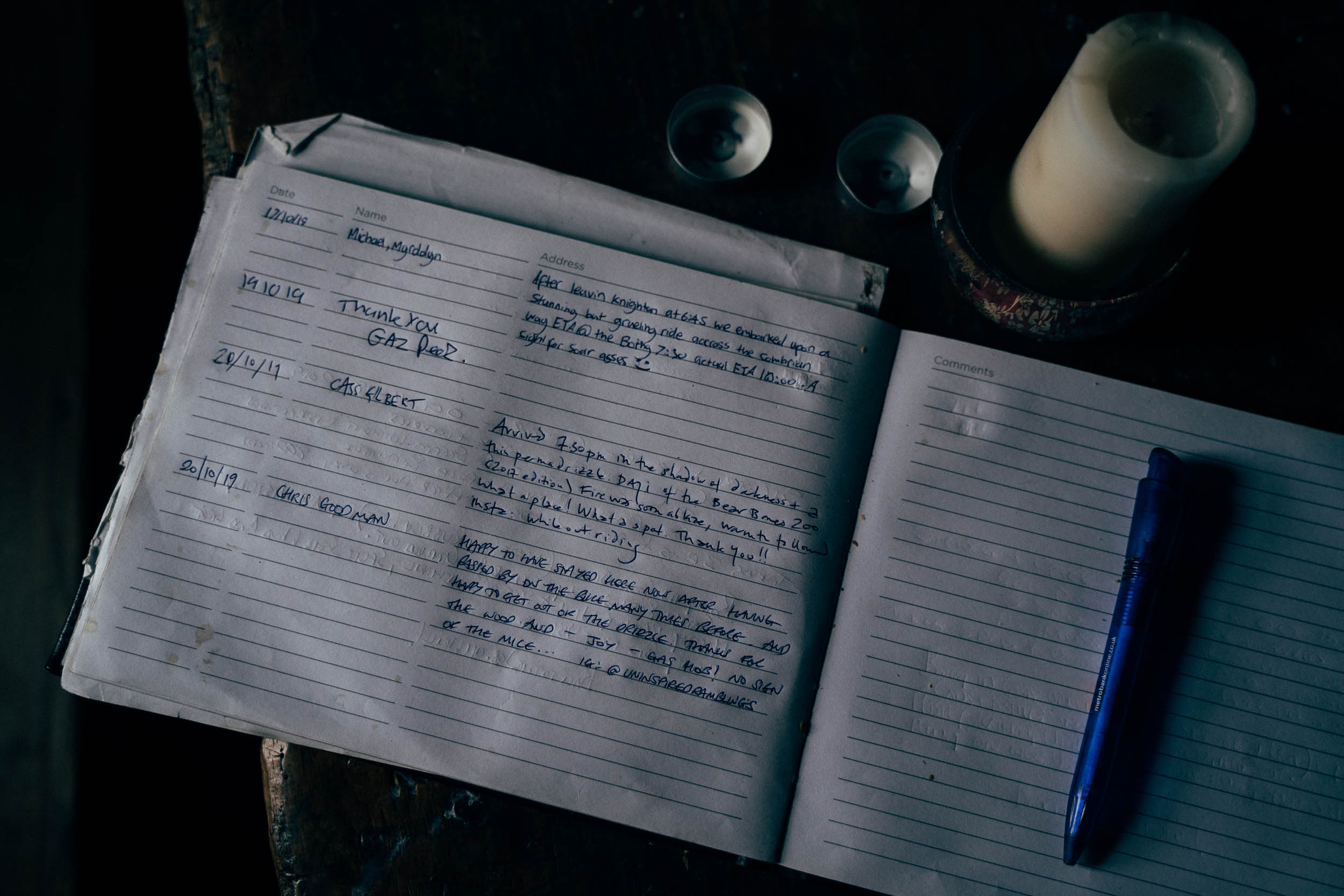
- Spending a night in a candle-lit, fire-warmed bothy
- Visiting the Centre of Alternative Technology and learning about sustainable living
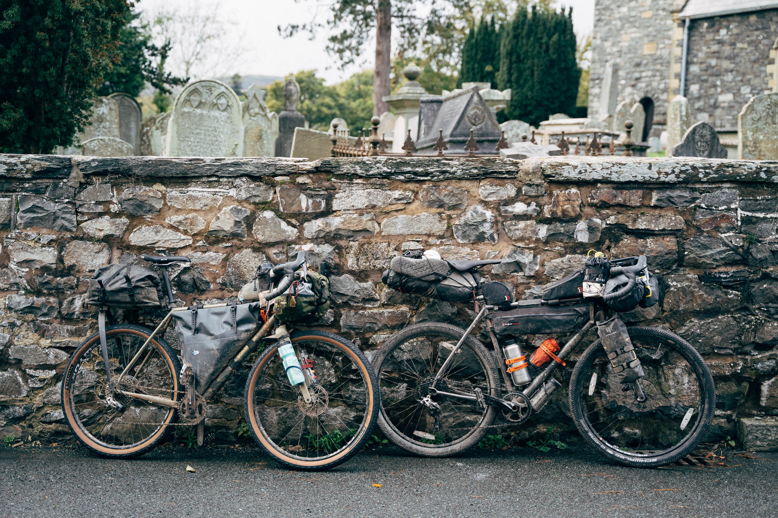
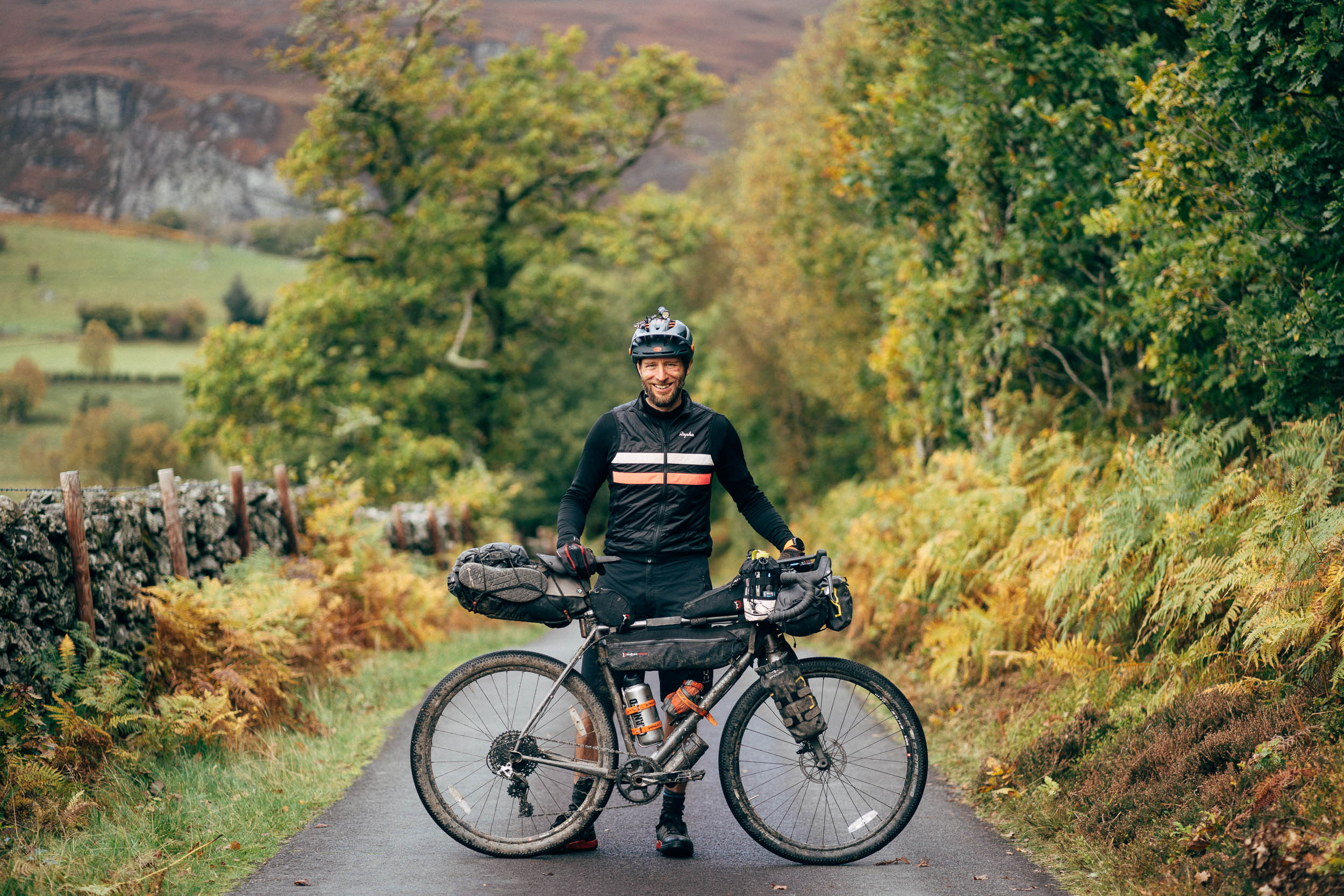
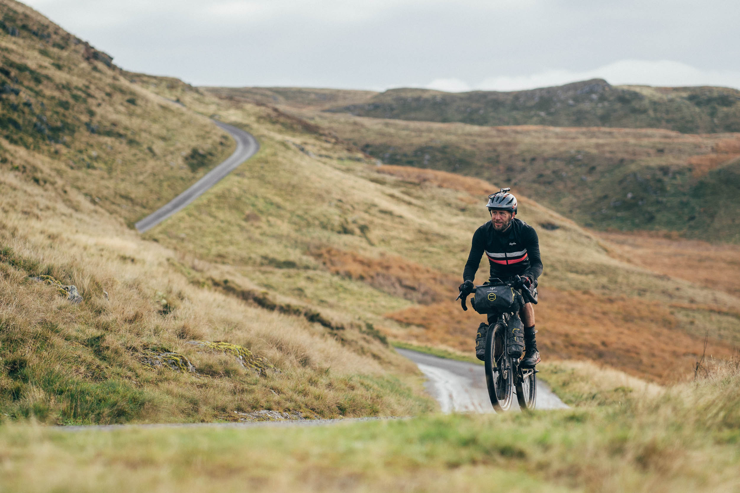
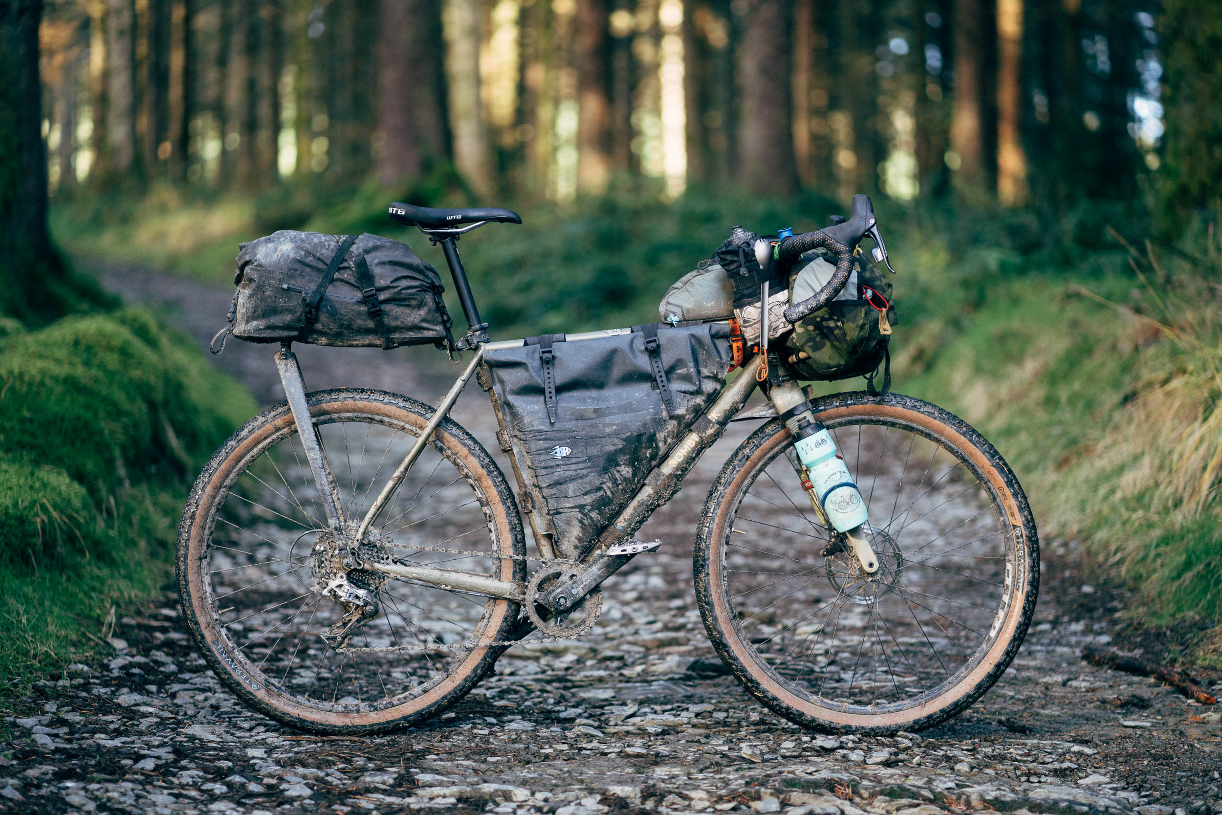
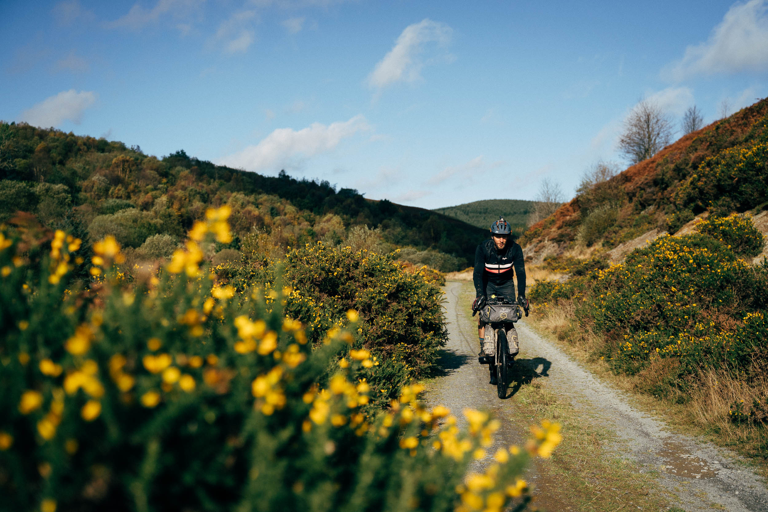
- Best bike: Perhaps it’s best think about best gearing rather than best bike: a low gearing is a must for this route, unless you want to push your bike up many of the climbs. Think wide range 1x or double. A conventional hardtail or rigid plus bike is likely the most rideable option, in part thanks to their low gearing, though gravel bikes shod with 650B x 2in tyres (or 700c x 45s) will do just fine, as long as you don’t mind taking the descents more slowly and being jostled around. If you’re running wide, flat pedals and a low bottom bracket, expect a fight with the tussocks!
- Best time of year: With a promising weather window, this route will be most enjoyed most between spring and autumn. Just bear in mind that the days will become a lot shorter as winter approaches, so factor this into your riding schedule. Either way, expect rain at any time – waterproof socks and/or quick drying footware is recommended. Although this swathe of mid-Wales was coined the Desert of Wales by 19th Century travel riders… think sparse population, rather than lack of water…
- Logistics: This is a loop, so you can start it at any point. Rhayader makes a good base if driving from London or Bristol. There’s a train station in Machynlleth too, which runs to Birmingham via Shrewsbury. There are also train stations in a couple of towns off route – Llandindrod Wells and Pen y Bont are closest to Rhyader, and connect to Cardiff and Swansea in the south and Crewe and Shrewsbury in the north.
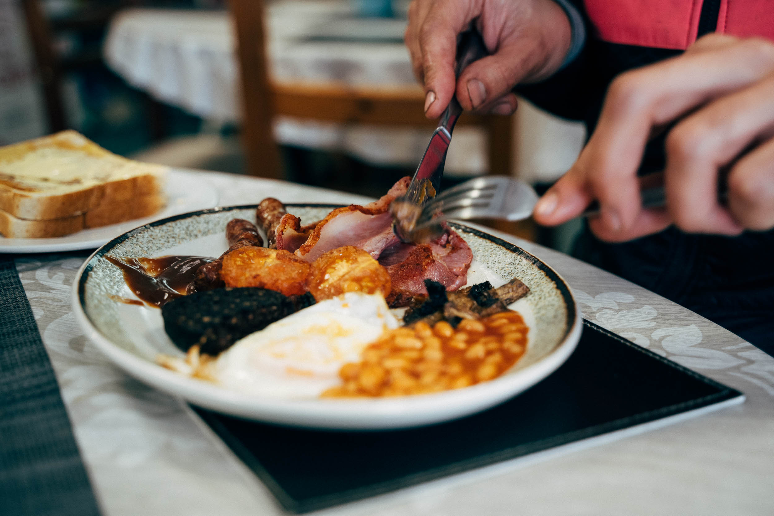
- The Centre of Alternative Technology opens at 10am and costs £9.50. Aside from tea/cake/coffee, there is a restaurant with homemade, vegetarian hot food, served from midday. And there’s a free tour at midday that’s well worth attending; it takes around an hour.
- There’s a bike shop in Rhayader (Clive Powell MTB) and a new one in Machynlleth too, called Mach 10 Cycles.
- Check out Trail Notes for a suggested 4-day itinerary
- This route can be shortened in several places. The most obvious significant options are to hop onto Sustrans 81 at LLangurig, which leads directly to Rhayader on a quiet and scenic paved road, or to cut across the Caban-coch Reservoir at Elan Valley. There are also a number of smaller abbreviations that can be made, which can clearly be seen on the map.
- Wild camping isn’t legal in Wales so if you choose to bivy out, do so with respect and #leavenotrace.
- There is a campsite near the Centre of Alternative Technology, marked on the map.
- The friendly Hafren Forest Hideaway is well versed to the needs of bikers and has a variety of accommodation of offer
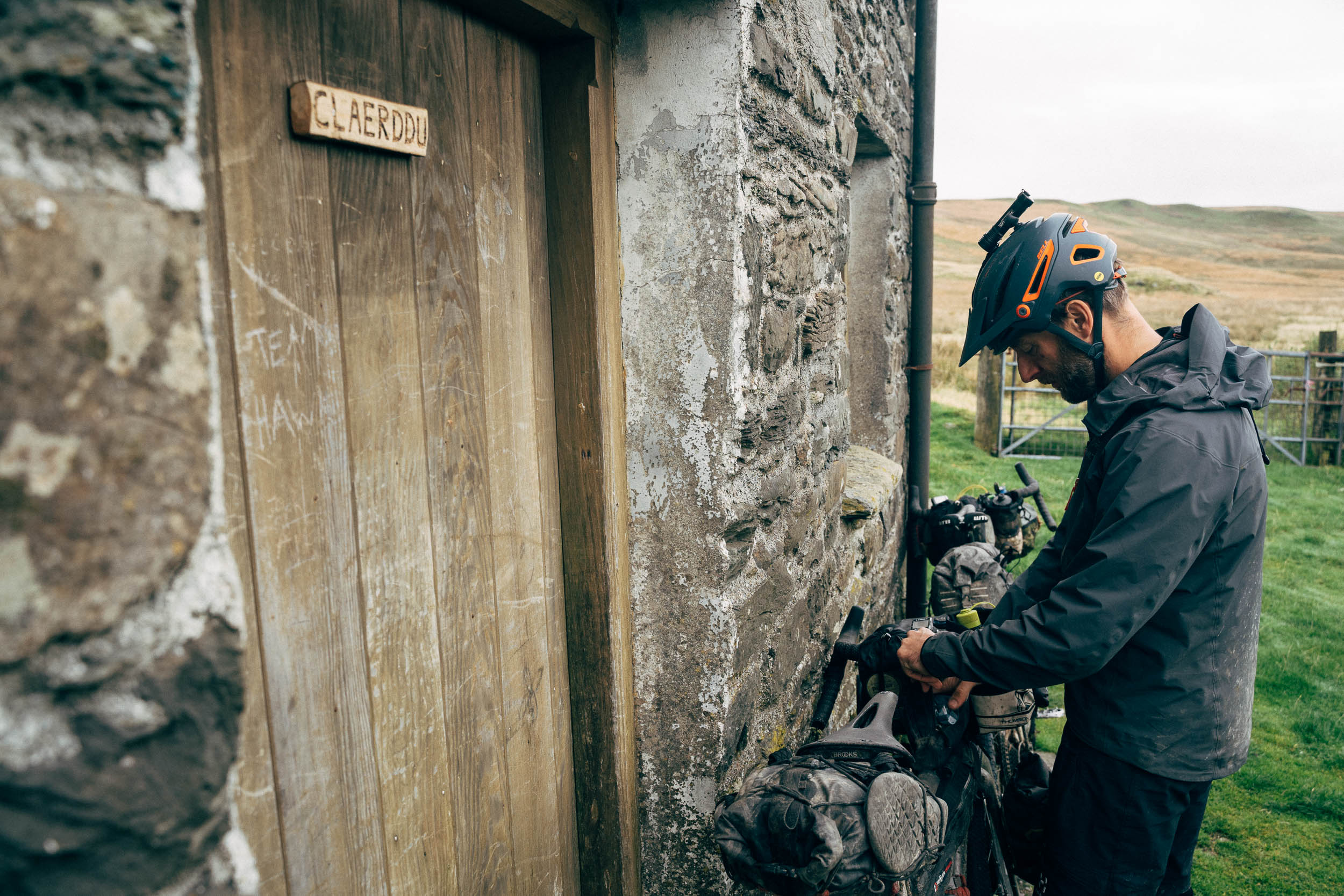
- There are two bothies (free, unlocked stone shelters) along the way, marked on the map. However, it’s best not to rely on them, particularly in the summer and at the weekends (they’re popular with Duke of Edinburgh groups). Be sure to leave bothies cleaner than you found them; pack out your trash and chop some wood for the next person. Consider a donation to the Mountain Rescue if you stay in one.
- The Hafren Forest Hideaway offers accommodation for £50pp, inc breakfast and refreshments, and can rustle you up dinner (£20) as well.
- There’s no shortage of water in Wales… you’ll rarely need to carry more than 2-3 water bottles.
- Resupply points are listed on the map; Machynlleth and Rhyader are roughly halfway round, depending on where you start, and have a full range of services.
- Machynlleth is a good resupply point, with an excellent delicatessen and bakery called Blasau. Hennighan’s has excellent fish and chips (with adjoining bakery) served in compostable bags and trays. The Dyfi Whole Foods shop is well stocked with local products, and there’s also a Co-Op and a Spar.
- Elan Valley Cafe has excellent homemade cakes (vegan/GF options). These and other options are marked on the map.
A possible itinerary, that includes time a few hours to visit the Centre of Alternative Technology:
Day 1 – Ride to Claerddu bothy and stay inside/camp, or push on to Nant Syddion Bothy.
Day 2 – Ride to campsite outside Centre of Alternative Technology, north of Machynlleth.
Day 3 – Visit the CAT (open 10am), resupply, then ride to Hafran Forest and sleep in a dorm or camp nearby.
Day 4 – Ride back to Rhayader.
Note that you could also start in Machynlleth, which can be reached by train.
In May 2023, I re-rode the route, in reverse and edited down, due to inclement weather. Find details and more photos here.


Terms of Use: As with each bikepacking route guide published on BIKEPACKING.com, should you choose to cycle this route, do so at your own risk. Prior to setting out check current local weather, conditions, and land/road closures. While riding, obey all public and private land use restrictions and rules, carry proper safety and navigational equipment, and of course, follow the #leavenotrace guidelines. The information found herein is simply a planning resource to be used as a point of inspiration in conjunction with your own due-diligence. In spite of the fact that this route, associated GPS track (GPX and maps), and all route guidelines were prepared under diligent research by the specified contributor and/or contributors, the accuracy of such and judgement of the author is not guaranteed. BIKEPACKING.com LLC, its partners, associates, and contributors are in no way liable for personal injury, damage to personal property, or any other such situation that might happen to individual riders cycling or following this route.
Please keep the conversation civil, constructive, and inclusive, or your comment will be removed.