


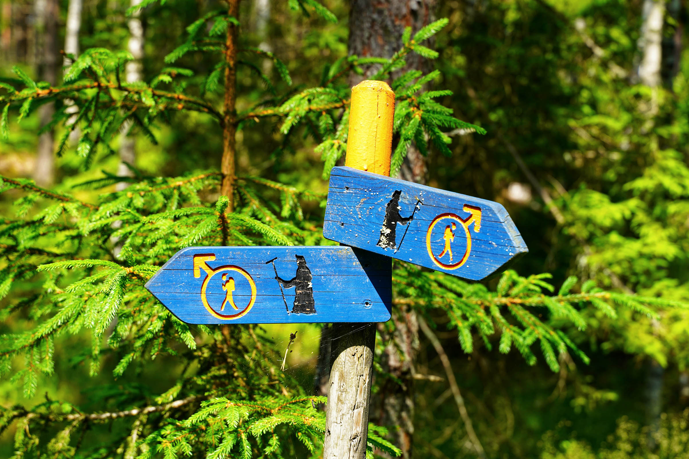
Bergslagsleden (The Miner’s Trail)
Distance
186 Mi.
(299 KM)Days
6
% Unpaved
96%
% Singletrack
33%
% Rideable (time)
93%
Total Ascent
11,554'
(3,522 M)High Point
1,312'
(400 M)Difficulty (1-10)
7?
- 4Climbing Scale Fair62 FT/MI (12 M/KM)
- -Technical Difficulty
- -Physical Demand
- -Resupply & Logistics
Contributed By
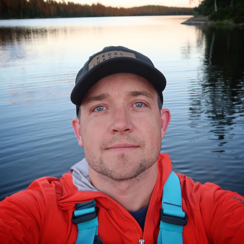
Michael O'Dwyer
Bikepacking Sweden
The Bergslagsleden is a hiking trail that runs north to south just west of the city of Örebro in central Sweden. Loosely translated, Bergslagsleden means “trail through a mining area.” Leden is Swedish for trail and bergslags (originally the name used for a company of miners) translates to “a mining area.”
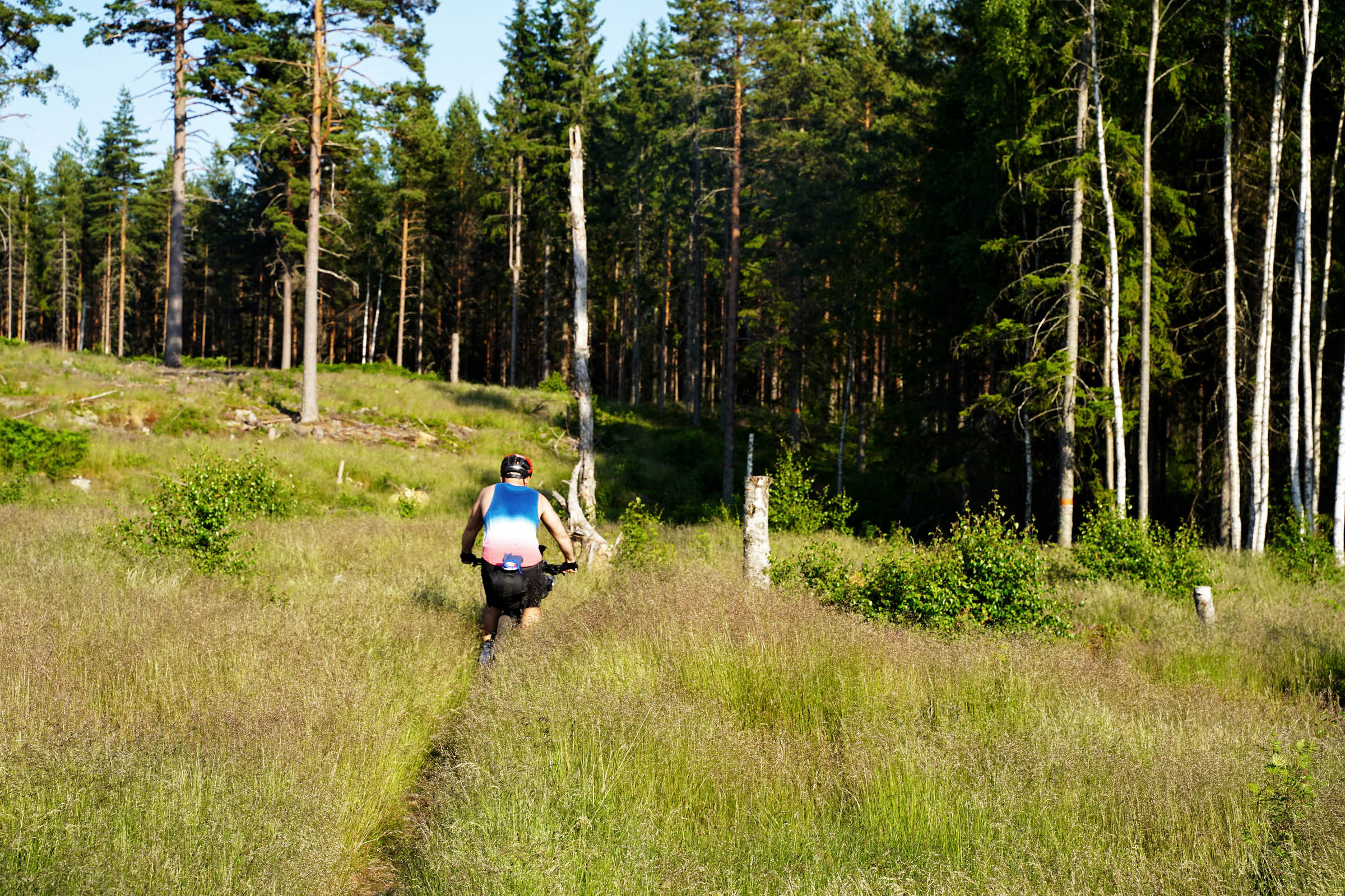
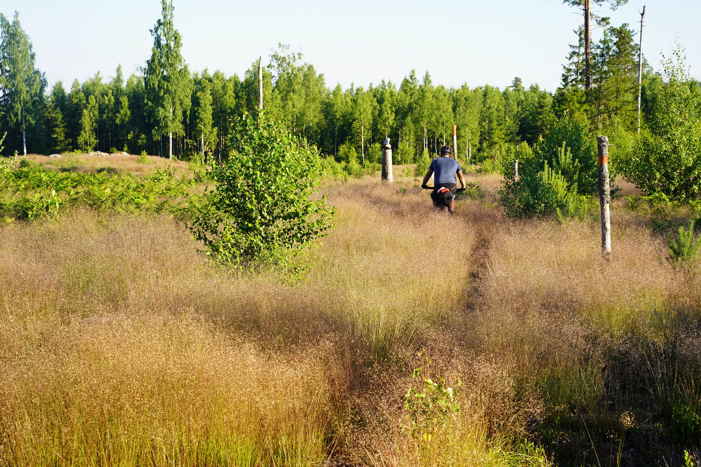
Our route follows 60% of this trail, with the missing 40% being made up of detours for resupply and segments designed to replace the trail’s more difficult and unrideable singletrack. Bergslagsleden traverses a low-lying mountain range that should not be underestimated and packs one hell of a punch. The more difficult north balances well with the softer south, taking you through beautiful villages and enchanting forests along the way. This old mining region is peppered with historical features and will entice you to detour and collect even more photographs and memories.
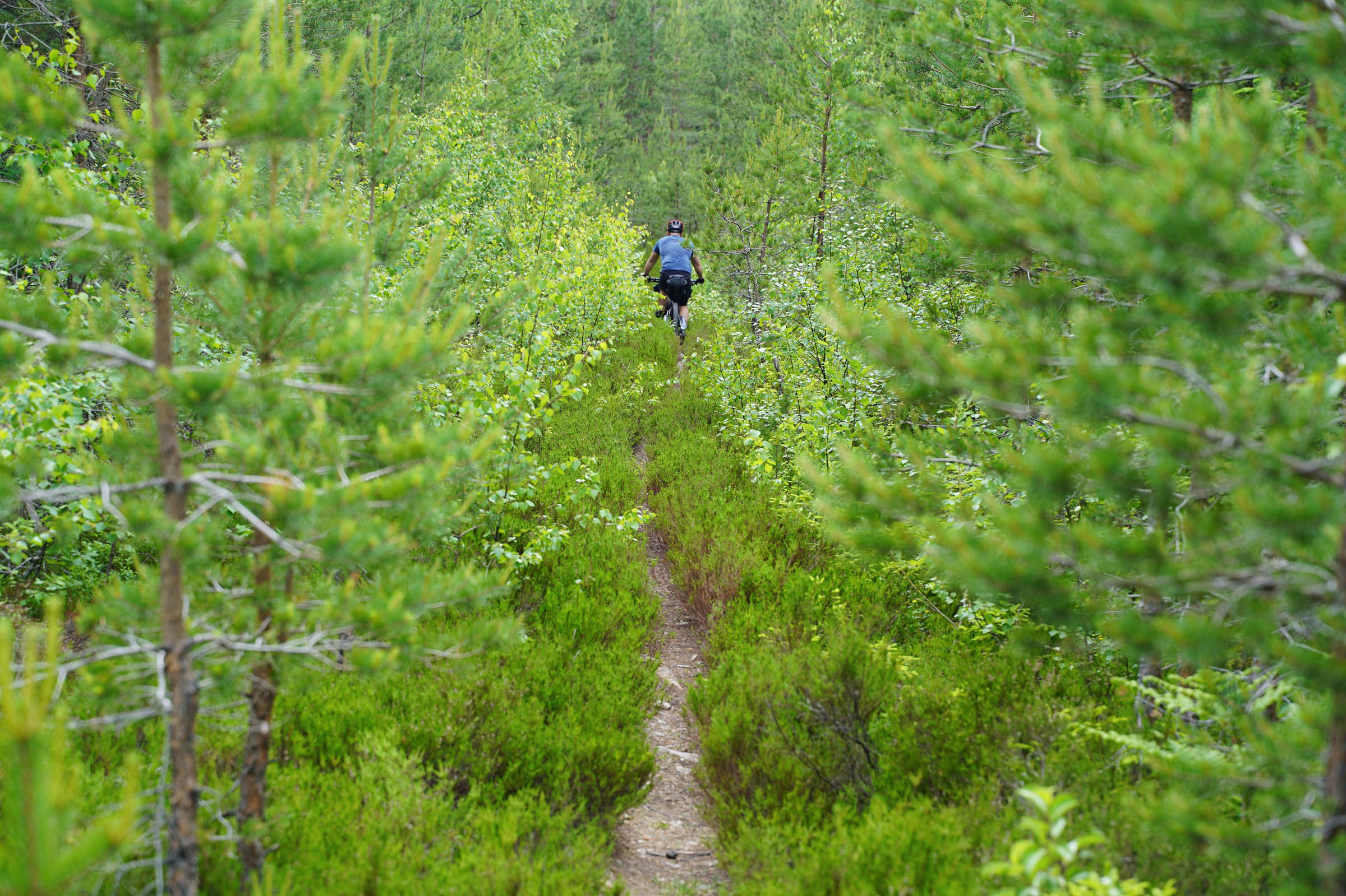
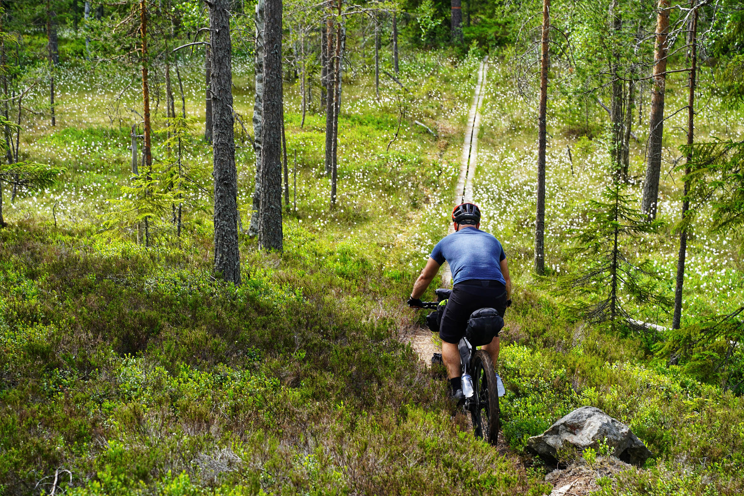
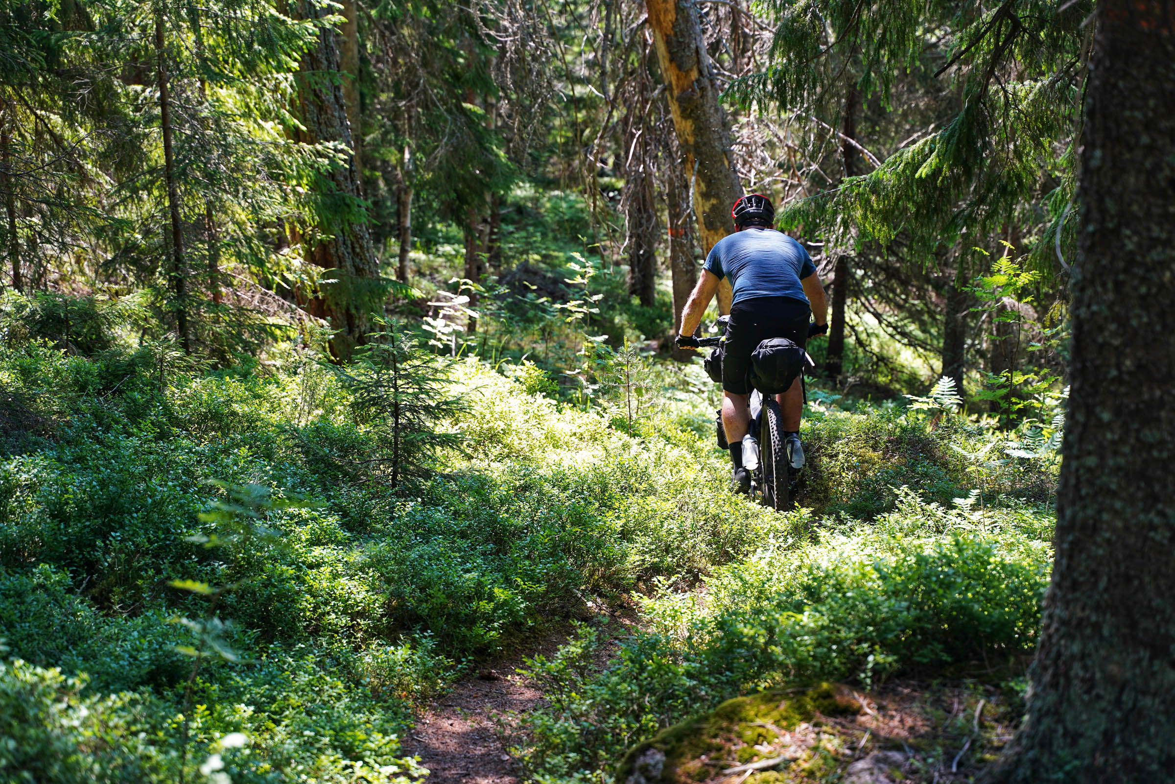
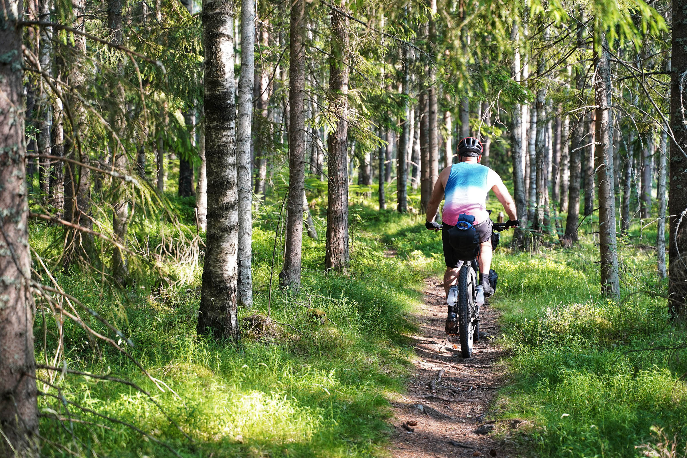
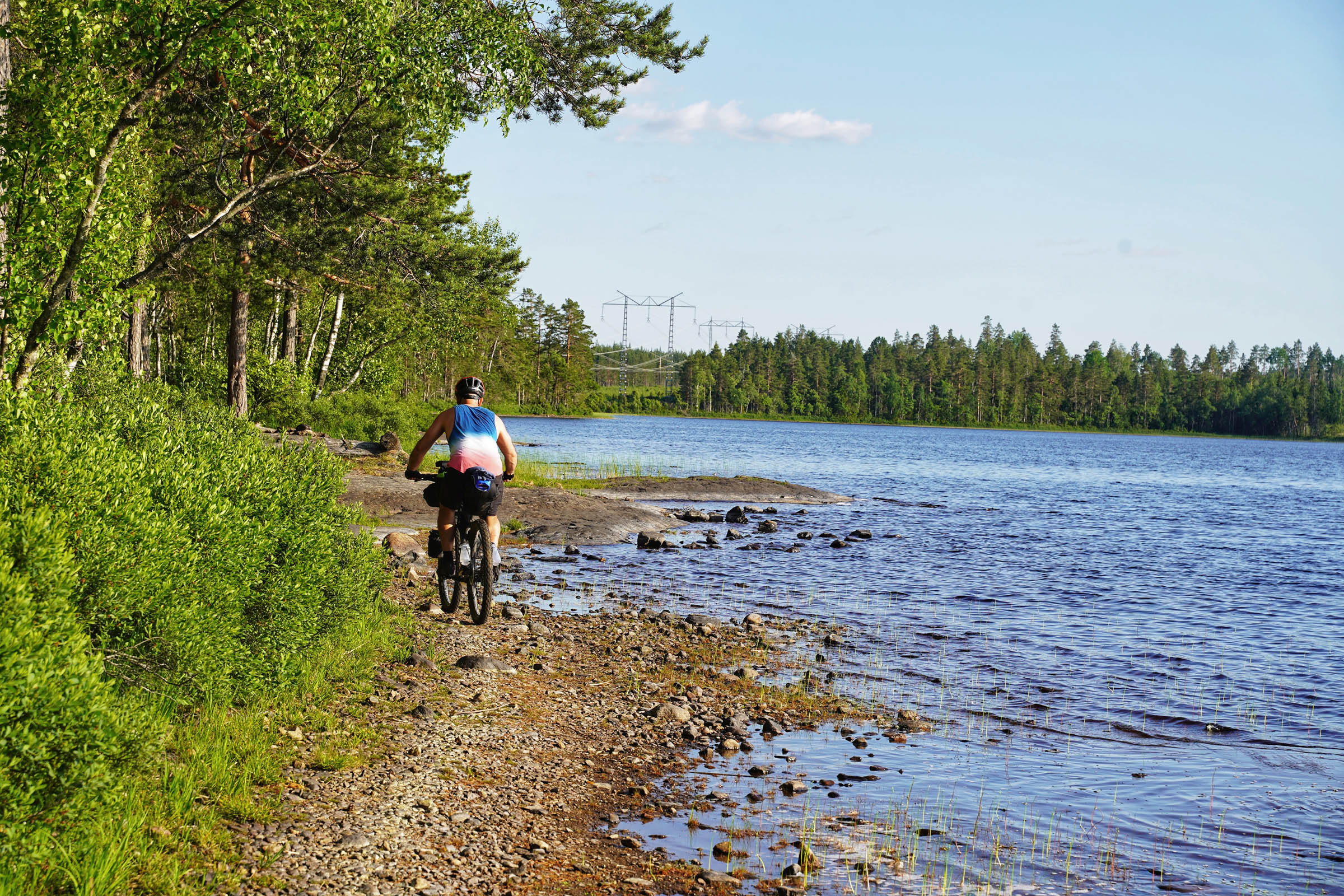
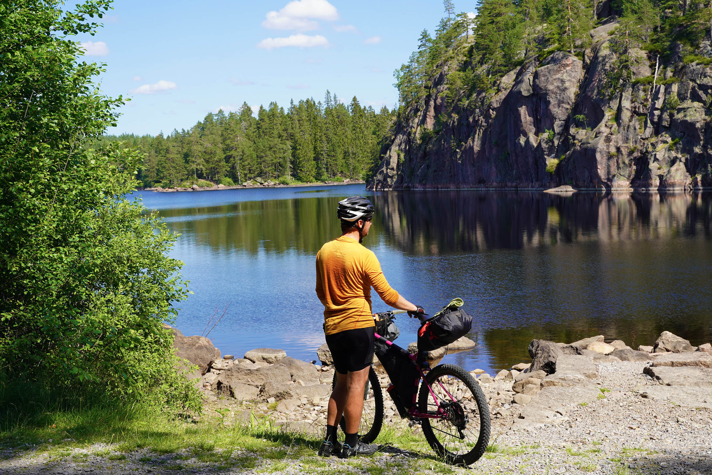
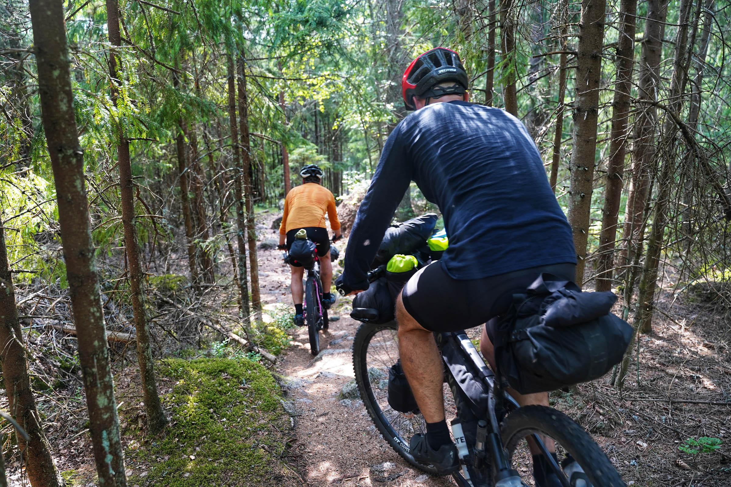
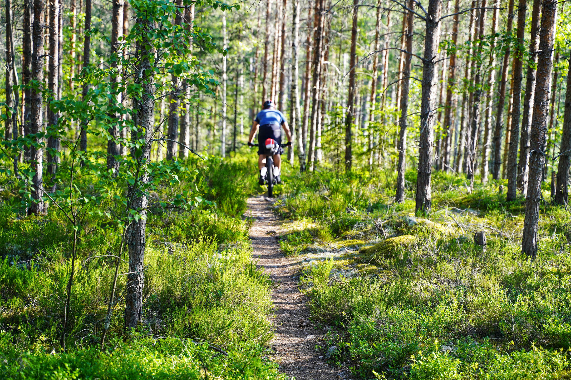
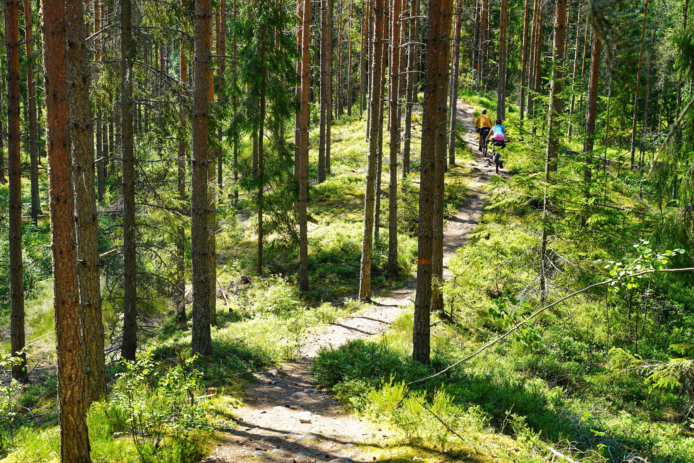
Bergslagsleden is teeming with wildlife, idyllic swimming holes, and stunning viewpoints over this forested landscape. And all this before we talk about the 100 kilometres of super singletrack riding that make this route special. If ever you wanted an excuse to come biking in Sweden, this trail might be the one.
Difficulty
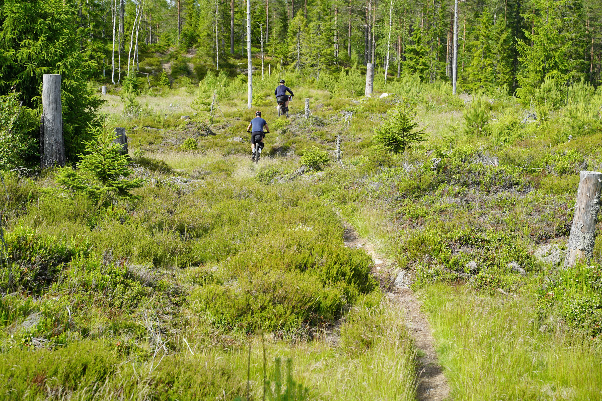
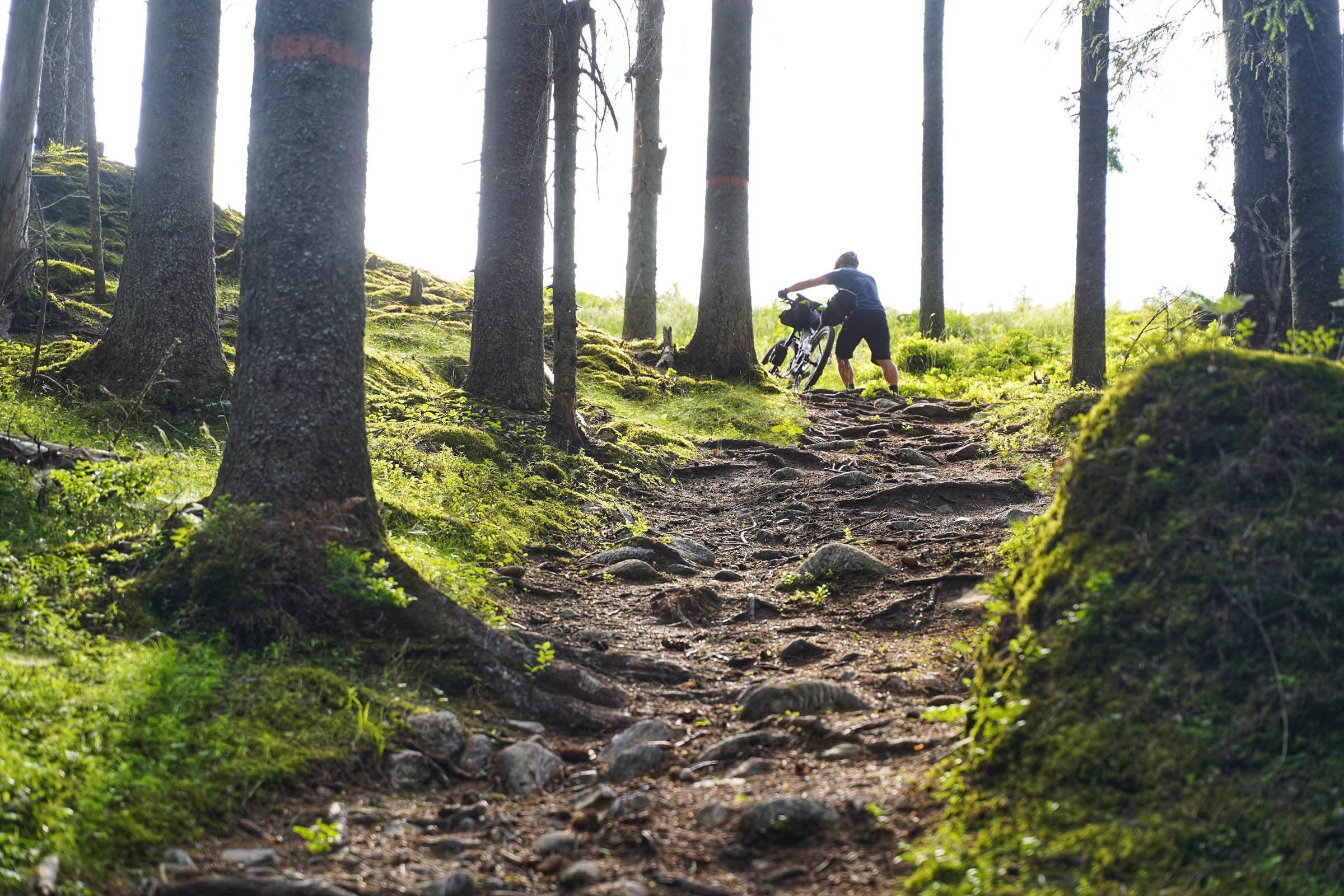
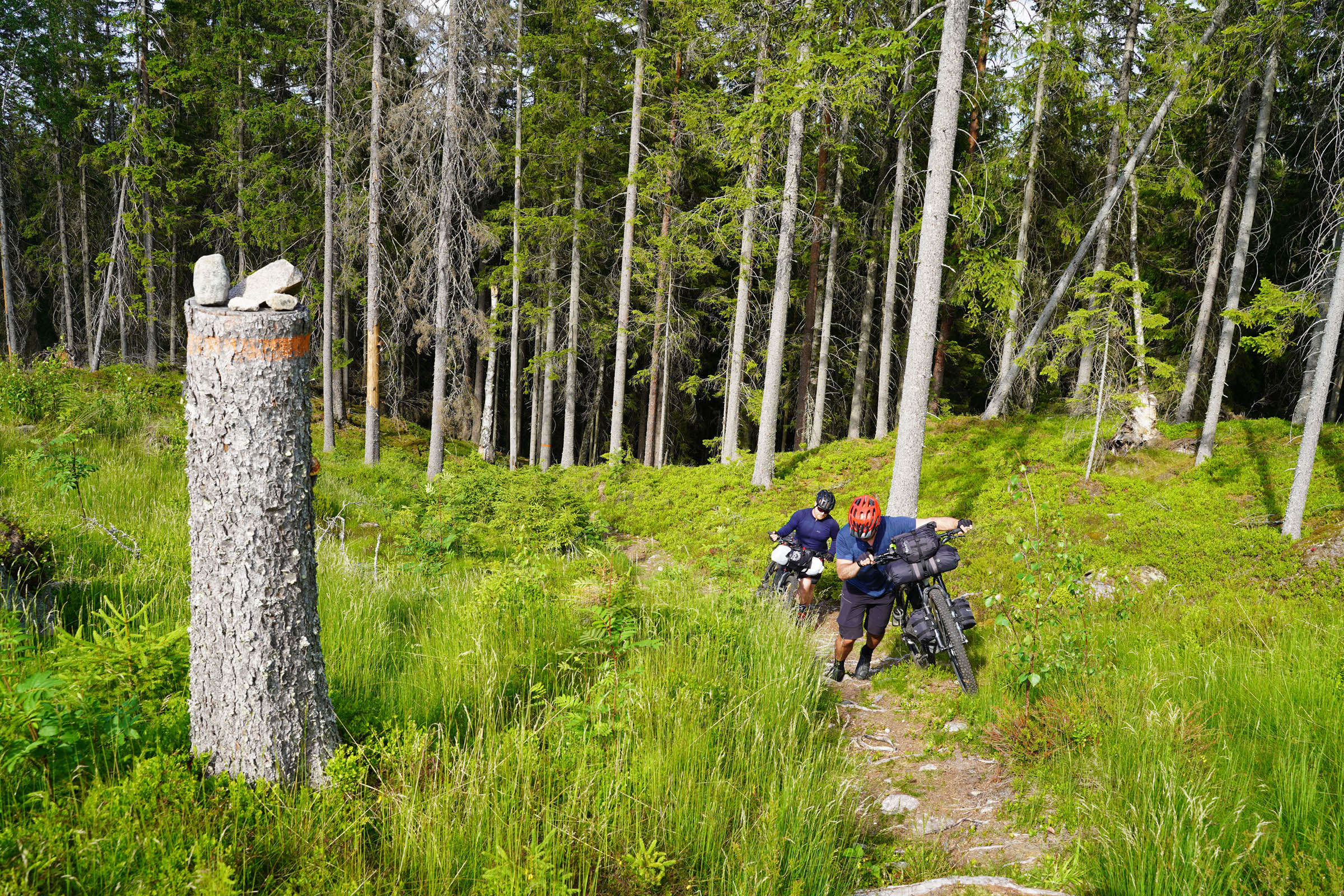
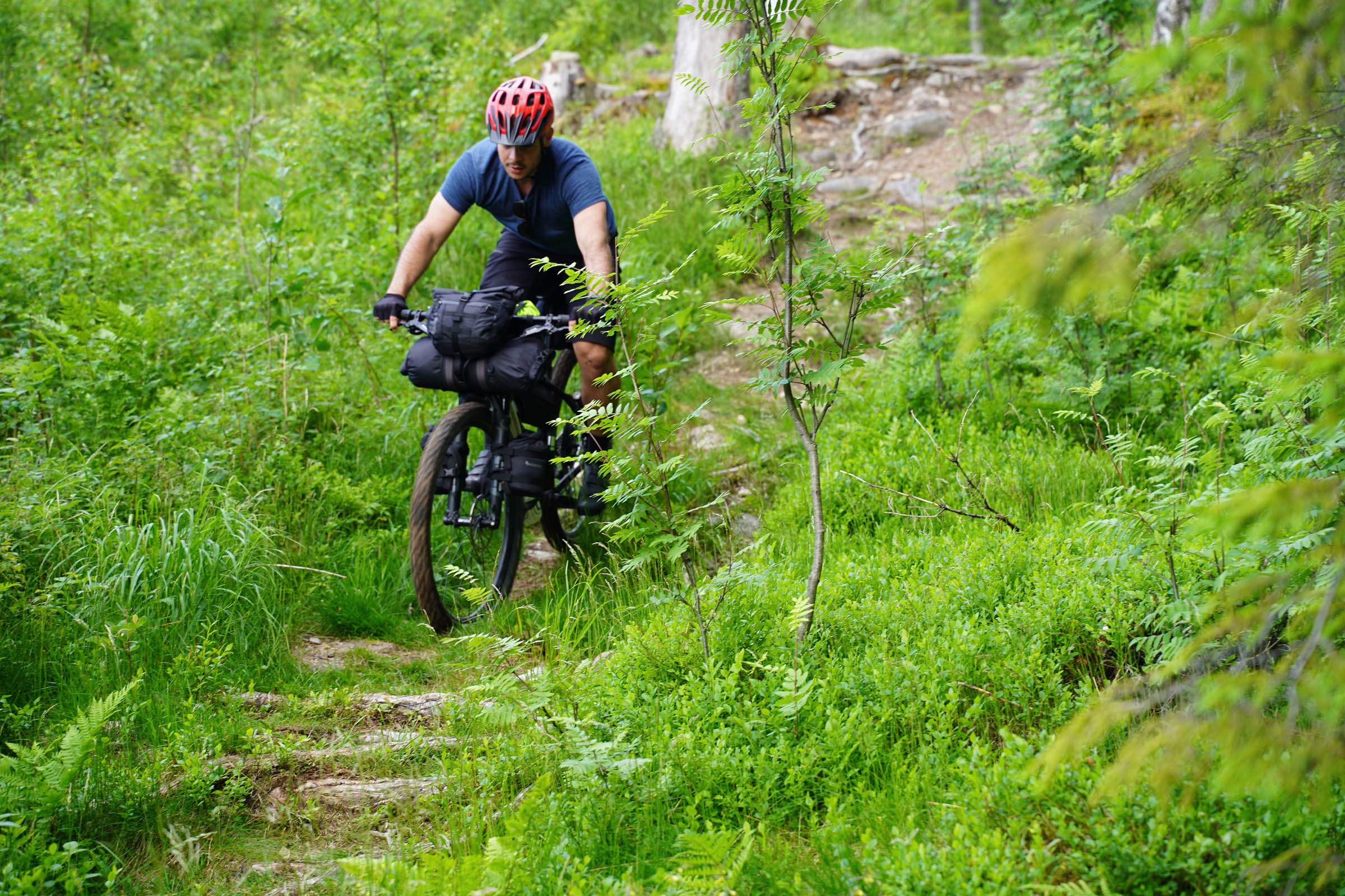
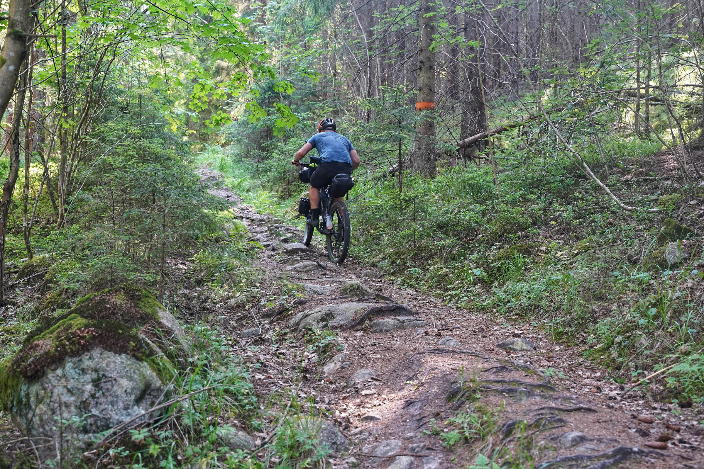
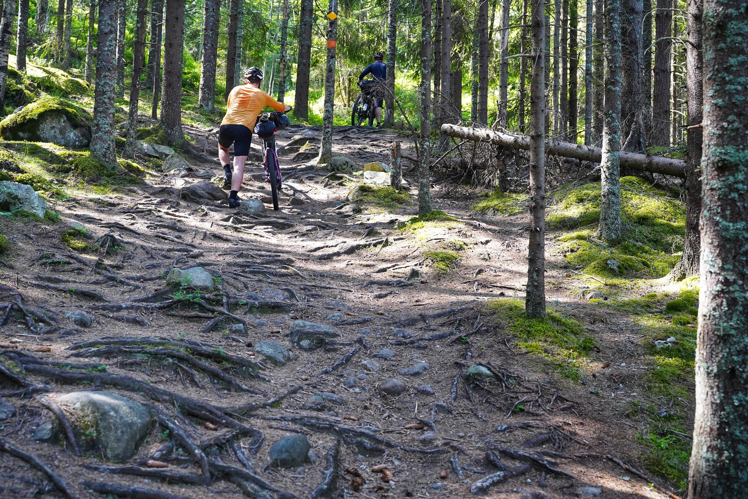
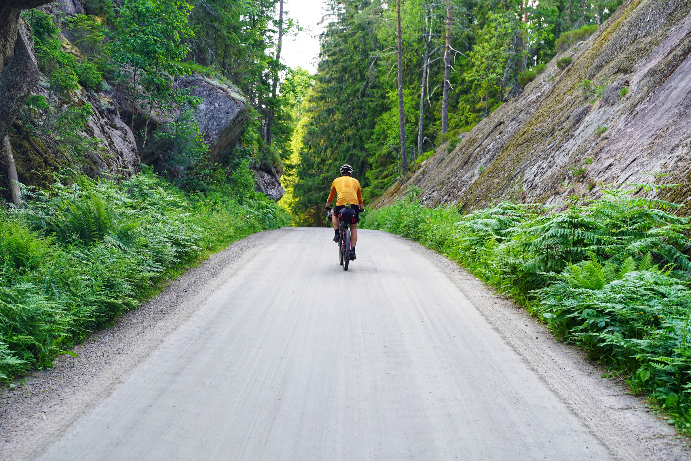
This route is first and foremost a mountain bike route and should be treated as such, despite the percentage on gravel. A level of mountain biking skills are required to enjoy this route. Due to the difficulty of the forest sections, especially in the north, a rating of 7 out of 10 is given. The northern third is the most demanding and gets easier with faster riding the further south you travel. The highest point is only 400 metres, but don’t let that trick you. This trail can be very demanding.
We averaged 10km/hour in the north, rising to 12km in the south, which includes the much faster gravel sections. The hike-a-bike sections are not long but can be very steep and challenging. Be prepared to lift your bike multiple times over fallen trees, scramble up rock steps, and fight your way through young forests. There’s not always phone coverage, and due to a lack of stores you need to carry your food. If there is no wind the insects can be a problem. Some will follow you even when riding over 15km per hour!


Submit Route Alert
As the leading creator and publisher of bikepacking routes, BIKEPACKING.com endeavors to maintain, improve, and advocate for our growing network of bikepacking routes all over the world. As such, our editorial team, route creators, and Route Stewards serve as mediators for route improvements and opportunities for connectivity, conservation, and community growth around these routes. To facilitate these efforts, we rely on our Bikepacking Collective and the greater bikepacking community to call attention to critical issues and opportunities that are discovered while riding these routes. If you have a vital issue or opportunity regarding this route that pertains to one of the subjects below, please let us know:
Highlights
Must Know
Camping
Food/H2O
Trail Notes
Resources
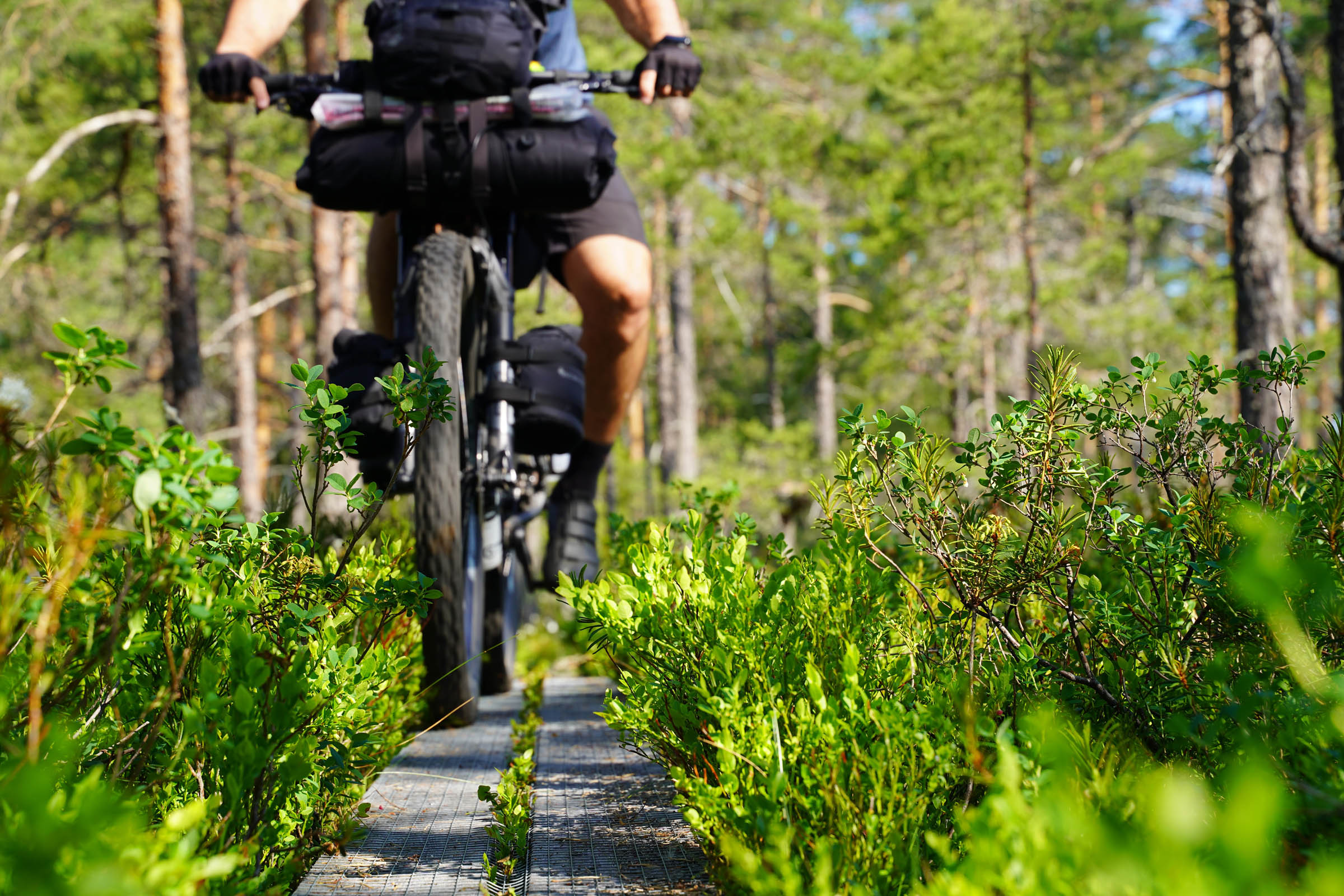
- Riding 100 kilometers of super cross country single-track.
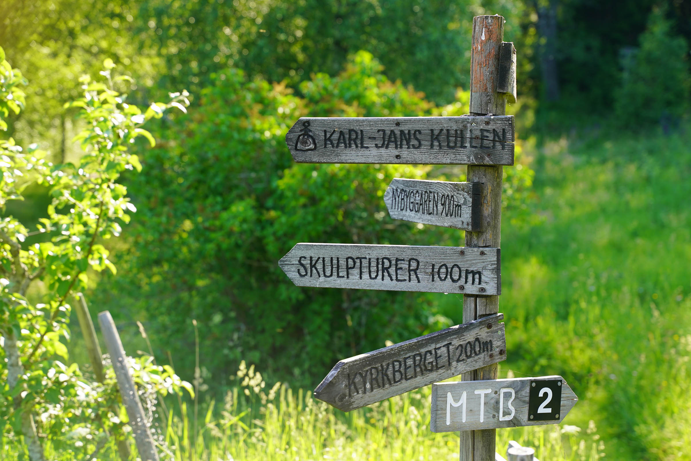
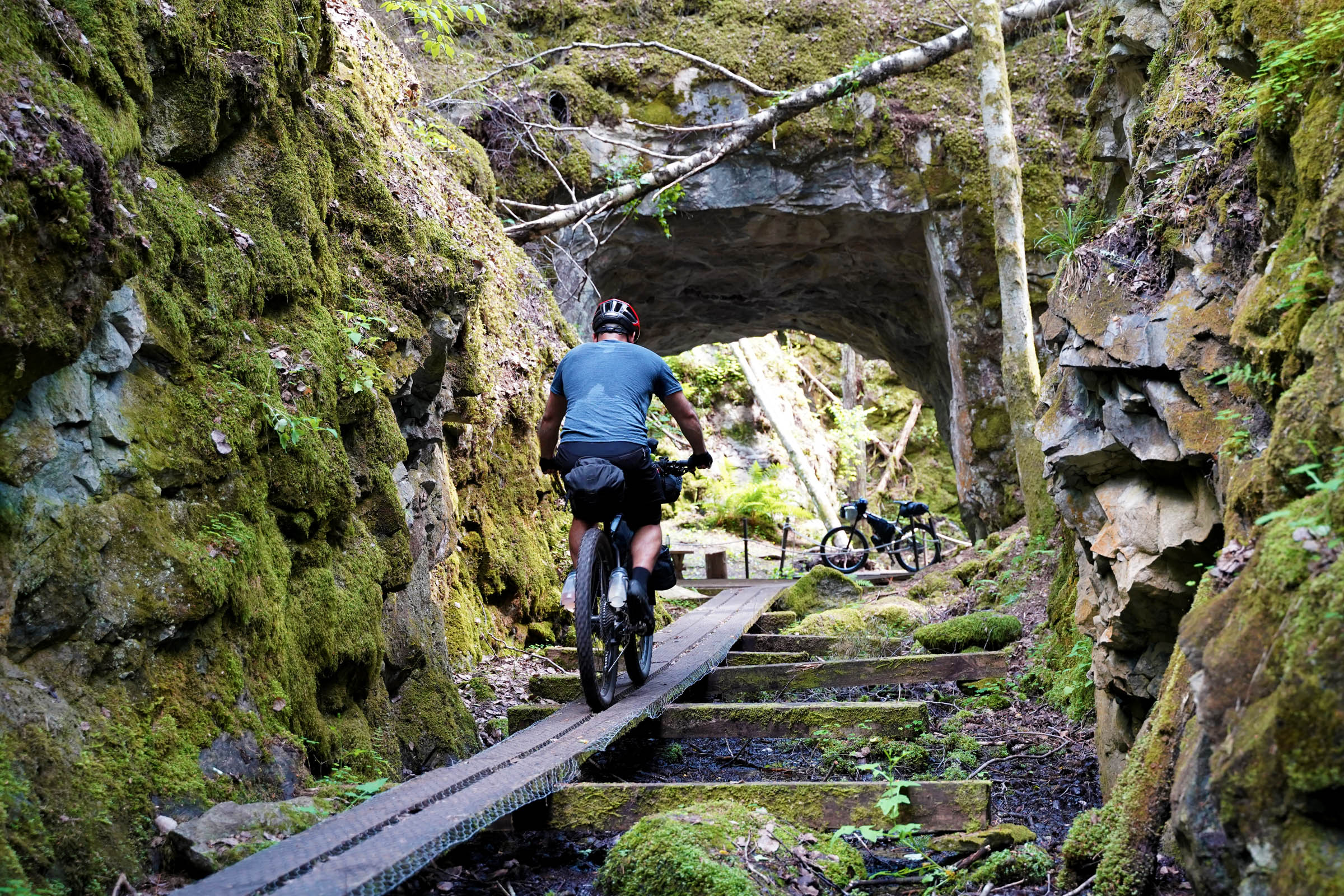
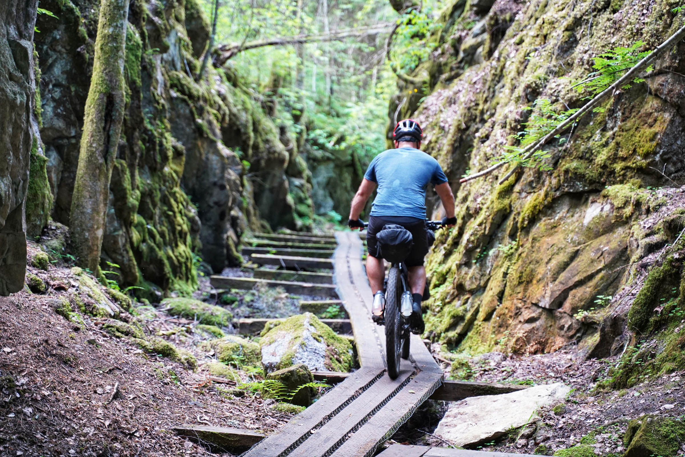
- Visiting the abandoned limestone mines in Treggeboda
- Marveling at the beauty of the Tivedens National Park
- Exploring the picturesque town of Nora
- Swimming in the warm Swedish summer lakes
- Having a well-deserved fika (coffee and cake) at Tivedstorp STF hostel
- Swimming in the limestone quarry lakes of Siggeboda
- Admiring the views from the top of Gillarsklack Ski resort
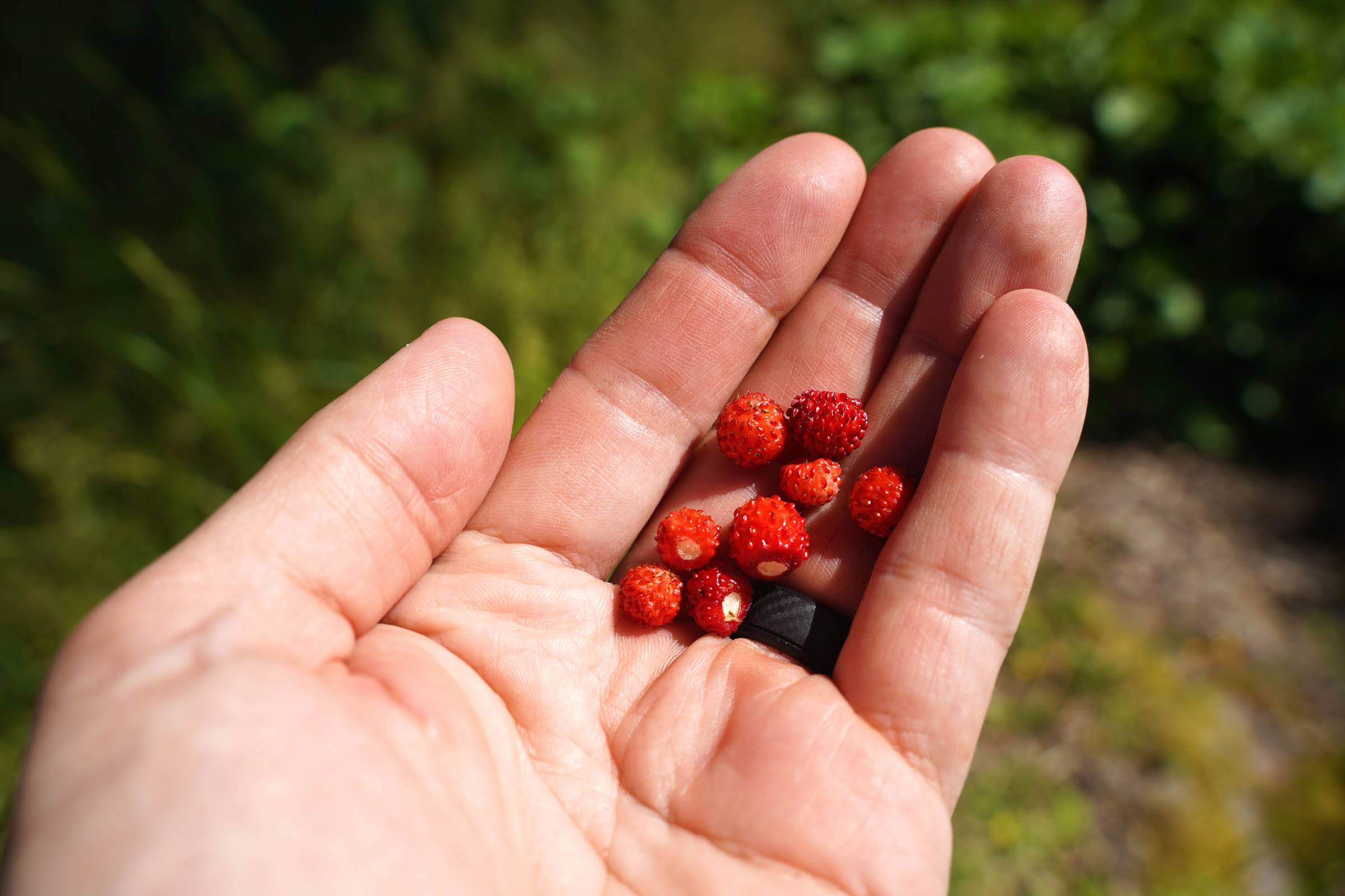
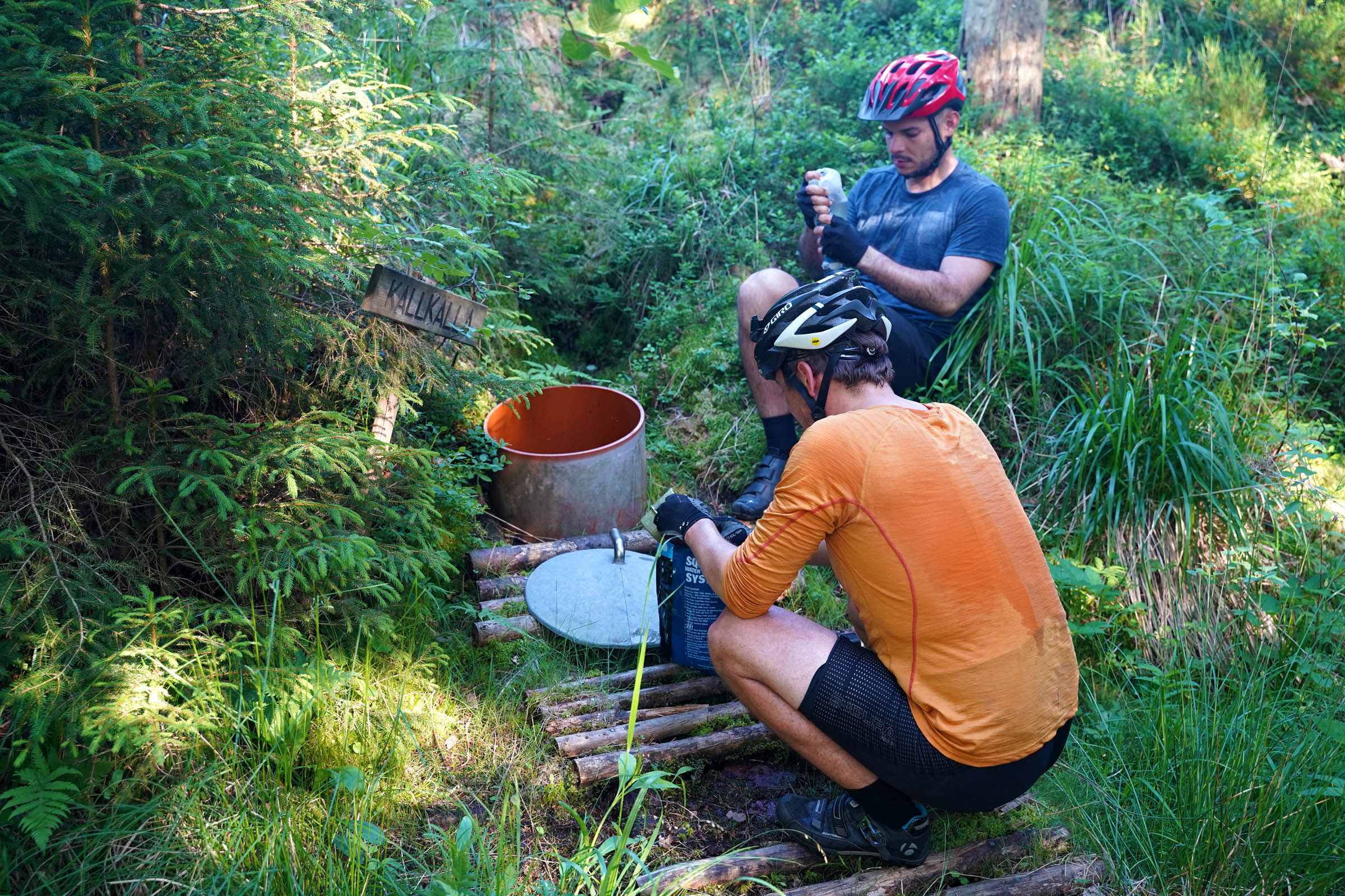
- Drinking from the marked cold-water springs at Hammarby
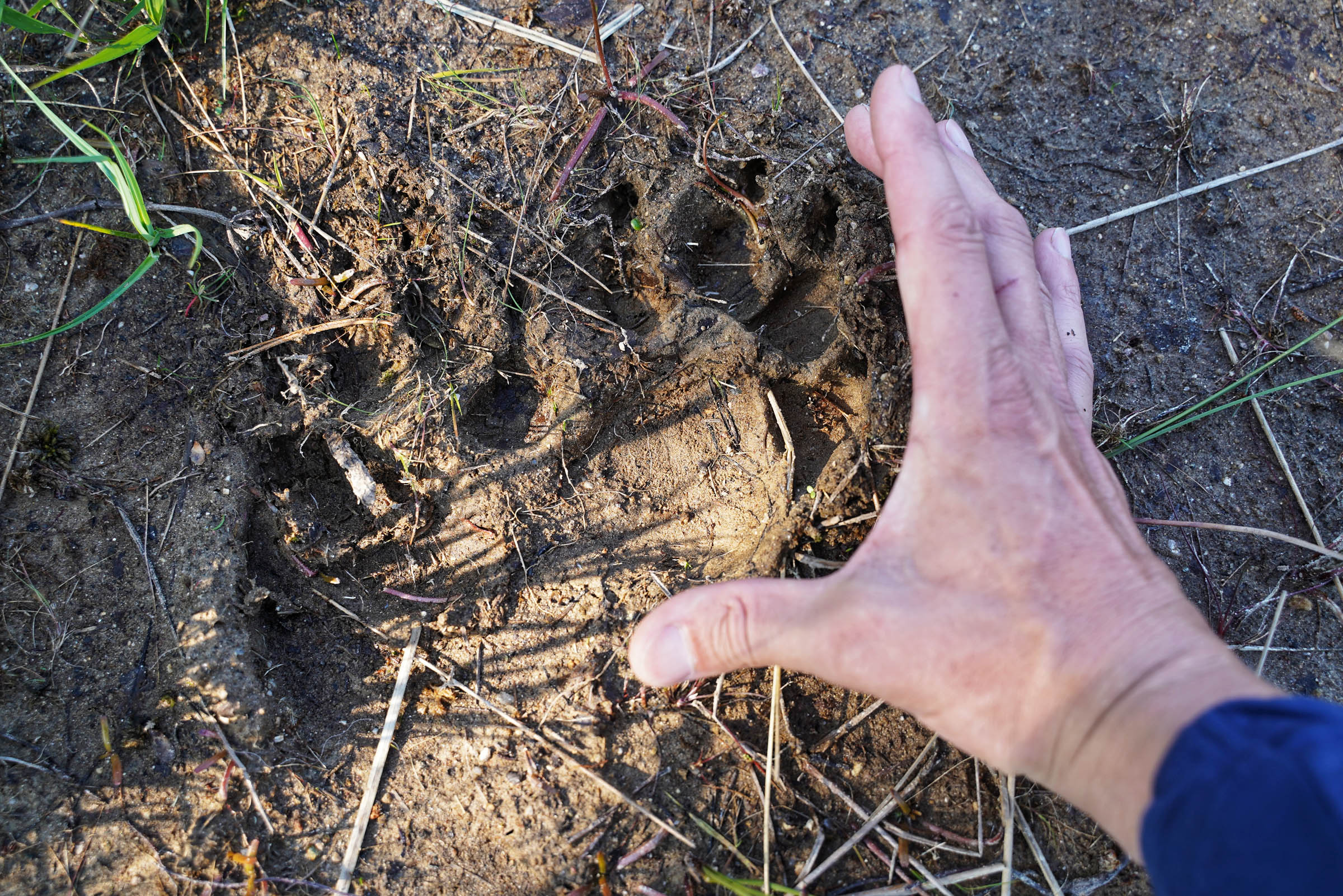
- Wildlife spotting. We saw a wolf and apparently just missed out on a Brown Bear and her cub. All rarely seen in Scandinavia.
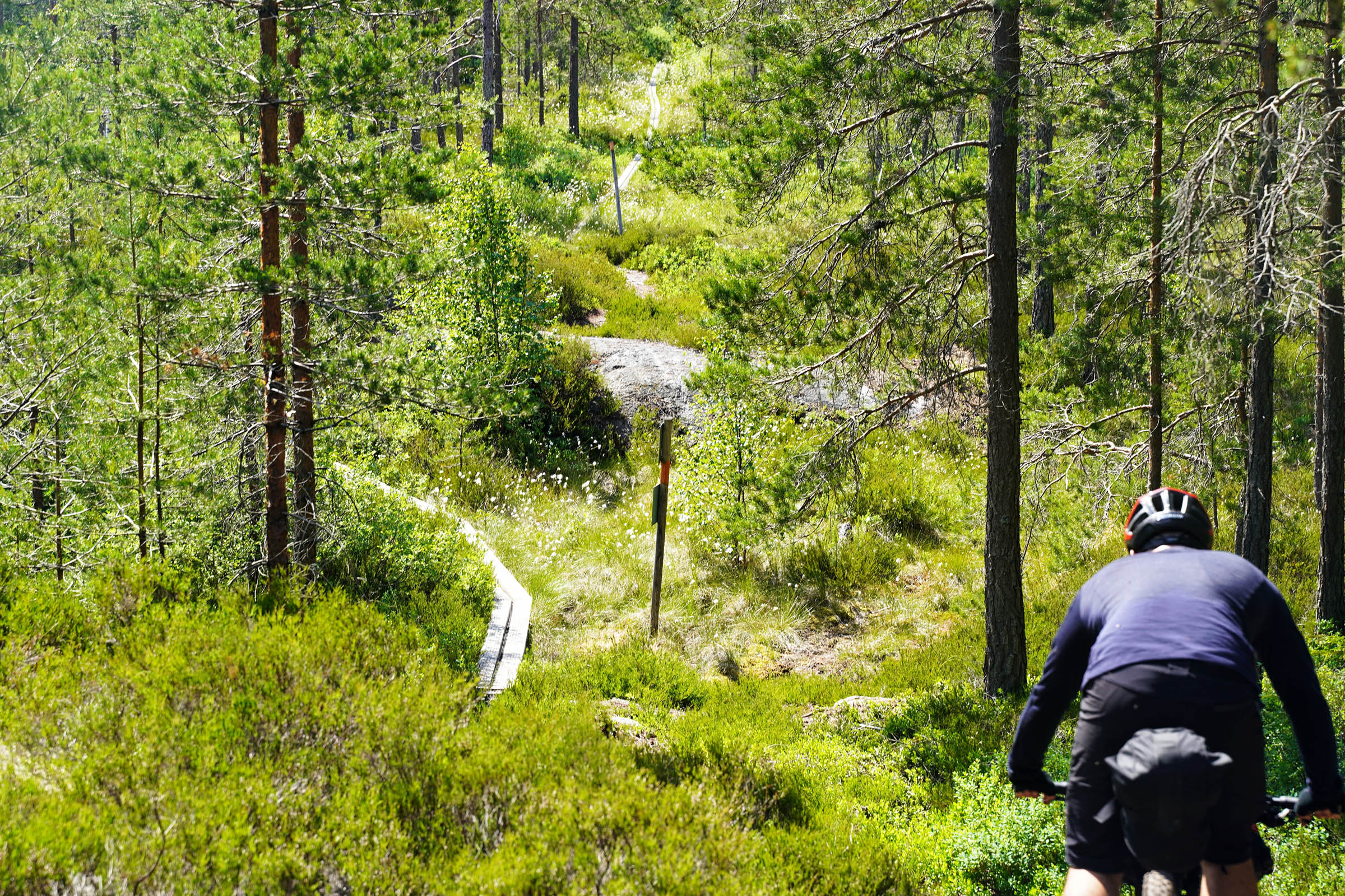
- The route follows a hiking track so therefore expect some un-ride-able sections.
- The route is rideable from April until the first snow, usually in November but best during high summer.
- If there has been lots of rain or late snow expect the single-track sections to be slower. There are many roots and rocks in the forests.
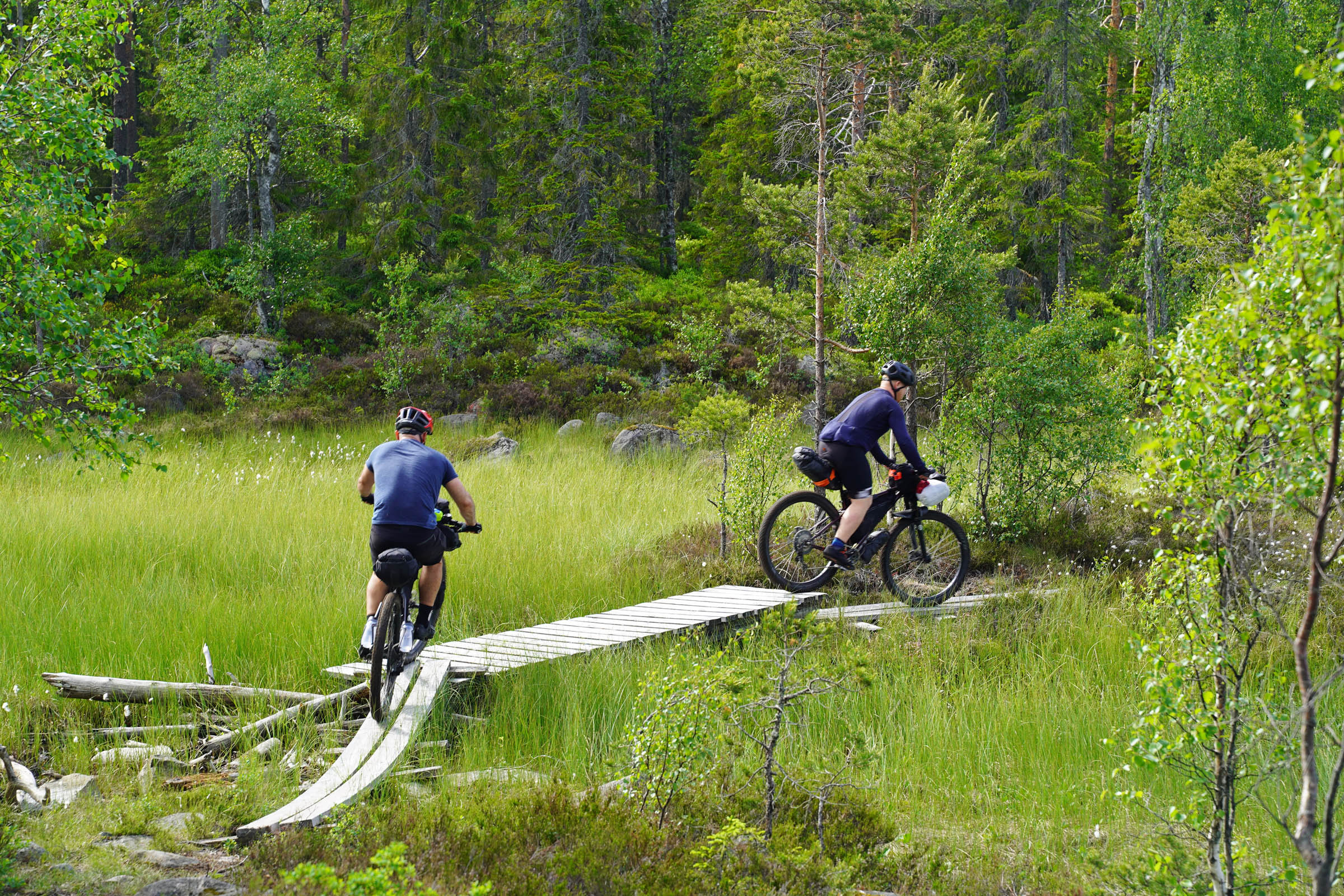
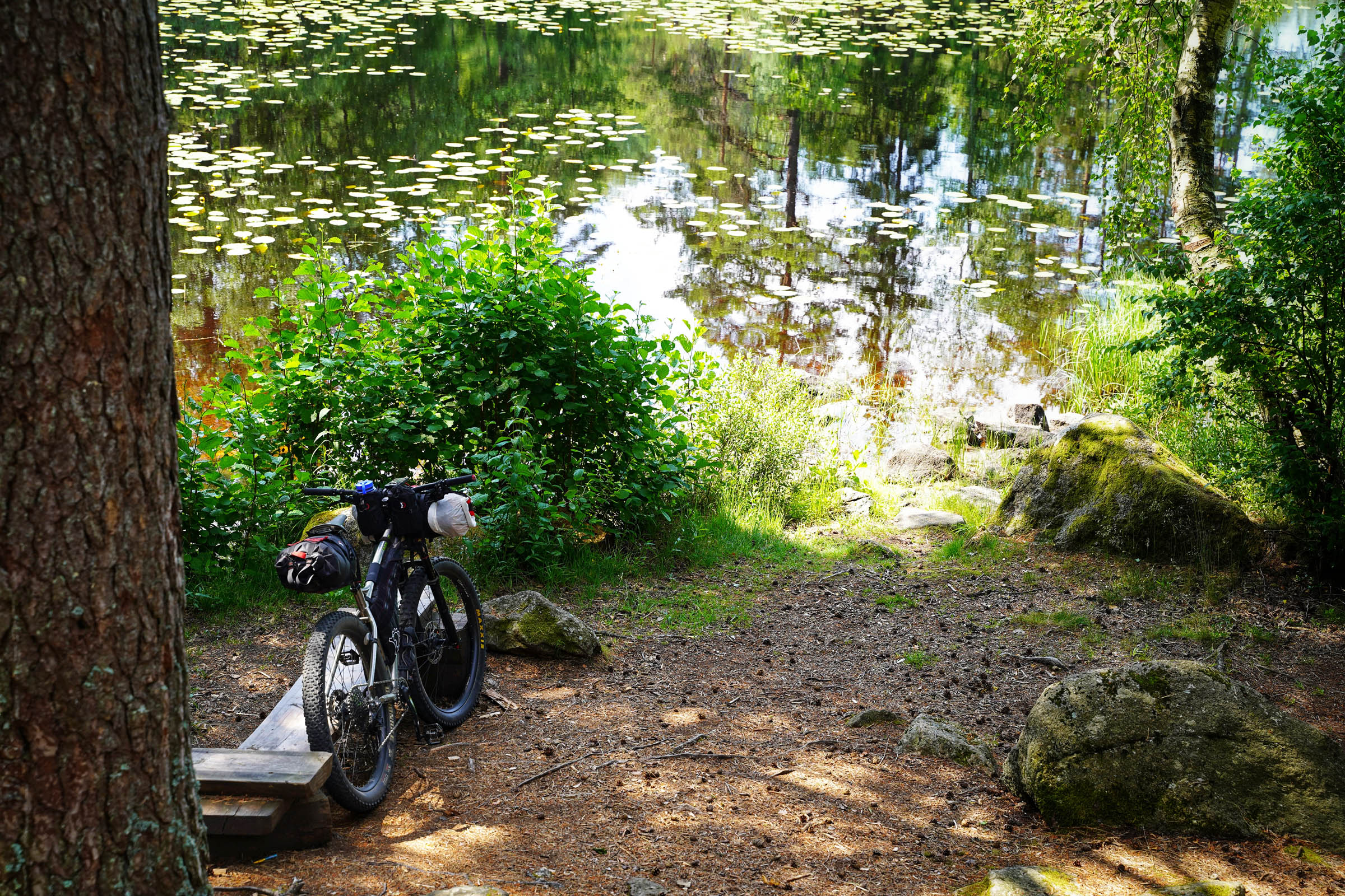
- Along with technical forest trails there are lots of wooden walkways to cross. Mostly two parallel planks with a small gap. We suggest at least 2.3inch tyres but those on 2.6 inch and above will find them easier. I rode 27.5 x 2.8 inch and 3 inch Maxxis.
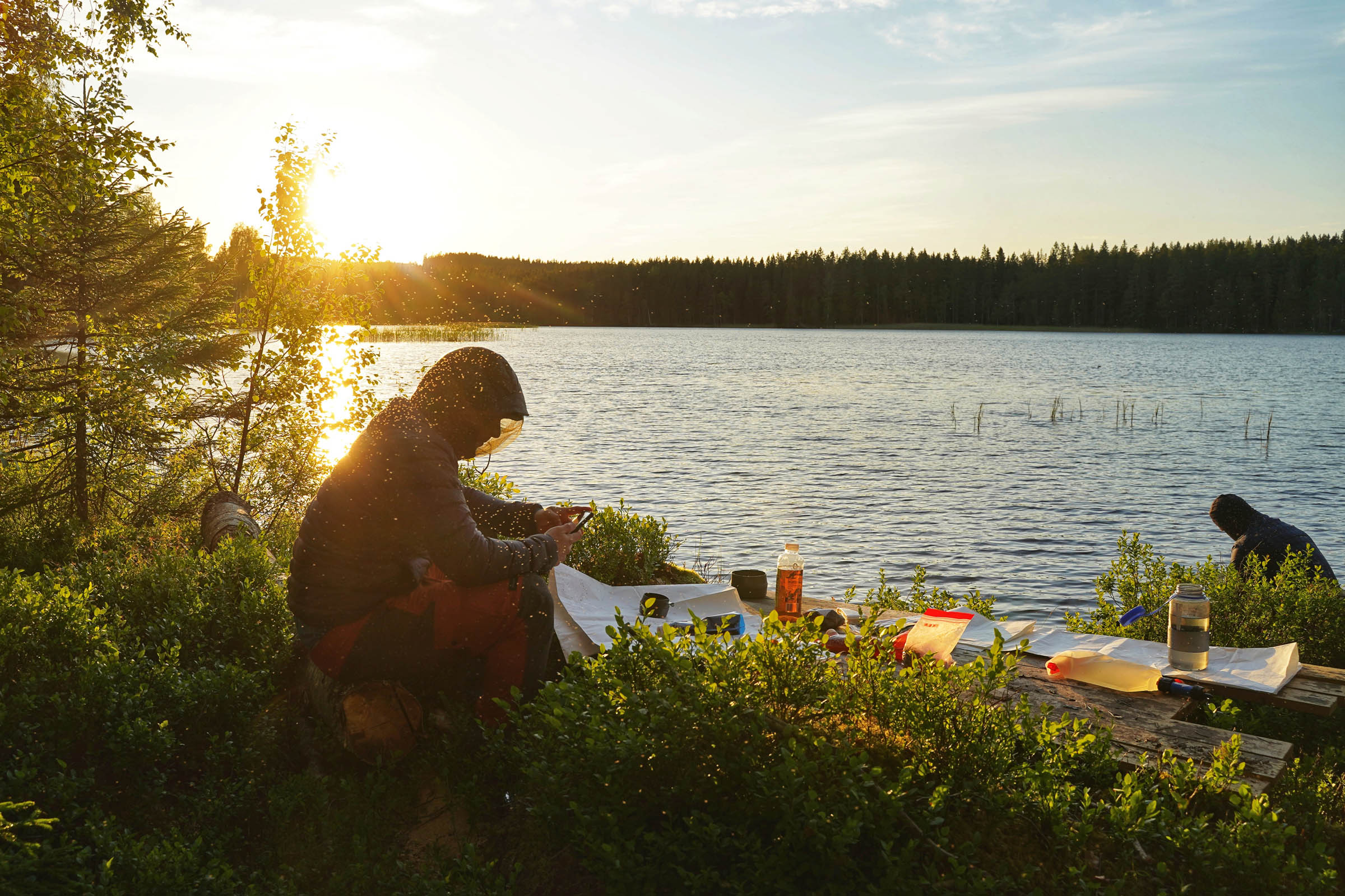
- There are lots of biting insects on this trail. Knott ( small black flies ), mosquitoes and broms (Swedish version of horse flies). Broms, the worst, like it when you sweat and are in dark cloths. Two layers should stop them.
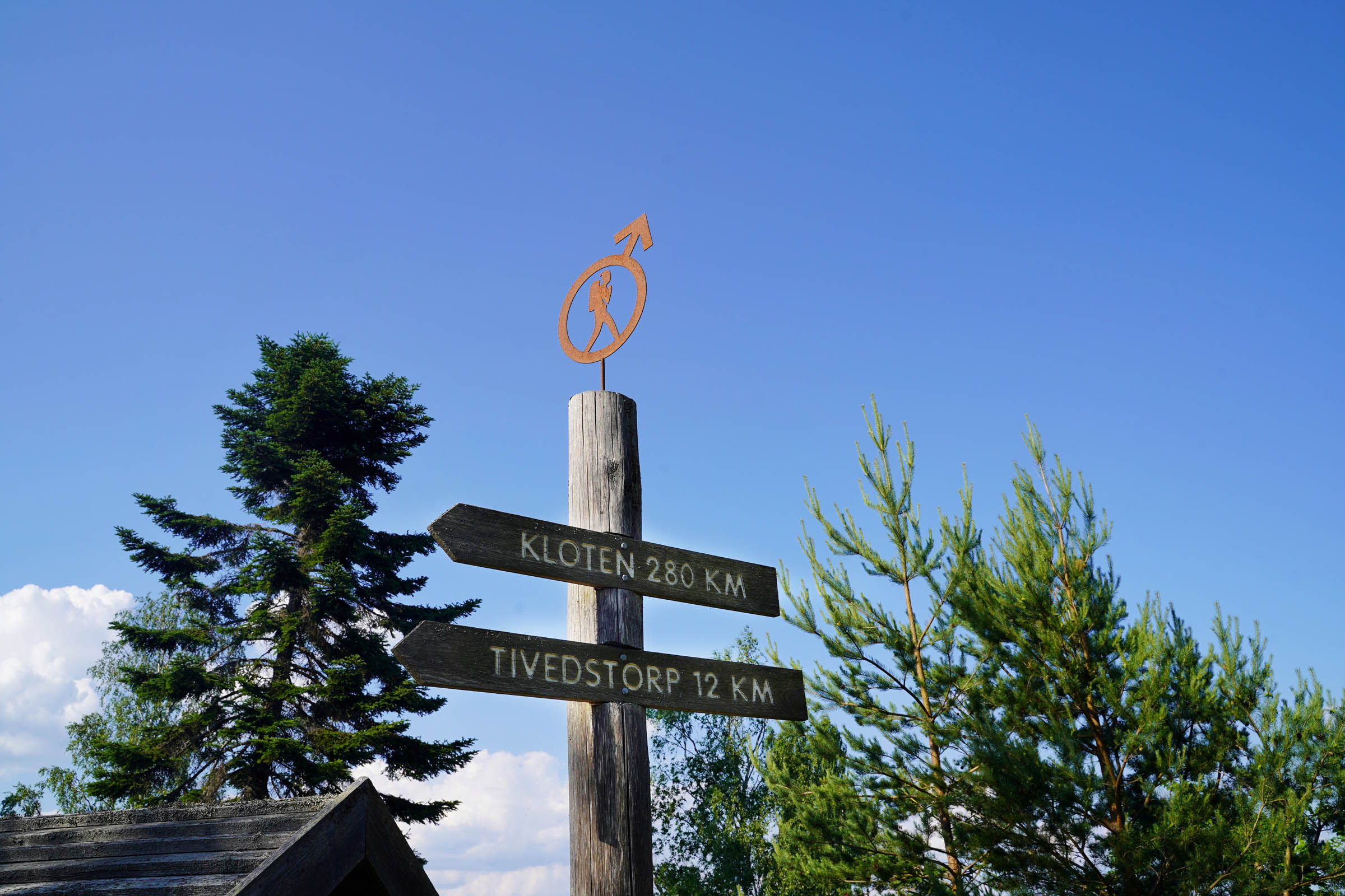
- The closest train to the start of the tour is in Kopparberg and 20km from the start. The closest train to the end is in Töreboda and 30km west of the finish. We drove to the end of the trail from Stockholm and arranged a shuttle service back to the start from a canoe rental company located in Kloten. The trail starts exactly at their facility. www.nordicdiscovery.se
- There’s a bike shop in Nora.
- Not all the trail has phone coverage even with Swedish sim cards. Telia has the best coverage.
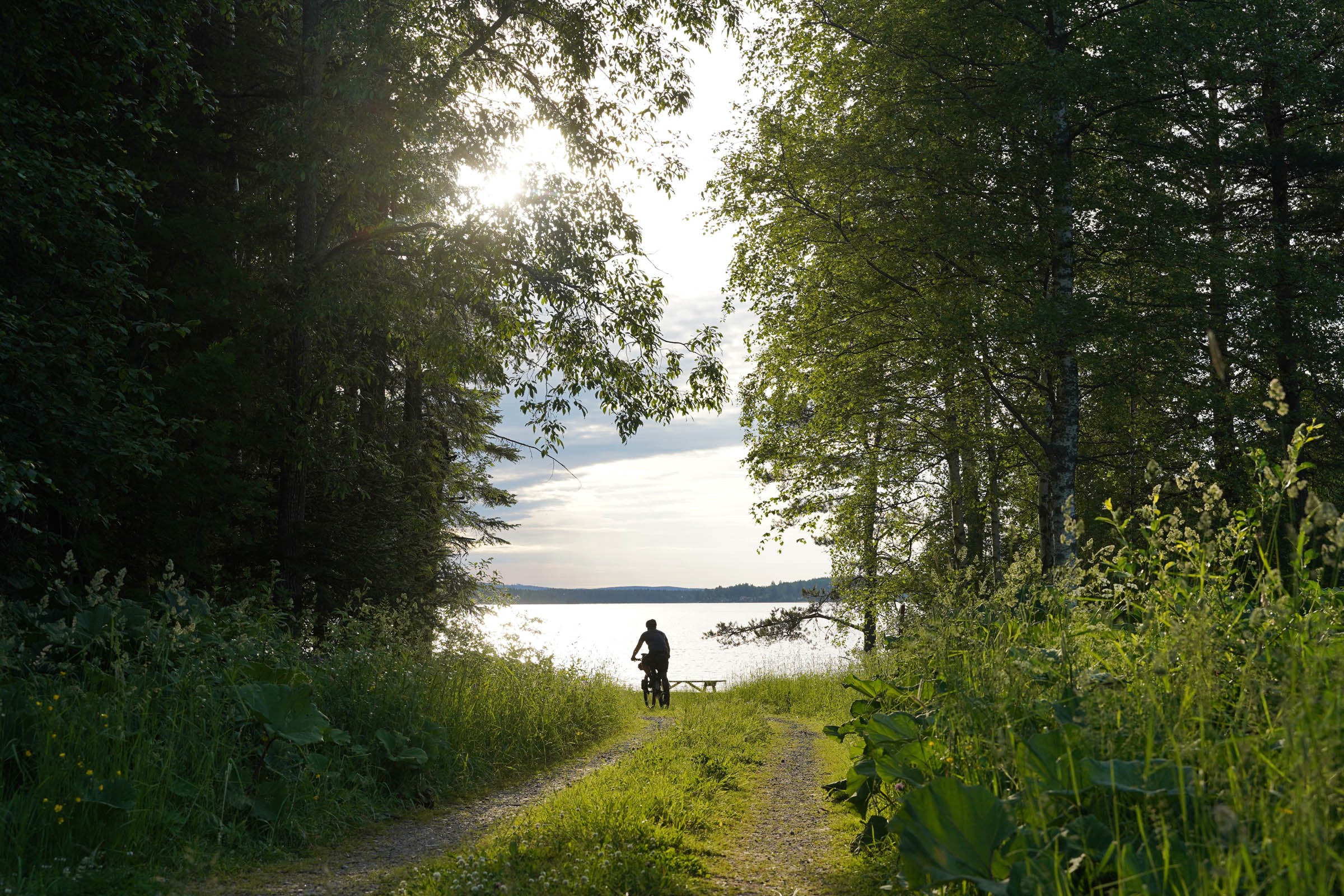
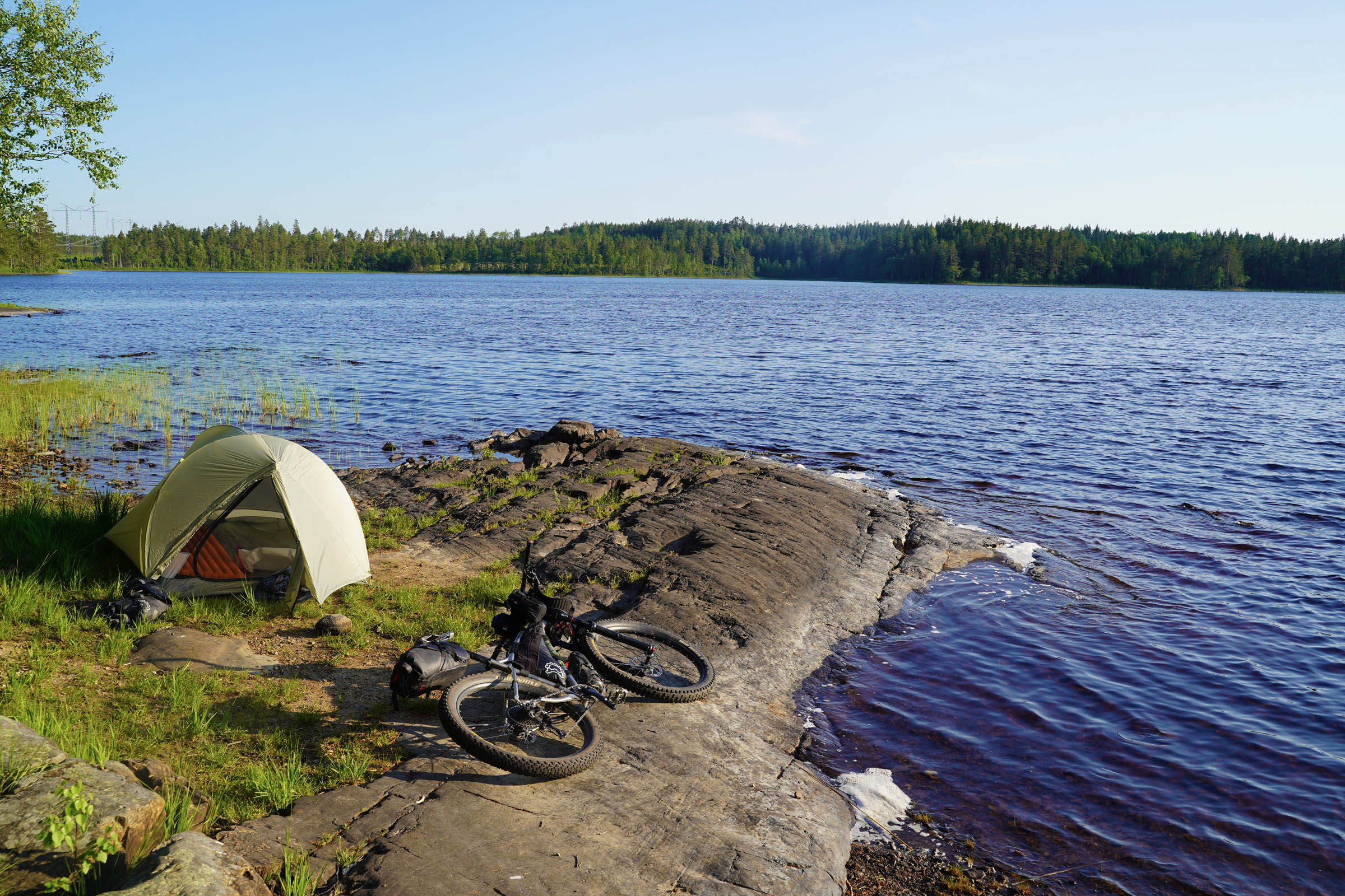
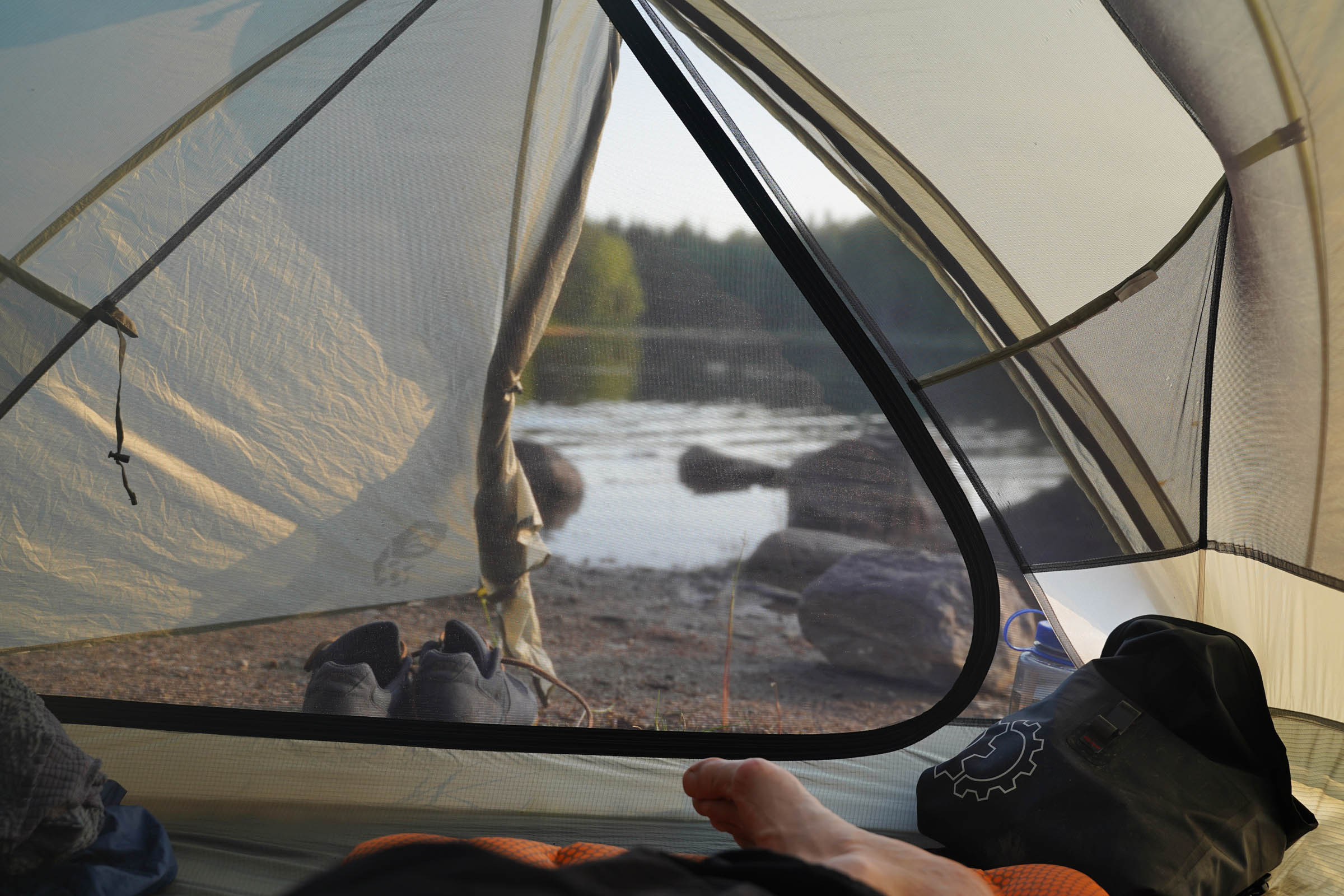
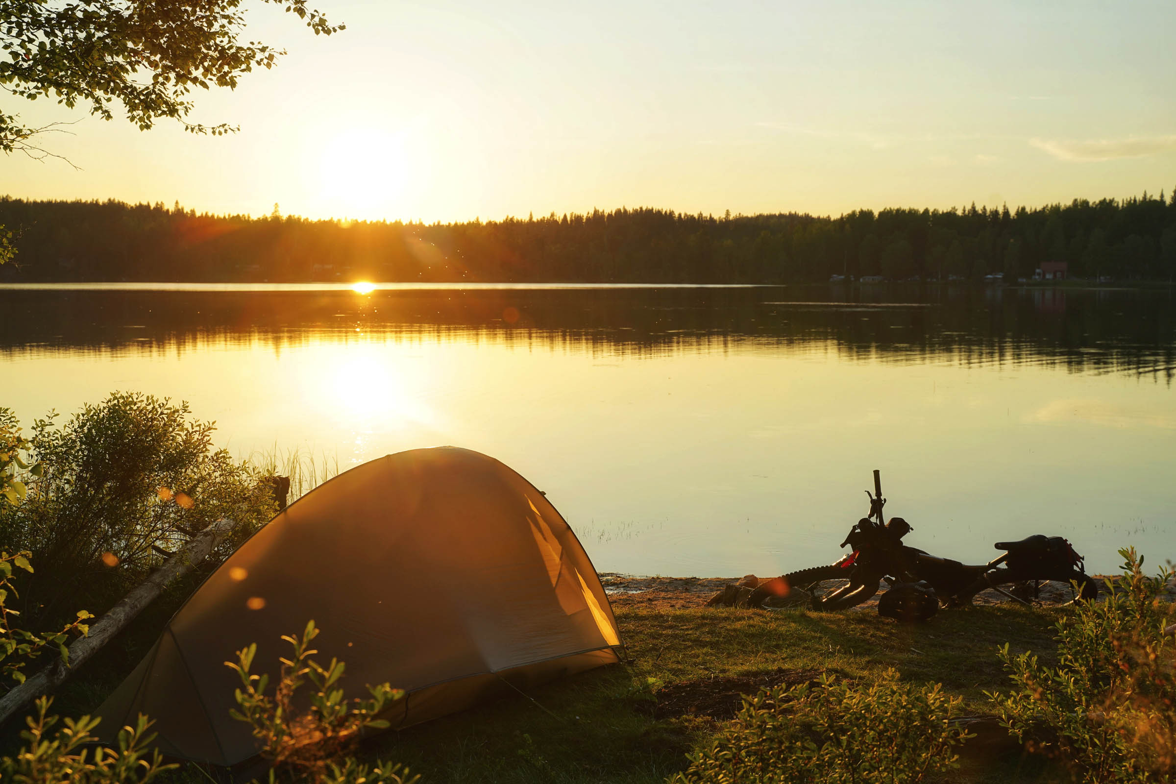
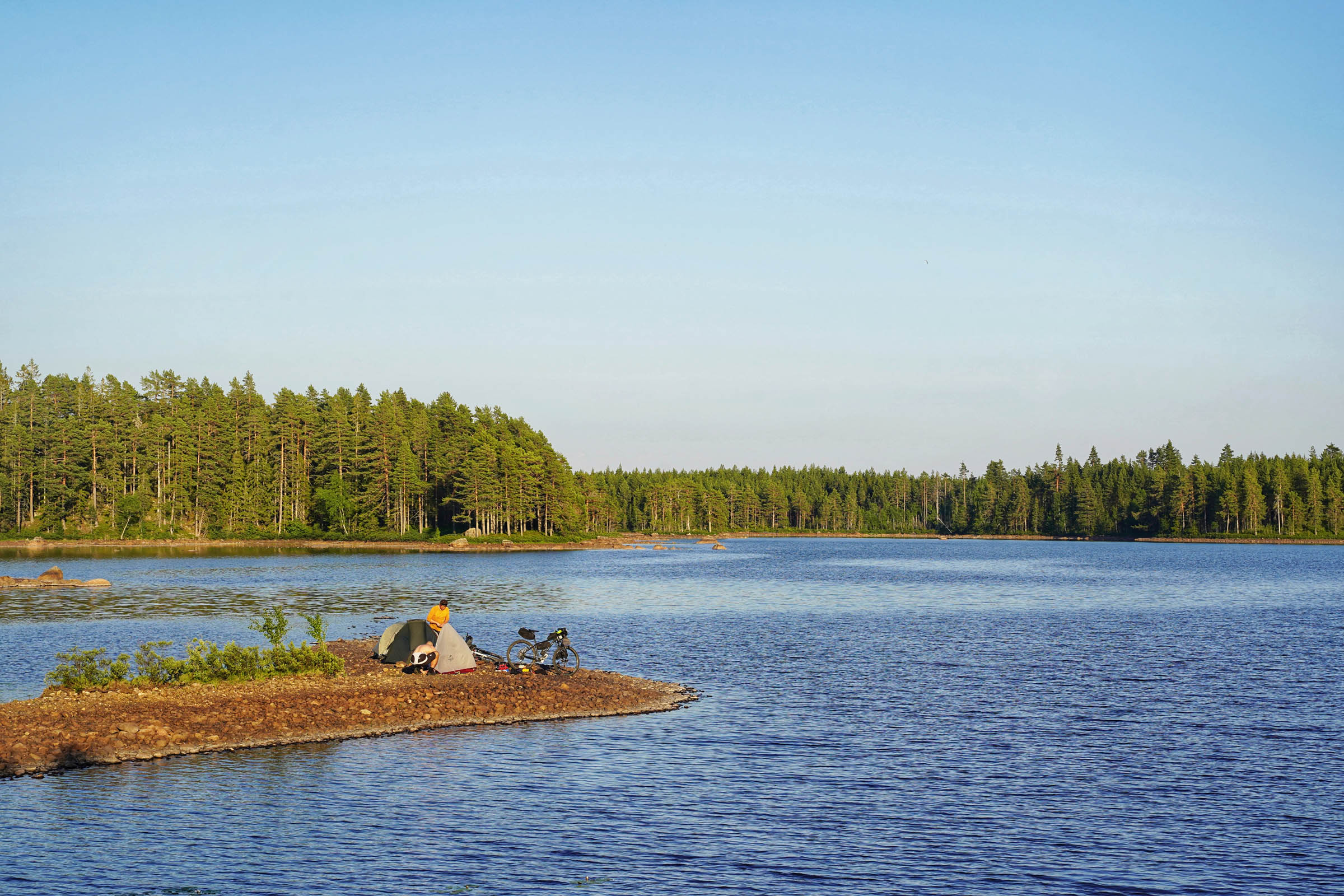
- Wild camping is extremely easy in Sweden. In fact, common place. It is encouraged by the famous Allemansrätt law. This is a group of by-laws which add up to allowing you to roam freely through the Swedish countryside. They also facilitate wild camping for up to 2 nights in the same location. It’s not quite a free-for-all and some rules apply but in general you can camp where you please.
- For more information go to visitsweden.com. We camped on the east side or north west facing sides of lakes to maximise the setting sun and hoped for a breeze to keep the insects away.
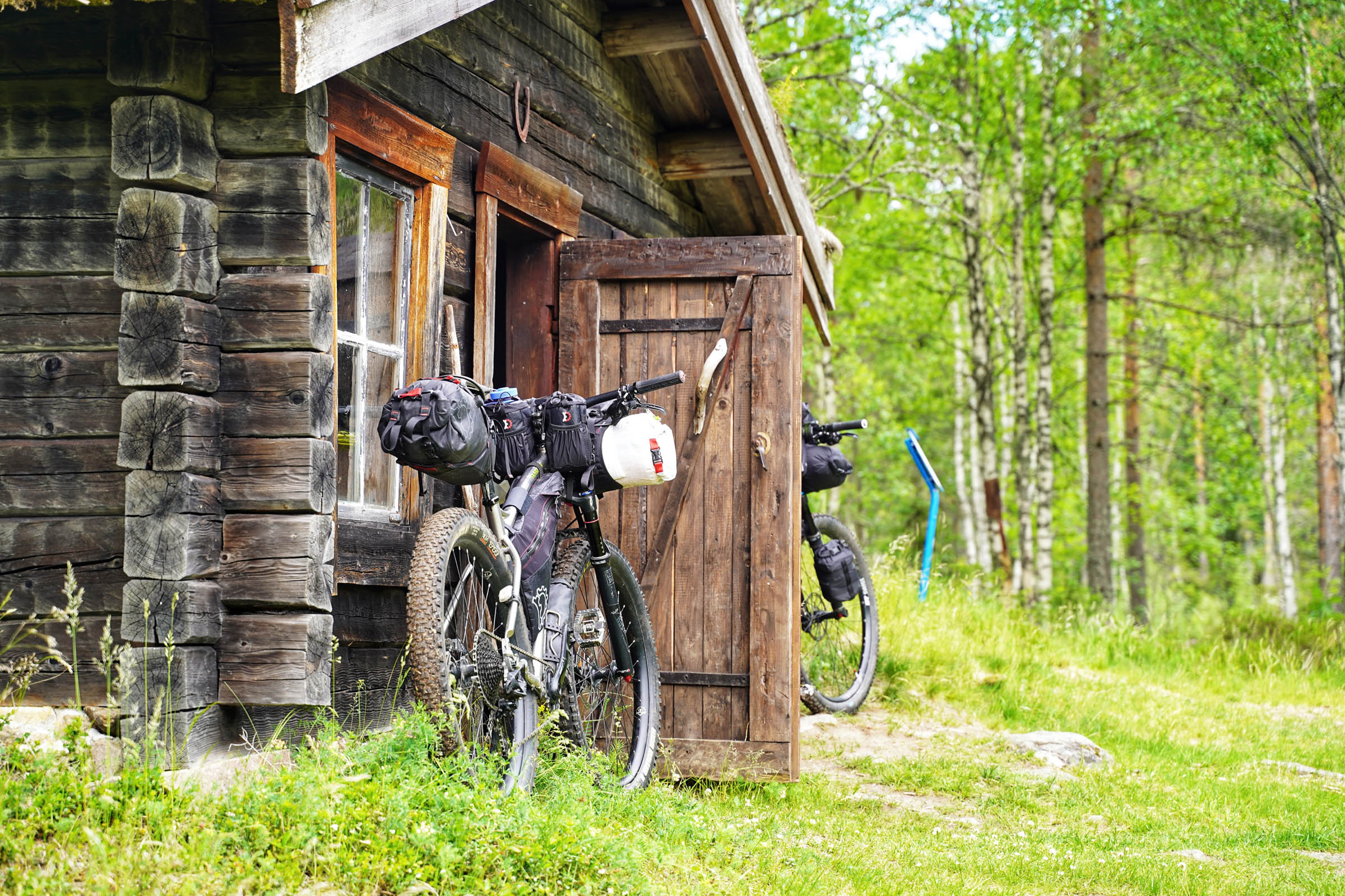
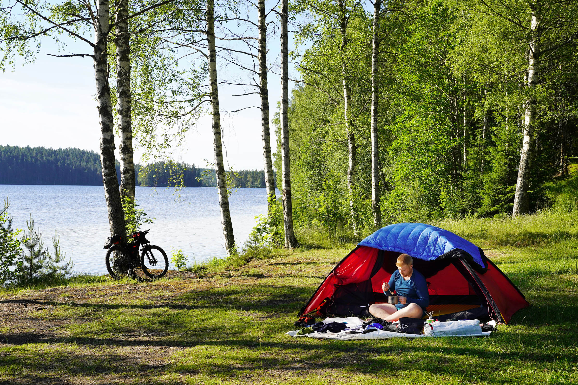
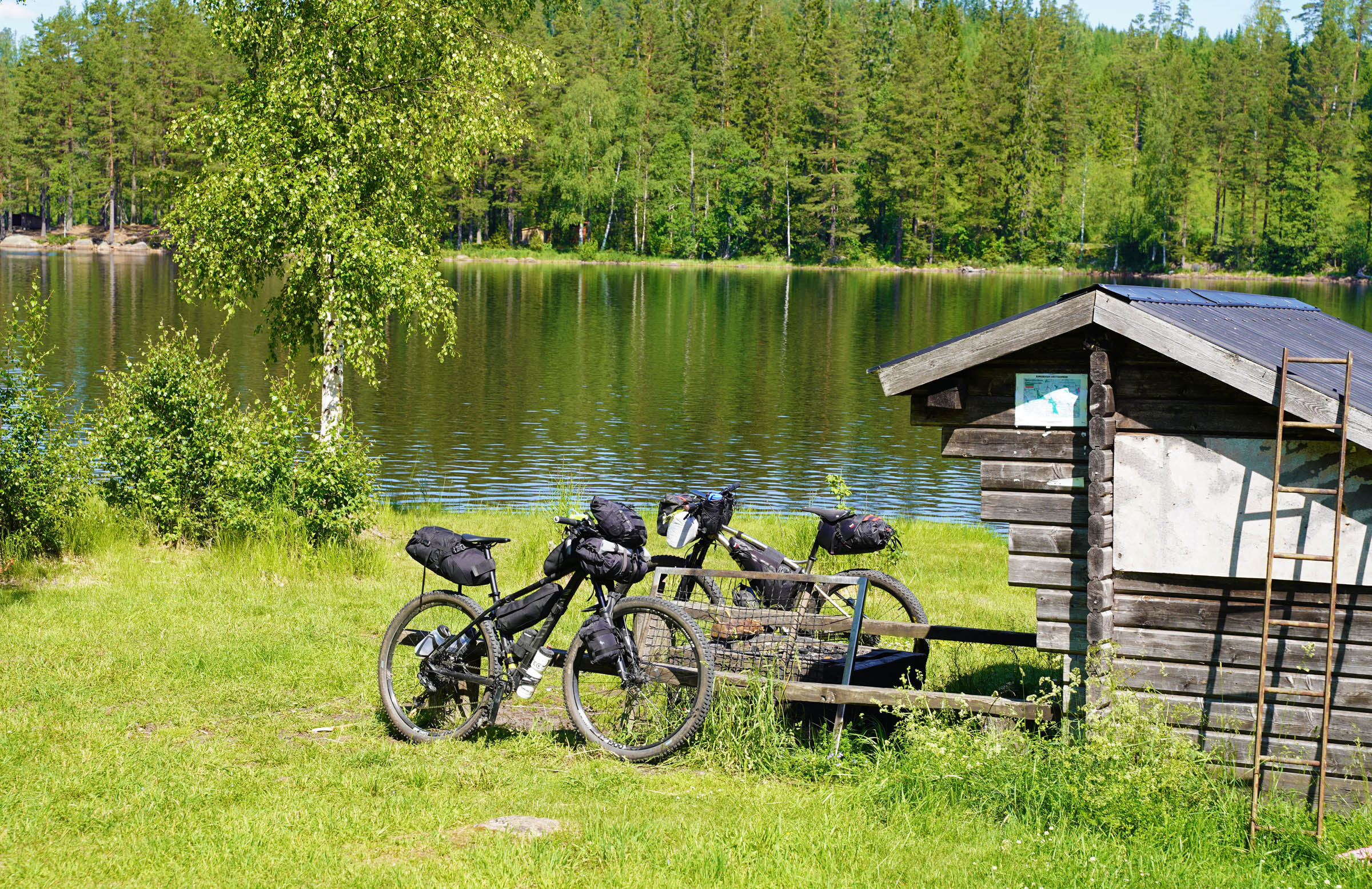
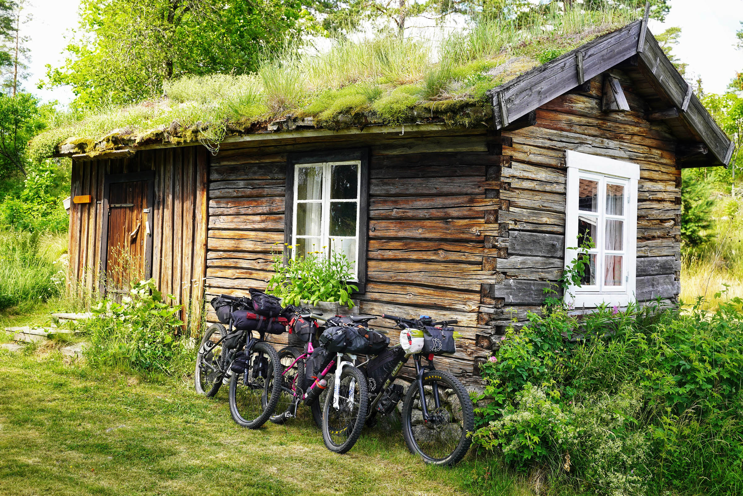
- Since our trail follows the Bergslagsleden hiking trail there are many shelters which you can stay in. These are three-sided huts with a roof. Örebro Kommun does a fantastic job of keeping these shelters intact, clean and stocked with wood for their outdoor fireplaces. Many even have a supply of rubbish bags to take your trash away. These shelters can be found on average every 12 to 15kms along the hiking trail and often beside lakes. They can sleep 2 to 3 people.
- We didn’t carry much water as we knew we would pass by many lakes. We carried 1 litre each but 1.5 or 2 litres would have been better. It was 30 degrees Celsius the week we rode the trail.
- Although some say you can drink the water straight from Swedish lakes we always filtered. By the end of the week out filters were getting clogged up so don’t forget to bring parts to back wash.
- For a western European route and so close to the large city of Örebro, this route feels remote. There are only stores in Kopparberg, Guldsmedshyttan and Nora. There’s a café in Tivedstorp run by the STF Hostel, a small bakery in Svartå and a trucker stop where the trail comes close to Route 50. Stenkällegården Camping at the end of the trail has a small store with a few basics. We brought most of our food from Stockholm.
Day 1
- Starting at the Nordic Discovery Centre in Kloten, the trail begins as single track.
- Good riding from Kloten to Åbo hut. Short easy hike-a-bike steps.
- Åbo Hut to Gillersklack Ski hill is difficult. 12km of mixed riding with near 50% hike-a-bike.
- You can take the cola option and ride the road to Kopparberg, but the whiskey version along the hiking trail will give you more satisfaction. Some excellent parts here but it’s as gruelling as is enjoyable. Maybe even type two fun.
- Gillersklack Ski hill to Kopparberg has some steep descents and finishes off with asphalt to Kopparberg village.
- Kopparberg to the camping is great riding with a mix of good single track and gravel.
- Summary: Medium start to a difficult mid-section and an easier finish.
Day 2
- Starting with long gravel climbs and some single-track and up to Finnby.
- Difficult but short-lived hike-a-bike over to Kinda nature reserve.
- Great technical downhill riding out to the gravel.
- A super swimming place just before the hostel at Nyberget.
- Gravel to Guldsmedshyttan and again up to Garphyttan nature reserve.
- Lots of fallen trees after the lake in Garphyttan which is a shame as it’s good riding.
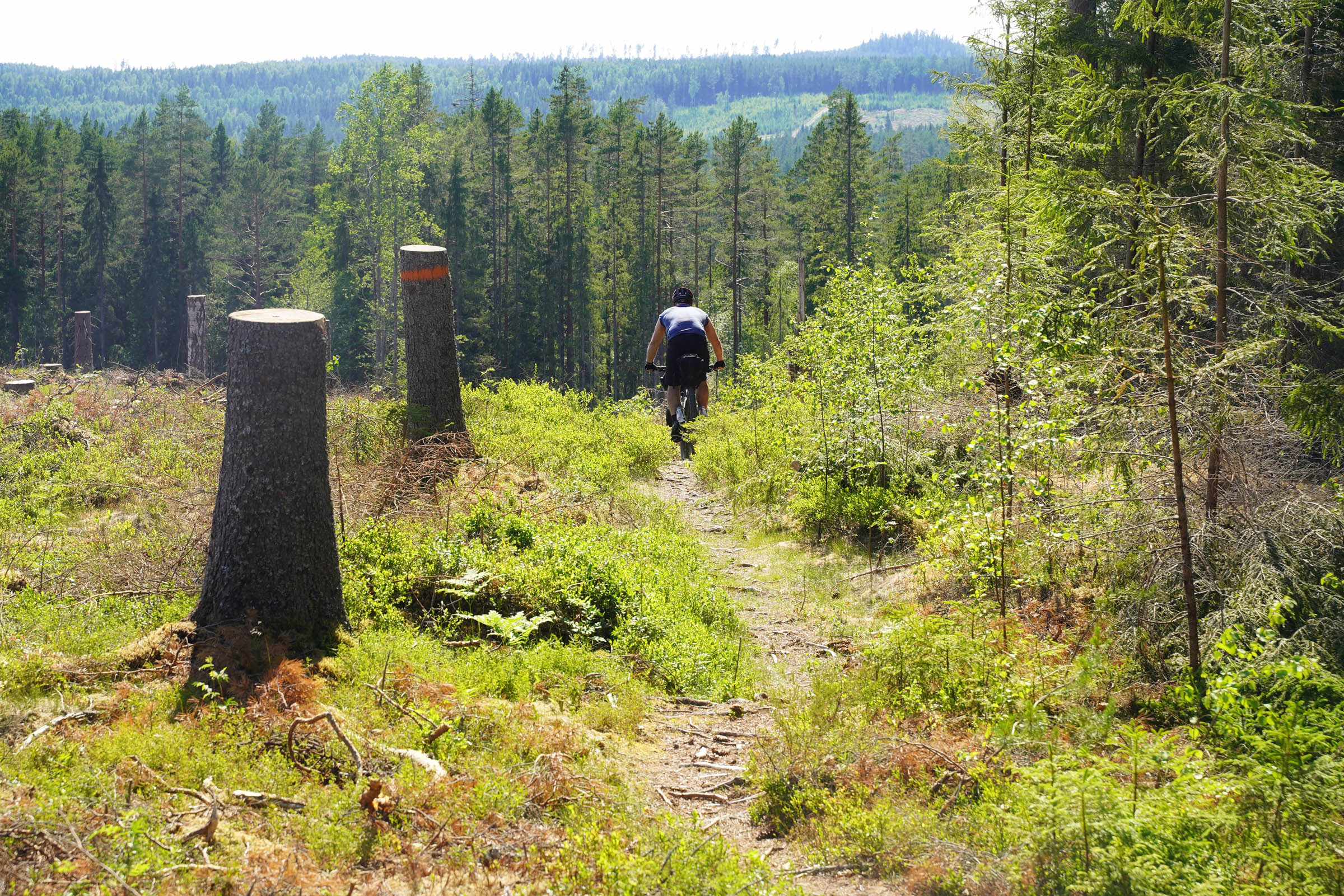
- After leads to nice riding through a recently felled forest.
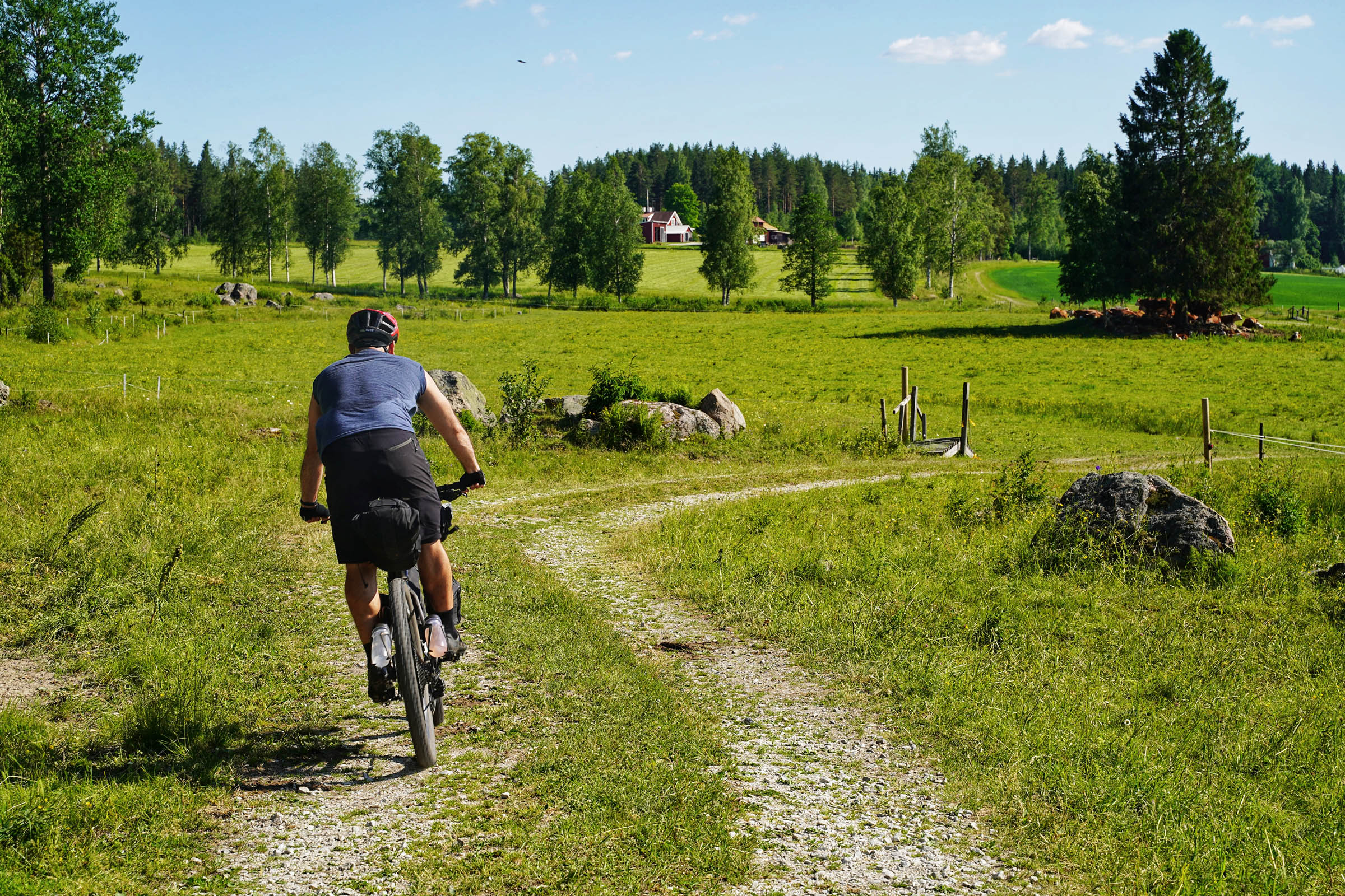
- Scenic gravel through farmland with a steep climb on gravel up to the limestone quarry lakes. Super swimming place in cold water.
- More gravel after the quarry with excellent single track to finish off the day.
- Summary: A hard morning but an enjoyable afternoon.
Day 3
- 5km of cross-country singletrack to start the day.
- Nice gravel roads down to the restored mining house of Hammarby.
- Quiet asphalt roads and gravel up to the cold-water springs on the trail.
- Short hike-a-bike section followed by good single track.
- Gravel out to Nora and detour into the town on asphalt roads.
- A long gravel climb passing by the beautifully restored Pershyttan mining village brings you up to Ramshyttan and to the start of the excellent single track out to the Route 50 road with a steeper and more technical finish.
- Coming back in starts with easy single track in but gradually getting harder.
- Steep farm gravel roads and difficult but rideable single-track for the strong, brings you up to the easier finish into Tomasboda. Beautiful location with far reaching views.
- Steep descent to camping at the lake.
- Summary: Long day, great riding but a tiring finish.
Day 4
- An easy start with gravel up to the restaurant at Ånnaboda.
- You can bypass the next singletrack part skipping some hike-a-bike but you’d miss out on a great viewpoint and it’s epic descent.
- Gravel to the back of Garphyttan national park and excellent single track down to perfect picnic tables in the carpark. Note, there is no water source here.
- Enjoyable mixed riding down to the E18 road.
- We followed the Bergslagsleden for the next part, but it really wasn’t worth it. Instead follow the GPX track around to Lillsjön and its sandy shoreline. (Don’t follow the Bergslagsleden into the lake like we did. Pure hike-a-bike) This is a popular swimming area which isn’t really a problem, but you could also continue to ride and stay at the shelter at Sixtorp 9km further on to shorten the next day.
- Summary: Great mixed riding day especially if you take the suggested detour.
Day 5
- Nice gravel down to Sixtorp. Take the detour up to the limestone quarry. Worth it!
- Soon after the quarry the single-track returns. It’s more technical around the Holmsjön lake but it’s still rideable.
- After Svartå comes some of the best singletrack on the tour along Rankemossen. Challenging but flowy cross country trails. 10km of pure enjoyment.
- The day ends on long gravel sections with more pleasing single tracks down to the stony shored Kråksjön. There is a shelter on the shoreline about 200meters from the parking, but we couldn’t resist sleeping out on the stone spit.
- Summary: Long but an excellent day of riding.
Day 6
- This tour saves the best for last with brilliant morning’s riding. 6km of single-track through picturesque old forest along a perfectly formed ridge-line. Make sure to stop at the beautifully preserved STF Hostel at Tivedstorp for lunch. (Svenska Turist Foreningen / Swedish Tourist Association). A mix of gravel and single-track will bring you to Tivedens Nation Park. Take the time to explore this park as in my opinion it’s one of the best National Parks in Sweden. Here stick to the gravel as the forest is very difficult to cycle through. When you’ve had your fill enjoy the last 6km of gentle down hill all the way to Stenkällegården to finish the tour.
- Summary: Short but great day’s riding to finish the tour.
Additional Resources
- The official website to the Bergslagsleden hiking trail: bergslagsleden.se
- Website to the mountain biking trails in the area: bergslagencycling.com
- Canoe centre and shuttle service at the start of the route: nordicdiscovery.se
- Camping at the end of the trail: stenkallegarden.se


Terms of Use: As with each bikepacking route guide published on BIKEPACKING.com, should you choose to cycle this route, do so at your own risk. Prior to setting out check current local weather, conditions, and land/road closures. While riding, obey all public and private land use restrictions and rules, carry proper safety and navigational equipment, and of course, follow the #leavenotrace guidelines. The information found herein is simply a planning resource to be used as a point of inspiration in conjunction with your own due-diligence. In spite of the fact that this route, associated GPS track (GPX and maps), and all route guidelines were prepared under diligent research by the specified contributor and/or contributors, the accuracy of such and judgement of the author is not guaranteed. BIKEPACKING.com LLC, its partners, associates, and contributors are in no way liable for personal injury, damage to personal property, or any other such situation that might happen to individual riders cycling or following this route.
Please keep the conversation civil, constructive, and inclusive, or your comment will be removed.