Bikepacking Pisgah: The Appalachian (beer) Trail
Distance
132 Mi.
(212 KM)Days
4
% Unpaved
62%
% Singletrack
50%
% Rideable (time)
97%
Total Ascent
15,435'
(4,705 M)High Point
4,845'
(1,477 M)Difficulty (1-10)
7?
- 8Climbing Scale Strenuous117 FT/MI (22 M/KM)
- -Technical Difficulty
- -Physical Demand
- -Resupply & Logistics
Contributed By

Logan Watts
Founding Editor
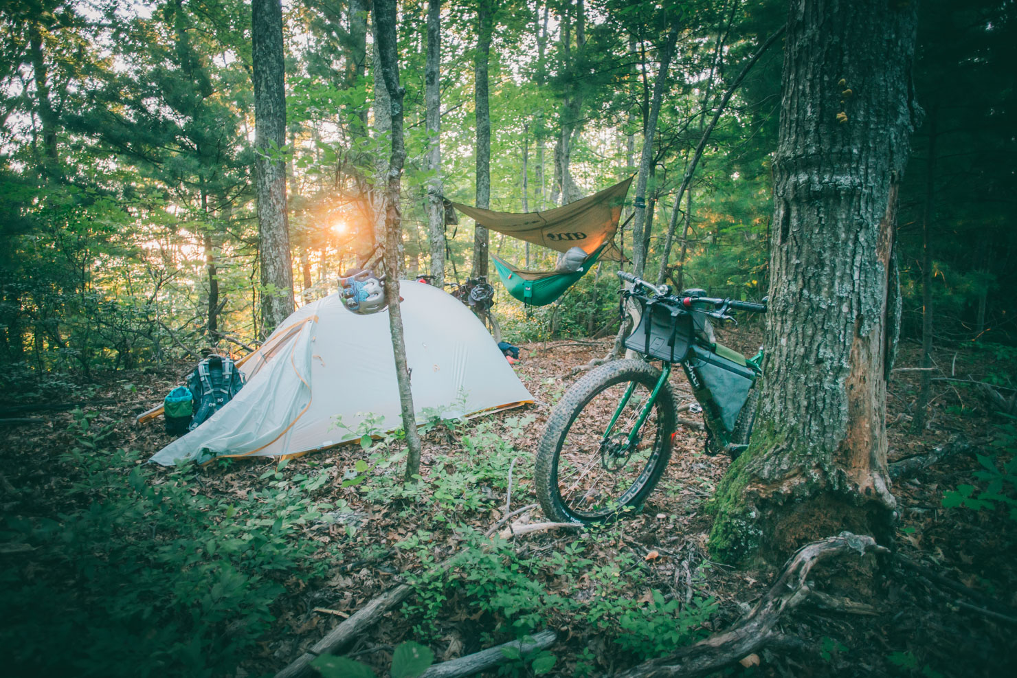
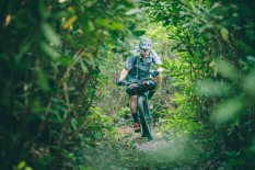
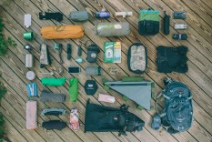
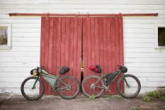
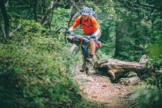
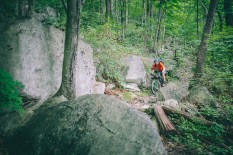
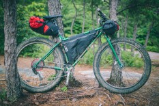
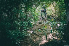
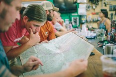
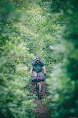
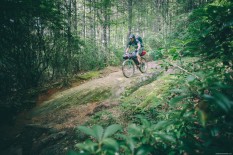
The idea was simple. We wanted to create a route that would string together some of the baddest trails that the western North Carolina Appalachians have to offer, and allow us to sample some of the finest beer in the country. It was required that we put together light, lean, and nimble kits in order to tackle the burliest downhills that the Blue Ridge has to offer; it was inevitable that we’d have the shit kicked out of us; it was compulsory that we treated ourselves in between; but most of all, it was essential that we get deep into the Pisgah forest.
The full route can be done in four or five days, but can also be shortened to a long weekend by either starting in Asheville and cutting out Pisgah Brewing and Kitsuma. Find a day-by-day account of the trip under Trail Notes below.
Submit Route Alert
As the leading creator and publisher of bikepacking routes, BIKEPACKING.com endeavors to maintain, improve, and advocate for our growing network of bikepacking routes all over the world. As such, our editorial team, route creators, and Route Stewards serve as mediators for route improvements and opportunities for connectivity, conservation, and community growth around these routes. To facilitate these efforts, we rely on our Bikepacking Collective and the greater bikepacking community to call attention to critical issues and opportunities that are discovered while riding these routes. If you have a vital issue or opportunity regarding this route that pertains to one of the subjects below, please let us know:
Highlights
Must Know
Camping
Food/H2O
Trail Notes
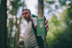
- Plenty of great beer: Wicked Weed Oblivion or Pernicious IPA, Pisgah Pale Ale, Burial’s Donut Stout or Scythe Rye IPA, Oskar Blues Pinner, and the list goes on…
- The Laurel Mountain trail > the incredible Pilot Rock downhill.
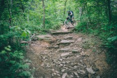
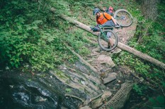
- The Black Mountain Trail, an epic, signature downhill in Pisgah, bring your wits.
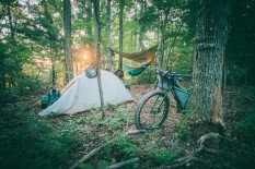
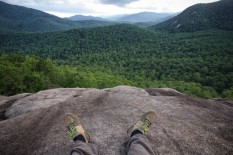
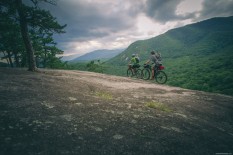
- Camping at the Slate Rock overlook and views of the forest.
- Taking in the finest trails in Pisgah.
- Spring and summer temperatures are usually pleasant in the mountains of Western North Carolina; the best time of year to ride these trails are May-September. However, it’s the south… so as long as you watch the weather, this route could potentially be ridden year round.
- Weather in Pisgah National Forest can change quickly. Pisgah is technically a rainforest and rain can be torrential at times; prepare accordingly.
- The route finishes at the Hub/Pisgah Tavern where it might be possible to get a ride back to Asheville.
- Parking is available at the Kitsuma Trailhead; leave your car at your own risk, but we had no problems.
- Here are a few links to more information about some of these trails: Kitsuma; Green’s Lick; Kitsuma; Laurel Mountain; Pilot Rock; Black Mountain; Hickory Mountain Loop; Ridgeline
- In order to connect these trail systems — and breweries — there are a few paved stretches on this route. Bring a blink light and bright colors; and take precaution while riding.
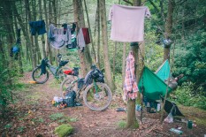
- Wild camping is technically not permitted in the Bent Creek Experimental Forest, although there are a few designated spots. There is also a campground at the Lake Powatan Rec. area that is $22/night, but make sure to bring cash.
- There are plenty of wild camping sites once you duck into the Pisgah Ranger District. There is also a 3-walled shelter at the top of Buckhorn Gap.
- There is a hostel in West Asheville as noted on the map. Camping is available there.
- There is water and springs everywhere in Pisgah, just bring a filter or iodine.
- Food is available in Black Mountain, Asheville, and Brevard. Check out Salsa’s in Asheville for a very filling meal.
Day 1
The previous night we started late from Pisgah Brewing and rode to the top of Young’s Ridge via Kitsuma Peak and made camp. That set us up for a nice downhill to start the day. After ripping down Kitsuma, we made our way through Asheville where we visited Burial Beer, Wicked Weed Brewing, and Brew City Bikes. As dusk settled, we rolled out of Asheville and into the Bent Creek Experimental Forest where we camped for the night. Another option for a good day one would be to start early, make it to Asheville by mid-day, then stay in Asheville on night one.
Day 2
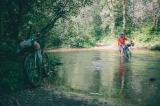
We started the second full day of riding by climbing to the top of Green’s Lick where we got an adrenaline fist-bump down its two mile fast and furious descent. After wiping the grins from our faces at the bottom, we climbed Lower Sidehill to the the Blue Ridge Parkway and caught Trace Ridge to plummet into the warm embrace of the Pisgah Ranger District.
Day 3
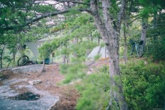
We broke camp on the banks of the South Mills River and climbed FSR 1206 to Laurel Ridge where we tackled the long climb to Pilot Rock, where we descended 1,600 foot over a heart-in-throat two mile boulder field. From the bottom of Pilot, we climbed the Slate Rock Inner Loop and camped at the serene and beautiful granite bald overlook.
Day 4
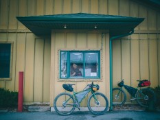
The following morning we started the slog up Buckhorn Gap where we picked up the Black Mountain Trail and faced the daunting hike-a-bike to the top. Descending over 2,000 feet over endless drops, ruts, and roots, we spilled out to a parking lot off Hwy 276. From there we took the bike path to The Hub and had a nice post-ride beer at their resident Pisgah Tavern which overlooks the spinning allen wrenches of the bike service area. Next we made our way to Oskar Blues for one more round.
Terms of Use: As with each bikepacking route guide published on BIKEPACKING.com, should you choose to cycle this route, do so at your own risk. Prior to setting out check current local weather, conditions, and land/road closures. While riding, obey all public and private land use restrictions and rules, carry proper safety and navigational equipment, and of course, follow the #leavenotrace guidelines. The information found herein is simply a planning resource to be used as a point of inspiration in conjunction with your own due-diligence. In spite of the fact that this route, associated GPS track (GPX and maps), and all route guidelines were prepared under diligent research by the specified contributor and/or contributors, the accuracy of such and judgement of the author is not guaranteed. BIKEPACKING.com LLC, its partners, associates, and contributors are in no way liable for personal injury, damage to personal property, or any other such situation that might happen to individual riders cycling or following this route.
Please keep the conversation civil, constructive, and inclusive, or your comment will be removed.


