


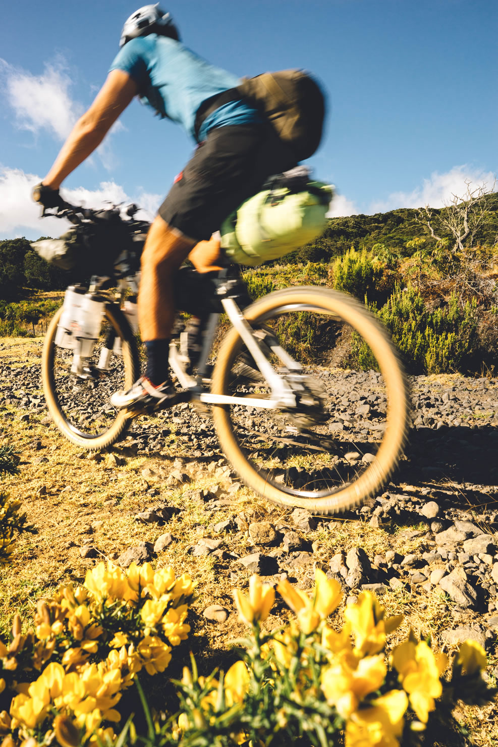
Vavanguer: Bikepacking Reunion Island
Distance
90 Mi.
(145 KM)Days
3
% Unpaved
76%
% Singletrack
12%
% Rideable (time)
99%
Total Ascent
8,144'
(2,482 M)High Point
7,210'
(2,198 M)Difficulty (1-10)
5?
- 6Climbing Scale Moderate90 FT/MI (17 M/KM)
- -Technical Difficulty
- -Physical Demand
- -Resupply & Logistics
Contributed By
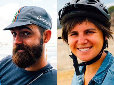
Marine and Maxime
Guest Contributor
When they are not traveling or on a bicycle, Marine and Maxime are respectively architect and green building engineer on Reunion Island. They build housing for others but if you give them the choice, they’ll sleep most of their nights in a tent. Follow them on Flickr.
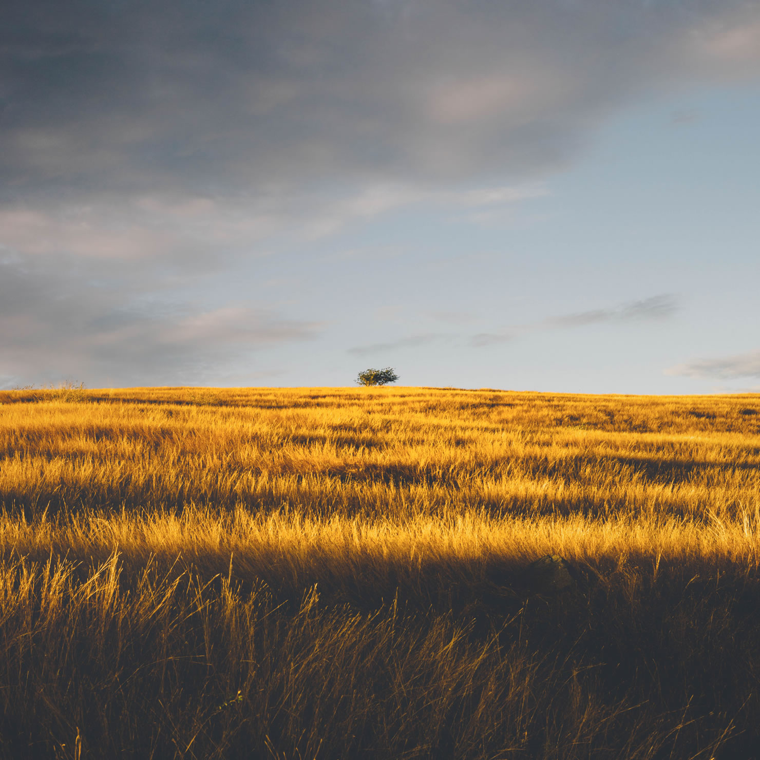
The French Department of Réunion is a small volcanic island off the coast of Madagascar in the Indian Ocean. This route offers a means to discover the diversity of landscapes and culture on Reunion. The route is primarily on Reunion’s west coast where the views are constantly directed toward endless blue of the ocean. The vegetation offers a great range of colors, from the deep green of the tropical rainforest to the golden yellow of arid savannah.
‘Vavanguer’ in Creole means wandering aimlessly and constraint free. This word reflects the spirit of adventure right at our doorstep, even if only for a couple of days.”
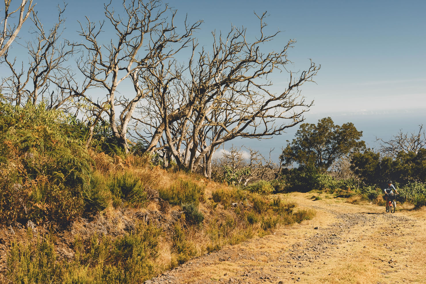
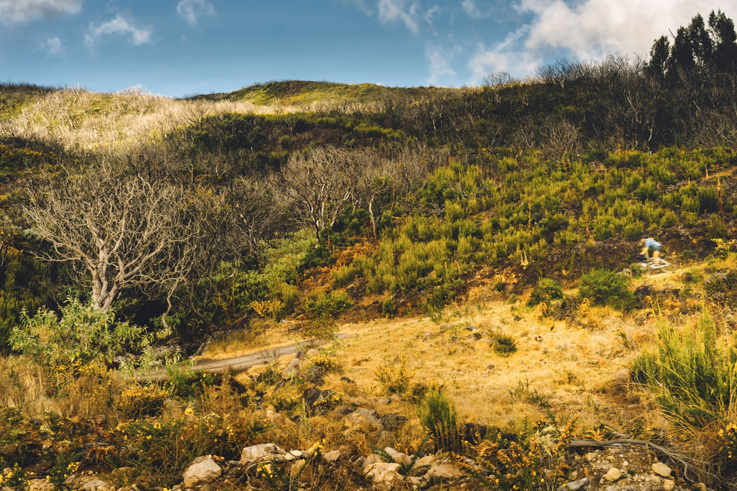
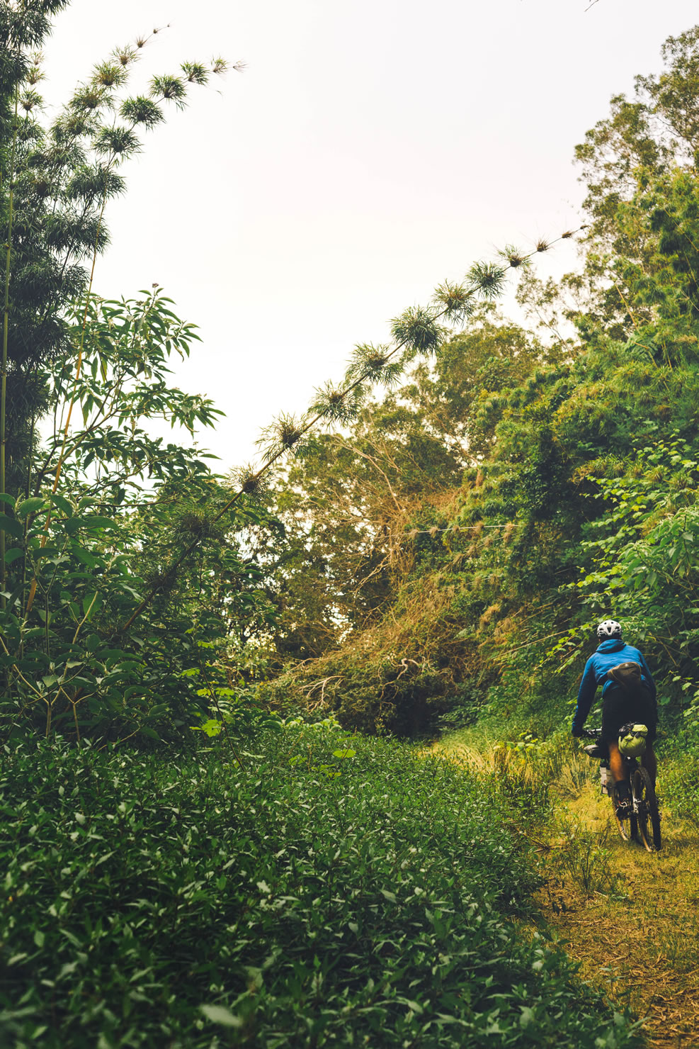
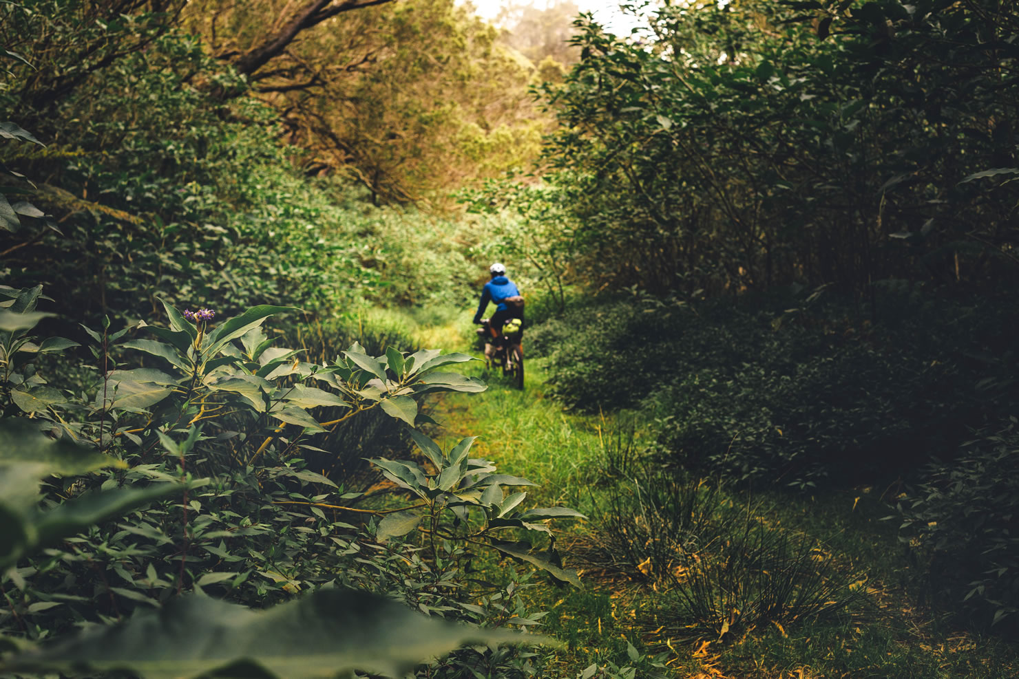
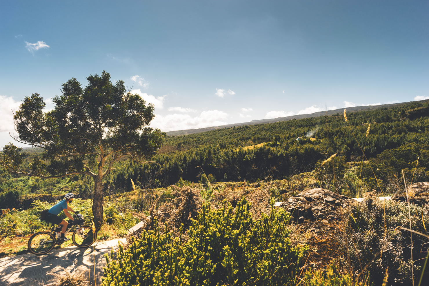
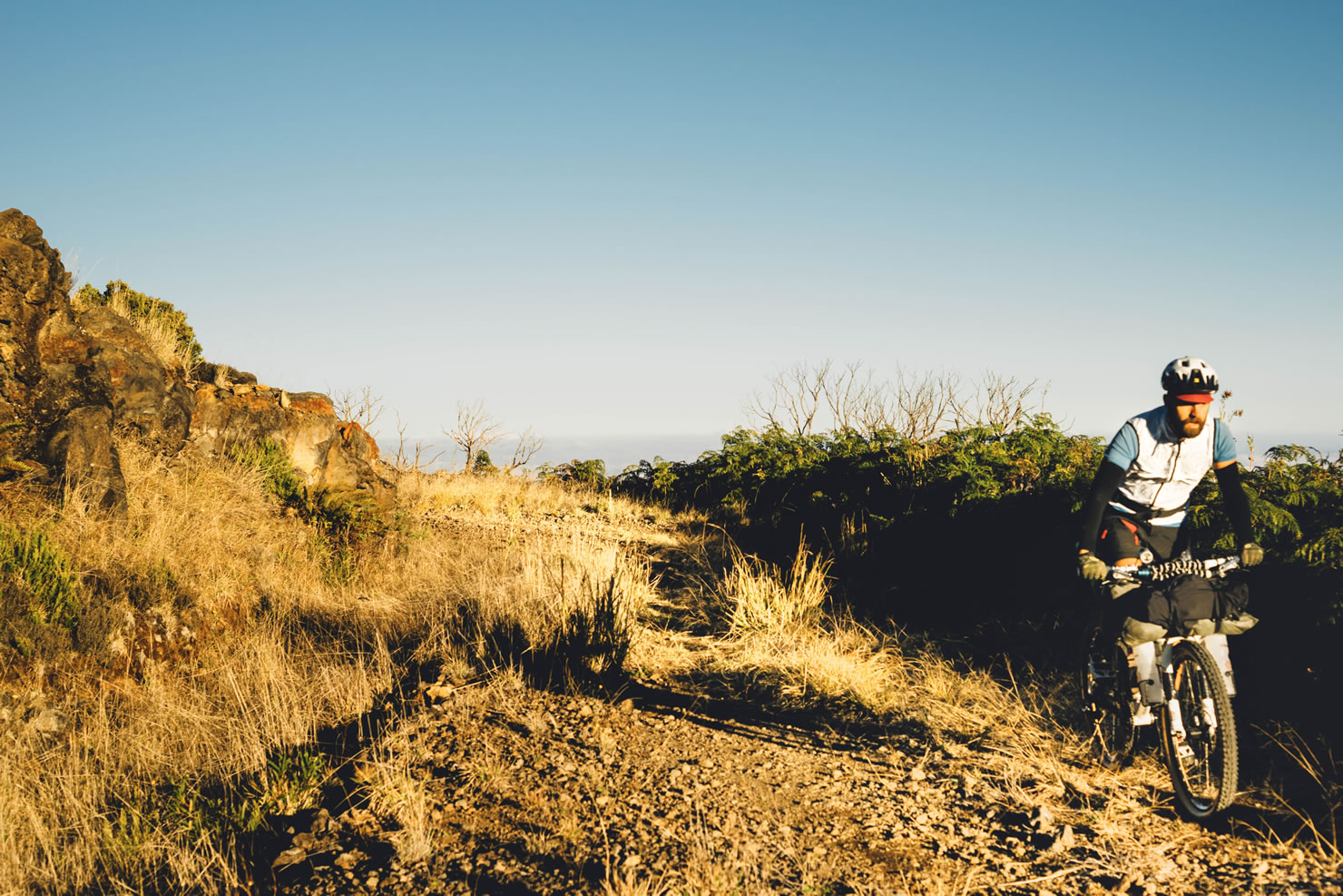
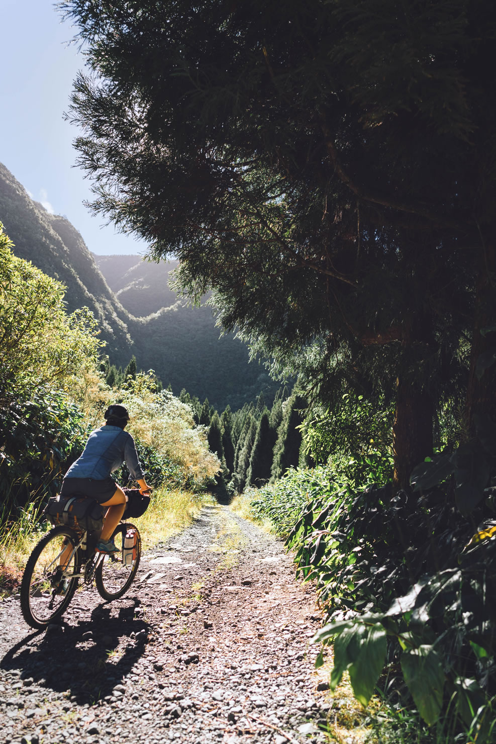
The route begins in the highlands, in a tiny village called Les Makes. The first few pedal strokes bring you slowly into a dense forest, full of tall crytomeria trees. From there it continues to weave through fire roads and singletrack which includes part of the course for the infamous Megavalanche downhill race. Onward it rolls over open savannah, rocky volcanic terrain, verdant forests including Tévelave, the Great Forest, and open meadows that offer amazing vistas of surrounding mountains and seaside towns. The route then continues along the sea before finishing at the Peak of the Devil, the entrance to the city of St Pierre where you can catch a post-ride ‘dodo’, a local traditional brew at one of the many beachfront cafés. For a detailed route description, click on Trail Notes below.


Submit Route Alert
As the leading creator and publisher of bikepacking routes, BIKEPACKING.com endeavors to maintain, improve, and advocate for our growing network of bikepacking routes all over the world. As such, our editorial team, route creators, and Route Stewards serve as mediators for route improvements and opportunities for connectivity, conservation, and community growth around these routes. To facilitate these efforts, we rely on our Bikepacking Collective and the greater bikepacking community to call attention to critical issues and opportunities that are discovered while riding these routes. If you have a vital issue or opportunity regarding this route that pertains to one of the subjects below, please let us know:
Highlights
Must Know
Camping
Food/H2O
Trail Notes
Resources
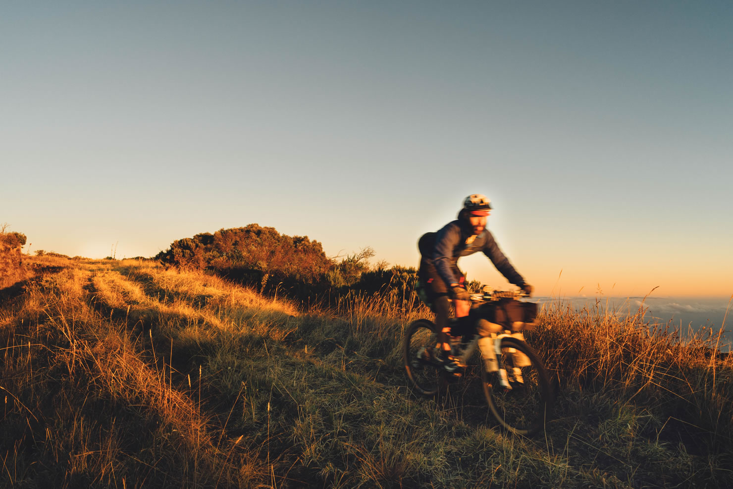
- The Tevelave descent at sunset.
- The stuning view on Mafate at Maido Peak.
- The beautiful rocky and bumpy 1800 road and its constant view toward the deep blue of the ocean.
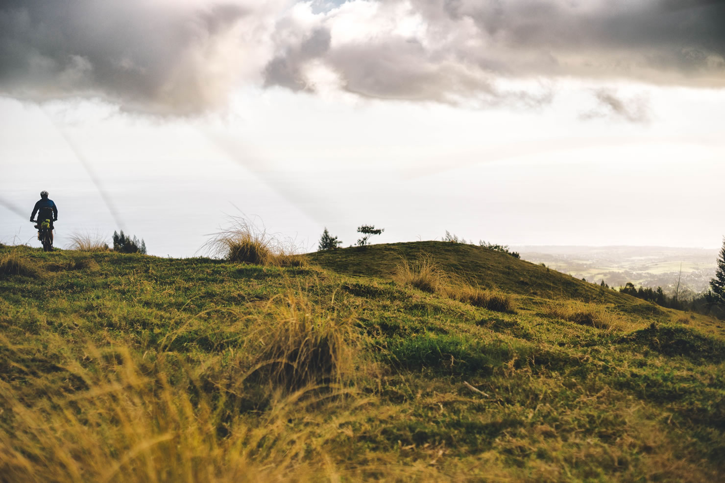
- Sunset and sunrise at the La Houssaye Cape, best place for bivying and fun singletrack riding on day 2&3.
- A bath in the turquoise lagoon of Hermitage and a nap under the filao trees.
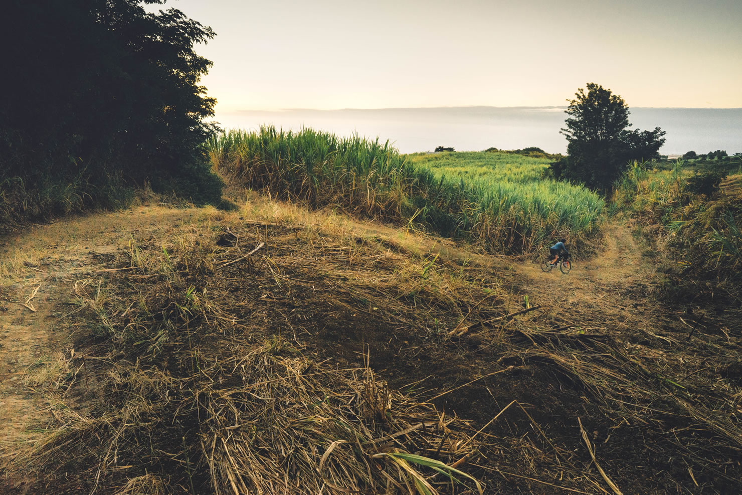
- Historical landmarks of the legacy sugar cane industry along the track from day 3.
- The last fun singletrack before arriving at Saint-Pierre, just after the St Etienne river crossing.
- A good bourbon pointu coffee at the Domaine du Café Grillé in Pierrefond (POI on RWGPS).
- A creole rougail saucisse in a local restaurant, all along the coast or a fresh fish tartare in St Leu
- A few samossas and local brew from the farmer marker on Saturday morning in Saint-Pierre
- The first 60km of the route are part of the National Park of Reunion with no access restrictions. Nevertheless, during dry period you might not be allowed to light fire. Camping and fire is prohibilted outside of organized campground with pit fire all along the Maido Forest Road. There are no fee or permit for entering the National Park.
- La Houssaye Cape is part of Coast Conservatory Area. Bivying is tolerated but you need to pitch the tent at dusk and unpitch it before the sun rises. Fire is not allowed.
- Reunion is in the Southern Hemisphere. Whereas its climate is tropical with very hot and humid days, it is also very mountainous with lots of microclimates. So, be prepared to experience big changes in altitude. (big temperature swings from place to place and day/night, even sub-freezing temperatures during winter; very dense fog or clouds).
- It is highly recommanded to get yourself informed about the weather forecast as Reunion is often subject to extreme weather (high winds, heavy rains and cyclones !!). See additionnal ressources for weather forecast.
- During winter (June-September), winds blow from south and can be very strong (90-120km/h), this is to be considered for day 3. During summer, weather is very wet and cyclones can pass over the island.
- Sunscreen is highliy recommanded as Reunion is often under UV12/14 index.
- There are no dangerous wild animals along the route, but there is a very high risk of shark attack all along the coast. Don’t have a sea bath out of lagoons and unsupervised area. Ask locals.
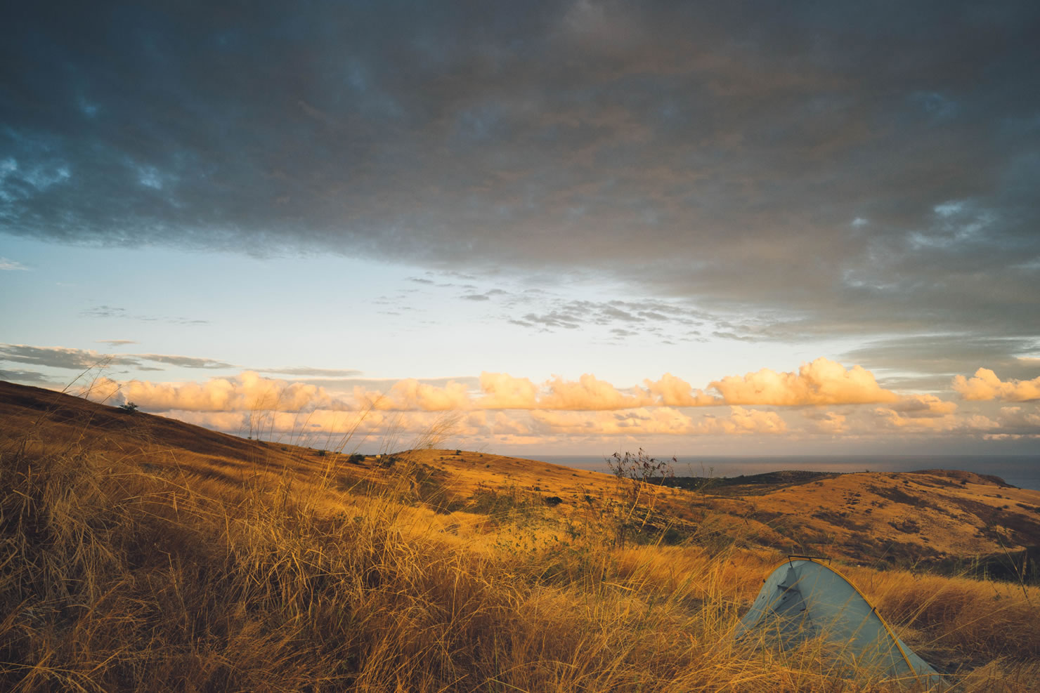
- Day1 : in the national park you should camp in organized camping spots. They are located all along the Maido Forest Road but also along some other tracks in the area. They are equipped with pit fire, sometimes picnic tables and a shelter. There are no toilet facilities in the area. Bring your own rubbish.
- Day 2 : A good place to camp is La Houssaye Cap but tent should be pitched at dawn and unpitched before sunset. This area is very dry, so be carefull while cooking. Alternate camping spot could be at Roche Noire beach, on the seaside, under filao trees.
- Day 3 : There is plenty of accommodation options in Saint Pierre Area. Closest campsite with all facilities is located in Etang Salé-les-bains.
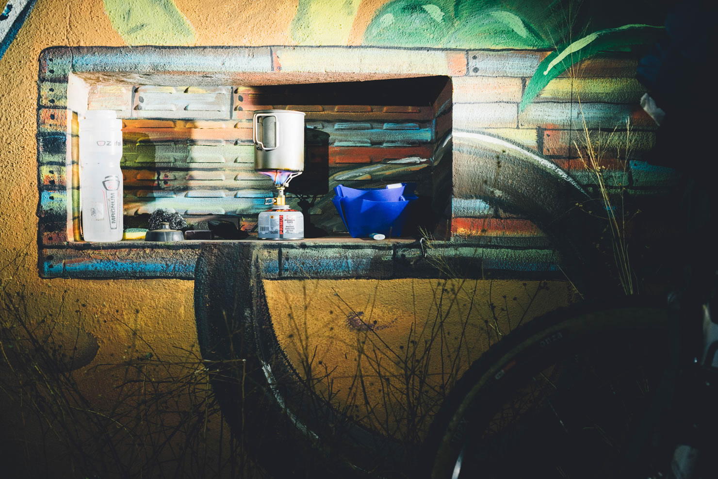
- Day 1: There is a grocery store in Les Makes for food before the start, you should have 2 days of food. You will find water on the trail that but from rainwater tanks (see POIs on RWGPS)
- Day 2: It is difficult to find water in Maido Area so you should have some spare from day 1. There is a little bar at Maido parking but it might be closed. During the descent to La Houssaye Cape, you will cross villages with drinking water available everywhere and some small shops for some basic resupply (see POIs on RWGPS).
- Day 3: Plenty of food options.
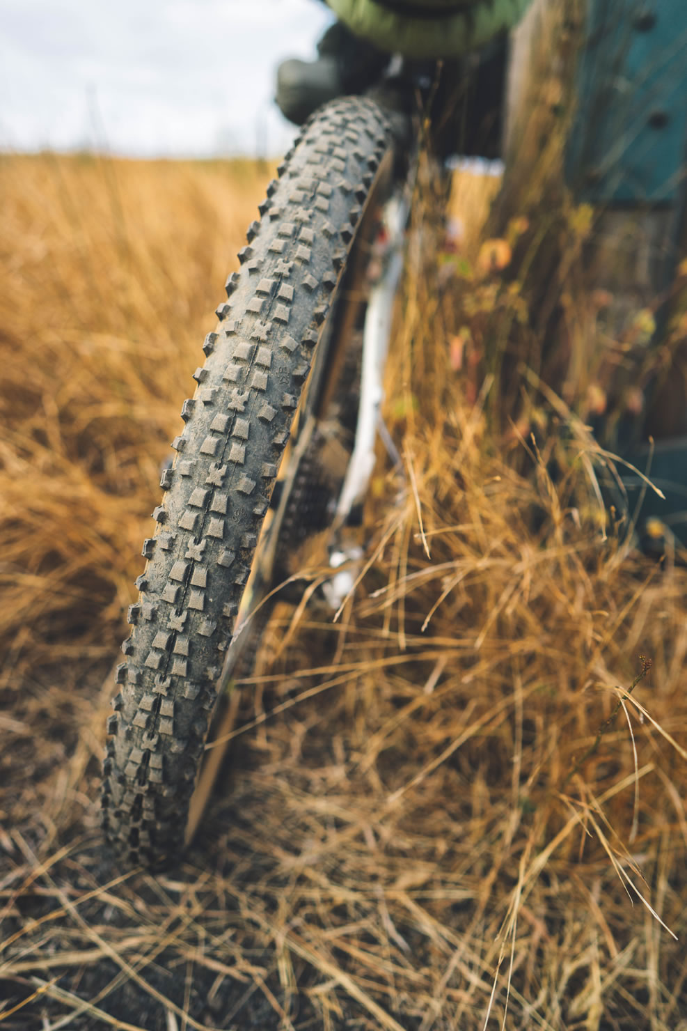
- The route could be ridden in two days, if you like to take your time 2 ½ – 3 days is better. MTB or high volume tire gravel bike is recommended for the whole route.
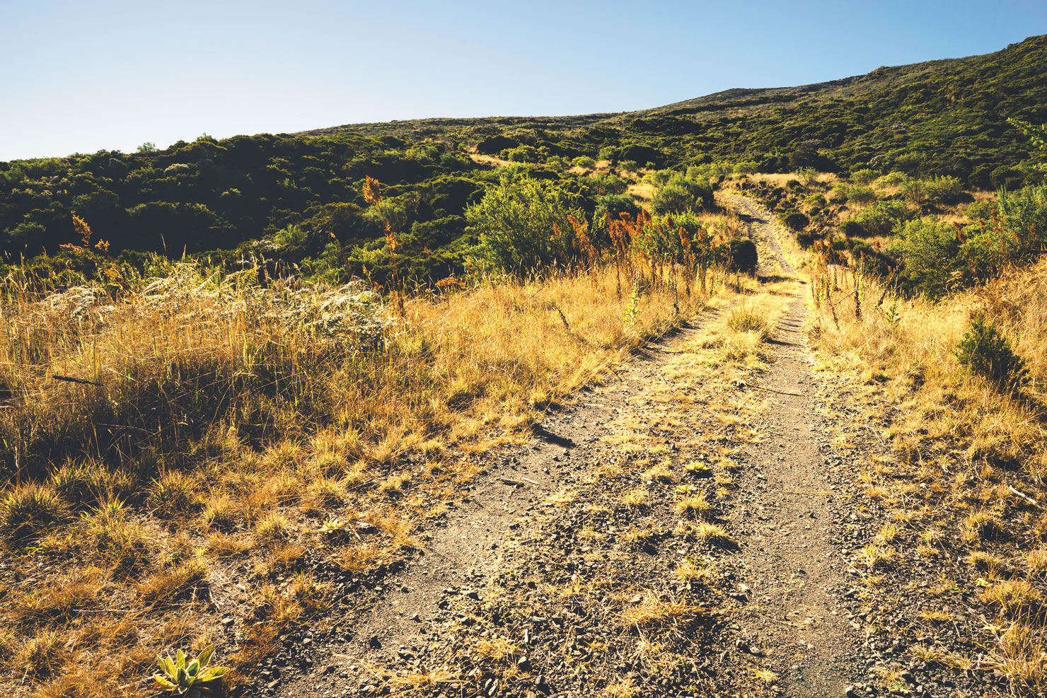
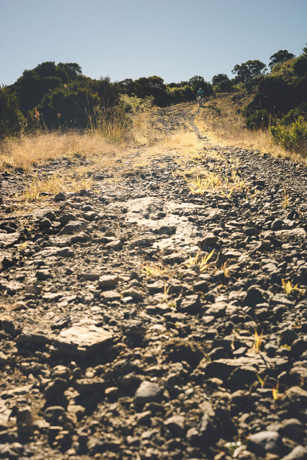
- Day 1 is the is almost only on fire road going up to the top of tevelave forest and then down to Maido forest paved road were you will easily find a place to camp. It can be very steep and rocky at some point but with no major difficulties if you have good MTB skills.
- Day 2 alternates between a bit of paved road (maido forest road) and lots of single tracks and path in the dense forest. You may experience some log on the trail or very dense vegetation from time to time. Then, you take the 1800 rocky road to the maido, which is absolutely stunning. Organise your time to have lunch at Maido Peak and then start your descent to the Lahoussaye Cape. Again no difficulties if you have MTB skills. Experience riders could take an alternate route with technical challenges as the area is the place for a tough DH race called Megavalanche. You will find a lot of GPX files on the internet.
- Route of day 3 is almost pancake flat. Around Eperon village, you will have to cross a ravine and carry your bike on your back. This is the only difficulty of the route. The part of the route may be very windy and the wind direction will never be favorable heading south. The route alternate between sugar cane field tracks and cycle lanes. Fat bike rider should consider riding on the beach from Hermitage to Etang Salé. (app. 30km)
Full Route Description:
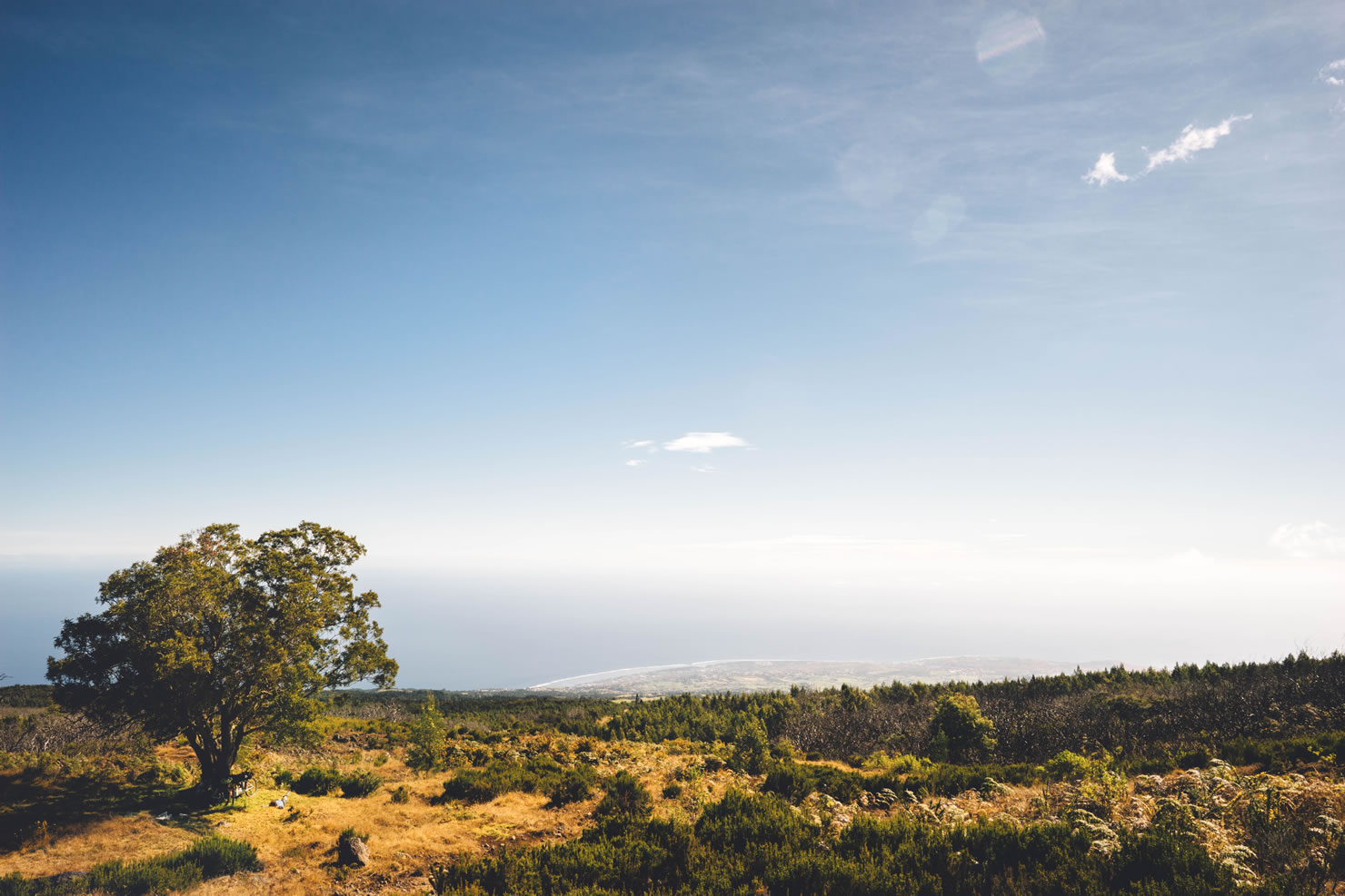
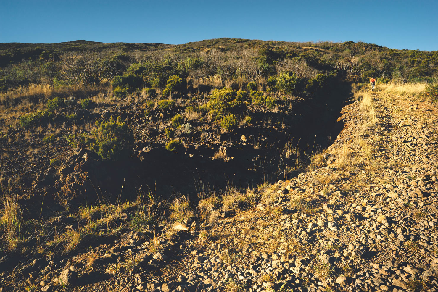
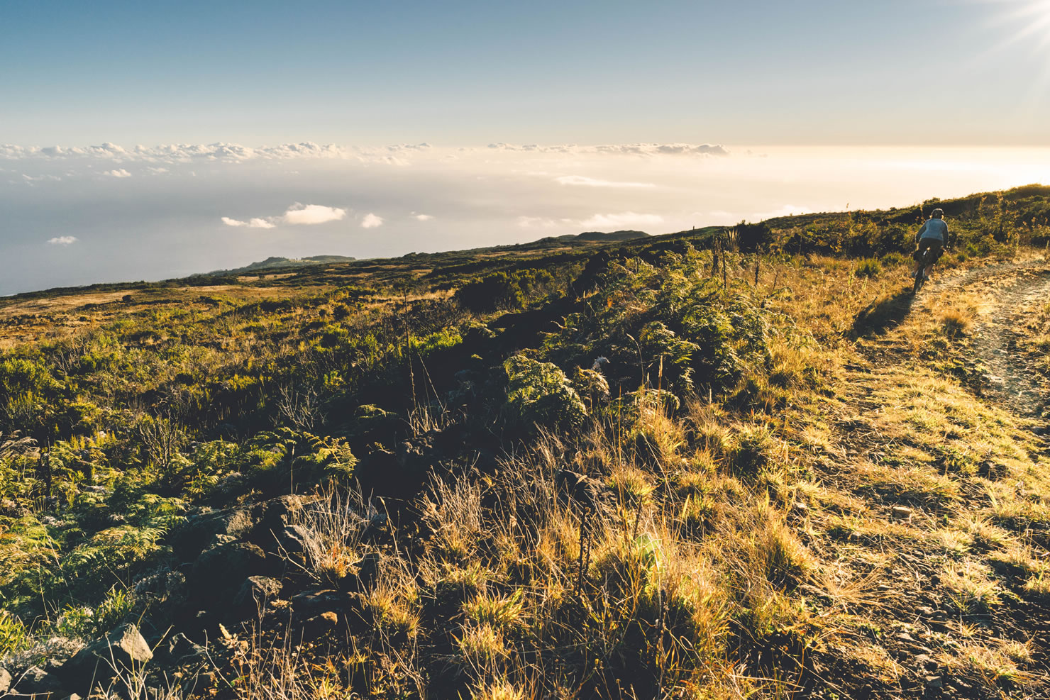
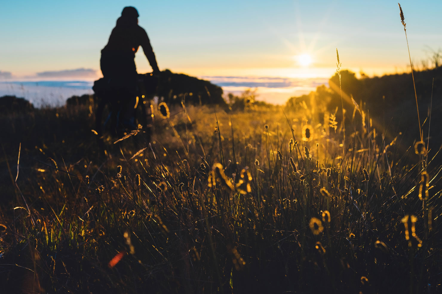
The route begins from the highlands, in a tiny village called Les Makes. The first pedal strokes bring you slowly into the dense forest, full of tall crytomeria trees. The climbing is done at a slow pace to warm up, following a winding fire road with a slight gradient. Every turn offers views of the surrounding mountains and seaside towns. The slope become steeper towards the top of the Grand Benare (2,898 meters). The fireroad becomes a rougher two lane track. Hard pack soil becomes very rocky. Vegetation makes itself a bit shy as the higher landscapes dry out. This is Tectec’s home, an endemic bird from Reunion with a round belly. The track reaches 1,800 meters and only the peaks of the Maido and Grand Benare emerge from the sea of clouds. The route then follows its way down to the primal forest of Tevelave. Our choice camping spot and pit fire make a good place for a warm meal and a good night of rest. Temperatures are cool and at this altitude it can drop below zero at night.
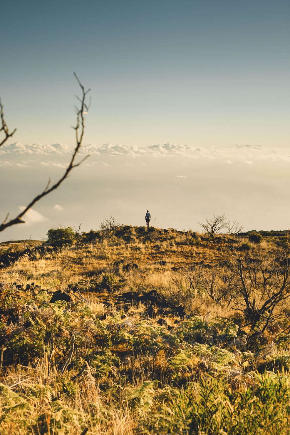
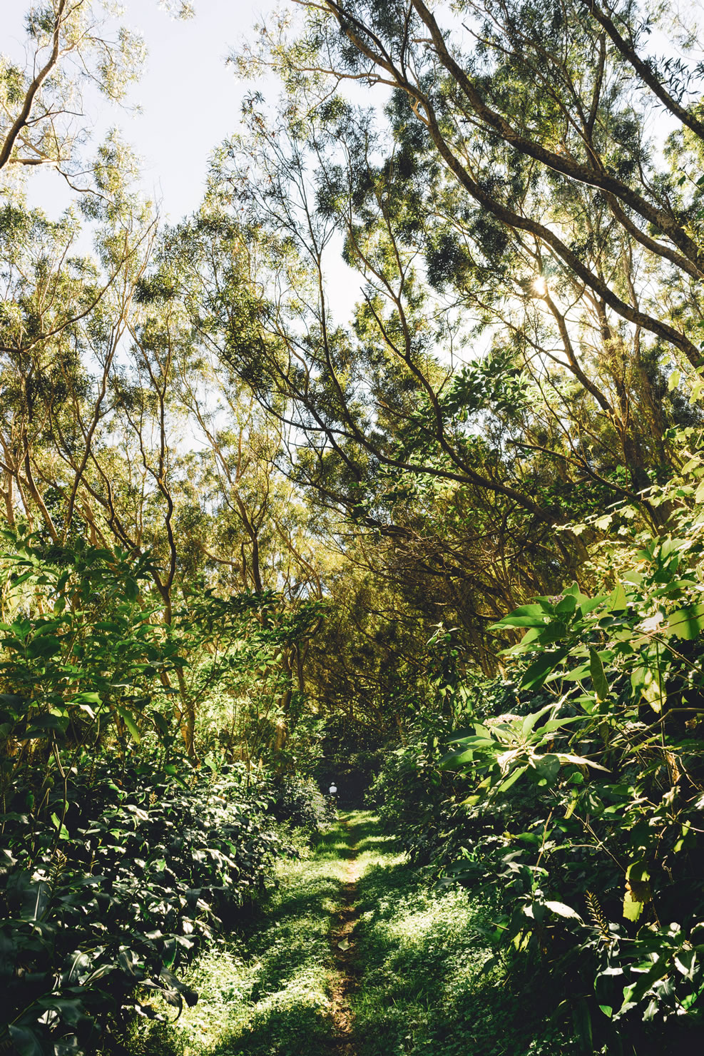
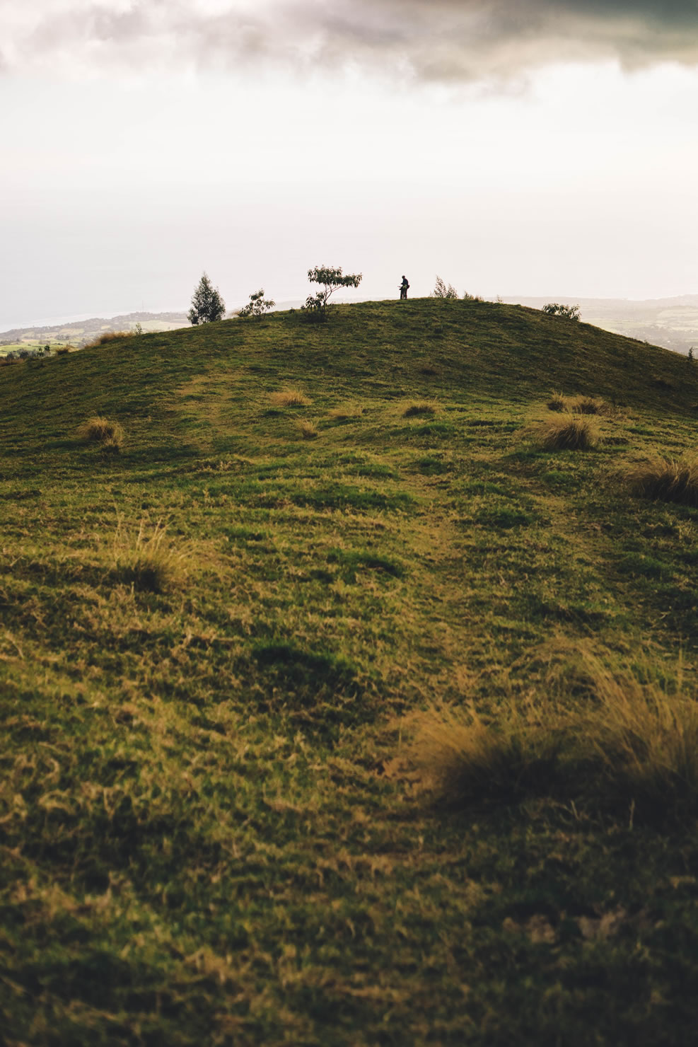
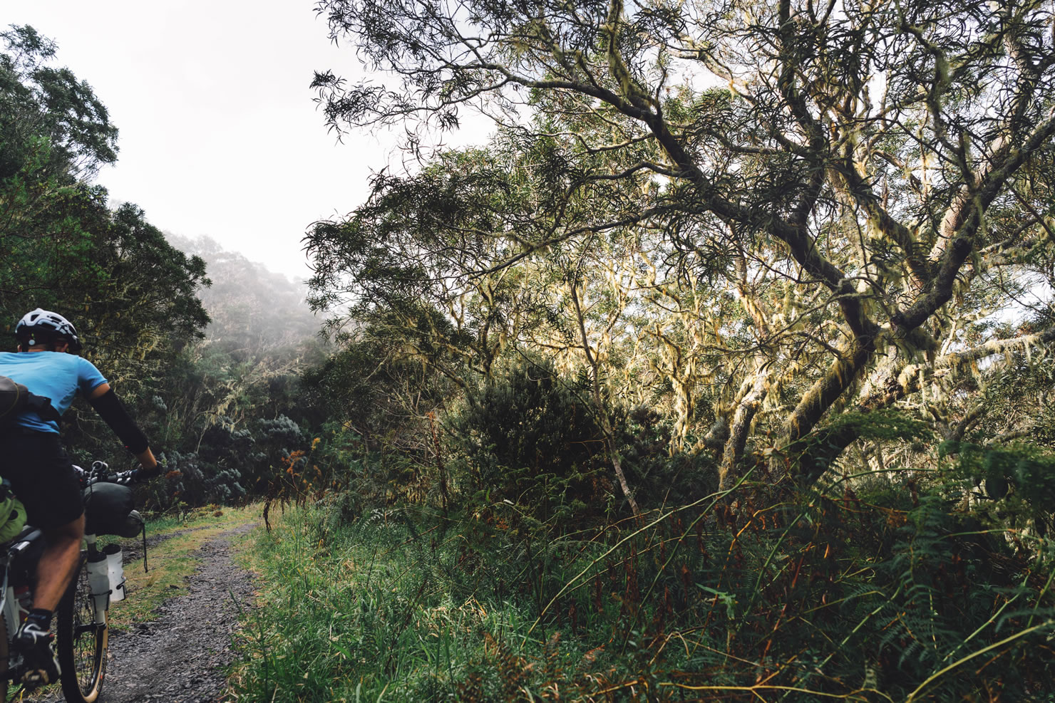
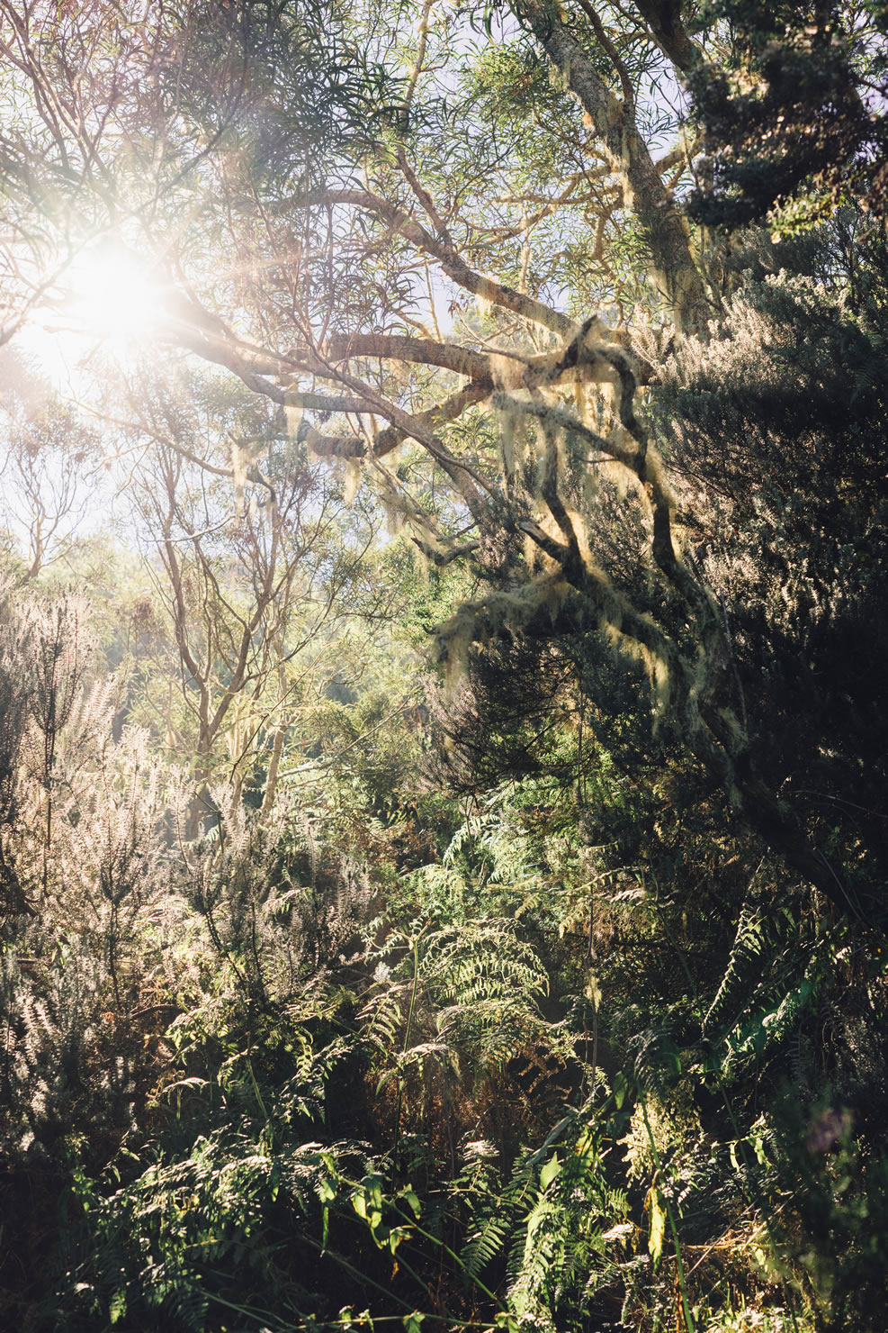
“Tévelave” comes from malagasy “Tavy Lava” and means” the great forest”. This forest was a refuge for the runaway slaves, offering a wide area to hide and enough to eat. Discovery hiking trails tell legends of this period around some archeological sites. The forest road through the Tevelave Forest to the Maido is georgeous and verdant — green ferns, large bamboo trees and majestic Tamarins with crooked branches collecting wild orchids. The top of Maido overlooks us and oversees our progress. To reach it is a reward; this peak offers a spectacular panoramic view of Mafate, which you can admire the unspoilt nature. Mafate consists of islets – isolated hamlets and villages – where people live self-sufficient lives — and the access is only possible by foot!
From there the descent is fast: from the forest, we cross pastures, small villages and then sugar cane fields to finally reach the La Houssaye Cape, overlooking the bay of St Paul, nicknamed the “Bay of better anchoring.” It is through this bay that the first French landed for the first time on the island in 1642. Descent is a real playground for mountain biker and the area is the site for the famous Megavalanche DH race. Terrain is very changing and alternate between double tracks, single track with some portions into the bush and open land. Grass, rocks, sand, hardpack soil. For every taste.
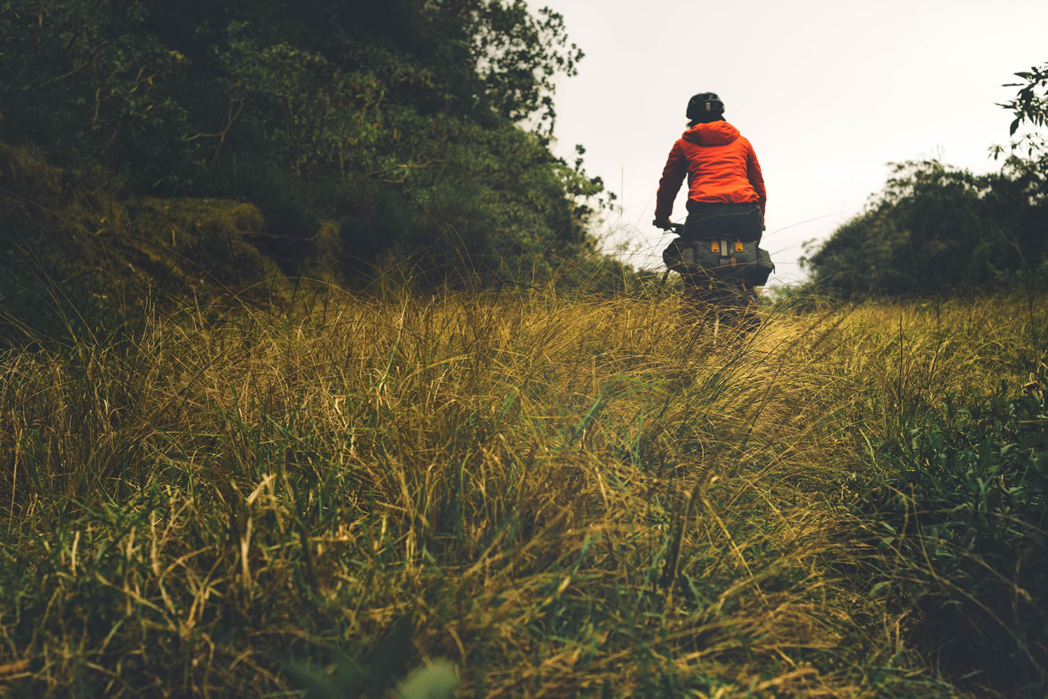
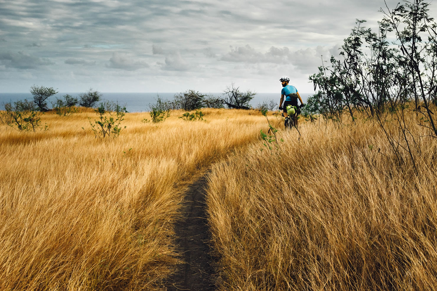
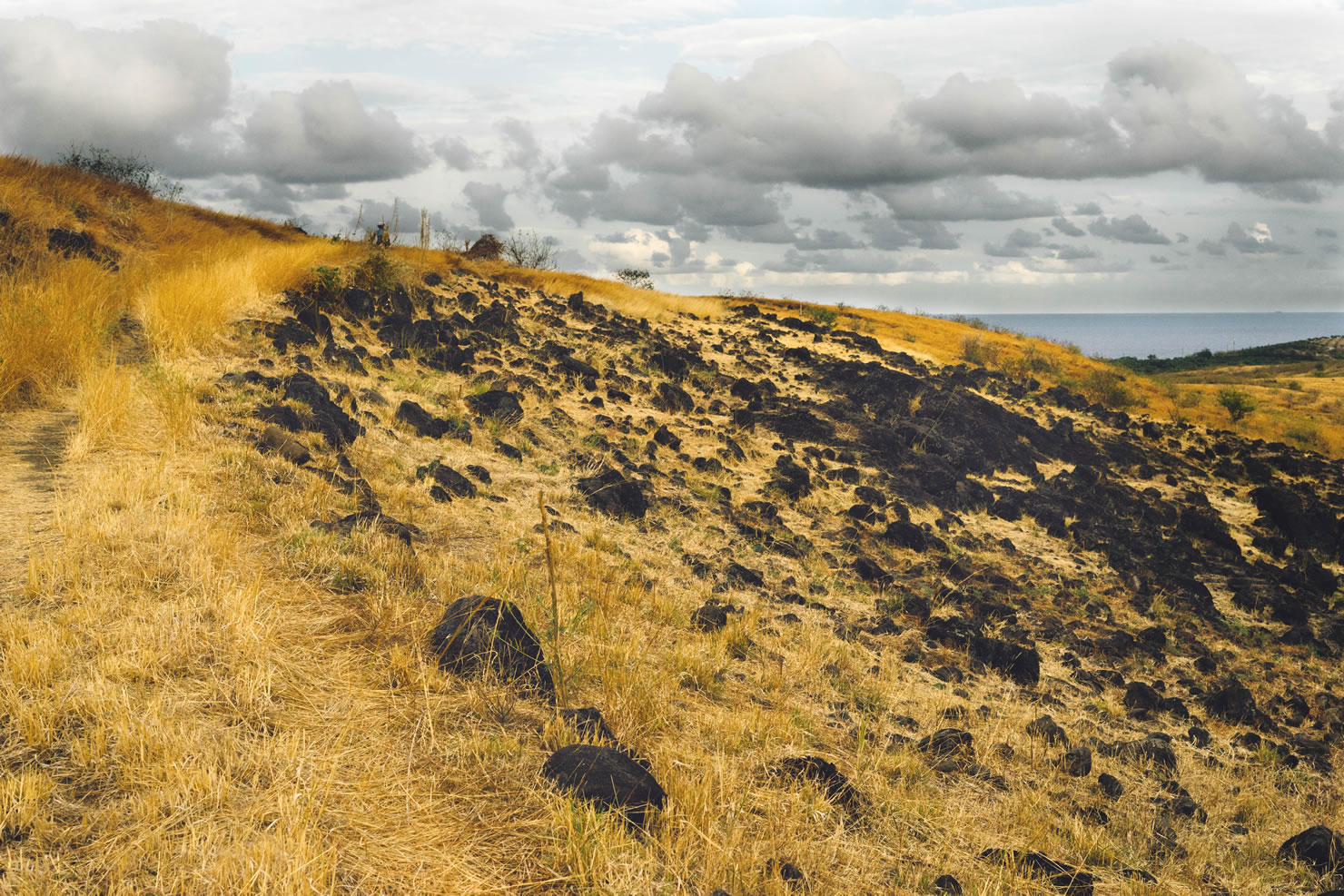
La Houssaye Cape is a vast savannah that rises above basalt cliffs. Our eyes slide out of sight on the tall grass waving in the wind. Depending on the season, their colors change from green to rust, dotted with black basalt stones and the silhouette of a few stunted trees.
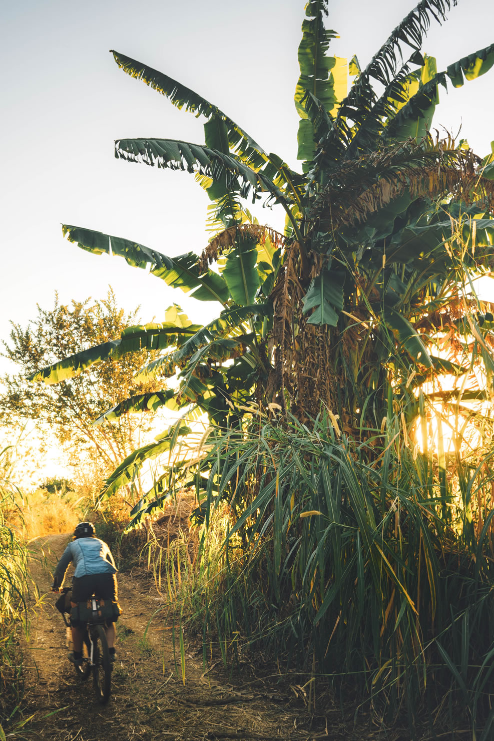
Our route continues west on the midlands of the island. Some ravines to cross and a few cane and pineapple fields later we are now overlooking the three natural bassins of the Ravine St Gilles which supplied during two centuries the inhabitants of the West Coast with drinking water and which allowed the irrigation of the cane fields for the sugar and rum industry. We reach the coast by crossing some vestiges of windmills and canals lost in prickly vegetation to the former sugar factory called Filaos.
From there, the track to the south follows the coast and alternate between field’s tracks and cycle lanes, almost the first portion of paved road from the beginning of the ride. Fat bike riders can ride the beach all along 30k from here as an option. Not boring at all! The ocean offers us its gradations: calm and turquoise water along the lagoon and white sandy beaches, then we continue along the high cliffs of basalt overlooking the infinite marine blue ocean. Swell offers his show and powerful spray jets are going up in the air up to several meters. The saline from La Pointe au Sel emerge from the tracks through the cane fields, symbols of the last stage of the course. At the right season (june-september), there are also a few spot for observing whales coming for warm water to give birth.
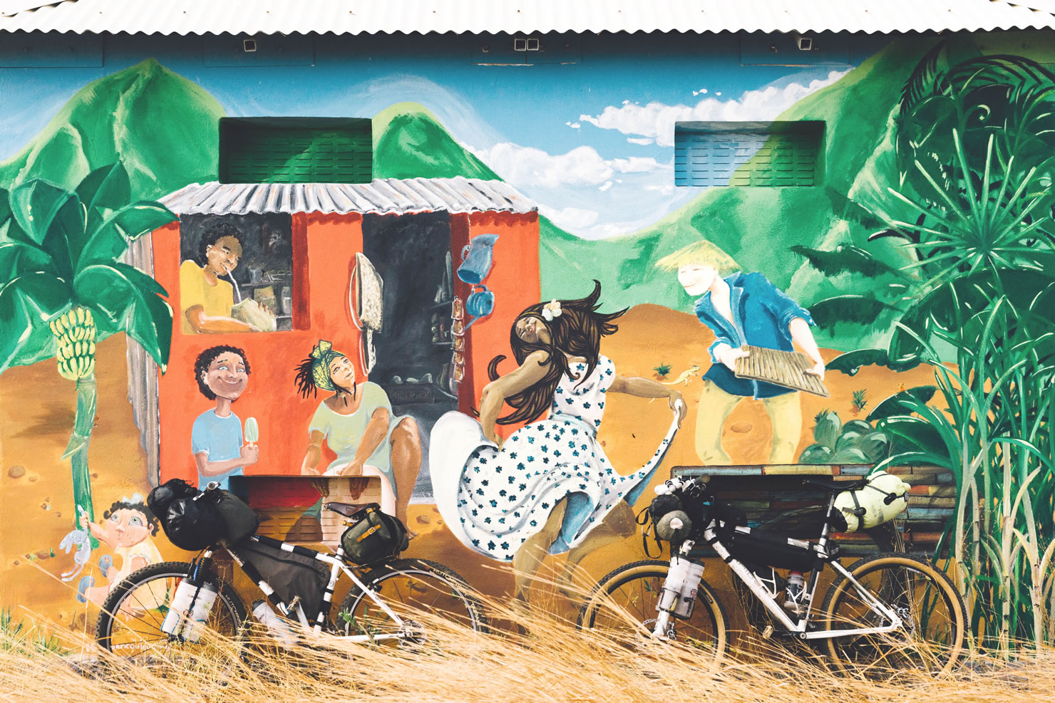
Then, we reach The Forest of Etang Salé along the black sandy beach before crossing the last river of the ride, St Etienne river, to arrive at the Peak of the Devil, entrance to the city of St Pierre. This is the end! Beachfront cafés will offer you a refreshing experience with a “dodo”, local traditional brew to extend the exotic trip of the weekend, a few more days of “vavang” …
Additional Resources
- Local weather forecast: www.meteo-reunion.com/cyclone
- Reunion National Park: www.reunion-parcnational.fr


Terms of Use: As with each bikepacking route guide published on BIKEPACKING.com, should you choose to cycle this route, do so at your own risk. Prior to setting out check current local weather, conditions, and land/road closures. While riding, obey all public and private land use restrictions and rules, carry proper safety and navigational equipment, and of course, follow the #leavenotrace guidelines. The information found herein is simply a planning resource to be used as a point of inspiration in conjunction with your own due-diligence. In spite of the fact that this route, associated GPS track (GPX and maps), and all route guidelines were prepared under diligent research by the specified contributor and/or contributors, the accuracy of such and judgement of the author is not guaranteed. BIKEPACKING.com LLC, its partners, associates, and contributors are in no way liable for personal injury, damage to personal property, or any other such situation that might happen to individual riders cycling or following this route.
Please keep the conversation civil, constructive, and inclusive, or your comment will be removed.