


The Sea to Sky Trail, British Columbia
Distance
62 Mi.
(100 KM)Days
2-3
% Unpaved
55%
% Singletrack
45%
% Rideable (time)
100%
Total Ascent
5,266'
(1,605 M)High Point
2,515'
(767 M)Difficulty (1-10)
5?
- 6Climbing Scale Moderate85 FT/MI (16 M/KM)
- 3Technical Difficulty Fair
- 7Physical Demand Difficult
- 3Resupply & Logistics Fair
Contributed By

Miles Arbour
Associate Editor & Events Manager
Additional photos by Nathan Reimer
The Sea to Sky Trail has an interesting history that existed long before mountain bikes and hiking boots. It was originally used as a travel and trade route by the Coast Salish and Interior Salish First Nations to connect the coast and interior. In the late 1700s and early 1800s, ranchers living as far north as Lillooet attempted to use the trail to access Vancouver markets, but the terrain proved too rough for their cattle. It wasn’t until 1991 when the idea of using the route as a multi-purpose trail was resurrecting, and in 2005 a master plan was developed to see the project through to completion. While it will be some time before the trail reaches D’Arcy, its current state serves as the perfect backdrop for a weekend or overnight bikepacking route or the beginning of an extended tour. Rumours are that some of it is already rideable and once officially completed will add an additional 80km to the route.
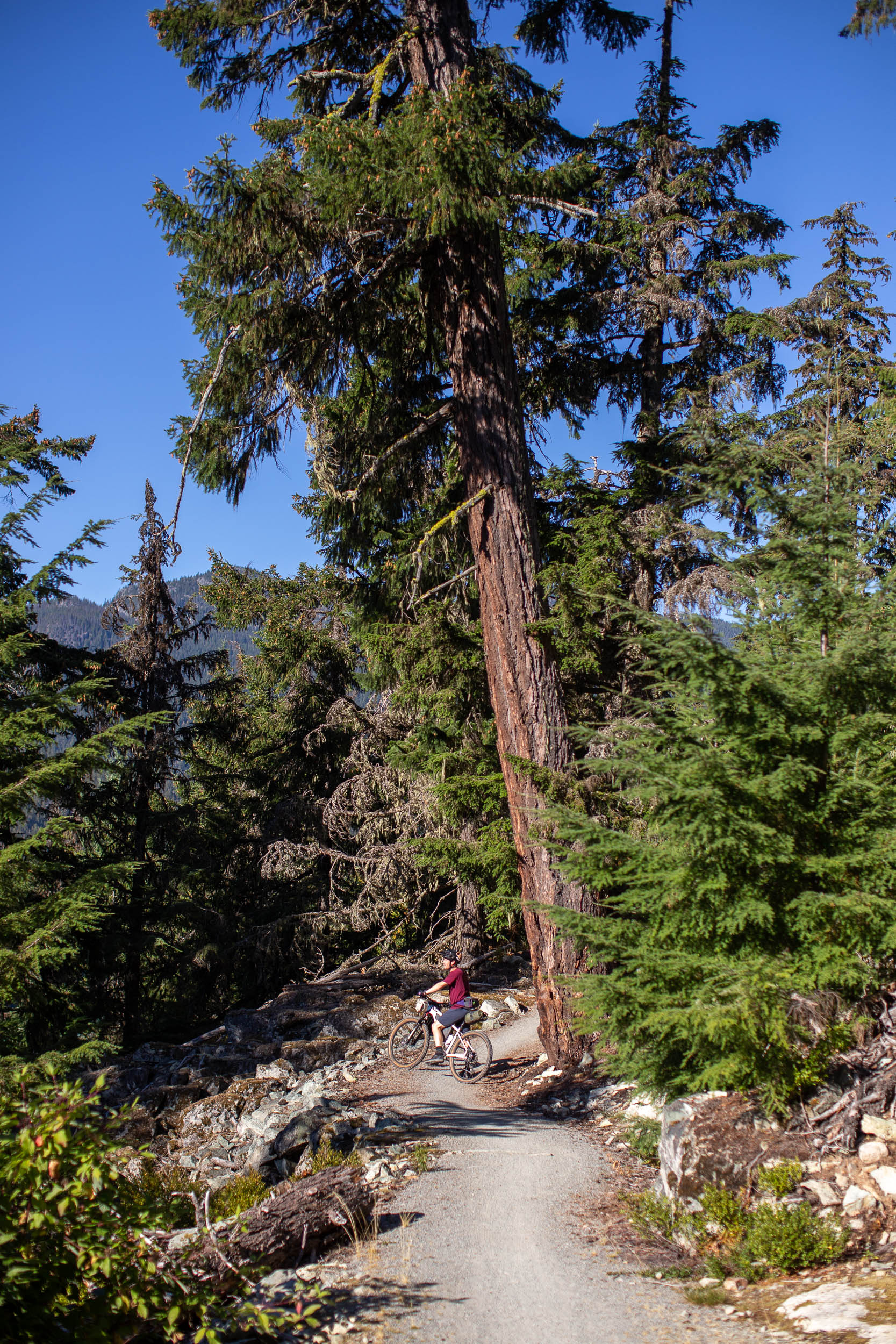
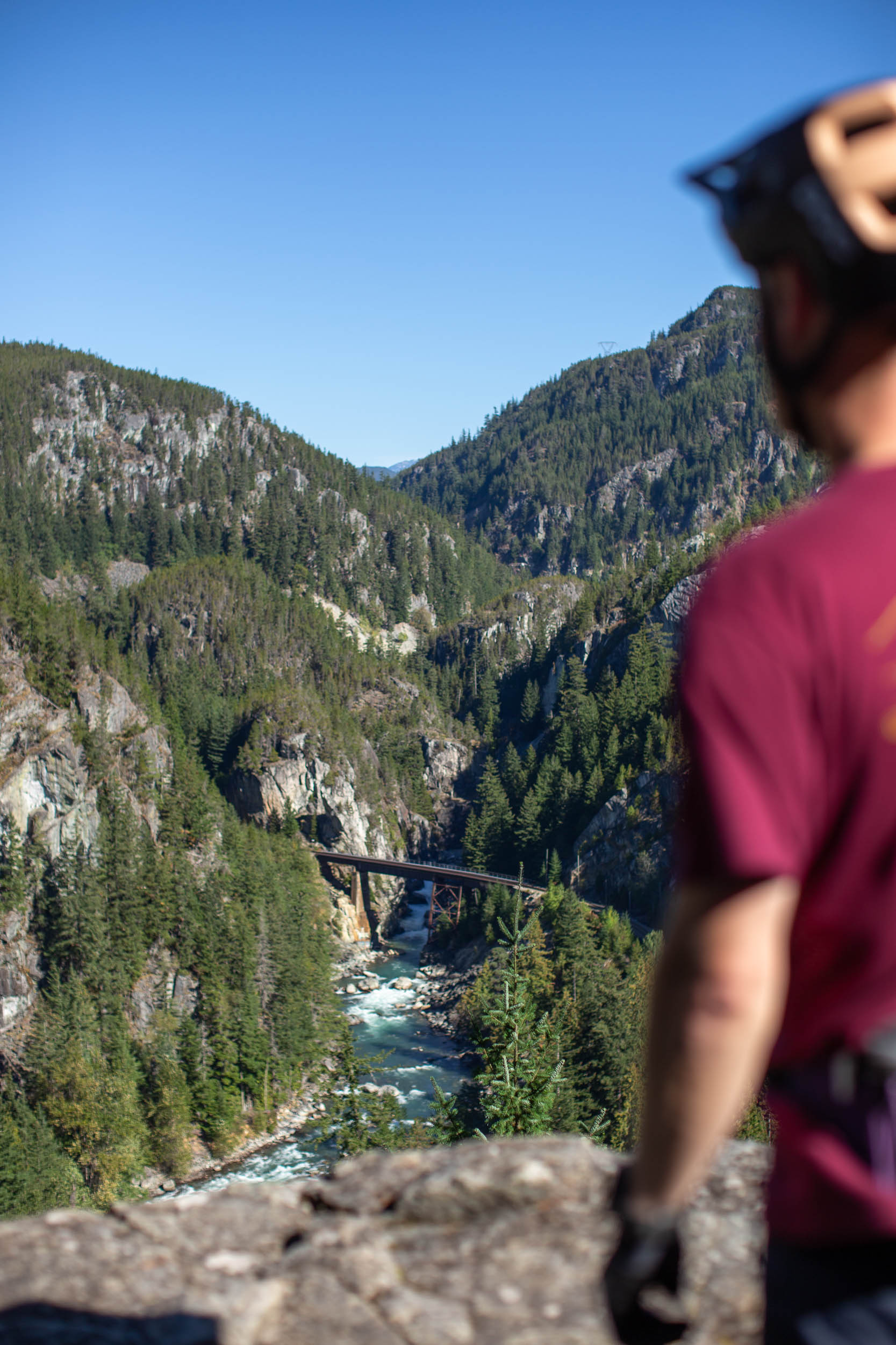
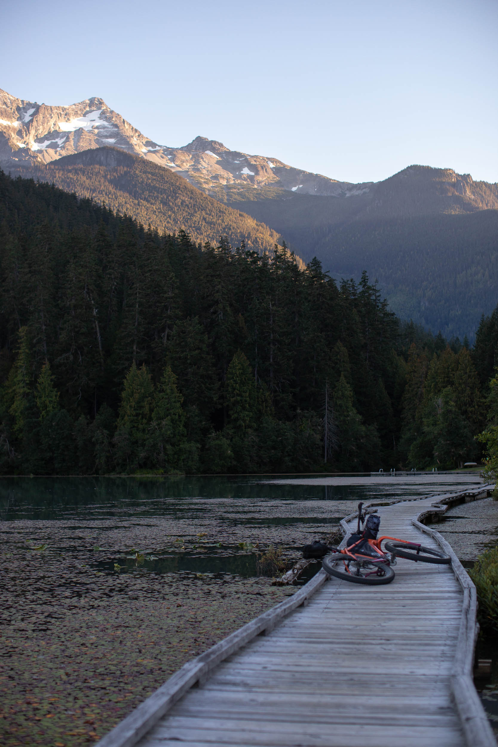
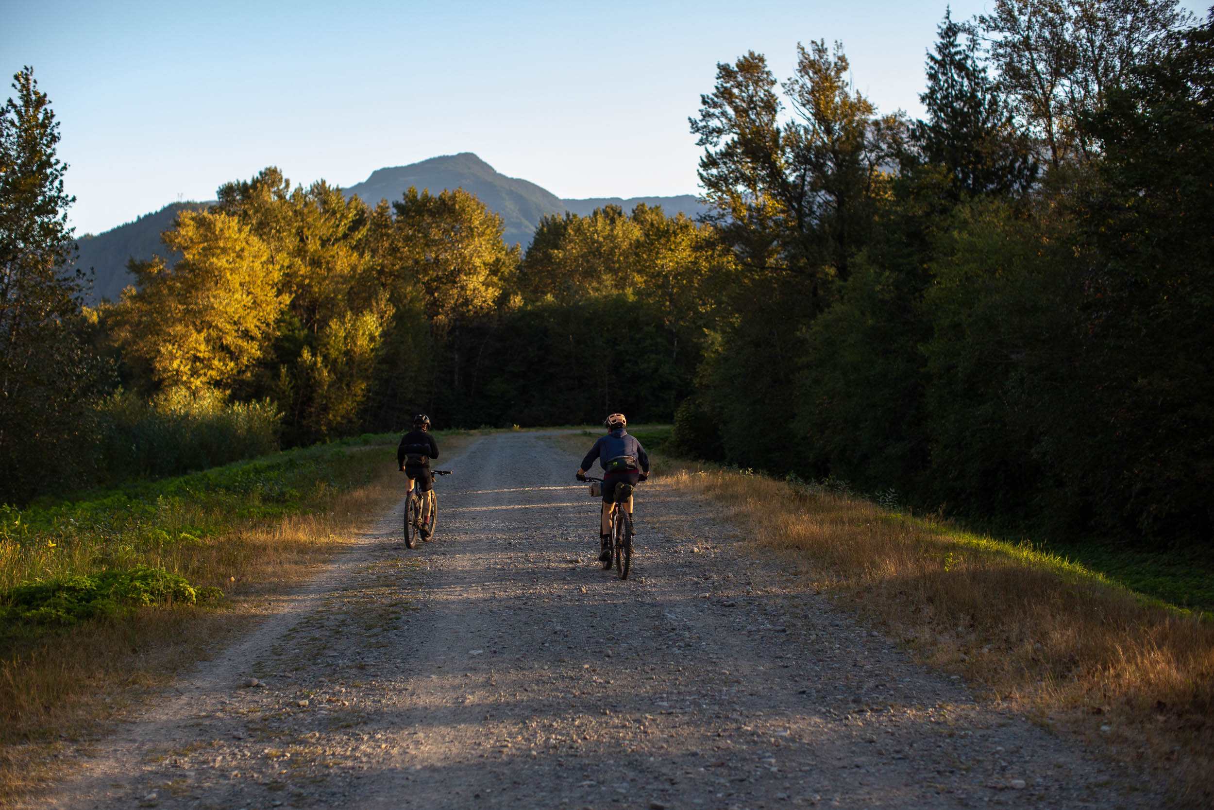
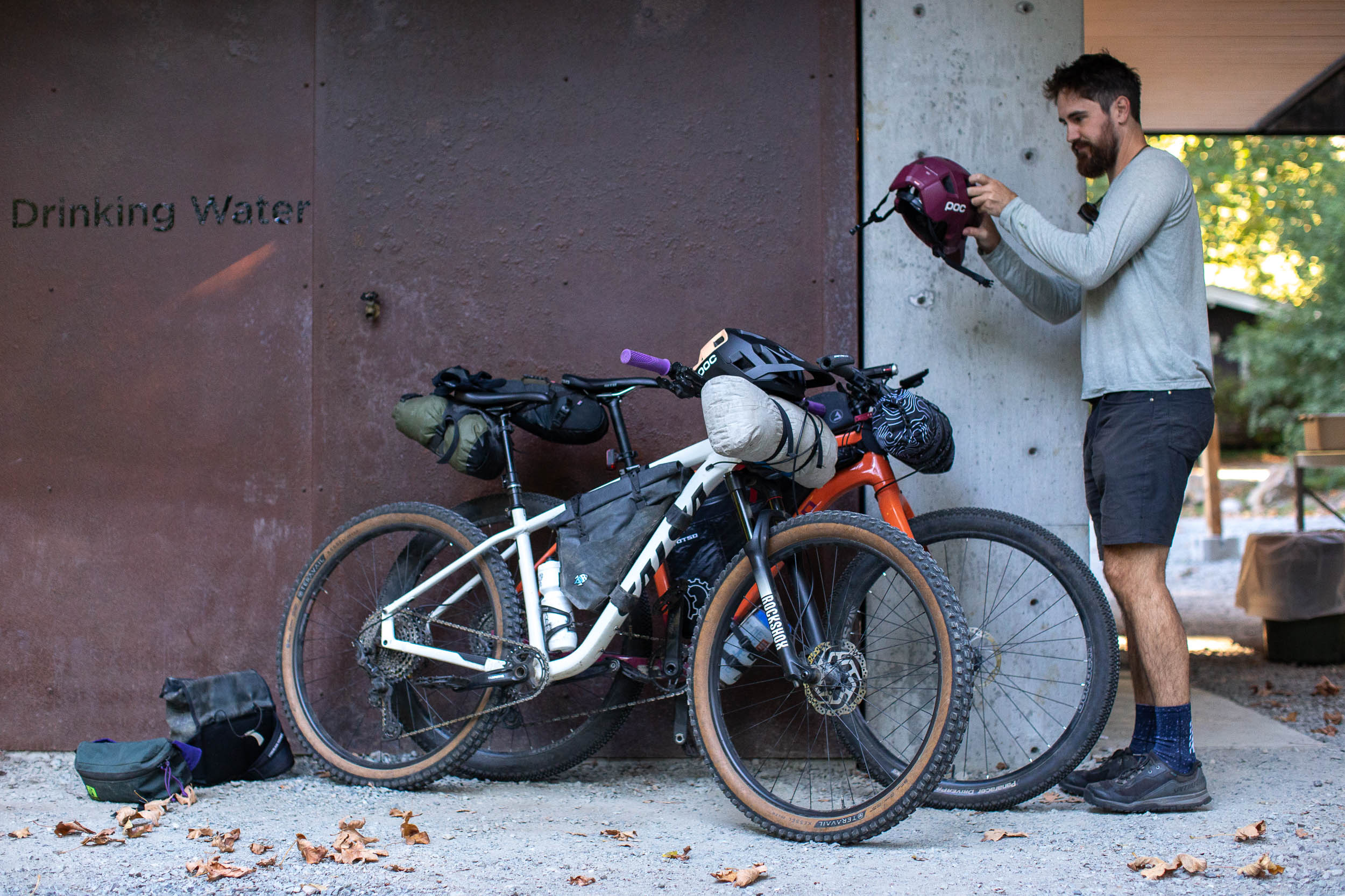
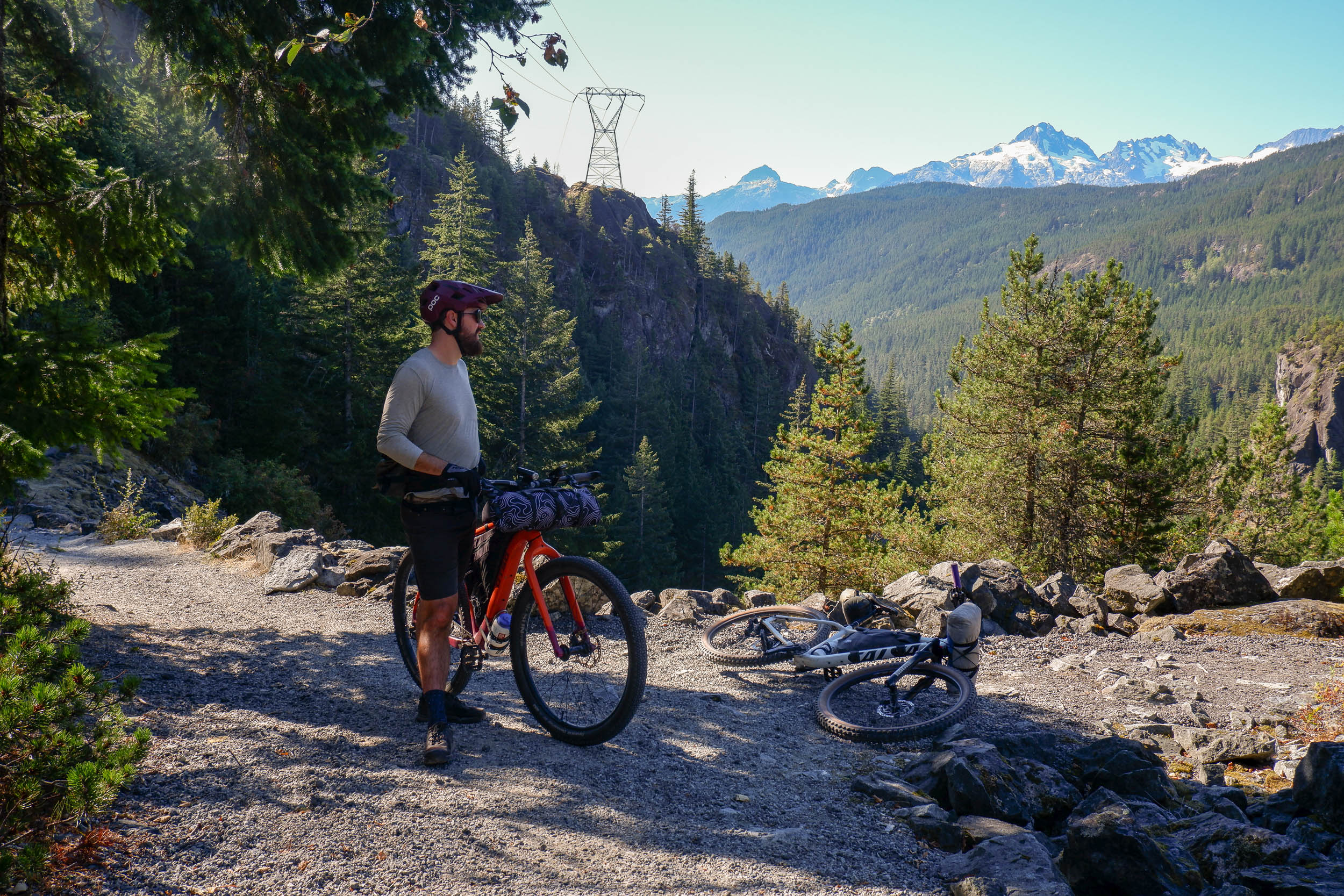
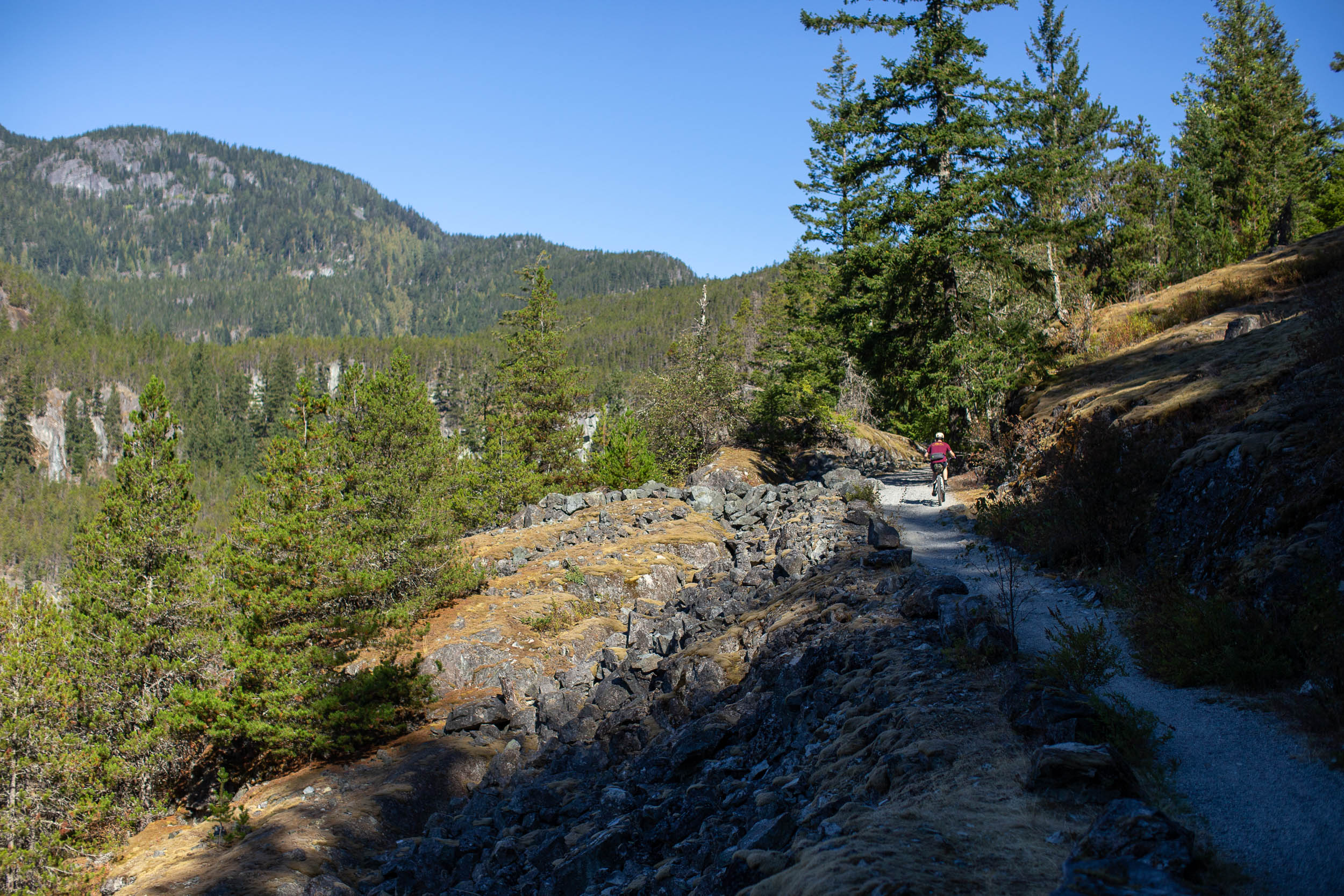
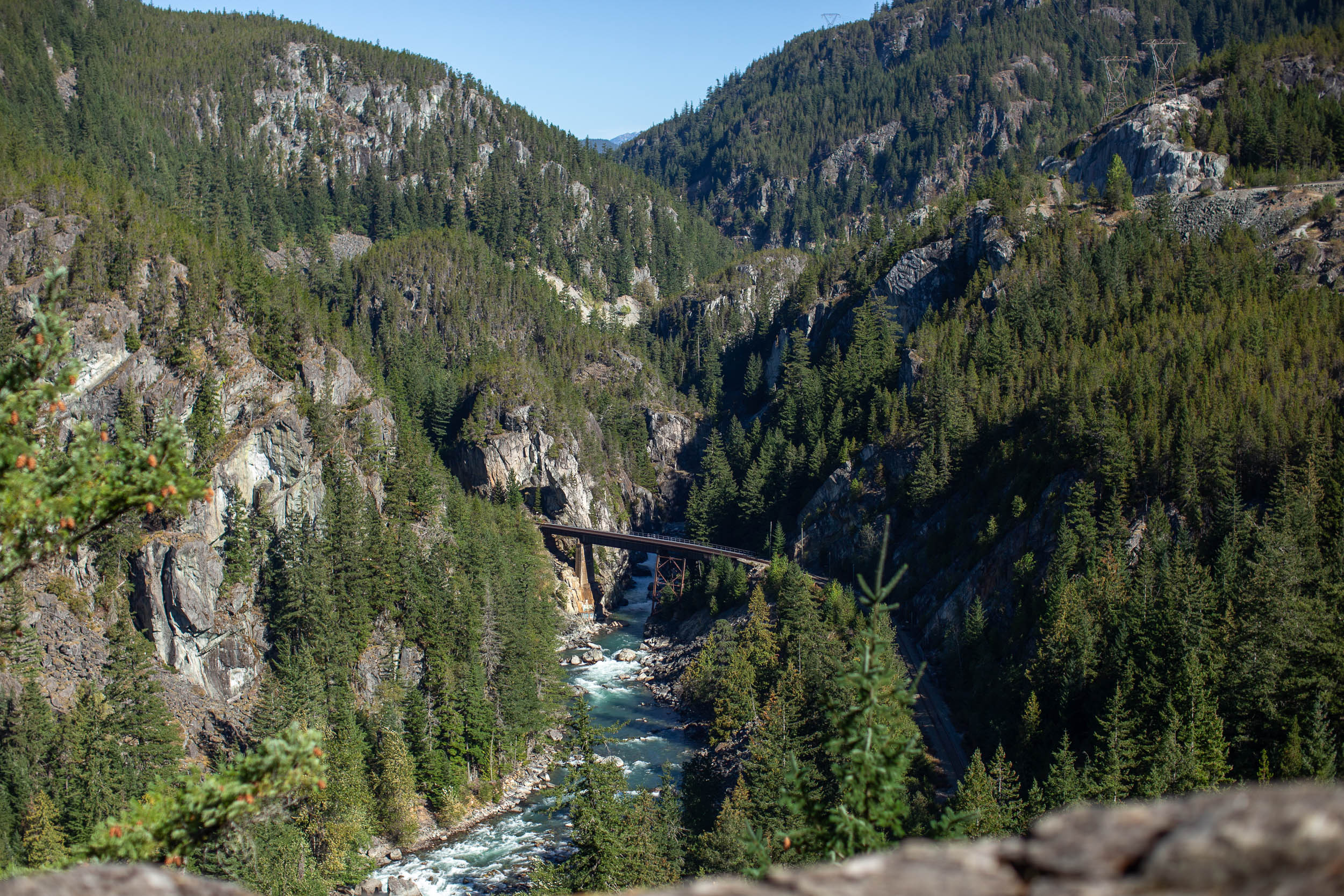
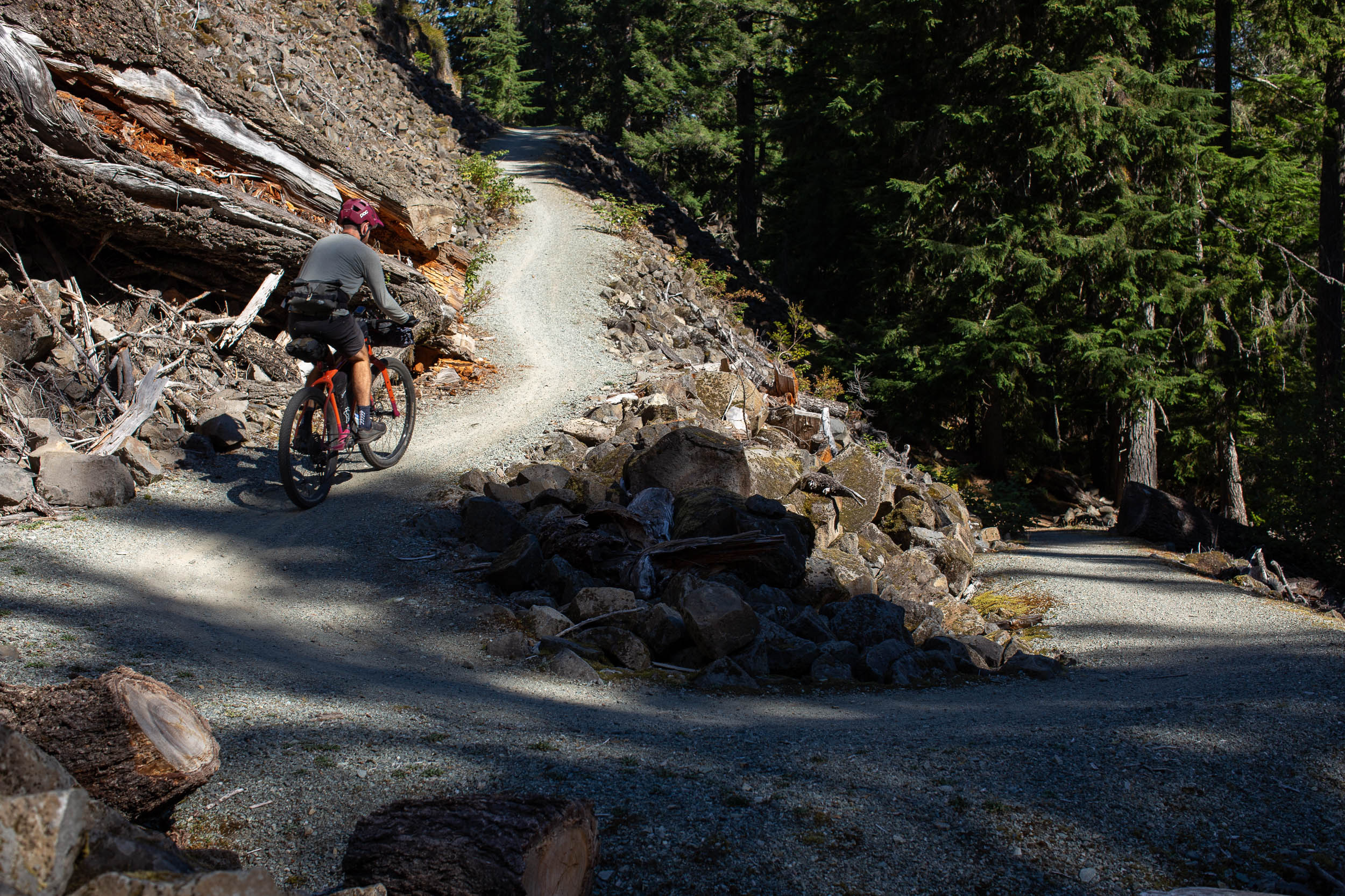
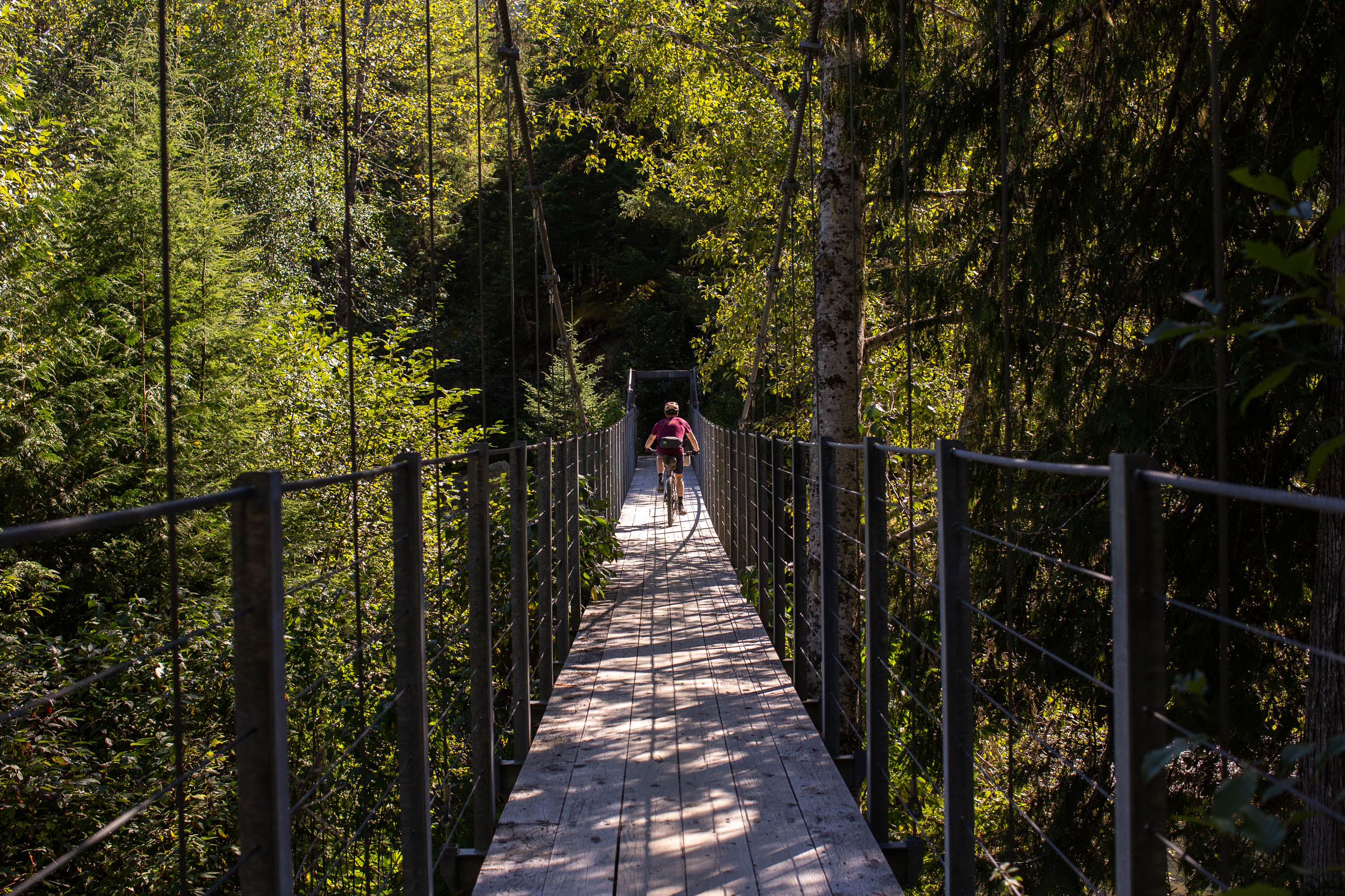
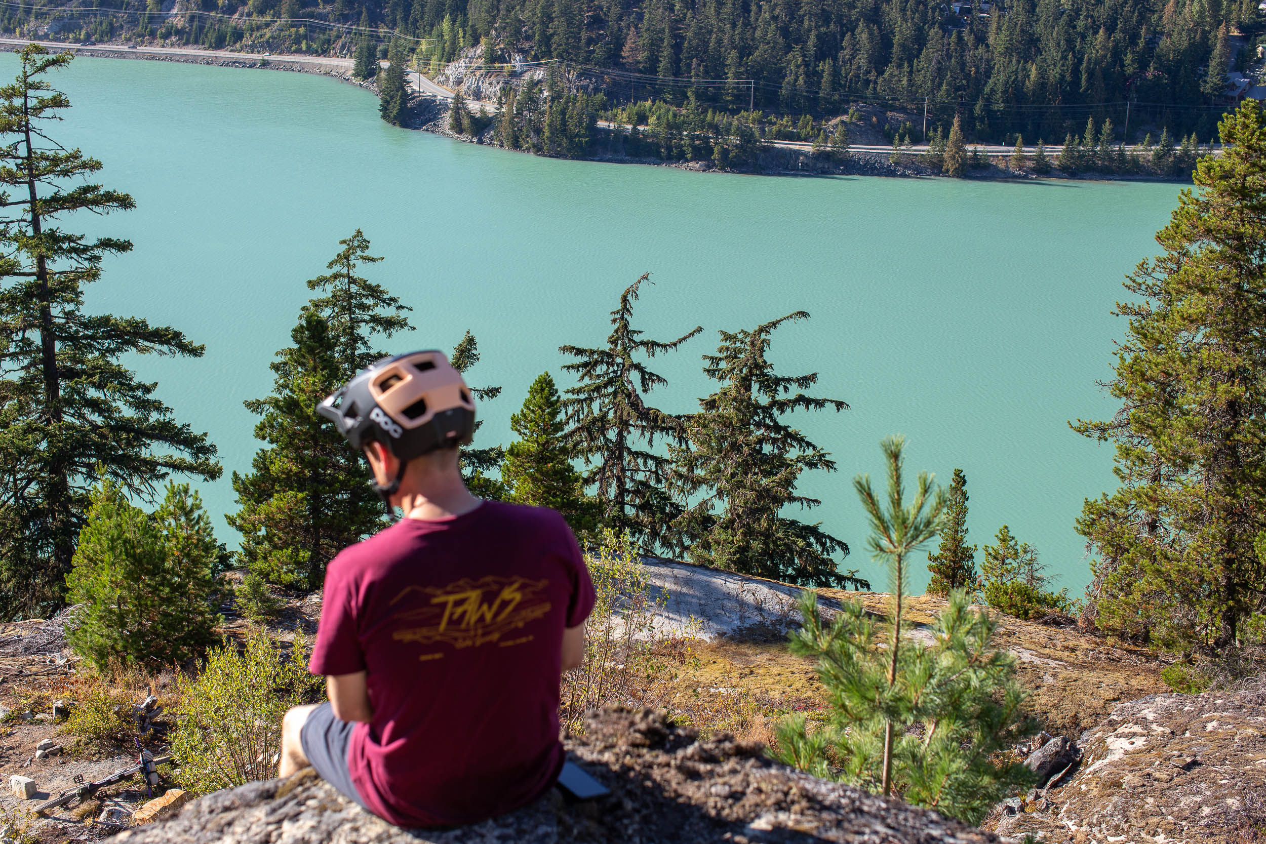
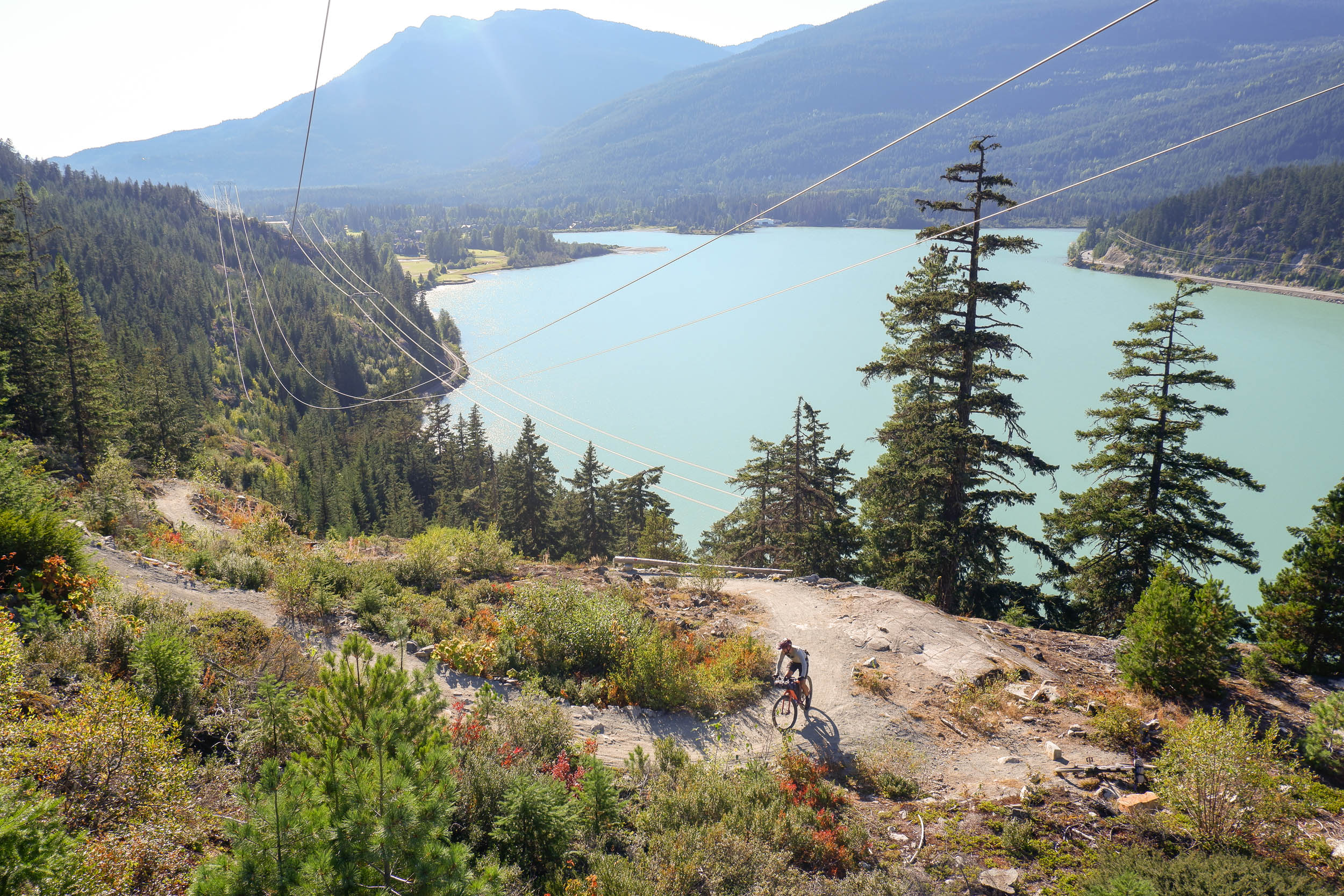
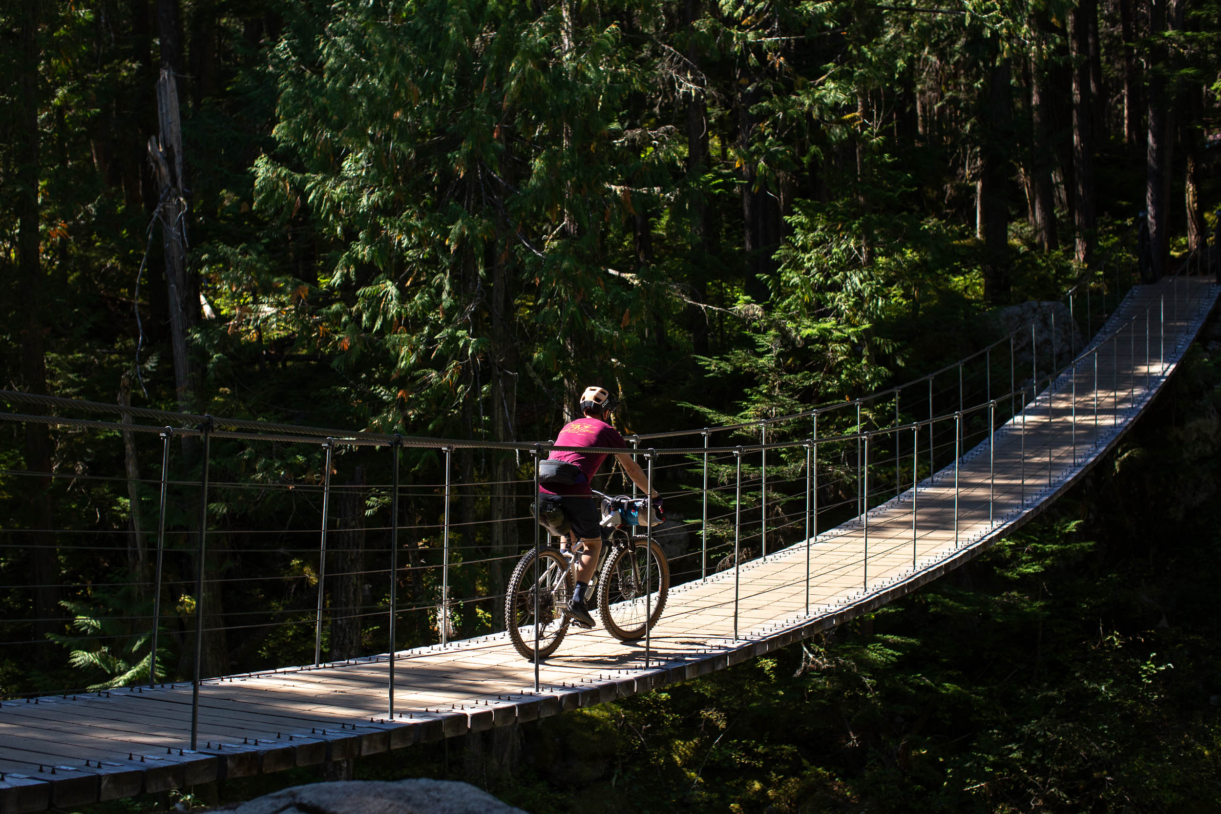
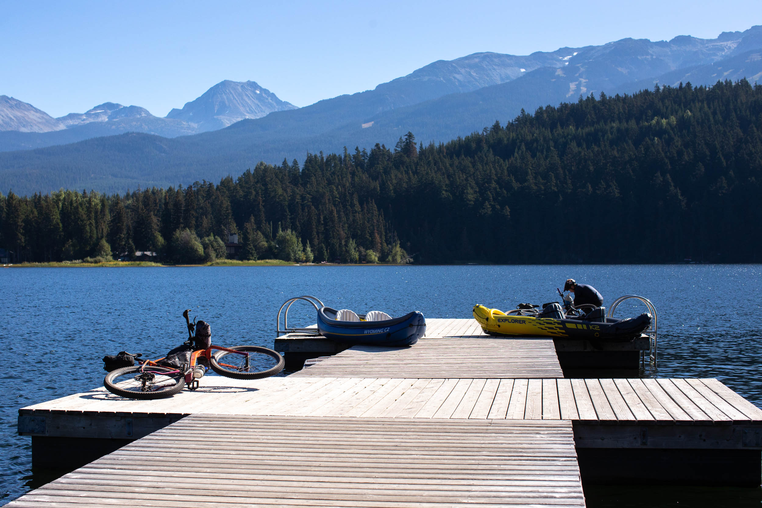
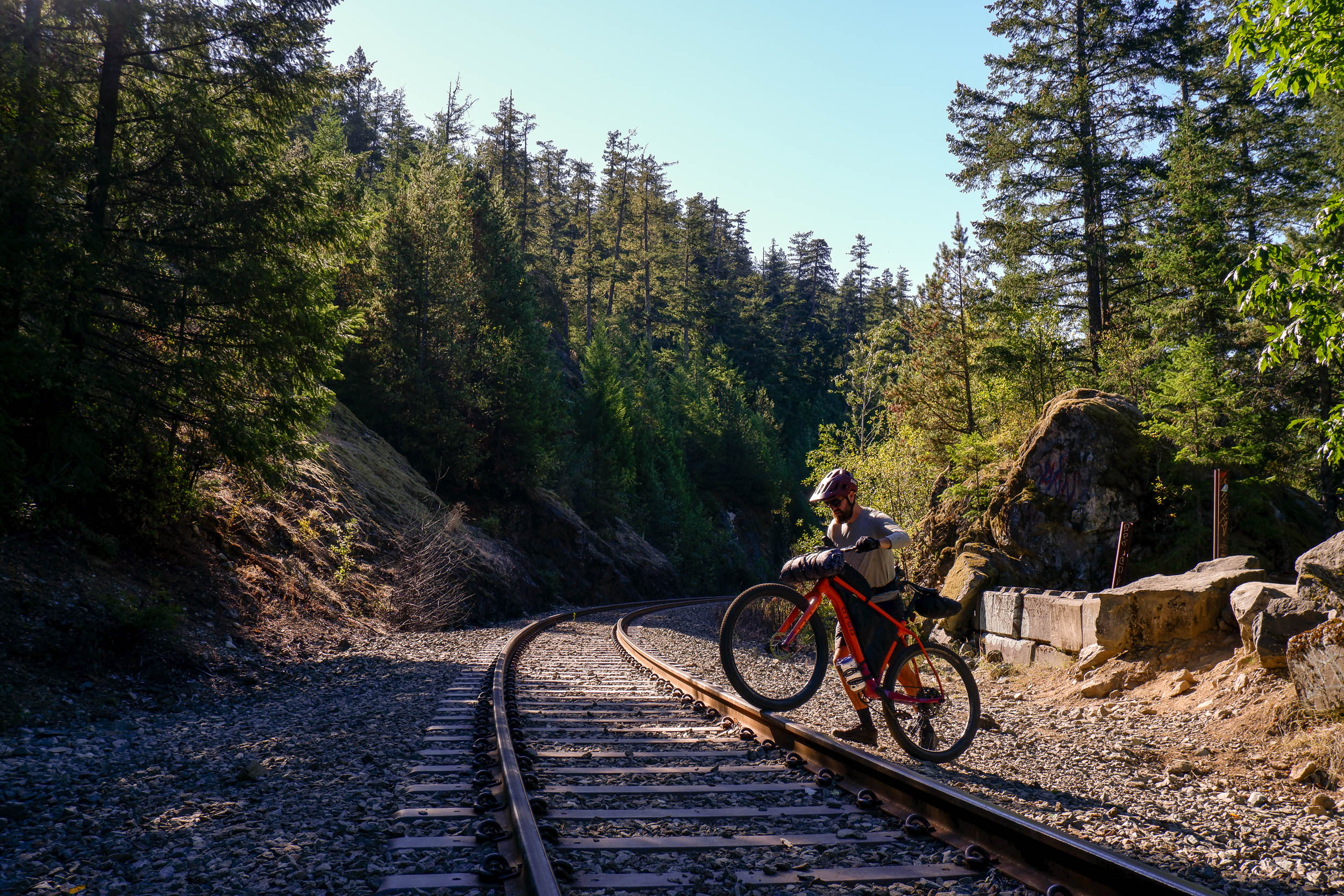
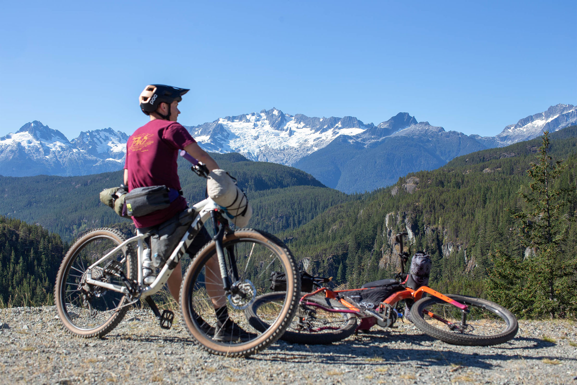
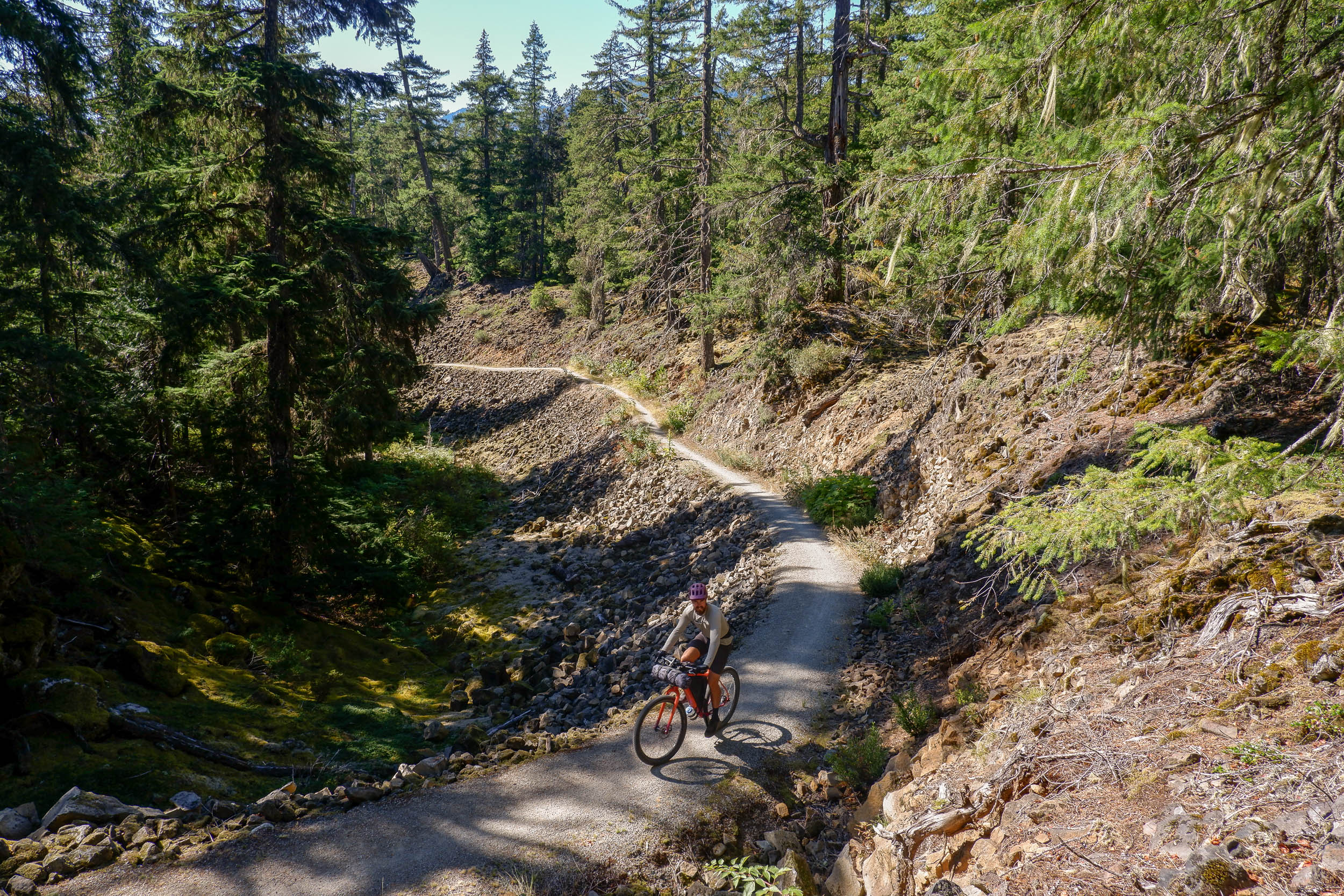
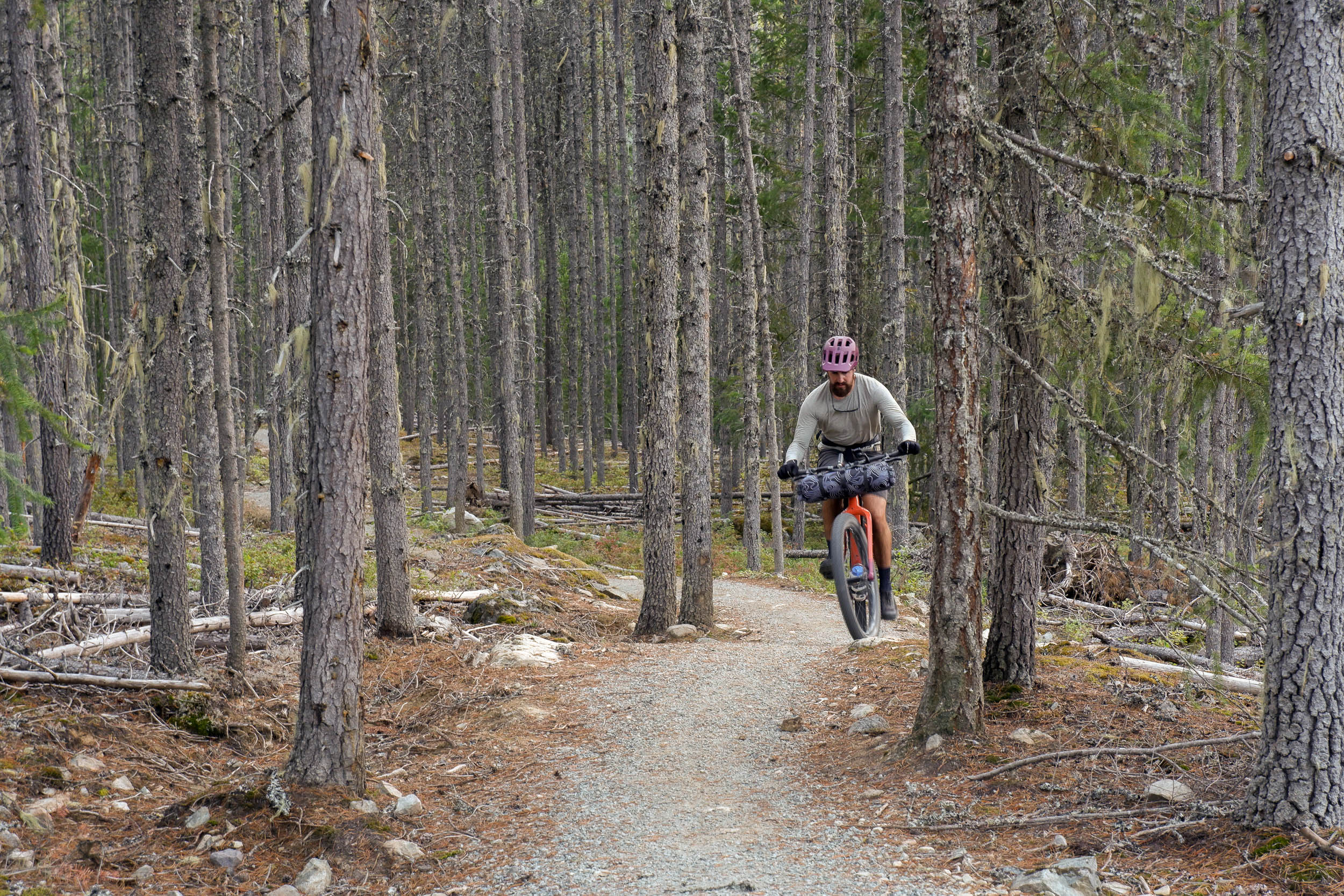
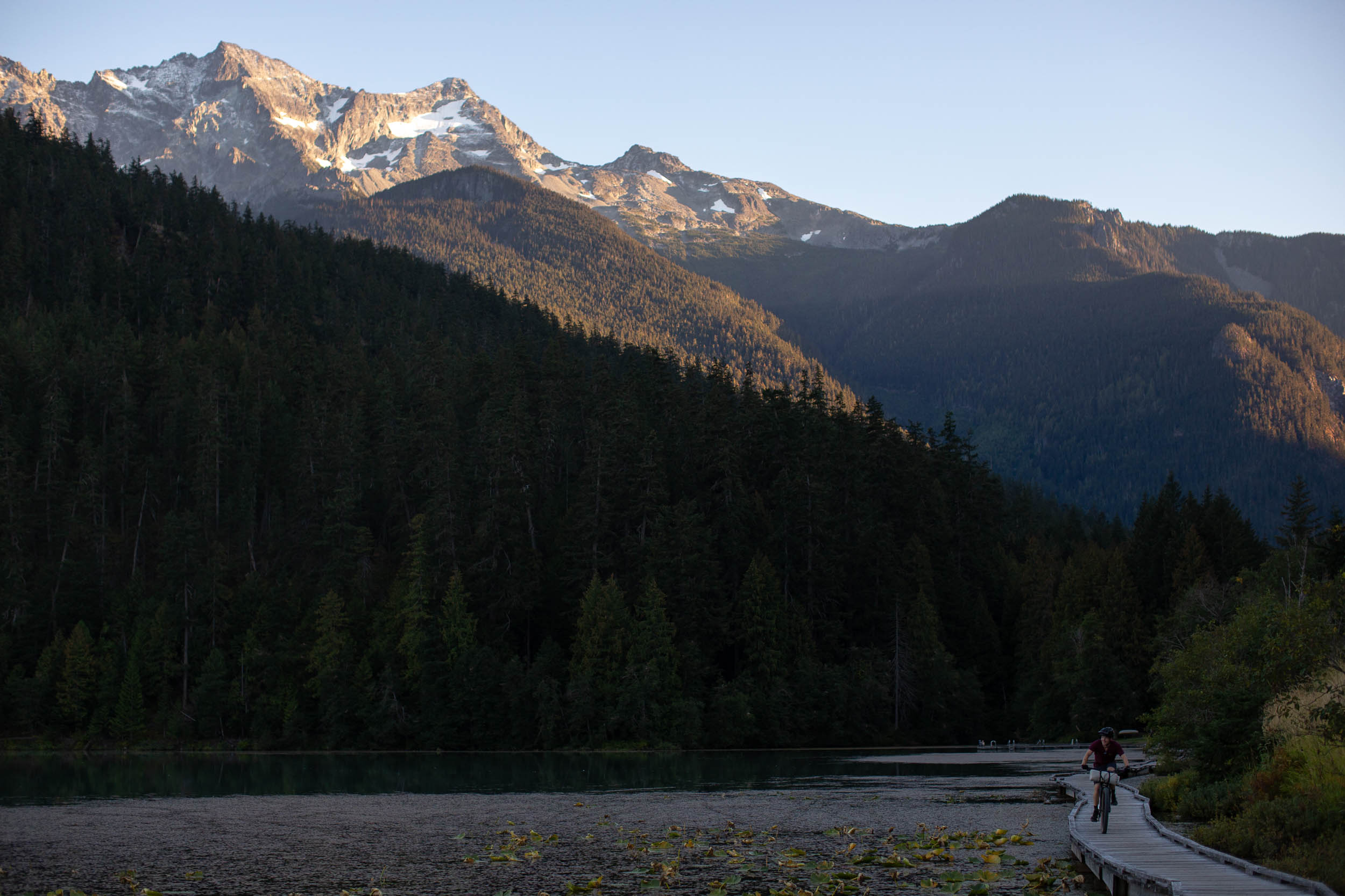
The Sea to Sky Trail starts in the quintessential mountain biking town of Squamish, British Columbia, just a short one hour drive or two hour bus ride from downtown Vancouver. The route travels north through the Sea to Sky corridor, passing through the town of Whistler. It follows a mix of flowy singletrack, chunky doubletrack, gravel roads, and pavement and takes in a wealth of stunning turquoise lakes, swimming holes, and interesting points of interest, from suspension bridges and train wrecks, to delicious eateries to refuel each day. You can also add on additional singletrack, if you wish. You’ll have the option to hitch a ride on public transit back to the start or tackle the route as an out and back for double the distance and double the views.
Difficulty
The Sea to Sky Trail has been assigned a difficulty rating of 5 out of 10. The majority of the route follows smooth, well maintained trails, gravel, and paved roads. However, there is a significant amount of climbing which often comes in the form of steep, punchy climbs. Low climbing gears and lots of traction will be essential for anyone looking to ride the entire route. Logistically, bikepacking the route is fairly straightforward. There are major resupply points in Squamish, Whistler, and Pemberton, allowing for a light setup and many opportunities to filter water from freshwater lakes and rivers. We’ve presented the route as a one-way ride, suggesting riders return back to Squamish via public transit, but it’s also possible to return the way you came or link together some highway riding with trails to avoid this. See the Trail Notes section below for more.
Route Development: The Sea to Sky Trail is a long-term project supported by the Squamish-Lillooet Regional District, the District of Squamish, the Village of Pemberton, the Resort Municipality of Whistler, and the Sea to Sky Trail Society. You can support the trail by making a donation or by volunteering. Miles and Nathan scouted the route from Squamish to Pemberton (and back) in September 2022 with insight from their friend Alex. There are plans to extend the route further north as the trail continues to grow, and we plan to update this route to follow.


Submit Route Alert
As the leading creator and publisher of bikepacking routes, BIKEPACKING.com endeavors to maintain, improve, and advocate for our growing network of bikepacking routes all over the world. As such, our editorial team, route creators, and Route Stewards serve as mediators for route improvements and opportunities for connectivity, conservation, and community growth around these routes. To facilitate these efforts, we rely on our Bikepacking Collective and the greater bikepacking community to call attention to critical issues and opportunities that are discovered while riding these routes. If you have a vital issue or opportunity regarding this route that pertains to one of the subjects below, please let us know:
Highlights
Must Know
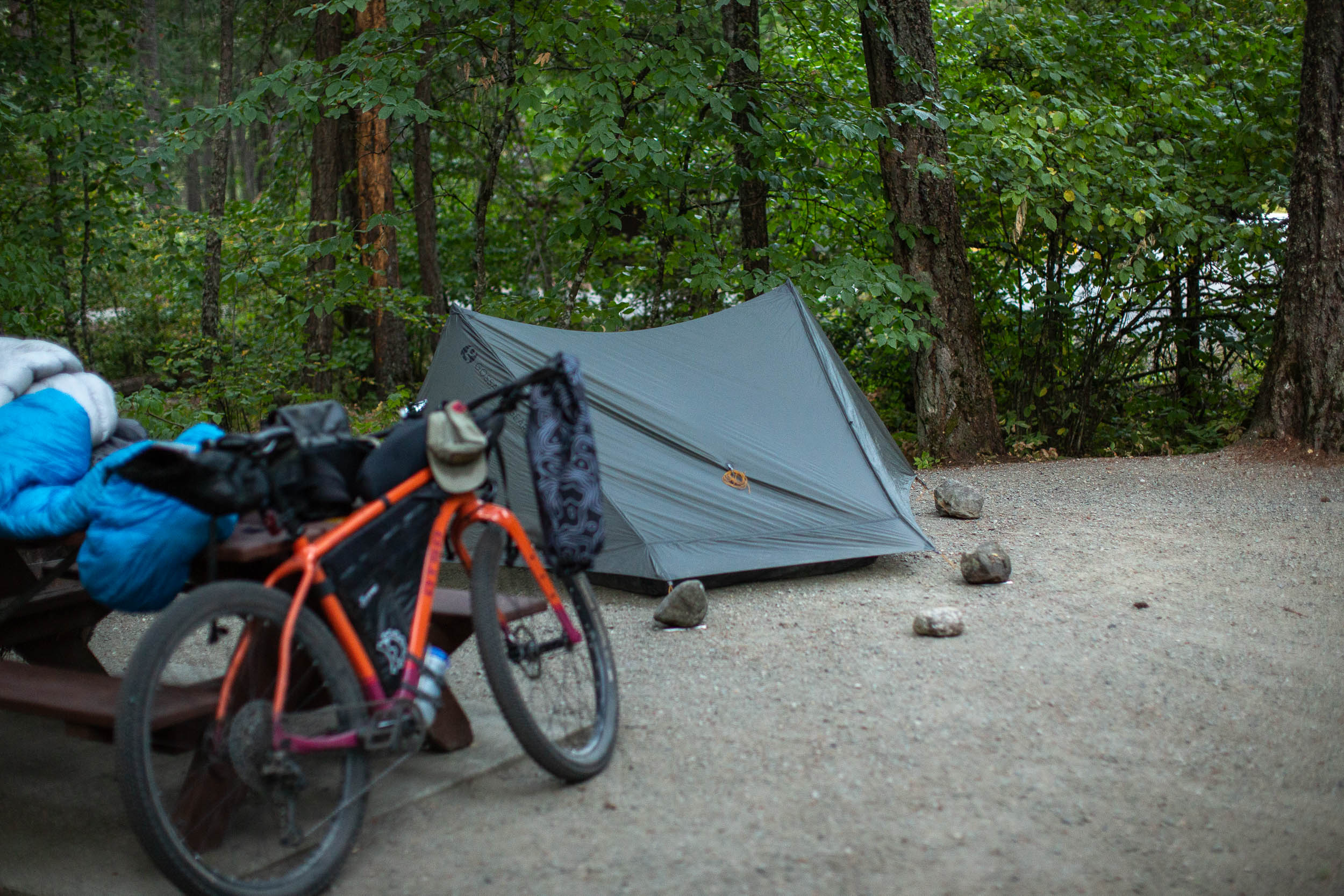
Camping
Food/H2O
Trail Notes
Resources
- Start in the mountain biking town of Squamish, BC, offering some of the best riding on the coast, great food, and a fun overall vibe.
- Breakfast at Fergie’s Cafe, lunch in Whistler or Function Junction, and dinner at Mile One in Pemberton.
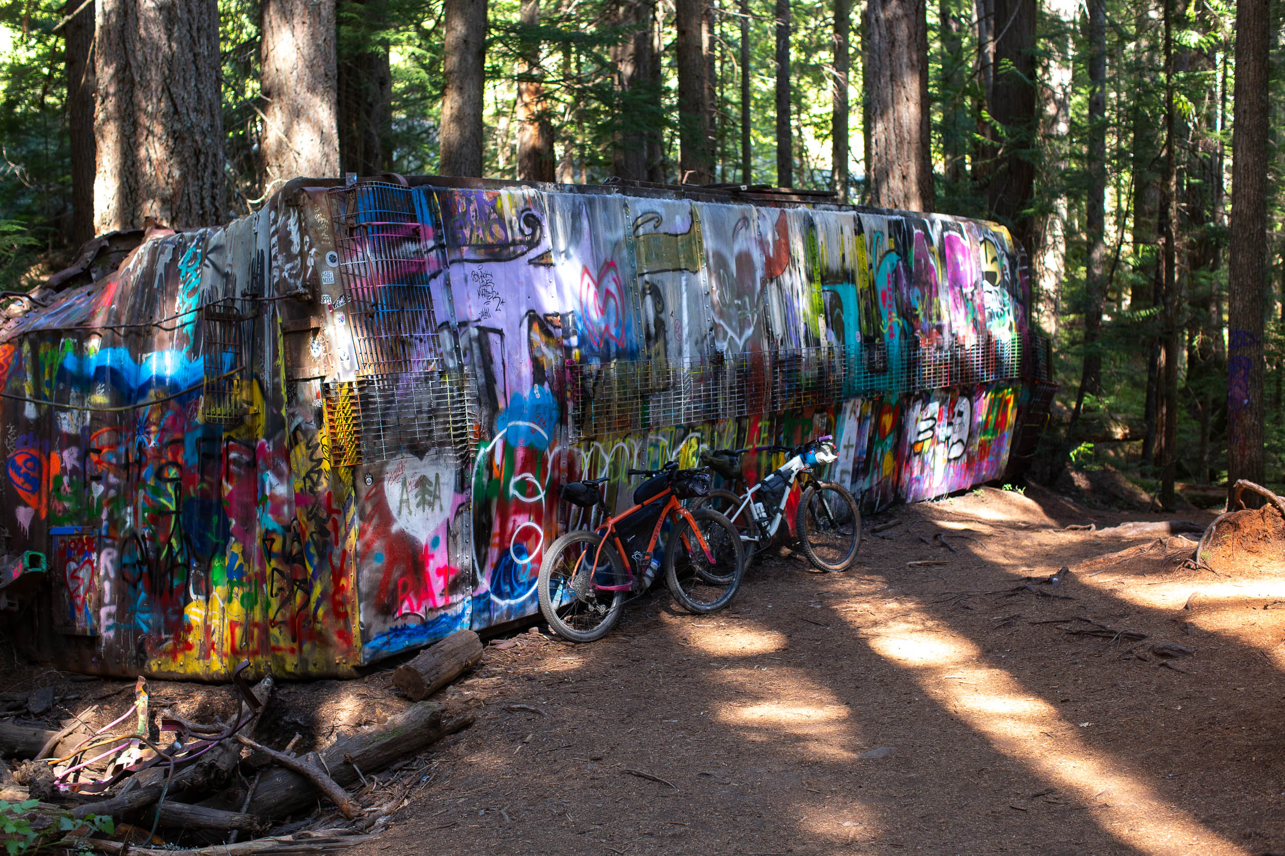
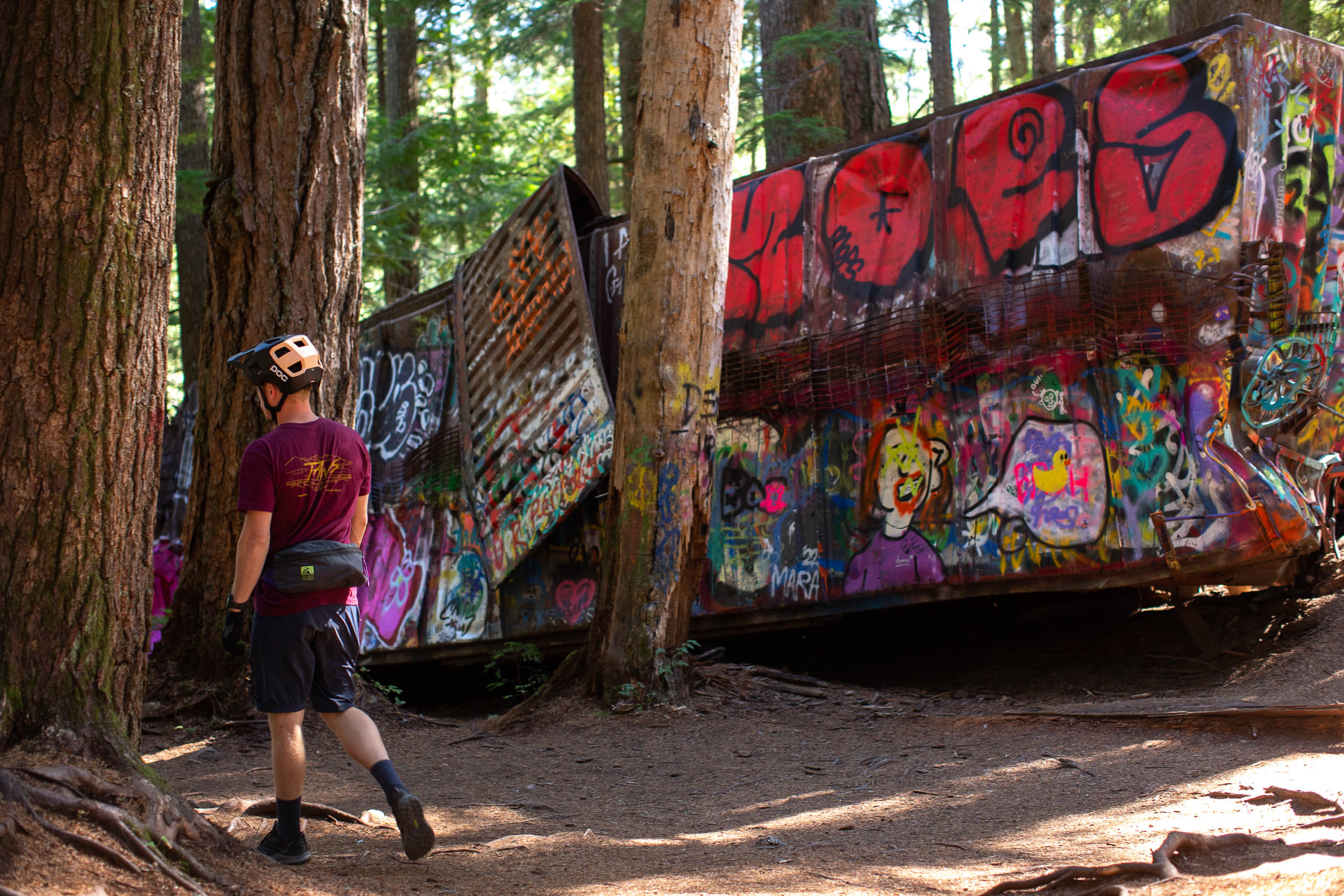
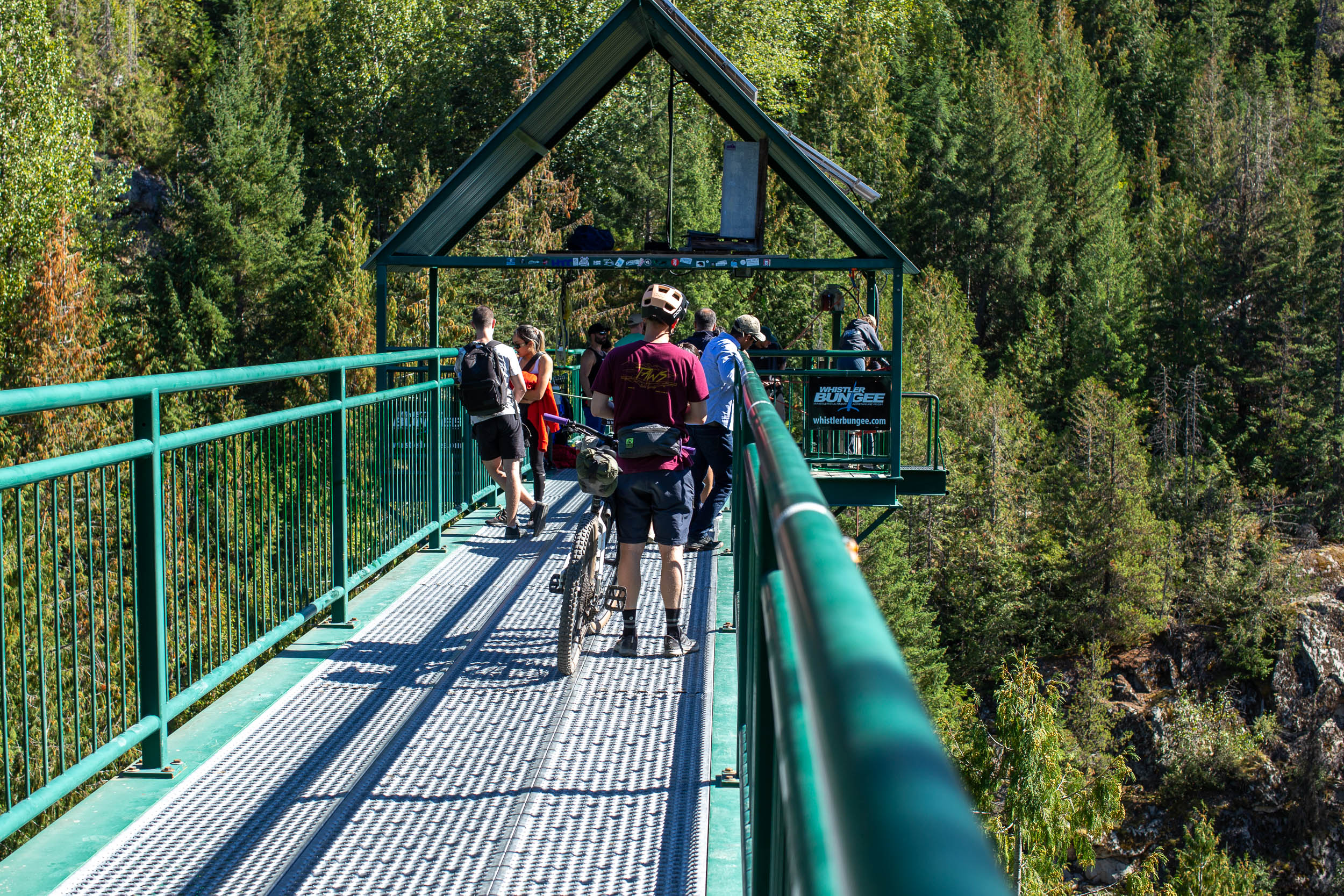
- Explore the Whistler Train Wreck and adjoining trails, for those who want more of a challenge.
- Brandywine Falls, a stunning 70-metre waterfall in Brandywine Falls Provincial Park.
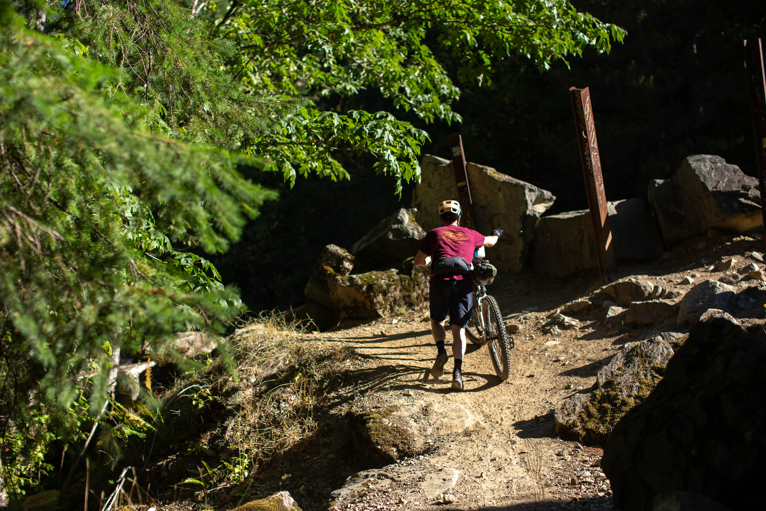
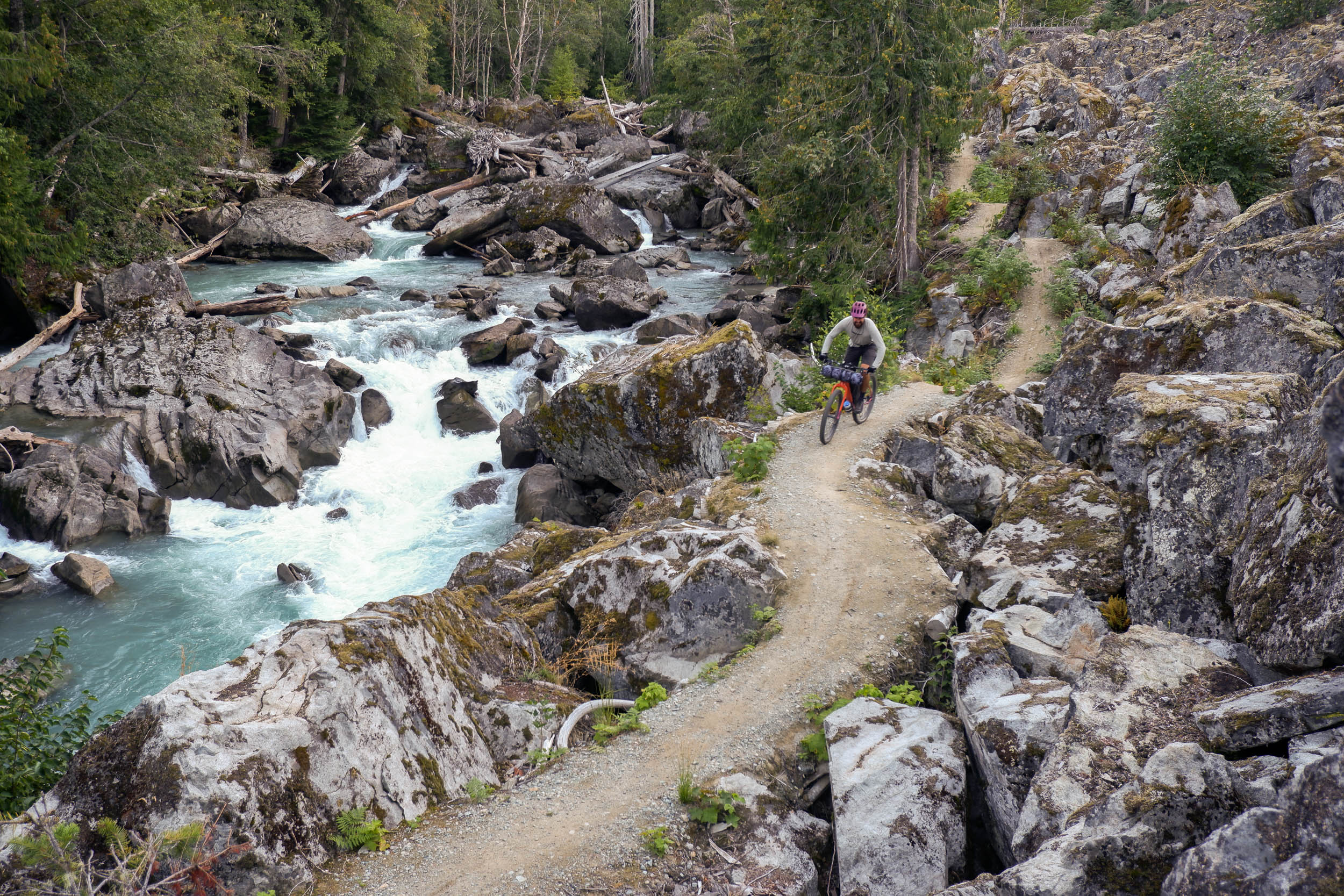
- World class singletrack in Gord’s Garden through old growth forests, unique rock formations, and alongside the rushing Green River.
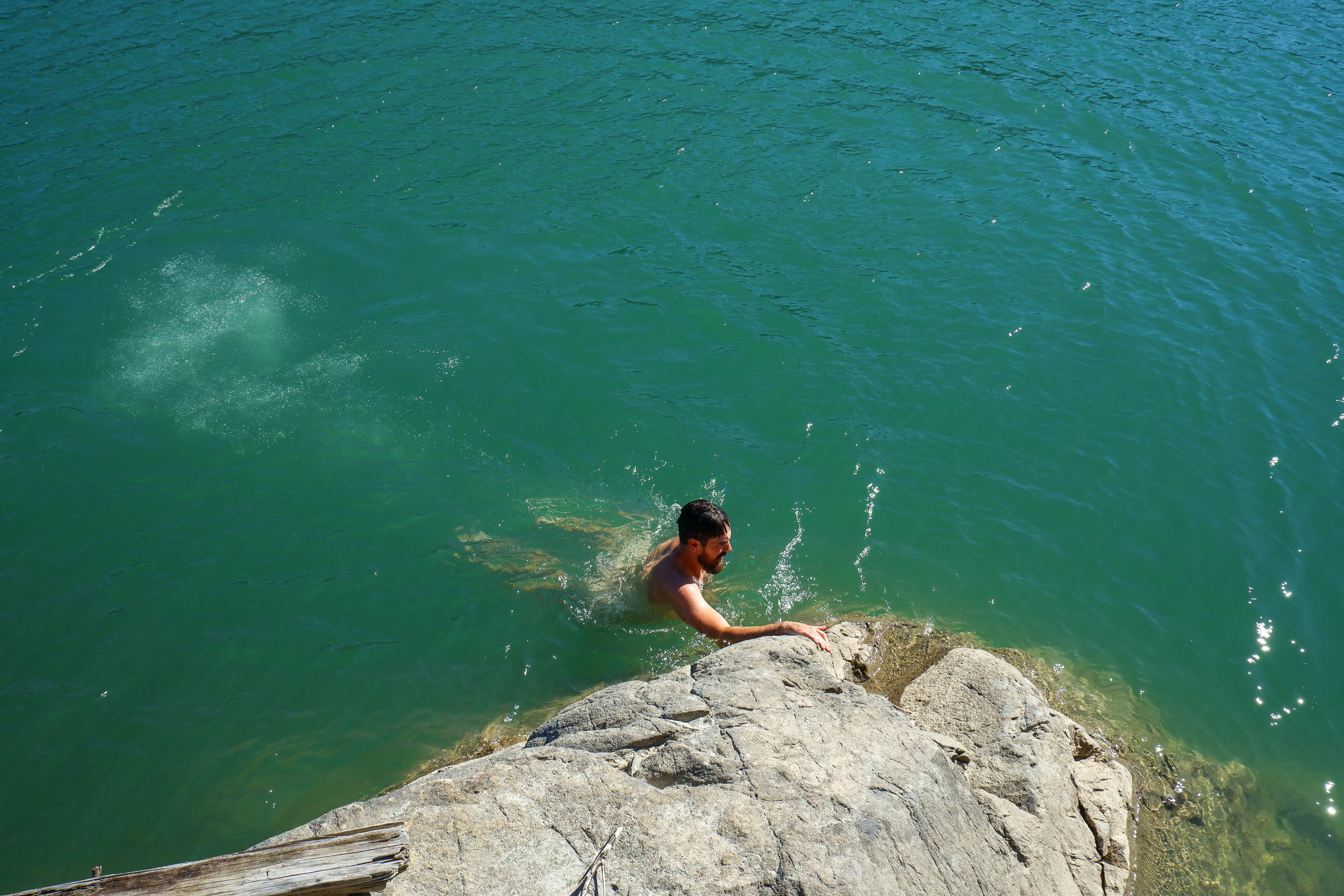
- Take a dip in one of many stunning turquoise lakes on the route.
- Hop on the bus in Pemberton at the end, or turn around and do it all again!
- Ideal bike: A rigid mountain bike with fast rolling 2.0-3.0″ tires will hit a sweet spot for the majority of the route. Making sure you have proper gearing for the steep climbs is arguably more important than tire size, but experienced riders will likely be comfortable tackling the route on some gravel bikes as well.
- When to ride: This route is rideable from June-October and may be rideable earlier or later, depending on the snow year.
- Getting here: Skylynx has a bus route between Vancouver International Airport and Squamish, alternatively you can drive yourself in about an hour. The Squamish Connector also travels between Vancouver and Squamish, and can take bikes.
- Getting back to Squamish: BC Transit’s Route 99 Pemberton Commuter travels between Pemberton and Whistler and has a bike rack that holds two bikes. As of September 2022, the cost for the bus was $4.50. From Whistler, you have the option to take the Skylynx bus south to Squamish or continue riding. See the Trail Notes section for recommendations and tips for those wishing to ride.
- The Sea to Sky corridor is home to many wild animals, including, but not limited to bears, cougars, and deer. Bring rope and dry bag to hang your foot at night, make lots of noise while riding no avoid startling wildlife, and be bear aware at all times.
- There is cellular coverage for most of the route, but don’t plan to rely on it. Downloading the route ahead of time, having the Trailforks app ready, and making sure someone knows where you’ll be are all great ideas.
- There are established, reservable campgrounds in Squamish, Whistler, and Pemberton. Some of which are marked on the route map.
- There are other informal wild camping spots located on crown land alongside some of the smaller lakes and rivers on the route.
- All three towns mentioned above also have motels, AirBnBs, and cabins for rent.
- There is no shortage of resupply options in Squamish, Whistler, and Pemberton. You’ll find grocery stores, gas stations, restaurants, breweries, and cafes—our favourites have been added as POIs on the route map.
- There are lots of streams, rivers, and lakes along the route that are perfect for purifying water. Bring a filter or purification tabs.
- Due to the number of resupply options, it’s easy to pack light and tight, which you’ll appreciate when tackling some of the steep climbs.
Heading back from Pemberton
There are a number of ways to tackle the Sea to Sky Trail. The easiest being a complete out and back, following the route we’ve presented and turning around in Pemberton. Be warned, there are some fairly steep descents heading north that would almost guarantee some hike-a-bike when returning the opposite direction. However it’s completely doable.
The other option is to ride north along the route and then hitch a ride on the Route 99 Pemberton Commuter back to Whistler (a bus outfitted with a two-bike rack) and then connect to Squamish via the Skylynx bus. The entire trip should only cost around $30.
Our recommended option is a combination of the two. Ride north, take the Pemberton Commuter south to Whistler, avoiding most of the chunky hike-a-bike, and then rejoin the route in Whistler and continue riding south back to Squamish. From what we experienced, we think this is a great way to enjoy the Sea to Sky Trail in a weekend or less. A quick look at Trailforks or Ride with GPS heat maps will unveil unlimited options to switch up the route on the way back to Squamish, especially around Whistler and Function Junction. We highly recommend riding through the Train Wreck trails (south of Whistler) and Trail Wreck access road and stopping at one of the many lakes for a swim.


Terms of Use: As with each bikepacking route guide published on BIKEPACKING.com, should you choose to cycle this route, do so at your own risk. Prior to setting out check current local weather, conditions, and land/road closures. While riding, obey all public and private land use restrictions and rules, carry proper safety and navigational equipment, and of course, follow the #leavenotrace guidelines. The information found herein is simply a planning resource to be used as a point of inspiration in conjunction with your own due-diligence. In spite of the fact that this route, associated GPS track (GPX and maps), and all route guidelines were prepared under diligent research by the specified contributor and/or contributors, the accuracy of such and judgement of the author is not guaranteed. BIKEPACKING.com LLC, its partners, associates, and contributors are in no way liable for personal injury, damage to personal property, or any other such situation that might happen to individual riders cycling or following this route.
Please keep the conversation civil, constructive, and inclusive, or your comment will be removed.