


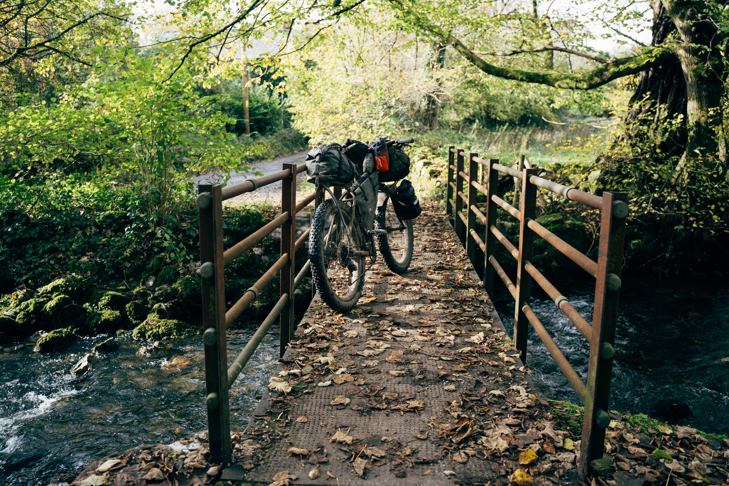
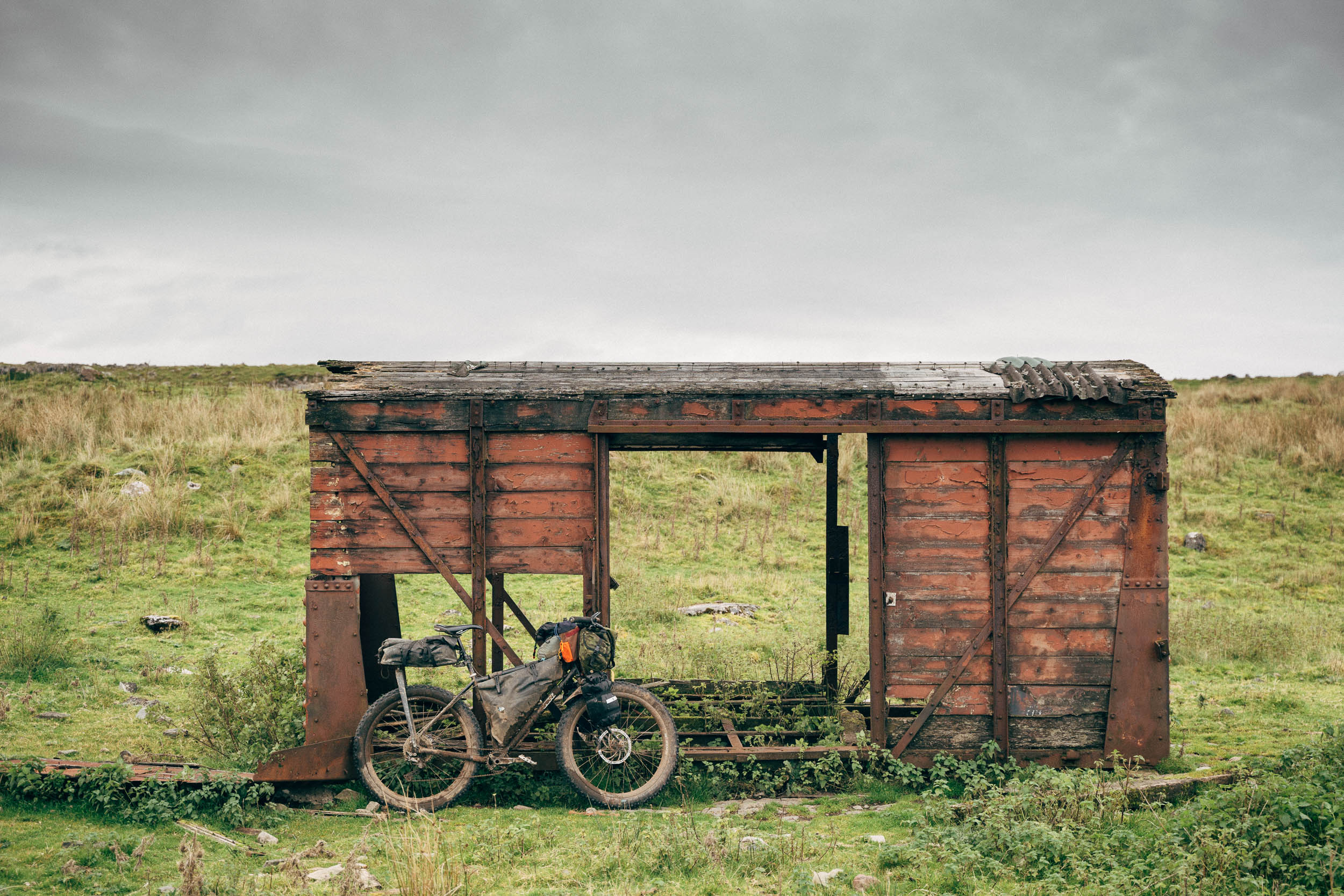
Black Mountain Crossing, South Wales
Distance
73 Mi.
(117 KM)Days
2
% Unpaved
55%
% Singletrack
5%
% Rideable (time)
98%
Total Ascent
8,215'
(2,504 M)High Point
2,180'
(664 M)Difficulty (1-10)
8?
- 7Climbing Scale Strenuous113 FT/MI (21 M/KM)
- -Technical Difficulty
- -Physical Demand
- -Resupply & Logistics
Contributed By

Cass Gilbert
Contributing Editor
The Black Mountain. Not to be confused with the Black Mountains to the east – note use of plural. Or with a 703 metres summit in the Black Mountains, also called… Black Mountain. Or, for that matter, with the Brecons Beacons, which lies right in between the two… even if all three form what’s known as the Brecon Beacon National Park. Confused? I was, too!
This ‘little’ overnighter is a great way to experience a lesser-travelled pocket of the Brecon Beacons National Park, via the gateway of Aberdare – a town that’s easily reached by train from Cardiff, Bristol, and Bath. Like many small settlements in the Welsh Valleys, Aberdare forms a useful conduit into the hills. There’s even the car-free, paved and gravel Sustrans route 46 that feeds riders northwards, straight into the nearby Black Mountain.
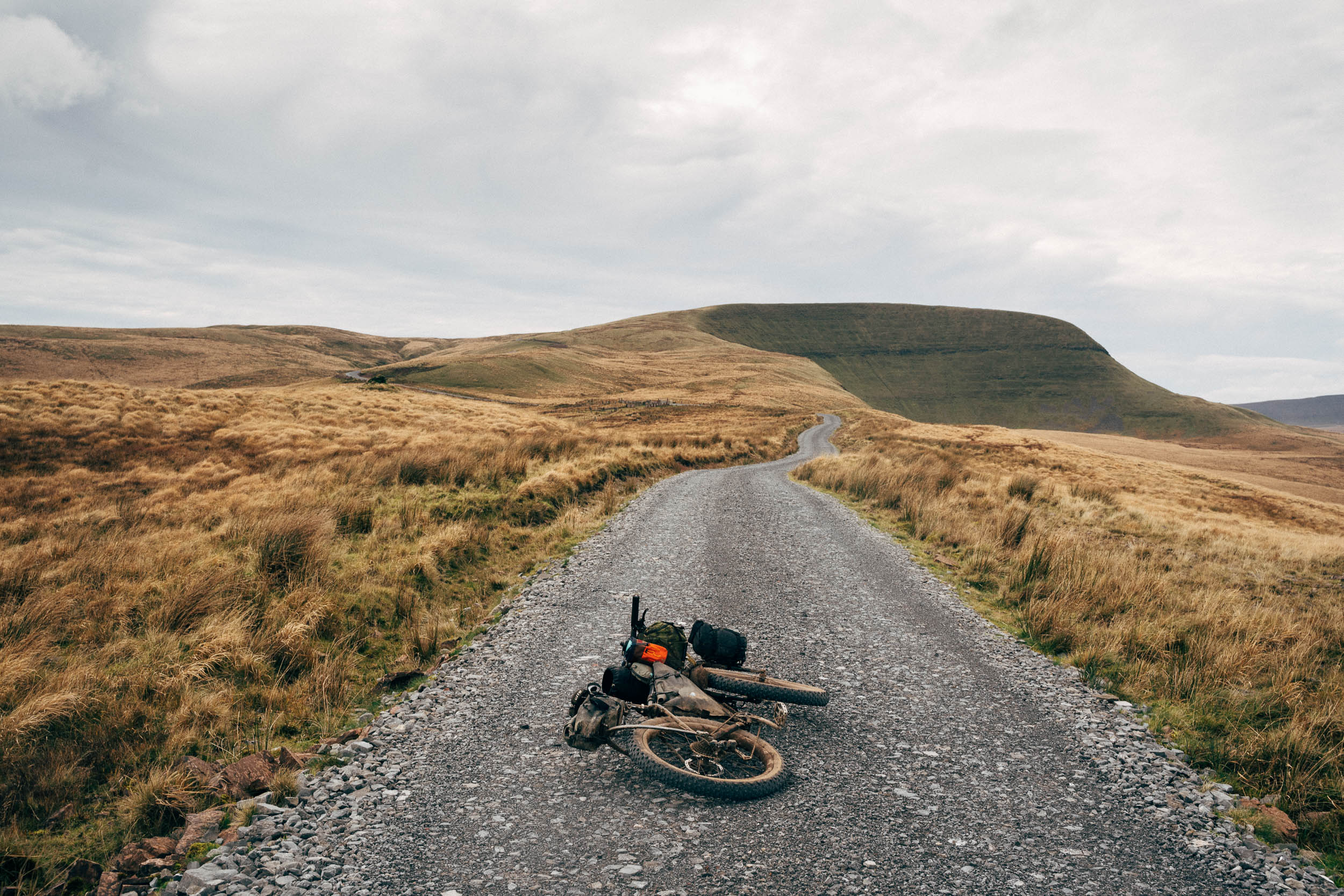
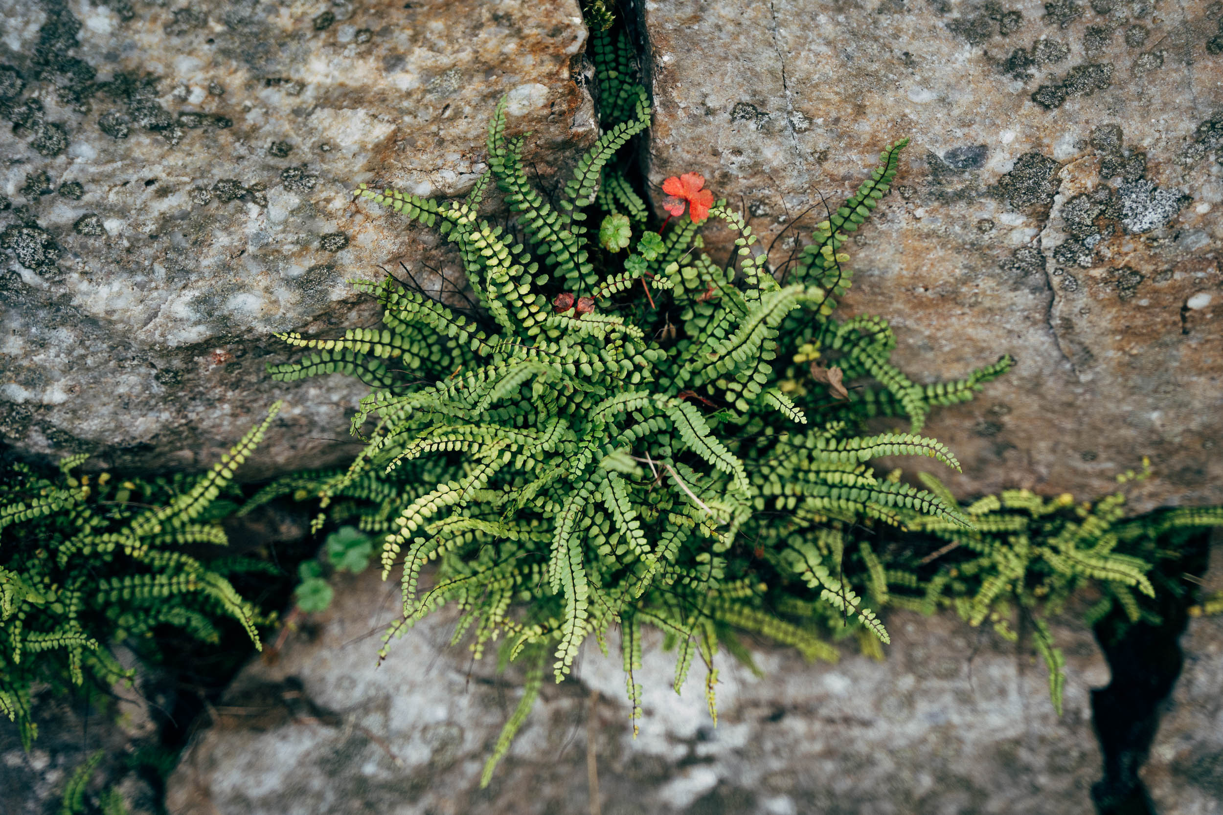
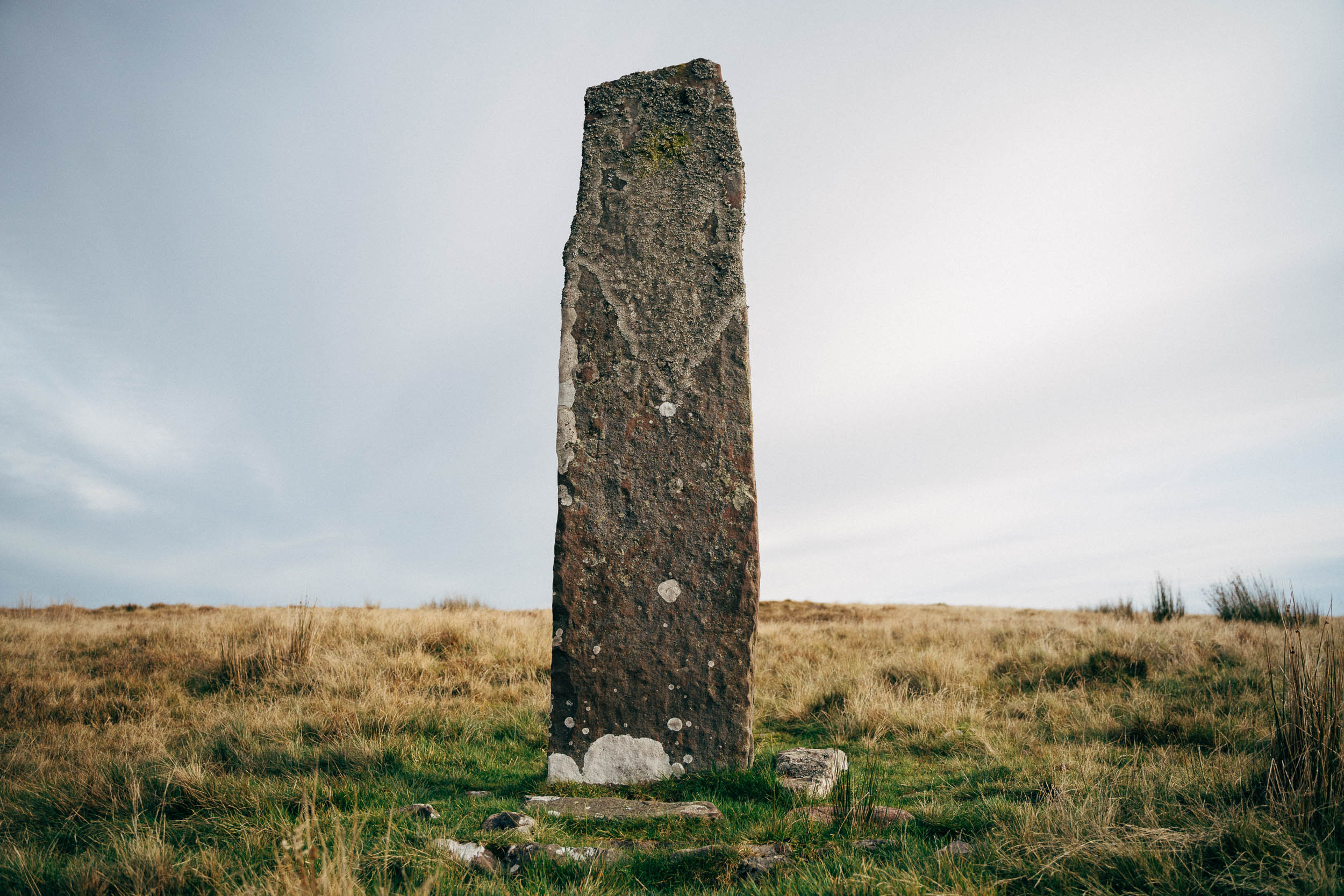
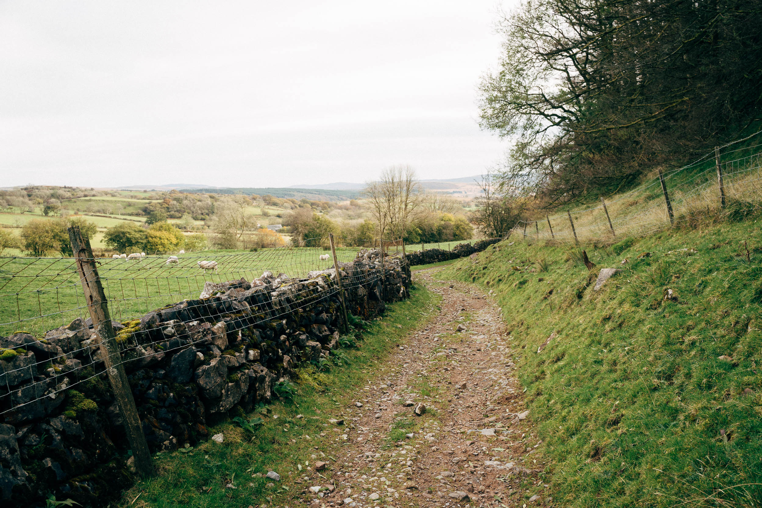
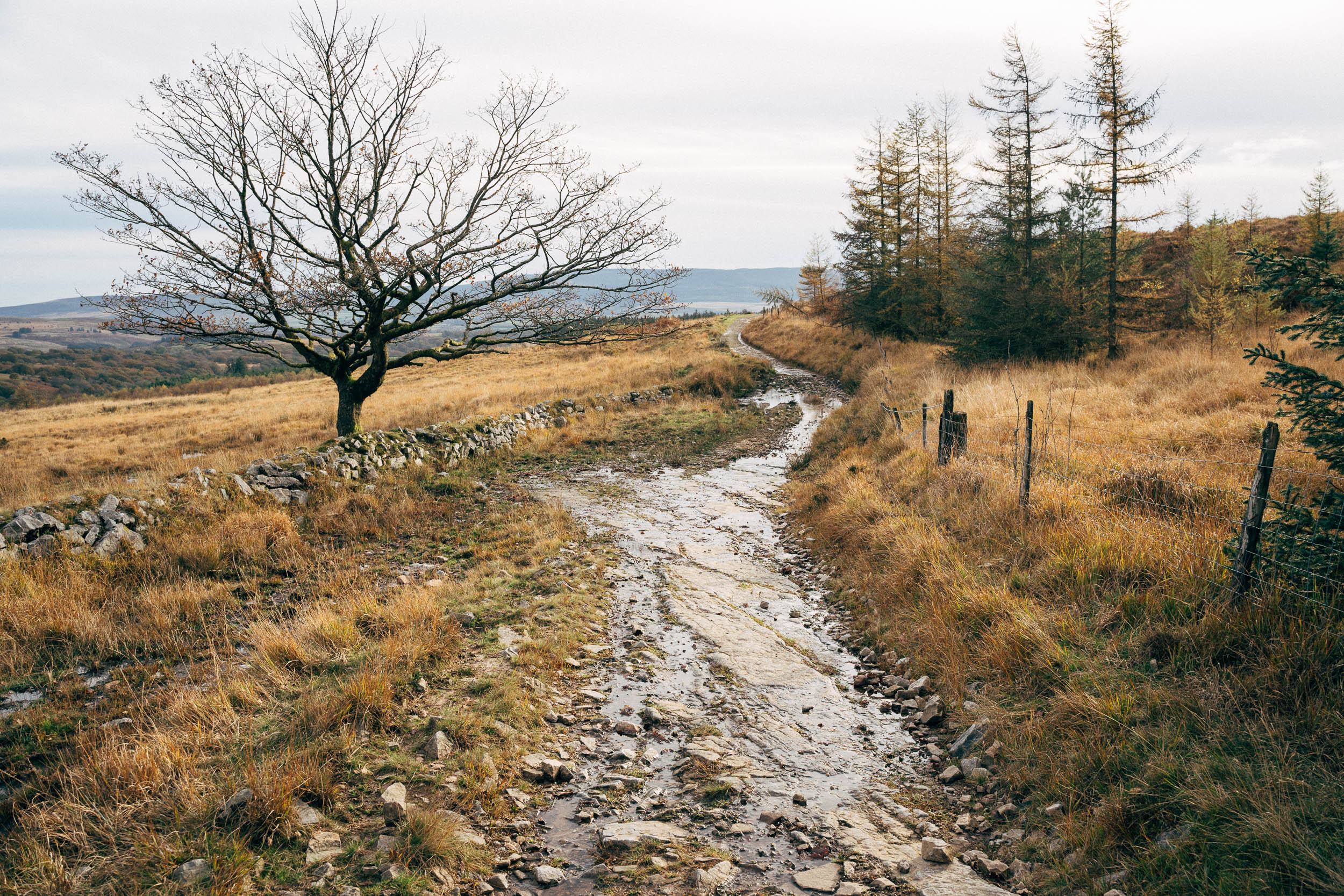
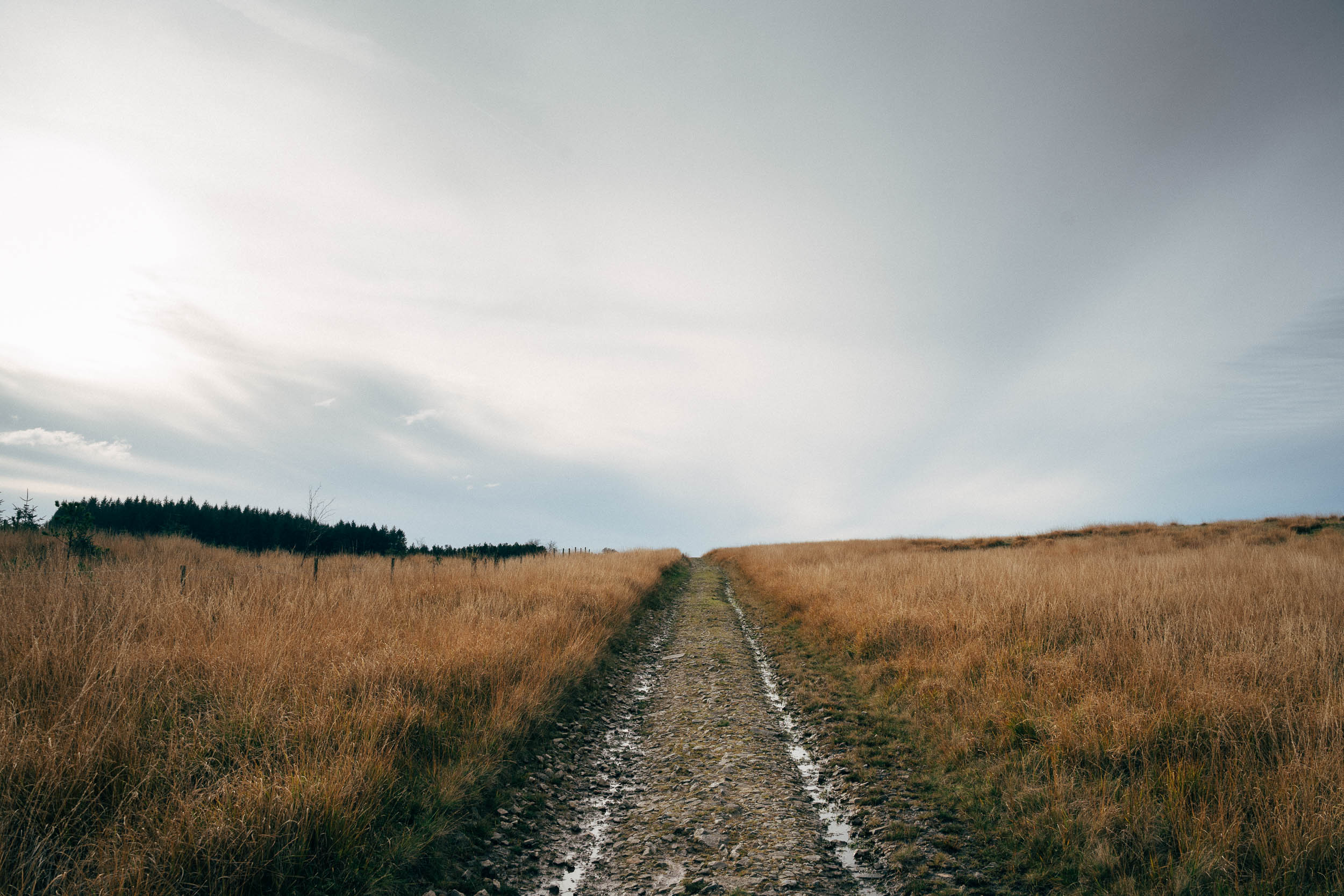
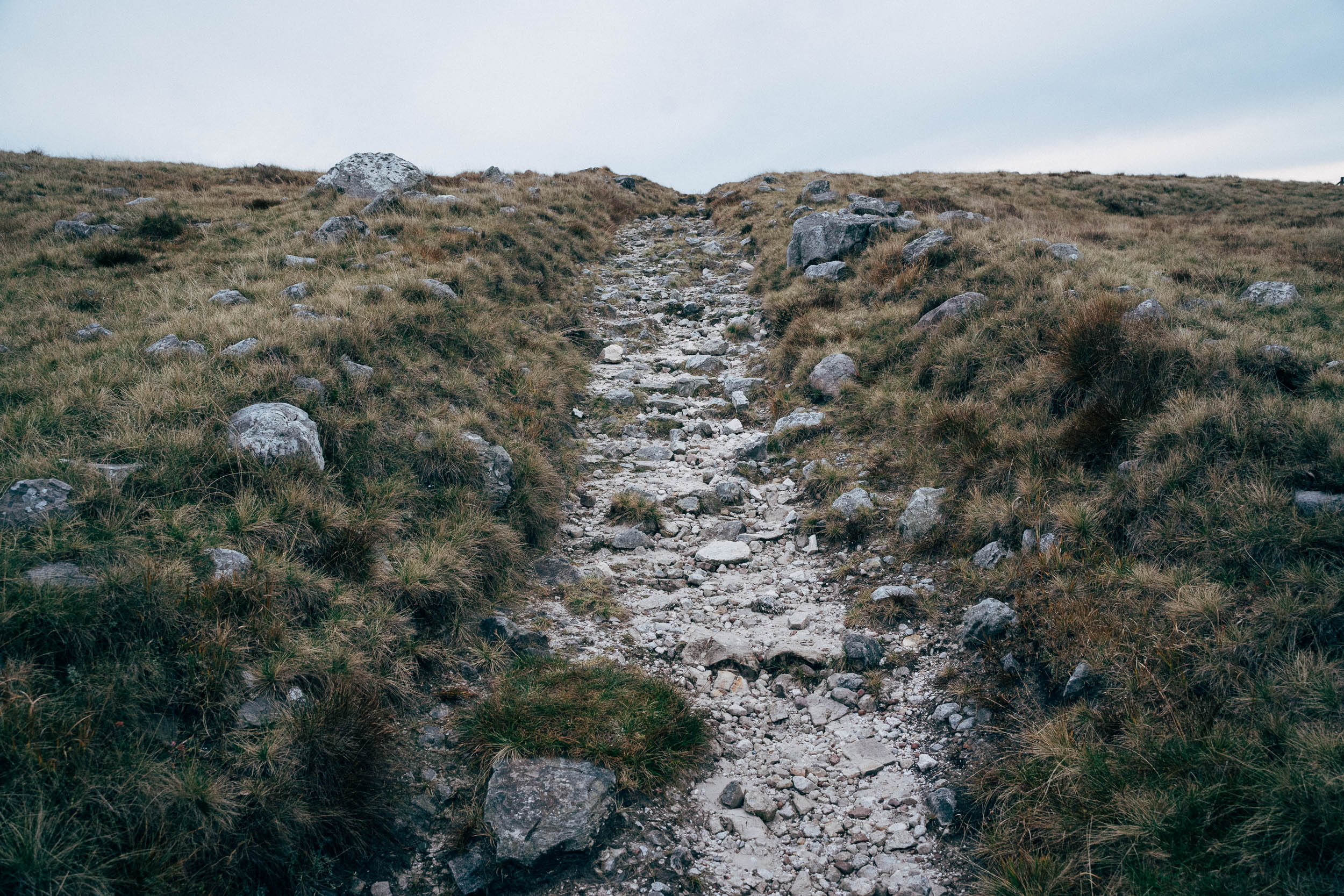
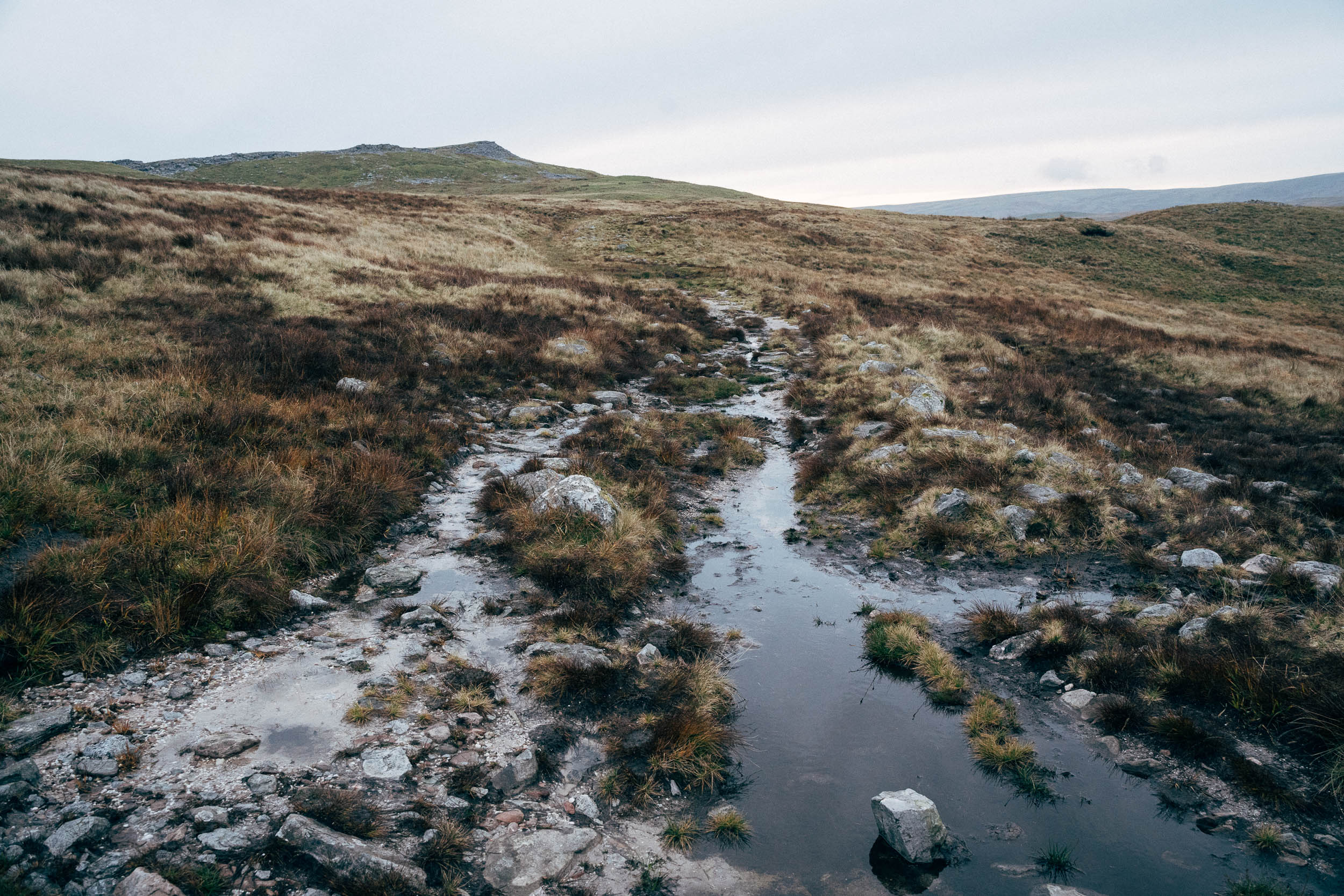
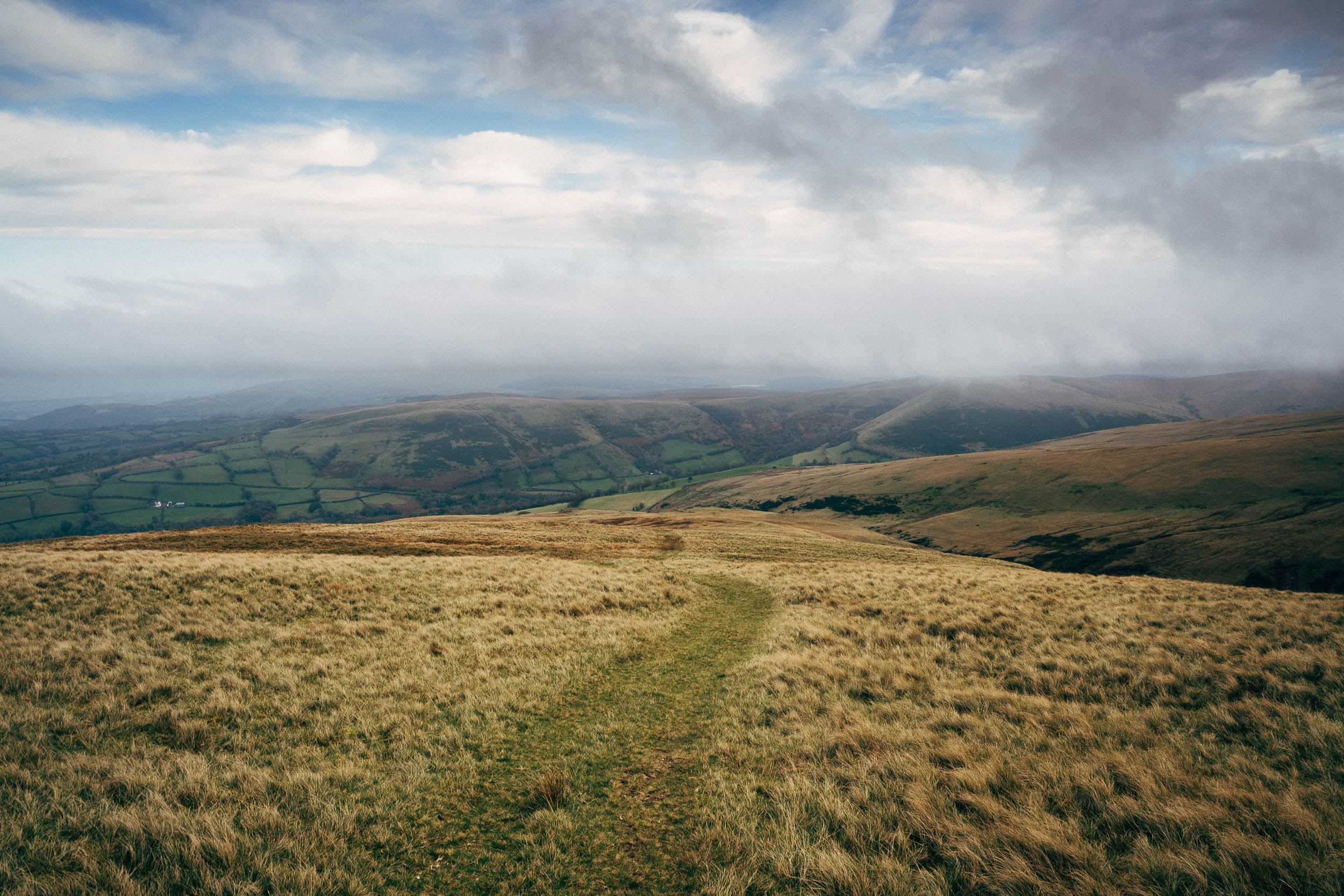
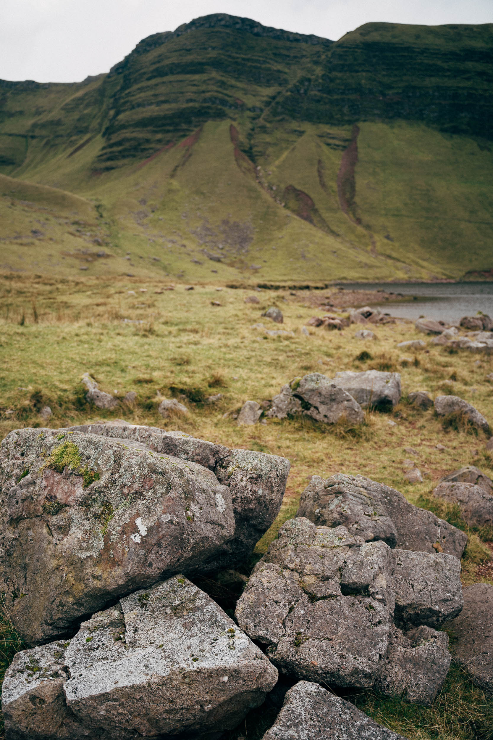
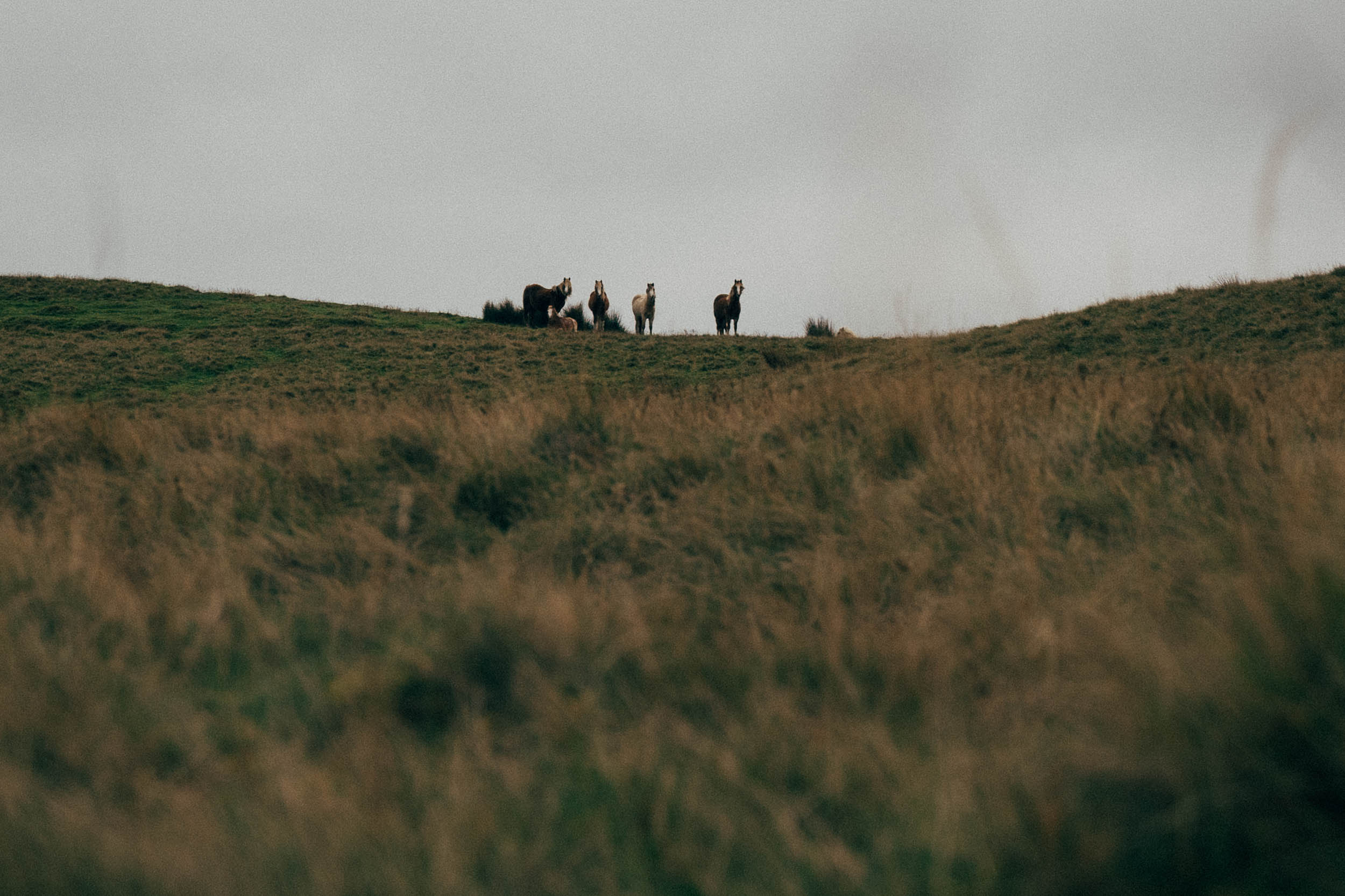
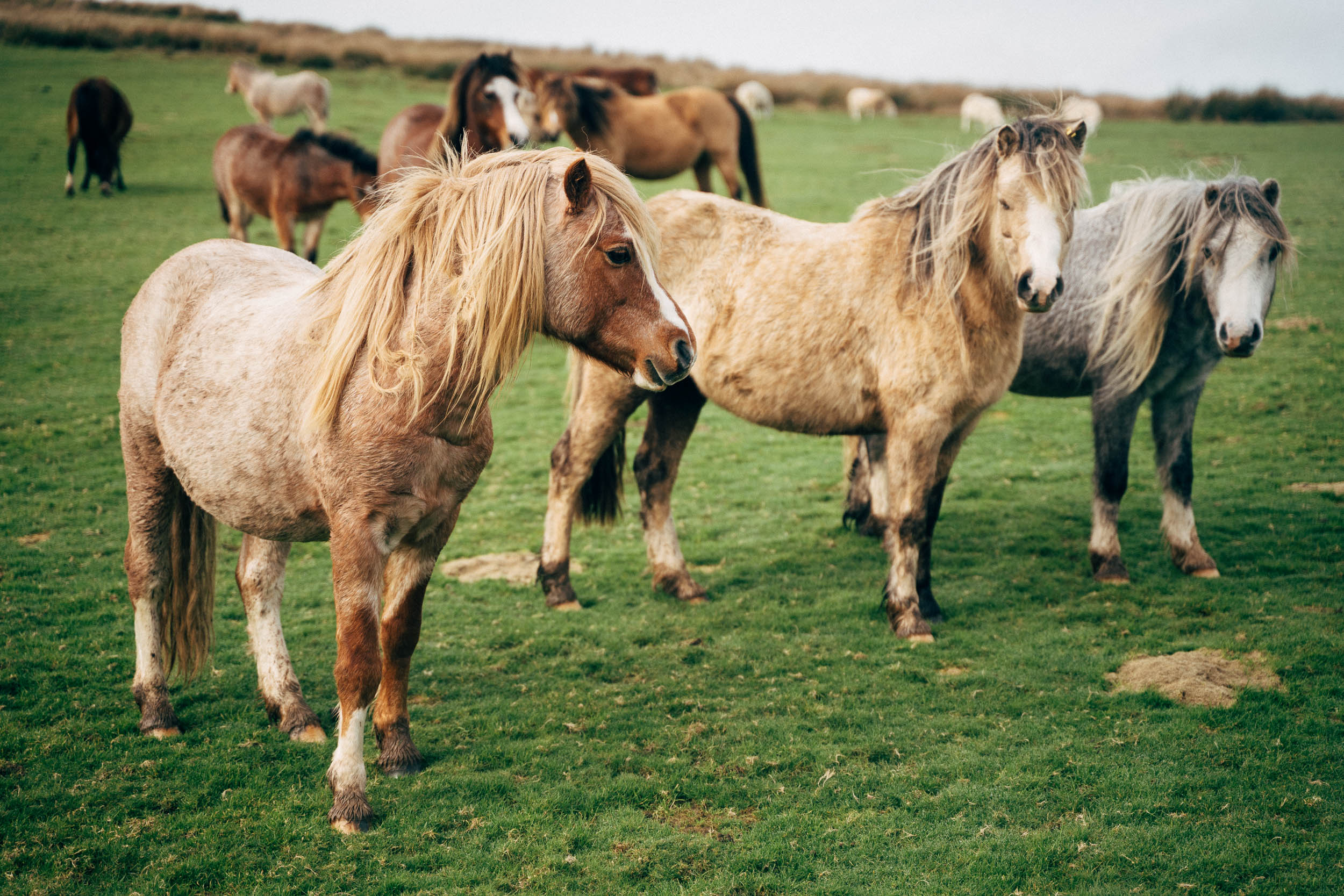
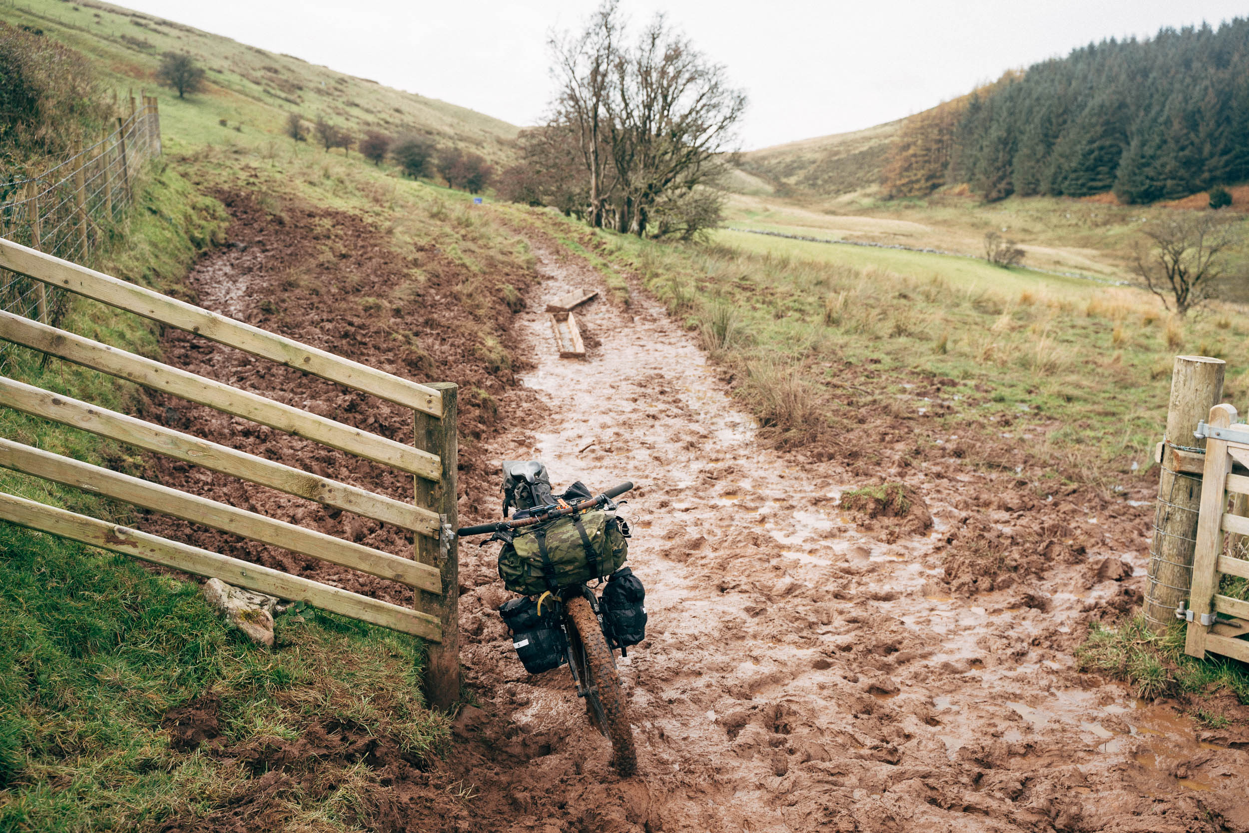
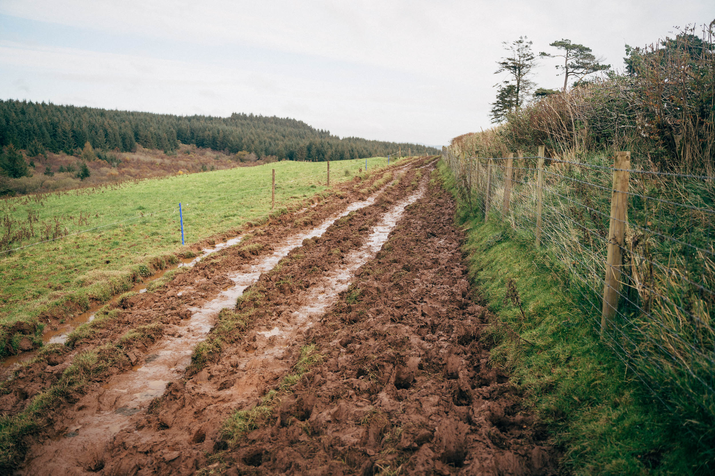
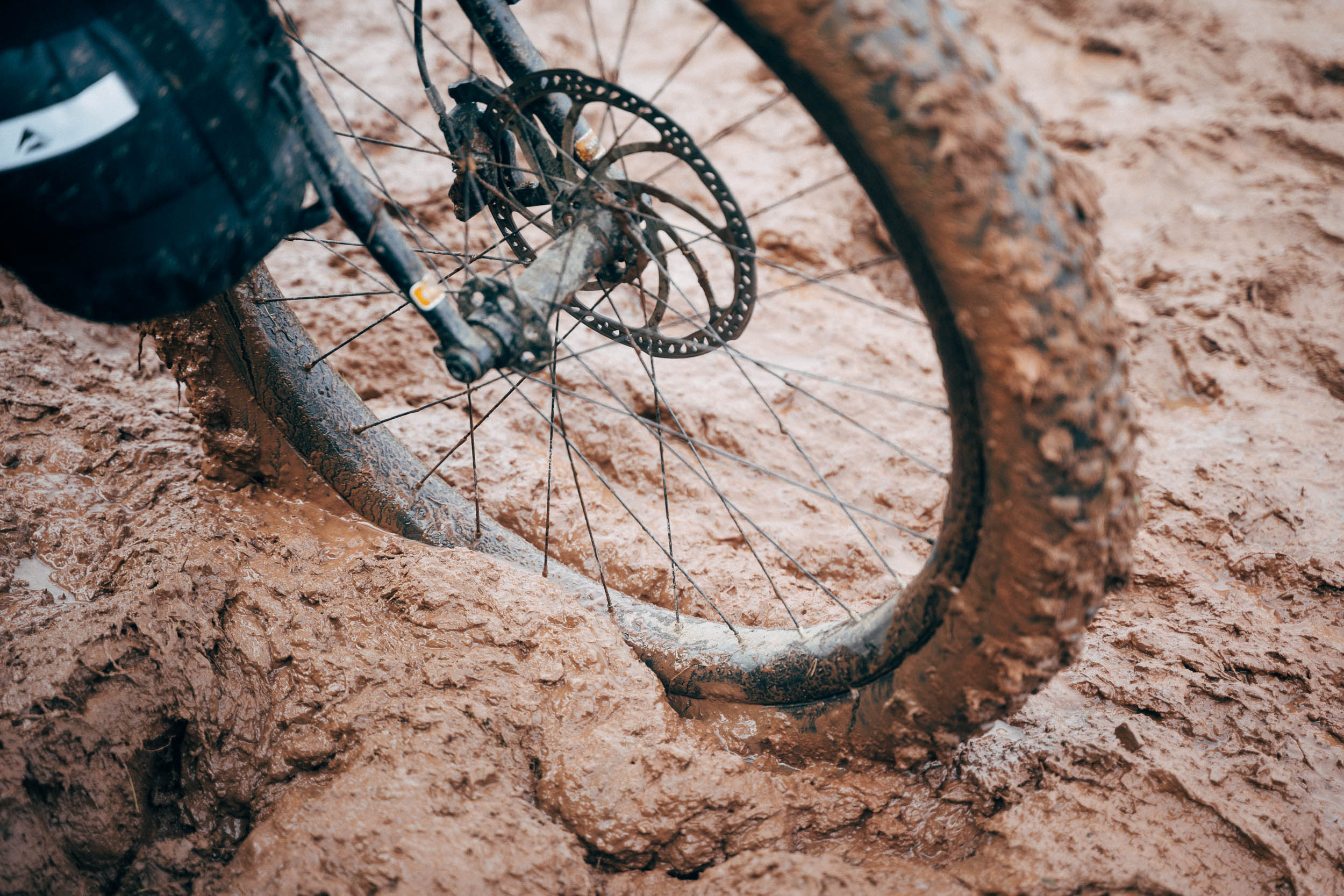
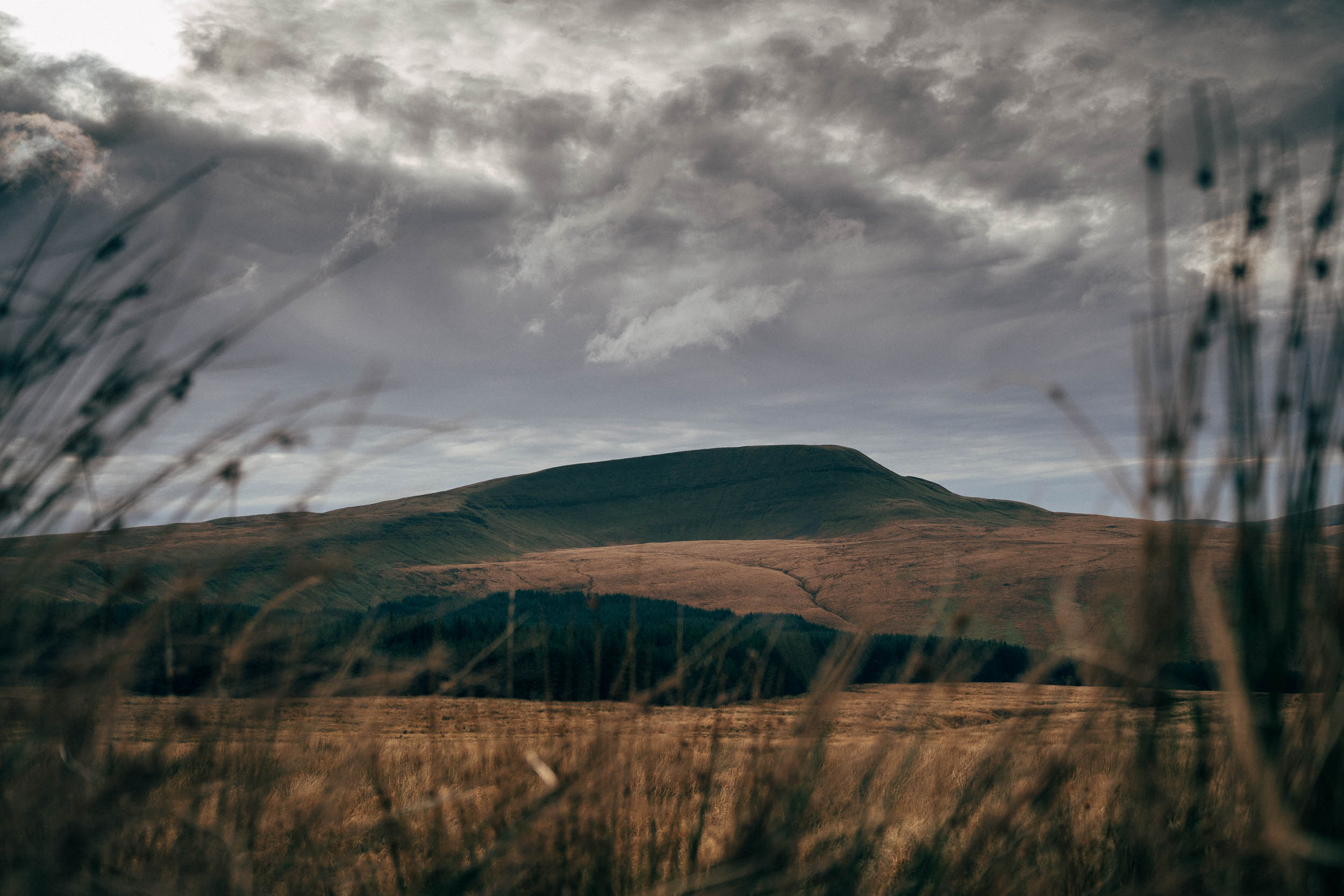
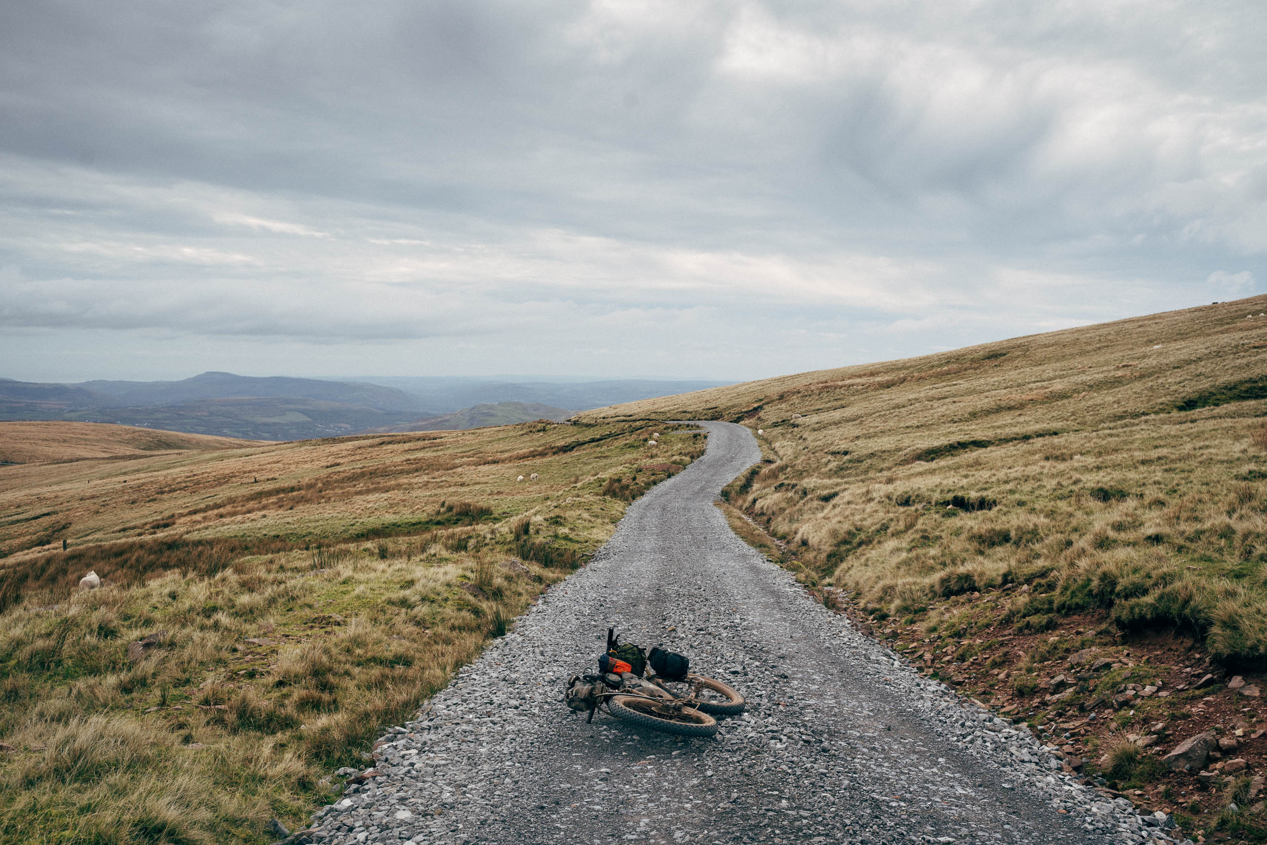
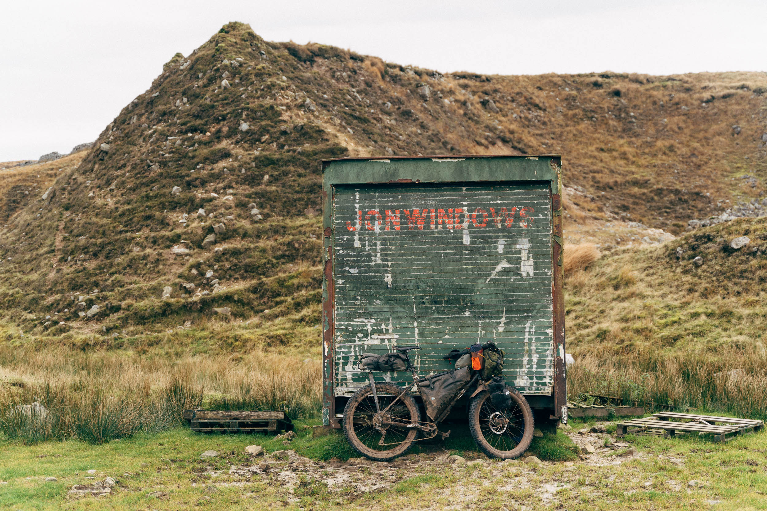
The crux of the ride is a very challenging bridleway crossing of the range itself – via Glytawe – that takes the form of a rocky and grassy singletrack that can be steep in places and boggy in others. Hone your navigation skills for this one and don’t expect to bump into too many souls, as walkers will likely be taking the ‘high road’, a scenic ridgeline footpath that forms part of Brecons Way, teetering beside the 802m Fan Brycheiniog. But let’s not get ahead of ourselves. Before you even sink your teeth into the crossing, there are other experiences to be enjoyed – be it detouring to the Hadean-like caves near Ystradfellte, passing the odd druid stone skewered into the earth, or bouncing down the rocky remains of a Roman road. Note that fat tyres are recommended, as it’s seen better times.
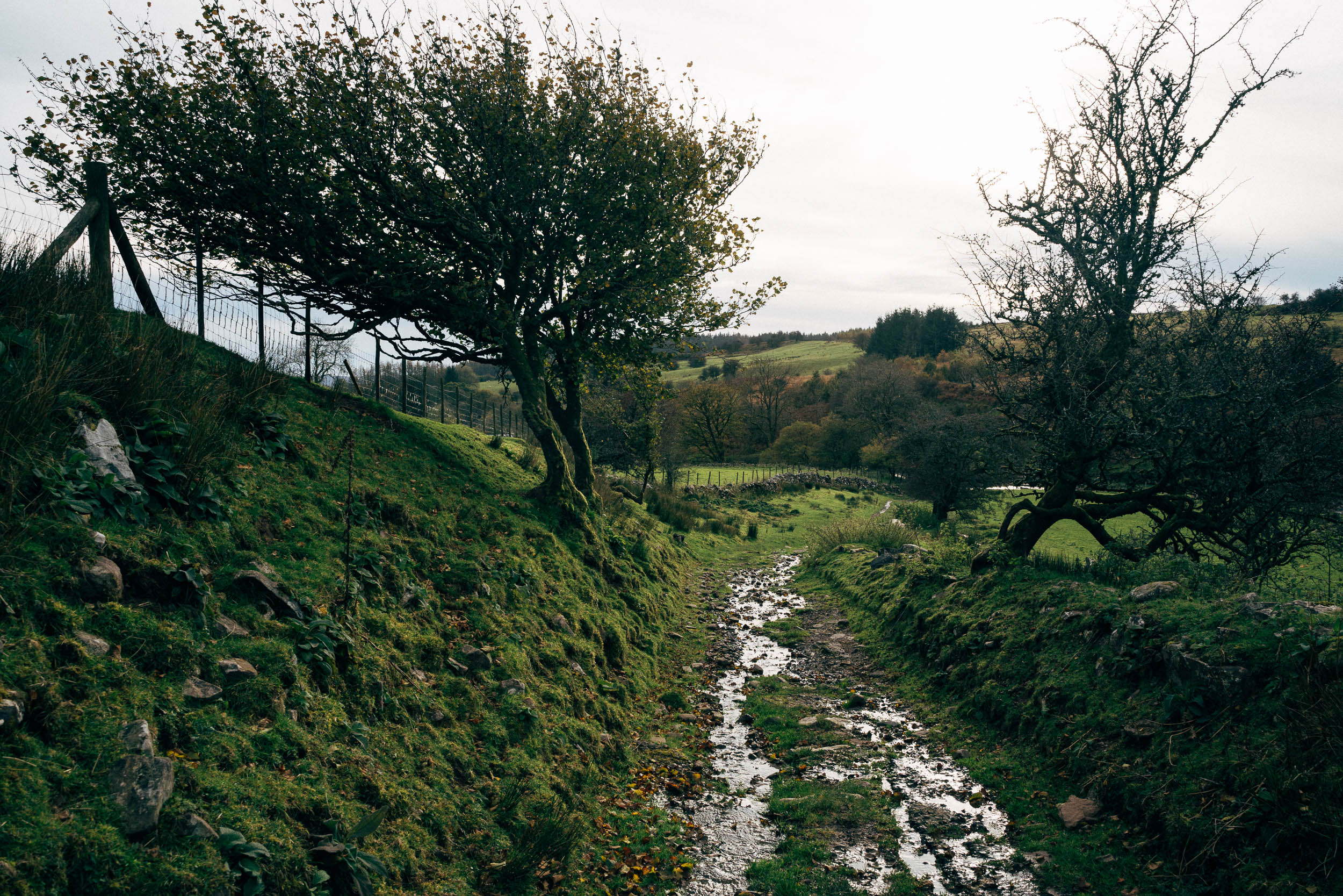
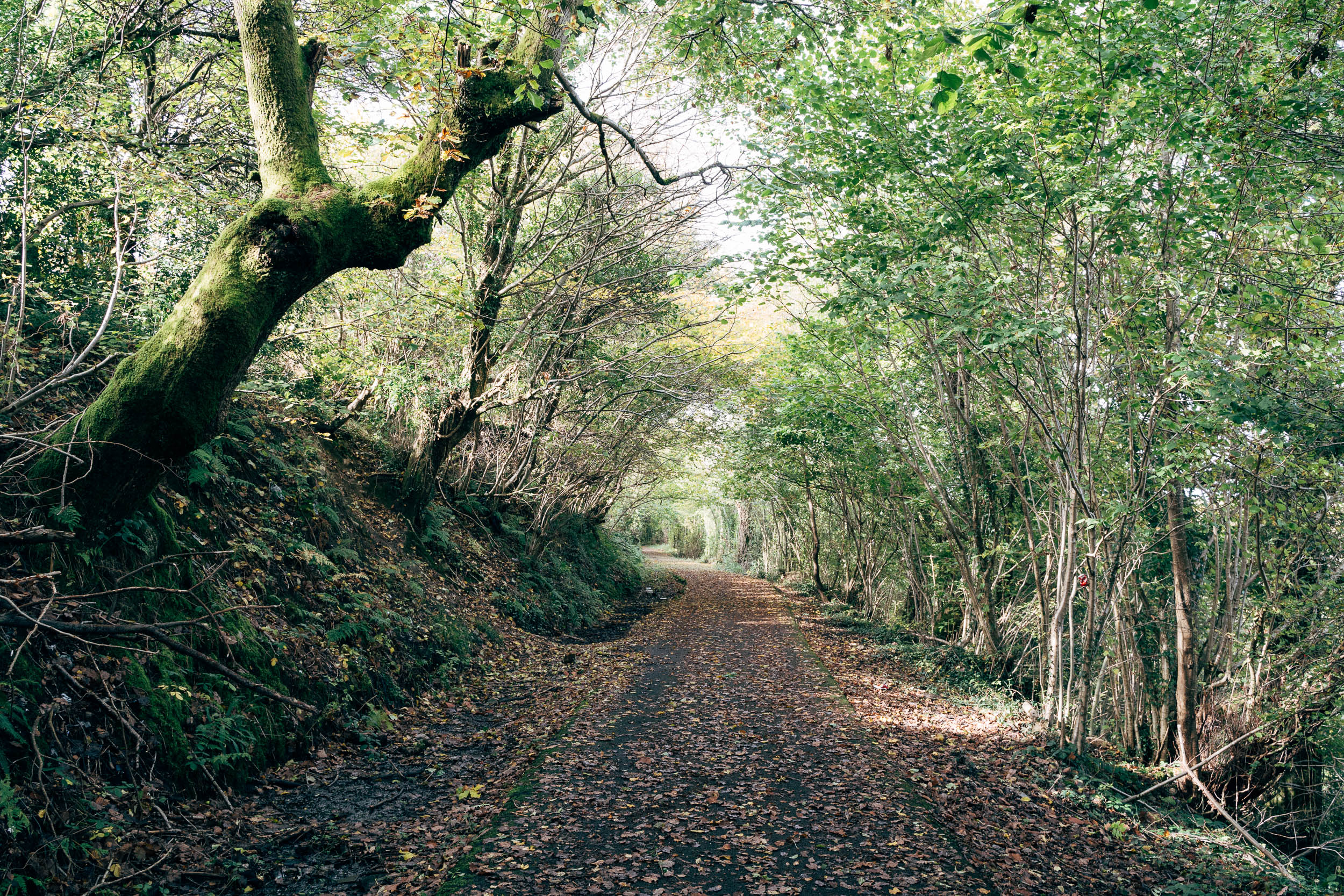
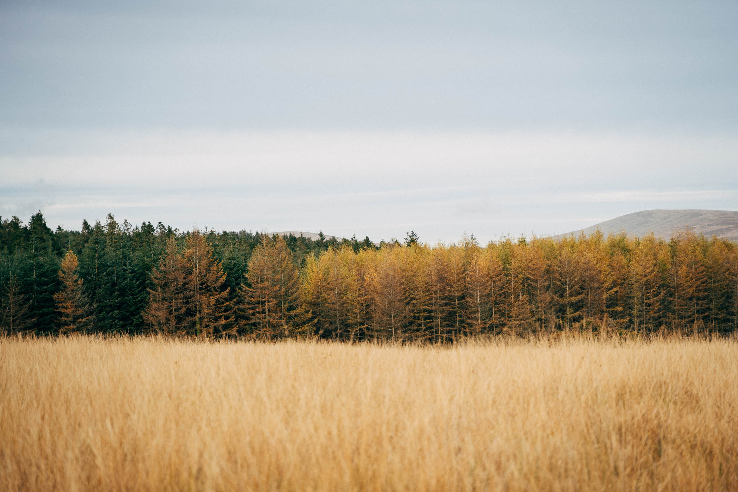
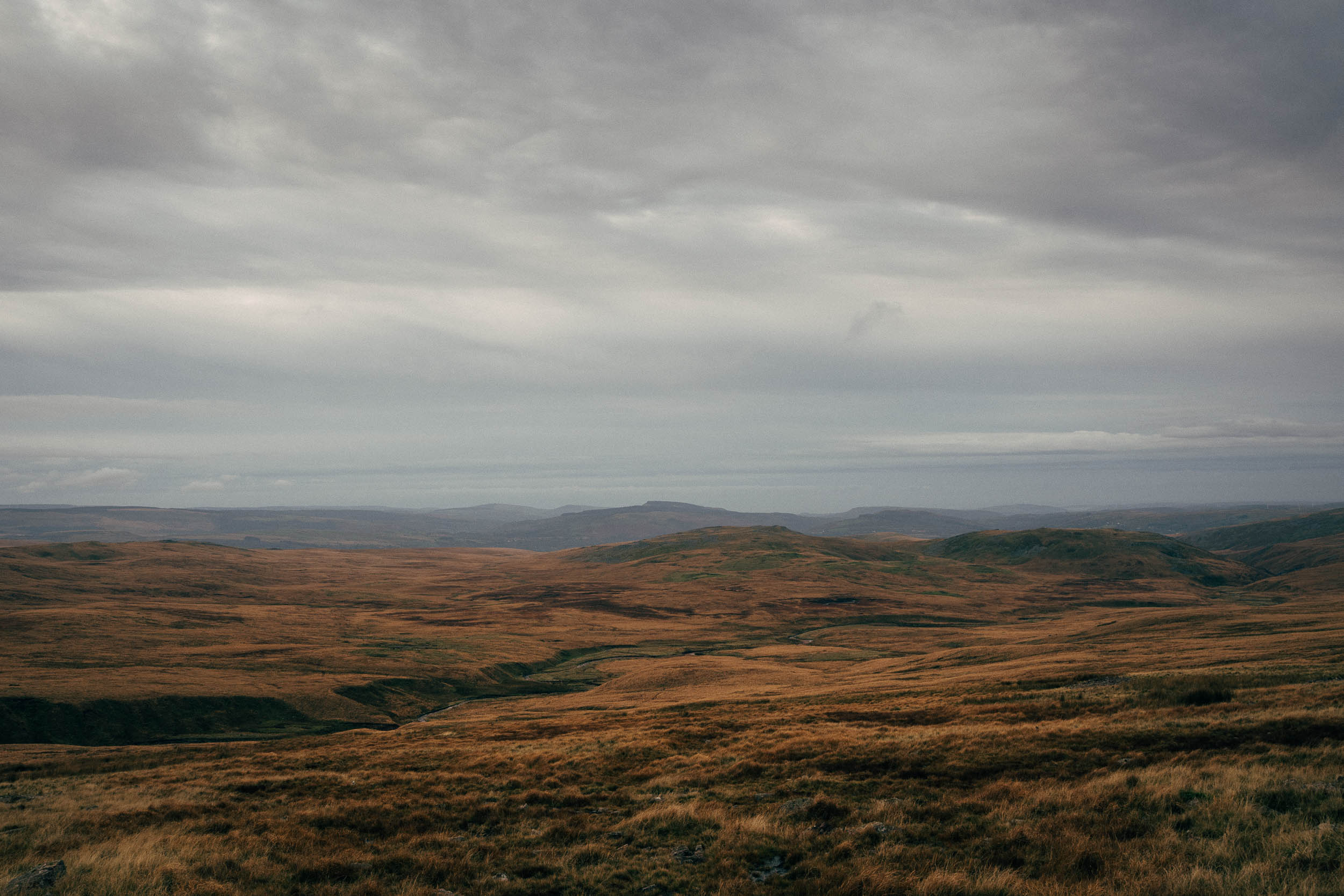
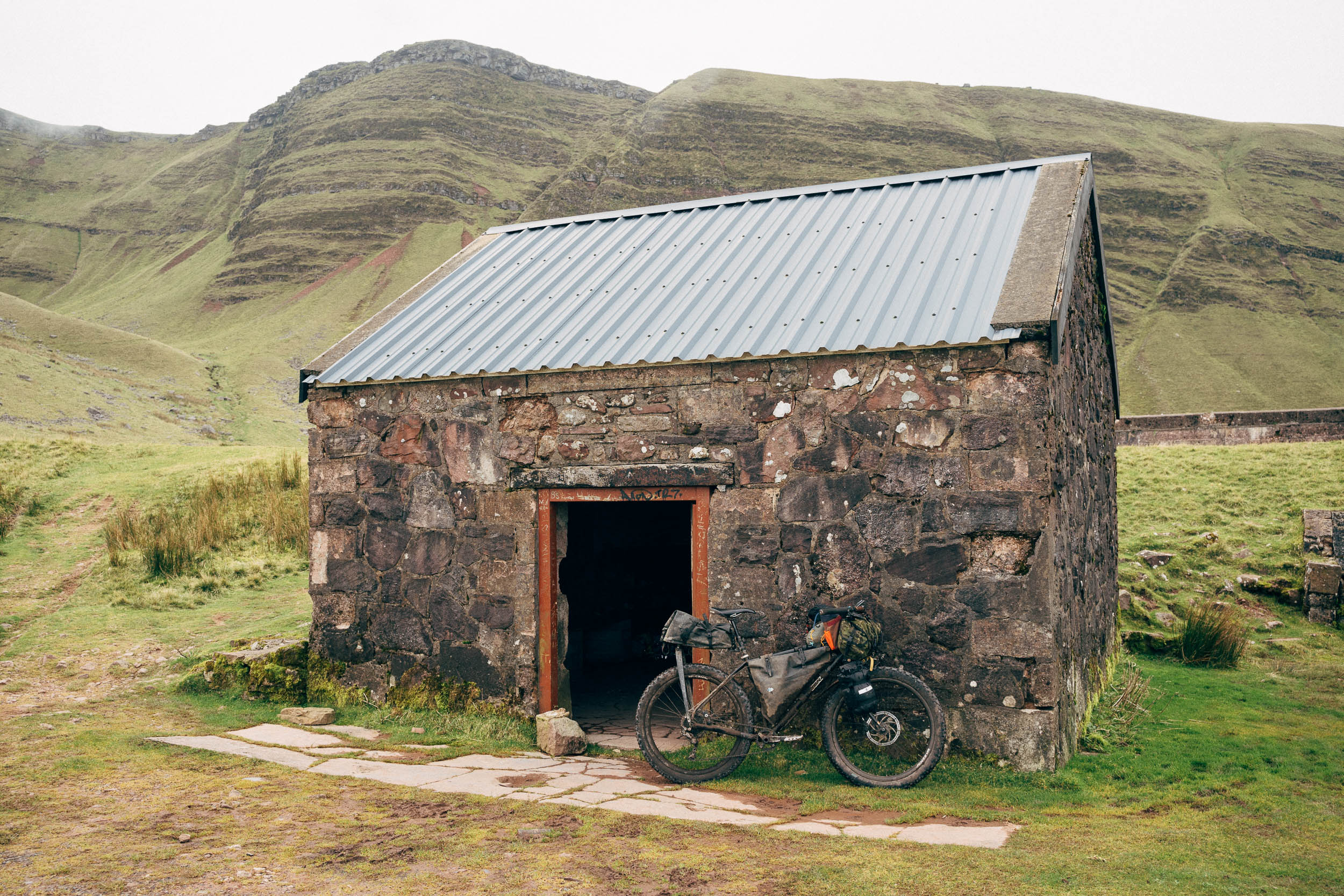
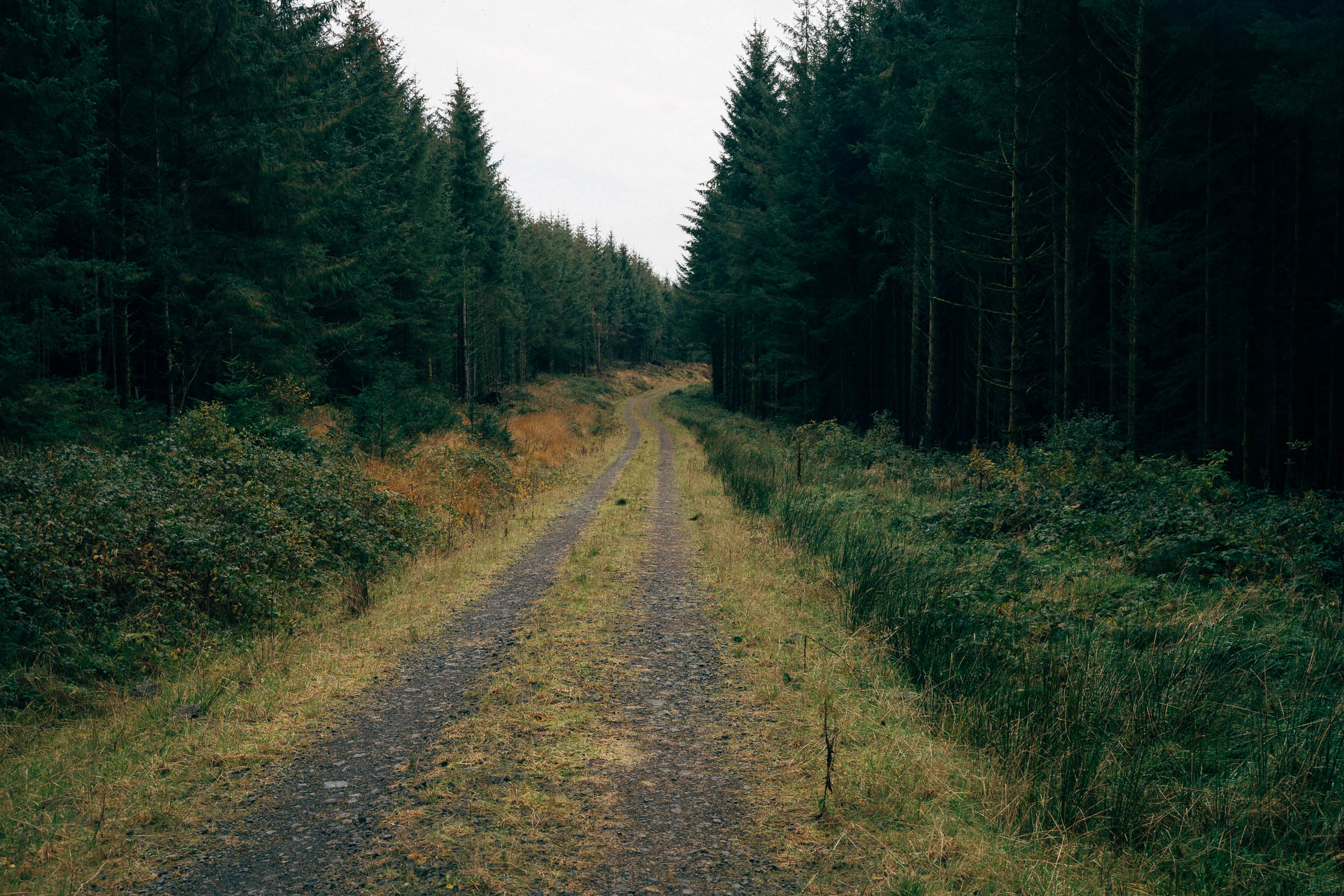
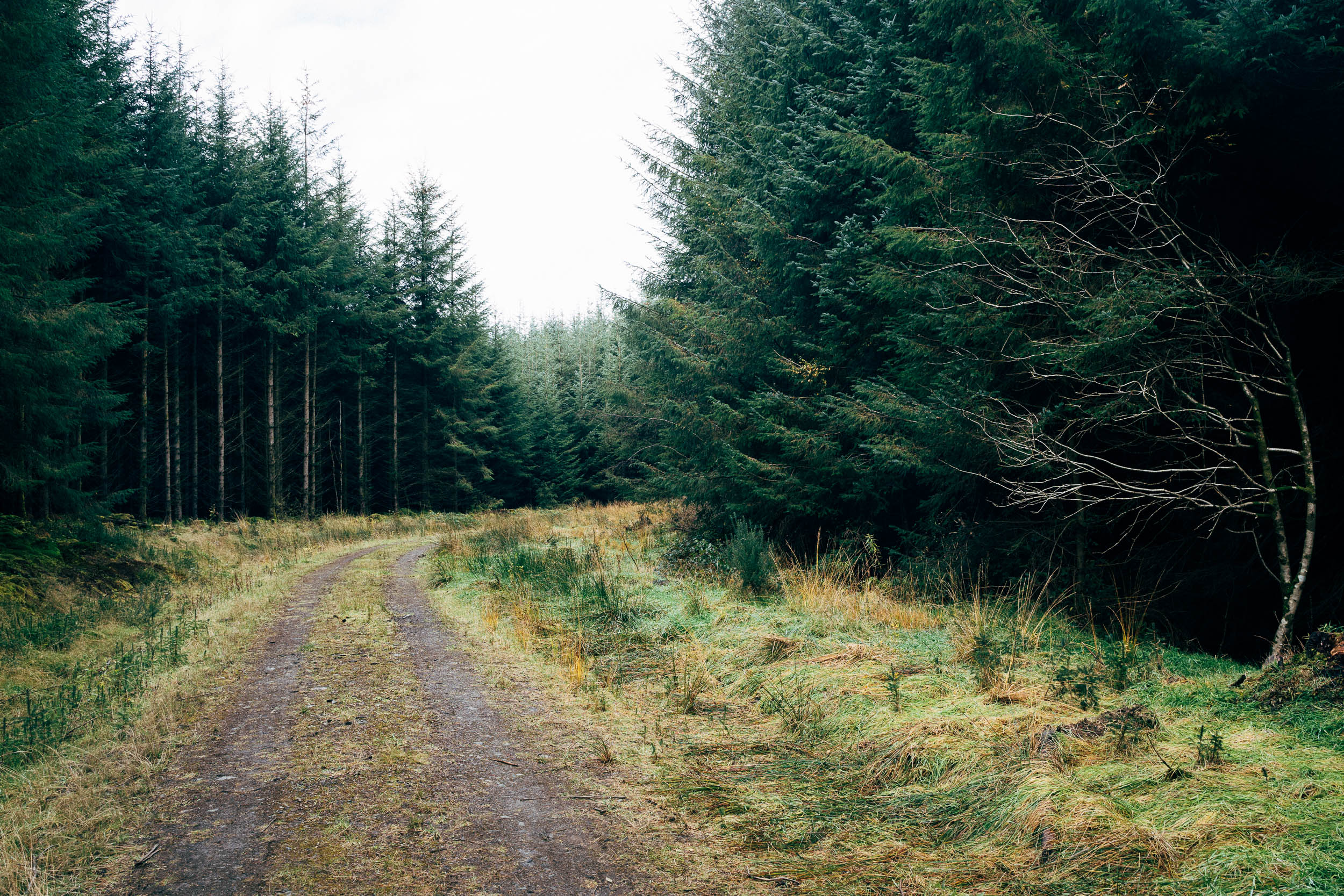
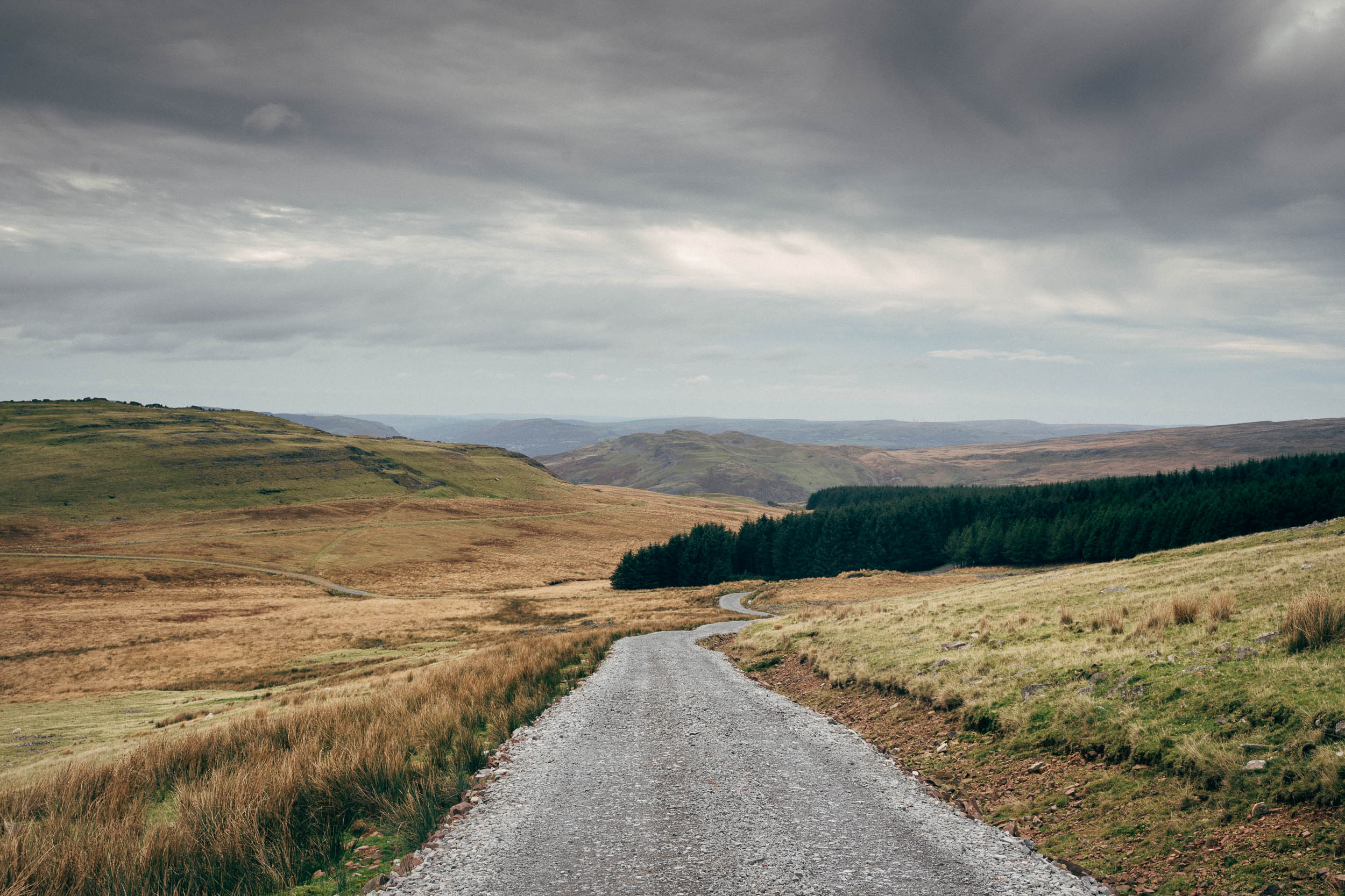
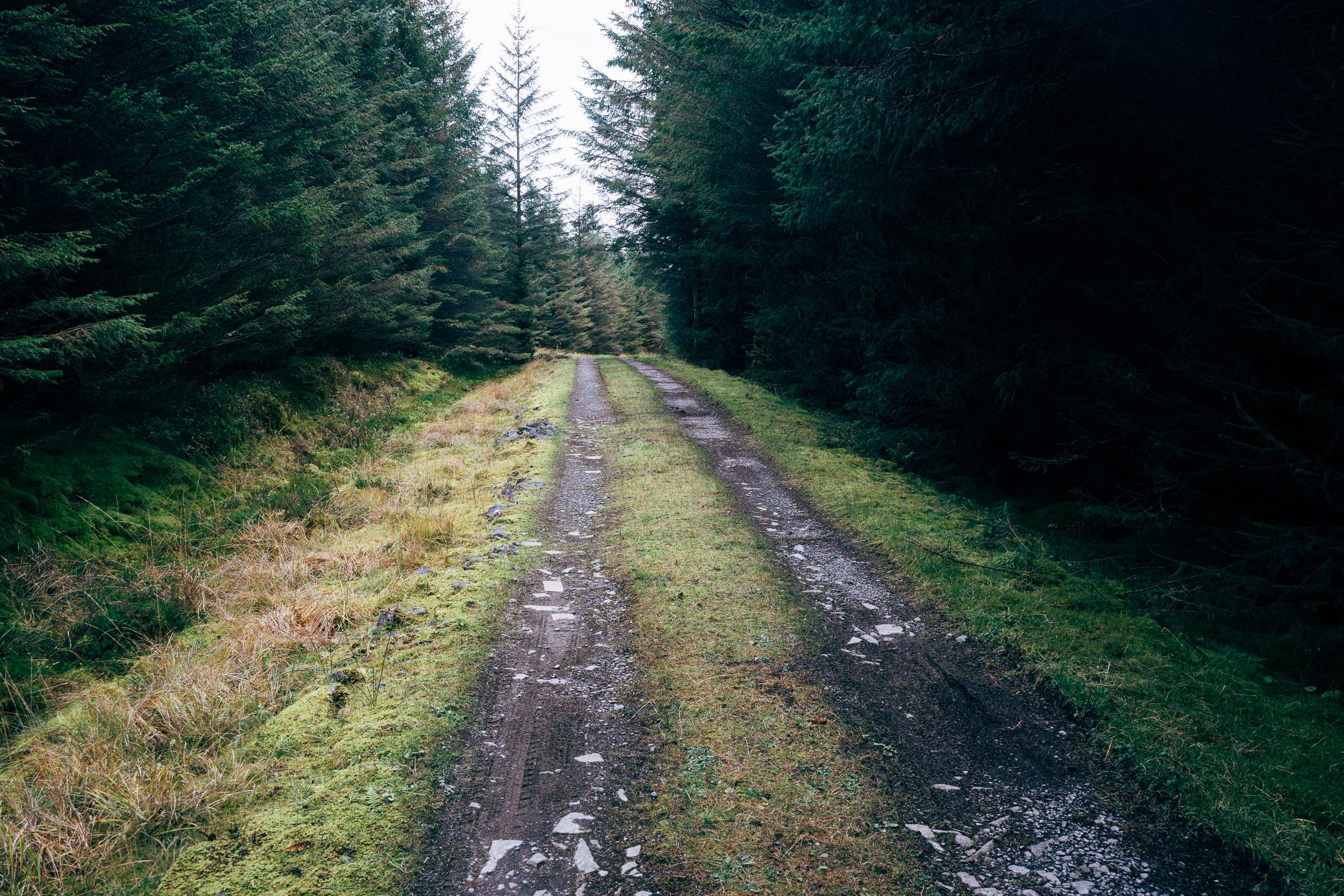
Over on the northern side of the Black Mountain, it’s worth detouring to the quiet Lynn y Fan Fach, home to a small shelter and a number of camping options nearby (as well as a YHA), before a rolling, backlane and forest road traverse leads riders to a southerly crossing. This time, however, it’s on much tamer gravel – first through Glasfynff Forest and then to a backdrop of fine views towards 725m Fan Gyhirych. This infrequently-used road eventually closes the loop, rejoining the bike path south to Adaware, via remnants of forts, shake holes, and burial mounds. Note that the route momentarily follows a footpath (see gpx) so push your bike and take care not to startle the sheep. There’s a pub at Ystradfellte too, should you need to hunker down out of the rain.
Thanks kindly to Alastair for the route suggestion and local insight! Do you have a bike-friendly, local businesses to recommend in the area? Let us know and we’ll add it to the map.
Difficulty: Although this is a relatively short ride, it’s a great way of dipping your toes into a very adventurous, wild, and off-the-beaten-path experience, without ever being too far from a paved road. The reason it garners an 8 in its rating is largely down to its bridleway crossing – give yourself more time than you think you’ll need and bear in mind that conditions can be rocky in places and boggy in others. Expect to push and lug your bike, especially if you’re not running low gears and big tyres. Additionally, navigation can be tricky across this stretch – follow your nose as much as the gpx track, and note that the OS Mapping App is handy too.


Highlights
Must Know
Camping
Food/H2O
- Visiting a part of the Brecon Beacons National Park that’s often overlooked by mountain bikers
- The wild, epic (and often boggy) crossing of the Black Mountain to Llanddeusant
- The range of terrain; Sustrans routes, rocky drovers’ roads, forest tracks, singletrack, and hilly lanes
- Passing forts, burial mounds, and druid stones
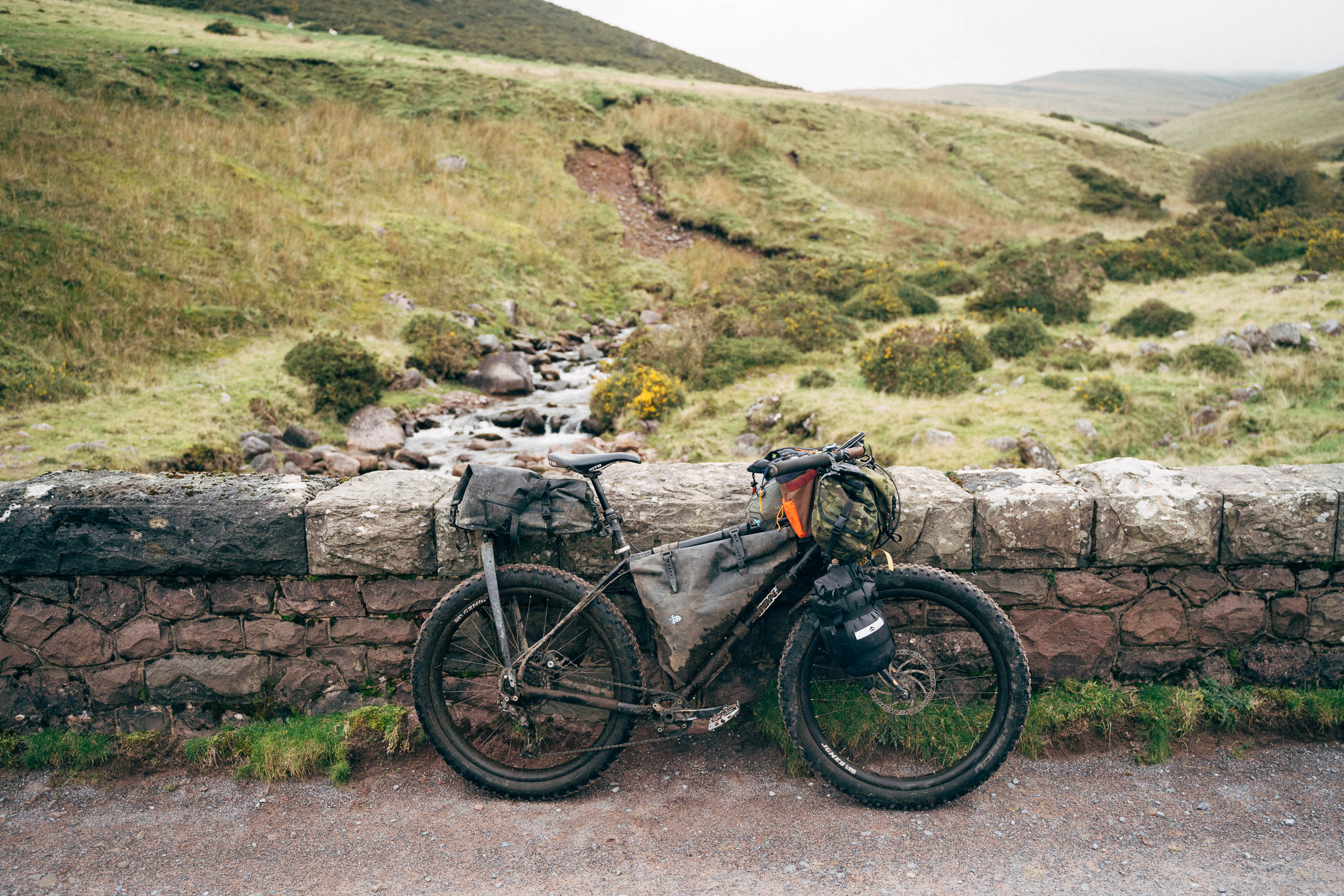
- Best bike: a standard mountain bike (hardtail or fully rigid plus bike) is highly recommended for this loop, given the varied and challenging terrain. Whilst much of the route is gravel bike-friendly, gravel bikers will certainly be underbiking in places and pushing in others – particularly the key traverse. If that’s the only bike you have, I’d recommend fitting it with at least 700x45s or 650b x 2.1s, due to some extended rough, rocky, and boggy sections. Packing light will makes the hike-a-bikes easier too.
- Low gearing is a necessity for those who prefer to ride rather than push; think 28T front ring and a 11-50T.
- When to go: May to September promises longer riding hours and warmer temperatures. During the summer, you’ll only need a light sleeping bag and depending on the weather, a tarp or bivy bag. Expect mud and bog-trotting after recent rain – see map to avoid one potential problem point if the summer has been a wet one.
- The bridleway crossing via Glytawe to Llanddeusant can be very tricky to follow in places, as the path is faint. It’s easy to stray off route and conditions change, so expect pushing and bog trotting – and adjust your expectations accordingly. I attempted to follow the bridleway as per the OS App on my phone, but it’s not always evident on the ground so allow more time than you think you’ll need. Still, it’s worth the effort, as it really puts you out there!
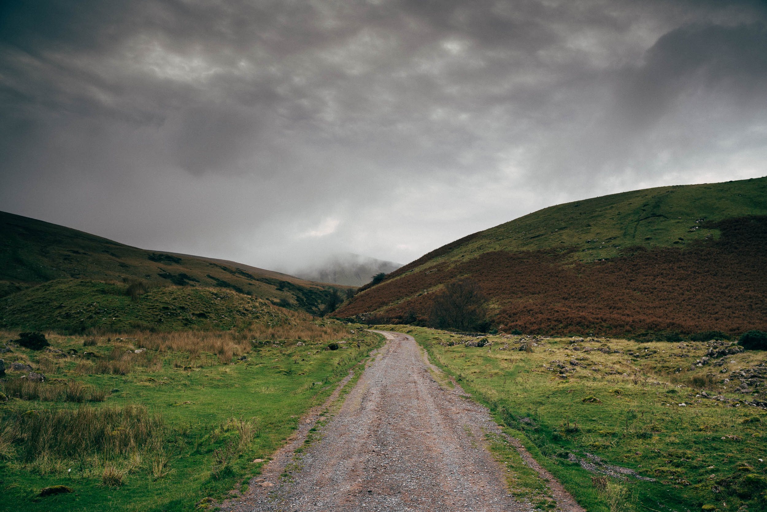
- It rains a lot in Wales, come summer and winter, so always pack your waterproofs no matter what the forecast is telling you. Similarly, waterproof socks are recommended for the bog trots, and a change of socks for the evening may be useful too (-:
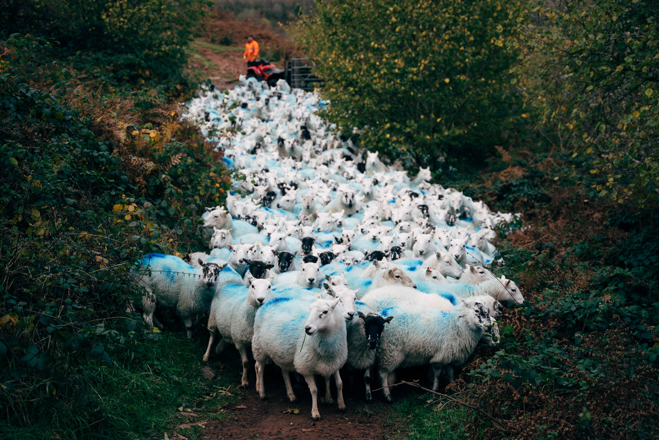
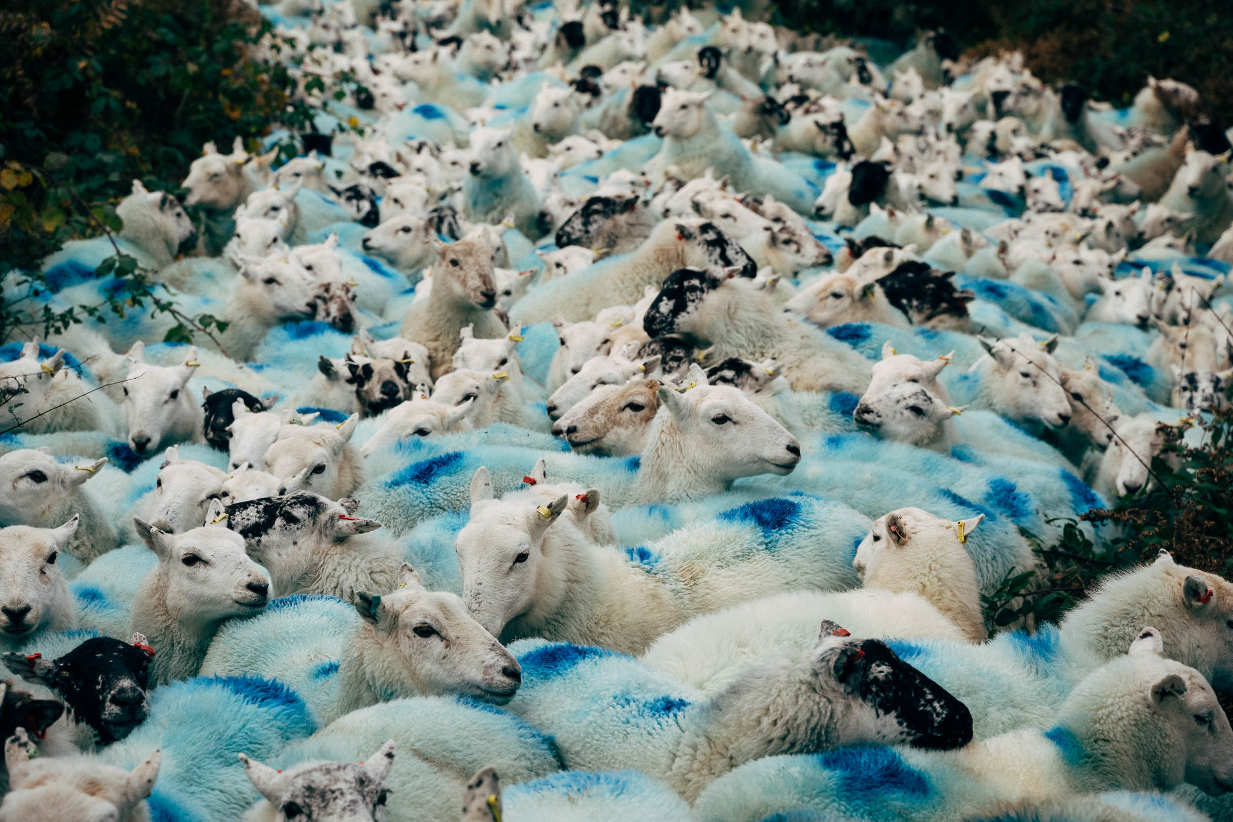
- Give sheep a wide berth so you don’t worry them.
- I last rode this route in 2023; you can read my blog post about the trip with an accompanying RWGPS track. It’s a little different in places and includes a nice detour to a trig point with fabulous views.
- The Ordnance Survey phone app (and online site) is really useful to have with you, as it marks all the bridleways and rights of way accurately, should you stray off route. For £29 a year, or £4 a month, it gives you downloadable access to the whole of the UK, which represents a really good deal. I find it a great app to have on my phone.
- A return from Bristol costs £22 and takes 2 hours; pick a non-intercity train to Cardiff or you’ll need to book your bike. Travel out of the rush hour for the best chance of fitting your bike on the 2 carriage train to Aberdare.
- Wild camping is official illegal in the Brecon Beacons National Park, so be respectful and #leavenotrace if you do so.
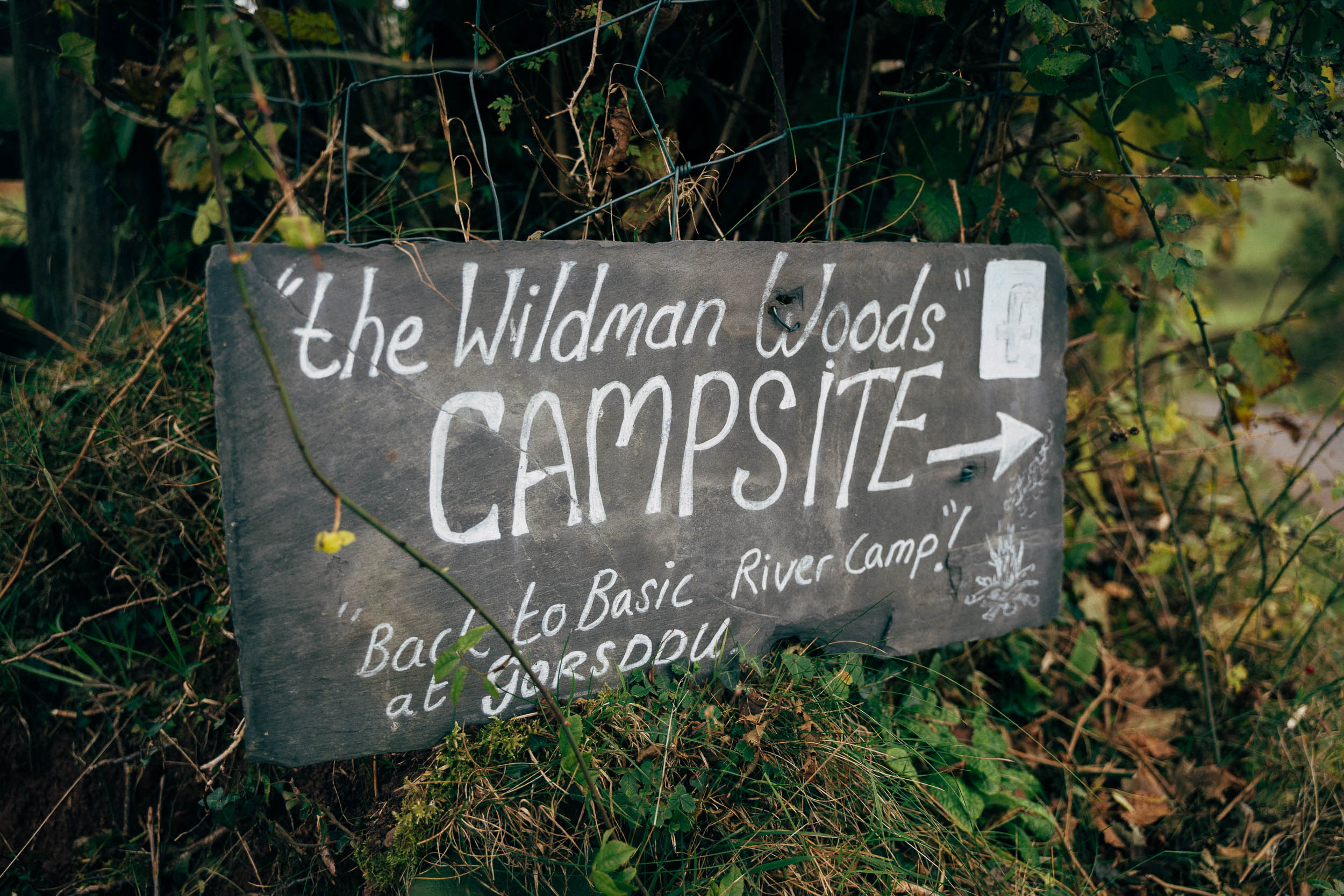
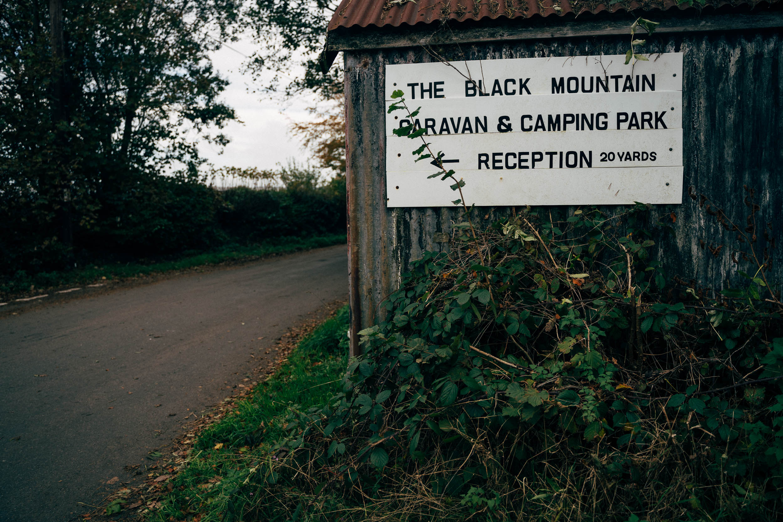
- A number of campsites, bunkhouses, and a YHA have been marked on the map too, to avoid wild camping if you prefer.
- There’s no shortage of pubs and streams to fill your bottles (bring a filter).
- Carry all the food you need, though the route does pass by several pubs (marked on the map). Note that most have limited opening hours, so pack emergency rations.


Terms of Use: As with each bikepacking route guide published on BIKEPACKING.com, should you choose to cycle this route, do so at your own risk. Prior to setting out check current local weather, conditions, and land/road closures. While riding, obey all public and private land use restrictions and rules, carry proper safety and navigational equipment, and of course, follow the #leavenotrace guidelines. The information found herein is simply a planning resource to be used as a point of inspiration in conjunction with your own due-diligence. In spite of the fact that this route, associated GPS track (GPX and maps), and all route guidelines were prepared under diligent research by the specified contributor and/or contributors, the accuracy of such and judgement of the author is not guaranteed. BIKEPACKING.com LLC, its partners, associates, and contributors are in no way liable for personal injury, damage to personal property, or any other such situation that might happen to individual riders cycling or following this route.
Please keep the conversation civil, constructive, and inclusive, or your comment will be removed.