Boulder Weekend Loop
Distance
77 Mi.
(124 KM)Days
2-3
% Unpaved
65%
% Singletrack
15%
% Rideable (time)
95%
Total Ascent
10,211'
(3,112 M)High Point
10,280'
(3,133 M)Difficulty (1-10)
5?
- 9Climbing Scale Very Strenuous133 FT/MI (25 M/KM)
- -Technical Difficulty
- -Physical Demand
- -Resupply & Logistics
Contributed By

Chris Langager
Guest Contributor
Chris sits in front of a computer screen most days where his passion for traveling by bicycle was ignited after seeing others’ trip accounts and photos flicker across the internet. With a handful of trips under his belt, including a 2 month tour across the USA, he now plans summers around touring and bikepacking. Follow along at bicyclewanderlust.com.
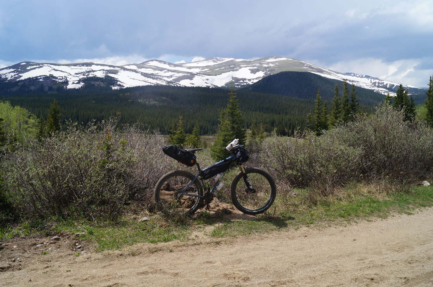
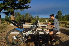
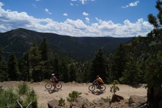
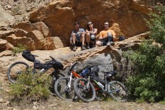
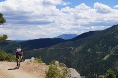
For anyone living in, or visiting, Boulder, CO this is a car free way to go bikepacking in the Front Range mountains for a few days. While this may not be the most remote route, it still very physically challenging with over 10,000 feet of climbing in under 70 miles, 65% of which is unpaved. Food and water are available in the town of Nederland and both free and payed camping are available throughout the route making this a logistically simply trip to plan.
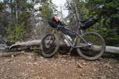
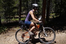
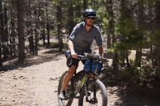
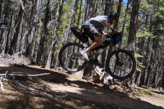
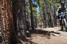
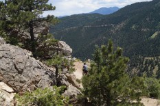
The main route consists mostly of gravel roads and double track, with a small amount of single track, but for those feeling strong and wanting to experience some amazing Colorado trails, this route takes you past two trail popular mountainbiking areas: West Magnolia and Walker Ranch. The former of the two is located near Nederland and free camping. Staying the night here will allow you to setup camp and hit some flowy trails unloaded.
 This route is part of the Local Overnighter Project, which was created to expand our growing list of worldwide bikepacking routes—the first and largest of its kind—and create an independent map and catalog of great bikepacking overnighters, curated by you, from your own backyard. Our goal is to have accessible routes from every town and city in the world. Learn More
Submit Route Alert
As the leading creator and publisher of bikepacking routes, BIKEPACKING.com endeavors to maintain, improve, and advocate for our growing network of bikepacking routes all over the world. As such, our editorial team, route creators, and Route Stewards serve as mediators for route improvements and opportunities for connectivity, conservation, and community growth around these routes. To facilitate these efforts, we rely on our Bikepacking Collective and the greater bikepacking community to call attention to critical issues and opportunities that are discovered while riding these routes. If you have a vital issue or opportunity regarding this route that pertains to one of the subjects below, please let us know:
Highlights
Must Know
Camping
Food/H2O
Trail Notes
- Singletrack at Walker Ranch and the Sourdough Trail.
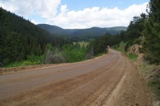
- Rewarding downhill sections of the Switzerland Trail.
- Starting and ending in Boulder, where you an find lots of bike shop and food options.
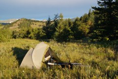
- Ample free camping near Nederland and along the Switzerland Trail.
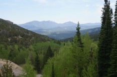
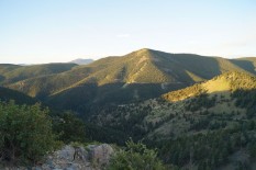
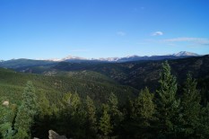
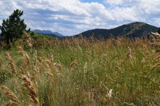
- Spectacular (and well earned) views of the Rocky Mountains.
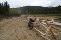
- Parts of the route may be under snow as late as mid-june. Optimal months for this route are July – September.
- Expect storms in the evening. Weather can change very quickly in the mountains.
- If you are traveling from lower elevations, plan on this route being more difficult than you expect.
- Free camping options are spaced out well on the route, giving you options whether you want to take 2 or 3 days to complete the route.
- If you plan on staying at a pay campground, try to get a reservation in advance or you may need to make some new friends and share a spot.
- If you want to travel light and commit to doing the route in 2 days, there is lodging available in Nederland.
- Plan on filling up on water in Nederland. Some payed campgrounds may also have water.
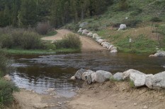
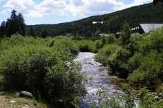
- Depending on snowmelt, there will be small, but clear mountain streams to pull water out of with filtering/treatment.
Expect the first day to be hard, especially for those new to bikepacking or anyone coming from low elevation; It’s pretty much a full day of riding up hill. You’ll be rewarded on the following day (or two) with some great mountain trails and a long, fast descent back into town.
Terms of Use: As with each bikepacking route guide published on BIKEPACKING.com, should you choose to cycle this route, do so at your own risk. Prior to setting out check current local weather, conditions, and land/road closures. While riding, obey all public and private land use restrictions and rules, carry proper safety and navigational equipment, and of course, follow the #leavenotrace guidelines. The information found herein is simply a planning resource to be used as a point of inspiration in conjunction with your own due-diligence. In spite of the fact that this route, associated GPS track (GPX and maps), and all route guidelines were prepared under diligent research by the specified contributor and/or contributors, the accuracy of such and judgement of the author is not guaranteed. BIKEPACKING.com LLC, its partners, associates, and contributors are in no way liable for personal injury, damage to personal property, or any other such situation that might happen to individual riders cycling or following this route.
Please keep the conversation civil, constructive, and inclusive, or your comment will be removed.


