


Bull & Jake Bikepacking Trail
Distance
65 Mi.
(105 KM)Days
2
% Unpaved
90%
% Singletrack
30%
% Rideable (time)
99%
Total Ascent
7,043'
(2,147 M)High Point
3,430'
(1,045 M)Difficulty (1-10)
4?
- 7Climbing Scale Strenuous108 FT/MI (21 M/KM)
- -Technical Difficulty
- -Physical Demand
- -Resupply & Logistics
Contributed By
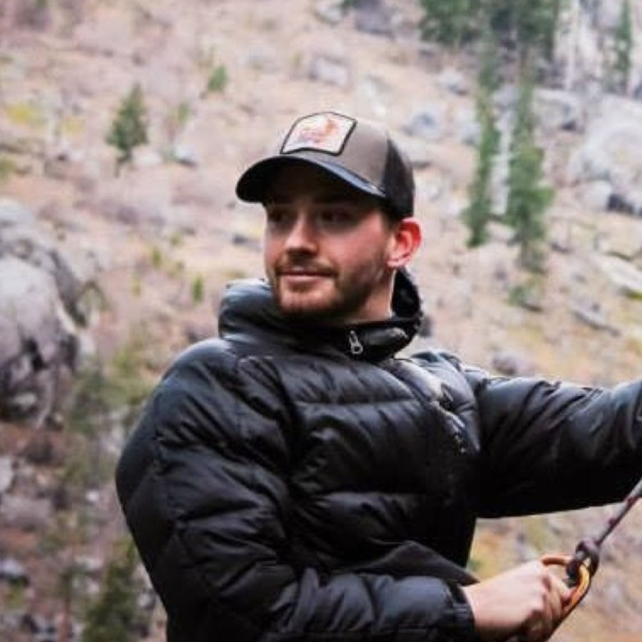
Colt Fetters
Averagely Stoked
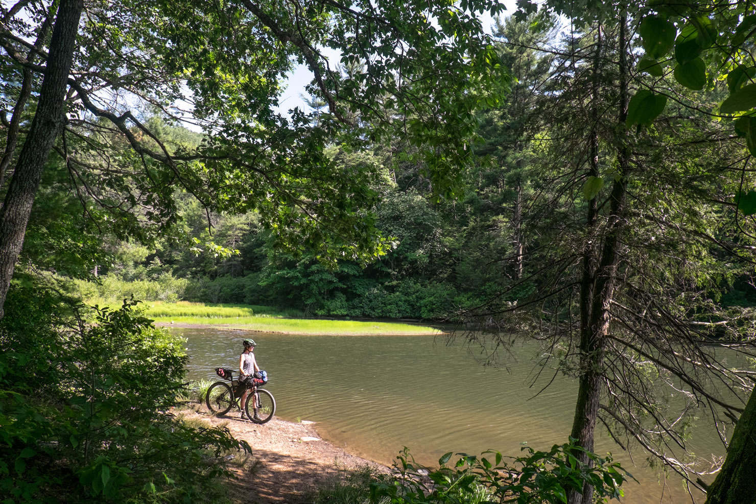
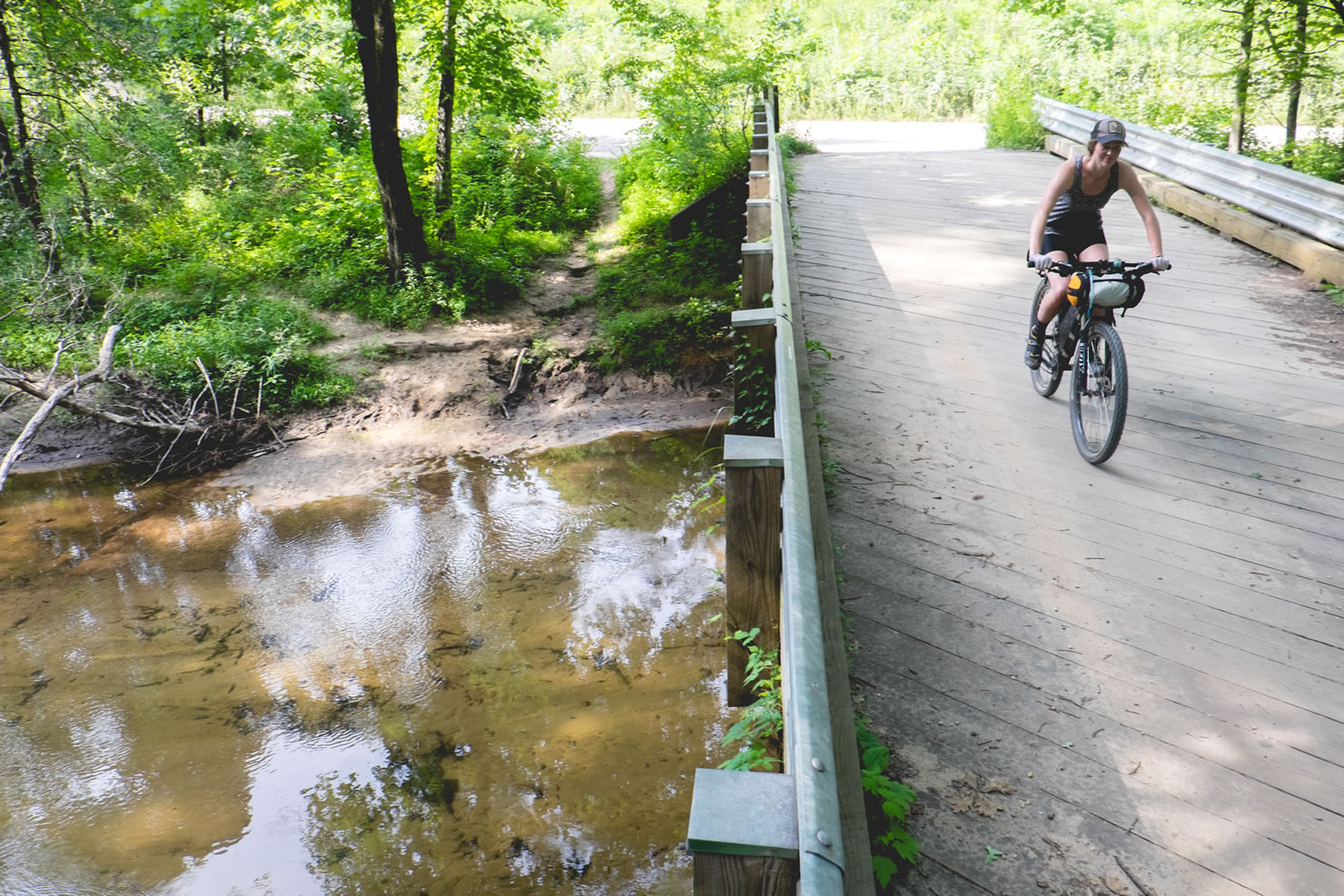
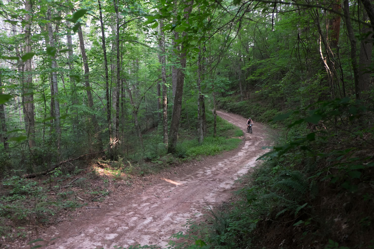
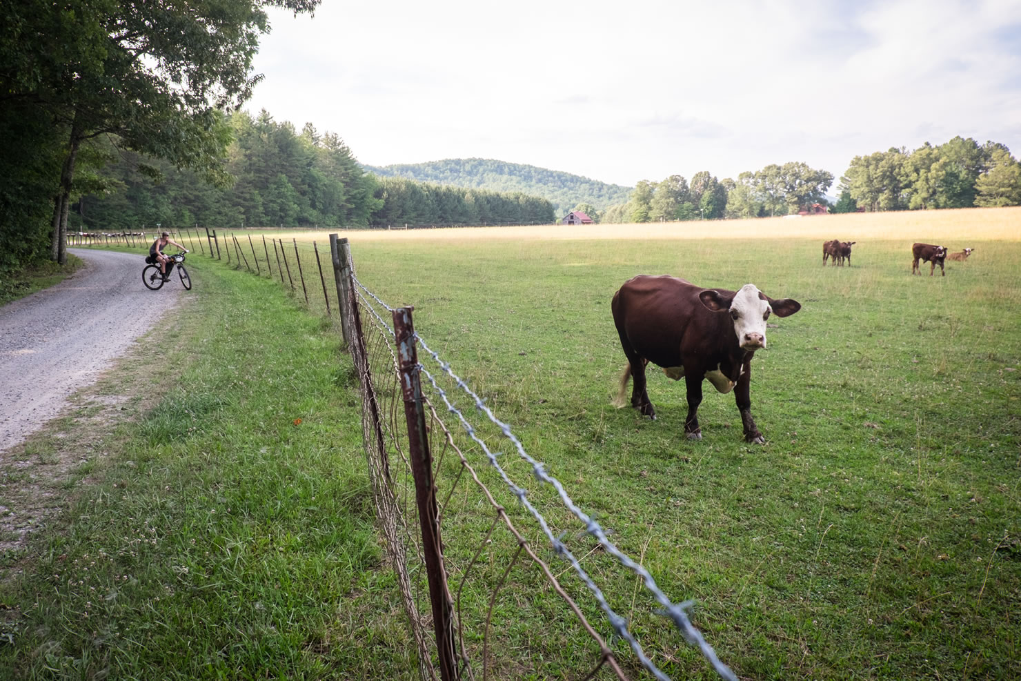
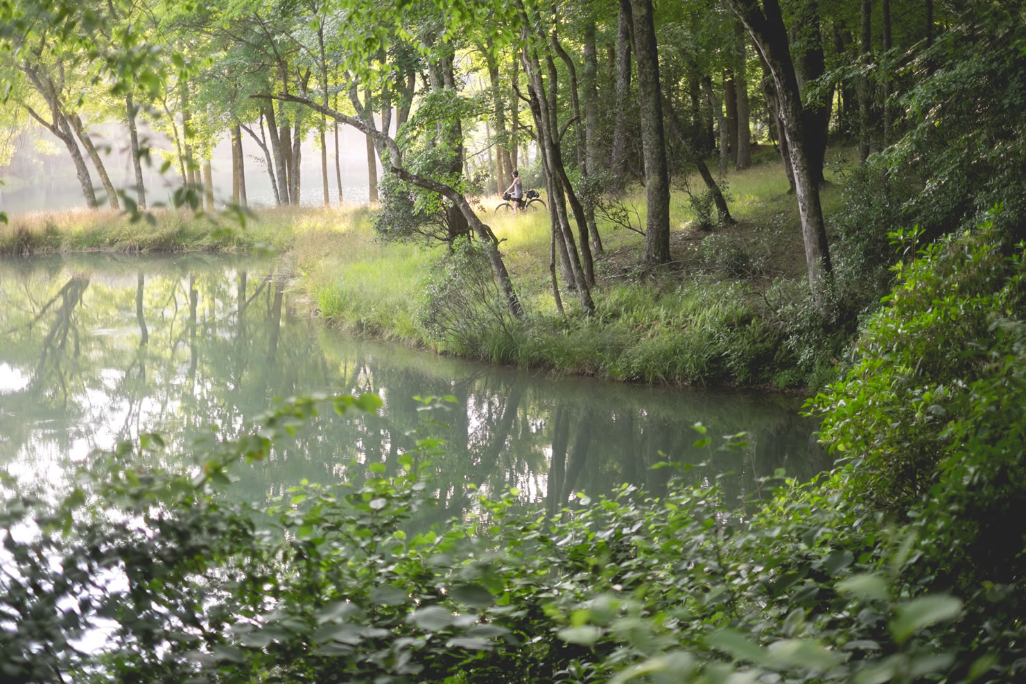
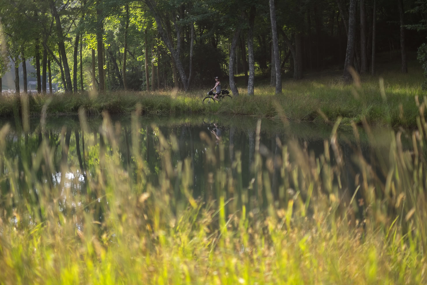
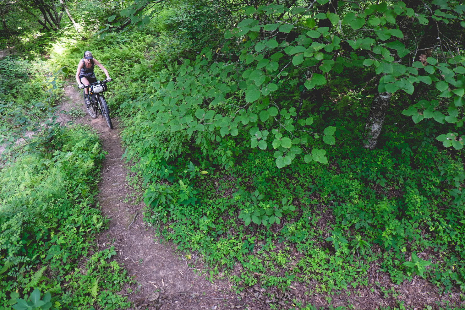
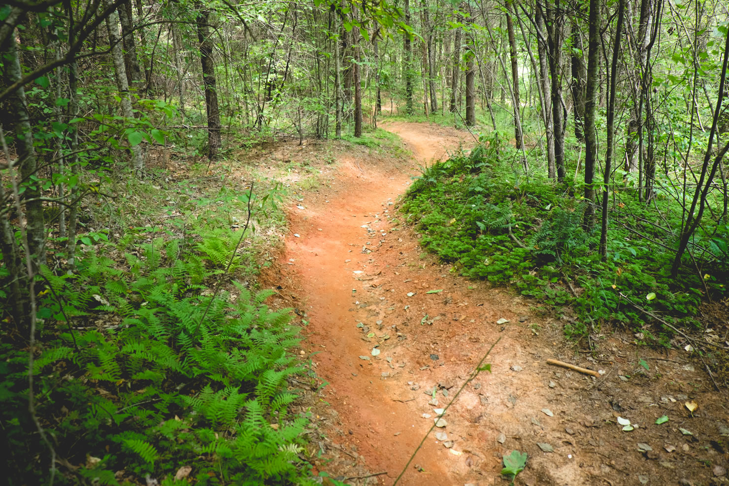
Welcome to the deep and dirty south, where the singletrack is smooth, the gravel roads are fine, and the swimming holes are deep. The Chattahoochee National Forest is home to the Bull and Jake Mountain singletrack trail systems; these two trail systems combined create an IMBA Epic. IMBA denotes an Epics as a “true backcountry riding experience—one that is technically and physically challenging” This particular bikepacking route combines that Epic trail with some of the finest gravel climbs and descents in the area, along crooked streams, quiet forest roads, open Georgian farmlands, deep stream-crossings, and red-clay singletrack.
The Chattahoochee National Forest is rich with history, known to be the site of the first major U.S. gold rush and thought to be the heart of Georgian wine country. The National Forest received its name from native Cherokee and Creek Indians, in their Muskogean dialect, Chattahoochee means “stone flowered” referring to the rock-strewn Chattahoochee River. After your ride, explore the mountain getaway town of Dahlonega and quench your thirst with some of that good ole southern sweet tea.


Submit Route Alert
As the leading creator and publisher of bikepacking routes, BIKEPACKING.com endeavors to maintain, improve, and advocate for our growing network of bikepacking routes all over the world. As such, our editorial team, route creators, and Route Stewards serve as mediators for route improvements and opportunities for connectivity, conservation, and community growth around these routes. To facilitate these efforts, we rely on our Bikepacking Collective and the greater bikepacking community to call attention to critical issues and opportunities that are discovered while riding these routes. If you have a vital issue or opportunity regarding this route that pertains to one of the subjects below, please let us know:
Highlights
Must Know
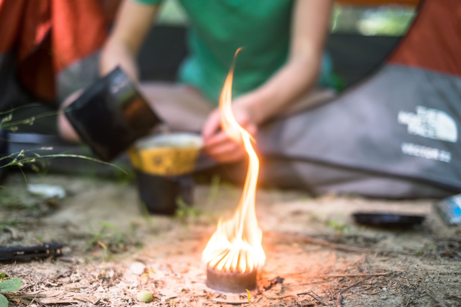
Camping
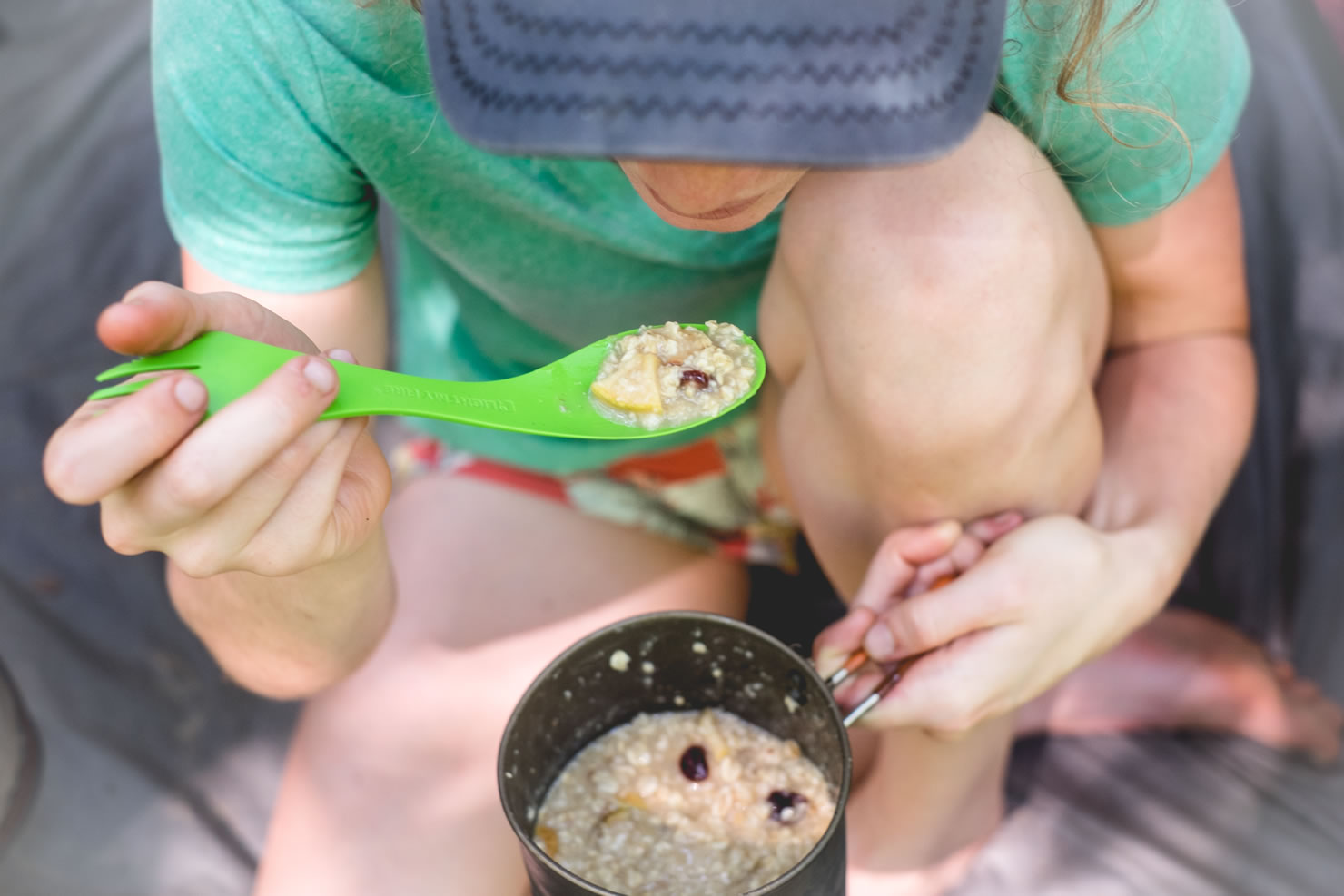
Food/H2O
Trail Notes
Resources
- The easily accessible swimming hole of Rock Lake. It offers just enough privacy to keep your chamois dry.
- The technical and fast descent off of Bull Mountain.
- The winding and even faster 8 mile descent on Winding Stair Gap Road.
- Stocked trout near the fishery on Rock Creek Road. Bring your Tenkara!
- Free creek-side camping – if you can get there before the hillbillies snatch up all the spots.
- Craft burgers, fried green beans, and local beer at Spirits Tavern in Dahlonega.
- Trails and roads in the Blue Ridge Wildlife Management area are closed to bicycles all day during primitive weapons and firearms deer seasons and before 10 a.m. EST during archery and turkey seasons.
- Bears and critters are common in the area, hanging your food is recommended.
- Parking at the Jake Mountain Trailhead is considered day-use, however there is nothing denoting “no overnight parking” nor did we experience any problems on our trip.
- The trail network is multi-use and is heavily used by equestrians.
- The route is best ridden during the spring and fall, however it’s still doable in the winter and summer.
- Rock Creek offers the most ideal primitive camping areas along the route; access to filterable water, trout fishing, and a little serenity are a few of the perks. Oh, and they are free.
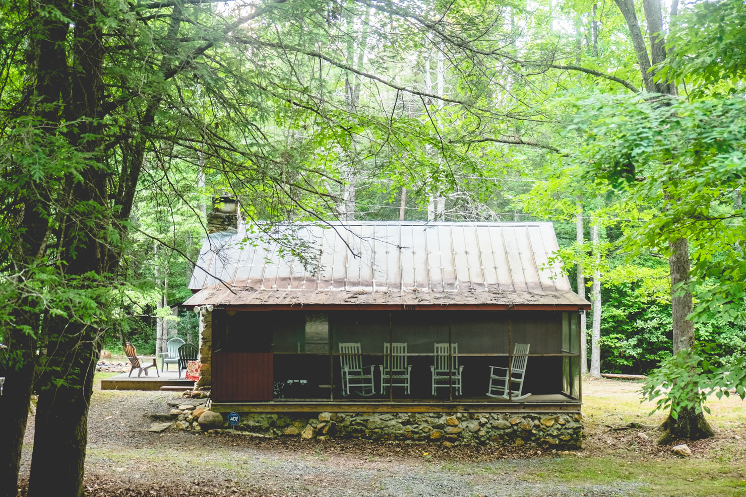
- Frank Gross camping area is set alongside the creek with a total of 8 camping spots and clean pit toilets. Camping is $8 a night and reservations are mandatory.
- There is one designated primitive campground within the WMA (Frank Gross), however camping is allowed anywhere on WMAs on National Forest lands, except where posted otherwise.
- Food is not available along the route but hunger is the best cook; throw that on top of a Spirits Tavern burger, along with a fried egg, bacon, and blueberry chutney when you get off the trail and you’ll be in ecstacy. Their beer, wine and cocktail selection will leave you calling a cab to get back to the campground. Located in the nearby town of Dahlonega, Spirits Tavern is great end to a bikepacking adventure.
- In the mood for some BBQ and sweet tea, hit up one of the closest restaurants to the trail: Hickory Prime BBQ. Don’t be deterred because its attached to a gas station, thats how its done in the South. Once you walk in the door the BBQ trophies and the smell of pulled pork will convince you that you’ve made the right choice.
- Water is filterable along Rock Creek Road for the first day. Make sure you carry enough to get you to Jones creek which is the next filterable water along the route.
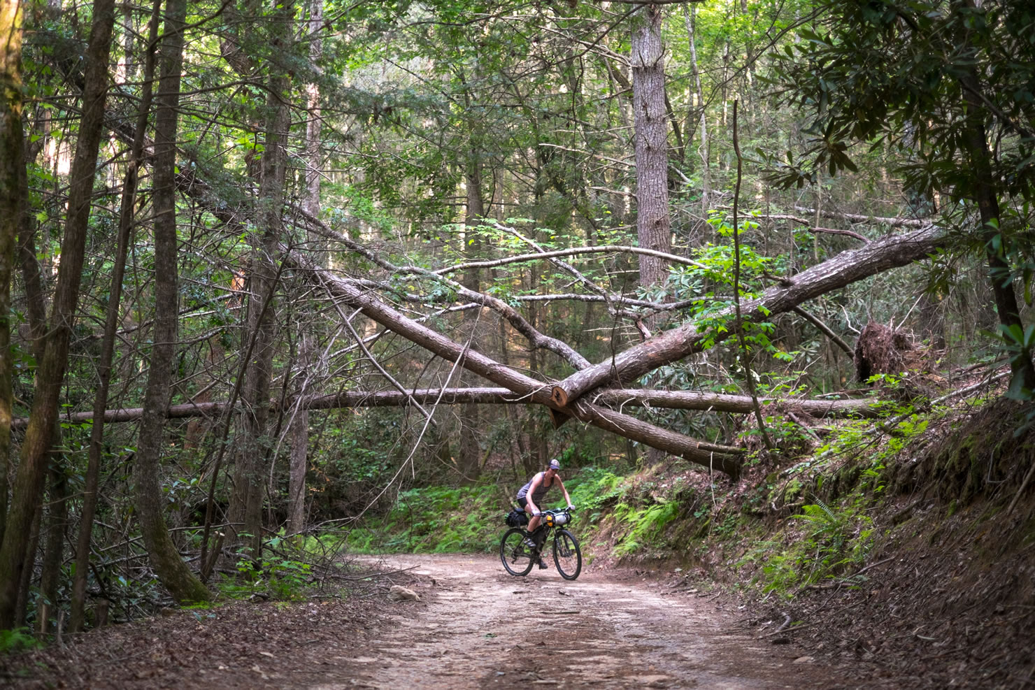
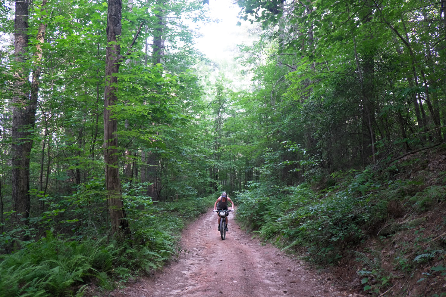
The route starts with about 10 miles of smooth singletrack then transitions into well-graded gravel that travels over a large Cat 4 climb. After an epic descent, the gravel follows Rock Creek, which has plenty of camping, a great swimming hole, and opportunities to hook up with some stocked trout. The next morning starts with a lonely forest road, which leads to about 5-7 miles of pavement along a quiet county road. The pavement eventually turns to more gravel, which climbs Springer Mountain and passes closely to the Southern Terminus of the AT. Winding Stair Gap road is probably the most epic descent of the route, at its end is the first opportunity for filterable water in the day. The route then leads up a long technical climb to the top of Bull Mountain, it is all rideable should you have the lungs and legs. A rock cairn marks the top, the descent is a bit rocky and super enjoyable. A couple of small punchy climbs and flowing singletrack bring you back to the Jake Mountain Trailhead.
Additional Resources
- Regional Topo Map
- Dahlonega.org
- Use the MTB project app to navigate the singletrack trail systems


Terms of Use: As with each bikepacking route guide published on BIKEPACKING.com, should you choose to cycle this route, do so at your own risk. Prior to setting out check current local weather, conditions, and land/road closures. While riding, obey all public and private land use restrictions and rules, carry proper safety and navigational equipment, and of course, follow the #leavenotrace guidelines. The information found herein is simply a planning resource to be used as a point of inspiration in conjunction with your own due-diligence. In spite of the fact that this route, associated GPS track (GPX and maps), and all route guidelines were prepared under diligent research by the specified contributor and/or contributors, the accuracy of such and judgement of the author is not guaranteed. BIKEPACKING.com LLC, its partners, associates, and contributors are in no way liable for personal injury, damage to personal property, or any other such situation that might happen to individual riders cycling or following this route.
Please keep the conversation civil, constructive, and inclusive, or your comment will be removed.