


Bull Valley Mountains Loop
Distance
80 Mi.
(129 KM)Days
2
% Unpaved
93%
% Singletrack
0%
% Rideable (time)
99%
Total Ascent
9,079'
(2,767 M)High Point
6,827'
(2,081 M)Difficulty (1-10)
6?
- 7Climbing Scale Strenuous113 FT/MI (21 M/KM)
- 5Technical Difficulty Moderate
- 7Physical Demand Difficult
- 4Resupply & Logistics Fair
Contributed By
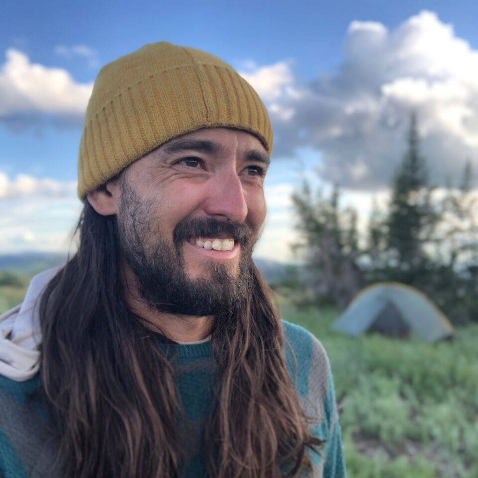
Spenser Snow Canada
Guest Contributor
Spenser grew up in San Diego, California. The Anza-Borrego Desert continues to hold a special place in his heart. In 2020, he sold his camera to purchase a bike, and he’s been bikepacking since with very few photos to show for it. He now calls Southern Utah home.
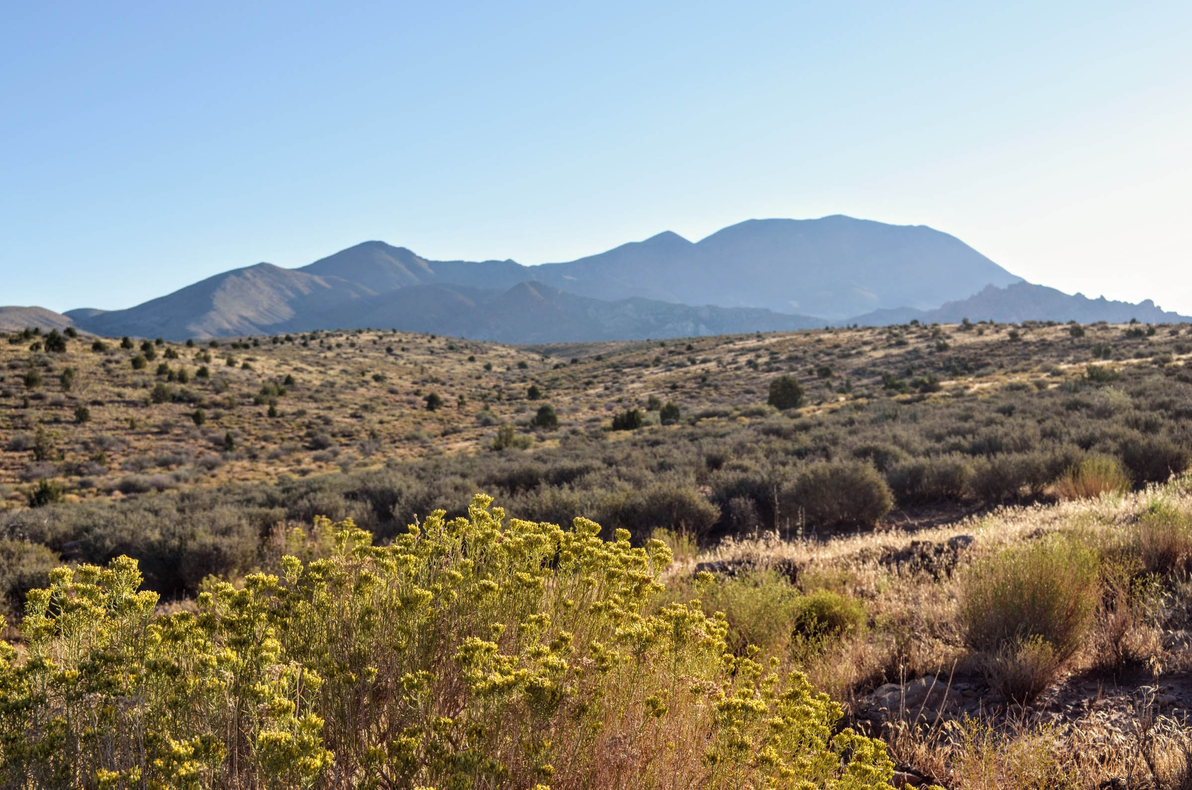
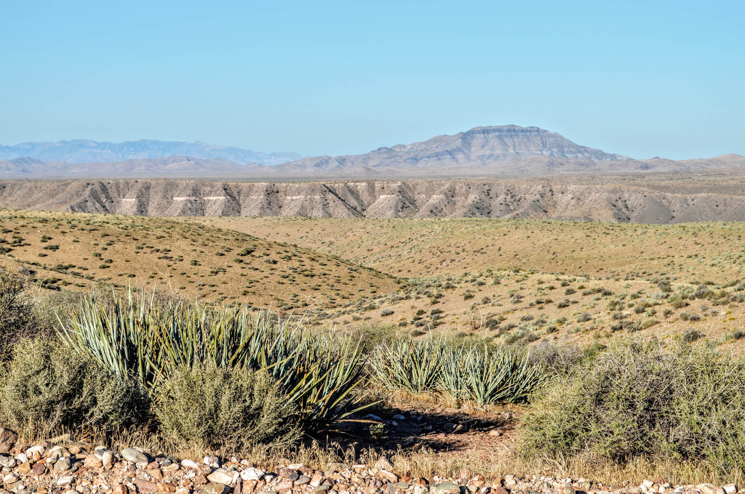
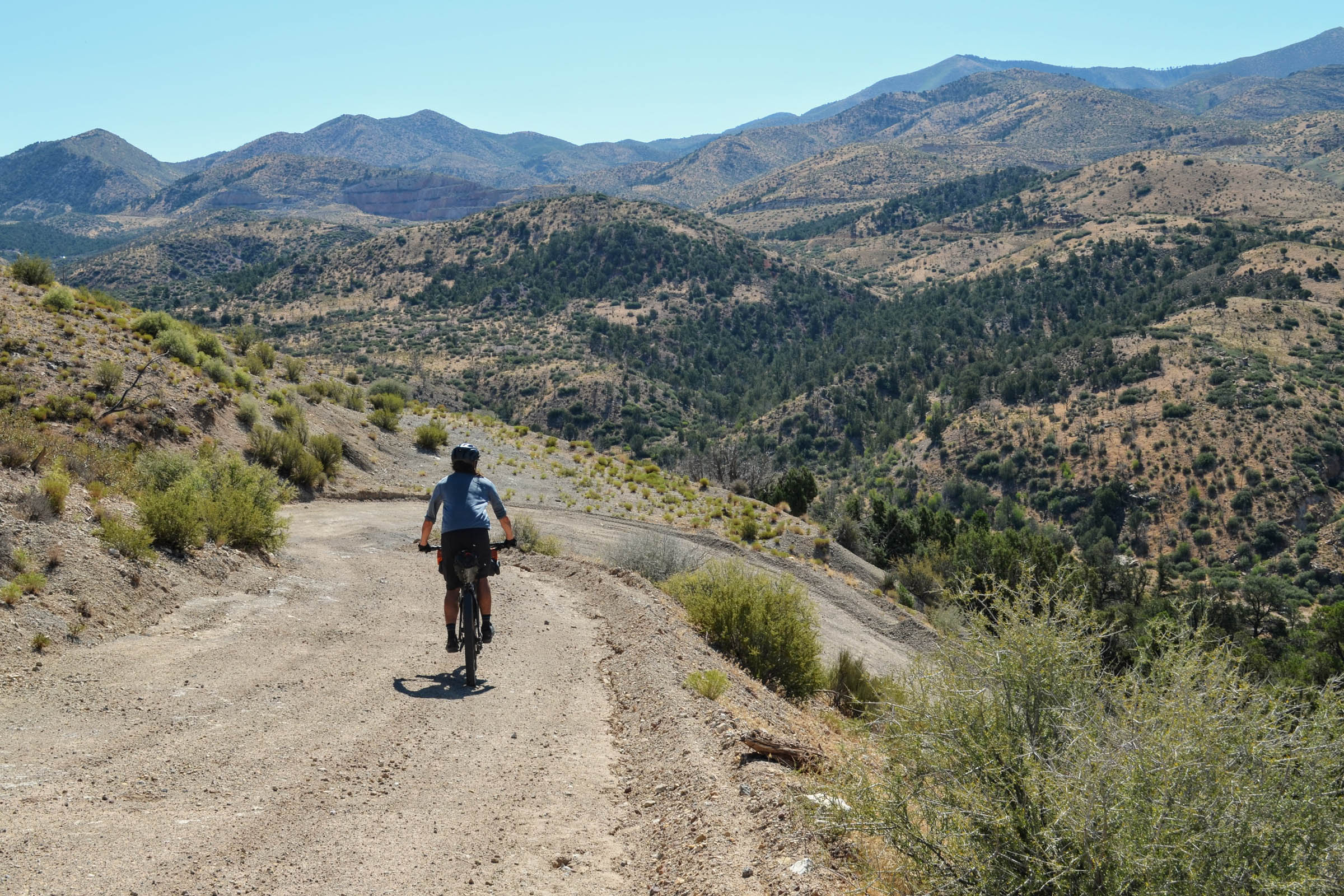
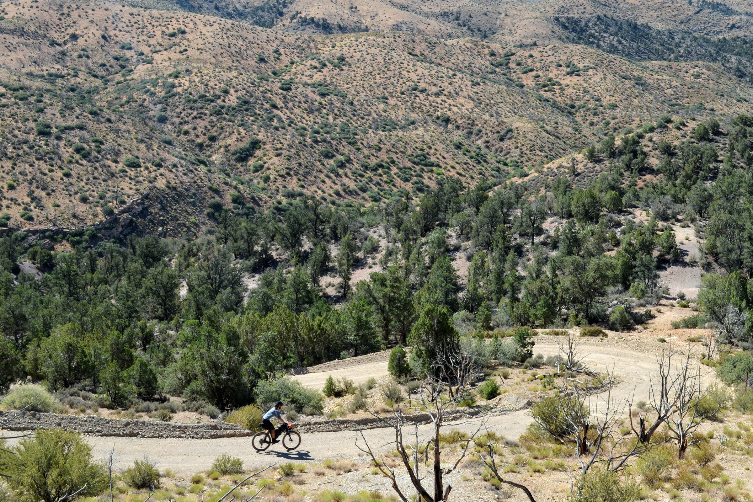
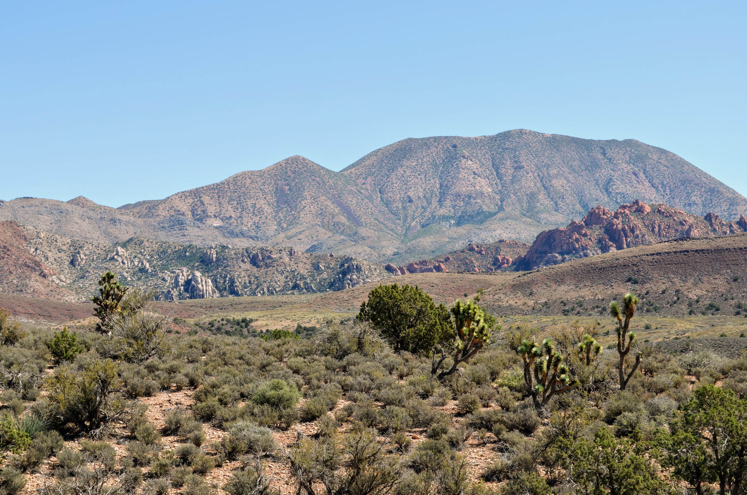
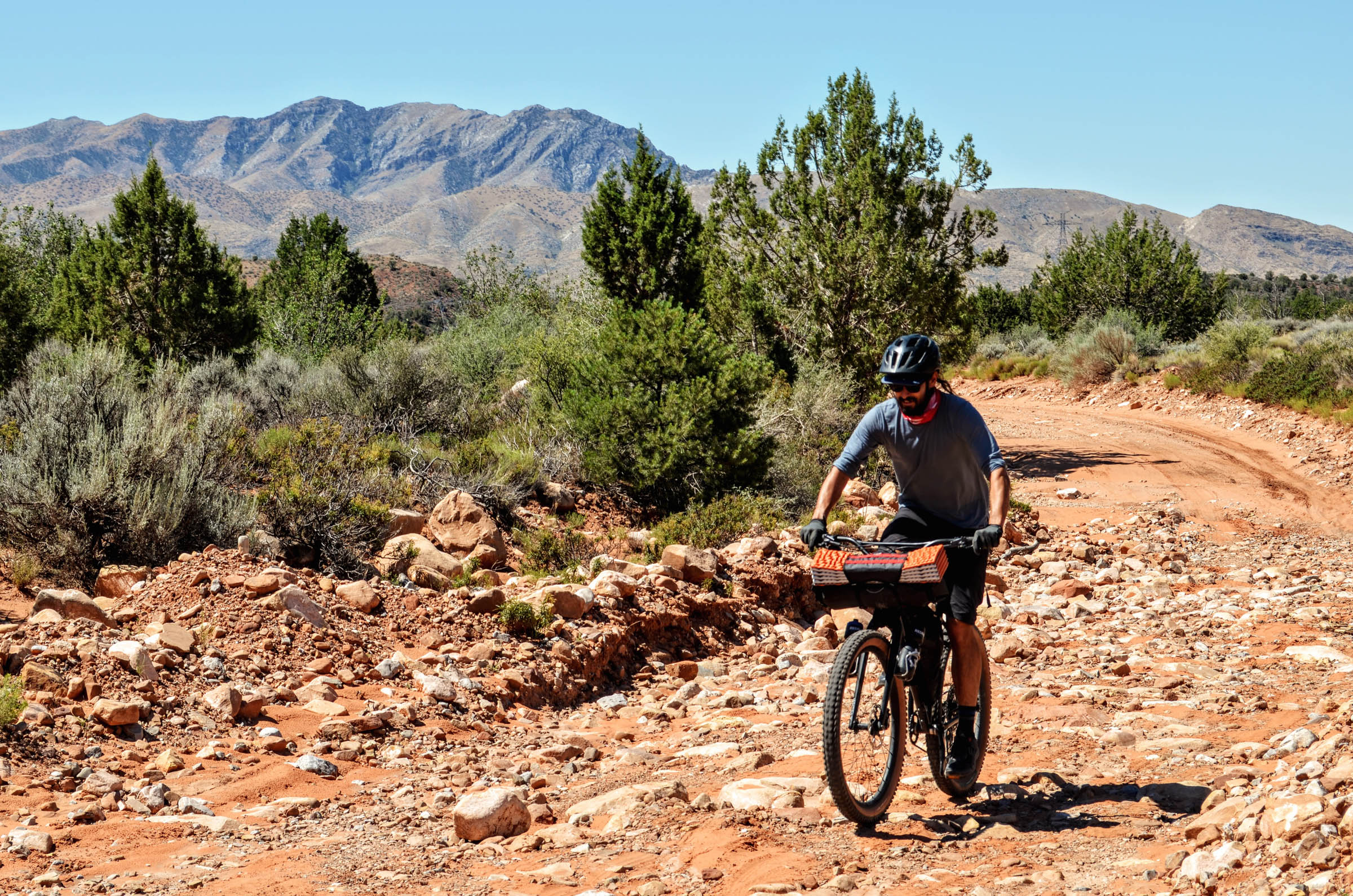
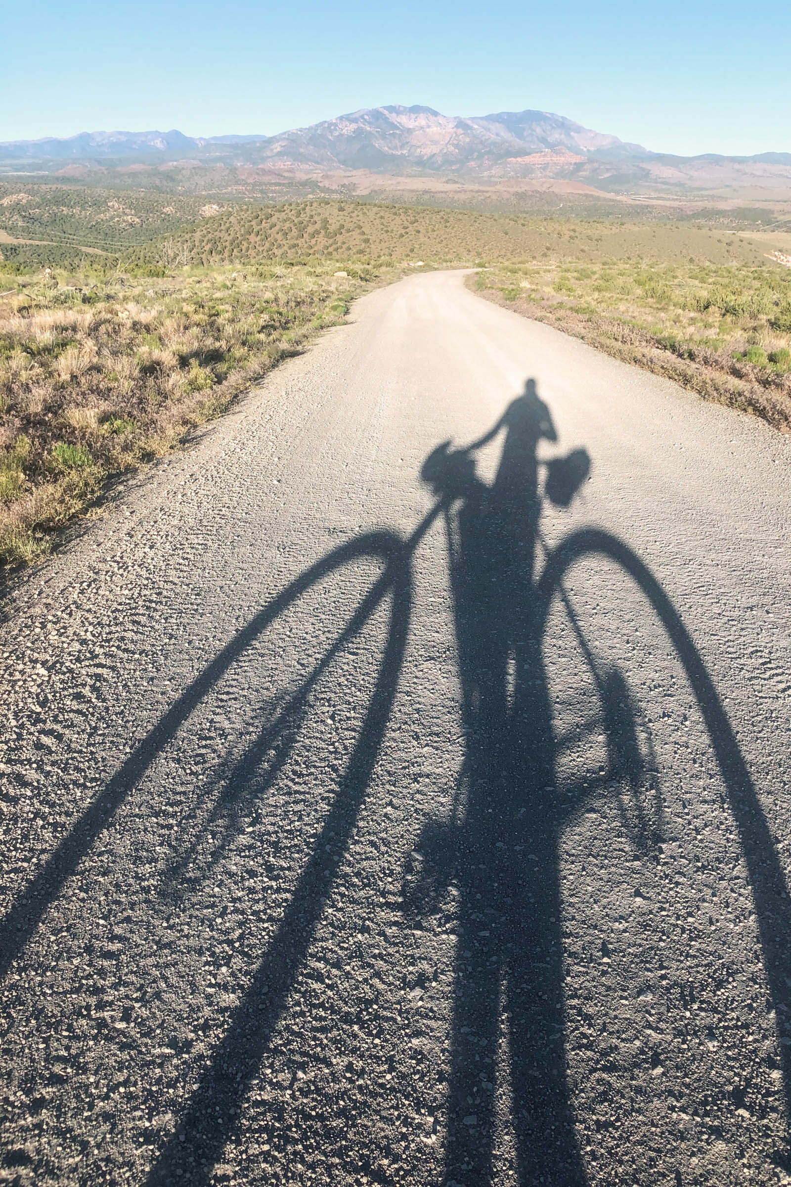
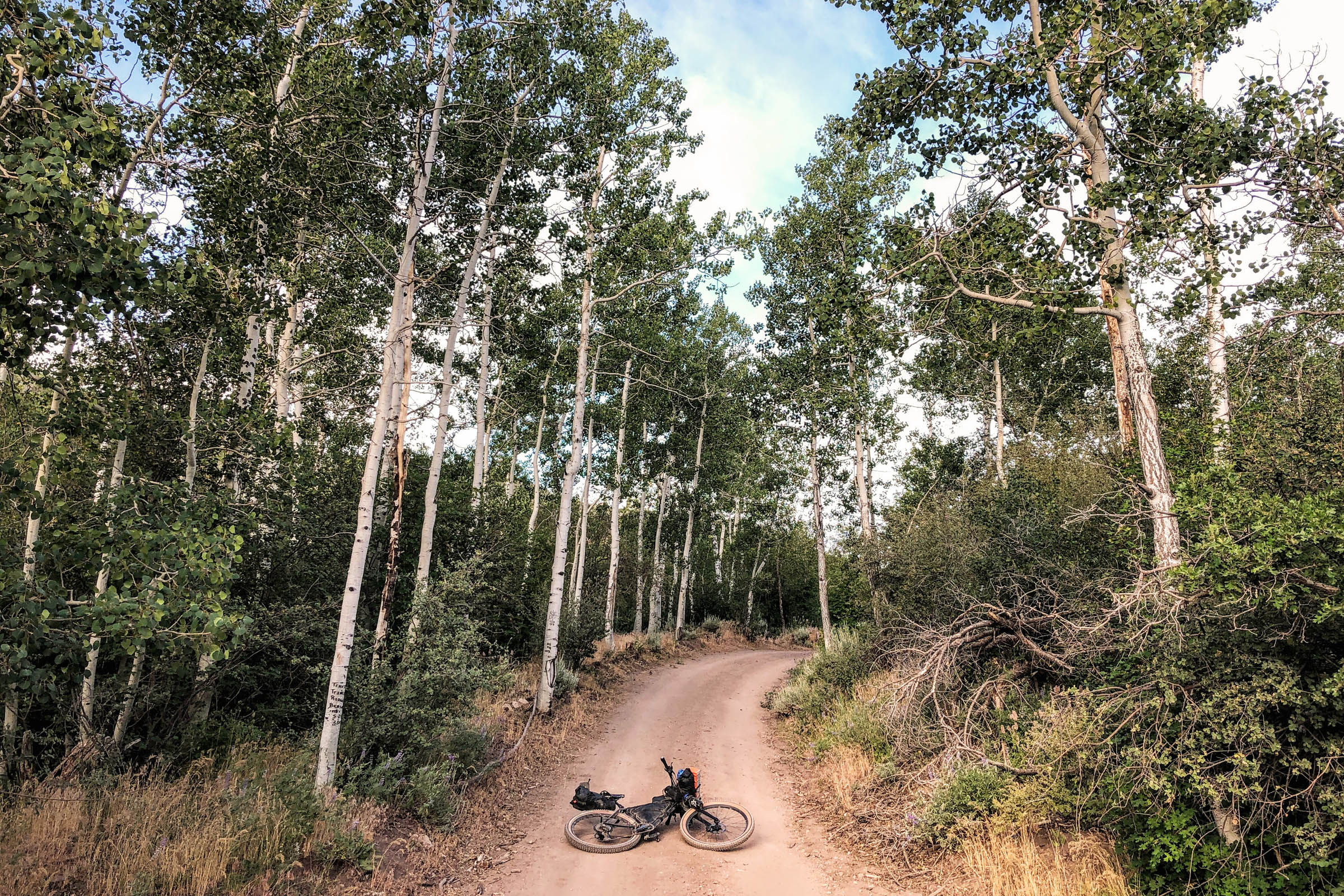
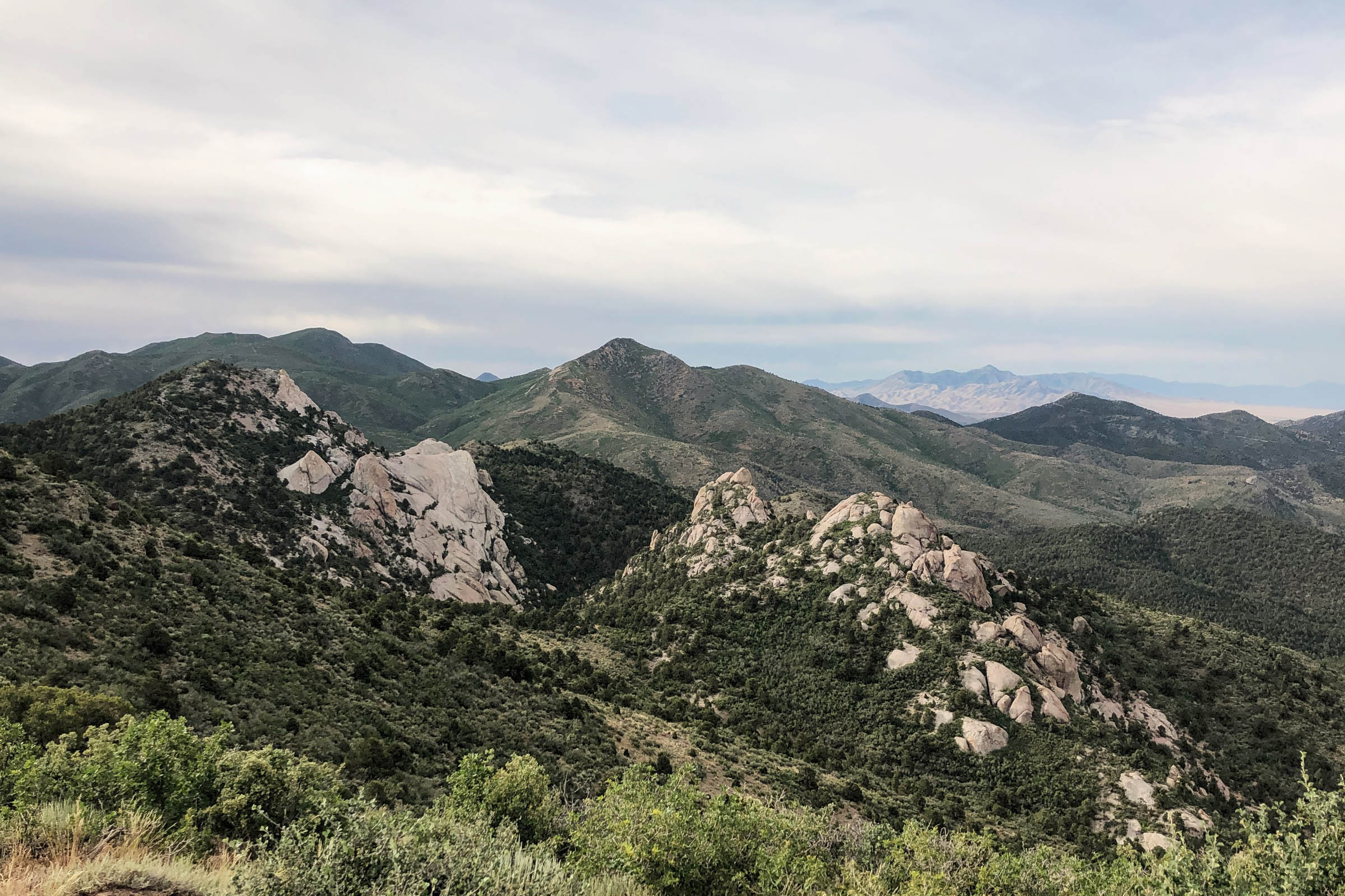
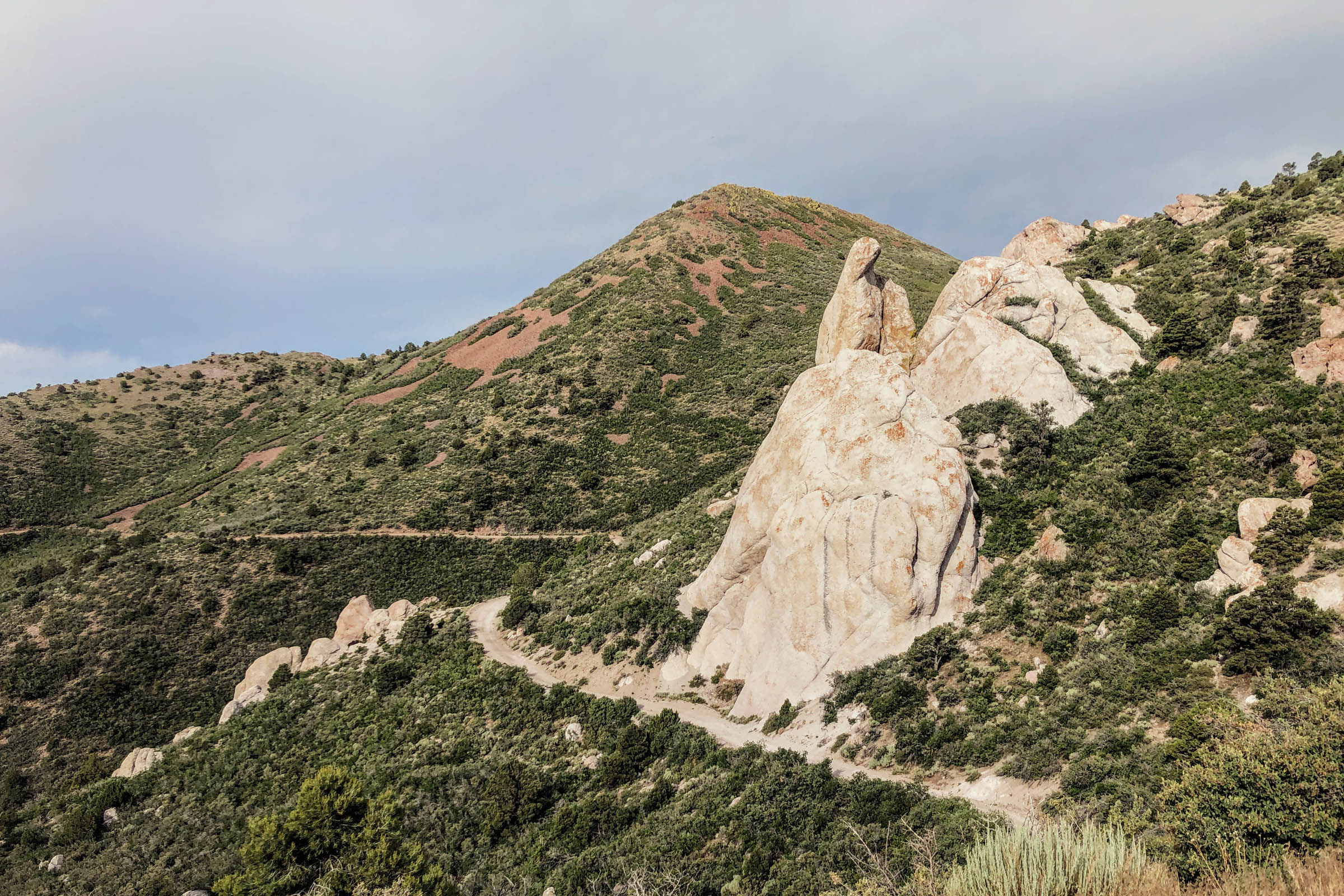
The Bull Valley Mountains Loop is located in the southwest corner of Utah where the Colorado Plateau, Great Basin, and Mojave Desert converge. It’s best completed counter-clockwise. The first half boasts long, challenging climbs from Veyo’s volcano country up to Enterprise Reservoir, following quiet creeks before reaching a small aspen grove that provides a gateway between two starkly contrasting landscapes. The second half features long descents, expansive vistas, and desert solitude.
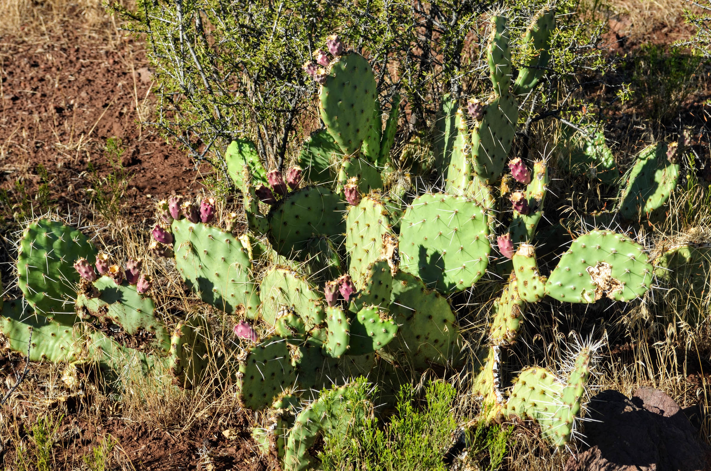
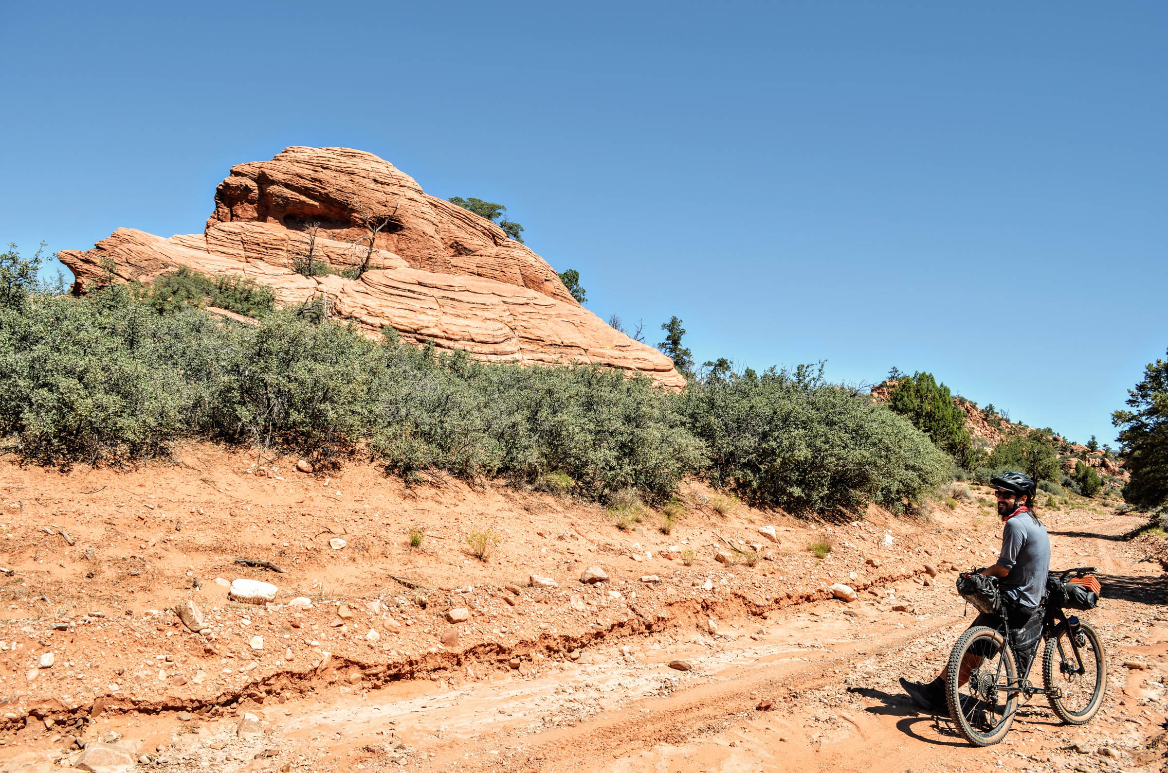
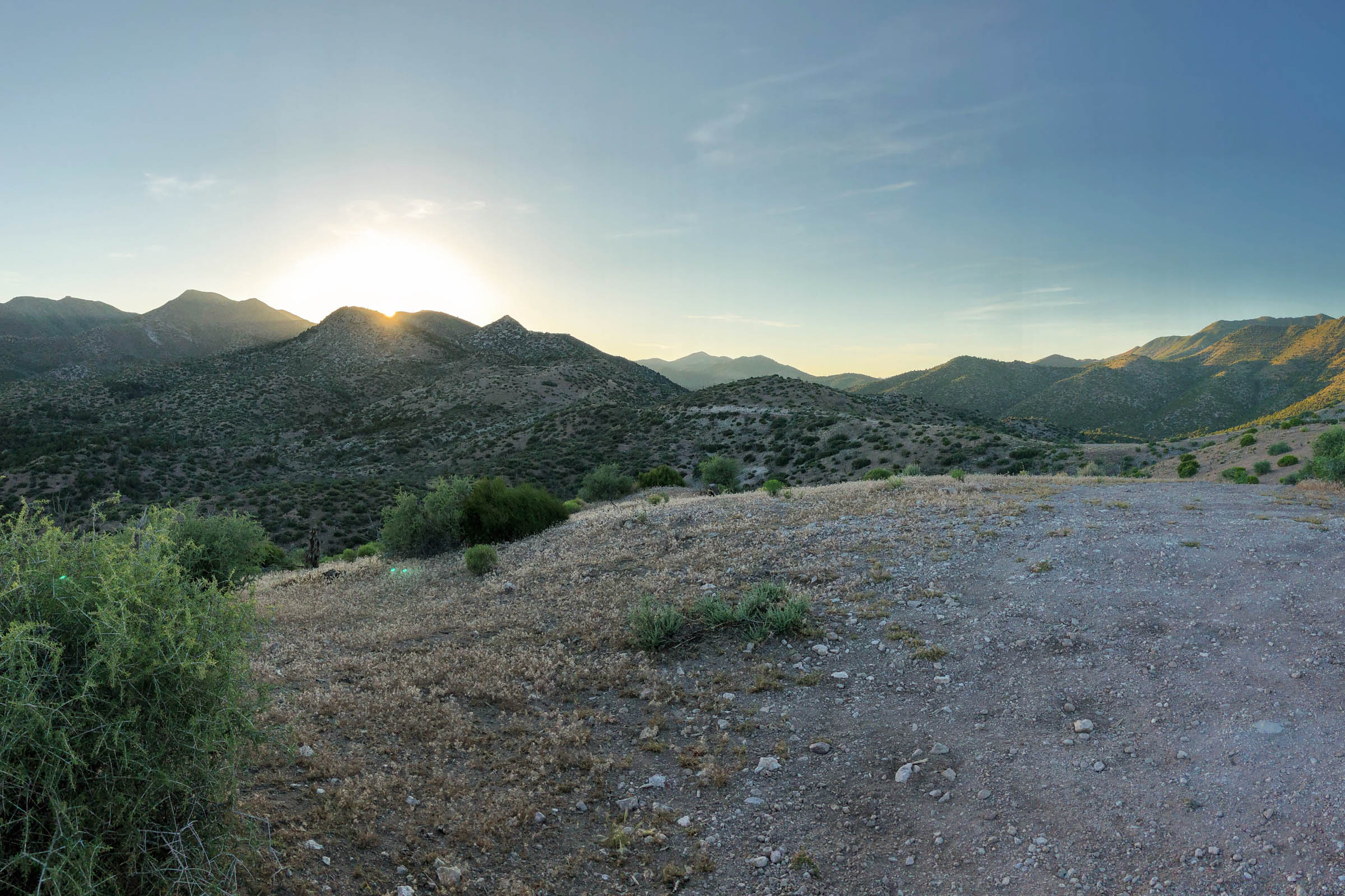
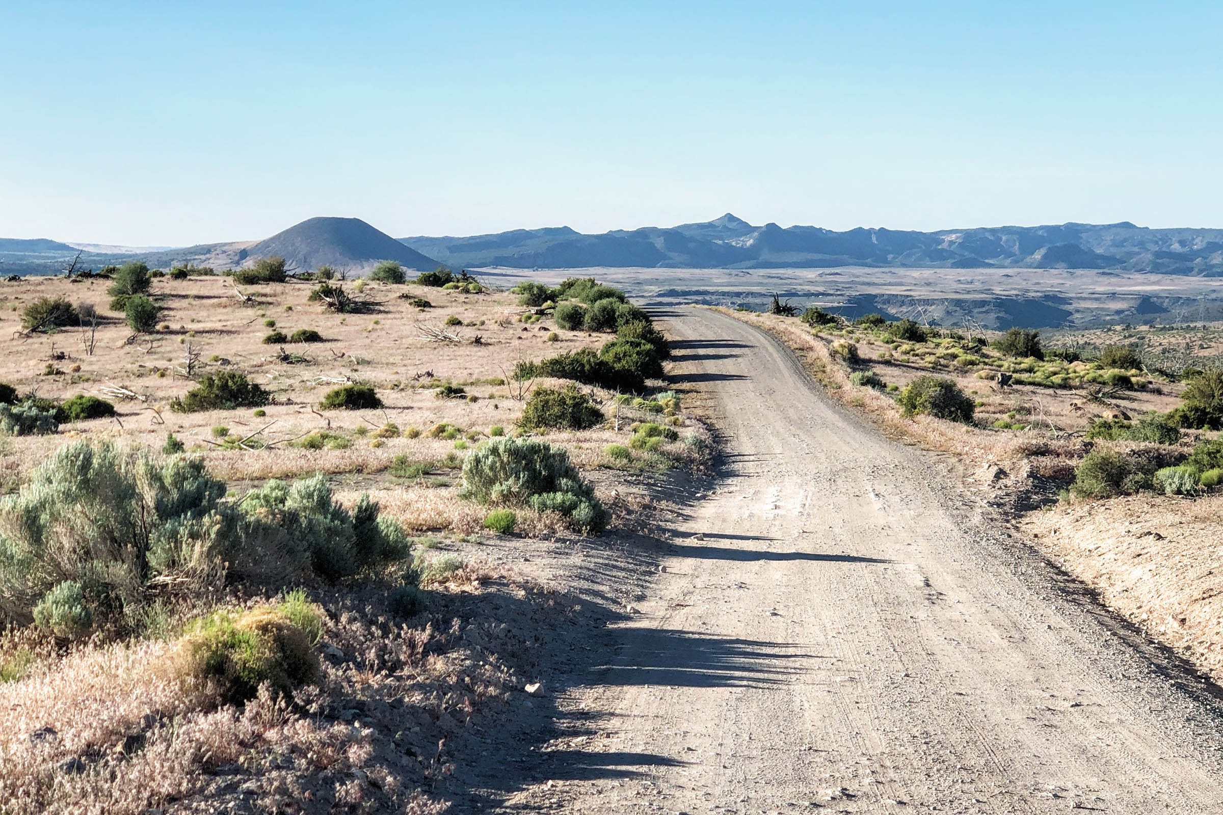
The highlight of the loop is the clouds-to-cactus descent down a rugged, remote corridor road through the rarely visited Cougar Canyon, Slaughter Creek, and Doc’s Pass Wilderness Areas. Steep canyons rich with geological history and opportunities for wildlife viewing are densely covered with clues indicating departure from the mountains and arrival in the desert.
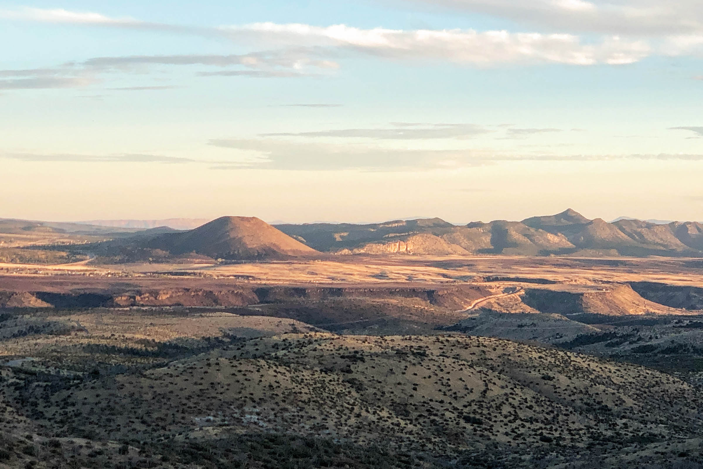
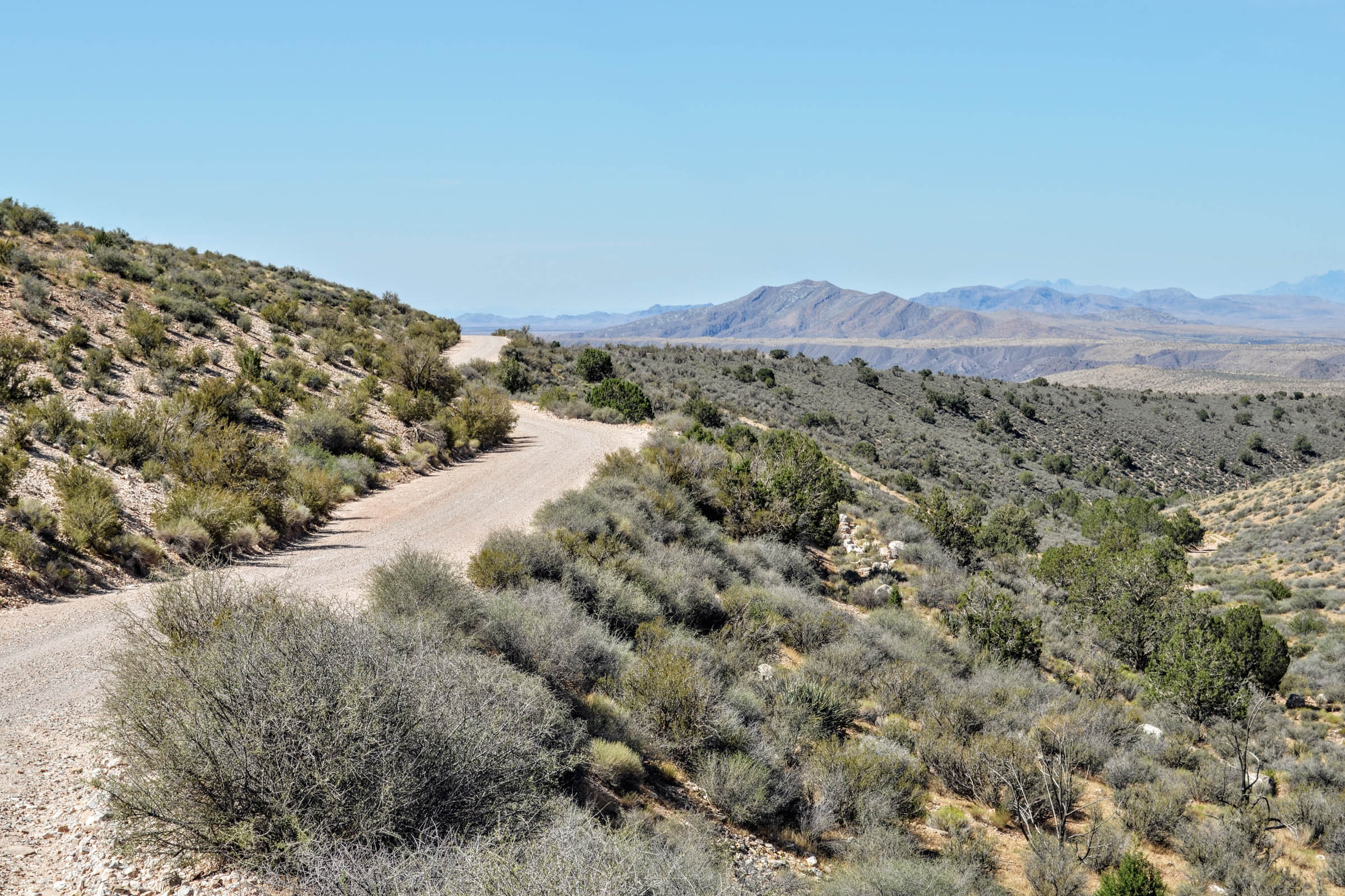
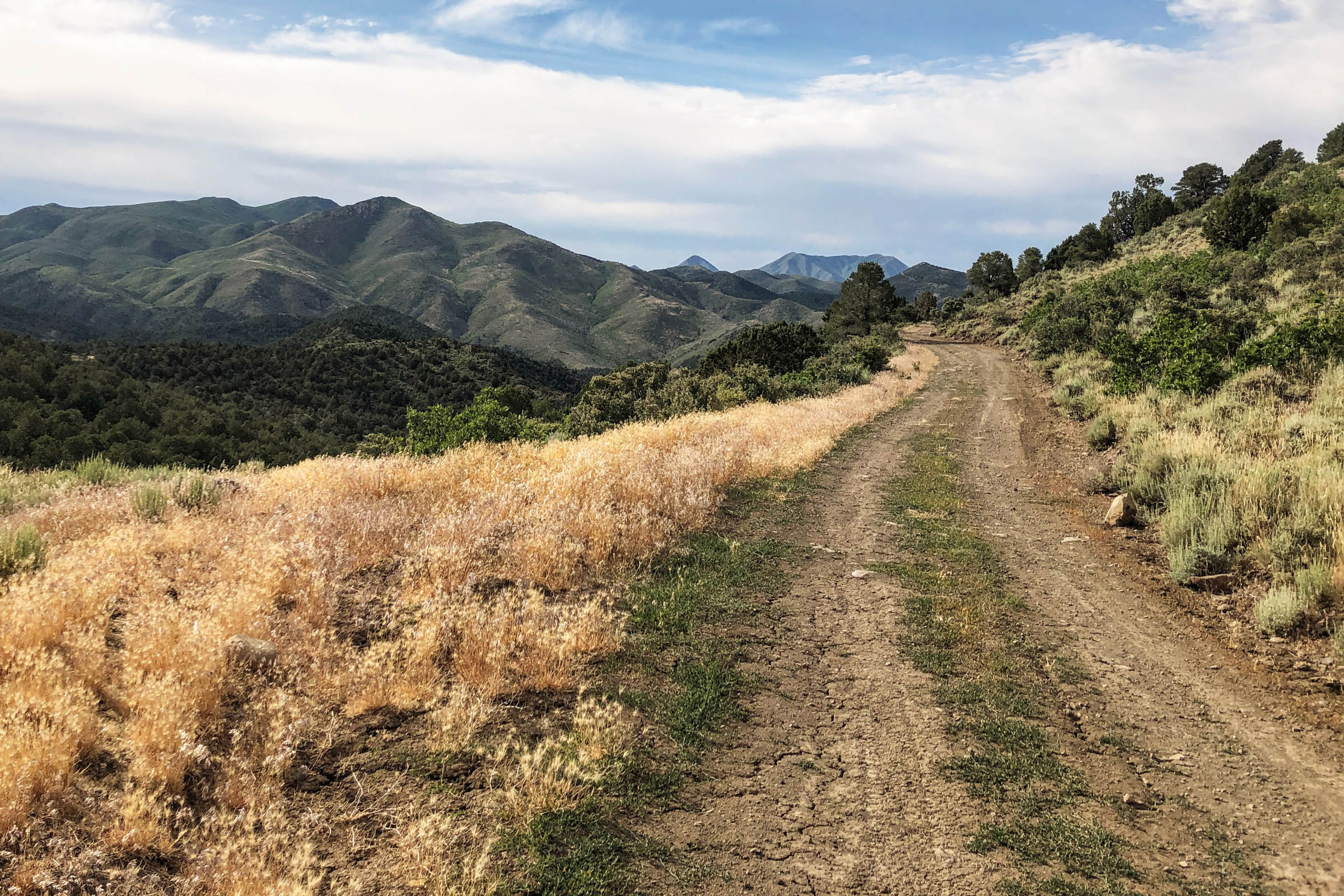
From here, the views expand as the loop rounds Square Top Mountain and steers north through an otherworldly landscape of red rocks and Joshua trees on a road known locally as the “Manganese Road.” Advocacy note: In 2019, the State of Utah submitted a controversial application to the BLM claiming title to these 10 miles that, if successful, could have opened the door to widen and pave tens of thousands of miles of dirt roads and trails, effectively shrinking public lands and preventing wilderness protection. The application was quietly withdrawn in 2021 but served as a sobering reminder of the vigilance required to keep public lands in public hands.
After miles of arid desert, Gunlock Reservoir is a welcome water source. The route then continues past Red Mountain Wilderness and Veyo Volcano before returning to its starting point.
Route Difficulty
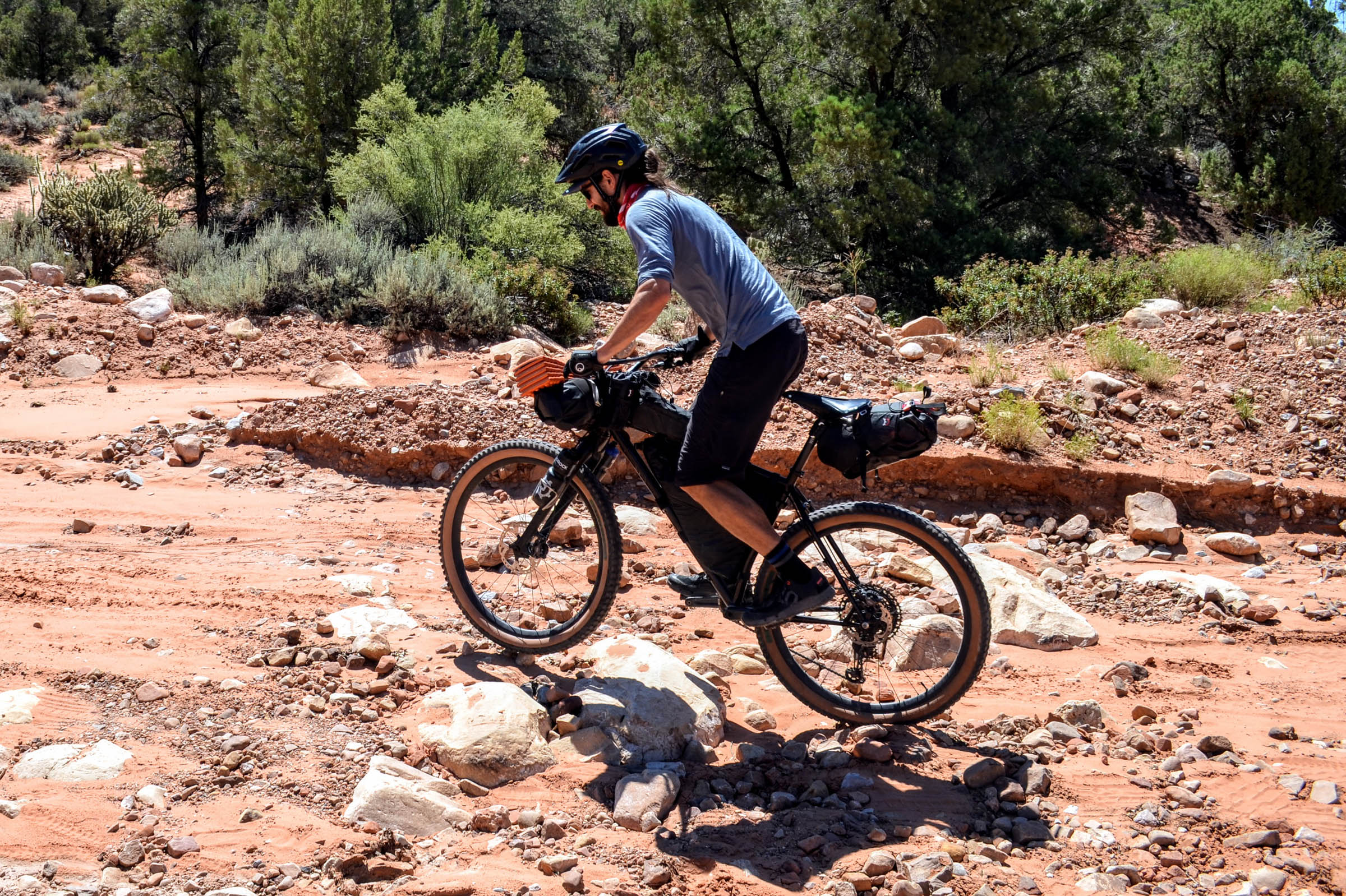
The route is rated 6 of 10 for difficulty, primarily due to the 10,000+ feet of climbing packed into 80ish miles. Technical difficulty is 5 of 10, as some sections are chunky or sandy. Mountain bikes are recommended, but suspension isn’t necessary. Physical demand is 7 of 10. Climbing from cactus to aspens is challenging but rewarding. Resupply and logistics is 4 of 10. With free dispersed camping and plenty of water along the route, planning is straightforward. Prepare to carry all your food, as there won’t be opportunities for resupply. Note: Miles 1-30 are relatively untechnical (4 of 10), lowering the overall route difficulty to 5 of 10 if completed on its own as an out-and-back.
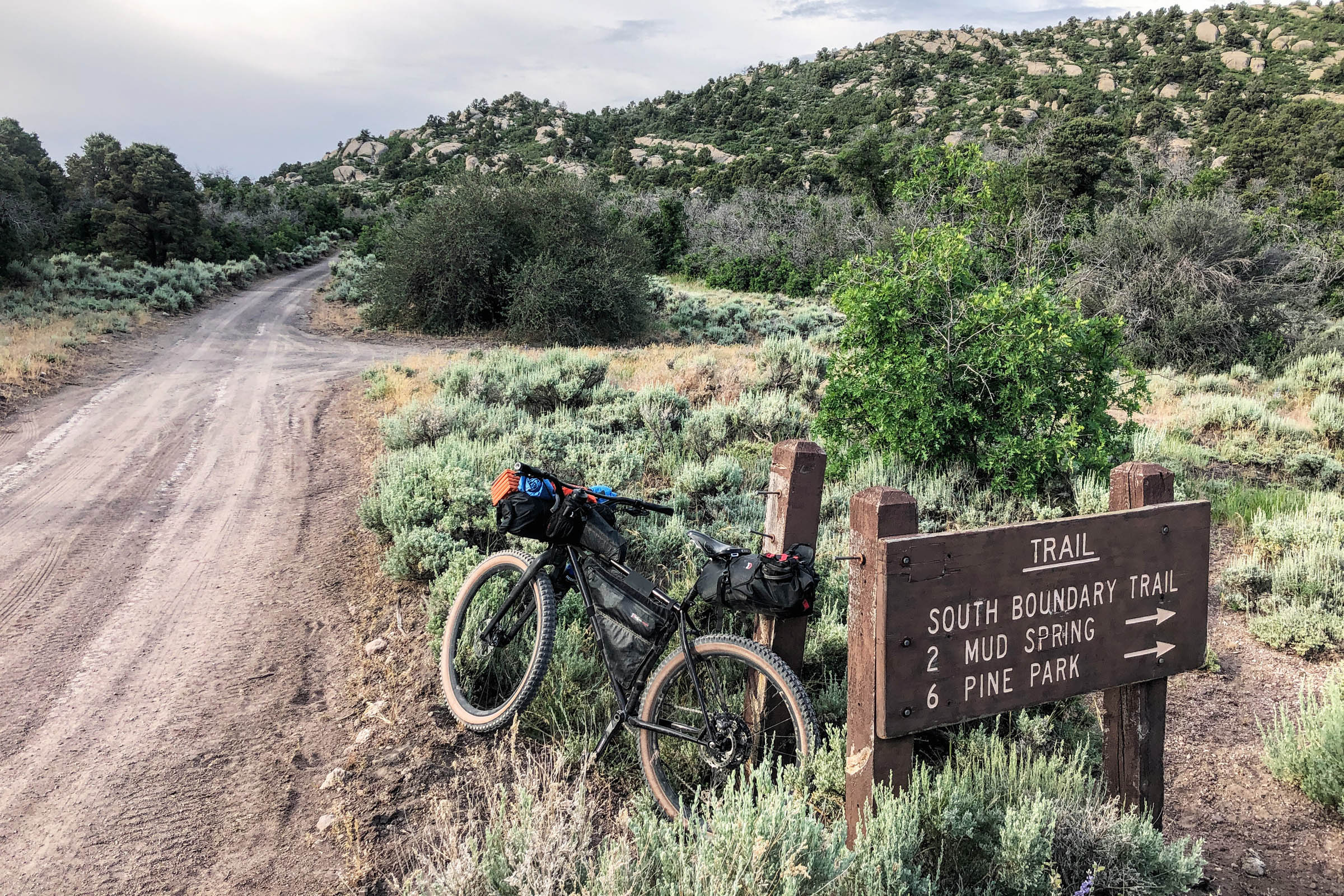
Route Development: Miles 1-20 follow the Volcano Fire Road Gravel Grinder course. Miles 54-59 briefly overlap the True Grit Gravel Epic.


Submit Route Alert
As the leading creator and publisher of bikepacking routes, BIKEPACKING.com endeavors to maintain, improve, and advocate for our growing network of bikepacking routes all over the world. As such, our editorial team, route creators, and Route Stewards serve as mediators for route improvements and opportunities for connectivity, conservation, and community growth around these routes. To facilitate these efforts, we rely on our Bikepacking Collective and the greater bikepacking community to call attention to critical issues and opportunities that are discovered while riding these routes. If you have a vital issue or opportunity regarding this route that pertains to one of the subjects below, please let us know:
Highlights
Must Know
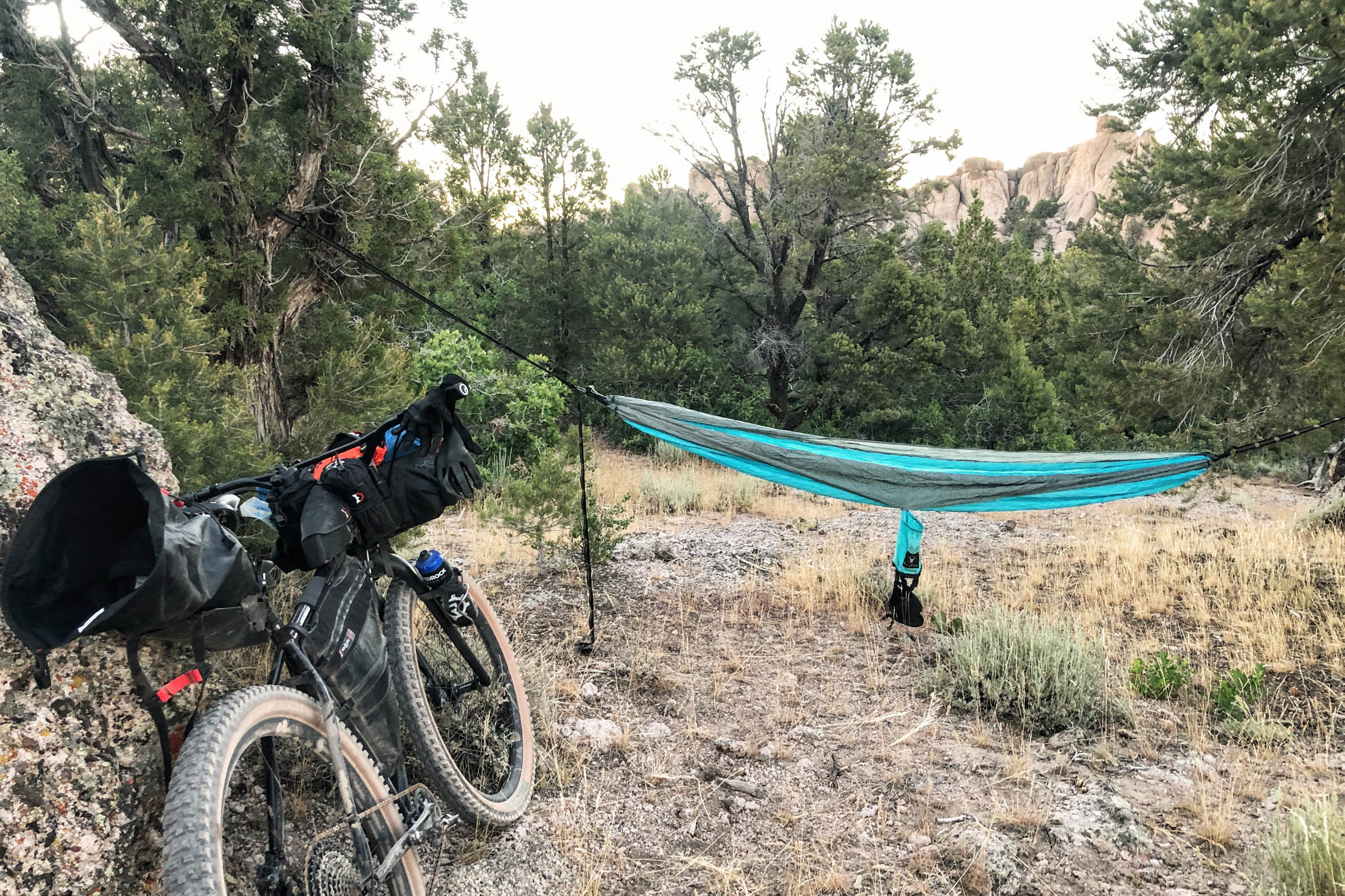
Camping
Food/H2O
Trail Notes
Resources
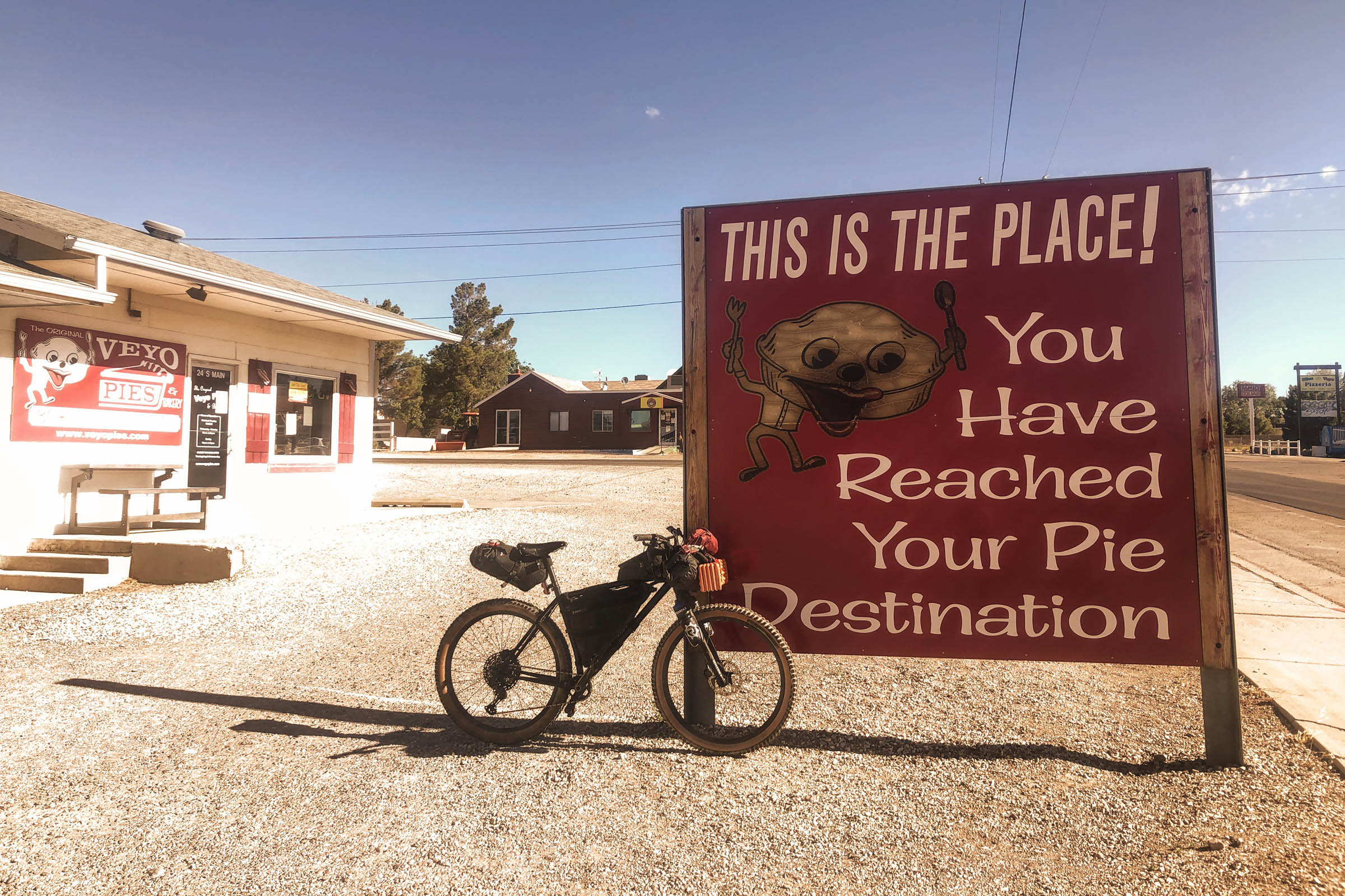
- Veyo Pie. One slice when you depart, one slice when you return.
- Diversity of terrain. Sample the Colorado Plateau, Great Basin, and Mojave Desert.
- The clouds-to-cactus descent. How many places in the world can you descend from aspens to Joshua trees?
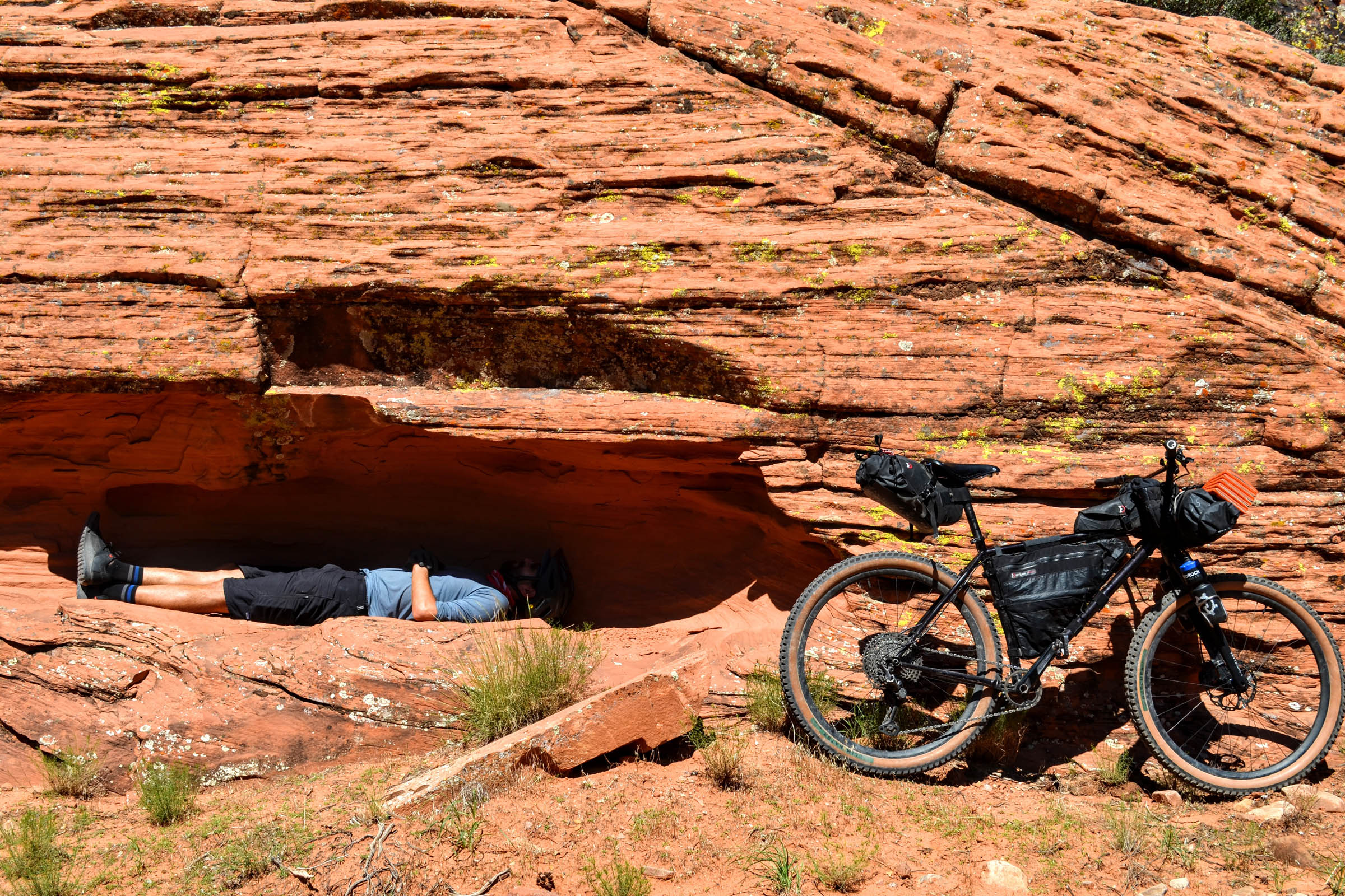
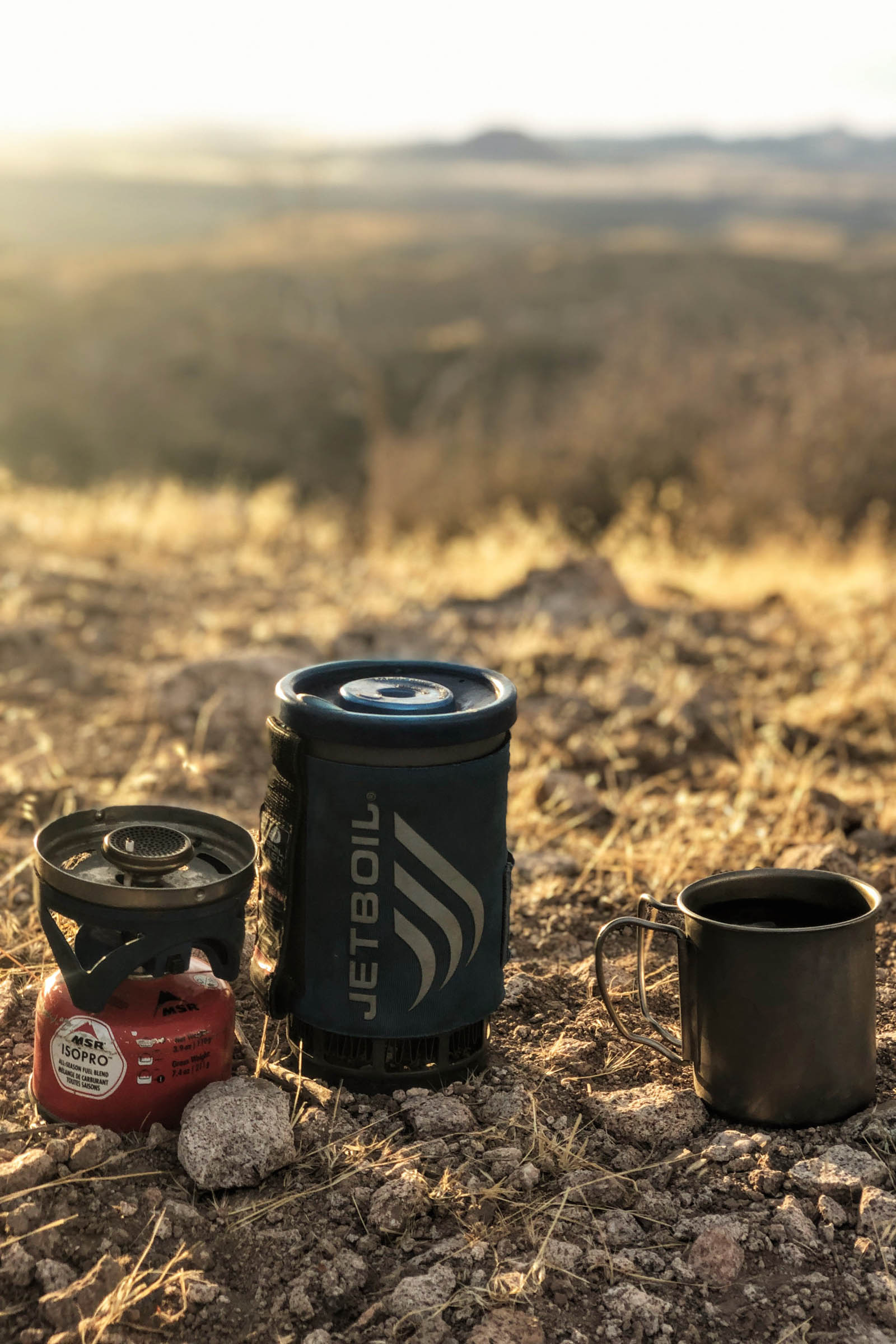
- Free camping under the stars. See the Milky Way. No reservation needed.
- Cool off in one of four reservoirs.
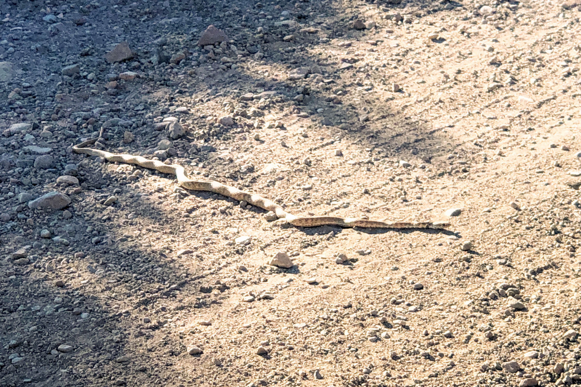
- Wildlife. Keep an eye out for elk, deer, ringtails, foxes, rattlesnakes, and mountain lions.
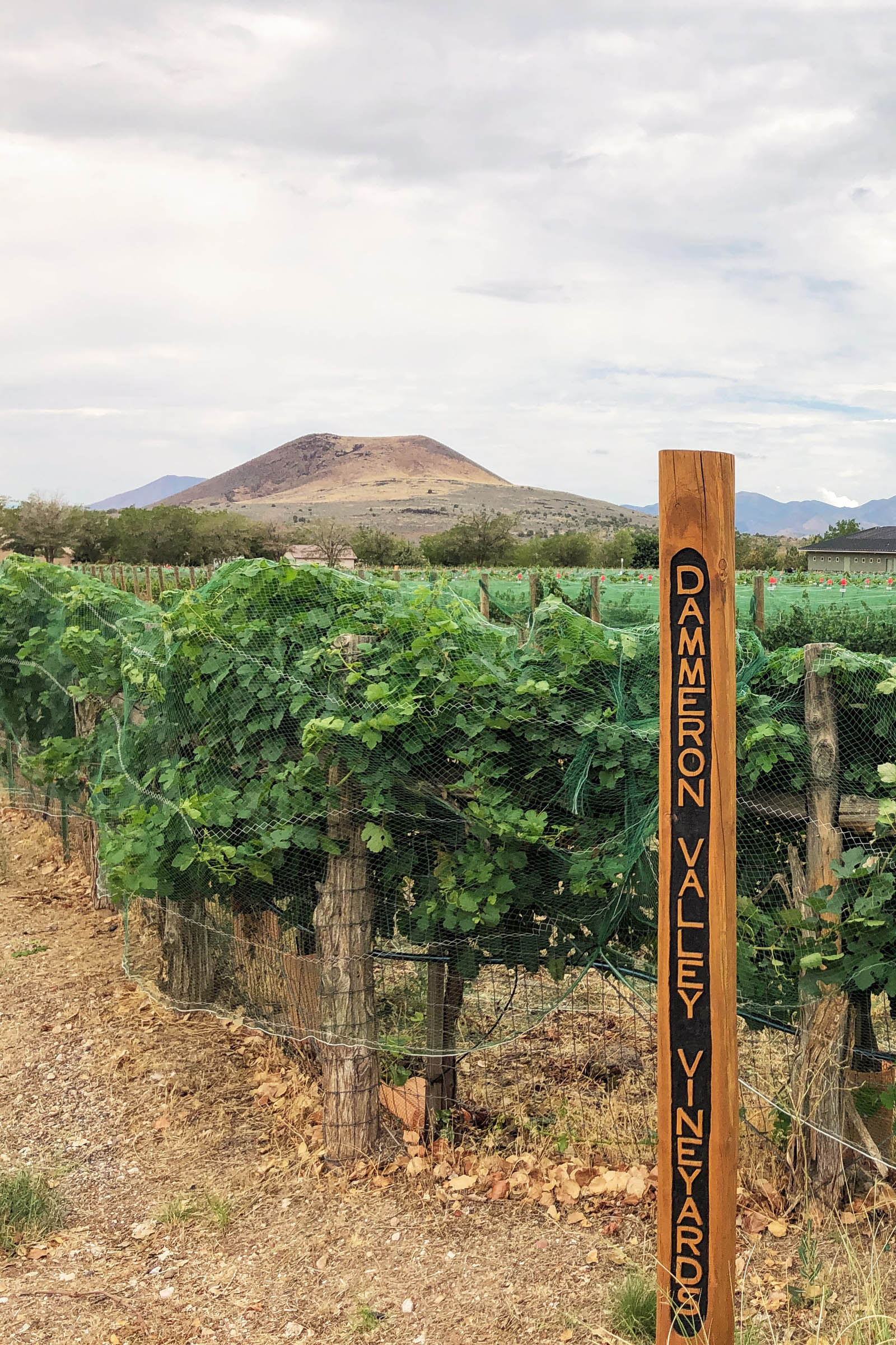
- Bold & Delaney Winery. Taste local wine grown below Veyo Volcano.
- When to go: Ride the complete loop in spring or fall. Summers can be prohibitively hot in the desert, while winters can be unrideable in the mountains. See trail notes for seasonal alternates.
- No permits or reservations required. Camping is free in Dixie National Forest (miles 6-30) and on BLM land (miles 30-68).
- Bike shops, food, lodging, and transportation are available in St. George, Utah.
- Check road conditions before you go. After heavy rain, most dirt roads in this area turn to death mud, rendering them unrideable.
- Fall is hunting season. Contact Dixie National Forest for dates, and plan to pack some orange clothing.
- No fees, permits, or reservations required for dispersed camping in Dixie National Forest (miles 6-30) and on BLM land (miles 30-68). Fire restrictions may be in effect.
- Pay to camp at Honeycomb Rocks (mile 20) or Gunlock State Park (mile 70).
- Fresh running water is available at miles 20 and 70, so it isn’t necessary to pack a water filter unless you plan to refill at creeks, springs, or one of four reservoirs along the route.
- There are minimal opportunities for food resupply, with a few exceptions: (1) you start/finish somewhere other than Veyo, making Veyo a resupply point, or (2) you catch a fish.
- Day 1 features the longest climbs, and while the route is 99% rideable, there’s no shame in hike-a-biking longer, steeper sections. There’s plenty of water along the way, especially in spring when Veyo Shoal Creek is still flowing alongside the road (miles 8-11), so it won’t be necessary to carry as much water to Enterprise Reservoir (mile 20). Aspen Spring (mile 27) is a worthy Day 1 destination goal. It’s the high point of the loop and the last chance for water on route for the next 50 miles. Day 2 features an epic descent from aspens to Joshua trees. It’s net downhill, but still has its fair share of shorter climbs mixed in. Water is harder to come by in the desert, so pack plenty of water for this stretch.
- Route alternates. You can cut the last 10 miles of dirt by turning onto the Gunlock Road at mile 70 and taking it directly back directly back to Veyo. Summer option: miles 1-30 can make a great beginner-friendly out-and-back (60 miles roundtrip). This section can also be completed on a gravel bike, for what it’s worth. Winter option: if conditions are dry, ride miles 38-80 as and out-and-back (84 miles roundtrip) in the opposite direction. Mountain bike recommended for this section.
Additional Resources
- Visit Southern Utah Wilderness Alliance’s website to learn more about “hoax highways” at suwa.org
- Consider donating to Conserve Southwest Utah to help preserve these areas for future generations at conserveswu.org
- Find more information from the Bureau of Land Management (blm.gov/office/st-george-field-office) and Dixie National Forest (fs.usda.gov/dixie)


Terms of Use: As with each bikepacking route guide published on BIKEPACKING.com, should you choose to cycle this route, do so at your own risk. Prior to setting out check current local weather, conditions, and land/road closures. While riding, obey all public and private land use restrictions and rules, carry proper safety and navigational equipment, and of course, follow the #leavenotrace guidelines. The information found herein is simply a planning resource to be used as a point of inspiration in conjunction with your own due-diligence. In spite of the fact that this route, associated GPS track (GPX and maps), and all route guidelines were prepared under diligent research by the specified contributor and/or contributors, the accuracy of such and judgement of the author is not guaranteed. BIKEPACKING.com LLC, its partners, associates, and contributors are in no way liable for personal injury, damage to personal property, or any other such situation that might happen to individual riders cycling or following this route.
Please keep the conversation civil, constructive, and inclusive, or your comment will be removed.