


Butte Batholith Route, Montana
Distance
95 Mi.
(153 KM)Days
3
% Unpaved
99%
% Singletrack
85%
% Rideable (time)
95%
Total Ascent
14,040'
(4,279 M)High Point
8,405'
(2,562 M)Difficulty (1-10)
7?
- 9Climbing Scale Very Strenuous148 FT/MI (28 M/KM)
- -Technical Difficulty
- -Physical Demand
- -Resupply & Logistics
Contributed By

Ryan Krueger
Guest Contributor
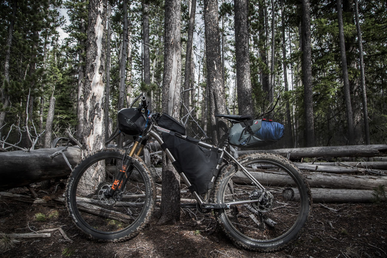
Ryan grew up in Wisconsin’s northwoods where he learned to ride singletrack, but eventually headed for the hills of Montana where he currently lives in Bozeman. When he’s not lost on a bike in the Gallatin National Forest, he can be found drifting down a river in the wilderness or wallowing in snow searching for an untracked line. See more of his work at ryankrueger.com and on Instagram @ryankrueger.
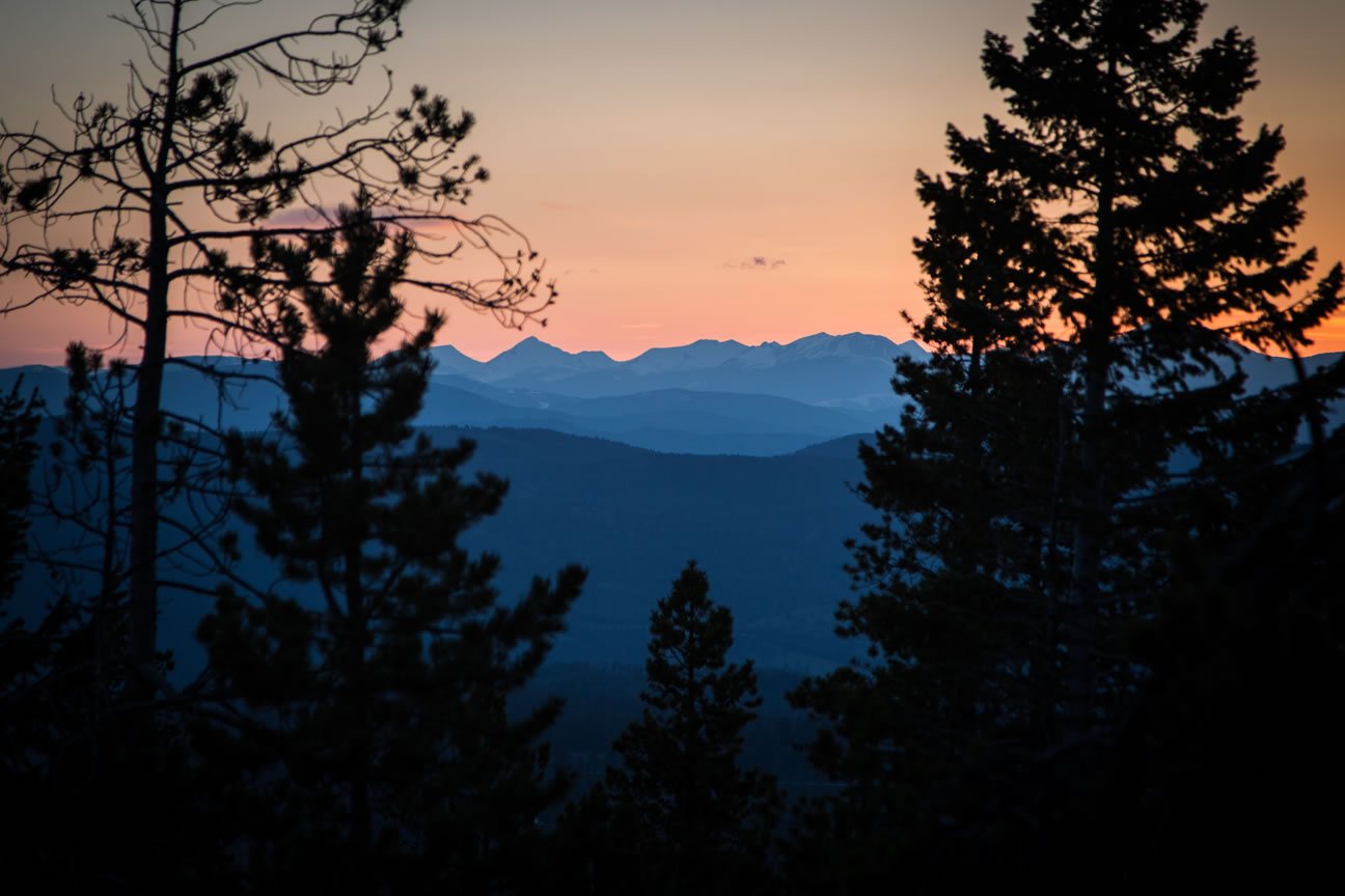
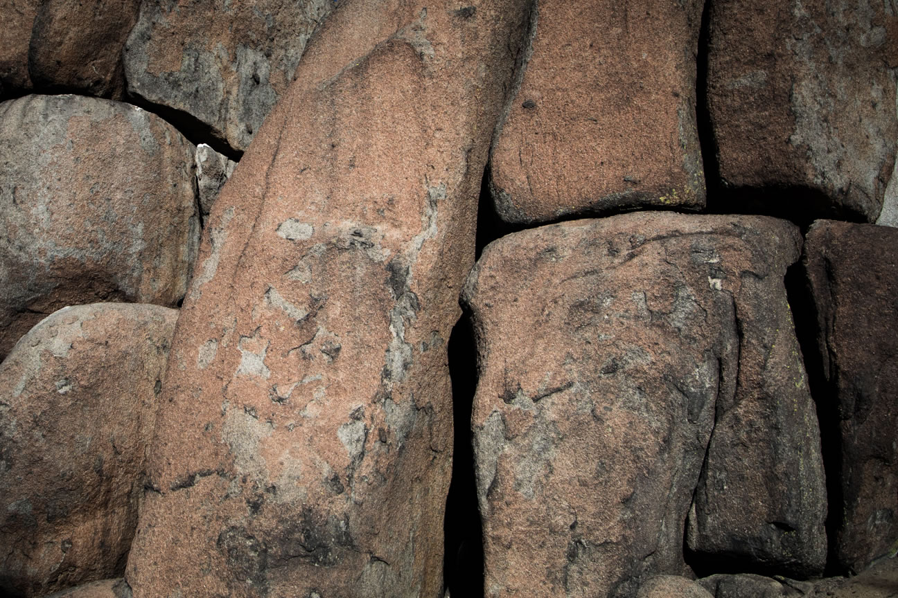
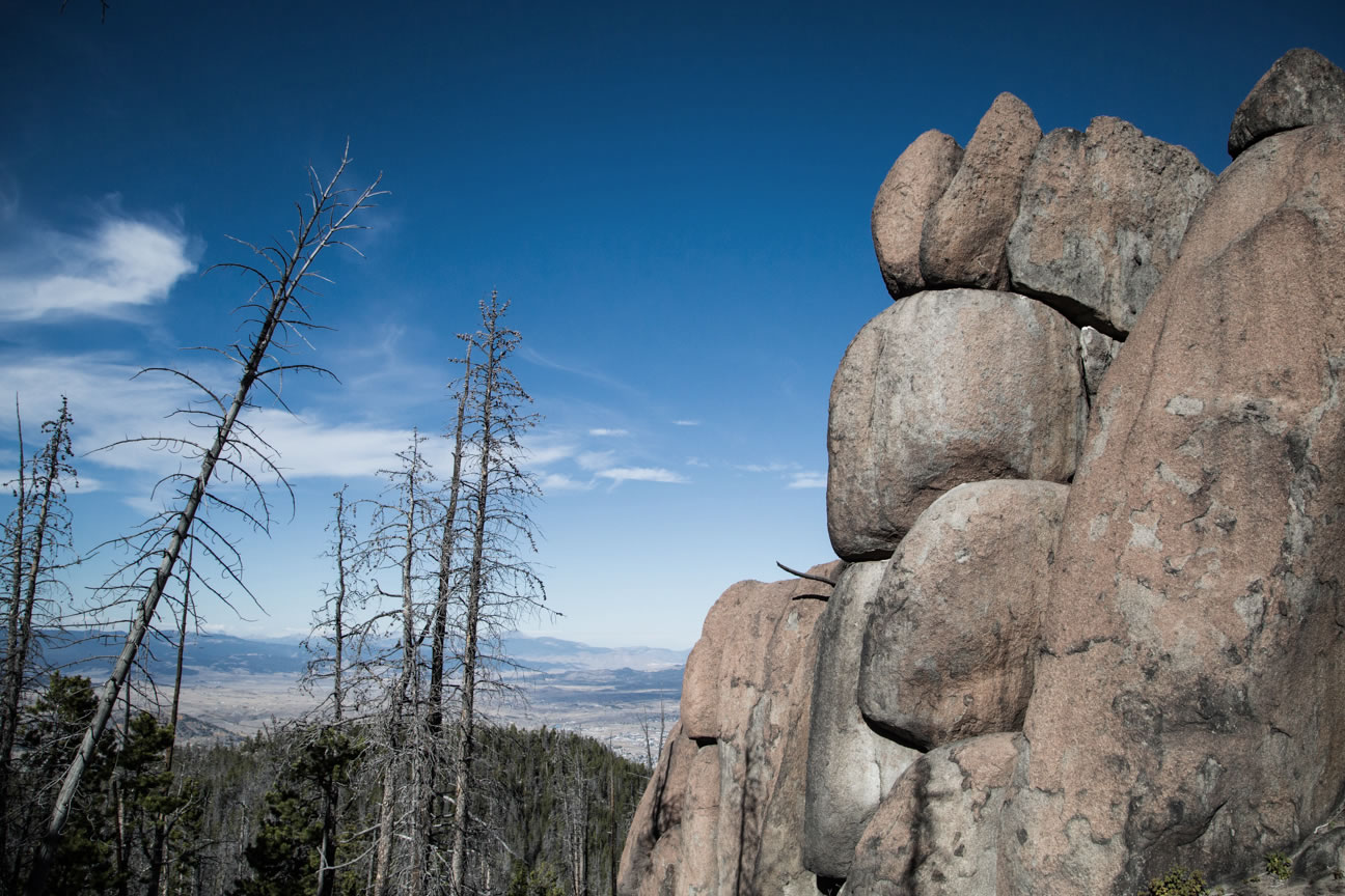
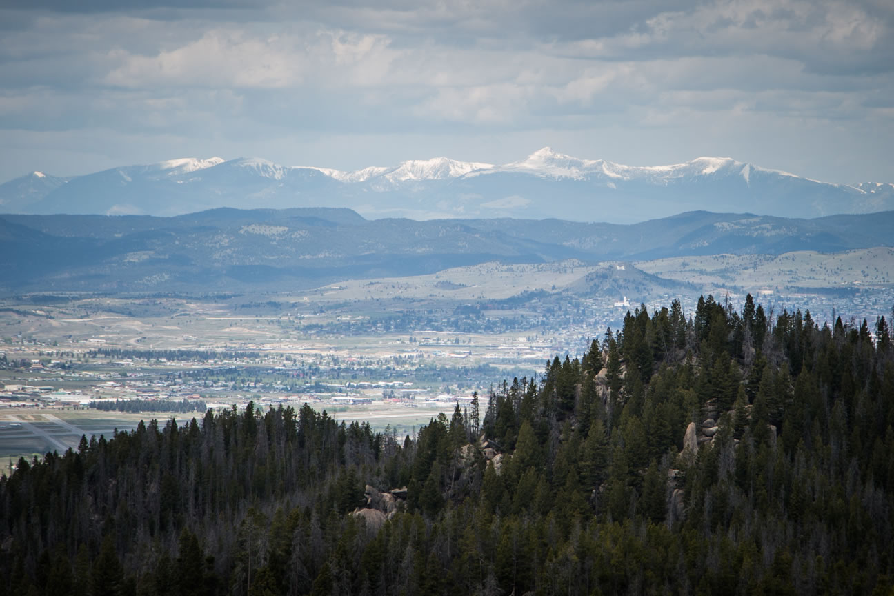
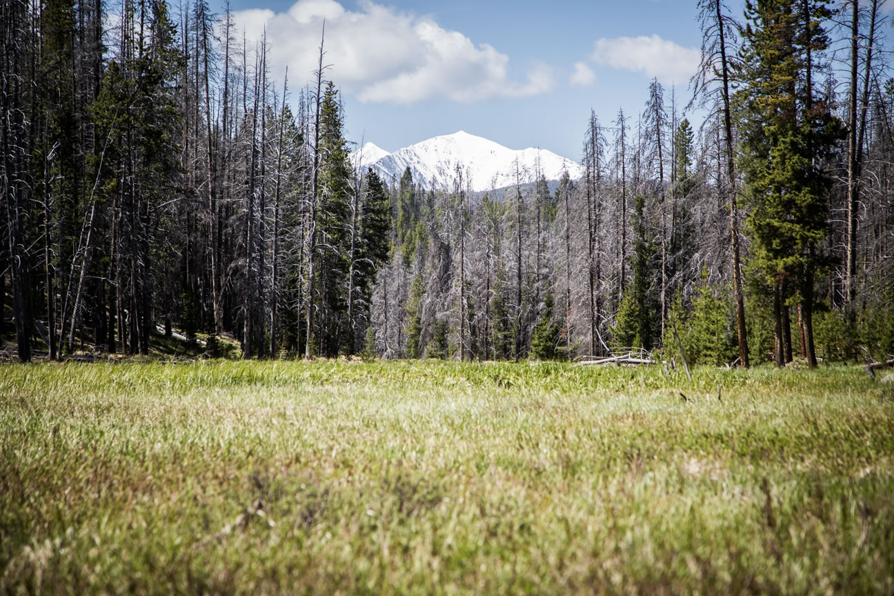
Nearby Butte, also known as “The Richest Hill on Earth”, is a classic Montana mining town that became one of the largest boomtowns in the nation in the late 19th century as a thriving copper mining town. While this route is generally remote, riders may occasionally view this characteristic town from afar on various high points.
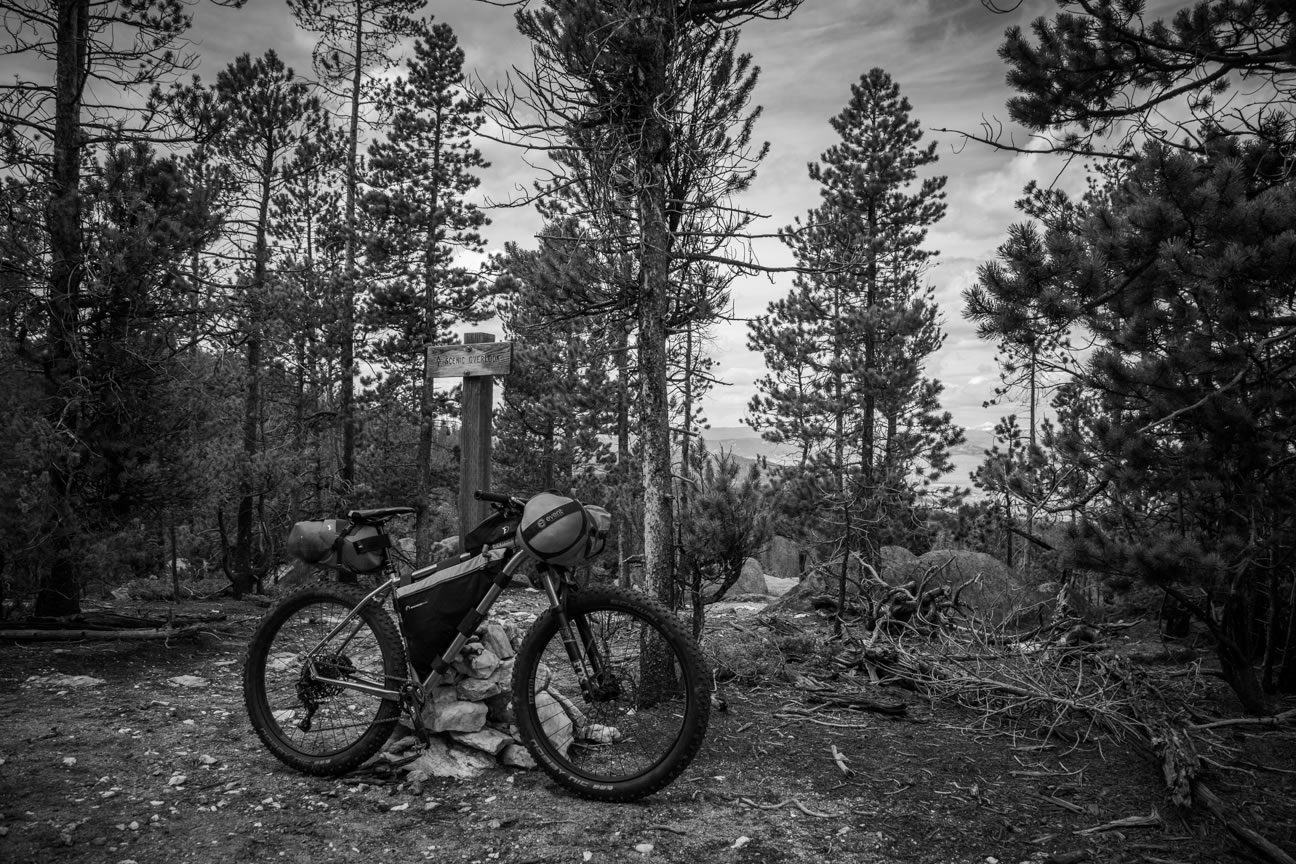
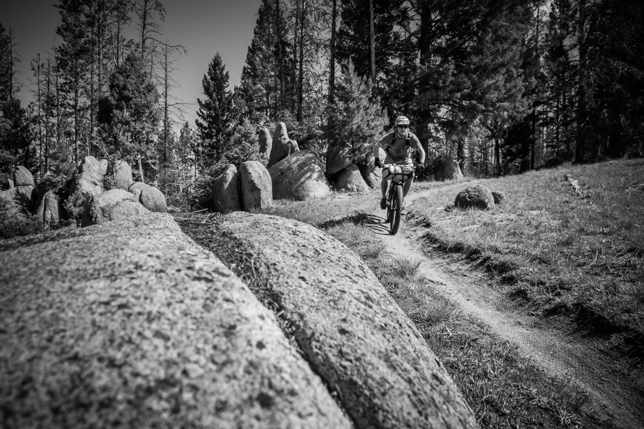
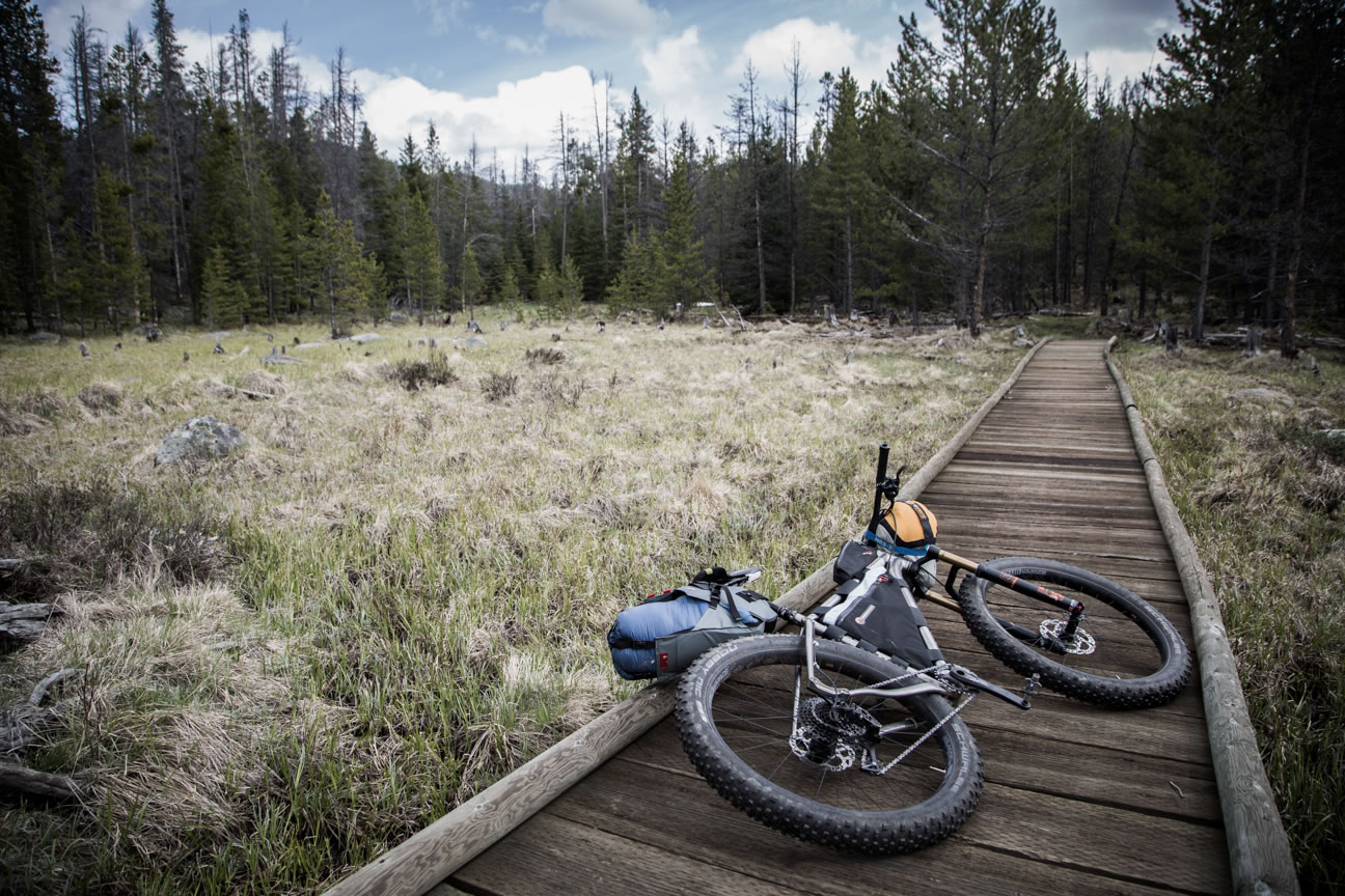
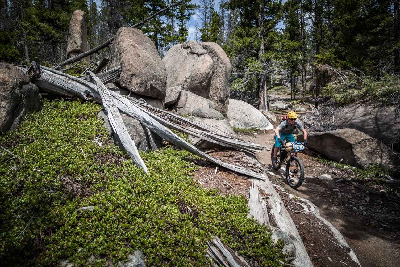
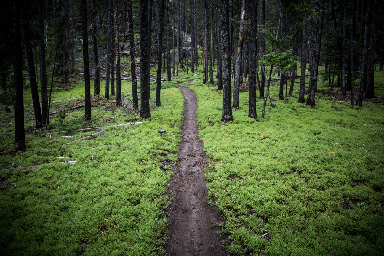
This ride can be brutal at times, but the difficulty is always rewarded with rollercoaster singletrack and dramatic views. While the route consists of numerous miles along the CDT, none of these sections of trail are found along the popular Great Divide Mountain Bike Route, which takes a different, more direct route through this area. To access the start, head to the Sagebrush Flats Trailhead in Thompson park on the west side of Pipestone Pass (Highway 2) near Butte.


Submit Route Alert
As the leading creator and publisher of bikepacking routes, BIKEPACKING.com endeavors to maintain, improve, and advocate for our growing network of bikepacking routes all over the world. As such, our editorial team, route creators, and Route Stewards serve as mediators for route improvements and opportunities for connectivity, conservation, and community growth around these routes. To facilitate these efforts, we rely on our Bikepacking Collective and the greater bikepacking community to call attention to critical issues and opportunities that are discovered while riding these routes. If you have a vital issue or opportunity regarding this route that pertains to one of the subjects below, please let us know:
Highlights
Must Know
Camping
Food/H2O
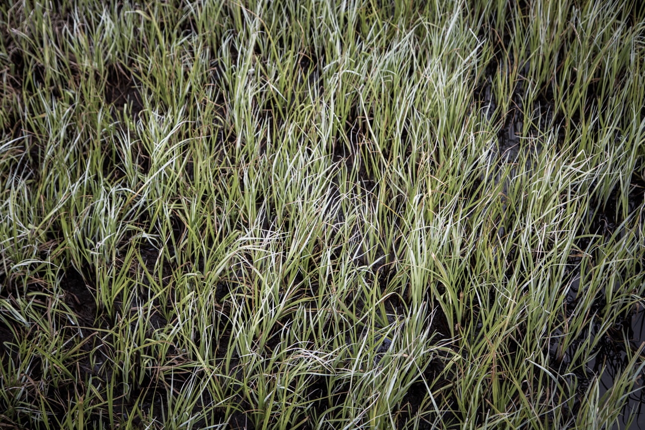
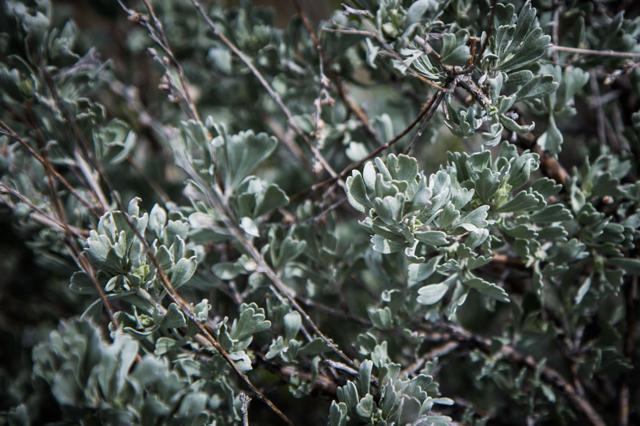
- Ride through the unique geology of the “Boulder Batholith” granite formations.
- Follows along the Continental Divide National Scenic Trail.
- Abandoned mining ruins.
- Multiple long descents on smooth, top quality singletrack.
- Incredible views of the Highland Mountains.
- Rideable late June-September.
- Early season riders may encounter impassable snow and deadfall.
- Brutal ATV trail climbing exists near Delmoe Lake for ~3 miles.
- Avoid the area between Homestake Pass and Delmoe Lake on holidays and busy weekends. Possible heavy motorized use in this area only.
- Despite highway intersections, wild and remote terrain exists throughout.
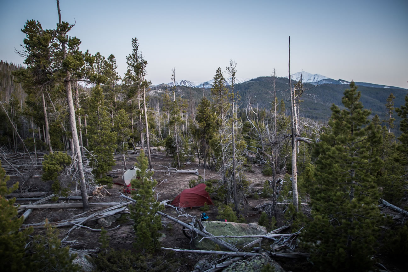
- Wild camping is available on the majority of the route. Leave no trace.
- Flat open forests are ideal for setting up camp most places.
- Pit toilets available at the beginning trailhead and at the trailhead on the north side of Homestake Pass.
- No food resupply available on the route.
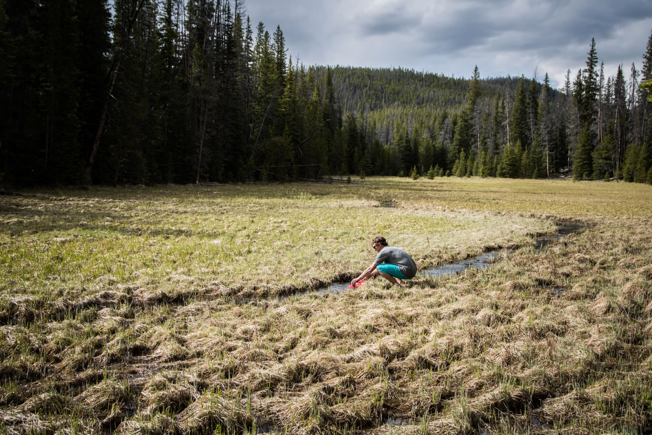
- Limited natural flowing water available dependent on season.
- Creeks flow in the early season and may dry up mid-late summer.
- Ponds and lakes exist year-round, water quality is uncertain.


Terms of Use: As with each bikepacking route guide published on BIKEPACKING.com, should you choose to cycle this route, do so at your own risk. Prior to setting out check current local weather, conditions, and land/road closures. While riding, obey all public and private land use restrictions and rules, carry proper safety and navigational equipment, and of course, follow the #leavenotrace guidelines. The information found herein is simply a planning resource to be used as a point of inspiration in conjunction with your own due-diligence. In spite of the fact that this route, associated GPS track (GPX and maps), and all route guidelines were prepared under diligent research by the specified contributor and/or contributors, the accuracy of such and judgement of the author is not guaranteed. BIKEPACKING.com LLC, its partners, associates, and contributors are in no way liable for personal injury, damage to personal property, or any other such situation that might happen to individual riders cycling or following this route.
Please keep the conversation civil, constructive, and inclusive, or your comment will be removed.