A night on the Caja del Rio, New Mexico
Distance
61 Mi.
(98 KM)Days
1.5
% Unpaved
60%
% Singletrack
5%
% Rideable (time)
97%
Total Ascent
4,273'
(1,302 M)High Point
7,000'
(2,134 M)Difficulty (1-10)
6?
- 5Climbing Scale Moderate70 FT/MI (13 M/KM)
- -Technical Difficulty
- -Physical Demand
- -Resupply & Logistics
Contributed By
Cass Gilbert
Contributing Editor
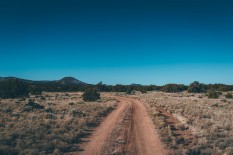
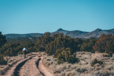
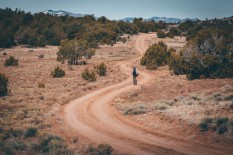
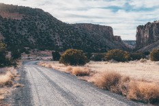
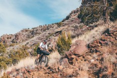
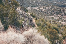
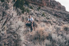
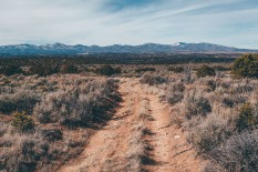
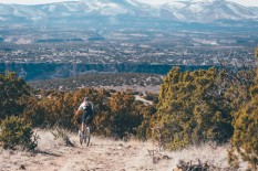
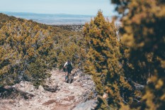
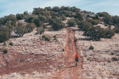
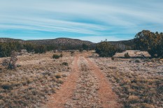
Indeed, despite its relatively small size, opportunities for bikepacking abound on the Caja. Most of the riding takes place on classic New Mexican dirt roads (note to self: avoid the area at all costs during snowmelt or the monsoon season due to demonic mud). The ride listed makes for a relatively mellow, easy going loop, bar the beautiful but very rambunctious, rock strewn Soda Springs descent – remnants of an old pack that spirals down off the Sagebrush Flats, all the way to the banks of the Rio Grande. Wonderfully remote, it’s still used by wild horses to gain access to the river. Depending on your biking skills, it may require some dismounting. See Trail Notes for a more newbie/family friendly reroute, as this segment will certainly be out of some bikepackers’ comfort zone, especially on laden bikes.
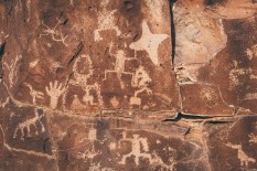
Adding further interest to the Caja’s baked dirt roads, there’s an intriguing series of petroglyphs at La Cieneguilla, thought to have been whittled into the rocks by the Keresan-speaking puebloan people, between the 13th and 17th centuries. The singletrack climb to see them doubles up as the stairwell up to the mesa, with a more direct hike-a-bike option too. If you want learn more about New Mexican history and culture, consider allowing a couple of hours to check out the fascinating ‘living museum’ at Rancho de Las Golondrinas.
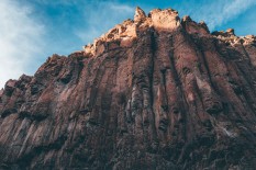
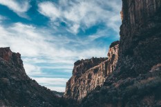
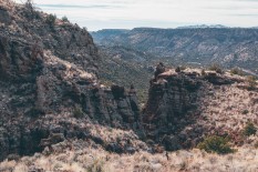
The ride later passes by the imposing Diablo Canyon – where you can crane your neck up at a towering set of volcanic flutes, popular with local climbers. If you’re aboard a fat bike, riding along the sandy arroyo that cuts through it is a memorable experience.
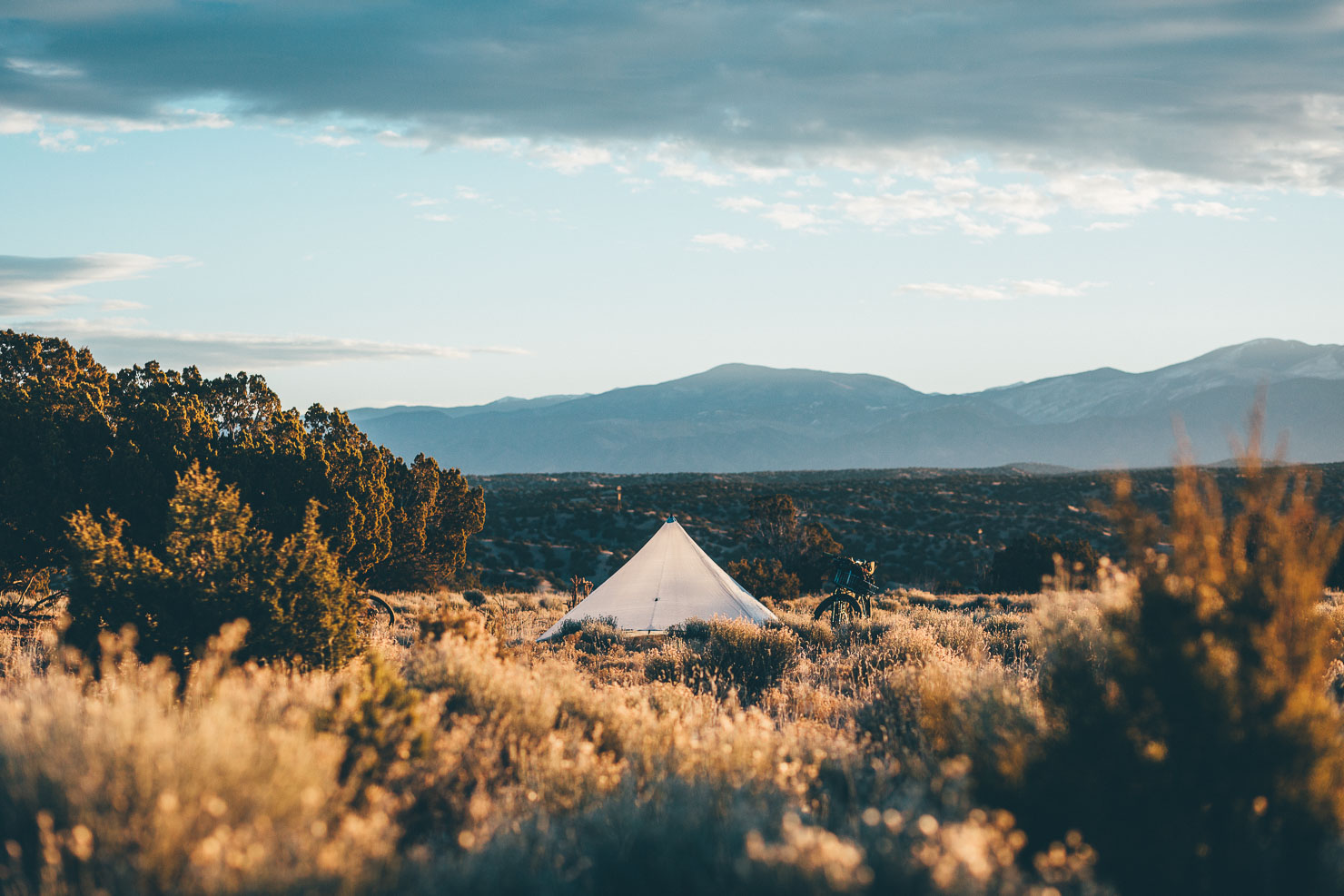
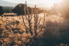
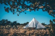
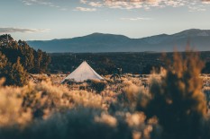
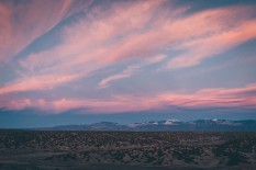
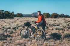
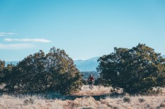
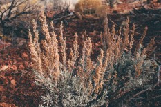
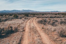
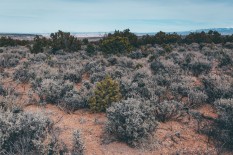
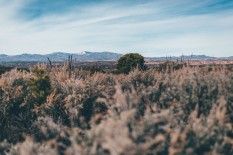
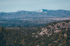
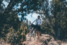
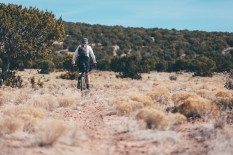
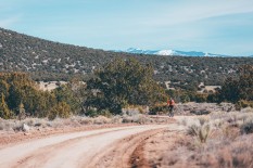
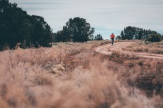
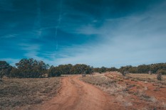
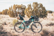
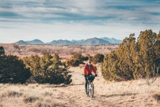
The Caja is a peaceful plateau, where you can pitch a tent almost anywhere you desire, enjoy star filled skies at night, and be lulled to sleep by the sound of coyotes. The distant mountain scenery is complimented by the soft hues of sagebrush, juniper trees and cholla cacti. Altitudes hover at around 6,000 – 7,000ft, so if you’re coming from out of state, bear this in mind. Bear in mind too that New Mexican dirt roads can chop and change in character, so don’t be surprised to encounter short stretches of sand and babyheads.
To avoid the ride out of town, we took the train out from Santa Fe’s Railyard to Santa Fe Country/NM 599. If you want to cycle out to the petroglyphs and connect with the route there, I’ve posted a gpx file that uses the Rail Trail and Arroyo Chamisa bike paths, along with various dirt road shortcuts here. This would add around 10 miles to the journey but miss the Rancho de Las Golondrinas – see Trail Notes for more info.
 This route is part of the Local Overnighter Project, which was created to expand our growing list of worldwide bikepacking routes—the first and largest of its kind—and create an independent map and catalog of great bikepacking overnighters, curated by you, from your own backyard. Our goal is to have accessible routes from every town and city in the world. Learn More
Submit Route Alert
As the leading creator and publisher of bikepacking routes, BIKEPACKING.com endeavors to maintain, improve, and advocate for our growing network of bikepacking routes all over the world. As such, our editorial team, route creators, and Route Stewards serve as mediators for route improvements and opportunities for connectivity, conservation, and community growth around these routes. To facilitate these efforts, we rely on our Bikepacking Collective and the greater bikepacking community to call attention to critical issues and opportunities that are discovered while riding these routes. If you have a vital issue or opportunity regarding this route that pertains to one of the subjects below, please let us know:
Highlights
Must Know
Camping
Food/H2O
Trail Notes
Resources
- Classic New Mexican scenery, geology and flora.
- The whirlygig Soda Springs Trail; a remote, technical slice of loose and rocky singletrack set to a stunning backdrop.
- The imposing Diablo Canyon, which rises tall and sheer from the sandy arroyo floor.
- Endless camping opportunities and almost guaranteed starry nights.
- Timing wise, this route works well as an overnighter. To avoid the ride out of town, we hopped on the weekday 7:13AM train ($3) from Santa Fe, disembarking at Santa Fe County/NM 599 (on Saturday, there’s a 10.44am train too, and if you’re coming from the south, you can ride the train from Albuquerque). We were back in Santa Fe by about 11am the next day. With more time to spare, you could stop to take a hike through Diablo Canyon, or pause to visit the fascinating Rancho de Las Golondrinas, a living history museum based around New Mexican history and culture.
- The descent to the Rio Grande takes on a distinctly gnarly flavour, and will most likely require some dismounting and careful navigating, as the trail is faint in places. The rest of the ride is mostly mellow, with brief moments of ‘Gnarlito’ (homebrew Spanish for “Little Gnarly”) roads, which may require the odd push and shove.
- Expect a short hike a bike back up to the mesa at Dead Dog Well, along a trail maintained by the Santa Fe Fat Tire Society.
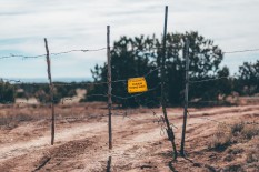
- New Mexican dirt roads are buffed and fast when the sun is shining. In complete contrast, they should be avoided at all costs after rain and during snow melt, or you’ll quickly find yourself completely immobilised within moments… As such, this area is probably best avoided during the monsoon season, which runs from mid July to mid September.
- New Mexico is mined with spiky cacti and overrun with goat heads. Be sure to run sealant in your inner tubes, or better still, set your tires up tubeless.
- Most of the Caja is National Forest, so opportunities abound.
- Diablo Canyon has primitive camping sites, available for free.
- Bring all the water and food you’ll need. There ain’t nothing on the Caja…
- Santa Fe has a Trader Joe’s, Albertsons, Whole Foods and all the usual suspects.
- A couple of good restaurants in Santa Fe include Counter Culture (cash only) and Tune Up Cafe. Be sure to try out some green chile!
There are many ways to tweak this ride. Riding out from Santa Fe – rather than taking the train to Santa Fe County/NM 599 – would add a further 10 miles. This addition would be largely traffic free, if you follow the Rail Trail and the Arroyo Chamisa bike paths, before hopping on various dirt road shortcuts to the airport, followed by a pavement along the Paseo Real. This road meets the car park that leads to the petroglyphs, from where you could pick up the route. You can find a GPX file from the Santa Fe Railyard to the La Cieneguilla Petroglyphs here. Note that the file includes two ways up to the mesa; directly through the petroglyphs (a short hike a bike) or via a longer, gentler path.
To shorten the route, keeping to dirt rather than the extremely loose and technical singletrack of the Soda Springs trail, cut through the Twin Hills – as shown by the marker on the GPX file – to connect back with CR 24, without dropping down to the Rio Grande. Doing so would actually turn this into a great ride for newbie bikepackers, or even a family loop – especially if you work in a visit to the living museum at Rancho de Las Golondrinas. Total distance would then be around 42 miles.
If you’re coming from Albuquerque, you could always get off the train at Kewa, and ride up La Bajada (big rocks!), connecting with the route further to the north. It would then just be a short backtrack to explore the La Cieneguilla Petroglyphs.
Fat bike riders can hop into the arroyo that runs parallel to Buckman Road, as marked on the GPX file. It will lead you straight through Diablo Canyon.
Additional Resources
- The Broken Spoke is an excellent bike shop for repairs, spares and local trail knowledge. It also rents fat bikes, set up tubeless.
- Just off the plaza, Mellow Velo is another great shop well worth checking out, with a range of mountain bikes to rent to suit all pockets.
- If you’re planning on using the Railrunner train, be sure to check the timetable, as the schedule can be patchy.
Terms of Use: As with each bikepacking route guide published on BIKEPACKING.com, should you choose to cycle this route, do so at your own risk. Prior to setting out check current local weather, conditions, and land/road closures. While riding, obey all public and private land use restrictions and rules, carry proper safety and navigational equipment, and of course, follow the #leavenotrace guidelines. The information found herein is simply a planning resource to be used as a point of inspiration in conjunction with your own due-diligence. In spite of the fact that this route, associated GPS track (GPX and maps), and all route guidelines were prepared under diligent research by the specified contributor and/or contributors, the accuracy of such and judgement of the author is not guaranteed. BIKEPACKING.com LLC, its partners, associates, and contributors are in no way liable for personal injury, damage to personal property, or any other such situation that might happen to individual riders cycling or following this route.
Please keep the conversation civil, constructive, and inclusive, or your comment will be removed.


