


Caldera 500
Distance
480 Mi.
(772 KM)Days
15
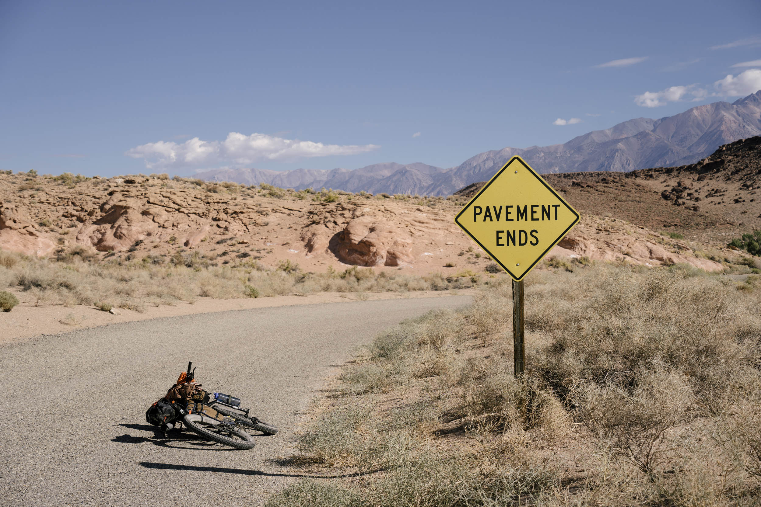
% Unpaved
80%
% Singletrack
12%
% Rideable (time)
90%
Total Ascent
60,000'
(18,288 M)High Point
11,650'
(3,551 M)Difficulty (1-10)
9?
- 8Climbing Scale Strenuous125 FT/MI (24 M/KM)
- 7Technical Difficulty Difficult
- 10Physical Demand Very Difficult
- 6Resupply & Logistics Moderate
Contributed By
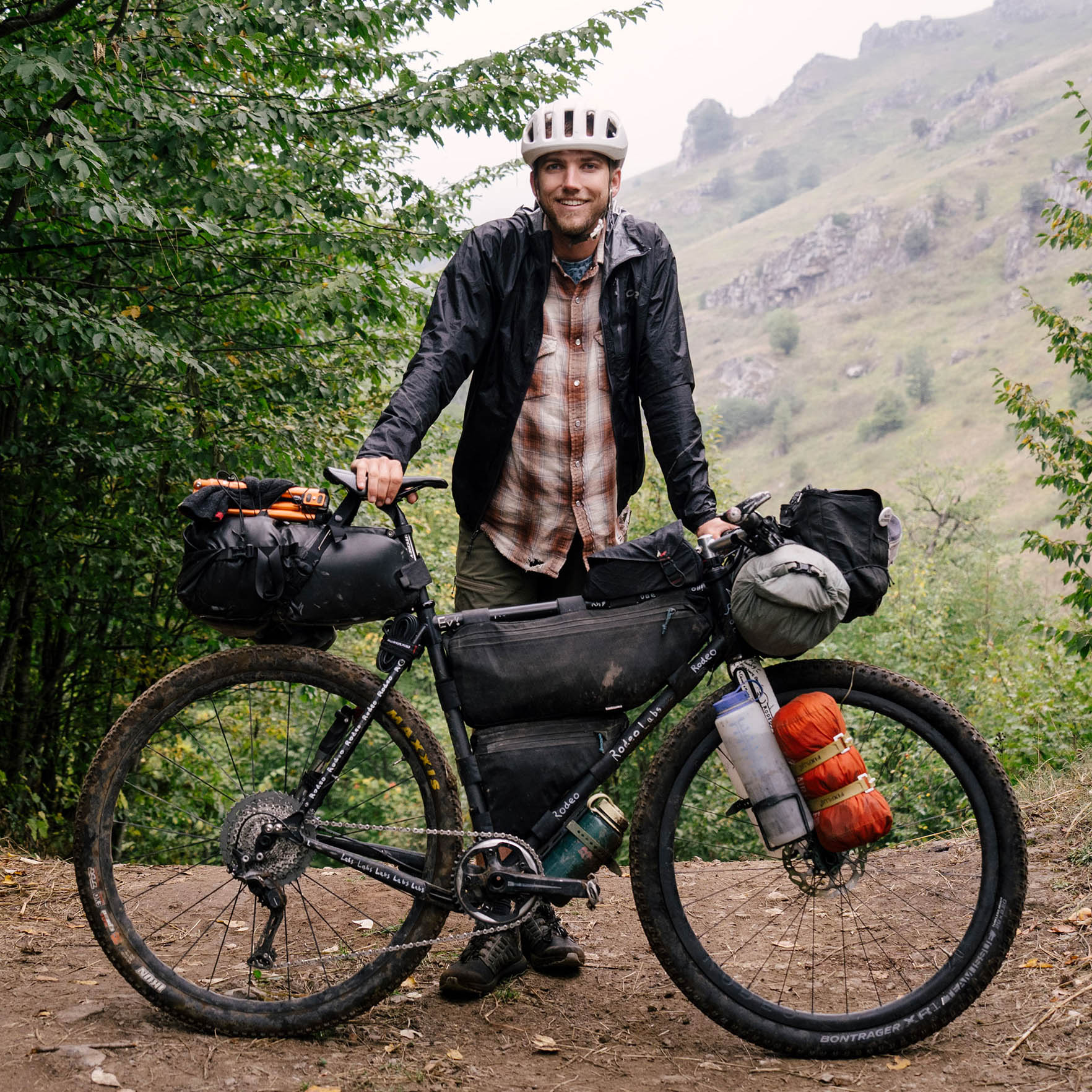
Evan Christenson
Contributing Editor
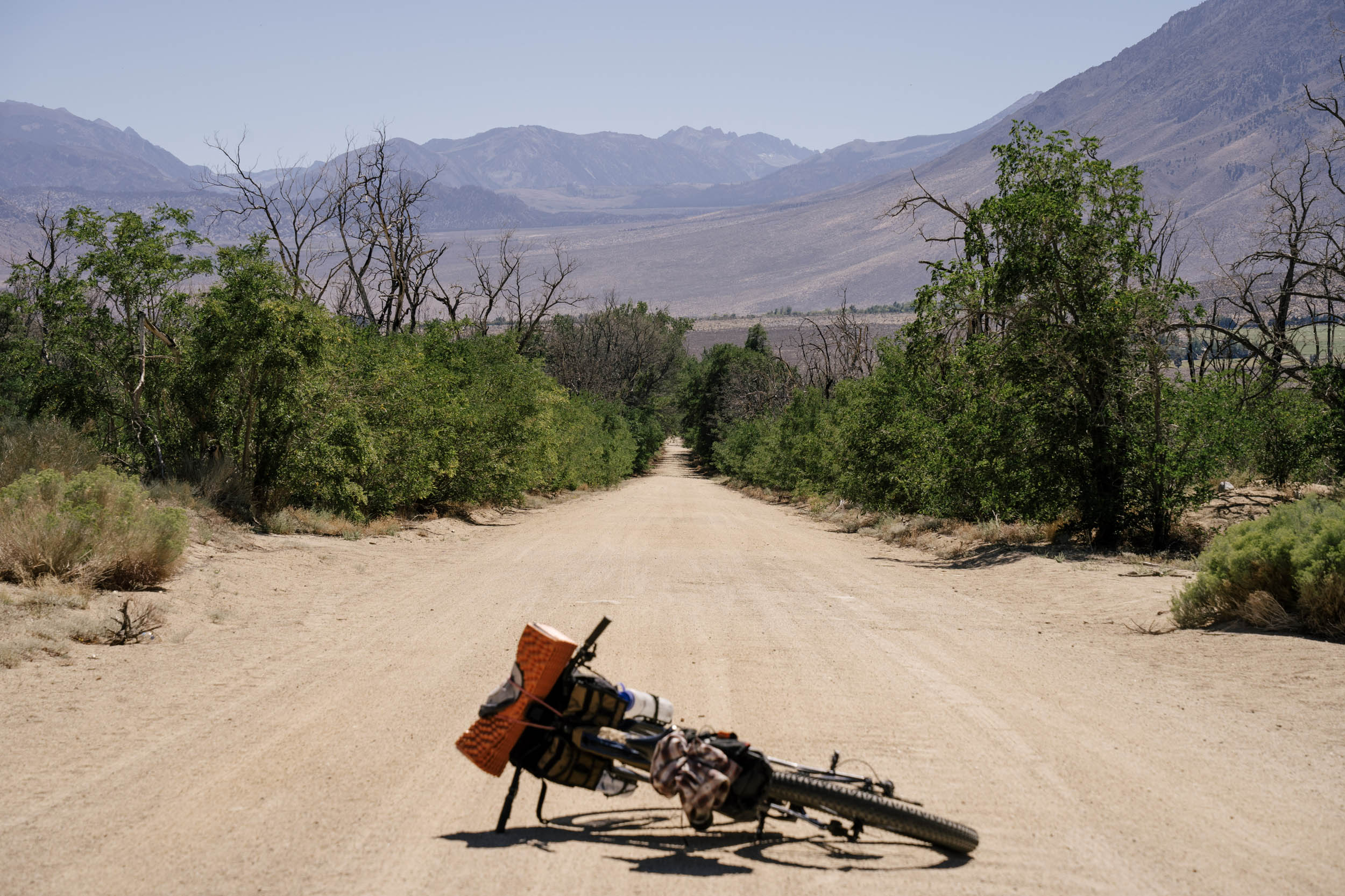
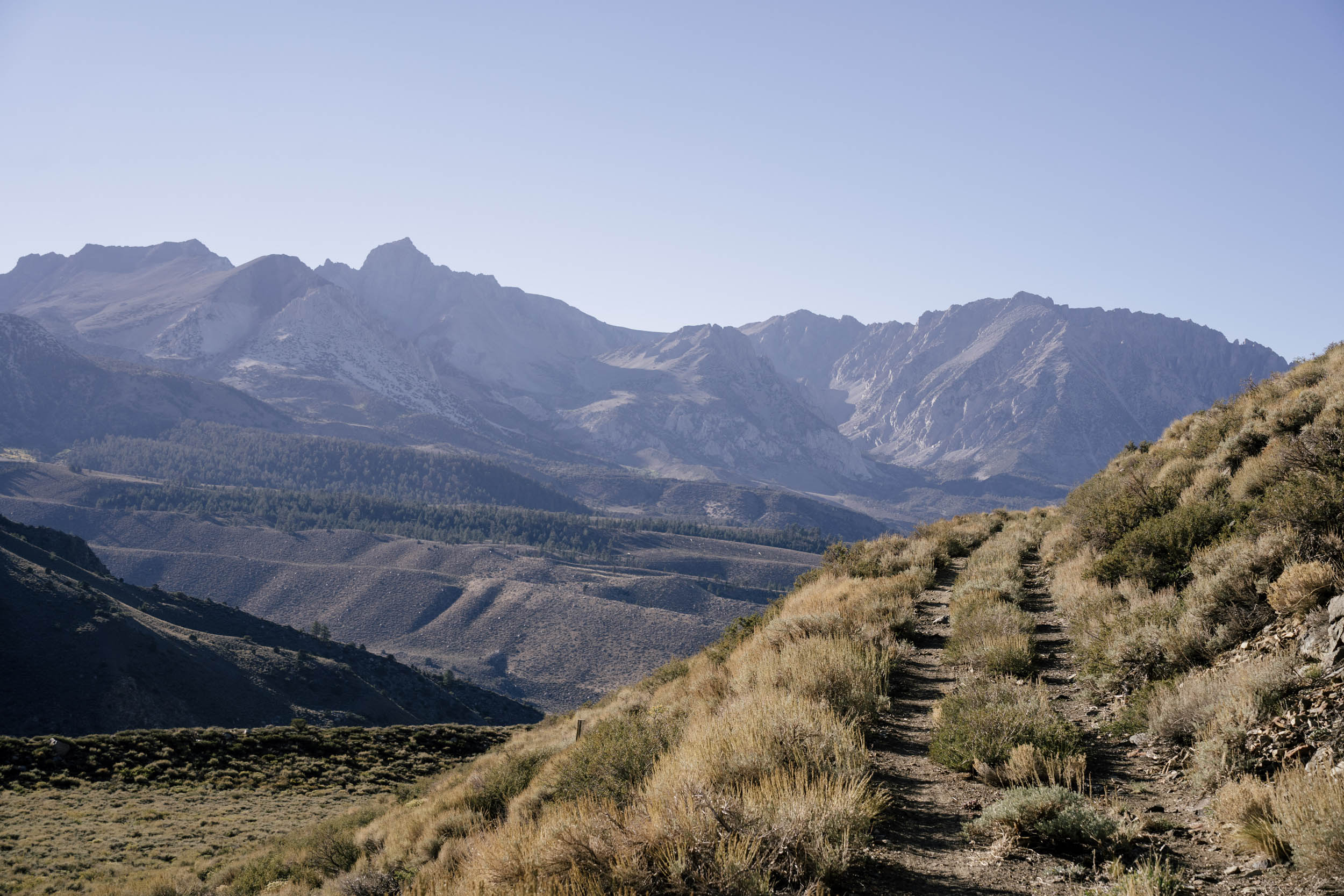
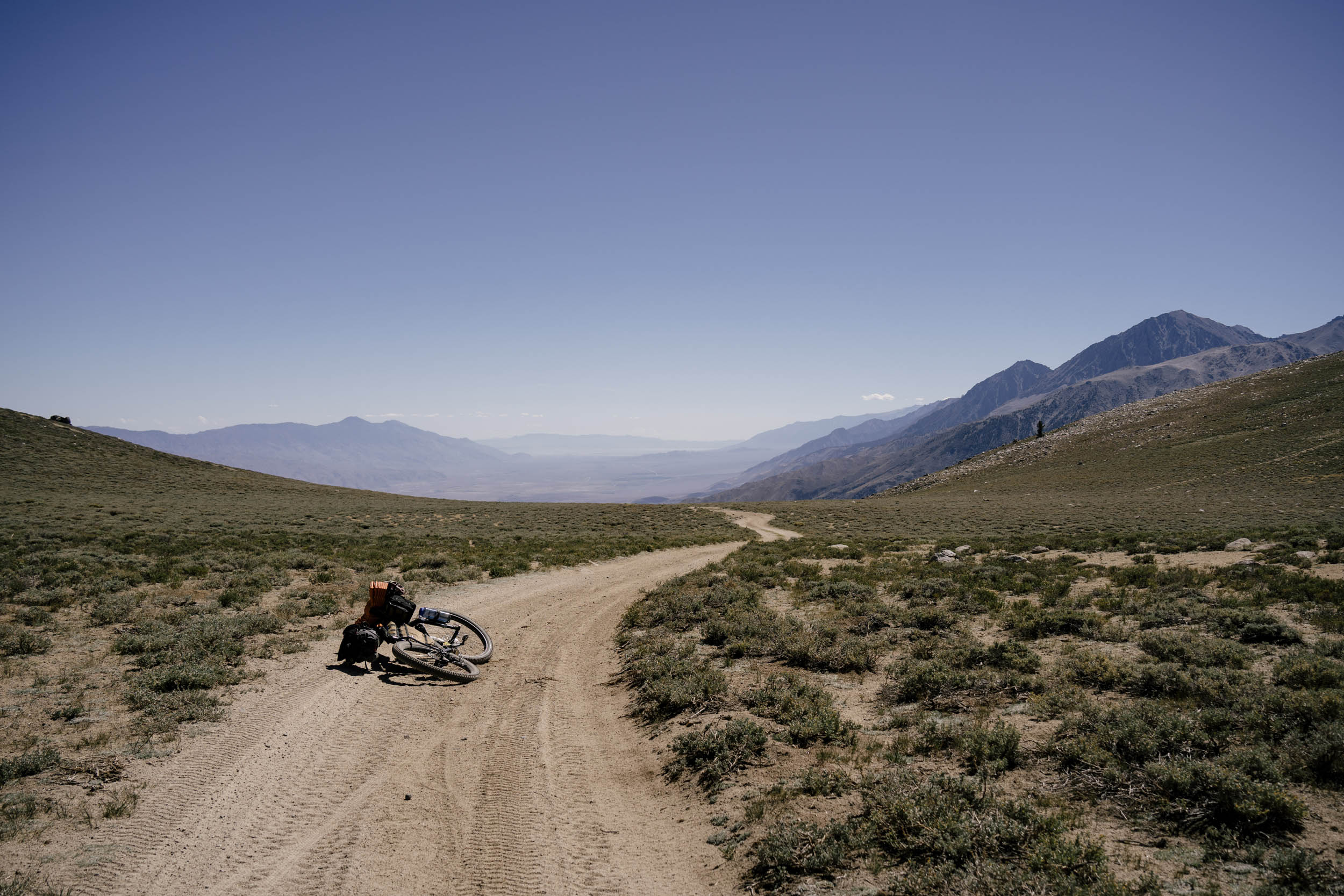
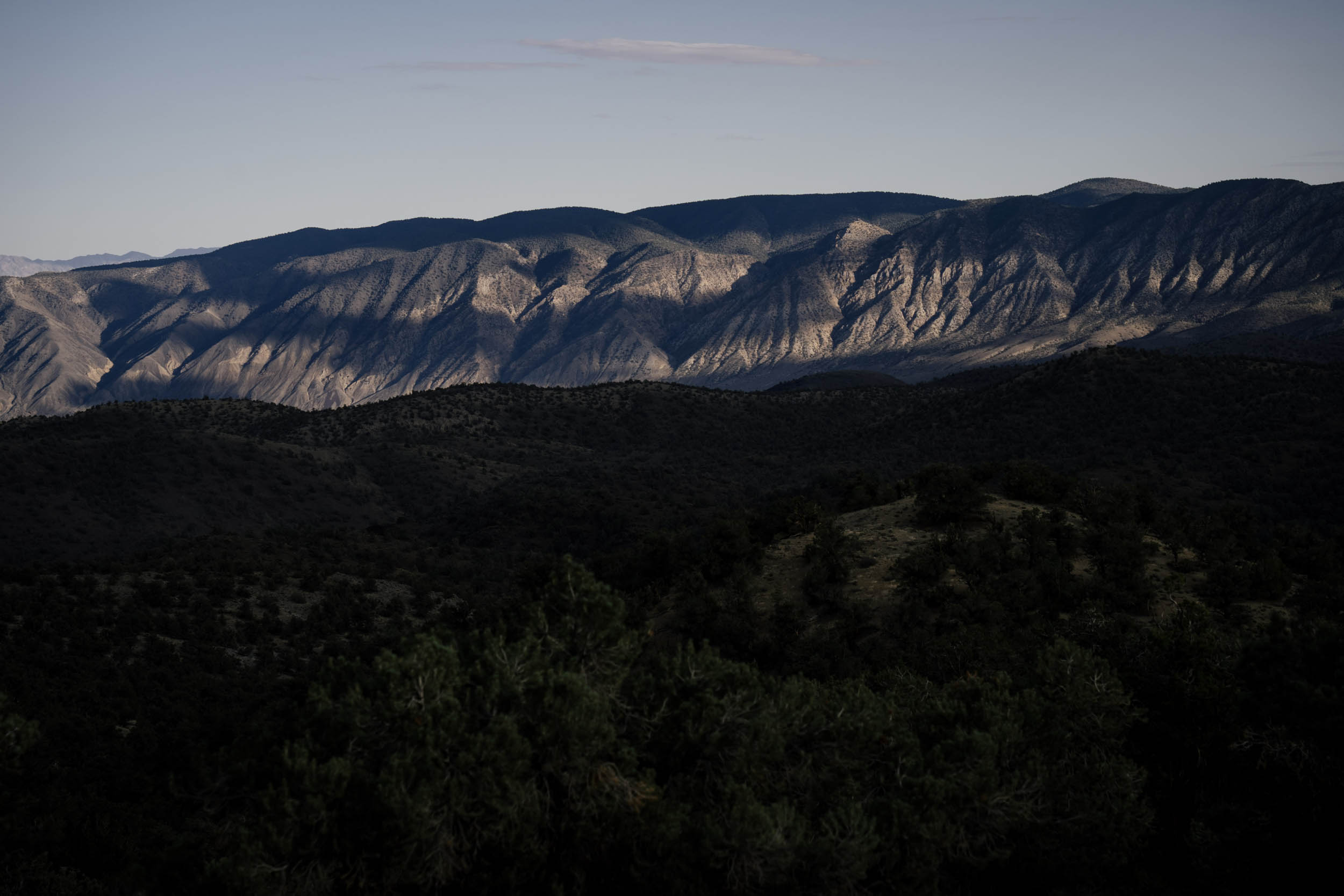
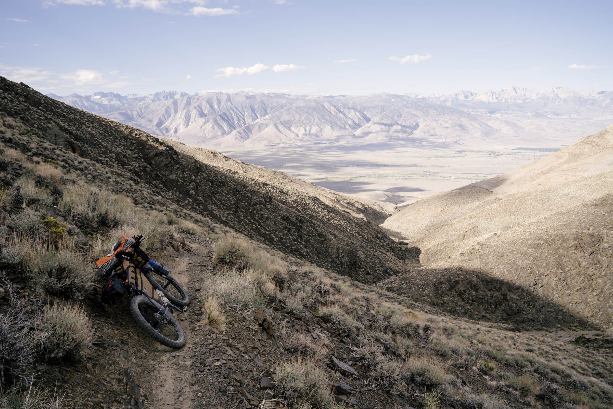
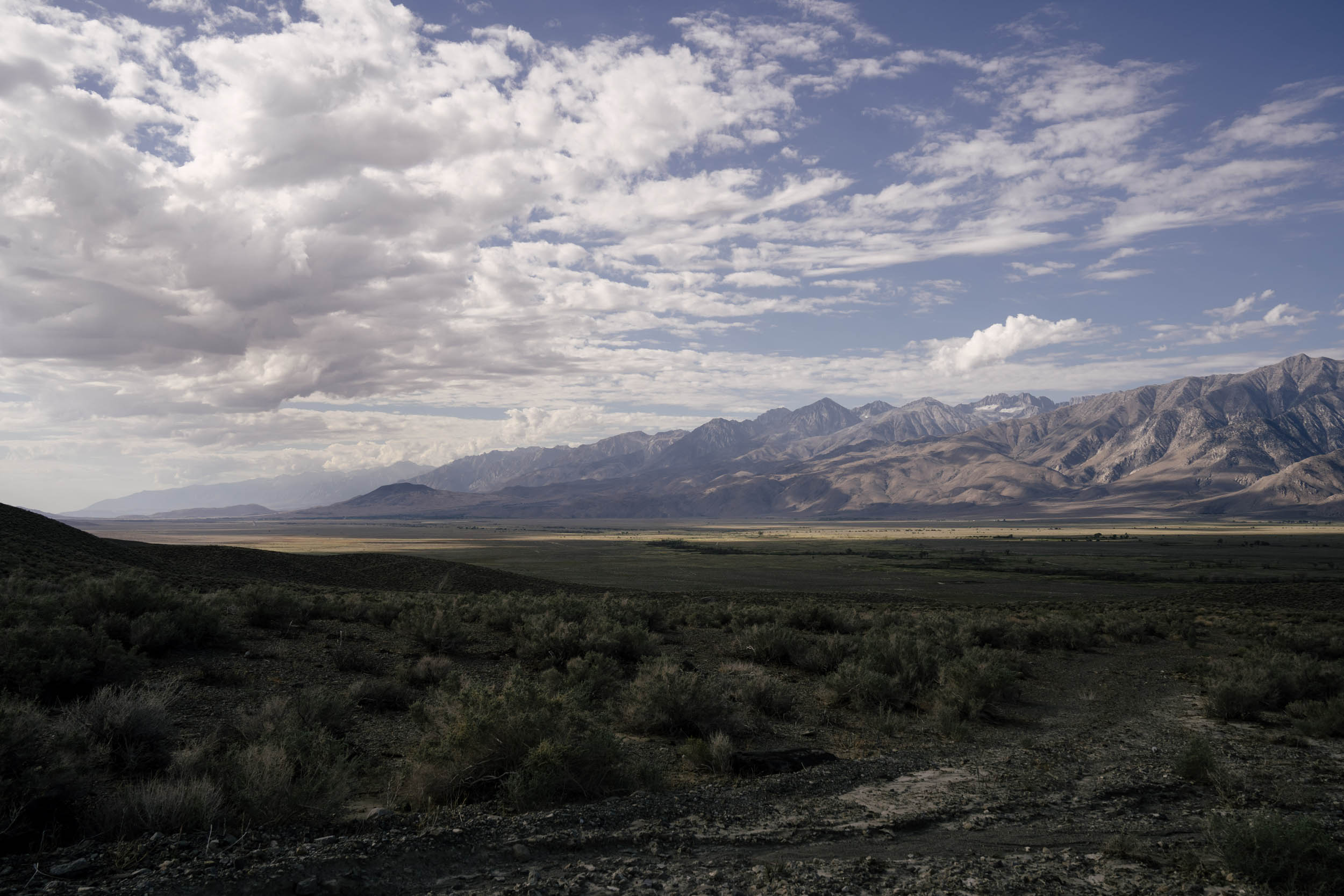
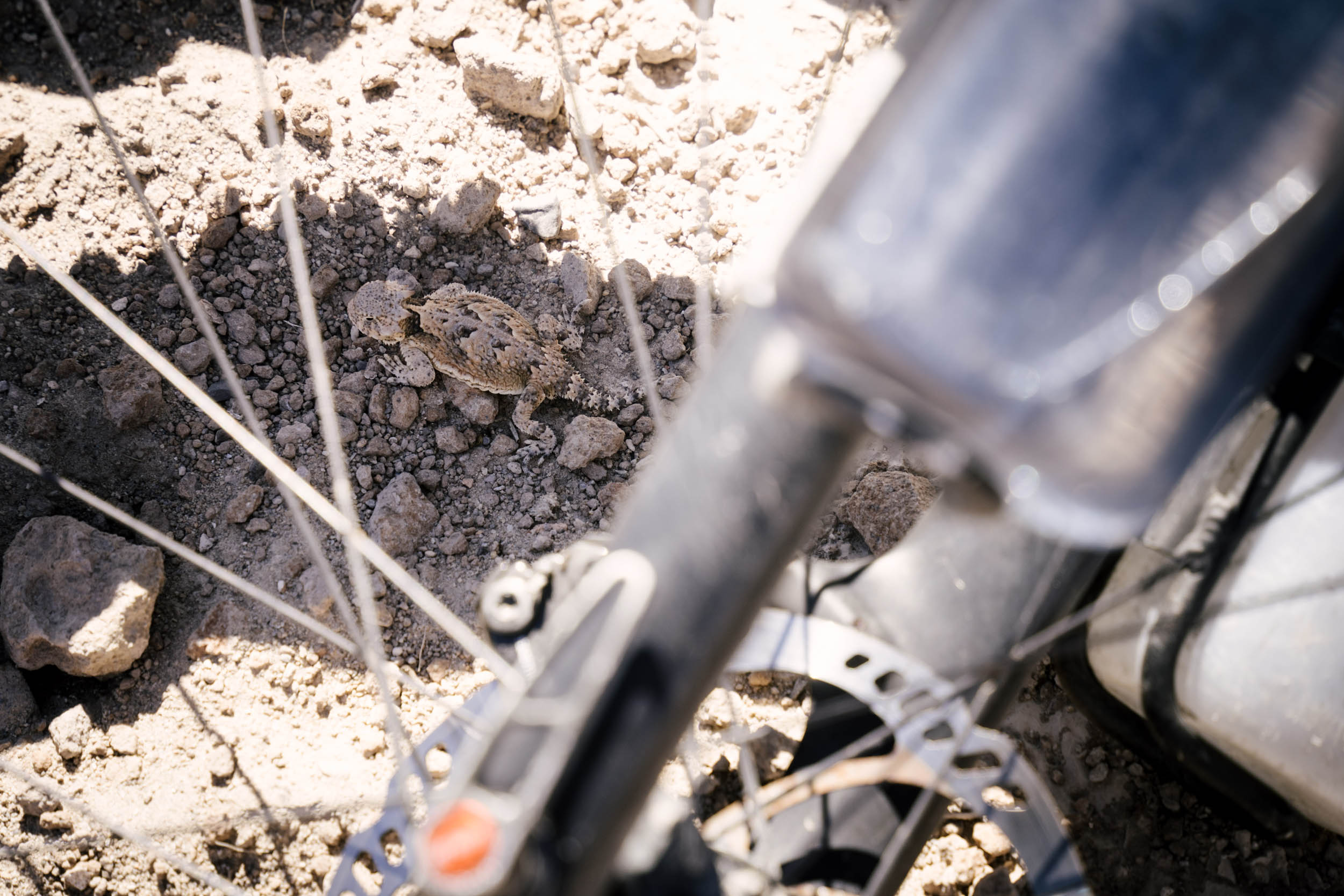
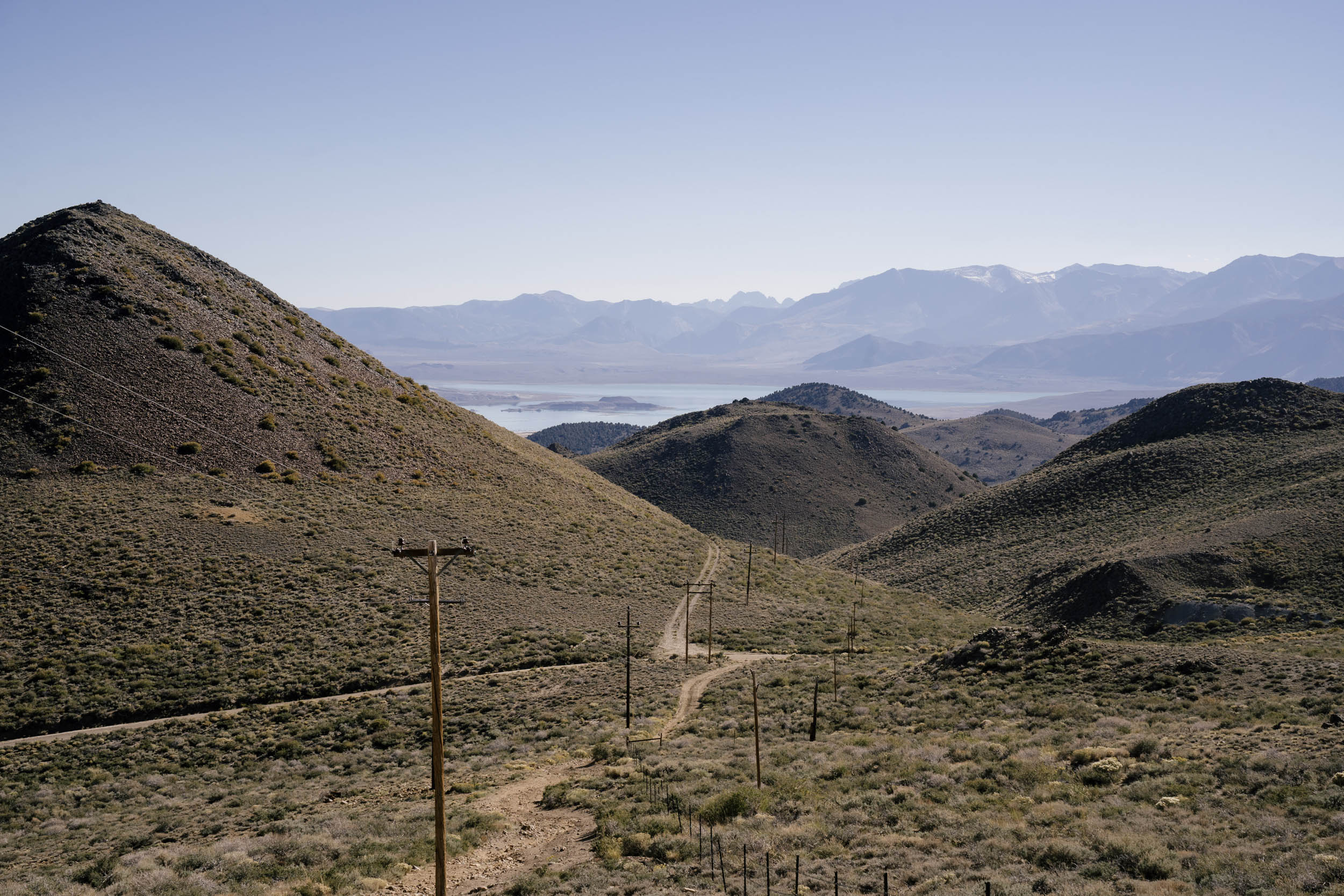
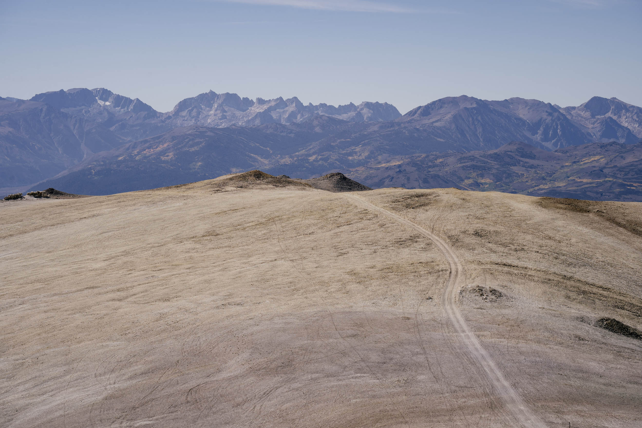
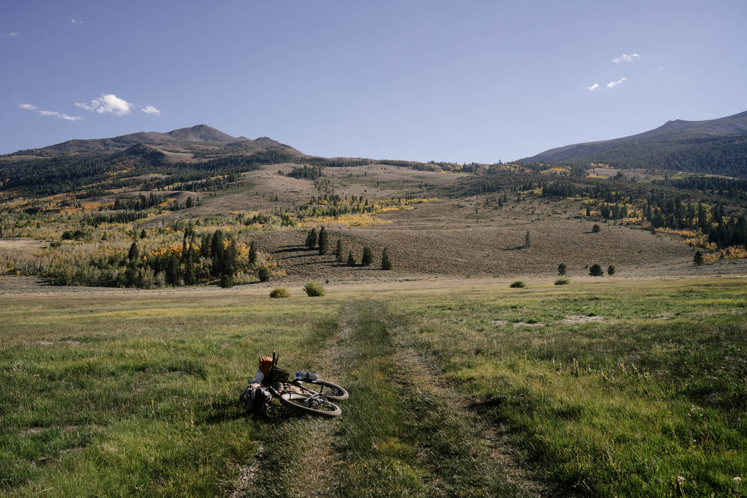
The Eastern Sierra is a truly special region. It’s volcanic, alpine, arid, and lush all at the same time. These iconic mountains serve as a gateway to the Great Basin, beginning the watershed all the way to Utah, and cast a great rain shadow into the dry Owens and Long valleys you ride through along the route. The Caldera 500—the full version of the route—gives riders a full perspective of the mountains and several biomes in the immediate area. The Sierra Nevada biome features foxes, glaciers, and pines. The Great Basin biome is defined by scree fields, grouse, and oceans of sagebrush. The Mojave desert biome promises sun, sand, and lava flows. There are also several accompanying shorter routes, all loops out of Mammoth Lakes, that serve as more gentle introductions to the full ride. You can find all these linked and referenced under the Trail Notes tab below.
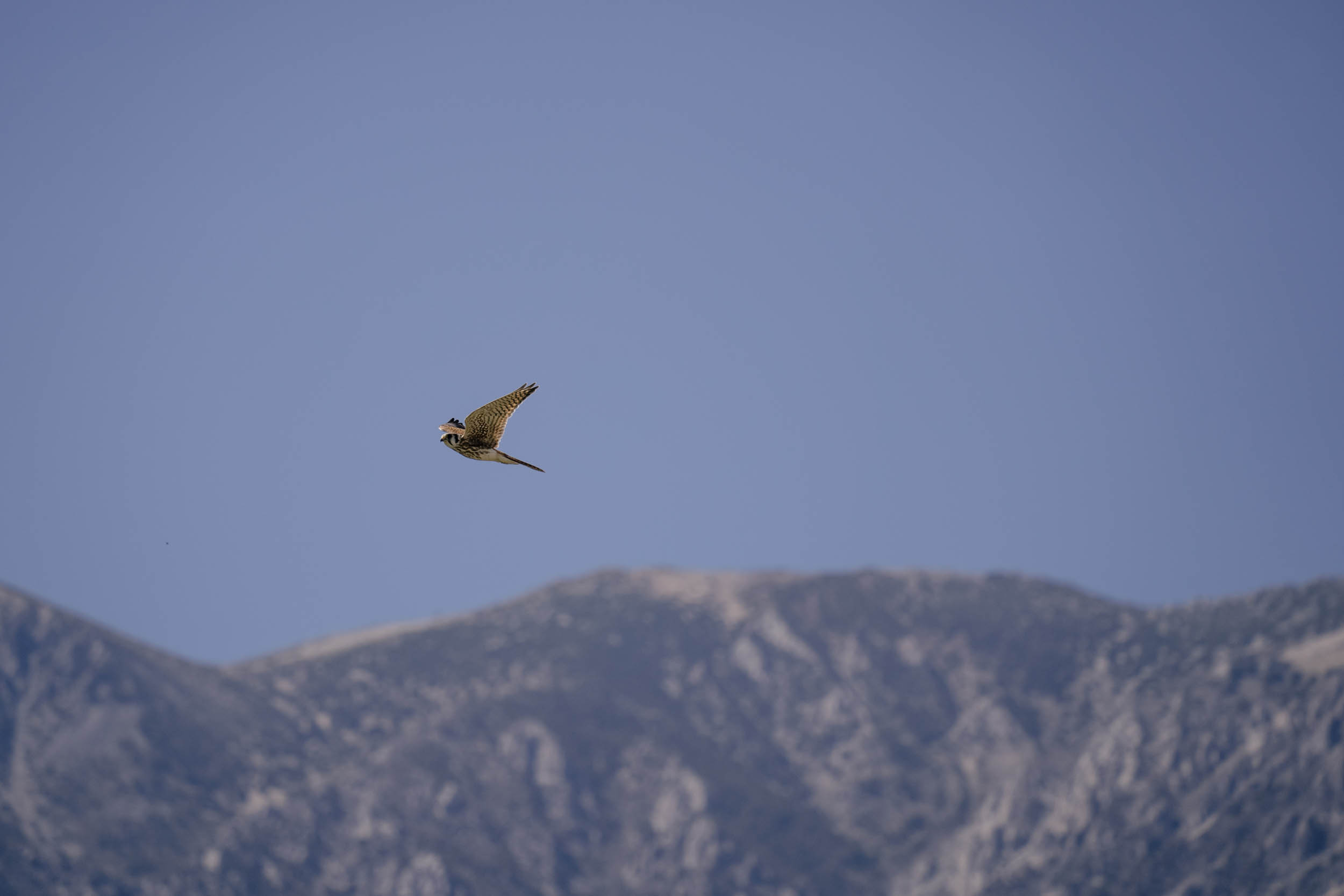
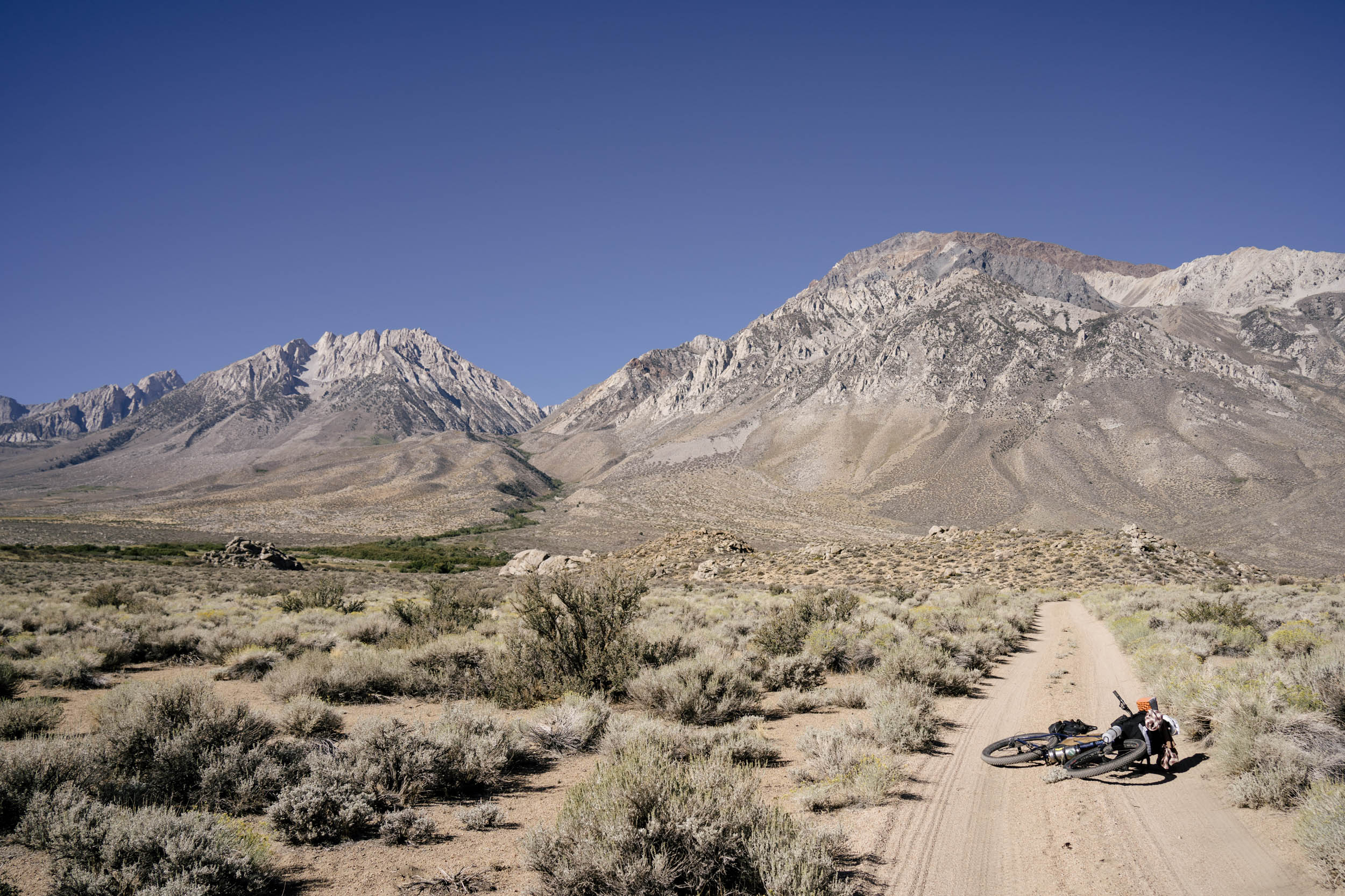
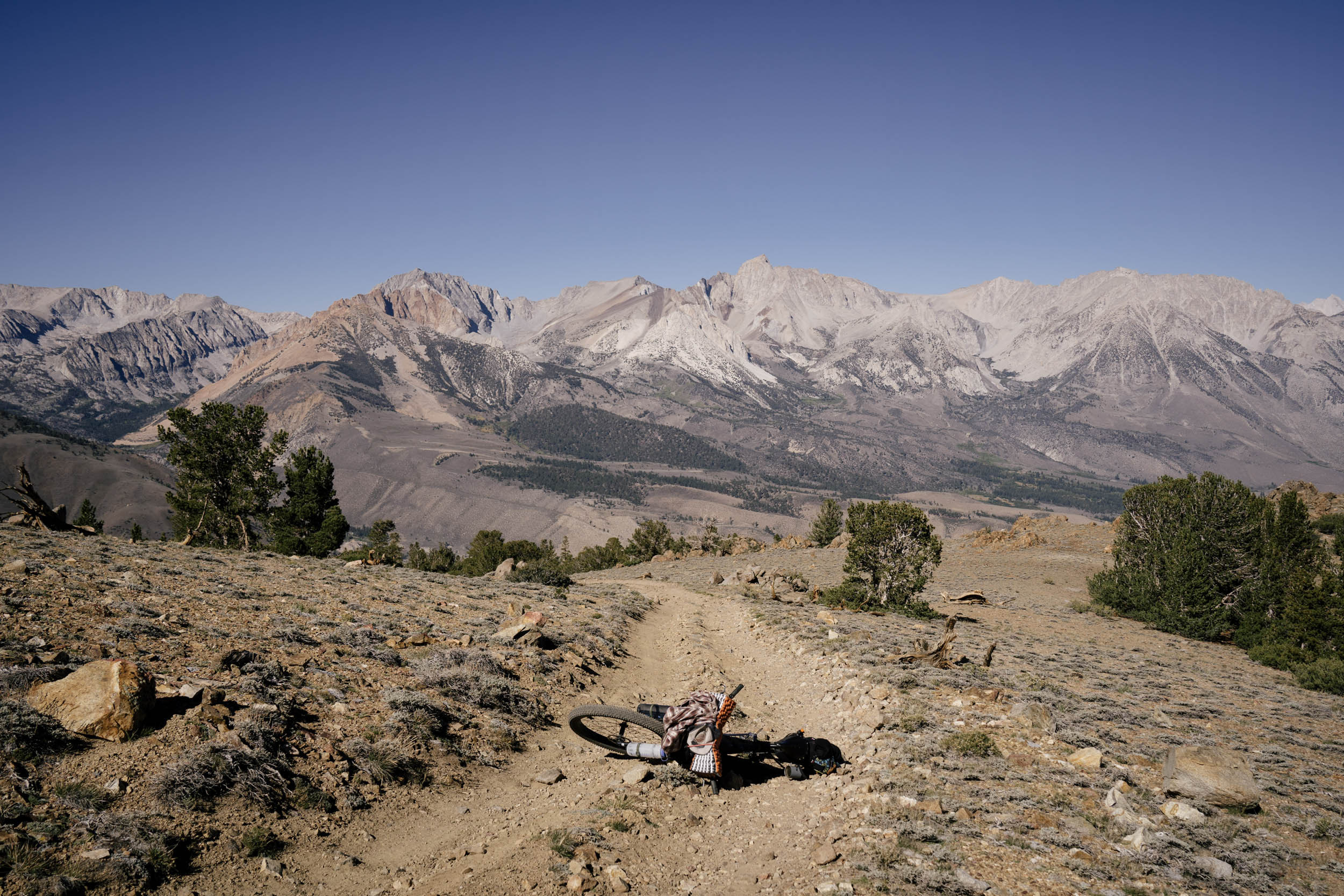
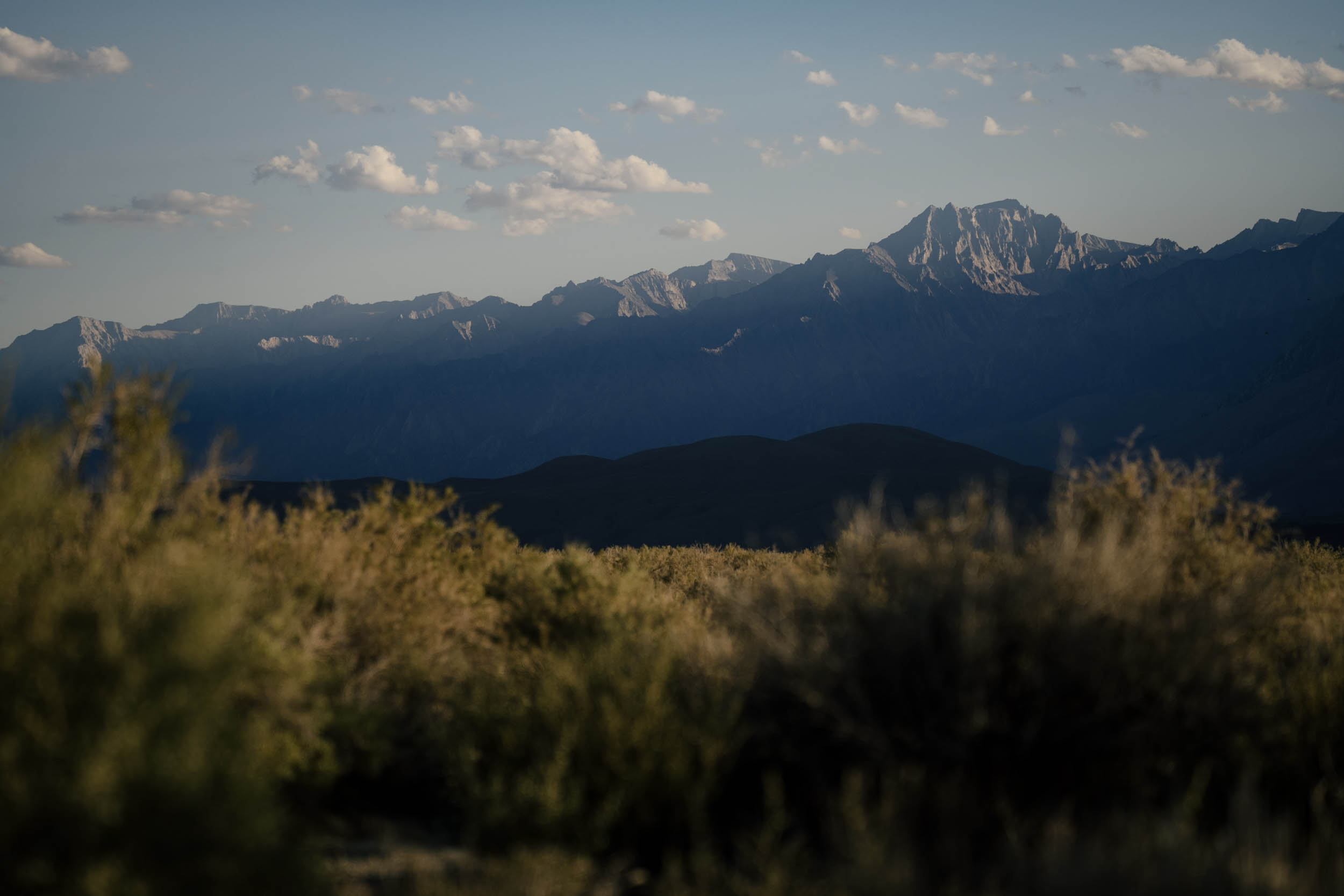
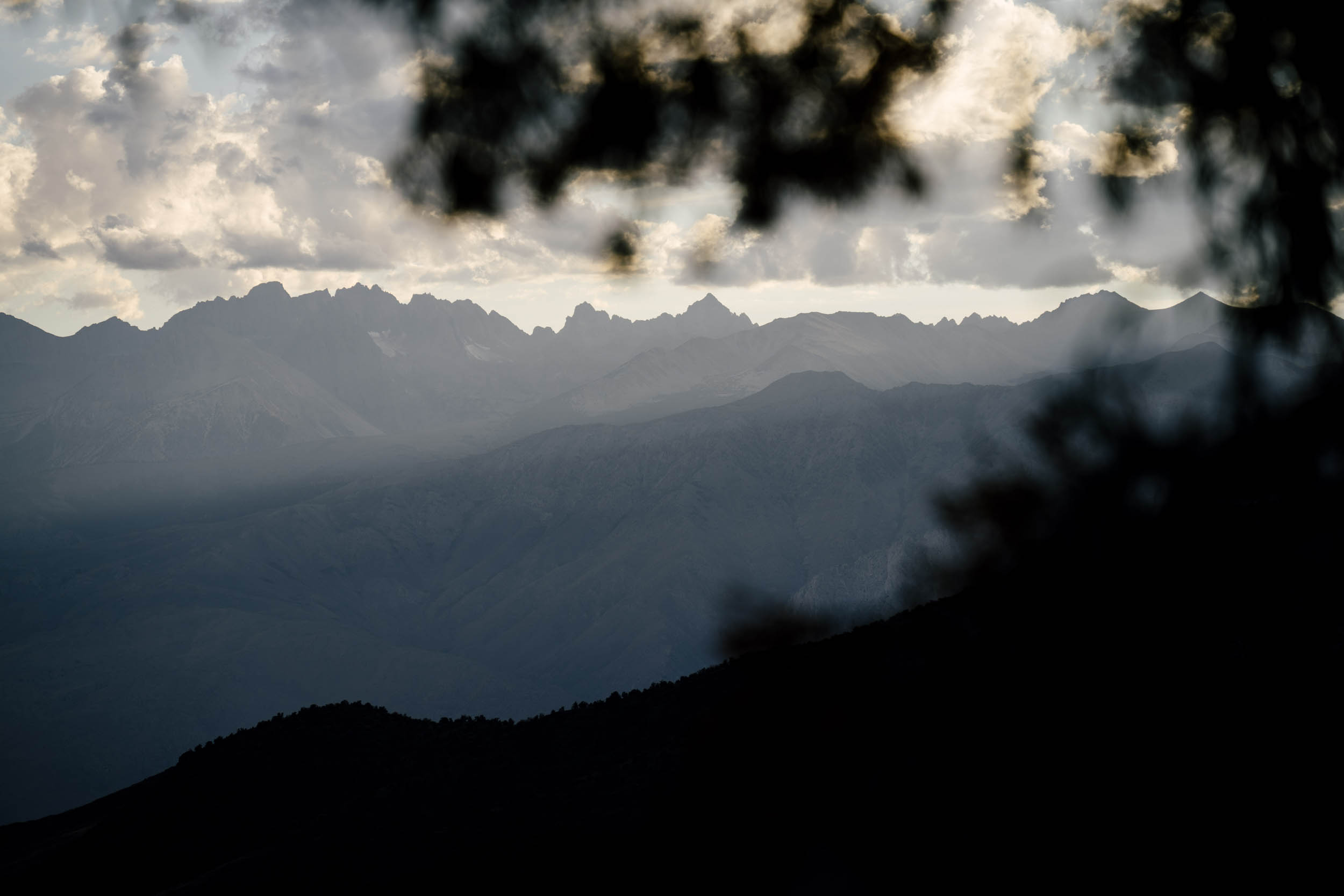
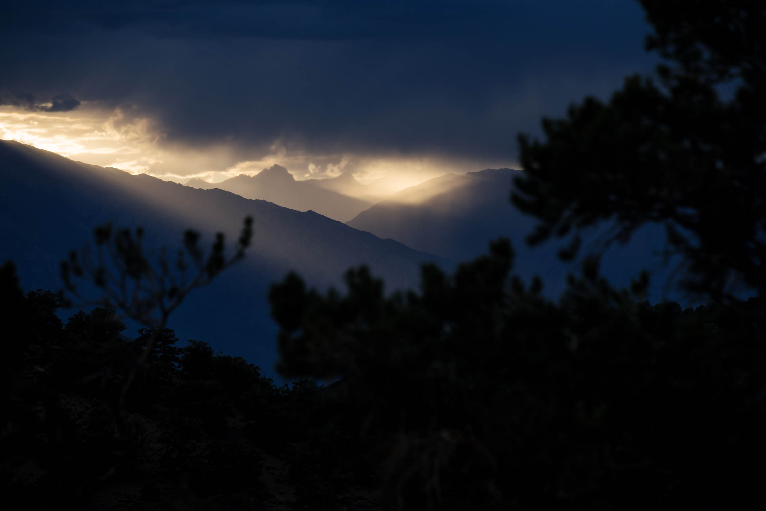
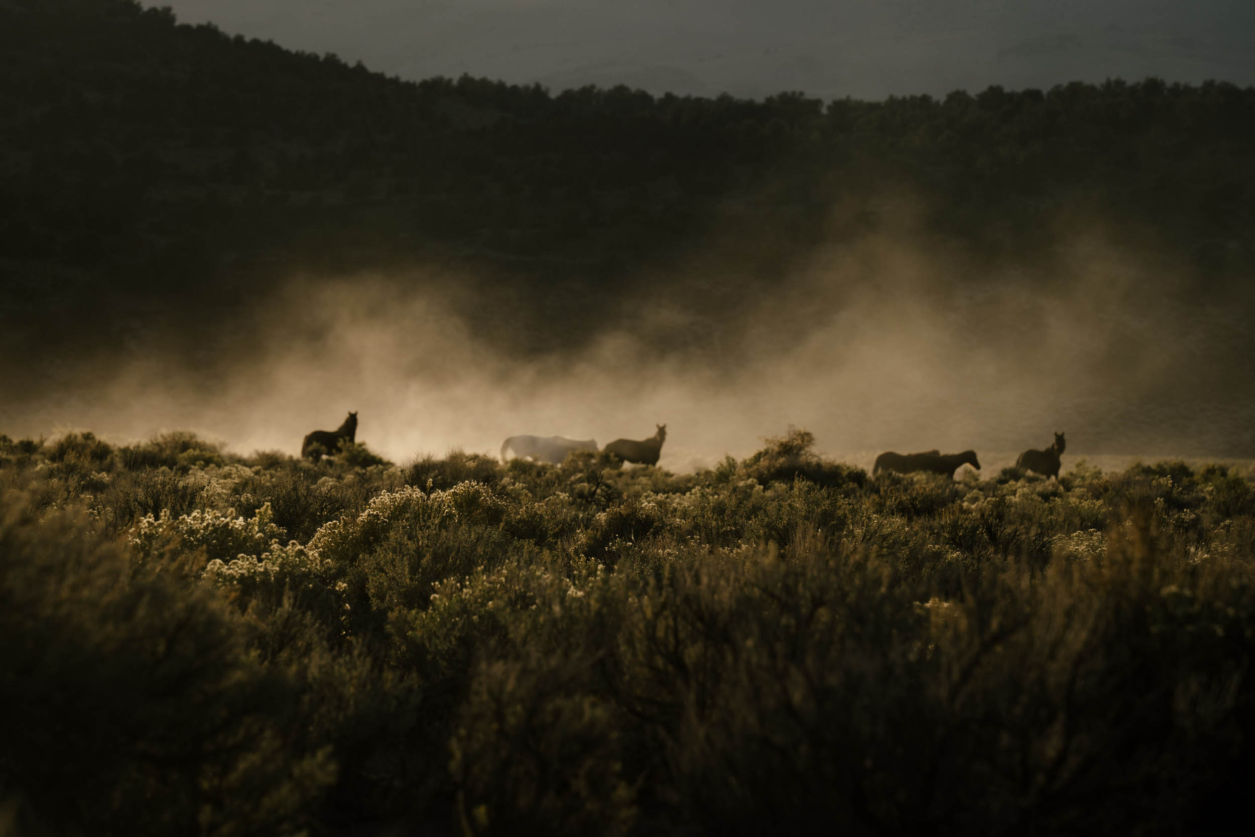
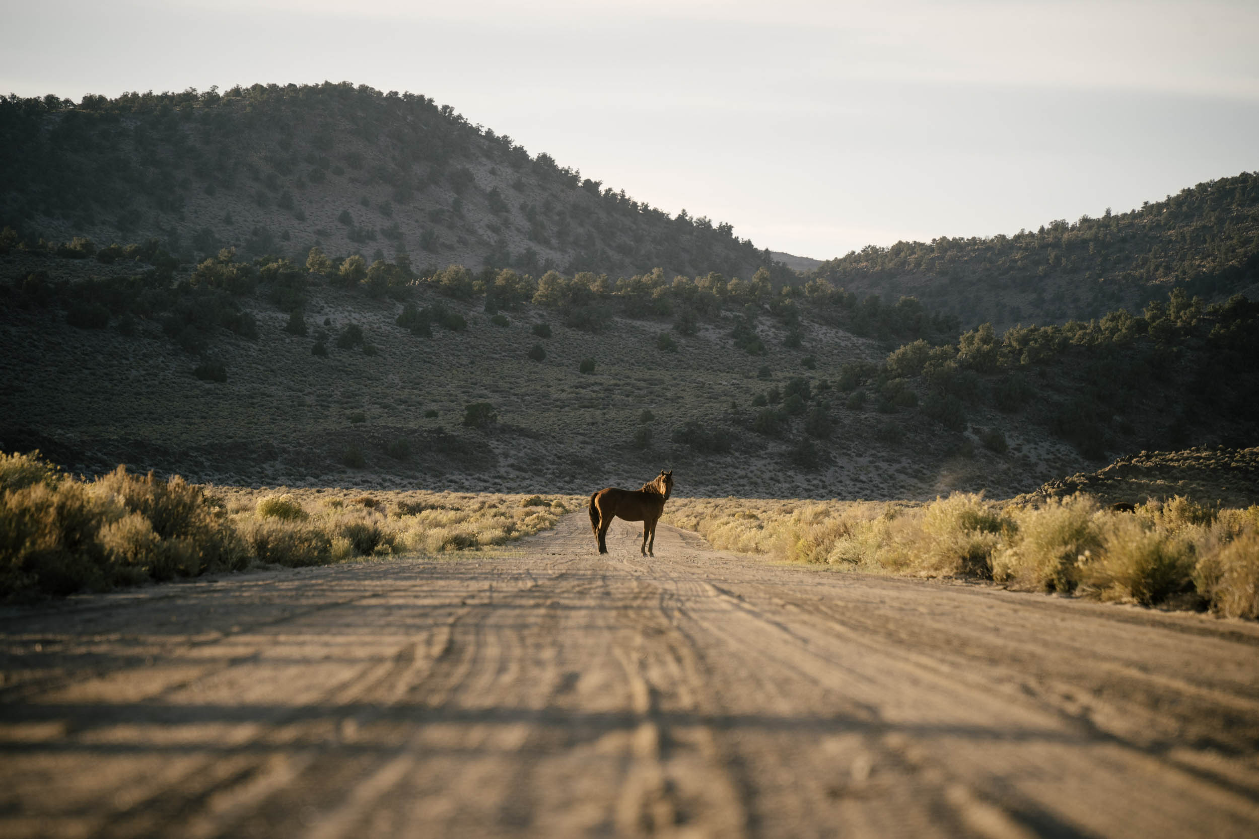
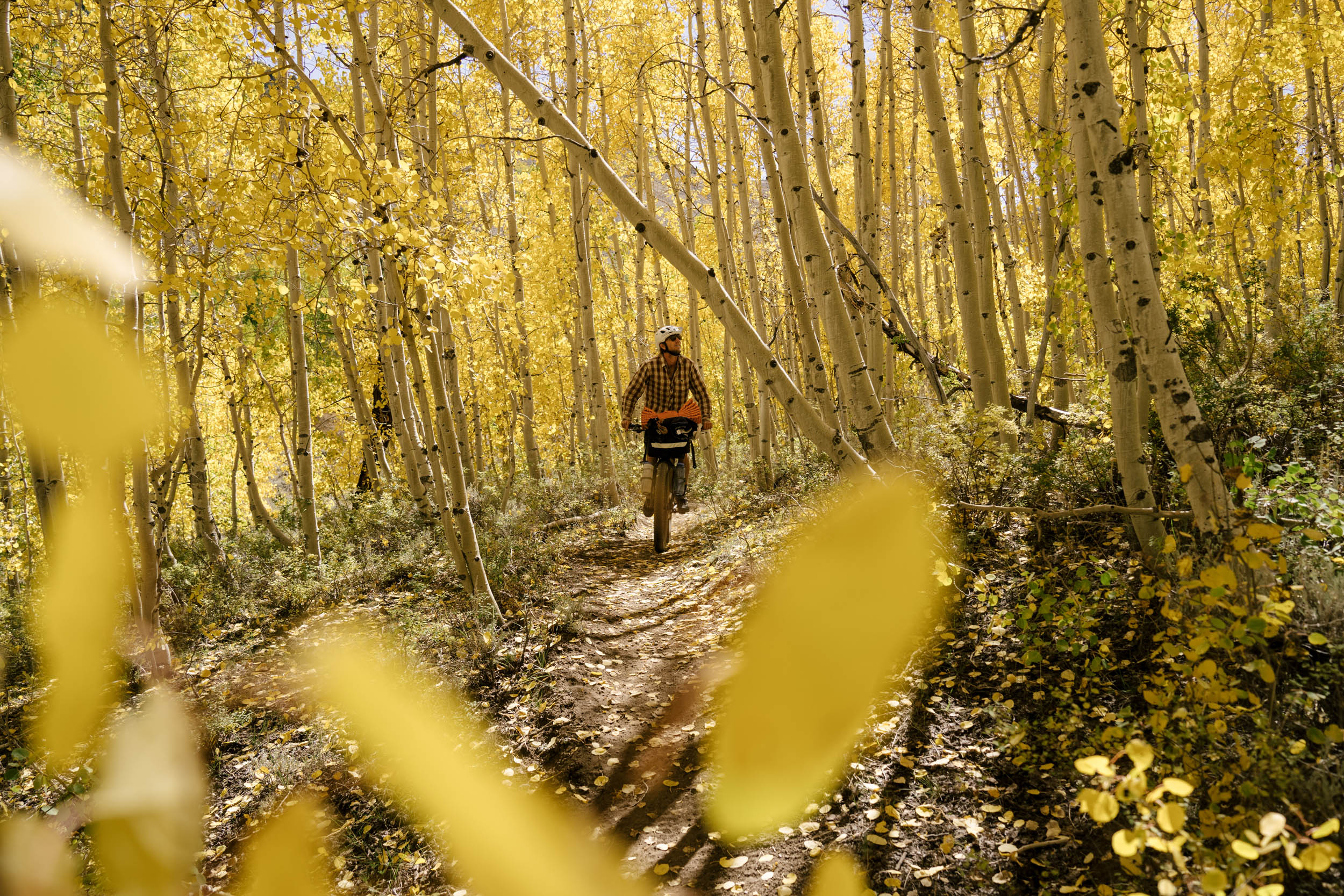
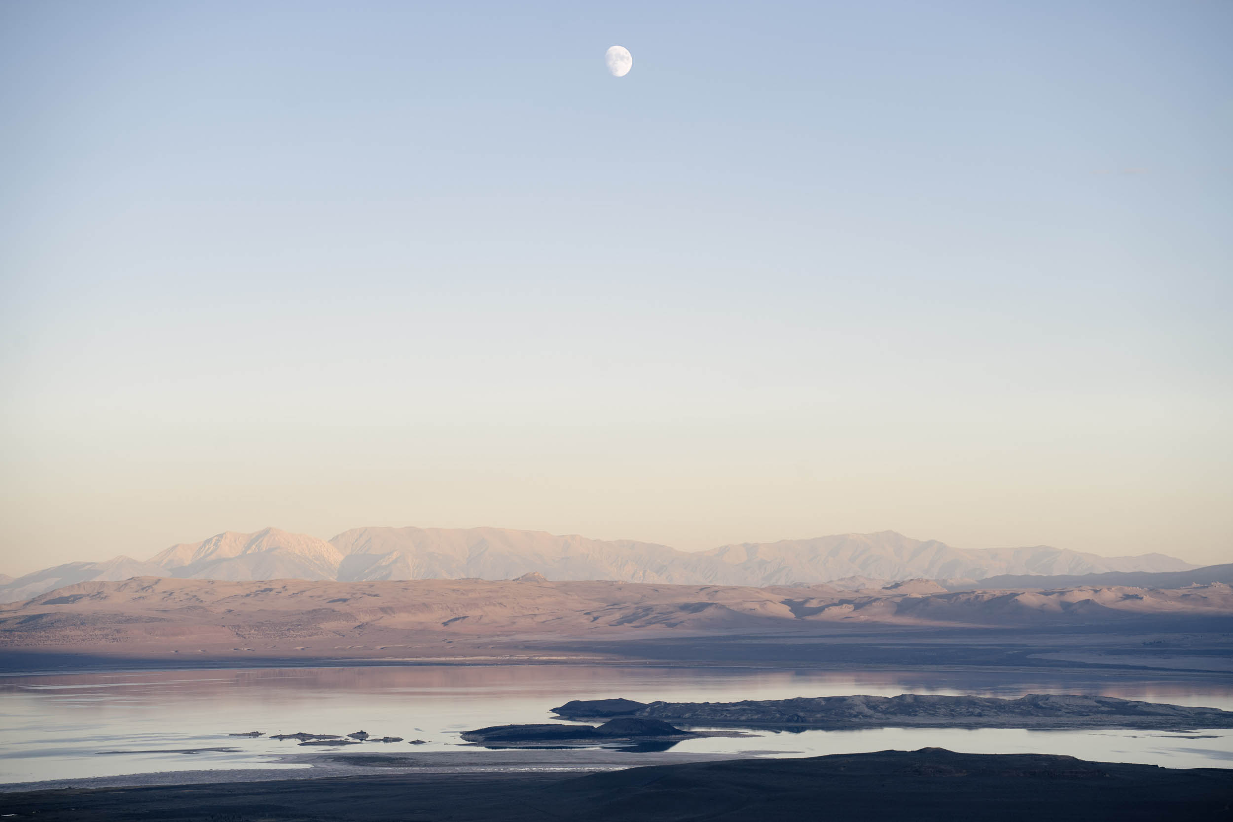
The Eastern Sierra peaks are amazing. Jagged, craggily, and wicked, they bend light with the passing of the day and promise dramatic sunrises and the occasional incredible sunset. The massive peaks of the Pinnacle Range serve as a guiding compass as you circle around the valley. Through the Sierras, glacier melt streams are often running to keep you cool, clean, and hydrated. The aspen groves glow a brilliant gold in the fall, the sugar pines are the biggest pines in the world, and the nearby bristlecones are regarded as some of the oldest known trees.
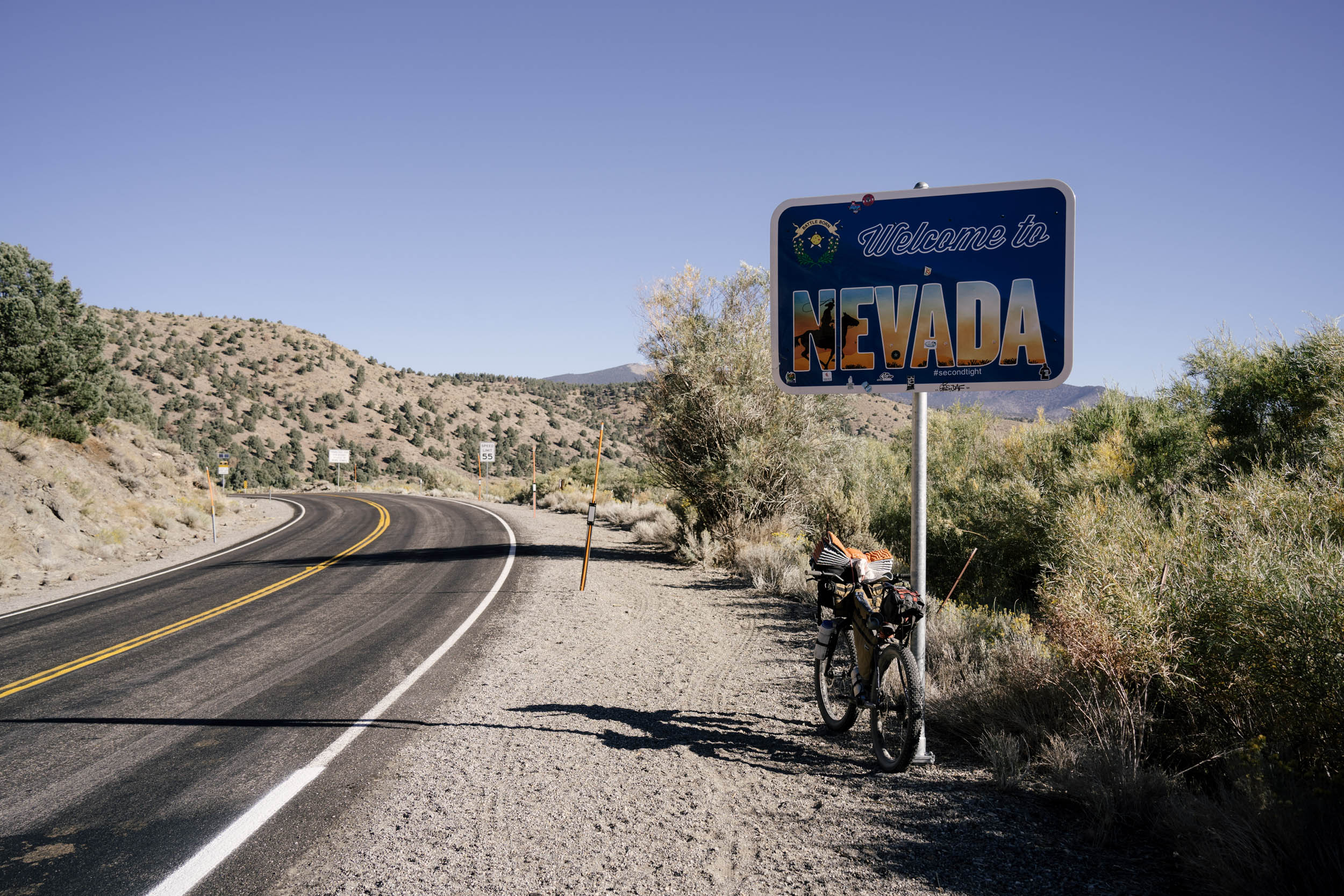
Inyo County, where half of the route is found, derives its name from the Mono tribe’s word meaning “dwelling place of the great spirit.” And though this place is an adventurer’s Eden, it’s history is anything but. The Indigenous tribes, the Coso, Timbisha, Numu, and Kawaiisu lived peacefully here for thousands of years before the arrival of settlers. But as they pushed further west, the Numu tribe, along with the others, were violently removed in 1863 in the Owens Valley Indian War against the US Army. You can see some evidence along the route, a plaque for Fort Independence along the 395 and other road signs describing the war, but there’s haunting lack of remaining Indigenous culture in the area today. The other dark moments in this valley’s history lies along the entry to the route, where the Manzanar Camp is a powerful place to stop to learn about Japanese-American imprisonment during WWII.
The Caldera 250 and 500 routes travel in a counterclockwise direction. The 500 takes in all five mountain ranges—Sierra Nevada, White Mountains, Inyo Mountains, Sweetwater Mountains, and Glass Mountains—and three distinct biomes—Sierra Nevada, Great Basin, and Mojave Desert. The two 250 routes split the route for those looking for shorter and more attainable options. Find details about the full itinerary and options under the Trail Notes tab.
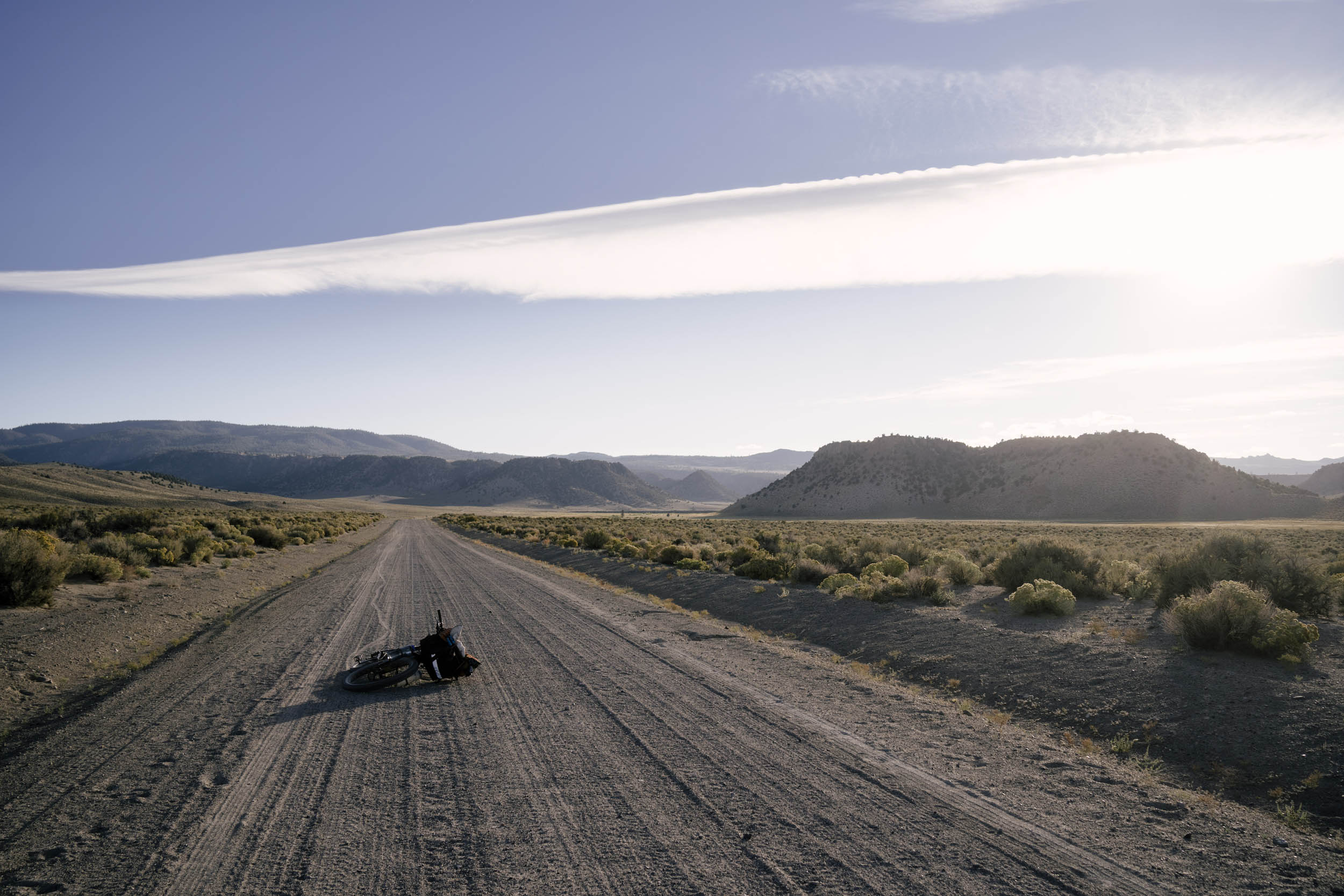
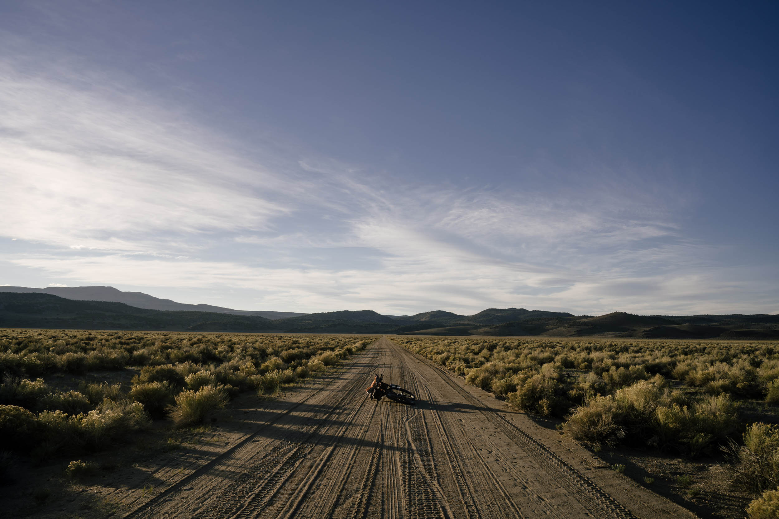
Overall, this route is stunning. It’s very isolated for most of the riding, leaving just you and your riding buddies to stare at the Sierra range and marvel. The riding can be rugged at times, the passes tall, and the air thin, but it all combines to make for a truly remarkable integration into one of the most iconic mountain ranges in the United States.
Route Difficulty
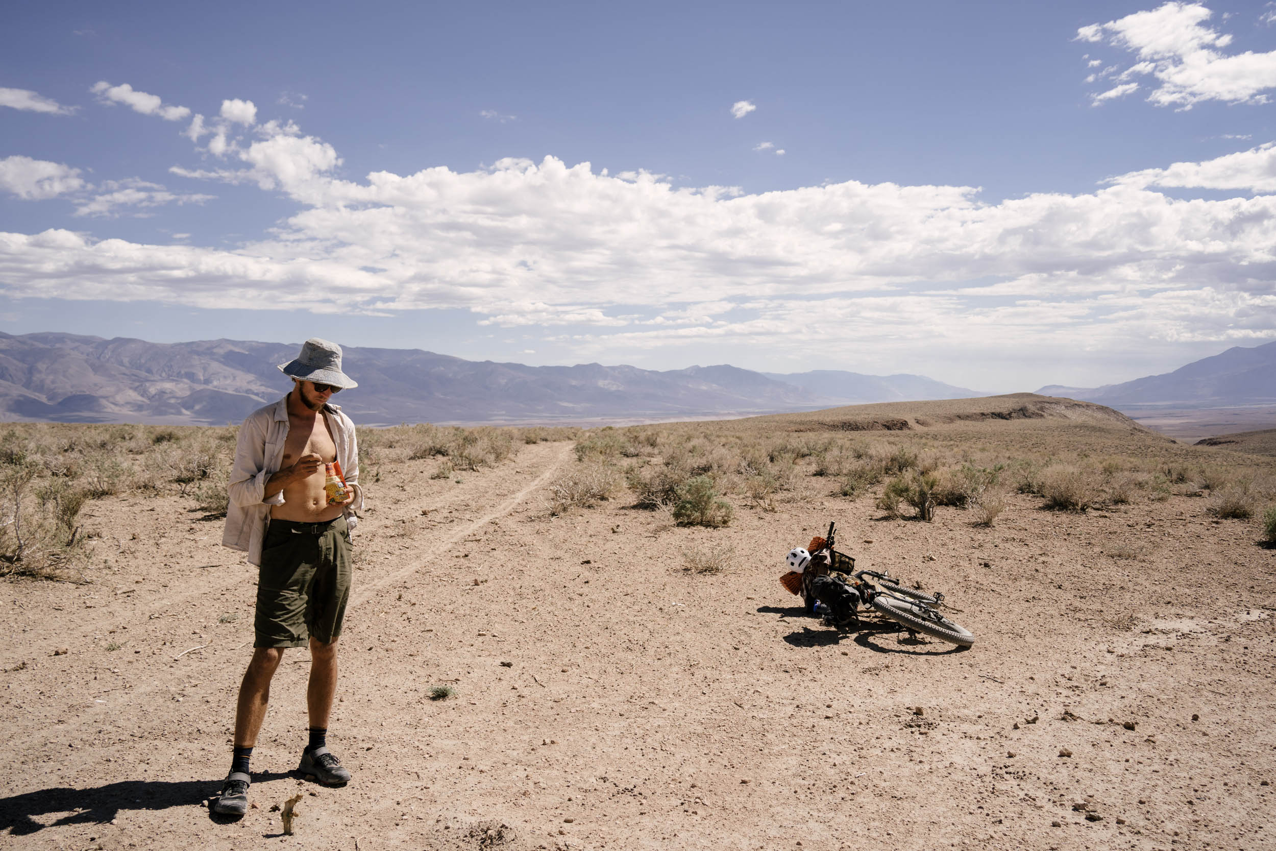
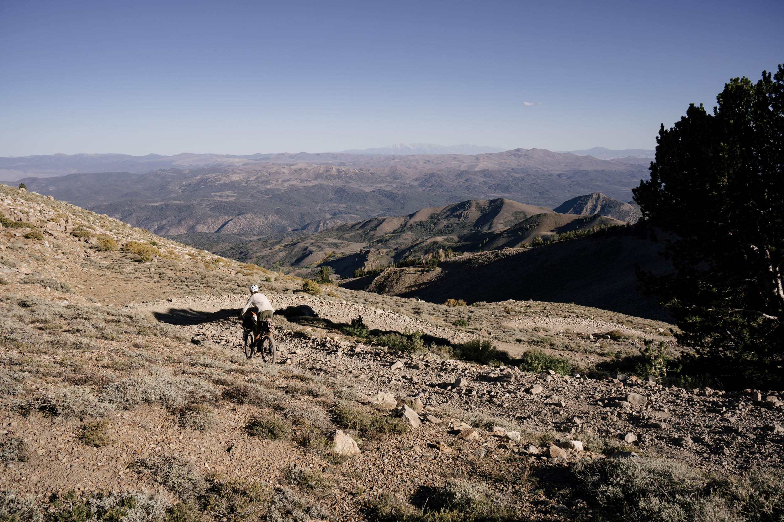
This route is hard. It’s all at elevation, with a brief respite at 4,000 feet, but it climbs up to 11,600 feet. Some passes are long hike-a-bike stretches, and the descents are rugged. The sand can be deep and soft, the pitches steep, and the distances deceiving. Don’t expect an easy ride, but it’s all worthwhile. Physically, I would give this route a 10. The 6,000-foot climb all on foot ensures this, but the rest of the route, having so much climbing, being overall pretty rough, and being remote makes the riding itself not easy. Get ready to grunt.
Logistically, being a loop, it is relatively simple. The general stores in the small towns have all the necessary food to keep you rolling but nothing exciting. In some places, the trail will fall off, and you have to follow the GPX through a cow field, so do keep a computer handy. There’s also a decent amount of cell coverage (maybe 50% of the route), and Highway 395 can always serve as a bail-out if you need to descend out of the mountains and thumb a ride.
Technically, it’s a pretty straightforward route as well. The singletrack is almost all friendly and fun, I had to get off to walk sections numerous times while descending. The big descent down to Big Pine is also generally terrifying. It’s a steep and sandy doubletrack that will scorch your brakes and make you hang on for dear life. Other than those sections, the rest of the doubletrack is all rideable.
From 2015 to 2022, of the 19 individual attempts at the entire 500-mile route during the Grand Depart, only five have successfully completed it.
Route Development: This route was developed in 2013 by Alan Jacoby. It combines input from friends and his extensive catalog of information from living in the area.


Submit Route Alert
As the leading creator and publisher of bikepacking routes, BIKEPACKING.com endeavors to maintain, improve, and advocate for our growing network of bikepacking routes all over the world. As such, our editorial team, route creators, and Route Stewards serve as mediators for route improvements and opportunities for connectivity, conservation, and community growth around these routes. To facilitate these efforts, we rely on our Bikepacking Collective and the greater bikepacking community to call attention to critical issues and opportunities that are discovered while riding these routes. If you have a vital issue or opportunity regarding this route that pertains to one of the subjects below, please let us know:
Highlights
Must Know
Camping
Food/H2O
Trail Notes
Resources
- Descending Lower Rock Creek and Redding Canyon, super fast and flowing singletrack rides through beautiful canyons
- Soaking in Buckeye Hot Springs after a long couple days of climbing
- Fantastic views of the Sierras from up close and from afar
- Schat’s Bakery, the famous Dutch bakery in both Bishop and in Mammoth
- Craft breweries in Mammoth Lakes, June Lake, and Bishop
- Huge sugar pines, incredible bristlecones, golden aspens in the fall
- Crystal clear and cold glacier melt streams
- World-class trout fishing if you pack a fly rod
- World-class bouldering in the Buttermilks if you pack your shoes and chalk
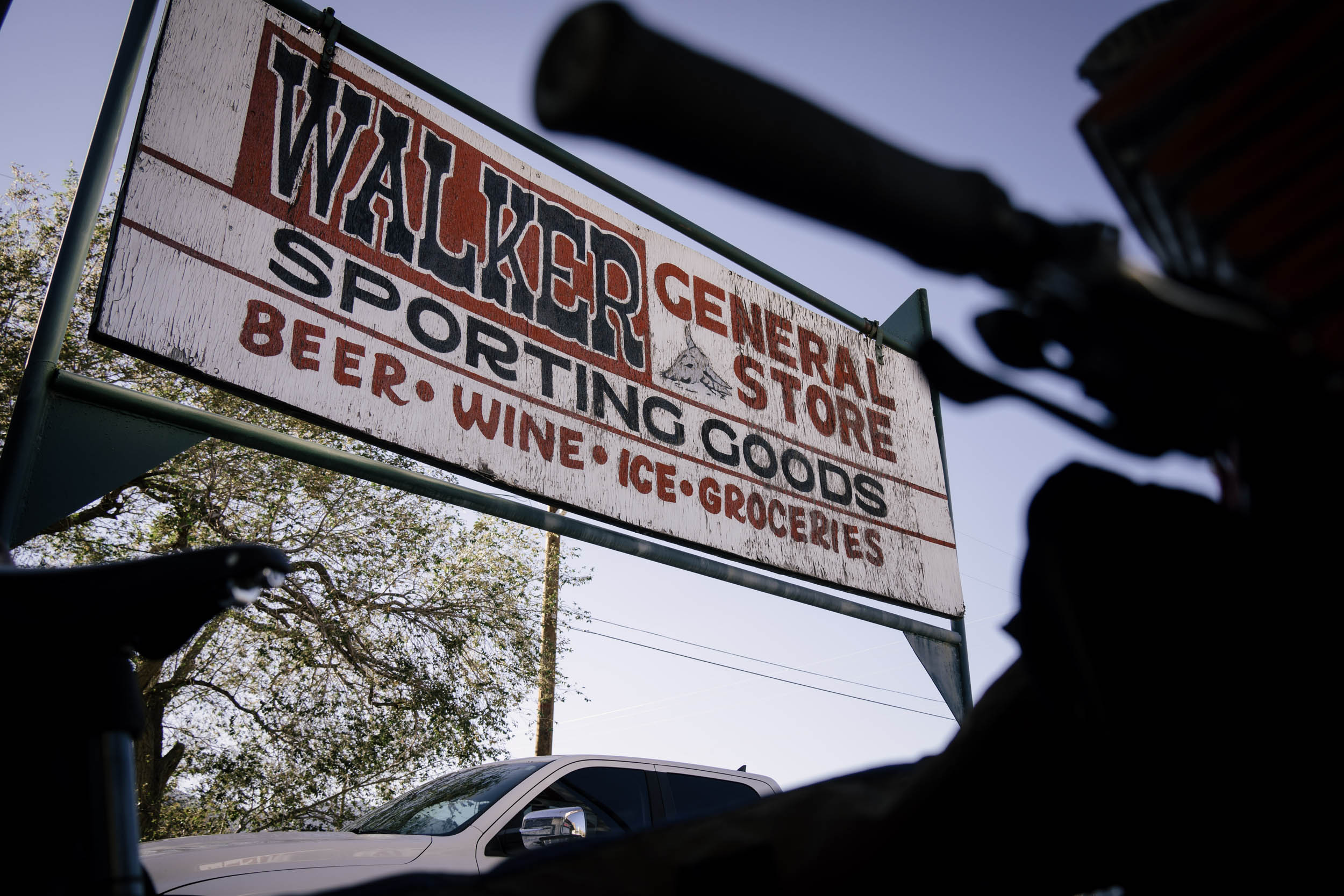
- The ripping descent into Walker after climbing for two days and a hot meal waiting at the bottom
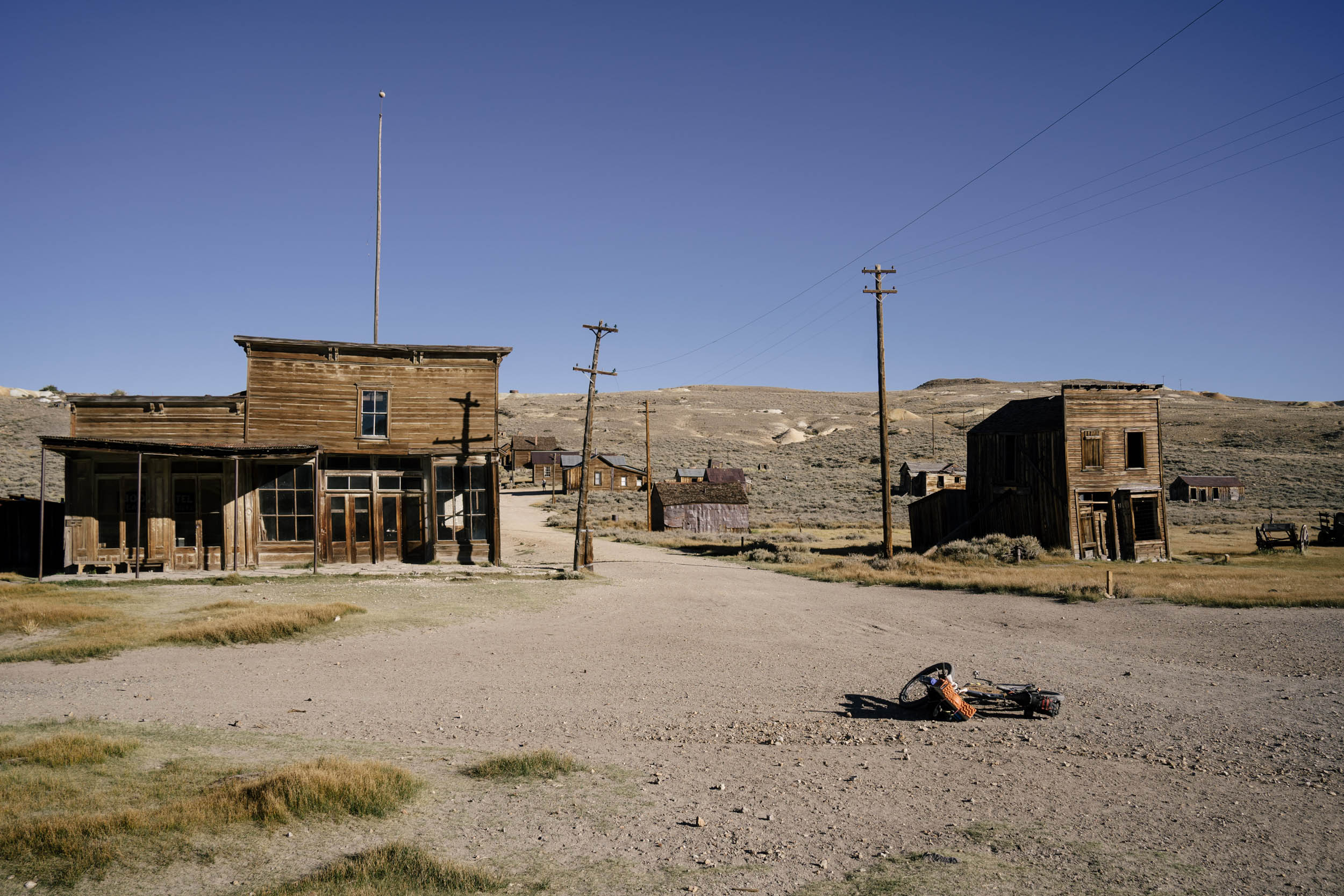
- Exploring abandoned ghost towns Belfort and Bodie and all the small Sierra cabins left to reintegrate into the forest
- Long, quiet stretches in a very empty and stunning place
- The route is best in the fall. In the spring, the mountains will still have snow. The summer is a little too hot to ride through Fish Slough (unless you get a weather window). The fall features lovely colors, cooler temps (but can be very cold at night!), and still plenty of water.
- If you want to ride in the summer and it’s hot, the shorter northern routes would keep you out of the worst of the heat (Big Pine and Bishop).
- The Sierras are black bear territory. Prepare accordingly
- I left my car at Sherwin Lakes and it was fine (37.6288855, -118.9632450)
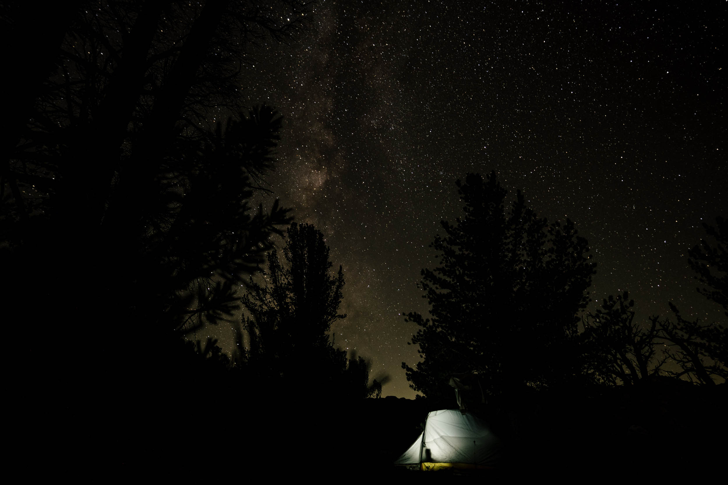
- Be prepared for sun exposure during the day and cold nights.
- The fall is hunting season, so keep an eye out for hunters in trucks. Most will just stop you to ask if you’ve seen any bucks along the way. Don’t ride in camouflage.
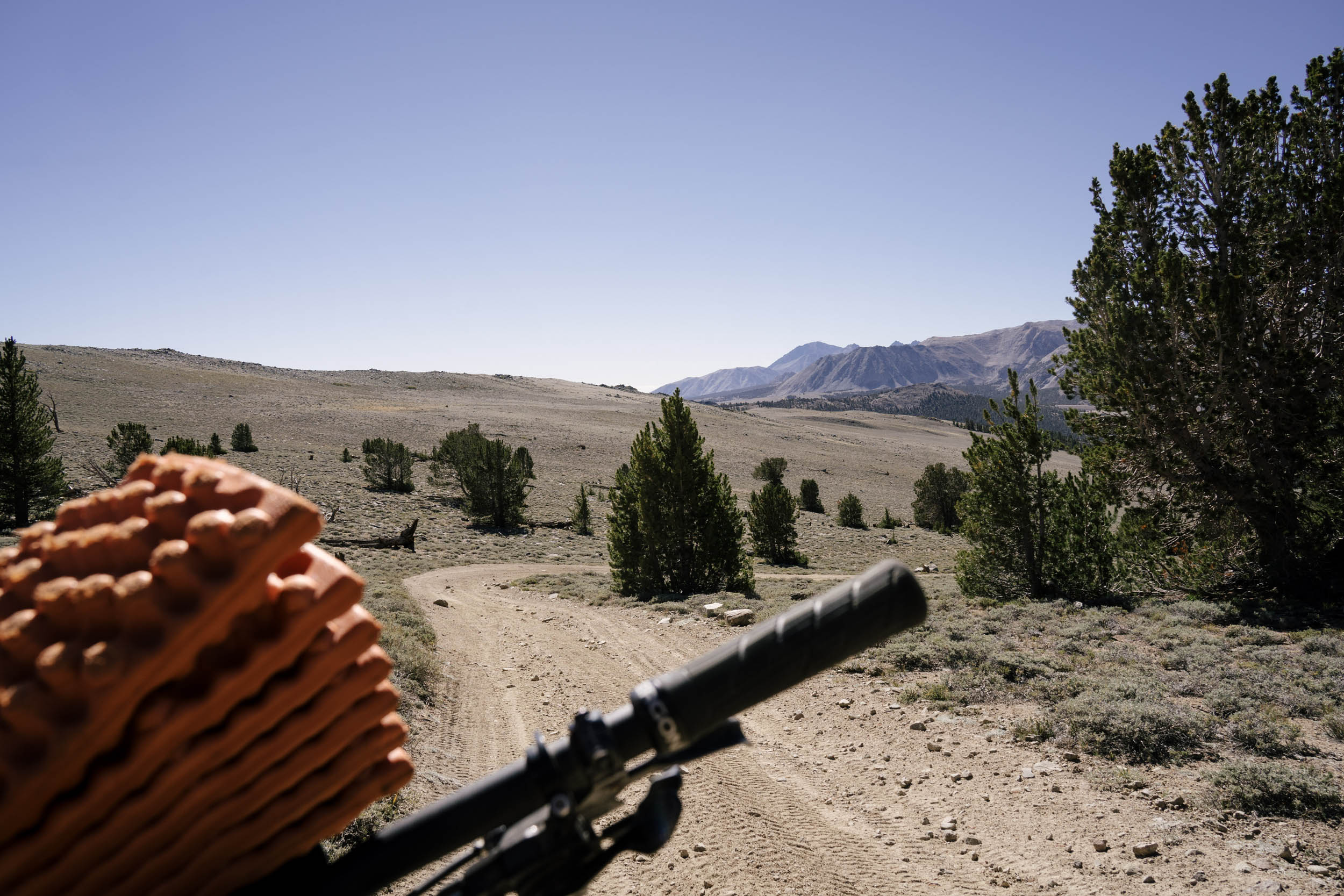
- This route is best ridden on a mountain bike, preferably 29+, but a hardtail with a suspension fork would also suffice. There are some sections with deep, soft sand, many rough-riding cow trails, and plenty of sharp scree to puncture your sidewalls. A big-volume, heavy-casing tire will make your ride easier.
- The Manzanar Museum is worth a stop on the drive up to learn about the history of the Owens Valley.
- Bring a fly fishing rod if you have some extra time. A light rod would add some dimension to those mountain streams, and the lakes on the latter half are renowned for their trout fishing.
- Bodie State Historic Park is worth a poke around, but the gates are only open 9 a.m. to 6 p.m. They won’t let you in after hours. Some guards will let you ride the perimeter road without paying entry, but if you do decide to enter the park and look around, you should pay the $8.
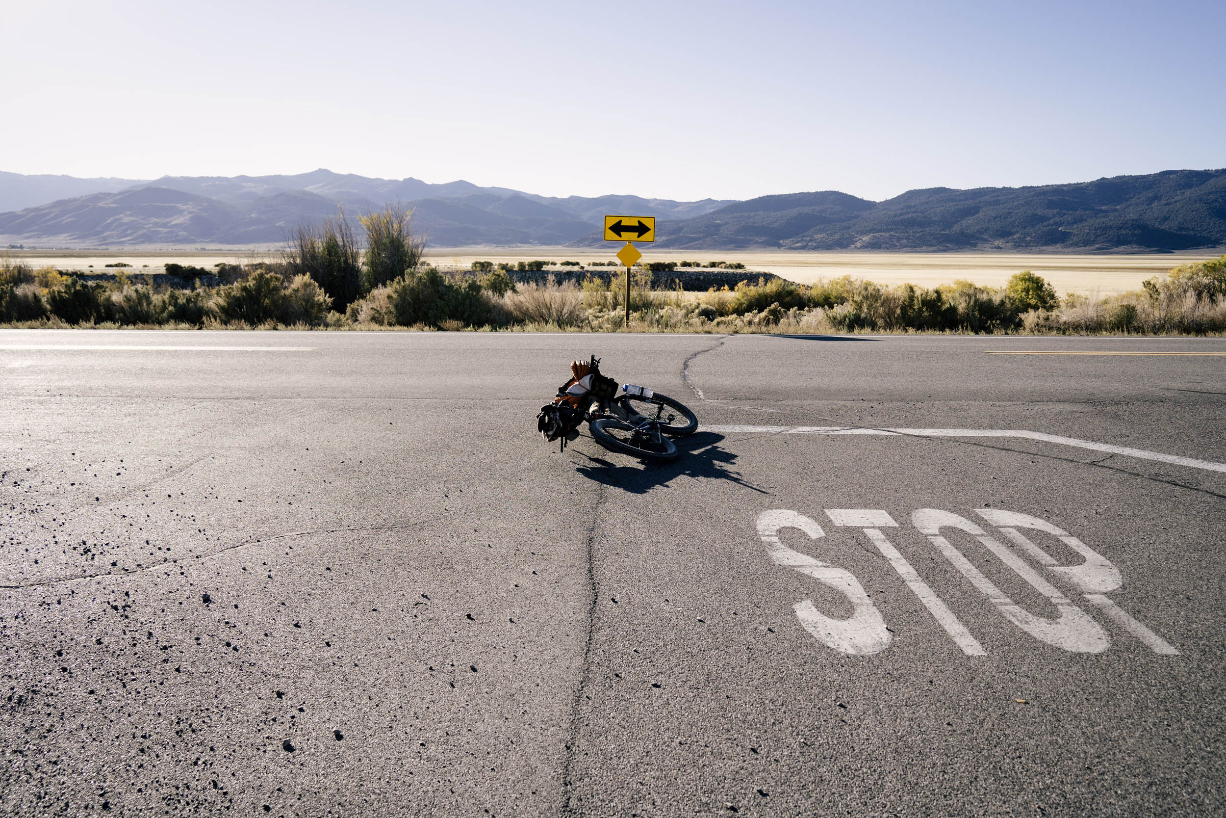
- There is some pavement riding, including a very short but busy blast on the 395. The climb out of Big Pine is all paved, but is a relatively quiet road. That being said, do be sure to have lights.
- There are many places along the route with no cell service. Consider bringing a satellite tracker with an SOS function in case of injury or catastrophic failure.
- Please keep this land beautiful for future generations and follow Leave No Trace principles.
- The full route and the shorter versions are all meant to be ridden counter-clockwise.
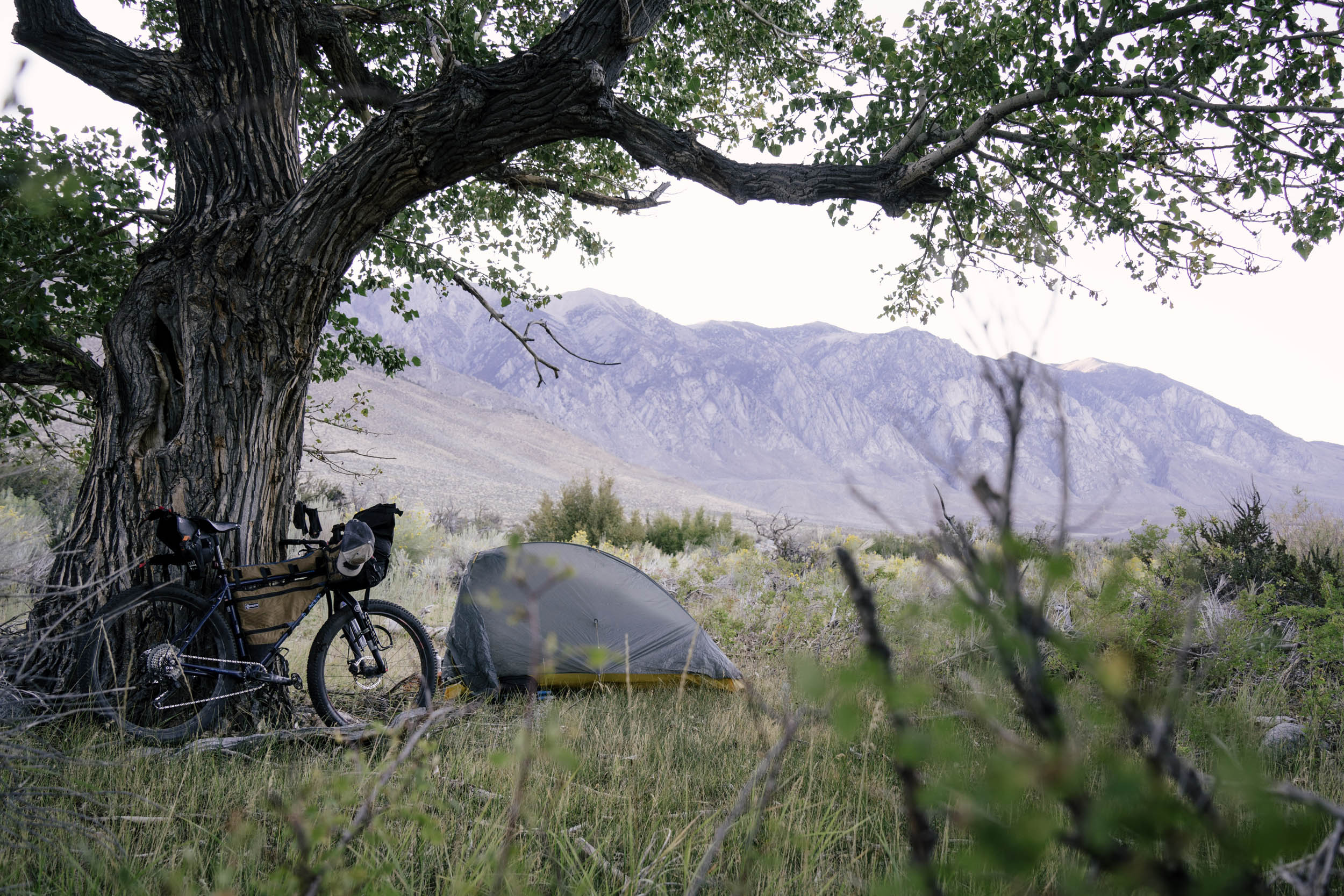
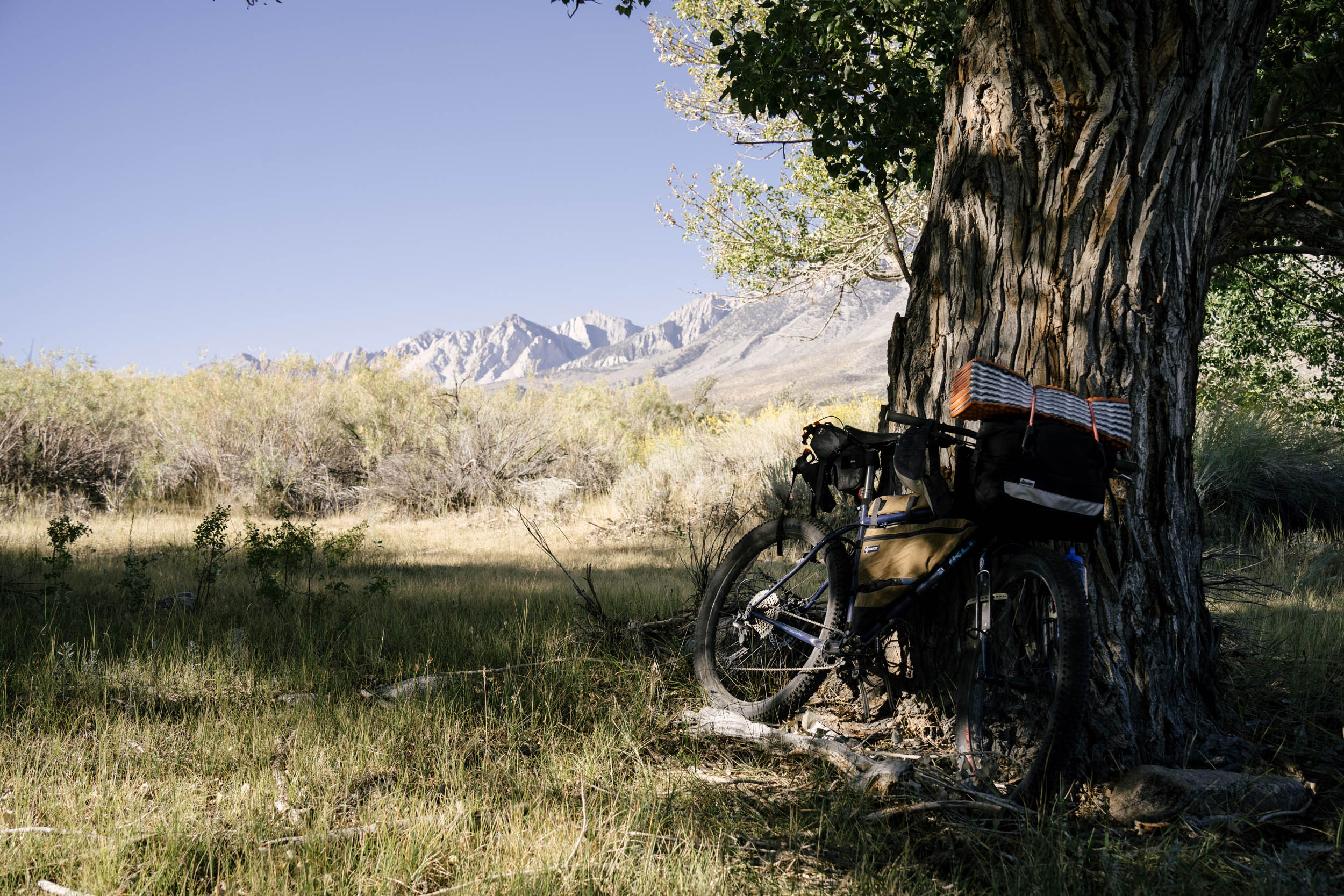
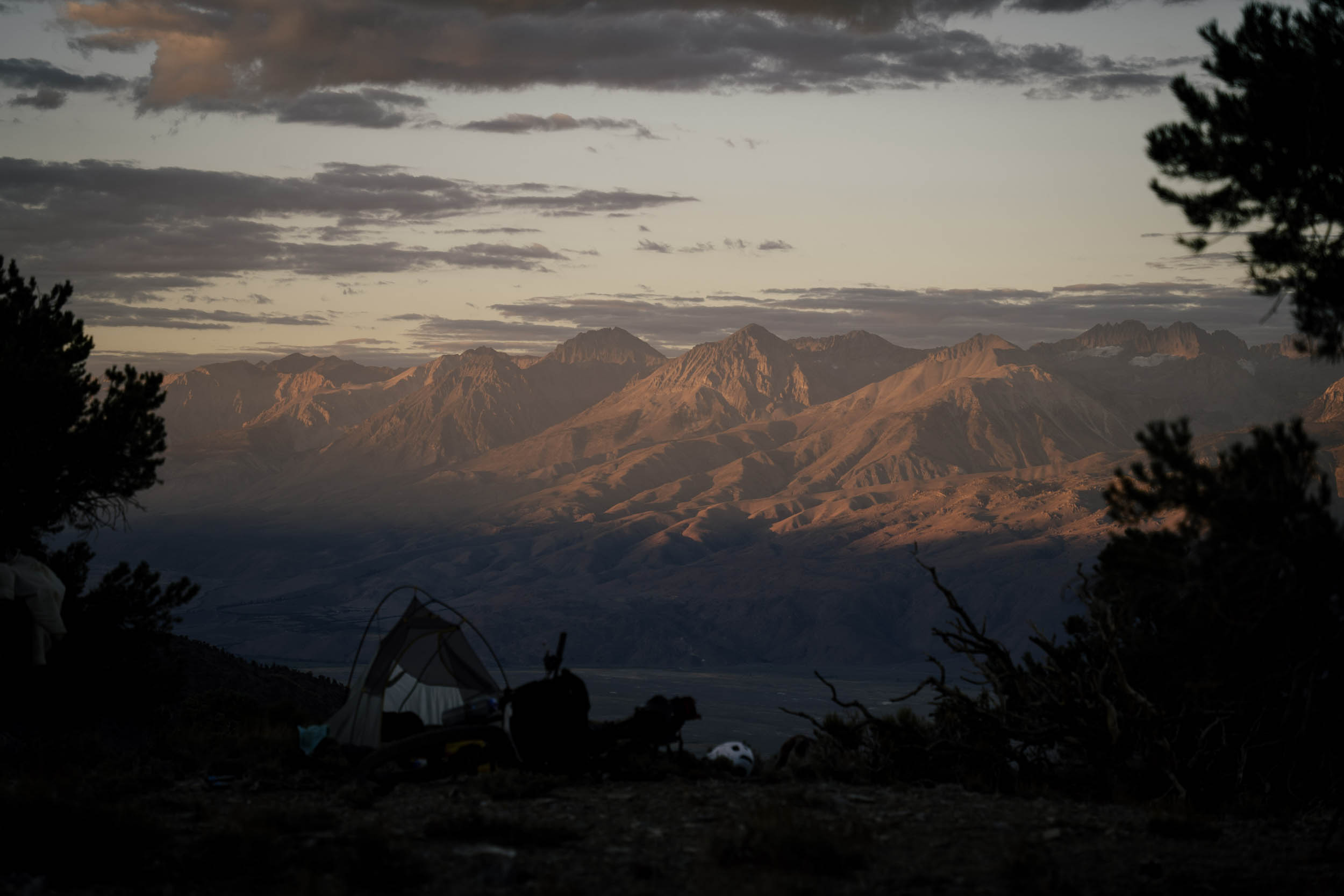
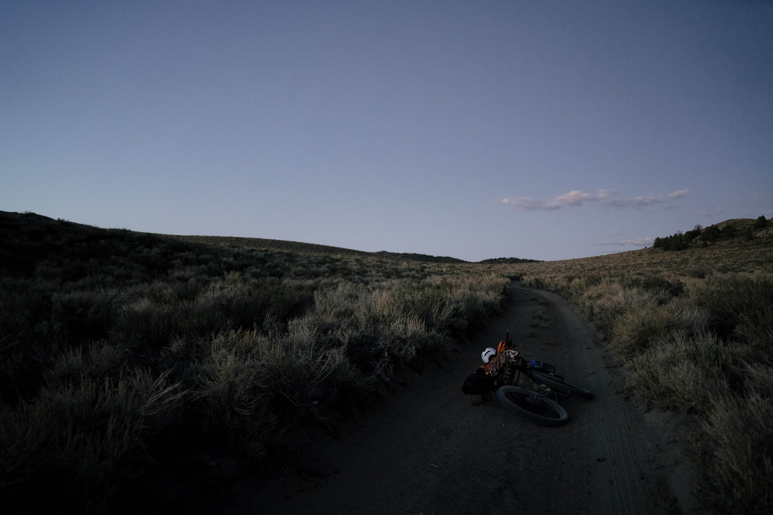
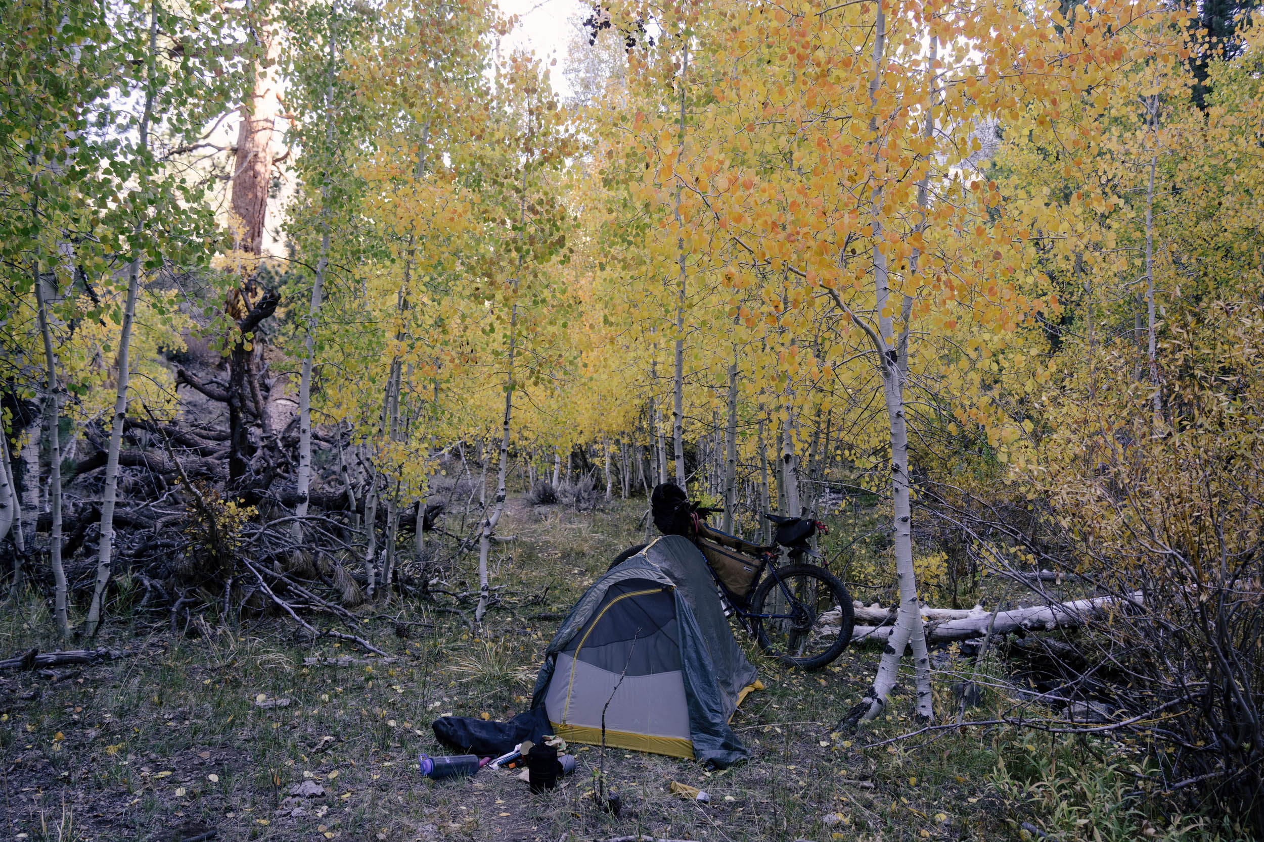
- There is plenty of wild camping on BLM and National Forest lands. Most of the time, you can camp just next to the trail. I marked several spots on the map that I thought would be really nice places to stay, but in general, once you’re out of a town, camping is easy.
- Several campgrounds exist along the route as well, but may be shut down if you’re riding late in the fall or early in the spring. Check with the USFS before counting on one.
- If you want to enjoy the Travertine Hot Springs just outside of Bridgeport, there’s BLM land just 100 meters down the road from the main parking area. You can pitch a tent just down the road and ride up for a morning soak before setting off down the highway.
- Mammoth Lakes, Bishop, Big Pine, Bridgeport, Walker, and Lee Vining all have hotels/motels. Expect to pay a premium in Mammoth, and depending on the season/traffic, along the 395 as well. You could wild camp pretty easily just outside of any of those towns.
- The western half features so much water in creeks, streams, lakes. Bring a filter and enjoy. The eastern section is a bit drier. The stretch out of Big Pine is the longest without water, (48 miles and 4,800 feet of climbing through the arid Whites.) After that, water is much more frequent. I carried 8L and wished I had a bit more.
- Generally speaking, there is plenty of resupply on the full route, but be aware of the 50-mile stretch with no food or water that climbs through the Inyo and White Mountains. This stretch and the long stretch with no food following it will push your cargo ability. Make sure you can carry enough water for at least two days and food for three or four, depending on your pace.
- The latter half of the route is full of nice glacial melt streams, but I would still filter water due to all the cows grazing high in the fields.
- Burger Barn in Bridgeport, Walker Burger in Walker, Burgers in Mammoth. Plenty of good hamburgers if that’s your thing. All offer vegan options too. It’s small-town America, though, so don’t expect gourmet foie-gras.
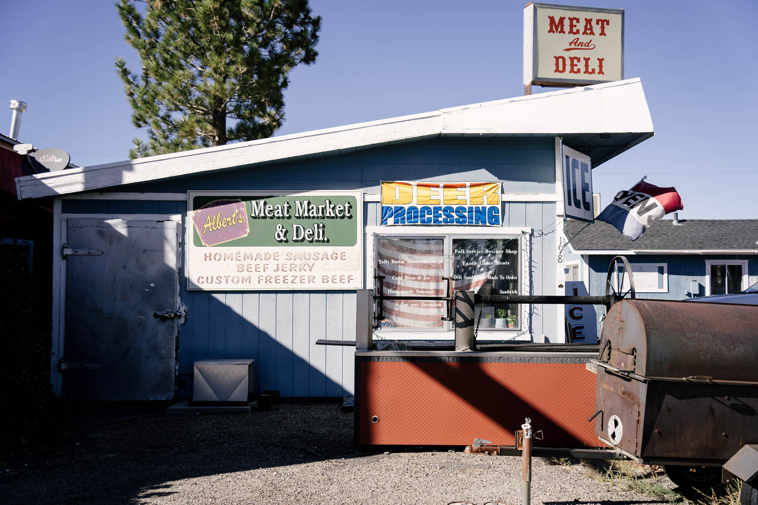
- Schat’s Bakery is famous in the area for its deli and fresh, delicious bakery. Grab a pecan pull-apart straight from the oven for delicious sugary calories along the trail!
- After Bishop, resupply isn’t that great. Walker, Bridgeport, Lee Vining, and Big Pine all have small general stores with the necessities but not much more. Expect canned foods and the occasional fresh fruit.
- Virginia Lakes Resort is cash only.
- The brewery in June Lake is nicely timed before the final push, and the food truck there, Ohanas 395, is delicious.
Mammoth Lakes to Bishop
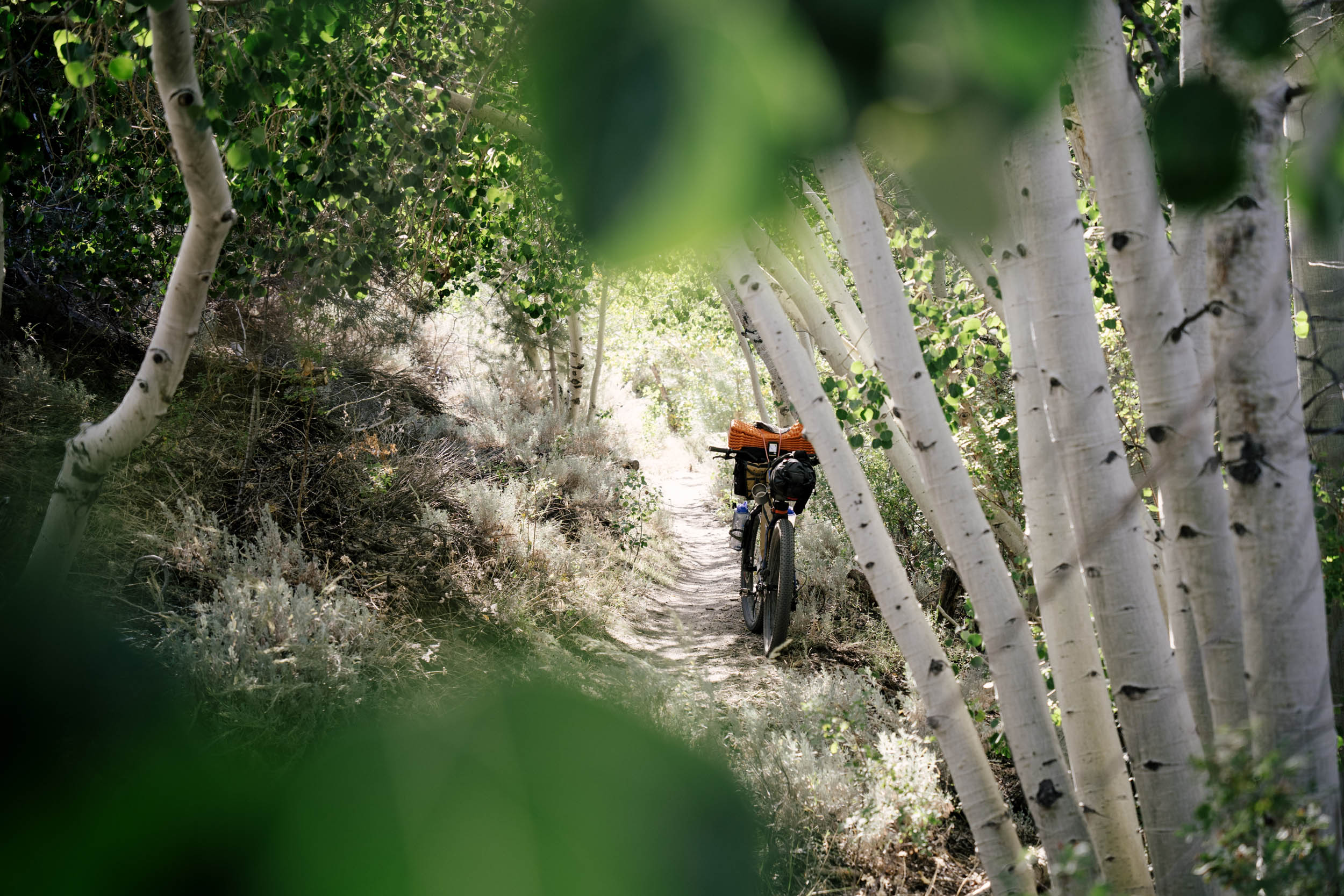
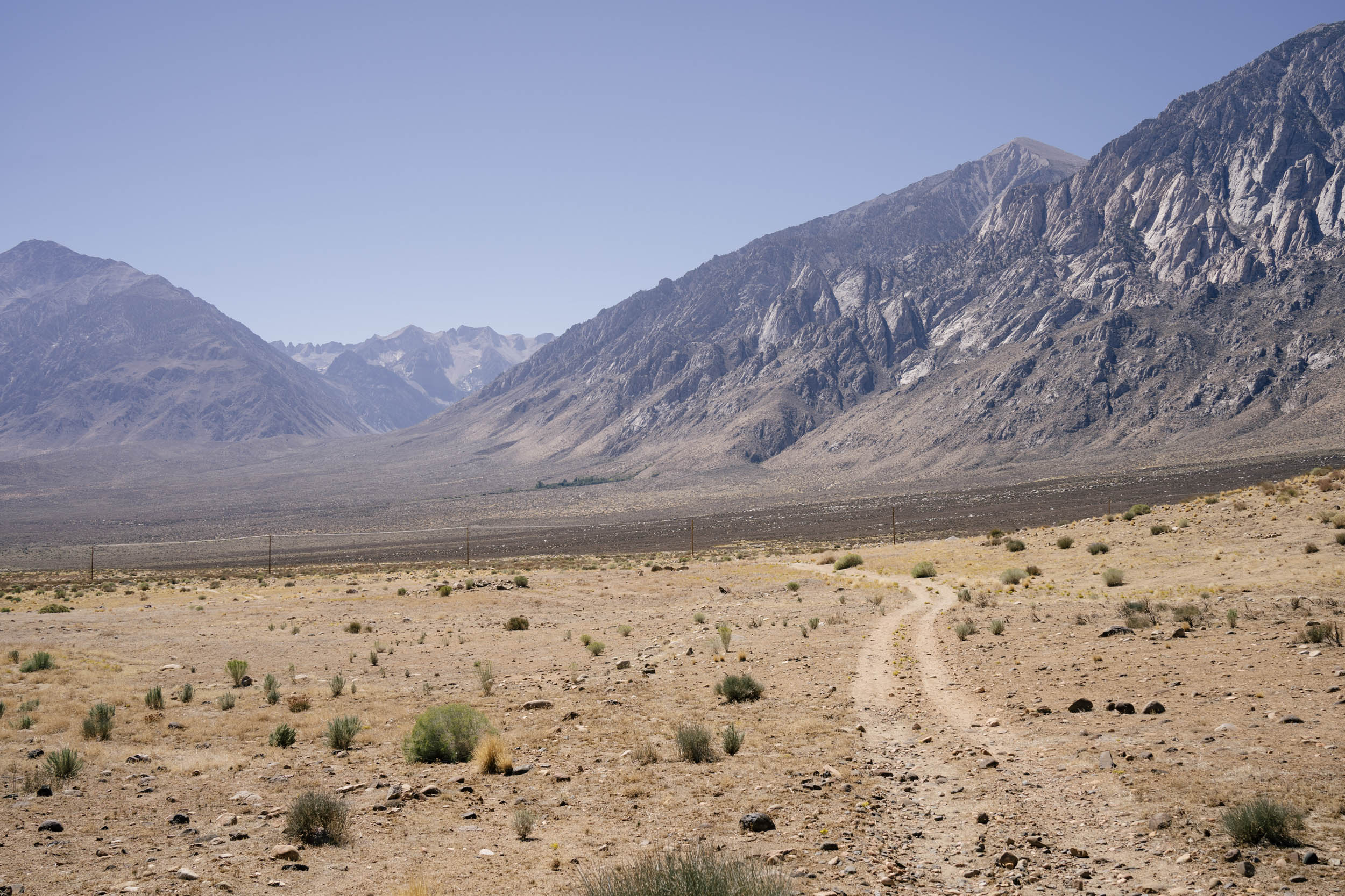
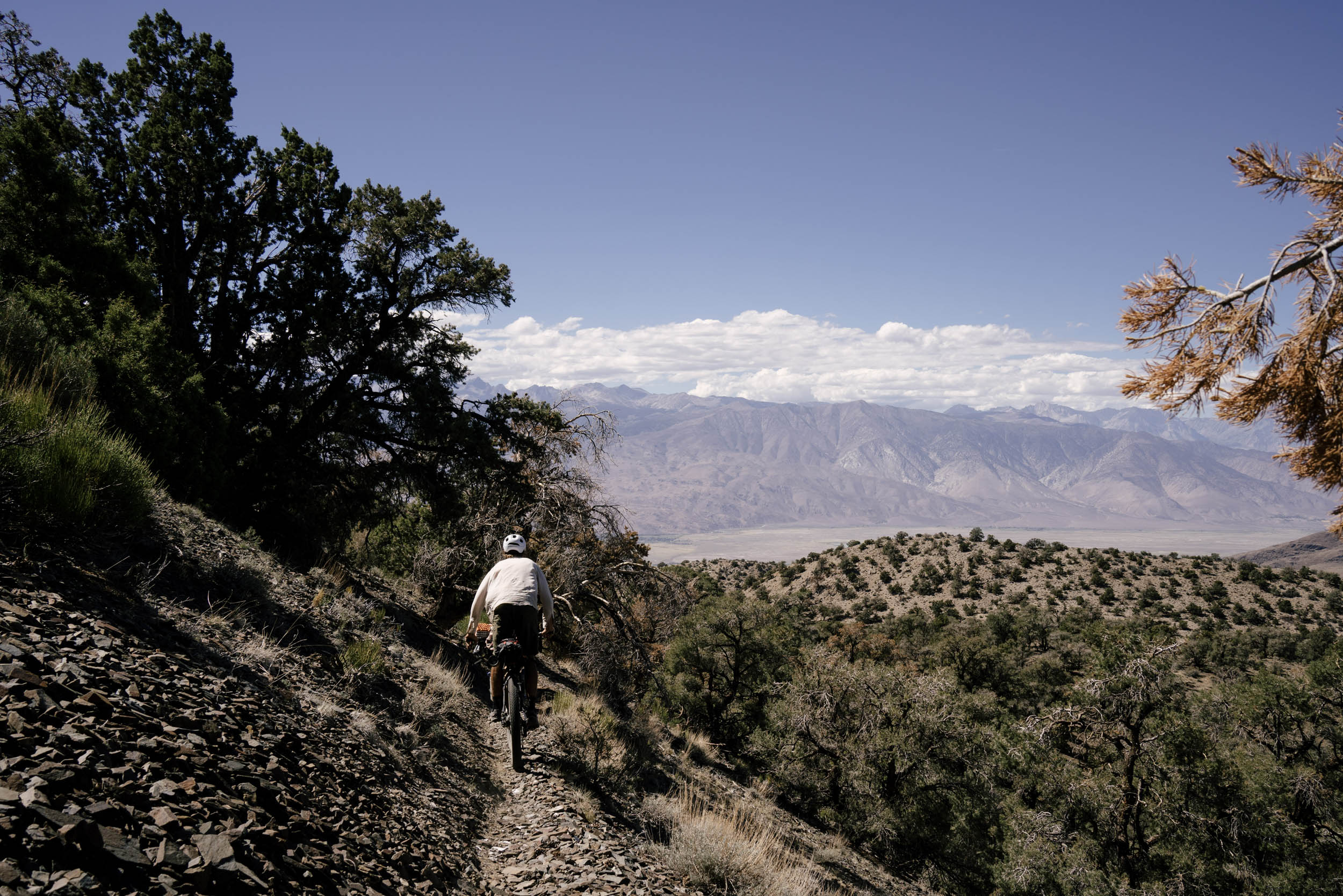
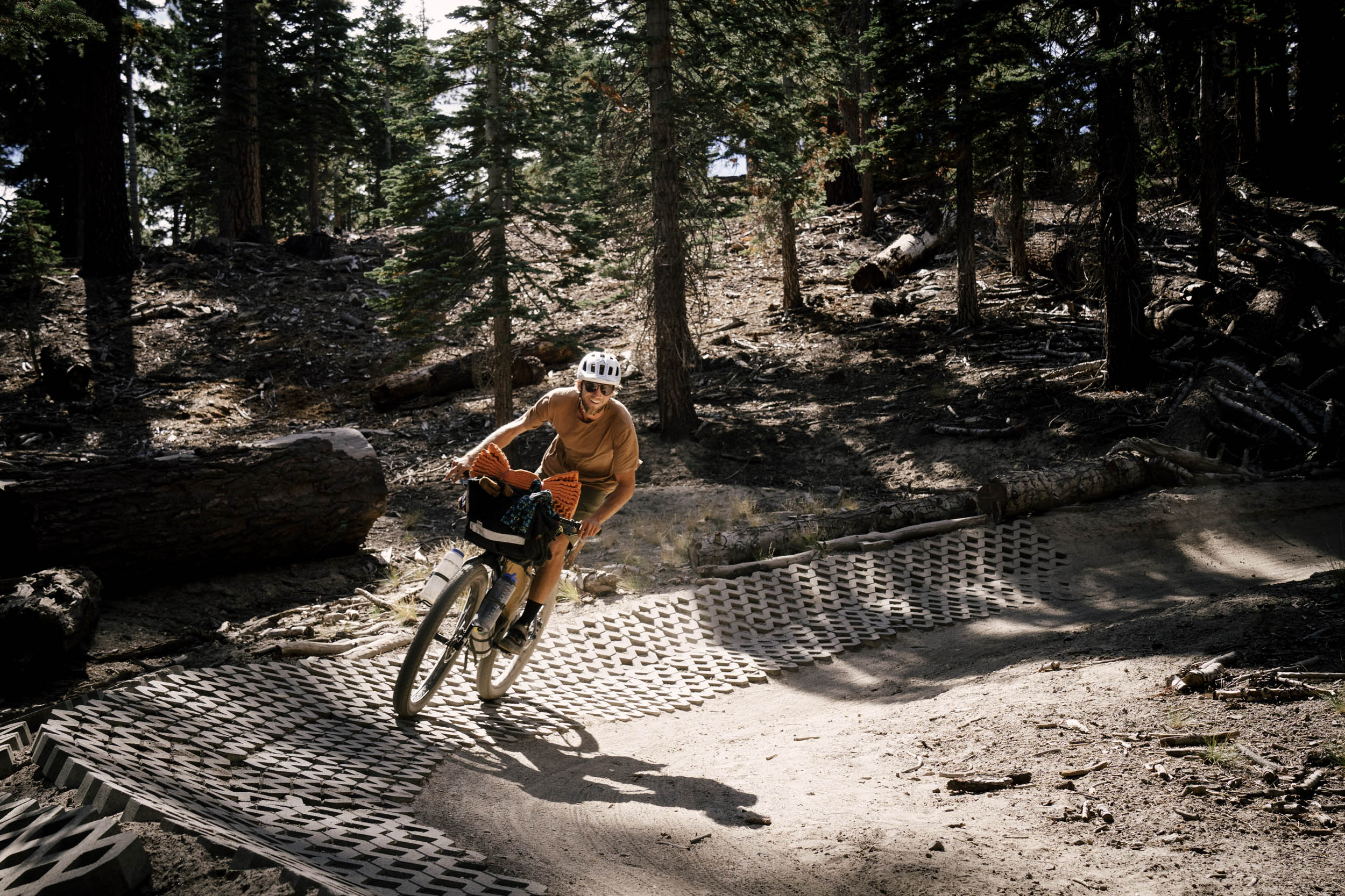
The route leaves the growing mountain community of Mammoth Lakes and goes straight into the singletrack network just outside of town. From there, it rolls through gentle doubletrack to Lake Crowley, a small fishing reservoir with an accompanying small town. Along the way, expect strong packs of deer in the fields and the trucks of hunters stalking them along the foothills. The route then sends you through the flowing singletrack paradise of Lower Rock Creek, up and over the arduous Lookout Mountain pass at 11,200 feet, and then descends off the roof of the Sierra and into the valley. You then climb a quiet highway into the Inyo Mountains before a stark traverse of the White Mountains—a long stretch with no water on roads, jeep trails, and singletrack. Here, you get a first-hand look at the ancient bristlecone pines, some of the oldest trees in the world and remarkably resilient to the aridity that plagues the White Mountain range. There’s beautiful camping here, watching the glow of the sunrise on the Sierra peaks up above the Owens Valley. Then, hang on tight for a rowdy singletrack descent through Redding Canyon and back to Bishop for the only real city of the route.
Bishop to Bridgeport
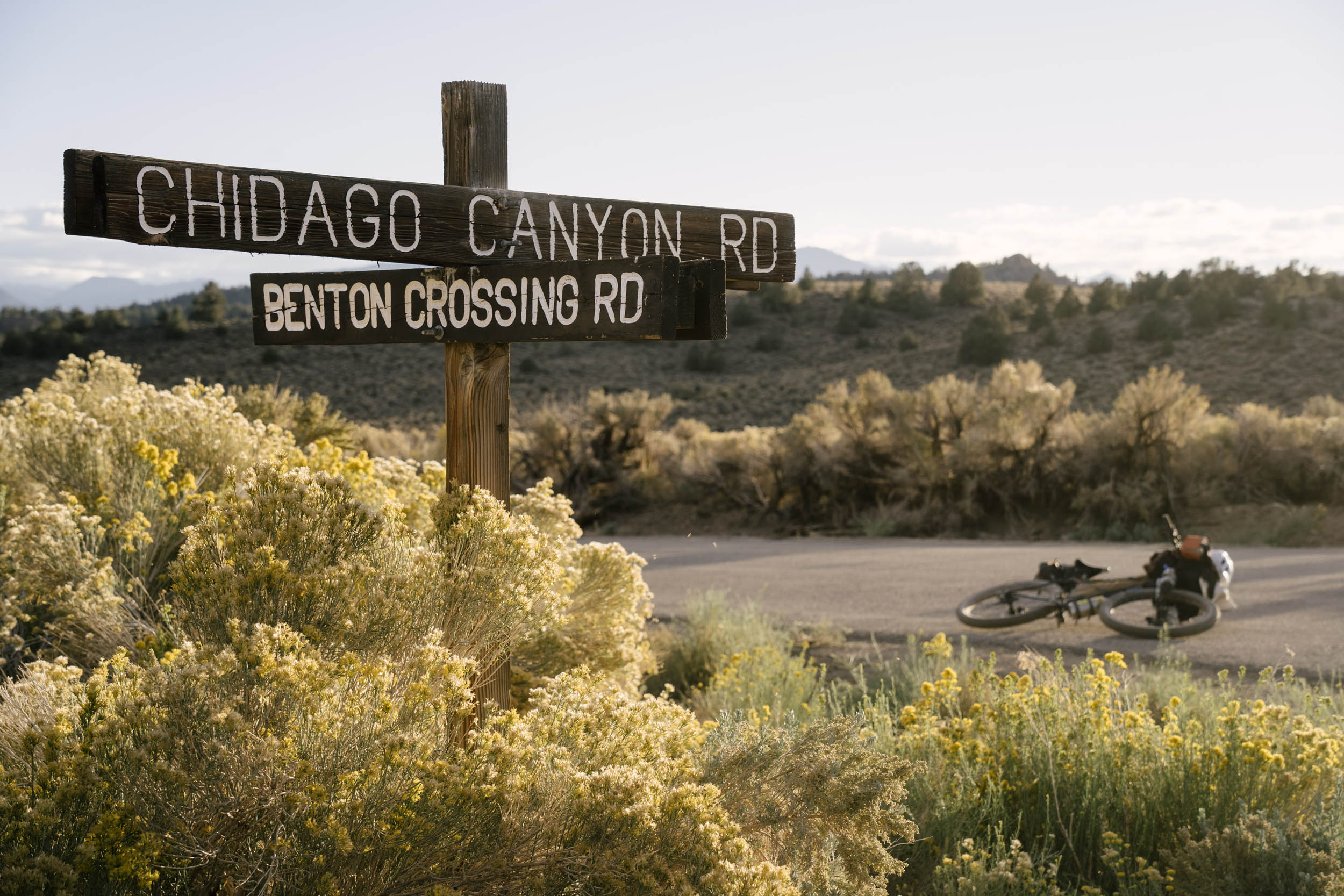
The route then heads north through the volcanic tablelands, part of the Mojave Desert, a desert section lined with volcanic flow boulders and Indigenous petroglyphs. Camel up for more exposed and hot riding with no water, and climb into the sagebrush-lined Glass Mountains to the ghost town of Bodie, an old mining town abandoned and left untouched for 150 years. The route then rides through the Bodie Hills, a beautiful, empty pass with grand views of the Sierra again, before another long ride leaving Bridgeport (make sure to stop at the Burger Barn!).
Bridgeport to Mammoth Lake
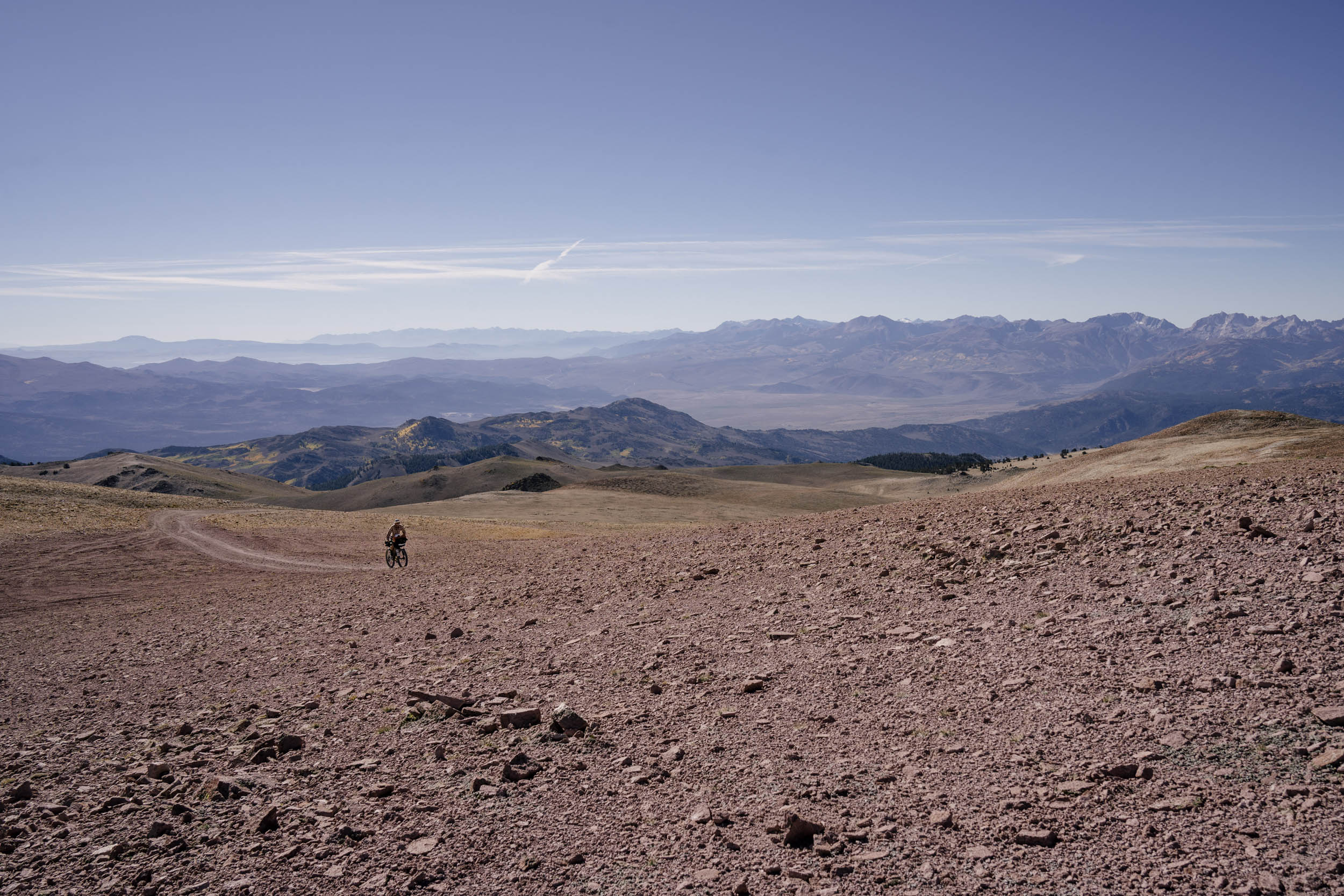
You enter Nevada and the Sweetwater Range, a different world of high-alpine fellfields, “Mars with flowers,” as the USFS calls it, before the 6,000-foot hike-a-bike up to the summit of Mt. Patterson. Then, it’s a beautiful but hard ride at elevation to Mammoth back in the Sierra, linking high-elevation lakes with several amazing passes. This route features three natural hot springs, two breweries, and one incredible way to immerse yourself into the very unique biosphere that is the Eastern Sierra. Be prepared to ride at elevation for essentially all of it. The base of the valley is around 4,000 feet, and you only spend a few hours there. The rest of the riding is mainly between 6,000 and 8,000 feet. This makes for a lot of sun exposure in the day and cold temps at night. If sleeping high, be prepared for freezing temperatures most of the year, and bring plenty of sun protection for the day.
The Caldera 250 and 150
There are also four smaller routes, all incorporating various features of the entire 500 mile route, including the Caldera 250 N and Caldera 250 S mapped below. You can also find the other two Caldera 150 options and all GPX files here.
Caldera 250 N
Caldera 250 S
Additional Resources
Amanda “Panda” Nauman attempts to be first female finisher
In 2020, Amanda Nauman attempted to be the first female finisher of the Caldera 500 route:


Terms of Use: As with each bikepacking route guide published on BIKEPACKING.com, should you choose to cycle this route, do so at your own risk. Prior to setting out check current local weather, conditions, and land/road closures. While riding, obey all public and private land use restrictions and rules, carry proper safety and navigational equipment, and of course, follow the #leavenotrace guidelines. The information found herein is simply a planning resource to be used as a point of inspiration in conjunction with your own due-diligence. In spite of the fact that this route, associated GPS track (GPX and maps), and all route guidelines were prepared under diligent research by the specified contributor and/or contributors, the accuracy of such and judgement of the author is not guaranteed. BIKEPACKING.com LLC, its partners, associates, and contributors are in no way liable for personal injury, damage to personal property, or any other such situation that might happen to individual riders cycling or following this route.
Please keep the conversation civil, constructive, and inclusive, or your comment will be removed.