Cathedral Valley Loop (Capitol Reef National Park)
Distance
76 Mi.
(122 KM)Days
2
% Unpaved
92%
% Singletrack
0%
% Rideable (time)
100%
Total Ascent
4,607'
(1,404 M)High Point
7,204'
(2,196 M)Difficulty (1-10)
5?
- 4Climbing Scale Fair61 FT/MI (11 M/KM)
- -Technical Difficulty
- -Physical Demand
- -Resupply & Logistics
Contributed By
Ann Driggers
Guest Contributor
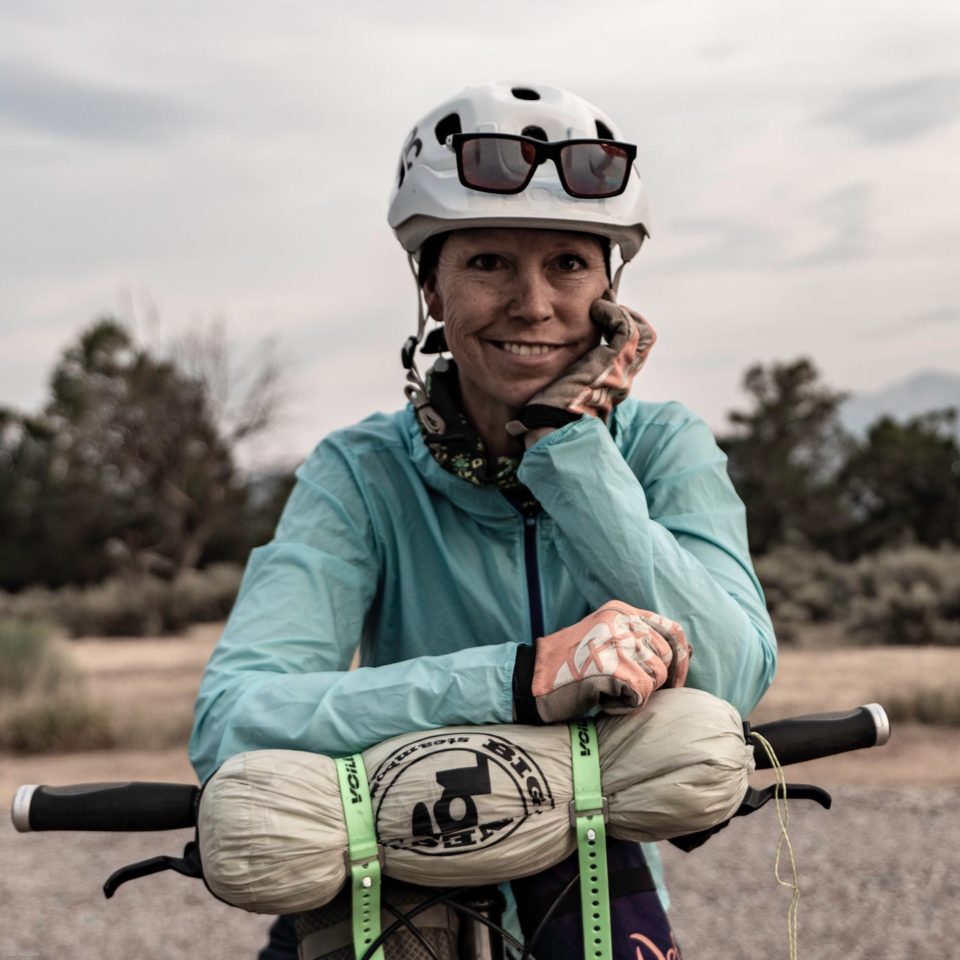
Originally from the UK, Ann now lives in Colorado’s Roaring Fork Valley where she is the ultimate weekend warrior, working a full time job and maximizing pre- and post- work micro adventures usually of the bikepacking variety. Find more of her adventures on instagram @anndriggers
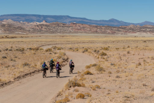
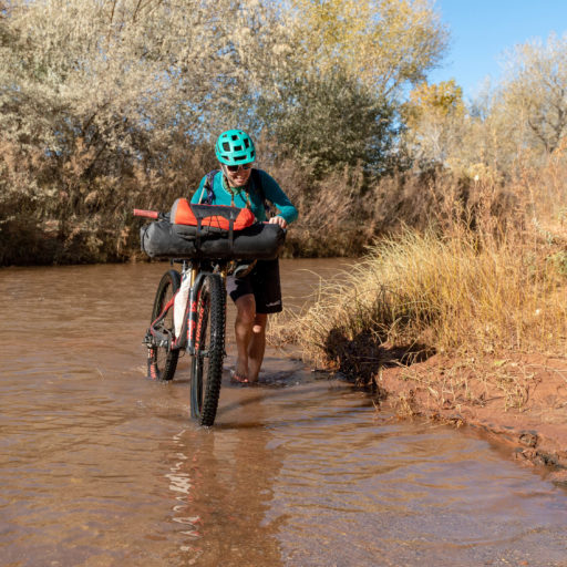
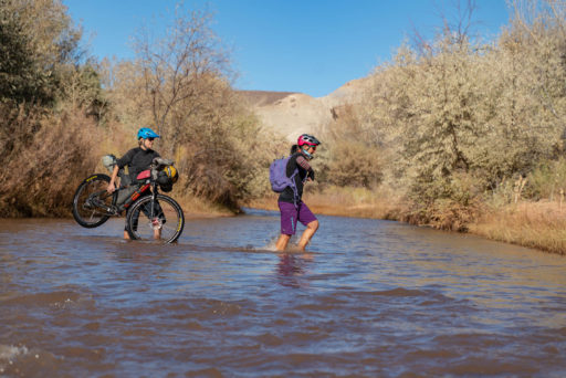
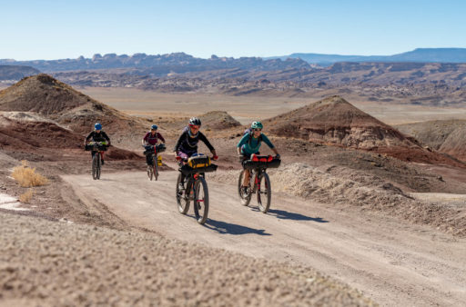
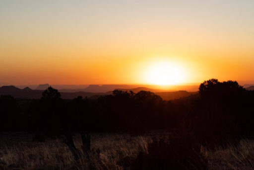
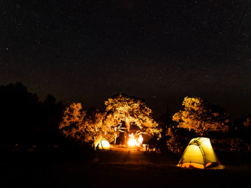
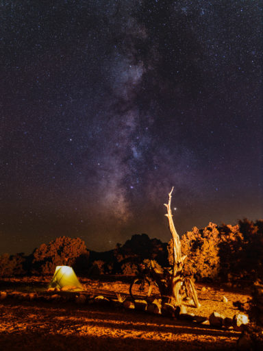
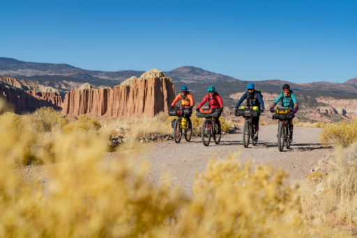
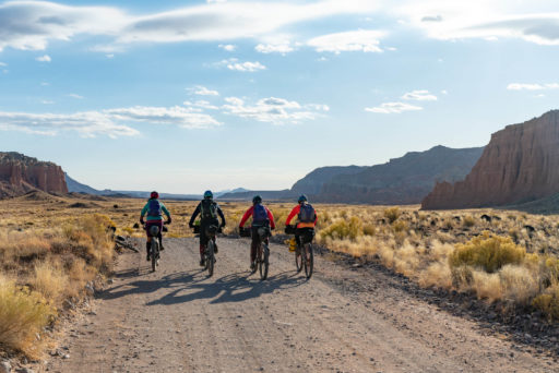
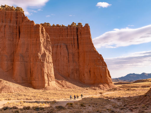
The Cathedral Valley Loop is a bikepacking route based upon the 58-mile Cathedral Valley Loop in Capitol Reef National Park, connecting the off-road portions with a six-mile section on the scenic and smooth Highway 24, and with additional mileage logged for visiting the scenic overlooks within the Park. The recommended direction to ride is clockwise, starting with a refreshing crossing of the Fremont River. After you’ve dried off, follow a winding road that gradually climbs through bentonite hills and greasewood flats. Plan on taking short detours to view the dramatic scenery at the overlooks of Lower and Upper South Desert. On the final climb, the road becomes slightly more rocky as you approach the Cathedral Valley Campground, 28 miles from the river and your destination for the day. Situated in the pinon and juniper-clad foothills of Thousand Lake Mountain with spectacular views of Cathedral Valley, and the distant Canyonlands and Henry Mountains, the campground location could not be better. Furthermore, star gazers will be enchanted by the night skies as Capitol Reef is an International Dark Sky Park.
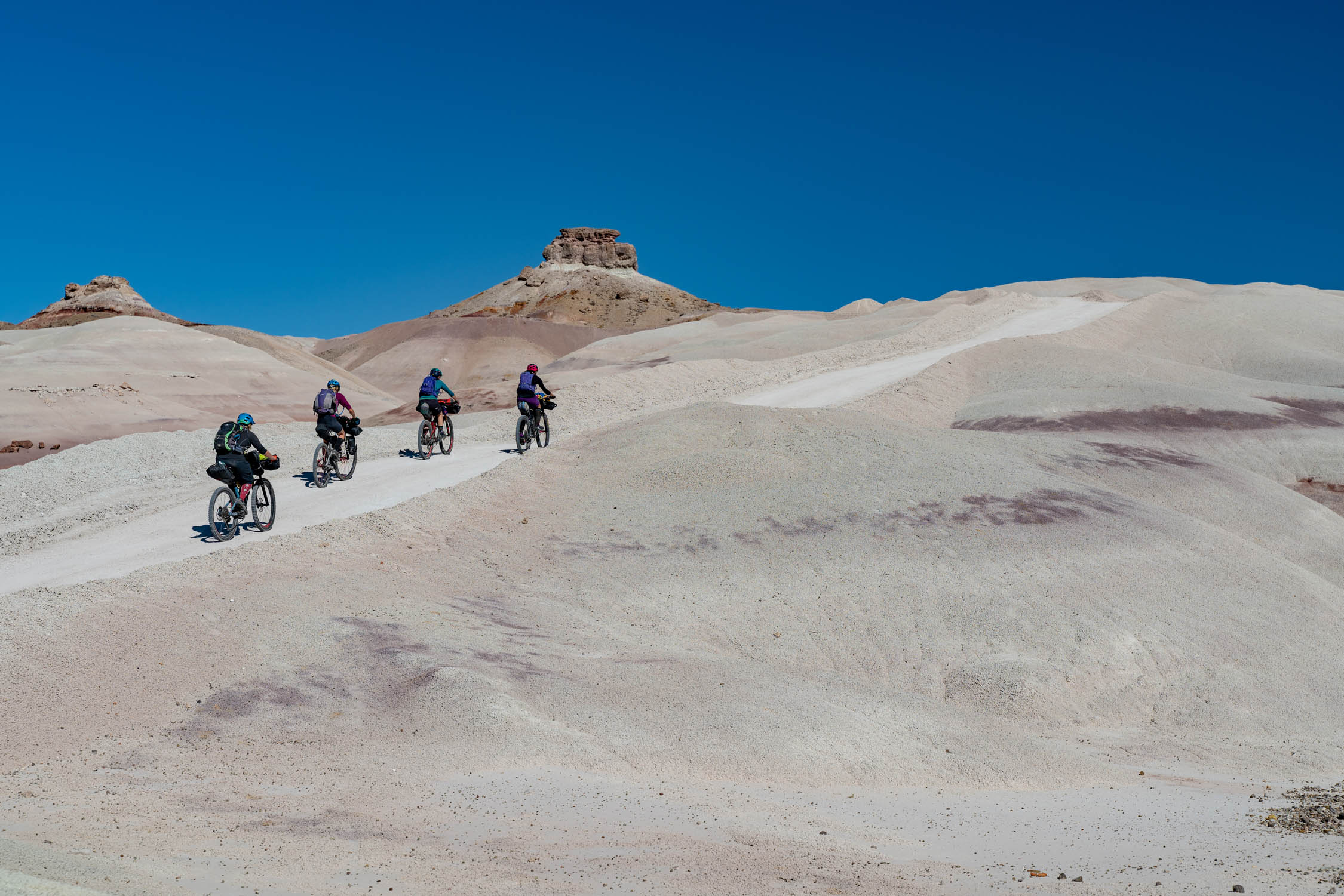
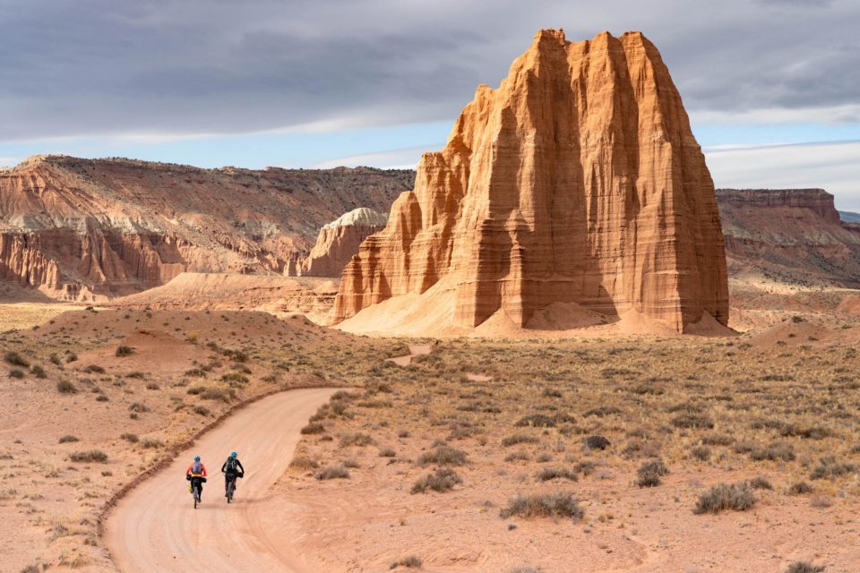
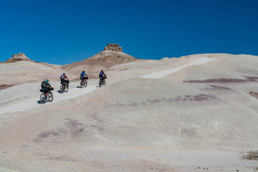
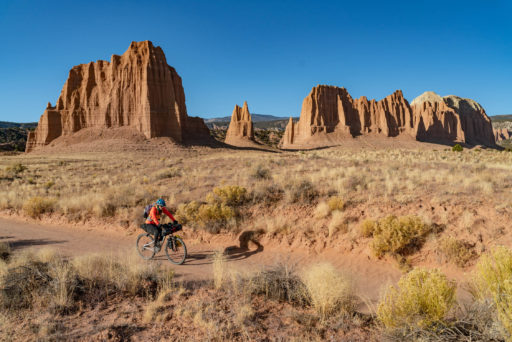
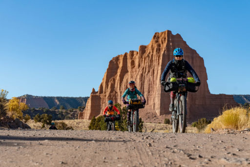
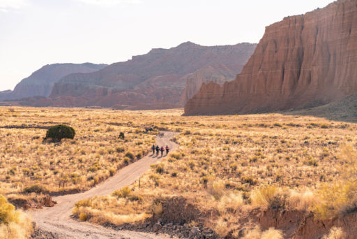
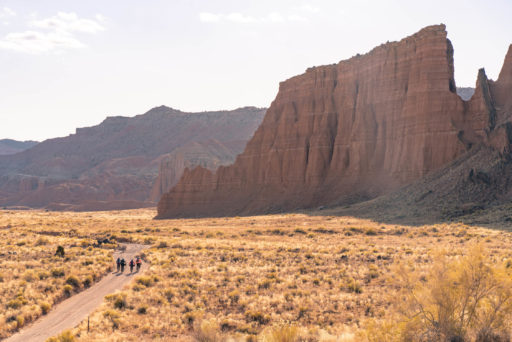
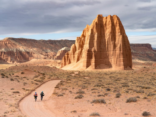
The second day starts with a fast descent from the campground into Cathedral Valley with views of jaw-dropping entrada sandstone monoliths rising from the desert floor. Again, plan on taking detours to visit the sights of the Gypsum Sinkhole and the Temples of the Moon and the Sun before continuing on the slightly sandy washboard road through the colorful rolling hills of the Painted Desert to the finish.
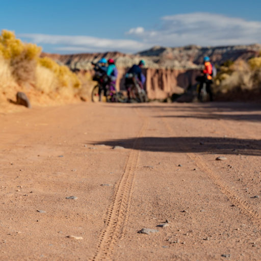
Difficulty: The Cathedral Valley Loop is assigned a 5 out of 10 on the difficulty scale. Much of the riding is relatively easy with a few sandy and washboard sections on the Cathedral Valley Road on the second day. However, the crossing of Fremont River likely requires wading. An NPS hotline provides updates on the water level, but whatever the season, count on getting wet. Despite there being two reliable water sources, both are within the first 15 miles of the route, so riders must plan on carrying all their water for their entire trip.
 This route is part of the Local Overnighter Project, which was created to expand our growing list of worldwide bikepacking routes—the first and largest of its kind—and create an independent map and catalog of great bikepacking overnighters, curated by you, from your own backyard. Our goal is to have accessible routes from every town and city in the world. Learn More
Submit Route Alert
As the leading creator and publisher of bikepacking routes, BIKEPACKING.com endeavors to maintain, improve, and advocate for our growing network of bikepacking routes all over the world. As such, our editorial team, route creators, and Route Stewards serve as mediators for route improvements and opportunities for connectivity, conservation, and community growth around these routes. To facilitate these efforts, we rely on our Bikepacking Collective and the greater bikepacking community to call attention to critical issues and opportunities that are discovered while riding these routes. If you have a vital issue or opportunity regarding this route that pertains to one of the subjects below, please let us know:
Highlights
Must Know
Camping
Food/H2O
Resources
- Explore one of Utah’s lesser known but stunning national parks, where travel by bike is welcomed
- Cycling through massive monoliths, a stark, dramatic, and unique landscape
- An International Dark Sky Park, this area is a star gazer’s delight
- Spectacular wildflowers in the spring
- Explore the history and orchards of the park’s pioneer community, Fruita, settled in 1880, before or after your trip
- Geologic wonders, such as Glass Mountain, a large, exposed mound of selenite crystals; and the Gypsum Sinkhole, a decomposing gypsum plug.
- Entrada Sandstone formations with intriguing names such as the Walls of Jericho and the Temples of the Sun, Moon, and Stars.
- Spring and fall are the best times to ride the Cathedral Valley Loop. Summer is too hot and winter too cold, with snow and freezing temperatures.
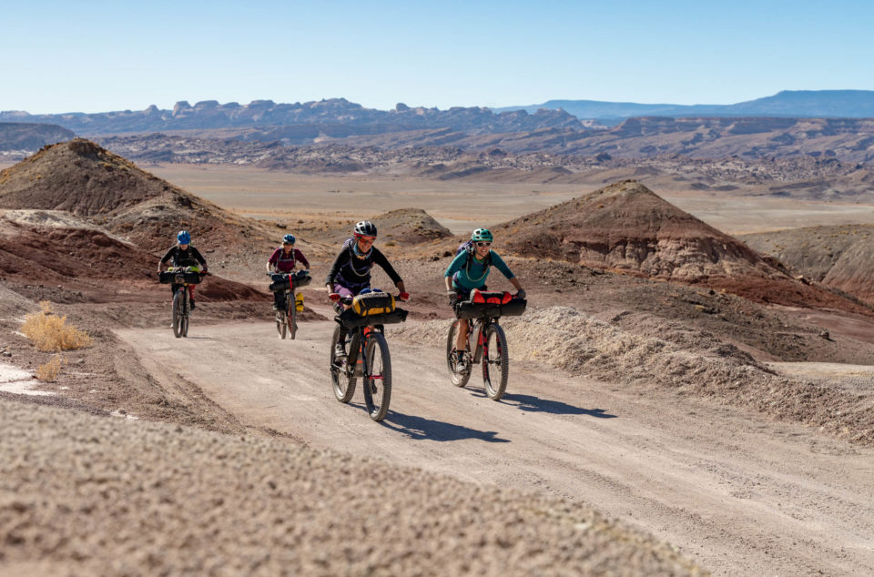
- Although this route can be sandy in spots, we rode with 2.3″ tires without issues. All sections were rideable.
- Parking is available near the Fremont River crossing, though it necessitates finishing your ride with the highway section of the loop. If you prefer to get the highway section done first, as we did, ask at the Rodeway Inn in Cainville if vehicles can be left overnight.
- Do not attempt this route if there is any forecast of significant precipitation, as the route can turn into a mud fest and the Fremont River can flood.
- Bentonite clay (altered volcanic ash) absorbs water and becomes very slick and gummy when wet, making vehicle or foot travel difficult or impossible.
The route falls half on BLM Land and half in Capitol Reef National Park. Once in the National Park, only camping at the Cathedral Valley Campground is permitted. This has six sites, first come first served, with no fee. There is an outhouse, but no water. The campground is at 7,000 feet, so be prepared for a cooler night at elevation.
Carry all the food and water you need for this route. Although there are two reliable water sources–the Fremont River and Ackland Spring–both are within the first 15 miles.
Additional Resources
- Capitol Reef National Park details the route and provides a hotline for information on the Fremont River Crossing. https://www.nps.gov/
care/planyourvisit/ cathedralvalley.htm
Terms of Use: As with each bikepacking route guide published on BIKEPACKING.com, should you choose to cycle this route, do so at your own risk. Prior to setting out check current local weather, conditions, and land/road closures. While riding, obey all public and private land use restrictions and rules, carry proper safety and navigational equipment, and of course, follow the #leavenotrace guidelines. The information found herein is simply a planning resource to be used as a point of inspiration in conjunction with your own due-diligence. In spite of the fact that this route, associated GPS track (GPX and maps), and all route guidelines were prepared under diligent research by the specified contributor and/or contributors, the accuracy of such and judgement of the author is not guaranteed. BIKEPACKING.com LLC, its partners, associates, and contributors are in no way liable for personal injury, damage to personal property, or any other such situation that might happen to individual riders cycling or following this route.
Please keep the conversation civil, constructive, and inclusive, or your comment will be removed.


