


Caucasus Crossing (Armenia)
Distance
434 Mi.
(698 KM)Days
18
% Unpaved
80%
% Singletrack
6%
% Rideable (time)
90%
Total Ascent
58,974'
(17,975 M)High Point
11,000'
(3,353 M)Difficulty (1-10)
8?
- 9Climbing Scale Very Strenuous136 FT/MI (26 M/KM)
- -Technical Difficulty
- 9Physical Demand Very Difficult
- 7Resupply & Logistics Strenuous
Contributed By

Logan Watts
Founding Editor
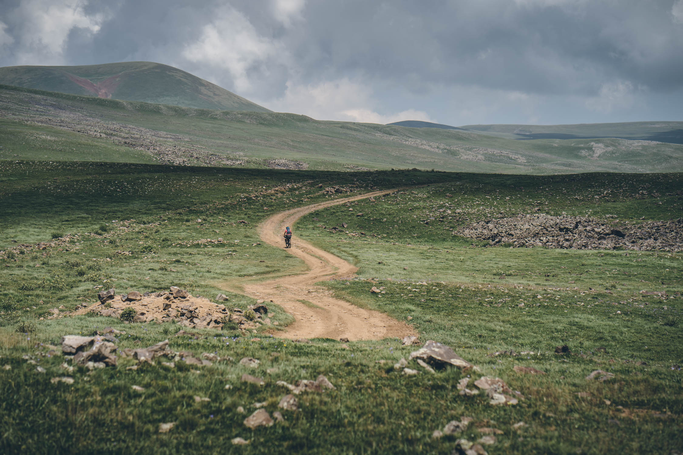
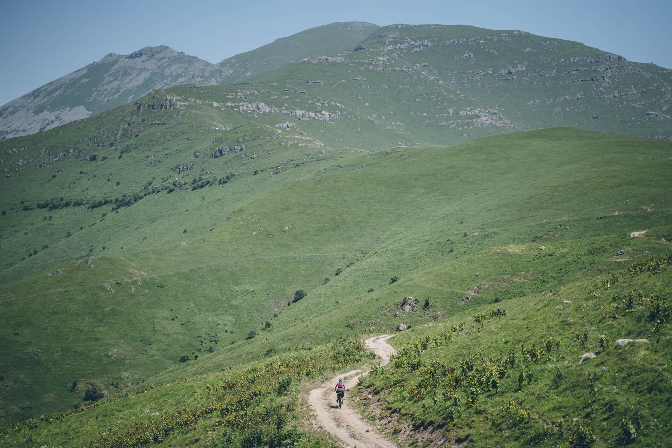
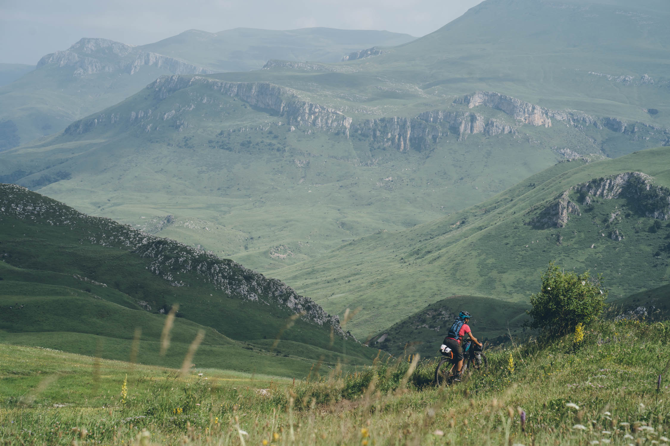
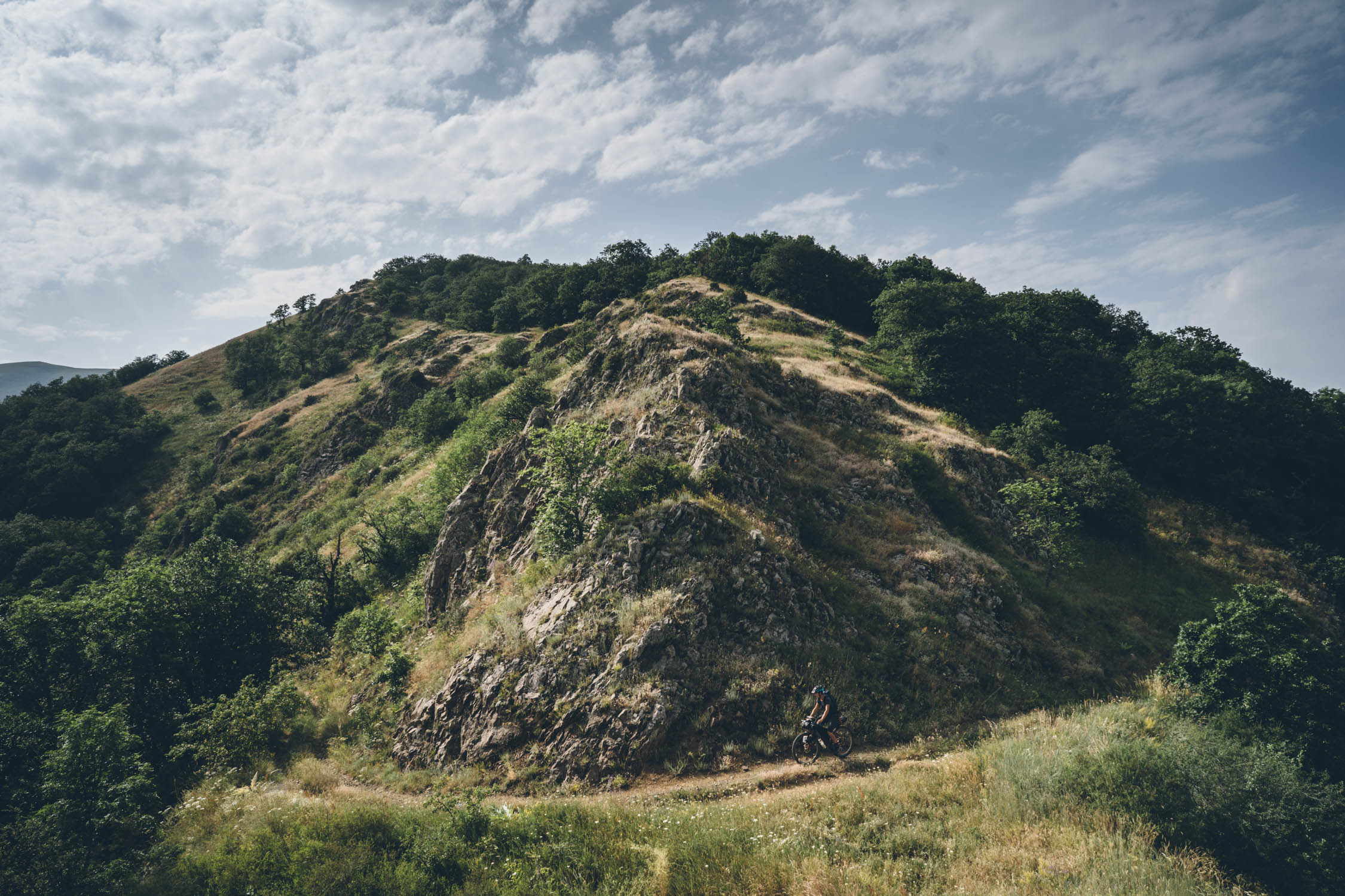
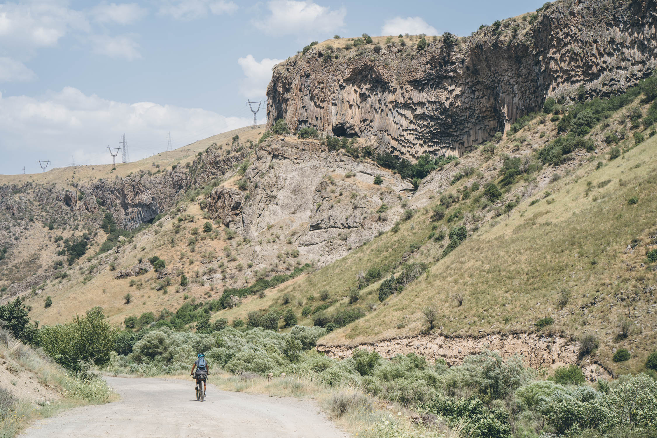
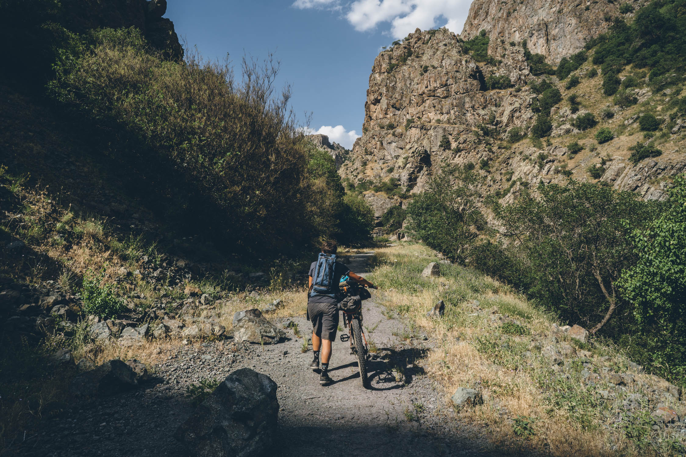
Make no mistake, the Lesser Caucasus that dominate the Armenian segment of the Caucasus Crossing are just as challenging, if not more so, than the Greater Caucasus of the Georgian segment of the route. And they’re equally as beautiful. These peaks harbor an astoundingly diverse array of mountainscapes, ranging from the glaciated volcanic domes of the Geghama, to the jagged rock spires of Khutsup and Arevik National Park, to the wildflower-carpeted ridges of Lori Province, and the rocky folds of the Vardenis. These mountains are also home to a stunning selection of waterfalls, rock formations, forests, and plant life.


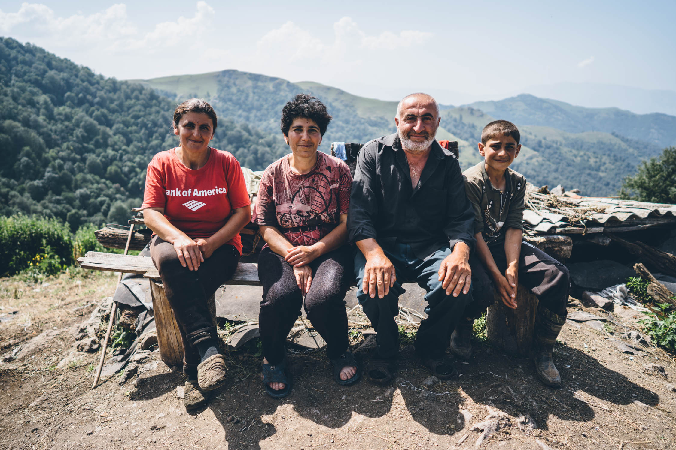
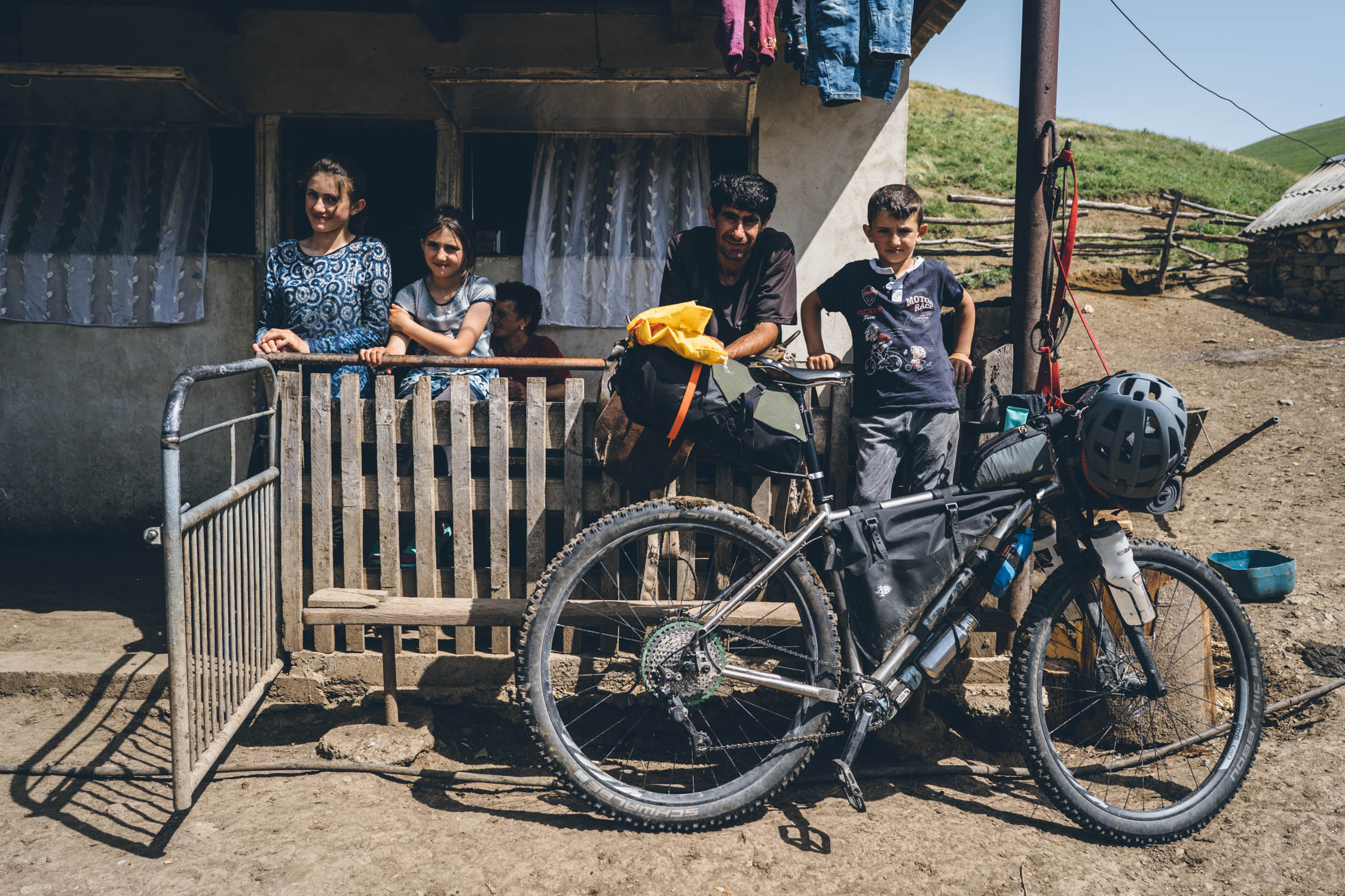
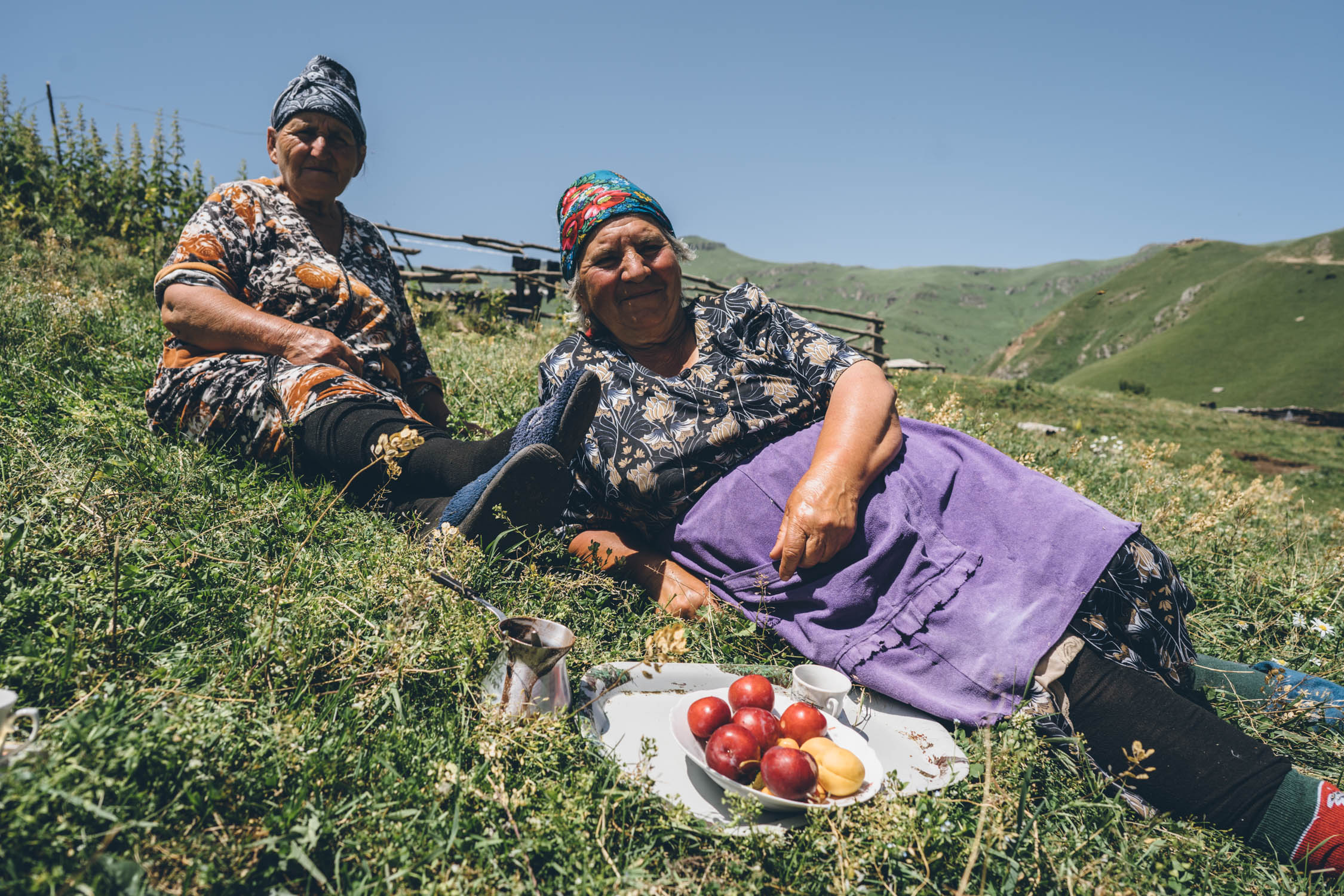
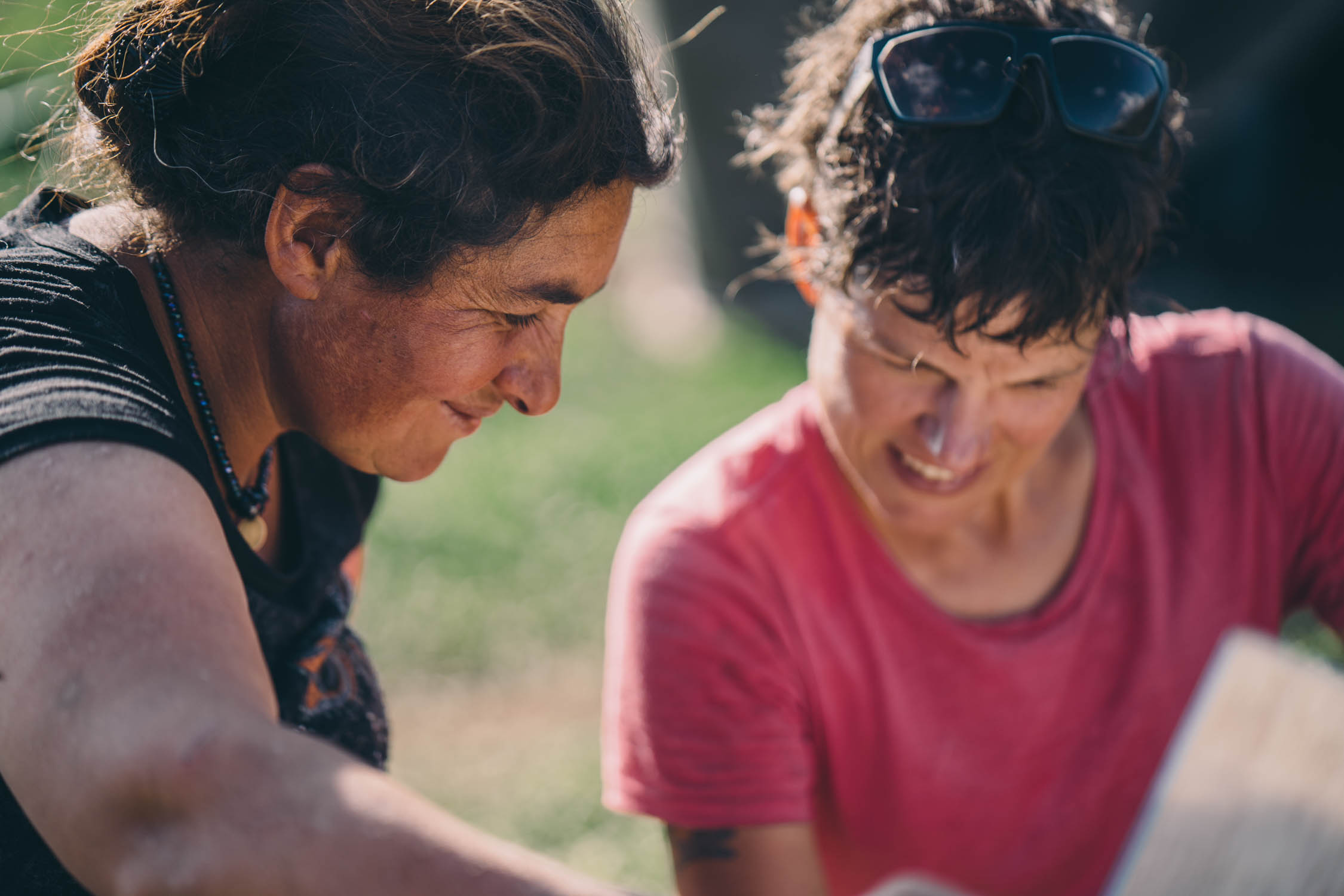
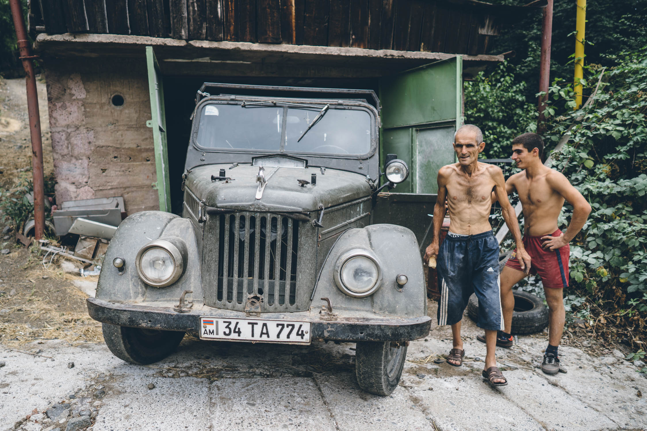
However, its mountains are only part of what makes Armenia special. It’s also one of the least travelled countries in the world. This is especially favorable to cyclists. Not only is there plenty to see, including a collection of the oldest Orthodox monasteries in the world, but Armenia is relatively inexpensive and is home to some of the nicest and most hospitable people on the planet. We experienced warm Armenian hospitality from the very first day. As Virginia wrote in her story in the first issue of The Bikepacking Journal:
“We paused for a drink at the top of our first big push, and an old blue truck roared up the hill, stopping beside us. The moustached driver jumped out and gave Logan a big hug. He’d seen us cycle past his property and wanted to make sure we were okay. After doing our best to reassure him that we knew where we were going, the man kindly posed for a photograph and left us to our own devices.”
Route Development
Slowly coming together over two years, this route was a massive labor of love. It started with the idea to continue the Caucasus Crossing from Georgia all the way through the Lesser Caucasus to Iran. After hundreds of hours of route finding and research, a three-week scouting mission that involved a few unsuccessful attempts and reroutes along the way, this is the final outcome. Many thanks to Tom Allen, founder of the Transcaucasian Trail (TCT) hiking route, who also helped with the Georgian segment. Tom played a crucial role in providing insight, guidance, and tracks. Much of the northern section from the border to Ijevan was conceived by Tom, and several sections of the route share trailspace with the TCT. You can find more of his mountain bike tracks and touring routes on CyclingArmenia.com.
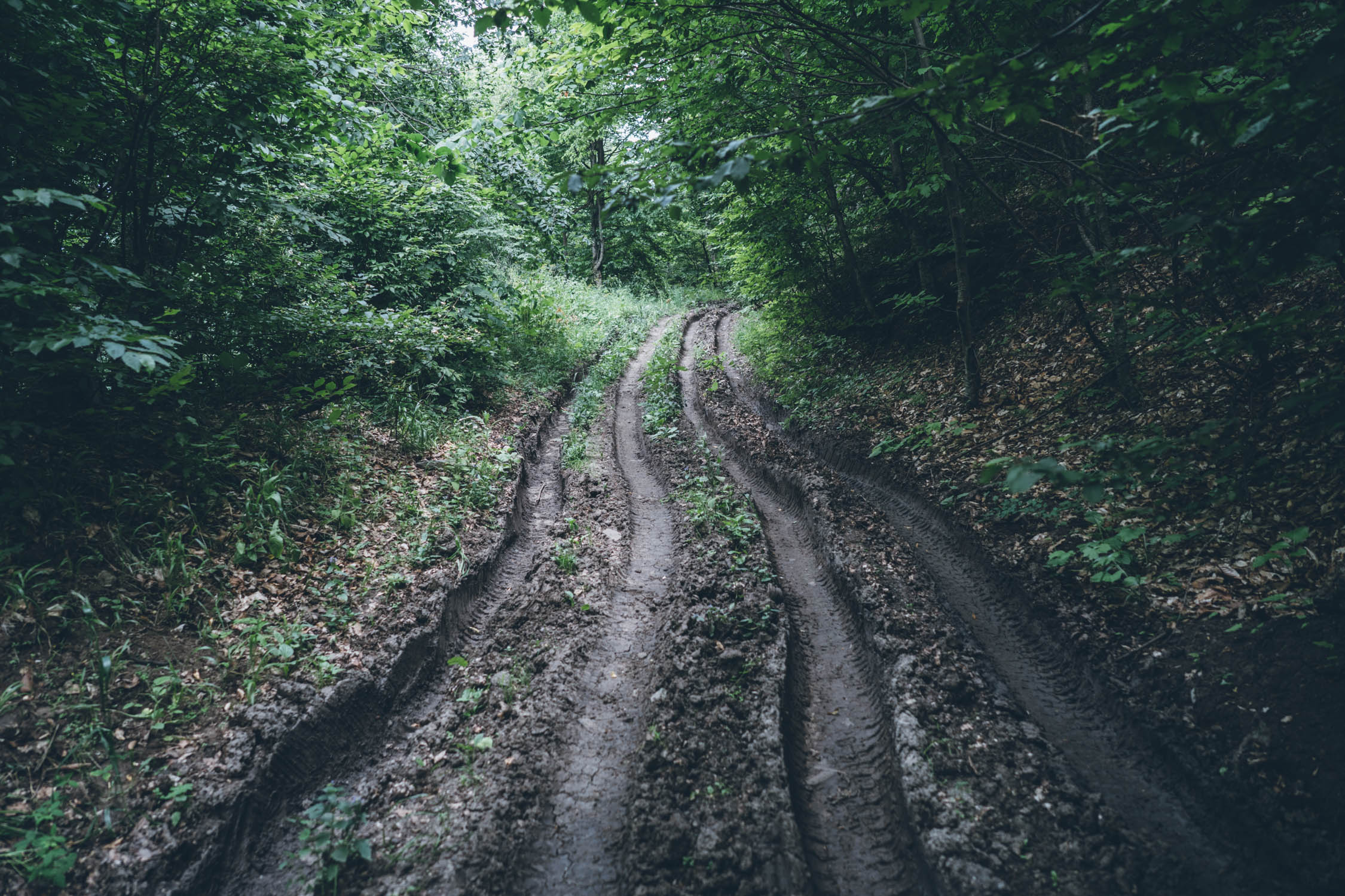
Difficulty: The Caucasus Crossing Armenia route is rated a strong 8 out of 10 for several reasons. First and foremost, there is a lot of climbing. Second, in the character of its Georgian counterpart, there are some rugged and steep sections that necessitate hike-a-bikes on a regular basis. We finished the route in 16 total riding days, with five rest days in various towns. That makes an average of about 28 miles (45 km) per riding day with 4,000 feet (1220m) of climbing. However, that doesn’t account for scouting and backtracking on a several of occasions, so perhaps plan for around 14-15 days of riding.


Submit Route Alert
As the leading creator and publisher of bikepacking routes, BIKEPACKING.com endeavors to maintain, improve, and advocate for our growing network of bikepacking routes all over the world. As such, our editorial team, route creators, and Route Stewards serve as mediators for route improvements and opportunities for connectivity, conservation, and community growth around these routes. To facilitate these efforts, we rely on our Bikepacking Collective and the greater bikepacking community to call attention to critical issues and opportunities that are discovered while riding these routes. If you have a vital issue or opportunity regarding this route that pertains to one of the subjects below, please let us know:
Highlights
Must Know
Camping
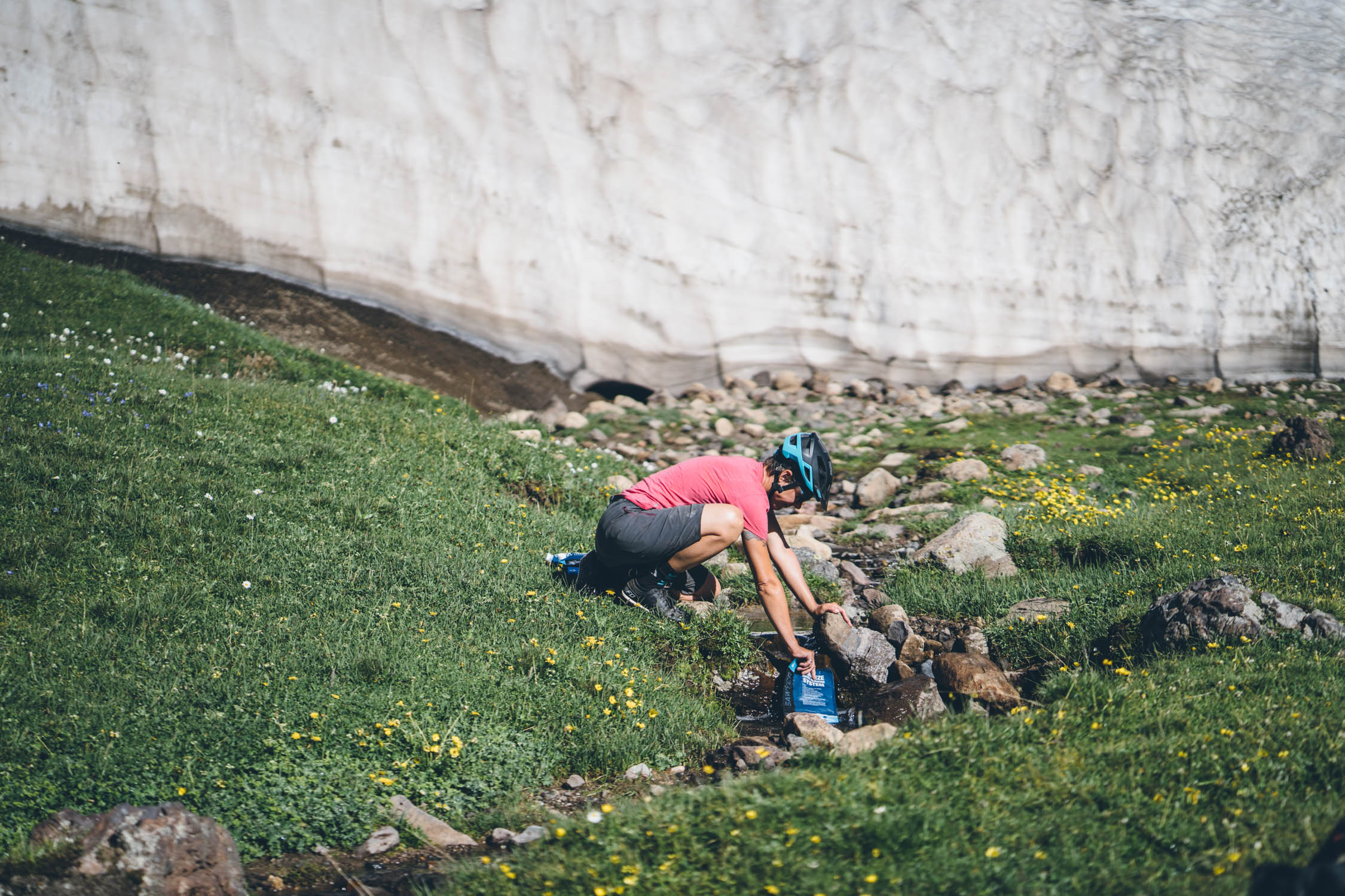
Food/H2O
Trail Notes
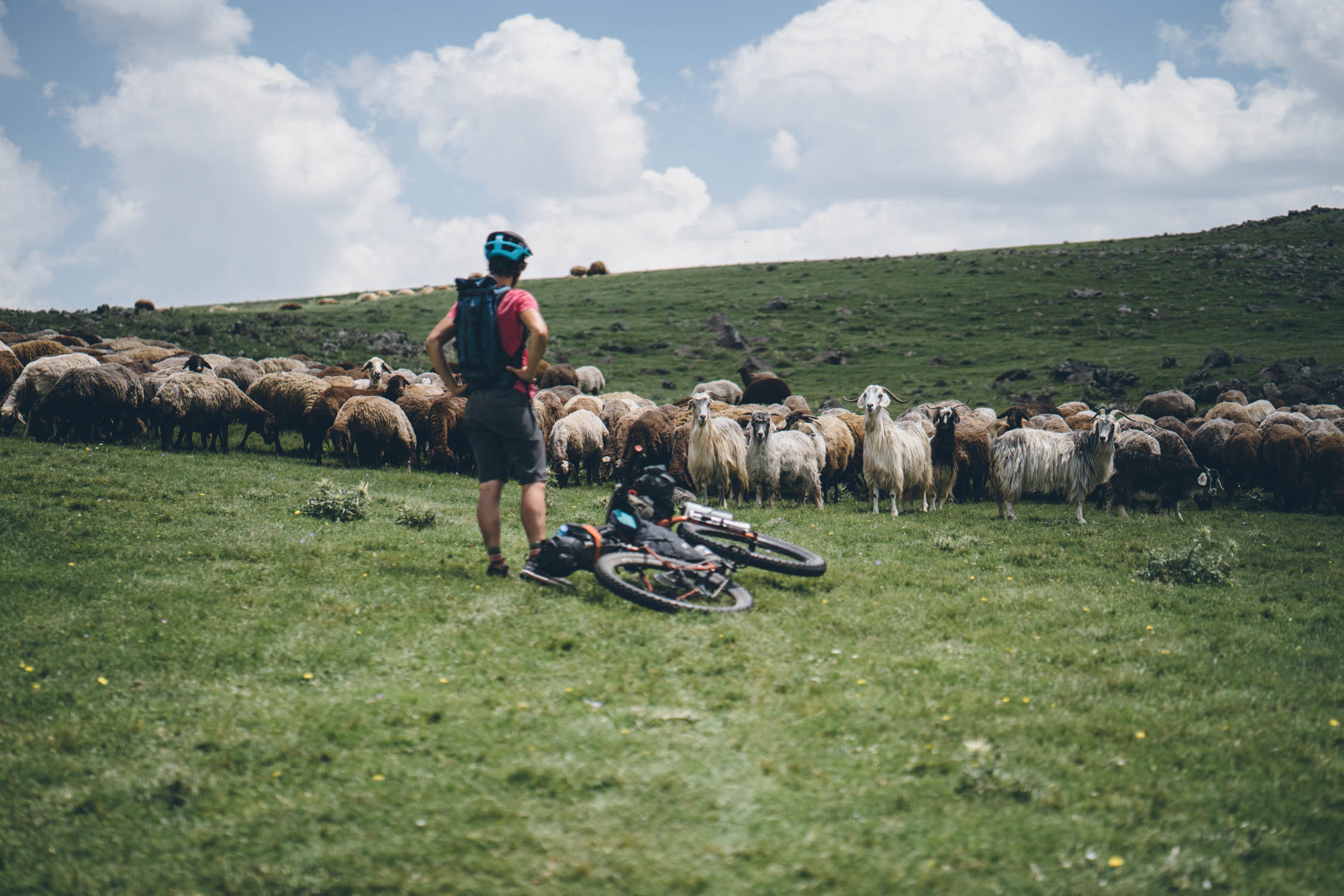
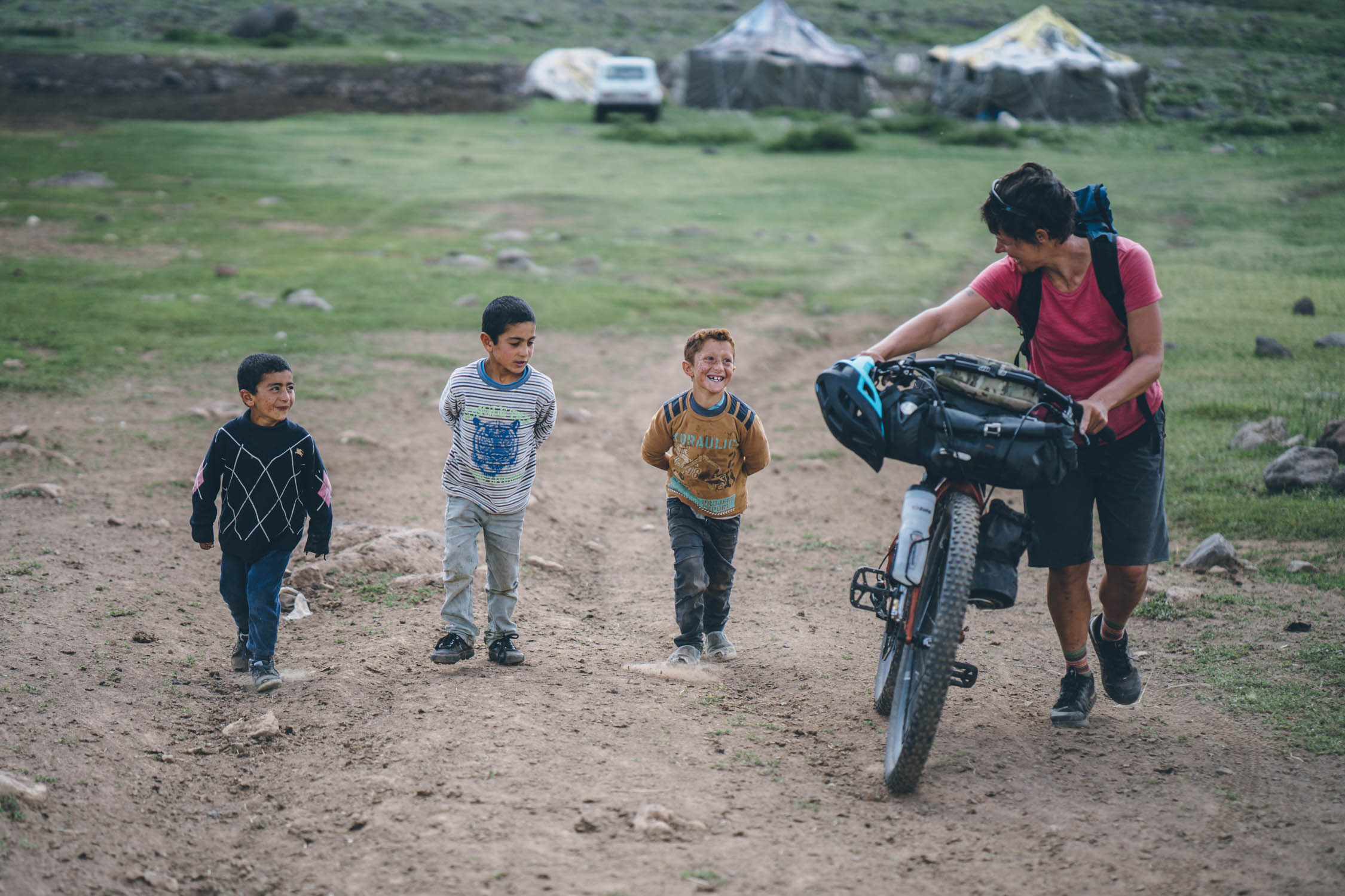
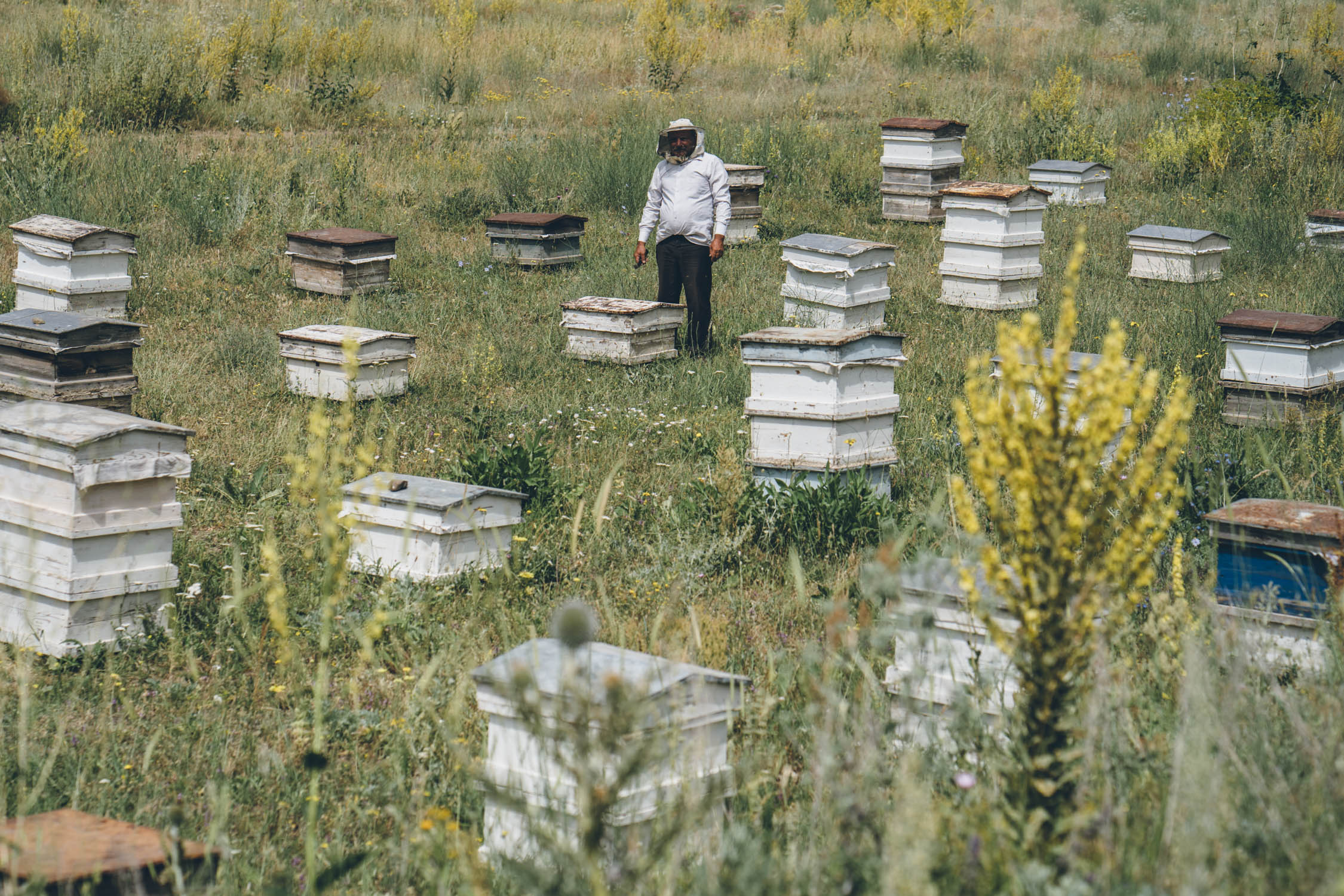
- The warmth and hospitality of the Armenian people is unmatched anywhere in the world. Prepare to be hugged, and invited into family homes for coffee, bread, and cheese along the way.
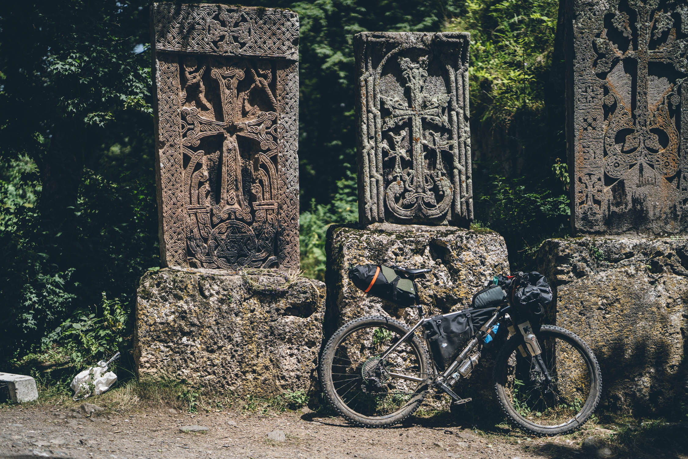
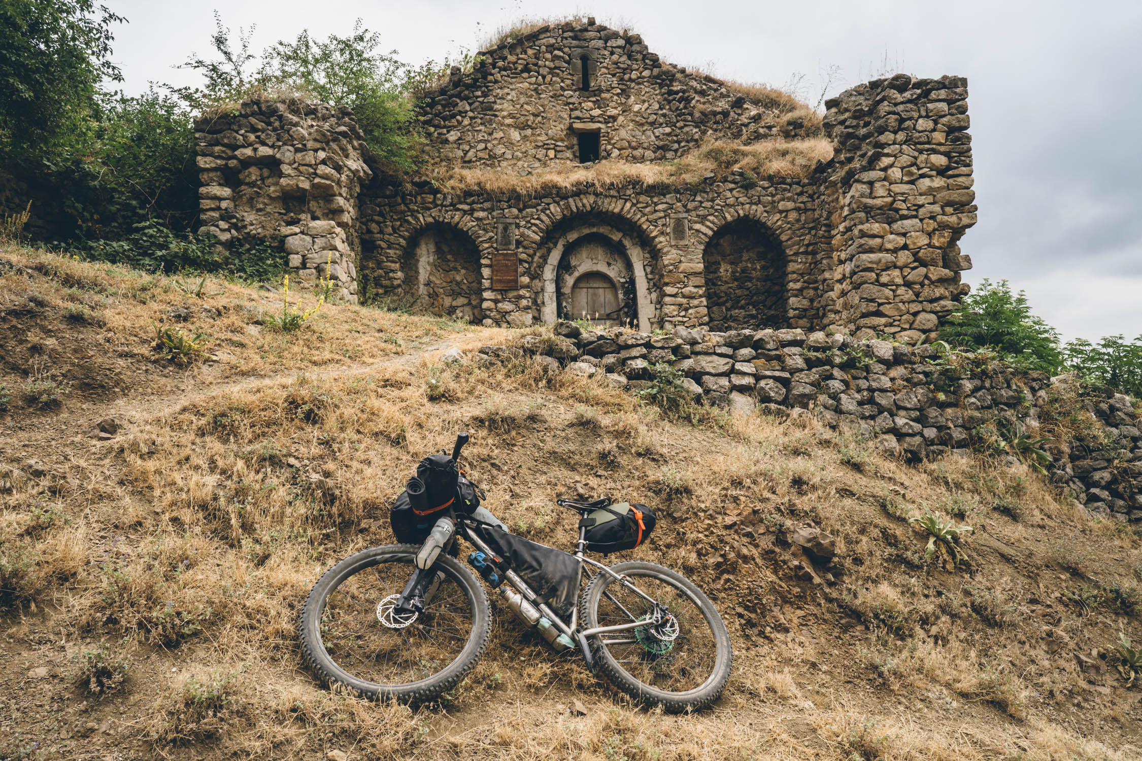
- Ancient stone monasteries, such as Voratnavank and Tatev, that date back to the 9th century.
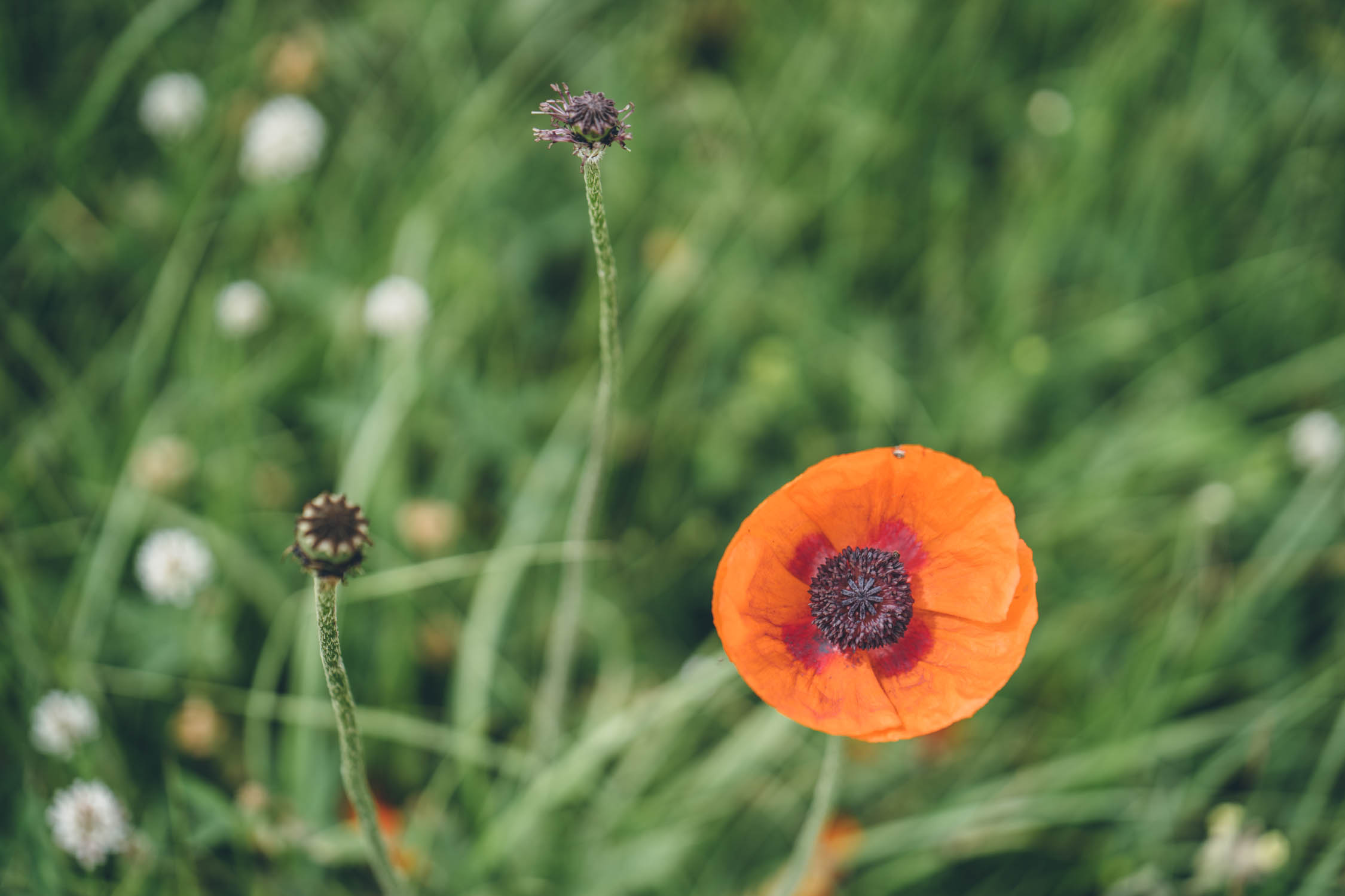
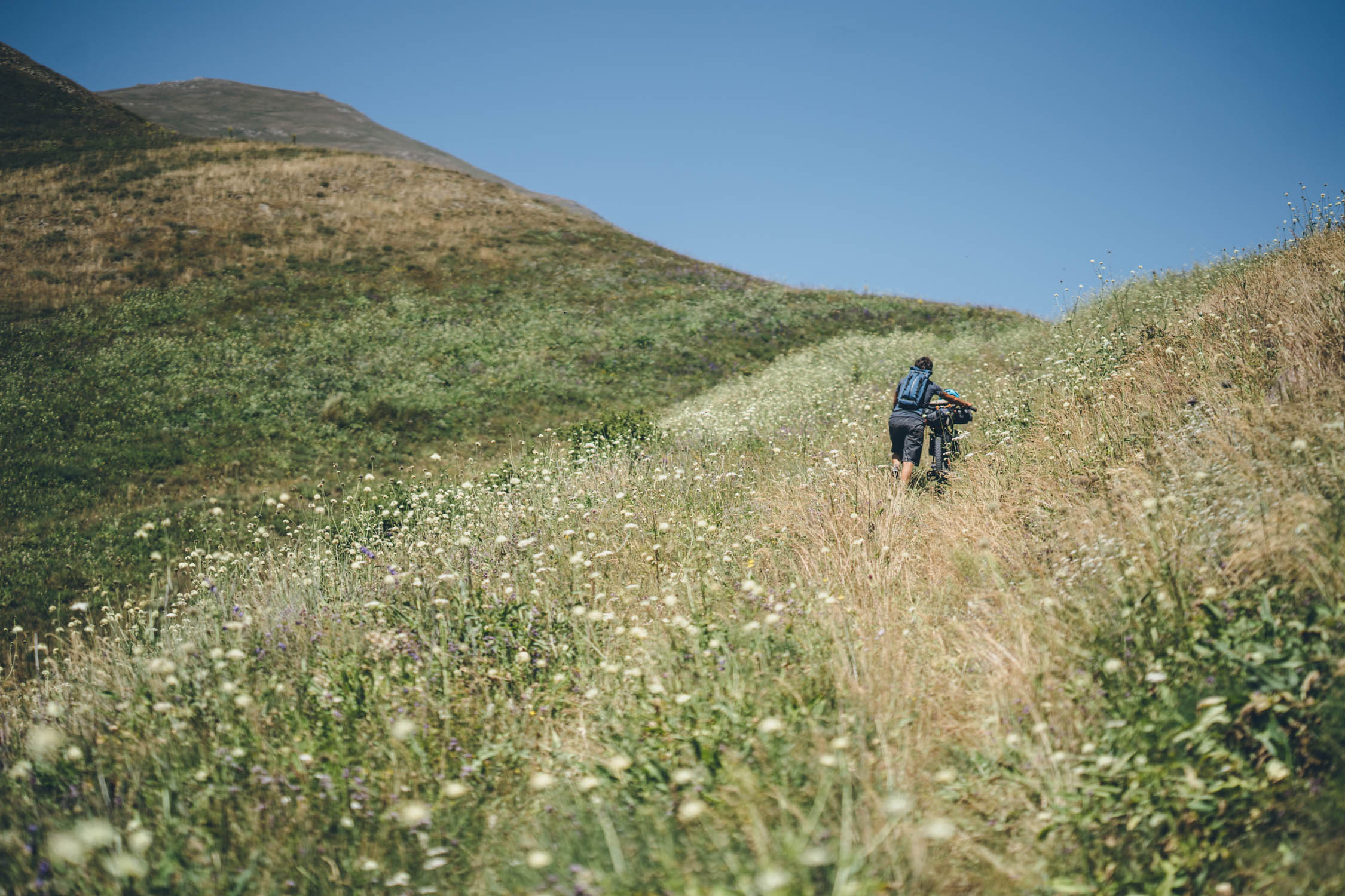
- Endless wildflowers that seem to be more colorful and omnipresent than anywhere we’ve ever been.
- The glaciated, volcanic domes of the Geghama Mountains are an ethereal sight to behold and offer some great riding.
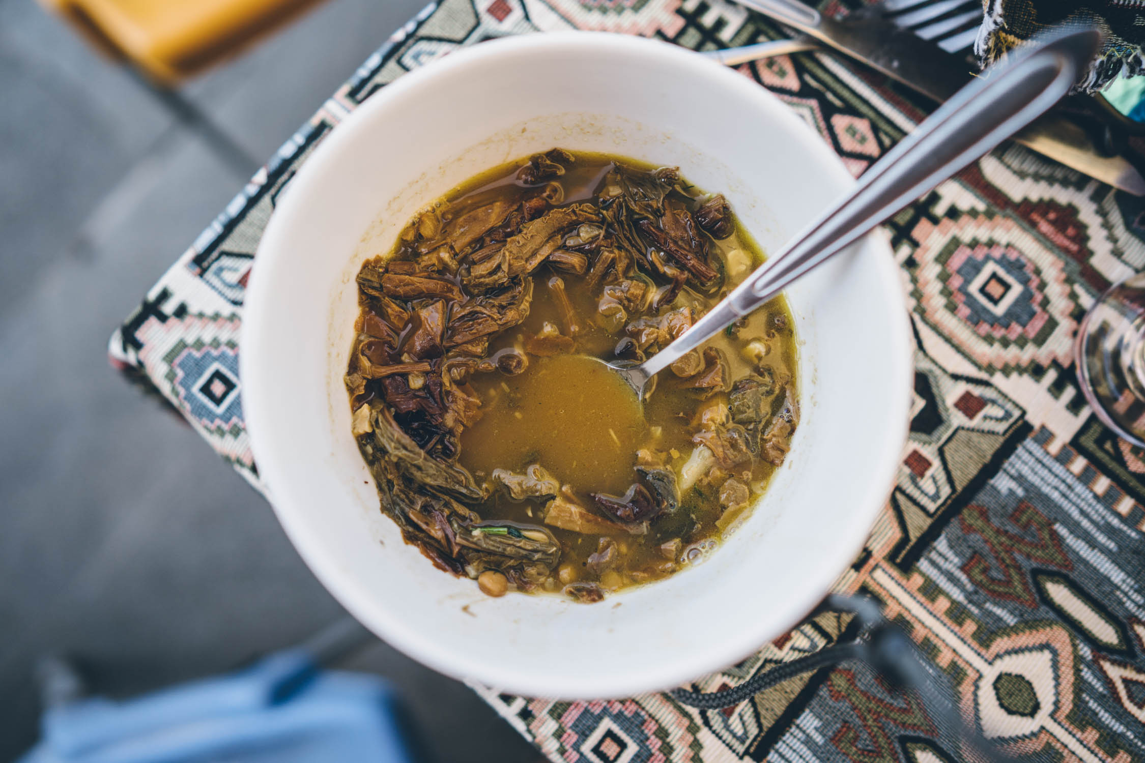
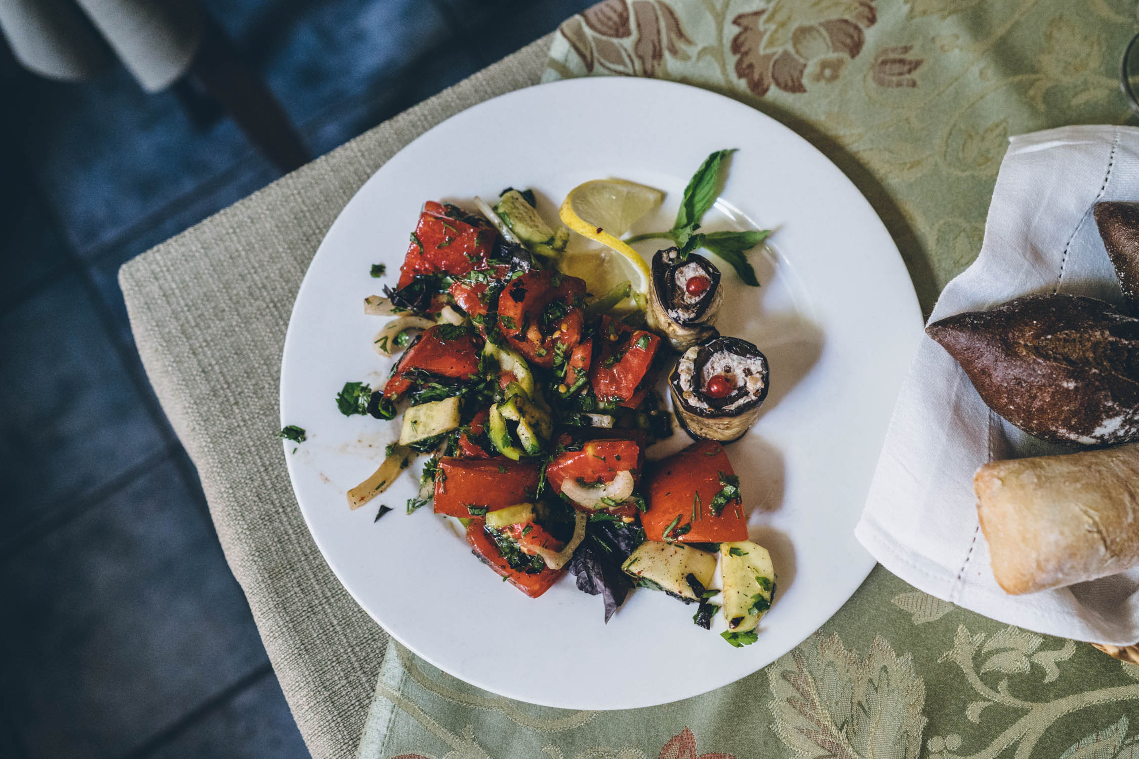
- Armenian treats such as hearty cabbage wrapped dolmas, delicious tomato and cucumber salads, and local cheese, honey, and walnuts.
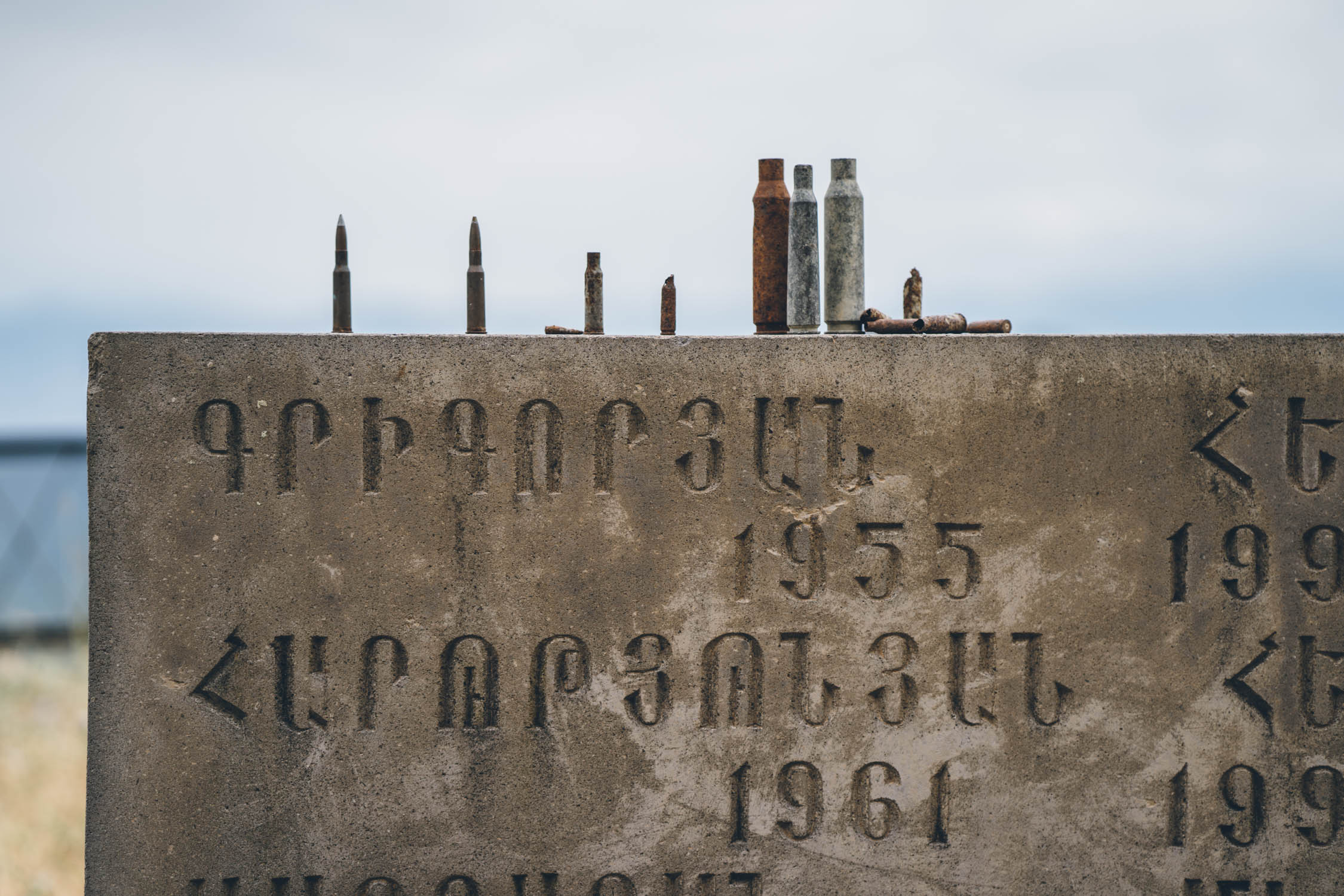
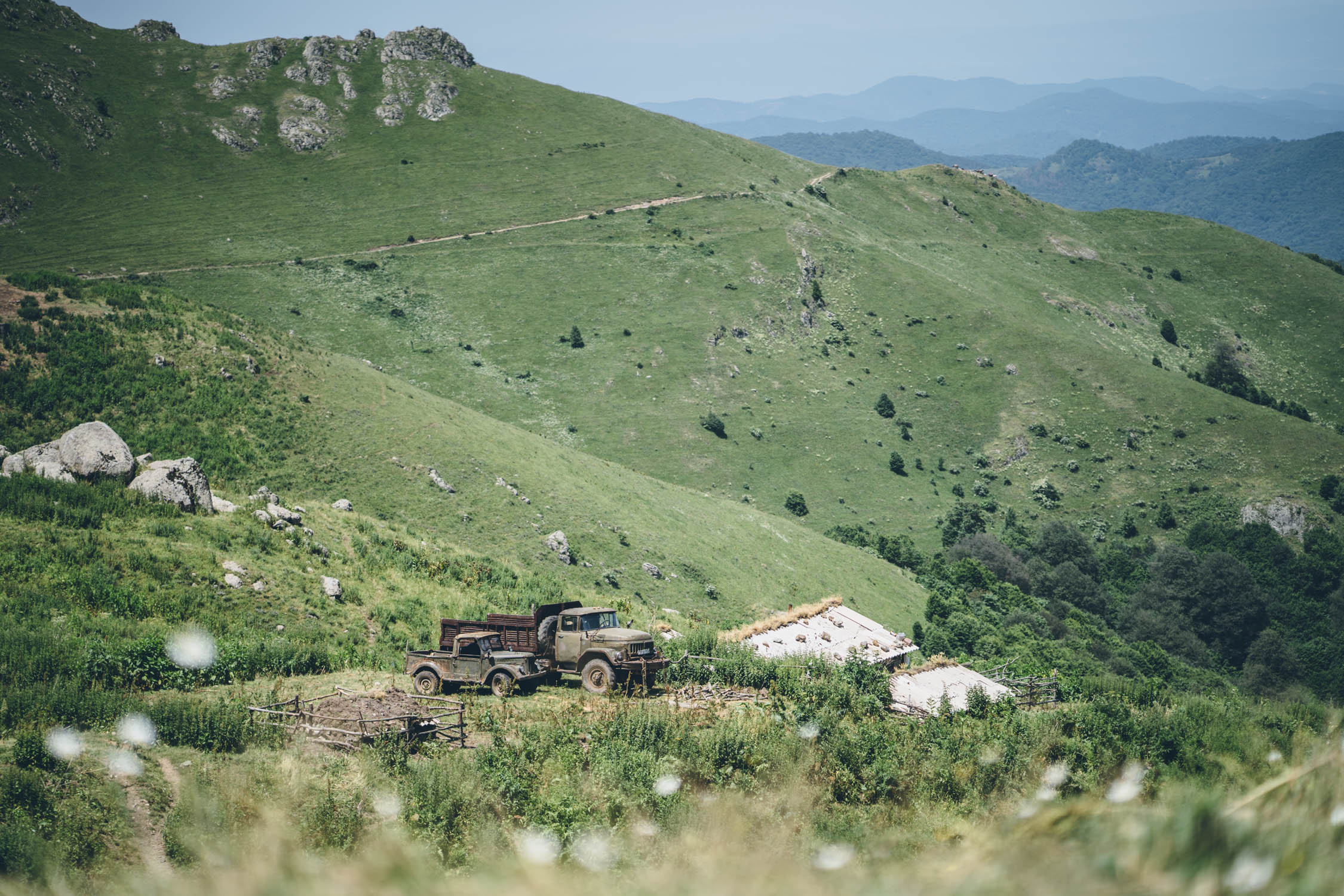
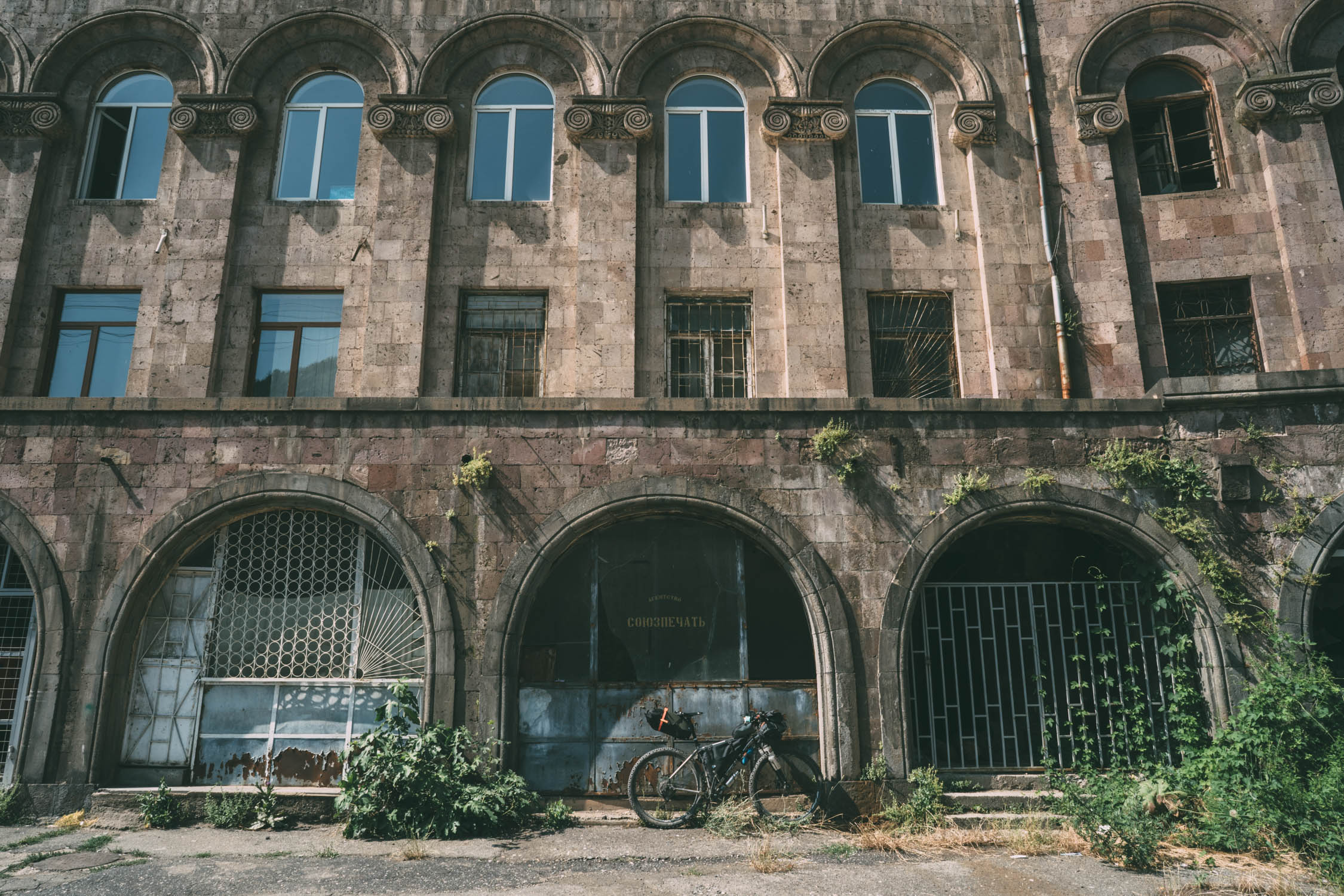
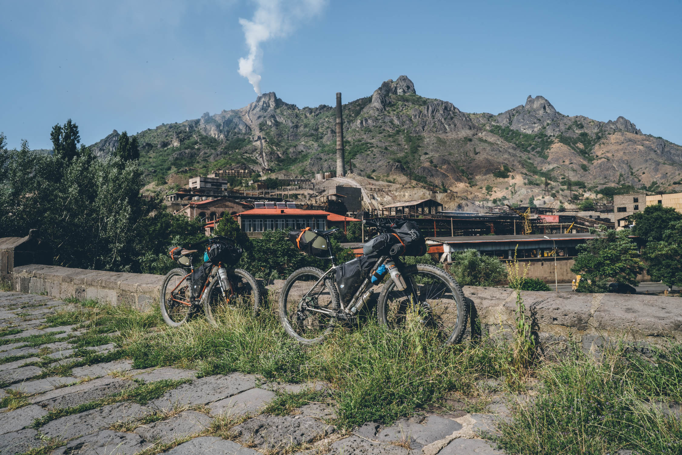
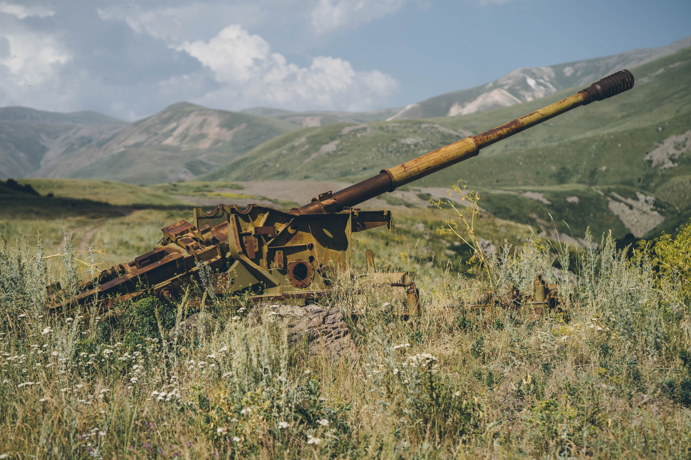
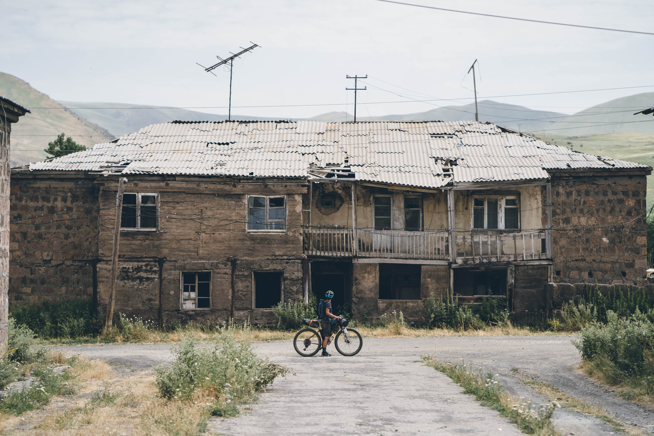
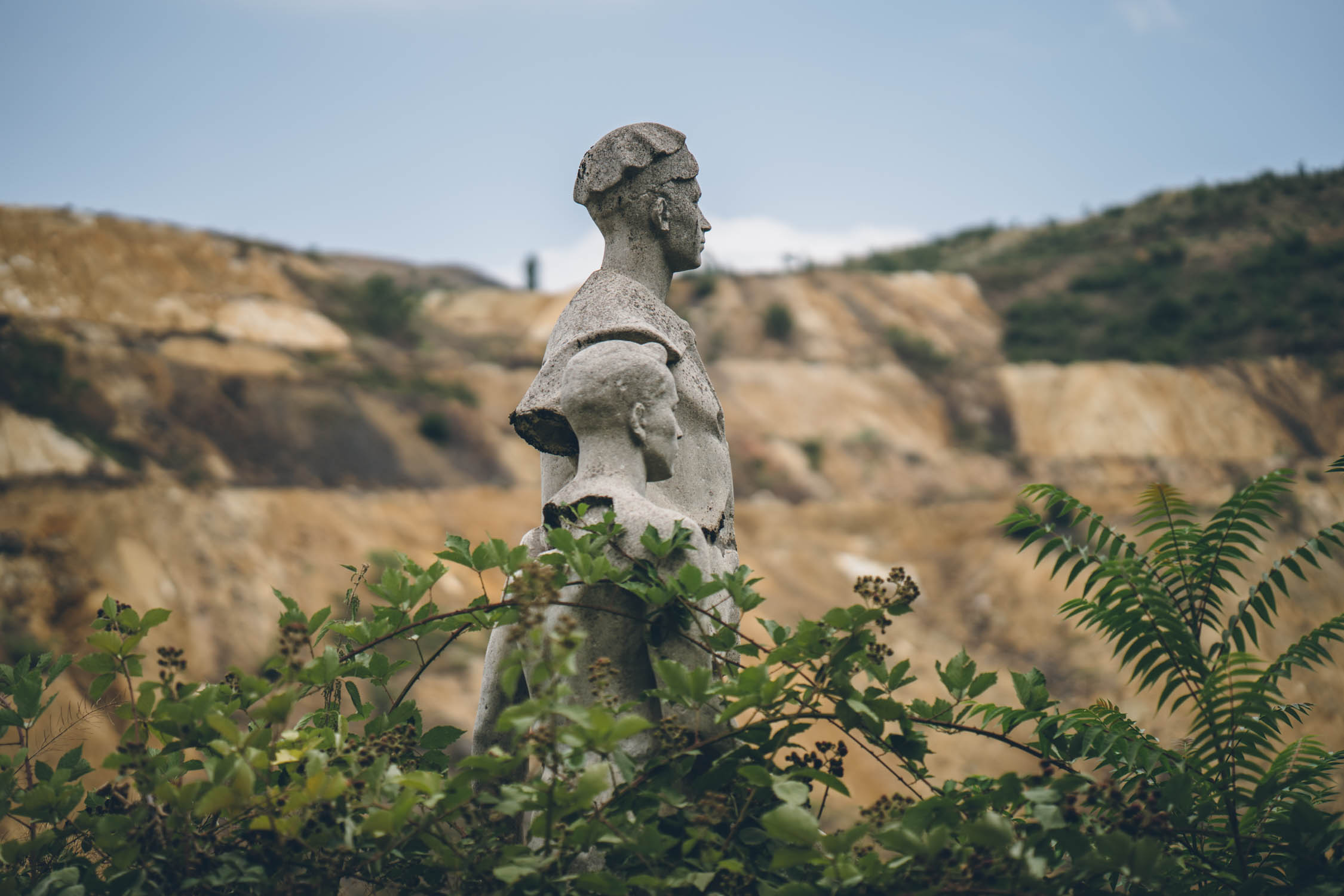
- Encountering ruins and remnants of Armenia’s Soviet past.
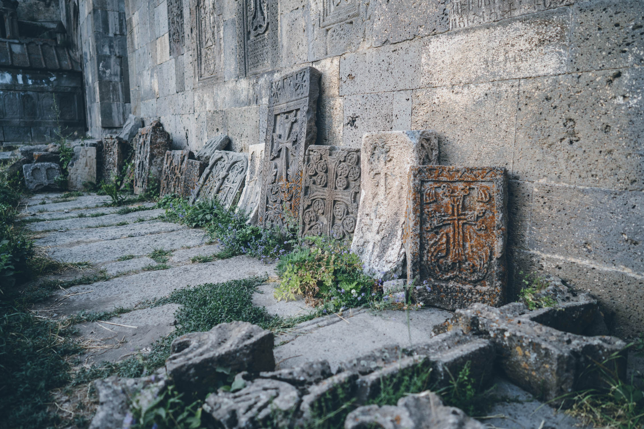
- Roadside khachkars, ancient stone carvings that were created as memorials and places of worship.
- The tiny farming communities throughout Lori Province offer a glimpse into Armenian culture.
- Delicious Armenian coffee, a unique and thick brew served in tiny cups. Warning, it’s quite addictive.
- The spiny, desert peaks around Khutsup and the mountains in Arevik National Park.
- The best time to ride this route is in mid-June to July or mid-September to October. While it’s likely doable in May/early June, this is considered the rainy season and can result in some of the tracks becoming impassable due to thick mud.
- There are a few stretches of fairly rugged terrain on this route. For that, we recommend a mountain bike with at least 2.1” tires. We brought 29ers with 2.6” tires and found them perfect for this application.
- The recommended direction for this route is southward from Gogovan toward Meghri. To do so, it’s probably easiest to fly into and start from Tbilisi, Georgia.
- From Tbilisi, this Caucasus Crossing Connector can be used to join the two parts of the Caucasus Crossing (Georgia and Armenia). It’s approximately 50% unpaved, but it does have a lengthy stretch of tarmac from Marneuli to Bolnisi, on a two-lane highway that can have a fair amount of traffic at times. Take precaution with lights and bright clothing, should you choose to ride it.
- A cab or van ride from Tbilisi to Bolnisi (or slightly beyond) is another option to start.
- The route crosses the Georgian-Armenian border at Gogavan. The border crossing was relatively simple for us with our American passports.
- The route ends in Meghri, the closest town to the Iranian border. Some travellers may wish to continue on to Iran. We hired a car to drive us to Yerevan, where we spent a few days before coming back to the US.
- There are a couple of options for getting to Yerevan from Meghri. The first, and most affordable is to catch the marshrutka (shared minibus) that – according to sources – leaves Agarak town square at 7:00 am and picks up in Meghri at 7:30 am. It takes about nine hours to Yerevan and costs approximately AMD 5,000 per person ($10 USD). You will have to negotiate the price of a bike—maybe half the price of a seat. If you’re lucky, the bus will have a roof rack. Otherwise, it’ll require disassembly and wedging bits around passengers! The other option is a taxi—AMD 100 per km ($0.21 USD) is the going rate, so around 35,000 ($72 USD) should be about right. hat said, our driver wouldn’t budge, and we ended up paying closer to $100 USD for the transport, bikes included. Rumor has it that an airport is supposed to open in Kapan, which would mean cheap seats to Yerevan, but that hasn’t happened yet!
- There are a lot of bugs in Armenia during the summer months. Most notably, horse flies. Be prepared to swat; and if you have allergies, bring the necessary medications.
- Armenia has its own language and alphabet. Helpful phrases include, prōblem chēēkah (no problem), barev (informal hello), barev dzez (formal hello), and shnor-hak’-a-le-tyoon (thank you).
- There is a regular train that runs from Yerevan to Tbilisi and vice versa. In addition, Yerevan has an international airport with regular flights on Qatar Airways. Our bikes flew free on the way back as we didn’t have additional checked baggage.
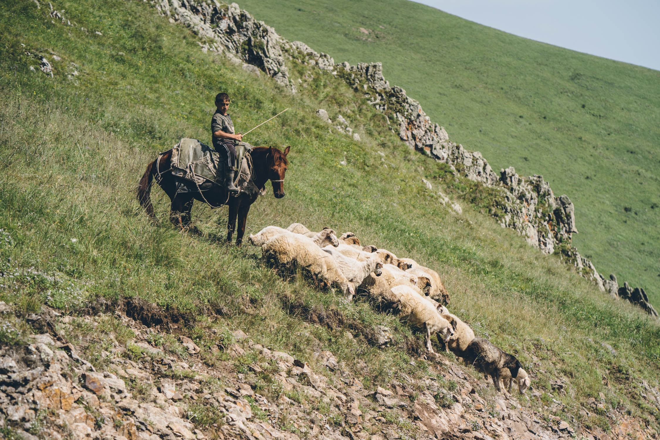
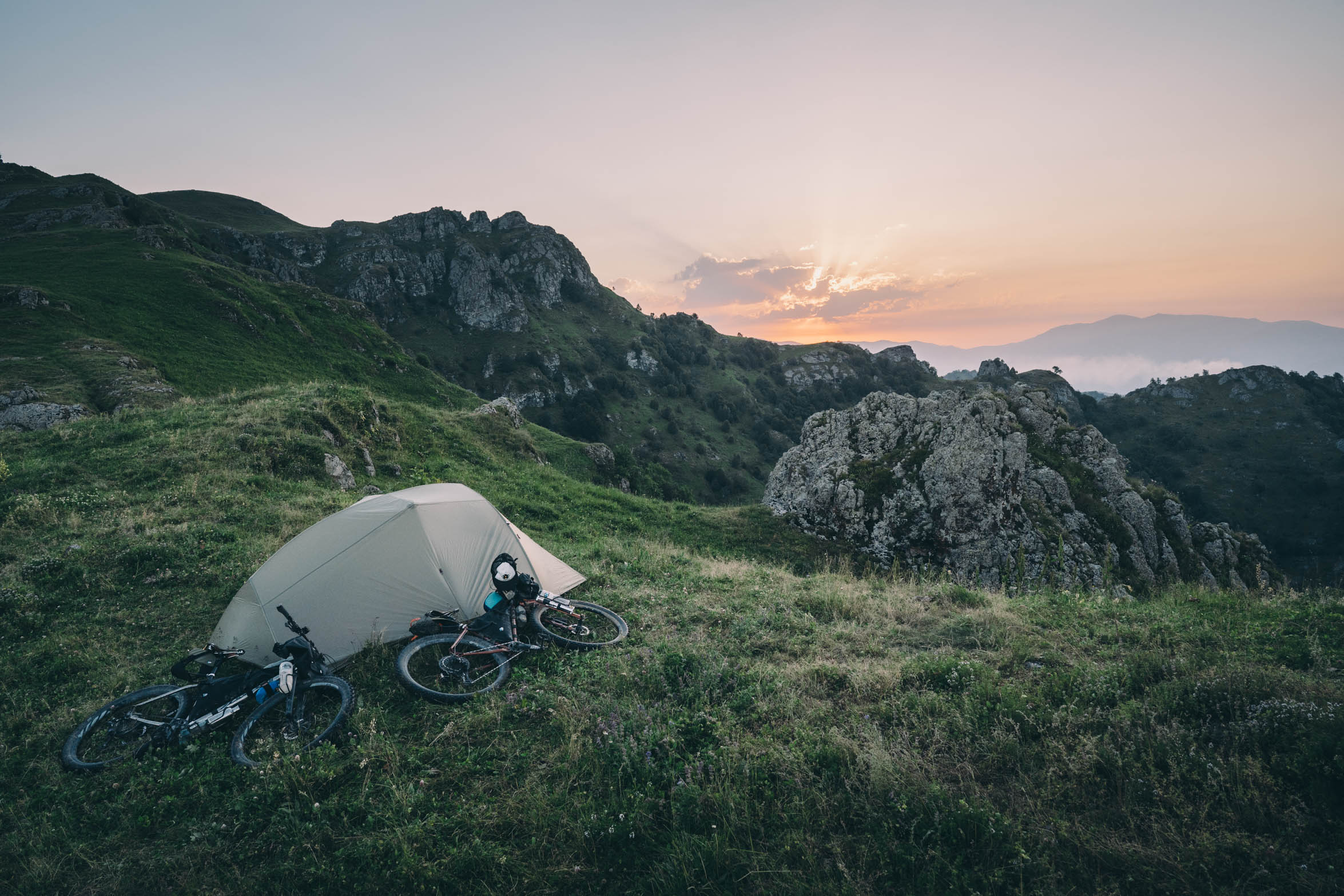
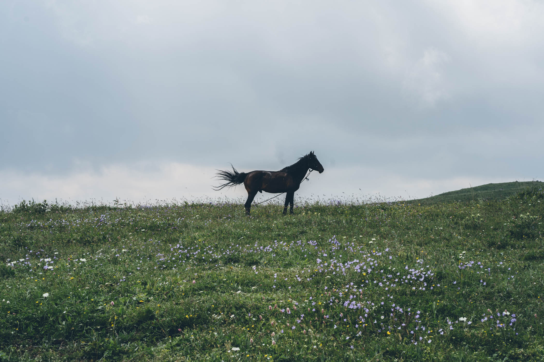
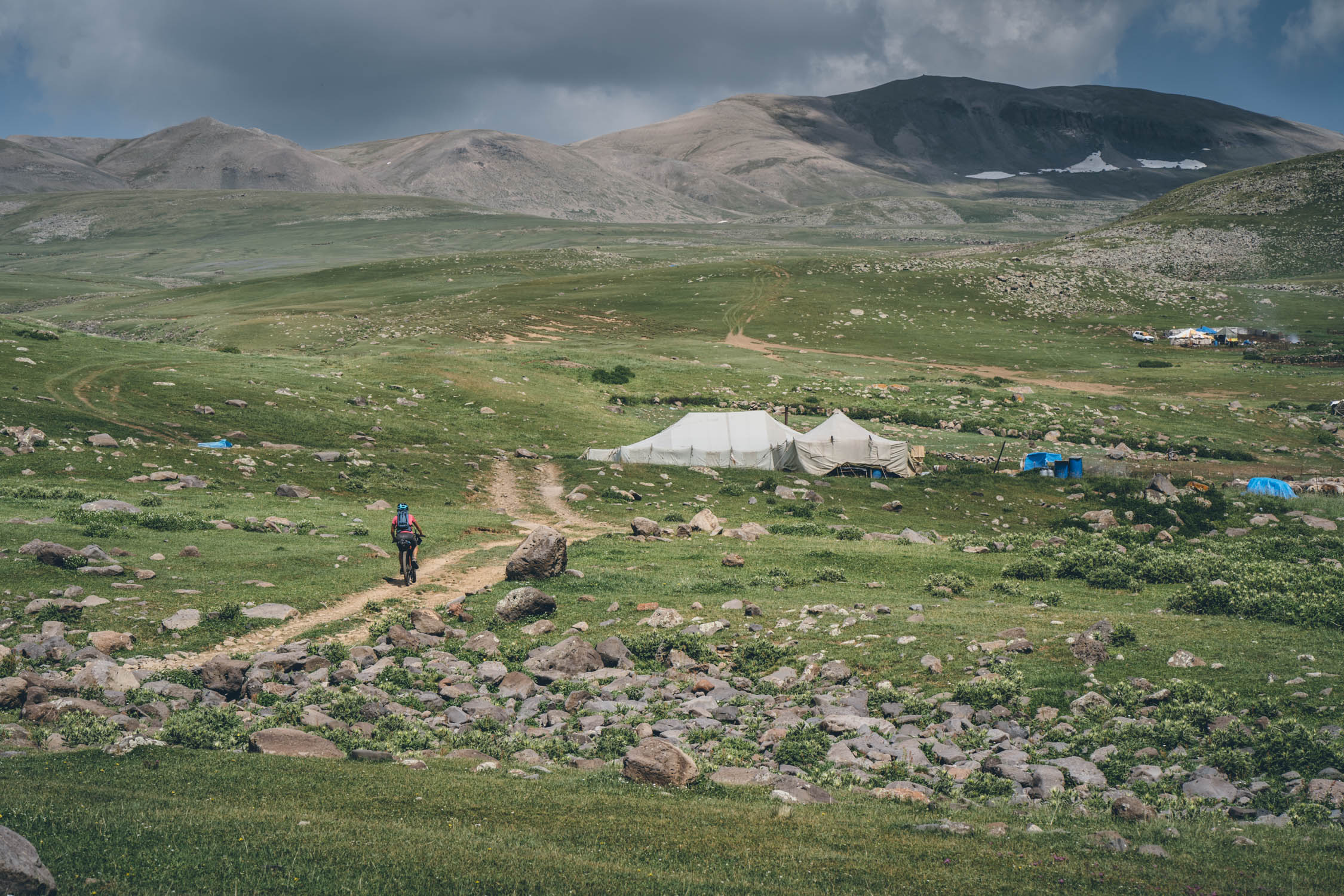
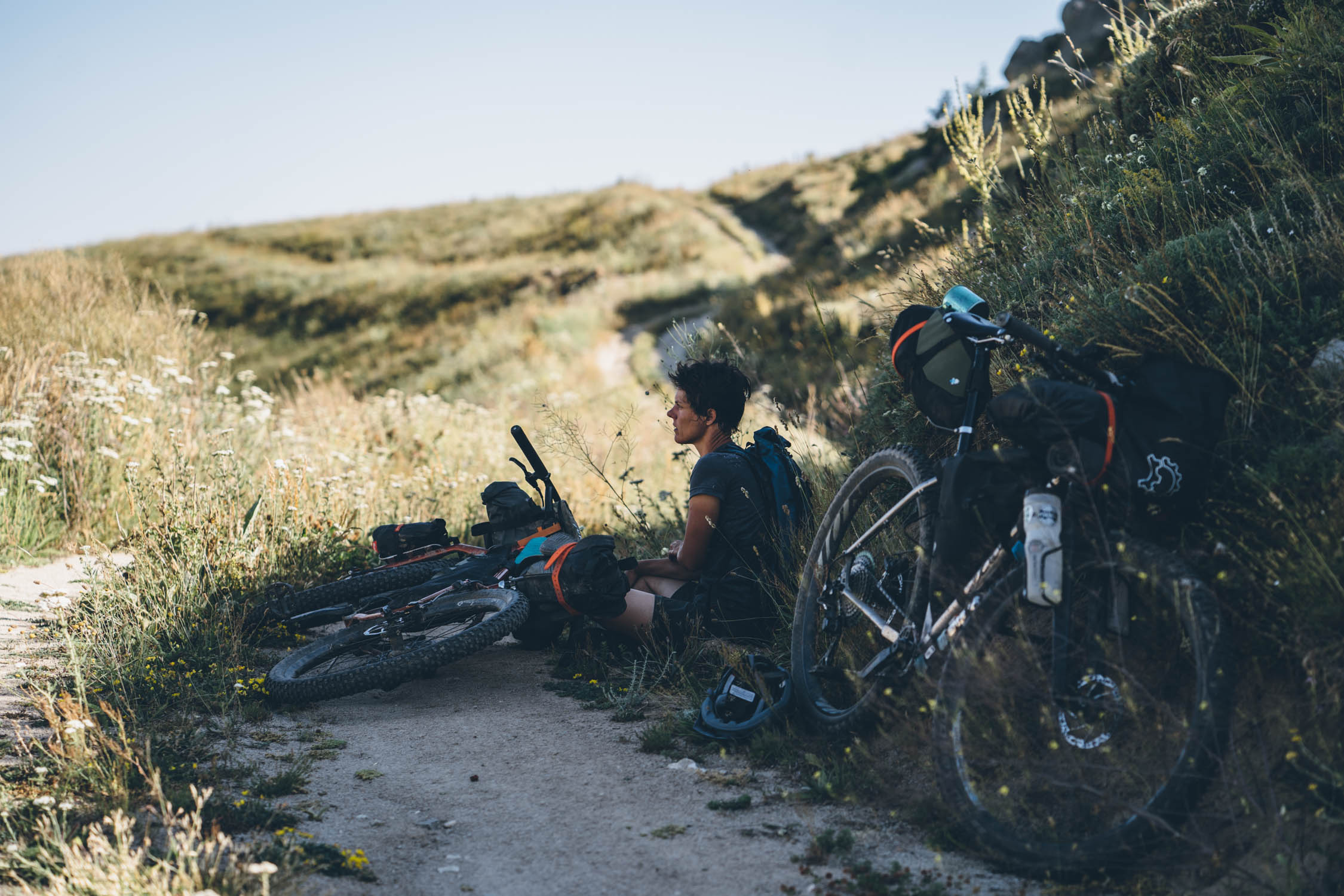
- Much of Armenia’s mountains and hills are inhabited by seasonal farmers and grazing livestock—these are relatively nomadic people who stake their claim for the summer and then move on once the temperatures drop in the high country. From our perspective, wild camping is absolutely fine and accepted almost anywhere in these lands. As always, remember to leave no trace.
- In the Geghama and Vardenis mountains, elevations are often above 10,000 feet. Prepare accordingly with proper sleeping gear.
- There are hotels in medium-to large-sized towns throughout Armenia. Generally speaking, the modest hotels that we saw are priced anywhere from $20-$40 per night. There are also homestays, AirBnBs, and vacation lodges here and there.
- In regards to camping, there are wild bears in Arevik National Park. Although we aren’t familiar with the area’s proper bear protocol, apparently the bears there are similar to grizzlies. Although rare, we saw a couple large, fresh poops that let us know that they are definitely present.
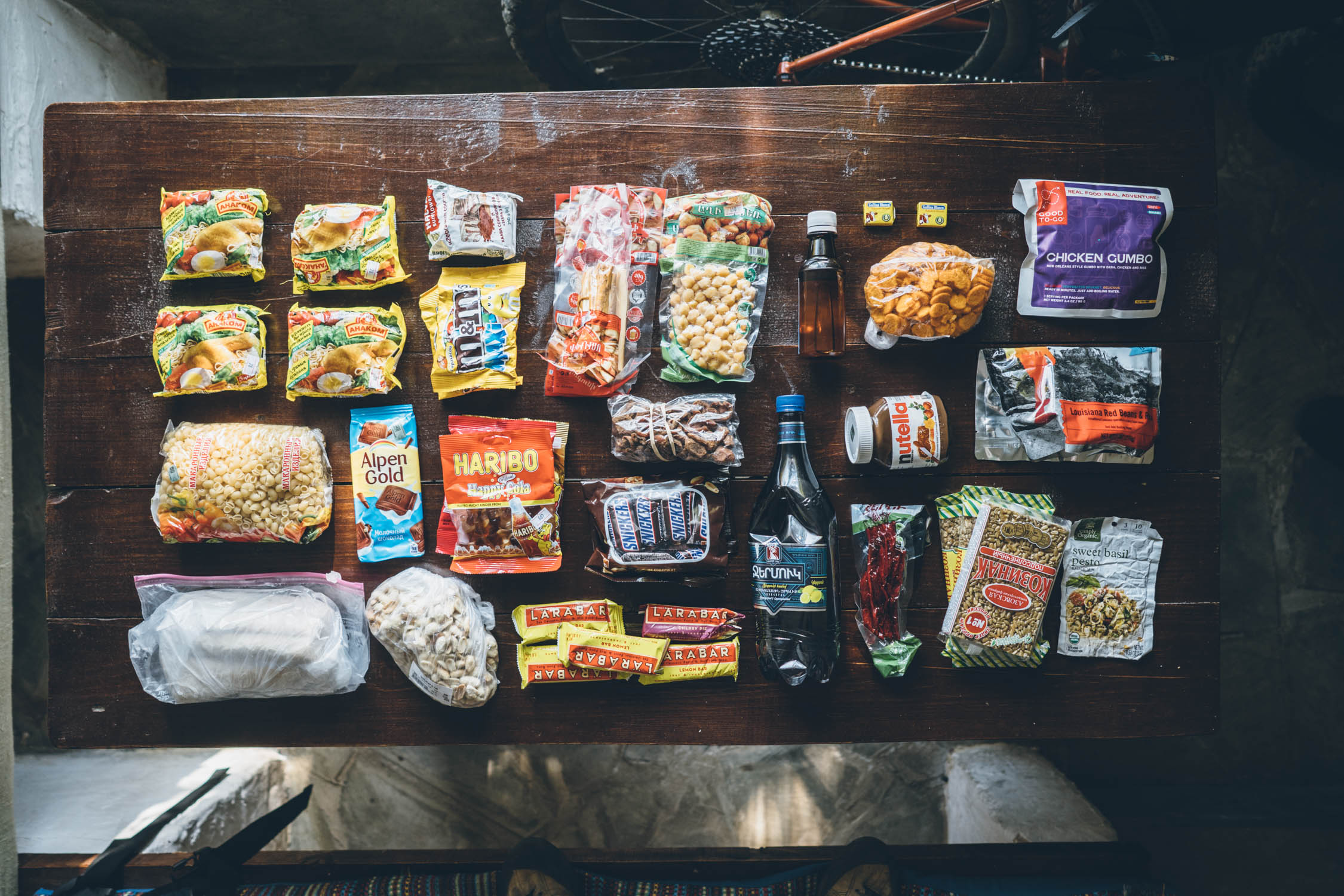
- As far as convenience store fare goes, there are plenty of options for resupply along the route. Choices include canned meats, ramen noodles, bread, and snacks (like chips, nuts, and candy).
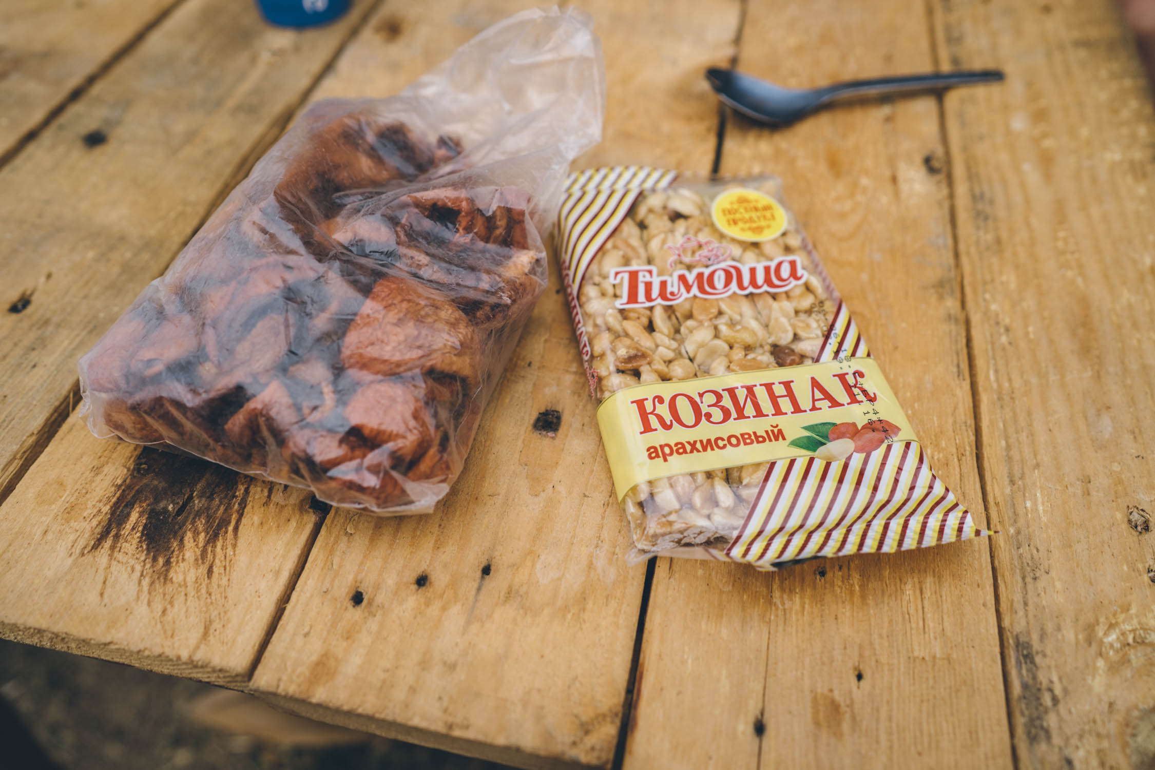
- Supermarkets have a little better selection. Some of our staples included peanut and sesame bars, “bar snacks” (packaged garbanzo beans and string cheese), nuts, dried fruit, bread, and local cheese.
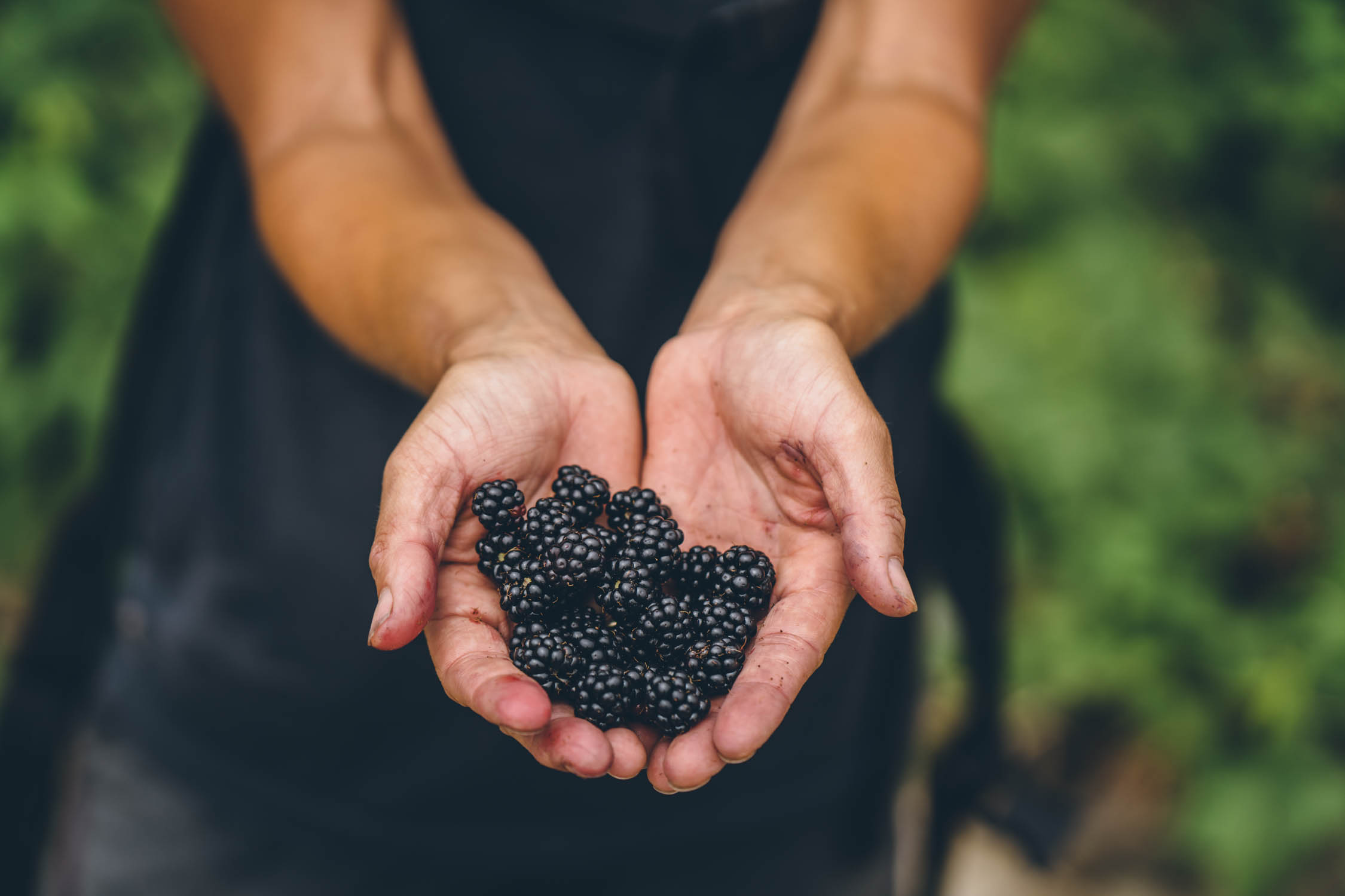
- Armenia has plenty of markets with lots of cheeses, and both dried and fresh fruit. Look for sujuk (or churchkhela), long, dried fruit-encapsulated nut sticks that are pure fuel!
- Don’t forget the apricots and cherries! Both of these fruits supposedly originated in Armenia, and they no doubt have the best in the world.
- There is one major section where you must carry several days’ worth of food: the 155-mile (250 km), 4-5 day section between Lake Sevan and Jermuk. However, there is an emergency option in Martuni, as well as a couple eateries marked on the map.
- It’s highly likely you’ll be invited into people’s homes for bread and cheese, as well as various meats and other foods. The local cheese made by the mountain dairy farmers is incredible, albeit a little strong at times.
Lori Province
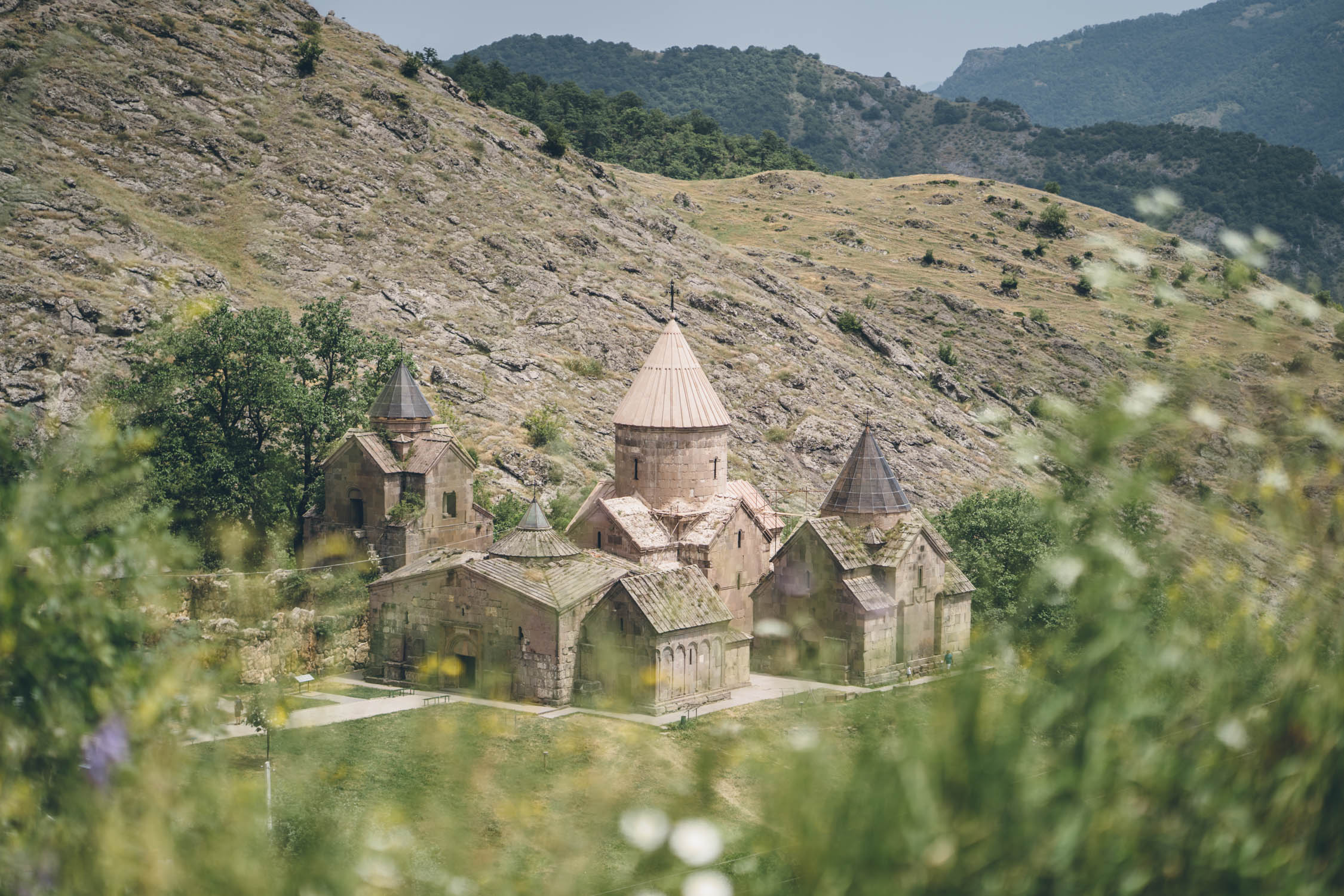
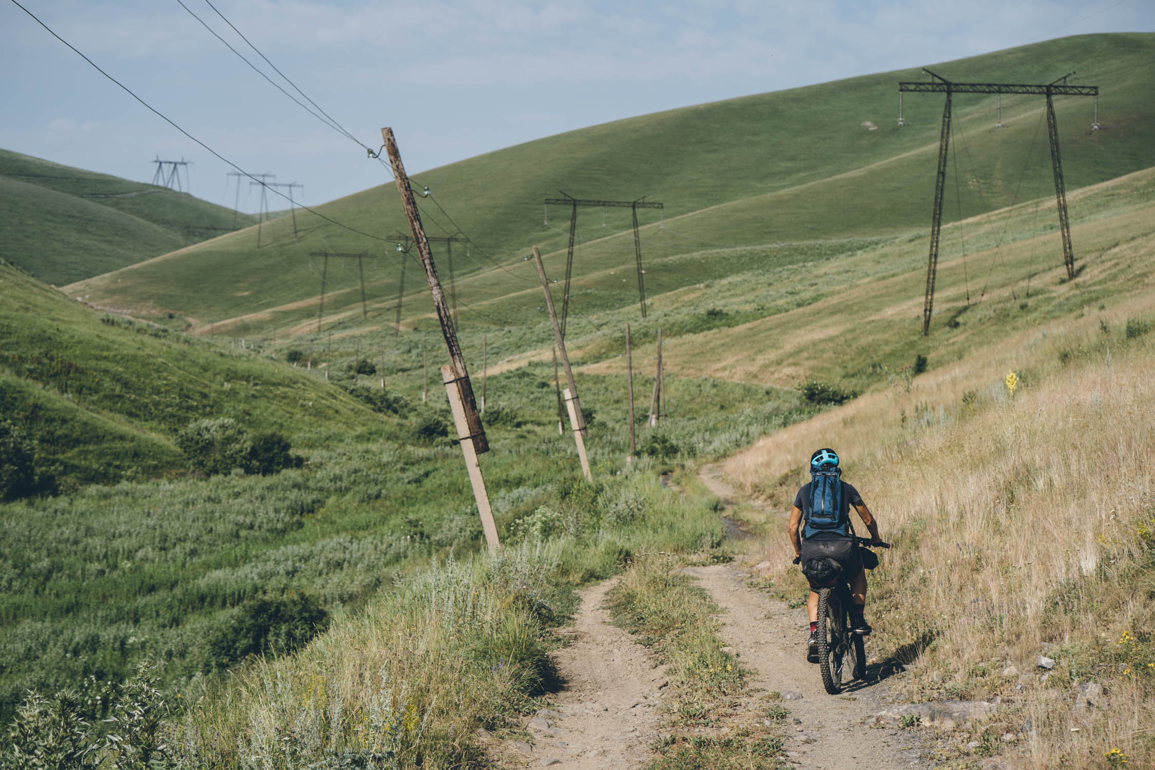
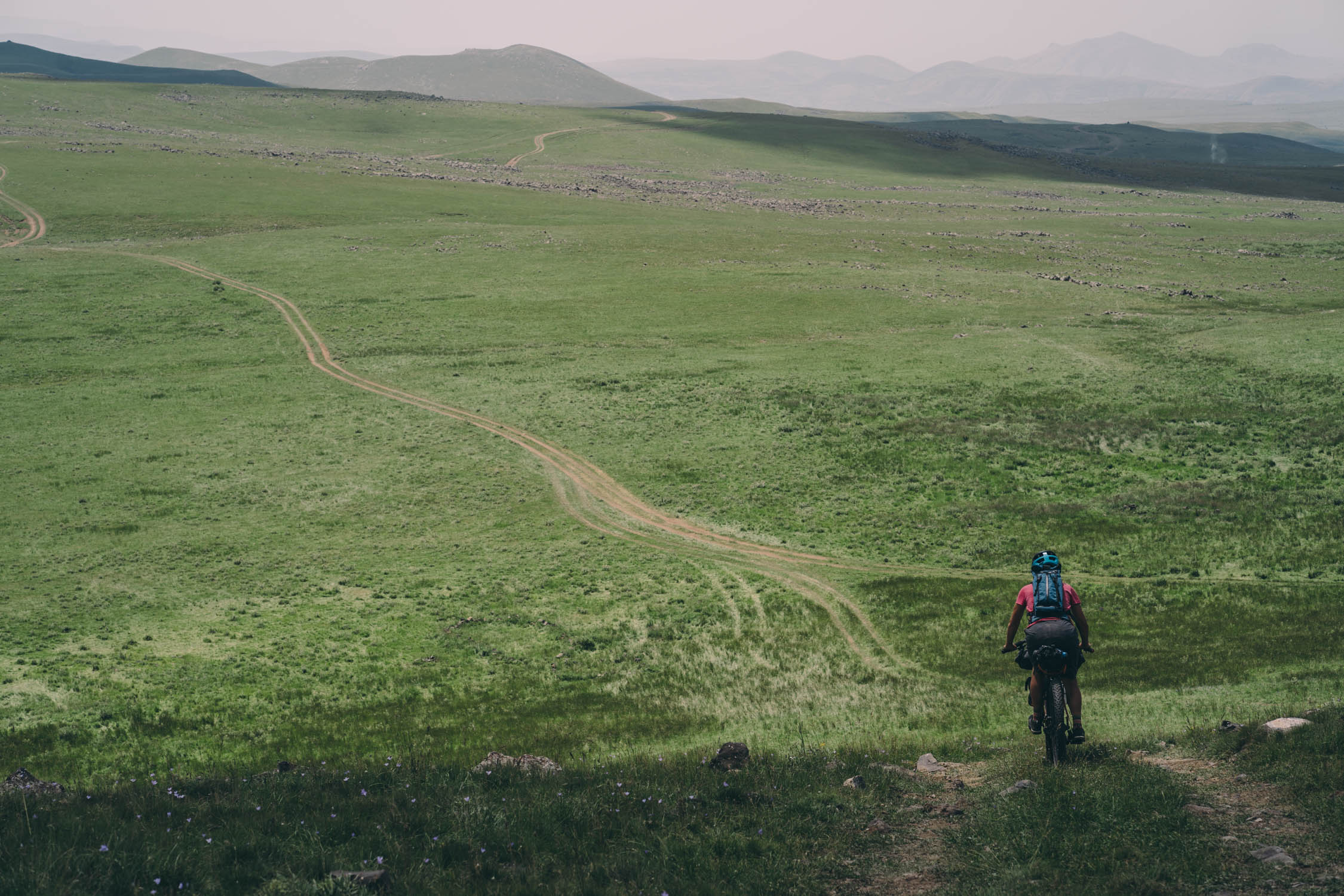
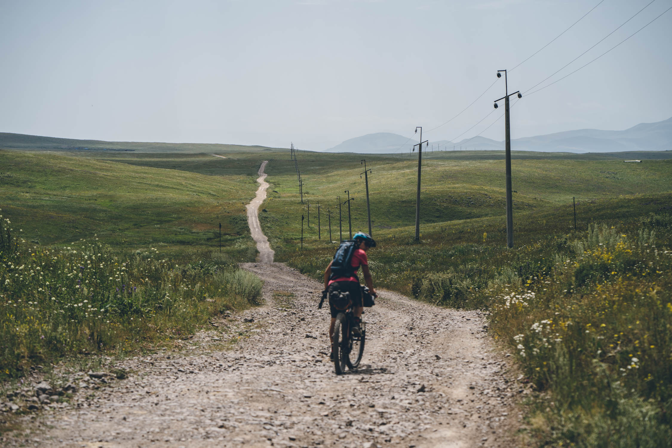
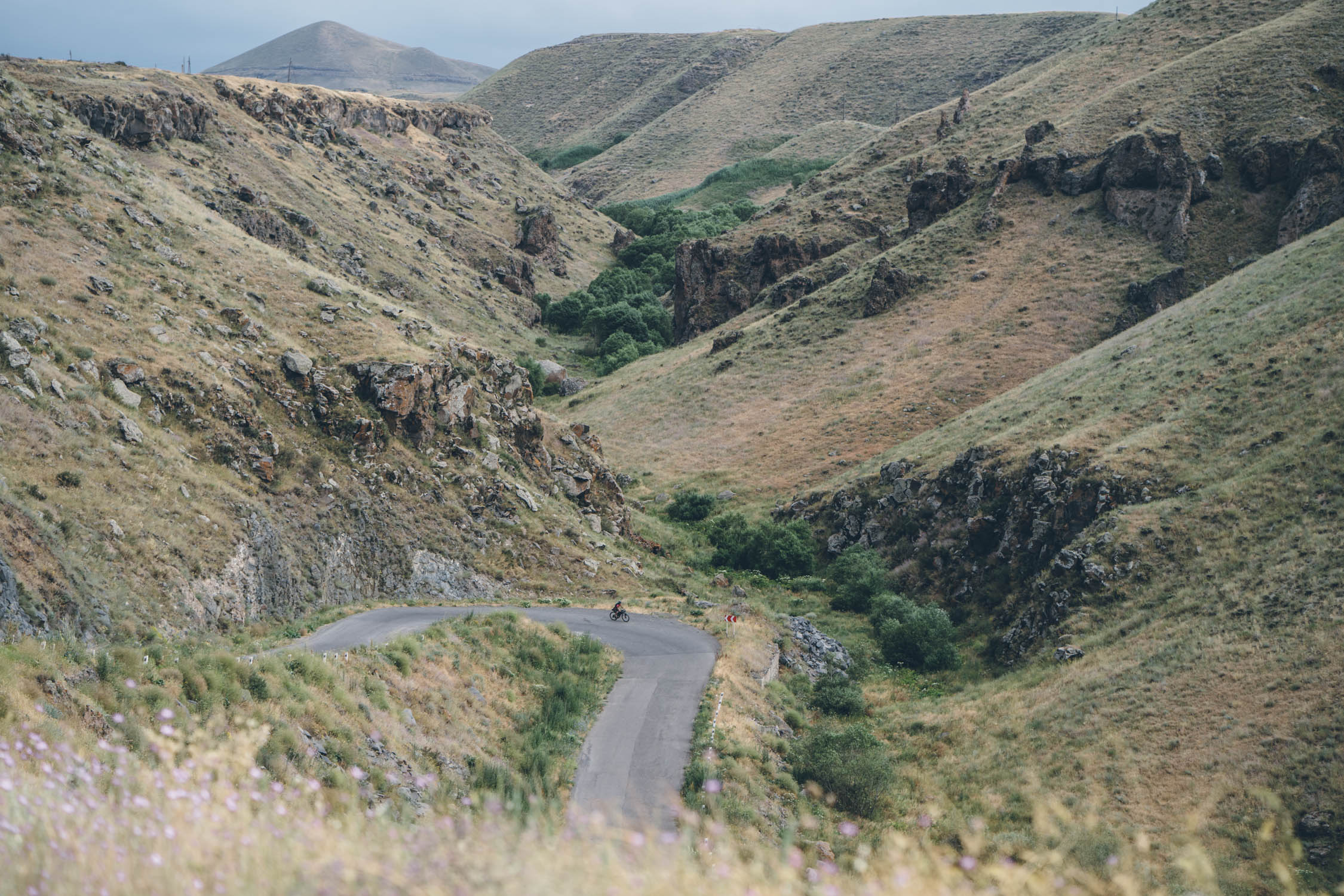
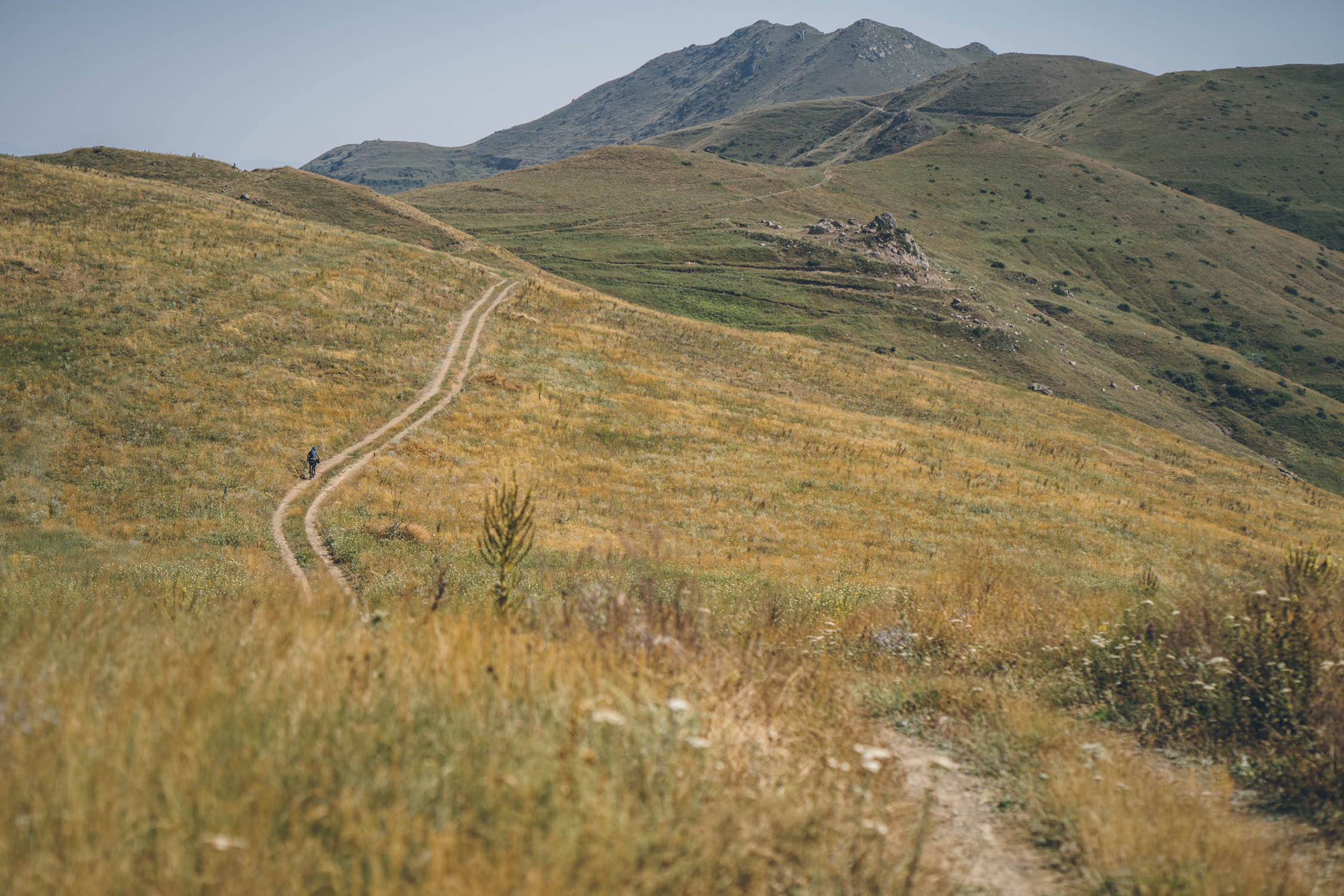
Lori Province is the largest region in Armenia and dominates the northern part of the country, bordering Georgia. Lori is a mountainous region, made up of the ranges of Javakheti, Bazum, Pambak, Gugark, Halab and Somkheti. One of the largest towns in the region is Alaverdi, on the edge of the massive Debed Canyon. The route passes through an incredible array of mountains in Lori, where you’ll find many seasonal farming communities and challenging dirt roads before reaching Debed where you can visit the 10th century Haghpat and Sanahin monasteries. Expect mostly doubletrack dirt roads that sometimes peter out into livestock paths.
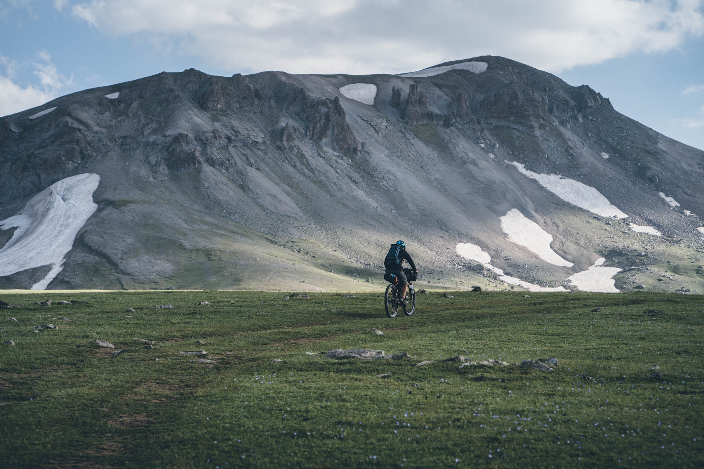
Geghama Mountains
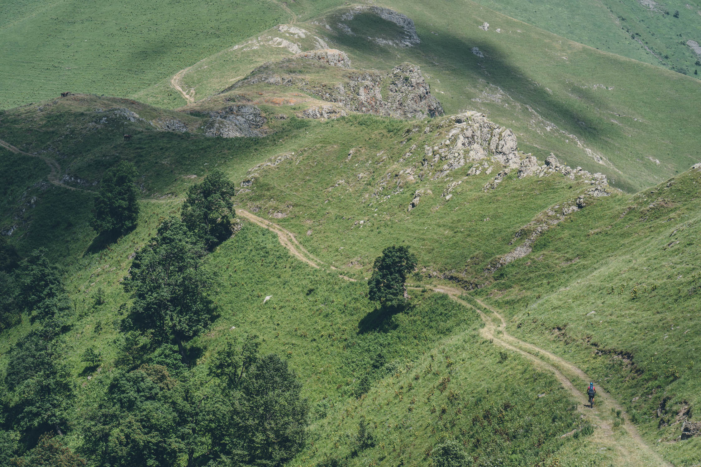
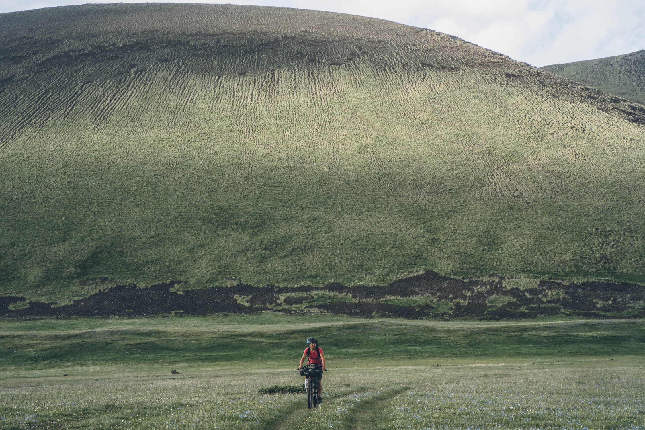
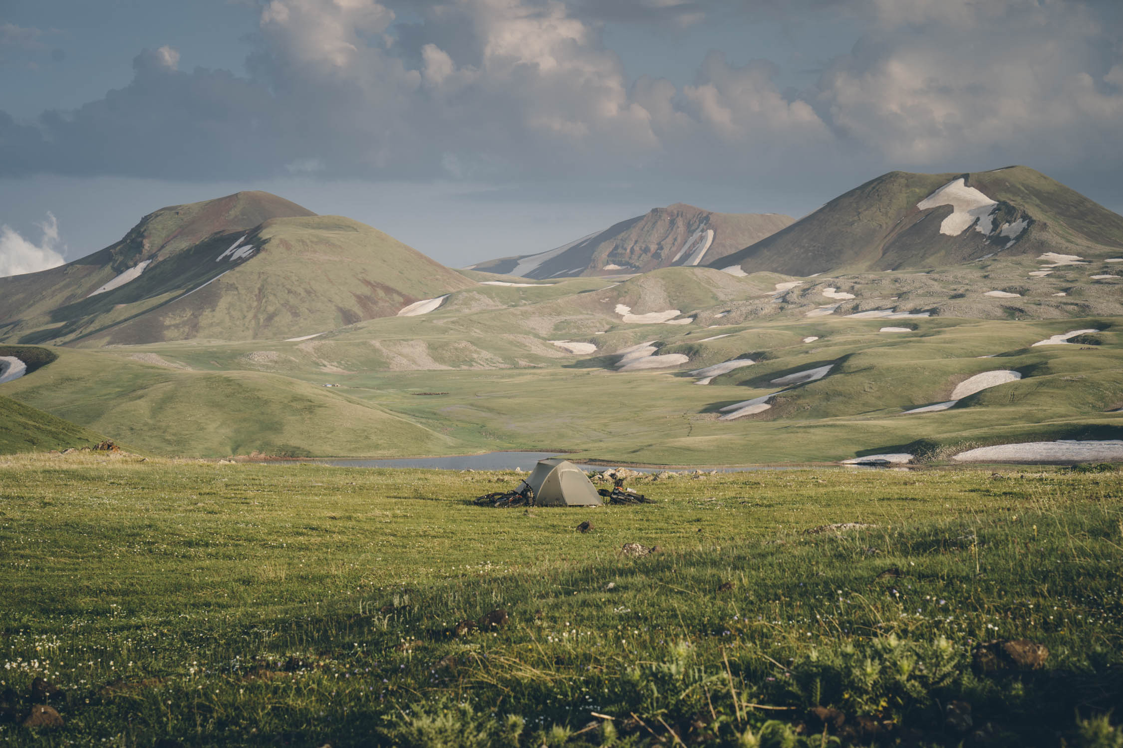
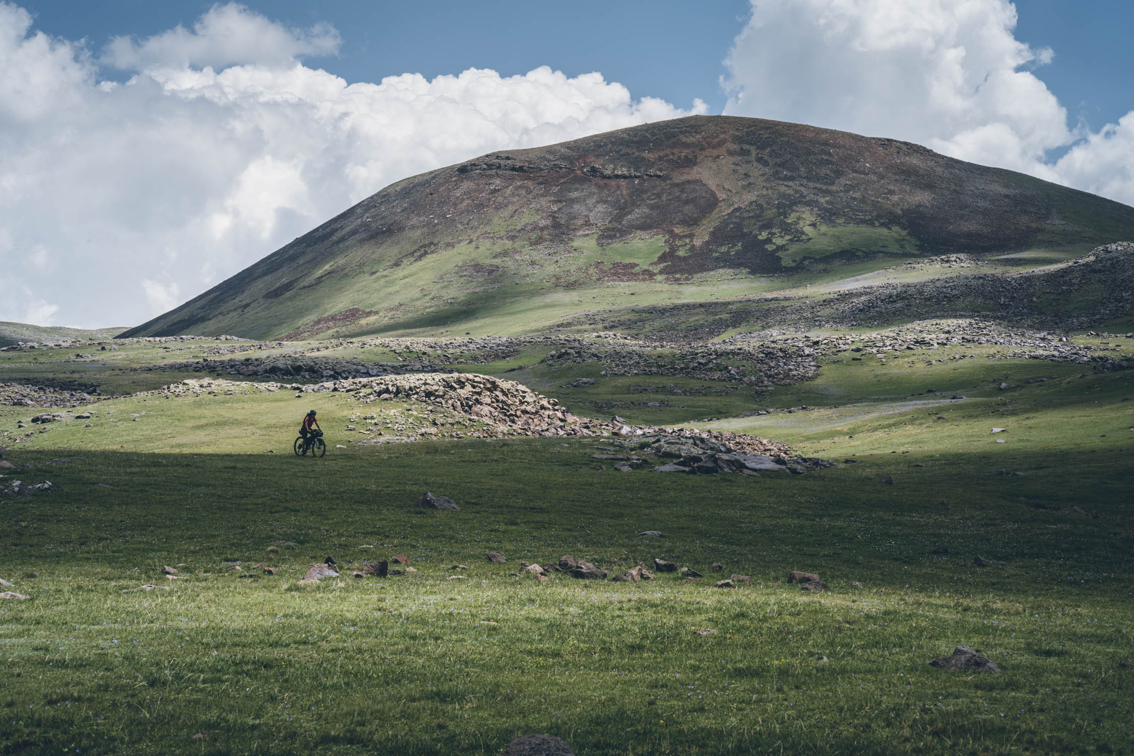
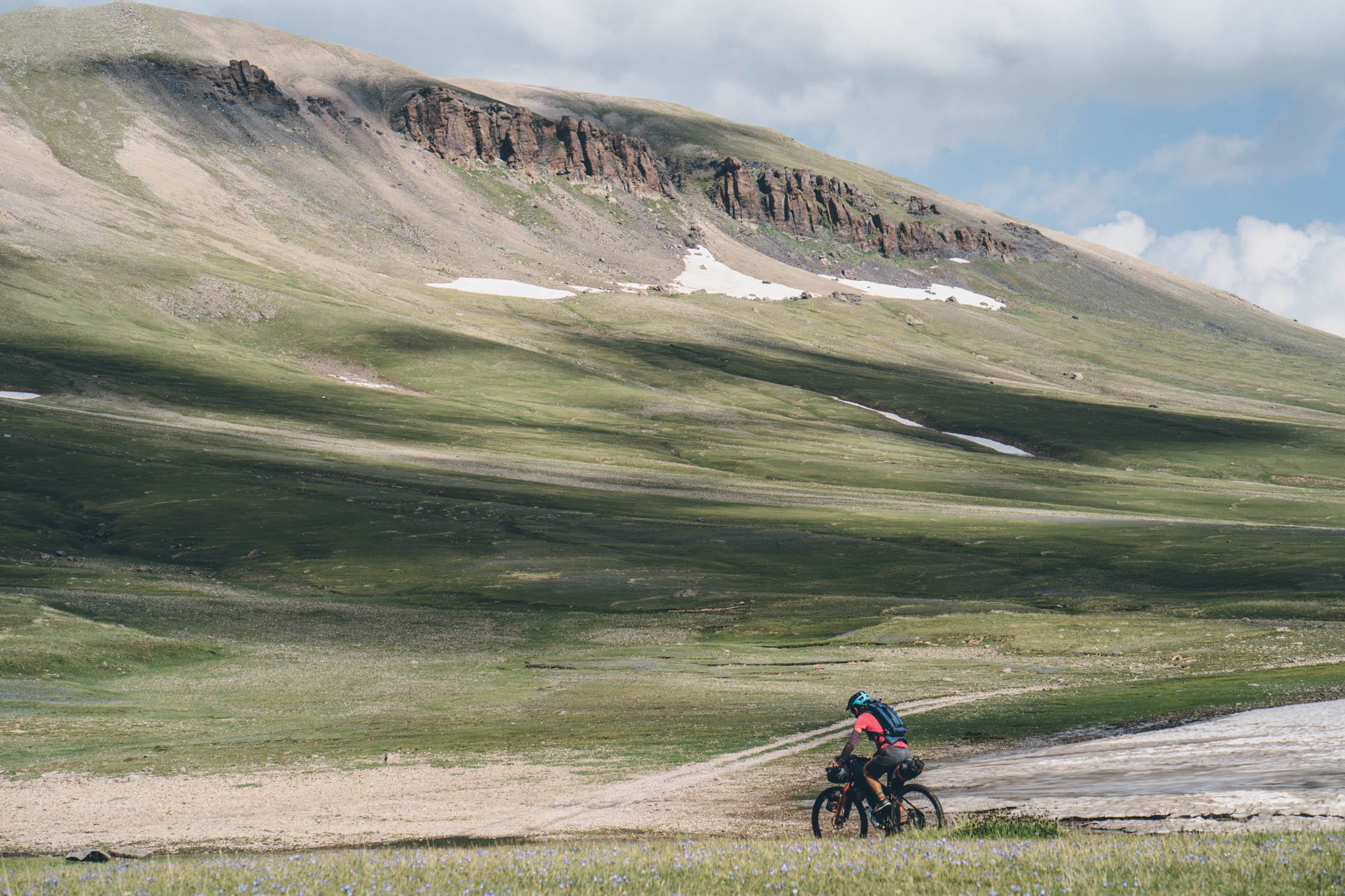
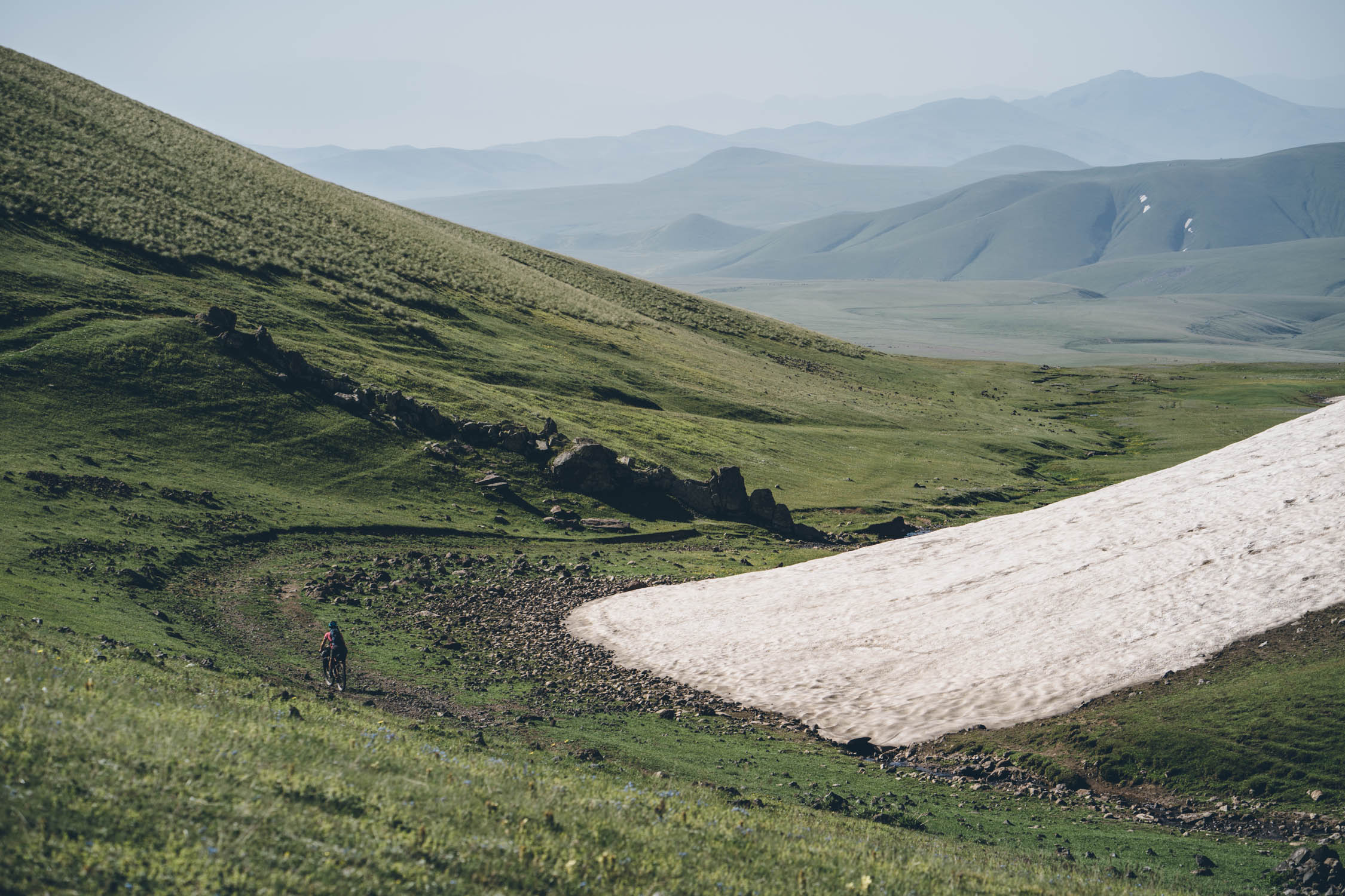
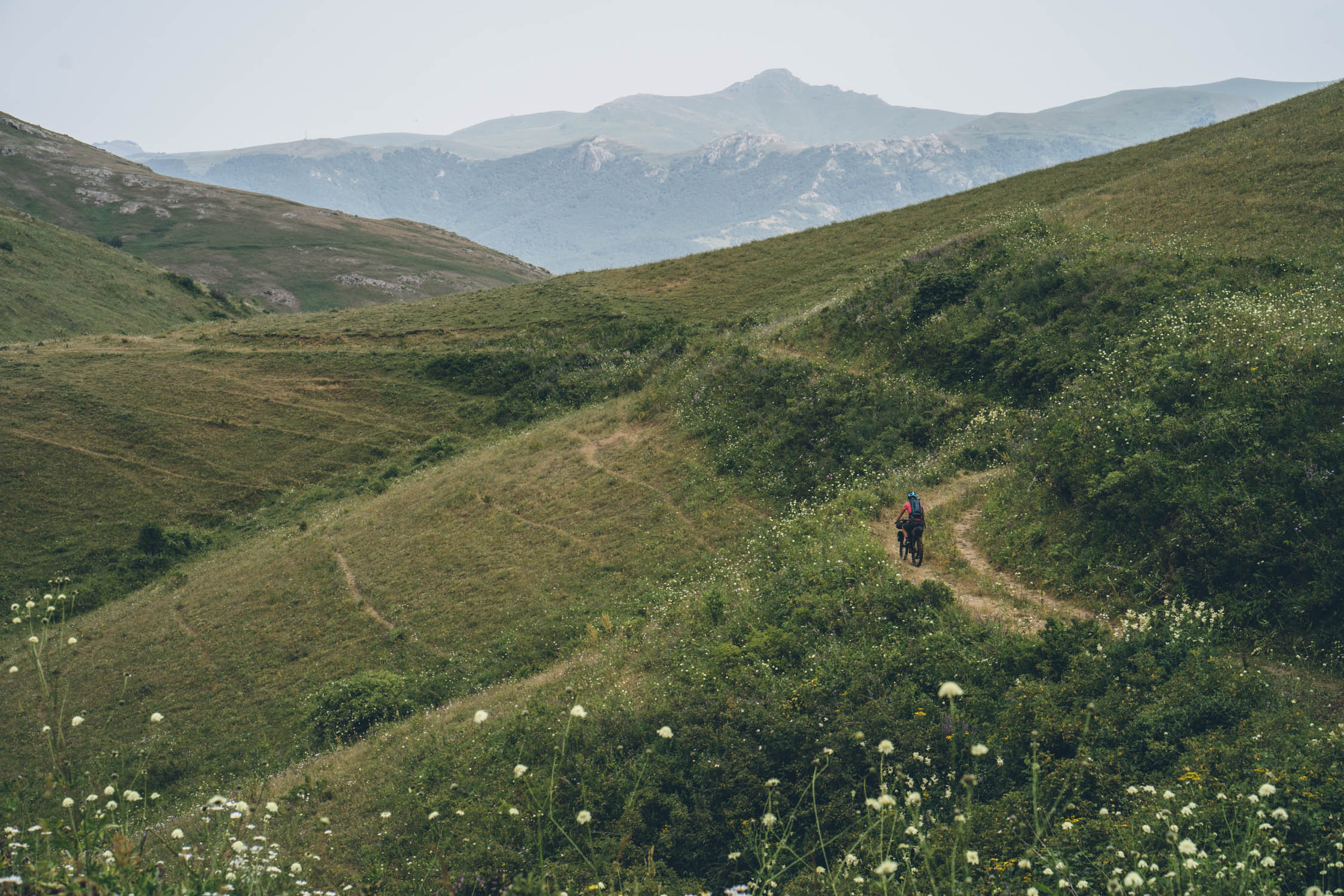
The Geghama Mountains are perhaps the geographic jewel of the route. Their topographic variety includes snow-capped peaks, glaciers, volcanic cones, plateaus, steep scree slopes, loose talus slopes, huge concentrations of rock boulders in depressions, alpine and subalpine flora, and many springs and alpine lakes. The vast grasslands amongst these mountains are inhabited only in the summer months by nomadic herders. Much of the route through the Geghama is at relatively high altitude on rugged jeep roads and livestock trails. Bring warm clothing and rain gear. There are several campsites marked, but you can generally camp anywhere in the Geghama.
The Vardenis
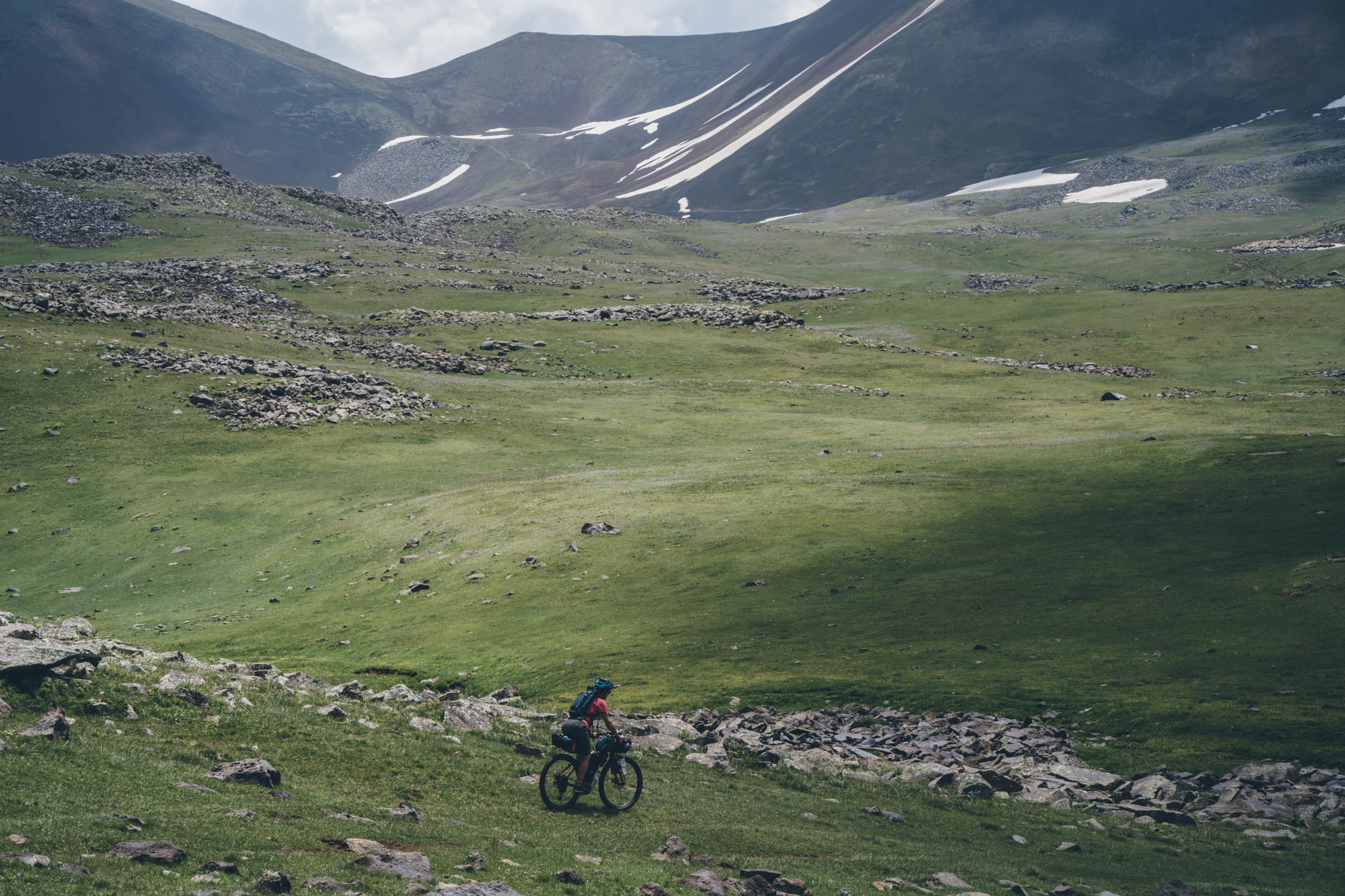
UPDATE: This section was changed, but if you wish to tackle this challenging (but beautiful) area, you can find the original route here. The Vardenis Range is the most challenging part of the whole route. Expect endless summits, horse flies, and lots of scree. The original route contained about 18 miles (29 km) over the incredible Vardenis Range, beginning at mile 215 (kilometer 346).
The Road to Jermuk
After a fast gravel descent from the Vardenis, and another big climb to Karmrashen past the extinct volcano, Vayots Sar, the route descends back to pavement before picking up the H43, the “old road to Jermuk.” This “road” is quite the experience. If you have a fear of rockslides, figure out another way. It starts out on pavement through a spectacular canyon along the Arpa River. The road quickly deteriorates before giving way to several segments that have been reduced to singletrack and hikes over debris fields from the 1988 earthquake that ravaged the country, killing 25,000 and leaving hundreds of thousands homeless. There are a couple swimming holes on route, but don’t underestimate how long it will take to make it to Jermuk.
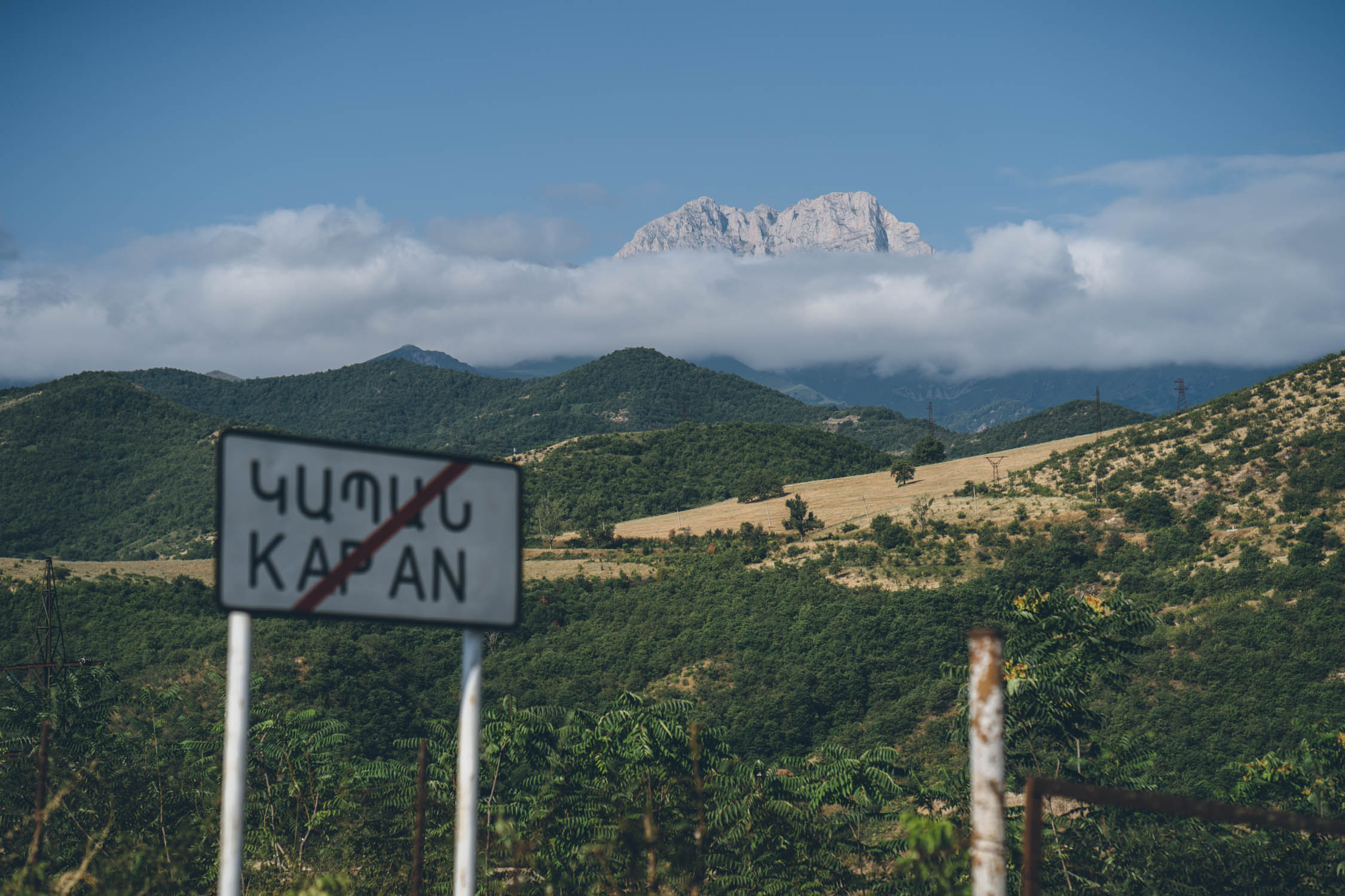
Jermuk to Kapan
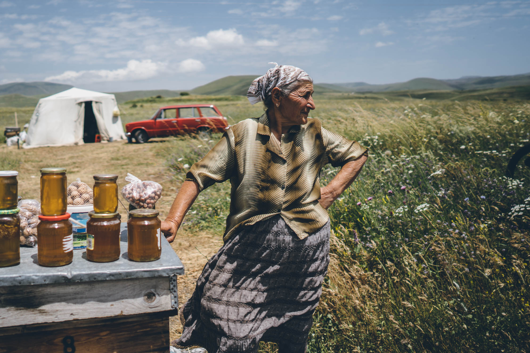
This section is fairly straightforward. There are quite a few long stretches of doubletrack, and like much of the country, a fair share of hills. Look for honey sellers on the main road after the Spandarian Reservoir. Sisian makes a good rest stop with full services. Make sure to stop at Vorotnavank Monastery. Tatev is a good stopping point as well.
Kapan to Meghri
Once you leave Kapan and climb over the pass, the scenery starts to shift toward a more arid landscape, in part. There are still plenty of forests and grasses, but the landscape starts to change. We opted for the nearly deserted paved road from Kapan to Meghri Pass. Note that there is an option to take some trekking routes to Khutsup, which would be extremely challenging, but quite rewarding. We were in a bit of a pinch for time, so we opted for the quicker way. Once at Meghri Pass, the route follows a faint doubletrack into Aravik park. This is a really beautiful section, not to be missed. As mentioned, beware of bears. The species here are similar to grizzlies. Although rare, we saw a couple large, fresh poops that let us know that they are definitely present.


Terms of Use: As with each bikepacking route guide published on BIKEPACKING.com, should you choose to cycle this route, do so at your own risk. Prior to setting out check current local weather, conditions, and land/road closures. While riding, obey all public and private land use restrictions and rules, carry proper safety and navigational equipment, and of course, follow the #leavenotrace guidelines. The information found herein is simply a planning resource to be used as a point of inspiration in conjunction with your own due-diligence. In spite of the fact that this route, associated GPS track (GPX and maps), and all route guidelines were prepared under diligent research by the specified contributor and/or contributors, the accuracy of such and judgement of the author is not guaranteed. BIKEPACKING.com LLC, its partners, associates, and contributors are in no way liable for personal injury, damage to personal property, or any other such situation that might happen to individual riders cycling or following this route.
Please keep the conversation civil, constructive, and inclusive, or your comment will be removed.