


Tres Picos Chilangos Overnighter
Distance
47 Mi.
(76 KM)Days
2
% Unpaved
50%
% Singletrack
4%
% Rideable (time)
96%
Total Ascent
6,233'
(1,900 M)High Point
11,975'
(3,650 M)Difficulty (1-10)
6?
- 9Climbing Scale Very Strenuous133 FT/MI (25 M/KM)
- 4Technical Difficulty Fair
- 7Physical Demand Difficult
- 5Resupply & Logistics Moderate
Contributed By

Paola Berber
Guest Contributor
Paola Berber is from Mexico City. She’s been riding bikes for five years and is an adventure cycling enthusiast. She’s traveled through more than 15 countries on her bike, and likes to explore new places by bicycle and to write about her experiences. She is also a contributor to the Spanish language cycling blog Pedalia. Find more of Paola’s photos on Instagram or in read her stories on Pedalia.cc.
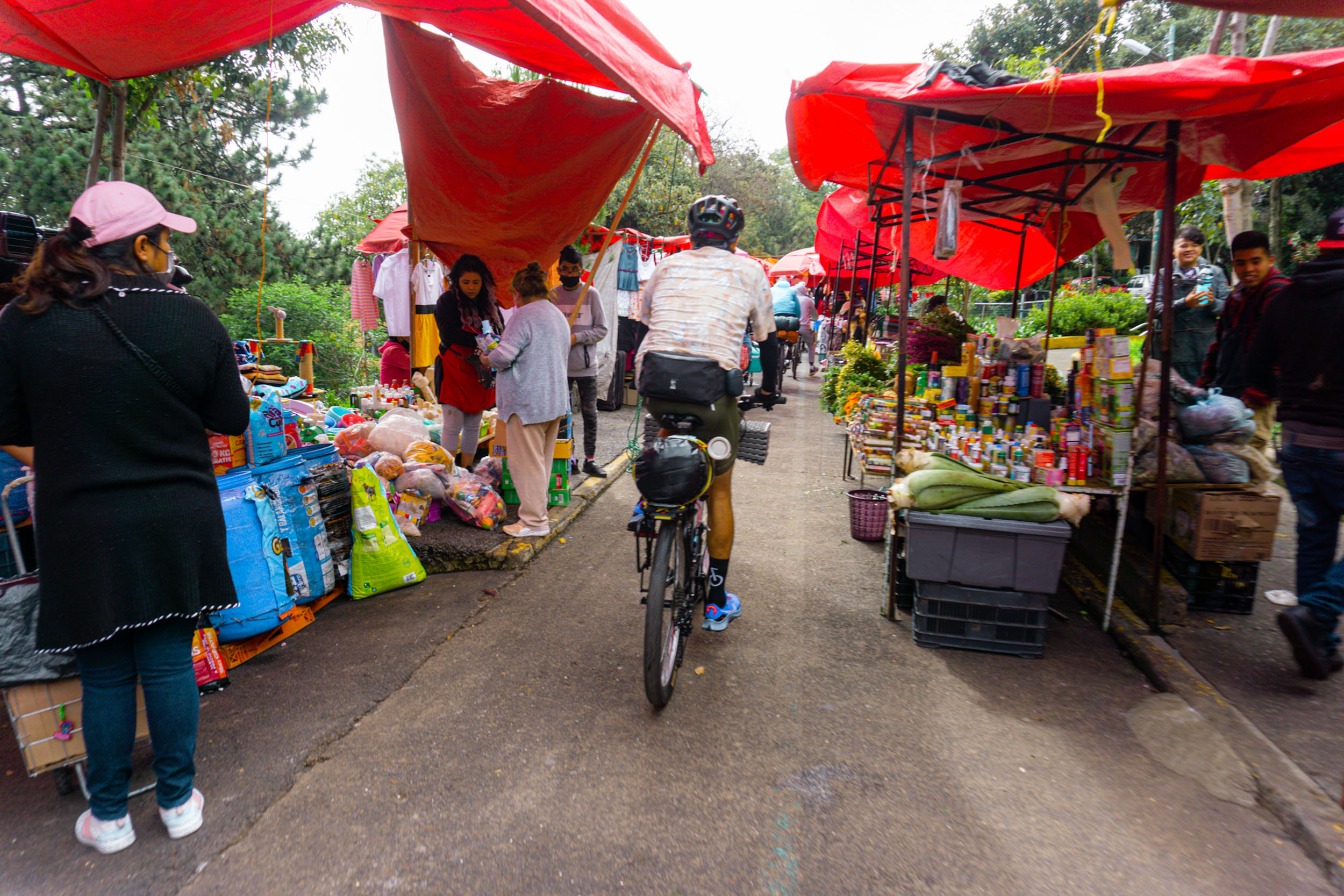
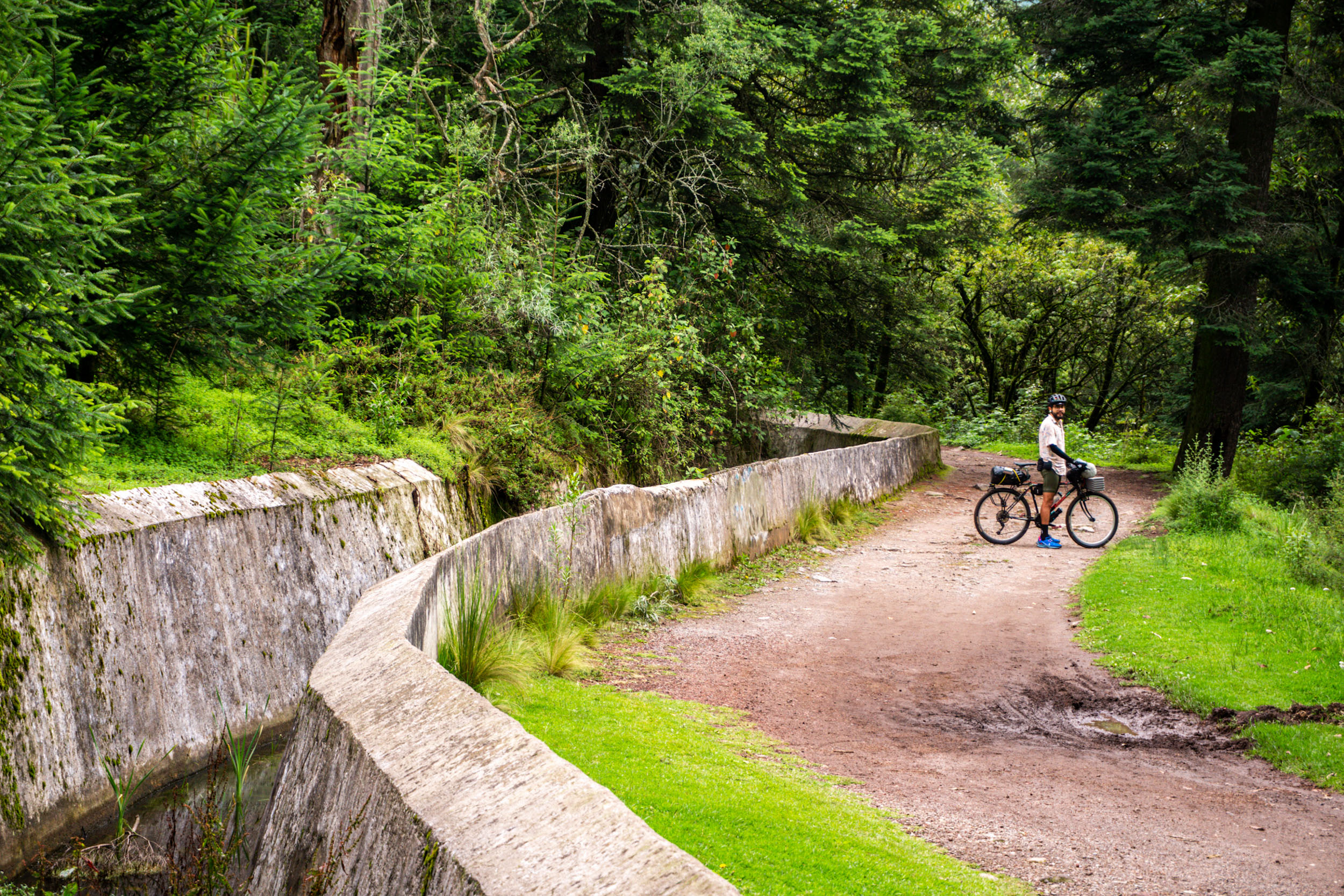
The Tres Picos Chilangos Overnighter begins in the neighborhood of San Ángel, in the southwestern region of Mexico City. Initially, it follows the cycle path ‘Ferrocarril a Cuernavaca’, which used to be an old railroad that connected the city with the state of Morelos. The bike path will take you up a slight 2-5% ascent to the first peak, Ajusco, where you will pass through various neighborhoods, a swap meet, a creek, and beautiful panoramic views of the south of Mexico City.
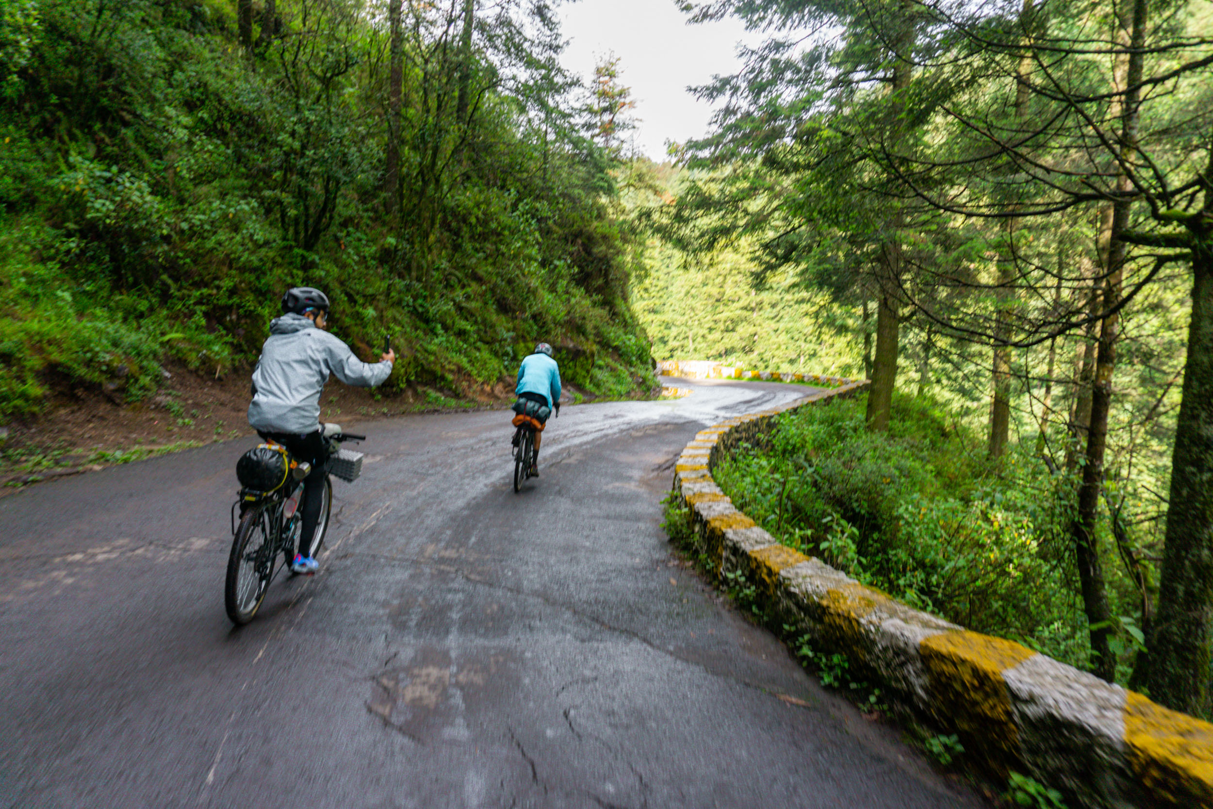
Then you will have to ride a short segment of the Picacho-Ajusco road, where you’ll find plenty of grocery stores and local food stalls. After five kilometres in the asphalt, you will reach the entrance of the San Nicolás de Totolapan Ecological Park in Ajusco National Park, where the adventure through the forest of the city valley begins.
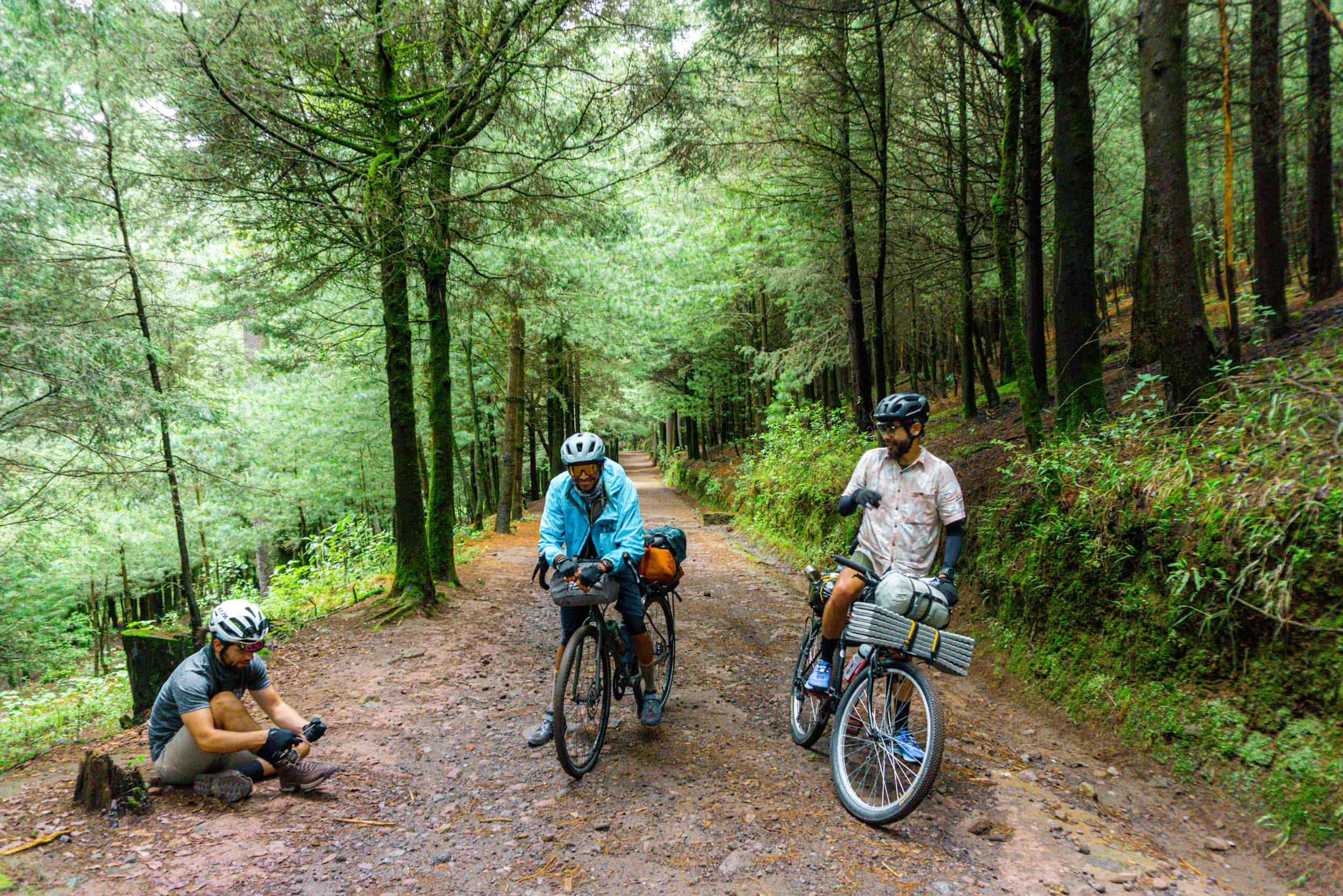
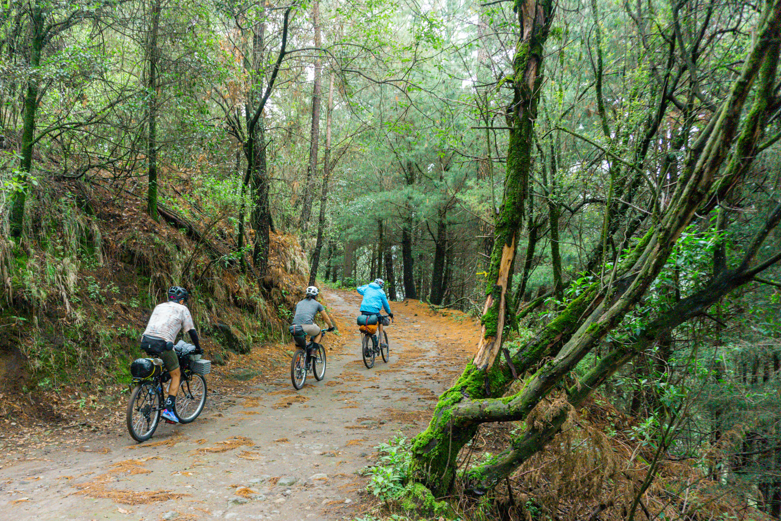
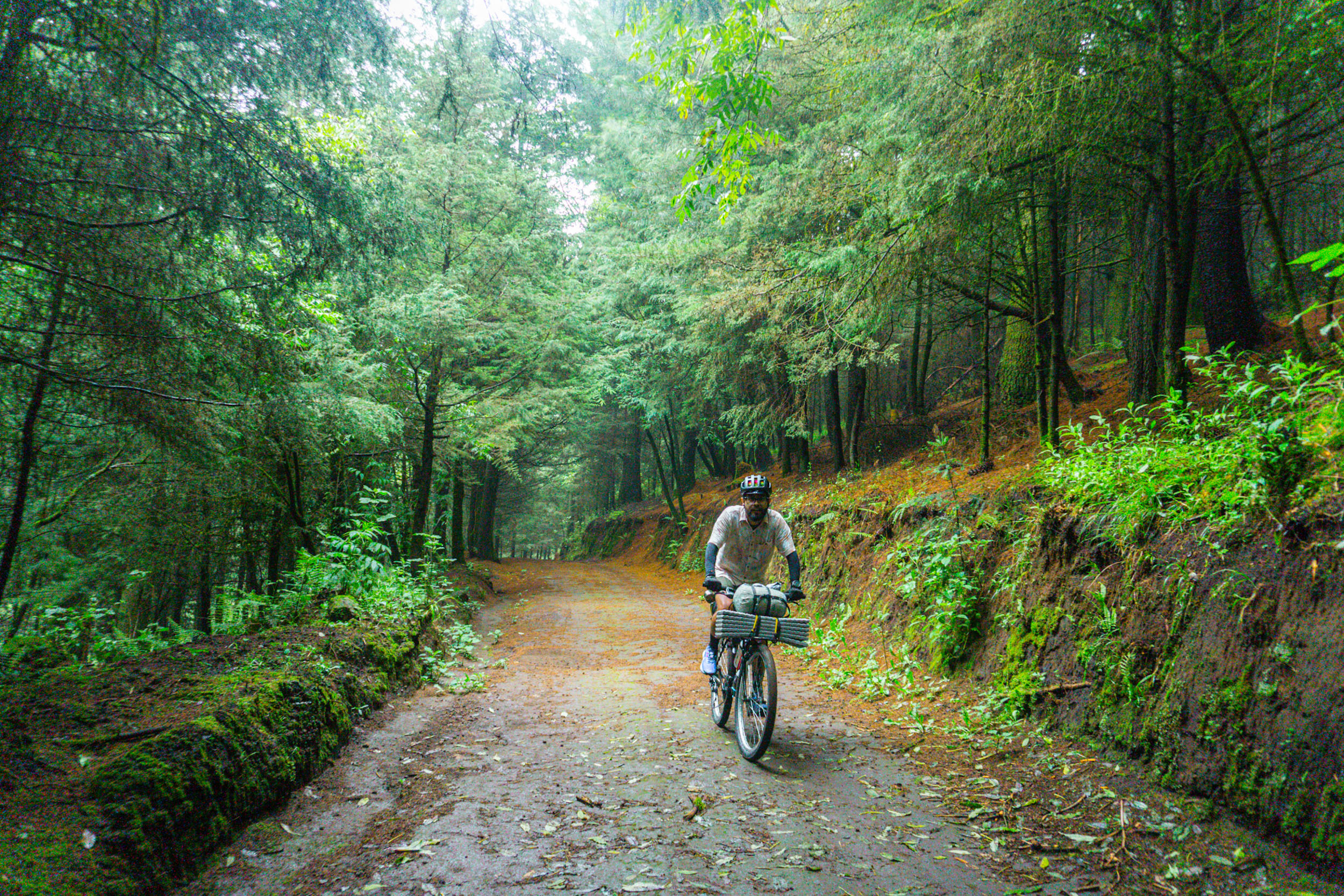
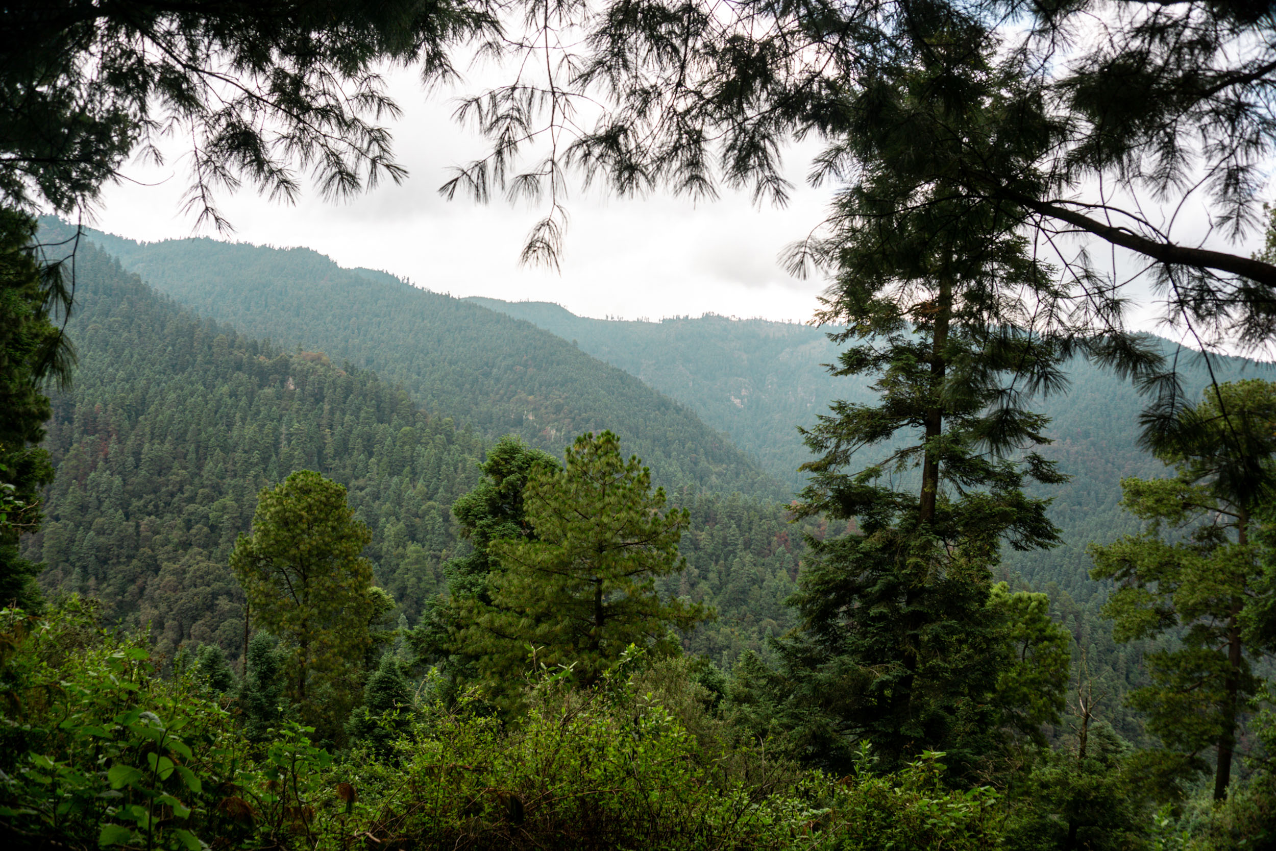
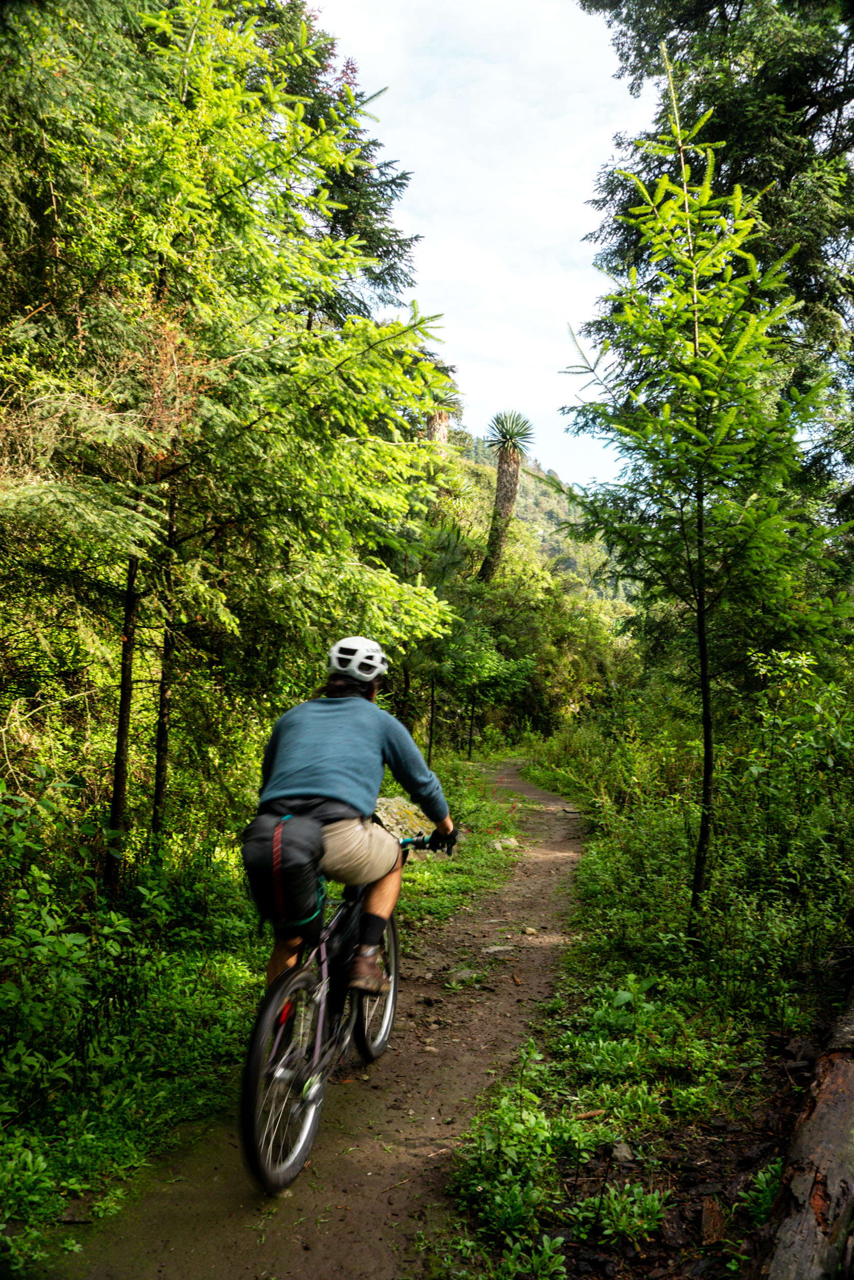
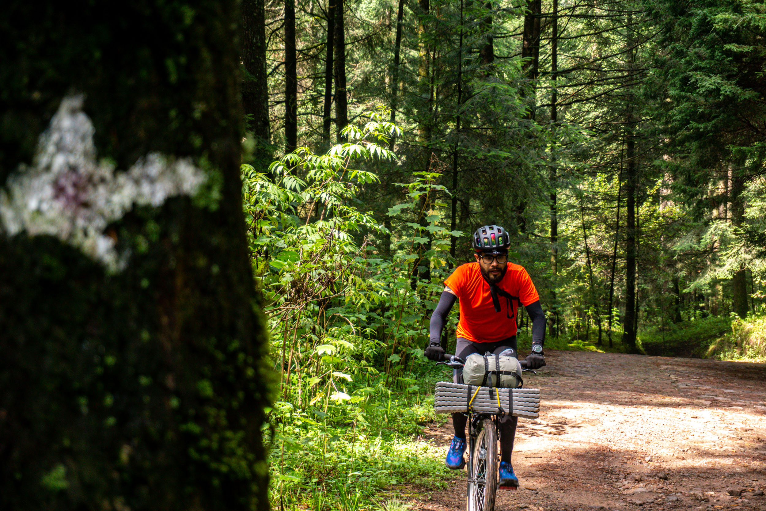
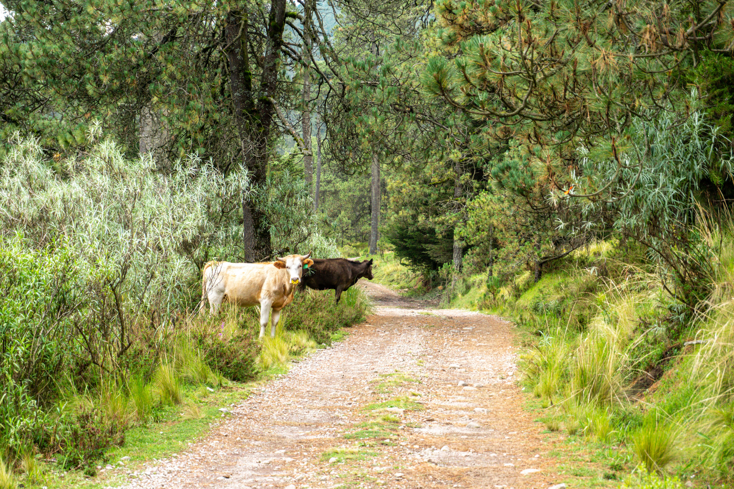
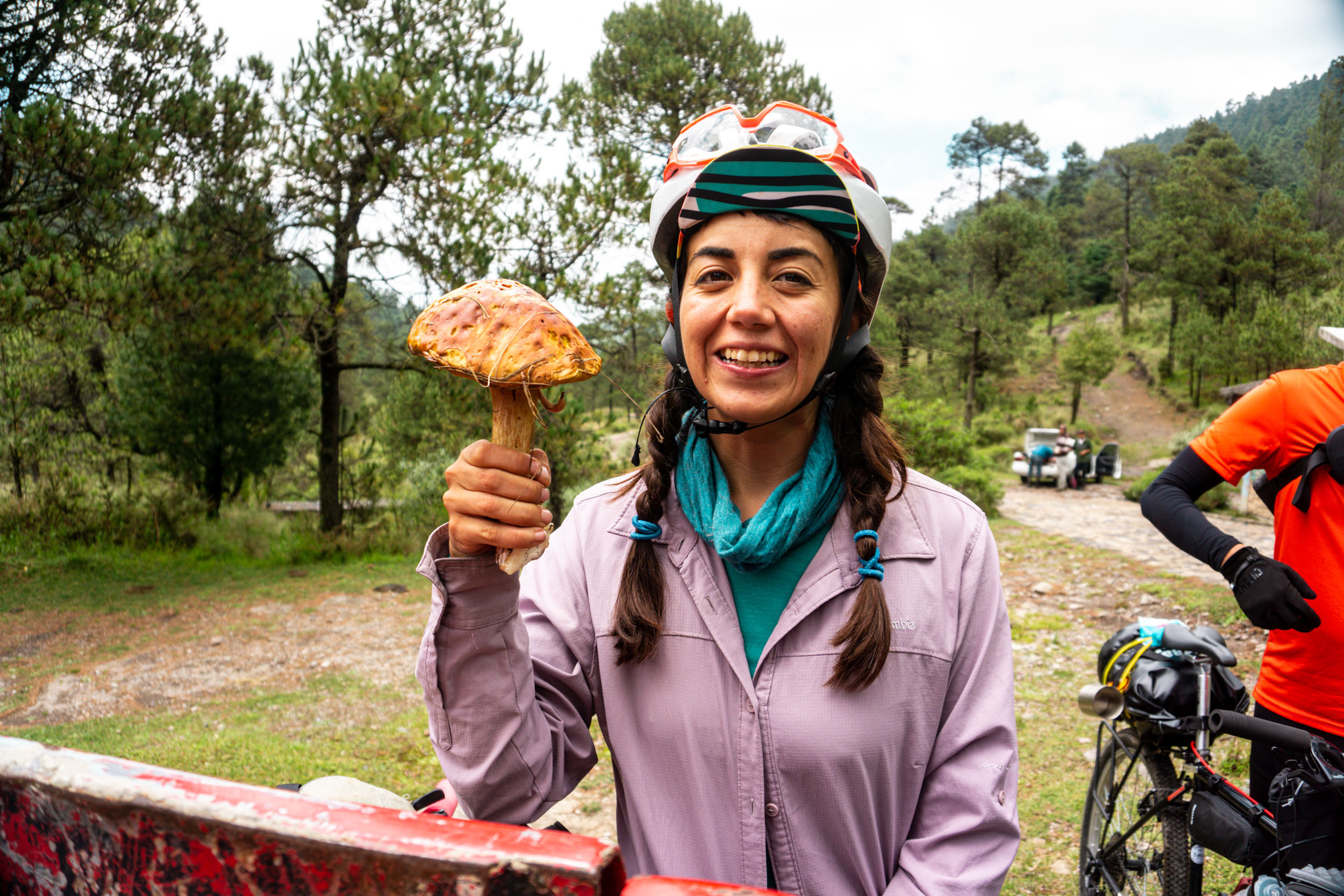
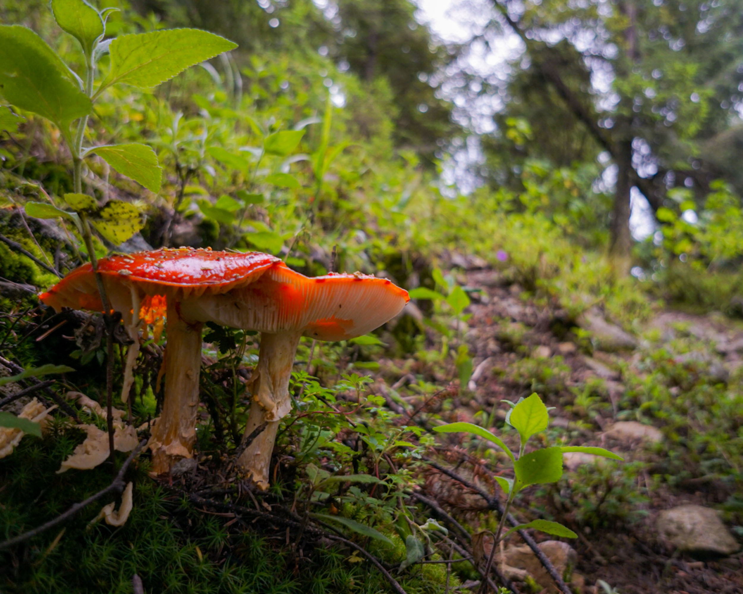
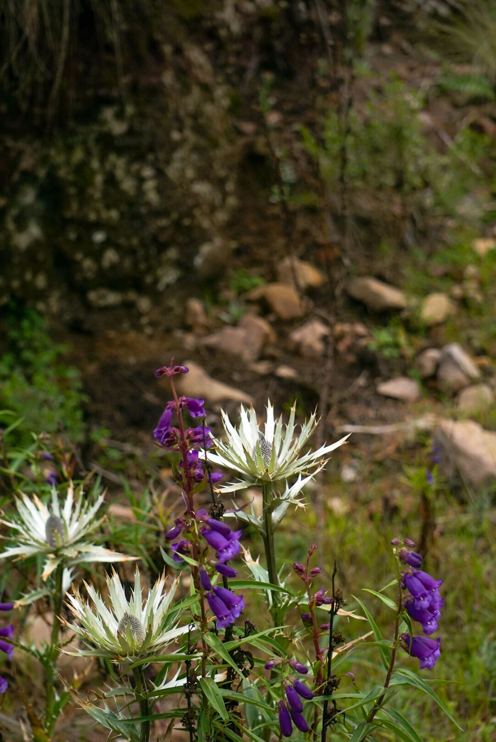
This forest is best known for being part of the ‘Water Forest’, one of the main sources of water capture for the city. You will be able to see many different types of pine, ferns, and mushrooms (the latter during the rainy season, from June to September). You will ride through a wide dirt road through the connection with Dinamos National Park. On your way, you will see an environmental management zone that preserves white-tailed deer.
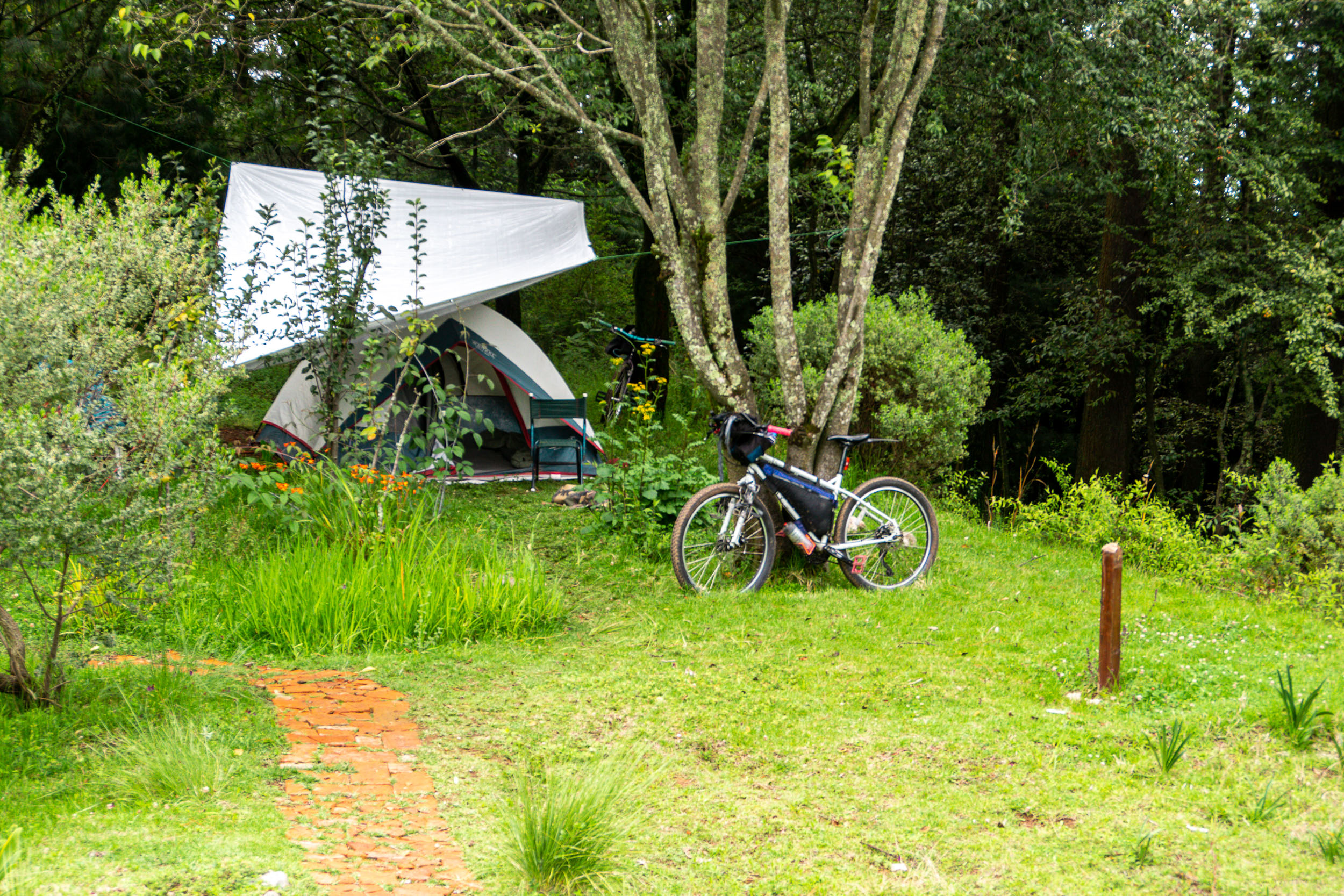
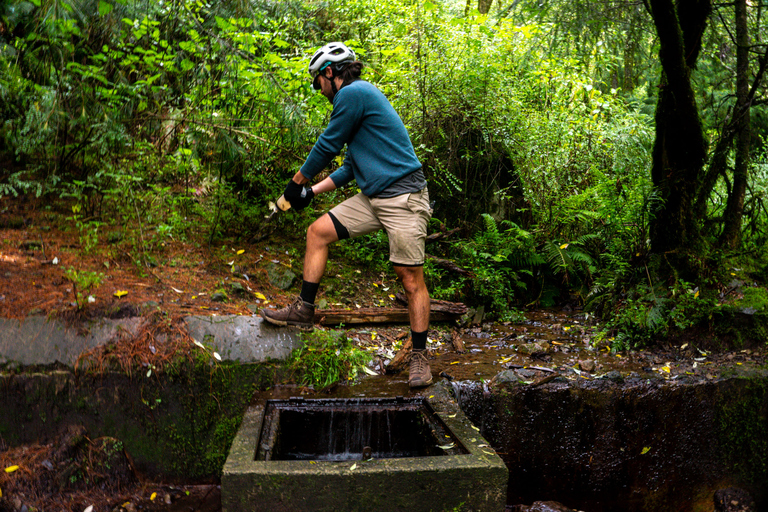
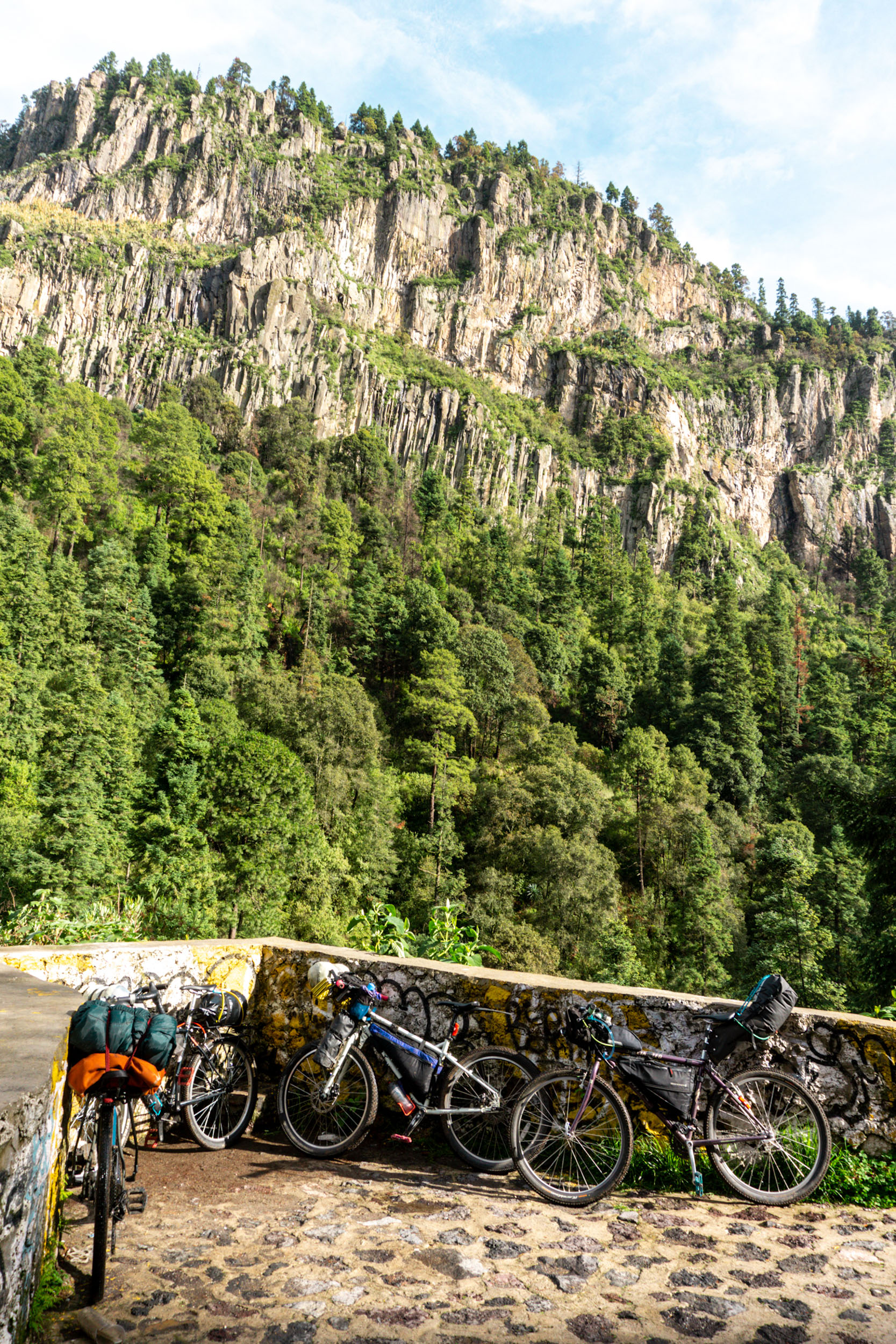
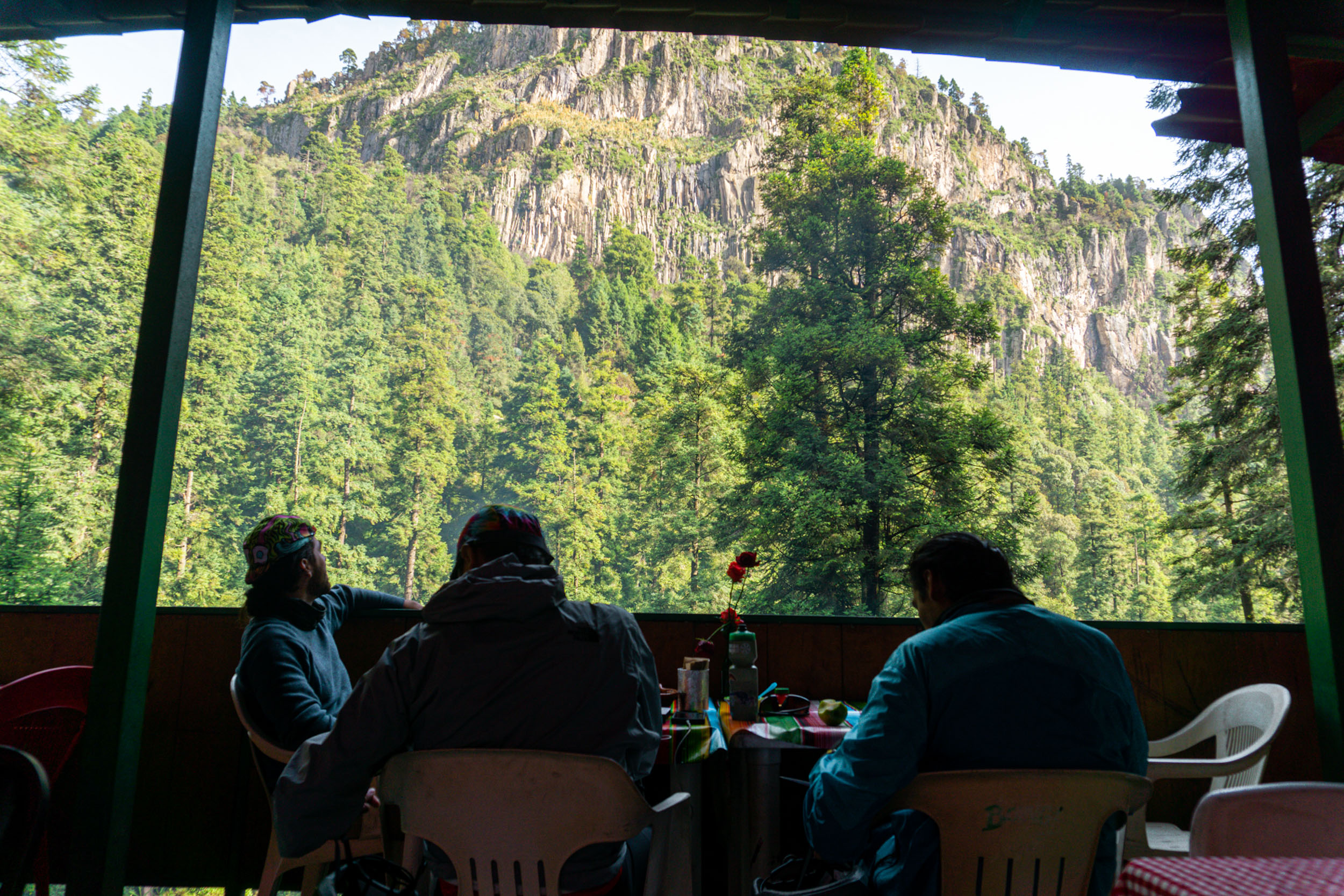
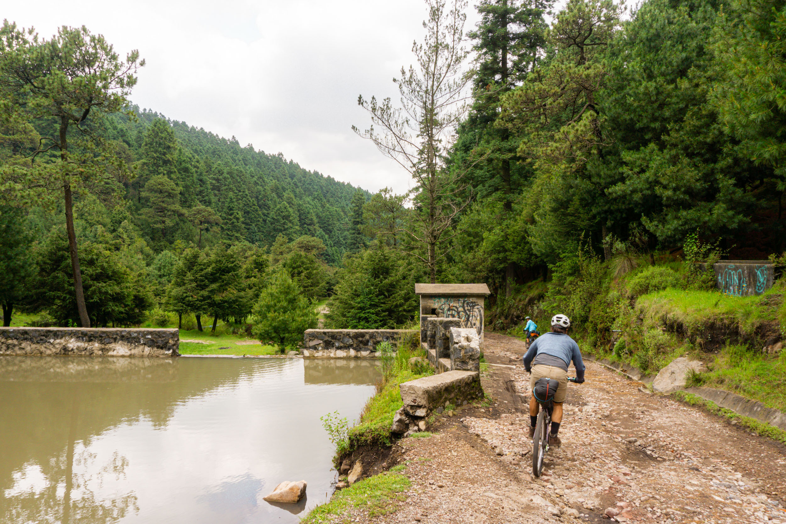
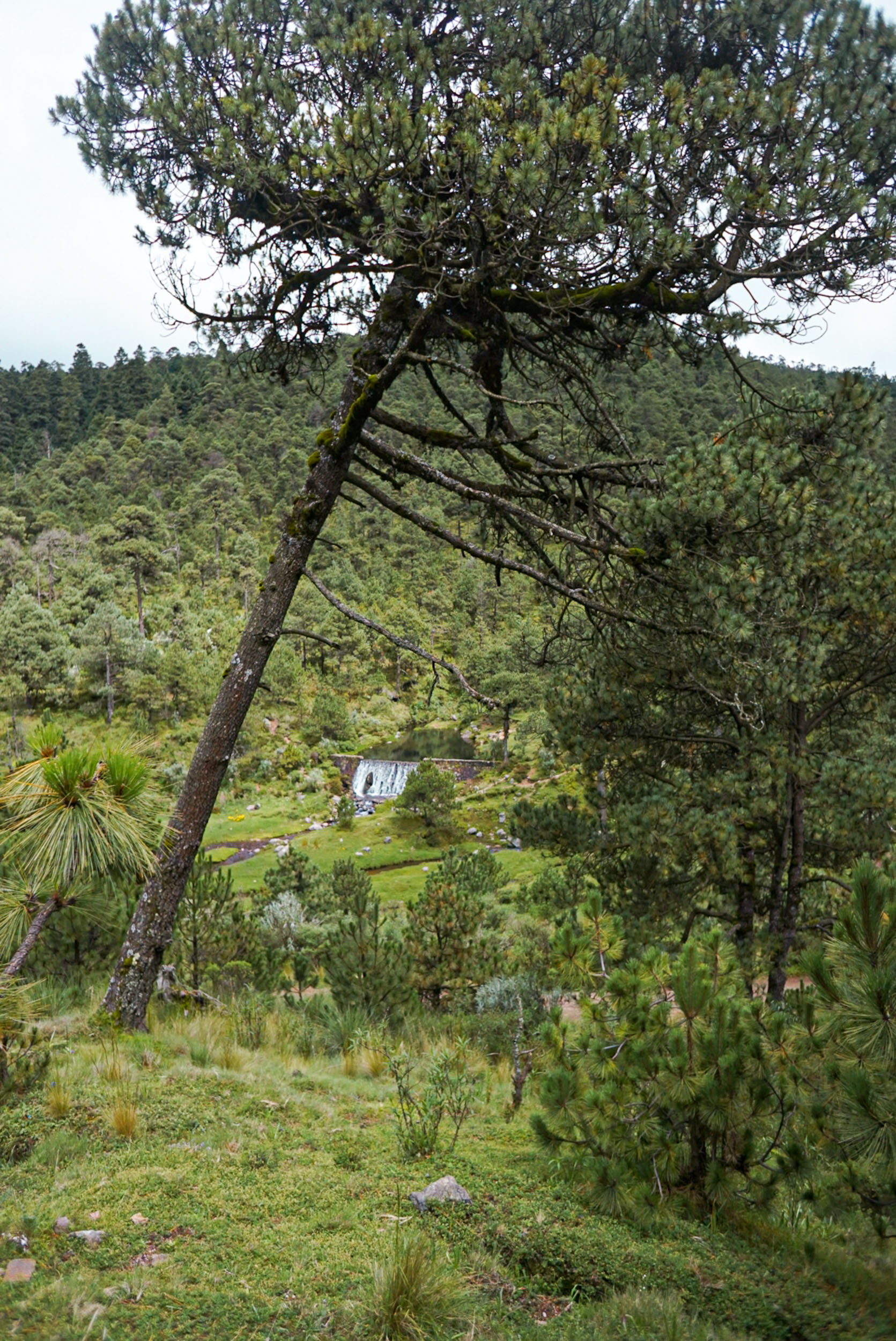
Once you reach the Dinamos area, you will have your first encounter with streams that come from the Magdalena River, the last living river in Mexico City. The wide dirt road will take you to the camping and restaurant Kalixtlauatl ‘El paraíso’ in the area of Llanos de Acopilco y Miradores de Tarumba, with a panoramic view of the famous ‘Coconetla’ canyon. During the rainy season, you will be able to see fireflies at night.
Route Difficulty
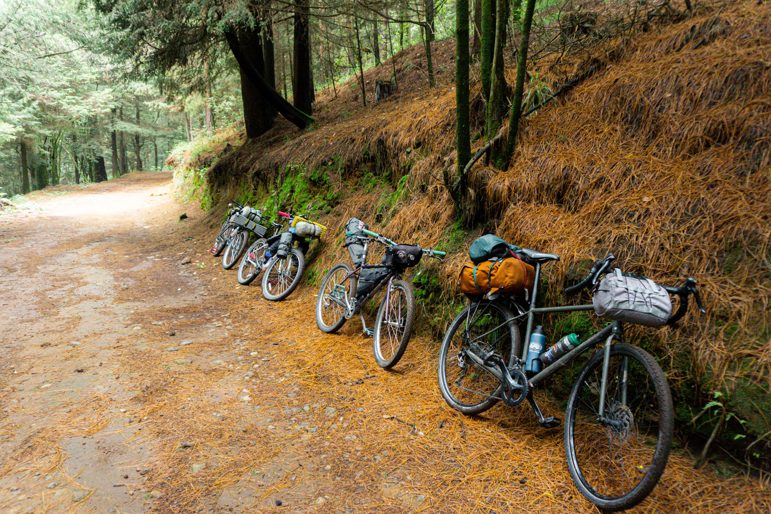
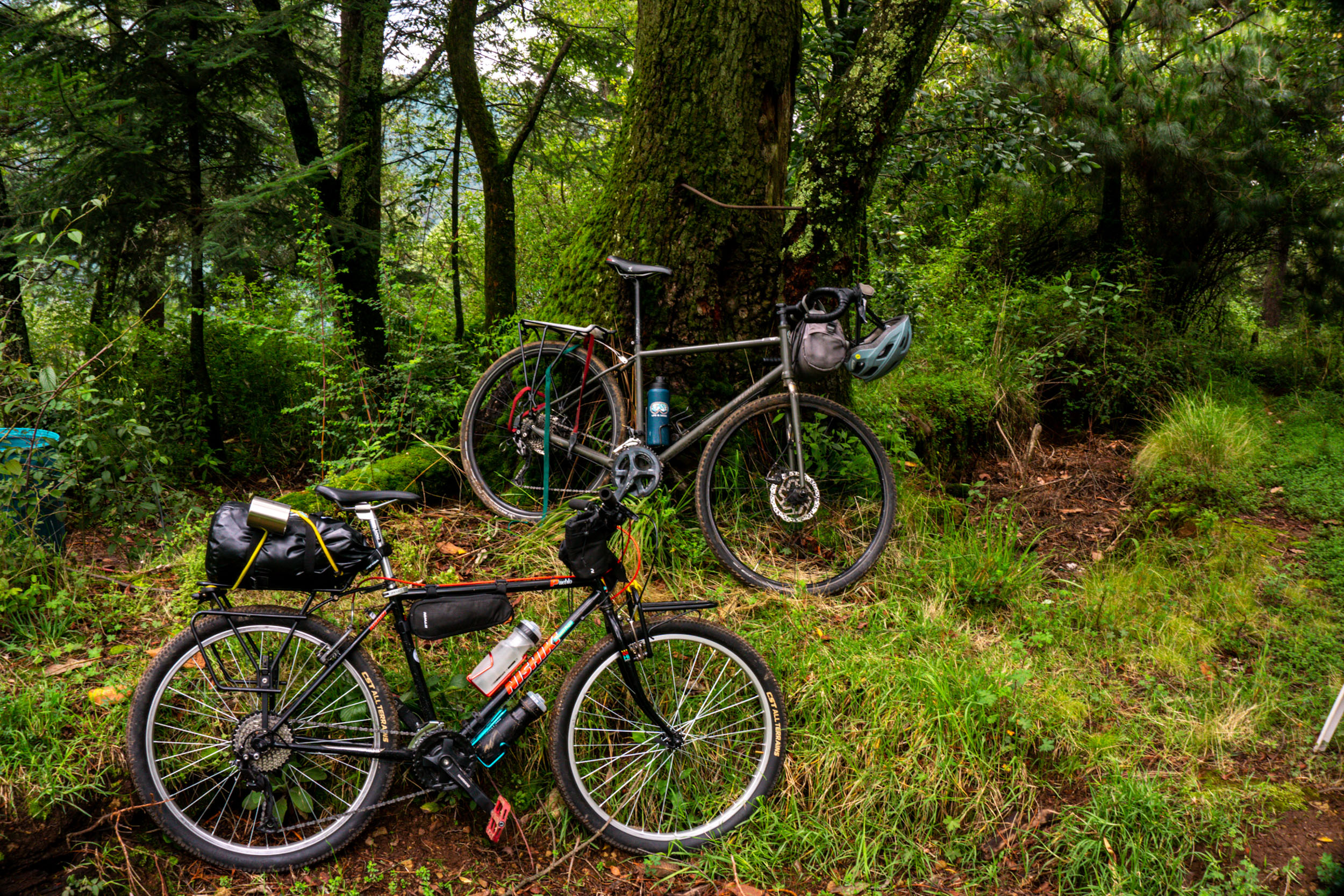
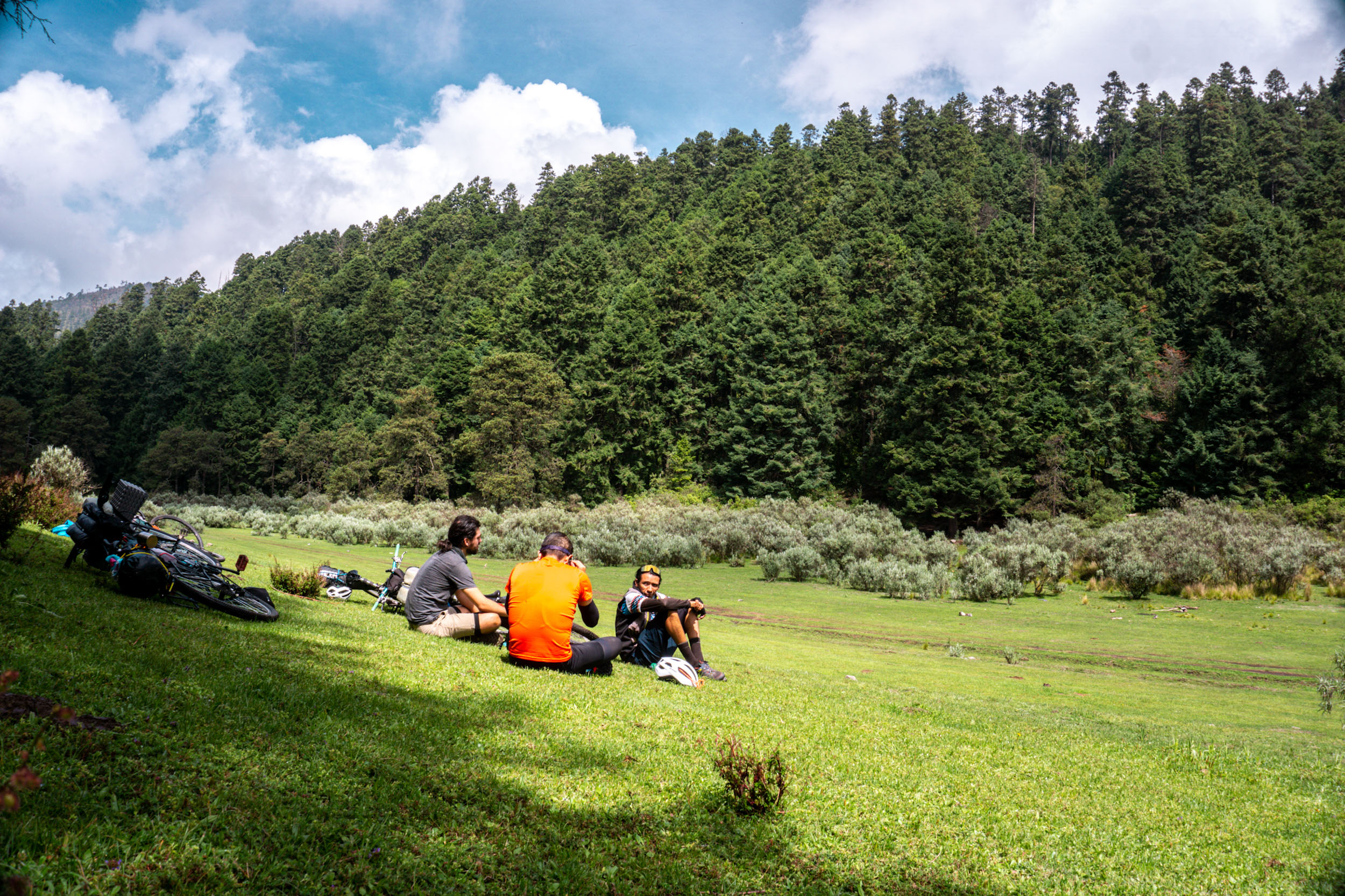
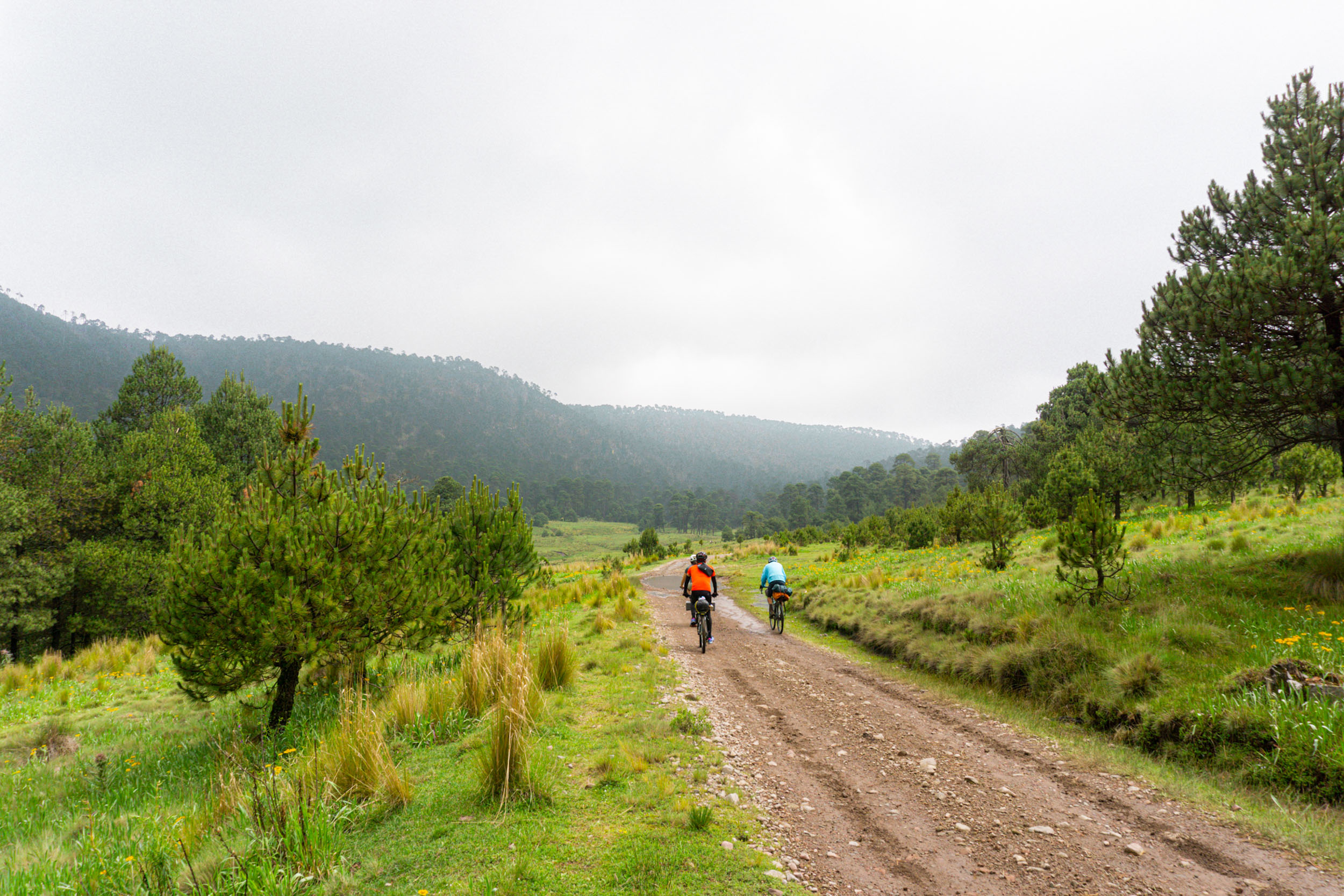
Overall, this route is rated a 6/10 in terms of its difficulty. It’s pretty straightforward without many technical challenges (Technical Difficulty 4/10). Road conditions are good. Half of the route is a wide dirt road with no traffic at all, the other half you will ride in a cycle path and small roads. There’s only a short trail where you might need to walk a few meters. The hardest part is the ascent in Dinamos National Park, but it’s a short climb and you can walk your bike if you need (Physical Demand 7/10). Just bear in mind that the altitude of the route is an important factor to consider; the highest part reaches 3,700 metres above sea level, adding to the challenge. There are also many resupply options, so you won’t need to carry a lot of food (Resupply and Logistics 5/10). There are quesadilla spots and stores at least every 10 kilometers where you can resupply, just note that there are no stores in the 20-kilometre section from Dinamos Dam to Desierto de los Leones Dam.
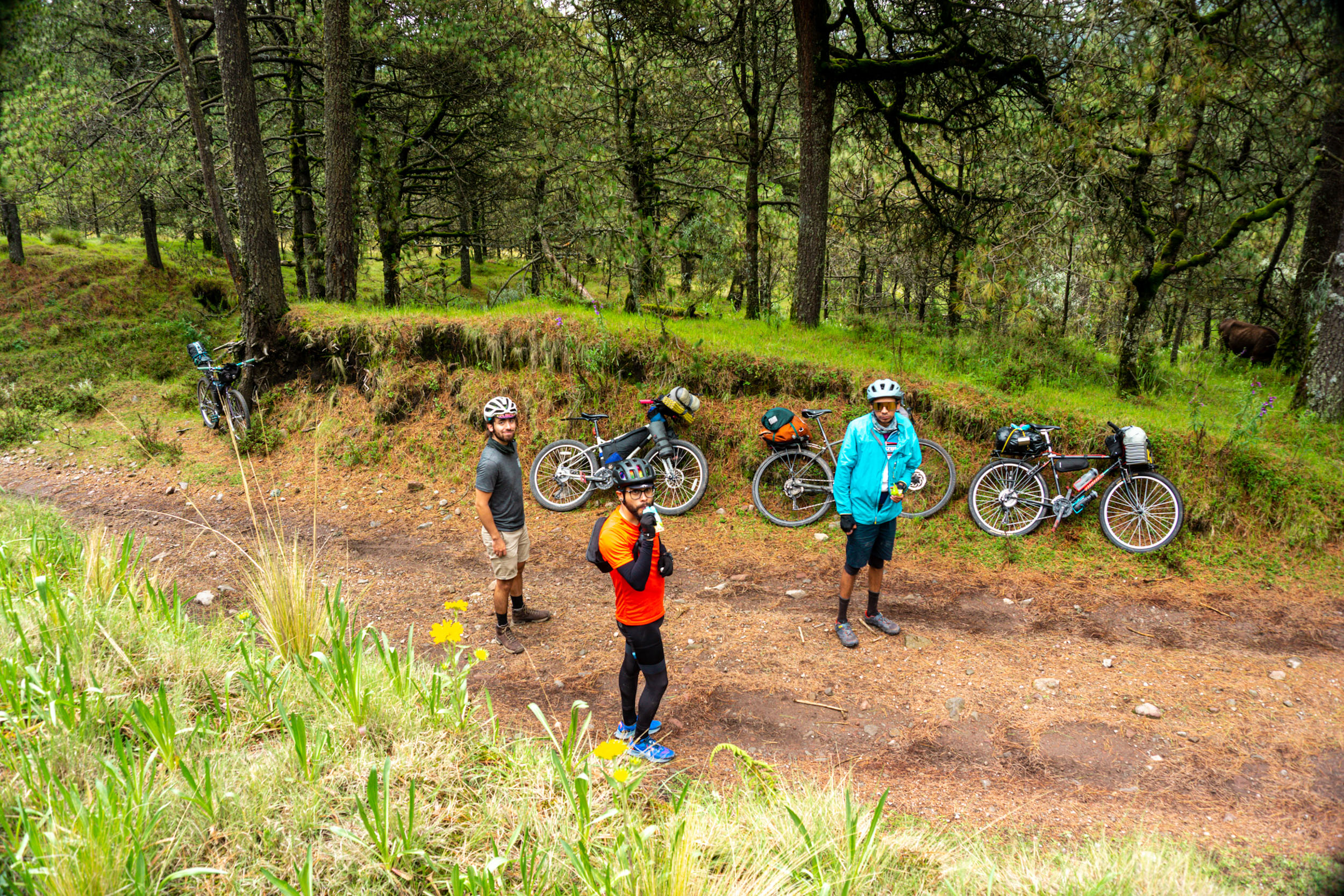
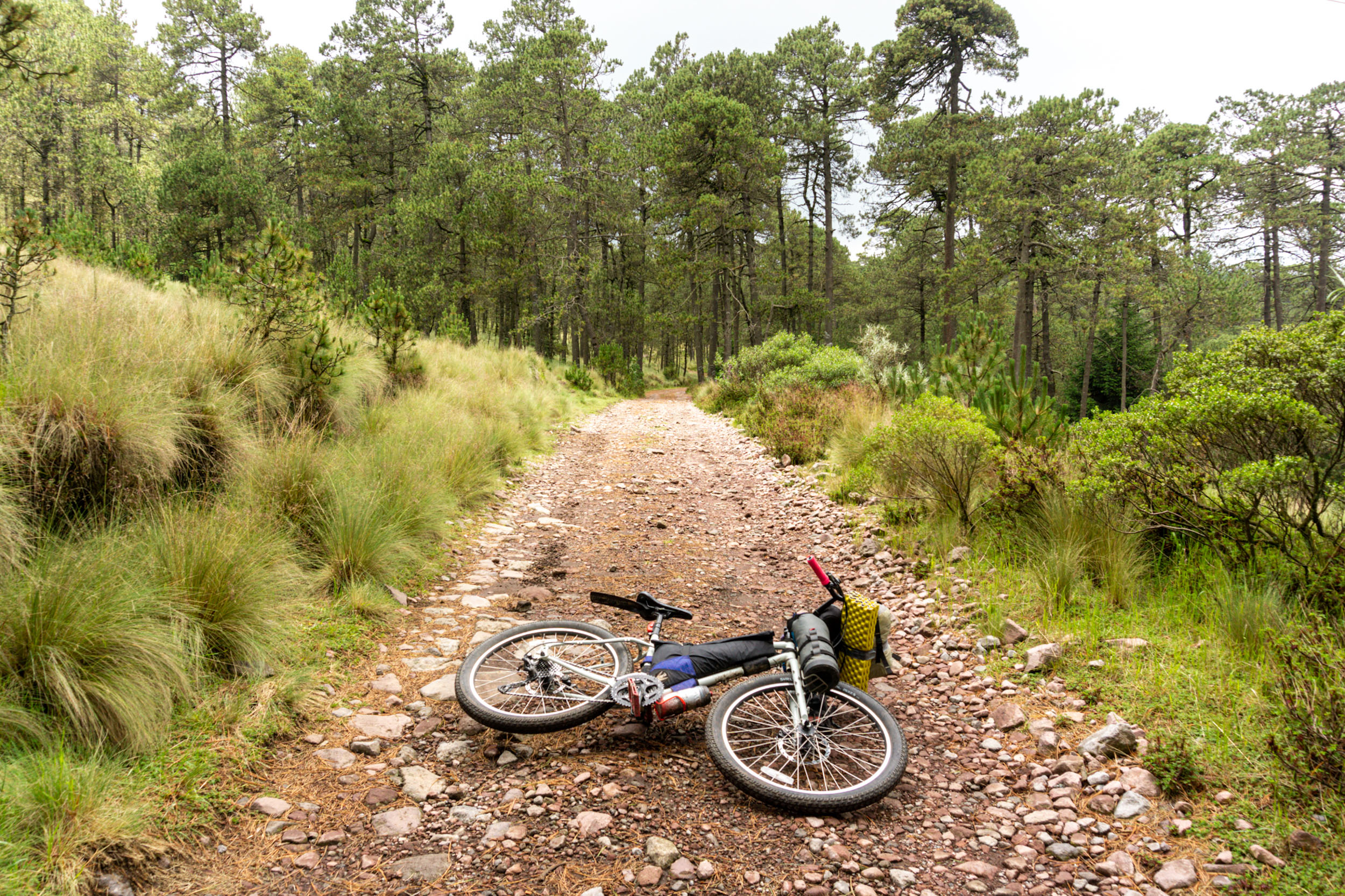
After passing the camping spot, you will ride on some non-technical singletrack. It’s possible that you will have to push your bike, but only for about five meters. Once you finish the singletrack, you will reach the old road to the fourth Dinamo, where you will find restaurants with local food, as well as a dam and a viewpoint to the ‘Coconetla’ canyon.
Land acknowledgments
The San Nicolás Totolapan Park belongs to the original people (‘pueblo originario’) of San Nicolás Totoloapan, which is formed as an ejido. This means that its administration falls on the Ejidal General Assembly that makes all decisions related to the park. This ejido was voluntarily converted into a Management Unit for Wildlife Conservation with the objectives of promoting environmental education and conserving forests, flora, and fauna.
The Dinamos National Park, like Totoloapan, is also located in the Alcaldía Magdalena Contreras in Mexico City and belongs to the original people of Santa Maria Magdalena Atlitic. Finally, a part of the Desierto de los Leones National Park, located in the municipalities of Álvaro Obregón and Cuajimalpa de Morelos, belongs to the native peoples of San Mateo Tlaltenango, Santa Rosa Xochiac, and San Lorenzo Acopilco. To date, there are still conflicts over land tenure.
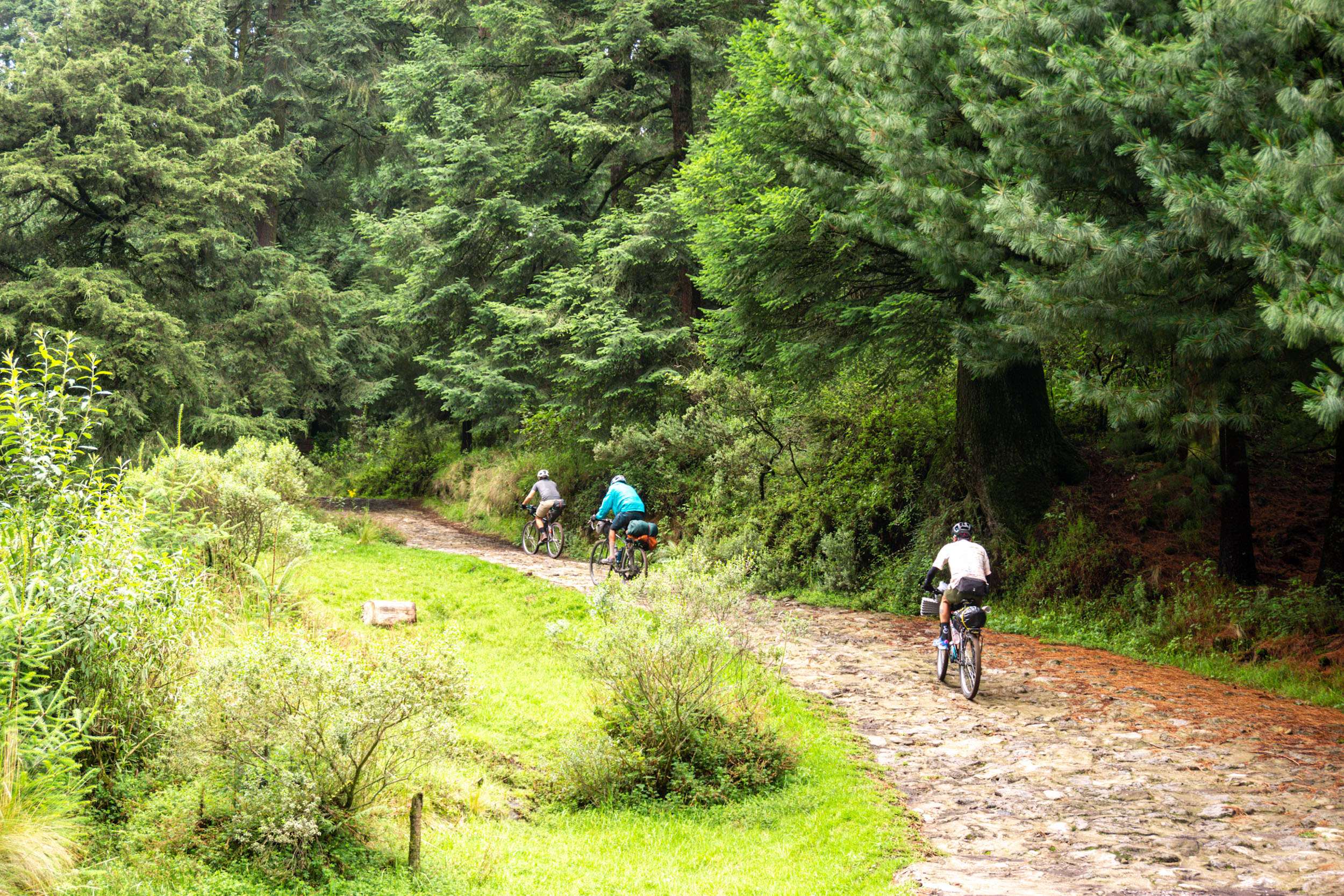
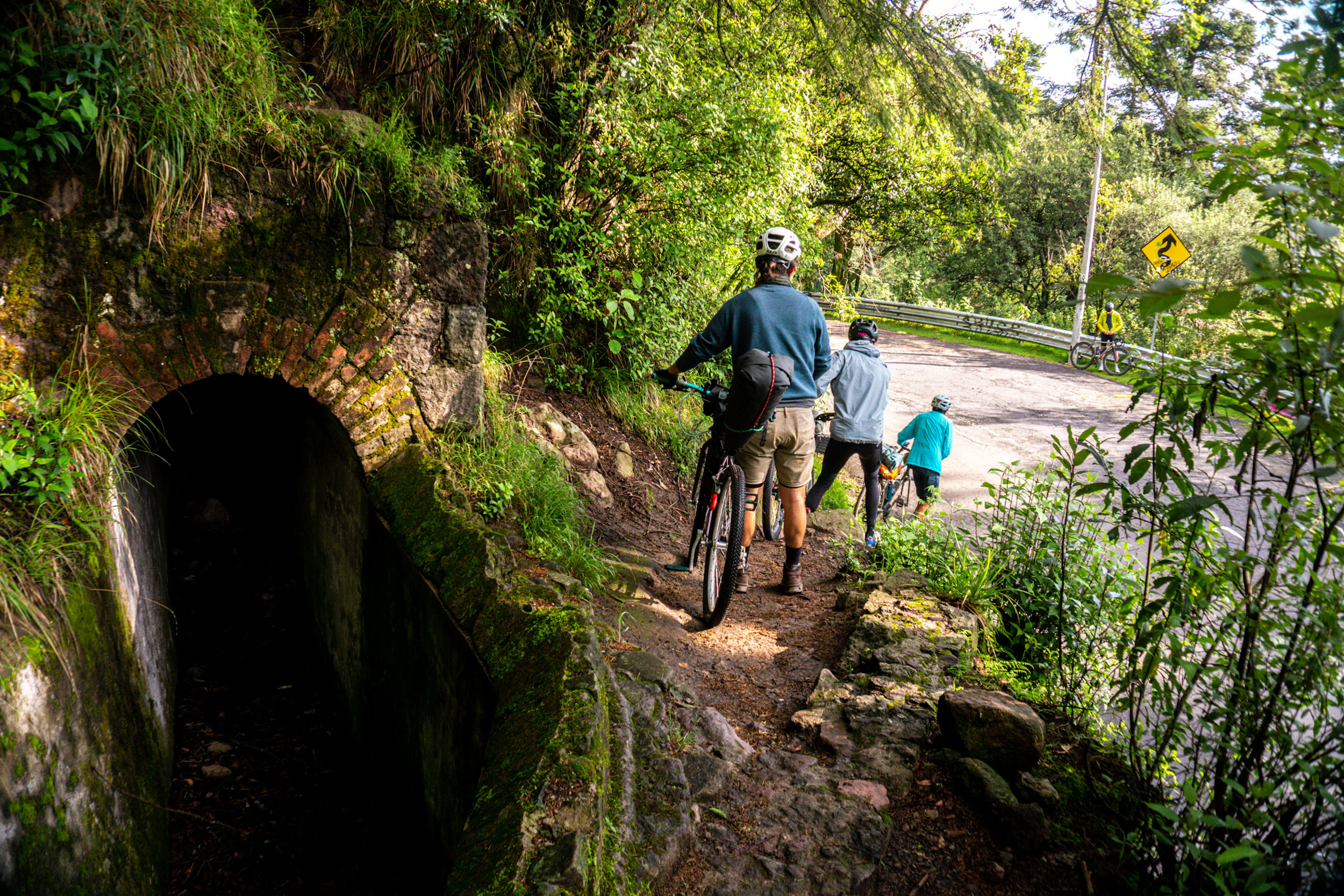
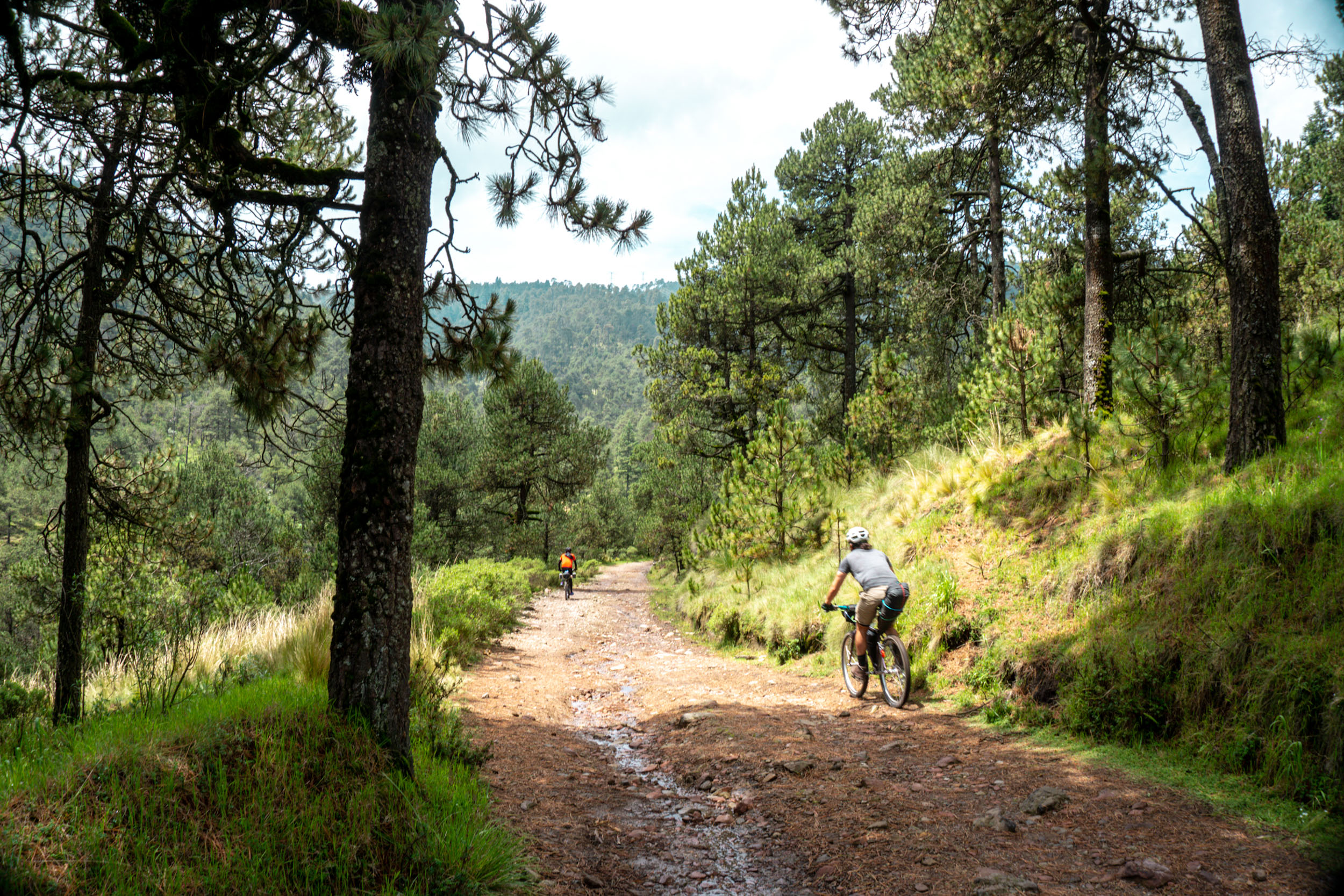
After the dam, expect a hard ascent to the Dinamos-Desierto de los Leones connection, with some short but challenging segments of up to 15% grades. After the hard climb, you will reach a valley with wonderful views of the Magdalena River, and you will descend through a part of the San Miguel Loop in Desierto de Los Leones National Park. The route ends in the old villages around Desierto de los Leones, where you will see old colonial churches and local markets. Finally, the old road connects again with the cycle path ‘Ferrocarril a Cuernavaca’ in San Ángel.


Submit Route Alert
As the leading creator and publisher of bikepacking routes, BIKEPACKING.com endeavors to maintain, improve, and advocate for our growing network of bikepacking routes all over the world. As such, our editorial team, route creators, and Route Stewards serve as mediators for route improvements and opportunities for connectivity, conservation, and community growth around these routes. To facilitate these efforts, we rely on our Bikepacking Collective and the greater bikepacking community to call attention to critical issues and opportunities that are discovered while riding these routes. If you have a vital issue or opportunity regarding this route that pertains to one of the subjects below, please let us know:
Highlights
Must Know
Camping
Food/H2O
Resources
- Bike path ‘Ferrocarril de Cuernavaca’: Rural bike path that was built on the old tracks of the México-Cuernavaca Railroad. It connects Mexico City with the city of Cuernavaca in the state of Morelos.
- Parque Ejidal ‘San Nicolás Totoloapan’: Ecotourism park within the Cumbres del Ajusco National Park, with provisions for mountain biking, hiking and fishing. It has cabins available for rent and also a campsite. The cost of admission with a bicycle is 60 pesos, which helps preserve the park. It has some little outdoor restaurants.
- Llanos de Acopilco y Miradores de Tarumba: Area within Los Dinamos National Park with parking, picnic spaces and a campsite.
- ‘Los Dinamos’ National Park: Protected Natural Area with an area of 2,429 hectares of forest. Its name derives from the old facilities of old textile factories that took advantage of the water flows to generate electricity with dynamos.
- The Magdalena River: The last living river in Mexico City, it is the only natural stream of water that still survives in the city. It rises in the San Miguel hill, an area of temperate forest that is part of the Sierra de las Cruces, and flows through Los Dinamos, a protected area southwest of Mexico City.
- San Miguel Loop: Popular gravel/MTB loop in Desierto de los Leones National Park, a zone that’s popular with mountain bikers of all disciplines, including cross country, downhill, and enduro.
- Former convent Desierto de los Leones, established at the beginning of the 17th century by the order of ‘Carmelitas Descalzas’.
- When to go: This loop is best during the months of October and November, when there’s less rain. Spring is a bit dry but it’s also a good time to go. Summer (June to September) is the rainy season, but it’s a great time to see the wide variety of mushrooms. Winter isn’t recommended, as there can be snow in the highest parts of the forest.
- The loop is easy to get to from the centre of Mexico City. It’s roughly 12km or 30 min from the Zocalo, and you can use Google Maps to plot a route that mostly follows bike paths. The route can be easily connected by the bike lane on Avenida Insurgentes Sur that crosses the city from north to south.
- Logistics: The route starts in the ‘Ferrocarril a Cuernavaca’ bike path in the San Ángel area. At the entrance of San Nicolás Totoloapan you will have to pay a fee of 60 pesos, and another 10 pesos when you get to the dam of Dinamos. Bring cash, since most local restaurants, food stands, and campsites don’t accept credit card payments. Remember to download your maps and route onto your phone before your trip, because there’s no phone signal in most of the forest.
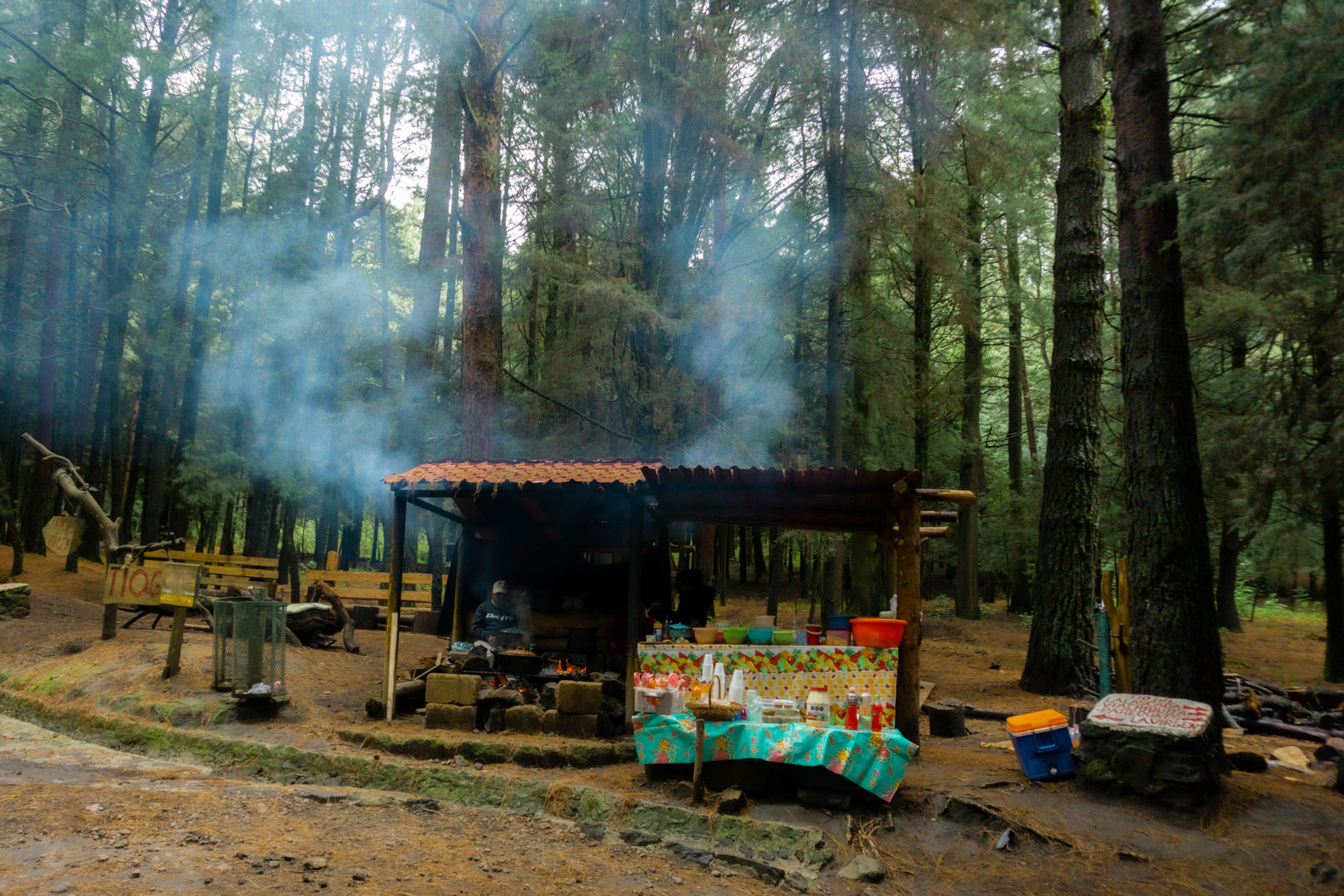
- La Pluma Amarilla: Meeting point for mountain bikers. Here you will find connections to different dirt tracks within the park. Hot coffee and quesadilla stands are also nearby.
- Dangers: The route is safe, you will see many forest rangers in Ajusco and Dinamos and many shepherds in the Desierto de los Leones area, but it is highly recommended not to ride your bike during the night. Also it is highly recommended not to ride alone. Be careful along the tianguis (market) segment of the bike path on the weekends. The downside is that the market is on the actual bike lane and it is sometimes difficult to ride along it as it’s so busy (food available).
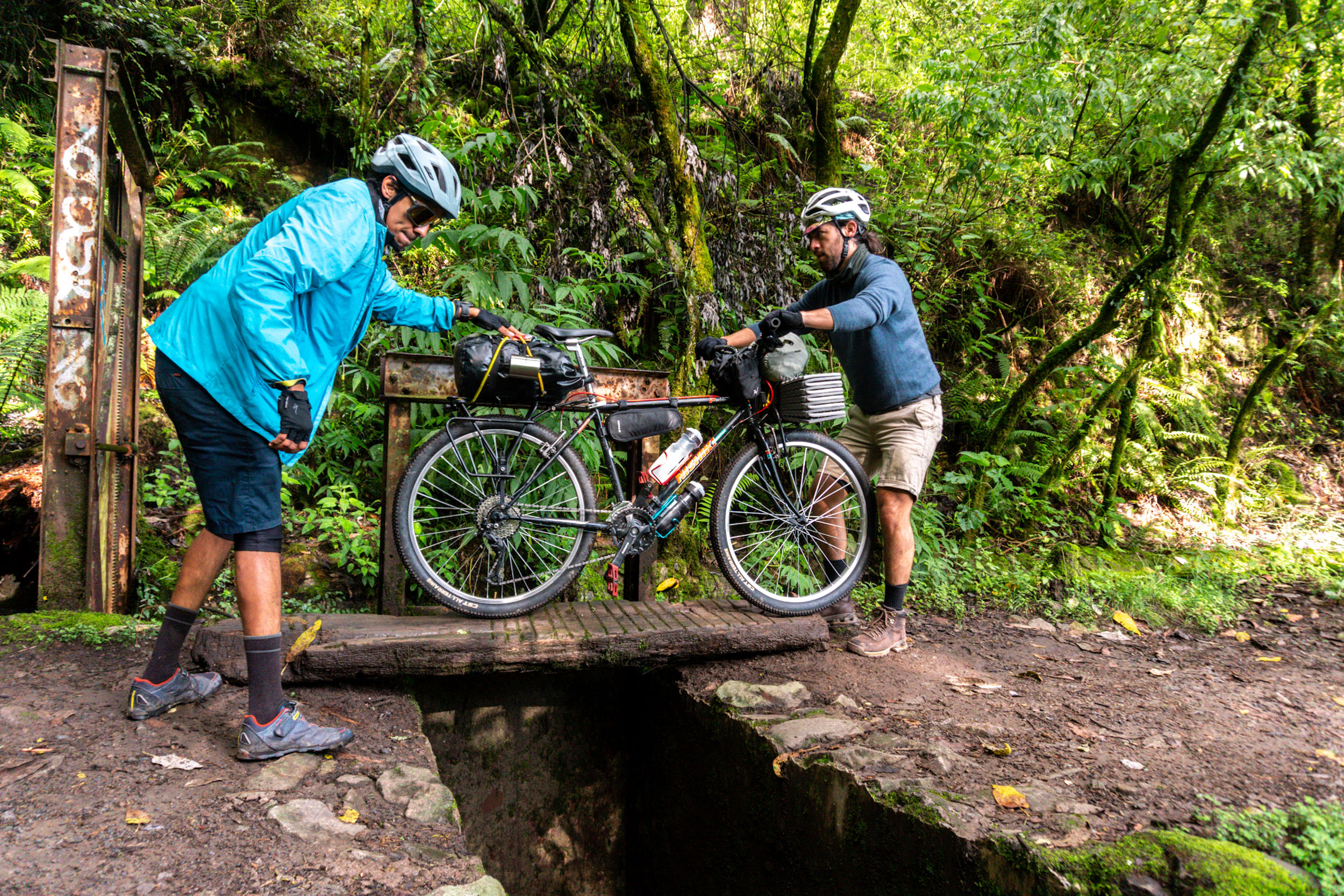
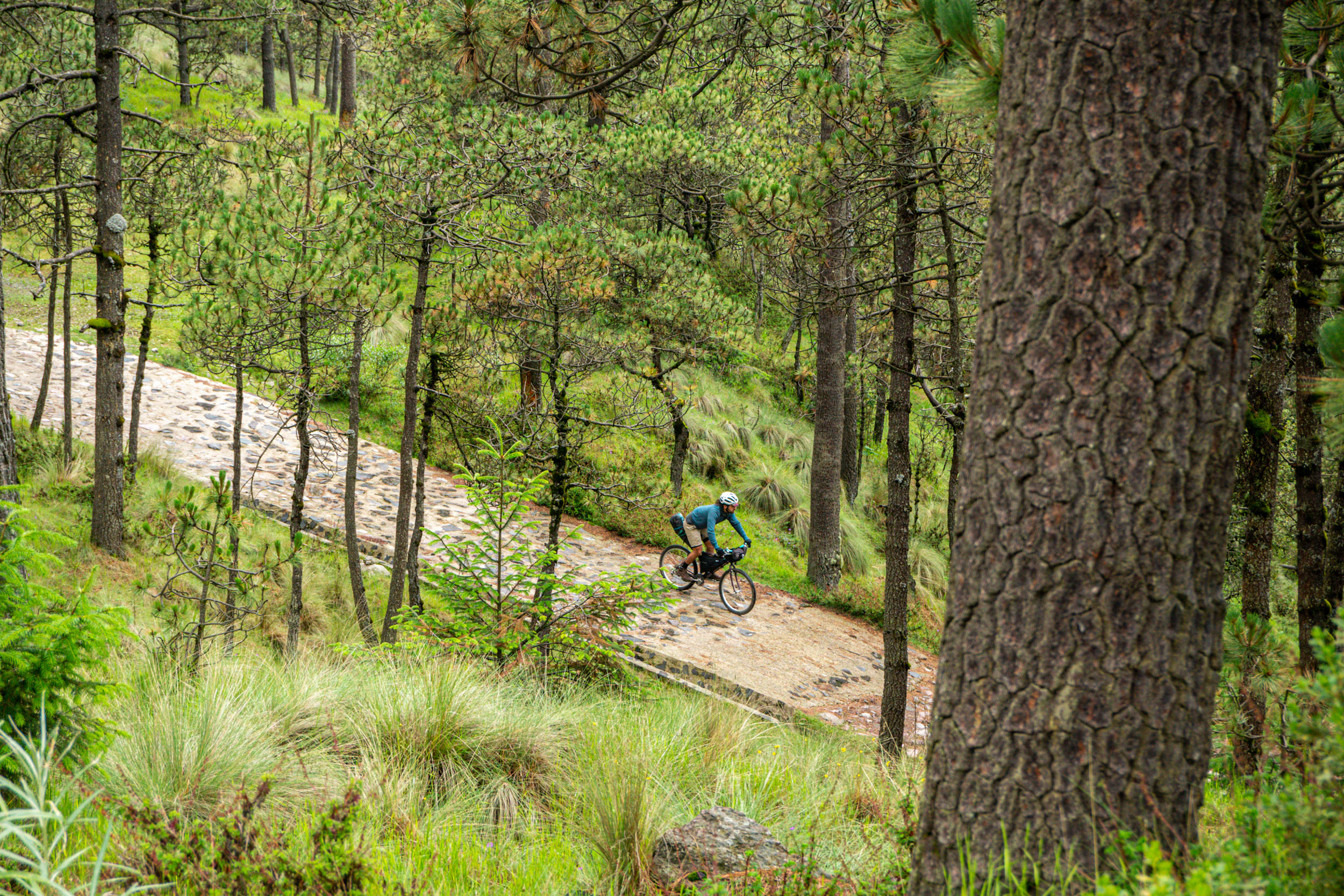
- The only challenging trail is found heading down towards the fourth dynamo asphalt road. It is a 10-meter technical singletrack that is also possible to walk.
- The only challenging trail is found heading down towards the fourth dynamo asfalt road. It is a 10-meter technical singletrack that is also possible to walk.
- San Nicolás Totolapan camping; individual camping is 200 pesos per night. More info here.
- Kalixtlauatl ‘El Paraíso’ camping and restaurant: Camping and restaurant with a panoramic view of the famous ‘Coconetla’ canyon. They also rent tents, in case you want to travel light. Individual campground space costs 350 pesos per night, 2 to 4 people campground space costs 600 pesos. Camping tent rental for 2 to 4 people costs 800 pesos. More info here.
- Possible wild camping spot in ‘Llano grande’, but the locals recommend not to wild camp after the fourth Dinamo area because some thefts have been reported there.
- Railroad to Cuernavaca bike path: If you ride this bikeway on the weekend, you will pass through an open air market, where you can find local food, fresh fruit and vegetables.
- San Nicolás Totoloapan restaurants:There’s one at the entrance, and another one 2 km away. Also small food stands.
- Dinamos area: Kalixtlauatl ‘El Paraíso’ camping and restaurant, open air restaurants at the fourth dynamo.
- Desierto de los Leones: You can find restaurants near La Pluma amarilla, also there is a large restaurant area in the former convent or you can also find small restaurants and minimarkets going down the mountain towards the town along the old road to Desierto de Los Leones.
- Magdalena river streams: In the Dinamos area you will find some streams with drinking water. Advisable to take a water filter.
- Desierto de los Leones: In the most remote area of the park there is a quesadilla stand next to a creek. Once you arrive at the former convent, you will find many shops and restaurants where you can easily get water.
- Food and drink you must try: mushroom soup, quesadillas, tlacoyos y sopes, coffee from the pot (a sweet variety of homemade coffee, with a pinch of cinnamon and piloncillo), atole and pulque. Some places sell micheladas, beer, and a variety of soda pops.


Terms of Use: As with each bikepacking route guide published on BIKEPACKING.com, should you choose to cycle this route, do so at your own risk. Prior to setting out check current local weather, conditions, and land/road closures. While riding, obey all public and private land use restrictions and rules, carry proper safety and navigational equipment, and of course, follow the #leavenotrace guidelines. The information found herein is simply a planning resource to be used as a point of inspiration in conjunction with your own due-diligence. In spite of the fact that this route, associated GPS track (GPX and maps), and all route guidelines were prepared under diligent research by the specified contributor and/or contributors, the accuracy of such and judgement of the author is not guaranteed. BIKEPACKING.com LLC, its partners, associates, and contributors are in no way liable for personal injury, damage to personal property, or any other such situation that might happen to individual riders cycling or following this route.
Please keep the conversation civil, constructive, and inclusive, or your comment will be removed.