


Clare Figure 8
Distance
92 Mi.
(148 KM)Days
2
% Unpaved
50%
% Singletrack
0%
% Rideable (time)
99.9%
Total Ascent
4,380'
(1,335 M)High Point
980'
(299 M)Difficulty (1-10)
4?
- 3Climbing Scale Fair48 FT/MI (9 M/KM)
- -Technical Difficulty
- -Physical Demand
- -Resupply & Logistics
Contributed By
Karl Nelson
Guest Contributor
Karl works full time as an Engineer. He typically spends his free time riding a bike of some kind or rock climbing. Finding somewhere new in Ireland or seeing somewhere from a new perspective is what he finds best to clear his head and enjoy good times.
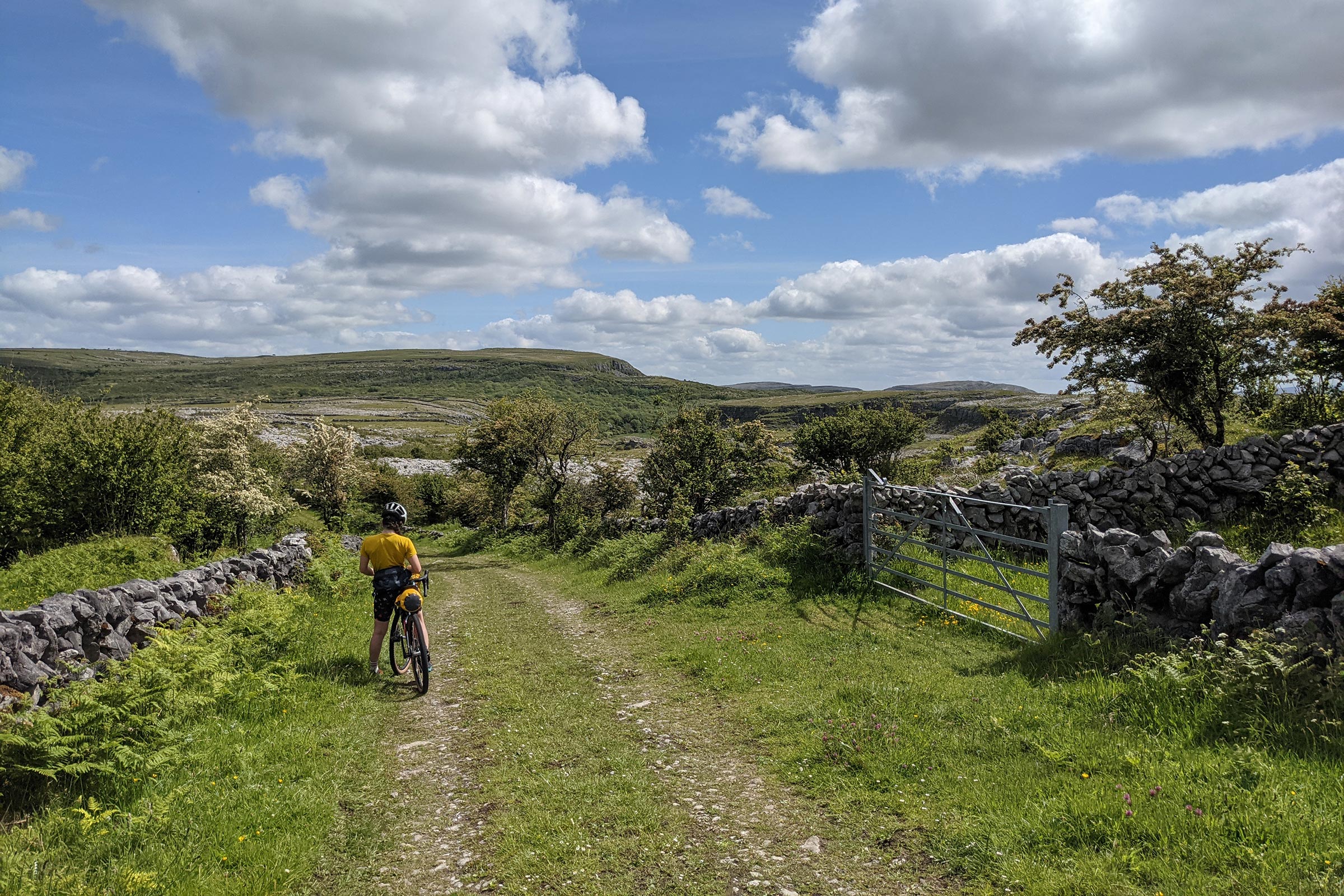
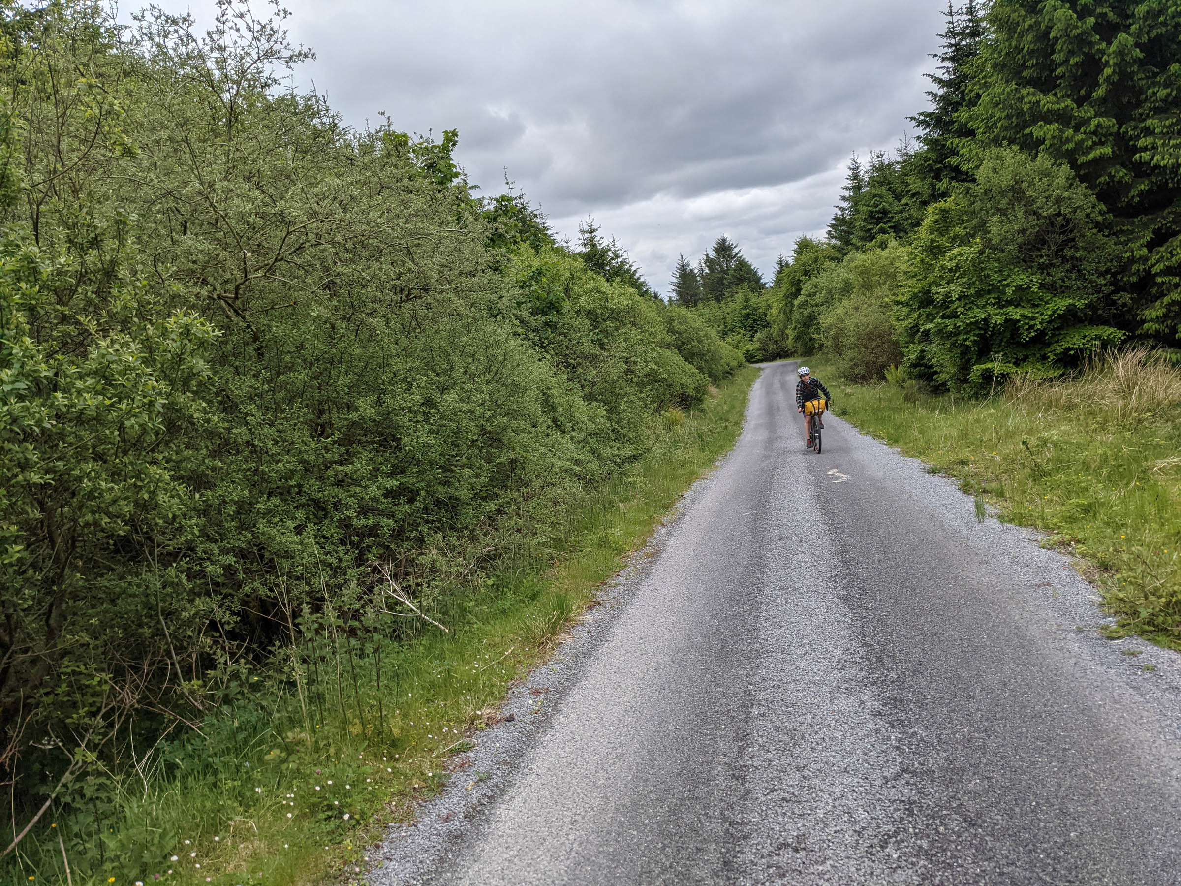
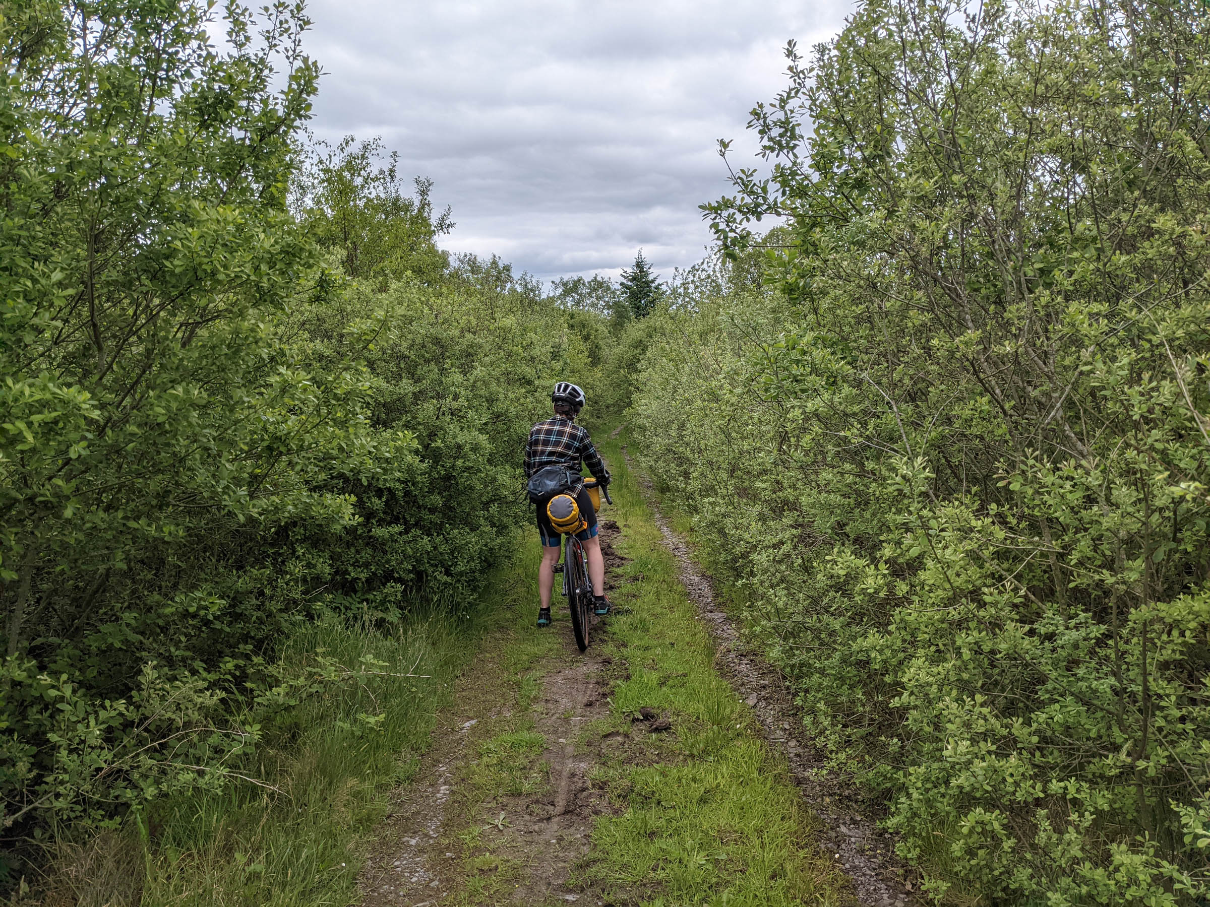
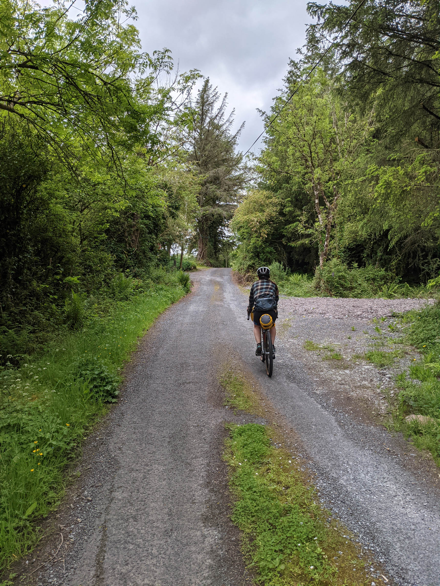
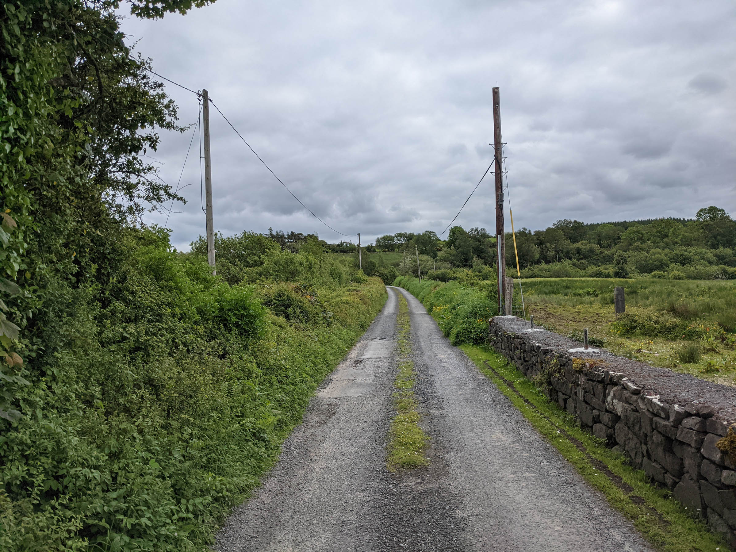
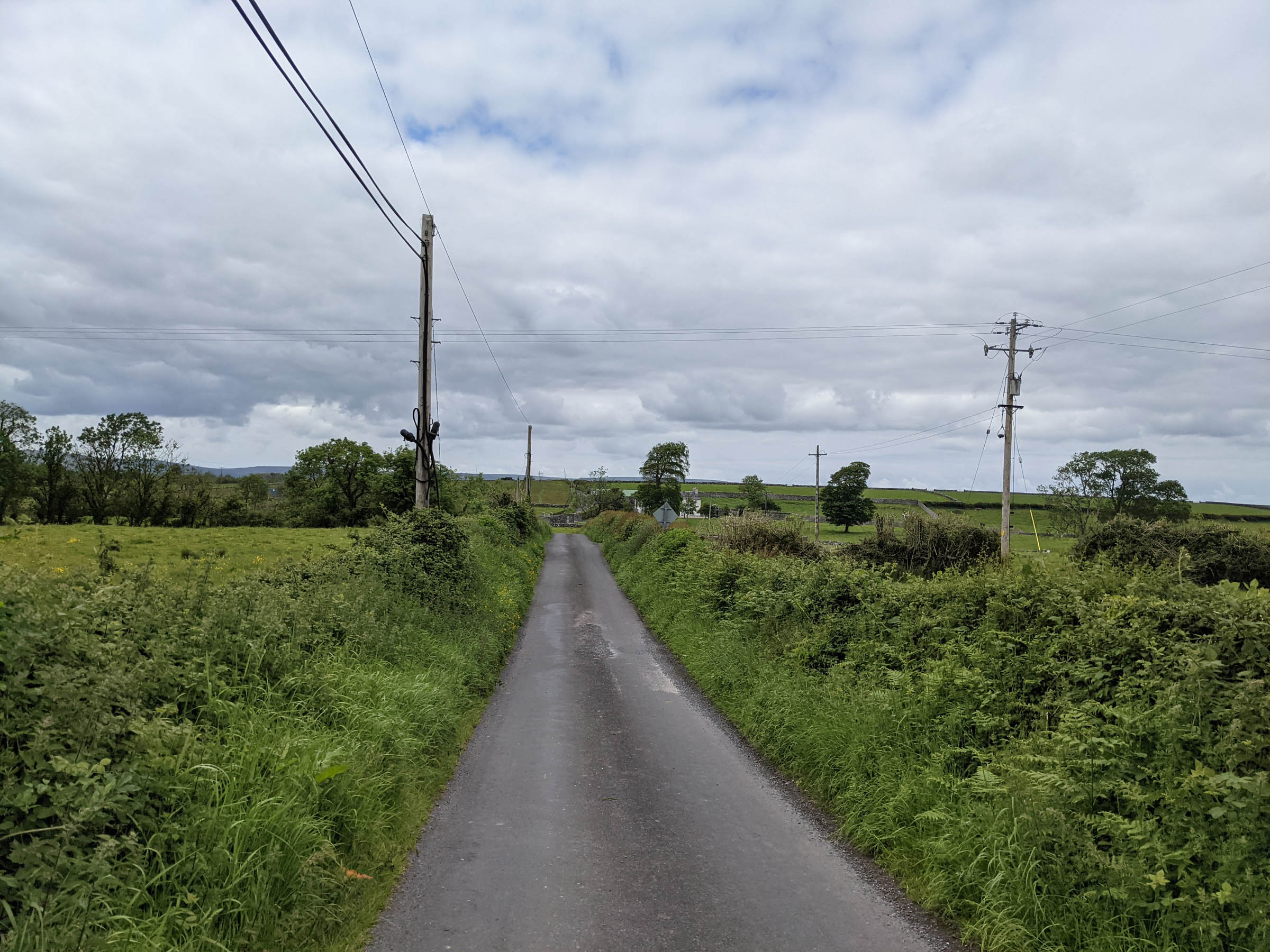
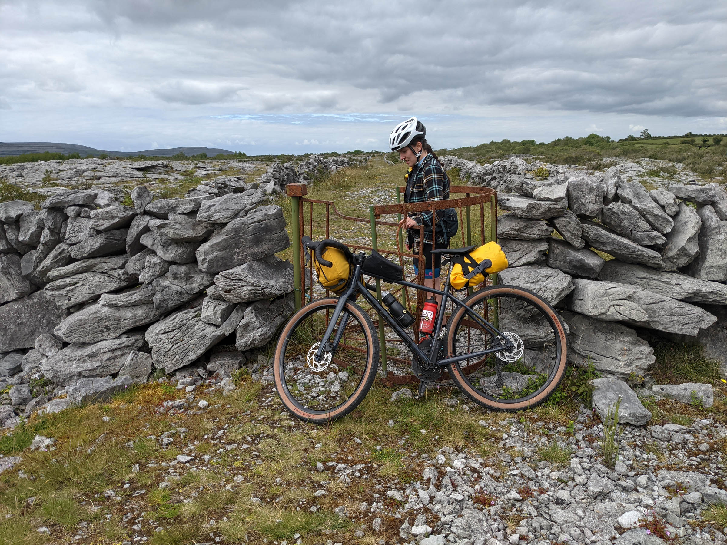
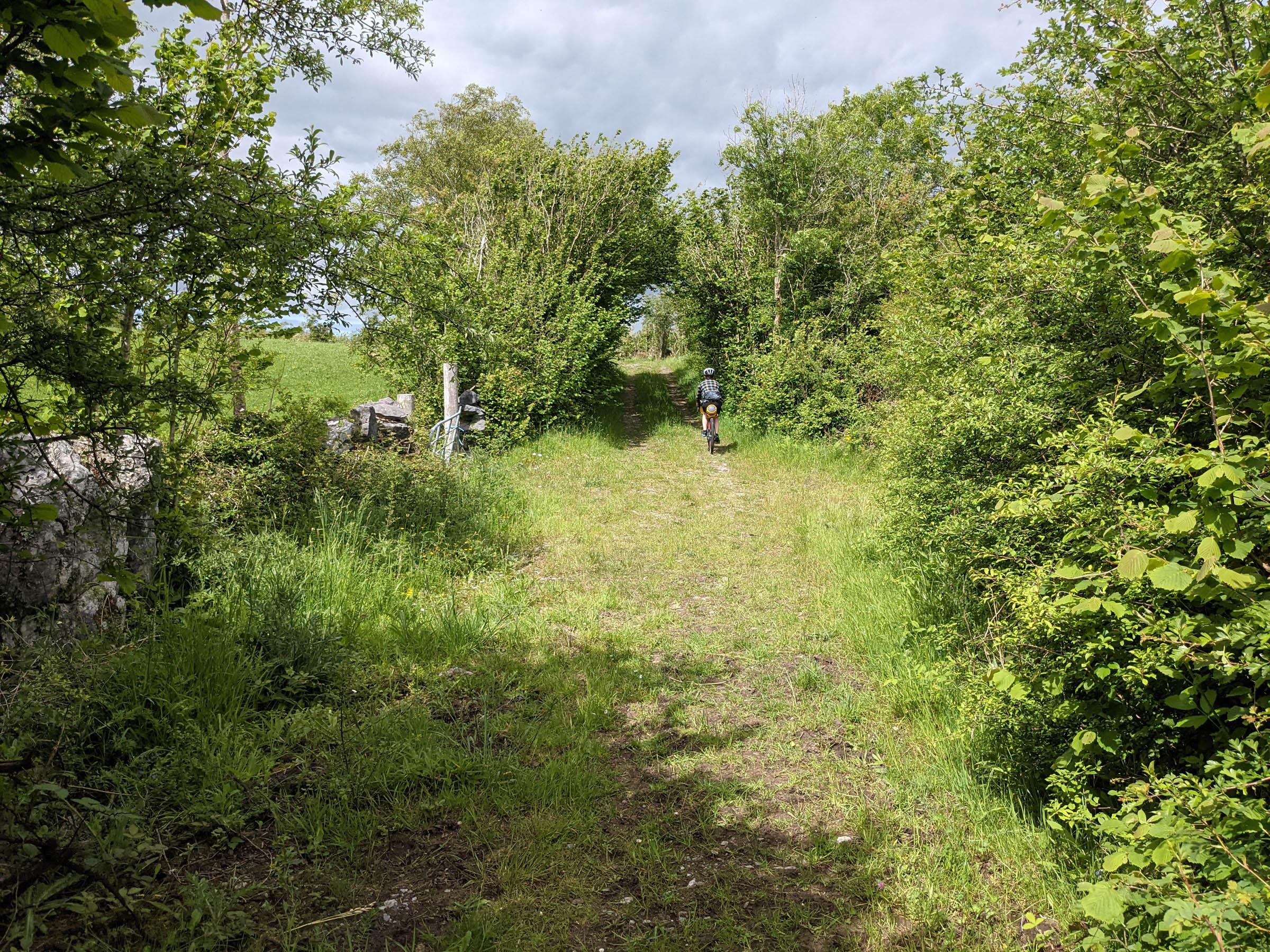
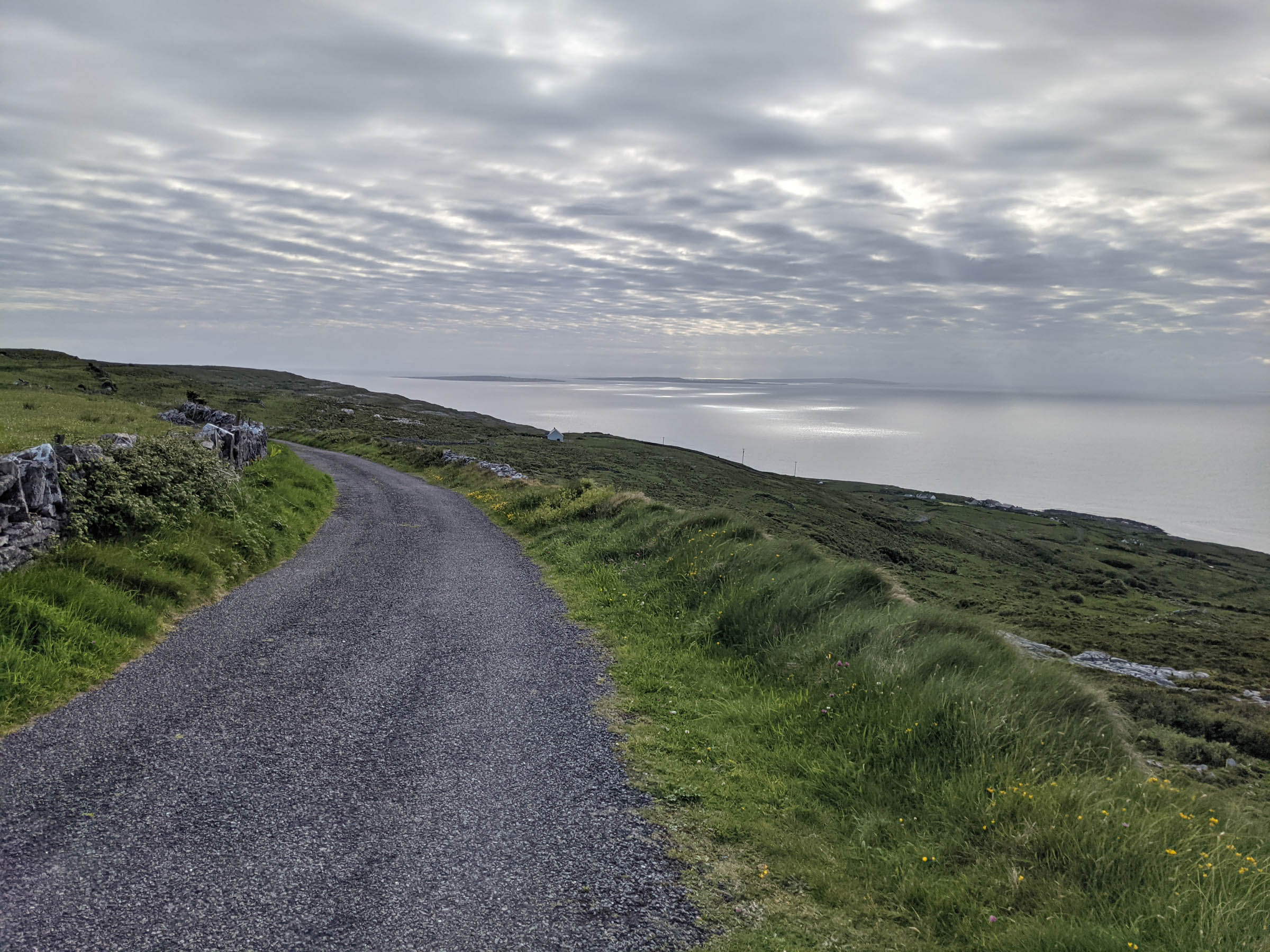
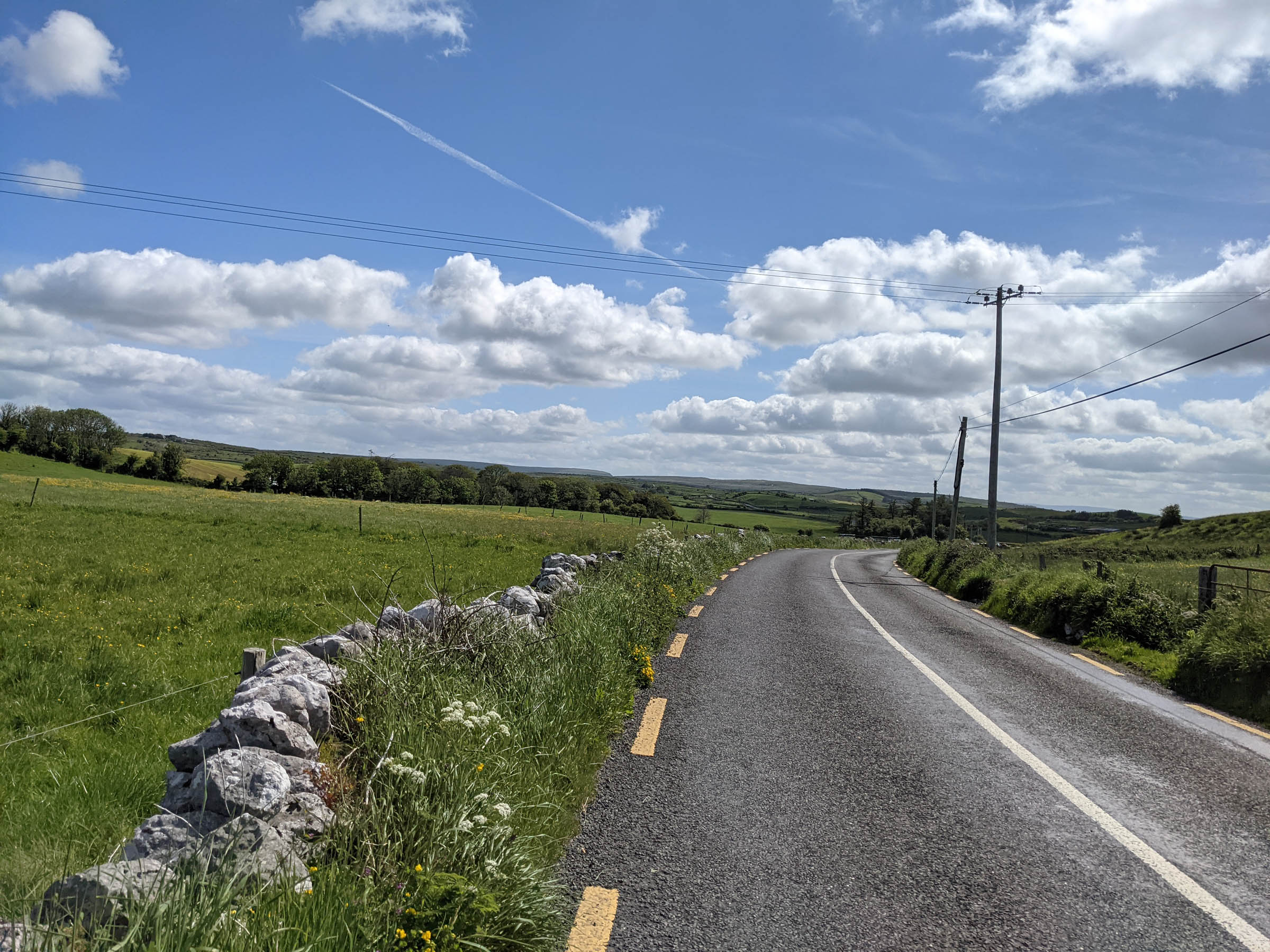
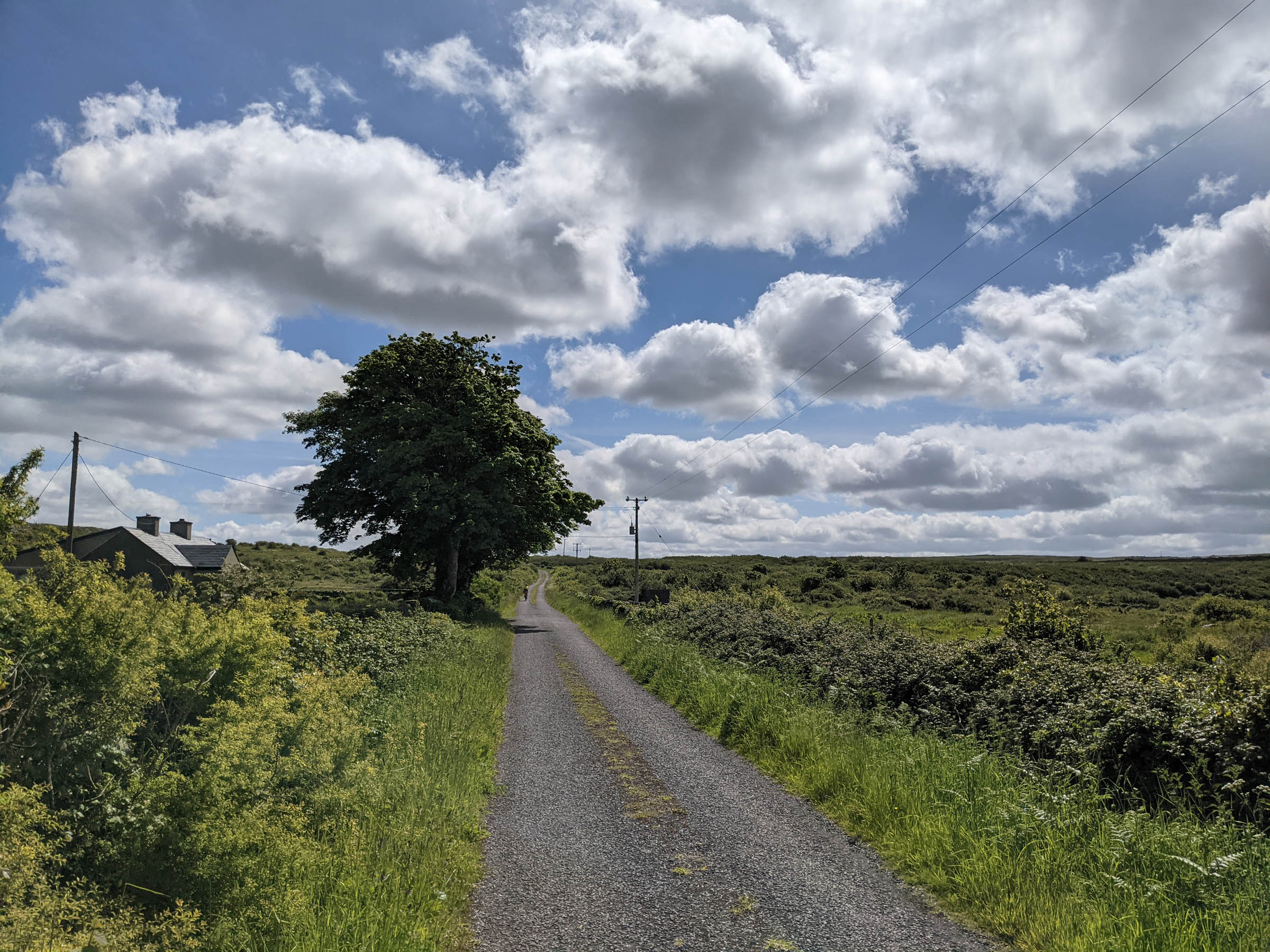
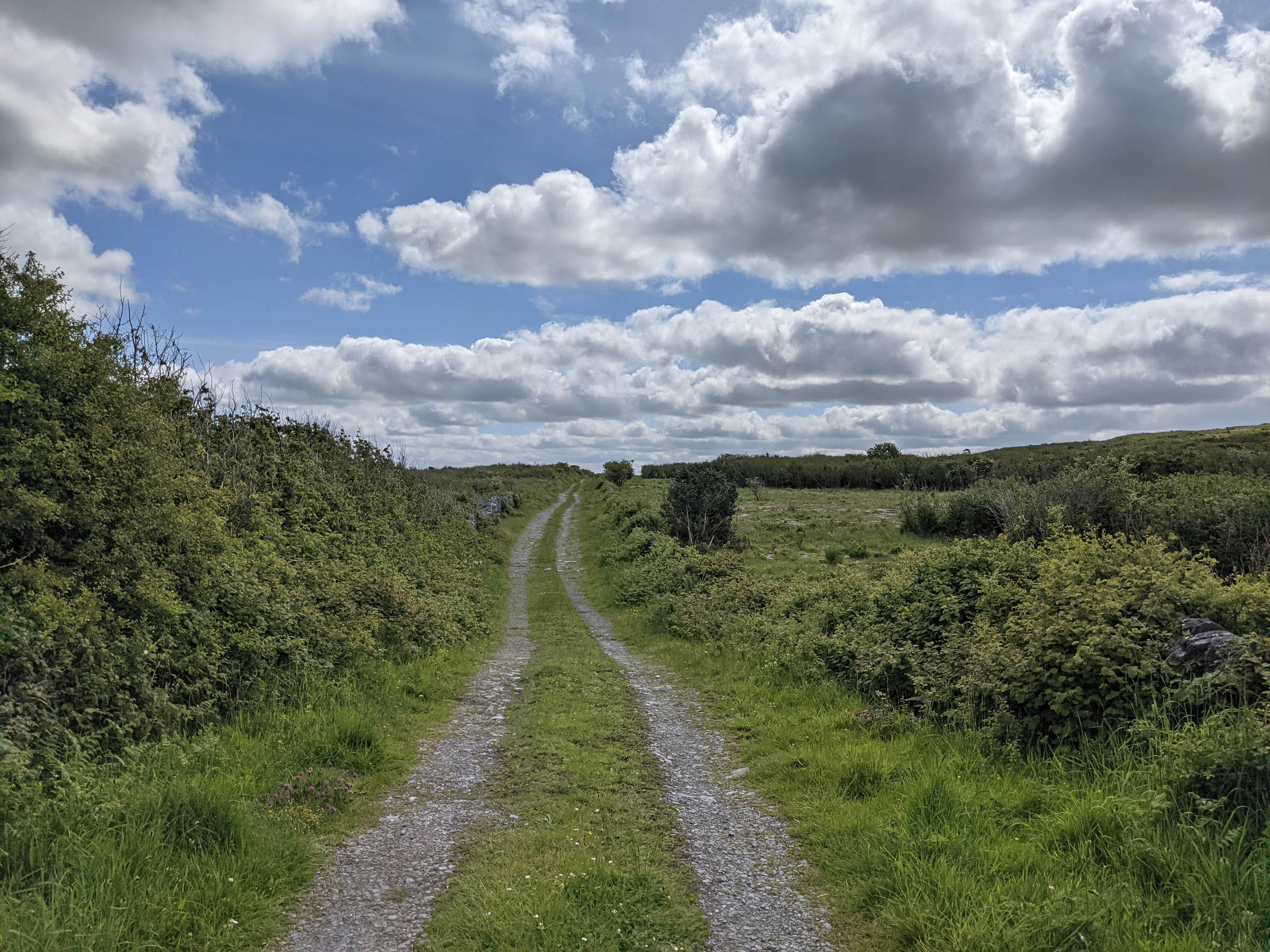
This route was planned to try and pack in as much adventure and sights as possible in two days. The route starts by the lakes in East Clare and quickly leads to a gravel section through a steep climb up forestry roads and the network of boreens that sprawl throughout the county. The boreens in Ireland are old paths that would have been used to transport and move animals. They’re no wider than the width of two cows. These “roads” have poor surfaces with grass growing up the middle and are typically only used by locals, so they make for great cycling if you are looking for something other than tarmac. Note that while we specified this route as 50% unpaved, many of the Boreens have a hard surface that’s in between gravel and pavement.
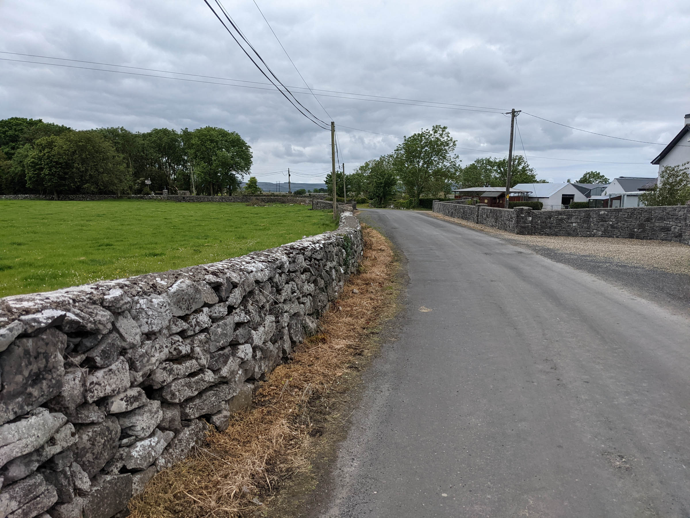
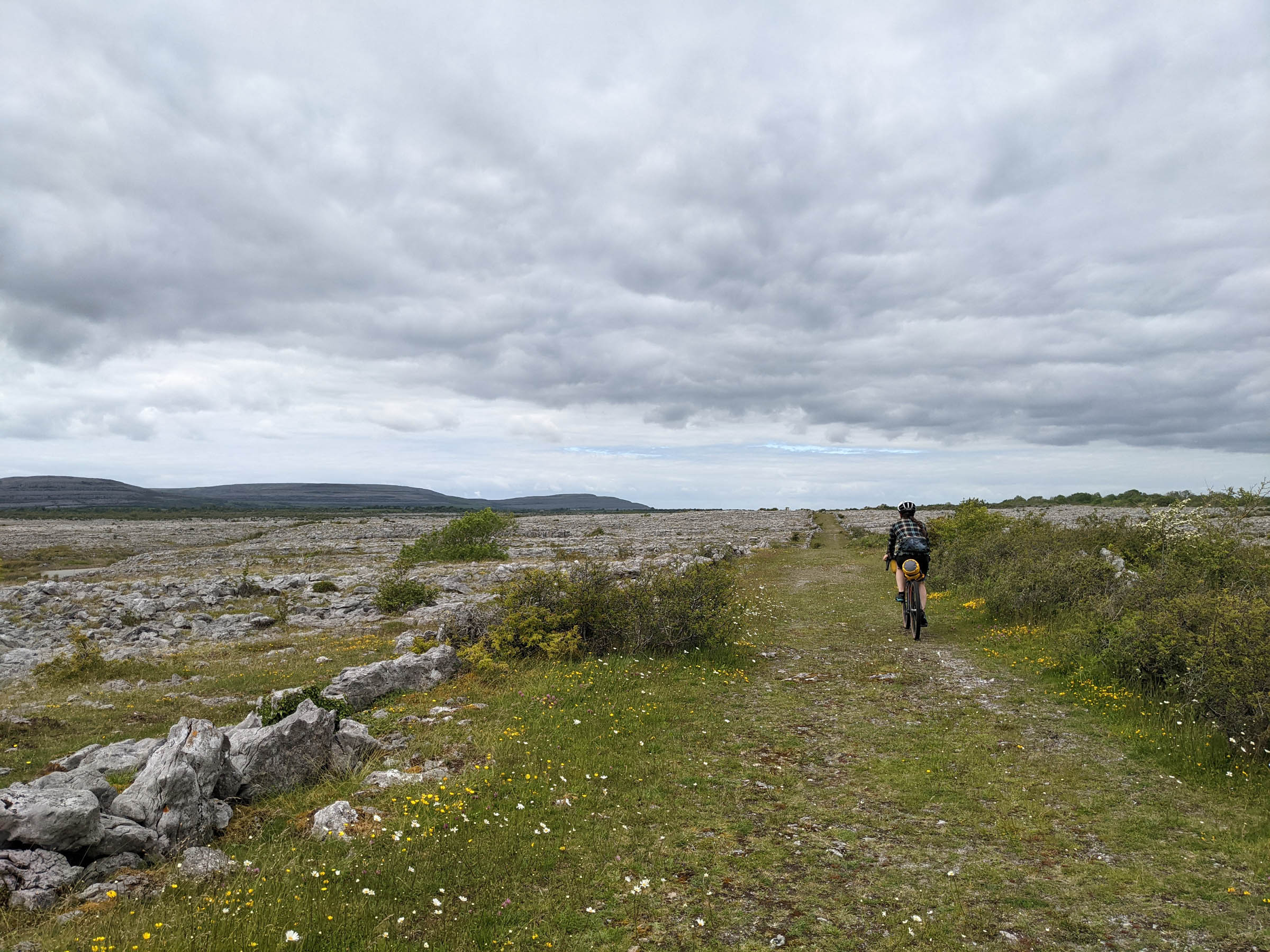
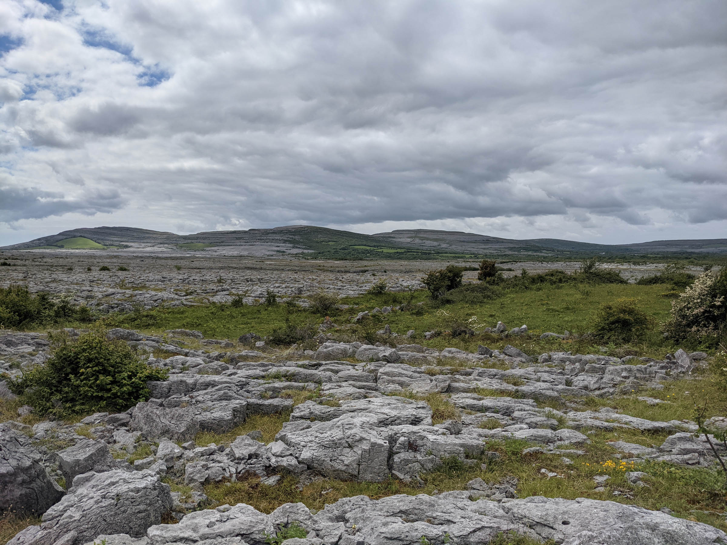
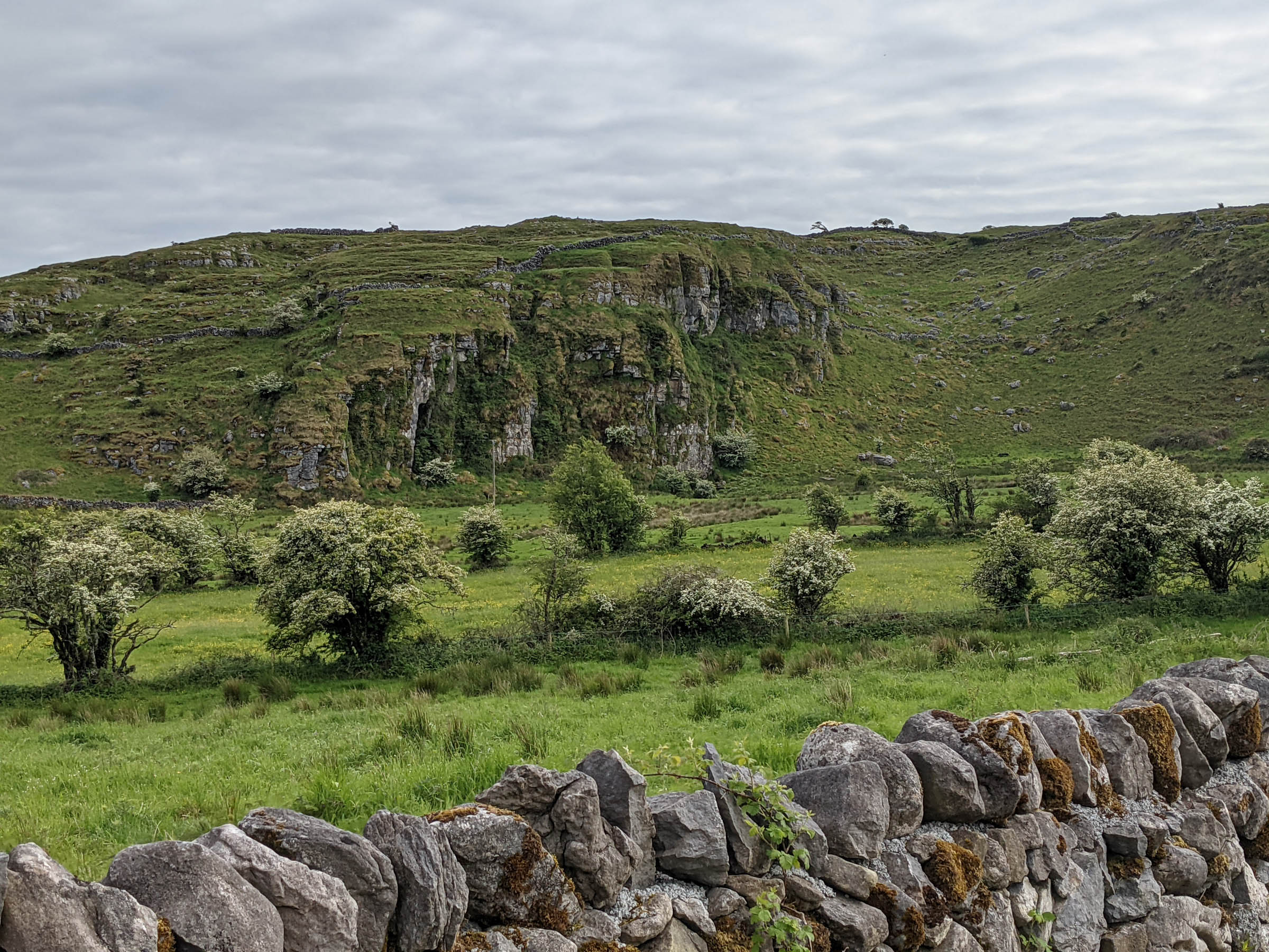
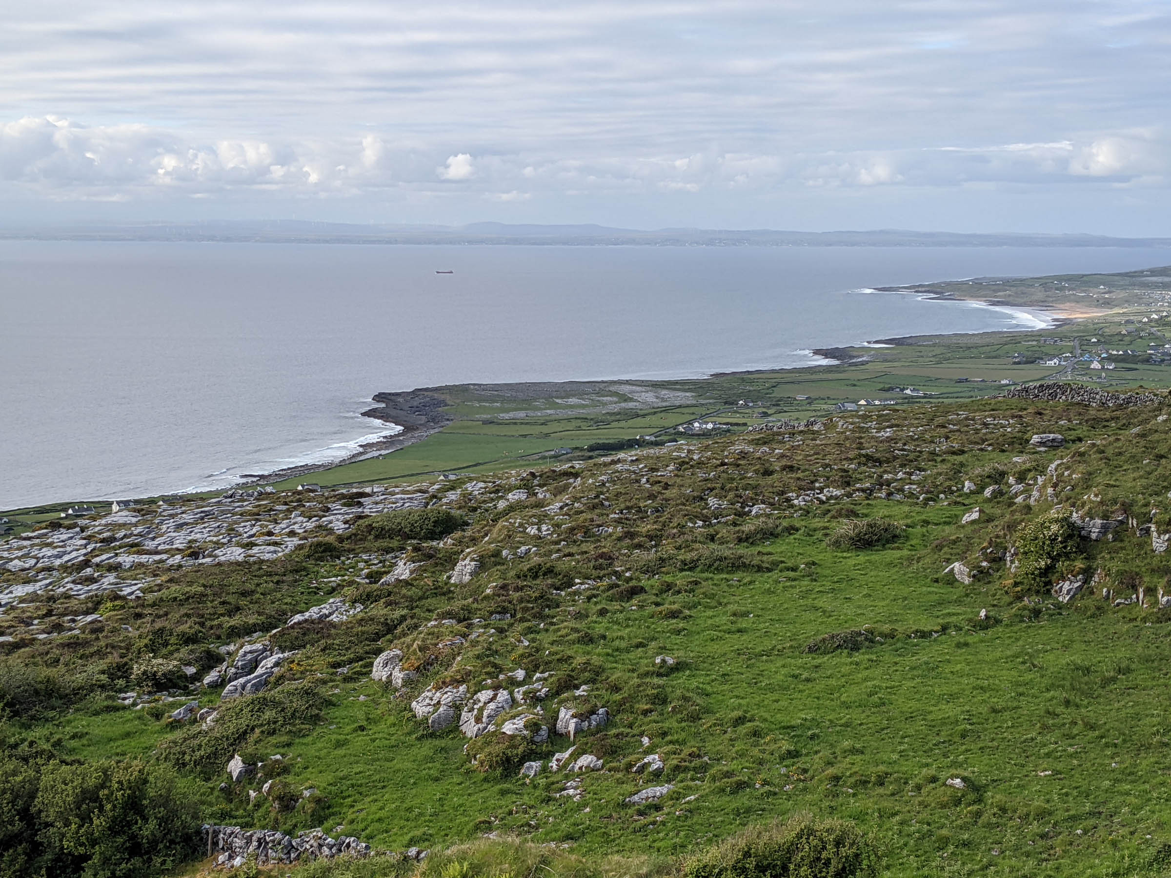
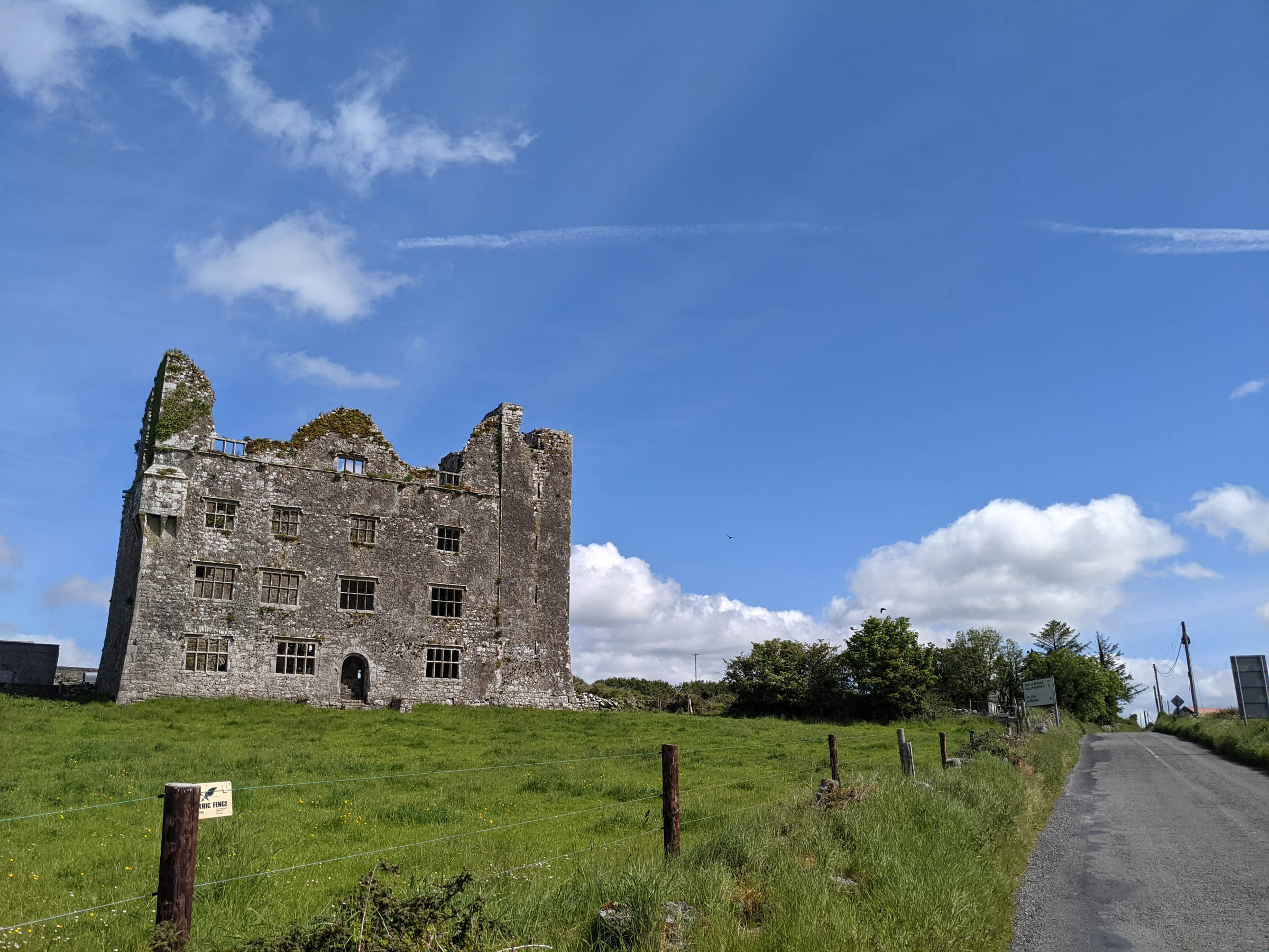
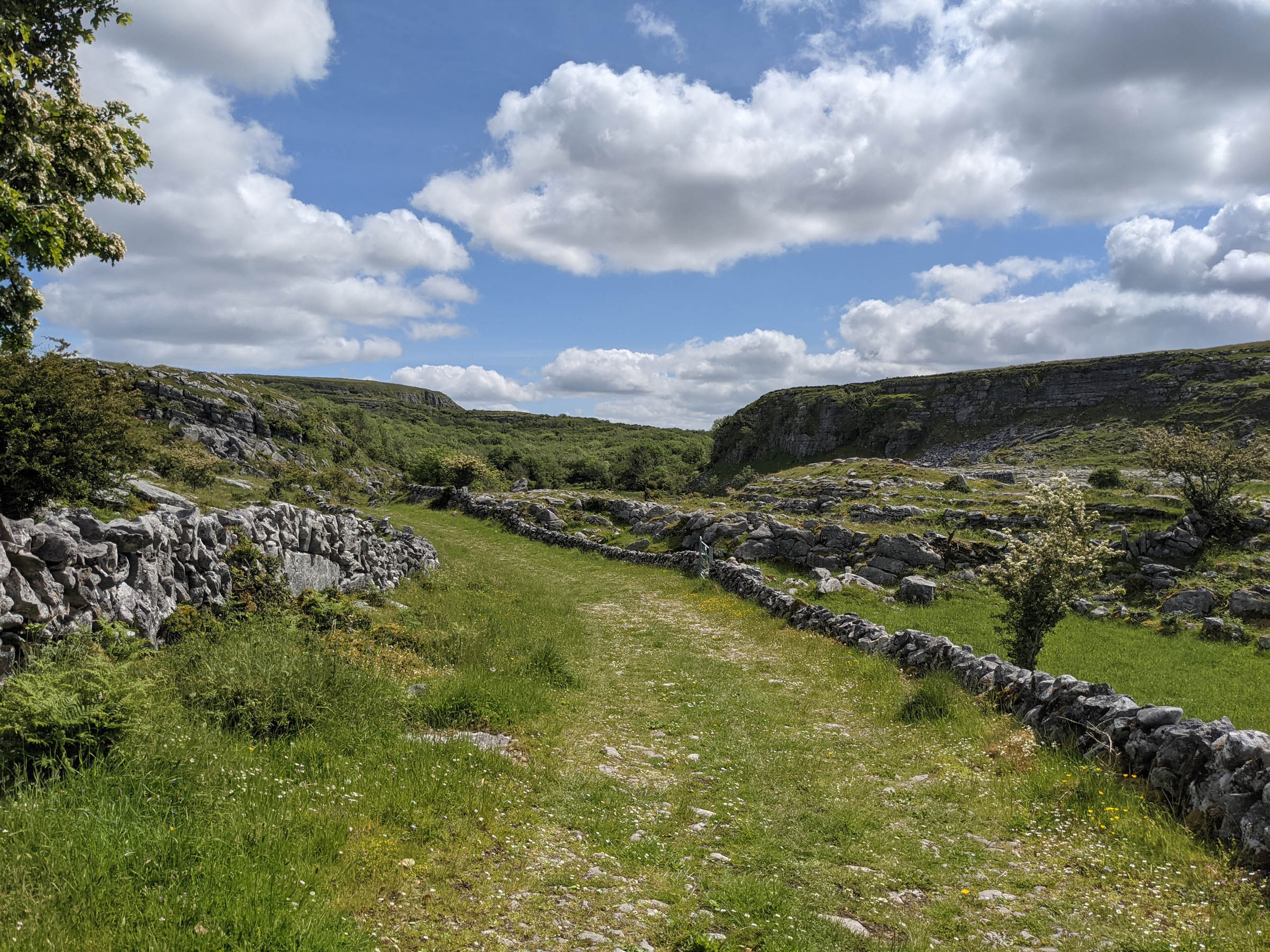
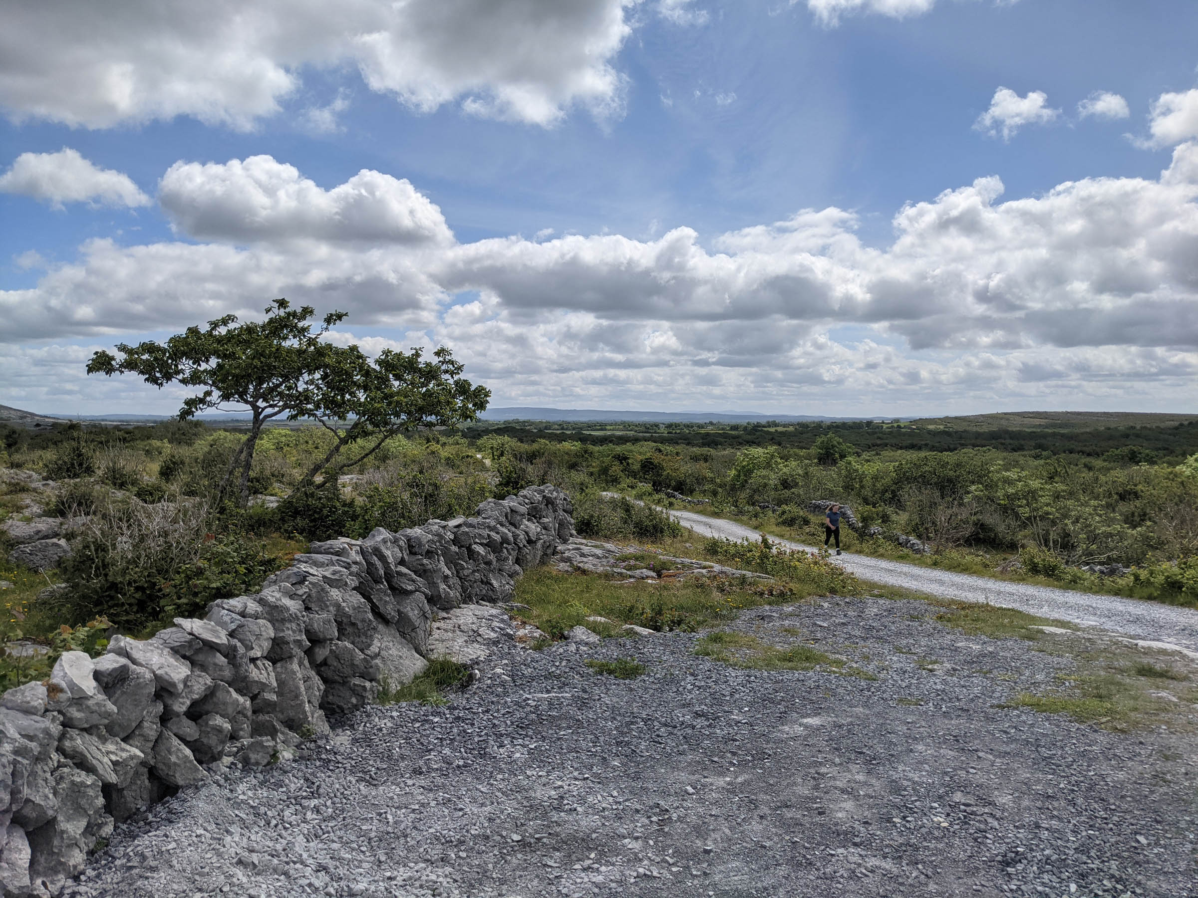
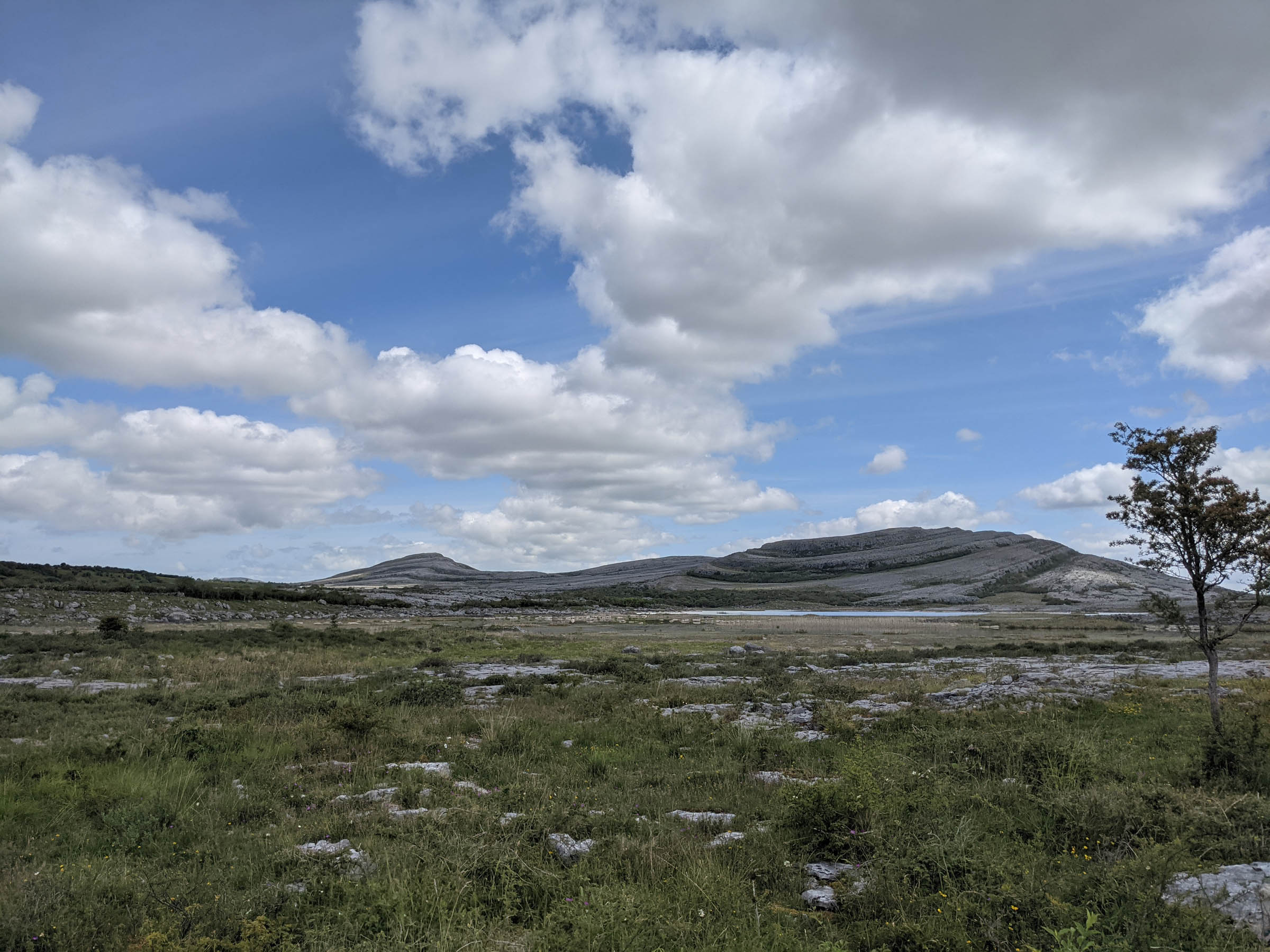
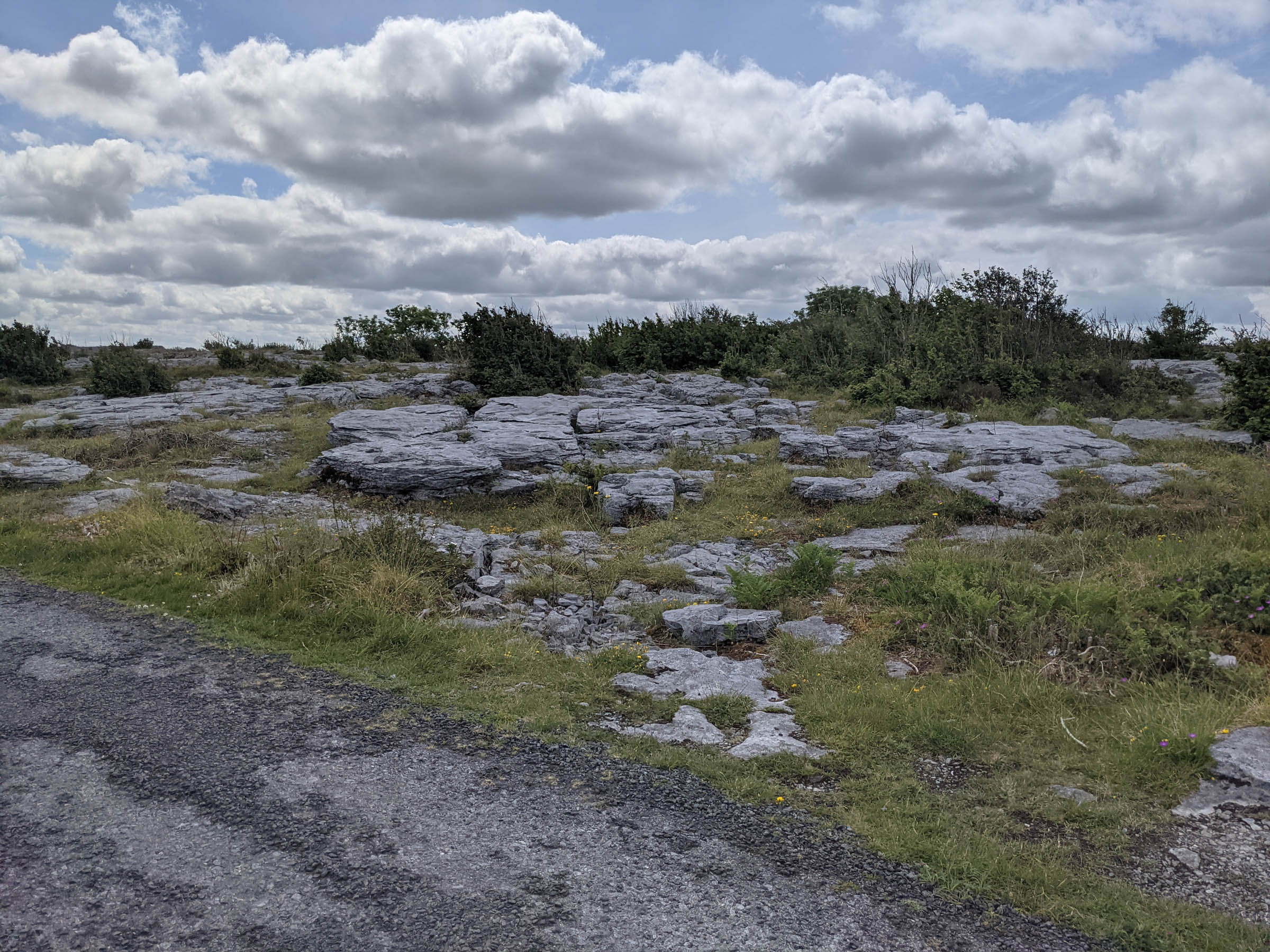
The boreens lead you into the Burren National Park, a spectacular karst limestone landscape that feels like a different planet. You’ll follow ancient paths that will lead to rolling, treeless hills. This is a magical landscape with signs of ancient life, unique flora and fauna, and Irish historical sights.
These rolling roads eventually lead right to the edge of the Atlantic, albeit about 230 metres above the sea. Not only do you get an excellent descent through switchbacks, but you get spectacular views that otherwise you might not see.
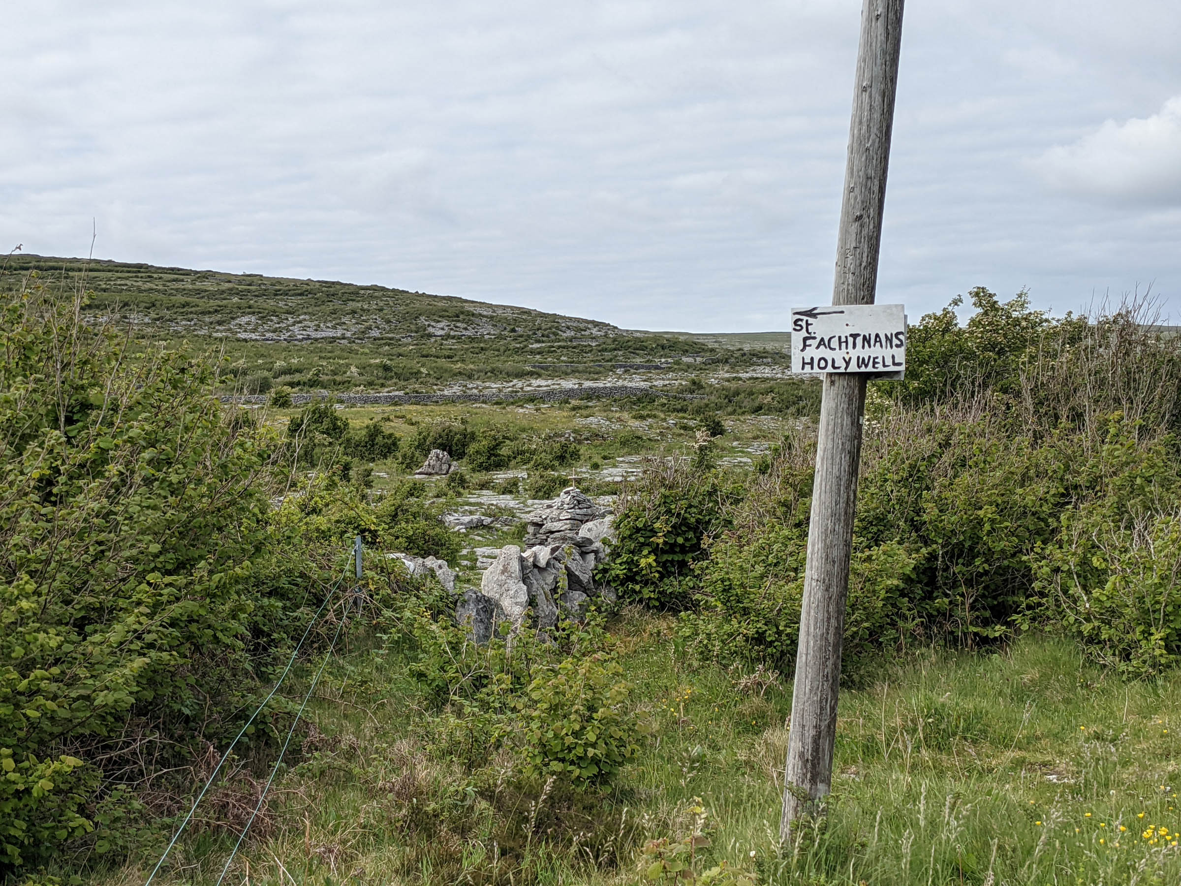
After Doolin, you will head back inland for more boreens, spectacular sights, and my personal highlight, the “Green Road,” an ancient path that feels a million miles from the modern world and leads to an ancient holy well.
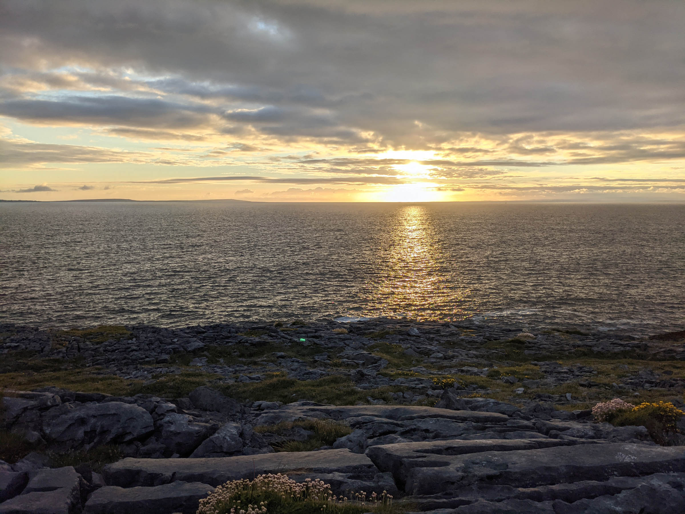
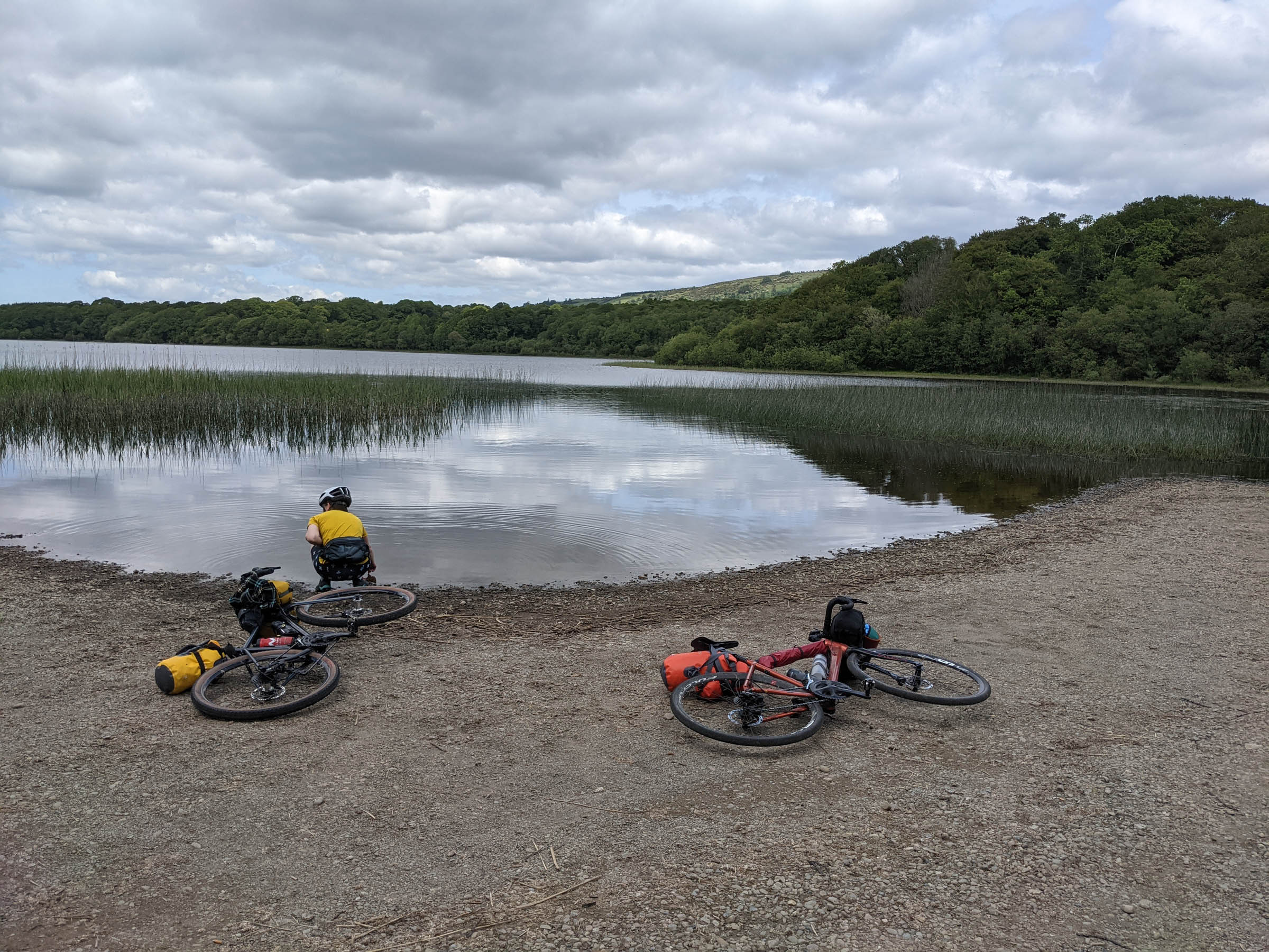
As you move away from the Burren, the land starts to grow greener, which is a sign you are approaching the destination. If you are lucky enough to finish on warm summer day, take a dip in the lake at the end.
Route Difficulty: The overall difficulty of the route is a 4 out of 10. There is no technically demanding cycling if you take your time and can avoid the potholes in the boreens. I’d rate the technicality as a 2 out of 10. There are a few punchy climbs but nothing you can’t grind up. The route is hilly throughout and both days end with steep climbs, so I’d rate it 6 out of 10 for physical demand. For resupply, there is a surprising lack of shops/options, and Ireland is very poor in terms public drinking water options. However, there are points around the halfway mark, and if you complete the route in two days there are plenty of options to eat or resupply at the end of the first day. It’s a 6 out of 10 in terms of resupply logistics.


Submit Route Alert
As the leading creator and publisher of bikepacking routes, BIKEPACKING.com endeavors to maintain, improve, and advocate for our growing network of bikepacking routes all over the world. As such, our editorial team, route creators, and Route Stewards serve as mediators for route improvements and opportunities for connectivity, conservation, and community growth around these routes. To facilitate these efforts, we rely on our Bikepacking Collective and the greater bikepacking community to call attention to critical issues and opportunities that are discovered while riding these routes. If you have a vital issue or opportunity regarding this route that pertains to one of the subjects below, please let us know:
Highlights
Must Know
Camping
Food/H2O
- Gravel section at Maghera
- The view and descent just before Fanore
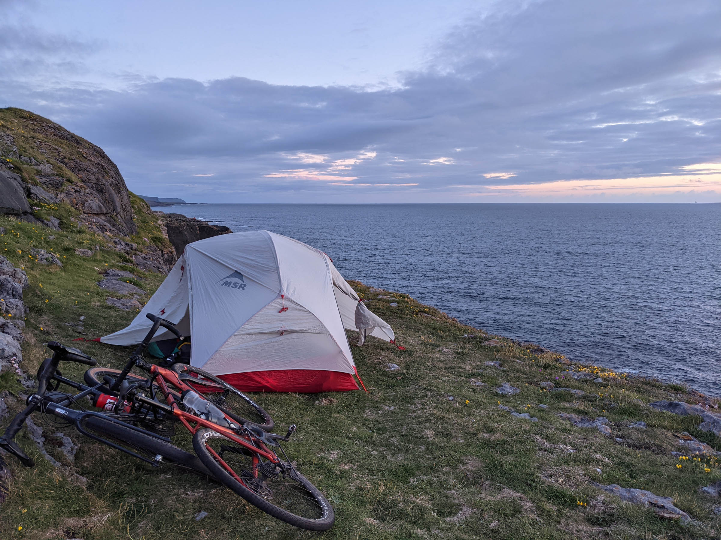
- Easy camp spots
- The “Green Road”
- The entire Burren area
- The route is generally rideable all year long, but I’d probably avoid the wintertime. It isn’t anything technically limiting but it could be grim.
- You can drive and park, or if you need to get public transport, you can get to Scarriff and start from there.
- The midges and horse flies can be bad during the summer months if it has been particularly hot and humid.
- The main travel hub in Ireland to fly into is Dublin. You can cross the country easily enough by car, bus, or train.
- If you wanted a slightly longer route you could start at Scarriff or Lough Derg.
- If you’ve never been to Ireland or the Burren before, there are lots of historic and holy sites on route that are worth visiting, and others you could see with small diversions.
- If you’re happy to wild camp, Ailladie, halfway between Fanore and Doolin, is perfect. If you’re riding on the weekend, typically there will be others camped there who are climbing or fishing.
- There is a campsite in Fanore.
- Doolin has a hostel and options for B&Bs or hotels.
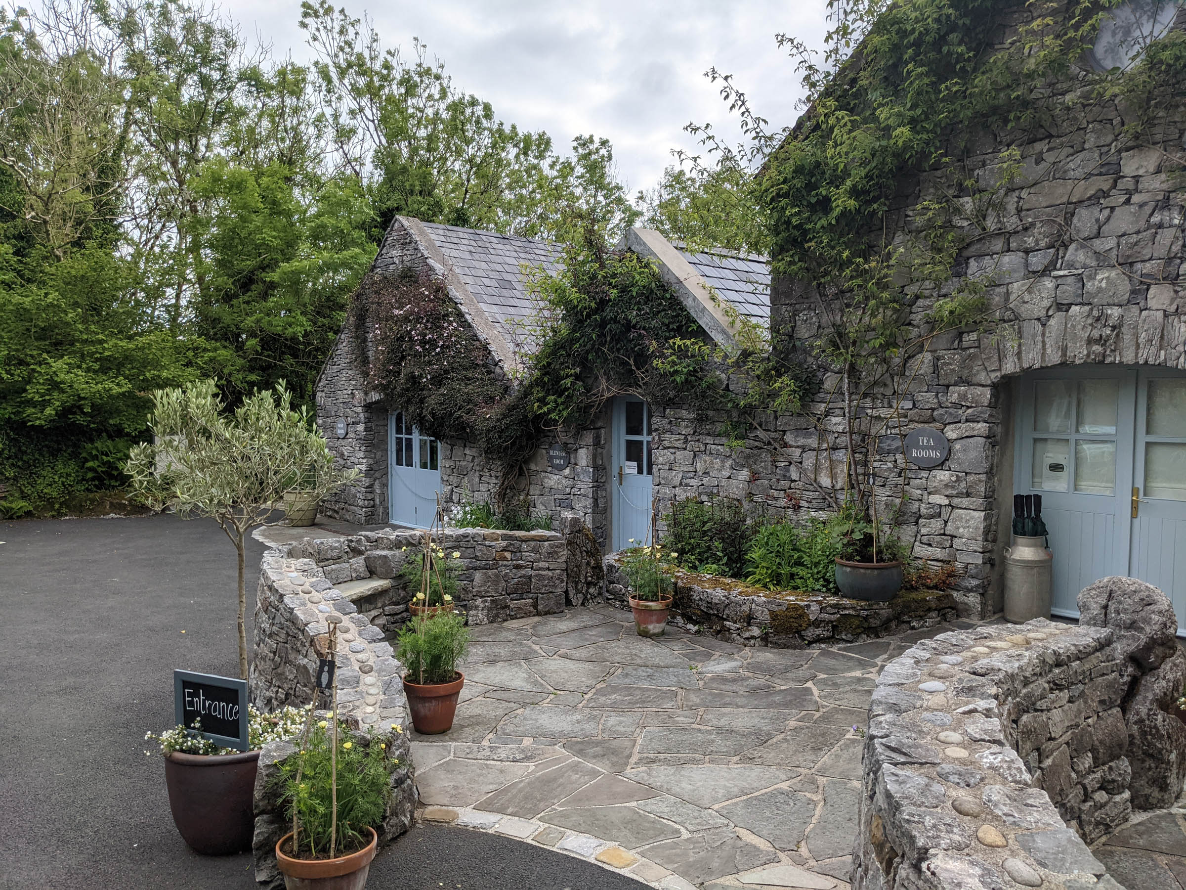
- Water is probably the trickiest thing on this route. Make sure your bottles are filled before setting off. The Bureen Perfumery will fill them for you, and there are plenty of options in Doolin and Fanore to refill. You also pass through Kilfenora, which might have somewhere, but everything seemed closed due to COVID when we passed.
- The same goes for food. Other than the places noted above, you will have to go off route to find food if need be.


Terms of Use: As with each bikepacking route guide published on BIKEPACKING.com, should you choose to cycle this route, do so at your own risk. Prior to setting out check current local weather, conditions, and land/road closures. While riding, obey all public and private land use restrictions and rules, carry proper safety and navigational equipment, and of course, follow the #leavenotrace guidelines. The information found herein is simply a planning resource to be used as a point of inspiration in conjunction with your own due-diligence. In spite of the fact that this route, associated GPS track (GPX and maps), and all route guidelines were prepared under diligent research by the specified contributor and/or contributors, the accuracy of such and judgement of the author is not guaranteed. BIKEPACKING.com LLC, its partners, associates, and contributors are in no way liable for personal injury, damage to personal property, or any other such situation that might happen to individual riders cycling or following this route.
Please keep the conversation civil, constructive, and inclusive, or your comment will be removed.