


The Sawpa (Cloudburst Mountain) Divide
Distance
50 Mi.
(80 KM)Days
2
% Unpaved
90%
% Singletrack
5%
% Rideable (time)
95%
Total Ascent
4,741'
(1,445 M)High Point
2,806'
(855 M)Difficulty (1-10)
6?
- 6Climbing Scale Moderate95 FT/MI (18 M/KM)
- -Technical Difficulty
- -Physical Demand
- -Resupply & Logistics
Contributed By
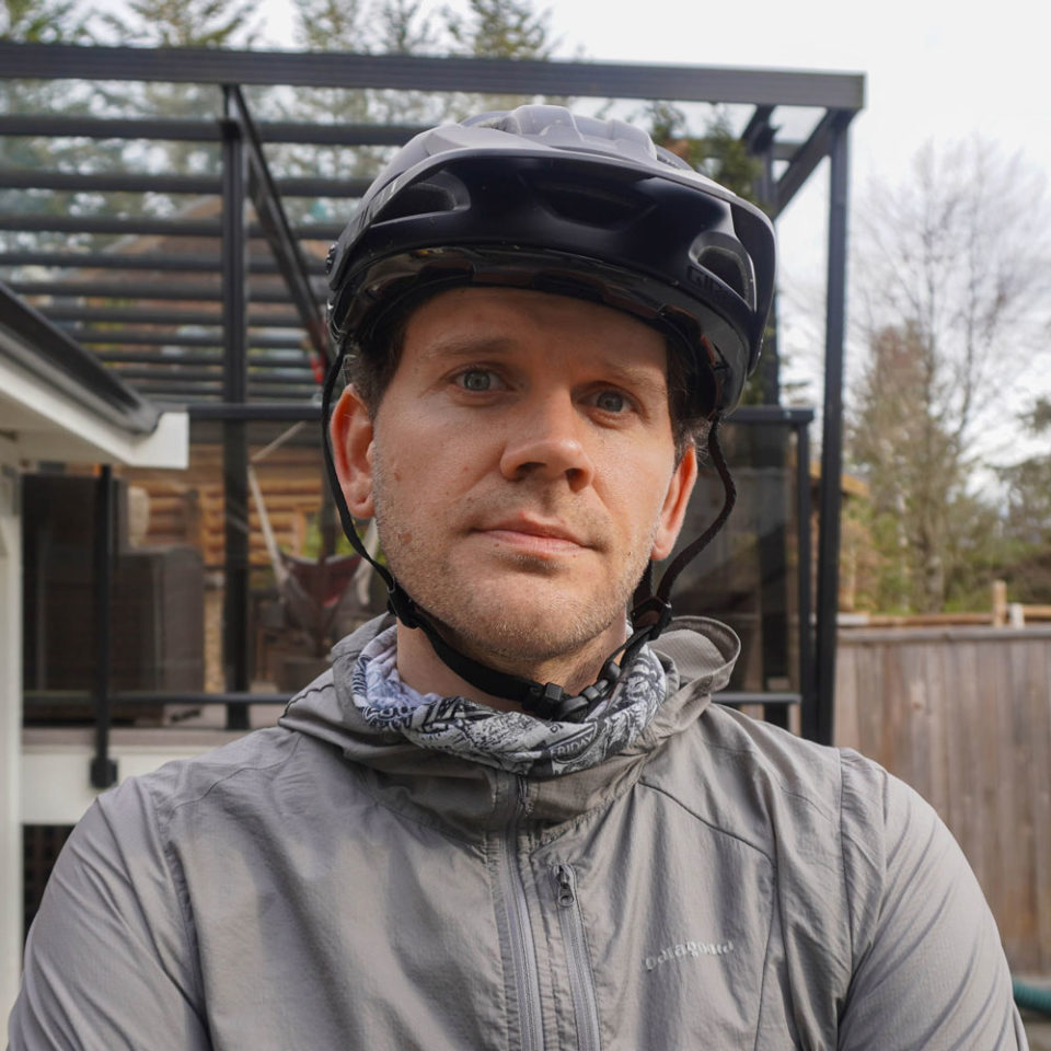
Cameron Fenton
Guest Contributor
Cam lives, rides bikes and plans adventures in Squamish, BC. Find more of Cam’s photos on instagram @overstoker.
September 2022 Update: Unfortunately the decommissioned logging road at the top of the Cloudburst Branch (the high point of the route) is closed to public access and as such, should not be ridden. We’re hoping the pass will be open in the spring of 2023.
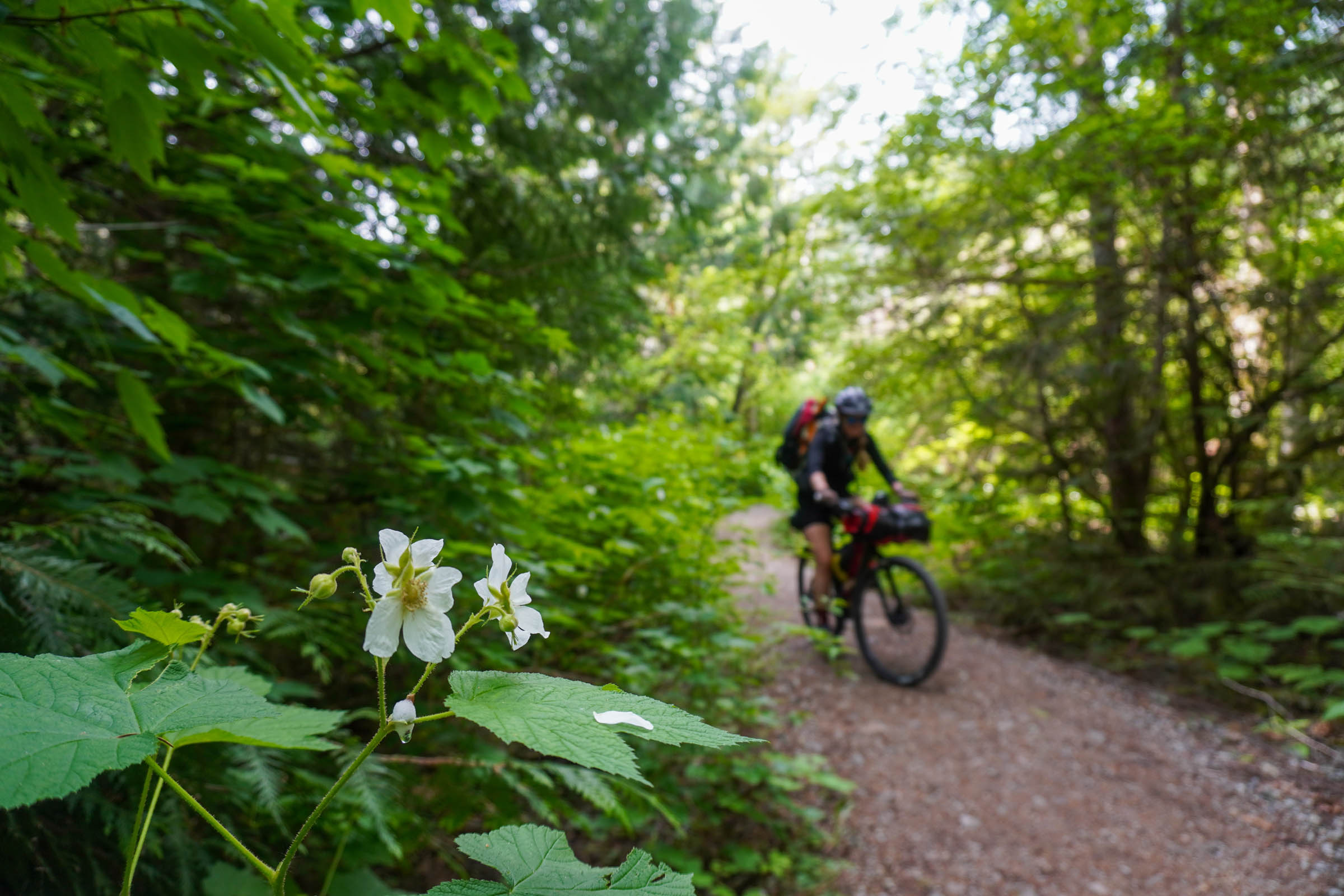
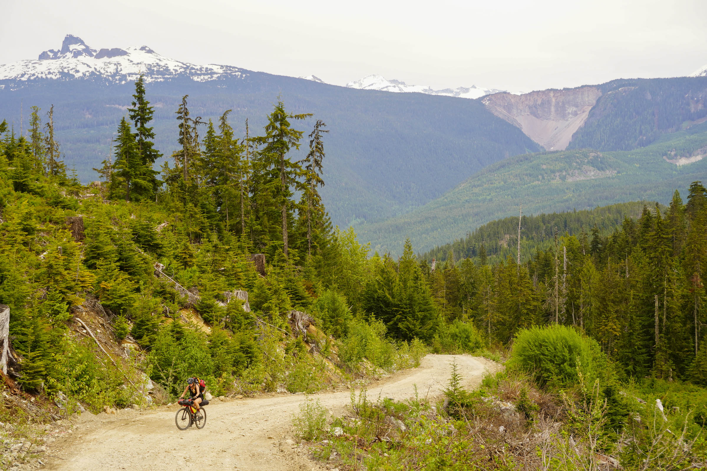
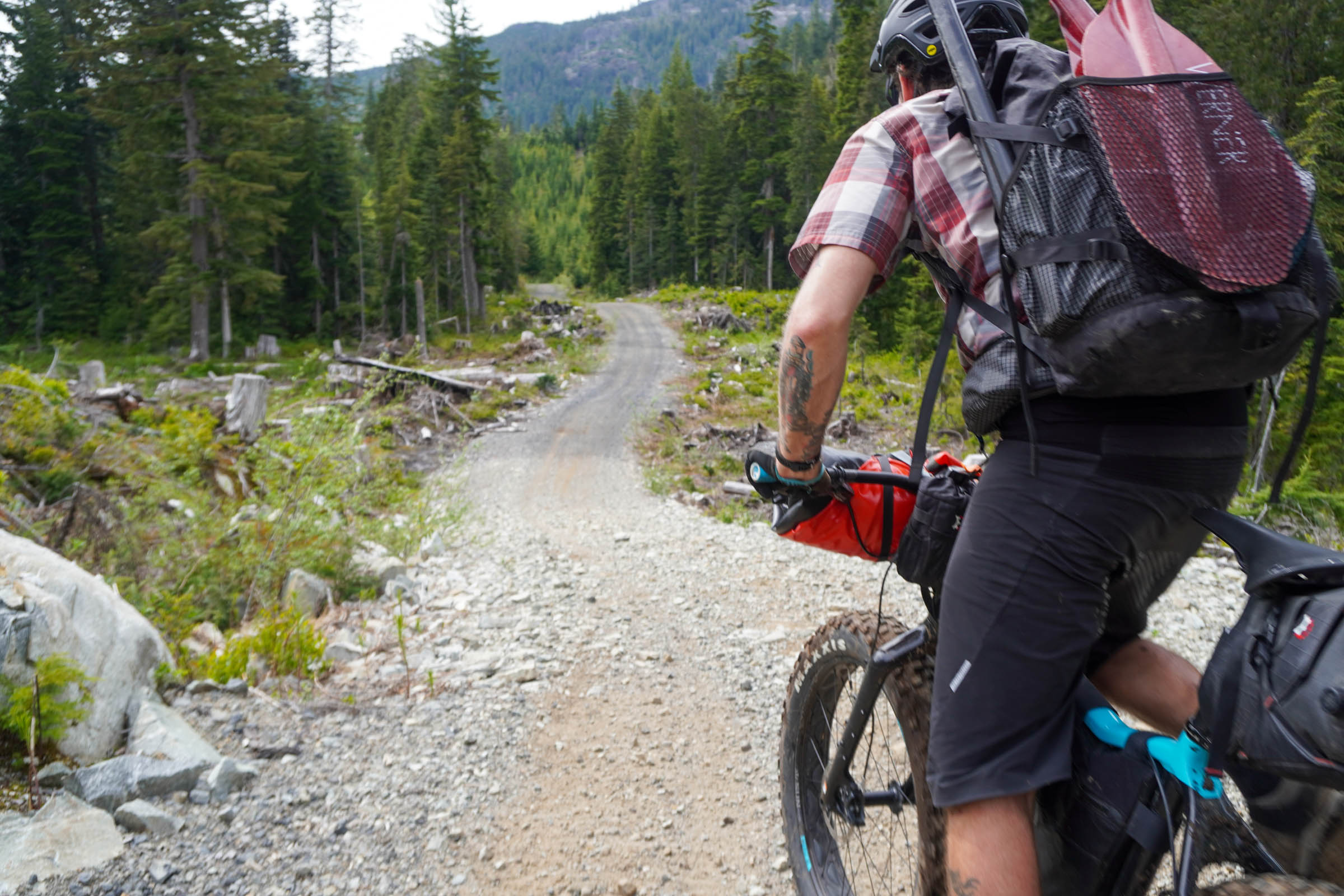
Squamish is one of the undeniable hubs of BC mountain biking, and rightly so. But, beyond the popular trail networks lies a vast network of backroads and tracks for exploration, and with a packraft, the options are endless. The Saw̓pa (Cloudburst Mountain) Divide takes you off the well-trodden path, linking up backcountry trails and the river to explore some of the region’s most stunning scenery. Riding it will leave you with an appreciation for the beauty and depth of history in these lands.
Borrowing from the Squamish Atlas, a project from the Squamish language non-profit Kwi Awt Stelmexw, the route features a number of POI’s with the Indigneous names for popular peaks, rivers, as well as village sites and important landmarks.
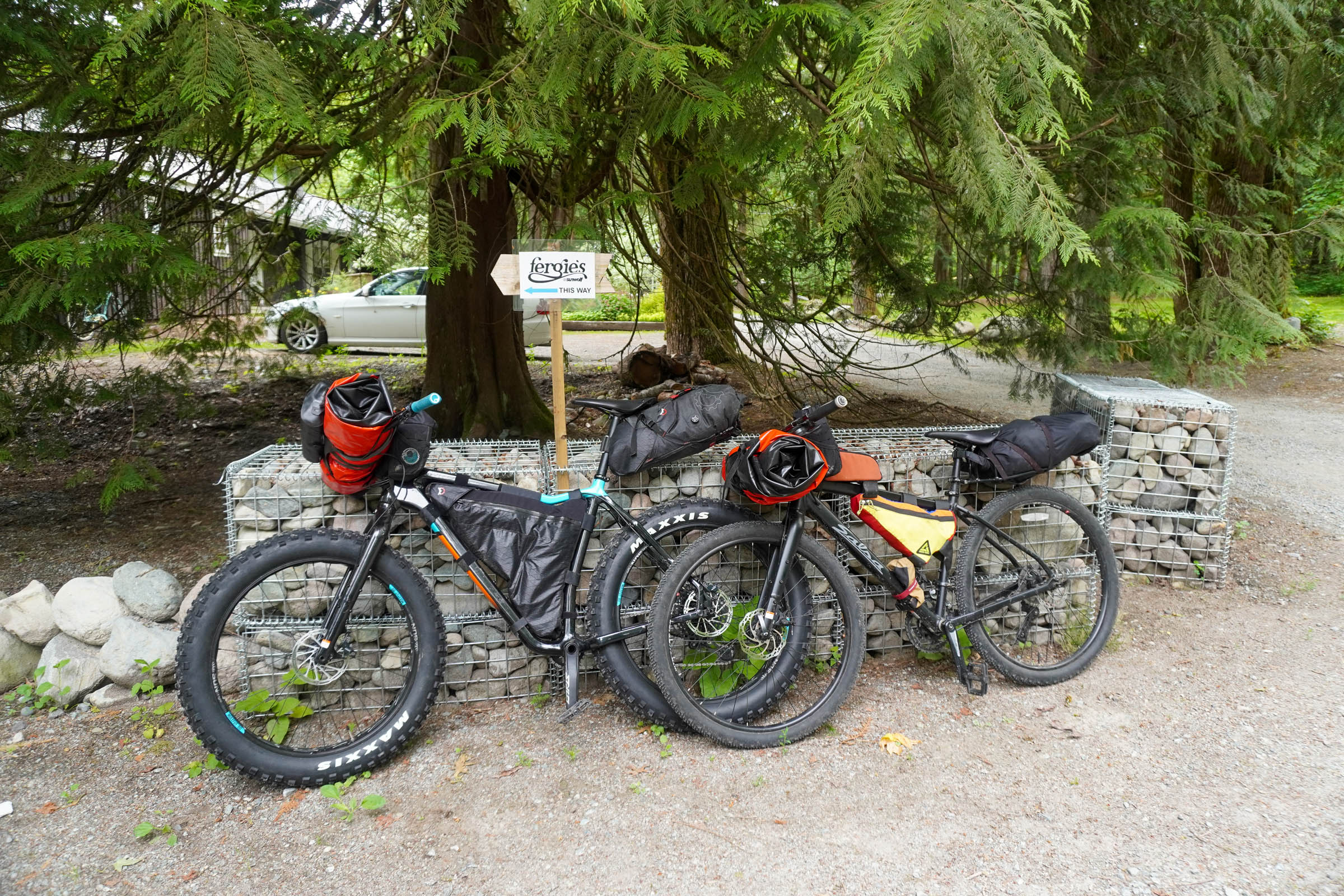
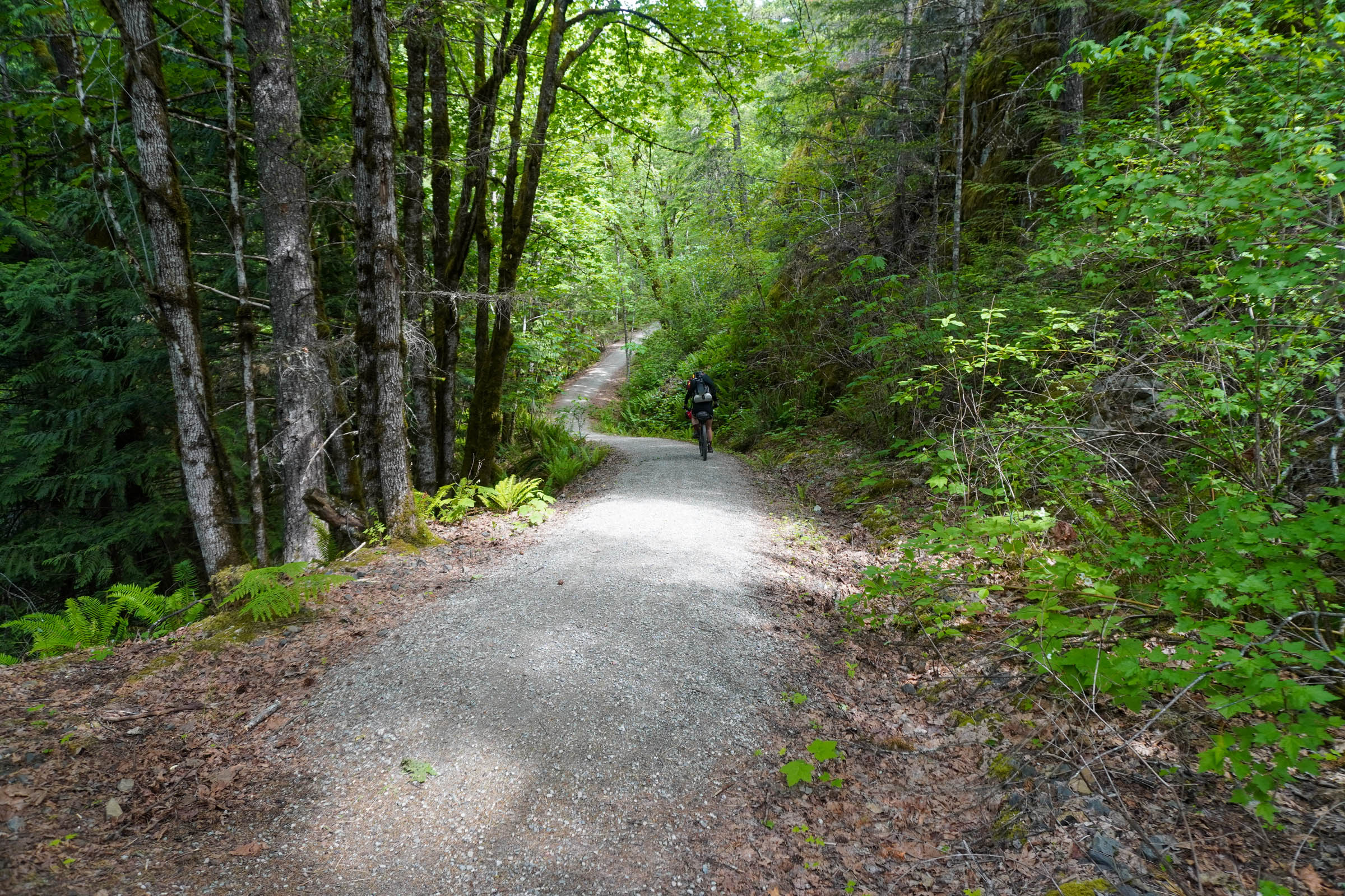
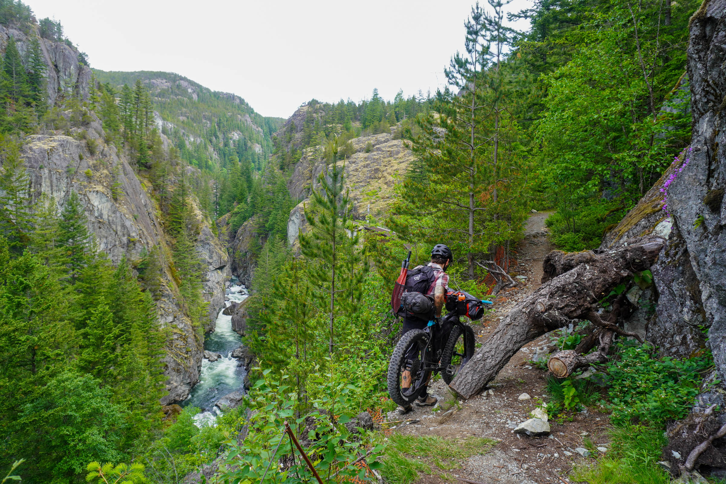
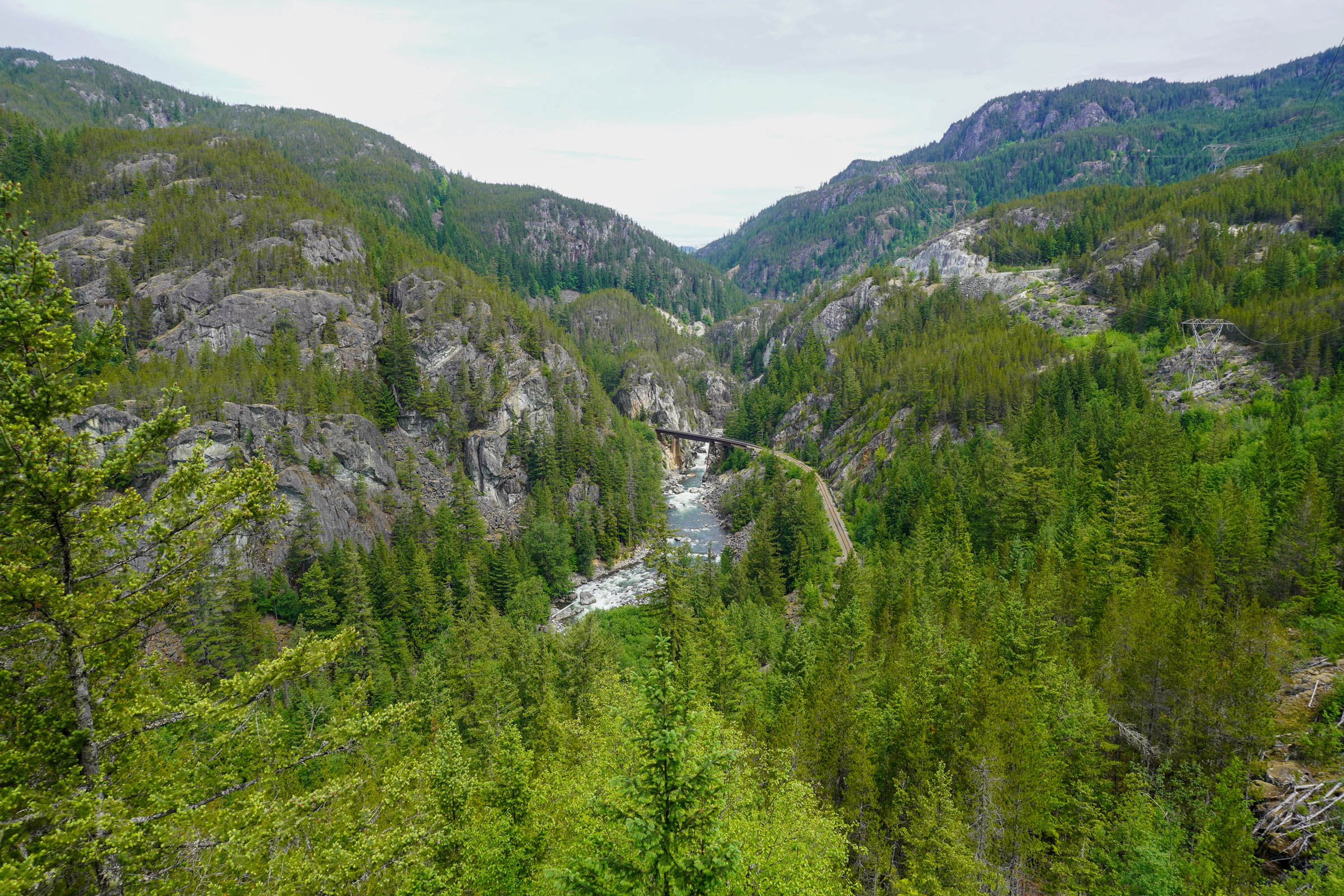
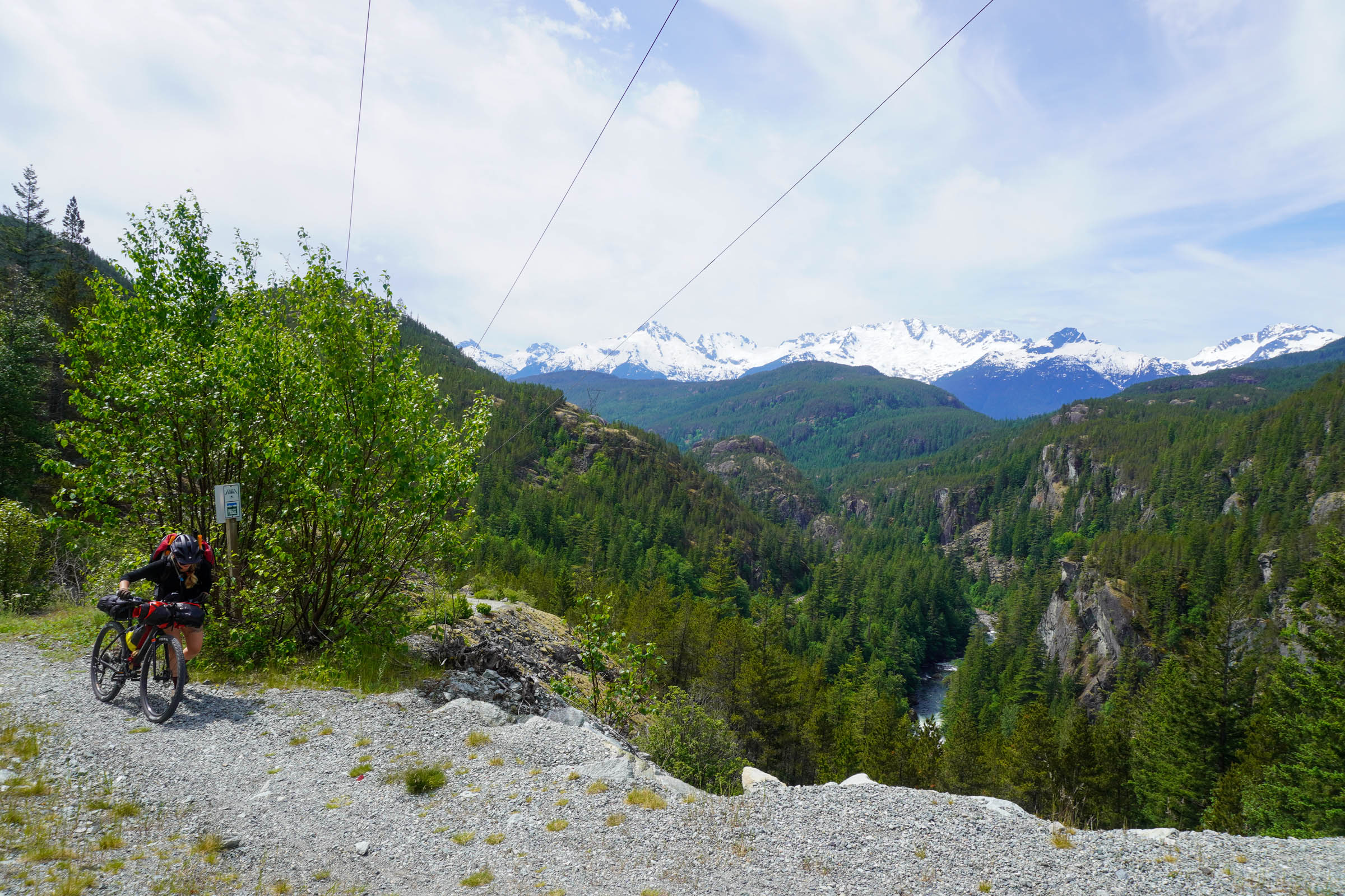
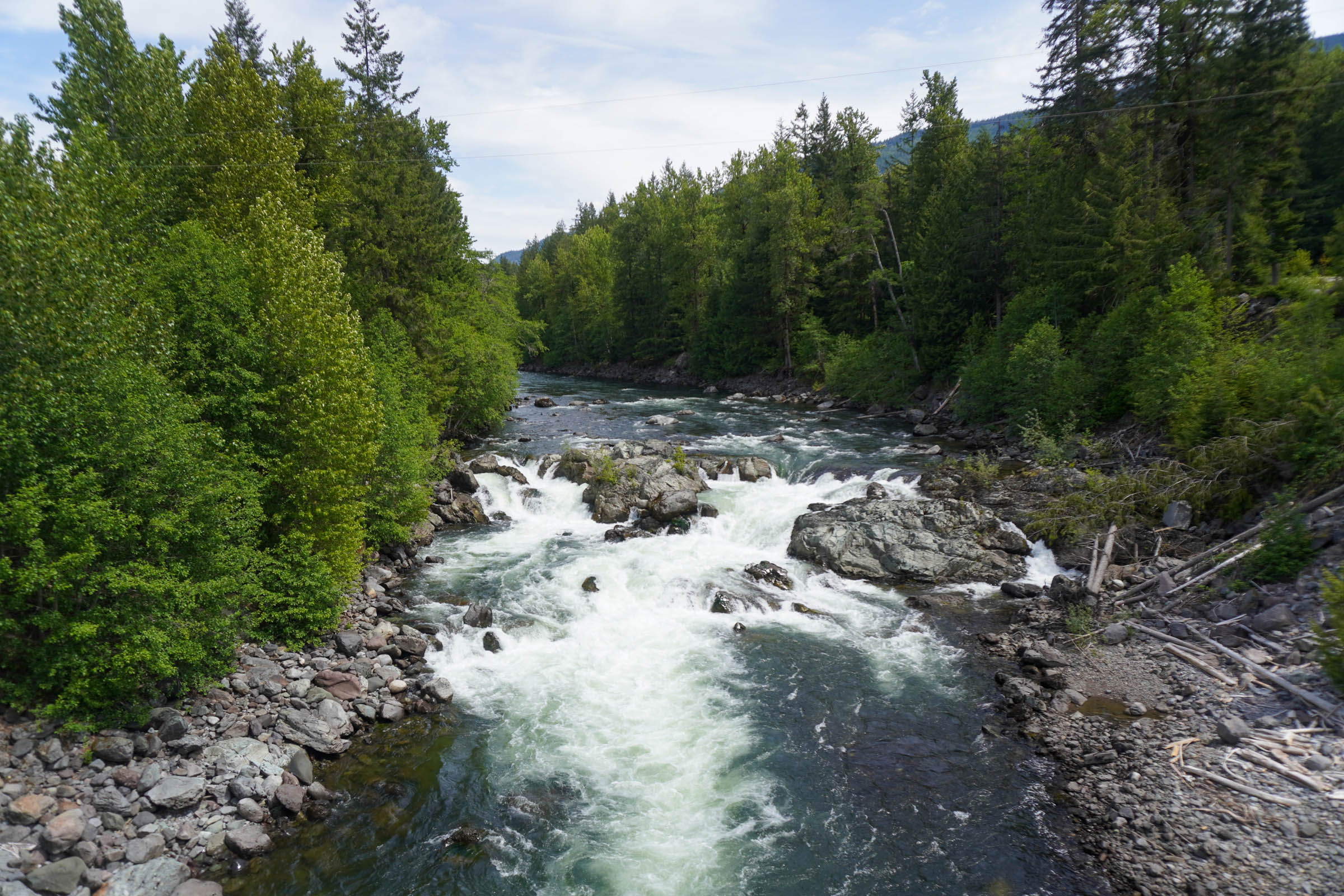
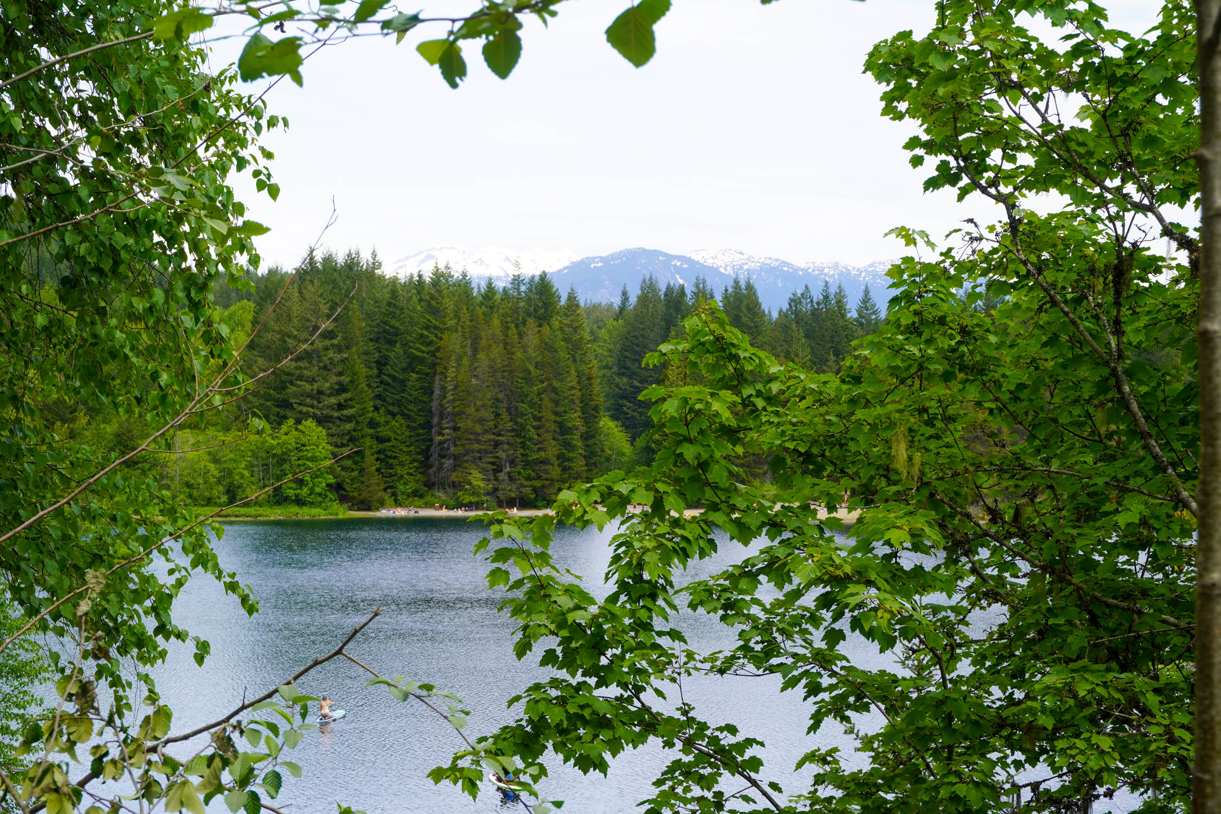
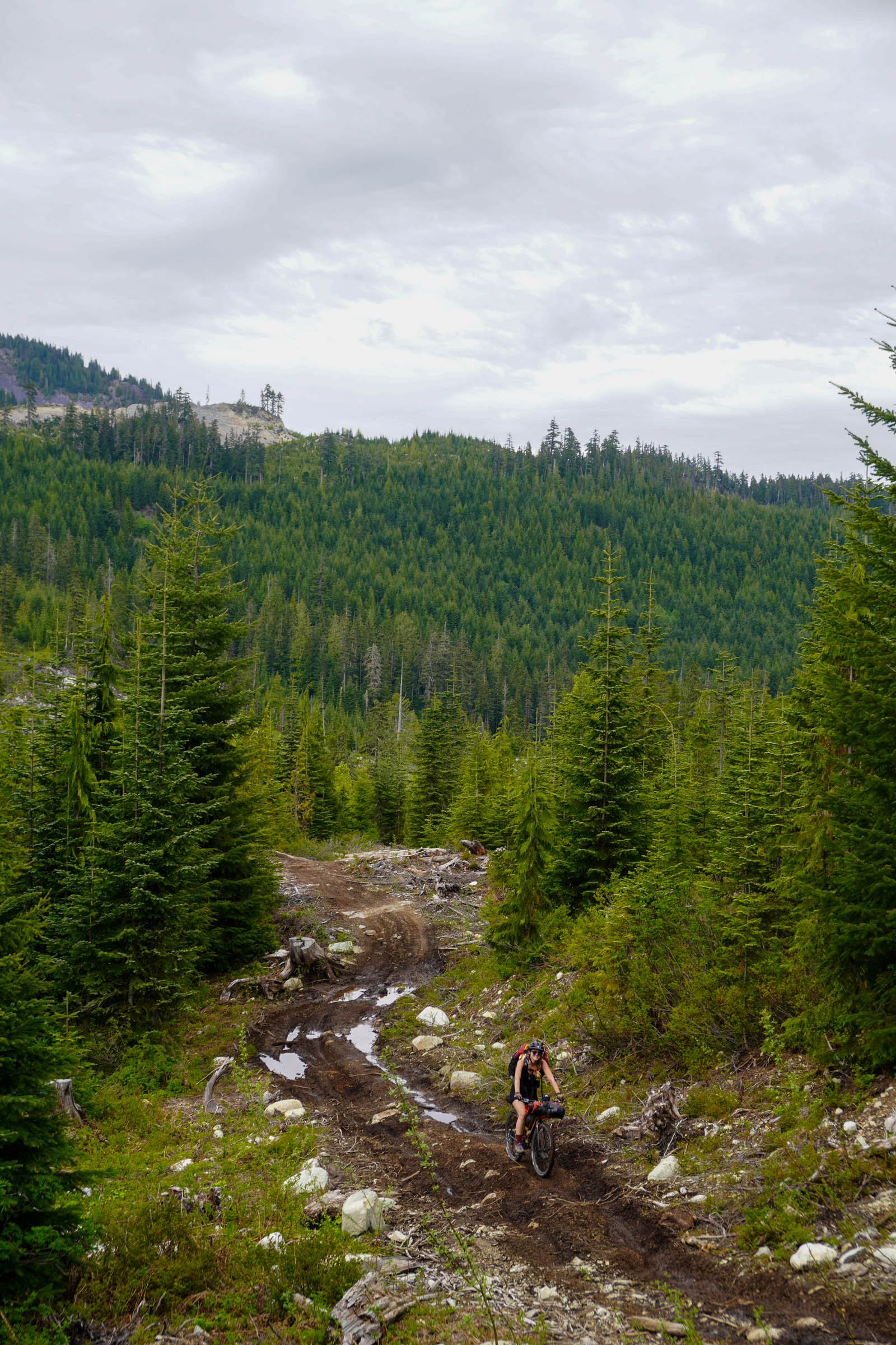
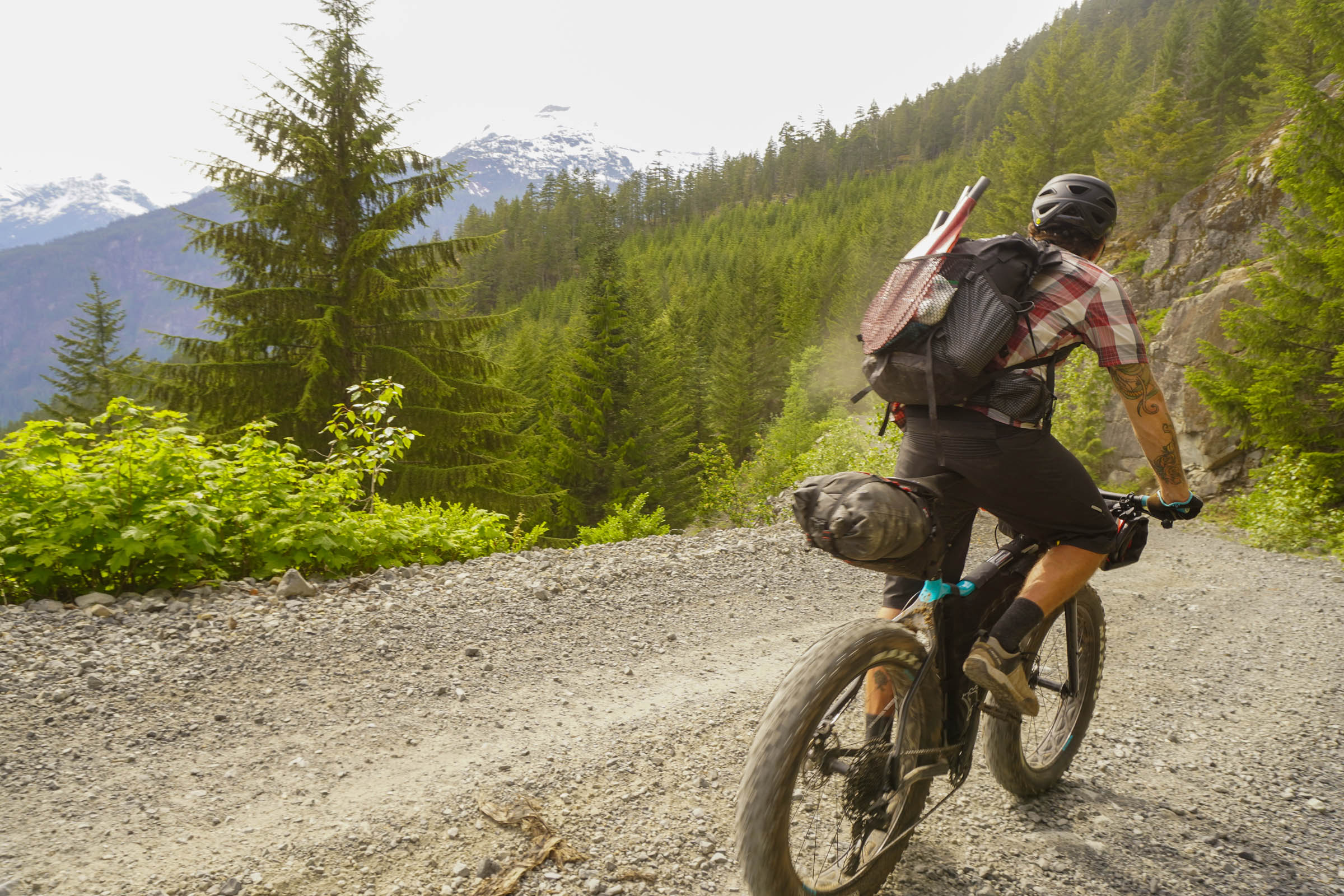
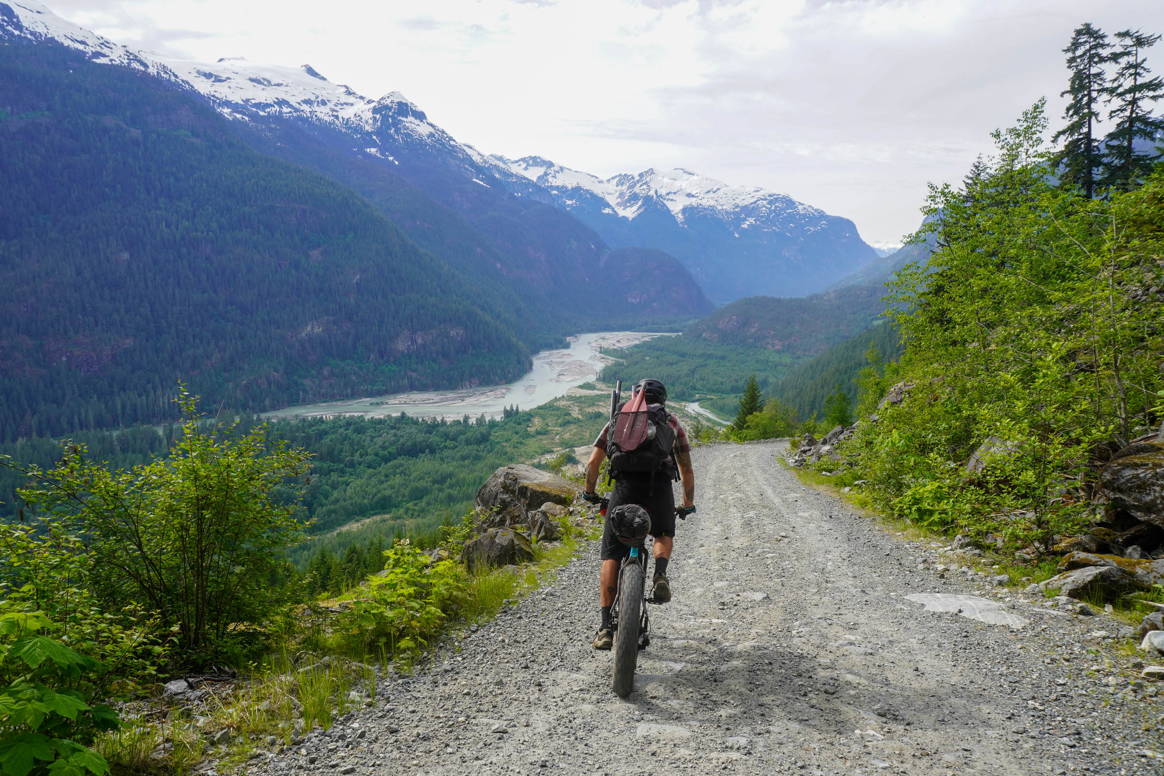
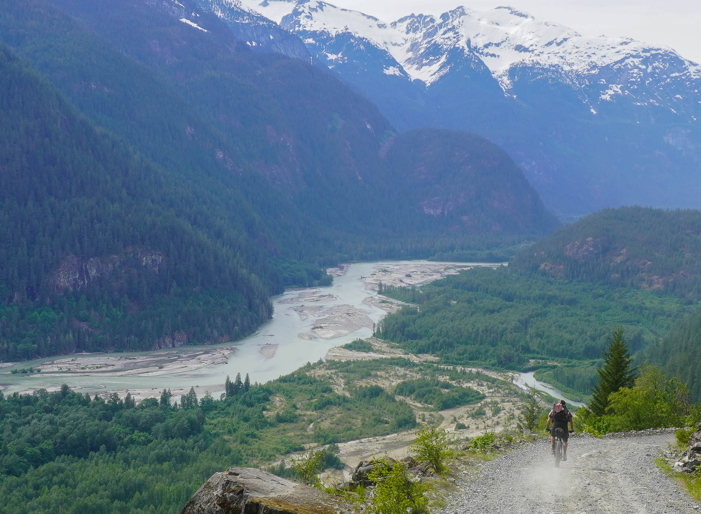
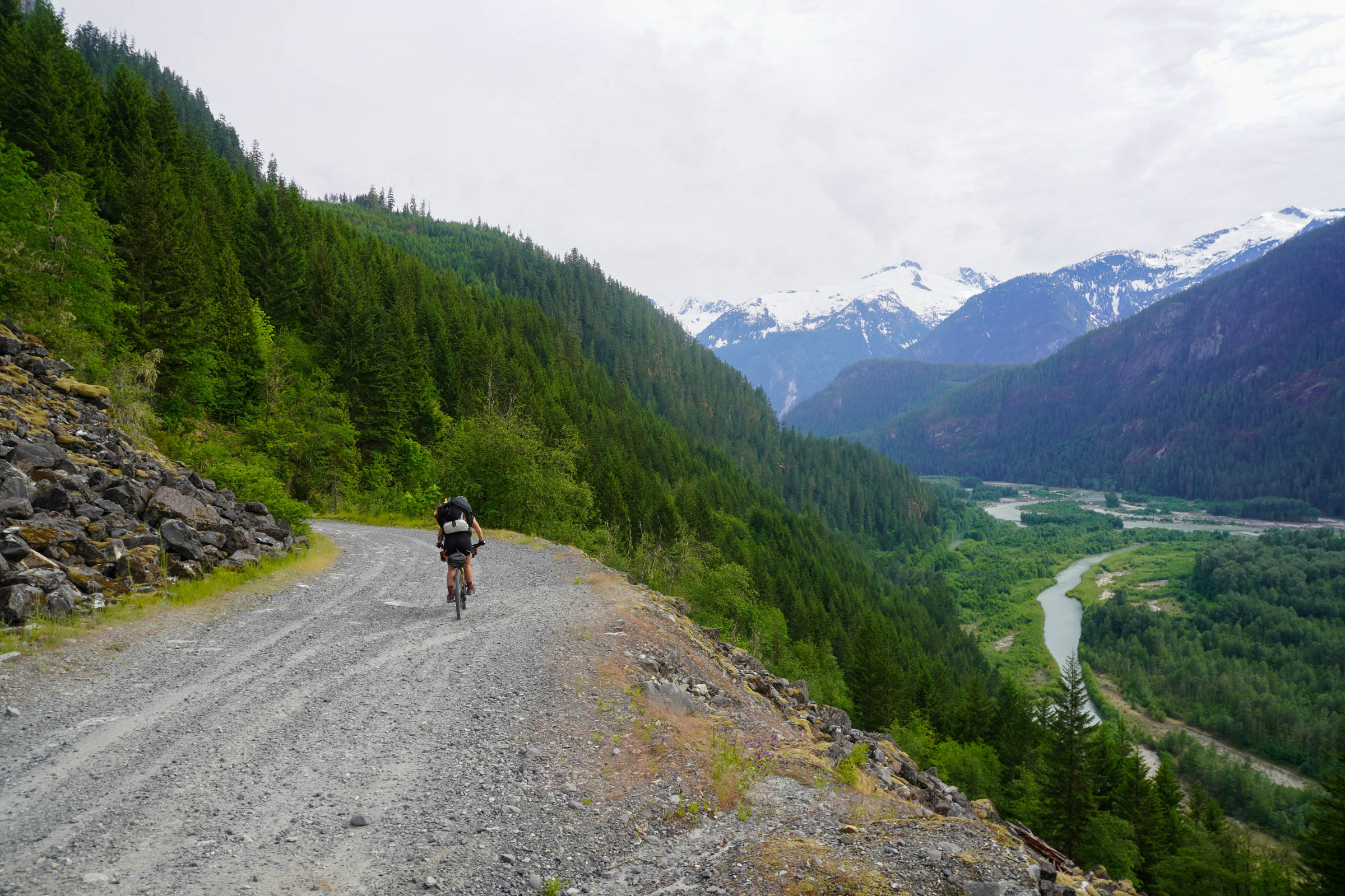
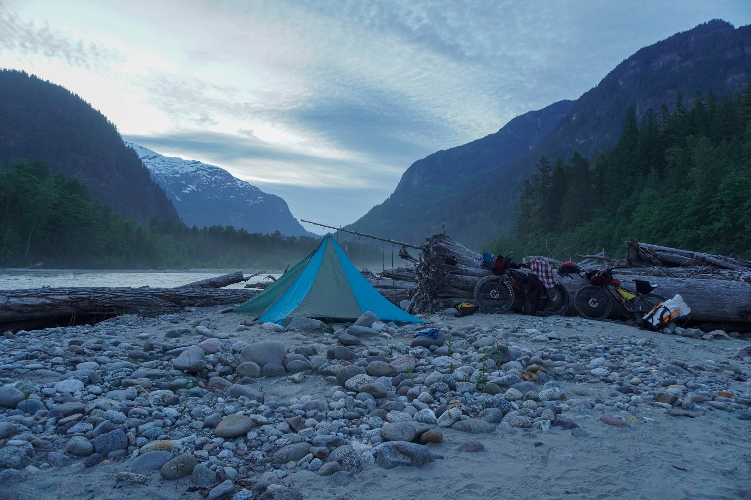
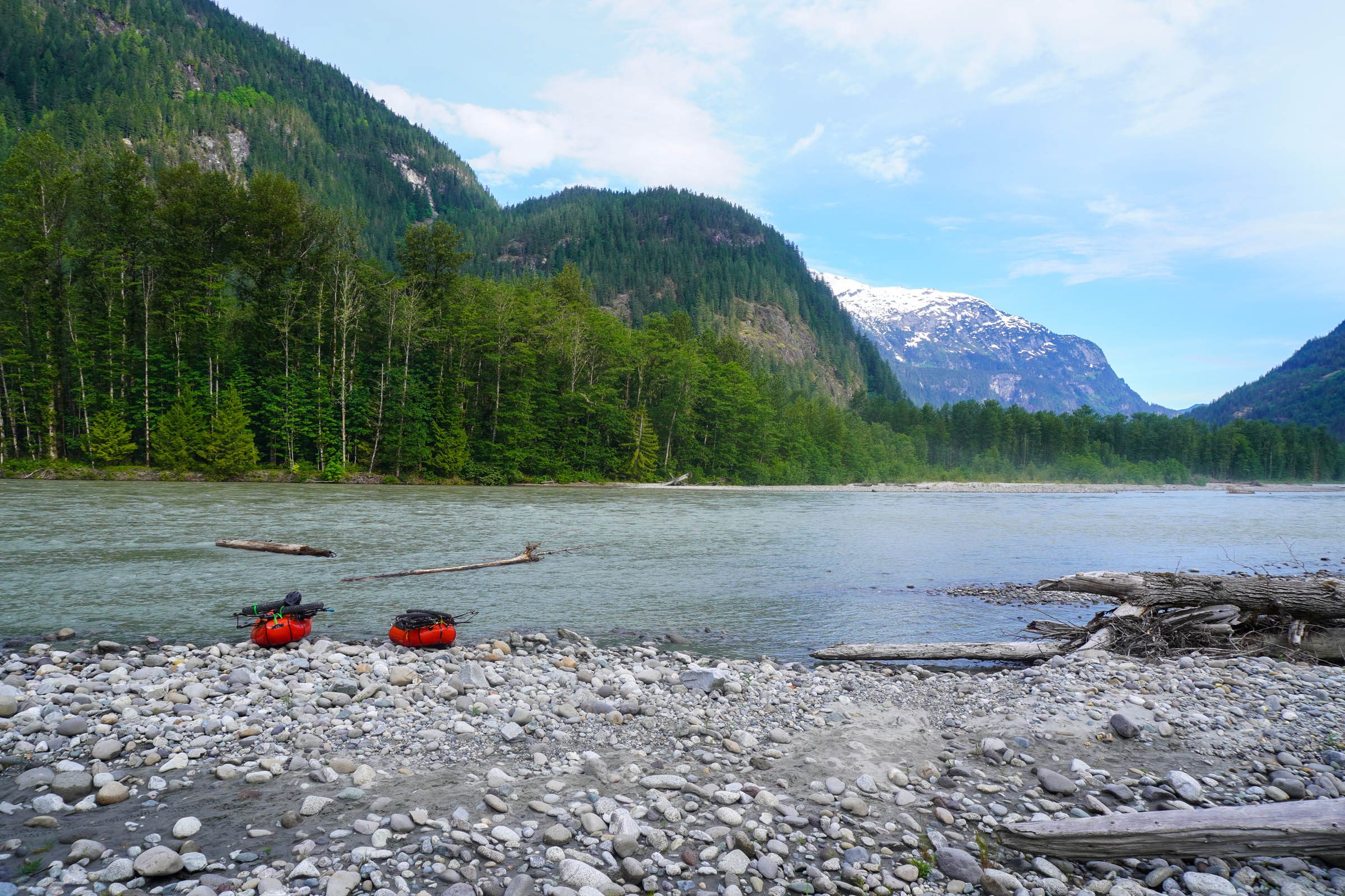
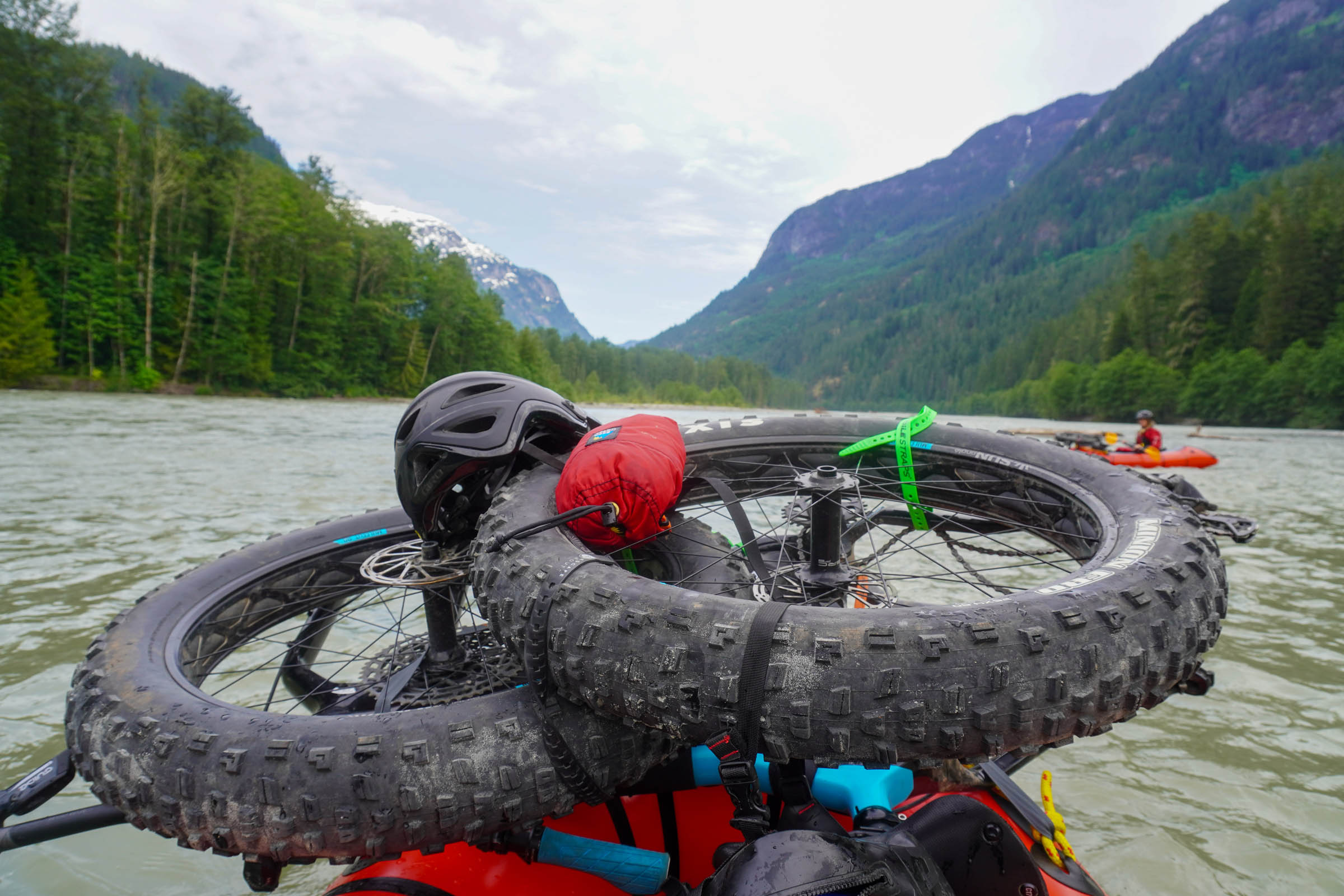
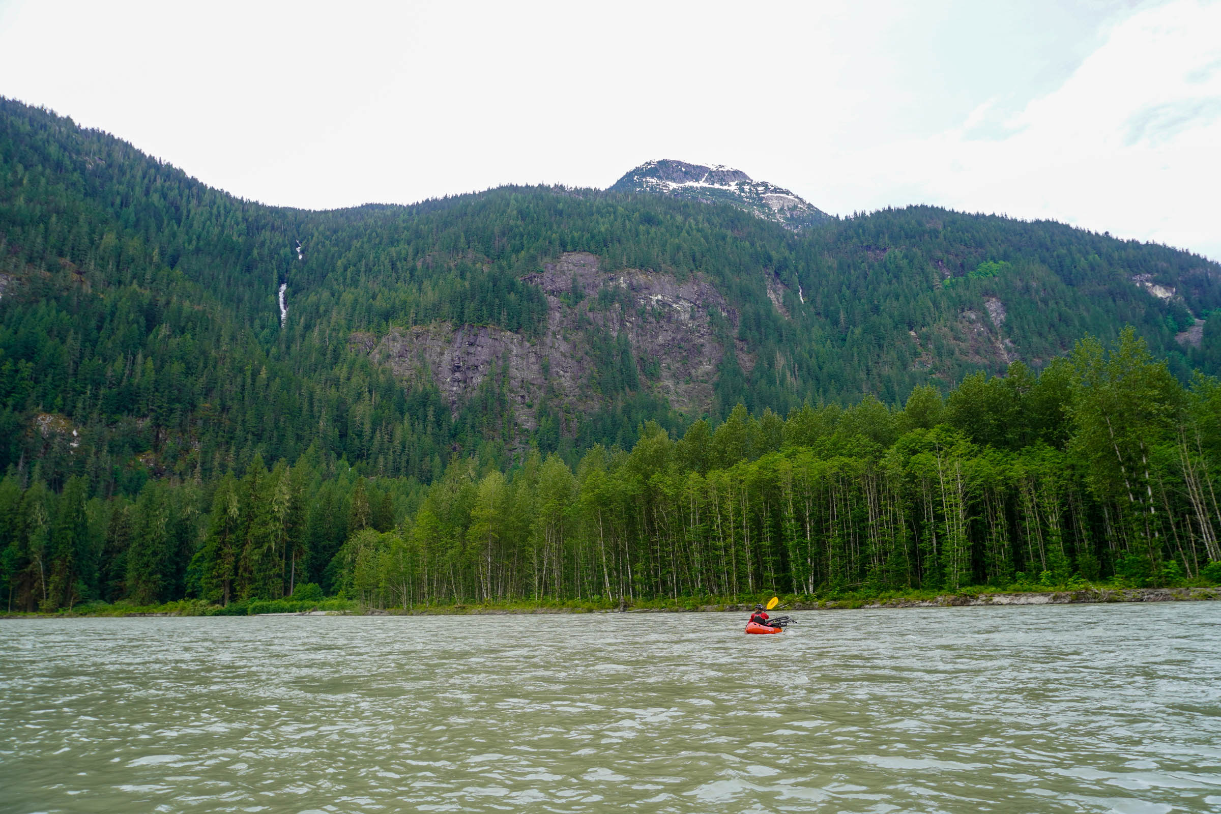
The route starts in Brackendale, a small community just north of downtown Squamish and a short pedal from Fergie’s Cafe, an amazing coffee and breakfast spot looking over the Cheakamus River. It then follows Paradise Valley up to the Sea to Sky trail, climbing alongside the stunning Cheakamus Canyon and looking back over the jagged spires of the Tantalus Range. After a short paved section it starts up the Chance Creek FSR. You can take a mid-ride swim break before the climb to a pass that takes you to the top of a long, steep, and breathtakingly beautiful descent into the Squamish Valley. The Squamish River takes you back to the starting point with a long class II float past countless waterfalls, glaciated peaks, and with plenty of chances to spot bears, eagles, and other wildlife. Once you’re back to town, don’t skip post trip beer and pizza at Backcountry Brewing.
Difficulty
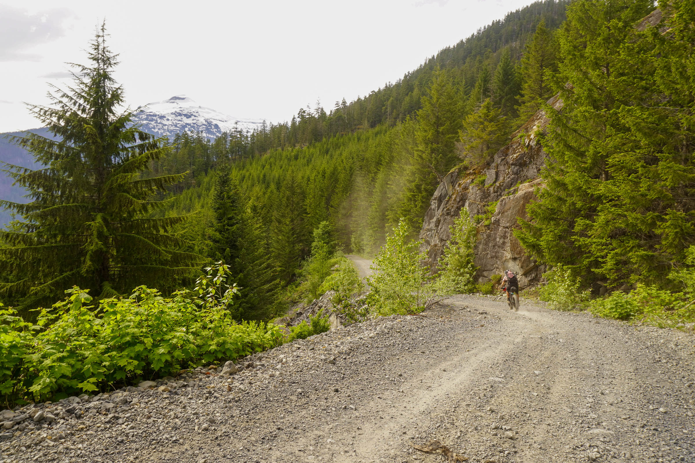
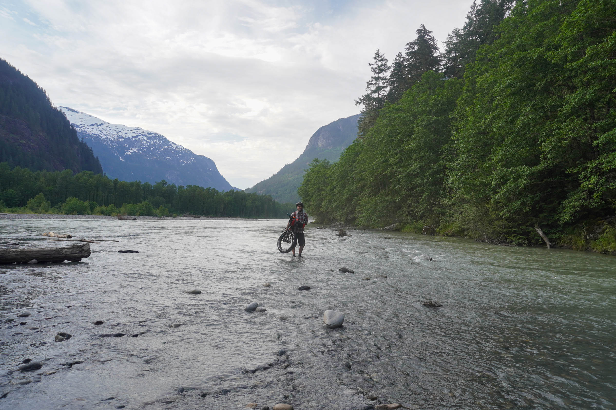
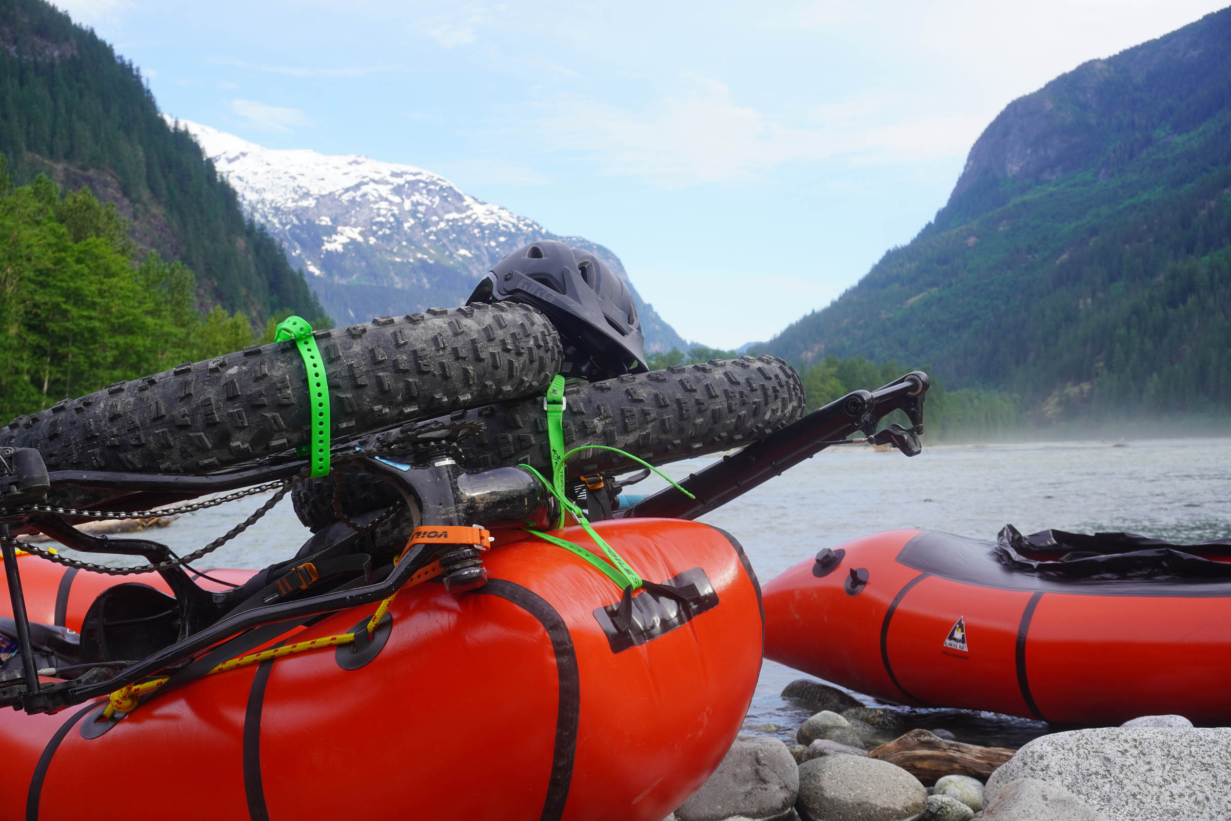
In terms of difficulty, the Saw̓pa (Cloudburst Mountain) Divide comes in at a 6 out of 10. The riding on the route is technically simple, mostly along well-maintained gravel roads with a few steep climbs and rough sections. The need to take the paddle on the Squamish river seriously bumps up the route’s difficulty a little. Physically, not too grueling, but not too easy. There is plenty of water along the route, although some sources may run dry by mid-to-late summer in low snow years. Supply is easy in Squamish, with a built-in stop for coffee and breakfast en route. As with any bikerafting route, you will need to carry all the necessary gear and be conscious that you’re paddling a big, glacial river.
Route Development: This route was originally inspired by the “Coffee-Pizza Traverse,” a classic overnight Alaskan packrafting route along the Nenana River. My goal was to create a similar route that was doable for a beginner, started with coffee and breakfast, and ended with pizza and beer. After the first outing I was introduced to the Squamish Atlas project and realized the route could be a way to use bikes and boats to cover beautiful terrain and get a sense of the Indigenous history and presence in the region today.


Submit Route Alert
As the leading creator and publisher of bikepacking routes, BIKEPACKING.com endeavors to maintain, improve, and advocate for our growing network of bikepacking routes all over the world. As such, our editorial team, route creators, and Route Stewards serve as mediators for route improvements and opportunities for connectivity, conservation, and community growth around these routes. To facilitate these efforts, we rely on our Bikepacking Collective and the greater bikepacking community to call attention to critical issues and opportunities that are discovered while riding these routes. If you have a vital issue or opportunity regarding this route that pertains to one of the subjects below, please let us know:
Highlights
Must Know
Camping
Food/H2O
Trail Notes
- Breakfast and coffee at Fergie’s overlooking the Cheakamus River
- Views into the Cheakamus Canyon riding up the Sea to Sky Trail
- Mid-summer lake swim breaks on the ride up Chance Creek
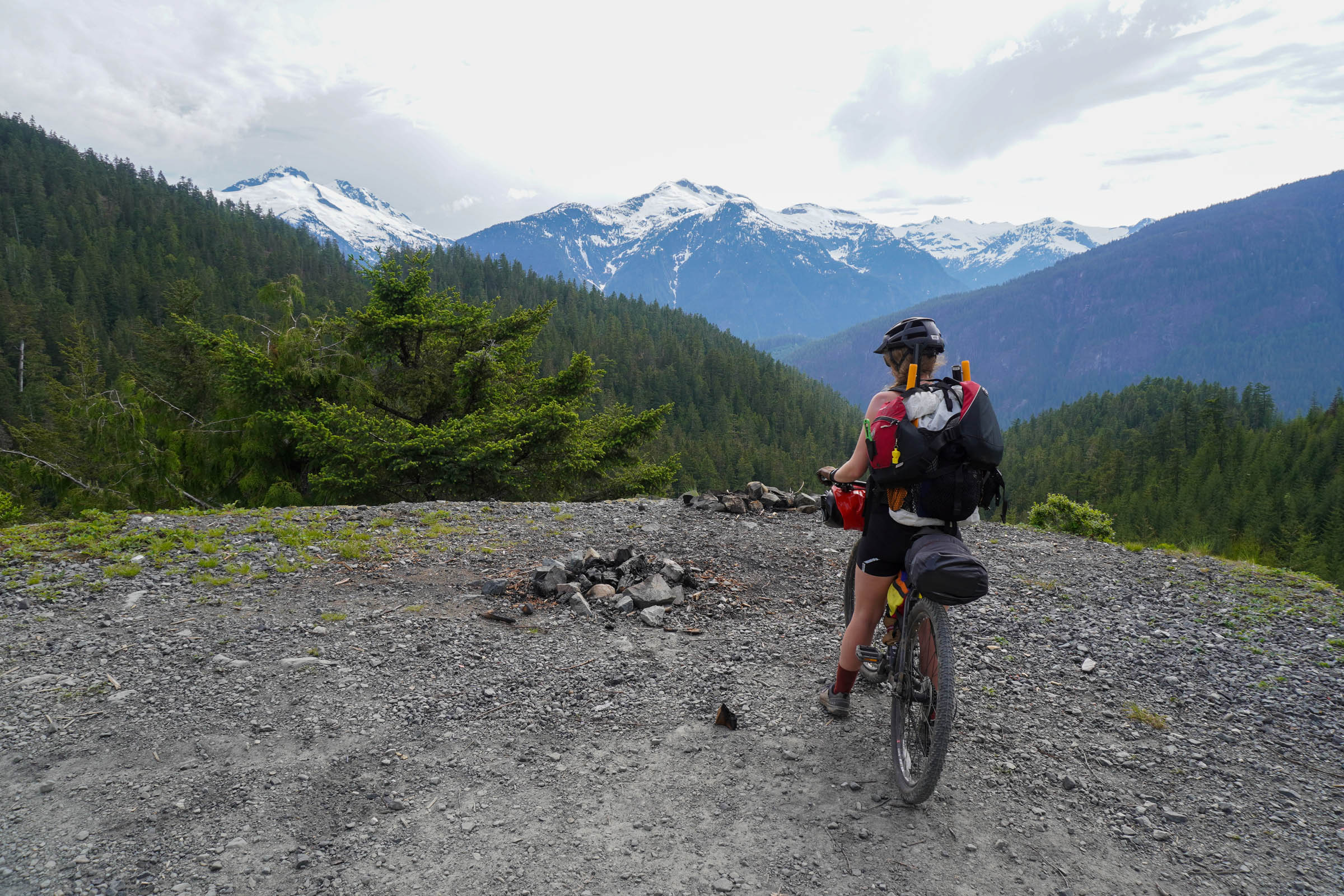
- The views of Black Tusk & Mount Garibaldi near the pass below Saw̓pa (Cloudburst Mountain)
- The long, beautiful descent into the Squamish River valley
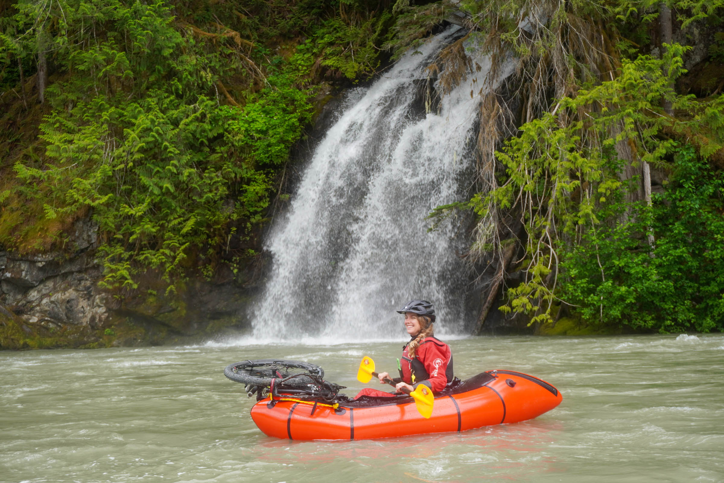
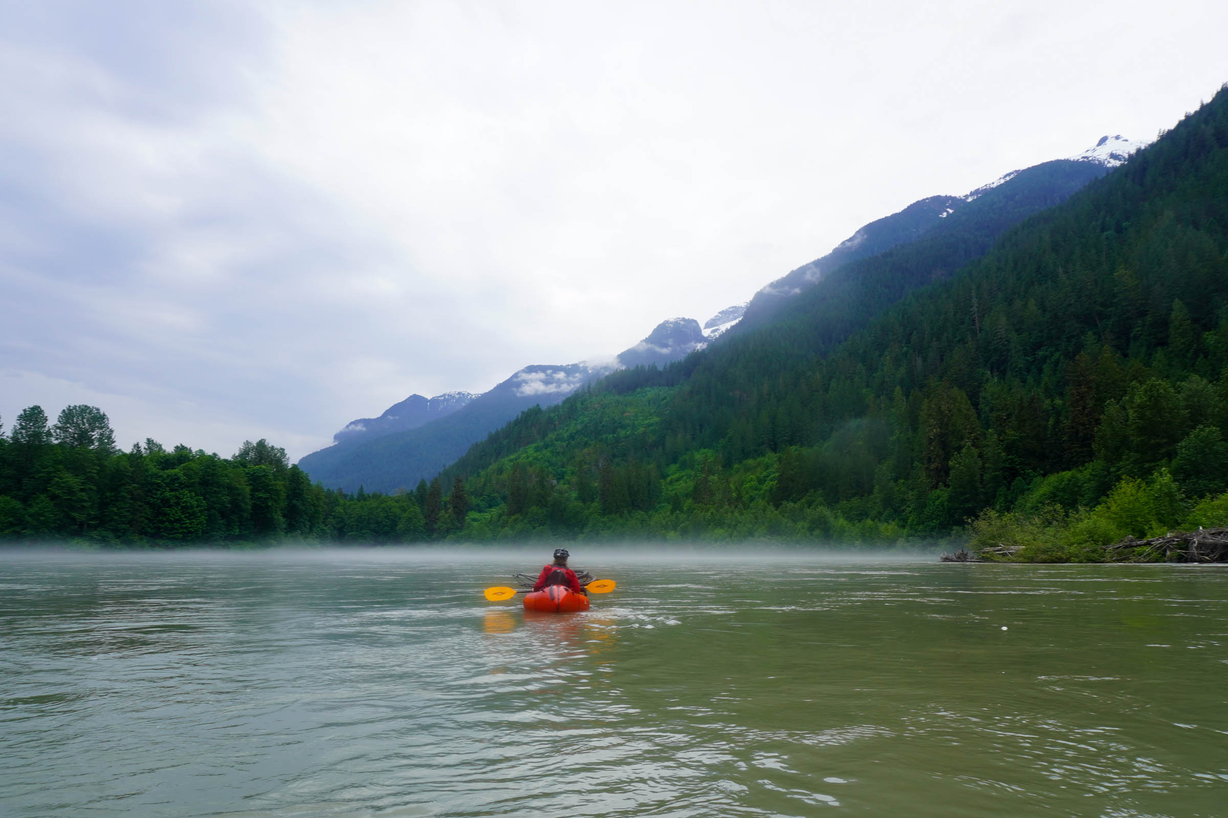
- Floating past seldom seen, soaring waterfalls above the Squamish river
- The chance to see all kinds of wildlife along the route
- Learning the Indigenous place names and histories of spots all along the ride with the Squamish Atlas
- Pizza & beer at Backcountry Brewing at the end of the ride
When to go
- This route is reliably rideable from June-October and may be rideable earlier or later, depending on the snow year.
- It’s really spectacular when the snowmelt fires up the waterfalls in late spring/early summer.
Logistics
- The route is mapped to start and finish in Brackendale, just north of central Squamish. There is plenty of parking on the roadside, just be careful not to block bike lanes. You can also park and start in Squamish.
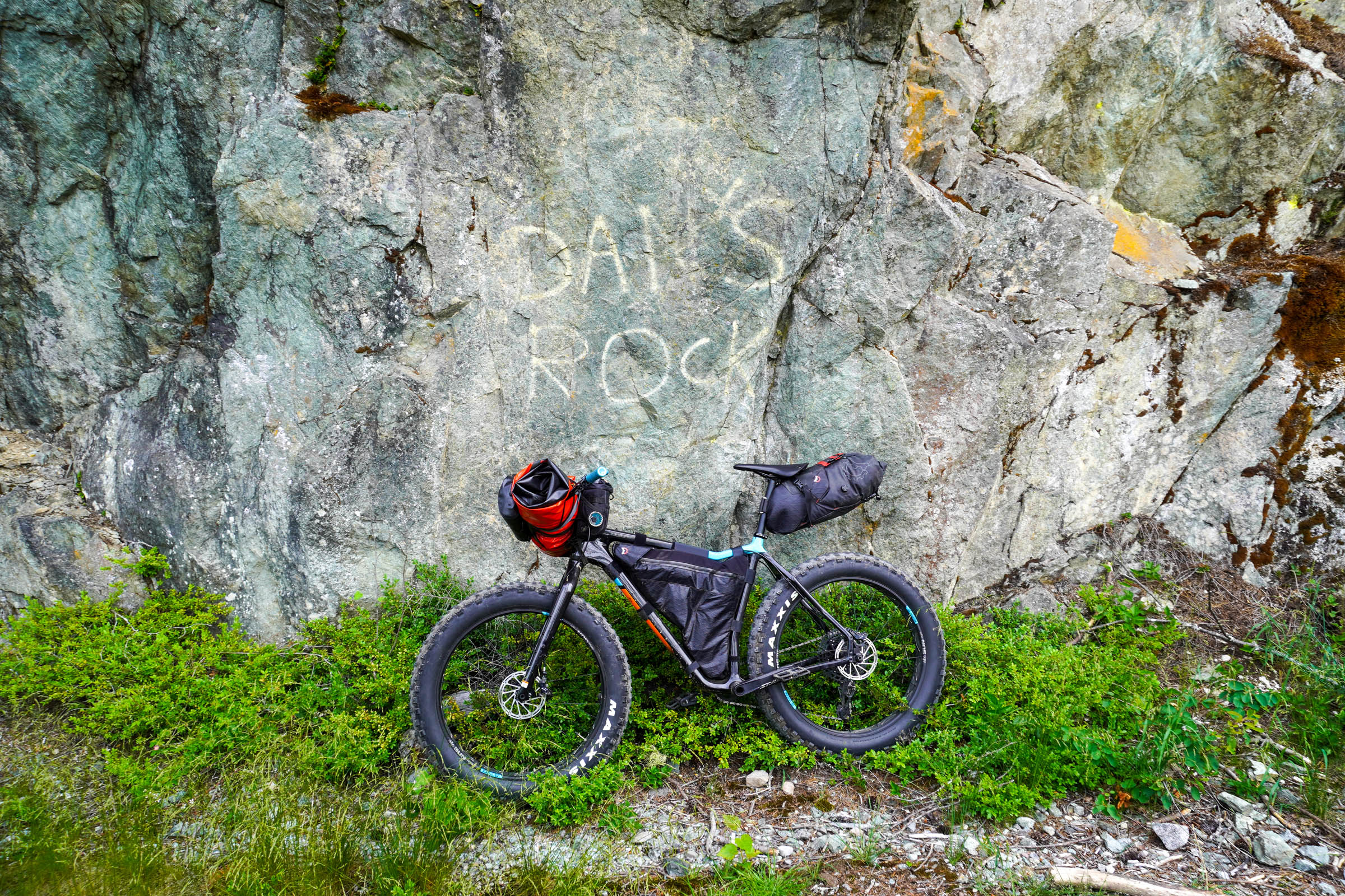
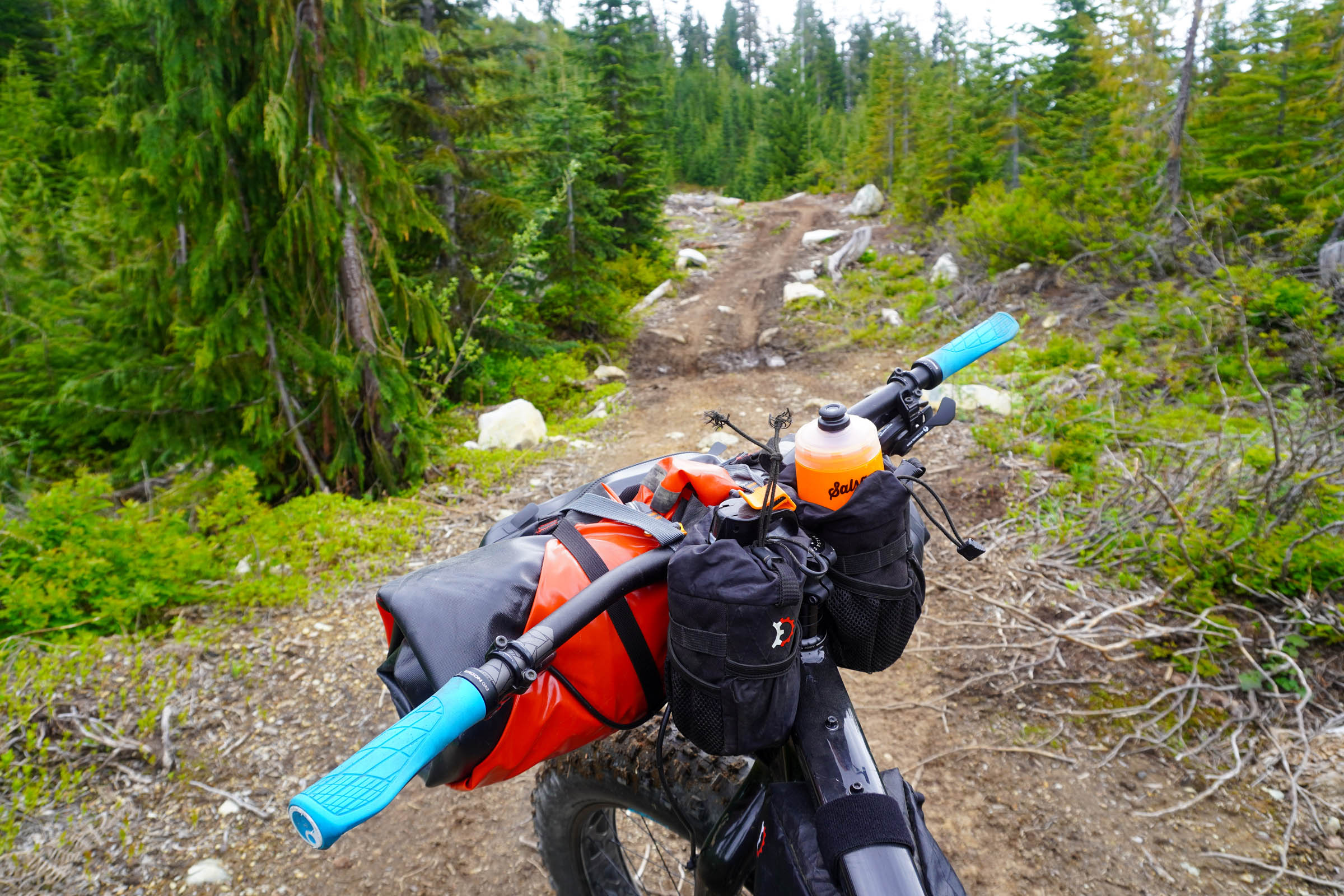
- The route can be ridden on almost any bike, but the rougher sections will be more fun and more rideable with at least 2.5 inch rubber.
Dangers and Annoyances
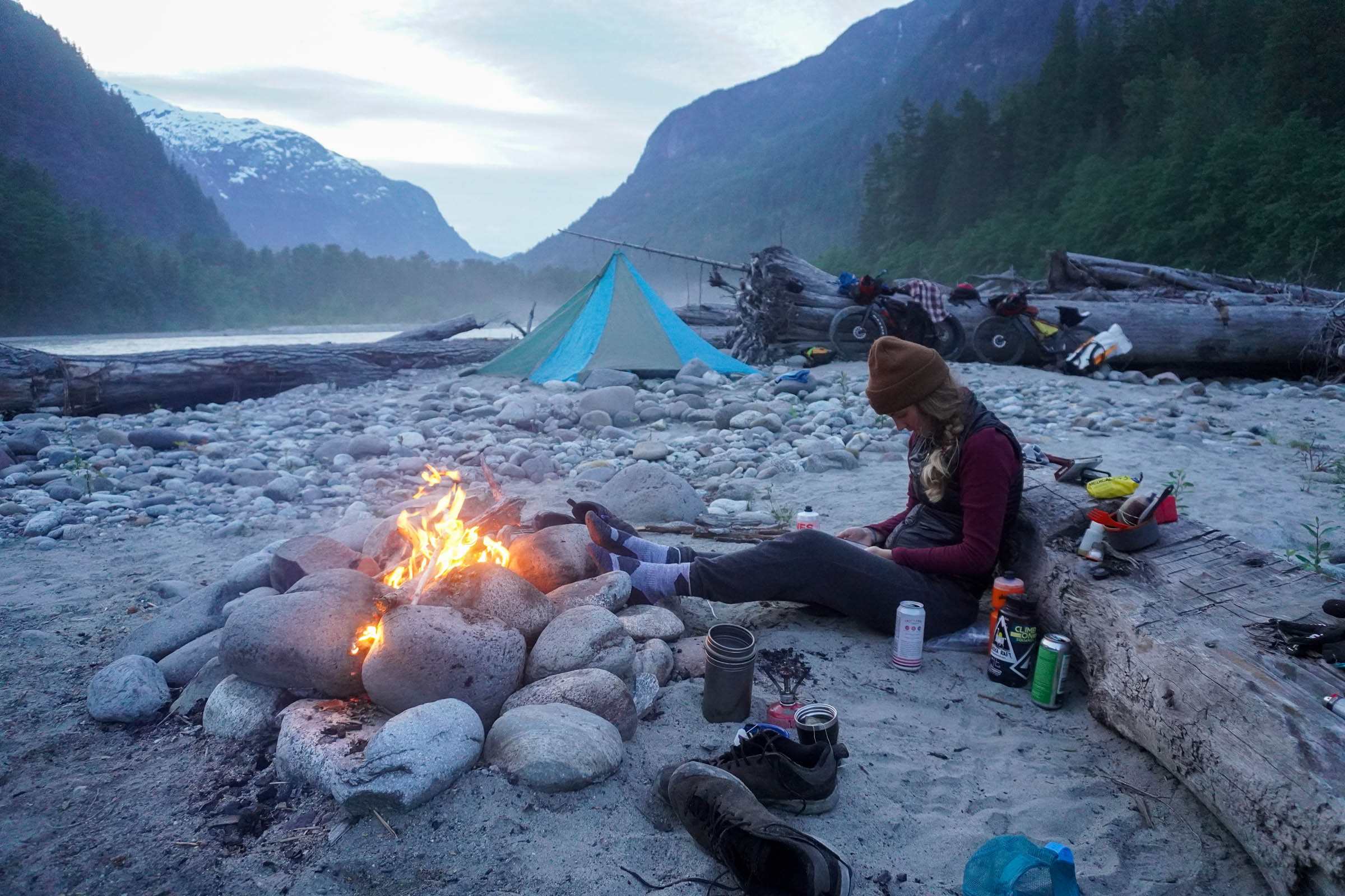
- The Squamish Valley can be busy on weekends. Be careful on the Squamish Valley Road, and if you’re looking for solitude, the best camping will be on islands or the far bank along the river.
- The Squamish River is big and glacial. It can be quite high and cold even in the height of summer, so prepare accordingly for river safety.
- The river is easy class II, with no serious whitewater on the river, but you will need to keep your eyes out for wood.
- The whole route travels through bear country.
- During active logging there can be large trucks on some of the back roads. Be careful.
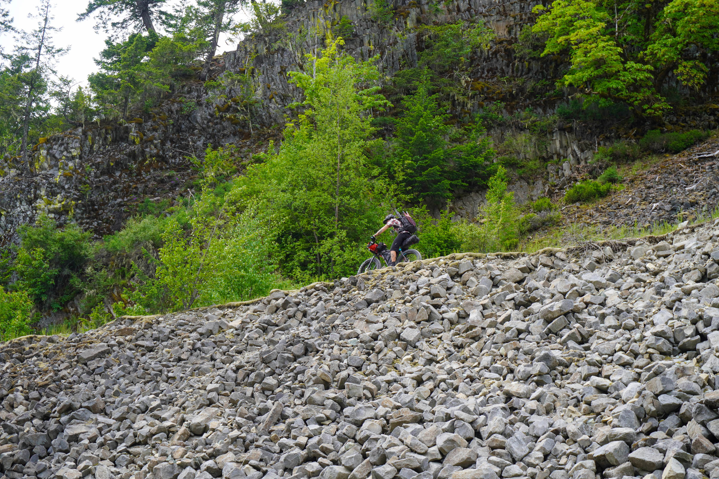
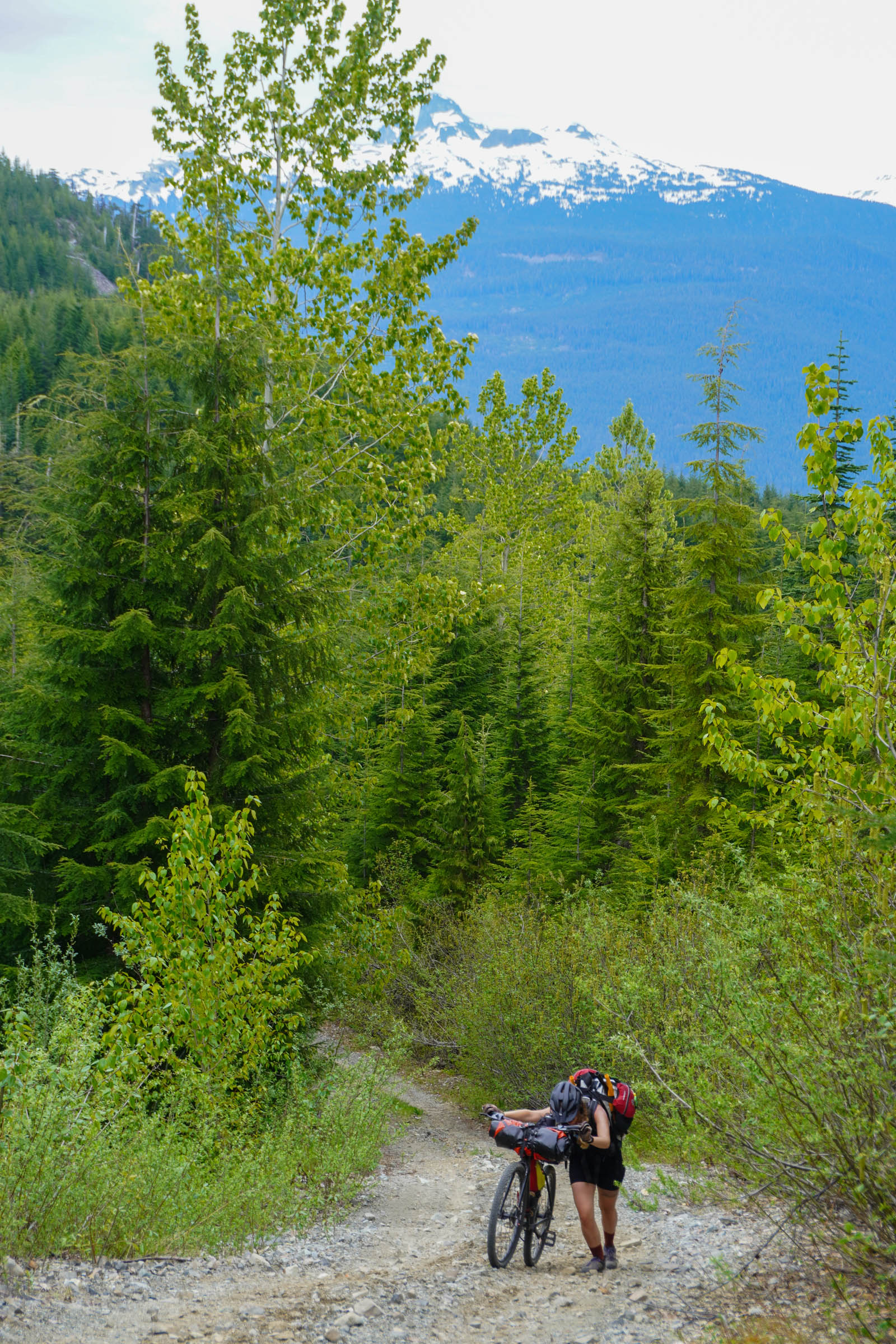
- The connection between Chance Creek and Branch 200 is in rough condition and will require some hike-a-bike. Be prepared to walk.
Travel basics
- Squamish is 45-60 minutes north of Vancouver on the Sea to Sky Highway.
- The Squamish Connector is a bus link with Vancouver. It runs a few times every day in either direction and will accept bikes.
- There are a number of camping options along the route, from official BC recreation sites to islands in the middle of the Squamish River. The best for solitude and scenery will be reached shortly after putting in on islands of the far bank of the Squamish River.
- Groceries are available in Squamish and there are no services once you leave Fergie’s Cafe, so stock up before you start riding.
- There is plenty of water along the route, although some small streams may be dry by mid-to-late summer.
- Most of the route is rideable, there is a short, well marked walk-around on the Sea to Sky trail where the trail has washed out and a couple steep climbs up Chance Creek FSR that some might need to walk. The pass between the two valleys can become a muddy but mercifully short hike-a-bike in really wet weather.
- If you don’t want to paddle the river section, this route can be looped back along the (mostly paved) Squamish Valley Road.


Terms of Use: As with each bikepacking route guide published on BIKEPACKING.com, should you choose to cycle this route, do so at your own risk. Prior to setting out check current local weather, conditions, and land/road closures. While riding, obey all public and private land use restrictions and rules, carry proper safety and navigational equipment, and of course, follow the #leavenotrace guidelines. The information found herein is simply a planning resource to be used as a point of inspiration in conjunction with your own due-diligence. In spite of the fact that this route, associated GPS track (GPX and maps), and all route guidelines were prepared under diligent research by the specified contributor and/or contributors, the accuracy of such and judgement of the author is not guaranteed. BIKEPACKING.com LLC, its partners, associates, and contributors are in no way liable for personal injury, damage to personal property, or any other such situation that might happen to individual riders cycling or following this route.
Please keep the conversation civil, constructive, and inclusive, or your comment will be removed.