Cormac Berry’s Tasty Lolli
Distance
96 Mi.
(154 KM)Days
2
% Unpaved
55%
% Singletrack
0%
% Rideable (time)
100%
Total Ascent
4,310'
(1,314 M)High Point
1,350'
(411 M)Difficulty (1-10)
2?
- 3Climbing Scale Fair45 FT/MI (9 M/KM)
- -Technical Difficulty
- -Physical Demand
- -Resupply & Logistics
Contributed By

Brandon Cottey
Guest Contributor
Brandon Cottey is a husband and father of two. He hopes to leave a legacy for his children that will inspire them to be adventurous, take chances, and believe in the power of love. While home is in Springfield Missouri, he and his family call Japan their home away from home.
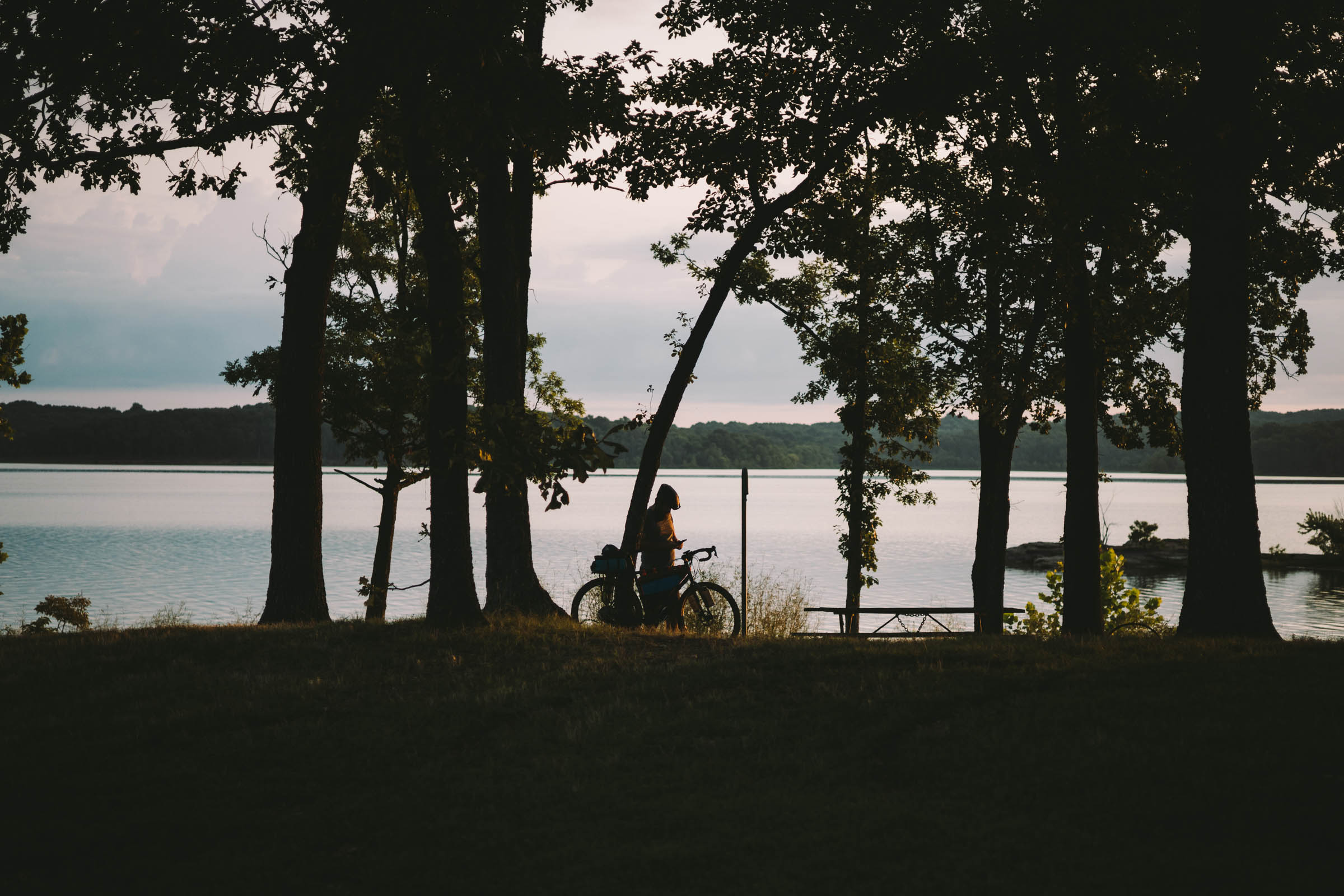
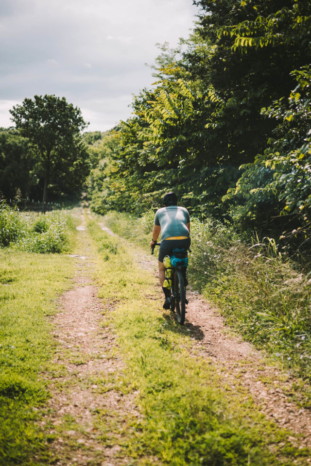
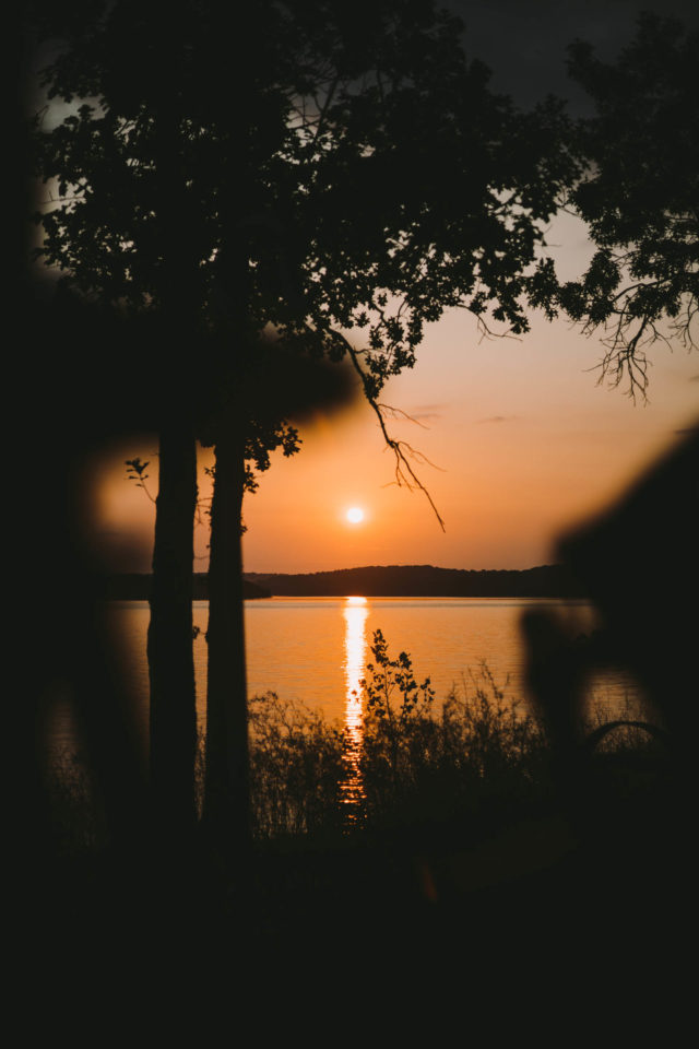
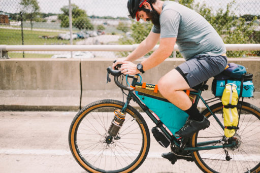
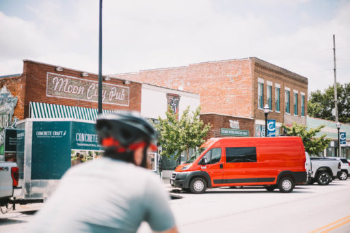
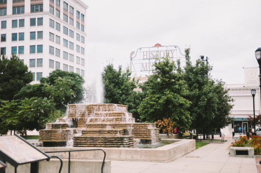
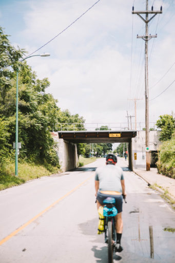
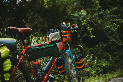
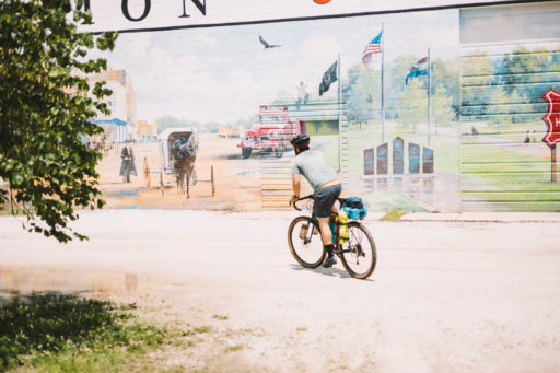
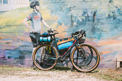
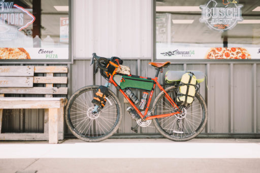
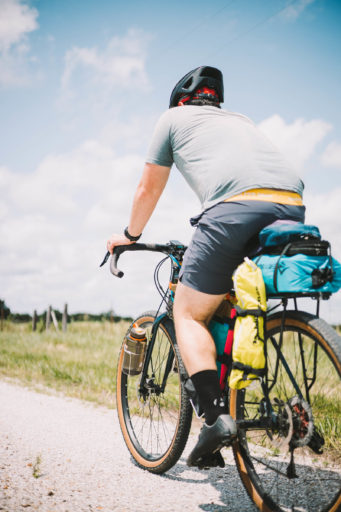
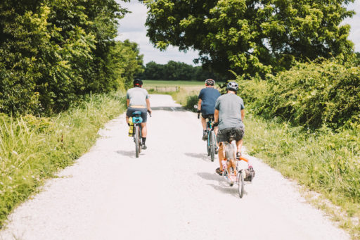
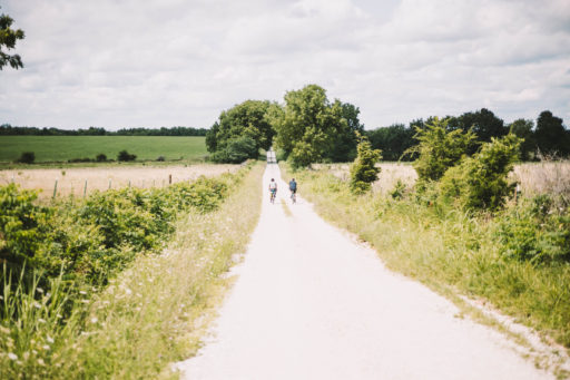
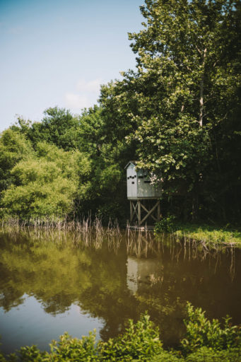
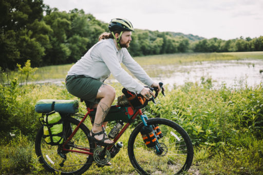
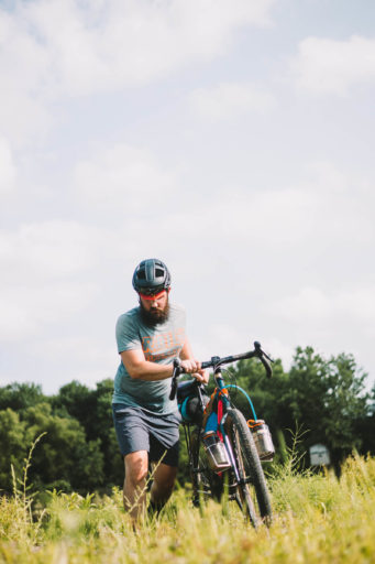
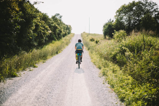
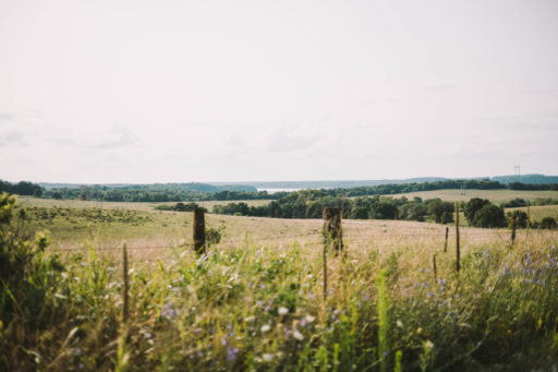
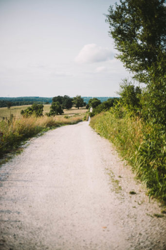
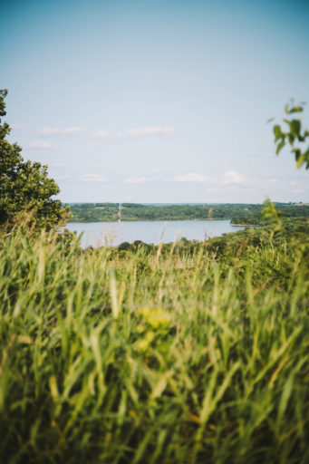
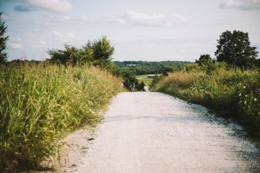
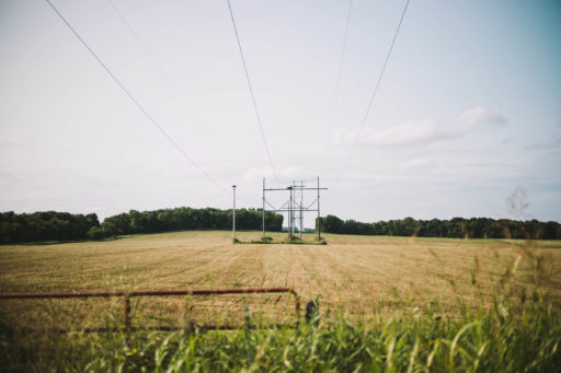
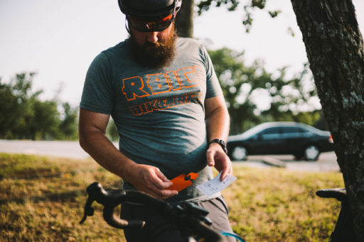
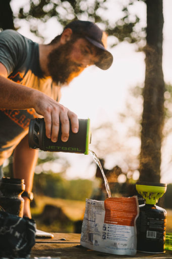
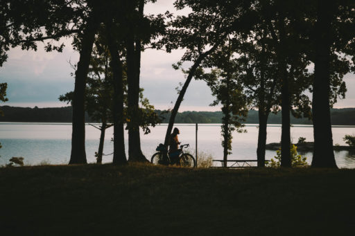
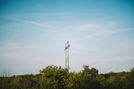
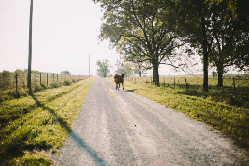
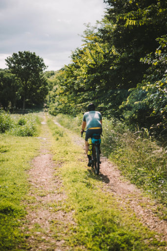
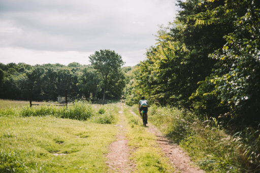
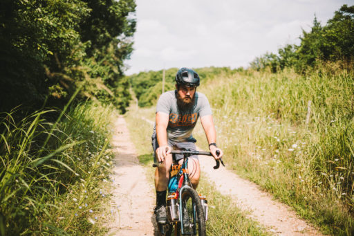
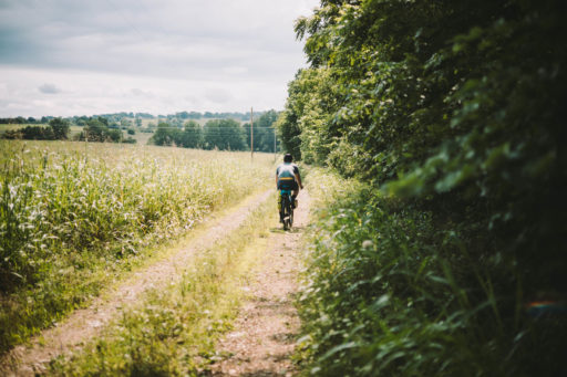
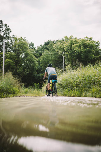
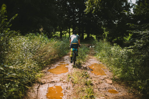
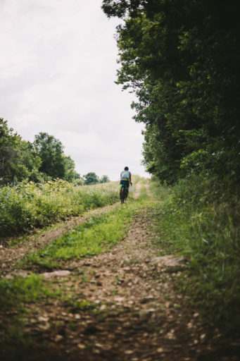
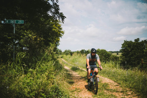
Cormac Berry’s Tasty Lolli is a lollipop-shaped route that begins and ends in downtown Springfield, Missouri, traveling North to Stockton Lake. The first 29 miles are nice and leisurely, leaving Springfield and heading north. Once off the Frisco Highline Trail, the old gravel roads with sharp, punchy climbs and doubletrack beaten down by tractors and cattle will eventually lead you to Stockton Lake. Around the lake, nature abounds thanks to its non-development policy. The lake vistas and tree-covered hills are always worth a few photos.
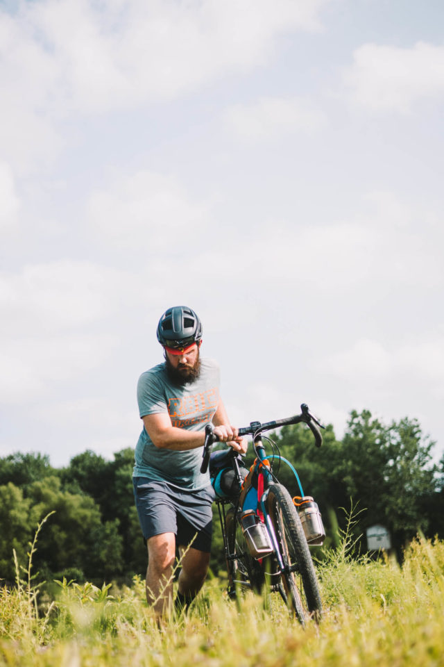
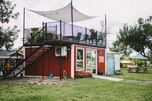
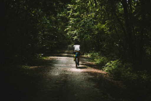
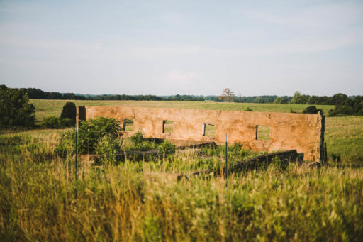
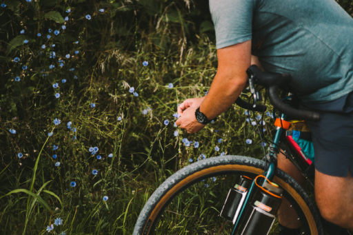
The Ozarks region, specifically Southwest Missouri, is a beautiful place. The route slices through thickly wooded groves that diminish the brutal midsummer sun, runs along vast crop fields and open land, and leads you into small and humble communities like Willard, Dadeville, and Walnut Grove where early 1900s farm homes still stand proudly amongst their humble backdropped communities. This is a great first-time bikepacking route as well as a chill weekend getaway. When returning to Springfield, make sure you swing into one of the many local breweries and coffee shops as your reward.
Route Difficulty
This route scores a 2 out of 10. While the total mileage is close to 100 miles, there are plenty of resupply points along the route and the riding is not technical. However, the total elevation gain is 4,309 feet. If riding in the summer months, temperatures can be very hot with high humidity.
Route Development: The Cormac Berry Tasty Lolly Route was developed by Brandon Cottey and Isaac Neale.
 This route is part of the Local Overnighter Project, which was created to expand our growing list of worldwide bikepacking routes—the first and largest of its kind—and create an independent map and catalog of great bikepacking overnighters, curated by you, from your own backyard. Our goal is to have accessible routes from every town and city in the world. Learn More
Highlights
Must Know
Camping
Food/H2O
Resources
- A plethora of local coffee shops in Springfield.
- An assortment of local breweries. All offering a true taste of the Ozarks.
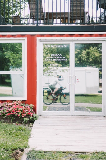
- A local bike shop snuggled right along the Frisco Highline Trail.
- Short, punchy climbs, indicative to the Ozarks terrain.
- Incredible views of Stockton Lake.
- Small, kind-hearted farming communities.
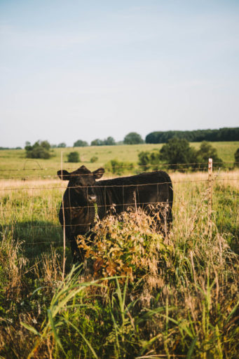
- Beat up old tractor roads. Only trotted by farmer, cow, and the occasional crazy bikepacker.
- The best time of the year to enjoy the Ozarks’ beauty is early October through early November.
- If riding in the Summer months, temperatures can easily get up to 100ºF with 90% humidity.
- Between April and June, there is potential for flooded roads near the lake.
- The Free Parking garage east of Kingdom Coffee is the best place to park if you are driving to the start of the route.
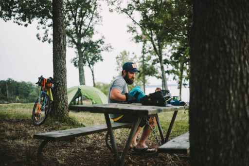
- Camping at Cedar Ridge Campground is $7.50 per person. Cash is king. They will take credit cards, but the internet at the lake can be very slow.
- Cedar Ridge Campground at Stockton Lake is the campground shown on the map here, but there are numerous camping sites available around the lake. This particular campground makes the most sense with this route as some can be another 15 or 20 miles around the lake.
- Kingdom Coffee (Mile 0)
- Frisco Bike Shop (Mile 11.6)
- Bullseye Gas Station (Mile 13)
- Bait Masters Gas Station (Mile 36)
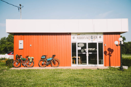
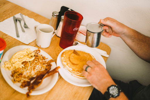
- Nard’s Kitchen (Mile 60)
- 7C’s Winery (Mile 70.6)
- Springfield Brewing Company (Mile 95.6)
Additional Resources
- Cedar Ridge Campground: recreation.gov
- Kingdom Coffee: kingdomsgf.com
- Frisco Bike Shop: friscobicyclerental.com
- 7C’s Winery: 7cswinery.com
- Springfield Brewing Company: springfieldbrewingco.com
Terms of Use: As with each bikepacking route guide published on BIKEPACKING.com, should you choose to cycle this route, do so at your own risk. Prior to setting out check current local weather, conditions, and land/road closures. While riding, obey all public and private land use restrictions and rules, carry proper safety and navigational equipment, and of course, follow the #leavenotrace guidelines. The information found herein is simply a planning resource to be used as a point of inspiration in conjunction with your own due-diligence. In spite of the fact that this route, associated GPS track (GPX and maps), and all route guidelines were prepared under diligent research by the specified contributor and/or contributors, the accuracy of such and judgement of the author is not guaranteed. BIKEPACKING.com LLC, its partners, associates, and contributors are in no way liable for personal injury, damage to personal property, or any other such situation that might happen to individual riders cycling or following this route.
Please keep the conversation civil, constructive, and inclusive, or your comment will be removed.


