


Crowsnest-Castle Cruise
Distance
66 Mi.
(106 KM)Days
2
% Unpaved
75%
% Singletrack
0%
% Rideable (time)
100%
Total Ascent
5,550'
(1,692 M)High Point
5,832'
(1,778 M)Difficulty (1-10)
3?
- 5Climbing Scale Moderate84 FT/MI (16 M/KM)
- -Technical Difficulty
- -Physical Demand
- -Resupply & Logistics
Contributed By

Aubrey Demchuk
Guest Contributor
Aubrey – who hails from southern Alberta but now resides in Nelson, British Columbia – is a science nerd with a passion for bikes. Although you will typically find her trail riding, she recently dove headfirst into bikepacking as a therapeutic escape from her daily life as a neuroscientist. You can follow her adventures on Instagram @spongebaubrey.
September 2022 Update: On both the Cruise and Crawl routes, there is currently a locked gate at approximately kilometre 72, requiring riders to return on the west side of the route/loop instead of heading north east towards Castle Falls. It’s still possible to ride north to the falls as and out and back, since the gate is after Castle Falls.
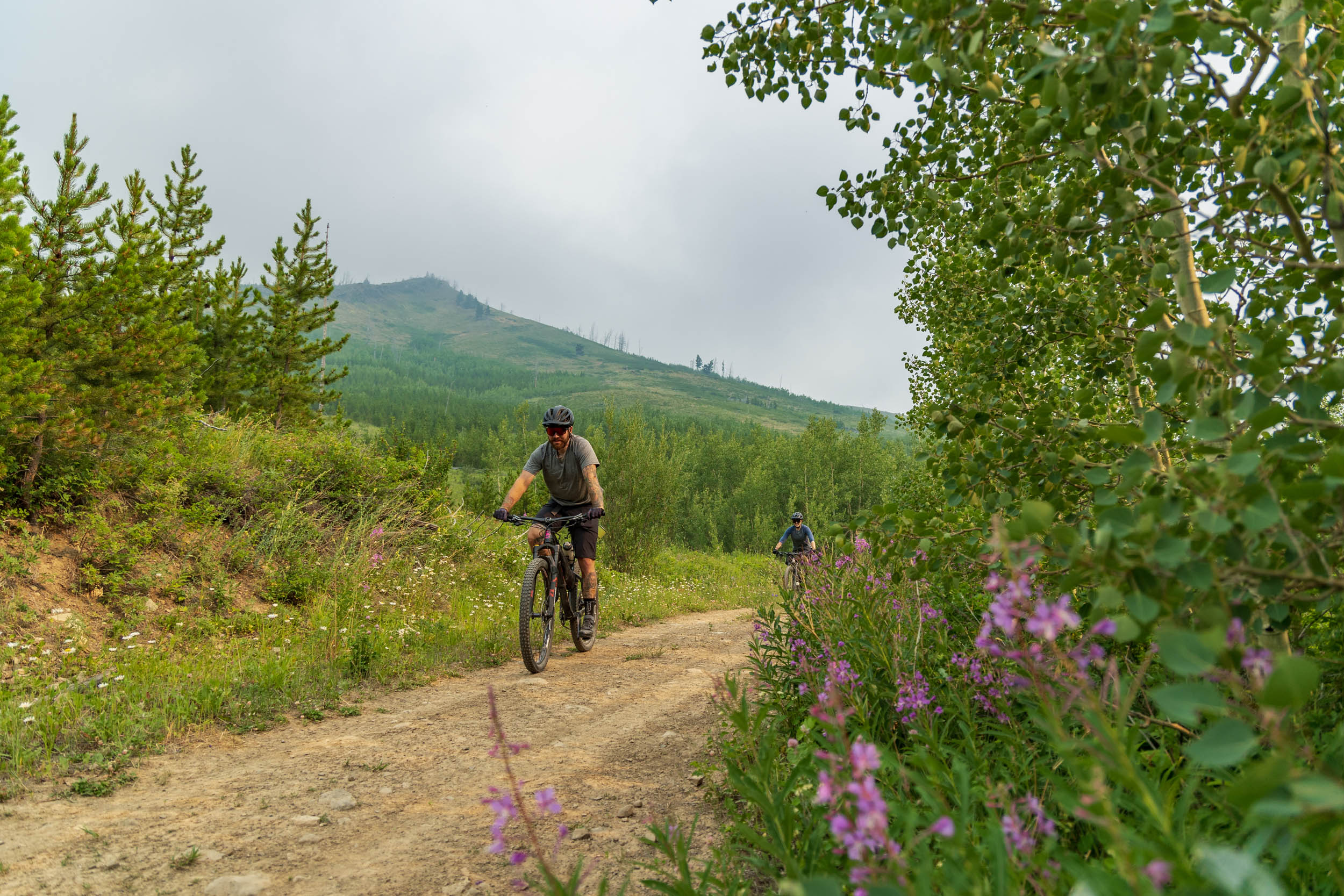
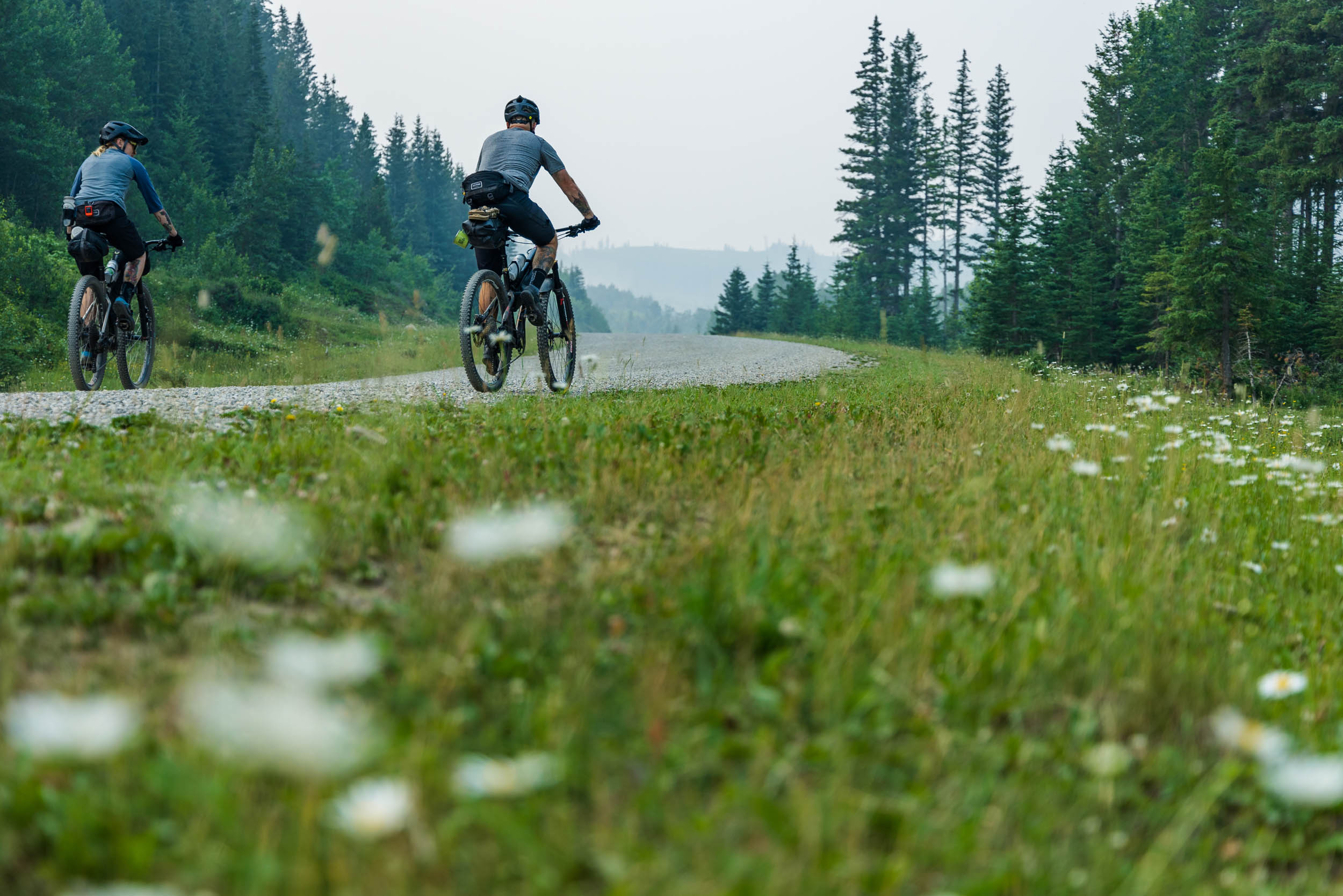
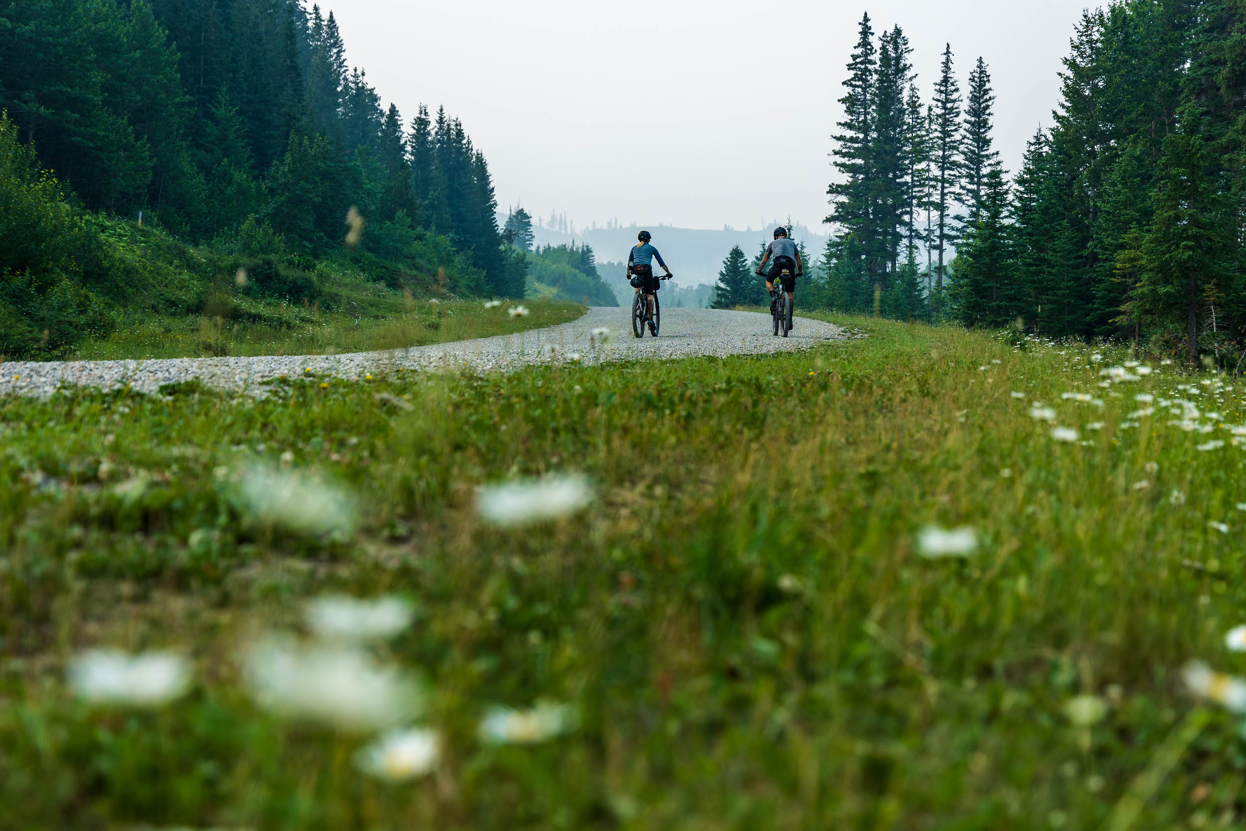
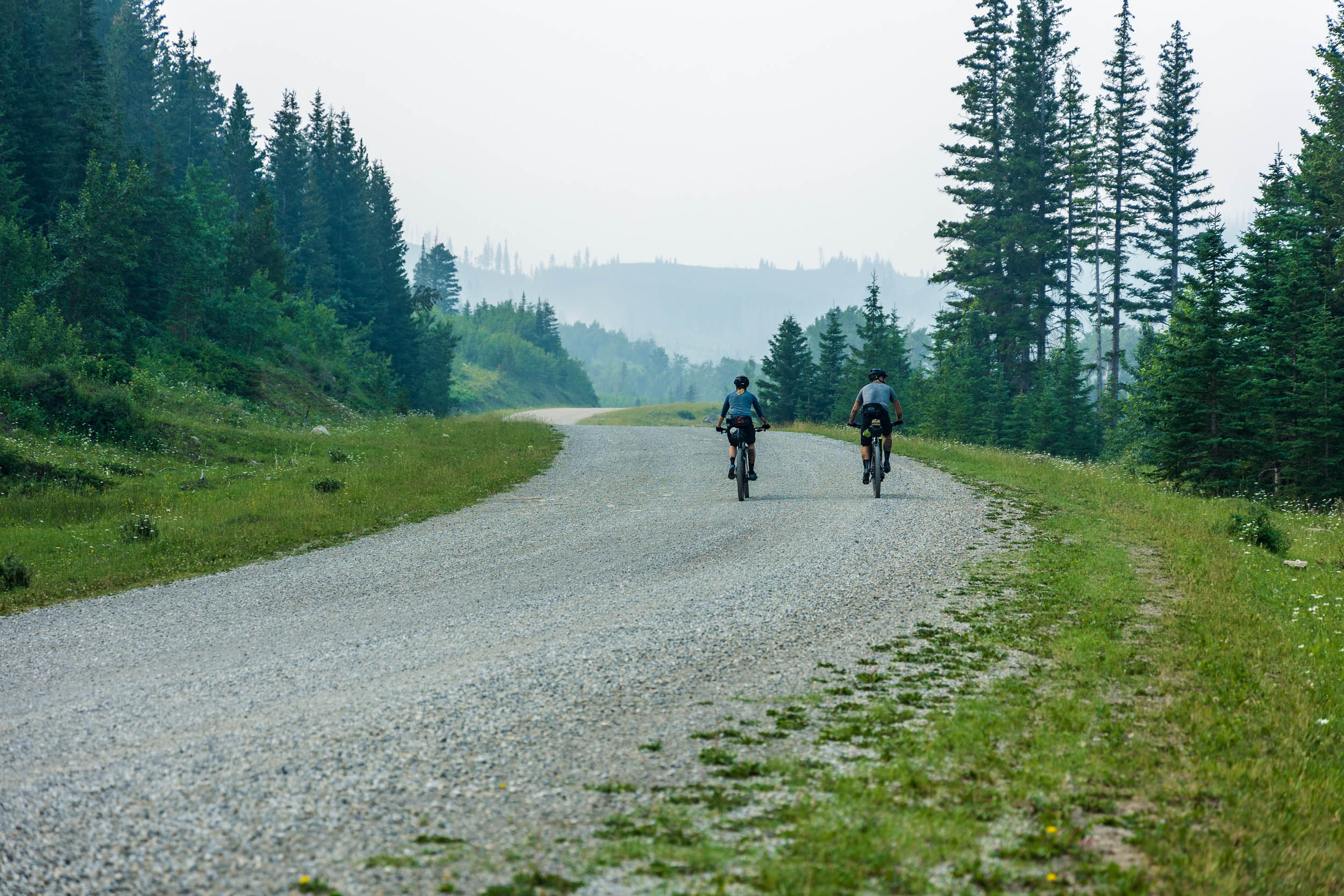
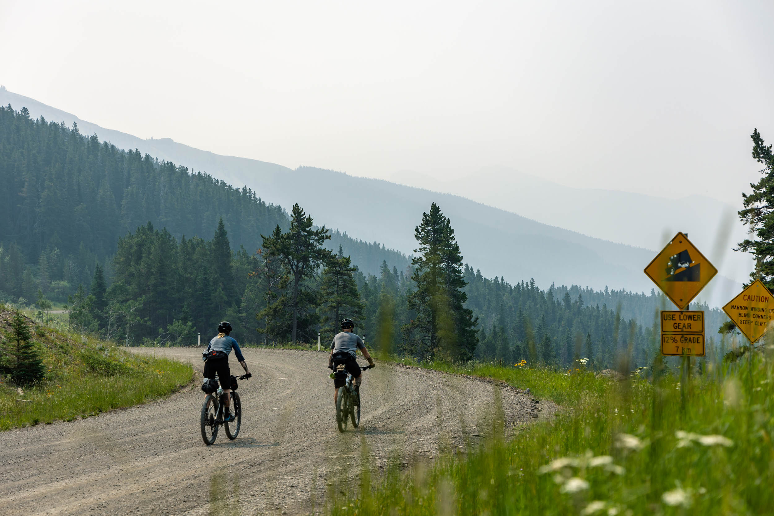
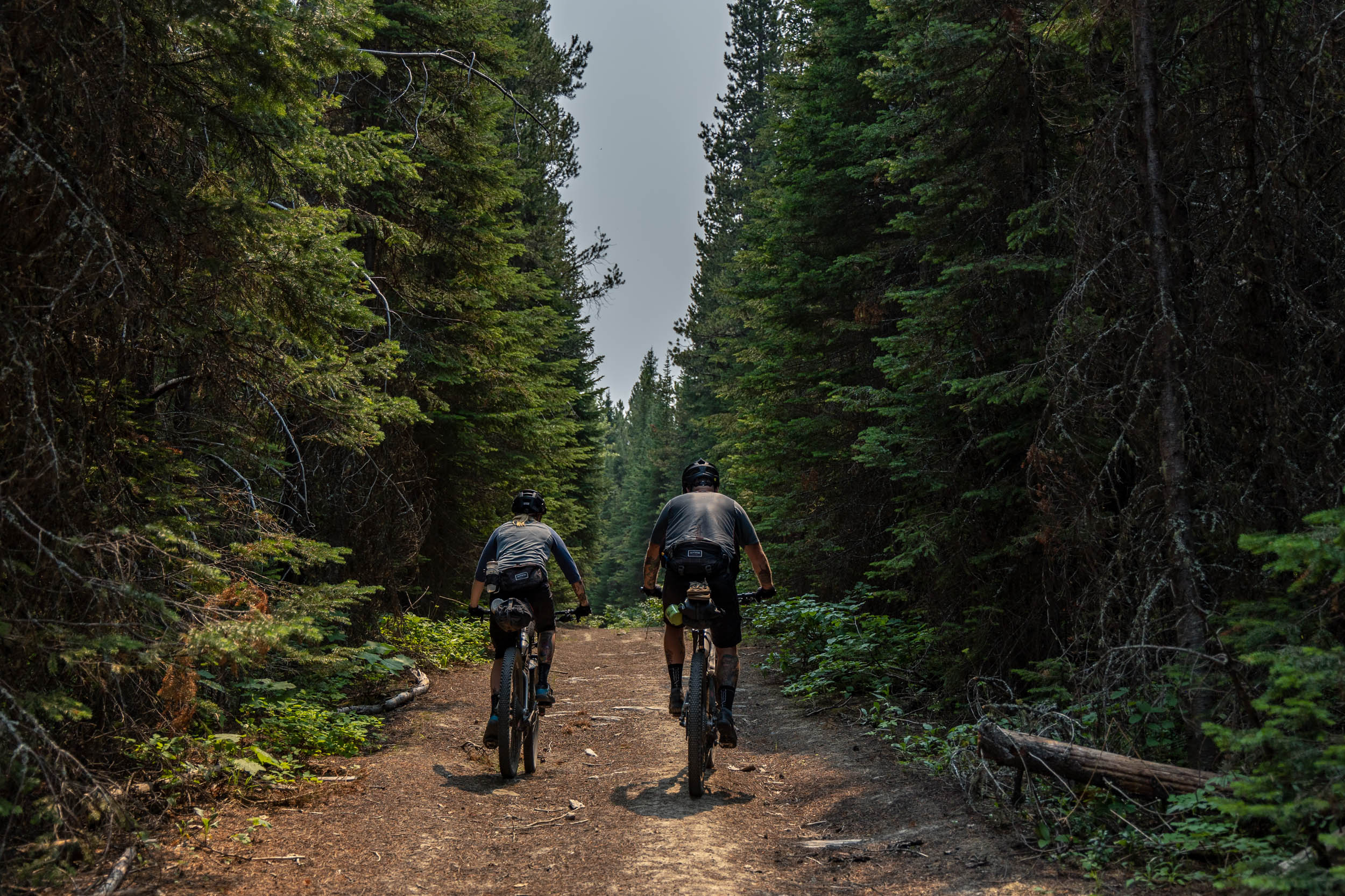
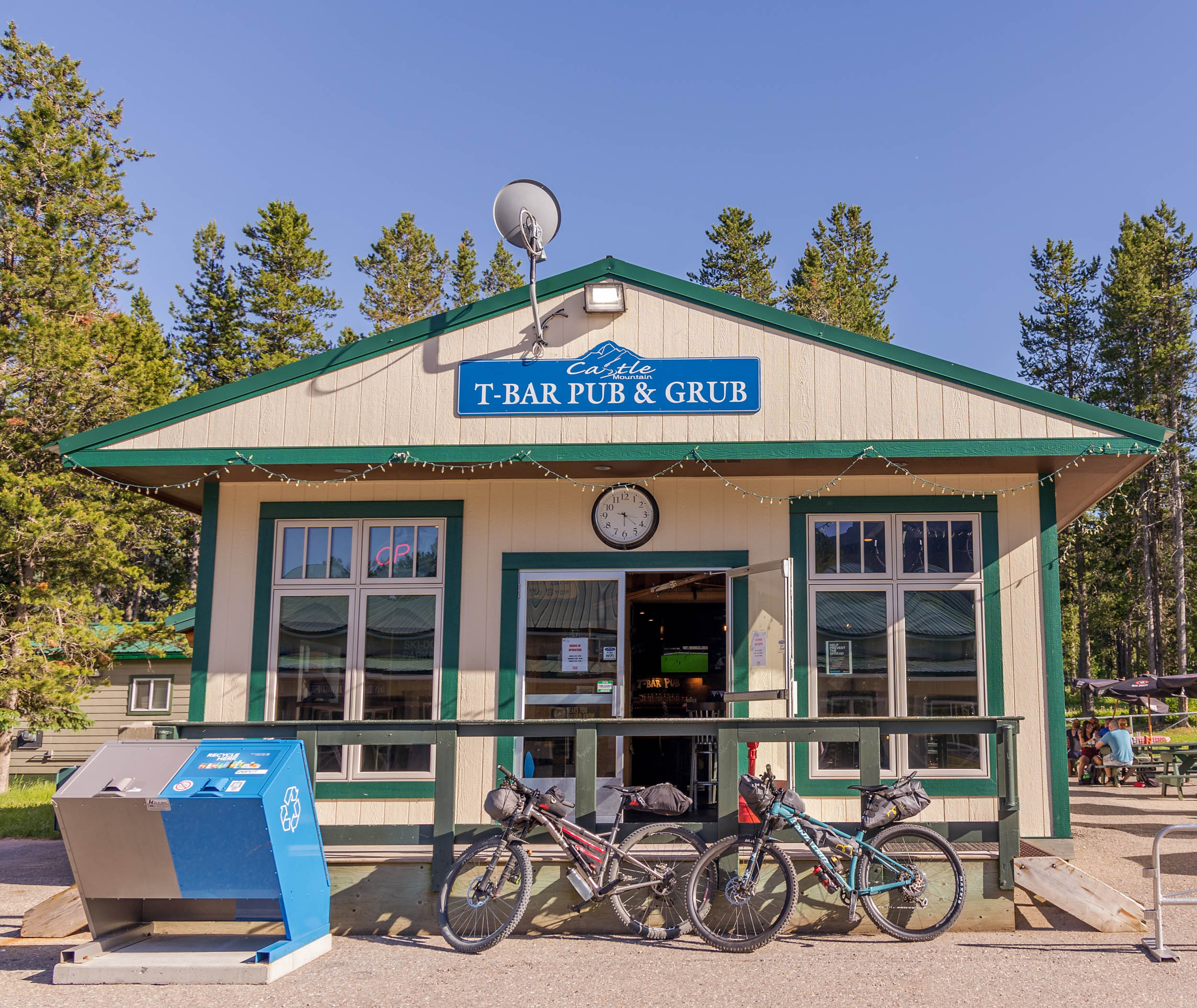
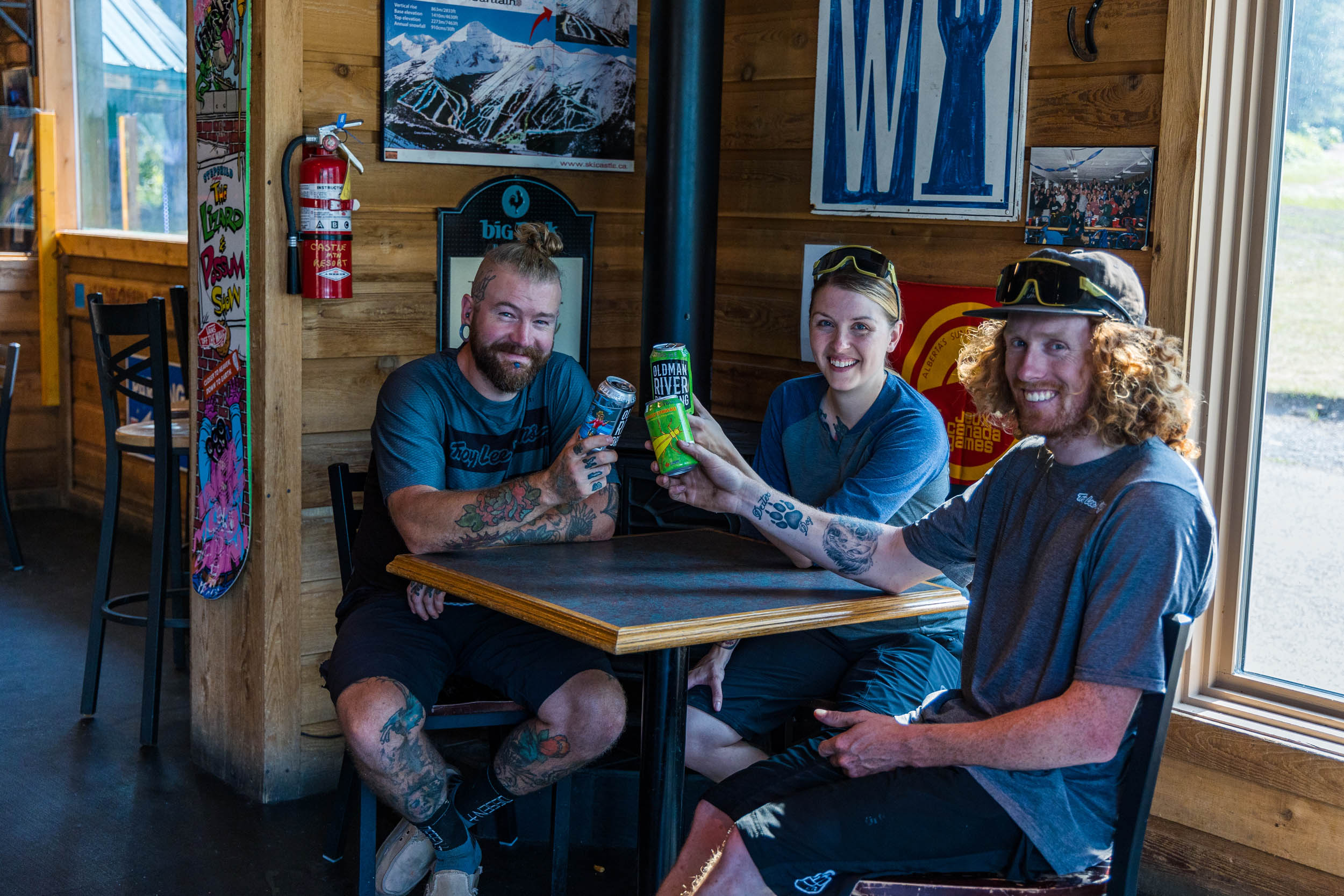
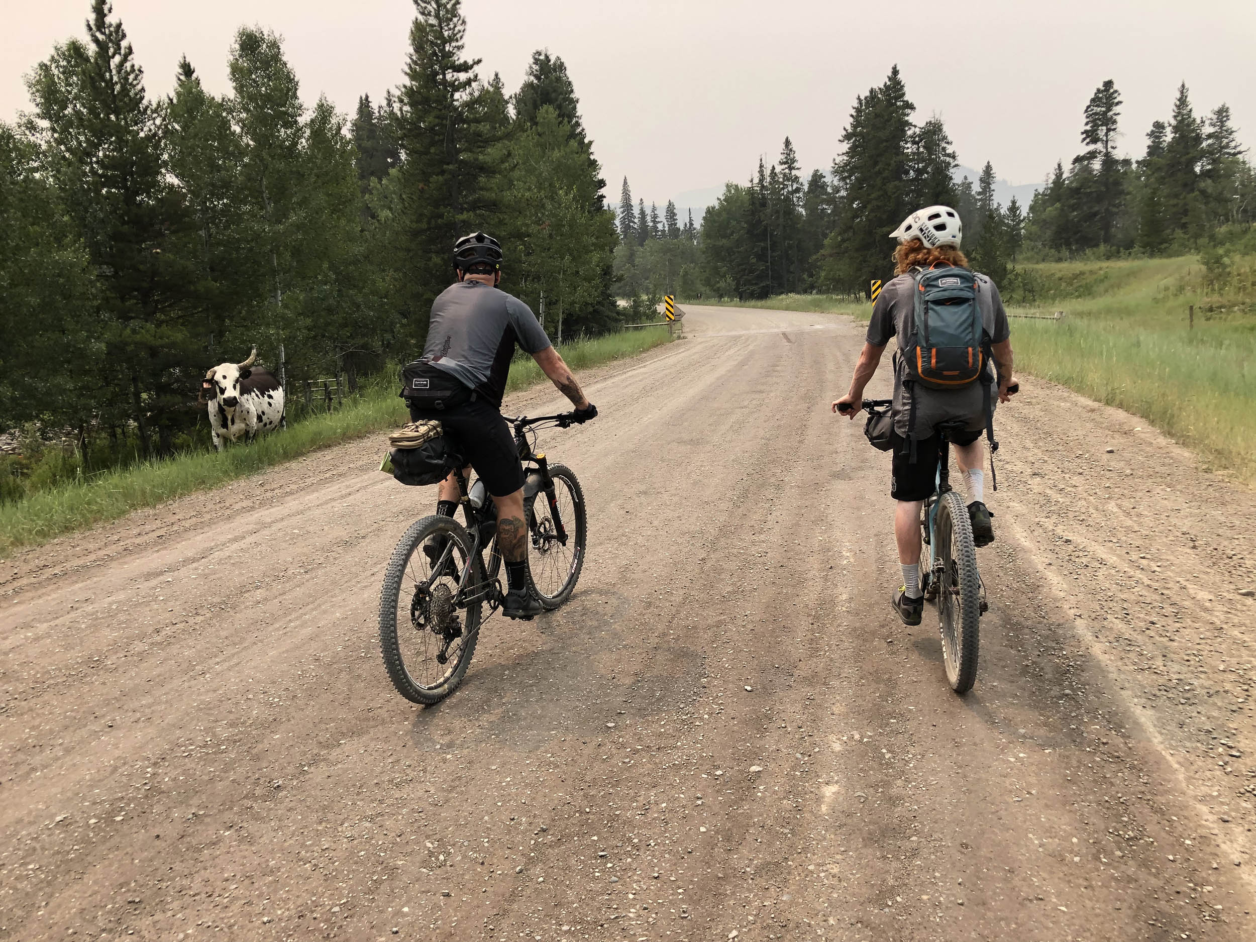
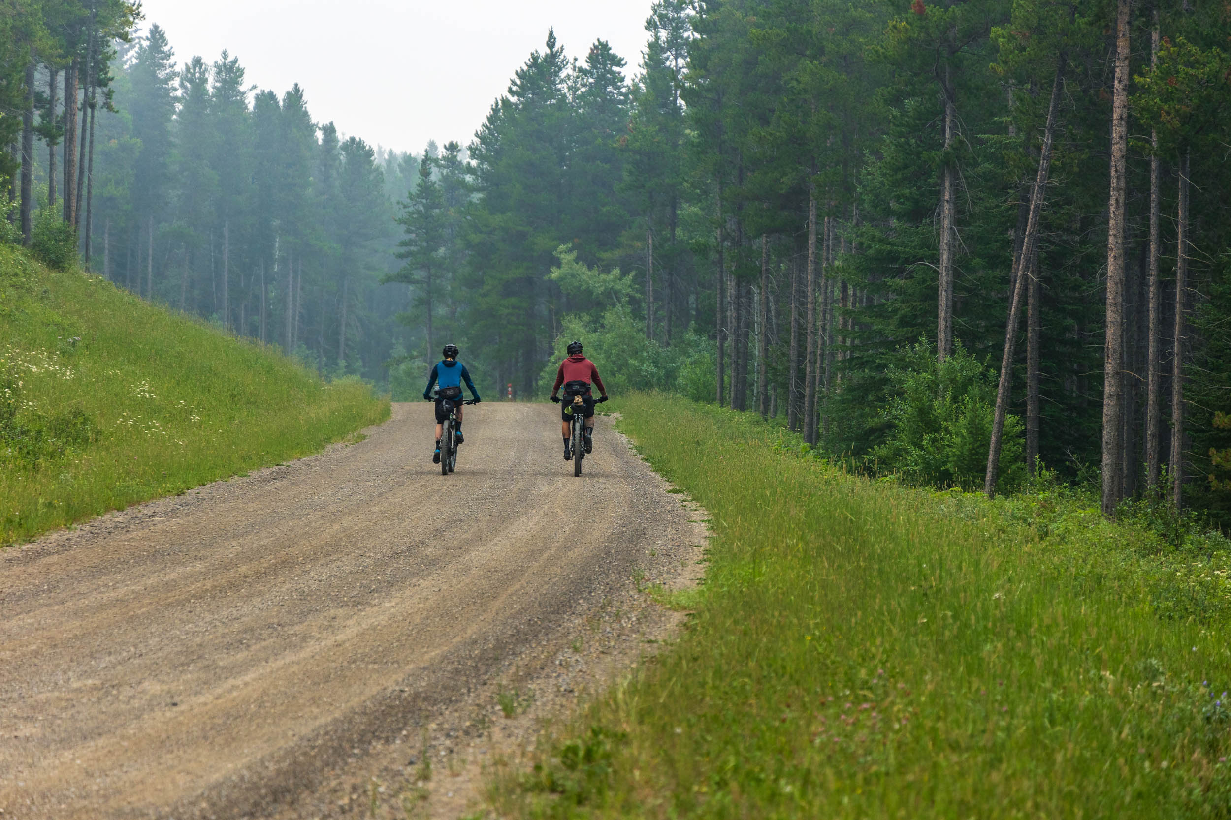
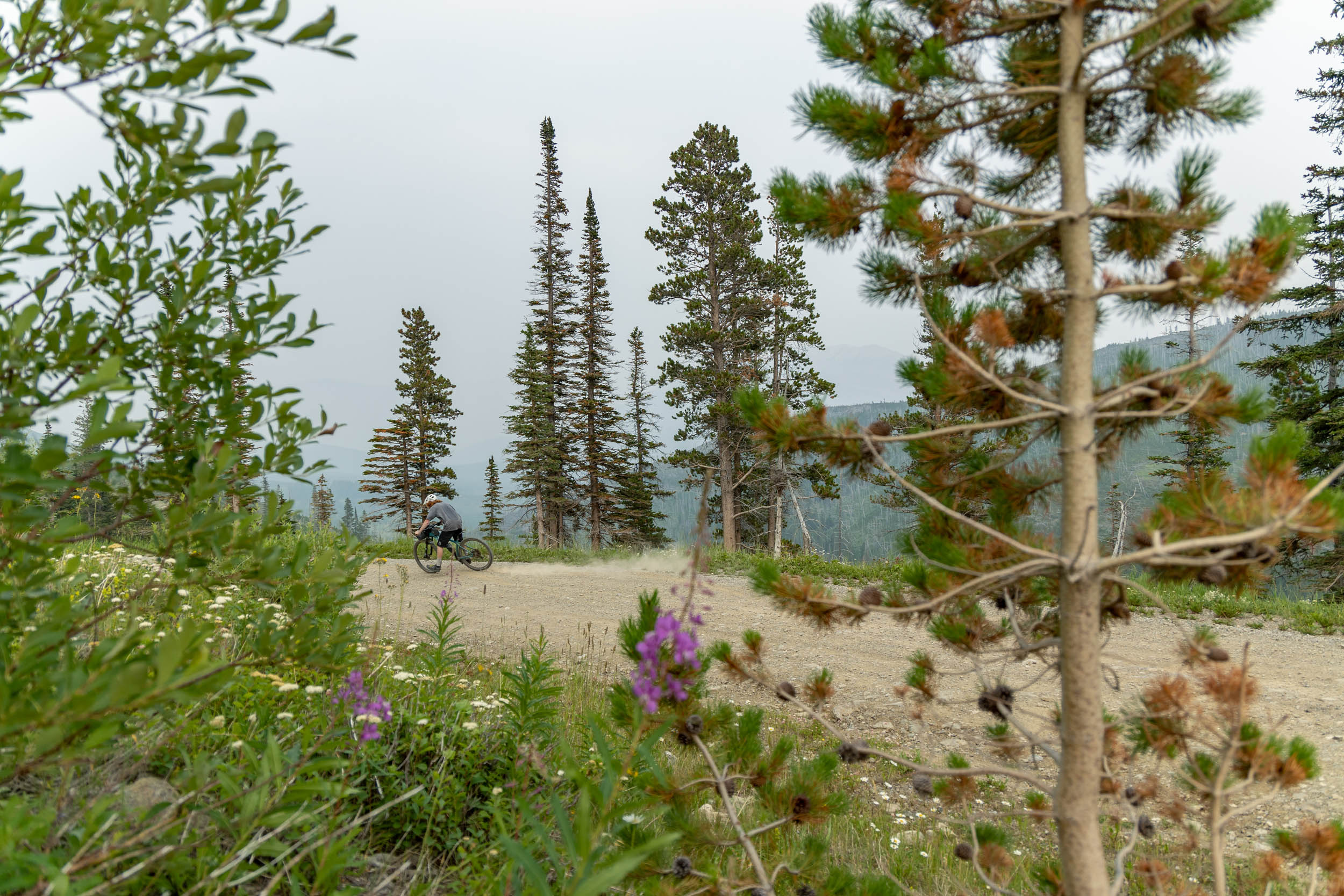
The main loop (“Cruise” shown in blue) predominantly follows well-maintained gravel roads but still inspires a feeling of remoteness. You’ll ride through the rocky ruin of Frank Slide, see historical remnants of the area’s mining history, explore recovering burns, and visit quaint waterfalls. This area boasts plenty of reservable campsites, but random backcountry camping is also permitted in both parks. And if you like to end your day with a cold beer or simply don’t feel like camping, you can opt to do the quick 10-kilometre ride along the paved road to Castle Mountain Resort at the end of the first day. There, you’ll find the Castle Mountain Ski Lodge & Hostel, a nice swimming hole, and the T-Bar: a fantastic pub that is a favourite among the local ski bums (but is only open Friday-Sunday during the summer, so plan accordingly).
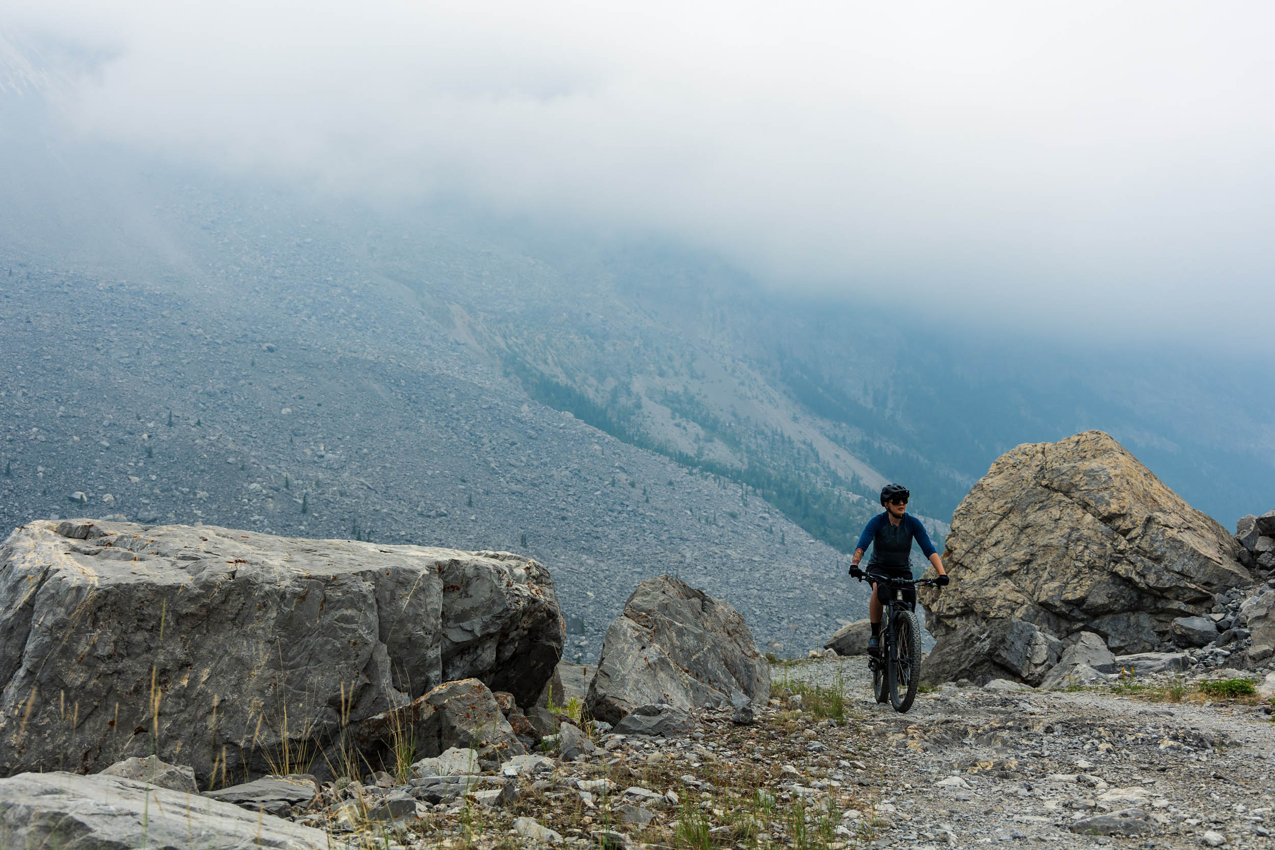
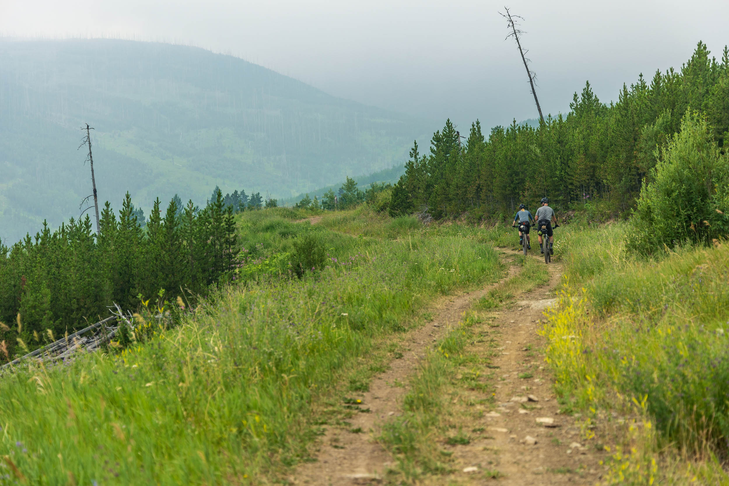
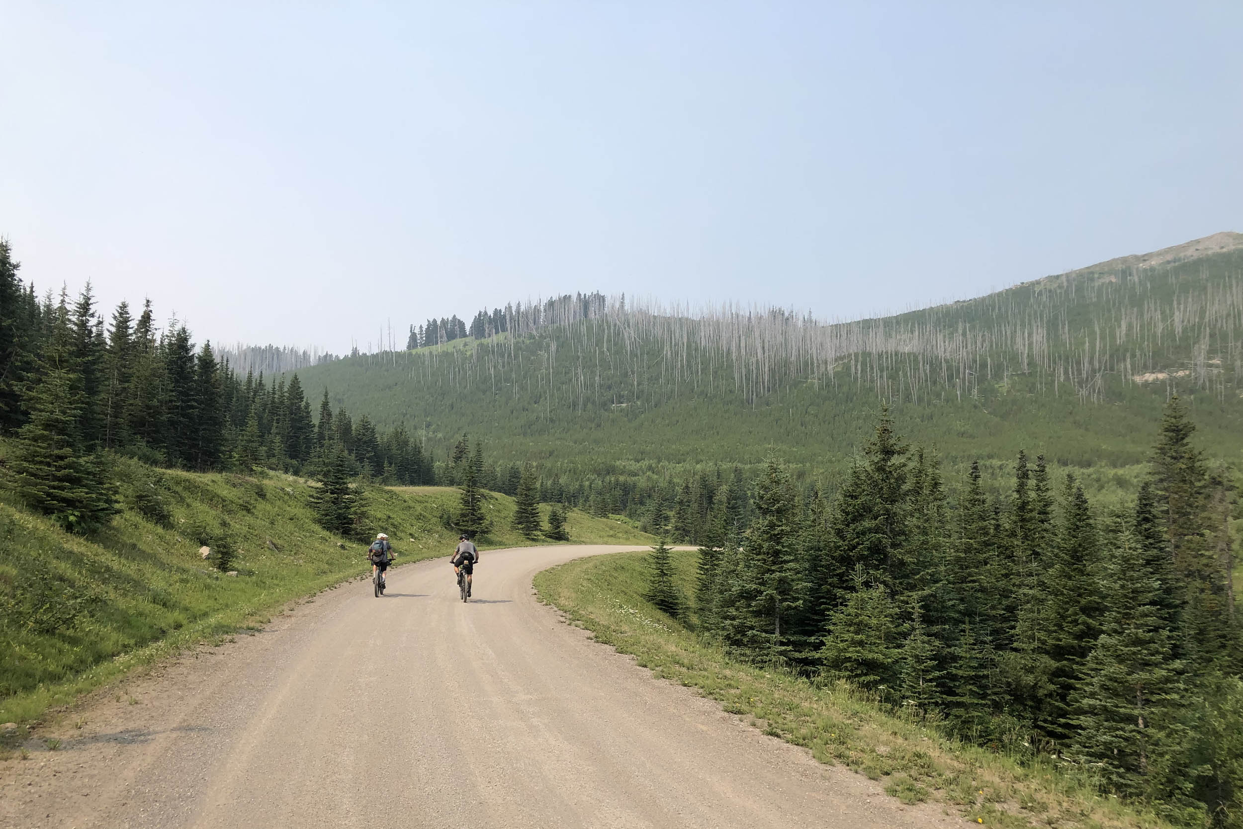
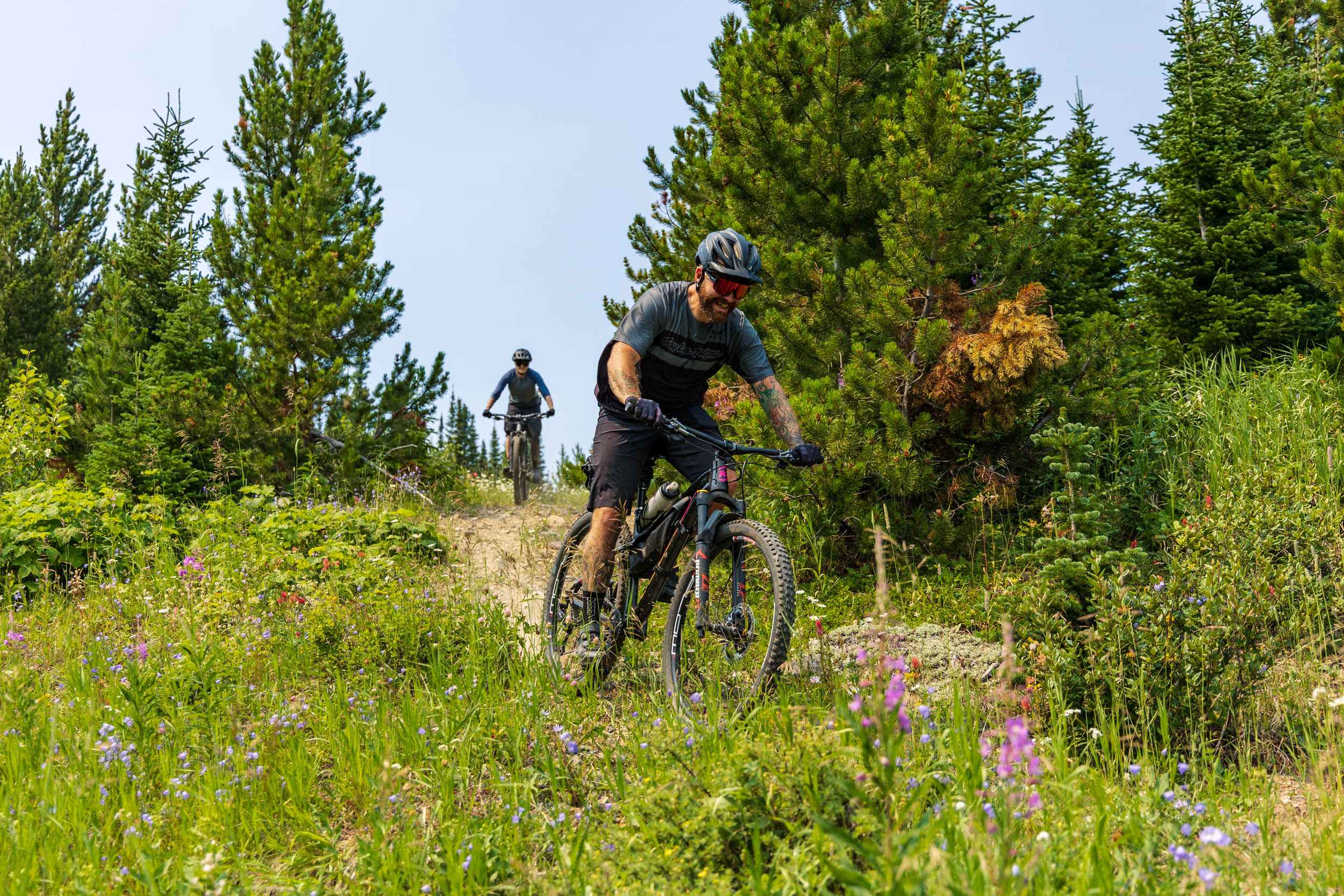
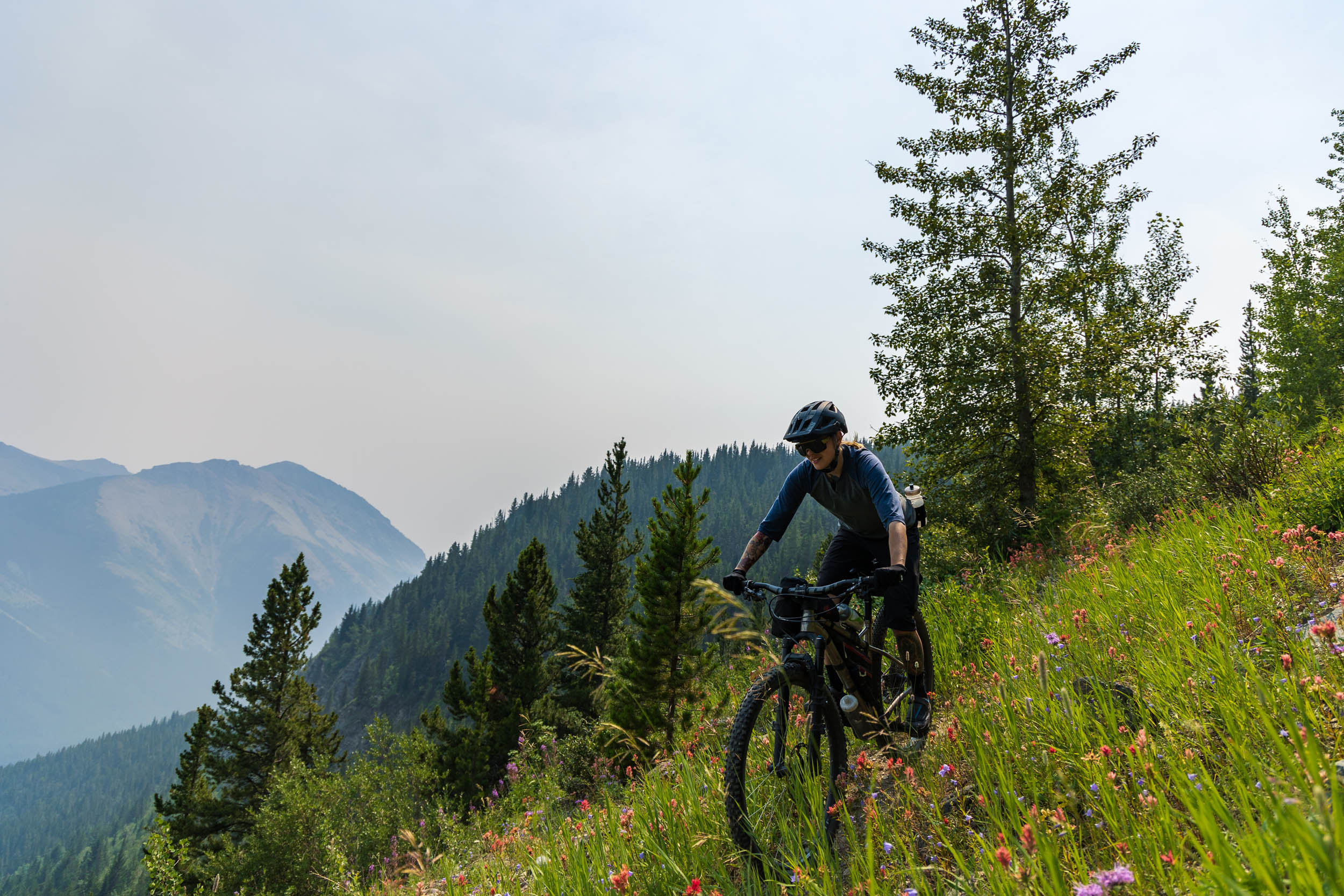
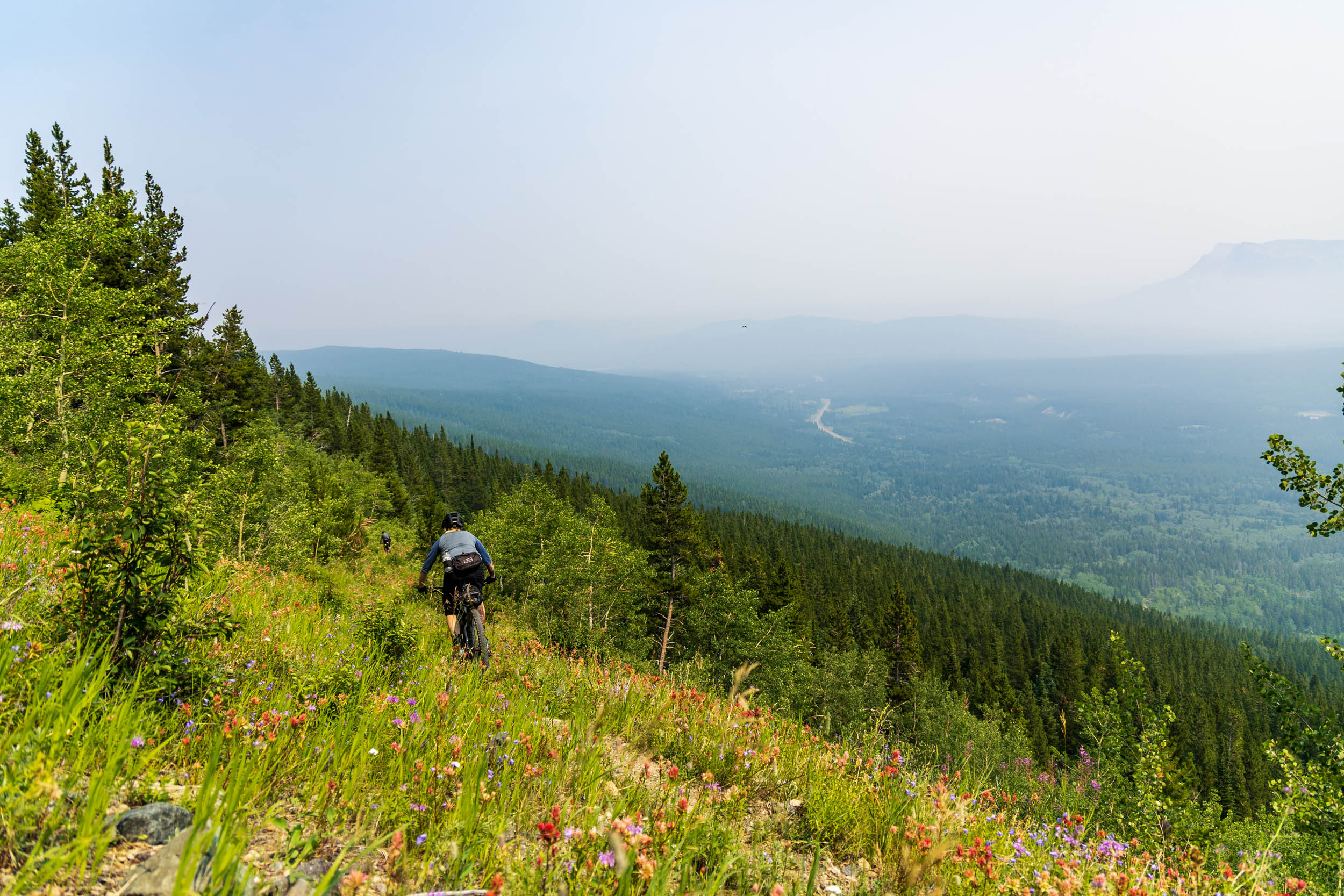
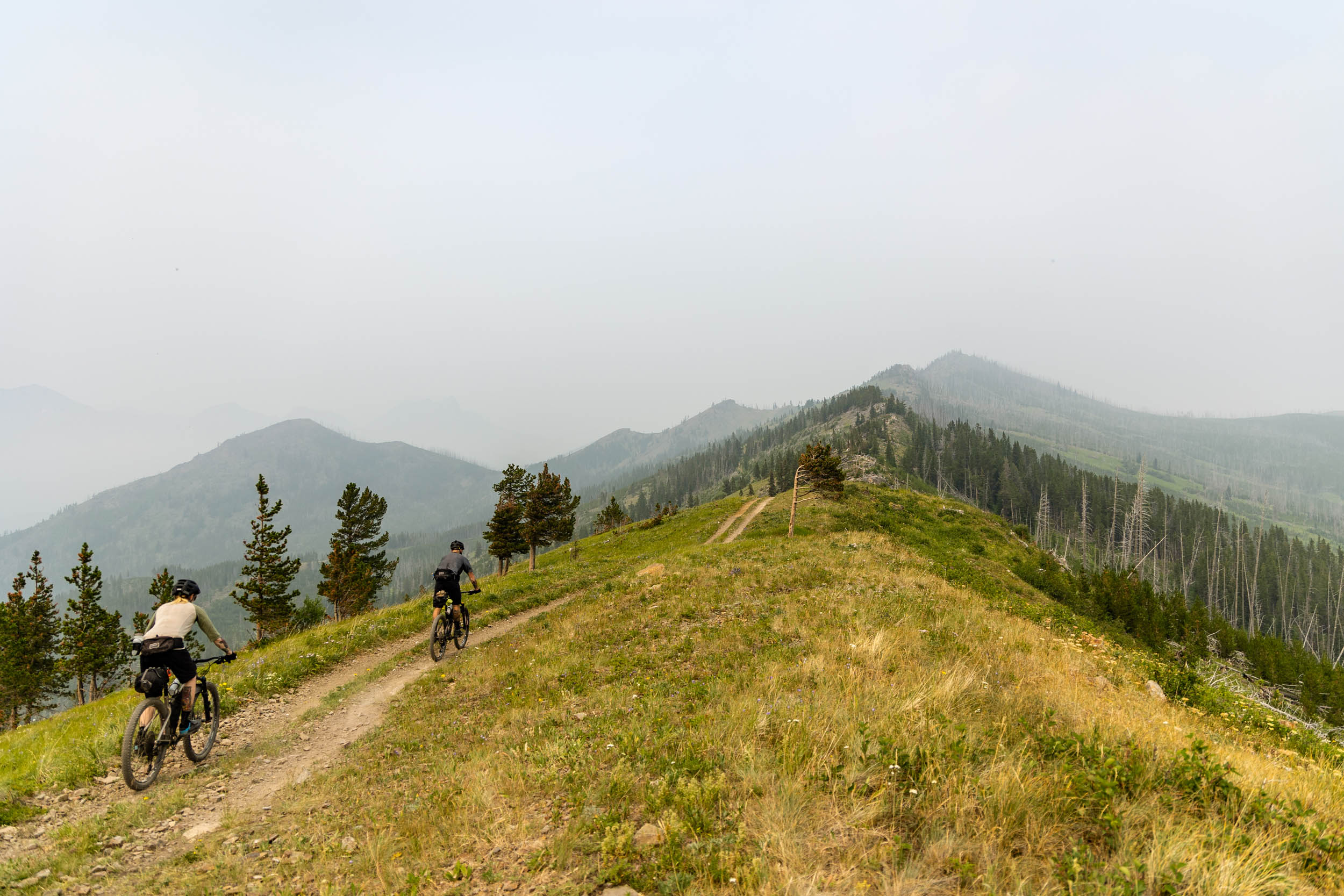
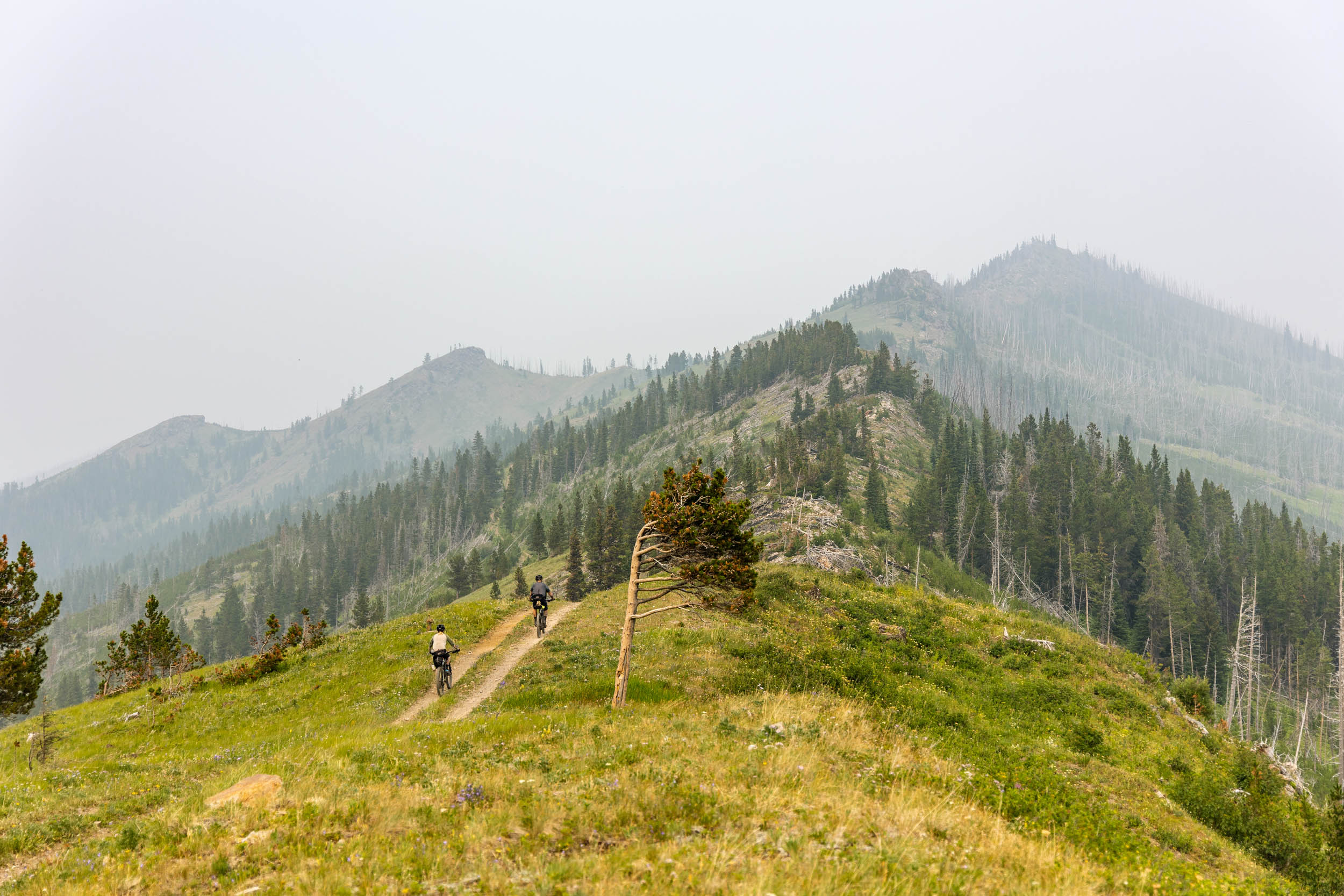
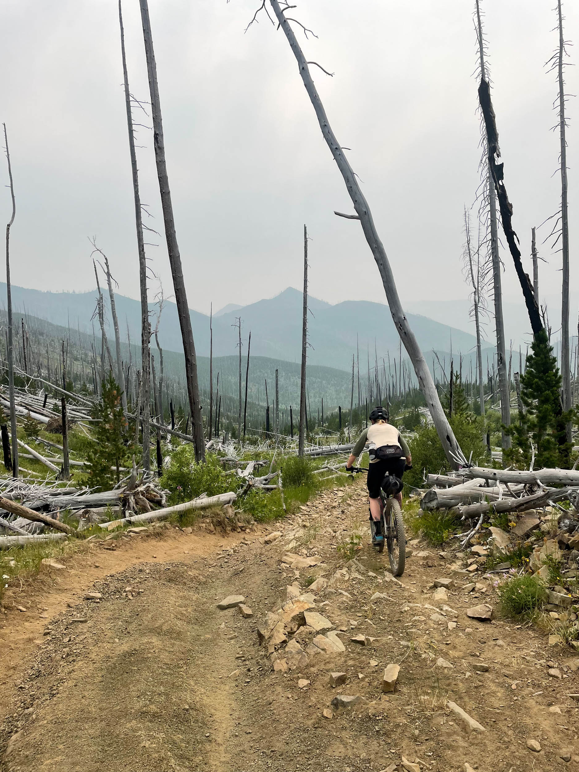
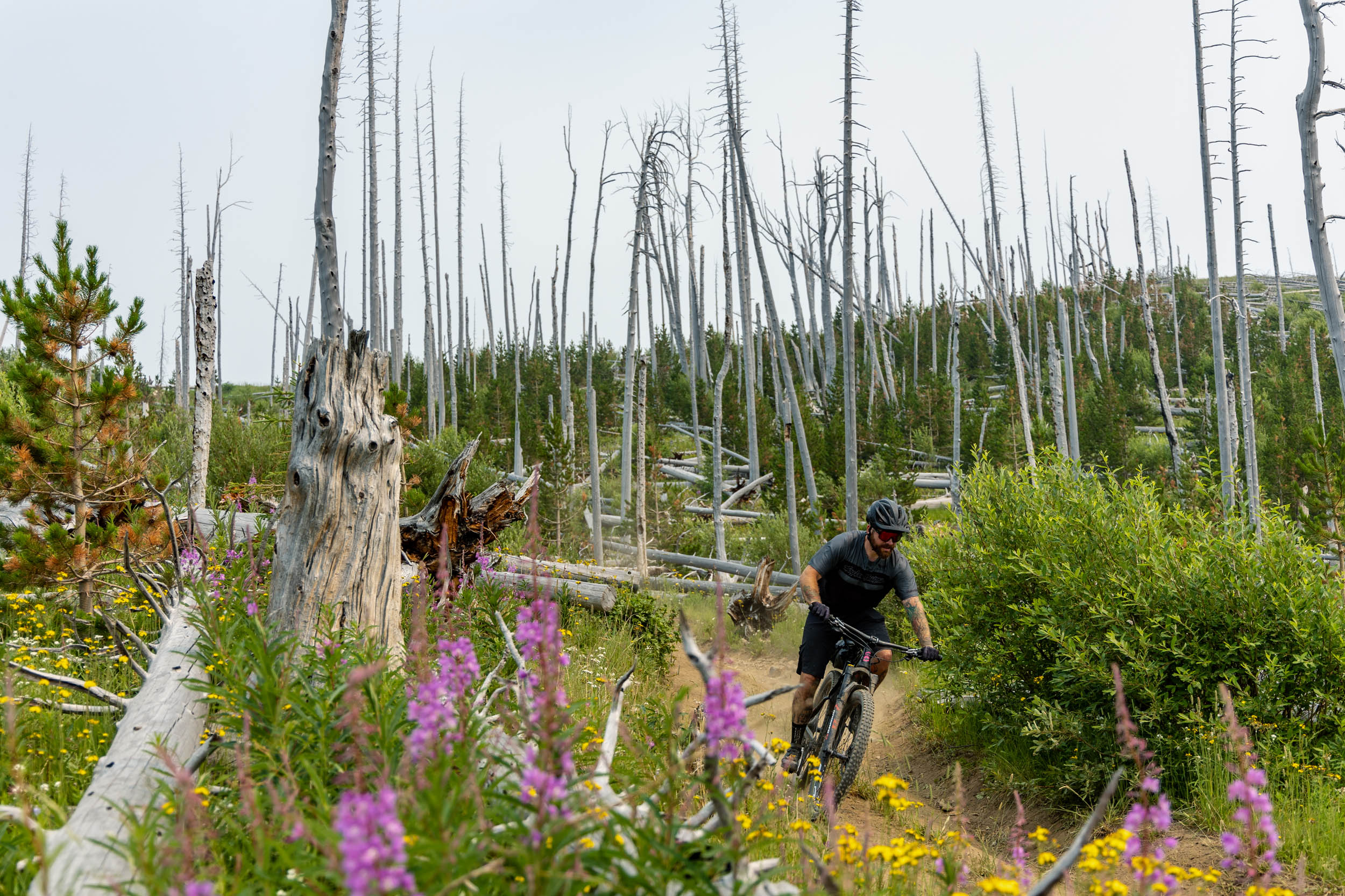
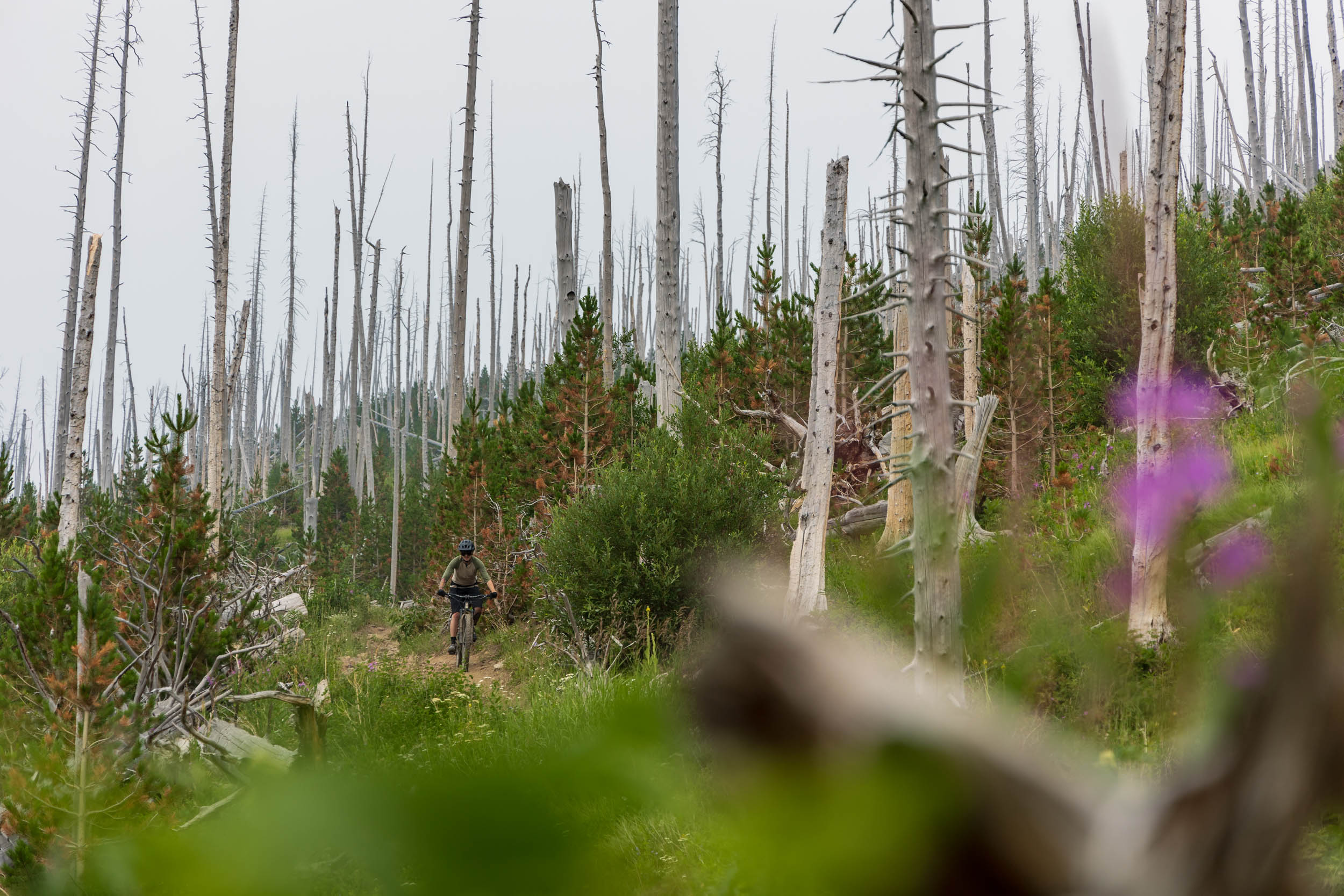
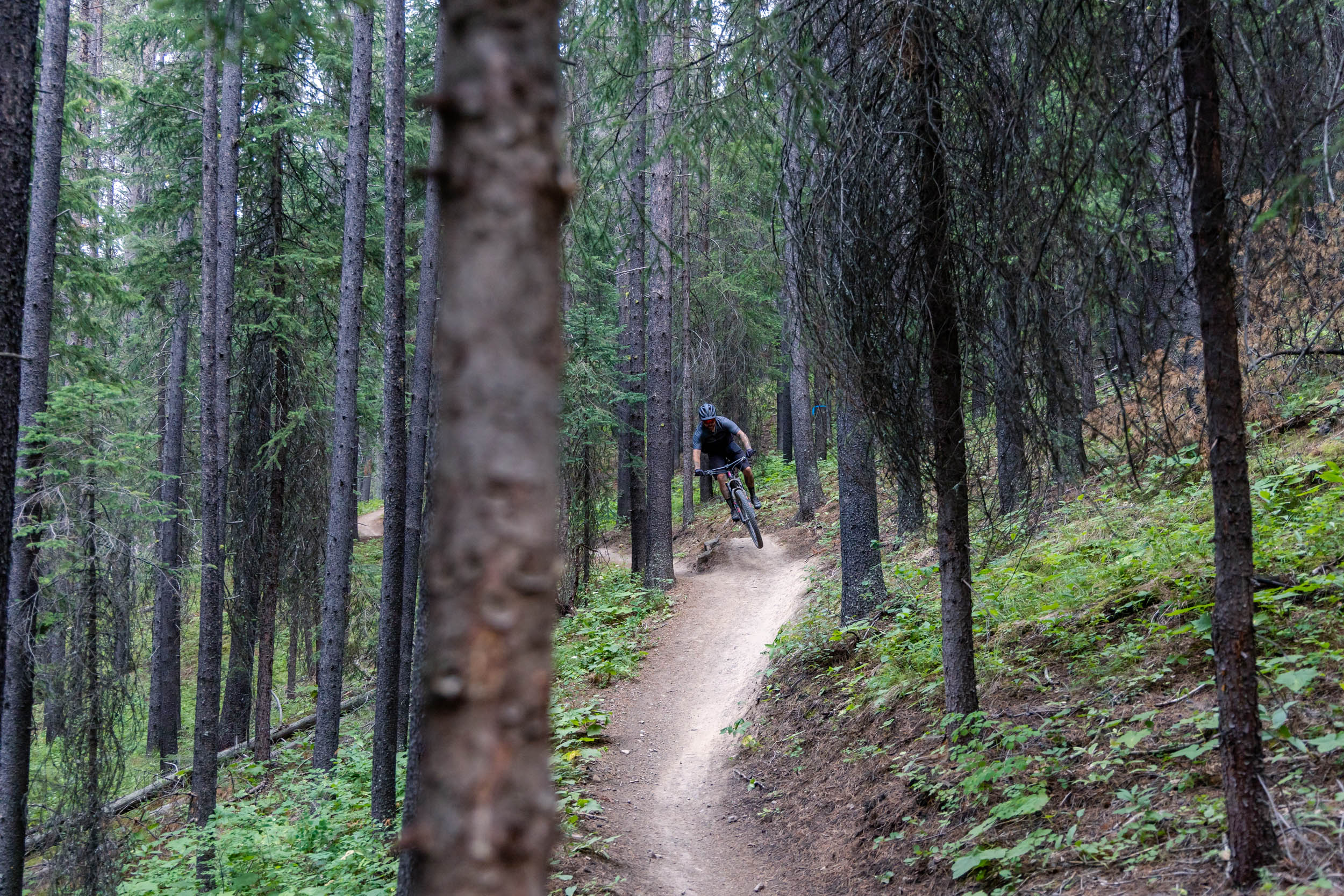
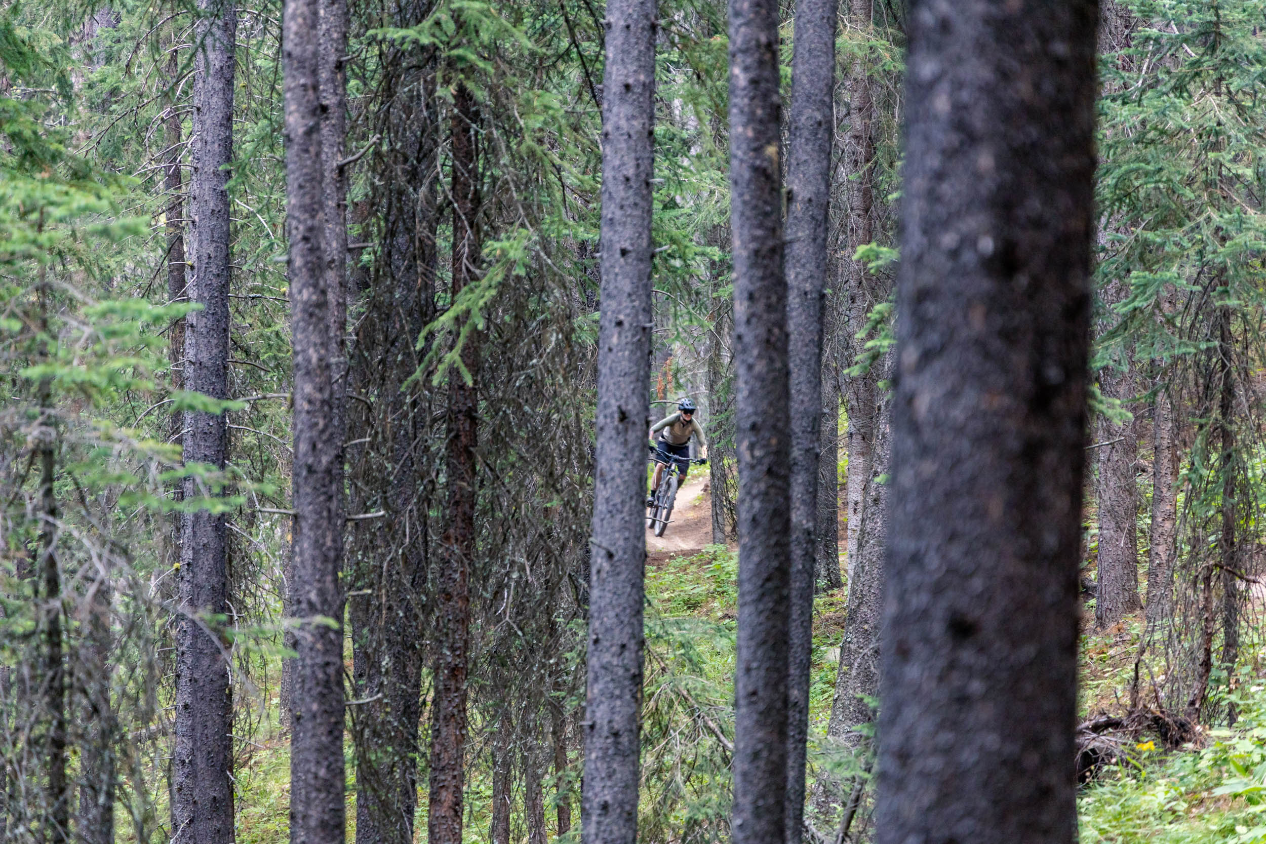
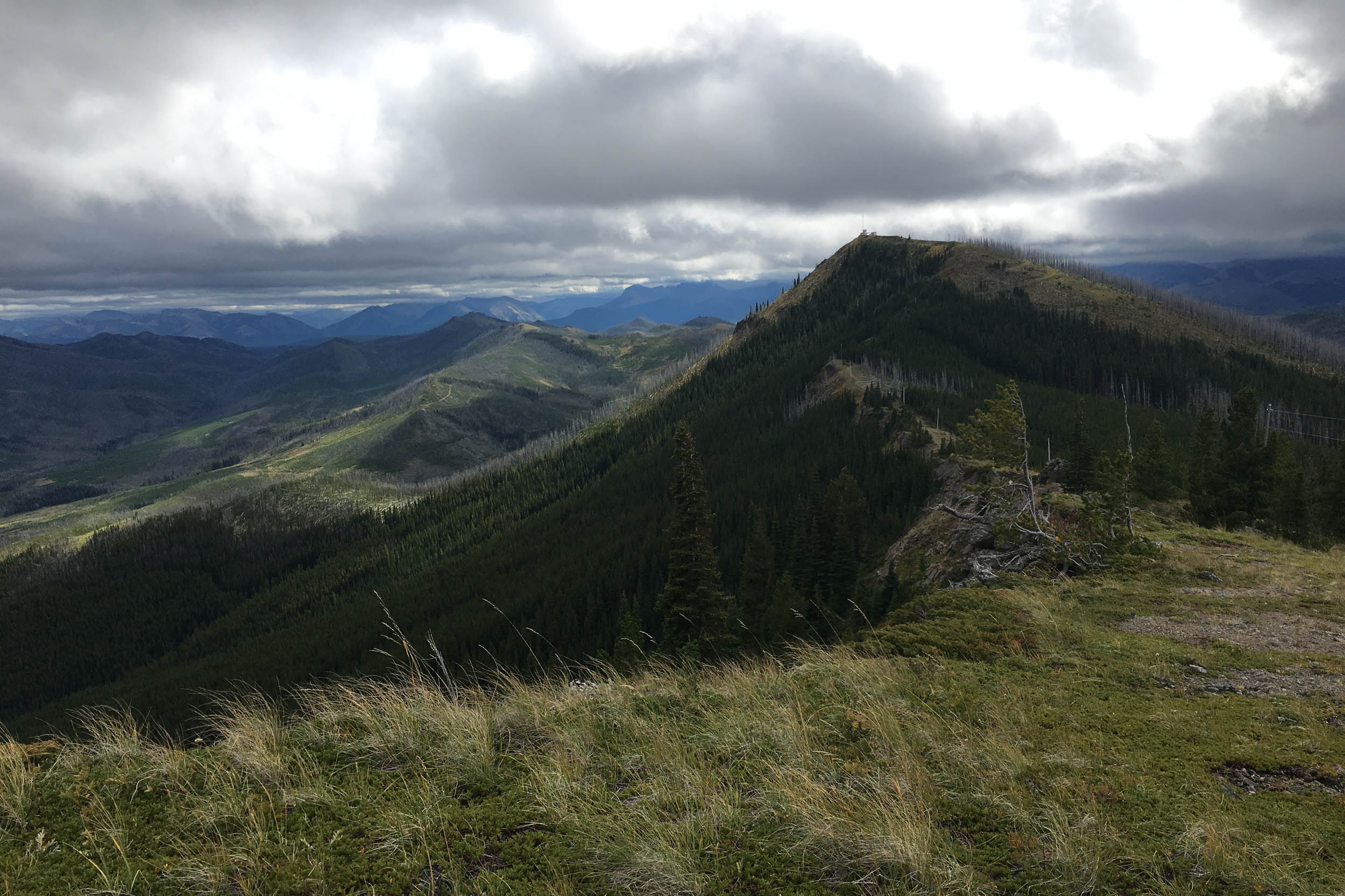
This route also boasts three challenging alternative segments (“Crawl” shown in red) that expand upon the main loop without sacrificing any of the unique waypoints or camping spots featured in the primary route. However, these additions are not suitable for fully rigid bikes, skinny tires, or drop bars unless you are partial to downhill hiking, flat tires, and prolonged misery. These sections include parts of the Great Divide Hiking Trail (which offer breathtaking mountain views when not obscured by the heavy wildfire smoke that lingers in our photos), as well as a taste of the dedicated mountain bike trails that descend back into the Crowsnest Pass. If you opt to do only one of these sections, we recommend the most northerly option that leads to the summit of Willoughby Peak. It offers unparalleled views of the surrounding ranges (including the magnificent Crowsnest mountain) and directs you into Rumhead, the first in a series of fun bike-specific descents.
Note: For all variations of this route, it is recommended to follow the direction indicated by the GPS track (with the northern part done in a clockwise direction and the southern part done in a counter-clockwise direction) to minimize the grade on the climbs, adhere to trail directionality, and maximize fun.
Route Difficulty
The main route is straightforward and follows well-maintained gravel roads that offer sufficient opportunities to filter water along the way. It has a difficulty rating of 3 simply because there are two sustained climbs. The addition of the three alternative segments, however, increases the difficulty rating to a 7; these add significant elevation for such a short route and, because they are largely hiking-specific trails, also often have sections of loose rock that require some hike-a-bike, technical skills, and extra gusto.
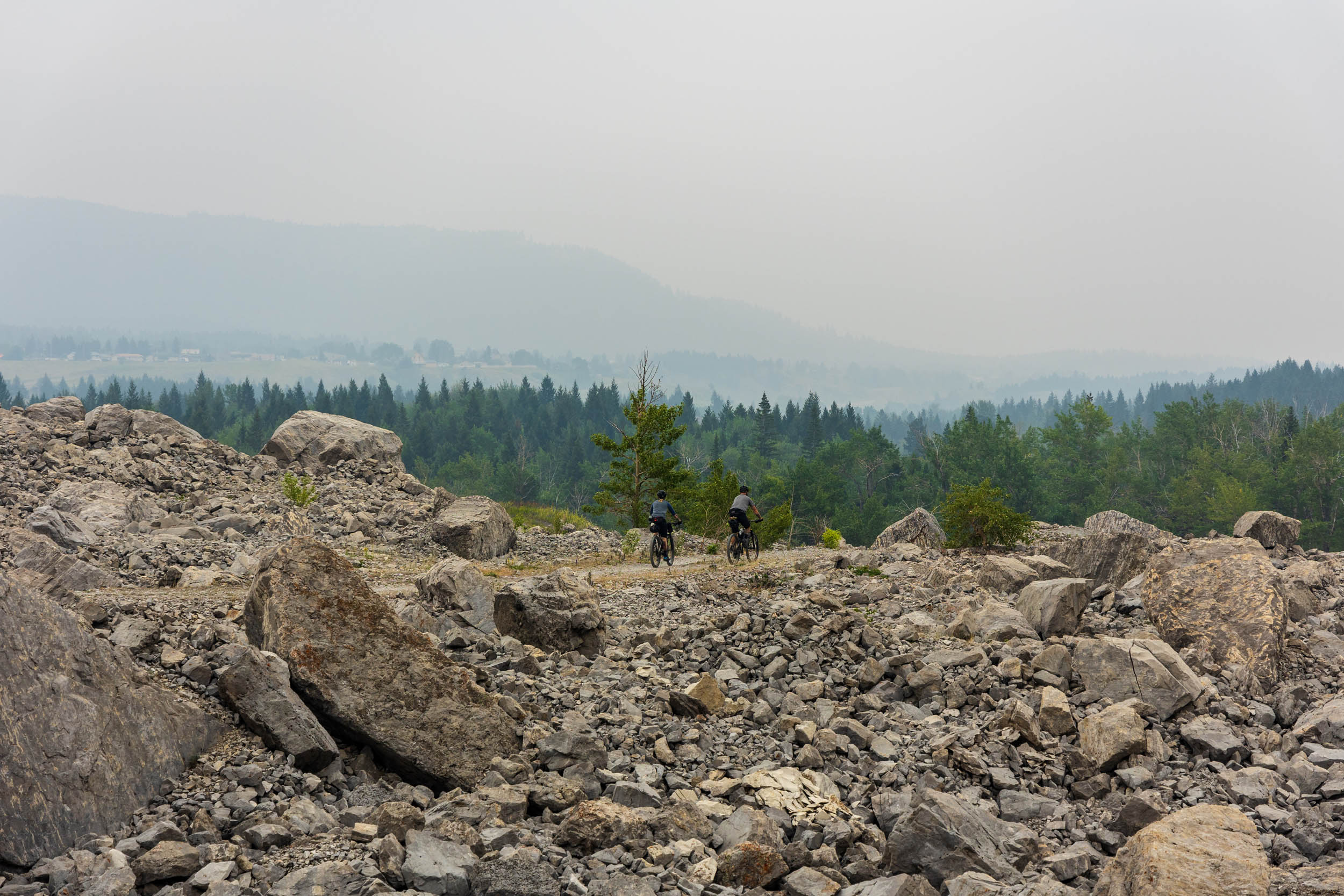
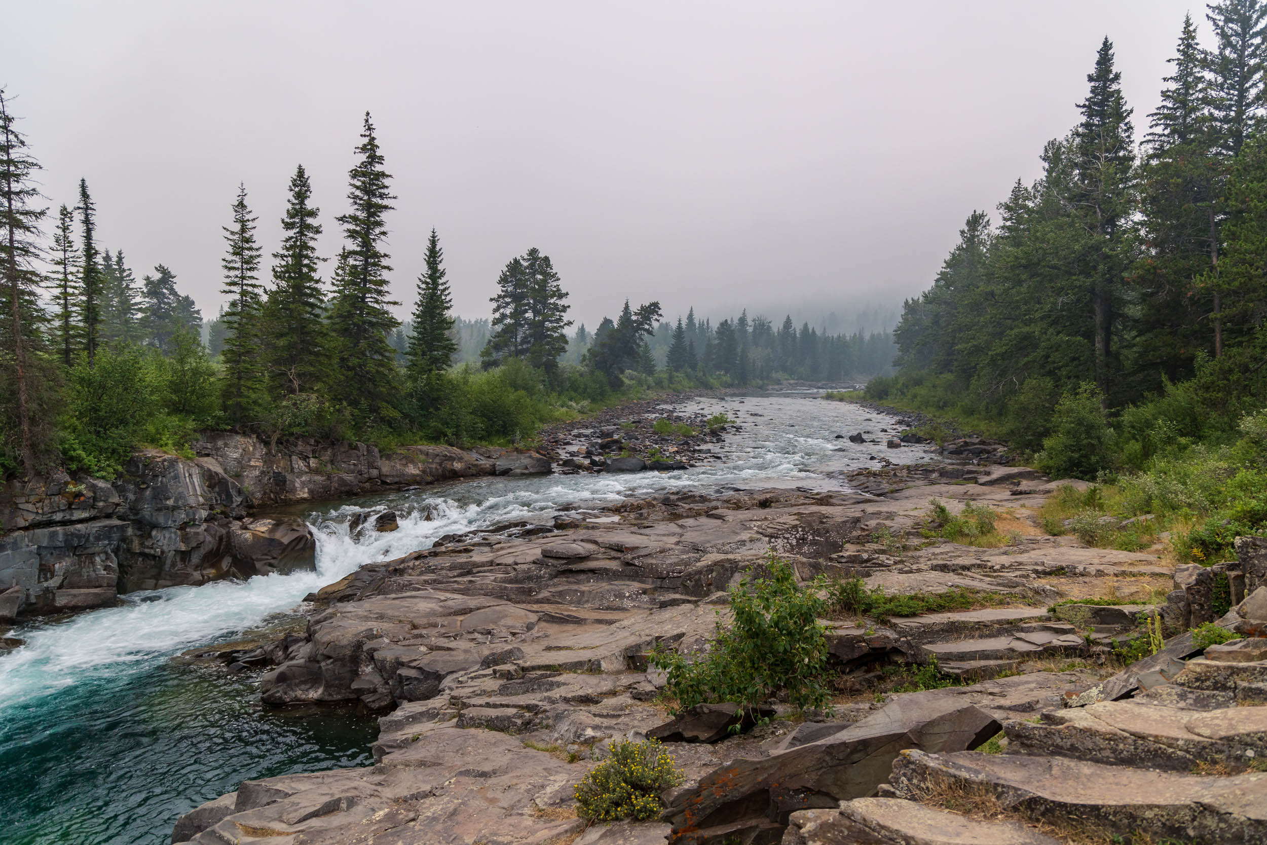
Route Development: A trio of long-time friends and mountain bike racing companions collectively made this route possible. Aubrey Demchuk (who spent many weekends camping in the area during childhood) designed the route, photographer Aidan Jones stoically lugged his heavy camera along for the ride, and Brayden Baines posed for photos (but was otherwise just a nuisance). Note: We definitely timed our photo-taking trip poorly. Smoke from a nearby wildfire blanketed the area the day before we departed and obscured the scenery.


Submit Route Alert
As the leading creator and publisher of bikepacking routes, BIKEPACKING.com endeavors to maintain, improve, and advocate for our growing network of bikepacking routes all over the world. As such, our editorial team, route creators, and Route Stewards serve as mediators for route improvements and opportunities for connectivity, conservation, and community growth around these routes. To facilitate these efforts, we rely on our Bikepacking Collective and the greater bikepacking community to call attention to critical issues and opportunities that are discovered while riding these routes. If you have a vital issue or opportunity regarding this route that pertains to one of the subjects below, please let us know:
Highlights
Must Know
Camping
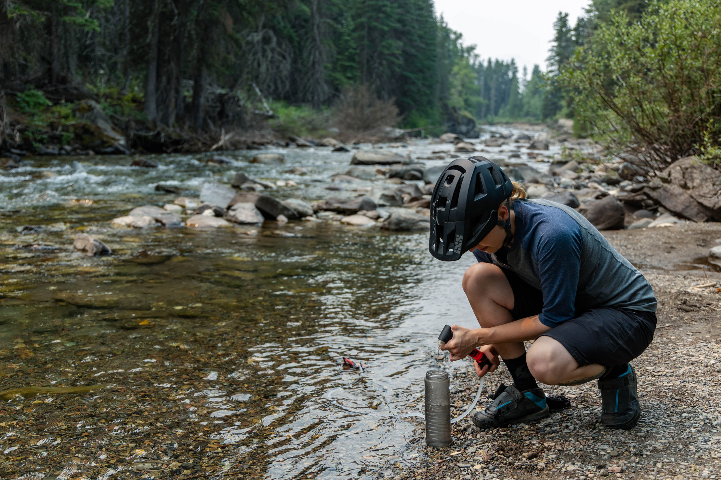
Food/H2O
Trail Notes
- Ride through the rocky remnants of the deadly 1903 landslide that buried the town of Frank.
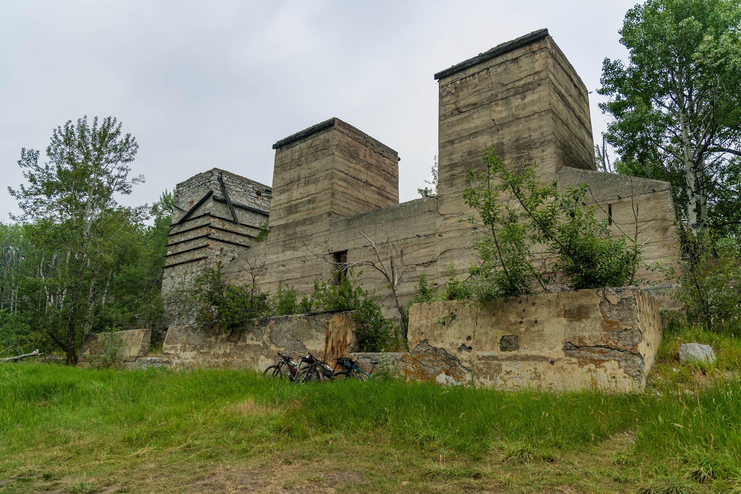
- See the abandoned Lime City kilns and other historical remnants of the area’s mining history.
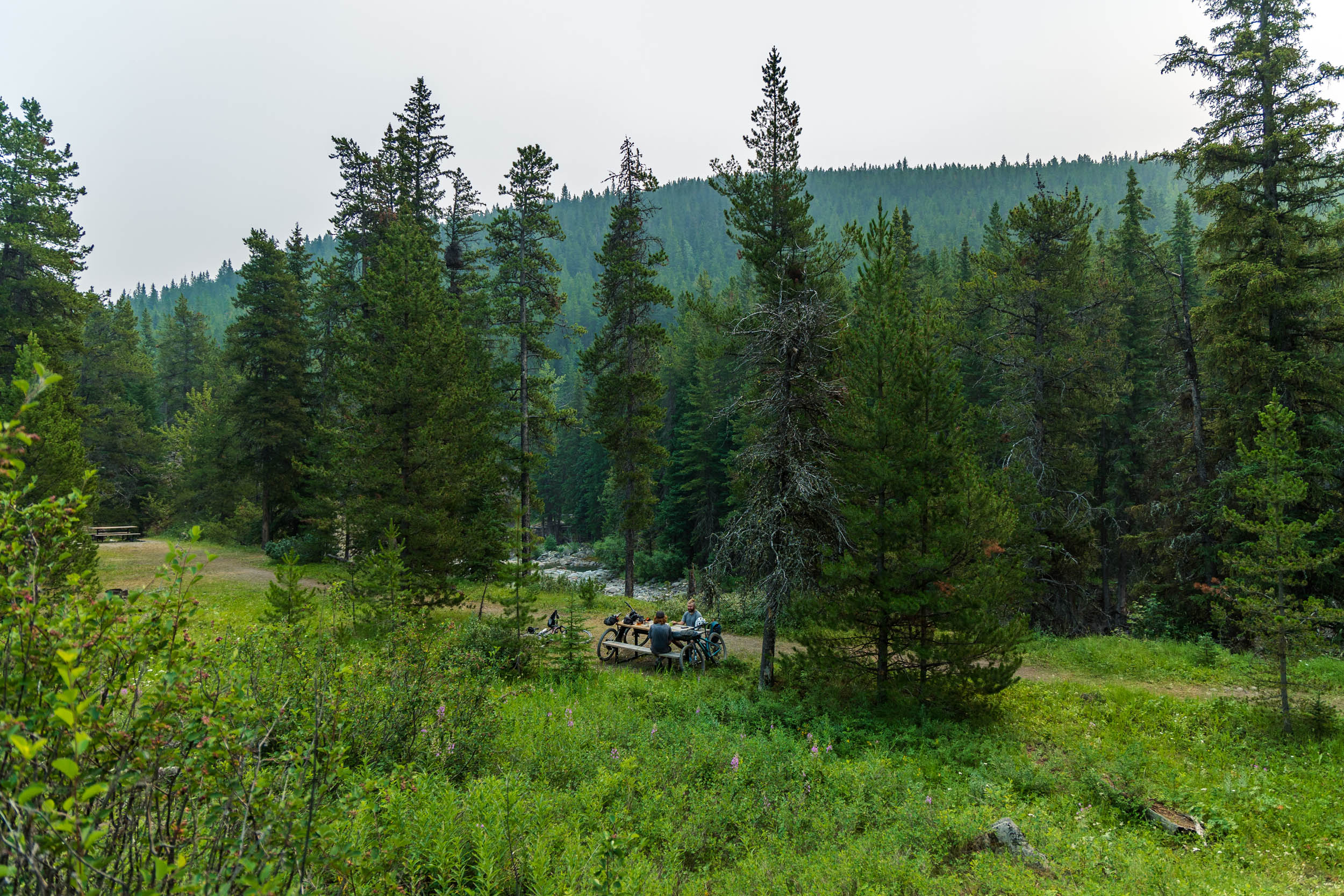
- Have lunch, refill your bottles, and cool off in Lynx Creek.
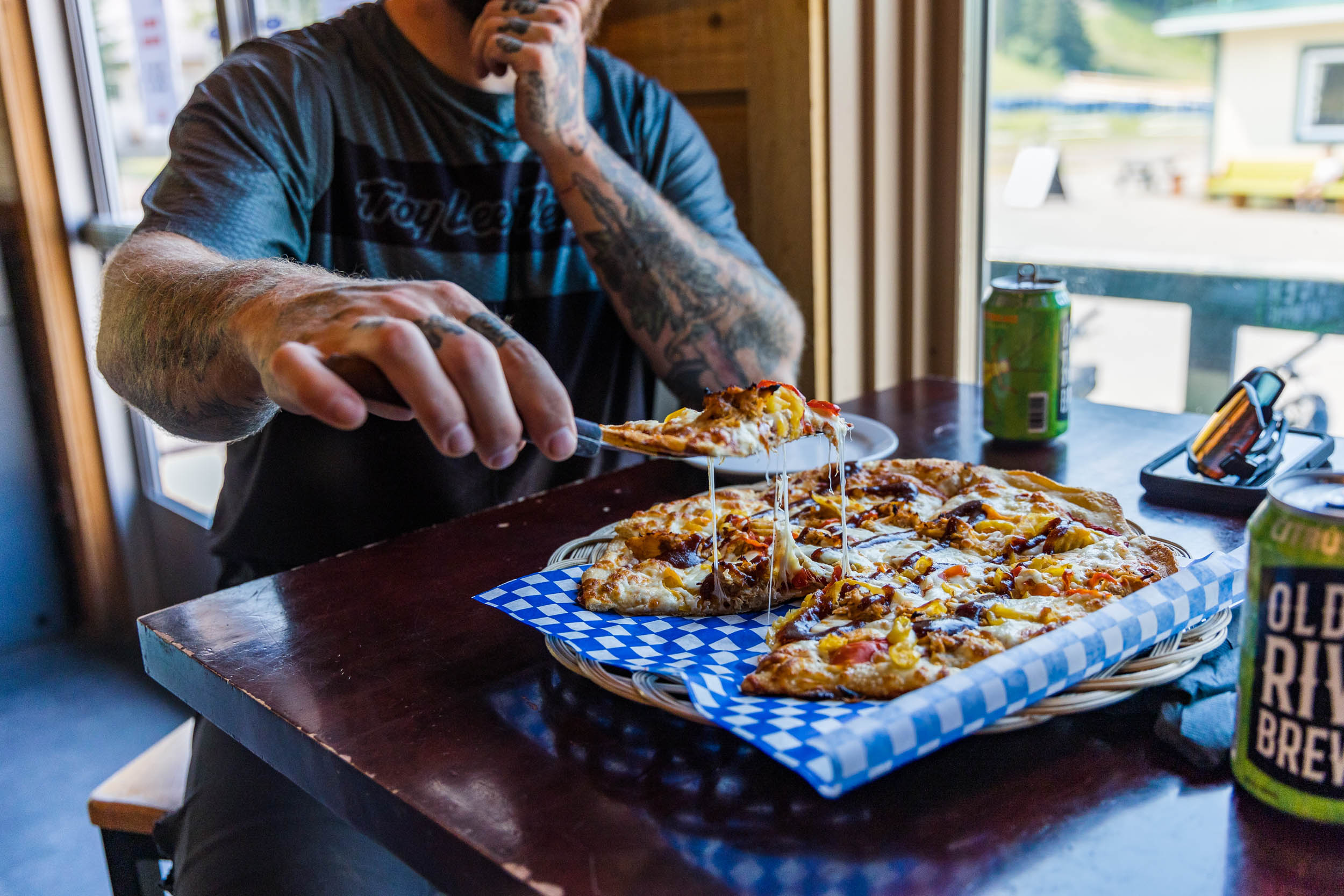
- Relax at Pebble Beach at Castle Mountain Resort after grabbing a pizza and a cold beer at the T-Bar.
- Random camp, reserve a site, or sleep in comfort at the resort — the choice is yours!
- Visit the beautiful Castle Falls.
- Find remote, scenic views of the surrounding ranges and the haunting burns that scar the hillsides.
- Explore Livingstone and Castle Wildland Provincial Parks, which are the traditional territories of the Blackfoot/Niitsítapi, Ktunaxa, and Tsuu T’ina peoples.
- If riding the challenging alternative segment up to the summit of Willoughby Peak, sample some of the fantastic local mountain bike trails.
- Private land: As you leave Hillcrest along Bear Valley Trail, there are short sections that cross private land (signed with a dissuasive mixture of “No Trespassing” and “Private Property” signs to ward off motorized use). However, non-motorized traffic is permitted by the landowners, so please remember to show respect and do not camp or wander off-route in this area.
- As you head north of Castle Falls, Shell Canada has an active sour gas plant in the area. Thus, although hikers and cyclists are permitted to access the forest reserve, the road is often gated to block motorized traffic. It is extremely difficult to reach a Shell employee by phone or email to request ungated access so it is recommended that you travel with a companion to simplify passing bikes over the gate. Unlike the south gate, the north gate has a large gap in the fence to allow access for non-motorized traffic.
- Dangers: This area is outside of cell service and it is bear country. Make noise!
- Random backcountry camping is allowed in both Livingstone and Castle Wildland Provincial Parks.
- If you want to use the campsites indicated on the route, it is recommended to reserve sites in advance (albertaparks.ca). They have basic amenities, including outhouses and non-potable water pumps.
- The Lynx Creek Day Use Area has picnic tables near the creek, making it a great lunch spot.
- Castle Mountain Ski Lodge and Hostel has both hotel and hostel-style rooms available. There are also links to private cabin rentals on the Castle Mountain Resort website.
- There are plenty of opportunities for filtering water at the campsites shown on the map, and there is potable water available at the establishments at Castle Mountain Resort.
- Dehydrated meals are available for purchase at Spry in Blairmore.
- The T-Bar at Castle Mountain Resort is a wonderful place to end your first day of riding and is open from Friday to Sunday during the summer. But be sure to verify the hours on the resort’s website before departing, because if the T-Bar is closed, there are no opportunities for food along this route.
- We recommend Stone’s Throw Cafe in Blairmore for breakfast and your daily dose of caffeine on the first day (they serve locally roasted beans from Crowsnest Coffee Company). It’s also just down the road from Alpenland (bike shop) and Spry, if you need any last-minute supplies.
- Upon your return to the Crowsnest Pass, be sure to stop in at the Pass Beer Co. for a cold one!
Descriptions of the alternative advanced segments, from south to north (i.e. in order of riding, if doing all three):
- Towards the end of the first day, you can opt to take the Great Divide hiking trail that branches off O’Hagen Road, which has “The Great Trail” markers all the way south to the paved road that leads into Castle Mountain Resort. The first half of this segment is unmaintained, uninspiring double track through the forest. When you roll over the highest point and begin descending, however, you’ll find beautiful wildflowers and brief scenic views down the valley. At this point, the doubletrack disappears into a narrow, steeper, and sometimes overgrown hiking trail with sections of loose rock and loam. Expert riders may be capable of maneuvering around a tight set of switchbacks in the middle of the descent but most will find themselves walking a short section.
- On the second day, shortly after you begin heading north from Lynx Creek Campground, there is another section of Great Divide hiking trail to be tackled. This segment begins with a hike-a-bike (~200 metres of elevation gain) up a rocky, washed-out doubletrack trail. As you obtain the ridge, the trail becomes mostly rideable, with only short sections of loose rock that are easier to navigate on foot. The ridge itself is a gradual climb but rewards you with plenty of remote views. The descent begins with a wash of intimidatingly loose “baby head” rocks but eventually becomes fast and flowy, bringing you back to the main Sartoris Road, where you can opt to take the easier gravel route back to the start or soldier on to the next challenging alternative segment.
- Almost immediately after returning to Sartoris Road from the second alternative segment, you cross the road and a small bridge and continue through the valley. Note that you may come across some ATV traffic in this area. Towards Willoughby Peak, the trail gets quite steep and will be mostly hike-a-bike. At the summit, you’ll find the best views of this entire route, including mountain ranges to the north and west, the Crowsnest Pass below, and the stunning Crowsnest Mountain. A fun singletrack trail, called “Rumhead” starts just below the fire lookout. A short connector then links the end of Rumhead to “York with a Fork,” which is eventually intersected by a cut block trail that returns riders to Pass Powderkeg Ski Area where there is one more fun, flowy descent on “Buck 50” back to the parking area.


Terms of Use: As with each bikepacking route guide published on BIKEPACKING.com, should you choose to cycle this route, do so at your own risk. Prior to setting out check current local weather, conditions, and land/road closures. While riding, obey all public and private land use restrictions and rules, carry proper safety and navigational equipment, and of course, follow the #leavenotrace guidelines. The information found herein is simply a planning resource to be used as a point of inspiration in conjunction with your own due-diligence. In spite of the fact that this route, associated GPS track (GPX and maps), and all route guidelines were prepared under diligent research by the specified contributor and/or contributors, the accuracy of such and judgement of the author is not guaranteed. BIKEPACKING.com LLC, its partners, associates, and contributors are in no way liable for personal injury, damage to personal property, or any other such situation that might happen to individual riders cycling or following this route.
Please keep the conversation civil, constructive, and inclusive, or your comment will be removed.