


Dalarna Ramble Overnighter
Distance
93 Mi.
(150 KM)Days
2
% Unpaved
75%
% Singletrack
6%
% Rideable (time)
98%
Total Ascent
8,760'
(2,670 M)High Point
1,328'
(405 M)Difficulty (1-10)
7?
- 6Climbing Scale Moderate94 FT/MI (18 M/KM)
- -Technical Difficulty
- -Physical Demand
- -Resupply & Logistics
Contributed By
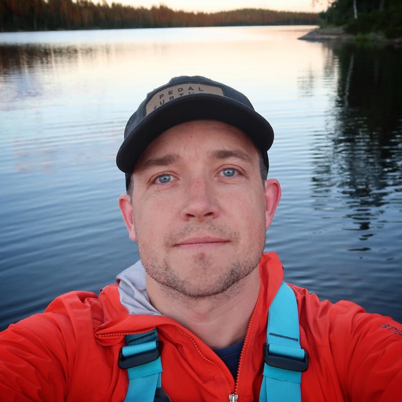
Michael O'Dwyer
Bikepacking Sweden
Except for the mountains along the border with Norway, Sweden is a relatively flat country. So, with the towering 500-metre mountains in south Dalarna being only two and a half hours’ drive from Stockholm, it’s an obvious place to go for an adventure.
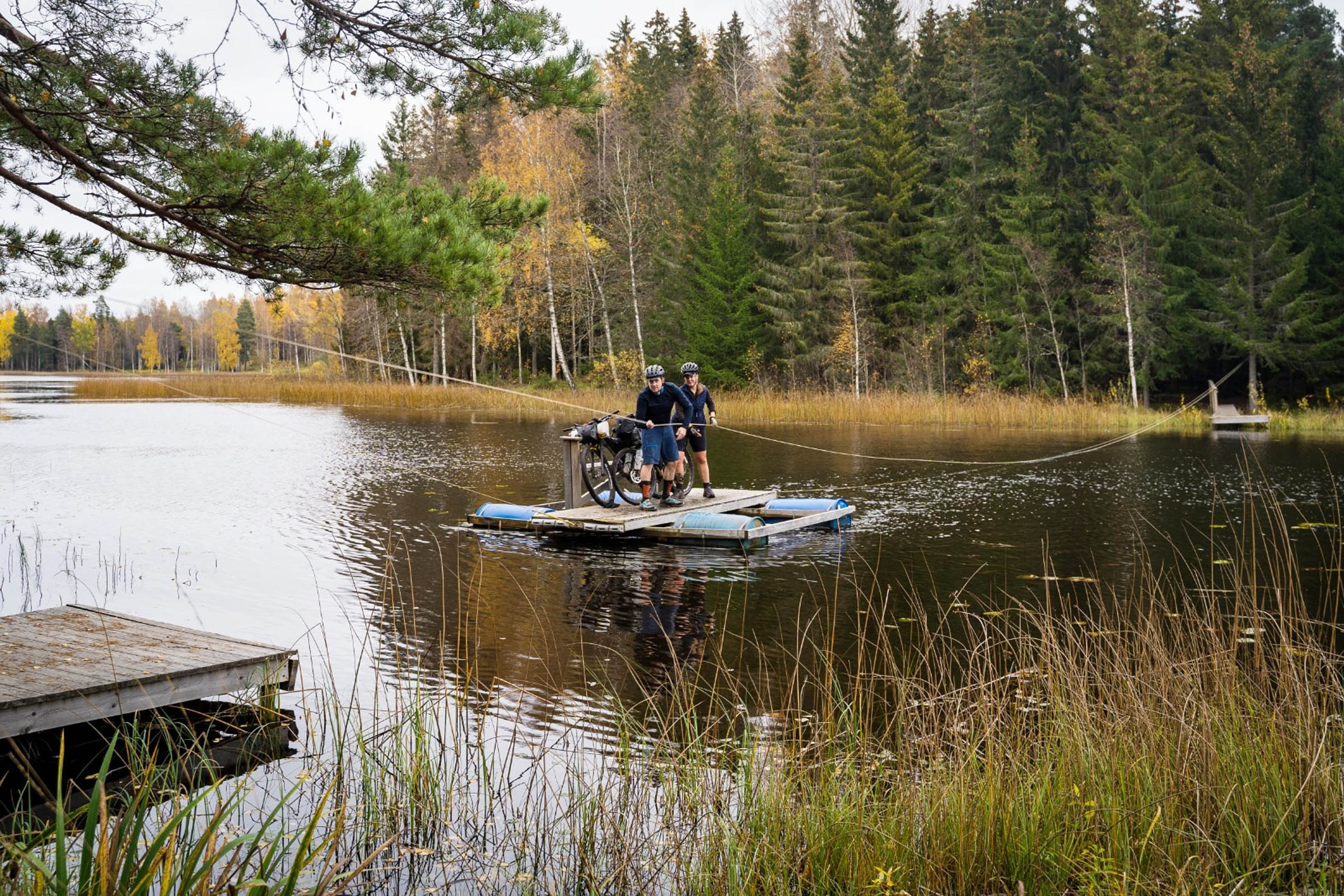
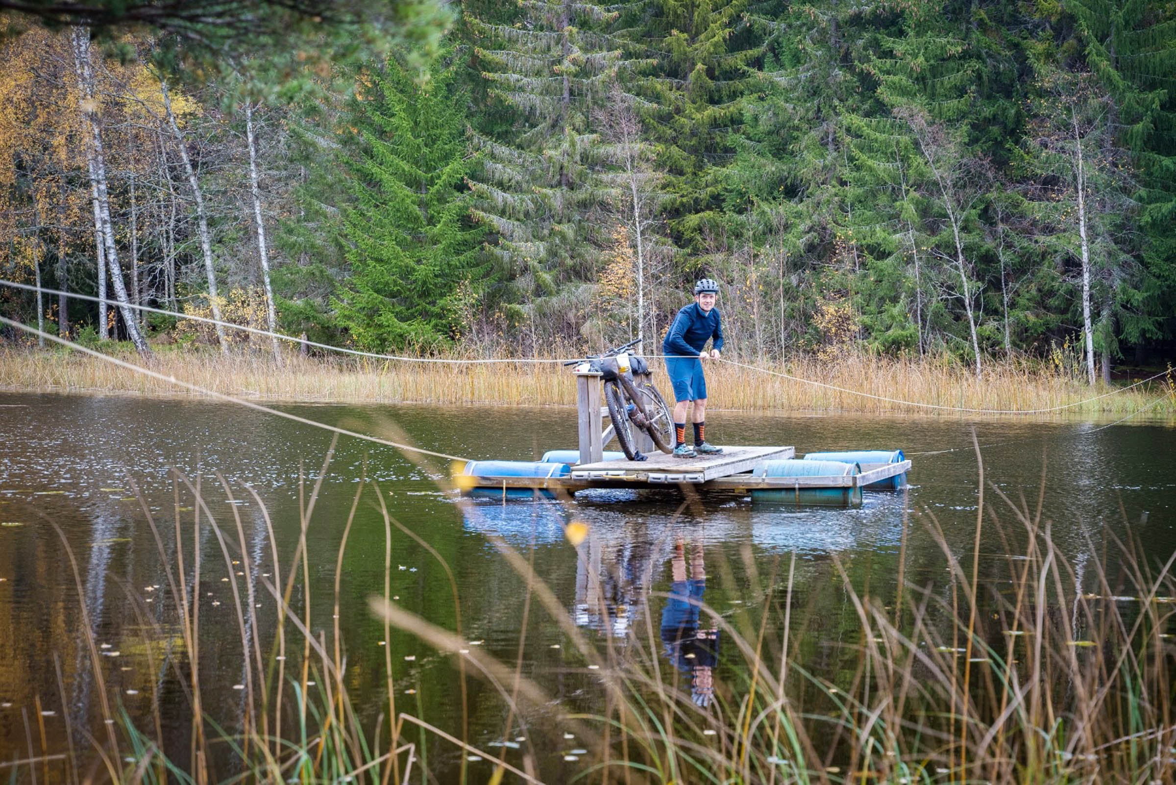
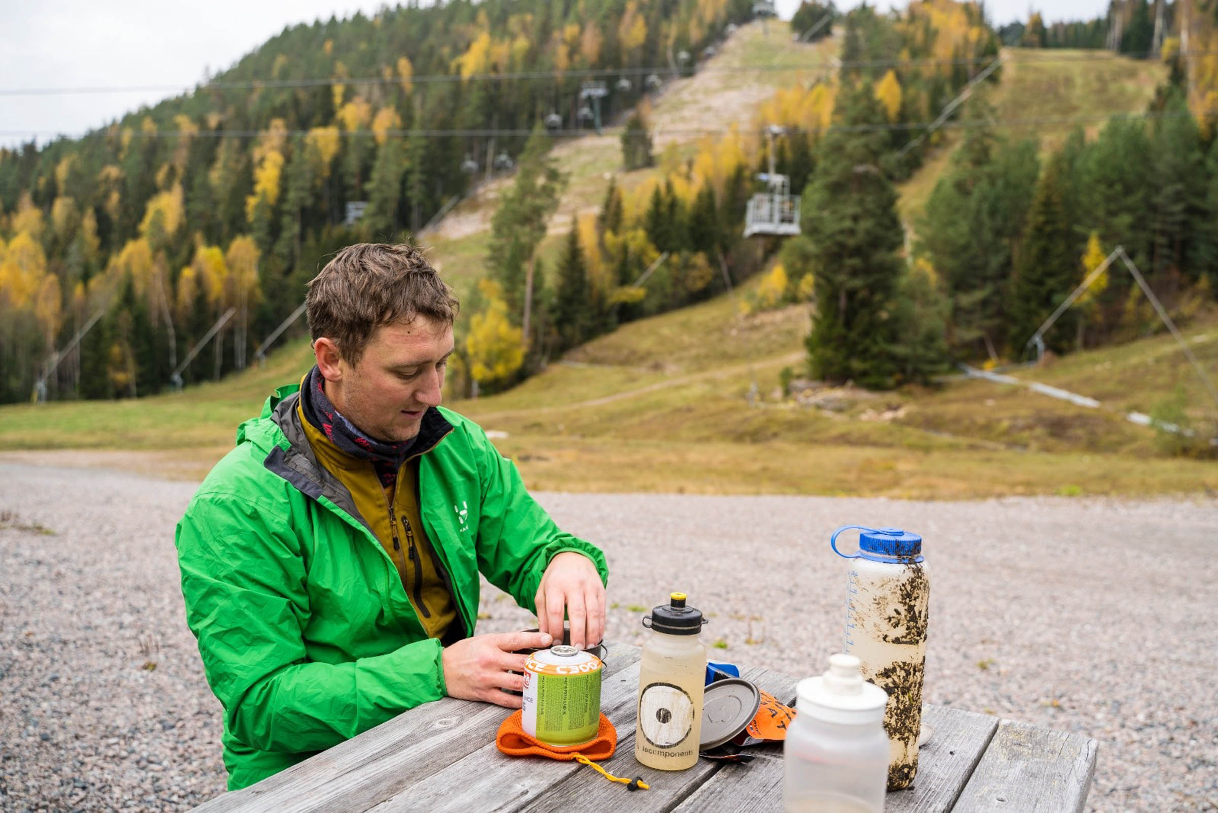
This route is more than just gravel roads in a remote setting. Expect to want to get off your bike and explore all that the region has to offer. Climb the tower at Rösåsen, use the cabled boat to cross the Västerdalälven River, or challenge yourself to ride to the top station at Romme Alpin ski resort.
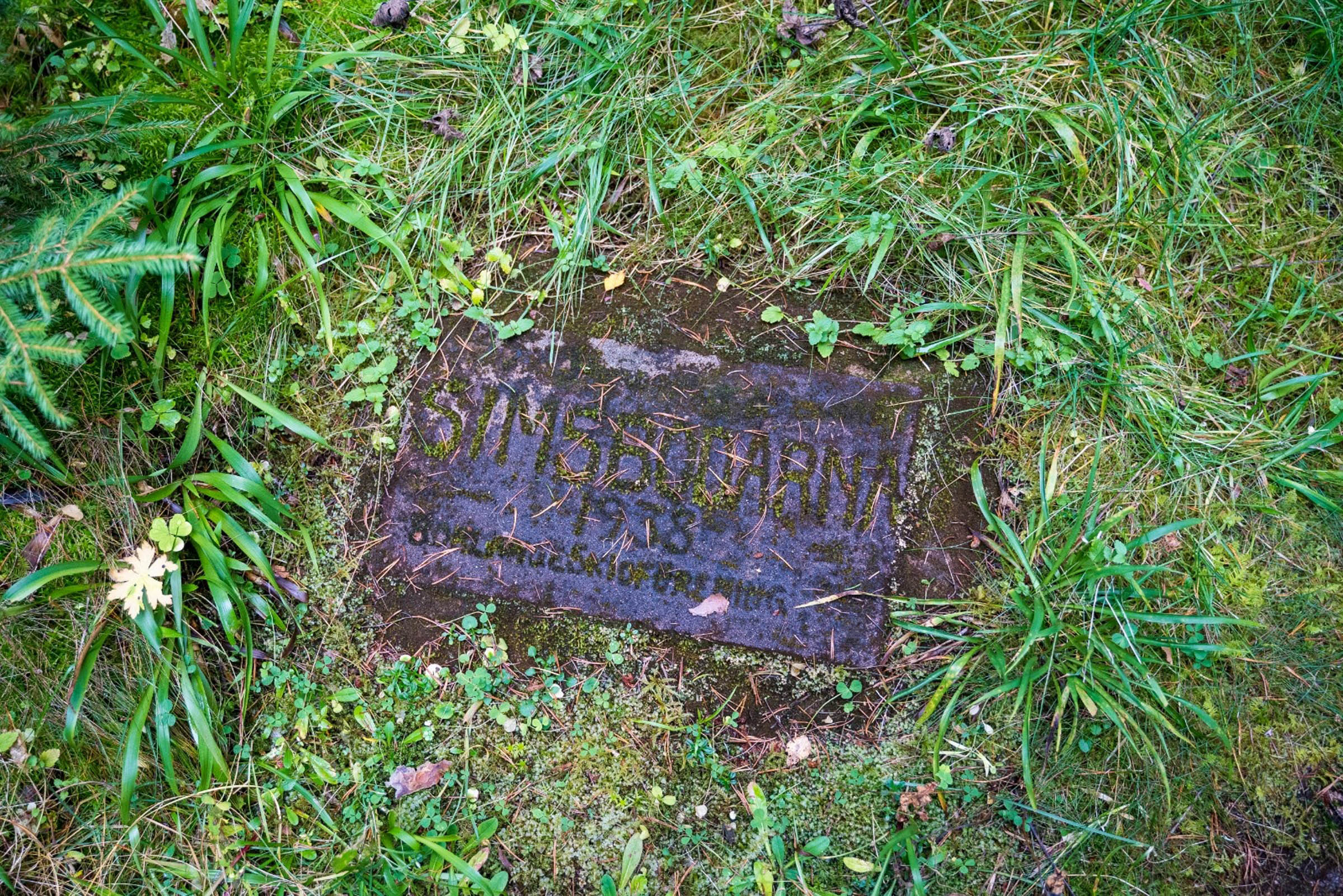
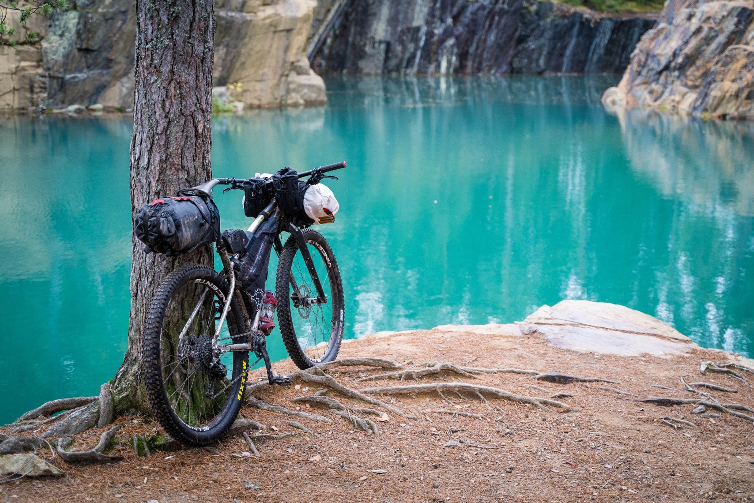
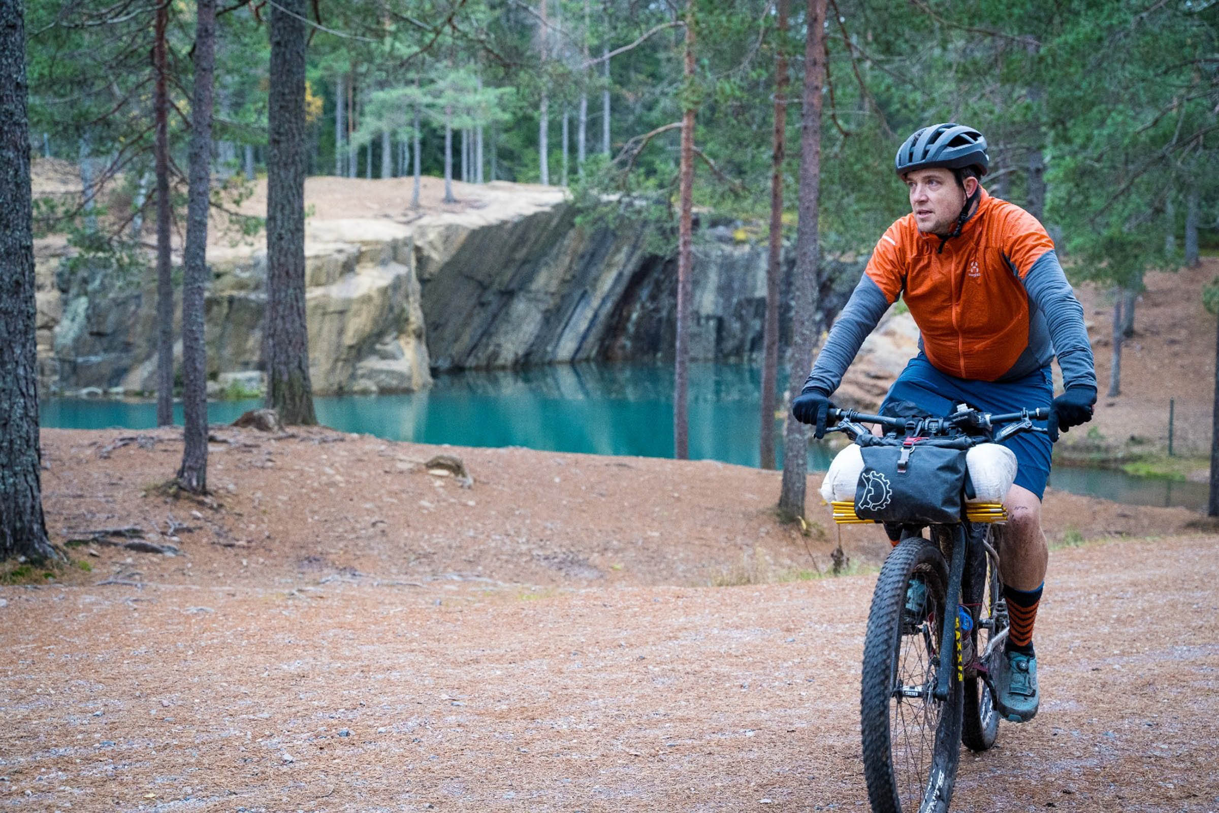
A highlight of the tour is when you turn the last corner and see the turquoise waters of the Östra Silvberg quarry for the first time. You might be tempted to go for a swim, but be warned, the waters are said to be over 200 metres deep and contain multiple barrels of toxic waste and countless numbers of submerged burnt out cars. Maybe best to stay dry. On the other side of the gravel road at the same location is the beautiful cemetery of St. Nicolai. Since you’ve stopped at the mine, it’s worth cycling over the large slag heap field to explore this abandoned graveyard.
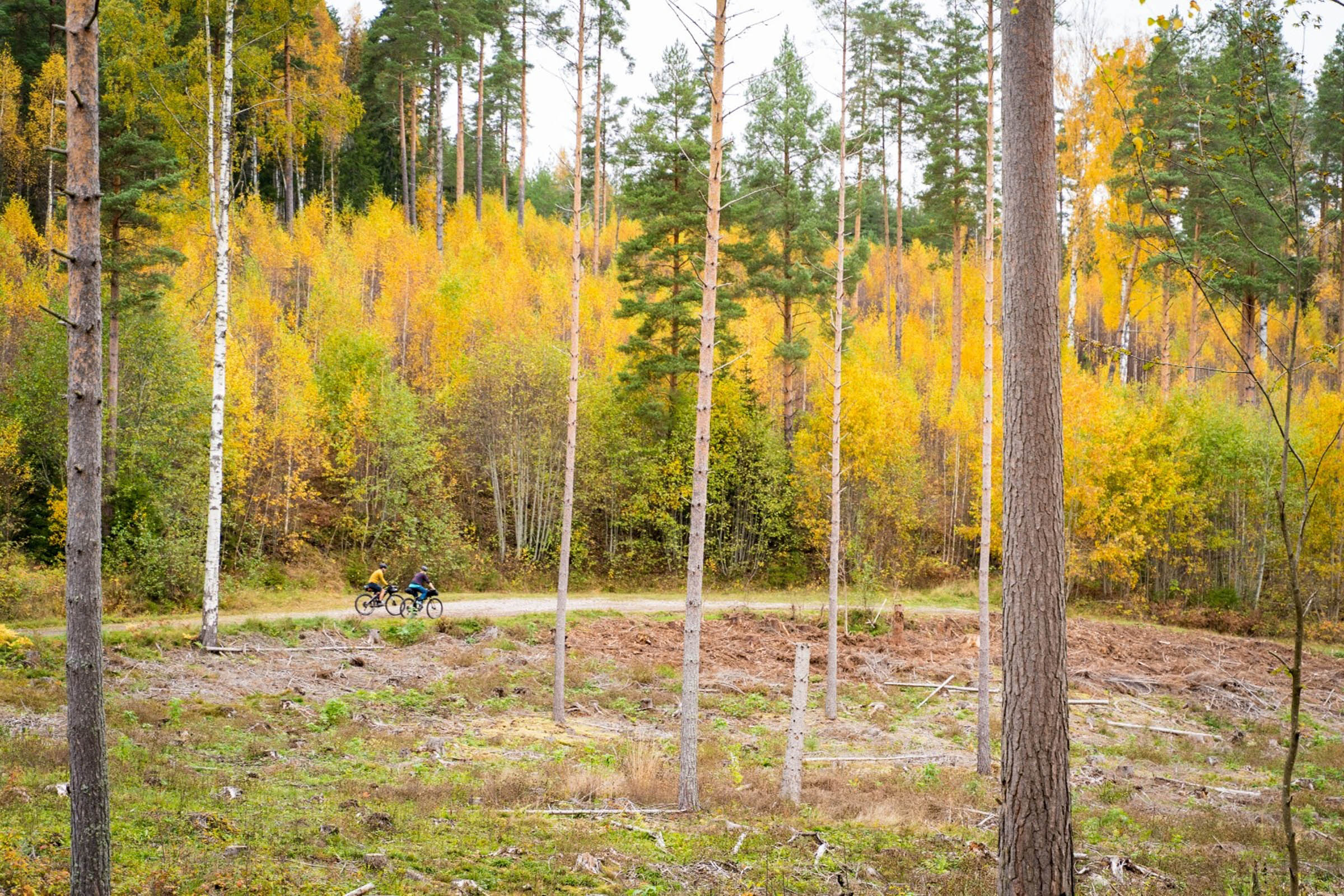
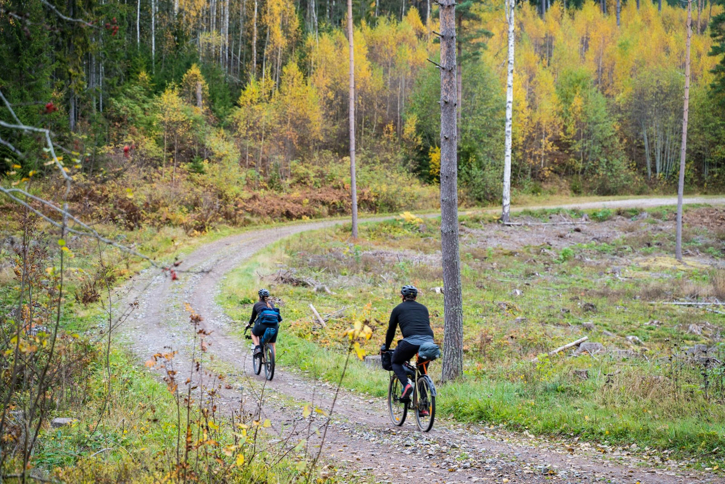
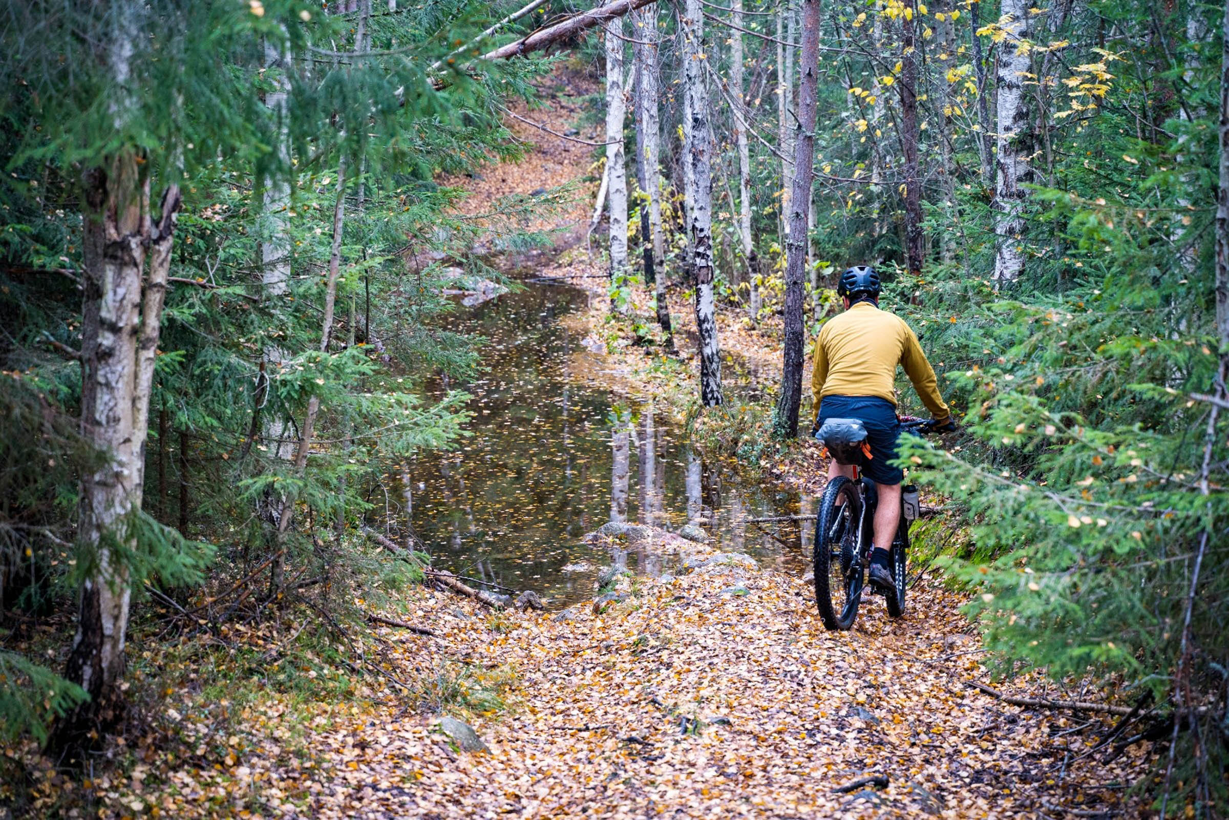
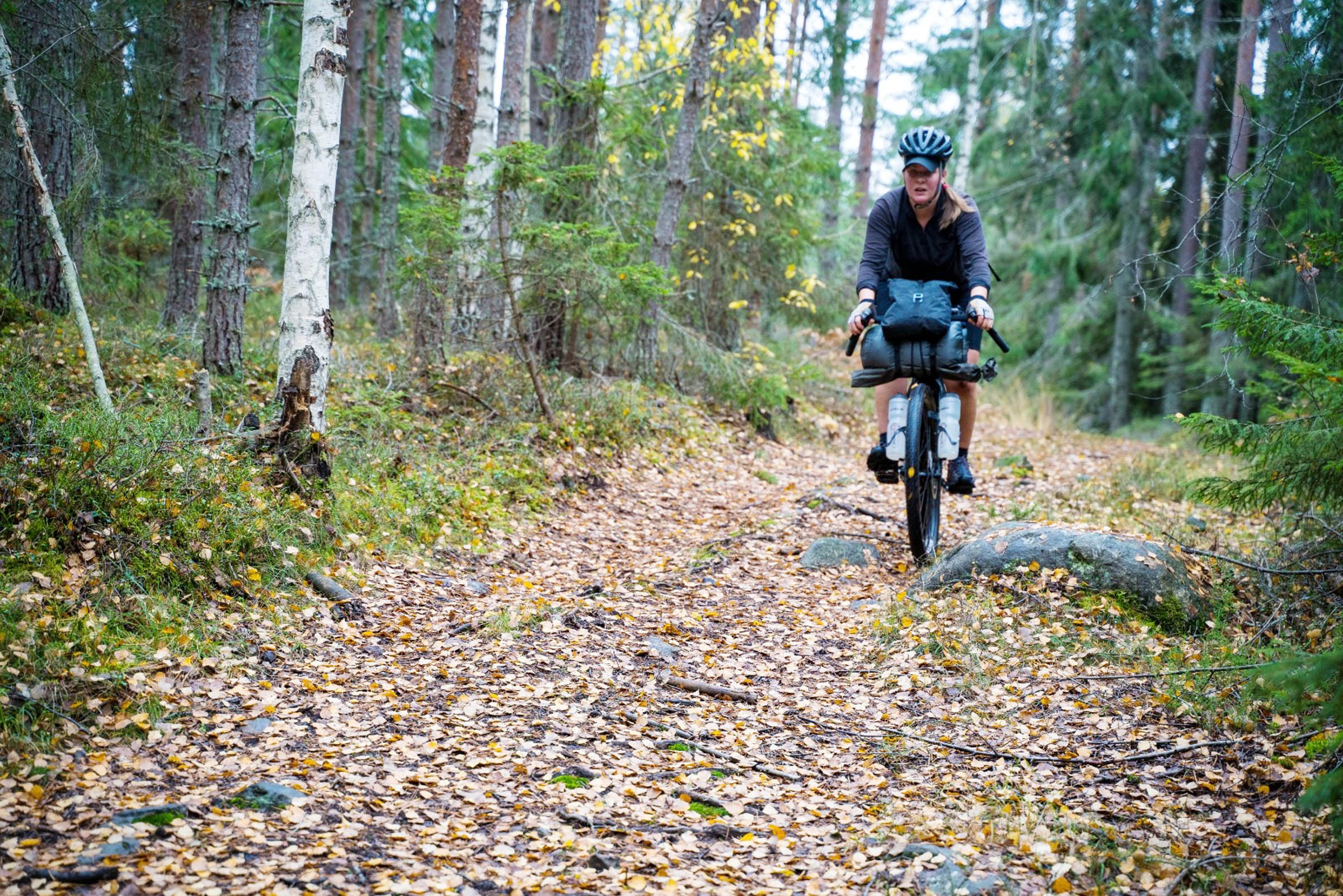
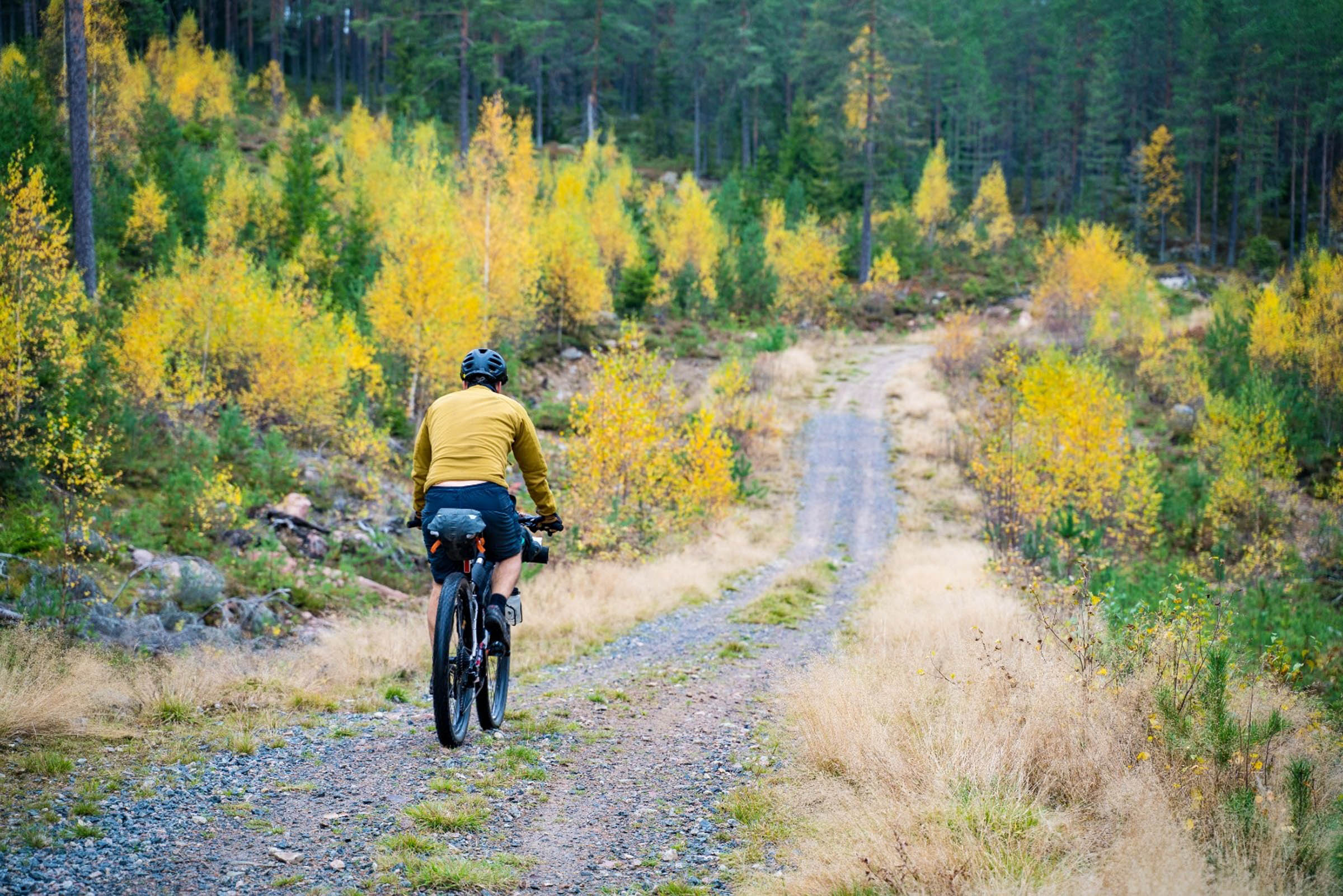
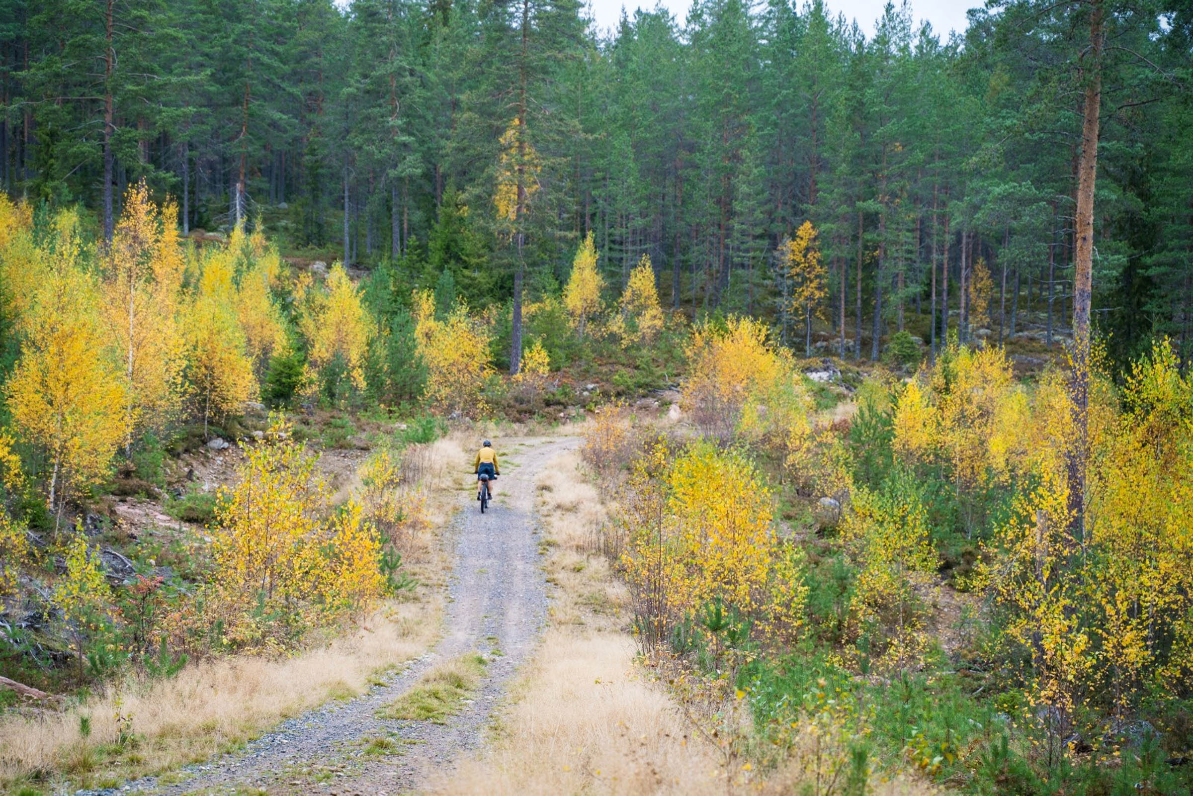
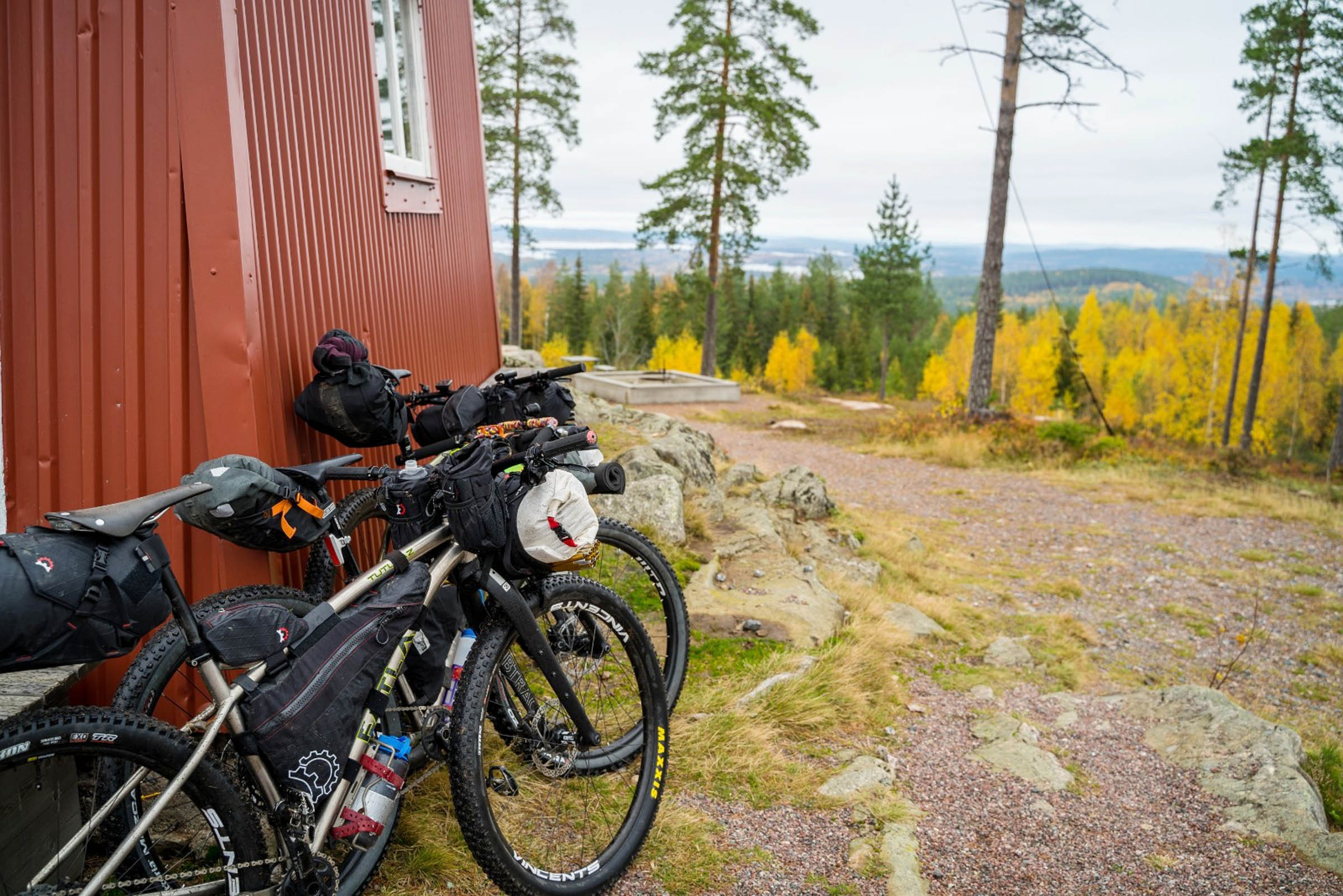
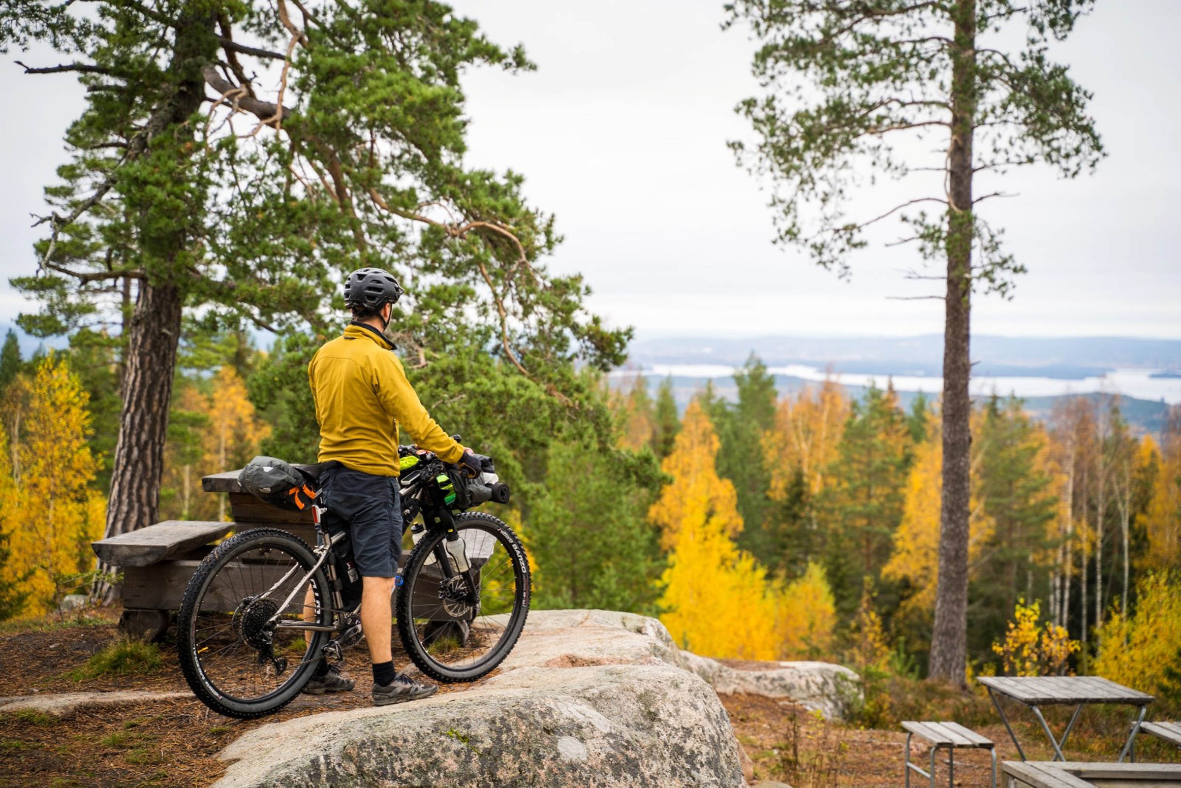
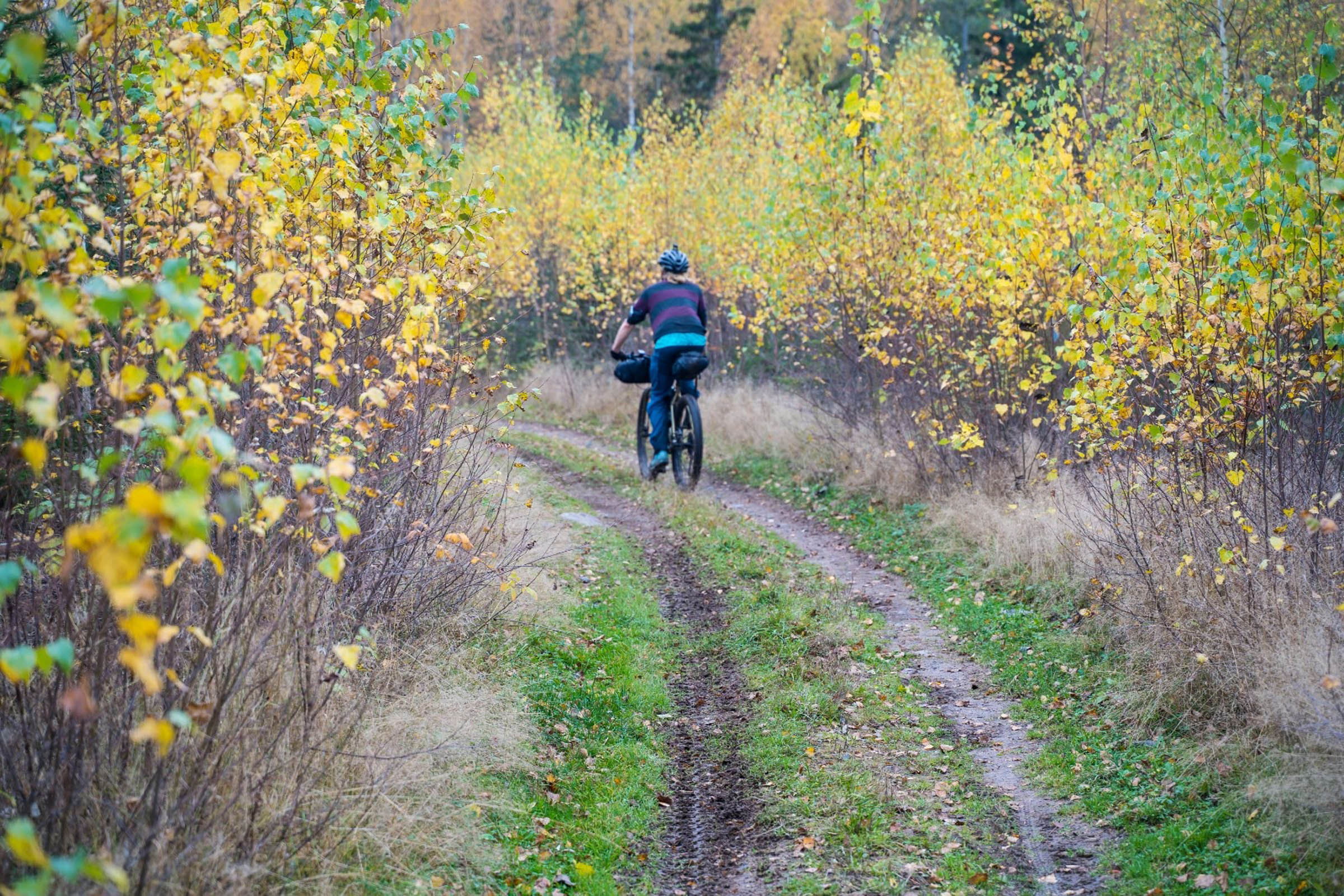
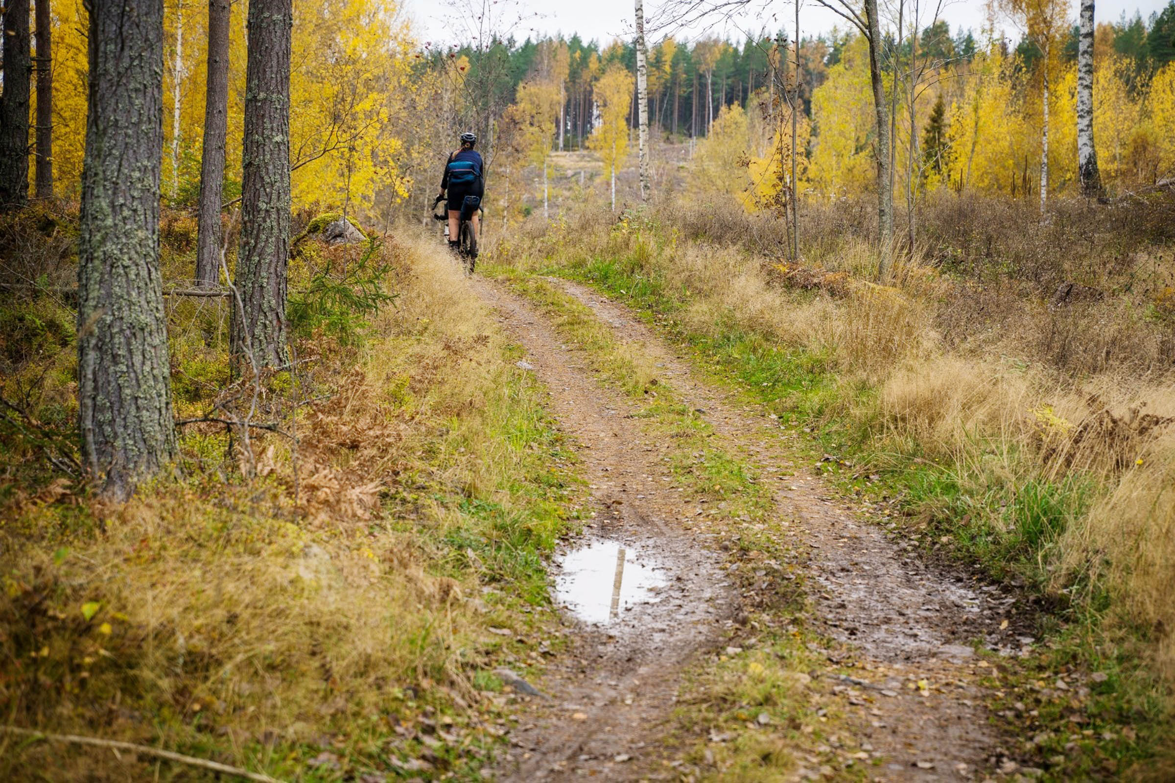
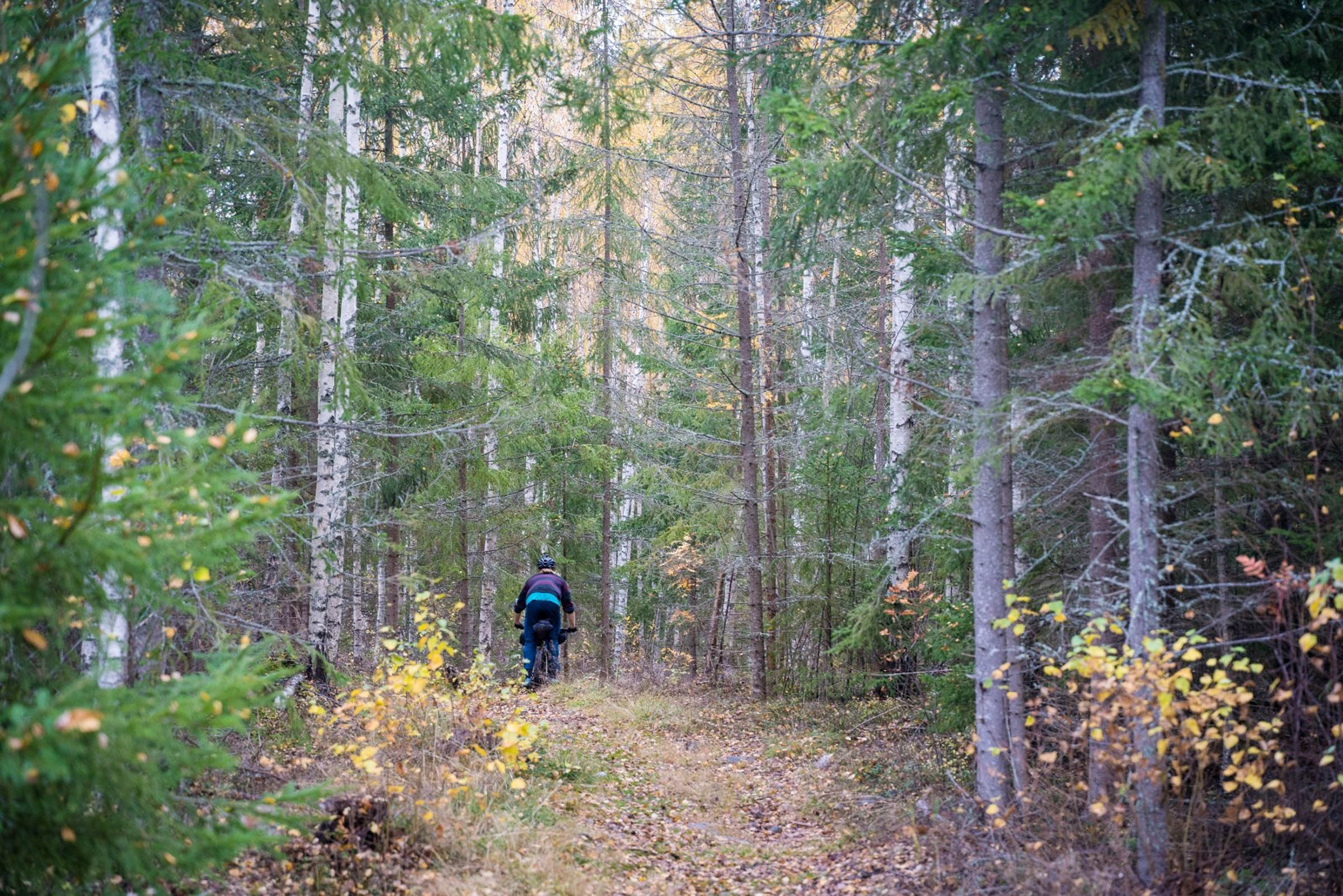
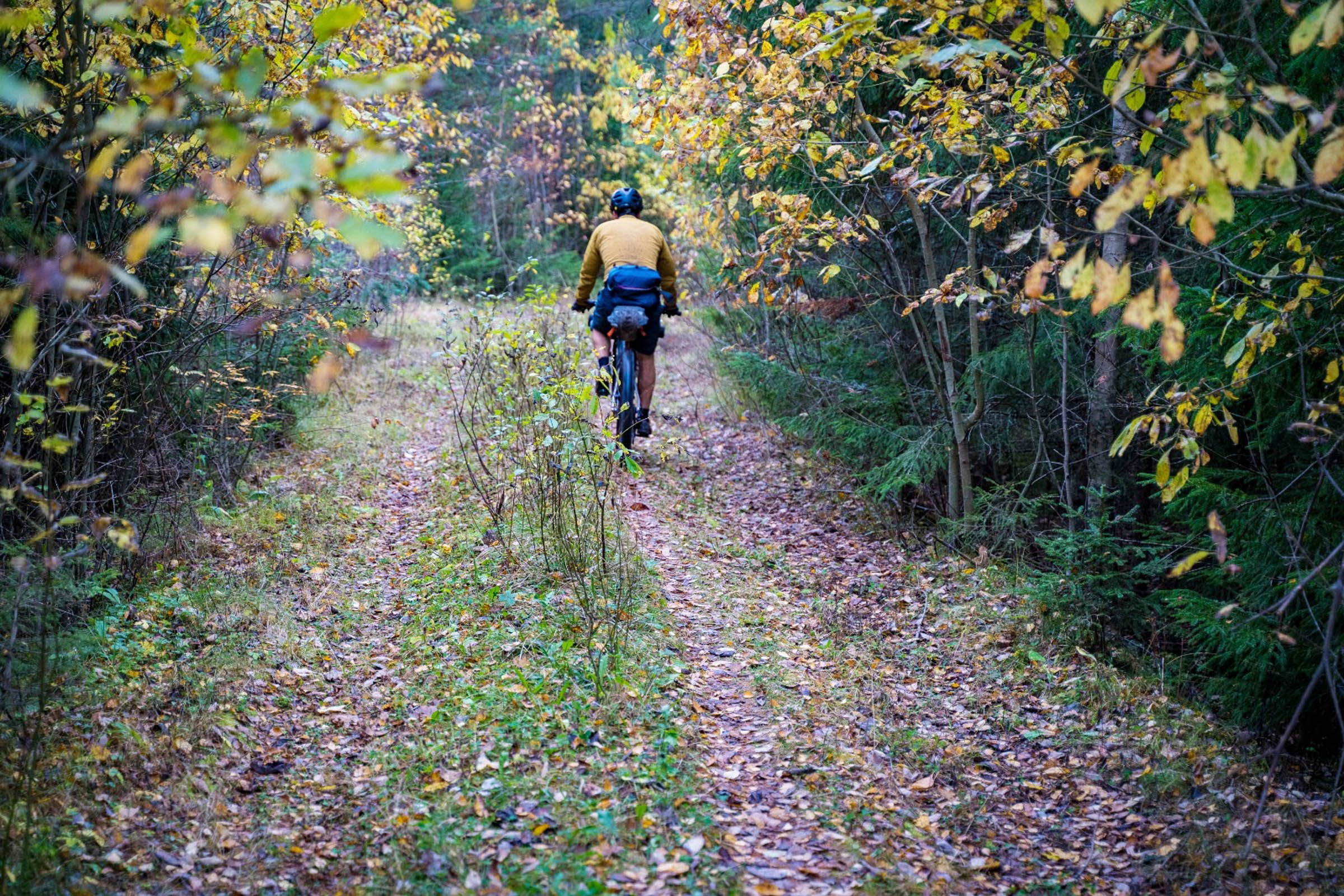
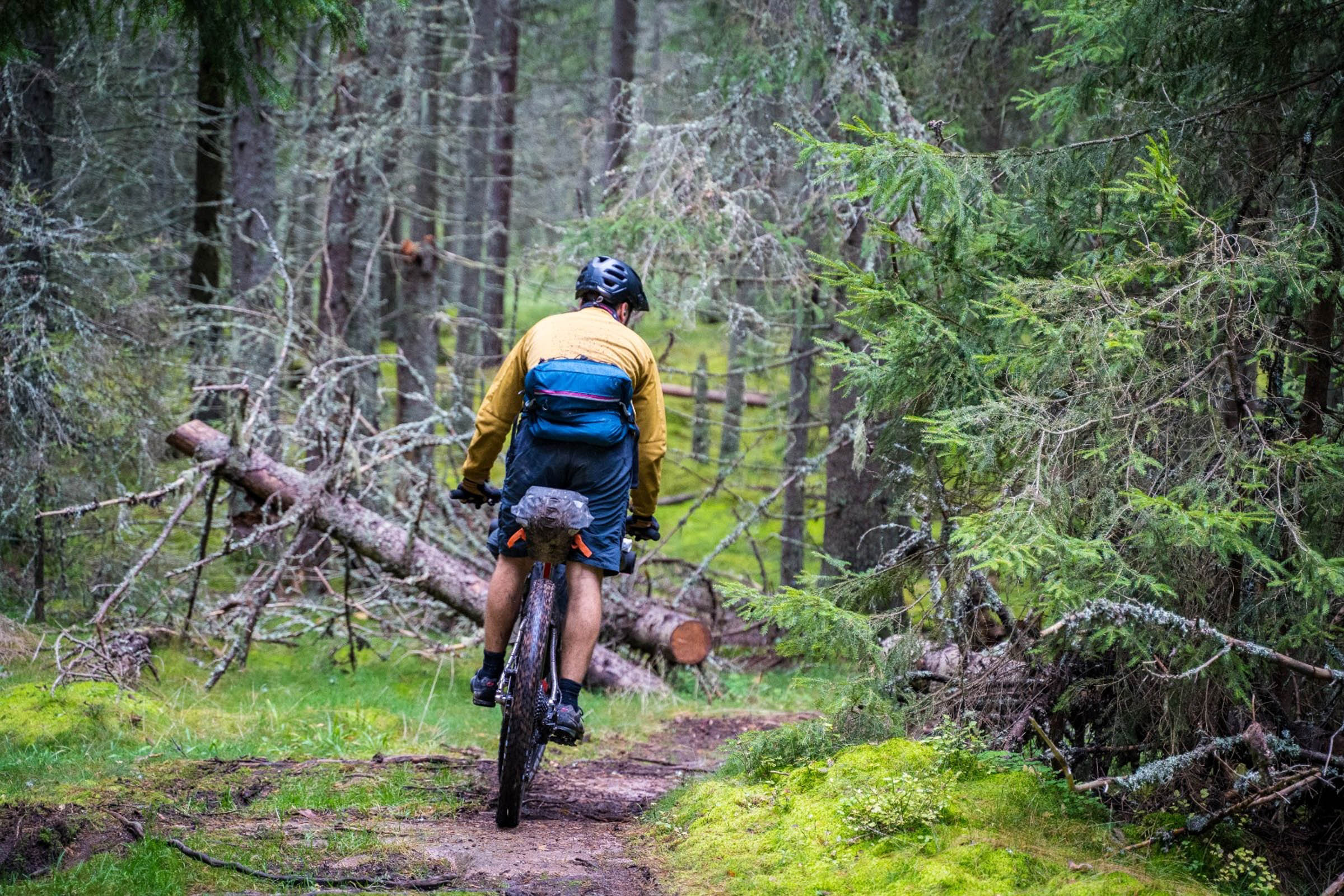
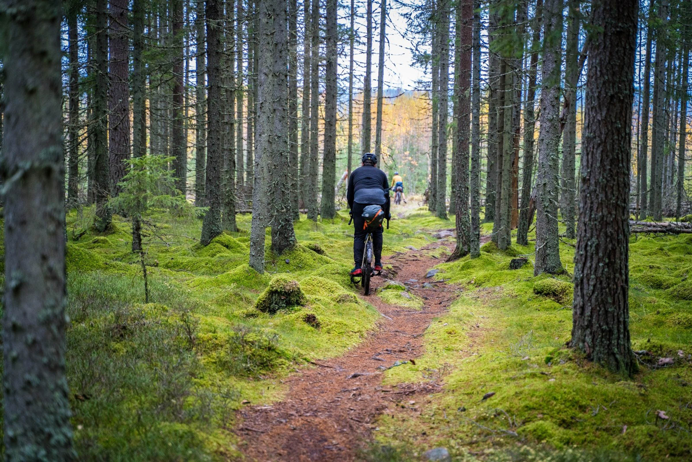
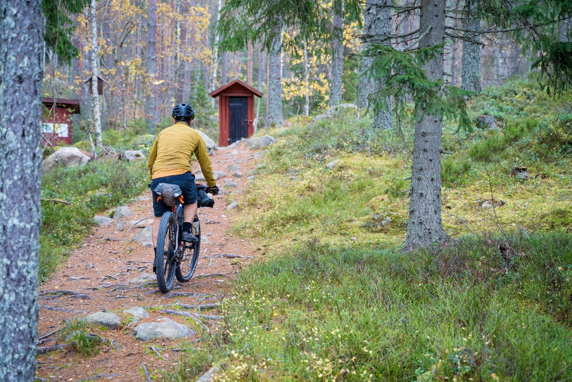
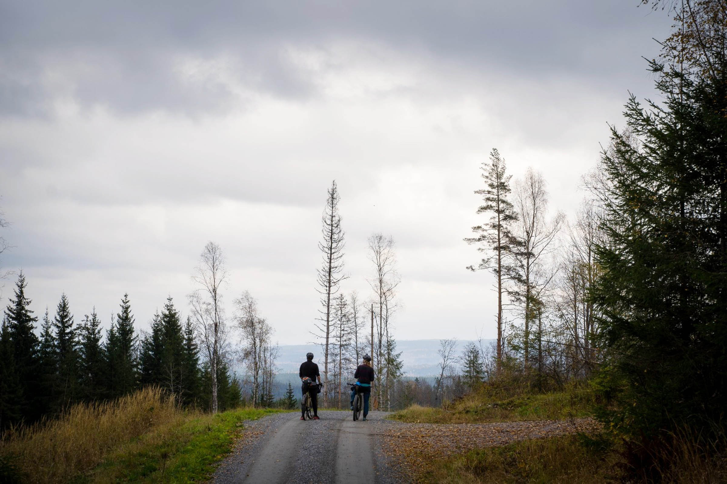
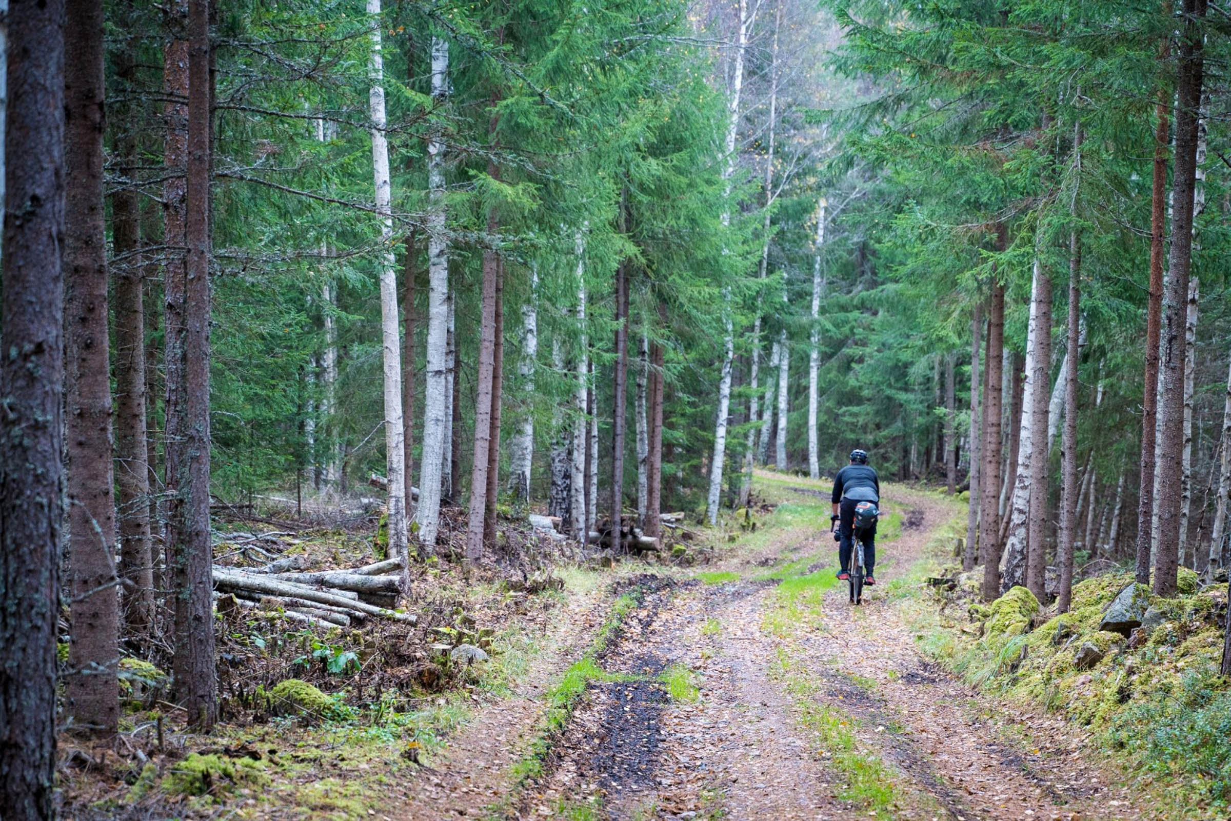
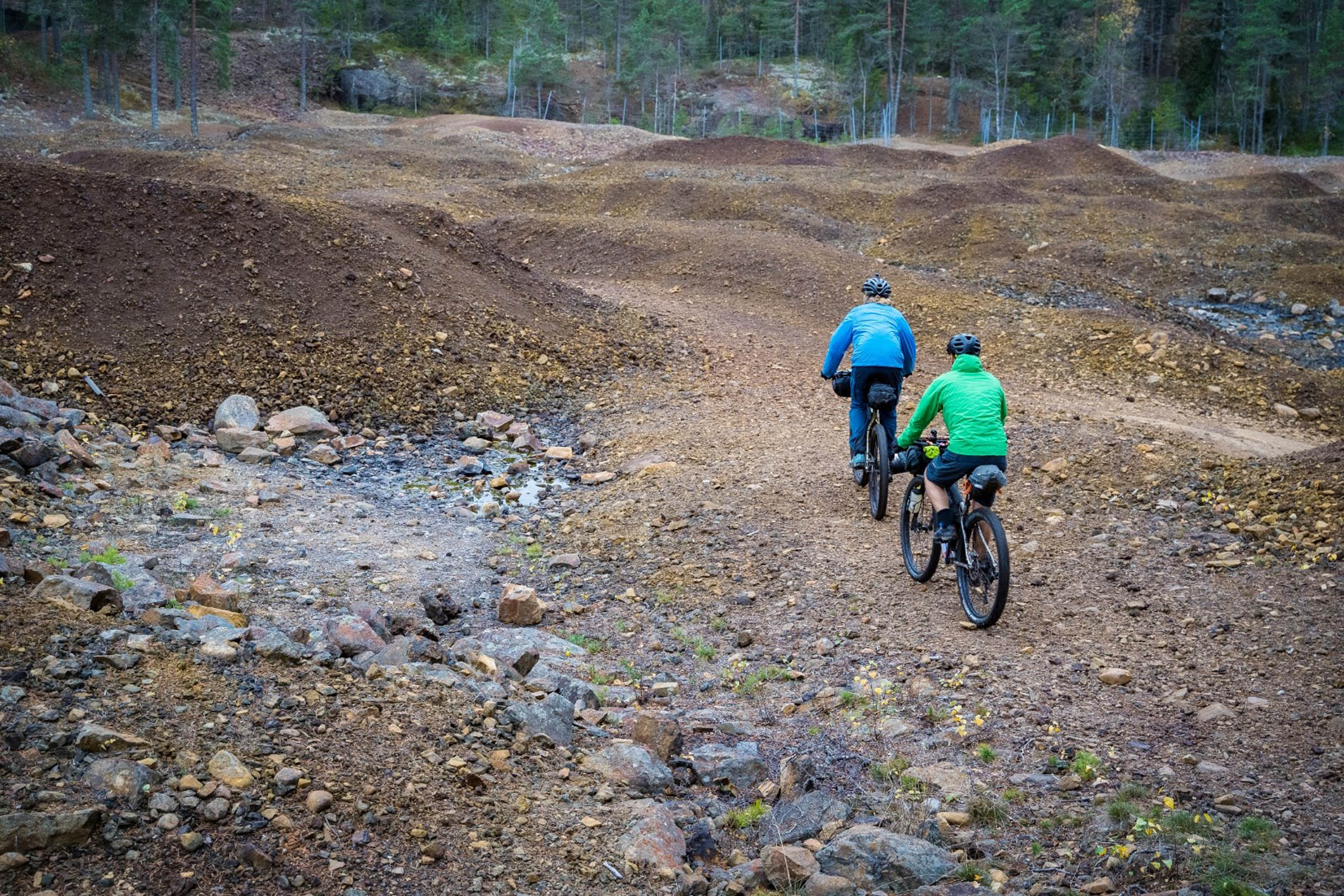
Perfect gravel roads with secret singletrack links makes Dalarna the perfect county to go riding, and remote forest roads leading to abandoned mines and scenic vistas are just part of what makes this area such a special place to go riding. We knew the autumn colours would be in full bloom for our trip, with the only risk being the chance of snow as we headed out so late in the year.
Route Difficulty
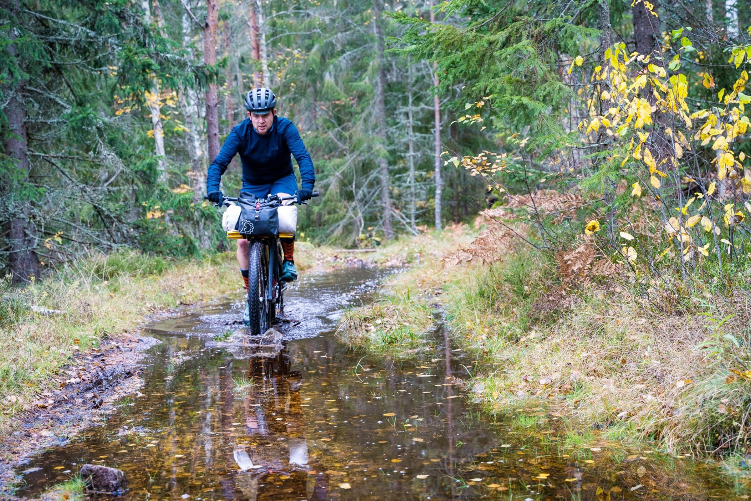
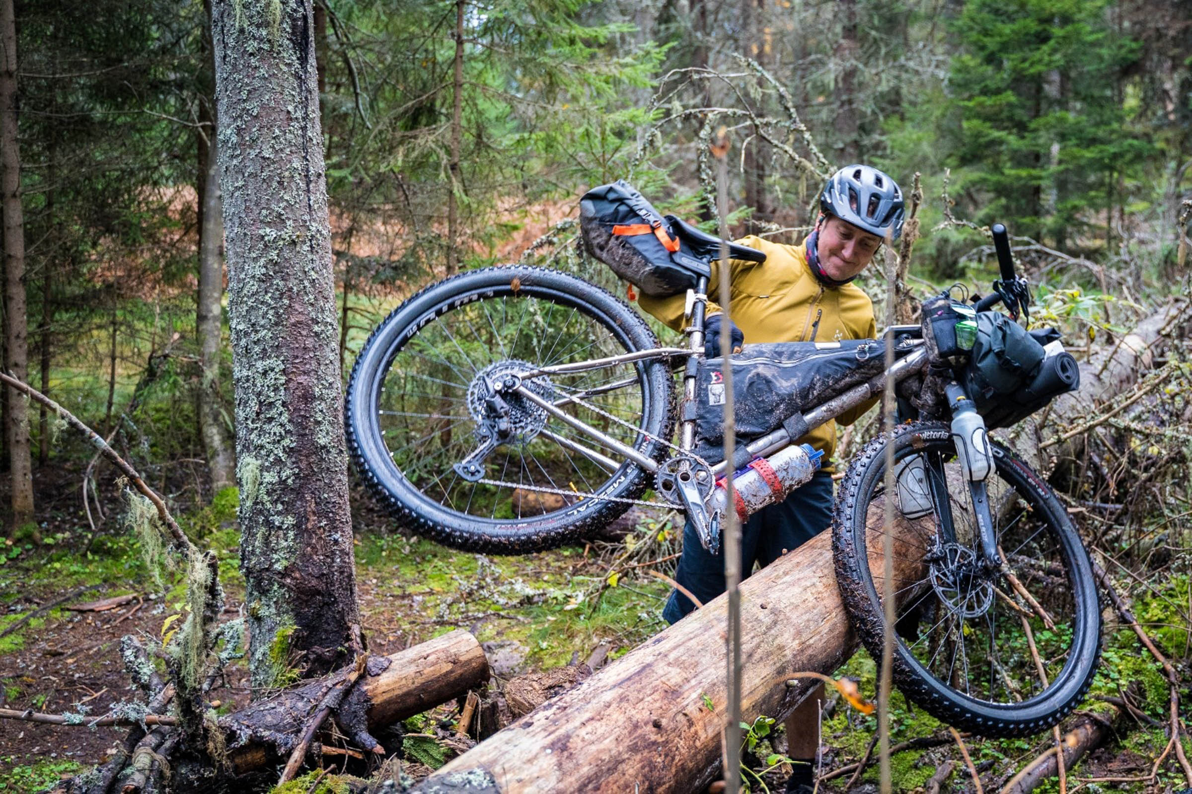
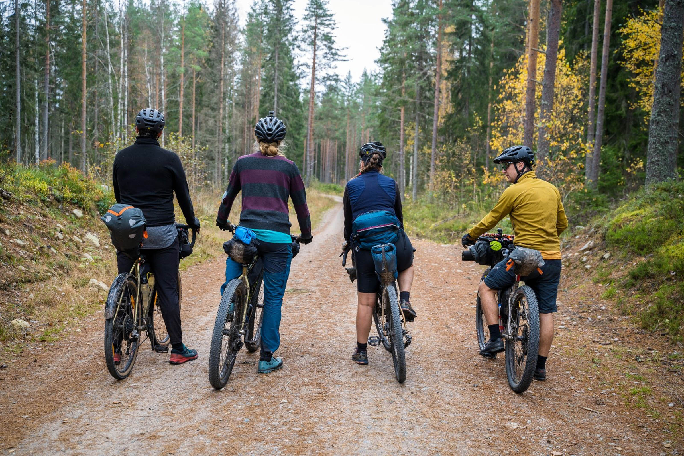
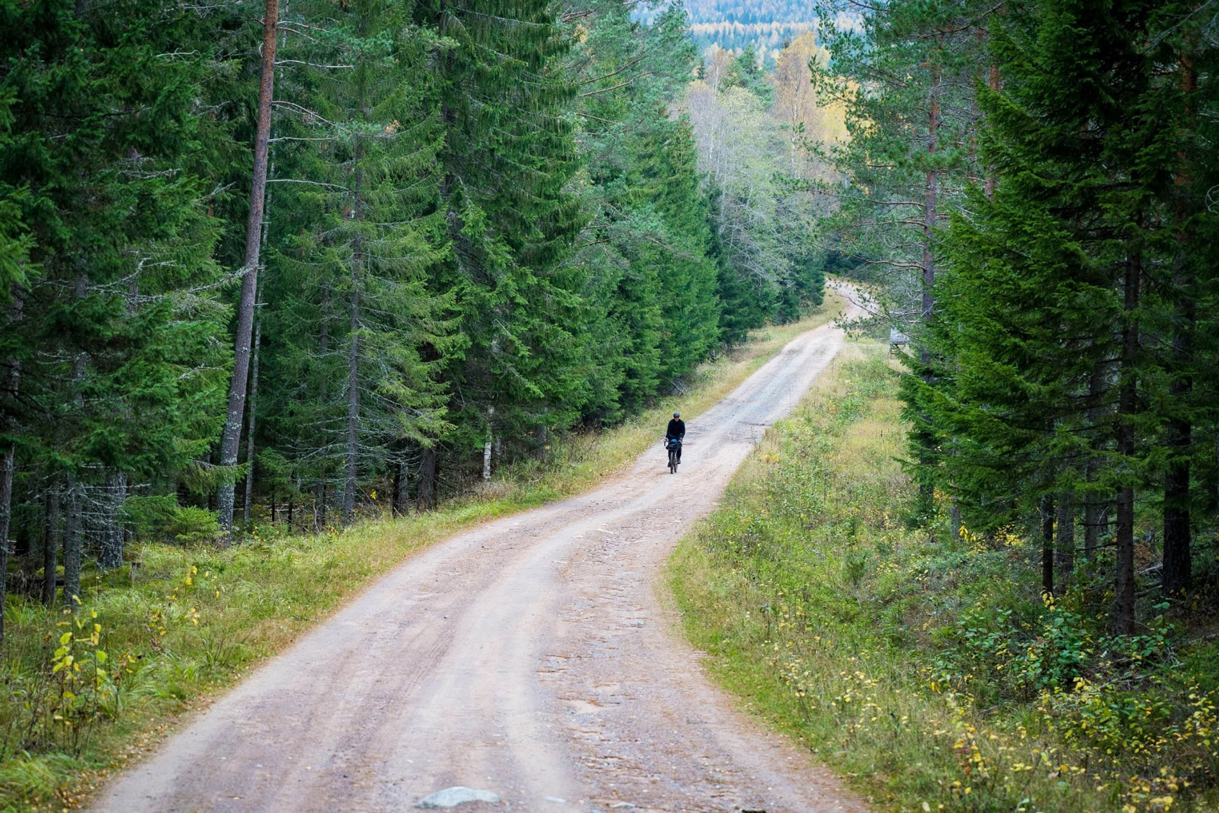
As is often the case in Sweden, great gravel roads lead to dead ends, as they were mostly built to allow transport in and out of forests and mining districts. These roads don’t often lead anywhere. But for us, they lead to adventure. At the end of some of the gravel roads on this tour, we find the links to bring us on the next stage. Most, but not all of the gravel roads are car-grade gravel, and they’re never too terribly steep. The ideal bike for this tour is a rigid mountain bike with 2.6-inch tyres. Having front suspension forks would not be overkill. Those riding with less than 47mm tyres would find the tour difficult. Therefore, a grade of 7 out of 10, especially if on a gravel bike, should be applied.
Route Development: The route we rode was designed to take in the best of what south Dalarna has to offer. It was designed from my home office in Stockholm without having a huge amount of knowledge of the Borlänge region. When riding the Dalarna Ramble route, we found markers for an unknown cycling way. Only after the tour did I find out that there’s an old forgotten cycling trail already in the area, Fäbodrundan. This is a 165-kilometre route that mostly runs to the north and west of our trail and is also on the northern side of the Västerdalälven River and E16 road. This route is difficult to find information about, but I do have a GPX file for the trail, so maybe a future project.


Submit Route Alert
As the leading creator and publisher of bikepacking routes, BIKEPACKING.com endeavors to maintain, improve, and advocate for our growing network of bikepacking routes all over the world. As such, our editorial team, route creators, and Route Stewards serve as mediators for route improvements and opportunities for connectivity, conservation, and community growth around these routes. To facilitate these efforts, we rely on our Bikepacking Collective and the greater bikepacking community to call attention to critical issues and opportunities that are discovered while riding these routes. If you have a vital issue or opportunity regarding this route that pertains to one of the subjects below, please let us know:
Highlights
Must Know
Camping
Food/H2O
Trail Notes
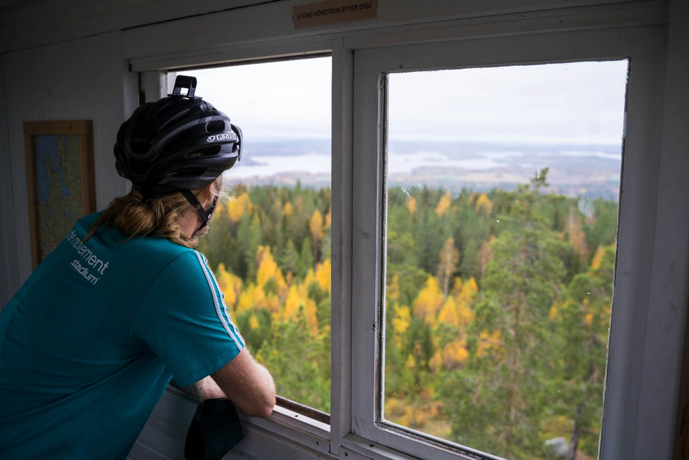
- Climbing the lookout tower of Rösåsen and enjoying the views over South Dalarna.
- Taking the self-pulling boat across the water at Truttjärnen.
- Riding the easy but epic mountain bike trail links.
- Admiring the picturesque village of Södra Tansbodarna.
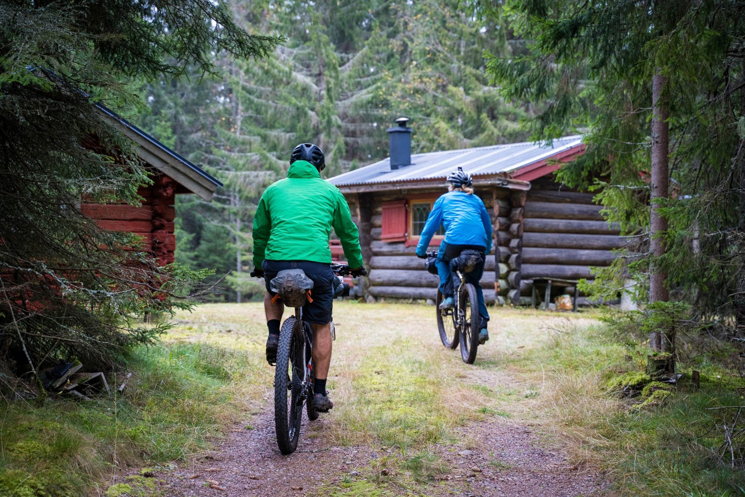
- Visiting the adventure mine in Tuna-Hästberg.
- Feeling lost on the remote gravel roads of South Dalarna.
- Being mesmerised by the turquoise waters of the Östra Silvberg flooded mines.
- Exploring the old cemetery of St Nicolai and at the Östra Silvberg.
- The best time to ride this route is from August to the end of October. You’ll miss most of the mosquitoes and get to experience the beautiful autumn colours.
- If you ride the route anticlockwise, most of the climbing will be on good gravel roads.
- There’s not 100% phone coverage on the route. It’s never too far to the next coverage spot, but it’s best to be prepared.
- There are wolves, bears, and lynx in the region, but consider yourself lucky if you come across any of them. They are all extremely shy and generally not dangerous to humans.
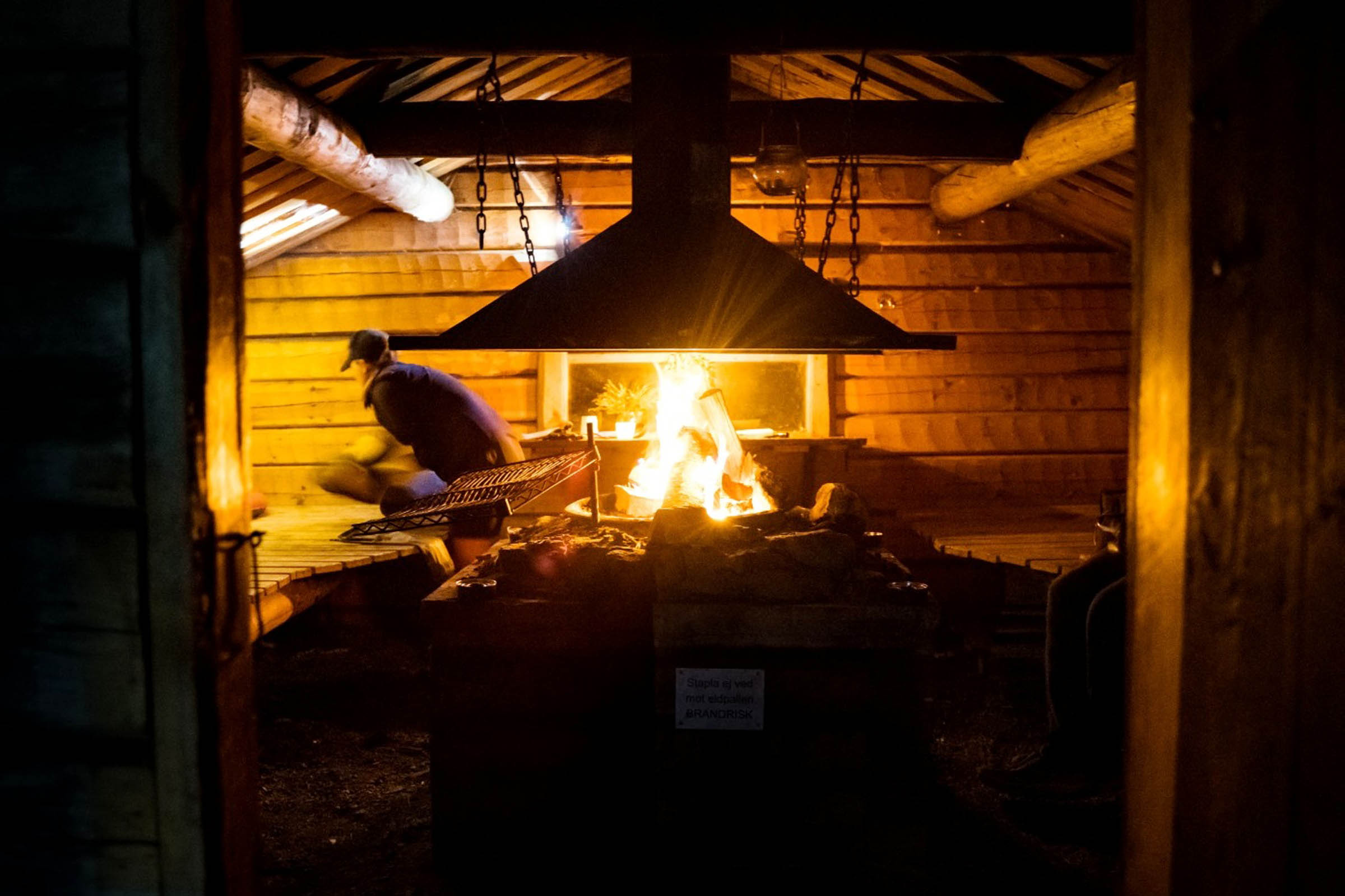
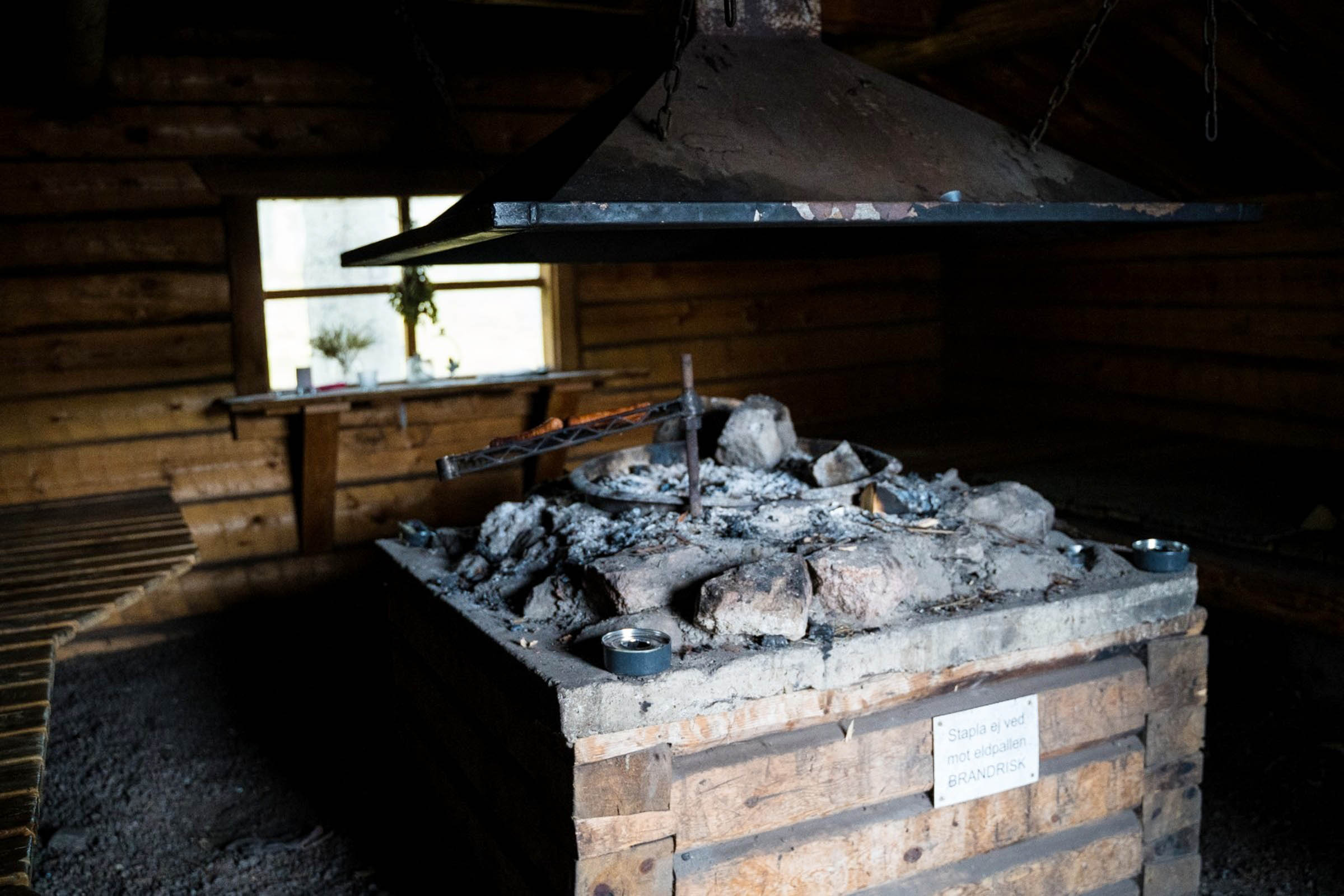
- Tanstjärnen Lake, which is marked on the map, is the obvious place to camp. On the west side of the lake, there is the perfect flat location to camp, complete with an outdoor toilet. On the east side of the lake up on the hill, there is an open hut belonging to the Grangärde Fishing Club. Even though the hut is open, please email the club (kontakt@grangardefiske.se) and ask for permission to stay there. Inside the hut, there is a central fireplace surrounded by wide benches. There’s no floor in the hut, but there’s gravel on the ground and it’s well looked after.
- Sweden also has its famous “allemansrätt.” This is a group of bylaws that add up to allowing you to roam freely through the Swedish countryside. They also facilitate wild camping for up to two nights in the same location. It’s not quite a “free for all,” and some rules apply, but in general you can camp where you please. For more information, go to VisitSweden.com.
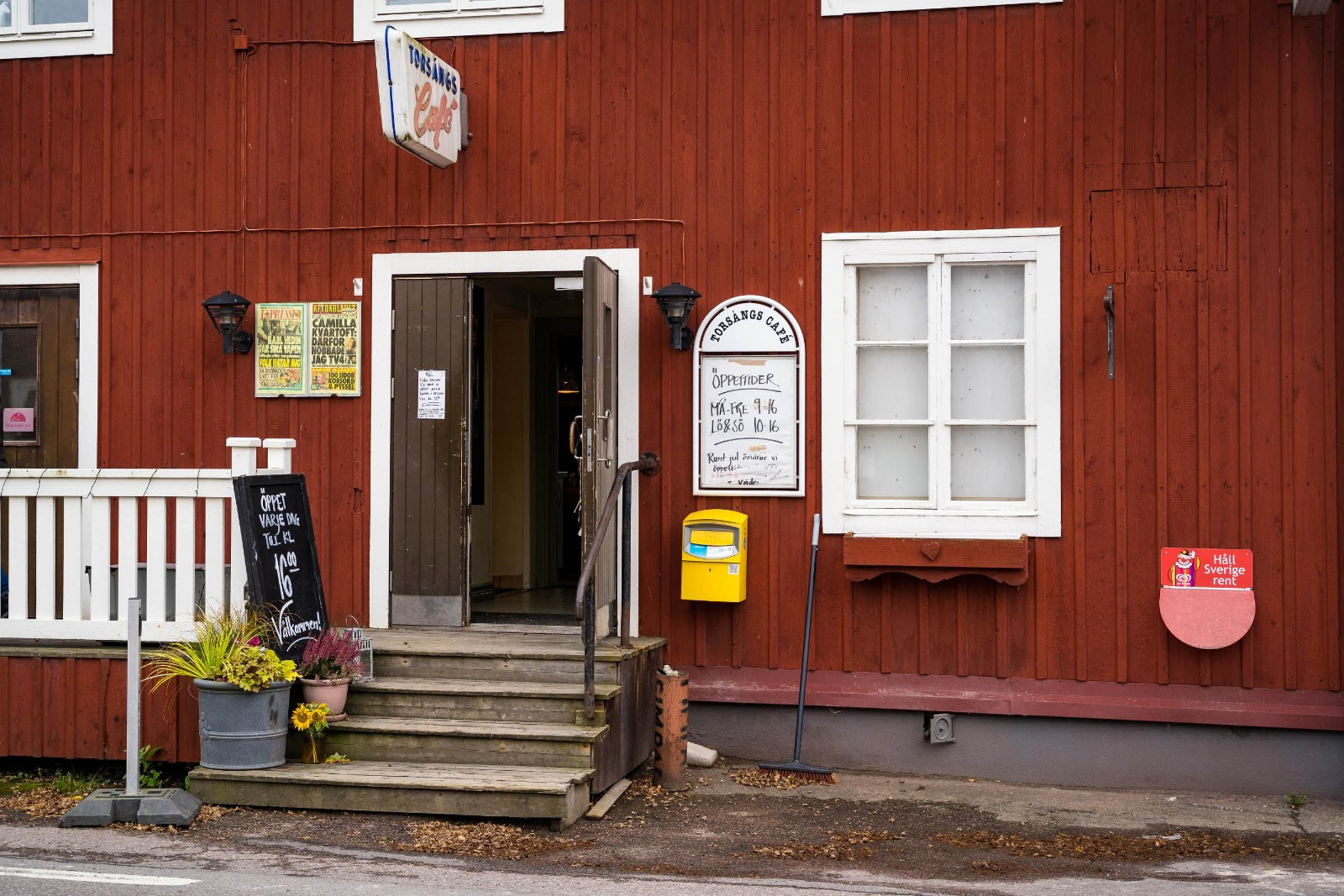
- The only shops on the route are those found in the large town of Börlinge. This town has a population of 50,000 people, so there are services of all types there.
- The water quality is very good in the lakes you’ll pass, but it’s always best to filter.
- Don’t drink the water at the Östra Silvberg mine!
Description of the links
If starting in Borlänge, the first link of the tour is after you reach the top of the climb out of the town. At about the 9 kilometre mark, you will reach a vehicle turning point and a sharp right turn in the gravel. The link is found by ignoring these features and riding straight ahead. It’s an easy and fun downhill single track that is very ridable, even on a gravel bike.
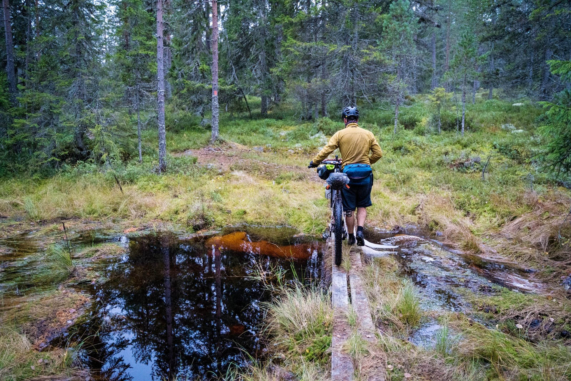
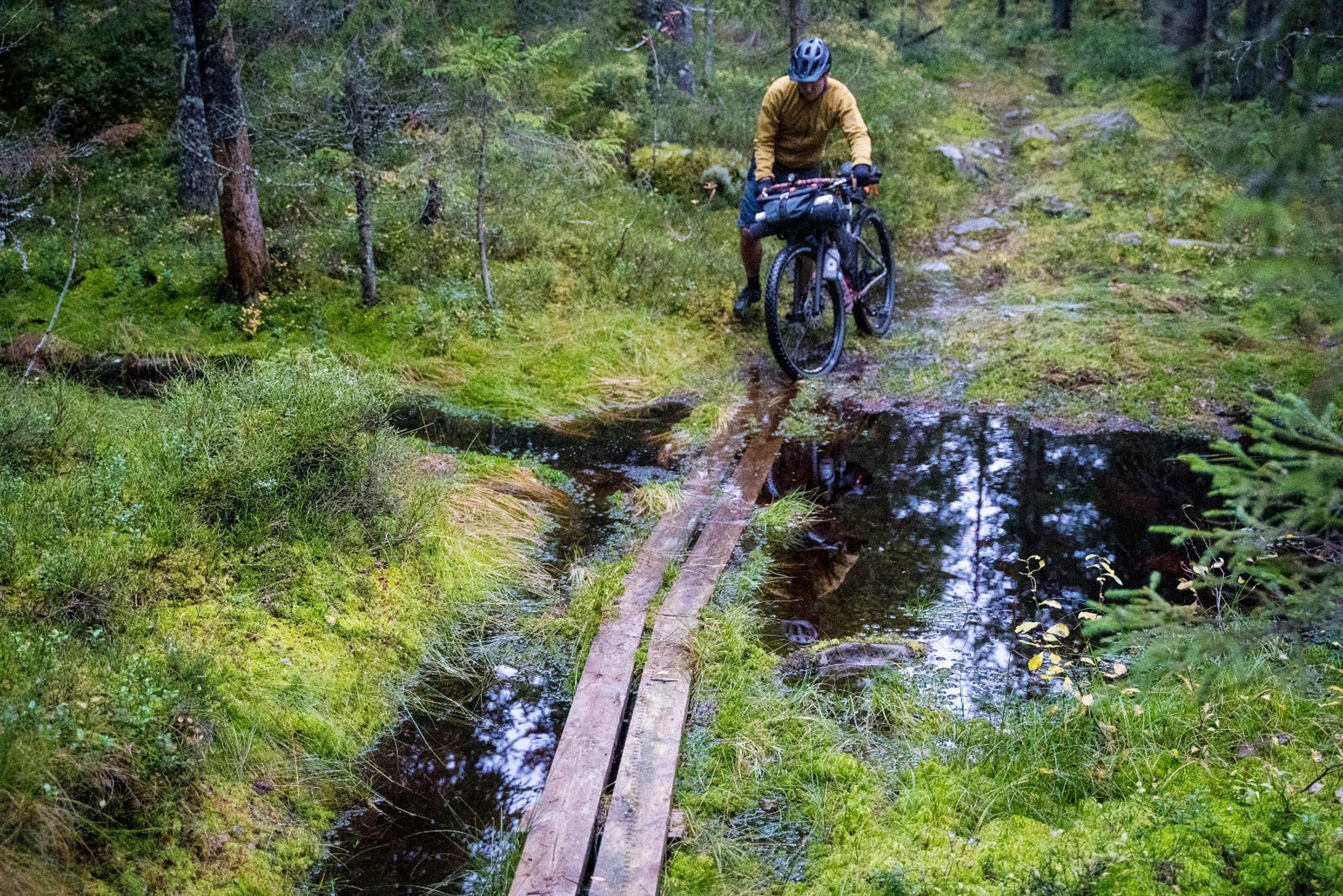
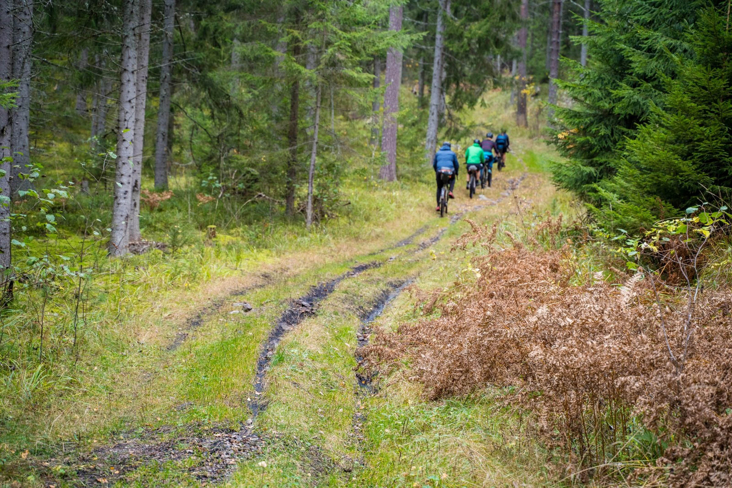
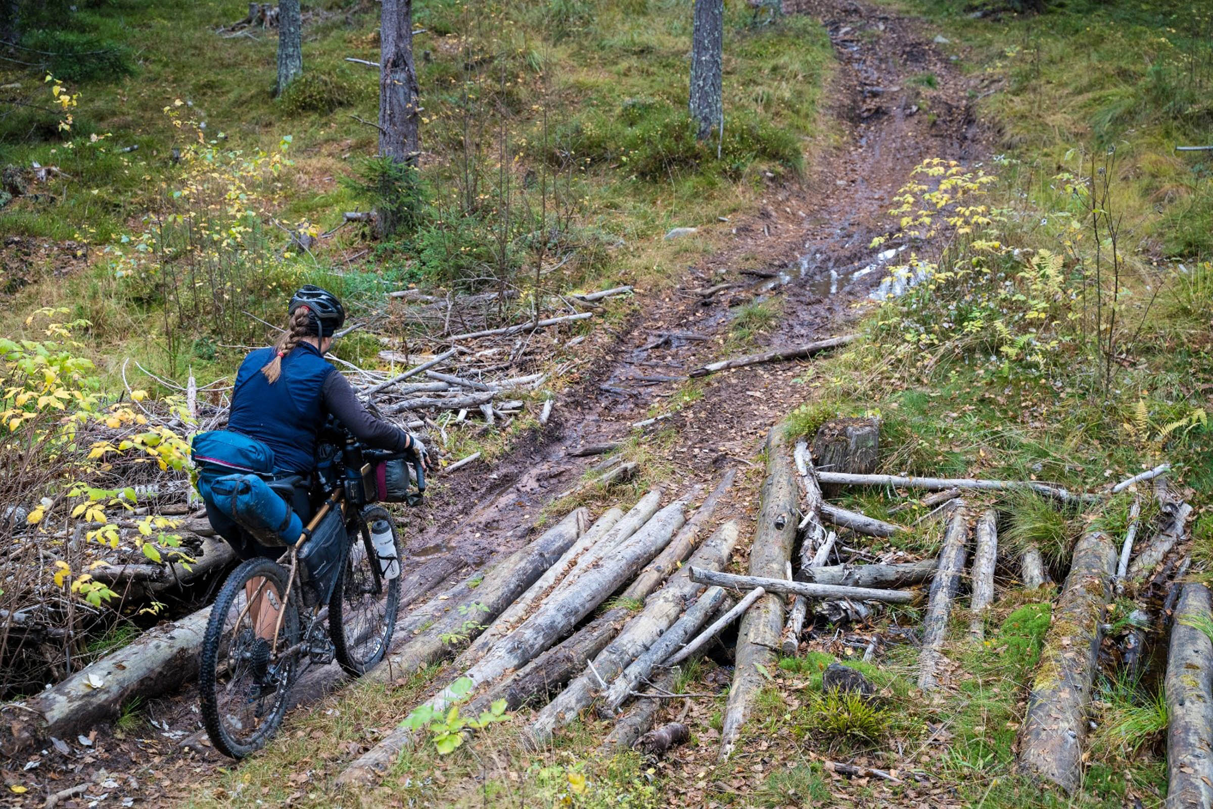
The second link is the most challenging of the tour. After a long climb up to the highest point on the tour, 415 metres, the wide gravel road just ends. Trust the wooden marking poles that start straight on from the gravel and push your bike through the heather. After a rough start, you’ll manage to find your way to more rideable trails. It’s more MTB territory, but it’s short-lived. The entire link is about 400 metres long.
On day two of the tour, the first link is after passing by the bottom runs of the mid station at Romme Alpin ski resort. This is a pretty easy section, unlike the long gravel road climb directly after. If riding this route during the ski season, it’s best to avoid the resort and take the gravel road to the south of Storra Dammsjön instead of riding past the skiers on the slopes.
The next link is after crossing the busy 70 main road. This link is actually more of a forgotten farmers’ lane than a singletrack. In the dry and with good fitness, it’s a rideable, challenging uphill test. It’s also the only uphill link if you run the tour anti-clockwise. When you think it’s all over, you will get the option to make a final push up to the Rösåsen Utsiktstorn (lookout tower), a fantastic enclosed tower with an epic view. Worth the effort.
The most technical link is saved for the last part. After turning off the gravel, the path tracks downhill toward the water. It’s steep in sections with some rocks to navigate around before the trail flattens out. On a fully loaded bike, you’ll want to walk a handful of metres around the most difficult part. It’s possible to skip this section by not turning off the gravel and joining the road at Trutenbo, but then you would also miss the cable-pulling boat crossing.
Options
If you have the time or want to turn the trip into a three-day outing, it is worth visiting The Adventure Mine. This is located just off the route in the village of Tuna-Hästberg. The Adventure Mine offers half and full-day adventures in, you guessed it, an abandoned mine. A must-do if you’re in the area. Details here.


Terms of Use: As with each bikepacking route guide published on BIKEPACKING.com, should you choose to cycle this route, do so at your own risk. Prior to setting out check current local weather, conditions, and land/road closures. While riding, obey all public and private land use restrictions and rules, carry proper safety and navigational equipment, and of course, follow the #leavenotrace guidelines. The information found herein is simply a planning resource to be used as a point of inspiration in conjunction with your own due-diligence. In spite of the fact that this route, associated GPS track (GPX and maps), and all route guidelines were prepared under diligent research by the specified contributor and/or contributors, the accuracy of such and judgement of the author is not guaranteed. BIKEPACKING.com LLC, its partners, associates, and contributors are in no way liable for personal injury, damage to personal property, or any other such situation that might happen to individual riders cycling or following this route.
Please keep the conversation civil, constructive, and inclusive, or your comment will be removed.