


Delaware Water Gap Loop
Distance
90 Mi.
(145 KM)Days
2
% Unpaved
65%
% Singletrack
10%
% Rideable (time)
95%
Total Ascent
4,438'
(1,353 M)High Point
1,034'
(315 M)Difficulty (1-10)
4?
- 3Climbing Scale Fair49 FT/MI (9 M/KM)
- -Technical Difficulty
- -Physical Demand
- -Resupply & Logistics
Contributed By
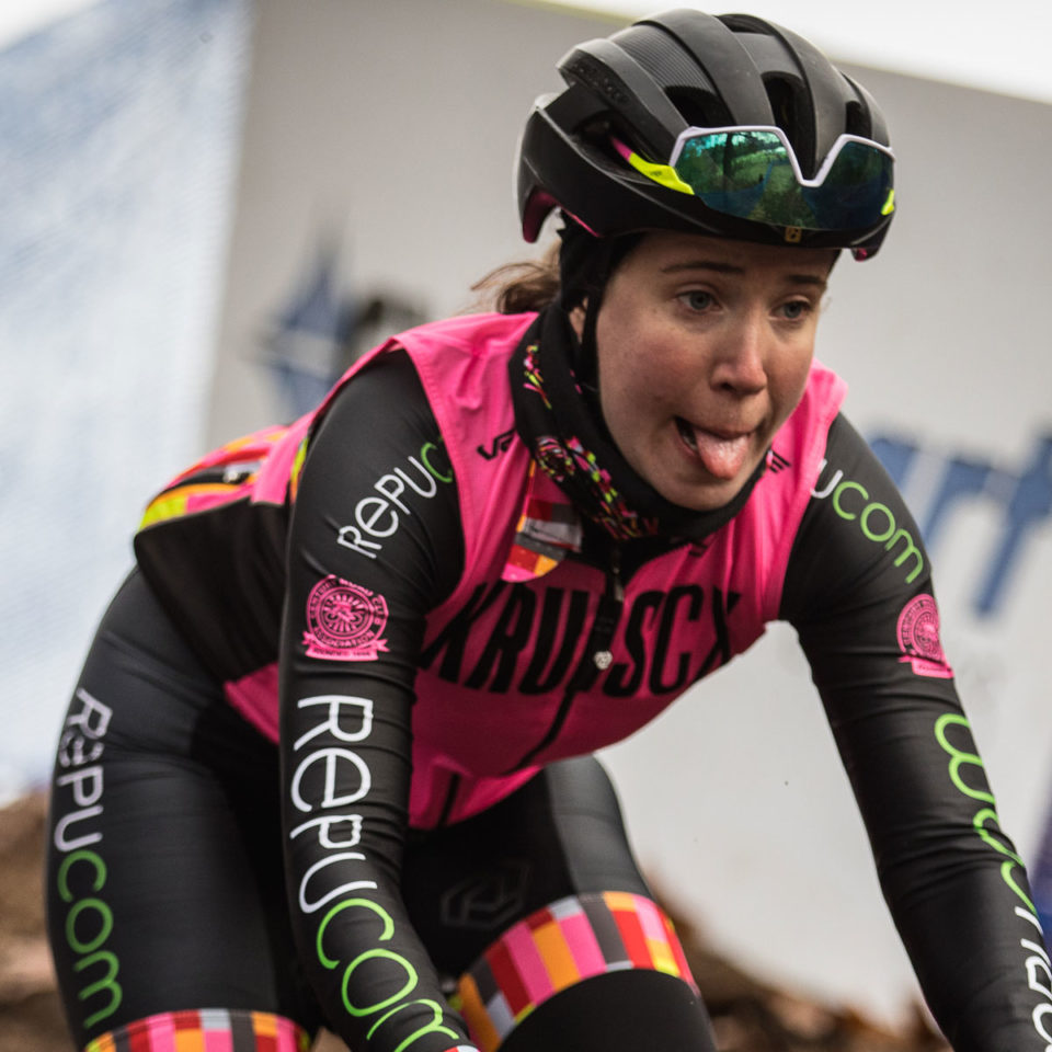
Megan Bagley
Guest Contributor
Megan is currently studying data science and spending more time than she should watching pro cycling. She grew up playing soccer but fell in love with cycling while living and working in NYC. She’s grateful for the friends made in the local cycling scene and always excited to bring new people into the sport or just show someone a trail they’ve never ridden. Find more of Megan’s photos on instagram @mlbagels
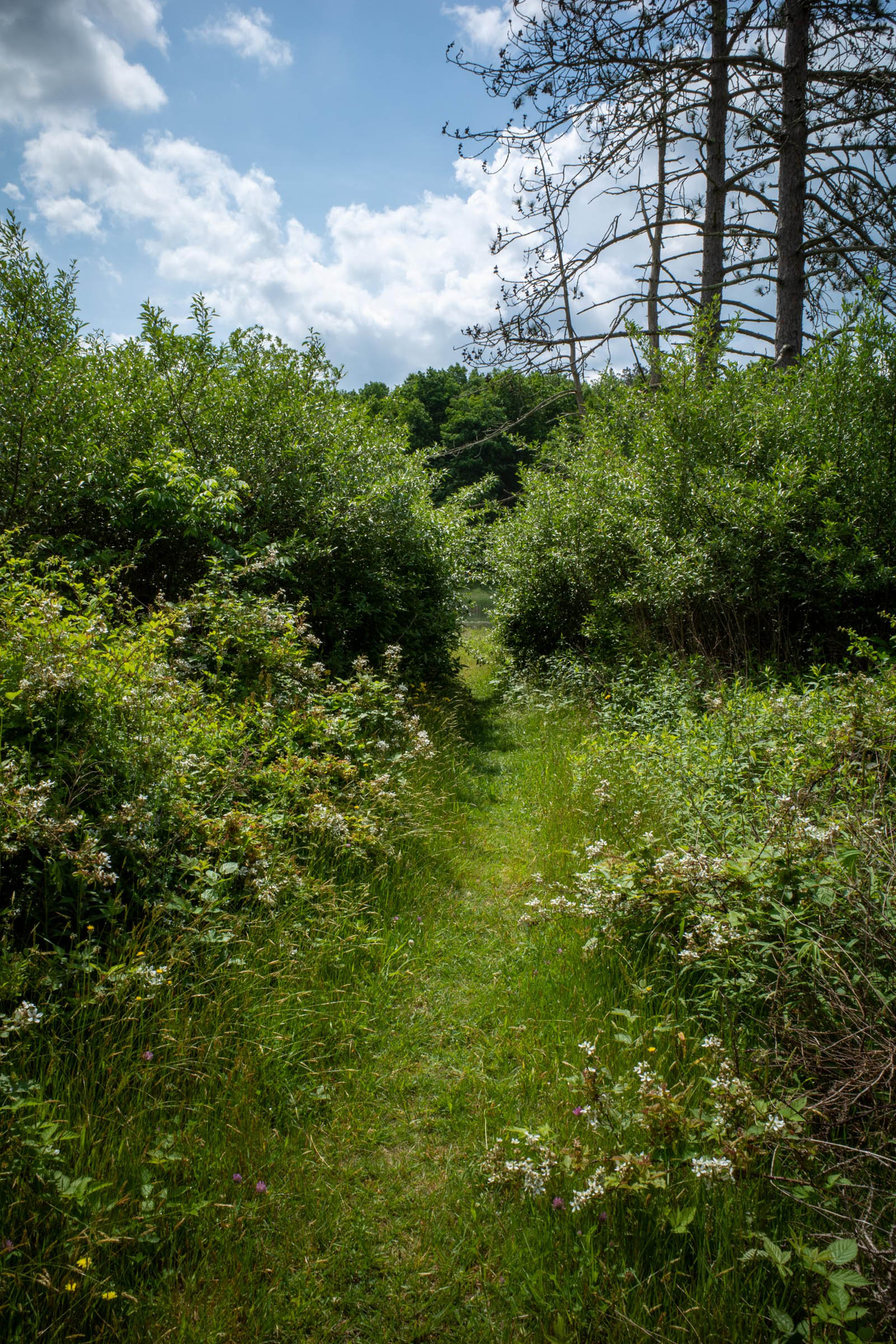
This Delaware Water Gap Loop connects local rail trails in Stokes State Forest to the Delaware Water Gap National Recreation Area. The route offers a nice mix of trails of varying difficulty, from smooth hardpack/cinder rail trails to a very steep road climb to Stokes State Forest, and technical tracks through Stoke and the GAP.
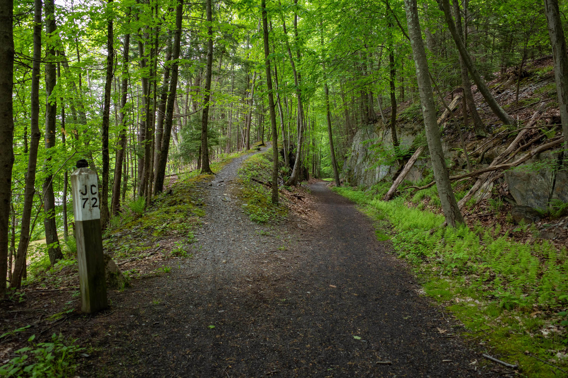
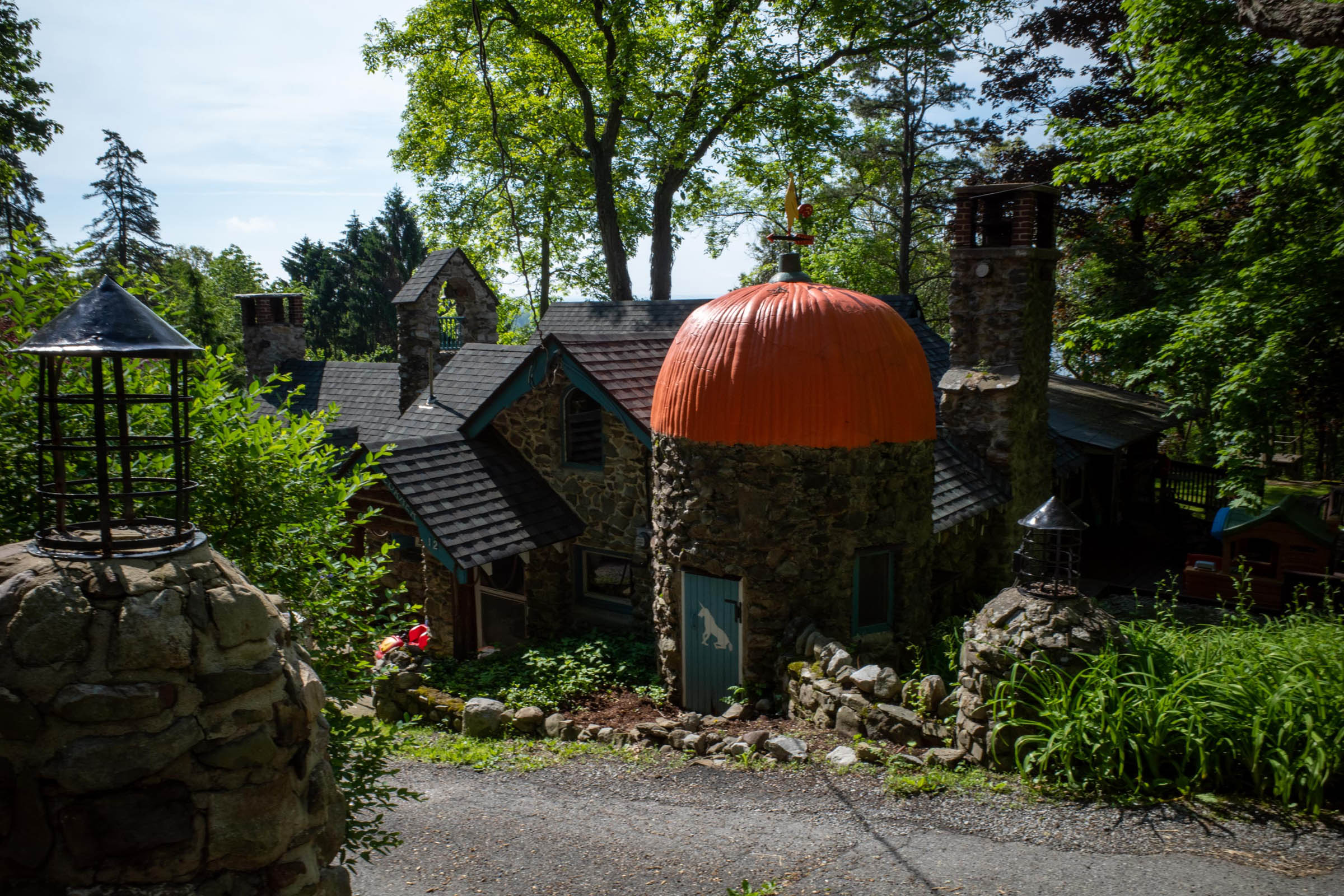
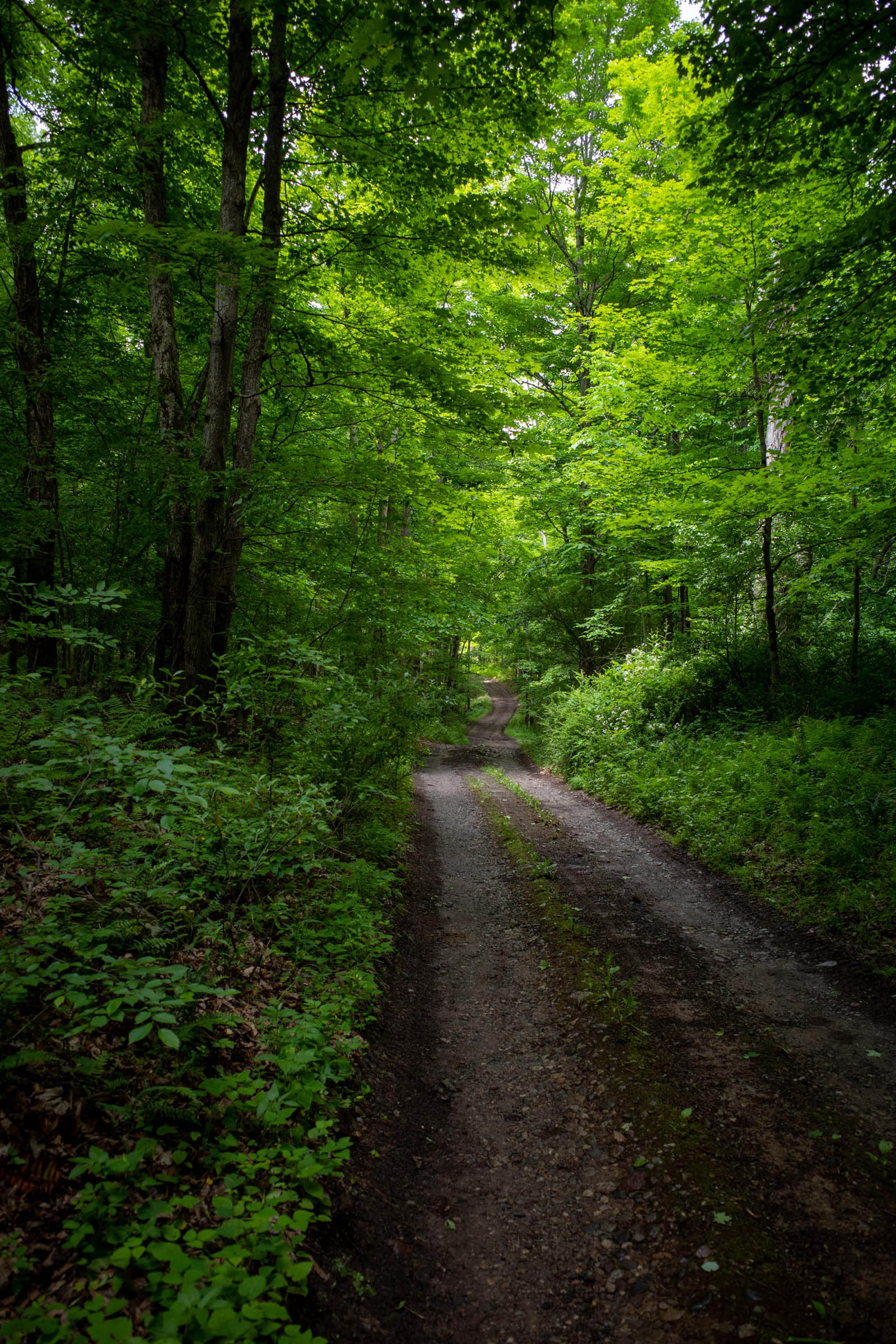
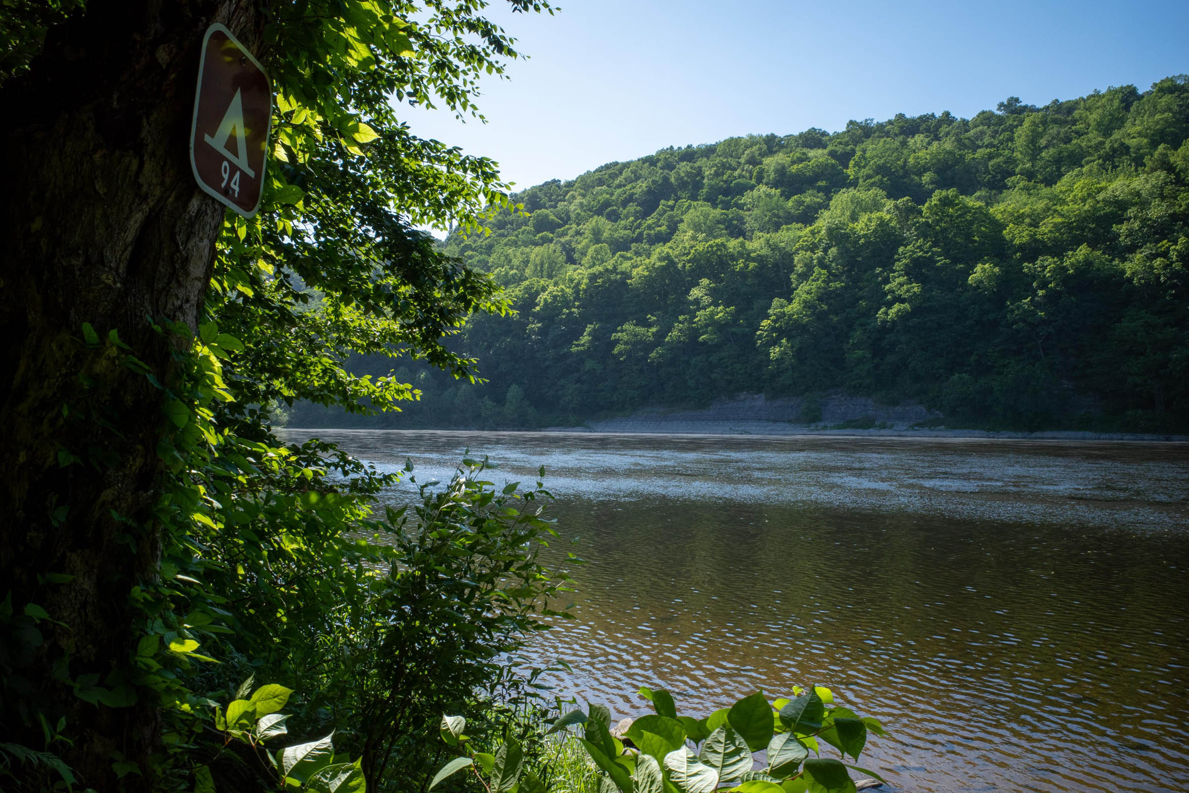
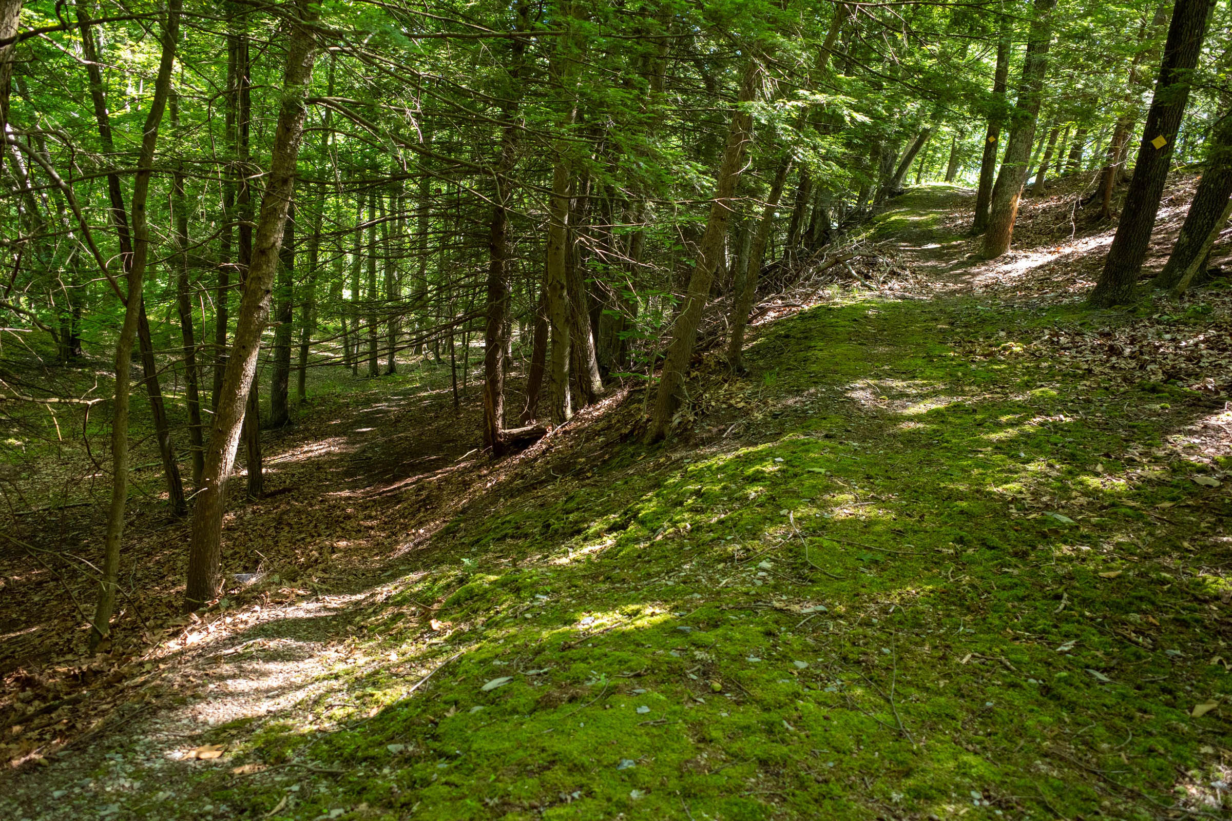
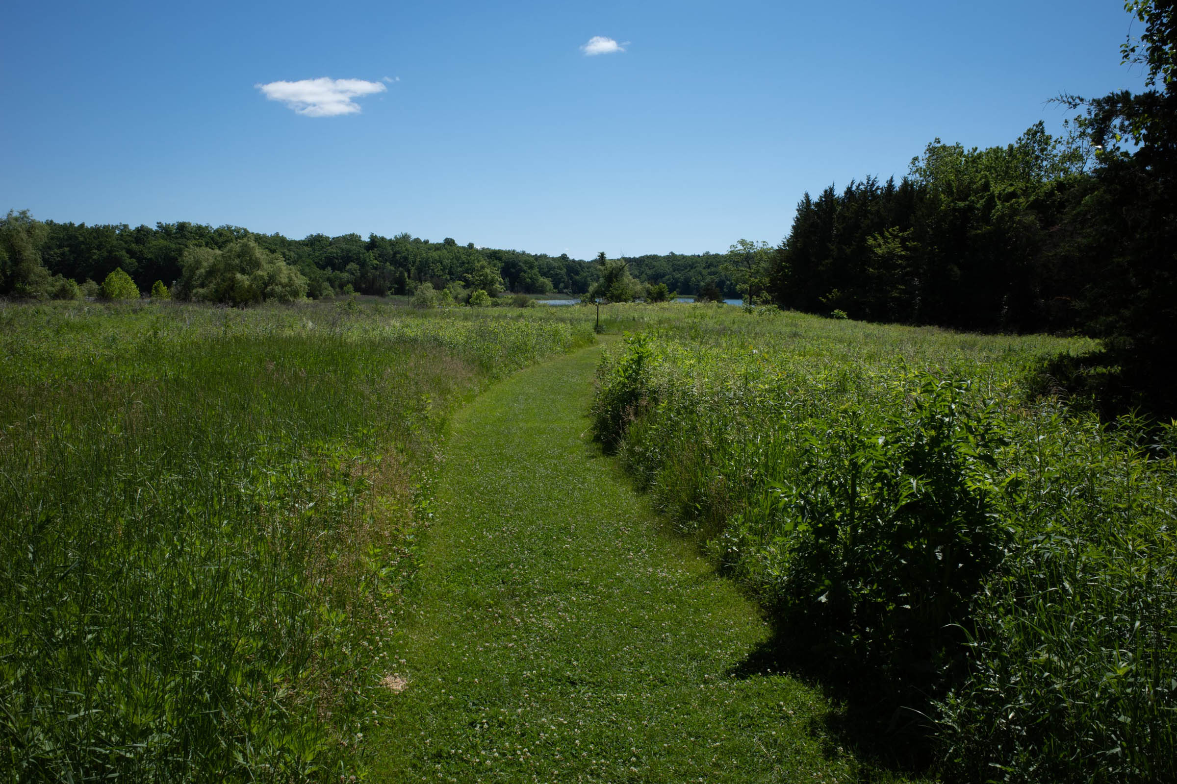
The route starts in Lafayette Township at a Rail Trail crossroads, choosing the north option on the Sussex Branch Trail, a peaceful and wooded trail that connects to a road section, passing through rolling farmland. You know you’re nearly at Stokes Forest when you’ve ridden a short-but-steep climb and see a house on the corner with a turret shaped like a pumpkin. Through Stokes Forest there are some mostly rideable trails, passing by the beautiful Stony Lake and a water feature, perfect for your water filter. This then connects to a significant stretch of jeep road, all the way to the popular Buttermilk Falls.
After Buttermilk Falls comes the most technical part of the day, with rideable singletrack trails climbing up to Stillwater Road and down to Millbrook Village, a living replica pioneer life from in the 1800s. From there we take Old Mine Rd uphill, connecting to the Hamilton Ridge Trail as a fun, less technical descent. This can be taken straight to the end or with a right turn onto the Pioneer for some very steep descending and views of the Delaware River and Pennsylvania on the other side. The day ends with a quiet road ride along the river to the Worthington Campground.
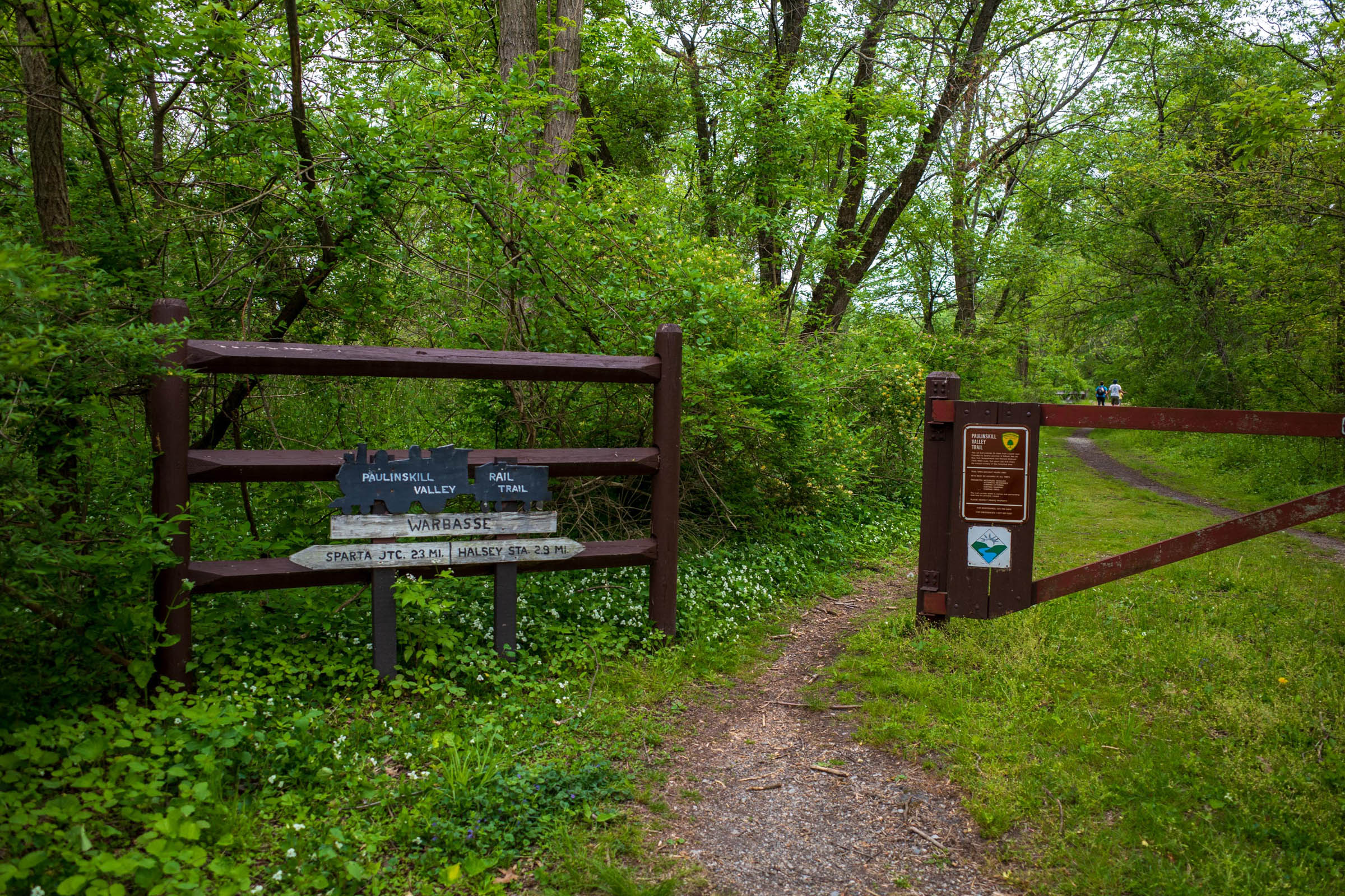
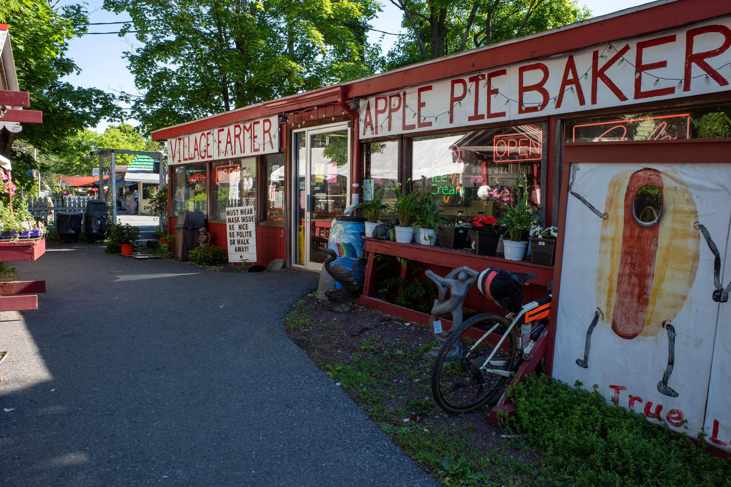
The next day starts off on the road and meets up with the Appalachian Trail on the walk across the Delaware Water Gap Toll Bridge where you can stop for takeaway at a local bakery/market. They even offer a “True Love Special!” which includes a hot dog and a slice of apple pie for $2.95! Personally, I was very happy with my mini-pies. After this, the last road section continues south via the Delaware Drive to the Portand-Columbia Pedestrian Bridge, circling back to New Jersey. Two miles into NJ and then it’s the Paulinskill Trail and largely off-road for the rest of the ride.
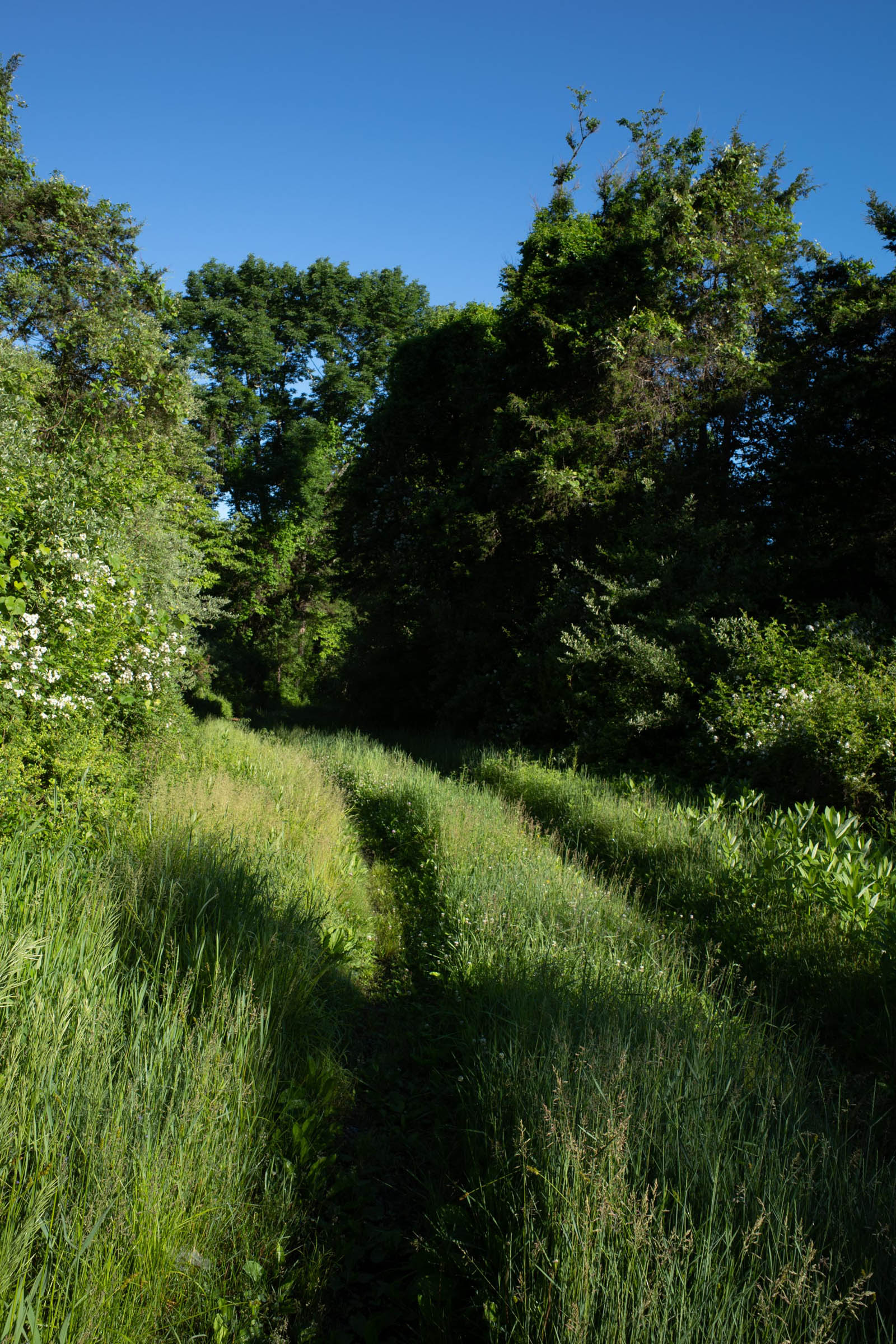
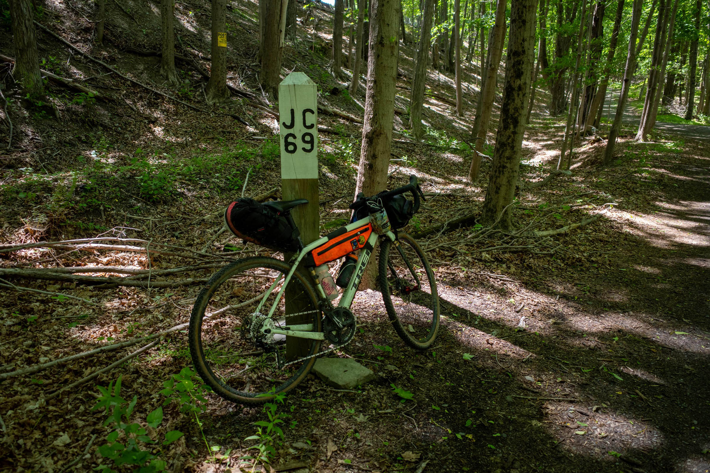
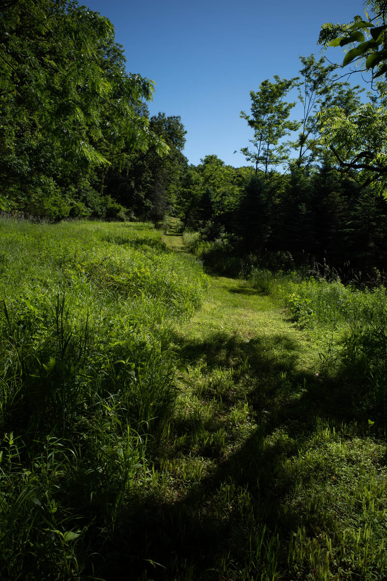
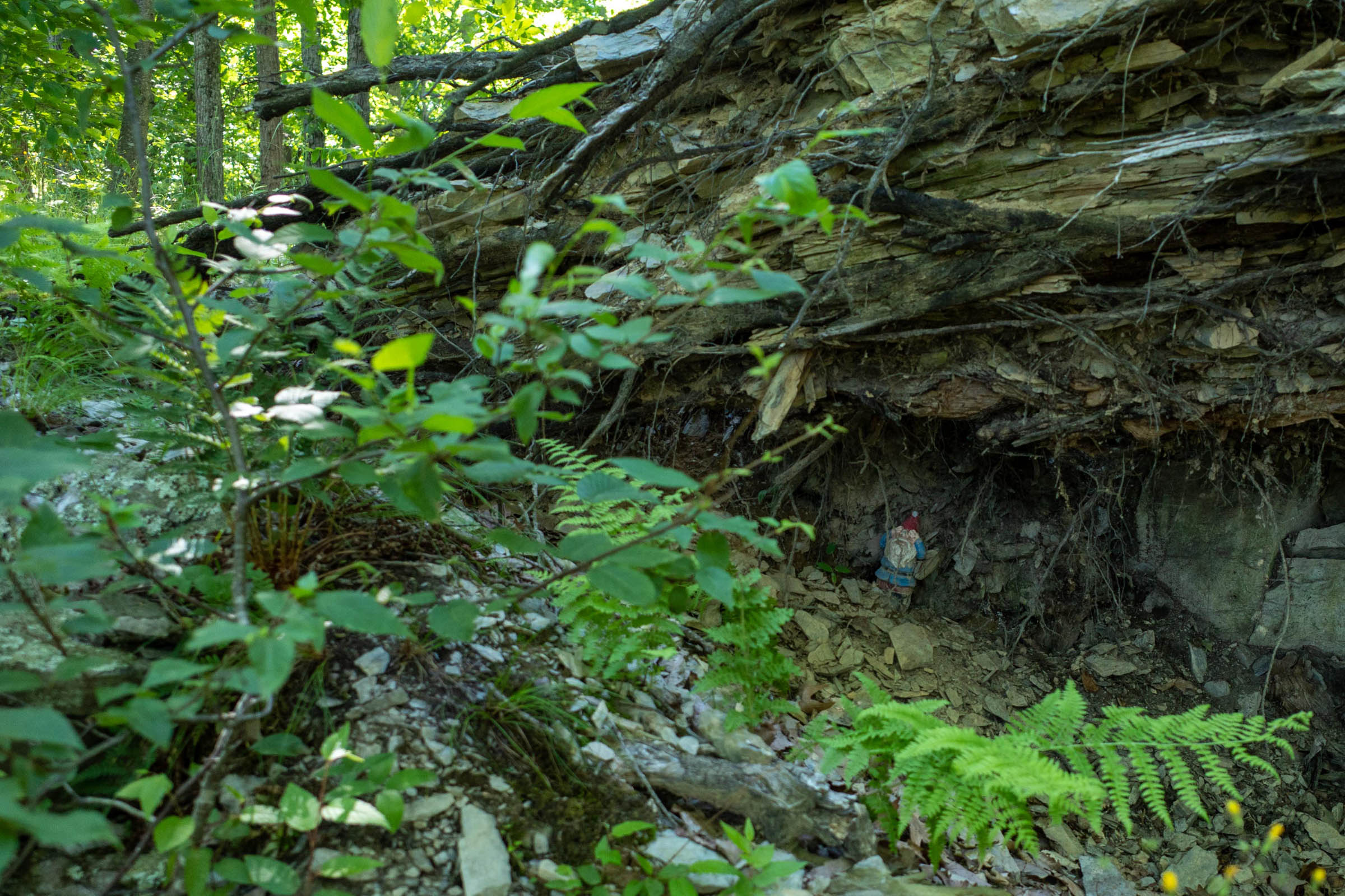
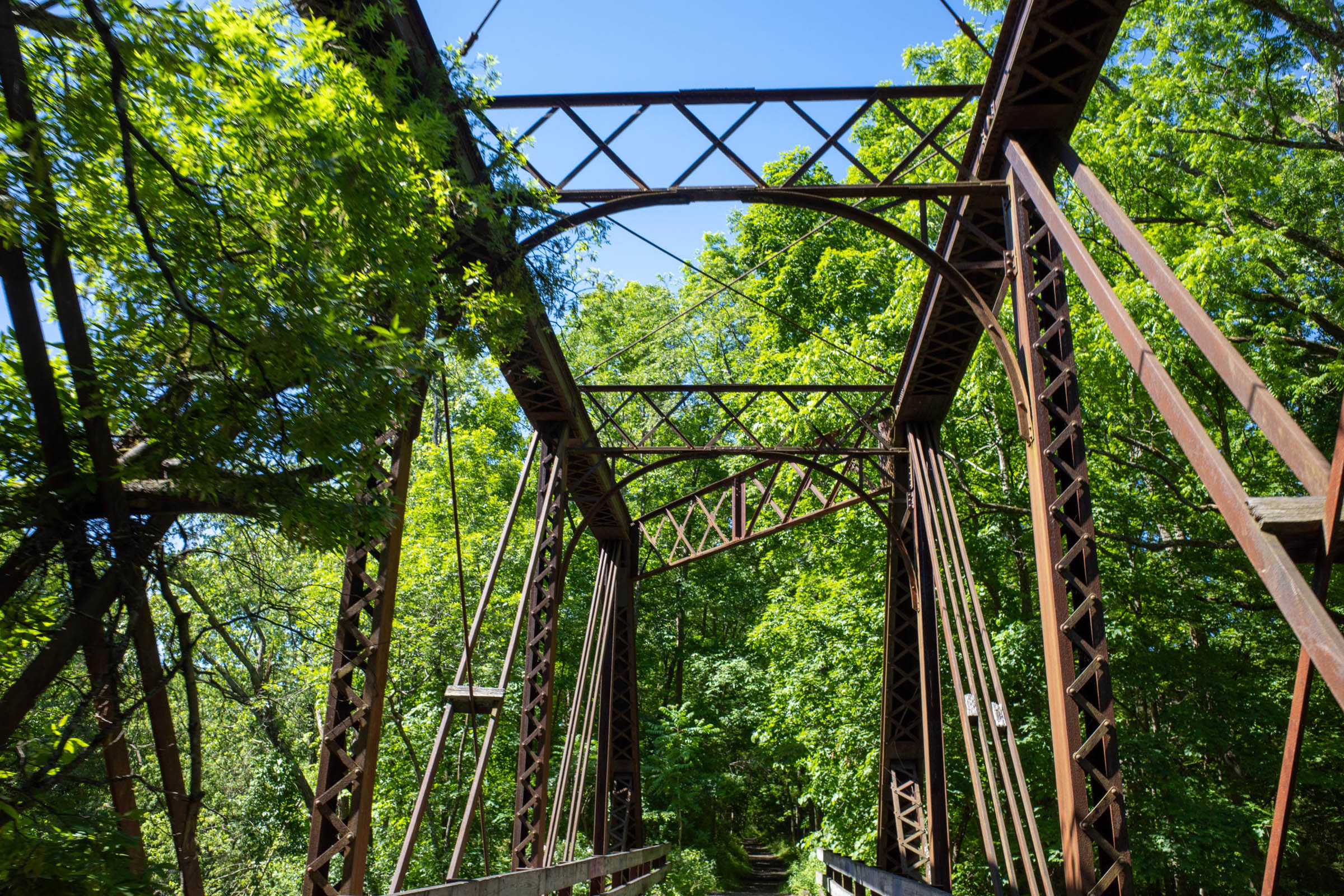
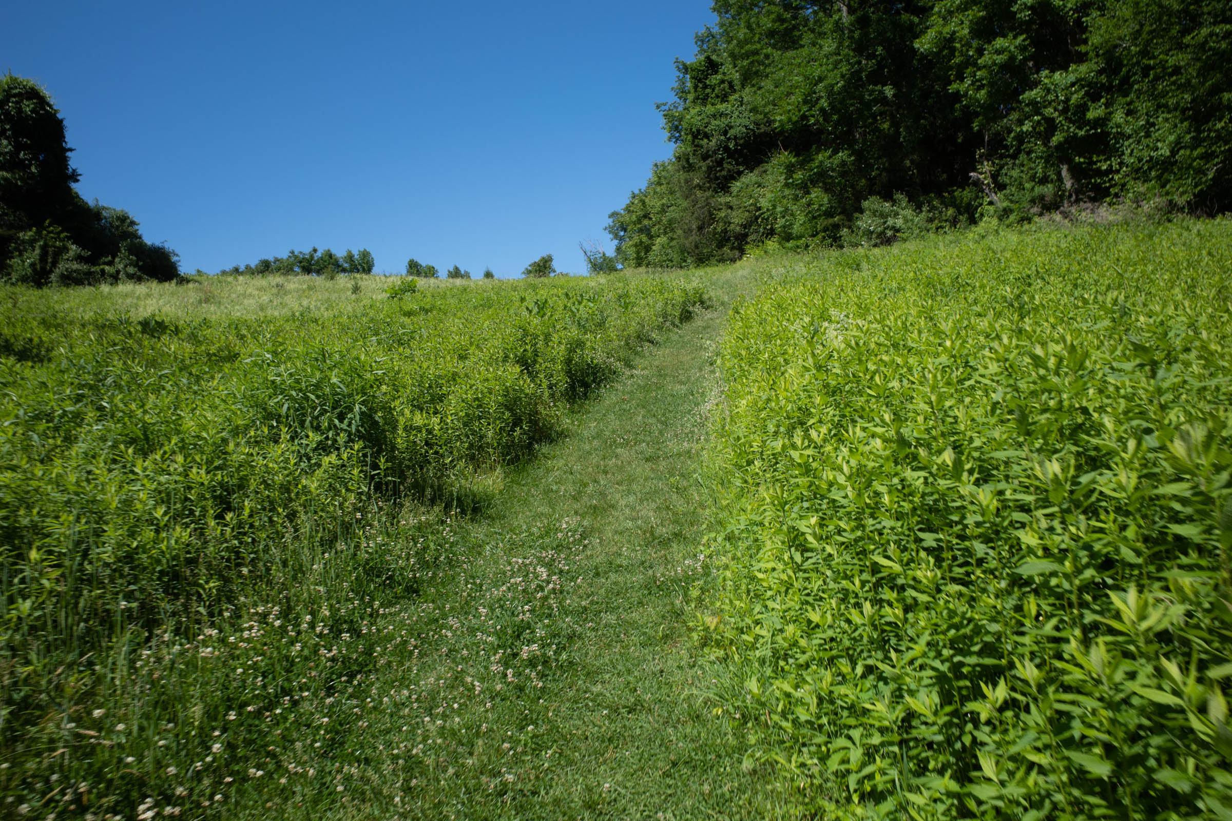
You know you’re on the right path when you ride underneath a large viaduct. This trail passes by farmland and a small-plane airport, all while including scenic bridges, original mile markers, and many benches to stop and eat a leftover pie or two. Partway through this stretch includes two segments leading you off the rail trail to explore the White Lake Natural Resource Area and the Gnome Hollow Preserve. The riding here is very technical at times but worth the trip for the scenery and gnome-sightings. The trip ends with a loop around the Paulinskill River Wildlife Management Area, a popular spot for bird watchers.
Difficulty
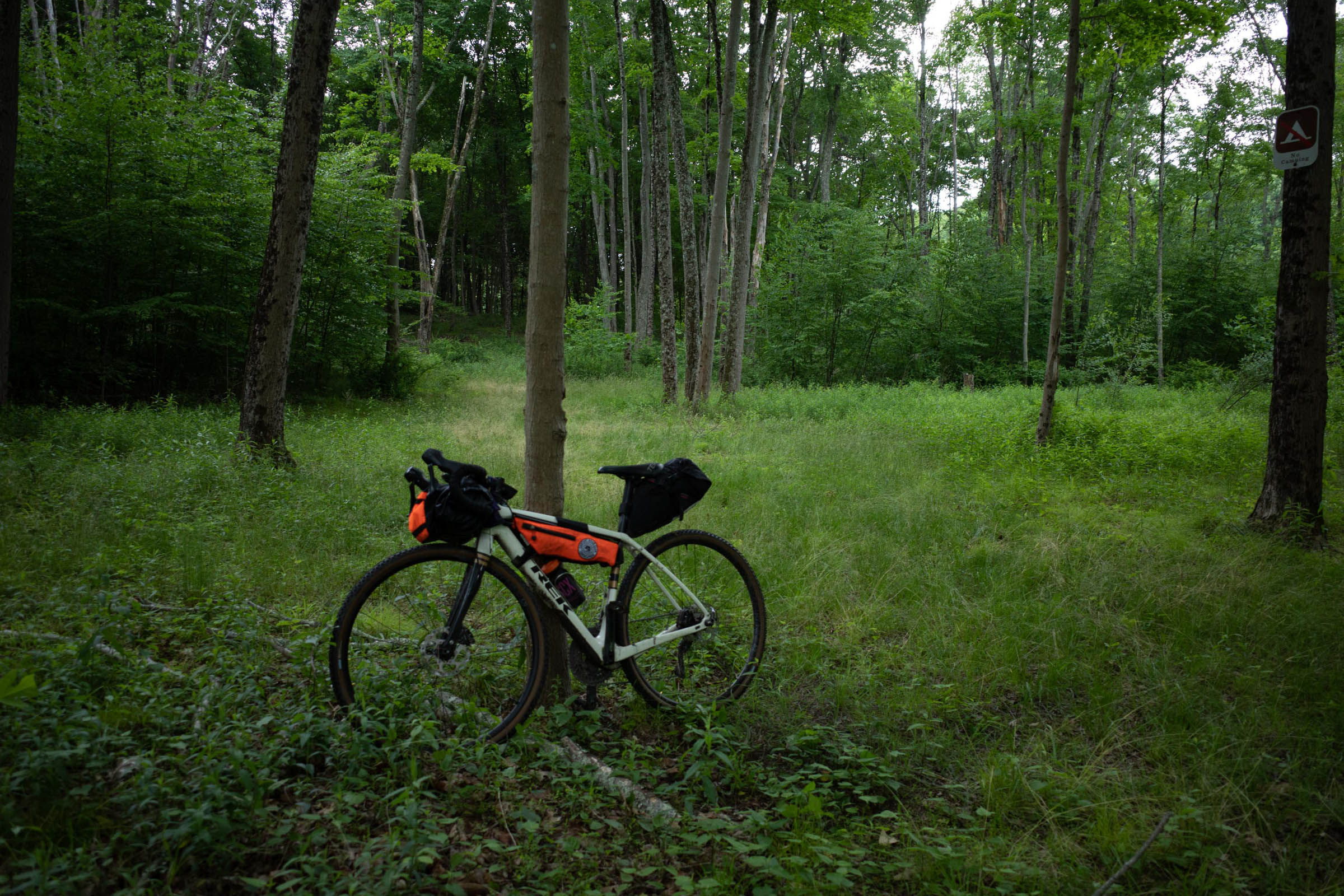
I would consider this route to have a 4/10 difficulty. While there are significant stretches of jeep road and rail trail, the singletrack is steep at times and might require a bit of hiking. That said, I think this collection of trails can be considered a great introduction to bikepacking since there is enough rideable dirt to keep you interested and trails to practice climbing or descending on without having to be pressed for time. Resupply is straightforward, except for the Stokes Forest/GAP section where the next town is quite far away and reception is poor. You can purchase your dinner supplies (if that’s how you roll) as late in the route as Branchville and can pick up breakfast the next day in Pennsylvania.
Route Development: Some credit for this route goes to my dad, who joined me on scouting trips and helped correct the route so it didn’t join with the Appalachian Trail, where bikes are not allowed. This loop still briefly joins the AT, but only on a mixed-use section when crossing the Delaware Water Gap Toll Bridge into Pennsylvania. He’s a bit slower than me with only one wheel, but it was a huge help being able to commiserate with him regarding the long hike-a-bike section, or together admire a nice stretch of trail, even if it led nowhere. We scouted the trip during COVID-19 lockdown, first riding in the GAP since that is all that was open and seeing which neighboring trails were ridable once things started to open up.


Submit Route Alert
As the leading creator and publisher of bikepacking routes, BIKEPACKING.com endeavors to maintain, improve, and advocate for our growing network of bikepacking routes all over the world. As such, our editorial team, route creators, and Route Stewards serve as mediators for route improvements and opportunities for connectivity, conservation, and community growth around these routes. To facilitate these efforts, we rely on our Bikepacking Collective and the greater bikepacking community to call attention to critical issues and opportunities that are discovered while riding these routes. If you have a vital issue or opportunity regarding this route that pertains to one of the subjects below, please let us know:
Highlights
Must Know
Camping
Food/H2O
- The Village Farmer Bakery is a real highlight but if you’re ready for more caffeine or just a second rest stop, there’s Donna’s Runway Cafe, which is a scenic spot for a meal and view of some unique planes.
- The Paulinskill Rail Trail includes the original mile markers from when the trains used to be running in the late 1800s.
- The route also features Buttermilk Falls, a popular waterfall area for walkers.
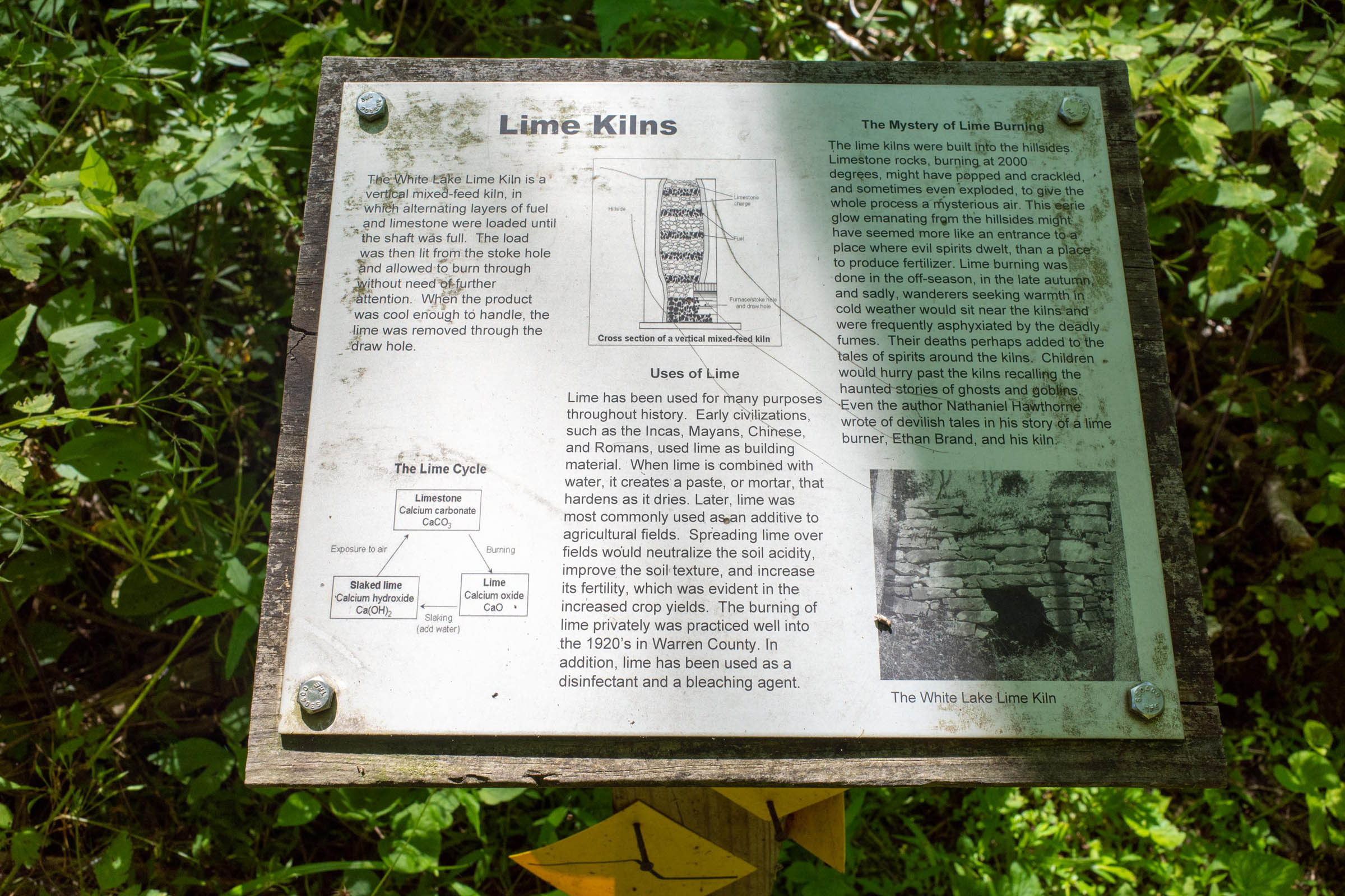
- Don’t miss the Lime Kiln on the White Lake loop!
- How many gnomes can you spot in the Gnome Hollow Preserve?
- Don’t forget to stop in Millbrook Village if you’re interested in viewing what pioneer life was like in New Jersey in the 1800s.
- This loop is best enjoyed in the spring and fall due to the summertime bugs and the campground being closed Jan 1 – March 31. Though some parts of the loop, such as the descent into the Millbrook Village, are much clearer in the winter/early spring with the grasses being much shorter.
- You can take a train to the route from Mount Olive, which could incorporate a fun ride through Allamuchy Mountain State park.
- There is free parking at the trailheads which would be the easiest way to get to this part of New Jersey.
- Watch out for bears and remember to give them plenty of room should you see one out on the trail. I’ve run into two bears on this loop and others while hiking in the area! All meetings turned out fine since I promptly stopped once I saw them and gave them time and space. At night, be sure to hang your food properly.
- There could be a lot of horse traffic in certain sections of the Paulinskill Trail; be sure to give way since horses can get skittish around bikes (the riders will thank you for it).
- Check out the Paulinskill Viaduct! Apparently some people try to walk on top, but I hear that’s a very quick ticket from a waiting ranger. Stay safe and admire the arches from below!
- Remember to reserve ahead for camping at Worthington Campground (open April 1 – December 31).
-
There are multiple camping areas in Stoke Forest. Shotwell Camping Area is right by the route and Haskin’s Group Camping Area is close too. The other two campgrounds to the north can be considered if the route is extended into High Point State Park (featuring the highest point in NJ).
-
The Appalachian Trail allows wild camping (but no biking) and this runs parallel to the route.
- There is also lodging available in East Stroudsburg.
- There is filterable water available in Stoke Forest, Buttermilk Falls, and some streams crossing the Paulinskill Trail.
- Recommended restaurants: Village Farmer Bakery for breakfast and Donna’s Runway Cafe for a top-up later in the day.


Terms of Use: As with each bikepacking route guide published on BIKEPACKING.com, should you choose to cycle this route, do so at your own risk. Prior to setting out check current local weather, conditions, and land/road closures. While riding, obey all public and private land use restrictions and rules, carry proper safety and navigational equipment, and of course, follow the #leavenotrace guidelines. The information found herein is simply a planning resource to be used as a point of inspiration in conjunction with your own due-diligence. In spite of the fact that this route, associated GPS track (GPX and maps), and all route guidelines were prepared under diligent research by the specified contributor and/or contributors, the accuracy of such and judgement of the author is not guaranteed. BIKEPACKING.com LLC, its partners, associates, and contributors are in no way liable for personal injury, damage to personal property, or any other such situation that might happen to individual riders cycling or following this route.
Please keep the conversation civil, constructive, and inclusive, or your comment will be removed.