


The Drake Passage
Distance
65 Mi.
(105 KM)Days
2
% Unpaved
70%
% Singletrack
15%
% Rideable (time)
99%
Total Ascent
5,847'
(1,782 M)High Point
1,206'
(368 M)Difficulty (1-10)
4?
- 6Climbing Scale Moderate90 FT/MI (17 M/KM)
- 4Technical Difficulty Fair
- 5Physical Demand Moderate
- 3Resupply & Logistics Fair
Contributed By

Jason Kahn
Guest Contributor
After teaching eighth grade science for 30 years and working in a bike shop for four, Jason moved to Amherst, Massachusetts, in 2019 and married his wife Jennifer. Since then, he fills his days with cooking and exploring the dirt roads and trails of his new home state. Retirement is a marvelous thing. Follow Jason on instagram @jason.kahn.359.
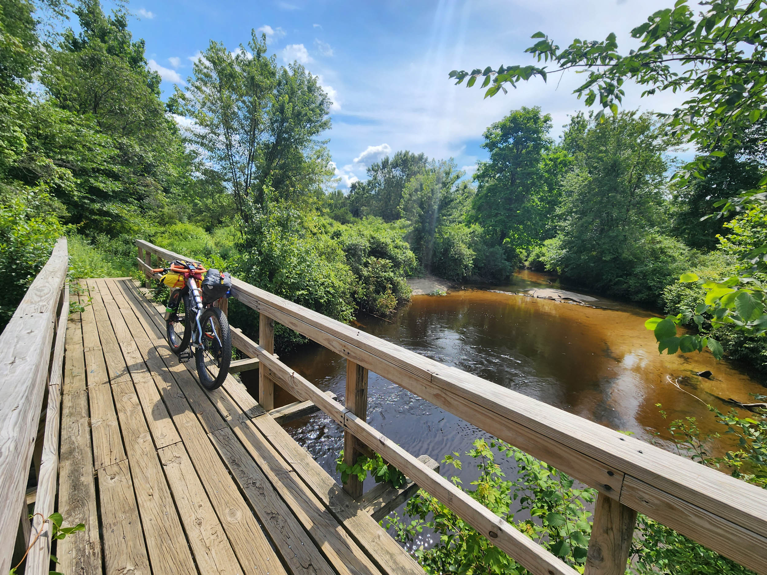
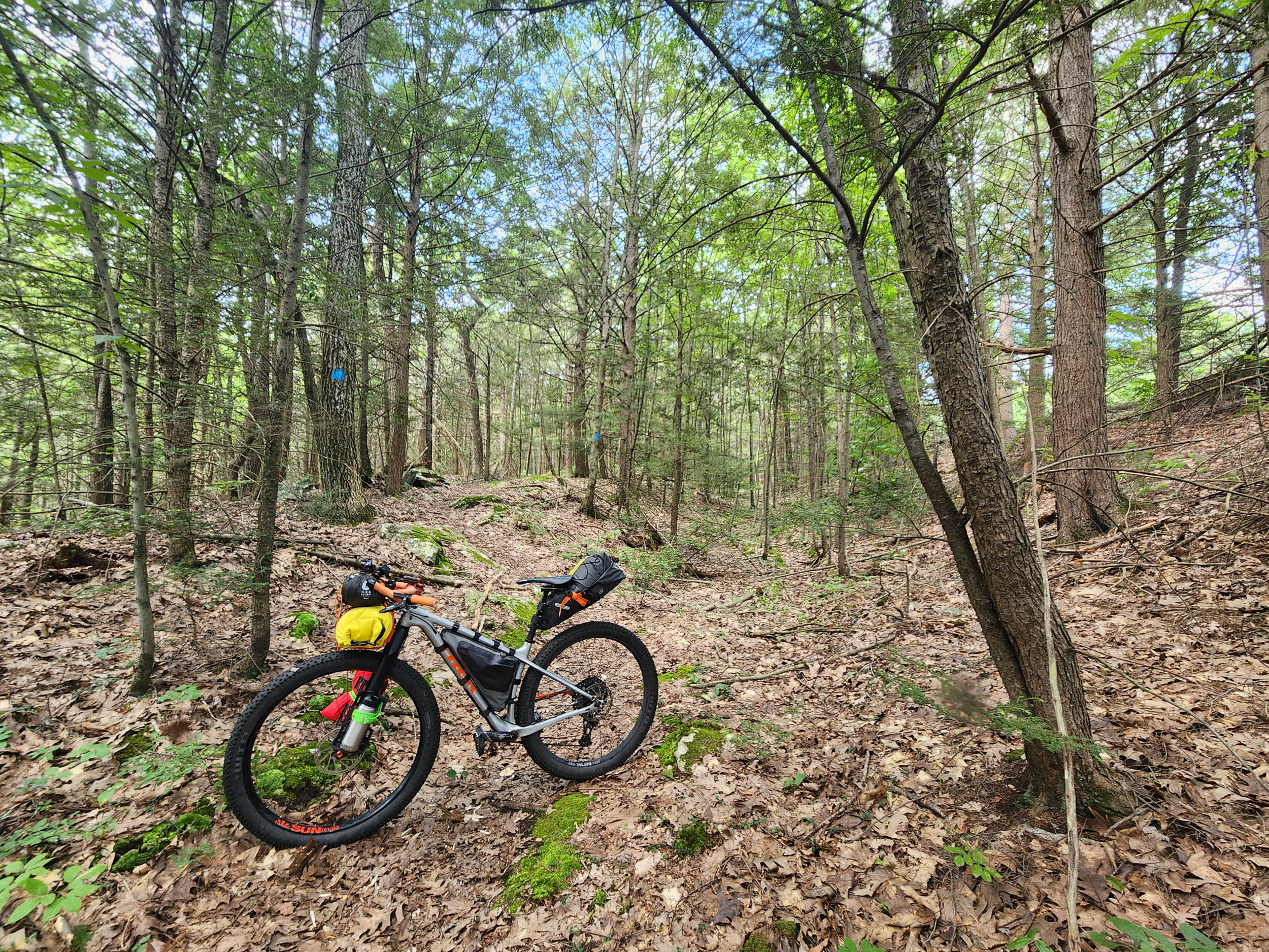
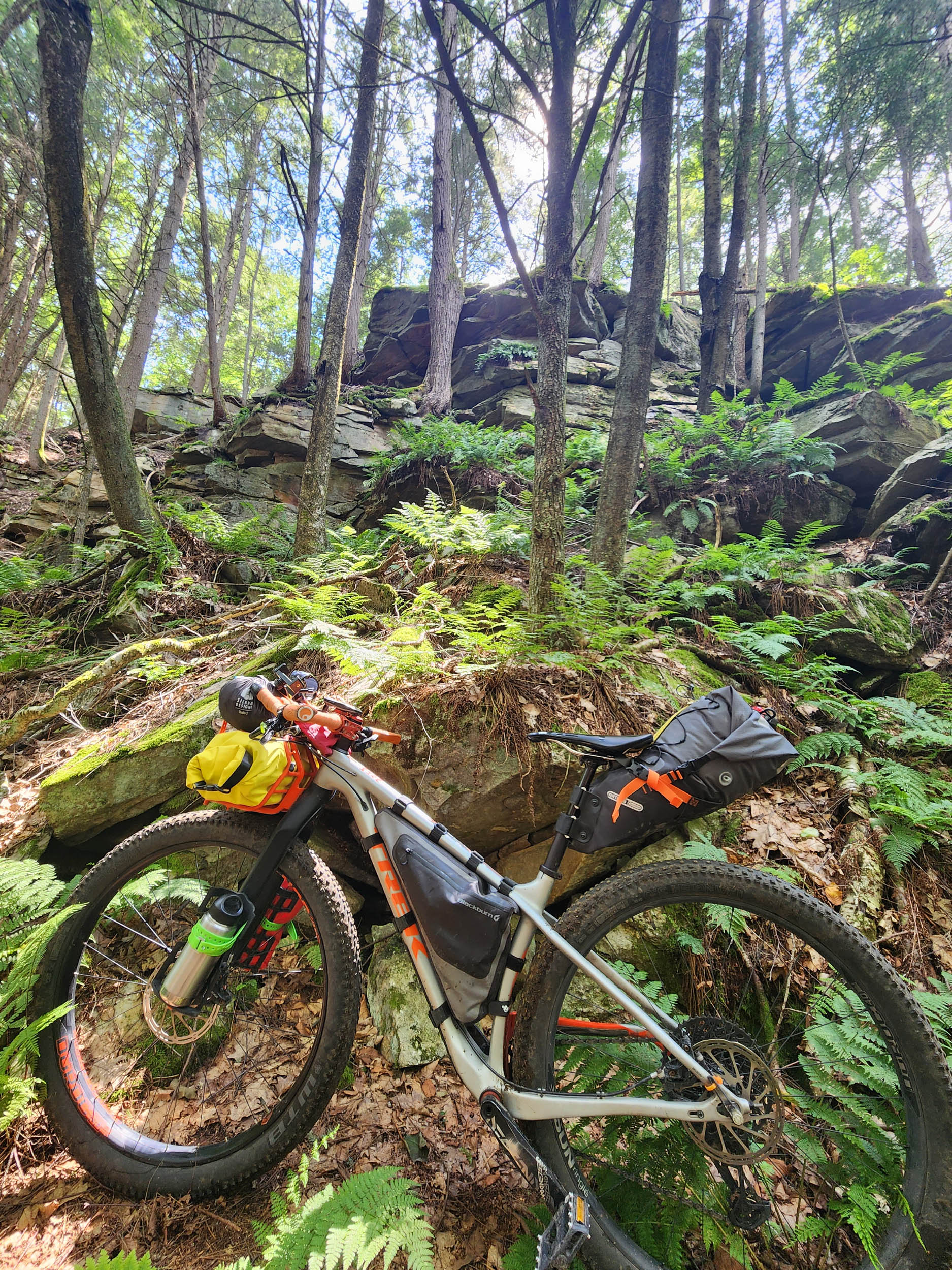
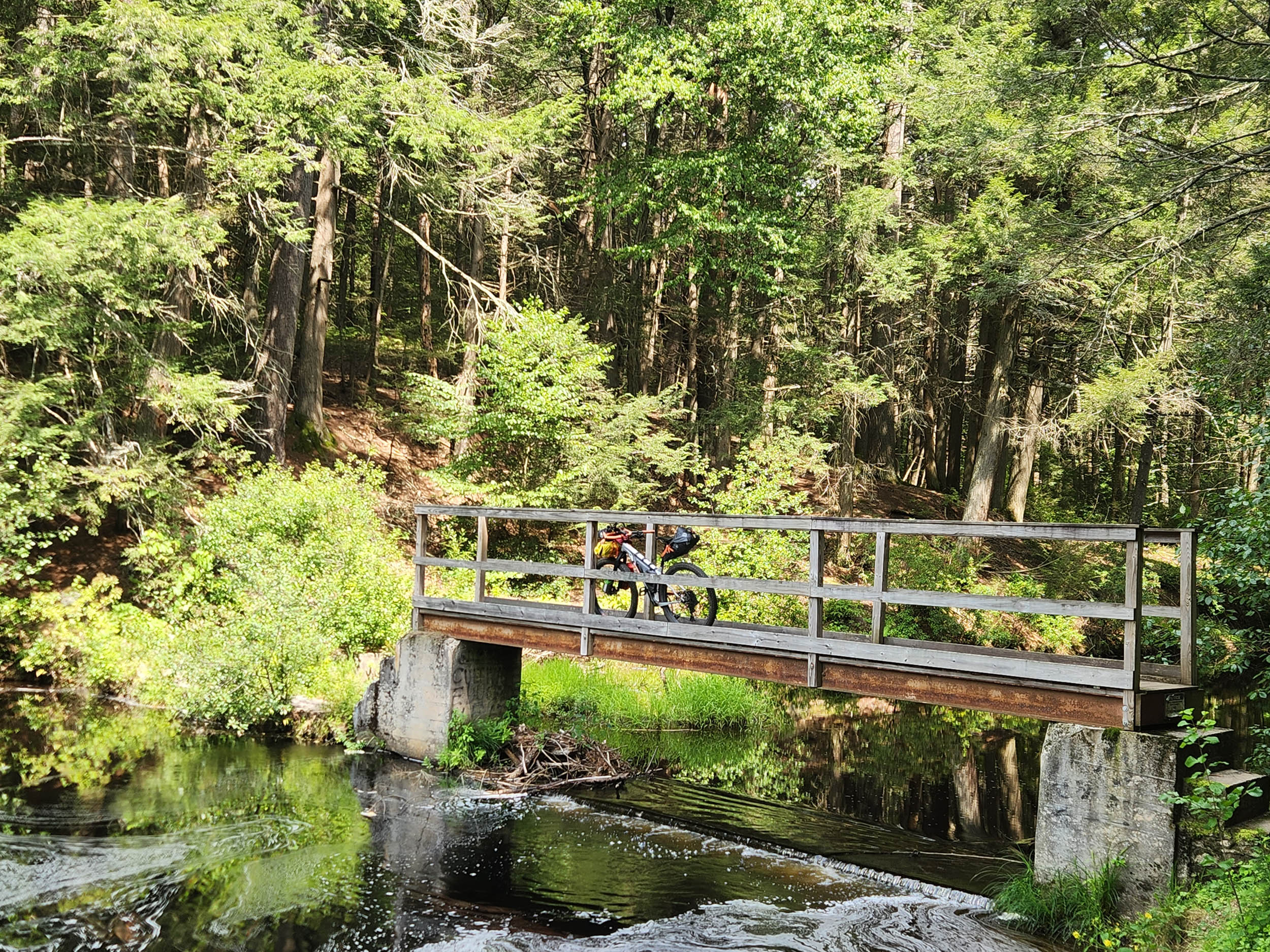
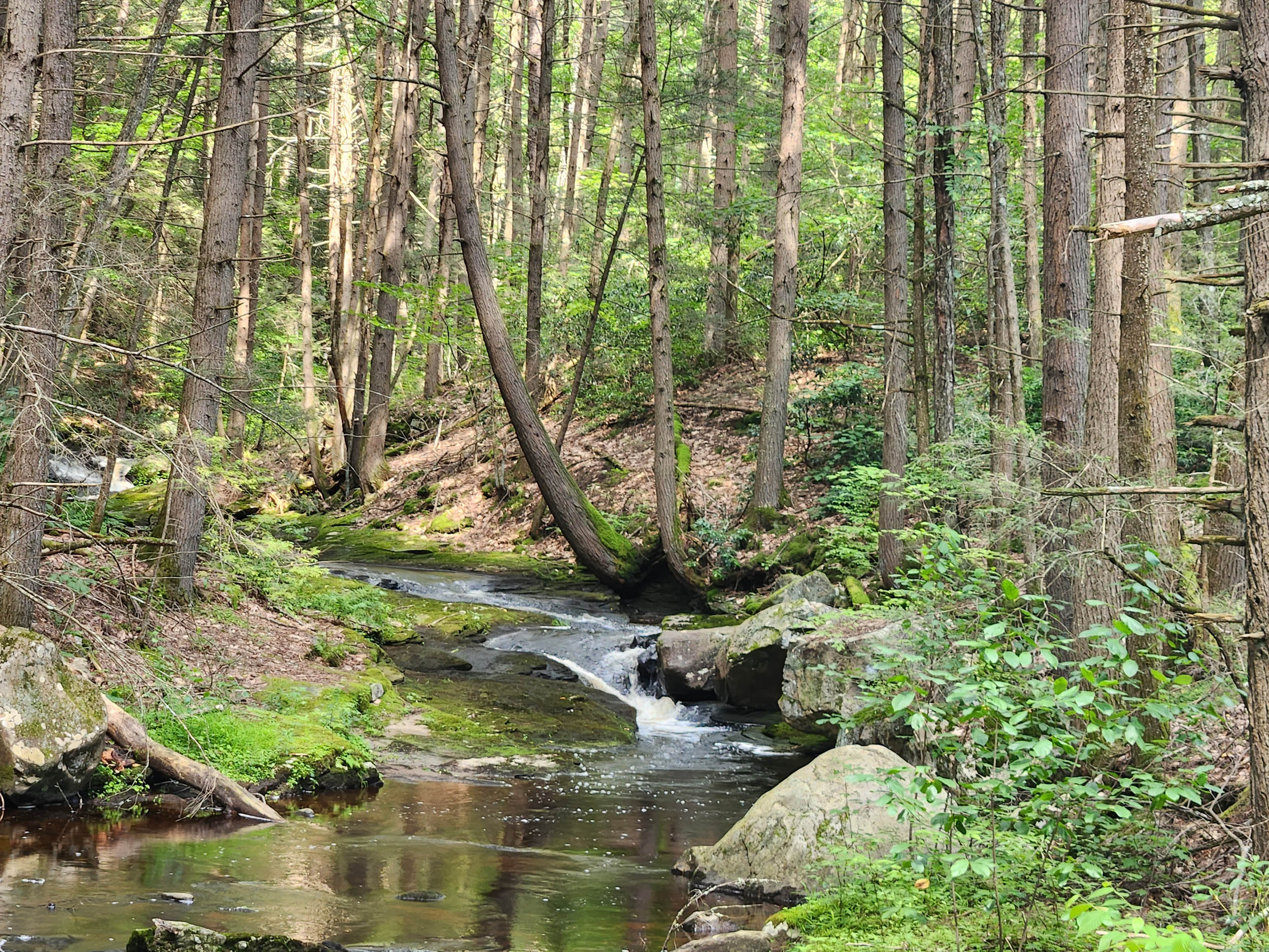
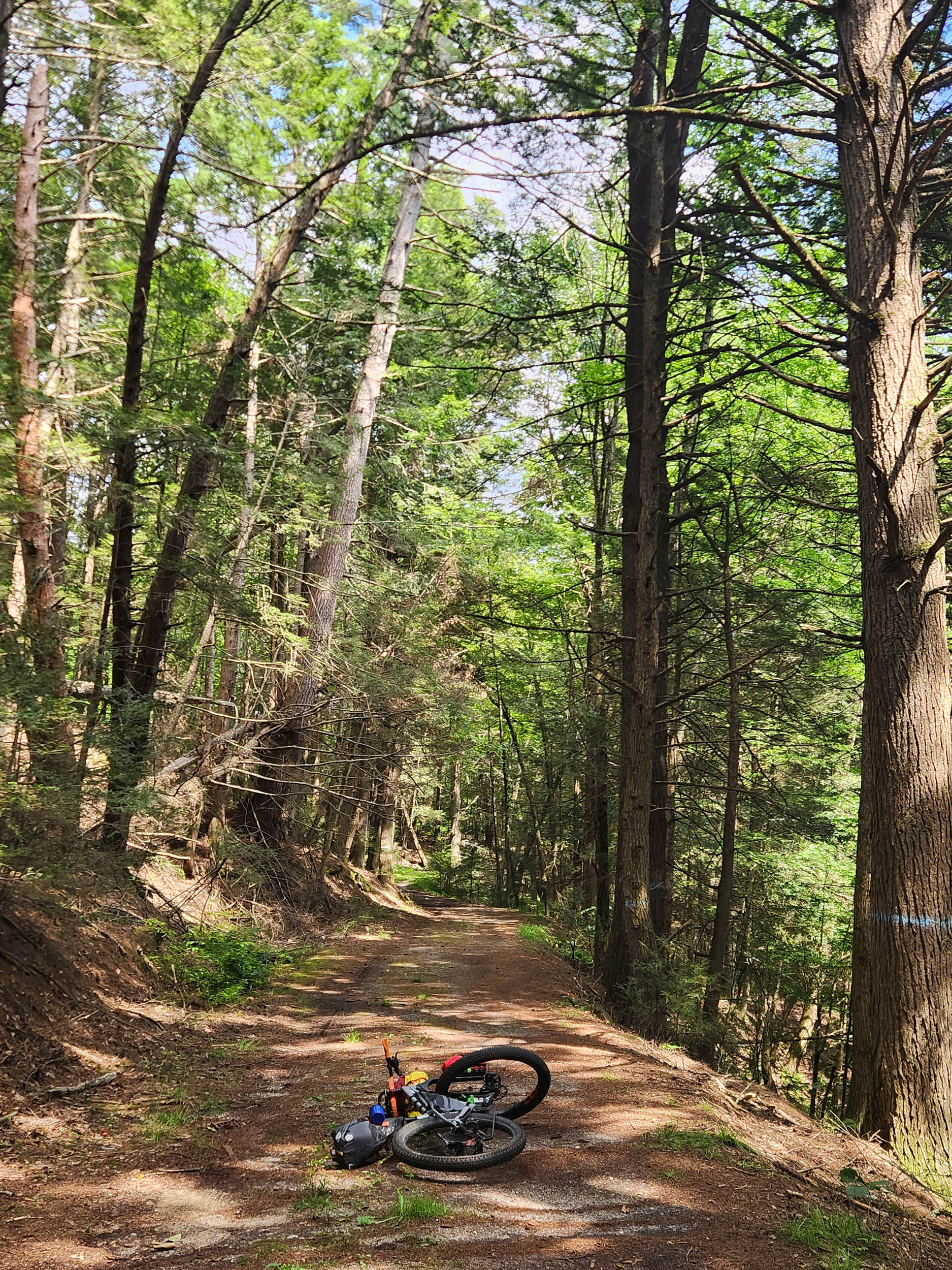
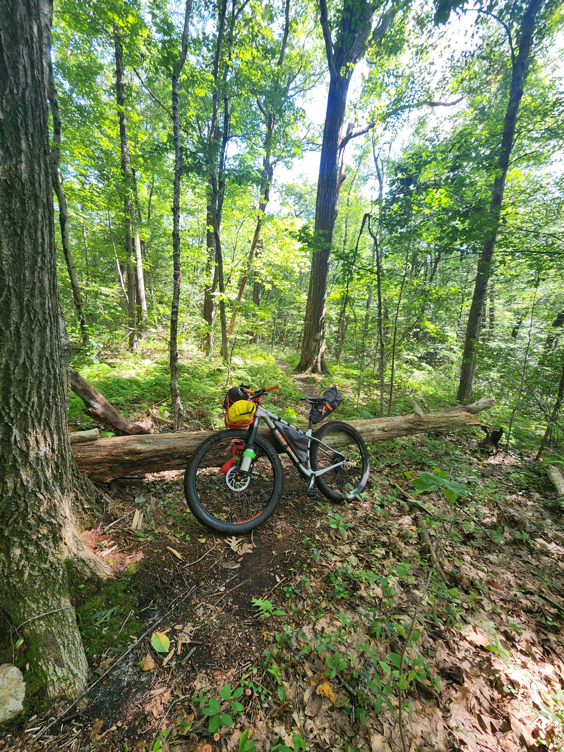
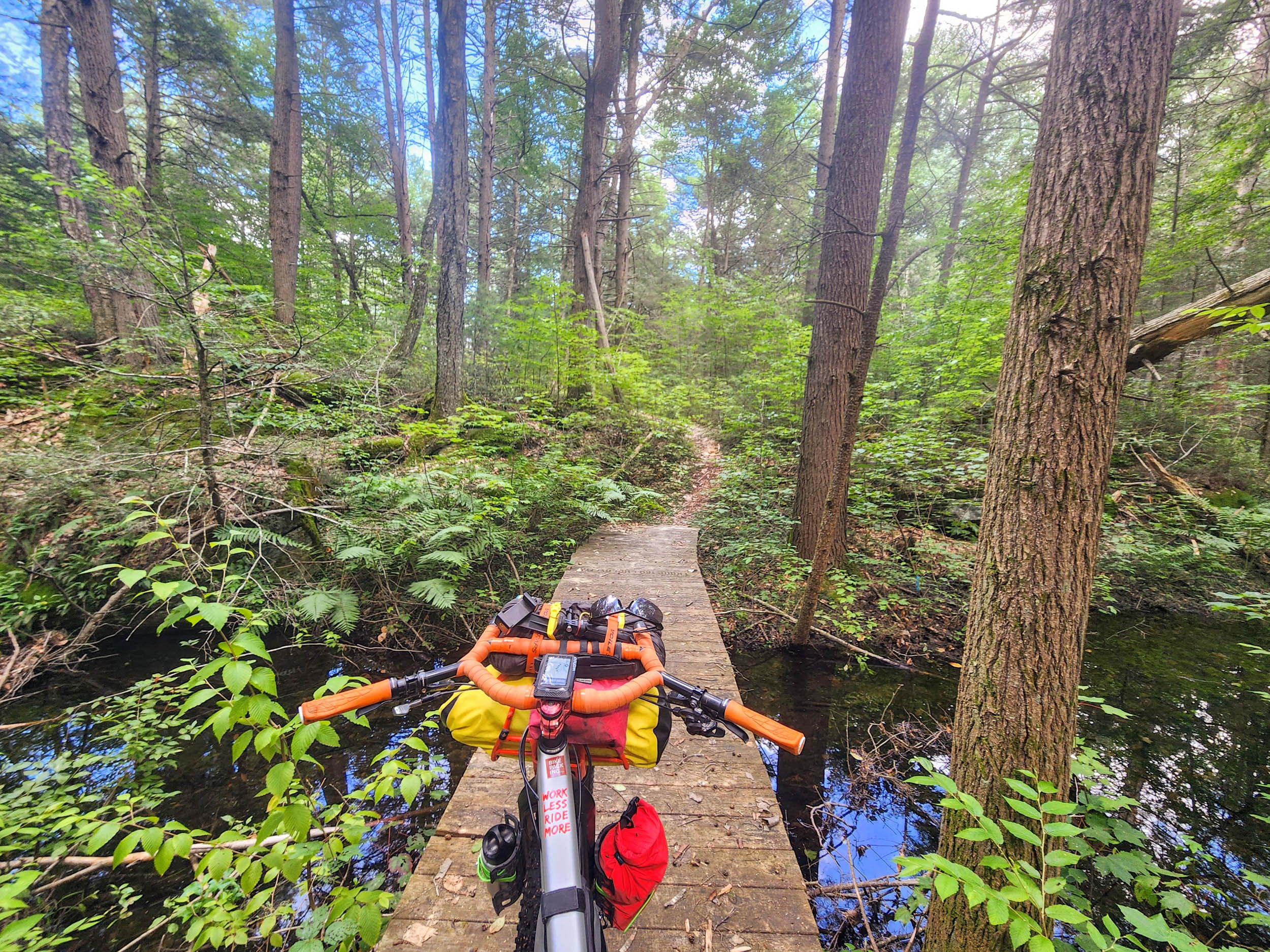
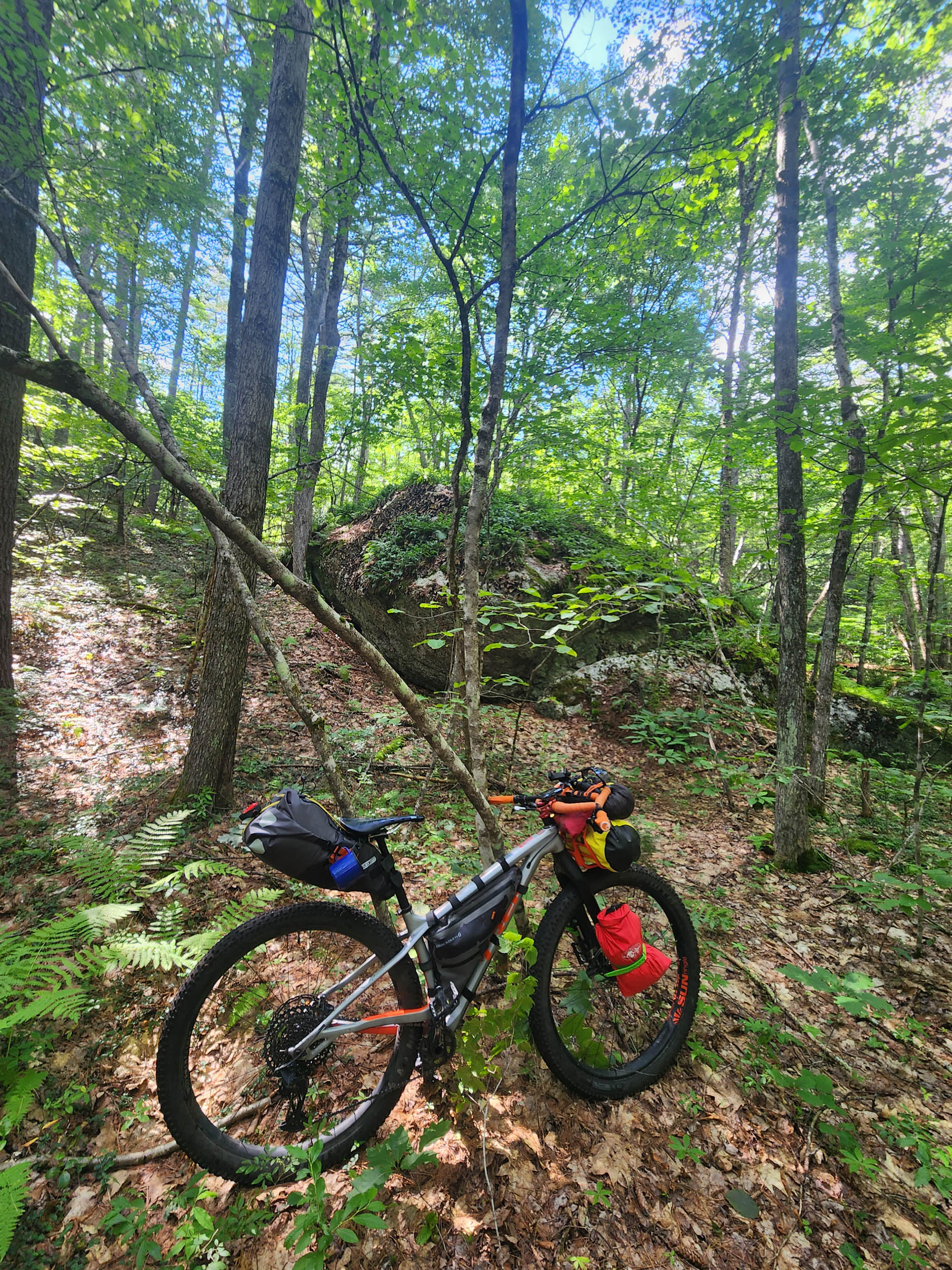
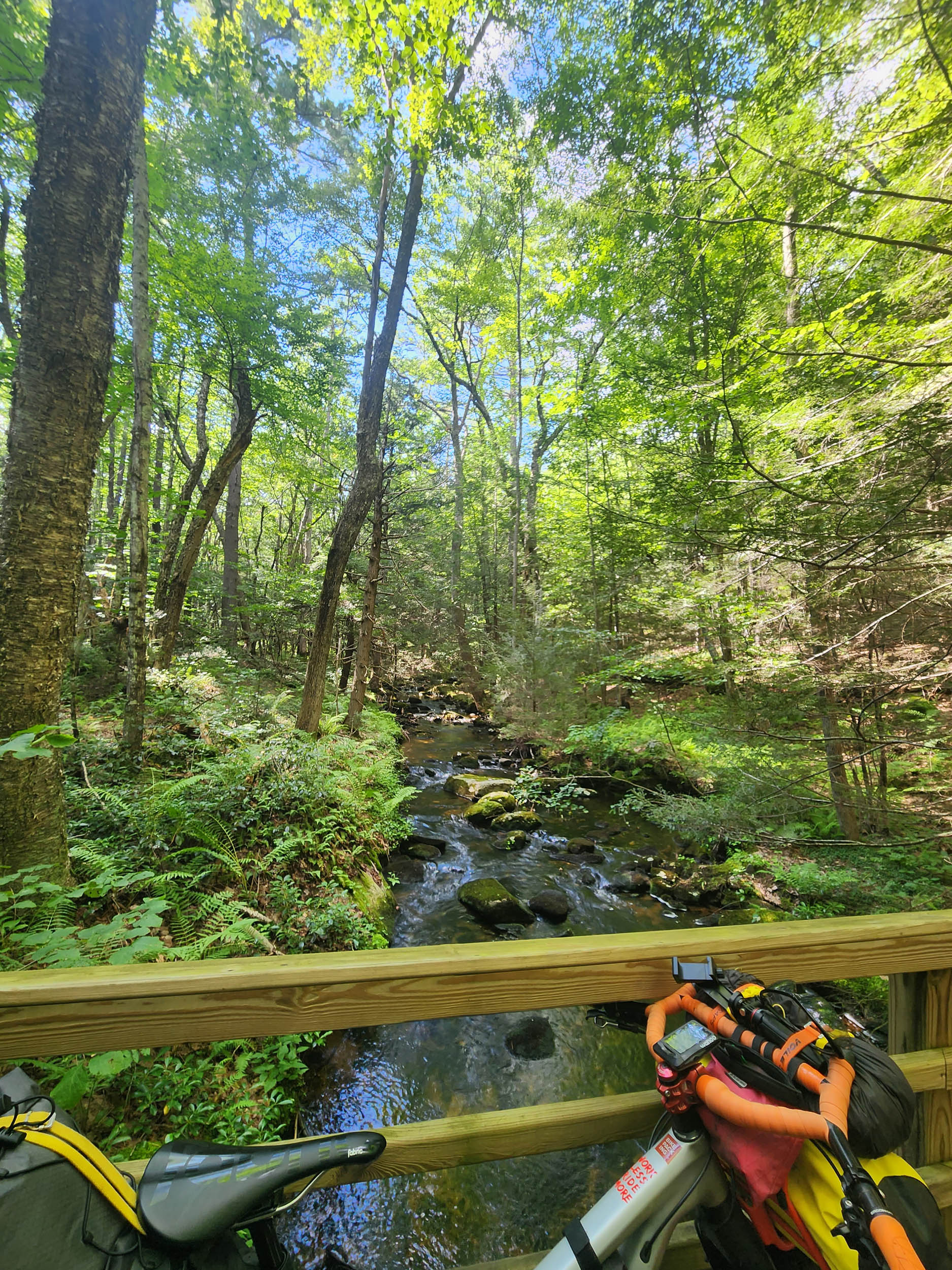
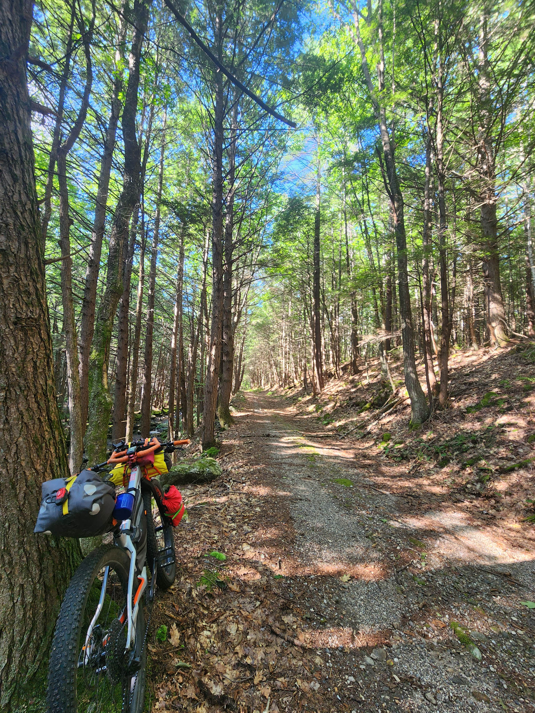
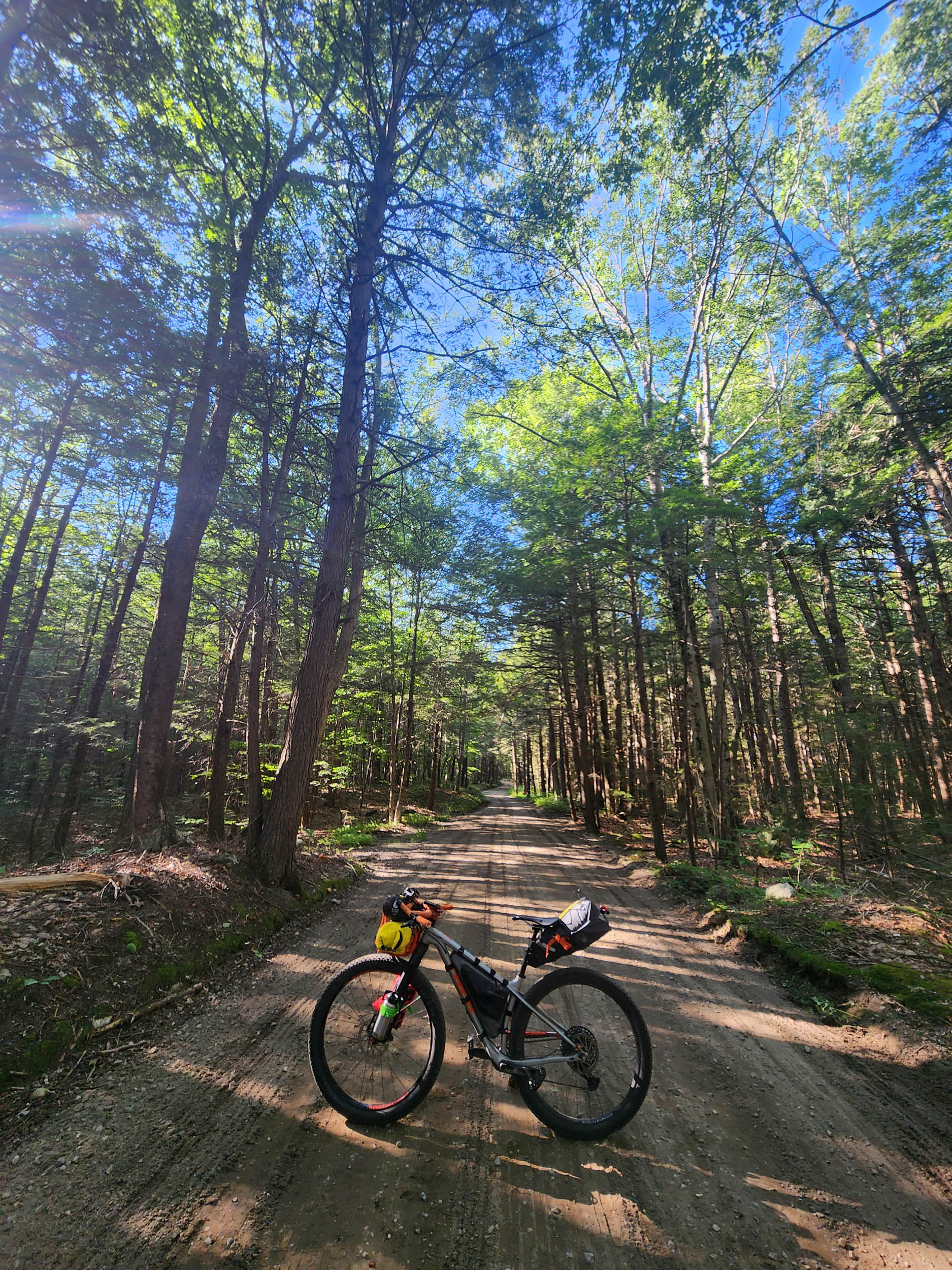
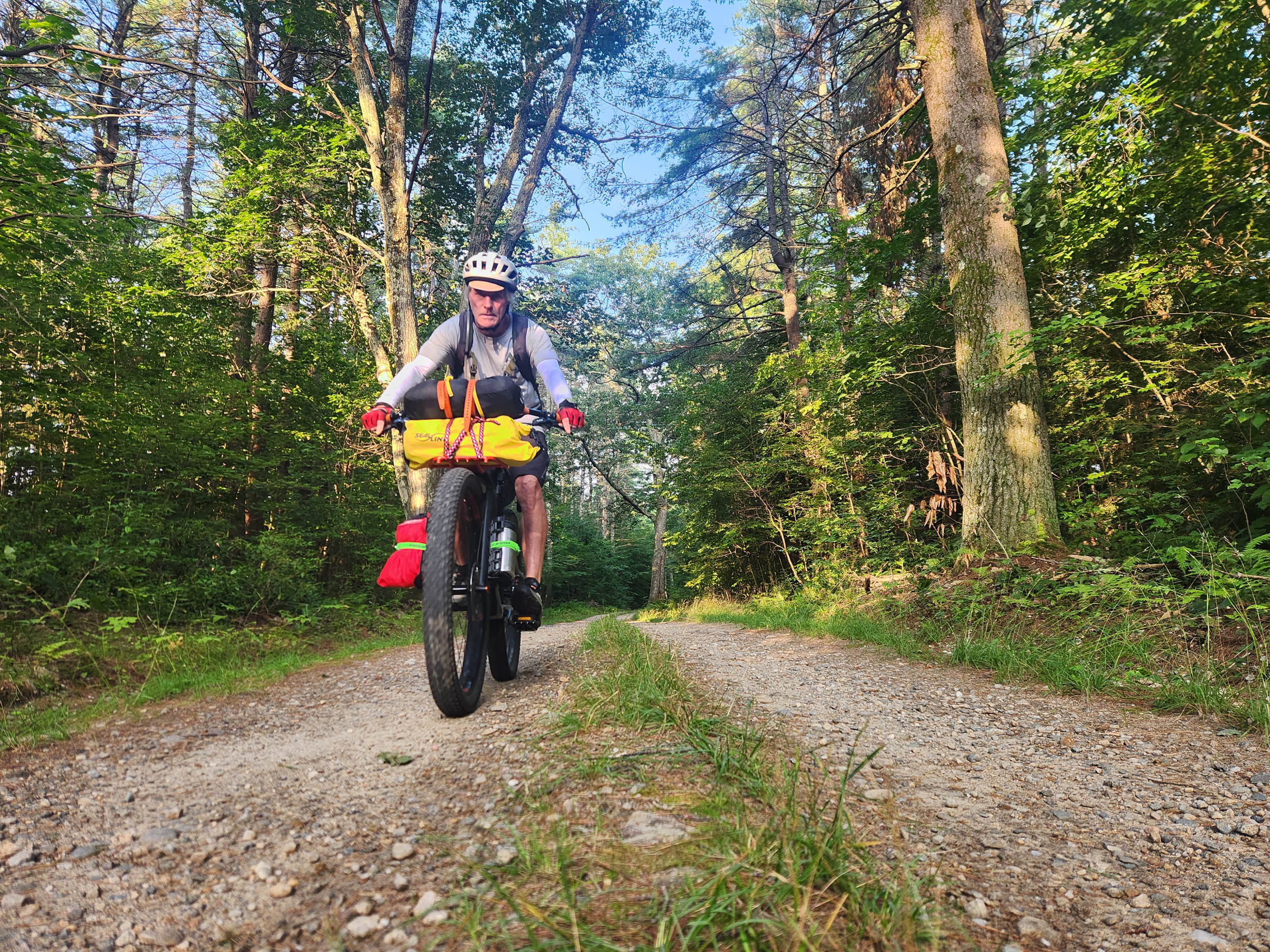
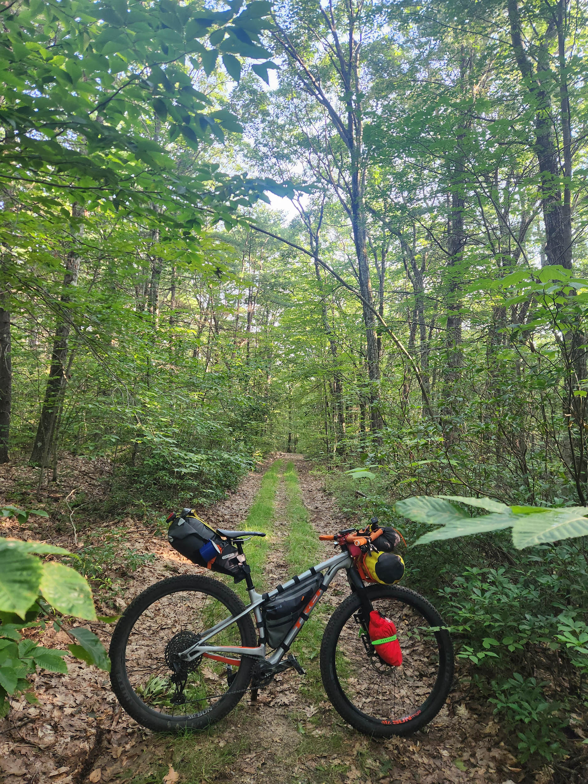
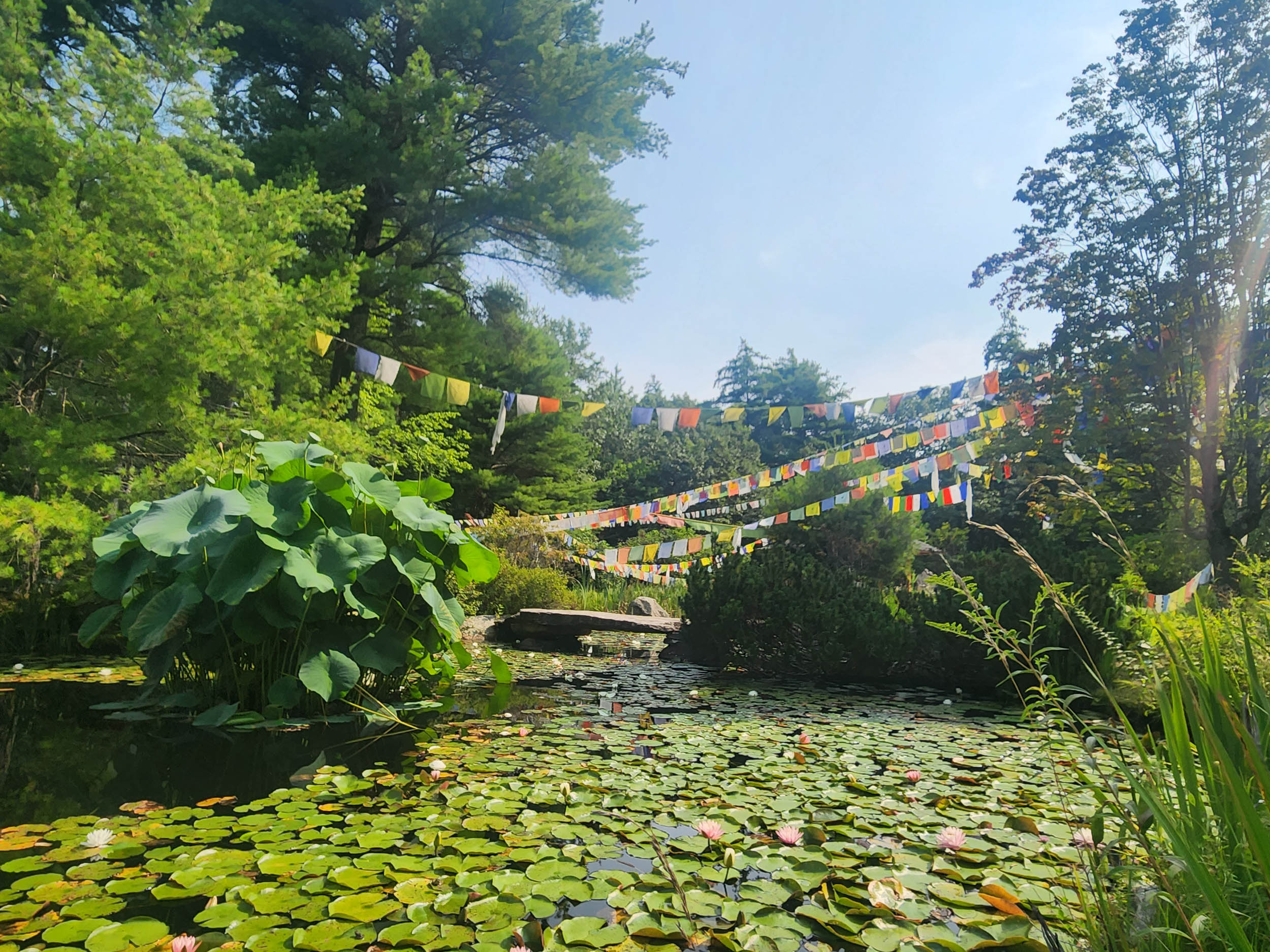
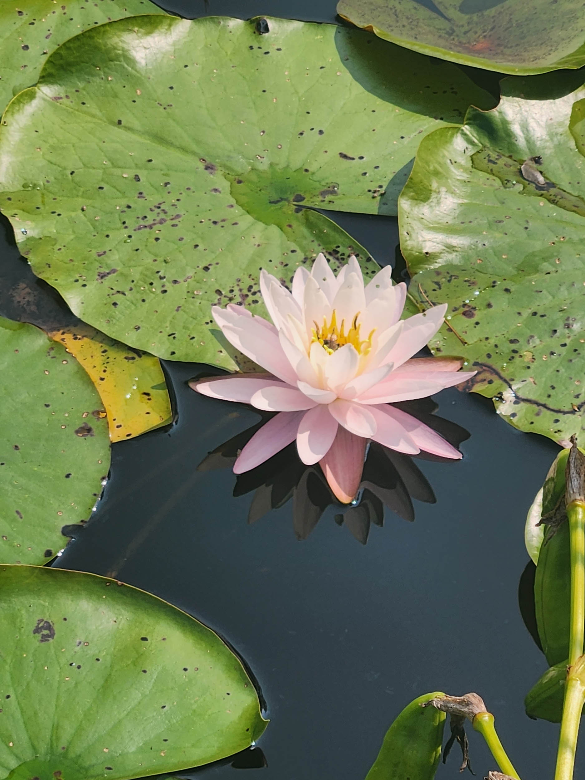
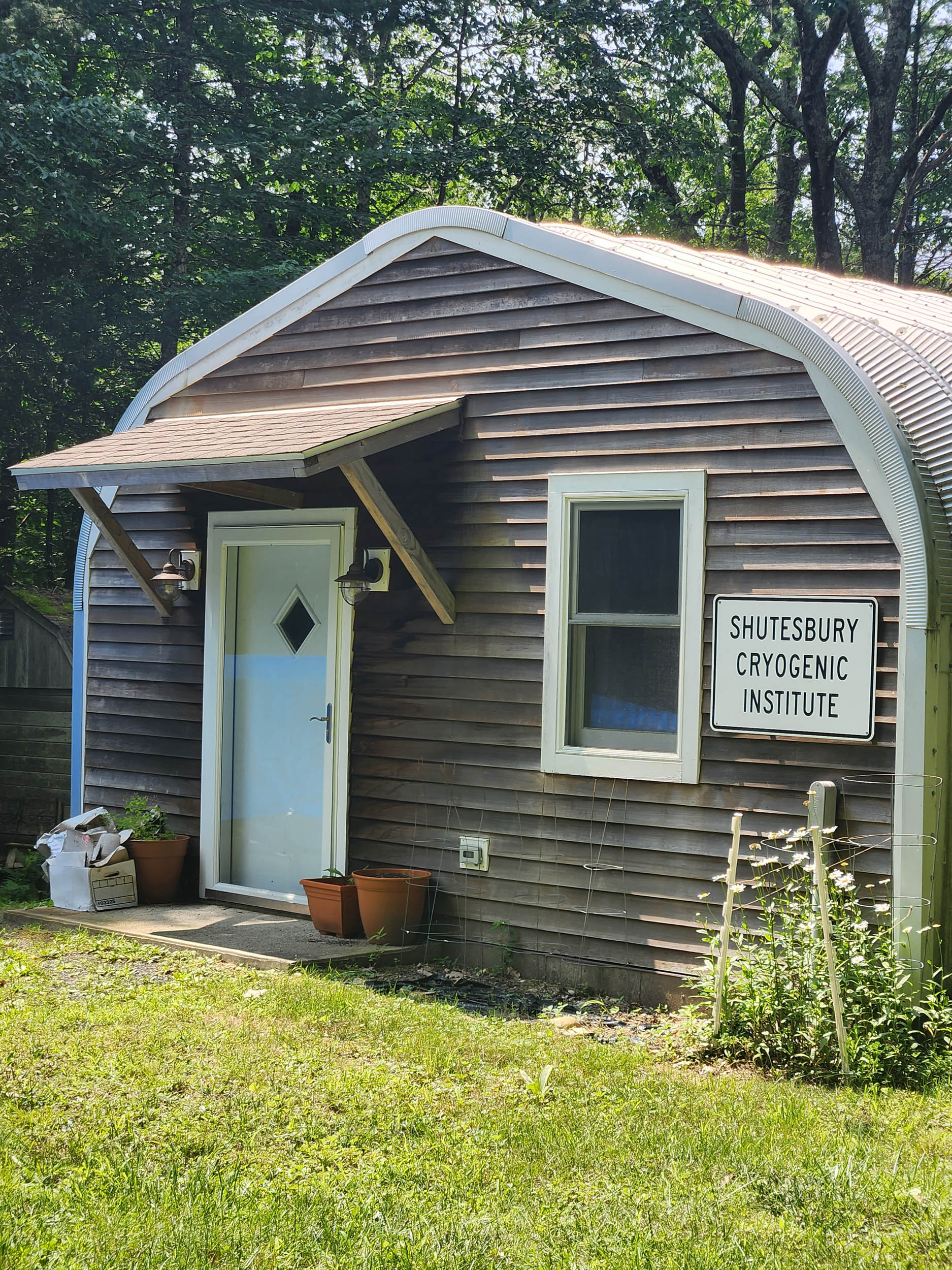
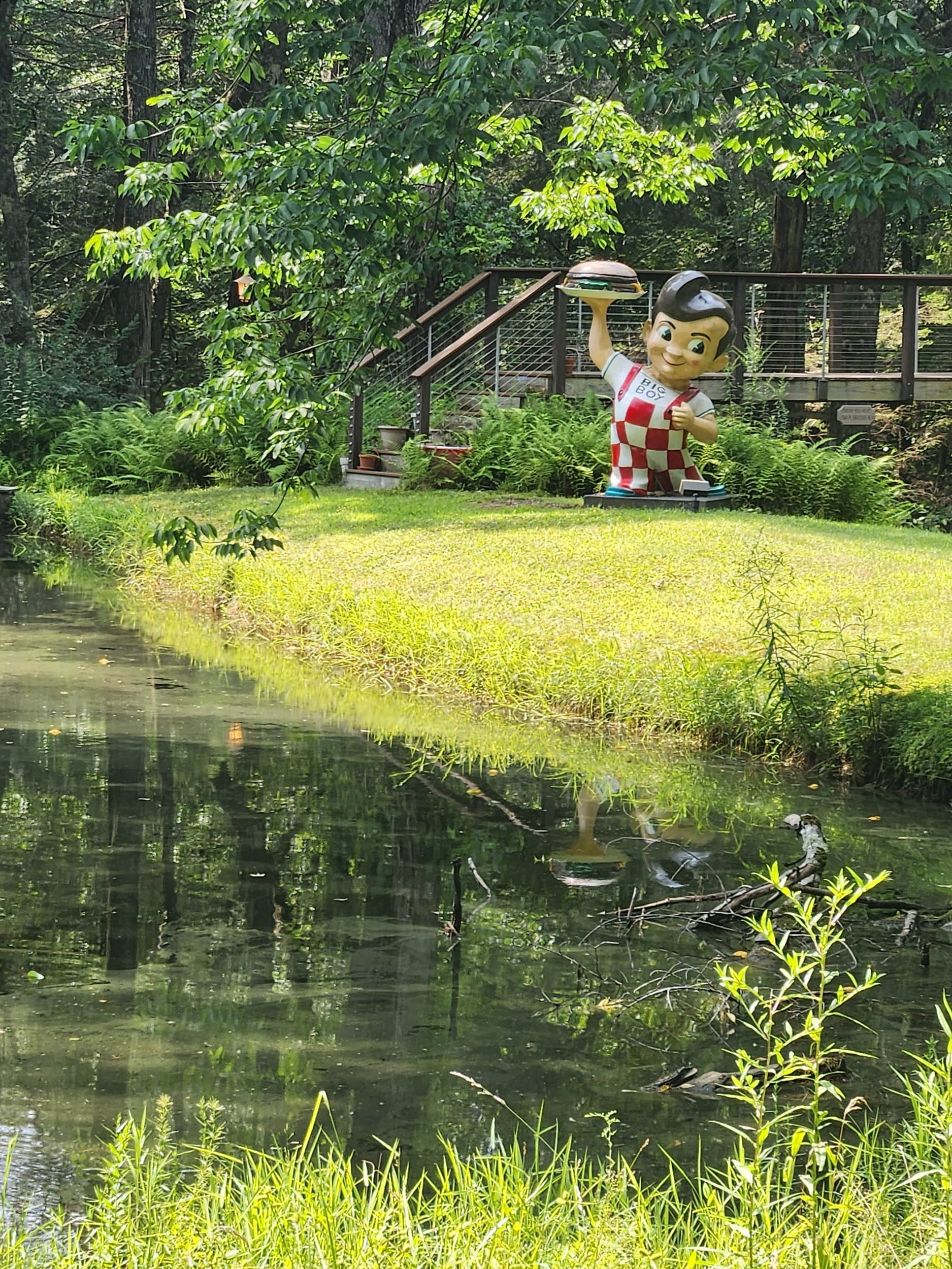
The Drake Passage is a collection of rail trails, singletrack, power line roads, hiking trails, state forest roads, and some pavement that make up an excellent loop in Western Massachusetts. Abundant streams, deep woodlands, and swimming opportunities present themselves every few miles. This route is a wondrous introduction to Hampshire and Franklin Counties’ best gravel and off-road riding. Come and enjoy what we’ve come to call our “escape route.”
Route Development
The Hampshire Bike Exchange shop ride that rolls out every Wednesday night during riding season provided the genesis of this route. As such, all of the trails, dirt roads, and doubletracks are tested through several years of riding. Numerous conservation organizations in both Hampshire and Franklin Counties worked for years acquiring conservation easements from landowners. They built trails that highlight big trees, waterfalls, cliffs and wildflowers. This route is an amalgam of all of those rides and a few trails I’ve combined to link them all together.
Last year, I completed a shorter version of this route with a friend of mine, Matt Drake, who was dying of cancer. Matt was riding a gravel bike on this trip, so the initial and final singletrack segments were removed for his benefit. He rode very well and walked but a few short sections, no more than a few dozen meters. Matt passed away in July of this year, so I went out and completed the whole 65 mile version a few weeks after his memorial. This summer was hot and rainy. In July of this year, New England was hit by a series of heavy precipitation events that brought to mind Biblical torrents. This route was affected by these events but has been repaired since then. The coalescing of these storms and Matt’s passing brought a different region to mind: the Drake Passage, the stormy pinch point between the Patagonia region of Argentina/Chile and the northernmost reaches of Antarctica. Here, the mixing of the Southern Atlantic and the Southern Pacific’s differing salinities makes standing waves pop up. Wind and waves and rain have created a crap shoot for anyone who dares enter.
Such was the last year of Matt’s life. Things have settled since then, with me anyway. Matt’s last year was difficult on everyone who knew and cared for him. Without getting too detailed, let’s just say he tested everyone’s love for him. This bikepacking trip, our last ride together, in late May of 2022, was wonderful. For both of us, it was an adventure filled two days of fun, sweat, laughter and a thermos filled with Manhattans at day’s end. This is how I choose to remember Matt. A fiercely determined human with a big heart, a big smile, and strong legs.
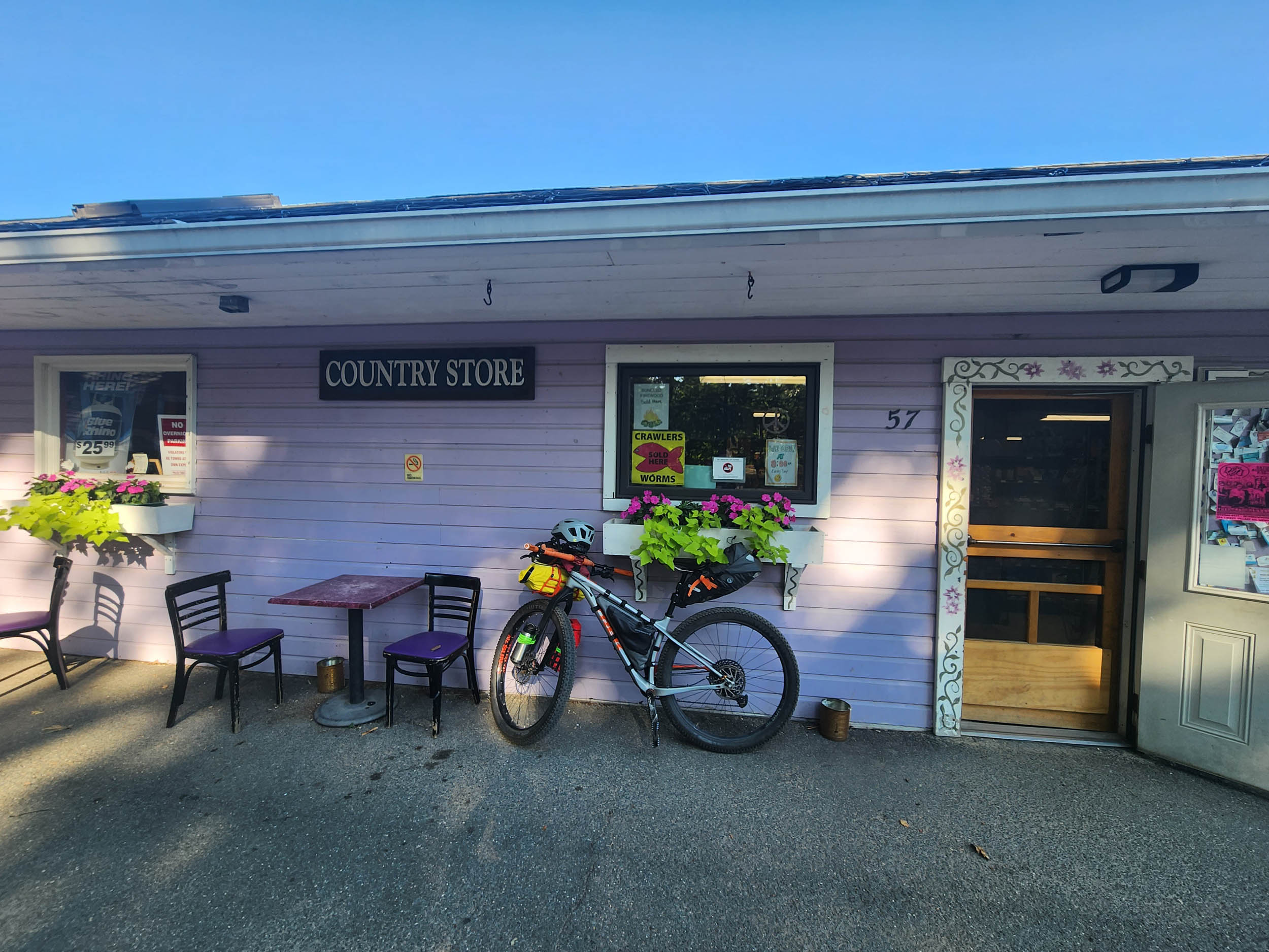
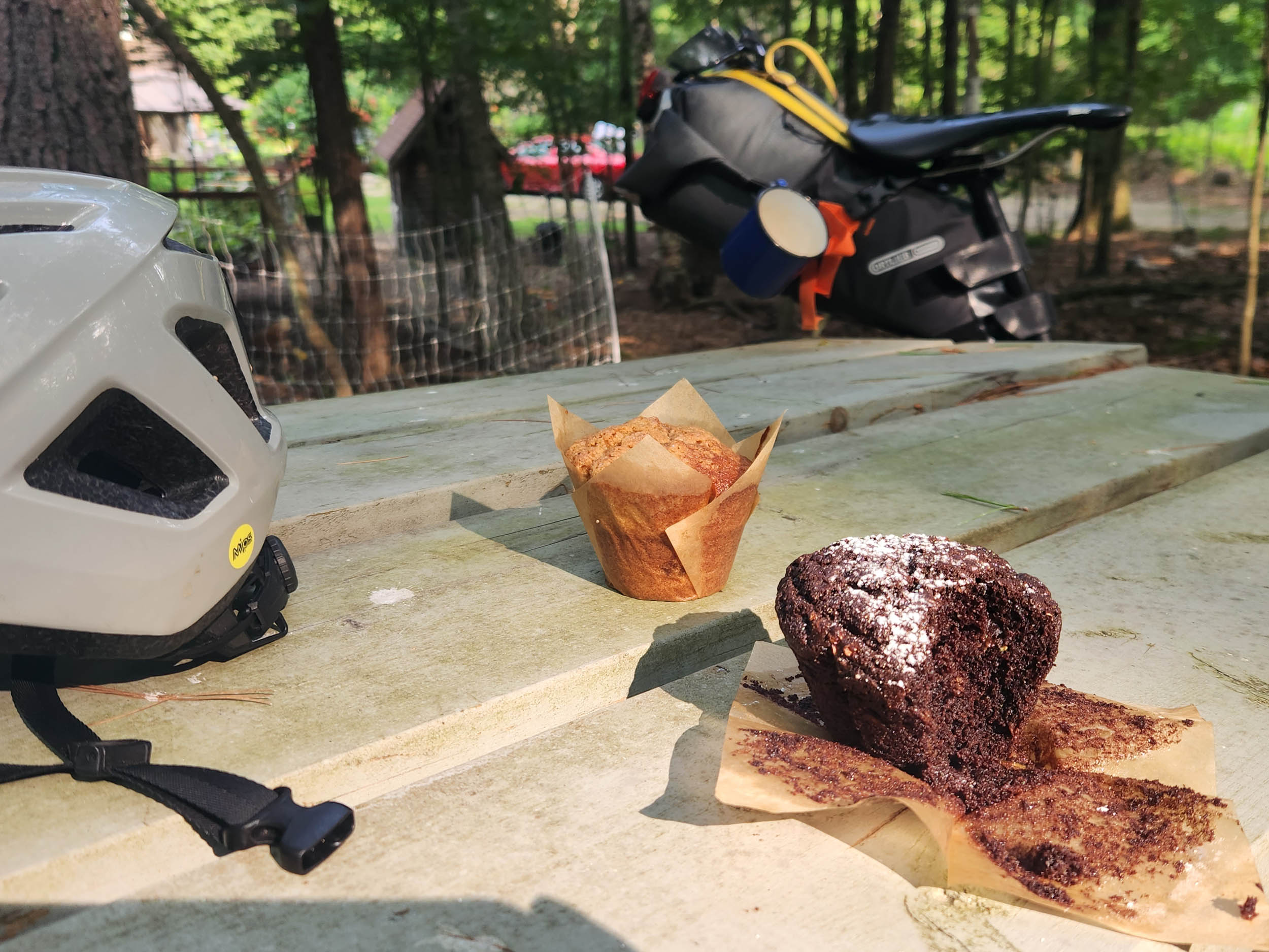
Route Difficulty: I would rate this route at 5 out of 10 for physical difficulty. The 13 miles of singletrack on the first day will be challenging to some, but the route is technically straightforward, so a 4 is in order in that regard. Water and camping are plentiful. Bring a filter! As for resupply points, there are two: the Wendell Country Store at mile 24 and the North Leverett Co-Op at mile 43. Both have sandwiches, snacks, baked goods, and fine local beer. There are also two roadside farm stands on East Chestnut Hill Road in Wendell. Be sure to avail yourself of the superb baked goods there. With this in mind, I give the resupply difficulty a 3. So, I suppose in the aggregate the overall route difficulty would come in at a solid 4.


Submit Route Alert
As the leading creator and publisher of bikepacking routes, BIKEPACKING.com endeavors to maintain, improve, and advocate for our growing network of bikepacking routes all over the world. As such, our editorial team, route creators, and Route Stewards serve as mediators for route improvements and opportunities for connectivity, conservation, and community growth around these routes. To facilitate these efforts, we rely on our Bikepacking Collective and the greater bikepacking community to call attention to critical issues and opportunities that are discovered while riding these routes. If you have a vital issue or opportunity regarding this route that pertains to one of the subjects below, please let us know:
Highlights
Must Know
Camping
Food/H2O
Trail Notes
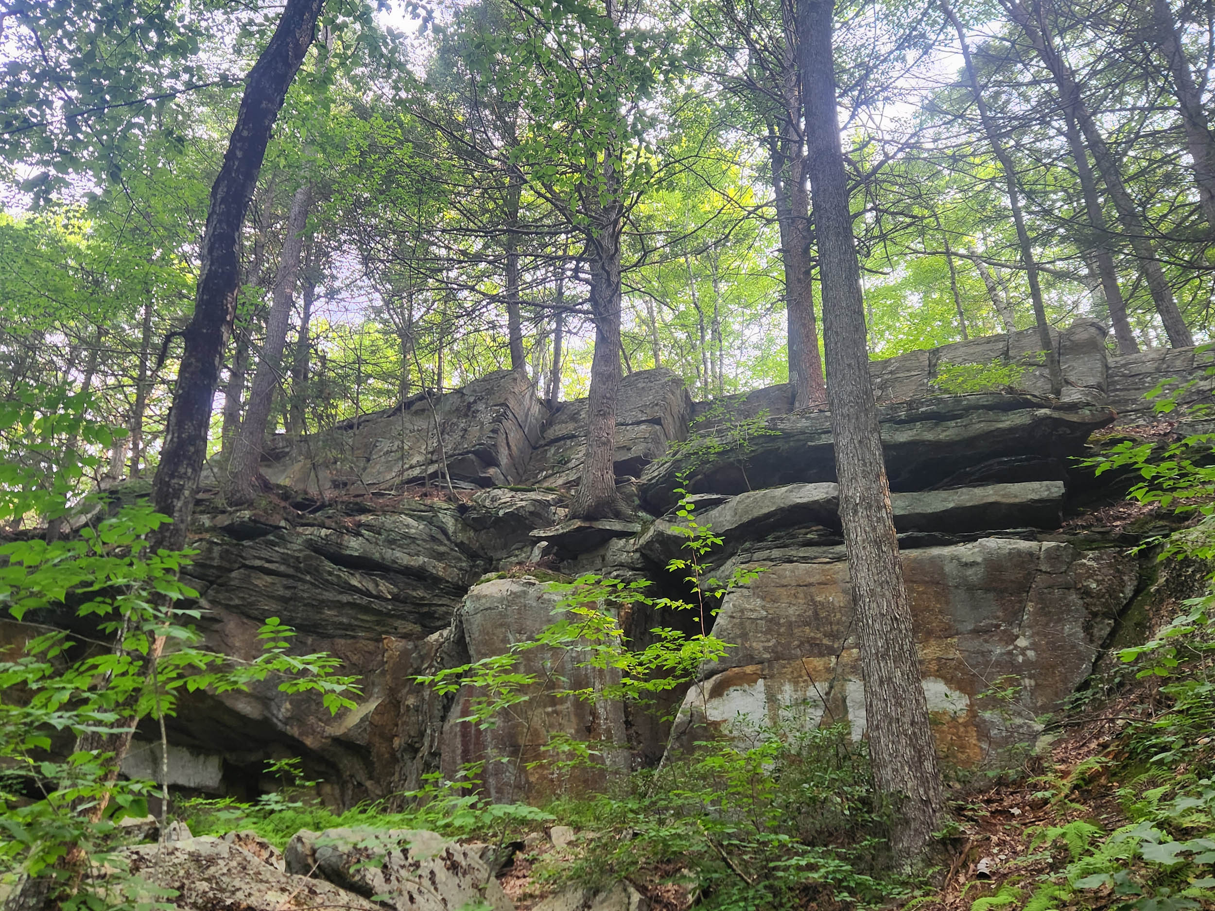
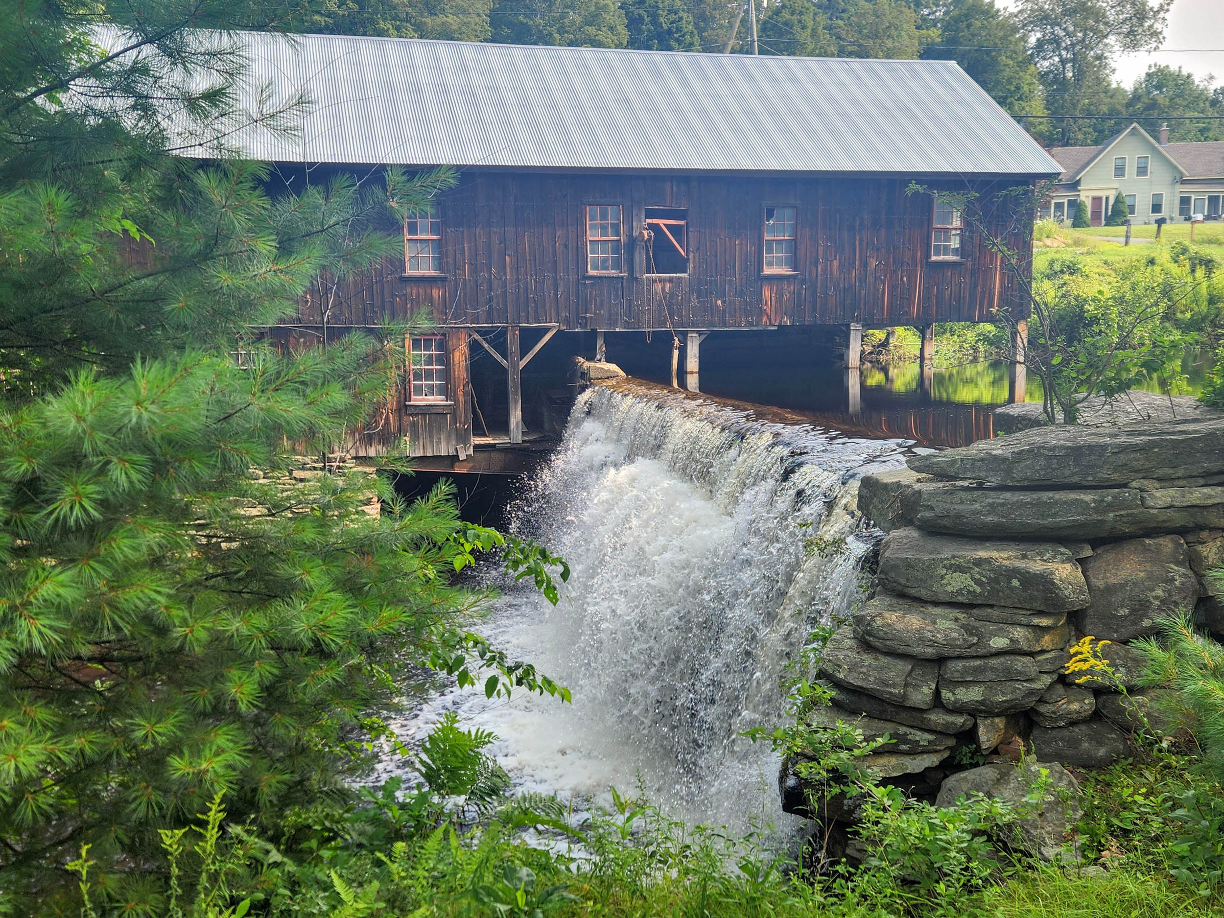
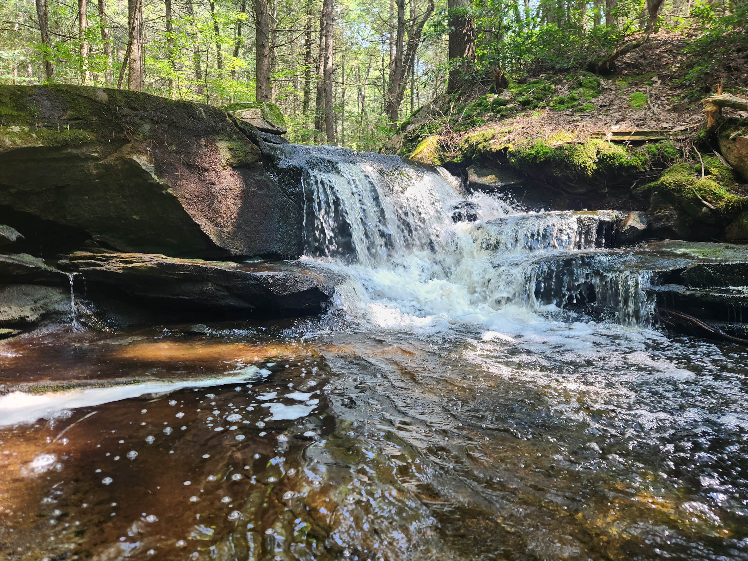
- The lovely forest and the West Branch of the Swift River on New Boston Rd.
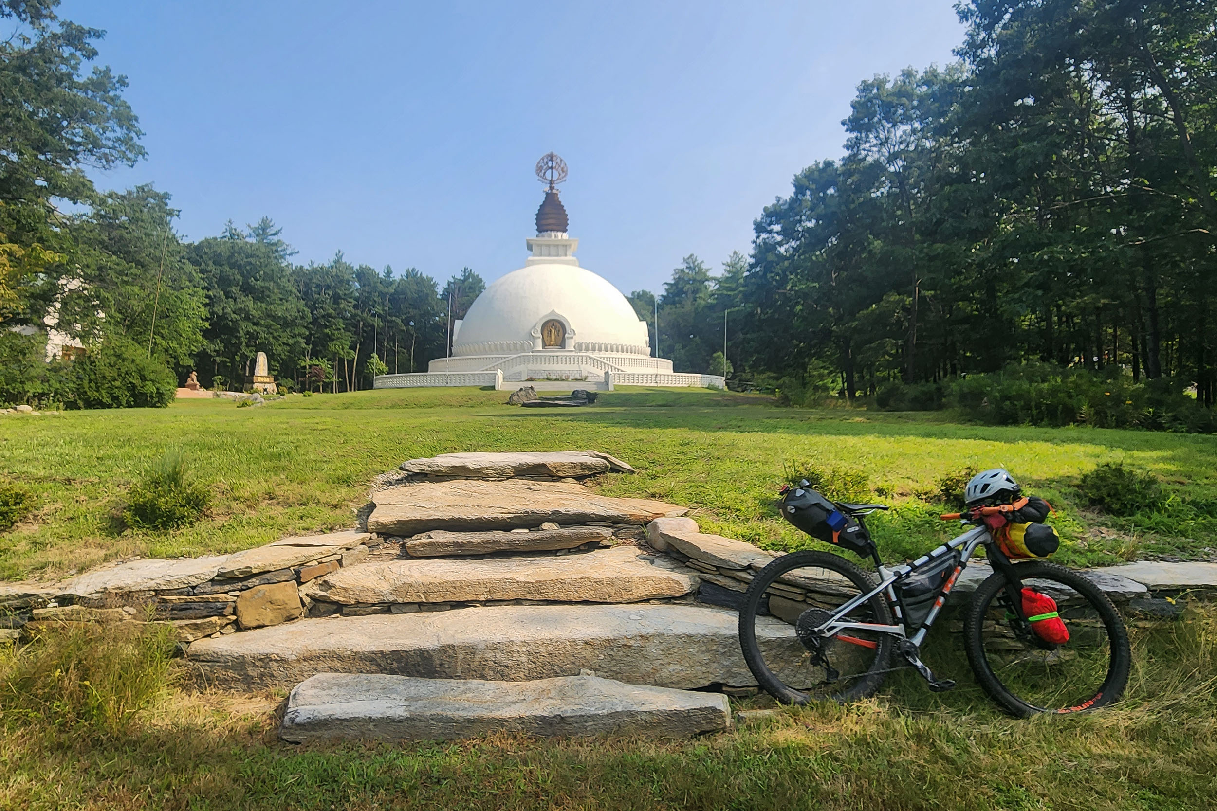
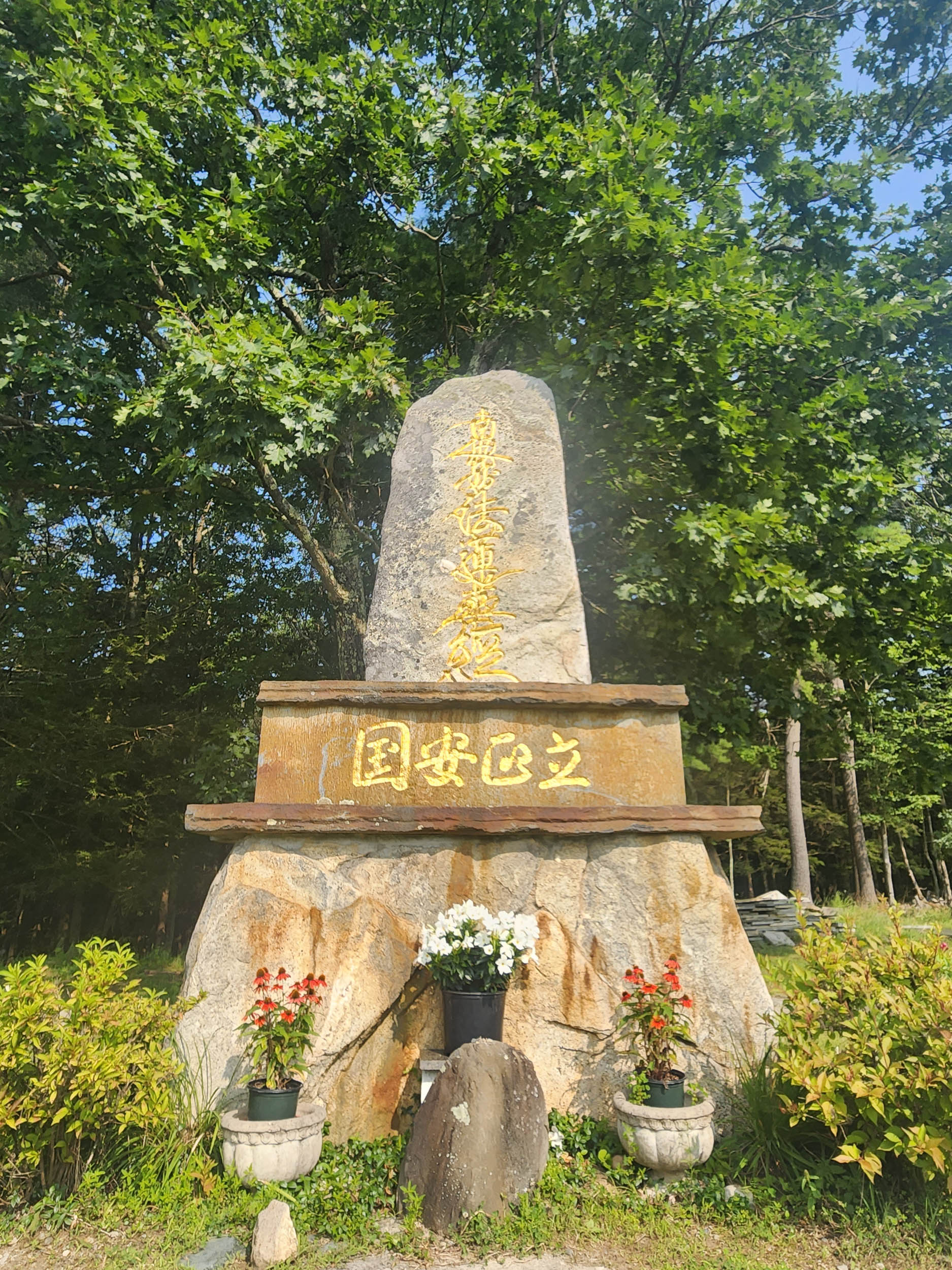
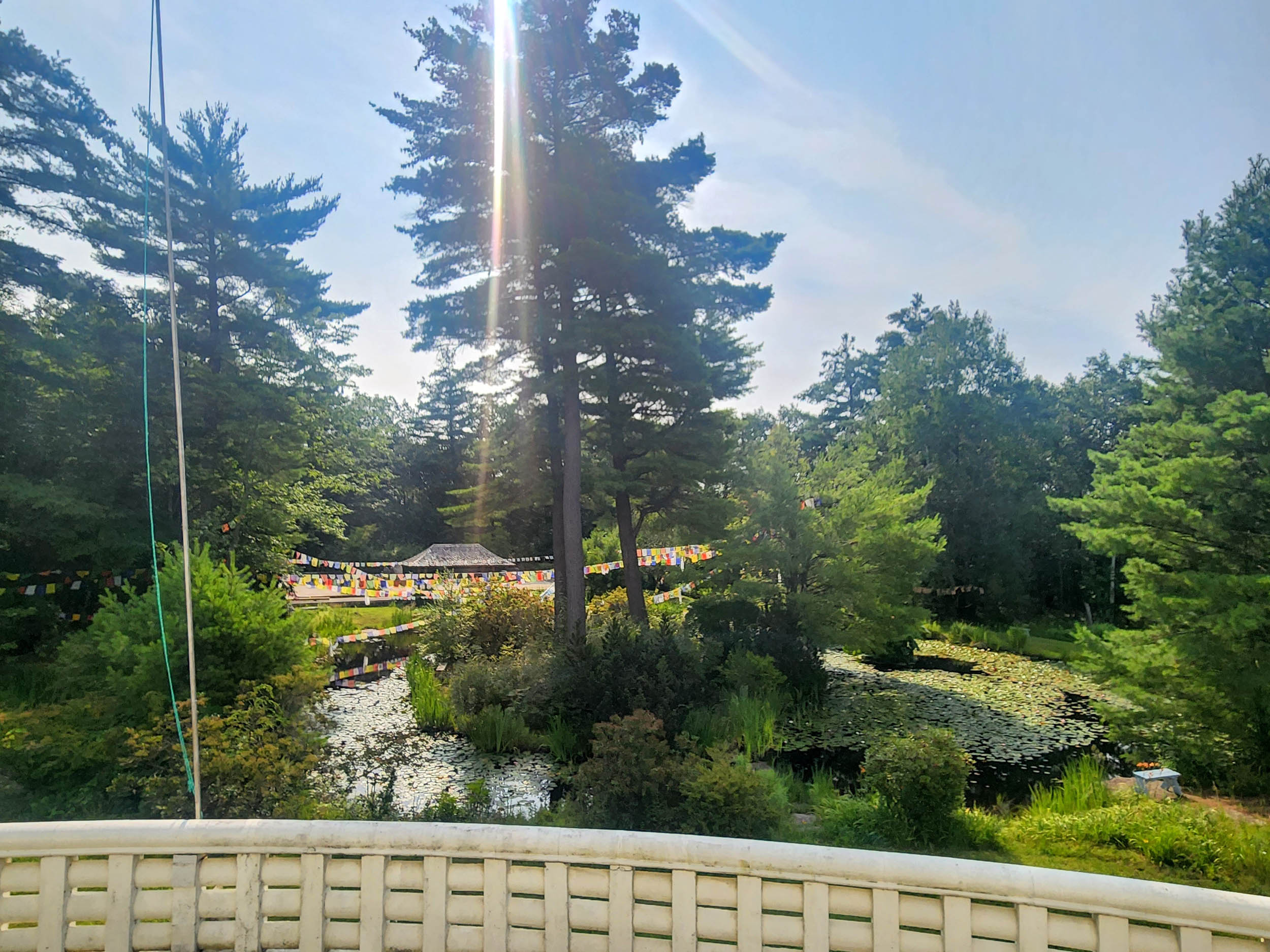
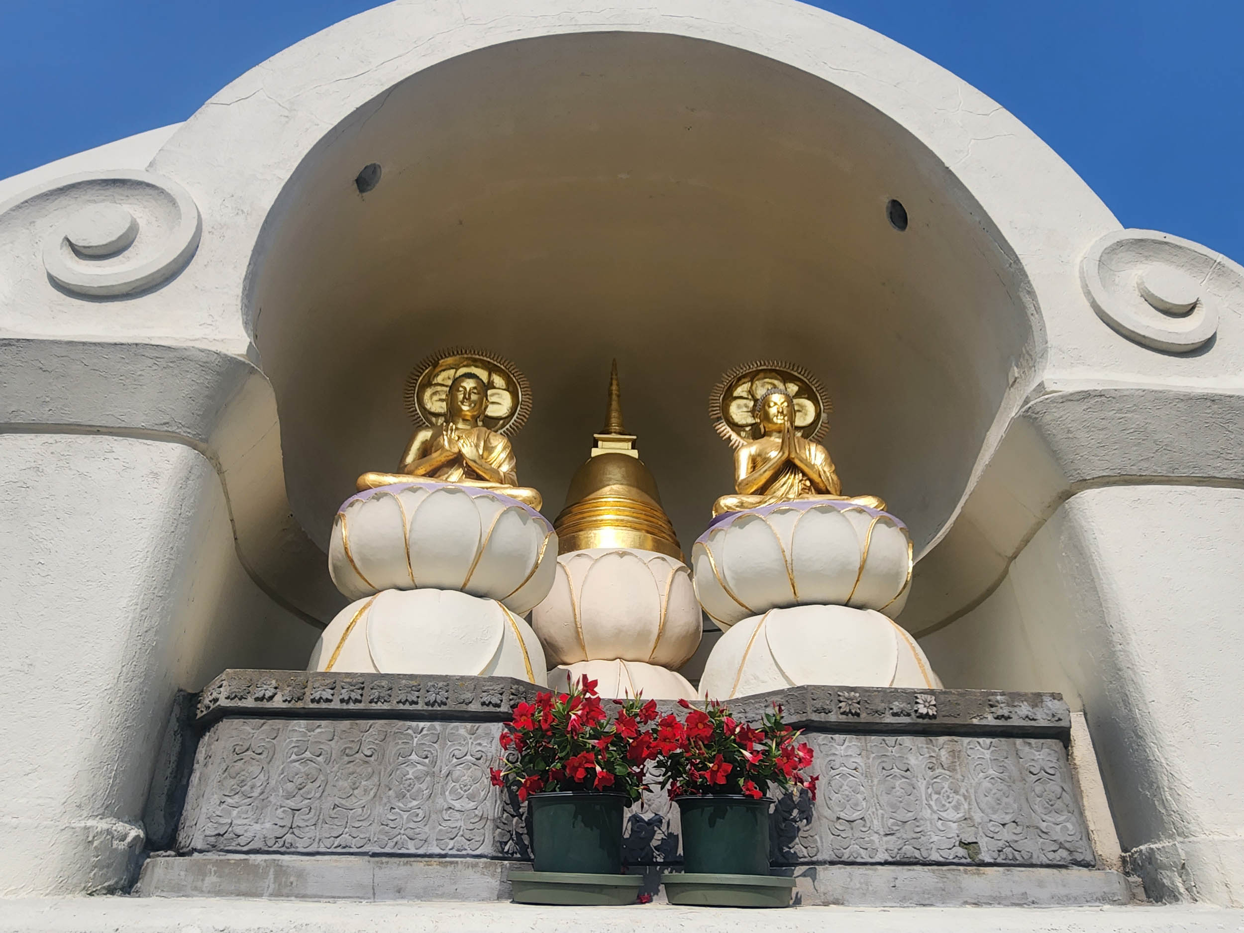
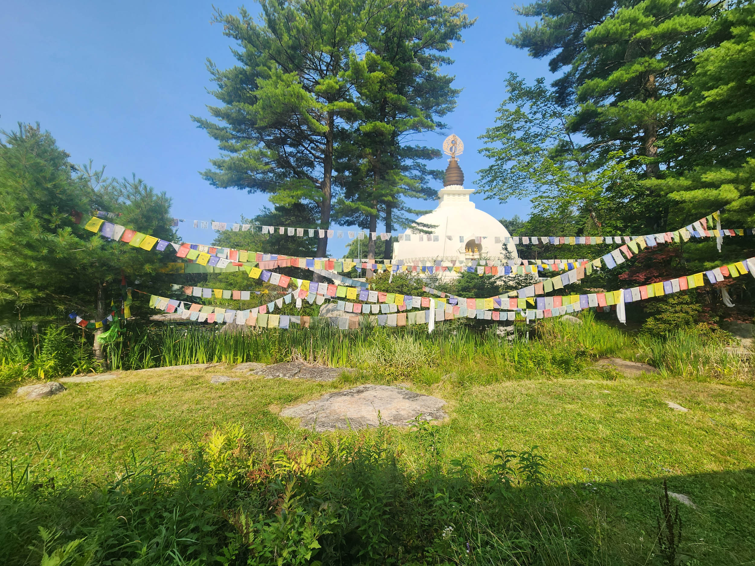
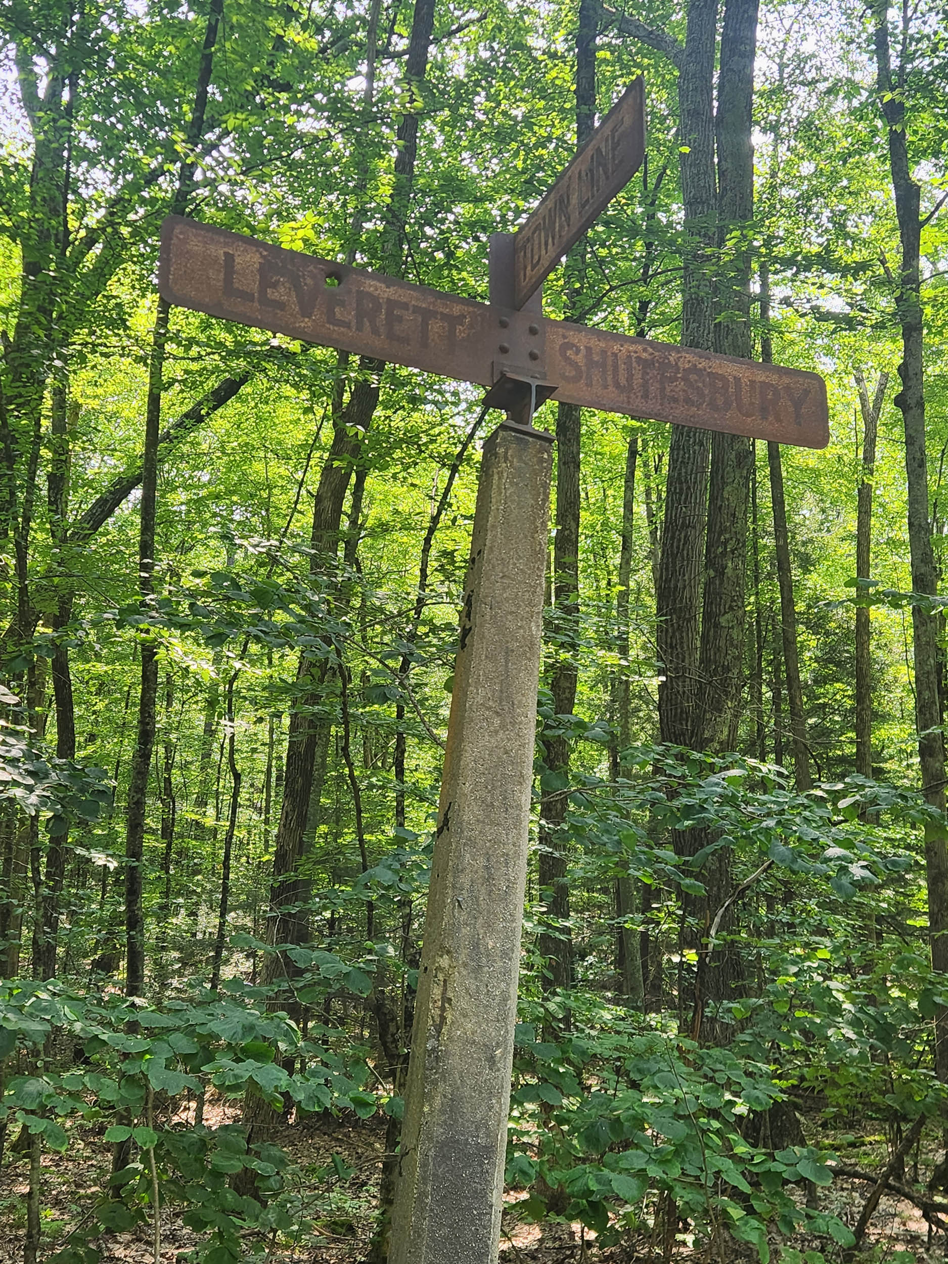
- The New England Peace Pagoda in Leverett is like entering another world.
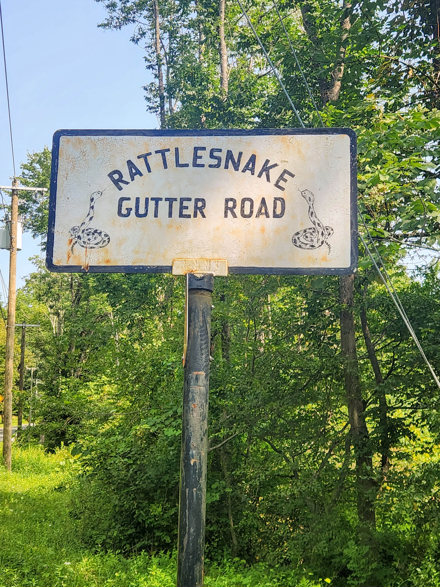
- The climb up Rattlesnake Gutter Road, a ravine carved by the draining of Glacial Lake Hitchcock that stretched from St. Johnsbury, VT, down to mid-Connecticut (250 miles long) about 12,000 years ago.
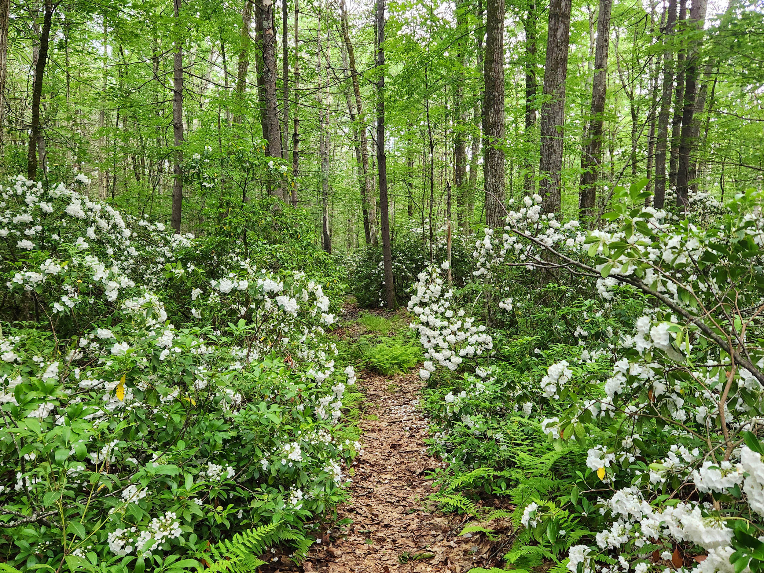
- The mountain laurel in bloom in mid-to-late June.
- Finishing the ride at Amherst Brewing’s The Hangar Grill, right across the street from the ride’s beginning and end.
- The best time to ride this route is August through October and perhaps early November.
- In dry years, you could ride this in late April to mid-May as well.
- Mid-May to mid-July is peak mosquito season. Bring repellent and head nets.
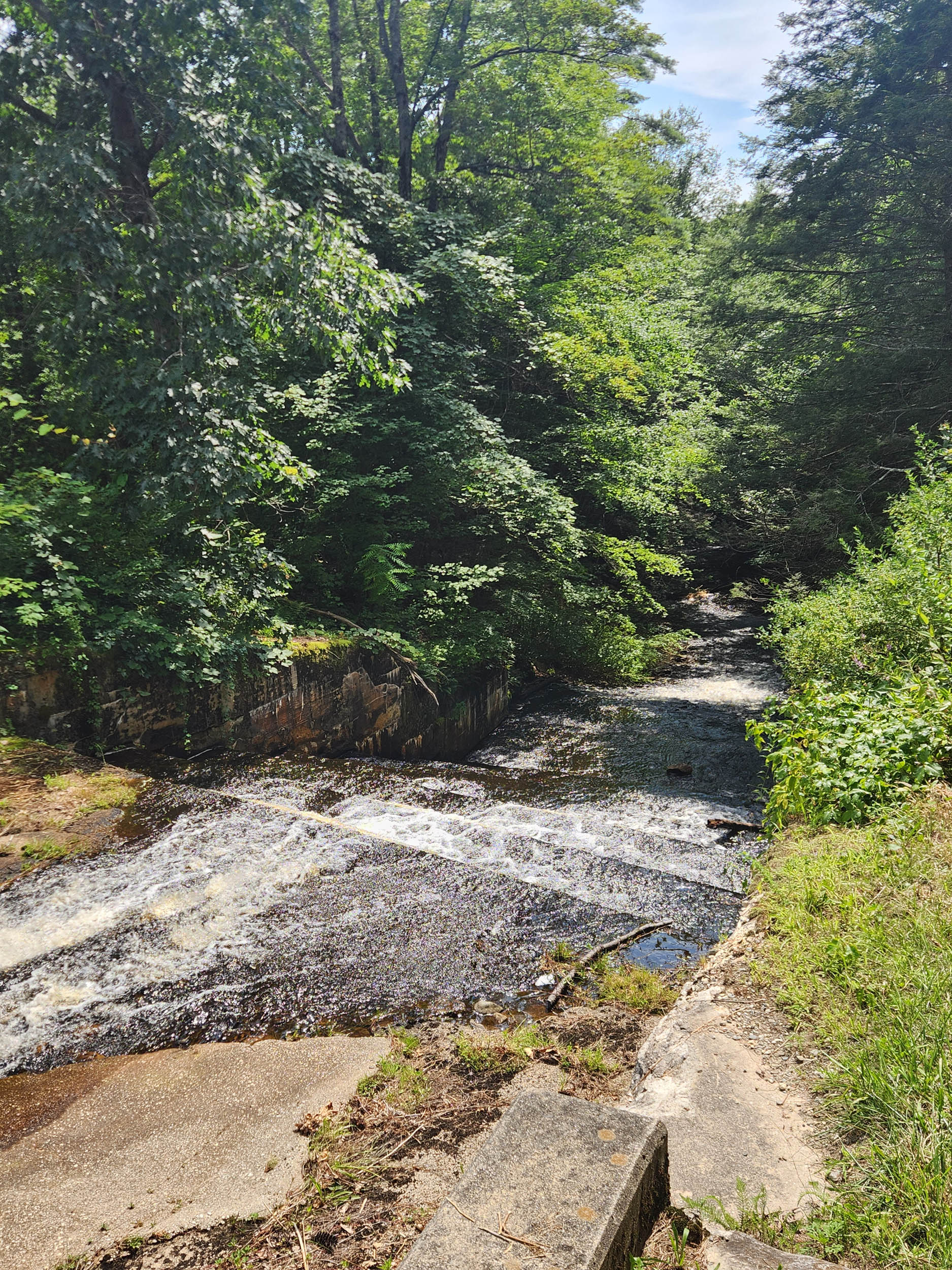
- Water is plentiful from streams and rivers. Use a filter.
- Parking near the Hampshire Bike Exchange is plentiful. The two lots to the south are barely used.
- You are on Amherst Rd (busy road) for 0.5 miles. There is an ample shoulder.
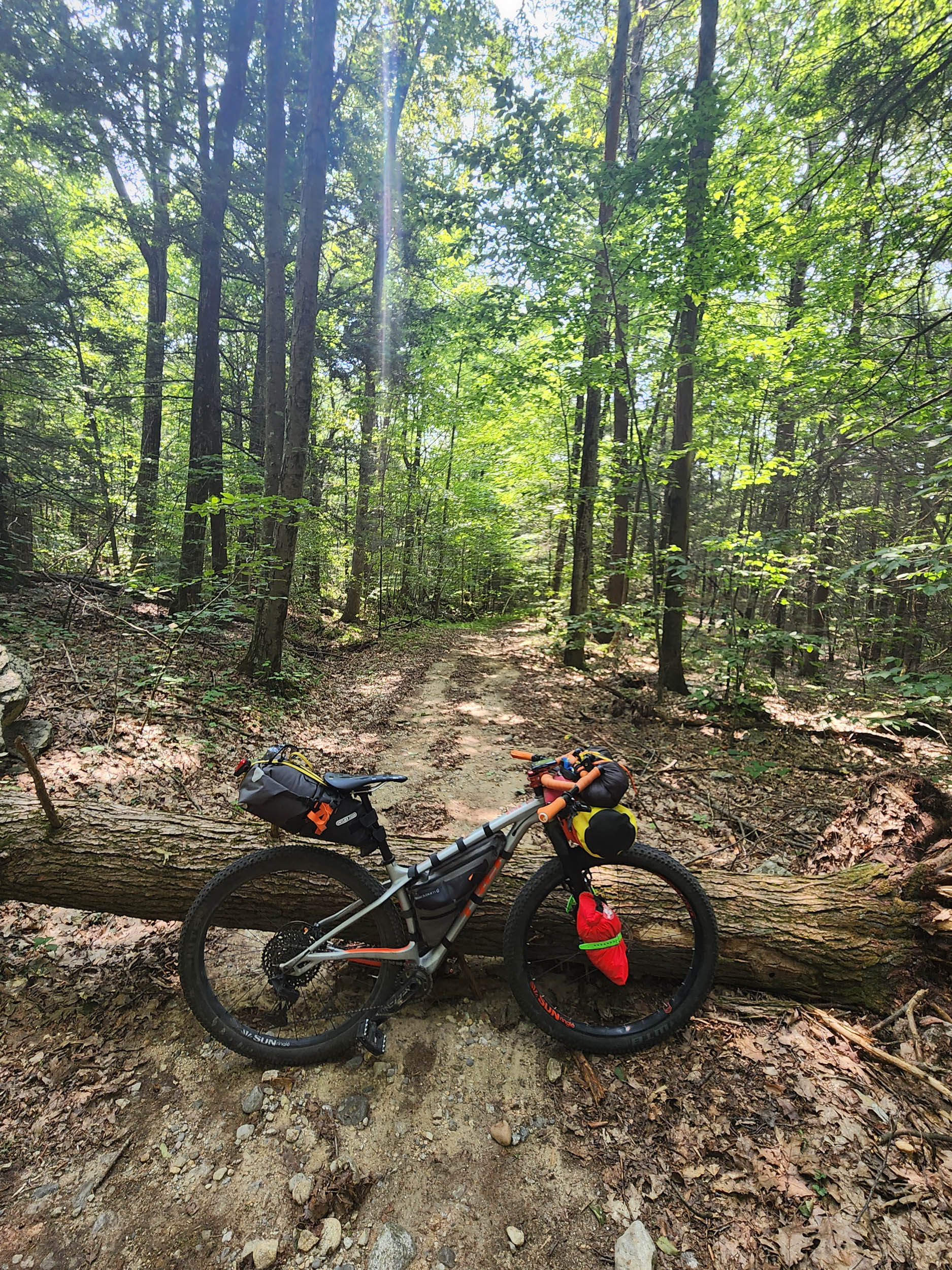
- For best results, use a hardtail mountain bike.
- The toughest part is between miles 4.5-16.5
- The Amherst Conservation Committee allows hiking and riding on town water supply land, just don’t go in or use the water.
- Anywhere in Wendell State Forest is open to camping. The area around Ruggles Pond is good, according to the ranger, if you camp at the south (far end). Every other campsite is on state forest land.
- New Boston Road at mile 21 has water on site.
- Damon Road at mile 32 is a dry camp with brackish water further up road on right.
- Ruggles Pond at the far (south) end of the pond has water.
- Upham Road, off East Chestnut Hill Road on the right at grassy pull off, has water.
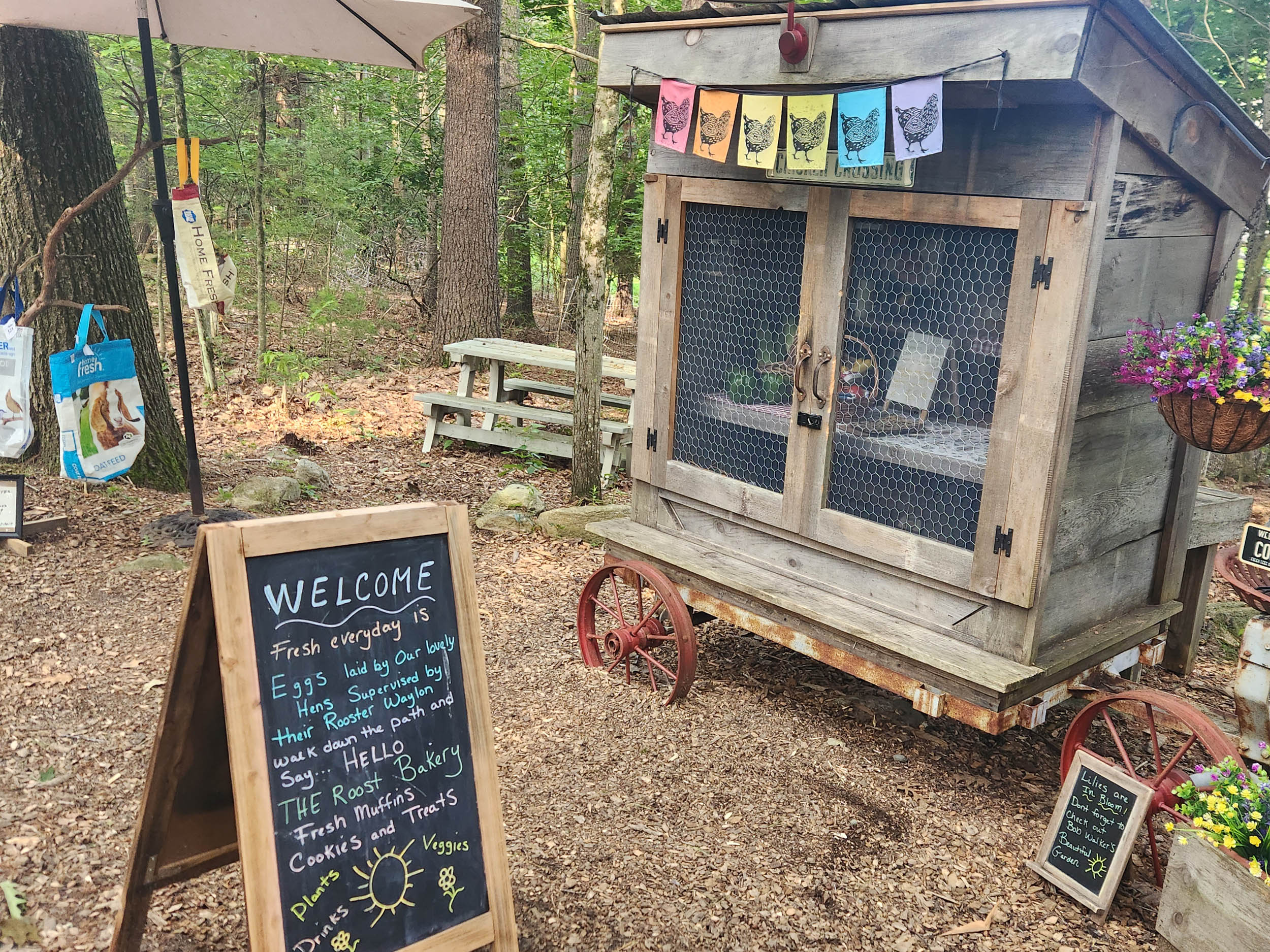
- There are two places for resupply: Wendell Country Store at mile 24.5 and the Leverett Co-Op at mile 43.1.
- Each has water, drinks, baked goods, sandwiches and great local beer.
- The route begins and ends on bike trail and rail trail.
- Once you turn into the Harkness Conservation Area, it will be hours before you spend any real time on pavement.
- Perry Farm Road and Baker Road in Wendell State Forest are pretty rough, so use caution.
- Jerusalem Road has a long-ish steep climb.


Terms of Use: As with each bikepacking route guide published on BIKEPACKING.com, should you choose to cycle this route, do so at your own risk. Prior to setting out check current local weather, conditions, and land/road closures. While riding, obey all public and private land use restrictions and rules, carry proper safety and navigational equipment, and of course, follow the #leavenotrace guidelines. The information found herein is simply a planning resource to be used as a point of inspiration in conjunction with your own due-diligence. In spite of the fact that this route, associated GPS track (GPX and maps), and all route guidelines were prepared under diligent research by the specified contributor and/or contributors, the accuracy of such and judgement of the author is not guaranteed. BIKEPACKING.com LLC, its partners, associates, and contributors are in no way liable for personal injury, damage to personal property, or any other such situation that might happen to individual riders cycling or following this route.
Please keep the conversation civil, constructive, and inclusive, or your comment will be removed.