


Eastern Divide Trail (S2): Tamarack
Distance
748 Mi.
(1,204 KM)Days
11
% Unpaved
68%
% Singletrack
1%
% Rideable (time)
99%
Total Ascent
37,315'
(11,374 M)High Point
1,659'
(506 M)Difficulty (1-10)
7?
- 3Climbing Scale Fair50 FT/MI (9 M/KM)
- 5Technical Difficulty Moderate
- -Physical Demand
- 7Resupply & Logistics Strenuous
Contributed By

Logan Watts
Founding Editor
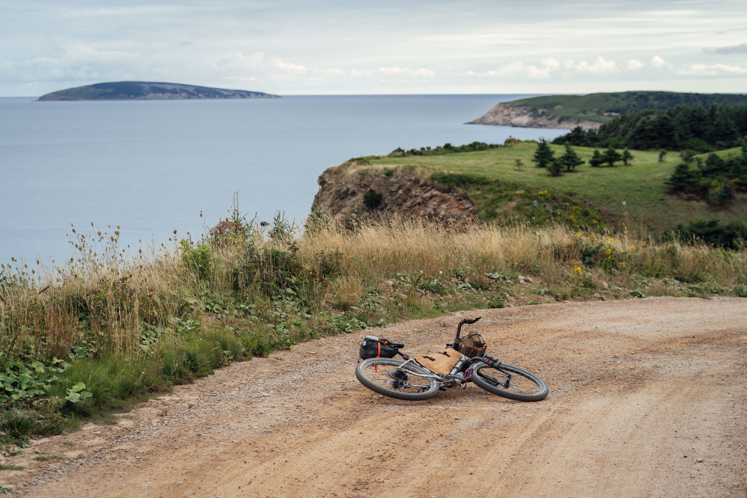
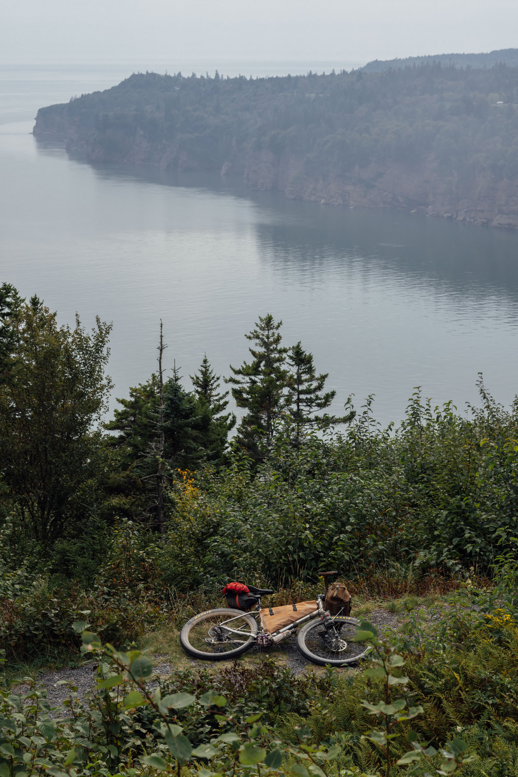
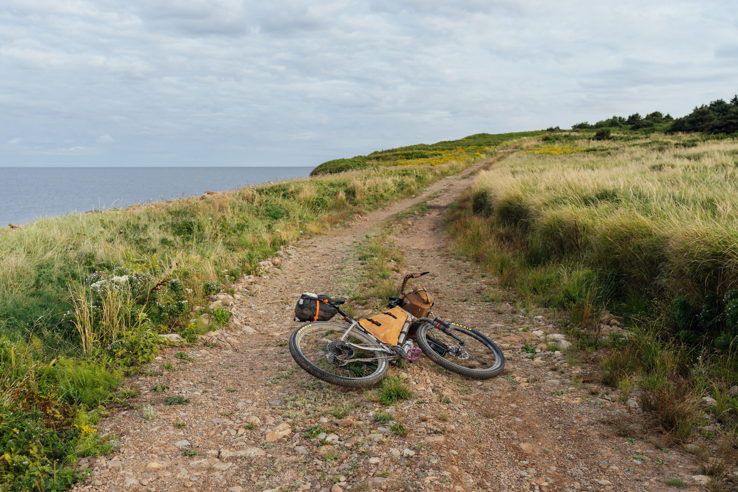
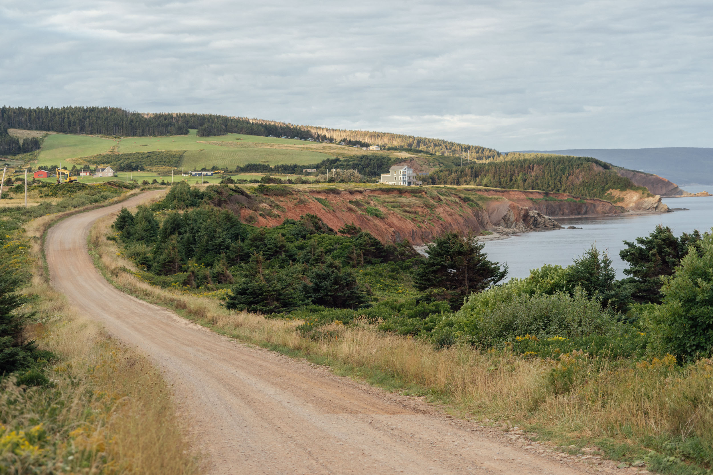
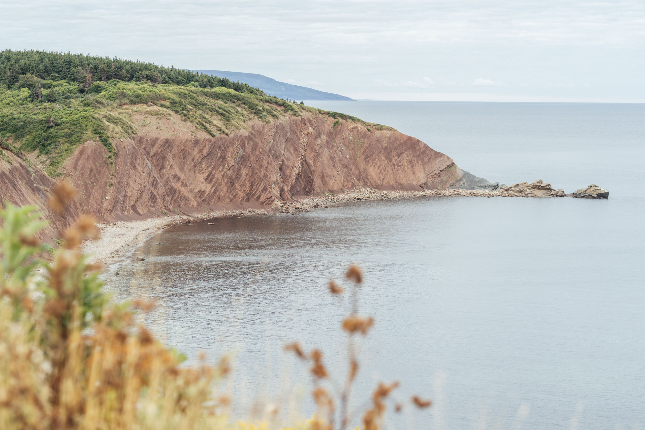
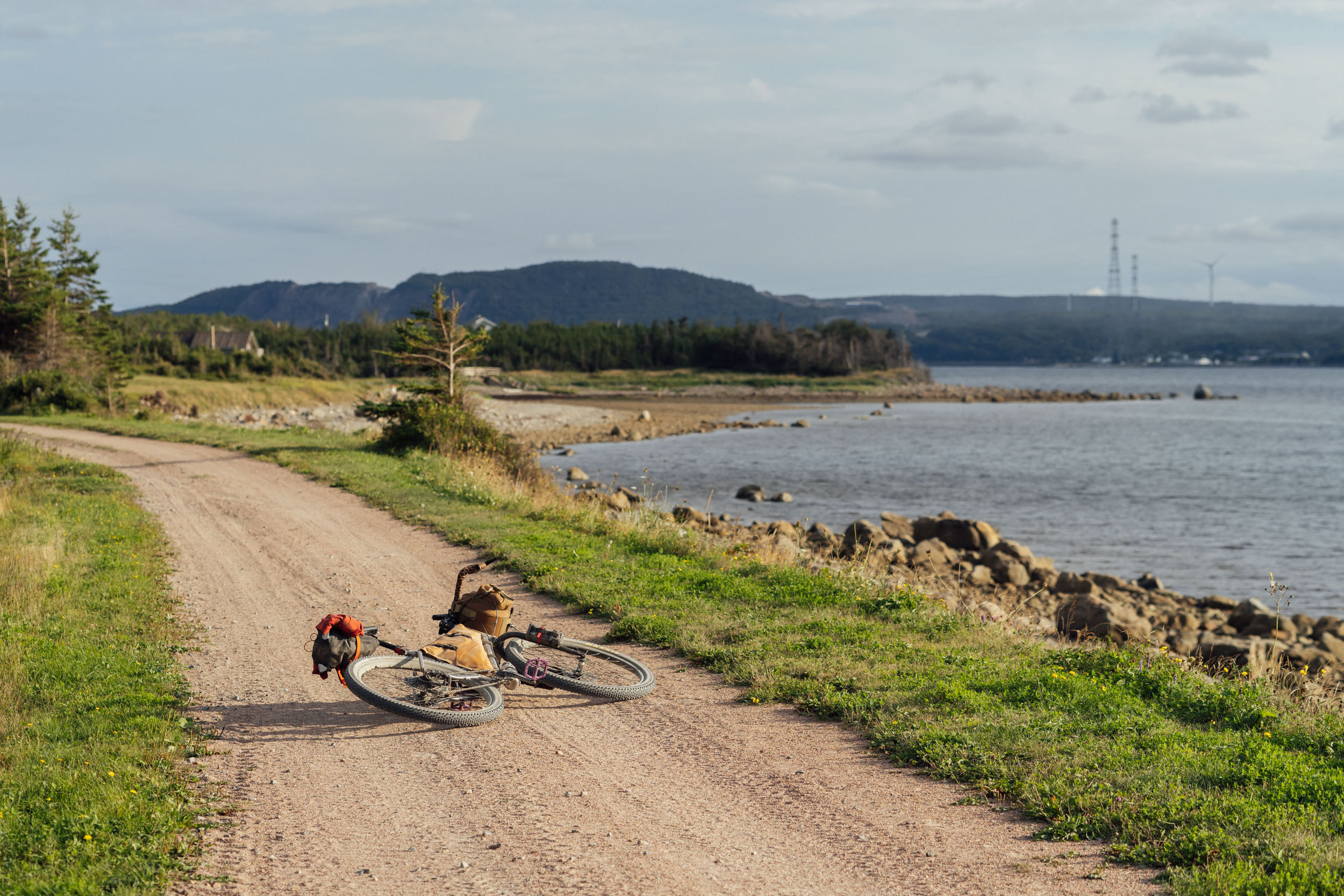
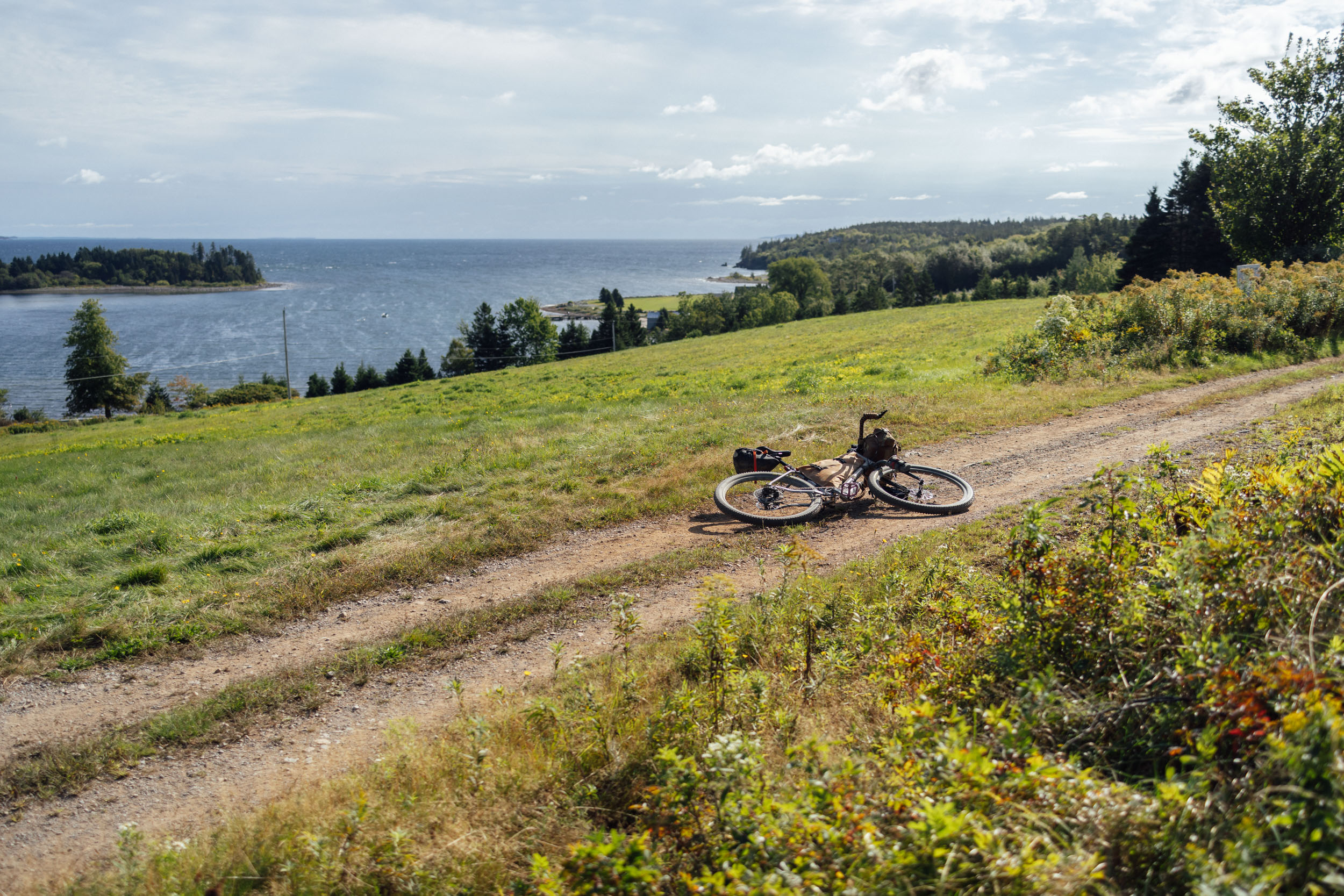
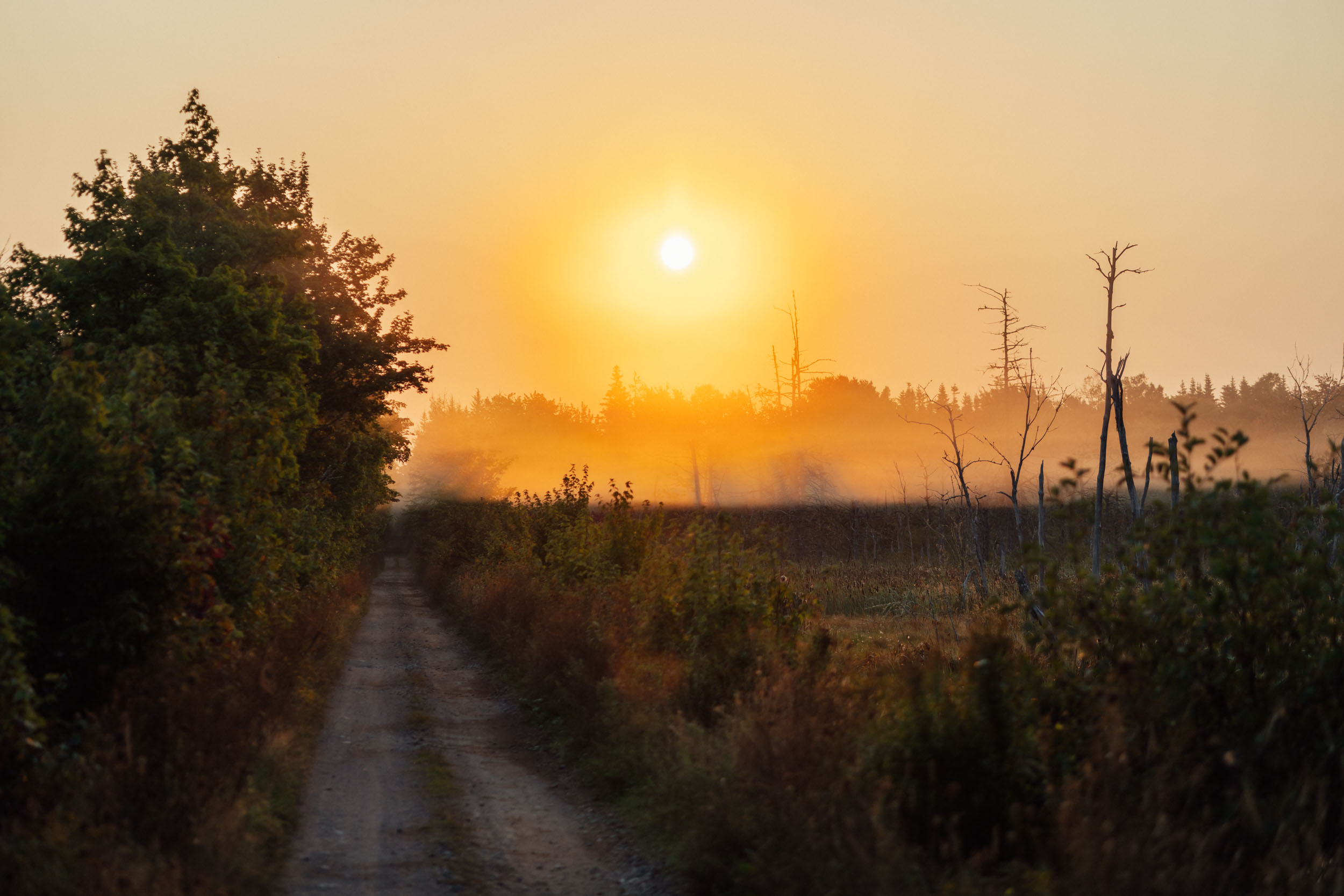
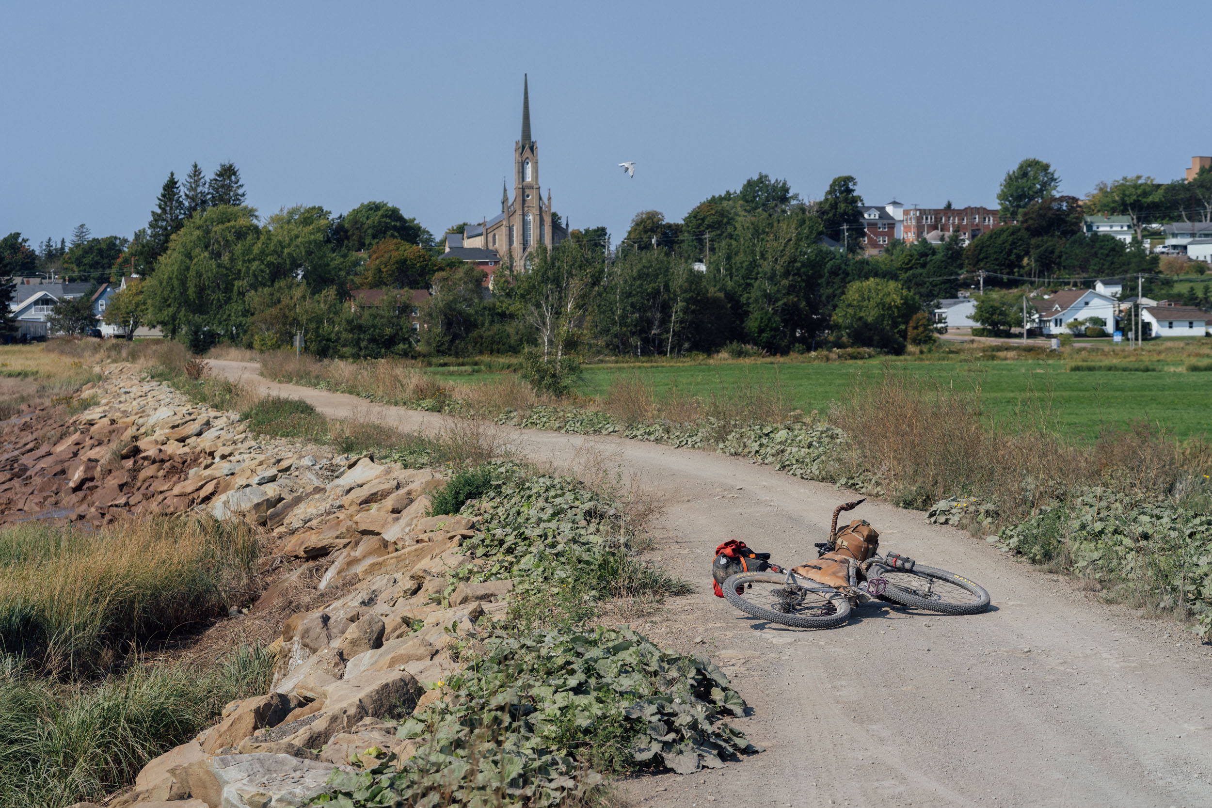
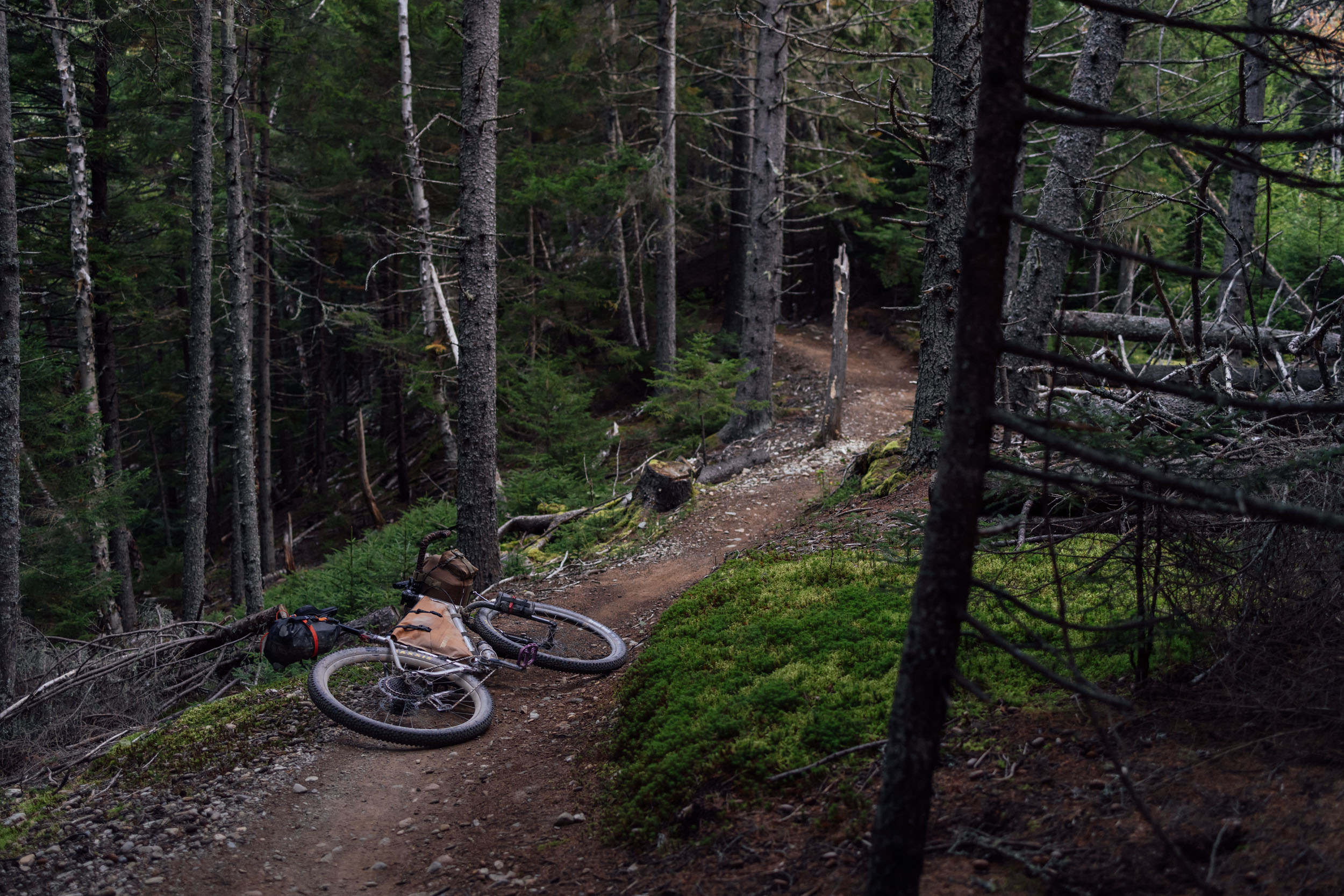
Segment 2 begins at the ferry terminal in North Sydney, Nova Scotia, where folks transit to and from Port Aux Basques, Newfoundland, the southern terminus of EDT1. It ends at the United States-Canada border near the town of Houlton, Maine. Along the way, this roughly 750-mile (1,200-kilometer) route crosses Eastern Canada by way of two of the three Maritime Provinces: New Brunswick and Nova Scotia. As its name implies, this is a region connected to the sea. Harbors, inlets, passages, bays, and other bodies of water are an integral part of the topography, and the area draws people here for its majestic coastline cliffs and charming seaside vibes.
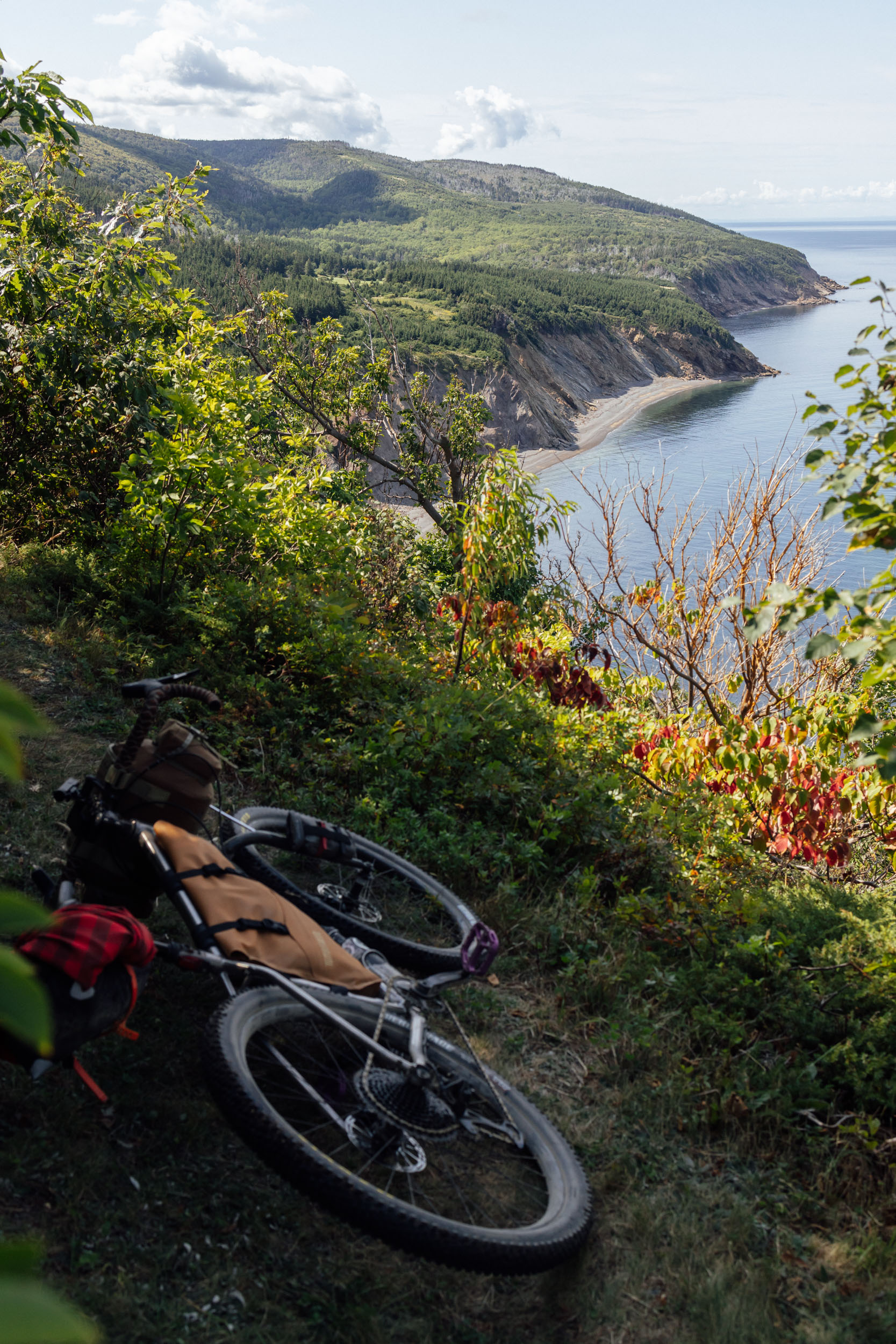
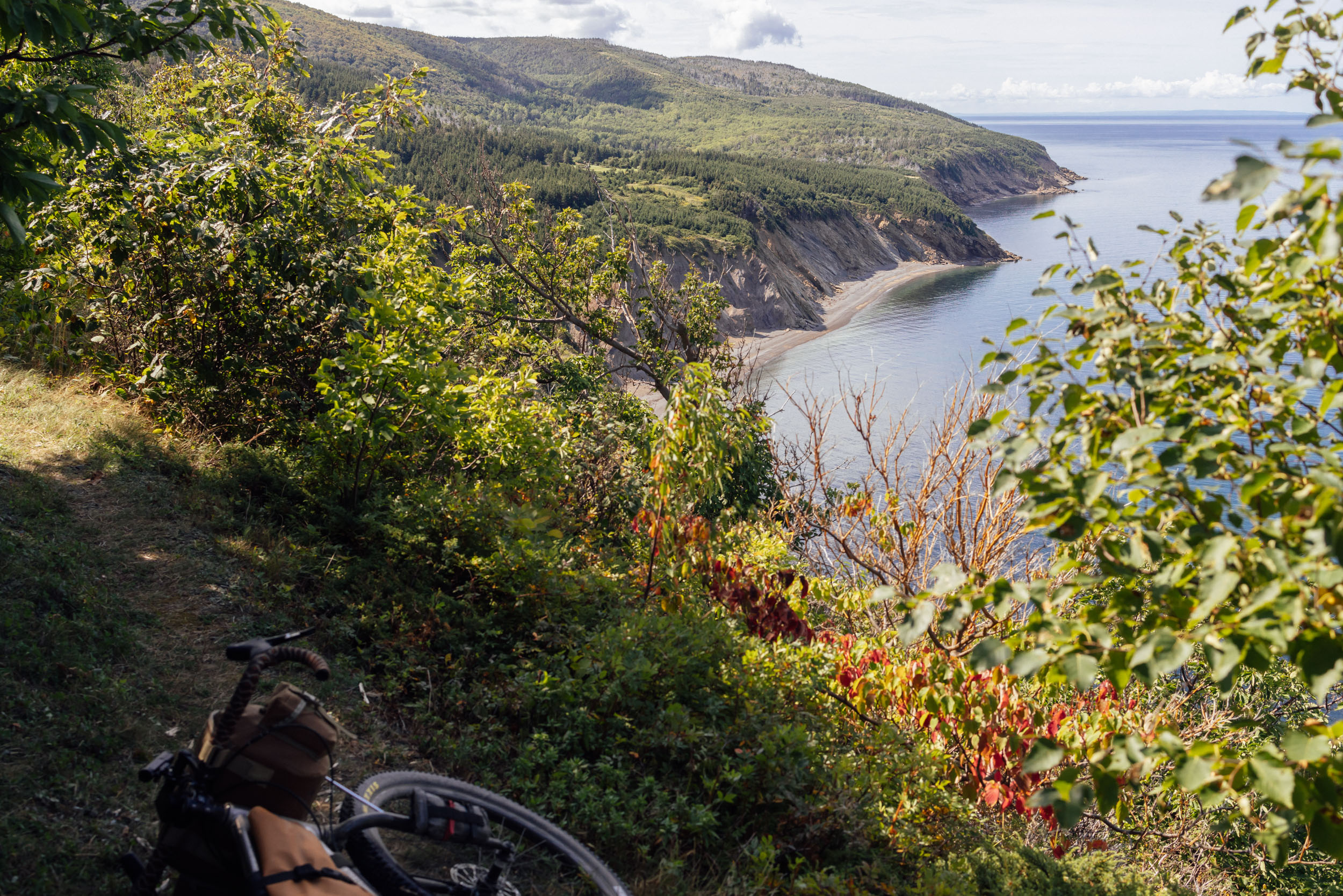
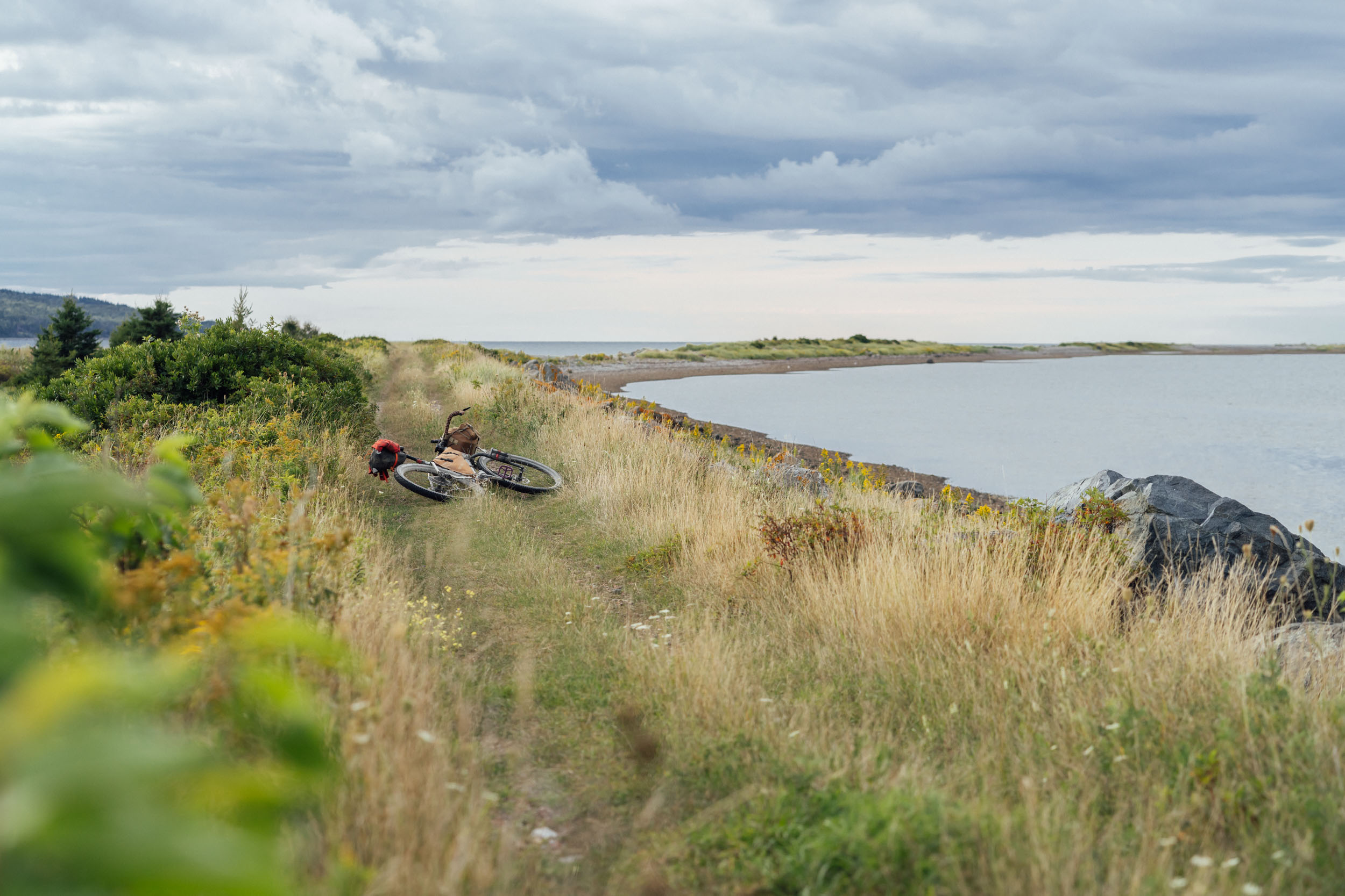
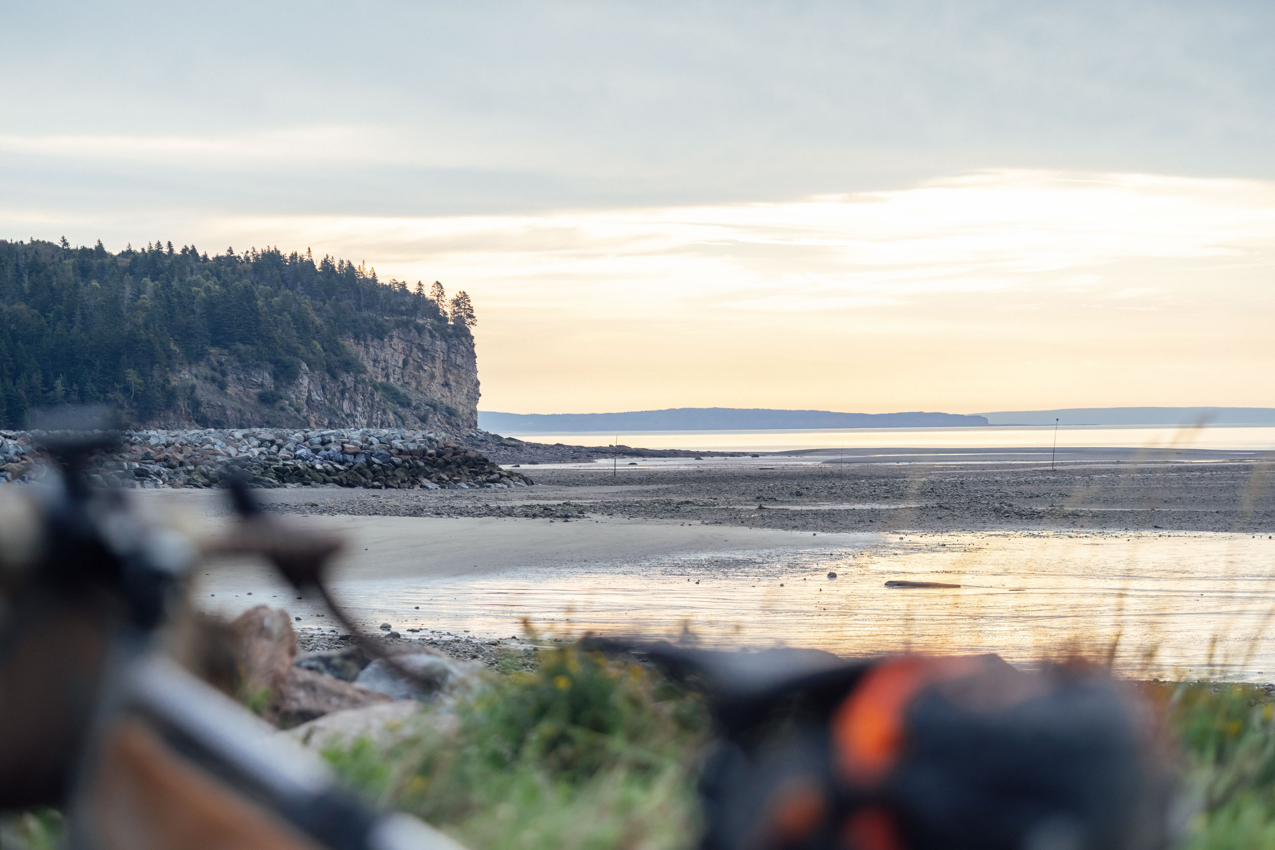
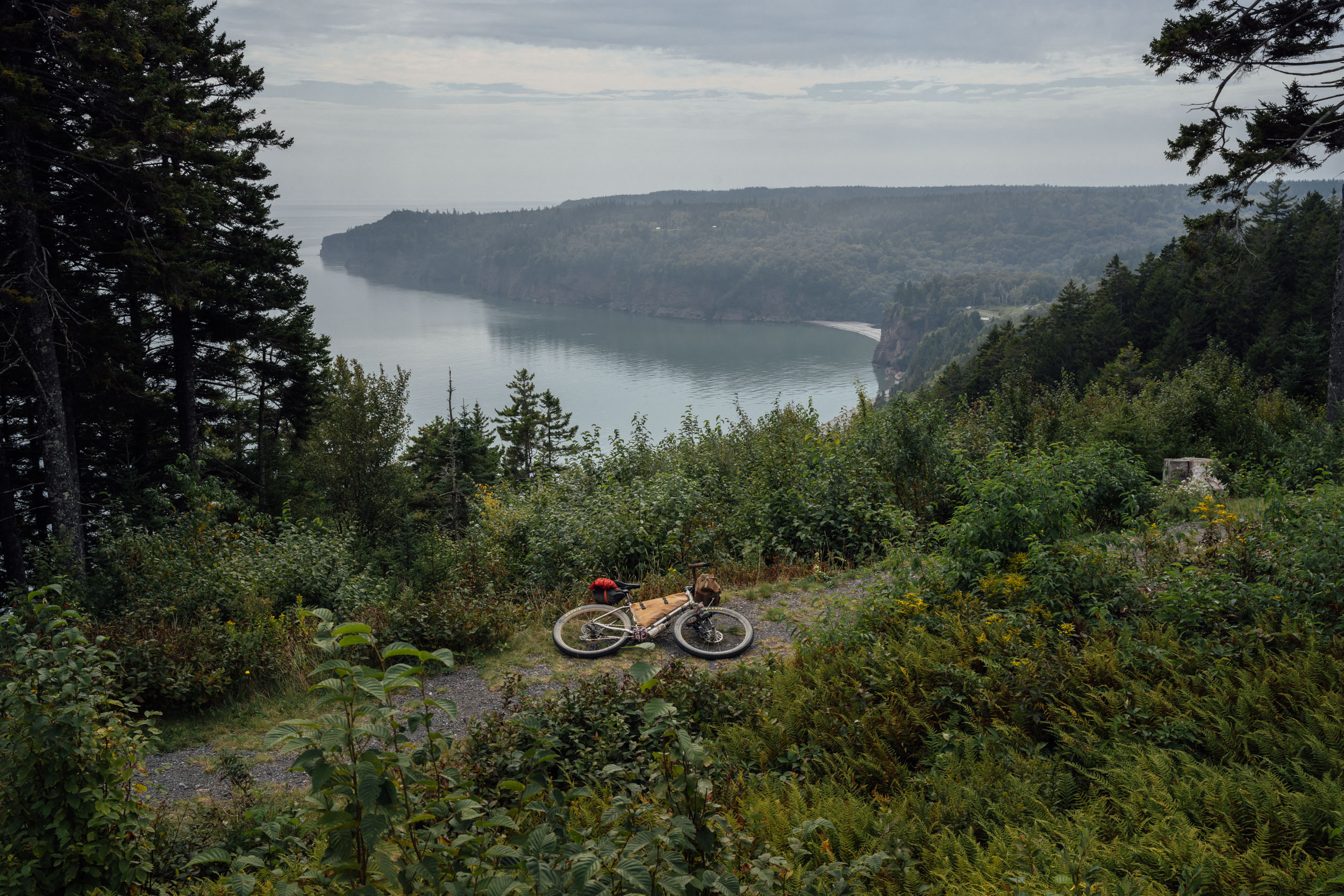
EDT2 takes in many of the region’s most breathtaking coastal landscapes, including a portion of the Cabot Trail along Cape Breton, a premier road cycling destination where you’re bound to cross paths with other touring cyclists. It also traverses Cape Mabou and the Bay of Fundy, offering countless views of rugged cliffs that plunge into the sea and the chance to see (or hear) seals sheltering in its many coves.
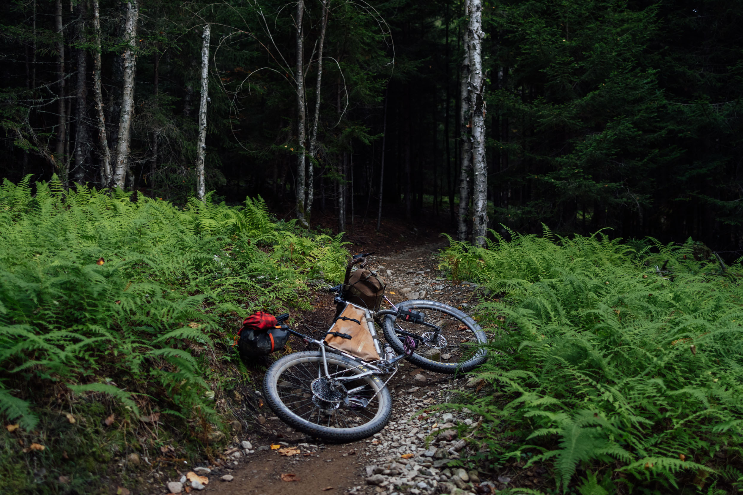
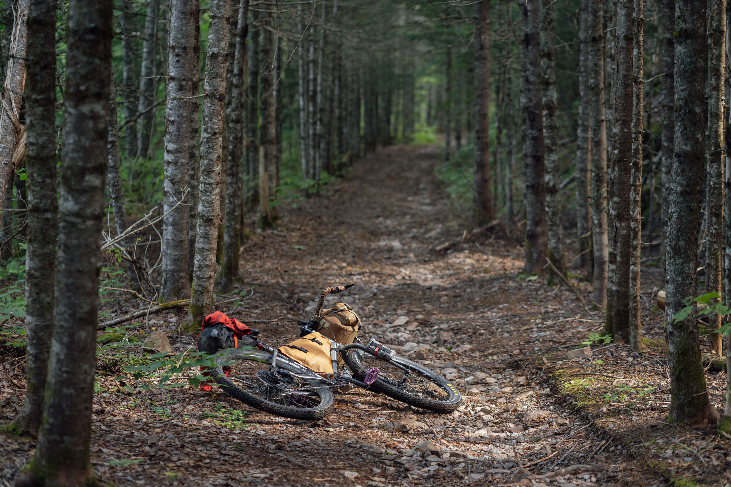
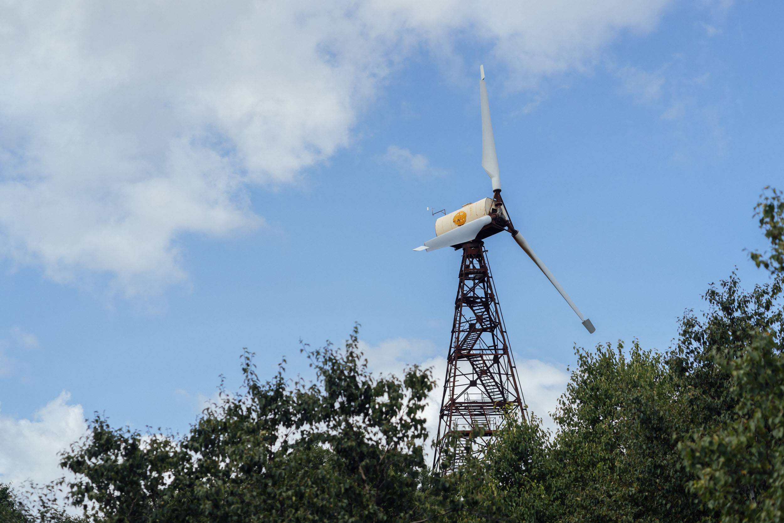
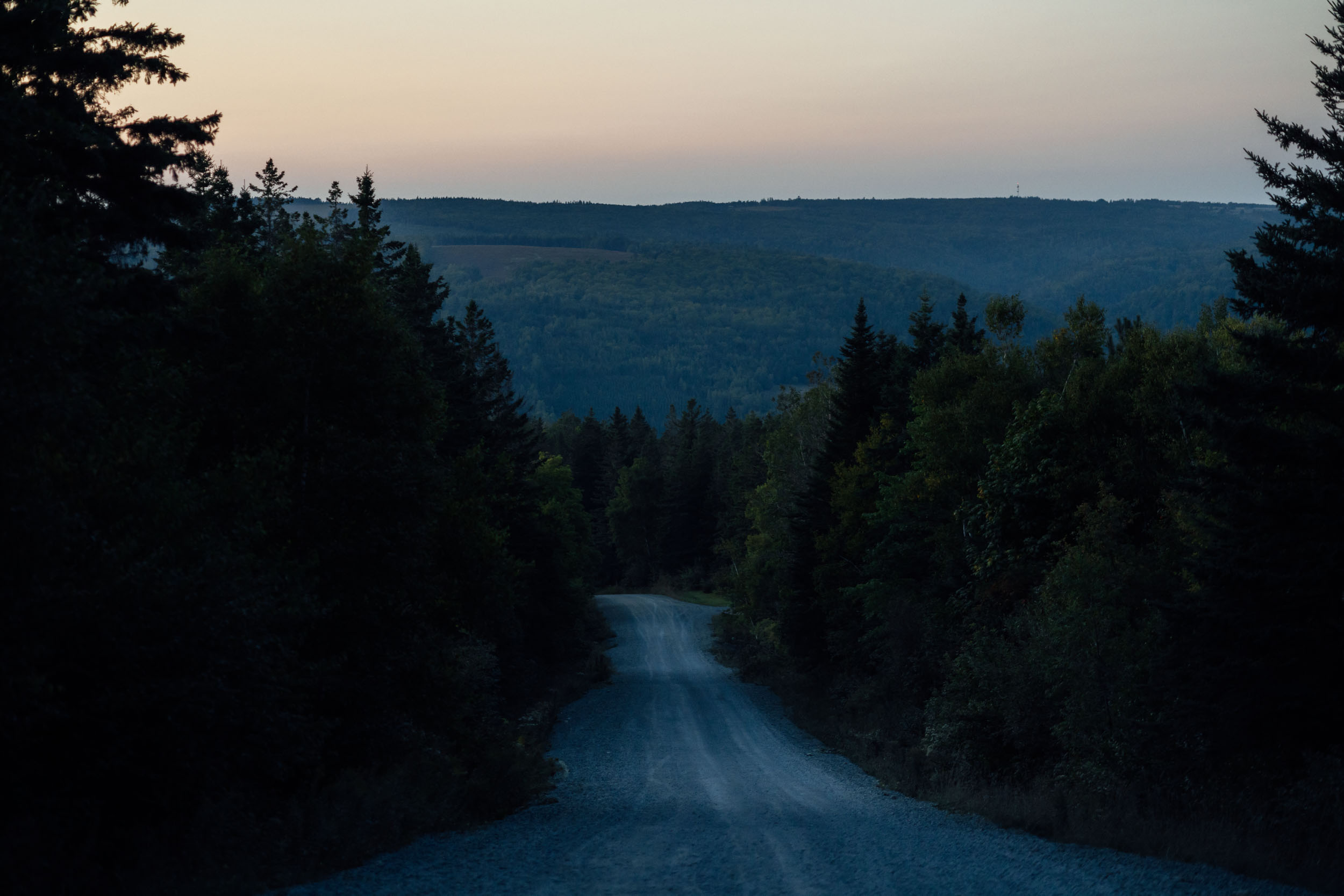
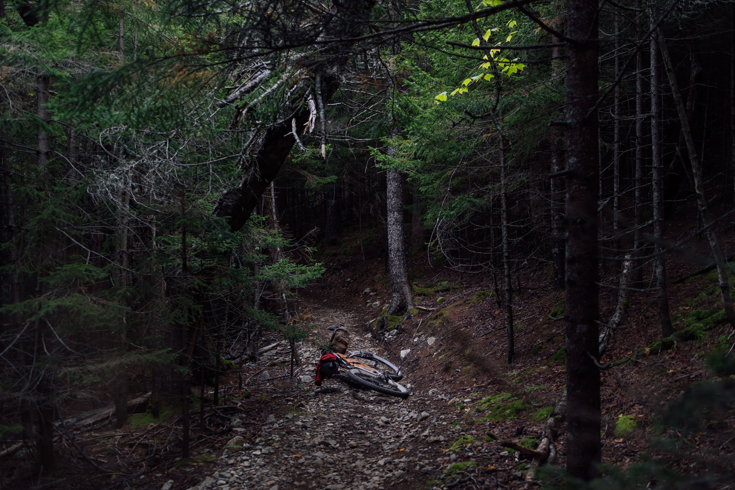
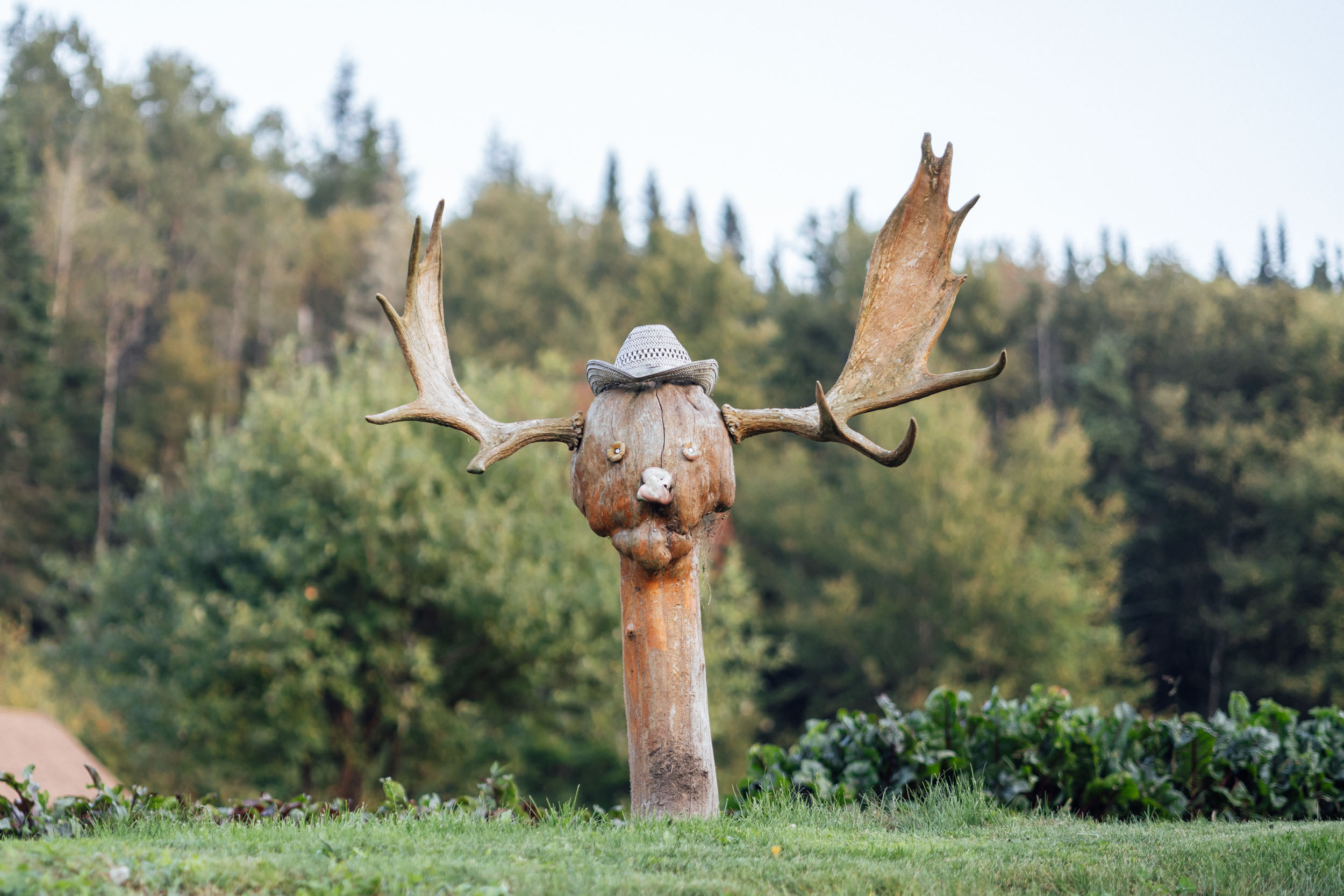
As with the entirety of the northern portion of the Eastern Divide Trail—until it nears the Pennsylvania border—Segment 2 loosely follows the St. Lawrence Divide, the continental divide that separates the Great Lakes-St. Lawrence River Basin from the southerly Atlantic Ocean watersheds. In doing so, it often traverses remote swaths of boreal forest, mostly made up of balsam fir and white birch. But you may also see larix laricina, commonly known as the tamarack, the route’s namesake. The Tamarack is an American larch tree species native to Nova Scotia, and Canada’s only deciduous conifer. Before losing their needles each year, tamarack put on quite the show as they change from green to orange-yellow in the autumn. The word tamarack comes from an Algonquian name for the species meaning “wood used for snowshoes.” The roots of the tree are slender and have been used by Indigenous peoples to sew together swaths of birch bark for the construction of canoes. Colonizers also used the same roots to join the ribs of deck timbers on ships. The tamarack’s slow growth also allows the wood to develop high resin content, which makes it more resistant to decay.
Lay of the Land
By Tsinnijinnie Russell (@tsinbean)
The Mi’kmaq People (meeg maw) have inhabited the territories now known as Nova Scotia, New Brunswick, Prince Edward Island, and parts of Newfoundland continuously for 13,000 years. The Mi’kmaqk refer to their national territory as the Mi’kma’ki. The Mi’kmaq Nation were a part of the Wabanaki Confederacy, a tribal group that included the Mi’kmaq, Maliseet, Passamaquoddy, Penobscot, and Abenaki tribes of North America. Prior to European contact, the Mi’kmaq were governed by consensus via the Mi’kmaq Grand Council. The Mi’kmaq Nation was divided into seven districts, each led by a District Chief, and these Chiefs made up the Grand Council. In 1497, John Cabot visited the Cape Breton and Nova Scotia area. French settlers who entered the region tended to build more positive relationships with the Mi’kmaq, with cultural and trading relationships established via marriages in Acadia between French colonists and the Mi’kmaq. British settlers were hostile and intent on permanent settlements and agriculture, often leading them to settle farms on the best arable land, which had always been cultivated and cared for by the Mi’kmaq.
The Mi’kmaq, Maliseet, and Pasamaquoddy nations signed a series of treaties known as the Covenant Chain of Peace and Friendship Treaties with the British Crown between 1725 and 1779. Within these treaties, the Mi’kmaq did not cede or give up any territory, a claim that was held up by the Supreme Court of Canada in 1999. In 1749, the British passed the 1749 Scalp Proclamation, which was designed to wipe out the Mi’kmaq by offering bounties for the scalps of Indigenous men, women, and children. This was rescinded in 1752, but the British Scalp Proclamation of 1756 offered a bounty of every live male prisoner over the age of 16 and slightly less bounty for the scalp. Equal bounties were made for women and children prisoners or scalps. The British also continuously broke treaties established in the 1700s, carrying on a proud British tradition of white settlers breaking treaties with Indigenous communities.
Today, the Mi’kmaq have a population of 170,000 that includes 18,044 members of the recently formed Qalipu First nation in Newfoundland. Nearly 11,000 members speak Mi’kmaq, their traditional language. The Mi’kmaq Grand Council is still the official authority that engages with the Canadian federal government. In 2010, the Assembly of Nova Scotia Mi’kmaq Chiefs signed an agreement with the Governments of Canada and Nova Scotia that outlined a process for settler governments to follow when wishing to consult with the Mi’kmaq. Still to this day, the Mi’kmaq face attacks on their livelihood, particularly in regards to their rights to fish and hunt in their traditional lands. Despite having legally upheld treaties that secure their right to hunt and fish, Indigenous fishing boats are still sabotaged and targeted by commercial fishermen in Nova Scotia. Like many Indigenous communities, the Mi’kmaq continue to live on their traditional lands and fight for their rights as Indigenous people.
Find more historical perspectives on places and place names under the Whereabouts tab below.
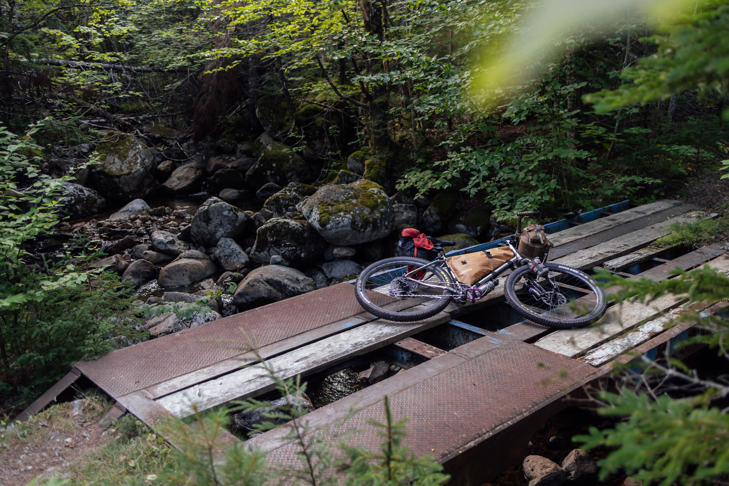
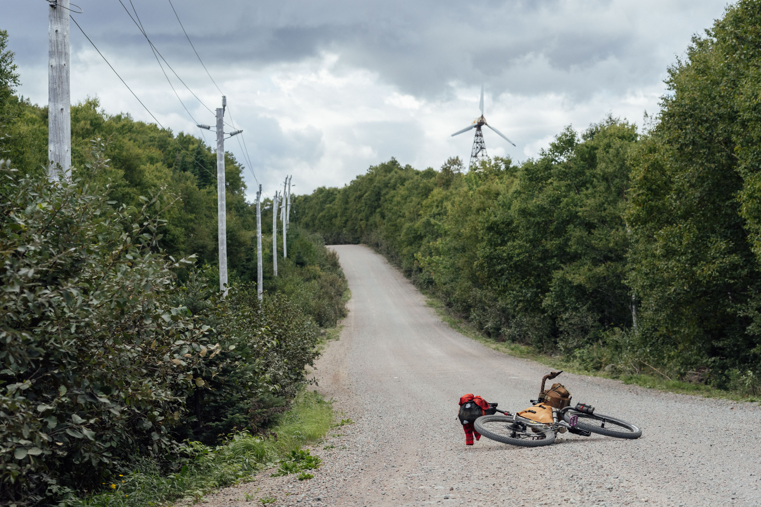
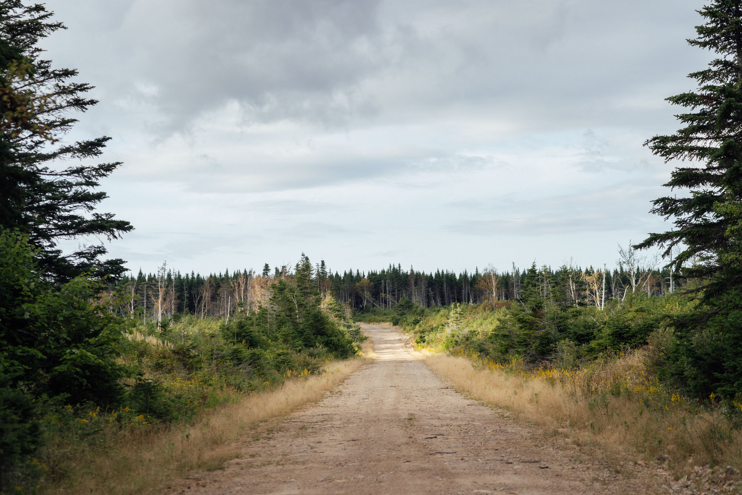
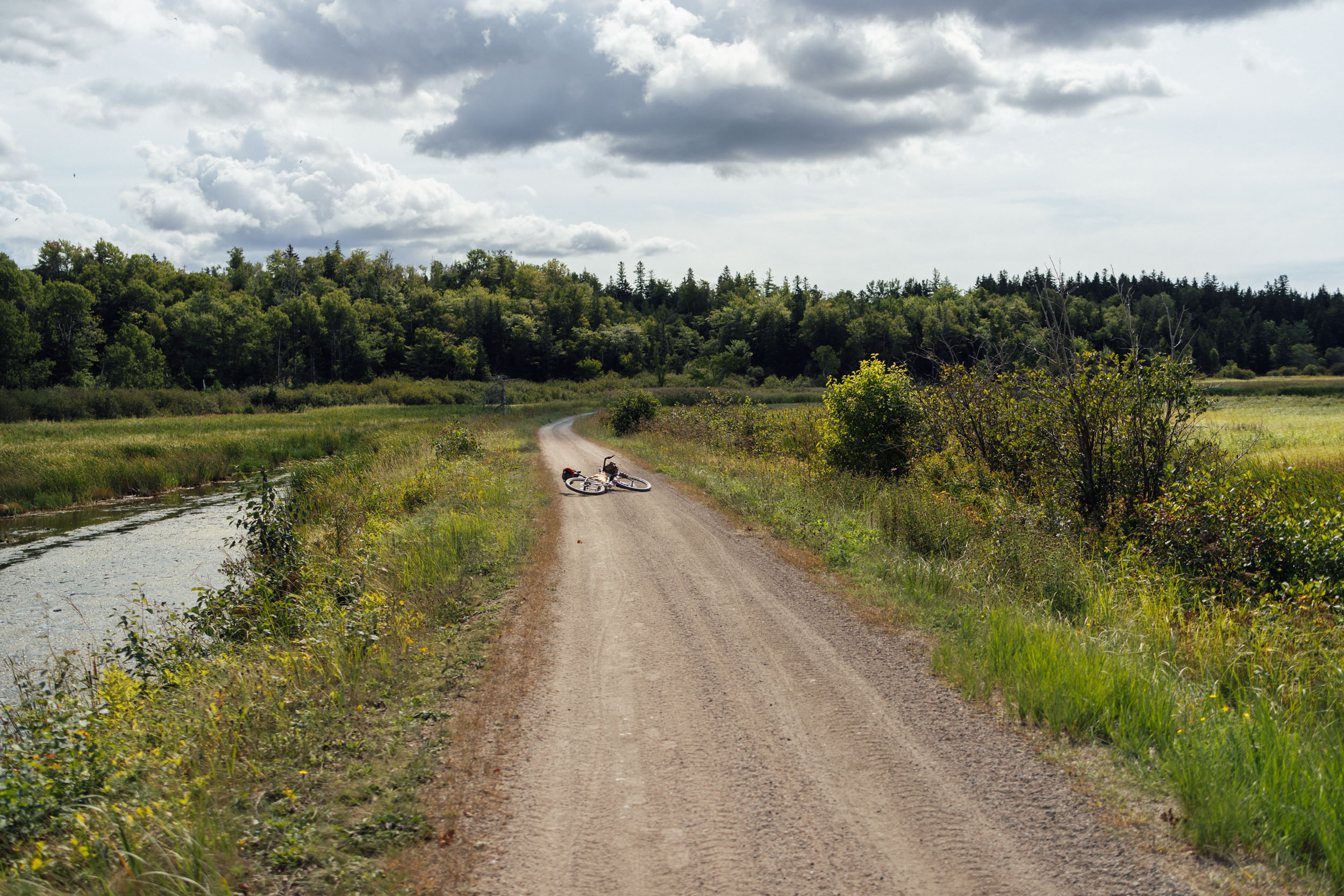
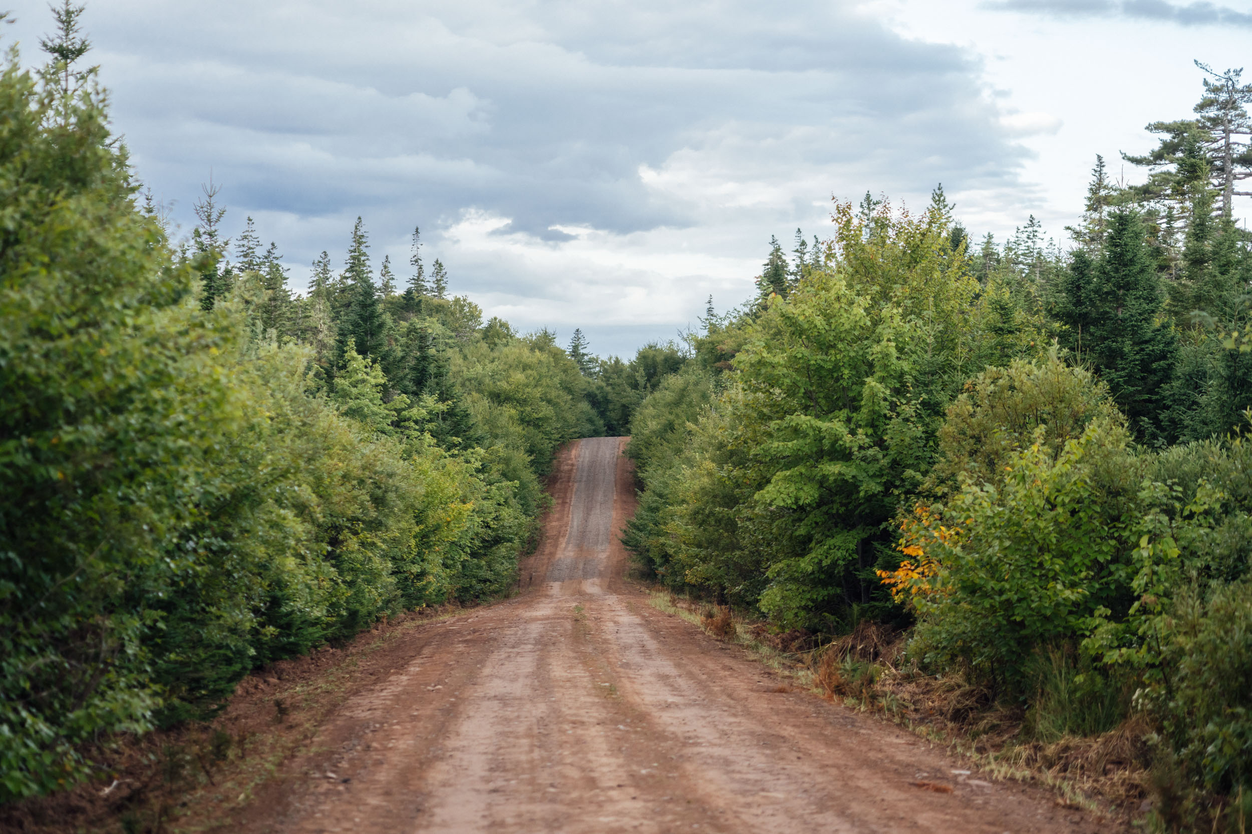
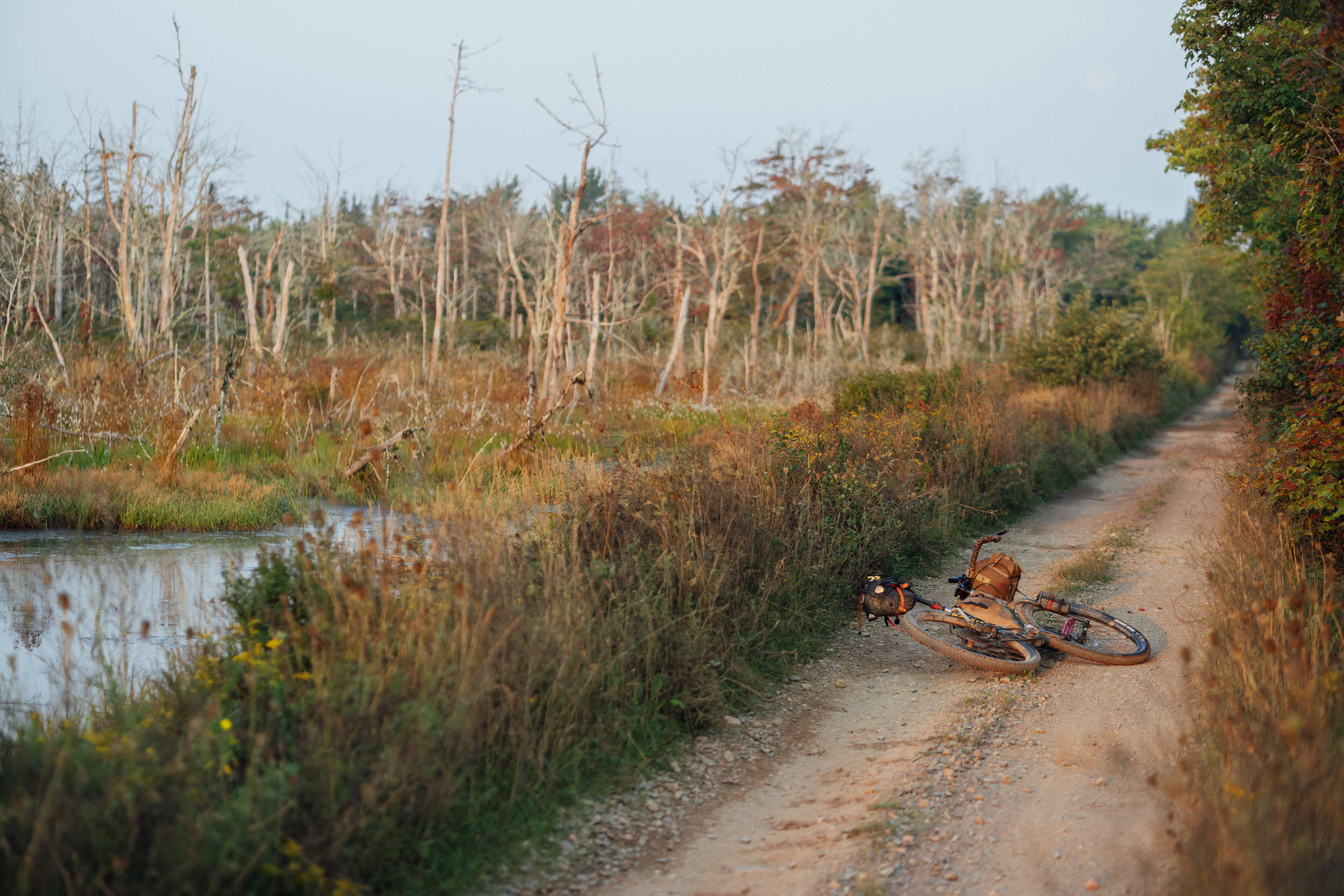
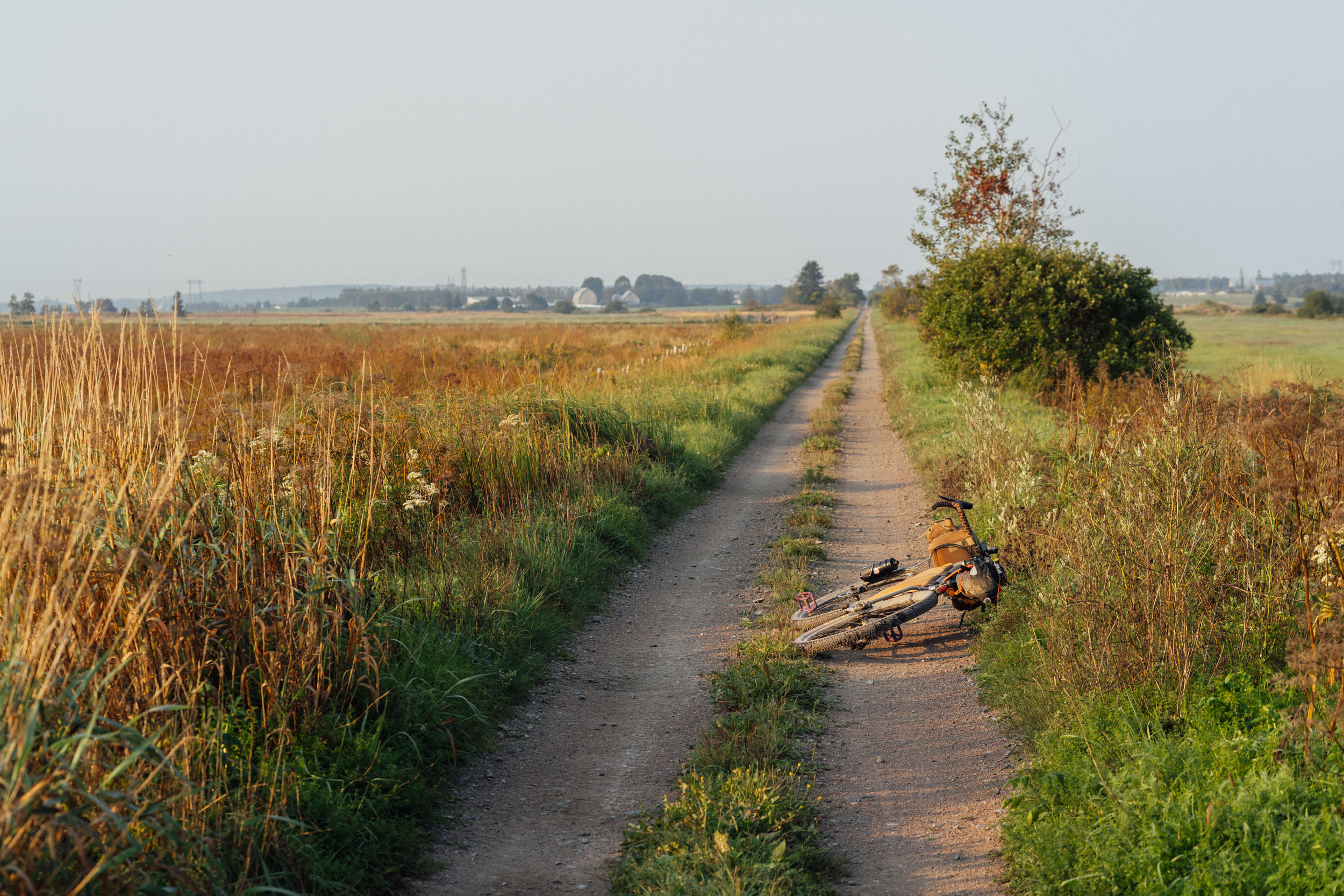
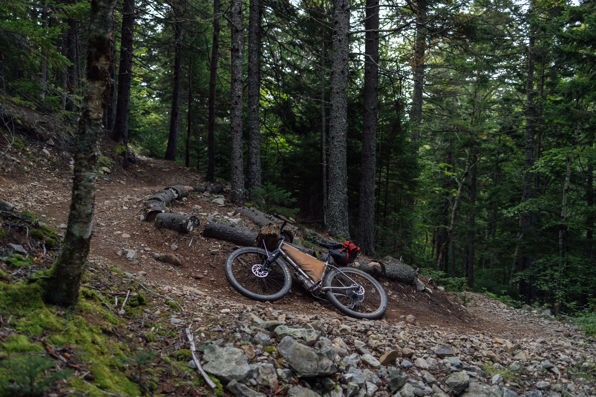
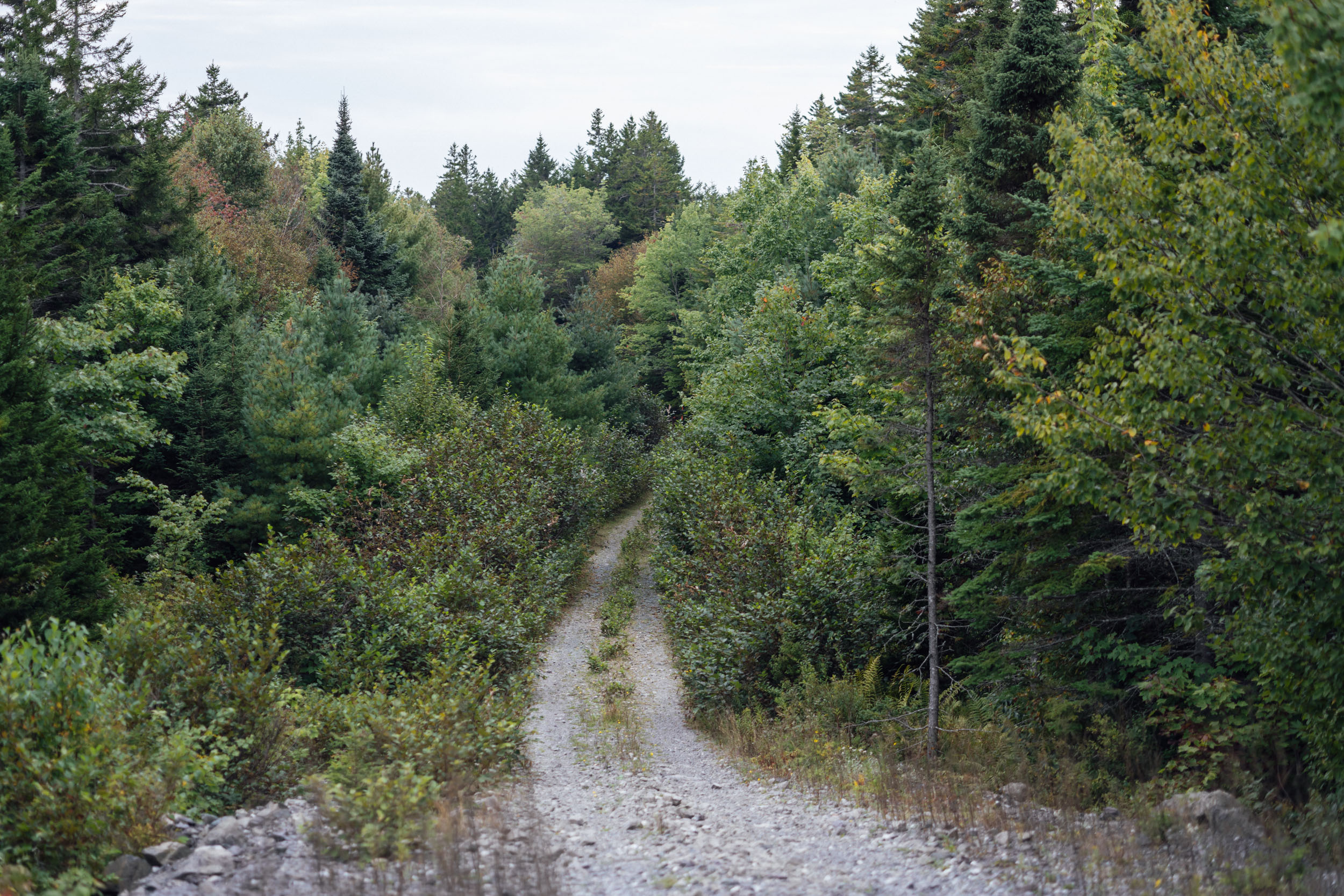
As to be expected with each of the EDT segments, Tamarack is made up of an assortment of road types with varying surfaces. The medley of tracks on EDT2 range from remote dirt logging roads to smooth rail grade recreation paths and from chunky ATV tracks to smooth gravel roads and from loamy singletrack trail to quiet two-lane backroads that roll across the countryside. The three most dominant unpaved road types are dirt logging roads, gravel roads, and unmaintained rail grade, which is largely used by snowmobiles in the winter and ATVs in the summer.
Route Difficulty
Physical Demand: 6.5 • Technical Challenge: 5 • Resupply/Logistics: 7
Nailing down numbers for the route difficulty ratings of Segment 2 was a formidable task, to say the least. There is a lot of variability in EDT2, and many of the challenges are short lived and/or dependent on the weather. For physical demand, I would assign this route a 6.5. That’s high considering there are a lot of relatively easy sections, but I will say that road grades in the Maritimes are uniquely steep in short bursts. Even the paved roads can pitch upward quickly. When I rode it, I found myself in the 52-tooth cassette cog much more than I expected. Additionally, the rough condition of some of the unmaintained doubletrack roads is unusually taxing on the body. We tried to minimize these sections, so there were a few parts that I scouted and removed after the fact in favor of pavement.
The technical difficulty is also a mid-range 5 out of 10, also owed to the chunky and rocky stints on ATV and jeep roads. There is a little bit of singletrack sprinkled into a couple of places, but it’s not overly hard. Logistics and Resupply gets the highest rating of all of them based on a few factors: 1. It’s not easy to get to the start of this route—or to get anywhere from its terminus—if riding this segment alone. There’s an international airport near the beginning, but there aren’t many direct flights in and out. Most go through Toronto or Halifax. 2. Issues that result from weather conditions can also pose a few hurdles. For example, hurricanes and Atlantic storms can be a threat during the best time to ride the route (see Must Know tab). Also, wild camping is a must along this route as there aren’t many established backcountry campsites and there are a few significant stretches without campgrounds. It’s not something I would consider difficult, but for those not used to wild camping or bivvying, it may be challenging.
Route Development
EDT2 was designed and conceived by Logan Watts with suggestions by local rider Ethan MacLeod in New Brunswick, particularly in and around Fundy Bay and Fredericton. The route uses a mix of gravel roads, dirt tracks, backroads, and singletrack, and it largely relies on the Trans Canada Trail (TCT/TGT) as its backbone for the New Brunswick portion. The TCT provides a good corridor through this otherwise demanding area that poses routing challenges such as flooded low-lying land, waterways, and logging roads closed from a lack of use. That said, the TCT often uses unmaintained ATV trails that can be rough and monotonous at times. We substituted gravel roads and some backroads where possible to create a better flow through the latter half of the route. Special thanks to Eddie O’Dea for spearheading the first scouting mission to provide valuable insight that ultimately helped shape and improve the final route.


GPX download (link below) includes a detailed set of waypoints. Please keep personal copies set to private on RWGPS and other platforms. The Eastern Divide Trail was made possible by our Bikepacking Collective members. Consider joining to support the creation and free distribution of thoughtfully planned and documented bikepacking routes like this one.
Submit Route Alert
As the leading creator and publisher of bikepacking routes, BIKEPACKING.com endeavors to maintain, improve, and advocate for our growing network of bikepacking routes all over the world. As such, our editorial team, route creators, and Route Stewards serve as mediators for route improvements and opportunities for connectivity, conservation, and community growth around these routes. To facilitate these efforts, we rely on our Bikepacking Collective and the greater bikepacking community to call attention to critical issues and opportunities that are discovered while riding these routes. If you have a vital issue or opportunity regarding this route that pertains to one of the subjects below, please let us know:
Highlights
Whereabouts
Must Know
Camping
Food/H2O
Trail Notes
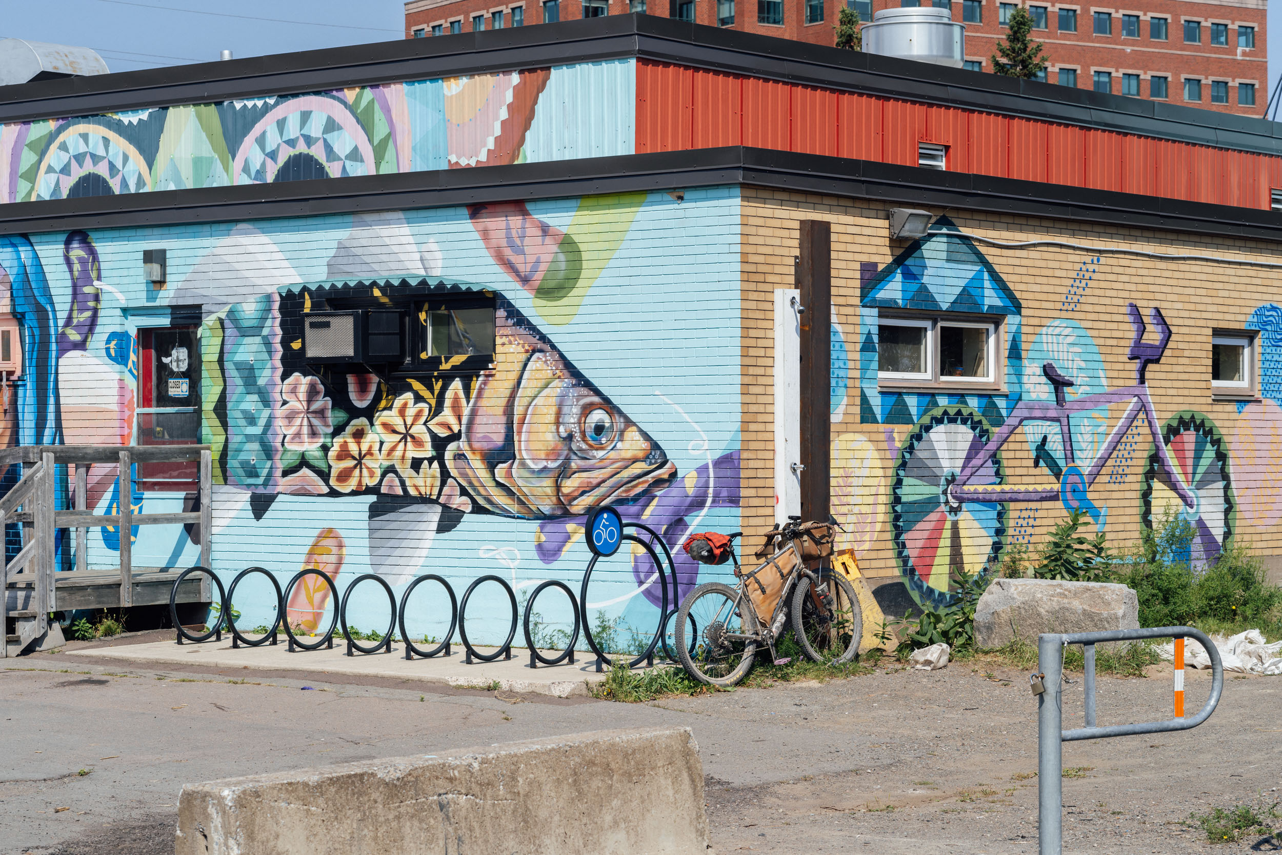
- Being immersed in the Canadian Maritimes and chatting with the friendly folks who live there
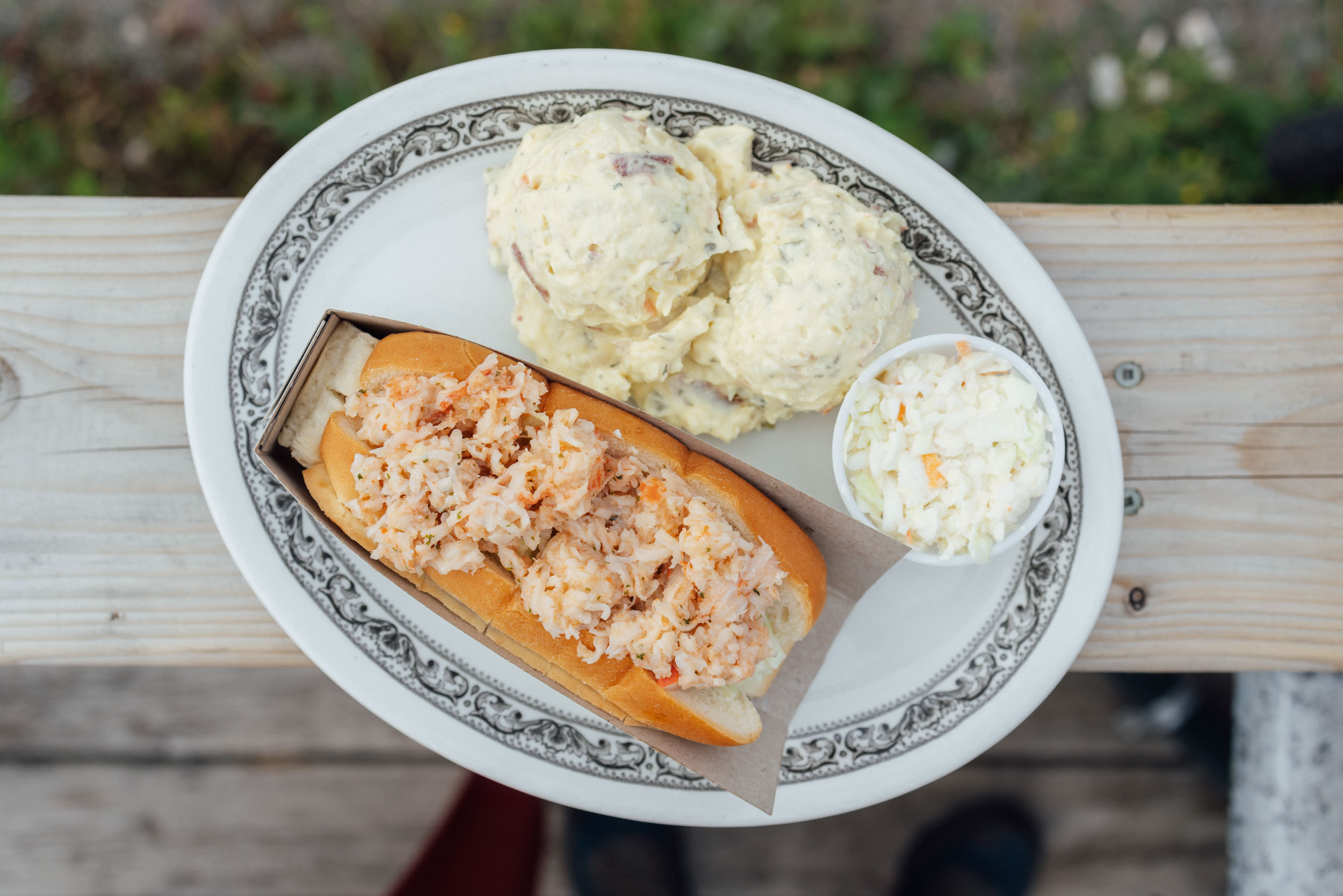
- Taking in a slice of the beautiful Cabot Trail and enjoying a lobster sandwich from the Wreck Cove General Store; you can also ride the full Cabot Trail
- Climbing up to the Breton Highlands and being immersed in the tamarack woodlands and its beautiful lakes as you cross the cape
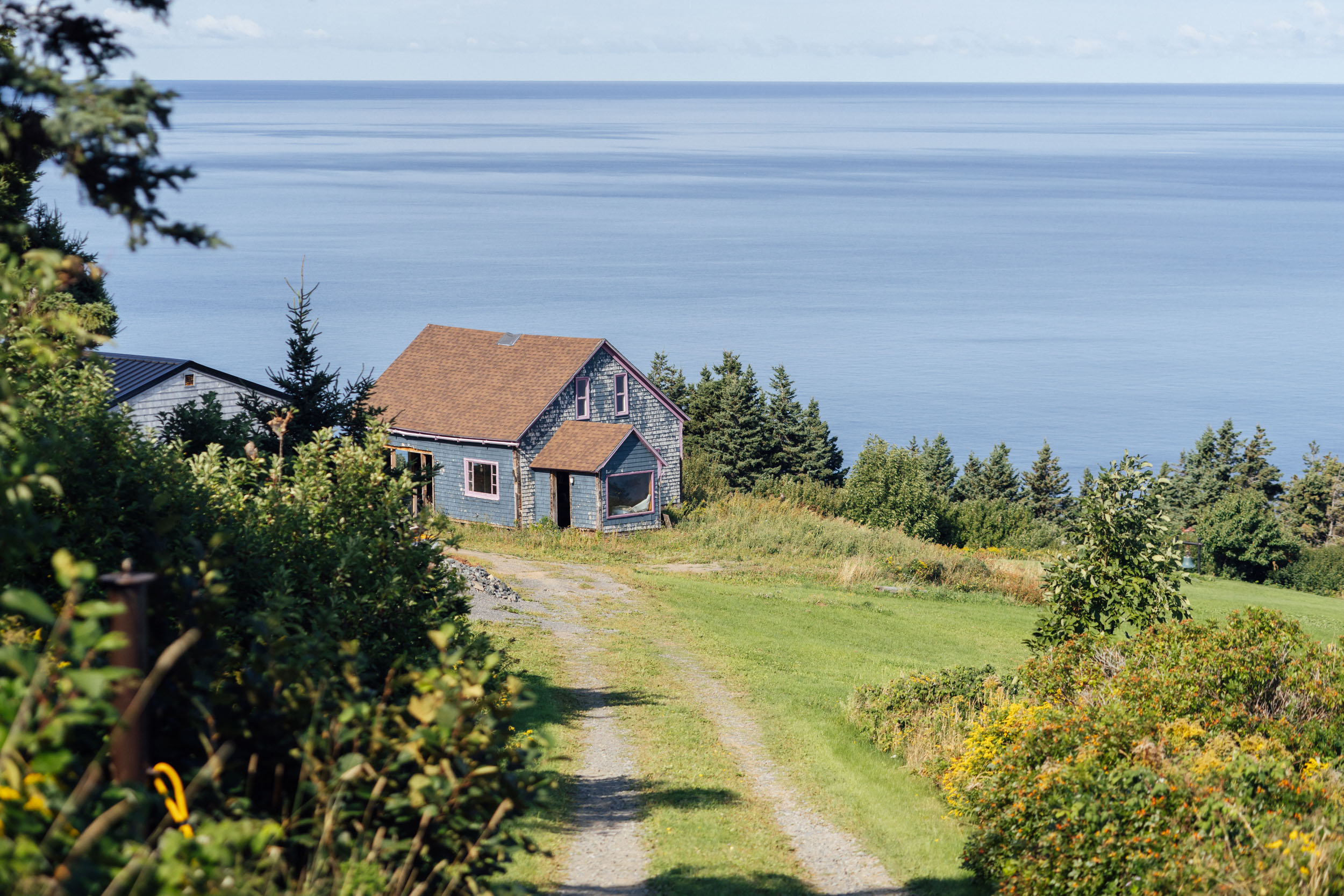
- Seeing the magnificent coastline cliffs, points, and bays north and south of Inverness
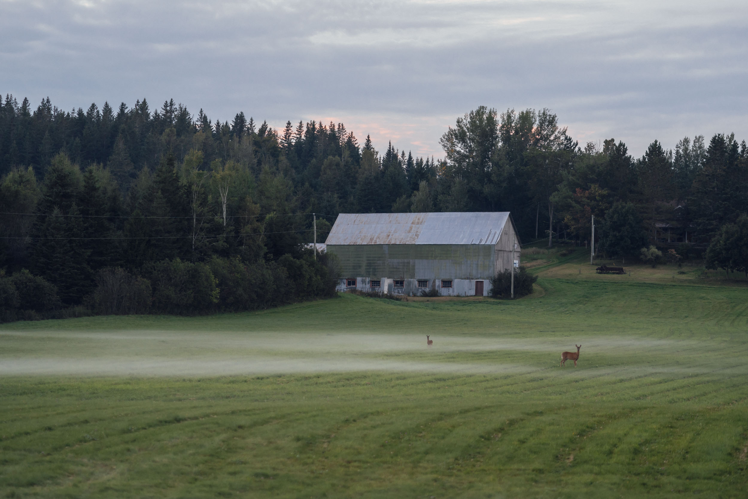
- Spotting tons of animals, including seals, porcupine, badger, coyote, grouse, bald eagle, deer, waterfowl of all varieties, frogs, and a chance to see moose, fox, and other interesting mammals
- The stunning Cape Mabou and Mabou Harbor
- Riding along the Gulf of St. Lawrence with long-range views of Prince Edward Island
- Views of beautiful bays and coves along the way, such as Guysborough Harbor, Cook’s Cove, Pictou Harbor, Baie Verte, and of course the Bay of Fundy
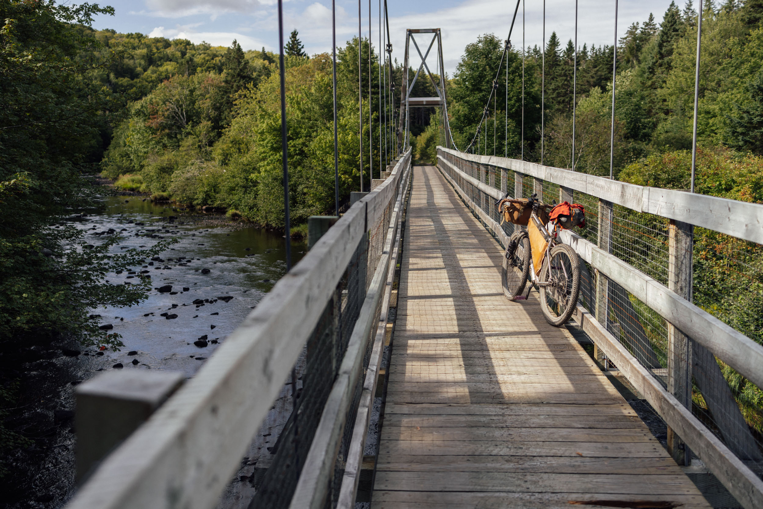
- Crossing the Forty Five River Gorge and dropping into Alma, a nice seaside town and gateway to the Fundy National Park
- Getting a taste of the great singletrack in Fundy National Park
- Views the beautiful Bay of Fundy in along the bike-legal Fundy Footpath
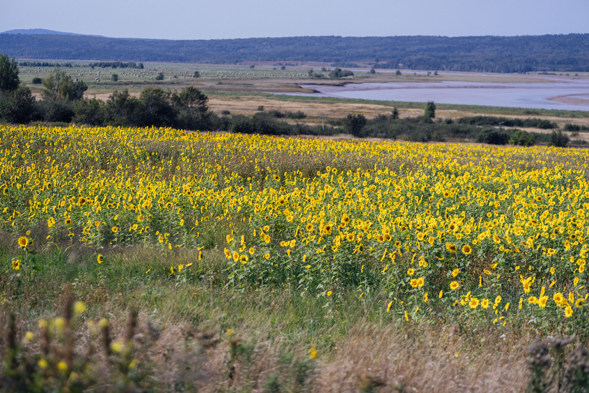
- Orchards and roadside fruit and vegetable stands along the scenic roads near Gagetown
- A stopover in a few friendly towns, including Fredericton, home of several good breweries and a nice bike shop
Whereabouts describes a list of places and things that are a part of this route as a means to understanding its history. With research and writing by Tsinnijinnie Russell (@tsinbean).
pin Mile 0-403
Nova Scotia
The Mi’kmaq are the founding people of Nova Scotia and remain the predominant Indigenous group in the province. When first contact with Europeans was made in the 16th and 17th centuries, their territory stretched from the southern part of the Gaspe Peninsula, east to most of modern-day New Brunswick, and all of Nova Scotia and Prince Edward Island. This area was divided into seven districts that made up the Mi’kma’ki. Today, there are 13 Mi’kmaq First Nations with populations varying in size. Data from Aboriginal Affairs and Northern Development Canada collected in 2014 showed 16, 245 registered Indians in Nova Scotia and 5,877 living off reservation. The Union of Nova Scotia Indians tribal councils represents the five First Nation communities within Cape Breton (We’koqma’q, Wagmatcook, Membertou, Eskasoni, and Chapel Island First Nations), as well as Acadia First Nation on the mainland. The remaining seven communities are represented by the Confederacy of Mainland Mi’kmaq (Bear River, Annapolis Valley, Glooscap, Millbrook, Paqtnkek, Pictou Landing and Sipekne’katik First Nations). Collectively, the 13 Mi’kmaq Chiefs comprise the Assembly of Nova Scotia Mi’kmaq Chiefs.
pin Mile 0-748
Miꞌkmaꞌki or Miꞌkmaq
The Mi’kma’ki is composed of traditional and current territories of the Mi’kmaq people. The area is divided into seven geographical and traditional districts, and Taqamkuk is now separately represented as an eighth district. Each district was autonomous and headed by a sagamaw who conferred with Wampum readers and women’s councils in order to make decisions. Each district’s sagamaw was also a part of the Mi’kmawey Mawio’mi (Grand Council). The seat of the Sante’ Mawio’mi is at Mniku in Unama’kik and still functions as the capital of the Mi’kma’ki today.
pin Mile 0
Sydney – Kjikank (chi-gank-k)
Mi’kmaqk word Kjikank translates to “town.” It’s home to the Membertou First Nation, a band of the Mi’kmaq First Nation. The Membertou First nation is named after Grand Chief Henri Membertou (1510-1611), a political leader during the early contact period. British settlers inhabited the area in 1785, and it served as the colonial capital of Cape Breton Island until 1820 when it merged with Nova Scotia and the capital transferred to Halifax. North Sydney, where the route begins, has its own name, Kweso’mkiaq.
pin Mile 4
Bras d’Or Lakes – Pitu’paq
Mi’kmaq people have lived around this lake for thousands of years and refer to it as Pitu’paq, meaning “to which all things flow.” This estuarine body of interconnecting bays, barachois pounds, channels, and islands was formed 10,000 years ago. The two lakes are connected by the Barra Strait and together are considered the Bras d’Or Lakes. The lakes are significant to Mi’kmaq heritage as they have been a reliable food source for generations. A wide variety of fish provide protein for their diet, as do invertebrates such as lobster, oysters, and scallops. The lakes are also a form of transportation between hunting and fishing areas, as well as areas used for spiritual solidarity.
pin Mile 30-176
Cape Breton Island
Ancient First Nations encampments have been traced back as far as 10,600 years ago on the island. The people who hunted caribou on the island became the Mi’kmaq. They have called Cape Breton “Mi’kma’ki” for thousands of years. The first French colonists to arrive called the area Acadia. The island is composed of rocky shores, rolling farmland, glacial valleys, barren headlands, highlands, woods, and plateaus. Geologically, the island is characterized by crystalline and metamorphic rock elevations rising from the south to north, contrasting the island’s eroded lowlands.
pin Mile 94
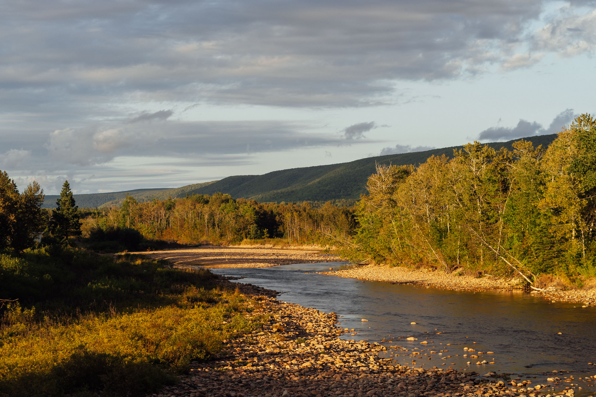
Mouth of the Margaree River – Wja’tujk
The Margaree River is a 75-mile (120-kilometer) river that serves as a well-known trout and Atlantic Salmon fishery. The gravel bars in the upper Northeast portion of the river provide spawning grounds for Atlantic salmon, and the steep valleys along the river serve as habitat for American marten and the rare Gaspé shrew. The river head flows from Lake Ainslie and empties into the Gulf of Saint Lawrence at Margaree Harbour.
pin Mile 403-748
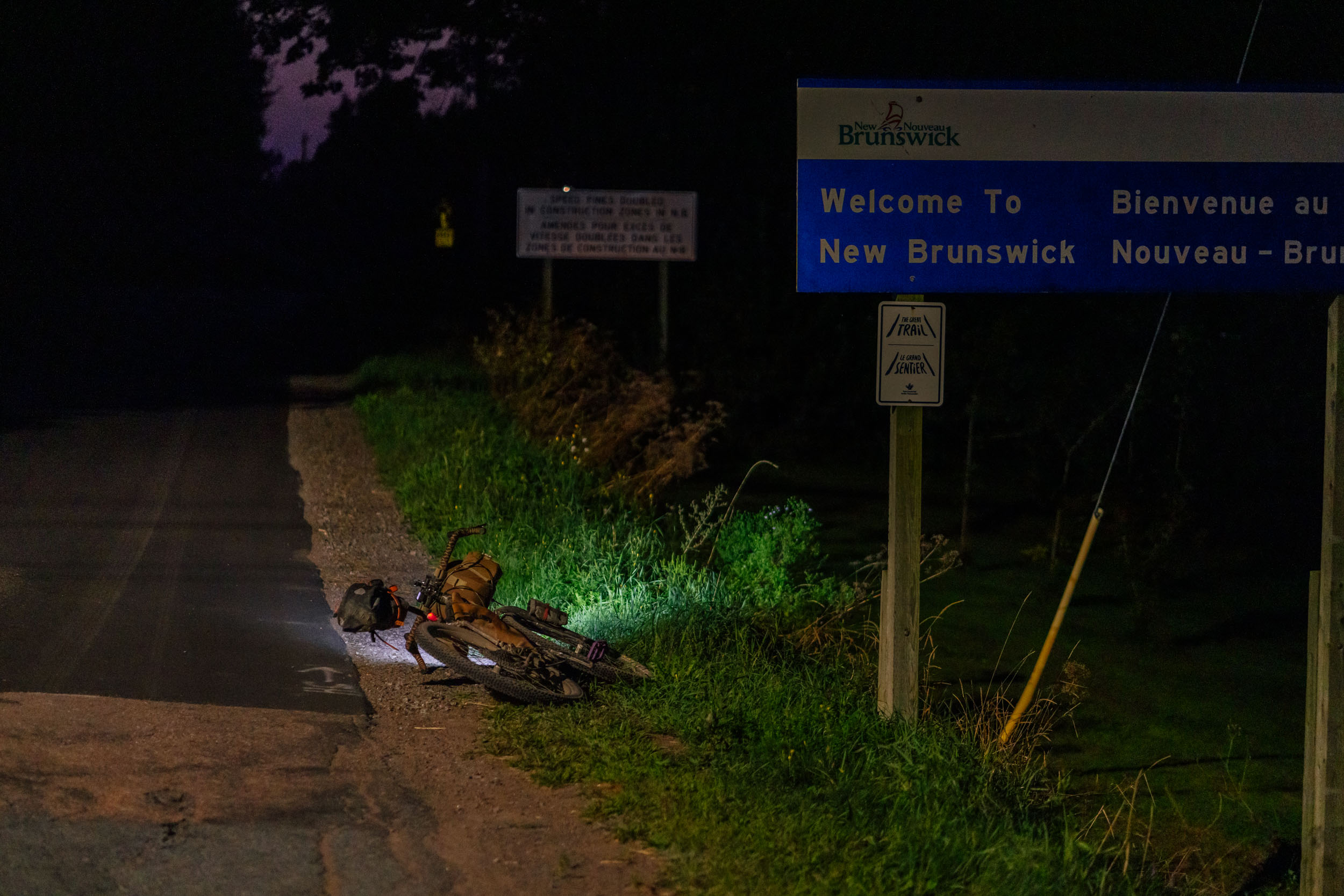
New Brunswick
Indigenous peoples have inhabited the region for thousands of years. New Brunswick is home to the Mi’gmaq in northern and eastern New Brunswick; the Wolastoqiyik (Maliseet) along the Saint John River Valley; and the Peskotomuhkatiyik (Passamaquoddy) in the St. Croix River watershed. The three nations are part of the Wabanaki Confederacy, which also includes the Penobscot and Abenaki nations of Maine. Wabanaki, meaning “Land of the Dawn,” designates a large area including Maine and the Maritime provinces. Today, there are 15 First Nations communities in New Brunswick (Buctouche, Eel Ground, Eel River Bar First Nation, Elsipogtog First Nation, Esgenoôpetitj First Nation, Fort Folly, Indian Island, Kingsclear, Madawaska Maliseet First Nation, Metepenagiag Mi’kmaq Nation, Oromocto, Pabineau, Saint Mary’s, Tobique, Woodstock). According to the Indigenous and Northern Affairs Canada’s Indian Register System, there are 16,985 First Nations people in New Brunswick as of December 2021.
pin Mile 505-530
Fundy National Park
This park is located on the traditional territories of the Mi’kmaq, Wolastoqiyik, and Peskotomuhkati peoples. The park lies between the Saint John River and the Petitcodiac River system. Inland portage routes were created and used by Indigenous people in the area to cross between waterways. The area was of initial interest to European settlers due to the large number of trees that were a source of lumber. The forest industry shaped the area, with many people working in winter lumber camps or spring log drives. By the late 1800s, many of the easily accessible forest had been razed, and the sawmills had clogged rivers and coastal areas, preventing Atlantic salmon from spawning and damaging fisheries in the area. In 1948, the area was designated as New Brunswick’s first national park.
pin Mile 560
Bay of Fundy
The Mi’kmaq have fished in the Bay of Fundy and lived in communities around the bay for centuries prior to European contact. The Mi’kmaq have a story about the Bay of Fundy, explaining how the giant Glooscap used the bay to take a bath in the bay. Glooscap went to the beaver, who promised to build a dam in the bay so Glooscap could have enough water to bathe. From the Atlantic, the whale was very upset because he was unable to swim in the bay as he always had. Glooscap had the beaver begin to remove the dam so the whale could swim in the Bay again, but the whale grew impatient and the whale slammed his tail into the dam. The wood from the dam scattered and the water on both sides of the bay began to swell; to this day, the tides of the Bay of Fundy are the highest in the world thanks to the power of the whale.
pin
Salmon
Crucial to the lifeways of the Mi’kmaq and other Indigenous people in the area, Atlantic salmon (plamu) have always been an integral part of the local diet. In the Mi’kmaq worldview, land and its resources are not commodities to be bought and sold but gifts from the Creator. Developing a relationship with the living and non-living and treating it with respect is a fundamental belief. Harvesting salmon is a tradition that spans many generations and reflects local knowledge and an intimate understanding of salmon ecology within the Unama’ki (Cape Breton) territory. Spearing salmon continues to this day, and it reflects a spiritual harmony and respect for relationships between the Mi’kmaq, plants, animals, and elements on earth. Today, Salmon are caught in rivers using rods, spears, diving, snares, seines, or weirs. Gill nets have also been used to capture salmon in larger lakes, such as the Bras d’Or Lakes.
There are more than 22 locations in the Bras d’Or Lakes traditionally used for harvesting salmon, most intensely prior to Salmon runs, and there are 35 other locations on the perimeter of the island that have been traditionally used for harvesting. The Margaree, Middle, Skye, Denys, Baddeck, Indian Brook, Aspy, and North Rivers are all well-known spawning areas, as are 30 other smaller brooks. Private property laws and habitat destruction, such as fording and clear-cutting, have damaged salmon productivity. Despite being an important food source for the Mi’kmaq, fewer available salmon have meant that general consumption has lessened, and they are now reserved for more special occasions such as feasts, powwows, and celebrations. Historically, salmon have been smoked or baked over open fires lined with heat rocks. Tall grasses from the river side were used to wrap the salmon before cooking them on the rocks. No part goes to waste, with the head and tail boiled and eaten. The salmon itself is stuffed and served with a traditional dipping sauce called plamuipkl. Salting, drying, smoking, pickling, and frying are all preparation methods used. Bones are used for garden fertilizer. Organs are offered to the forest and river to feed other animals. Oil is collected and used for medicinal purposes. There is not one correct way to prepare the fish, it depends on the fisher and who they are sharing their catch with.
Traditional forms of salmon management include balancing harvesting efforts based on spawning size, the size of captured salmon (a reflection of the adoption of imposed size restrictions and care for broodstock), and harvesting at different times throughout the year. Today, the main concern of the Mi’kmaq in regards to the salmon population is the deterioration of their habitats. This includes overharvesting trees along the river banks, acid rain, garbage, pesticides, sewage, siltation from gravel banks and eroding banks, and fording. Oil and gas developments in freshwater systems that feed rivers also impact water and sediment quality. Overharvesting from humans and commercial fishing is also a major concern. Habitat preservation, improved management, and education are key aspects to long-term salmon conservation and sustainability.
Mi’kmaq words for Fish / Invertebrates
Agumegw – herring
Atoqwa’su – trout
Egwitamet – fish
E’s – clam
Gaqpesaw – smelt
Ga’t – eel
Jagej – lobster
Mntmu – oyster
Plamu – salmon
Put’p – whale
Sasqale’s – scallop
Tmtmu – oyster
Wisnaw – perch
pin Mile 614
St. John River – Wolastoq (Wolastoqiyik)
This 419-mile (673-kilometer) river flows from northern Maine into Canada. It runs along the west side of New Brunswick and empties into the Atlantic Ocean via the Bay of Fundy. This river is the longest in Eastern Canada and is approximately 21,000 square miles. The Wolastoqiyik (Maliseet) call the river the Wolastoq, which translates to “bountiful and good.” Many of the waterways in the river’s system retain their pre-European names. The river flow is lowest in the autumn, and can jam and flood in the early spring due to ice. In the spring, the river flows at six times its average rate due to surface runoff, ice jams, high tides, and rapid snowmelt. The river was largely undisturbed prior to European settlement, as Indigenous people tended to practice low-intensity agriculture in the area. The river served as a way for the Wolastoqiyik and Mi’kmaq to hunt, fish, farm, and become extremely mobile. This mobility granted by the river allowed Indigenous people to create economic and cultural ties with other North American tribes. In the 20th century, a hydroelectric dam at Grand Falls (1925) and the Beechwood (1955) and Mactaquac (1965) Dams have gravely impacted the Atlantic salmon that migrate upriver to spawning grounds. In 2011, the entire watershed was designated a Wolastoq National Historic Site.
pin Mile 650
Portobello Creek National Wildlife Area, Grand Lake Meadow
Part of a large alluvial floodplain next to the St. John River, this wildlife area largely consists of open marshes, shrub swamp, wooded swale, and forest. The National Wildlife Area (NWA) also protects 37 provincially rare plant species. Portobello Creek is the most prominent feature in the park and is roughly 7.5 miles (12 kilometers) long within the park. Its main tributary is the Noonan Stream, which runs into Portobello Creek from the north. Waterfowl, such as the wood duck and common goldeneye, use the area as a staging and migration area and is one of few locations that host significant breeding populations of cavity nesting species. Larger mammals such as moose, white-tailed deer, and black bear also utilize the habitat.
pin Mile 668
Hyla Park Nature Reserve
In 1995, this reserve was established to help protect and preserve the gray tree frog (Hyla versicolor), a small arboreal holarctic tree frog native to the area whose color changes in response to its environment and activities. For instance, its skin color changes based on time of day and temperature, becoming lighter in the morning and darker throughout the day. During the winter, the gray tree frog hibernates by producing glycerol to “freeze” itself while still maintaining its metabolic processes at an extremely slow rate. This park is the first Amphibian Park in Canada because of the wetlands and ponds that are home to six additional species of frog that have seen population declines due to negative impacts of habitat loss and climate change. The park is also home to provincially rare plants including redmilkwort (Polygala sanguinea), the narrow-leaved gerardia (Agalinustenuifolia) and the small-flowered gratiola (Gratiola neglecta).
Ancestral Homelands
Sydney, Nova Scotia – Mi’kma’ki, Wabanaki (Dawnland Confederacy)
Oxford, Nova Scotia – Mi’kma’ki, Wabanaki (Dawnland Confederacy)
Moncton, New Brunswick – Mi’kma’ki, Wabanaki (Dawnland Confederacy)
St. Martins, New Brunswick – Mi’kma’ki, Wabanaki (Dawnland Confederacy)
Fredericton, New Brunswick – Mi’kma’ki, Wabanaki (Dawnland Confederacy), Wolastoqiyik (Maliseet)
Grafton, New Brunswick – Mi’kma’ki, Wabanaki (Dawnland Confederacy), Wolastoqiyik (Maliseet)
WHEN TO GO
- The best time to ride Segment 2 is from mid-August through mid-October, although it’s largely rideable from June through October, and sometimes through the end of October; the ocean waters keep the Maritimes warmer than mainland Canada. The later in the fall you can wait, the better, according to locals. This is the drier season, and there’s usually quite the leaf show in late September or early October.
- However, that poses a risk. Starting in September, hurricanes and tropical storms can be a threat to the Northern Atlantic, sometimes bringing with them dangerous winds and heavy precipitation. It’s absolutely necessary to pay close attention to weather forecasts and information if you’re riding this route during hurricane season. You may need to change plans, hunker down somewhere, or even evacuate if a serious storm happens to come that far north. It’s not common, but it can happen. Additionally, downed trees and flooding may cause issues on the route after such a storm.
- October can be iffy too. Depending on local temperatures and weather patterns, there could be early snowfall and colder temperatures.
- How early in the summer it could be ridden depends on the amount of snowfall the region receives the winter prior and how quickly it warms up and melts.
- If you’re sensitive to biting insects, we’d recommend not riding this route mid-June to mid-August. The deer flies (aka horse flies or moose flies) can be bad during that time frame, and they thrive in wooded areas along gravel roads. They can easily keep up with any rider, and even bite through fitted clothing while you’re riding. Mid-Aug into the fall is the best time of year to visit these trails/roads. If you do ride this segment during that window, consider loose-fitted clothing, insect repellent, and even a head net. When we rode it in early-mid September, we didn’t have any issues.
- As with most places in the far north, there are plenty of mosquitos, particularly near lakes, of which there are many. I would recommend a headnet for evenings and mornings.
- The weather in the Canadian Maritimes can be quite variable. Even in summer, you should be prepared for around 40°F (5°C) temps and rain.
LOGISTICS
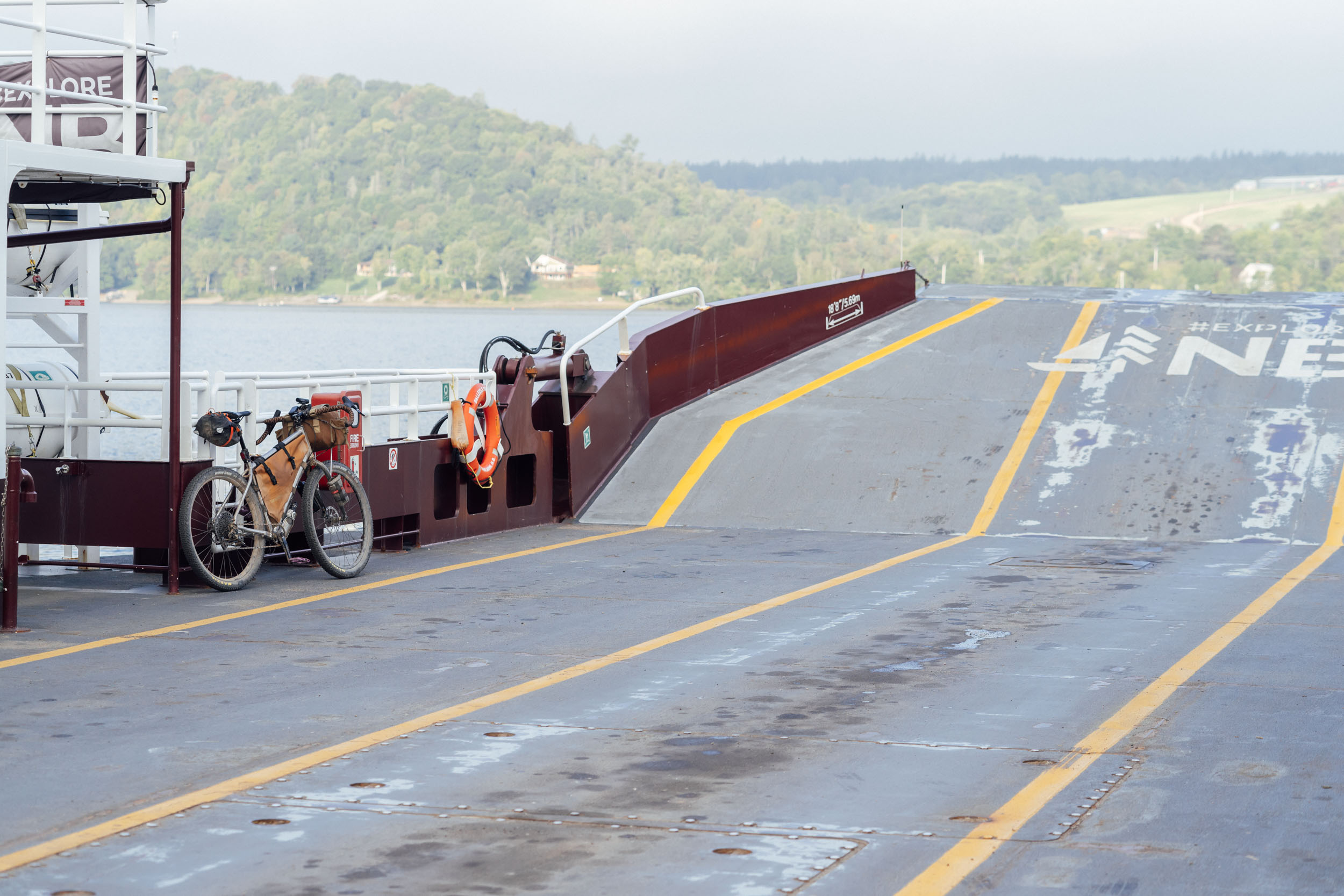
- Getting there by land/sea: Marine Atlantic provides ferry service to Sydney, Nova Scotia, from Port Aux Basques year-round, and seasonally from Argentia. The price of the ferry at the time of publication is about $45 CAD ($33 USD), and there are sleeper cabins available. You’ll want to book well in advance, especially in the high season. Maritimebus also offers bus transportation with major terminals in Fredericton, Halifax, Moncton, and Truru: maritimebus.com.
- Getting there by air: There are major airports in Sydney and Halifax, Nova Scotia, and Fredericton (Oromocto), New Brunswick. The Sydney International Airport (YQY) is the most convenient, being only 14 miles (22 kilometers) from the start of the route at North Sydney. Additionally, it has regular service to and from Montreal and Toronto.
DANGERS & ANNOYANCES
- Several of the gravel roads may be within active logging operations; please yield to all logging traffic. Be super predictable by pulling off to the side of the road and giving trucks plenty of space, and wave a friendly hello as the truck drives past. We’ve never had an issue with truckers, and friendly waves always get returned. The key to getting more lands open to us in the future lies here.
- See “when to ride” about biting insects.
- Many parts of this route are in black bear country, especially in the more remote sections. It’s advisable to tie up your food at night while camping. Find details on the PCT method here.
- It’s also not uncommon to see moose in these areas. Know how to properly act in such encounters. You can find some information that we referenced at Outdoors.org, and do your own research as well.
- Some of the route is within cell service, although there are quite a few places without. You might consider bringing a satellite tracker or emergency beacon in case of injury or catastrophic failure.
- While much of this route uses gravel and relatively low-traffic roads, there are a few spots worthy of extra caution. Namely, in and around Oromocto, there can be traffic, depending on the time of day. As with any cycling outing, cars pose a threat. Wear bright colors and bring a rear blinker light.
- Additionally, there is hunting within public land (Crown Land) and other provincial lands. Be sure to do your research on hunting seasons in these areas before setting out. And bring bright clothing, including a hi-viz orange vest if riding through during hunting season. You can start your research here for Nova Scotia and here for New Brunswick.
WHAT BIKE?
- If ridden with the entirety of the Eastern Divide Trail, the best bike for this segment is an ATB or “Divide”-style bike. For drop-bar aficionados, the Salsa Fargo and Cutthroat come to mind, or the Surly Ghost Grappler or Tumbleweed Stargazer. For those who prefer flat bars, any moderate hardtail or rigid 29er would be great, such as the Surly Ogre or Bridge Club, Salsa Timberjack, or Otso Fenrir. Find a detailed post on the subject here.
- Considering the bullet point above, this segment has some very rough sections. Tires that are 2.35” or larger are highly recommended for comfort and good times. If I were doing this route on its own, I’d even consider 2.6” tires.
- As mentioned in the route difficulty section, there are many steep sharp climbs through this route segment. They are often relatively short, but the cumulative effect of many in a row is notable. We recommend forgiving gearing and an easy bailout gear. While the elevation profile doesn’t look like much, the grades in the Maritimes are steep compared to many other places.
- We like fast-rolling, 2.4-2.6” XC rubber for this ride. Tires that folks like for the Tour Divide work well. The Maxxis Ikon or Rekon Race, Teravail Ehline, and Vittoria Mezcal are all tires we’ve used while scouting.
- There aren’t too many bike shops on route. The most significant is probably Savage’s in Fredericton, who offer bike rentals and stock some bikepacking gear. Either Jim’s or Bent Spokes in Moncton are two other options. There is also a small bicycle co-op in Moncton, on route, called La Bikery.
- Segment 2 begins in North Sydney, Nova Scotia. There is a hotel in town (Hotel North), a couple of B&Bs, and Arm of Gold campground is about five miles outside of town on route.
- There are a few campgrounds and established campsites within public and private forest land throughout the route. Prominent options are noted in the downloadable GPX file, but there are more slightly off route throughout.
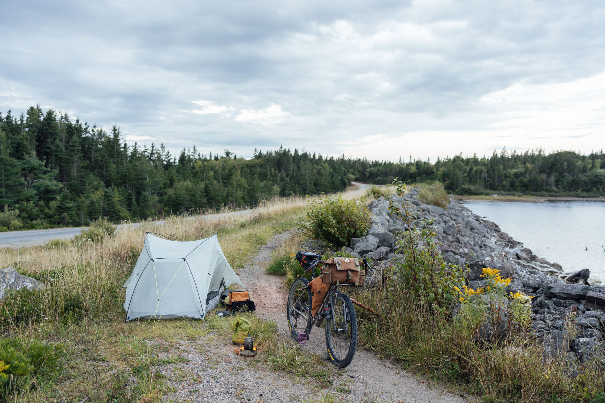
- Depending on your pace, it’s likely that you will have to bivvy in places where there’s not established camping. This isn’t difficult as there are plenty of clearings, pullouts, and logging cuts along the more remote dirt roads, and it’s generally acceptable to set up a tent if need be, especially where the route parallels The Great Trail or the Trans Canada Trail. It’s advised to do your own research based on your pace. And if wild camping is a must, we recommend setting up after dusk and leaving at dawn. Churches, parks, community centers, and other public places are usually safe options, too, but use your own judgment. As always, leave no trace.
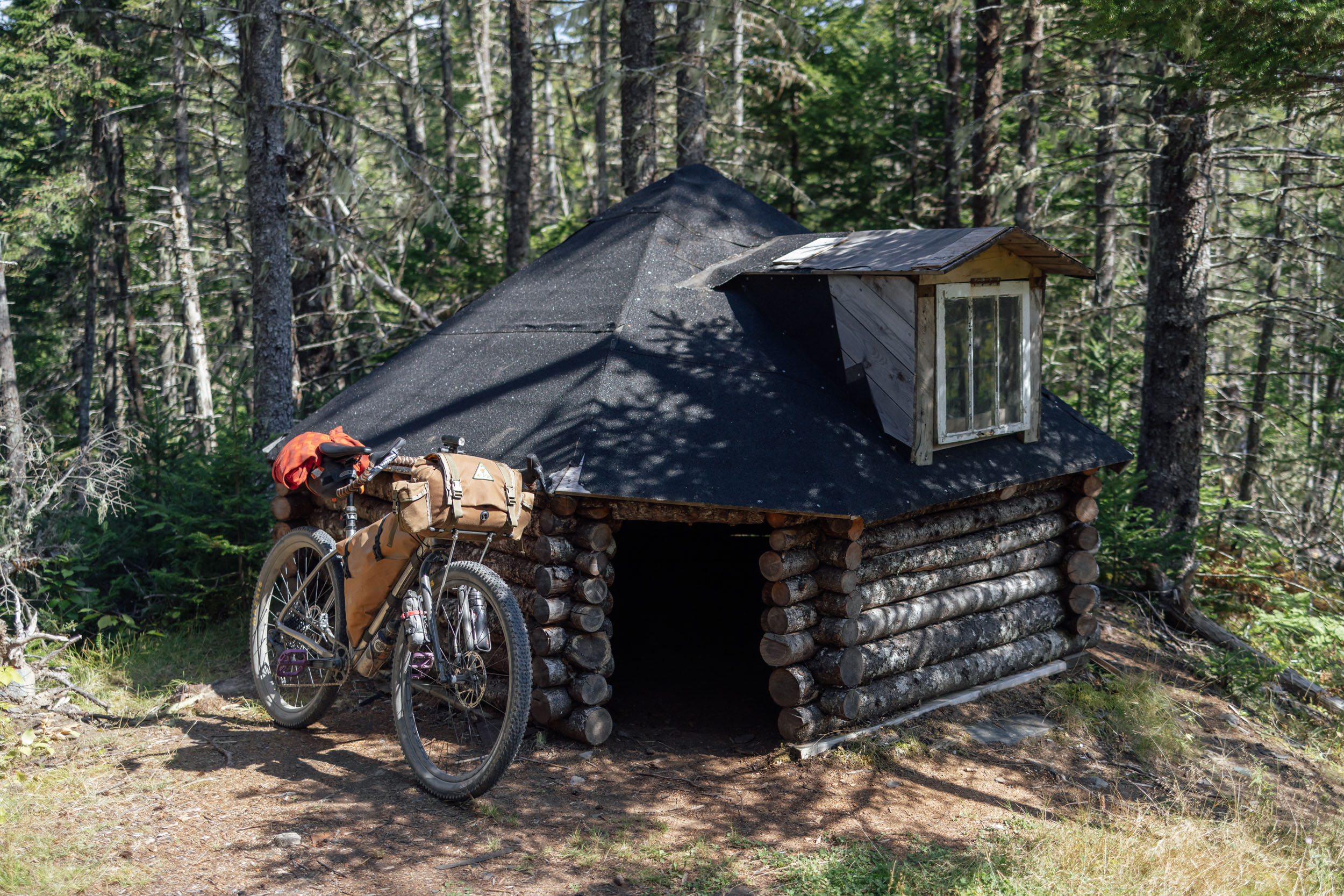
- There are also “warming huts” along several of the ATV/snowmobile tracks that could be used as shelter or a place to set up a tent for the night.
- There are substantial hotels/motels/lodging in North Sydney, NS, and New Glasgow, Pictou, Sackville, Moncton, Alma, Oromocto, and Fredericton, New Brunswick.
- There are also smaller inns, cabin rentals, and B&Bs in smaller towns such as Inverness, Mabou, and Port Hastings, Nova Scotia, and Tatamagouche, Oxford, Evandale, and Woodstock, New Brunswick, as well as a few other small towns and communities on route or slightly off.
- Segment 2 finishes near Houlton, Maine, which has a couple of lodging options, including a motel just north of town.
- Filterable water is available on a lot of the route in the form of small creeks, and it’s highly advisable to rely on a filter as there are some iffy tap water sources in some coastal areas. We didn’t find too many areas where water was an issue, and there are a couple of piped springs noted on the map.
- There are a fair number of resupply options on this route, as noted in the POIs of the downloadable GPX file. The most significant and well-stocked towns include Inverness, Mabou, Guysborough, New Glasgow, Tatamagouche, and Oxford, Nova Scotia, and Sackville, Moncton, Hampton, Oromocto, Fredericton, and Woodstock, New Brunswick.
- There are a few other small towns that have decent resupply options in the form of general stores and restaurants, like Alma and St. Martins in the Bay of Fundy.
- There are a few good places to eat and drink along this route. A few that come recommended include the lobster sandwich at Wreck Cove General Store, Sandwiches at the Hart of Boylston, The Octopus Garden in Alma, The Caves Restaurant in St. Martins, Old Boot Pub in Gagetown, and lots of breweries in Fredericton, including Picaroons and Trailway.
- There are also a lot of great markets, bakeries, and general stores, all marked on the final GPX.
Here is an example itinerary based on 50-75 mile days. This is a solid baseline that a fit and experienced thru-rider carrying a medium-light load might consider as a relatively challenging bikepacking itinerary. Less fit or experienced riders should factor in a longer schedule.
location Sydney-Wreck Cove
Day 1 (53mi +4,000 ft)
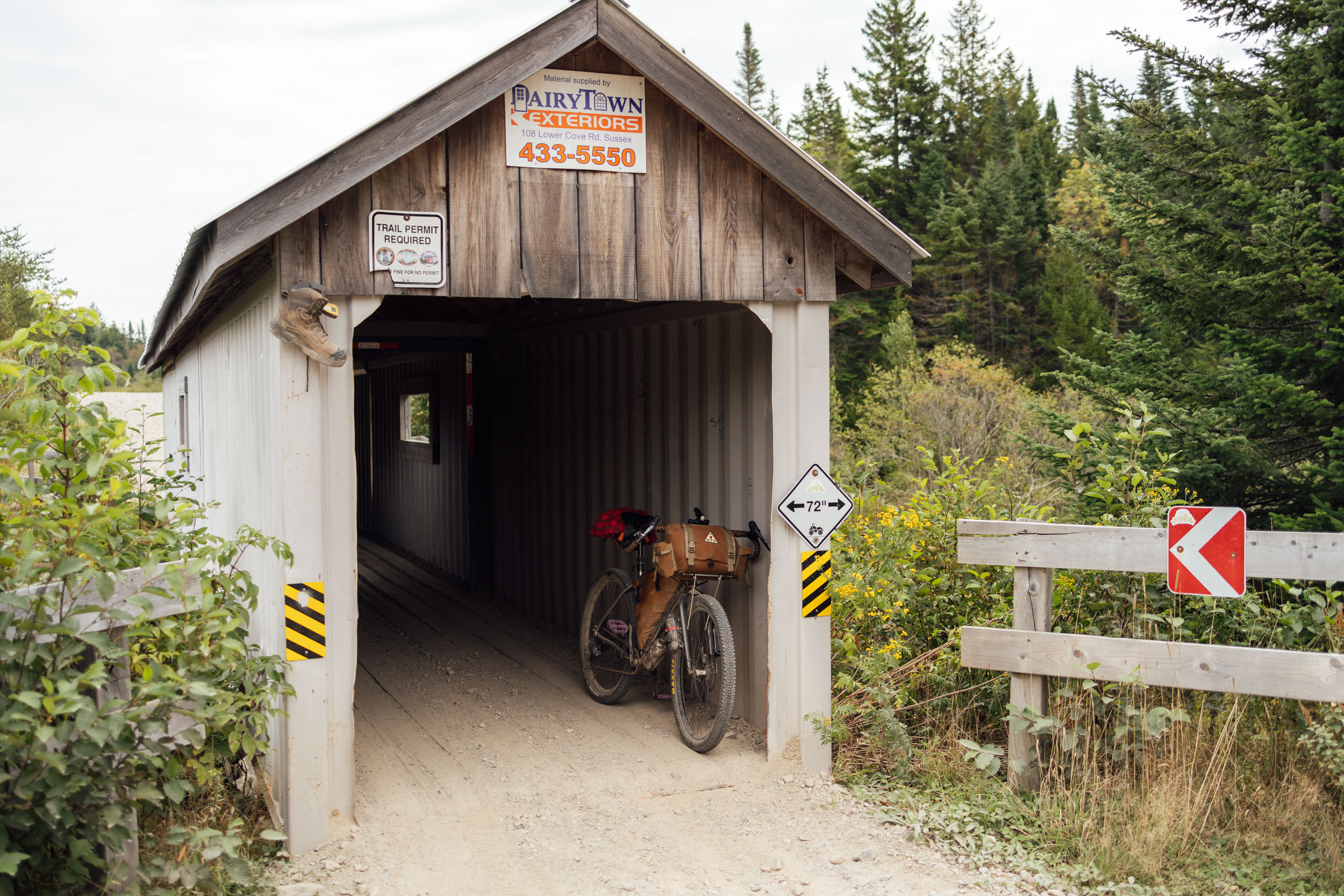
Day one begins with a relatively gentle paved ride out of North Sydney, Nova Scotia, where the ferry from Newfoundland lands on the province. The backroads make a nice warmup and introduction to the maritime coastline before climbing over Cape Dauphin and joining a more rugged dirt track that gets the juices flowing. After that, you’ll board the Englishtown Ferry for Cape Breton and then pedal a sliver of the Cabot Trail. The Englishtown Ferry runs 24 hours on demand, free of charge. Once on the Cape, riders will be on the famous Cabot Trail, a road cycling route that circles the perimeter of Cape Breton and is famous for its stunning coastline views. This route cuts it relatively short, but if you’re into road riding, you could easily skip the dirt traverse of the cape and ride around the northern perimeter.
EDT2, however, climbs into the Cape Highlands just after Wreck Cove General Store on a steep gravel road that eventually crosses the St. Lawrence continental divide. This is a pretty tough climb, and can be dusty at times if there are active work vehicles on it. Once you get up to the highlands, things get much more pleasant and there are two large lakes. The first of which, Wreck Cove Flowage, has a few campsites that are visible from the road. There are a couple of other dirt roads farther along that also have sites on them.
location Wreck Cove-Inverness
Day 2 (60mi +3,900 ft)
From the campsites around Wreck Cove, the route continues its southwestward trajectory across Cape Breton. While a big part of the climbing is out of the way, there are still a lot of punchy ups and downs on this stretch. The roads in the Highlands are a mix of chunky gravel and smooth gravel; it starts out rough, but gets smoother and wider as you get closer to Margaree. There’s a sharp descent that takes you into the beautiful Margaree Valley and Margaree Center. There’s a small convenience store after you cross the Margaree River. It’s worth noting that this area is big for fly fishing and there are a few cabin rentals around. Once through Margaree, the route turns back to gravel before dropping into Margaree Forks. There’s a good resupply at the co-op there if you catch it during open hours.
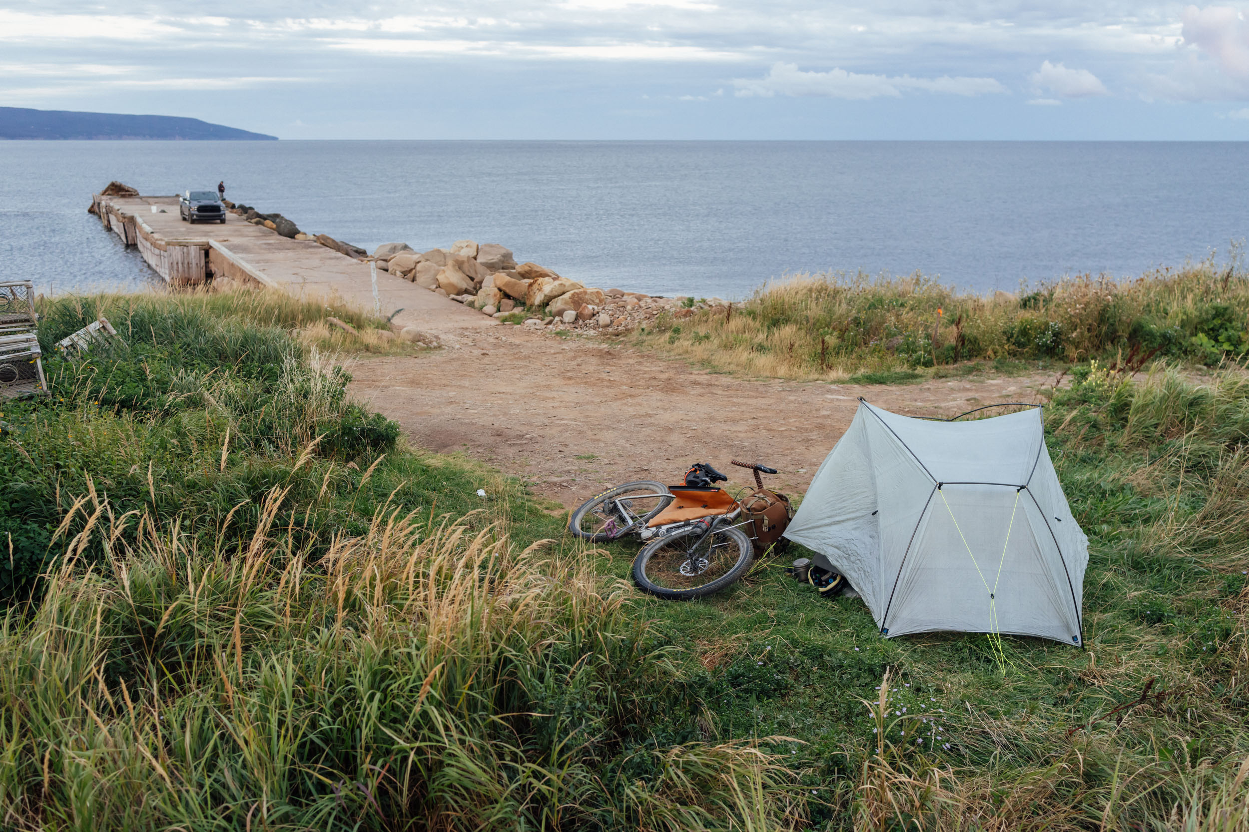
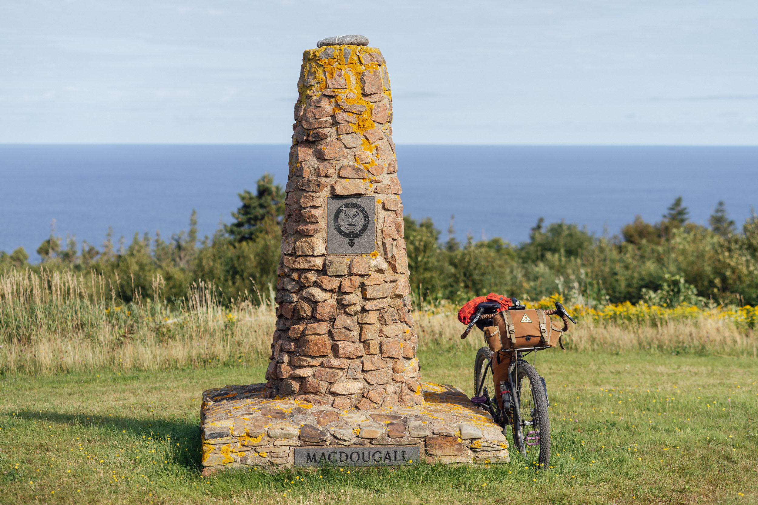
There’s a piped spring on the right side of Coady Road once you take a left on gravel. A couple of miles up Coady road, the route makes a right turn on to Duggan Mountain Road. While this kind of looks like a driveway for a minute, it is in fact a public right of way that quickly turns into a beautiful class IV-esque doubletrack and leads up and over a gap toward the sea. The route hit pavement on Shore Road before rejoining the Cabot Trail on 19 and then turning onto a dirt road near Dunvegan. There is a public wharf nearby (where I camped after being assured by a local) and there’s a large campground called MacLeod’s that has RV and tent sites. There’s also a glamping establishment, or you can carry on to Inverness, where there are other lodging options, as well as a couple of restaurants and shops. The stretch of gravel between the wharf and 19 is one of the most beautiful areas of coastline along the route.
location Inverness-Englands Lake
Day 3 (78mi +3,800 ft)
The route goes up to the Cape Mabou Highlands from Inverness, climbing a paved road and turning on gravel. There are some nice views of the coastline here. If you have time and energy, you can also ride along Broad Cove Banks road for even more great coastal scenery; it’s a beautiful road, although there’s a protected wilderness area near Sight Point that blocks a through route. The route instead climbs up to North Highlands Cape Mabou Road on gravel, rolls through Mabou Wilderness Area, and then descends back into Macdonalds Glen and Mabou Mines for some more excellent coastal views.
An easy paved road takes riders into the town of Mabou, where there’s a good grocery store a little off route before joining the Inverness Rail Trail, a relatively smooth track that jogs inland and eventually parallels the Northumberland Strait on the Celtic Shores Trail. The riding is fast and easy along St. Georges Bay until you get near Port Hastings, where there’s a mile+ hike-a-bike over a narrow strait that separates Long Pond from the bay. It’s a rocky walk, but if you can get close to the pond on hard packed sand, it’s not too bad. The doubletrack picks up near the end.
From there, you have to cross the Strait of Canso on a relatively busy bridge. It’s fairly quick, however. And there’s a well-stocked convenience store and restaurant before you turn south toward Mulgrave. The paved road toward Mulgrave is pretty quick, and once you’re near town, you’ll jump on a recreational trail for a little while before rejoining pavement into Middle Melford. There, the route turns inland on gravel toward Endland’s Lake. There’s no official campsites here, but I had no problem bivvying in a clearing next to the lake. If you have the legs, you could be in Boylston Provincial Park within 14 miles.
location Englands Lake-Eden Lake
Day 4 (76mi +2,900 ft)
The gravel continues after Englands Lake and is relatively fast with some ups and downs. The route connects with the paved Marine Drive just outside of Boylston, and there’s a good general store with tasty pre-made sandwiches. Boylston Provincial Park offers a nice campground that’s popular with bike tourists and through-hikers. Further along, Guysborogh has a grocery store too. After Guysborough, the route joins the Trans Canada Trail and the Guysborough Nature Trail through Cook’s Cove. After that, the going gets a little more rough and bumpy on an unmaintained track that’s used by ATVs and snowmobiles.
Give yourself some time to cover the next 12 miles to Salmon River Lake, where the route jumps off the TCT and takes a breather on smooth and fast gravel. From there, a little more rough and tumble ATV track links more gravel and a decent little climb from Lochiel Lake to connect back with the TCT. The next 20 miles of the route are some of the most taxing. It’s generally flat, but at times it’s rough and unmaintained, and there can be some big puddles to navigate if there’s been recent rain. Give yourself some time here. This daily itinerary finishes up near Eden Lake. There aren’t any official campsites of note, but there are a couple of turn-offs and clearings where camping is possible.
location Eden Lake-Tatamagouche
Day 5 (70mi +2,000 ft)
The challenging unmaintained doubletrack continues from Eden Lake until you reach Sunnybrae. There’s not much here, but a quick ride on pavement before a big climb heads up into Crown Land toward MacPherson’s Lake. These roads vary from rough to smooth gravel but aren’t too challenging once you top out. There are places for a potential bivy up top if needed. A fast descent heads toward New Glasgow where the route picks up a paved backroad toward town. The route picks up the Albion Trail south of town and skirts a business district where there are a couple hotels, shops, and restaurants that can be easily accessed.
Heading North, the route follows the East River of Pictou before joining a paved road that will take you across Pictou Harbor. There are plenty of food and lodging options in the touristic town of Pictou, although it’s slightly off route as EDT2 quickly picks up the Jitney Trail and TCT heading west. It’s smooth and fast for the next 60-odd miles. The quaint town of Tatamagouche is on the way and has a general store, inn, restaurant, and brewery. There aren’t any official campgrounds to speak of, but there are a couple of parks and warming huts further along.
location Tatamagouche-Sackville
Day 6 (85mi +2,300 ft)
The fast and relatively flat path continues after Tatamagouche, eventually leading to the town of Oxford, where there’s a grocery store and pizza place. The road gets rougher outside of Oxford with some rugged tracks and decent climbs. There are also a couple of short bits where there can be some flooding and big puddles to negotiate. The route hits a quiet paved road just in time and then turns onto smooth gravel to get across the isthmus and eventually cross into the New Brunswick province. A little bit of pavement takes it into Baie Verte before it picks up the New Brunswick Trail (NBT) heading west toward Sackville. There are a couple of places where camping is possible along this trail before you get to Midgic. I camped off the trail in a logging cut. There are also lodging options in Sackville, as well as plenty of restaurants and resupply options.
location Sackville-Forty Five River
Day 7 (80mi +5,600 ft)
This is a very big day, so you may consider breaking it up. From Sackville, the route uses a mix of gravel and pavement to head toward the Petitcodiac River. There are some orchards, stands, and even a distillery on the way. It’s climby to start, but eventually connects with a fast, purpose-built bike path and heads into the large towns of Dieppe and Moncton. From Moncton, the route gets a bit more challenging as it heads inland toward the Bay of Fundy. There are some challenging ATV paths and gravel, as well as a little bit of pavement to get you up and over. There are also several pretty big—and at times, steep—climbs through here, so give yourself plenty of time. There are several logging cuts and fields along this section where an overnight bivy is possible.
Eventually, you’ll get to an intersection with signs that the road goes into Fundy National Park. It’s a snowmobile route at that point, and other motorized vehicles are technically not allowed, but bikes are okay. The route crosses the Forty Five River gorge at Forty Five River Falls, a beautiful covered bridge over the falls. There aren’t official campsites, but there are a couple of places you could bivy for the night on pullouts before the bridge. Or, you could continue to Alma, where there are lodging options, or just beyond, inside Fundy National Park, where there’s a campground.
location Forty Five River-St. Martins
Day 8 (65mi +5,300 ft)
From the Forty Five River gorge, a couple more moderate ups and downs give way to a fast descent into the town of Alma, the gateway into Fundy National Park. There are restaurants and shops in town, as well as an inn. From there, you’ll enter Fundy and wind around the harbor on pavement, eventually turning off toward Cannontown Campground. Just after the campground, you’ll get onto Fundy’s singletrack on Whitetail, a bi-directional trail that climbs for a while. Most of it is rideable, although there are a couple of loose sections where you may have to hike. Be aware of oncoming riders.
Once you clear that climb, the route takes a little extra loop on Tippen Lot North, where you’ll have a little singletrack descent before climbing up the more mellow Maple Grove. After a little gravel, paved 114 will lead over to Shepody Road, the recently paved scenic byway that connects to the Fundy Parkway. There’s a chunky stretch of ATV road and gravel breaking things up in the middle before joining Big Salmon River Road, a long stretch of gravel that leads into Fundy Trail Provincial Park. If you get on the parkway, there’s some amazing scenery closer to the coast. It’s maybe a $10 fee, paved, and technically off-route, but if you are touring the EDT, the views are great and it’s never very busy. It’s closed to traffic in spring and fall, which makes for an excellent road ride. After you cross Big Salmon River, the route joins the Fundy Footpath, a mixed-use gravel trail that hugs the coast and offers dozens of amazing view points along the bay. After you exit the park, the route is mostly paved until you reach St. Martins, a touristy seaside town with a good seafood restaurant and a couple of campgrounds, as well as several shops.
location St. Martins-Coy Lake
Day 9 (69mi +4,400 ft)
There’s only one way to go from the sea, and that’s up. However, the climbing isn’t as steep or difficult out of St. Martins as it was coming out of Moncton. Pavement eventually leads to a quiet and wooded gravel road that rolls by lakes and streams before rejoining pavement and working its way through Hampton, a small town with plenty of options for resupply. After Hampton, a mix of pavement and gravel takes the route over to the St. John River, where riders will catch the Belleisle Bay Ferry and then pedal through rolling farmland to the Evandale Ferry. Scenic Route 102 rolls through Hampstead toward Gagetown, where you’ll find a couple of roadside fruit markets if you catch it at the right time. There’s a roadside campground near Coy Lake that’s mostly RV camping, but they have a few tent sites too.
location Coy Lake-Crabbe Mountain
Day 10 (65mi +2,500 ft)
After Coy Lake, EDT2 hooks back into the New Brunswick Trail. Generally, it’s decent riding, but there are a few sections where it can get pretty muddy after a rain. Most of the puddles can be ridden around or through. The route follows the NBT through Oromocto, a sizable city with plenty of resupply and restaurants, as well as the location of the Fredericton International Airport. Fredericton has more restaurant options, as well as a couple of good breweries and reliable bike shops, including Savage’s, who helped us out. The route continues on the NBT until it veers off in Zealand before connecting a few gravel and dirt roads with pavement toward Crabbe Mountain. There’s quite the climb up to Crabbe Mountain, and there’s a country inn en route. The descent from Crabbe is fast and there are options if you care to explore. From there, it picks up the New Brunswick Trail again if you wish to keep rolling.
location Crabbe Mountain-Houlton, Maine
Day 11 (46mi +1,700 ft)
The remainder of EDT uses the New Brunswick Trail through Woodstock. There’s a campground and several restaurants and shops in and around Woodstock. Continuing on, the route is a mix of backroads and gravel before reaching the border crossing adjacent to Houlton, Maine.


Terms of Use: As with each bikepacking route guide published on BIKEPACKING.com, should you choose to cycle this route, do so at your own risk. Prior to setting out check current local weather, conditions, and land/road closures. While riding, obey all public and private land use restrictions and rules, carry proper safety and navigational equipment, and of course, follow the #leavenotrace guidelines. The information found herein is simply a planning resource to be used as a point of inspiration in conjunction with your own due-diligence. In spite of the fact that this route, associated GPS track (GPX and maps), and all route guidelines were prepared under diligent research by the specified contributor and/or contributors, the accuracy of such and judgement of the author is not guaranteed. BIKEPACKING.com LLC, its partners, associates, and contributors are in no way liable for personal injury, damage to personal property, or any other such situation that might happen to individual riders cycling or following this route.
Please keep the conversation civil, constructive, and inclusive, or your comment will be removed.