


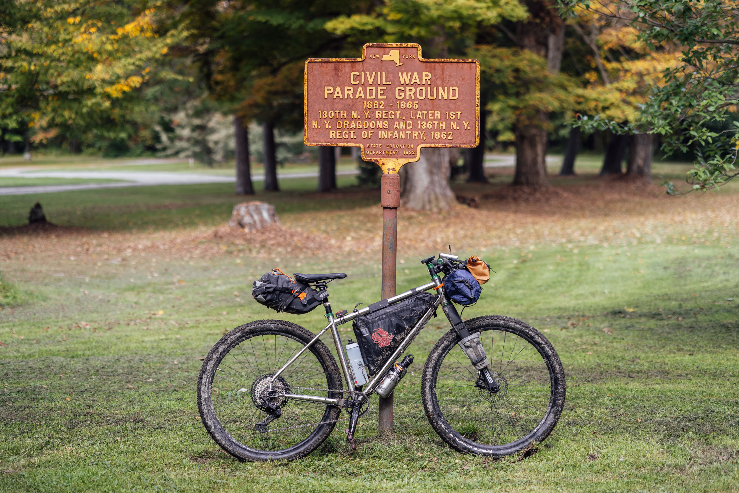
Eastern Divide Trail (S4): Trillium
Distance
697 Mi.
(1,122 KM)Days
12
% Unpaved
64%
% Singletrack
4%
% Rideable (time)
99%
Total Ascent
37,840'
(11,534 M)High Point
2,643'
(806 M)Difficulty (1-10)
6?
- 3Climbing Scale Fair54 FT/MI (10 M/KM)
- 5Technical Difficulty Moderate
- 6Physical Demand Moderate
- 7Resupply & Logistics Strenuous
Contributed By

Logan Watts
Founding Editor
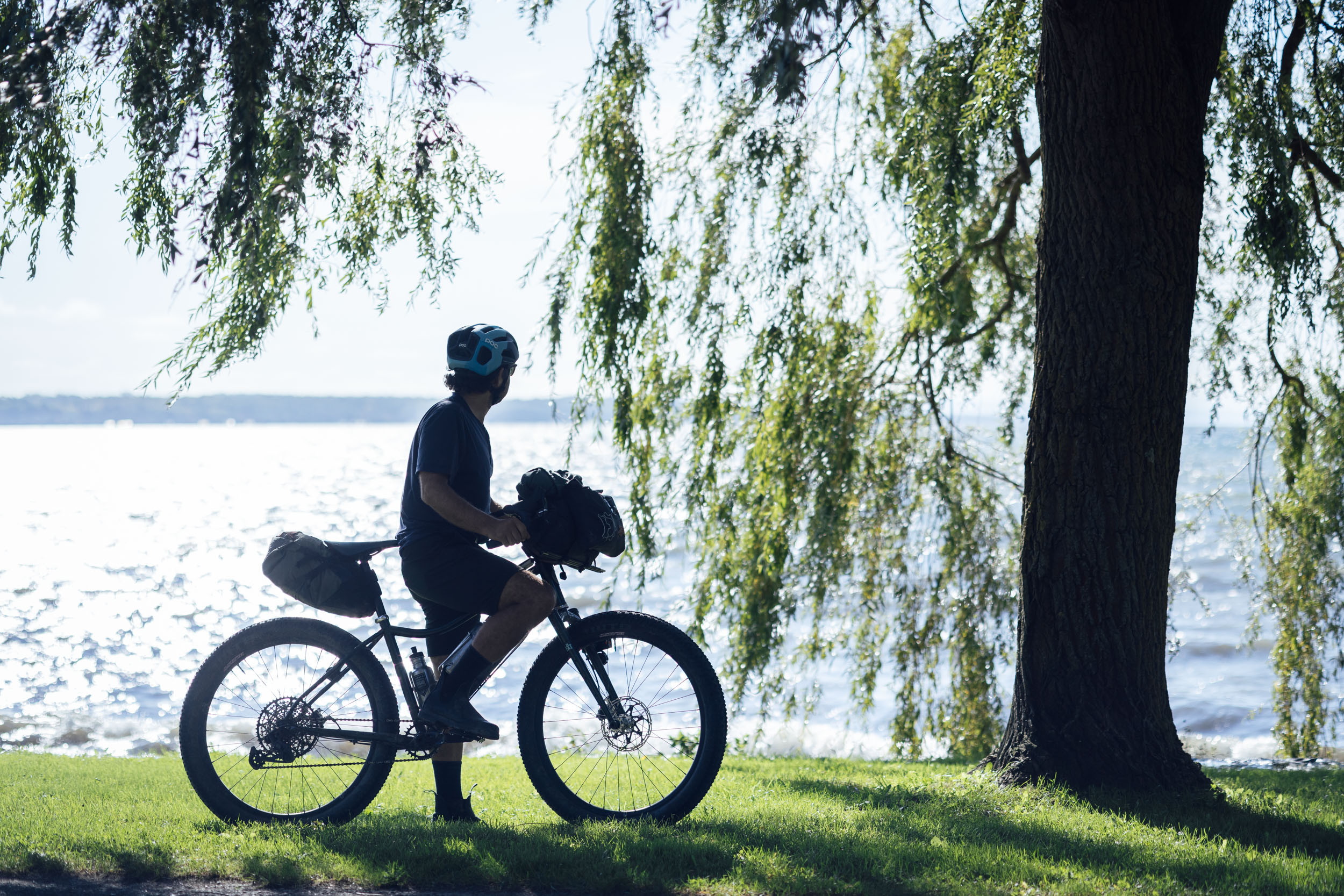
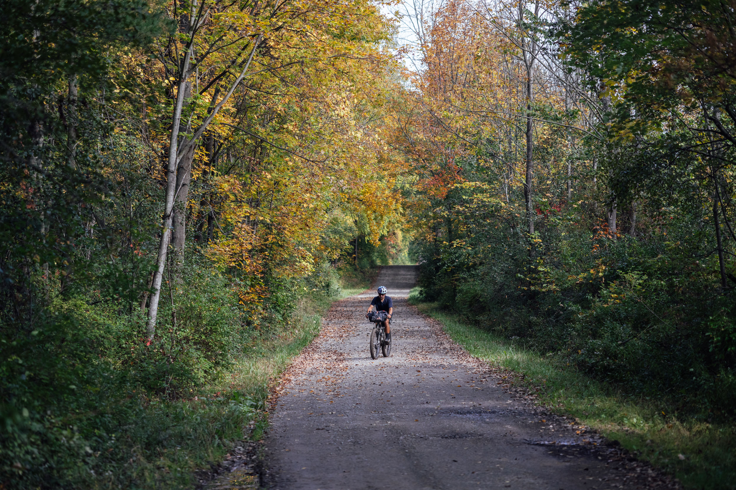
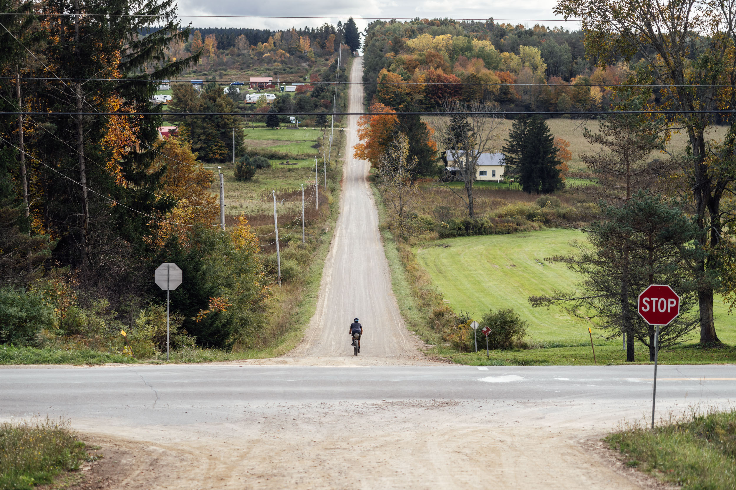
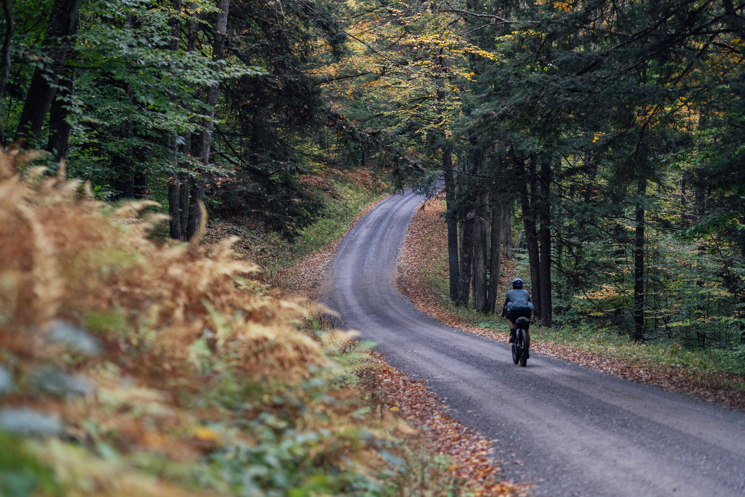
Named after a flowering plant that can be found in the dark and dense forests up and down the Appalachian Mountains, Segment 4 of the Eastern Divide Trail (Trillium) takes place largely within New York State. There, the Red Trillium is a protected plant, but if you’re lucky enough to discover one in bloom in early spring, its colorful deep-red pedals mark the annual thaw of the Adirondacks. When we started planning this segment several years ago, we thought we’d also have to be pretty lucky to find good off-road tracks to develop an exceptional bikepacking route through this region. Most off-road cyclists who are familiar with the area will tell you that New York state loves to pave roads. Fortunately, although not without a lot of work and corridor deliberation, we were able to finalize a route that’s made up of mostly unpaved tracks and takes in all kinds of amazingly beautiful places along the way.
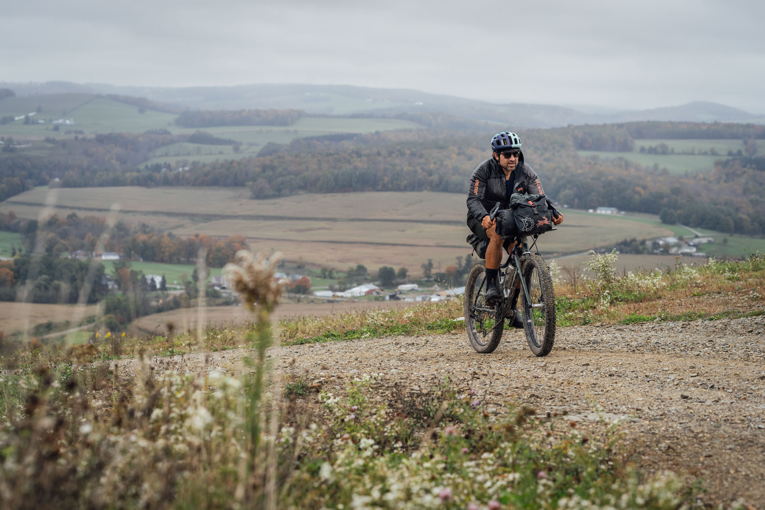
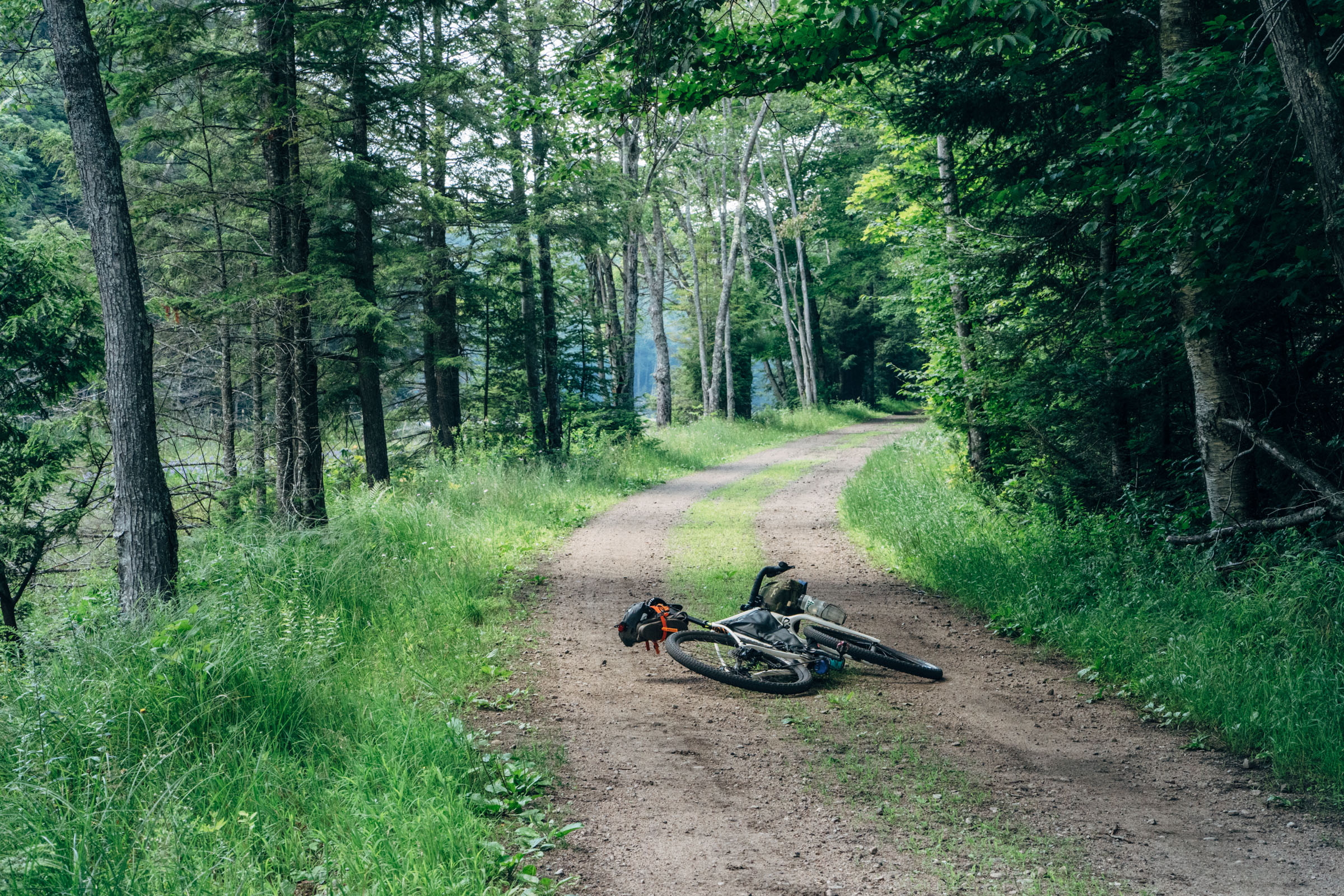
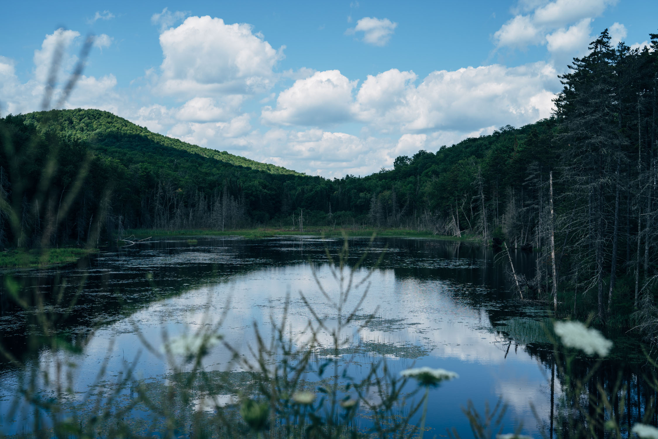
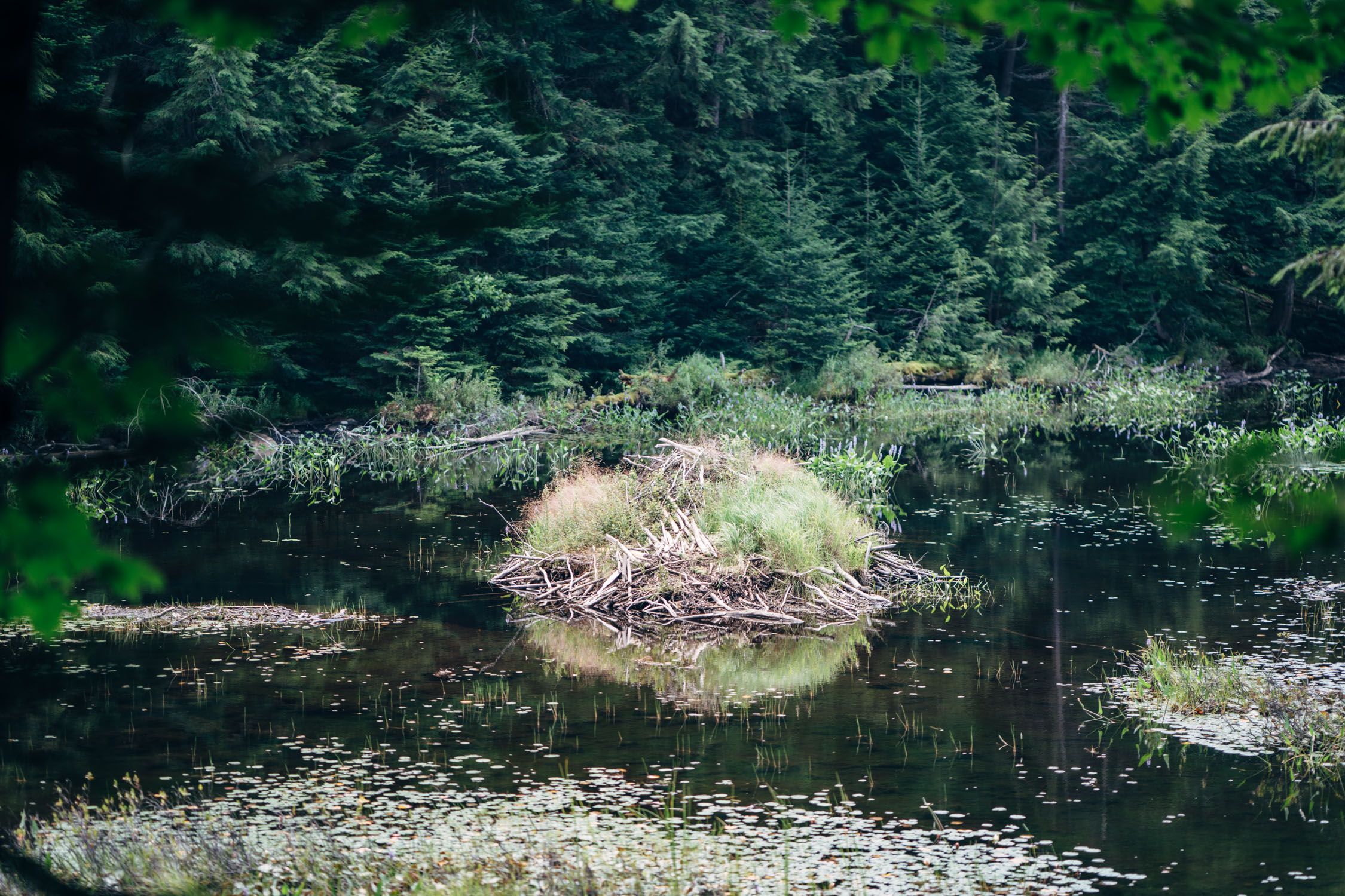
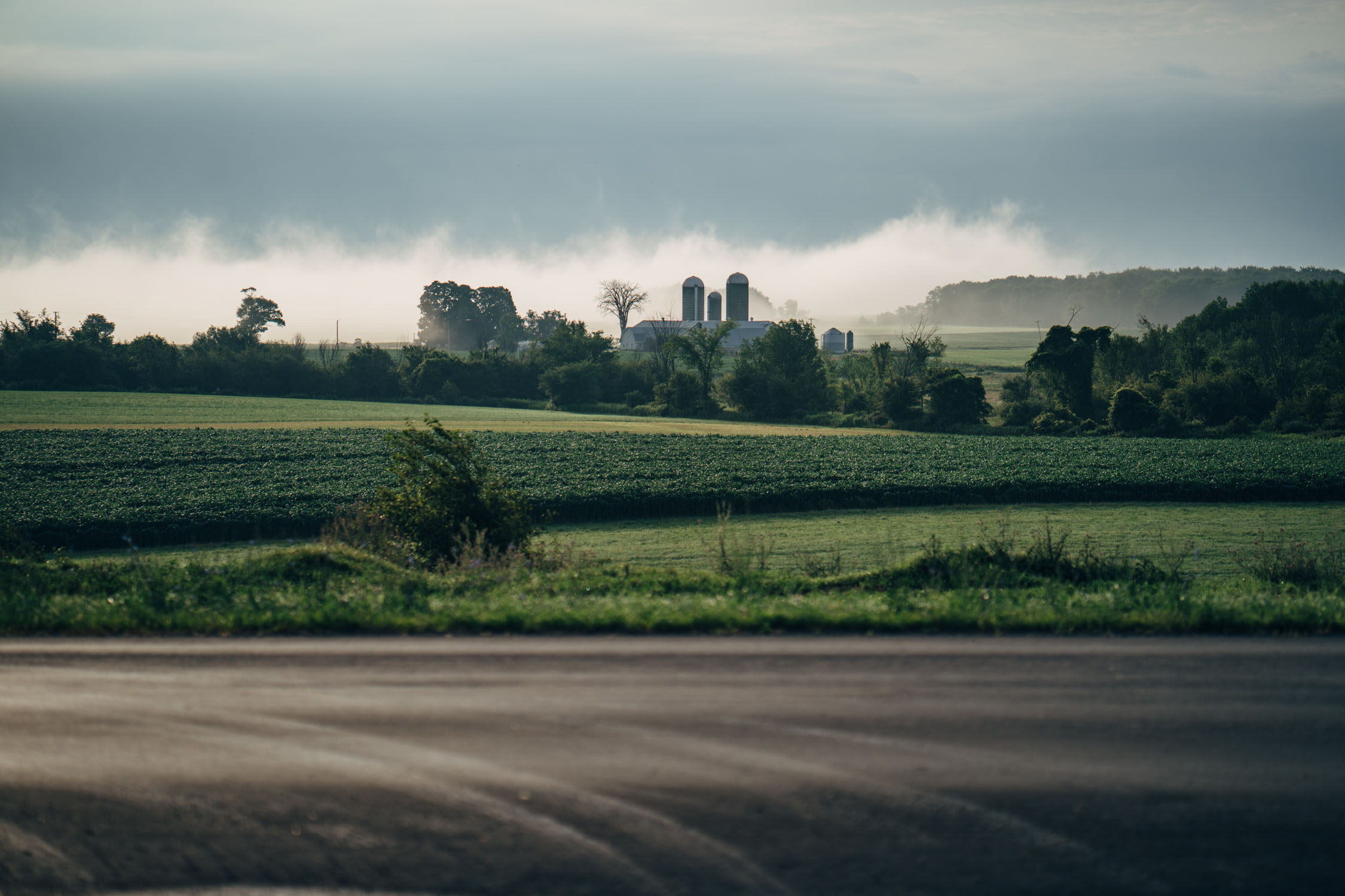
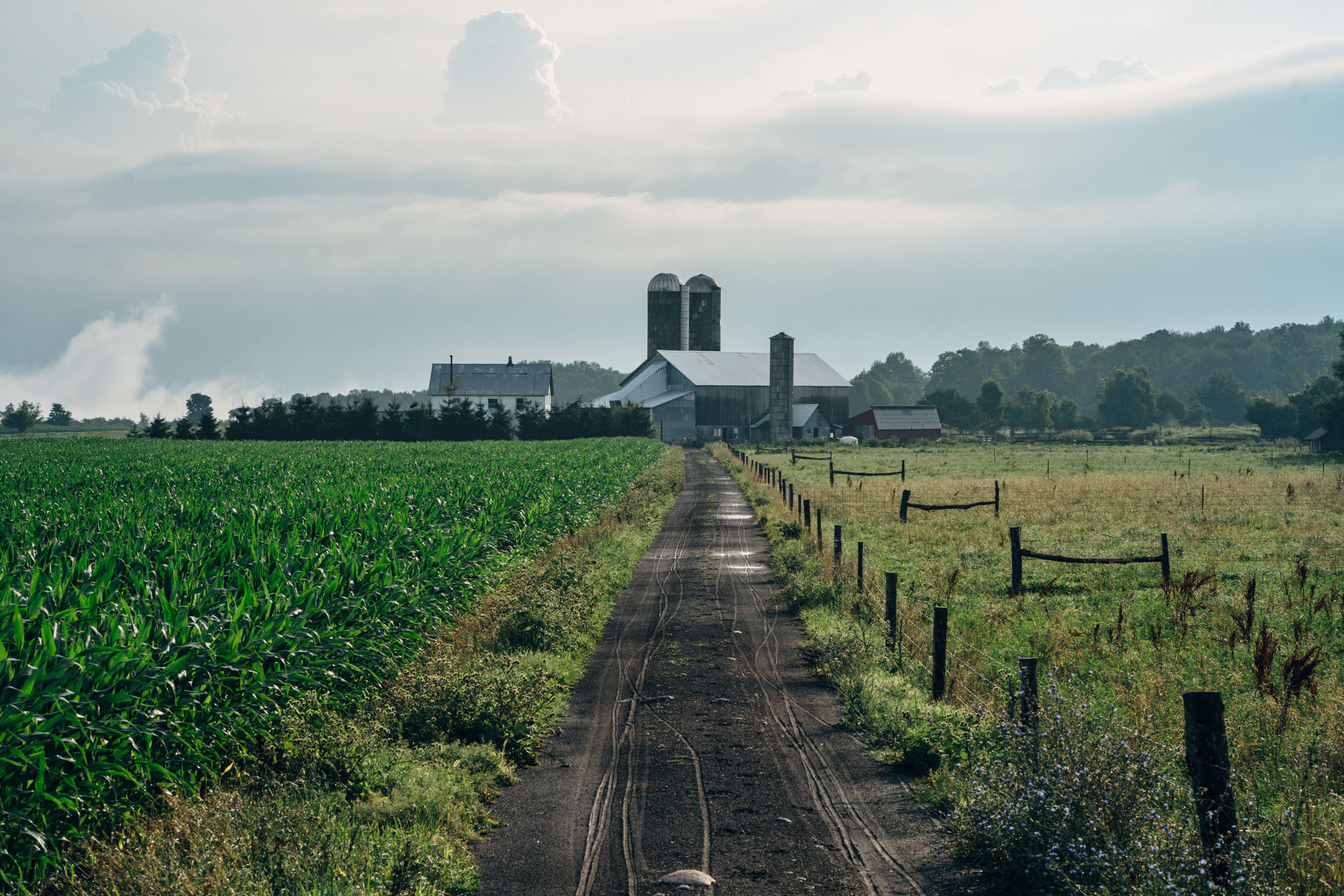
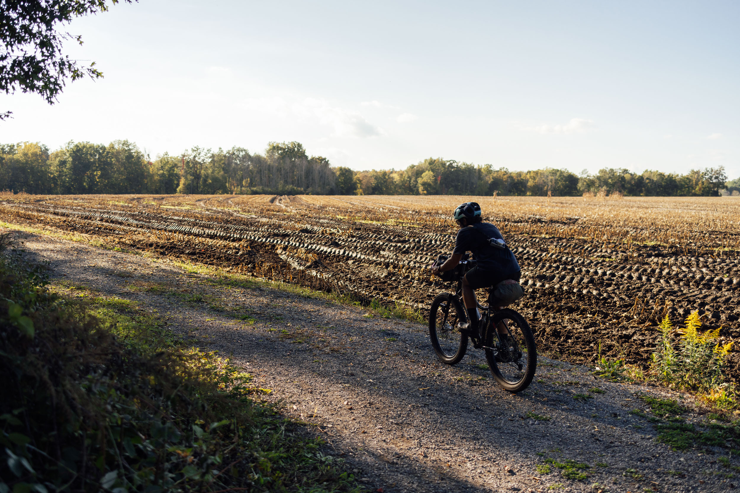
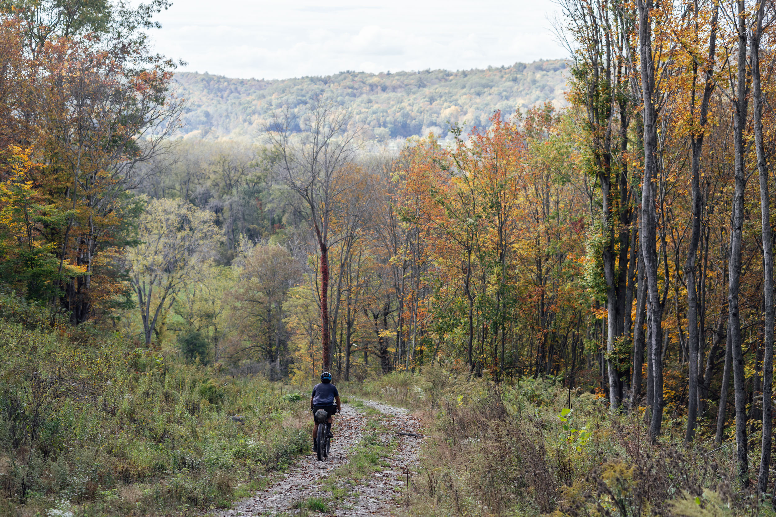
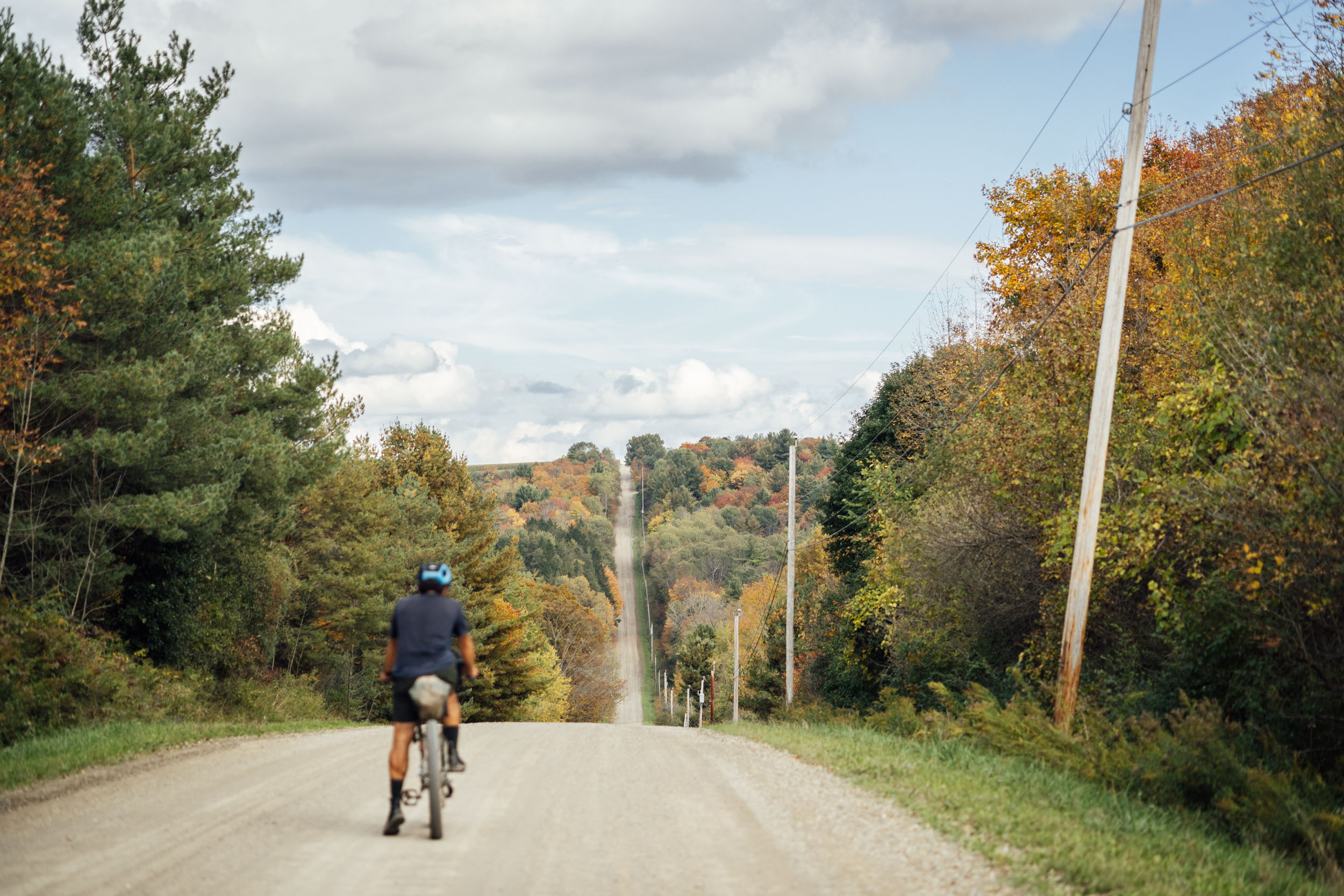
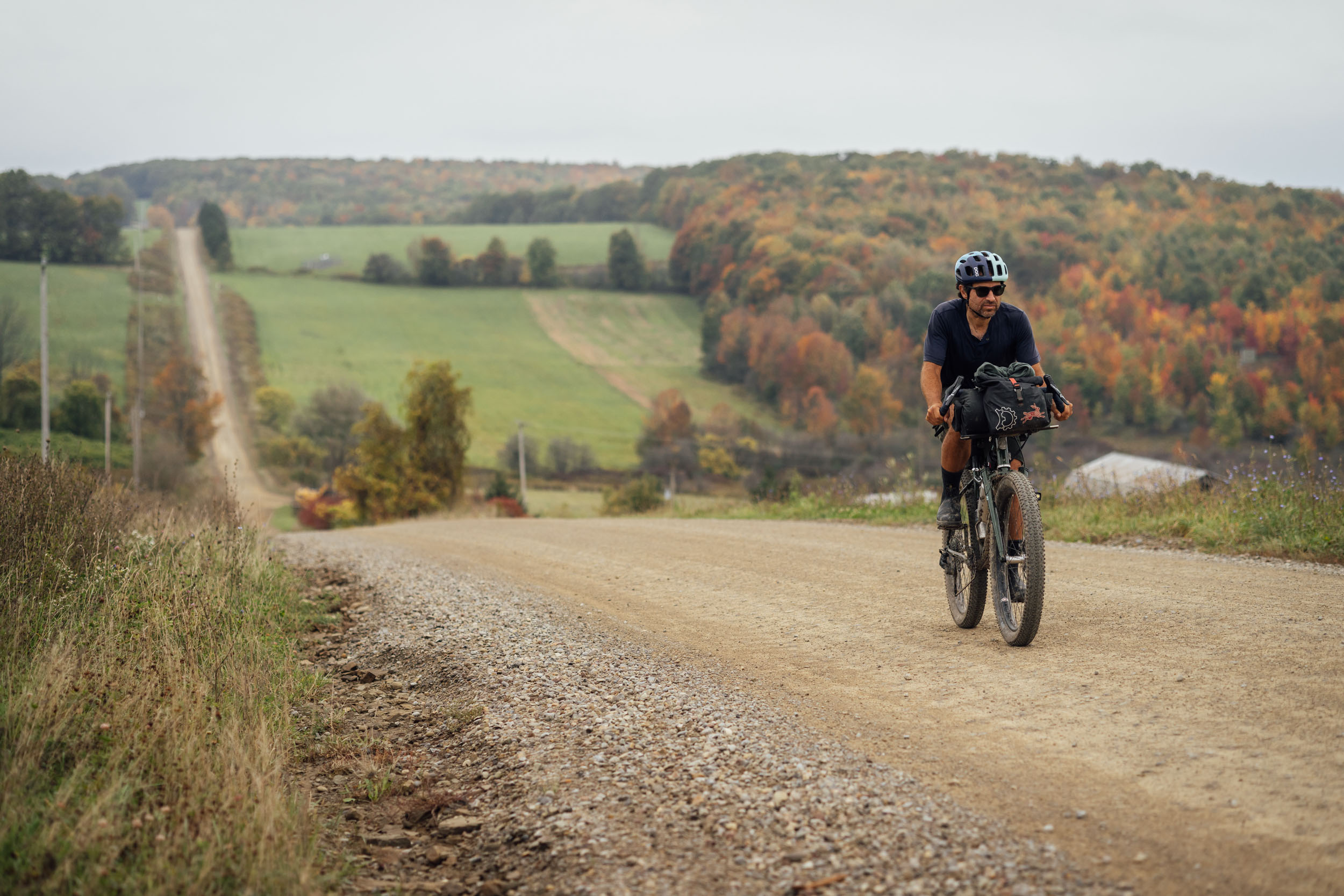
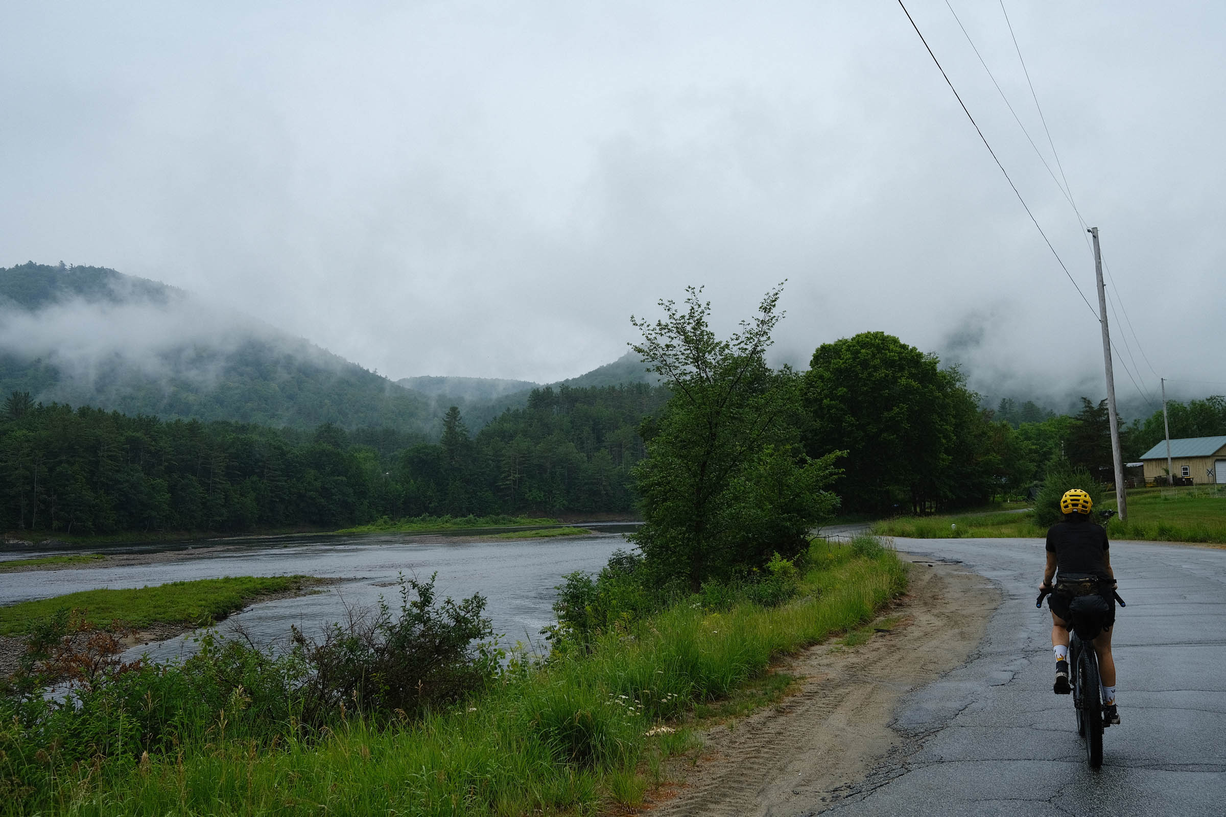
Segment 4 starts in the rolling foothills of Vermont’s Green Mountains in the small town of Poultney, home of many great trails and the fabled Analog Cycles. From there, it crosses into New York and follows the Hudson River into the lush Adirondack Mountains, a forested massif and park in the upstate that covers some 5,000 square miles (13,000 km2). Big rocky rivers, pristine lakes, and fern-carpeted woodlands abound in this beautiful state forest preserve. Once on the western side of the Adirondacks, the route heads south through Whetstone Gulf and the Lesser Wilderness State Forest, taking in long stretches of forested gravel and picturesque Amish farmland.

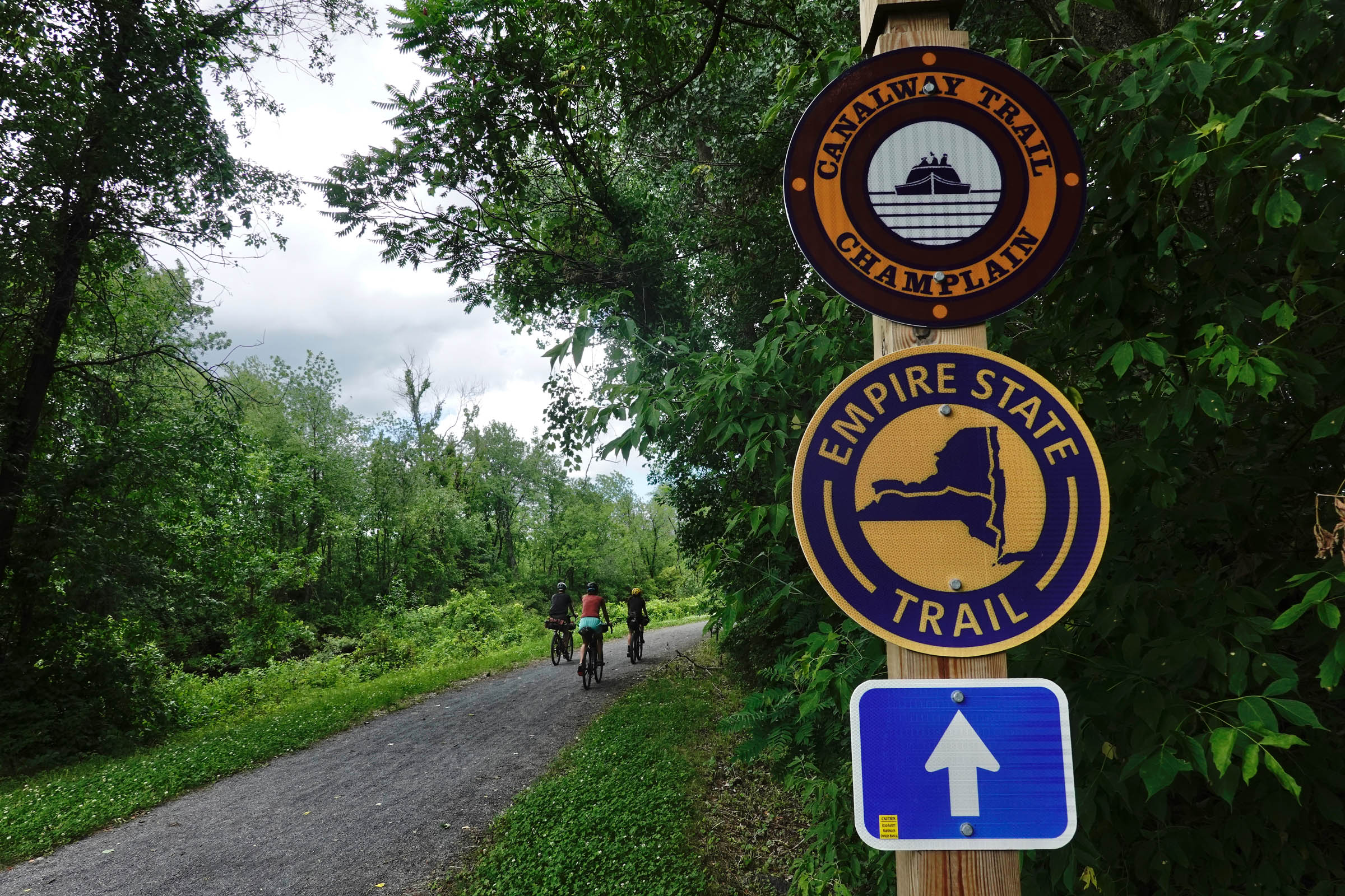
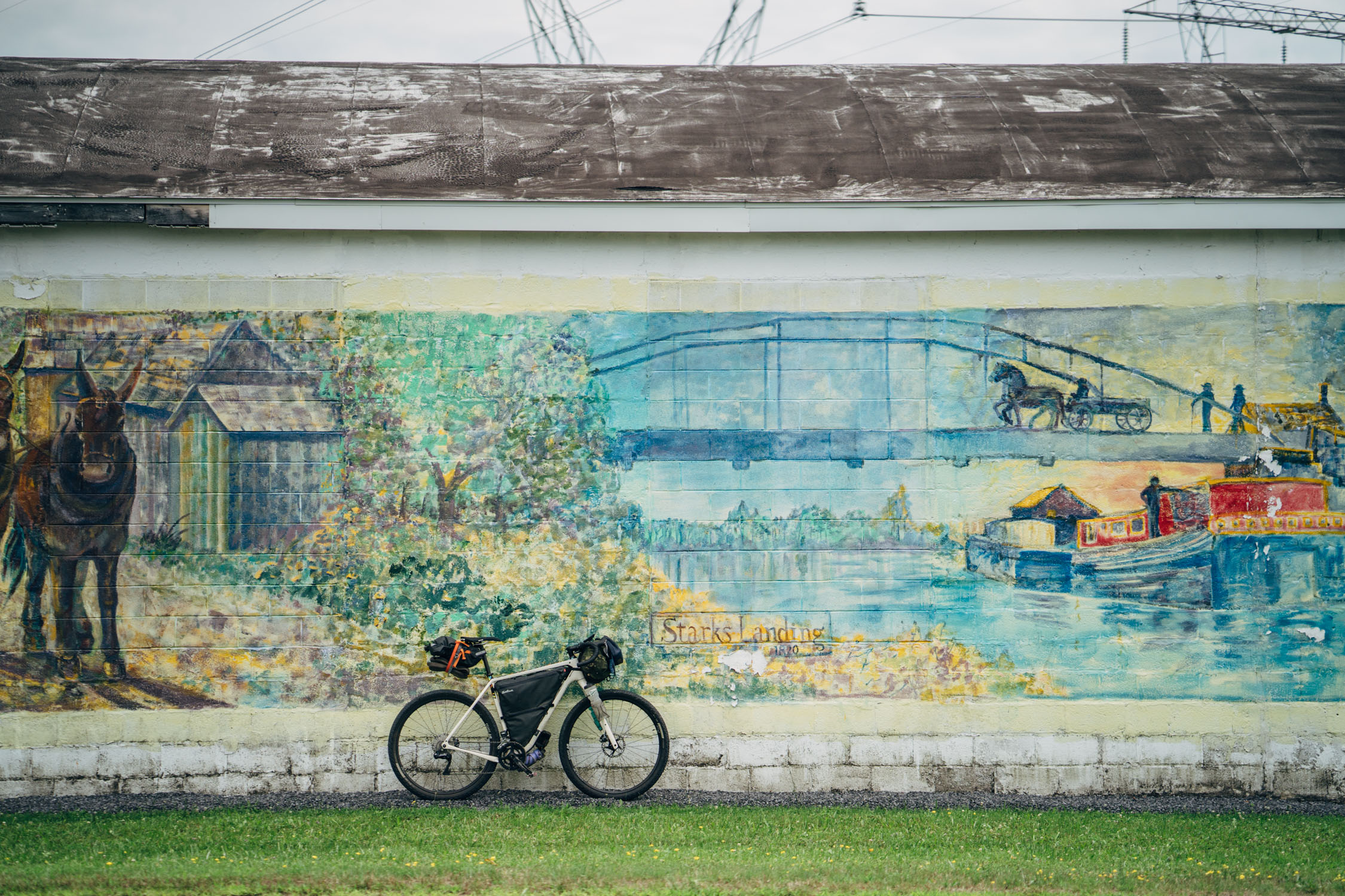
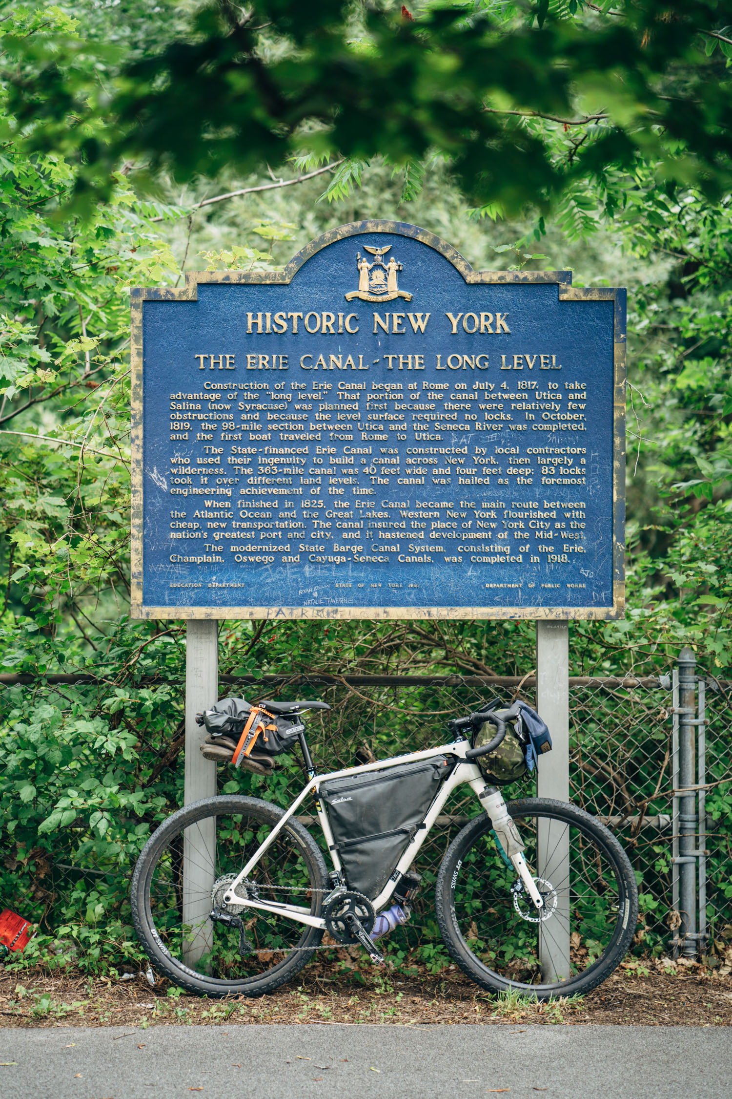
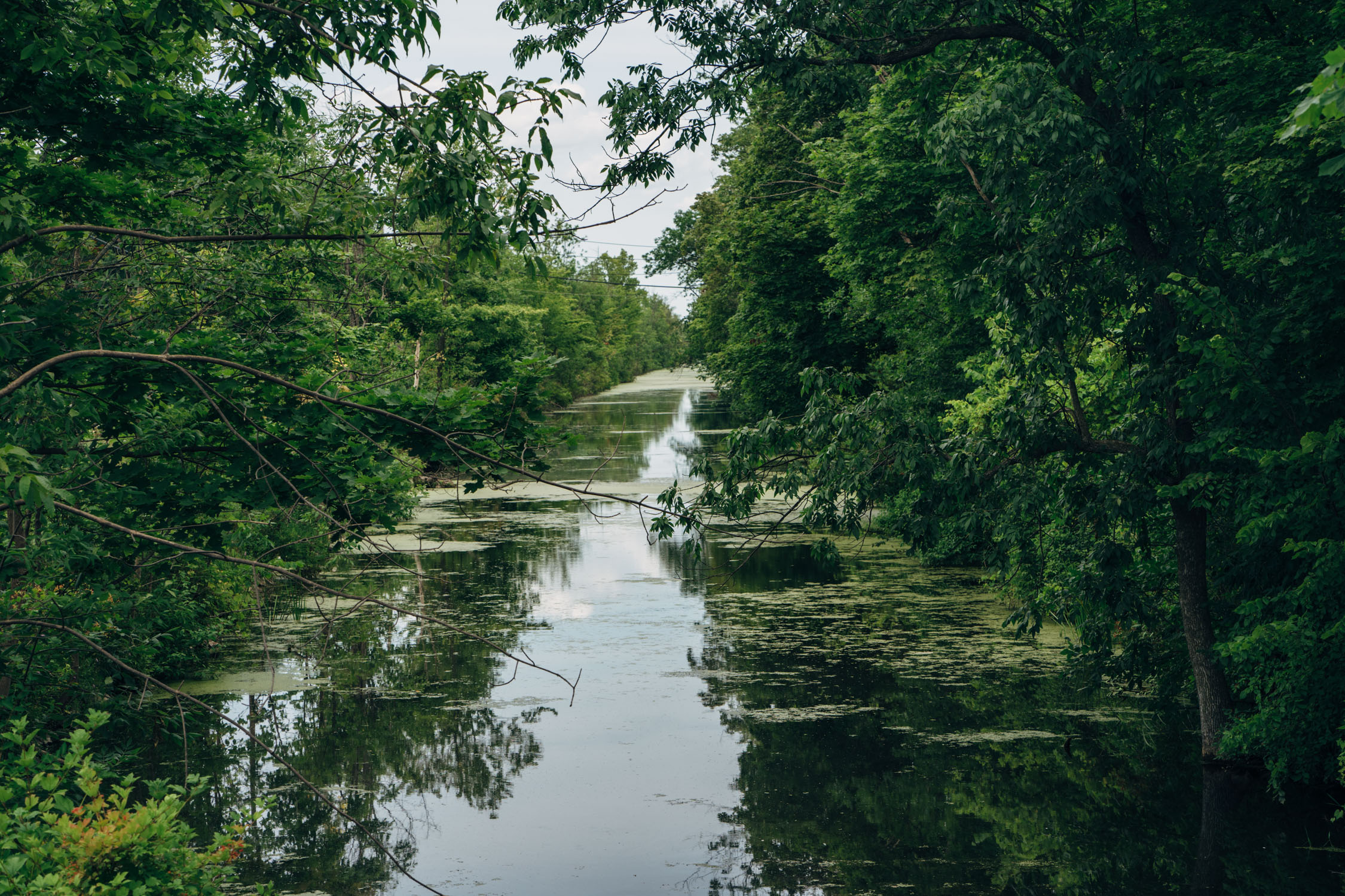
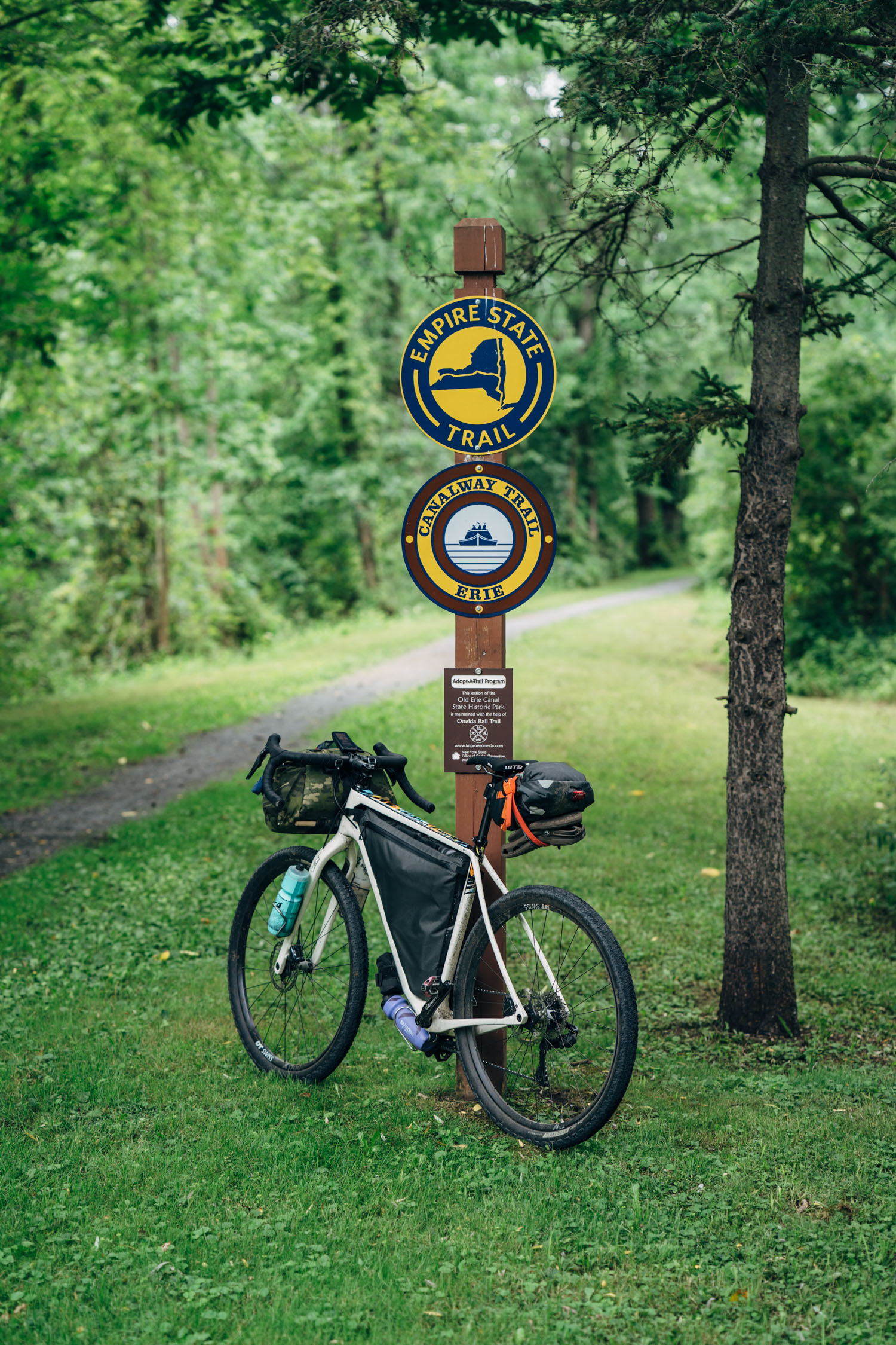
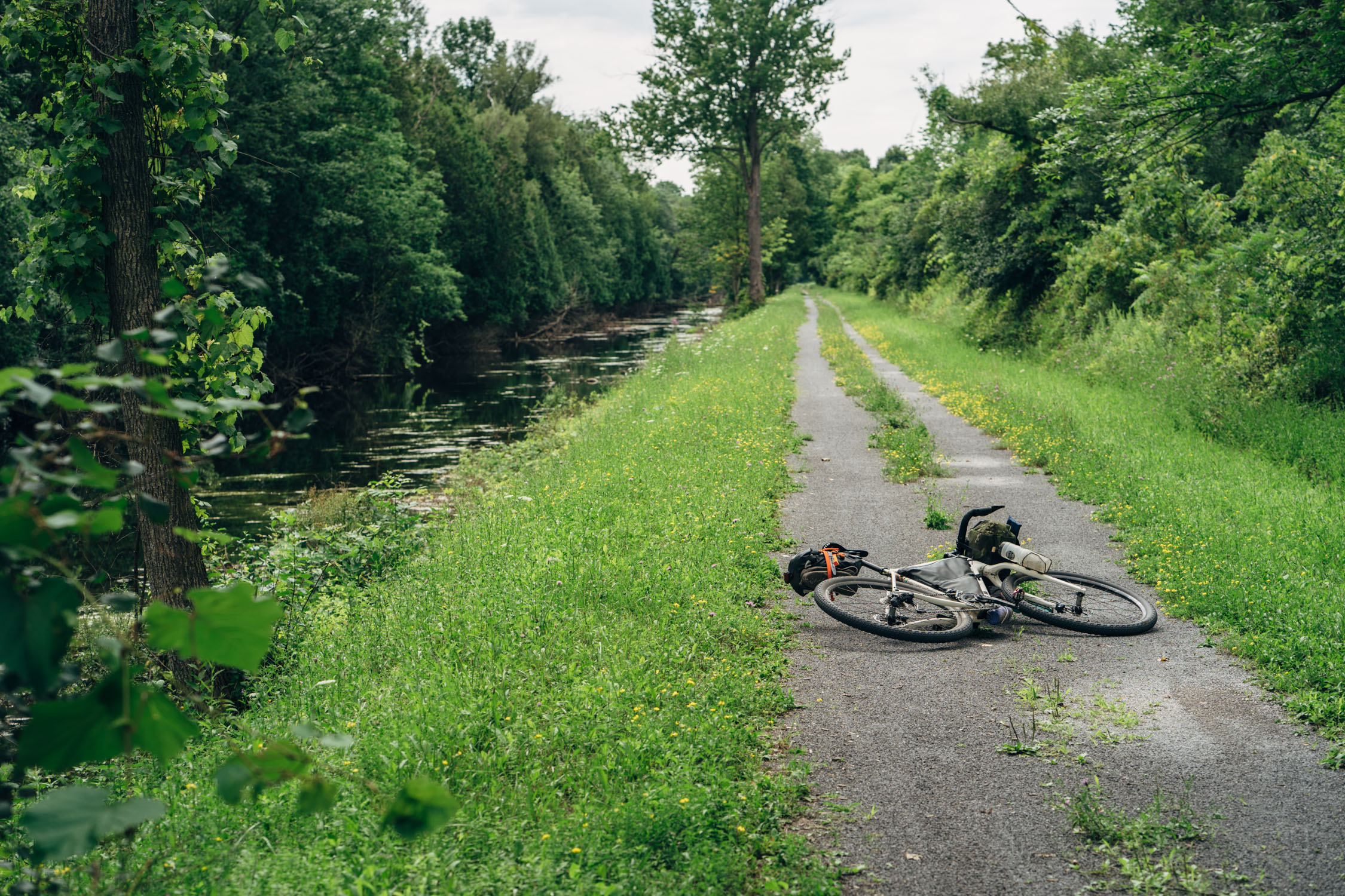
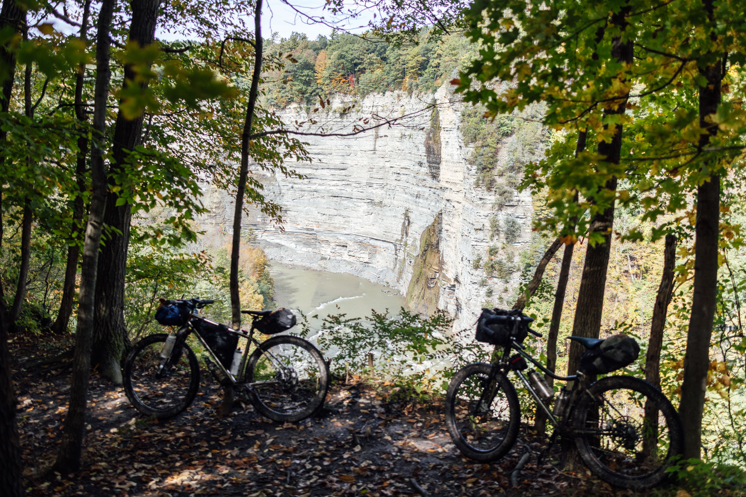
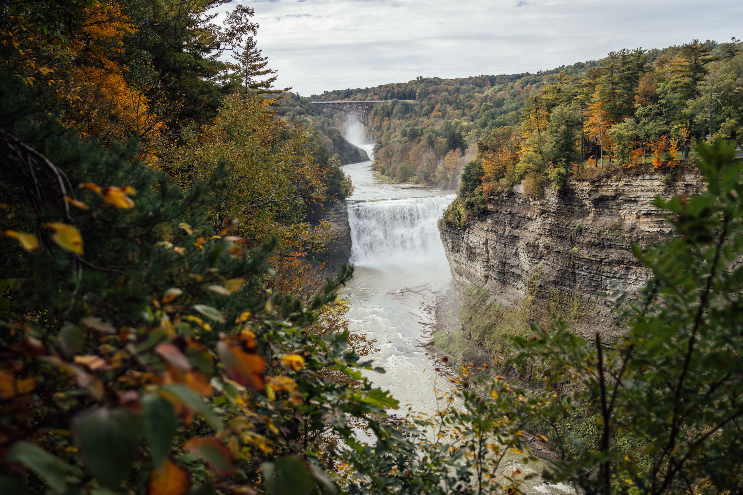
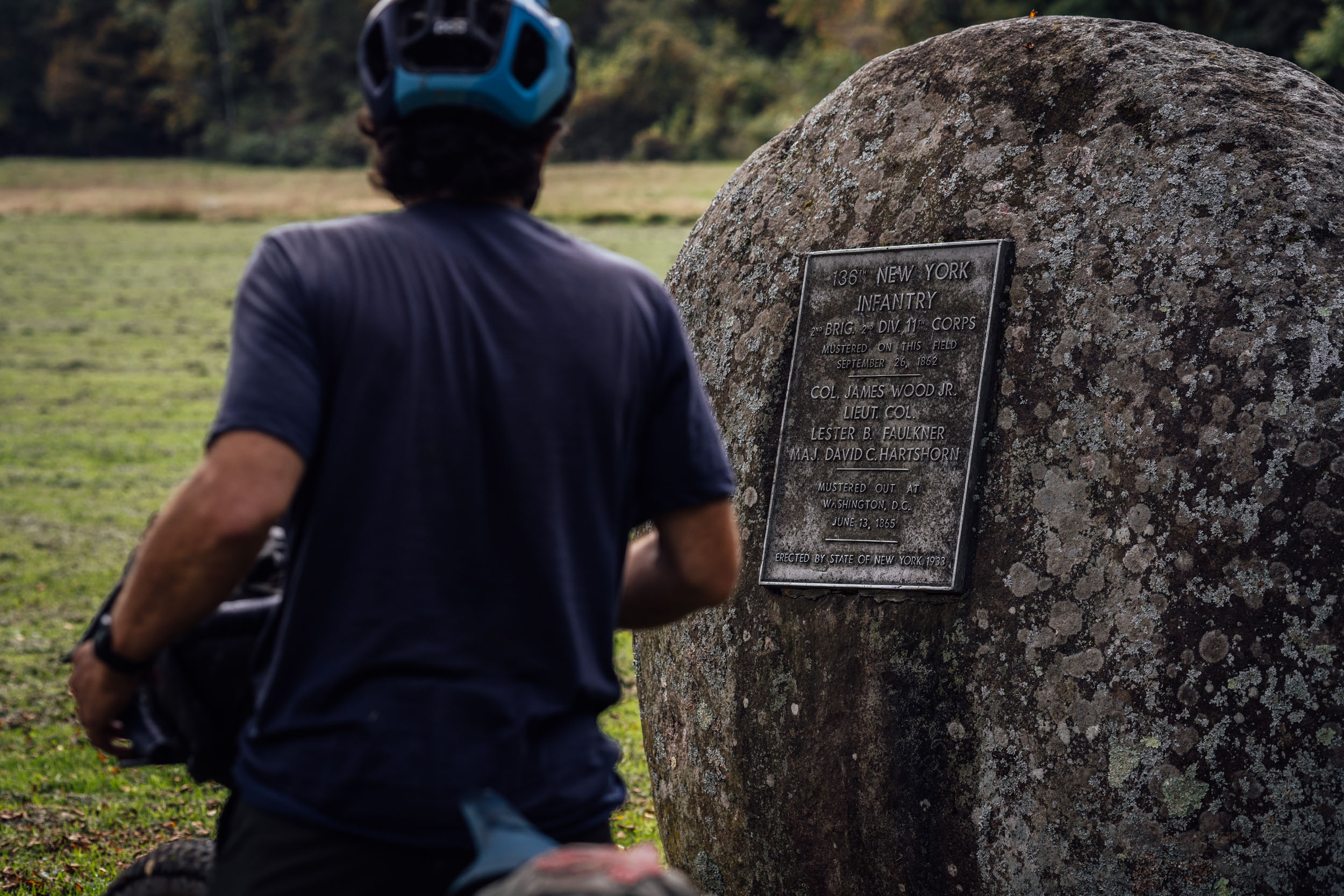
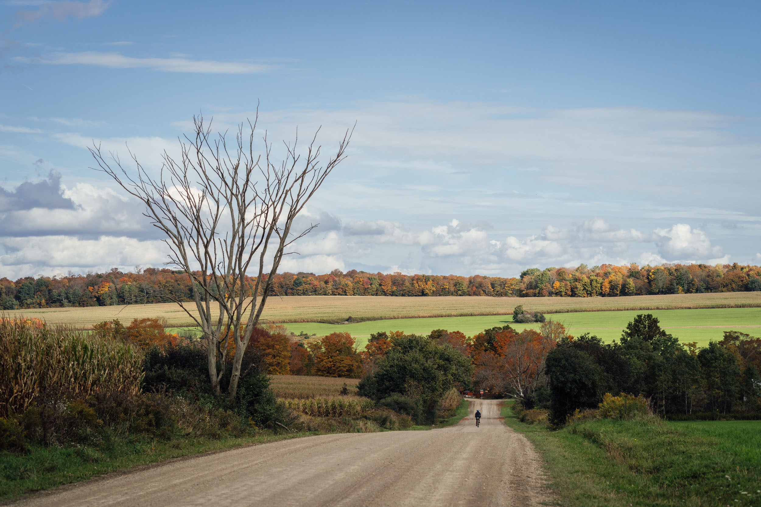
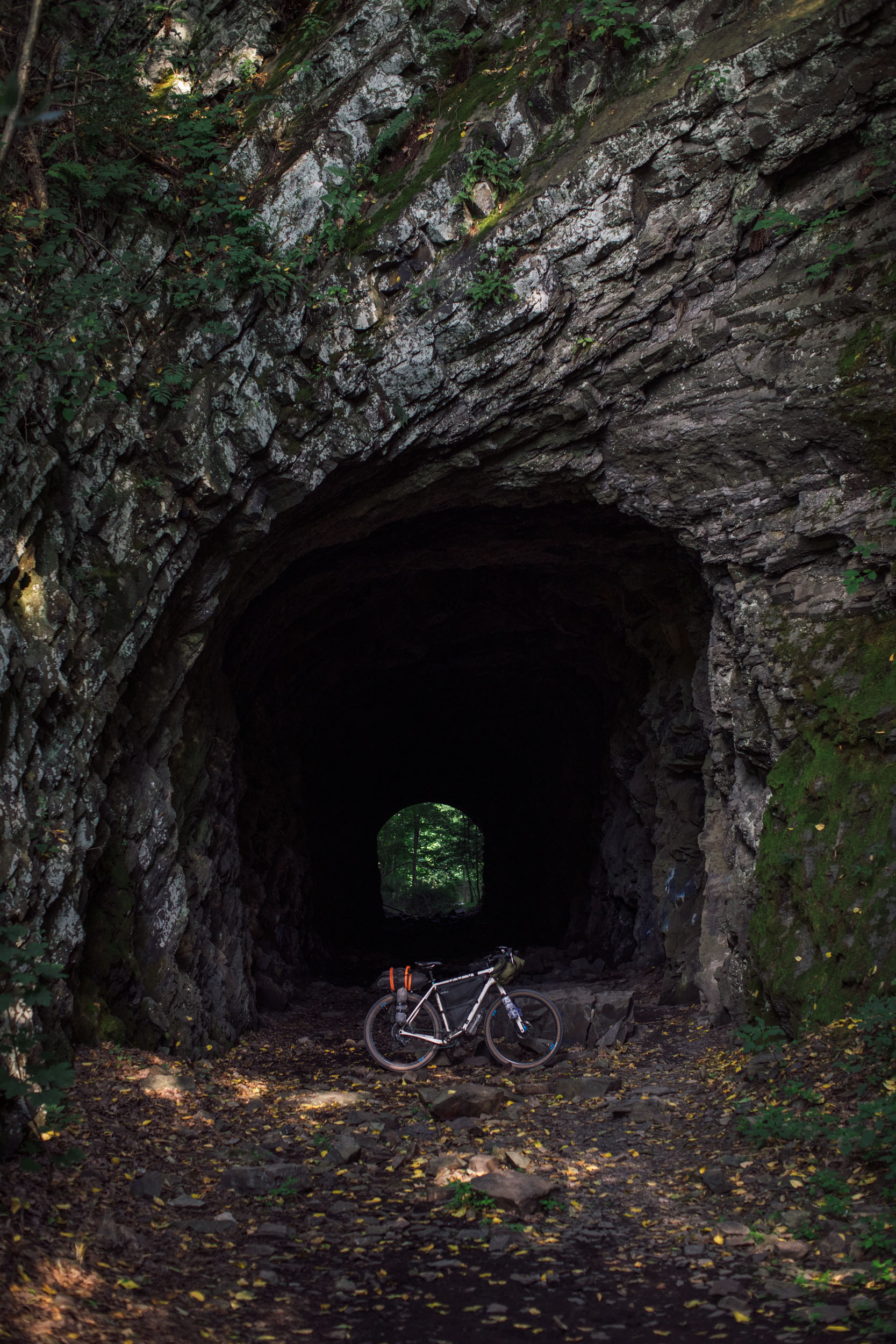
Further south, Trillium joins the Erie Canalway, a historic canal that connects the Hudson River and Lake Erie and was once used to shuttle people and goods from the Atlantic Ocean to the Great Lakes. After rolling westward through Syracuse, the route heads across the northern Finger Lakes region, taking in rolling farmlands, wetlands, and waterways that join these glacial lakes. Near Rochester, Trillium begins its course south along the Genesee River Greenway and some big singletrack miles to the stunning Genesee River Gorge, which is often referred to as The Grand Canyon of the East. From there, the route follows a mix of pavement and gravel through state forest land and farmland toward the town of Hornell.
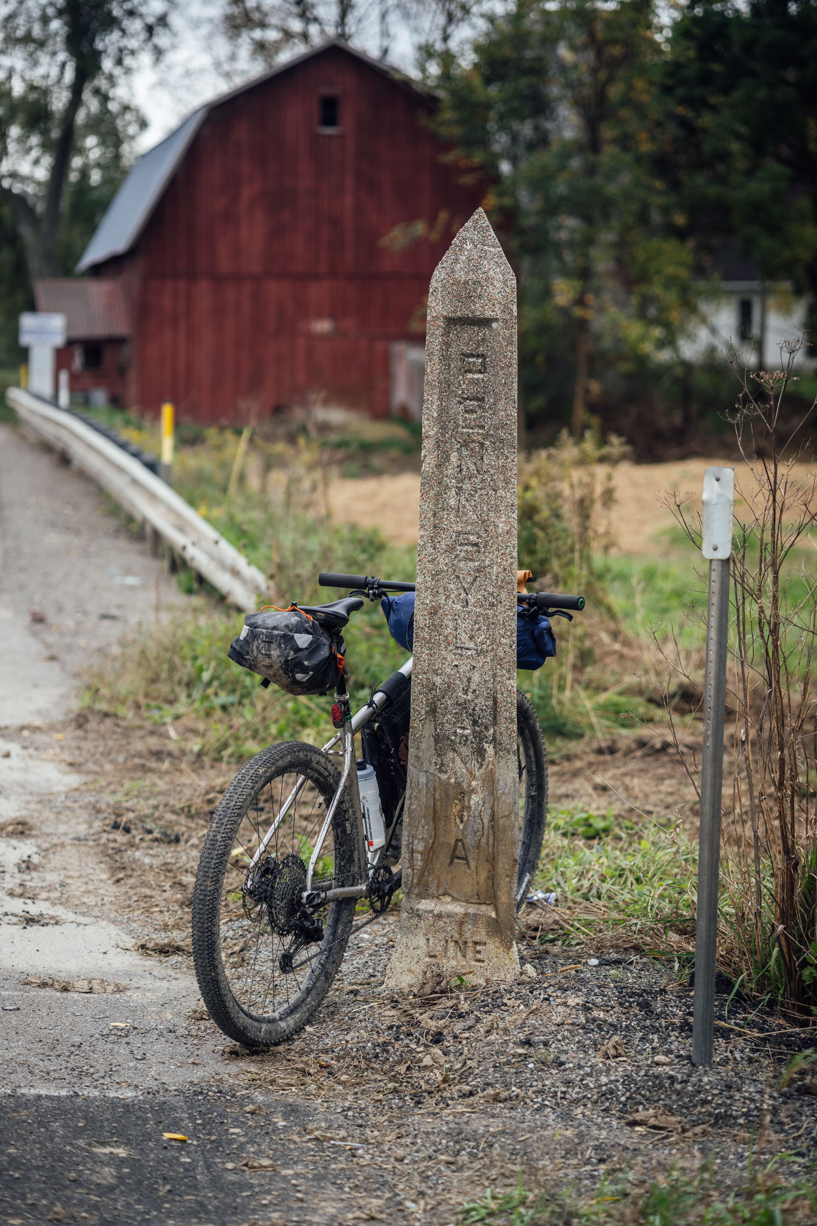
Up to this point, the Eastern Divide Trail loosely follows the St. Lawrence Divide all the way from Newfoundland through the Finger Lakes and down toward the Pennsylvania border. This continental divide separates the Great Lakes and the St. Lawrence River Basin from the southerly Atlantic Ocean watersheds. Just south of Hornell and north of the Pine Creek Rail Trail (PCRT), the route joins the northern terminus of the Eastern Continental Divide at the “Triple Divide,” a point that divides the eastern United States into three watersheds. Here, the headwaters of Pine Creek drain into the Susquehanna River that leads to the Atlantic Ocean, the Allegheny River feeds the Ohio River into the Gulf of Mexico, and the Genesee River tributary of Lake Ontario drains into the Gulf of Saint Lawrence.
Lay of the Land
By Tsinnijinnie Russell (@tsinbean)
The area currently known as New York has a long history of Indigenous people and tribes farming, fishing, hunting, and gathering. The area has been inhabited by a number of tribes, most notably in recent centuries by the six tribes that make up the Haudenosaunee Confederacy. The Haudenosaunee Confederacy inhabited a sizable area that stretched from areas now known as the Hudson River Valley to Lake Erie and from northern Pennsylvania to southern Ontario. The Haudenosaunee Confederacy, often referred to as the Iroquois Confederacy, is comprised of six different tribes:
- The Kanien’kehaka (Mohawk), “People of the Flint” are the easternmost Haudenosaunee tribe
- The Onayotekaono (Oneida), “People of the Standing Stone”
- The Onundagaono (Onondaga), “People of the Hills” and also the “Keepers of the Central Fire,” as they are considered to be the capital of the Confederacy
- The Guyohkohnyoh (Cayuga), “People of the Great Swamp”
- The Onondaga (Seneca), “People of the Great Hill” and also the “Keepers of the Western Door” as they were the westernmost nation and responsible for defending the western boundaries of the Confederacy
- The Skaruhreh (Tuscarora), “The Shirt Wearing People” who moved north from what is now North Carolina and were invited to join the Haudenosaunee Confederacy
Once you cross from New York into Pennsylvania, you enter into new territory that was primarily inhabited by the Susquehannock people. There is not a lot of contemporary information on the Susquehannock Tribe, as much of their tribe and culture was wiped out due to disease and European colonization of the area. “Susquehannock” is derived from Sasquesahanough, a name given to Captain John Smith from his interpreter. We do not know what this group referred to themselves as. The Tribe controlled important trade routes along the Susquehanna River and Chesapeake Bay. The Susquehannock were an Iroquoian-speaking people who lived in the Lower Susquehanna Valley as early as 1550 AD. They had moved into the lower valley from further up north and share many similarities with the Haudenosaunee nations. The Sasquehannock are now listed as an “extinct tribe” and have been since 1750, though there are still descendents who can trace their lineage back to the Susquehannock people.
The last known town of the Susquehannock was located at what is now Native Lands County Park. By 1763, the Susquehannock were split and one small group of about 20 individuals, often referred to as Conestogas, who stayed in the Lower Valley at Conestoga. In 1763, The Paxton Boys, a group of white anti-Indian vigilantes, murdered six of them at their village. The rest of the group were taken into Lancaster to a workhouse for their safety. The Paxton Boys slaughtered the remaining group at the workhouse less than two weeks later.
Learn more about important places along the route under the Whereabouts tab below.
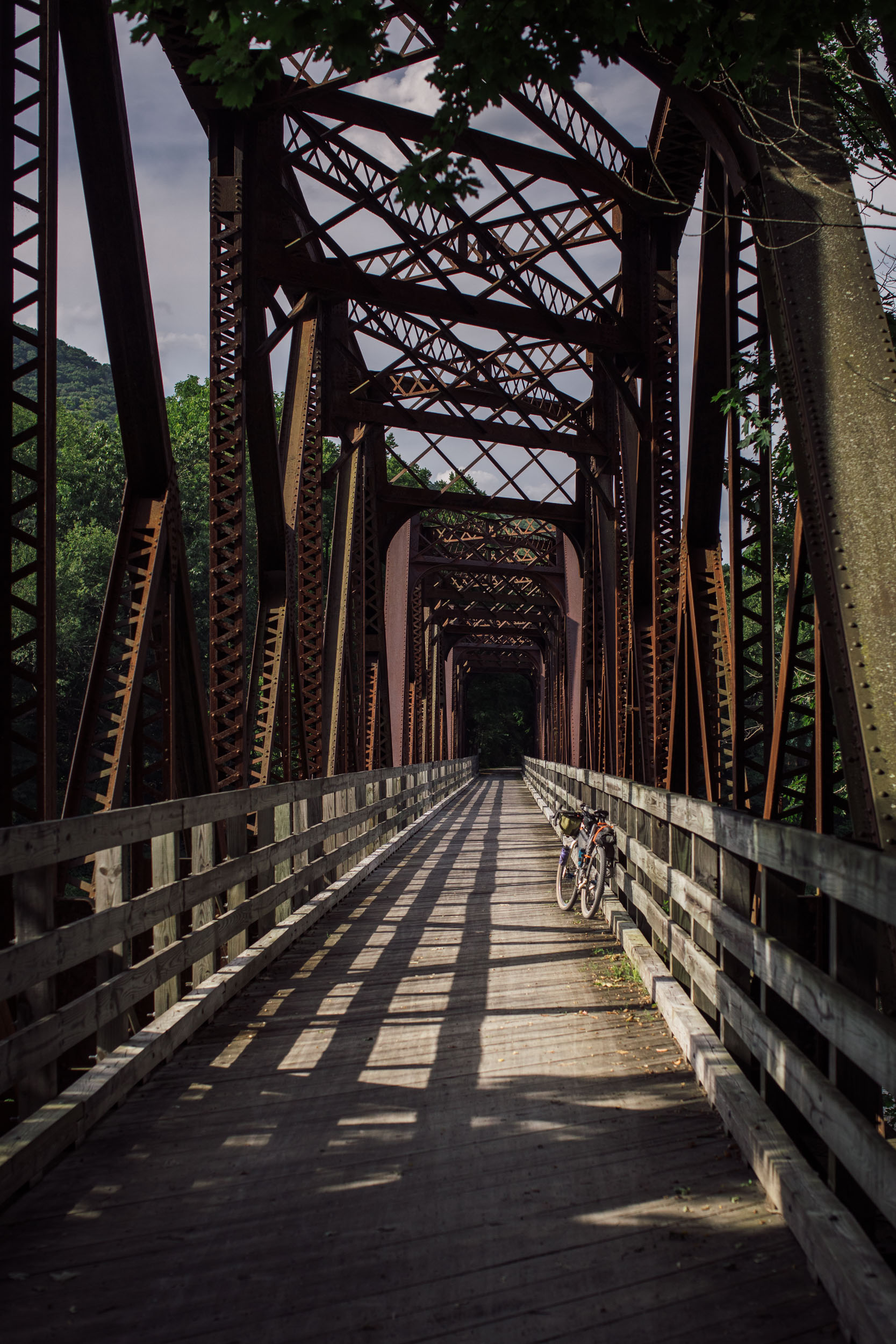
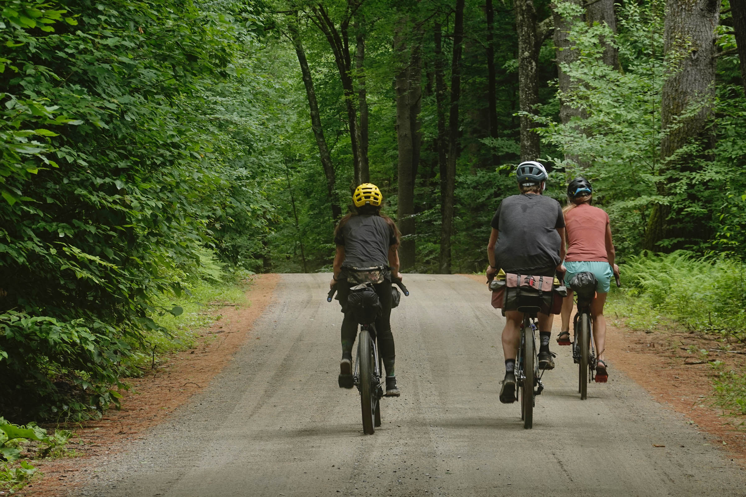
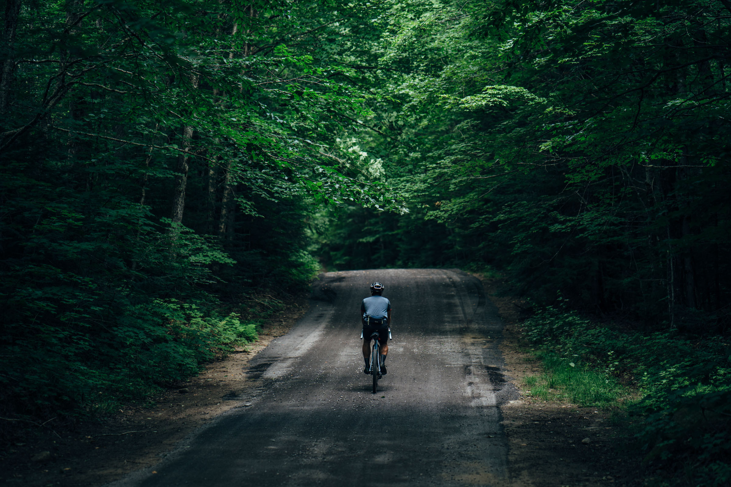
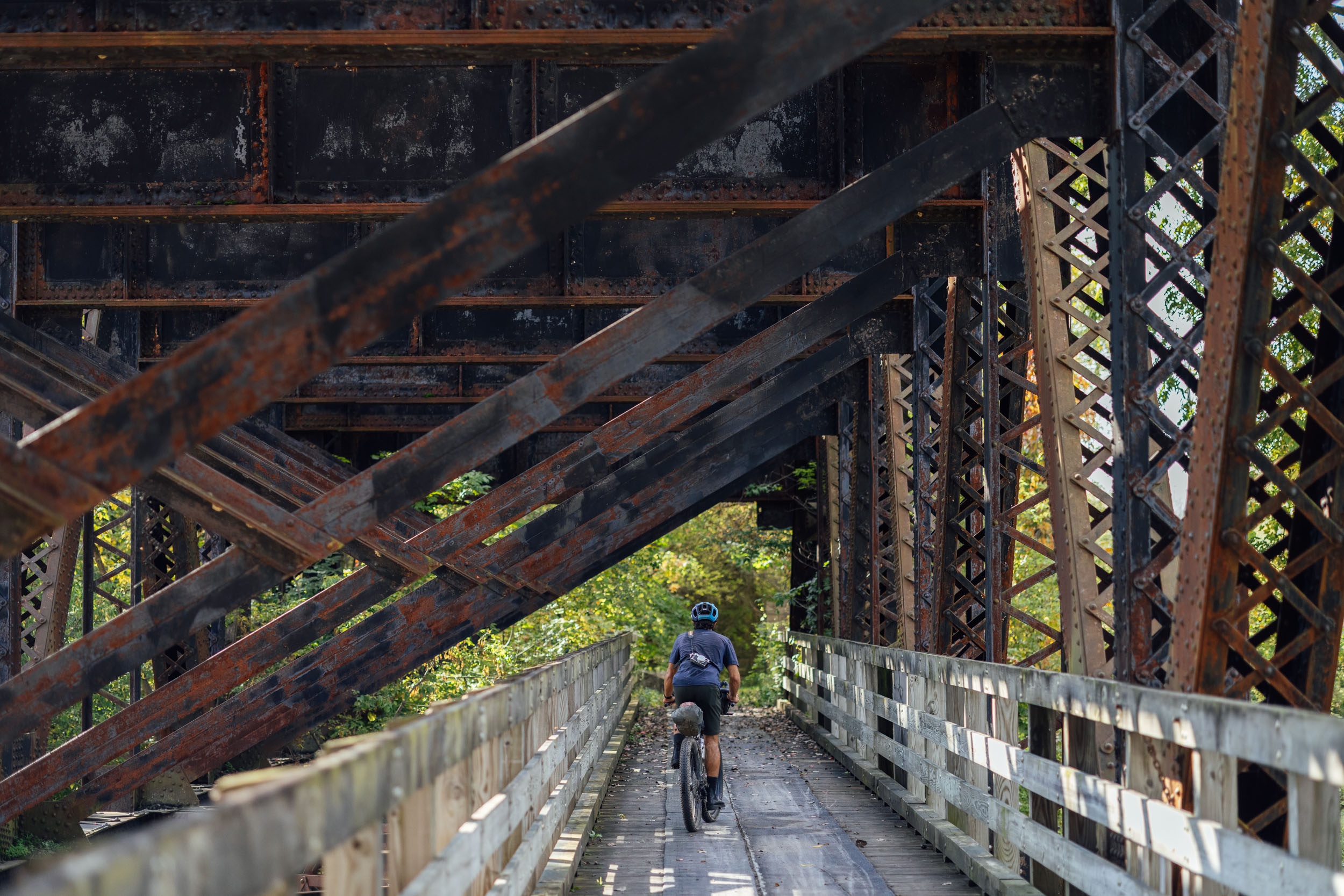
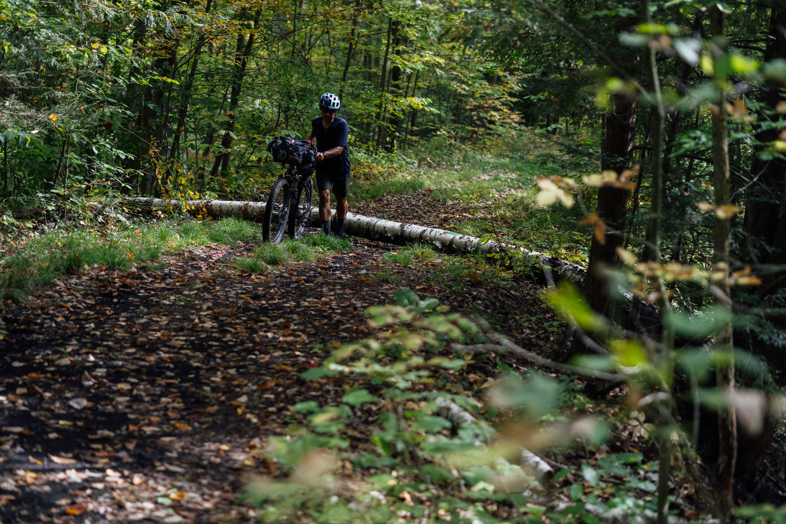
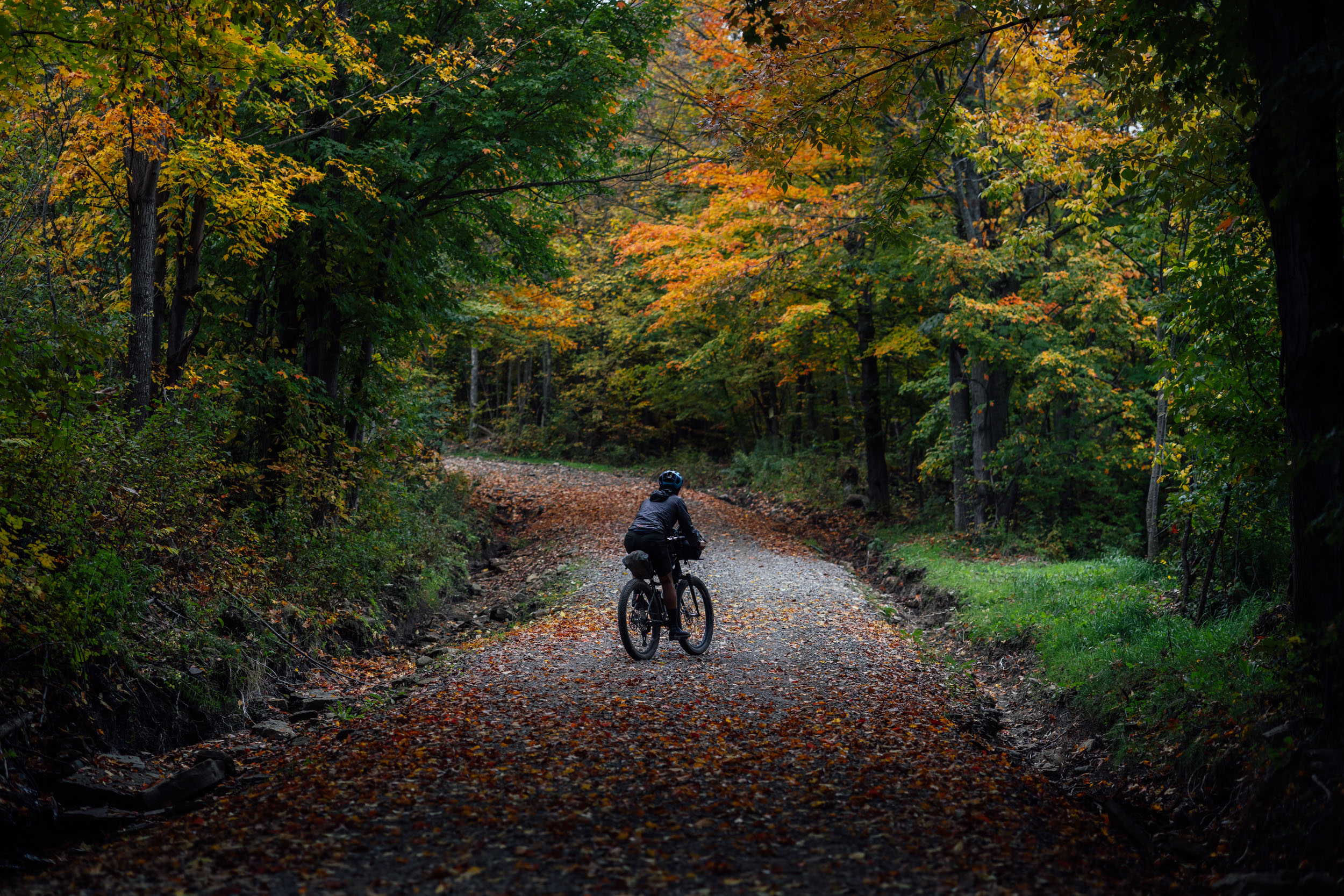
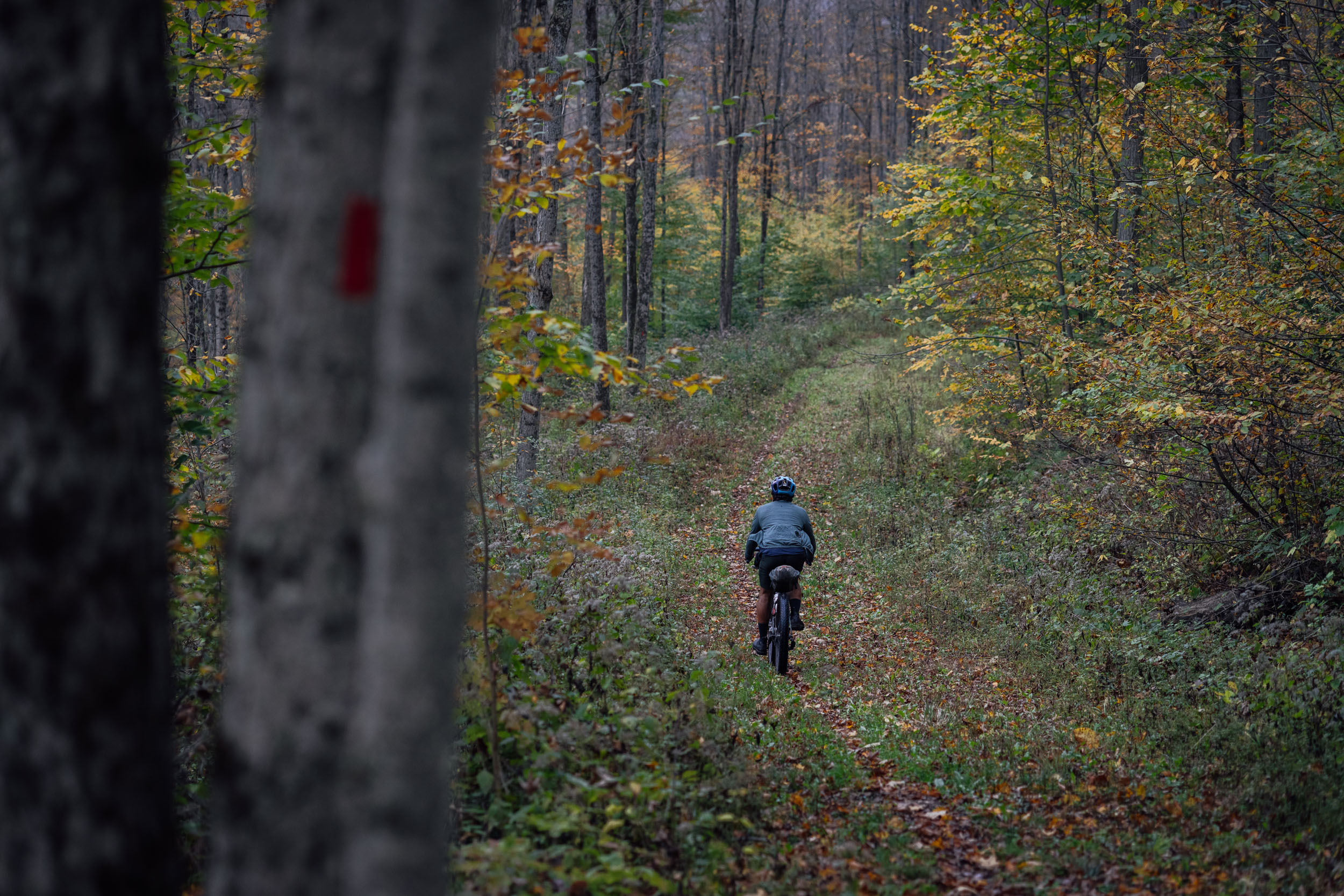
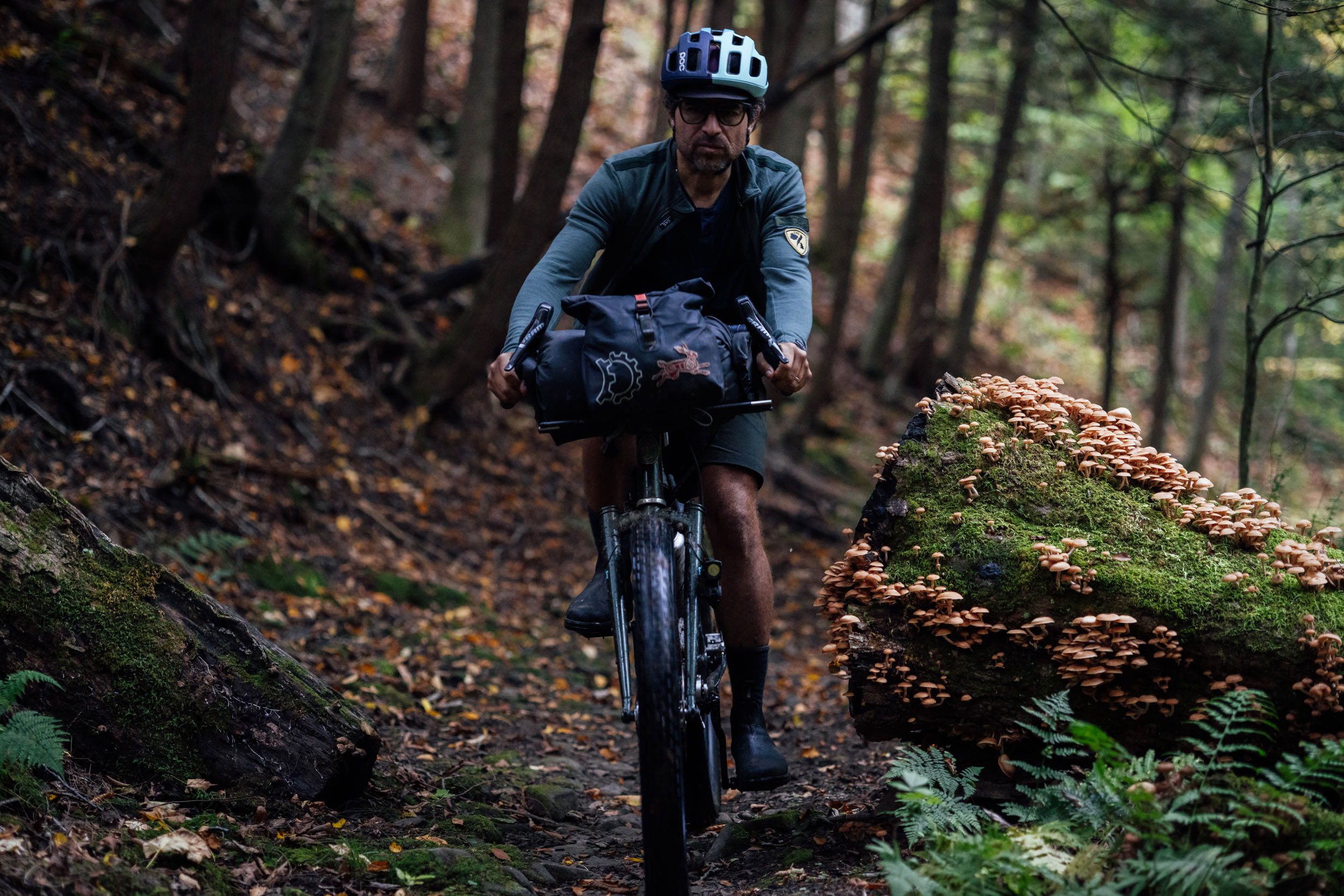
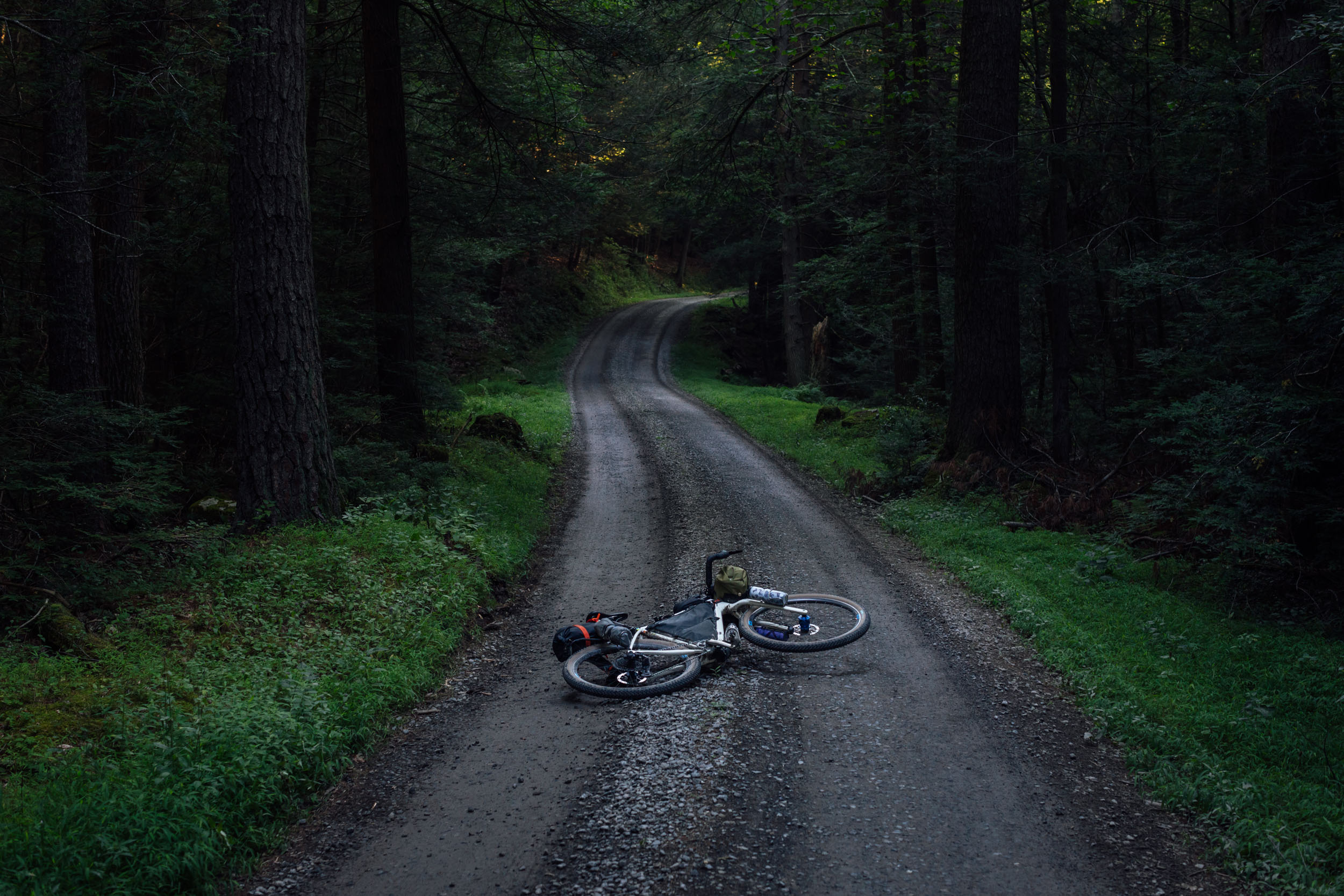
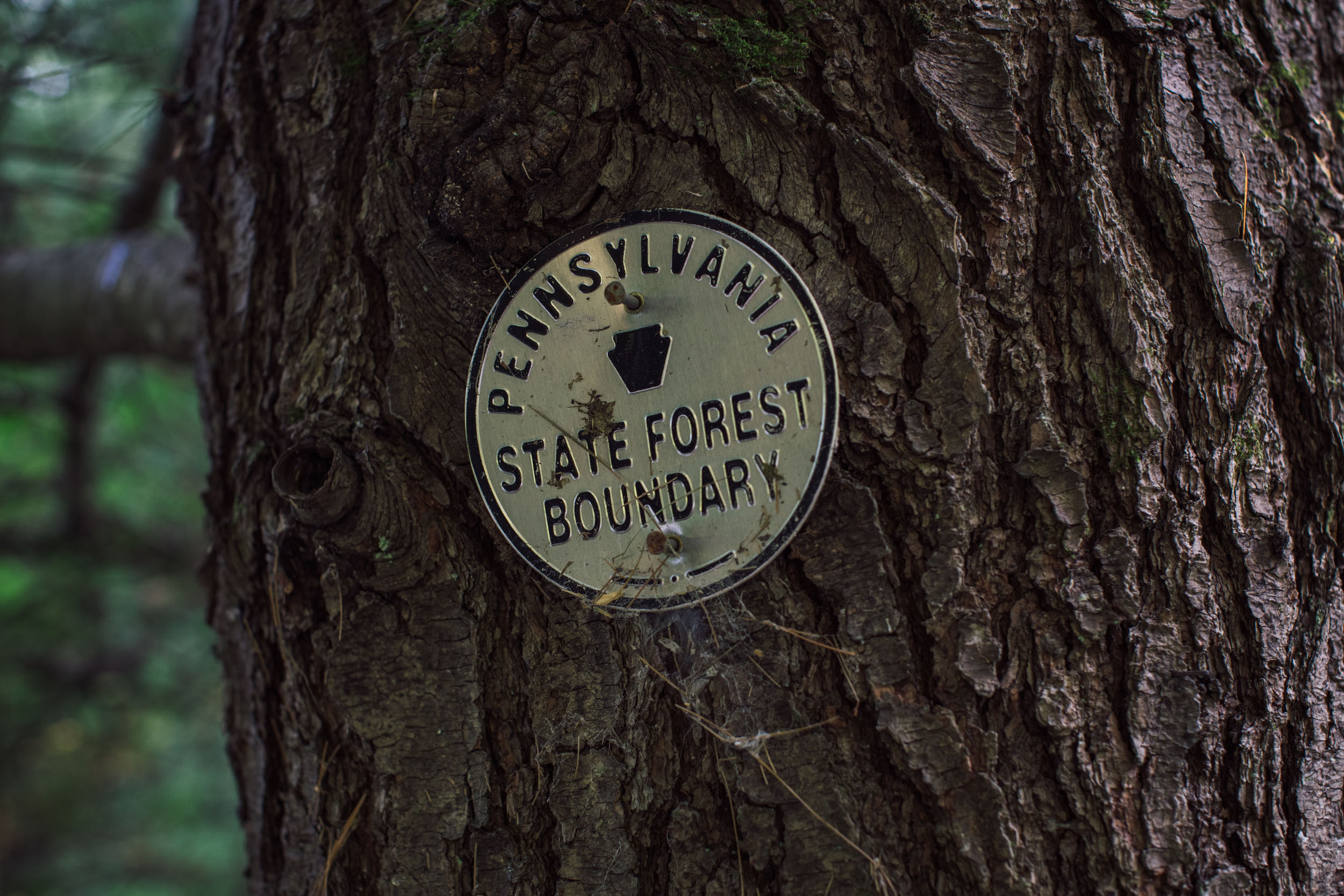
From the scenic PCRT, the route rolls into the Ridge and Valley Appalachians of north-central Pennsylvania, offering up some great gravel and properly rugged doubletrack riding. All in all, Trillium offers a mix of surface types and terrain that ranges from this style of forested gravel to smooth multi-use rail trails and quiet backroads to big gravel climbs with screaming descents. There are also a few chunky doubletrack state forest service roads and a couple of stretches of mildly challenging singletrack. That being said, the route is mostly made up of relatively smooth gravel, tarmac, and stretches of non-technical doubletrack. While most of the route offers a well-timed mix of all of this, there are a few lengthy sections of relatively unvaried terrain. These include several canalways, such as the scenic Erie Canalway and Cayuga-Seneca Canalway, and several rail trails, such as the Auburn Trail, the Lehigh Valley Trail, the Genesee Valley Greenway, and the Pine Creek Rail Trail. These are all beautiful trails, but be aware that they’re fast, flat, and mixed-use, so expect to share them with other riders and hikers, especially near urban areas. Note that you can read more about the route itinerary under the Trail Notes tab below.


Route Difficulty
Physical Demand: 7 • Technical Challenge: 6 • Resupply/Logistics: 6
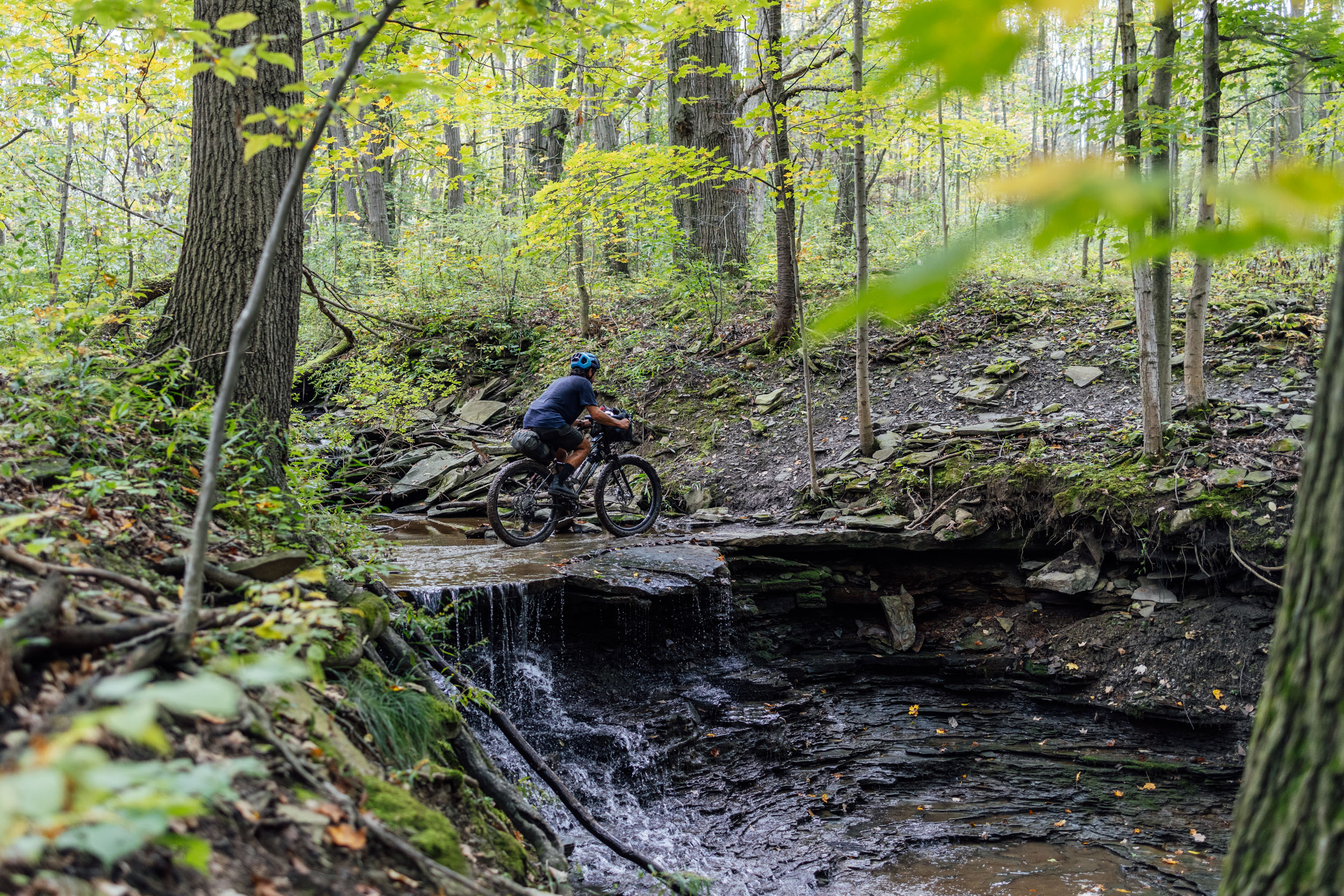
Out of all eight segments of the Eastern Divide Trail, Segment 4 is one of the least technical in nature for the reasons outlined above. That being said, three sections keep it from getting an ultra-low rating on the technical difficulty scale. For example, the ribbon of singletrack in Letchworth State Park shouldn’t be underestimated. It’s not overly technical but at times requires time and patience with steep climbs and descents. There are also a few requisite dismounts at tricky stream crossings as well as a short stretch of rugged singletrack that offers a few surprises prior to the route joining the PCRT in Pennsylvania. Additionally, rocky doubletrack in Bald Eagle and Rothrock State Parks can be challenging at times. As for Physical Demand, there are a few “climby” sections along the way that can take their toll, including Letchworth and the steep gravel roads going south from there. One of the biggest challenges on Segment 4 is the sheer distance of the route, as well as the distance between established campgrounds and campsites in certain places. There are options, but sometimes they require long days (see Camping tab below for details). That being said, if you’re resourceful and up to the challenge, there are plenty of alternatives for discreet wild camping.
Route Development
Segment 4 of the Eastern Divide Trail was developed by Logan Watts with assistance from Joe Cruz and several Route Scouts and locals who helped confirm workarounds and provide valuable feedback for the final route: Michael Loranty, Caitrin Maloney, Candice Passehl, James Johnson, and Tim Farrell. Reaching a decision on the final corridor of Segment 4 was a painstaking process. We tried numerous options before committing to the western corridor after traversing the lands north of the Finger Lakes. Ultimately, the move to go southward via the Genesee River was successful. That said, we’re still considering one additional tweak: moving the route around Syracuse to bypass the city. Although the route through Syracuse is relatively pleasant, safe, and on bike paths, this has been a consistent suggestion from Route Scouts—and it would be better to break up the volume of flat towpath. However, we haven’t found a suitable majority-dirt option. If anyone has any suggestions, please let us know. Also, note that we’re working on a connector that will ultimately result in the Finger Lakes Loop, a great option for local riders. Stay tuned.


GPX download (link below) includes a detailed set of waypoints. Please keep personal copies set to private on RWGPS and other platforms. The Eastern Divide Trail was made possible by our Bikepacking Collective members. Consider joining to support the creation and free distribution of thoughtfully planned and documented bikepacking routes like this one.
Submit Route Alert
As the leading creator and publisher of bikepacking routes, BIKEPACKING.com endeavors to maintain, improve, and advocate for our growing network of bikepacking routes all over the world. As such, our editorial team, route creators, and Route Stewards serve as mediators for route improvements and opportunities for connectivity, conservation, and community growth around these routes. To facilitate these efforts, we rely on our Bikepacking Collective and the greater bikepacking community to call attention to critical issues and opportunities that are discovered while riding these routes. If you have a vital issue or opportunity regarding this route that pertains to one of the subjects below, please let us know:
Highlights
Whereabouts
Must Know
Camping
Food/H2O
Trail Notes
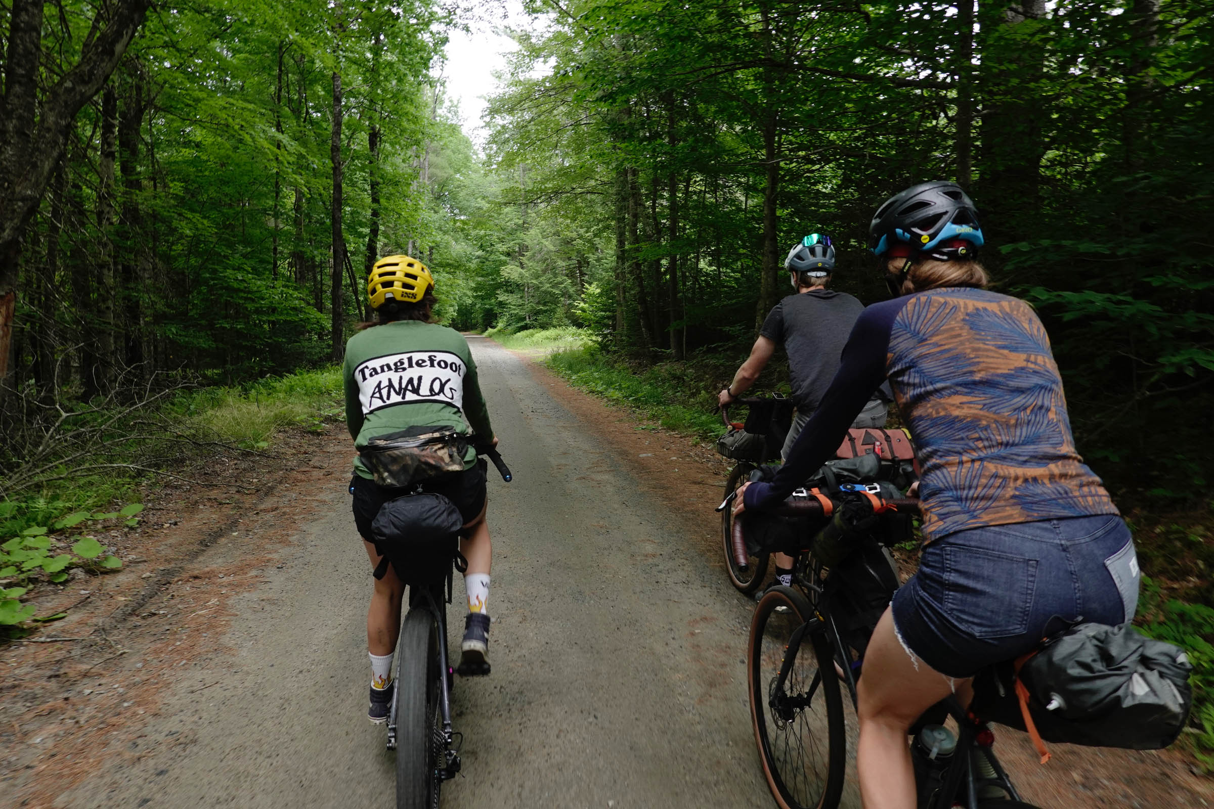
- Getting a taste of a quaint corner of Vermont in Poultney, home of Tanglefoot Cycles and the bikepacking and ATB-forward thinking Analog Cycles.
- The Adirondack Mountains: taking in the beautiful forests, wetlands, lakes, and rivers of the Adirondack Park.
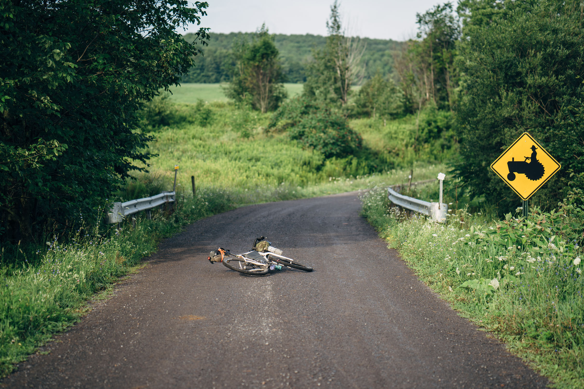
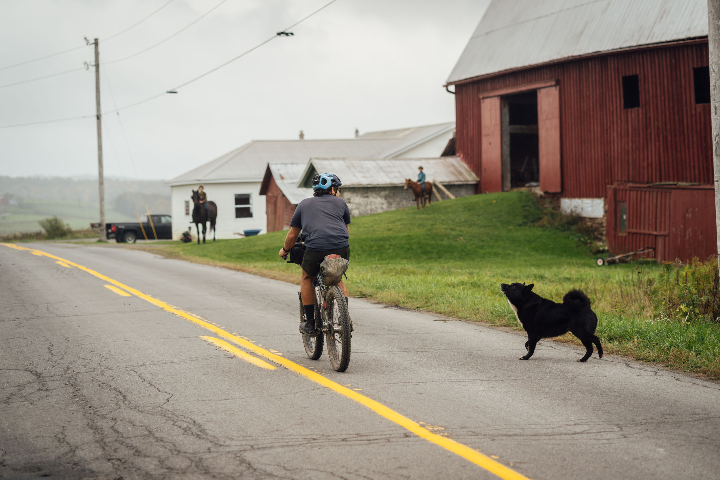
- Rolling on gravel and backroads through Amish farmland in upstate New York.
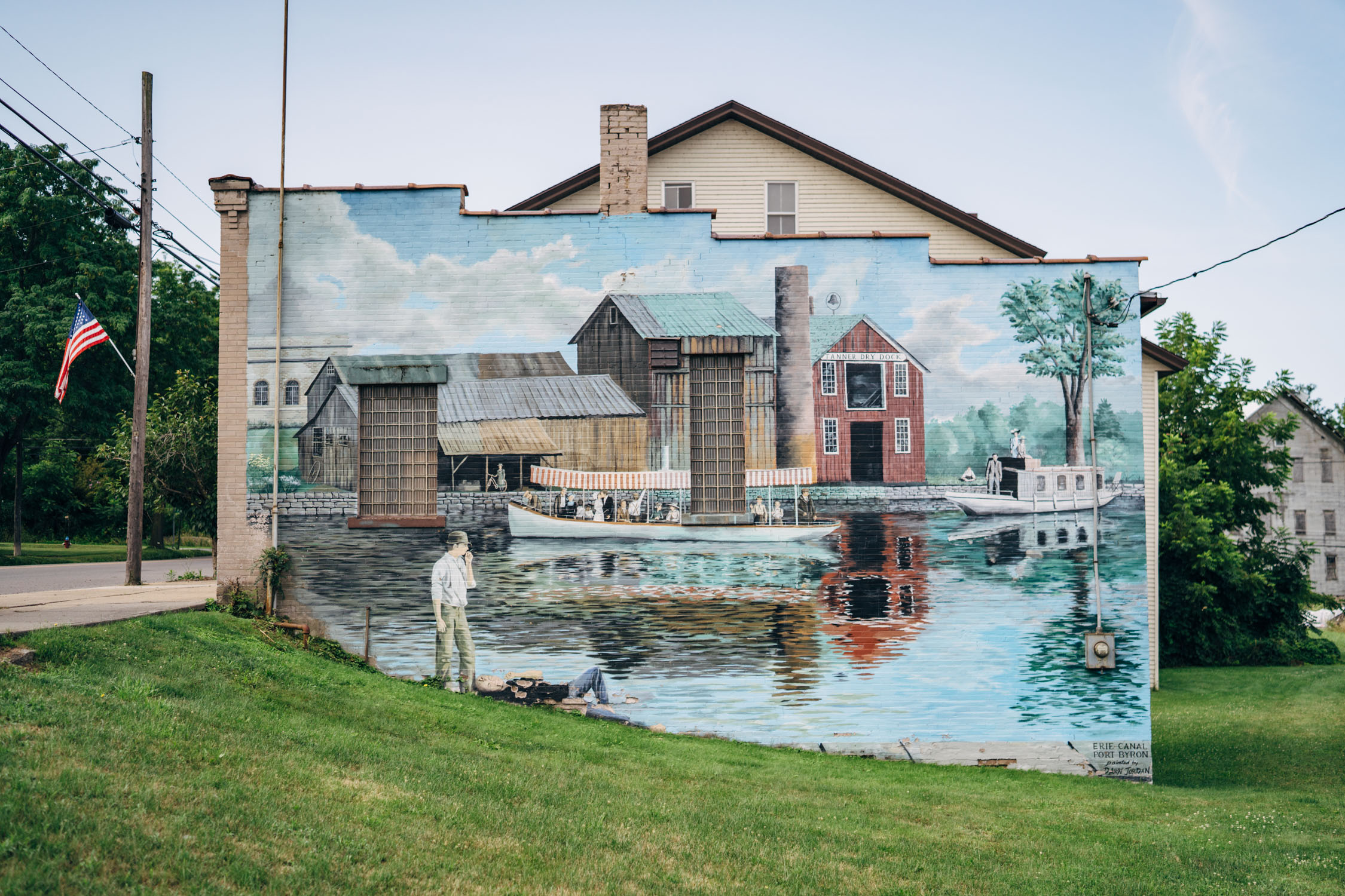
- Cruising along the Erie Canalway, a historic canal in New York between the Hudson River and Lake Erie. Completed in 1825, the canal was the first navigable waterway connecting the Atlantic Ocean to the Great Lakes, vastly reducing the costs of transporting people and goods across the Appalachians.
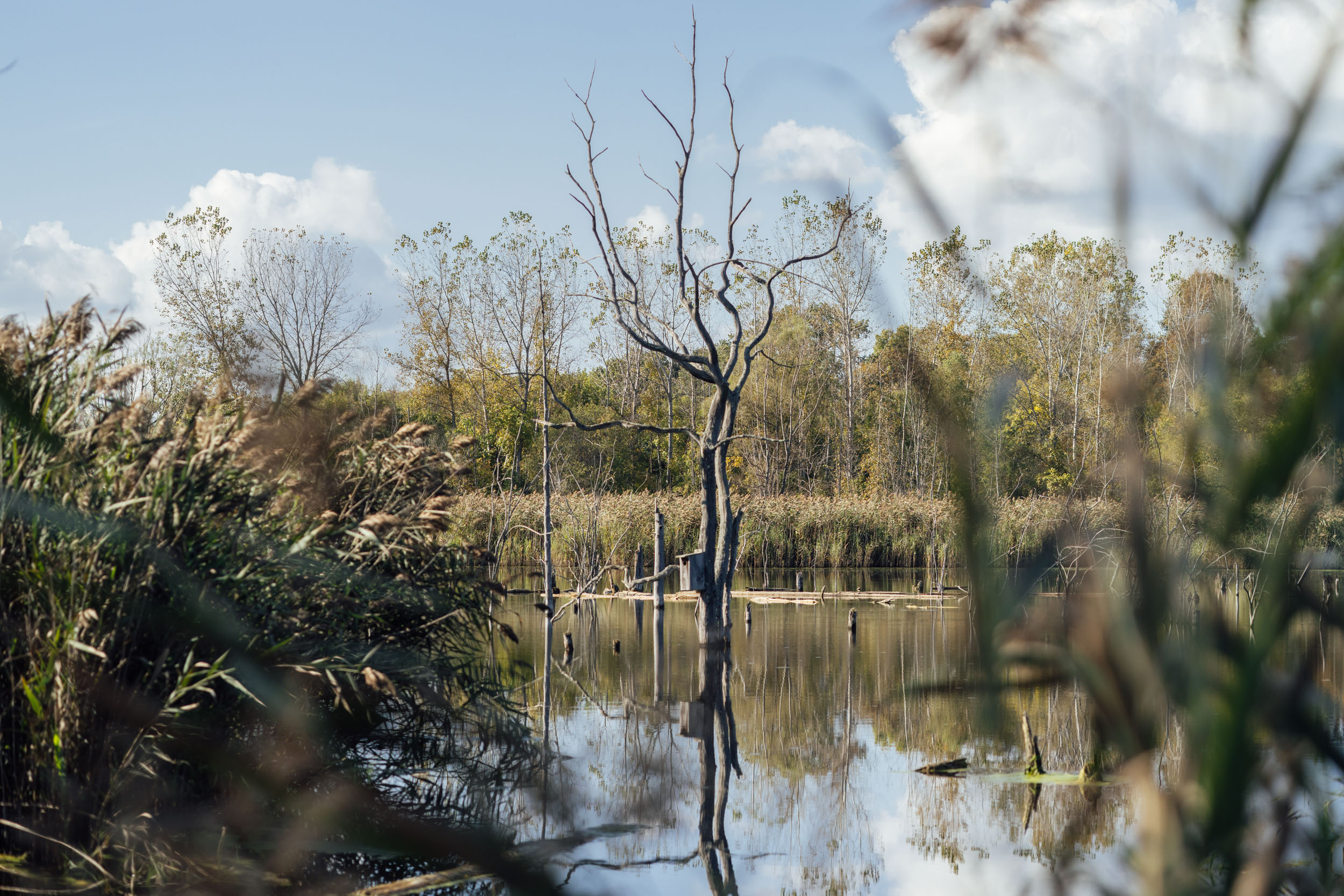
- The Finger Lakes region offers expansive views, quaint farming communities, lakeside resting spots, and opportunities to see wildlife in places such as the Montezuma Wildlife Refuge.
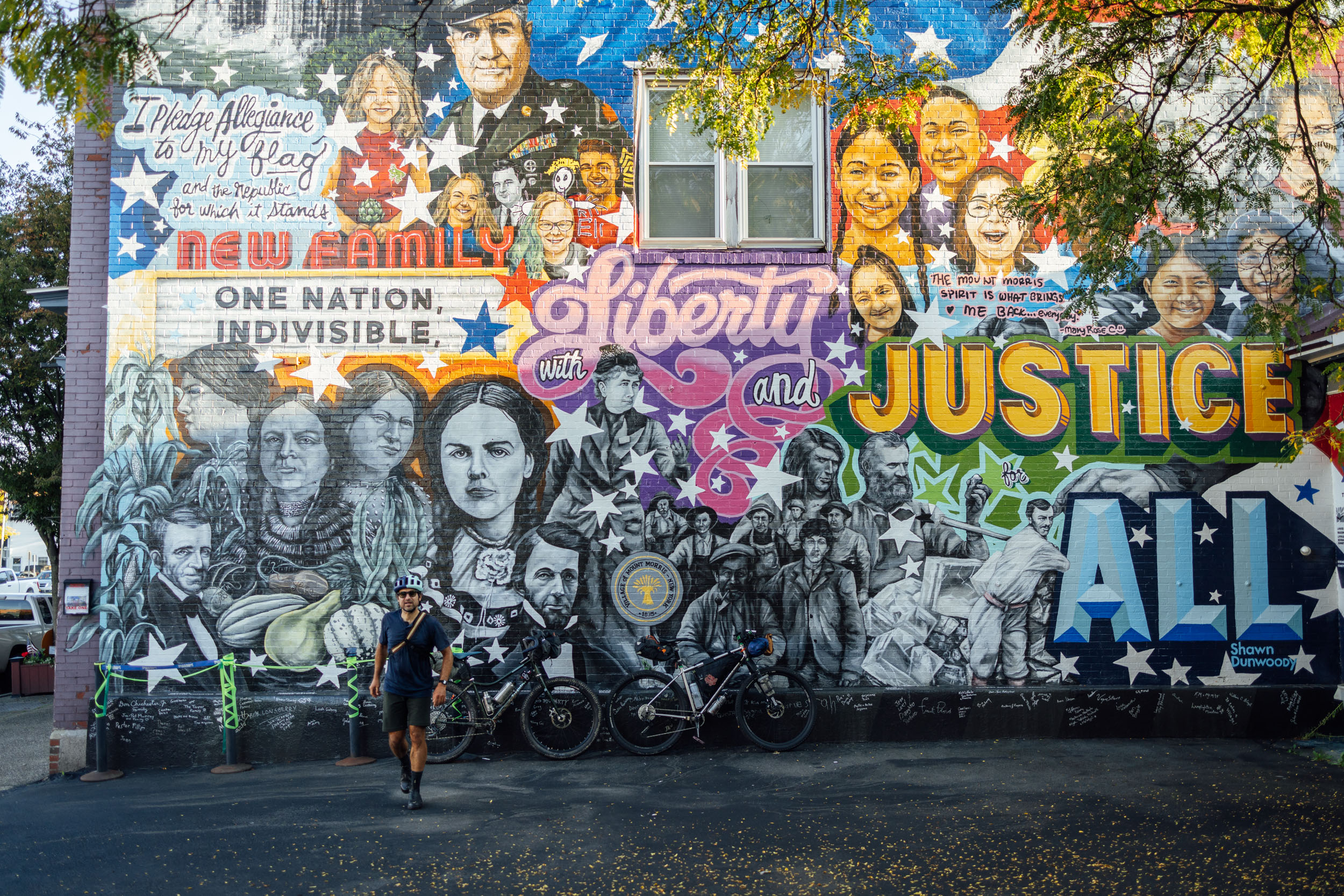
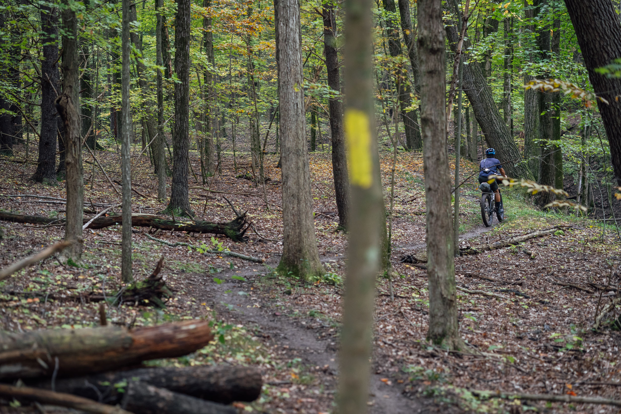
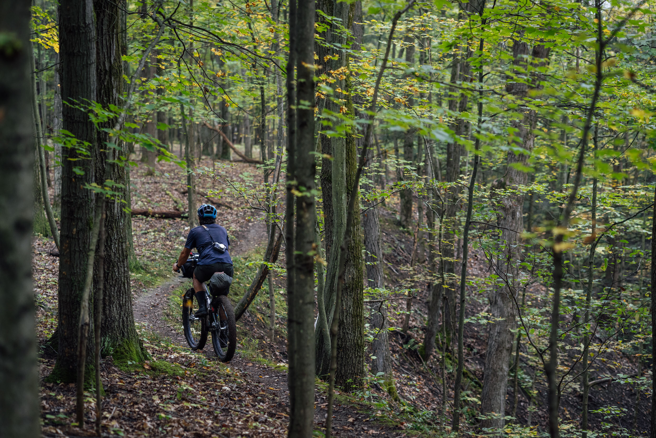
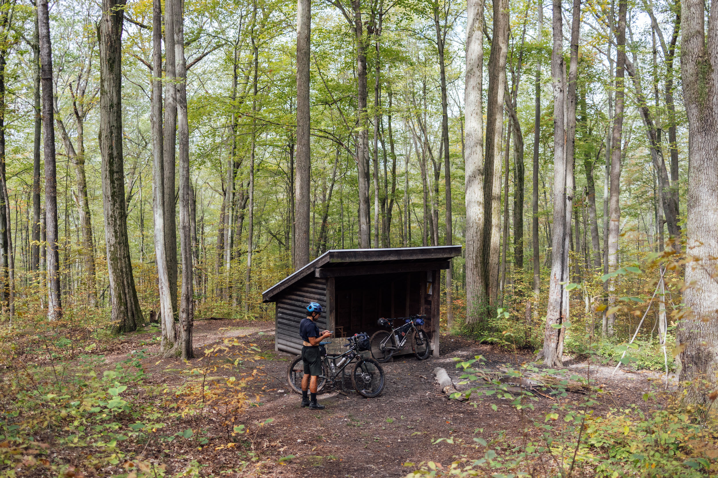
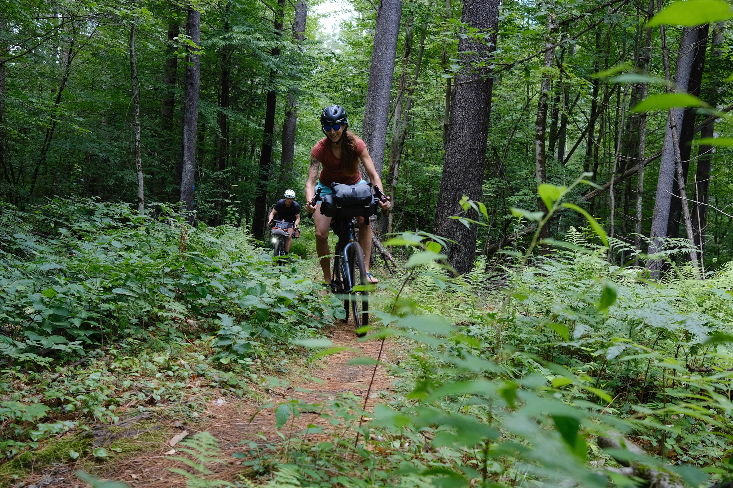
- The 15-mile section of singletrack in Letchworth State Park is one of the few sections of the Finger Lakes Trail open to mountain biking. This beautiful stretch of singletrack features twisty wooded trails, stream crossings, challenging climbs and descents, and a couple of camping shelters alongside the Genesee River Gorge.
- The stunning Upper Falls of the Genesee River and the Genesee River Gorge in Letchworth State Park—”The Grand Canyon of the East”—has cliffs that are 550 feet high in places.
- The Pine Creek Rail Trail (PCRT) is a beautiful 65-mile (105 kilometer) trail that USA Today named one of the World’s “10 great places to take a bike tour.”
- Bald Eagle and Rothrock State Forests in PA offer a remote riding experience with a wealth of great gravel and doubletrack that flows through Pennsylvania’s Ridge and Valley Appalachians.
Whereabouts describes a list of places and things that are a part of this route as a means to understanding its history. With research and writing by Tsinnijinnie Russell (@tsinbean).
pin Mile 32
Hudson River
Skahnéhtati (Beyond the pines), or Ka’nón:no (Splints in the water/Splint trees in the water)
The Hudson River runs almost entirely through Kanien’kehaka territory in what is now New York state, with the exception of its final 21-mile segment that forms the boundary between New York and New Jersey. Forming from postglacial Adirondack lakes near Mount Marcy, the river runs through eastern New York for 315 miles. The Hudson was strategically important for colonization and American victory during the Revolutionary War. It was also a major commercial route and the Erie, Delaware and Hudson, and Champlain canals linked the river to the Great Lakes and proved vital to the colonization of the Midwest.
pin Mile 48-190
The Adirondack Mountains
A massif in northeastern Upstate New York which was established in 1892 as the state-operated forest reserve called Adirondack Park. The Adirondacks cover about 5,000 square miles (13,000 sq km) and are home to more than 200 lakes, including Lake Placid and Lake Tear of the Clouds, which is the source of the Hudson River. The highest peak in the Adirondacks is Mount Marcy, towering 5,344 feet above sea level. The name of the range fomes from Ratirón:taks (They eat trees), which is said to be a derogatory term used by a rivaling tribe to refer to the Algonquin people who were in the area, or Ratirón:taks tsi iononténion/ionontahrónnion (Mountains of the Ratirón:taks), or Kohserà:ke (Place of winter [named more for the wilderness of the Adirondacks]), or Tsi Kario’tanákere (said to be the place of animals).
pin Mile 250/260
Oneida, NY and Oneida Lake
Oneniotè:ke (Place of standing stone) Ononhwaróhare
This city and lake are named after the Oneyoteaka people who were displaced from upstate New York and now reside on reservation land in Wisconsin. The Oneida Lake and Creek were principal areas of the Oneida homeland. The lake holds approximately 370 billions gallons, has an average depth of 22.3 feet, a length of 20.9 miles, and is 5.5 miles at its maximum width. Oneida Lake is a remnant of Lake Iroquois that was impounded by a glacier approximately 12,000 years ago. The first major development occurred in the early 1800s. Industrial initiatives included the logging and sand business, basket making, salt industry, summer resorts, and the glass industry.
pin Mile 336
Cayuga Lake
Kahoniókwen, or Kanawe’tà:ke (Kanien’kehaka words)
With an average width of 1.7 miles and a length of 40 miles, Cayuga Lake is the longest of the Finger Lakes. Montezuma National Wildlife Refuge is a large marshland preserve located at the northern tip of the lake; the marshland acts as a natural filter for the lake and is a resting, feeding, and nesting habitat for waterfowl and migratory birds.
pin Mile 348
Seneca Lake
Kanatasè:ke (Kanien’kehaka translation; “Place of the new town”)
Seneca Lake is the deepest of the Finger Lakes, with a max depth of 630 feet. It is 35 miles long and about 3 miles wide with an average depth of 291 feet. It houses approximately 4.2 trillion gallons of water and holds 50% of the water in the Finger Lakes Region. The lake was named after the Onondowahgah (Seneca) tribe who originally inhabited the area.
pin Mile 372
Canandaigua Lake
Tkanatarákwen (“A town chosen there”)
With a length of 16 miles and a width of 1 mile, this lake is where the Canandaigua Treaty was signed in 1794. The Six Nations of the Haudenosaunee Confederacy, which was one of the first treaties signed between a Native Nation and the United States. The treaty has been violated and strained, but is still actively recognized by the Six Nations and the United States Government.
pin Mile 424-445
Letchworth State Park
The Genesee River roars through this huge gorge, often referred to as the “Grand Canyon of the East.” There are three major waterfalls in the park with some cliffs as high as 600 feet. The park was established in 1907 and originally consisted of 1,000 acres. The Onondaga (Seneca) refer to the valley as Sehgahunda, or the “Vale of Three Falls.”
Deyuitga’oh, or “where the valley widens,” is located on the Western Bank of Mt. Morris and is downstream from Mt. Morris Dam. Deyuitaga’oh was the location of an Onondaga village that was there for at least a century. The site is now near the current-day landmark of the Gardeau Overlook. The Onondaga would move their villages periodically, around every 7-10 years, but would stay within the same general area.
pin Mile 546
Colton Point State Park
Located on the western rim of the Pine Creek Gorge (the Pennsylvania Grand Canyon), this 368-acre park owes much of its construction to the Civilian Conservation Corps of the 1930s. Highlights of this park include views of the Pine Creek Gorge and its sister park, Leonard Harrison State Park, which can be seen on the east rim. Due to clear-cutting in the 19th and early 20th centuries, the area is covered in second-growth forest. The area was often inhabited by Susquehannock peoples.
pin Mile 540-598
Pine Creek Rail Trail
Pine Creek: Tydachton (Haudenosaunee)
The Pine Creek Rail Trail is a 62-mile stretch that runs through the Pine Creek Valley and is commonly referred to as the “Grand Canyon of Pennsylvania.” The valley and its surrounding areas were originally dense with eastern white pine and hemlock; the logs were cut and sent down creek in “log drives” to the West Branch of the Susquehanna River and then to mills in Williamsport. In the 1880s and 1890s, railroads were built to transport lumber more efficiently. This led to the depletion of hemlock and white pine in the forest and greatly damaged the old-growth forests of Pine Valley. By 1910, the large sawmill in Slate Run had closed. In the 20th century, those same rail lines were used to transport coal, freight, and passengers between New York and Pennsylvania. In the later half of the 20th century, the Pine Creek Valley became an outdoor destination.
pin Mile 574
Wolf Run Wilderness Area
This 6,900-acre area is one of the more remote regions in Tiadaghton State Forest. The area is named after Wolf Run, a stream within the wild area. According to the Department of Conservation and Natural Resources (DCNR), this is a wild area that is “managed” by nature itself and has very little direct human intervention. The area is known for its diversity of songbirds, including many warblers. The valleys are strewn with northern hardwoods and conifers.
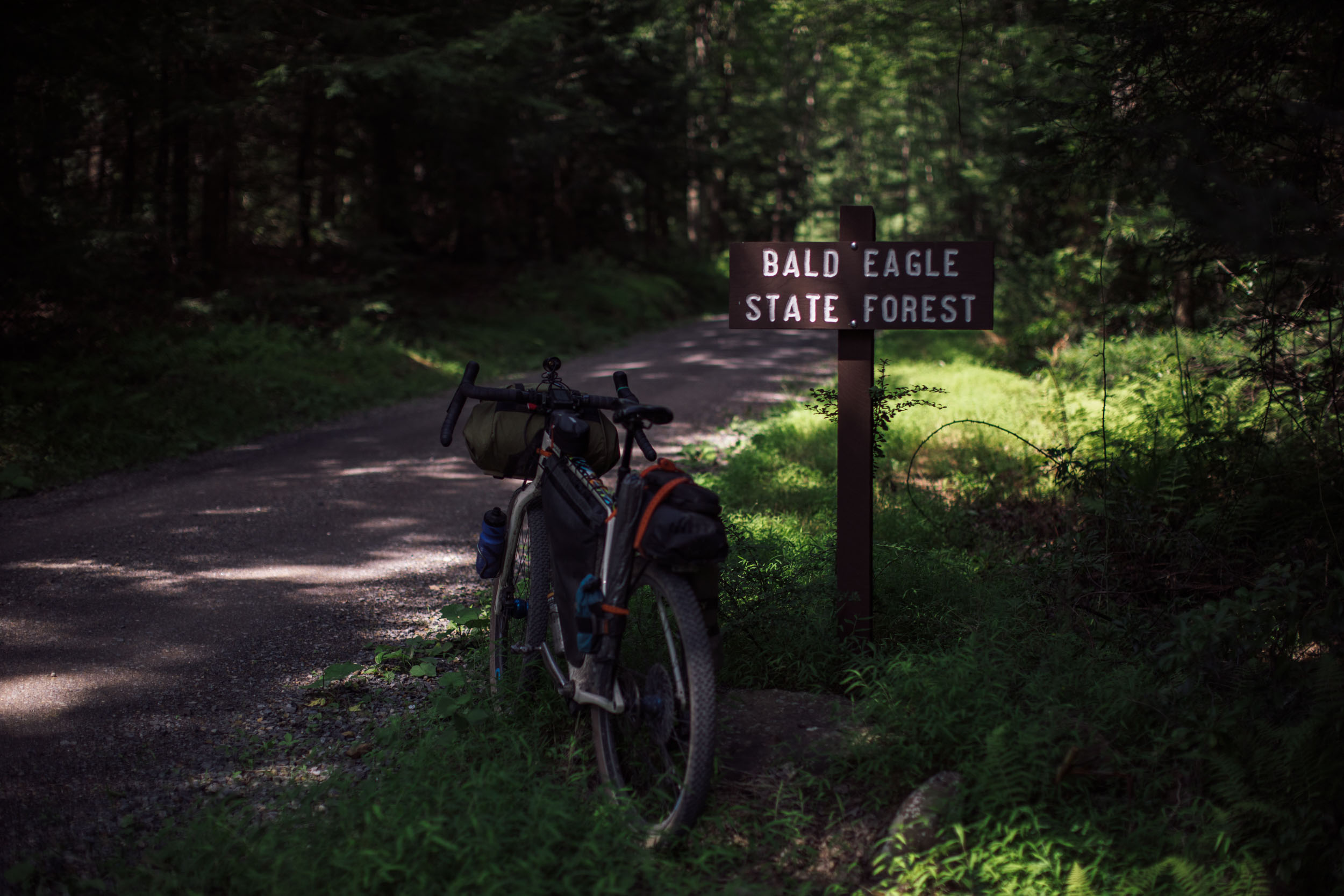
pin Mile 657
Bald Eagle State Forest
Named after Munsee Chief Woapalanne, also known as Chief Bald Eagle, who was a Lenape (Delaware) tribal leader during the mid-1700s in central and western Pennsylvania. Woapalanne also has numerous other areas bearing his name. He led war parties against settlements in the West Branch Valley and reputedly killed James Brady near Williamsport; he was killed in June 1779 by Brady’s brother in retaliation near Brandy’s Bend in Clarion County. The park itself is 194,602 acres and is filled with ridges, valleys, mountain streams, and numerous tracts of old-growth forest. Some of the sandstone ridges reach 2,300 feet above sea level.
Place Names – New York
Almost entirely Kanien’kehaka names for these locations
- Syracuse – Tsi kahio’tsísto (At where the salt is in the water), or Onontà:ke (On the mountain/hill) – Syracuse, NY
- Kanatasè:ke (Place of the new town) – Geneva, NY / Seneca Lake (NY)
- Rome, NY: Teiehonwahkwà:tha (What’s used to pick up boats), or Tiehoniokwáhtha (Where one takes the boat out of the water). The City of Rome began as a town on March 4, 1796.
- Oneniotè:ke (Place of standing stone) – Oneida, NY, and Ononhwaróhare – Oneida Lake (NY)
- Kahoniókwen, or Kanawe’tà:ke – Cayuga Lake (NY)
- Tkanatarákwen (A town chosen there) – Canandaigua, NY
- Kanahnòn:ke (Where it’s replenished [said so because of a story about a giant beaver damming the lake]), or Teiohóserare (Basswood around on it), or Anòn:warore (Hat [said because a European boat capsized and all that was seen afterward were hats floating]) – Lake Erie
- Kanatasè:ke (Place of the new town) – Geneva, NY / Seneca Lake (NY)
- Oniatarí:io (Beautiful Lake), or Kaniatarí:io, or Skaniatarí:io, or Oniarà:ke – Lake Ontario
- Skahnéhtati (Beyond the pines), or Ka’nón:no (Splints in the water/Splint trees in the water) – The Hudson River (NY)
- Ratirón:taks (They eat trees [named so because of the Algonquin people who were in the area]), or Ratirón:taks tsi iononténion/ionontahrónnion (Mountains of the Ratirón:taks), or Kohserà:ke (Place of winter [named more for the wilderness of the Adirondacks]), or Tsi Kario’tanákere (said to be the place of animals) – The Adirondack Mountains
- Ka’skonhtsherá:kon (Mohawk variant of the Seneca name Ga’sgöhsagöh [At the waterfall]) – Rochester, NY
Place Names – Northern PA
- Bald Eagle Creek – Named for a famous Munsee Chief called Woapalanne, “Bald Eagle.” His village was at Milesburg, Centre County, PA.
- Beech Creek – Schauweminsch-hanne, was the Lenape (Delaware) name for “Beech Creek.” The trail from Shamokin to Ohio used by Lenape (Delaware) and Shawnee followed Beech Creek.
- Shikellamy’s Town – the residence of Shikellamy, the vice-regent of the Haudenosaunee from his first coming to the Susquehanna, in 1727, until his relocation to Shamokin (Sunbury) in 1738. It was located on the West Branch of the Susquehanna, about half a mile below the present town of Milton, Northumberland County, PA.
- Long Island – “Cawichnowane” – Lenape (Delaware) name for “Long Isle” near the mouth of Pine Creek at Jersey Shore, PA, that was a favorite gathering place for the Indigenous people. Also, a shad fishery existed at the island.
- Cowanesque River – “At the long island” – referring to a four-mile long island between Osceola and Knoxville that existed in the 18th Century
- Knoxville canoe place – On the Cowanesque River, the upstream limit of navigation by canoe was at Knoxville, Tioga County, PA. Here, Indigenous people traveling west, north, or south, hid their canoes, to portage over the divide to the headwaters of the Allegheny River above Coudersport, Potter County, PA, or to the headwaters of the Genesee, or to the headwaters of the West Branch, by way of Pine Creek.
- Passigachkunk – “Board or shingle place” – name for former Seneca and Lenape (Delaware) Villages on the Cowanesque River at Knoxville and Academy Corners, respectively, in Tioga County, PA
- Pine Creek – crossing at Ansonia, PA. Cuwenhanne “Pine stream” – the name given to Pine Creek by the Lenape (Delaware). The Haudenosaunee name for Pine Creek was Tyadachton.
- Penn’s Creek – Kayarondinhagh, The Haudenosaunee name for Penn’s Creek
WHEN TO GO
- The best time to ride Segment 4 is from April to October. Expect cool nights at the beginning and end of this timeframe, with the potential of sub-freezing temps or even snow; check the weather in advance. Fall is ideal as the colorful leaf shows can be spectacular. The peak leaf time varies between mid-October and November.
- The route is rideable much of the year with the right preparation, depending on the severity of winter and snowfall accumulation. It’s best avoided from mid-December through March as much of the region may be covered in snow. The higher elevations can also experience ice and bitter cold at times. July to August can be hot and muggy, with frequent afternoon thunderstorms.
- Although less common than the southern portions of the EDT, hurricane season from August through November may have an impact on travel plans and can sometimes reach this far north and cause flooding in the river drainages.
LOGISTICS
- If you’re section riding or shuttling this route, there is legal, non-metered street parking in Poultney on Main Street. Locals have recommended that it’s probably the best bet for a place to leave a vehicle and is generally safe.
- If ending the route in State College, you can use part of this alternate. Note that we haven’t scouted this, so if you’re interested in checking it out, please let us know via the Route Alerts form linked below the map.
- Castleton, VT, just north of Poultney, has an Amtrak station that services the Ethan Allen Express, a train that goes to Albany and NYC, both cities with major airports.
- There is an airport and bus terminal in State College. Both Greyhound and Megabus offer service. There are also rental car options in town. You can find more info about transportation options here.
- Due to all of our scouting missions being through-rides, we’ve yet to source any good intel on a place to park at the route’s terminus. If you happen to learn any intel about parking or transportation possibilities in State College, please let us know.
DANGERS & ANNOYANCES
- Most of this route is in black bear country, particularly the Adirondacks and northern PA. It’s best to get in the habit of tying up your food at night while camping. Find details on the PCT method here.
- Biting black flies are common in the Adirondacks and beyond in the summer months. It’s advisable to bring bug spray and/or a head net.
- There are rattlesnakes and copperheads in this zone, too. Watch where you step and know how to deal with snake bites. Your chances of a dangerous encounter are low but be aware.
- Most of the route is within cell service, although there are several spots without. You might consider bringing a satellite tracker or emergency beacon in case of injury or catastrophic failure.
- While the majority of this route uses gravel and relatively low-traffic roads, there are a few spots worthy of extra caution. Several sections use relatively low-traffic roads, but as with any cycling outing, cars pose a threat. Wear bright colors and bring a rear blinker light.
- There is hunting within national and state land, wildlife management areas, and other public and private lands. Be sure to do your research on hunting seasons in these areas before setting out. And bring bright clothing, including a hi-viz orange vest if riding through any of them during hunting season.
WHAT BIKE?
- The best bike for this segment, as well as the entire Eastern Divide Trail, is an ATB or Tour Divide-style bike. For drop-bar aficionados, the Salsa Fargo and Cutthroat come to mind, or the Surly Ghost Grappler or Tumbleweed Stargazer. For those who prefer flat bars, any moderate hardtail or rigid 29er would be great, such as the Surly Ogre or Bridge Club, Salsa Timberjack, or Otso Fenrir.
- Considering the bullet point above, this is one of the more mellow segments as far as surface technicality is concerned. If you’re riding this segment on its own, it’s largely rideable on a gravel bike with 45-47mm tires, but there are two significant stretches of relatively rough singletrack that will likely lead to walking the bike on occasion.
- As for tires, we still like fast-rolling, ~2.2” XC rubber for this ride. Tires that folks like for the Tour Divide work well. The Maxxis Ikon, Teravail Ehline, and Vittoria Mezcal are all tires we’ve used while scouting.
- There are significant bike shops in Poultney, VT, Glens Falls and Syracuse, NY, and State College, PA.
- There are campgrounds and established campsites within national forest and state land throughout the route. Many prominent options are noted in the downloadable GPX file, but there are more.
- Depending on your fitness, commitment to night riding, and/or pace, there may be a couple of spots where wild camping or renting a hotel might be necessary. The most significant stretches without camping are the 100 miles between Independence River Wild Forest and Green Lakes State Park and the roughly 90 miles between Green Lakes State Park and Letchworth. There are wild camping options and towns with lodging, parks, and facilities in between, however. It’s best to study the map and make a judgment call based on your pace.
- If wild camping is a must, we recommend setting up after dusk and leaving at dawn. Camping discreetly behind churches, parks, and other public places is usually safe, but use your own judgment and leave no trace.
- There are hotels/motels/lodging in Glens Falls, Warrensburg, North Creek, Indian River, Rome, Syracuse, Weedsport, Seneca Falls, Geneva, Canandaigua, Mt. Morris, Hornell, Jersey Shore, and State College, with a few other options not too far off route.
- Segment 4 finishes near State College, PA, which has several lodging options.
- Filterable water is available on most of the more remote parts of this route. There are a couple of water sources noted on the downloadable GPX file in strategic locations.
- Churches and other public buildings are a good source of drinking water as there are often spigots available. Make sure to ask if there is someone on site.
- There are a fair number of resupply options on this route, as noted in the POIs of the downloadable GPX file. The longest stretch without resupply is at the end, from Jersey Shore, PA to the finish near State College, which is about 100 miles. And if you’re continuing on Segment 5, that adds another 25 miles before you reach Huntingdon. The section between Eagle Bay and Lowville in the Adirondacks is also pretty sparse (about 80 miles)..
- From north to south, we recommend the following places for food and drinks along the route: Taps Tavern in Poultney, VT, is the go-to watering hole and is open for dinner Tuesday-Saturday until 9 p.m. Mi Rancho is just off-route in Glens Falls, NY, and comes recommended. Cafe Sarah in Northcreek is a great bakery and place to stop for breakfast or lunch. Indian Lake Restaurant in Indian Lake. BeeHive Brew Pub in Canandaigua is great, and if you have time and want to veer off route, Other Half Brewery is excellent. Boriken Restaurant (Puerto Rican) in Mt. Morris comes recommended. Pag-Omar Farmers Market at the northern terminus of the PCRT has great sandwiches.
Here is an example itinerary based on averaging about 59 miles per day. This is a solid baseline that a fairly fit through-rider carrying a medium-light load might consider a reasonable bikepacking itinerary. Note that this is a moderately challenging itinerary, so many riders might average shorter days, and others will attempt longer mileages.
locationPoultney, VT-Luzerne State Campground, NY
Day 1 (53 mi +2,600 ft)
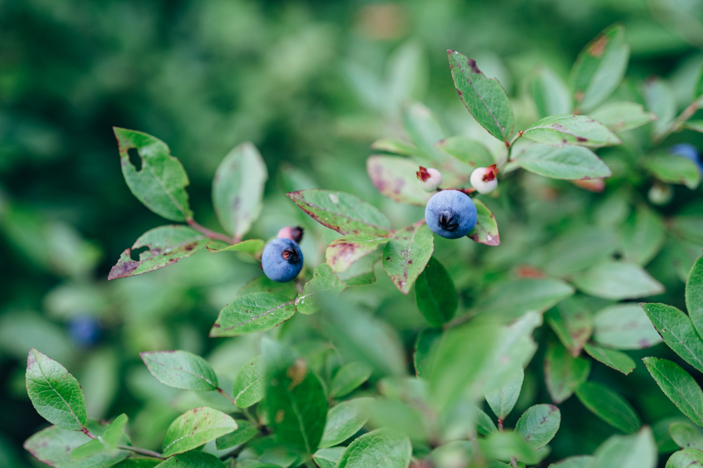
Poultney is on the Vermont and New York border, so leaving town also means saying farewell to New England. You’re now headed toward the Adirondacks, the crown jewel of public lands in New York. The first hour is substantially on asphalt, but the roads braid through pasture land and are quiet and scenic. In summertime, keep an eye out for farm stands with fresh fruit where you’ll leave payment in a cash box for delicious raspberries, blueberries, or cherry tomatoes. There is little pressure on resupply since you’ll soon enough reach Glens Falls, a substantial small city with every conceivable opportunity for resupply or otherwise. North Granville and Fort Ann come even sooner if you’re feeling peckish since leaving Poultney. The short time spent on the crushed stone Champlain Canalway is pleasant, with the chance to see canal locks at work and to learn some of the history of the extensive canal system that once vitally served this part of the country. After Glens Falls, the plausible end goal is Luzerne State Campground with its friendly staff, pleasant tent sites, and modern and clean hot showers.
locationLuzerne State Campground-Cedar River
Day 2 (70 mi +5,660 ft)
Although there’s a significant stretch of pavement from North Creek to Indian Lake, the segment from Luzerne State Campground to the Cedar River Campsites achieves a satisfying rhythm of dirt sections. Each is pleasant and straightforward in its own right, several are next to rivers and streams, and the overall effect is of quiet contemplative pedaling. The asphalt bits, especially Rt 28, are busier, so you will want to keep alert. Warrensburg has substantial resupply opportunities, though accessing it requires an approximately 1-mile (1.6-kilometer) detour off route to get to a grocery store and restaurants (and then requires backtracking the same distance). The old rail station in Riparius is fun to admire, and soon after that is one of the most charming dirt sections of the day to North Creek. Stock up there or a couple of hours later at Indian Lake. The dirt road coming up after Indian Lake is well known locally as the race course for the Black Fly Challenge, held on the second Saturday of June. It celebrated its 25th anniversary in 2022, so it deserves its reputation as one of the old guard of gravel races. Cedar River Campsites is a remote, forested campground complete with picnic tables, fire rings, and pit toilets.
locationCedar River-Independence River Wild Forest
Day 3 (56 mi +3,100 ft)
From the Cedar River Campsite, the route continues on the Black Fly Challenge course via a beautiful gravel road that’s sandwiched in between Moose River Plains and Little Moose Mountain Wilderness in the heart of the Adirondacks. It tops out at an elevation of 2,641 feet, the highest point on this segment. From the high point, the route continues going down and up on gravel before landing in the town of Inlet on the banks of “Fourth Lake” of the Fulton Chain Lakes. Inlet is a tourist town and makes a great resupply stop with a couple of well-stocked stores and restaurants. After Inlet, the route rolls around the lake and joins a series of forest roads, gravel, and ATV tracks heading northward toward Big Moose, Stillwater Reservoir, and Independence River Wild Forest. The Wild Forest has a couple of roadside camping options near the reservoir as well as a Ranger Station and a small convenience/camp store.
locationIndependence River Wild Forest-Rome, NY
Day 4 (70 mi +2,660 ft)
Day four is another long-mileage day, but fortunately, there’s more descending than climbing. Finishing the beautiful forest gravel roads in Independence River Wild Forest, the route joins a quiet paved road to descend toward Lowville. This is a low-traffic backroad but take caution. There are plenty of resupply and restaurant options in Lowville. Grab lunch before climbing up Whetstone Gulf through a patchwork of rolling Amish farms and pastoral countryside. From there, there’s a series of gravel and backroads connecting several State Forests to roll south toward Rome. There are hotels and resupply options in Rome, but if you’d rather find a campsite, you could potentially wild camp in one of the State Forests along the way or hunker down somewhere around the Erie Canalway.
locationRome-Montezuma National Wildlife Refuge
Day 5 (82 mi +1,000 ft)
From Rome, the route joins the Erie Canalway and sets up day five for the longest mileage on this segment. The Erie Canalway is a National Heritage Corridor that follows the Erie Canal, a water passage built between 1817 and 1825 that traversed 363 miles from Albany to Buffalo. It was the longest artificial waterway and the greatest public works project in North America. There are plenty of interesting historical plaques, locks, and structures to admire on the way as well as a lot of birdlife and scenery to be had. The route rolls through several towns and the big city of Syracuse before heading into the Finger Lakes region of NY. There is a campground just next to Tschache Pool and the Montezuma Wildlife Refuge. If you need to stop before, there’s lodging available in Weedsport.
locationMontezuma National Wildlife Refuge-Wadsworth Junction
Day 6 (70 mi +1,430 ft)
After Montezuma, Trillium connects the tops of the three largest Finger Lakes—Cayuga, Seneca, and Canandaigua—via a series of canalway trails and rail trails. The Finger Lakes are a group of eleven long, narrow, roughly north–south glacially formed lakes; Cayuga and Seneca are among the deepest lakes in the US. The route continues south of Rochester, joining the Lehigh Rail Trail and ultimately the Genesee Valley Greenway (GVG) at Wadsworth Junction. There is no official campsite or lodging option, but those comfortable with wild camping shouldn’t have a problem finding a spot in the little-populated area south of there. Pitch late, strike early, and leave no trace.
locationWadsworth Junction-Letchworth State Park
Day 7 (37 mi +1,700 ft)
Segment 4 continues south on the GVG from Wadsworth to Mt. Morris, a well-appointed town on the north end of Letchworth State Park. There are plenty of options for eating, drinking, and stocking up there. Check out the Boriken Puerto Rican Restaurant. From Mt. Morris, you’ll be getting on the Letchworth State Park singletrack promptly. Don’t underestimate this trail; it can be slow going at times with twisty climbs and creek crossings. There are two shelters on the trail. Both are marked on the map and have areas around them where you can set up a tent if you prefer.
locationLetchworth State Park-Hornell
Day 8 (50 mi +4,300 ft)
Day eight can be a big ride, so be sure to get an early start. Again, the Letchworth singletrack can be slow going, and you’ll want to stop and admire the Genesee River Gorge and High Falls. From there, the route becomes a scenic gravel roller coaster with big climbs and fast descents through farmland and forests. The last stretch of State Forest is Bully Hill, where there are a few options for wild camping, or you can carry on to Hornell if you’re looking to get a hotel room and a warm meal.
locationHornell-PCRT (Pennsylvania)
Day 9 (58 mi +4,700 ft)
From Hornell, the paved roads give way to gravel, and the climbing persists. However, you’ll be rewarded with a beautiful ridge ride and a fast descent across the Pennsylvania border. Don’t get too comfortable, though. Another big climb awaits as you ascend the final ridge over to the Pine Creek Rail Trail. After the long gravel climb, look for a power pole near where the GPX shows a left turn. There’s a faint trail that connects to the singletrack. From there, you begin the singletrack descent down Straight Run that gets fun and rowdy at the bottom with a couple of rocky creek crossings before you join a gravel road and coast down to the PCRT. There are multiple campgrounds on the PCRT, so where you stop will depend on what you have left in the tank.
locationPCRT-Jersey Shore
Day 10 (54 mi +1,400 ft)
Continuing a lovely downhill bearing on the PCRT, the route is scenic with plenty of places to fill up water and stop for snack breaks. There are general stores in Cedar Run, Slate Run, and Waterville, and the Venture Inn pub makes a nice stop once you get close to Jersey Shore. The last campsite is before that, about eight miles from town. There are also plenty of eateries and shops for resupply in Jersey Shore, which is the last resupply option for about 140 miles if you’re continuing on Segment 5 and about 110 miles if you are finishing in State College.
locationJersey Shore-Paddy Mountain
Day 11 (51 mi +5,700 ft)
From the PCRT or Jersey Shore, the route takes a sharp upward trajectory into the Bald Eagle State Forest and Pennsylvania’s ridges and valleys. A lot of up and down on backcountry gravel roads and doubletrack takes you through the forests and a lot of remote hunting camps. There are a couple of viewpoints and campsites along the way, and this itinerary stops near Paddy Mountain where there are a couple of campsites marked on the map, or you can continue to Poe Paddy State Park, where there are 40 campsites and toilets.
locationPaddy Mountain-Finish
Day 12 (49 mi +4,500 ft)
Segment four carries on through Bald Eagle and Rothrock State Forests, where forested gravel roads and more rough doubletrack roads alternate over ridges and through valleys until you reach a relatively nondescript intersection on McAlevys Road. If you’re continuing on, see Segment 5 guide here. Otherwise, you can use this connector to get to State College. Thank-you Max Lloyd for providing a safe connection to State College!


Terms of Use: As with each bikepacking route guide published on BIKEPACKING.com, should you choose to cycle this route, do so at your own risk. Prior to setting out check current local weather, conditions, and land/road closures. While riding, obey all public and private land use restrictions and rules, carry proper safety and navigational equipment, and of course, follow the #leavenotrace guidelines. The information found herein is simply a planning resource to be used as a point of inspiration in conjunction with your own due-diligence. In spite of the fact that this route, associated GPS track (GPX and maps), and all route guidelines were prepared under diligent research by the specified contributor and/or contributors, the accuracy of such and judgement of the author is not guaranteed. BIKEPACKING.com LLC, its partners, associates, and contributors are in no way liable for personal injury, damage to personal property, or any other such situation that might happen to individual riders cycling or following this route.
Please keep the conversation civil, constructive, and inclusive, or your comment will be removed.