


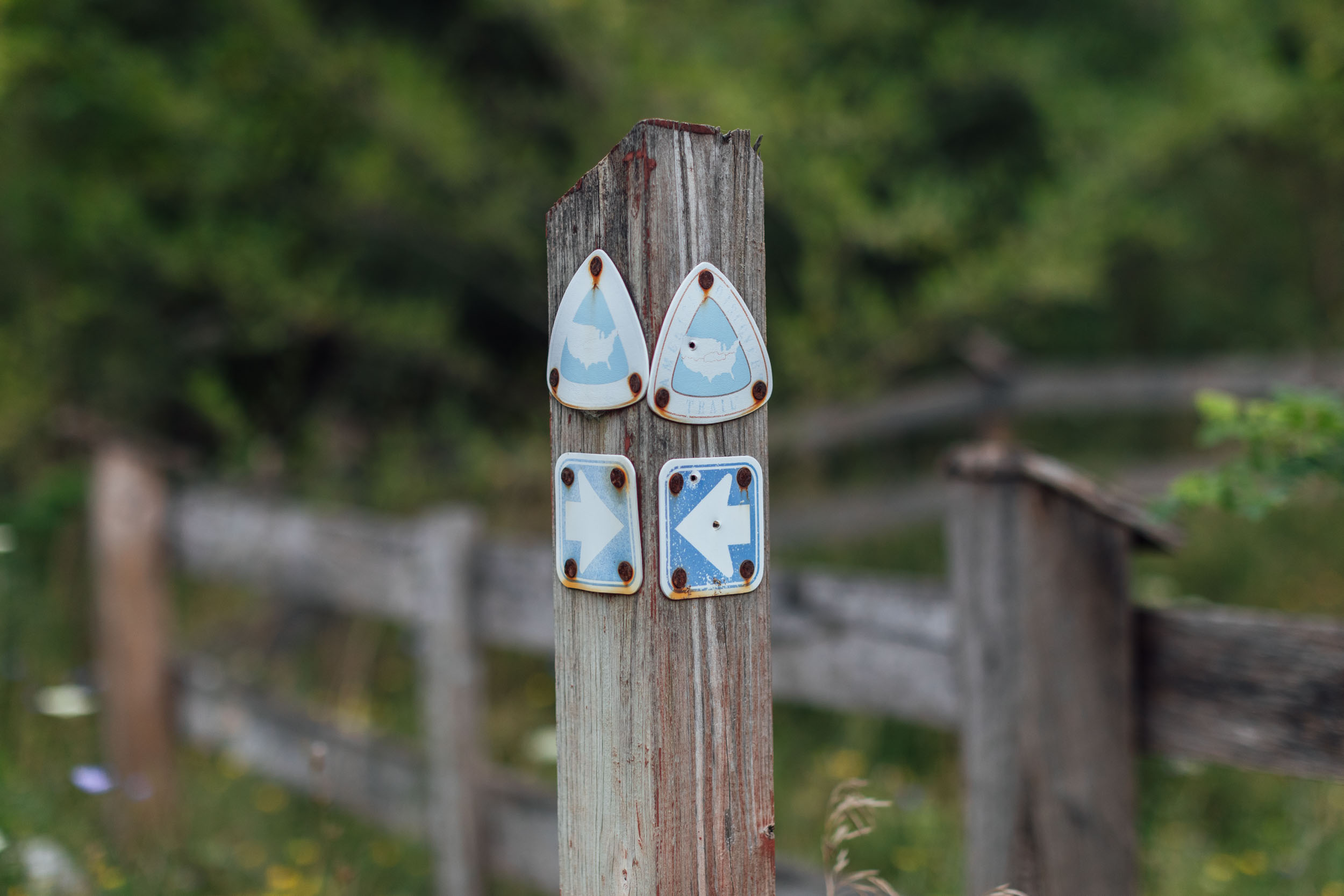
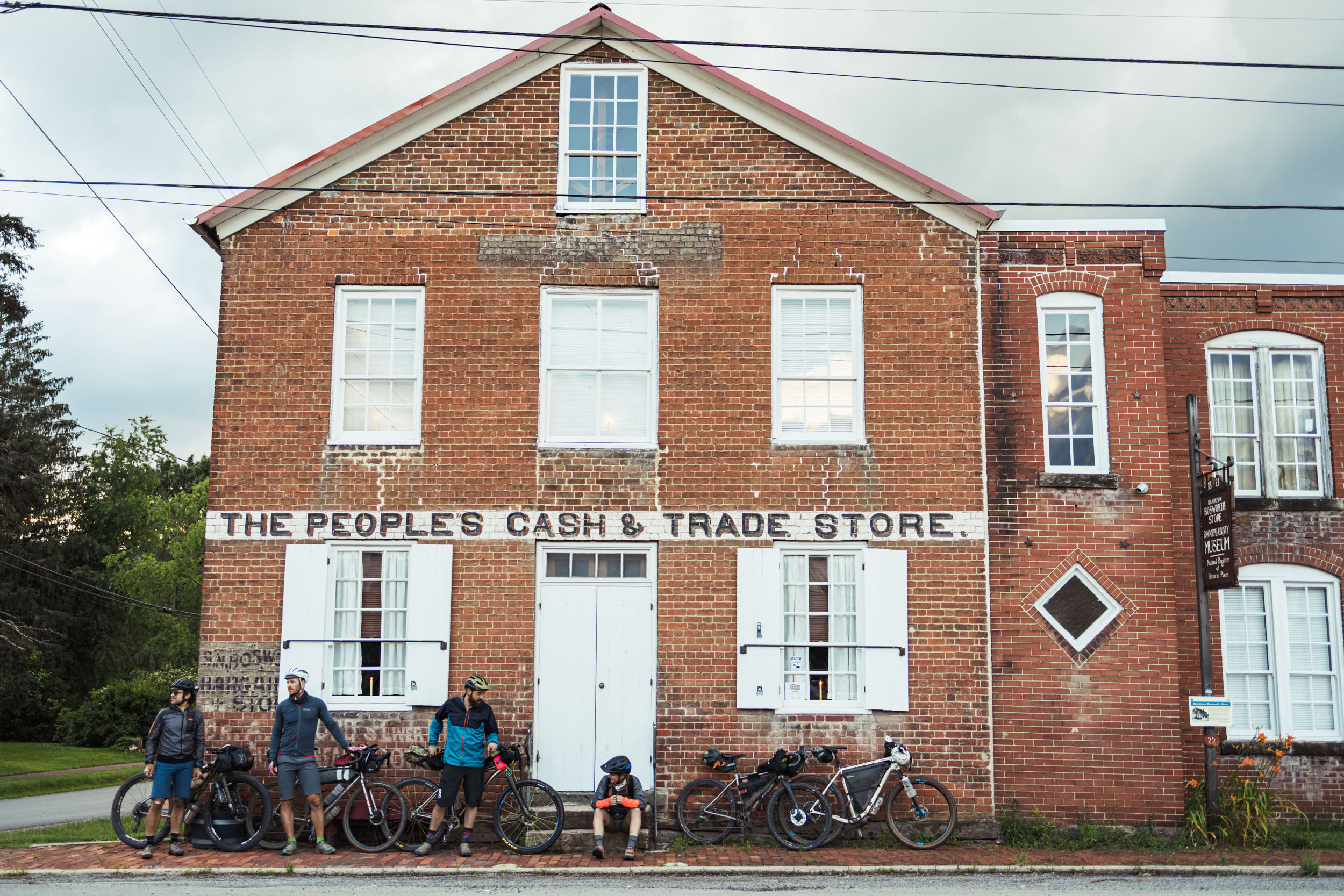
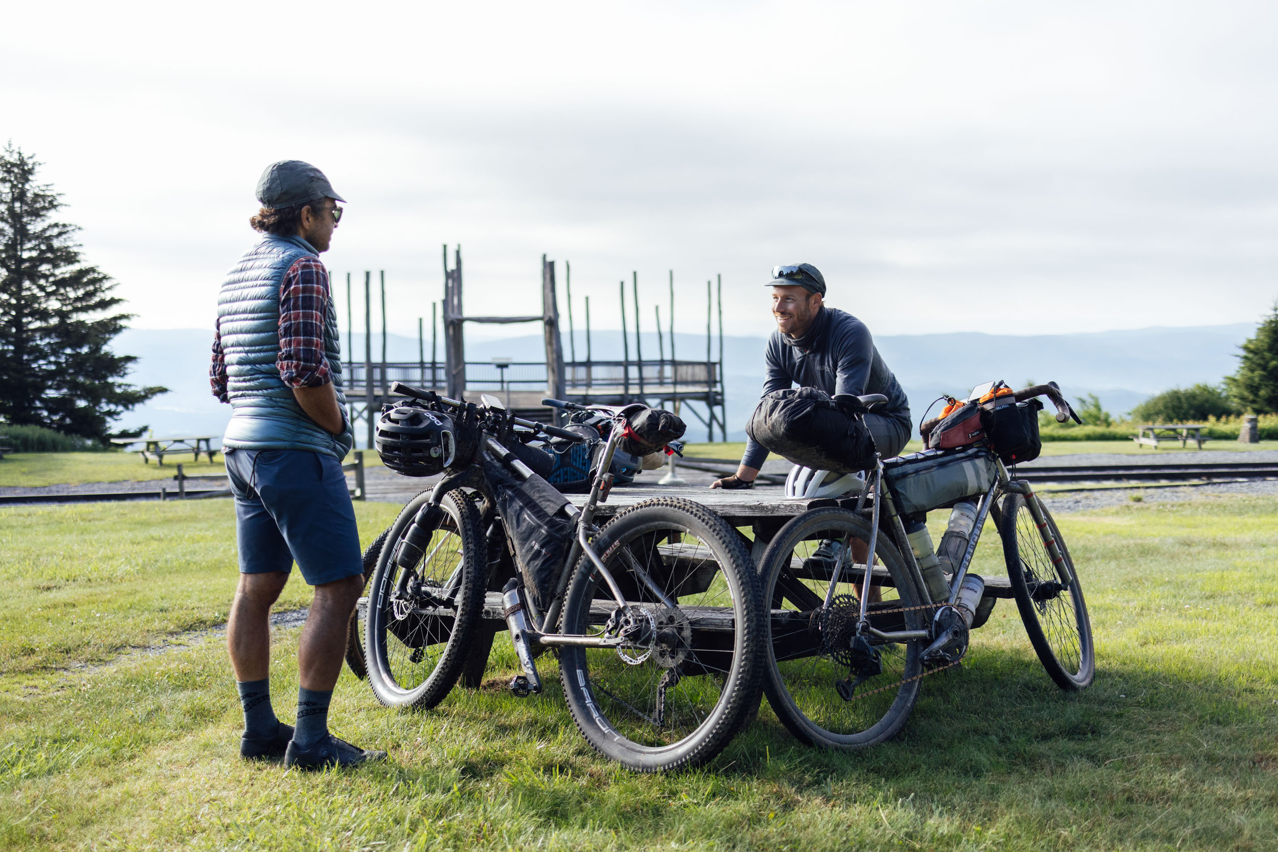
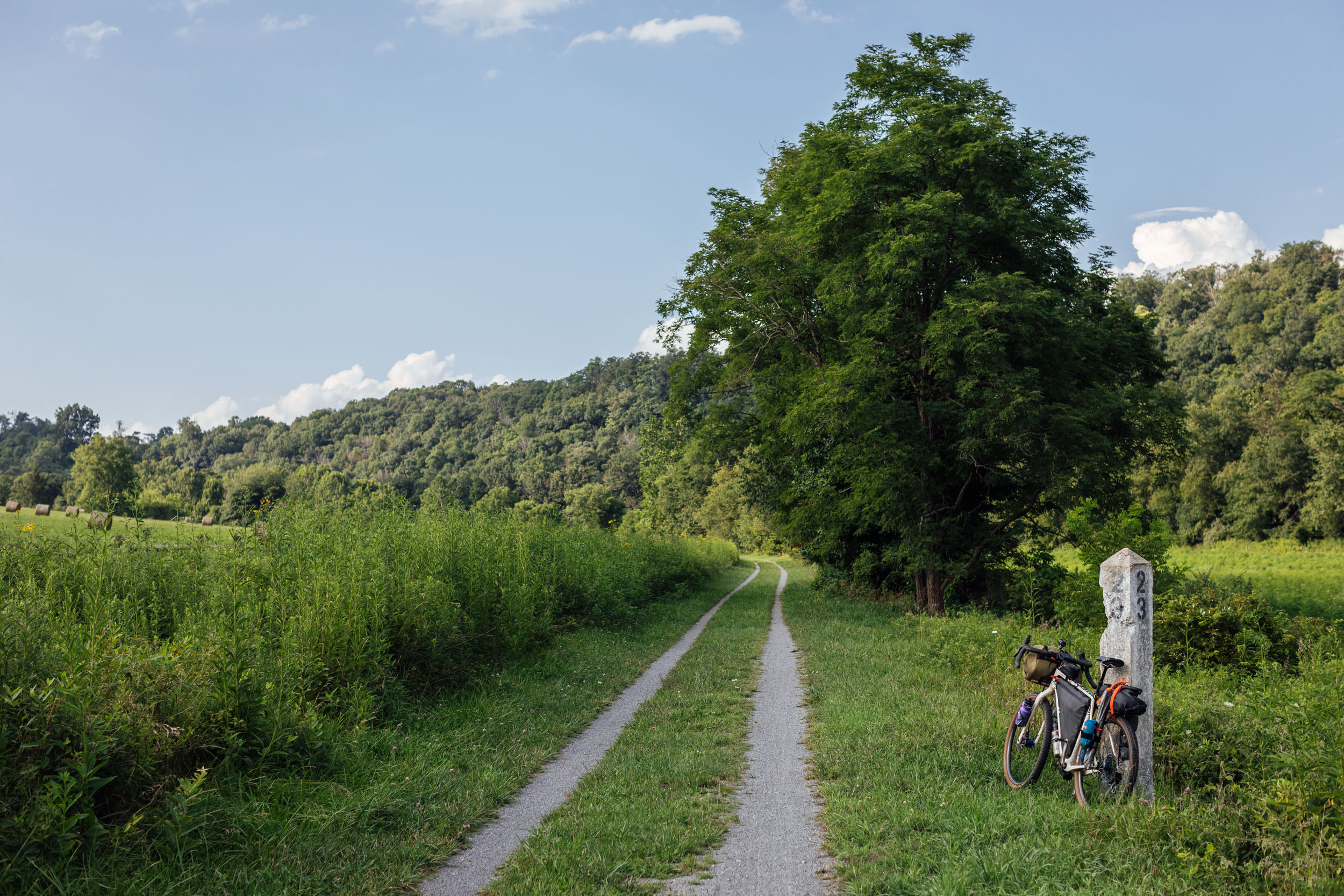
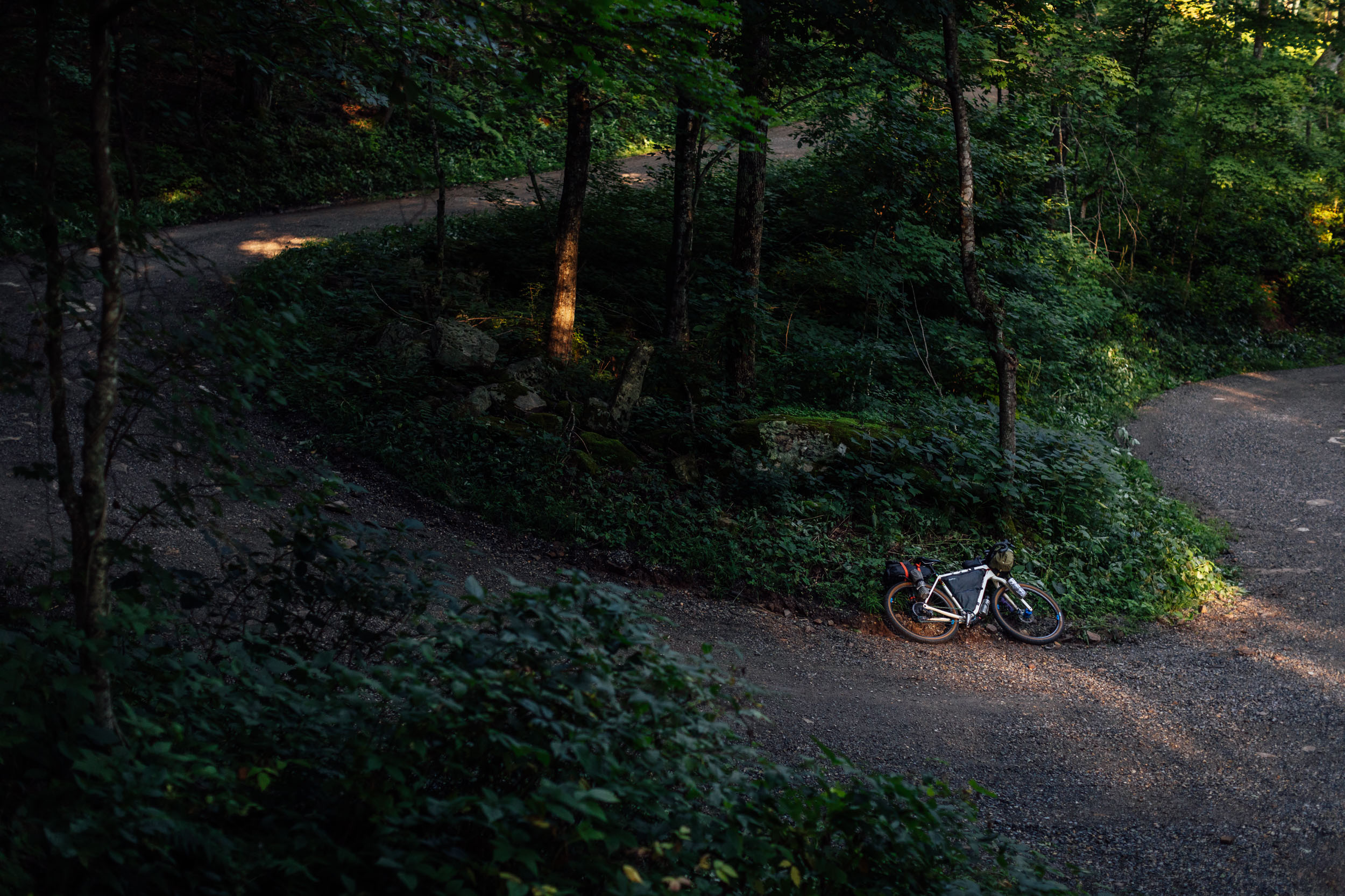
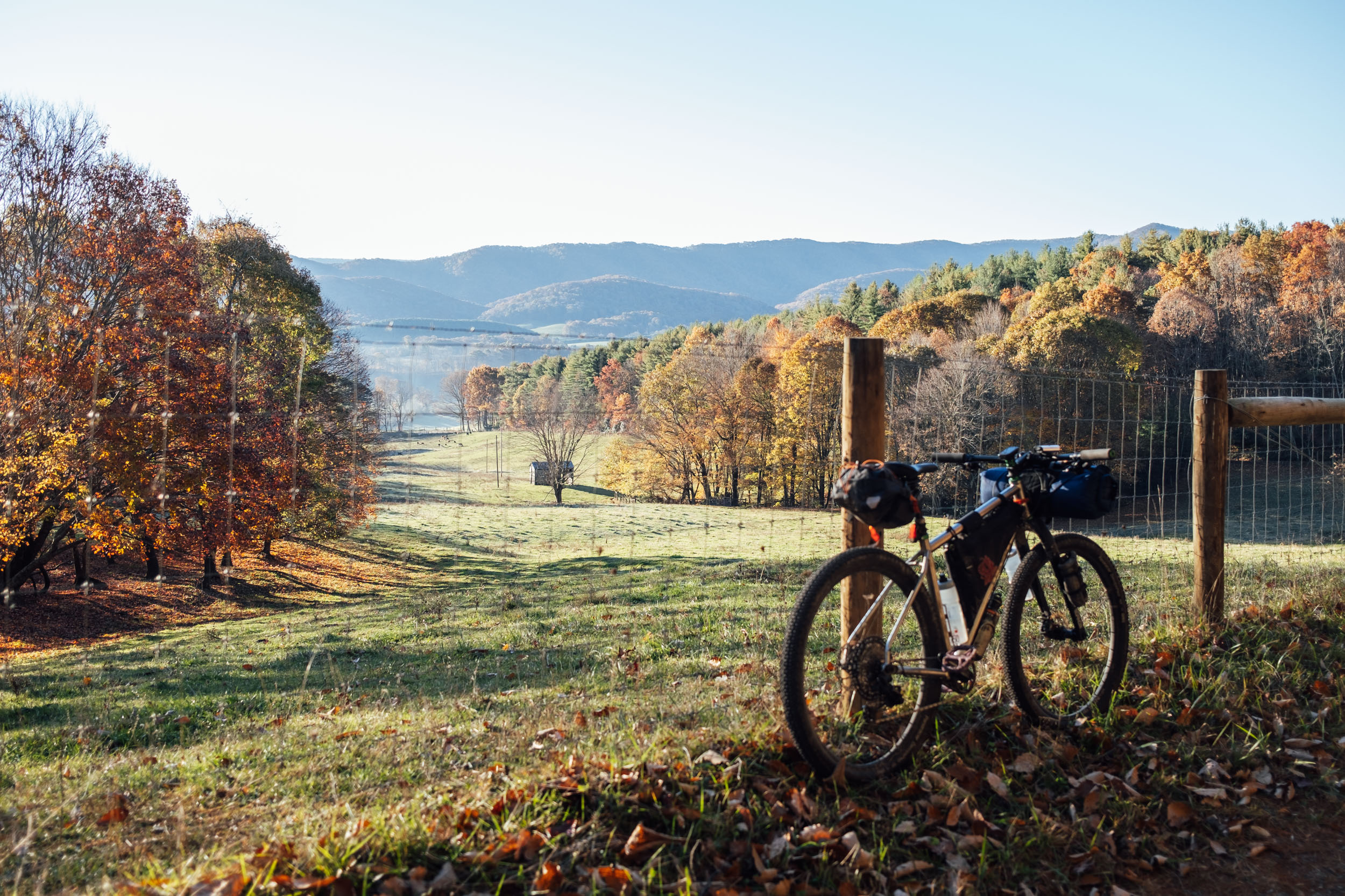
Eastern Divide Trail (S5): Hellbender
Distance
725 Mi.
(1,167 KM)Days
13
% Unpaved
65%
% Singletrack
3%
% Rideable (time)
99%
Total Ascent
62,000'
(18,898 M)High Point
5,433'
(1,656 M)Difficulty (1-10)
6?
- 6Climbing Scale Moderate86 FT/MI (16 M/KM)
- 6Technical Difficulty Moderate
- 7Physical Demand Difficult
- 5Resupply & Logistics Moderate
Contributed By

Logan Watts
Founding Editor
Main image by Jess Daddio
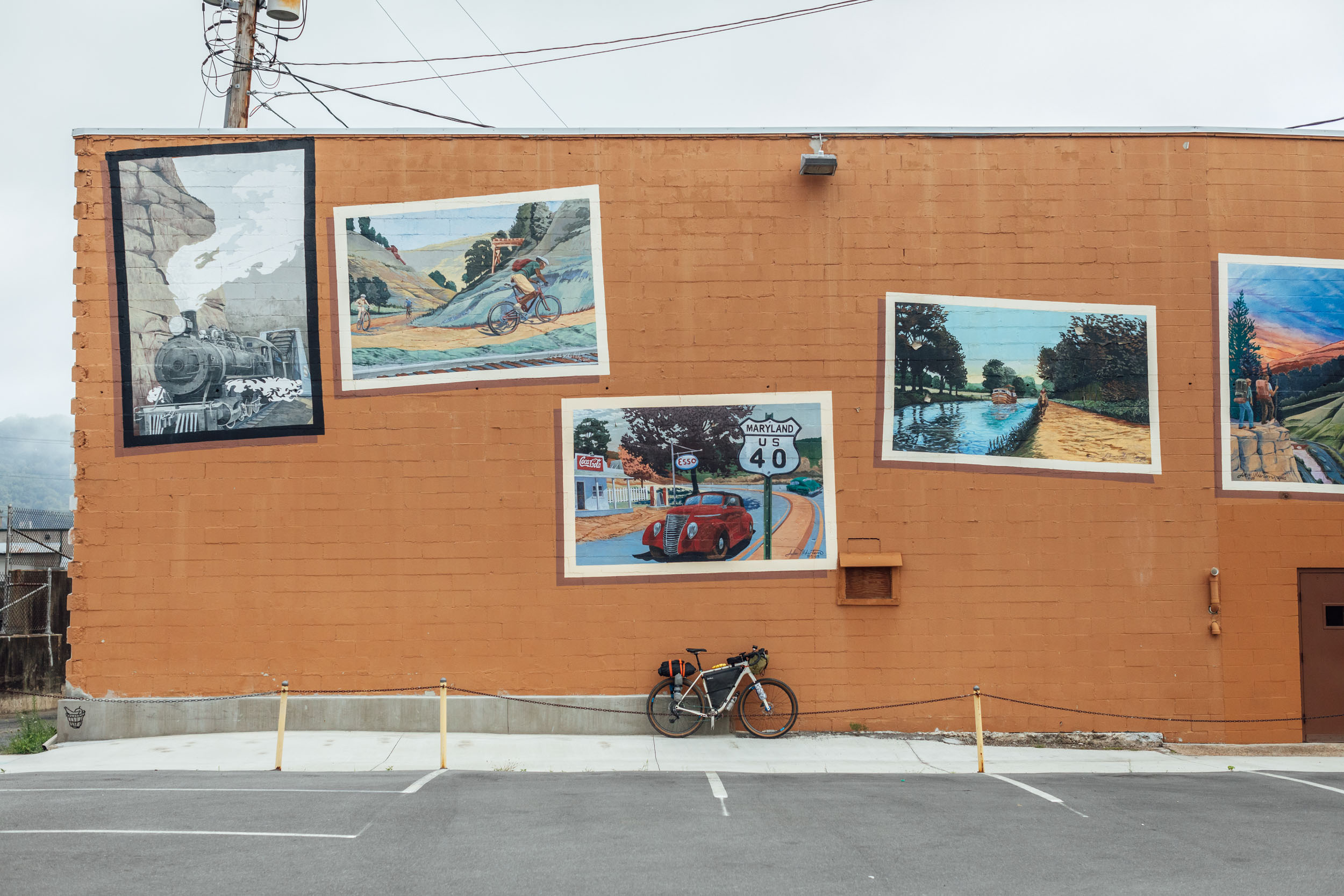
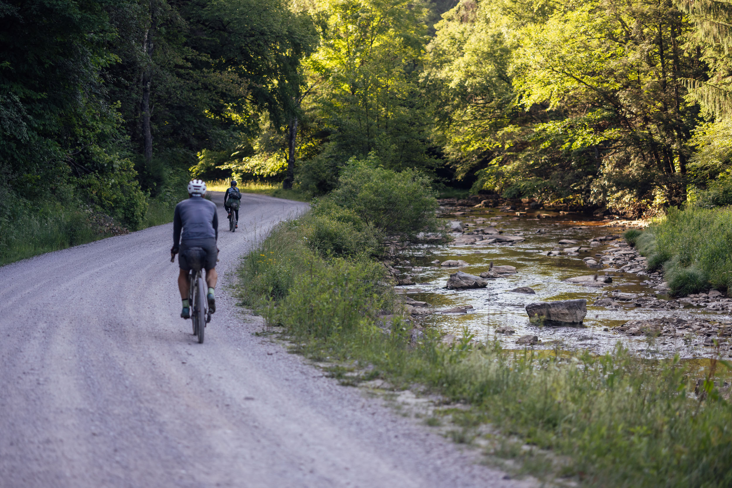
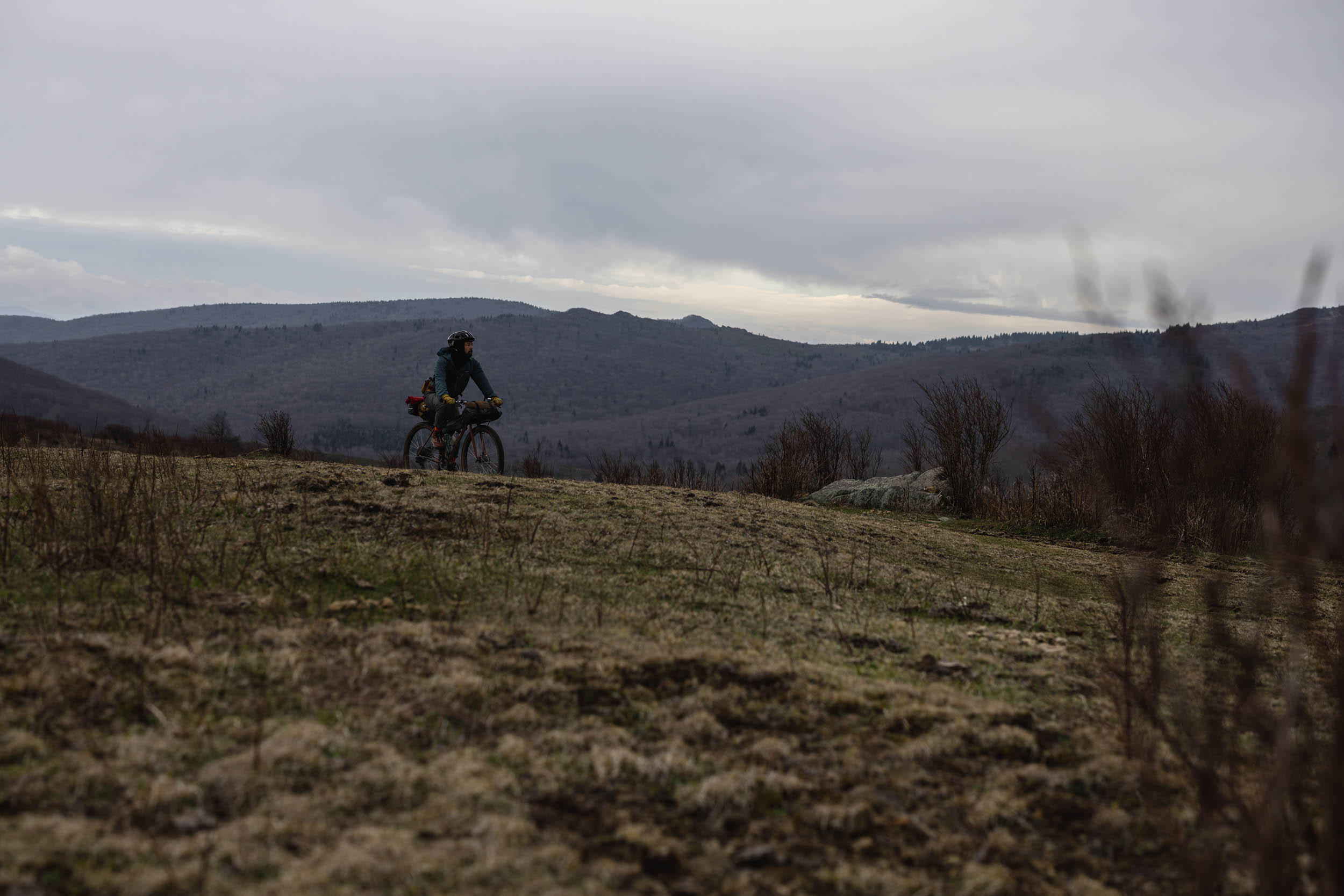
With a name like Hellbender, you might expect Segment 5 of the Eastern Divide Trail to be the most diabolical and monstrous part of the ride from Newfoundland to Key West. But fear not: this segment actually gets its nickname from a gentle species of aquatic salamander that’s endemic to the Eastern United States and listed as a threatened species. The Hellbender is the largest salamander in North America and can be found throughout the Appalachians from southern New York to north Georgia. A large portion of its habitat is found in the watery areas that this segment traverses, from the ridges and valleys of central Pennsylvania to the higher mountains at the Virginia-North Carolina border.
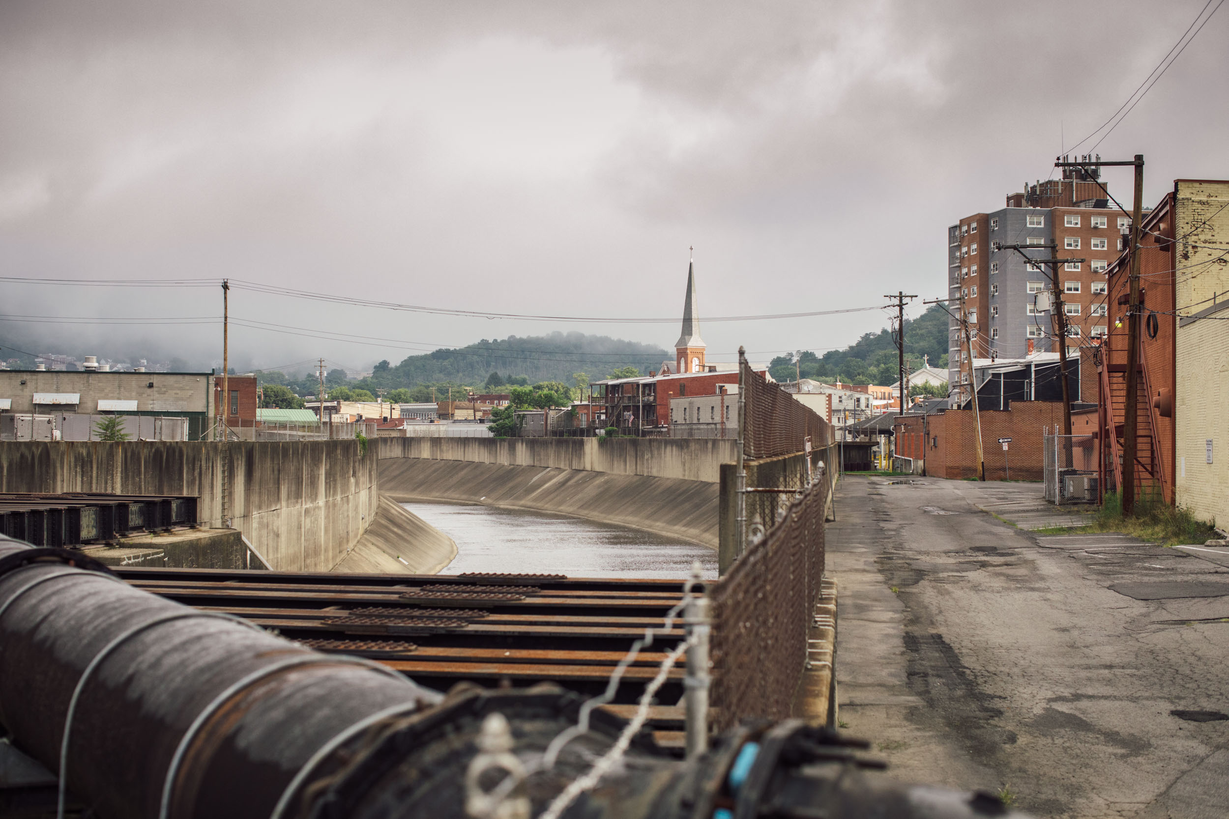
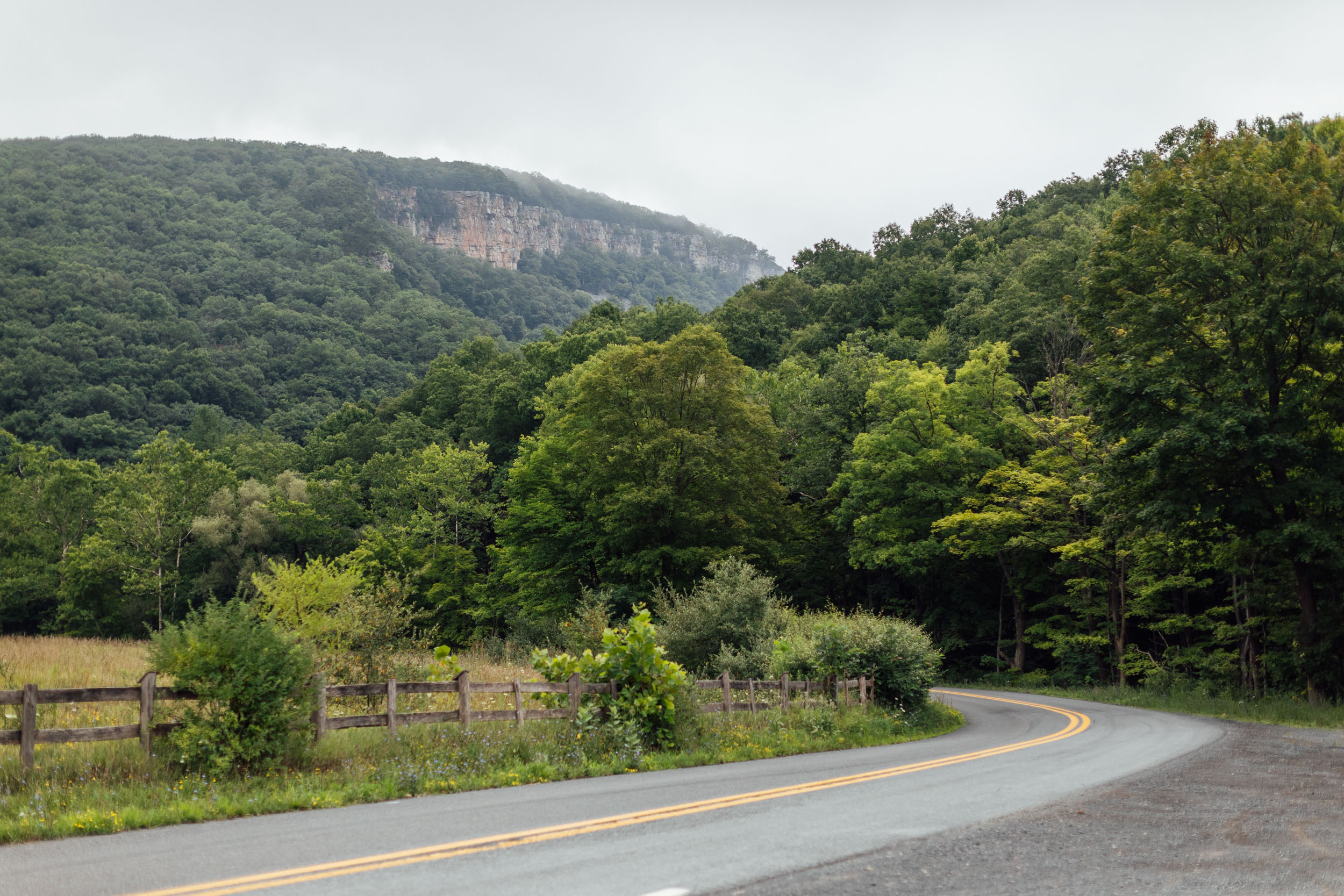
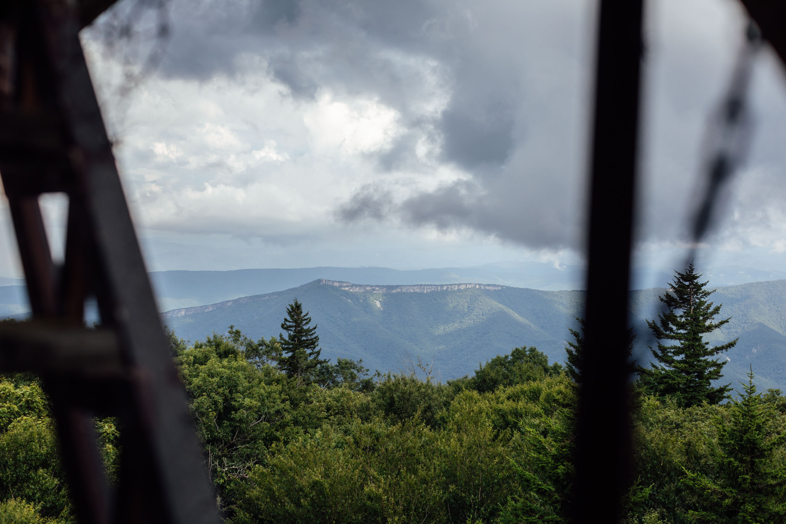
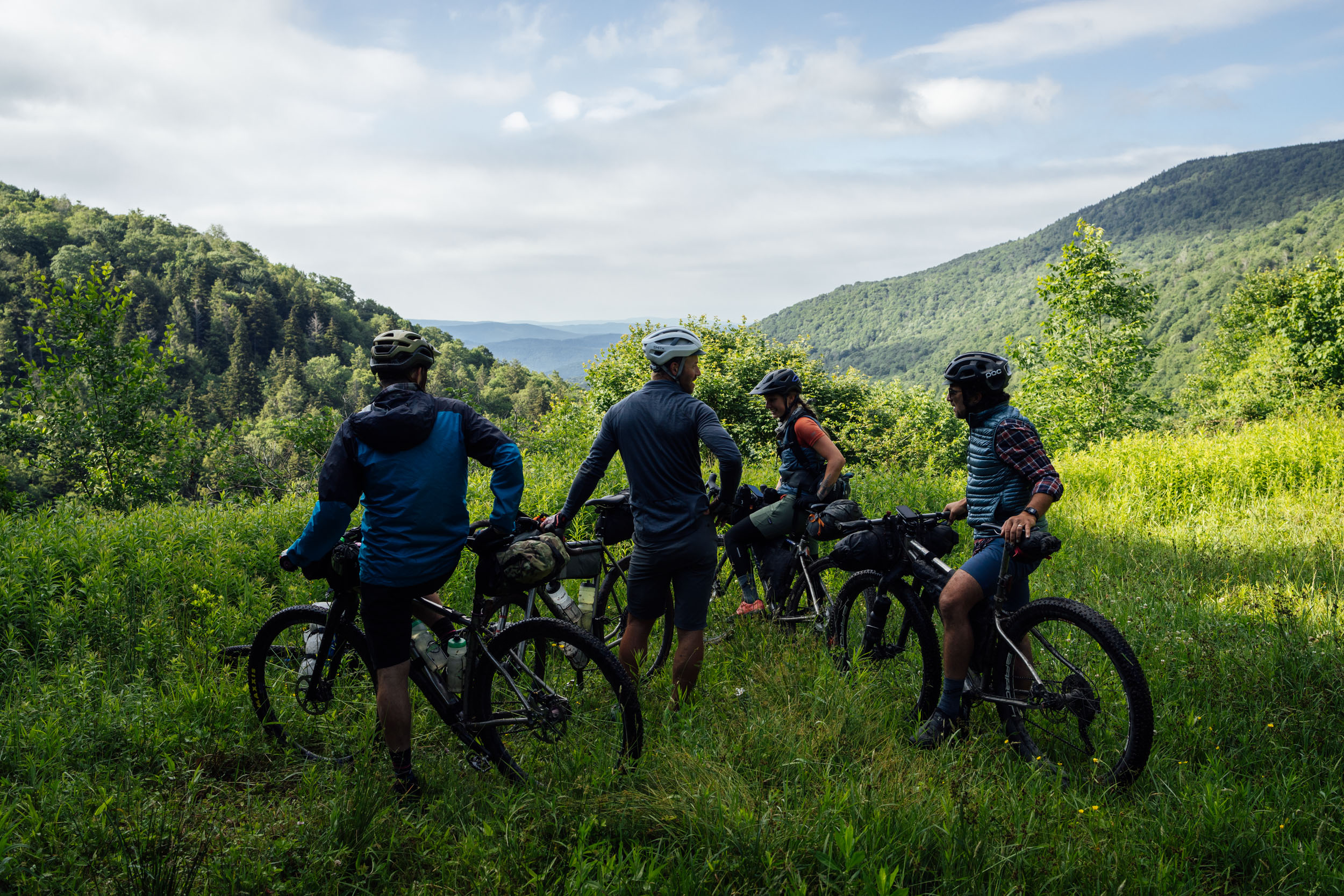
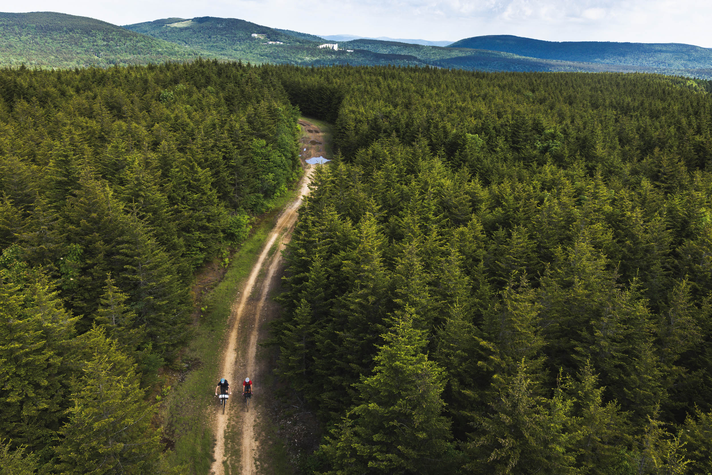
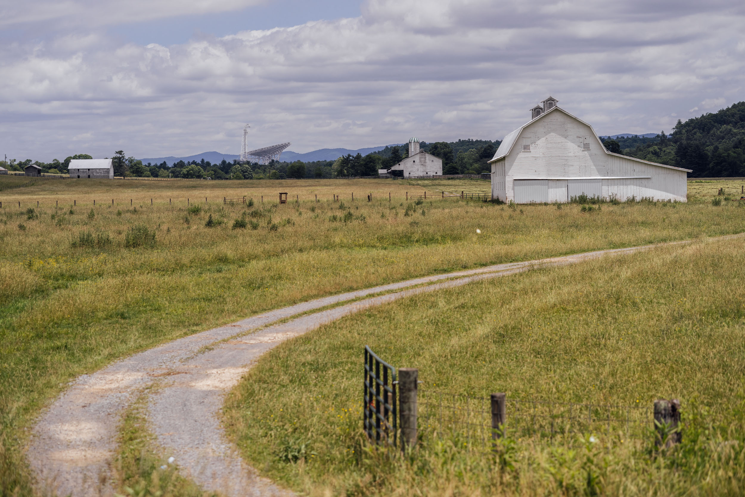
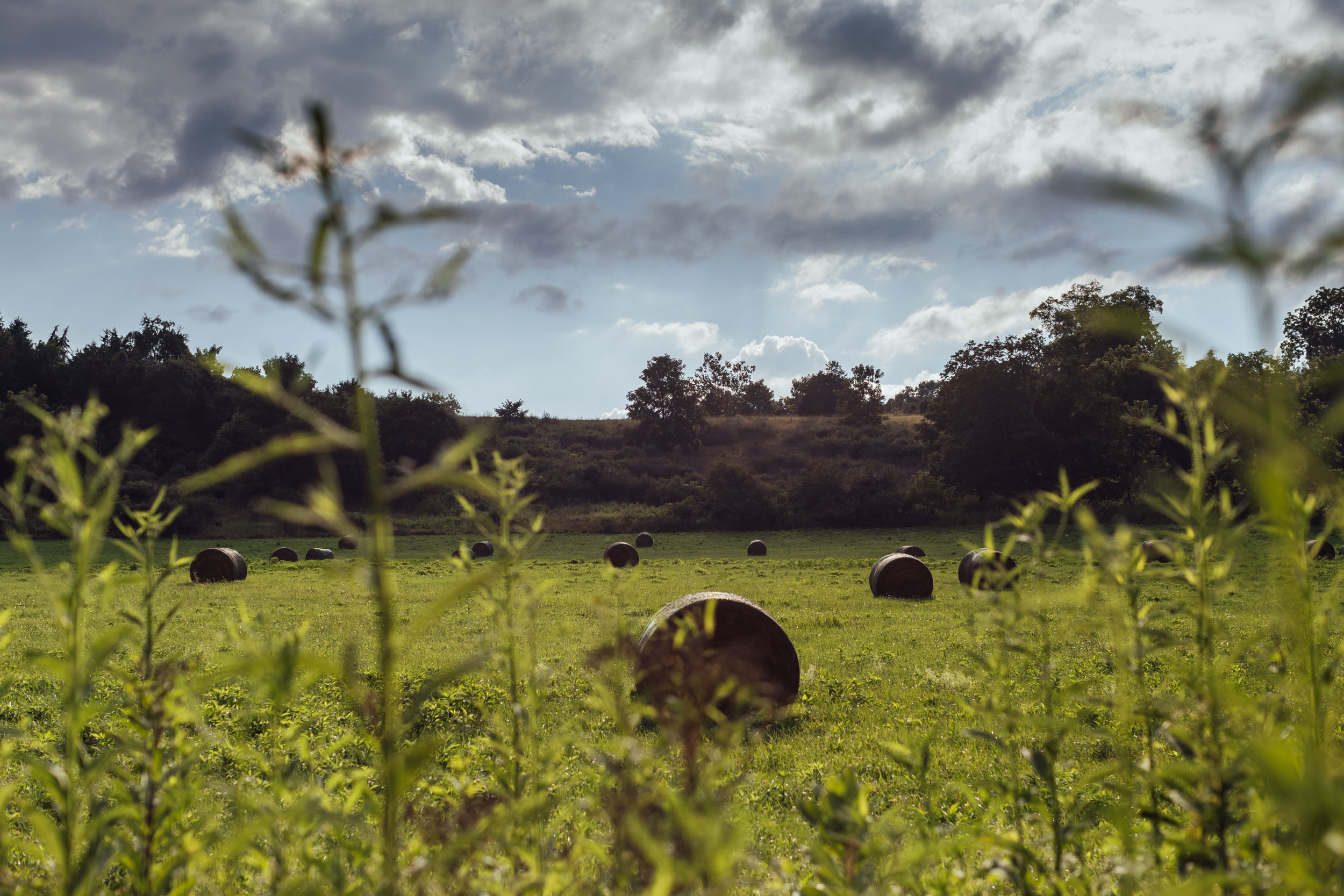
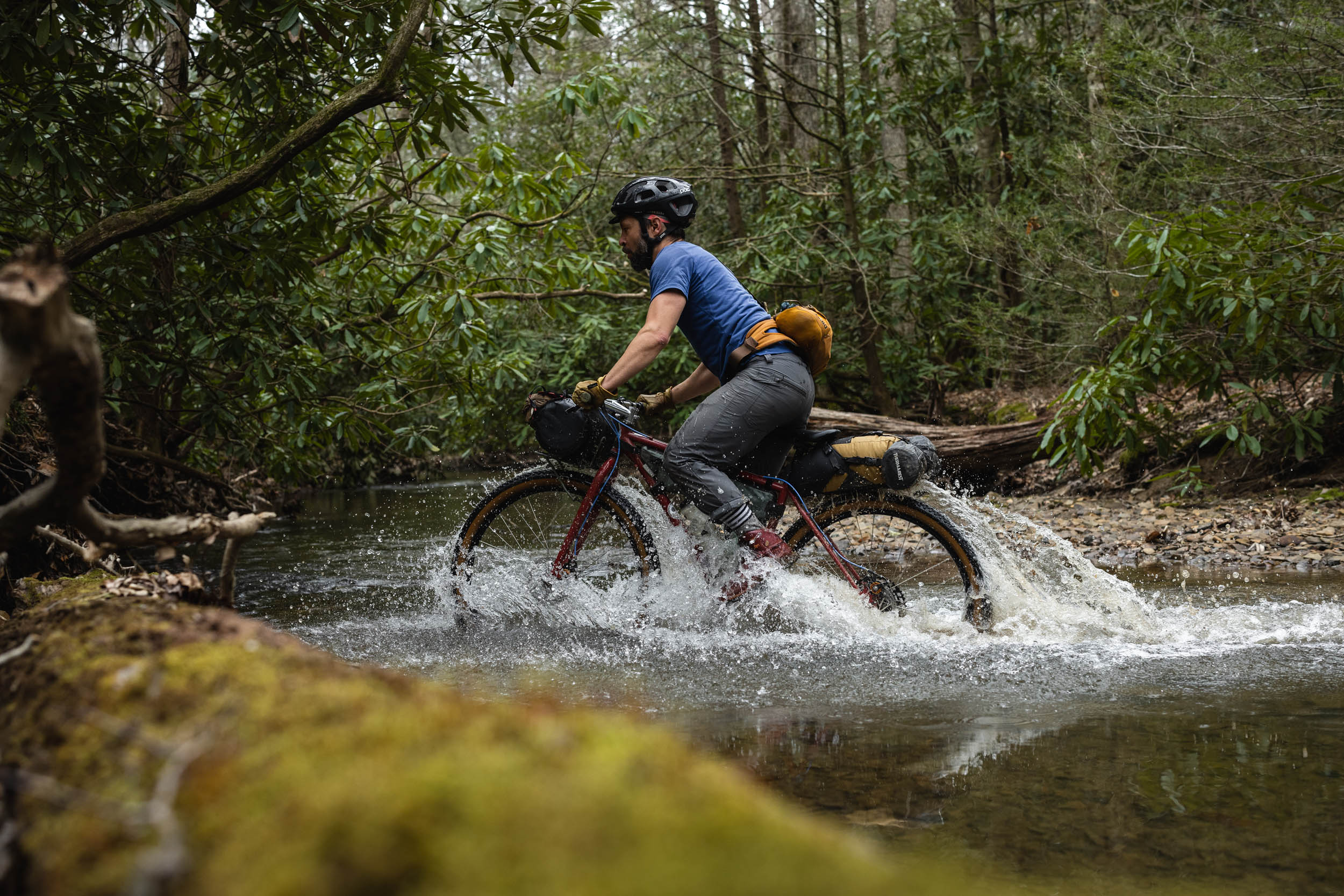
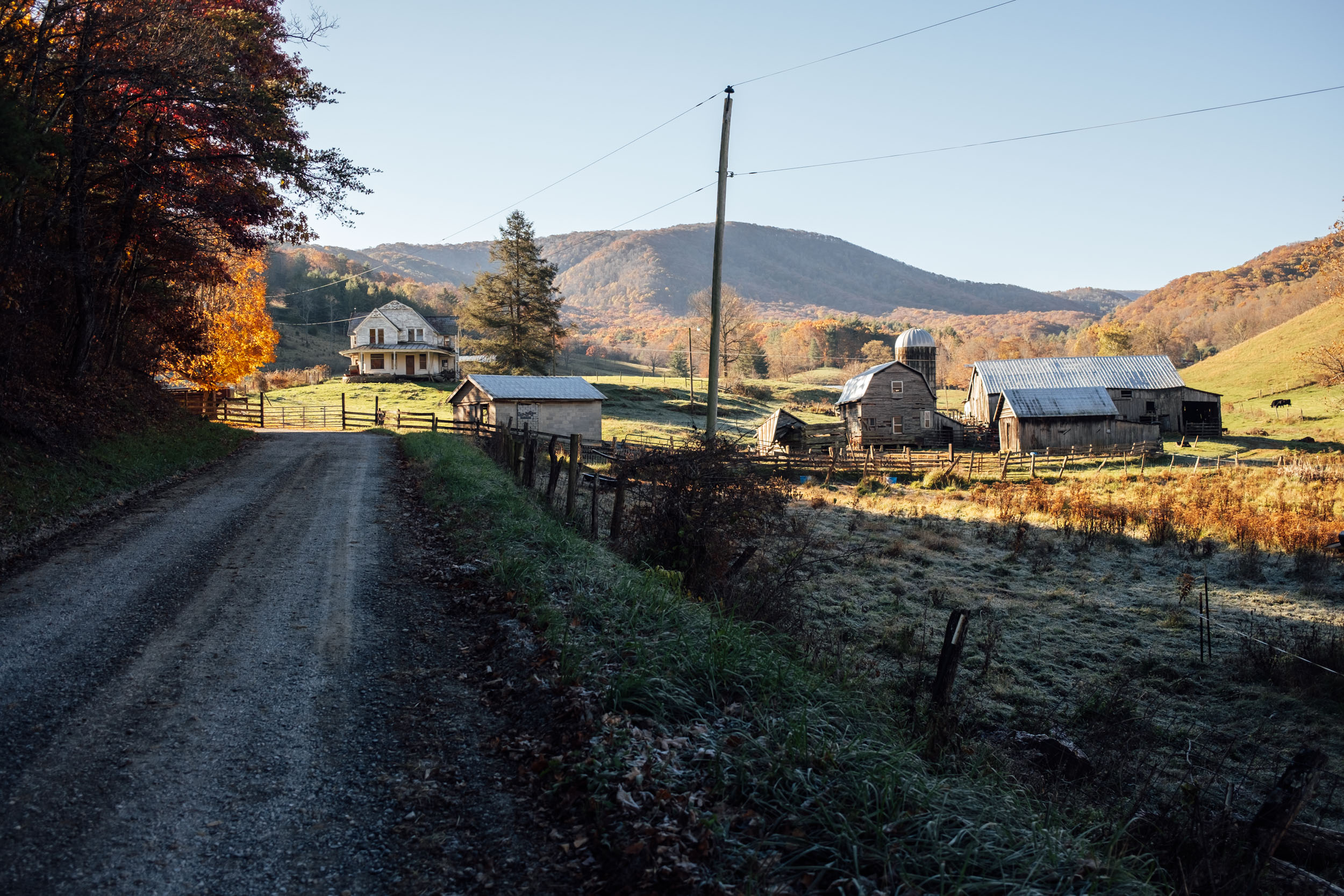
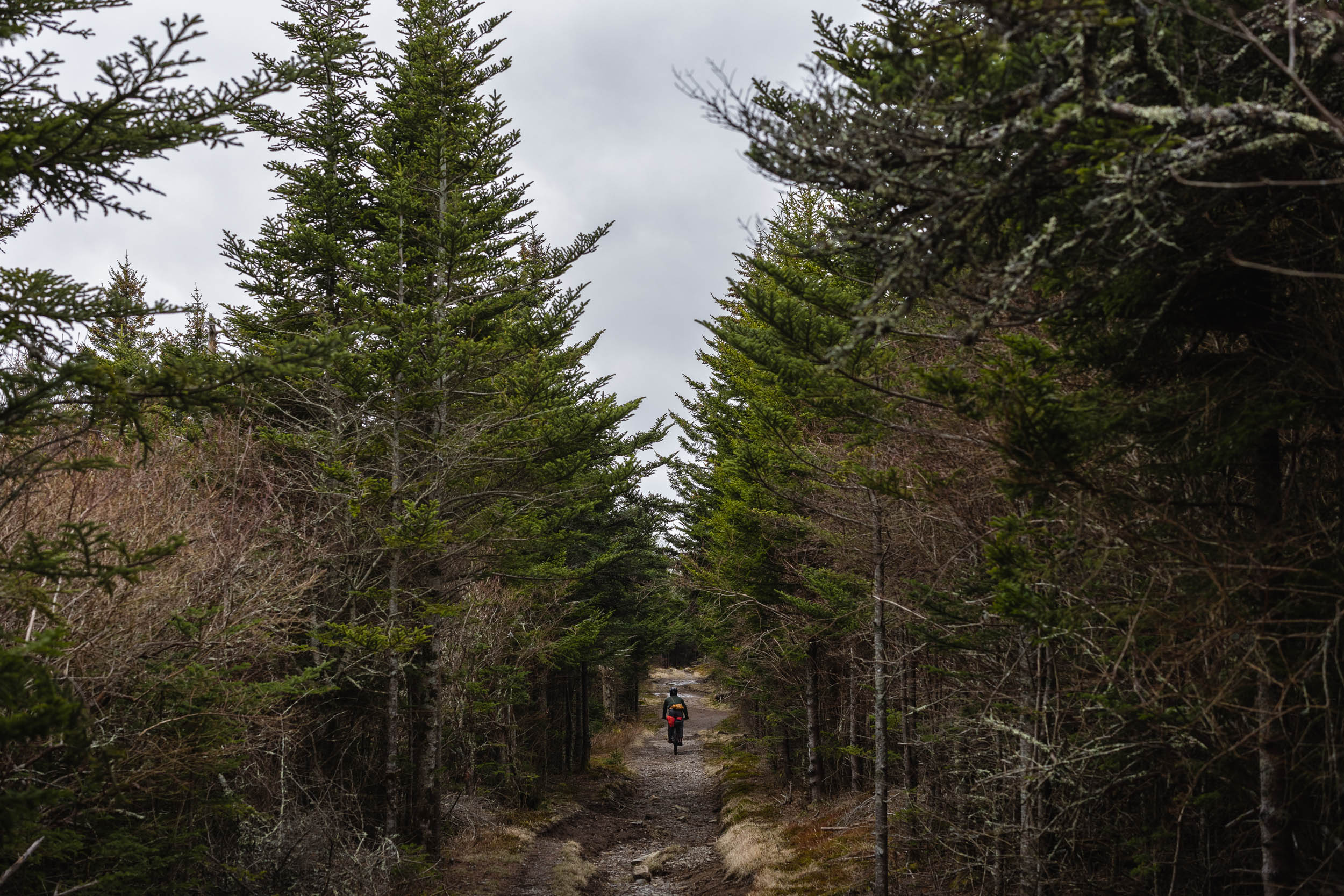
That’s not all that’s unique about the landscapes through which this route meanders. While the entirety of the route is within the Appalachian Mountains, the roughly 725-mile Segment 5 passes through many sub-ranges and interesting geographical eccentricities that make the ride special. The route generally follows the Eastern Continental Divide, of course, but also purposefully uses a corridor that includes the Ridge-and-Valley Appalachians, characterized by long-running spines and vast hollows, as well as the mighty Allegheny Front, an east-facing escarpment that provides a geographical wall between the Ridge-and-Valleys and the high Allegheny Plateau. In some places, the Allegheny Front marks the Eastern Continental Divide itself. Other geographical places of interest include the spectacular Dolly Sods and the Canaan Valley below it, the rugged Blackwater Canyon, and the scenic Grayson Highlands. Hellbender also follows many impressive rivers, such as the Potomac, Greenbrier, and New, and traverses several significant tracts of public land such as Rothrock State Forest, Monongahela National Forest, the Dolly Sods Wilderness, Jefferson National Forest, Mountain Lake Wilderness, and Grayson Highlands State Park.
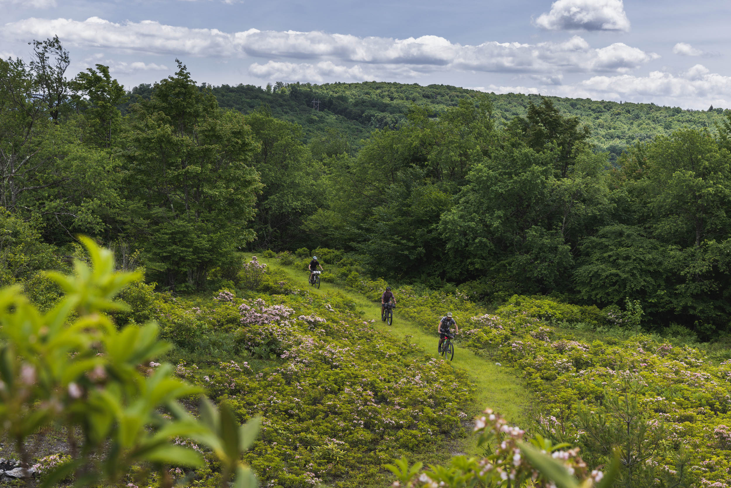
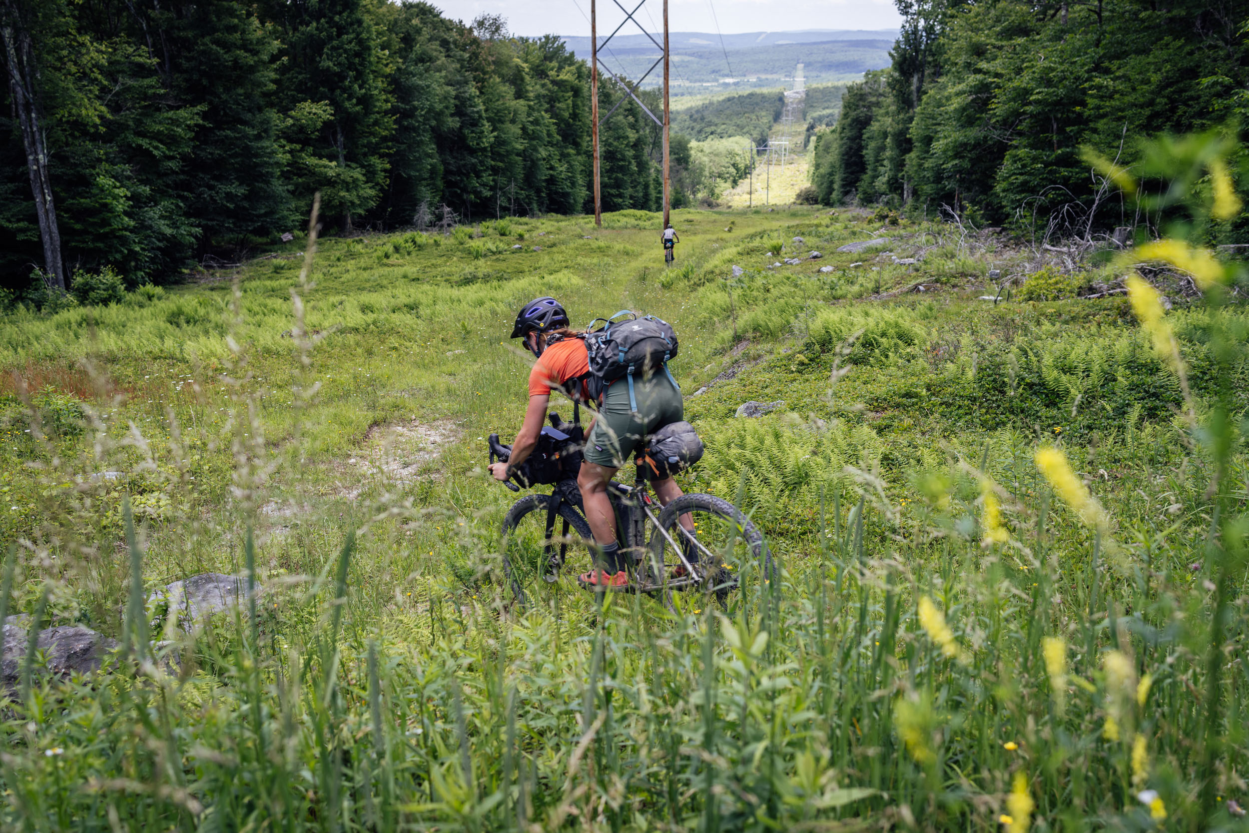
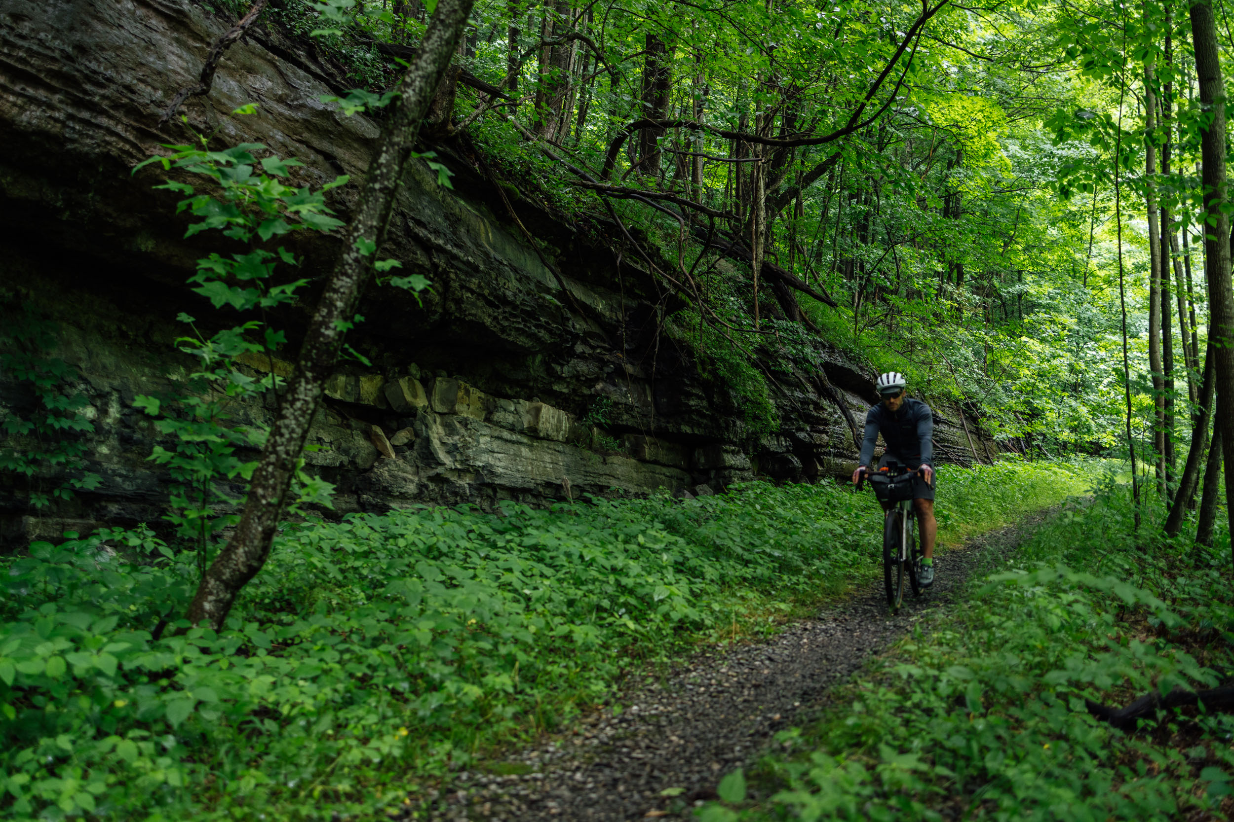
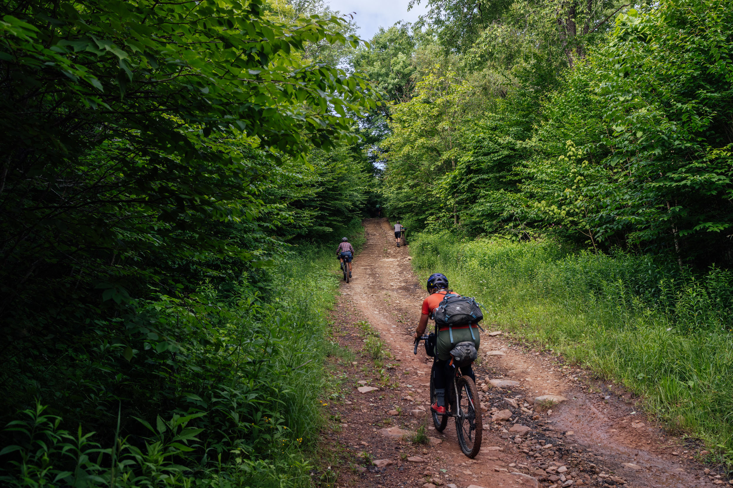
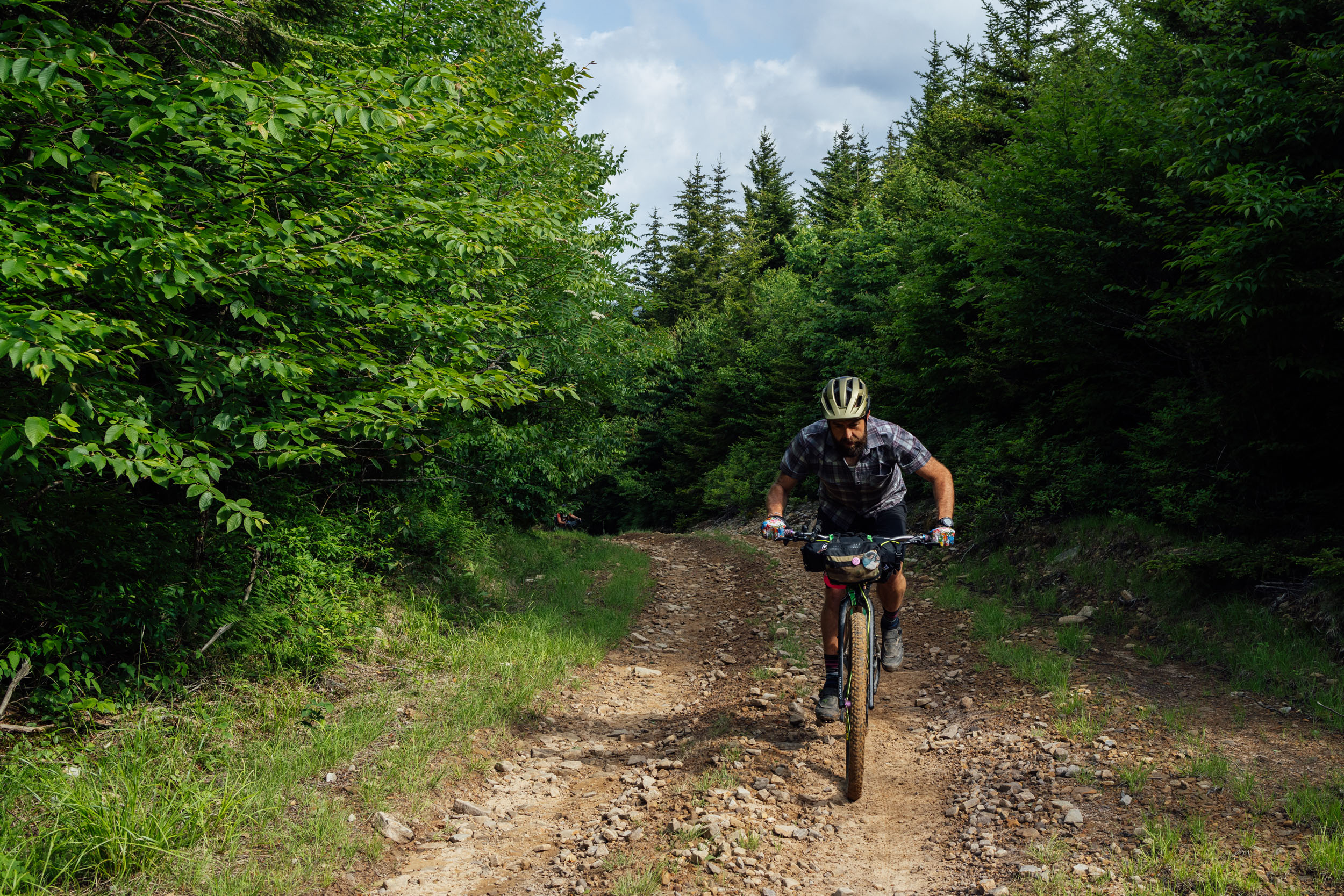
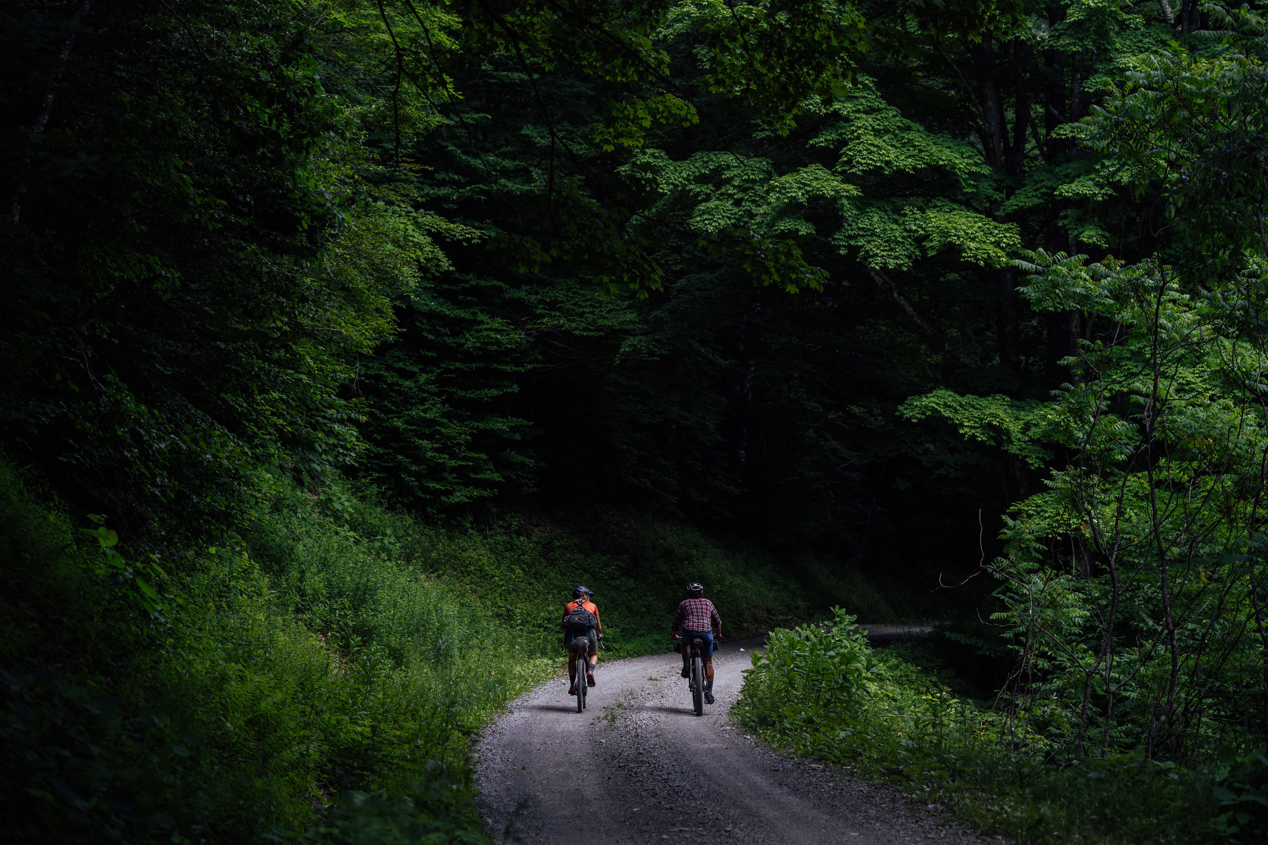
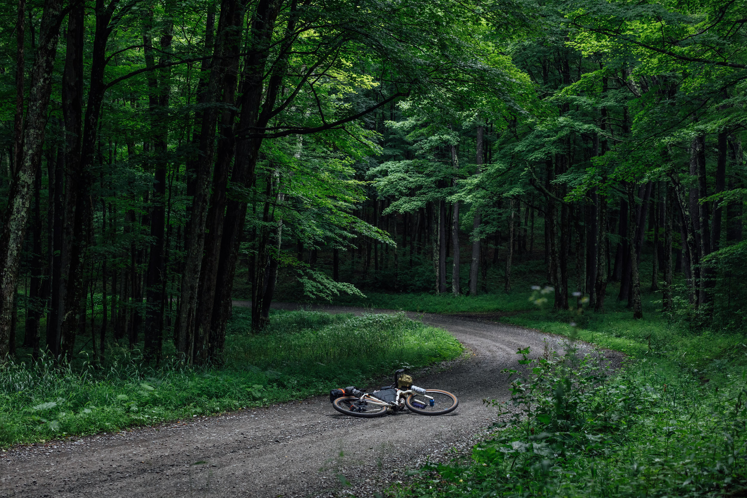
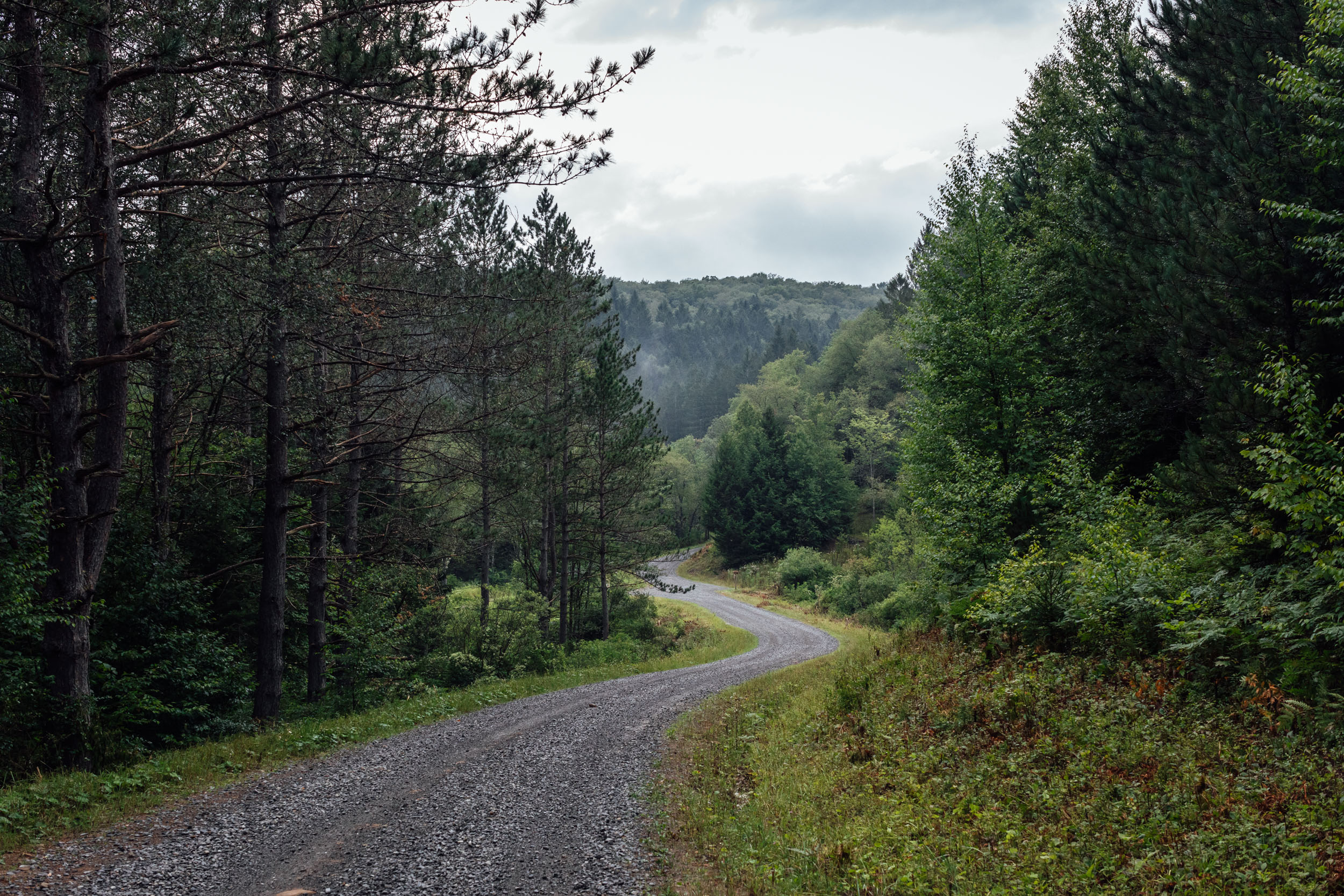
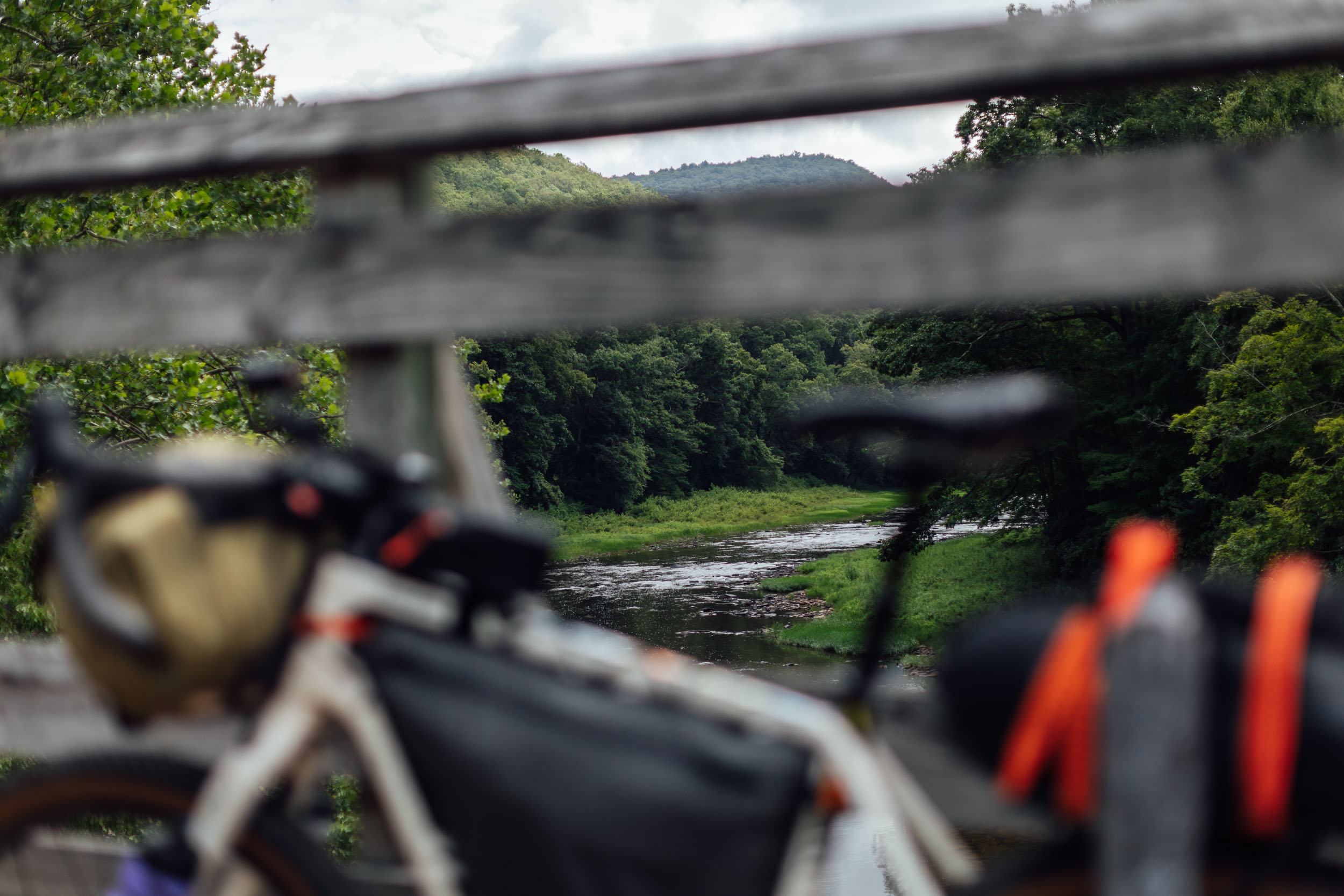
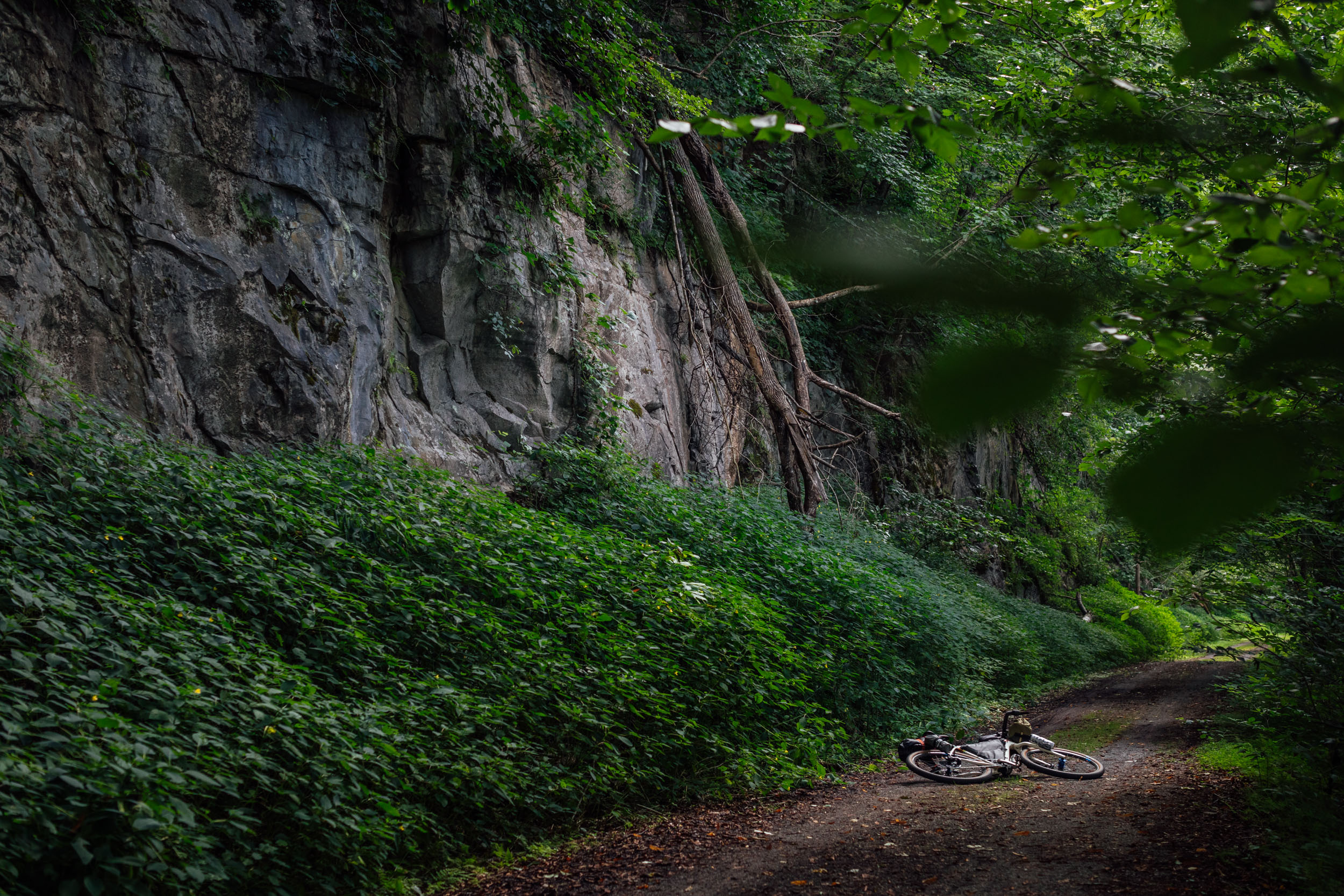
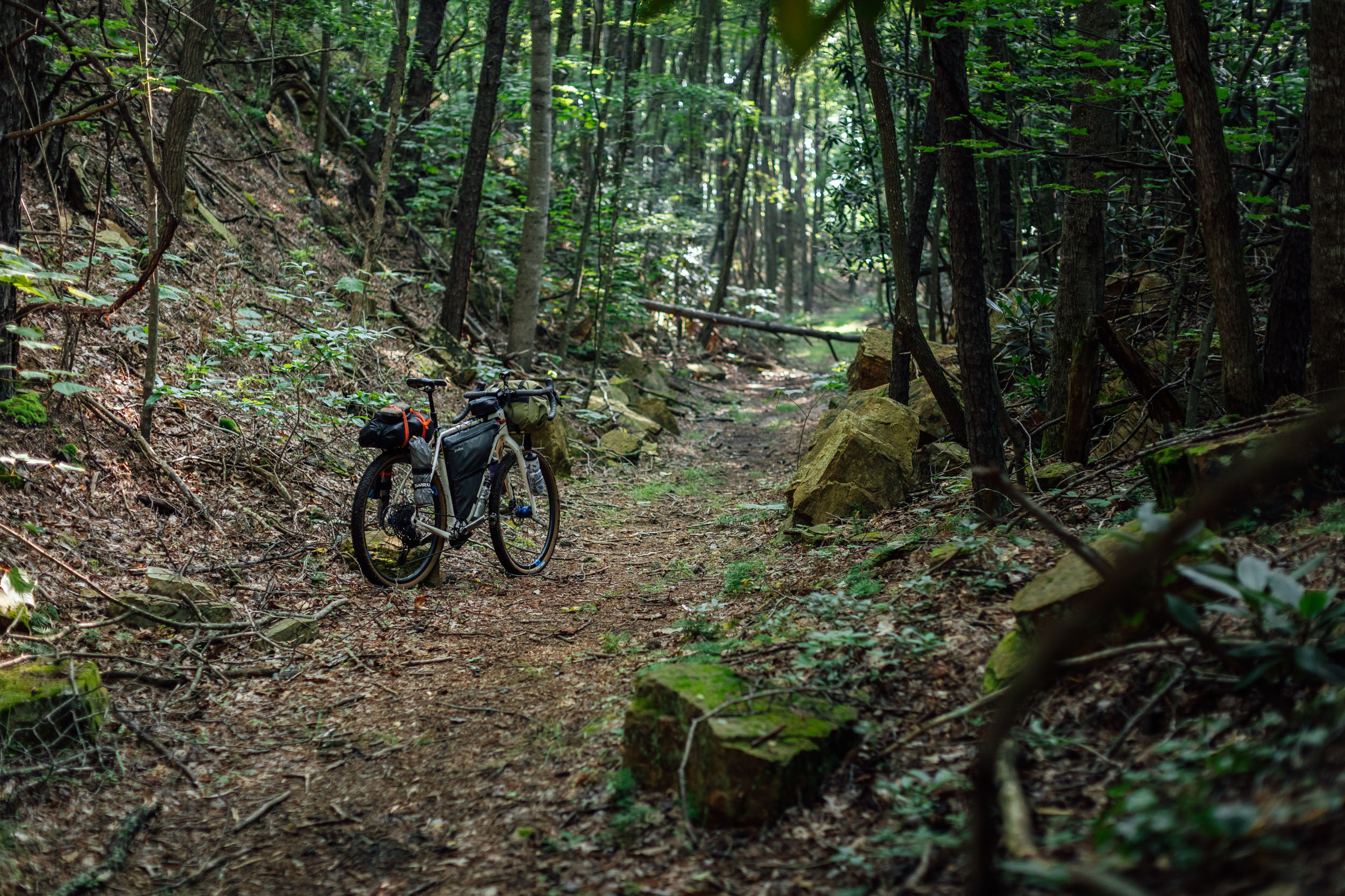
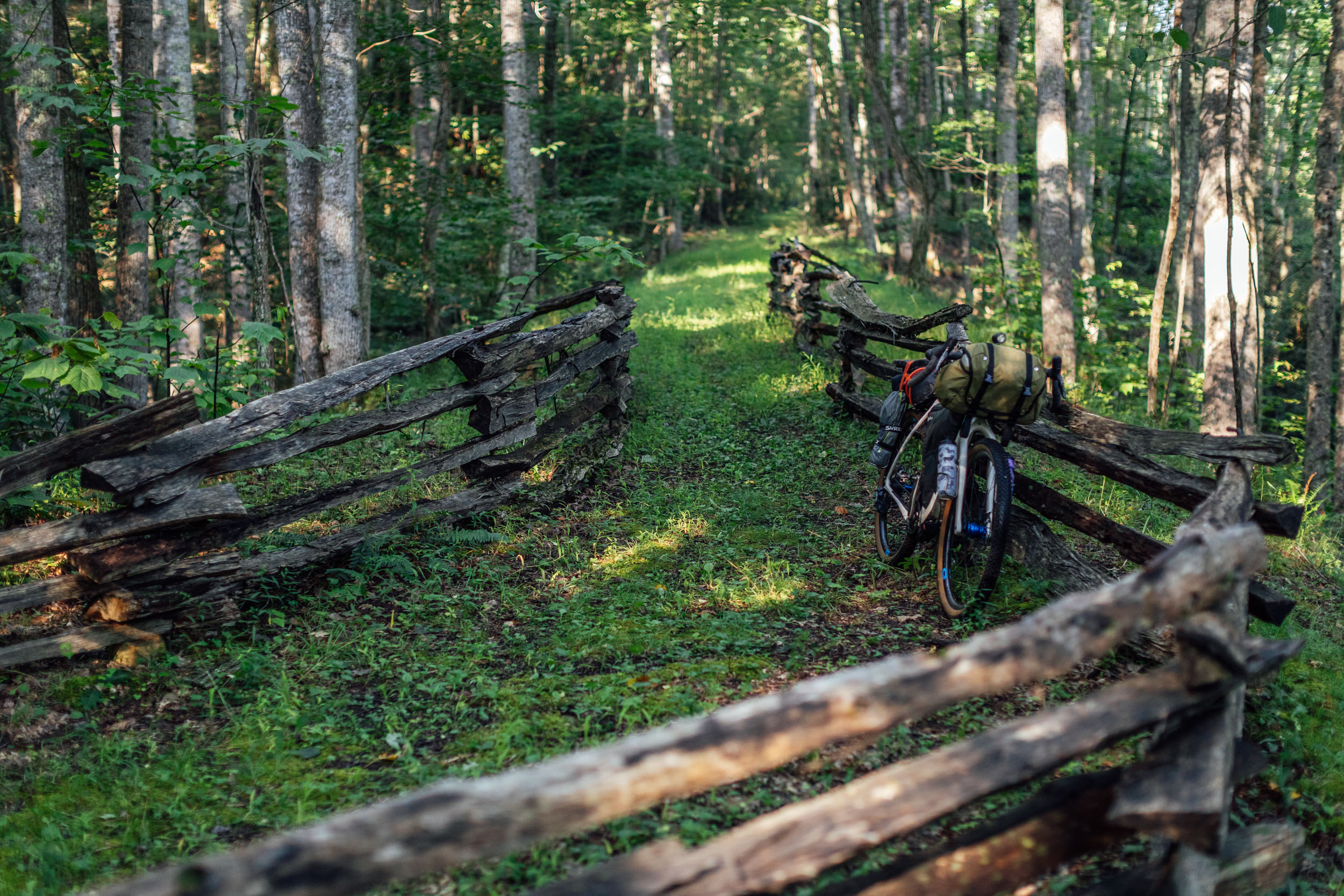
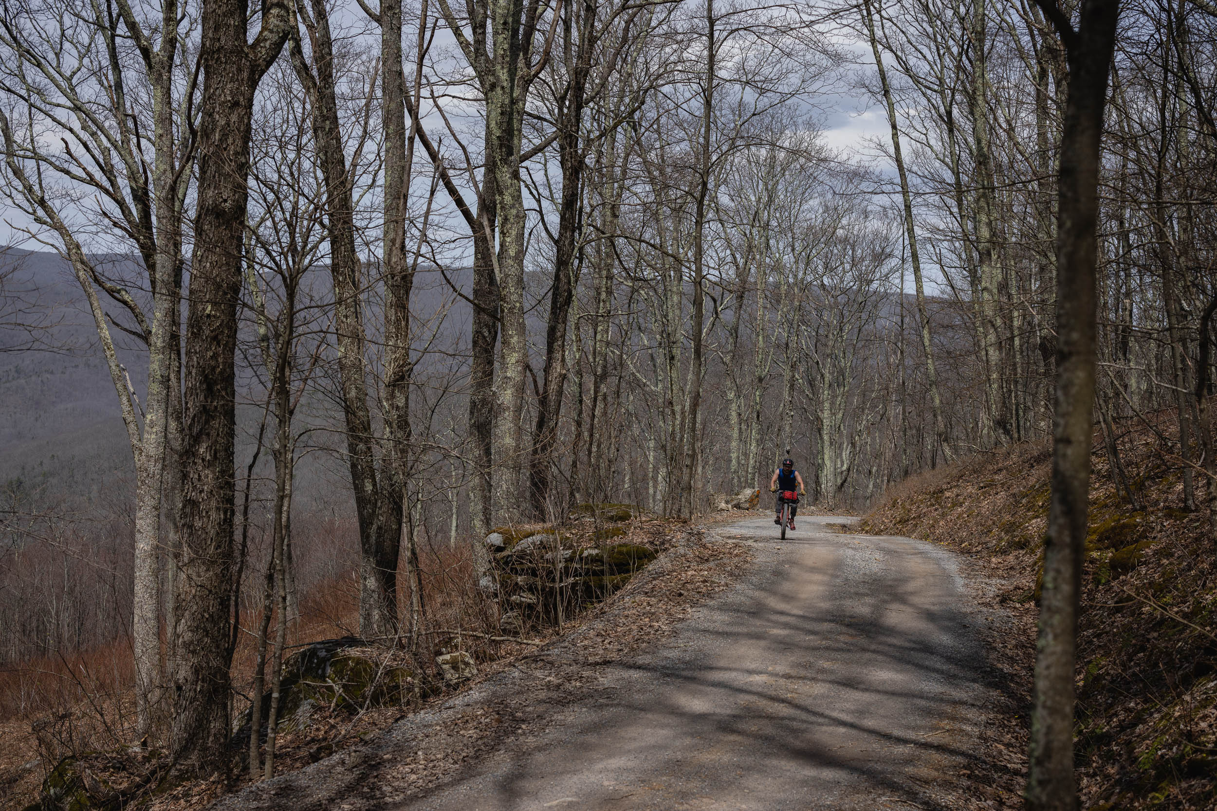
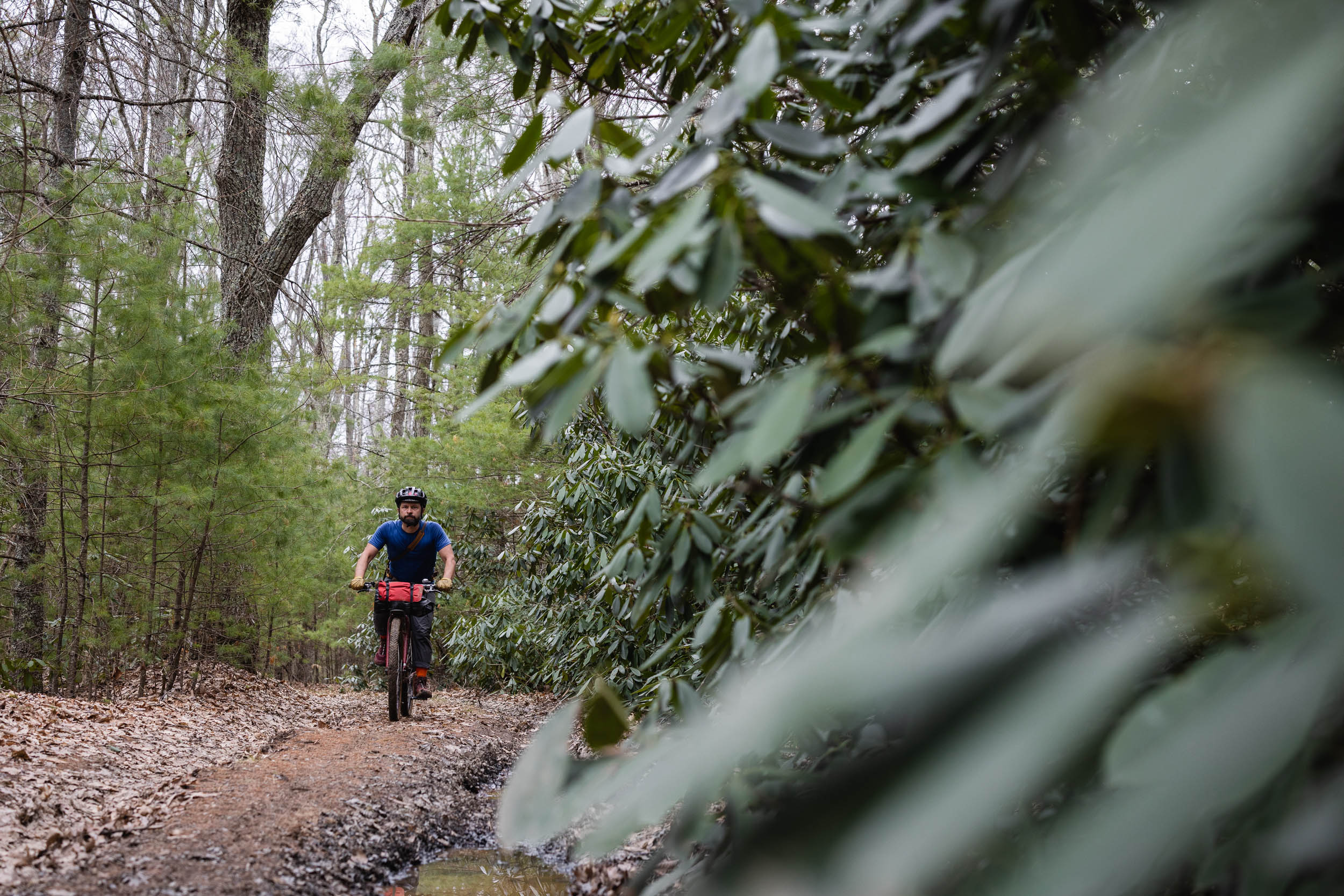
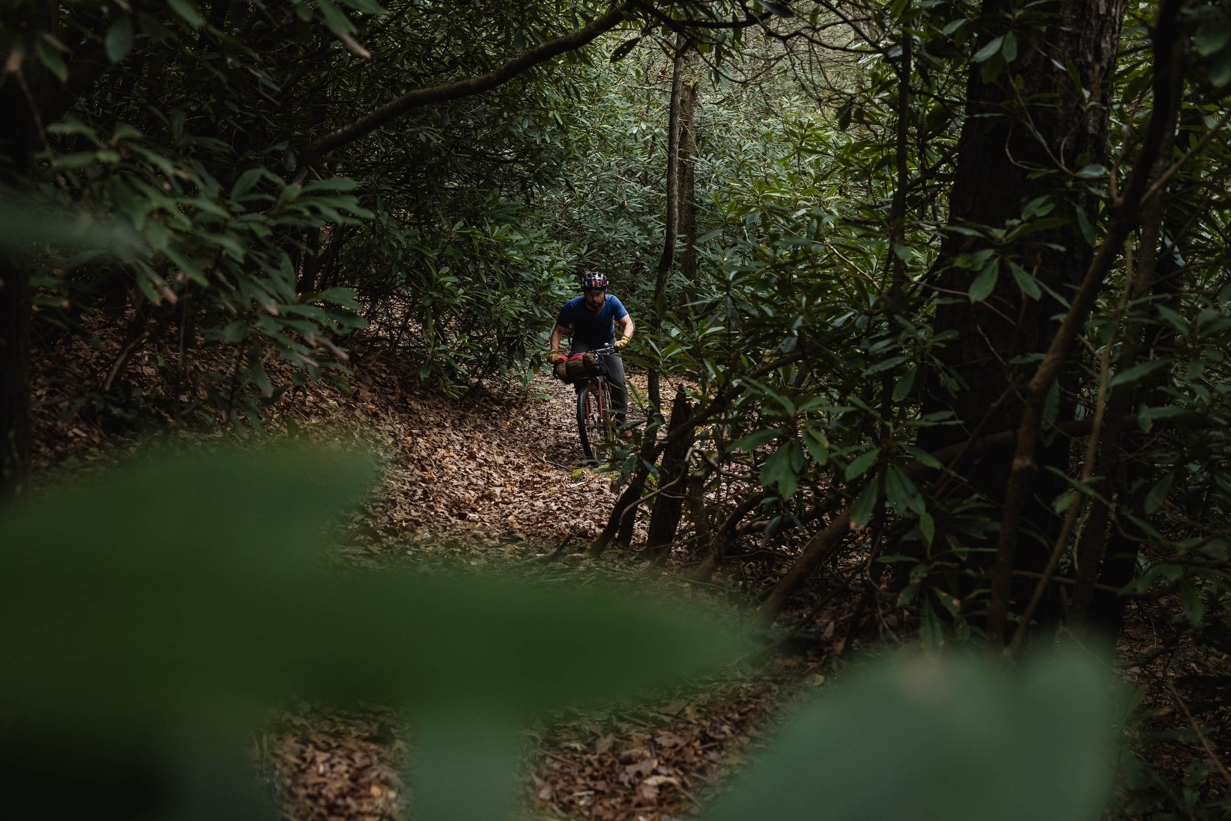
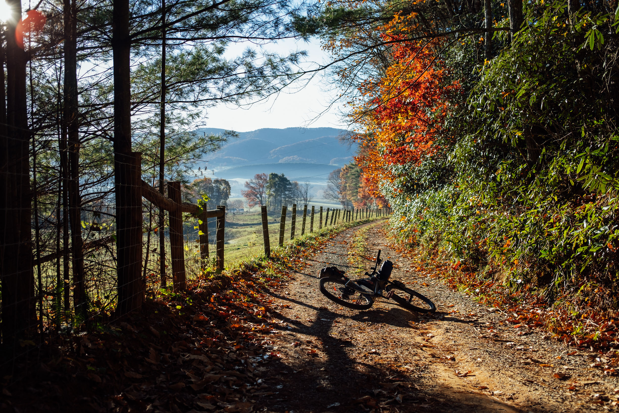
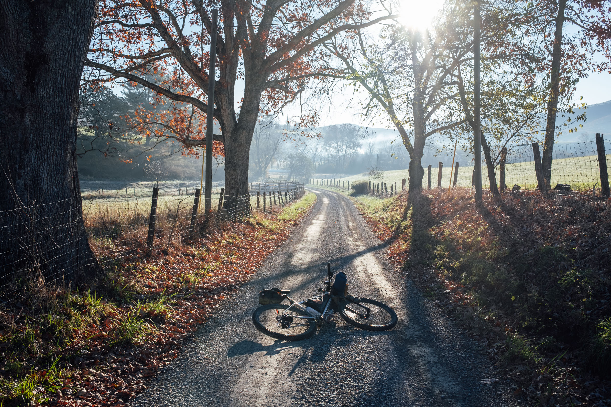
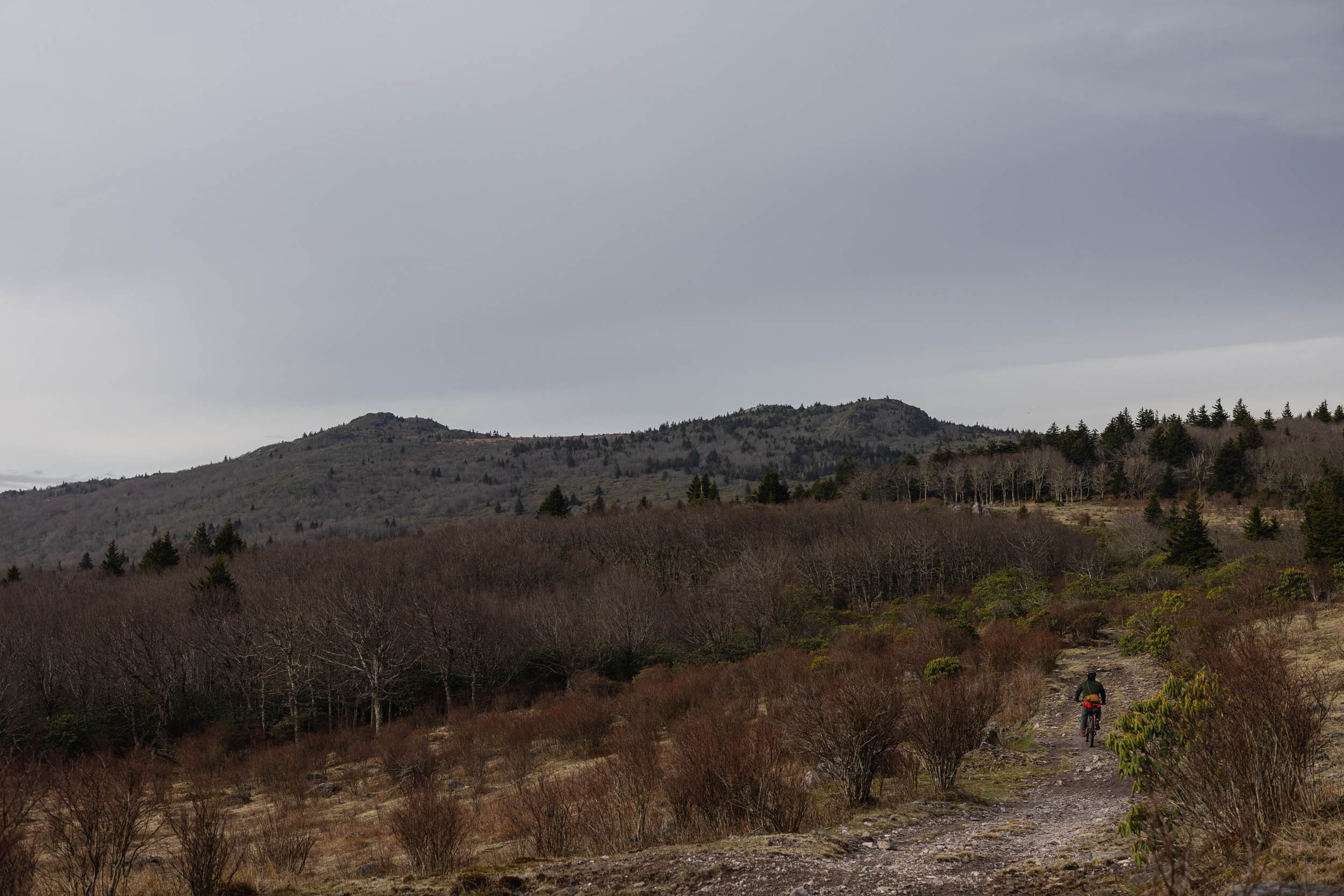
Hellbender offers a diverse mix of track types and terrain that ranges from smooth rail grade multi-purpose trails and quiet backroads, to big gravel climbs with fast descents, to chunky doubletrack forest roads and short stretches of non-technical singletrack. While most of the route offers a well-timed mix of all of this, there are three lengthy sections of relatively unvaried terrain. These include 60 miles on the C&O Canal Towpath, 67 miles on the Greenbrier River Trail, and a necessary paved backroad section connecting the C&O to the Dolly Sods. The GRT and C&O are both beautiful trails, but be aware that they’re fast, flat, and mixed-use, so expect to share them with other riders and hikers.
Lay of the Land
Did you know that the Susquehanna River was named after the Indigenous Susquehannock people (also known as the Conestoga), who inhabited the land where this route begins? Segment 5 of the Eastern Divide Trail passes through countless ridges, ranges, rivers, and creeks, many of which have names that come from the Susquehannock, as well as the Piscataway, Miami, Delaware, Iroquios, and Lenape tribes that are the ancestral stewards of these lands.
When we initially brainstormed a naming schema for the eight segments of the Eastern Divide Trail, our idea was to title each after a prominent peak, river, or mountain range that defines the Eastern Divide. However, like the Susquehanna River, we realized that a lot of these names have complex histories, many of which are bastardized versions of Indigenous names or names that replaced them. With that in mind, we decided to use titles of plants and animals from the route. Even so, geographical place names shouldn’t be ignored. To shed some light on several of these interesting stories and important places and things along the route, Guarina Lopez (@native_women_ride) put together a collection of “Whereabouts” highlights. See those on the map displayed below, and find further details in the Whereabouts tab.
Route Difficulty
Physical Demand: 7 • Technical Challenge: 6 • Resupply/Logistics: 6
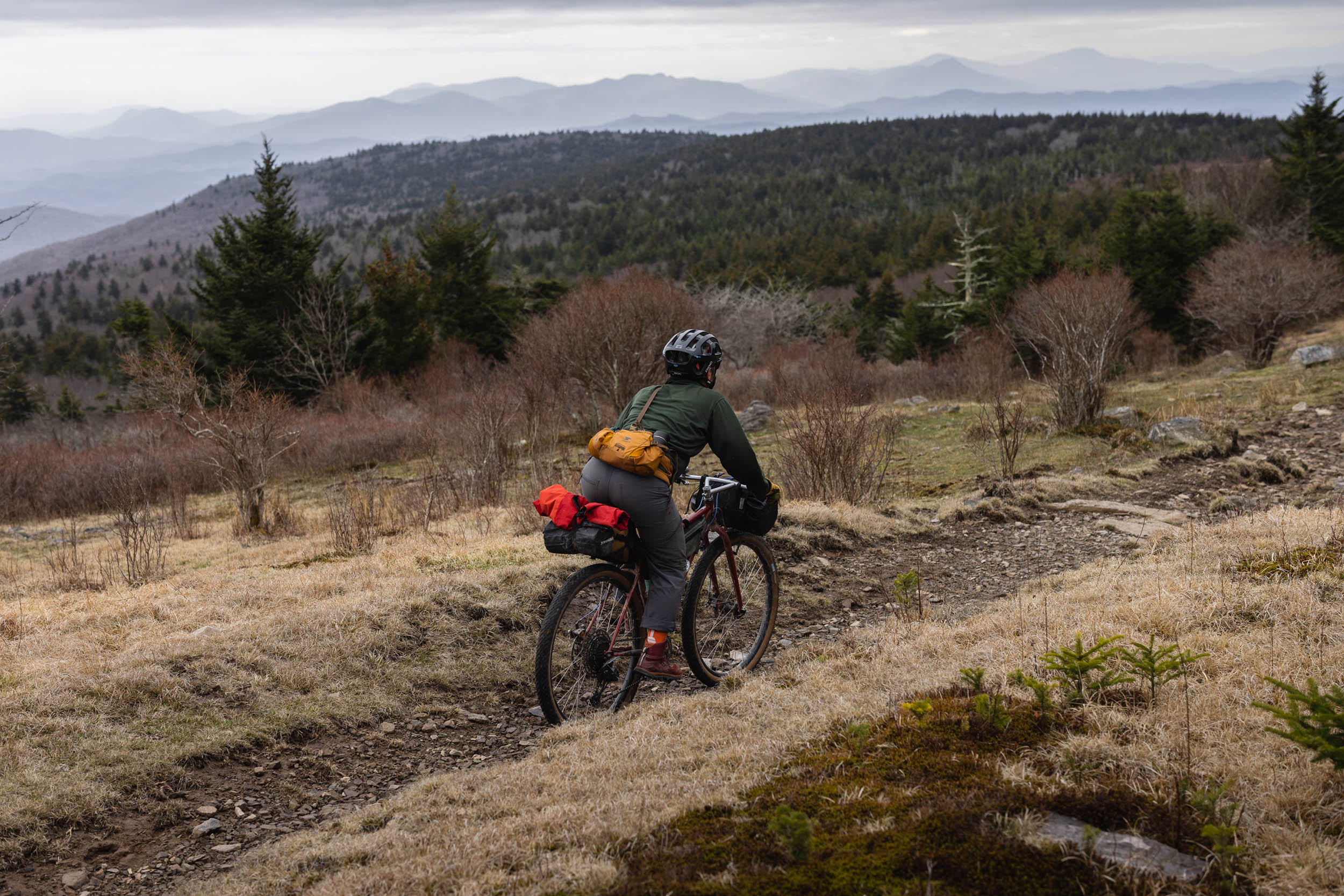
Contrary to what you might expect from an intimidating name like Hellbender, Segment 5 of the Eastern Divide Trail isn’t quite as difficult as Segment 6. The difficulty rating assigned to this segment is about 6/10. There are a few chunky and steep sections of forest doubletrack and a couple of horse trails—such as the stint on the Virginia Highlands Horse Trail in the Grayson Highlands—but it’s mostly made up of non-technical forest roads, converted rail trails, backroads, and relatively smooth gravel. Similar to Segment 6, the main challenge is the physical demand required of this route. The Ridge-and-Valley Appalachians contribute a significant number of ups and downs, and there are a few hearty climbs up and over some of the higher points on the route, such as the Allegheny Front, Bald Knob, Snowshoe Mountain, Grayson Highlands, and several other places in between. Hellbender boasts the second-highest elevation gain of all eight segments. It averages about 86 feet per mile, which doesn’t sound bad on paper, but areas with concentrated climbs require strong legs and low gears.
Resupply is fairly straightforward on this segment as there are generally plenty of options on the route or just off it. If riding S5 on its own, logistics may require a little creativity, but with the beginning near a large college town and the southern terminus at the Appalachian Trail town of Damascus, there are options for buses or rental cars at the beginning and shuttles at the end.
Route Development
Segment 5 of the Eastern Divide Trail was developed as a collective effort led by Logan Watts. Thanks to Jess Daddio for input and contributions in Virginia and scouting throughout West Virginia and Virginia. Significant input on the Pennsylvania segment came via Michael Bowen from his P.A.N.T.S. (Pennsylvania North To South) route, and Helena Kotala who provided critical connections in the area north and south of Huntingdon. Additional thanks to David Landis and Andy Forron for scouting recommendations and assistance in West Virginia, and Geoff Patterson for providing scouting the connector to State College and providing an interesting addendum in Maryland. And, last (chronologically) but not least, many thanks to Christopher Palmer for checking three final tweaks, providing needed POIs, and fixing a private property issue.
Note that we are also working on a Shenandoah Valley option that will follow the Ridges-and-Valleys ranges farther east, which will eventually create a loop. Stay tuned for details. Find more info on the full Eastern Divide Trail here.


GPX download (link below) includes a detailed set of waypoints. Please keep personal copies set to private on RWGPS and other platforms. The Eastern Divide Trail was made possible by our Bikepacking Collective members. Consider joining to support the creation and free distribution of carefully planned and documented bikepacking routes like this one.
Submit Route Alert
As the leading creator and publisher of bikepacking routes, BIKEPACKING.com endeavors to maintain, improve, and advocate for our growing network of bikepacking routes all over the world. As such, our editorial team, route creators, and Route Stewards serve as mediators for route improvements and opportunities for connectivity, conservation, and community growth around these routes. To facilitate these efforts, we rely on our Bikepacking Collective and the greater bikepacking community to call attention to critical issues and opportunities that are discovered while riding these routes. If you have a vital issue or opportunity regarding this route that pertains to one of the subjects below, please let us know:
Highlights
Whereabouts
Must Know
Camping
Food/H2O
Trail Notes
- The unexpected ridgeline gravel roads throughout Pennsylvania that lead to vistas over the state’s unique ridges and valleys
- Getting a hearty dose of the C&O (Chesapeake and Ohio) Canal, a 185-mile dirt path that once served as a transportation byway where mules “towed” canal boats through the waterway
- Climbing up and over the Eastern Continental Divide on the Allegheny Front at Bear Rocks
- The beautiful Dolly Sods Wilderness Area, a rocky, high-altitude plateau known for its expansive vistas across the surrounding valleys
- Spotting wildlife along the remote gravel roads of West Virginia and Virginia. Expect to see black bears, lots of dear, wild turkeys, owls, and loads of other birdlife
- Bearden Rocks and views of the Canaan Valley, a wild high-elevation bog with tundra-like vegetation
- Refueling in the quaint mountain town of Davis, with plenty of restaurants and bike shops
- The Blackwater Canyon Trail featuring Blackwater Falls, a 62-foot cascade where the Blackwater River leaves the Canaan Valley and enters Blackwater Canyon, a rugged eight-mile (13-kilometer) gorge
- The green cave-like remote stretches of gravel and doubletrack forest roads in West Virginia and Virginia
- Camping near the Bald Knob Observation Deck. At 4,843 feet (1,476 meters) above sea level, Bald Knob is the third-highest point in West Virginia and the Allegheny Mountains
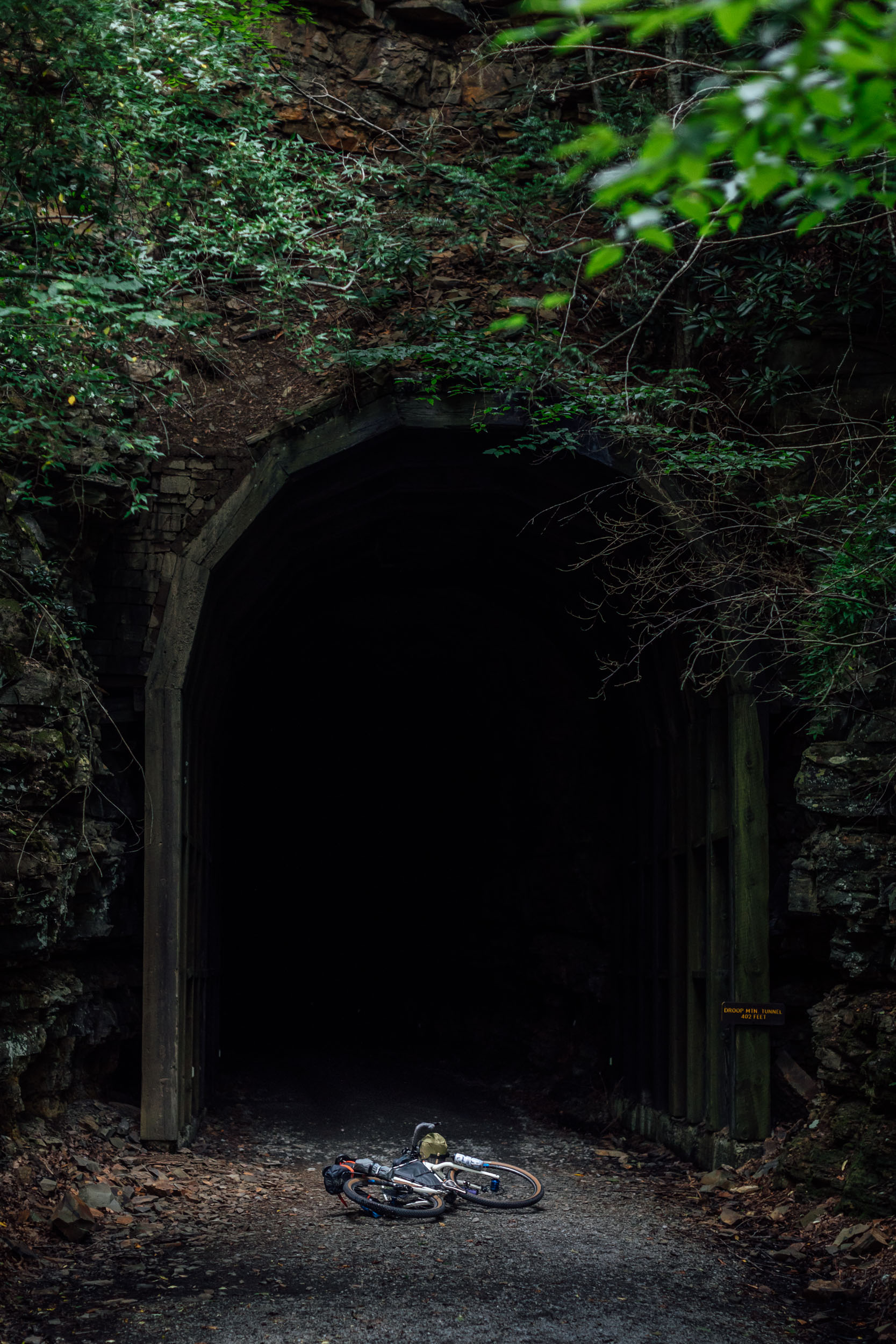
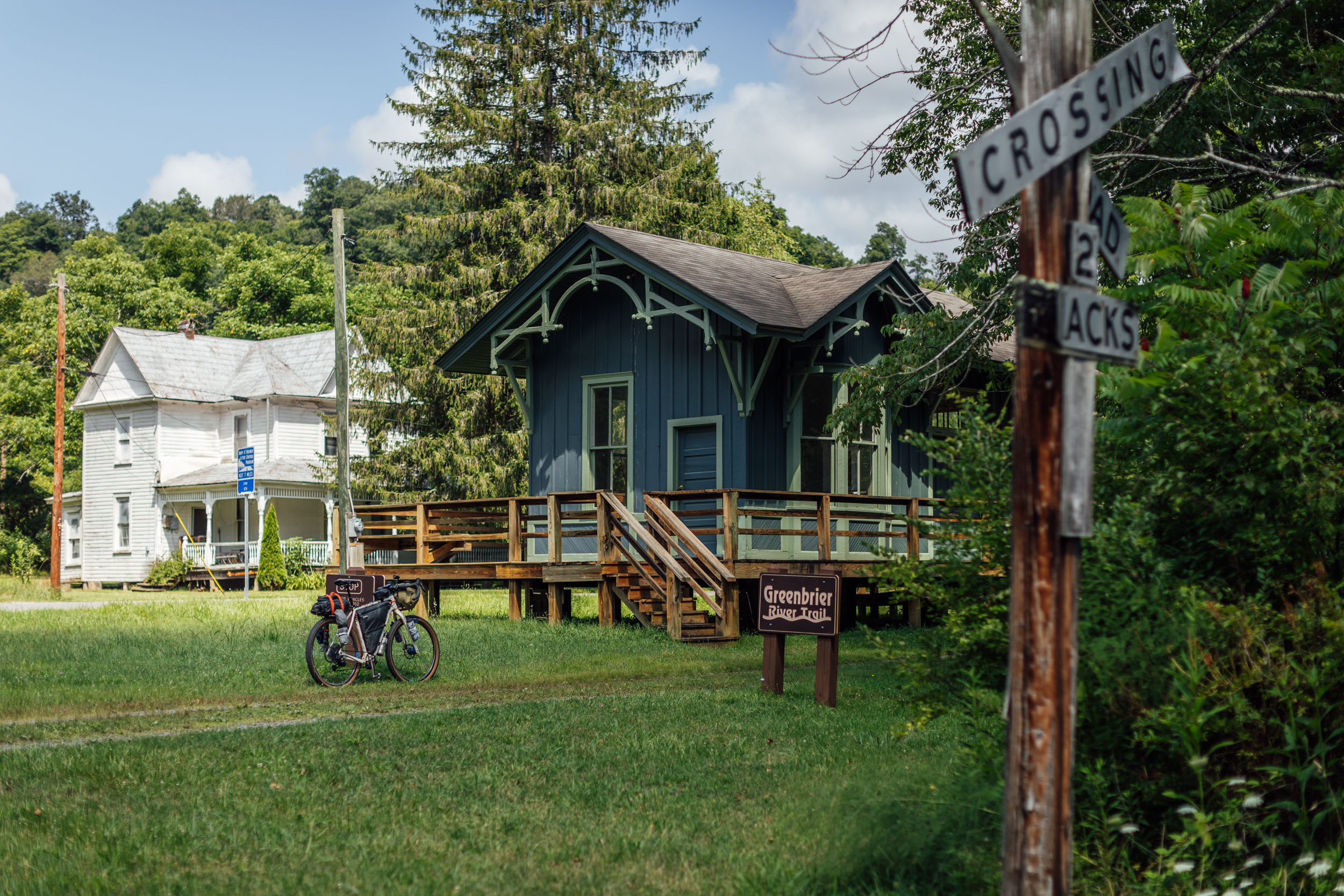
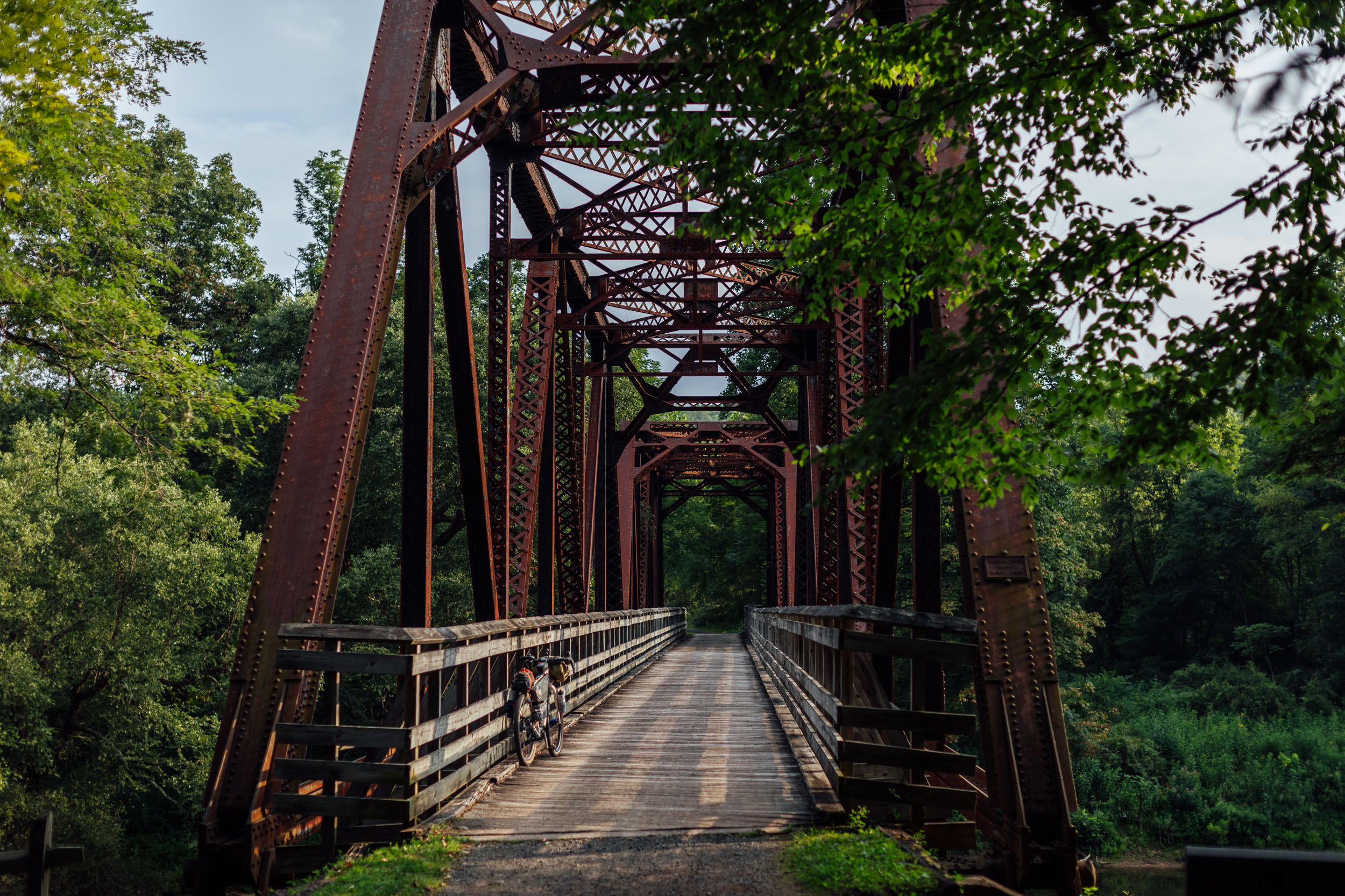
- A relaxing, 67-mile ride (predominantly downhill) on the Greenbrier River Trail with plenty of camping options, scenery, and interesting bridges and tunnels
- Endless winding gravel and dirt roads along the dramatic ridges of Virginia
- A challenging climb with big rewards over the Grayson Highlands, a beautiful mountaintop bald meadow that’s home to wild ponies and incredible views
- A long freewheeling finish down the Virginia Creeper Trail following the beautiful Laurel Creek
Whereabouts describes a list of places and things that are a part of this route as a means to understanding its history. With research and writing from Guarina Lopez (@native_women_ride).
pinMile 1
Ridge-and-Valley Appalachians
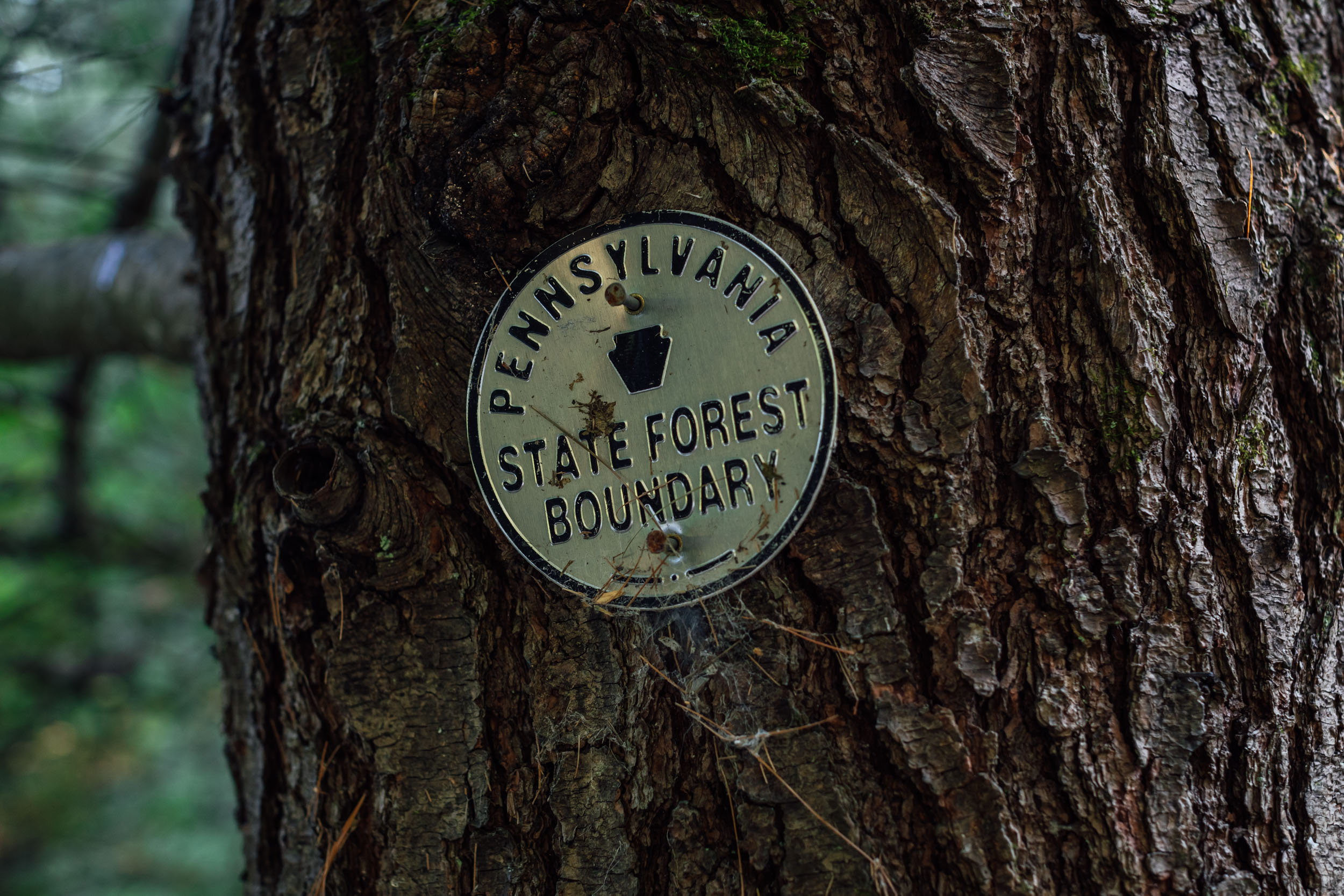
Segment 5 of the EDT begins in the Ridge-and-Valley Appalachians north of State College, Pennsylvania, the ancestral lands of the Susquehannock (also known as the Conestoga). The Ridge-and-Valley Appalachians, also called the Ridge and Valley Province, are a physiographic region within the greater Appalachian Mountains. Characterized by long, even ridges with continuous valleys in between, this area forms a broad arc between the Blue Ridge Mountains and the Appalachian Plateau that extends from southeastern New York through Pennsylvania and West Virginia, all the way to Alabama.
pinMile 1
The Susquehanna River
The Susquehannock were an Iroquoian-speaking tribe who encountered Captain John Smith in 1608 while he was exploring the Chesapeake Bay. There is no account of the tribe’s original name, only that they described themselves as Sasquesahanough or “the people at the falls.” The Susquehannock lived in present-day Pennsylvania primarily along the Susquehanna River, the longest river on the East Coast, which flows 444 miles (715 kilometers) before emptying into the Chesapeake Bay. It was along the river’s banks where the Susquehannock established themselves as fur traders alongside English settlers. They lived in towns along branches of the Susquehanna River that functioned as a thoroughfare for trade and supplied the tribe with sustenance from the endless supply of fish. Their land base spread from Pennsylvania to Maryland and parts of Delaware. Sadly, the tribe was depopulated by disease, war, and forced migration. Today, their descendants can be found among the Iroquois and Lenape tribes.
pinMile 128
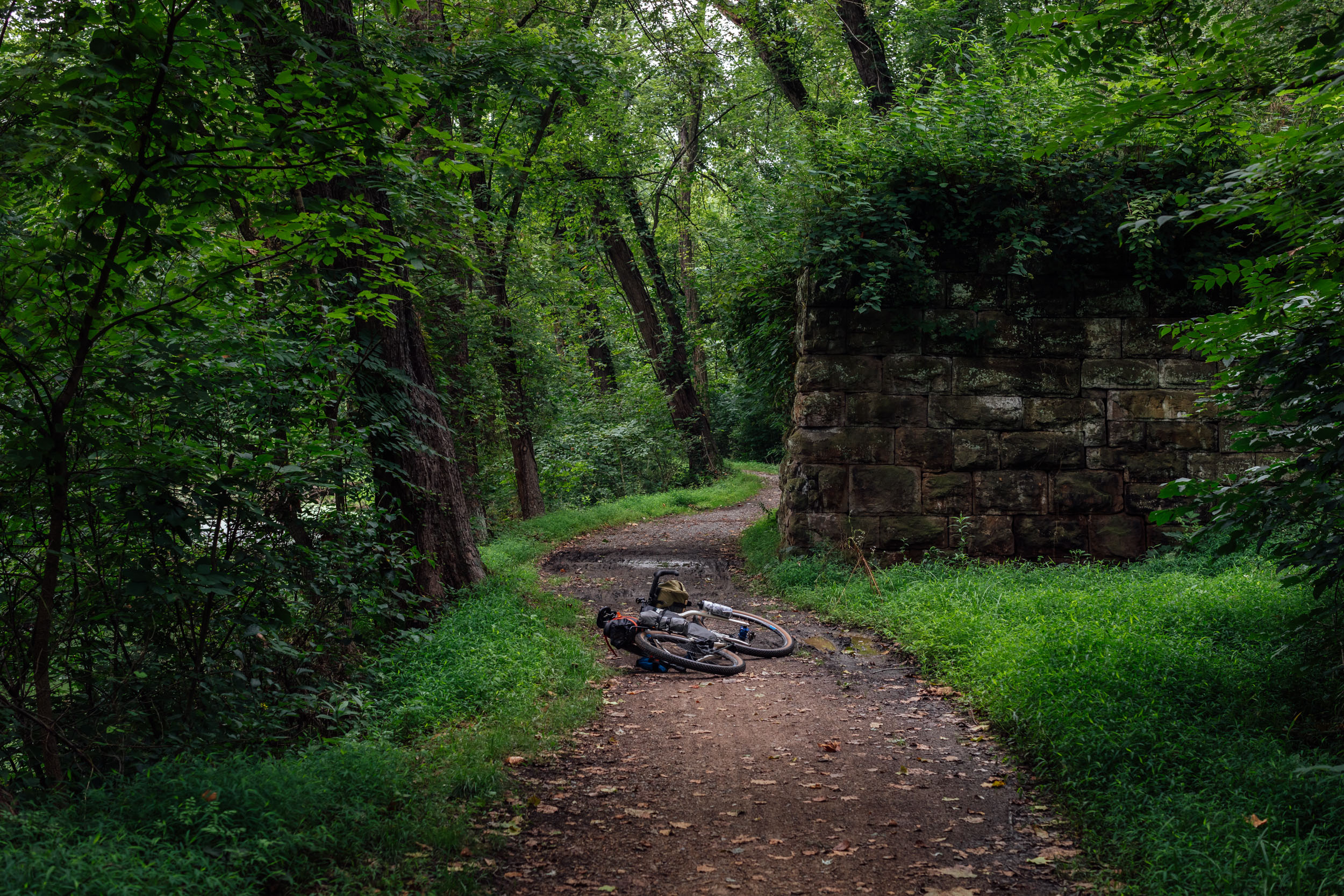
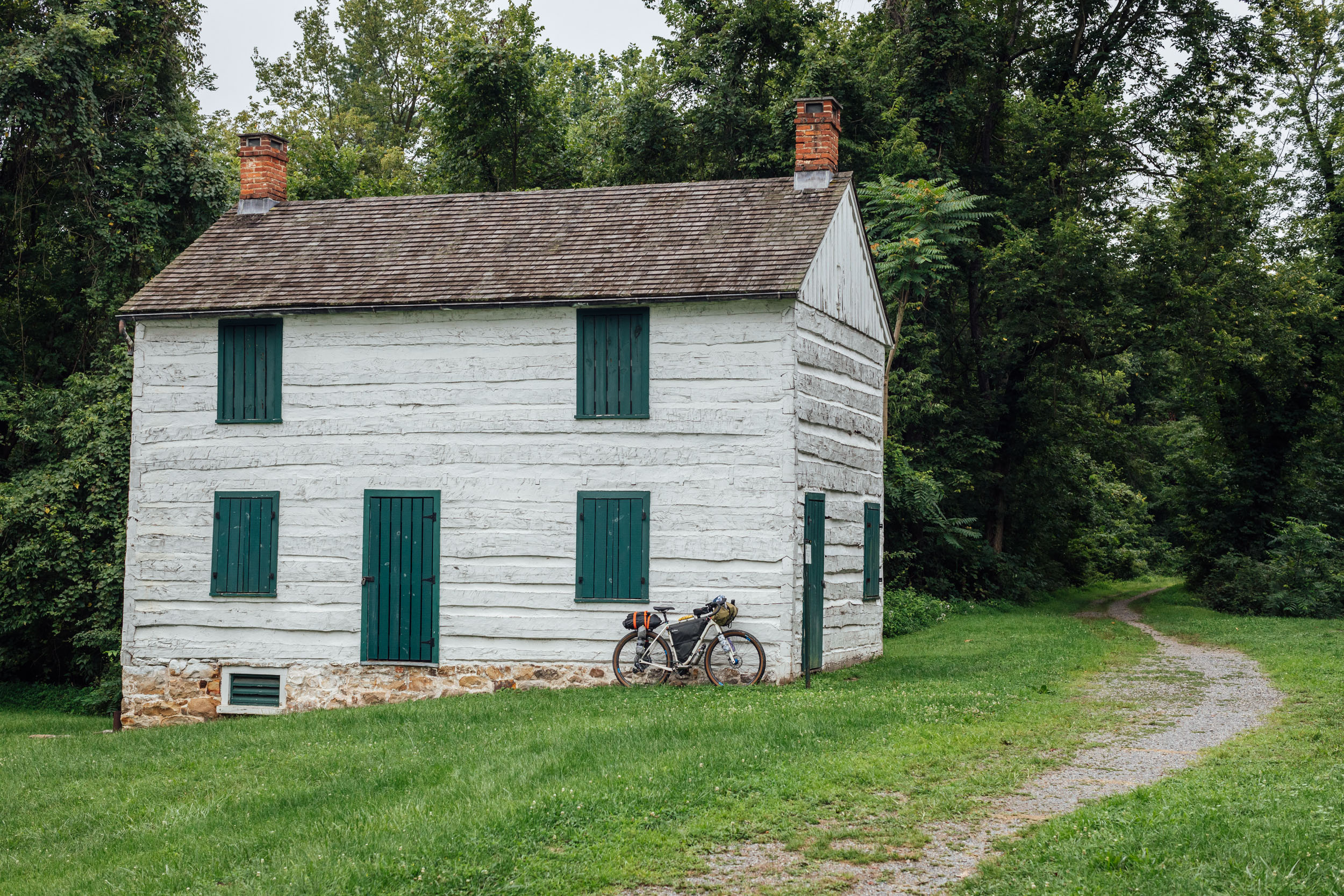
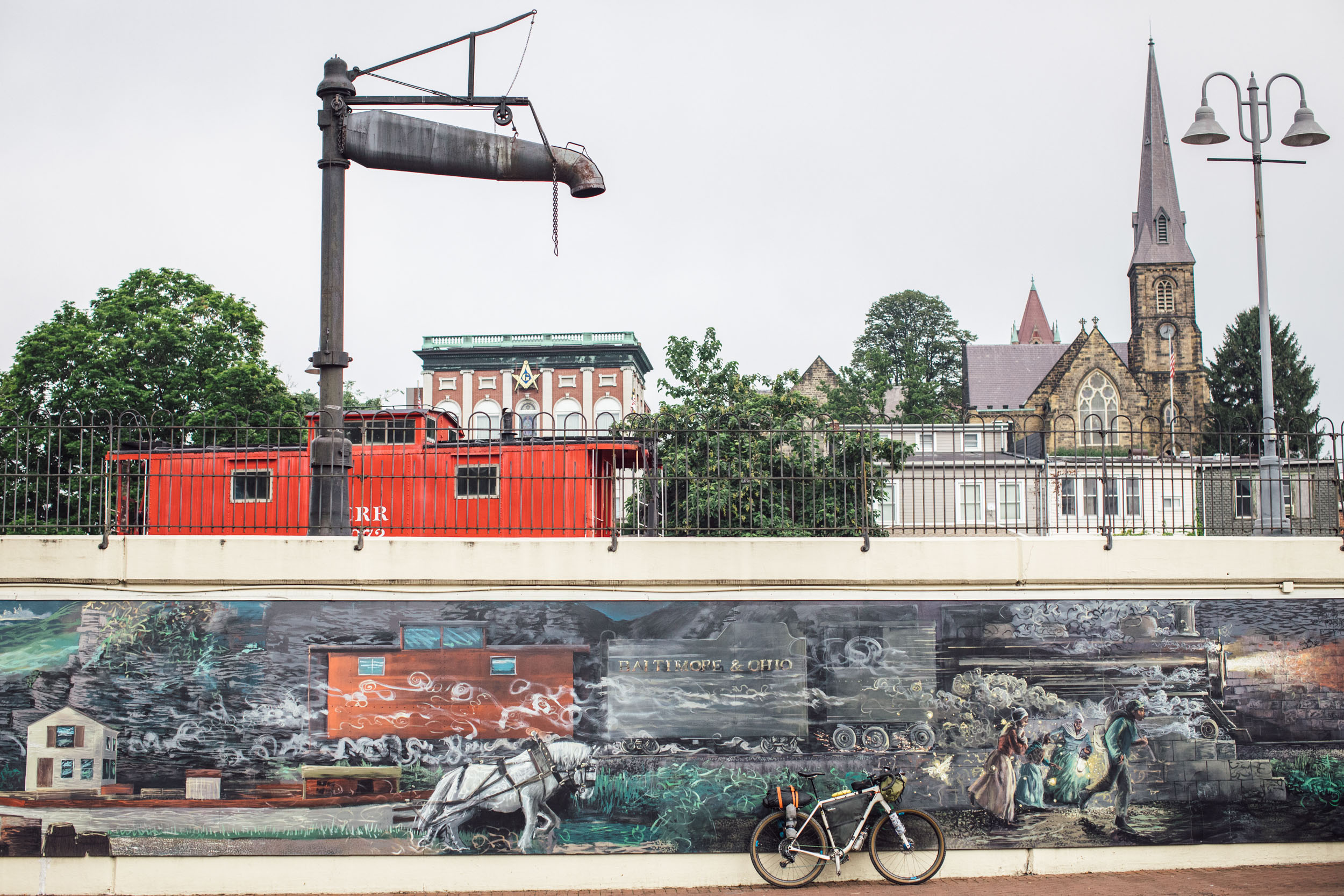
The C&O Canal Towpath
Shortly after crossing over into Maryland, the route runs alongside the Potomac River on the Chesapeake and Ohio Canal (C&O). Segment 5 enters the C&O Towpath at about mile 125 of the 184.5-mile path that begins in Washington, D.C., and ends in Cumberland, Maryland. The C&O Canal is a man-made waterway constructed in 1828 with a parallelling towpath built for mules to walk beside the canal as they “towed” the canal barges through the waterway. There are plenty of historical remnants along the way, including the Paw Paw Tunnel at mile marker 155. The tunnel is said to be made up of six million bricks and is over a half-mile long. The Paw Paw Tunnel is considered one of the most notable landmarks along the towpath and the greatest engineering marvel on the C&O Canal.
pinMile 128
Potomac River
The Potomac River runs 338 miles from Fairfax Stone, West Virginia, to Point Lookout, Maryland, and traverses the ancestral territories of the Piscataway, Nacotchtank, Manahoac, Massawomeck, Shawandasse Tula, and many others. The name Potomac is derived from the Patawomeke people, allies to the more powerful Powhatan Confederacy of the Virginia region. The Patawomeck tribe of Virginia Indians achieved state recognition in 2010 and today are in Stafford County, Virginia, along the Potomac River (Patawomeck is another spelling of Potomac). Captain John Smith visited their lands between Aquia Creek and Potomac Creek where he may have encountered Pocahontas (Matoaka), who was married to a Patawomeck warrior. A section of the river at Mallows Bay and Liverpool Point in Charles County, Maryland, is the cultural landscape of the Piscataway Conoy Confederacy.
Since the 1600s, the Potomac River watershed and surrounding land have experienced many changes distinguished by four stages: frontier, agricultural expansion, industrial urbanization, and post-industrial economy. The river provides scientists with much-needed research into how land-use and water-use changes over time, in varying geomorphic locations with many climate zones, can impact the diverse habitat.
pinMile 185
The Allegheny Mountains
West Virginia is the ancestral home of the Cherokee, Shawnee, Tutelo, and Saponi tribes. The Allegheny Mountain region is the ancestral home of the Shawandase Tula (Shawanawaki/Shawnee) and Massawomeck tribes. West Virginia has no federal or state-recognized tribes, as many of the original tribes were pushed westward into Oklahoma by settler encroachment.
The Allegheny Mountains are a natural barrier between Virginia and the western frontier on the Allegheny Plateau. Many of the trails currently in use in this area were created by the Indigenous people of the region for transportation and commerce. Settlers renamed these trails the “Shawnee Trail” along the Monongahela River, the “Great Indian War Path,” and the “Seneca Trail.”
pinMile 240
Wildlife of the Allegheny Plateau
In pre-colonial times, the forests of the plateau were filled with an abundance of animal life, such as white-tailed deer, black bears, turkeys, mountain lions, beavers, gray wolves, and small herds of buffalo. A wide variety of native plants could be found growing in abundance, such as berries, nuts, cherries, and syrup-producing maple trees. Today, much of the larger game is all but vanished, but you can still expect to see black bears, lots of deer, wild turkeys, raptors, and all kinds of birdlife, as well as a range of plantlife and thriving Appalachian ecosystems.
pinMile 240
The Allegheny Front
The Allegheny Front is the east-facing escarpment in the Allegheny Mountains in southern Pennsylvania, western Maryland, eastern West Virginia, and western Virginia. It essentially forms a geographic boundary between the Ridge-and-Valley Appalachians to its east and the Appalachian Plateau (also called the Allegheny Plateau) to its west. Relevant to this route, the Allegheny Front is associated with the Eastern Continental Divide, which divides the waters of the Ohio/Mississippi River system flowing to the Gulf of Mexico from rivers flowing into the Atlantic Ocean. At the climb up to Bear Rocks and the Dolly Sods, you’ll see a sign marking the Eastern Continental Divide.
pinMile 244
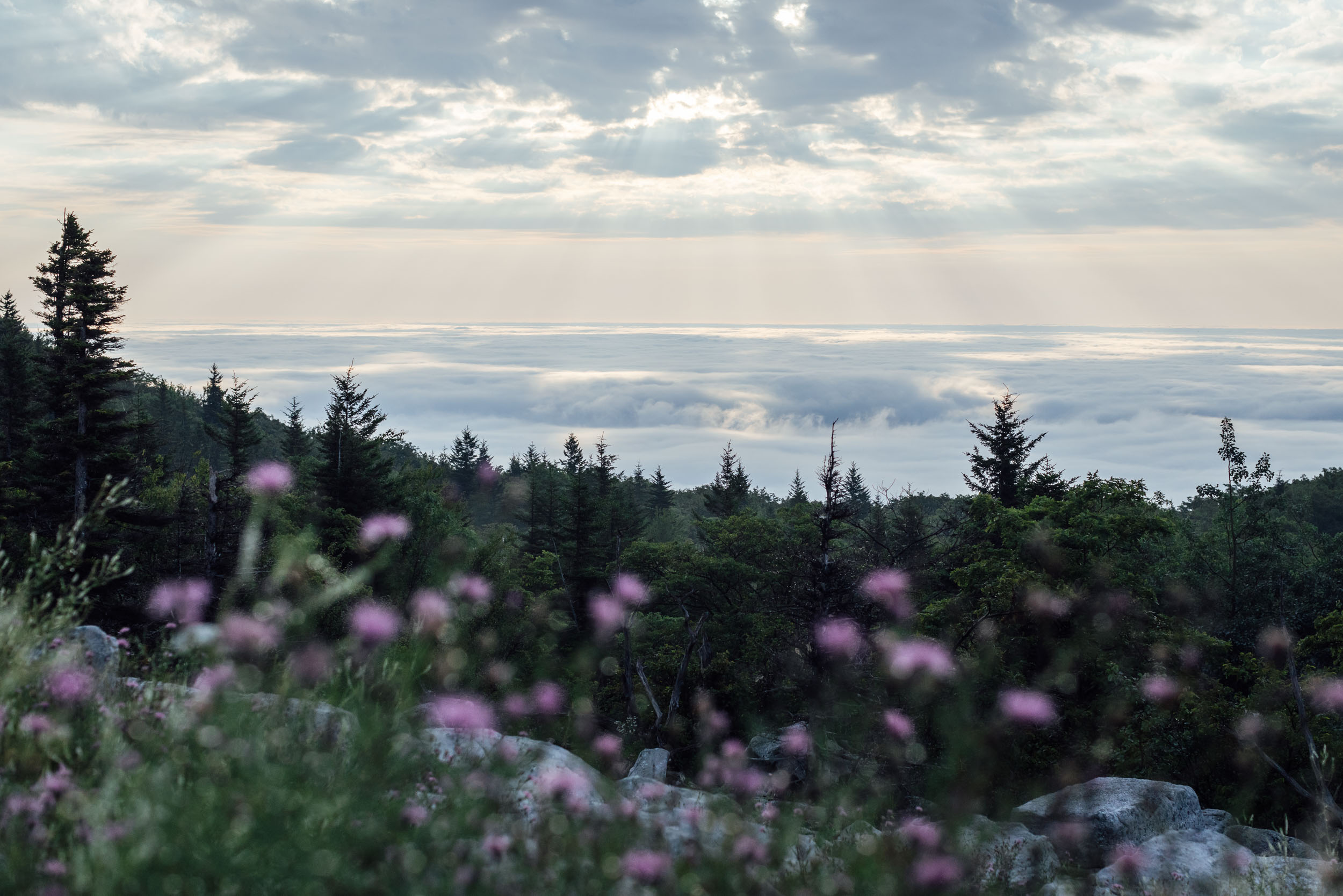
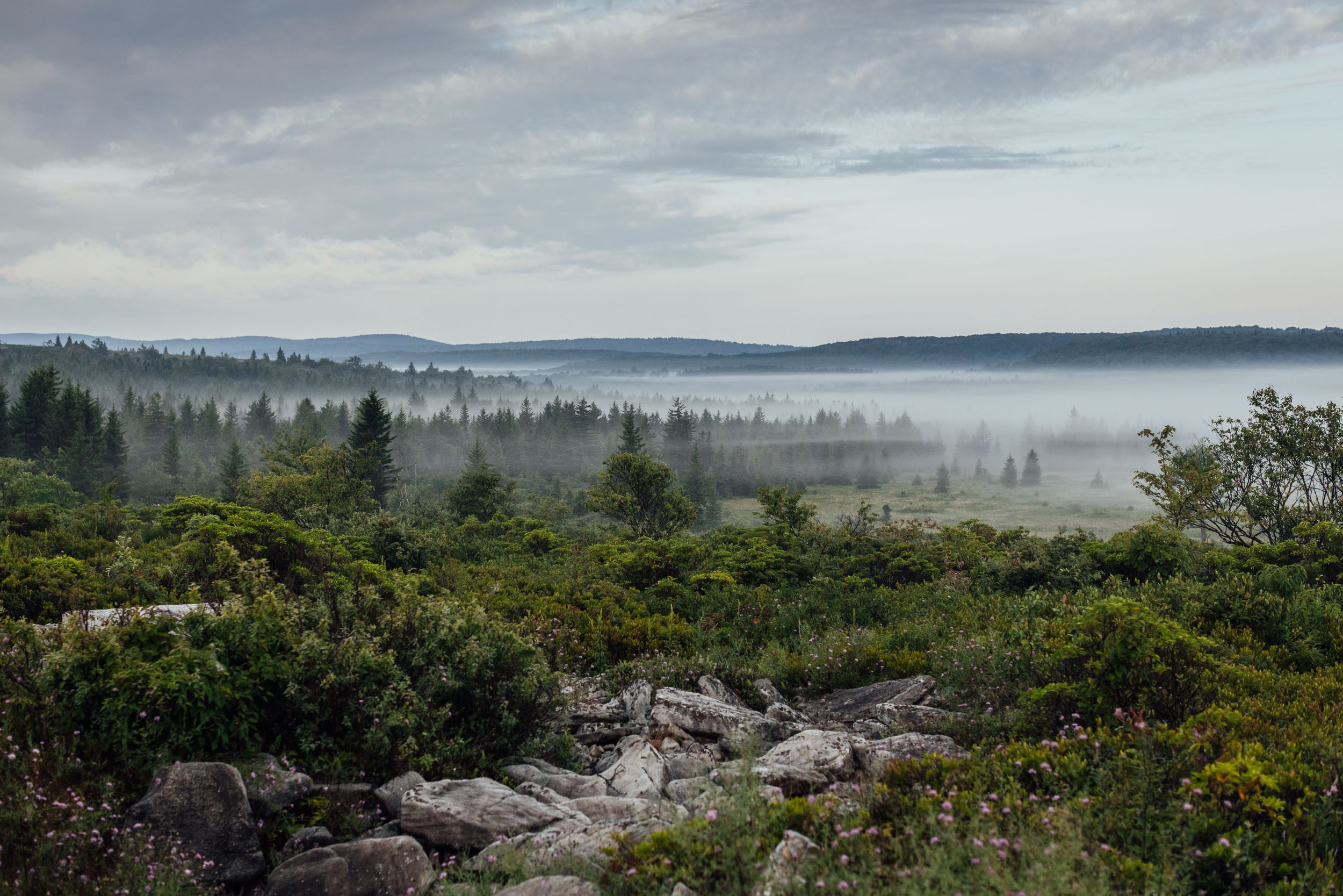
The Dolly Sods Wilderness
Dolly Sods is considered the highest plateau east of the Mississippi River, with altitudes ranging from 2,644 feet (806 meters) to 4,123 feet (1,257 meters) at the top of the ridge on the southern end of the Allegheny Front. The name is said to come from the Germanic homesteading family name “Dahle” and a regional term for mountain top meadow, “sods.” The landscapes of the Dolly Sods are breathtaking, characterized by expansive views and shrubby vegetation punctuated by wind-carved boulders and elevation stunted spruce trees, all creating impressions of areas in the western mountains or much farther north.
pinMile 260
Canaan Valley
The Canaan Valley is the ancestral land of the Shawandasse and Massawomeck. The Massawomeck were a powerful tribe in the region, known to control the flow of trade goods in the interior land. In 1606, the Seneca Tribe attacked the Massawomeck, sending refugees to join the Susquehannock, who then became known as the “Black Miniqua.” The “Beaver Wars” lasted several decades, during which the Seneca defeated both the Susquehannock and Massawomeck tribes. The remaining members joined the Seneca while others were absorbed into the Iroquois nation.
In 1994, the Canaan Valley was established as a National Wildlife Refuge and is now the largest high-elevation wetland in West Virginia. One of the wetland types found in the Canaan Valley is the bog, which gets its water from snowmelt or rainfall. Bogs are generally filled with peat, a decayed plant that is soft and spongy and lives in very acidic water.
pinMile 240-464
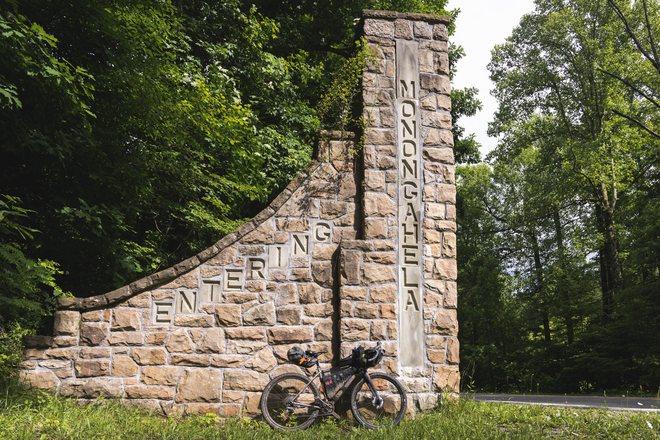
Monongahela National Forest
The Monongahela National Forest is named after the Monongahela River and is located on the ancestral territory of the Calicuas, Shawandasse, and Massawomeck. The term “Monongahela” was coined in 1939 by archeologist Mary Butler who had been hired by the WPA to investigate archeological sites in the area. Butler claimed that a “prehistoric Indian culture” had inhabited the region during the early Protohistoric Period, A.D. 1575-1630. When Europeans arrived in the mid-17th century, they claimed the land was uninhabited, though traces of the early tribes could still be found at sites along the Monongahela River.
Butler expanded her research on the tribes, eventually calling them “The Monongahela Woodland Culture.” During their 600 years in the region, the Indigenous community settled into village life, where their main crop was maize and the main sources of protein came from the whitetail deer, bear, elk, and dozens of birds, fish, and reptiles.
Today, the Monongahela Forest is considered one of the most ecologically diverse in the United States. When the forest was established in 1920, extreme clear-cutting had practically decimated the red spruce tree. Today, restoration projects have focused on the reintroduction of native plants and animals, and the red spruce is thriving, along with its trusty companion, the once-endangered flying squirrel.
pinMile 362
Pocahontas County, West Virginia
Around mile 400, the EDT enters Pocahontas* County, West Virginia, the ancestral lands of the Moneton, Calicuas, S’atsoyaha (Yuchi), and Shawandasse Tula. Pocahontas County was named after the daughter of the Powhatan, the ruler of 30 Algonquian-speaking tribes. *Pocahontas was in fact not the child’s real name, but a nickname translating to “playful one.” Her real name was Amonute, and she was also called Matoaka.
The myth that Americans have created surrounding her willful marriage to John Smith is in fact total fiction, but has been popularized in pop culture and used as a paragon of peaceful relations between Indigenous people and the invading settlers. The story of Pocahontas as the savior of European white men and thus Christianity has also been used to justify her forced marriage to a man twice her age when she was no more than twelve years old.
In the mid-17th century, the region would become dominated by the Iroquois Confederacy, which was comprised of the Mohawk, Oneida, Onondaga, Cayuga, Seneca, and Tuscarora. To the east of the trail is the Seneca State Forest, the oldest state forest in West Virginia, created in 1924.
The landscape in and around Pocahontas County boasts a variety of plant displays throughout the spring and summer seasons. Flame azaleas bloom in late May through early June, and in higher elevations you can find mountain laurel from about mid-June through early July. Rosebay rhododendrons are also visible around this time. In August, keep an eye out for goldenrods, sunflowers, flaming cardinal lobelia, blue and white vervains, swamp milkweed, and bluebells.
pinMile 396
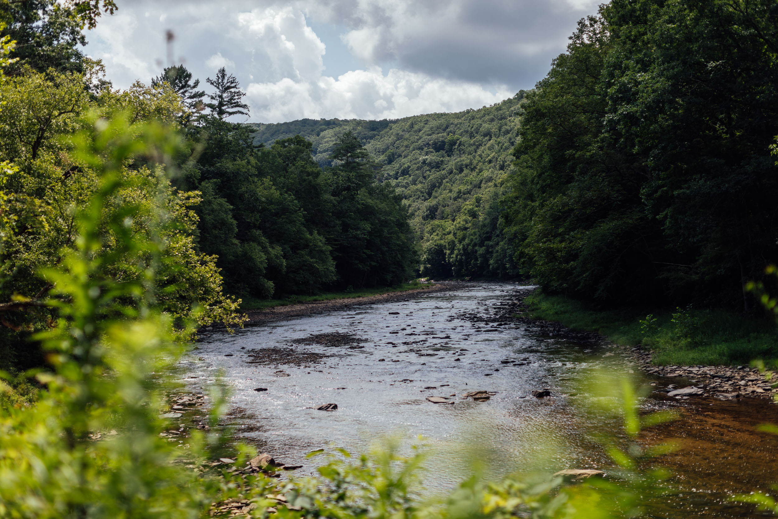
Greenbrier River
From mile ~396 to ~466, the route parallels the Greenbrier River, which in its entirety is 173 miles long. The Greenbrier River, a tributary of the New River, is the longest free-flowing stream in West Virginia, and much of the upper watershed is part of the Monongahela National Forest. The river is said to have been called We-ot-o-we by the Miamas and O-ne-pa-ke and We-ot-o-we by the Delaware.
For much of its course, the Greenbrier parallels the “Great Indian Trade and Warpath,” a series of footpaths that stem from New York into present-day Alabama. The network of trails is also called the “Seneca Trails” and runs through the Appalachian Valley and Appalachian Mountains.
The trail’s age is unknown but is believed to have been used for at least 2,500 years. The trail, a major north-south thoroughfare, trade route, and place of warfare, also connected east-west routes from the Carolinas to Tennessee and Virginia to the Ohio Valley. The trail name is said to be an amalgamation of the northeastern Algonquin tribe’s Mishimayagat or “Great Trail,” with that of the Shawnee and Delaware, Athawominee, or “Path where they go armed.”
pinMile 559
Mountain Lake
Mountain Lake is a natural spring-fed lake that sits at an elevation of 3,875 feet (1,181 meters). The lake is estimated to be about 6,000 years old, and geologists believe it was formed by rock slides and damming. The lake has been the subject of studies and questions with massive level fluctuations—as much as 15 feet—accuring since 2002. It is believed that last such drop occurred between 1751 and 1804. From 2008 to 2020, Mountain Lake was nothing more than a reddish-brown pit. Mountain Lake Hotel was the filming location for 1987 hit movie Dirty Dancing, which starred Patrick Swayze and Jennifer Grey.
pinMile 680
Grayson Highlands and Mount Rogers
The end of this trail segment are the ancestral lands of the S’atsoyaha (Yuchi), Moneton, and ᏣᎳᎫᏪᏘᏱ Tsalaguwetiyi (Eastern Band Cherokee). The last big climb on the route goes up to an area today known as the Grayson Highlands near Mount Rogers. Rising 5,729 feet, these landscapes grace the highest summits in Virginia. Mount Rogers can be accessed via trail systems within Grayson Highlands that follow the Appalachian Trail and traverse the Jefferson National Forest.
This area is known for its wild ponies, coyotes, and uniquely rugged terrain. The Mount Rogers area is composed of rocks nearly a half-billion years old from late Proterozoic and early Paleozoic history. It is a temperate coniferous forest with spruce-fir scattered throughout as well as rosebay rhododendrons, mushrooms, wild blueberries, blackberries, mountain ash, trees covered in lichen of all colors, and upright Fan Clubmoss that in prehistoric times reached the height of trees.
WHEN TO GO
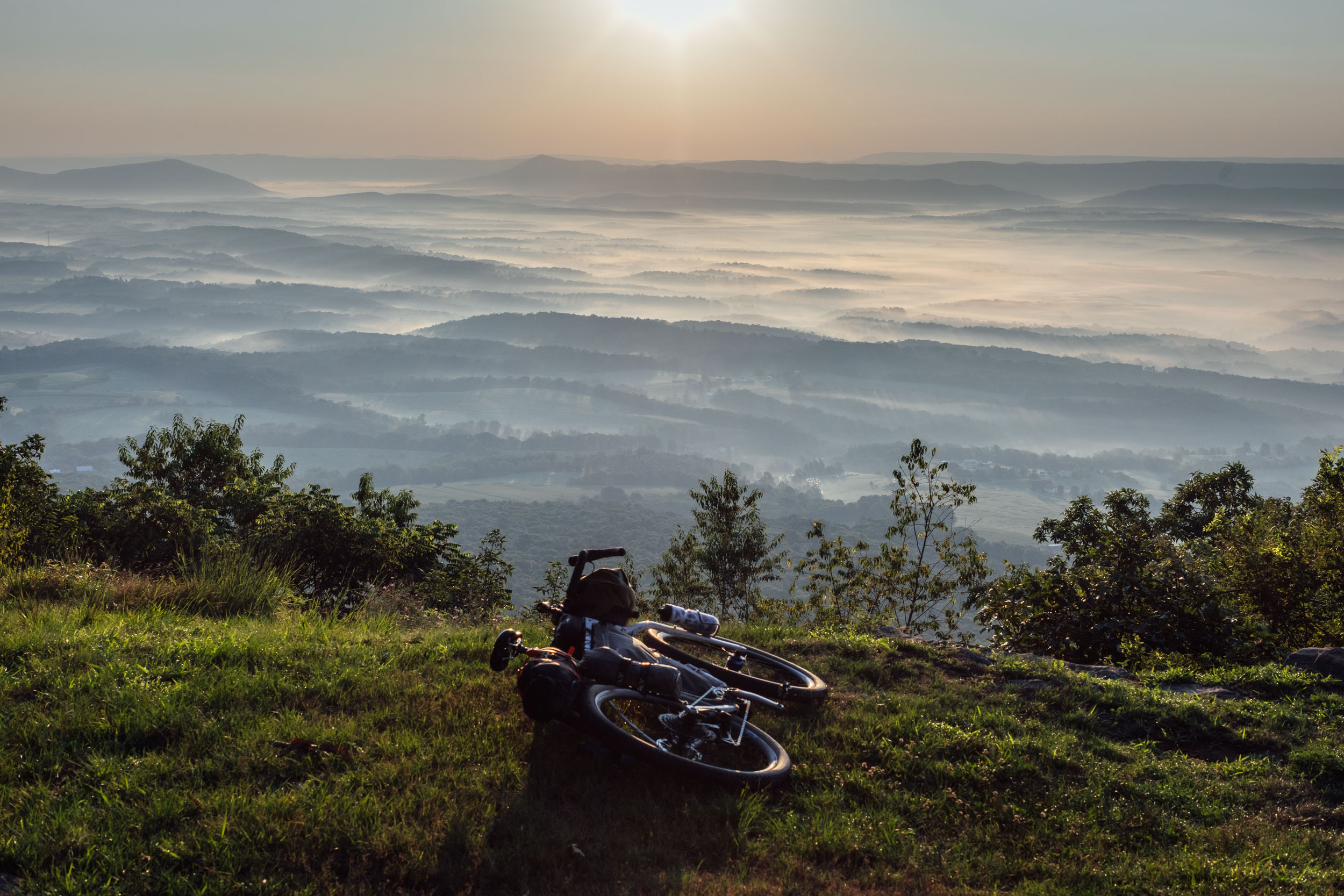
- The best times to ride Segment 5 are April to the beginning of June and mid-September to November. These shoulder seasons provide the most comfortable temperatures in the Alleghenys and Southern Appalachians with cool nights and warm days. Fall is ideal as the colorful leaf shows can be spectacular. The peak leaf time varies between mid-October and November.
- The route is rideable nearly all year with the right preparation. It’s best avoided from mid-January to mid-March as much of the northern portion and higher elevations may be covered in snow. The southern Appalachians can also experience ice and bitter cold at times. July to August can be hot and muggy, with frequent afternoon thunderstorms.
- Although less common than the southern portions of the EDT, hurricane season from August through November may have an impact on travel plans and can sometimes cause flooding in the river drainages.
LOGISTICS
- If you’re section riding or shuttling this route, there is long-term parking available in the town of Damascus at the end of the segment. While it may change, it’s currently at the town swimming pool and you must register on the website provided at signage in the parking lot.
- If starting the route in State College, you can use this alternate. Thanks to Geoff Patterson for scouting this connector for us.
- There is an airport and bus terminal in State College. Both Greyhound and Megabus offer service based on a thriving college campus. There are also rental car options in town. You can find more info about transportation options here.
- Due to all of our scouting missions being through-rides, we’ve yet to source any good intel on a place to park at the route’s start. If you happen to learn any intel about parking or transportation possibilities in State College, please let us know.
DANGERS & ANNOYANCES
- Most of this route is in black bear country. It’s best to get in the habit of tying up your food at night while camping. Find details on the PCT method here.
- There are rattlesnakes and copperheads in this zone, too. Watch where you step and know how to deal with snake bites. Your chances of a dangerous encounter are low but be aware.
- about three quarters of the route is within cell service, with many of the more remote spots without, depending on your carrier. Consider bringing a satellite tracker or emergency beacon in case of injury or catastrophic failure.
- While the majority of this route uses gravel and relatively low-traffic roads, there are a few spots worthy of extra caution. There are several sections that use relatively low-traffic roads, but as with any cycling outing, cars pose a threat. Wear bright colors and bring a rear blinker light.
WHAT BIKE?
- The best bike for this segment, as well as the entire Eastern Divide Trail, is an ATB or Tour Divide-style bike. For drop-bar aficionados, the Salsa Fargo and Cutthroat come to mind, or the Surly Ghost Grappler or Tumbleweed Stargazer. For those who prefer flat bars, any moderate hardtail or rigid 29er would be great, such as the Surly Ogre or Bridge Club, Salsa Timberjack, or Otso Fenrir.
- As for tires, we like fast-rolling XC rubber for this ride. Tires that folks like for the Tour Divide work well. The Maxxis Ikon, Teravail Ehline, and Vittoria Mezcal are all tires we’ve used while scouting.
- There are significant bike shops in State College, PA, Hancock, MD, Davis, WV, and Damascus, VA.
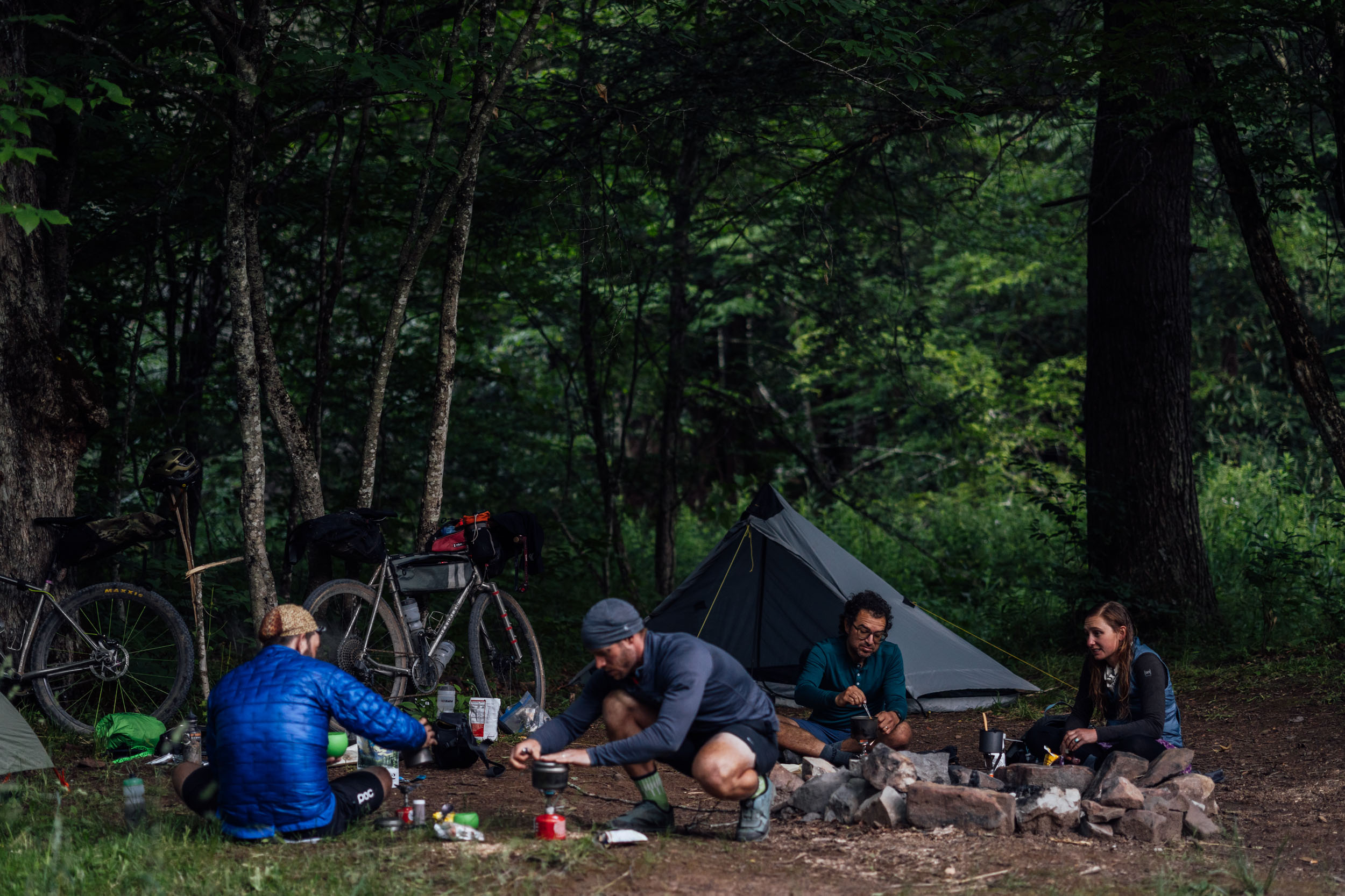
- There are campgrounds and established campsites within national forest land throughout the route. Many prominent options are noted in the downloadable GPX file, but there are more.
- There aren’t any sections where wild camping is absolutely necessary as long as you can keep a good pace. The most significant stretch devoid of camping is between Cumberland, MD, and the Dolly Sods Wilderness. If wild camping is a must, we recommend setting up after dusk and leaving at dawn. Churches, parks, and other public places are usually safe options, but use your own judgment and leave no trace.
- There are hotels/motels/lodging in State College and Huntingdon, PA, Hancock and Cumberland, MD, Davis, WV (and some lodging in Marlinton), and Marion and Damascus, VA.
- Segment 5 finishes at Damascus, VA, which has several lodging options including a hostel, camping, cabins, and a provisions shop that caters to backpackers.
- Filterable water is available on most of the route. However, there are a few stretches at higher elevations where you’ll need to plan beforehand if you intend to camp there, including the Dolly Sods WIlderness and Grayson Highlands. There are a couple of water sources noted on the downloadable GPX file in strategic locations.
- Churches are a good source of drinking water as there are usually spigots available. Make sure to ask if there is someone on site.
- There are a fair number of resupply options on this route, as noted in the POIs of the downloadable GPX file. The longest stretch without resupply is between White Sulphur Springs, WV, and Eggleston, VA (miles 468 to 568). Other stretches to consider are between Short Gap and Davis, WV (miles 191-275), and in Virginia between the Big Walker Country Store (mile 625) and Whitetop (mile 705).
- The main resupply points with significant options are Huntingdon, PA, Hancock, MD, Davis, Marlinton, and White Sulphur Springs, WV, and Marion and Damascus, VA.
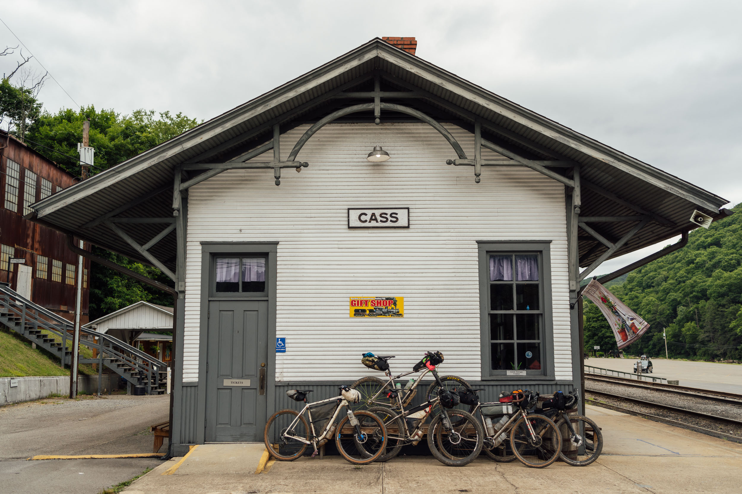
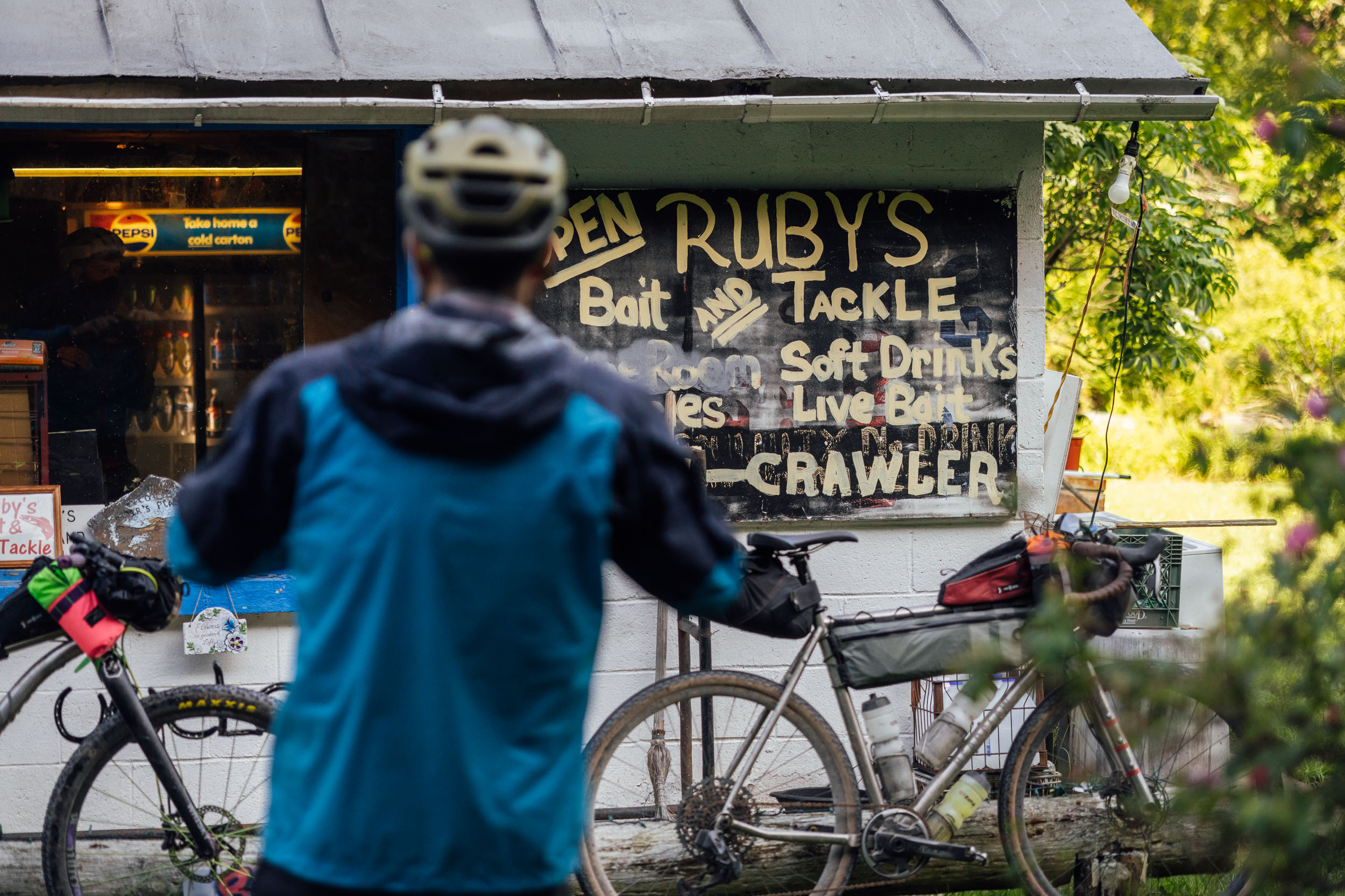
- There are a few recommended places for food and drink. From north to south: check out Buddylou’s in Hancock, Maryland; we haven’t tried it, but it comes recommended with menu items like fried Lion’s Mane mushroom nuggets. If you need a break, it might be worth going off-route to Cumberland, MD, for a beer at Dig Deep Brewing or a Maryland crab cake at the Crabby Pig. In Davis, WV, grab a beer at Stumptown Ales. Pizza at Fat Olives in Parsons comes recommended. It might be worth the ride down Thorny Flat Rd (66) to see Cass Depot and get lunch and ice cream at the Cass Company Store. The Dirtbean Café in Marlinton is a must-stop for coffee and breakfast. Big Draft Brewing in White Sulphur Springs is supposed to have excellent beer and food. Mojo’s Cafe or 7 Trails Grill are both good spots to fill up in Damascus.
Here is an example itinerary based on 40-70 mile days. This is a solid baseline that a fairly fit through-rider carrying a medium-light load might consider as a reasonable bikepacking itinerary. Note that this is a moderately challenging itinerary, so many riders might average shorter days, and others will attempt longer mileages.
locationState College, PA-Trough Creek State Park
Day 1 (59 mi +5,900 ft)
The mileage stated here factors on leaving from downtown State College using this alternate. Please note that we haven’t scouted this, so if you’re interested in checking it out, please let us know via the Route Alerts form linked below the map. The beginning point of this route is a relatively non-descript intersection where the pavement turns to gravel in the Rothrock State Forest south of State College, Pennsylvania. Reason being, this is a through-route and that was the closest access point to State College. We chose State College based on the distance and the fact that it’s the home of Penn State University, which facilitates plenty of options for transportation and resupply (see Must Know for transportation notes and links).
Once at the official start, you’ll follow a series of relatively smooth gravel roads through a lovely section of Rothrock State Forest. The route then connects to a series of backroads and negotiates its way through the town of Huntingdon, where there are plenty of options available for resupply. From Huntingdon, a little more pavement will take you to the beginning of Terrace Mountain Trail, a jeep road that undulates from single to doubletrack and offers a nice, rolling ride along the southeastern side of Raystown Lake. It’s fairly easy riding but can be chunky and steep at times. The beginning section is less traveled than the southern section near Raystown Marina. In between the two, you’ll connect to Trough Creek State Park on a little bit of pavement. Trough Creek offers a nice opportunity to camp and get water and is a really pretty spot near some rock formations and a waterfall. The campground at Trough Creek may be crowded on the weekend or during the high season, so book in advance or call ahead. Or, if you want to push ahead another nine miles, you’ll get back on the Terrace Mountain Trail and be in Rothrock State Forest. Backpacker camping is allowed anywhere as long as you’re 25 feet from the trail. Or you can get to Putts Camp, a primitive Scout campground with a pavilion and pit toilets. Putts requires a $5 fee. See map POI for contact details.
locationTrough Creek-Buchanan State Forest
Day 2 (58 mi +5,600 ft)
From Trough Creek, you’ll follow the pavement back down to Raystown Lake and pass the resort before jumping back on the Terrace Mountain Trail (TMT). After six miles on the TMT, the route uses a stitchwork—backroads, the Huntingdon and Broad Top Rail Trail, the abandoned PA Turnpike, and Wildlife Management Area (WMA) gravel roads—to roll through southern Pennsylvania’s ridges and valleys. There is plenty of quiet countryside and rolling hills along this stretch before climbing up on gravel to Buchanan State Forest. Stop to take in the viewpoint before finding a campsite in about four miles. The camping is limited (and nothing special), but this is one of the few possible places to camp before reaching Maryland and the C&O Towpath.
locationBuchanan State Forest-C&O Canal, Maryland
Day 3 (77 mi +2,700 ft)
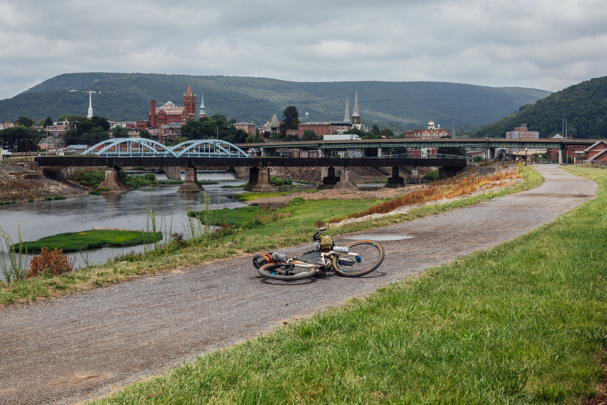
The gravel road from Buchanan rolls through State Game Lands before dropping down to Old 126. The route then uses a medley of backroads and a stretch of gravel on State Gamelands before reaching the Maryland border at Hancock. Hancock is a great spot to recuperate and resupply. There are plenty of restaurants in town, such as the touted Buddylou’s, featuring menu items like fried Lion’s Mane mushroom nuggets. Make sure to check out C&O Bicycle, a bike shop complete with bunks and showers for weary bike travelers. From Hancock, you’ll jump on the C&O Canal Towpath for about 60 miles. There are plenty of campsites along the trail, all marked on the map. If you plan on stopping in Cumberland, break it up over two days. If you want to make it to Dolly Sods (per the next itinerary item), we recommend getting as far as you can before setting up camp.
locationC&O Canal-Dolly Sods, West Virginia
Day 4 (62 mi +5,900 ft)
Day four is a long one. Unfortunately, there’s not really any camping options on the way from the C&O to the Dolly Sods. This is a long stretch of paved backroads followed by a big climb up the Allegheny Front. There is one point of interest en route. The Greenland Gap Nature Preserve is a beautiful area managed by the Nature Conservancy. It’s a water gap formed by the North Fork of Patterson Creek. There are some great swimming holes, and it’s an excellent place to stop for a break. From there, some more backroads will get you to the big climb up to the Dolly Sods Wilderness. There are a few roadside campsites marked on the map on the way up. If you have the legs, make it to the top as there are some good sites there. Note that it may be busy on the weekend or in the high season.
locationDolly Sods-Davis, WV
Day 5 (35 mi +3,300 ft)
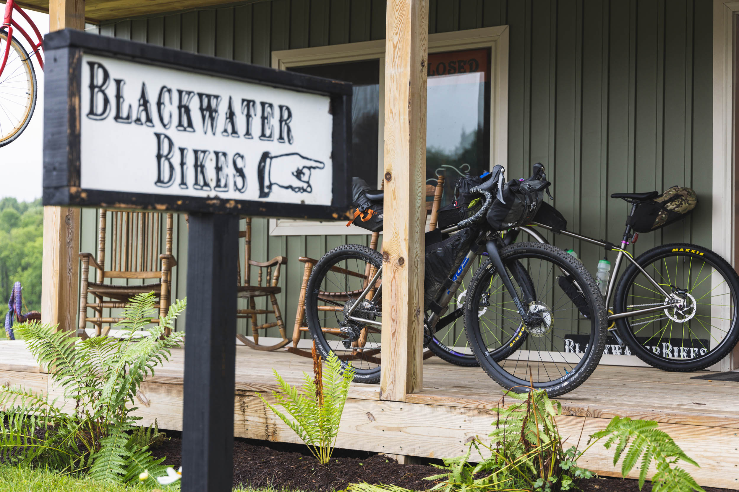
Day five is relatively short. Spend some time checking out the Dolly Sods views, then head toward Davis. There are a couple of big climbs to get there, but also be sure to stop and hike up to Bearden Rocks, a beautiful viewpoint over the Canaan Valley. Once you make the descent into Davis, there are plenty of great food options, too. Stop by Blackwater Bikes if you need any repairs, parts, or service. There are a couple hotels/motels in town, as well as a pay campground. You can also head down to Blackwater Falls State Park for another campground option just outside of town.
locationDavis-Shavers Fork
Day 6 (68 mi +5,400 ft)
Leaving Davis, the route uses pavement to connect to the Blackwater Canyon Trail, a 10-mile fast descent that runs along the North Branch of the Blackwater River through Blackwater Falls State Park. There are a couple of scenic viewpoints along the way before the route reaches Hendricks and joins the Allegheny Highlands Trail. Once you reach Parsons, you’ll make your way to a beautiful winding gravel road that runs along Shaver’s Fork before connecting the dots on a mix of pavement and gravel toward Beverly. There’s a convenience store off route in Beverly, if you need it, as well as a nice campground with showers nearby. For this itinerary, you’ll go another 16 miles and use one of the national forest campsites either off route by the river or on the roadside a few clicks ahead.
locationShavers Fork-Sharp’s Tunnel (Greenbriar Trail)
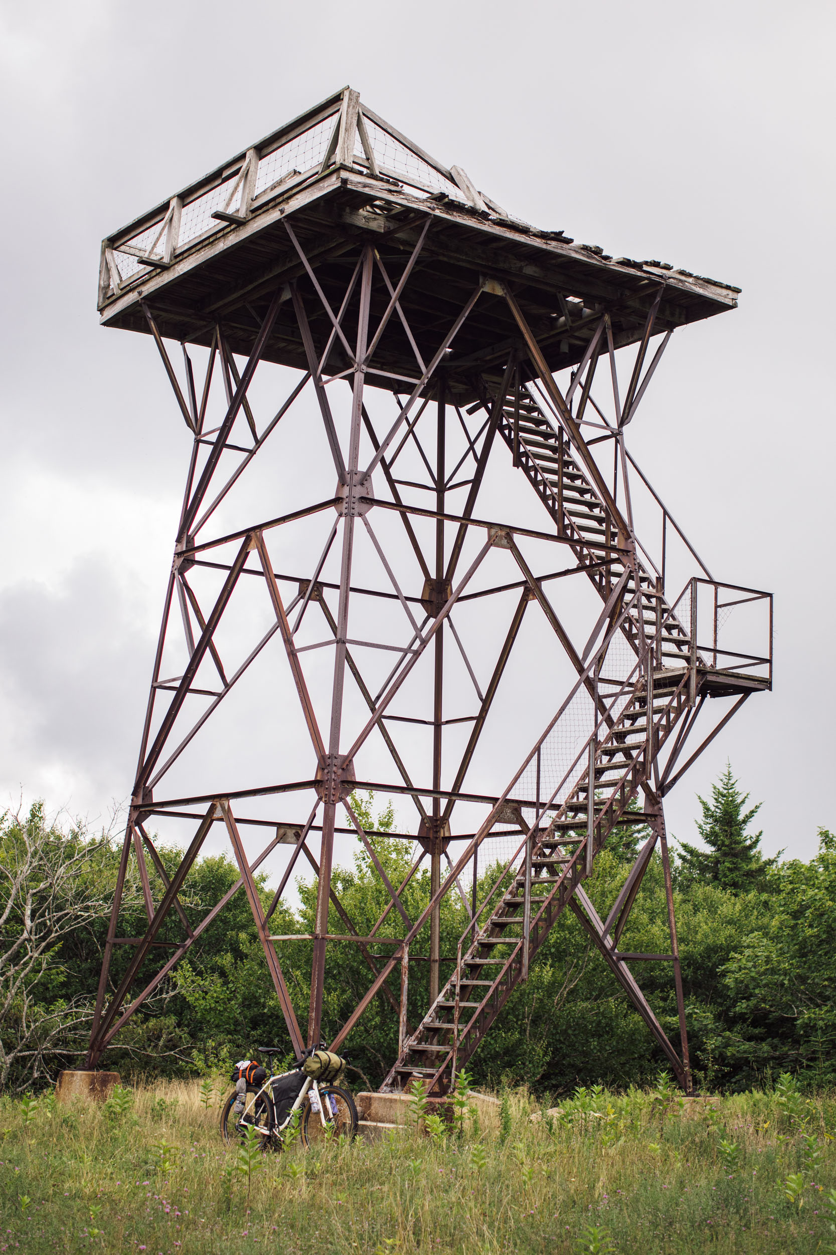
Day 7 (61 mi +4,500 ft)
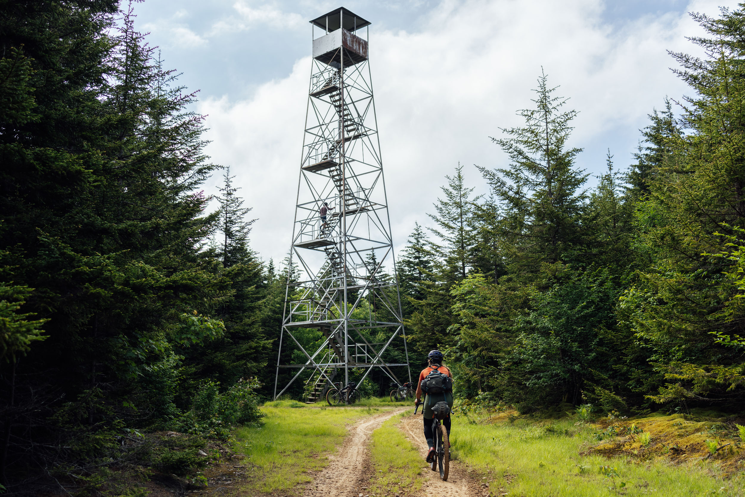
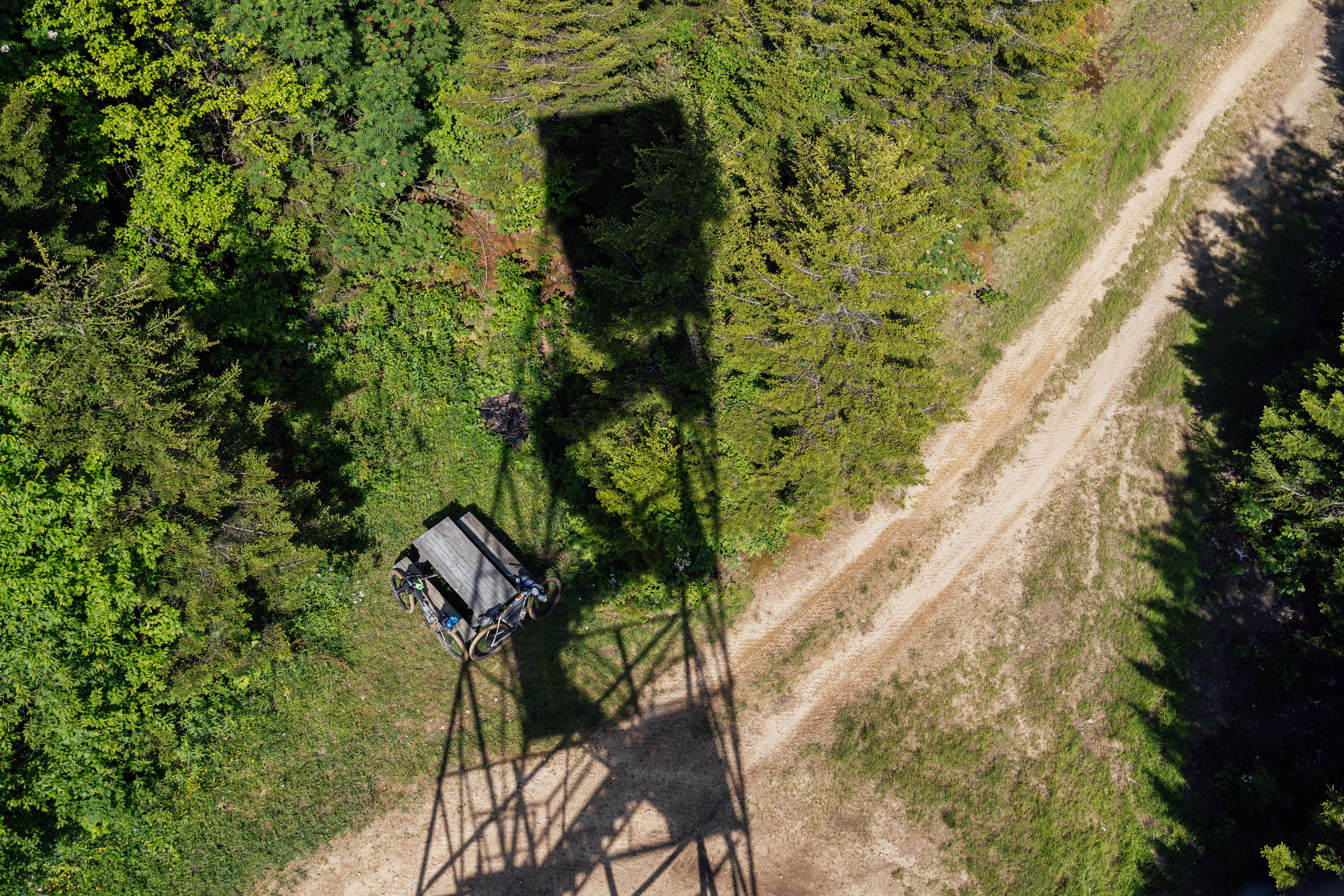
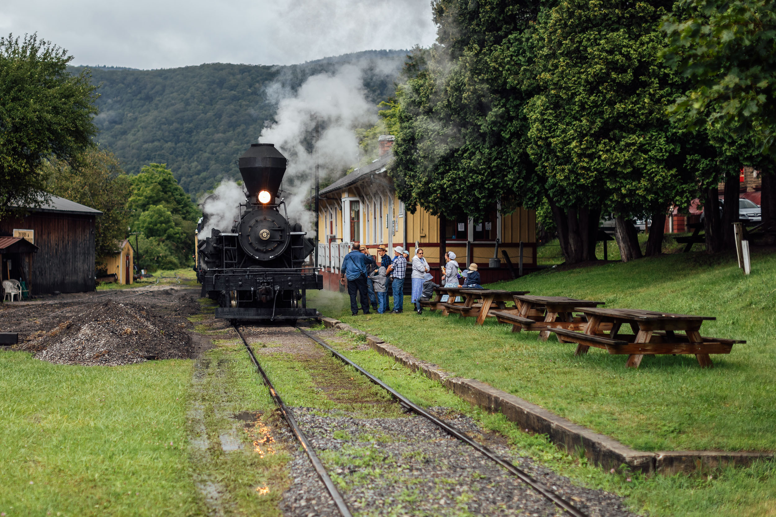
Day seven is an interesting one that presents a few options. From Shaver’s Fork, the route continues its up and down march along gravel and lesser-used doubletrack roads. If you want to take a short day, plan on camping up at the Bald Knob observation deck. It’s a beautiful spot with a campfire ring and a pit toilet. There’s also a spring that feeds a massive tank on the way up the trail next to the train tracks. Note that the scenic railroad from Cass brings tourists up once or twice per day during the high season, but it was quiet the afternoon we got there. If you want to stay on track with this itinerary, you’ll carry on up to Snowshoe. The climb gets steep and chunky at times on the way up, but you’re rewarded with fast descents and a lookout tower to take in the view. From there, you’ll circle around to Snowshoe Resort where you can have lunch or resupply at the grocery that’s marked on the map. If you’re into trains, you might consider dropping down off route to Cass Depot, an interesting little town where you can have lunch at the Cass Store. Otherwise, you’ll descend on gravel before reaching the Greenbrier River Trail (GRT). The GRT is a linear state park—and one of the East Coast’s most beautiful rail trails—that runs 77 miles (124 kilometers) along the Greenbrier River and features countless river views, tunnels, bridges, and a variety of birds and animals. There are also dozens of first-come, first-served campsites along the GRT, many of which have nearby pit toilets and well water (which requires filtration). For this itinerary, we pinned a campsite near the Sharp’s Tunnel for the sake of mileage and proximity to Marlinton. Be sure to hang your food as there are plenty of black bears in the area.
locationMarlinton-Greenbrier State Forest
Day 8 (71 mi +3,000 ft)
Leaving the campsite near Sharp’s Tunnel, you’ll quickly pull into Marlinton where you can grab coffee and breakfast at the Dirtbean. From there, you’ll continue on the Greenbrier Trail for another 53 miles before joining the pavement to traverse over to White Sulphur Springs, a curious town that’s home to the Greenbrier Resort. The resort and town grew in the first half of the nineteenth century as a summer destination for wealthy Virginians seeking a break from the heat and humidity. There are plenty of options for resupply around and in White Sulphur Springs before you begin the gravel climb up Kate Mountain. There aren’t many official campsites on Kate Mountain, but there are a few meadows and off-the-road options after the lookout point.
locationGreenbrier State Forest-Potts Creek
Day 9 (40 mi +4,500 ft)
Day nine traverses several ridges as is continues east into Virginia. Most of the riding is on beautiful gravel roads, but there are a few challenging climbs and a lot of ups and downs to contend with. There are several dispersed campsites along the way and one large option before you reach Potts Creek.
locationPotts Creek-White Rocks (Virginia)
Day 10 (37 mi +4,200 ft)
The beautiful Ridgeline riding continues the next day as you climb up along Shawvers Run Wilderness Area. Make sure to check out the Hanging Rock view point slightly off route at mile 525. After Laurel Creek, you’ll follow a few backroads and there’s a quick hike-a-bike up to Potts Valley Rail Trail, an interesting little traverse through a beautiful stretch of forest. Once you rejoin the forest roads, there’s a little climb and then a descent down to the White Rocks campground.
locationWhite Rocks-No Business Creek
Day 11 (41 mi +5,000 ft)
From White Rocks NF Campground, you’ll tackle a sizable climb up to the intersection of the Appalachian Trail. This is a beautiful fern covered ridge that will drop you down to Mountain Lake and Mountain Lake Lodge. Check out the entry in Whereabouts for more on that. The route then drops down to the New River on pavement before Eggleston. You can resupply there at the general store or in another eight miles at J&J Grocery. From there, there’s another hearty climb before you reach National Forest land again and intersect with the Appalachian Trail. There’s a decent campsite a little further up hill that’s marked on the map.
locationNo Business Creek-Marion, VA
Day 12 (60 mi +5,100 ft)
After traversing the southern side of Wolf Creek Mountain, the route then drops into a valley and climbs up brushy mountain for a challenging ride along Kimberling Creek Wilderness. This can be tough when wet, so expect a hike-a-bike. the up and down continues and eventually you climb up Walker Mountain where there’s a wildlife viewing area and the Big Walker Country store. From Walker, pavement turns back to gravel and then to grassy doubletrack and dirt singletrack. The riding here isn’t technical but don’t be surprised if there are some rhododendron branches down across the trail. Eventually, the route skirts the town of Marion, where food and resupply awaits. There is lodging available in Marion or you can carry on another seven miles where the gravel road intersects the Appalachian Trail. There’s a campsite just beside the road.
locationMarion, VA-Grayson Highlands
Day 13 (32 mi +4,900 ft)
From Marion, the route follows a mix of paved backroads, gravel, and the beautiful Comer’s Creek and Homestead forest roads. After a short road stint, you’ll begin the challenging climb up towards Grayson Highlands. Expect a little walking as you hit the Virginia Highlands Horse Trail. It gets chunky at times, but the views and landscapes are incredibly rewarding. There’s a primitive campground often used by equestrians, or you can carry on to find a backcountry site further along.
locationGrayson Highlands-Damascus, VA
Day 14 (38 mi +1,750)
Leaving the Grayson Highlands, the route drops down to join Highway 58 for a few miles. It’s a relatively low-traffic double-lane road and the short section is mostly downhill, but take precautions and use your rear light. From there, it connects a couple of backroads before rejoining 58 and skirting over to the Virginia Creeper Trail, a beautiful multi-purpose rail trail that rolls along Laurel Creek. It’s primarily downhill, so prepare for a long coast. If you hit it on the weekend in the high season, be prepared to see quite a few folks riding it. Once in Damascus, there are plenty of places to eat, drink, and be merry. Check out Mojo’s for good coffee and breakfast. 7 Trails Grill is another solid option. There are also several lodging options in town, including a hiker hostel.
Update: as of August, 2025, the Virginia Creeper Trail between Whitetop and Damascus is impassable due to damage from Hurricane Helene in September, 2024. You will need to use this reroute to cover the last section into Damascus. It does use much more pavement so exercise caution.


Terms of Use: As with each bikepacking route guide published on BIKEPACKING.com, should you choose to cycle this route, do so at your own risk. Prior to setting out check current local weather, conditions, and land/road closures. While riding, obey all public and private land use restrictions and rules, carry proper safety and navigational equipment, and of course, follow the #leavenotrace guidelines. The information found herein is simply a planning resource to be used as a point of inspiration in conjunction with your own due-diligence. In spite of the fact that this route, associated GPS track (GPX and maps), and all route guidelines were prepared under diligent research by the specified contributor and/or contributors, the accuracy of such and judgement of the author is not guaranteed. BIKEPACKING.com LLC, its partners, associates, and contributors are in no way liable for personal injury, damage to personal property, or any other such situation that might happen to individual riders cycling or following this route.
Please keep the conversation civil, constructive, and inclusive, or your comment will be removed.