


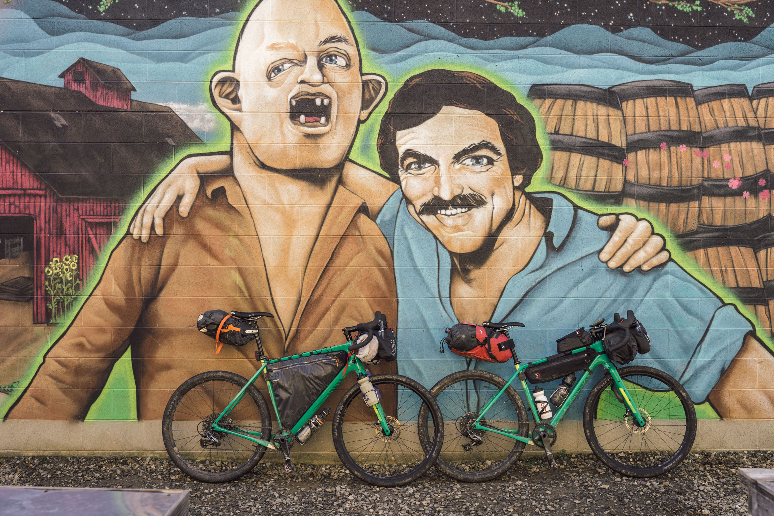
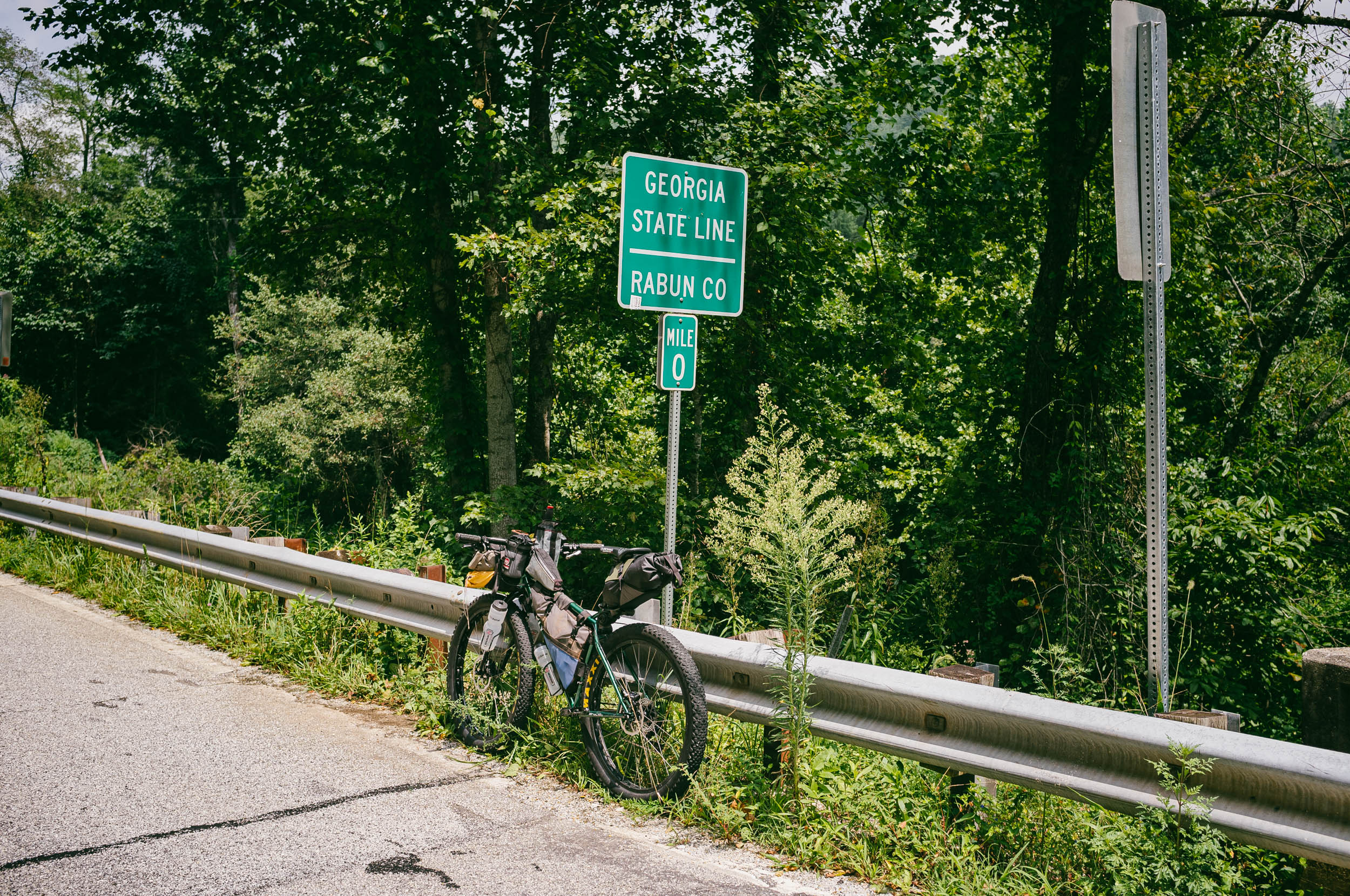
Eastern Divide Trail (S6): Blue Ghost
Distance
590 Mi.
(950 KM)Days
12
% Unpaved
68%
% Singletrack
5%
% Rideable (time)
98%
Total Ascent
68,000'
(20,726 M)High Point
5,691'
(1,735 M)Difficulty (1-10)
7?
- 8Climbing Scale Strenuous115 FT/MI (22 M/KM)
- 6Technical Difficulty Moderate
- 7.5Physical Demand Difficult
- 5Resupply & Logistics Moderate
Contributed By

Logan Watts
Founding Editor
Forward by Logan Watts: Each segment of the Eastern Divide Trail is uniquely beautiful, but Segment 6 holds a special place in my mind. It rolls through multiple areas where I spent my younger years backpacking, hiking, and playing in the woods. It also passes through the community where I currently live. As a result, there are a couple of stretches along this segment that have been deliberated more than others.
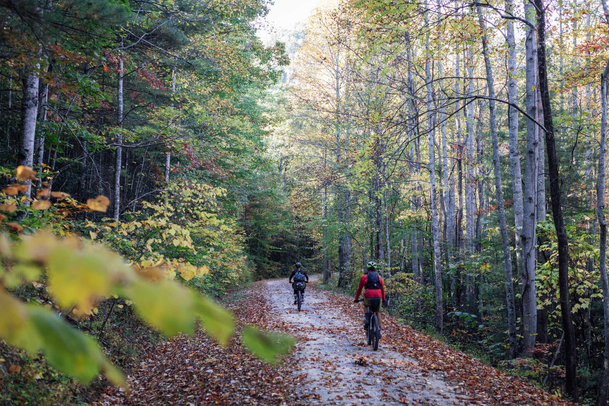
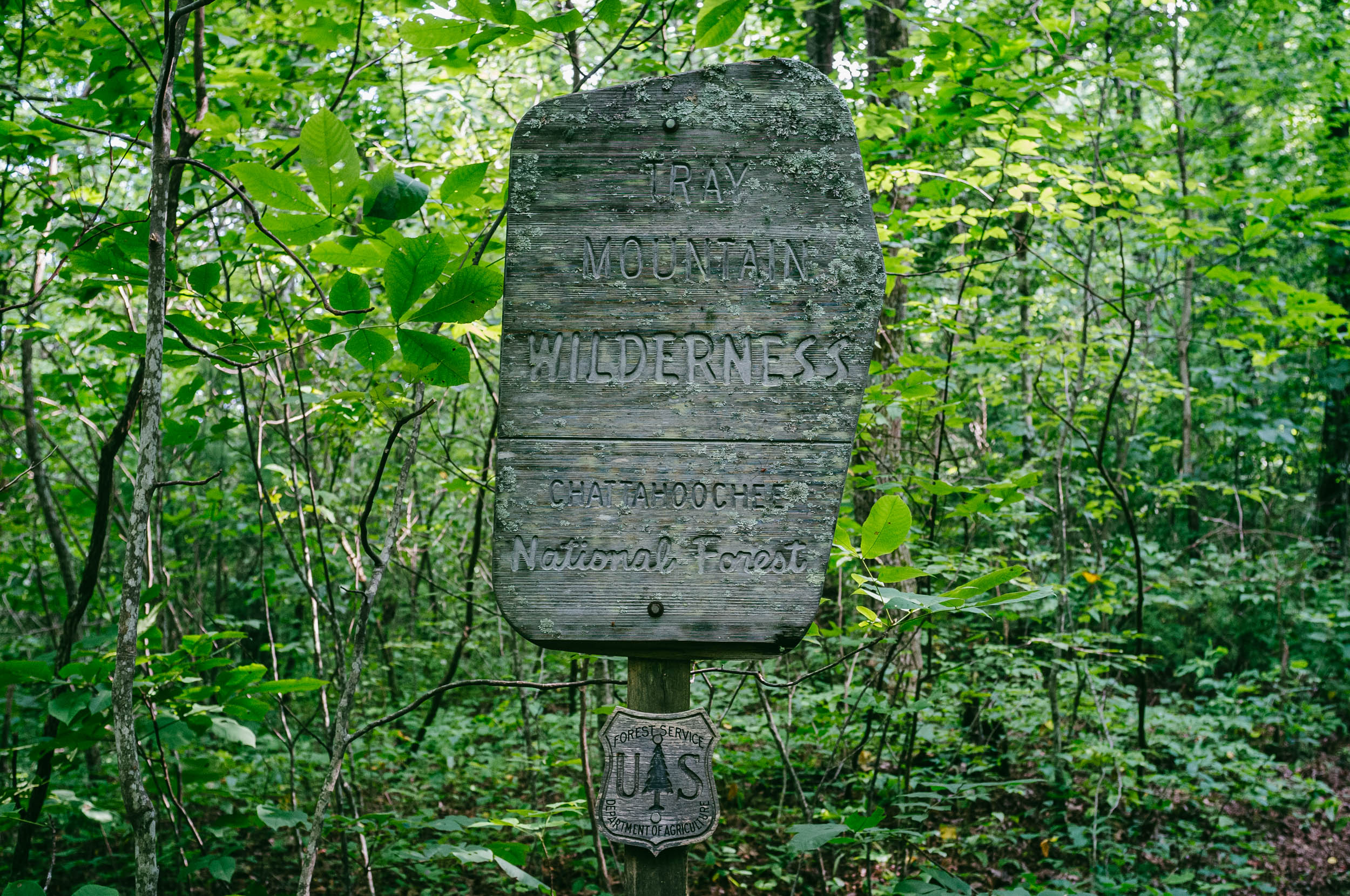
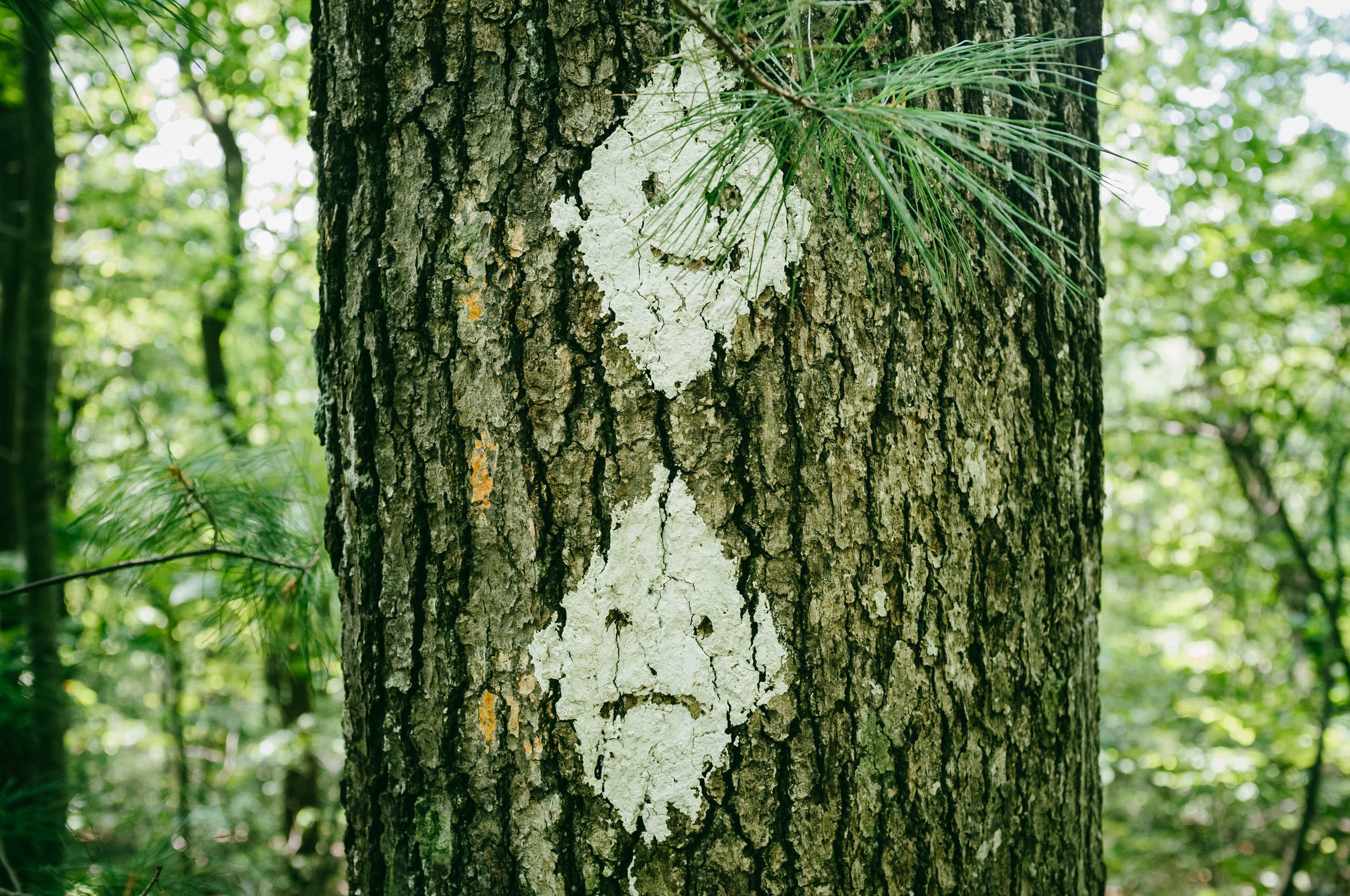
Fittingly, Segment 6 takes its name from something meaningful and unique. Phausis Reticulata is an exceptional species of firefly commonly referred to as the blue ghost. These rare fireflies are almost exclusive to parts of the Southern Appalachians, including the Chattahoochee National Forest and North Carolina’s Pisgah National Forest, two multi-parcel tracts of public land through which this route passes. Unlike normal fireflies, blue ghosts don’t blink. Instead, they maintain a steady cool-white glow as they make serpentine movements across the green forest floor. They’re also only viewable during a short window of time in early summer.
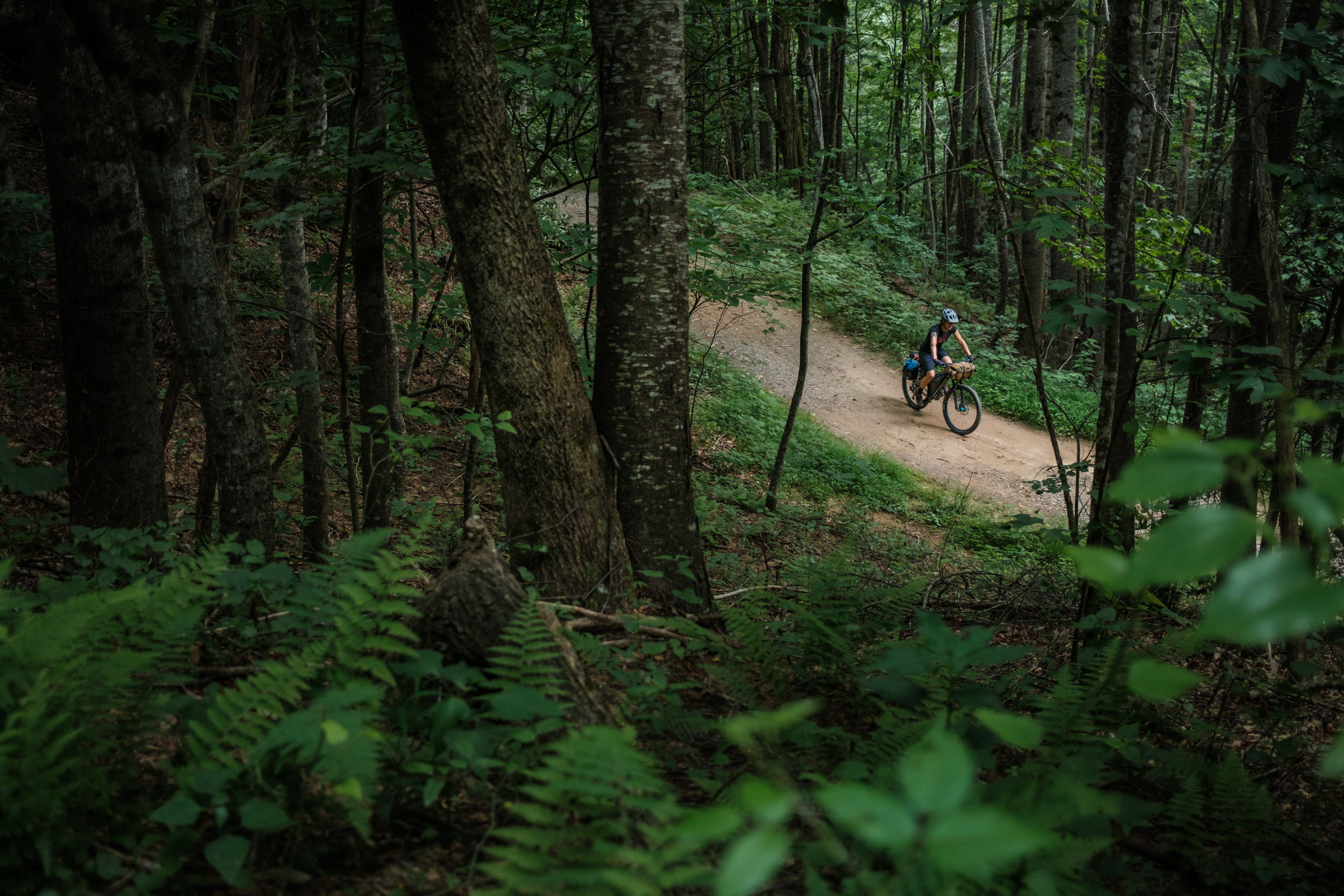
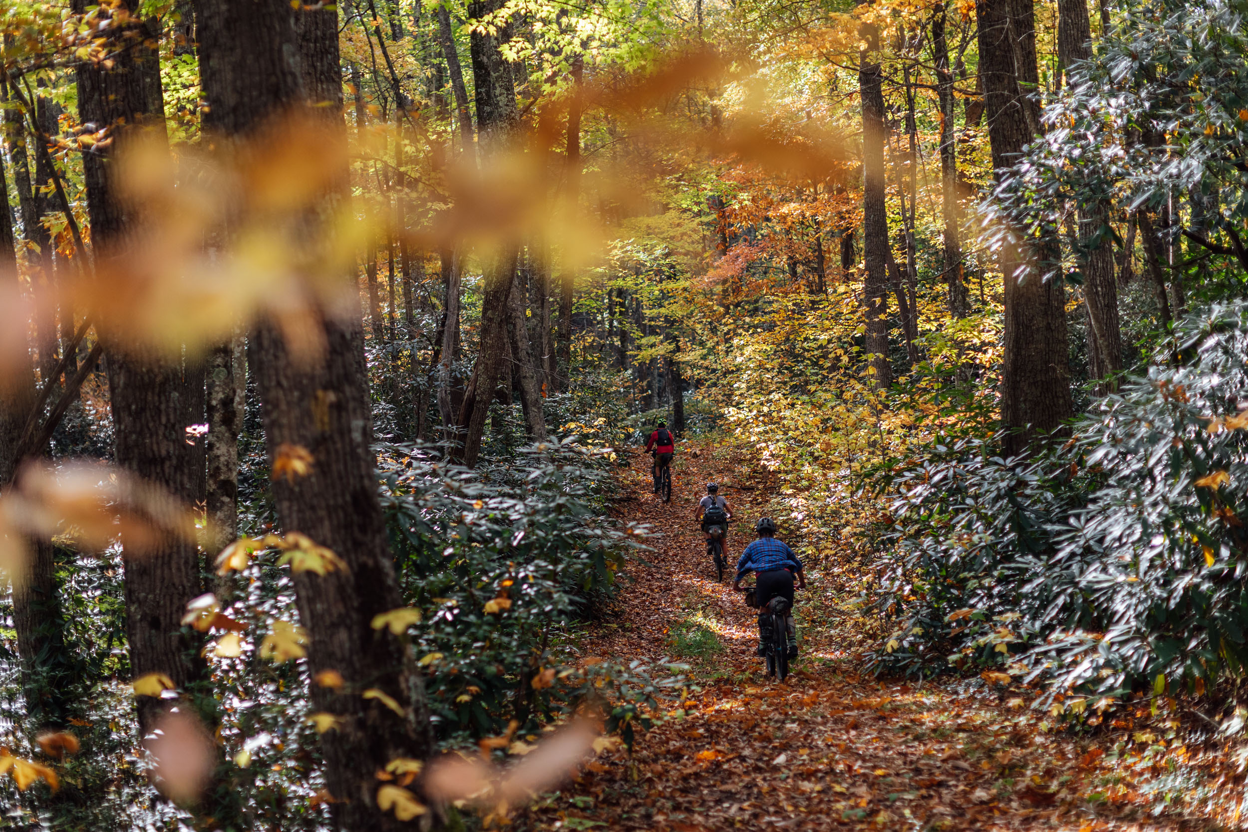
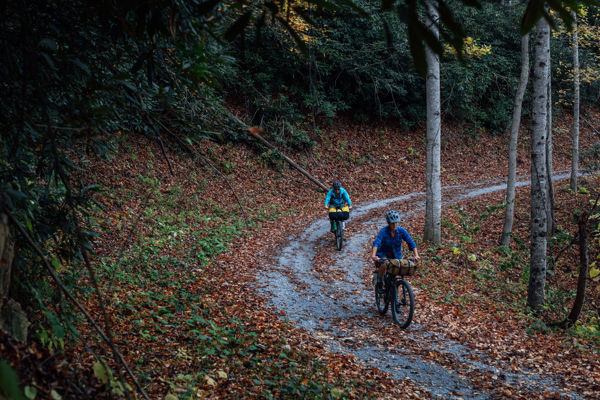
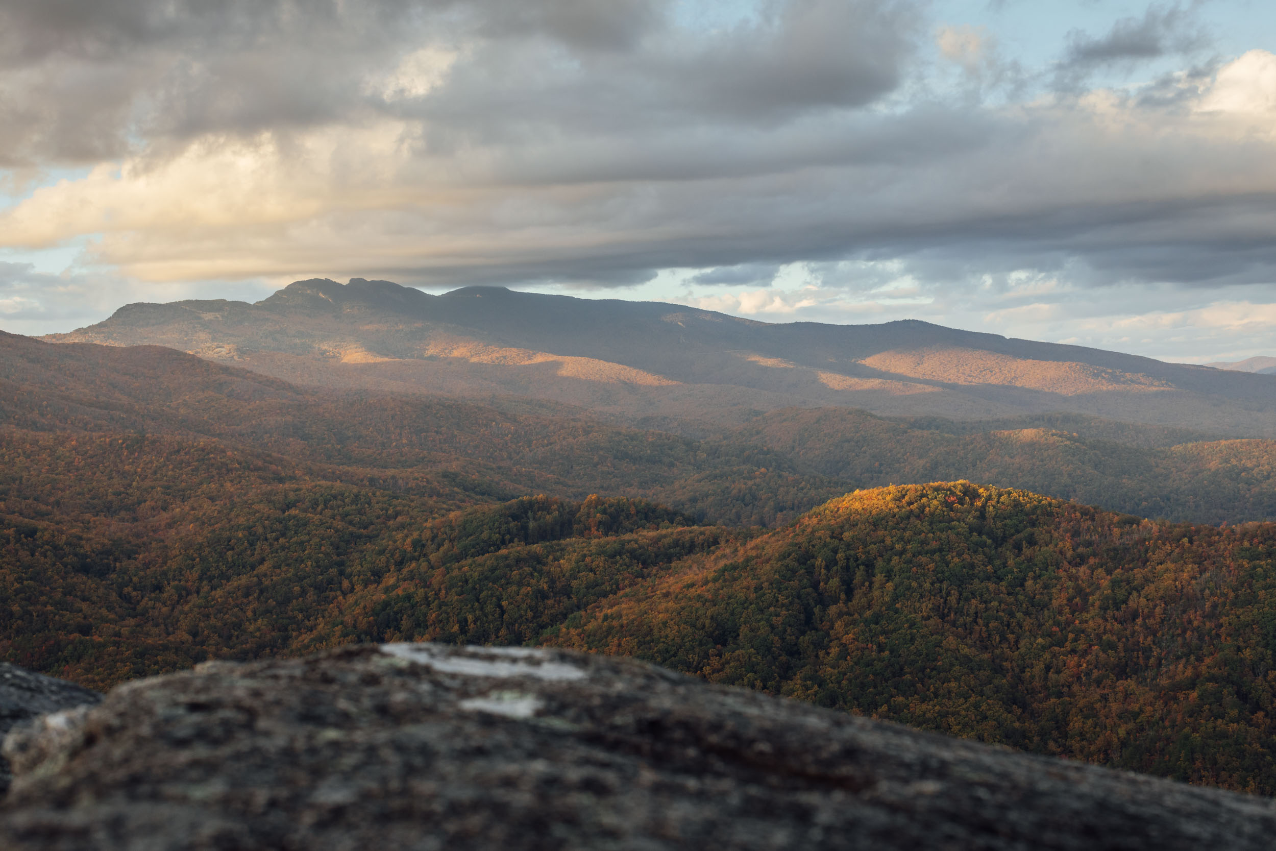
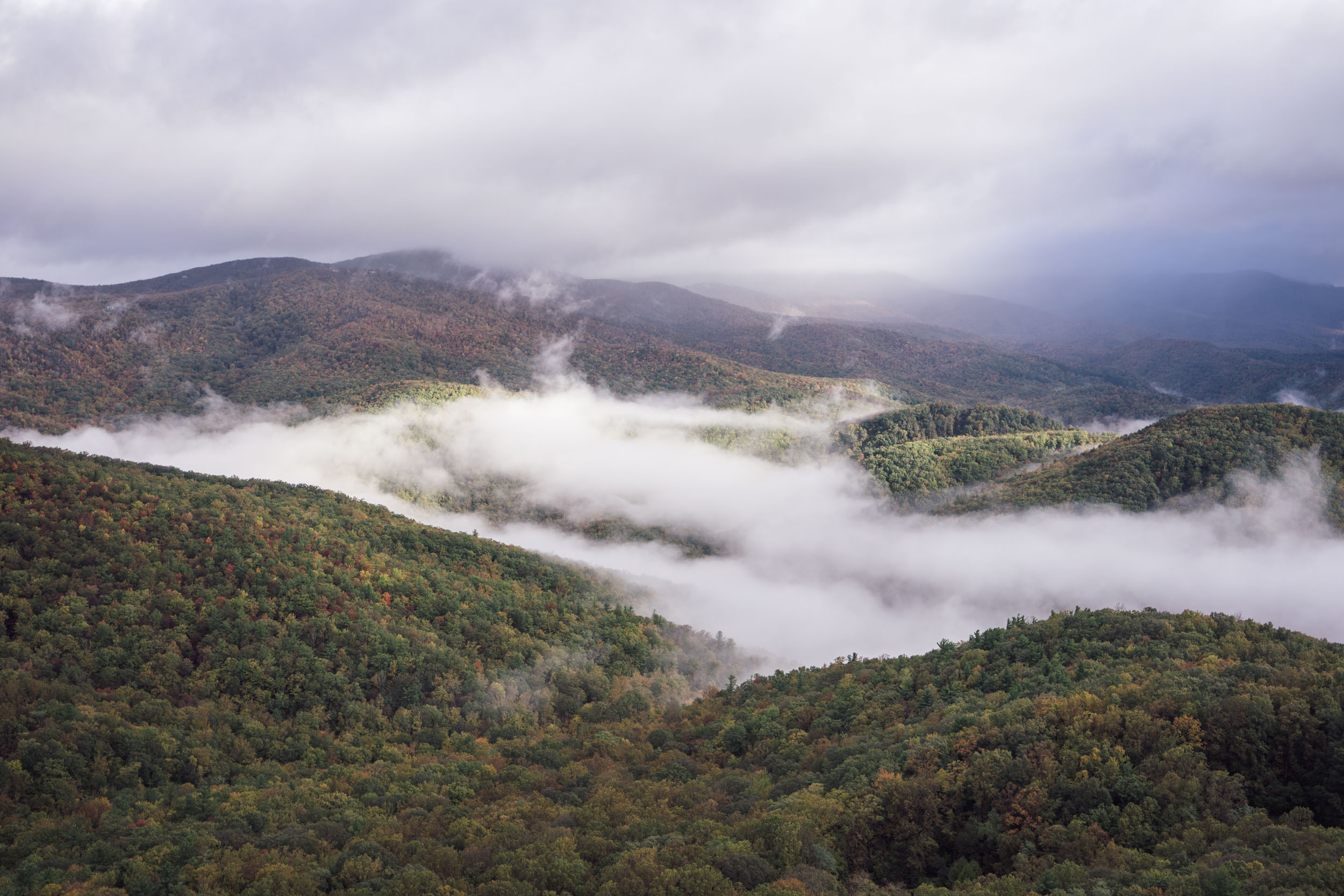
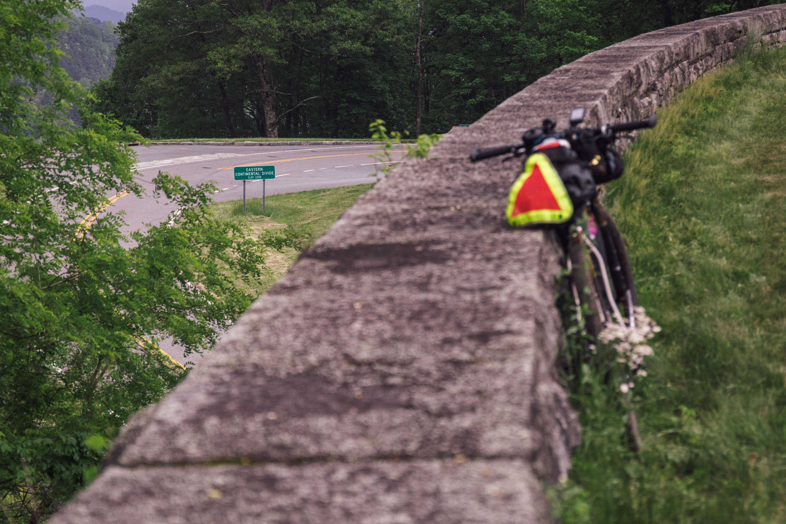
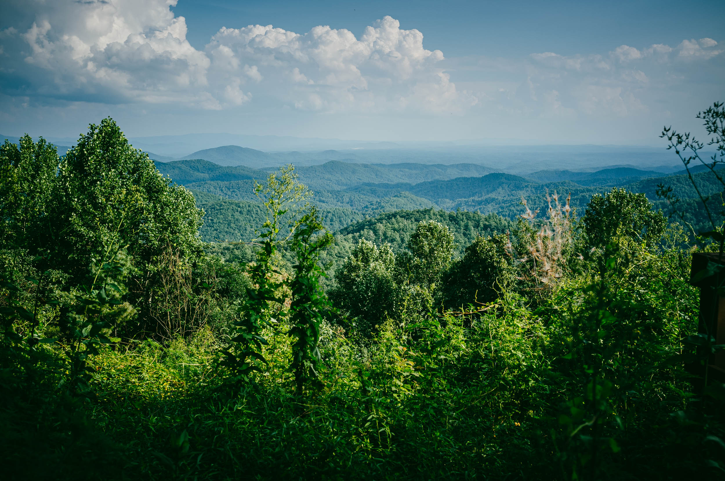
Like its namesake, Segment 6 winds in an aberrant snake-like pattern as it makes its way south through the Blue Ridge Mountains. It crosses the Eastern Continental Divide on multiple occasions in order to access the most interesting landscapes and public lands and the finest gravel roads, forest doubletrack, and (relatively mellow) singletrack trails possible.
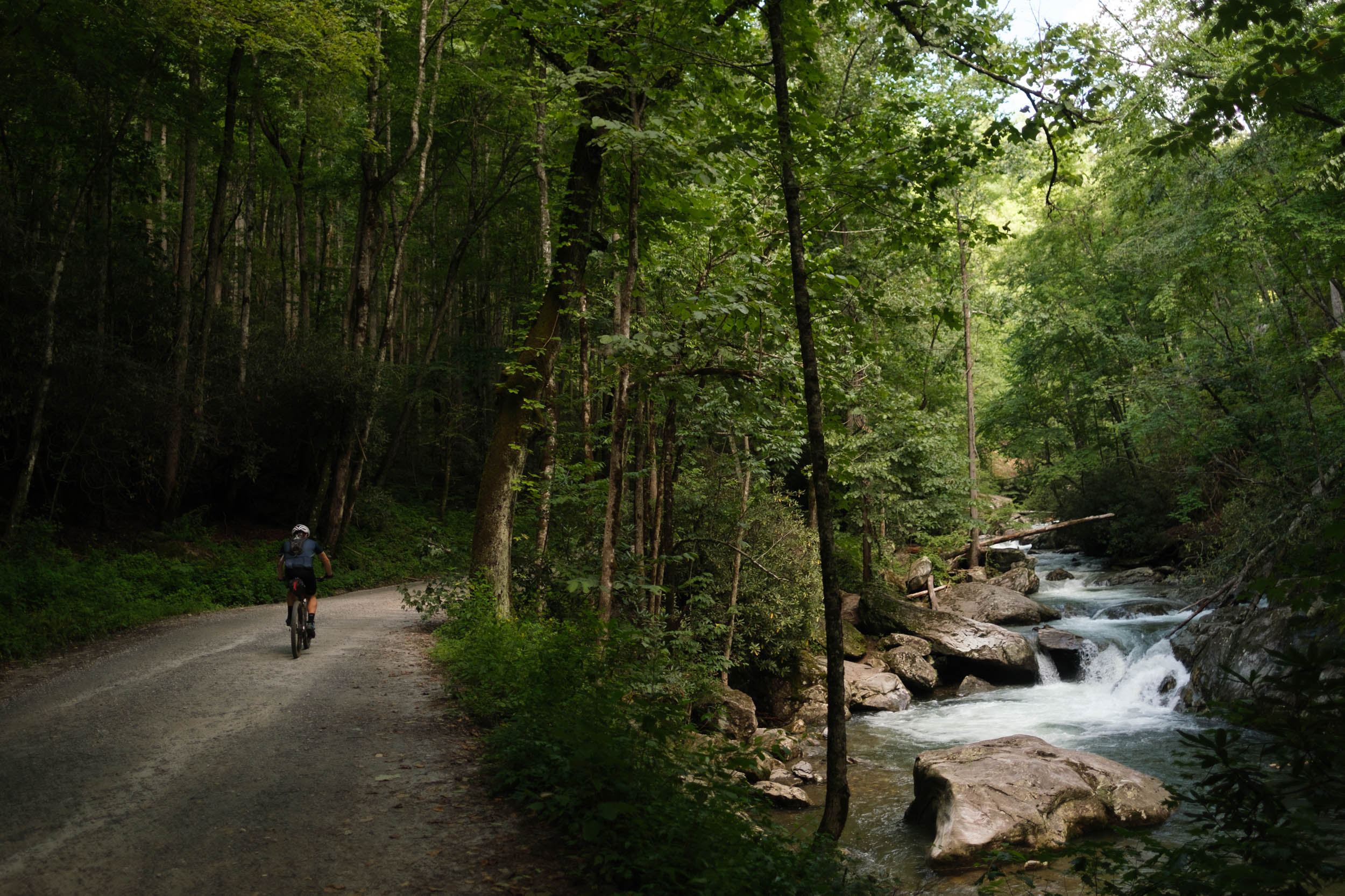
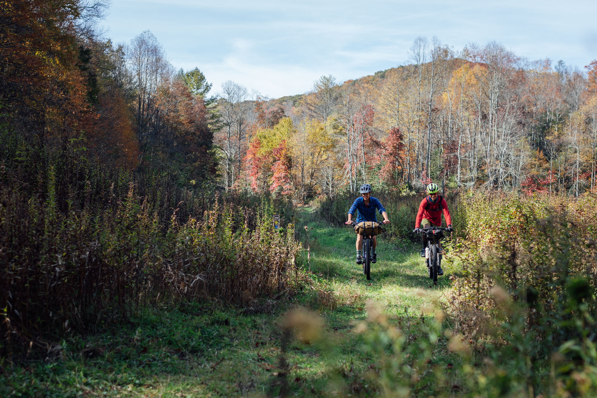
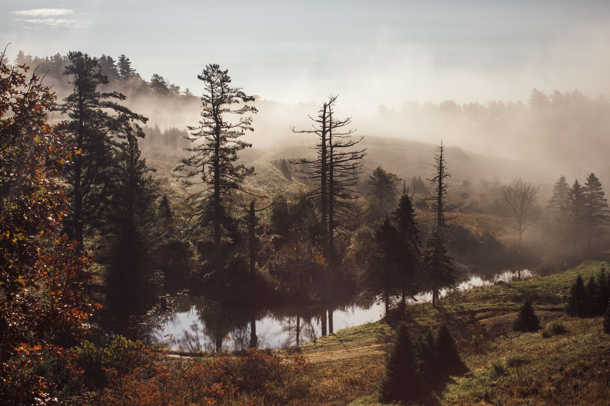
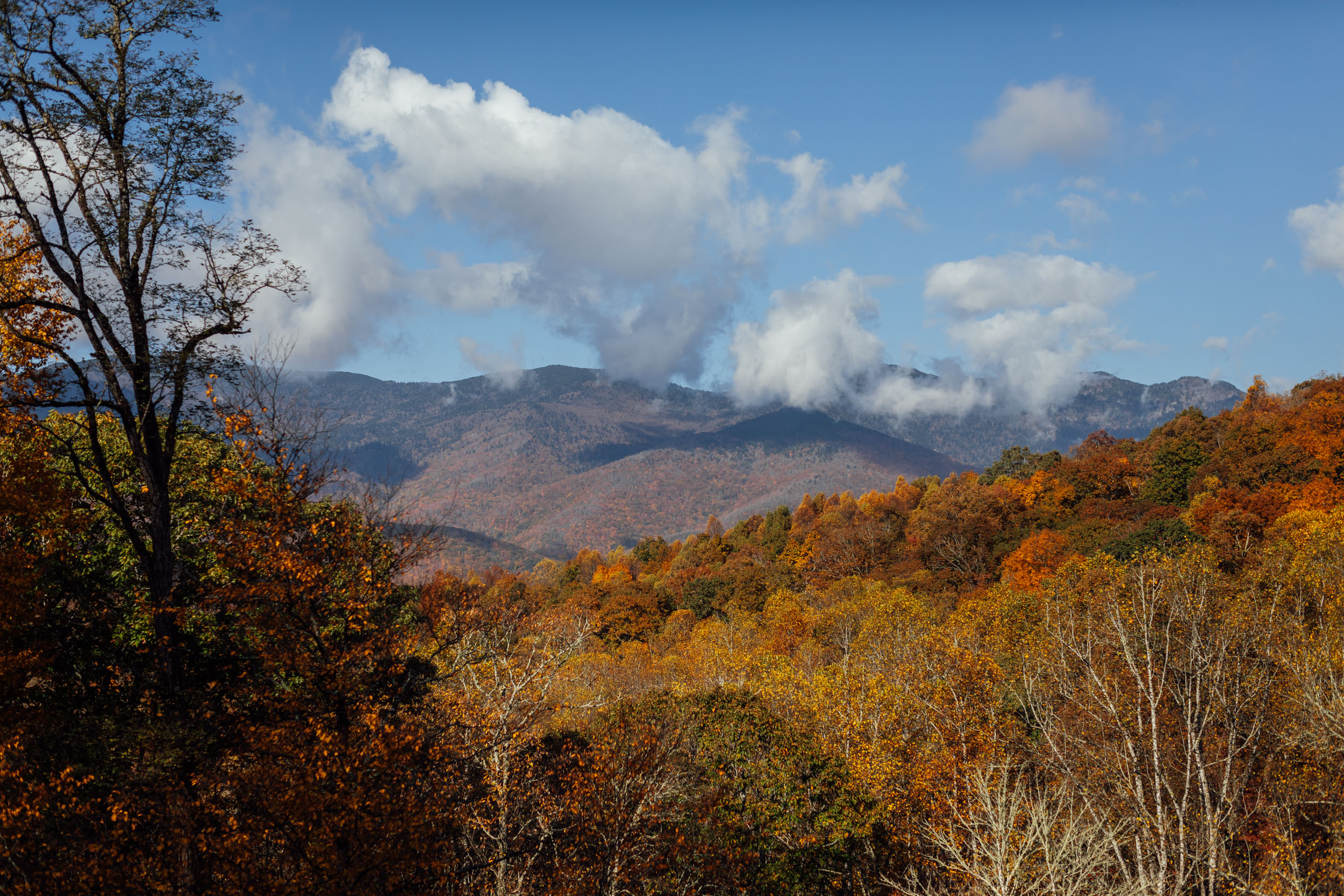
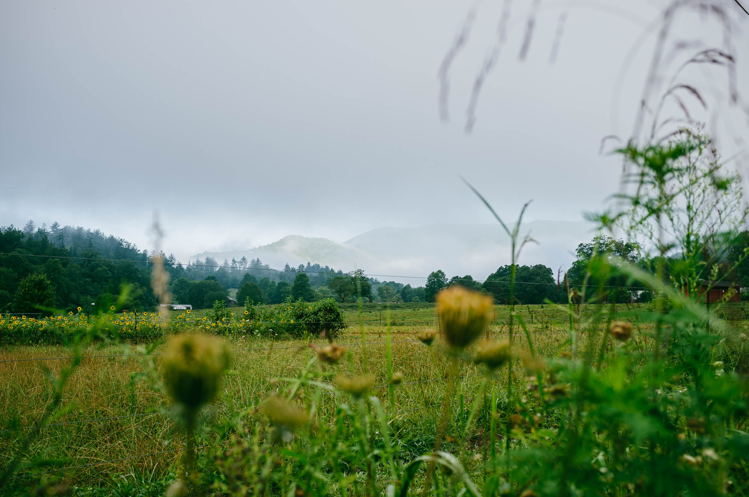
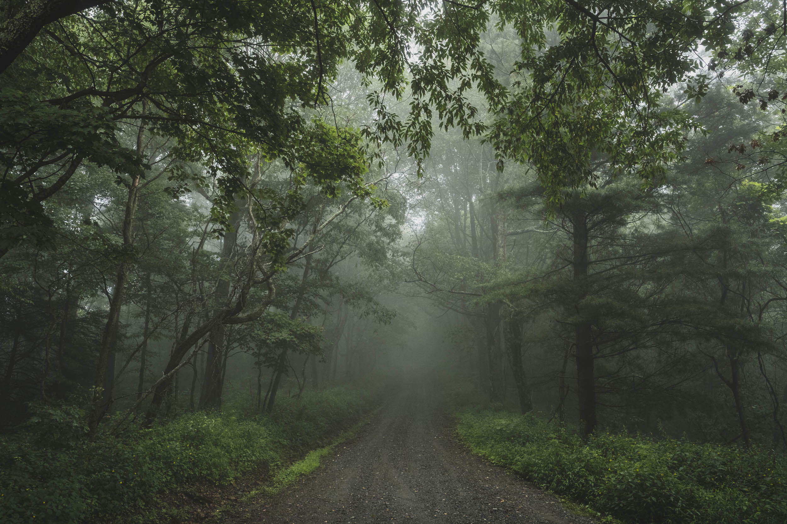
The route traverses some of the most biologically diverse natural areas in North America, crisscrossing a variety of forest types that include hardwood forests, high-elevation evergreen spruce and fir stands, mountain-top balds, wildflower meadows, wetlands, and dense rhododendron-choked rivers and streams. All of this adds to the diversity of habitats found in the Southern Appalachians that support a wealth of wildlife. This includes commonly seen black bear, fox, coyote, raccoon, trout, grouse, wild turkey, salamanders, owls, hawks, copperheads, woodpeckers, bald eagles, and timber rattlers, among others. These mountains are also home to more elusive and endangered species such as the giant hellbender salamander and the Carolina Northern Flying Squirrel.


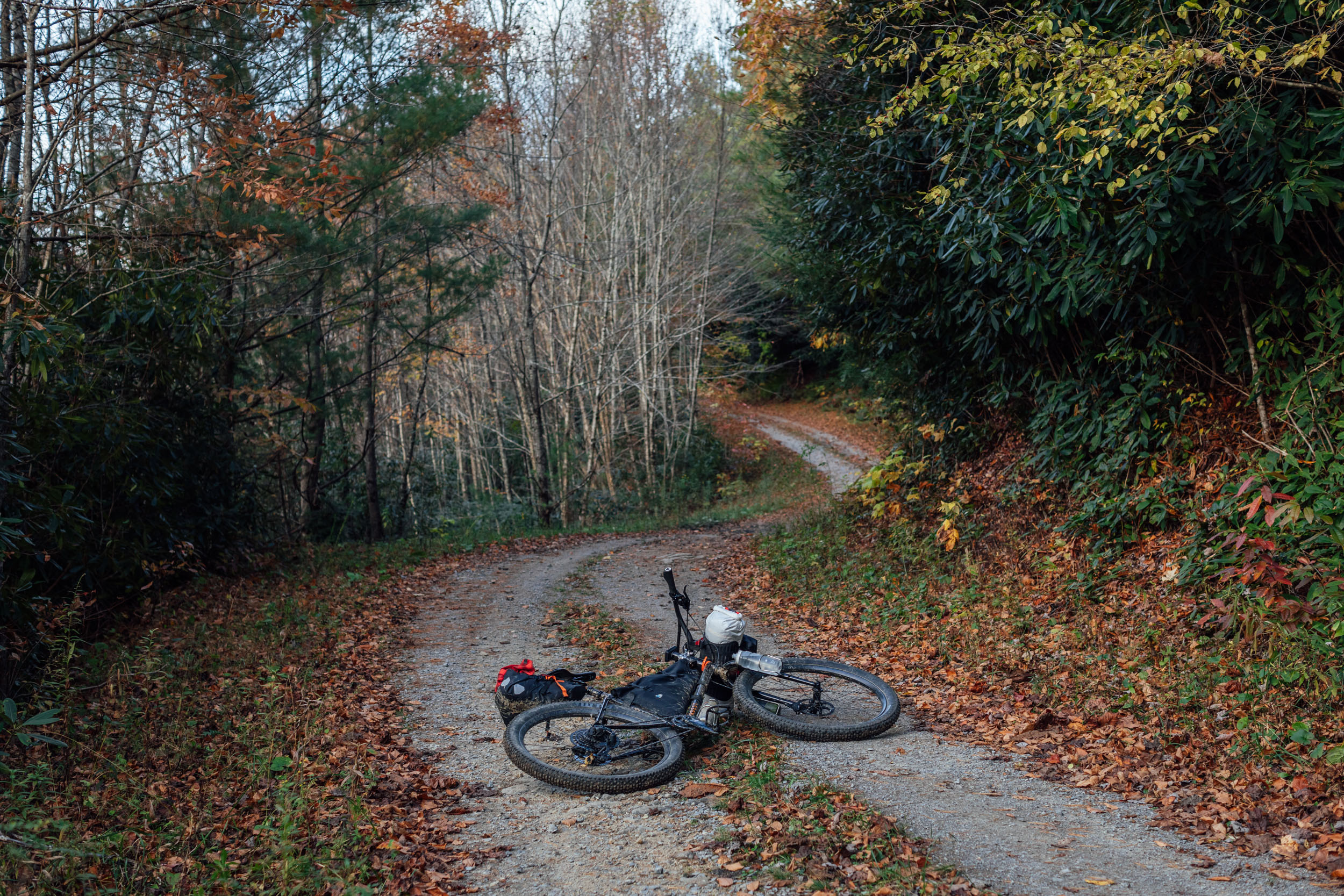
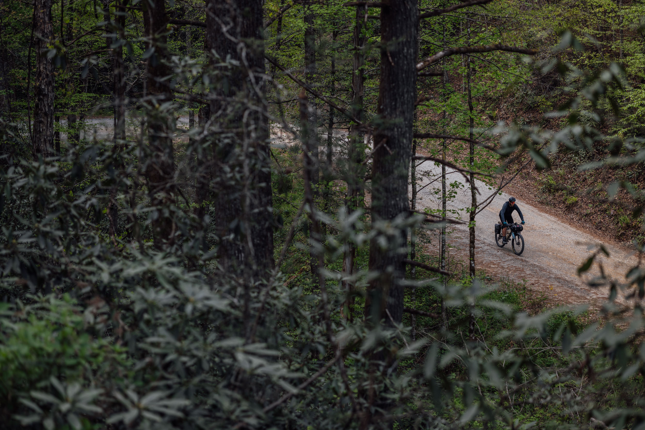
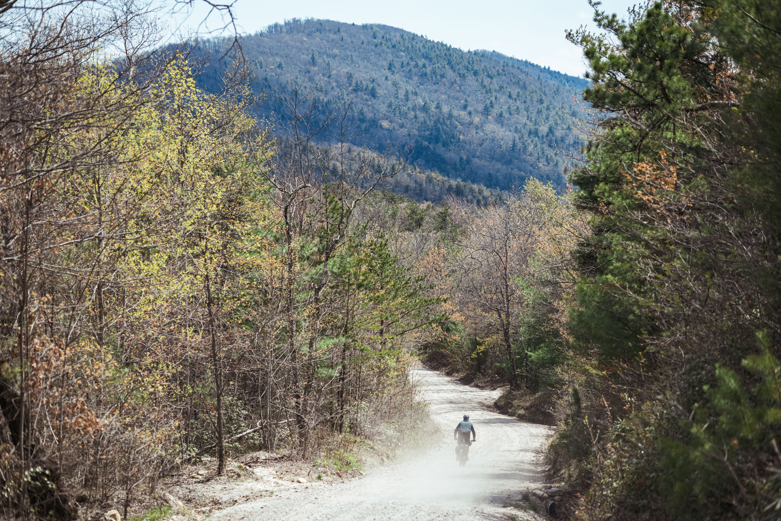
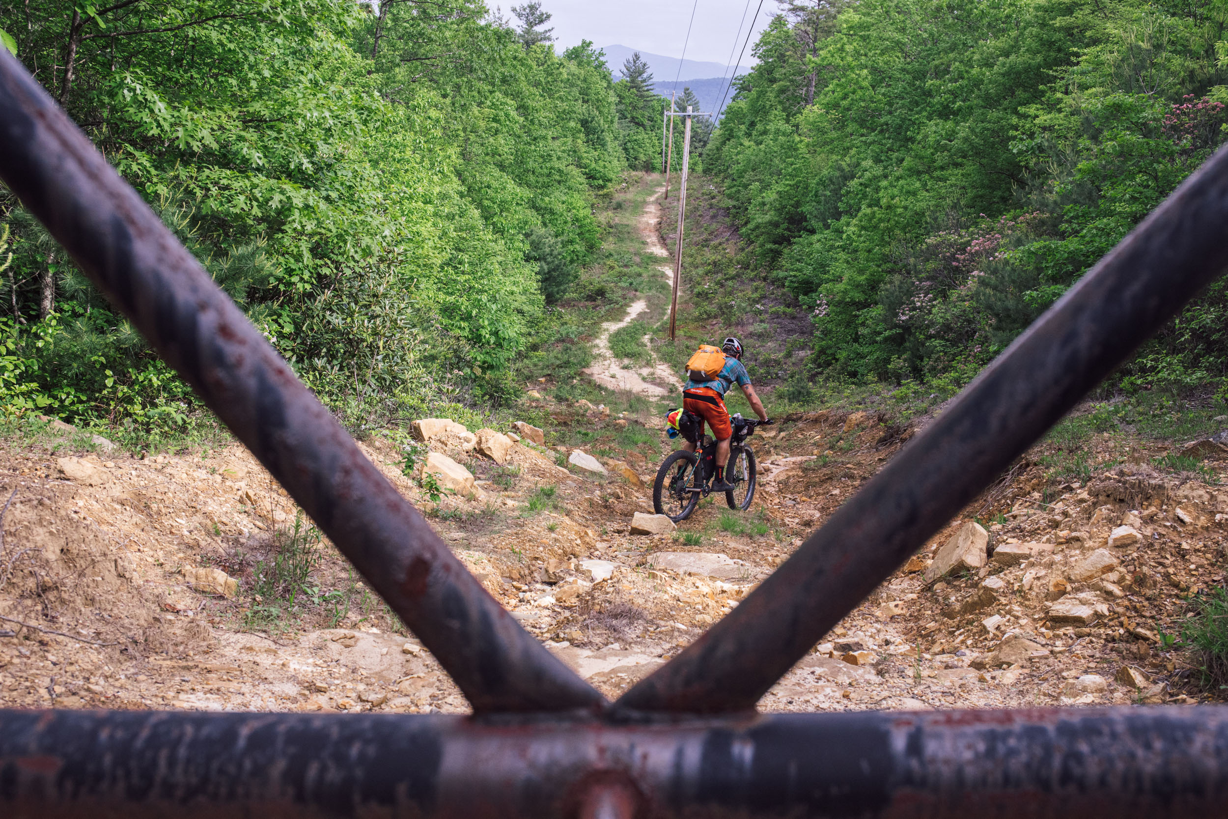
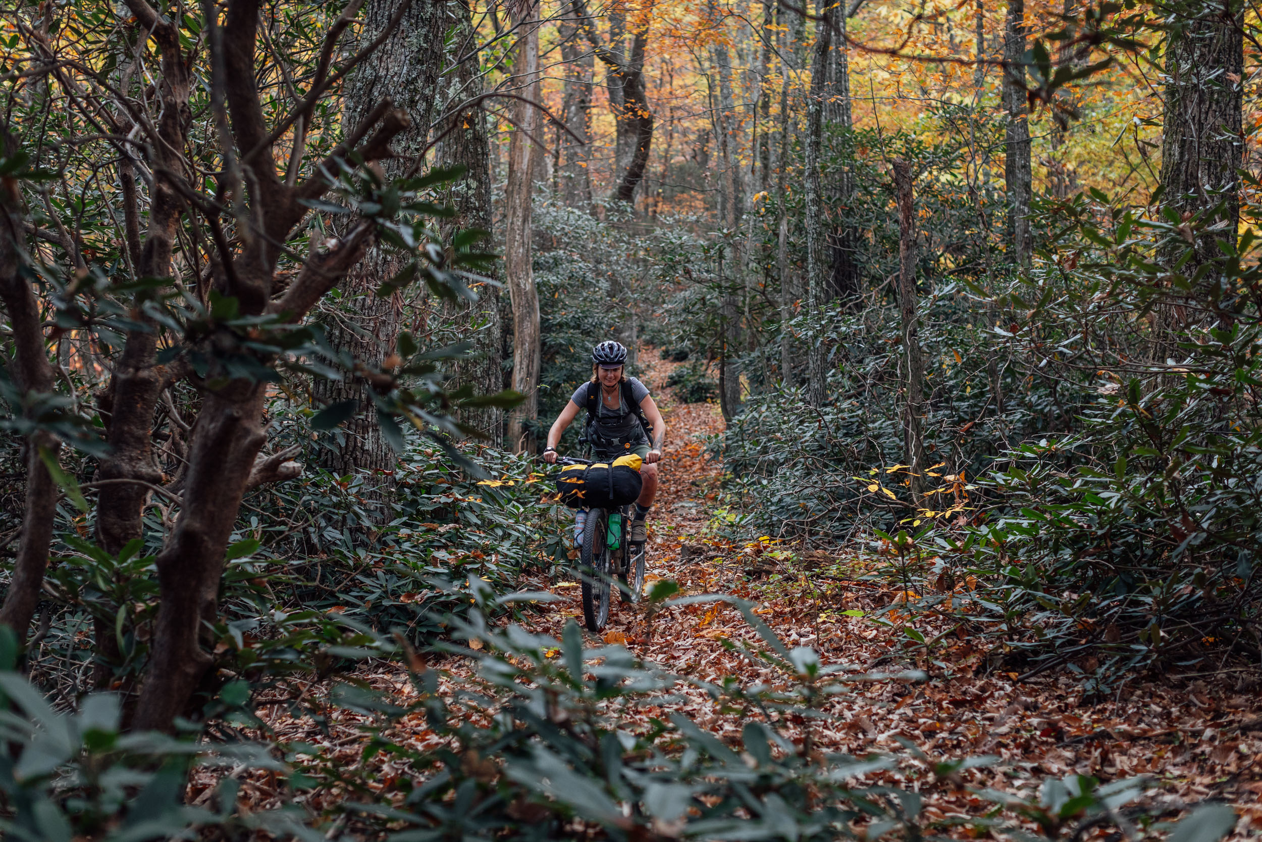
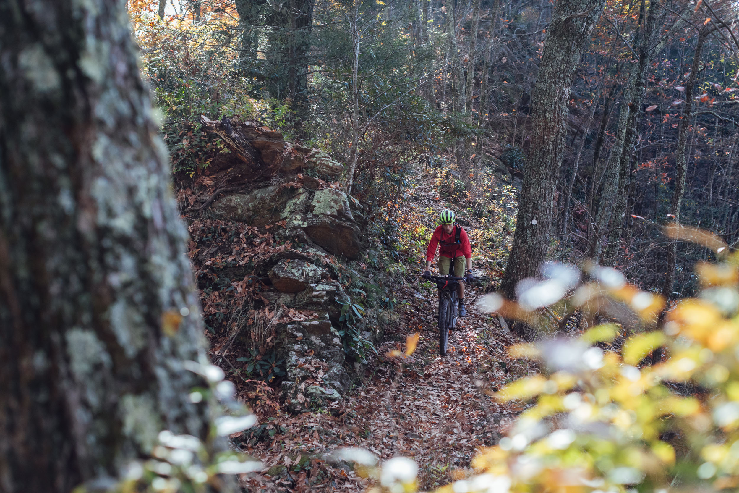
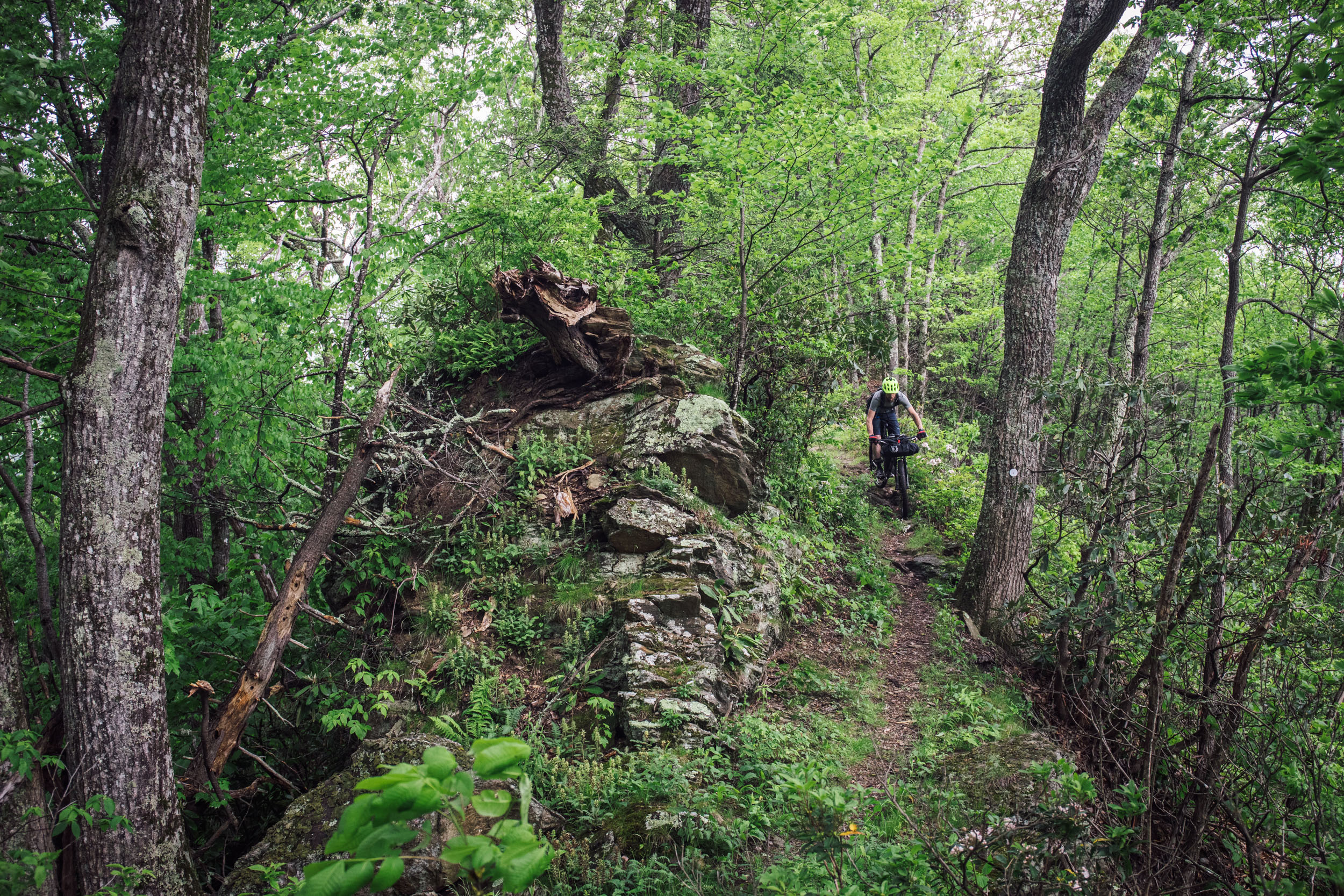
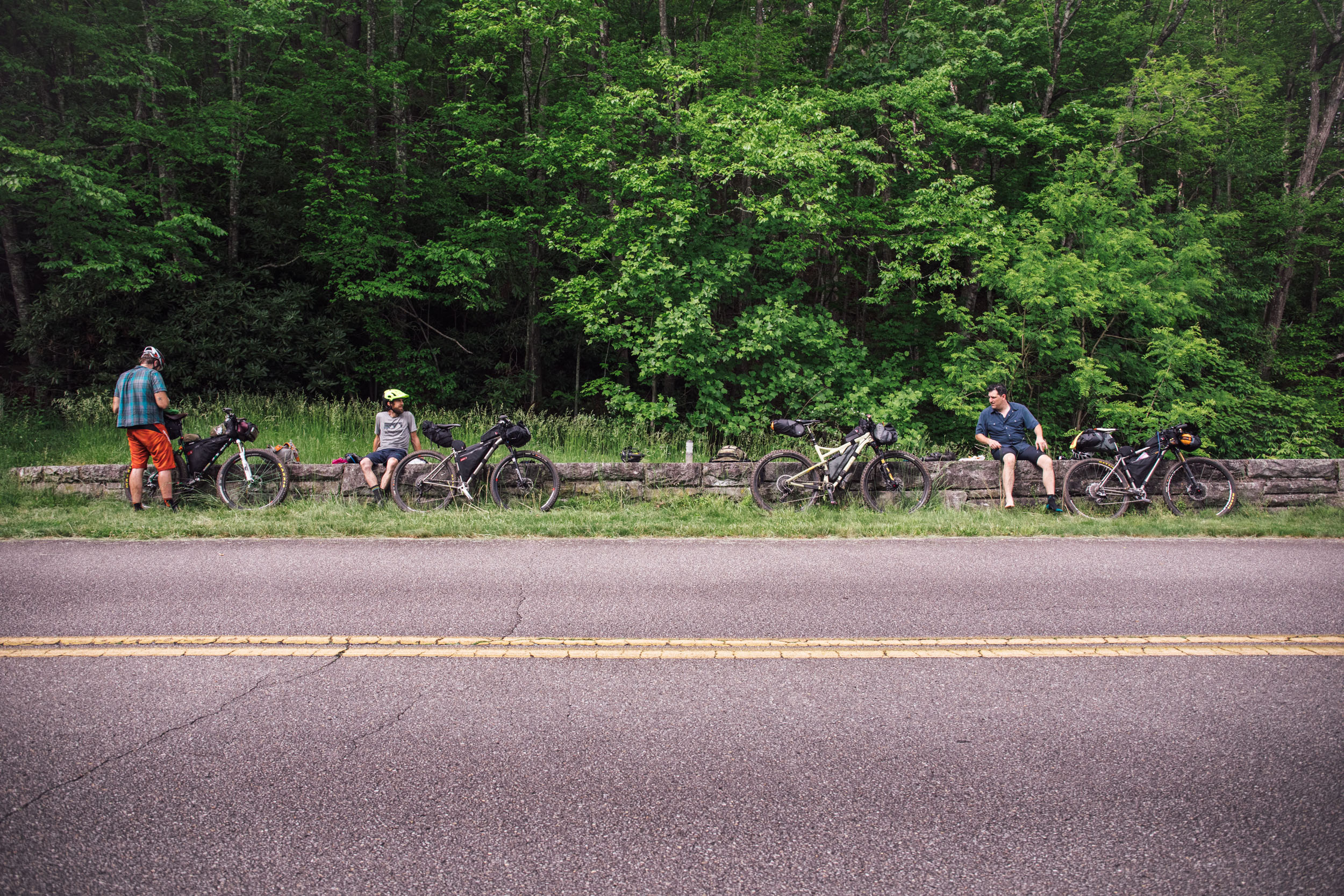
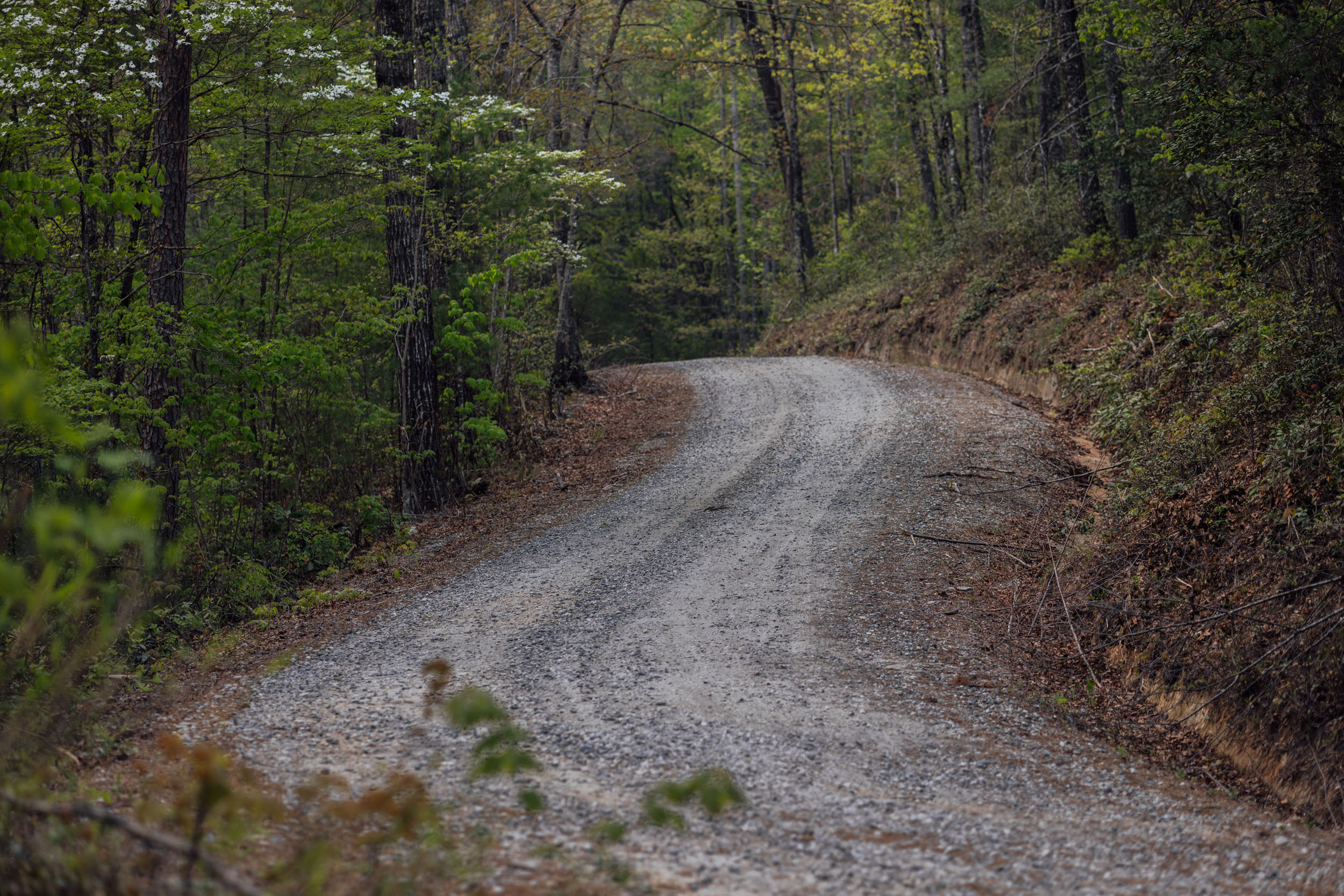
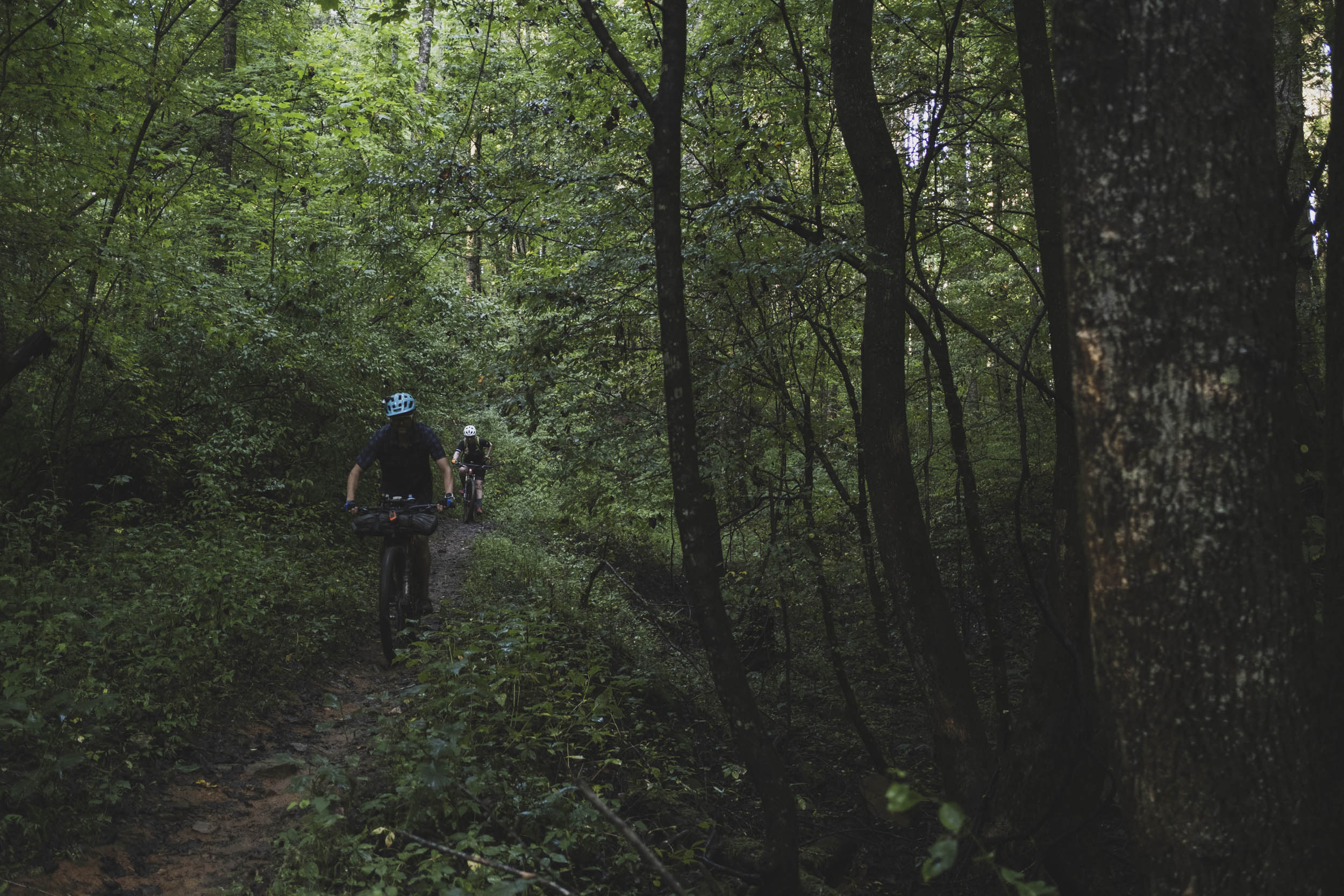
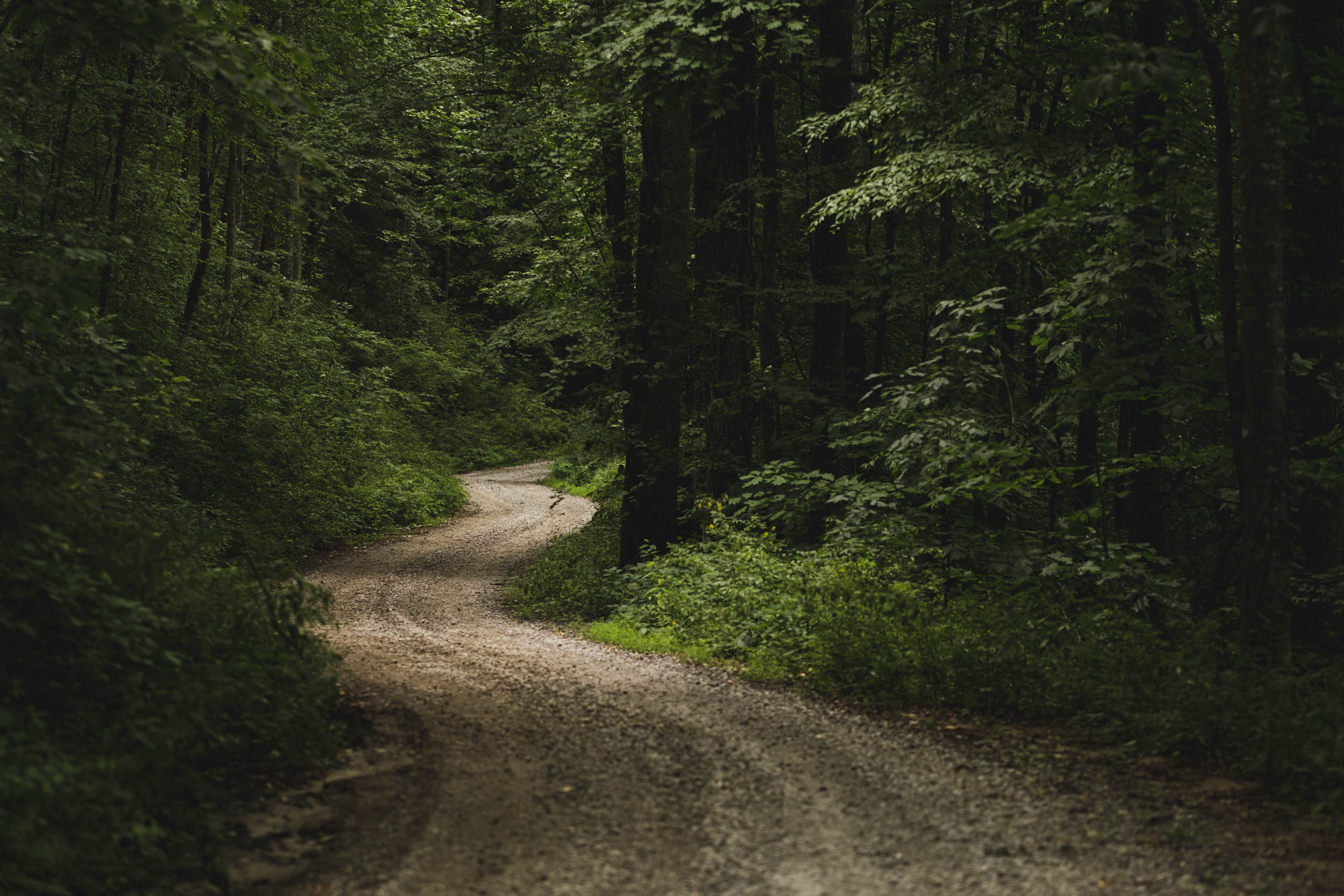
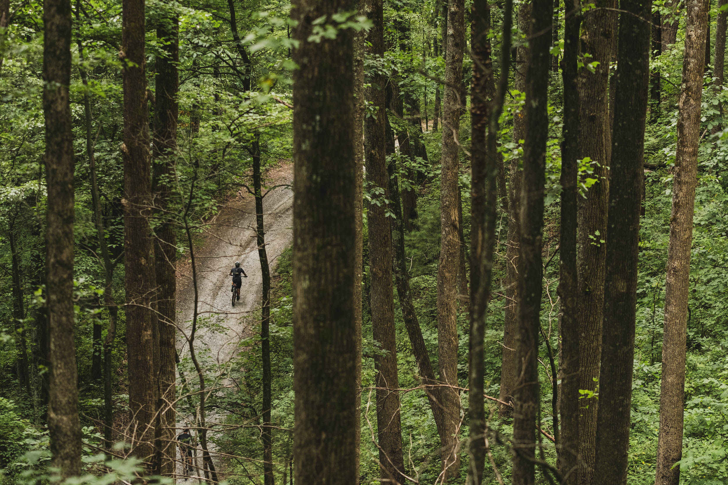
Blue Ghost is a mixed-surface bikepacking route at its best. Boasting a 65% unpaved ratio, the route uses a well-punctuated mix of graded gravel roads, forest two-track (some chunky and rocky at times), and a few stretches of interesting singletrack for good measure. Where it uses paved bike paths and roads, most are relatively low traffic, although there are a few minor bits that you may have to share with traffic if not timed correctly. Like other segments of the EDT, Blue Ghost also has a dash or two of hike-a-bike and rough-stuff connectors that keep it interesting. In our opinion, that’s part of bikepacking.
Lay of the Land
By Guarina Lopez (@native_women_ride)
Segment 6 of the EDT traverses the ancestral territories of the ᏣᎳᎫᏪᏘᏱ Tsalaguwetiyi (Eastern Band of Cherokee Indians), the S’atsoyaha (Yuchi), and the Moneton in the Southern Appalachian Mountains. The Eastern Band of Cherokee (EBCI) are the prominent tribal nation of the region. The S’atsoyaha (Yuchi) are located today in northeast Oklahoma and are part of the Muscogee Nation. The Moneton tribe were once located in West Virginia and are believed to have merged with the Tutelo and Saponi tribes.
While this segment stays within the Appalachian Mountains, there are numerous sub-ranges, peaks, and geographical features that add to the experience and punctuate the ride. Throughout this 600-mile segment, you’ll pass through the Cherokee National Forest, ride alongside Grandfather Mountain, and continue through Pisgah National Forest, Table Rock, Linville Gorge, Mount Mitchel, French Broad River, Nantahala National Forest, the Chattooga River, Chattahoochee National Forest, and Chattahoochee River. Each distinct Indigenous community of the region had its own names for these places and their natural landscapes, rivers, and ecosystems. Most of the names you’ll encounter along this route come from the Cherokee language, Tsalagi Gawonihisdi. Cherokee was one of the first Native languages to have a system of writing, called a syllabary, developed by Sequoyah from 1809 to 1821. For more information on these topics, see the Whereabouts tab below.
Route Difficulty
Physical Demand: 7.5 • Technical Challenge: 6 • Resupply/Logistics: 5
The difficulty benchmark of this segment is about 7/10 overall. There are a few short bits of chunky singletrack and steep hike-a-bikes, but it’s mostly made up of non-technical gravel and forest roads. The main challenge is in the physical demand required of this route. The Appalachian Mountains are notoriously strenuous when it comes to ups and downs, and the Southern Appalachians are no exception. Even though it’s the second shortest, Blue Ghost boasts the most elevation gain of all eight segments. It averages about 116 feet per mile, which translates to a moderately difficult level of climbing. Bring your low gears. There’s a lot of climbing, with gradients getting quite steep on occasion.
Resupply is fairly straightforward as there are generally plenty of options on the route or just off it. If riding S6 on its own, logistics may require a little creativity, but with the AT trail town of Damascus on one end and Mulberry Gap on the other, finding shuttles, lodging, and transportation before and after the ride is uncomplicated.
Route Development
Segment 6 of the Eastern Divide Trail was designed and developed by Logan Watts with additional input from Daniel Jessee and TJ Kearns. The first two-thirds are a unique mix of new tracks and segments from other routes we’ve developed in the region, including the Appalachian Gravel Growler, Wilson’s Ramble, Trans-WNC, and the mythical (and hopefully forthcoming) Waterfalls Loop. The latter third is largely based on the Trans North Georgia (TNGA) route, which was developed by Dave Muse. Of all eight EDT segments, this one saw the most scouting time and deliberation. Thanks to all who helped in its creation, including Route Scouts Matilde M. and Adrian T. for providing valuable feedback for improvements. Find more info on the full Eastern Divide Trail here.


GPX download (link below) includes a detailed set of waypoints. Please keep personal copies set to private on RWGPS and other platforms. The Eastern Divide Trail was made possible by our Bikepacking Collective members. Consider joining to support the creation and free distribution of carefully planned and documented bikepacking routes like this one.
Submit Route Alert
As the leading creator and publisher of bikepacking routes, BIKEPACKING.com endeavors to maintain, improve, and advocate for our growing network of bikepacking routes all over the world. As such, our editorial team, route creators, and Route Stewards serve as mediators for route improvements and opportunities for connectivity, conservation, and community growth around these routes. To facilitate these efforts, we rely on our Bikepacking Collective and the greater bikepacking community to call attention to critical issues and opportunities that are discovered while riding these routes. If you have a vital issue or opportunity regarding this route that pertains to one of the subjects below, please let us know:
Highlights
Whereabouts
Must Know
Camping
Food/H2O
Trail Notes
- Taking in some of the best gravel and forest dirt road riding in the Southern Appalachians
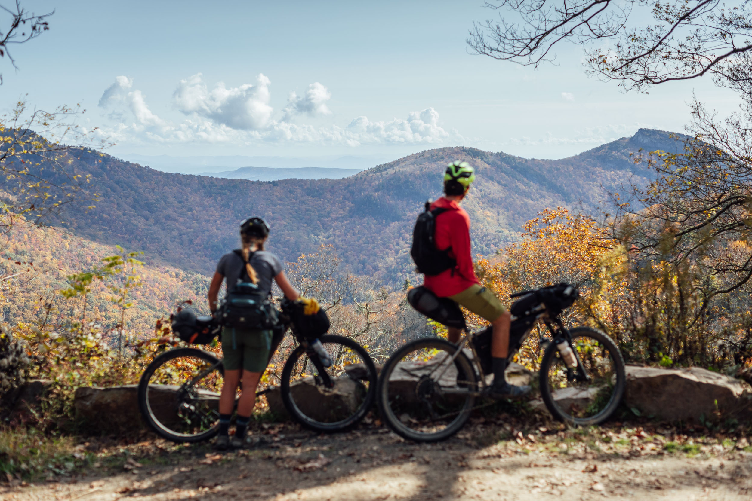
- The sights, wonders, and views of the grandest mountains in the East, including a passage next to Mount Mitchell, the highest peak east of the Mississippi River
- Stopping for snacks and treats in quaint “trail towns” like Damascus, Brevard, and Blowing Rock
- Taking in the best of the Grandfather Ranger District, including the scenic Wilson’s Creek Gorge, Maple Sally and Pineola Roads, and a steep climb with rewarding views of the incredible Linville Gorge, “The Grand Canyon of North Carolina”
- Exploring Asheville, a “big town” in the mountains with plenty to see and a vibrant arts and crafts scene
- Enjoying a cold beer at some of the country’s finest craft breweries, including Burial, Wicked Weed, Zilicoah, and New Belgium
- A swim in one of the dozens of crisp and clear rivers in the Southern Appalachians, such as Wilson’s Creek, the Davidson River, and the Chattooga
- Admiring the mighty French Broad and looking at one of the hundreds of bristling mountain creeks and streams along the way
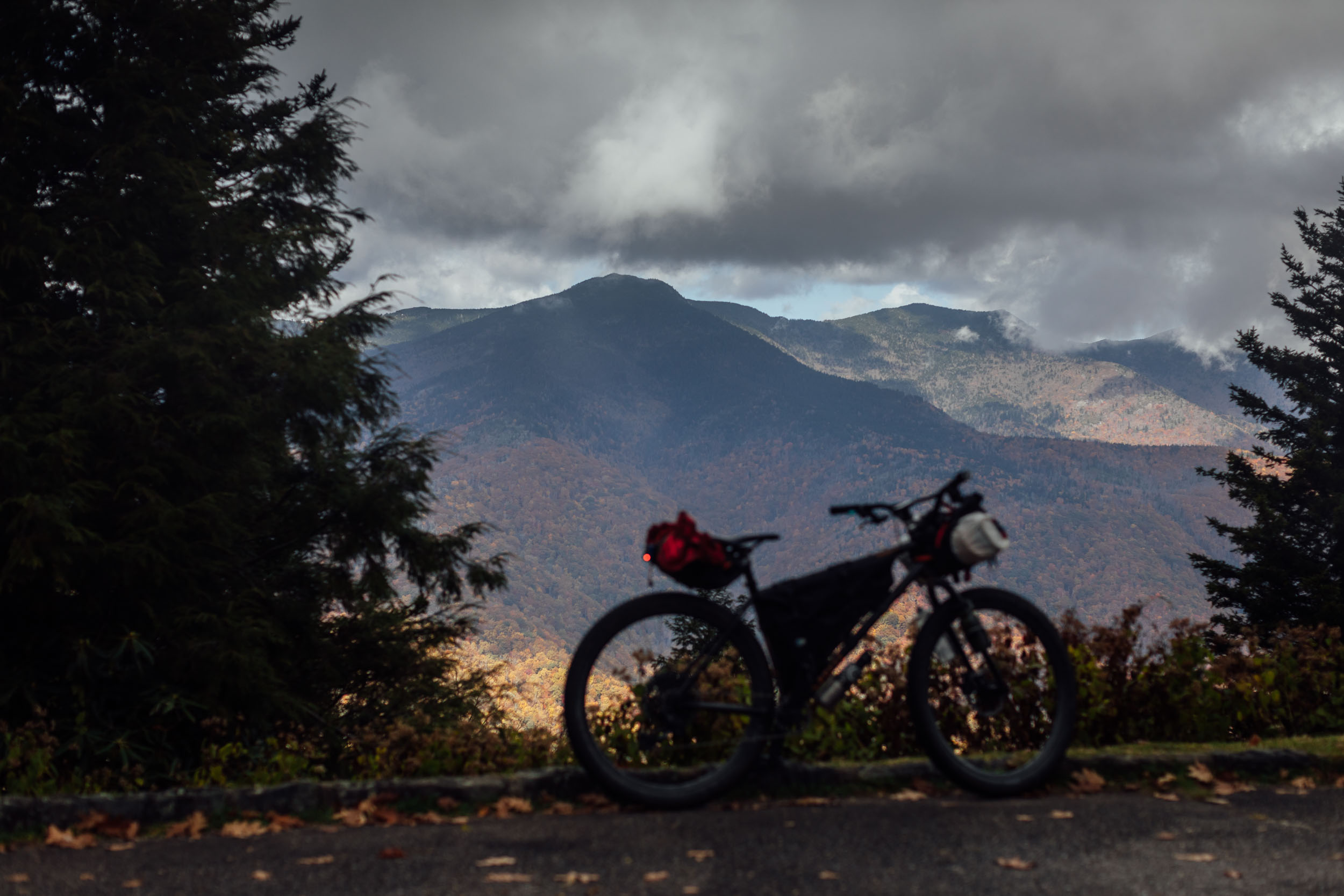
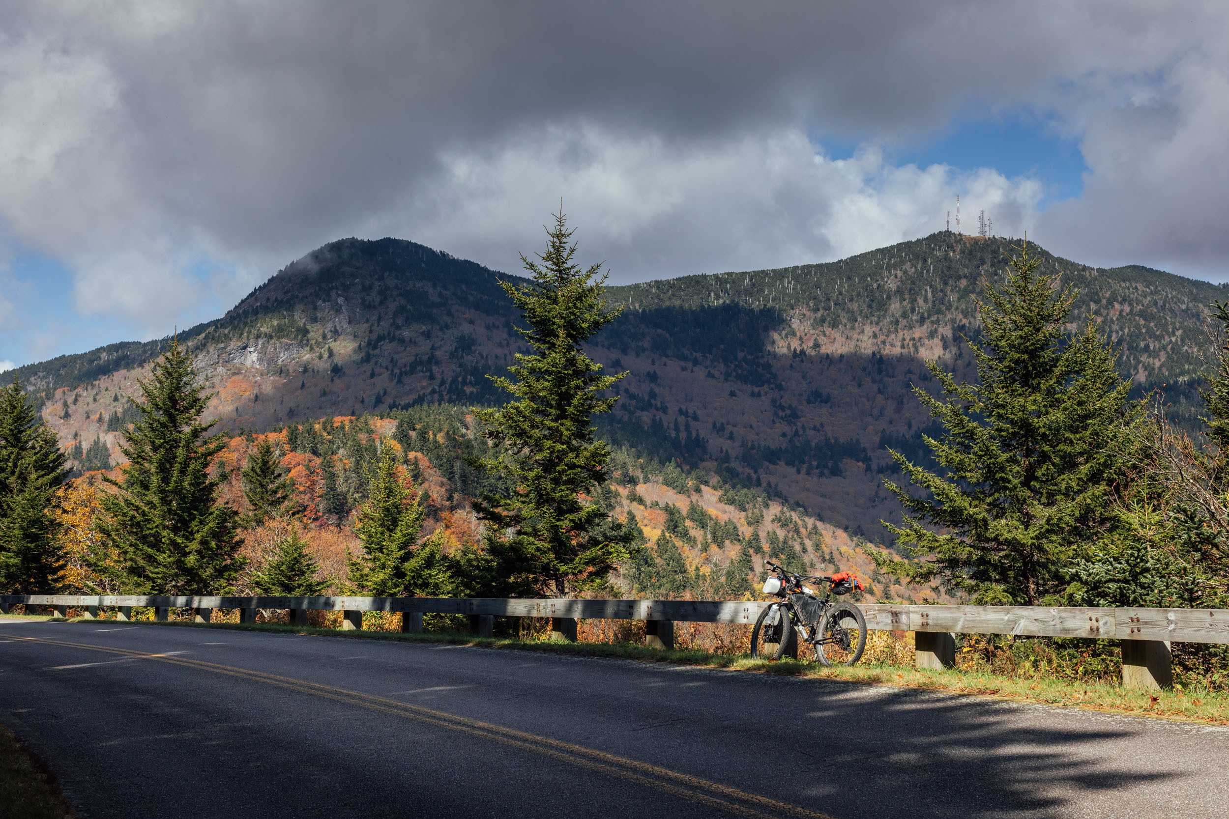
- Catching views of iconic landforms such as Grandfather Mountain, Looking Glass Rock, Mount Pisgah, Mount Mitchell, and many more
- The deep and dark woods in the Cherokee, Pisgah, Nantahala, and Chattahoochee National Forests
- A lot to see in the Pisgah Ranger District, including Looking Glass Rock and “the land of waterfalls”
- The winding, beautiful gravel roads, waterfalls, rivers, and scenery of North Georgia
- A comfy landing spot at Mulberry Gap Adventure Basecamp, complete with excellent meals, camping, cabins, and great trails all around
Whereabouts describes a list of places and things that are a part of this route as a means to understanding its history. With research and writing from Guarina Lopez (@native_women_ride).
pinMile 7-88
The Cherokee National Forest
The Cherokee National Forest is the largest tract of public land in Tennessee, but for the Cherokee, this forest was once called home. It was fertile ground used for hunting and gathering for generations of families until forced removal to Indian Territory (present-day Oklahoma) began in 1838. The discovery of gold in the region prompted what became known as the Trail of Tears, in which thousands of Cherokee lives were lost to illness, starvation, and severe travel conditions. The Cherokee were forcibly removed from their ancestral homelands in present-day Georgia, Alabama, Tennessee, and North Carolina, covering over 5,000 miles over land and water.
pinMile 118
Grandfather Mountain
Tanawha, meaning “fabulous bird” or “eagle,” is the original Cherokee name for Grandfather Mountain. In 1992, Tanawha was designated as an International Biosphere Reserve by UNESCO and contains some of the oldest geological formations on earth. Located in the Blue Ridge Mountains of Western North Carolina and Eastern Tennessee, the geological formation that is the Grandfather Mountain of today was formed over 300 million years ago. Tanawha hosts 16 distinct natural communities, each with its own ecosystem.
pinThroughout the Appalachians
Eastern Hemlock
The eastern hemlock was a key tree species in the Southern Appalachian Mountains. The trees are nearly wiped out in most areas, dying from infestations of the hemlock woolly adelgid, an invasive insect that spread across the region beginning in the mid-1990s.
pinThroughout North Carolina
Pisgah National Forest
Pisgah National Forest takes its name from Mount Pisgah, a mountain 24 miles south of Asheville that sits at 5,721 feet (1,744 m) above sea level. Pisgah is a Biblical name, but the Cherokees called Mount Pisgah Elseetoss.
pinMile 154
Wilson Creek Gorge
The headwaters of Wilson Creek sit atop the 5,920-foot Grandfather Mountain, and 20 miles later, rush into a 200-foot-deep gorge of granite bedrock, forming pools, canyons, and dramatic waterfalls along the way. In the year 2000, Wilson Creek was added to the National Wild and Scenic River System, and the surrounding area is largely national forest, wilderness, and wilderness study area.
pinThroughout the Route
Traditional Ecological Knowledge (TEK)
Traditional Ecological Knowledge, or TEK, is Indigenous science or Native science. TEK centers the life-long relationships Indigenous people have with their distinct ecosystems. TEK acknowledges the ongoing relationships Native communities have to plants, animals, landscapes, waters, cosmos, and each other, that inform practices such as fishing, hunting, medicine, and ceremony. TEK is used as a solution to climate change and in sustainable agricultural practices; it is an act of reciprocity that sustains culture and ecology.
pinThroughout the Route
Traditional Cherokee Plants
A few traditional Cherokee plants include ramps, white oak, and rivercane. White oak and river cane are both used in traditional basket making. Rivercane (North American bamboo) is a riparian buffer that helps to retain nutrients and filters sediment and runoff. Another edible called sochan, or green-headed coneflower, can be found in the Great Smoky Mountains. While it’s illegal to pick plants in national parks, an agreement was signed to restore the harvesting practice to the EBCI.
pinMile 177-197
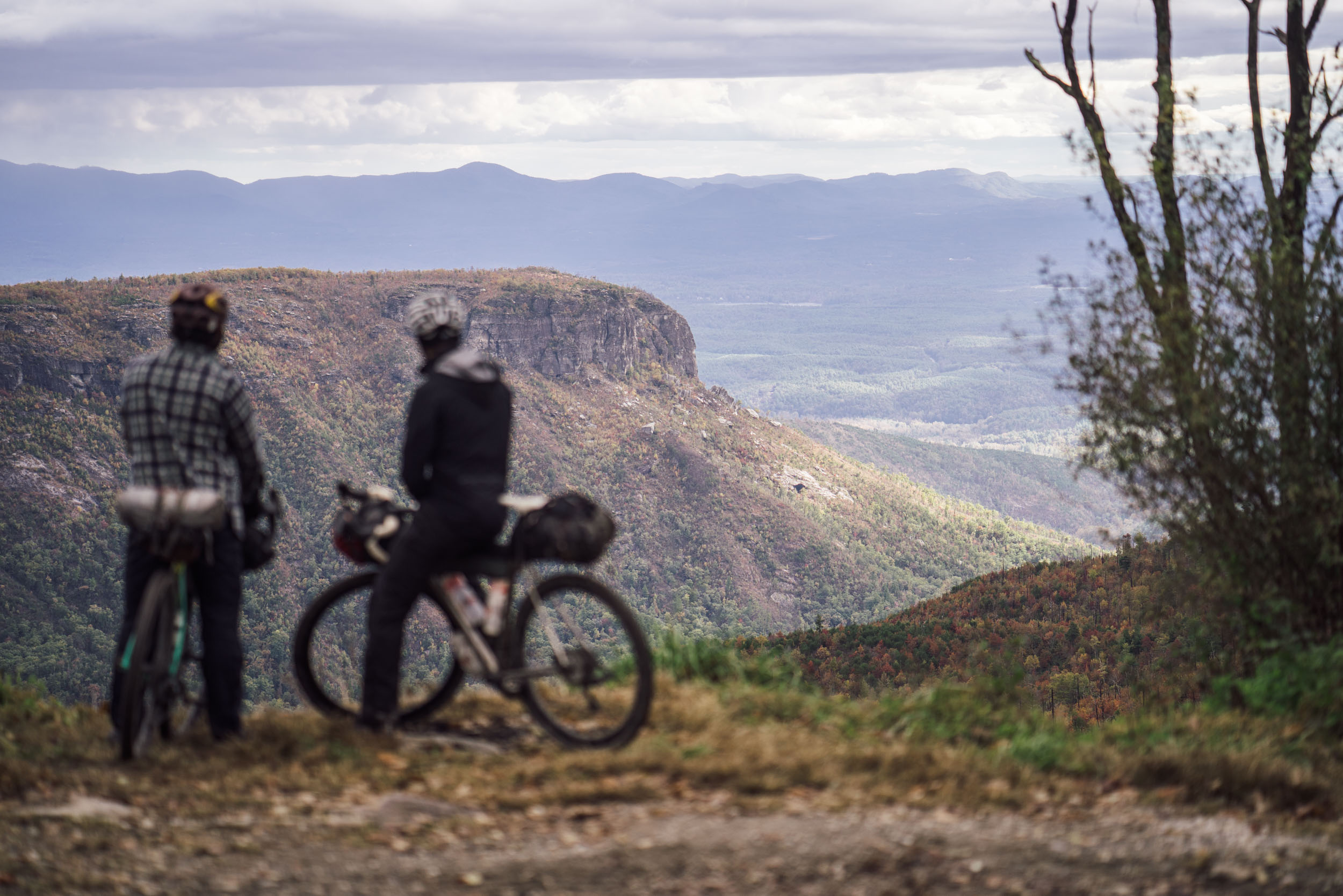
Linville Gorge
Linville Gorge is an incredibly scenic feature and a highlight of the route. Often referred to as the “Grand Canyon of North Carolina,” the Gorge is formed by the Linville River with massive cliffs and monoliths on the eastern rim. As reported in colonial history, the Linville River was called Ee-see-oh in the Cherokee language, meaning “river of many cliffs.” That translation manifests itself visually from the many lookouts along Linville Gorge’s rim. Early white colonists named the river and gorge after John and William Linville, explorers who were killed in the gorge in 1766.
pinMile 235
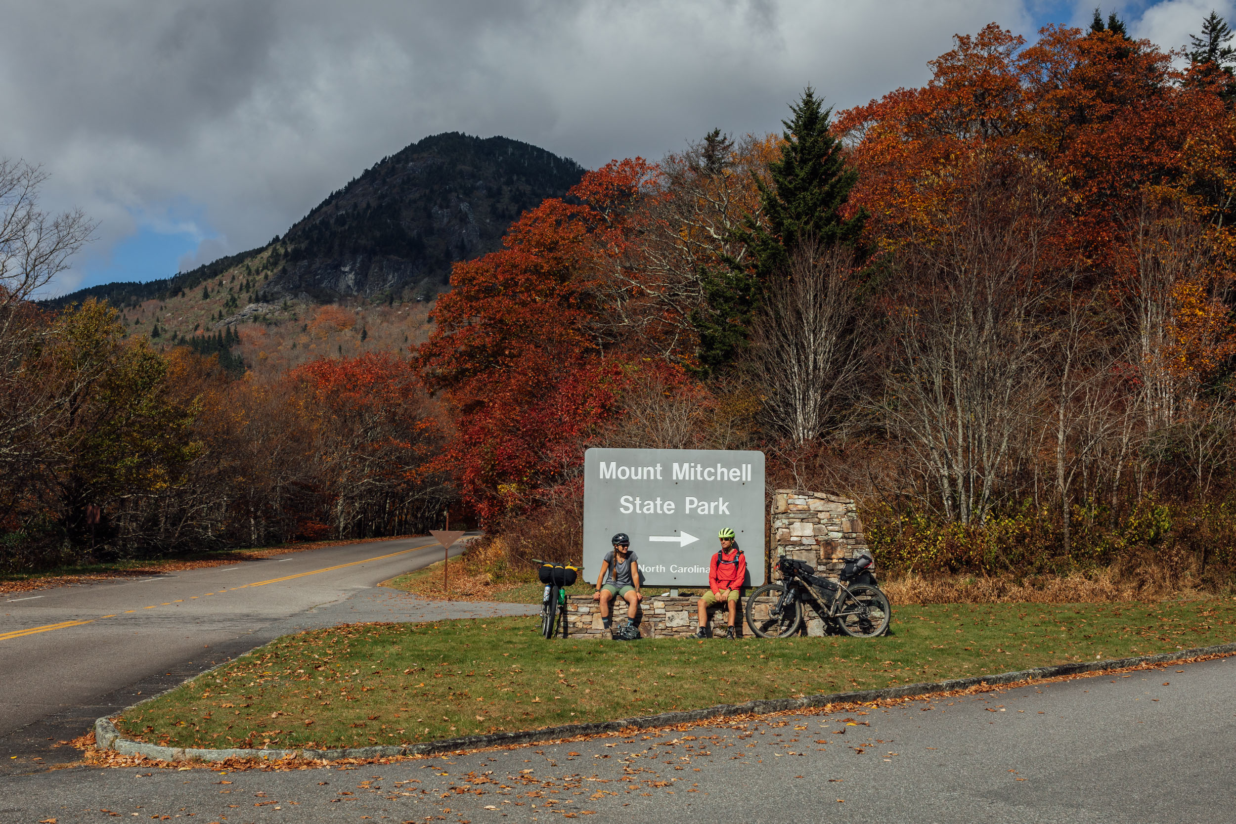
Mount Mitchell
Mount Mitchell sits at 6,684 feet (2,037 meters) above sea level and is the highest peak in the Appalachian Mountains and eastern North America. In Cherokee, it’s called Attakulla, which some reports claim is after a Cherokee leader. Colonists later named the mountain after Elisha Mitchell, a professor at the University of North Carolina who first traveled into the Black Mountain region in 1835.
pinOff Route
Kituwah
Kituwah, which is known as the “heart of the Cherokee world” and translates to “the dirt belonging to the Creator,” is located outside of Asheville, North Carolina. Kituwah is a sacred mound of earth central to Cherokee cosmology that was overtaken by colonists as early as 1776. The Eastern Band of Cherokee Indians repurchased the land in 1996 and have since worked with archeologists to identify the remnants of their historical village.
pinMile 267
French Broad River
The French Broad River is believed to be one of the oldest in the world. It starts from its headwaters near Rosman, NC, and flows north some 218 miles (351 kilometers), seemingly defying logic as it crosses the Appalachian Mountains to join the Tennessee River, which ultimately flows into the Ohio and then the Mississippi to the Gulf of Mexico. According to some sources, it gets its name from the Cherokee word agiqua (“broad”), which French colonists used when referring to it.
pinMile 307
Looking Glass Rock and the Land of Waterfalls
Looking Glass Rock is perhaps the most recognizable geologic feature in the Pisgah Ranger District. This pluton monolith rises from the valley floor to an elevation of almost 4,000 feet (1,200 meters) and is named after the way its granite face reflects the sunlight. This area is also famous for its many waterfalls. In fact, Transylvania County is called the “Land of Waterfalls” for its roughly 250 cascades.
pinMile 370
Chattooga River
The route crosses the Chattooga River headwaters. The Chattooga is designated a Wild and Scenic River and was where much of the 1972 American survival horror film Deliverance was filmed.
pinMile 264
Culturally Significant Plant Species Initiative
The Eastern Band of Cherokee and the USDA Forest Service Southern Research Station in the Cherokee National Forest are leading the Culturally Significant Plant Species Initiative. The program focuses on protecting and preserving culturally significant plants past and present. These plants contribute to the health and well-being of the community but also uphold federal trust responsibility by respecting tribal food sovereignty.
pinMile 482
The Chattahoochee River
The Chattahoochee River originates in the Southern Appalachian Mountains of North Georgia and continues for 430 miles. The river flows along the southern half of the border between Georgia and Alabama. The word Chattahoochee originates from the Creek/Muskogee word meaning painted or colored rock from chato (“rock”) plus huchi (“marked”). More than two dozen Indigenous communities inhabited areas along the Chattahoochee going as far back as 1000 B.C.
pinMile 570
Cohutta Wilderness
The route skirts the Cohutta Wilderness, the largest contiguous wilderness area east of the Mississippi. First designated in 1975 and expanded in 1986, the Cohutta consists of about 37,000 acres (149.64 square kilometers) of forested land. Some unverified sources claim the name is derived from the Cherokee word cohutta, which means “frog.”
When to Go
- The best times to ride Segment 6 are April to May and October to November. These shoulder seasons provide the most comfortable temperatures in the Southern Appalachians with chilly nights and warm days. Fall is ideal as the colorful leaf shows can be spectacular in late October and early November.
- The route is rideable nearly all year with the right preparation. It’s best avoided from mid-January to mid-March as that can be the depths of winter with snow, ice, and bitter cold, especially in the higher elevations. Mid-July to August can be hot and very muggy, with frequent afternoon thunderstorms.
Logistics
- If you’re section riding or shuttling this route, there is long-term parking available in the town of Damascus. While it may change, it’s currently at the town swimming pool and you must register on the website provided at signage in the parking lot.
Dangers & Annoyances
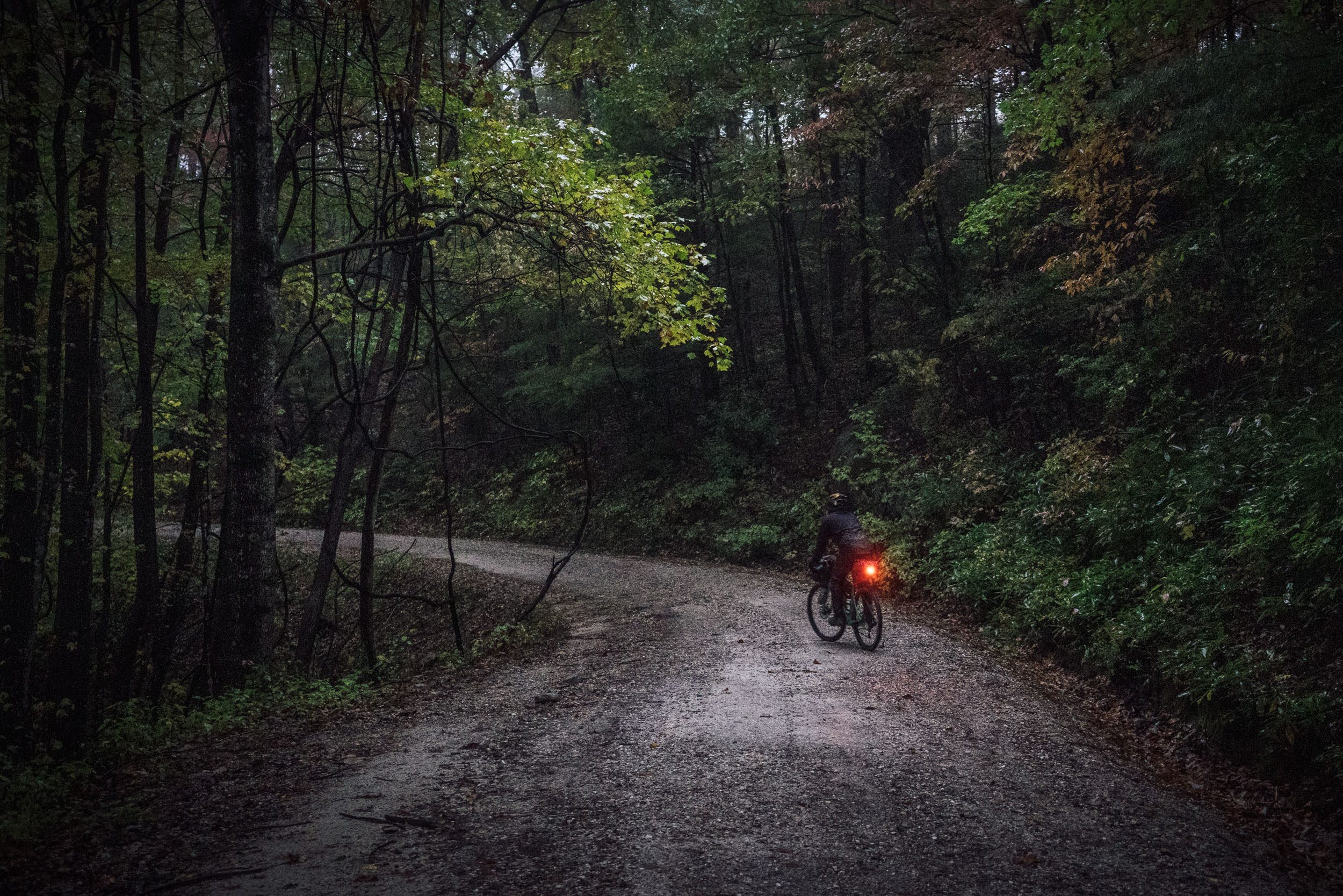
- While the majority of this route uses gravel and relatively low-traffic roads, there are a few spots worthy of extra caution. Bring lights and colorful clothing and take the usual precaution when on the road.
- Most of this route is in black bear country. It’s best to get in the habit of tying up your food at night while camping. Find details on the PCT method here.
- There are rattlesnakes and copperheads in this zone, too. Watch where you step, and know how to deal with snake bites. Your chances of a dangerous encounter are low but be aware.
- There are several places on route without cell service. You might consider bringing a satellite tracker or emergency beacon in case of injury or catastrophic failure.
- Bring lights. There are several sections that use relatively low-traffic roads, but as with any cycling outing, cars pose a threat. Wear bright colors and bring a rear blinker light.
- Lights are required on the Blue Ridge Parkway and must be used at all times.
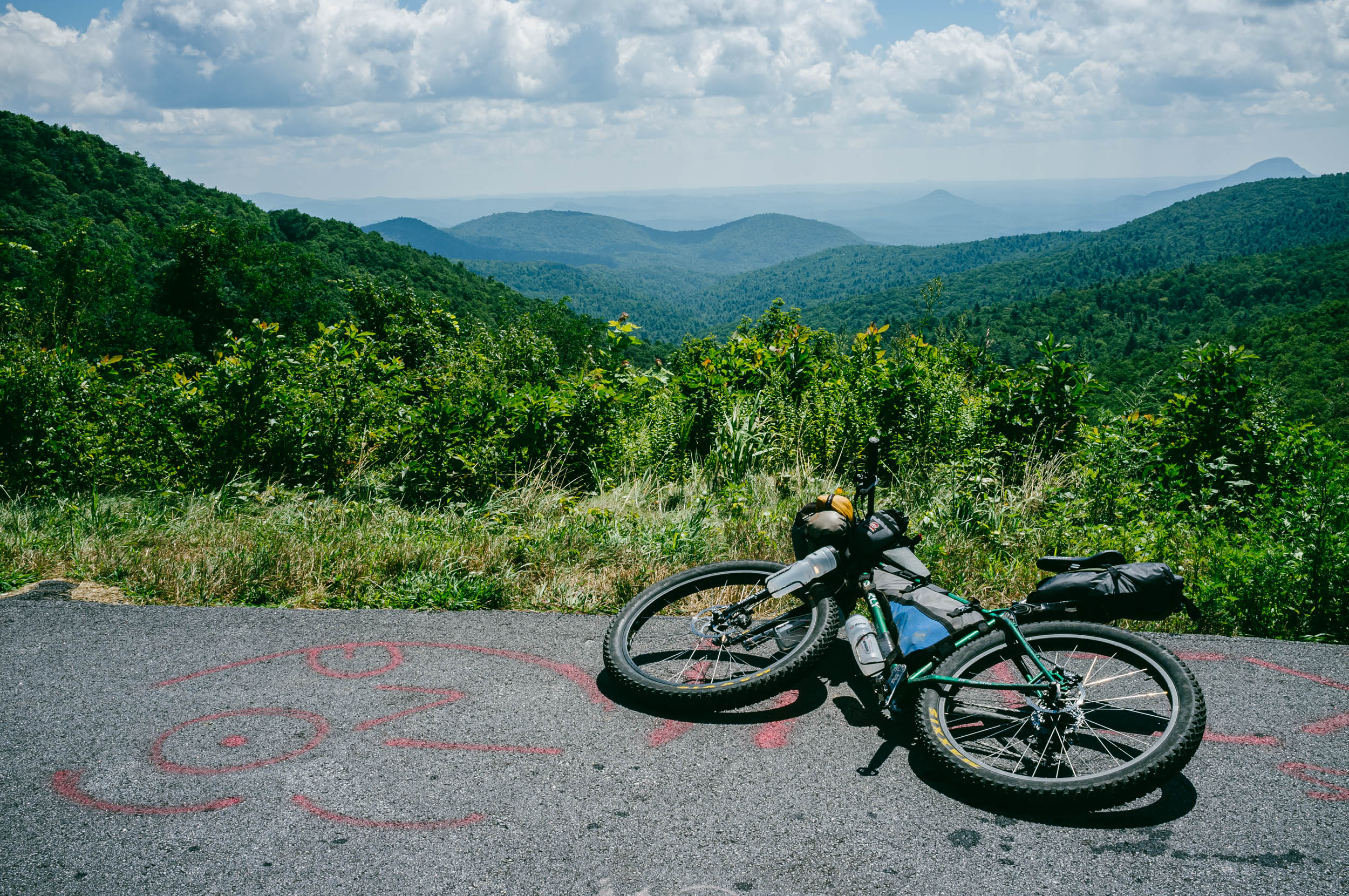
What Bike?
- The best bike for this segment, as well as the entire Eastern Divide Trail, is an ATB or Tour Divide-style bike. For drop-bar aficionados, the Salsa Fargo and Cutthroat come to mind, or the Surly Ghost Grappler or Tumbleweed Stargazer. For those who prefer flat bars, any moderate hardtail or rigid 29er would be great, such as the Surly Ogre or Bridge Club, Salsa Timberjack, or Otso Fenrir.
- As for tires, we like fast-rolling XC rubber for this ride. Tires that folks like for the Tour Divide work well. The Maxxis Ikon, Teravail Ehline, and Vittoria Mezcal are all tires we’ve used while scouting.
- There are significant bike shops in Asheville and Brevard (The Hub and Sycamore Cycles). There are also a few outdoor provisions stores along the way, including Mast General in Blowing Rock and Valle Crucis, NC, and the Hub/Backcountry Outdoors in Brevard.
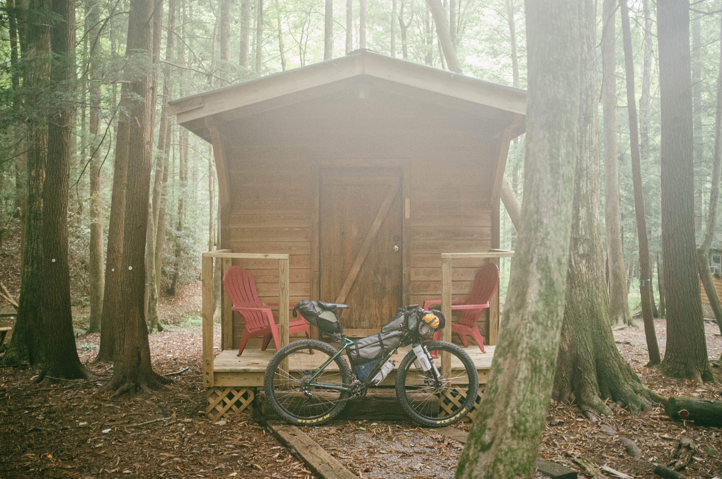
- Campgrounds and established campsites within national forest land can be found throughout the route. Many prominent options are noted in the downloadable GPX file, but there are more.
- There are a few sections where wild camping might be necessary. One stretch without many established options includes the section in between Linville Gorge and Asheville (miles 213-280), although there are wild camping options around Woods Mountain and before you join the Blue Ridge Parkway.
- There are hotels/motels/lodging in Damascus, Virginia; Elizabethton, Tennessee; Blowing Rock, Asheville, and Brevard, North Carolina; and Dillard, Hellen, and Mulberry Gap, Georgia.
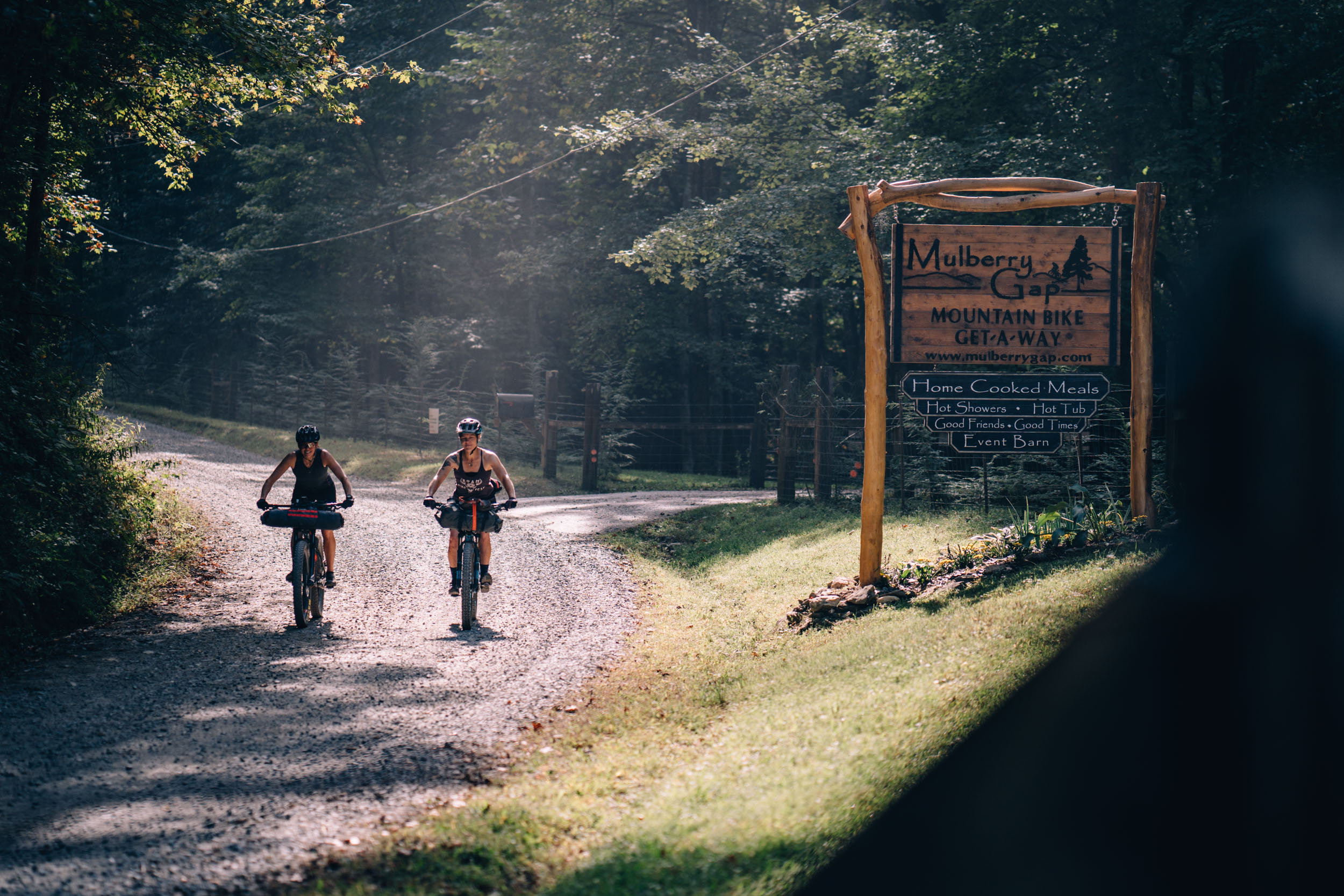
- Segment 6 finishes at Mulberry Gap Adventure Basecamp, which offers excellent meals, camping, cabins, and a small provisions shop that caters to bikepackers.
- Filterable water is available on most of the route, aside from a few stretches, such as the rim of the Linville Ridge Gorge and other highpoints. There are a few water sources noted for situations where water is scarce.
- Churches are a good source for drinking water as there are usually spigots available. Make sure to ask if there is someone on site.
- There are generally plenty of resupply options on this route, as noted in the POIs of the downloadable GPX file. The longest stretch with questionable resupply is between Blowing Rock and Asheville, NC. There is only one small convenience store, Fonta Flora Brewery, and a large highwayside convenience store within 160 miles. It’s not challenging in that regard, but worth noting as you may pass the small store and/or brewery during off-hours.
- The main grocery store resupply points are Damascus, Elizabethton, Blowing Rock, Asheville, Brevard, Dillard, and Helen.
- There are also several well-stocked convenience stores. Brown’s Grocery in Hampton, TN, Samir’s #6 in Woodlawn, NC, and the Coopers Creek Store at mile 532 in North Georgia are all sizable options.
- Speaking of breweries, Segment 6 is probably worthy of a growler tour title, as it features several craft breweries such as the aforementioned and world-class Fonta Flora at Whippoorwill Farms in Lake James. That and Asheville’s Burial Beer are arguably two of the best breweries in the Southeast. There are many other greats, too. Zillacoah, Wicked Weed, and New Belgium are all noteworthy Asheville destinations. And Brevard has Oskar Blues, which is a great stopover.
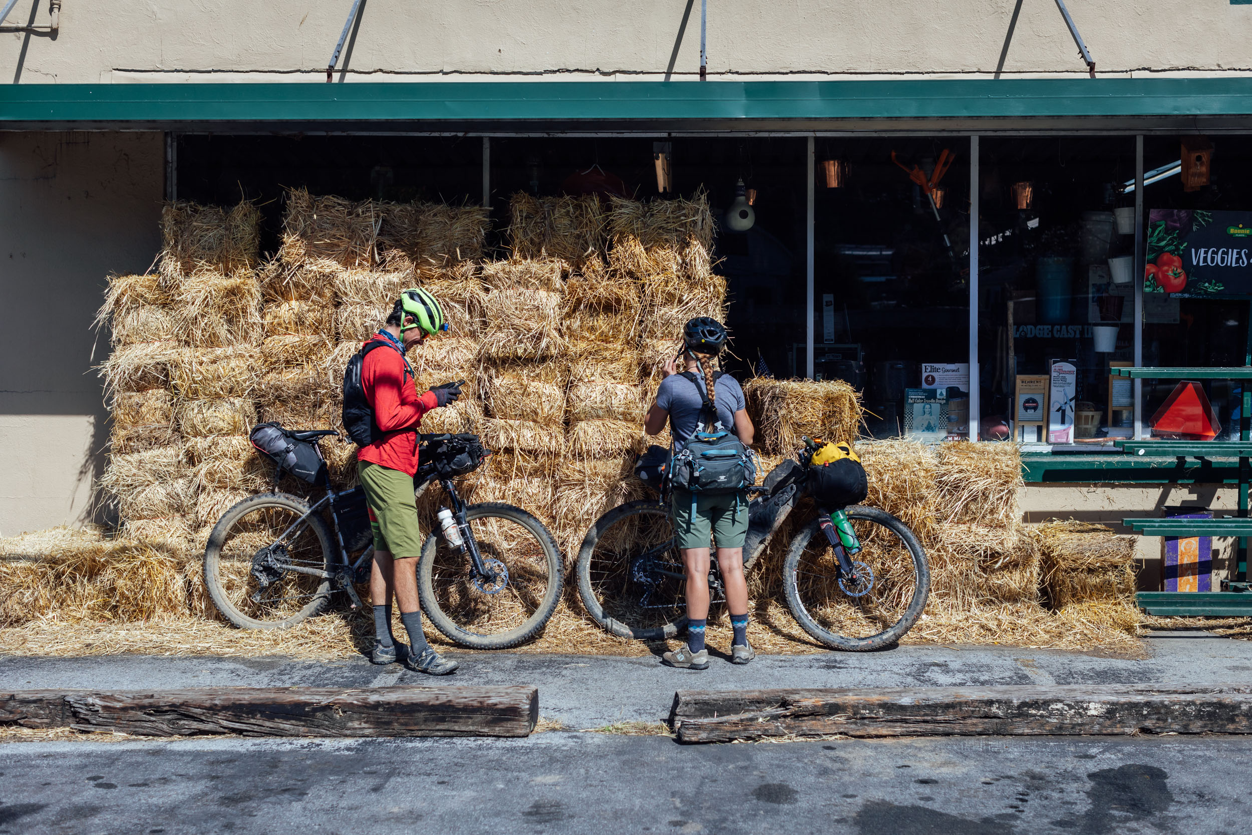
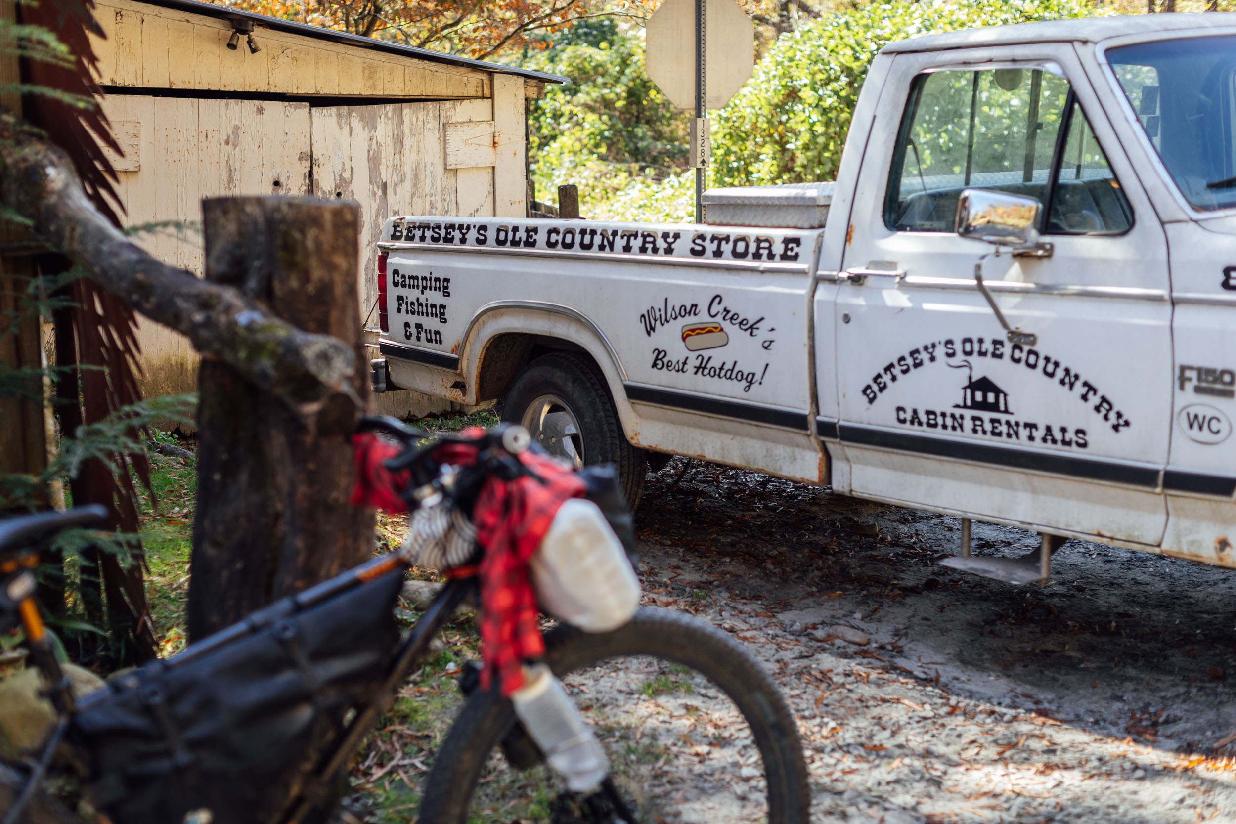
- There are several nice restaurants along the way. The first stop along the route is Valle Crucis, home of Over Yonder, a country-chic eatery. Blowing Rock has a couple of blue-collar options and high-end restaurants such as the Speckled Trout. From there, you could drop down to get a pizza at Fonta Flora’s Whippoorwill Farm in Lake James. Asheville has a wealth of restaurants. If you’re looking for something more upscale, check out Curaté or Limones. We also like Chai Pani and Rhubarb. From there, grab a bite at the food truck at the Hub in Brevard or at Oskar Blues. And be sure to have a meal at Mulberry Gap when you finish.
Here’s an example itinerary based on 40 to 70-mile days. Some riders might prefer shorter days and others might average longer distances, but this is a solid baseline that a thru-rider might consider for a reasonable bikepacking itinerary. Note that this assumes you’re a fairly seasoned rider carrying a medium-light load.
locationDamascus, VA-Elizabethton, TN
Day 1 (46 miles +4,250’)
Leaving the trail town of Damascus, the route follows the Creeper Trail before joining Government Road, a long and winding gravel road that runs along the east side of Holston Mountain ridge in the Cherokee National Forest and eventually between the mountains and Holston Lake. Enjoy the quiet forests on the gated road diverging from Government Road. After a short stint on a highway, the route follows Camp Howard and takes a gated dirt road before joining Big Creek Road, a wide, smooth gravel road that becomes paved as you get closer to Elizabethton, TN. The route follows a couple of backroads leading into town, where all services are available. Check out the Coffee Company for good coffee and breakfast. There’s lodging available in town and an Appalachian Trail hostel marked on the map that’s a little further out of town and off route (but they offer shuttles). There’s also a wild camping option before town, or you can push on another 12 miles to Dennis Cove.
locationElizabethton-Laurel Fork, TN
Day 2 (30 miles +4,500’)
Leaving Elizabethton, Segment 6 follows the Tweetsie Trail, a rails-to-trails project traversing former ET&WNC railroad right-of-way between Johnson City and Elizabethton. Out of town, you continue on the rail grade and through an old tunnel before taking a series of backroads through Hampton. Refuel at Brown Grocery if you need any last-minute supplies. From there, the route climbs up toward White Rocks Mountain via Rough Ridge and Lace Trap Ridge. Camping options abound in this area, and there’s a significant push and hike-a-bike up to the flanks of White Rocks before some excellent doubletrack awaits. The last marked camping option is at the AT crossing, although there may be some wild camping options beyond.
locationLaurel Fork-Blowing Rock
Day 3 (48 miles +5,800’)
The next section of the route cuts through a few bits of national forest, state land, and private land. With that, there aren’t not many camping options. However, there are plenty of resupply points and places to eat. From Laurel Fork, the route begins to head east and eventually leaves Tennessee and enters North Carolina in what’s known as “the high country” area on the northern slopes of Beech Mountain. A series of backroads and gravel connects to the small and quaint town of Valle Crucis on the banks of the Watauga River. Stop by Mast Store for any gear needs or a snack. From there, more backroads take you to the Blue Ridge Parkway, America’s longest linear park. Make sure to turn on your lights as it’s a law on the Parkway. There is camping available at Julian Price Park, lodging in Blowing Rock (as well as plenty of places to eat), and a great spot next to a waterfall a little off route if you descend down to Globe (see map).
locationBlowing Rock-Table Rock
Day 4 (49 miles +5,200’)
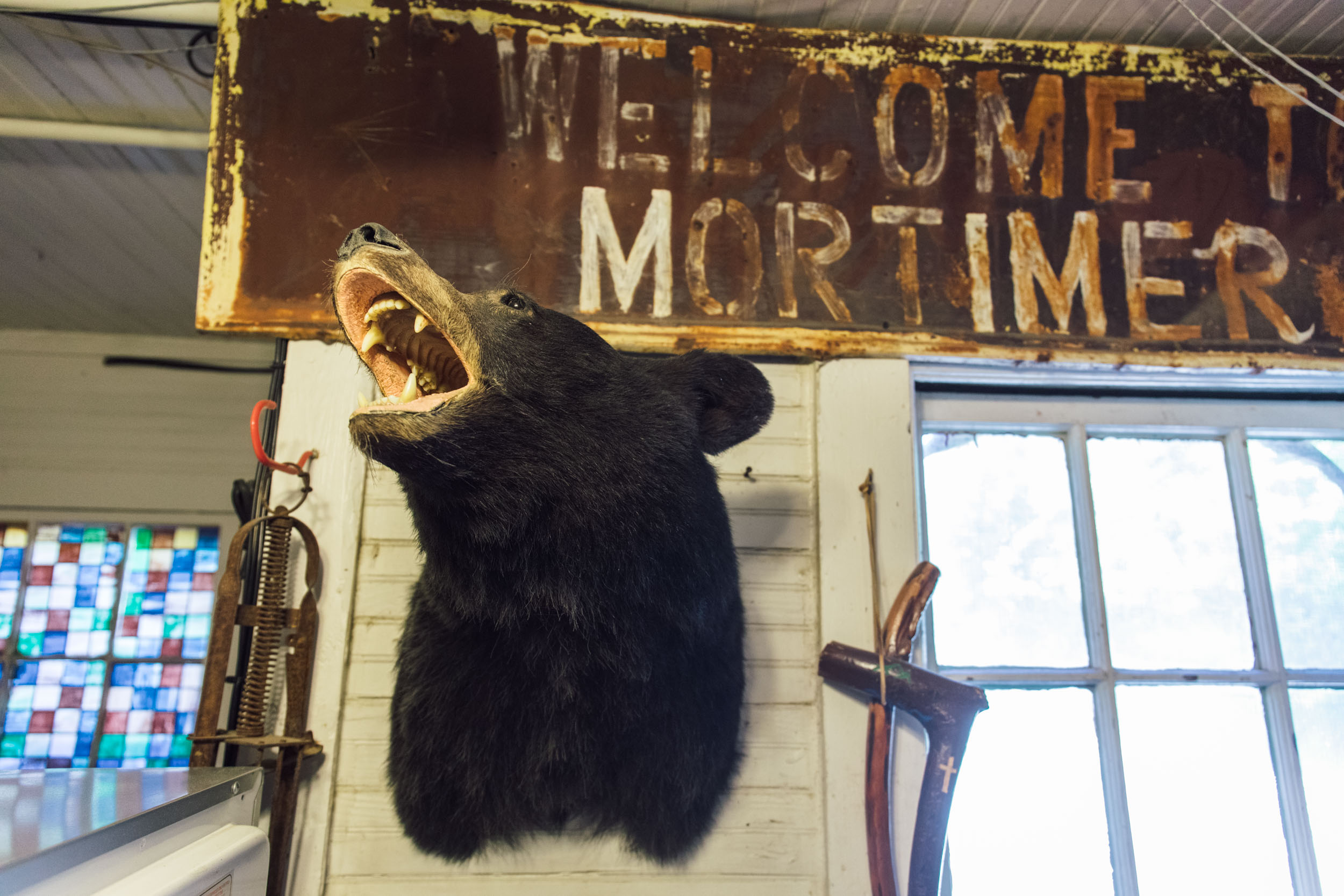
This section traverses the Grandfather Ranger District of Pisgah National Forest. Expect loads of beautiful streams, waterfalls, and gorgeous forests. Highlights include Wilson Creek Gorge, lovely gated forest roads, and amazing gravel on Maple Sally. Extend your stay by veering off and going to the campground in Mortimer or stay at the riverside campsite at Steels Creek. There are lots of options, and this is a highlight of the route. If you make it past Table Rock, there are a few roadside campsites on the east side of Linville Gorge around Hawksbill. Those aren’t marked on the map, and water access is limited.
locationTable Rock-Linville Gorge
Day 5 (35 miles +3,500’)
From Table Rock, you traverse the east side of Linville Gorge, the “Grand Canyon of North Carolina.” After wrapping around the northern end via backroads, you can veer off and grab a meal at Famous Louise’s restaurant in Linville Falls. From there, you begin the Linville Gorge ride, a challenging gravel road with some super steep sections. However, the rewards are plentiful with lots of viewpoints peering into the land of cliffs. Head down to Wiseman’s View for an extra special viewpoint. Camping options abound on the west rim of the Gorge but are popular in the high season, especially on the weekends. There’s no water on the Gorge rim, so carry what you need.
locationLinville Gorge-Asheville
Day 6 (68 miles +7,500’)
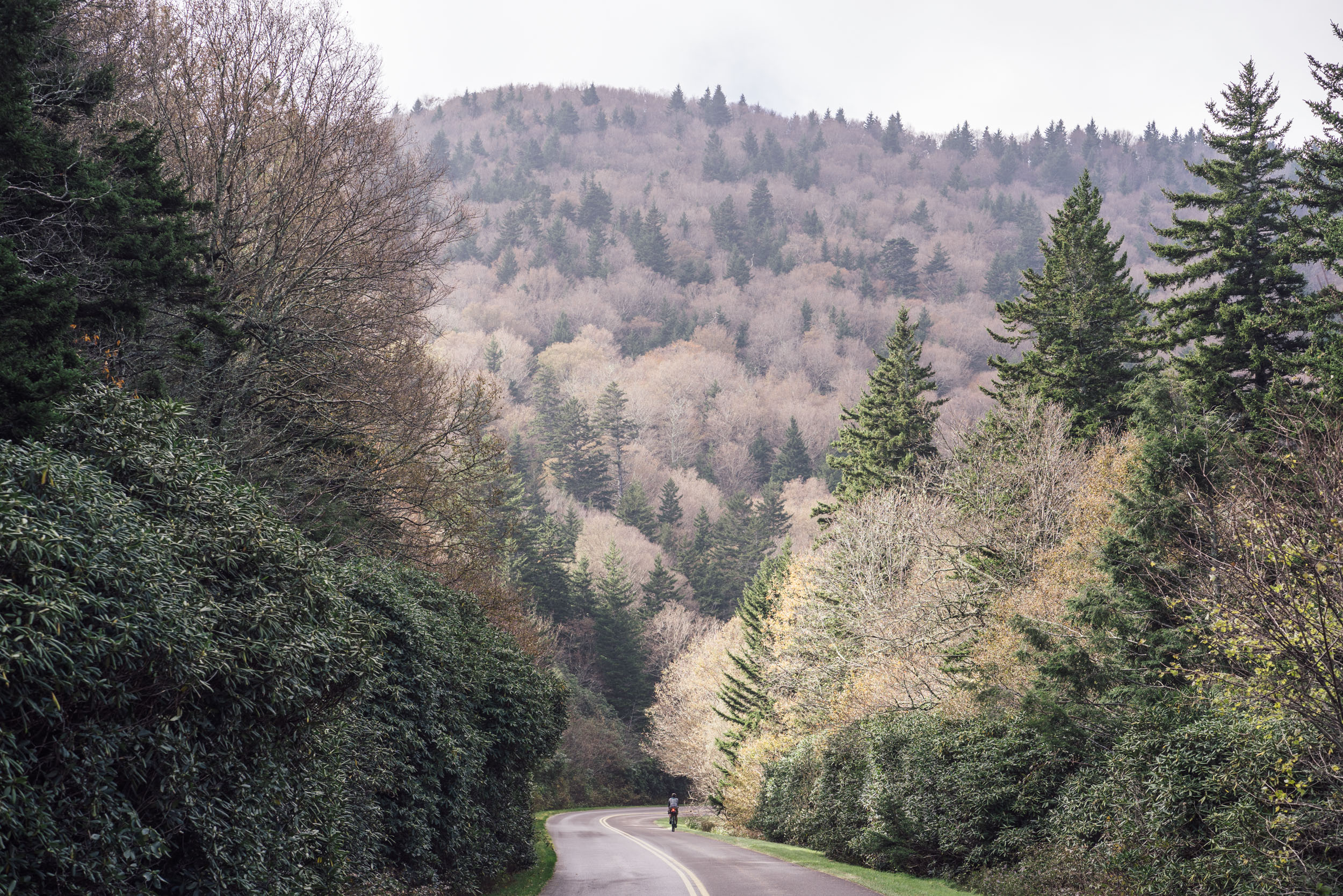
This is the longest and most challenging day of the itinerary. The descent from the Gorge is interesting and follows a chunky powerline cut. Grab some snacks at Samir’s #6 before the ride up Woods Mountain. It’s mostly forest doubletrack until you hit the steep Bad Fork Trail that connects to a bike-legal section of the Mountains to Sea Trail and eventually joins the Blue Ridge Parkway. Once on the Parkway, you’ll traverse one of the most scenic stretches, passing Mount Mitchell, the highest mountain on the East Coast (see the Whereabouts tab). Craggy Gardens is another great stop along the way. From there, you’ll have a long descent into Asheville where there are plenty of hotels, hostels, and camping options, as well as loads of great eateries and breweries.
Update: as of August 2025, the Blue Ridge Parkway remains closed. Riders will need to find an alternate route from US 221 to Asheville. Below is a suggested alternate that attempts to preserve the character of the missing section. Unfortunately, there are some higher traffic sections on this reroute so use caution.
locationAsheville-Pisgah Forest
Day 7 (47 miles +4,450’)
From Asheville, the route follows a series of bikeways and backroads before a forest road and short singletrack hike-a-bike take riders back into the forest. It enters the Bent Creek district of Pisgah National Forest and follows a couple of dirt roads and trails before crossing the Parkway again to descend into the Ranger District, another highlight of the route. The route traverses this area on gravel, a little singletrack, and more gated doubletrack before an exit opportunity near Pisgah Forest and the mountain town of Brevard. Hop out here, check out the Hub at Pisgah Tavern (a bike shop/taproom), Oskar Blues Brewery, and a few other local treasures. There’s also an alternative below on how to extend your Pisgah traverse to see Looking Glass Rock. There’s camping just outside of town as you come in and leave, too.
locationPisgah Forest-Panthertown
Day 8 (42 miles +5,800’)
Back through Pisgah, the route connects another stitchwork of various off-road tracks and backroads to bring riders into Panthertown Valley, a treasured 6,311-acre backcountry area and bear sanctuary featuring more than 30 miles of public trails, waterfalls, and streams located in Nantahala National Forest.
locationPanthertown-Dillard, GA
Day 9 (54 miles +5,900’)
From Panthertown, head into Cashiers for breakfast and resupply before the long ride to Georgia. This section features many gravel miles crossing the headwaters of the Chattooga River, where Deliverance was filmed (details in Whereabouts). Once you enter Georgia, there are plenty of options for camping in the form of NFS campgrounds and roadside sites, as noted on the map. There’s also lodging available in Dillard.
locationDillard-Addis Gap
Day 10 (45 miles +5,500’)
From Dillard, the route aligns with the Trans North Georgia, for the most part, following quiet backroads and gravel much of the time. There’s a sizable creek crossing about 20 miles in, although it’s fairly shallow and mostly rideable if you have the legs. Make sure to stop at Hostel Around the Bend. They have laundry and showers as well as pizza and Coke. The owners Gordon and Lisa are excited to host bikepackers and AT hikers alike. There’s also a small NFS camping area just after Addis Gap.
locationAddis Gap-Helton Falls
Day 11 (41 miles +5,100’)
After Addis Gap, the route descends then climbs to Tray Gap, the highest point on the route in Georgia. From there, it goes through Unicoi State Park and into Helen, where you can grab a bite at Cimmi’s Cafe and supplies at the neighboring store. Helton Falls is worth checking out, but there’s not a lot of marked camping near there, so you may have to wild camp in that zone or make your way to Cooper Creek USFS Campground about 17 miles farther.
locationHelton Falls-Stanley Gap
Day 12 (42 miles +4,200’)
Carrying on through the green folds of the Chattahoochee National Forest, the route passes Cooper’s Creek. Hit up the Cooper’s Creek Store for a great resupply opportunity. Once you reach Stanley Gap, you can take the trail north (if you have the legs) and intersect with the Benton MacKaye Trail—a 300-mile hiking trail—for some good camping options.
locationStanley Gap-Mulberry Gap
Day 13 (50 miles +5,720’)
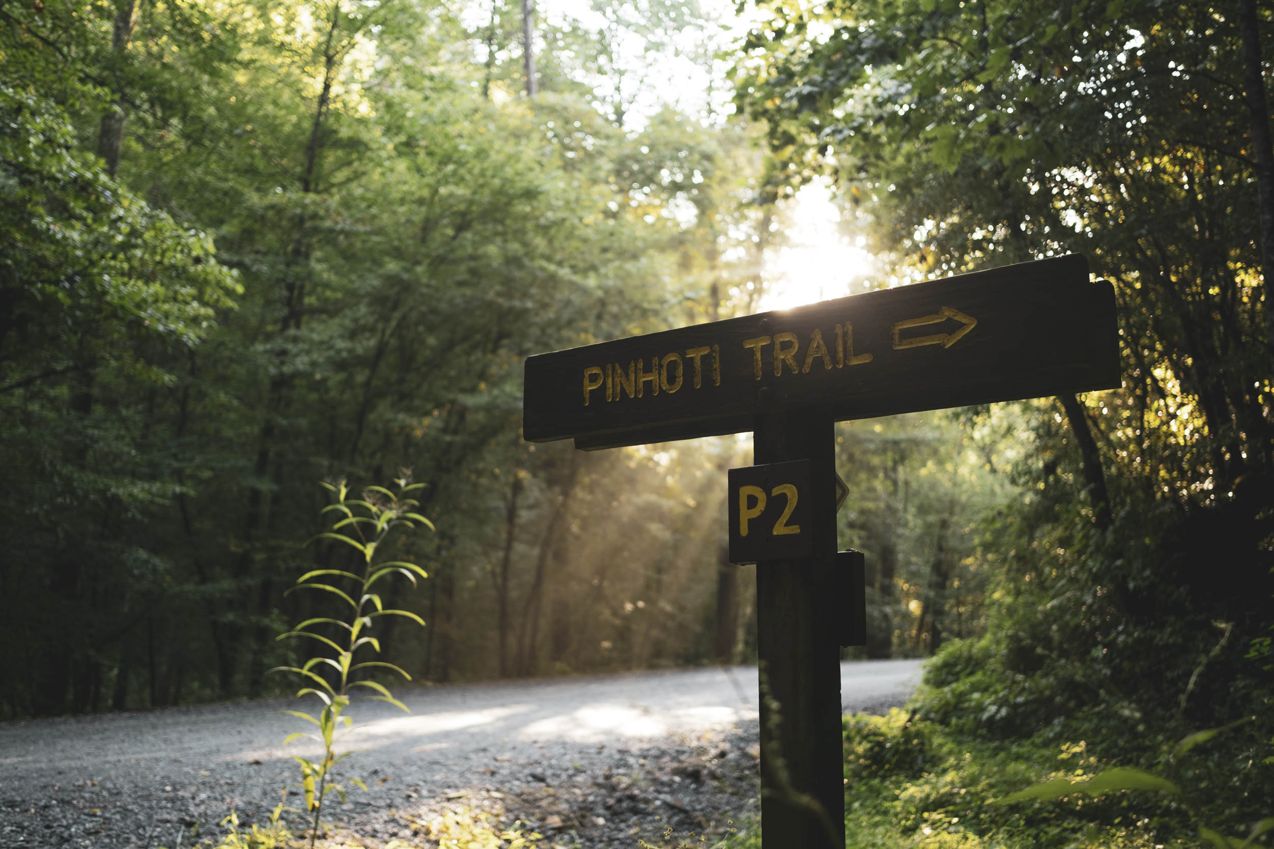
Once you descend Stanley Gap, it won’t be long before the gravel climbing begins again. A series of gravel and backroads takes you high into the Cohutta Mountains, where you can grab a view at Mountaintown Overlook before connecting with some fun singletrack at Bear Creek Spur and the Pinhoti Trail. This will eventually pop out at Conasauga Road, at which point you can head to Mulberry Gap for a celebratory beer and meal or a rest if you plan on continuing your journey south.
Sanctioned Alternates
These two alternates were created as sanctioned options for the route . Find details and links to maps below…
location 37 mi +3,598 ft
Fonta Flora Whippoorwill Farm via Lake James State Park
Interested in visiting one of the Southeast’s best breweries and having a great pizza? Fonta Flora’s Whippoorwill Farm facility is a little out of the way, but it’s accessible via Lake James State Park’s winding singletrack and a few extra miles. Note that the farm is only open on weekdays. Check hours and verify before you set out. The drawbacks to this alternative are that it requires a tough climb (“the wrong way”) up Linville Gorge. And you’ll miss some of the best viewpoints along the Gorge. Find the map here.
location 44 miles +3,873 ft
Looking Glass Rock and Brevard
If you’re interested in spinning a few extra miles around the Pisgah Ranger District to see Looking Glass Rock and a few more waterfalls, consider taking this sanctioned alternate. It adds a some miles and more climbing, but it’s worth it if you have the time and legs. Find the map here.


Terms of Use: As with each bikepacking route guide published on BIKEPACKING.com, should you choose to cycle this route, do so at your own risk. Prior to setting out check current local weather, conditions, and land/road closures. While riding, obey all public and private land use restrictions and rules, carry proper safety and navigational equipment, and of course, follow the #leavenotrace guidelines. The information found herein is simply a planning resource to be used as a point of inspiration in conjunction with your own due-diligence. In spite of the fact that this route, associated GPS track (GPX and maps), and all route guidelines were prepared under diligent research by the specified contributor and/or contributors, the accuracy of such and judgement of the author is not guaranteed. BIKEPACKING.com LLC, its partners, associates, and contributors are in no way liable for personal injury, damage to personal property, or any other such situation that might happen to individual riders cycling or following this route.
Please keep the conversation civil, constructive, and inclusive, or your comment will be removed.