


False Cape Border Dash
Distance
40 Mi.
(64 KM)Days
2
% Unpaved
99%
% Singletrack
2%
% Rideable (time)
99%
Total Ascent
415'
(126 M)High Point
25'
(8 M)Difficulty (1-10)
6?
- 1Climbing Scale Easy10 FT/MI (2 M/KM)
- -Technical Difficulty
- -Physical Demand
- -Resupply & Logistics
Contributed By

Jesse Davis
Guest Contributor
At 10 years old, Jesse asked for a Schwinn Scrambler for Christmas but got a Schwinn Varsity instead and soon was in way over his head. Now, with the NORBA years far in the rear-view mirror and a plate-full of domestic duties, he still manages to find himself all the way across town way after dark.
With photos by Brian Brockway
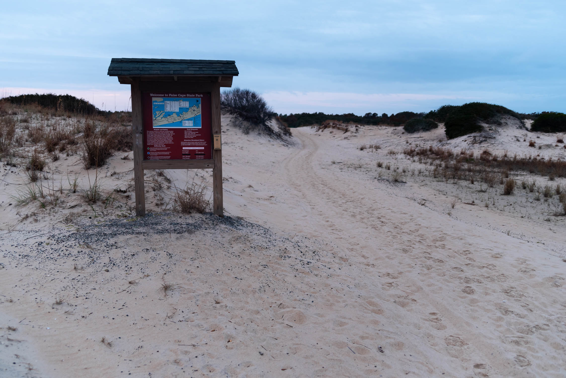
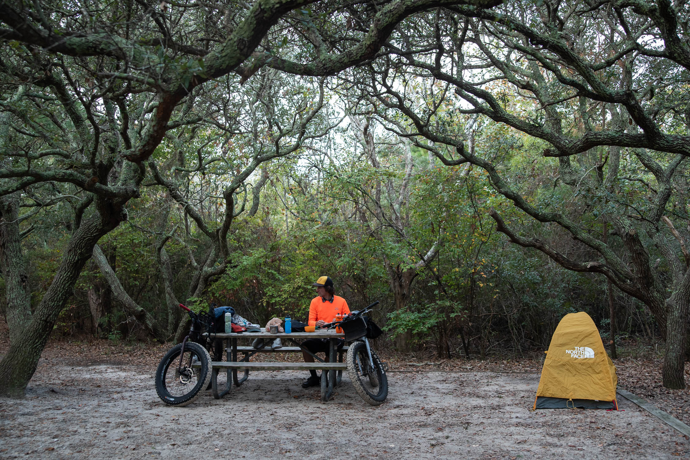
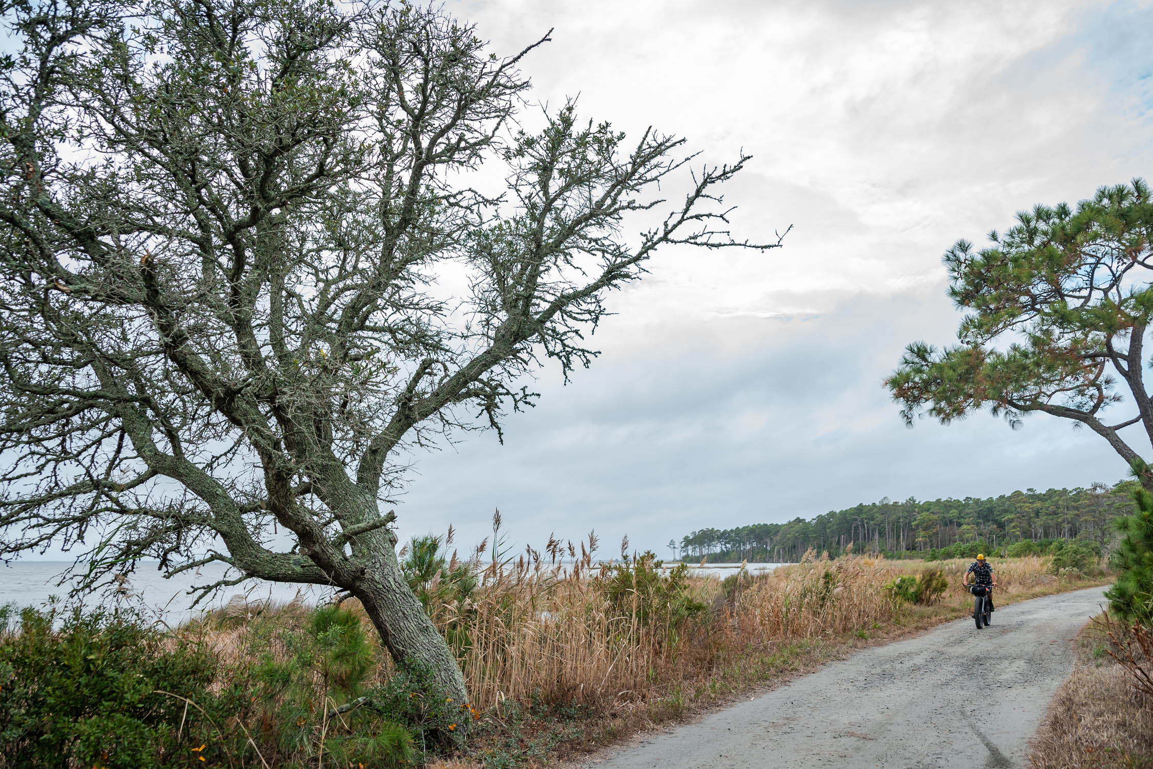
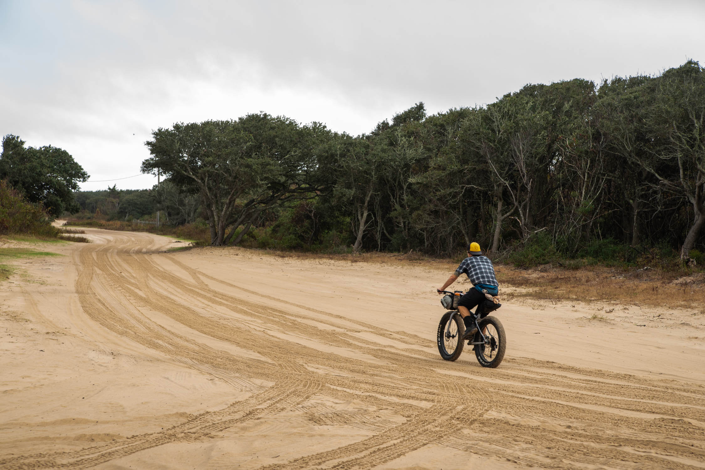
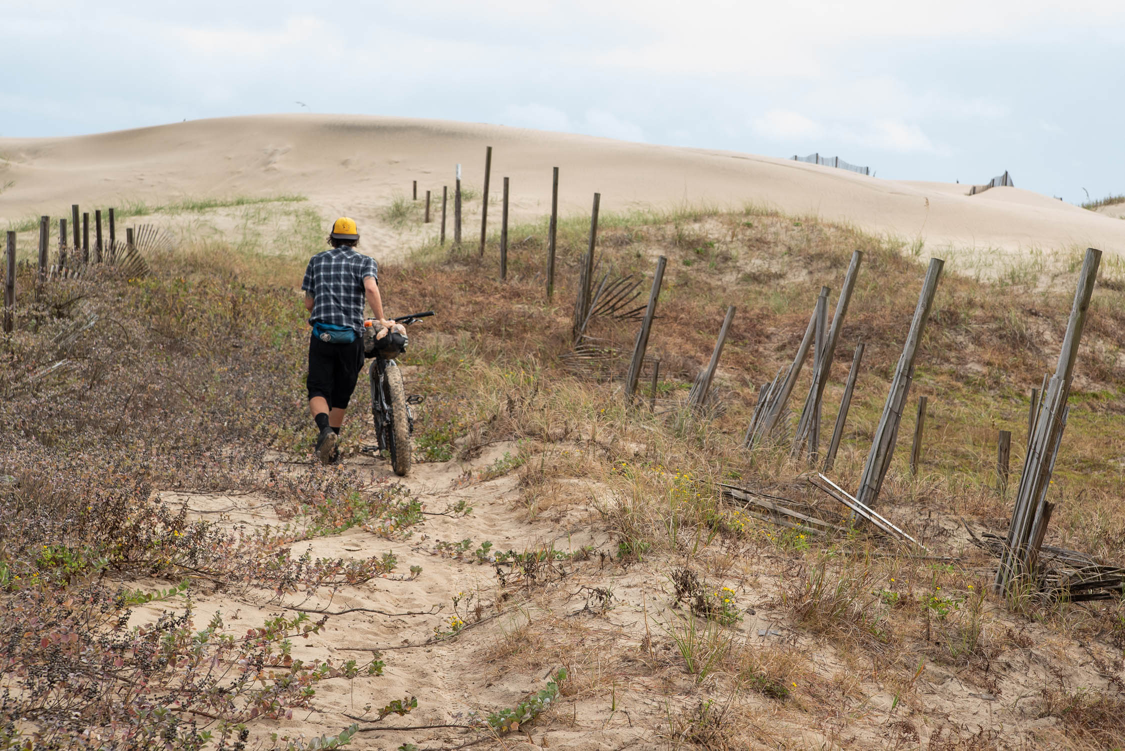
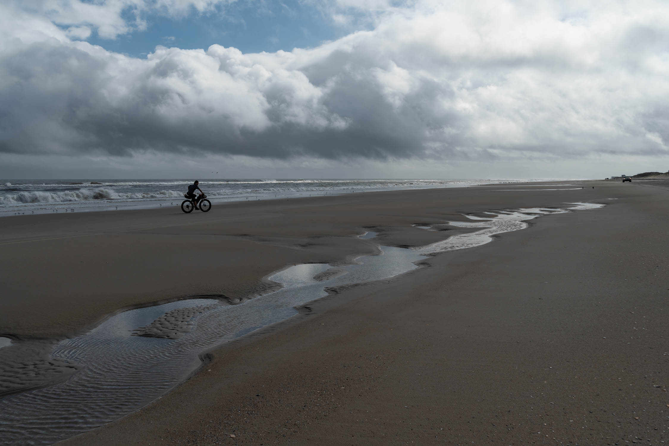
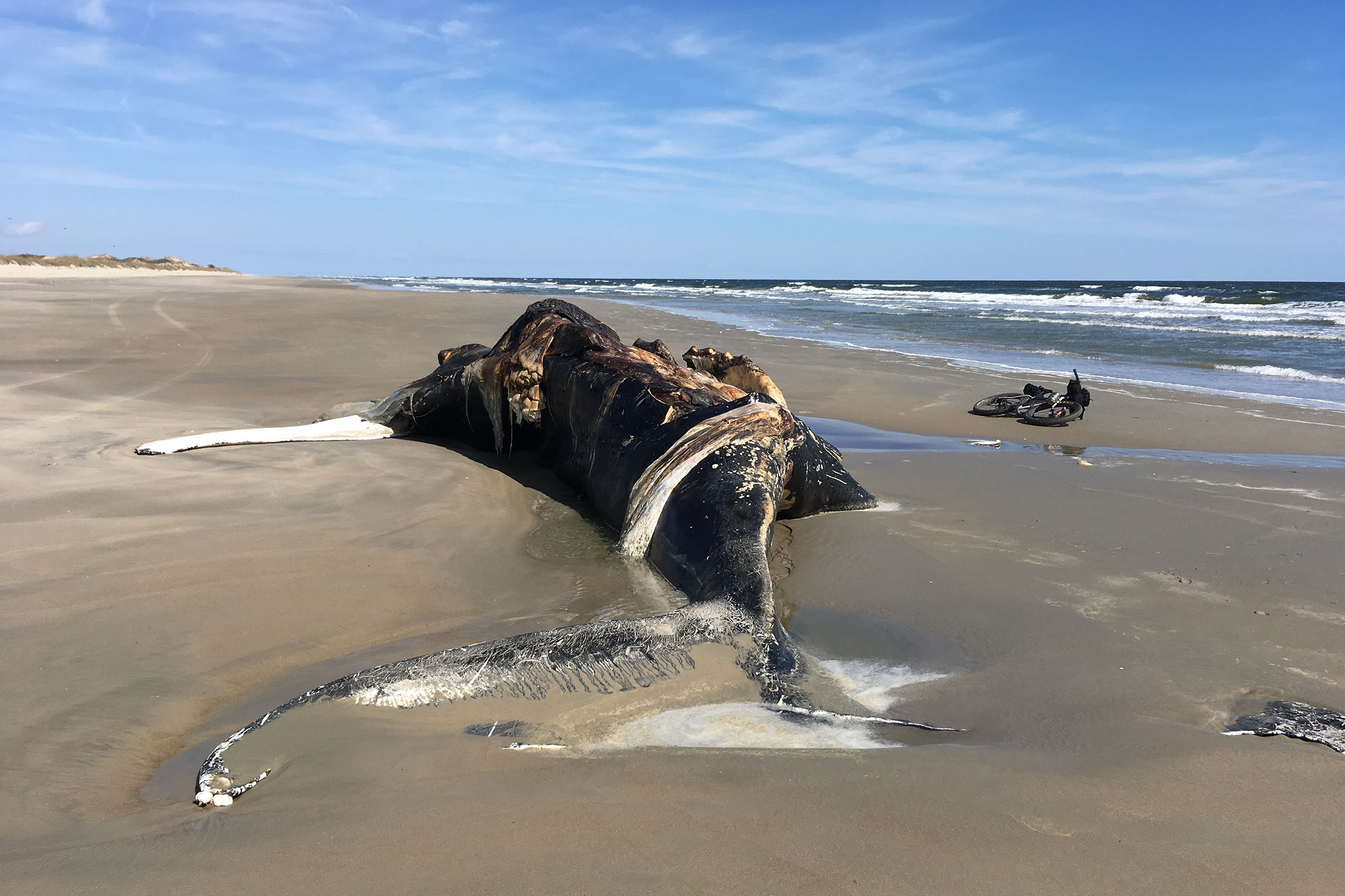
The Outer Banks are a series of remote, narrow barrier islands on the Eastern US coast that extend over two hundred miles from southeastern Virginia down the coast of North Carolina. False Cape State park lies on the northern end of this tenuous ground in the southeast corner of Virginia. On the park’s east side: The Atlantic Ocean, buffered by a battered landscape of scraggly live oak trees and shifting sand. On it’s west side: Pine trees, brown dirt and a vast, mud-bottom bay separating it from the mainland. The battle between these eastern and western geologies takes place just under your tires as you ride through the sandy roads and trails of this maritime forest.
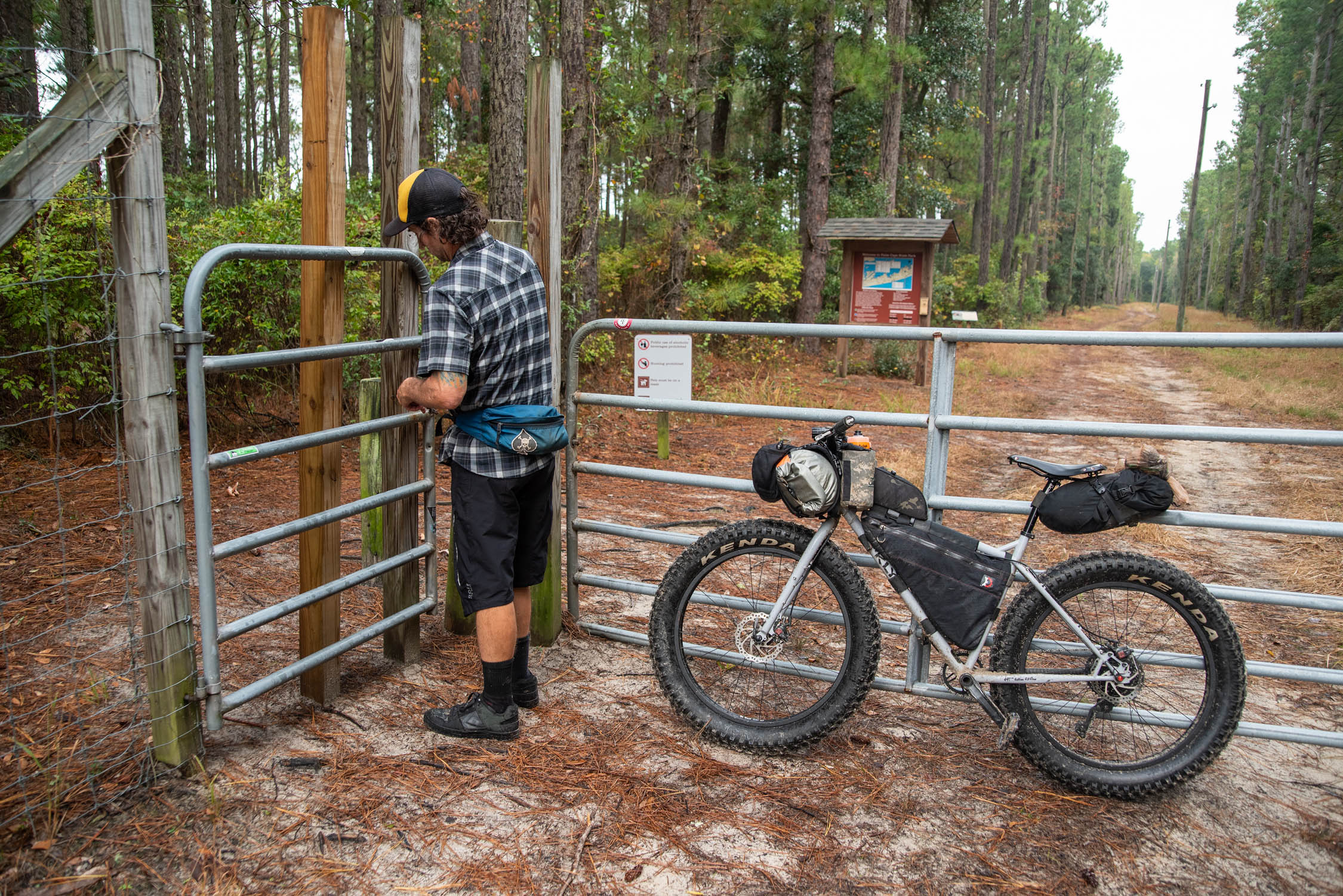
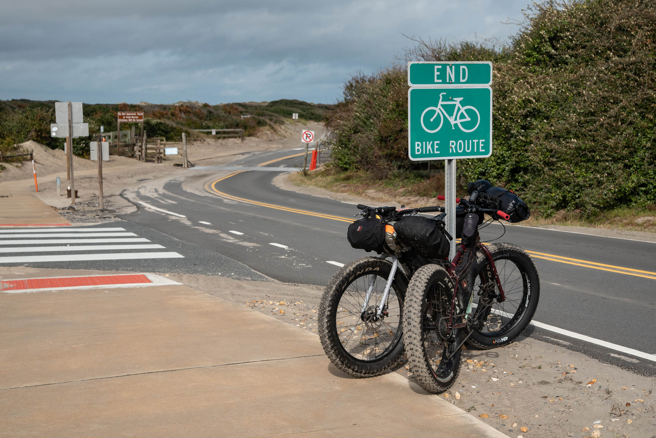
False Cape State Park is accessible only on foot, by bicycle or by boat. And although it’s relatively easy to reach from the Virginia Beach area to the north, we attack from south of the border, starting in the touristy destination town of Corolla, North Carolina. There the narrow, northbound highway literally spills out onto the beach, and all vehicles capable of not getting stuck in sand up to their bumpers are welcome to continue as far as the gated border fence to the north.
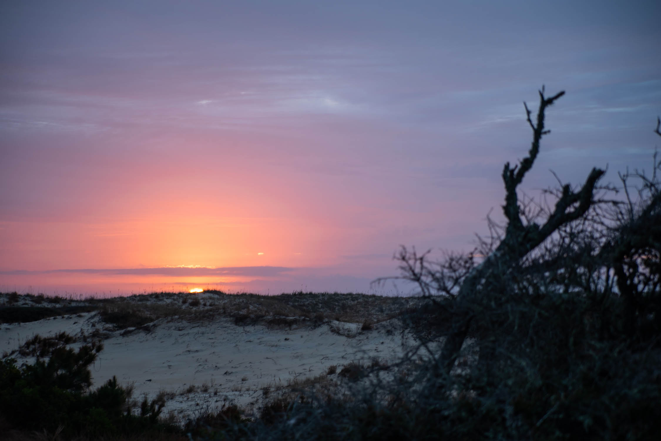
A perfect version of this fatbike overnighter relies on a combination of low tides, favorable wind, cool temps and blue skies. On it’s face, it’s an out-and-back trip. But it’s actually a narrow loop, utilizing the maritime forest to hide from the wind — and the beach to harness it. If the wind is blowing from the south, ride the beach north and then use the sandy roads of the forest and town to stay out of the wind on the return (at least, as much as possible). The most difficult aspect of this ride is the timing. Low tide (and the hour or two before and after low tide) make beach travel more enjoyable and easy. For this reason, the decision to pounce on this trip may be made two or three days prior. And quite often can involve a midnight departure.
Difficulty
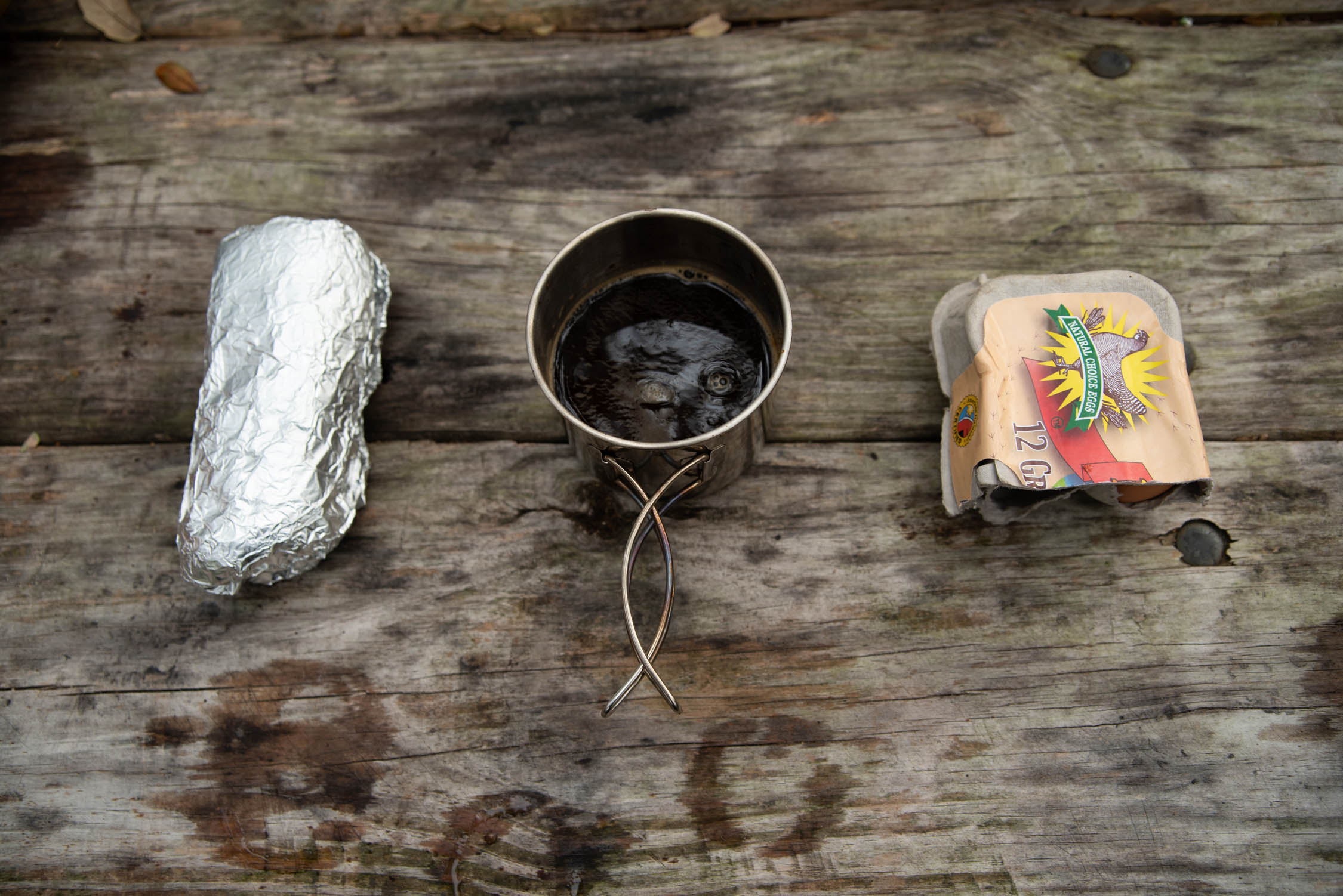
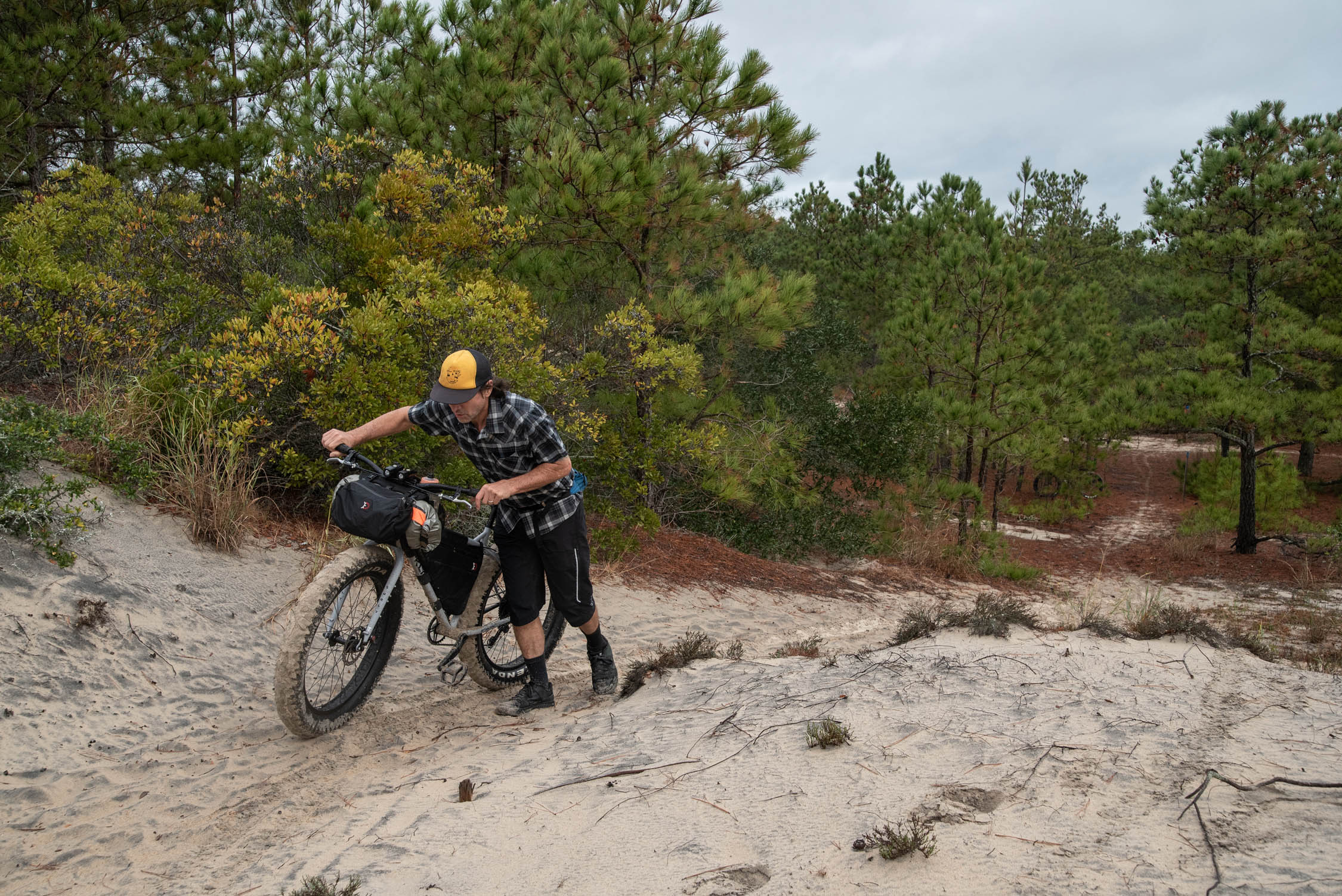
Like mud and snow, sand comes in a million variations. It can be as easy as riding on a bike path at times and impossible at others. Generally, the more rain that falls prior to your trip, the better. Precipitation firms up the route and makes for easier going. When the tide is out, the effect is the same. Riding into a withering winter wind on the beach should be avoided but sometimes can’t be and the immediate proximity of the cold, grey Atlantic can be bone-chilling. Food sources on this route are next to nil so be loaded with grub when you leave civilization. Watering holes are scarce, as well (don’t bother bringing your filter… unless it’s just to improve the taste of the Carova Community Park bathroom sink water). At 20 miles in, and 20 miles out, the distance is quite manageable, but all these variables — combined with the general effort required to pilot a loaded fatbike up the beach — earns this route a difficulty rating of 6 in our opinion.
Route development: Fatbikes and fatbike travelers are not uncommon on these shores, but only a handful of us pull this dash regularly. We adopted this ride as a “Backyard” route after years of traveling, pedaling and sleeping on the ground in other states. A midweek weather and tide check often has us jumping on a nice, clear weekend with a last minute, “run what you brung” attitude…grabbing food out of the pantry and throwing it all in the bags.


Submit Route Alert
As the leading creator and publisher of bikepacking routes, BIKEPACKING.com endeavors to maintain, improve, and advocate for our growing network of bikepacking routes all over the world. As such, our editorial team, route creators, and Route Stewards serve as mediators for route improvements and opportunities for connectivity, conservation, and community growth around these routes. To facilitate these efforts, we rely on our Bikepacking Collective and the greater bikepacking community to call attention to critical issues and opportunities that are discovered while riding these routes. If you have a vital issue or opportunity regarding this route that pertains to one of the subjects below, please let us know:
Highlights
Must Know
Camping
Food/H2O
Trail Notes
- The vast, empty beaches of False Cape State Park.
- The various sandy trails that take you from the beach to the interior forest roads of the park – or vice versa.
- Wash Woods townsite: Basically a small clearing in the woods, but the 100-year-old spire of the old church still stands and is now enclosed for preservation.
- Wash Woods Cemetery: A handful of old grave-sites decorated with shells brought from the beach. Hint: bring shells from the beach.
- Wild Horses: Sometimes out on the beach, sometimes walking down the road in Carova — these things are a bit twitchy.
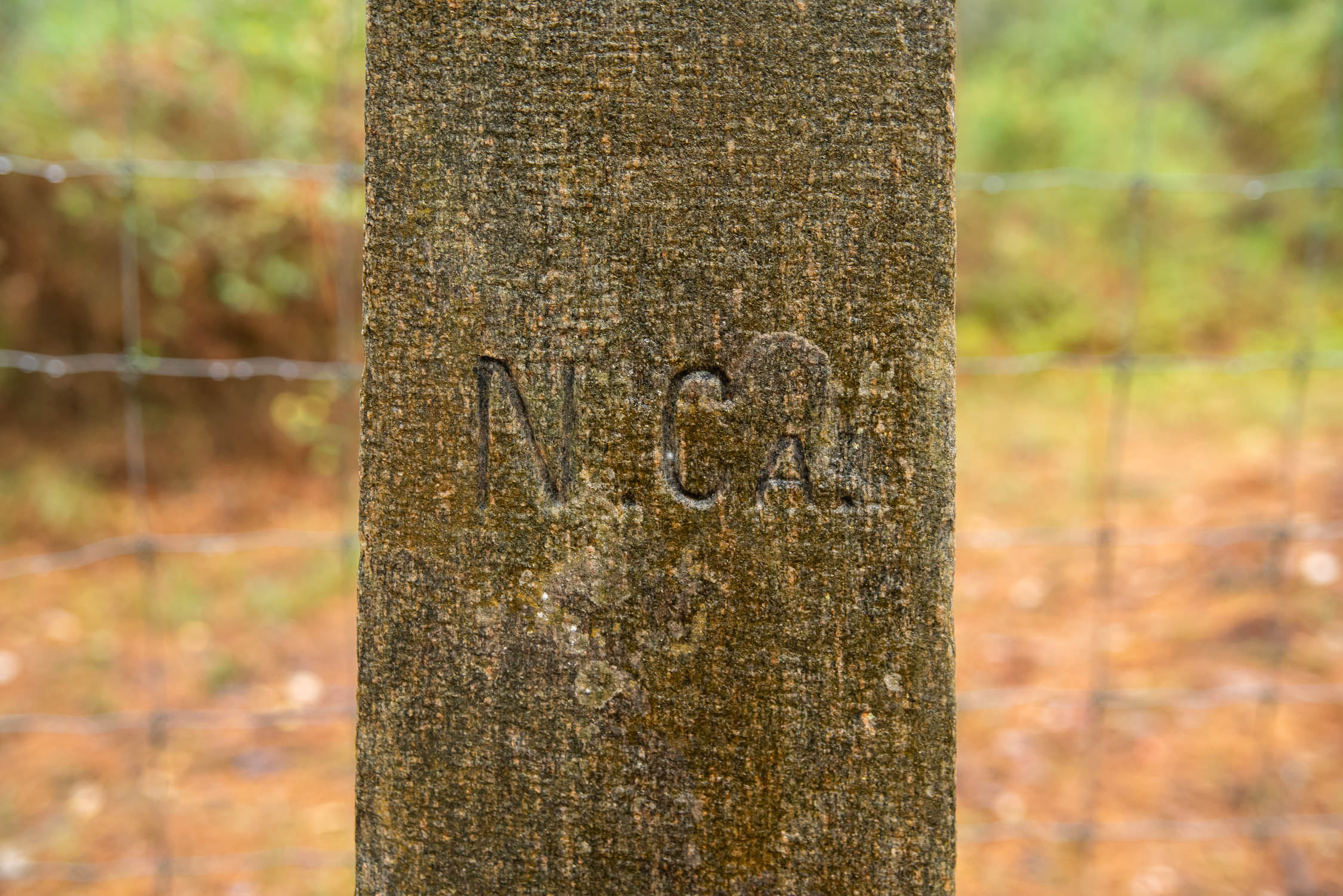
- The Monument Trail: If you cross into Virginia using the interior road through Carova, look for this trail immediately on the left. A 100 yards down the trail is a 6-foot tall obelisk from the 1700s which marks the border.
- The wreck of the Clythia: Visible at low tide a mile north of the VA State line. Known as the “Marble Wreck” because it was apparently hauling marble slabs when it foundered.
- Generally this is a Late Fall/Winter/Early Spring ride. The sand is firmer. The bugs aren’t an issue. There are less kooks out playing corn hole on the 4-wheel drive beach.
- Parking in Corolla is pretty abundant and free. The parking lot for the Currituck Beach lighthouse has been working for us for overnight parking.
- 4×4 beach traffic north of Corolla is a little annoying with vehicles typically lumbering by every few minutes. At low tide you can put some distance between you and the main traffic lane, but as the tide comes in and the beach narrows it can get a little more competitive.
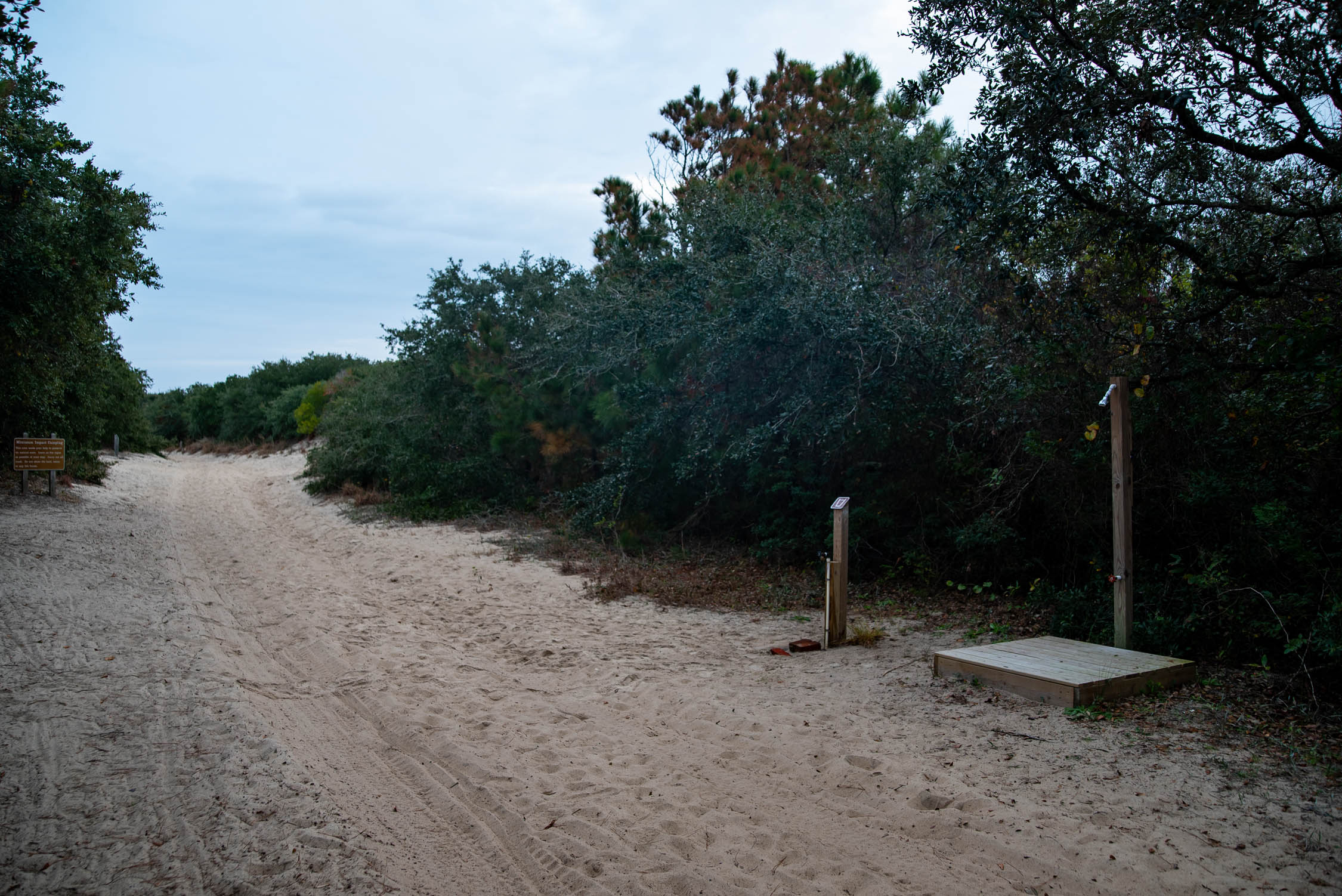
- Unless you know somebody, you’ll be camping at one of False Cape State Park’s three campgrounds. Two are located bay-side; one is close to the ocean. The ocean-side sites at Barbour Hill are tucked into sand dunes and groves of live oaks and are pretty neat. They’re also conveniently located should you decide to make the dash north for breakfast in town. Camping reservations are required; I think I paid $31 last time as an out-of-state visitor.
- Same-day reservations aren’t taken for False Cape. Campsites at the park are in four distinct areas – Barbour Hill Bay, Barbour Hill Ocean, False Cape Landing Bay and False Cape Landing Ocean – which are separated by significant distances. For camping information, contact the state park customer service at 1-800-933-7275.
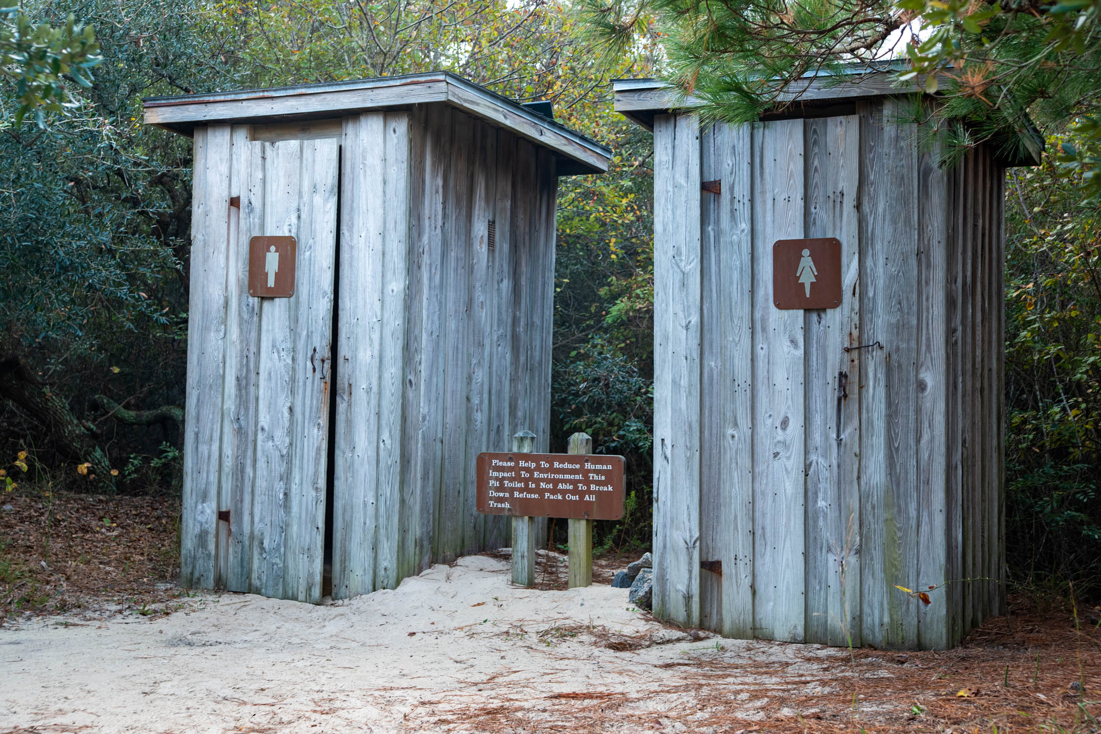
- Water is fairly scarce on this route. On the journey up, only the Carova Community Park restrooms have water. Once you reach your campsite, water is available at a few faucets. It’s also available at the Visitor Center bathrooms, which seem to stay open year-round even when the VC is closed.
- No real food re-supply spots exist.
- The brunch add-on: A big part of this ride for us has always been getting up early in camp and making a run north to the town of Sandbridge for breakfast. This is a slightly complicated affair (and factors into the ‘stay or go’ decision days prior). The Back Bay National Wildlife Refuge offers gravel roads to make the 5-mile trip to town easier but is closed from Halloween to April Fool’s Day. During that closed period, an adjacent beach route is the only way to get to your Crab Cake Hollandaise. Additionally, the conveniently located Baja Restaurant has finicky hours. If it’s closed, the Sandbridge Island Restaurant awaits just another five miles up the road (use the quiet beach-side option) and always has a Bloody Mary waiting. A small grocery store also adjoins this restaurant for your re-supplying needs. So… breakfast or no? The decision is yours to make. The sit-down meal is a satisfying turn-around point to a respectable traverse between two States. But it can add 10-20 miles to an already full day.
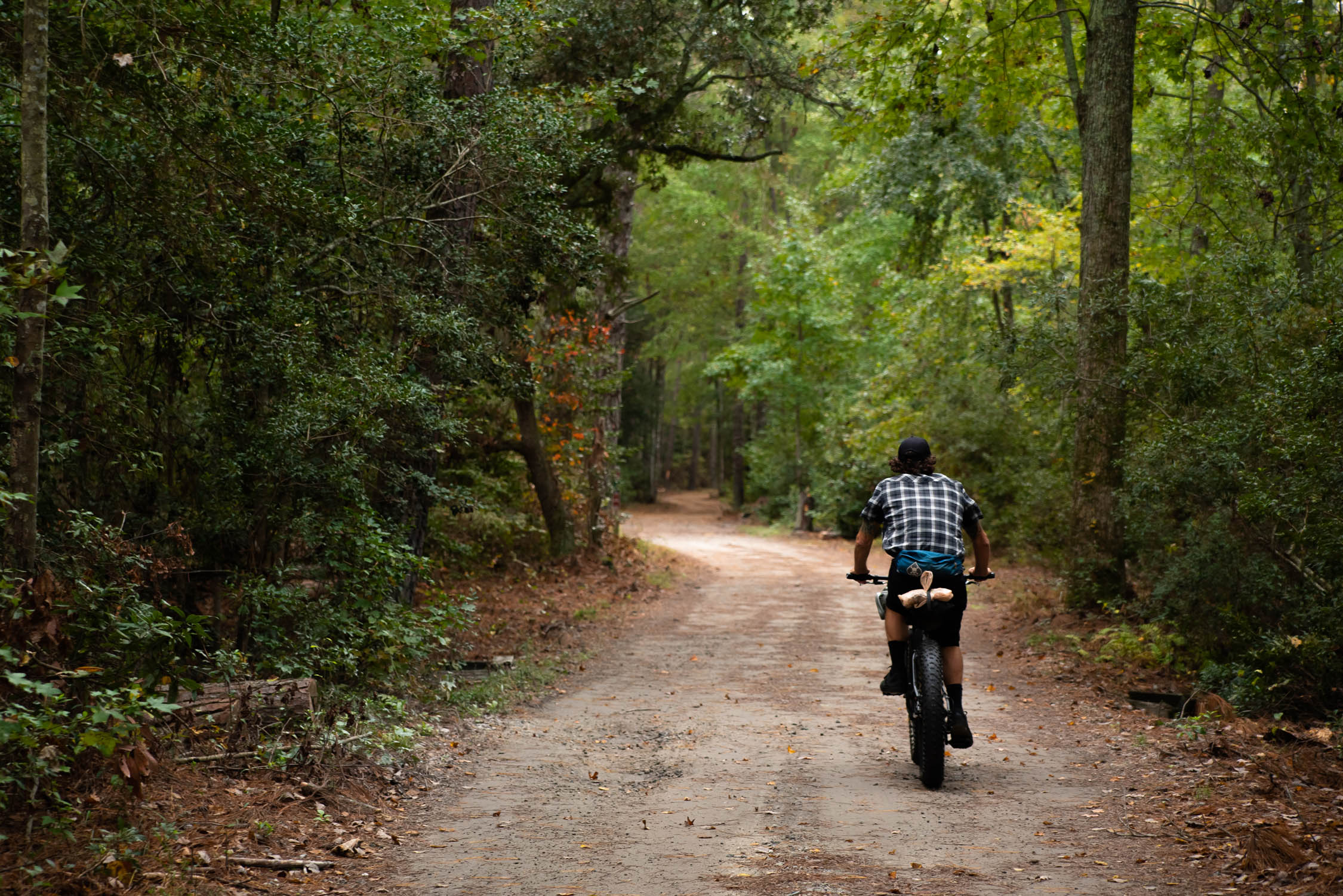
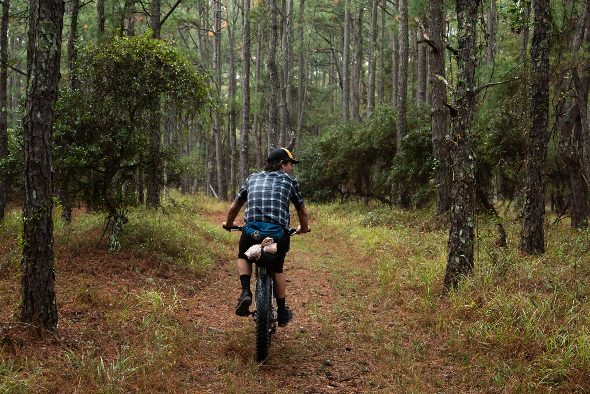
You can do this entire ride on the beach if you choose. All 40 miles, coming and going. For a change of scenery and riding surface — or to seek shelter from the weather — an inland alternative route is available about 75% of the ride. Leaving the beach and getting “over the dune” often requires pushing up a rutted 4WD beach access but after that, a better way can usually be found. Even the beach gets old after a while. Here are a couple favorite alternatives:
Carova
A community of sorts, Carova Beach is located in North Carolina on the VA border and boasts very few amenities. It’s your first opportunity to get off the beach if you find yourself battling a strong headwind while headed north. The town consists primarily of 3 north-south running “streets” and numerous crossroads most of which access the beach. These roads are made of sand and are impassable in some sections due to enormous, permanently flooded areas. Generally speaking, use the middle road south of the Community Park and the western-most road north of the Community Park. The park, located half way through town on the bay side, offers water and a toilet. At the fire station gift shop (yes) you can get a soda, candy bar or commemorative t-shirt, as well as catch up on all the latest gossip.
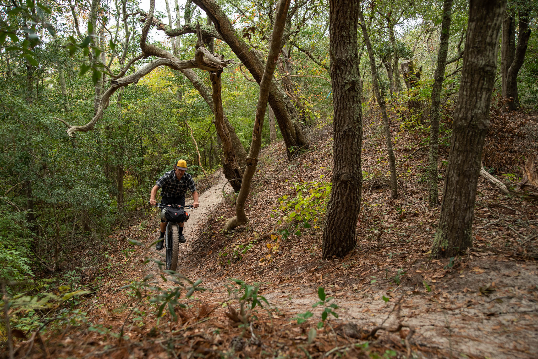
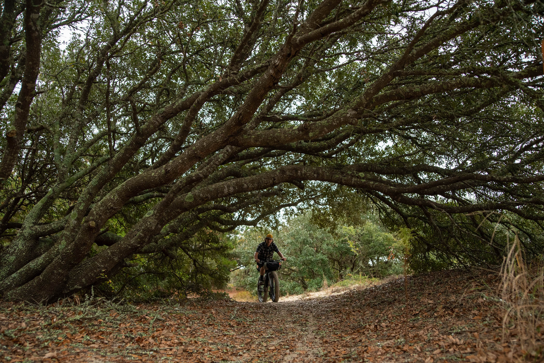
The Cemetery Trail and Maritime Trail
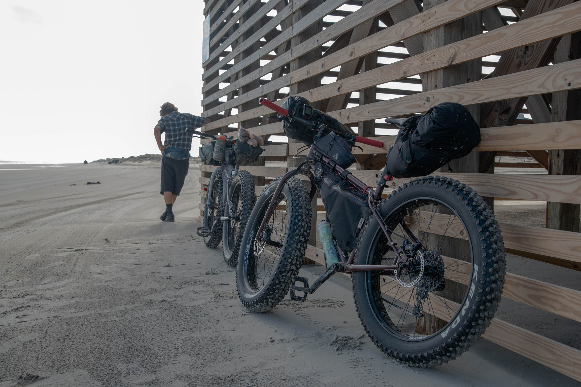
Nestled mid-way through False Cape State Park, these trails intersect each other and cut laterally across the park from the ocean to the its sandy, main road and the Wash Woods Church site. Hard-to-spot from the beach, this short, sandy ride winds through the maritime forest and past an elevated platform which, once you climb it’s stairs, affords you views of both the ocean and the Bay. Likewise, you can use the trail to leave Wash Woods and ride directly to the beach. Fatbike singletrack!
When you’re on the beach none of these things are obvious. All you see is ocean, sand dunes and sometimes beach houses. Knowing what’s just over the dune is kind of key, so any GPS screens, paper maps and pre-trip studying are a huge help.


Terms of Use: As with each bikepacking route guide published on BIKEPACKING.com, should you choose to cycle this route, do so at your own risk. Prior to setting out check current local weather, conditions, and land/road closures. While riding, obey all public and private land use restrictions and rules, carry proper safety and navigational equipment, and of course, follow the #leavenotrace guidelines. The information found herein is simply a planning resource to be used as a point of inspiration in conjunction with your own due-diligence. In spite of the fact that this route, associated GPS track (GPX and maps), and all route guidelines were prepared under diligent research by the specified contributor and/or contributors, the accuracy of such and judgement of the author is not guaranteed. BIKEPACKING.com LLC, its partners, associates, and contributors are in no way liable for personal injury, damage to personal property, or any other such situation that might happen to individual riders cycling or following this route.
Please keep the conversation civil, constructive, and inclusive, or your comment will be removed.